
90th Birthday Wanderlust, Days 11 and 12: Antelope Island
My sister Lori is interested in a short hike with me. I consult my guide and choose the hike to Stewart Falls, which is described as an easy family hike, three miles round trip.
The trailhead is at Aspen Grove, which I haven’t visited in 40 years. It takes me a couple of false starts to get my bearings, but Lori is patient with me. (She always has been.) As is so often the case when I’m with good company, or at least good company that is not equally fanatical about geology, I am not paying much attention to the surroundings and do not take my first photograph until we are the overlook for the falls.
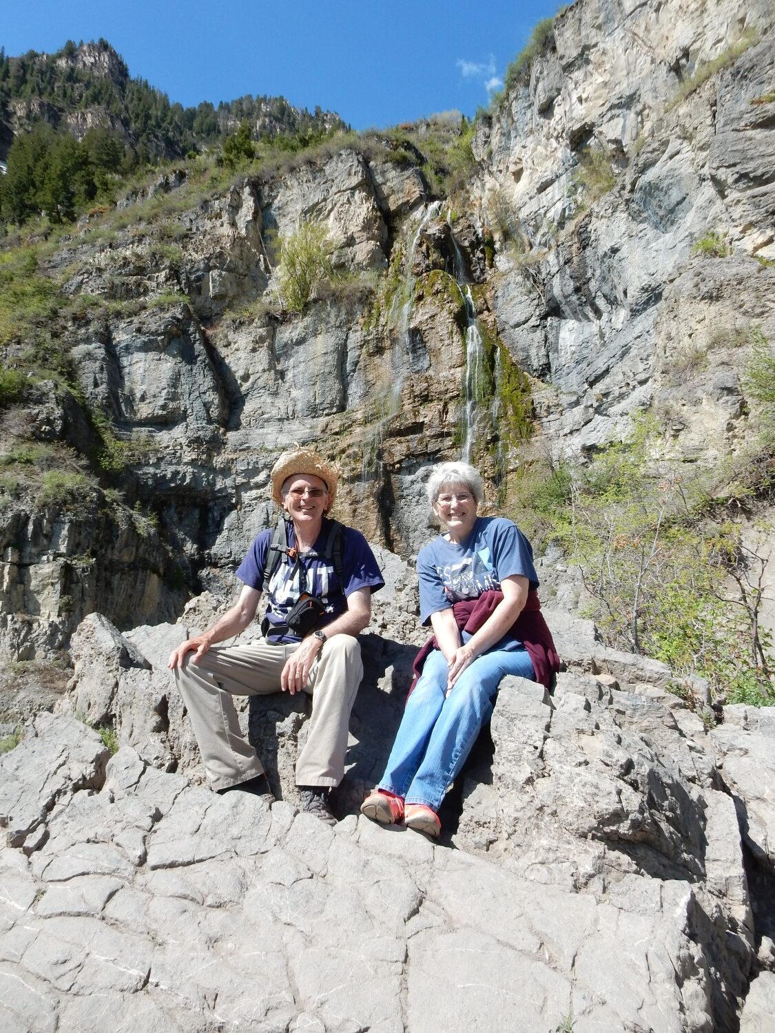
Yeah, it’s a silly hat. I have a big head (take that however you wish) and it’s hard to find a hat that fits. This is the best I’ve found, though it’s nearing the end of its useful lifetime.
Large head size is linked to autism, though it’s an indirect link. As I mentioned yesterday, my father also had a large head, but not a trace of autism (he was very good with people). On the other hand, I have some personality ticks suggestive of borderline autism.
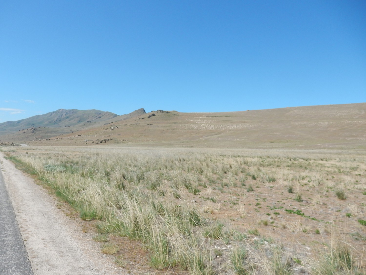
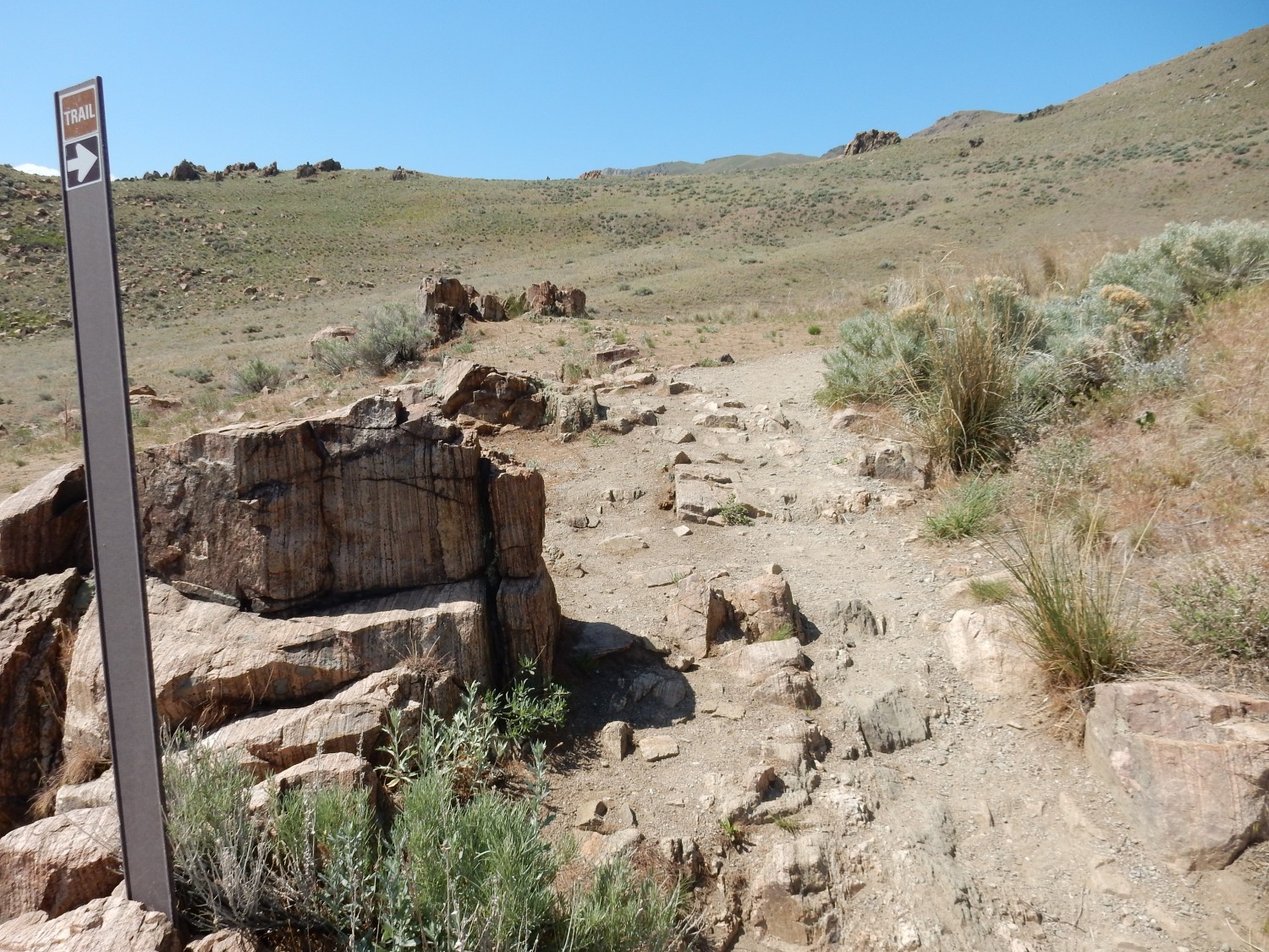
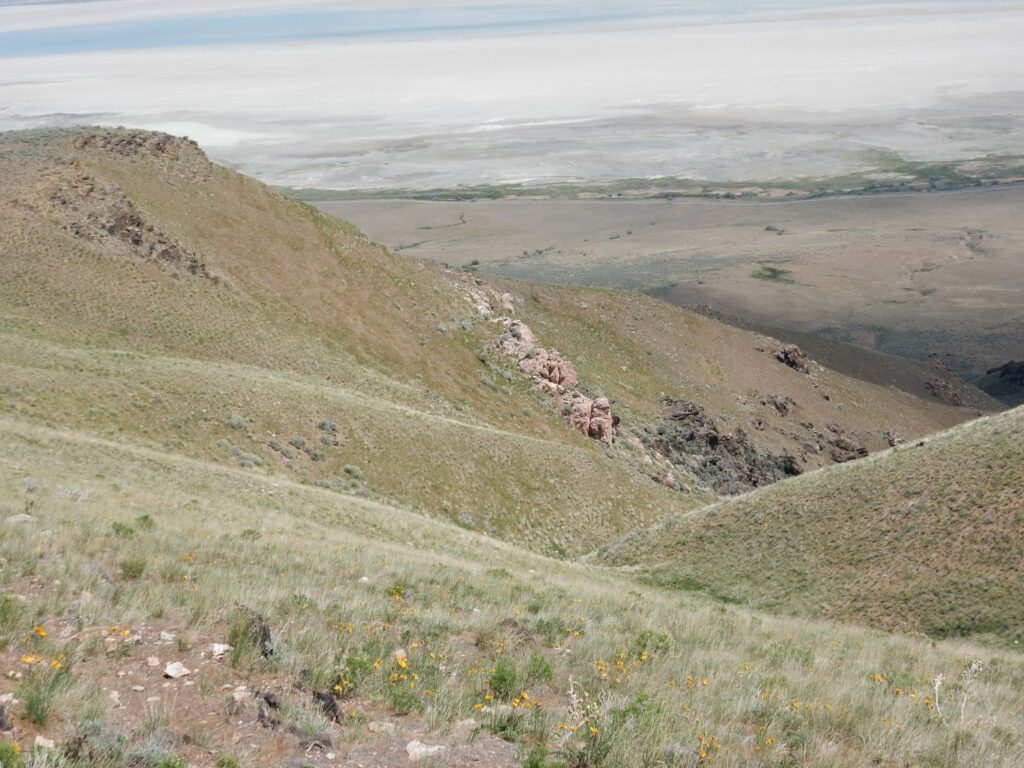
We hike the remaining distace to the foot of the falls. These sit at the head of a large valley.
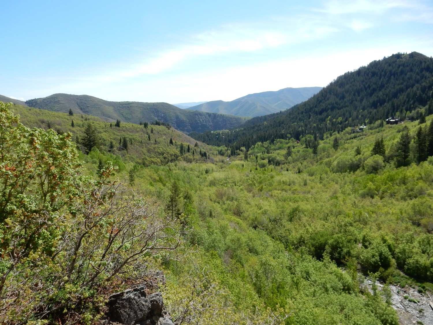
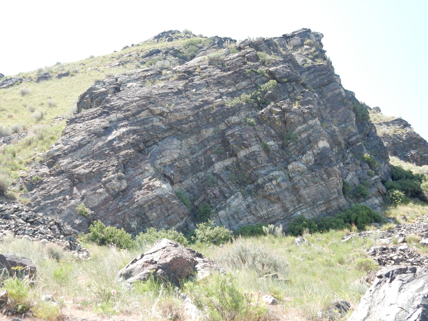
The foreground hill at left is underlain by glacial deposits of the Pinedale glaciation, the most recent major glaciation in the Rocky Mountains, which extended from 30,000 to 10,000 years ago. The mountain at right is underlain by the Bear Canyon Member of the Oquirrh Formation, which is Pennsylvanian in age (around 310 million years) and is composed of beds of sandstone and limestone. Most of the more distant terrain is also underlain by Bear Canyon Member. It’s an enormously thick formation, recording a long period of subsidence of the continental margin in Utah, which allowed huge amounts of limestone and sediments to accumulate on the floor of a shallow sea.
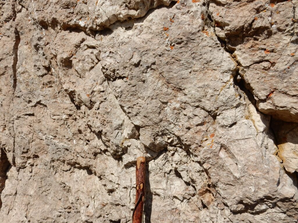
The falls.
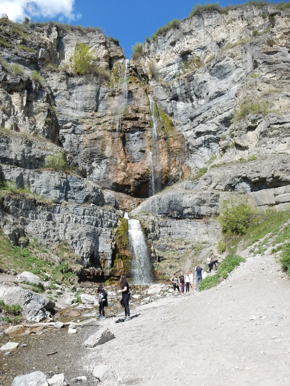
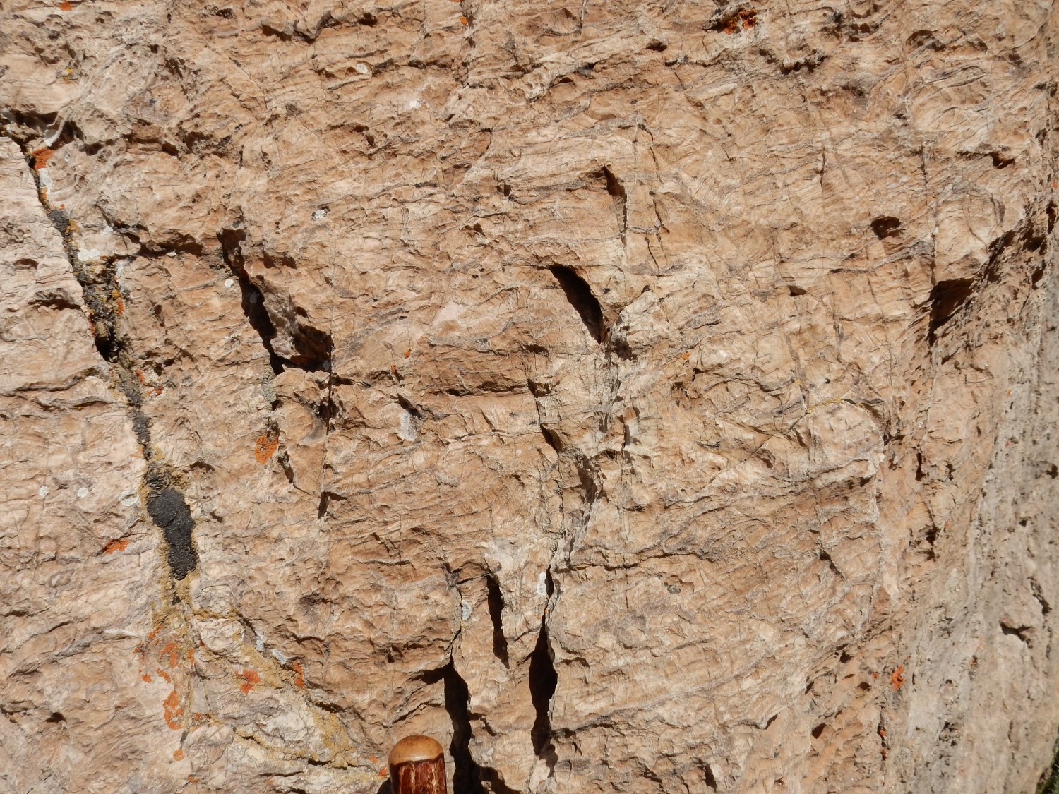
This is a drought year. The falls are typically much more spectacular this time of year. The entire thickness of the exposed cliff is the Bridal Veil Limestone Member of the Oquirrh Formation. This underlies the Bear Canyon Member and is thickly bedded limestone, sometimes with abundant fossils and chert. It seems to be a resistant cliff-forming member, judging from the exposures I’ve seen, though these are mostly in canyon bottoms in the Provo Canyon area.
We hike back to the car and head home. I get lunch, take a short nap, then buy groceries and other supplies. Mom has a squeaky bathroom door; I lubricate it for her, with a graphite and oil mixture formulated for the purpose (the oil penetrates with the graphite, then evaporates to avoid attracting more dirt) and it fixes the problem.
Day 12
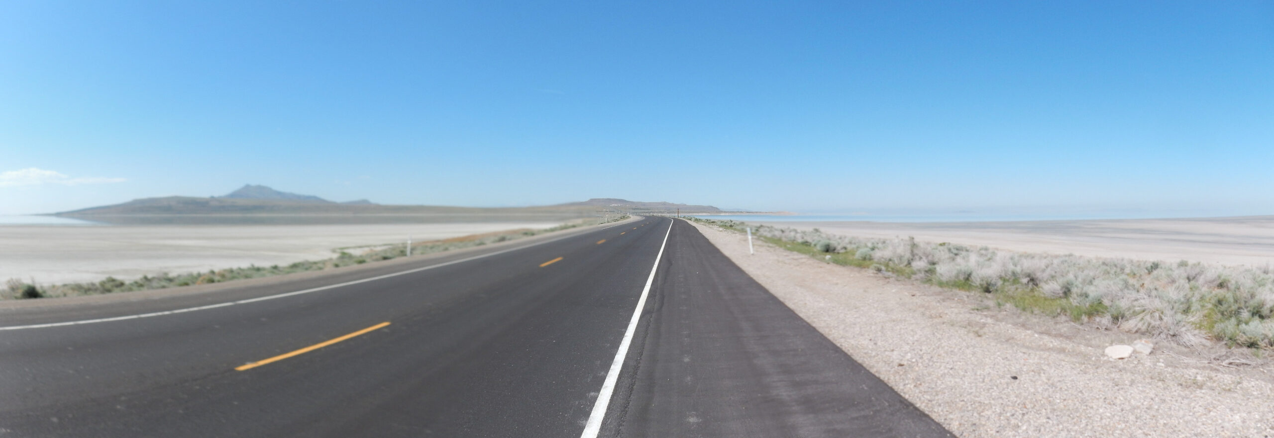
Having had a day of light hiking and plenty of rest, I’m ready to try something challenging again. So after breakfast with Mom, I head north towards Antelope Island. This requires transiting Salt Lake City, fortunately not at rush hour, then taking the exit into blessedly rural Syracuse. From here the highway passes a toll booth (where I part with most of my remaining cash) and crosses a causeway to the island.
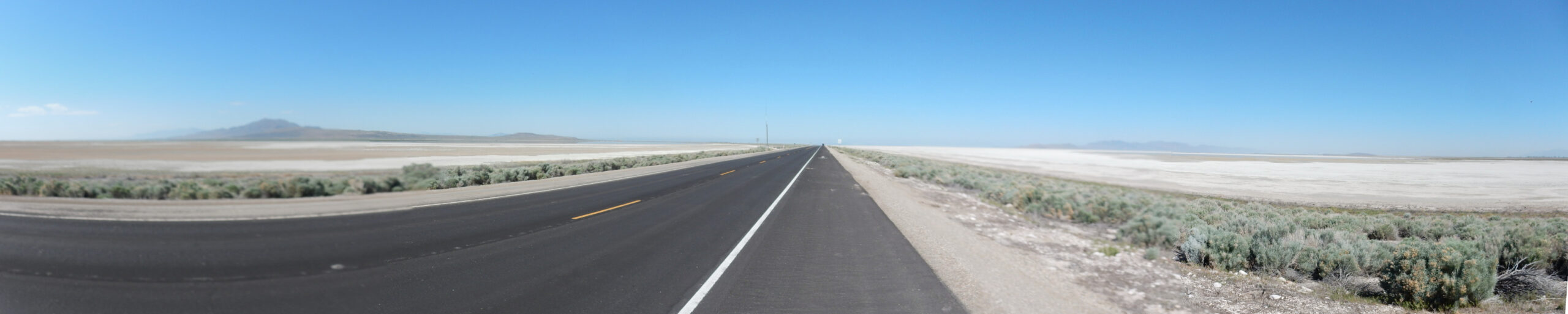
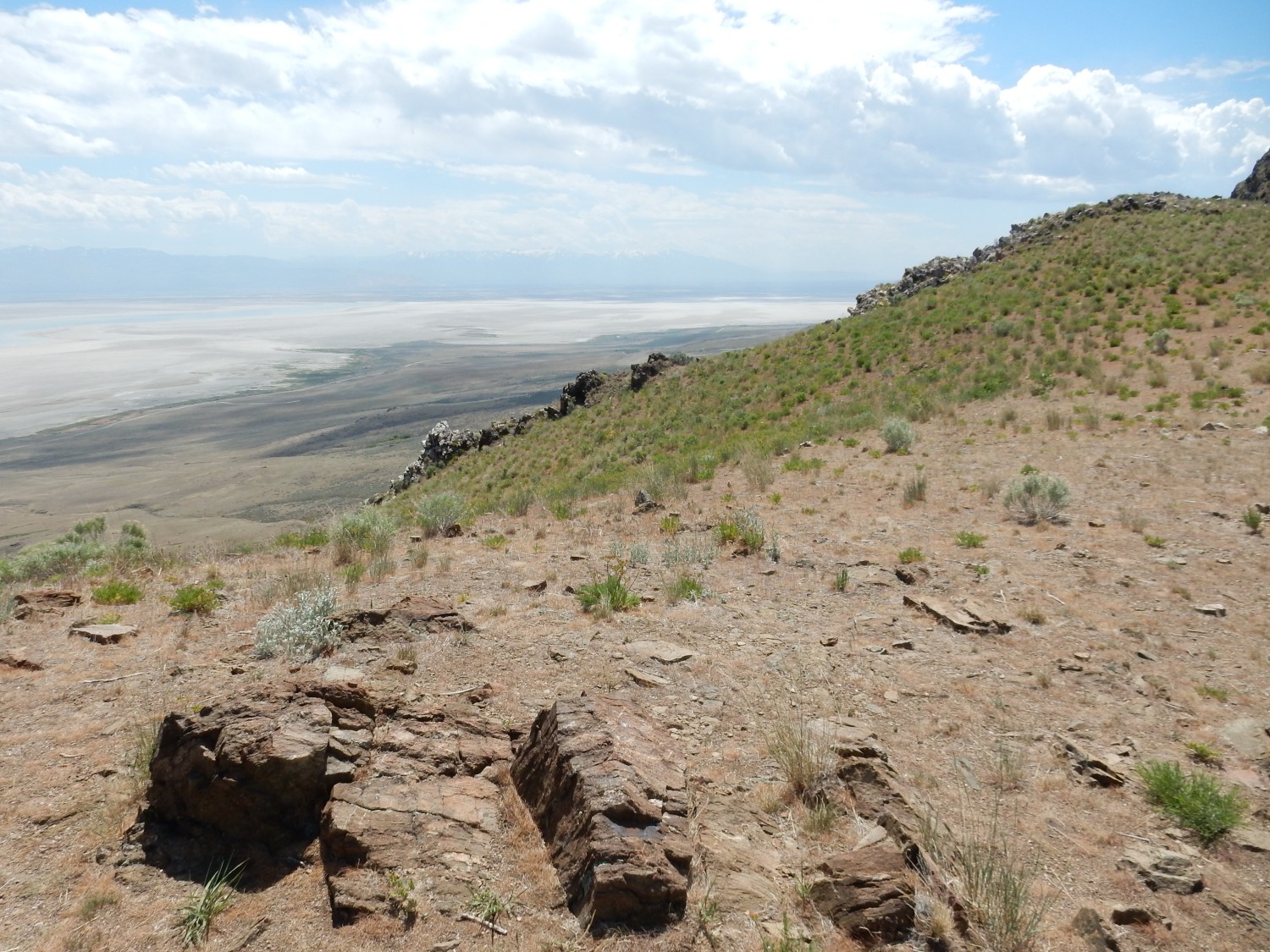
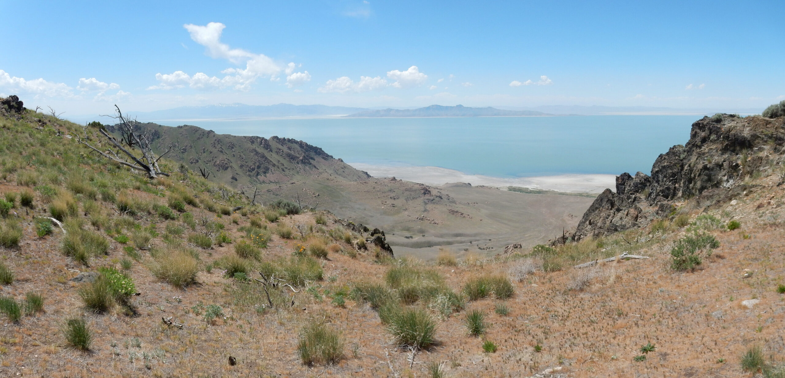
The island is normally surrounded by shallow brine of the Great Salt Lake. At the moment, the lake is at very low levels due to ongoing drought, and the island is more of a peninsula. You can see that the lake bottom is extremely flat. The Great Salt Lake is in fact a giant playa lake, underlain by sediments eroded off the surrounding highlands.
Antelope Island is what geologists call a Precambrian-cored Laramide uplift. That deserves some unpacking. It is a block of the Earth’s crust that was thrust upwards during the Laramide Orogeny, a mountain-building event that got going around 80 million years ago and more or less puttered out around 35 million years ago. Most of the ranges of the Rocky Mountains were raised at this time. Geologists are still working out its details, but there seems to be general agreement that this event was triggered by a tectonic plate, the Farallon Plate, slipping under the North American Plate (subducting) at a very shallow angle. This put tremendous compression on the North American Plate, which buckled and threw up high mountain ranges. Around 35 million years ago, the Farallon Plate began to disintegrate and sink into the Earth’s mantle, allowing hot mantle rock to creep upwards and simultaneously uplift and pull apart western North America. Antelope Island was a block of crust thrown upwards by the Laramide Orogeny to form a small mountain range, which became isolated by basins during the subsequent stretching of the crust. The basins filled in with sediments to form the floor of the Great Salt Lake.
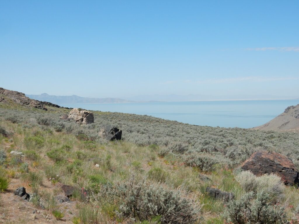
I approach the island, and water of the Great Salt Lake finally comes into view.
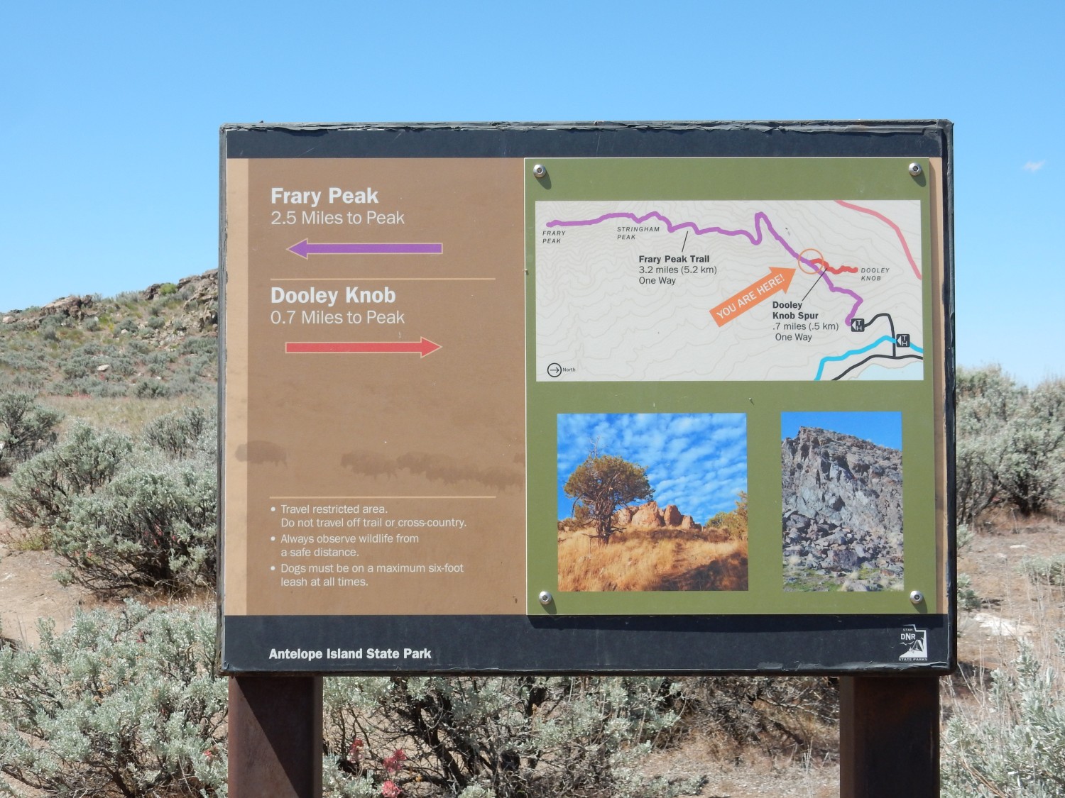
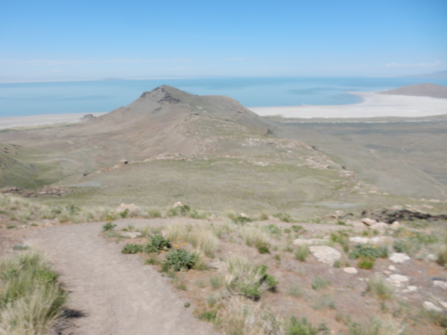
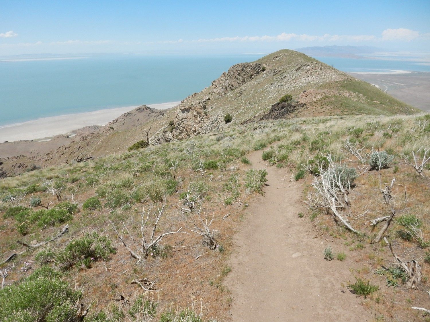
The peak at left is Frary Peak, the objective of today’s hike. The road is headed to the north end of the island.
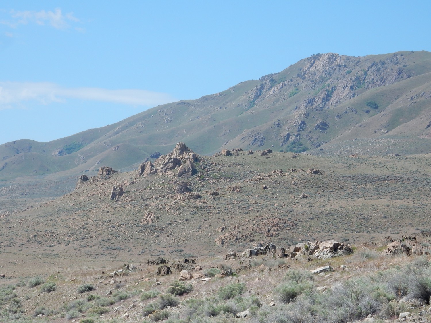
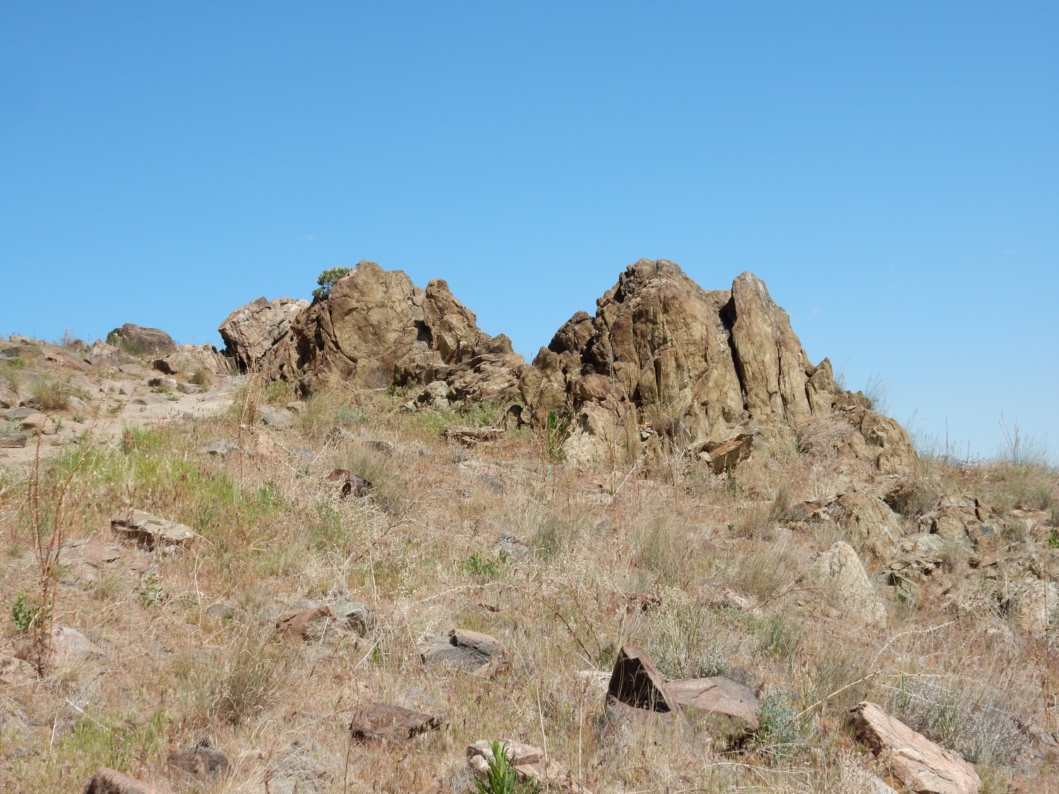
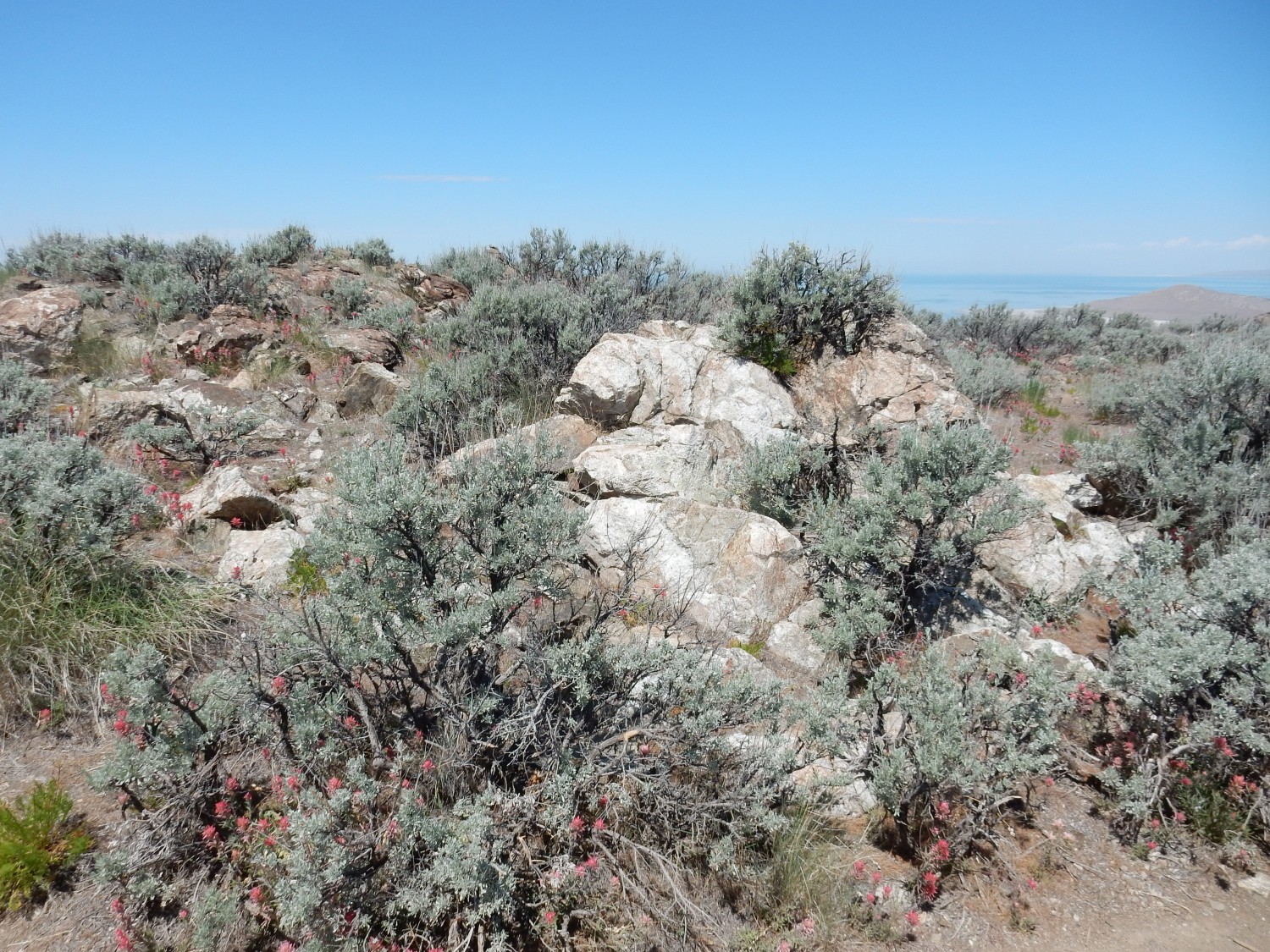
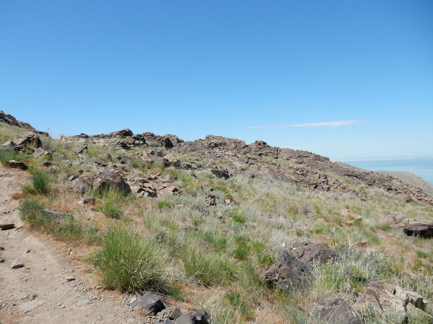
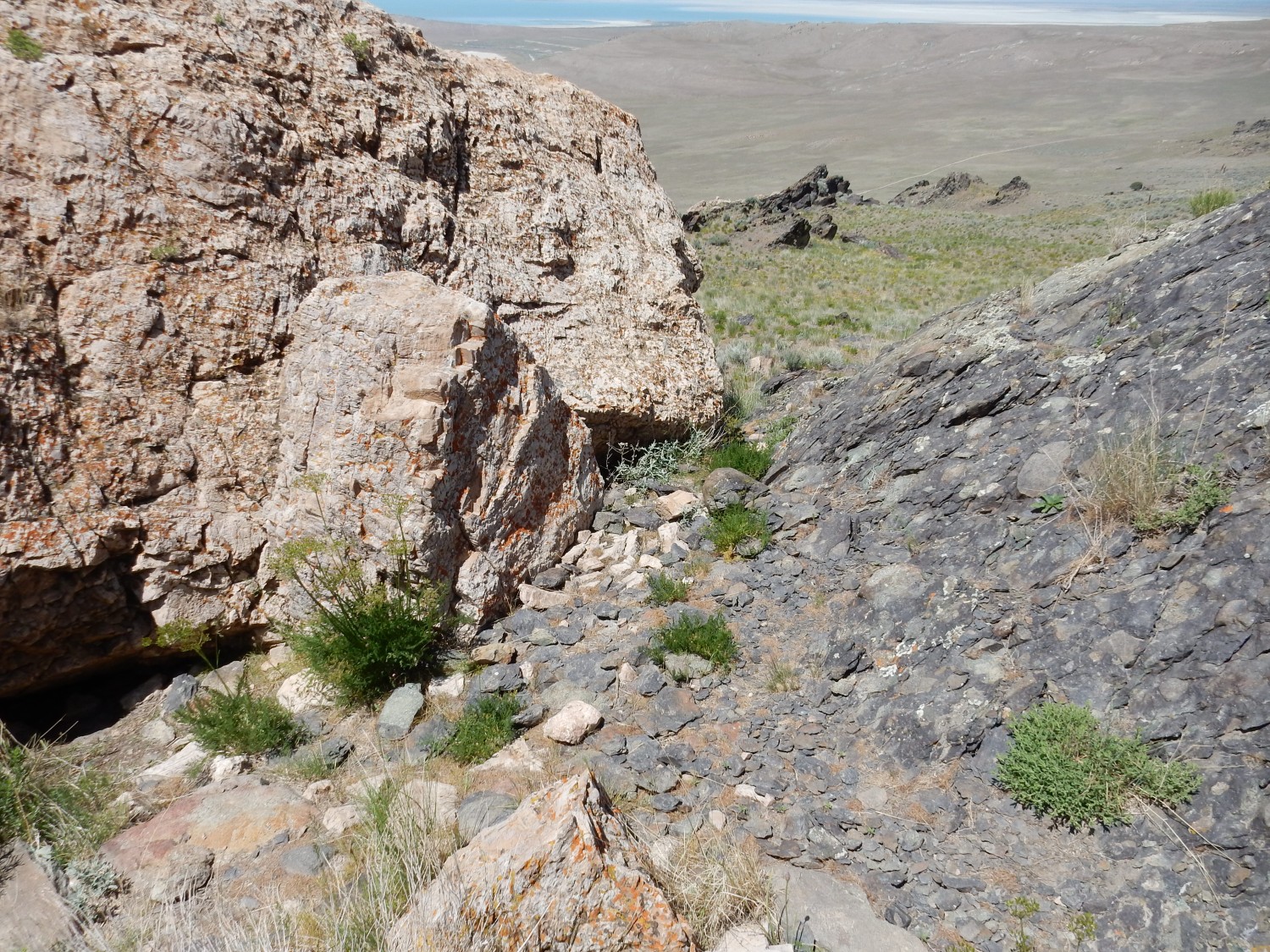
The weather forecast is for scattered showers in the afternoon, and I do not want to be caught on the high ground if a thunderstorm rolls in, so I skip the museum for now and head directly towards the trail head. On the way, outcrops to my south, along the northern spine of the island, catch my eye.
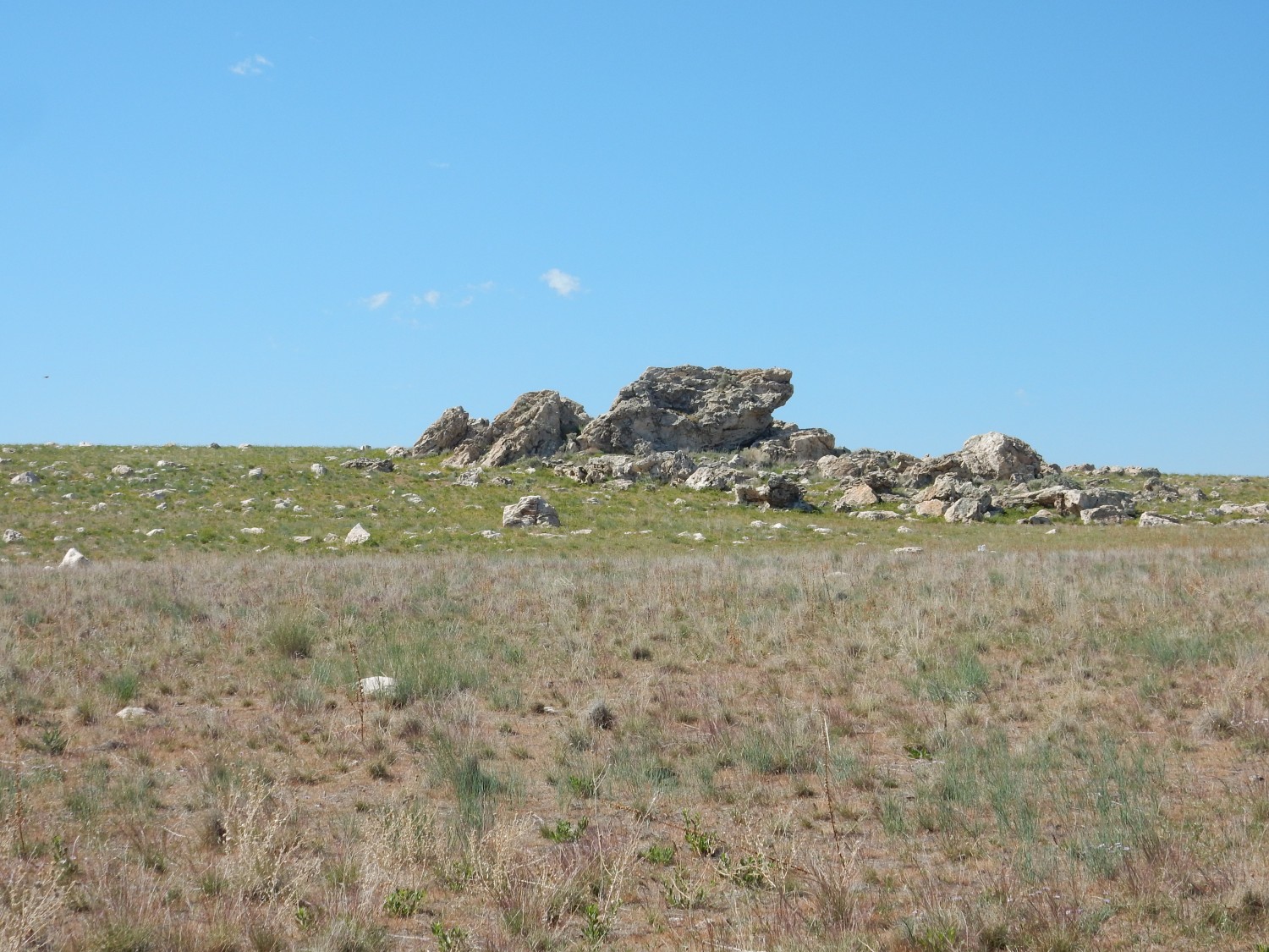
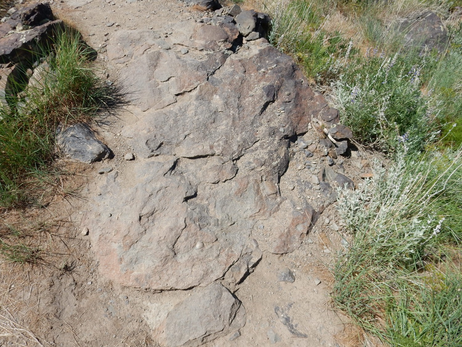
This is our friend, the Tintic Quartzite, which we saw at Y Mountain yesterday. It’s a Cambrian sandstone that has become very well cemented, so that it is a very hard rock. It’s also the youngest rock we will see much of today, with an age of just 550 million years or so. There is a boulder of it by the road.
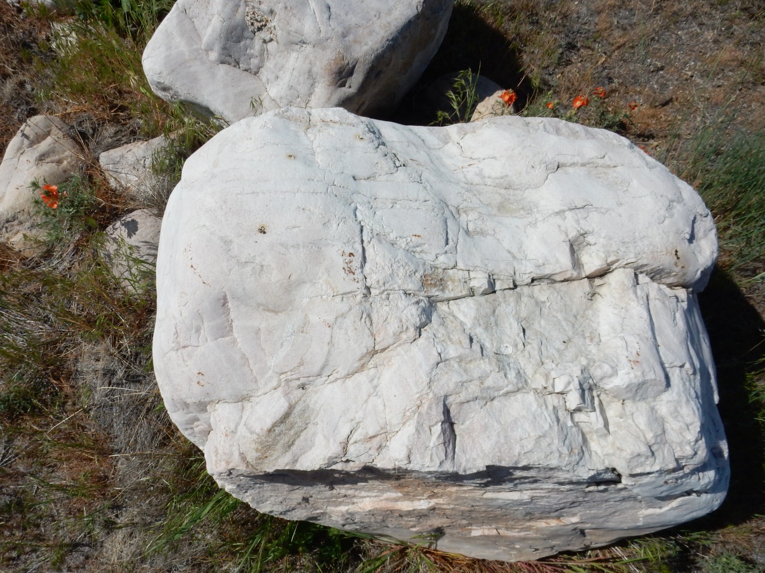
Tintic quartzite crops out over most of the northern third of the island.
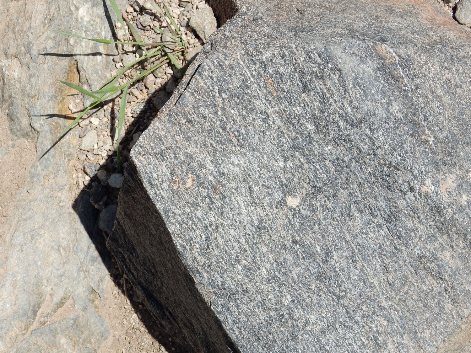
Here we see the contact of the Tintic Quartzite with underlying Precambrian rock.
The white beds of quartzite pinch out againsat the darker knoll just left of center. That is, the beds thin to a feather edge then disappear. The knoll itself is composed of the oldest rock I will see any time on this trip; it is deformed and altered beds of the Farmington Canyon Complex, whose age is uncertain but not much less than 2.5 billion years old. The beds were likely deformed in the Cretaceous, in the ballpark of 100 million years ago, perhaps in the very earliest stages of the Laramide Orogeny.
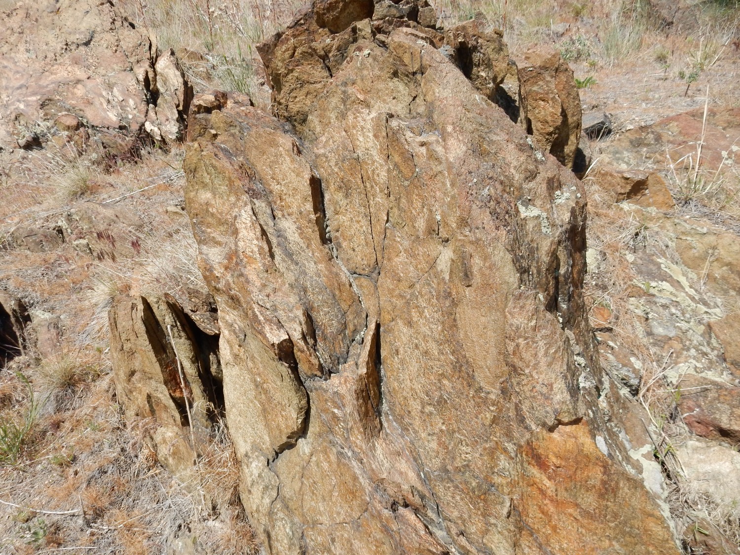
At extreme left is a small knoll.
This is gneiss of the Farmington Canyon Complex, dipping at a steep angle (measured as 82 degrees) to the east (left). You can see that the beds in the steep eastern face of Frary Peak also dip steeply to the east. (They’re also Farmington Canyon Complex.) Does this mean the beds have been tilted steeply? Not necessarily. The Farmington Canyon Complex is heavily metamorphosed, so the present bedding (which, strictly speaking, is called jointing) does not necessarily have any relationship to the original bedding of the rock when it was laid down 2.4 billion years ago. Instead, it reflects compression from east to west more recently in the history of the beds.
Why, yes. Geologists really do go around with levels and protractors and measure the precise dip of rock beds into the ground.
Here’s some of the rock close up.
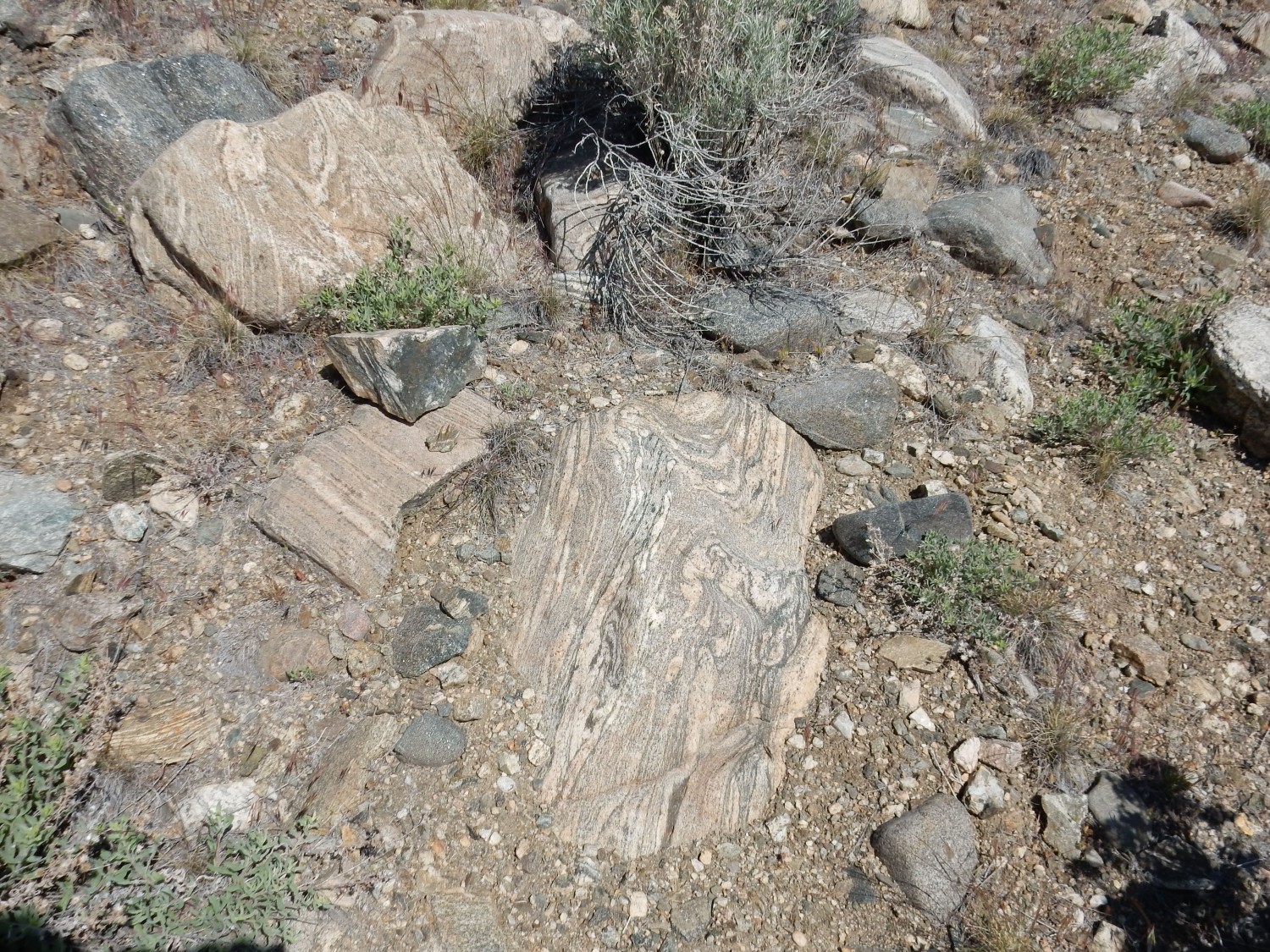
Look at that banding. It’s what makes a gneiss a gneiss, and in this case it’s very nice indeed.
In outcrop.

You can see that the light-colored gneiss is intruded by pods of darker amphibolite. The gneiss here is composed of the minerals, quartz and feldspar, with some mica; the amphibolite is mostly feldspar and amphibole minerals with some mica. Under more precise modern classification schemes, both rocks are gneiss, which is a textural description; but amphibolites tend to be called by that name because of their distinctive mineral makeup.
More amphibolite on the hillside.

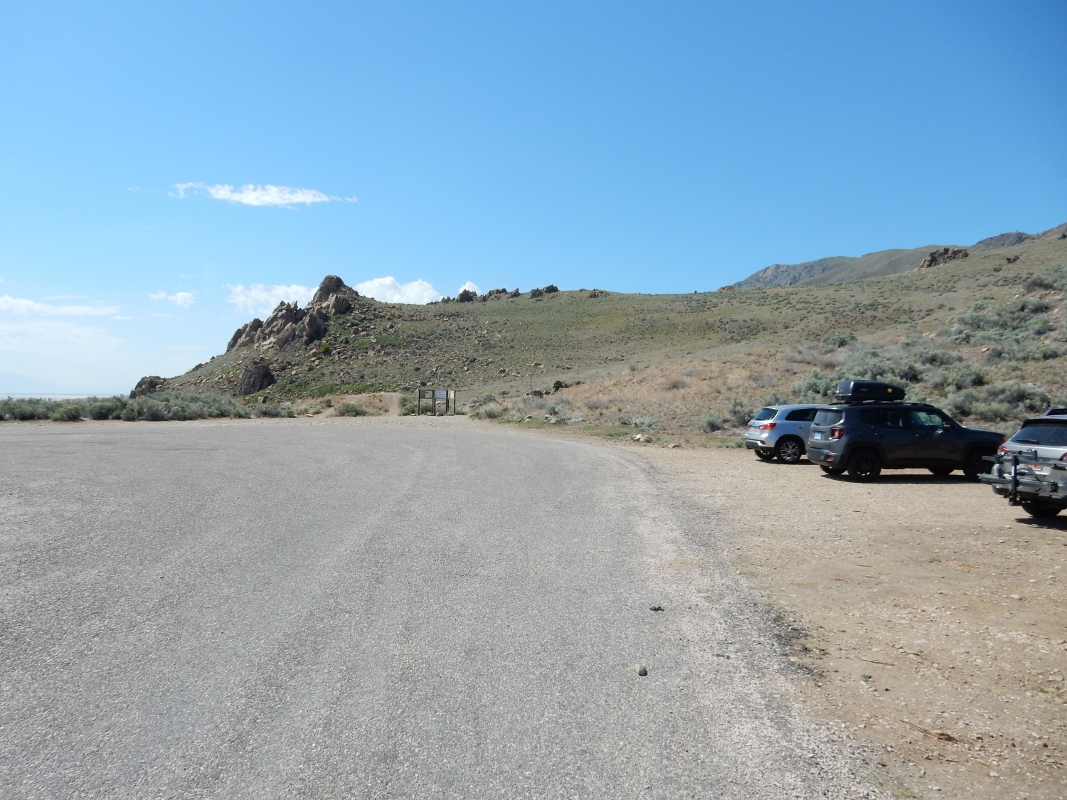
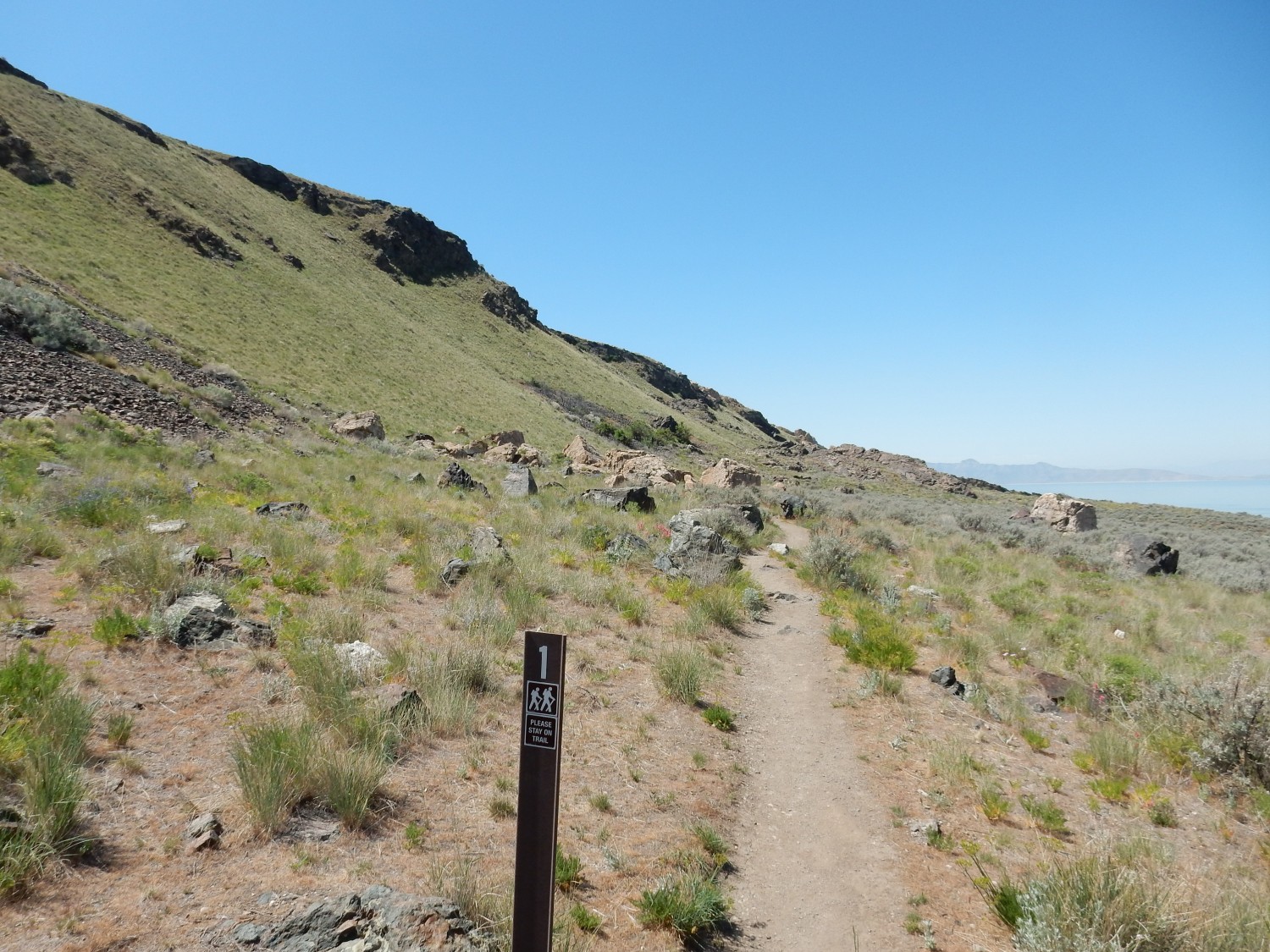
I arrive at the trailhead.
I turn on my SPOT beacon, don my pack, and start out. Steeply dipping Farmington Canyon Complex gneiss, close up:
So how is a “complex” different from a “formation”? A formation is a more or less tabular body of rock that is distinguishable from surrounding rock by some physical characteristic of the rock, such as color, composition, thickness of bedding, and so on; and which is large enough to show on a map at the usual map scale used by geologists in the area. (This is typically 1:24,000.) Most of the time, formations are stacked on top of each other, and the higher formations are younger (the Law of Superposition). There are exceptions when tectonic forces have overturned an entire block of crust. A complex is a mass of rock, not tabular, and not stacked on other tabular masses of rock, that contains more than one type of rock — igneous, metamorphic, or sedimentary. I’m guessing the Farmington Canyon Complex contains both metamorphic rock and intrusive igneous rock. I’ll see evidence of that here.
Up close and fresh.
This is a mixture of plagioclase feldspar with an amphibolite mineral, probably hornblende. THe process of metamorphism aligned the crystals to produce the texture here. This was probably a basalt, long ago, erupted as lava from a fissure.
Weathered surface.
Amphibole weather to release iron oxides, which stain the outcrop with the rusty color.
More of the light gneiss.

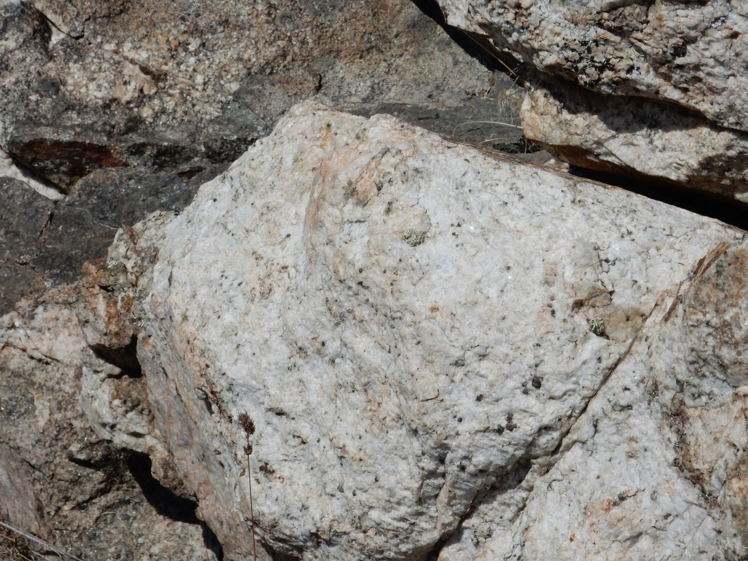
Or perhaps not. This is not a gneiss.
This is a granite, though perhaps subject to mild metamorphism. When a rock is metamorphosed lightly enough that the original rock it came from — the protolith — can easily be determined, the rock is named simply by adding a meta-. So this is a metagranite. Look at the large crystals of quartz and alkali feldspar. This was intruded into the Farmington Canyon Complex after the main phase of metamorphism.
As the trail climbs, I get a nice view of the Tintic Quartz beds to the north.
The beds are nearly level, showing that Antelope Island has not been tilted significantly in over 530 million years. The island must have been thrust uniformly upwards.
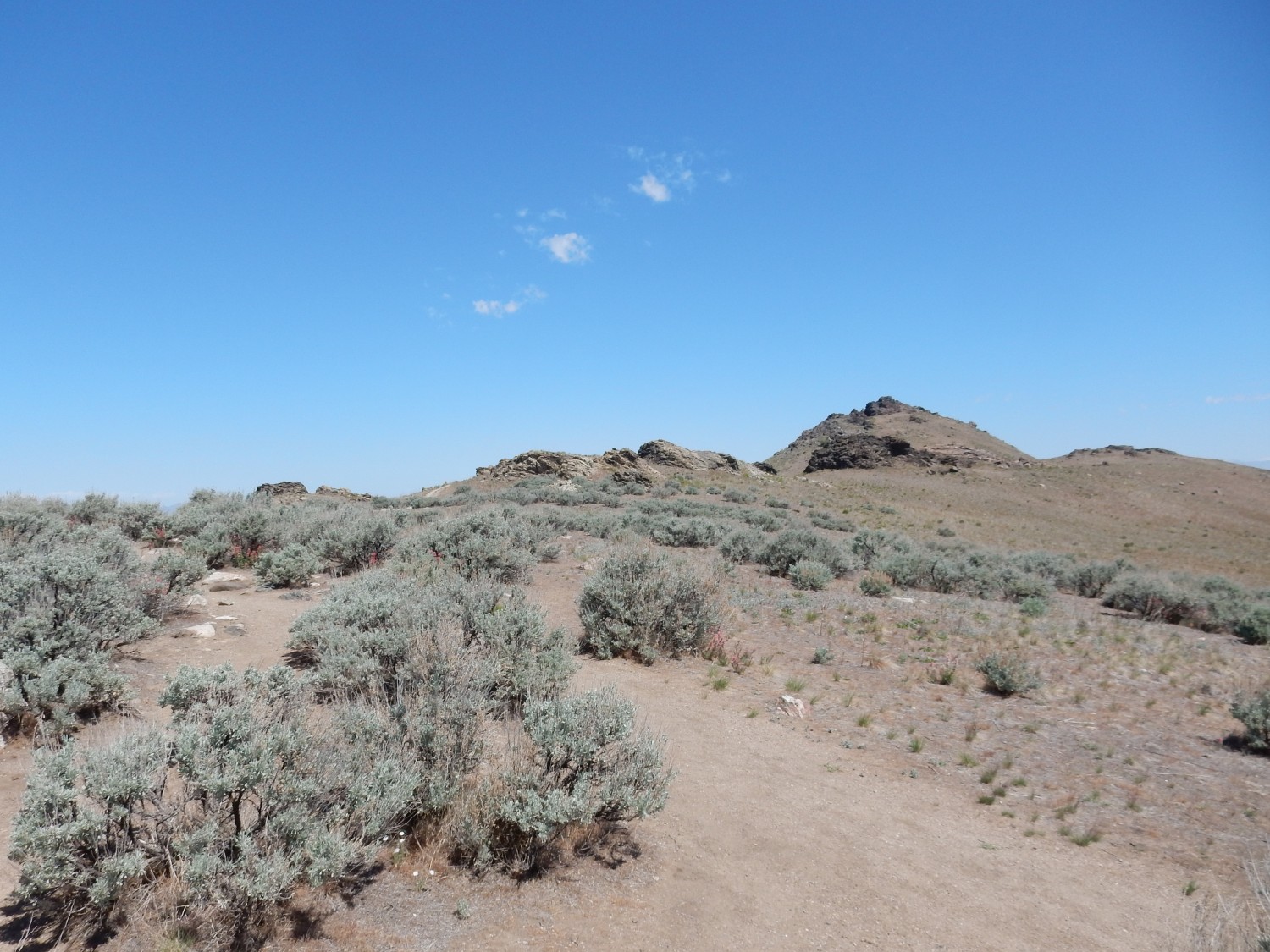
A spur trail.
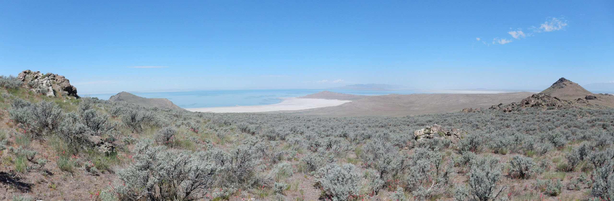
The knoll promises a nice view. Alas, it’s almost straight into the sun. I do get a panorama south.
The camera seems to have had trouble focusing on some frames. Here’s the center frame, which came out sharp.
I hike to a more substantial spur.
I think about it, but decide to do it on the way back, if at all. I’m still worried the weather might deteriorate.
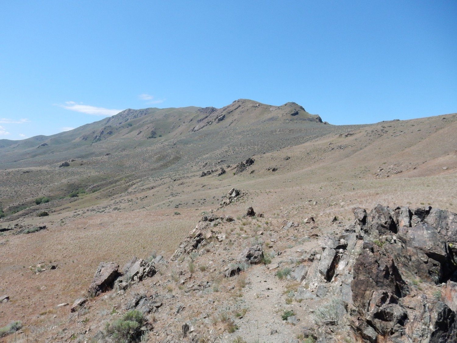
My objective in the distance.
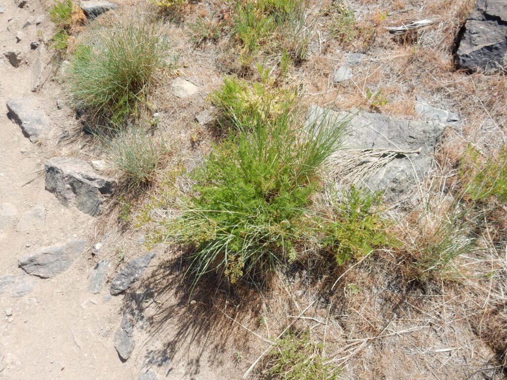
The sagebrush country here is very familiar from back home. It turns out that if you adjust for White Rock’s higher altitude, we’re in the same climate zone as here. And Antelope Island is far from ecologically isolated; low stands of the lake ensure that pretty much anything can cross to the island.
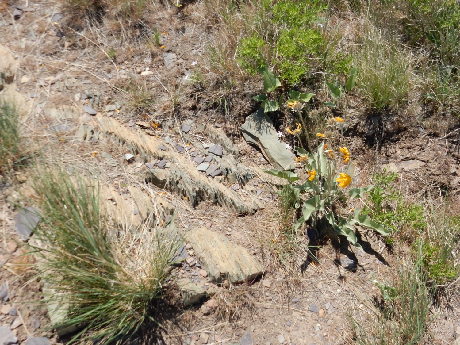
Indian paintbrush.
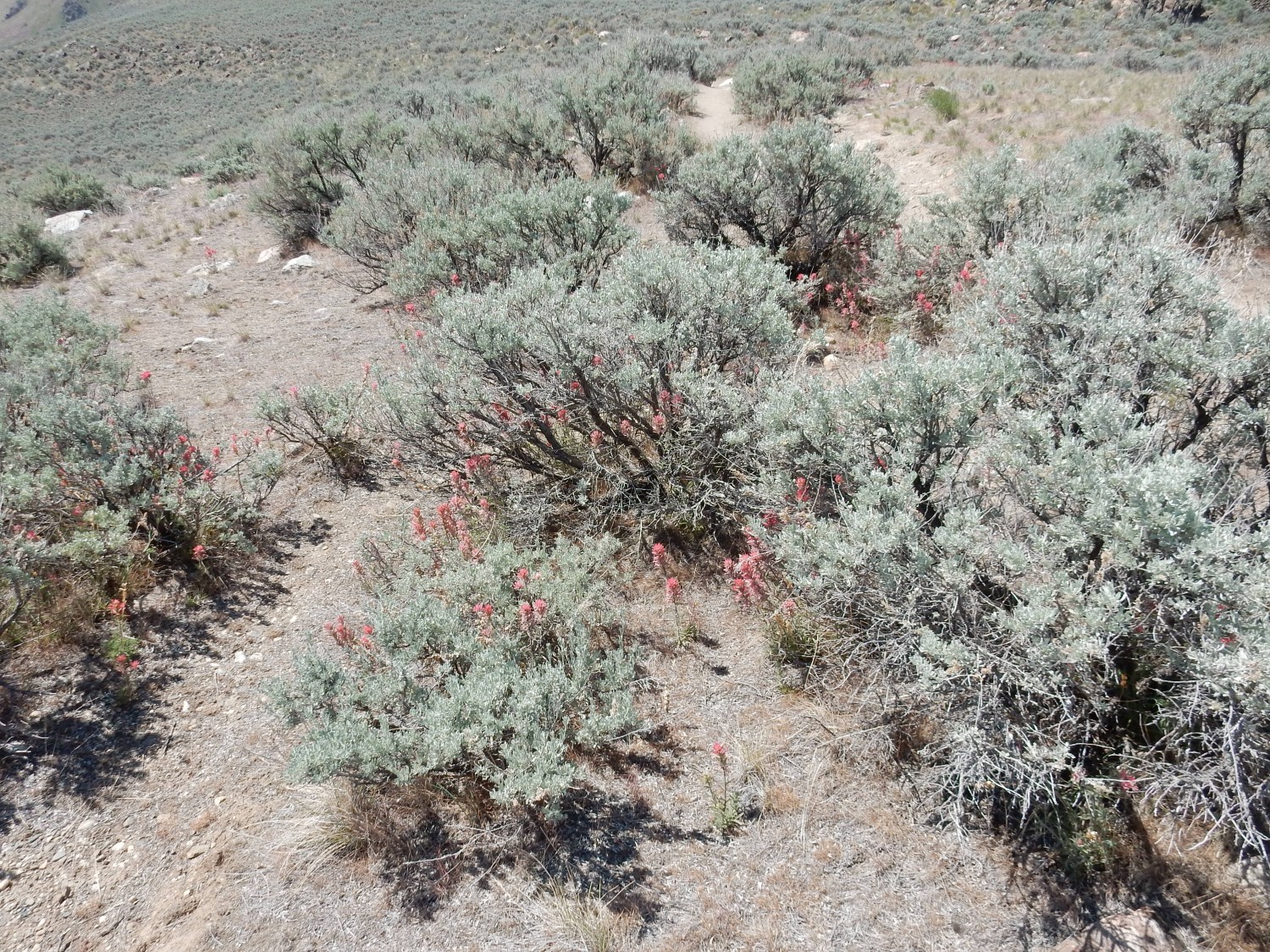
A lot like home, though this may not be the exact same species.
A new kind of rock in outcrop.
It looks like limestone. However, the map says I’m looking at highly altered and deformed Farmington Canyon Complex.
To the northwest, Buffalo Point, and beyond, Promontory Point on the northeast shore of the Great Salt Lake.
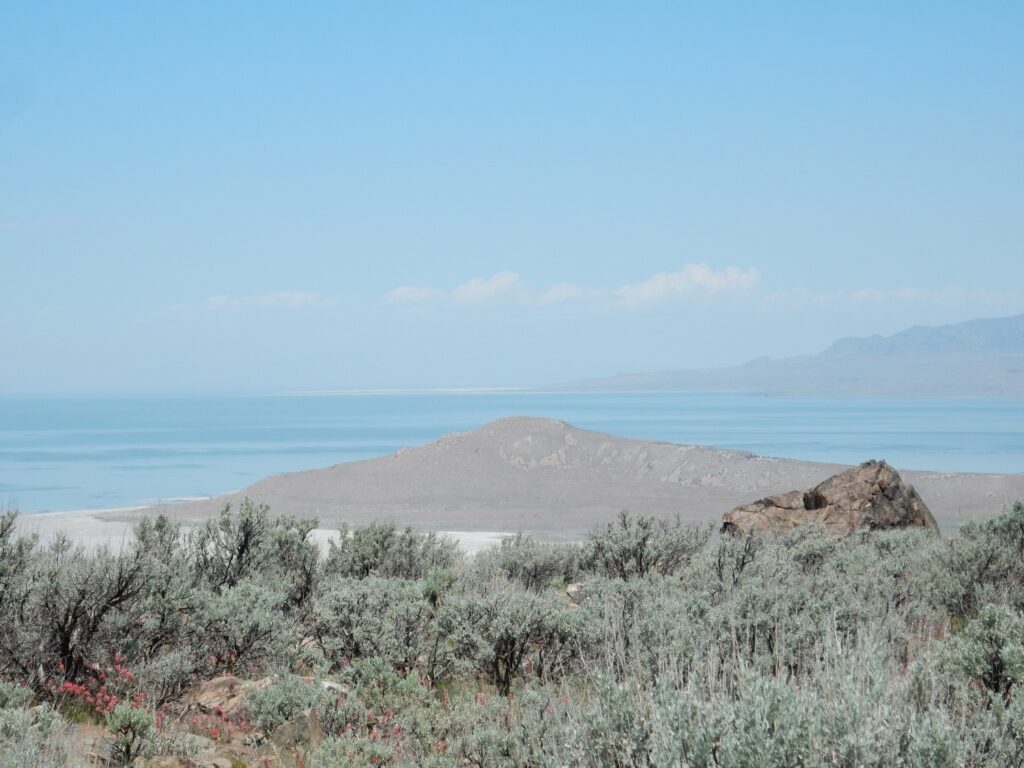
Buffalo Point is underlain mostly by Tintic Quartzite.
More Farmington Canyon Complex quartzite.
Similar to the Tintic Quartzite, but much, much older. And heavily metamorphosed.
View to the west.
At left, just peeking above the crest line, is Elephant Head. Elephant Head is mostly Farmington Canyon Complex, but with a cap of Mineral Fork Formation and Kelley Canyon (?) Formation. The latter identification is uncertain. Then Buffalo Point again, with Promontory Point in the background, then dust kicked up from the dry lake bottom by the wind. Half-hidden in the dust is Fremont Island. At far right and much closer is Dooley Knob, the objective of the spur trail I decided to put off.
This could not help but catch my eye.
The map seems to make this more Farmington Canyon Complex. But it’s unlike any I’ve seen so far. I’m wishing now I’d gone up for a closer look.
Lupines.
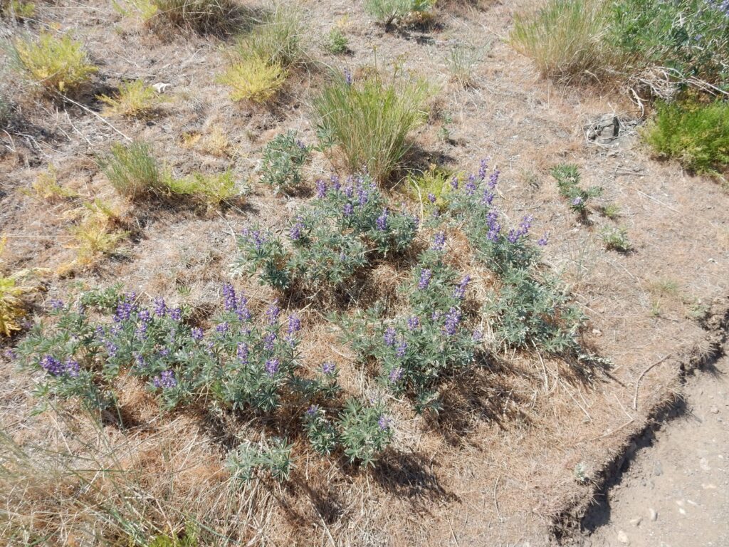
This looks very much like a species from back home, but with somewhat broader leaves and lighter flower color than our own variety.
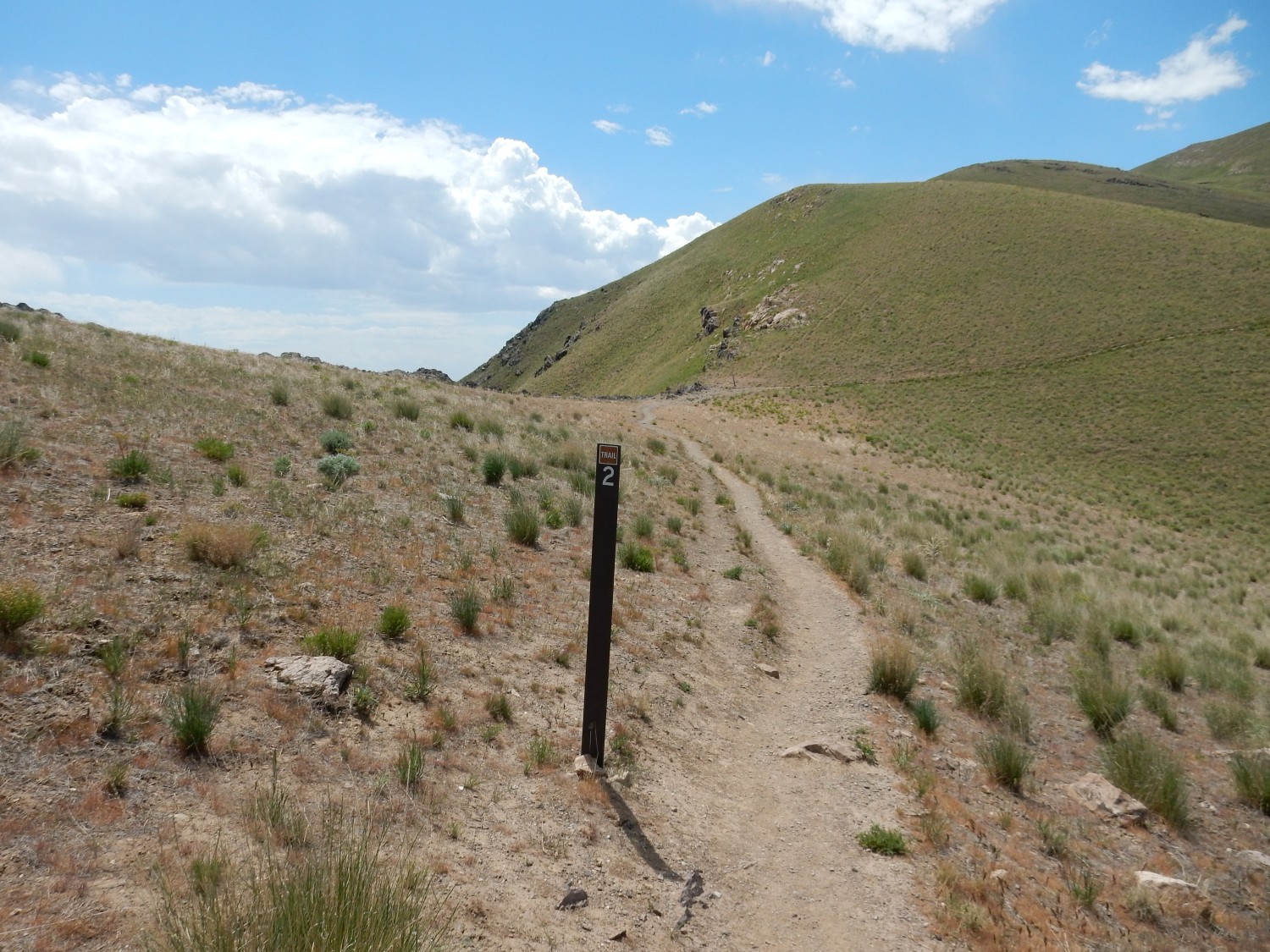
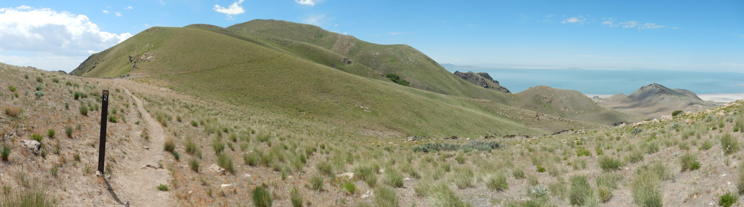
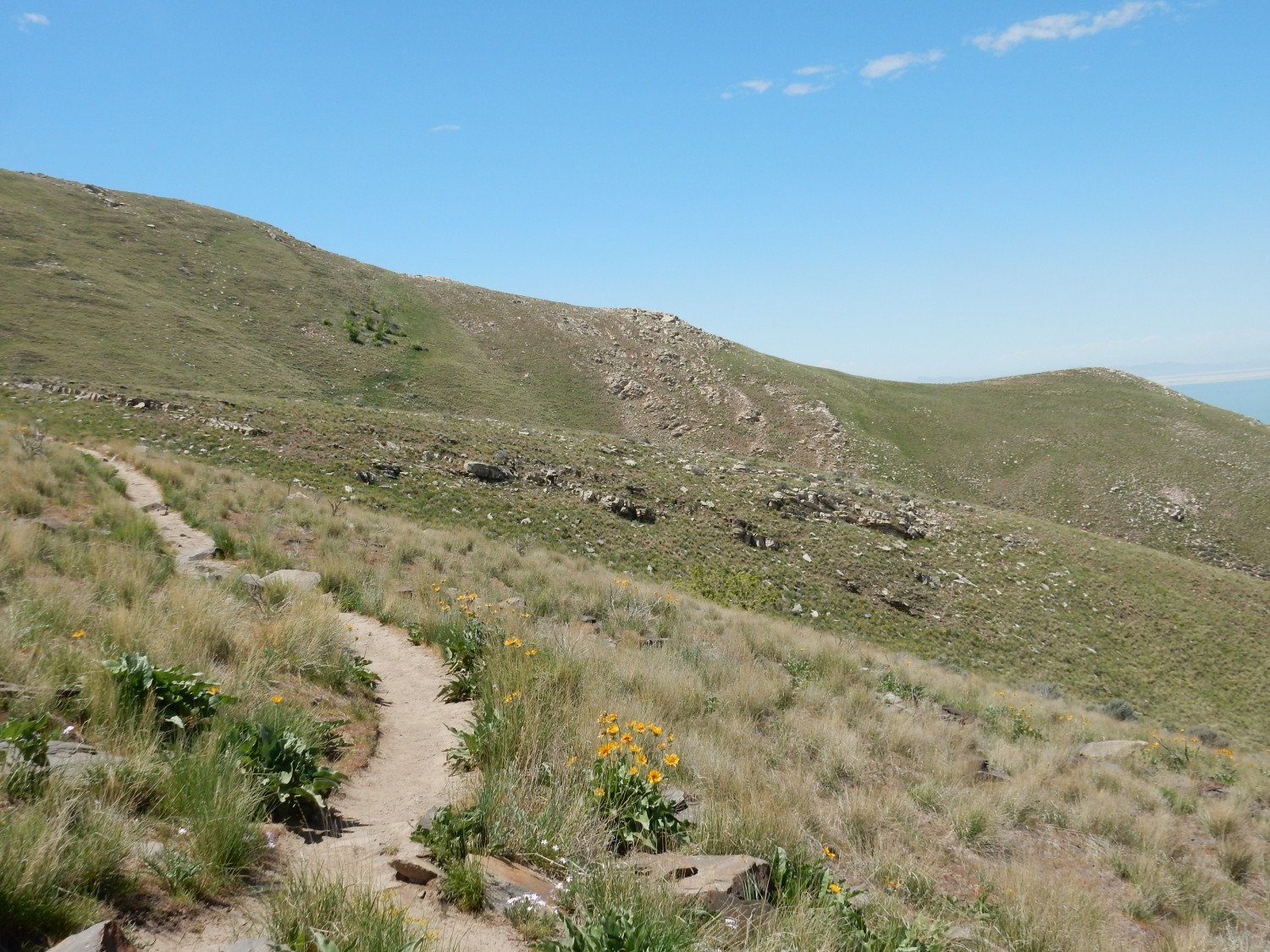
The trail goes ever on and on. Kind of deflating to know I’ve only come a mile so far. The one-way distance to Frary Peak is about 3.6 miles.
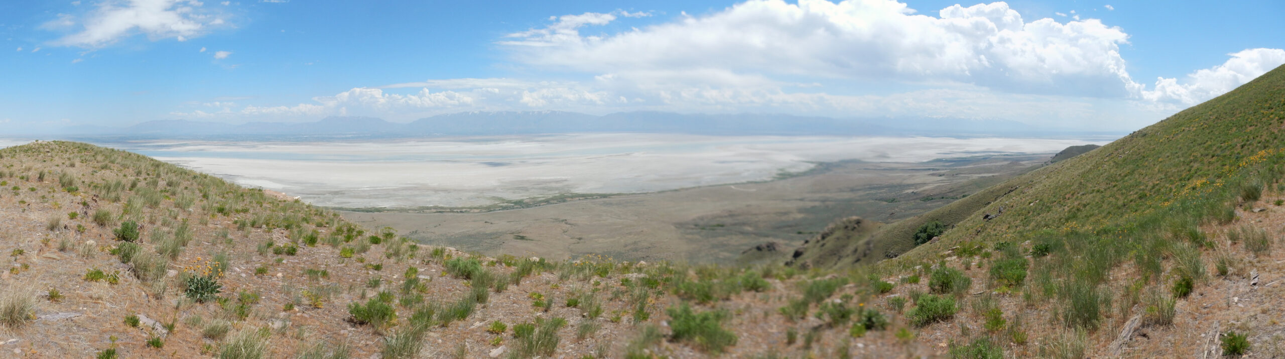
In the distance, the south shore of the Great Salt Lake, shrouded in more haze.
But the nearer ground is actually Stansbury Island, and beyond is the Black Mountains. Both are underlain by Paleozoic formations similar to those we saw at Y Mountain a couple of days ago. Precambrian rock is found to the east along the Wasatch Front, but not to the west until you approach the Nevada border.
Big boulder that looks like limestone or quartzite. It’s hard to tell.

But this surface looks like limestone. Turns out it’s dolomite, a similar rock to limestone, but in which half the calcium has been replaced by magnesium. Dolomite is thought to form from limestone, but the exact process involved is still uncertain.
This was originally mapped as the lower member of the Kelley Canyon Formation, but my map simply maps this area as slate and dolomite; it’s not clear this is actually Kelley Canyon Formation, originally defined some distance away, on the eastern slope of the Wasatch Mountains.If it’s Kelley Canyon, it’s from the latest Proterozoic. I’ll have more to say about it shortly.
Another view.
Ahead is an entire ridge of the dolomite.
And underfoot is tillite of the Mineral Form Formation.
Tillite is a sedimentary rock formed from glacial till, which is debris deposited by glaciers.
The combination of carbonate rock (limestone or dolomite) deposited on top of tillite, in rocks from the late Proterozoic, is highly significant. However, I’ve leave you in suspense and explain why when I get to the return hike.
Another wildflower.
This one has already bloomed and gone to seed. The characteristic seed pods — barely visible in this photo, alas — strongly suggest this is an umbellifer, a relative of carrots, dill, and parsley.
I’m now high enough for a clear view of Elephant head … if only the focus was operating reliably.
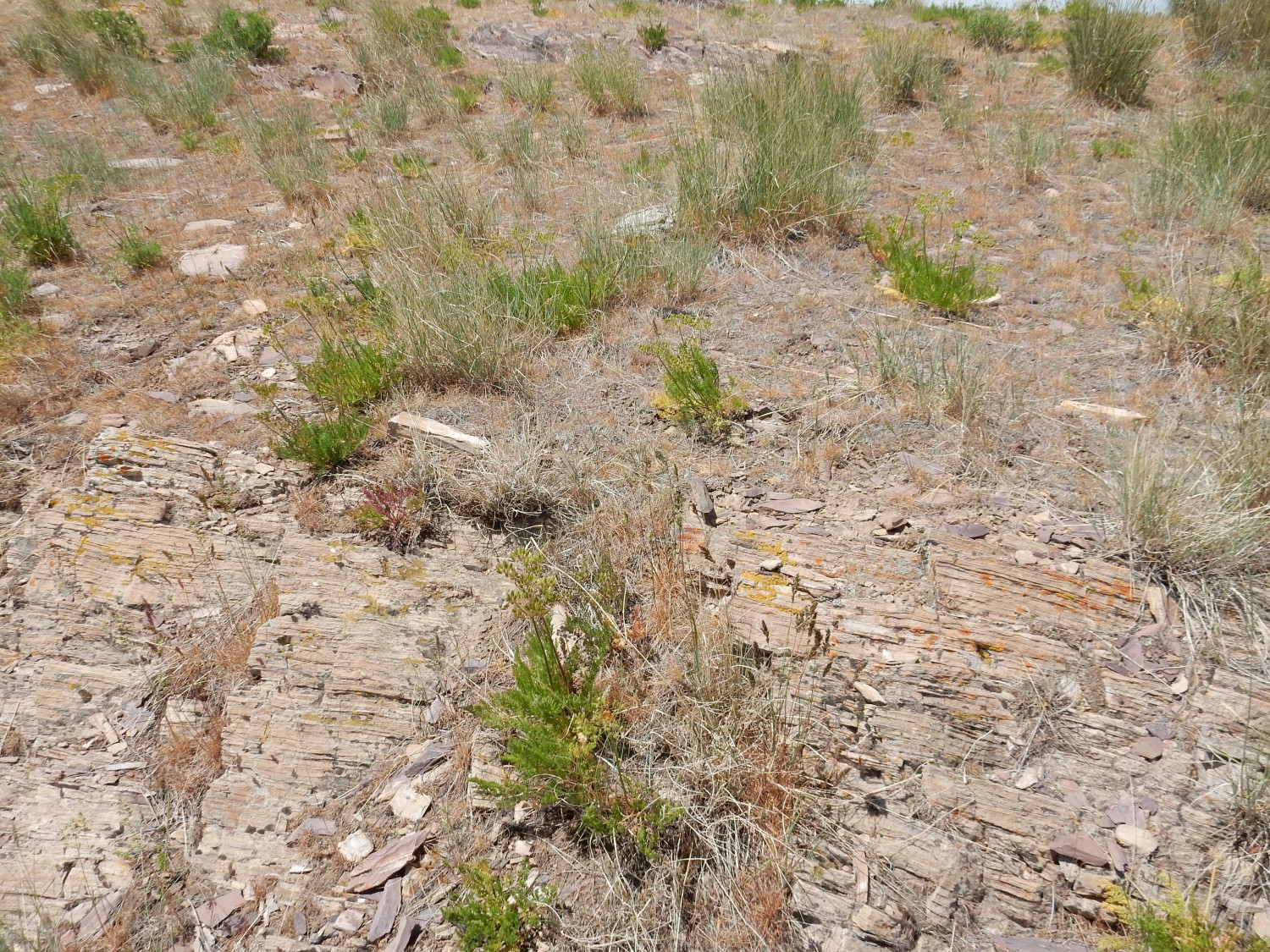
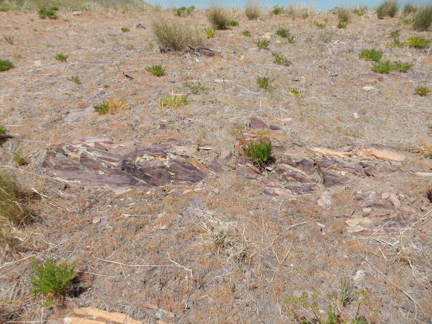
There is what looks like a small quarry here.
I decide it is, in fact a small quarry, quarrying slate for use on the island. Slate is a very general term for fine-grained metamorphic rock that splits easily into thin plates, suitable for such things as roofing tile. This seems to correspond to the upper Kelley Canyon Formation.
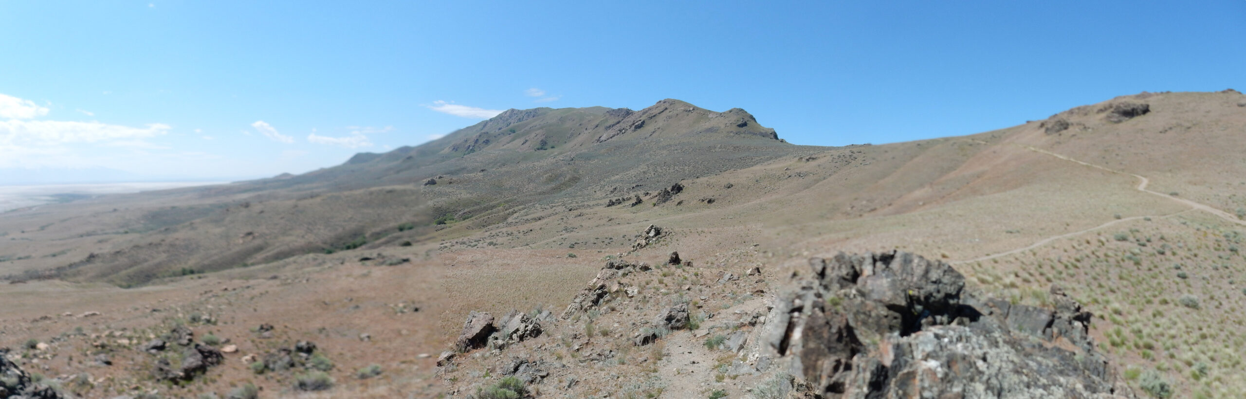
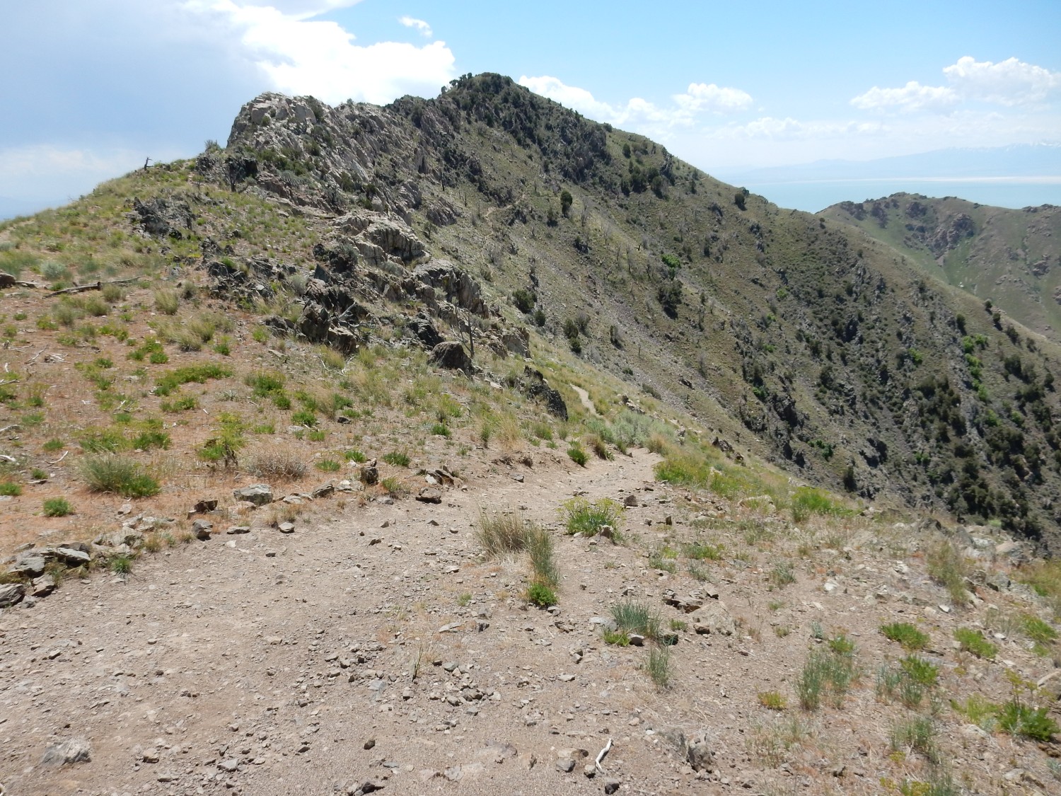
Looking north along the spine of the mountain.
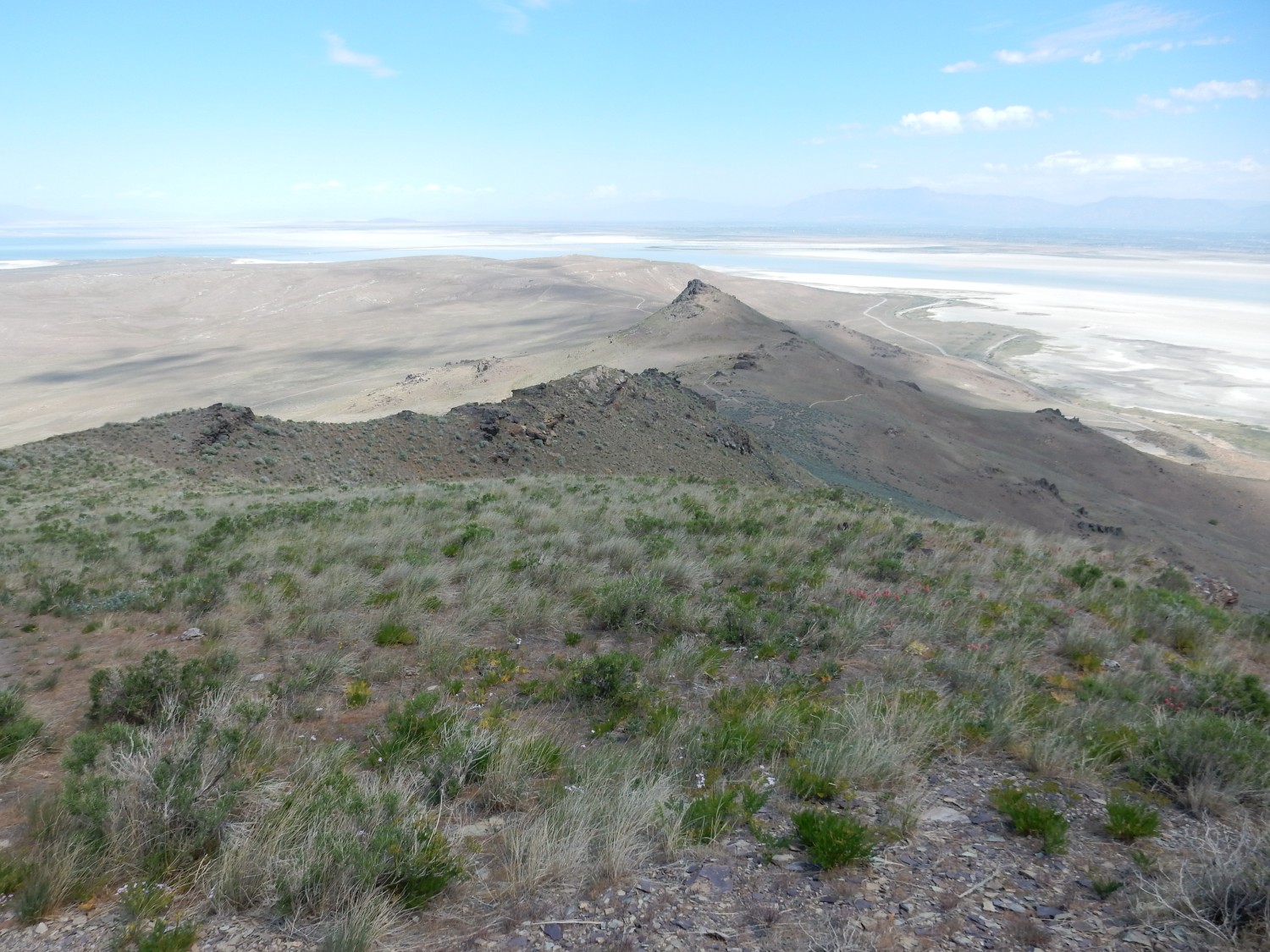
And south along the east face of Mount Frary.
To the two mile mark.
The high point left of center is Stringham Peak, which I gather is the second highest peak on the island. Frary Peak is hidden behind it. Stringham Peak is capped with more Tintic Quartzite.
I find it curious that there is so much dirt up this high. Where did it come from? Why aren’t the peaks all rocky? My geologic map shows that the highest known stand of ancient Lake Bonneville was well below this level; this is not lake sediment.
Here we see beds of dolomite over Mineral Fork tillite.

The tillite is exposed on the lower slopes while light dolomite boulders are exposed on the upper slope.
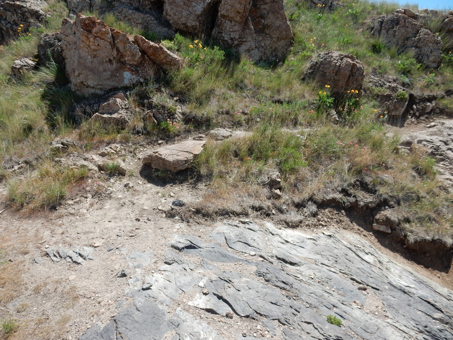
I reach a local saddle.
The map shows this entire area as slate and dolomite, possibly of the Kelley Canyon Formation.
The Kelley Canyon Formation is described as having two members. Just as a formation is a set of rock beds that have some physical characteristic that distinguishes it from nearby rock, and which is large enough to map at the usual map scale, so a member within a formation has some physical characteristic that distinguishes it from the rest of the formation, and which is large enough to map in higher-resolution maps. Sometimes the members within a formation become so distinctive that the formation is raised to group rank, and its members are raised to formation rank.
Here the Kelley Canyon Formation (I am inclined to think this is what this is, even if the geologists who mapped this area are unsure) is composed of a lower dolomite member and an upper slate member. The contact between the two is clearly visible here. Here’s the lower dolomite
and above it is the slate member.

Geologists love contacts, not just because they are boundaries between formations and formations are important, but because finding a contact is like turning a page in a book.
Tintic Quartzite forming a band on the northwest slopes of Stringham Peak.
Let’s pause a second and review what formations we’ve seen so far. The oldest is the Farmington Canyon Complex, which is very ancient at around 2.4 billion years old. It’s highly metamorphosed here, with jointing dipping steeply into the ground. Above this is the Mineral Fork Formation, which is everywhere here overlaid by the lower dolomite member of the Kelley Canyon (?) Formation, which has an upper member composed of slate. This dips at a shallower angle of about 32 degrees in the beds we looked at; it dips more shallowly along most of Elephant Head, but a section deeps quite steeply on the north side of Elephant Head. This seems to be due to more recent faulting. These formations are late Proterozoic, around 650 to 750 million years old. Above this is the Tintic Quartzite, around 550 million years old, which forms fairly level, unbroken beds on the north third of the island but exists only as a fault-bound cap on Stingham Peak in the southern two-thirds of the island.
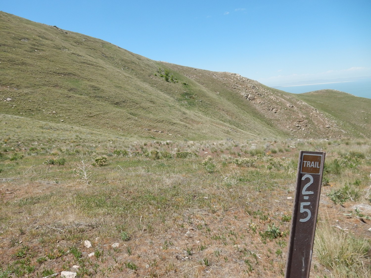
2.5-mile mark.
Game trails. One disappointment on this hike is that I saw no large wildlife. There are supposed to be bighorn sheep and bison on the island; they made themselves scarce today.

The trail continues to climb. Thunderheads are beginning to form above the Wasatch Front.

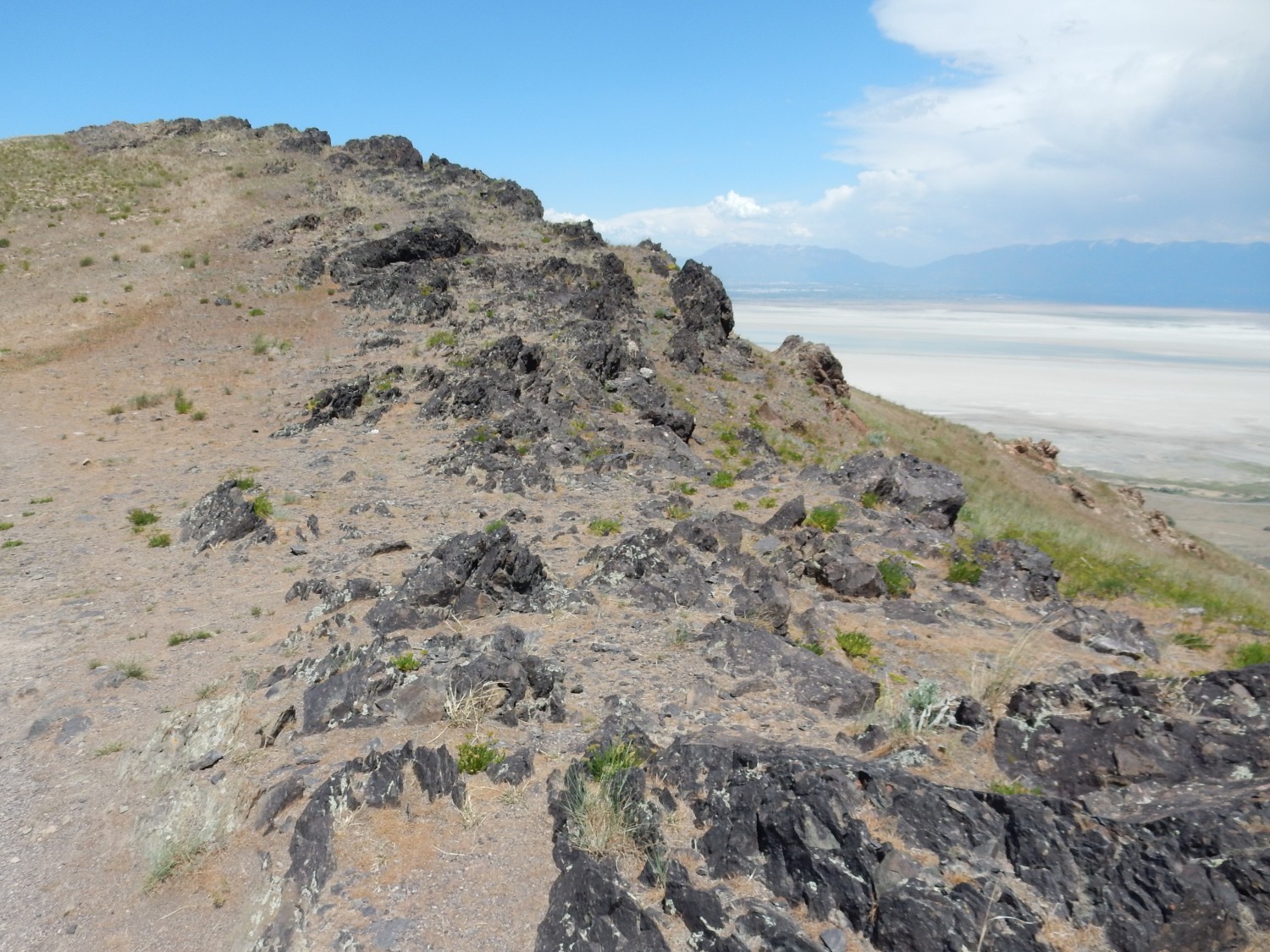
There is a small weather station atop the mountain, just visible here. The outcrops at left are more Farmington Canyon Complex.
Rock beds to the northeast.
This is again that distinctive combination of dolomite over Mineral Fork tillite.
View to the west.
Stansbury Island is now centered in the image. The rough terrain in the left middle ground is the Red Rocks area, underlain by red granitic gneiss of the Farmington Canyon Complex. The foreground outcrops are also Farmington Canyon Complex, here thrust over younger beds of the Mineral Fork Tillite and Kelley Canyon Formation along the Daddy Stump Ridge thrust fault. This fault probably dates to the Laramide Orogeny; thrust faults are typical of compression of the crust.
360 degree panorama from a false summit.
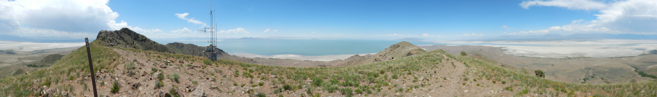
This is probably a good time to remind you that you can click on most images at this site for a higher-resolution version. You’ll certainly want to with this one.
At left is Frary Peak, capped with a knob of Mineral Fork Tillite and Kelley Canyon Formation. To its right, and behind the weather station, is the Red Rocks. Right of center is Stringham Peak, with a ridge extending to the west. This ridge is actually the upthrown side of a fault. Further right is the northern part of the central spine of the island, and at right is the Wasatch Front to the east.
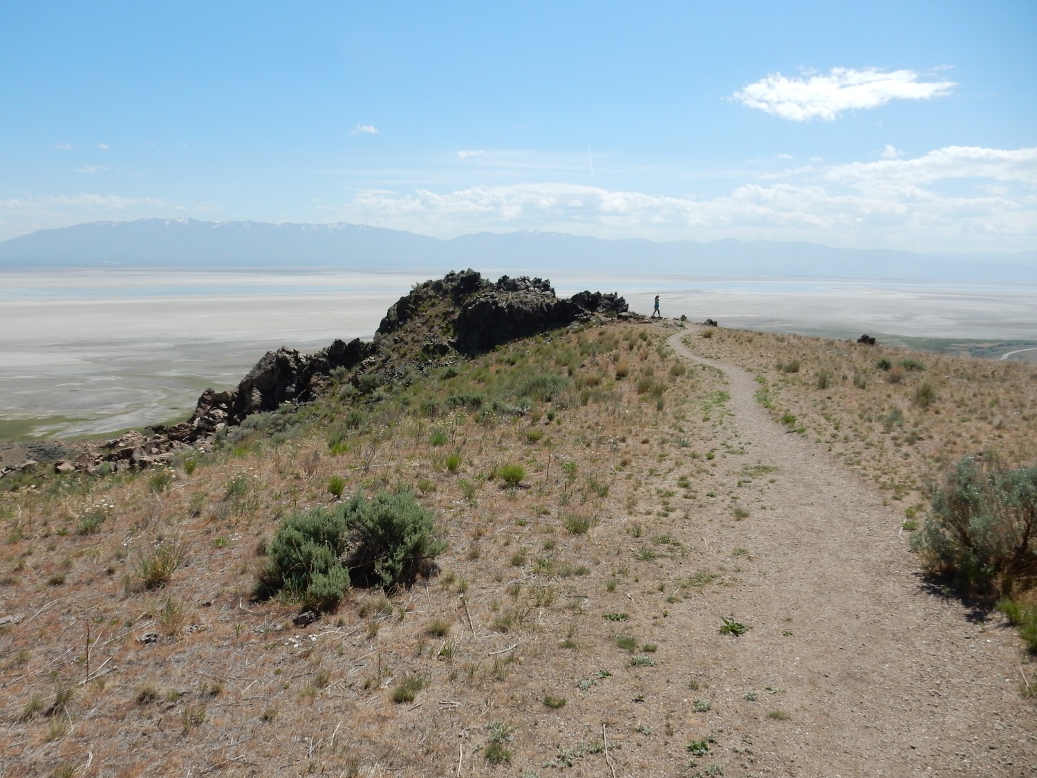
Here the trail descends steeply before making its final climb to Frary Peak.
I consider. It looks like I still have a ways to go — I probably overestimated how much — and I’m simply out of time. And I don’t like the clouds building up; I do not want to be caught on the high ground by a rapidly forming thunderstorm. I decide the prudent thing is to call this good, and start back.
A final look at Stringham Peak, which is actually below me at this point.
The exposed rock on the peak is Tintic Quartize. This gives way to dark brown slate of the Kelley Canyon Formation further down, just left of center in this photograph.
I am headed down in a bit of a rush because of the storm danger. However, I stop to admire this outcrop of chloritized slate.
The green color indicates that some of the clay minerals in the rock have been converted to chlorite. This indicates relatively mild metamorphism of the original rock beds.
A nice outcrop of tillite.

It’s the completely unsorted character of the rock — it contains pebbles of all sizes — and the abundance of dark brown matrix that identifies this as glacial debris.
Here the tillite makes up the crest of the mountainous spine.
The trail descends to where the tillite is covered by dolomite.
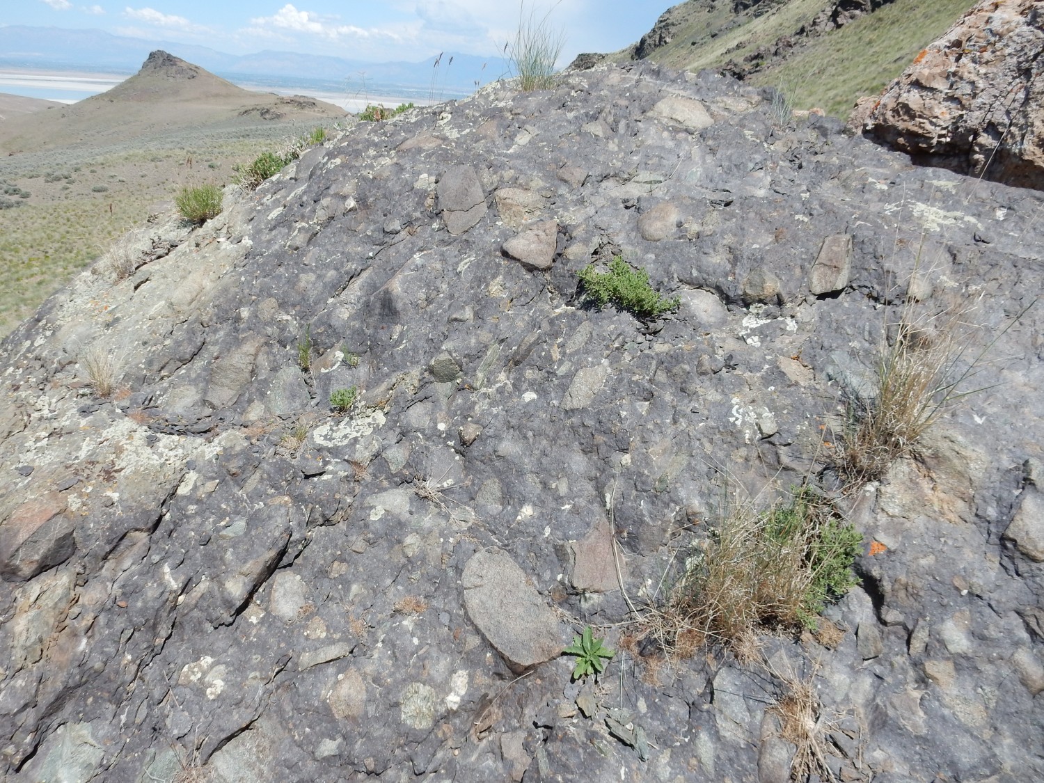
This is an excellent tillite outcrop. Notice how the cobbles in the rock sometimes have flattened surfaces. This is interpreted as rocks that were at the very bottom of the glacier, and as they were scooted along the underlying rock by the moving ice, they were ground flat on one side. Rocks with more than one flat surface hit a snag at some point and were rotated to a new orientation, and a new face was ground flat.
I’ve been hinting for a while that beds of tillite overlain by carbonate rocks, of late Proterozoic age (650-750 million years old), have a special significance. Time to lay my cards on the table.
Beds of tillite overlain by carbonate rock, with ages around 650 to 750 million years, are found in locations scattered around the globe. These are thought to record the worst ice age known in the geologic record, the Varangian glaciation. Glacial till is found in locations that were close to the equator at the time and near sea level, showing that ice sheets reached all the way into the tropics. This was Snowball Earth.
Geologists continue to argue how bad the glaciation was. Since life somehow survived, some geologists promulgate a Slushball Earth that was not entirely frozen, but had patches of open ocean along the equator where life held on. But this is arguing whether the glaciation was merely catastrophic rather than apocalyptic. Geologists also continue to debate the causes of the glaciation, though likely contributors were decreasing carbon dioxide levels, drift of the continents towards the poles (which tends to cool the climate), or changes in the Earth’s orbit or axial inclination. But once the Earth started cooling, a runaway process followed, as growing ice sheets reflected more sunlight, further cooled the globe, and increased the ice sheet coverage yet further.
The recovery was likewise a runaway. The ice tended to trap carbon dioxide. Carbon dioxide also accumulated in the atmosphere, due to reduction in photosynthesis. The carbon dioxide eventually began to warm the globe again, allowing photosynthesis to increase, and ice began to retreat, reducing the amount of sunlight reflected into space.
The tillites represent glacial debris from the extensive glaciation. The carbonate cap represents the subsequent melting of the ice sheets. This allowed accumulated carbon dioxide to escape from the oceans, which was further driven by rising ocean temperatures. (Carbon dioxide is less soluble in warmer water.) Oddly enough, a drop in dissolved carbon dioxide actually precipitates carbonate minerals, because soluble bicarbonates are converted to insoluble carbonates. A thick caprock of carbonate minerals deposited on the ocean floor, on top of the tillites, was the result. That’s exactly what we see along the central mountain spine and on Elephant Head on Antelope Island.
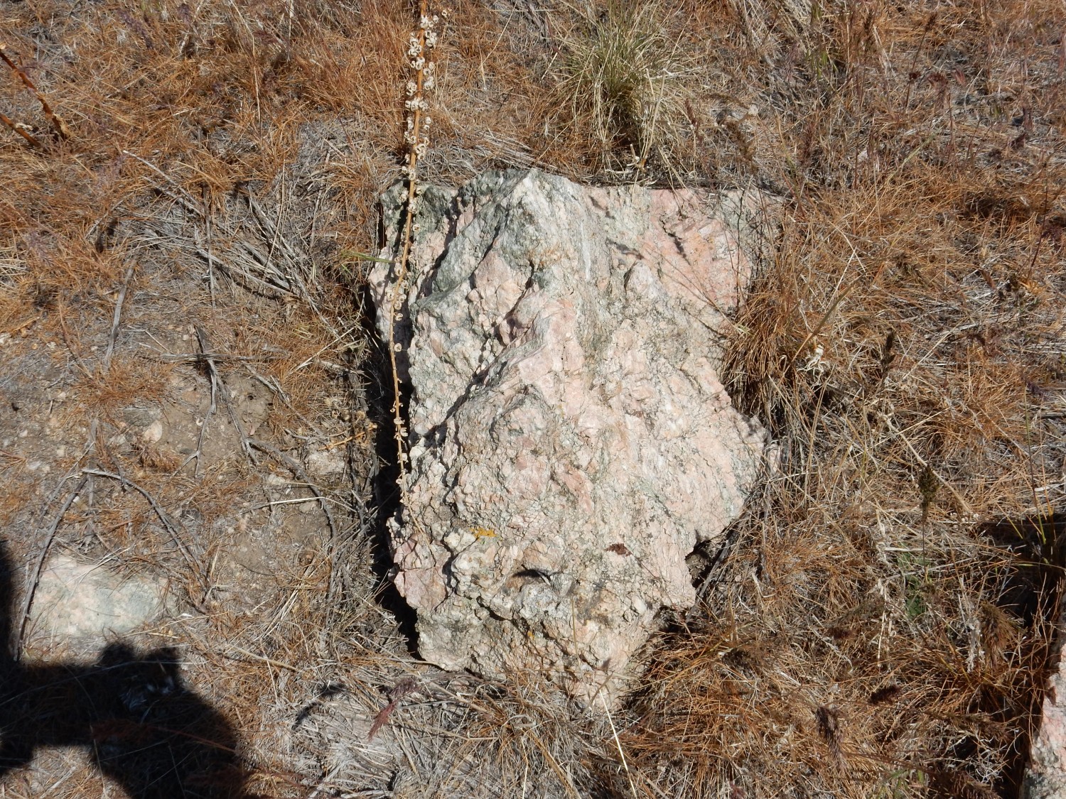
Below the tilite is the ancient rock of the Farmington Canyon Complex. Here’s a boulder that shows weathered versus unweathered amphibolite.
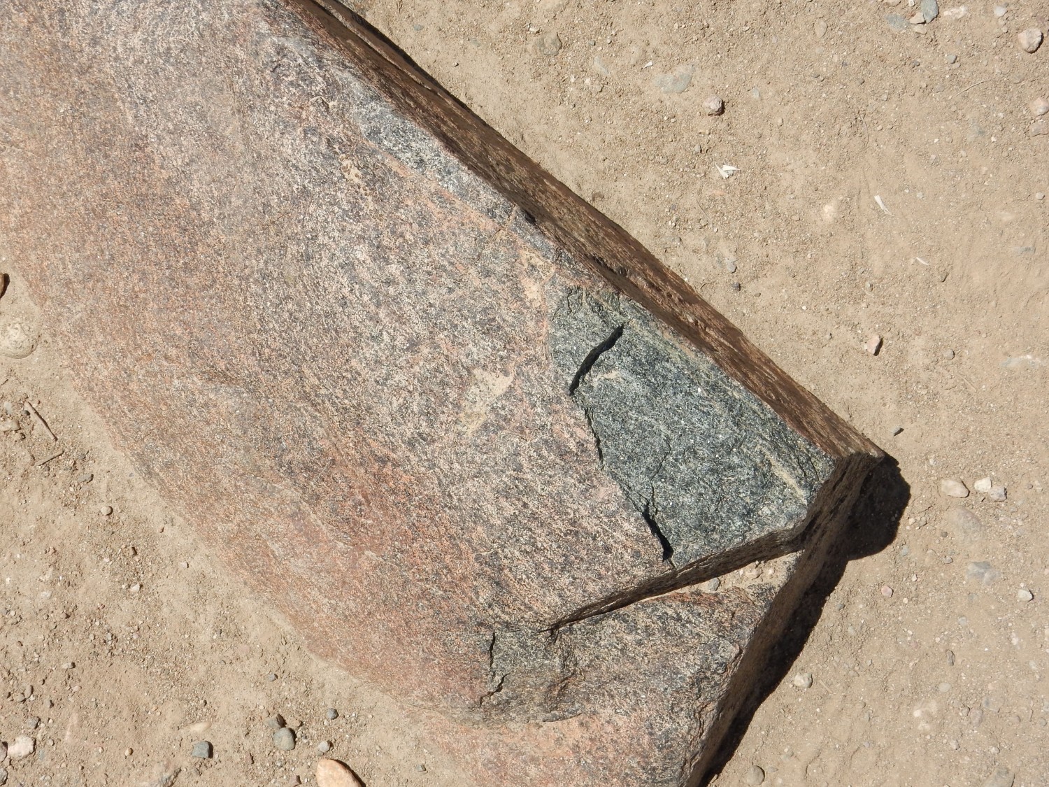
This boulder is richer in hornblende and poorer in feldspar than this morning’s. The iron-rich hornblende is black when fresh, but when it weathers, its iron content produces a rusty coating.
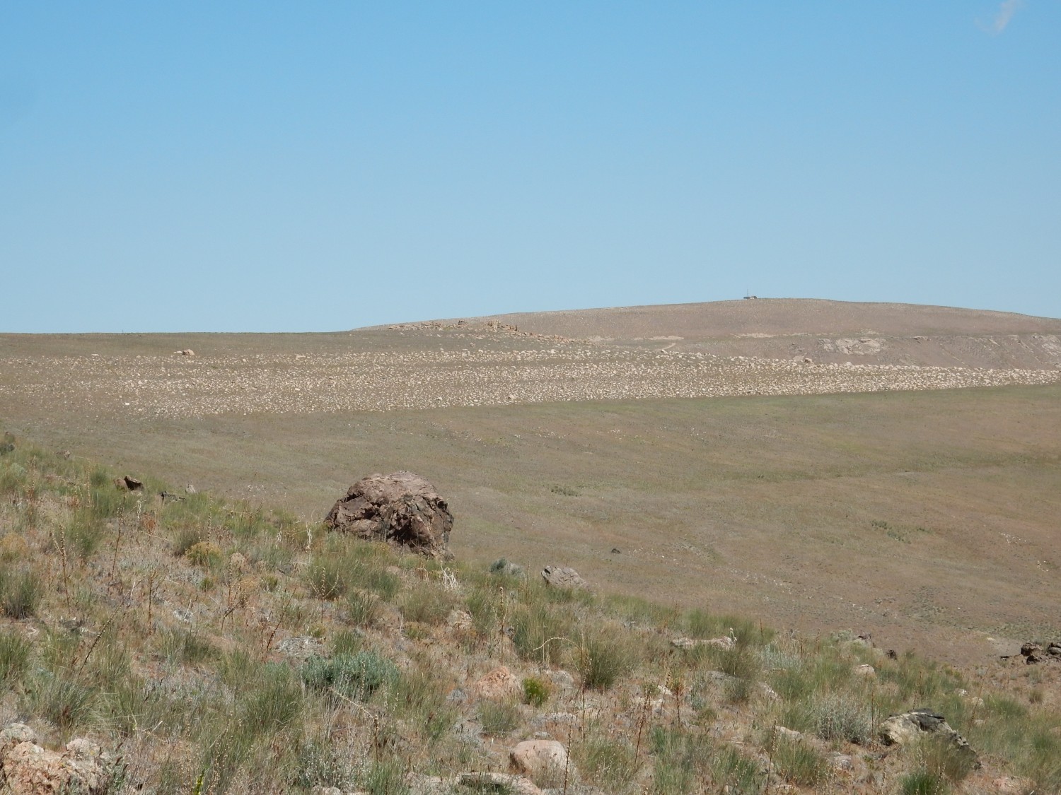
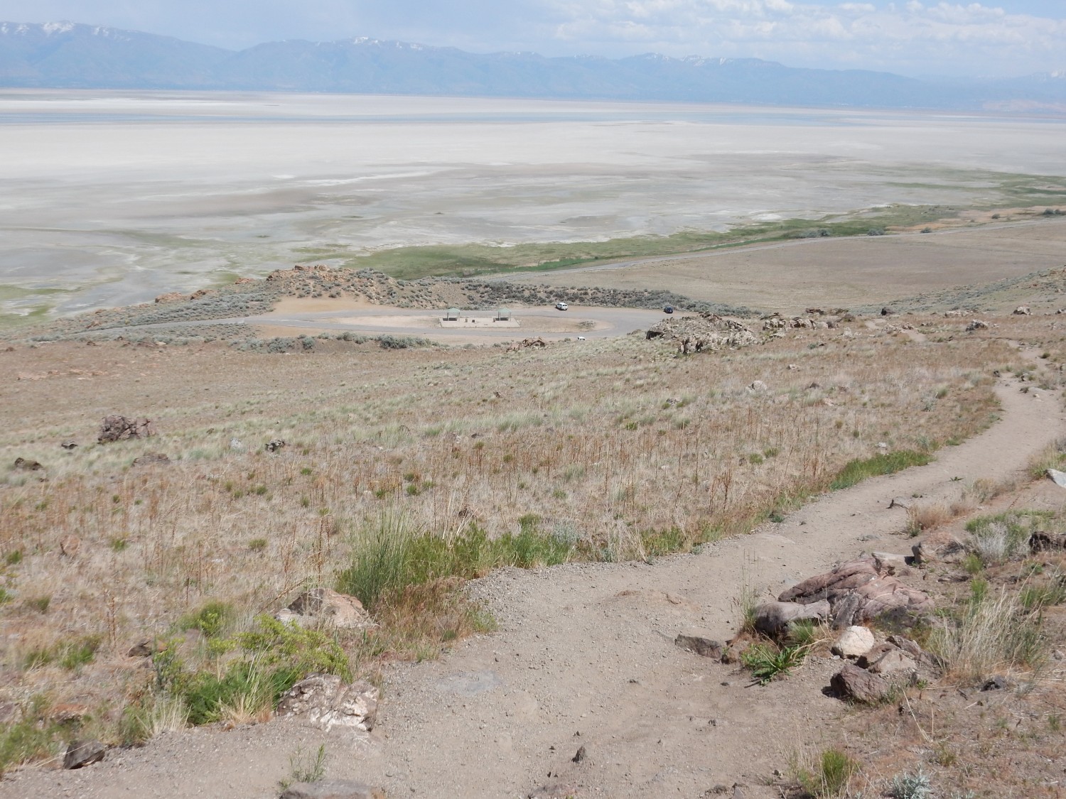
Back in view of the trailhead, where the Wandermobile patiently waits.
I get to my car, eat my lunch, rehydrate, and head to the museum. I purchase a salt ball, but complain lightheartedly to the clerk that they do not sell plush toy sand flies, only plush toy buffalo and other charismatic large fauna. She keeps a straight face and says she’ll pass my recommendation on to the boss.
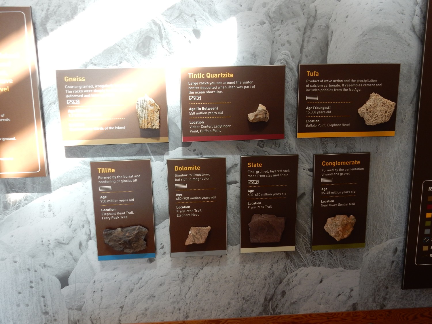

The display mentions live stromatolites off the island coast, but does not specify where. The clerk does not know. West coast, I’m guessing, since it does not as frequently dry up. But there is no good road there and I want to get through Salt Lake City before rush hour.
I do not make it. In fact, I’m caught in rush hour traffic in supposedly rural Syracuse. And a driver cuts me off at my exit. I end up driving through Salt Lake City in fairly heavy traffic, but fortunately there are few snarls, and I’m soon back in Provo, where a violent thunderstorm is in progress. I eat a buffet dinner at Golden Corral (the hiking has given me a ravenous appetite) and return to Mom’s.
She is really enjoying her birthday flowers.

We turn in for the night.