Kent and Bruce’s Excellent Adventure, Day 11
Day 11: In Which Bruce Drops Out
The plan this day was to drive across Yellowstone, out Cody, and on down towards Denver, stopping at some ill-defined point along the way for the night. However, when I arrived at Three Bear Lodge for another coupon-discounted breakfast with Bruce, I found him looking very unhappily at the shattered remains of his car’s back window. Well, shucks and other comments. Bruce found the window crazed with a couple of holes; he opened the back, found that there was not actually anything missing, slammed the door closed, and watched most of the remaining window fall out on the sidewalk.
Maybe I should have taken a picture, but that just seemed too ghoulish.
Bruce decided he ought to file a police report, the police officer duly arrived, the two scratched their heads over the fact that nothing was taken, and shrugged and concluded that it was from natural causes. Meaning, I suppose, thermal stresses on the glass. My unserious suggestion was that someone saw Bruce’s NRA sticker and decided to strike a blow for nonviolence. (I probably live too close to Santa Fe.)
By the time we were done with breakfast, Bruce had concluded that he would drive with me to Cody, then stay there until the local glass shop could ship in a replacement and install it. So we would be parting company in Cody and I would not get to see any of the Colorado kimberlites this trip. More shucks; I was really looking forward to it. Well, I plan to head up that way again in 2017 for the total solar eclipse (another bucket list item) and that may be the time.
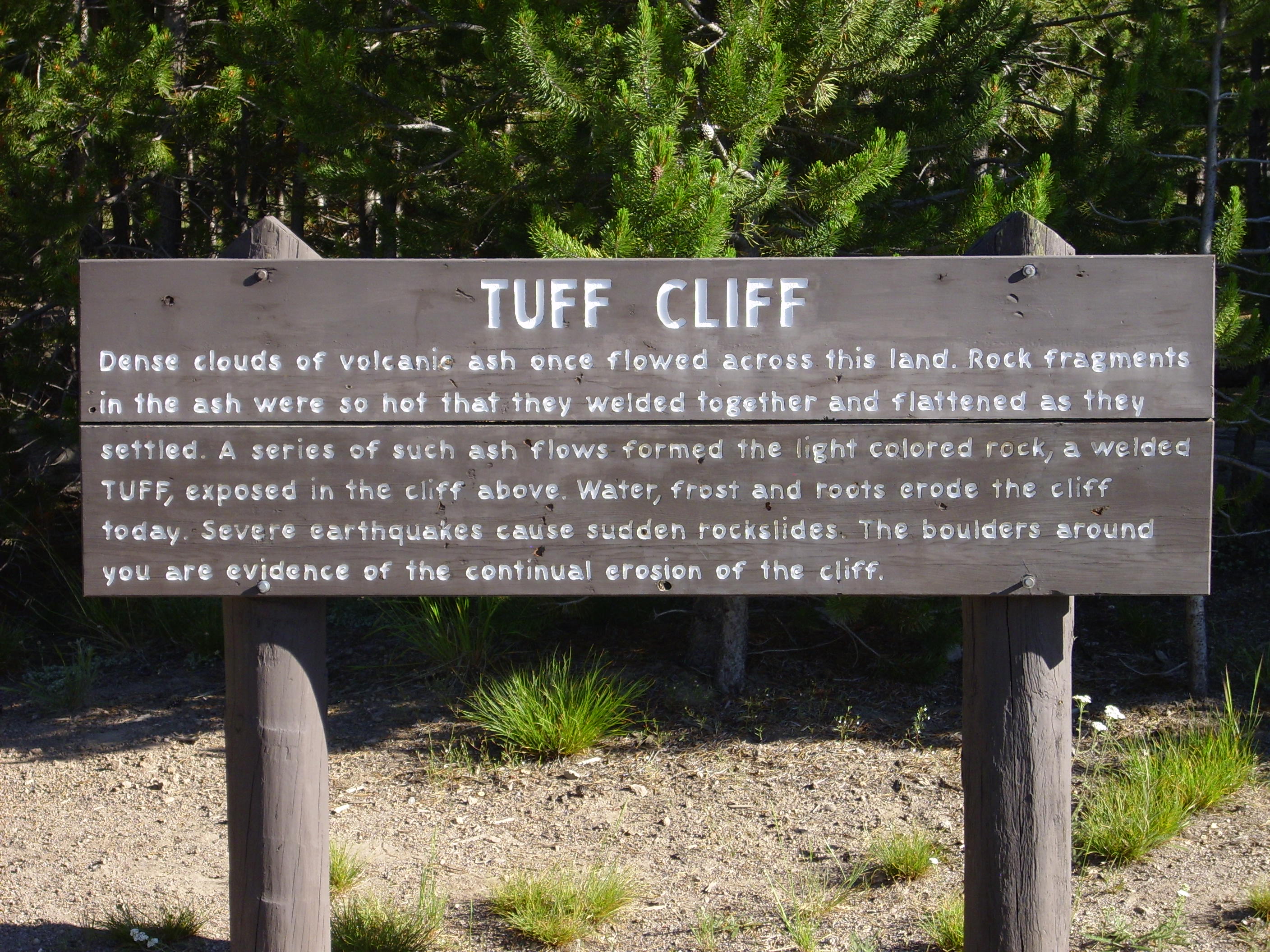
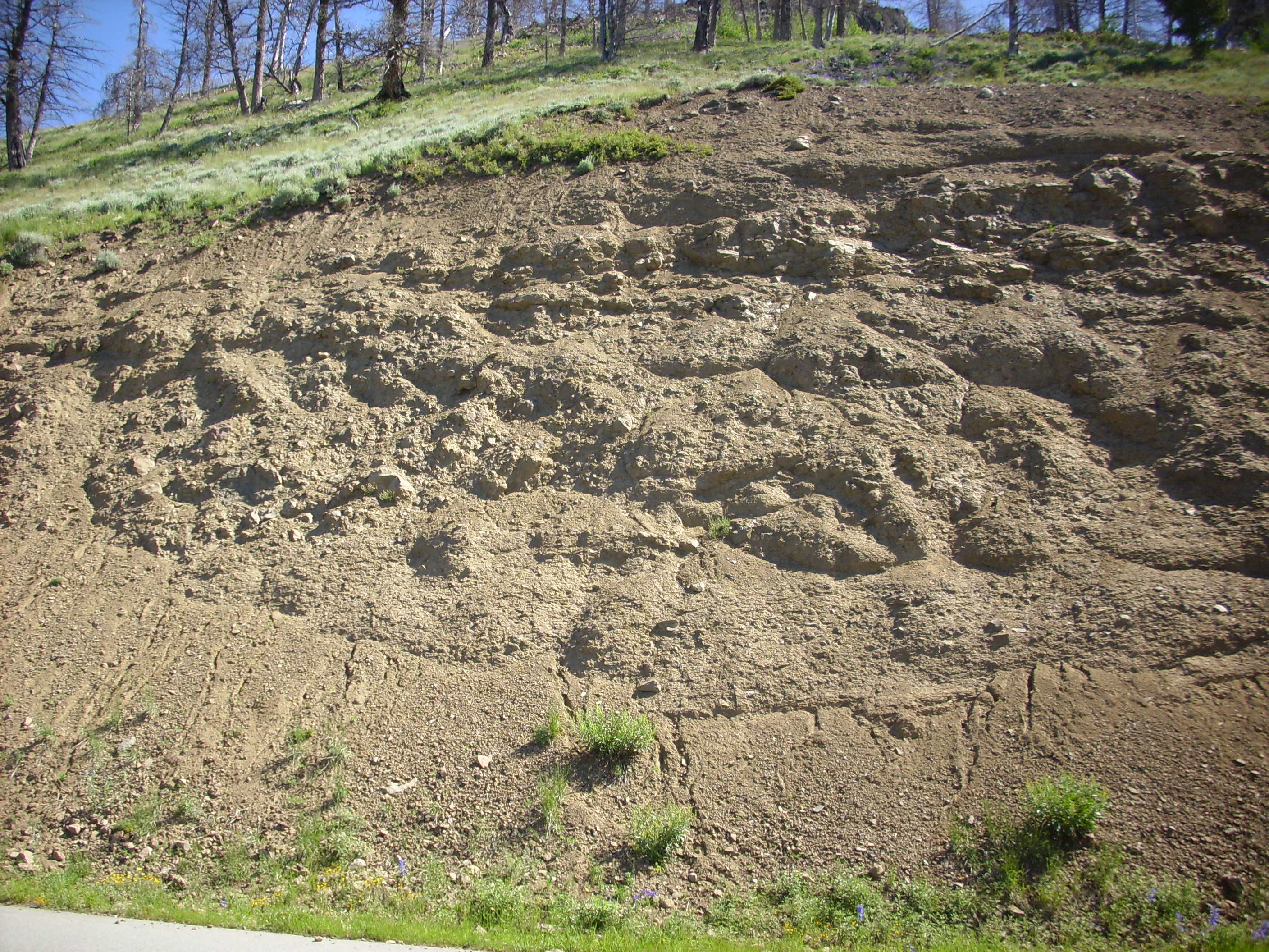
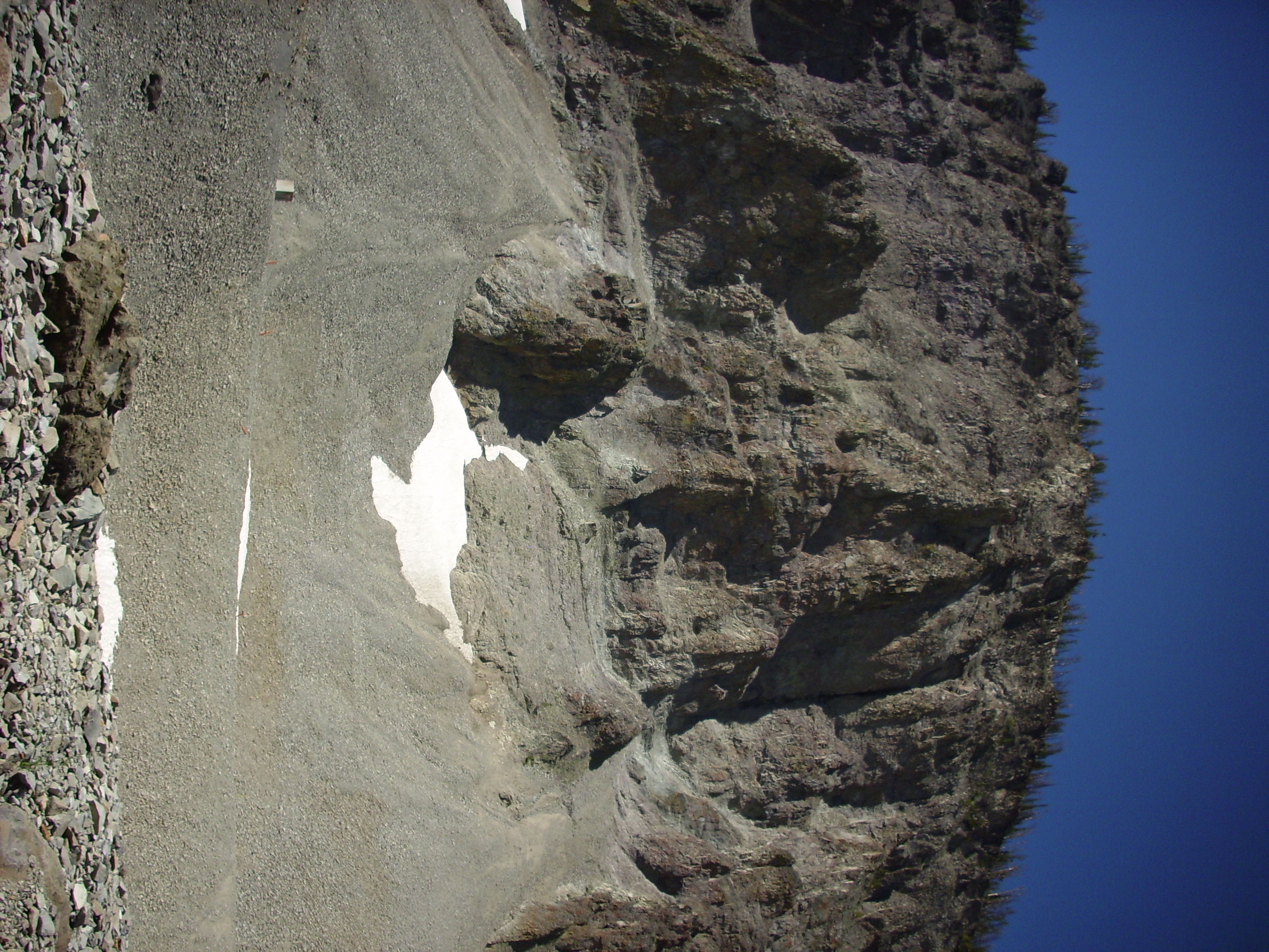
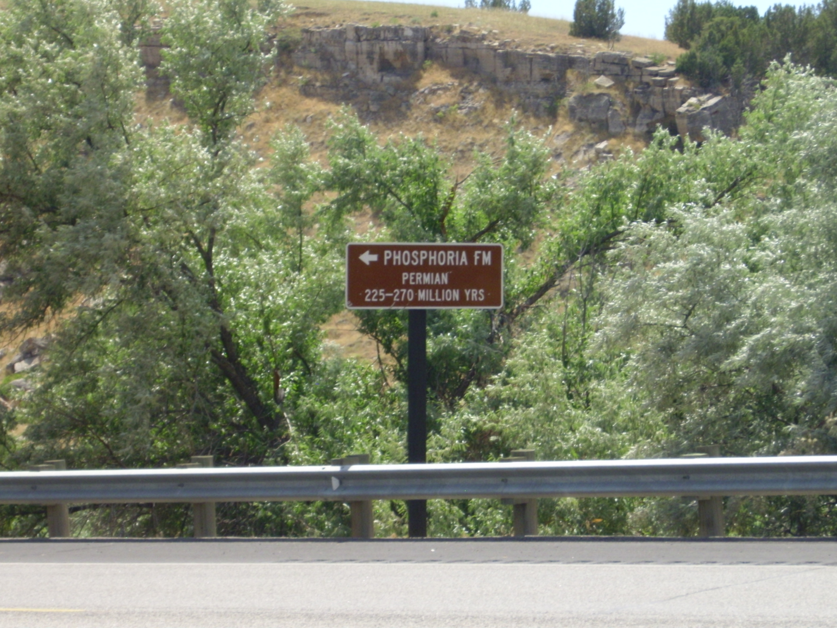
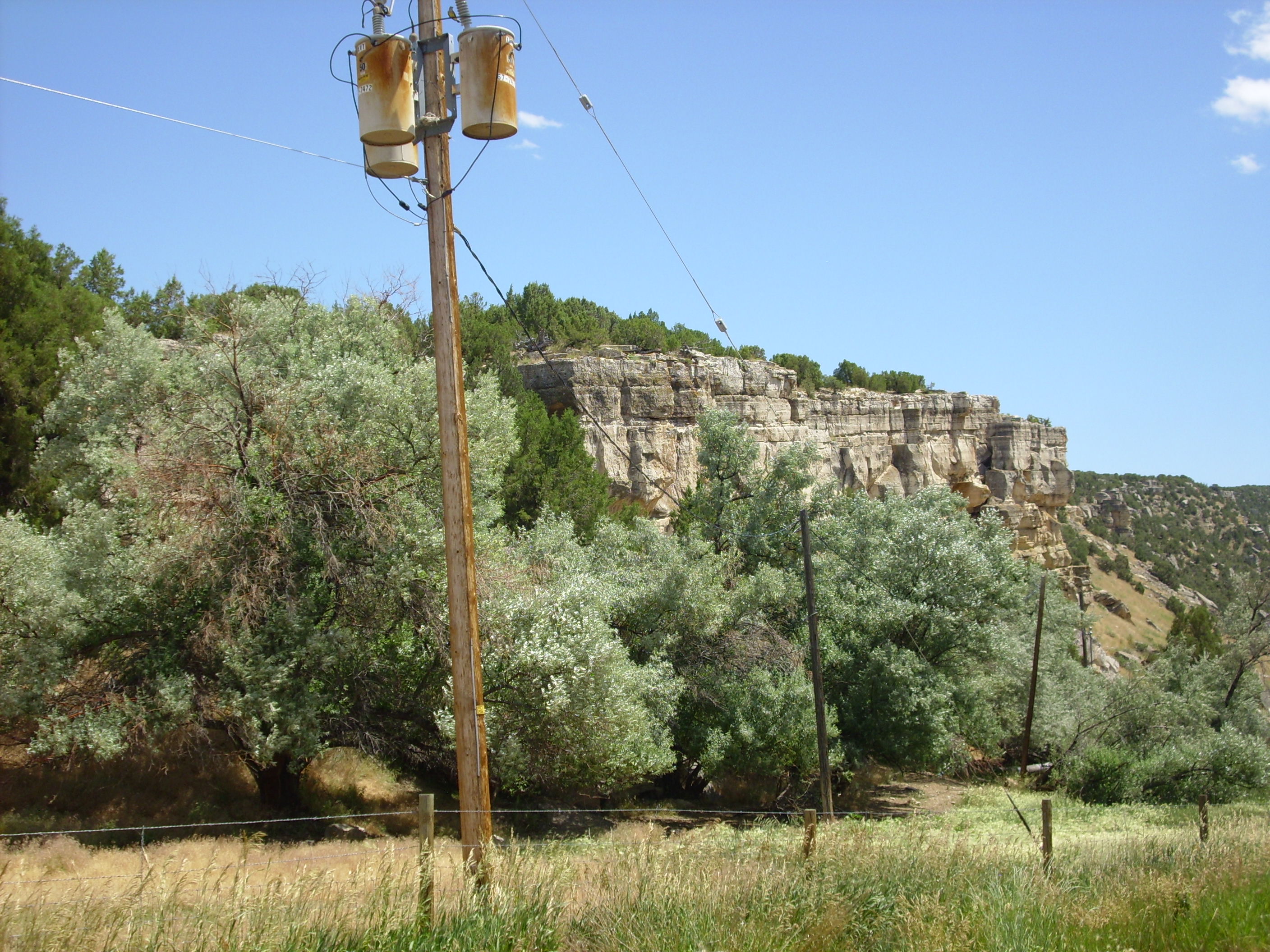
So we headed into the park one last time. I paused to take a picture of Tuff Cliffs, one of the few unwelded tuffs in the park.
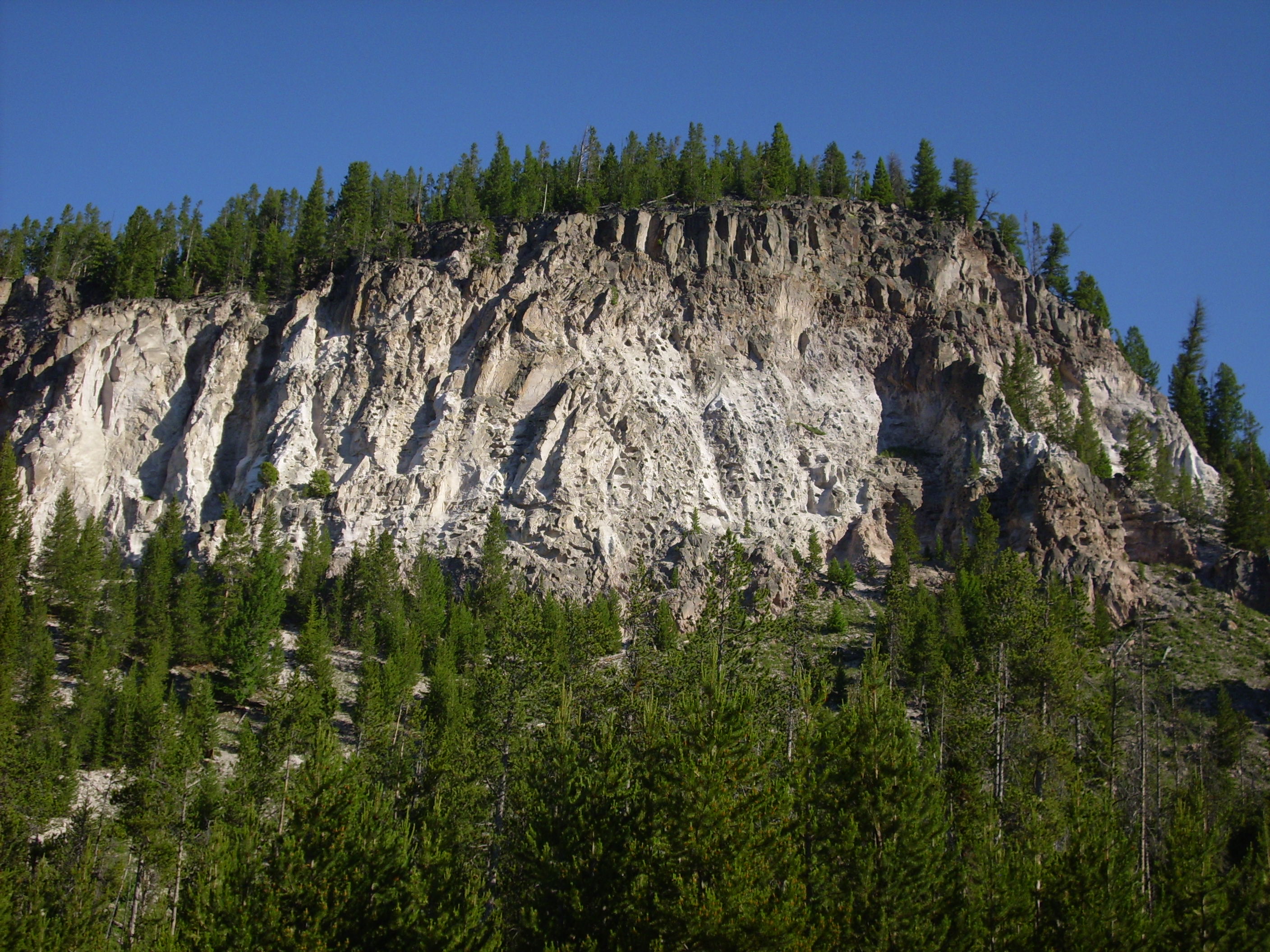
It has been speculated that this was close to the vents for the tuff eruption, and the tuff here is ash fall from early in the eruption rather than a pyroclastic flow from eruption column collapse.
The sign describing this feature is thus in disagreement with my road logs.
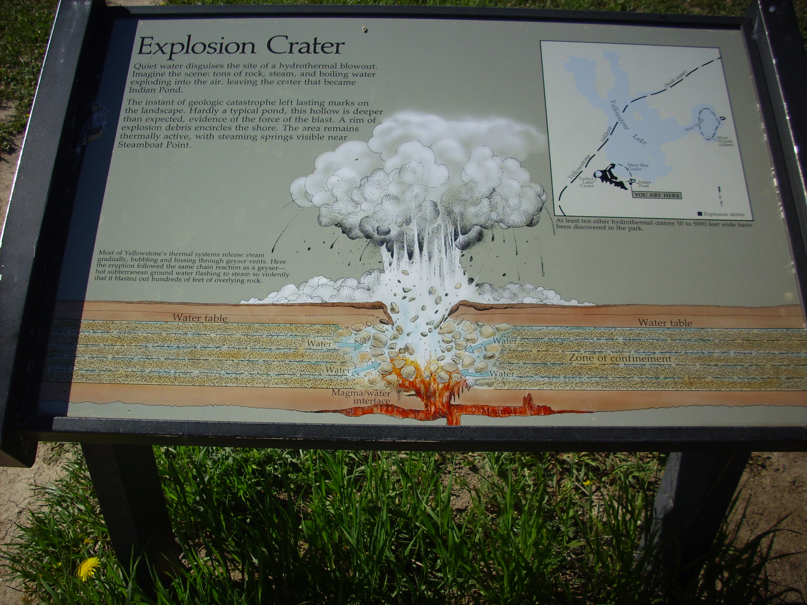
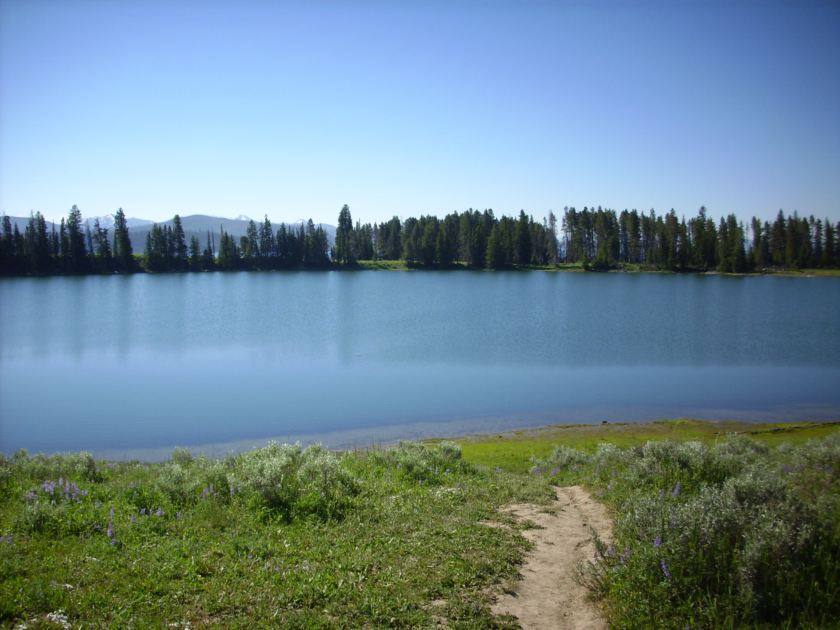
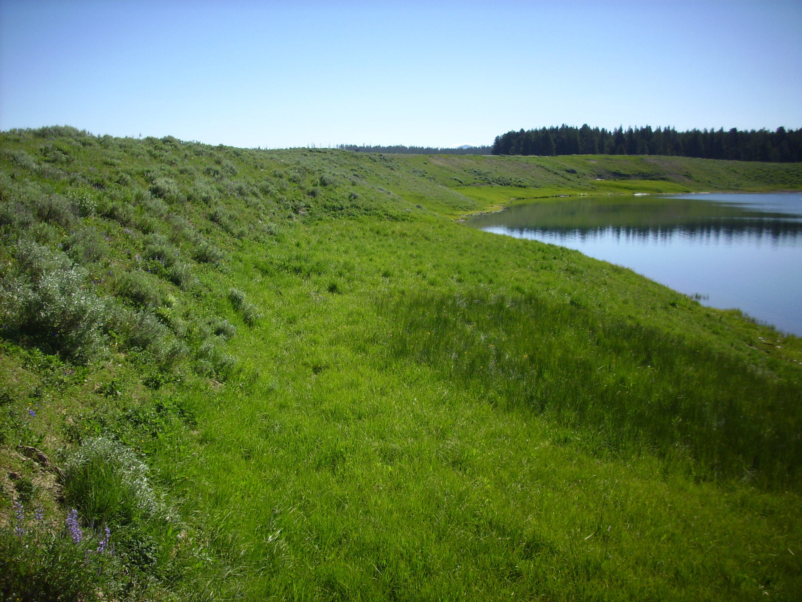
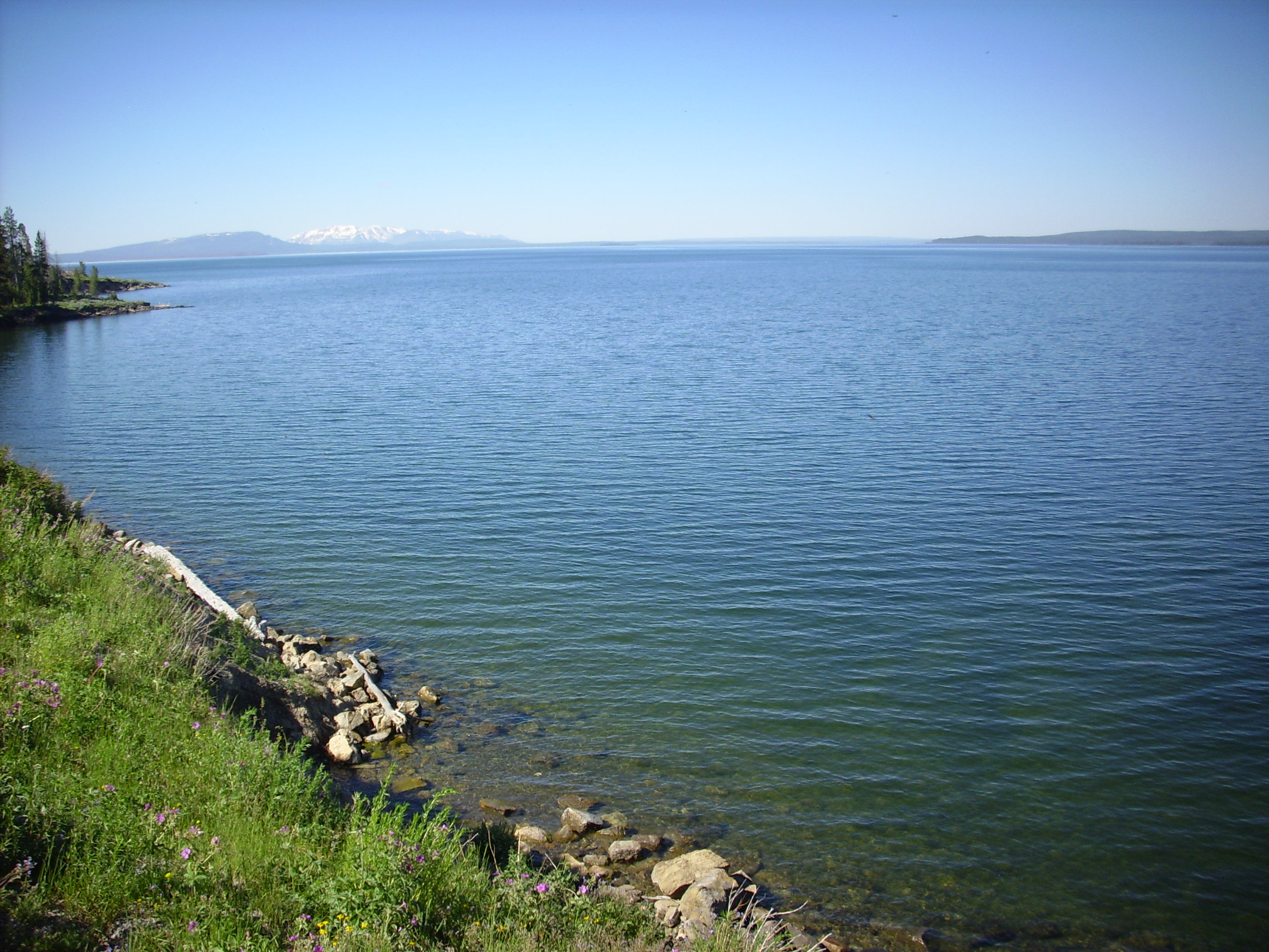
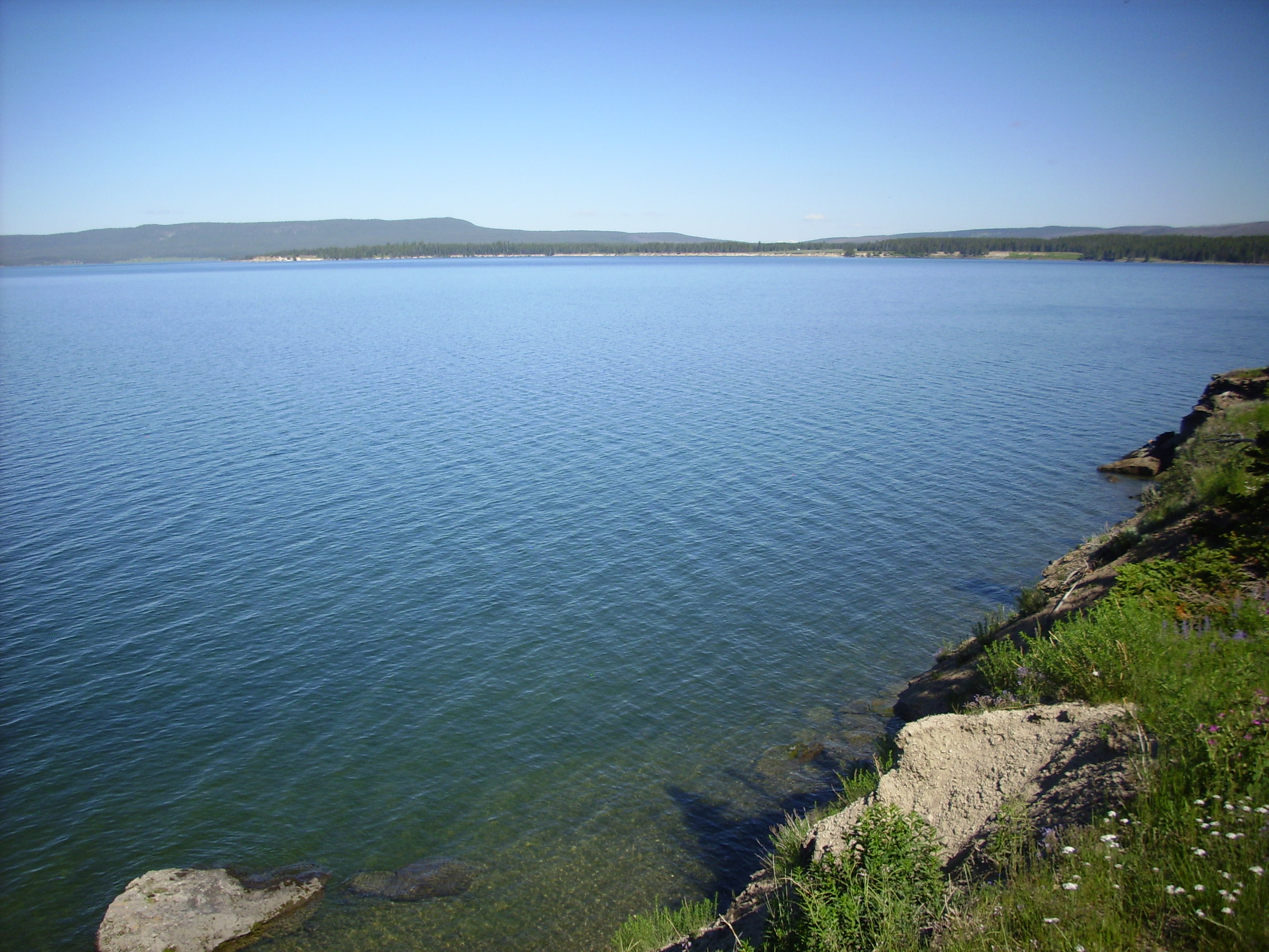
We drove around the north rim of Yellowstone Lake to Indian Pond, a hydrothermal explosion crater.
There was wildlife. The geese saw me coming and paraded into the water.


Meanwhile I was trying to reach Bruce by cell phone; he was not at Indian Pond when I got there. I had stopped to get ice and worried he had got ahead of me.
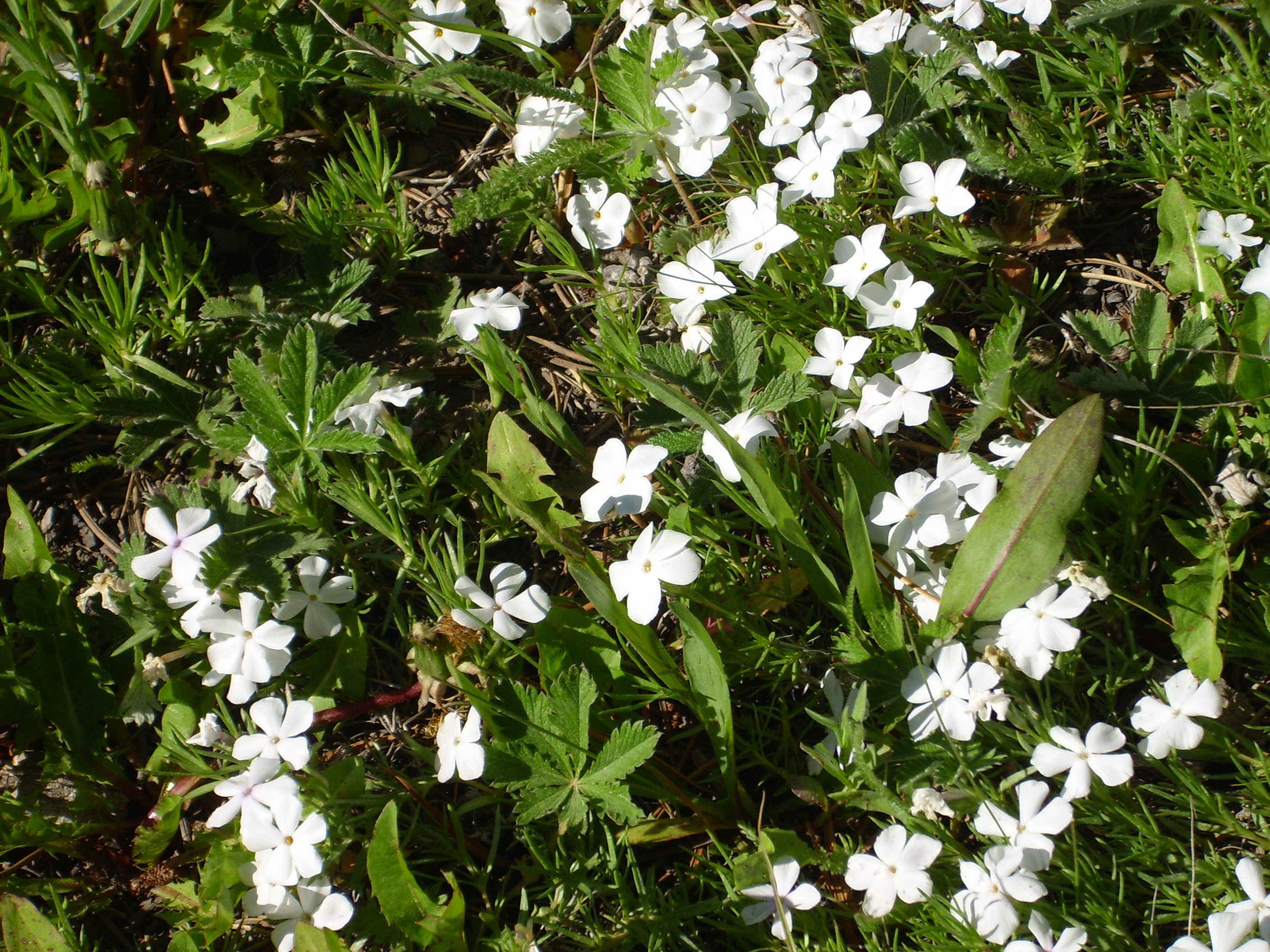
Meanwhile, there were wildflowers:
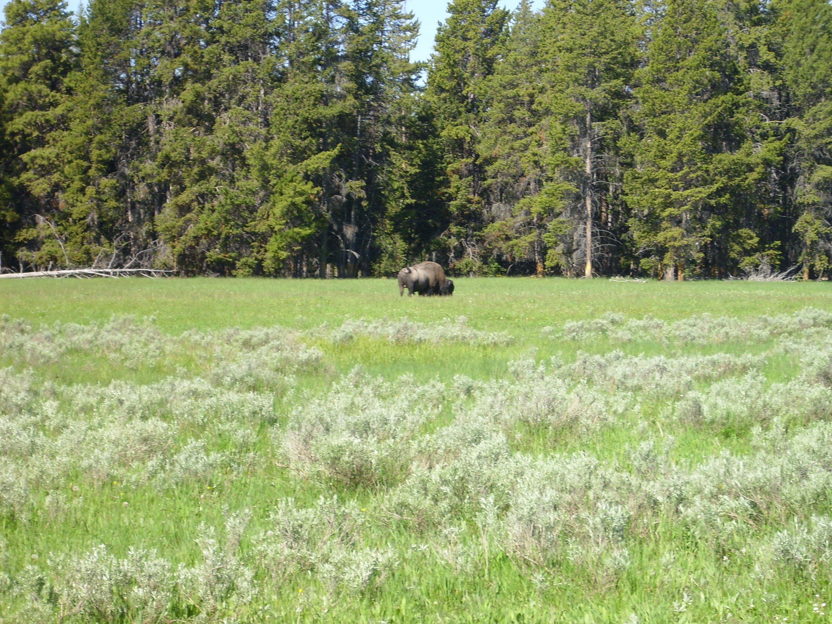
and yet another buffalo, this one determined to show me his politician end.
Bruce drove up about the time I got back to the parking area, and we drove on to Steamboat Point.
As I was taking these photos, I realized I was standing in a massive cloud of insects. Bruce opined that these looked harmless, but then he wasn’t the one standing in them. Either Bruce’s admonition or the DEET I was wearing kept the insects from doing me any harm.
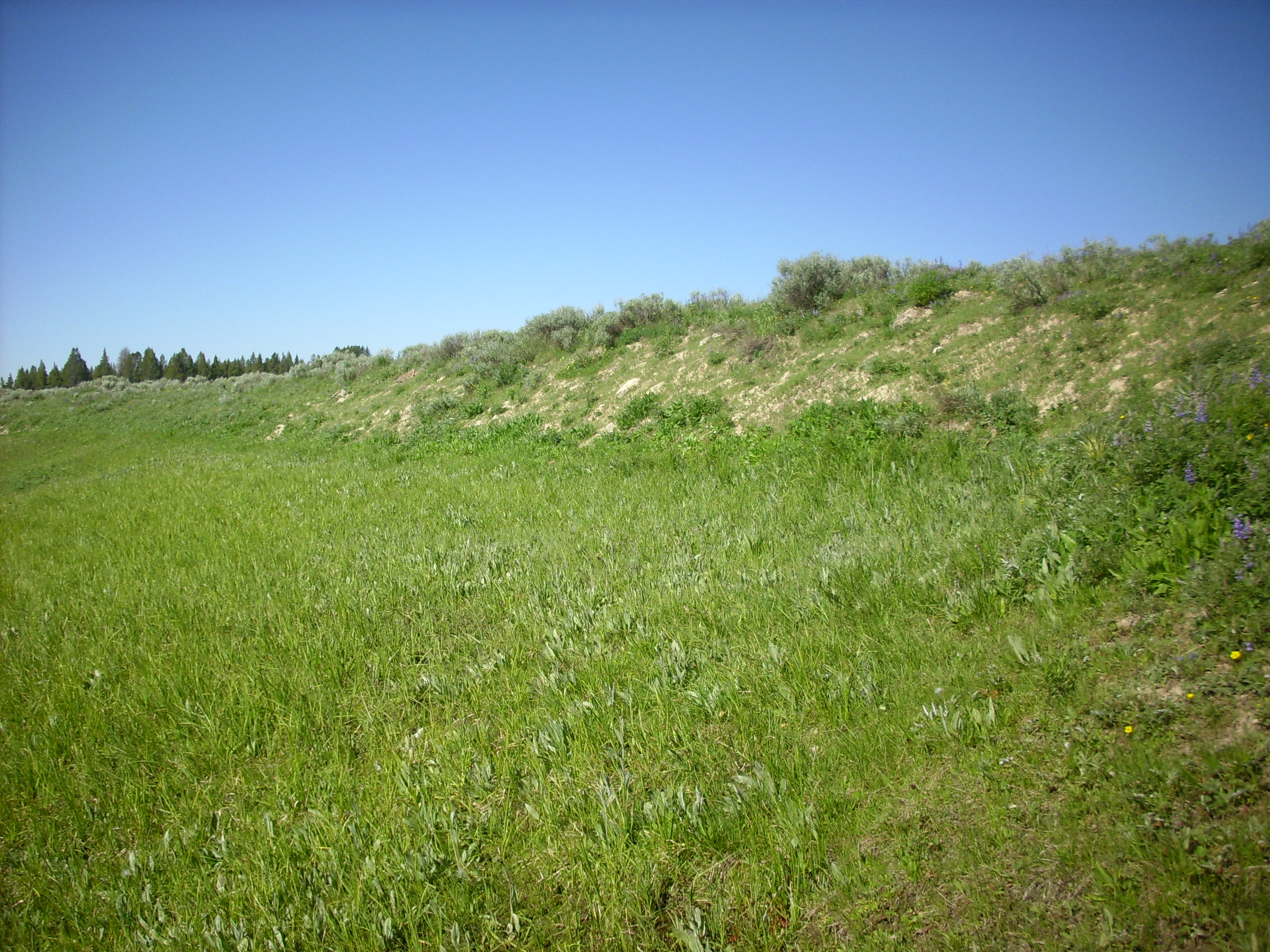
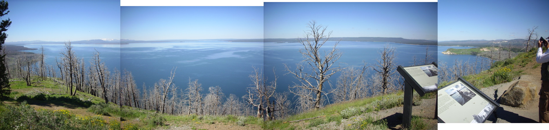
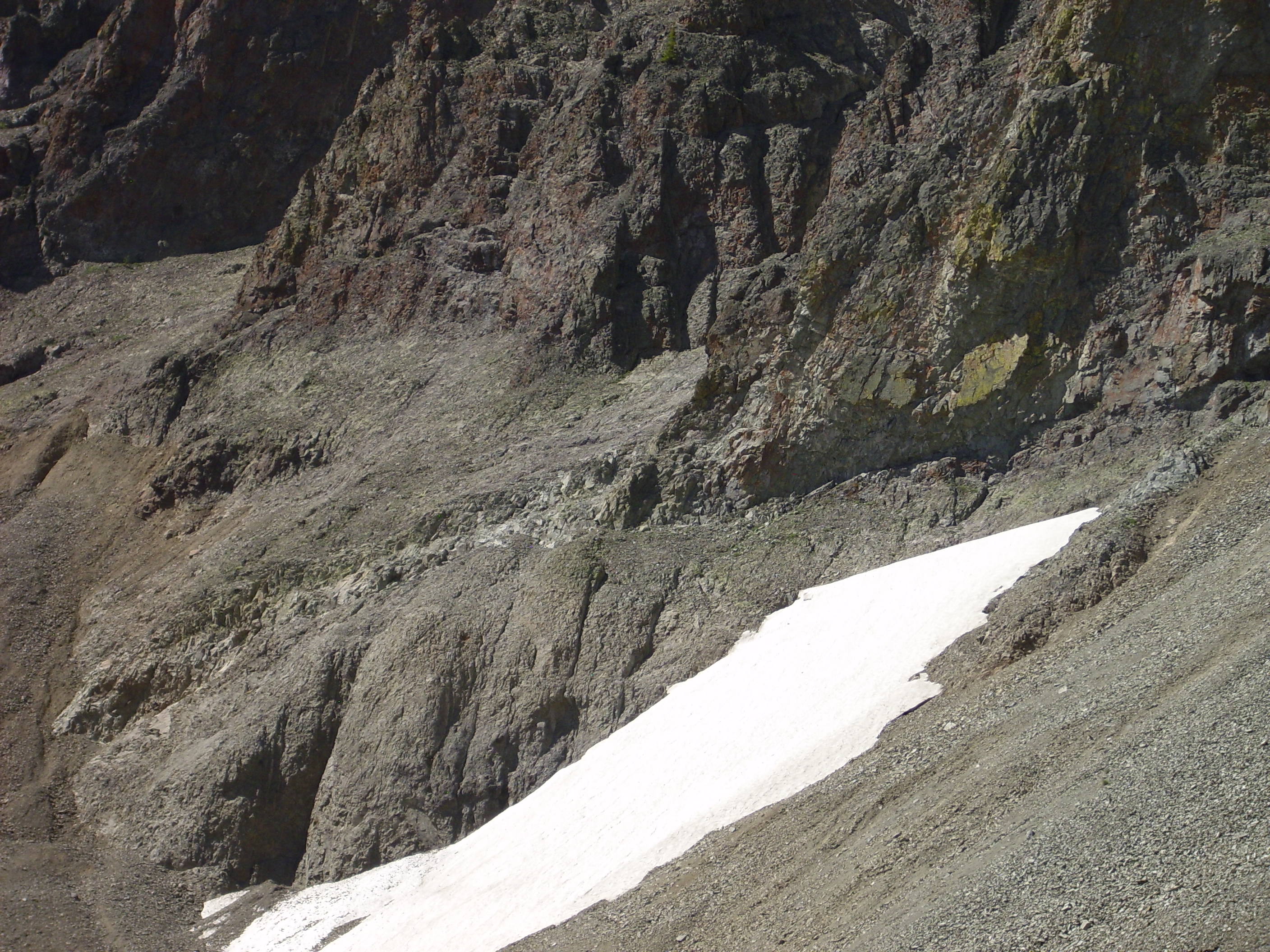
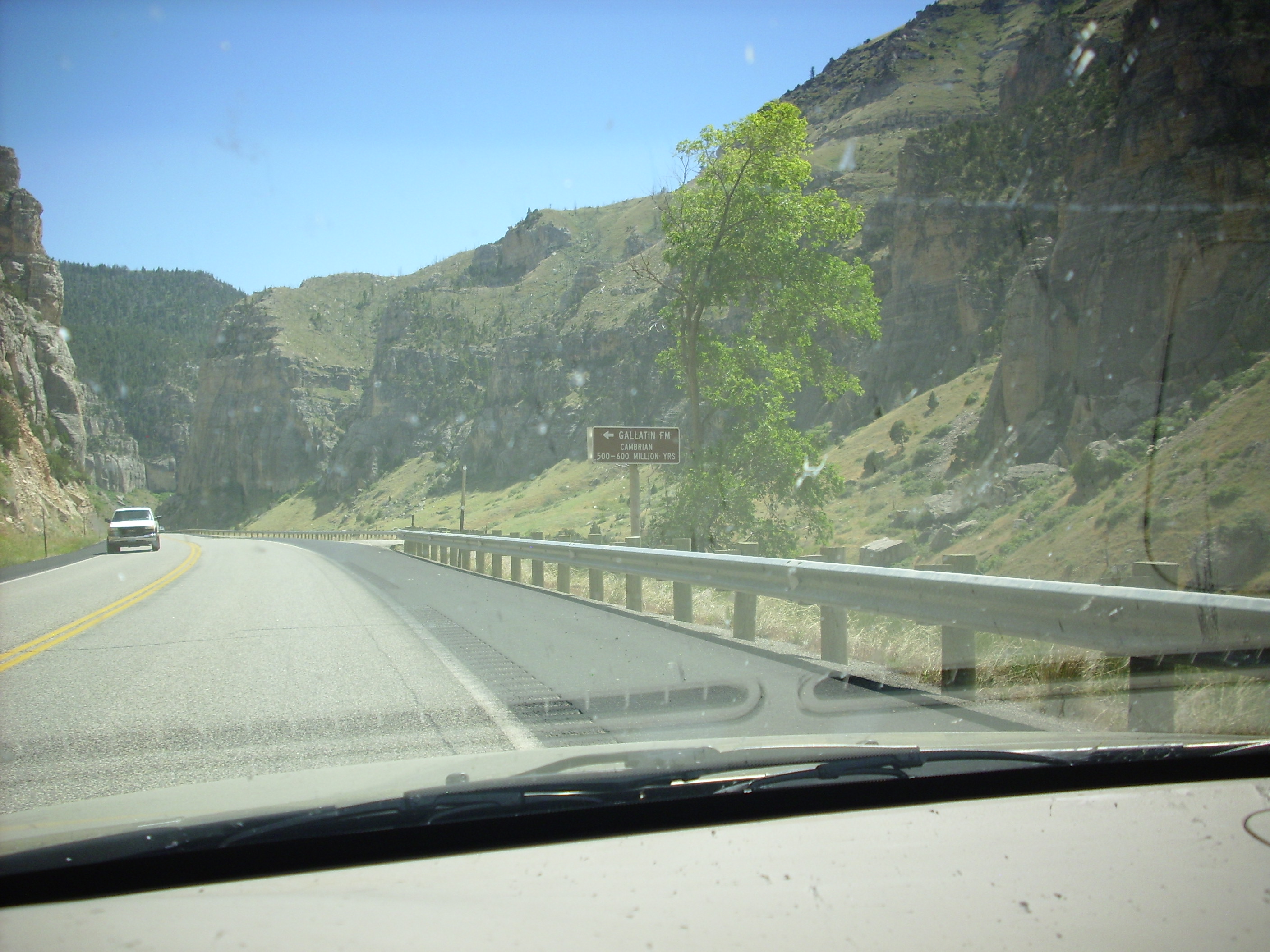
From there to Lake Butte, another 50-million-year-old volcanic feature from the Absaroka volcanoes, marking the east rim of the Yellowstone caldera. There is a road to an overlook, and a roadcut into Absaroka conglomerates.
I kind of borked the panorama, but still:
There is a diorite sill near the overlook, and a chunk had been used in the parking lot barrier. It had a mafic xenocryst. This is a chunk of rock from deep in the earth carried up by the magma that formed the sill. I forgot Mr. Quarter for scale; the xenolith is about quarter sized.

An important tourist attraction. Behind on the skyline is a cirque, or horn, formed by glaciers carving down the sides of a peak. Mt. Doane, possibly.

That’s Bruce’s blue car in the lower part of the picture. Zoom in and you can see the checkered remains of his rear window.
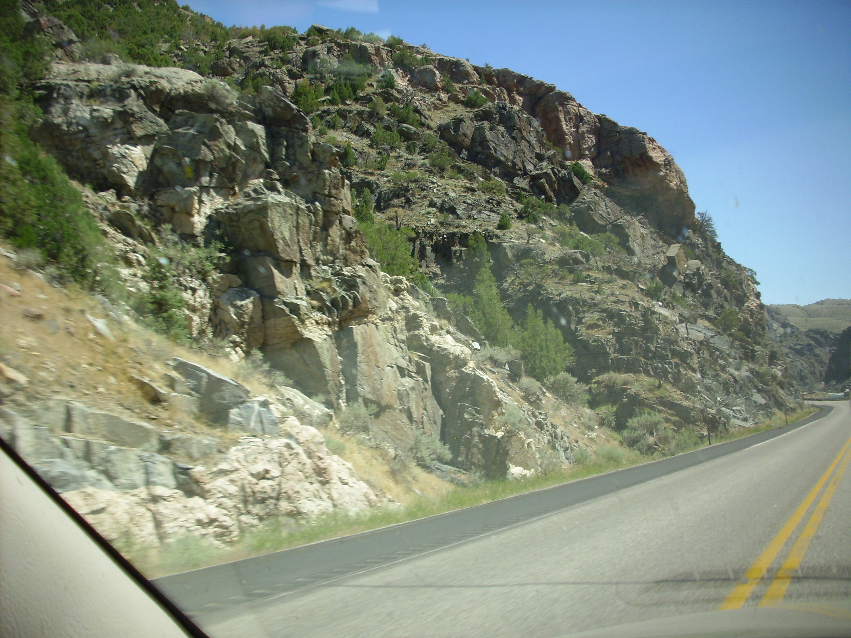
From there we proceeded to Sylvan Pass. Do you know, I was so jaded at this point that I didn’t notice what kind of rocks were around? Probably some kind of granite with Absaroka volcanics on top.

There was a prominent dike in one cliff.
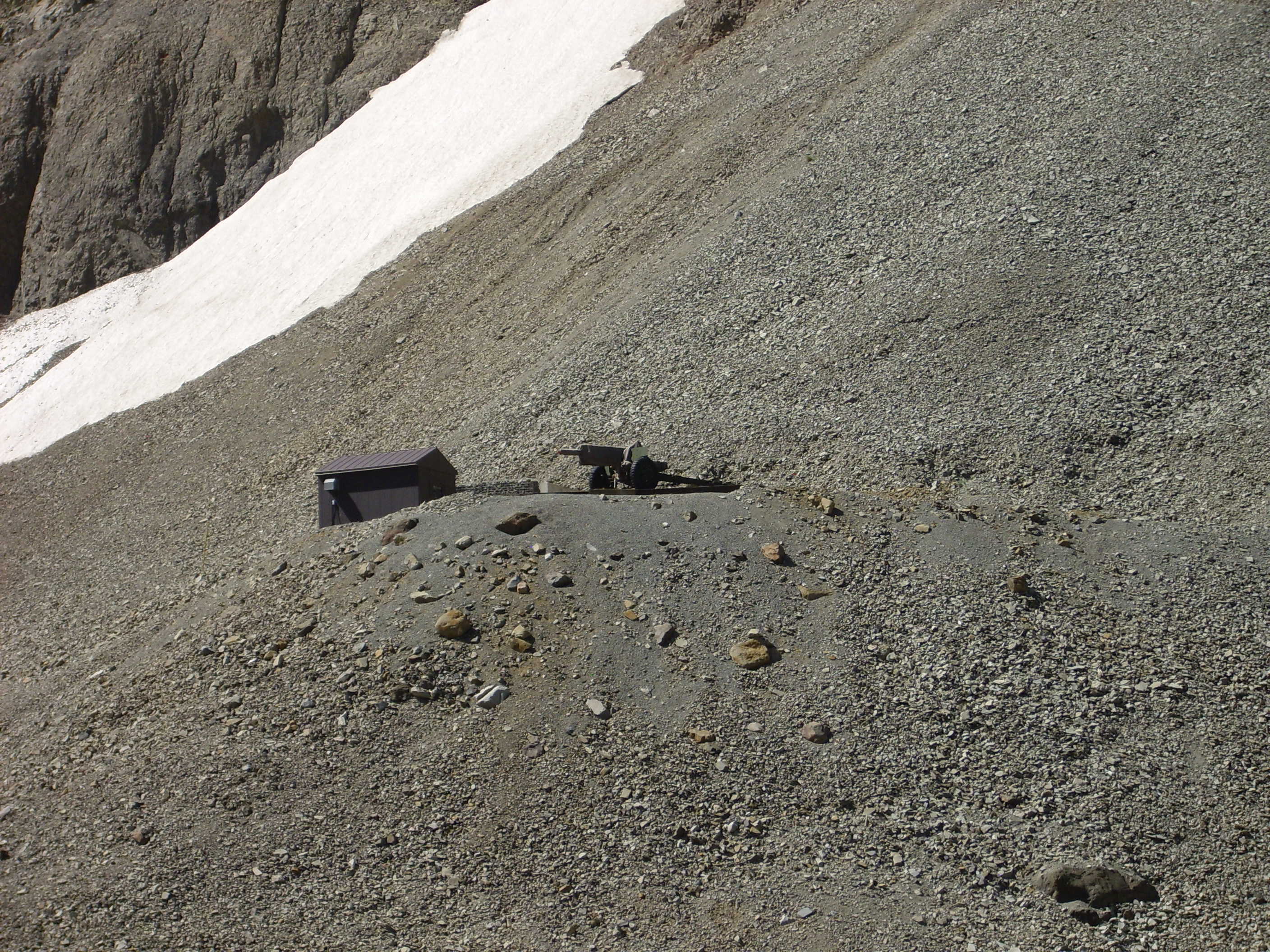
Beneath was an avalanche gun. Bruce thought this might be an Army surplus 105mm howitzer.
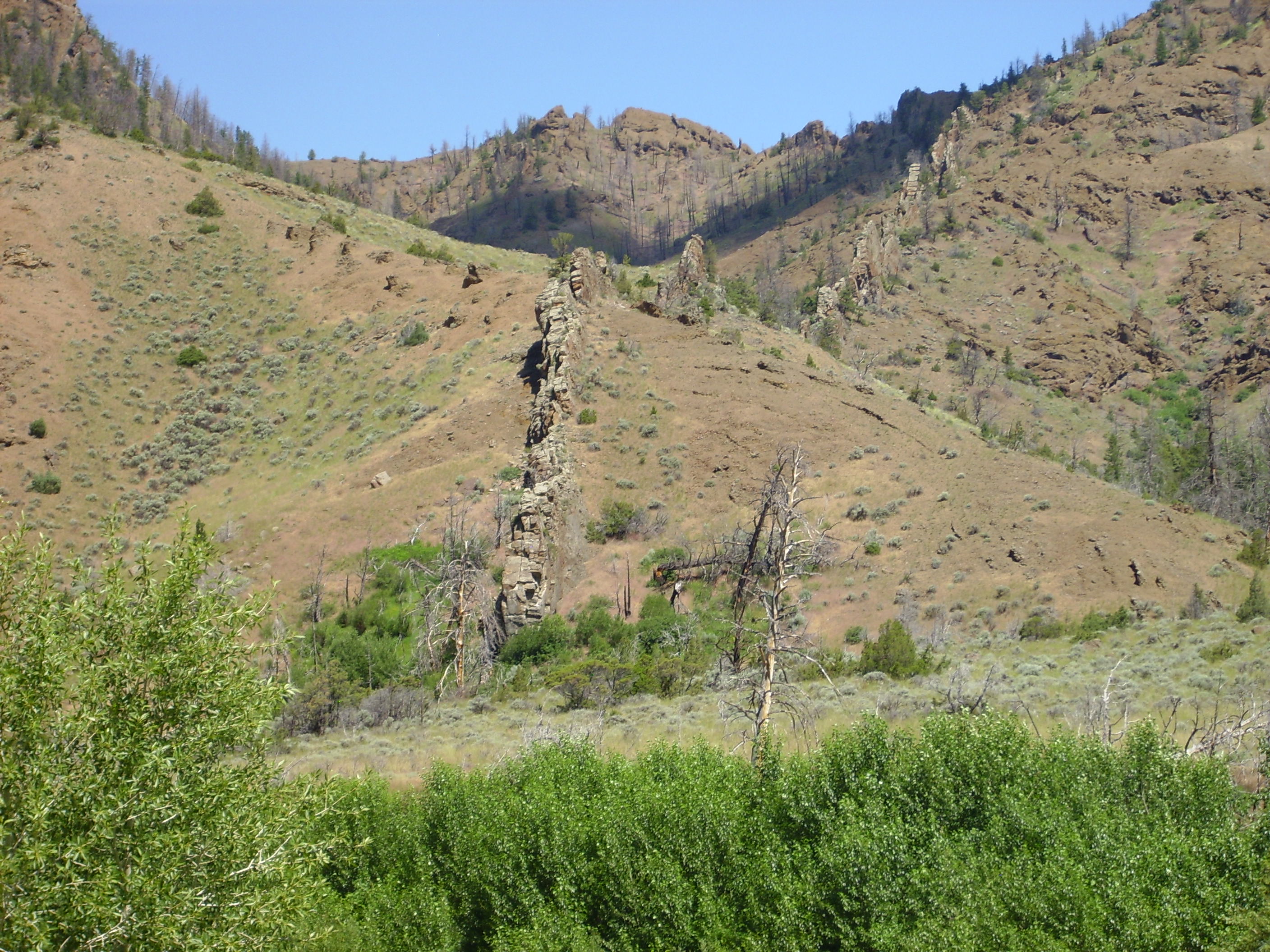
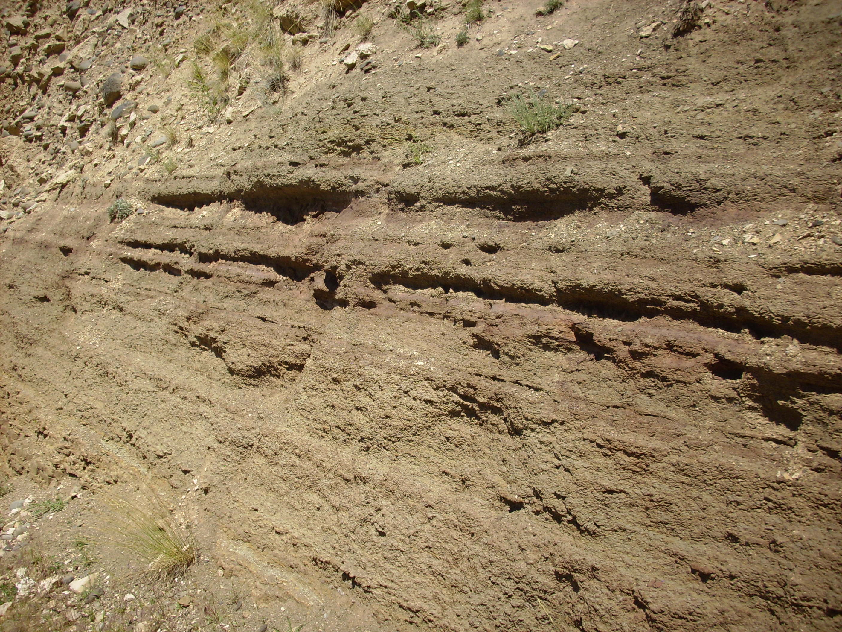
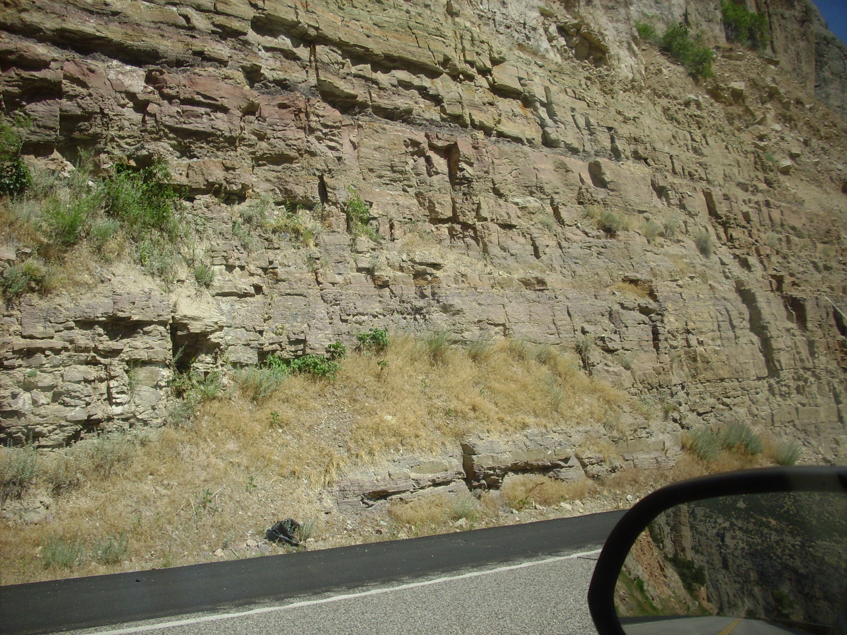
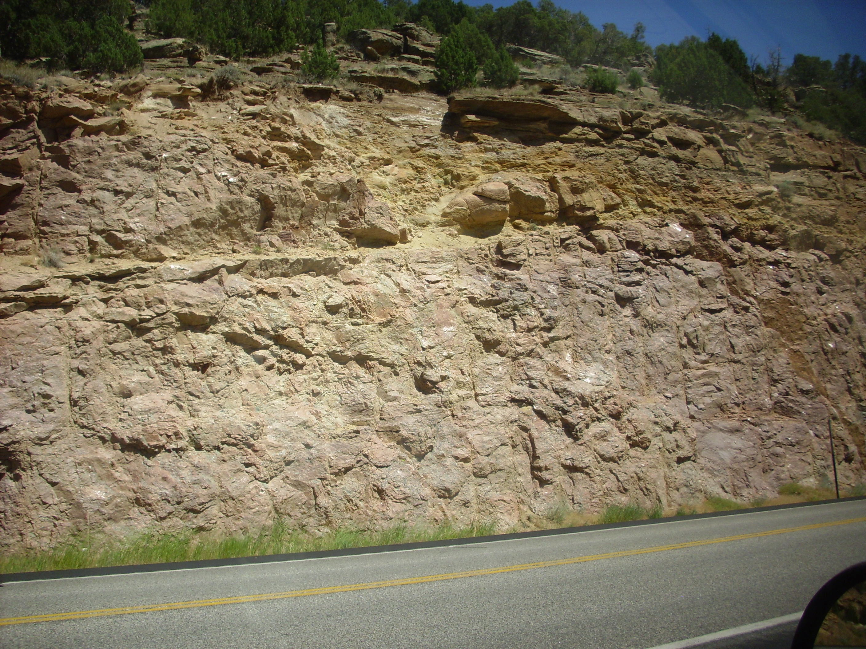
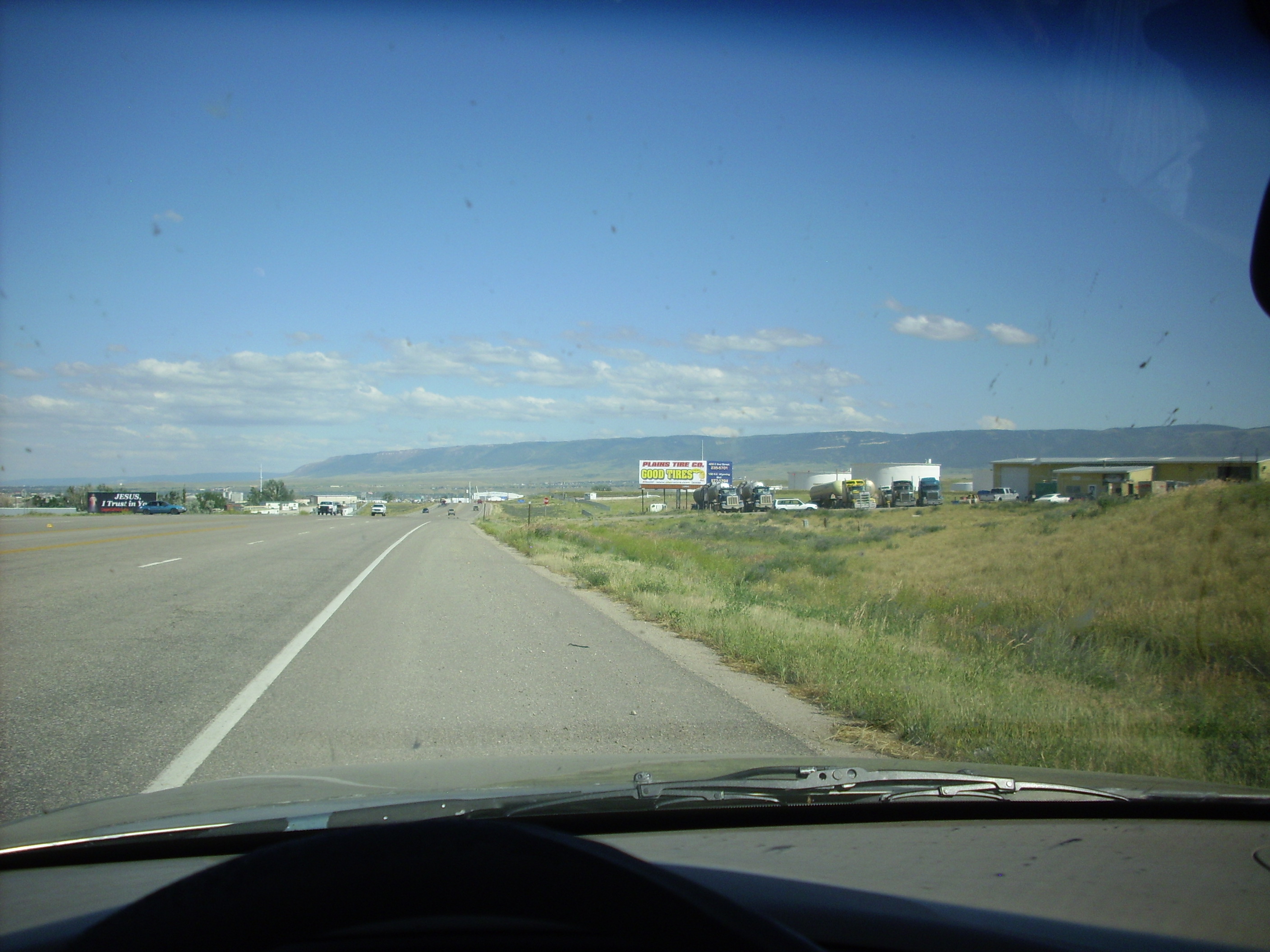
From there we proceeded to Cody, passing through some fantastic rock formations that reminded very much of the Puye Formation in the Los Alamos area — probably because they were formed much the same way, except the ones east of Yellowstone are much older. I never did get a good picture; we were looking for a spot called Chimney Rocks but evidently I drove right past it. We did stop at an interesting road cut across from a large dike, here perhaps? I thought at first this was the Chinese Wall, but no.
An interesting thing about this was that this dike appeared in cross section in the road cut.
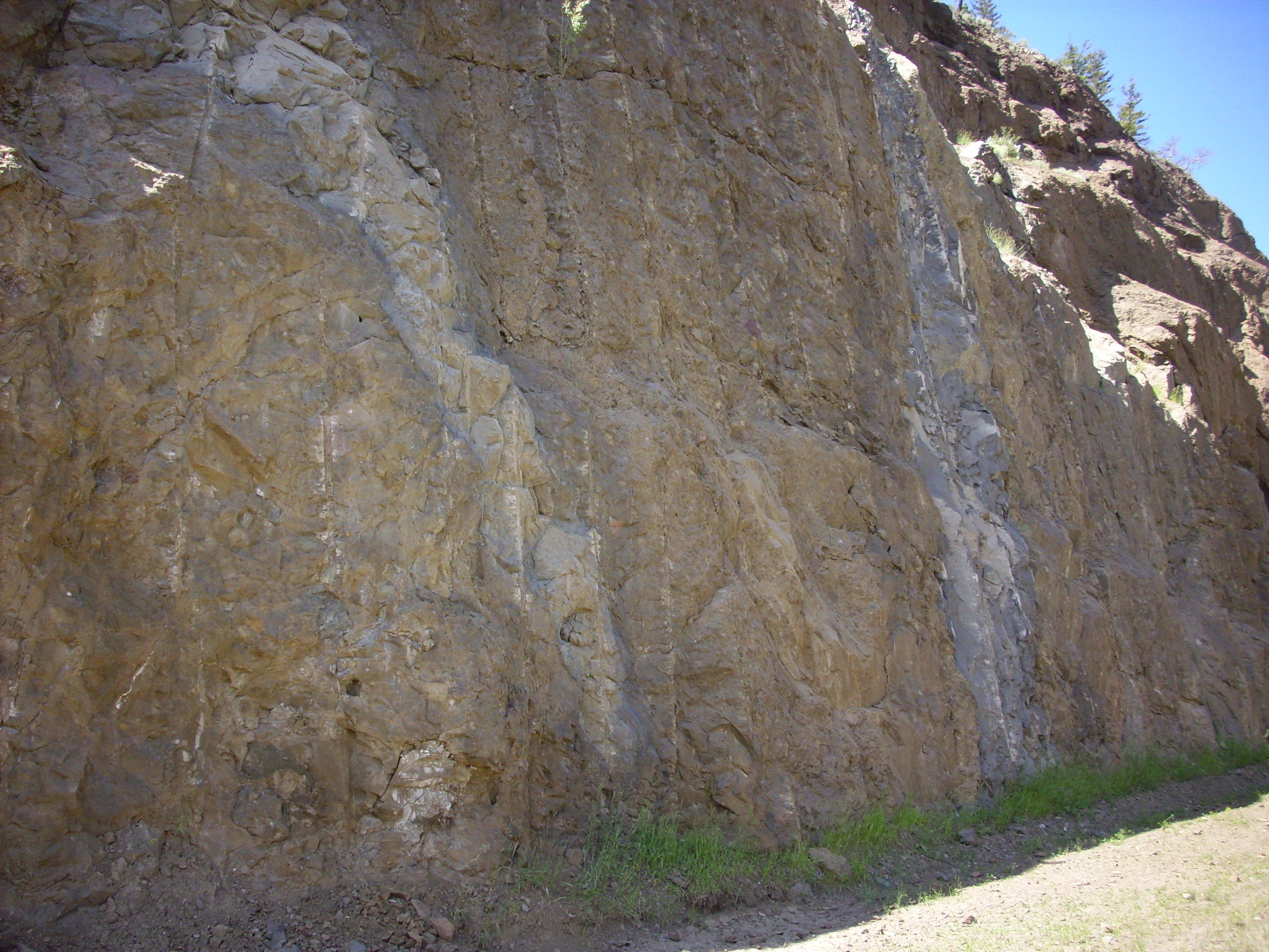
Most of the road cut was a fine conglomerate, looking like yet more Absaroka volcanics.
Notice that the rock breaks through the clasts. This is well-consolidated conglomerate.
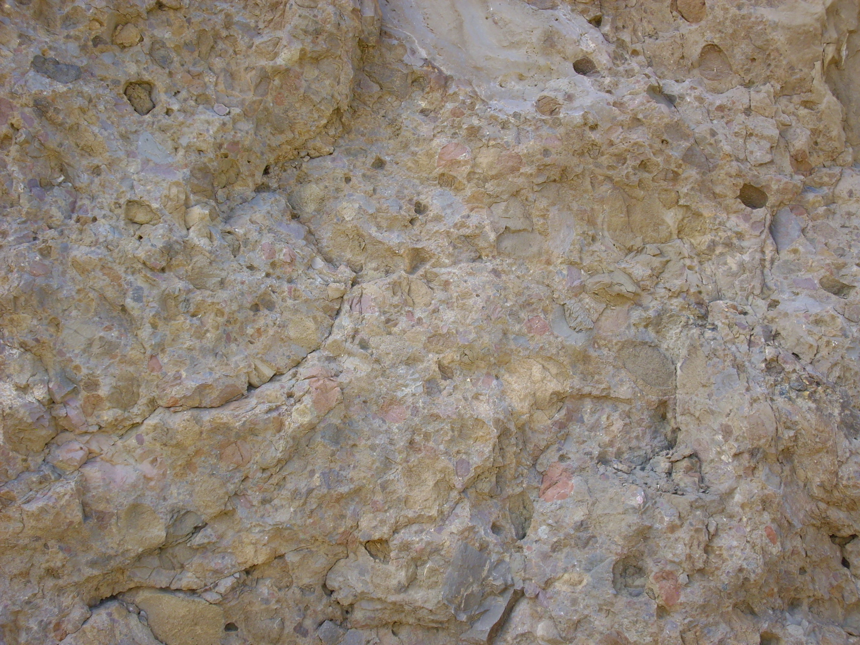
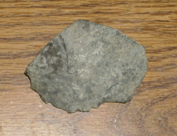
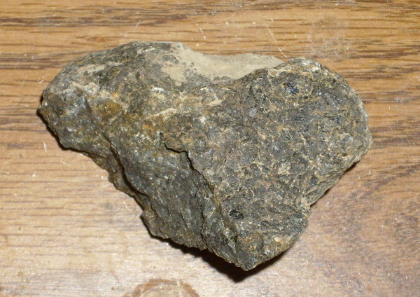
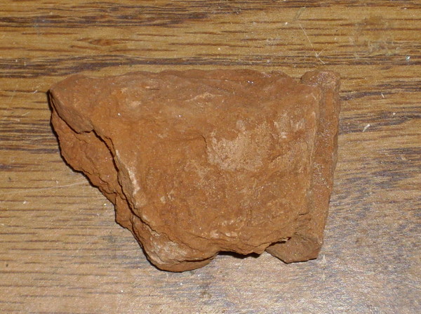
The dike material was a fine-grained volcanic-looking rock. I chipped off a sample, noticing as I did that the stuff rang like a bell. Phonolite? Phonolite is an uncommon, fine-grained igneous rock somewhat poor in silica but rich in aluminum and alkali metals. It gets its name because it tends to break off in sheets that … ring like a bell.
I think this is my sample. Some of my rocks got a bit scrambled.
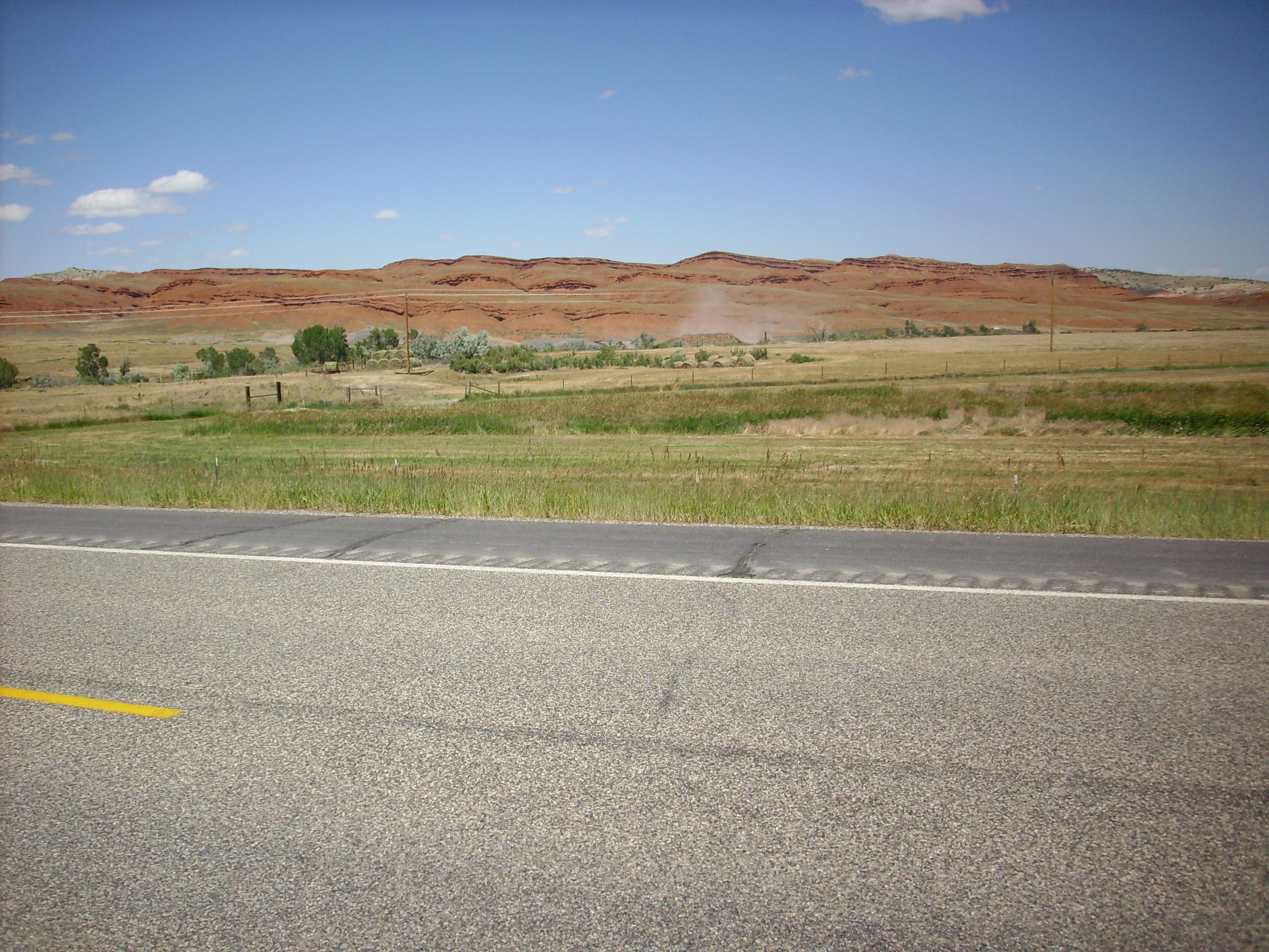
A few miles down the road, we encountered the Chinese Wall.
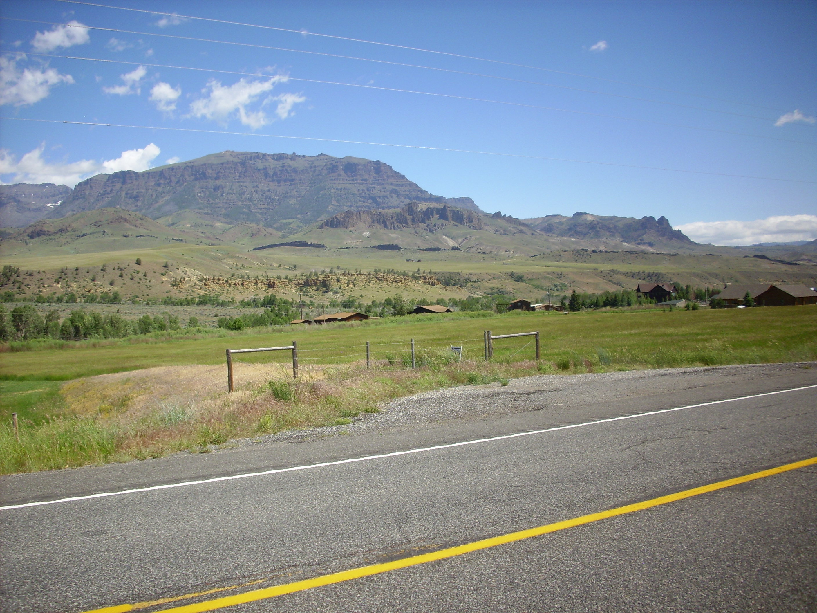
The Chinese Wall is the black, um, wall crossing the landscape in the middle distance. It’s a very large basalt dike.
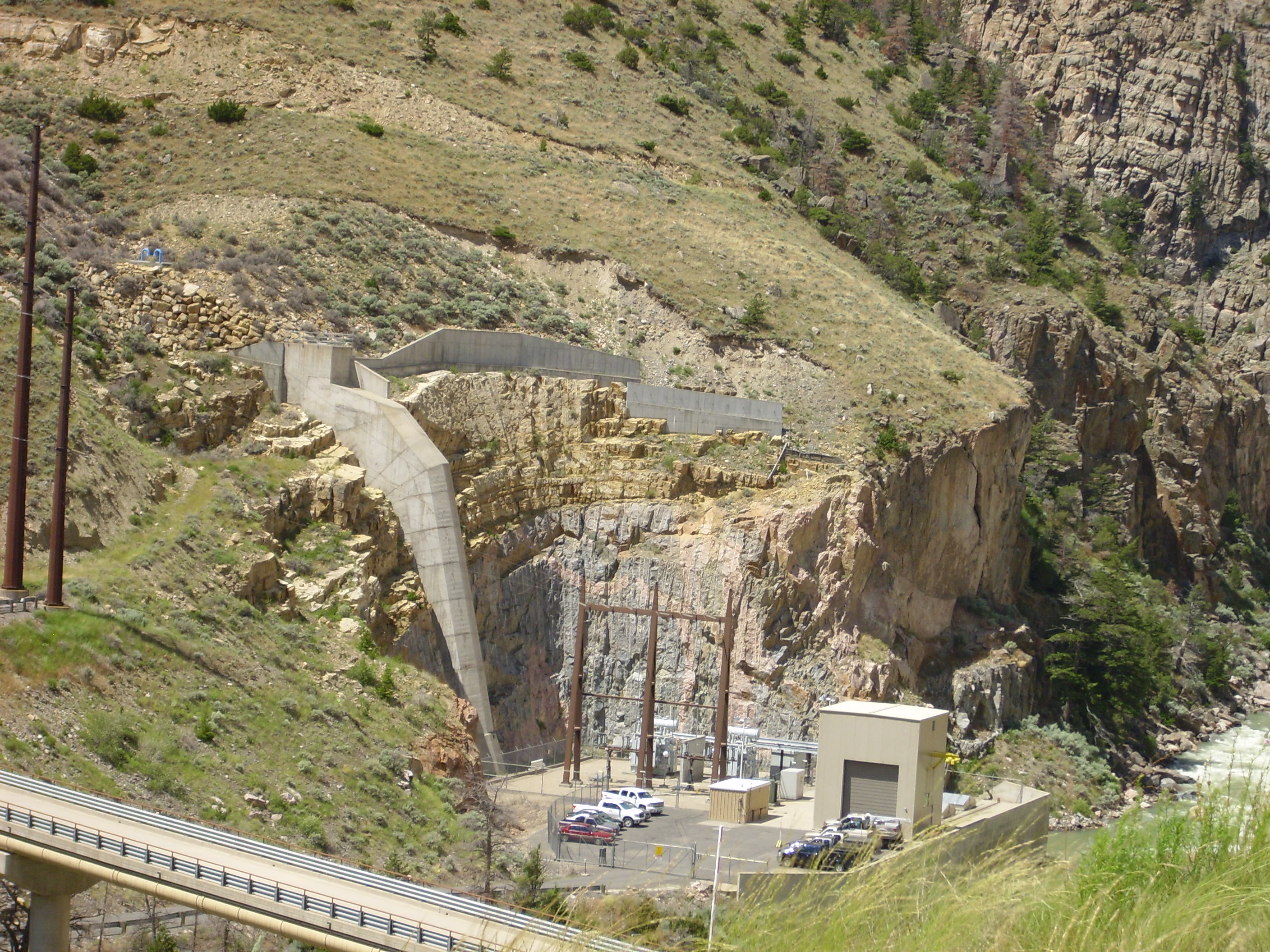
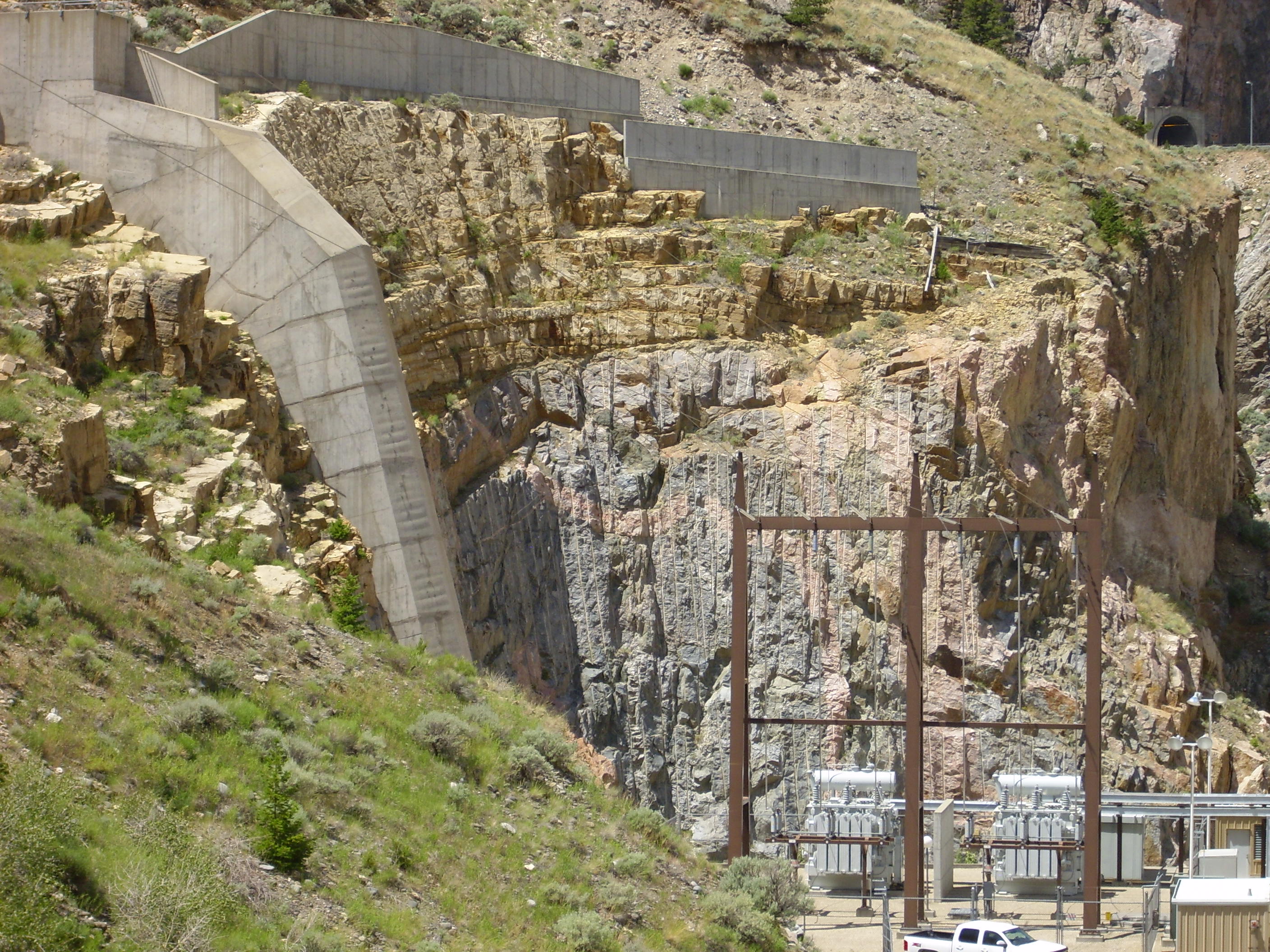
Next was Buffalo Bill Dam. This is where Bruce and I finally parted company. Bruce had been through here before, and left me to it while he went on into town to get his car fixed.
Just east of the dam is a beautiful exposure of the Great Unconformity. I talked about this back on Day 2. Here the gap before the Cambrian is a good two billion years or more, and is visible as the sharp transition from very hard pink and grey granite to much softer tan Cambrian sandstones and limestones.
The road to the station is closed to vehicular traffic, but not to foot traffic, and there were some nice granite boulders along the way.
The first boulder shows the contrast between the pink and the gray granite. Both reveal abundant quartz under a magnifying lens, but there seems to be more in the grey stuff. The grey also has white feldspar, probably calcium feldspar. The pink granite is pink from potassium feldspar, and the dark crystals, which are occasionally very large, are a mixture of biotite (iron mica) and hornblende (iron amphibole.) I got some nice samples elsewhere, but no photos — they don’t show anything you can’t see in these pictures.
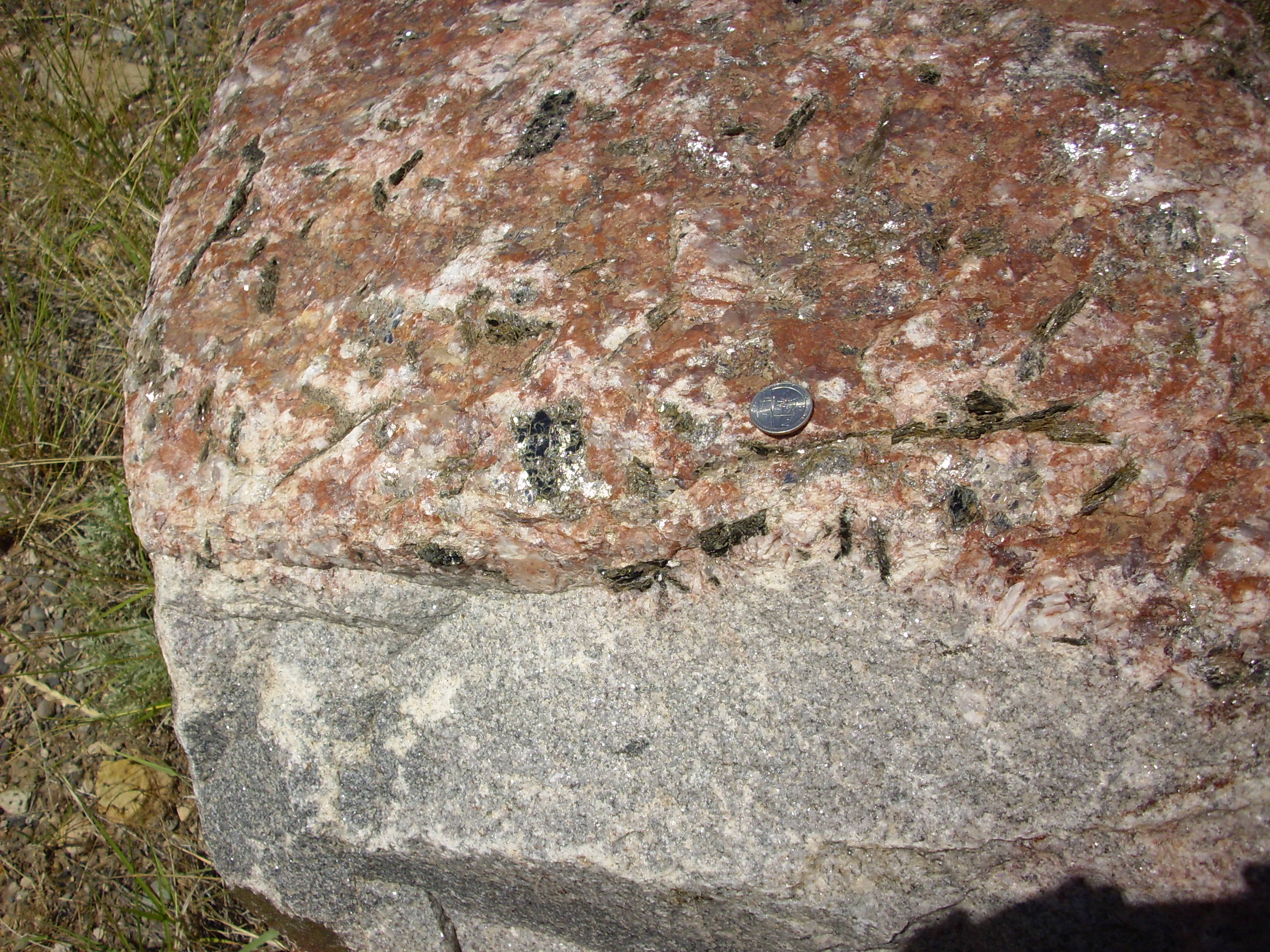
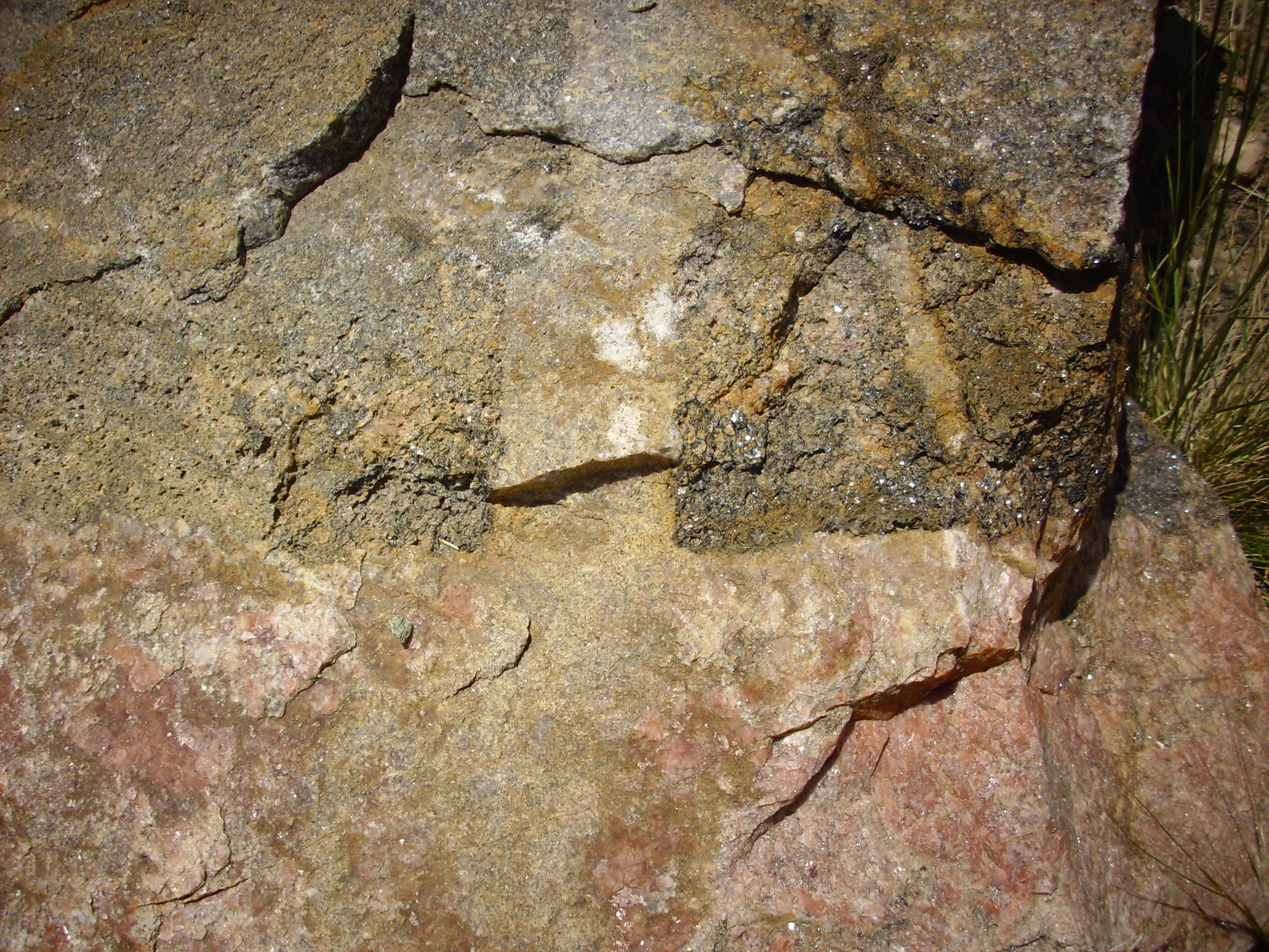
The second boulder shows patches of mafic rock, possibly metamorphosed mafic inclusions. These are a rich mixture of biotite and hornblende, like the small black patches, but a solid mass.
Above the discontinuity are Cambrian sedimentary beds. These are pretty unremarkable, without any visible fossils.
I did find a clast in these beds that looked like a nodule of basalt, but it looked crystalline inside. Looking at it now, I see that it’s massive black rock looking very much like very dark basalt, but with numerous green crystals weathering to a rust crust — olivine. So this is a picrite basalt.
Not at all serpentinized. Yet seemingly embedded in a 540-million-year-old sandstone bed. I found myself thinking, “Say, little feller. You don’t seem to be from around here. You lost?”
I drove on in to Cody and stopped at an information center. They advised me that my planned route was, in fact, the fastest way to Denver, which was nice to know. So it was south to Thermopolis!
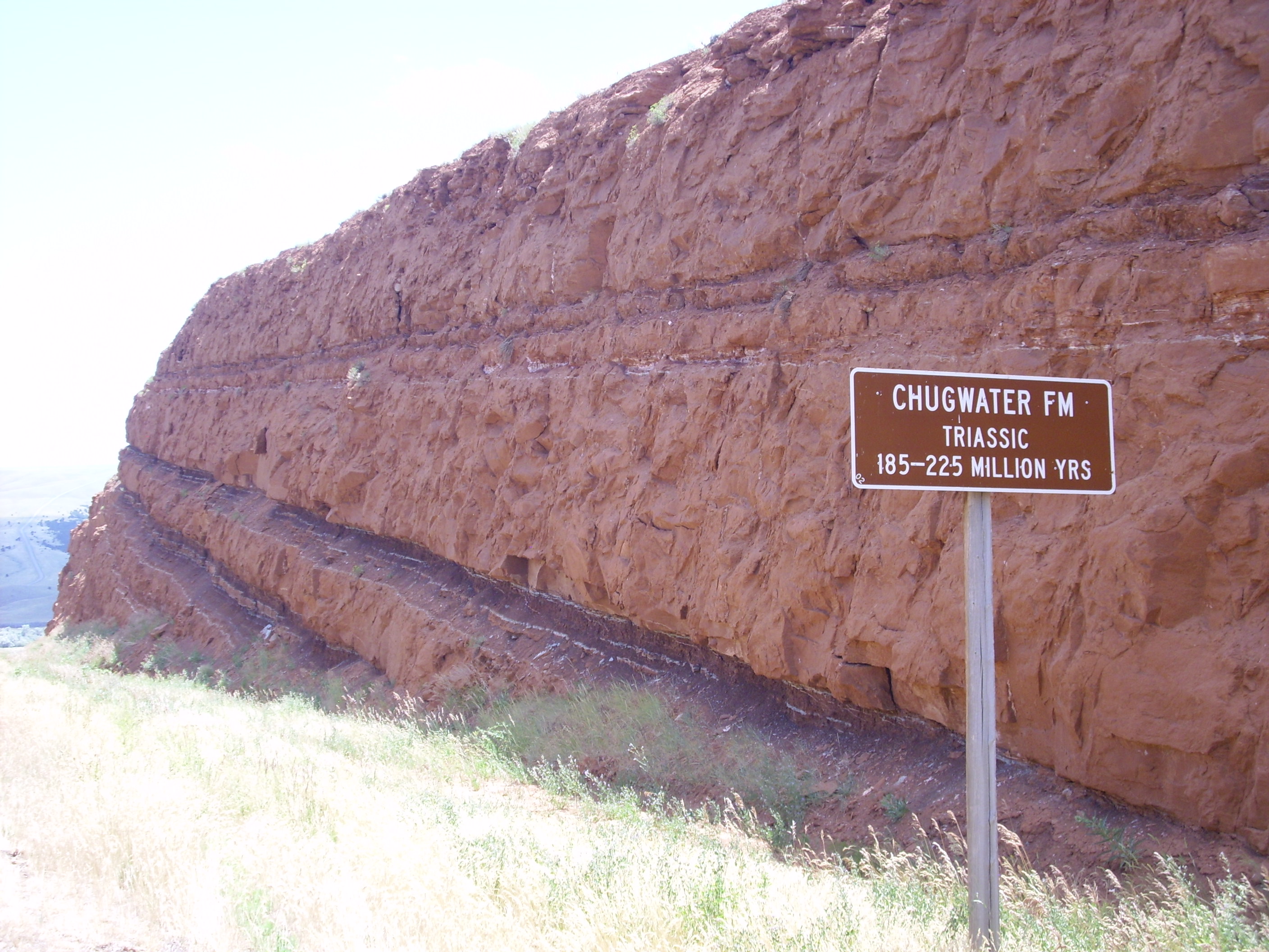
It was quite scenic country, not as dull as I remember from my last drive in Wyoming, better than twenty years ago. There were some impressive red beds.
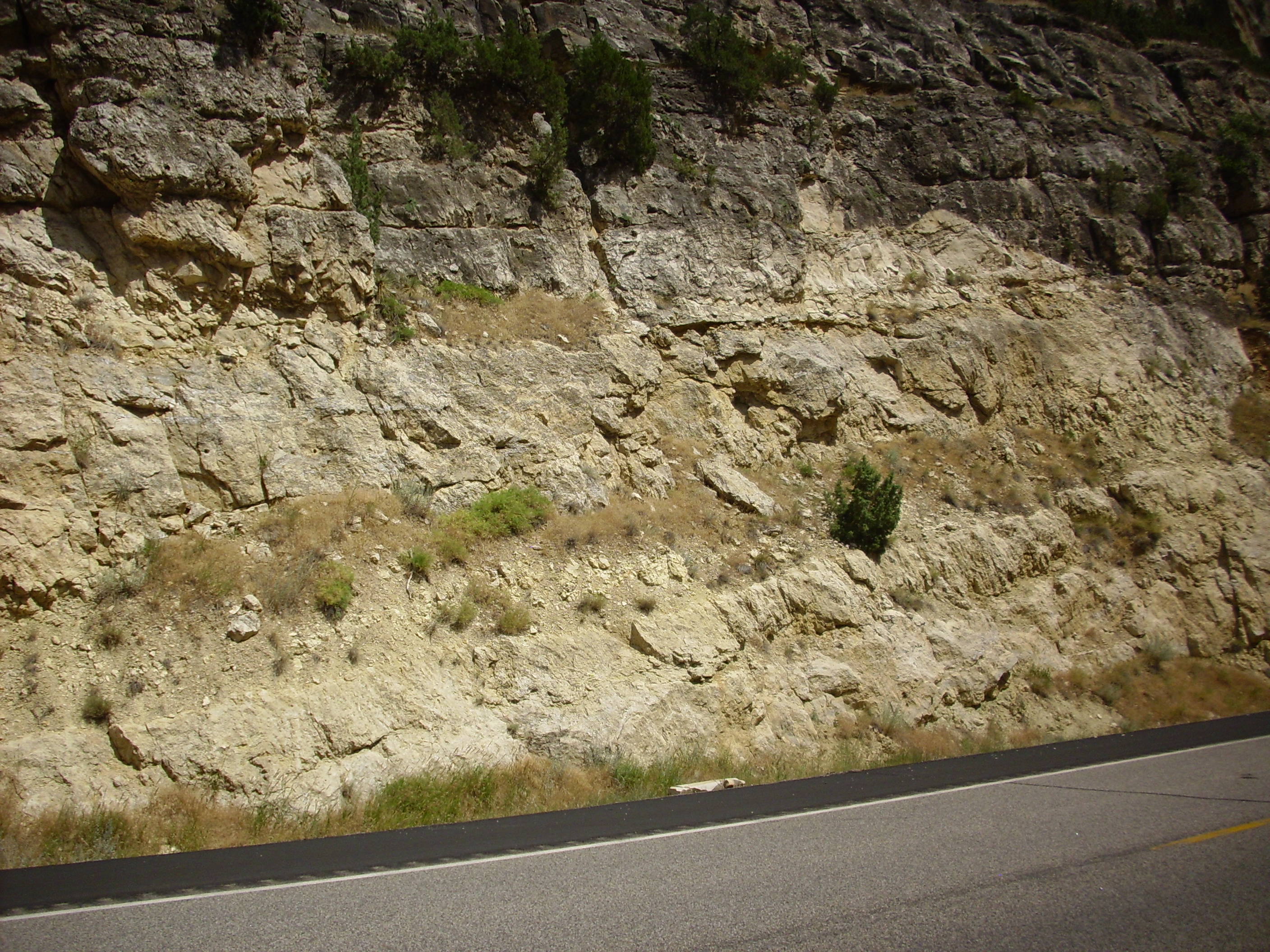
From there the road descended south into the Wind River Canyon. And I discovered that someone in authority in Wyoming really likes geology and wants to share it! I’ll let the next set of pictures largely speak for themselves.
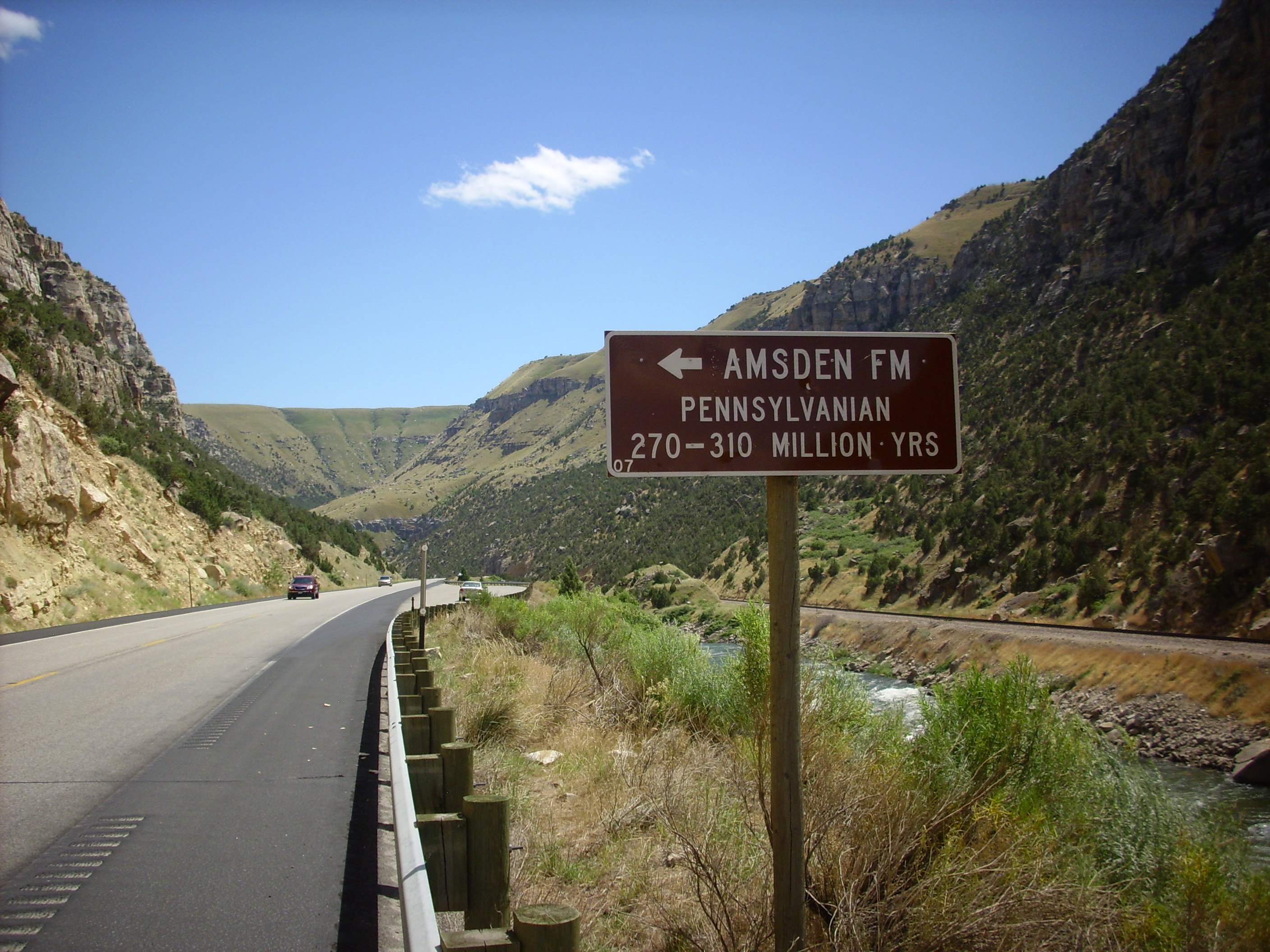
The Amsden Formation, like so many Carboniferous rocks, is mostly limestone, but there are scattered chert beds.

At about this point it sunk in that I was on the Wind River Indian Reservation and I maybe oughtn’t collect samples.

I think that may be the Great Unconformity visible at the top of the cliff.
I think the signs stopped at this point, but the granite gave way to dark Precambrian schist.
There was a tunnel, and beyond it a major thrust fault — and beyond that, much younger rocks, probably younger than the Chugwater.
I gassed up in Shoshoni and headed east to Casper. This was the dullest part of the trip; no scenery, and no good radio stations. I found myself wondering if I should look for a hotel in Casper where I could clean up before getting in to Denver. I was planning to stay with another friend, Robin Roberts, and maybe it would be good to not arrive greasy and smelly. I had not met Robin’s wife and I did not know how I would be received by her. (Robin is used to geeks.)
There is a magnificent long mountain south of Casper, which has the somewhat obvious name Casper Mountain. I thought it worth a picture.
It was still early; decided to push on to Cheyenne. Speed limit 80; I likes Wyoming freeways. I saw my one and only pronghorn antelope somewhere around Douglas, probing the fence of the interstate. There was no opportunity for a picture.
I pulled over at Chugwater, ate some dinner, and checked the map. I hadn’t realized Cheyenne was so close to Denver. I decided to push on, and gave Robin a call to let him know I was on the way.
There were thunderheads ahead. (It had been mostly clear weather up to now.) As I got to the state line, the Fort Collins station I was tuned to interrupted with a severe thunderstorm warning. Large hail capable of damaging vehicles. Golly.
Turns out I timed it perfectly most of the way, threading between storms. However, I did see what looked a little like a mother ship ahead.

And I could see in the fading light that there were only more storms beyond. That made me decidedly nervous. After the sun went down, it got worse. Heavy rain. Light hail. Almost continuous lightning. Insane traffic after dark in a city I didn’t know well. The only consolation is that I scared a couple of Denver drivers nearly as badly as I was scared. The SOBs deserved it.
Fortunately I had Google maps to Robin’s place in three different scales. After a few false turns, I found the place, and Robin was on the porch. I was never so glad to reach a safe haven, I gotta tell you.
Robin’s wife was already retired for the night, and I was just a bit worried what she thought about me showing up late in the middle of a storm. (Turns out I needn’t have been.) Robin was the soul of hospitality, and even the cat was welcoming, in a spoiled old cat way. We talked for a few minutes and then turned in.