Great American Eclipse wanderlust, day 8
Day 7 may be found here.
Getting close to the big day.
Perusing my hiking map last night, I saw that there is a hiking trail to Elephant Back Mountain. This looks like a geologically interesting area, because the relief map shows numerous parallel ridges likely caused by faulting across a stretched region of rock. I am ready to see how my knee will do on a fairly strenuous hike and decide that this is how I will spend my morning.
My route takes me through Madison Junction, Norris, and Canyon Village to Hayden Valley. This area is famous for wildlife and I am not disappointed.

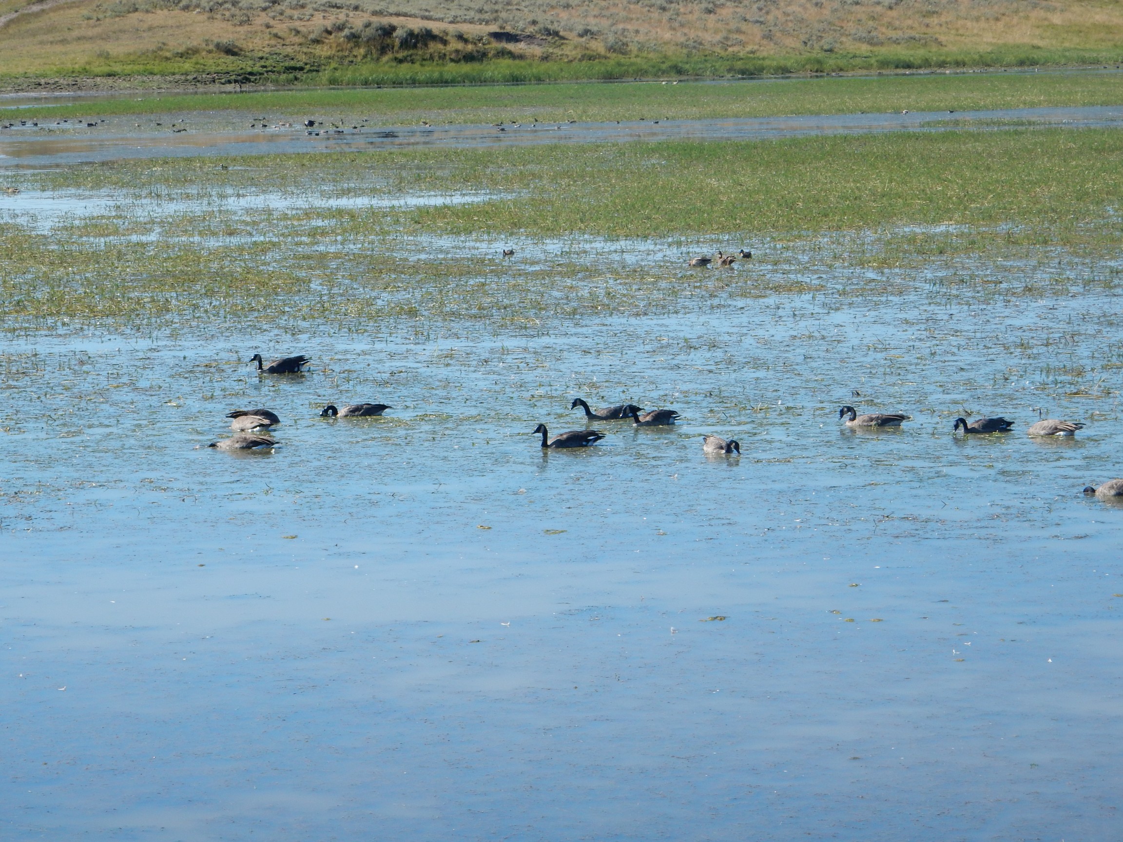
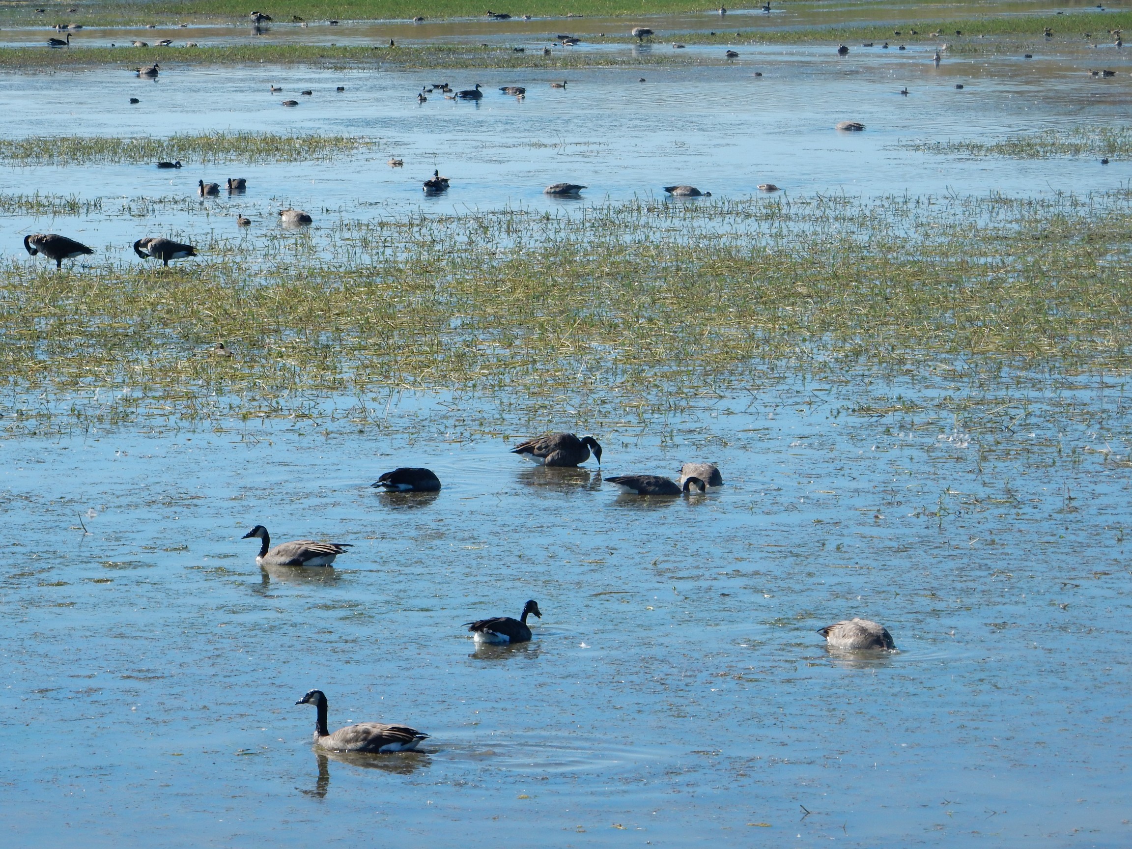

I had to linger a bit to catch one spreading his wings. Canada geese, I believe.
As I get in my car and prepare to pull out, a woman glances at my right front tire, looks more closely, and smiles cryptically. I check it later; nothing abnormal. Nor do I put bumper stickers on my car. Go figure.
A little further down, there is a huge knot of tourists along the road. Has to be wildlife; and, in this numbers, spectacular wildlife.
It’s a bear.
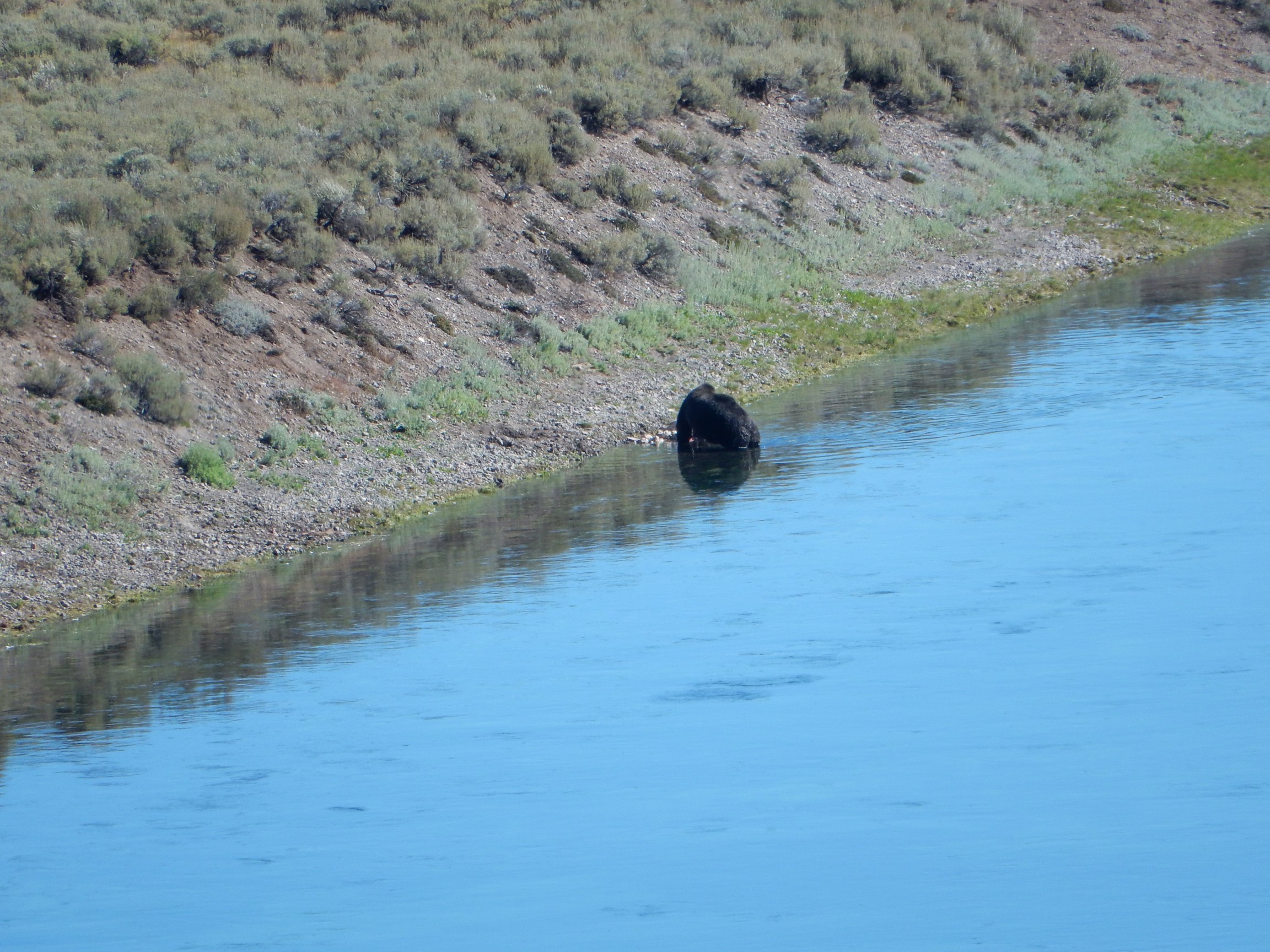
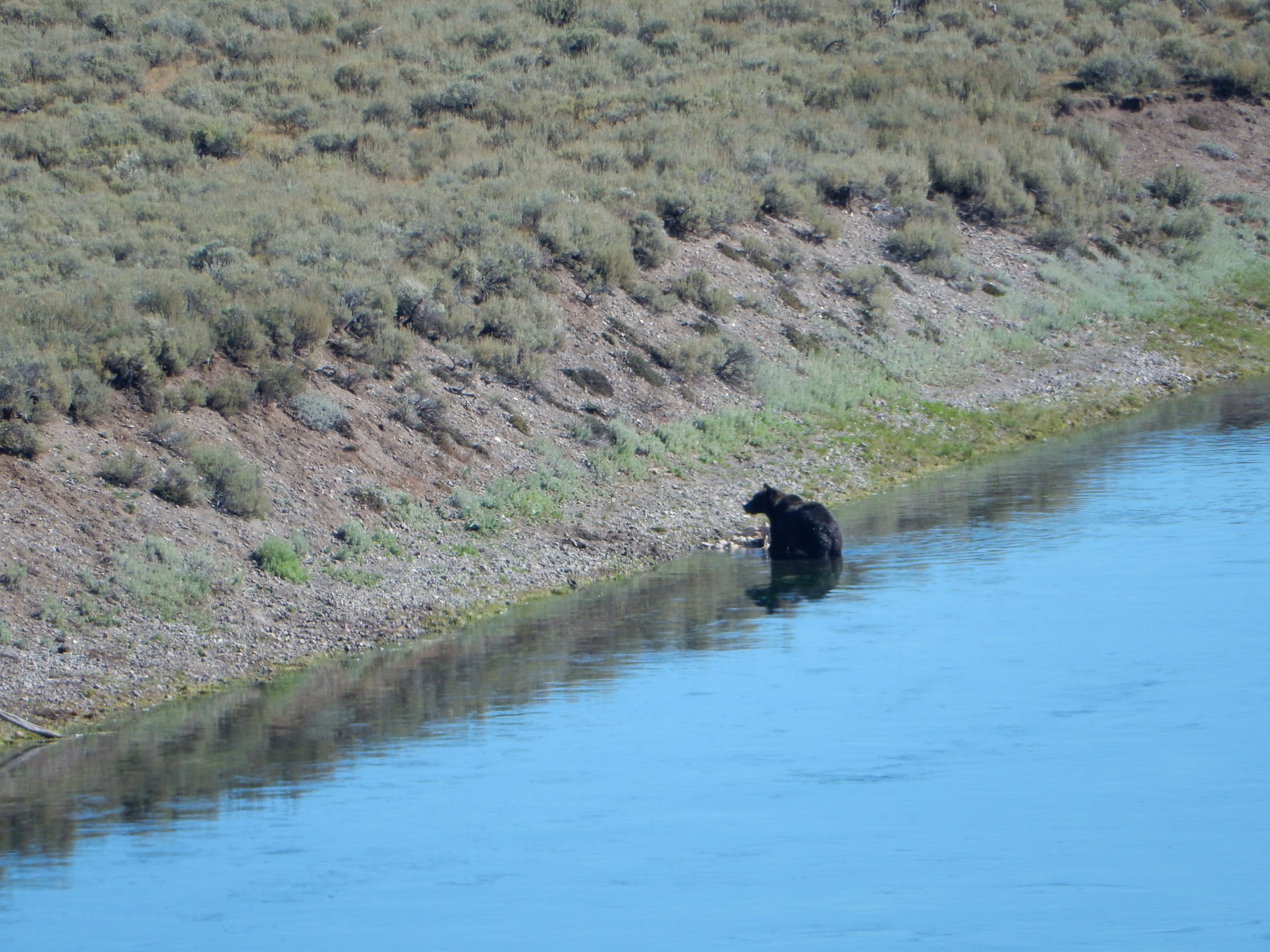
Black bear, probably. (Not quite a “well, duh”; some grizzlies are quite dark.) The slender face is the main clue at this distance. The bear was fairly distant; this is a deep telephoto shot.
This was the only bear I saw this trip. The education and enforcement program to not feed bears has been quite successful, and they’re becoming very shy again.
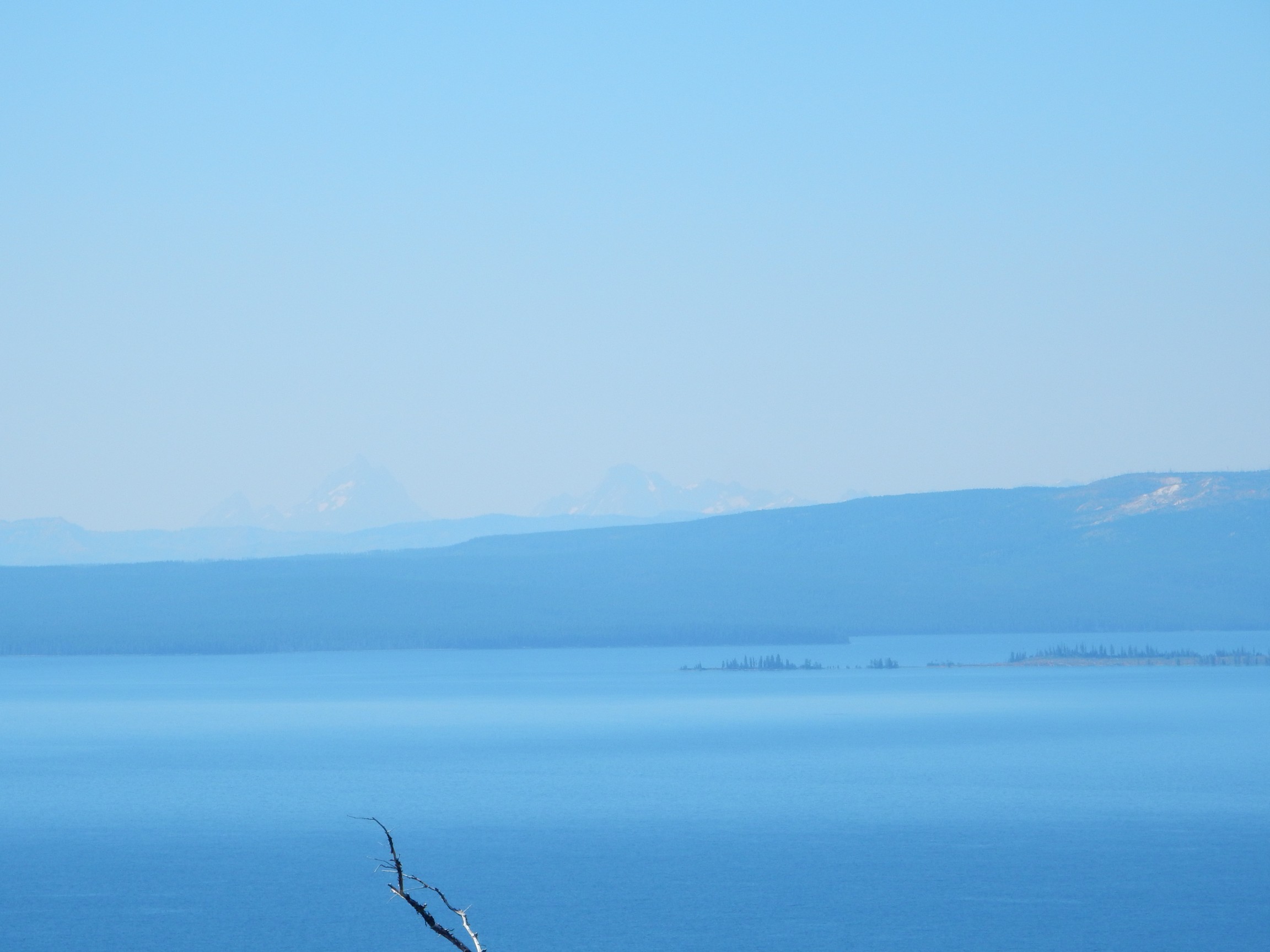
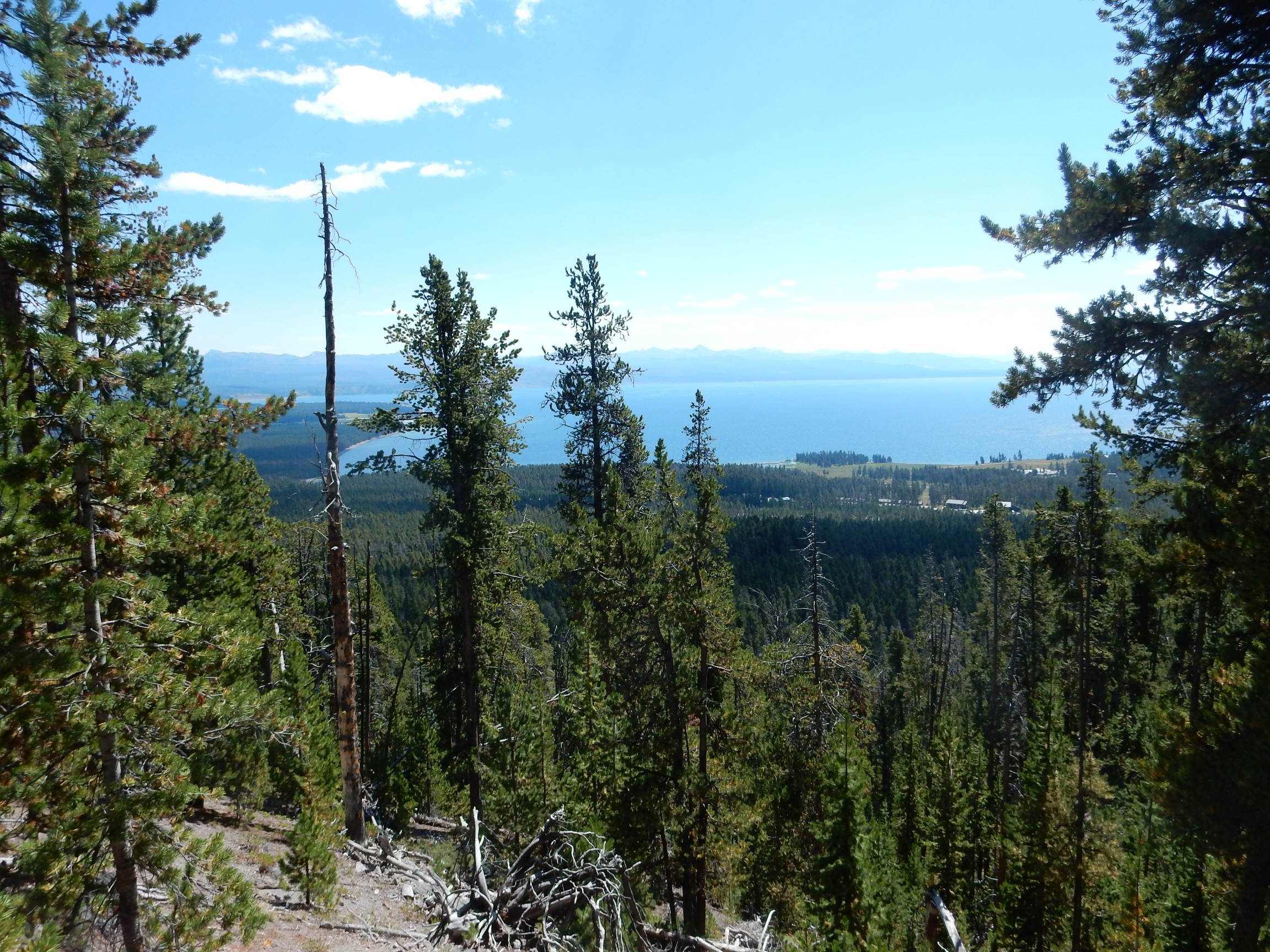
I drive east to Lake Butte Overlook, noting along the way that there is some interesting hydrothermal activity on the north shore of Yellowstone Lake. The overlook:

The family are German tourists, who seem numerous in the park this time of year. I found most of them very pleasant. There is also an older gentlemen with two young boys overflowing with energy; he challenges them to race each other to the top of the knoll. “Grandsons?” He breaks into a wide grin.
Across Yellowstone Lake to the right is Elephant Back Mountain, where I’ll shortly be hiking. In the distance to the south are the Grand Tetons:
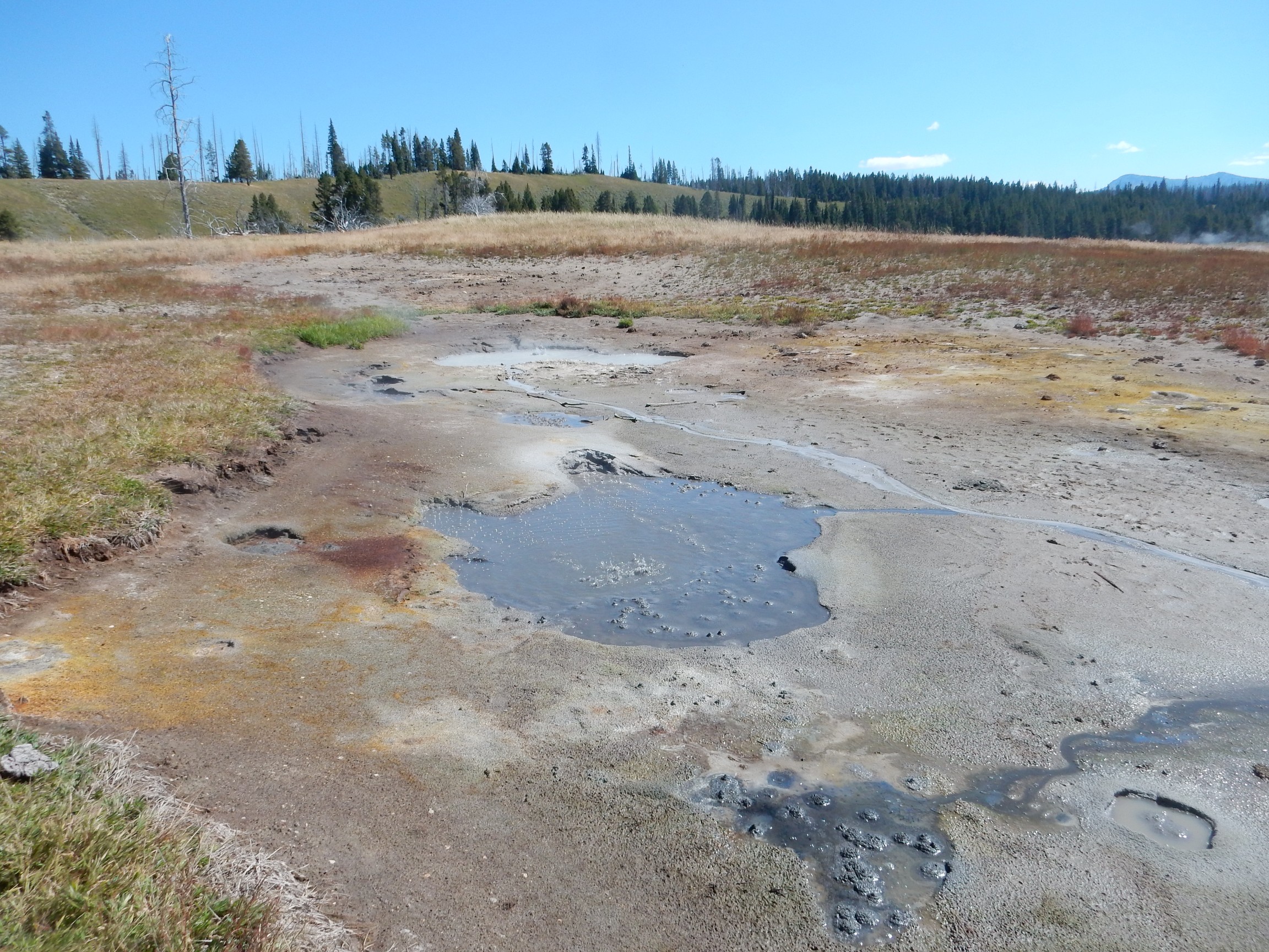
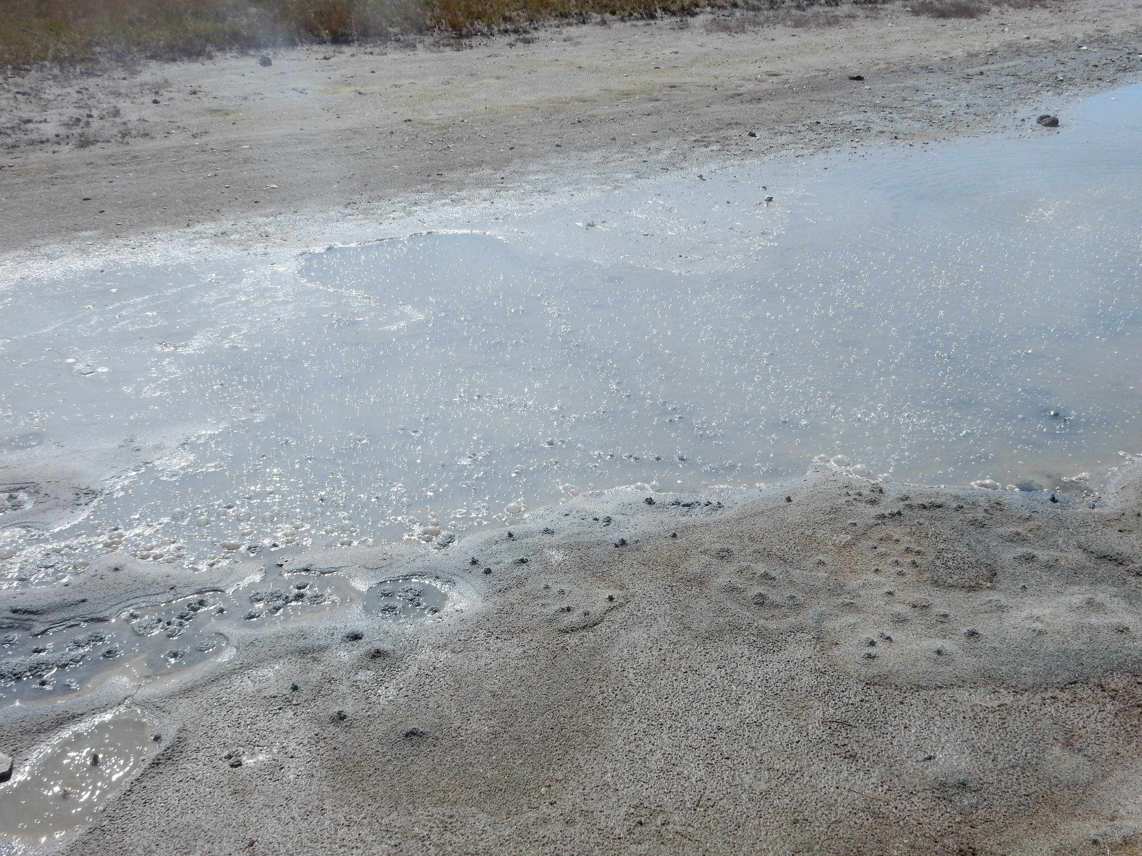
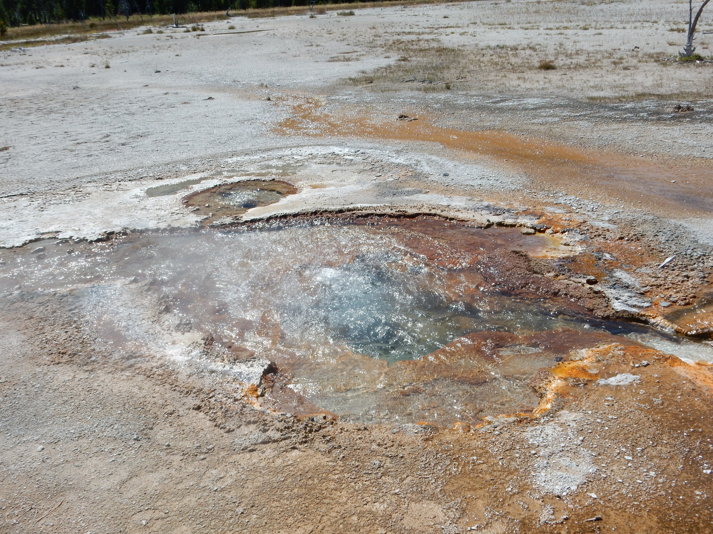
I head back to Fishing Bridge, but pause to get out and photograph the hydrothermal features along the lake north shore.
This area is apparently named Beach Springs. The pond here crackles with bubbling hydrothermal activity.
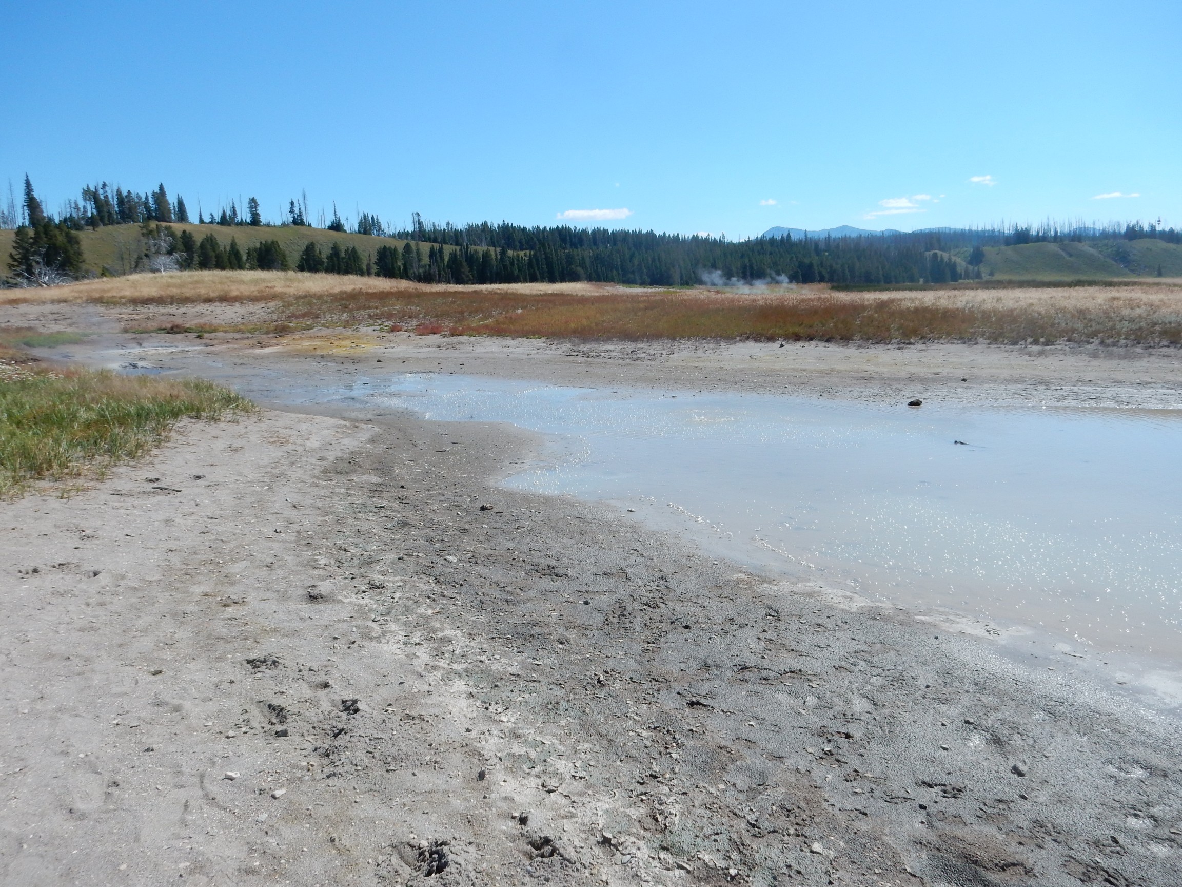
It’s unique in my experience with the park, in that there is nothing keeping you from getting quite close to the action.
(“Except common sense.” — Evil Kent)
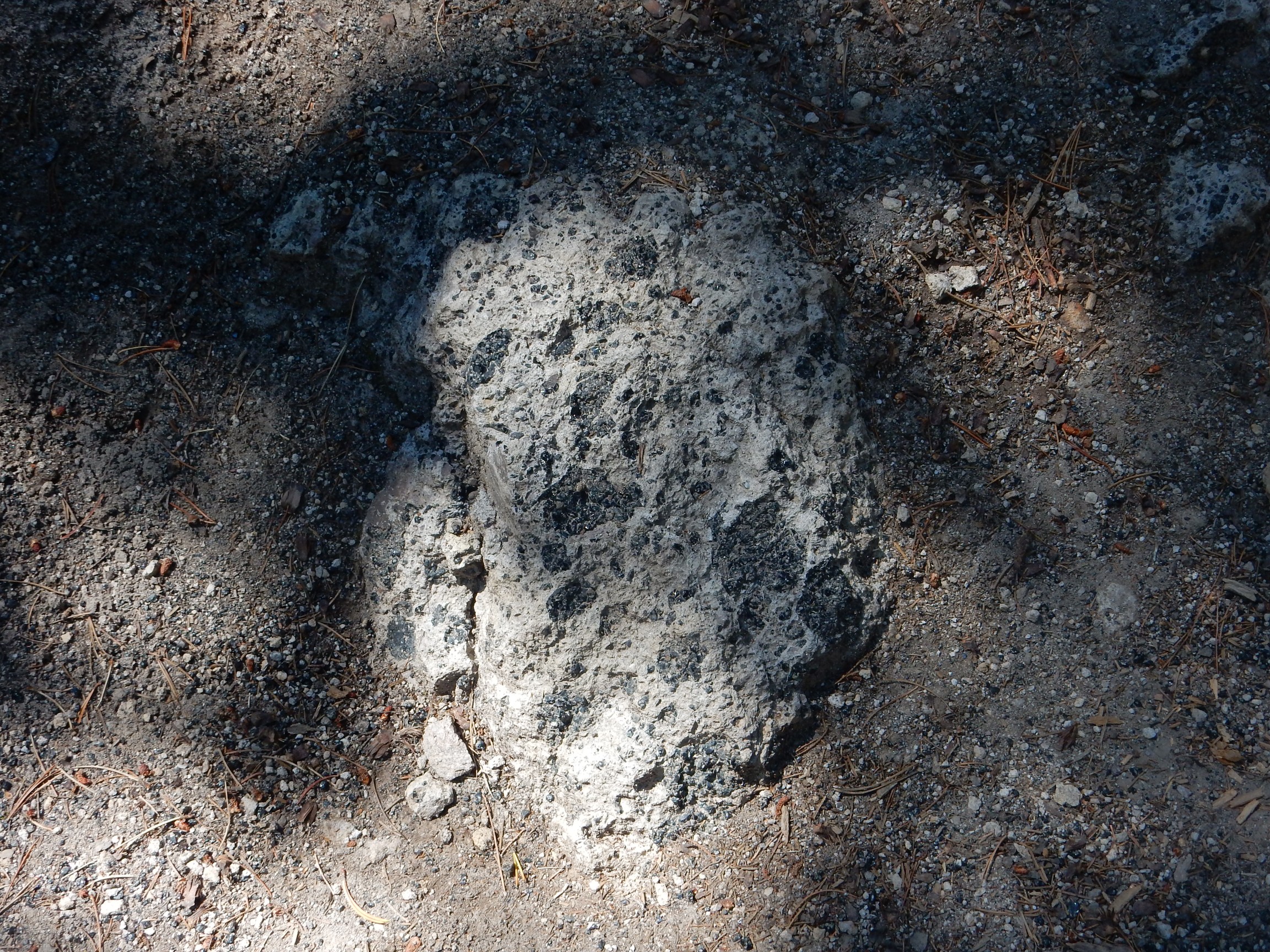
I had noticed what looked like sulfur on the rock barrier next to the road. I hike back for a closer look.
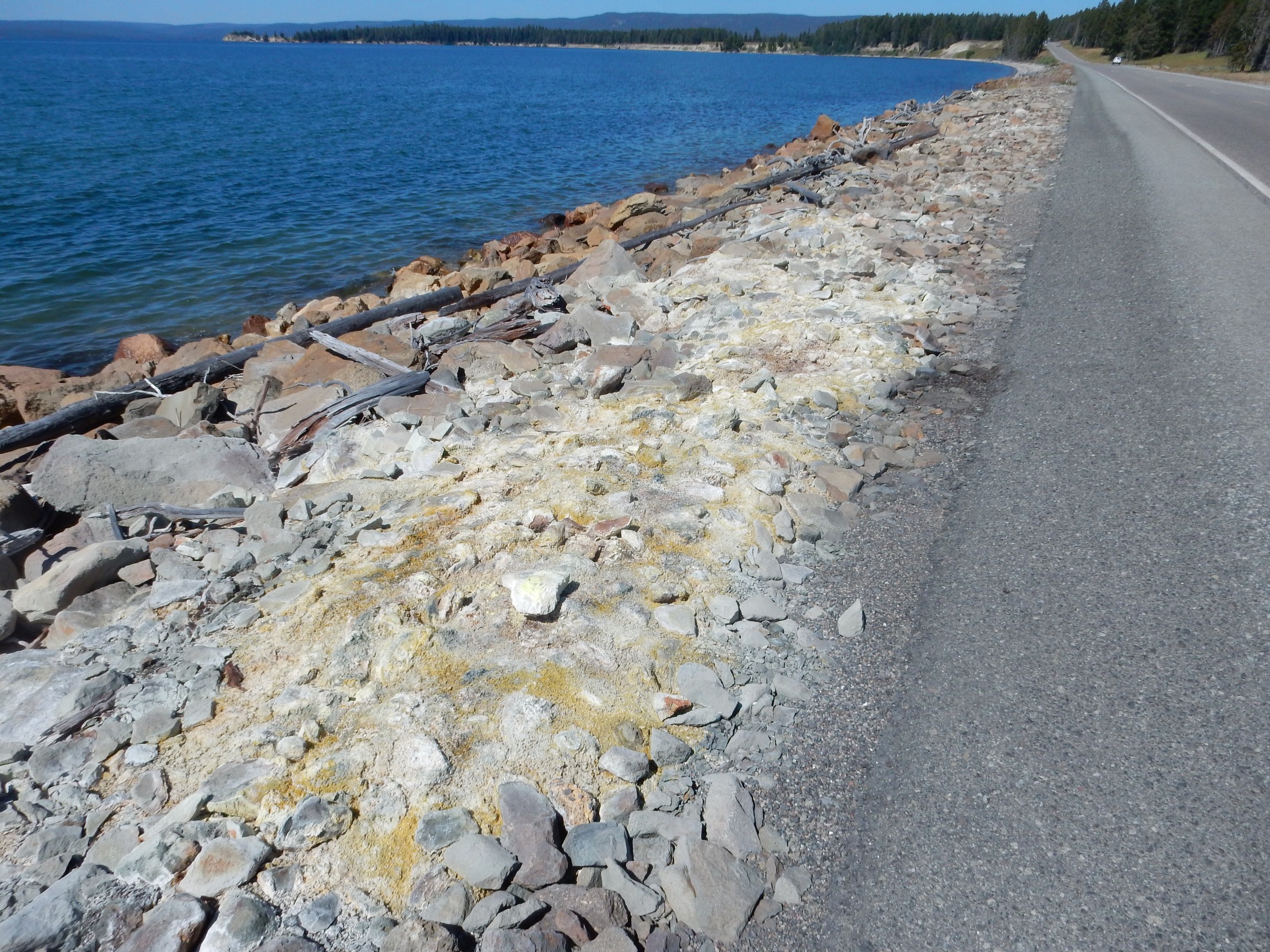
The deposits here must be quite young, deposited after the road bed was laid. I see some of the best crystallized sulfur I’ve found in the field:

Not sure what the ladybug finds interesting.
I drive to the trail head for Elephant Mountain. It’s packed; good, I won’t be alone on the trail. Um, I’ve nowhere to park. There’s another pullout down the road; I park there, get my stuff together, and hike to the start of the hike.
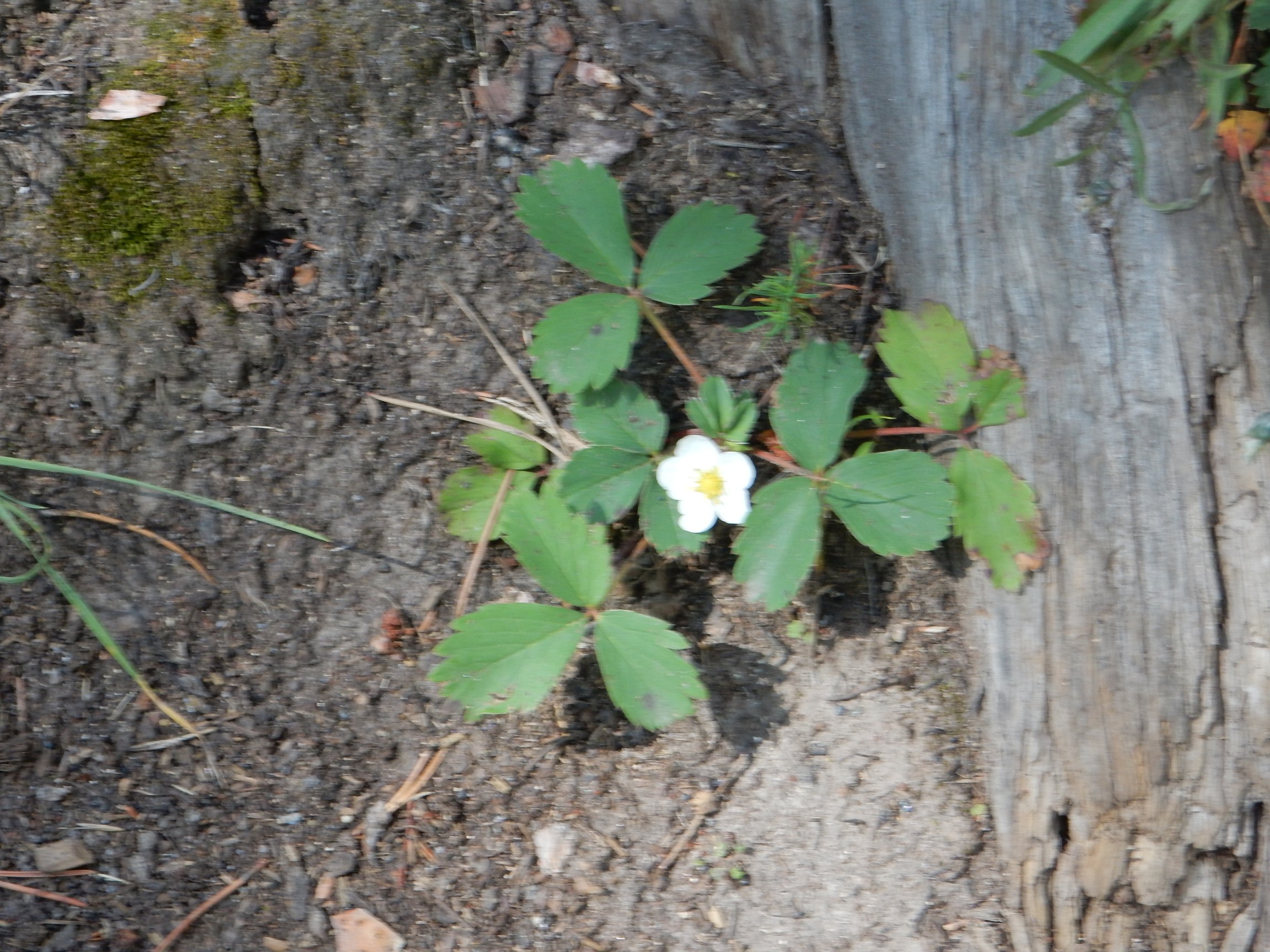
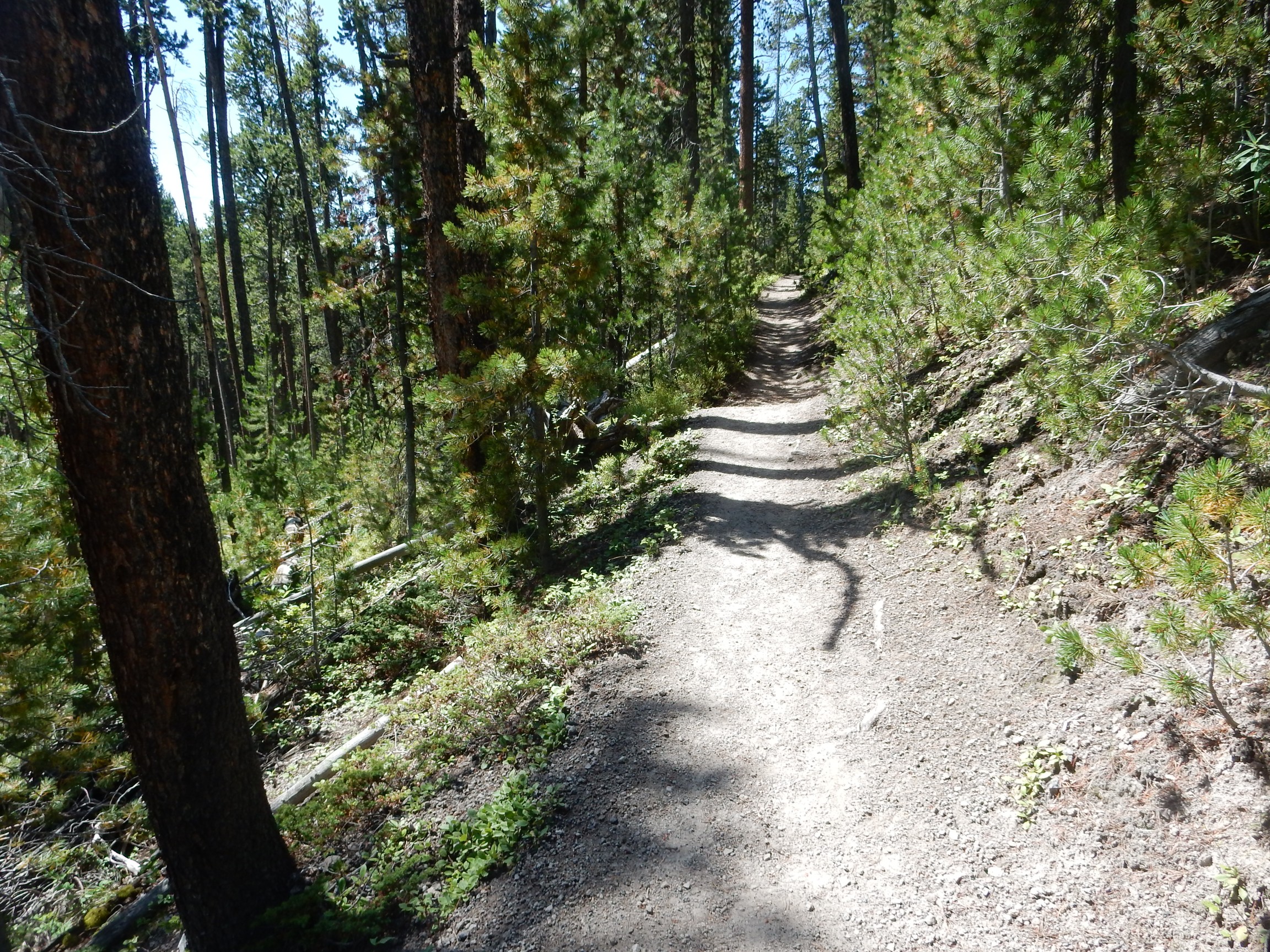
It’s very pleasant forest hiking. Wild strawberries:
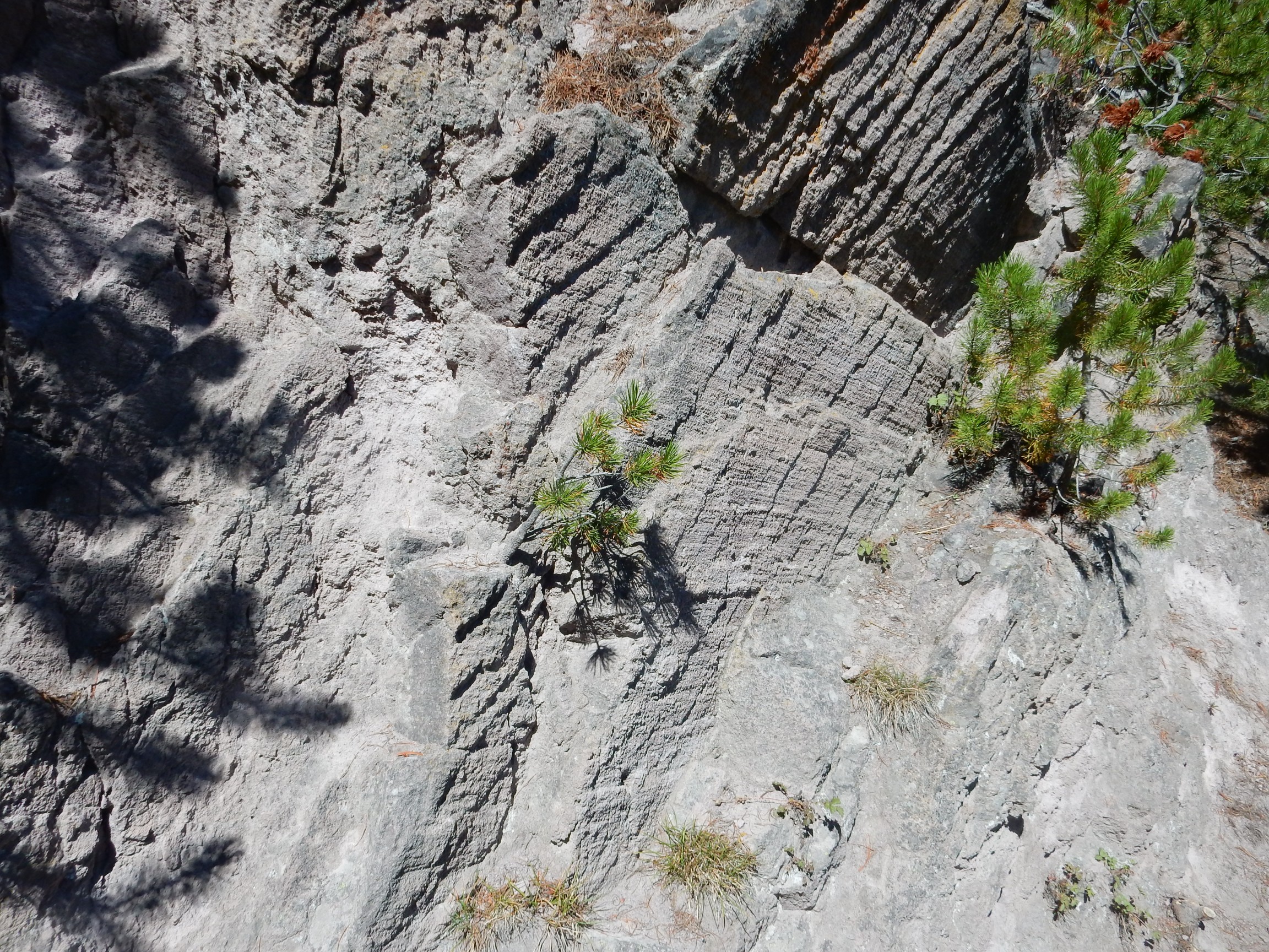
I come to the first fault block along the trail.
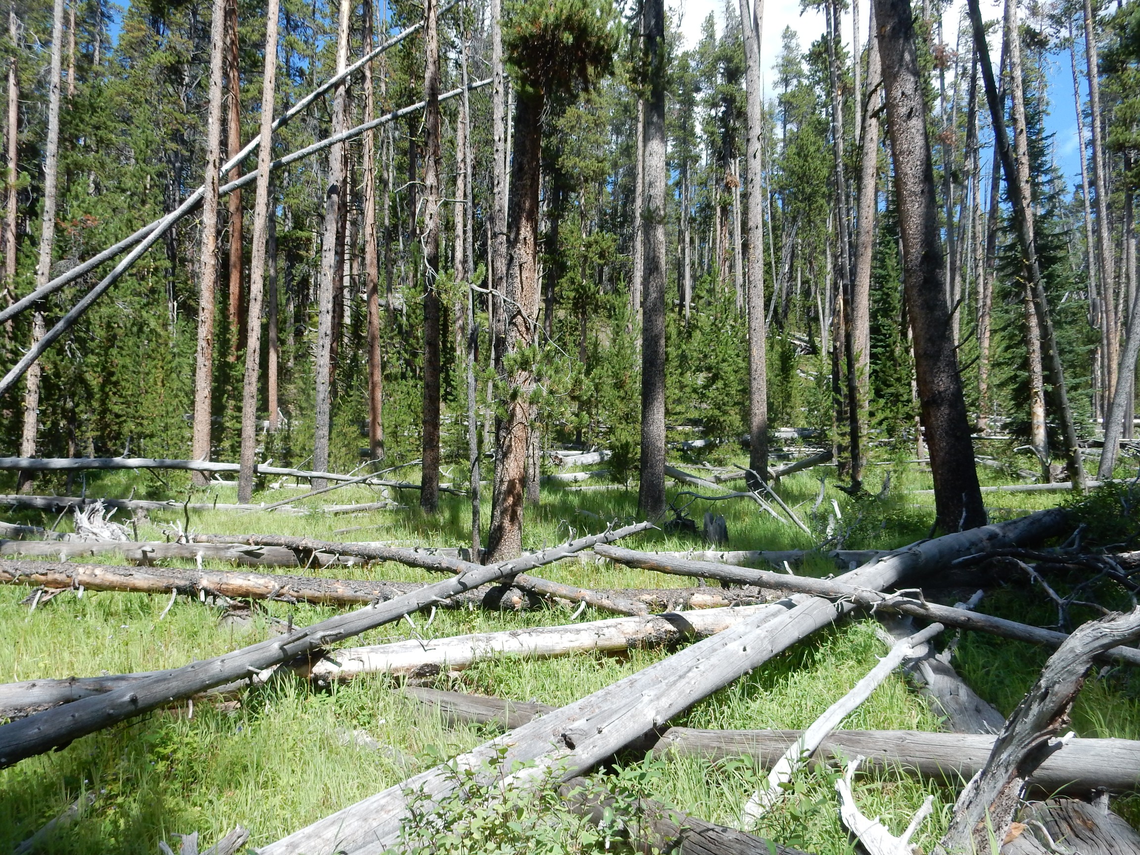
Which the trail ascends.
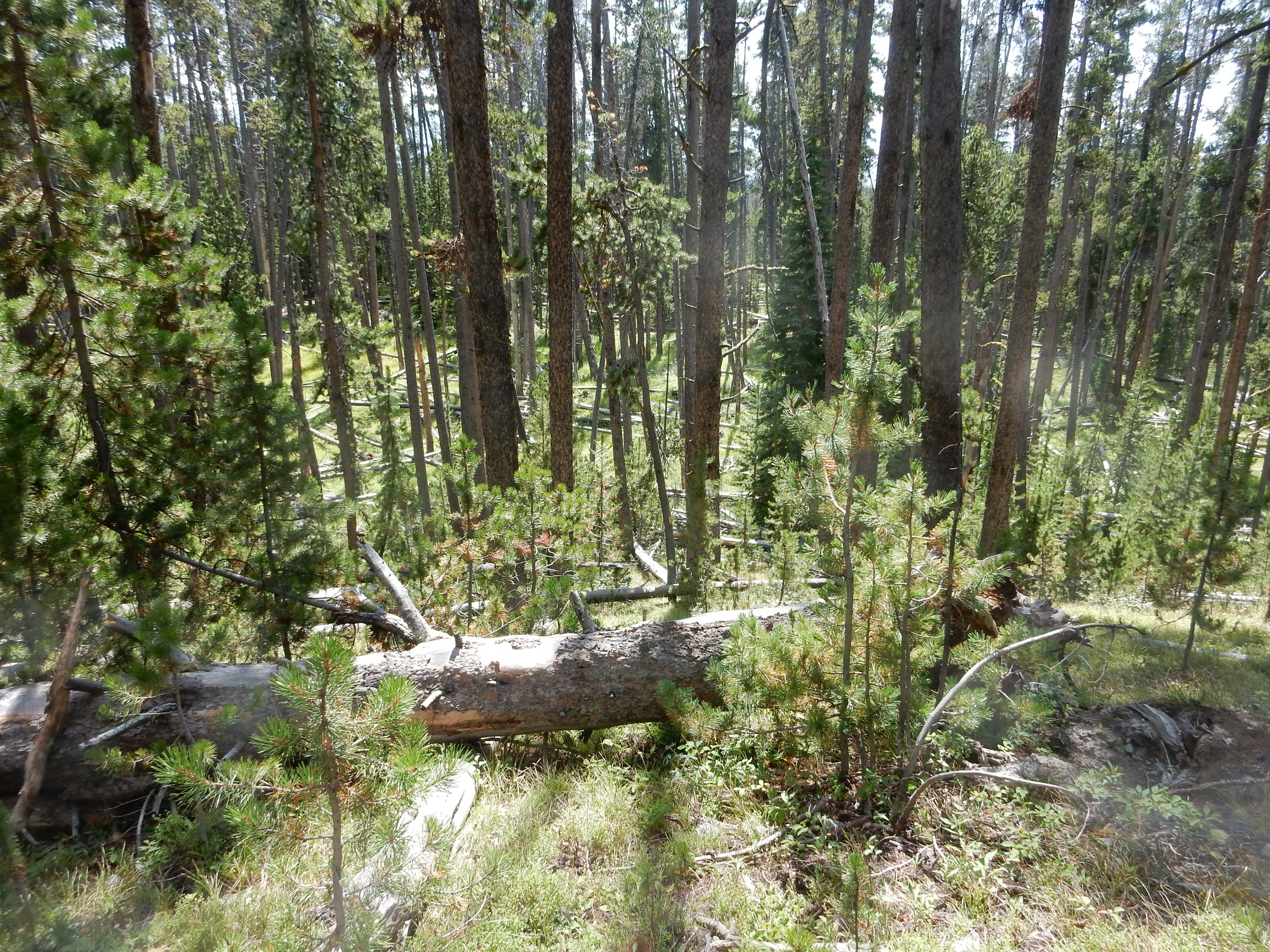
Tough to see the fault block for the trees in the photographs, but it’s plain enough on the ground. The southeast side of the fault is thrown down, producing the escarpment seen through the trees in the first photograph and which I’m standing on in the second photograph.
Wildflowers.
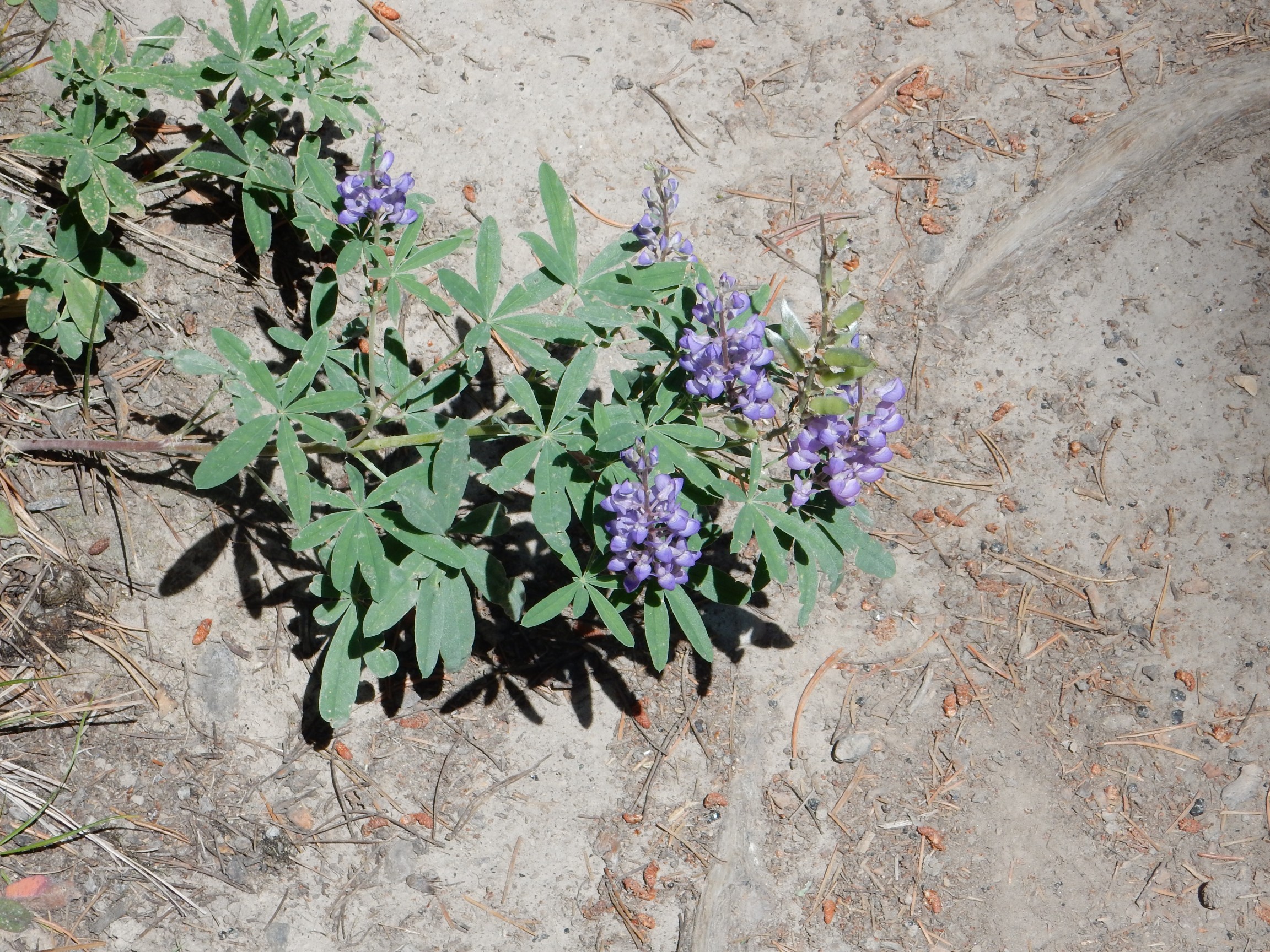
Lupine, almost certainly, though I’m unsure of the exact species.
Occasionally I came across a tree with what looked like a metal stub attached to it for a sign. The evil side of me though it would be hilarious to hang a sign on one of these trees: “Post No Bills.”
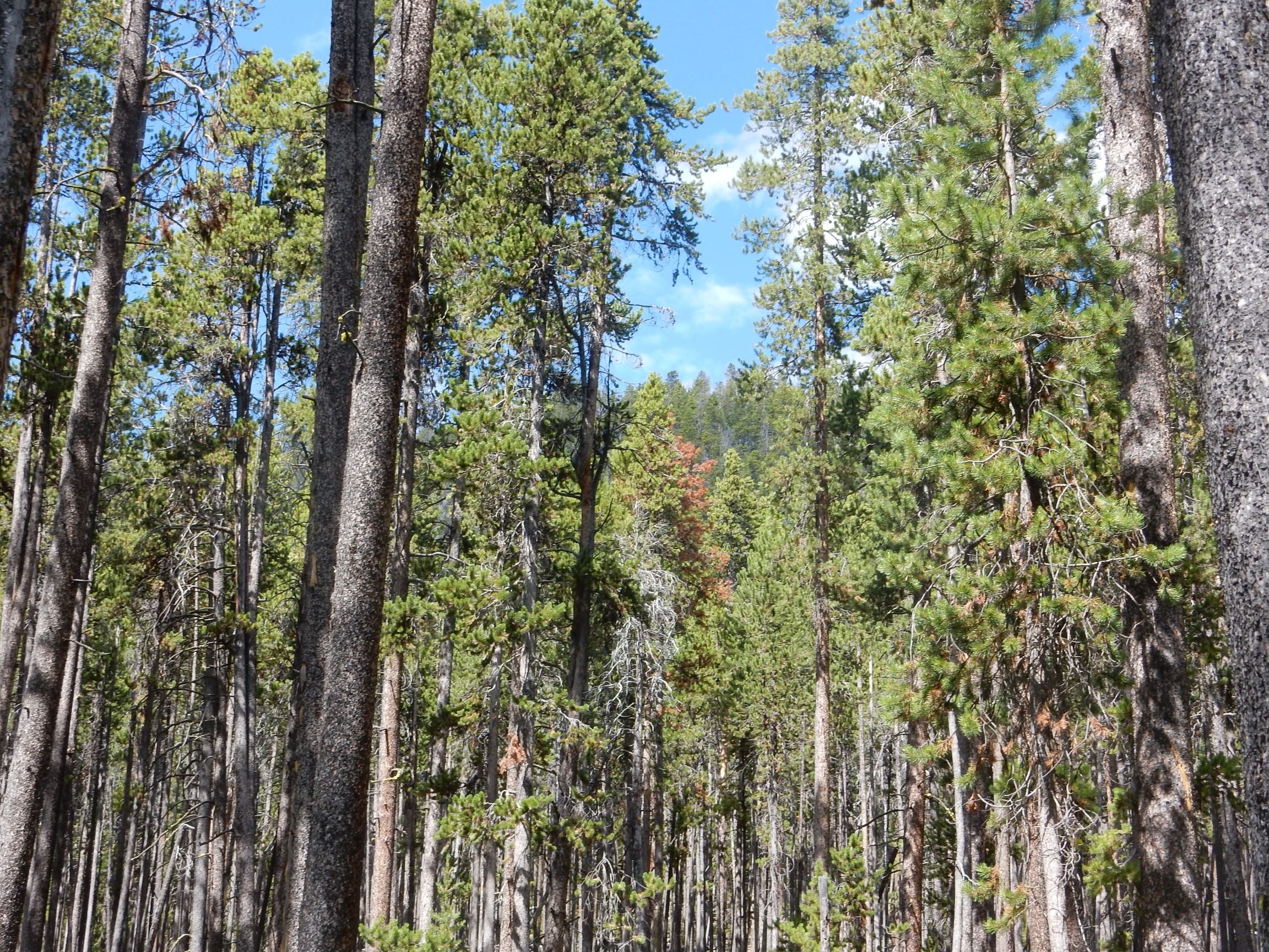
I see the next fault block, the one that forms the crest of Elephant Back Mountain, through the trees.
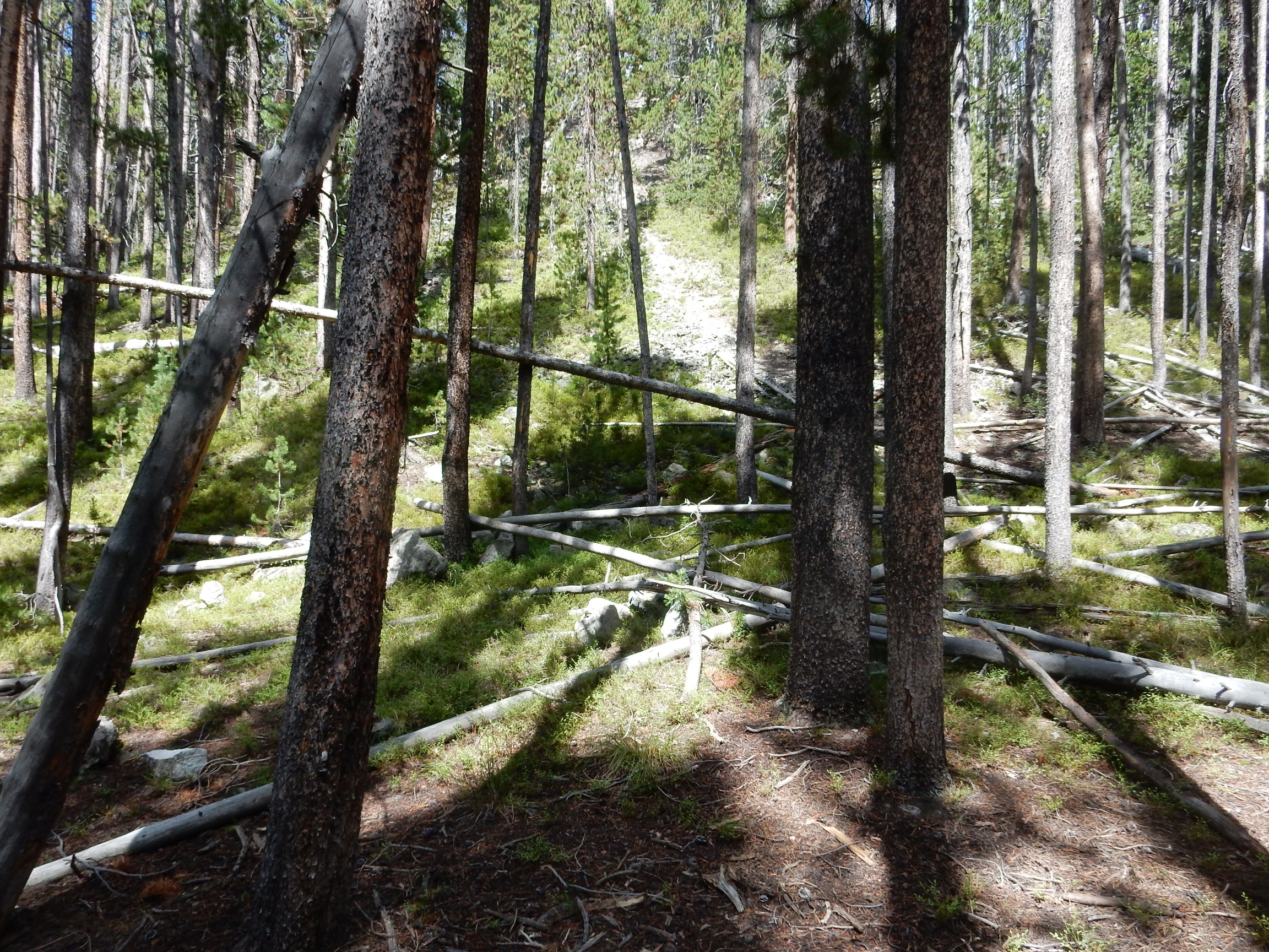
The trail ascends the face of the escarpment.
The view begins to open up to the south.
My camera had a very difficult time locking onto GPS during this hike; the reasons remain unclear. So I don’t know exactly where this was.
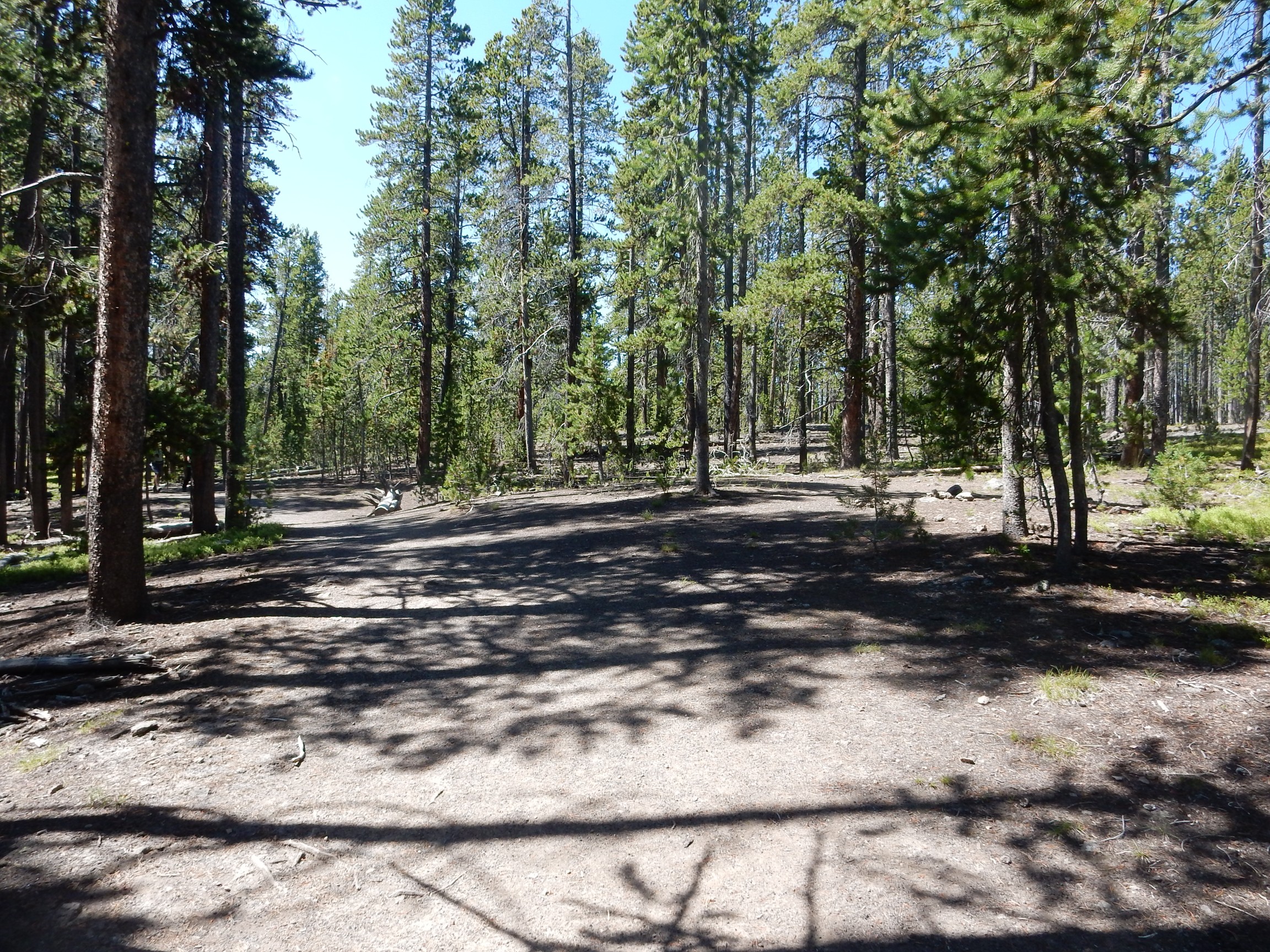
The very flat top of the Elephant Back Mountain fault block.
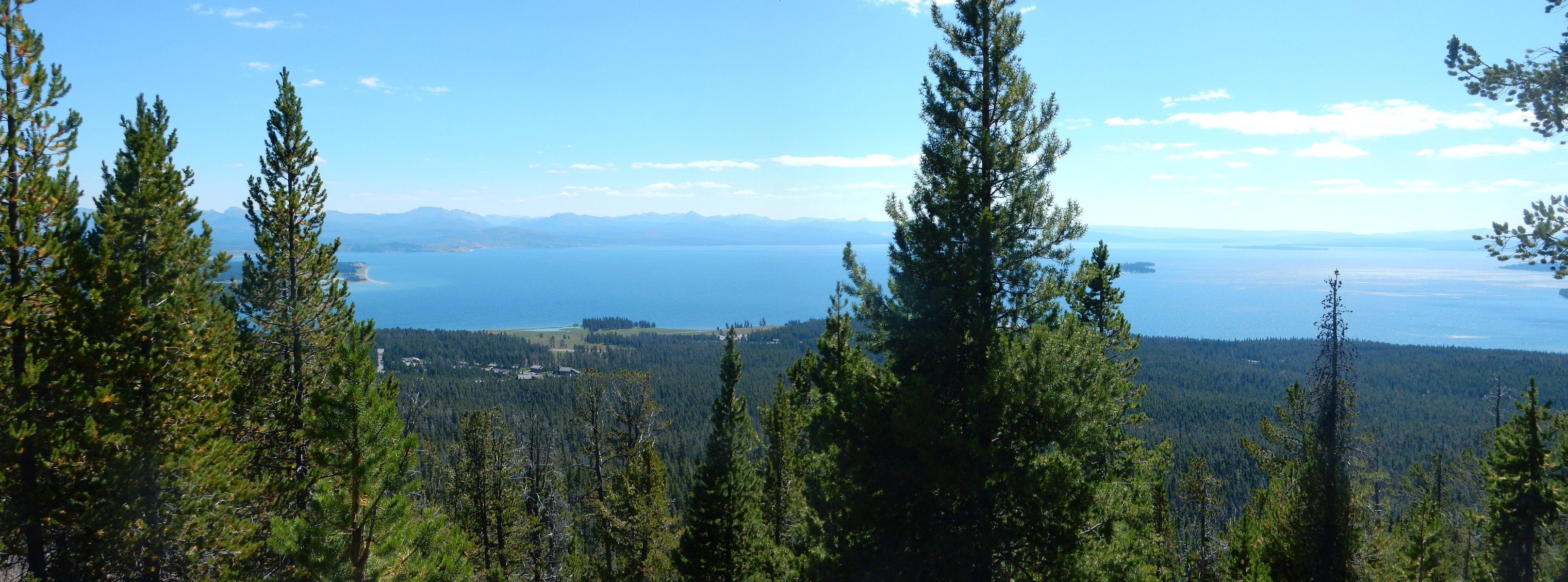
I arrive at the lookout point on the crest of the mountain. There are a couple of other families there and we get to know each other just a little. I take a panorama:
I start to hike down, then pause. I’m being ungenerous. I head back to the lookout and offer the use of my giant binoculars to the others. Not all are interested, but two are very happy to have the chance. The view really is good.
One father asks how well I can see distant skylines. I answer that my binoculars won’t cut through atmospheric haze, but otherwise give a pretty good view. He takes a long look and seems impressed.
On the way down, an interesting outcrop:
My camera had lost its GPS lock at this point, and I could not get it back until I reached my car. So I don’t know exactly where this was along the trail. Not terribly important; it’s all mapped as Elephant Mountain Member of the Central Plateau Rhyolite. But this looks like either some more breccia from interaction with glaciers, or a block and ash flow.
A block and ash flow occurs when the face of a steep rhyolite dome collapses. The still-liquid interior, previously under pressure, explodes into red-hot gas and fragments of half-molten volcanic glass, which mingles with the broken blocks of the collapsed dome exterior to produce a breccia. This looks a lot like such a breccia.
I really wish the GPS lock had been working for this next one.
This is where the trail descends the face of the fault block, and I’m wondering if this is the actual fault trace.
I finish my hike and return to my car. The GPS finally latches back on; I was worried something serious had gone wrong with my camera. I don’t know why the south face of Elephant Back Mountain is a bad place to get a GPS lock. Then again, I had occasional difficulties the rest of the day. Solar storm? Down for maintenance?
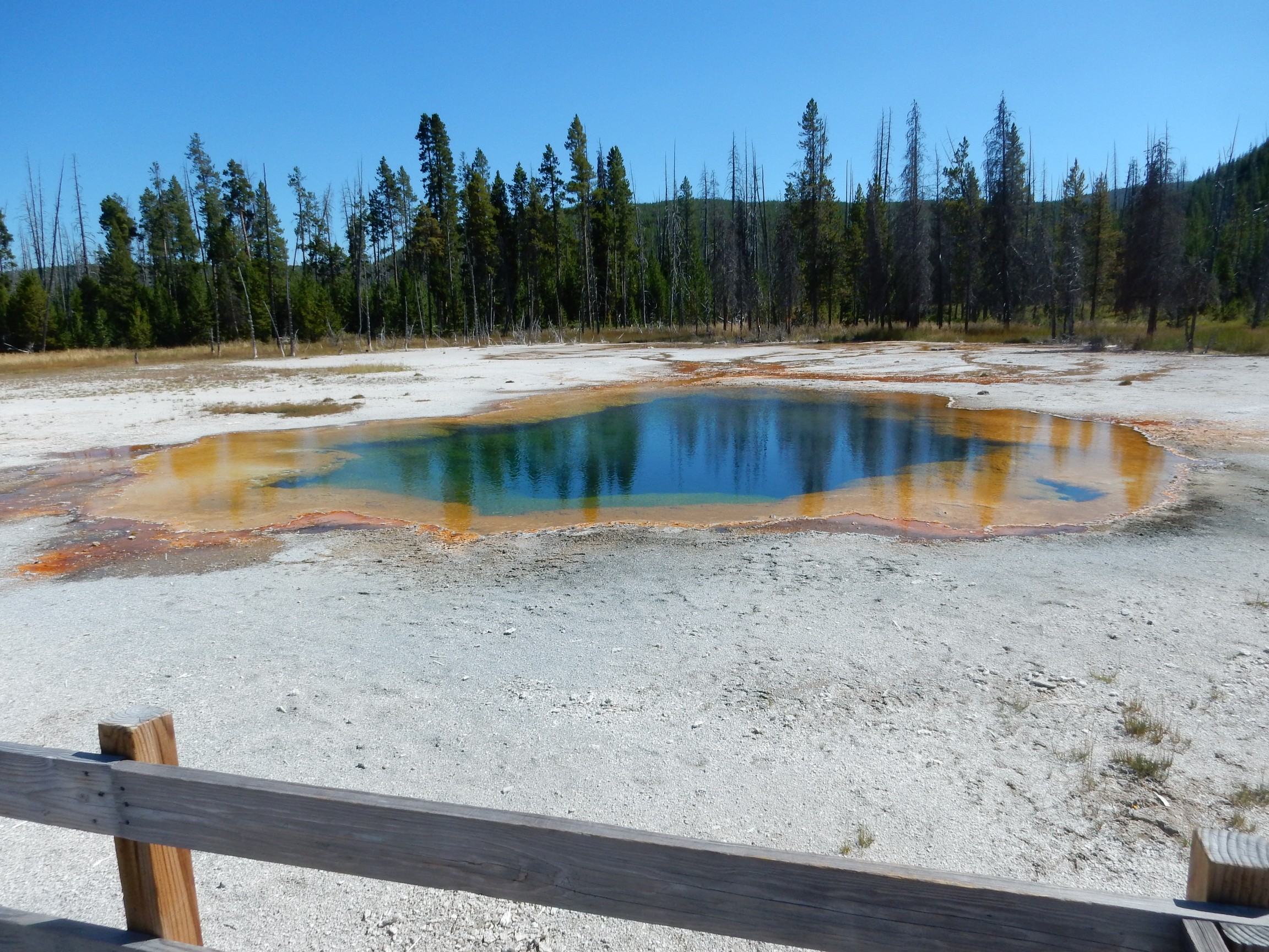
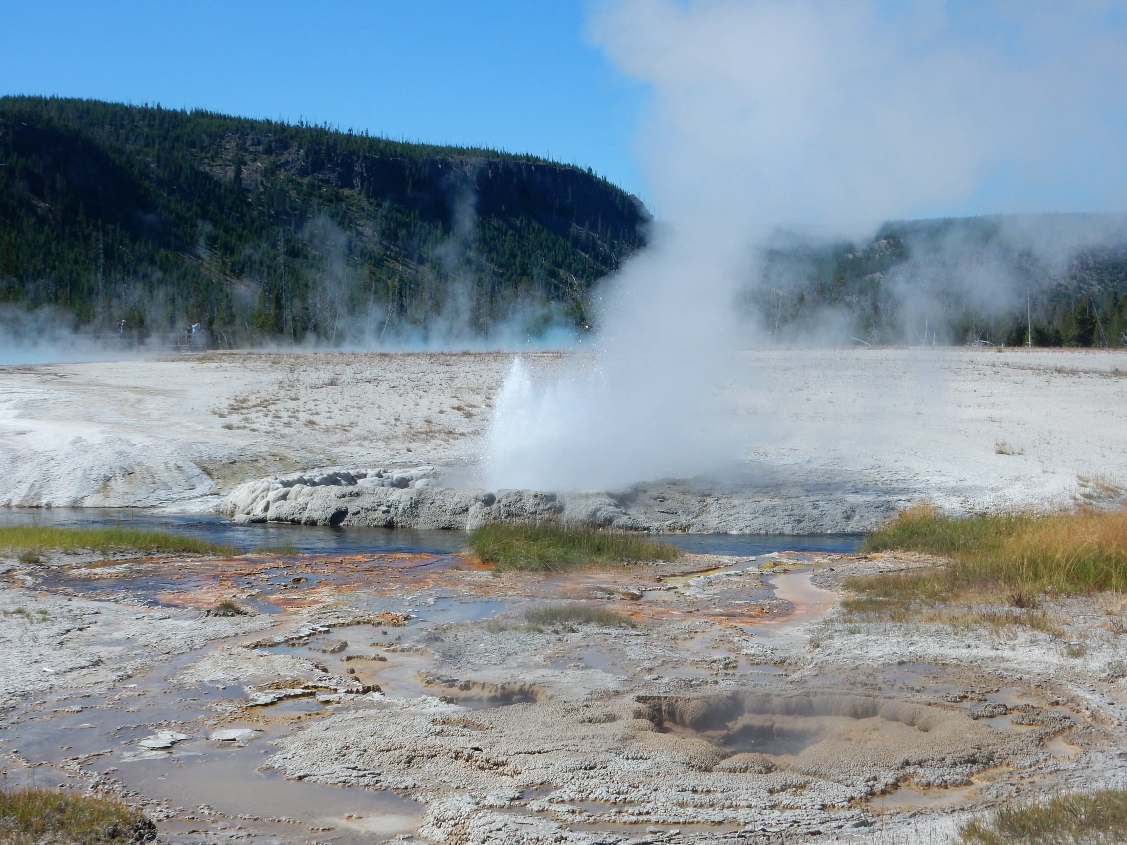
It’s still early in the afternoon. I drive to Black Sand Basin, which I do not remember visiting before.
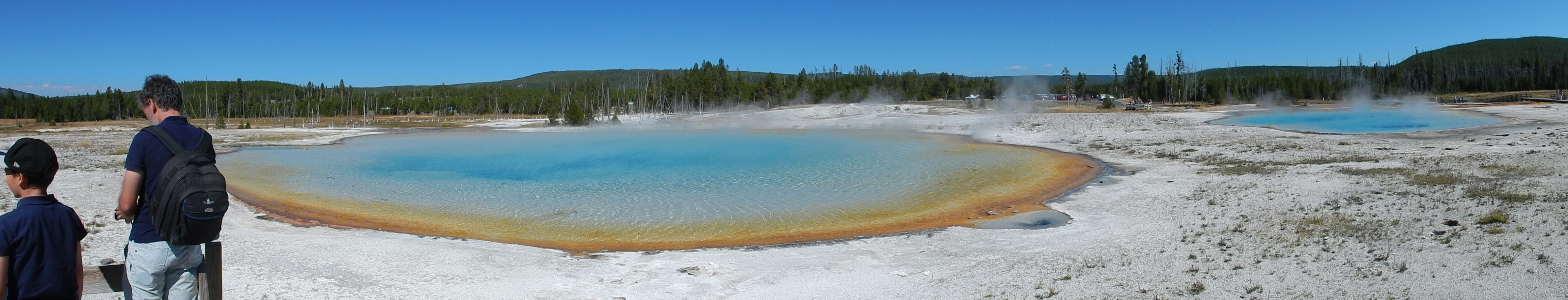
This is the only panorama I take this trip using the built-in pan feature of my camera. I find that taking individual shots and sewing them together with Hugin actually gives better results in most cases, but of course it’s more work.
Cliff Geyser erupts for us.
I go to Old Faithful Inn again and recharge my batteries. I have been planning to take a break from camp food and have a nice steak dinner this Friday night; I see that the Old Faithful Inn has a buffet that includes prime rib. It’s not cheap: $30. Still. I’m right there. I get in line, then something in my head says No.
I still don’t know why, but I headed into West Yellowstone instead and had the blackened prime rib at the Three Bears Lodge. It was excellent, though no cheaper.
It is still daylight as I return to Island Park. I decide to take a photograph of the west edge of the Madison Plateau.
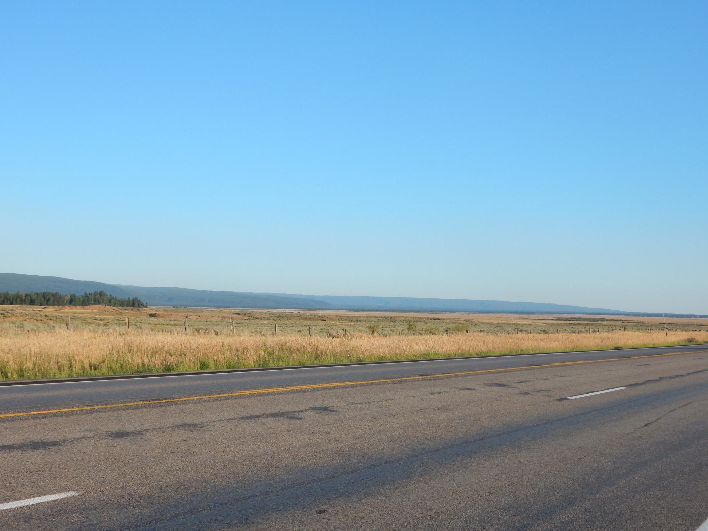
The Madison Plateau is the westernmost part of the Yellowstone Plateau, and, like most of the Yellowstone Plateau, is underlain by rhyolite flows erupted after the last caldera eruption. These particular flows buried the west rim of the caldera and extend clear to the older Henrys Fork caldera in which Island Park is located.
I take the turn to Big Springs.
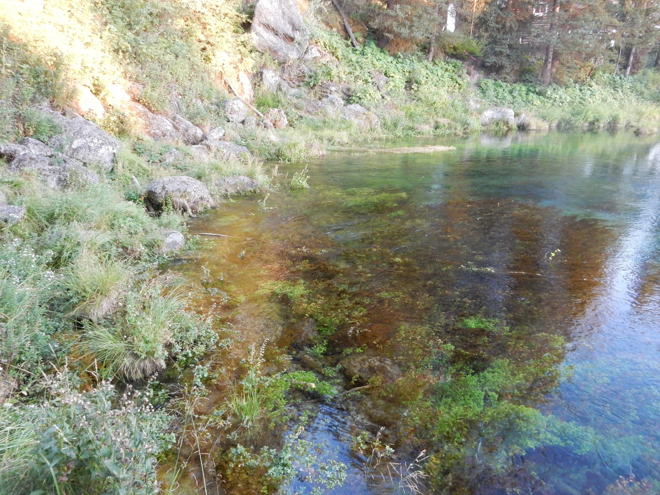
This is apparently the spring with the highest flow rate in the United States. It lies at the base of the Madison Plateau escarpment. The rhyolite flows to the east are full of fissures that allow water to drain down into the rock. The flow lies atop gravel which, in turn, lies atop a thick bed of lake clay. The clay forms an impermeable barrier, while the gravel is a superb aquifer, so all that water is channeled out here.
I know of a trail up the face of the Madison Plateau that I want to hike. Alas:

That has a distinct “none shall pass” look to it. Don’t know why the trail is closed but I won’t brave this late in the day by myself.
Then a van pulls up, what appears to be about six college boys and a college girl hop out, the girl gives me a cheery grin and the whole troop head up the trail, clambering over the block. I’m tempted but decide it’s still not prudent.
I end up spending a very nice quiet hour with several families of tourists just enjoying the springs. There are ginormous trout in the outflow (and a big No Fishing sign) and a dispenser for trout food (which resembles dog food closely enough to invite the attention of one of the family dogs.) I throw some bits out into the stream; one of the big trout tiredly rises and snarfs it down. There are also ducks:
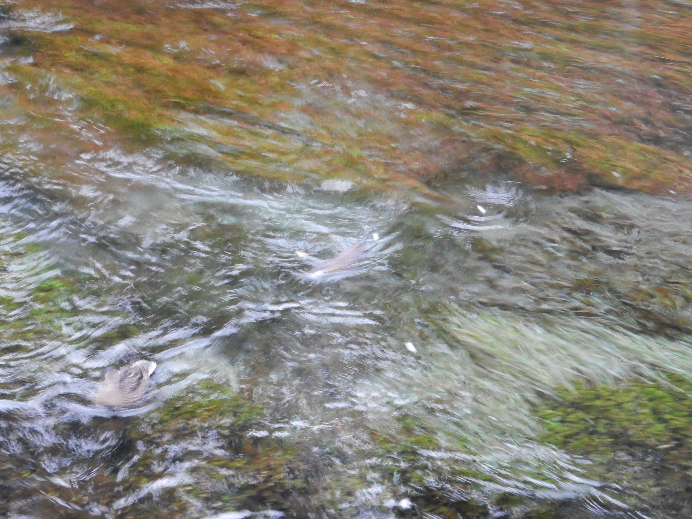
which it is now late enough in the evening that I cannot get a sharp photograph. Also a muskrat. The kids are throwing bread crumbs into the water; the muskrat adeptly snags one, crawls onto a patch of weeds, and feasts.
I reflect on the blessing of human company, even to an introvert like myself.
Next: Change of plans
Pingback: Great American Eclipse wanderlust, day 7 | Wanderlusting the Jemez
Pingback: Great American Eclipse wanderlust, day 9 | Wanderlusting the Jemez