Wanderlusting the Canovas Canyon Formation
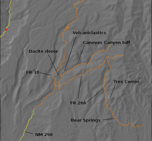
The Canovas Canyon Formation is an important part of the early history of the Jemez volcanic field, constituting probably the oldest high-silica flows in the southern Jemez. The earliest thorough geological studies of the Jemez presented a straightforward model in which the basalt of Chamisa Mesa (map) is the oldest flow in the southern Jemez, and is followed by the Canovas Canyon flows (map). This cycle of low-silica/high-silica eruptions is then repeated with the Paliza Canyon Formation (map) and the Bearhead Rhyolite (map). This simple model was supported by the stratigraphy of Chamisa Mesa and Borrego Mesa (map), where the basalt of Chamisa Mesa was overlain by a bed of Canovas Canyon tuff which in turn was overlain by the basalt of Borrego Mesa, assigned to the Paliza Canyon Formation.
Alas, subsequent improved radioactive dating and chemical analysis has demolished this picture, showing that the basalt of Chamisa Mesa is indistinguishable from the other basalts of the Paliza Canyon Formation (and is not even the oldest flow) and that the Canovas Canyon Formation was erupted repeatedly over about the same period of time as most of the older Paliza Canyon flows. The Canovas Canyon Formation is older than the Bearhead Rhyolite but otherwise similar. The field rule now is that Canovas Canyon Formation precedes the eruption of the Peralta Tuff, about 8 million years ago, and is often overlain by Paliza Canyon flows; while Bearhead Rhyolite begins with the Peralta Tuff and intrudes and overlies Paliza Canyon flows.
It may seem puzzling that both low-silica and high-silica lava would be erupted from roughly the same area during the same period of time, but detailed chemical analysis shows that the formations have different origins. The Paliza Canyon Formation originated in the upper mantle, and the basalts of this formation came to the surface more or less unchanged. Magma remaining below the surface cooled and differentiated, with some of the lower-silica components crystallizing out, and the remaining silica-enriched magma erupted as the very voluminous andesites and dacites of the Paliza Canyon Formation. The Canovas Canyon Formation and Bearhead Rhyolite, on the other hand, show distinctive chemical signatures indicating that they formed from melted crust heated by the basalt magma rising from the mantle.
With the Canovas Canyon Formation thus deserving some serious discussion in the book, I’ve been trying for some time to visit some of its outcroppings for photographs and samples. Alas, the formation has proven hard to get at. It does not crop out near any major paved highway. While there are a couple of plugs visible on Borrego Mesa east of Ponderosa (map), the intervening ground is difficult enough hiking that I can only admire these from afar. My first attempt to get at the only exposures close to a halfway decent forest road, at Bear Springs (map), nearly ended in disaster when I took a wrong turn, found myself in a rock garden, tried to back up, and ended up putting Clownie in a ditch. I finally settled for hiking to an outlying bed southeast of Cerro Balitas (map), which turned out to be an excellent wanderlust for many other reasons; but the outcrop was small, ambiguous, and probably not typical of the Canovas Canyon Formation, so this was not entirely satisfying.
I have since convinced myself that the near-disaster on Borrego Mesa was simply a case of making a wrong turn and that it was worth another go at driving in to Bear Springs. Besides, I have a car now with better ground clearance. There is also a bed of Canovas Canyon Tuff mapped in upper Paliza Canyon (map), about two miles from the forest road; this would make a pretty decent hike along the canyon floor, and there was other stuff in the area worth exploring.
So I packed up a backpack, glanced at the weather (unsettled and cool) and threw on a sweater, and headed out towards the Paliza Canyon campgrounds (map). There was light rain falling in White Rock, but it looked like the showers would be intermittent.
Along the way, I paused in Ancho Canyon to photograph the zeolitized tuff beds (map).
You may be wondering “…why?” This one is for the book. The outcrop is Tsherige Member, Bandelier Tuff, but the ledges are zones corresponding to stands of the various lakes that have formed in White Rock Canyon due to landslides since the Tsherige Member was erupted. The lakes extended into Ancho Canyon, saturating the tuff. Capillary action drew the water a few inches higher, depositing zeolite minerals that hardened the tuff to produce the ledges seen here. You can see that there were at least five such longstanding water levels over the last 1.2 million years.
I also paused at the Valles Caldera overlook (map) for a quick photograph.
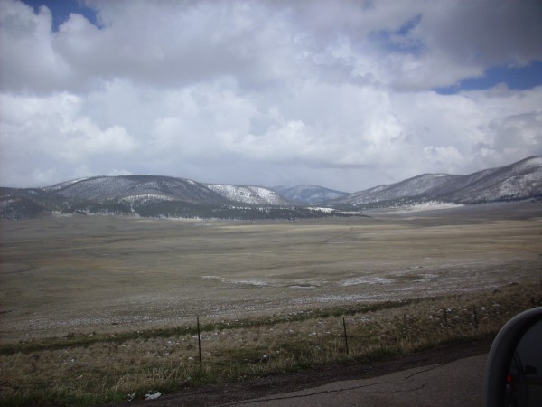
There is a thin layer of snow over the hills from the previous night. Fortunately, the weather would become warmer and sunnier during the day, though intermittent showers would continue.
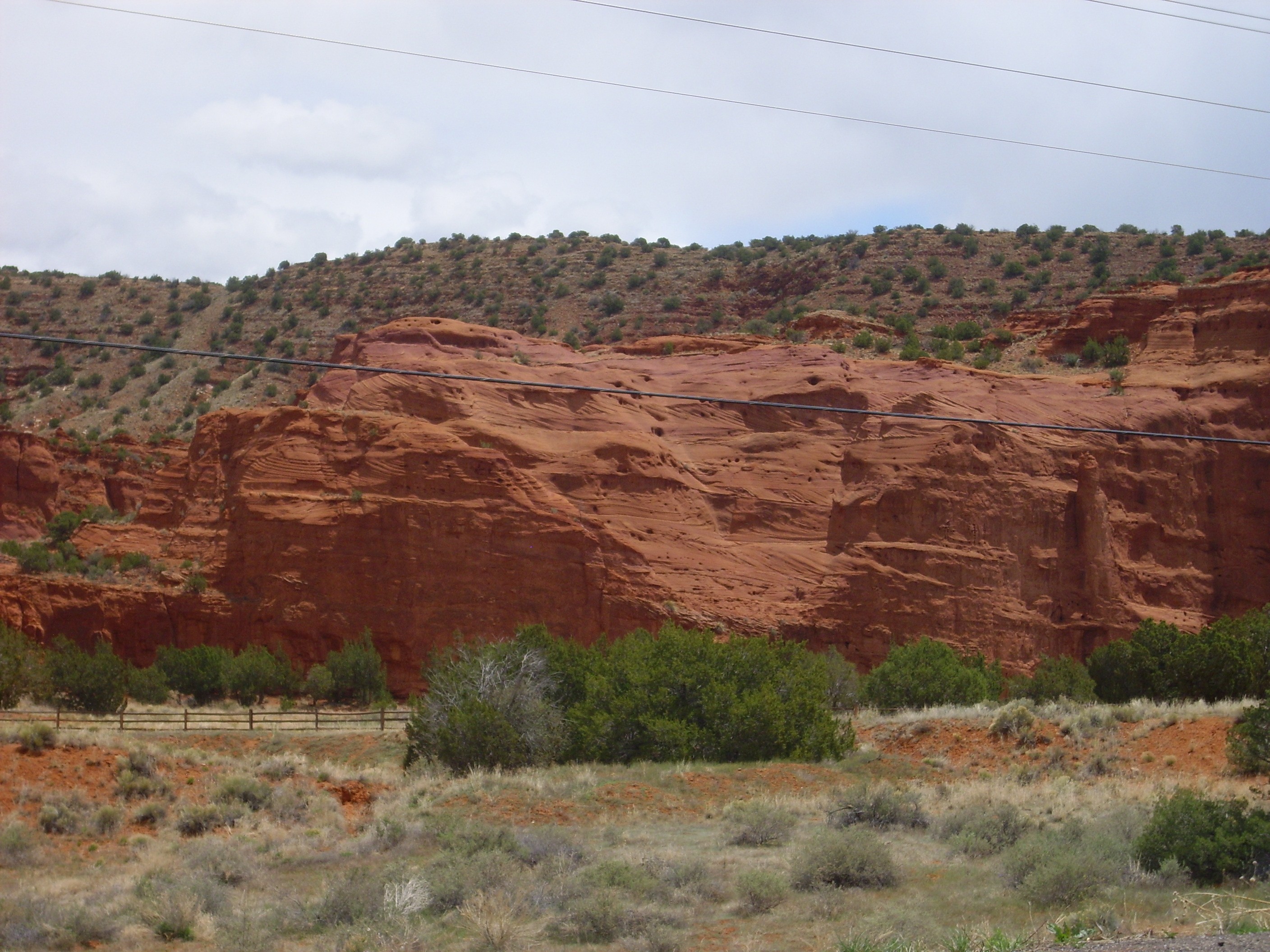
I considered taking Forest Road 10 (map) straight to Paliza Canyon and avoiding a long drive through Canon de San Diego (map) but decided that, with the weather somewhat damp, it might be better not to chance the gravel road. Besides, while the paved road is longer, it isn’t that much longer, and one can average about twice the driving speed. And the red rocks of lower San Diego Canyon are highly scenic, even compared with the pine forests of the Keres highlands.
I have learned over the years that lighting can make a huge difference in how a rock formation appears in a photograph. I discovered that the lighting was perfect this morning to show cross-bedding in the Meseta Blanca Formation near Jemez Pueblo (map).
Crossbedding is where larger beds are composed of much smaller beds (cross beds) at an angle to the main beds. You can see several examples in this photograph. Cross beds are usually interpreted as showing that the beds were deposited by a moving fluid, such as a stream or the wind. Since the Meseta Blanca Formation is interpreted as an eolian sandstone, deposited by wind, the beds were laid down on the downwind side of dunes. This suggests the prevailing wind was from the north or northeast, which is consistent with other geological evidence that the Jemez area was located in the trade winds belt, just north of the equator, when these beds were laid down in the Permian.
I drove on to Ponderosa and to the camping area in Paliza Canyon. I turned into the camping area to be confronted with a sign reading “Camping only — No day use.” Well, shucks. The next turn took me to the Christian camp and the road to Borrego Mesa; not what I was looking for. I finally settled for parking in an undeveloped spot across the road from my trailhead (map).
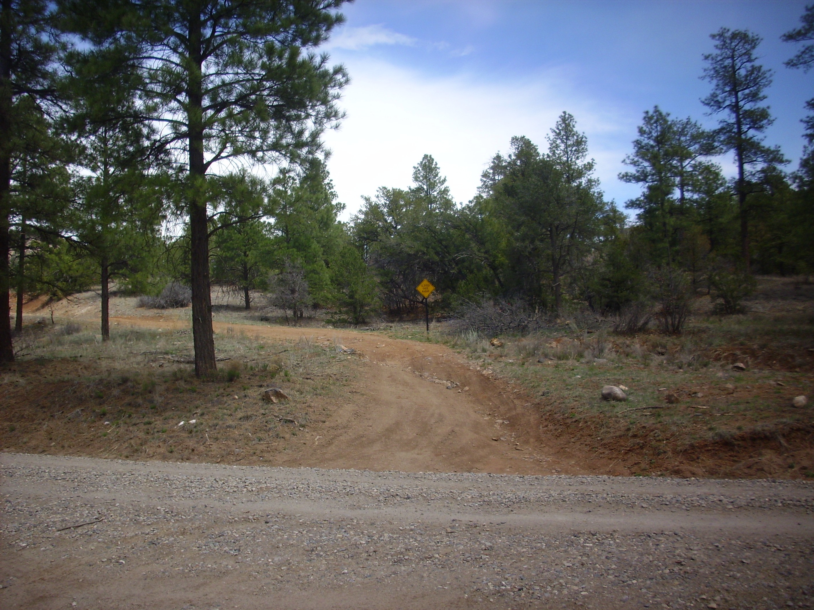
If you click for the full resolution photograph, you’ll see that the sign says CLOSED GATE AHEAD. That’s why I’m hiking rather than trying to drive this road.
The reddish soil reflects its origin in the Chinle Group, a Triassic formation that underlies all the volcanic rocks in this area. The Chinle Group was deposited by the Chinle River, which reached from Texas to Nevada in Triassic times and was a major system similar to the Mississippi River of today — except that it passed through a substantial system of mountain ranges, the Ancestral Rocky Mountains, which gave the river an impressive debris load.
I shouldered my pack, mindful of my wrecked left shoulder (“slide the strap very carefully over that arm first, then wriggle the other arm into its strap…”) and looked around for a hiking stick. I used to have a very nice hiking stick, cut from a flowering quince tree that I removed from my back yard, but I mislaid it during my earlier near-disastrous adventure on Borrego Mesa. I found a pine limb of about the right size that was reasonably sound and headed out.
Up the road I came across a nice road cut into the Chinle Group (map).
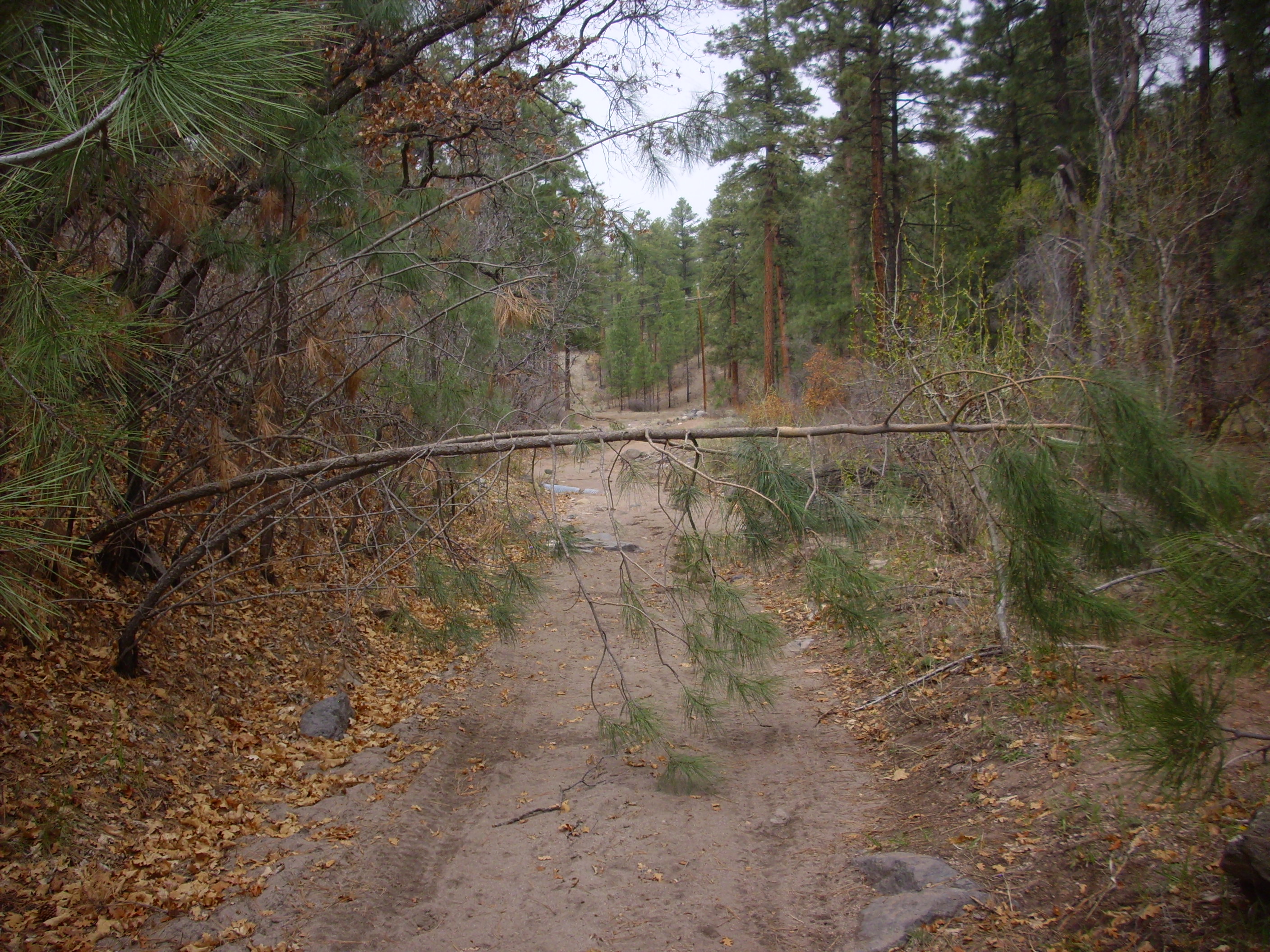
Note that the road is already not excellent, though obviously someone has been along it recently. A little further along one comes to a locked gate (map).
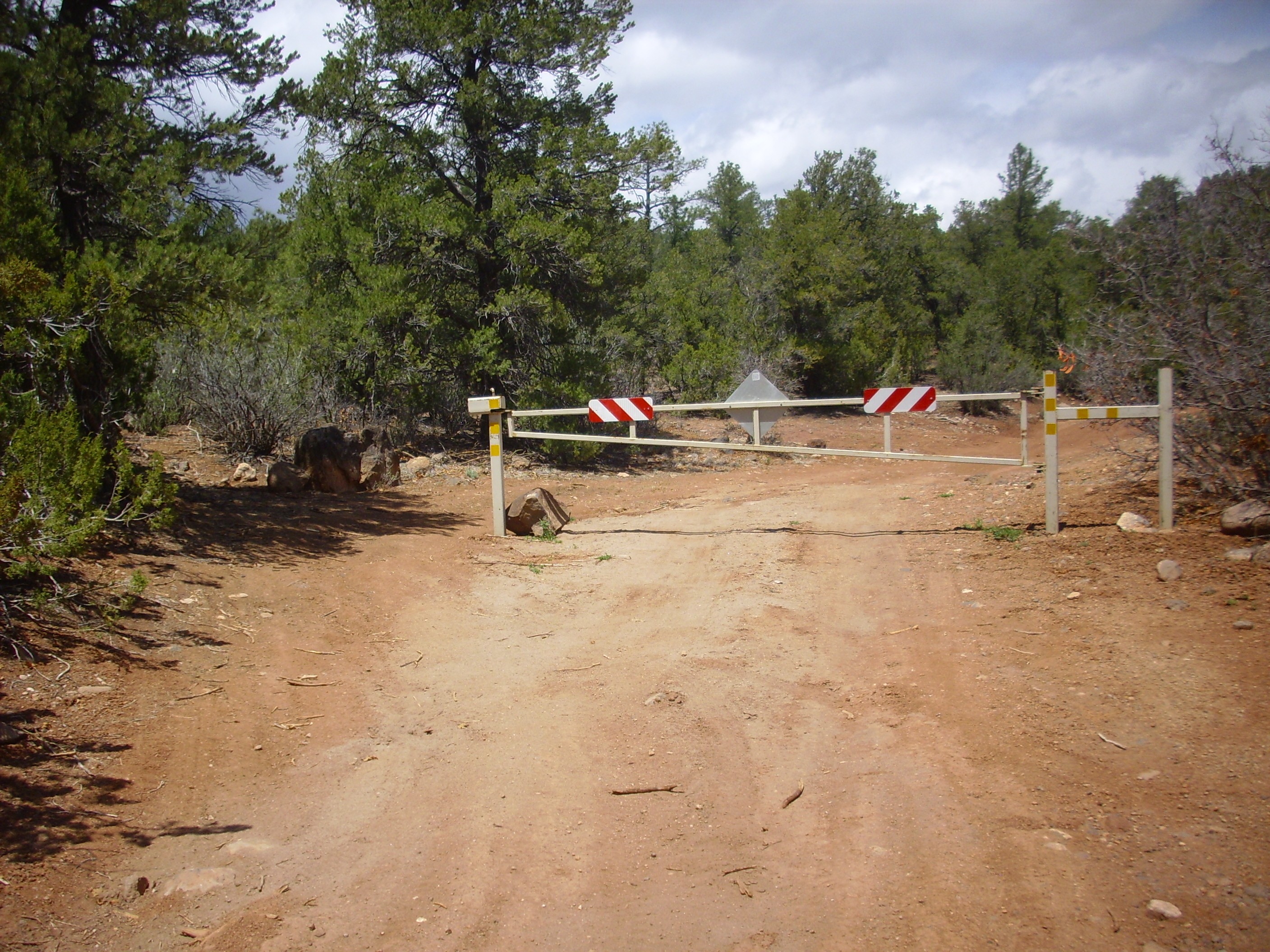
Note the clear evidence that some have been undeterred and have gone around the gate to the left. I’ve Googled up some blog posts online suggesting this is a popular area for off-road vehicles, being considered a particular challenge. We’ll shortly see why.
It had been a long drive here from my house, and I was ready for a break. I looked for a convenient secluded spot off the road, and discovered that I was in an arroyo full of El Cajete Pumice (map).

The El Cajete Pumice erupted a mere 55,000 years ago (or so; the age is quite uncertain) from a vent south of Redondo Peak (map). Beds of the pumice are draped over much of the southern Jemez as far east as the area south of White Rock. The pumice can be distinguished from older pumices, if there is any doubt, by examining the pumice with a magnifier: The El Cajete Pumice is almost unique among Jemez pumices in having visible crystals of biotite mica and hornblende. I picked up a piece here and verified that this was El Cajete Pumice.
This is probably not a primary deposit, formed by the original pumice fall from the eruption. It is more likely reworked pumice, washed into the canyon by stream action.
My break complete, I continued down the canyon. I soon came across my first outcropping of basalt of the Paliza Formation (map).
Doubtless you will be astonished to learn that Paliza Formation is found throughout Paliza Canyon. In fact, it’s a very extensive formation found throughout the southern Jemez, estimated to have originally made up fully half the volume of the Jemez volcanic field.
Nearby was something a little more puzzling.

These could be river deposits; the stream is nearby. But my guess is that these are particularly fine-grained beds of Paliza Formation volcaniclastics, which are widespread in the area. Volcaniclastics are beds of rock fragments closely associated with volcanic eruptions, either formed from landslides off the step slopes of young volcanoes or early products of erosion.
None shall pass!
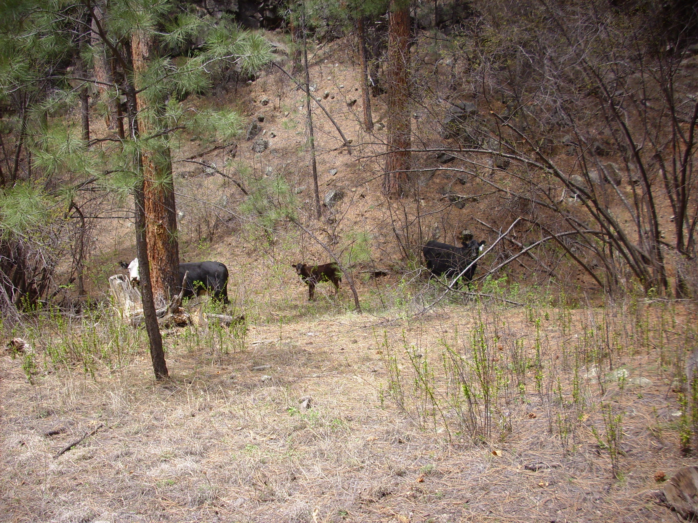
How now, black cow?
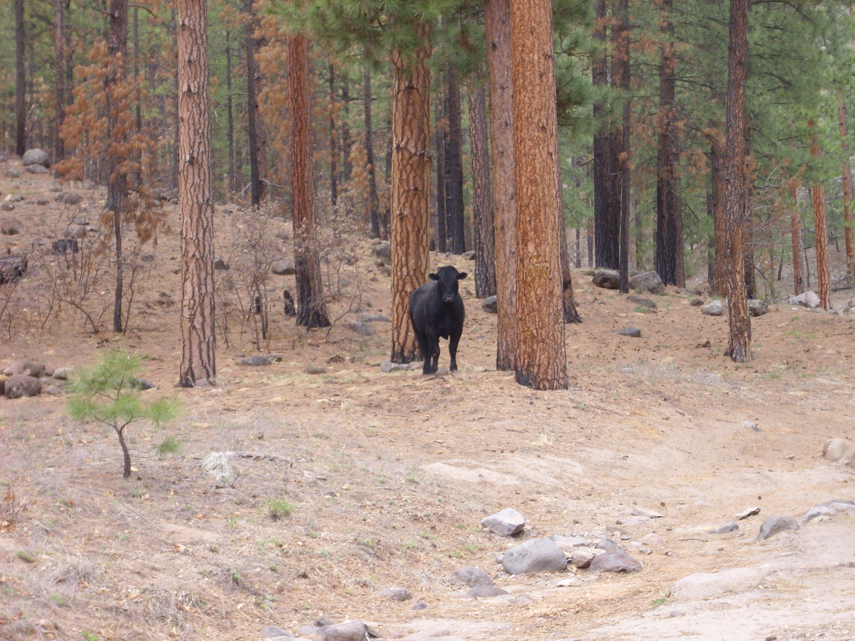
Cows aren’t as bright as deer. A deer has the sense to move up slope away from the trail if it doesn’t want to confront you. This steer evidently didn’t want me coming too close, but kept heading down the trail only to turn around and see that I was still coming.
It may not have helped that I was carrying a very large stick?
I turned onto a spur of the trail (map) that headed to a dacite dome featured in a New Mexico Institute of Mining and Technology road log. Mr. Steer continued along the main trail, so we parted company for now. I caught a glimpse of the dome through the trees (map).

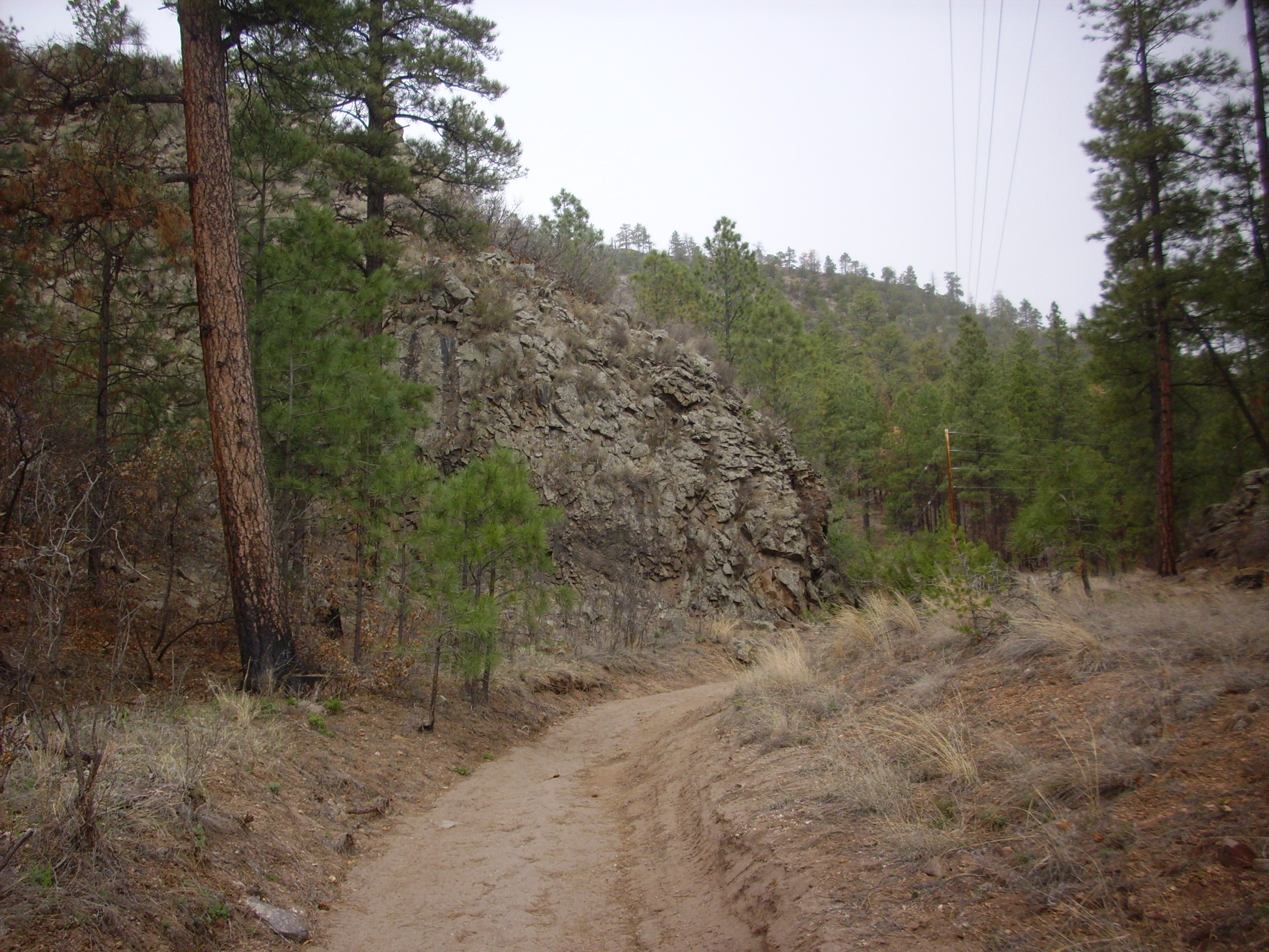
A little further on, the road came to an impressive flow face (map).
The road log says this dacite is chemically similar to the dacites of the Tshicoma Formation, which underlie the mountains just west of Los Alamos. The dacite shows signs of having formed from a mixture of partially differentiated magma from the upper mantle and melted crust. I picked up a shard; it had a surprisingly light heft, and the general look and feel suggested tuff. It didn’t resemble Tschicoma Formation, having no visible phenocrysts. Huh.
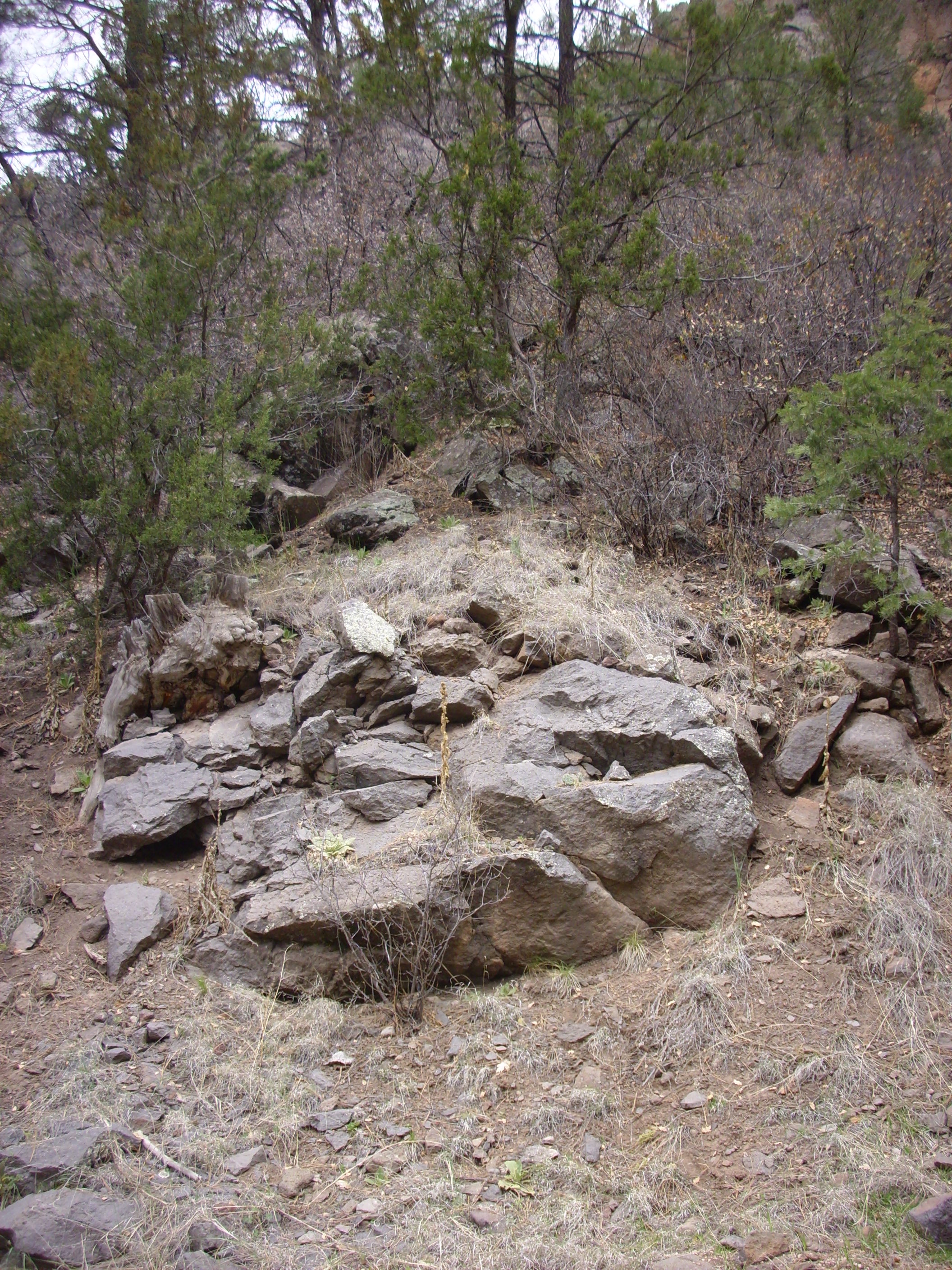
Across the road is a large boulder field, apparently part of the same flow (map).
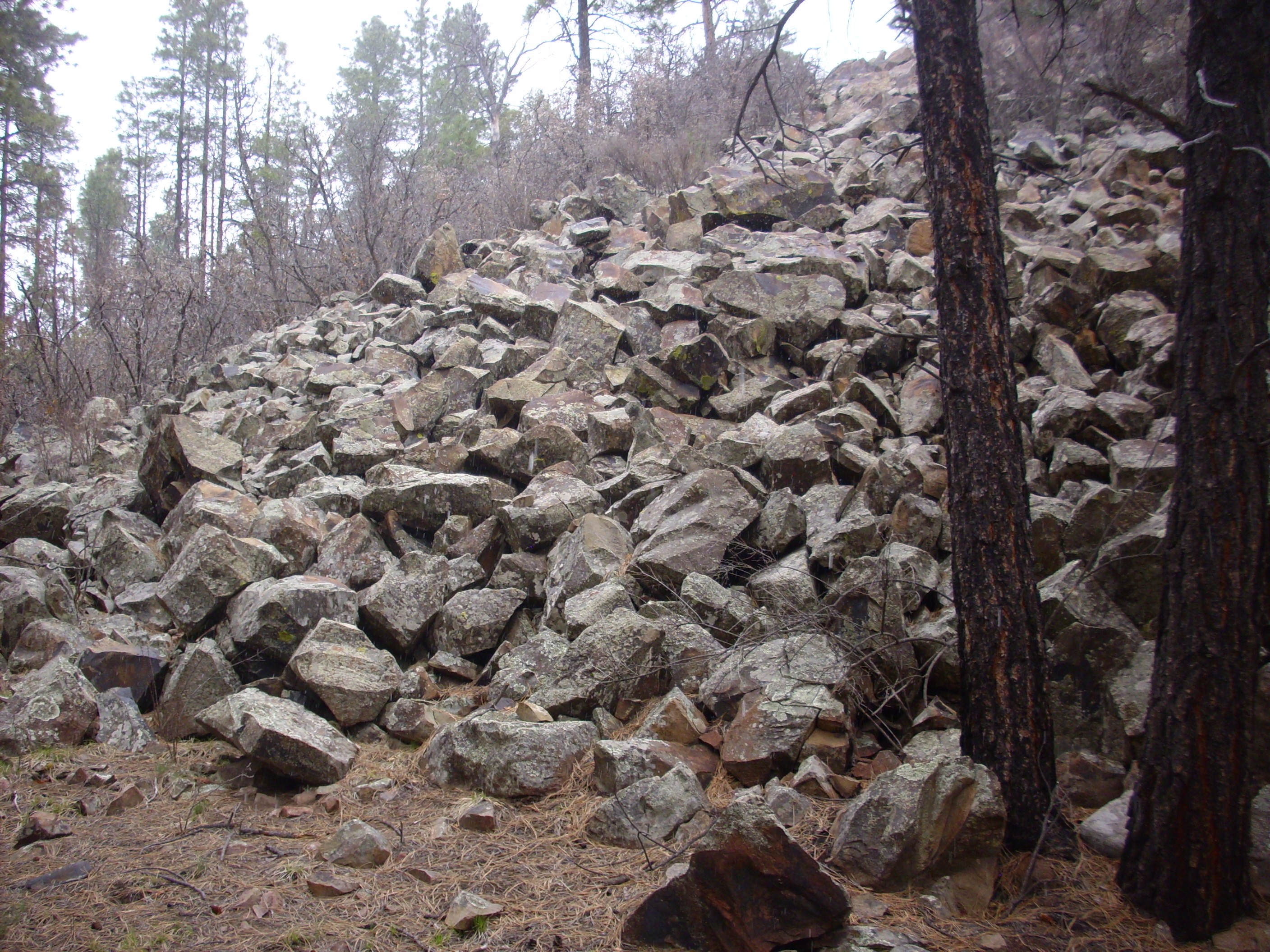
High-silica volcanism is rubbly. Flow tend to be covered with boulders like these, which conceal the liquid interior of the flow. The mountains west of Los Alamos have been denuded of this rubbly coating, which was redeposited as a major constituent of the Puye Formation underlying the Bandelier Tuff. Here it looks like the rubble has somehow been preserved.
Light snow was falling as I retraced my steps back to the main trail and headed on. Not far up the trail is some strikingly flow banded basalt of the Paliza Canyon Formation (map).
Such structure in basalt usually indicates the basalt was very cool and nearly solidified when it reached this point. I don’t know what to make of the steep dip of the beds.
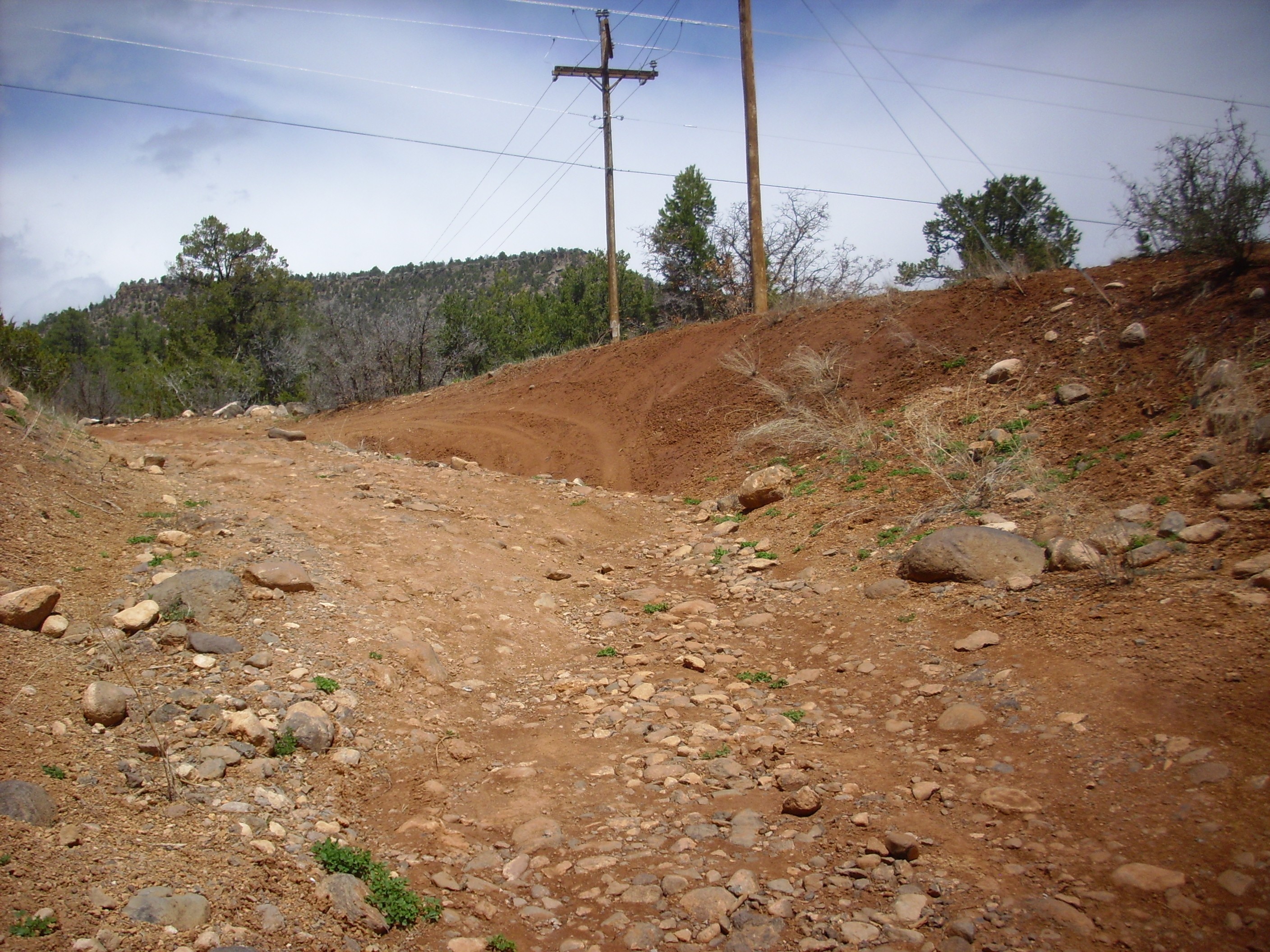
The road rapidly became worse. In fact, it became a fairly substantial stream.
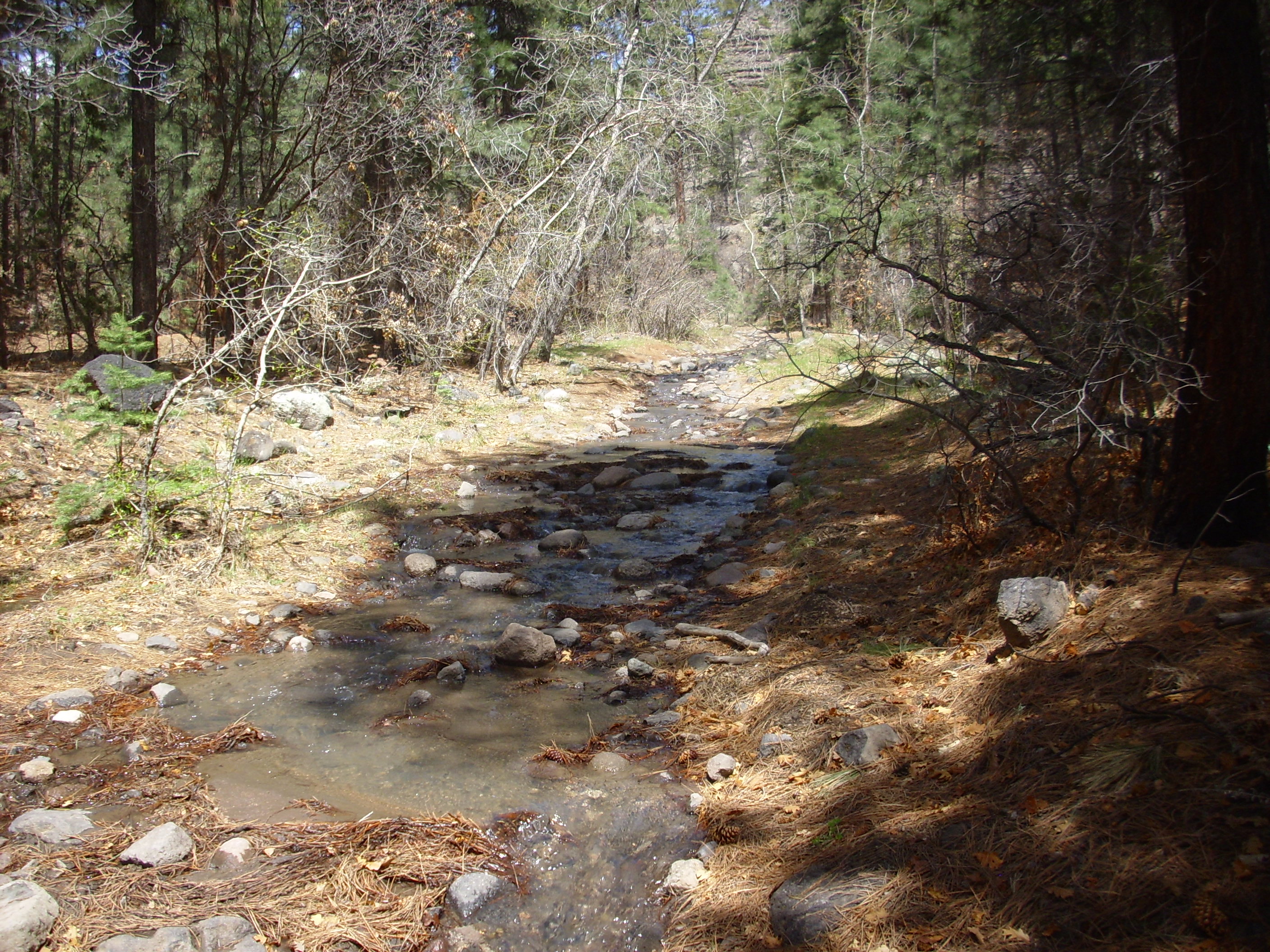
I imagine this is as wet as the area gets, given the time of year and the recent rains. It made hiking a bit more difficult, but still not too bad.
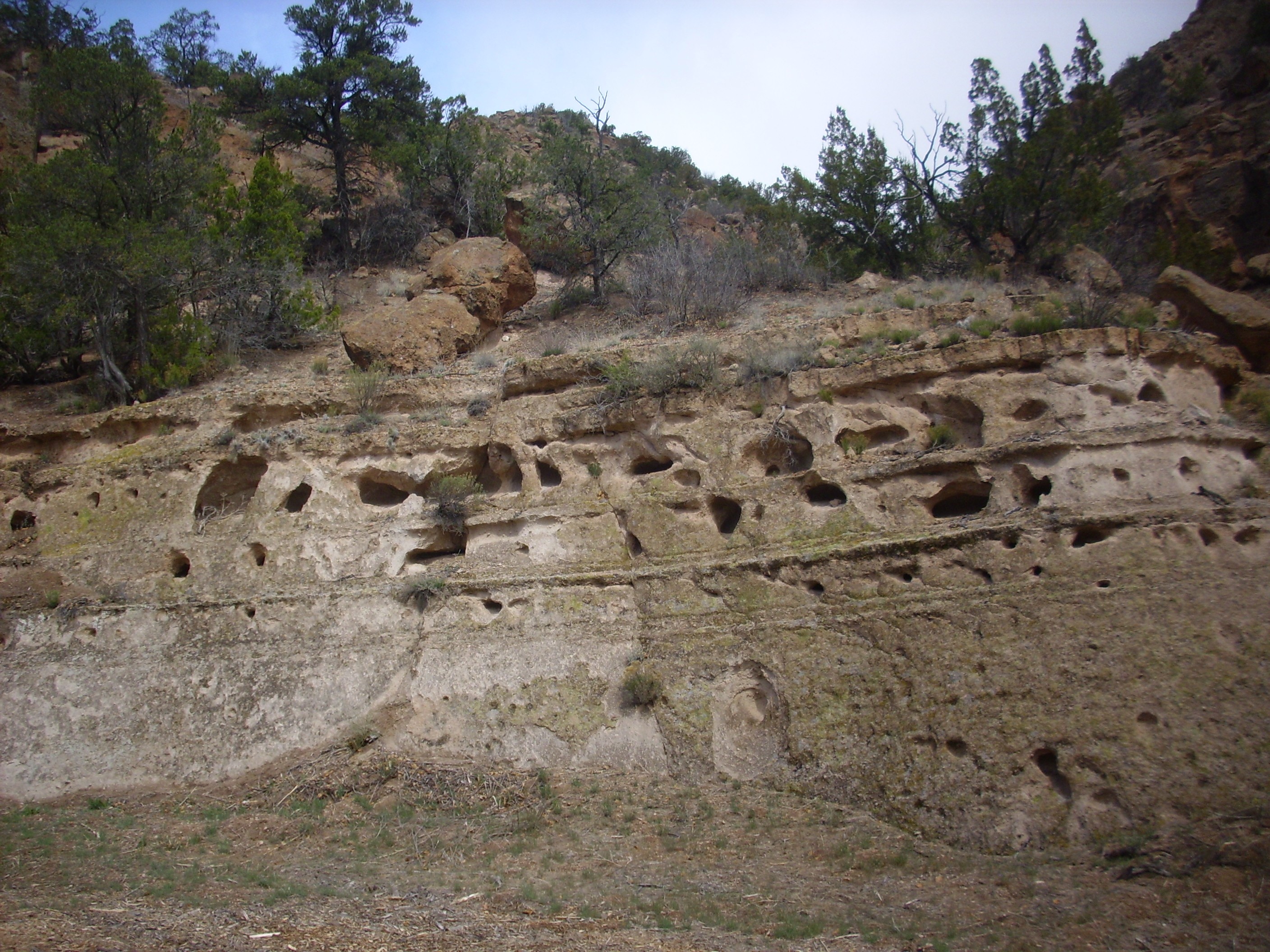
Ahead were some impressive cliffs of volcaniclastics (map).

Also here (map).
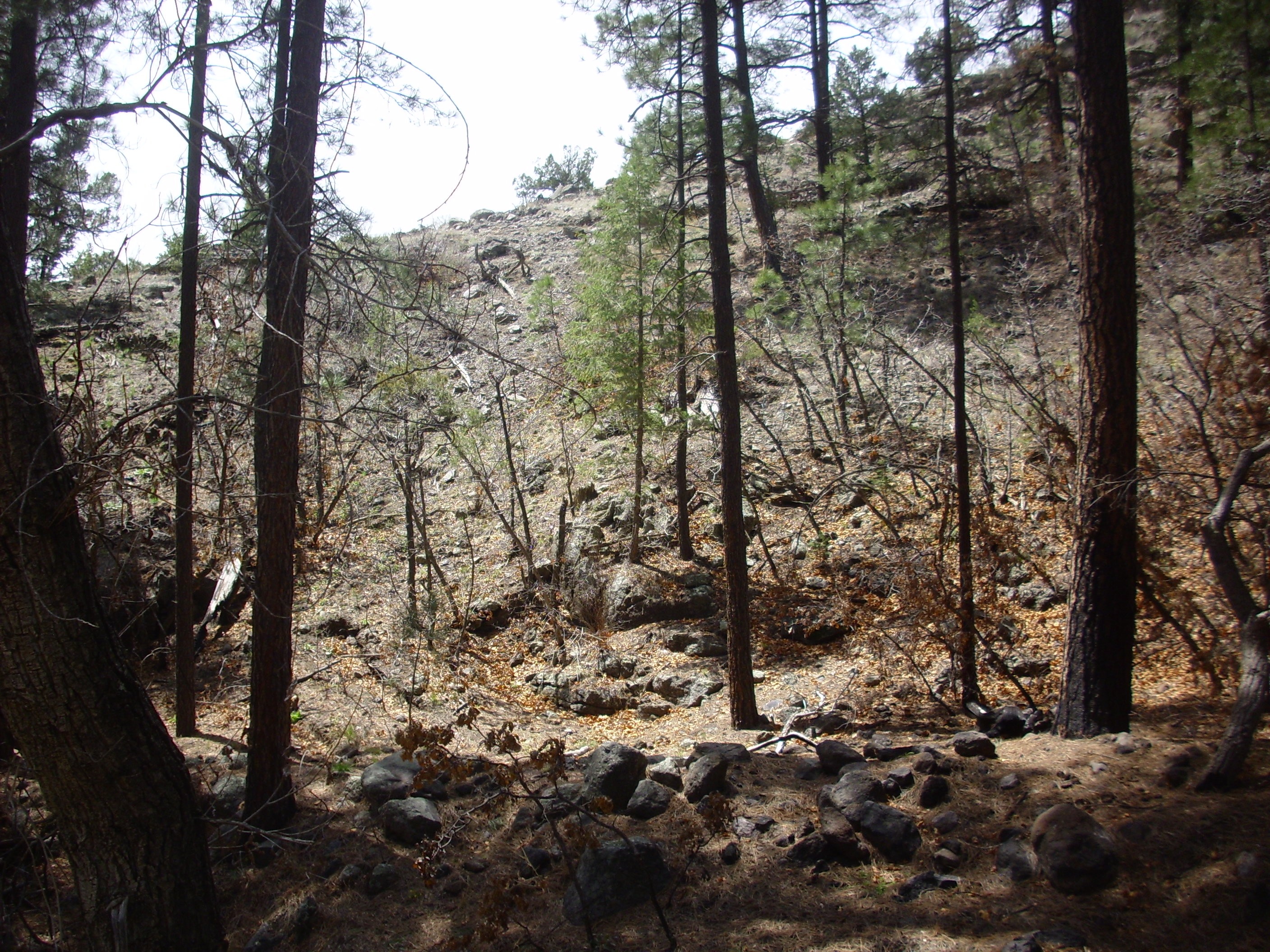
Paliza Formation volcaniclastics beds extend from here to northern Canyon de San Diego (map) and east as far as the San Miguel Mountains (map), where they become very thick. The exposures here are at the southwestern limit of the volcaniclastic beds.
More cattle. I tried my “I come in peace” line, but these animals seemed unimpressed.
The trail went on and on, and I periodically checked my GPS. Sure enough, at about the right longitude, light beds became visible in the canyon wall to the north, through the trees. I continued on until these became unmistakable (map).

I crossed the stream and headed up slope. I had expected these beds to be closer to stream level, but there was a considerable apron of colluvium below them. Colluvium: Geology-speak for “dirt”, basically, though it’s specifically dirt that got where it is mostly under the pull of gravity, rather than by being blown by the wind (“eolium”) or carried by water (“alluvium.”)
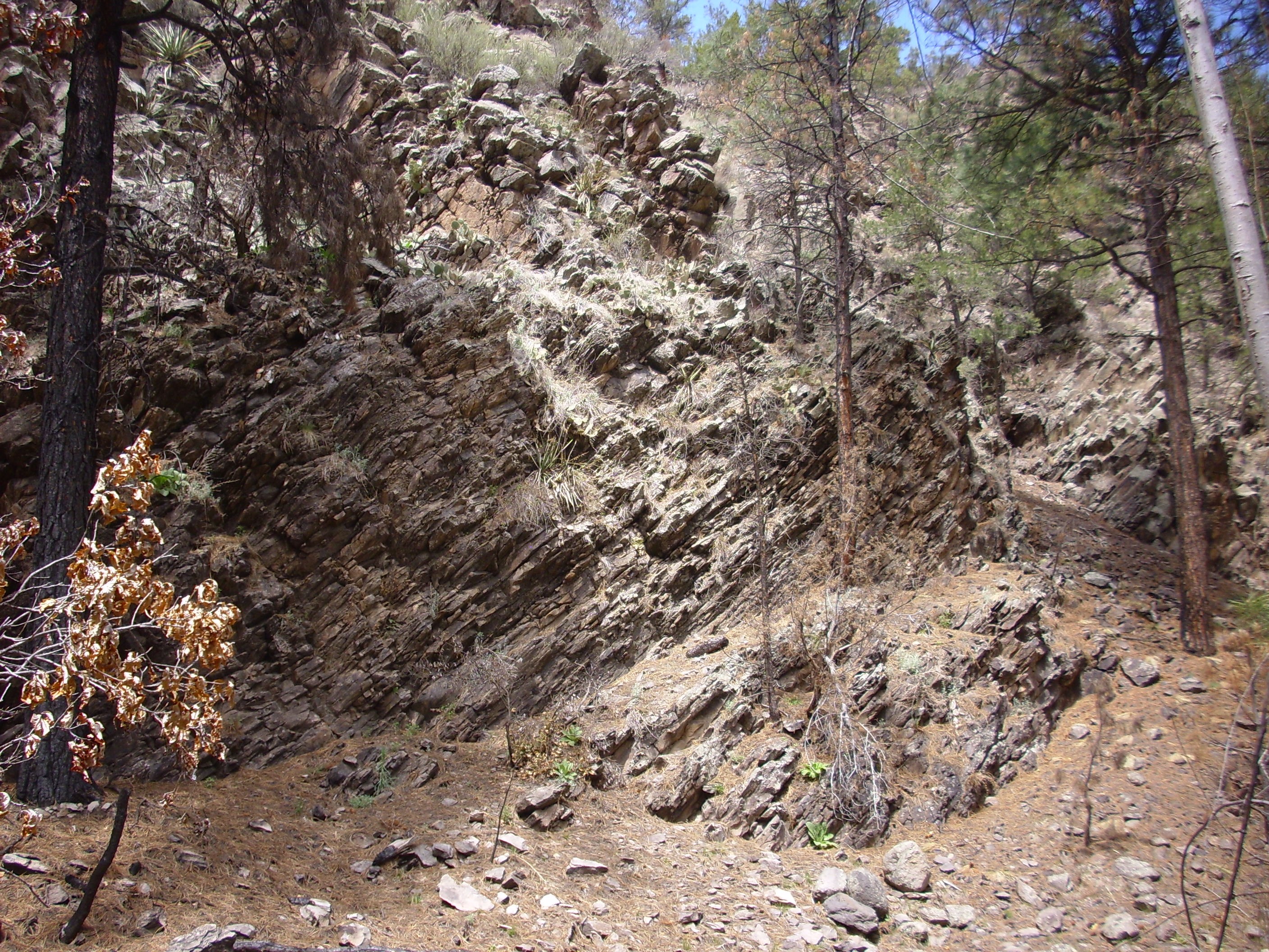
The beds are impressive closer up (map).

These might easily be mistaken for Peralta Tuff, or even for Bandelier Tuff by a tyro. However, the character of the tuff is not much like the usual exposures of Bandelier Tuff, showing many lithic-rich layers (layers full of bits of country rock) and surge beds. It looks a lot like Peralta Tuff, but it is distinguished by its stratigraphic location: The skyline visible above the tuff is Paliza Canyon basalt, and Peralta Tuff lies atop the Paliza Canyon Formation rather than below it.
Dark boulders of Paliza Canyon basalt from the upper cliffs litter the colluvium apron. Few fragments of tuff are present here; they are much softer and quickly erode away.
I climbed up for a closer look. There was a very large block of tuff on the slope with a rather striking surface.
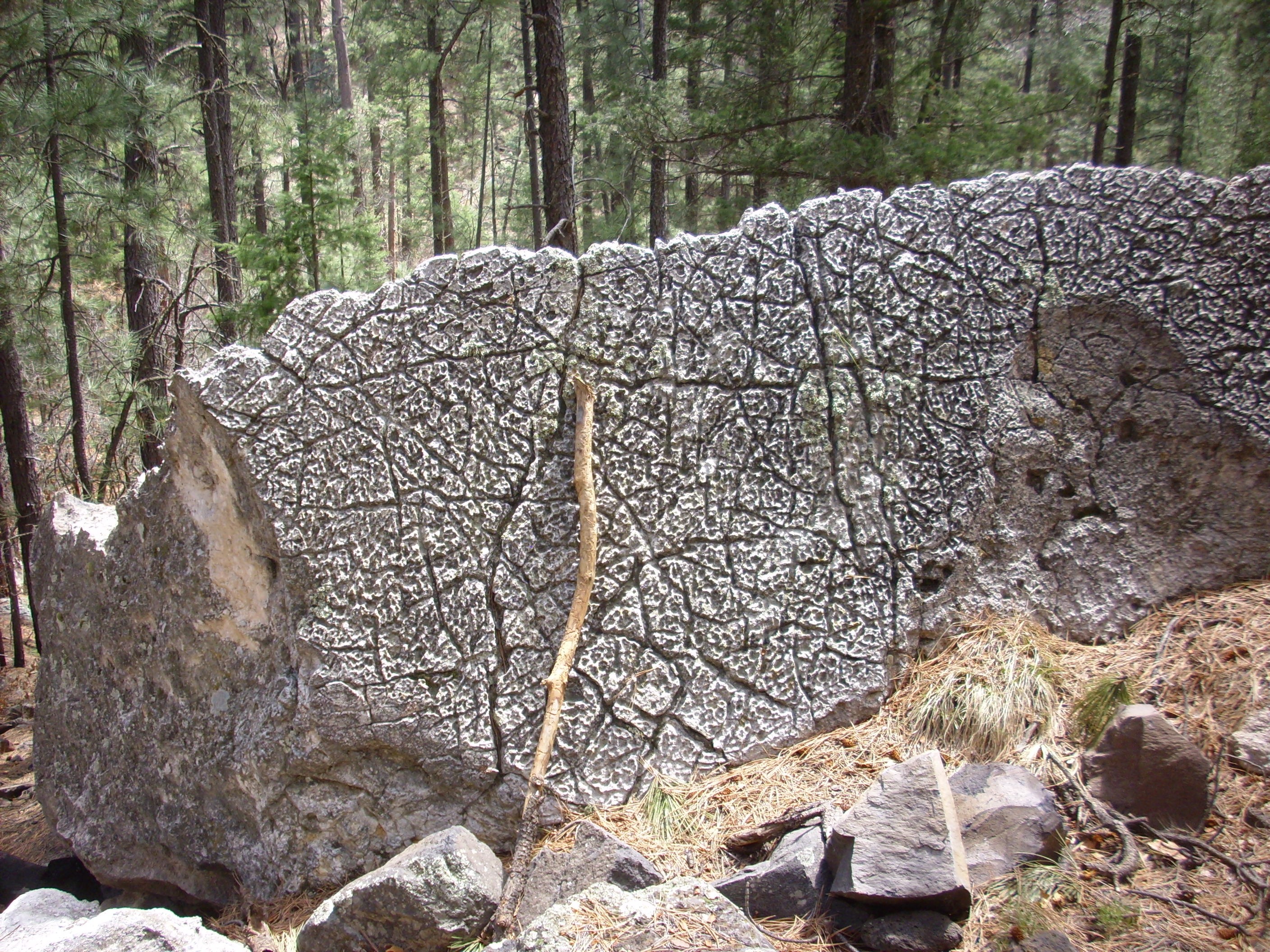
Note my new walking stick for scale. I don’t know if this is an usual erosional surface or the cooling surface of the original flow.
Here are the beds close up.


The beds include some that are very lithic-rich.
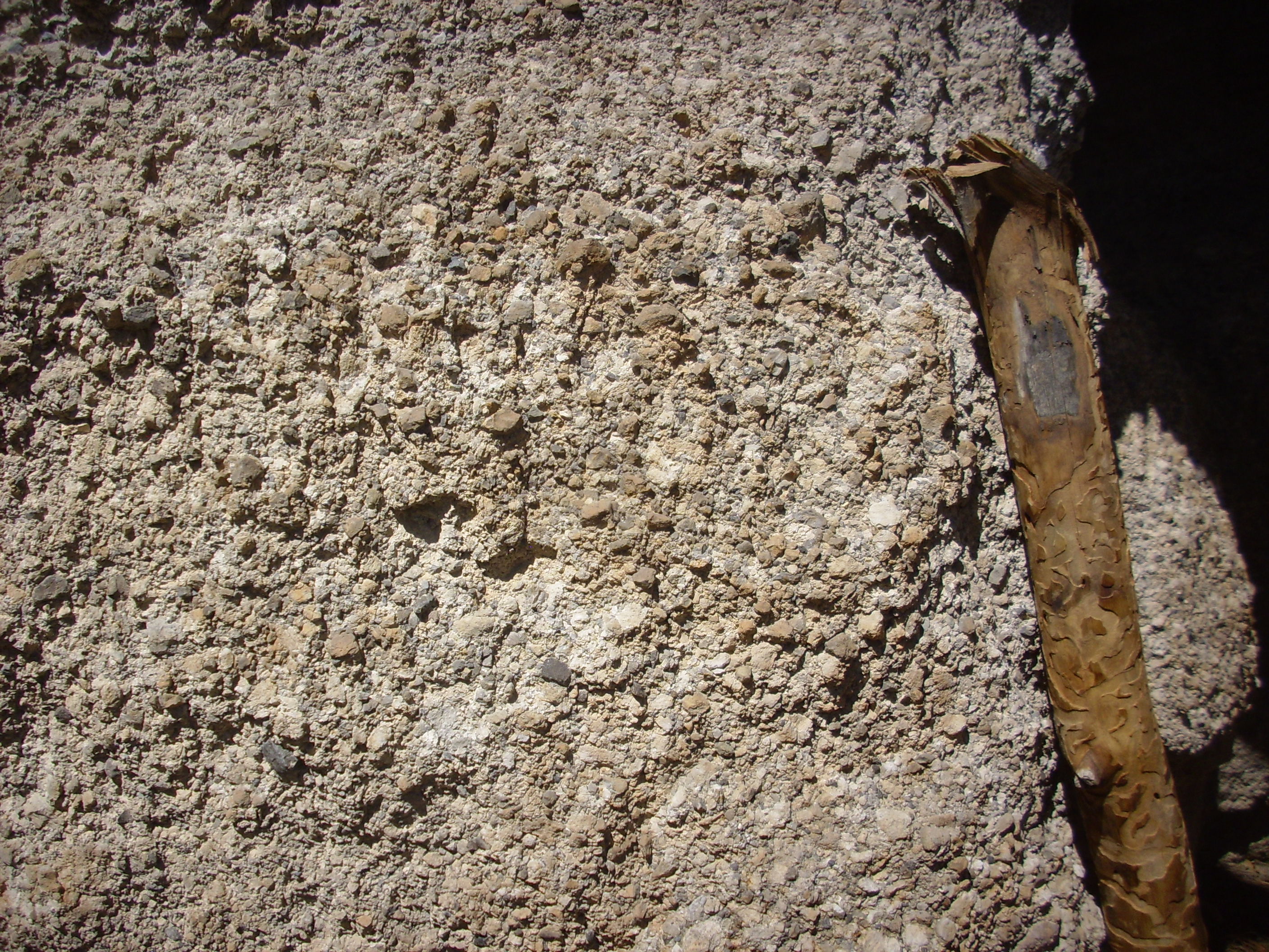
This fine-grained bed looks like a surge deposit.

while the upper beds are more massive.

I collected up my samples, ate my lunch, and began heading back. The cows were still there, and they scattered when they saw me — down the trail, in the direction I was going. Stupid cows. Finally they figured it out, and headed up slope away from the trail.
A couple more shots. First, the volcaniclastics again, from a better angle (map).
And now I’m kicking myself. I should have hiked over to the outcrop and gotten some good closeup pictures. But I think I was suffering from target fixation at this point.
As I neared the end of the trail, I had my Ansel Adams moment for the day.
That’s Borrego Mesa to the south.
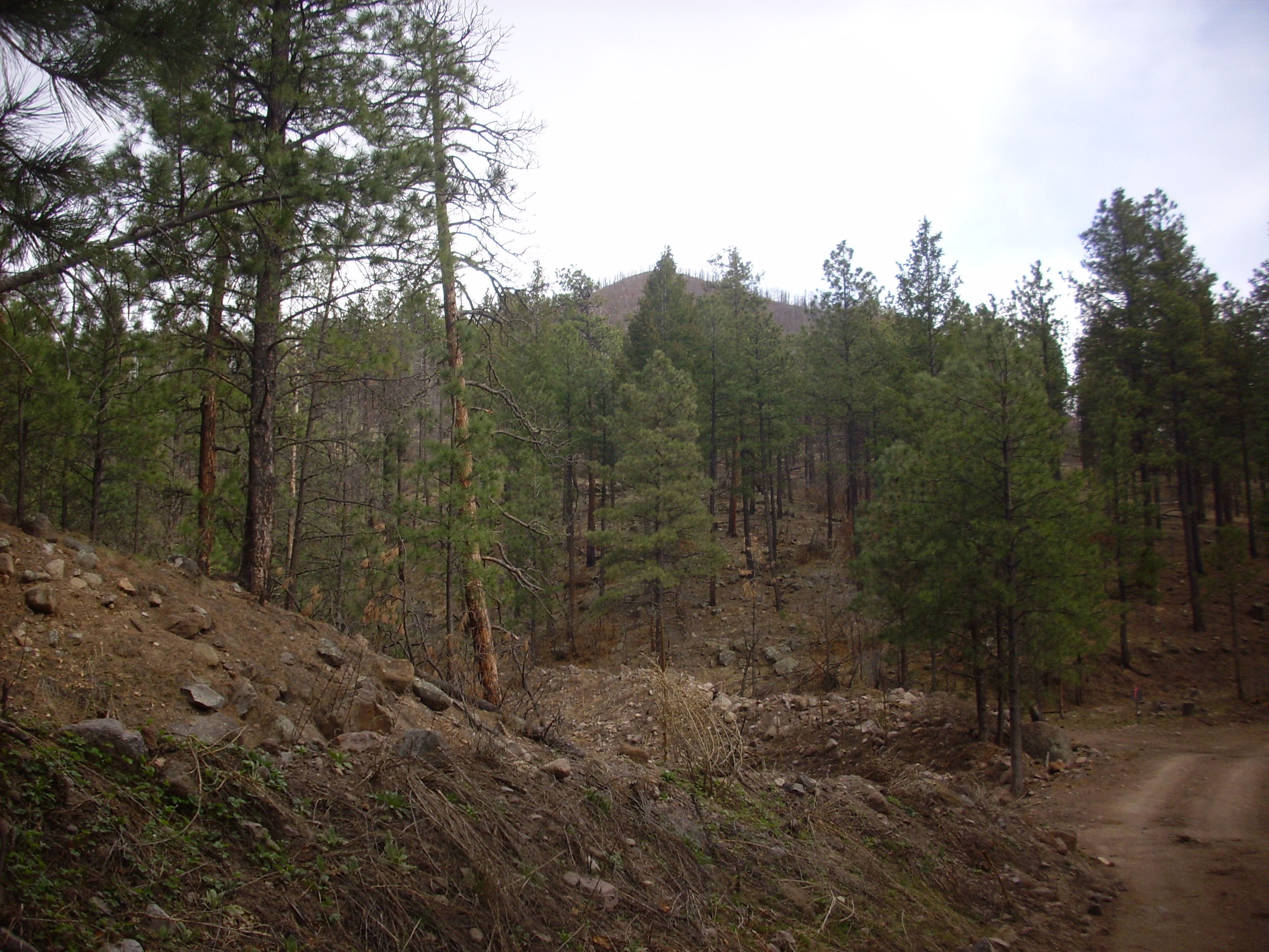
It had already been a great day, but I still had a few hours of daylight left, so I decided to take a shot at the road to Bear Springs that had defeated me last fall. I had gone over the route with Google Maps and had an extensive list of checkpoints with directions everywhere the road branched. This turned out to be quite useful, and the road was reasonably passable, at least in the new Wandermobile. Whenever I got to a branch, I checked the GPS, compared with my notes, and took the correct turn. There were a couple of rough spots in the road, including some places where some (expletive) in a very heavy vehicle had driven the road when it was wet and left large ruts, but nothing impassable. Soon I reached the boundary of a stretch of tribal lands (map) but the road was not closed; there was only a notice that the area had suffered extensive fire damage, and a large warning sign not to hunt or cut wood on tribal land on pain of a $5000 fine.
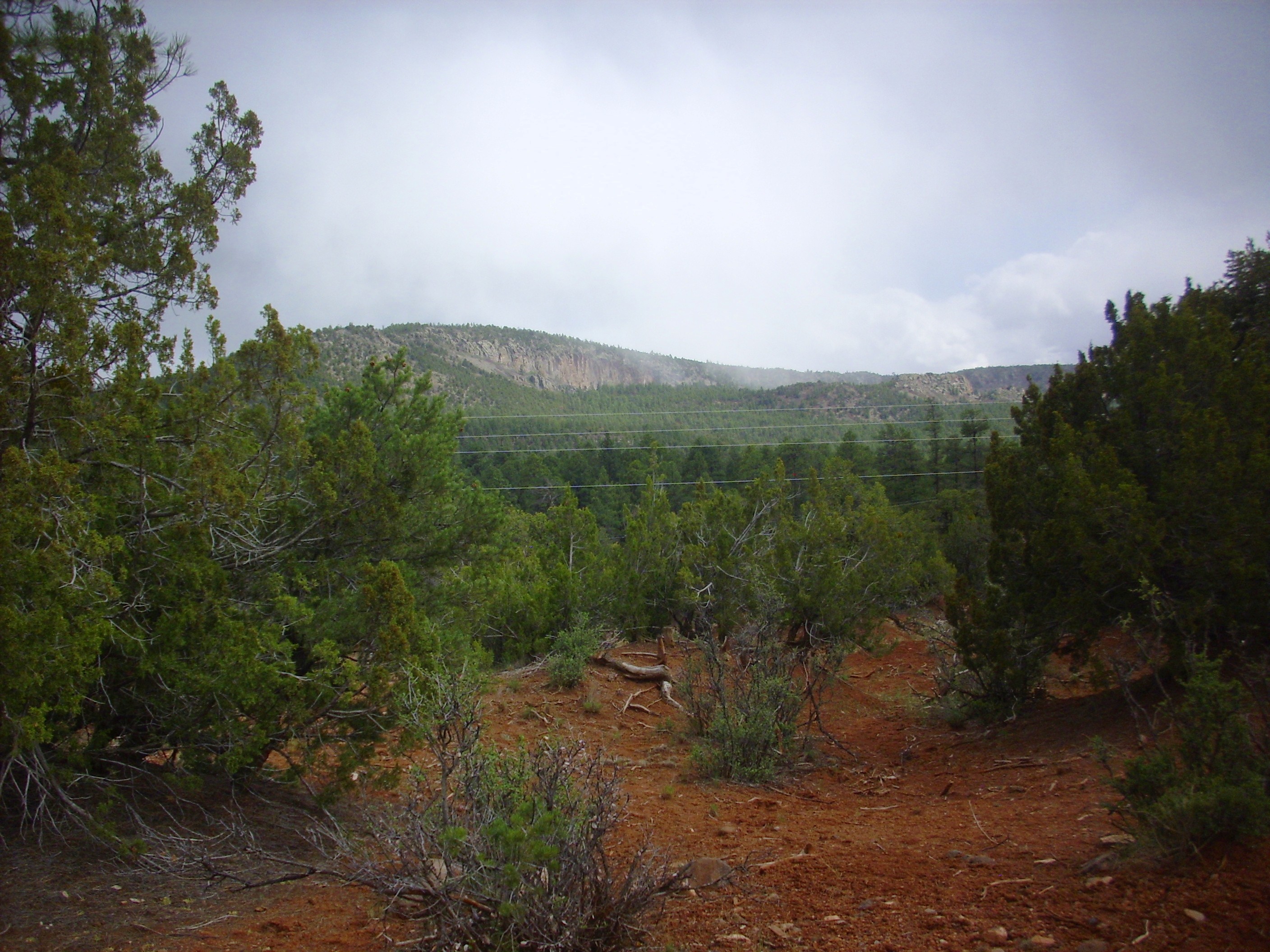
This was also about where I entered the largest exposure of Canovas Canyon Formation in the Jemez, and caught my first glimpse of Tres Cerros, which is underlain by Canovas Canyon Formation.
Further down the road, I got a clearer view of this mountain (map).
I soon returned to National Forest land on the far side of the strip of tribal land, to be greeted with some helpful advice (map):
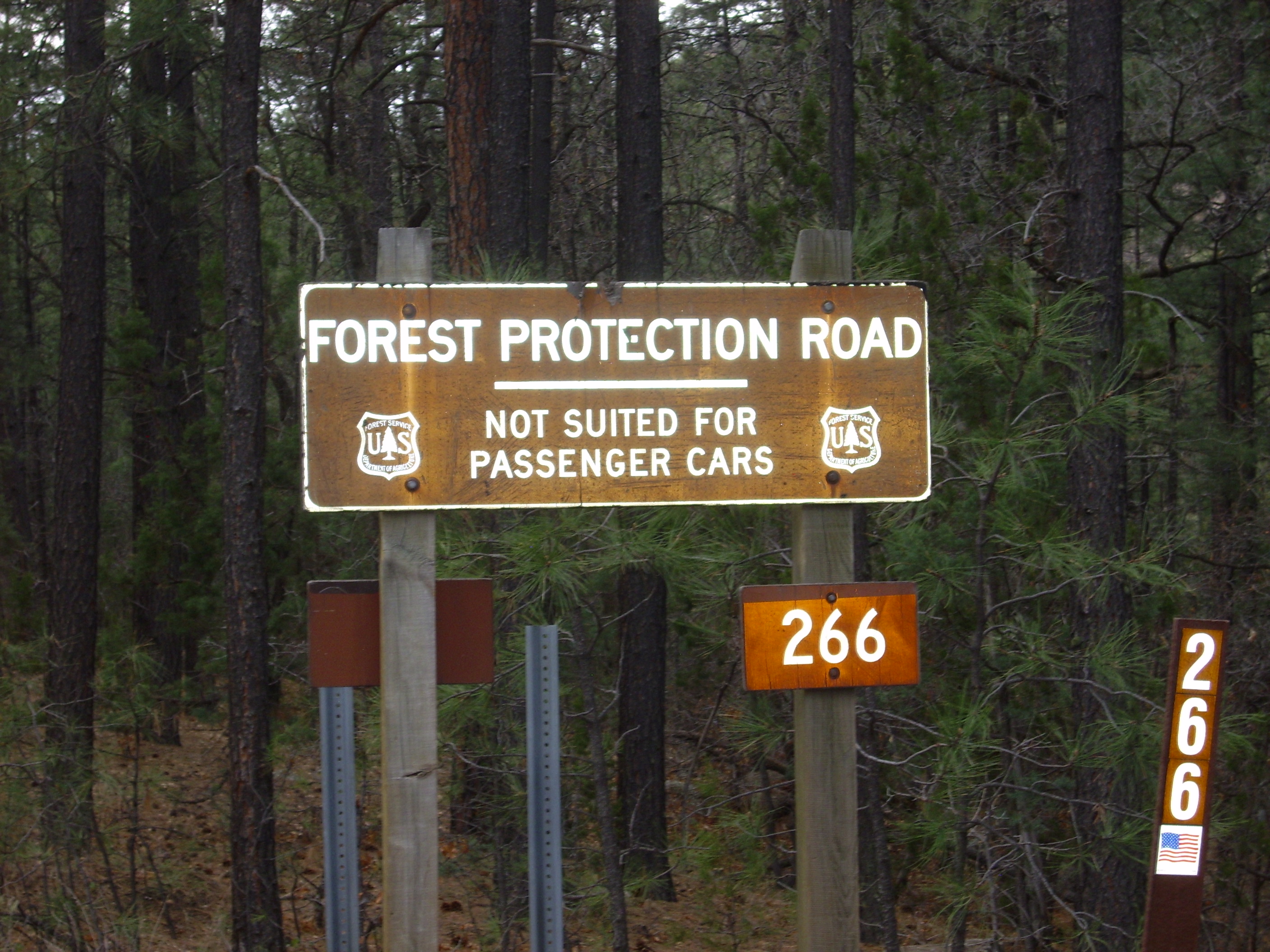
Now they tell me.
I was almost to Bear Springs, and anyway the road beyond the sign was at least as good as anything I’d been driving for the last five miles. I continued on down to the turn to Bear Springs Station and parked (map).
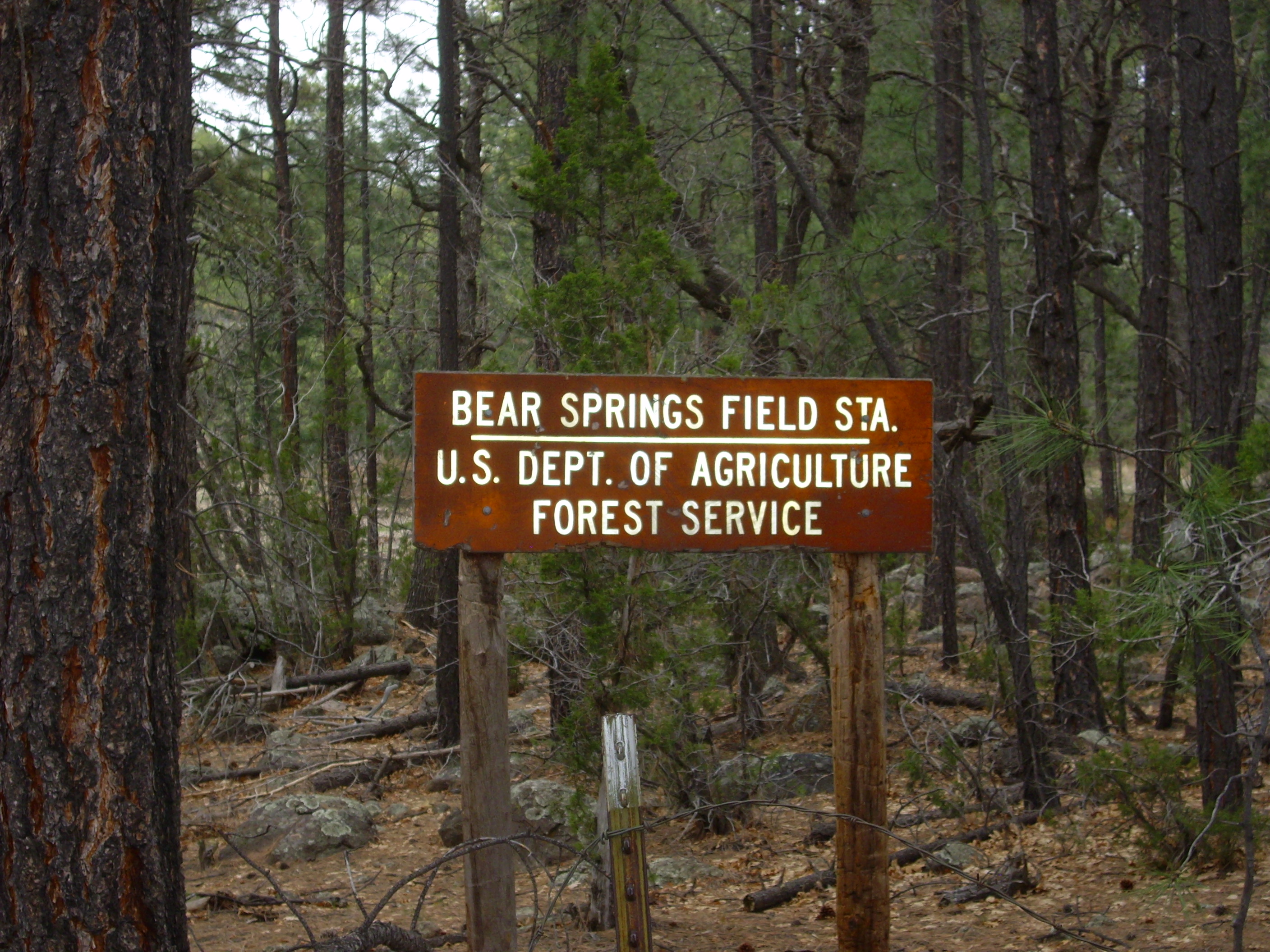
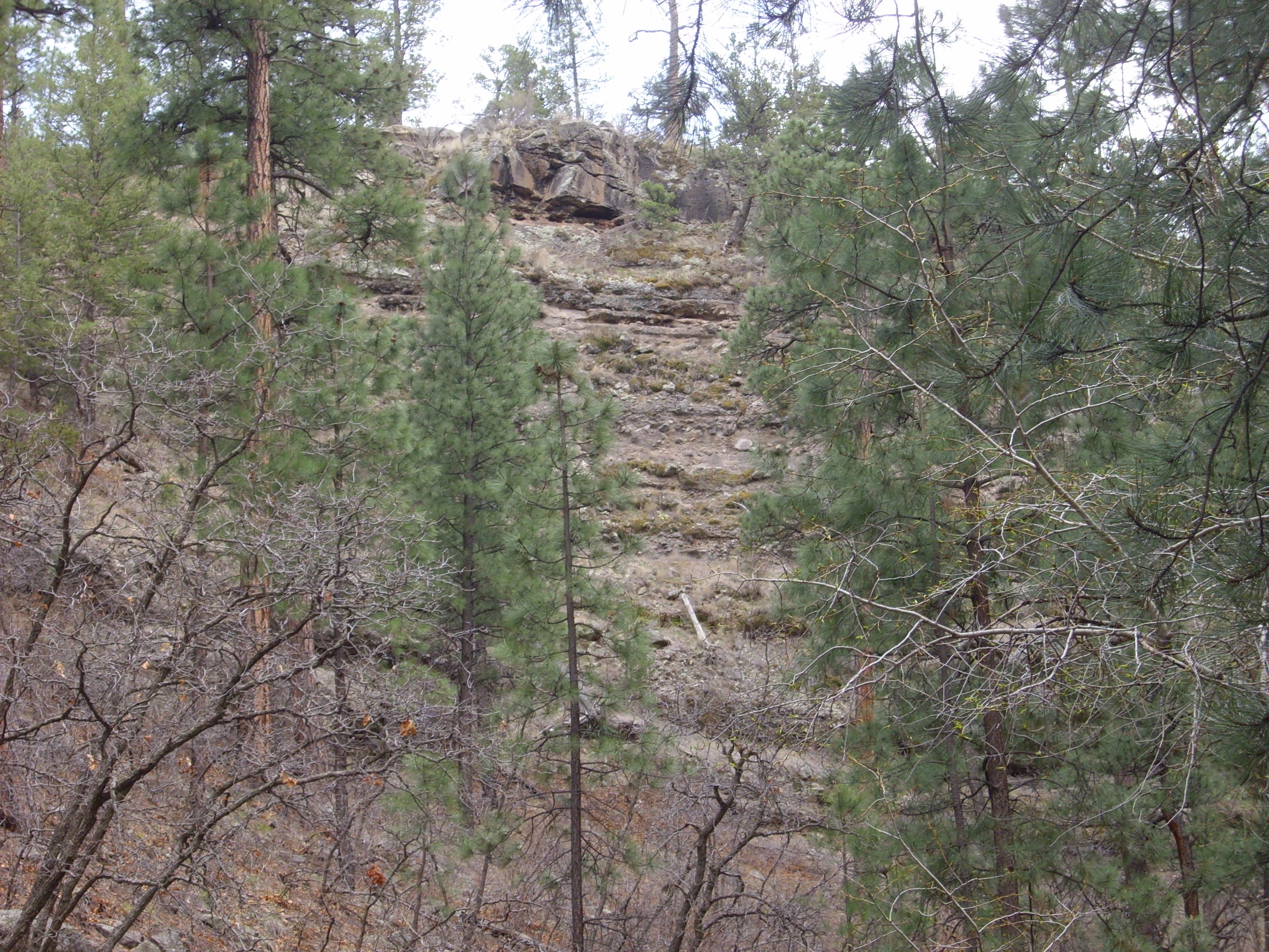
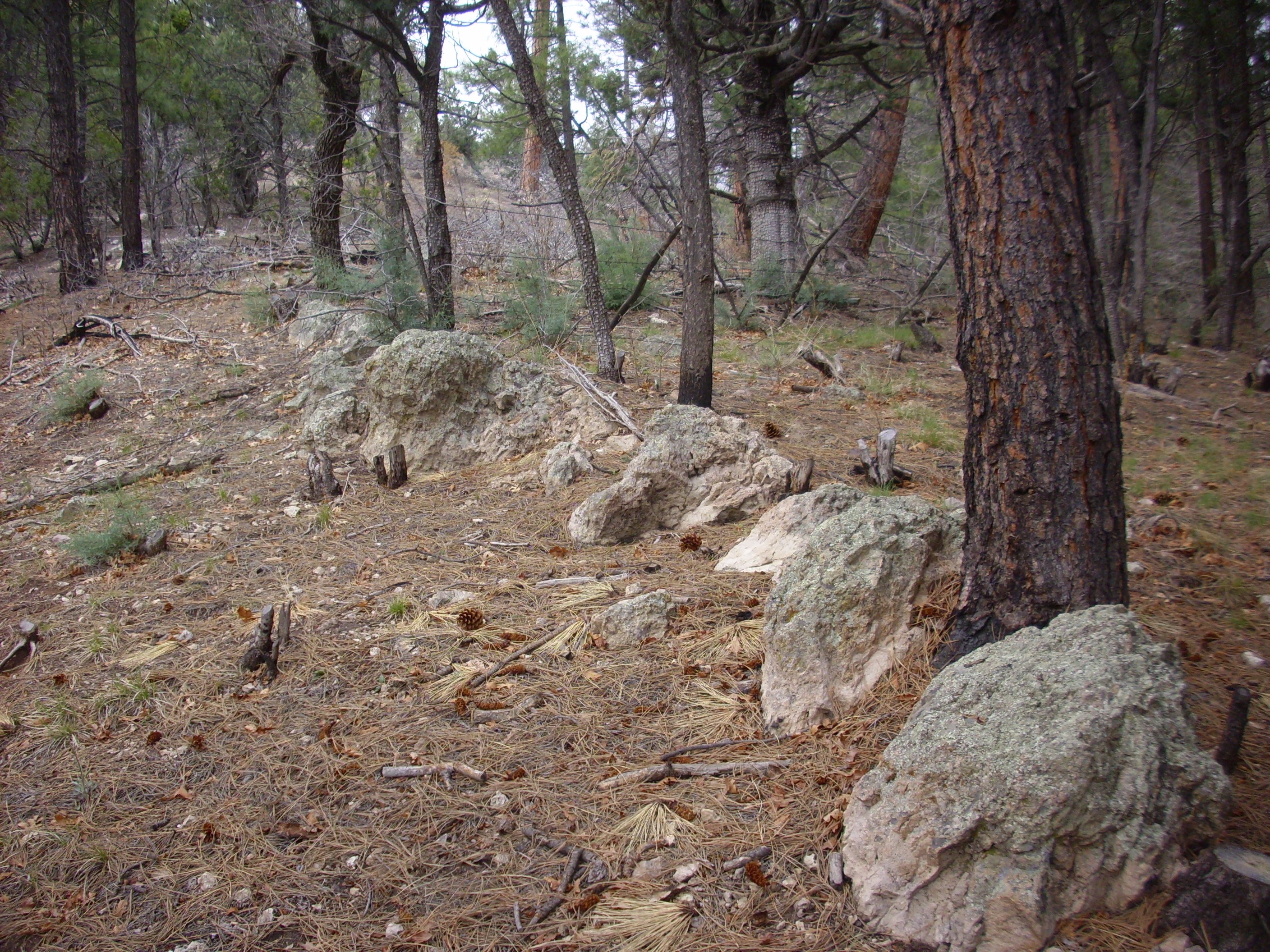
The road to the station was completely washed out, but this didn’t matter much as the distance was short. Everything as far as the eye could see in every direction was underlain by Canovas Canyon Formation.
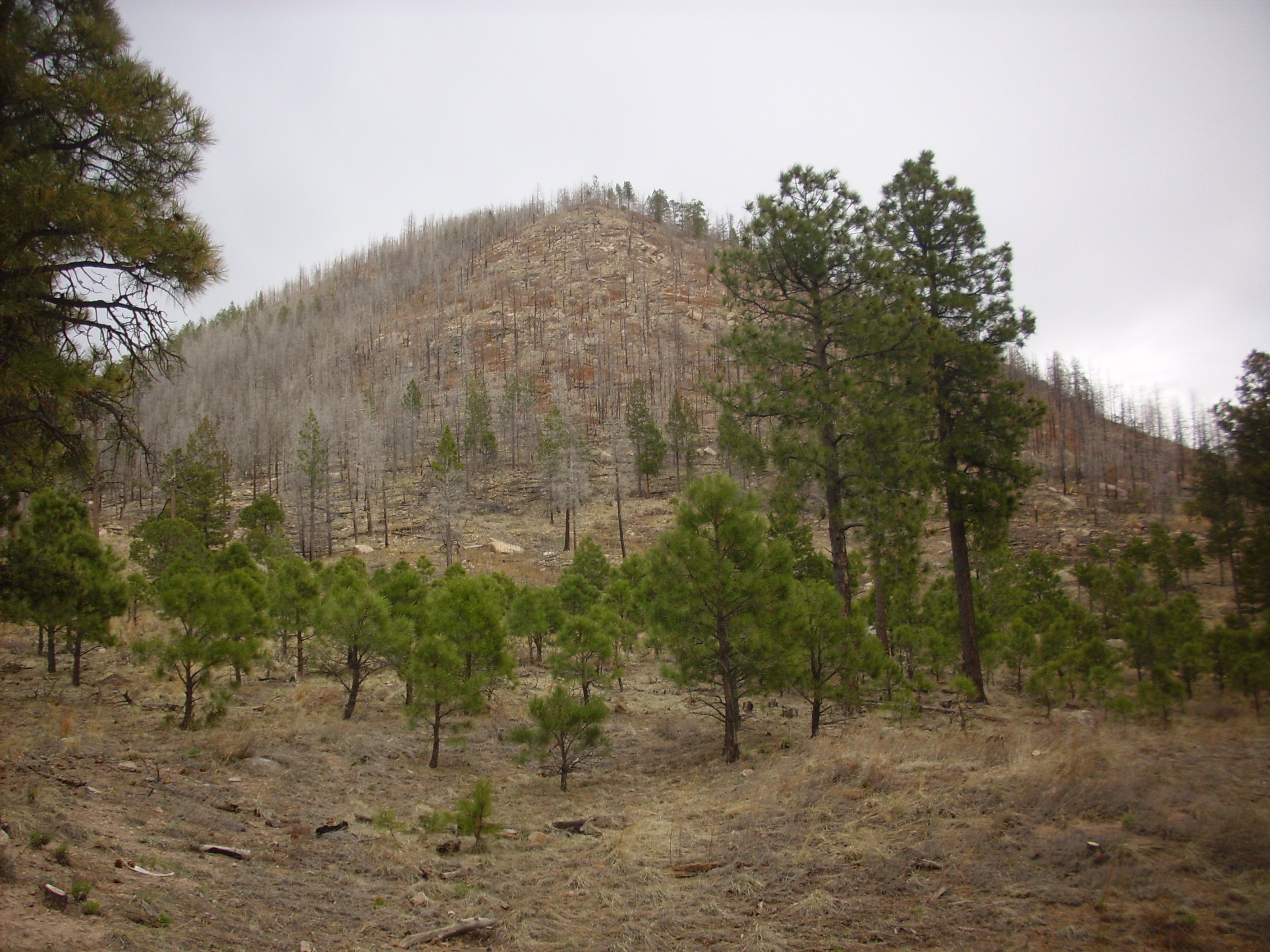
To the west was a knoll that I mistook for Bear Springs Peak. After I got home, I checked the angle and this is too far north. Bear Springs Peak is to the southwest. Funny that I could have entirely missed it, but by now it was late in the day and I was in a bit of a rush.
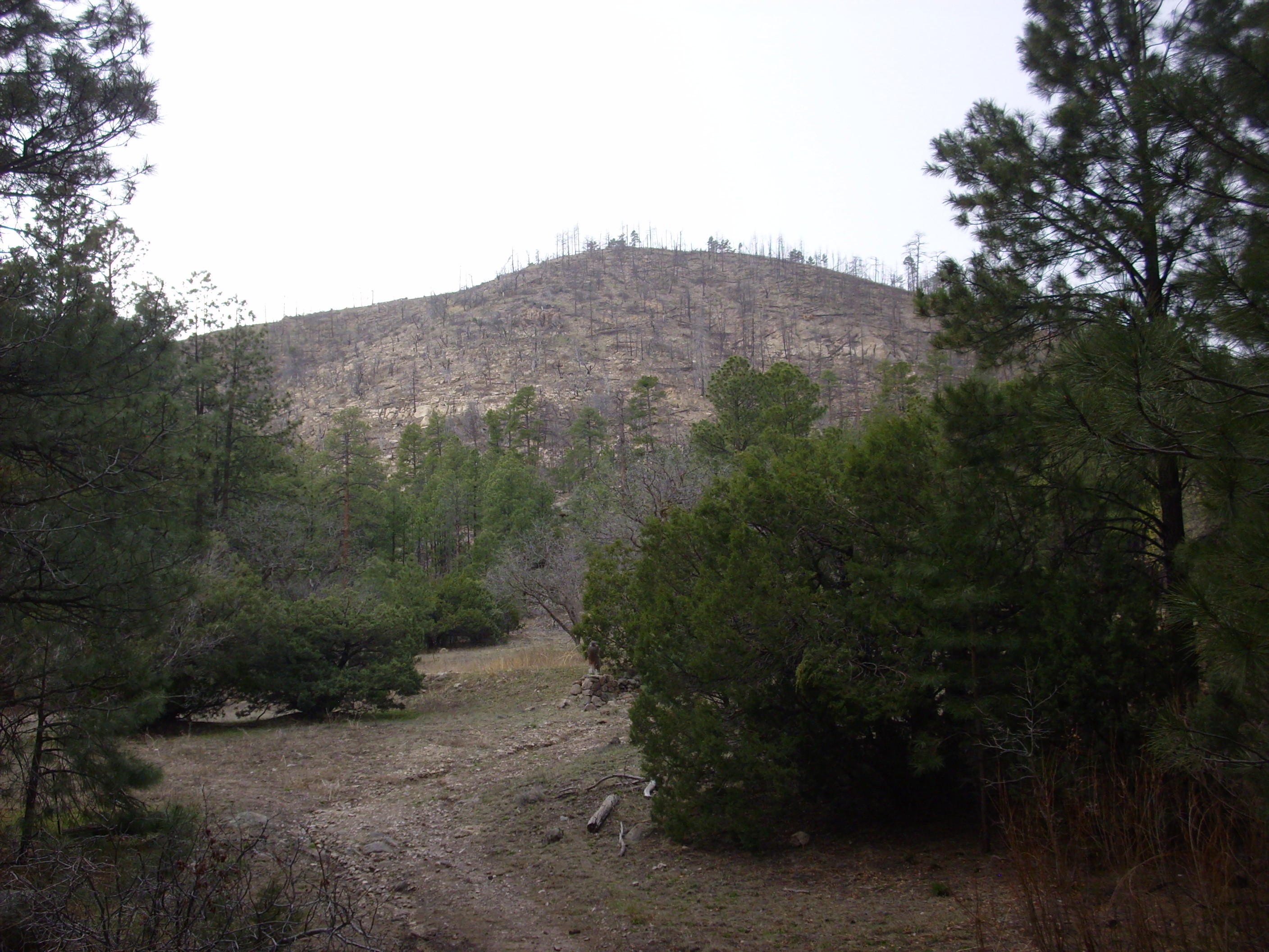
Regardless, the knoll is underlain by Canovas Canyon Formation. The formation is very thick in this area, though since its base is not exposed, we do not know the full thickness. The lower beds are massive flows while the upper beds are tuffs; the transition between the two is gradual enough to suggest that the two erupted together. This is rather unusual for rhyolite, as is the thinness of the flows; rhyolite is usually so viscous that it can barely make it out of the ground, and it usually forms very steep flows and domes. One wonders if the rhyolite was unusually hot.
In any case, the rhyolite eruption appears to have been effusive rather than explosive, in contrast with the rhyolite that produced the Bandelier Tuff. It’s been speculated that the crust was being rifted apart here so quickly by the Rio Grande Rift 8 to 10 million years ago that magma had no time to build up for a big explosion. It was released gradually and relatively gently through the many fissures produced by the rifting.
The station is long abandoned.
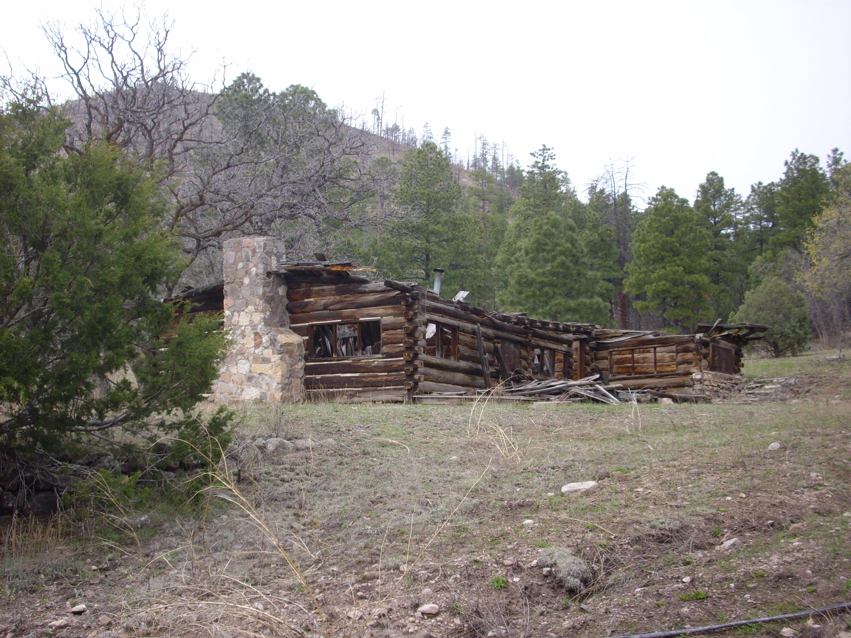
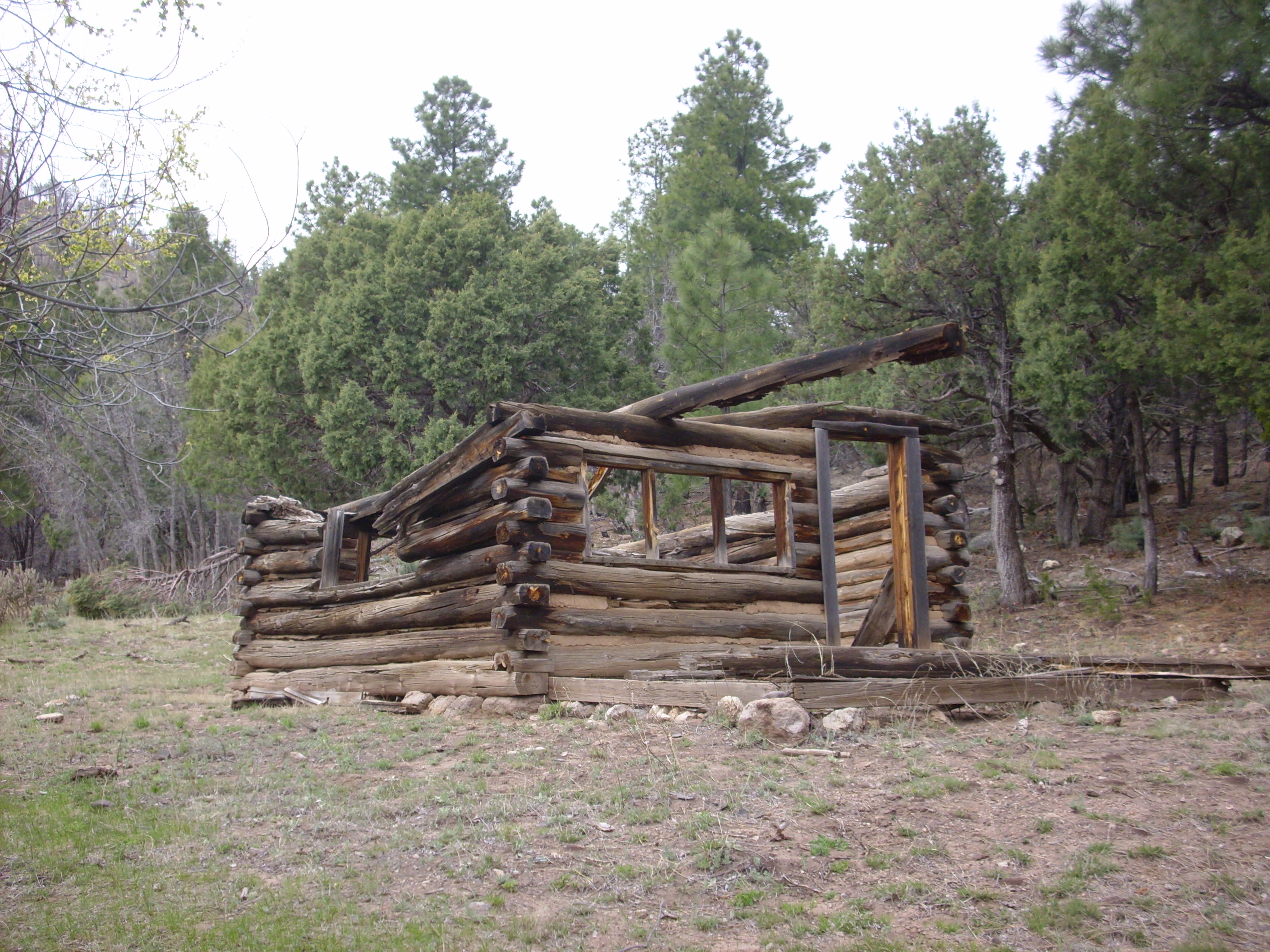
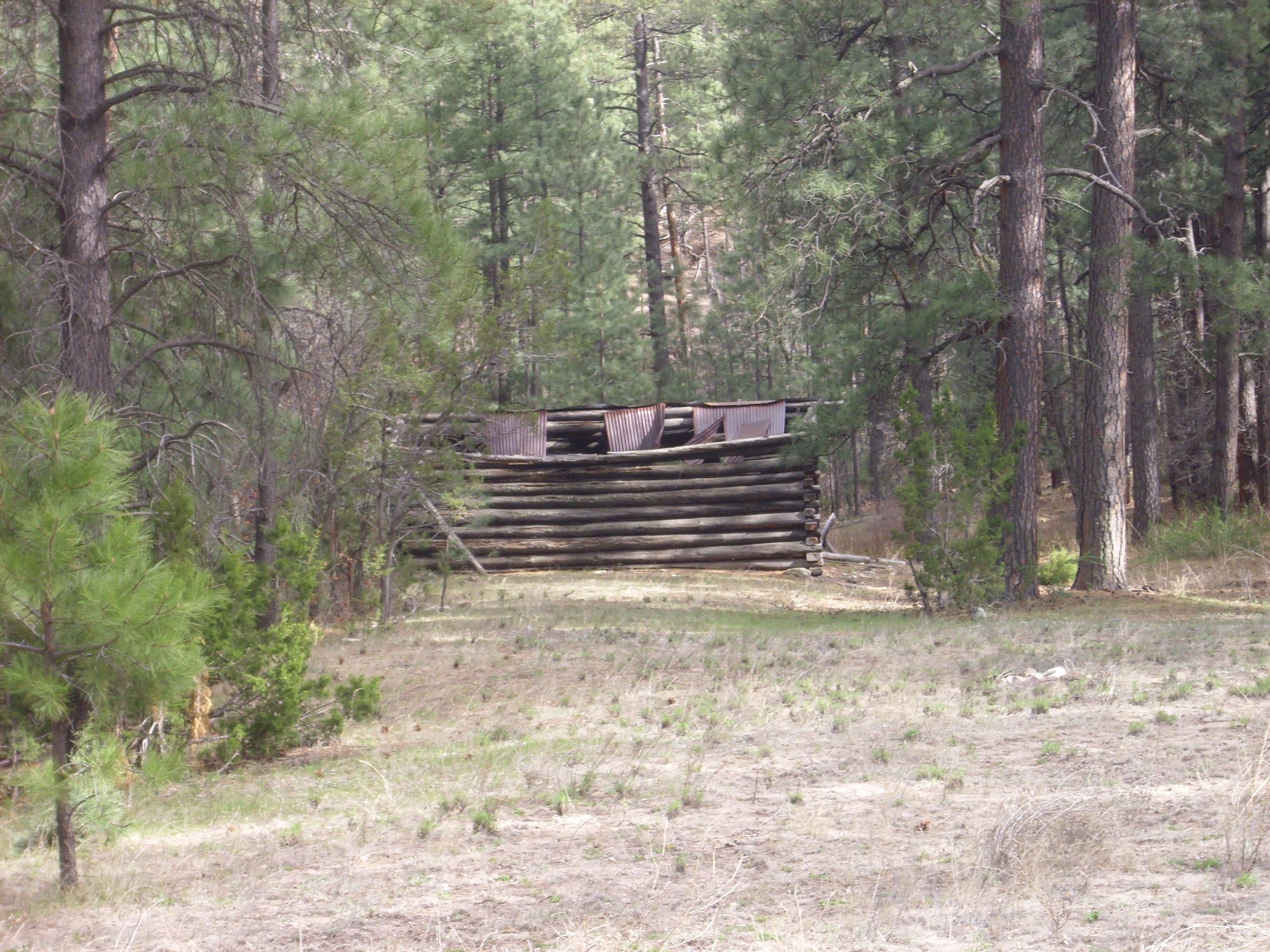
I find this a little sad. I understand that the many fire lookouts that used to dot the national forests, like those at St. Peter’s Dome (map), Encino Point (map), and elsewhere, are simply not cost-effective; forest fires are better spotted by aircraft or satellite if they aren’t reported first by private citizens with cell phones or CB radios. I understand that stationing a ranger (and possibly his family) deep in a forest to act as a steward over the land may not be cost-effective either. Come to think of it, I haven’t encountered a forest ranger on National Forest land (as distinct from Park Service land) since I was 14. But it feels like the forests are gradually being abandoned by modern America, and I’m just not the kind of hard-core Green environmentalist who considers this a wonderful thing.
Here’s Bear Springs itself. Or, at least, one of the springs.

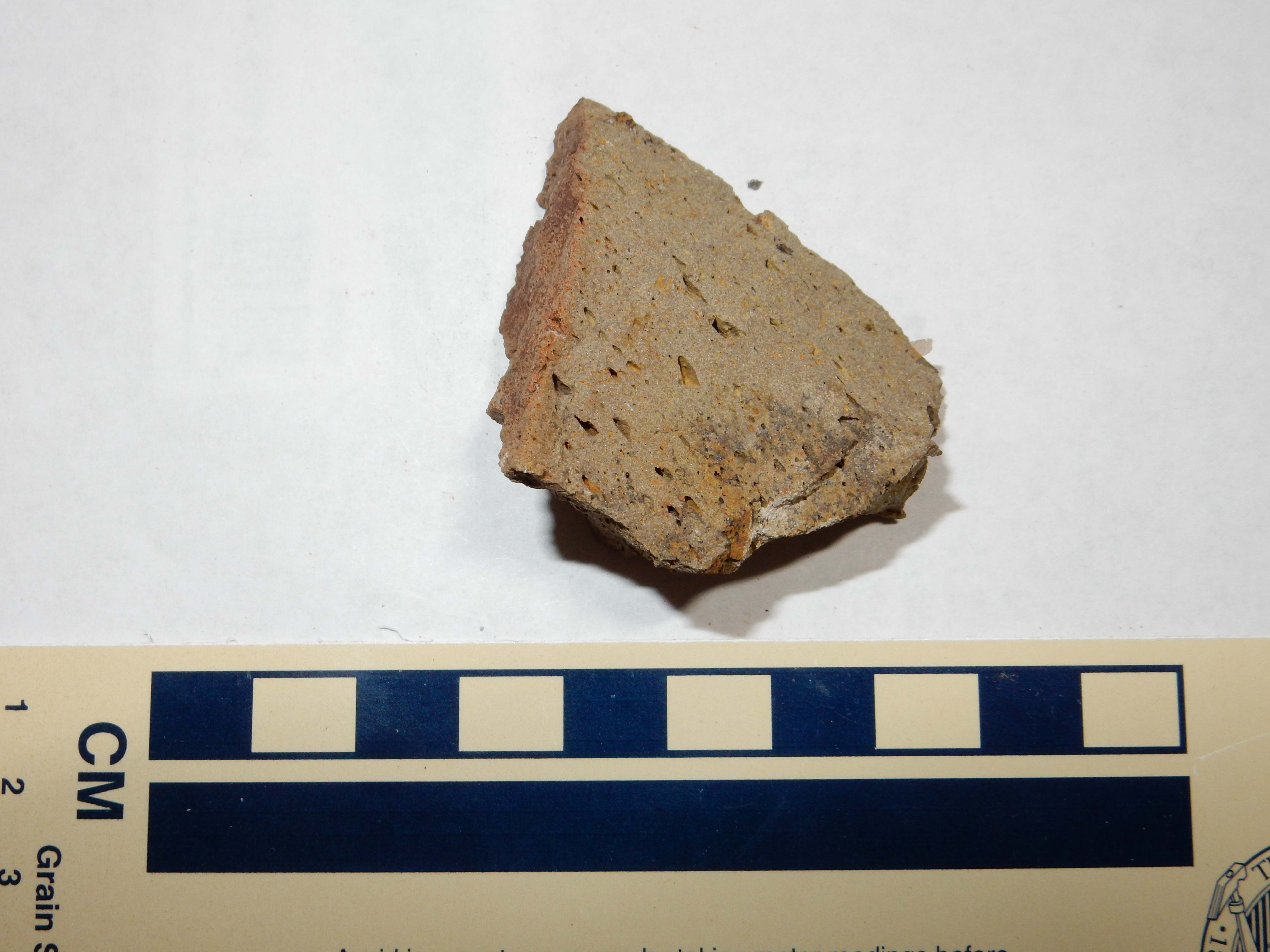
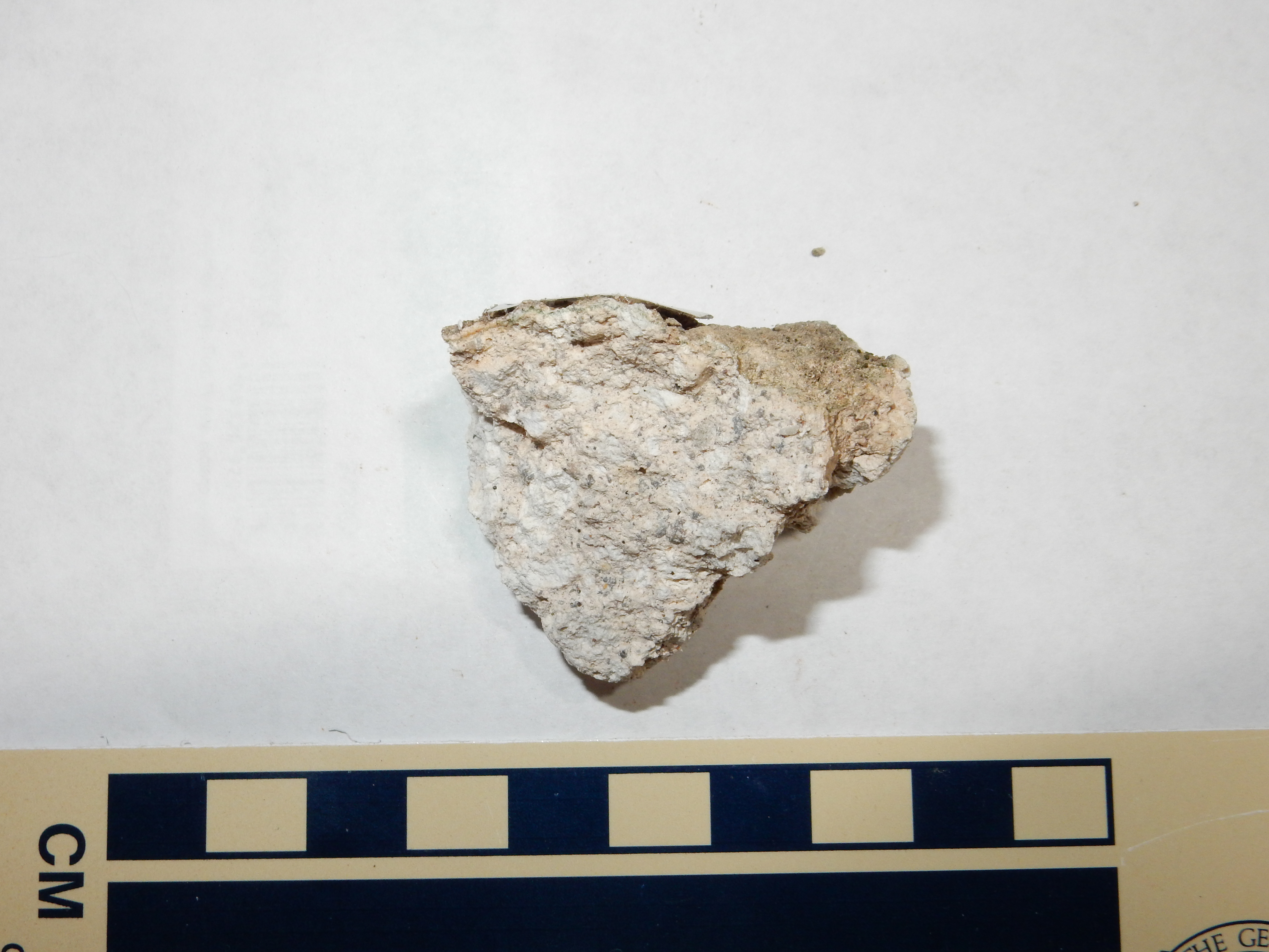
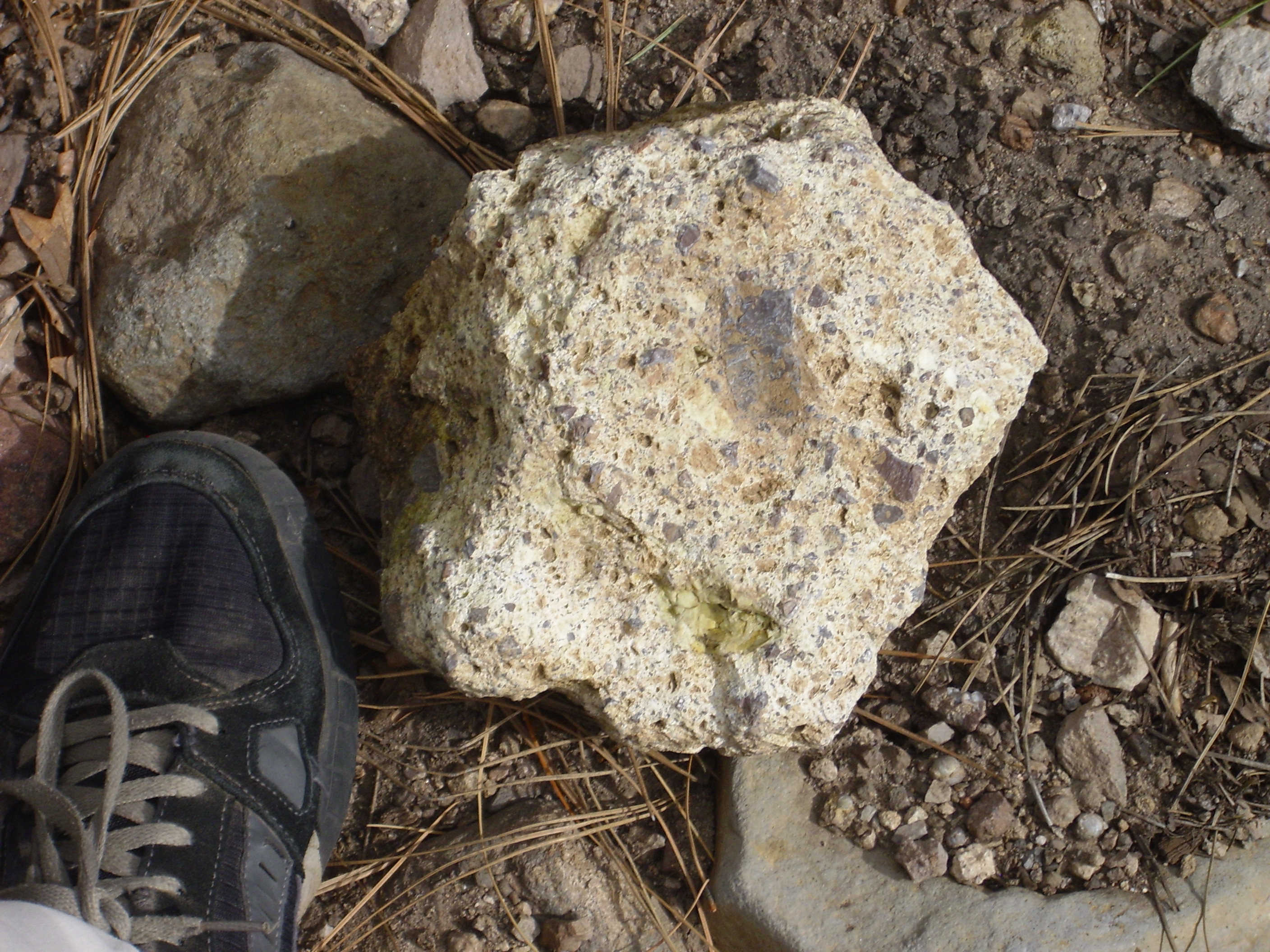
And an outcrop of Canovas Canyon Rhyolite on the hill to the north (map).
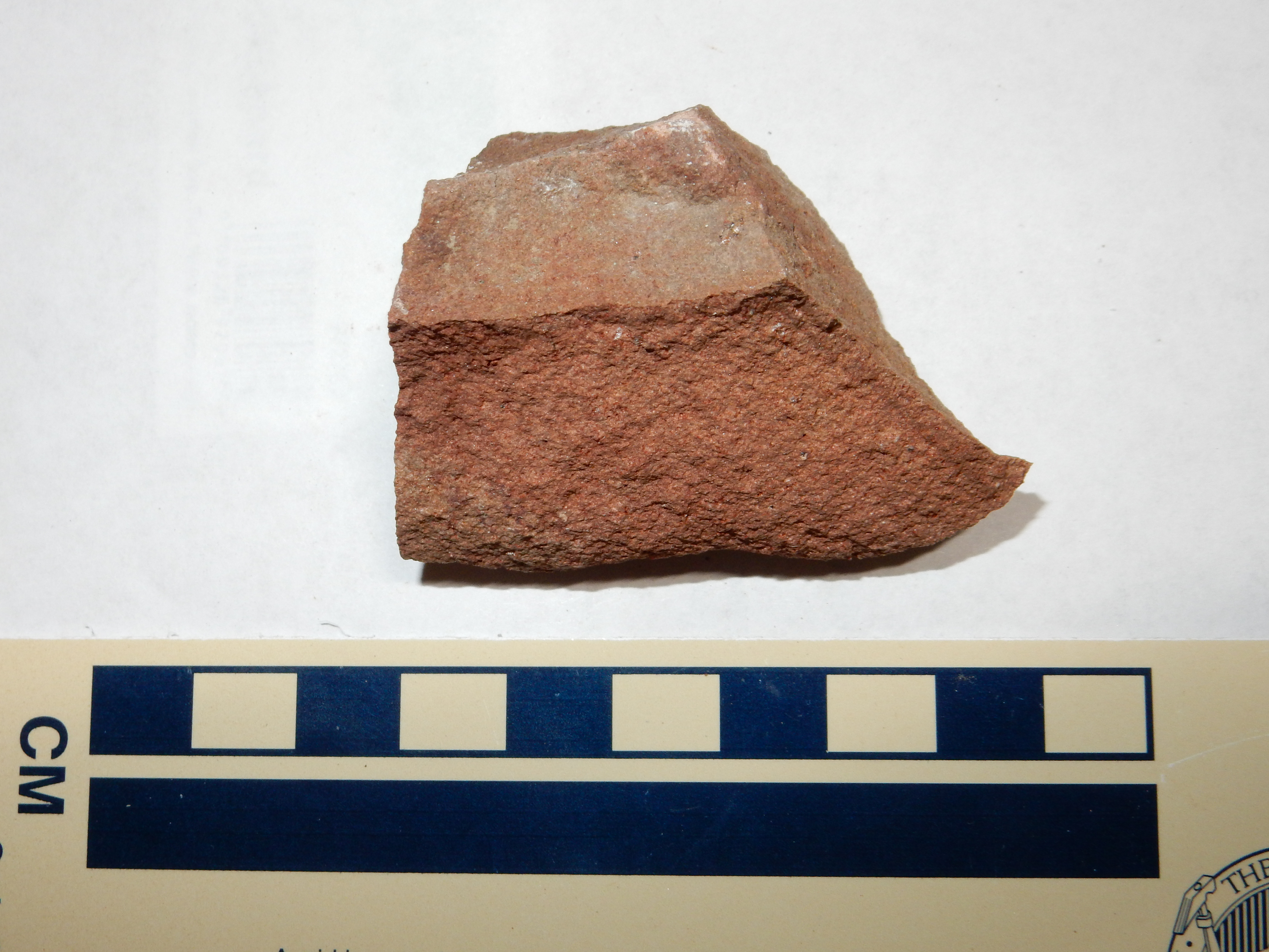
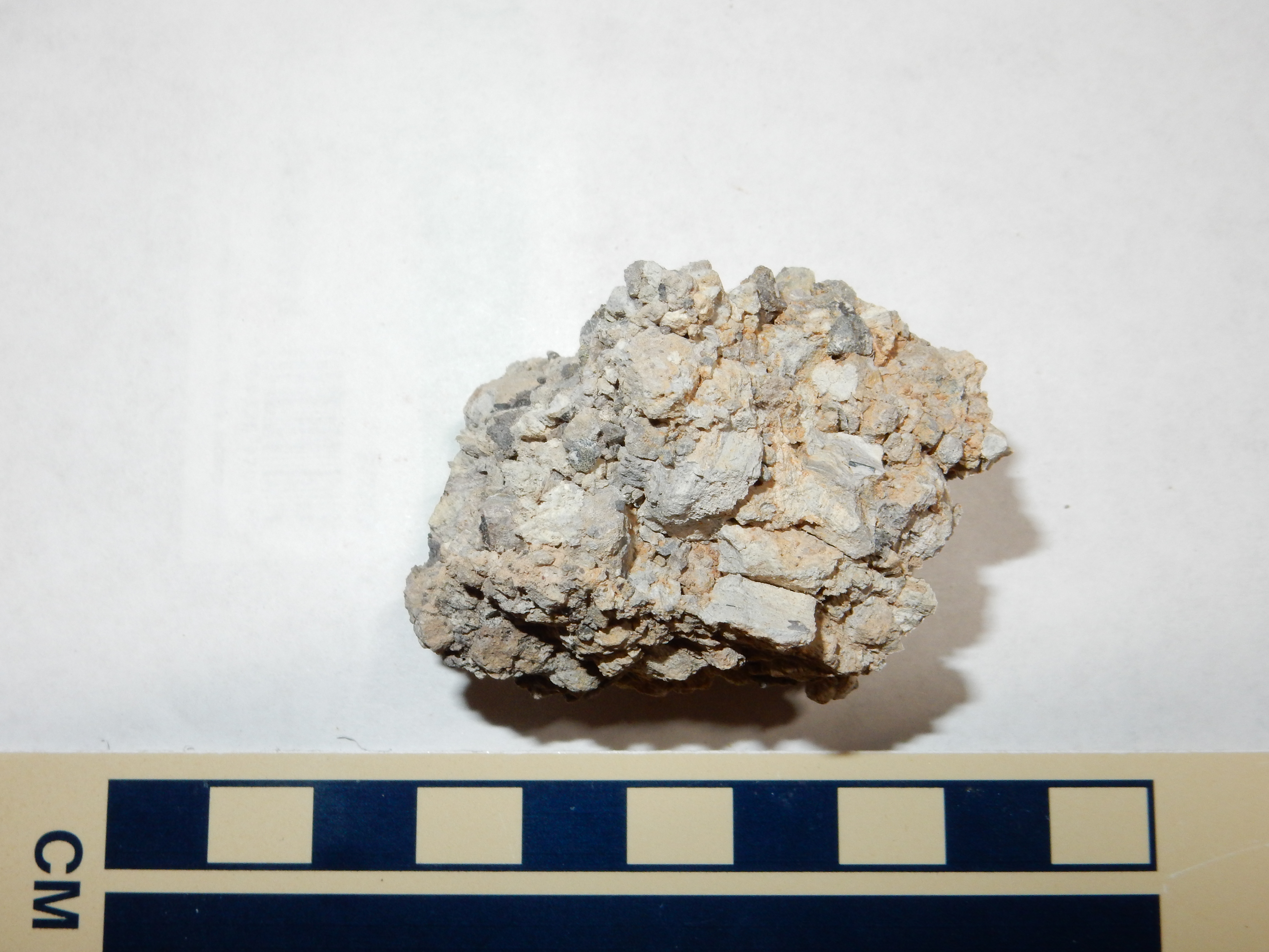
I collected samples, including a big chunk of lithic tuff as a yard rock.
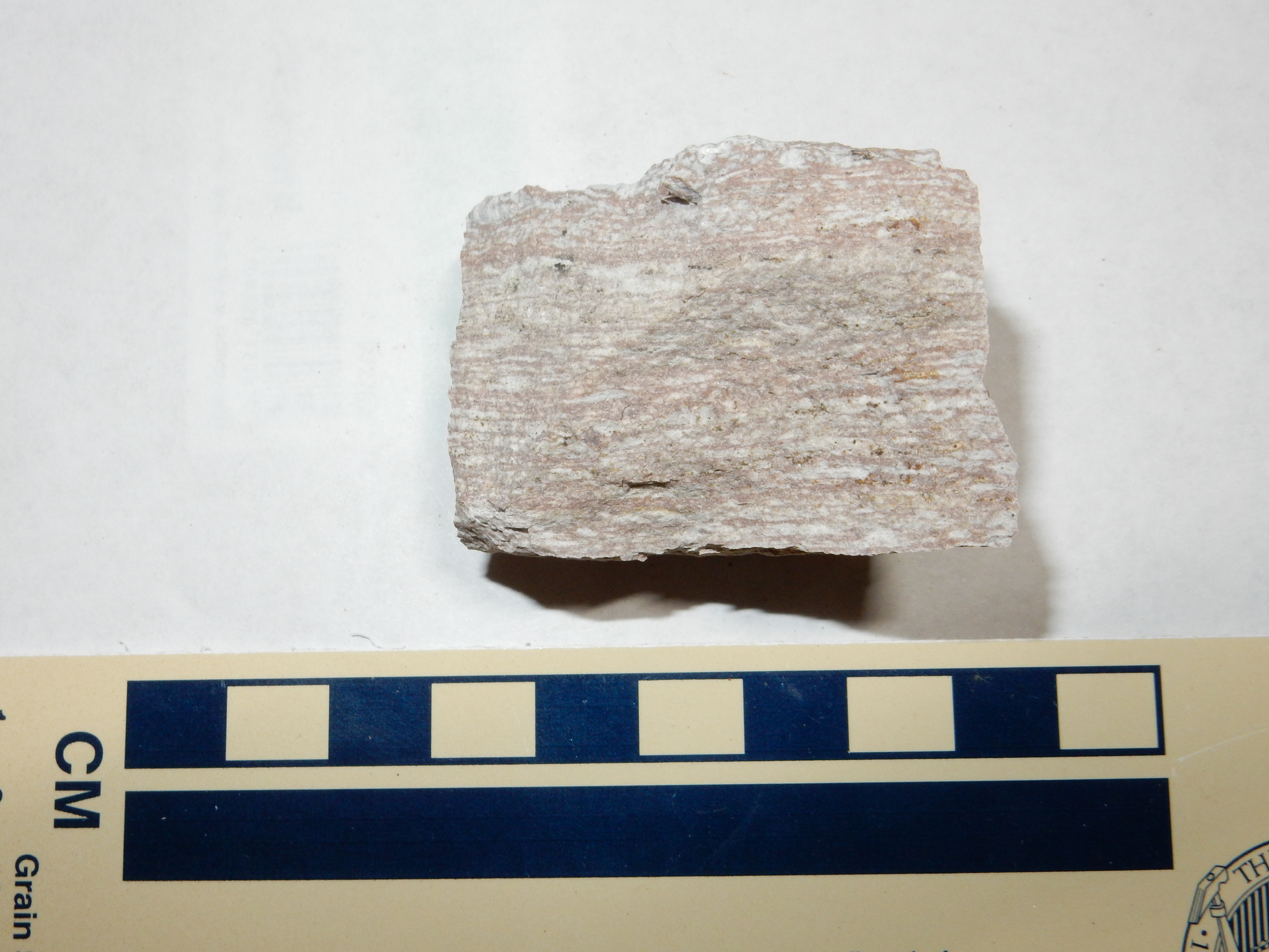
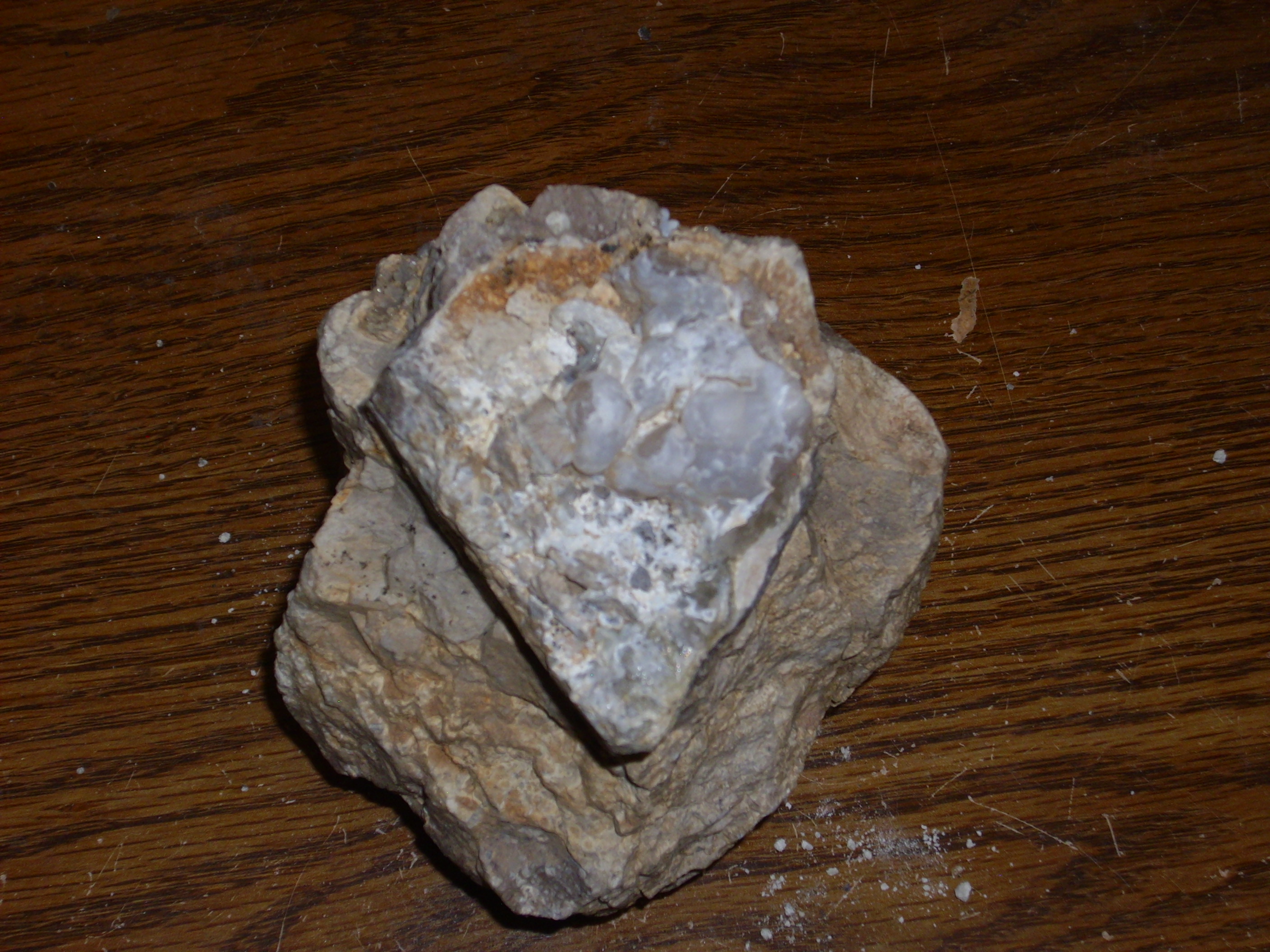
This sample is nicely flow banded.
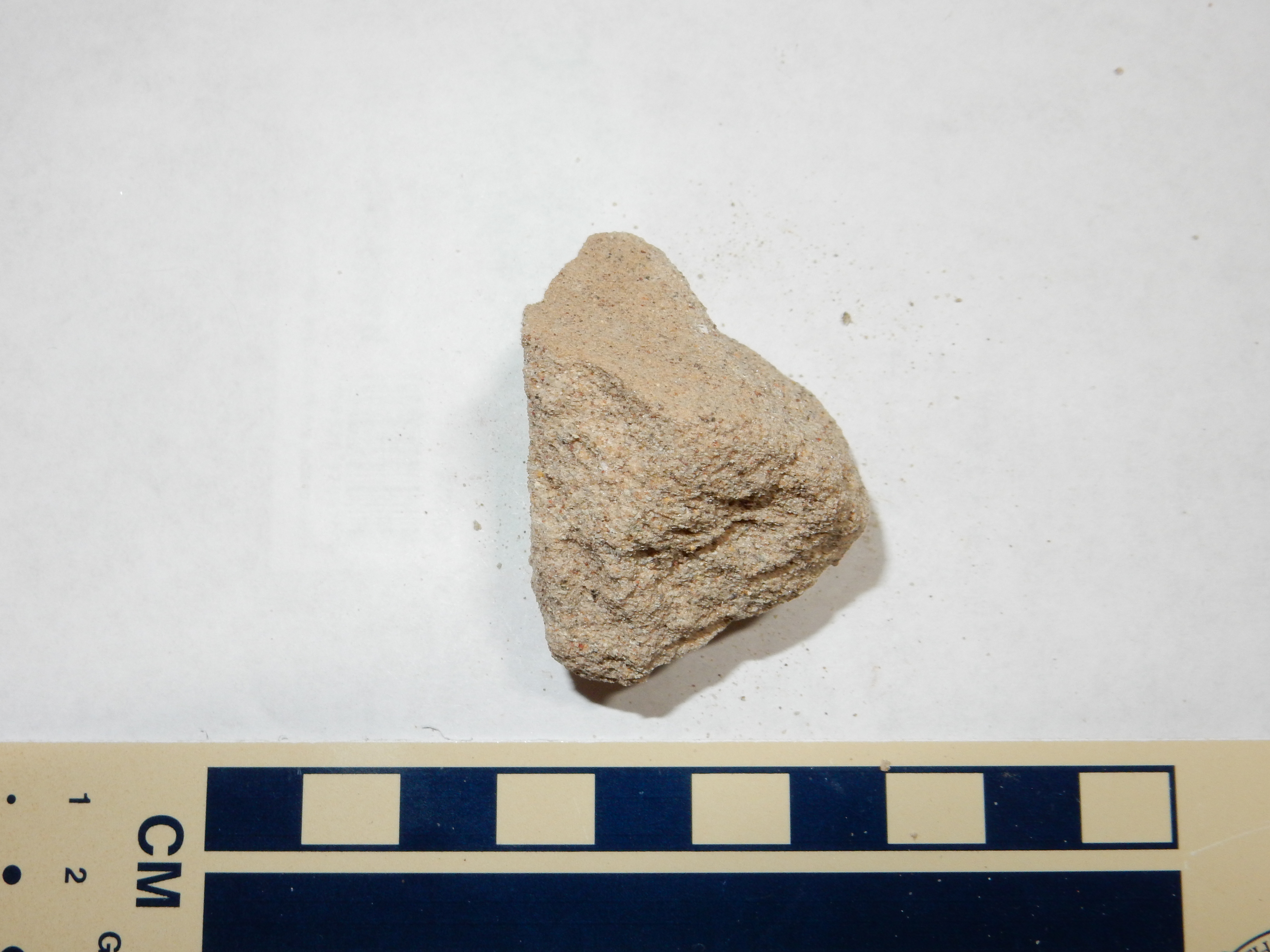
This sample has a thick crust of silica blebs.
My time was gone. I paused on the way out just long enough to photograph some tuff in a road cut (map).

No samples here; this was on the strip of tribal land.
And home, very tired but very satisfied.