Wedding wanderlust, day 6
The previous day may be found here.
I woke up somewhat late, but then I didn’t have a tent to tear down. I skipped the steel-cut oats to save time and breakfasted on cereal, buttermilk, ham and egg, then headed out for Arches National Park. I had contemplated just heading home, perhaps diverting slightly to see the Mexican Hat area, but my recently purchased guide to the geology of Utah parks had some pretty interesting stuff on Arches. I figured it was worth a two-hour diversion plus hiking time.
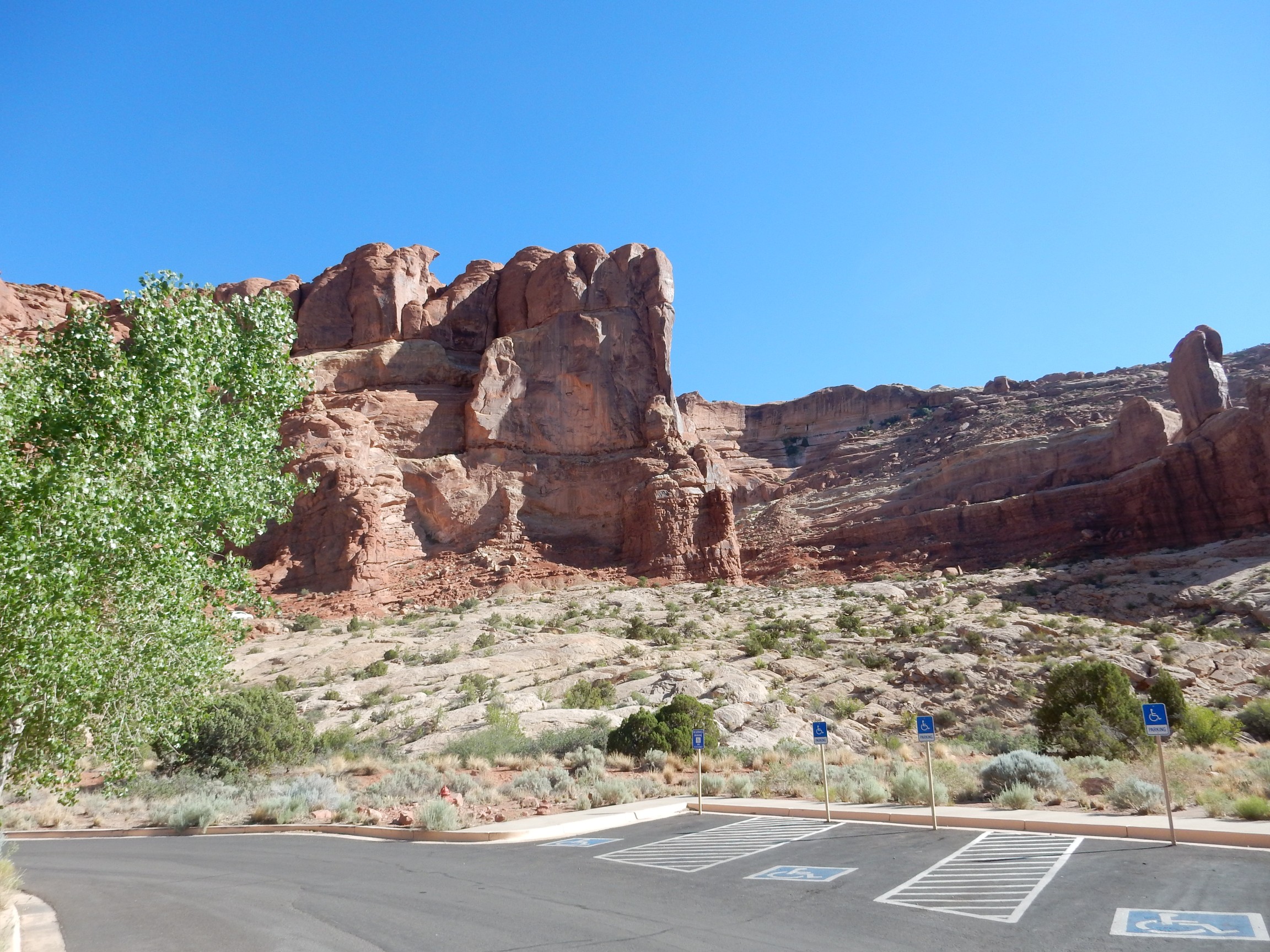
My first stop was the visitors’ center.
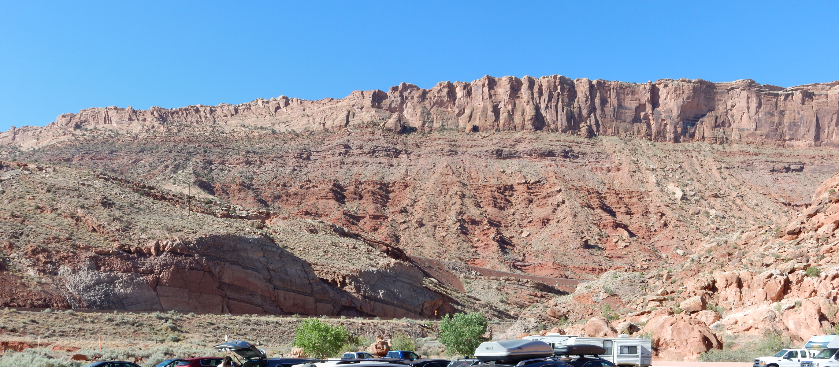
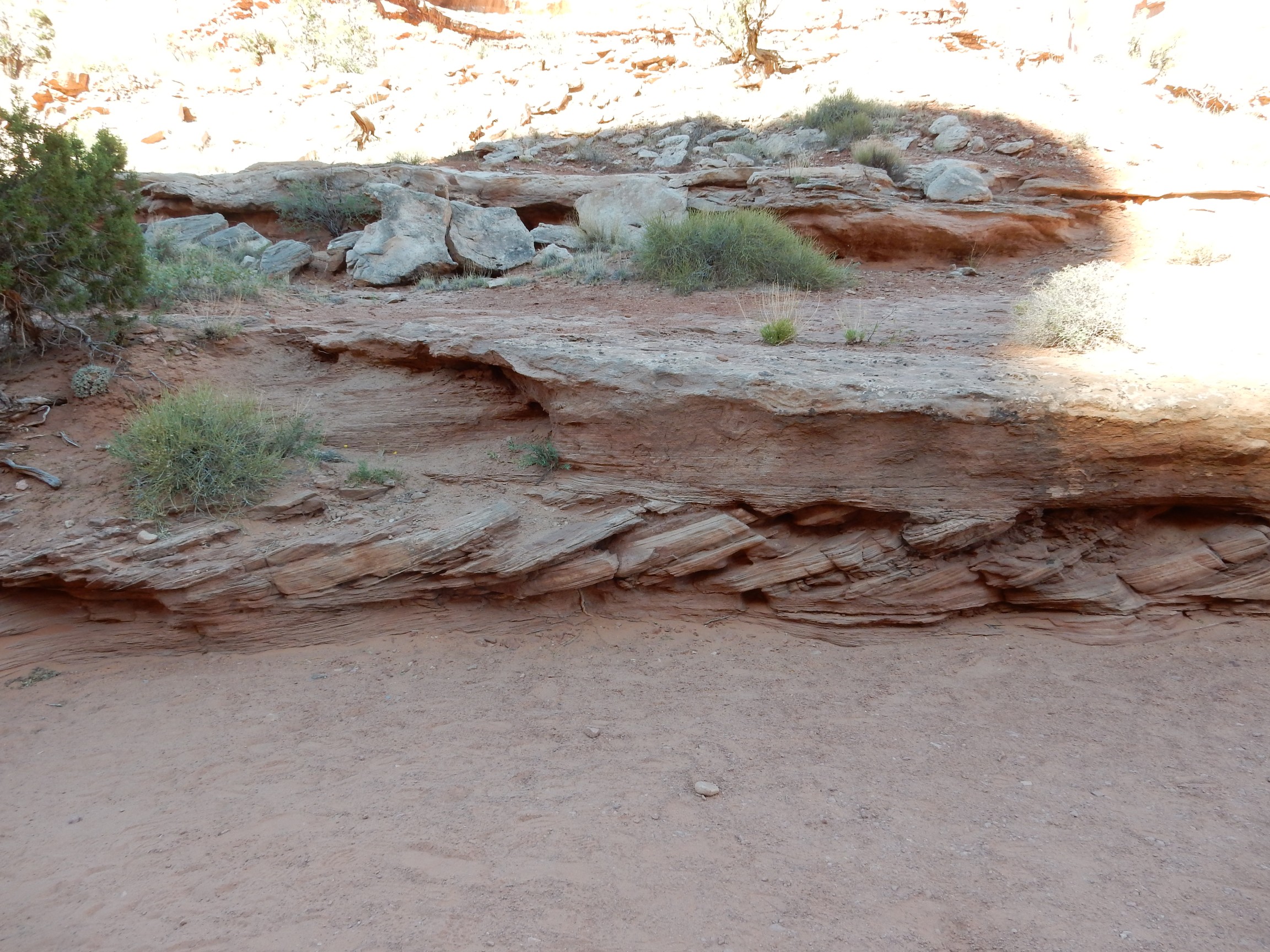
The canyon here coincides with a major fault, the Moab Fault. The far side of the canyon is the upthrown side, so that older rocks are on the far side of the canyon and younger rocks are on the side I’m standing on. The shoulder to the left is underlain by the oldest rock in this area, the Honaker Trail Formation, which is late Pennsylvanian in age (around 310 million years old). The cliff behind has a thin rim of Jurassic Kayenta Sandstone (most visible as thin beds to the right) sitting on massive cliffs of Wingate Sandstone (also Jurassic in age). Immediately under the Wingate Sandstone is a thin bed of Chinle Formation (Triassic in age), a thin bed of chocolate-brown Moenkopi Formation (also Triassic) and then a thick section of Permian Cutler Formation.
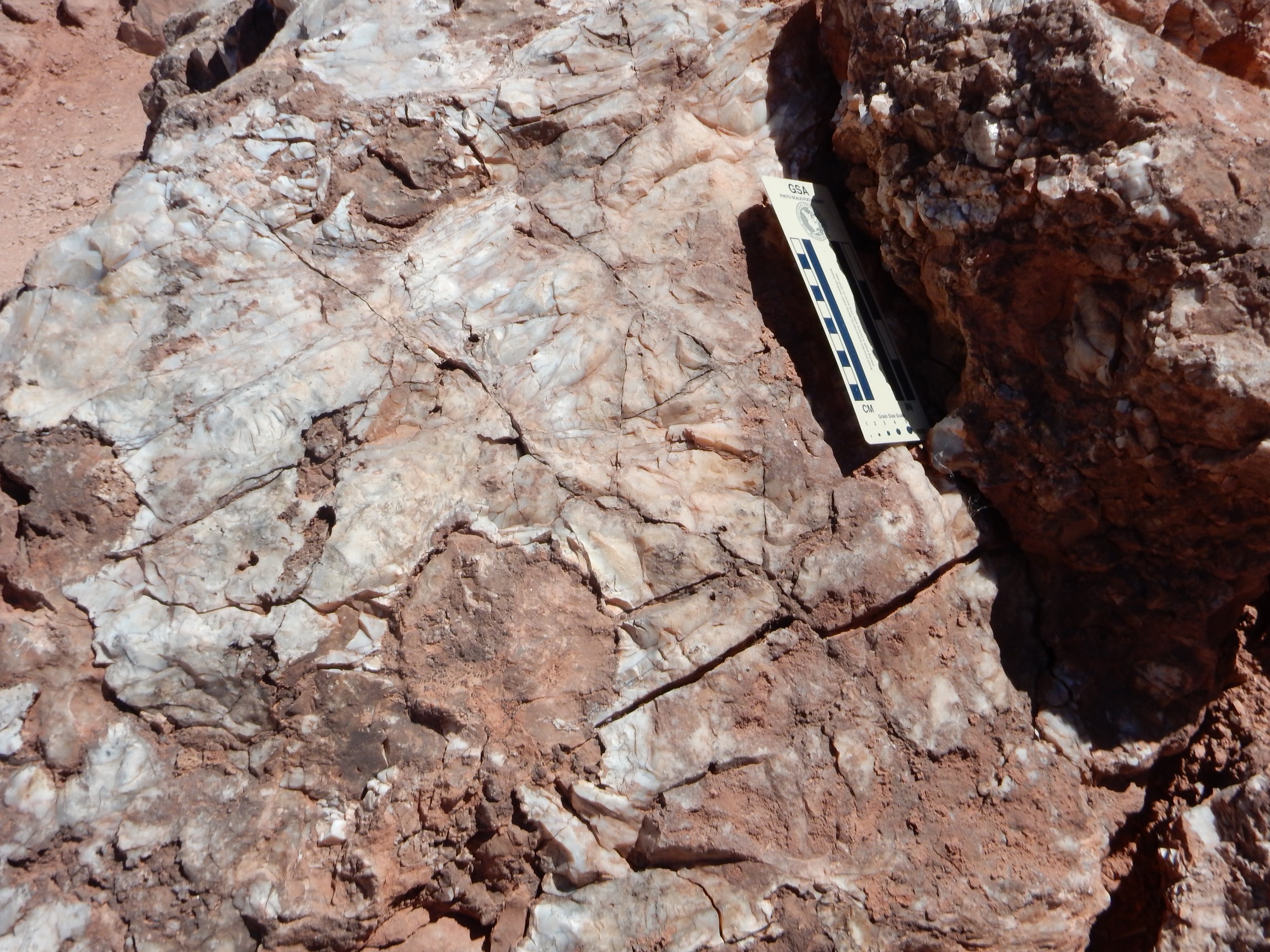
Here’s a close up of the Honaker Trail Formation in the road cut across the canyon.
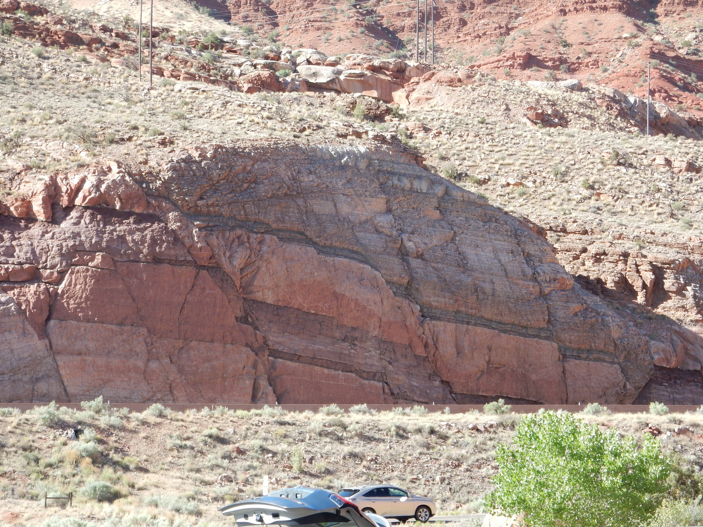
Notice how the rock is broken up by numerous small faults. Also notice how these faults are down to the west, the opposite of the major Moab fault. It is not unusual for major faults to have minor faults nearby that go in the opposite sense, and such faults are called antithetic faults.
The basic geology of Arches is that a deep basin, the Paradox Basin, formed in this area about 330 million years ago, when Africa collided with North America and created a series of ranges and basins in western North America. The Paradox Basin became a shallow, briny sea, and very thick layers of salt and gypsum were deposited on its floor. These later were covered with sediments from the nearest range, the Umcompaghre Uplift to the northeast.
Salt is a pretty low-density material at about 2.2 times the density of water. Most sedimentary rock is around 3 times the density of water. Salt is also rather ductile; over very long time periods, it tends to flow. As a result, the salt slowly forced its way to the surface under buoyant forces, produces what are called salt diapirs or salt walls. One such salt wall underlies Moab Canyon, here. The salt-bearing formation, known as the Paradox Formation, lies just under the Honaker Trail Formation, but is not exposed at the surface here.
As the salt gets close to the surface, it is dissolved by groundwater, leaving a residual “caprock” found in a few places in the park. The loss of salt causes the rocks over the salt wall to collapse, producing faults like the Moab Fault. The rising salt also means that sedimentary beds deposited later are thick between salt walls and quite thin above them. We see this in this photograph, where the Moenkopi and Chinle Formations are particularly thin compared with their thickness elsewhere.
All this distortion of rock beds produces numerous parallel fractures, and those in the Entrada Sandstone (which we’ll see a lot of shortly) produce rock fins that eventually weather into the arches of the park.
I had contemplated hiking up this canyon wall to get a better look at the formations, but decided I’d save that for a future trip.
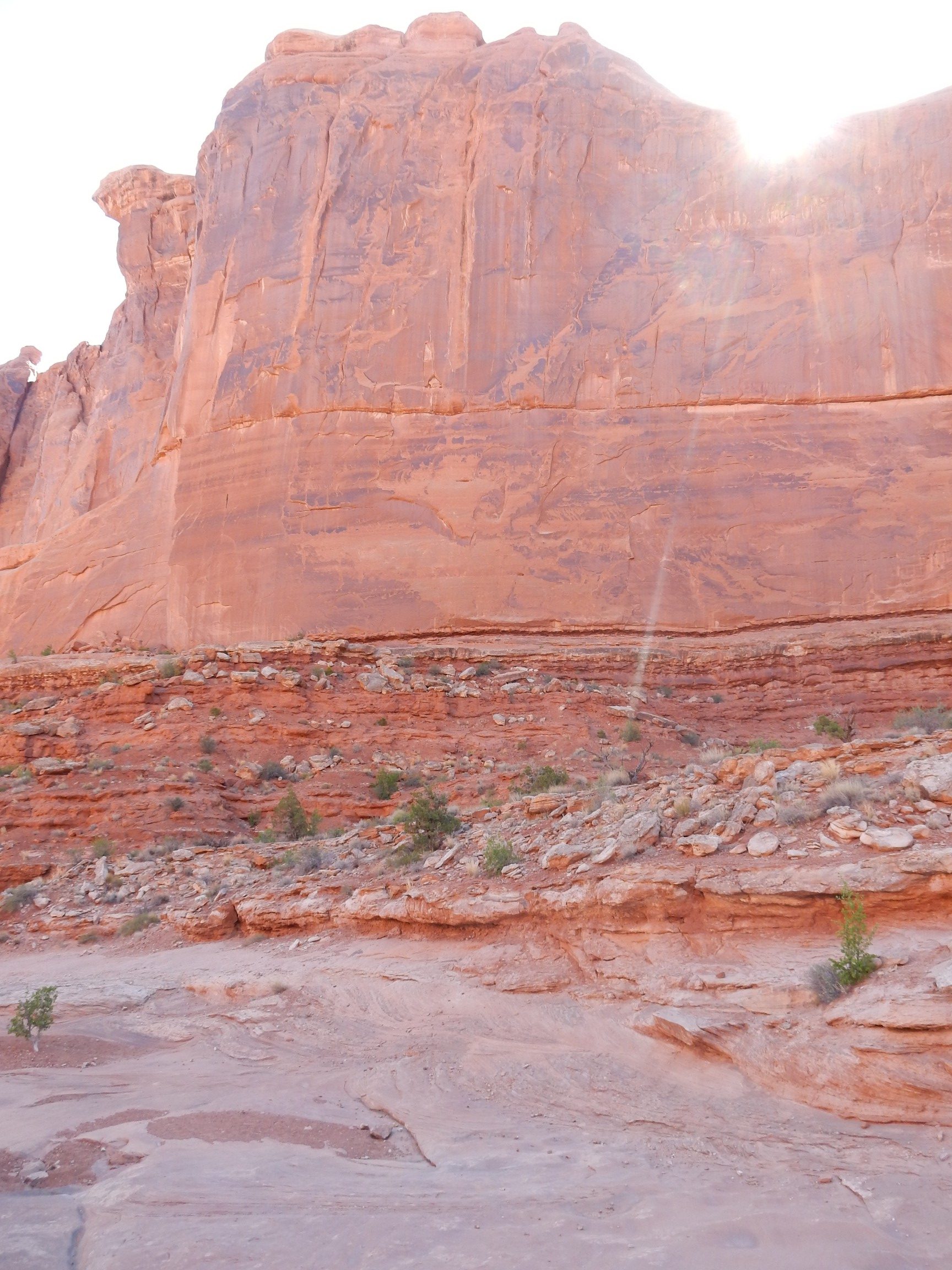
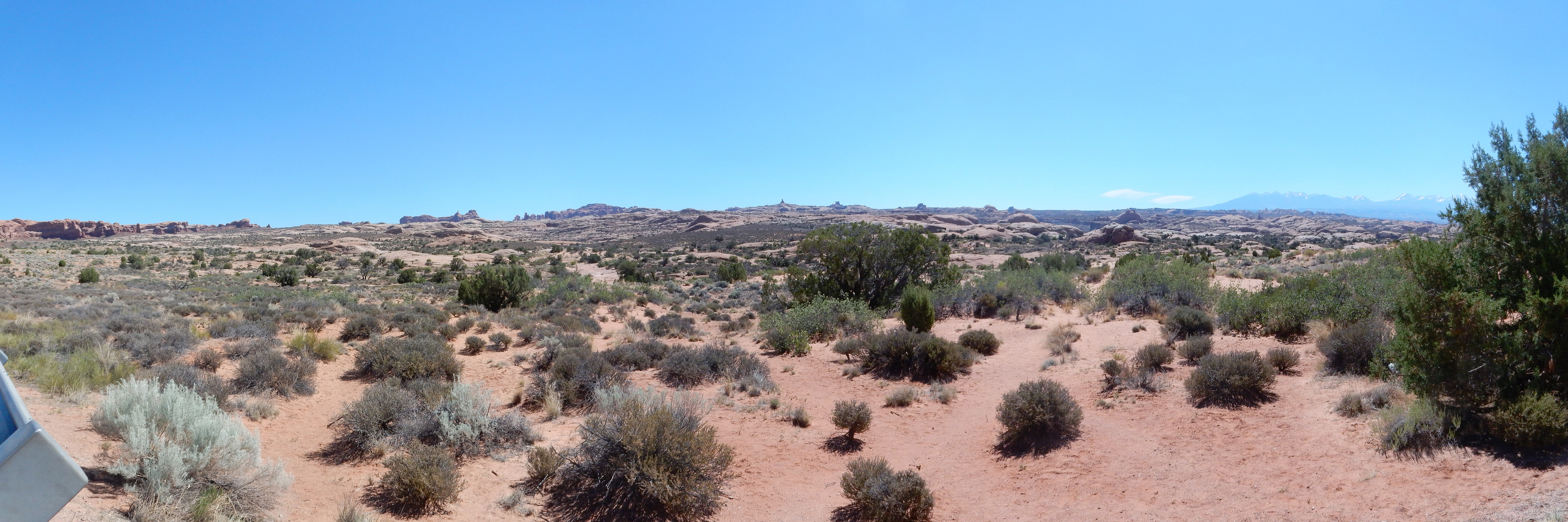
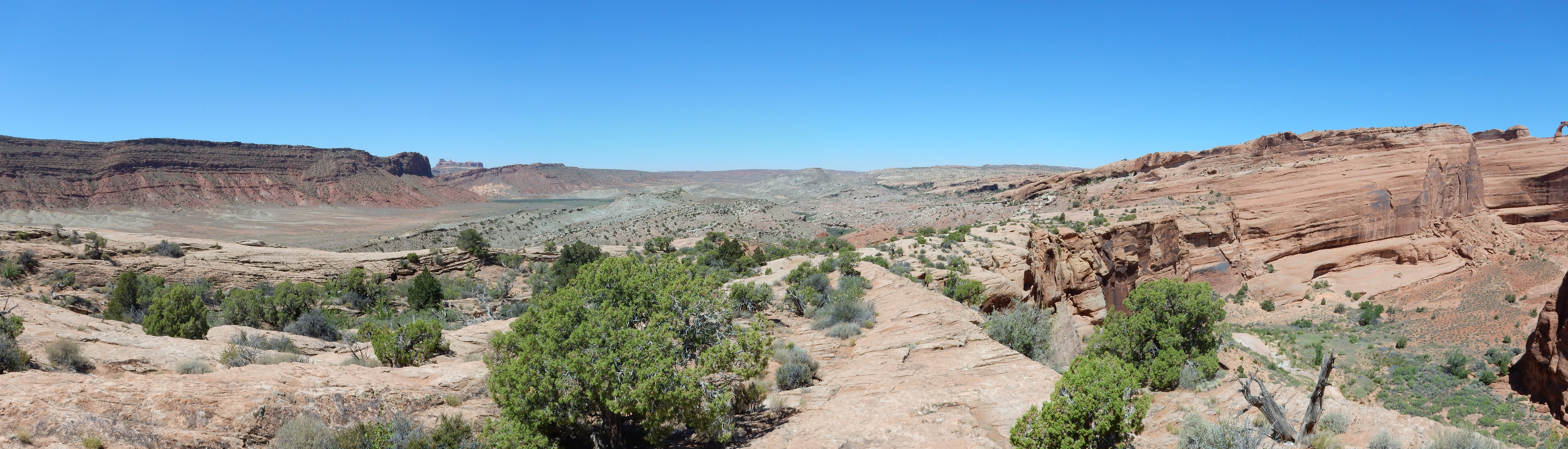
Looking north from the visitors’ center:
Here we see the major formations of the Arches area northeast of the Moab Fault. The rounded light-colored beds below the cliffs are the Jurassic Navajo Sandstone, deposited as a dune sea some 180 million years ago. At the base of the cliffs is a thin layer of dark red, thinly-bedded Carmel Formation, and the cliffs themselves are Entrada Sandstone. The top of the cliff is rimmed with Curtis Formation.
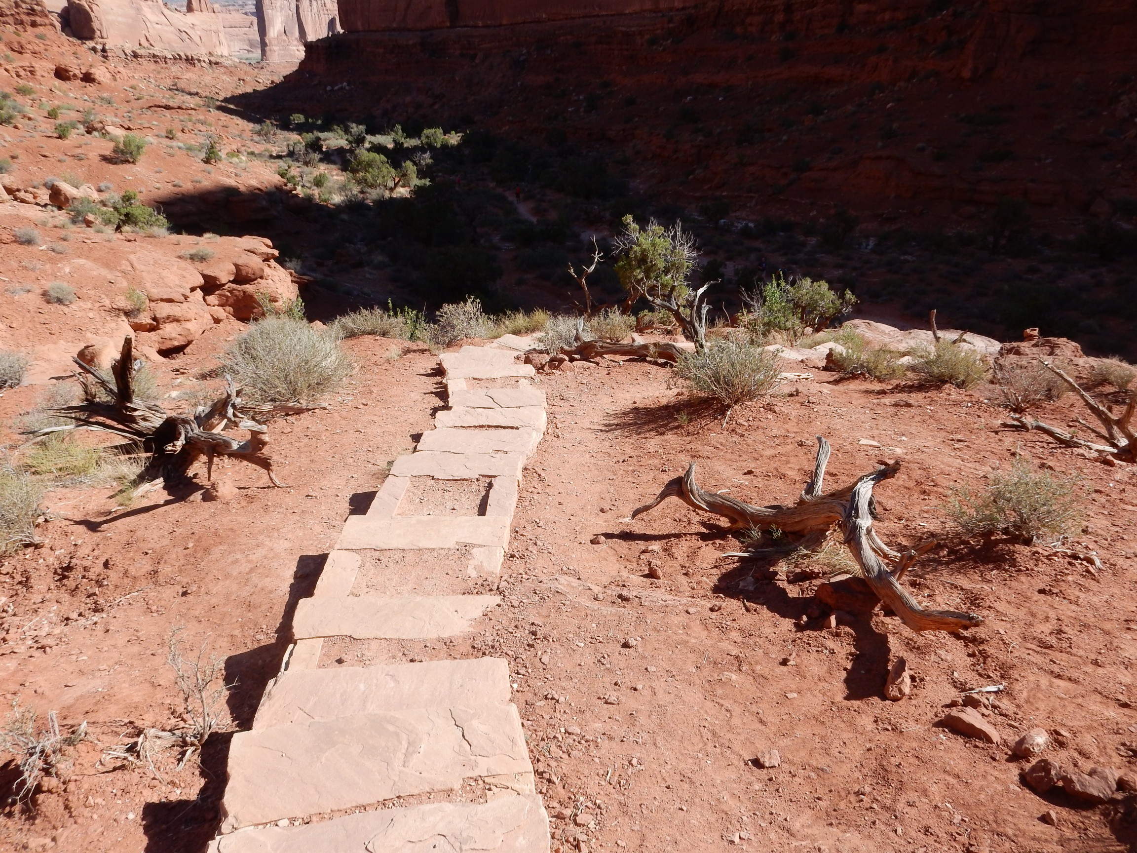
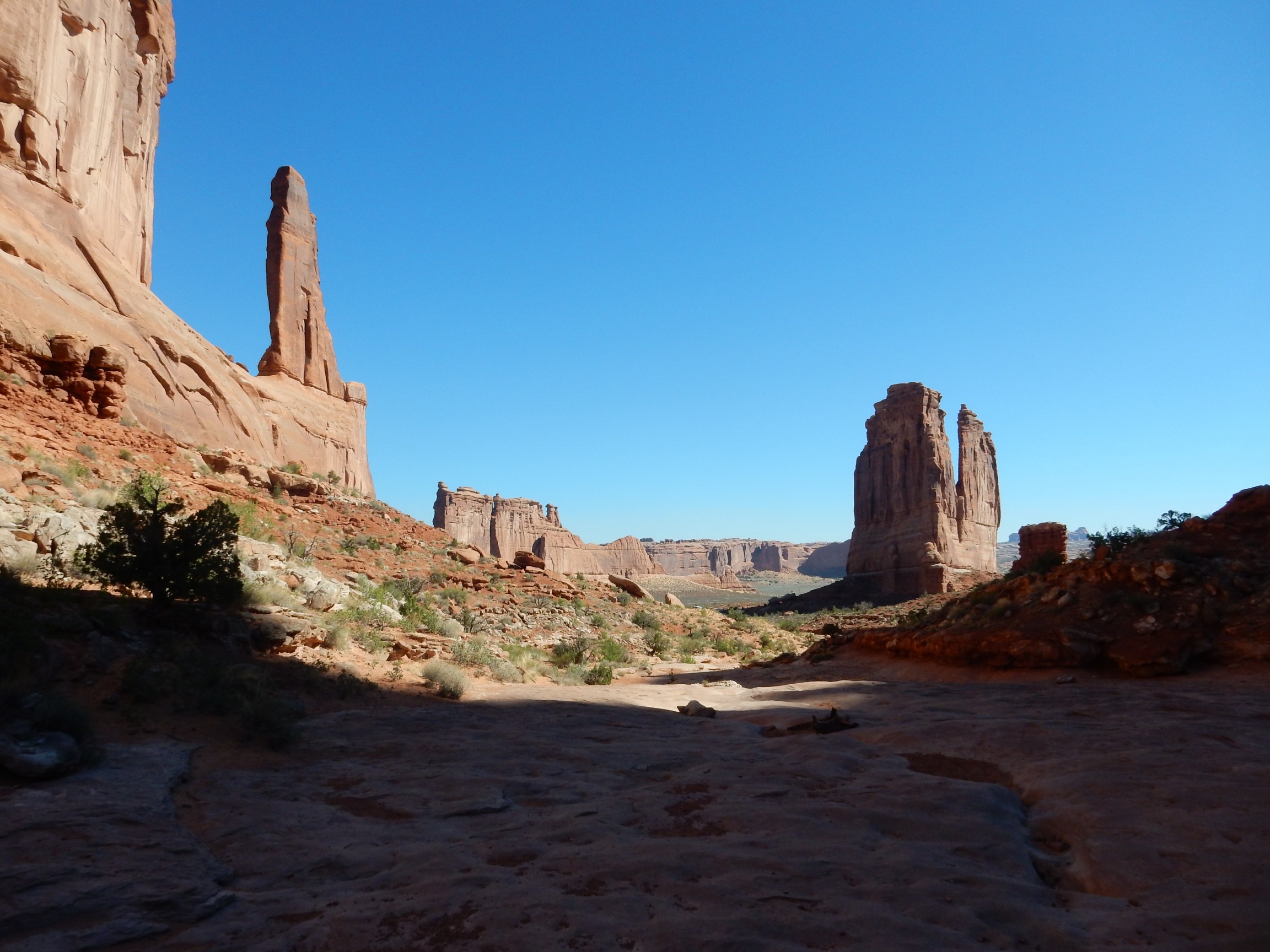
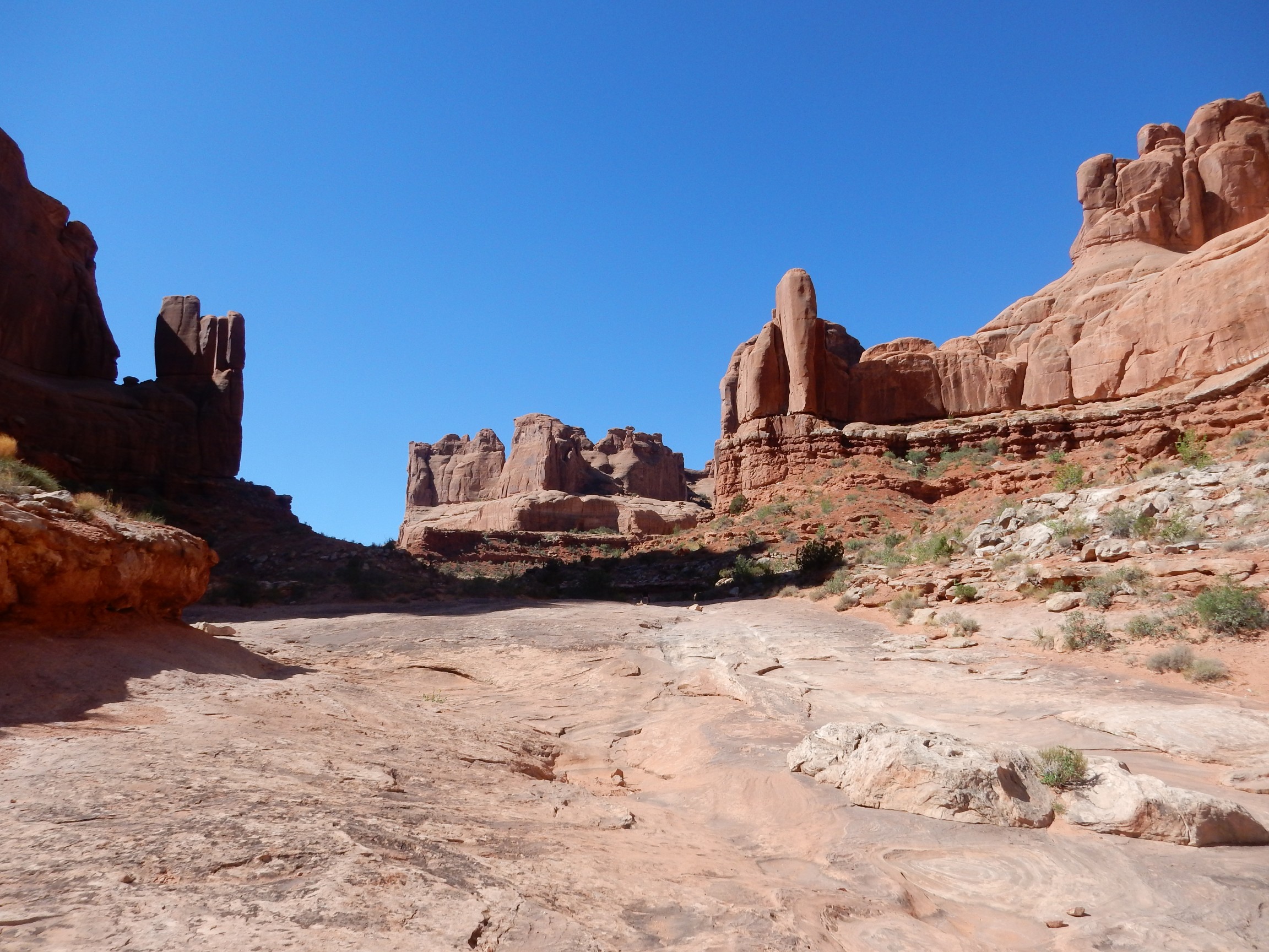
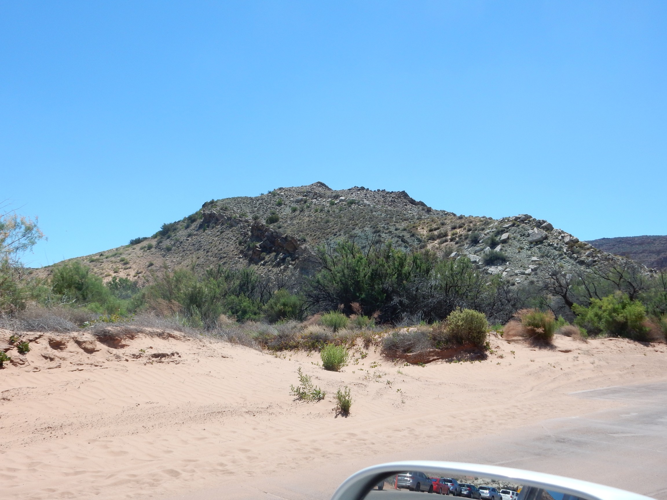
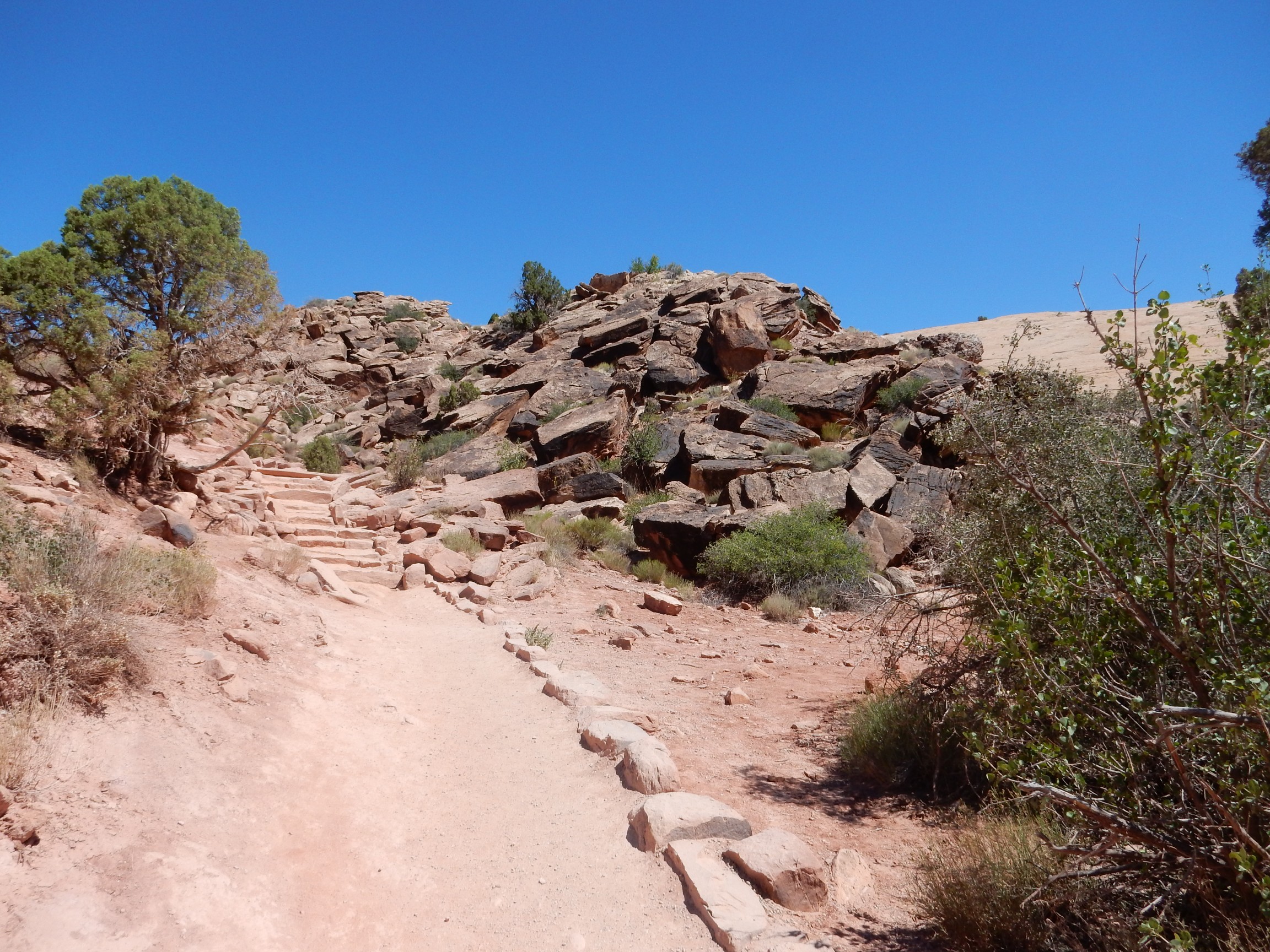
I headed to the Park Avenue area, where I intended to get my morning hike. Steps descend to the canyon floor.
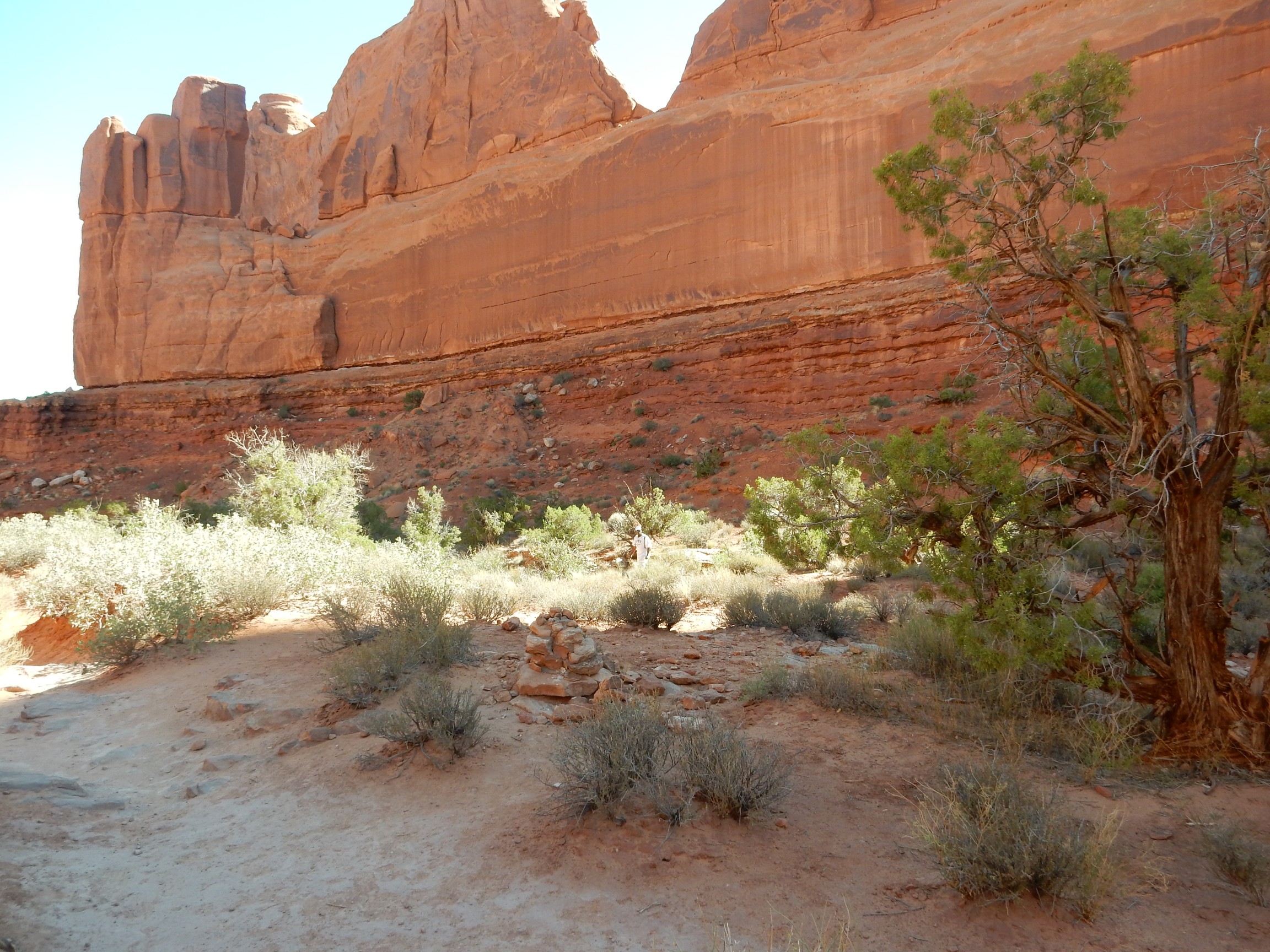
The park tries to encourage visitors to stay on trails, to avoid pounding down the cryptobiotic soil crust that forms in the desert soil over decades if left undisturbed. Zoom on the image to see how quixotic this is. I nevertheless mostly stuck to the trails. (Though my GPS, which struggled to get a good fix in the narrow canyon, has me wandering all over the place.)
In fairness, some urban visitors may be genuinely unable to tell where the trail is.
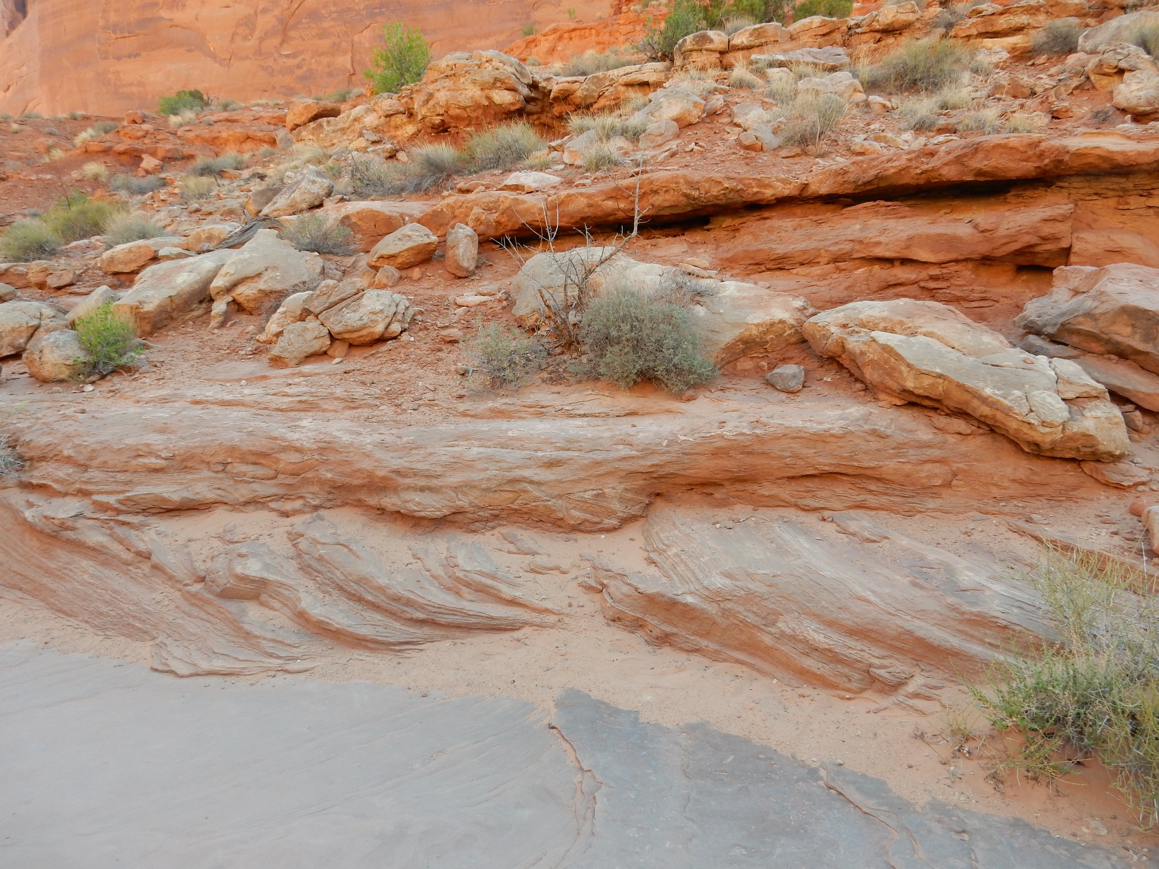
The photograph shows the contact between the Carmel Formation, at the base of the cliffs, and the overlying Entrada Formation very clearly. The very top of the canyon rim at left is Curtis Formation; this can be a touch difficult to distinguish from the Entrada.
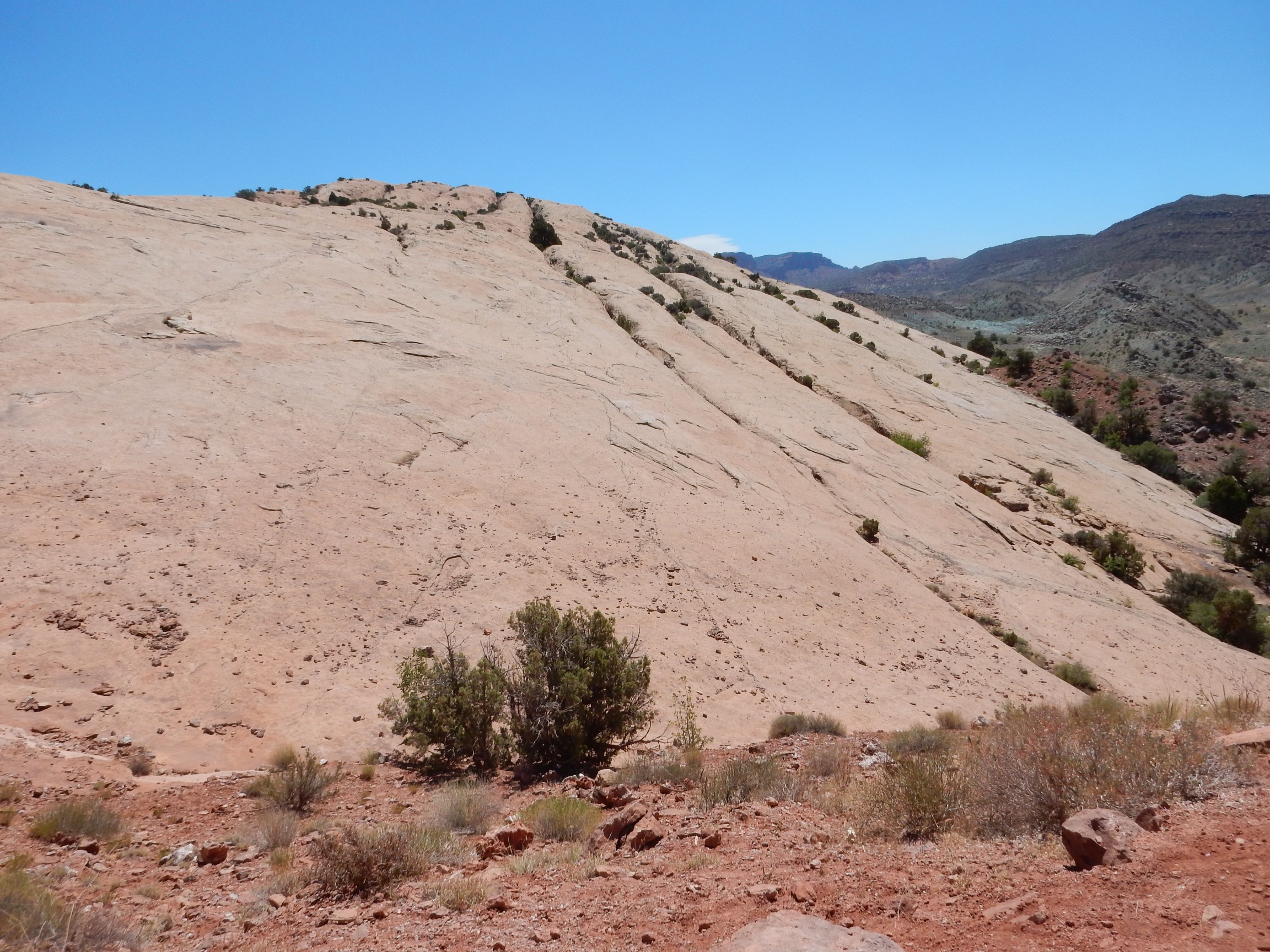
A little further, and the trail comes out on the upper surface of the Navajo Sandstone.
The Navajo Sandstone is much more resistant to erosion than the Carmel Formation, so that erosion tends to sweep the Carmel Formation off the top of the Navajo. You can see the contact very clearly at right, with a gypsum-rich bed described in my guide book forming the lowermost part of the Carmel Formation.
I think this shows an angular unconformity in the contact between the Carmel Formation and the Navajo, where the older beds meet the younger beds at an angle across an ancient erosion surface. However, it’s possible this is simply cross bedding.
An even more dramatic example:
I think what we’re seeing here is, from bottom to top: The flat upper surface of a particularly resistant bed in the Navajo Formation; remnants of a higher cross-bedded bed in the Navajo Formation, which is notable for its cross-bedding; then a real discontinuity and level beds of the lowermost Carmel Formation.
Same idea here:
And here:
The complete column in this area: Curtis Formation at the very top of the rock wall; then a thick section of Entrada Sandstone with a prominent notch halfway down; then Carmel Formation, across a very distinct contact; then Navajo Formation at the very bottom of the canyon, with the exact contact not quite as clear (but you can place it within a few feet.)
My Ansen Adams moment for the day.
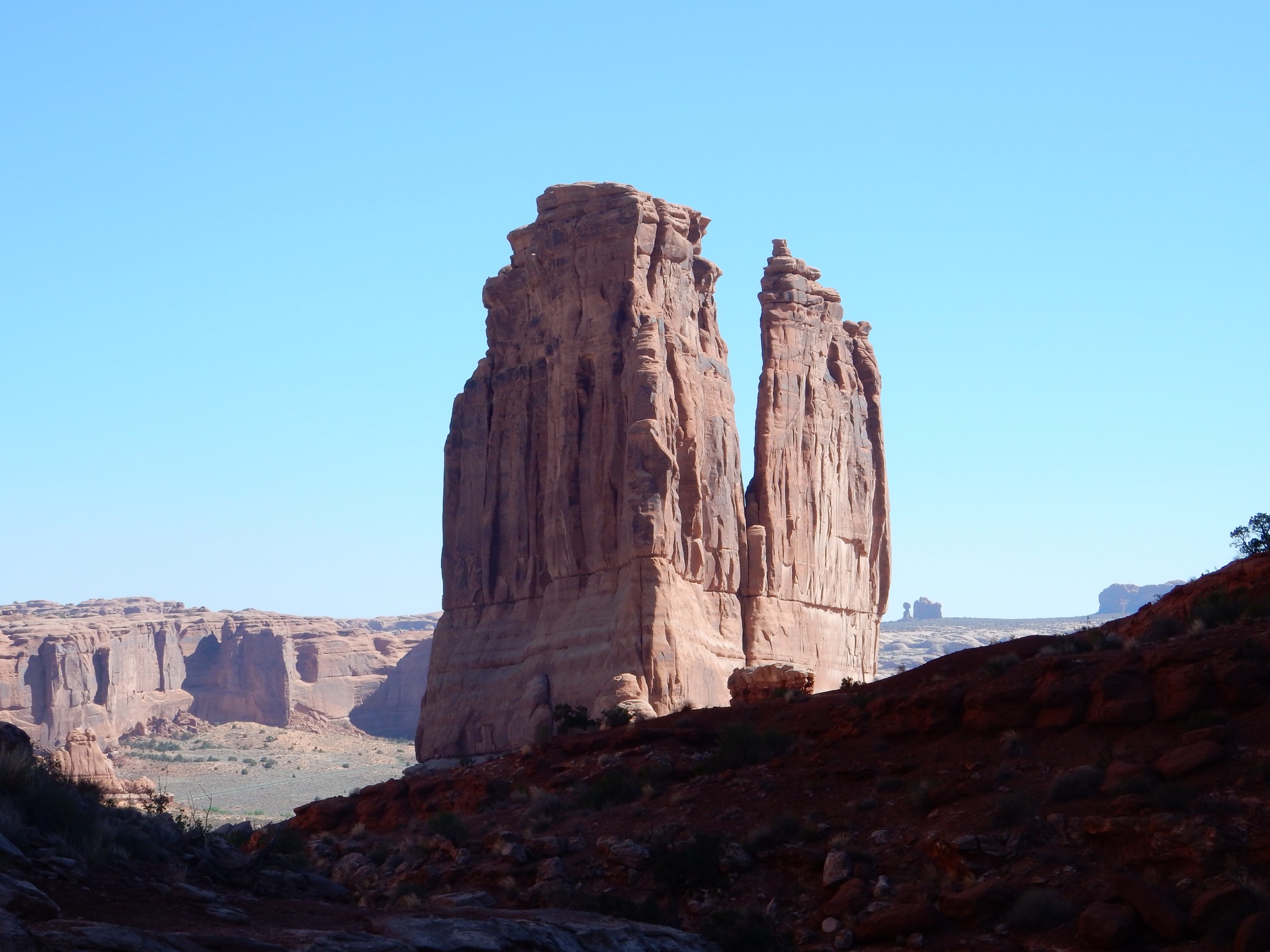
No, wait, this is my Ansel Adams moment for the day:
The Tower of Babel at right and in the closeup, The Three Gossips atop the fin at left. The partially shaded knob in front and to the right of the Tower of Babel is The Organ.
Hardy survivor:
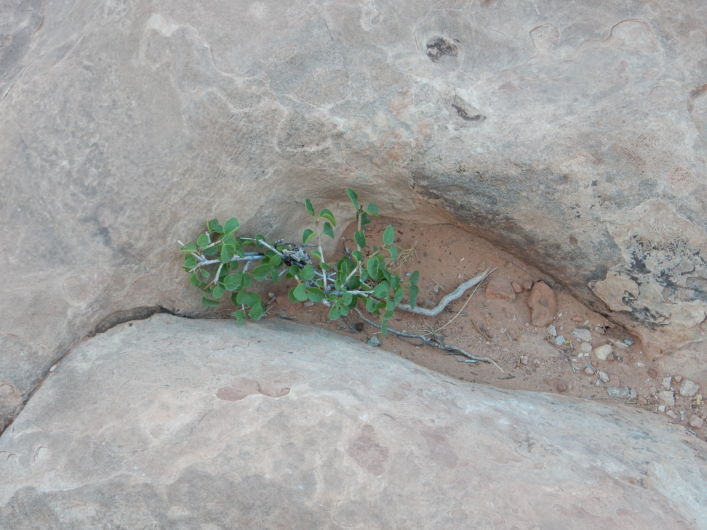
I suppose a nice little moisture-trapping pocket like this, at the bottom of a shady canyon, is something of a little bit of Paradise to a bush like this.

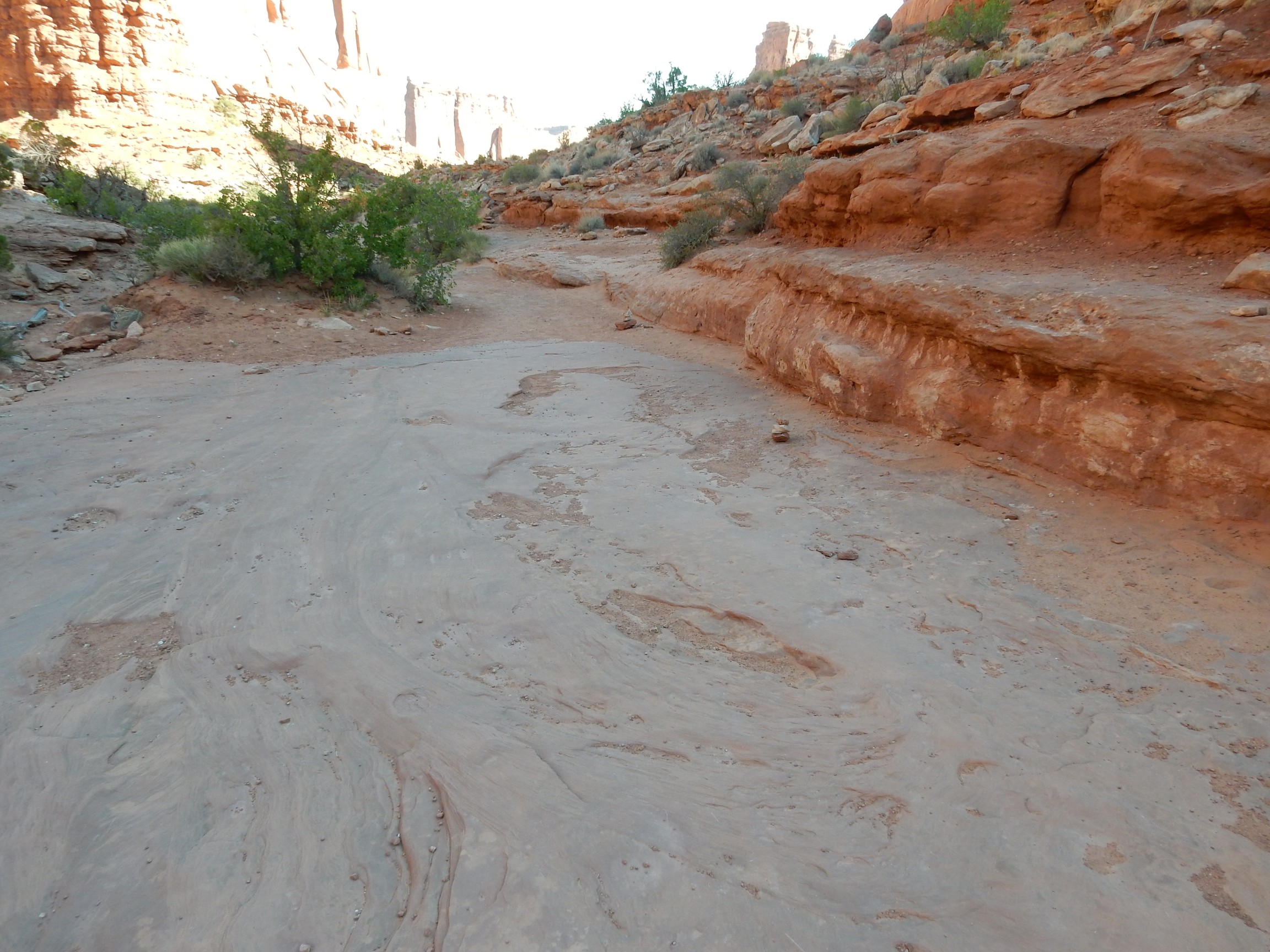
I reached the end of the trail and turned around.
The Navajo Sandstone surface has occasional dark stains, particularly around potholes.
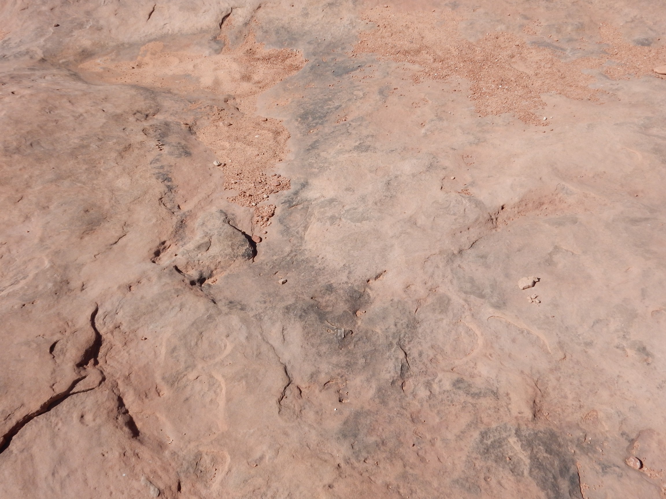
These could be organic (cryptobiotic communities) or inorganic (manganese staining). Some cases are clearer.

Here there are obvious dark lichen colonies. The large amount of dark staining nearby suggests that this too may be biological.
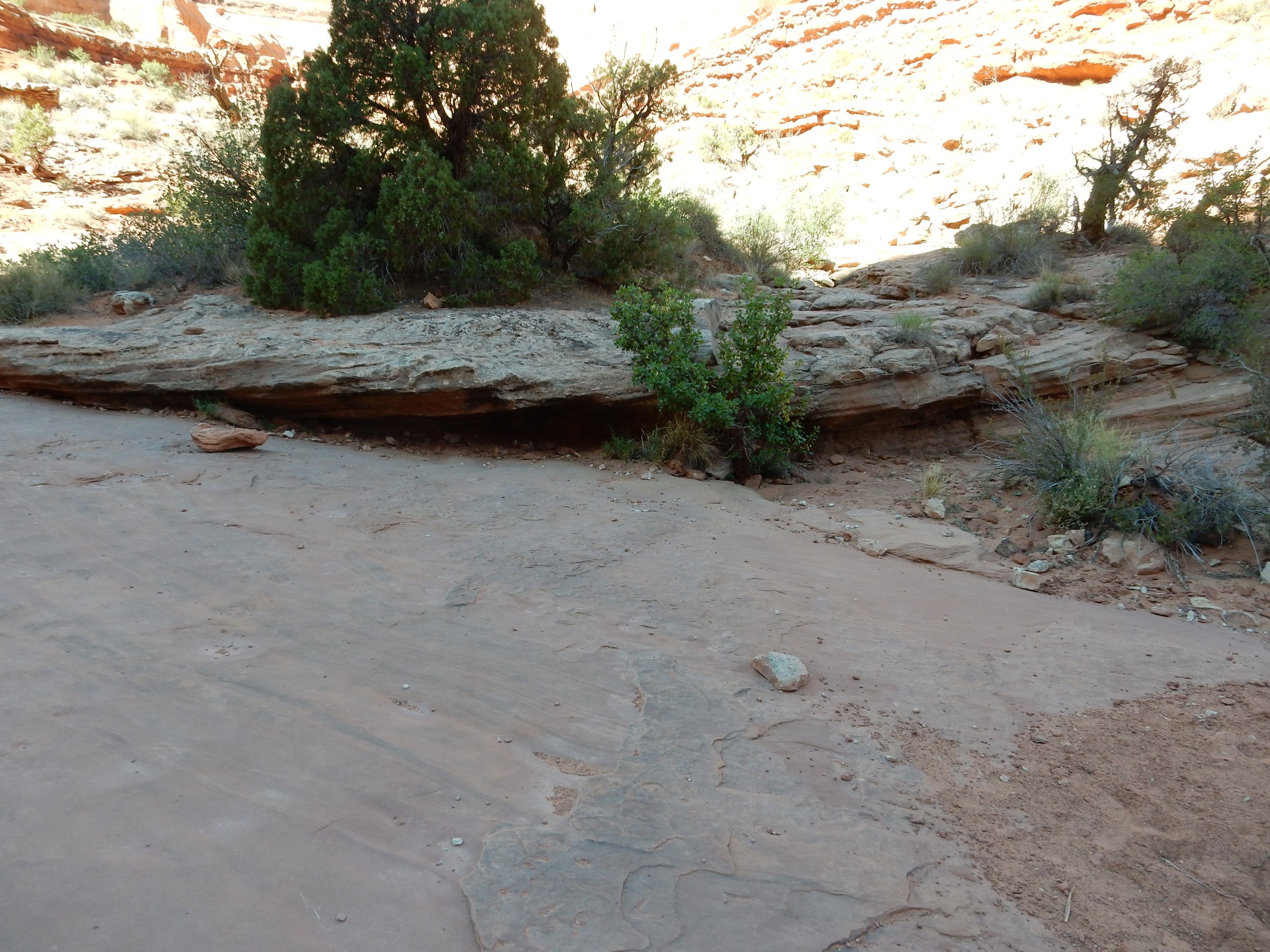
Looking back up the canyon.
I drove further north, to a lookout point for the so-called Petrified Dunes.
I say “so-called” because the dunes were mineral all along, so it’s not technically correct to call them “petrified.” But, yes, these are actual dune surfaces in the Navajo Sandstone exhumed by erosion.
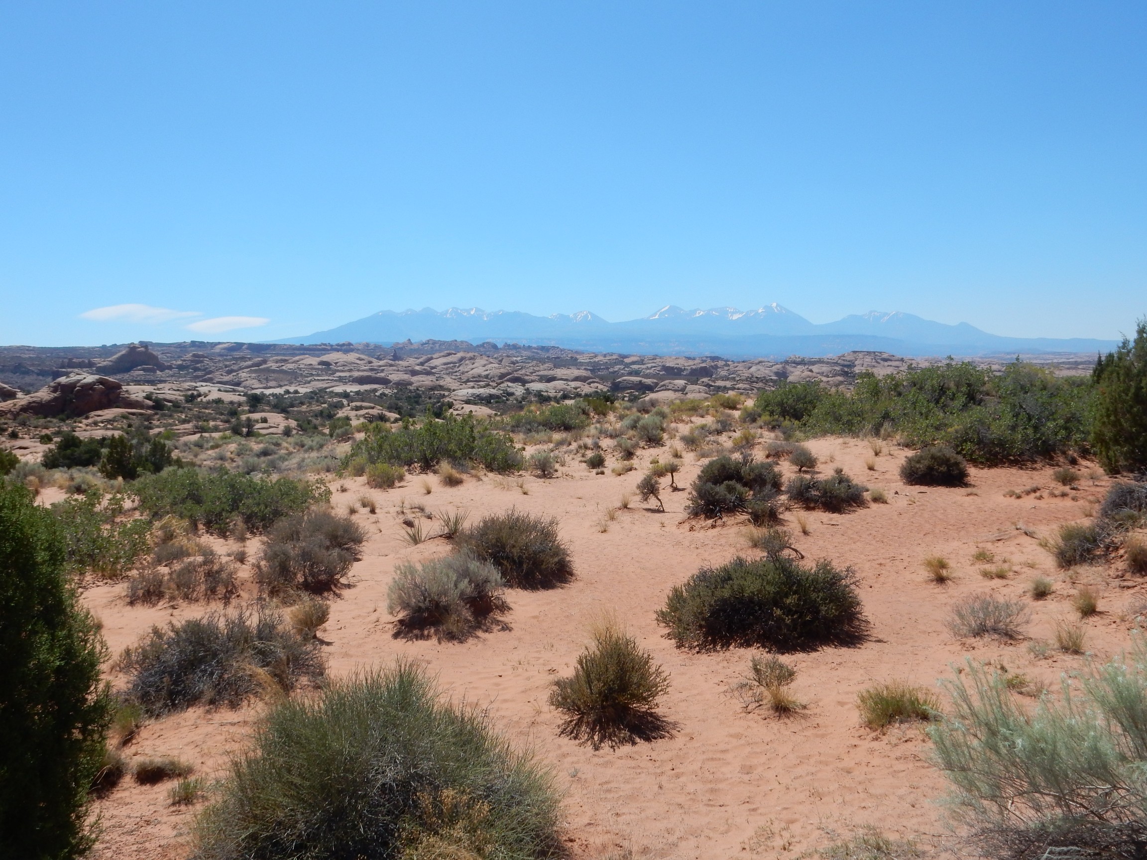
In the background are the La Sal Mountains, emplaced as alkaline laccoliths about 26 million years ago. Laccoliths are bodies of igneous rock formed when magma intrudes the upper crust and forms “blisters” between sedimentary rock layers. Alkaline magma contains a great deal of sodium or potassium; sodium in this case, which makes me wonder if the magma was contaminated by the Paradox salt beds.
Salt Valley overlook:
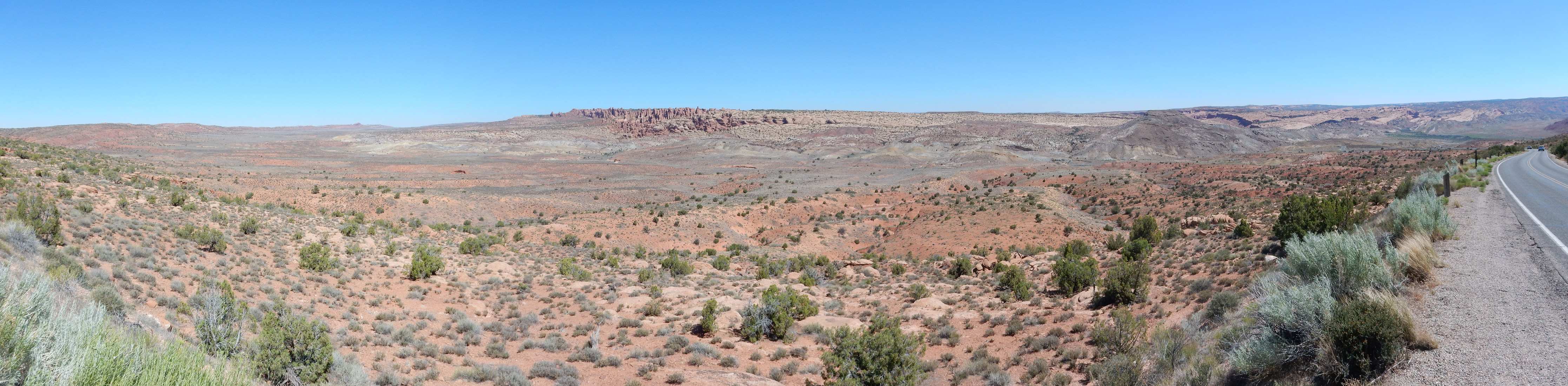
Salt Valley lies over another salt wall, which in the area to the left comes very close to the surface. Here one can find exposures of the Honaker Trail Formation and caprock of the underlying Paradox Formation, with salt not far below. On the other hand, the part of the valley to the right preserves some of the younger formations in the area. Just left of center is the Fiery Furnace area. Unfortunately, this area of the park was closed for road work.
Looking towards Cache Valley to the east.
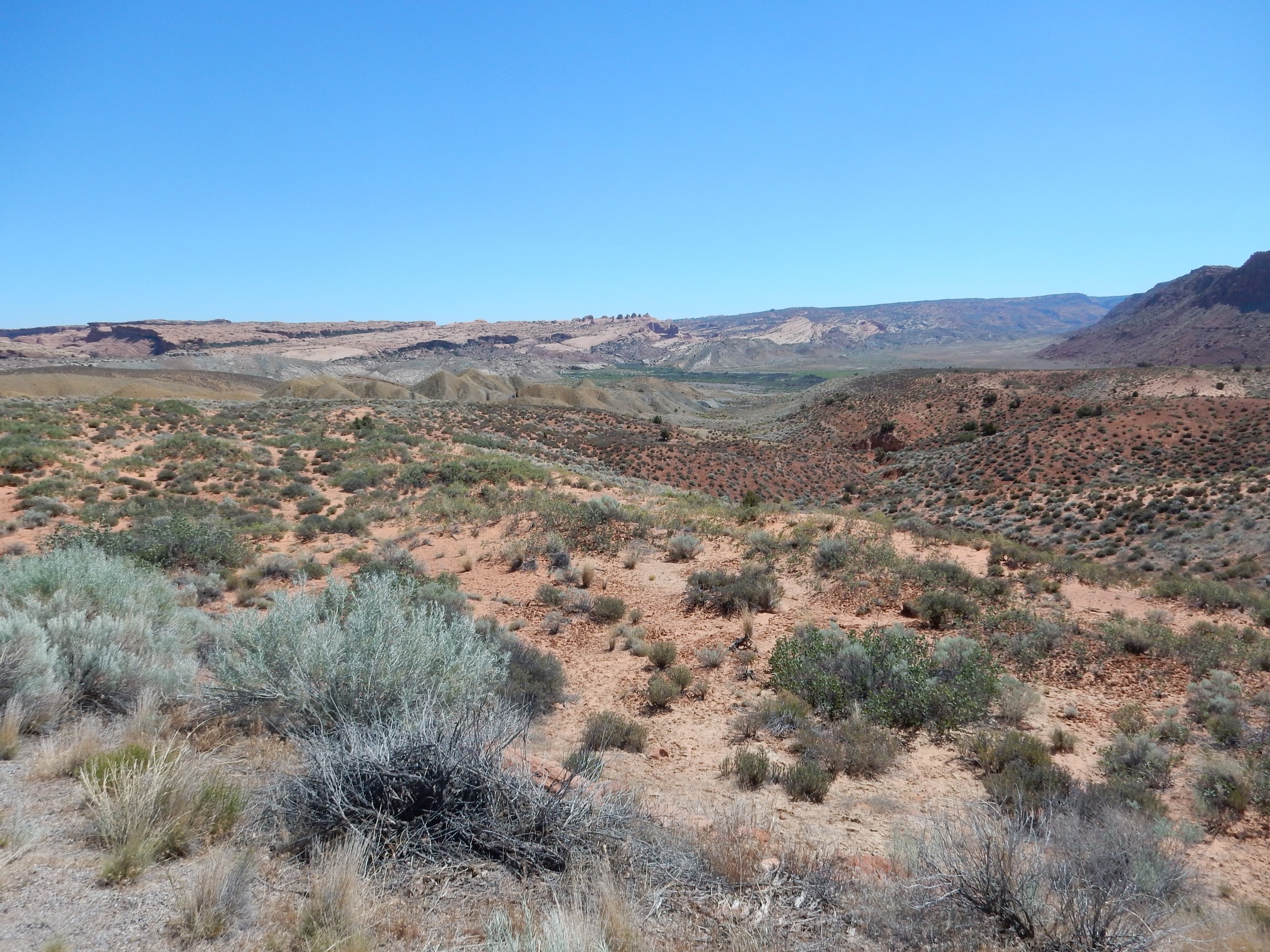
The red beds to the right are Triassic Chinle Formation, while the tan hills to the left, which divide Cache Valley from Salt Valley, are much younger Cretaceous Mancos Formation.
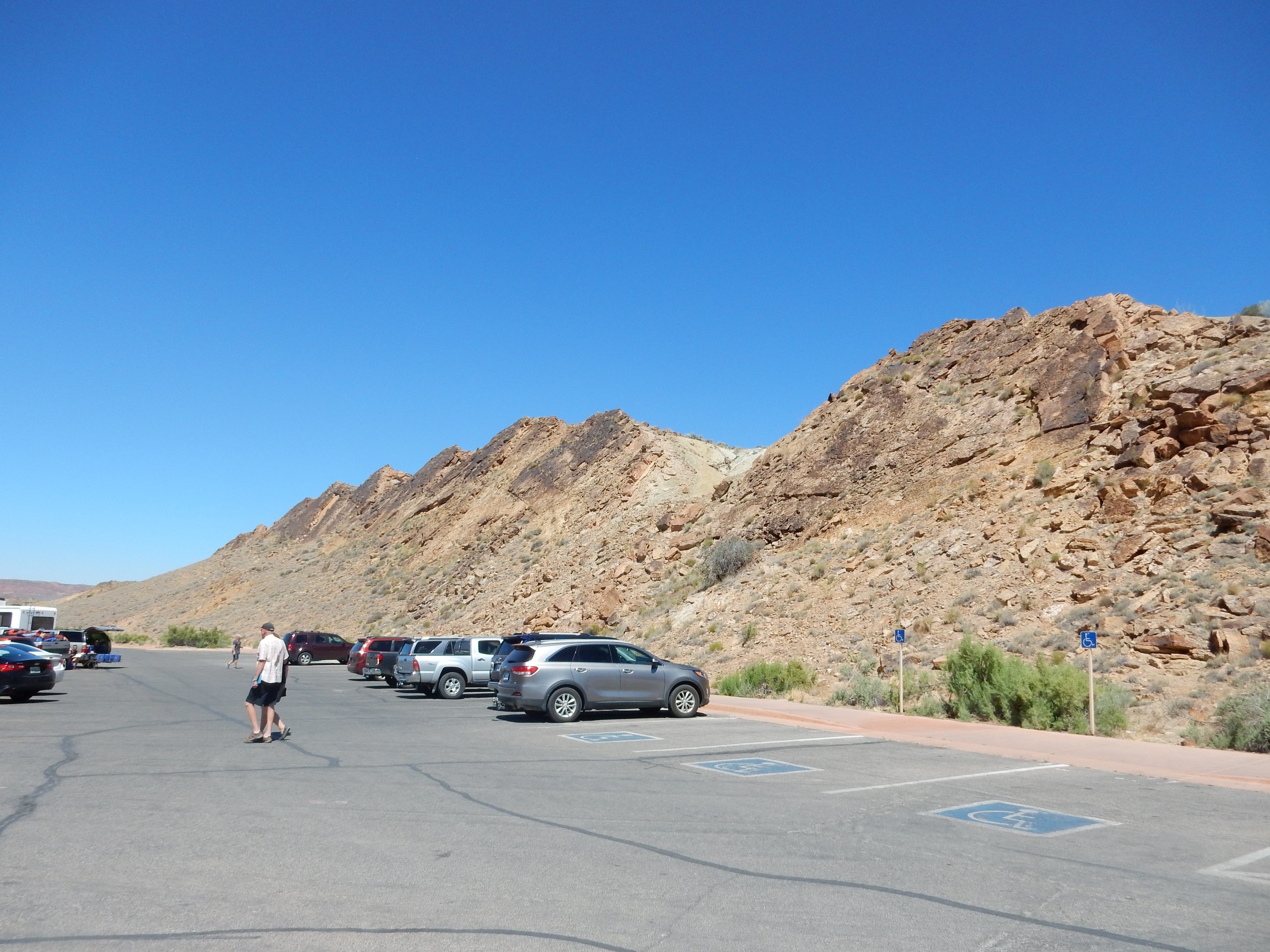
I passed the parking for Delicate Arch. I’ve hiked this trail before and decided to skip this madhouse today.
The road passes a hogback of Cretaceous Cedar Mountain Formation, which may correlate with the Burro Canyon Formation back home.
I parked at the trail head for the Lower Delicate Arch Lookout. Tilted beds of the Cretaceous Dakota Formation are north of the parking area.
I started down the trail. To the east are characteristic green reduced beds of the Jurassic Morrison Formation.
If I’m reading the map right, the green beds are the Bushy Basin Member of the Morrison, while the gray bends on which they rest are Salt Wash Member of the Morrison Formation.
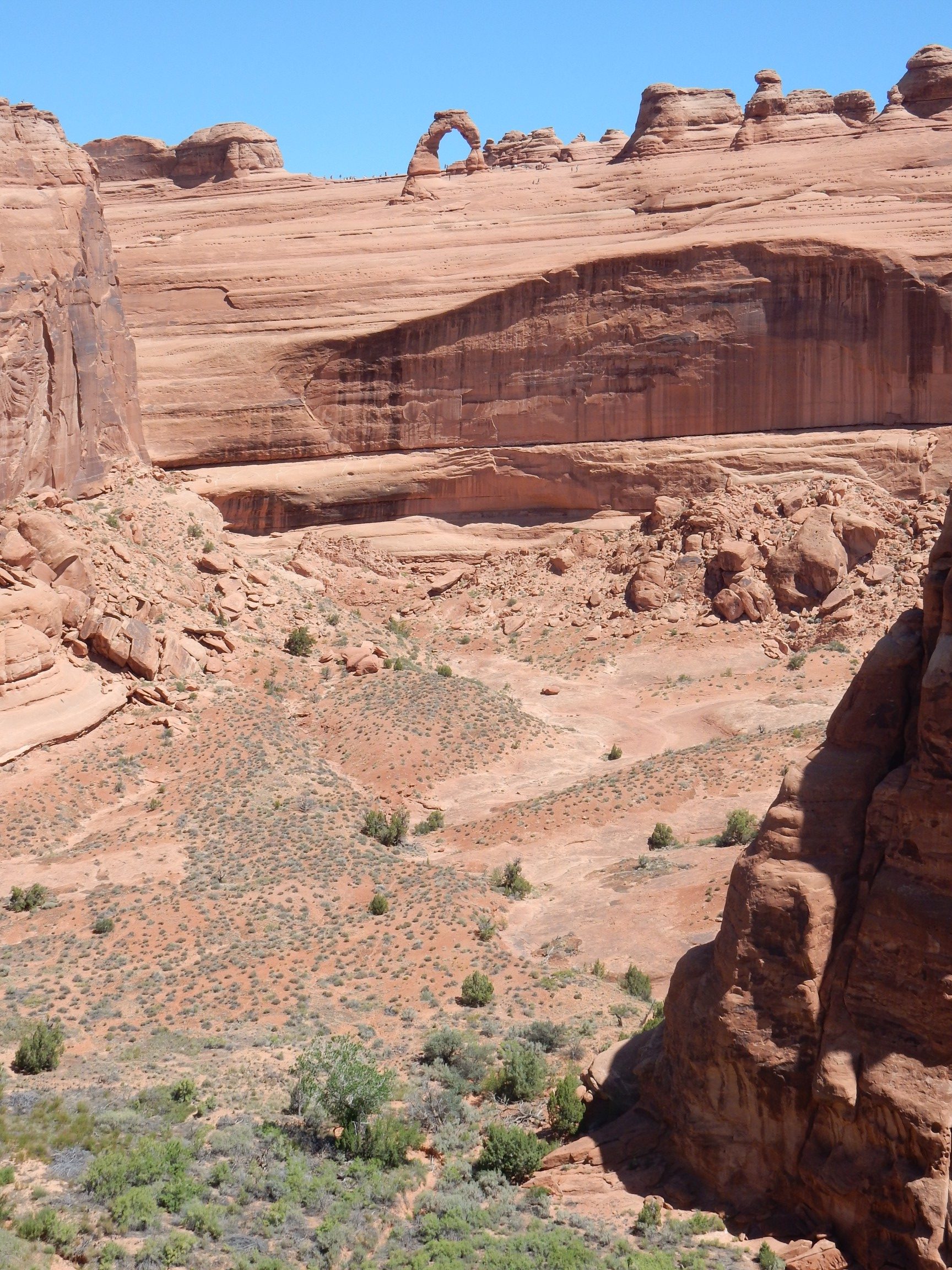
Delicate Arch came into view to the north from the trail.
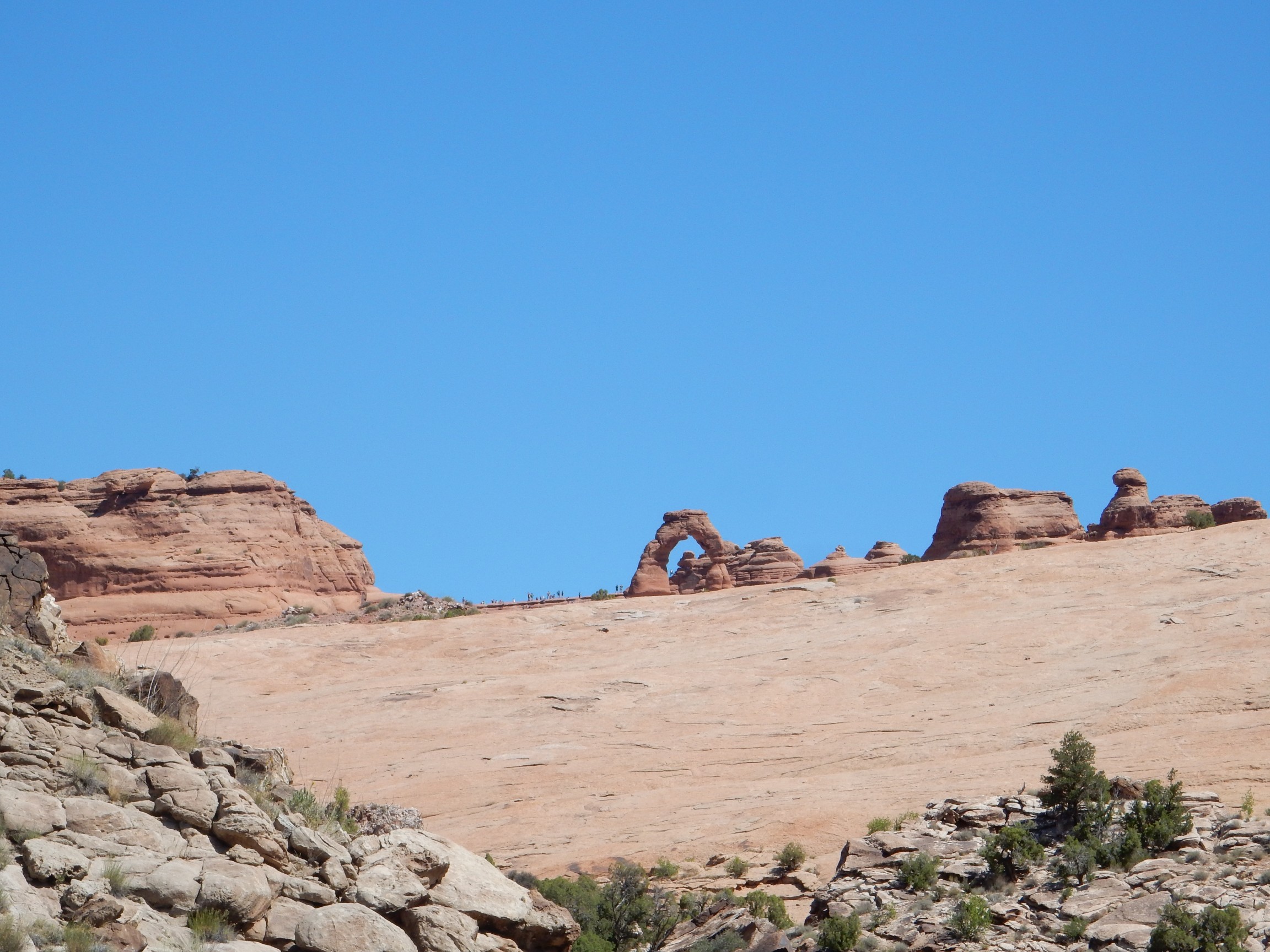
This was taken at fairly high zoom.
Peculiar blocky sandstone along the trail.
This is right on a boundary between geologic quadrangle maps, and the maps disagree (sigh); but I think this is Moab Member of the Curtis Formation.
And here is a chert bed.
This is likely Tidwell Member of the Morrison Formation, which is reported to contain chert beds.
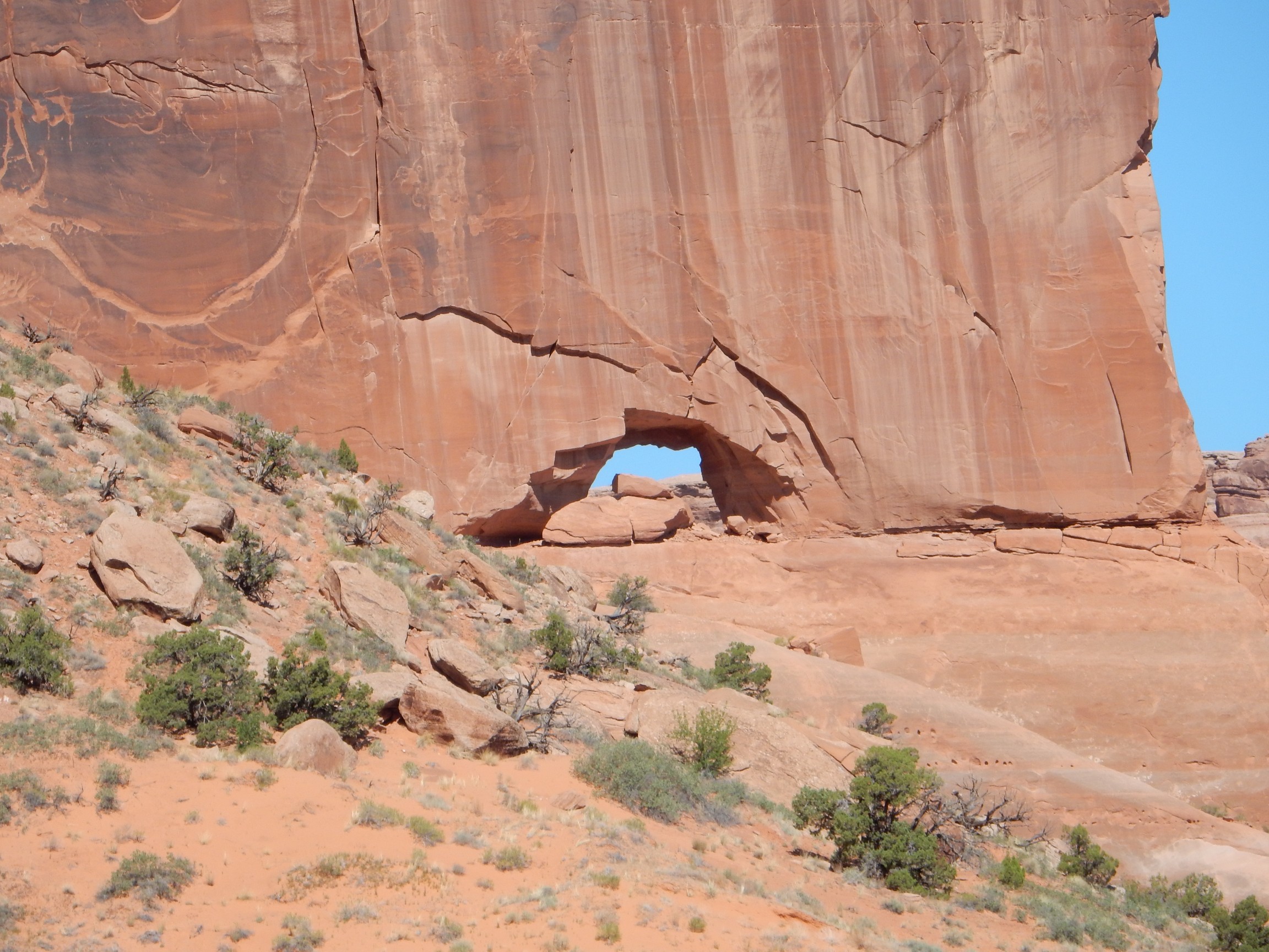
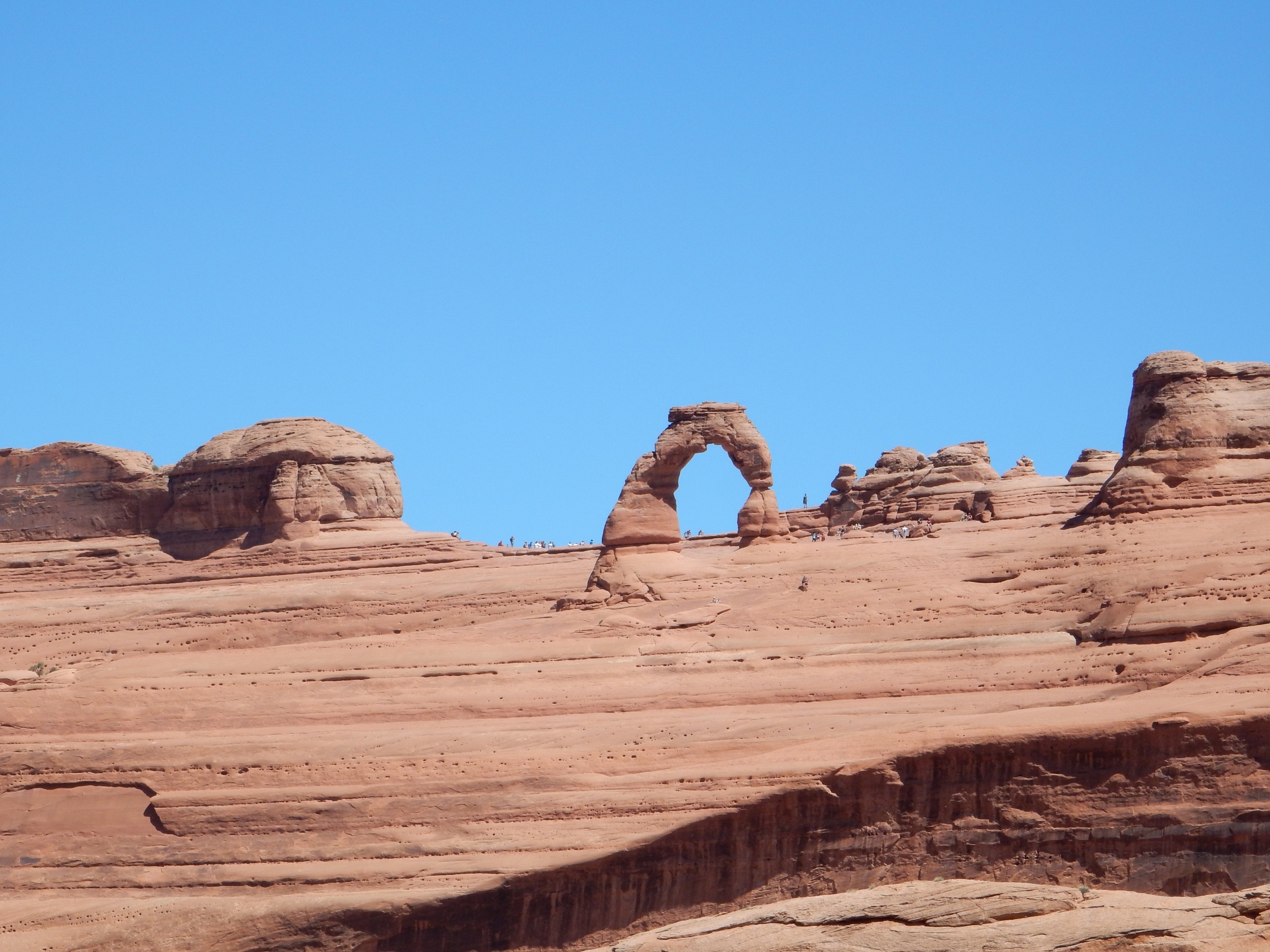
I arrived at the upper lookout. There, to the north, was Delicate Arch.

Huh. Silhouted against a non-ideal background. But darned if there wasn’t a really inviting stretch of Navajo Sandstone that would get me even closer and further to the east, and I’d be mostly hiking on bare rock, which the rangers seem not to mind so much. (No cryptobiotic soil crusts.)
I went for it. Turns out there were cairns marking a path
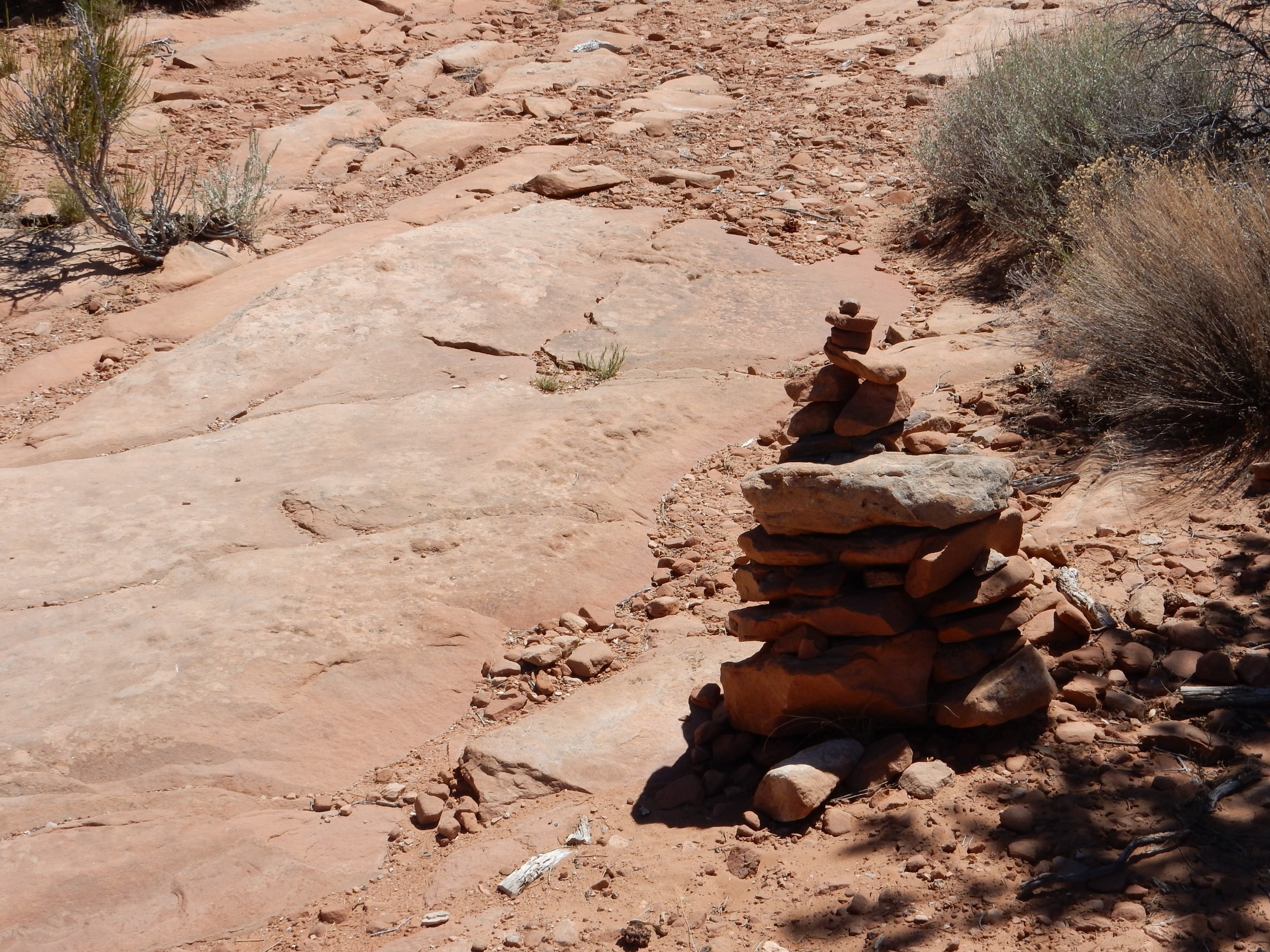
and signs of previous development.
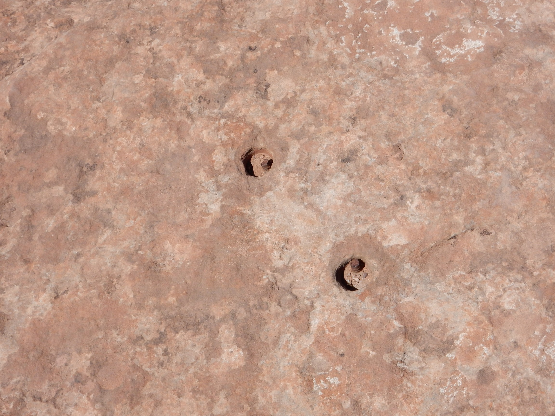
Yeah. Anchor bolts in the sandstone. I don’t know what for.
I found just about the ideal view point.
Dunno. Maybe this is my Ansel Adams moment for the day.
Took a lot of photos of the arch. These are the best.

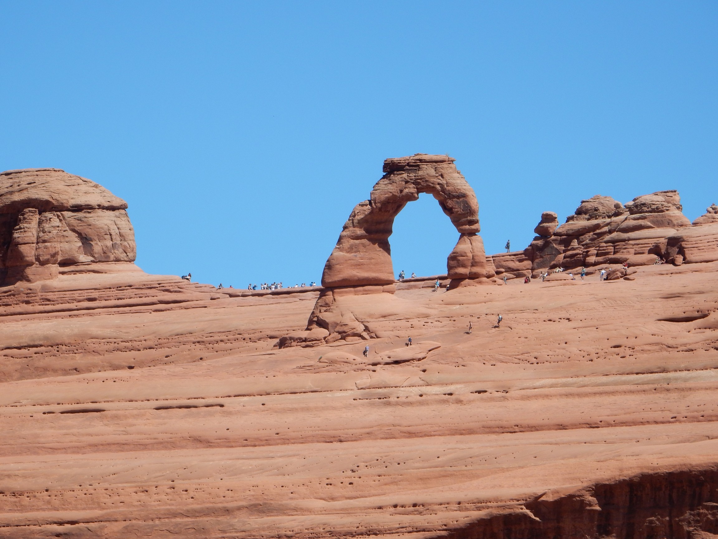
Much people swarming the arch. I think there pretty much always are.
Panorama on the trail back, looking mostly west.
Structurally, Cache Valley/Salt Valley form a graben, a section of rock that has dropped down relative to either side. We’re standing on the north side or horst of the graben, and the prominent cliffs at left form the south horst. The south cliffs are capped by Wingate Sandstone, of late Triassic to early Jurassic age, resting on slopes of Chinle Formation. Much younger upper Jurassic and Cretaceous rocks form the tan hills at center, and to the right are young Navajo Sandstone, Entrada Sandstone, and Curtis Formation beds of the north horst, older than the beds in the graben but younger than the beds in the south graben wall.
Healed fractures in the Navajo Sandstone.
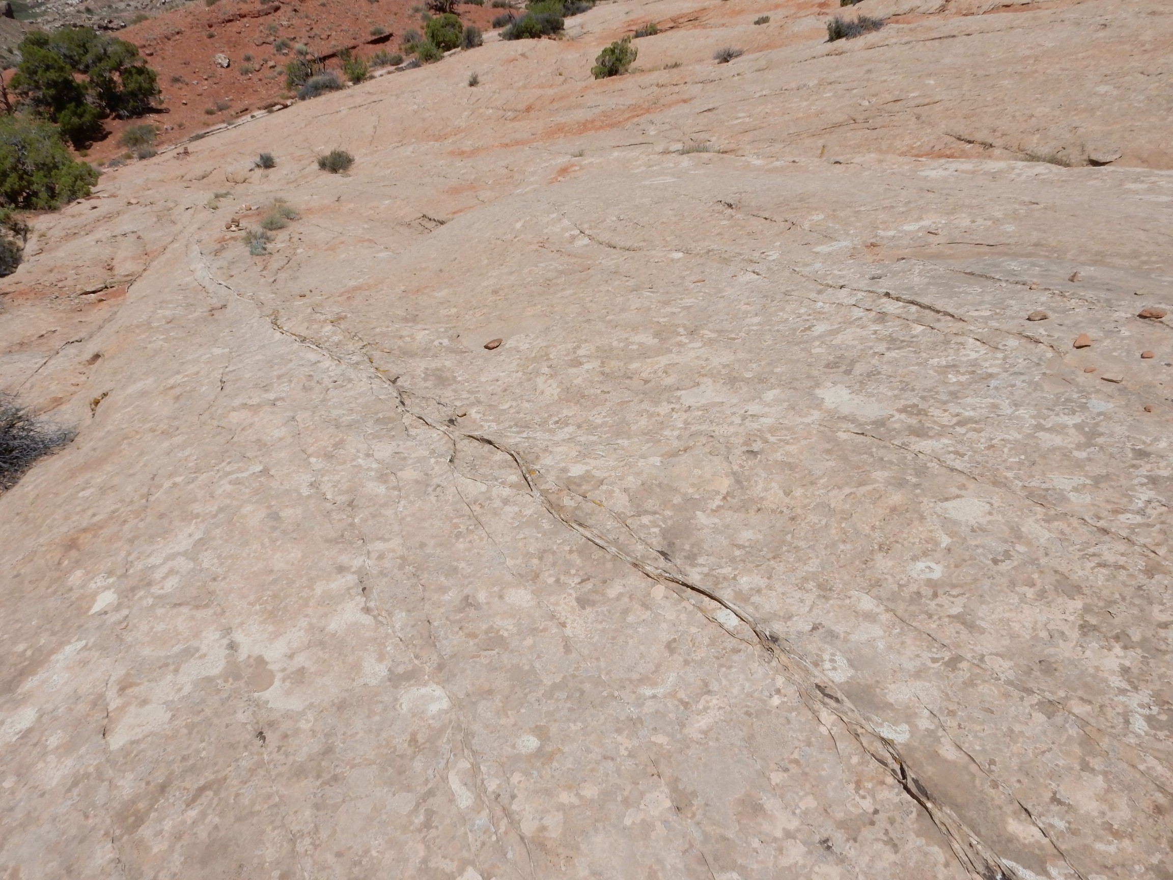
These are aligned with the faulting in the area, and such fractures are thought to be reponsible for breaking the Entrada Formation up into rock fins that erode into arches. I have a theory that something about the Navajo Sandstone causes it to self-seal when fractured, preventing such erosion into fins and arches, and the Entrada Sandstone lacks this characteristic. Perhaps related to the higher content of red hematite cement in the Entrada Formation?
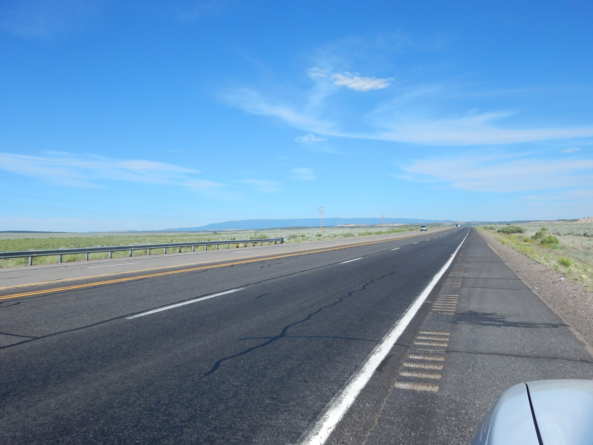
Time to go home. I had lunch at a taco shack; the tacos were not too bad and most of the customers were Hispanic. Odd that I patronized two ethnic restaurants in Moab and both had mostly patrons of that ethnicity. I suppose I should look for an English or Scandinavian restaurant next time I’m there, but I like good food.
I decided not to detour to Mexican Hat this trip. I went home via Cortez instead, a pretty area but with poor exposures of rock. At least until you hit the west side of Mesa Verde:
I don’t have a good geologic map of this area, but I think the stratigraphy is: Mancos Formation forming the lower slopes; Point Lookout Sandstone forming the lower set of cliffs; then Menefee Formation, and the second set of cliffs visible here and there, of Cliff House Sandstone; then erosional remnants of Lewis Shale forming the peaks. All are Cretaceous formations that were laid down in the Western Interior Seaway. The Point Lookout Sandstone, Menefee Formation, and Cliff House Sandstone, which together form the Mesaverde Group (yes, it’s written that way) mark a regression/transgression sequence, in which the sea briefly retreated leaving a layer of beach sand deposits (the Point Lookout Sandstone); mud was laid down in swamps behind the beach (the Menefee Formation, a major coal producer); and the sea returned, leaving another layer of beach stand deposits (Cliff House Sandstone) and resuming deposition of sea mud (Lewis Shale.)
A fire truck raced past as I obediently pulled over. Huh. I drove on a few more minutes. Cars were backed up ahead and was that smoke?
Someone was having a terrible day.
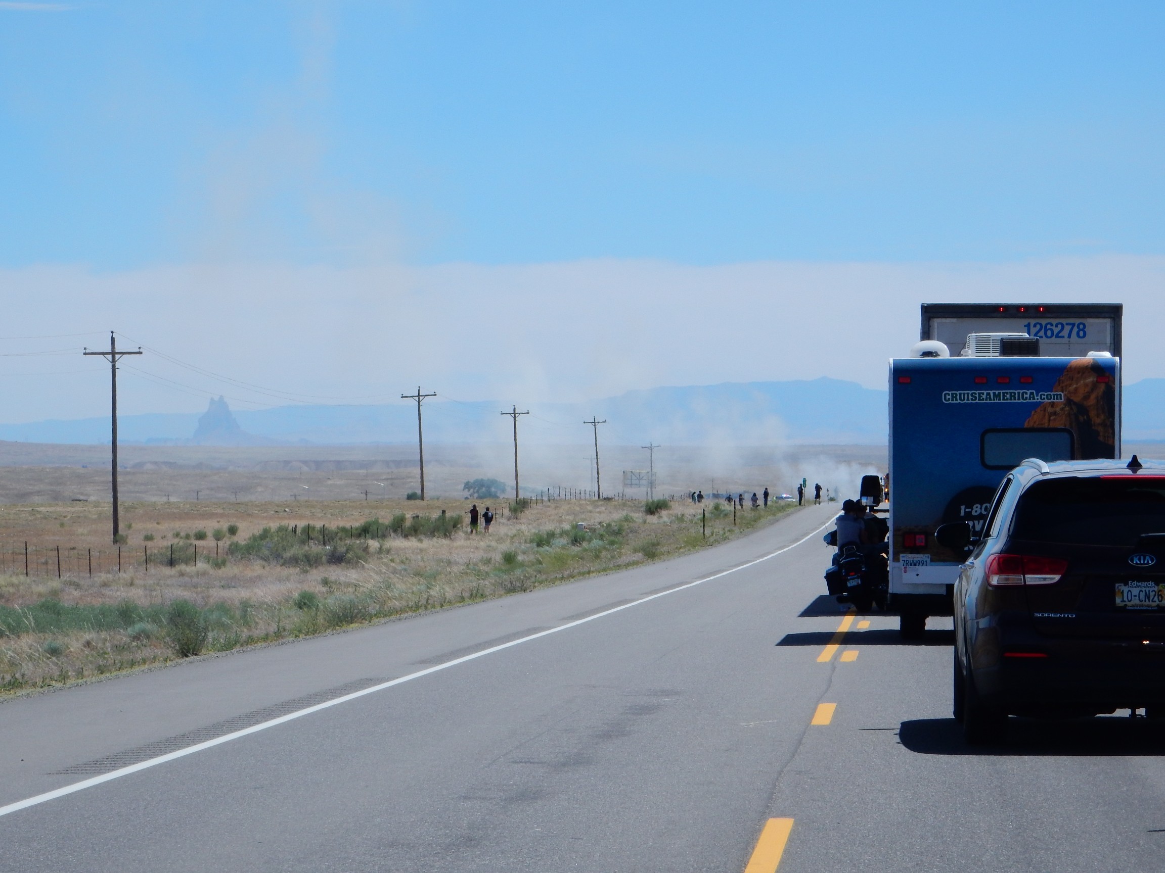
We sat for twenty minutes and the smoke began to dissipate. Sat for another twenty minutes watching a solid line of cars coming the other way. Finally got our turn; I decided a photograph would be tacky, but the center of attention was a car hulk square in the southbound lane that was about as thoroughly burned out as I have ever seen a car hulk. I checked my engine temperature.
Mostly uneventful from there. Another fire in Farmington, but far enough away that I couldn’t see the source.
Just three more pictures:
One more of the San Jose Formation over Nacimiento Formation.

The Sierra Nacimiento ahead. Almost home!
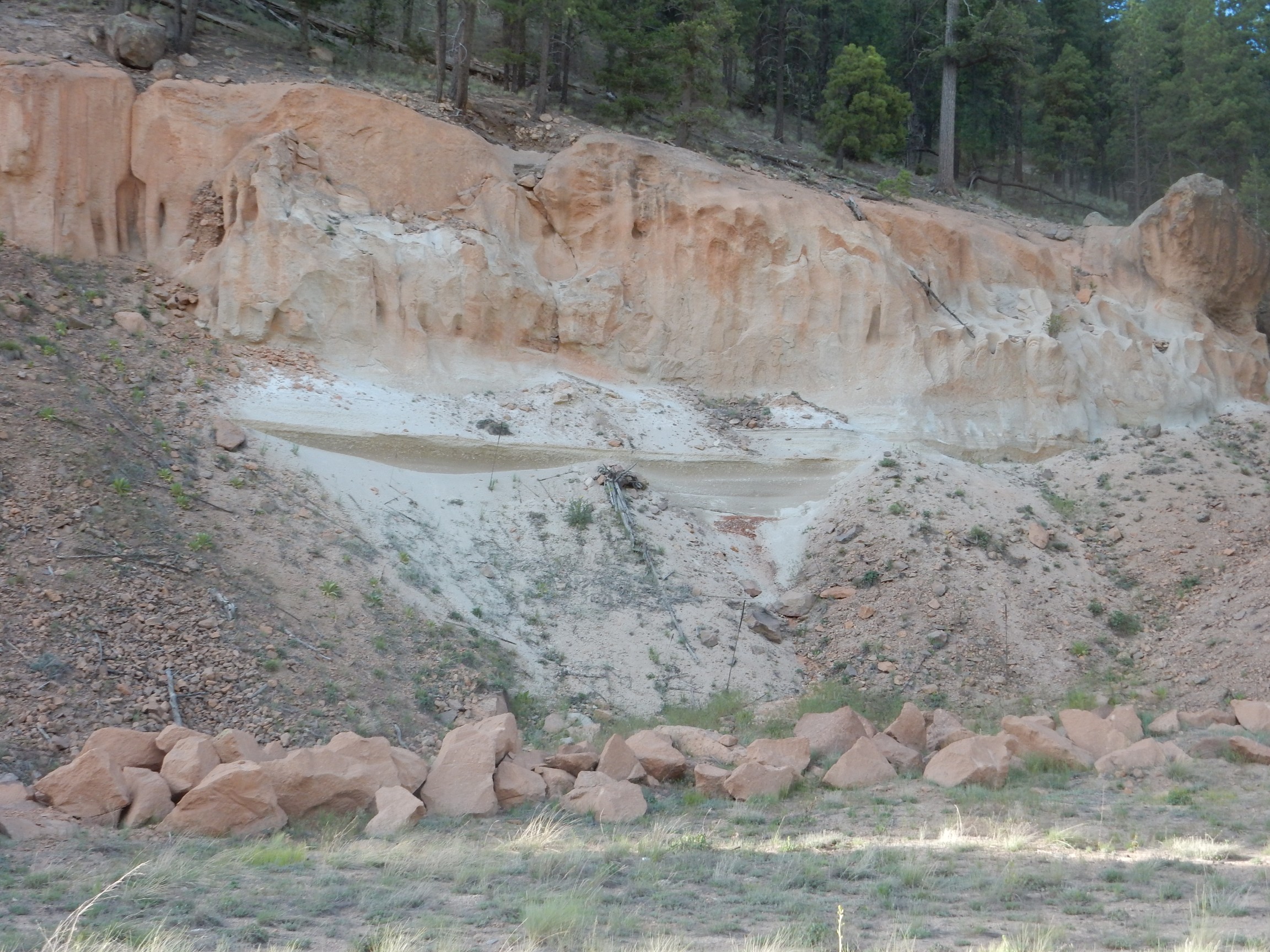
Tsankawi Pumice between the Tsherige Member of the Bandelier Tuff and the underlying Permian Abo Formation. This is air fall pumice from the start of the Valles eruption. Maybe. I’ll have to go back and take a closer look before putting it in the book.
Jupiter*, that was fun. I could see spending my entire retirement tooling around the Colorado Plateau. Looking forward to my August trip.
Friday the computers were under maintenance at work, and were not expected to be back up till Tuesday. So I decided to take a four-day weekend. Have been spending most of it waiting to hear if a relative wants me to go hiking with him in Colorado. Monday I may just go wanderlusting on my own, but not in the Jemez:
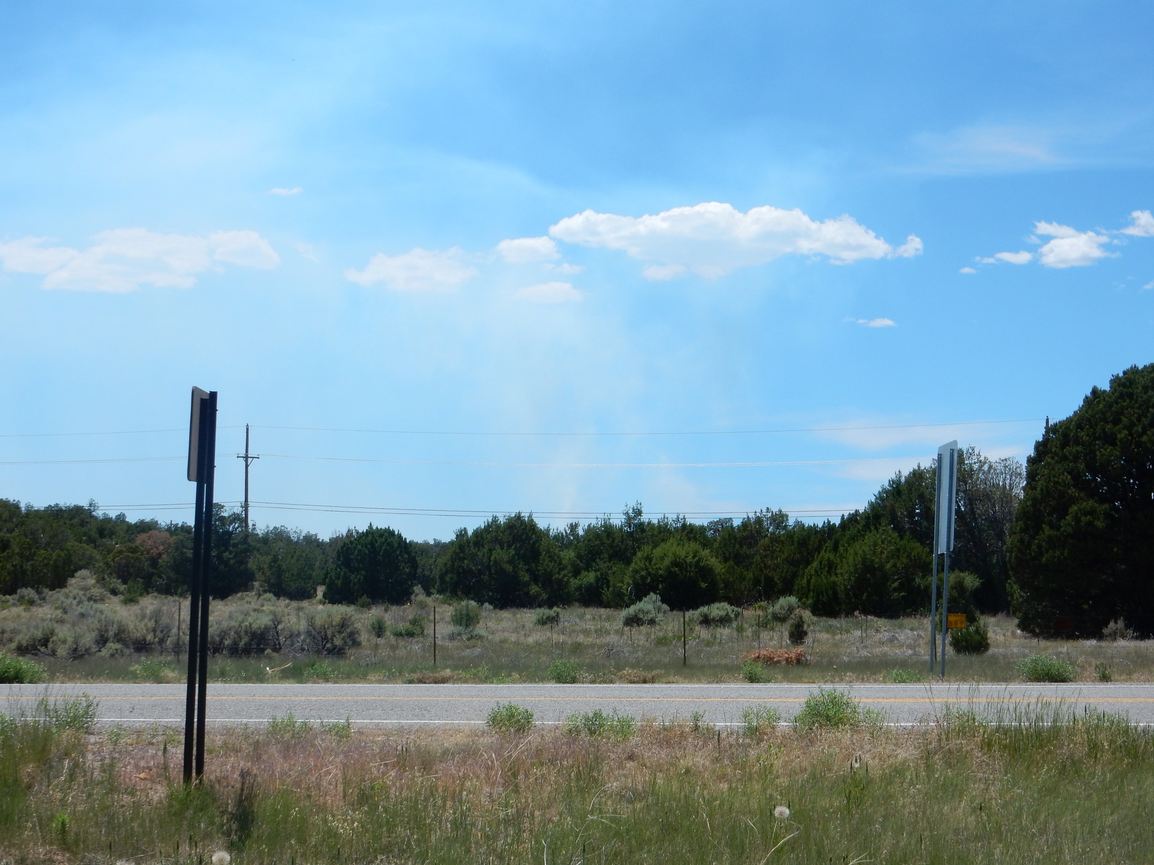
Wildfire in the Jemez. Not too bad of one; we had a cool and wet spring. But it’s burned 1400 acres in a rather pretty area along State Road 4, the main road in the Jemez, which is closed. Judging from the amount of smoke and the news reports, they’re getting a pretty good handle on it, but it’s not reported as officially contained yet.
So I may hike in White Rock Canyon Monday instead. Or possibly do a road log up north, in the Tusas.
*I figure it’s not profanity if the deity in question is no longer seriously worshiped by anyone.
Pingback: Wedding wanderlust, day 5 | Wanderlusting the Jemez
Kent,
I now live a long way away, but I REALLY enjoy your pictures and commentary. I also forwarded the link to my dad, who taught earth science for twenty years, and knows considerably more than I do about geology. He’s 92, but still sharp, just not up for much hiking.
Glad you enjoyed it.