
Wanderlusting the Toledo Embayment
Last weekend was a bye. I spent Saturday having the rest of the new tires installed on the Wandermobile, then caught up on chores at home.
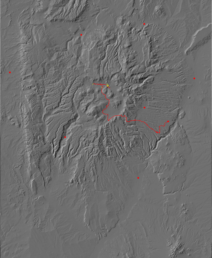
This weekend the weather was absolutely gorgeous; not a cloud in the sky Thursday and none predicted Friday. With the Valles Preserve back country season fast drawing to a close, I decided I would spend my Friday off in the caldera looking at the northwest reentrant of the Toledo embayment.
There have been at least three caldera eruptions in the central Jemez in the last two million years, two of them ginormous and the third merely huge. Each occurred when a magma chamber full of viscous, high-silica magma with abundant dissolved gas broke through to the surface. The original vent spewed out a mixture of lava blobs and hot gas that rose straight up into the atmosphere, producing an eruption column that reached to the lower stratosphere. The individual lava blobs were full of gas bubbles, and these cooled and fell to the surface to leave a blanket of air-fall pumice across the Jemez region and for a considerable distance downwind.
The venting of so much magma reduced the pressure supporting the roof of the magma chamber, which collapsed under its own weight to produce a caldera or volcanic crater. This was accompanied by the eruption of pyroclastic flows, mixtures of red-hot gas and particles of volcanic ash that were dense enough to hug the surface of the ground rather than rise into the atmosphere as an eruption column. The pyroclastic flows spread out across the surface for miles in every direction, then the ash settled out to form a characteristic kind of rock called an ignimbrite or, less formally, a tuff. (Tuff is the older name, and it included some ash deposits formed by other mechanisms than pyroclastic flows. Ignimbrites refer specifically to those tuffs that are the product of pyroclastic flows.) Much of the ignimbrite partially filled the caldera itself.
The smallest known caldera eruption in the Jemez was also the earliest, laying down the La Cueva Member of the Bandelier Tuff. This tuff is found mostly in the southwestern wall of the present caldera (the Valles caldera), near the village of La Cueva, and forms spectacular tent rocks. Radiometric dating of this tuff puts its age at about 1.85 million years. This eruption took place in two pulses, or perhaps was two closely spaced eruptions, and there are few remnants of La Cueva Member on the surface elsewhere than the southwest Valles caldera wall. However, drilling has shown a considerable thickness (up to 400 feet) of La Cueva Member below the southwest Valles caldera floor, so this was no small eruption. The location of the thickest beds suggest that the caldera was located in this area, but no surface expression of the La Cueva caldera remains.
The next eruption occurred 1.62 million years ago and is called the Toledo eruption. This was possibly the largest of the caldera eruptions, putting out a volume of tuff (the Otowi Member of the Bandelier Tuff) slightly larger than the Valles eruption. It was long thought that this eruption came from the Toledo Embayment, a curious semicircle in the northeast wall of the Valles caldera full of lava domes dating between the Toledo and Valles eruptions. However, more domes have been identified in the southeast caldera wall (Rabbit Mountain) and in the north caldera moat (Warm Springs) and it is now thought the Toledo eruption produced a caldera almost coincident with the Valles caldera.
The most recent eruption, the Valles eruption, occurred 1.25 million years ago and destroyed much of the evidence for the earlier eruptions. It laid down the Tsherige Member of the Bandelier Tuff. The Valles caldera is one of the youngest and best preserved calderas known to geologists and has been extensively studied.
With the Toledo eruption now thought to have been centered nearly on the same location as the Valles eruption, the Toledo Embayment remains something of a puzzle.
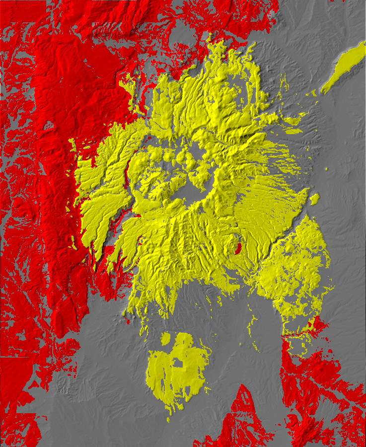
This map shows the Jemez region. Everything in red is older than 1.62 million years. Yellow is rock erupted by the Toledo event or in its aftermath, while gray is rock younger than 1.62 million years not associated with the Toledo event. The Valles caldera stands out in grey at center, and the Toledo embayment to the northeast has many post-Toledo domes in yellow. You can see why geologists first though the Toledo embayment was a caldera and the source of the Toledo eruption.
If the Toledo embayment is not the source of the Toledo eruption (that much seems clear; it is too small and not centered on the Toledo pyroclastic flows) then what is it? The most widely held view is that it is a kind of extension of the Toledo caldera along a zone of weakened crust. A competing theory is that it really is a caldera, but from the smaller La Cueva event. This theory is workable only if one can explain why the La Cueva Member is thickest well to the southwest. Perhaps the pyroclastic flows were channeled along a deep canyon in that direction? Many of the clues that might tell us what the Toledo embayment is are now buried under hundreds or thousands of feet of volcanic rock from the later eruptions.
There is a spur of older, pre-caldera rock on the west side of the Toledo embayment, which I call the northwest Toledo reentrant. This is my principal target for visiting today, but I’ll visit a couple of other sites while I’m in the caldera.
I’m up at 5:30 to prepare breakfast and pack. By 7:10 I’m on the road, pausing to fill up on gas and then heading west to the Valles Preserve headquarters. I arrive just as the headquarters opens and have no trouble securing a back country permit. (Apart from having to look up my cell phone number; I almost never carry one except on trips. I work in a secure building, and accidentally bringing one in would result in an unpleasant character-building experience.)
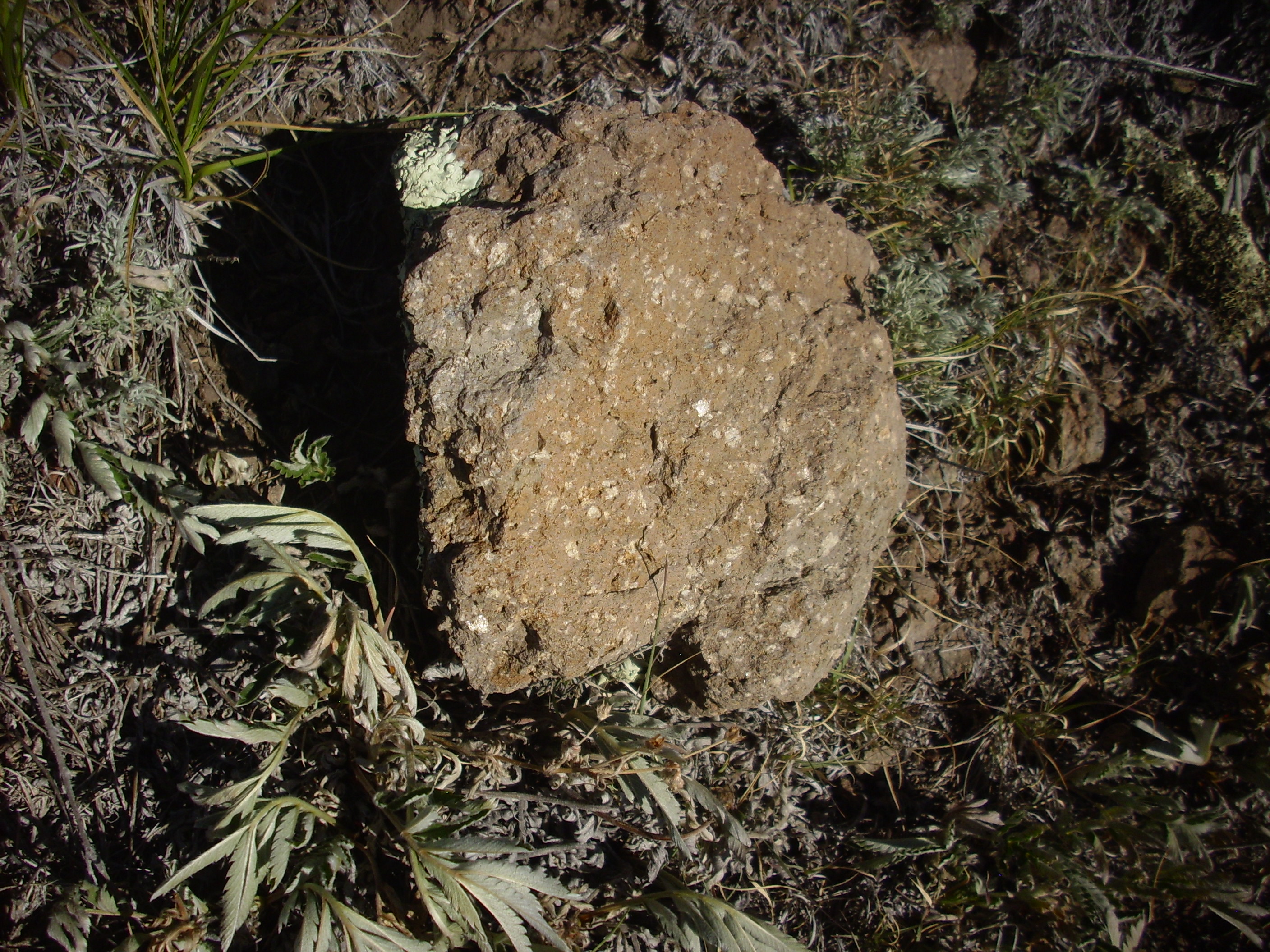
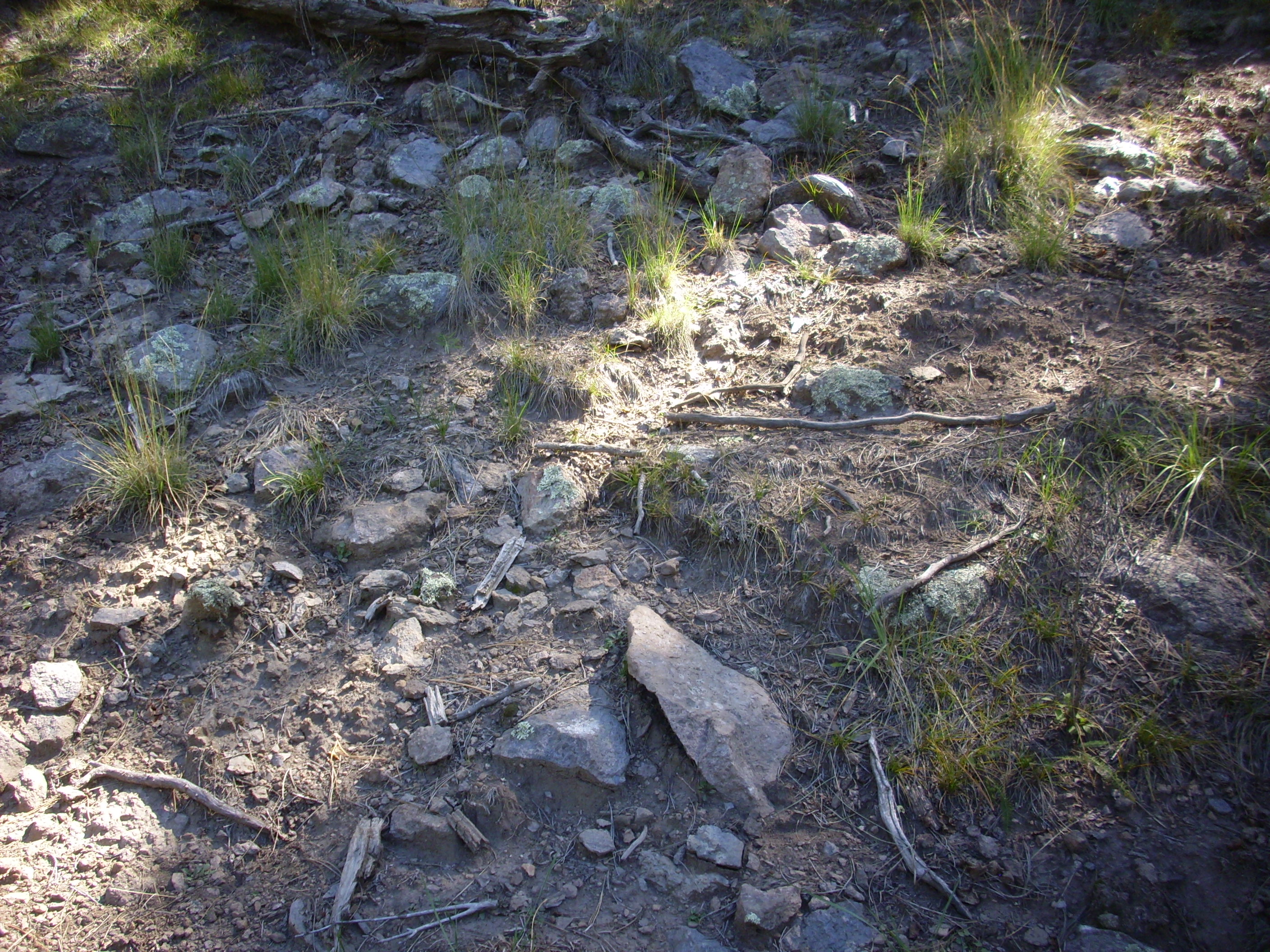
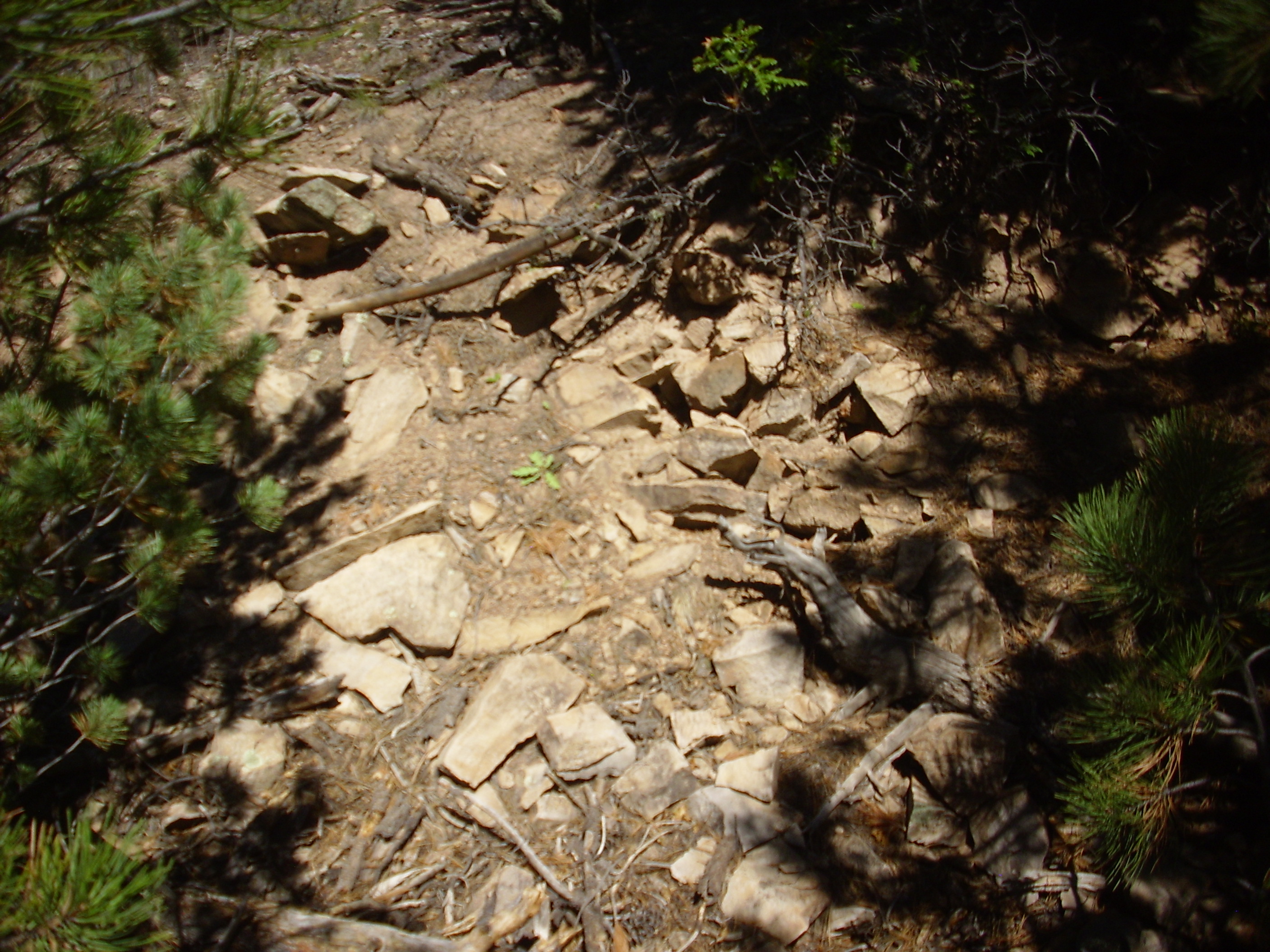
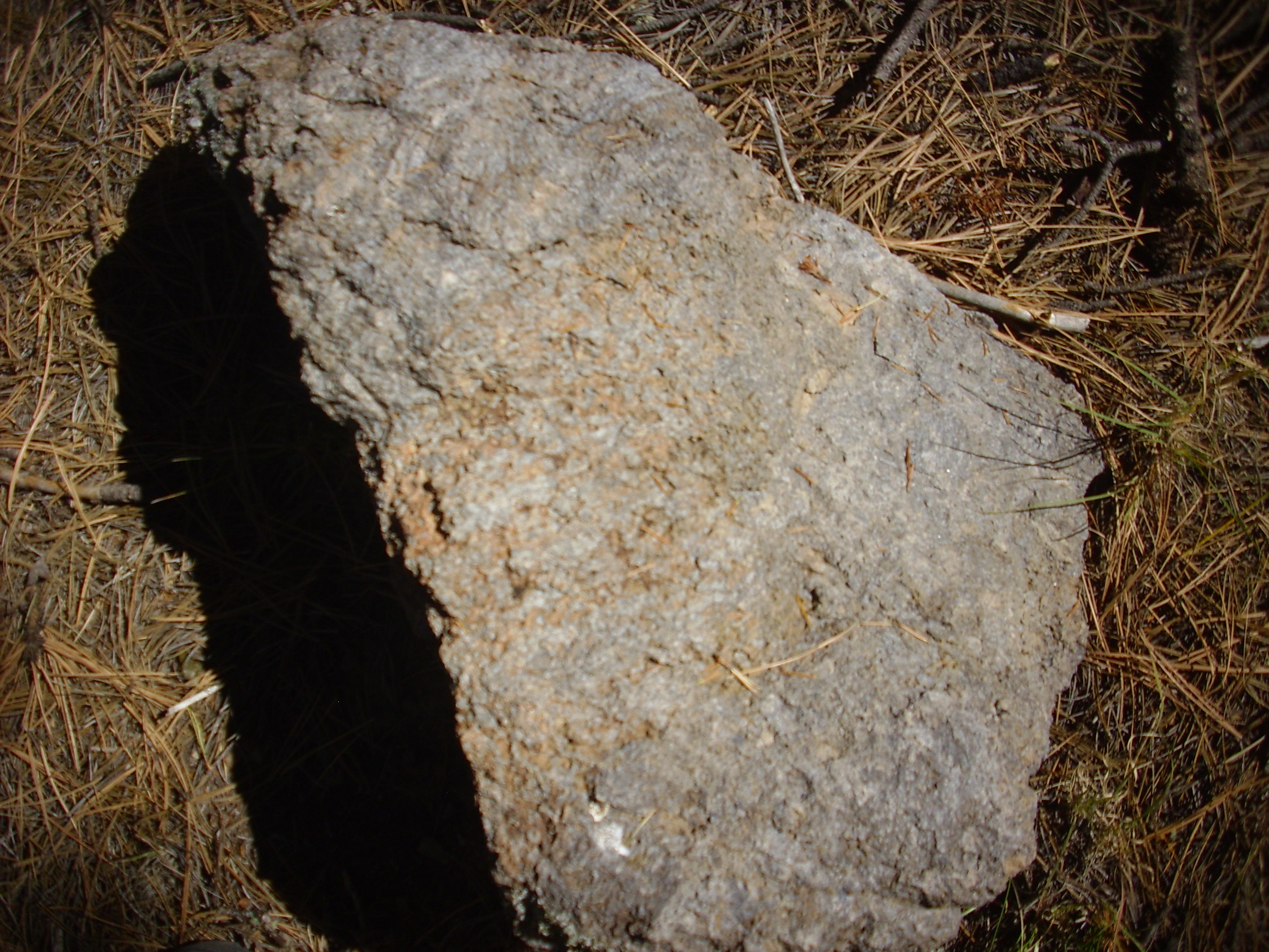
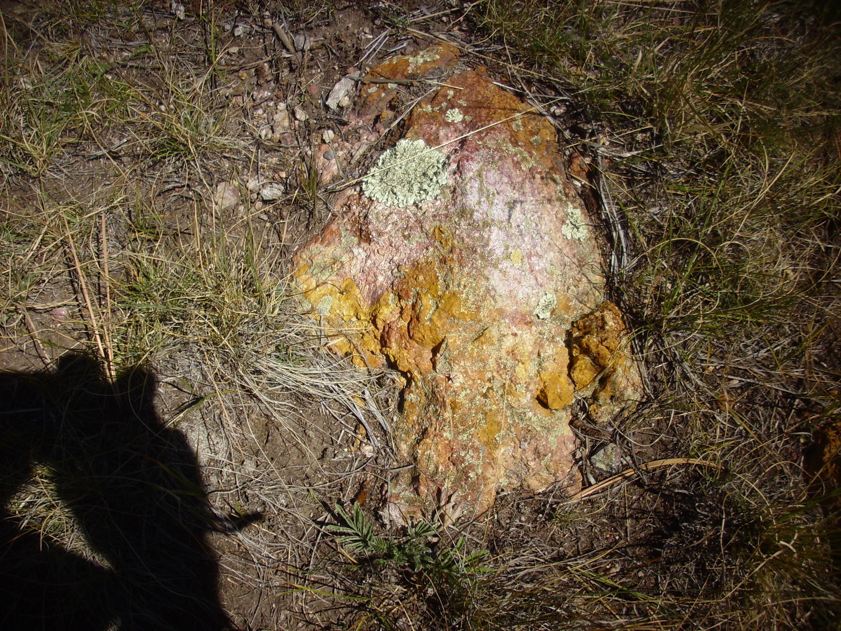
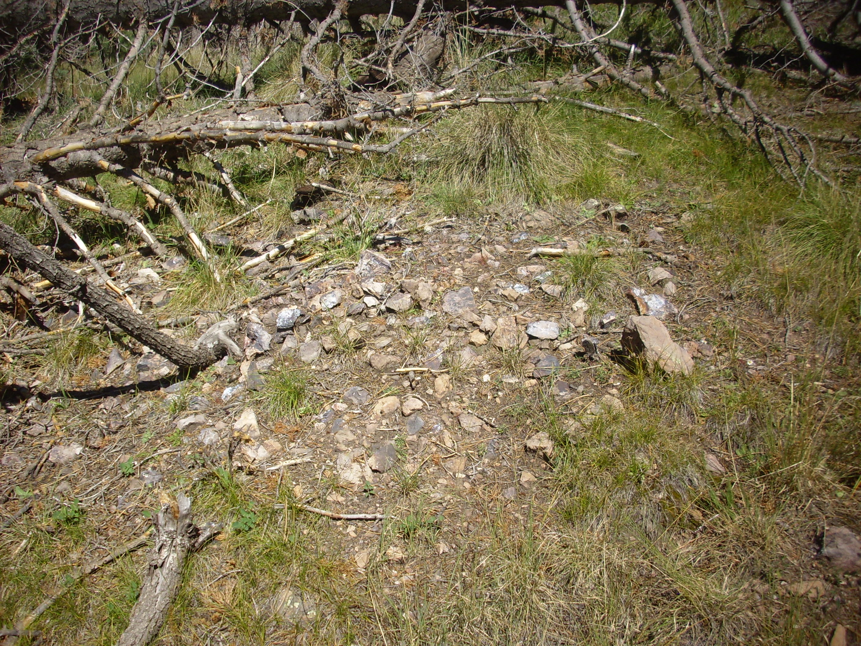
As I’m driving north through the Santa Rosa narrows, an outcrop catches my eye.
I stop and look at a sample. (I’ll be on the Preserve all day, so I’ll be bringing home no specimens, but I can take photographs.)

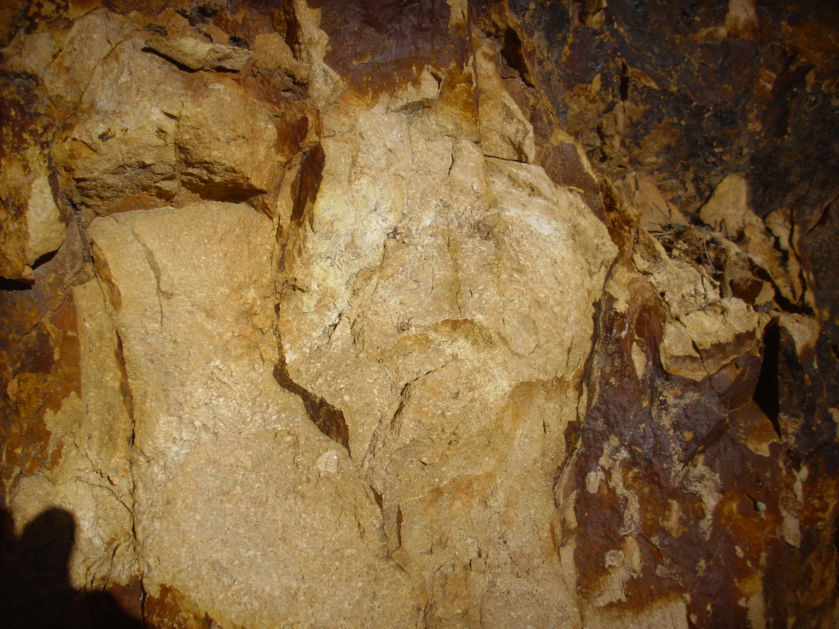
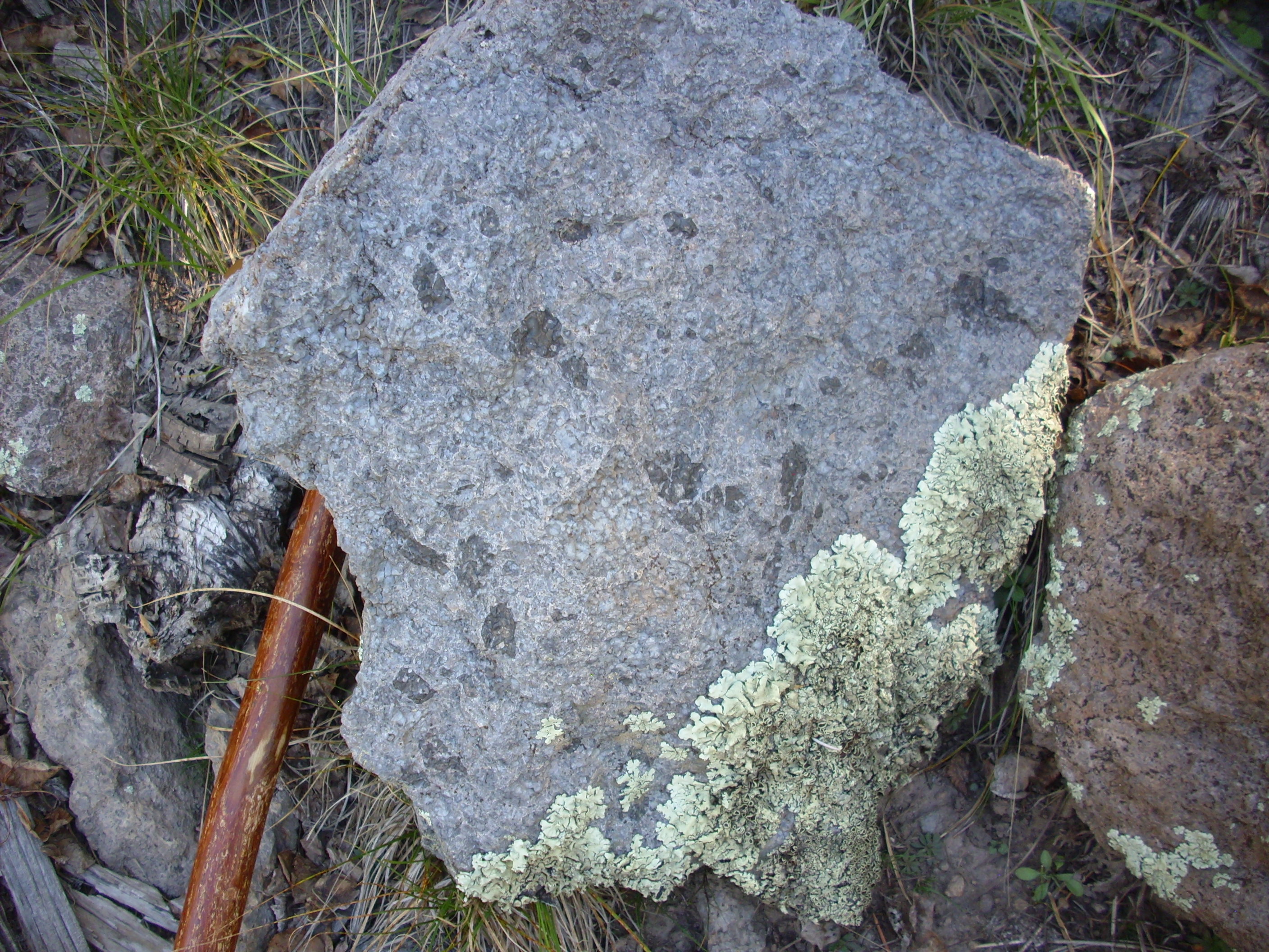
A nice tuff. I brought a map for the embayment but not this area; only after I get home and look up the location will I be able to identify this as Deer Canyon Rhyolite tuff.
Shortly after the collapse of the Valles caldera, additional magma was injected into the collapsed magma chamber, pushing up the the floor of the caldera. This phenomenon is quite common in caldera eruptions and is called resurgence; the Valles caldera is considered the type specimen of a resurgent caldera. This process took place rapidly, within perhaps 30,000 years of the Valles eruption, and it produced Redondo Peak, which is thus a resurgent dome. Small quantities of magma leaked through fractures in the resurgent dome to produce the Deer Canyon Rhyolite. Our location here is at the northern edge of the resurgent dome and the hill on the west side of the Santa Rosa narrows is a Deer Canyon Rhyolite flow.
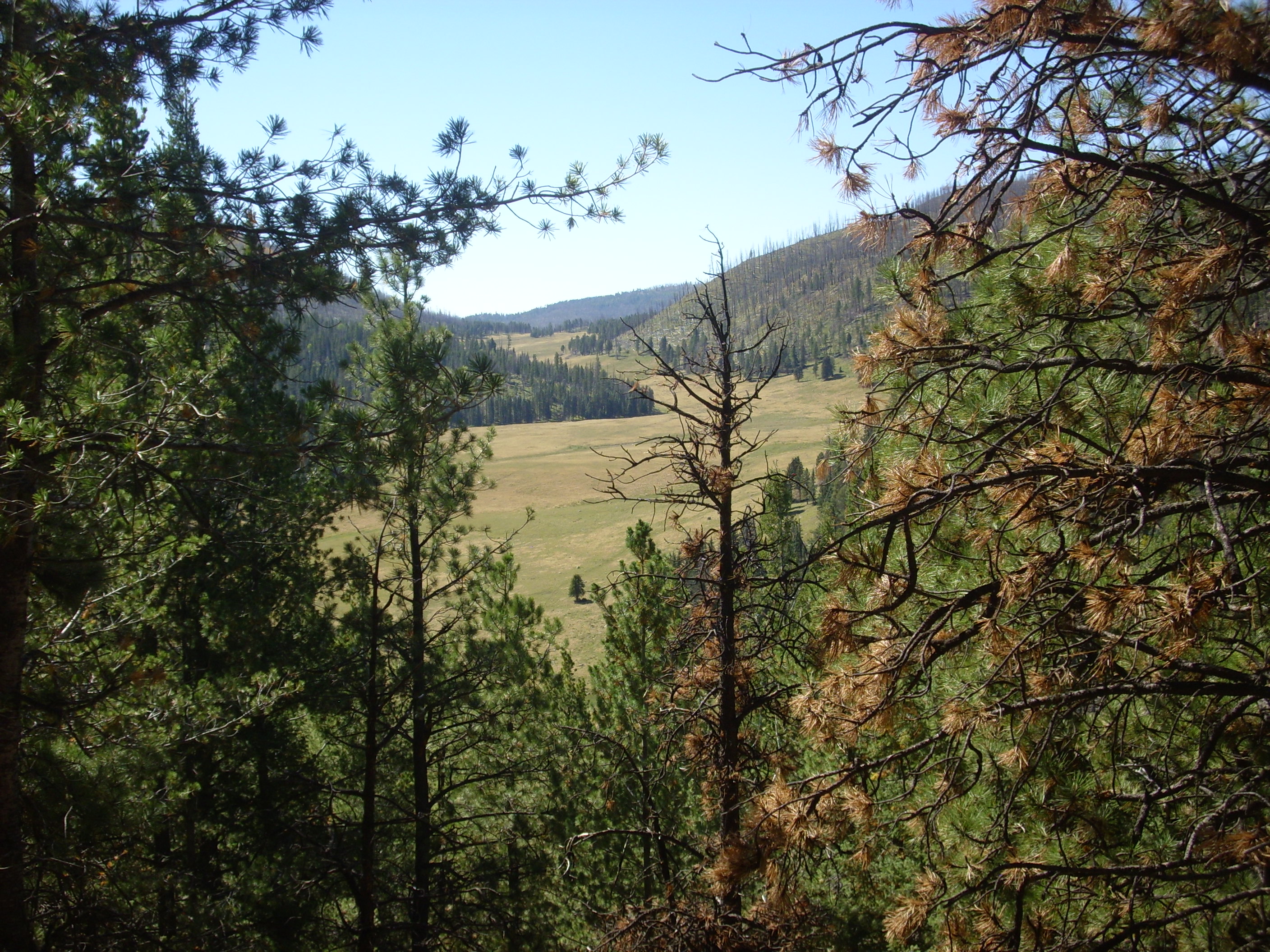
I continue north, stopping again to admire the view of the north rim of the caldera.
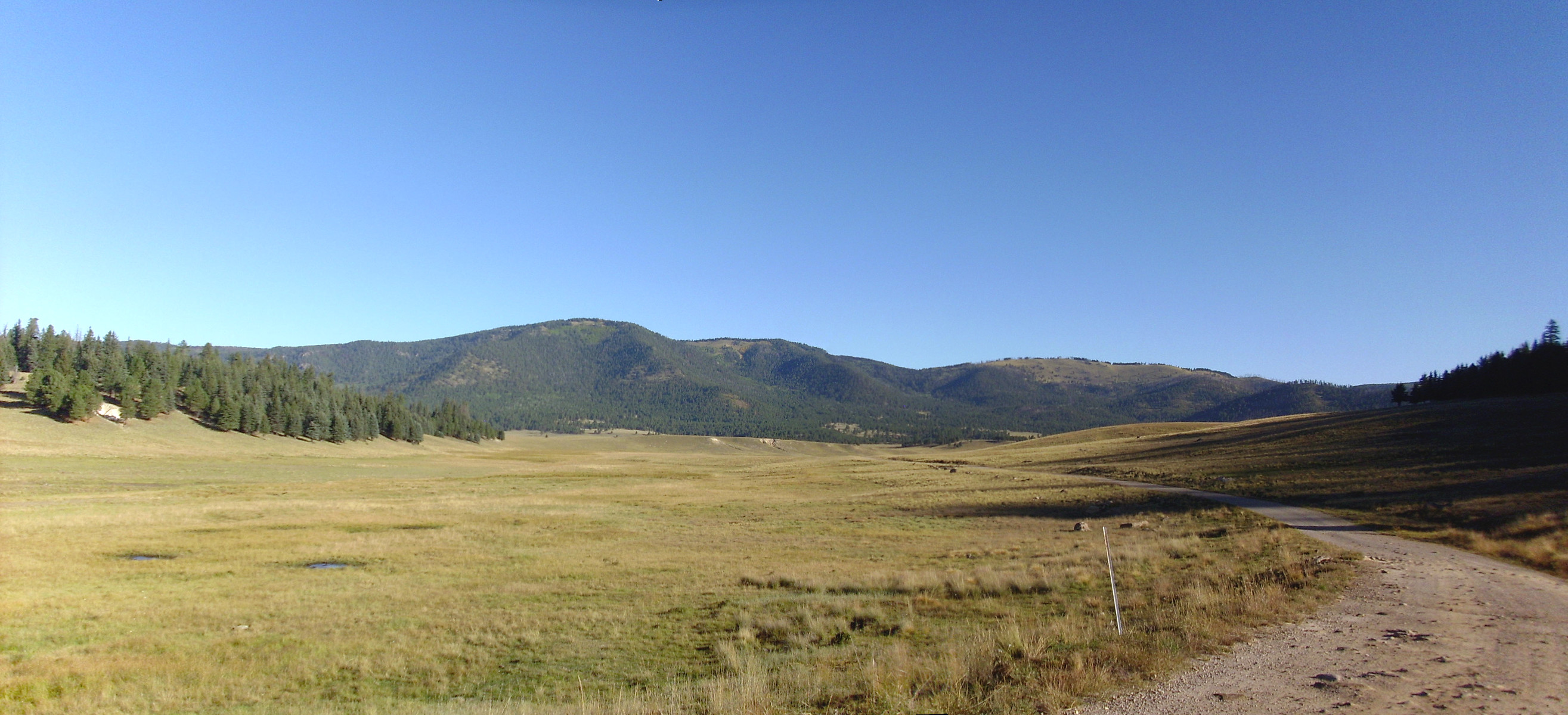
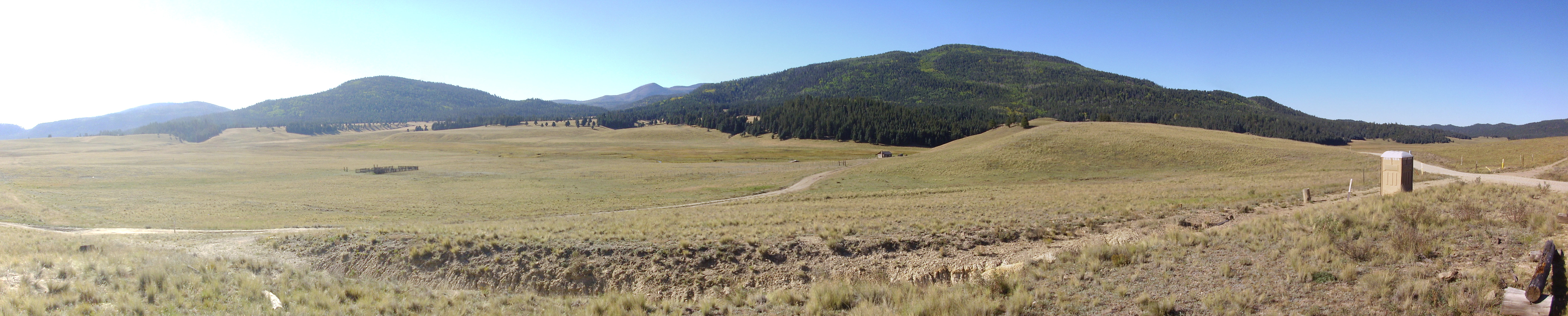
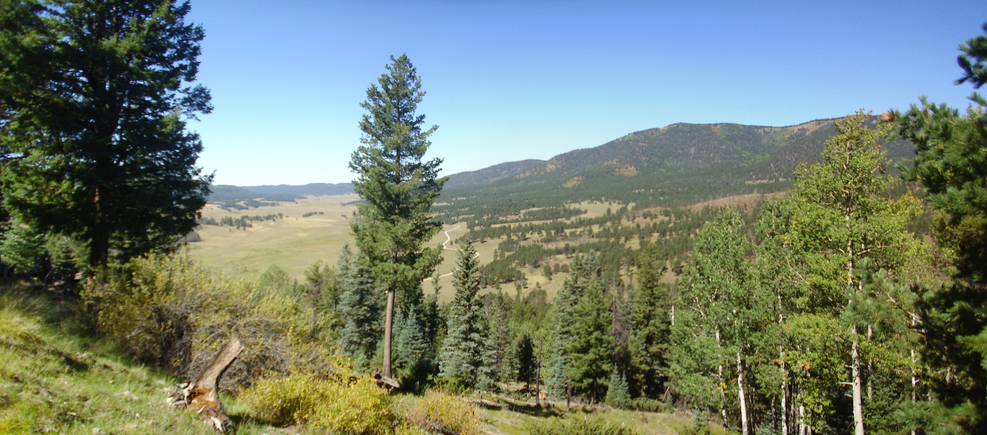
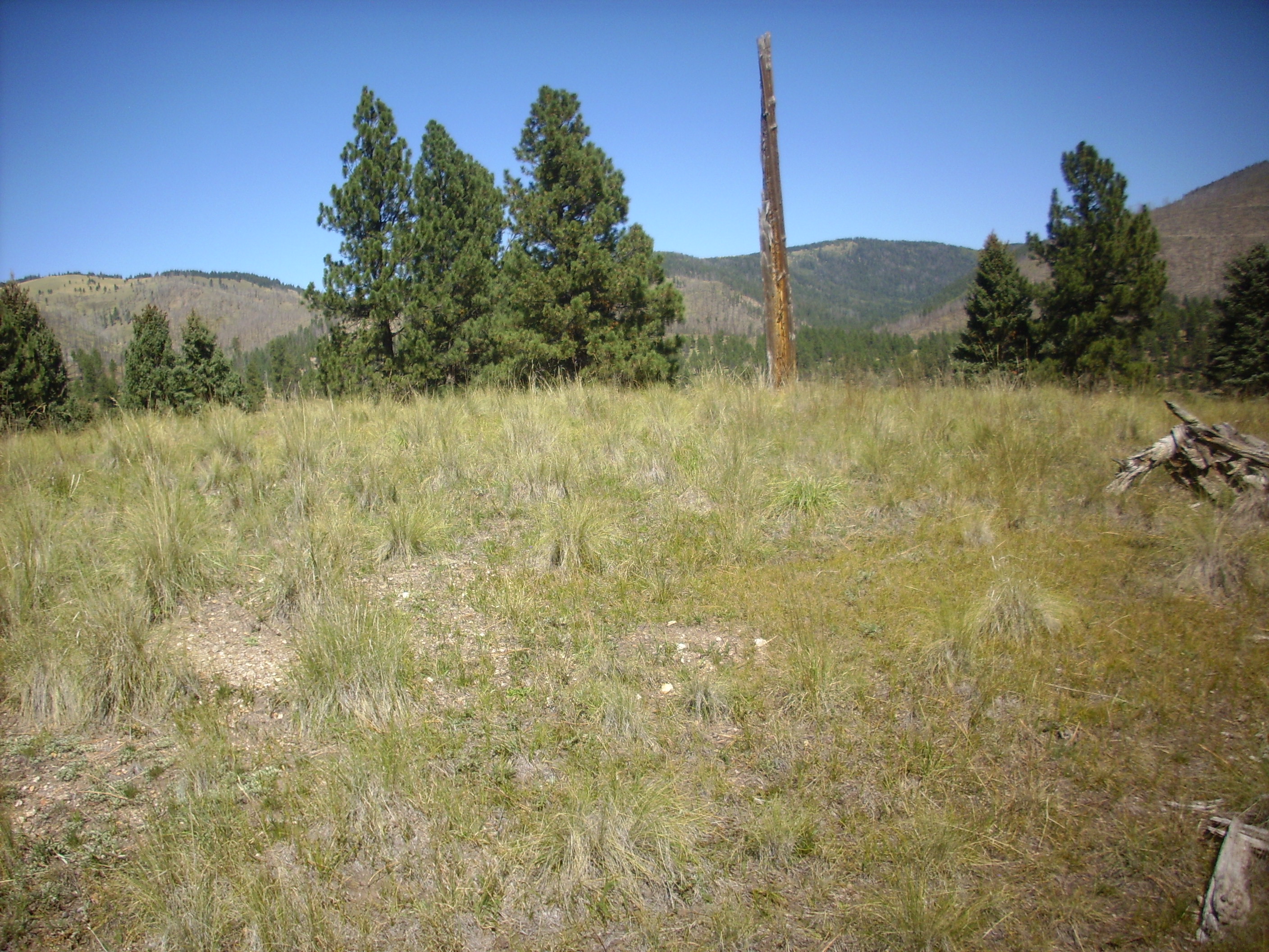
We are entering the north moat of the caldera, so-called because it is a valley lying between the caldera rim and the circle of ring domes within it. The ring domes are volcanic domes formed where magma reached the surface through the ring fracture circling the portion of the magma chamber roof that collapsed. The high ground in the foreground at far right and far left are the feet of two of the ring domes, Cerro Santa Rosa to the right and Cerro San Luis to the left.* The mountains straight ahead are the north rim of the caldera, with La Garita as the high point at center left.
Across the grassy valley (Valle Santa Rosa) is an old lake bar.
The hill with the eroded light areas is lacustrine (lake) deposits, thought to be associated with the eruption of San Antonio Mountain to the west around 557,000 years ago. The eruption blocked the creek draining the caldera and produced a crater lake. Eventually the creek eroded through the lava dam and the lake was drained to leave deposits like the ones here.
I decide I wanted a closer look, put on my hiking boots, and start off. It would be a quiet, peaceful morning, but for another visitor:
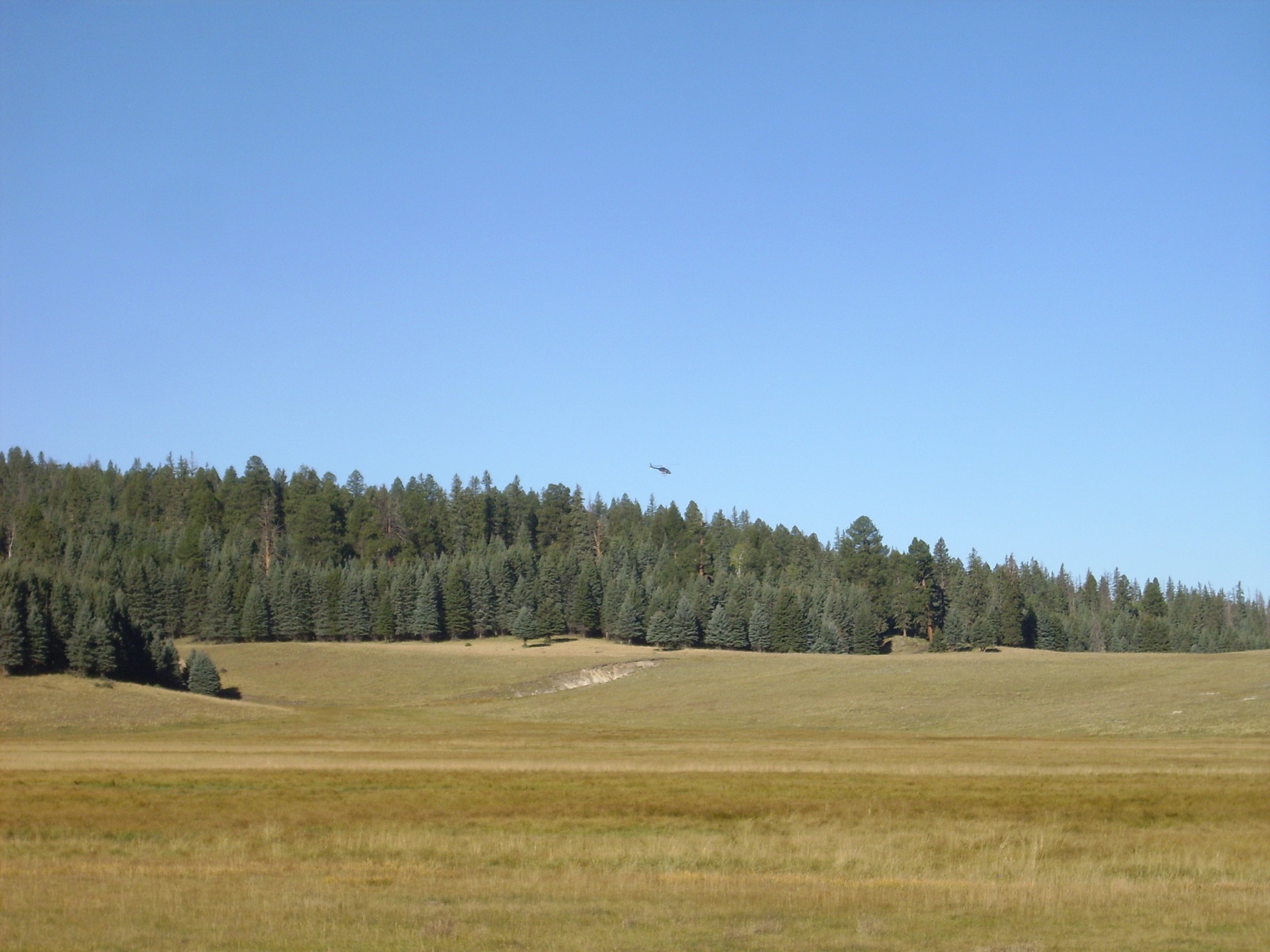
Helicopters are loud. I found myself thinking contradictory thoughts: What a jerk, spoiling the peace of the caldera back country. … I wonder how much it costs to take a ride?
I discover that the area at the foot of the hill is a nasty bog.
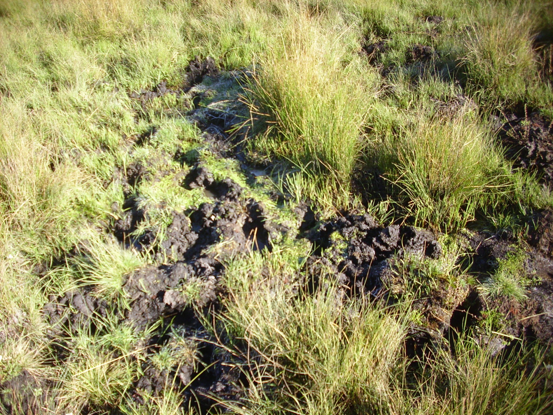
Well, perhaps not that nasty this morning. The ground is surprisingly firm; it almost feels frozen, though it seems early in the season for that. But where there’s a bog, there’s likely to be a creek, and I come across it almost before I know it, and find myself up to my ankles in water. I slosh across and take stock. Both feet are pretty wet, though not completely soaked. And since I am now on the other side, I might as well check out the gully in the lake bar.

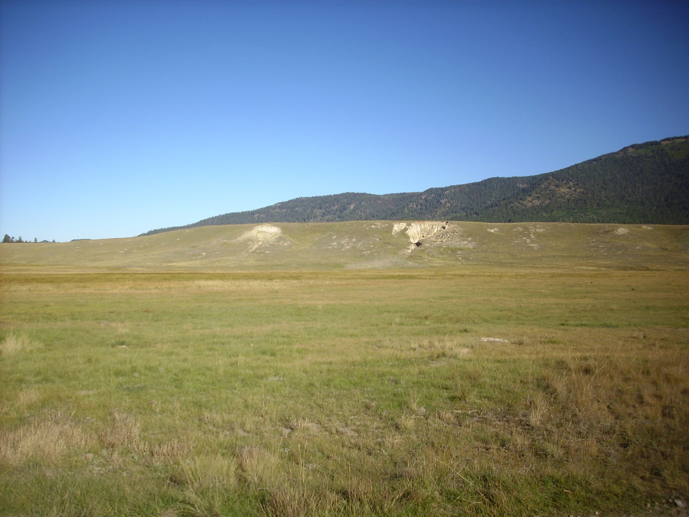
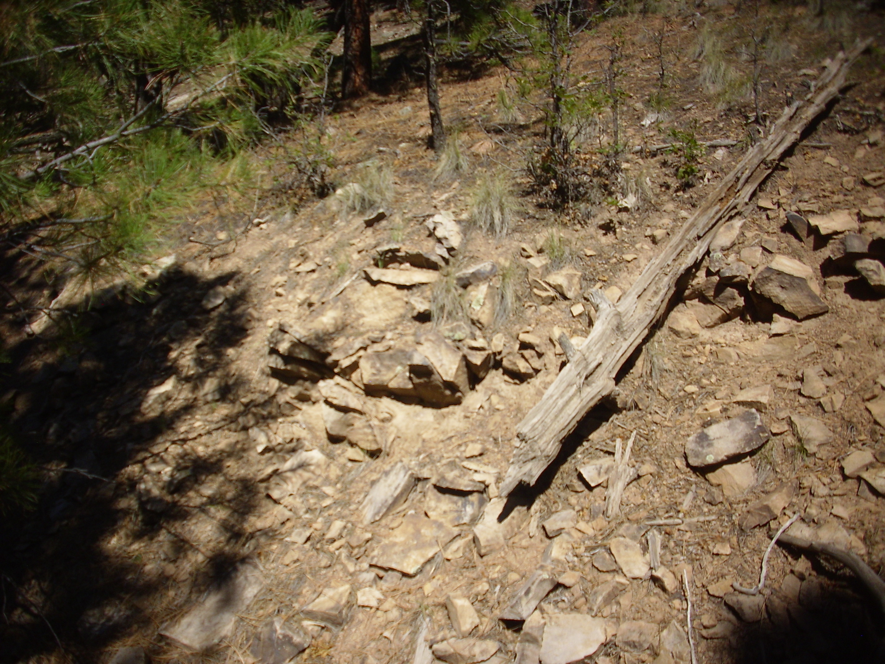
This is one for the book, since I only have a short section on the history of caldera lakes in the Jemez and it could use more photographs. Note that most of the bed is quite light and featureless, but there is a darker rim.
Most of the deposit is very fine sediments, silt and clay, that easily crumbles to very fine powder. There are some redder layers, which include occasional better cemented reddish sediments.
Notice the rim.
The rim is coarser gravel, with a base layer of the reddish cemented sediments. This is mapped as old river terrace gravels, likely deposited by a creek entering the caldera lake at this spot. It seems likely that the presence of the gravel cap here is what accounts for the preservation of the very soft sediments beneath,
Now I have to figure out how to get back to my car without soaking my feet again. I scout around for a while for a spot where the creek has well defined banks not too far apart; of course, that’s precisely where the creek is deepest. I get a running start and leap … and it mostly works. My boot still get a bit soaked, but not as bad as before.
When I get to my car, I strip off the boots and find my socks quite damp. I decide I’ll drive in my stockinged feet to let the socks dry out some more; wet socks are prone to give you blisters and I have hiking plans for later.
I’m also wondering if there was a way to get to the lake bar without having to risk getting my feet wet. Alas, as I drive around the bar to its north, I see that the creek wraps around it.
The map confirms that there is no path to it that doews not cross a stream and does not go miles out of the way on rugged terrain.
At far left is the foot of Cerro Santa Rosa. Redondo Peak is in the distance at center left. At center is Cerro San Luis, and to its right is Cerro Seco. The three “cerros” are all ring fracture domes.
I turn west at the junction and head to Warm Springs dome.
Warm Springs dome is the hill right of center. Behind, from right to left, are Cerro Seco, Redondito (the small peak in the far disatnce), Cerro San Luis, and Cerro Santa Rosa.
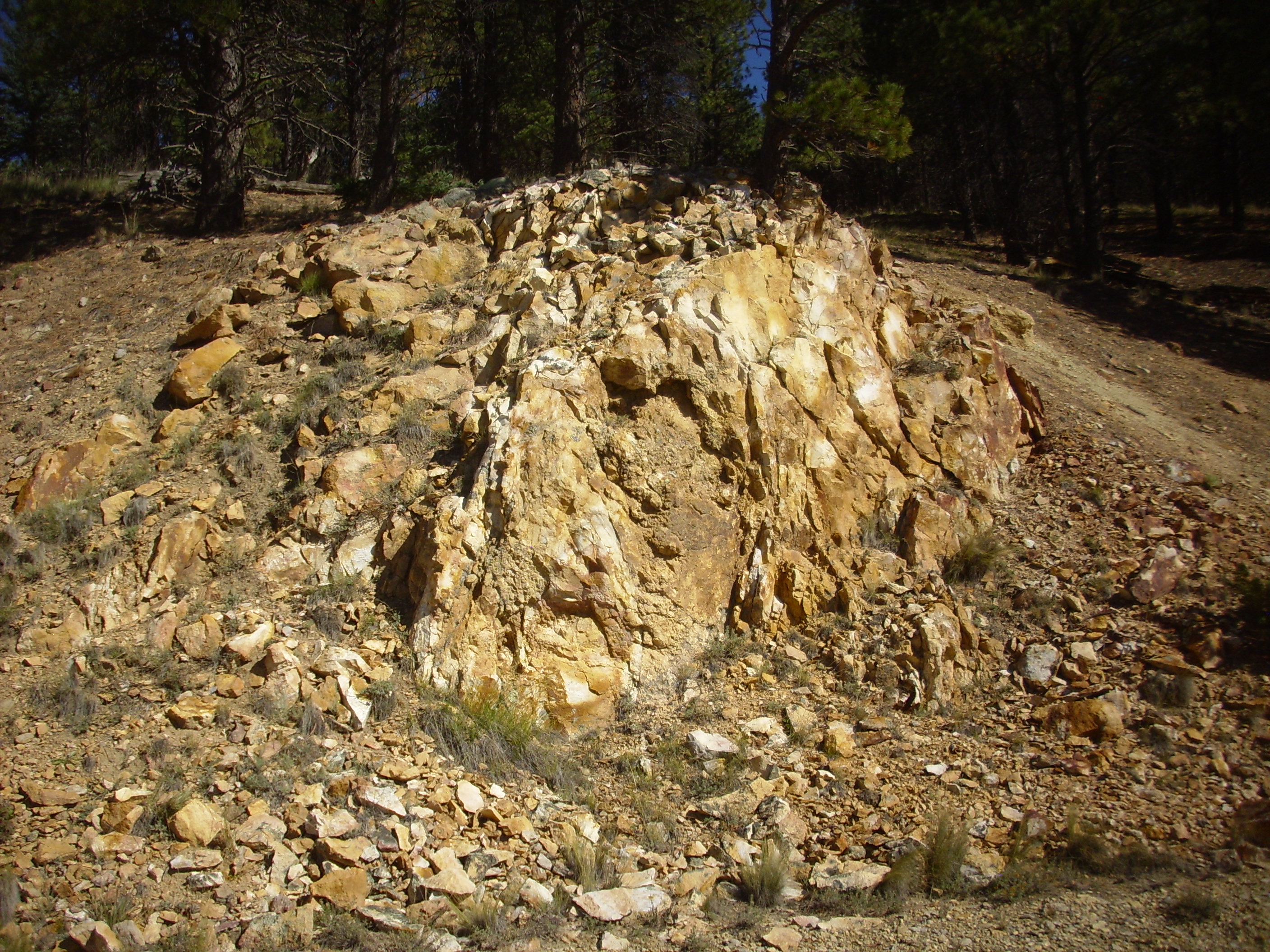
Warm Springs dome looks insignificant, but it is geologically important. It is composed of rhyolite just a little older than the Valles eruption, and it is interpreted as an early leak of Valles magma through the Toledo ring fracture. This is an important clue that the Toledo caldera was similar in size to the Valles caldera and located just a little to its north.
I like the level approach from right, and crest a foreground hill to see the dome itself.

Notice the light outcrop on the north side of the hill (facing us). A closer look:
The beds slope up the hill and are composed of fine bits of pumice cemented together. The age is around 770,000 years, the same as the Cerro Seco dome to the south. These are likely hydromagmatic deposits, formed by the interaction of lava with lake water, which buried the older Warm Springs dome and then were partially eroded back off.
This was what I came to see, though.
Notice the bench around the cap of the dome. This is remarkably level and reaches more than halfway around the dome on its south side, towards San Antonio Creek. I interpret this is a wave bench cut by one of the lakes that occupied the caldera in the past — likely the San Antonio lake, since the Cerro Seco deposits appear to have also been eroded.
Another aircraft buzzes the area.
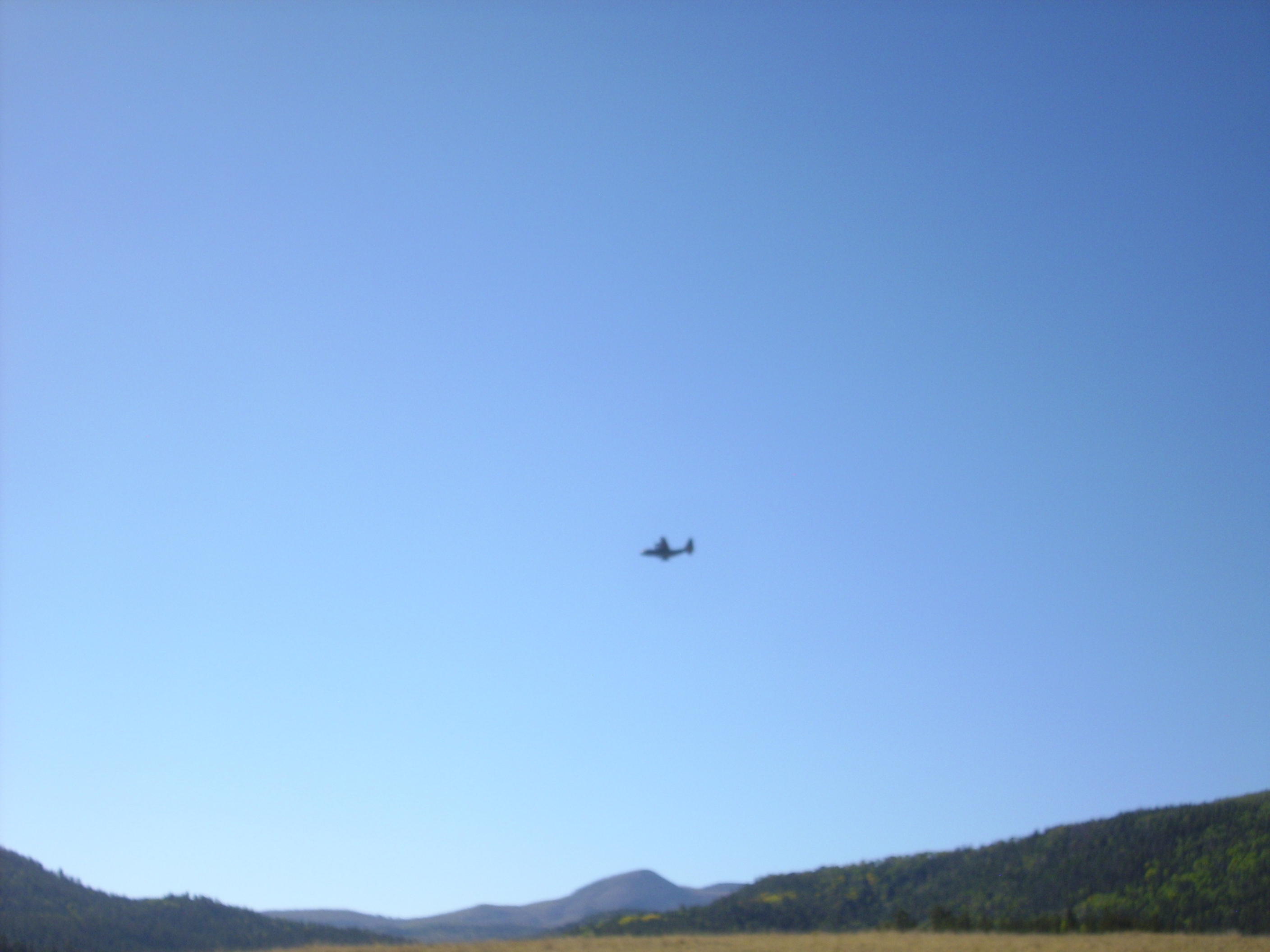
A big fixed-wing aircraft, which nonetheless is clearly touring the caldera, flying low and banking steeply. Curiously, it is significantly less noisy than the helicopter earlier.
I head east along the moat, passing a spur of precaldera rock from the north rim.

This is andesite of the Lobato Mesa Formation, the most extensive pre-caldera formation, with an age around 7 to 8 million years. (This specific outcrop has not been radiometrically dated.) It’s got a lower silica content than the rhyolite and rhyolite tuff that characterize the caldera eruptions, and it has large crystals (phenocrysts) of white plagioclase feldspar. Its presence here removes any doubts that we are at the base of the caldera rim, well outside the ring fracture of either caldera eruption.
Yet further down is another pre-caldera outcrop, near a fault zone.

The fault runs approximately along the far side of the mass of whitish rock in the bend of the road at far left. This contrasts with the darker rock at right. The latter is a biotite dacite:
Dacite has a silica content between that of andesite and rhyolite. Here is the mass of white rock close to the fault.
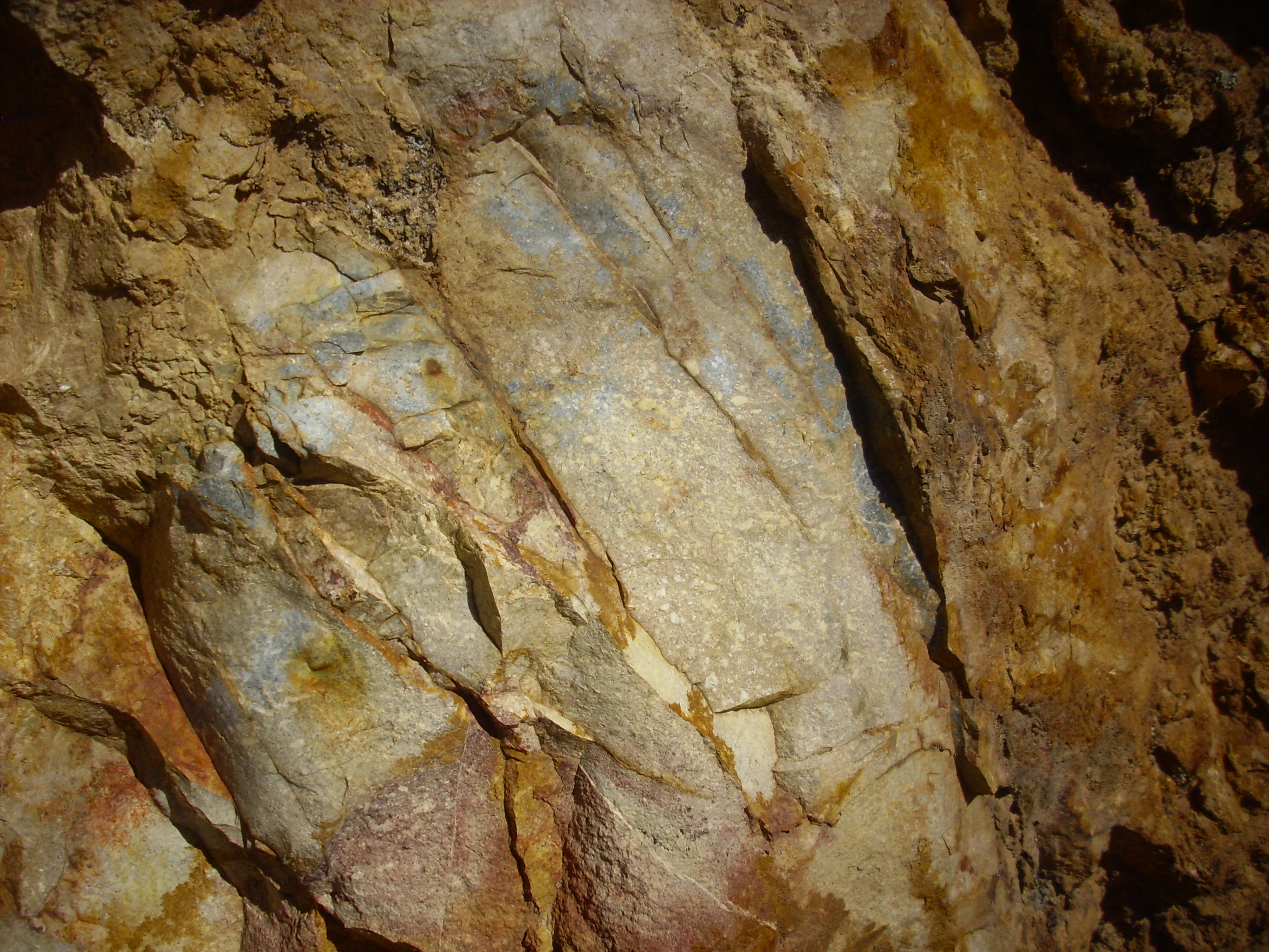
At first glance, this looks like a rhyolite. A closer look:
You can see ghostly remnants of feldspar crystals. This is actually biotite dacite that has been bleached by hot, acidic fluids flowing along the nearby fault. On the other side of the fault:
The fault trace is visible o the right of the outcrop. The rock here is andesite that has also been hydrothermally altered.
You can see that some patches of the rock are less thoroughly bleached.
As I’m photographing rocks, a lady tourist pulls up and asks how the photography is going. Fine, I think. She then gives an immense sigh and asks if she will ever find any trail heads along this road. I assure her that there is an excellent rail head perhaps a mile down the road, to the left — can’t miss it. She seems relieved, and when I pass that way a few minutes later, I see her happily preparing to hike. Glad to be of help.
This fault marks the eastern edge of a zone of intrusion. Further west, the caldera rim is unaltered andesite and dacite, until you reach older sedimentary beds at the base of the northwest canyon rim. Up slope of this point are intrusions of Bearhead Rhyolite, six to seven million years old. This was a magma body that intruded a fairly narrow fault zone reaching from north of the rim here well past the southern caldera rim. To the east of this point, there is additional faulting and numerous Bearhead Rhyolite intrusions until you reach the Toledo Embayment.
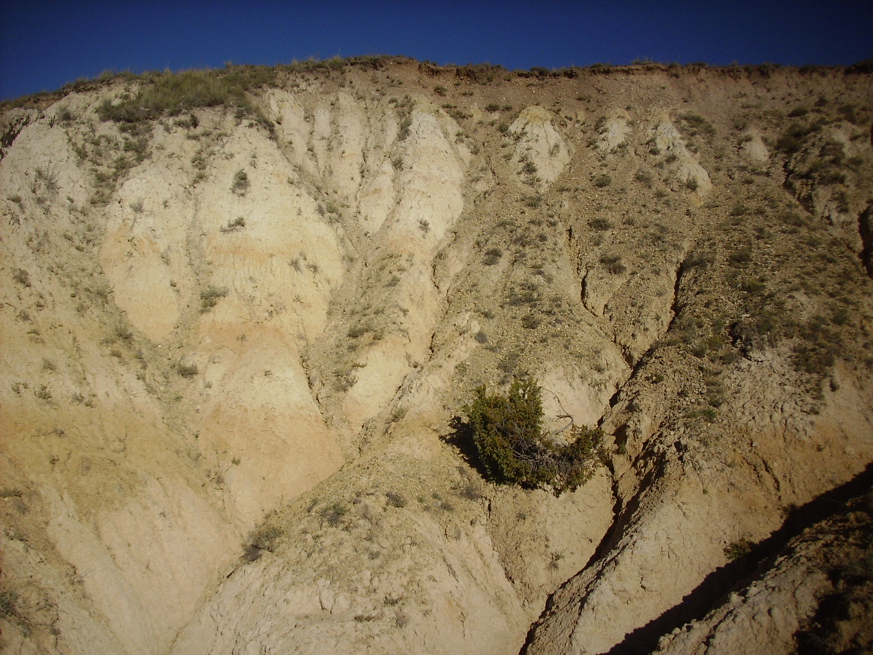
And the northwest reentrant of the Toledo Embaymen is intruded by the Cerro Trasquilar dome. I park to the west.
Cerro Transquilar dome is an intrusion of rhyolite 1.36 billion years old. This is after the Toledo eruption but before the Valles eruption, and this dome is interpreted as a remnant of a ring fracture dome of the Toledo caldera. My first target is an outcrop of andesite shown on the map that is probably the southermost point of the caldera rim reentrant here.
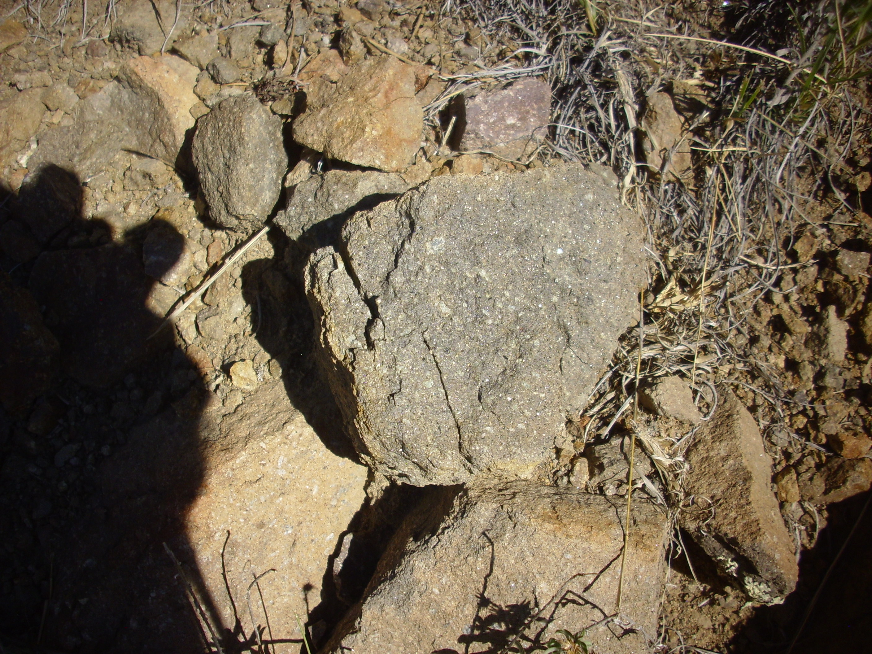
Could this be it?
Nah, looks more like rhyolite.
I suspect, and will confirm after I get home and check the GPS coordinates, that I have climbed the side of the dome too far north to hit the andesite.
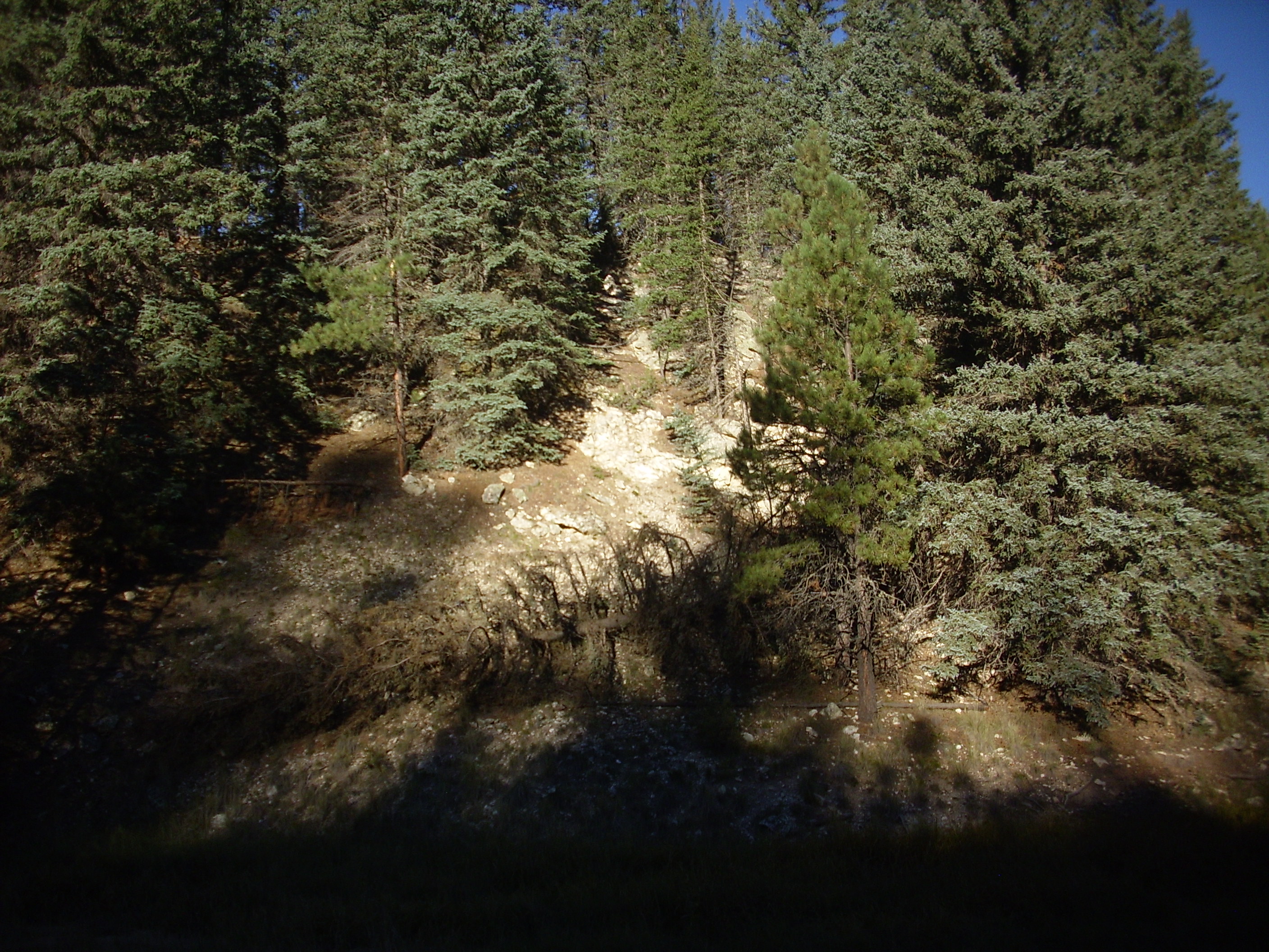
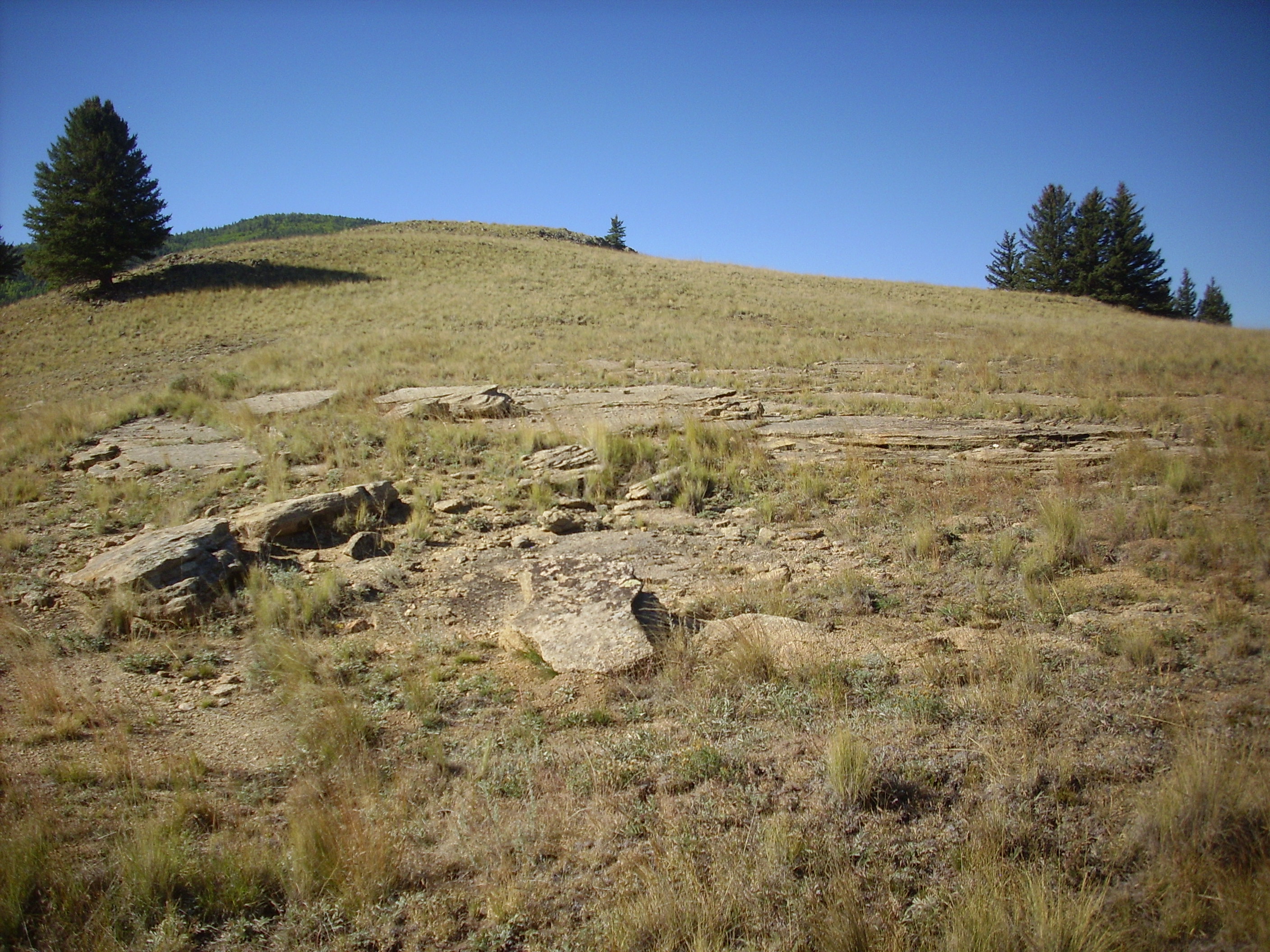
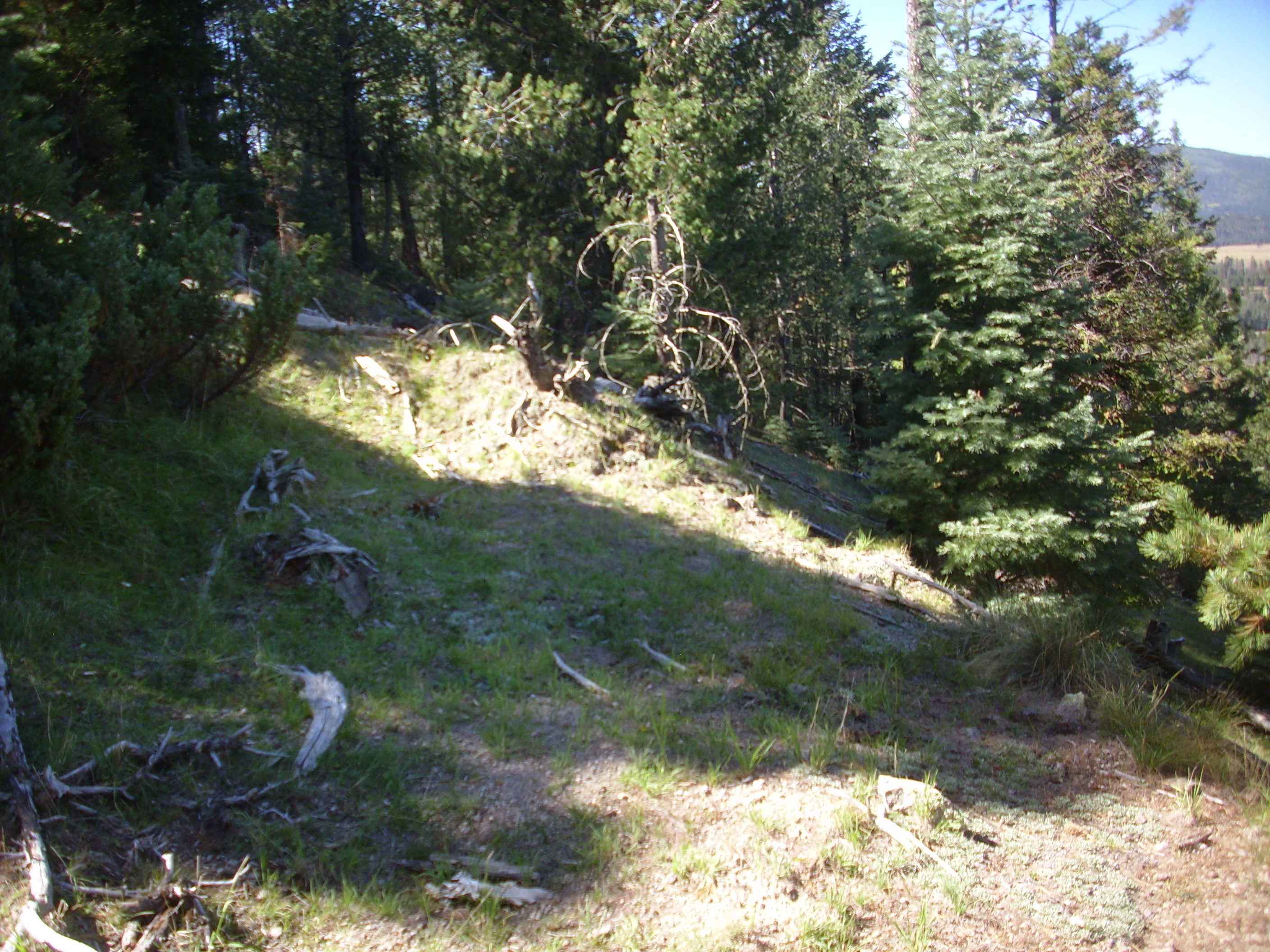
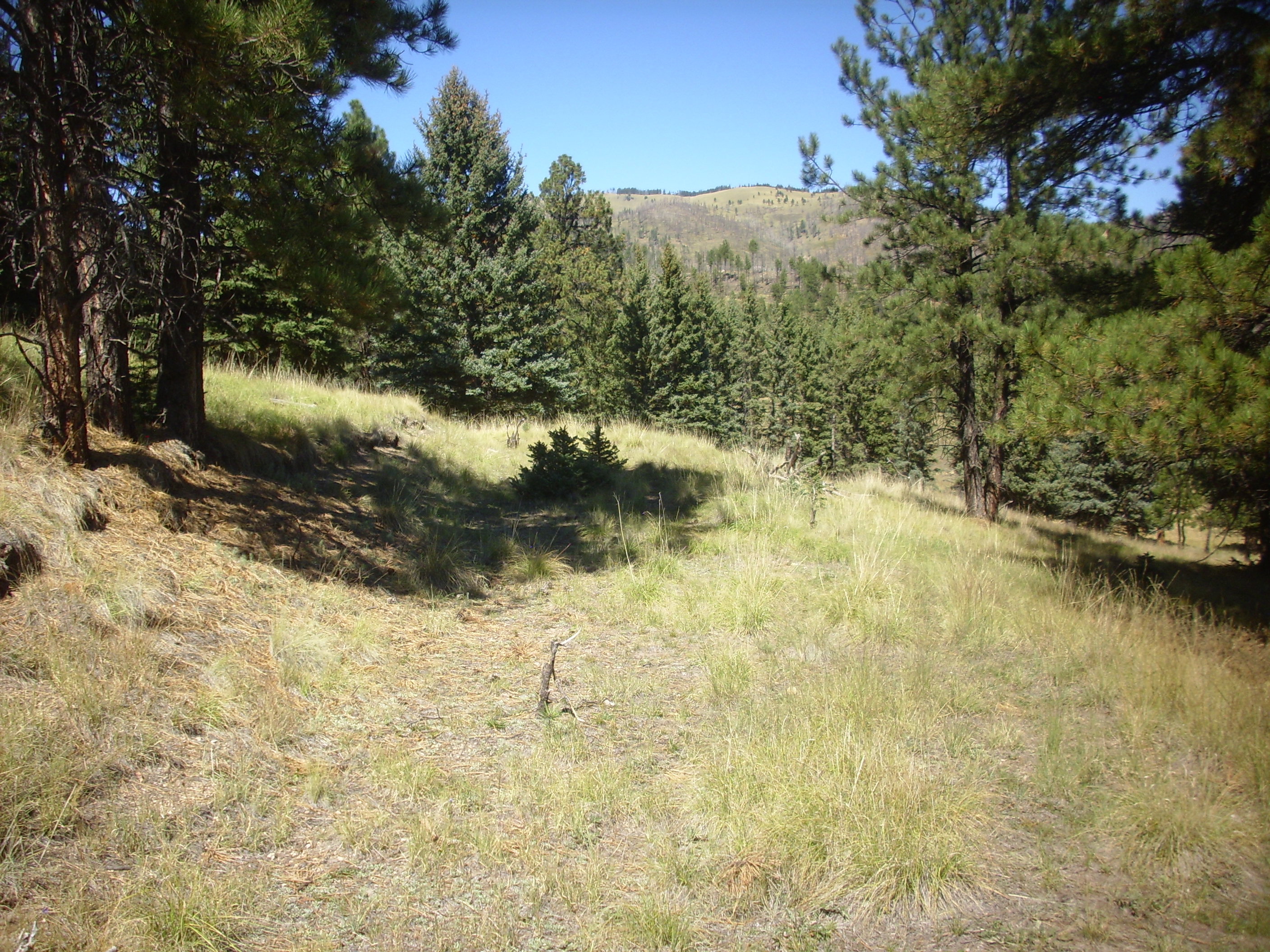
I come to an old logging road.
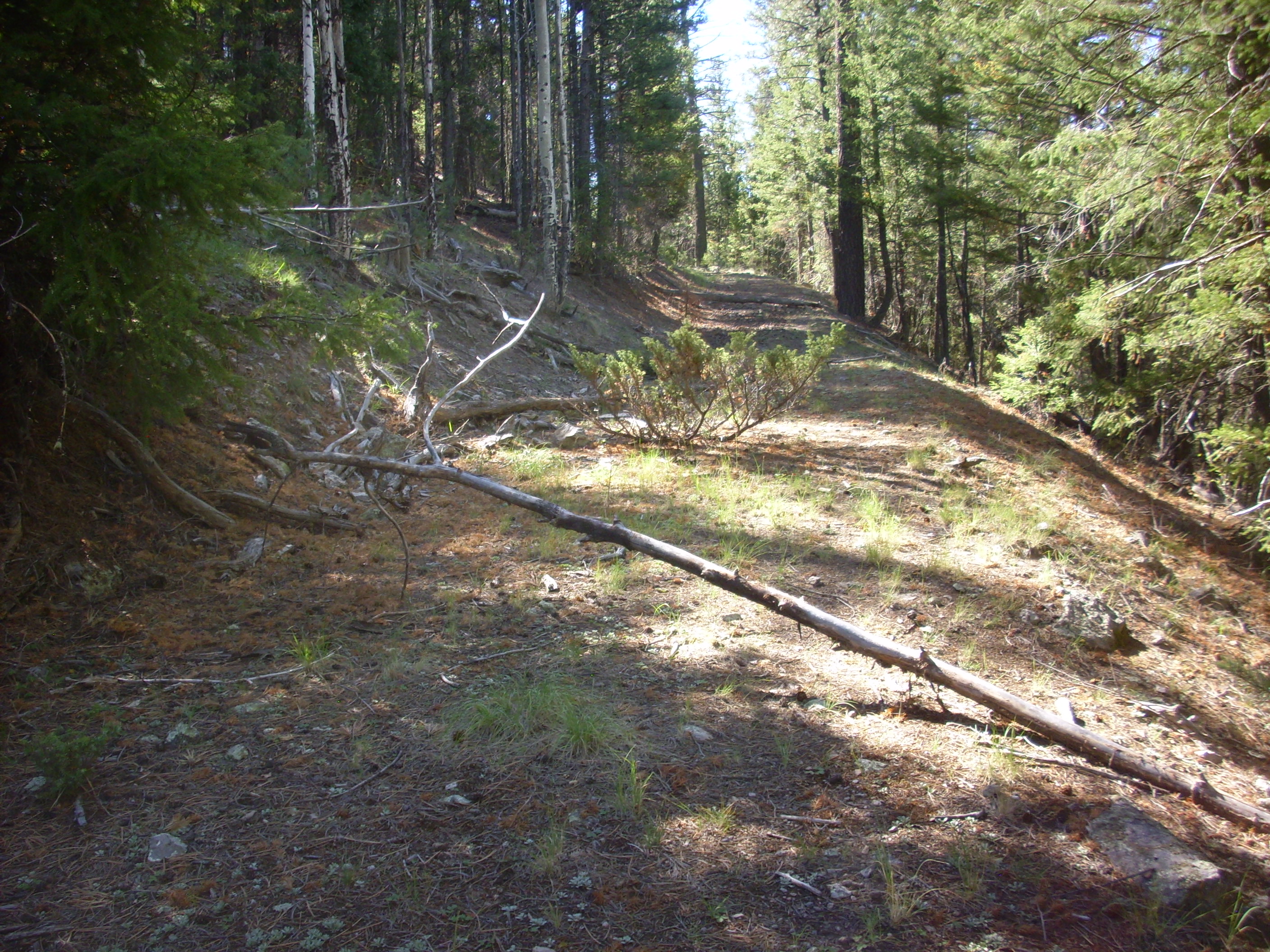
You can’t ask for a nicer trail. I decide to follow it around the mountain.
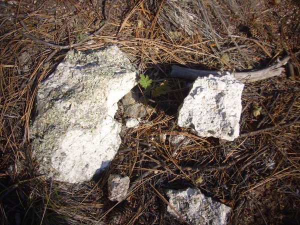
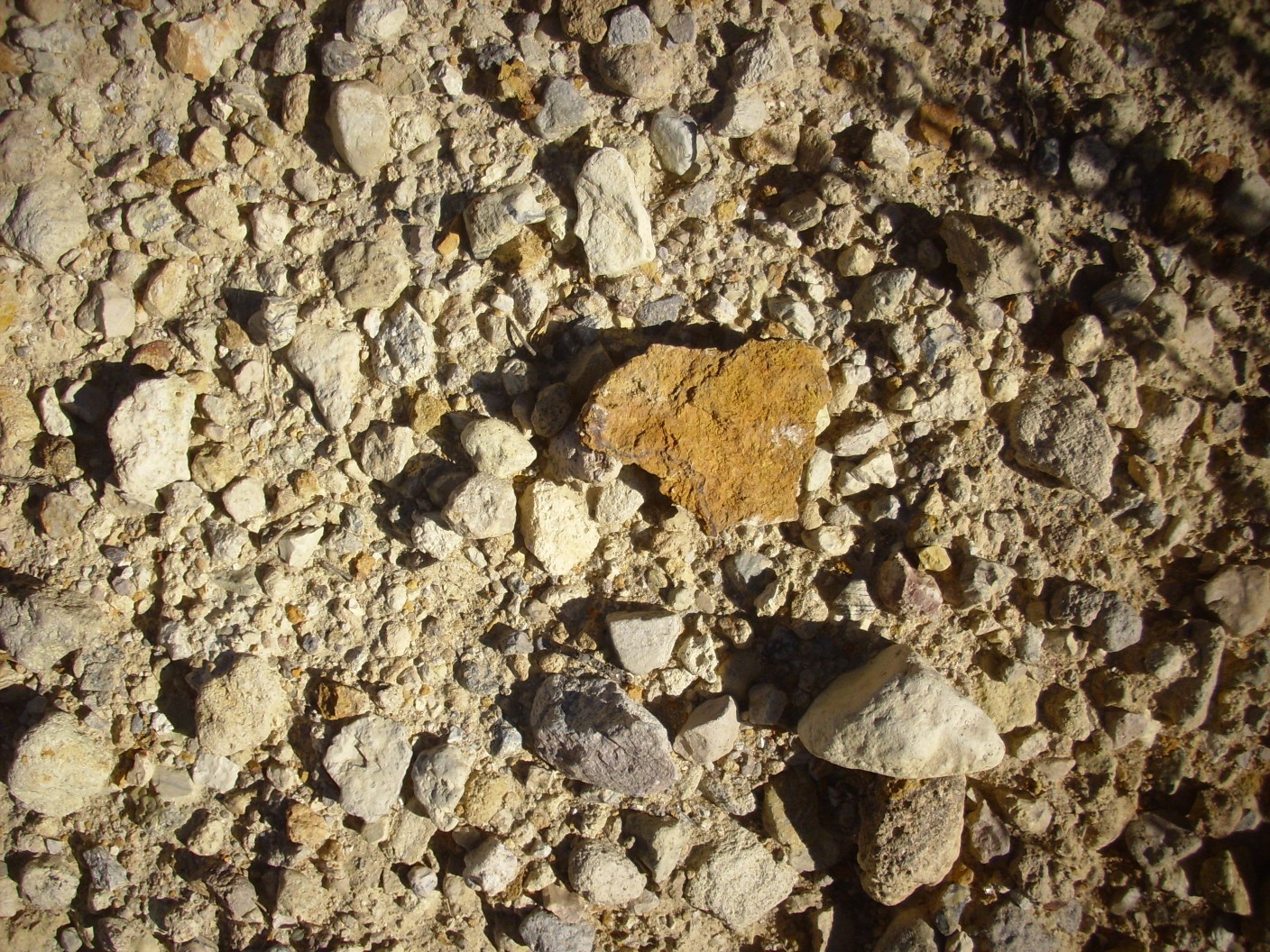
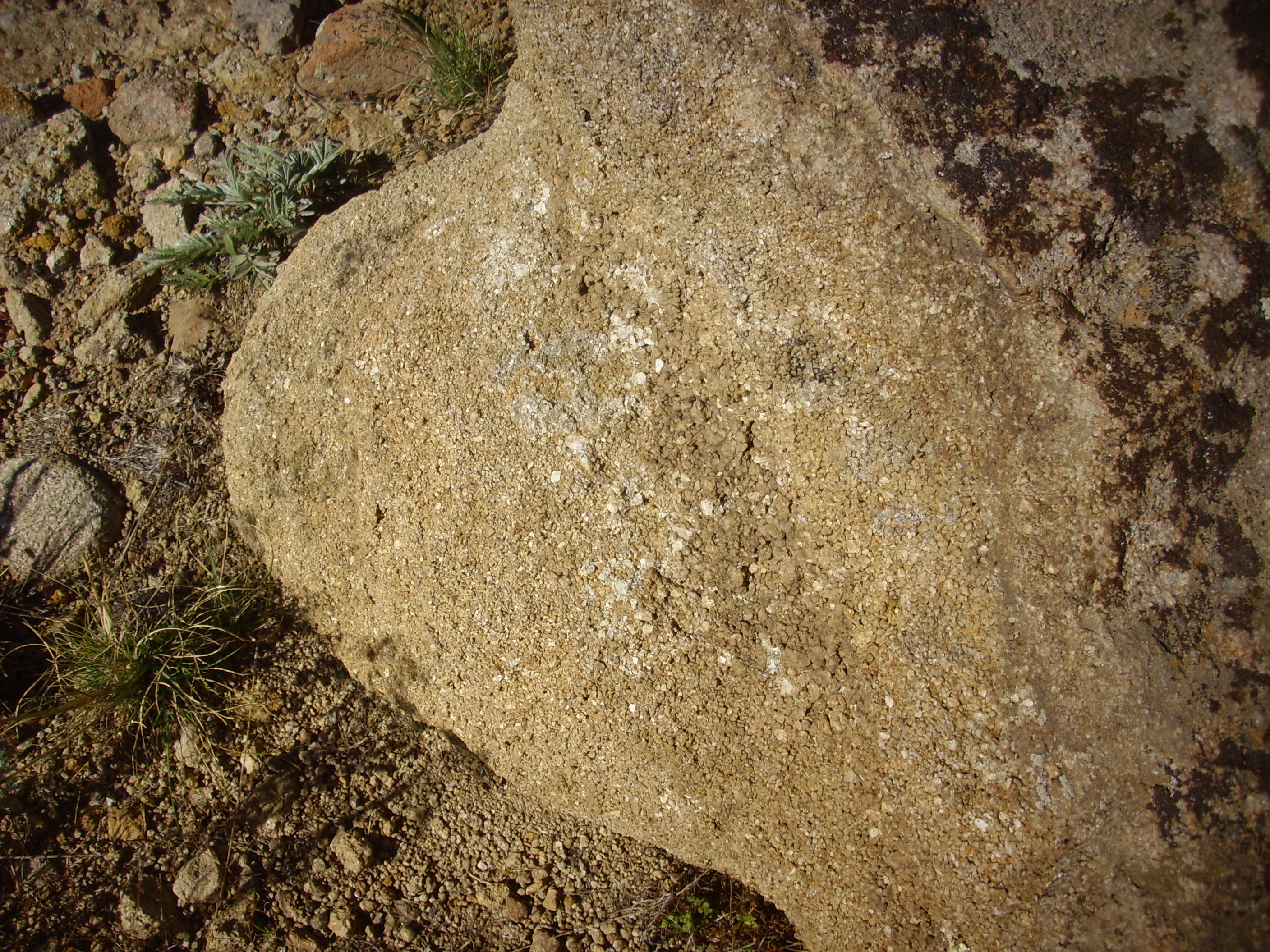
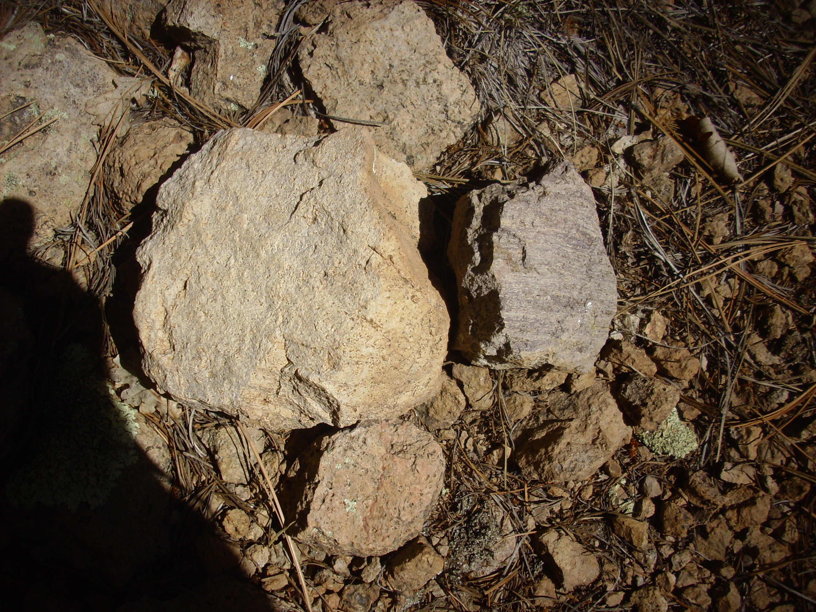
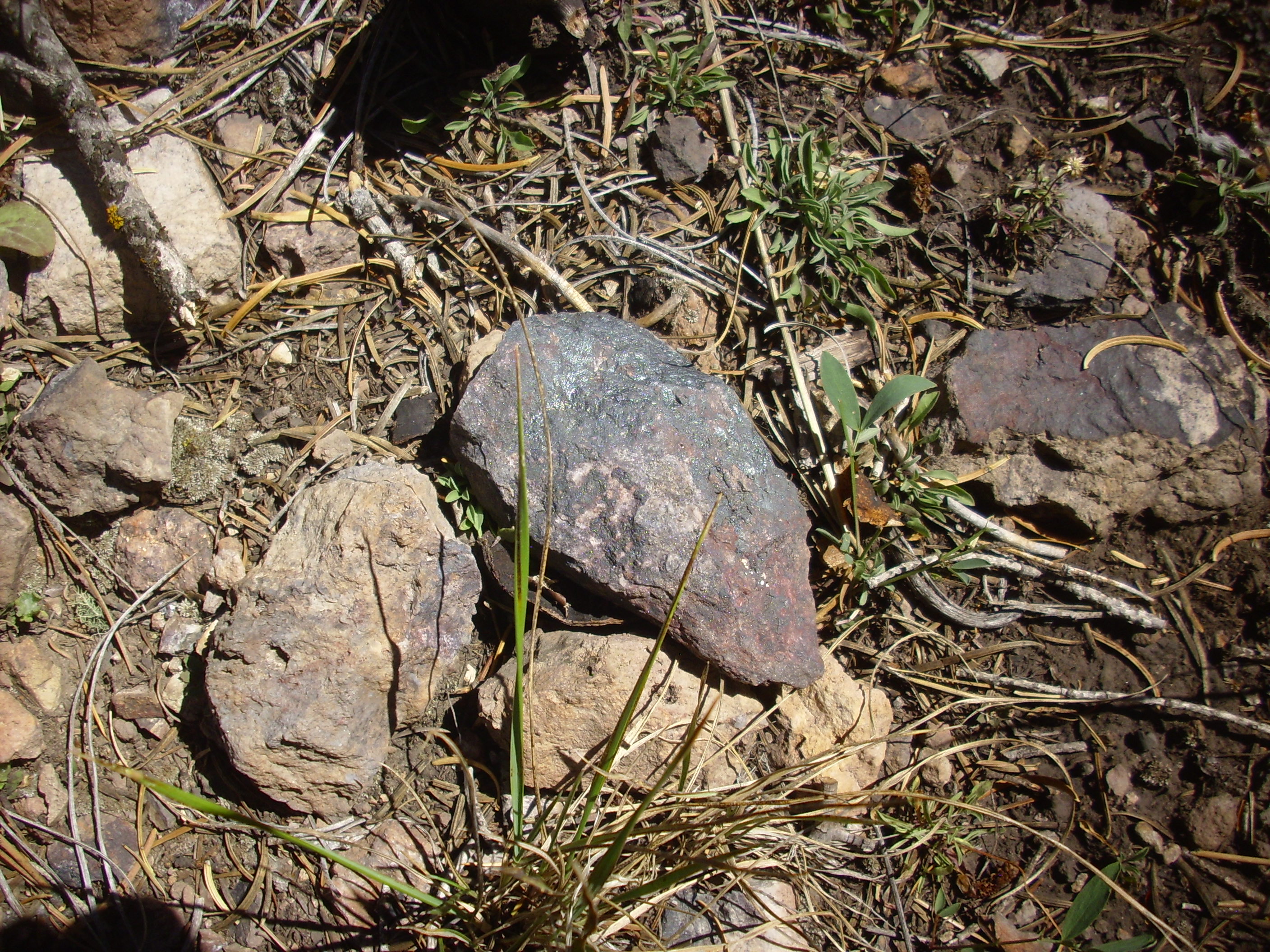
Rhyolite on the trail.

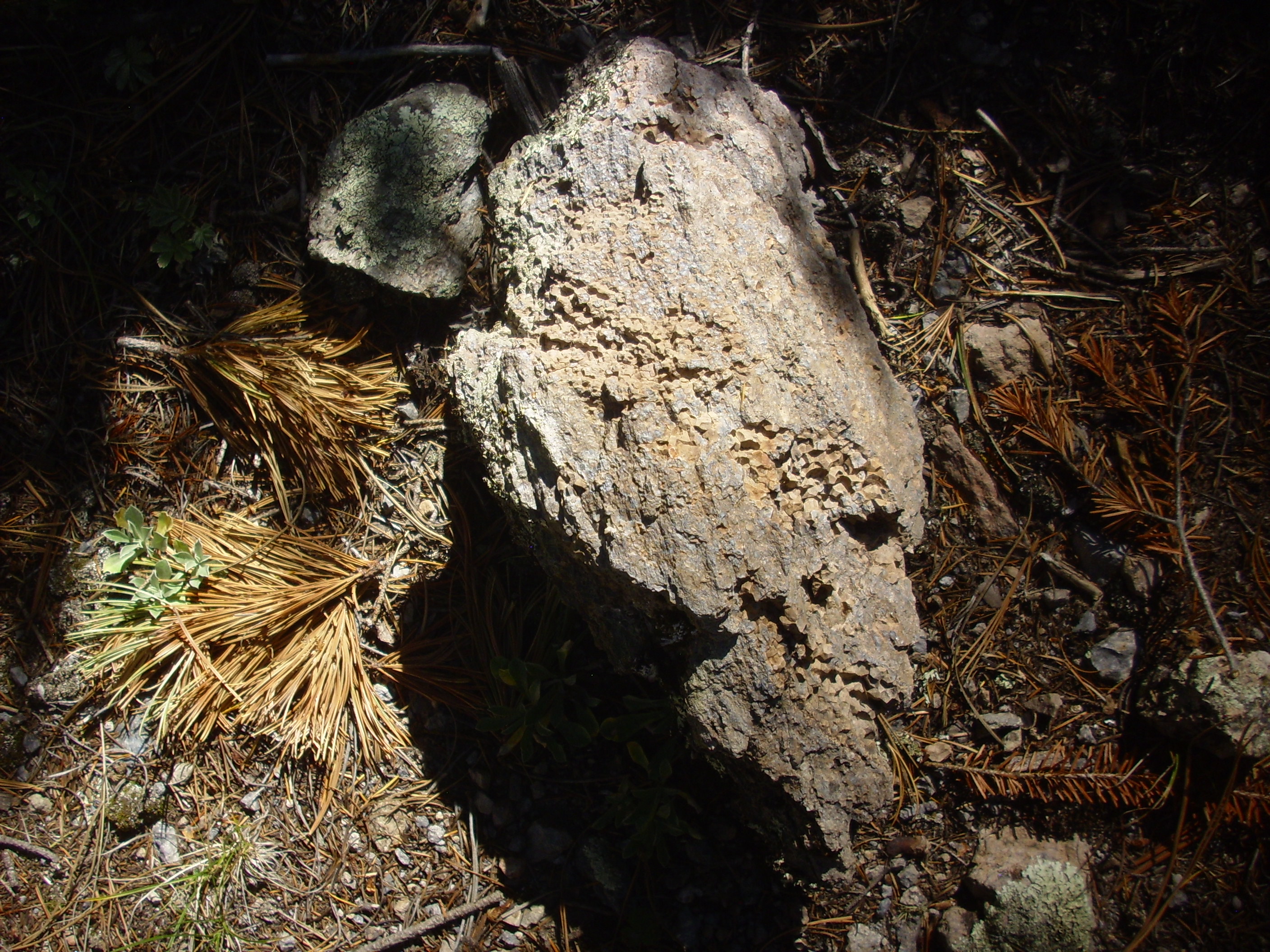
This sample shows traces of spherulites typical of a glassy lava. Rhyolite is so viscous, because of its high silica content, that it can cool to a solid before any crystals have time to form. The glass can later devitrify on geologic time scales to form more ordinary fine-grained crystalline rock.
The road is heavily forested, but there are tantalizing glimpses through the trees.
and here

and here.
I have been hearing elk bugling from time to time the whole time I’ve been hiking. It’s that time of year. And as the road curves around the south face of the dome, I catch a glimpse of a large buck elk above the road. He seems anxious to avoid me, which is fine by me; elk can get mean.
Some more examples of the rhyolite of the dome.
The rock at right shows flow banding, very typical of rhyolite.
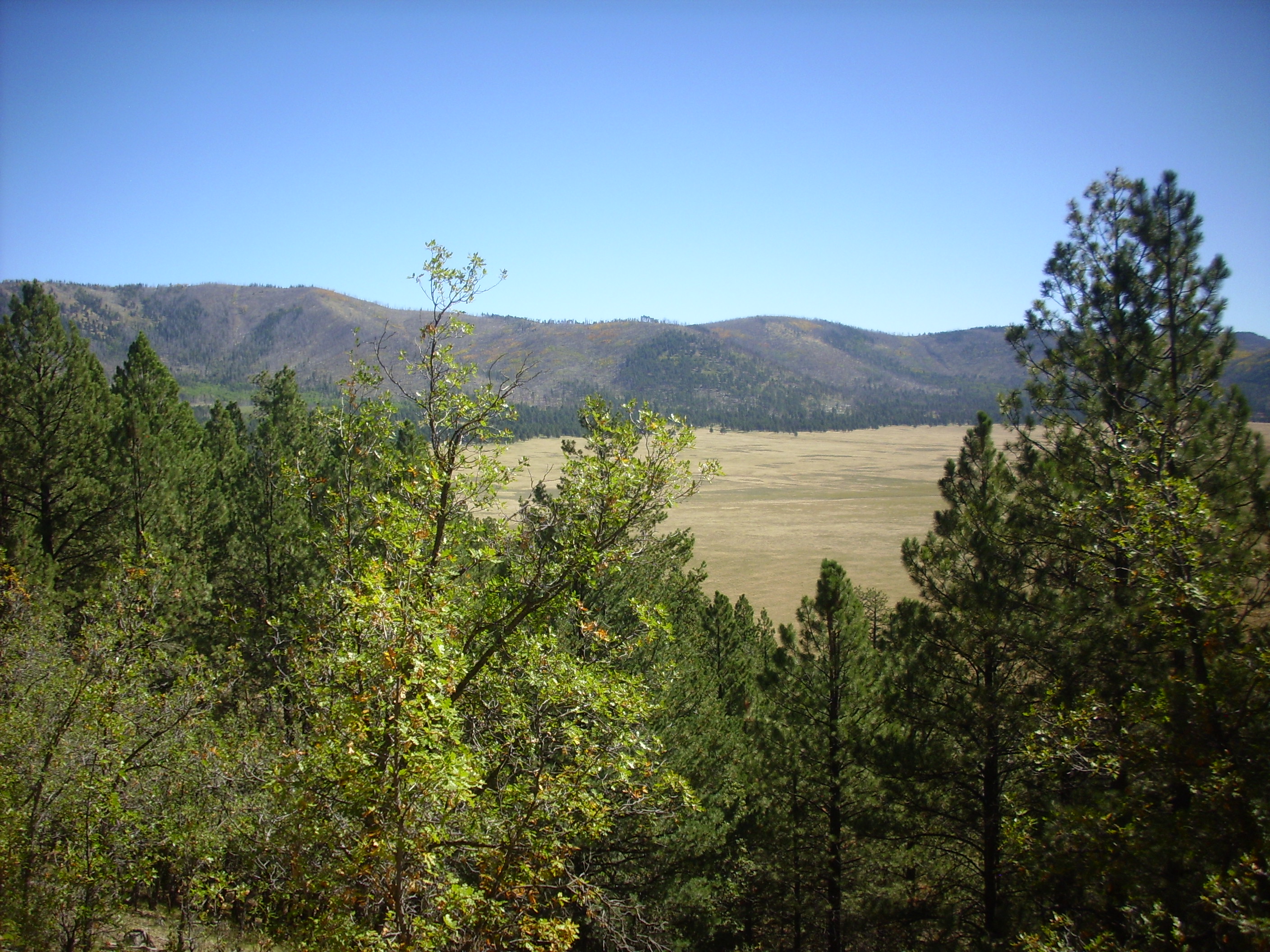
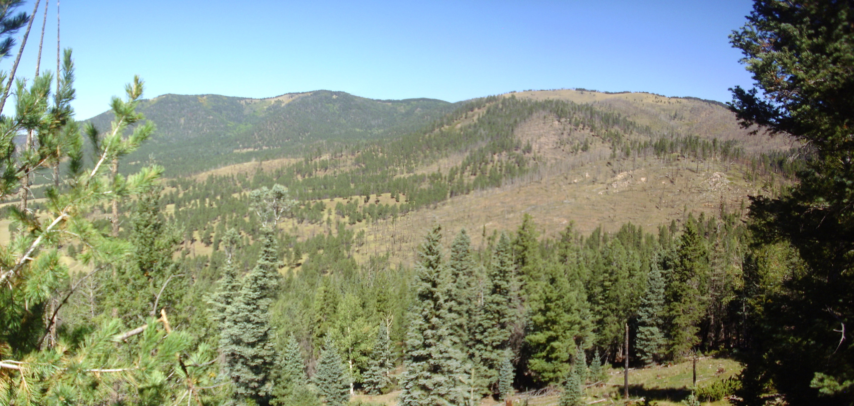
Further on is a nice if somewhat obscured view of Valle Toledo to the east.
The hill at left is Cerros Posos West, underlain by rhyolite 1.65 million years old — a little older than the dome I’m standing on. At right is Cerros des Abrigo, a Valles ring dome 970,000 years old.
The road winds all the way around the mountain, and as I turn west, I hear considerable elk bugling both above and below the trail ahead. I continue, with some trepidation, and get a glimpse of a magnificent buck above the trail. Perhaps the same one I saw earlier?
I reach a clear spot on the trail, with a nice view to the west and northwest that includes part of the terrain of the rim reentrant I mean to hike later.
The mountain is La Garita, the high point of hte north rim, and to the left we see the north moat stretching to the west.
And just past here we hit the end of the road.
I consider. The ground beyond is quite steep and I have a strange new regard for my ankles. I decide I will hike back the way I came.
But not before completing the panorama to the northwest.
To the right are two hills, one in the foreground and the other in the middle distance. Both are mapped as Santa Fe Group sediments, intruded by Bearhead Rhyolite and interbedded with andesite of the Paliza Canyon Formation. The white outcrops on the nearer hill are part of a Bearhead Rhyolite intrusion.
The Santa Fe Group contains all the sediments that have accumulated in the Rio Grande Rift, the great crack in the Earth’s crust extendingt from central Colorado to El Paso. This opened about 30 million years ago, long before the birth of the Jemez, which began around 14 million years ago. The Valles caldera seems to sit squarely on the west margin of the Rift, and very old sedimentary beds are exposed at the base of the western caldera rim. These give way to younger (25 million year) Abiquiu Formation beds in the northwest caldera rim, which are among the oldest rift fill beds. Here in the reentrant, the beds are likely younger, but still older than about nine million years, the age of the oldest volcanic rocks overlying them.
Hey, I wonder if I can make the last two shots into a single panorama? The foreground will be off, but …
I’ll be …
Hugin sometimes works real miracles. The big tree in the way just disappeared.
Coming back around the trail, I startle a herd of elk cows that race down the dome away from me. I’m guessing the buck elk above the road is not pleased with me.
Some outcropping photographs for the book.
I leave the road and try coming down the dome further south, in hopes of hitting the andesite outcrop. This?
Probably not. Careful comparison of my location with the geologic map says I’m still too far up the dome. The outcrop is practically on the road; I’ll look for it next trip.
I get back to my car and realize I need to use the portable toilet. As I’m preparing to sit down, I remember how you’re supposed to lift the seat of outdoor toilets first, just in case there’s a brown recluse spider beneath. Chuckling to myself, I lift the lid …
I’ll be d—-d.
I’m pretty sure it wasn’t a brown recluse; it looked more like a hunting spider of some kind. Still.
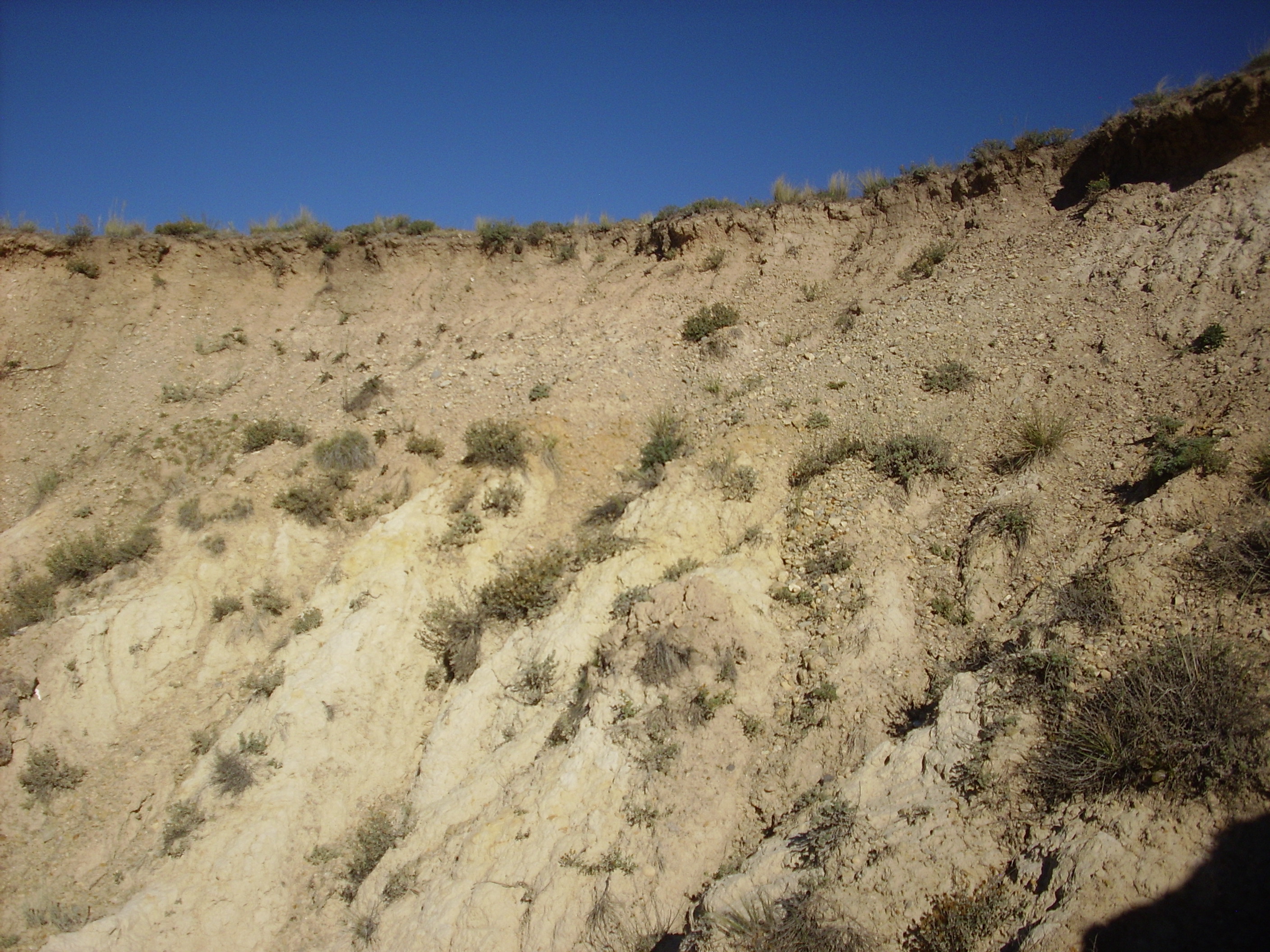
I drive past a cut on the south side of the dome.
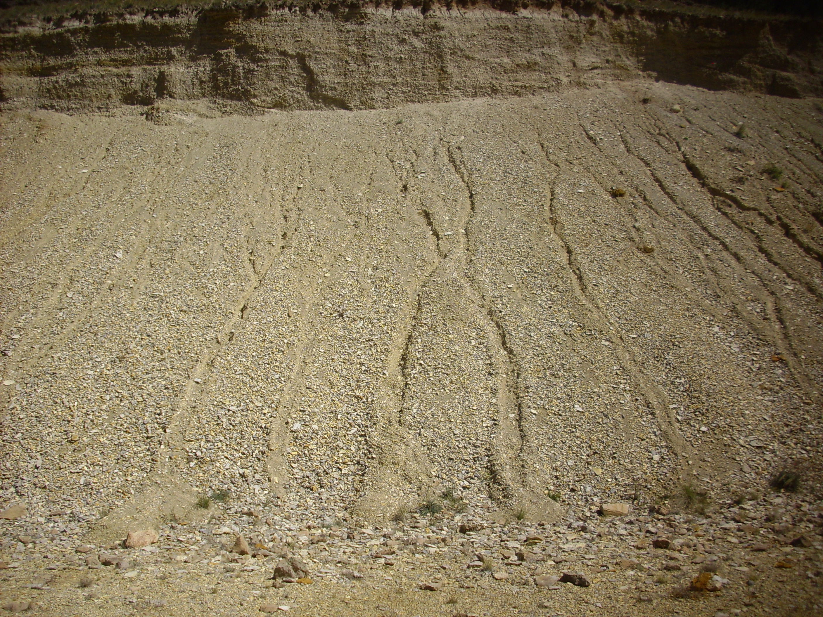
The map shows this as colluvium, a catchall term for very recent (geologically) sediments that accumulate at the foot of a slope. These are unusually nicely bedded, though not after all something for the book.
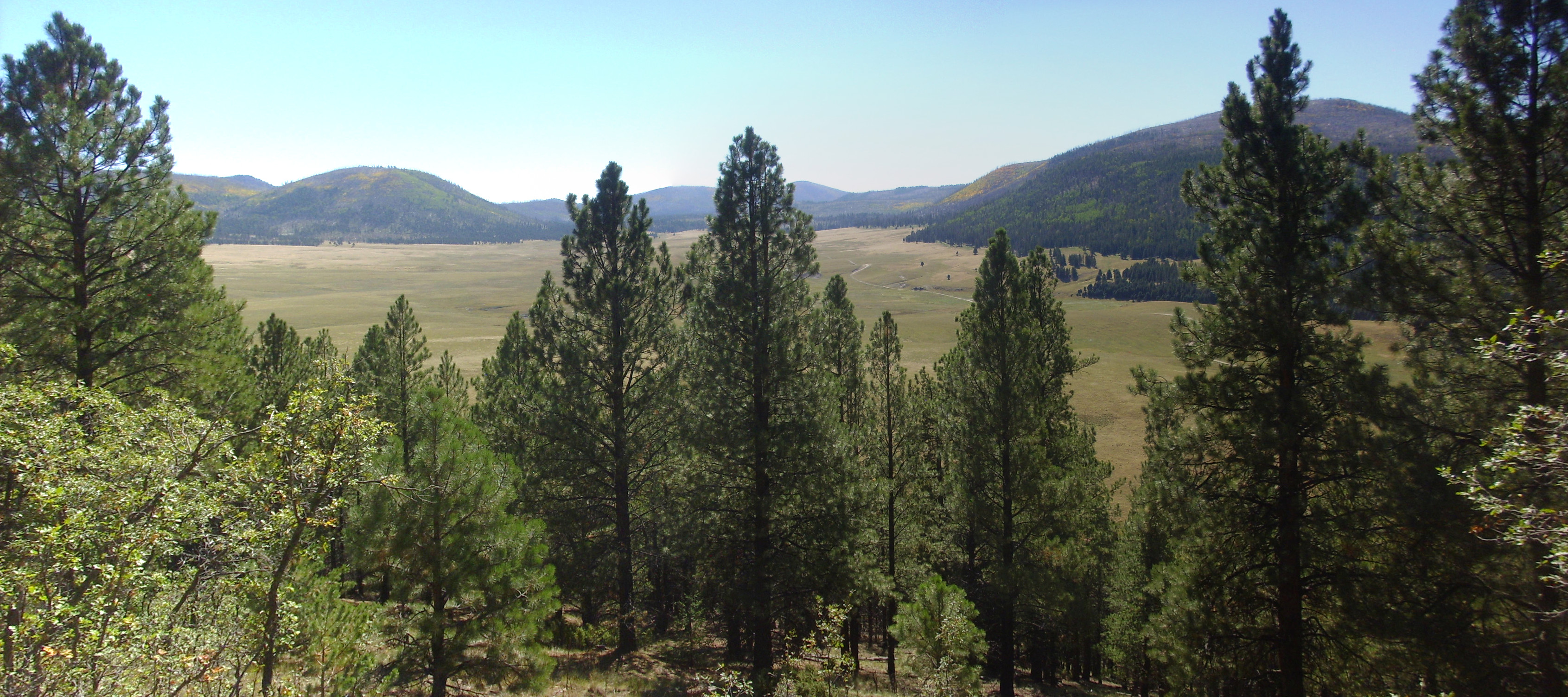
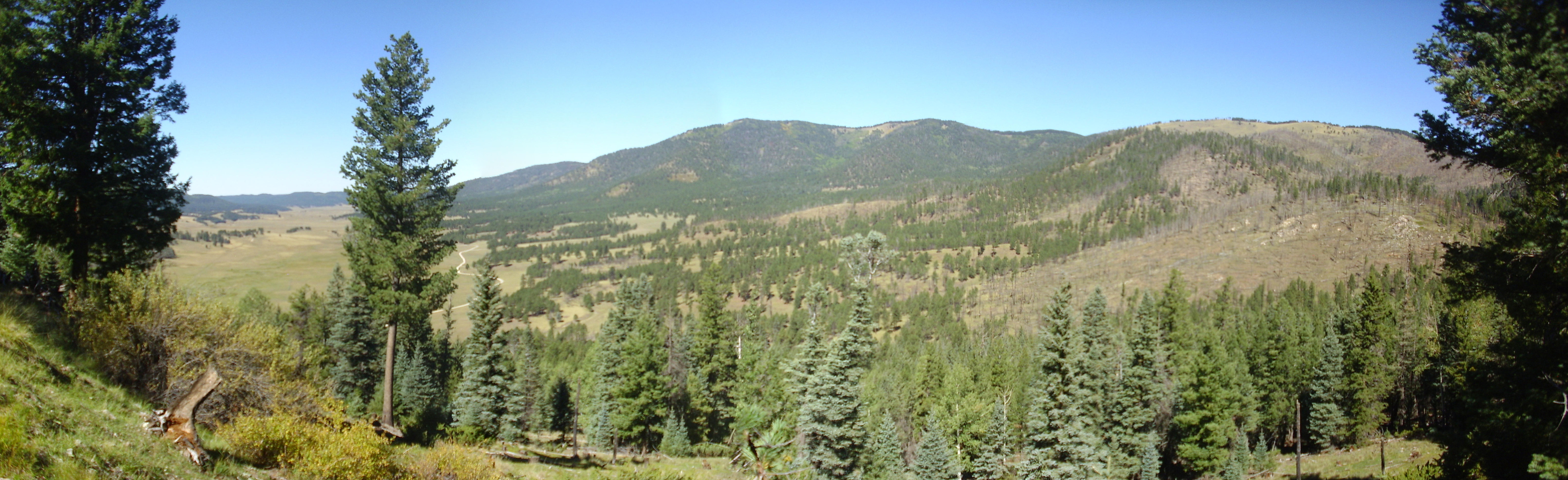
I’m actually looking to redo a panorama of the Valle Toledo I did years back on a cloudy day. The weather is perfect today.
That’s definitely one for the book.
At left is Cerro Santa Rosa, then La Garita in the distance above the road; then Cerro Trasquilar, the dome I just hiked; the northwest reentrant of the caldera rim; Turkey Ridge, filling much of the opening of the Toledo embayment; and to the right, Cerros los Posos. The logs across the road mark the end of the stretch that visitors are permitted to drive.
I got back to the roadcut of colluvium, park, and eat lunch. Then I begin my hike up the reentrant, starting on the east side of Cerro Transquilar this time.
It’s not obvious in the photograph, but a little clearer on the the ground, that the rock at left is slightly lighter in color than the rock at right. The rock at right is precaldera andesite, while that at left is much younger Cerro del Trasquilar rhyolite.
I turn west off the road not far north of here and strike for a low hill north of the dome that is mapped as Santa Fe Group sediments. Here, perhaps?
Probably not; the rock looks volcanic and, checking GPS later, it looks like this is probably rhyolite.
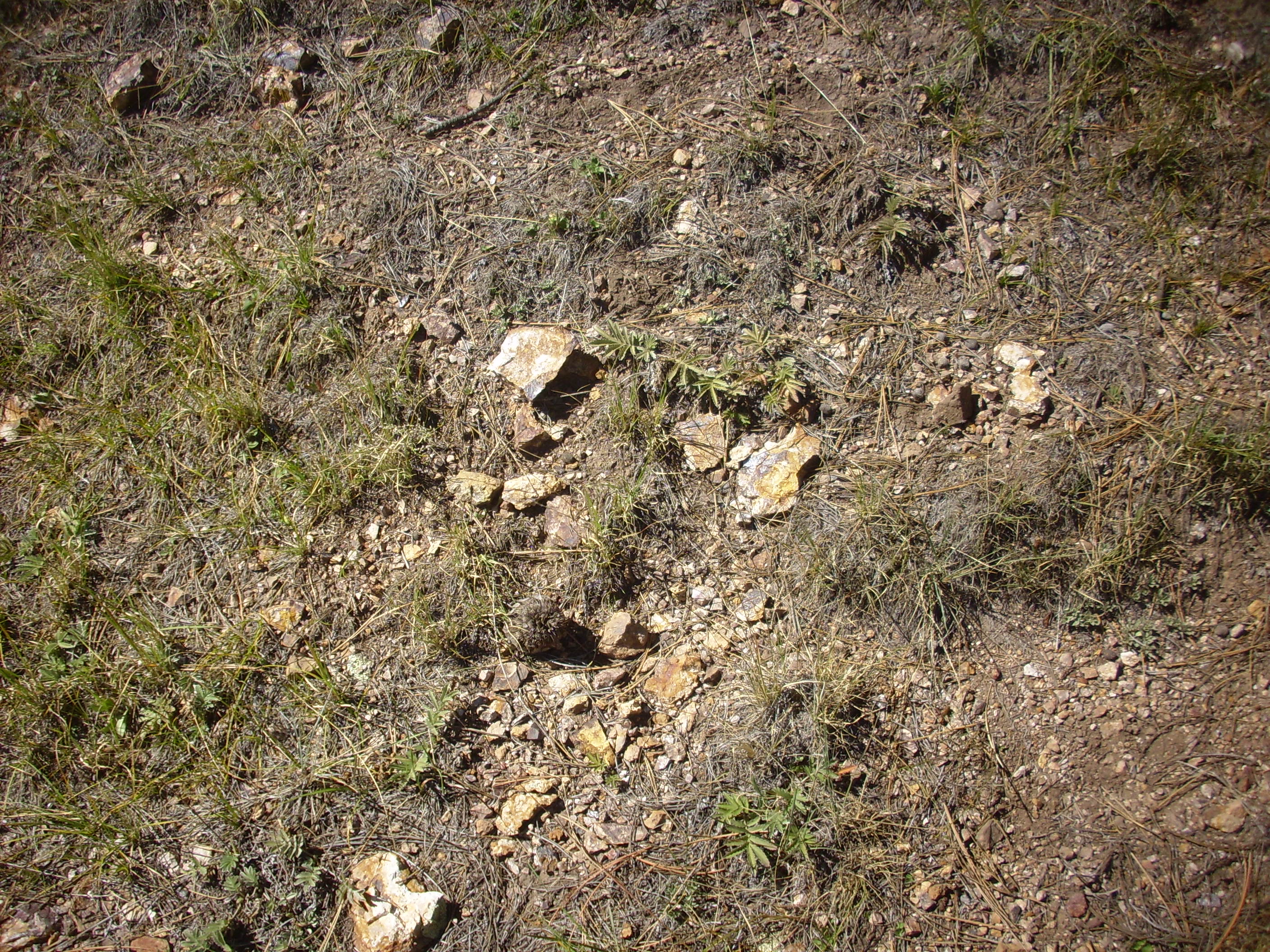
I check my position, look at the printed copy of the geologic map for this area, and head to what is almost certainly a low hill mapped as Santa Fe Group.
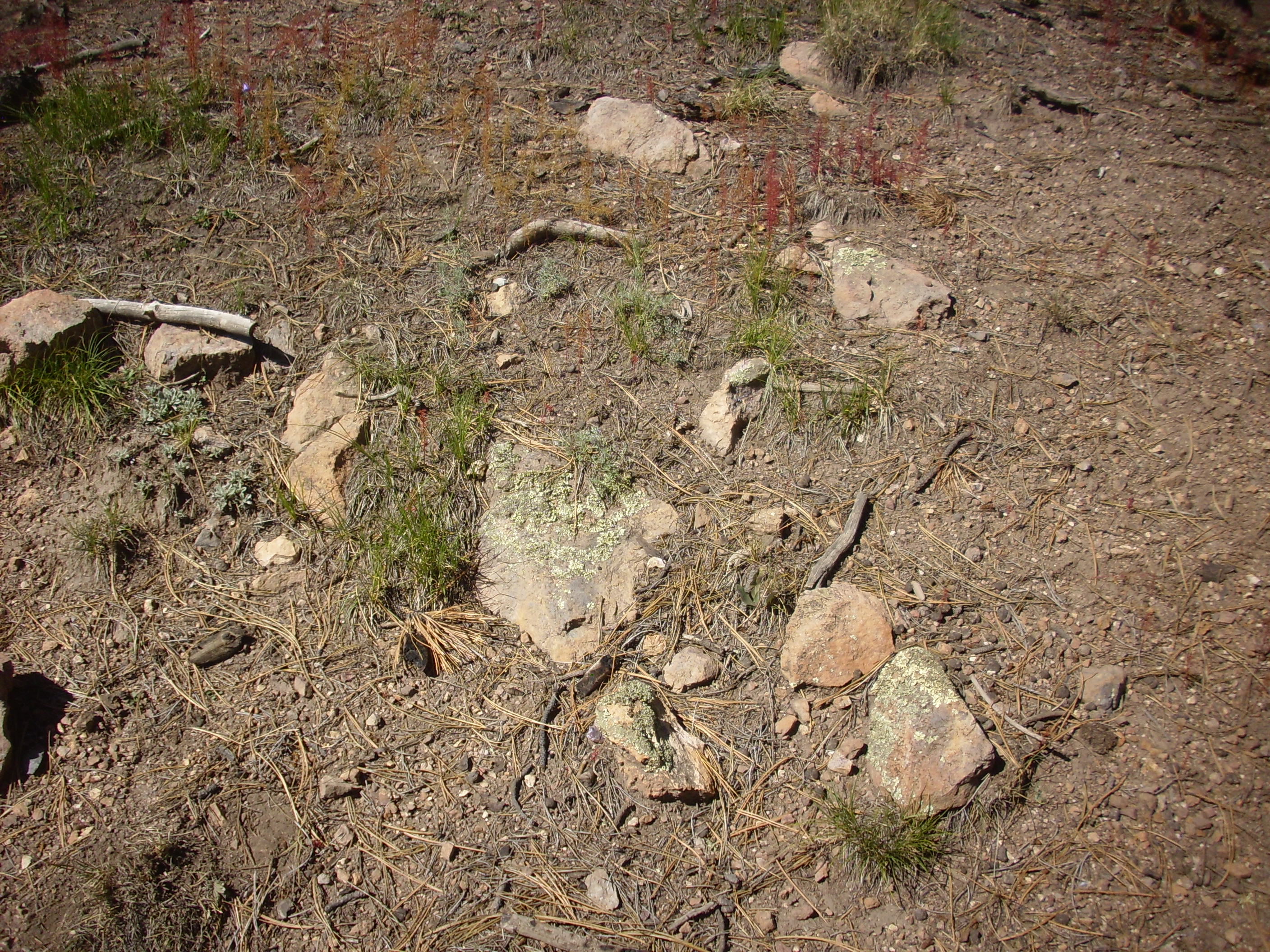
And here I find what I’m seeking.
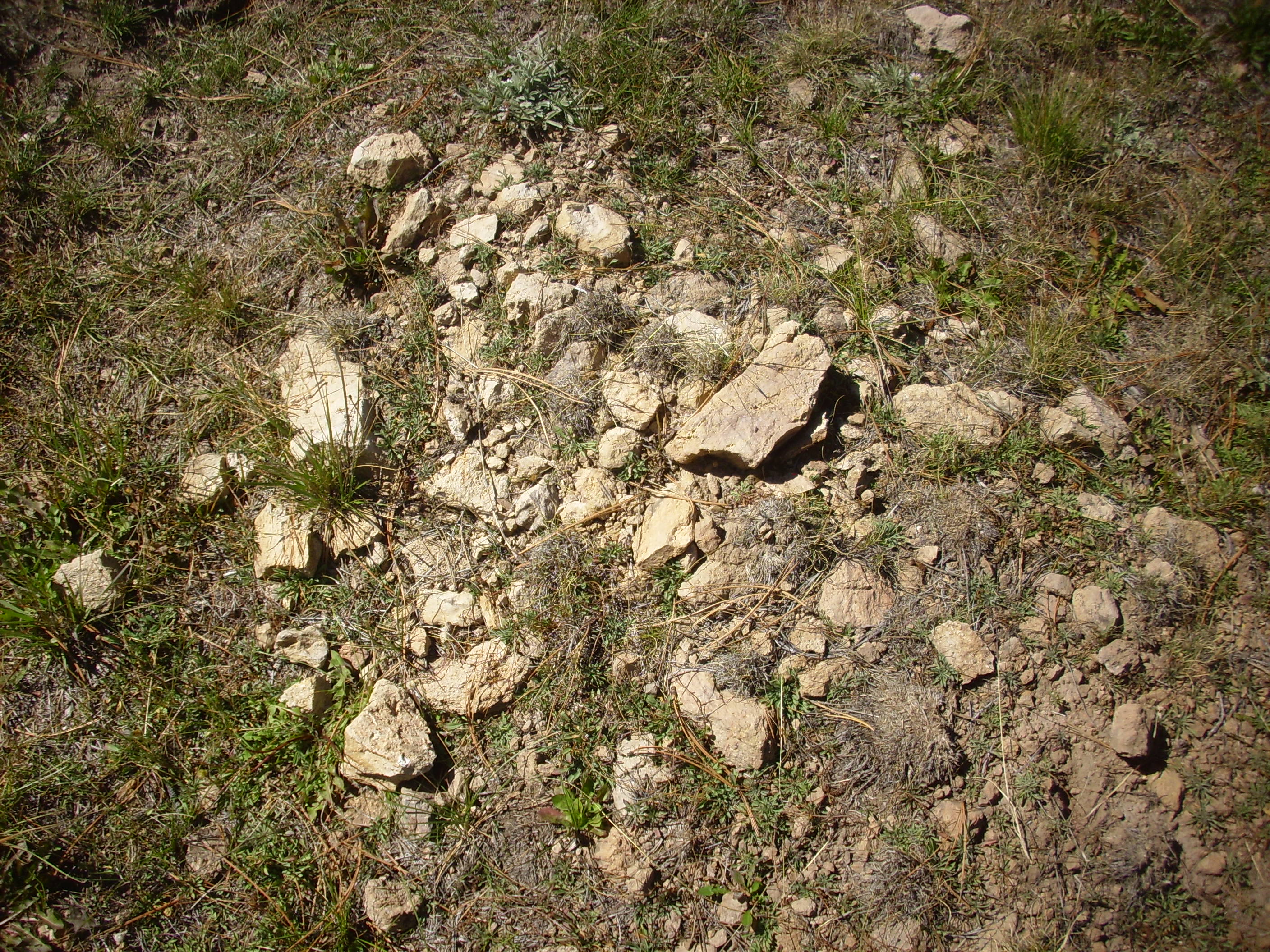
The Santa Fe Group normally consists of poorly-cemented dirty sediments, of the kind that forms the badlands found throughout the Espanola Valley. Throughout the reentrant, the sediments have been quite thoroughly baked and altered by the heat and acidic fluids given off by the Bearhead Rhyolite intrusions found throughout this area. The loose sediments have been cemented into hard rock, with the orange color likely coming from oxidized iron.
I continue around the dome, headed for the Bearhead Rhyolite exposure on the hill to the northwest. Soon I come across a very old logging road.
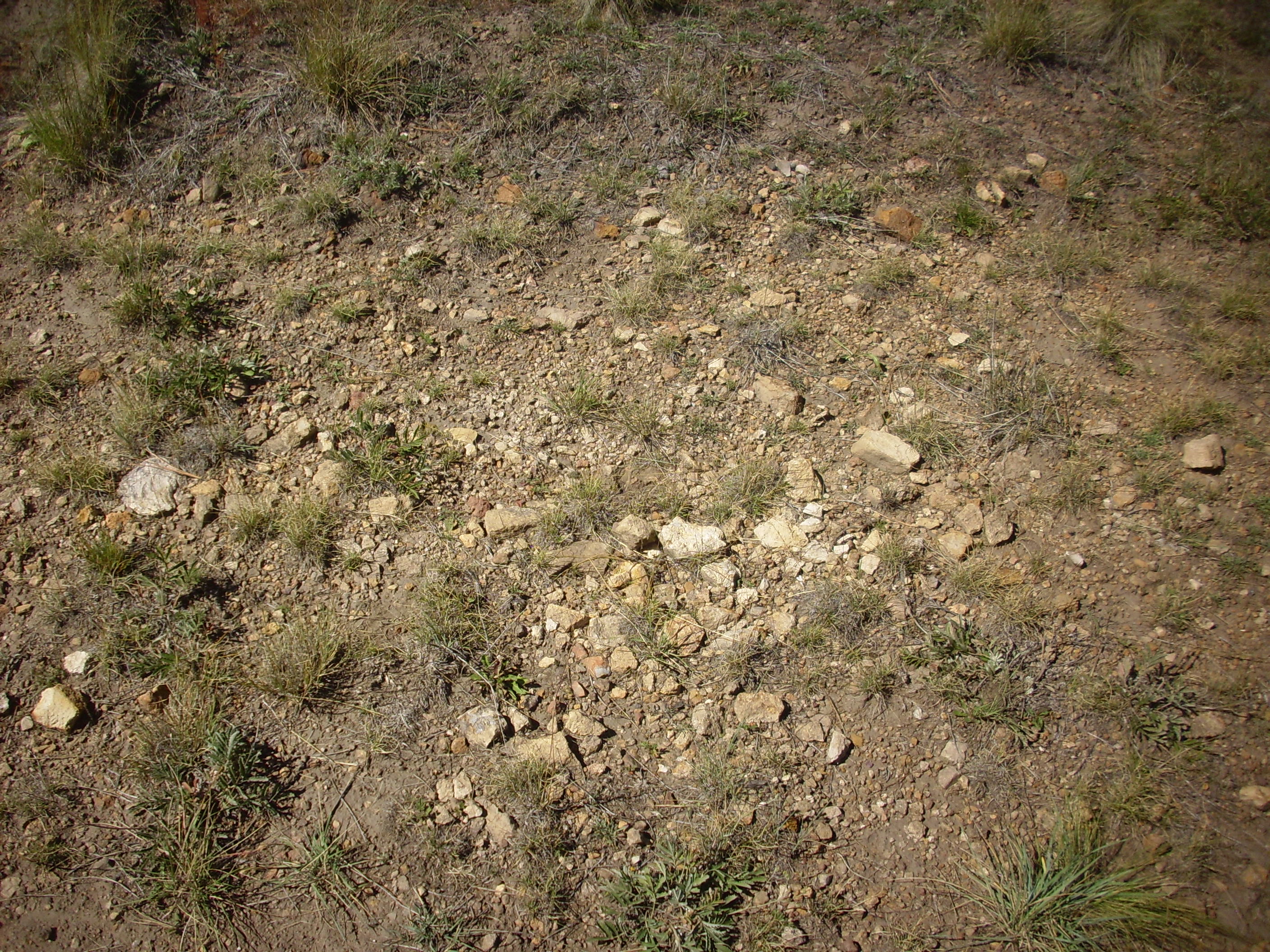
Further down the road are more poor exposures.
Then some better exposures.
The rock here looks more like cemented sedimentary beds. The cementing is quite thorough; this rock resembles a hornfels, a kind of metamorphic rock formed from sediments that are cooked by a nearby magma intrusion. Well, that pretty much describes this whole area.
I come to another logging road, where more Santa Fe Group is exposed.
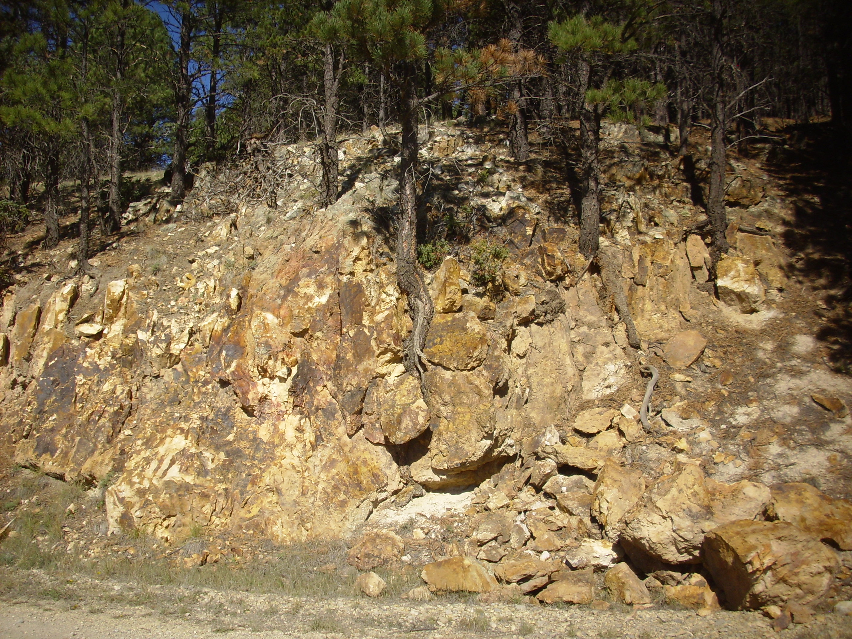
Ahead is the hill, with Bearhead Rhyolite exposures clearly visible. I climb up.

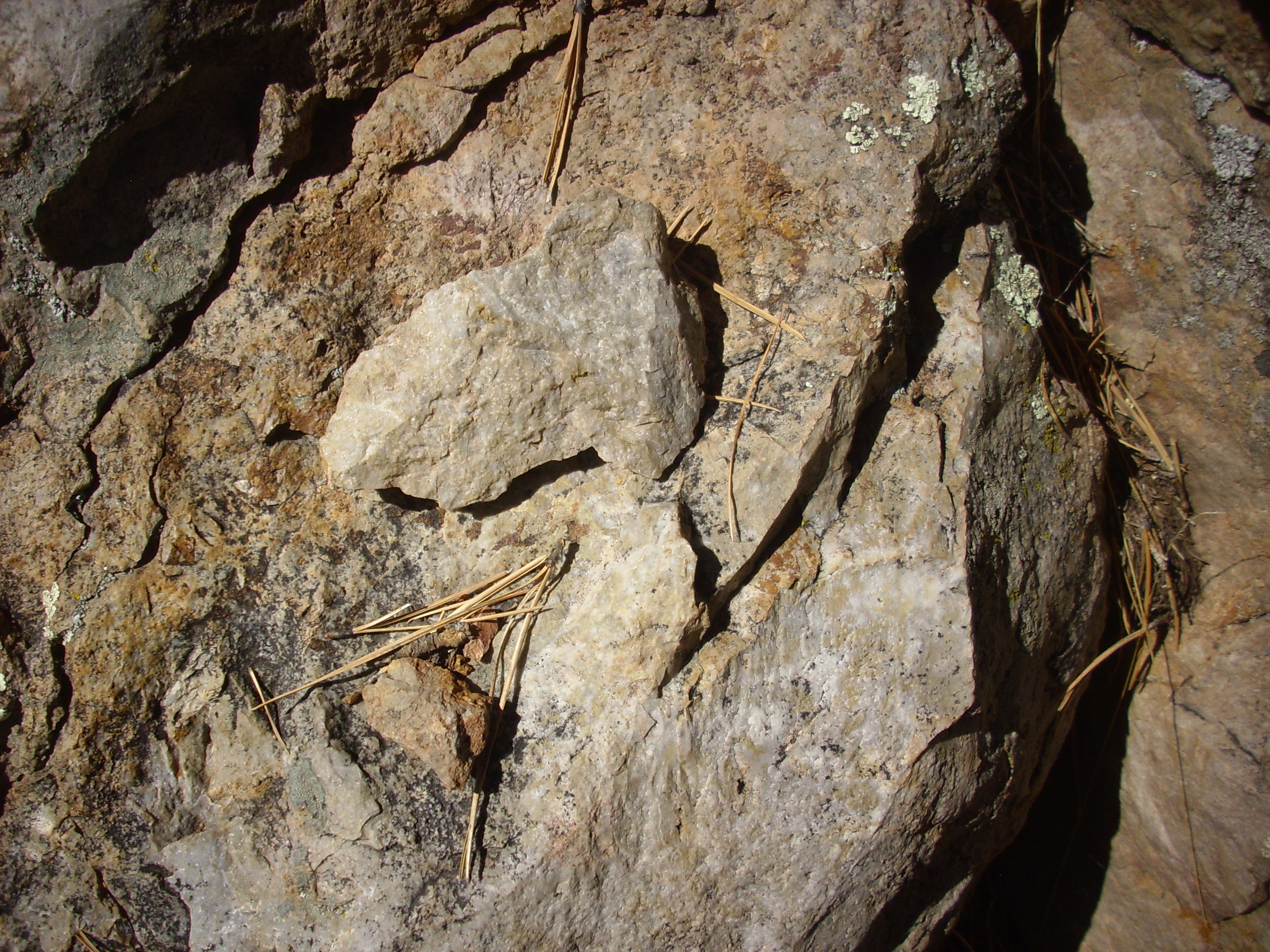
Some of the Bearhead Rhyolite in this area is itself heavily altered. This outcrop is nearly pristine, solid rock, with a hit of a glassy texture.l
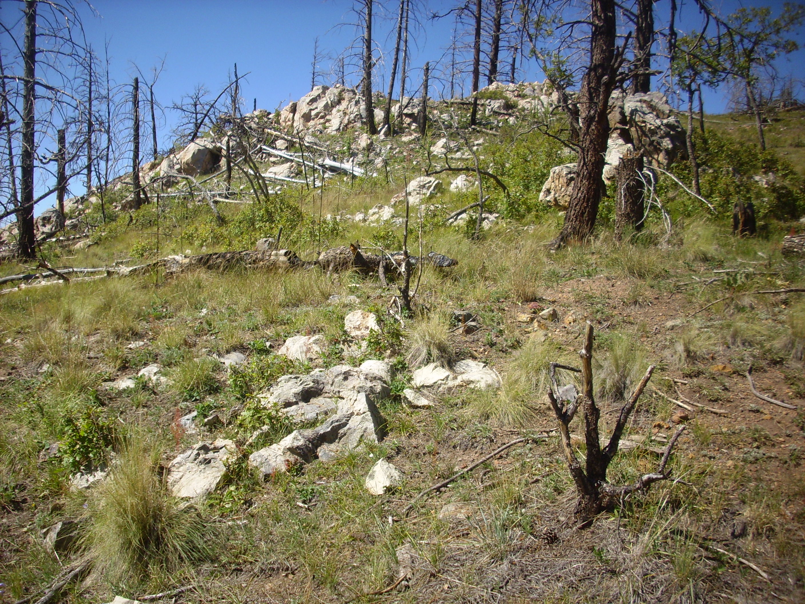
Higher up are more spectacular outcrops.
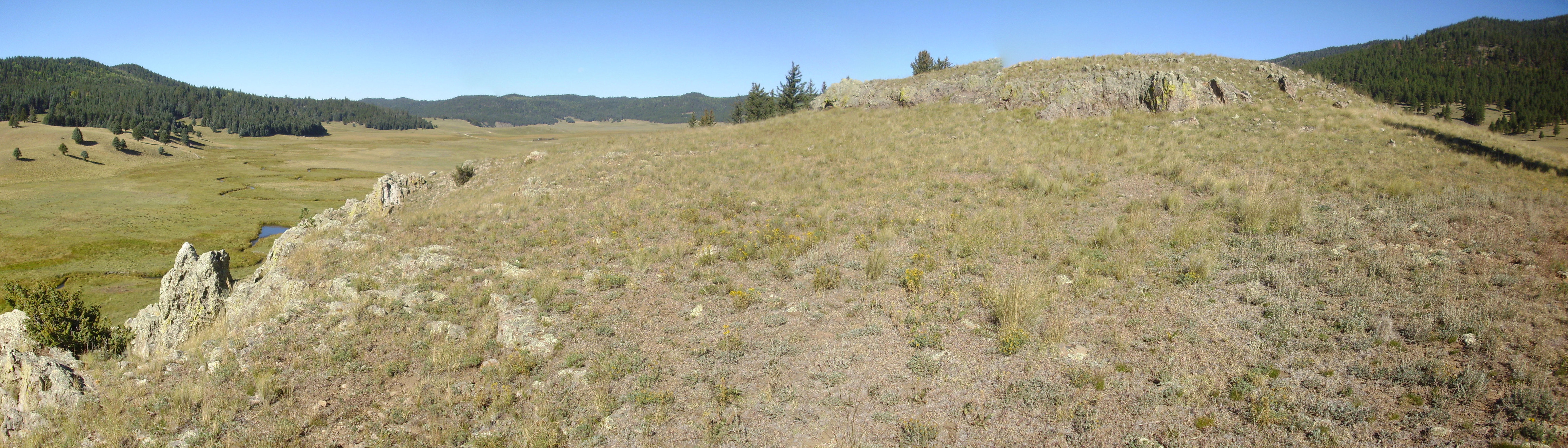
I climb to the top of the dome, and it seems like a nice spot for a panorama.

At left, on the skyline, is Turkey Ridge extending across the mouth of the Toledo Embayment. TO its right, Cerros los Posos, then, in the far distance, the Sierra de los Valles making up the east rim of the caldera. In the middle distance at center is Cerro Trasquilar dome, with Cerro Santa Rosa just behind it. At right, in the distance, are other ring fracture domes.
Further up the hill is an andesite flow.
Like the Santa Fe Group sediments, this is heavily altered by the nearby Bearhead Rhyolite, but it’s clearly distinguishable from nearby Santa Fe Group hornfels:
It’s been a good day. I hike back to my car and drive out, pausing at the headquarters to report in. There is a huge prairie dog colony just west of the headquarters:

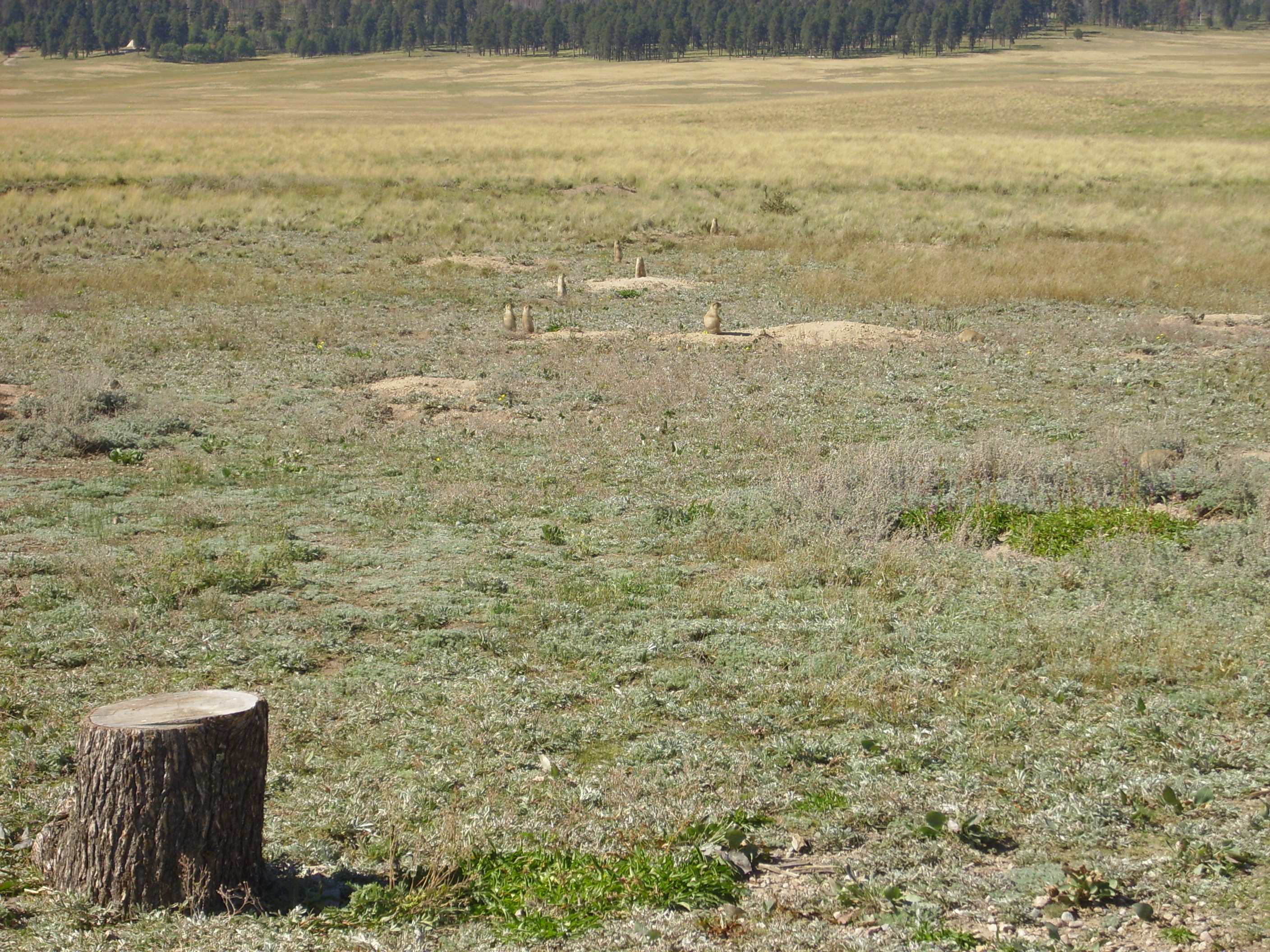
There were just hordes of ‘dogs standing at attention out there. And my mind makes the most peculiar associations.

And, from there, home.
* There’s some difference of opinion on the name of the dome at right. Geologists call it Cerro Santa Rosa and call a small dome to its north Cerro Trasquilar, but the topographic map has the names reversed.
I am writing a novel which has reference to early dwellers in the caldera. I want to refer to the Toledo Caldera but can find no references to the origin of the term as referred to as a caldera. Any ideas.? Thanks. Mick
I think the Toledo Embayment, and its interpretation as a caldera, originated with Smith, Bailey, and Ross in the early 1960s. They mapped the Jemez volcanic field and the map is something of a classic among volcanologists. They also wrote a series of papers, likewise considered classics.
This may be a good starting place:
https://nmgs.nmt.edu/publications/guidebooks/downloads/47/47_p0225_p0230.pdf