
He wanders here, he wanders there
Friday I had another appointment with the neurosurgeon. I’ll describe the latest at the end of the post, for those interested in more than just the science. This meant a trip to Albuquerque, so it seemed reasonable to visit some geology on the drive back.
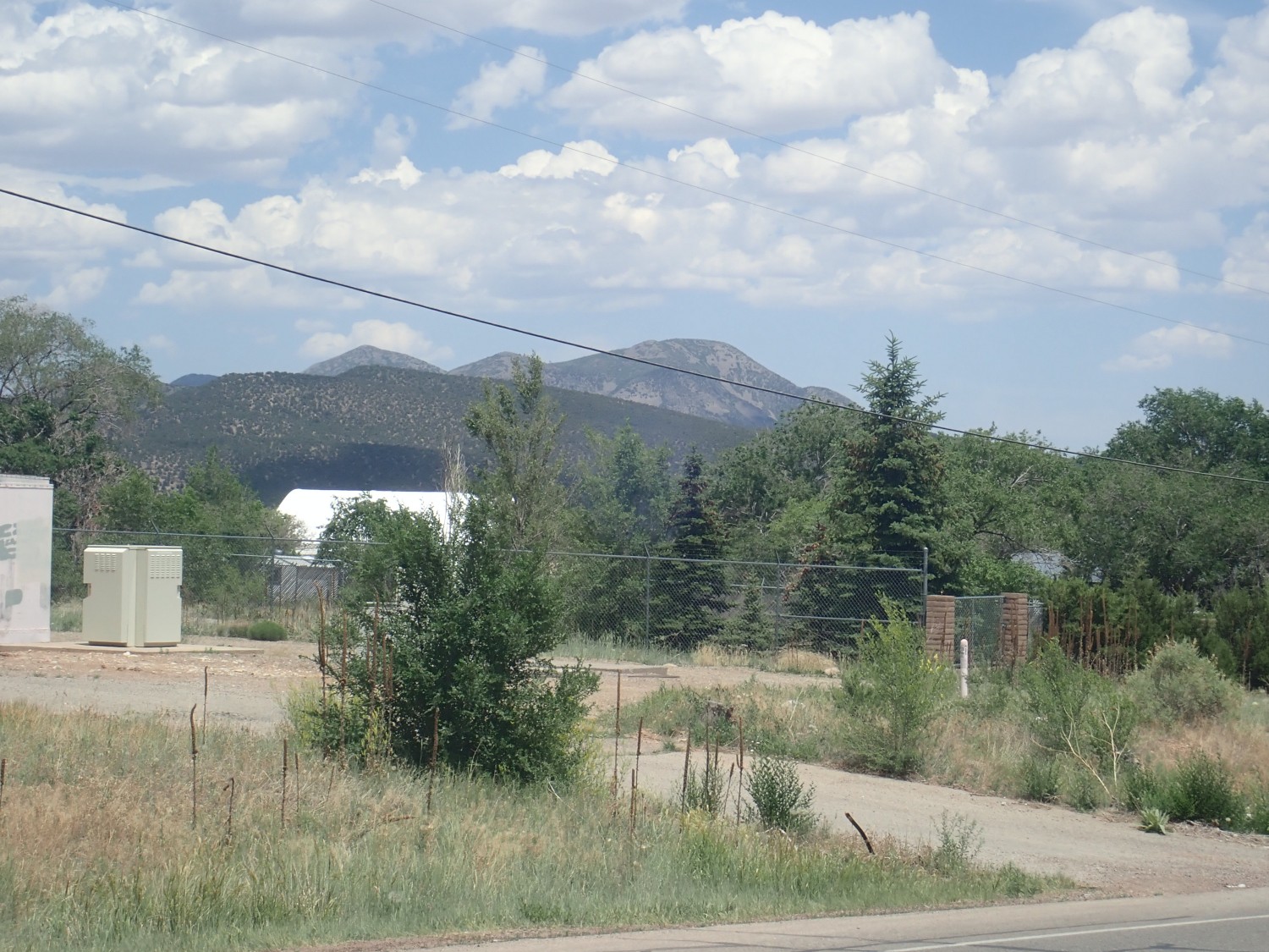
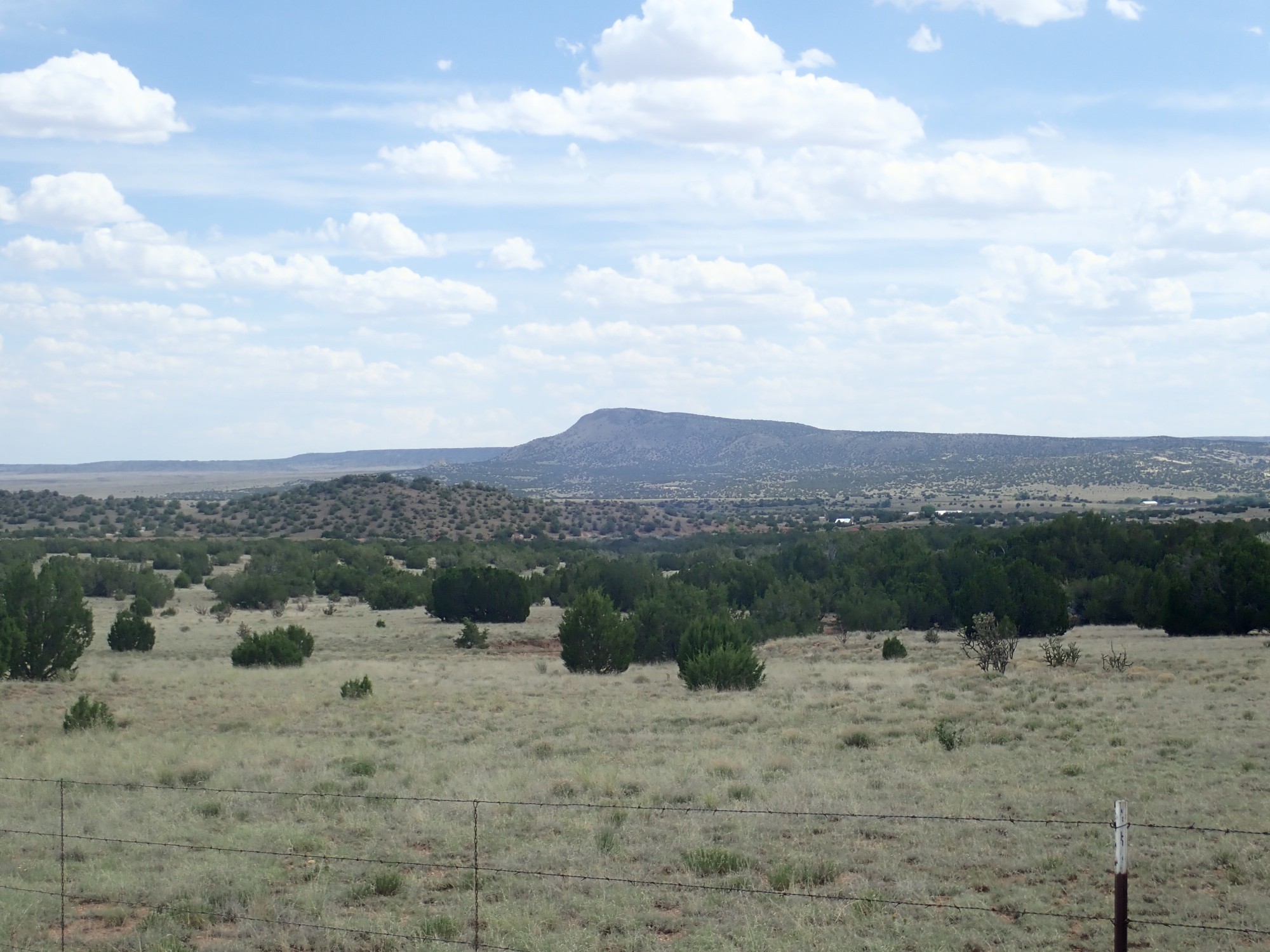
My appointment was over a little after noon, and I headed home via Tijeras Canyon. This is a pass through the mountains east of Albuquerque, New Mexico, that was part of historic Route 66 (some of which is still open) and is now the Interstate 40 corridor. The canyon is geologically interesting as the boundary between the Sandia pluton to the north and the Manzano thrust belt to the south.
A pluton is a body of magma that cooled and solidified underground. A thrust belt is a region of rock that has been severely faulted and deformed, likely from forces associated with mountain building.
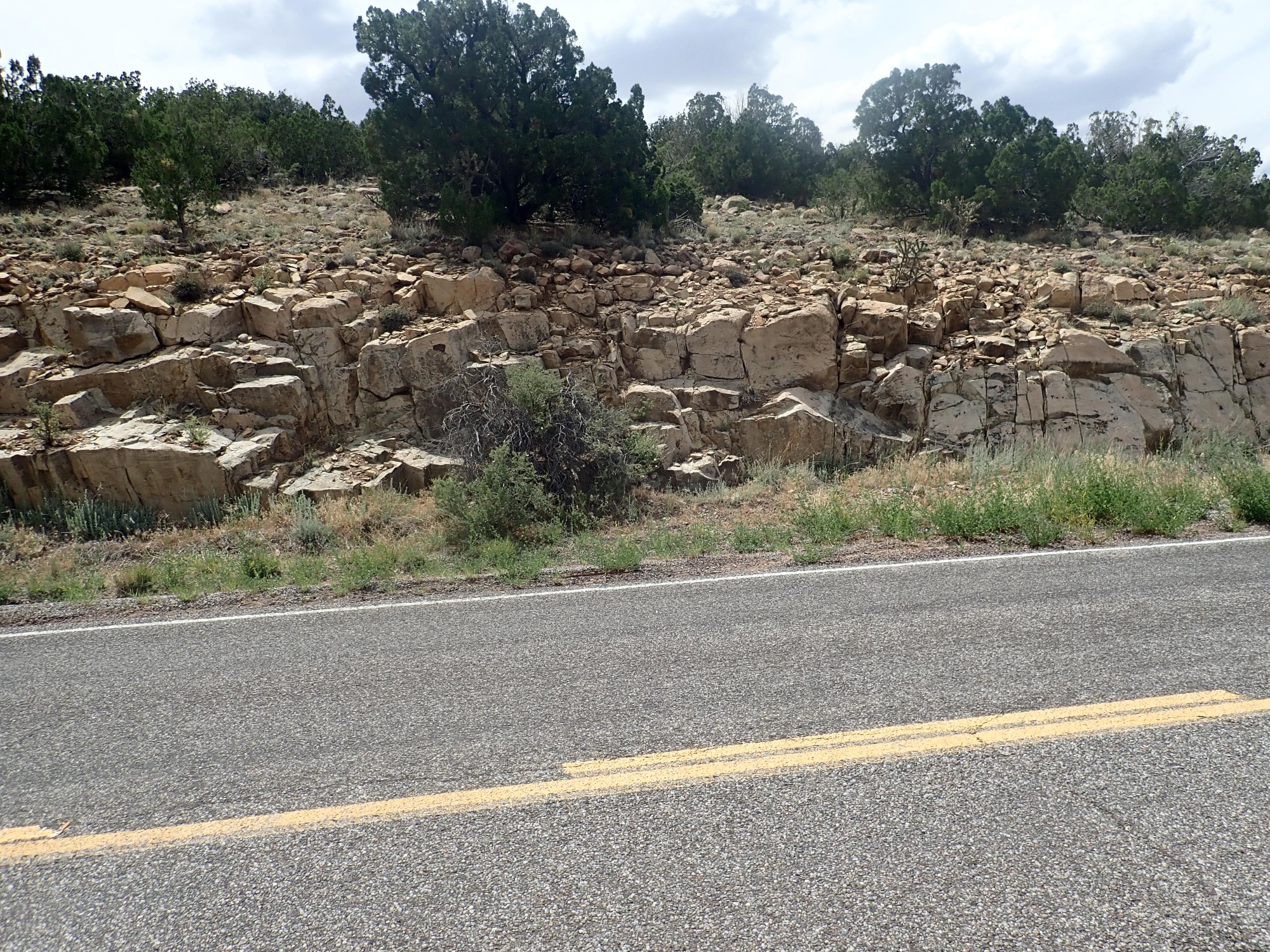
I pull off the interstate onto Route 66 to get a good look at the Sandia granite. I’ve done this before, but it seems appropriate to look again.
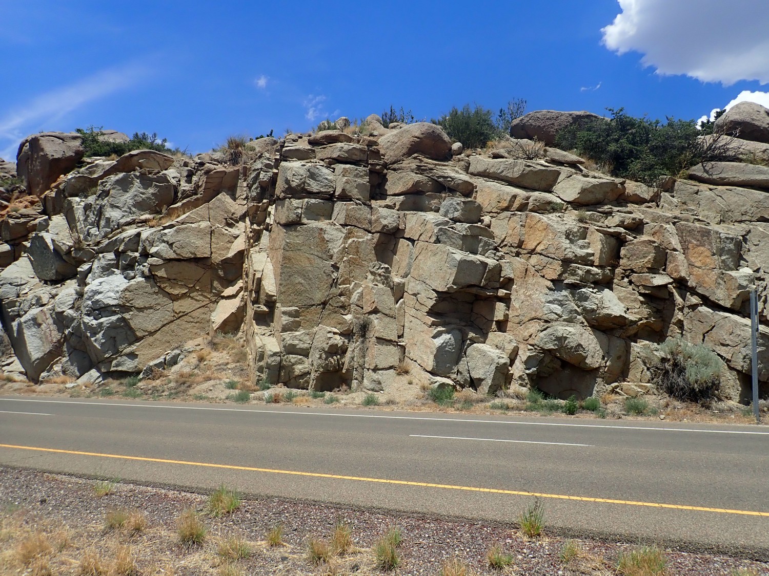
This is just a gorgeous rock. Of course, if you’ve been reading my blog for any time, you know I have a soft spot for granites. De gustibus non disputandem est, but there’s something about a beautifully crystallized rock that really appeals to the aesthetic in me.
The Sandia pluton, of which this outcrop is a part, is fairly reliably dated as 1453±12 million years old. This is a rather interesting and controversial moment of time in the geology of the Southwest. The oldest rocks in New Mexico, to the north, have a maximum age of about 1770 million years, and are regarded as part of the Yavapai Province. We have pretty good evidence that this province started out as an island arc, formed by subduction in an ocean basin, of the kind we see today in the Mariana Islands. The island arc drifted into the margin of Laurentia, the ancient core of North America, around 1710-1680 million years ago in an event called the Yavapai orogeny. (“Orogeny” means an episode of mountain building: “oros” = mountain, “genesis” = birth.) The Yavapai orogeny sutured the island arc to the margin of the continent.
The southern boundary of the Yavapai Province lies along the Jemez Lineament. This is a series of young volcanic fields stretching from central Arizona through Mount Taylor and the Jemez Mountains to the Raton area. There are several indications that the lineament is some kind of ancient structure in the lower crust and upper mantle that separates crustal provinces. These include the younger age of the oldest rocks south of the lineament, differences in isotope ratios, and seismic soundings from the Raton area showing rock layers dipping into the lineament from both north and south. The existence of the Jemez Lineament points to a second island arc merging with the continent shortly after the first, and leaving a kind of scar between the two. The second island arc became the Mazatzal Province south of the Jemez Lineament.
The debate is over timing. There are several plutons in the Jemez, Tusas, and Sangre de Cristo mountains dated at 1710-1680 million years old. These represent bodies of magma formed underground during the orogeny. We also have sedimentary rocks in this area that are slightly younger than the plutons, judging from the youngest zircons included in the sedimentary beds. These beds formed from sediments eroded off the newly raised mountains. This makes us confident the Yavapai Orogeny really was a thing and that we have its date about right.
We also have several plutons in the Manzano Mountains and in the Monte Largo block east of the Sandias that are around 1650 million years old. These may point to a Mazatzal Orogeny around that time.
This provides a fairly satisfying picture of two island arcs colliding in quick succession and forming the Jemez Lineament between them.
The problem is that there is yet another, very extensive, set of plutons with ages between 1450-1350 million years old that extend throughout the Southwest. The Sandia batholith is an excellent example. These are chemically distinct from the batholiths that formed during the Yavapai and Mazatzal orogenies. It was long thought that they were formed by some mysterious “anorogenic” process, not associated with mountain building. However, we’ve recently gotten new ages for some of the sedimentary beds in the Picuris mountains, and while these agree with the previous estimates of a little less than 1680 million years old for the older beds, the younger beds are now known to be not more than 1450 million years old. So it looks like the younger “anorogenic” batholiths are nothing of the kind. They formed in a quite violent orogeny now called the Picuris orogeny.
The problem is that we aren’t sure what collided with North America at that time. There are some geologists who argue that there was no Mazatzal Orogeny at all, and the Jemez Lineament formed during the Picuris Orogeny when a quite old island arc collided with North America to form the Mazatzal Province. Other geologists say, no, we’ve definitely got a pulse of orogenic activity around 1650 million years. They have found evidence of a still younger crustal province south of the Mazatzal. Province, which they call the Granite and Rhyolite Province. Its collision with North America may explain the Picuris Orogeny. It does not appear to be another island arc; it looks more like a patch of continental crust. This collision then would be like the collision of India with south Asia.
It’s going to be hard to sort all this out, because the violent Picuris orogeny overprinted the earlier orogenies, erasing some of the clues that would otherwise be present in the rocks. Geologists are sure to continue arguing about this for some time to come. That’s what good scientists do: They love to argue about the evidence supporting different theories. (And this is why I am temperamentally not all that great a scientist: I have too much hobbit it me. I like books full of things I already know, set out fair and square without contradictions.)
Regardless, the Sandia granite is just a gorgeous granite.
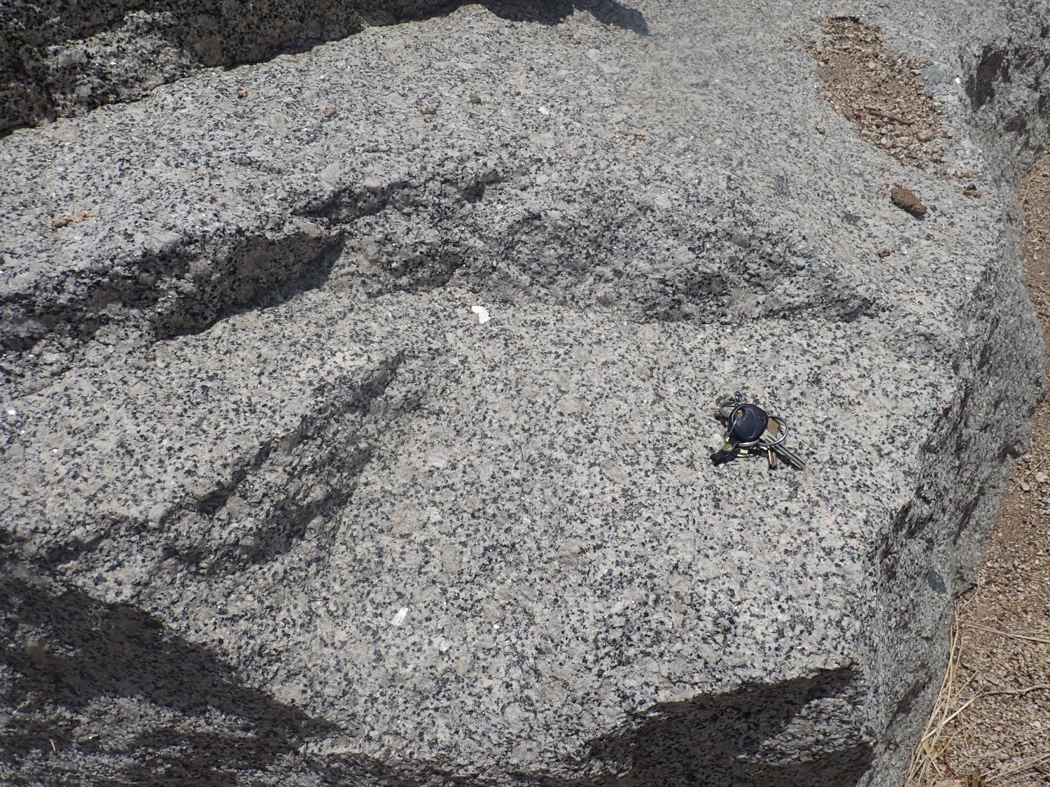
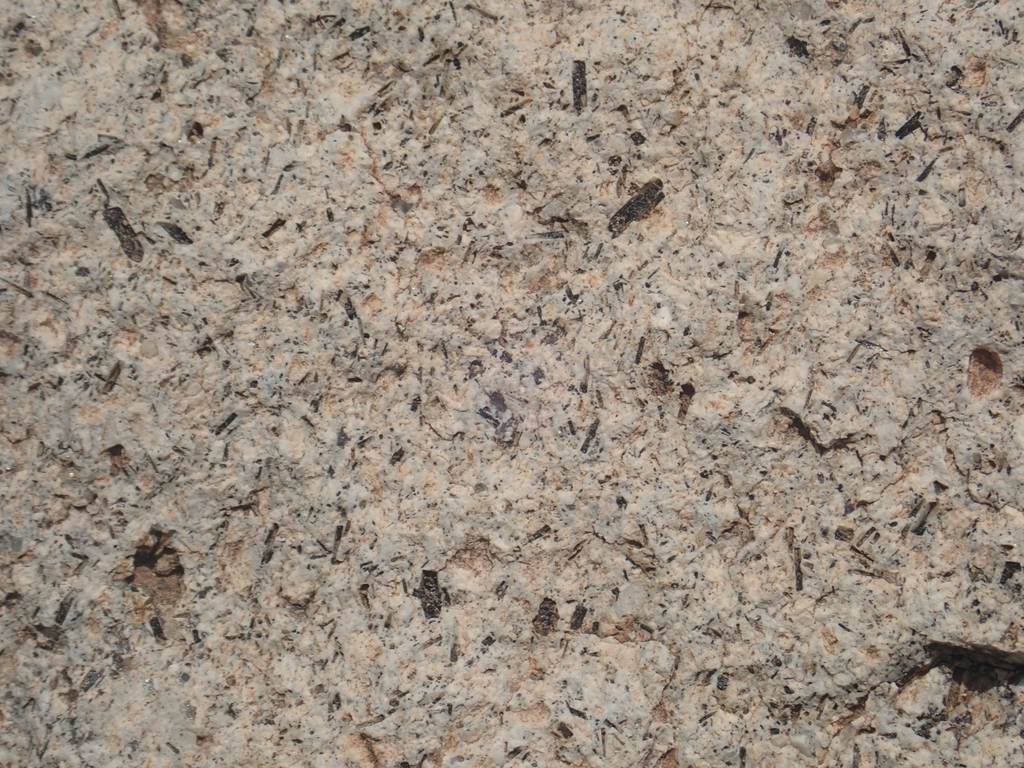
This is a mafic inclusion.
This is a blob of lower-silica, higher-iron material in the middle of the granite. Such blobs fairly common in the Sandia granite, and the favorite interpretation seems to be that they were blobs of mafic magma that was injected into the Sandia pluton but did not mix, rather like oil in vinegar. There’s a lot of debate about how granites form. One extreme position is that they were never liquid to begin with, but just recrystallized extensively in place. I think there’s a lot of evidence most granites were liquid at some point, but there is still the question of where they came from and what the heat source was. If they formed from magma from deeper in the earth, how did they shoulder they way up? A lot of rock had to be shoved aside to make room for them, which geologists describe as the accomodation problem. Or were they melted in place when very hot mafic magma rose into the lower crust and melted the rock above? I kind of lean towards that view myself, and the presence of mafic inclusions seem to support it.
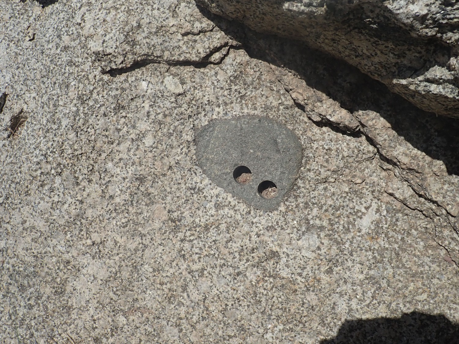
And why does the inclusion have nostrils? Some geologist became very curious about this inclusion, and bored out a couple of samples for study in his laboratory.
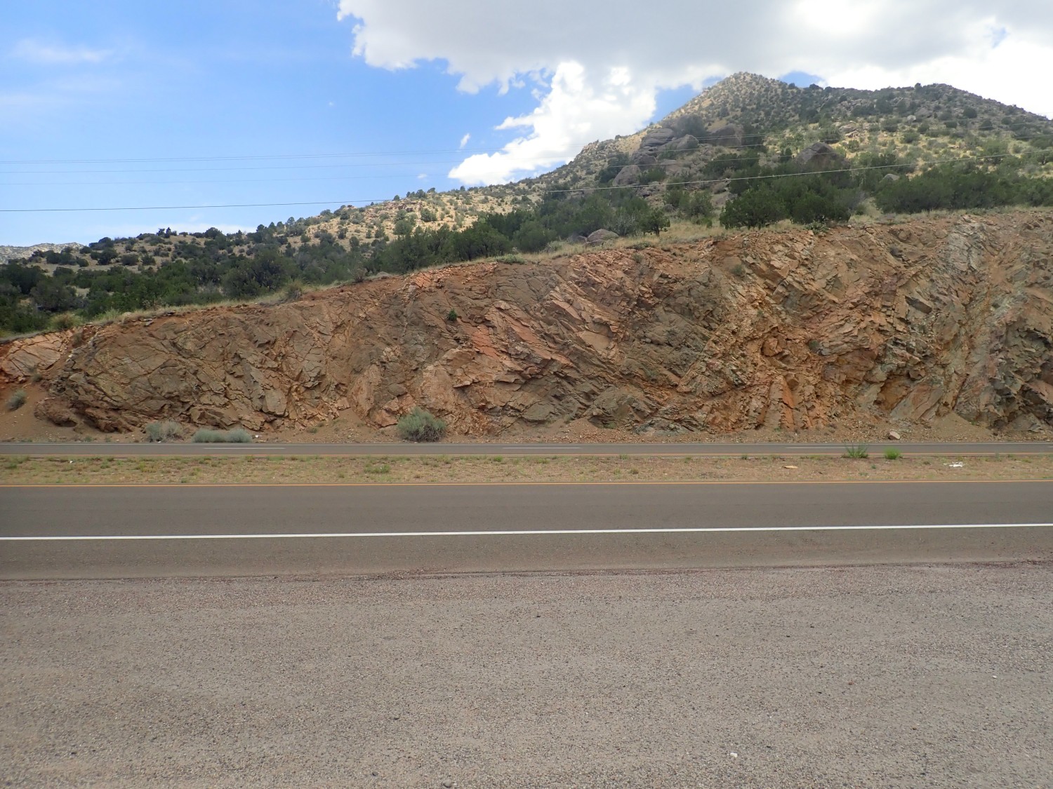
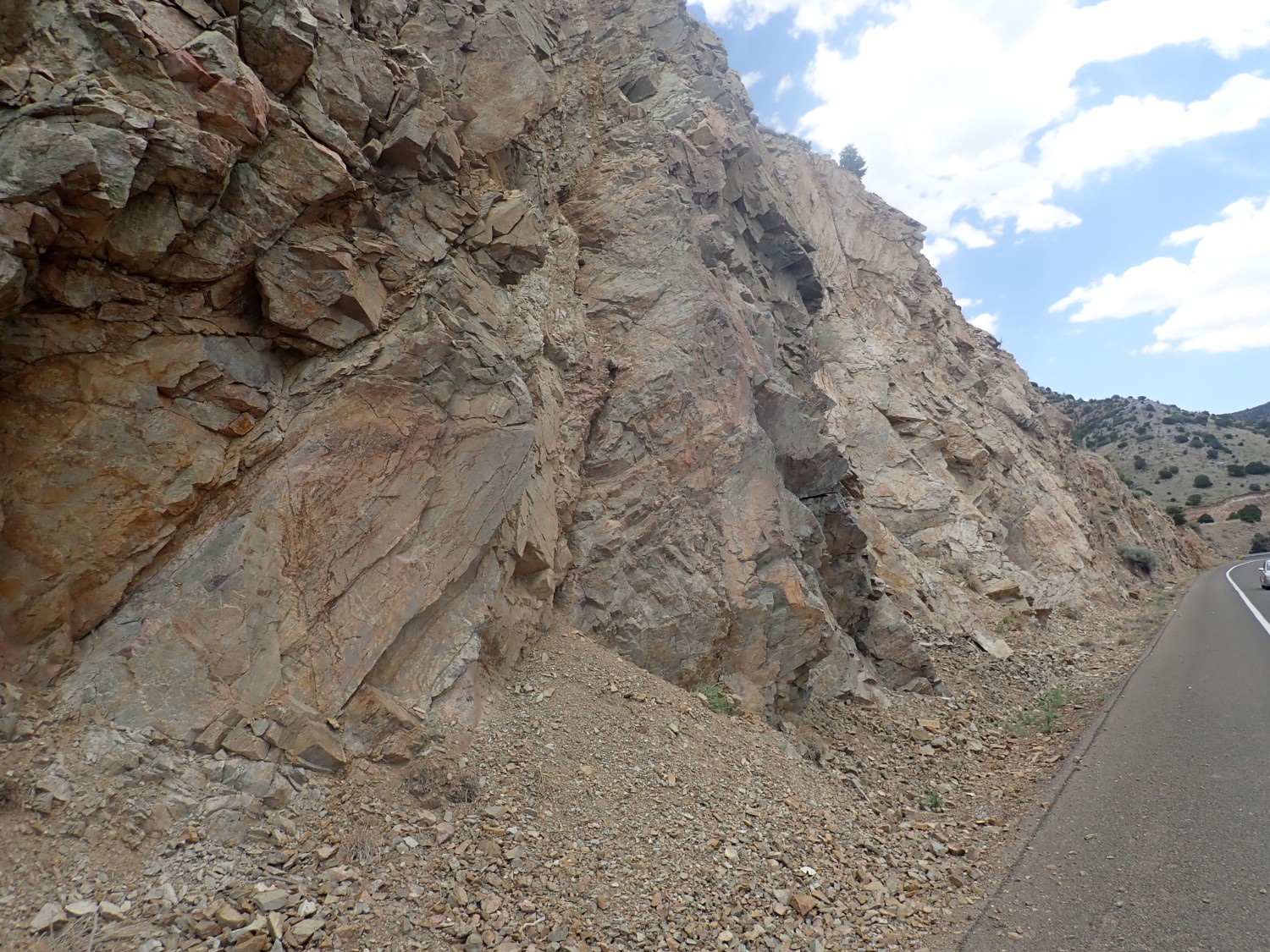
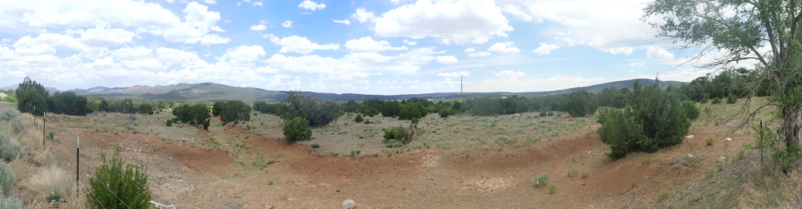
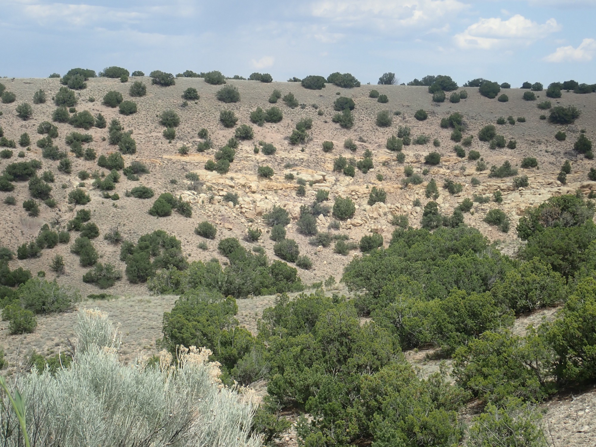
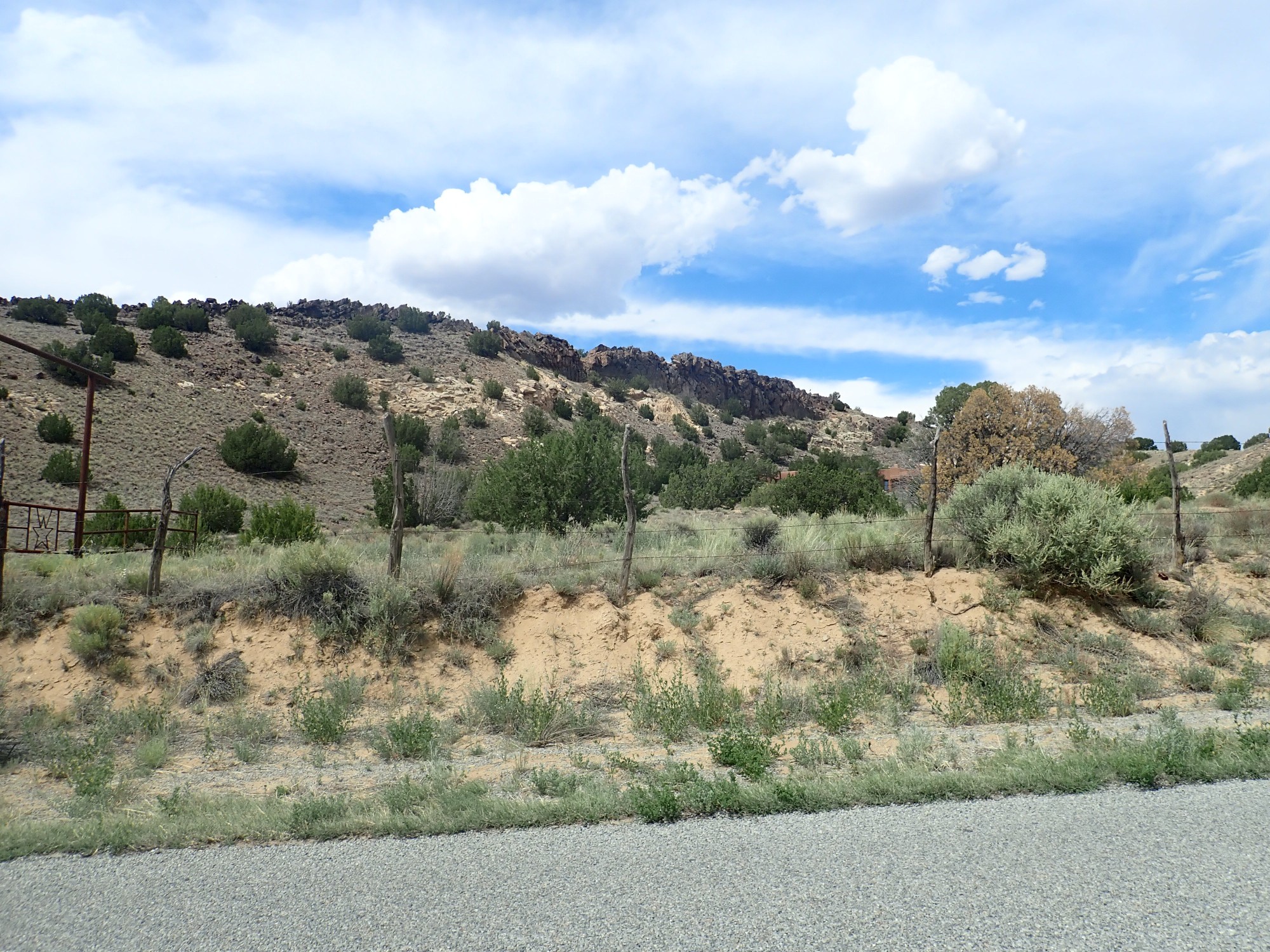
I head further down the road. I’m looking for the batholith margin. Alas, it’s not well exposed, but the next decent road cut is clearly a different kind of rock.
I examine this outcrop for some time and take a fair number of pictures. For example:

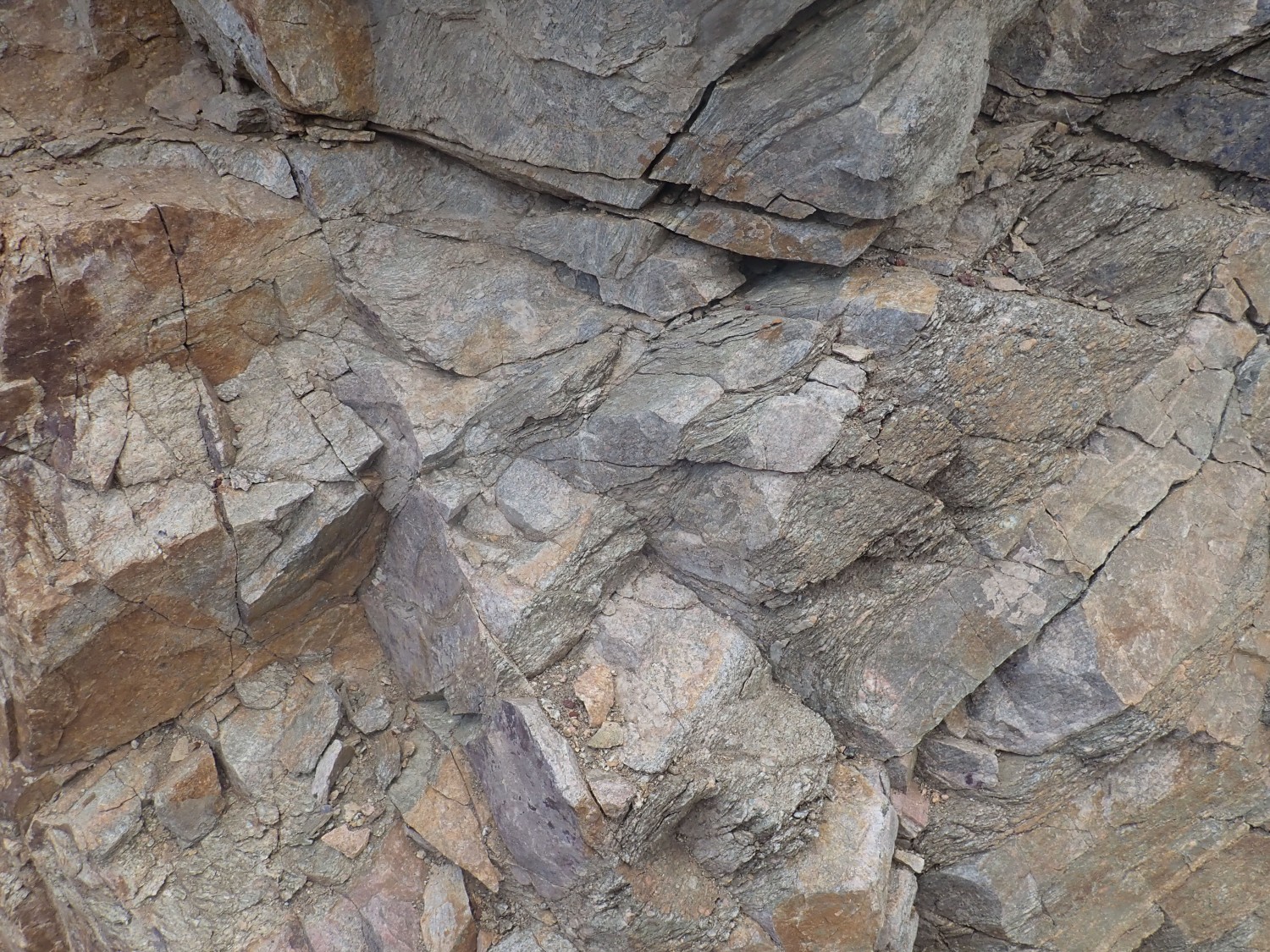
This looks like granite which has had the bejeebers sheared out of it. Which is probably about right. When I plot the GPS coordinates from my camera on the geologic map, I’m standing right on the edge of the Sandia batholith. So this is sheared Sandia granite, deformed by motion along the northern edge of the Manzano thrust belt. This is interpreted as a region where Mazatzal island arc rock was squooshed up against the continental margin.
The rock here alternates between more or less intact granite and heavily sheared granite. This is not unusual for a shear zone.
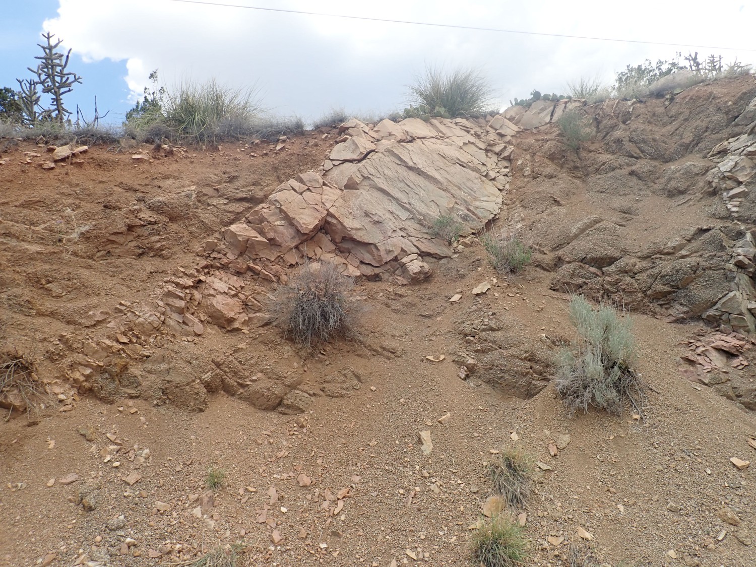
You can see the contrast here between sheared and unsheared rock.
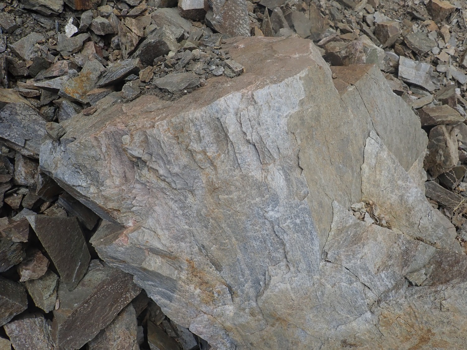
Further east, I start seeing oucrops of the rock into which the Sandia batholic intruded. This is Cibola granite, dated as 1632 ±12 million years old. That’s pretty much the peak of the Mazatzal orogeny, assuming there really was such a thing.
I continue on down the road, where I find that someone on the interstate is having a really bad day.
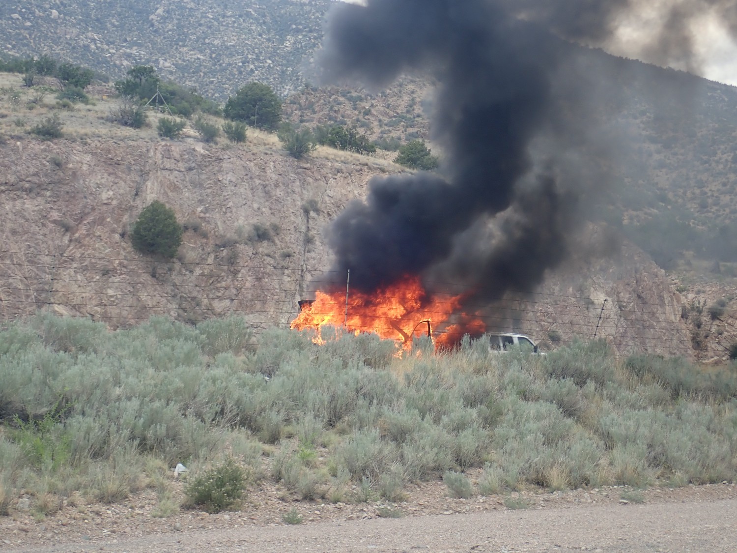
One of my earliest vacation memories is of our family at Arches National Monument. I could not have been more than about six years old. We came across a flaming automobile; my dad stopped and did what he could to help the family out. But, being an inveterate shutter bug, he also got some 8mm film of the car flaming away, which is still part of our family archive.
No, I didn’t stop to help. There were already two or three emergency vehicles gathered around; I would only have got in the way.
I would have liked to explore the canyon wall to the south.
Alas, there’s no getting to it. The land is posted as private. But the map shows this as Pennsylvania sedimentary beds, Sandia Formation at the bottom and Madera Formation above. Nearby the road cuts through the underlying Tijeras Greenschist.

The geologic map actually maps this as Cibola Granite. Um, no. This is metamorphosed basalt that was part of the Mazatzal island arc.
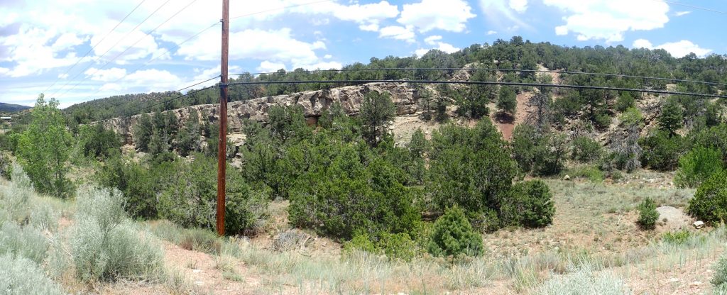
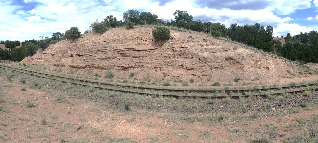
I find a spot for a panorama.
(As with almost all images at this site, you may click to enlarge.) The lowermost dark beds at right are Tijeras greenstone. The beds just above are Sandia Formation, and everything else is Madera Formation. The boundary between greenstone and Sandia Formation is not hard to pick out, but the boundary between Sandia Formation and Madera Formation is pretty tough to pick out at this distance. The base of the Madera is the first thick marine limestone bed, but it’s hard to tell limestone from sandstone or shale from a quarter mile away.
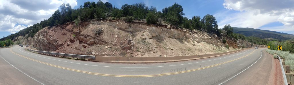
I decide to explore the road south of Tijeras. There are impressive sedimentary beds in the road cut.

This is mapped as lower Madera Formation.

The whole of Northern New Mexico was beveled flat in the great Varangian ice age around 700 million years ago. This is the famous “snowball Earth” period when the planet very nearly completely froze over. The sea did not return to this area until 350 million years ago, when it laid down some marine limestone. There was a drop in sea level that eroded off much of the limestone, including from the Sandias, and then the sea returned to lay down the thick Pennsylvanian limestones of the Madera Formation seen here. We have a lot of this in the Jemez and Sangre de Cristo Mountains as well.
Hmm.
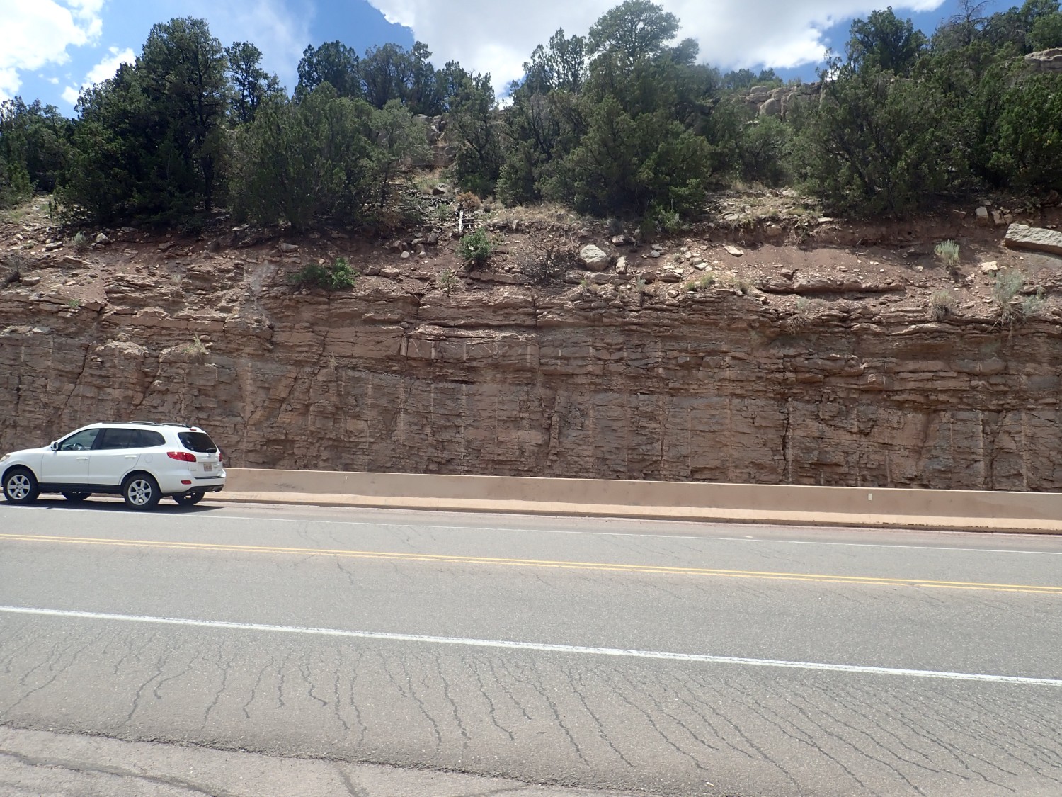
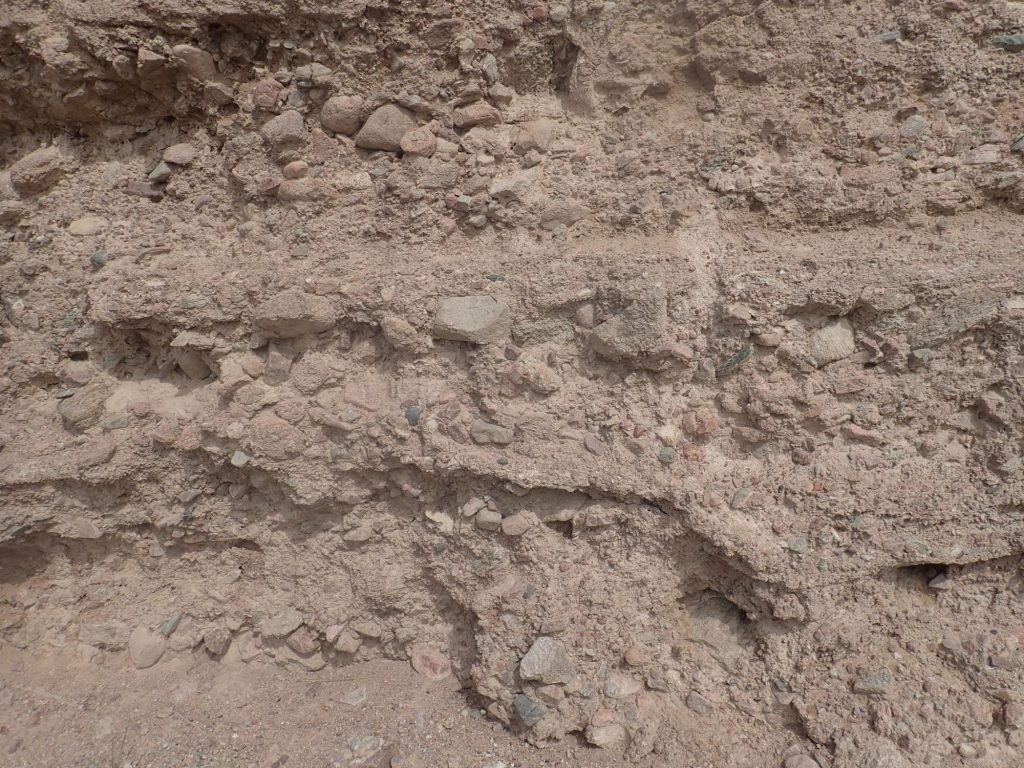
There’s a nice shelf of limestone to the east, but it seems to get kind of chewed up to the right. I turn and look in the opposite direction:
Do you see it? The limestone beds are intact at left. There are intact limestone beds at far right. The zone between is all chewed up. Don’t be deceived by the seemingly continuous intact beds at top; those are geologically young caliche. I’m standing in the middle of a fault that cross the road and continues through the cliffs to the east.
And when I get home, and check photo coordinates, the geologic map confirms it. It’s not a major fault but it’s there on the map.
One of the things I missed by being an enthusiastic amateur, rather than a professionally trained, geologist, is the opportunity to work in the field with a skilled mentor who is practiced at spotting structures like this. It’s a basic geologic skill that I’m only acquiring slowly by teaching myself from published geologic maps.
I’m at the age where I sometimes wonder what I would do different if I could do it all over. I really enjoyed much of my academic astronomical training, but I had what I thought were compelling personal reasons to switch to a career in computational modeling for the Department of Energy. I wanted a life outside of work. I envy friends who managed both an academic career and a family life, but I wasn’t able to make it work for me. I also recognize now that I squandered a lot of opportunities, and perhaps I really didn’t have the temperament to be a first-rate research scientist, whatever my abilities.
Would I try my hand at professional geology if I could do it over? Probably not. I’ve actually done about as well as I had any right to hope. But I might have enjoyed taking an actual geology class or two, as an elective.
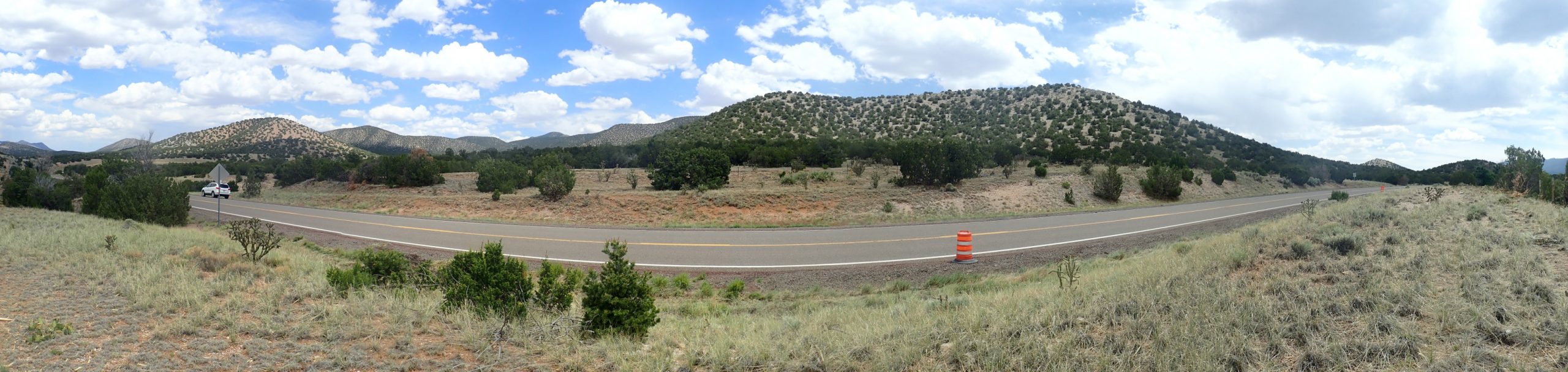
I explore just a little further down the road.
And my GPS chooses this moment to die. This may be the contact between the upper and lower Madera Formation, but I can’t be sure. But I turn around here; there’s little but more Madera limestone for as far south as my map goes.
I head north along the Madrid highway. This passes some nice red beds, which I stop to photograph because of course I do.
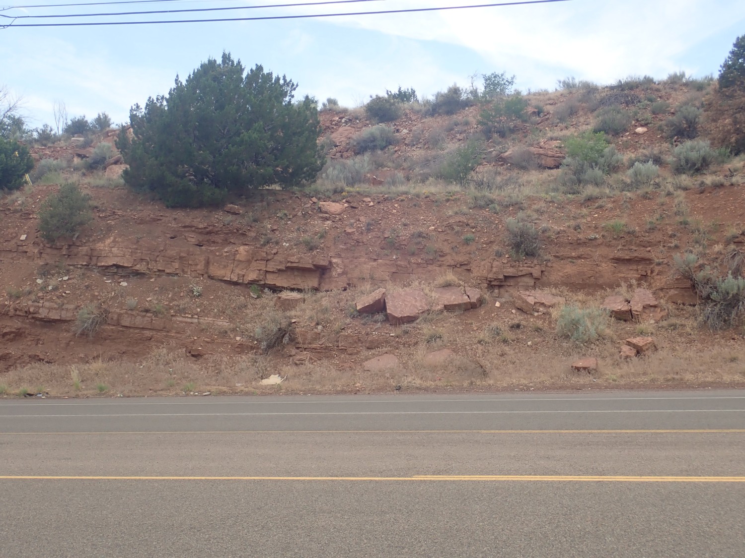
I figure Permian Abo or Yeso Formation. The map agrees: It does not try to distinguish the two similar formations in this area.
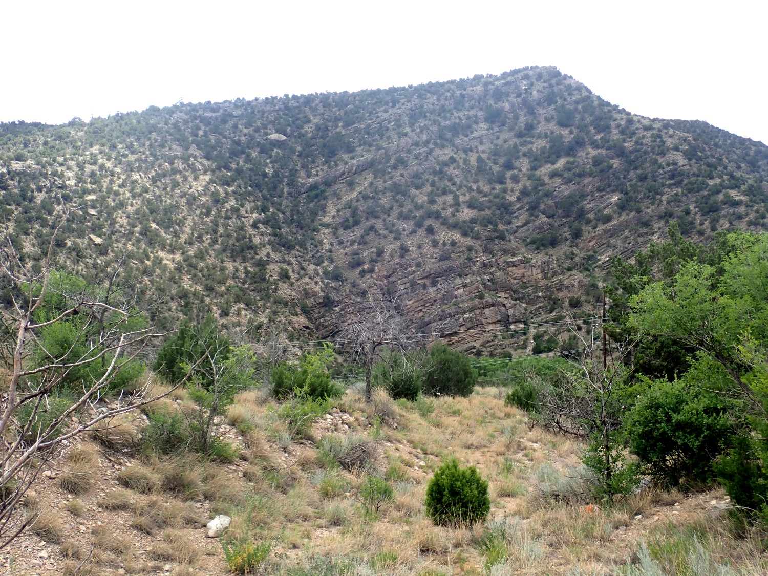
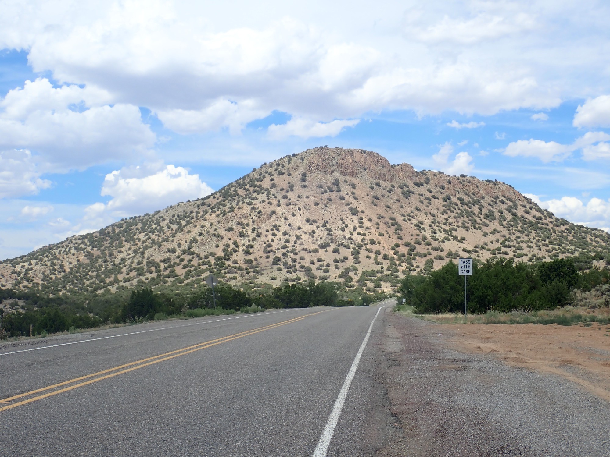
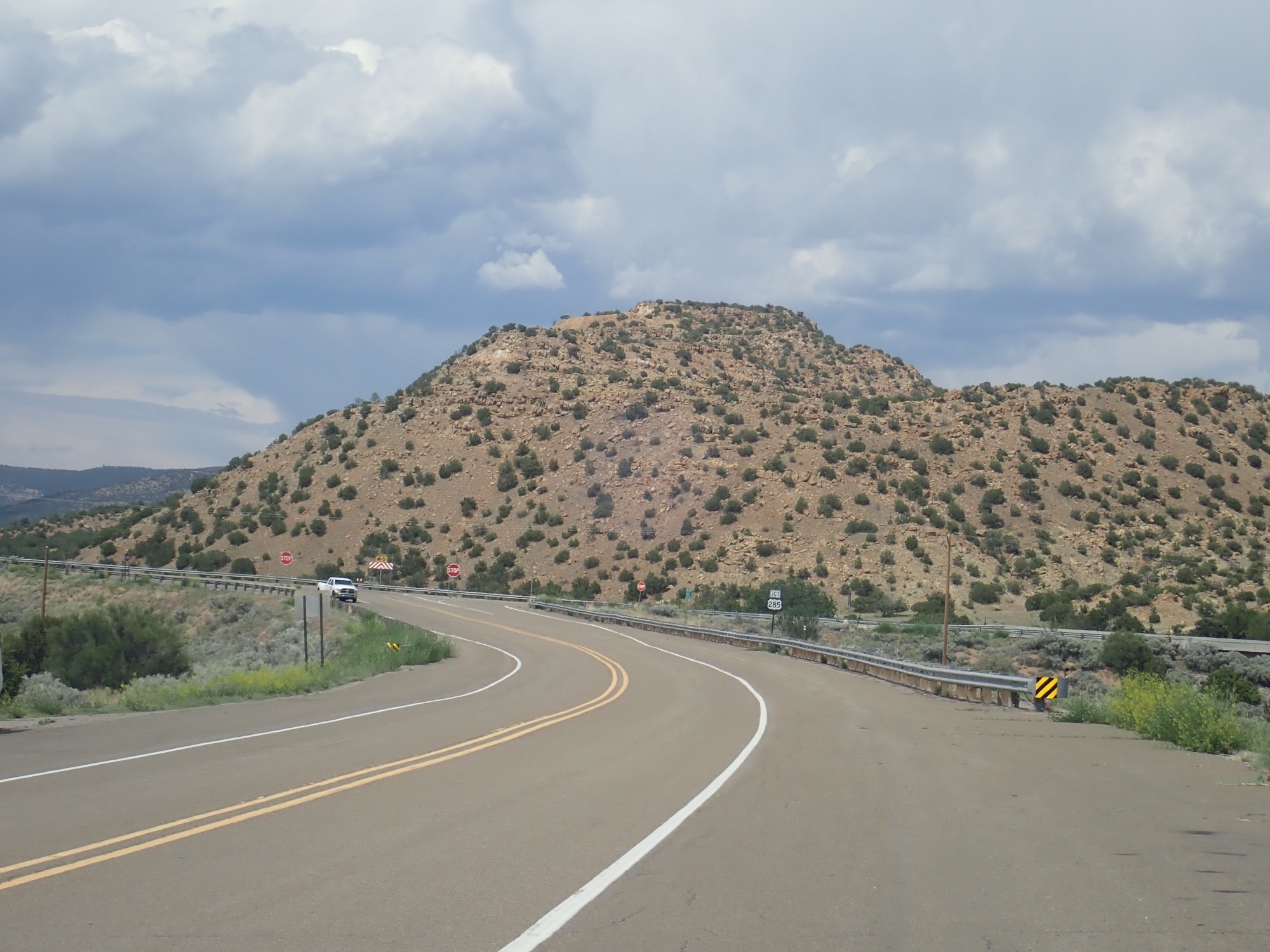
South Mountain, looking northeast.
This is the south end of the Ortiz porphyry belt, a chain of relatively young mountains formed by magma intrusions some 35 million years ago. Gold has been mined in some of these mountains.
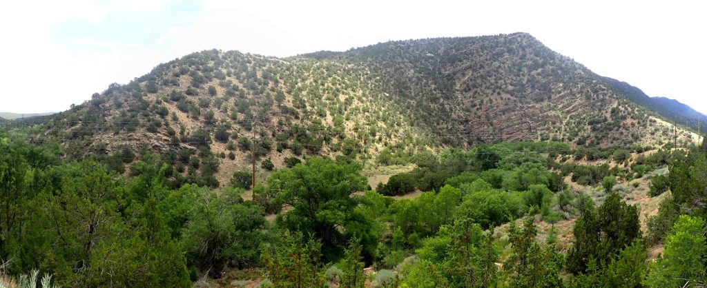
Next stop is the Monte Largo block.
This looks pretty unremarkable from ground level, but stands out in the relief map. The low range of mountains and hills on the skyline is a solid block of crust thrown up by tectonic forces. It is composed of metamorphosed rhyolite, typical of volcanic ash flows, with an age that makes it part of the Mazatzal Province.
The relief map shows a distinct hogback ridge bounding the west edge of the Monte Largo block. Again, this is less dramatic from ground level.
The low ridges at left and center right, just beyond the highway, are quartzie and metarhyolite of the Monte Largo block. At farthest right, just past the highway, is a knoll of Sandia granite. I am standing almost precisely on the main trace of the Tijeras fault zone, which is the west margin of the Monte Largo block.
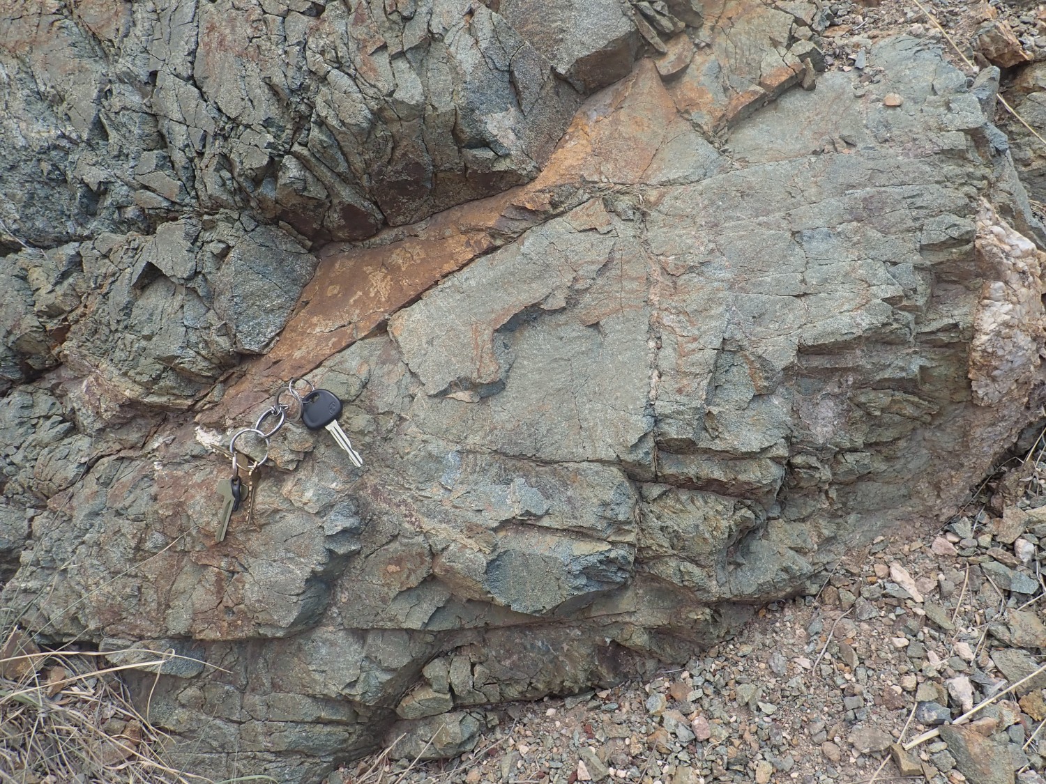
I continue on, stopping for a quick lunch near a monzonite hill.
This is the southern end of the Las Lomas de la Bolsa. More andesite porphry of the Ortiz monzonite belt.
I gotta take a look here.
Lots of hornblende needles, typical of an andesite (extrusive) or monzonite (intrusive) volcanic rock.

This is the Diamond Tail Formation, laid down in the Eocene, around 55 million years ago.
And I want a picture for Wikipedia, preferably not the same picture. Perhaps this:
I actually took this one trying to photograph some Ancha Formation; this is near a reference section. The Ancha Formation is very young, and is probably the poorly exposed section near the top.
And about this point a woman in sunglasses with a very Texas accent pulls up alongside and warns me that I’m going to get rear-ended if I remain stationary on this section of road. I pause just long enough for my photos then head on.
Here’s a better photo of Ancha Formation across from Garden of the Gods.
And, yes: I know that Garden of the Gods is actually in Colorado. Unless it’s in Illinois. It seems to be a common name for areas of fantastic rock shapes.
Anyway, the Ancha Formation is the cap on the hill.
I decide to head home via Galisteo, since there are some good Ancha Formation exposures on the way. I get a nice view of Cerro Pelon to the south.
Cerro Pelon is apparently a sill — a layer of magma that wedged its way between sedimentary rock layers, then cooled and hardened into a flat layer of volcanic rock.
I pass El Creston dike.
This extends for almost eight miles across the flat ground east of the Ortiz porphry belt, to which it seems to be related.
I found this striking.
Cerro Colorado. Apparently this, too, is Diamond Tail Formation. This may be the one for Wikipedia.
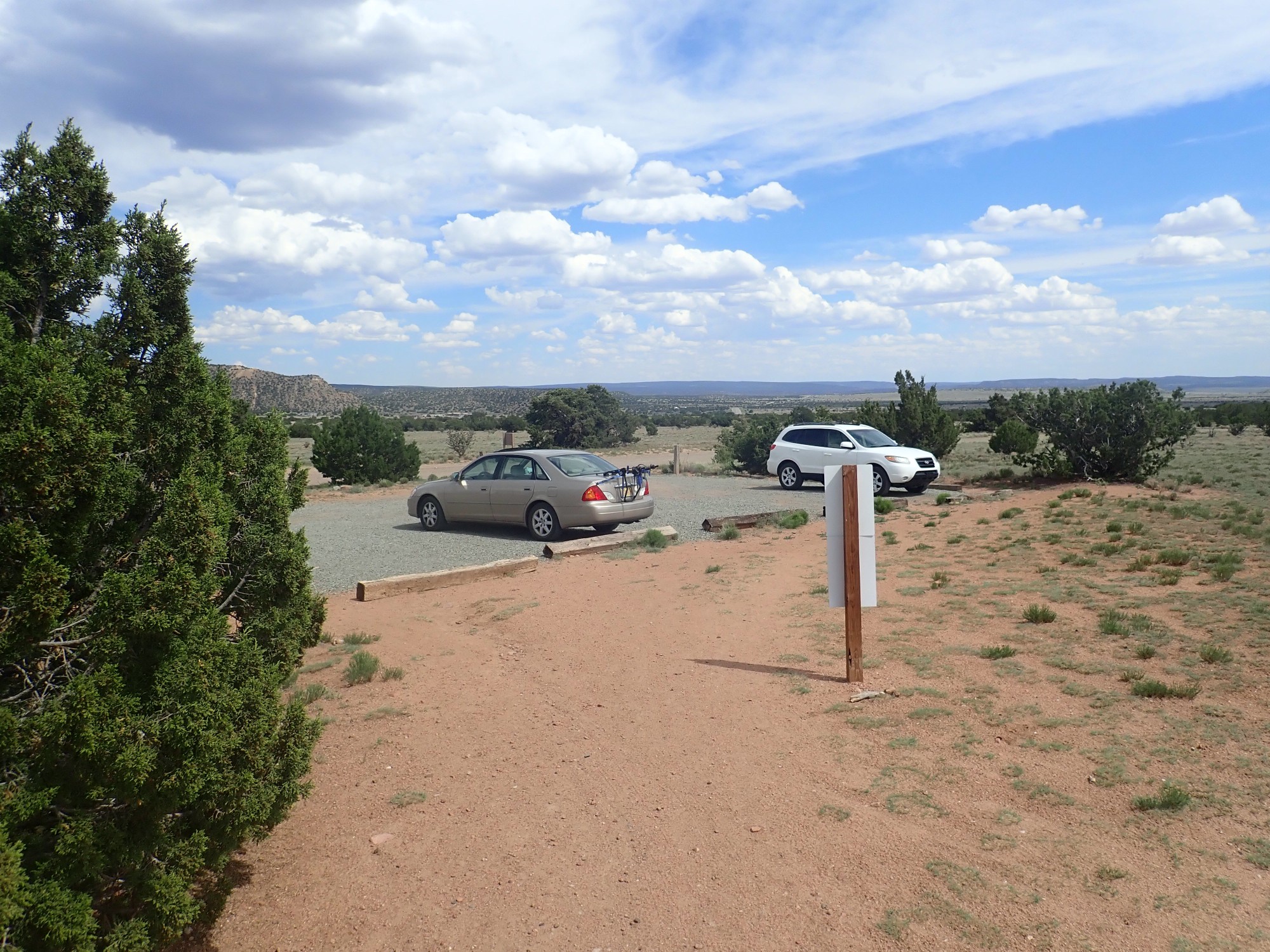
I turn north towards Santa Fe, planning to stop at the Galisteo Preserve and hike around looking for some Ancha Formation. This is supposed to be a reference section.
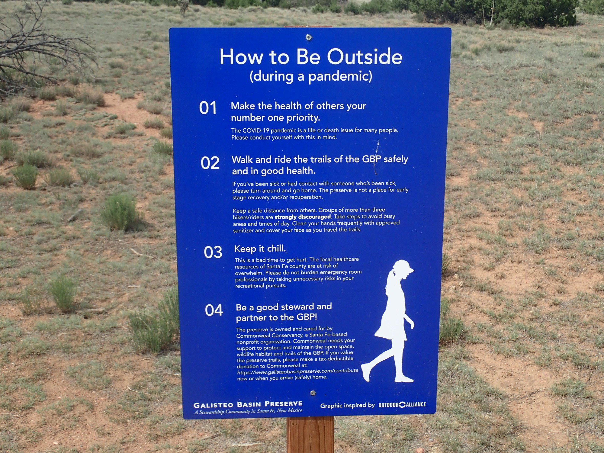
The trailhead.
The pandemic: It is everywhere.
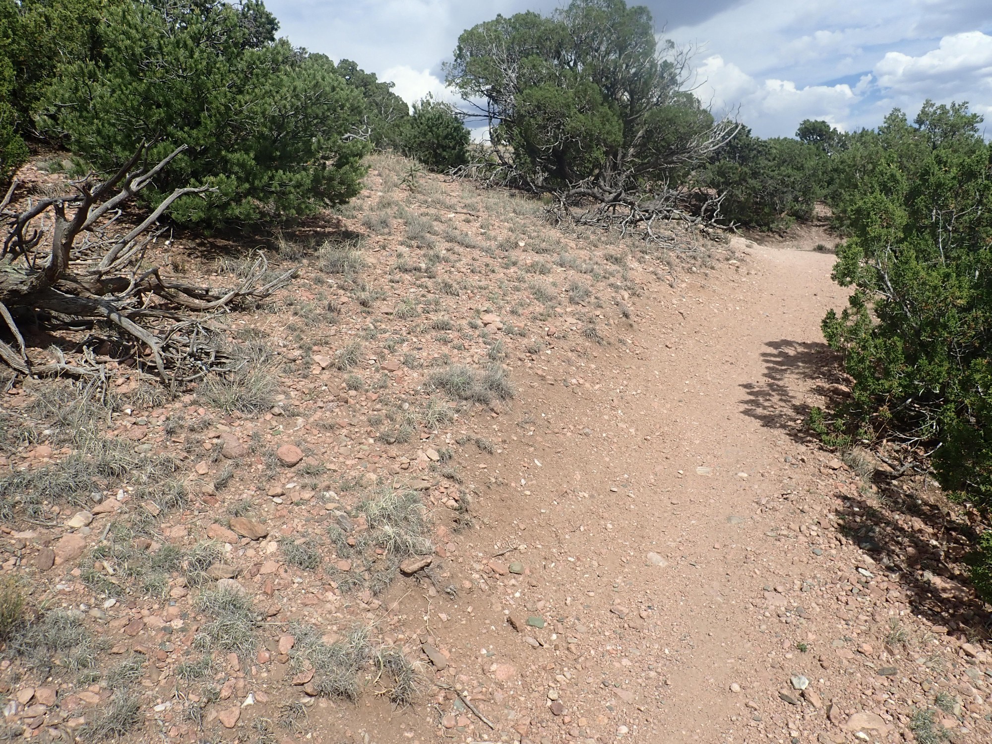
Exposures are poor.
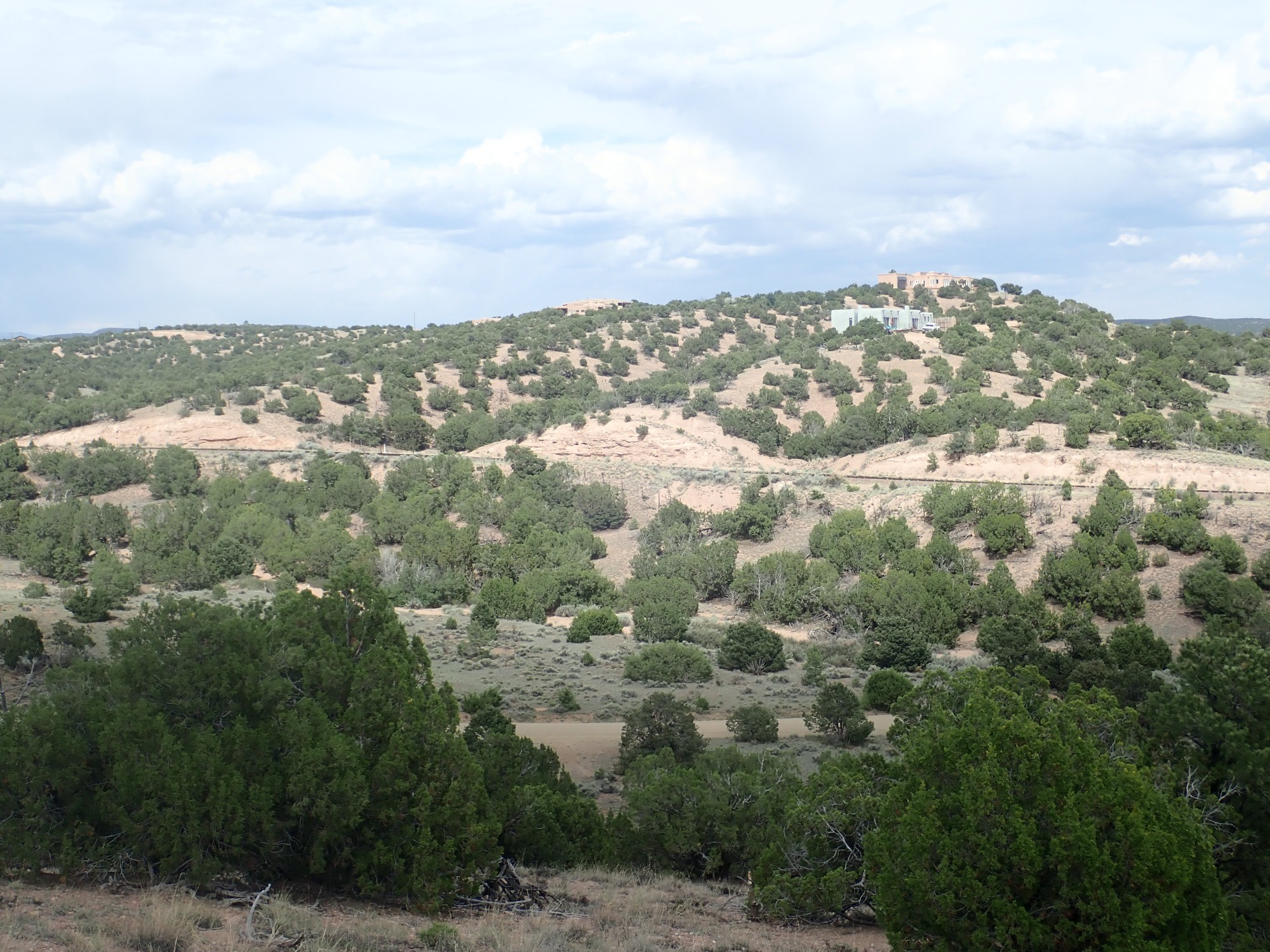
But it looks like there is a rail cut to the east with good exposures. This may be the actual reference section.
A type section is a designated location for seeing a rock formation. If that location turns out to be unsatisfactory in some way, reference sections may be designated to better define the formation. The type section for the Ancha Formation is across the canyon from White Rock, on the east escarpment of the Cerros del Rio, and it turns out to be a pretty bad type section; so four reference sections have been designated. This is one of them.
I bushwack over to the cut, encountering some nice wildflowers on the way.
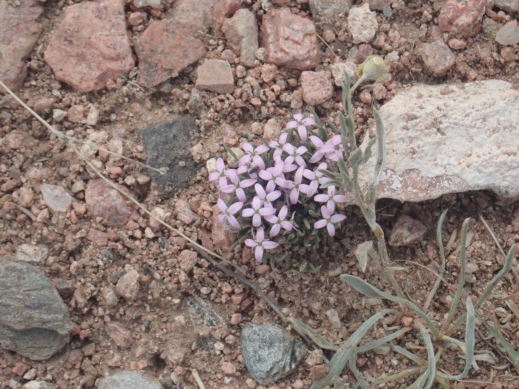
The flower shape screams Cruciferae, wild mustard of some kind, but I’ll look it up another time.
The rail cut turns out to be everything I could hope. I get two sets of photos, one for the book and one for Wikipedia.
So, Ancha Formation? This formation is just 1-3 million years old, and is basically the last sedimentary formation to accumulate in the Santa Fe area before regional uplift stopped sediment accumulation and started eroding the region back out. It’s mostly coarse granite and sand eroded off the southern Sangre de Cristo Mountains east of Santa Fe.
There are two more reference sections for this formation. One is in an arroyo in La Cienega and I’d have to hike across someone’s back yard to get to it. The other is in Arroyo Hondo south of I-25. I might get to it via the Arroyo Hondo Open Space trails, but it would be a long bushwack. Or I could try to get there from a junk yard just off the interstate, but my car might be mistaken for junk and hauled away while I’m hiking. Or I could cut across some rich person’s back yard, which I’ve found is almost never a good idea. Reference sections are not necessarily chosen for easy accessibility.
So, the latest from the neurosurgeon.
I wondered what was worth driving two hours from Los Alamos to Albuquerque in the midst of a pandemic. It turns out the neurosurgeon thinks he’s found the leaks and knows why the earlier blood patch procedure didn’t work. The imaging shows clear bright spots on the nerve roots on two adjacent vertebrae — they were obvious even to my untrained eye in the images. The neurosurgeon thinks these are a rare and only recently recognized form of leak called a CSF-venous fistula. If you read the article I’ve linked, you’ll know almost as much about them as I do.
The treatment is to go in and tie off the nerve roots. This means I lose sensation along a strip of my side, but it also has (surgeon’s estimate) about a 70% chance of curing my intracranial hypotension. It’s a day surgery; I go home that evening. He told me to think about it, then walked out of the office and pretty much disappeared. Rather odd, but I’m guessing the pandemic has been tremendously stressful for everyone in the health care community.
So I’ll think about it. I expect to get a call back to schedule me and I’ll need to have decided by then.