
Wanderlusting the Amalia Tuff
I visited the Latir volcanic field almost five years ago and saw some pretty interesting stuff. But there is a lot to that area, and I really only scratched the surface. So today I decided to visit the area again.
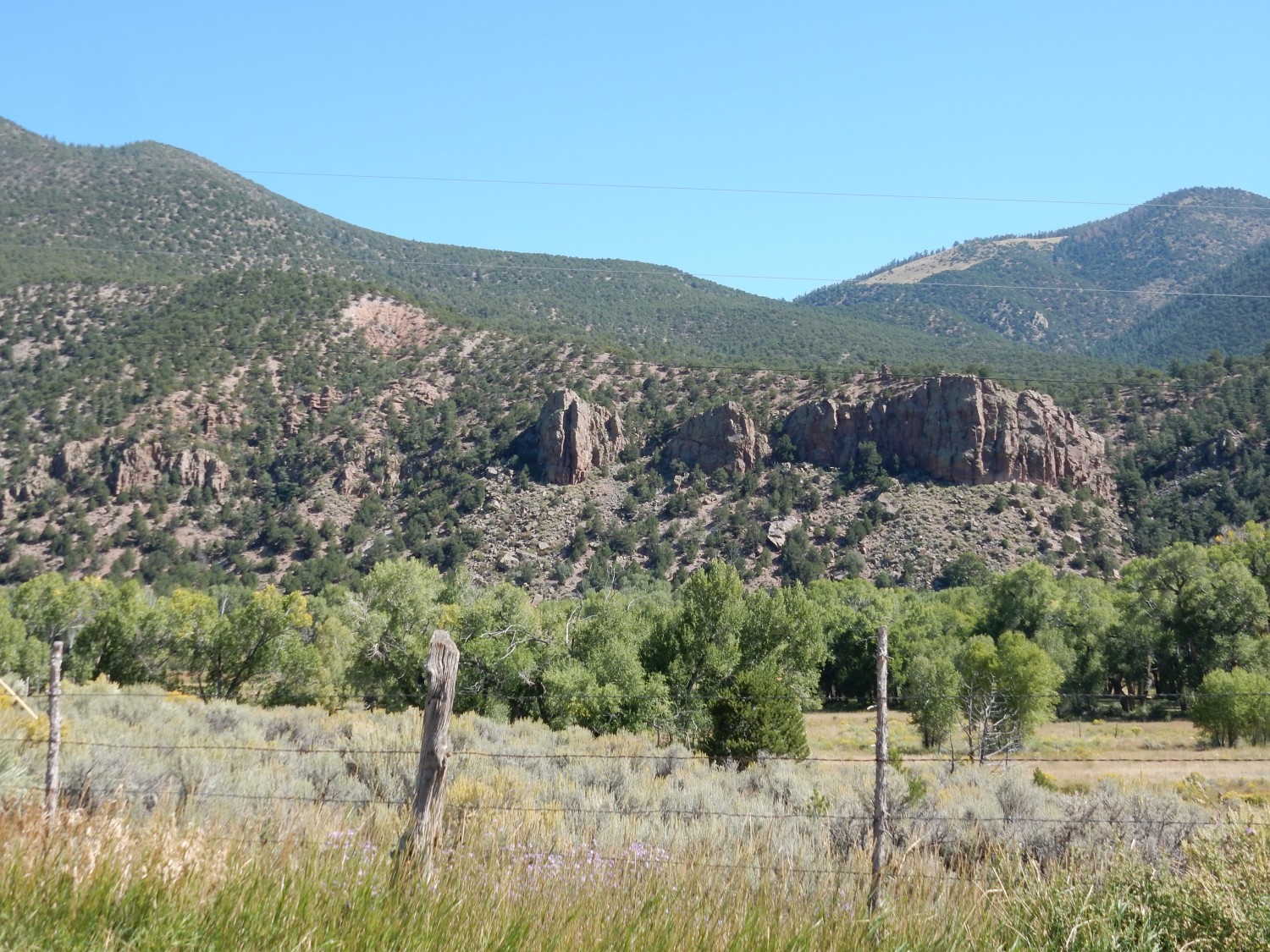
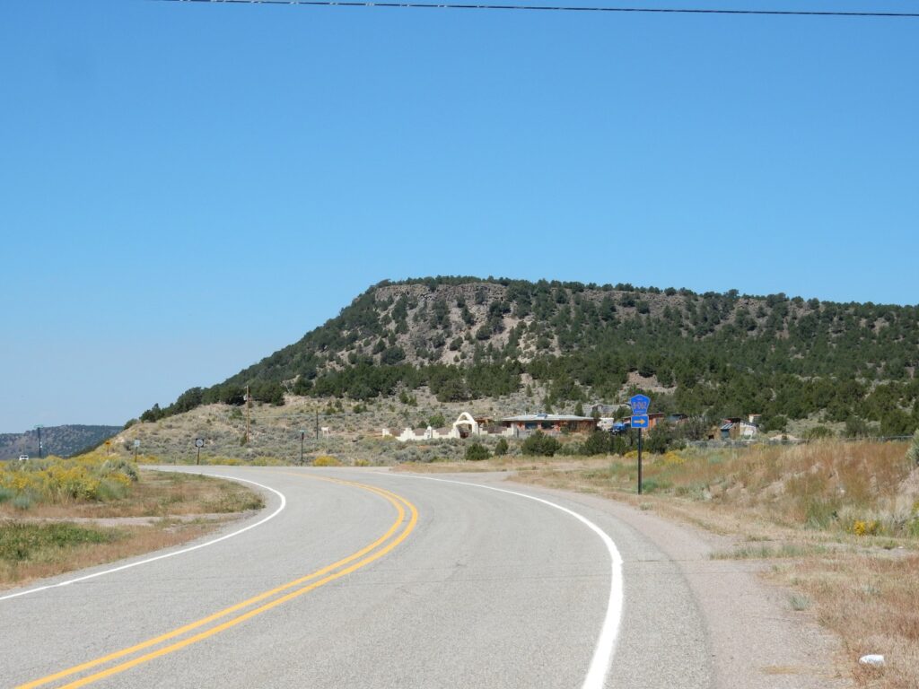
So after breakfast and packing gear, I headed from White Rock towards Taos. The first part of the trip was all familiar ground, but I did stop for a photograph of the Puye Escarpment.
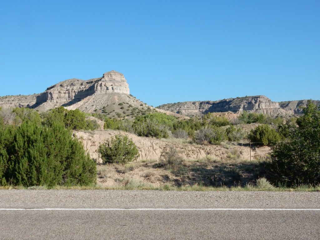
This was mostly to check that the camera was actually working, and to get its initial GPS lock. But it had also occurred to me that I had not got a photograph of the Puye Formation at its type location — the Puye Escarpment — for Wikipedia. Now I do.
The Puye Formation is fanglomerates, coarse debris cemented into sedimentary rock. It’s a form of conglomerate deposited as debris flows from erosion of the volcanic centers west of Los Alamos, between about 7 million and 4 million years ago.
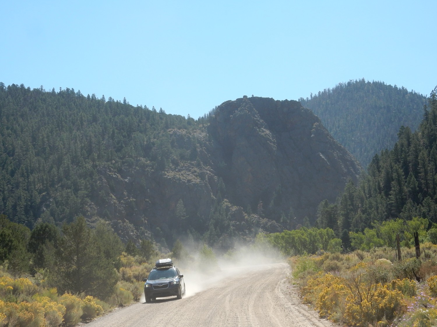
Traffic is not bad, though there is some road construction north of Espanola and in downtown Taos. From there I head to Questa and Costilla.
The rocks I will be looking at today are mostly associated with the Latir volcanic field. This field has some important similarities to the Jemez volcanic field, but also a few interesting differences. Both fields flank the Rio Grande Rift, but the Latir field is probably older than the rift, and likely half the field is buried beneath rift fill under the Taos plateau, where it subsided when the rift opened. The Jemez field is younger than the rift, and rifting was almost certainly important in its formation. The Jemez field also had significant early basaltic volcanism, which is not very evident at Latir. But both fields had a phase of voluminous andesite volcanism. Basalt forms from lava that is fairly low in its silica content, while andesite forms from lava that is intermediate in its silica content. Because silica makes lava viscous, basalt lava tends to form flat flows that extend great distances, while andesite piles up around its vent to form the classical stratovolcano.
The andesite stratovolcano phase at both fields was followed by one or more ginormous caldera eruptions, in which high-silica magma exploded out of the ground as red-hot volcanic ash and gas. This flowed across the surface like a heavy liquid, finally cooling and settling to the surface to form a rock called tuff. In the Jemez, we know of at least three caldera eruptions (of which the first was merely enormous), while we see evidence of only a single caldera eruption at Latir, which formed the Questa caldera. The Questa caldera was about 9 miles across, about the same size as the Jemez calderas.
The last Jemez caldera eruption was just 1.25 million years ago — very recent in geologic terms — and the Valles caldera it created is still well preserved. The Questa caldera erupted 25 million years ago, and since that time, half the caldera has foundered into the Rio Grande Rift (where it is now out of sight) and the other half was uplifted as part of the Sangre de Cristo Mountains and heavily eroded. The two fields complement each other: Jemez lets us see the fresh surface expression of a caldera system,while Questa is eroded down to let us see its roots.
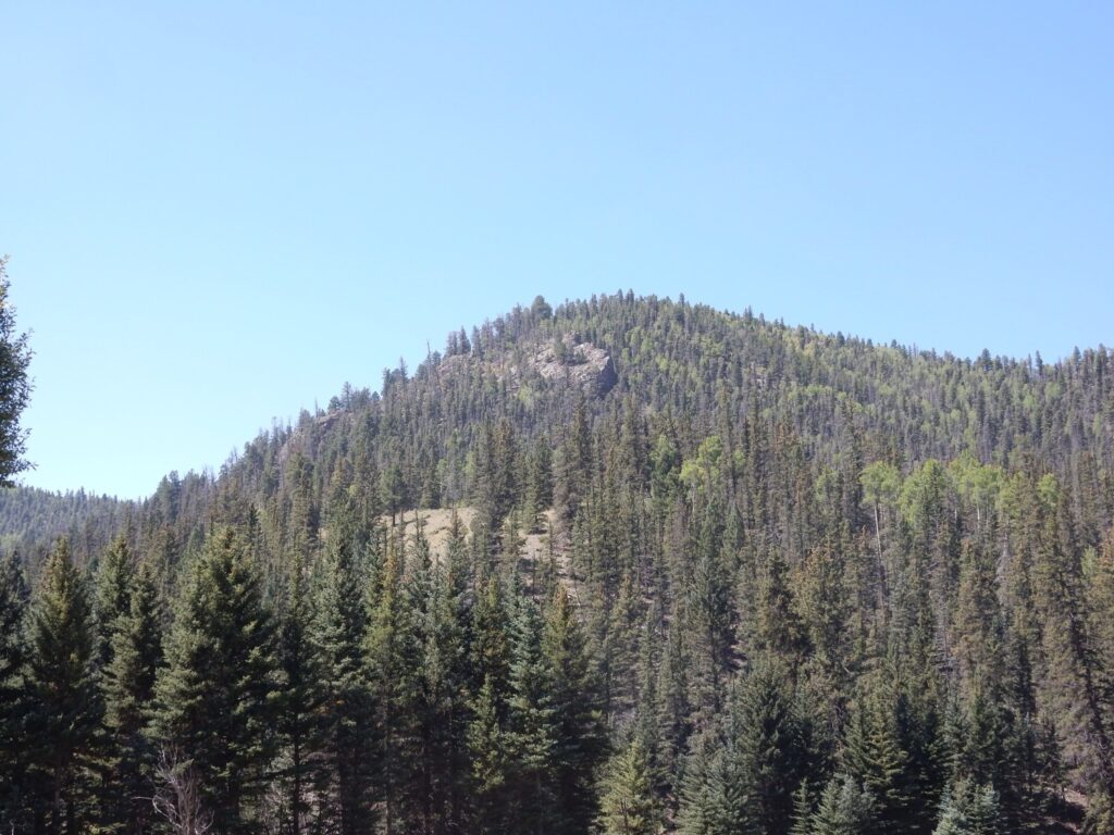
North of Questa I get a nice view of Ute Mountain.
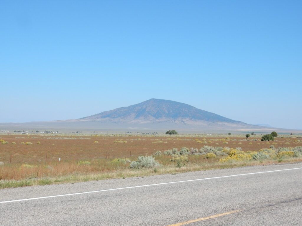
This is a bit of a side topic, since Ute Mountain is part of the Taos Plateau volcanic field rather than the Latir volcanic field. The Taos Plateau volcanic field is much younger, at less than 4 million years old. Like the Jemez volcanic field, it is tied to the opening of the Rio Grande Rift. However, volcanism here has not (yet?) produced a large caldera eruption. Ute Mountain itself is a dome of a silica-rich volcanic rock called dacite.
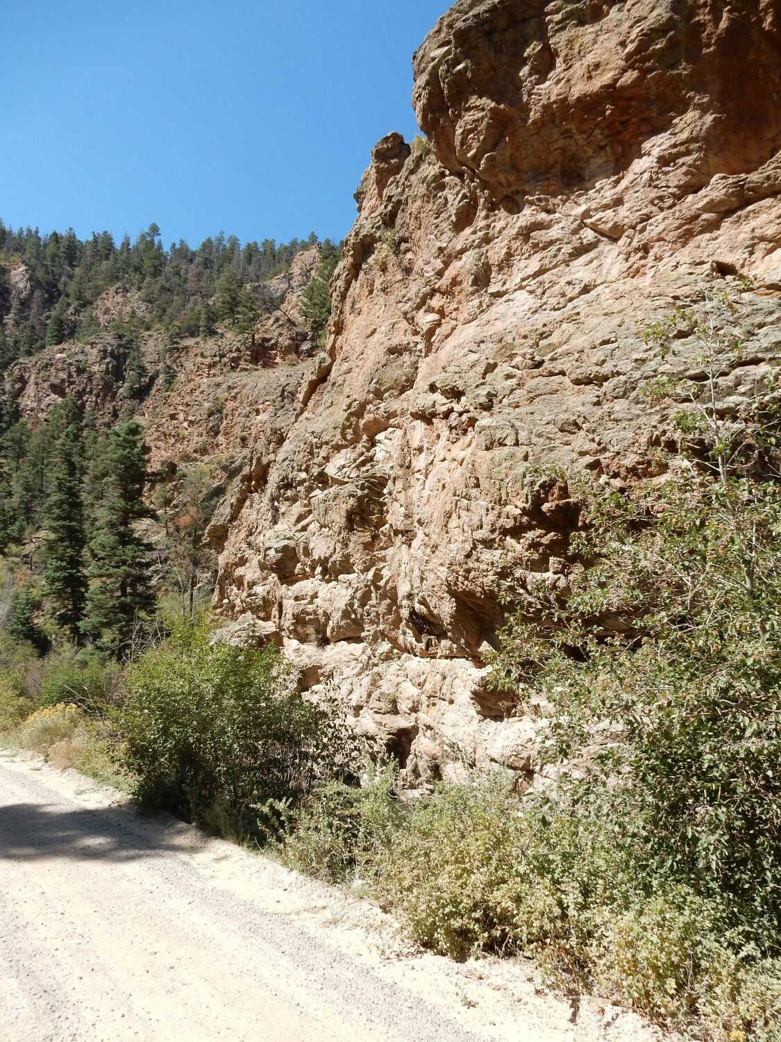
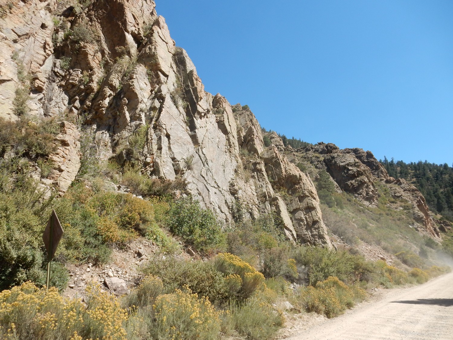
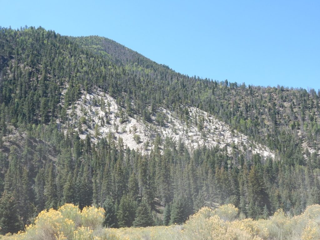
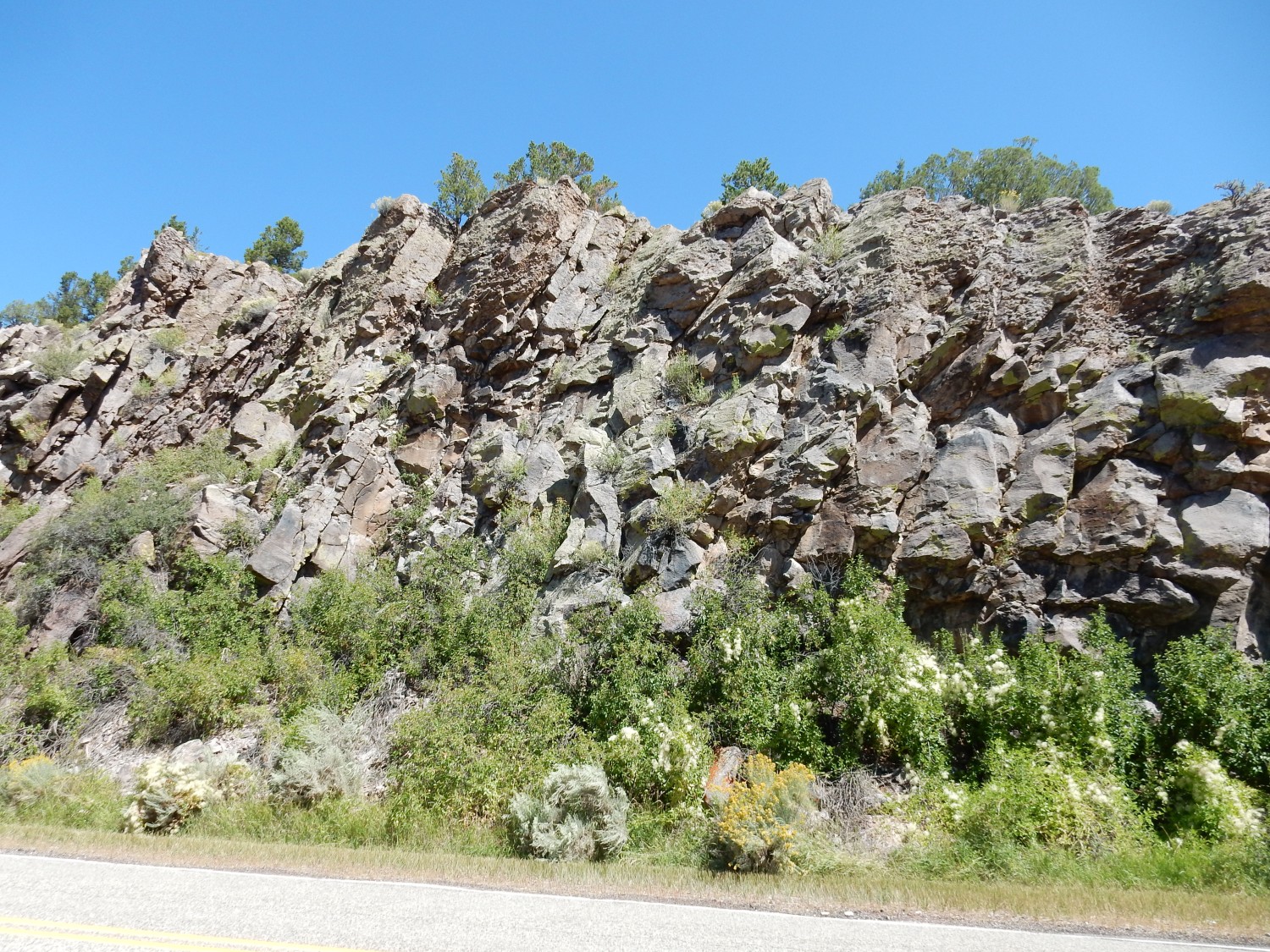
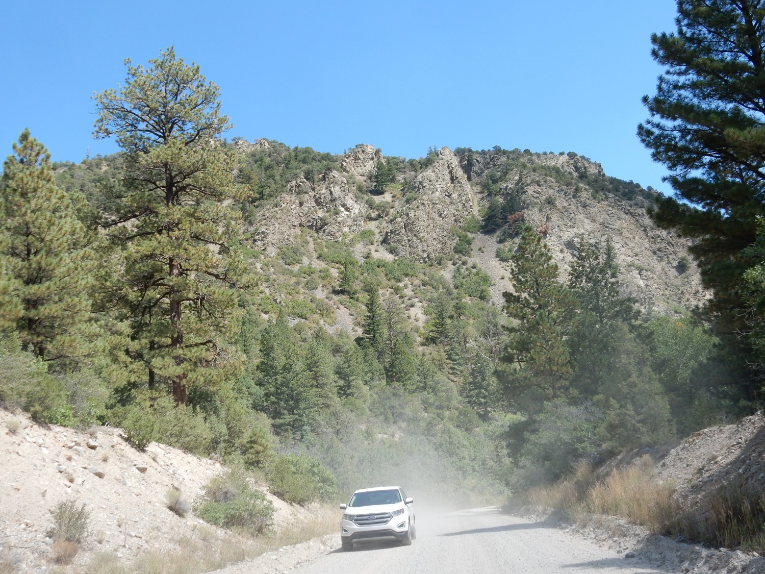
At Costilla, I turn southeast towards Amalia. The road leaves the Taos Plateau and enters the mountains, and the nearby hills are capped with Servileta Basalt.
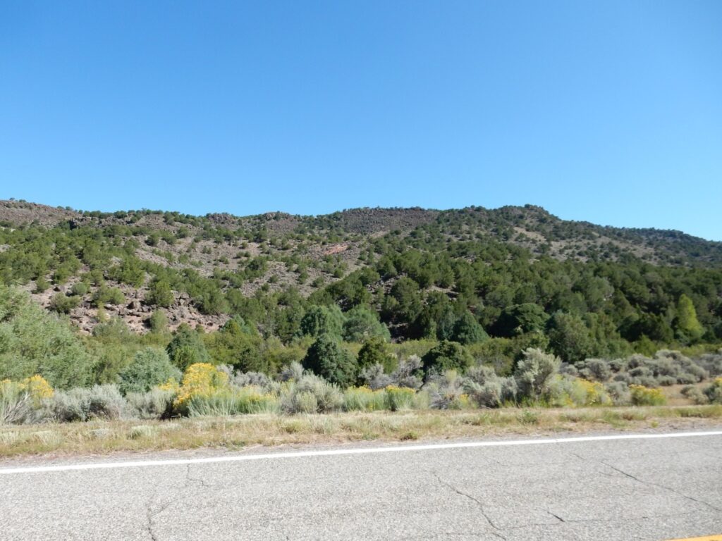
I find this interesting. The Servilleta Basalt is also part of the Taos Plateau volcanic field, and it forms the surface of the Taos Plateau. But here it has been upthrust some distance above the plateau. I’ve crossed the great Sangre de Cristo Fault at the western foot of the mountains, and everything to the west has been thrown down and everything to the east thrown up. The fact that this includes the Servilleta Basalt indicates that the motion on the fault has continued over the last four million years.
I stop for some.

The roundish dark metallic crystals are likely sphene, calcium titanium silicate. Titanium is present in small quantities, around a percent or less, in most low-silica volcanic rock.
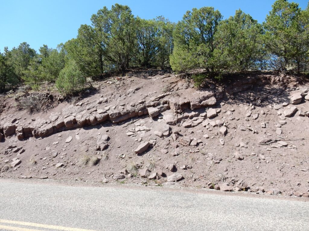
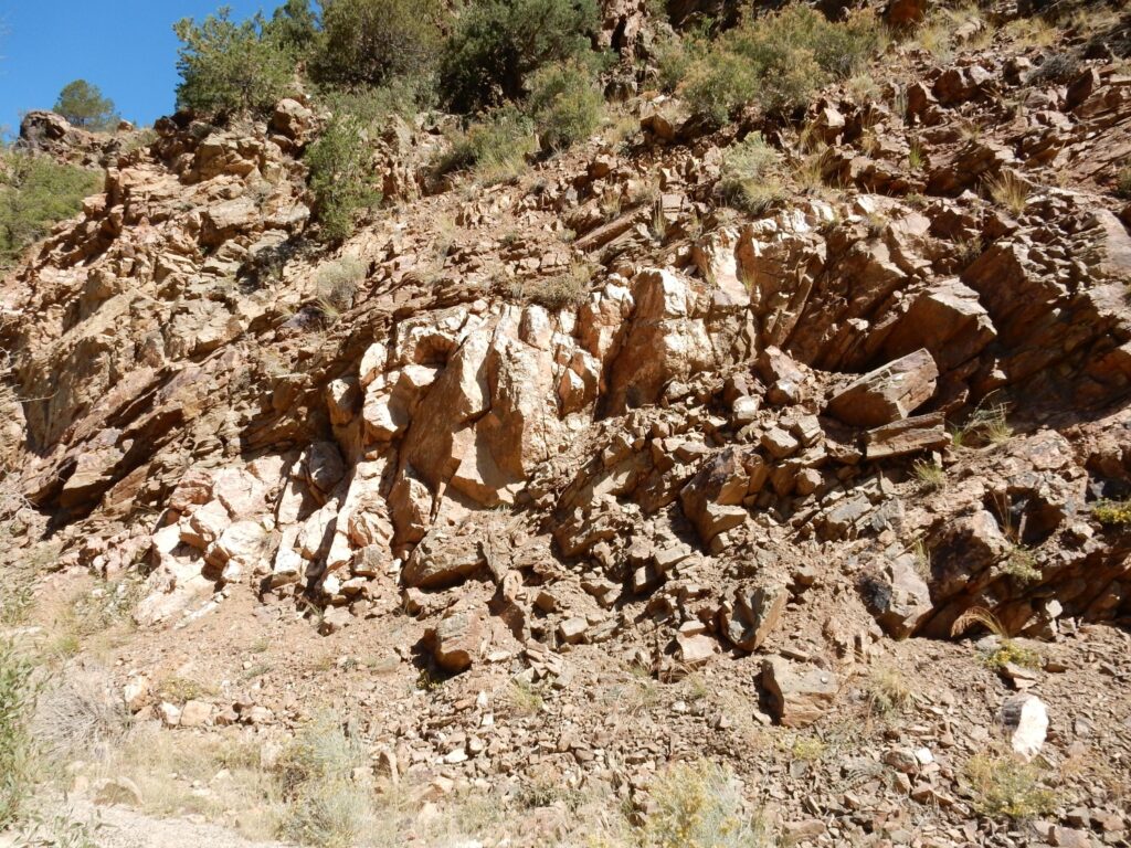
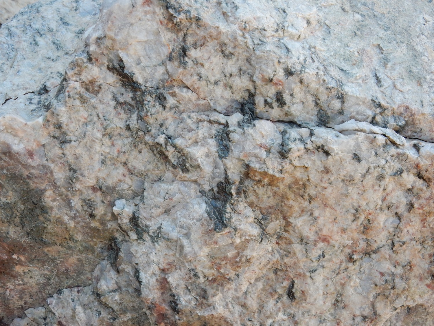
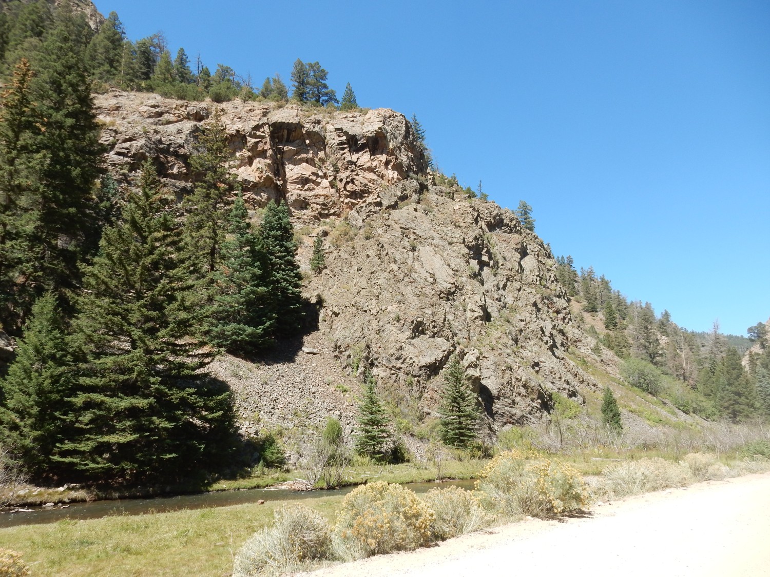
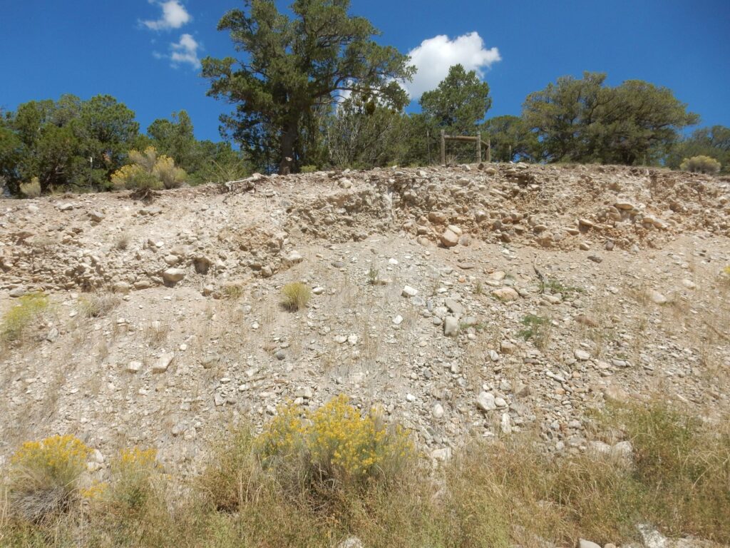
And I come to my second big stop of the day: An outcrop of the Amalia Tuff in its type area.
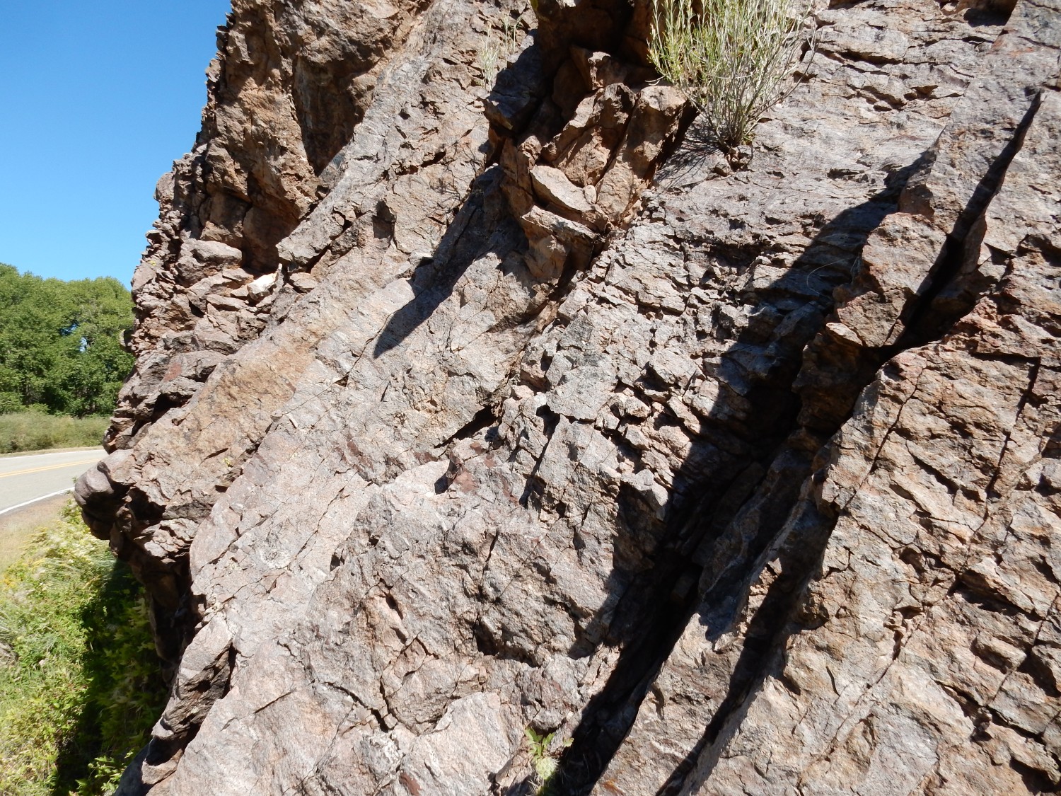
The Amalia Tuff was erupted in a geologic blink of an eye (hours to weeks) during the formation of the Questa caldera. It’s widespread throughout this part of New Mexico, and weathered cobbles of the tuff can be found in the nothern Jemez. It’s a very silica-rich tuff, up to 80% silica, and the tuff is also unusually rich in alkali metal oxides.
The outcrop here is part of the outflow sheet, where the tuff overflowed the caldera and covered the surrounding countryside. This outcrop appears to be very dense, solid rock, showing that the ash was still molten when it settled to the surface. The individual ash fragments welded into solid rock, which is difficult to distinguish from a rhyolite flow.
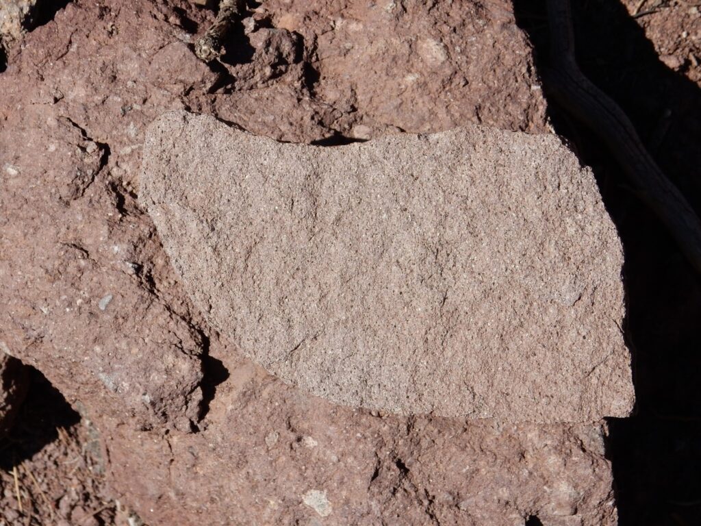
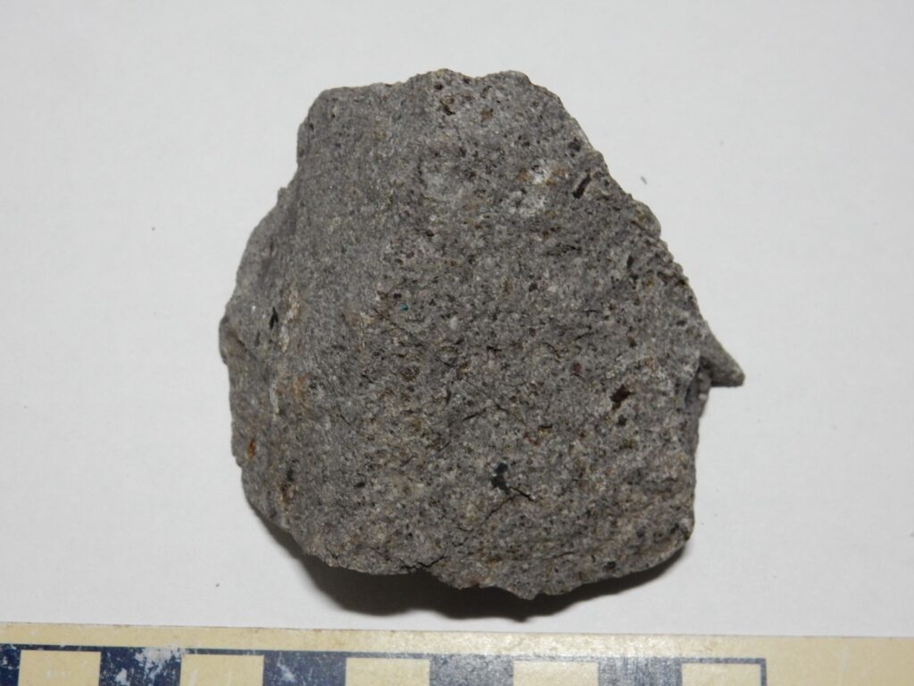
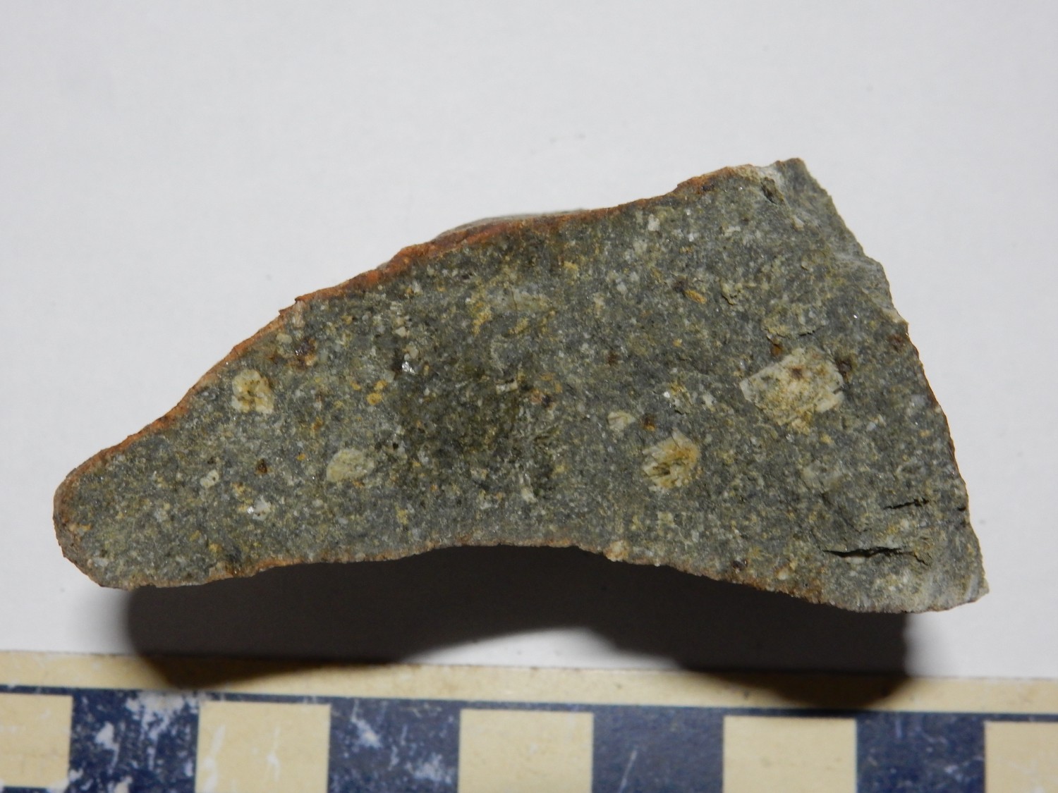
I get a sample.
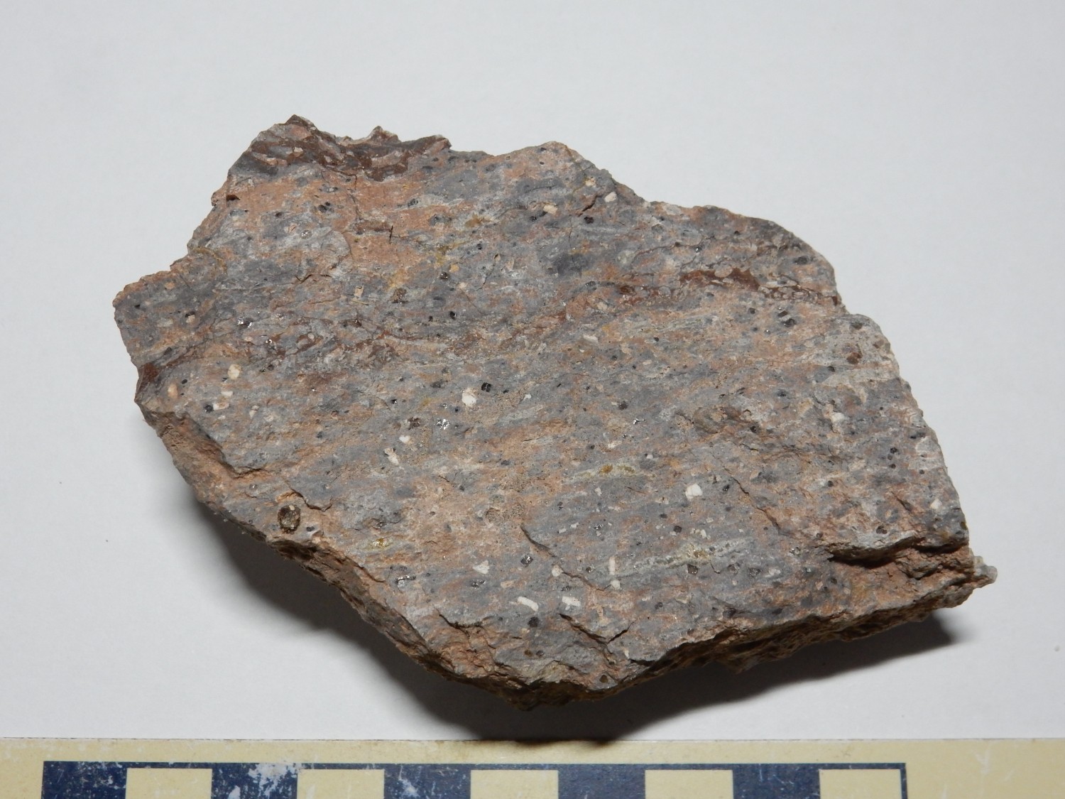
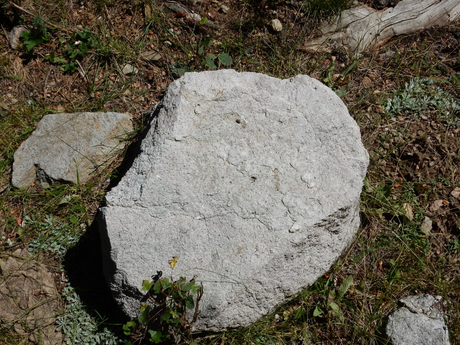
The tuff outcrop here was probably welded so densely that it was glassy. It’s now devitrified. You can see numerous crystals of quartz and sanidine feldspar; the feldspar is white and fractures to form flat faces, while the quarts is colorless (appearing dark in the photo) and breaks along curved faces.
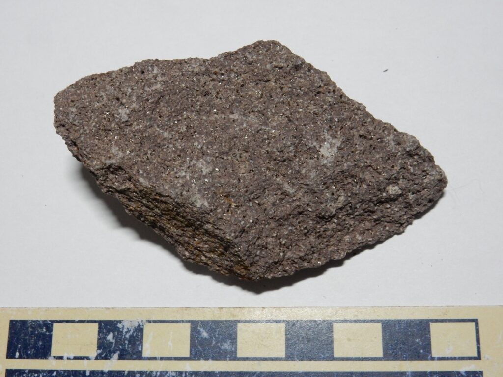
I also get a superb yard rock.
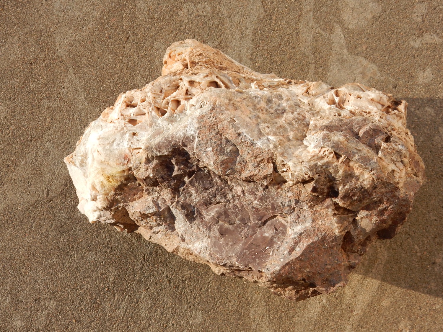
Lookit the crystals!
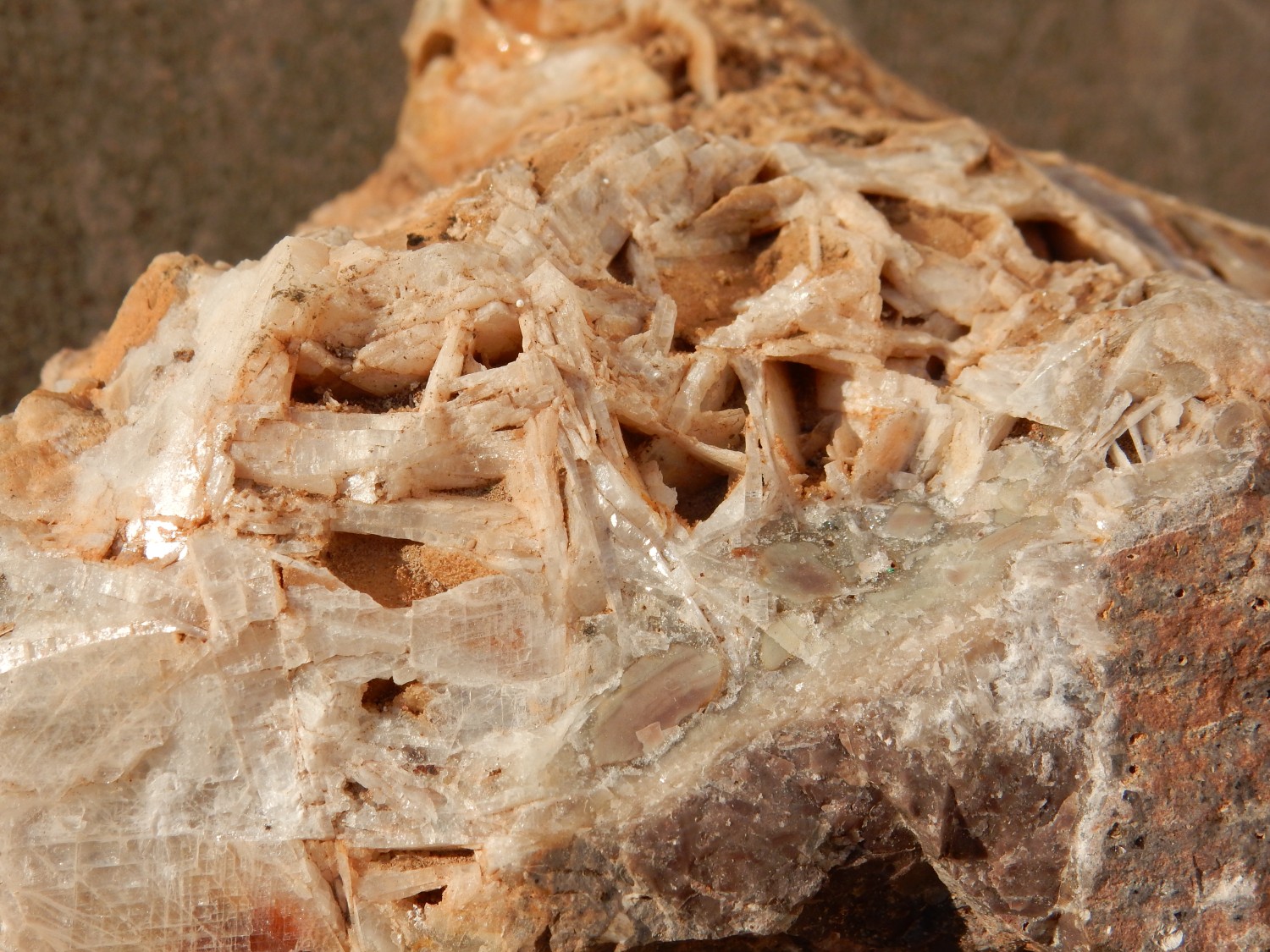
My first thought is calcite, but I’m not so sure. The habit seems wrong. (Calcite doesn’t often form blades.) The mineral seems too hard, and, most tellingly, it responds only feebly to hydrochloric acid. Some kind of zeolite?
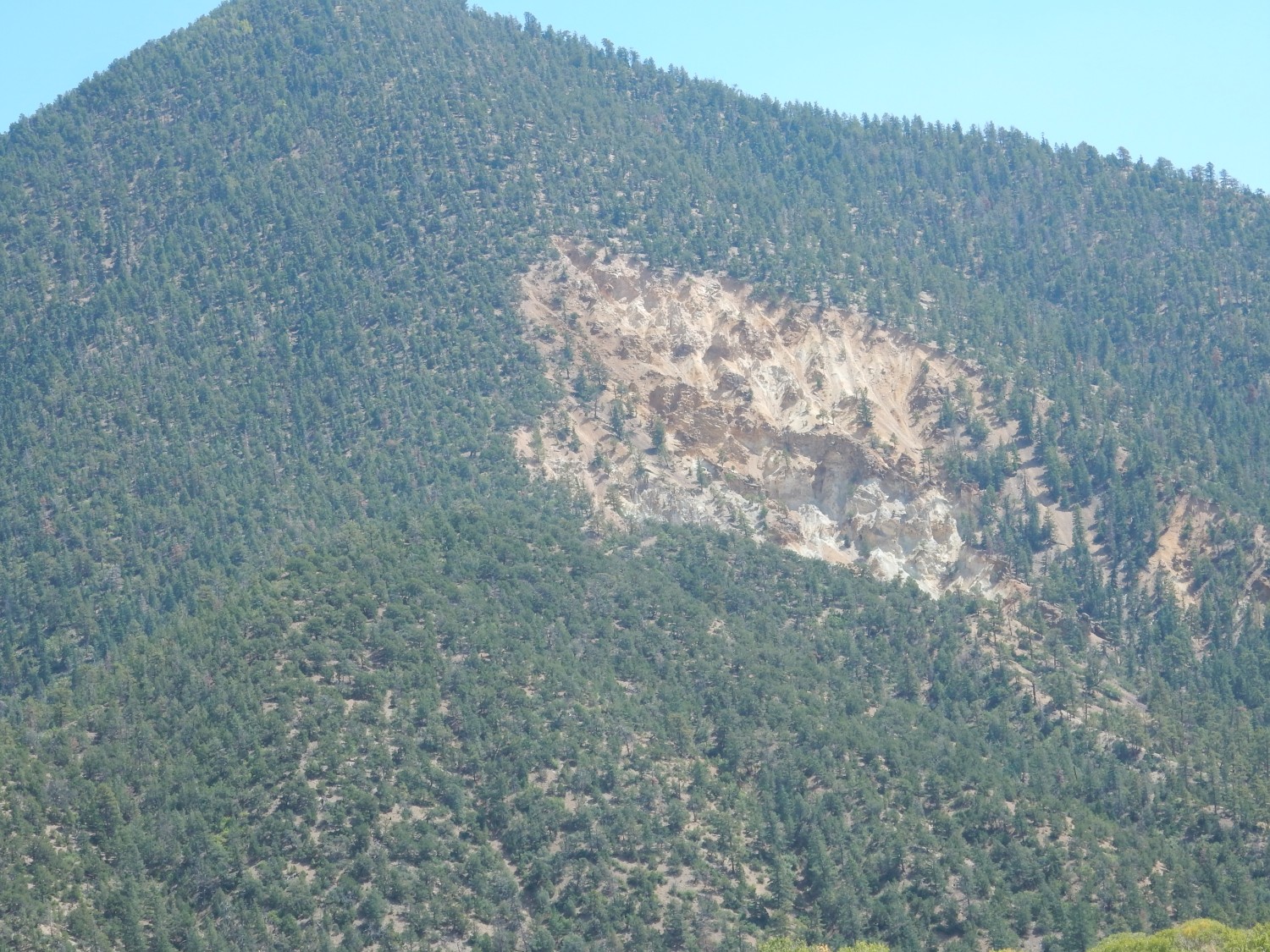
The road continues on past Amalia and into the valley of Costilla Creek. Mountains to the northeast:

This is a dome of low-silica rhyolite that is less than half the age of the Questa caldera. It’s likely an outlier of the Taos Plateau volcanic field. The lava was erupted on a fault that forms the eastern wall of the valley.
This also caught my eye.
More Amalia Tuff. The overlying reddish beds at upper left are mapped as Santa Fe Group, rift fill sediments. The mountains in the background are Paleoproterozoic in age, most likely, but have not been mapped in detail.
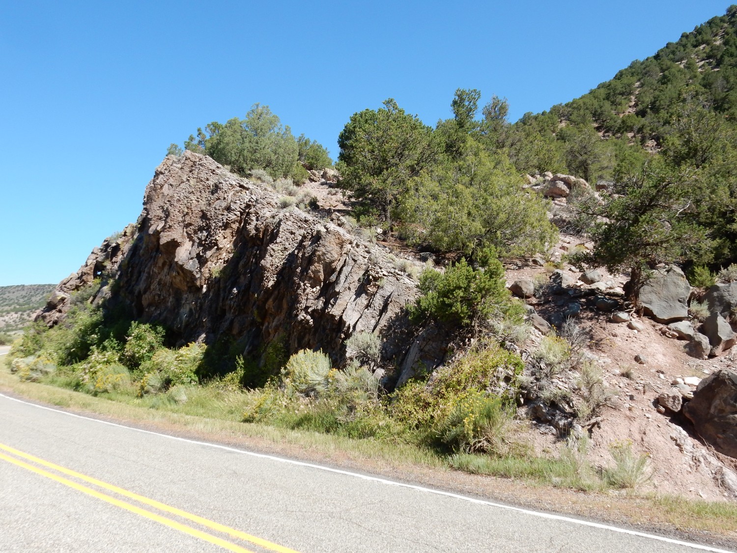
I’m following a road log, and this seems to be an andesite outcrop mentioned in the log.
The chocolate brown color is pretty andesite-like, but the rock texture looks almost like a tuff.
The rock appears to be full of biotite flakes.
The geologic map says this is an andesite flow within volcaniclastic andesite beds. Well, that is what the road cut looks like. And just around the corner is the outcrop I think my road log actually had in mind.
There’s no convenient pull over. I decide to look at it again on the way out.
Ahead is a box canyon flanked by a prominent plug.
The plug is felsic gneiss that is probably around 1.6 billion years old, based on radiometric dating of enclosed zircons. It’s thought to have formed by metamorphosis of silica-rich volcanic rock.
I pull into the box canyon, and there are striking pegmatites intruding what looks like greenschist.
Further down the road:
This is the Quartz Monzonite of Costilla Creek, age around 1.644 million years. There is some fresh rock fall across the road, where I can get a closer look.
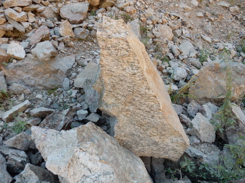
There are greasy-looking dark cray blobs of mineral in the gneiss that don’t quite look like anything I’ve seen before.
You’d expect hornblende or biotite in a rock like this, but this really doesn’t look like either. I take a sample. The gray mineral is not really like any biotite or hornblende I’ve seen (I’ve seen plenty of both). It’s clearly harder than biotite. Judging from the geologic map, my tentative identification is allanite — a mineral I’ve never seen before.

Out of the box canyon.
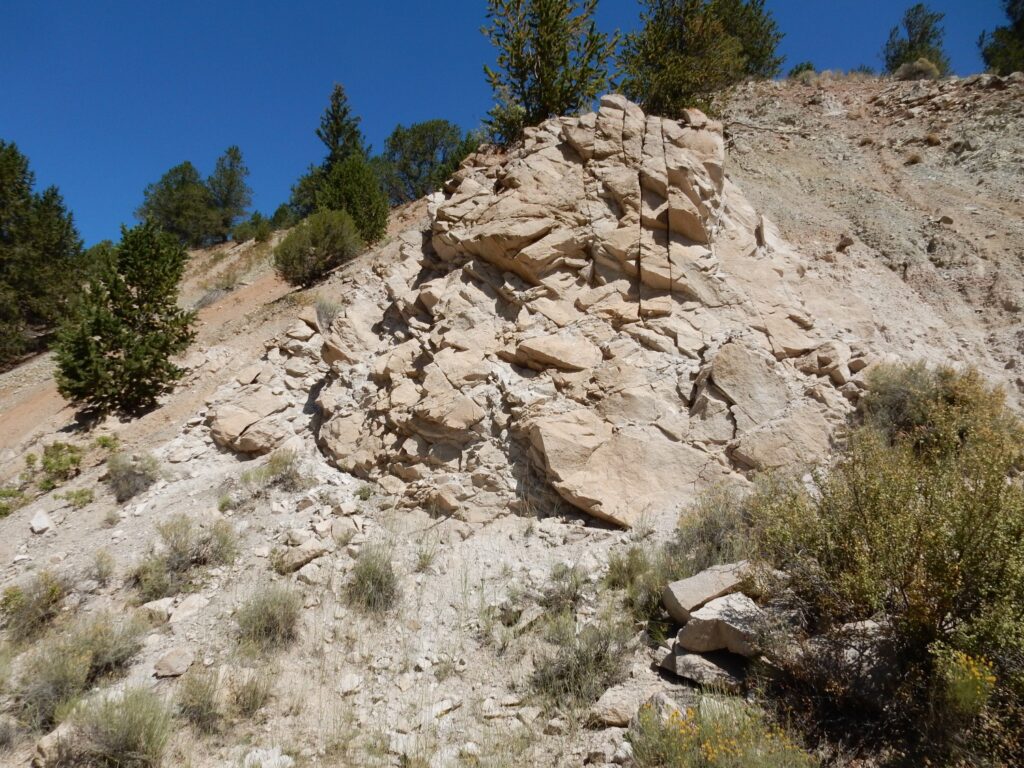
And a big white outcrop across the canyon catches my eye.
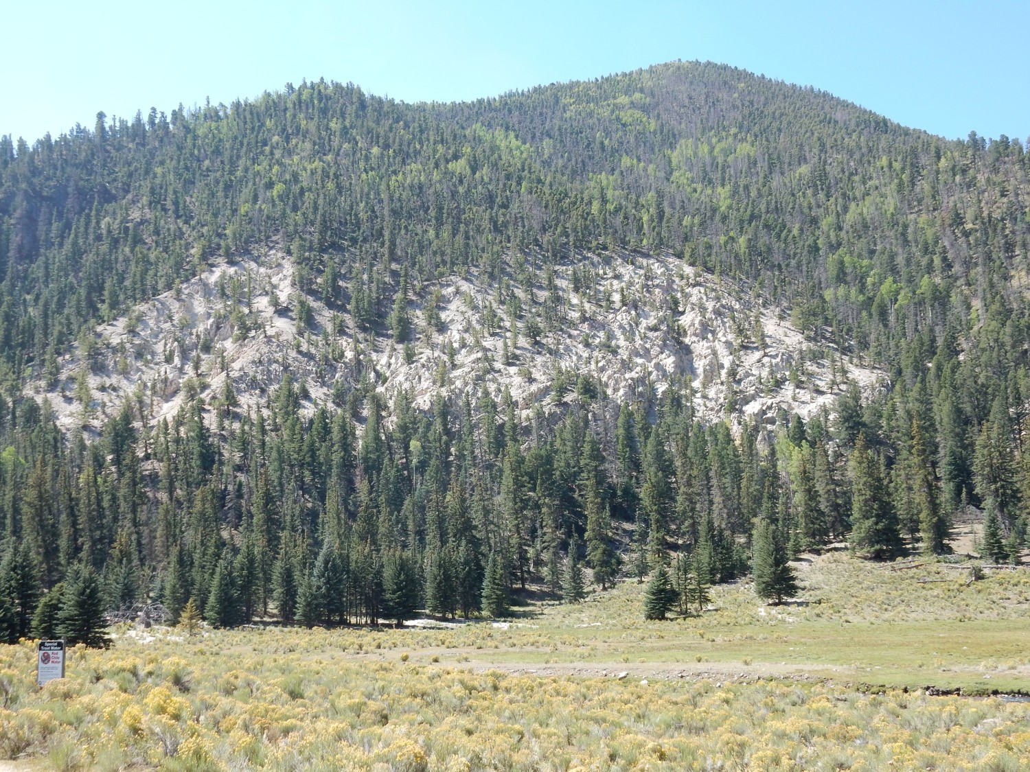
If the pictures didn’t already make it clear, this is a stunningly beautiful area, a camper’s paradise. Which may explain by the posted camping fees are $25 per night per vehicle.
The outcrop is of the tuff of Tetilla Peak. (Tetilla Peak is about three miles to the south.) This is an older and much less voluminous tuff than the Amalia Tuff, though the two can be hard to tell apart. It erupted from vents like the dome we saw earlier, probably without caldera formation.
Very pretty outcrop in a road cut.
My first thought was “tuff”, but the stuff turns out to be fairly coarse-grained. It looks like a diorite. The map tells me it’s Latir Peak Quarts Latite, slightly younger than the Tuff of Tetilla Peak. Quartz latite has about the same silica content as diorite, but more alkali metal oxides. I wasn’t too far off.

It’s a mixture of alkali and plagioclase feldspar (mostly plagioclase) with some sparse quartz and dark crystals of hornblende and biotite mica.
My road log ends at the National Forest boundary. There are supposedly alkaline volcanic rocks in the area to the south; I get a photograph:
But all my geologic map shows is rhyolite related to the Amalia Tuff.
I head back. Along the way, I find a bridge across the river, and look at some of the rocks in the south wall of the canyon.
It turns out to be more quartz latite.
Another shot of the Tuff of Tetilla Peak on the way out.
This contact caught my eye.
The dark rock is a gabbro dike in the quartz monzonite. Wish now I had stopped for a closer look.
Then I’m back at the andesite.

I nearly twist an ankle on the loose rock, but I get a nice sample. It’s a medium-gray fine-grained rock.
You can definitely make out the crystals of pyroxene in the andesite. This is a bit unusual; hornblende, a hydrated relative of dry pyroxene, is more common in andesite.
North of Amalia, some Servilleta Basalt on the mesa top.
Then back at the outcrop of Amalia Tuff, with the light at a better angle.
I return to Costilla and head south to Questa. To the east, the mouth of Latir Canyon comes into view.

The cliffs at left are our old friend, the quartz monzonite of Costilla Creek. The cliffs at right are granodiorite of Jaracito Canyon, which is actually the next canyon south. Both are Precambrian rock. We’re outside the caldera here.
In fact, Jaracito Canyon has exposures of young rhyolite interpreted as the northern ring dike of the caldera. This is where the overlying beds subsided along a ring-shaped fault when the caldera was formed. I thought that was what I was looking at here; turns out the outcrops don’t stand out from this distance.
But my road log describes a hike to a pretty interesting mass of granite in the next canyon south of Jaracito Canyon, Rito del Medio Canyon. This is where the Rito del Medio pluton is found. It’s a mass of biotite granite emplaced just after caldera collapse, and it reputedly has miriolitic pockets, open spaces lined with large crystals. That seems worth hiking to.
Alas:

Well … shucks.
Long-time readers know I have a pet peeve about landowners closing a road that provides the only access to public lands beyond. It’s more irritating that I definitely correctly followed the directions on my road log to this point, only to find this sign. I look for an alternate route, but there is none. So much for the hike.
With a last longing look back

I proceed on my way.
It’s mid-afternoon. I have time for just one more side trip, and I decide I’ll explore Cabresto Canyon.
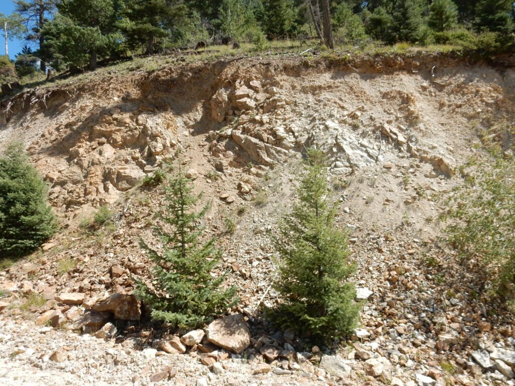
The south side of the canyon mouth has a nice exposure of intracaldera Amalia Tuff.
This is tuff that ponded on the floor of the caldera. Its color is from pervasive hydrothermal alteration.
An impressive gravel.
This is an old alluvial fan, a body of sediments deposited by floods coming down the canyon. They’re very common on fault escarpments in arid climates — which exactly describes this setting.
Impressive cliffs.
The rock is porphyritic andesite, with no radiometric date, but thought to have been erupted after the caldera collapse.
The road runs along the base of the cliff, where chicken wire has been used to stabilize the road cut. There is a single big cloud overhead; I have to wait some time for the sun to come out for the photograph.

The sample shows several large phenocrysts of feldspar.
I’m headed to a side road that climbs the south canyon wall. Here it crosses a peralkaline tuff deposit that may have some interesting minerals in it. I don’t have a good feel for the exact location, but this road cut catches my eye.
This turns out to be Precambrian quartzite. And, had I but known, I’m very close to the caldera wall here. I end up driving right past it.
This I suspected was intracaldera Amalia Tuff.

As I confirm when I get home and check coordinates against the geologic map. I suspected I was far short of the peralkaline tuff I was most interested in, and I was right; but the road was a bit rugged and I was simply out of time.
From there, back to Espanola for some shopping, then home.
Just finished a backpacking trip to the Latir Wilderness and I was very interested in the geology of the region. Your work has answered a lot of the questions I had, trying to piece together the history of the rocks. Thank you very much!
I am sure my husband, Kent, would be happy that his posts were helpful to you. He passed away in November 2022, but asked that his blog be kept available.