A short Rendija wanderlust
I needed the exercise and I had some things to think about, so I spent a Friday hiking in an area of Rendija Canyon I had not visited before.
The trail head is some distance east of the sportsmen’s club, where the road begins descending into the spectacular narrows of the Puye Formation. I had seen this on previous trips to the area and was simply curious where it might lead.
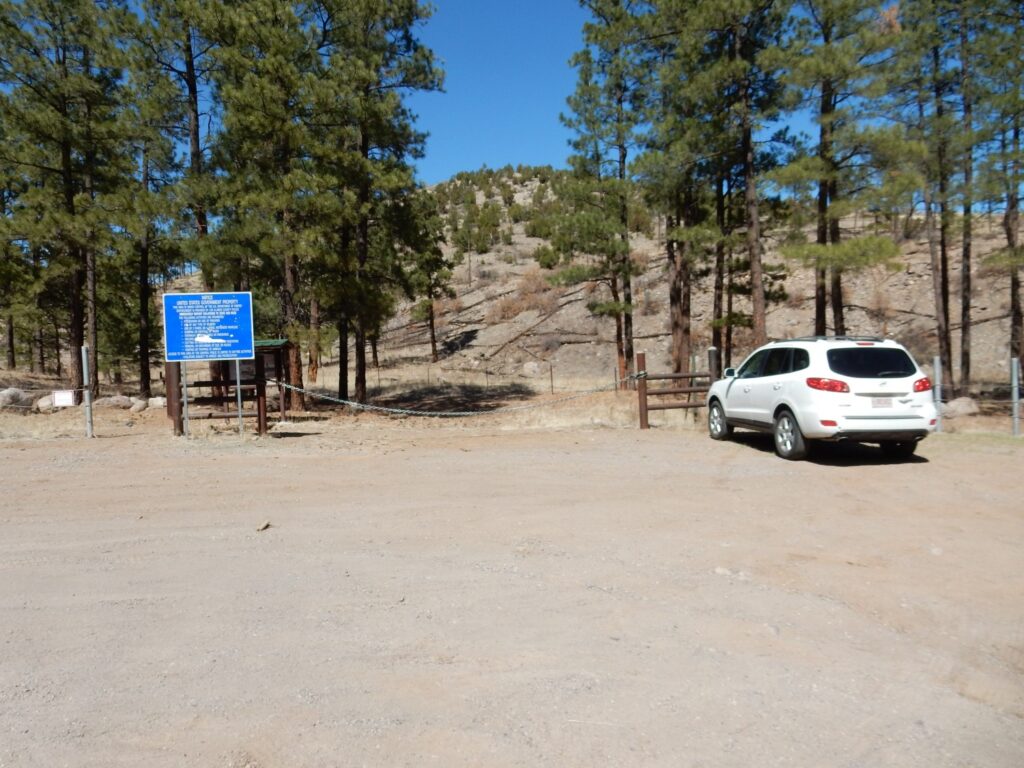
The trail first passes some of the uppermost beds of the Puye Formation.
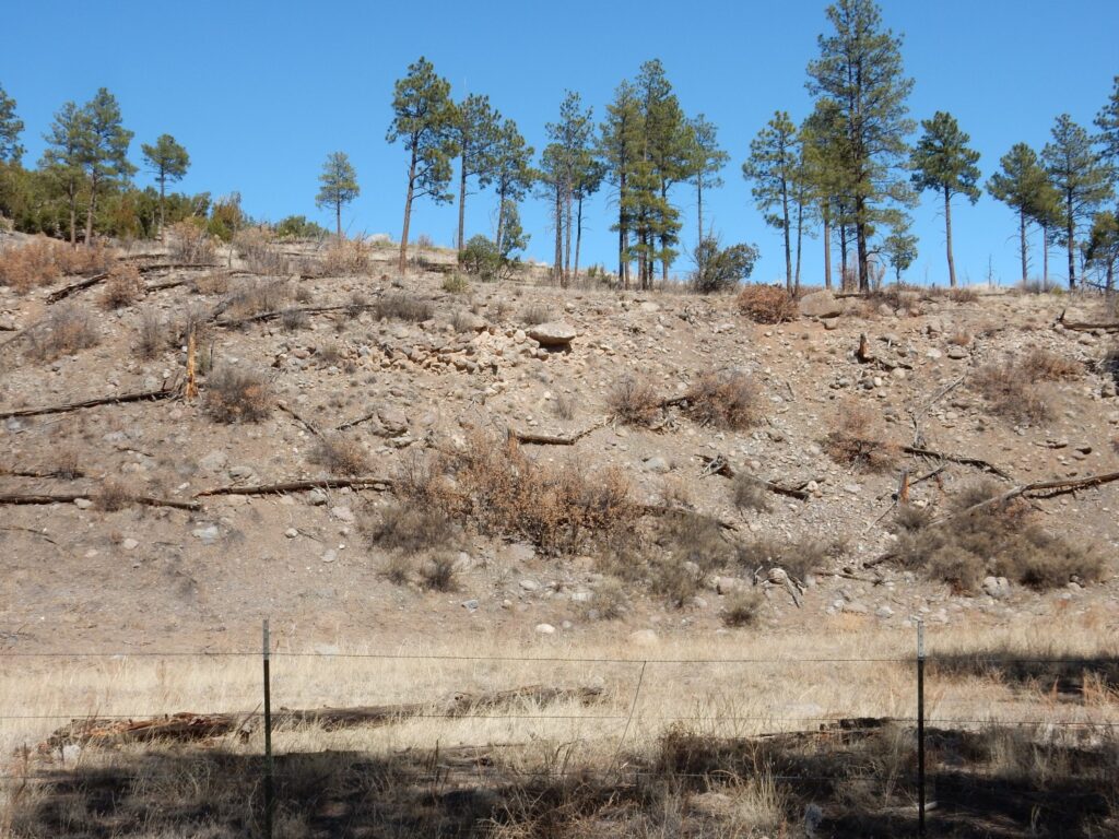
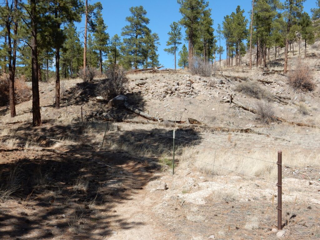
The Puye Formation is dramatically exposed throughout lower Rendija Canyon. Here we are looking its uppermost beds. The formation is a fanglomerate, a very coarse conglomerate deposited as alluvial fans.
Between about 3 and 5 million years ago, volcanic eruptions built the Sierra de los Valles, the range of mouintains west and northwest of Los Alamos. The lava that was erupted had the composition of dacite, which is a volcanic rock quite high in silica. Silica makes magma highly viscous, and dacite lava is erupted as a very thick, sticky mixture of viscous molten rock and solid crystals. This mixture often erupts explosively, forming great quantities of volcanic ash, while the dacite that does not erupt explosively forms steep domes. The surface of these domes cracks into blocks as the magma within cools and solidifies, and these blocks rapidly erode off the dome as landslides and debris flows.
The debris flows were a mixture of rock fragments of all sizes up to enormous boulders, lubricated by wet volcanish ash. This flowed like a slurry down valleys in the mountains and spread out over the more level ground to the east, forming alluvial fans. As the rock fragments were transported by the debris flow, sharp edges and corners were rapidly polished off to round the fragment. The flows then came to rest and rapidly hardened like concrete. The debris flows were interbedded with volcanic ash beds and mud flows, the latter composed almost entirely of wet ash with relatively few rock fragments. The resulting sequence of beds was preserved as the Puye Formation. This formation is also prominent along the main highway to Los Alamos in Pueblo Canyon, near the Totavi gas station, which is perhaps the best place for the casual geologic tourist to view the formation.
There are also beds of pumice along the trail.
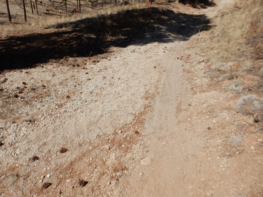
This is likely pumice of the Cerro Toledo Formation. This was erupted from domes in the Toledo caldera, the predecessor to the Valles caldera, between 1.6 and 1.3 million years ago. Great thicknesse s of this pumice accumulated north of Los Alamos. There is a sizable hill along this trail that appears to be an enormous drift of Cerro Toledo pumice.
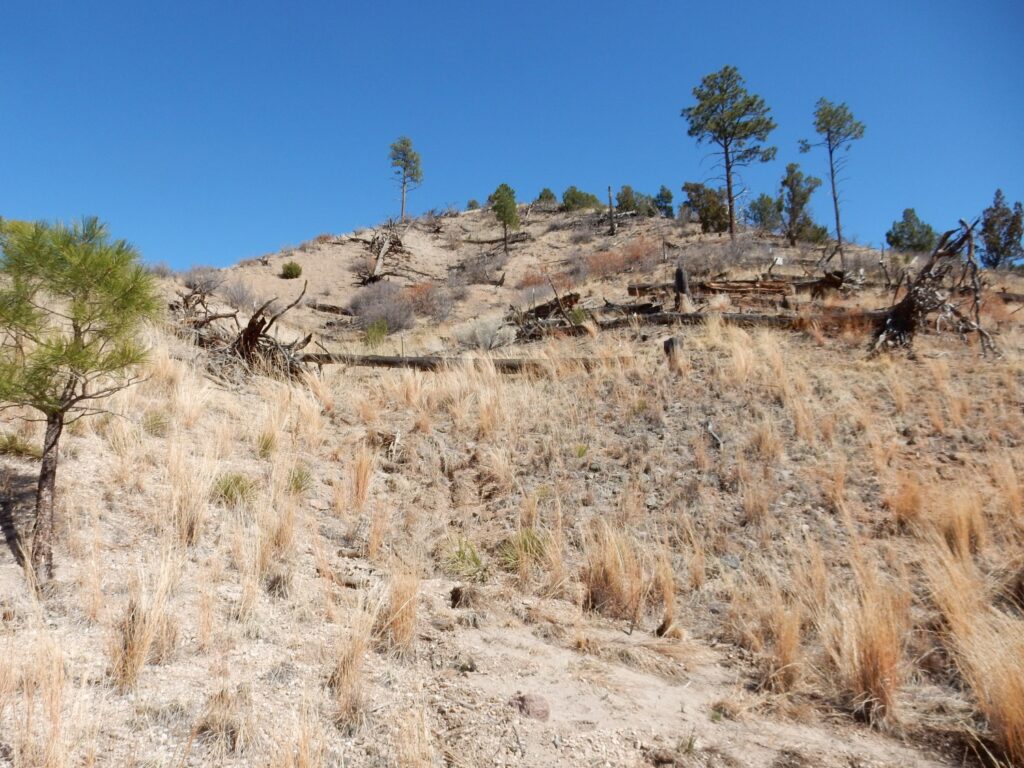
From there, the trail bent east (or, at least, that was the branch I took) and I was mildly disappointed to see little interesting geology. The area was all simply soil-covered mesa top, though it was pleasantly uncrowded and away from the city. Here a gully has washed pumice across the trail.
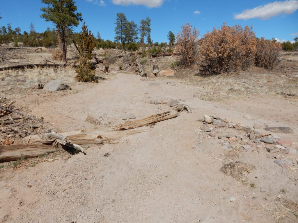
I continue on, to see what I can see. I have a vague hope that the trail will come out on the rim of Rendija Canyon and give a nice view, but I never reach the canyon rim.
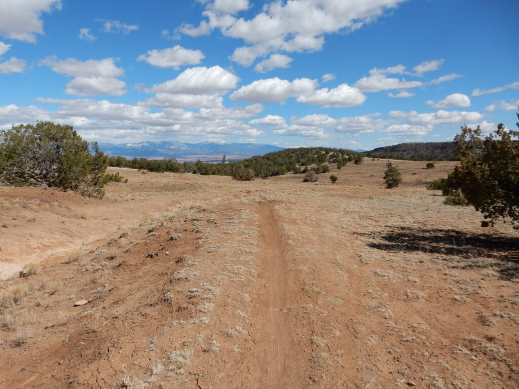
Here the trail crosses a coarser gravel deposit.
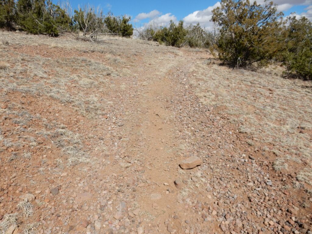
This is what the geologic map describes as “old alluvium”. It’s river gravel from just after the Valles eruption 1.25 million years ago, deposited by shallow streams that covered the area until the current deep canyons formed by erosion.
To the south is an unnamed knife-edge mesa extending east from Barranca Mesa.
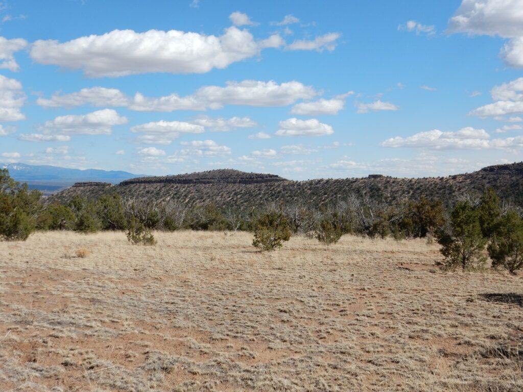
Most of the lower slopes are Otowi Member of the Bandelier Tuff, a bed of volcanic ash erupted in the Toledo eruption 1.62 million years ago. The cliffs at top are Tsherige Member, erupted in the Valles eruption 1.26 million years ago.
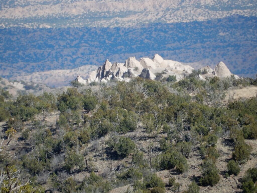
Further down the trail, I see that at the far end of the knife-edge mesa is a small nest of tent rocks in the Otowi Formation. Deep telephoto shot:
And then the trail more or less peters out. I’m about out of time anyway, so I turn back at this point.
