Kent and Bruce Have Another Excellent Adventure, Part 4
Friday: The Dry Cimarron!
We set out bright and early to follow another New Mexico Geological Society road log, which would take us across the northern part of the Raton-Clayton volcanic field and into the valley of the Dry Cimarron. The Raton-Clayton volcanic field is the easternmost volcanic field of the Jemez Lineament (which, contrary to the linked article, is almost certainly not a hot spot trace) and, in fact, the easternmost volcanic field in North America until you reach the Mid-Atlantic Ridge. The Dry Cimarron is a tributary of the Arkansas River whose uppermost valley, in New Mexico and Oklahoma, is both geologically interesting and beautiful.
Our route took us out of Raton on State Road 72 east. The road passes south of Bartlett Mesa and turns northeast towards the mouth of Sugarite Canyon. We skipped the state park this trip, turning east again into the valley between Barilla Mesa and Johnson Mesa.
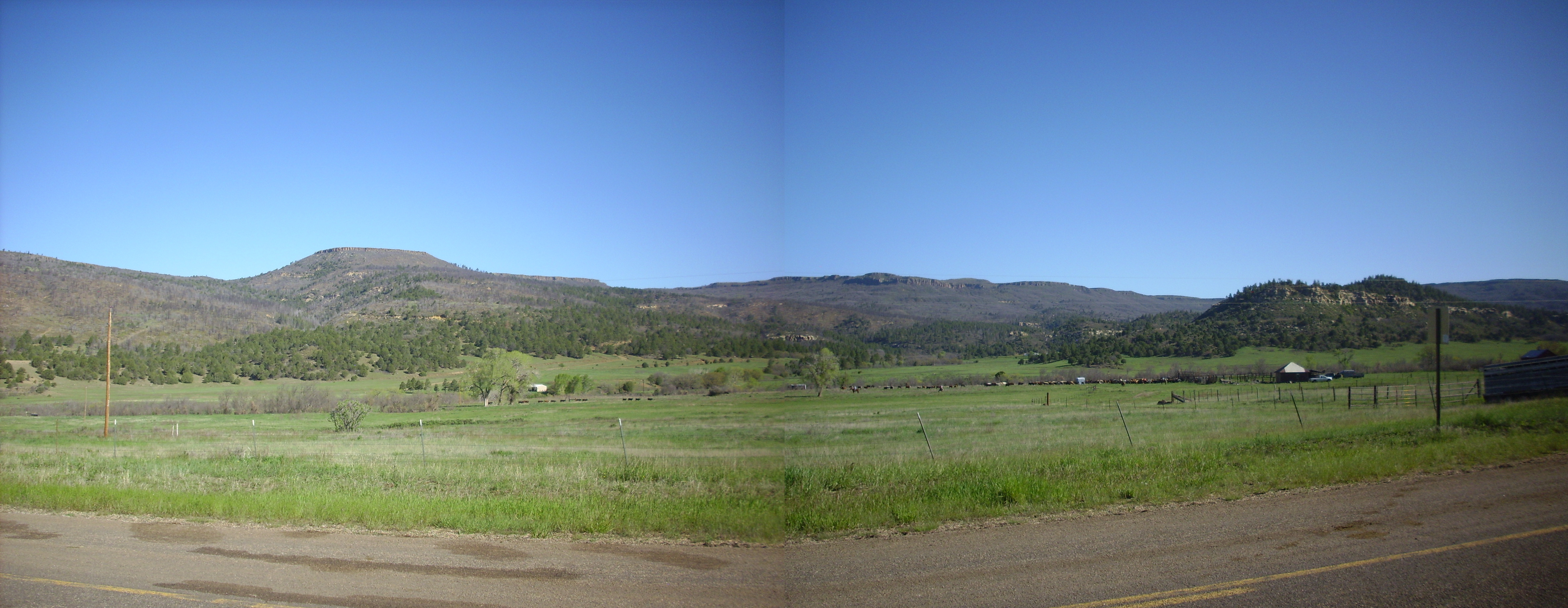
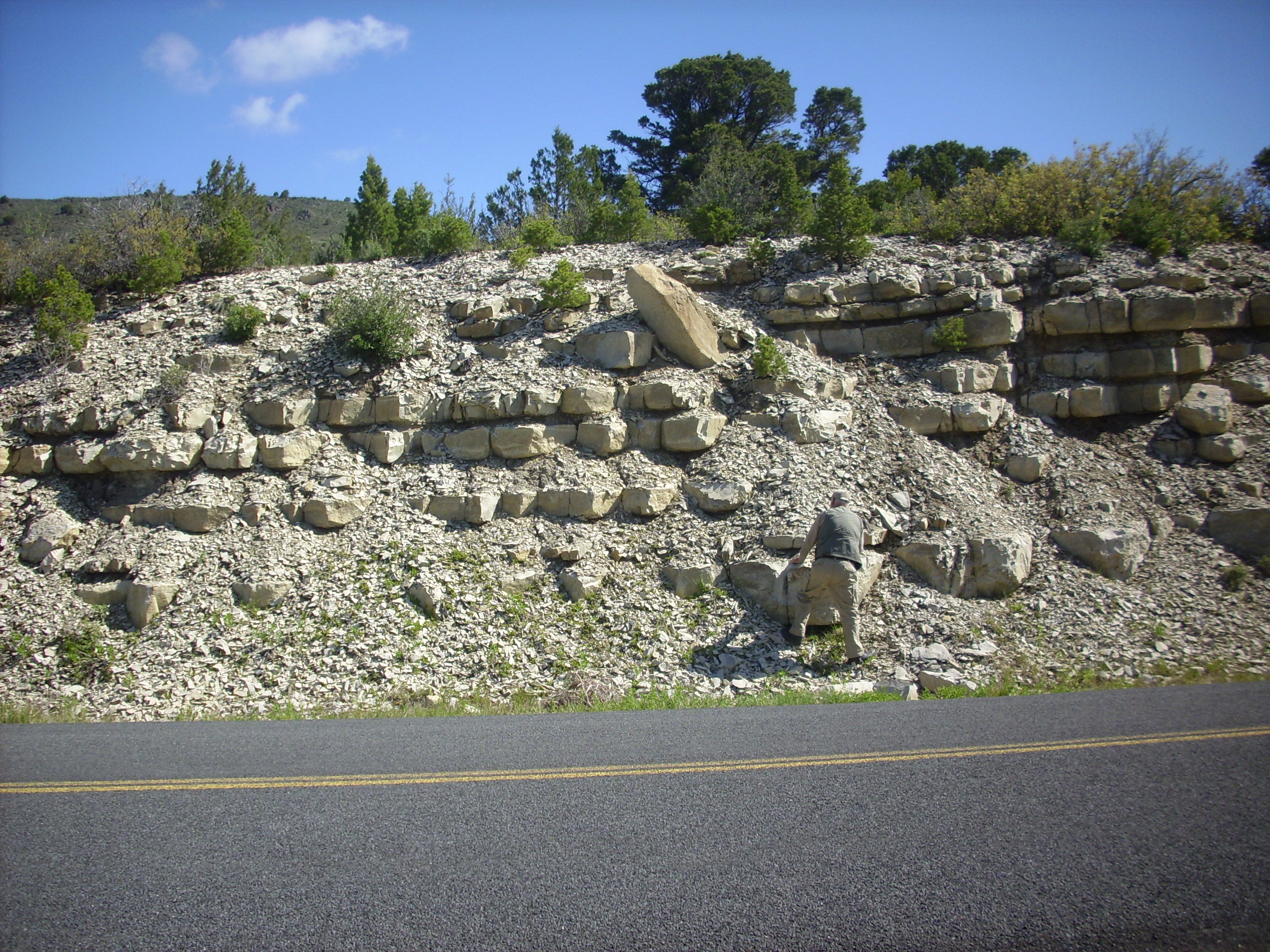
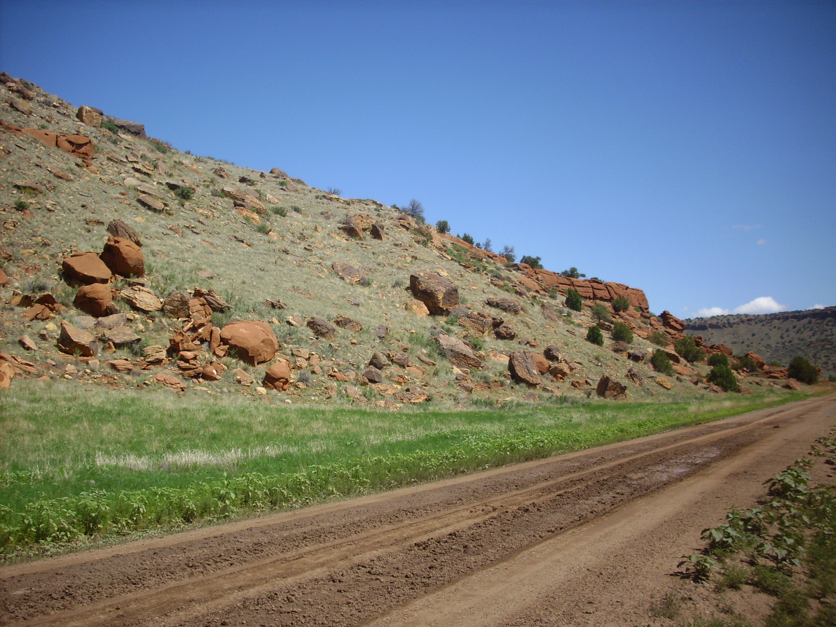
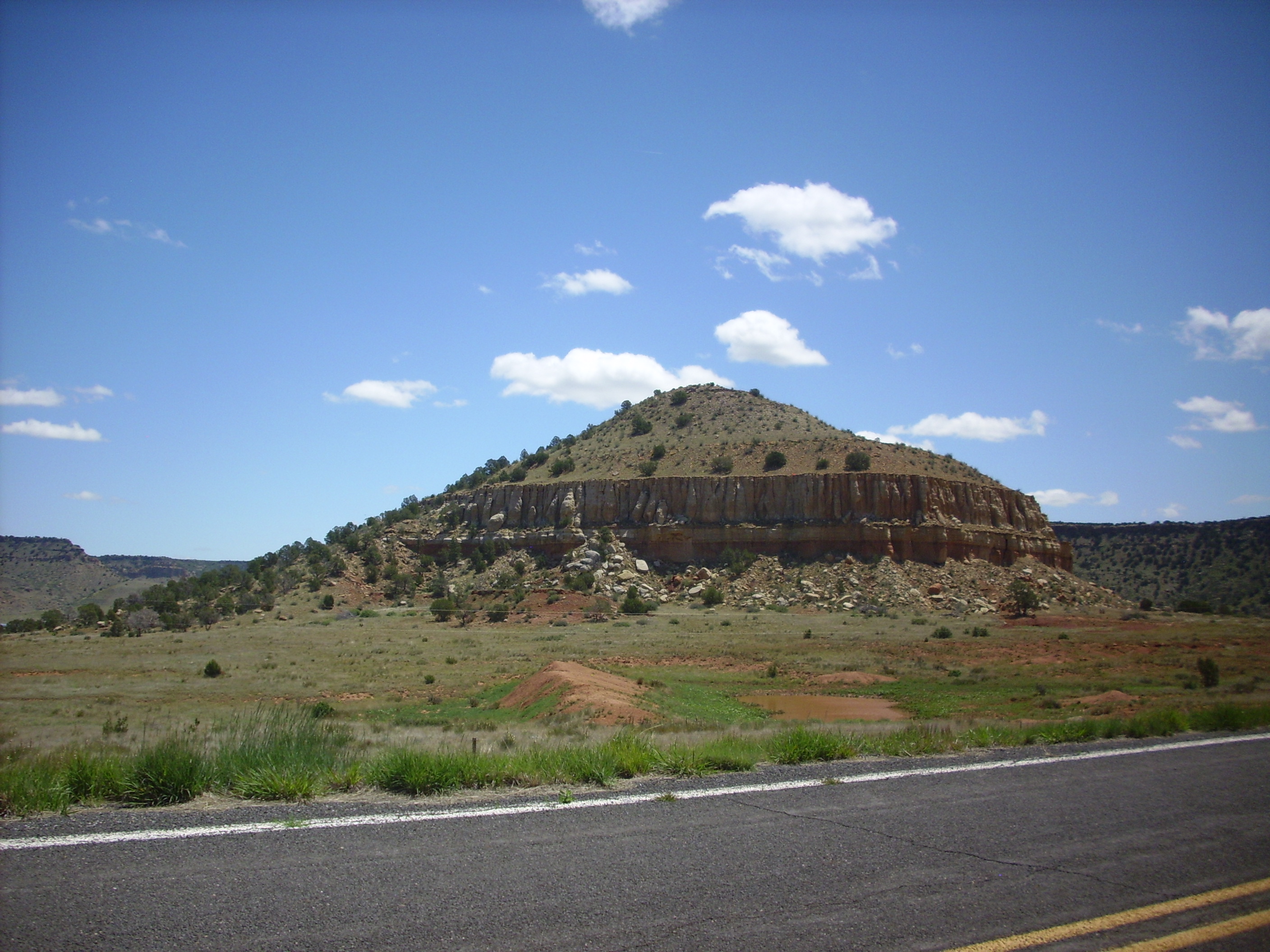
Barilla Mesa. 36 56.693N 104 19.707W
Barilla Mesa is capped with the older Raton Basalt, which was erupted about 9 million years ago. Underneath is the Cretaceous Raton Formation, which contains beds of coal. This panorama was taken from near the location of the coal mining camp of Yankee, which was active from 1904 to 1914 and had a peak population of 2000. The are is now a ranch. Below the Raton Formation is the cliff-forming Cretaceous Trinidad Sandstone, which forms a white band halfway down the sides of hte mesas and which also underlies the hill to the right. The best coal beds are usually about a hundred feet above the Trinidad Sandstone.
As I was taking these photos, someone from the ranch across the road came up and asked, in not necessarily a terribly friendly manner, if I was photographing the cows. Bruce jumped in and said that, no, we were geologists photographing the geology. This seemed to satisfy the fellow.
I am sometimes naive.
KENT: Do you think I should have told him that they looked like very nice cows?
BRUCE: No, that would probably not have been helpful.
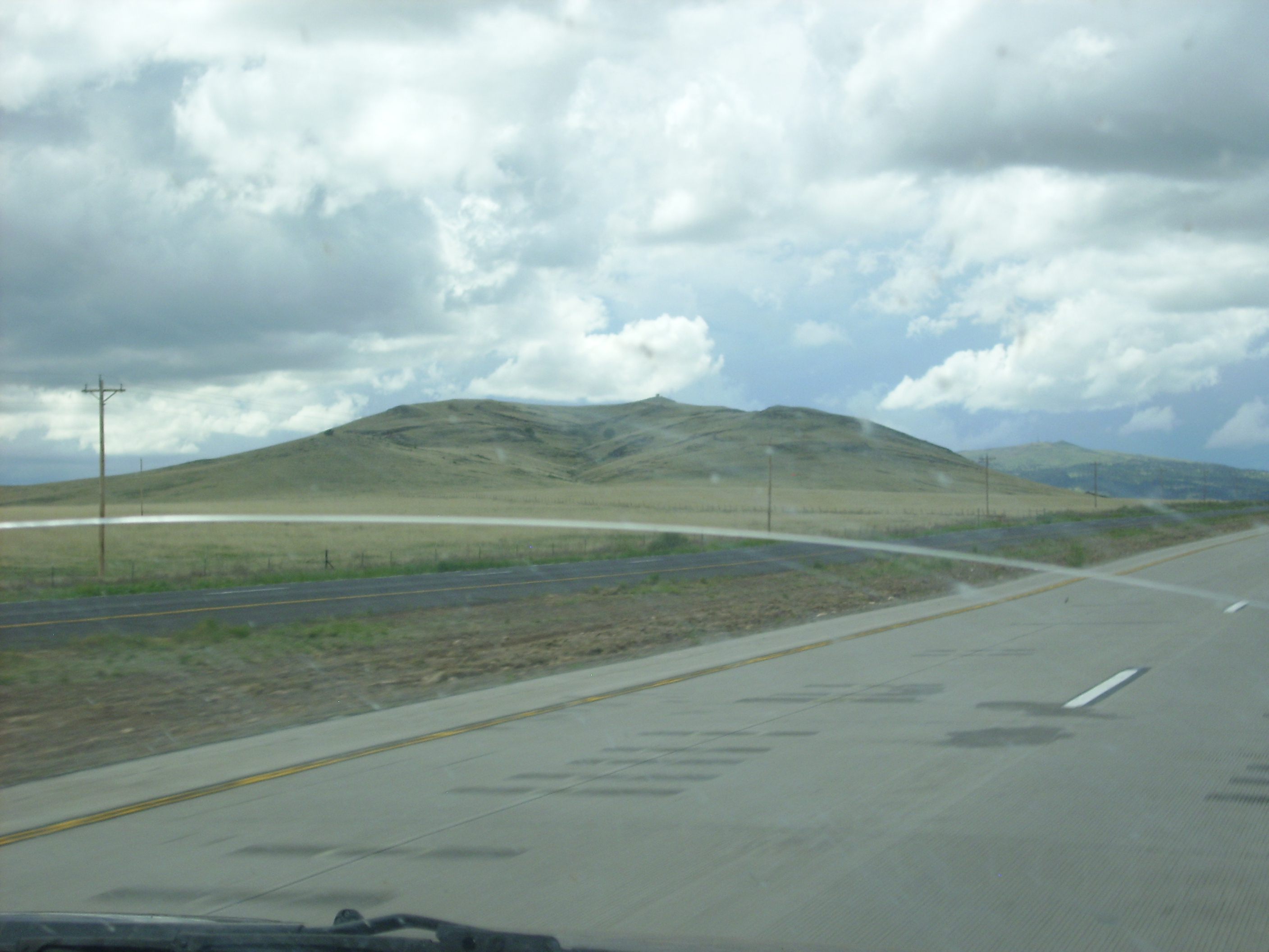
From here the road climbs onto Johnson Mesa. This mesa is a true island in the sky, fourteen miles long and 2000 feet above the surrounding terrain, and it made me think of how I would imagine the Scottish highlands would be. It was very lush and green when we were there. It looks like wonderful farm country, but it turns out that winter temperatures regularly reach -40 and snowfall is heavy.
We stopped briefly at St. John’s Methodist Episcopal Church, which was built in 1897 and is still in occasional use.
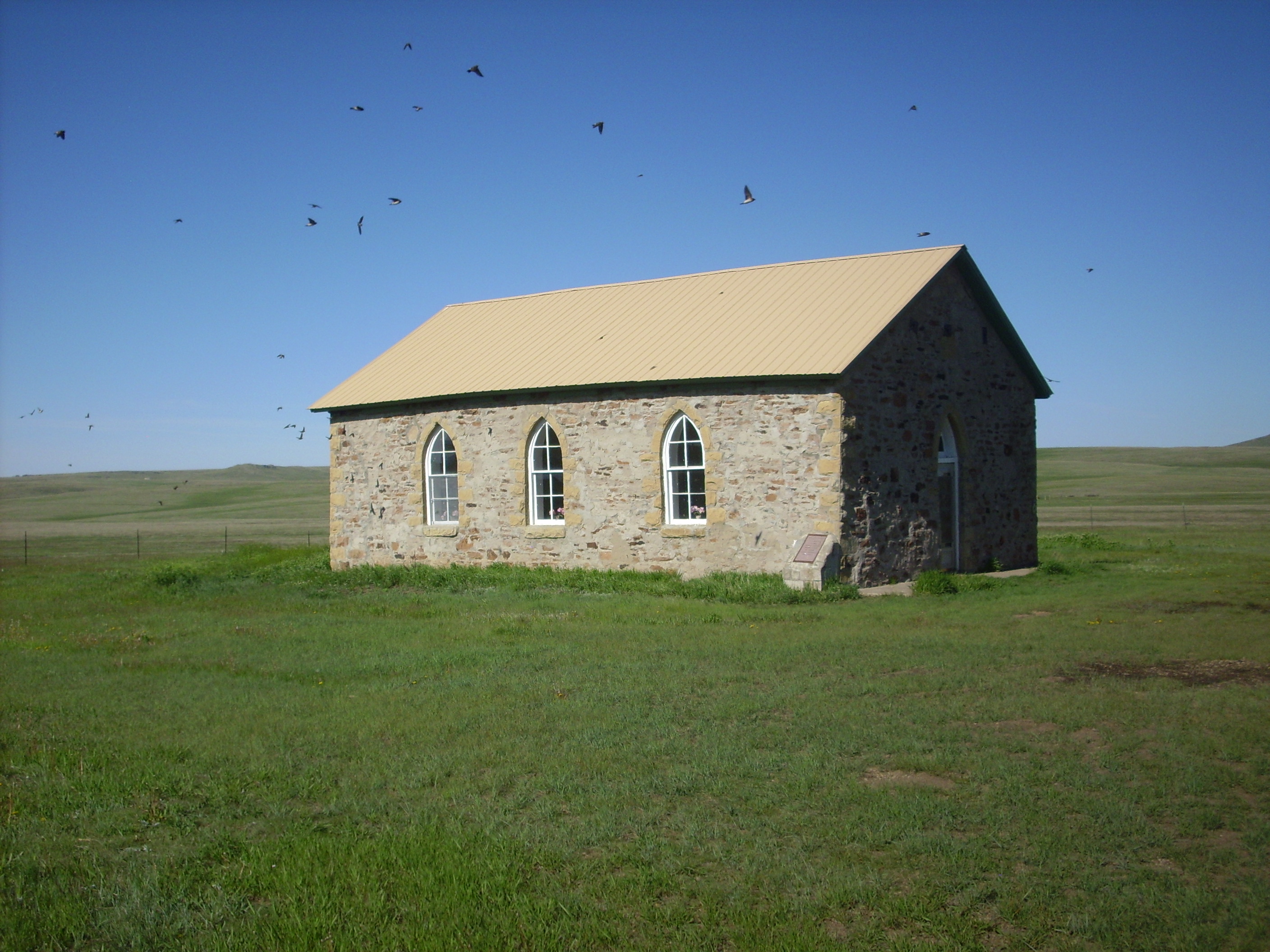
St. John’s Methodist Episcopal Church. 36 54.868N 104 12.329W
Those are house swallows swarming about the church. They nest under the eaves.
Looking west, we see Towndrow Peak, a dome of Red Mountain Dacite that punched through the Raton Basalt about 6.8 million years ago. Dacite is a relatively silica-rich volcanic rock that is highly viscous and tends to erupt as steep domes rather than flat flows. There is relatively little dacite in the Raton-Clayton field, which is mostly basalt.
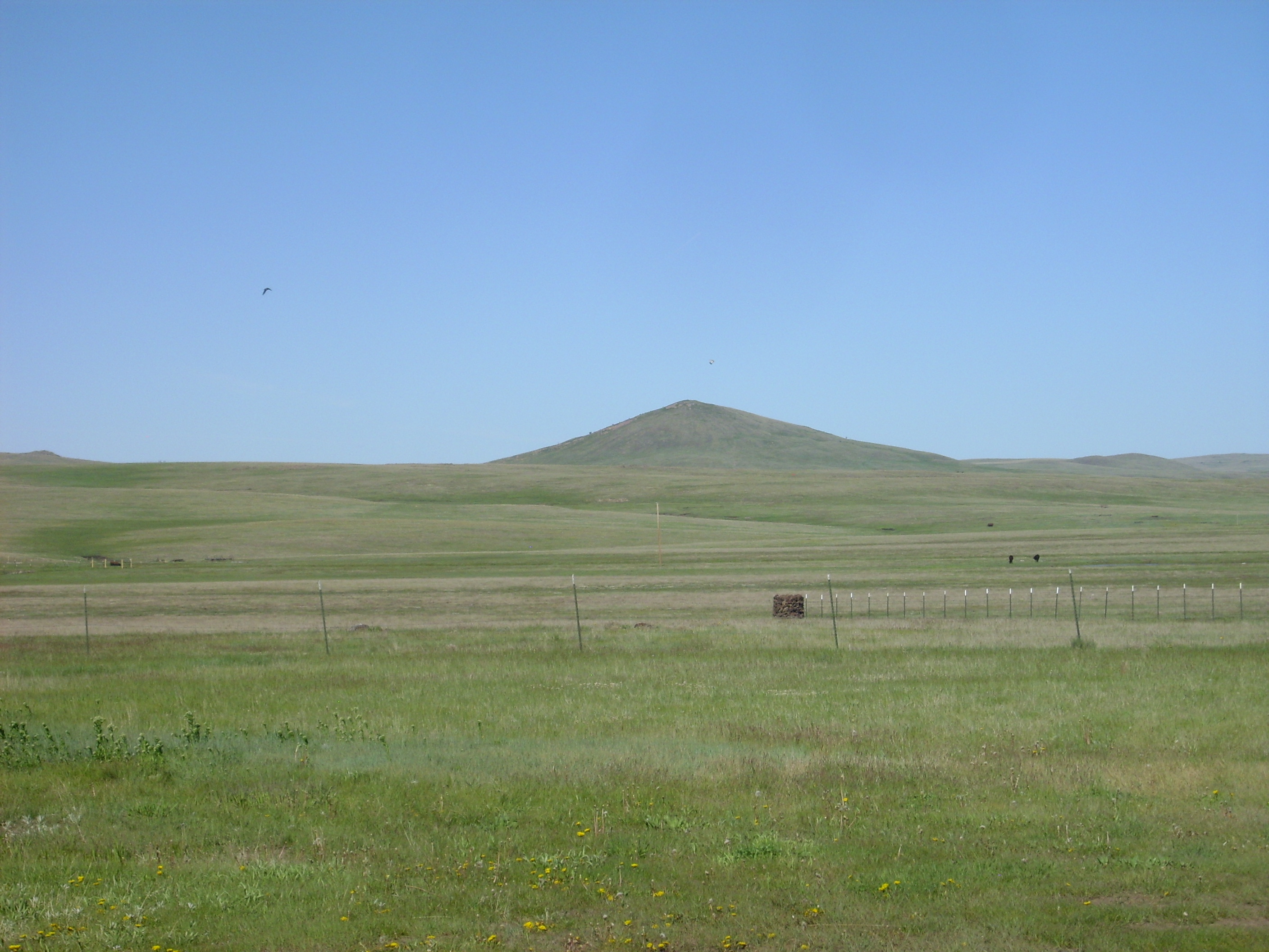
Towndrow Peak. Looking west from. 36 54.868N 104 12.329W
We also have a nice view of the Sangre de Cristo Mountains far to the west.

Sangre de Cristo Mountains. Looking west from 36 54.868N 104 12.329W
A little further down the road, the road log had a stop at a pumping station for carbon dioxide. Turns out there’s a lot of it underground in the region, and it gets piped up, compressed, and shipped south, mostly for use in enhanced oil recovery. From here I took a panorama to the east and south.

Raton-Clayton volcanic field. Looking east to south from 36 54.900N 104 10.281W
The nearby conical mountain on the boundary between the first and second frame is Red Mountain, the type location for the Red Mountain Dacite. Just peeking over its shoulder to the right (you will probably need to click to get the full resolution image) is Robinson Mountain. Capulin Mountain is just to its right, with Sierra Grande beyond. To the right in front of of Sierra Grande is Jose Butte.
A small unnamed foreground knob lies on the boundary between the second and third frames. Just to its right is Malpais Mountain and Horseshoe Mountain. Close to the center of the third frame is the triple peak of Palo Blanco Mountain. Just to the left of the boundary between the third and fourth frames is Timber Buttes, and just to the right is Laughlin Peak. All of these are volcanic peaks within the Raton-Clayton volcanic field, and we’ll see many of them closer up later in the trip.
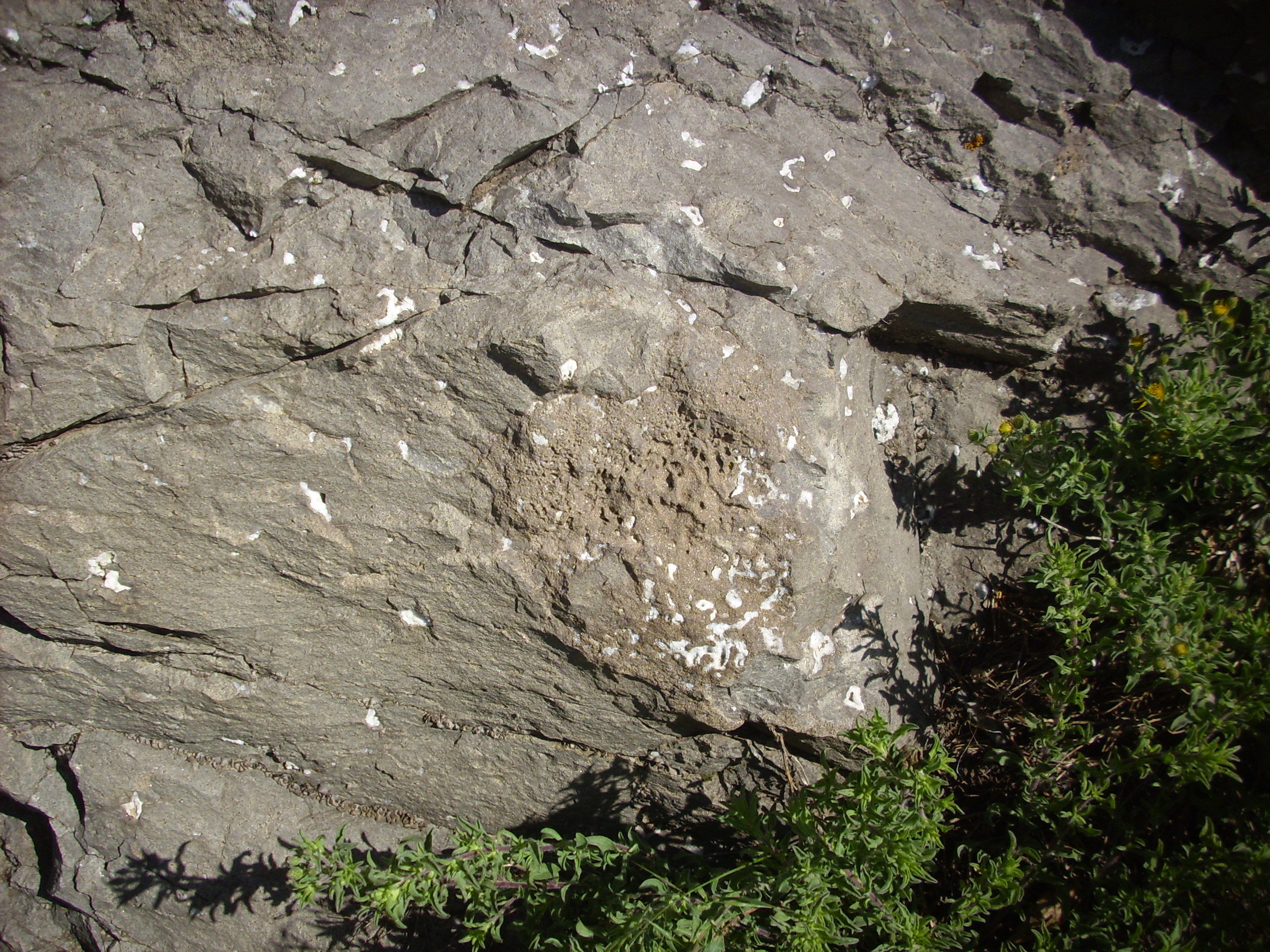
We continued east around the base of Red Mountain, and began descending off Johnson Mesa. Here there is basalt with prominent calcite vugs, as I confirmed when I dripped acid on a sample and it foamed like crazy.
Basalt with calcite vugs. 36 54.448N 104 4.237W
The basalt here also showed a scoriaceous inclusion. (In plainer language, a bubbly patch from gases in the magma.)
Basalt with scoria. 36 54.448N 104 4.237W
As our road log pointed out, some of the basalt was platy from flow banding where the basalt was still moving when nearly solid and very viscous.
Platy basalt. 36 54.466N 104 04.174W
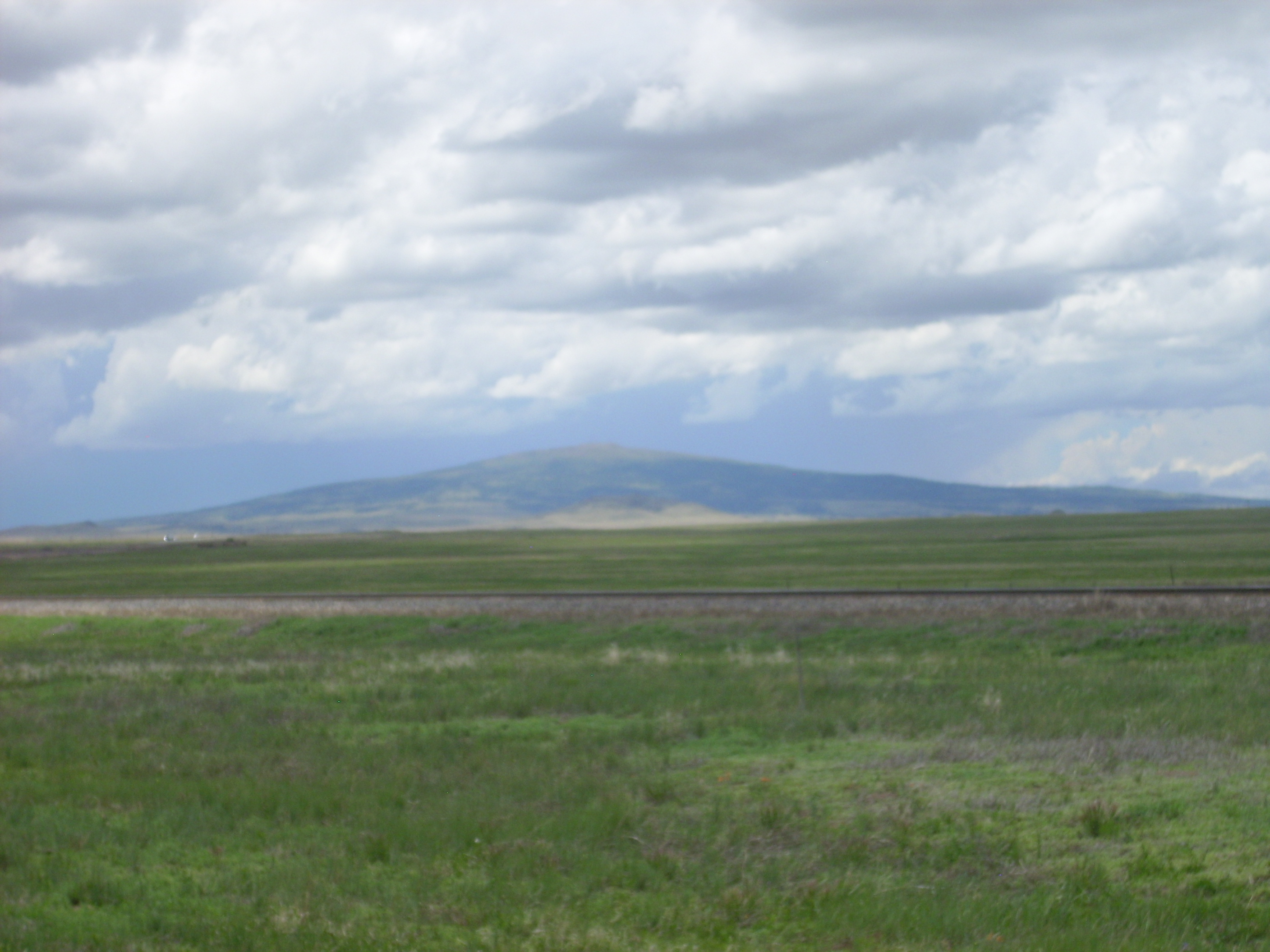
The road comes off the mesa to give us a view of the volcanoes to the south.
Volcanoes. 36 54.062N 104 03.706W
The shield of Sierra Grande is visible in the distance, with Capulin Mountain in front of and to the right of Sierra Grande and Robinson Peak in front of and to the right of Capulin. To the far right is Jose Butte.
The volcanism in the Raton-Clayton field came in three great pulses. The older Raton Basalt erupted from 9 to 7.3 million years ago, followed by eruption of much more silica-rich lava 6.5 million years ago to form the Red Mountain Dacite, and then the younger Raton Basalt from 5 to 3.6 million years ago. This was the first pulse. The second pulse produced Sierra Grande 2.67 million years ago, followed by the very voluminous Clayton Basalt 2.4 to 2.3 million years ago. Robinson Peak and Jose Butte are part of the Clayton Basalt. The Capulin Basalts erupted from 1.7 million years ago to just 13,000 years ago and are the third pulse.
The first pulse was mostly in the northern part of the volcanic field, on either side of the border with Colorado, while the second pulse tended to be further south and east. The third pulse was more or less between the two previous pulses, with some volcanic centers a bit further west.
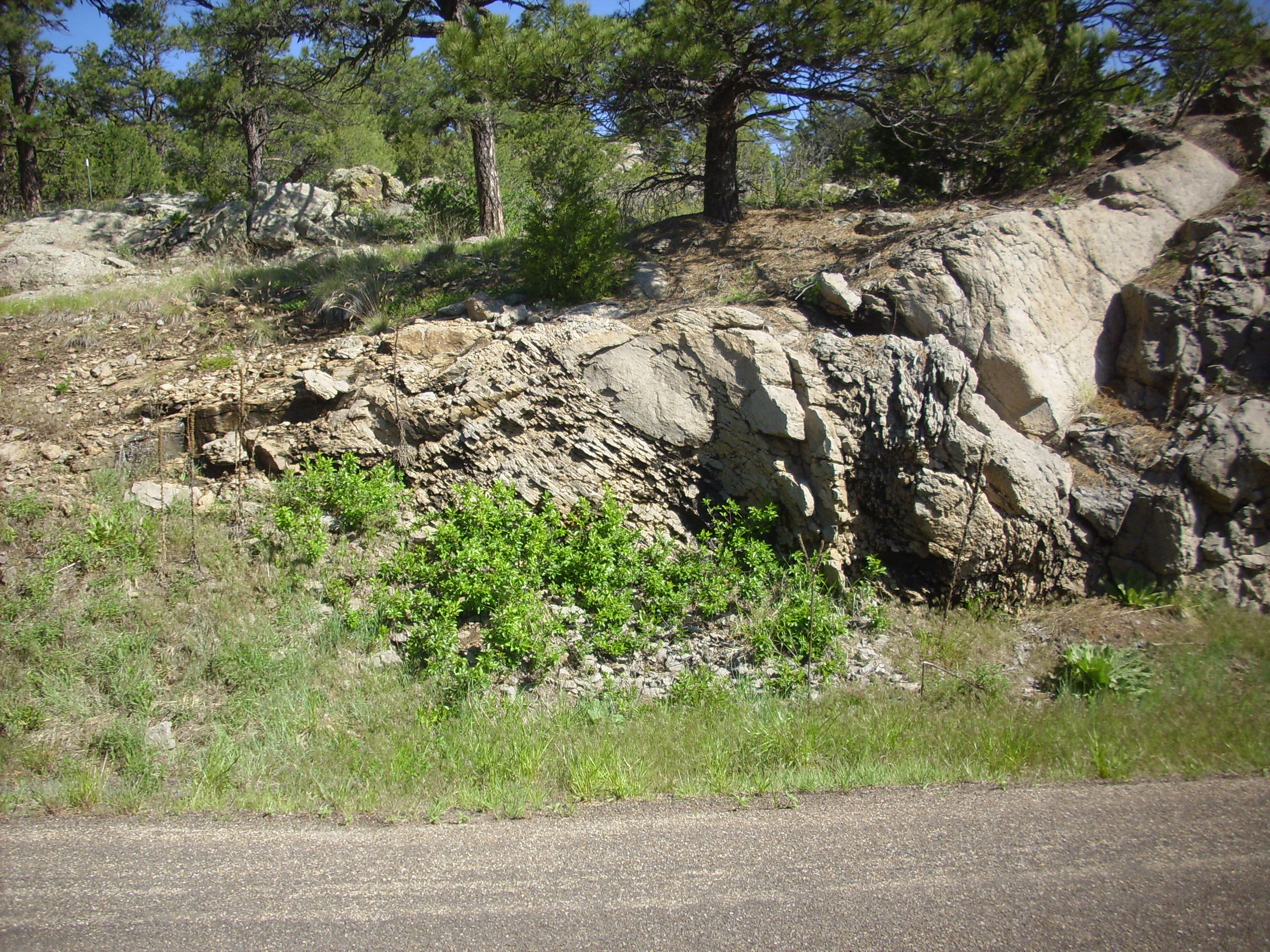
Continuing south, we passed a number of small cinder cones, one of which was cut by the road.
Road cut in small cinder cone. 36 52.521N 104 01.558W
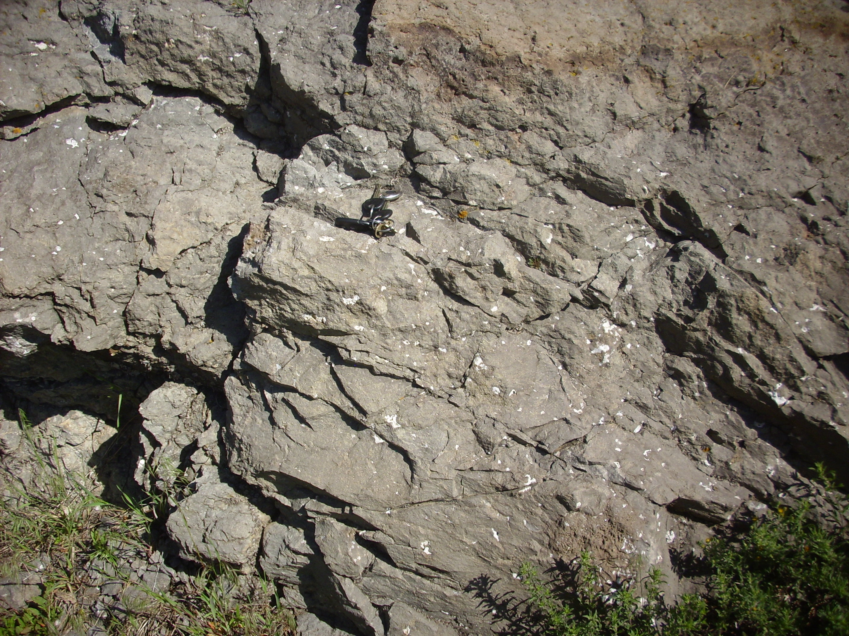
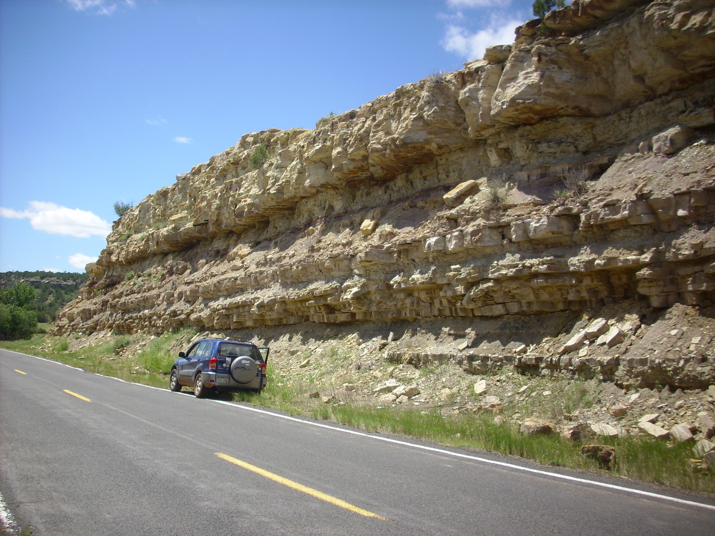
Turning east again, we came to a small river valley where the road cut into the Fort Hayes Limestone of the Cretaceous Niobrara Formation.
Fort Hayes Limestone. 36 52.199N 104 00.029W
A rather pretty limestone. Naturally we got out and looked for fossils; alas, none were to be found. Bruce remarked that this looked like a very clean limestone, laid down far from shore where there would be little mud and, alas, few shell-bearing organisms.
Across the valley, the canyon rim on the other side was Clayton basalt from Robinson Peak.
Clayton Basalt on canyon rim. 36 52.199N 104 00.029W
You can see a considerable amount of basalt rubble that has collapsed from the rim. The difference in age between these two formations is about 80 million years.
From here we drove into Folsom. This little town is celebrated for its archaeological discoveries, including some of the oldest remains of Homo sapiens in North America. Alas, when we got to the little museum in town, we found it closed.
From here we continued east along Route 456 into the valley of the Dry Cimarron. Much of the initial route was on top of very young basalt from Baby Capulin that follows the river valley for several miles. The surrounding canyon rims were initially topped by basalt, but as we drove east, this disappeared and the rims were formed by very hard Cretaceous Dakota Group sandstone. This forms a double brown cliff, below which is a white cliff of Purgatoire Sandstone (also Cretaceous), and beneath that are slopes of poorly consolidated multihued Jurassic Morrison Formation. Below this we could catch glimpses of white Jurassic Entrada Sandstone, and as we drove further east, redbeds of the Triassic Chinle Formation began peeking out at the base of cliffs. Yes, these are the same Entrada Sandstone and Chinle Formation we saw on Wednesday, far to the west on the other side of the Sangre de Cristo Mountains.
At one point, we could see the end of a young basalt flow that had protected the rocks beneath from erosion. These are brown Morrison Formation, a thin double layer of lighter Entrada Sandstone, and Chinle redbeds at the base of the hill.
Thin basalt flow protecting Mesozoic beds. Looking south from near 36 54.762N 103 43.198W
The view north from here shows the remainder of the rock column.

Mesozoic beds in the Dry Cimarron Valley. Looking north from 36 54.774N 103 42.719W
The rim is a double layer of Dakota Sandstone with a layer of white Purgatoire Sandstone beneath. Below this is Morrison Formation, then a thin (almost invisible) bed of Entrada Sandstone, and prominent red beds of Chinle Group at the base of the cliffs.
Further east the pavement ends, though the gravel road is well-maintained and suitable for passenger vehicles. There would be occasional patches of pavement along the road, which, as Bruce pointed out, tended to be around bridges where heavy equipment once had to operate. The road itself is soon bright red, since it is running atop Chinle redbeds.
We continue to see wonderful scenery.
The view north from here shows the remainder of the rock column.
Baldy Hill. Looking northeast from 36 57.225N 103 29.304W
The is underlain by Morrison Formation at its summit, then a thin layer of yellowish Entrada Sandstone, then red Chinle Group. The benches are the Travesser Sandstone of the Chinle Group, while the outcrops in the valley are the Baldy Hill Formation, the oldest rocks exposed in northeastern New Mexico.
Note the mesa in the background, part of Mesa de Maya, which is just over the border with Colorado. It has a cap of 5.1 million year old Raton basalt.
Further down the road, we meet the Travesser Sandstone again. Note that the road is a bit mucky from recent thunderstorms.
Travesser Sandstone. 36 57.800N 103 25.778W
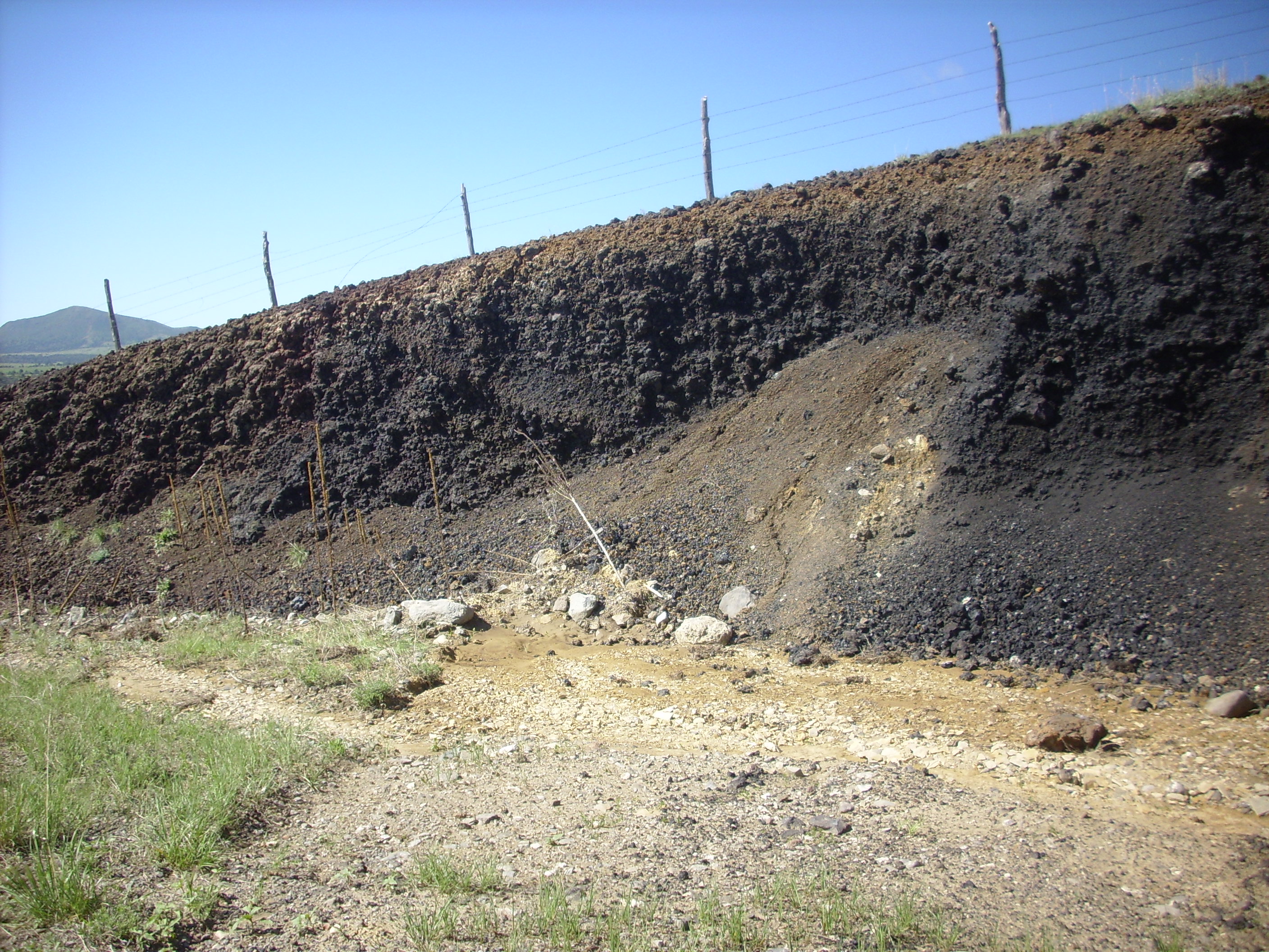
We begin to pass clastic plugs. These are formed when soft sediments are forced up though an opening in a harder, denser overlying bed, then are cemented in place.
Clastic plug. Looking north from 36 58.402N 103 20.684W
The valley begins to broaden out as we continue east. Here we see a beautiful expose of a fault trace.
Fault offsetting Entrada Sandstone. Looking southwest from 36 58.402N 103 20.684W
You can see here that the white beds of the Entrada Sandstone have dropped on the left of the hill by about forty feet. Ahead we see Steamboat Butte (also known as Battleship Mountain).
Steamboat Butte. Looking northeast from 36 58.402N 103 20.684W
This is a wonderful example of an angular unconformity. The red beds of the Travesser Sandstone (Chinle Group) were tilted and then eroded flat, and then the yellow Entrada Sandstone was laid down on top.
Around the bend is yet another beauty.
Wedding Cake Butte. Looking east from 36 58.452N 103 12.098W
Wedding Cake Butte is topped with Morrison Formation, beneath which the Entrada Sandstone forms the cliffs. There is a thin layer of Travesser Sandstone at the bottom of the butte.
We were nearing Oklahoma and our turn south, but we had one more special treat before leaving the Dry Cimarron Valley. This is a very large clastic plug cut in a road cut.

Clastic dike in road cut. 36 54.342N 103 3.037W
This dike intrudes the Sloan Canyon Formation, which is the gray layers to either side, and is capped by a thin layer of Sheep Pen Sandstone.
Since we were so close to Oklahoma, I couldn’t resist watching on the loaned GPS tracker as Bruce drove across the state line. The tracker has a small liquid crystal screen to display a local map, and I found in sophomorically amusing to watch the big line move across the screen over our position.
We then went back and headed south on State Road 406 towards Clayton, finally leaving the valley of the Dry Cimarron. At one point our route passed through an impressive roadcut.
Road cut at 36 50.582N 103 01.542W
The top layer here, hanging over the cut, is Purgatoire Sandstone, and the layers beneath are Morrison Formation.
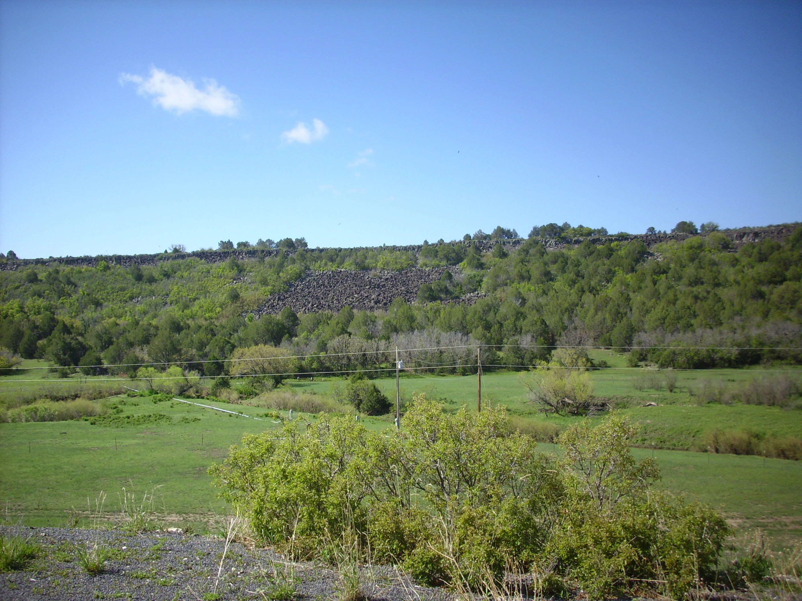
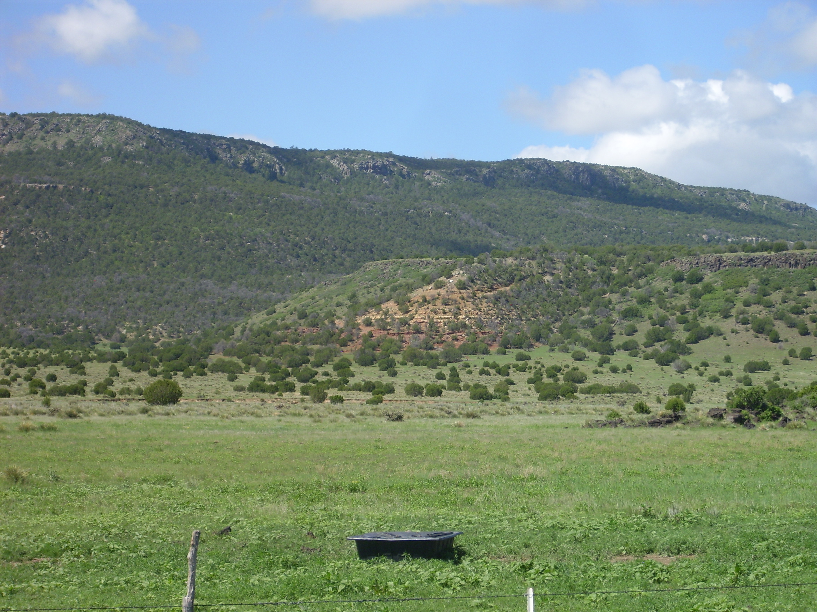
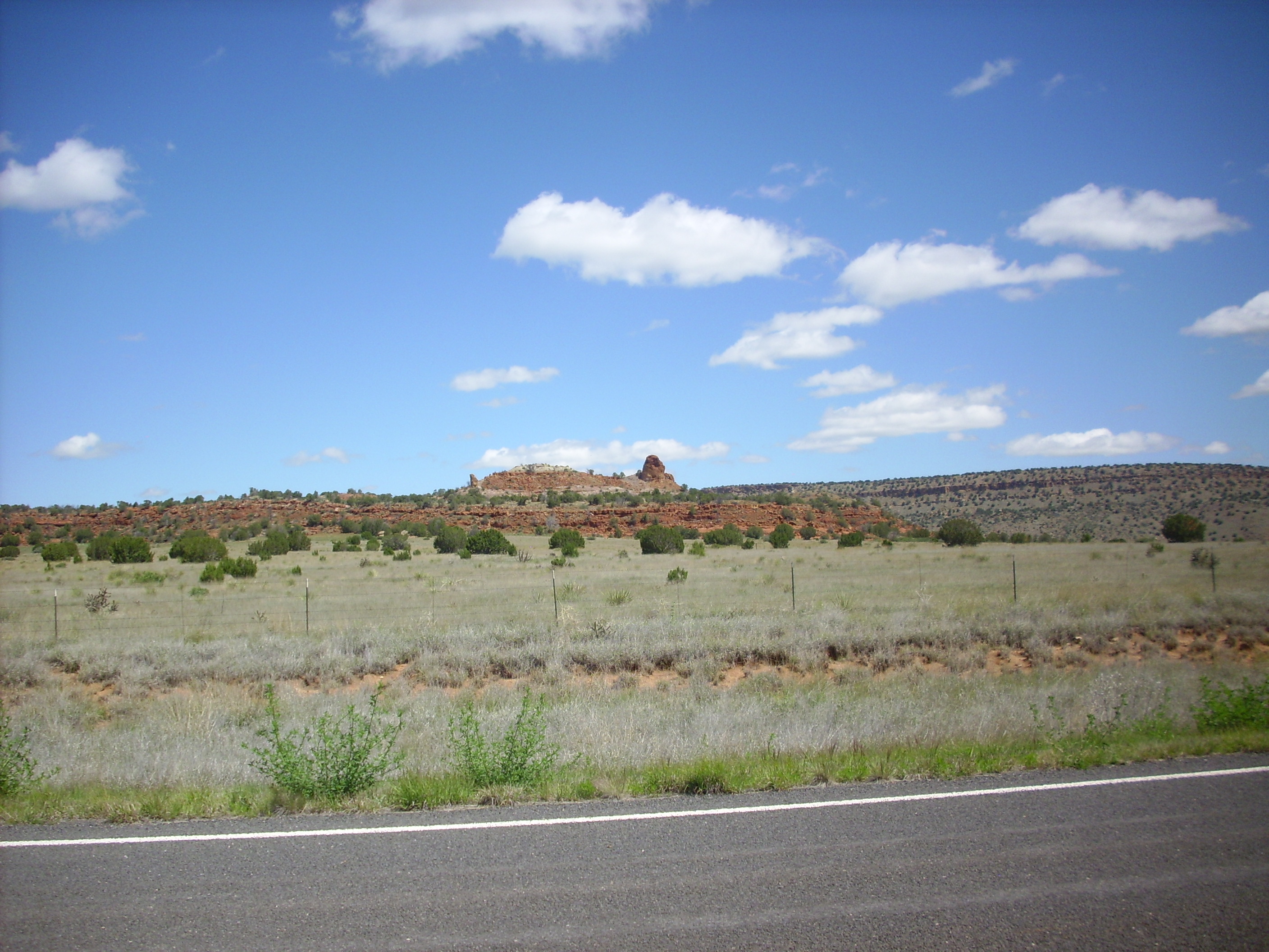
We climbed onto the Oglalla Formation somewhere around here. The Oglalla is a largely unconsolidated formation that is basically a ginormous alluvial fan eroded off the Rocky Mountains. Since the Rocky Mountains are about 80 million years old, there’s been plenty of time for an enormous amount of rock to erode and spread out as sand and gravel to the east. The Oglalla forms the most important aquifer on the High Plains, and in northeastern New Mexico it is the surface that is farmed and ranched.
Important as it is, it is basically lush green prairie with little to stand out to a couple of superannuated peripatetic geologists, so I didn’t take any further pictures until we reached Clayton. It was beautiful farm country. There were numerous herds of cattle with numerous calves, and Bruce commented that, with any luck, there was our hamburger for the trip to Idaho/Wyoming for the solar eclipse in 2017.
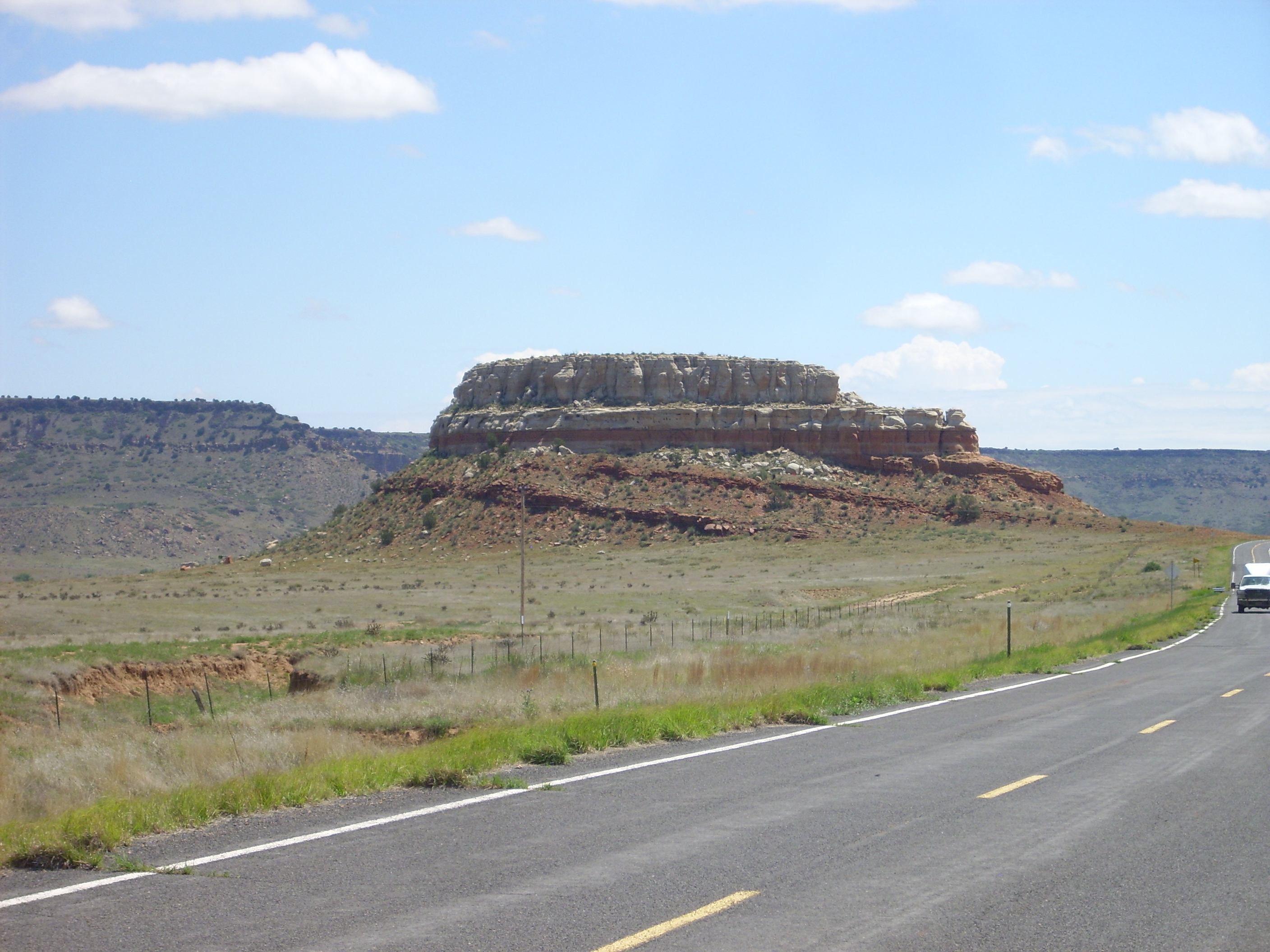
Clayton gives the Clayton Basalt its name, and the lava forms a large flow northwest of town. There is also a line of vents here.
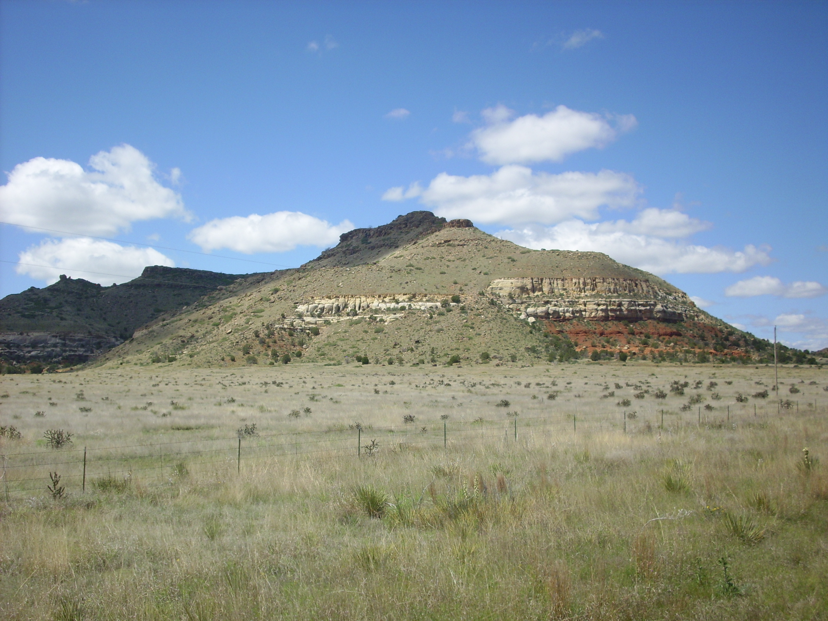
Rabbit Ear Mountain. Looking northwest from around 36 27.797N 103 08.364W
The hill on the left is Rabbit Ear Mountain, another important navigational point for early settlers. Both hills are vents for the Clayton Basalt. These vents are lined up with Mount Dora well to the west.
We were hungry. Bruce had read of the Hotel Eklund, a historical hotel and restaurant that has proudly hosted presidents and Emperor Hirohito, so naturally we had to go there for lunch. Which was pretty good, actually, and the service was good. I can recommend it.
The weather was beginning to deteriorate as we headed on west towards Mount Dora.

Mount Dora, looking west from somewhere around 36 29.121N 103 18.506W
Dora is a very low, broad shield volcano, a typical product of the eruption of large volumes of low-silica, low-viscosity basalt magma.
Sierra Clayton comes into view south of the road.
Sierra Clayton. Looking southwest from somewhere around 36 34.165N 103 35.266W
To the east, Sierra Grande looms in the failing light.
Sierra Grande. Looking west from somewhere around 36 34.165N 103 35.266W
Sierra Grande is the largest volcano in the Raton-Clayton field; the only volcano in the field with an intermediate silica composition (two-pyroxene andesite); and the tallest mountain in the United States from its longitude east. It is not quite a shield volcano, due to the higher viscosity of its magma which gave it a somewhat steeper profile, but close.
At its foot, difficult to make out in this light, is Little Grande. Yeah, I know: Jumbo shrimp. The highway passes close to this hill, which is badly eroded and shows the layers of lava and cinder from which it was made.
Little Grande. Looking southwest from 36 39.524N 103 45.635W
I had hoped we could visit Capulin Peak this day, but it was rapidly becoming a race with the weather.
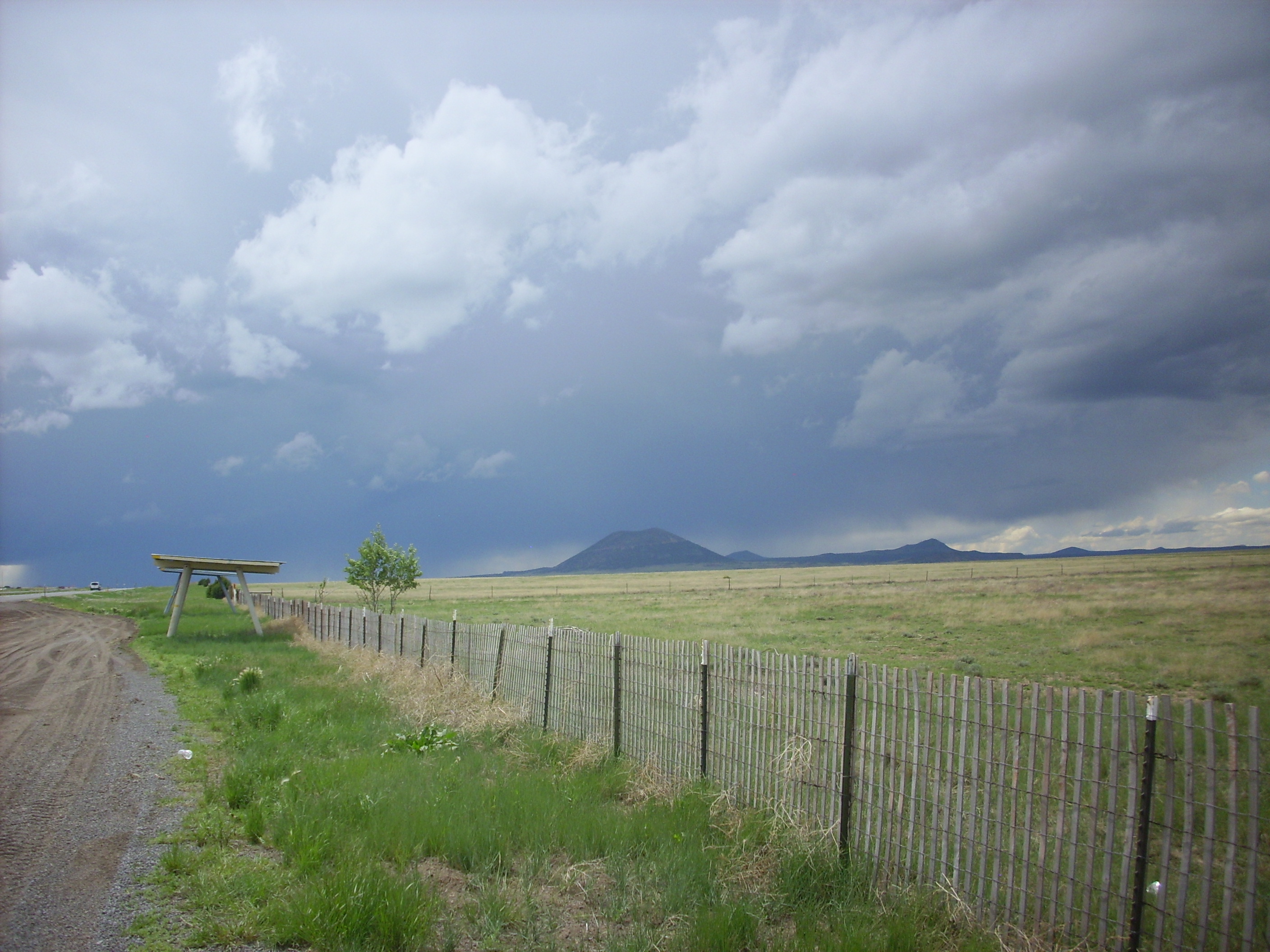
Capulin Peak and thunderstorm. Looking west from 36 45.696N 103 51.200W
The thunderstorm was moving in, and behind the rain shaft visible at far left in the picture — right where you’d expect a tornado in a severe thunderstorm — the clouds were doing a funky little swirly dance that made both Bruce and me wonder. No obvious funnel materialized, though.
We drove to the visitor’s center, where it was already starting to drizzle, then up the round around the mountain. Here’s the view from the east side, looking northeast.
Capulin Peak in thunderstorm. Looking northeast from 36 47.027N 103 57.881W
The rain was coming down pretty steadily by the time we got to the crater overlook.
Capulin Crater in thunderstorm. 36 46.949N 103 58.326W
Given the weather, we gave up trying to doing any more in the Capulin area.
The rest of the drive to Raton was past more basalt mesas and vents that were starting to become all alike. Except perhaps for Meloche Mesa, also known as Juan Torres Mesa, which is unusual in being underlain by Red Mountain Dacite rather than the usual basalt. You can see that the flow is unusual thick here, consistent with it being formed from higher-viscosity magma.
Meloche Mesa. Looking north from 36 47.101N 104 15.957W
Arriving at Raton, we headed west of town to the K-T Boundary Trail.

K-T Boundary Trail. 36 54.198N 104 27.077W
The hill is underlain by the Raton Formation, which is mostly shale with interbedded coal. The dark layer contains the Cretaceous-Tertiary boundary, or, if you prefer the most modern terminology, the Cretaceous-Paleogene boundary. (K-T from the usual map symbols for these time periods.) This boundary marks the point, 65 million years ago, when a giant asteroid hit the Yucatan Peninsula, throwing a layer of iridium-rich clay and shocked quartz around the world and (probably) ending the age of the dinosaurs. It was a bad day for Earth.
Here’s a close up of the boundary layer.

K-T Boundary Trail. 36 54.198N 104 27.077W
The boundary is the thin light layer separating lighter shale beneath from darker shale above.
Looking north from this area:
North Raton. 36 54.217N 104 27.069W
Bartlett Mesa fills the first and second frame. It is capped by Raton Basalt, while the Trinidad Sandstone forms the prominent white cliff halfway down the face of the mesa. Johnson Mesa looks over the shoulder of the foreground hill in the final frame.
Looking east from a point nearby:
East Raton. 36 54.108N 104 27.040W
Bartlett Mesa peeks out from the should of the hill at left. Johnson Mesa stretches from the first to the third frame. The large thundercloud from the second to fourth frame is the one that hit us at Capulin; it had legs. The last two frames look down into Climax Canyon.
With the K-T boundary duly visited, Bruce and I went and had great slabs of meat at a local steak house. It was still early in the day when we parted for our respective motels, so I drove back to this park simply to get some walking in — it really helps getting my diabetes in control. This area is scenic, easily accessed, and has changes of elevation, so it seemed ideal for some walking exercise. Alas, it is also high, and when I got here, another thunderstorm was rolling in. I got maybe halfway up the hill before deciding that the thunder and drizzle were a hint to go back to my car, which I did.
Back at my motel, I came across a mention in one of my field guides that there are unusual feldspathoid crystals in the basanite lava from Bellisle Mountain, also known as Dale Mountain, on Johnson Mesa. We drove across it earlier in the day but did not stop. I looked at the time and distance; just enough to get there before dark. Headed off in my car.
I got to the area just as another storm was rolling in. In fact, as I got out of my car and looked for some likely-looking basanite, the wind was carrying a solid bank of clouds towards me at astonishing speed from atop Bellisle Mountain. It hit just as I was grabbing a second chunk of rock. No lightning, but driving back off the mesa in a high wind with fog racing past — including snow pellets — was surprisingly creepy. I felt extremely exposed somehow.
Got off the mesa. Looked back. The cloud bank was just that; a cloud bank capping the entire mesa top, without any storm cloud overhead. Still.
When I got home, I cracked open my rocks, and found no blue feldspathoid crystals. Just black augite. Shucks.
Next: Capulin
Copyright ©2015 Kent G. Budge. All rights reserved.