Kent and Bruce Have Another Excellent Adventure, Part 5
Saturday: Capulin
After our experience with the storm Friday, I persuaded Bruce to head out quite early to Capulin so that I could get some good pictures from the crater rim before the clouds rolled in. We grabbed a quick breakfast at McDonald’s and head out, arriving at the visitor’s center before it actually opened. We spent the time hiking the Lava Flow Trail, which crosses the second four lava flows mapped as originating at Capulin.
Natural levee. 36 46.606N 103 58.652W
Here we see a natural levee with Capulin Peak in the background. Capulin Peak is a very large cinder cone. Here low-silica magma erupted from the earth that contained a fair amount of dissolved gases. These rapidly expanded as the magma approached the surface, turning some ofthe magma to foam that was thrown high above the ground. Most of this cooled and at least partially solidified into volcanic cinder before coming to earth, forming a large cone around the vent.
The remainder of the magma, now mostly free of dissolved gases, puddled around the vent as a lava lake. This lava is more dense than the cinder of the cone, so it tunneled through the bottom of the cone to spread across the nearby countryside as flat lava flows. This is a very common pattern with cinder cones. Capulin is distinctive because it is very young — around 56,000 years according to one analysis, and less than 23,000 according to an other — and because of the large volume of cinder produced. Perhaps the magma erupting here was particularly rich in gas.
The levee marks the edge of a major basalt flow. The edges of the flow cool and harden, and because basalt contracts as it solidifies, a basalt flow can harden from the bottom up (unlike a pond or river, since water expands as it solidifies.) Thus the basalt river builds up natural levees as solid rock builds up below the liquid flow.
Here’s a view of the levee from the other side.
Natural levee. 36 46.606N 103 58.652W
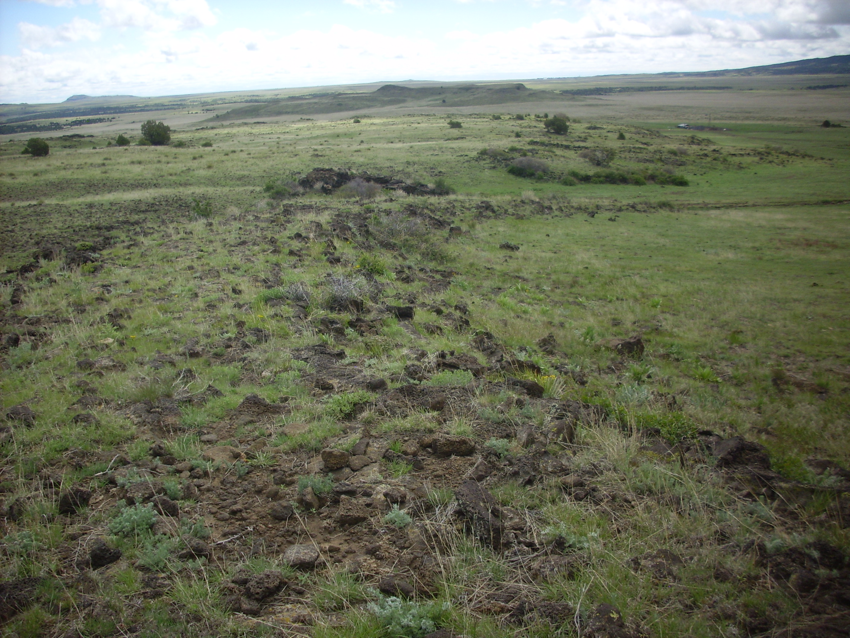
A spur of the trail takes us to the edge of this particular flow, and gives us a view of a larger flow to the south.
South of Mount Capulin. 36 46.577N 103 58.573W
Sierra Grande stretches across the first and into the second frame. The hills towards the right in the second frame are underlain by Red Mountain Dacite, while the largest mountain in the final frame is Horseshoe Mountain. This is Capulin Basalt, though a little older than Capulin Peak itself.
We finished up the hike, found the visitors’ center open, checked in, looked at some books (of course), and then drove up the mountain. Capulin Peak is somewhat gullied on its northeast side, exposing the layers of cinder making up the mountain.
Cinder beds on northeast flank of Capulin Mountain. 36 47.006N 103 57.881W
Lava bombs are visible in the cinder bank. These are larger blobs of lava thrown into the air during the eruption that partially cool in the air.
Cinder beds with lava bombs on northeast flank of Capulin Mountain. 36 47.022N 103 57.887W
From the crater parking area, we get a panorama to the west.

Panorama to west of Capulin Mountain. 36 46.946N 103 58.343W
The features here are all identified on the Monument’s interpretive signage. (Click to enlarge.)
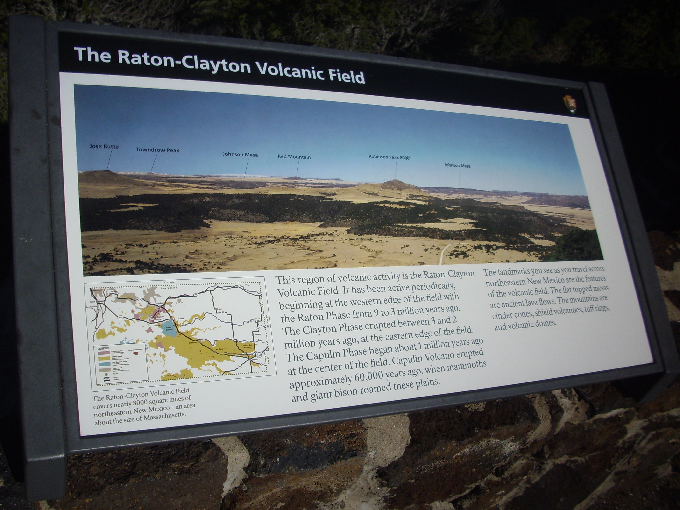
Interpretive signage for panorama. Click to enlarge. 36 46.946N 103 58.343W
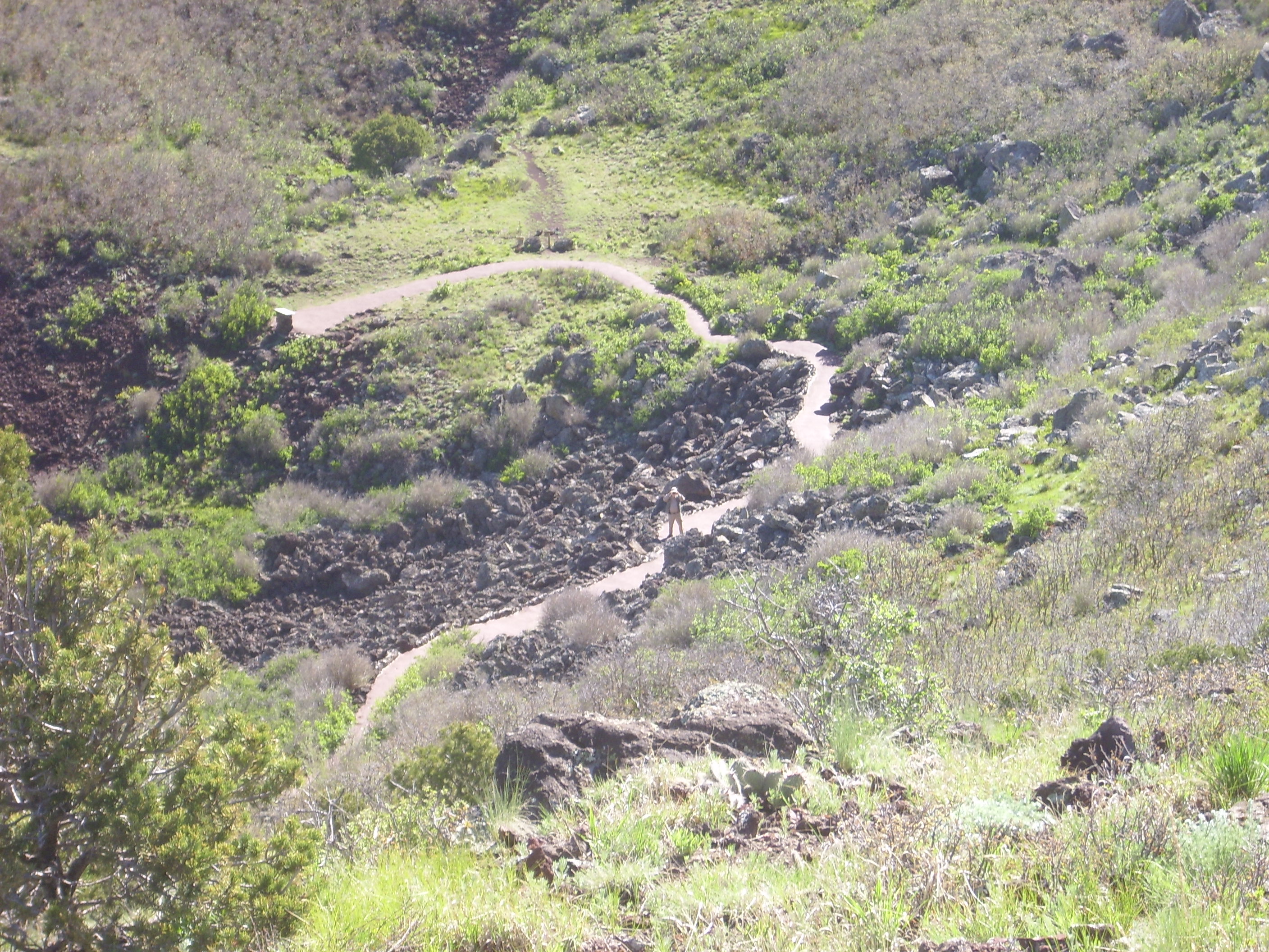
At this point Bruce and I temporarily parted ways. There is a trail to the crater floor, and a trail around the rim — the latter is rather strenuous and Bruce is over 60. So he took the crater trail and I took the rim trail. From here I got an excellent view of the second lava flow.
Second Capulin Peak lava flow. Looking southwest from 36 46.874N 103 58.316W
The flow is covered with trees, which seem to find moisture in the many fractures in the upper surface of the flow. The ribbons of trees probably mark pressure ridges, where the lava had begin to solidify on top but was deformed into low ridges by the continuing flow of the liquid lava beneath. Pressure ridges normally are perpendicular to the flow, showing that this flow nearly reached the present location of Capulin village before coming to a stop.
The trees along the rim are bent to the southwest. The peak is high enough and isolated enough that the winter winds probably really rip here. It looks like the prevailing winter winds are from the north to northeast. Brrr!
Bent trees. 36 46.874N 103 58.316W
Bruce taking a picture of Kent taking a picture of Bruce taking a picture of … etc.
Bruce in a crater. From 36 46.888N 103 58.311W
The crater rim is composed of spatter, formed when lava thrown into the air lands in a still-liquid state.
Spatter deposits. 36 46.946N 103 58.343W
We will see later that this contrasts with the cinder on the northeast side of the cone.
From a point on the southeast rim, you get a better picture of the scale of the crater.
Crater. Looking northwest from around 36 46.869N 103 58.129W
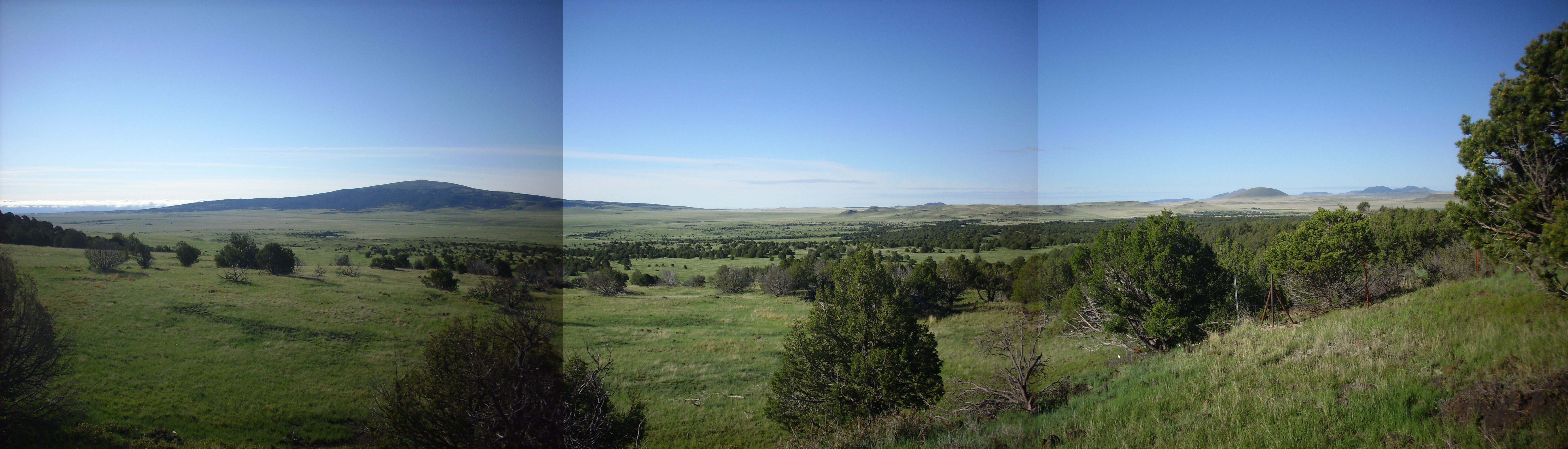
This is a good place for a panorama to the southeast.
Looking southeast from around 36 46.869N 103 58.129W
Sierra Grande dominates the view at center. Pinabete Canyon crosses the first three frames, Malpais Mountain sits on the border between the fifth and sixth frames, and Horseshoe Mountain is near the center of the second frame with Palo Blanco Mountain behind and Pine Buttes to the right.
Wildlife on the crater rim.

Tent caterpillars. Near 36 47.001N 103 58.070W
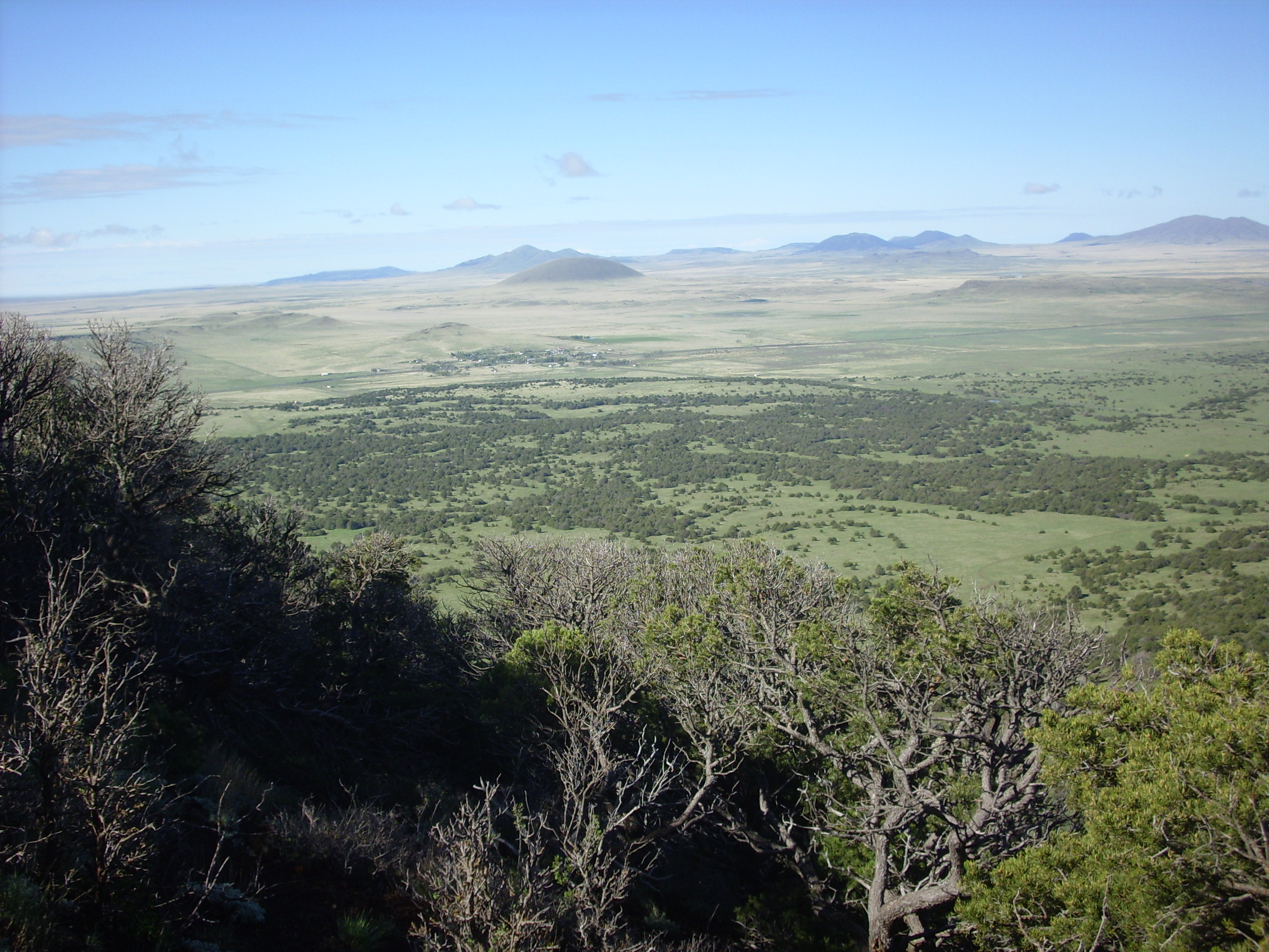
Near the topographic peak of the rim is another place for another good panorama, to the northeast.
Panorama northeast of Capulin. From 36 47.027N 103 58.087W
Lots here to see. Mount Robinson is at the center of the first frame. Baby Capulin is on the boundary of the third and fourth frame in the middle distance, with Mud Hill in front and to the left. The middle of the panorama shows the fourth Capulin Mountain flow coming around the mountain from the north. The dark patch just beyond Pinabeta Canyon on the right side of the fourth frame is Twin Mountain, a cinder cone that has been nearly completely mined away for cinder.
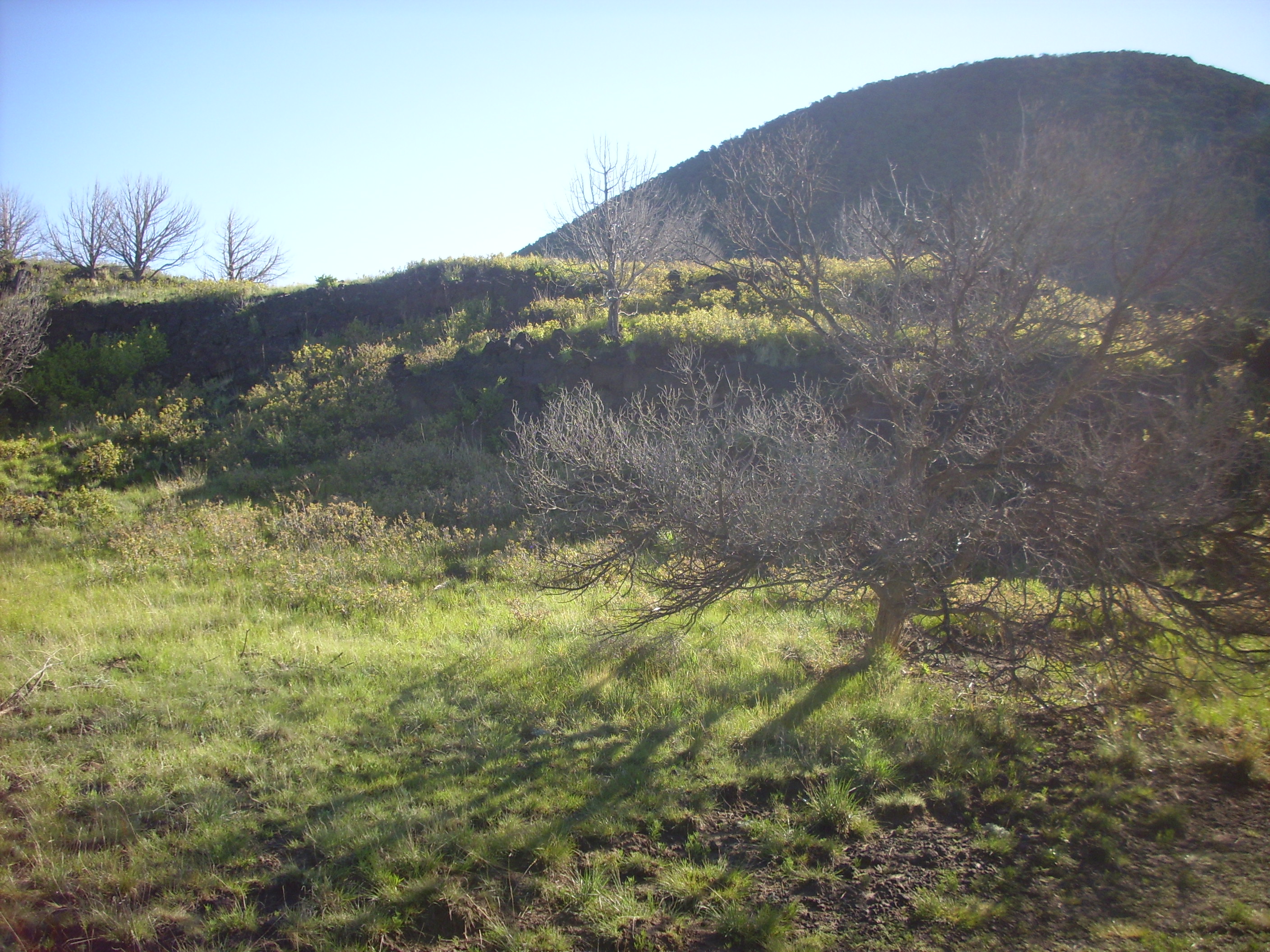
On the left side of the fifth frame, near the foot of Capulin, is an interesting feature.
Old crater? From 36 47.027N 103 58.087W
From up here, it looks like a tuff ring, perhaps from a maar. I took this close up and make a mental note to talk Bruce into driving to it.
Here’s a closer view of Baby Capulin and Mud Hill.
Baby Capulin and Mud Hill. From 36 47.027N 103 58.087W
Baby Capulin does look like a tiny version of Capulin Mountain. However, I’m guessing it must have erupted a less gas-rich magma, because its flows are surprisingly voluminous for this much cinder, reaching far to the northeast along the Dry Cimarron valley. Baby Capulin is the youngest volcano in the Raton-Clayton field, perhaps 12,000 years old. Mud Hill is also a vent, but quite a bit older (Clayton age) and somewhat eroded.
The mountain behind Baby Capulin and to the right is Emery Peak. On the far skyline to the left is Black Mesa, on the north side of the Dry Cimarron valley in Colorado.
We saw earlier that the southwest rim of Capulin is spatter. The northwest rim, by contrast, is cinder.

Cinder. Near 36 47.047N 103 58.115W
The wind was likely blowing primarily from the southwest during the eruption, and the light cinder preferentially landed to the northeast, the highest point of the rim. This suggests, incidentally, that the eruption took place in the warm part of the year; we have seen evidence already (bent trees) that the prevailing winds in winter are from the north and northeast. However, it looked to me like there was a second high point on the rim to the south, suggesting that some of the eruption took place in winter.
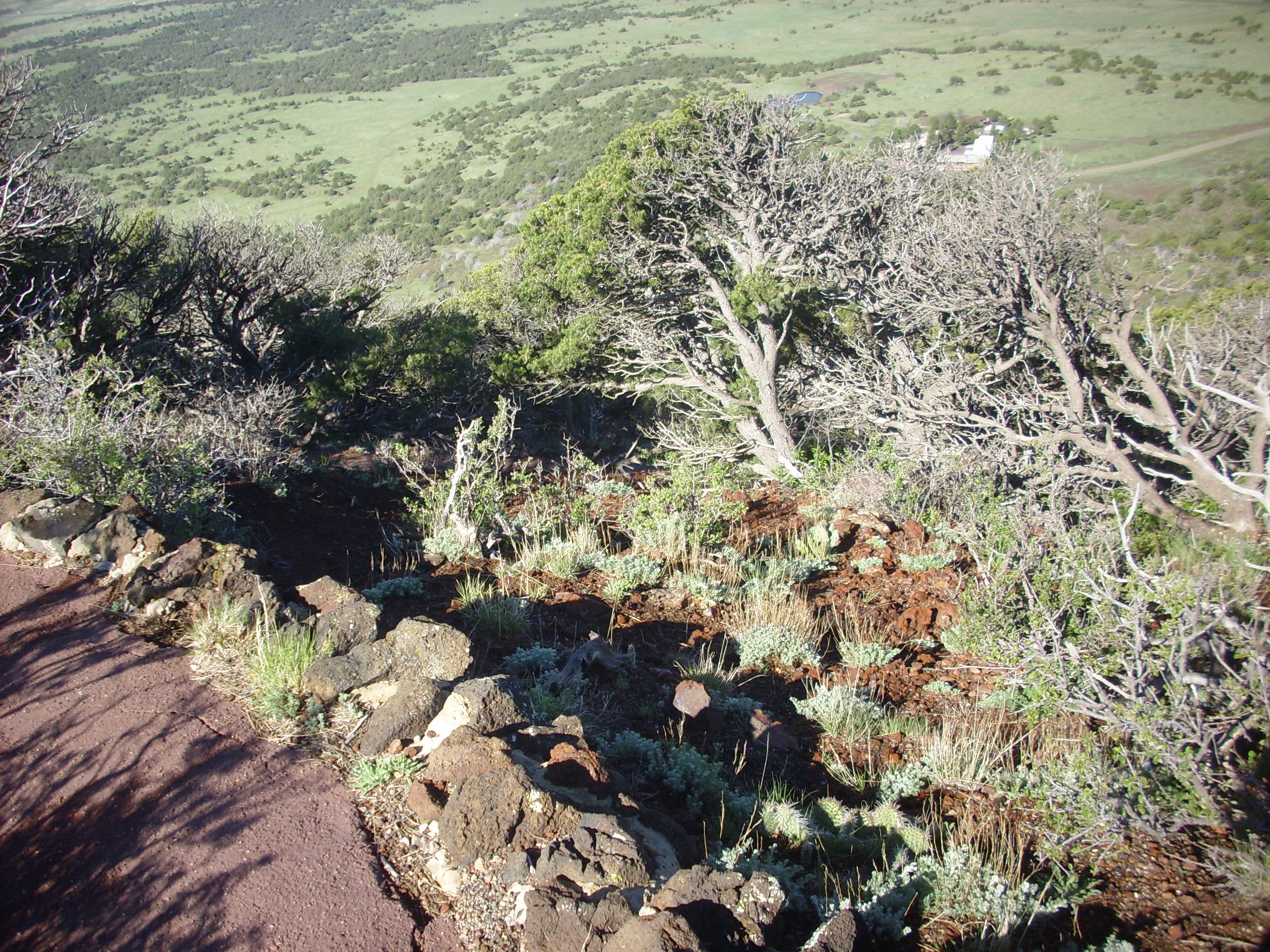
Coming around the west of the rim, we see the “boca”.
Boca. Looking west from 36 47.046N 103 58.263W
The “boca” (Spanish “mouth”) is the small meadow surrounded by a tree-covered rim at left in the third frame. This was the vent from which the lava flows emerged. The flows moved primarily south, forming the large natural levees seen in the first and second frame.
With that, I came back to the parking area and met Bruce, who had been patiently waiting. As we were packing up, we saw a sizable herd of mule deer on the far side of the crater.
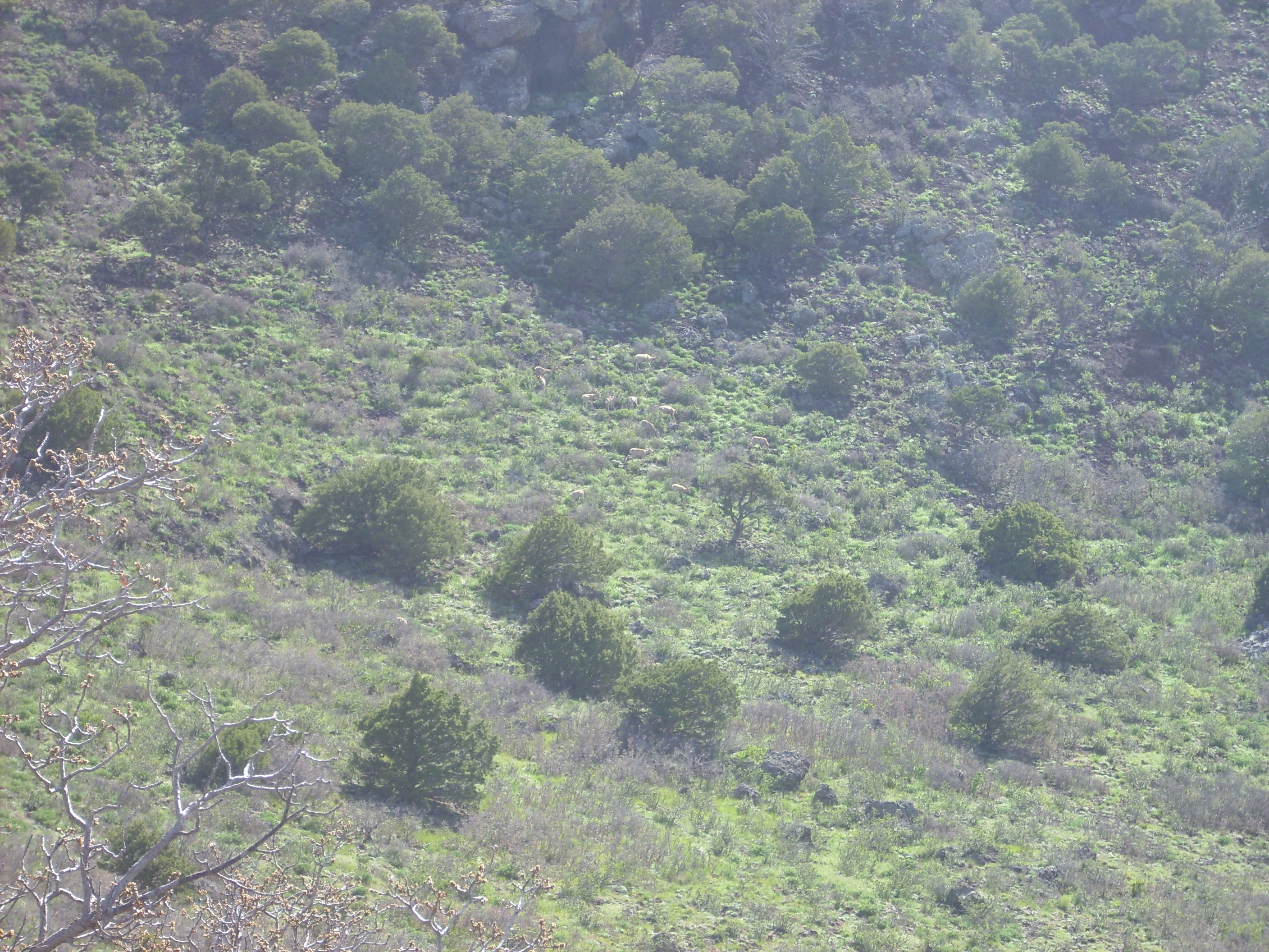
Deer in the crater
On the way out, we saw a “squeeze-up”, a point where the top of the cooling lava flow cracked and allowed a blob of viscous lava to squeeze out.
“Squeeze-up”. 36 46.745N 103 58.798W
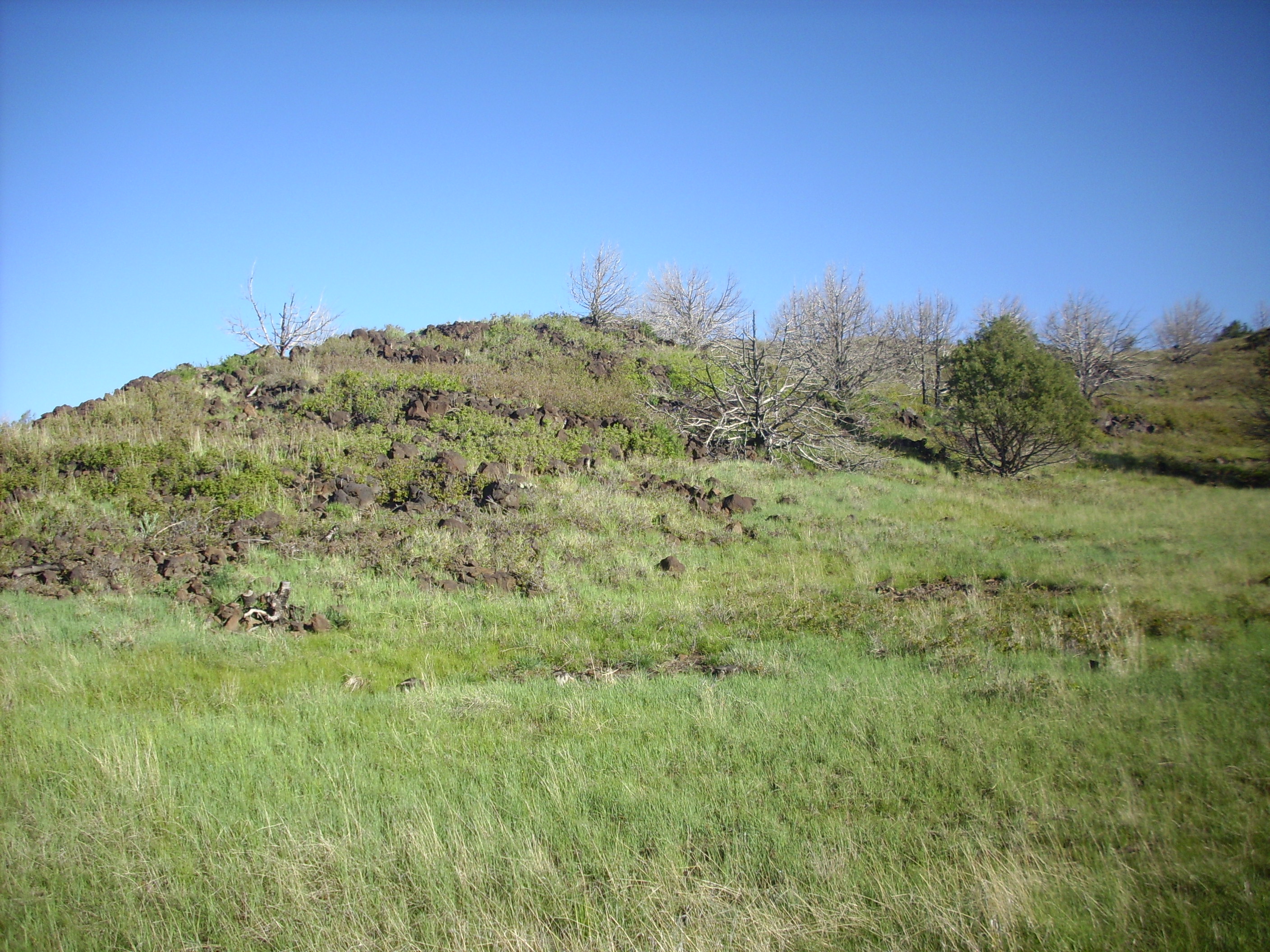
After leaving the park, I navigated Bruce towards the ring feature I had seen earlier from the east rim. It turned out to be a fairly solid bank of basalt fragments, possibly spatter.
Basalt ring. 36 47.241N 103 57.469W
The ring is located just outside the monument boundaries, as is the borrow pit visible beyond the ring in the second photo. My wild guess is that the ring is the eroded remnant of a small cinder cone of Clayton age that was left unflooded by the four Capulin Mountain flows that resurfaced most of the rest of the area.
We head north towards Folsom, passing Baby Capulin.

Baby Capulin. Looking northeast from 36 48.564N 103 56.946W
It does look a little like a tiny copy of Capulin, even to having a dirt road around it to its rim.
The museum in Folsom was open this time, we paid the modest entry fee, and spent some time looking around. Folsom is named after the bride of Grover Cleveland, the name “Cleveland” having apparently already been taken by another small town in New Mexico. The museum curator was a former guide at Capulin and quite knowledgeable. The museum itself had an interesting reproduction of a 1900s law office and bank vault, and a vast collection that appeared to be a couple generation’s worth of antiques collected by packrats who could not quite bring themselves to just throw the stuff away. Still, surprisingly interesting.
We headed on to Des Moines which, we learned, was pronounced by the locals with the first “s”, but not the second, silent. Stopped for candy and a caffeine recharge for Bruce. I wanted a noncaffeinated diet drink, but, as is so often the case, this was spelled “water” in Des Moines, New Mexico. From there, not much to do but head back to Raton.
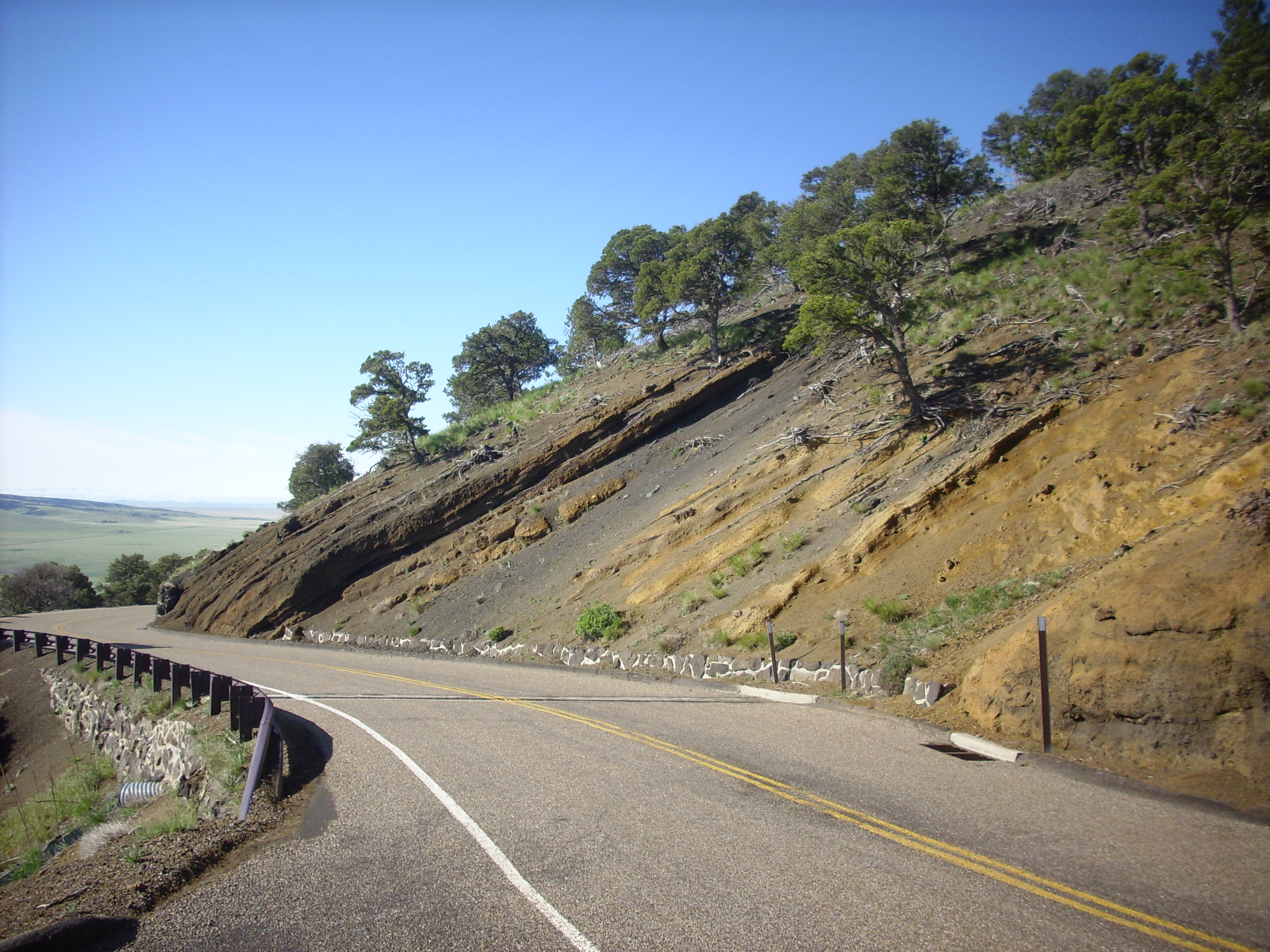
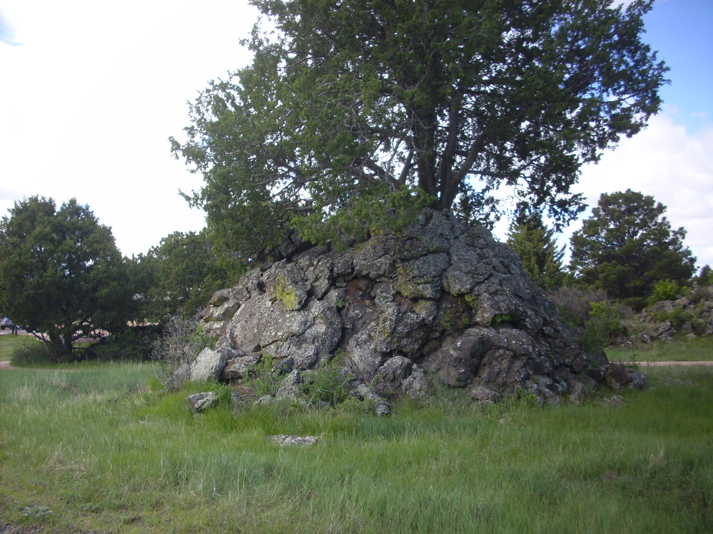
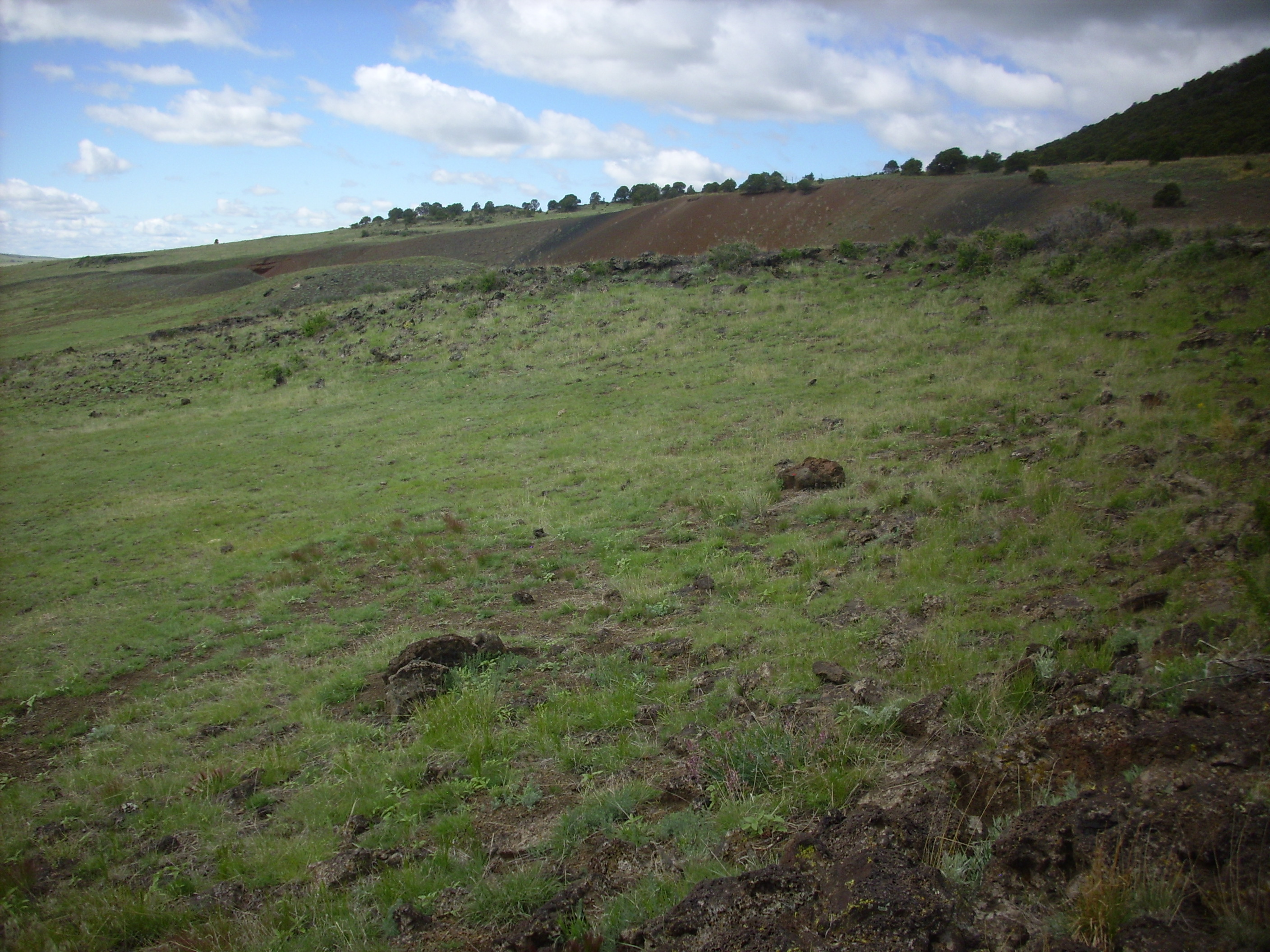
We still had half a day. We decided to go look at that dike by Eagle Tail Mountain that I looked at coming in Thursday. We found a convenient place to park off the highway and went exploring. Turns out there are two parallel dikes here.
The cacti were blooming atop the south dike.
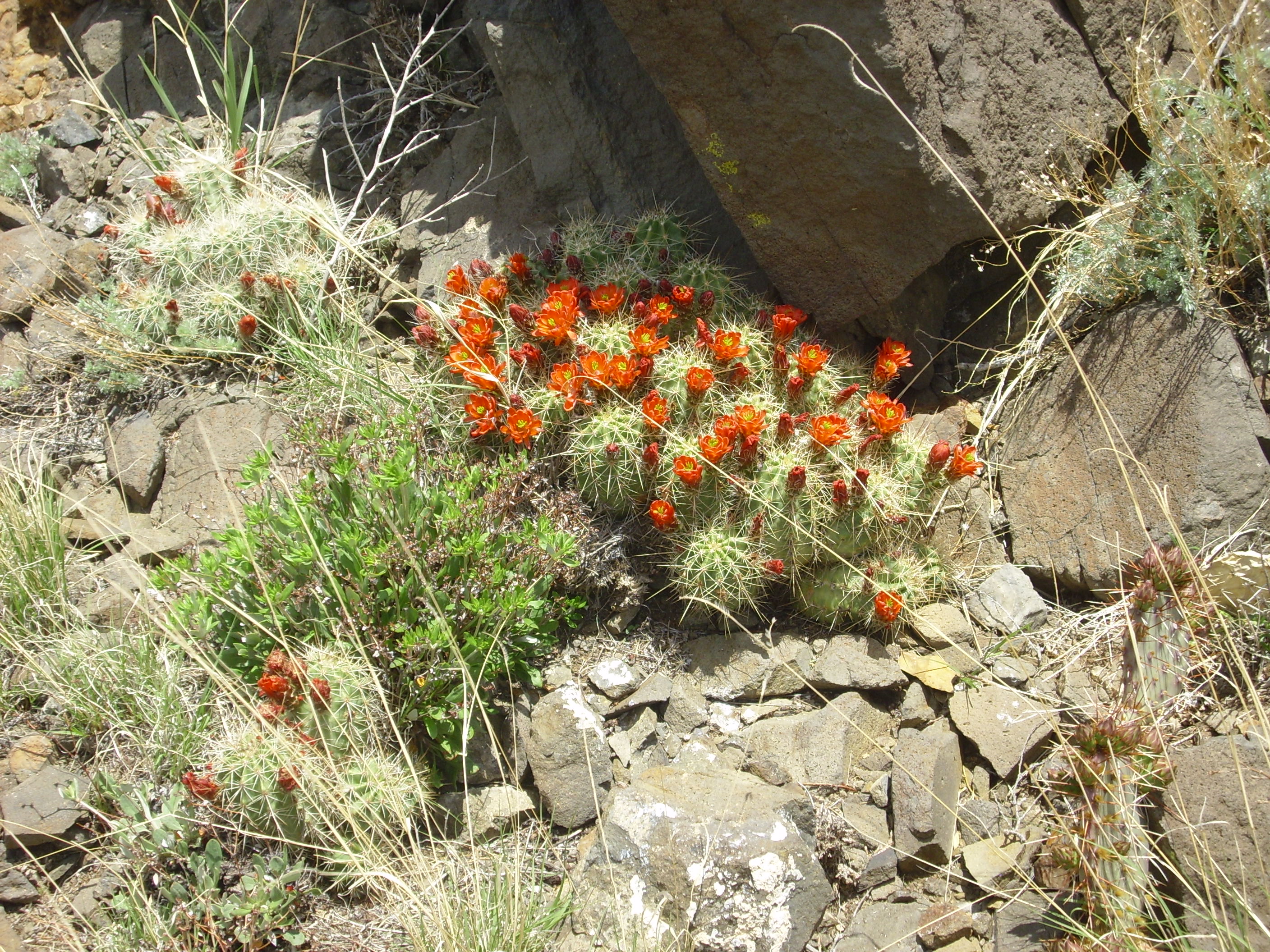
Blooming cactus. 36 39.892N 104 29.840W
Possibly Echinocereus Triglochidiatus.
Looking back at the highway and the roadcut I examined Thursday:

Parallel dikes. 36 39.892N 104 29.840W
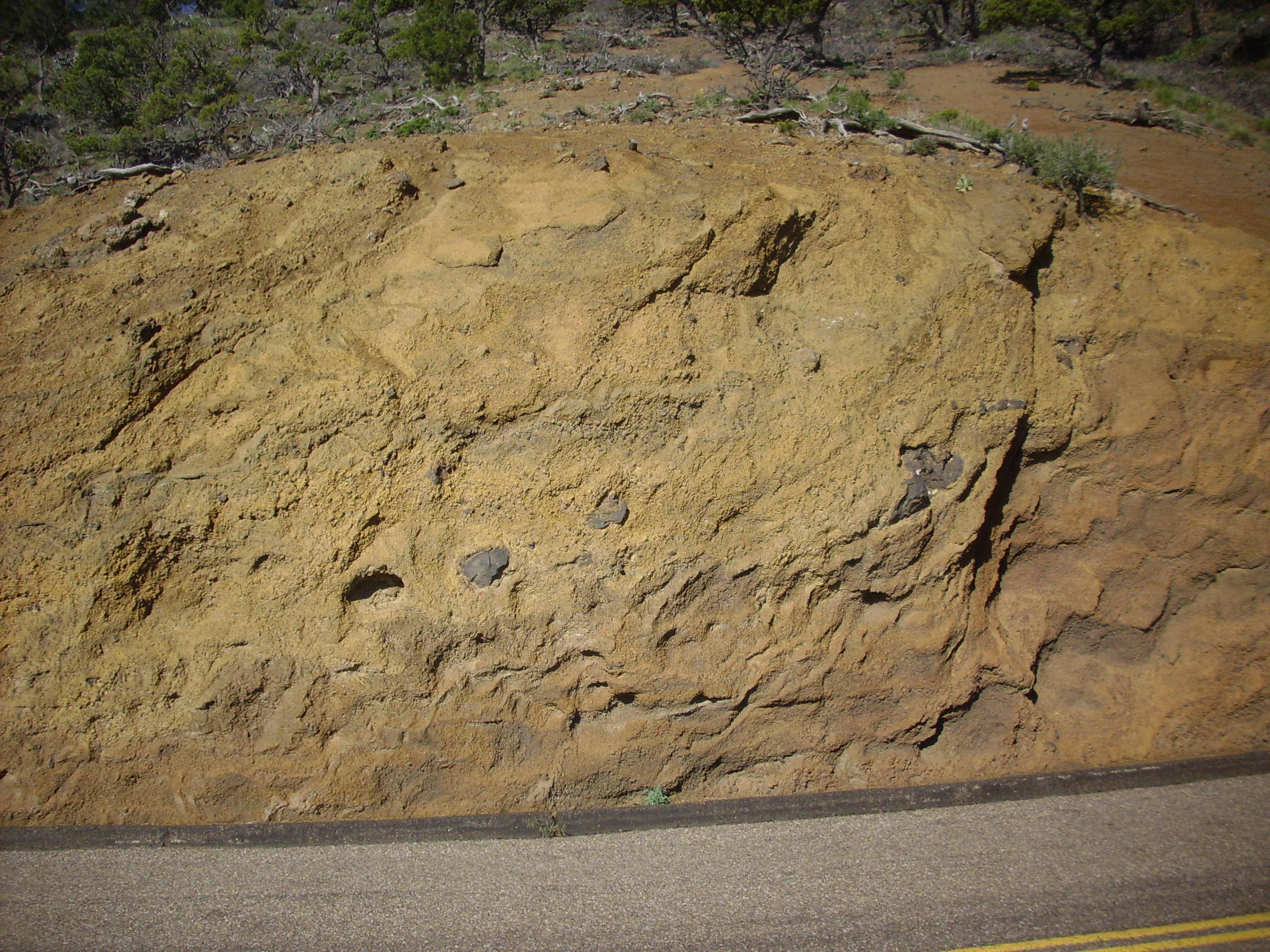
Here we see the contrast between the unaltered Pierre Shale (dark flaky rock) and the hornfels formed from the Pierre Schist by the heat of the magma in the dike (light rock, some of which has fallen down from higher up the slope):
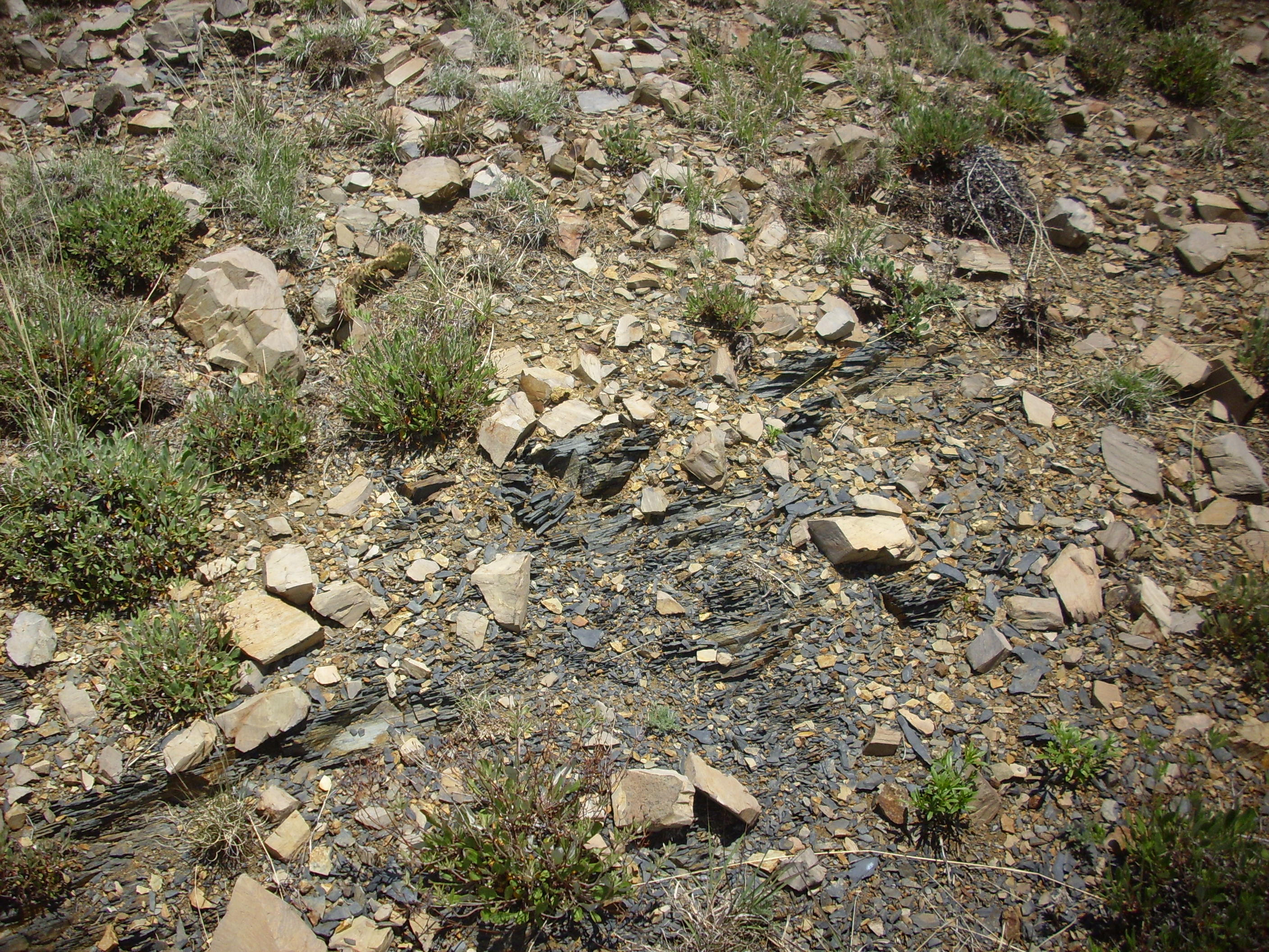
Hornfels versus schist. 36 39.892N 104 29.840W
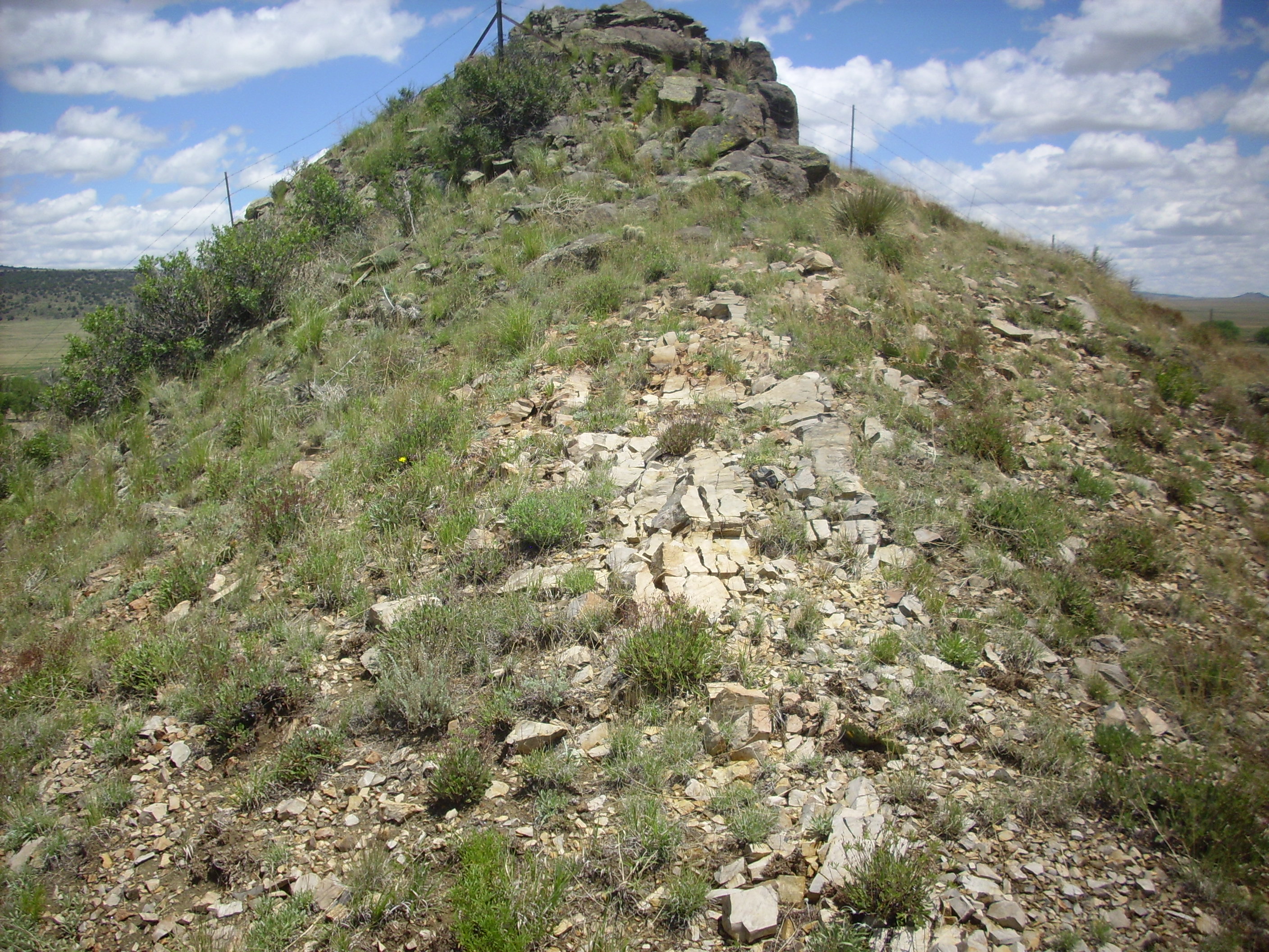
An interesting feature of these dikes is that both the intrusive rock and the surrounding Pierre Shale are quite soft, while the hornfels formed next to the dike is quite resistant. This means that the two parallel walls of the dike stand out both in satellite photographs and on the ground.
In many places, the dike rock has eroded out and hornfels has fallen into the resulting “notch” to completely bury the dike.
Buried dike. 36 39.892N 104 29.840W
And here’s a very platy section of dike.
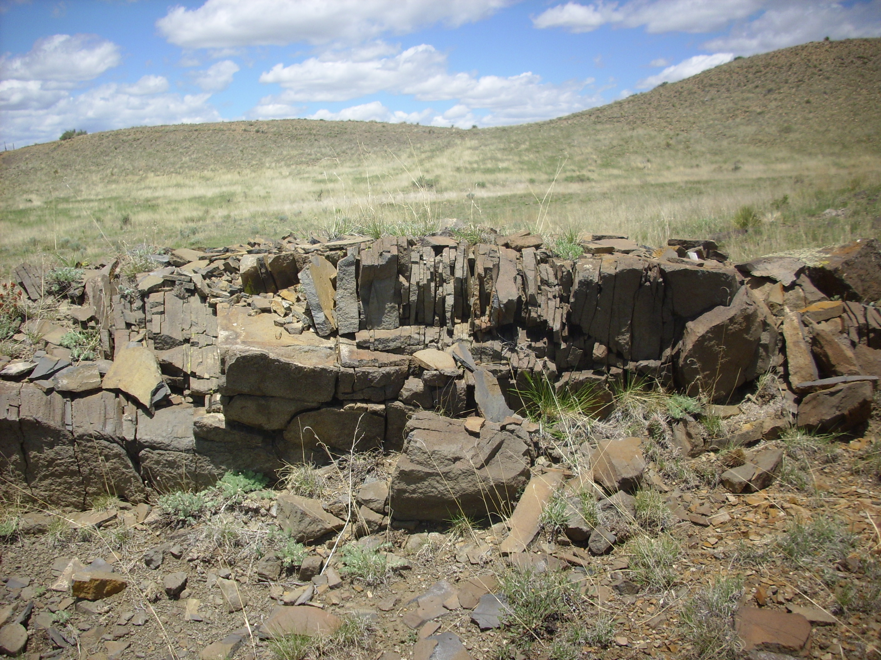
Buried dike. 36 39.892N 104 29.840W
Bruce was curious about the Maxwell National Wildlife Refuge; we drove down but it turned out the headquarters was closed for the day. Bruce did decide to take a bit of a back country route to Raton (where I needed to pick up my car before heading home.) We were kind of halfheartedlyl searching for western extensions of some of these dikes; we did find one:
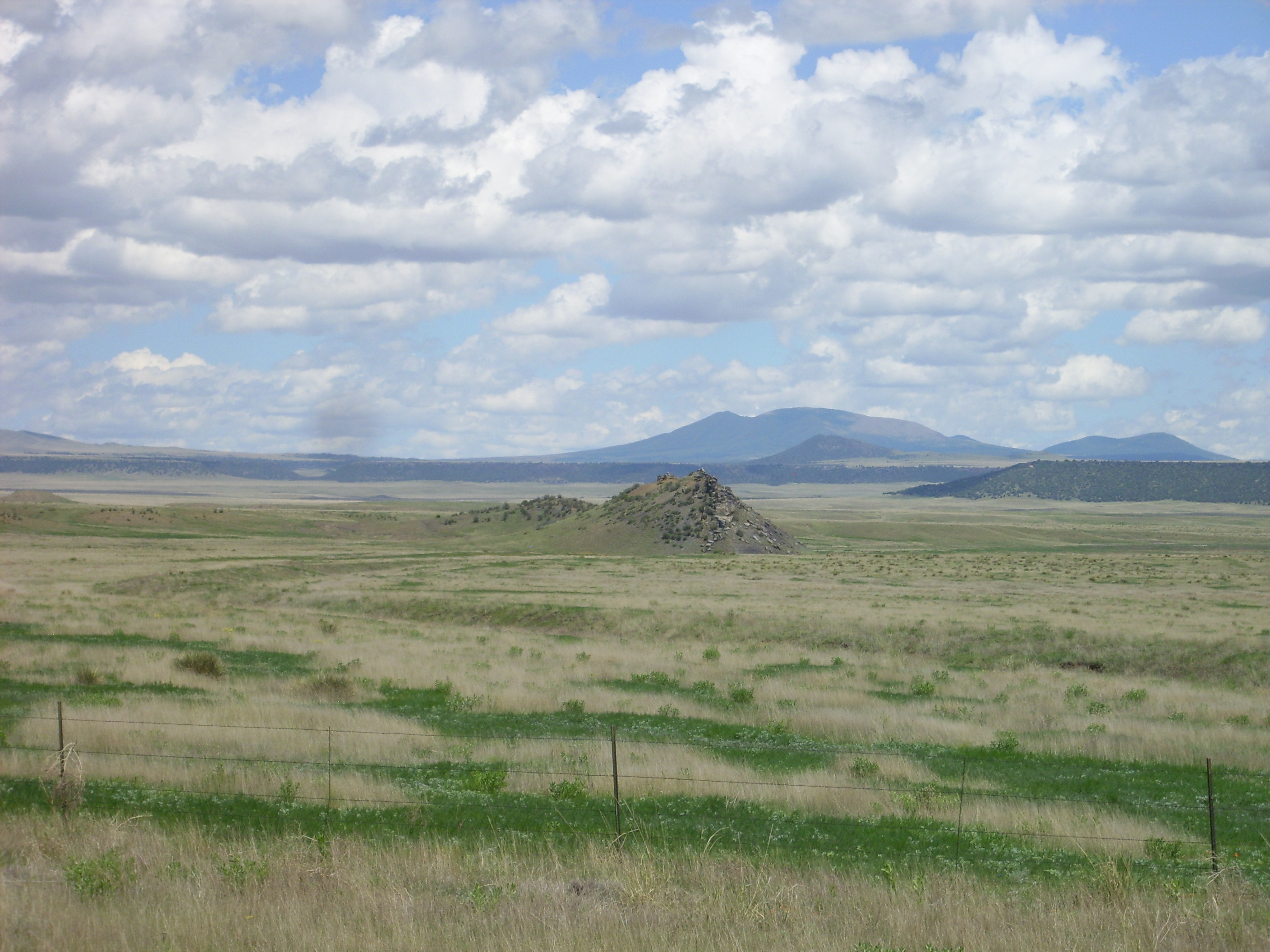
Isolated dike near NRA range. 36 45.653N 104 28.669W
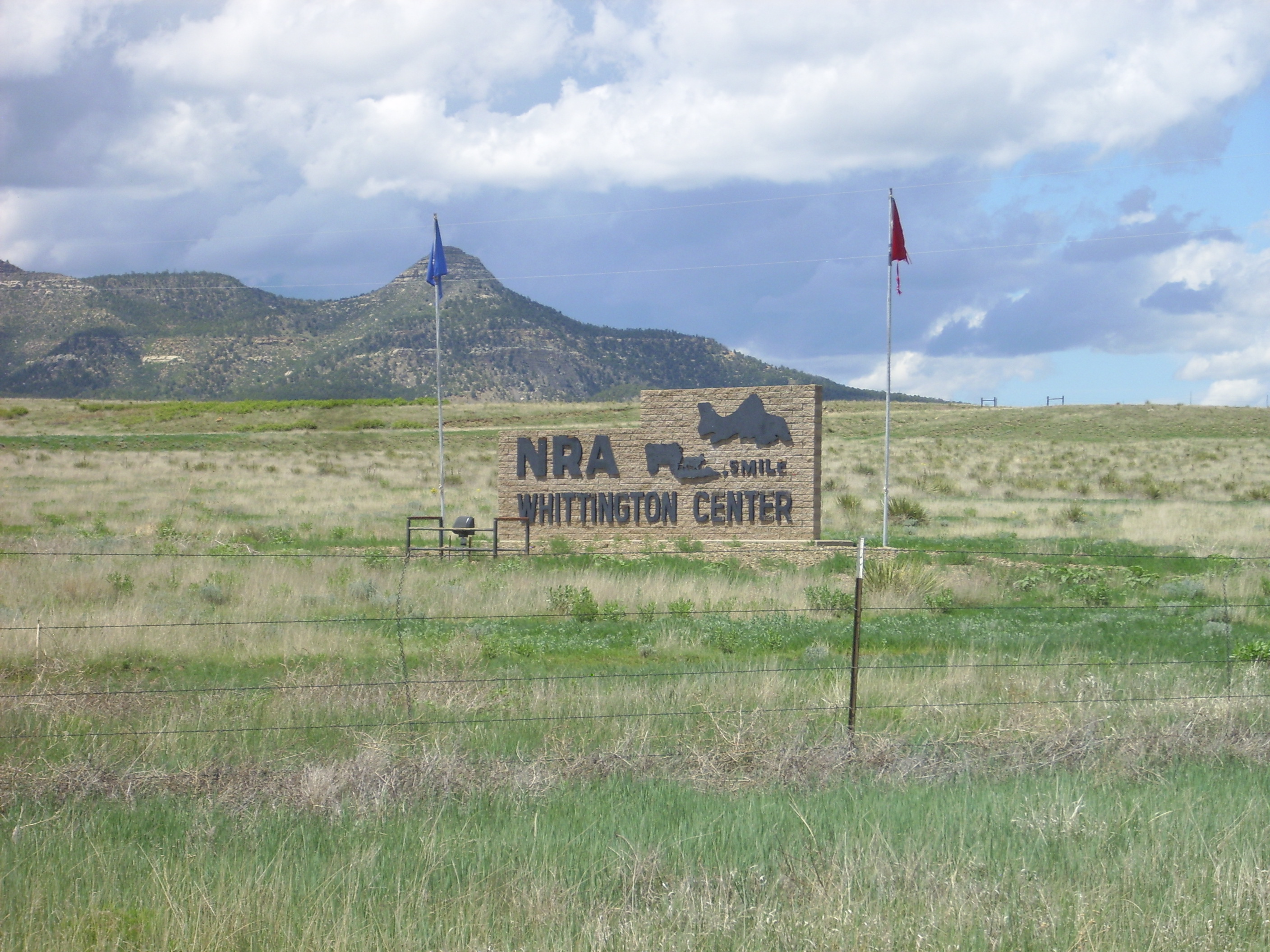
This was right next to the NRA rifle range. Kind of a shame Robin couldn’t make this trip.
Isolated dike near NRA range. 36 46.260N 104 28.936W
In a road cut a little further down, we saw some uncommon sandstone lenses in the Pierre shale.
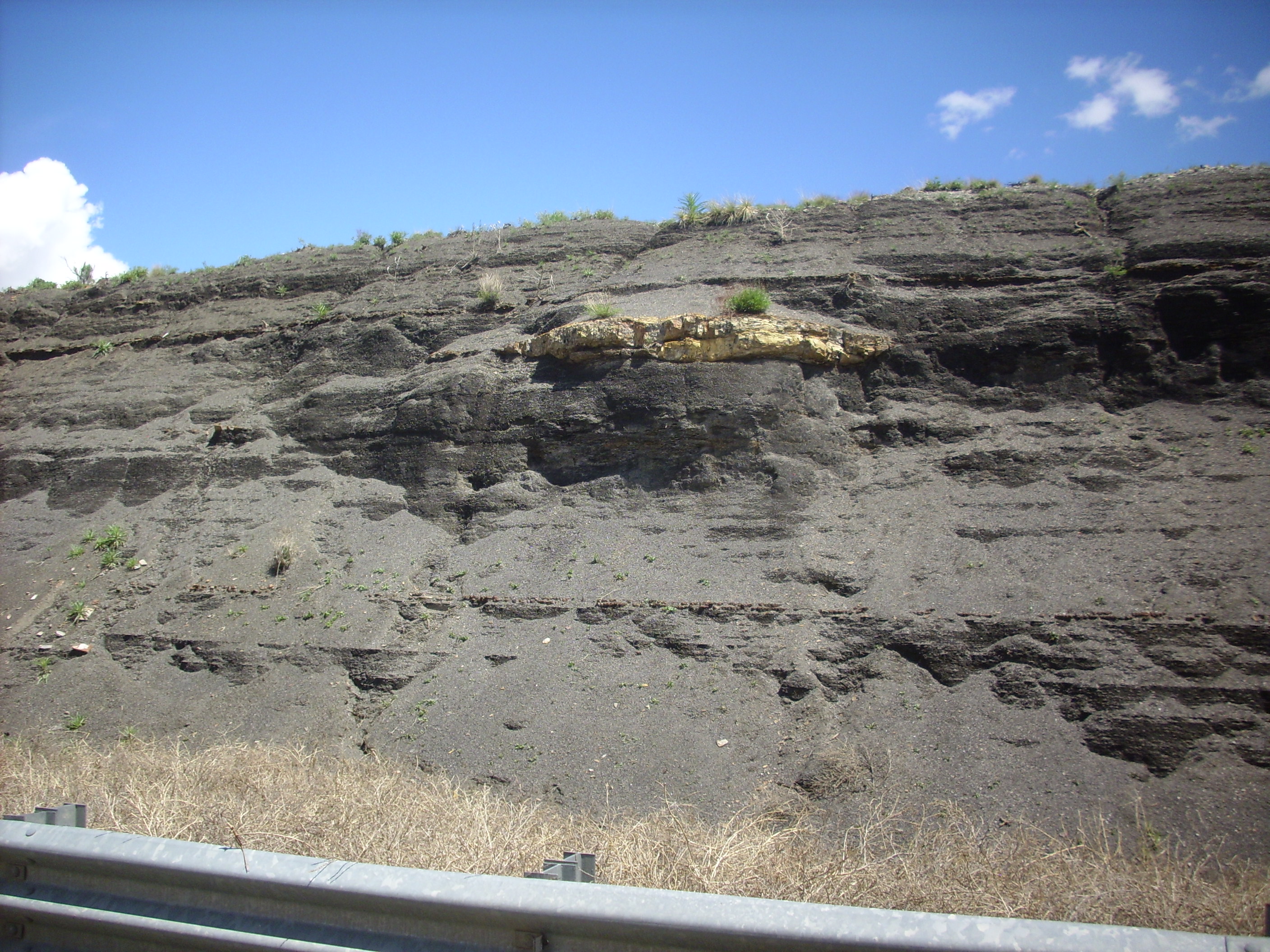
Sandstone lens in Pierre Shale. 36 47.166N 104 27.827W
We got to Raton; my car was still safely parked at the hotel. I transferred my belongings. Bruce and I parted in the awkward way heterosexual guys who’ve done some serious male bonding do, with a few grunts and a handshake.
One more picture on the way out; a dike somewhat south of the Thursday dike. The rock here is good, respectable, fine-grained basanite, not that flaky semi-lamprophyre stuff from the northerly dike.
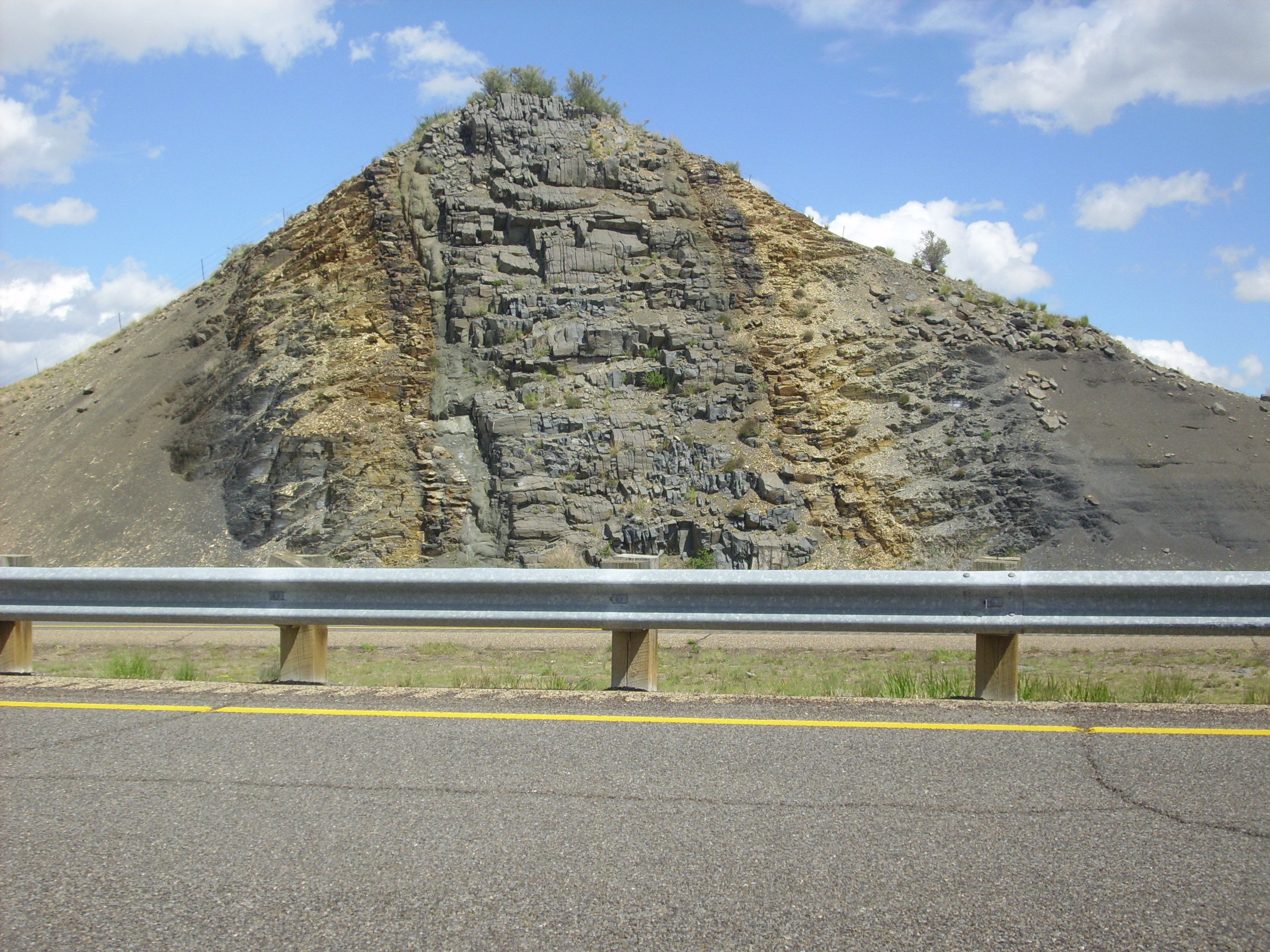
Basanite dike. 36 39.206N 104 29.735W
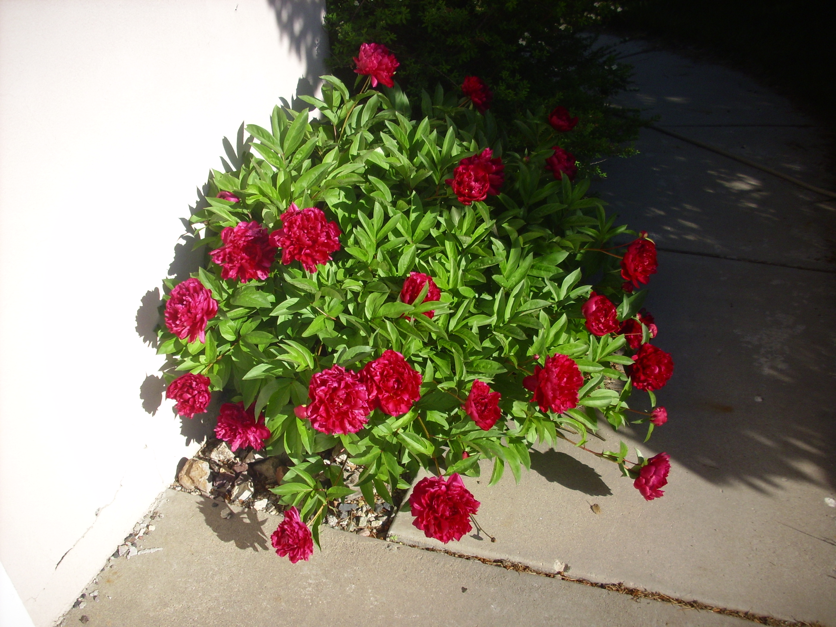
Long drive back to Los Alamos. I did arrive before dark, to find the garden blooming beautifully.