A wanderlust too far
With a Friday off work, and beautiful late summer weather, there was no way I was going to sit home all day doing nothing but catching up on mail, getting some writing done, repainting some window frames, fixing the spot where my son kicked a hole in the drywall, and giving the dog a bath. It was a sunny day and the rocks were just waiting to be photographed and clobbered with a hammer. Carpe diem! I just needed to make sure to get back in time for a nice dinner with Cindy to celebrate the 24th anniversary of our getting engaged.
You’re right. You know where this is going.
I loaded up my gear, packed some more water bottles (it was going to be hot), put together a sack lunch, wrote down some directions from Google Map, left a flight plan for Cindy, and headed out. I was going to explore generally around Ponderosa, but with lots of side trips if there was time.
“Time”. You keep using that word …
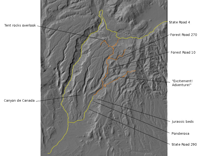
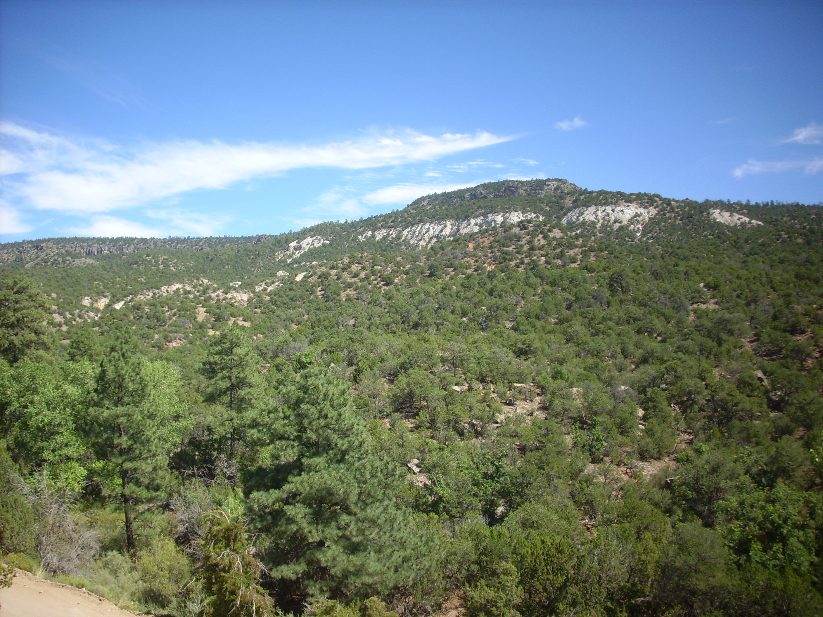
My route took me from White Rock west into the Jemez along State Road 4. This was all very familiar ground until I reached the turnoff south on Forest Road 10, which I have traveled just once before. This road plunges into the Vallecitos de los Indios, a pleasant valley with numerous private residences that is actually part of the south moat of the Valles caldera. The road ascends the south rim and reenters Forest Service land shortly before my turnoff onto the road to Cat Mesa, to the west. My destination was an area of tent rocks with an overlook.
I headed down the road, which turned out to be somewhat rough. Forest Road 10 itself is gravel but well maintained; it is perfectly suitable for passenger vehicles in good weather. The road to Cat Mesa is rather more iffy. In fact, there were spots where it was less a question of the road having gullies as the gully having some road in it. Still, I’ve found that my Korean clown car does pretty darn well if I just take the bad patches slowly enough and steer carefully. In fact, I was getting to feeling pretty good about my ability to guide Clownie the Wonder Car down bad roads.
Yeah. You can see where this is going, too.
I got to the turnoff to the overlook; it was a short walk and I decided not to chance the spur road. I found the overlook already occupied by a group of campers and (judging from the traces) their pack of dogs, but no one was up and stirring and I walked quietly through their camp to the precipice. Someone had thoughtfully installed a bench here, heavy with some kind of weatherproofing resin, and I took my first panorama.
Vallecitos de los Indios from south rim. 35 48.670N 106 37.247W
This panorama is a bit more awkward than most, because there was simply not a fully clear spot on the rim. I finally moved a few feet to replace the fifth frame, which was blocked by a clump of large trees.
The first frame begins with the canyon rim, of which we’ll see more momentarily. The distant mesa with prominent cliffs of Tshirege Member, Bandelier Tuff, is Virgin Mesa on the west side of Cañon de San Diego The red beds beneath, at the confluence of Vallecitos de los Indios and Cañon de San Diego, are Permian red beds of the Abo Formation. I believe the grey outcrop just visible at the bottom of the canyon at the confluence is Battleship Rock.
The plateau beginning at the right edge of the first frame and extending to the fifth frame is the Banco Bonito obsidian flow, which is the youngest volcanic flow in the Jemez at about 55,000 years. At the center of the third frame is Redondo Border and dominating the third and fourth frames is Redondo Peak, the second highest point in the Jemez. Redondo Border and Redondo Peak are a resurgent dome, formed after the last supervolcano eruption 1.2 million years ago, when fresh magma injected into the old magma chamber pushed the floor of the caldera back up. Way up. The valley between Redondo Border and Redondo Peak is the Redondo Graben, a medial graben formed when the dome began to split apart as it was stretched upwards.
The knob in the middle of the fourth frame on the boundary of the fourth and fifth frames is South Mountain, the second youngest eruption center at about 520,000 years age. Like the Banco Bonito, it erupted through the ring fracture that defines the area that collapsed to form the Valles Caldera. The caldera rim here is well outside the ring fracture. The walls of the caldera were unstable and collapsed into the caldera in massive avalanches. The knob in the middle of the fourth frame, which is actually beyond Redondo Peak, is Cerro del Abrigo, another ring dome on the northeast side of the caldera. It has been dated to almost exactly a million years old.
The two peaks dominating the next to last frame are Los Griegos and Cerro Pelado. Both are underlain by andesites of the Paliza Canyon Formation, dating back from 8.8 to 9.4 million years in age. Los Griegos has a slightly younger cap of dacite, which is the highest point on the south rim of the caldera. And, yes, that’s a prescribed burn you see smoke from in the last frame: The signs were up throughout the area.
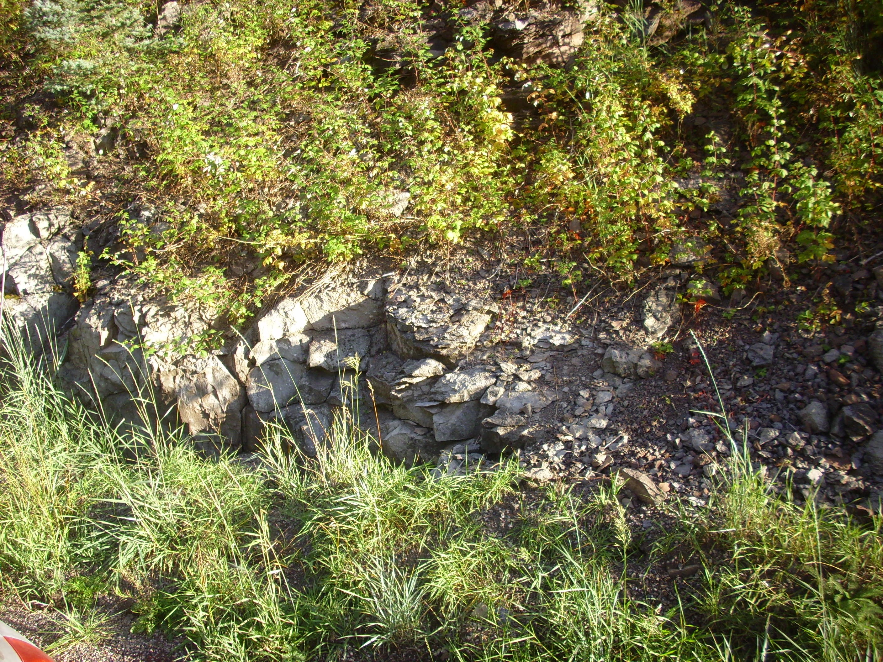
From the west side of the lookout, one has a magnificent view of nearby tent rocks.
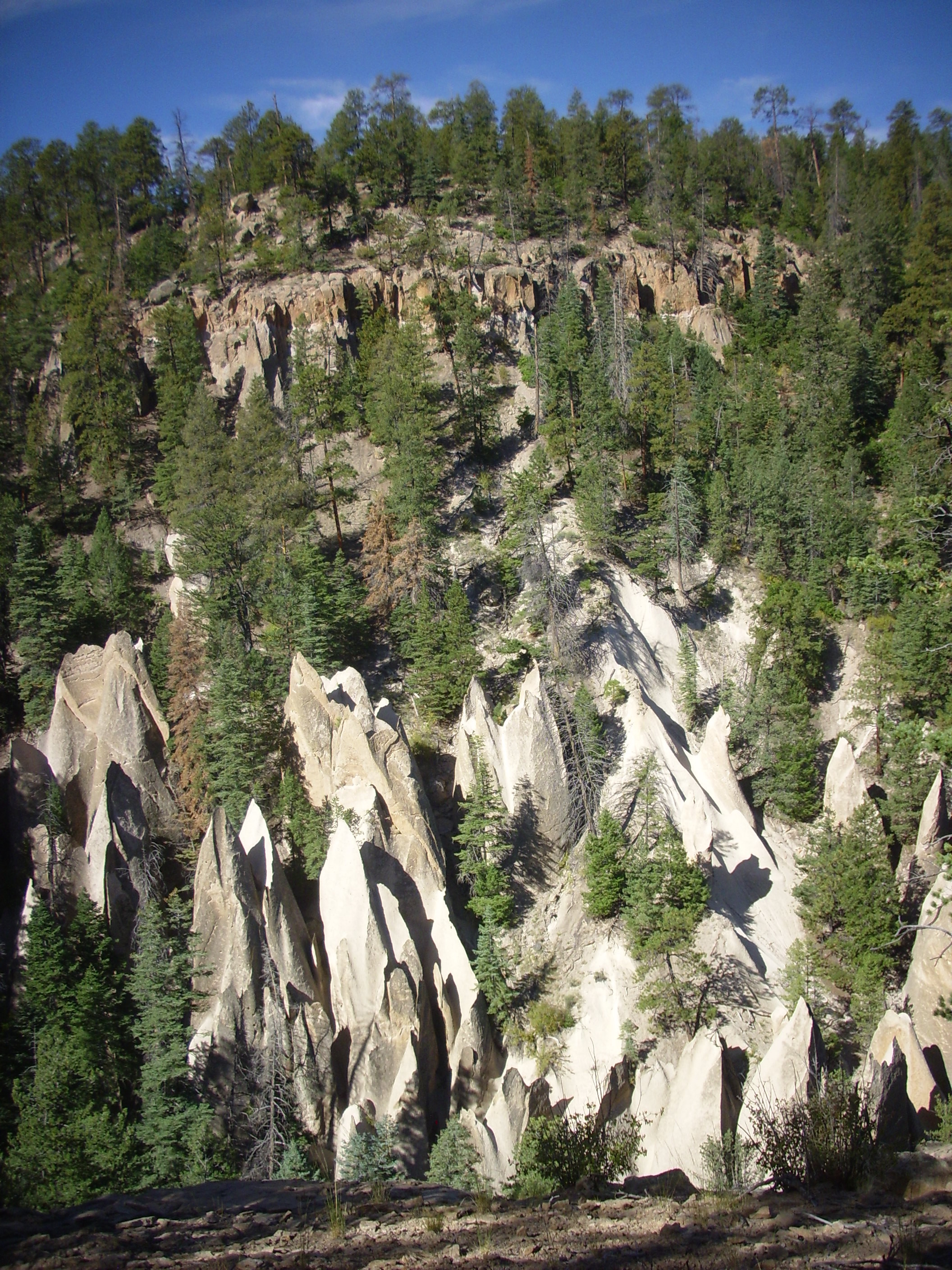
Tent rocks on south rim of Vallecitos de los Indios. 35 48.670N 106 37.247W
This entire cliff is mapped as Otowi Member, Bandelier Tuff, including the obviously welded beds at top. Otowi Member is more commonly unwelded, and its unwelded beds seem particulary prone to eroding into tent rocks.
From the precipice, one can see the lower contact of the Otowi Member.

Lower contact of Otowi Formation at tent rocks. 35 48.670N 106 37.247W
It looks like there is a bed of either Guaje Pumice — supposed to be nonexistent in this part of the Jemez — or San Diego Canyon ignimbrite, which is supposed to be confined to San Diego Canyon. The reddish beds beneath are heavily weathered Paliza Canyon andesite, judging from the geologic map for this area. Since I am 53 and ambitious of making 54, I was unable to get closer to make a better guess.
I retraced my steps, turned Clownie around and headed back, encountering campers and dogs hiking along the road on my way. Back on Forest Road 10, I headed south, taking a short detour on Forest Road 270 north of Cerro Del Pino into a narrow canyon lying along a local fault. The canyon walls expose Paliza Canyon Formation over Santa Fe Group, but I could not see these well from my car and it was evident a significant hike would be needed to further reconnoiter the area. I turned back, slightly frustrated.
I continued down Forest Road 10, pausing only to check out the Kiatsukwa Pueblo ruins not far off the road. I hesitate to specify the location more precisely, because it seems that some effort has been made to protect the site against vandals:
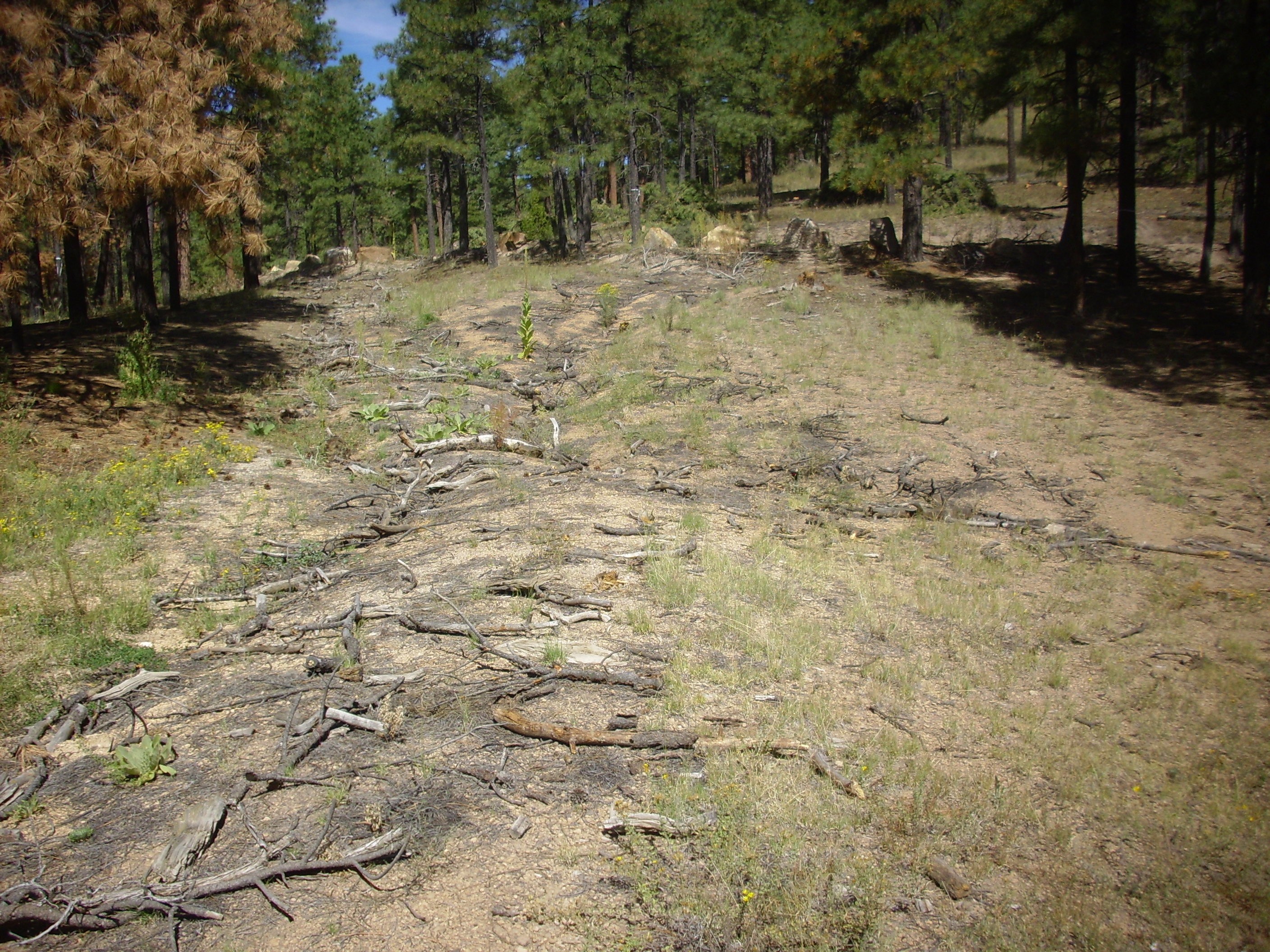
Old road to Kiatsukwa Ruins
The road has been covered with brush and the entrance blocked with large boulders. This is fairly recent and probably reflects concern with vandals looking for artifacts in the area. I did not so much as kick a rock over while visiting; if you make the effort to find this location, take all the photographs you like, but God have mercy on your soul if you disturb the ruins in any way.
The ruins are largely unexcavated and consist of mounds of roughly shaped blocks of Bandelier Tuff. They were occupied between 1400 and 1500 A.D. and briefly reoccupied in the early 1600s.

Kiatsukwa Ruins
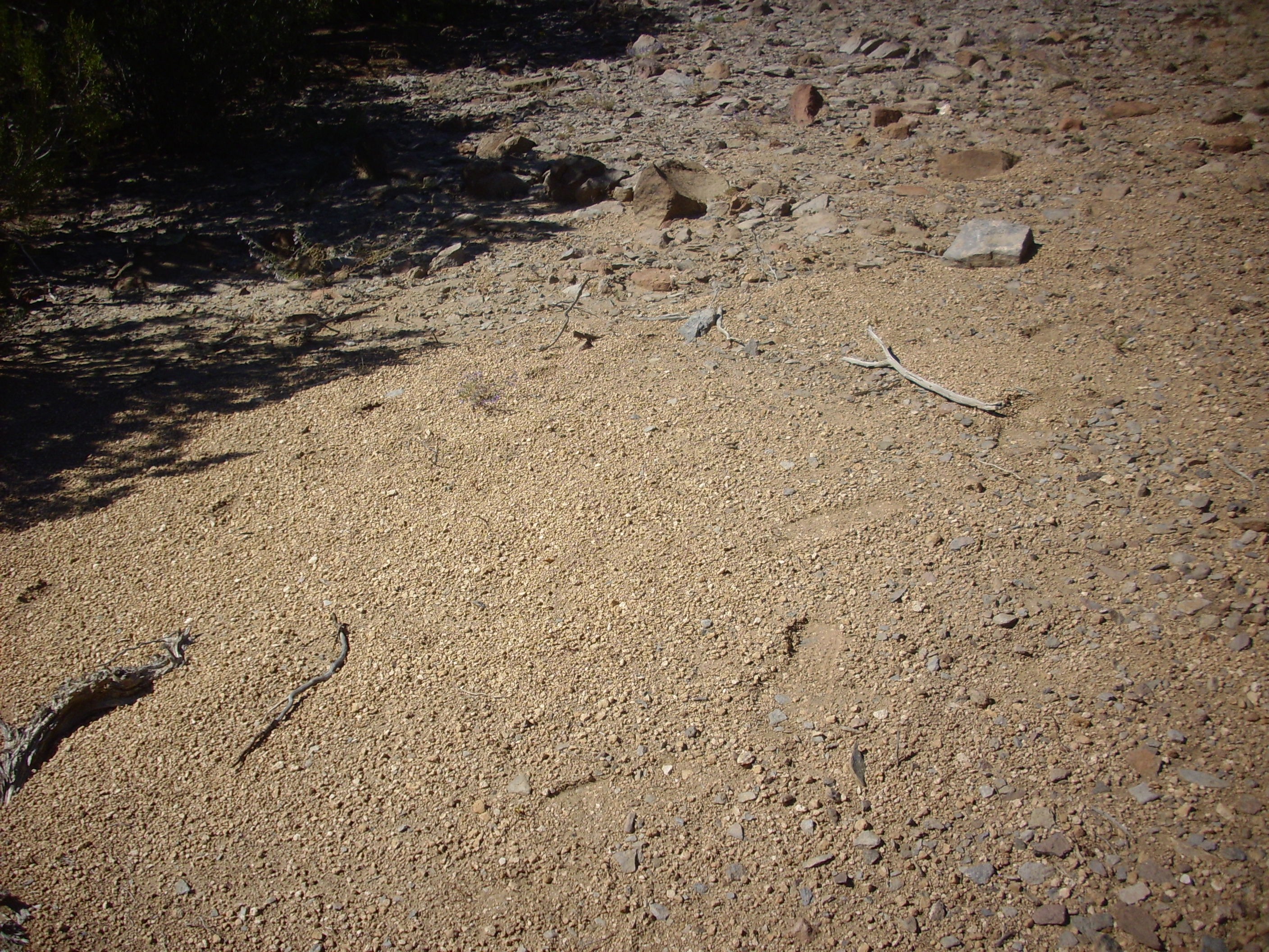
The pueblo numbered about 400 persons at its peak, with some buildings having three levels. The valley here is underlain by El Cajete Pumice, which seems to have been favored by the ancestral Puebloans for its capacity to hold water and fertility. The pumice is evident in the soil along the road.
Kiatsukwa Ruins
The area was probably wetter in the 15th century, and there is abundant archeological evidence that the ancestral Puebloans abandoned many settlements in what are now quite dry areas of the Southwest at about this time and moved to the valleys of the Rio Grande and its major tributaries, where their descendants live today.
I returned to my car and headed down into Paliza Canyon. Here I scouted for a side road leading up canyon, where the geologic map shows an exposure of tuff beds of the Canovas Canyon Formation. This is a high-silica formation that erupted fairly early in the history of the Jemez volcanic field, and there are clues that it was not much like any eruption that has been seen today. High-silica lava normally produces very steep flows, if it produces flows at all; but the lava here seems to have flowed significant distances without humping up. Perhaps it erupted at an unusually high temperature? (There is nothing particularly odd about its composition.)
No dice; the road turned out to be a crummy dirt track with a gate blocking it. I could hike the distance from gate to exposure in a morning, since there is a (bad) road, which makes for good hiking. But hey; the best exposures of the Canovas Canyon Rhyolite are further south, way in the back country of the Jemez, but there’s a gravel road into the area that doesn’t look too bad on satellite …
Okay, you have to see where this is going by now.
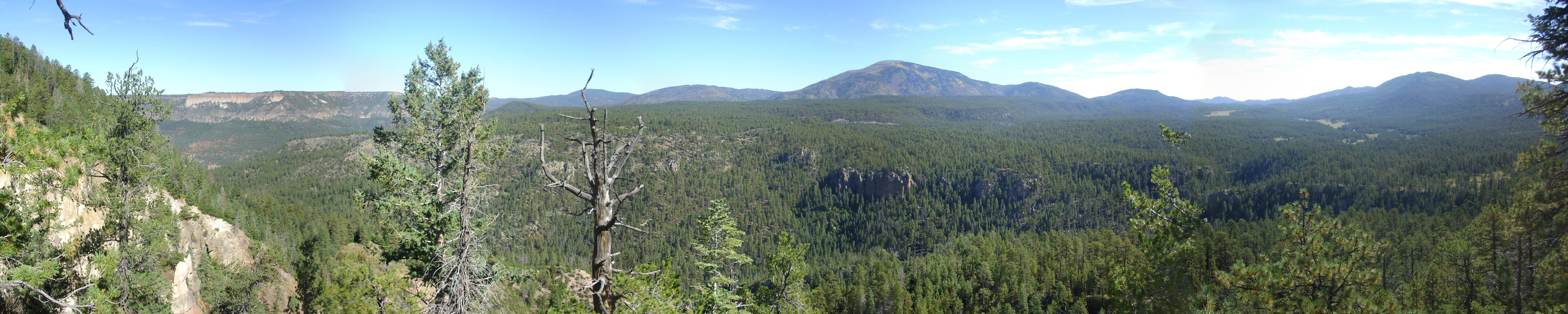
I took the road up the side of Borrega Mesa, where there was an excellent exposure of Paliza Canyon basalt in the road cut, and a good panorama. Panorama shot first:
Paliza Canyon panorama. 35 42.373N 106 37.319W
Most of the near terrain in the first frame is landslide deposits from Borrego Mesa. In the distance is Mesa de los Datiles. The prominent mesa, capped with Bandelier Tuff, in the second frame and continuing to the end of the panorama is unnamed in my topographic map, but the canyon in the foreground is Paliza Canyon and the far mesa on the skyline (third and fourth frames) is San Juan Mesa. The reddish ground in the fourth frame is an exposed bed of Chinle Group sediments far more ancient than its surroundings at around 230 million years old.
The mountain in the extreme right of the panorama, just peeking around the tree by the side of the road, is Cerro del Pino.
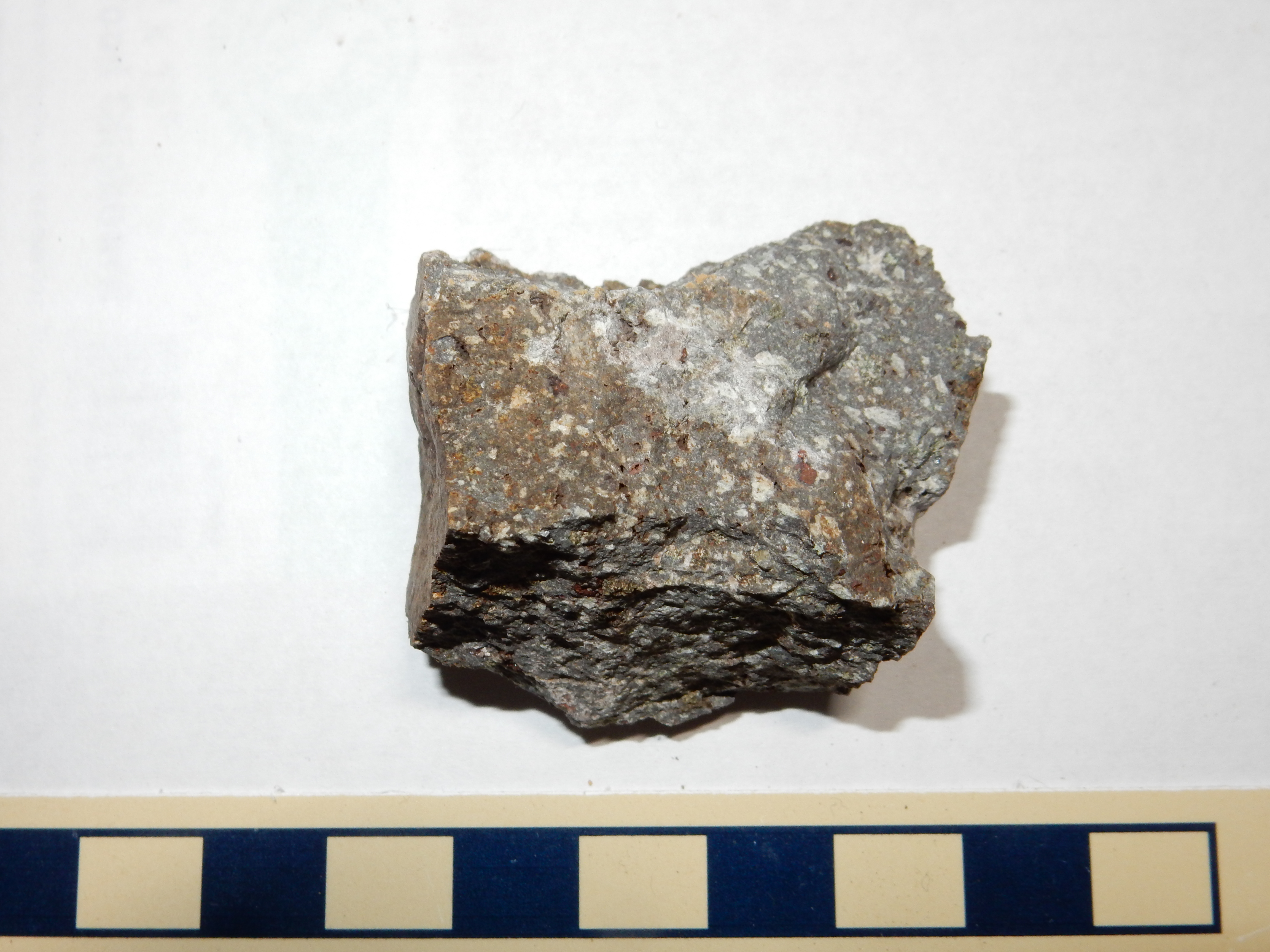
Borrego Mesa itself is underlain by basalt of the Paliza Canyon Formation, dated at around 9.5 million years old.

Paliza Canyon basalt on Borrego Mesa. 35 42.373N 106 37.319W
Paliza Canyon basalt of Borrego Mesa. 35 42.373N 106 37.319W
I headed on up the mesa and to the northeast on the forest road, following directions written down from Google Maps aerial photos. The road looked okay, but it’s hard to be sure from the air.
Somewhere along the road — I think here — I went north when I should have kept going straight. The road didn’t look great, but my directions seemed to point that way. After a few dozen yards, the road was getting quite bad, and I reluctantly decided that I wasn’t going to get to Bear Springs, my intended destination, on this road.
There wasn’t any obvious place to turn around before I reached the rock garden ahead, so I did something that, in retrospect, was kinda dumb: I tried backing down the road. Of course, you can never see as well out the back as out the front of the car. I realized I was seeing a lot of brush in my rear mirror, rather than road, moments before the car grounded out with a frightful thump and lost traction . I had backed into a rather deep ditch at the side of the road, and I was stuck fast
Got out. Looked under the car. Yeah. The right wheels were firmly on the ground, but the left rear wheel had just gone over a huge boulder and was pretty much hanging in air; there was no going forward. Nor was there any going back; the front wheel was in loose sand with nothing to grip. And the underbody was in contact with the road.
Well. Shucks and other comments.
I went through my options: Get on the cell phone and get Cindy to call one of our friends with a four-wheeler to come rescue me. (Assuming I could get a cell signal, which was pretty dubious.) Or get back in the car and fruitlessly crank the accelerator until I was out of gas or blew out a tire. Or give up and hike out, abandoning Clownie. Or run in circles, scream and shout. The latter was actually sounding pretty good at this point.
Calming down, I considered my situation a bit further. There did not appear to be any damage to the drive train and nothing was oozing fluids. The tires needed traction; I would provide it. I spent the next half hour packing boulders under my left side tires, then took everything out of my trunk (which everything, alas, did not include a shovel; I’ll take one next time), then tried to knock a little dirt from under the car with my walking stick. I figured if all else failed I could get out the jack, jack up the rear left wheel, and shove yet more rocks under it. Assuming the jack didn’t collapse and let the car crush me.
Got in. Said a little prayer and hit the gas. The wheels got blessed traction and the car began backing out of the ditch — about six feet, then it stuck again.
I got out and considered some more. This time all but the left front wheel had traction. Progress! And the car was not quite so obviously high-centered. On the down side, the left front wheel was up against the road cut, leaving me no room in which to work to try to pack rocks under the wheel again. In fact, I couldn’t even open the driver’s side door. Well, shucks.
I was meditating on this unhappy situation when I saw another vehicle coming up the road. I flagged down the occupants, Kurt and Malachi (may their names be blessed), and we considered my options. They had no tow equipment, not even a shovel, but Kurt had muscle and Malachi was lighter than me. I tried having her take the wheel while Kurt and I pushed. No dice.
Kurt grabbed my walking stick and started knocking more dirt from under the car. I pretty much just watched; by this point I was exhausted from hauling andesite boulders around. This time I got in the car and Kurt and Malachi pushed, and — happy day! — the car got traction and started backing.
But only a couple of feet, then it just didn’t seem to want to move. Kurt looked puzzled; all the wheels had traction and there was clear space under the car. Turns out I had forgotten to take the parking brake off.
Well. At this point I think my stupidity was fairly firmly established. (For some time. Have you only just noticed? — Evil Kent)
Finally loose, I got turned around and headed back to Paliza Canyon, and on down the road to Ponderosa.
The only exposures of Jurassic rocks in the entire southern Jemez are on the west side of Borrego Mesa. I parked, climbed a knoll, and got a photograph.
Jurassic outcrops on Borrego Mesa. Looking from 35 41.256N 106 39.031W
The white band is the Jurassic Todilto Formation, while the red slope beneath is the Entrada Formation. Beneath are landslide deposits that include large blocks of the Jurassic formations.
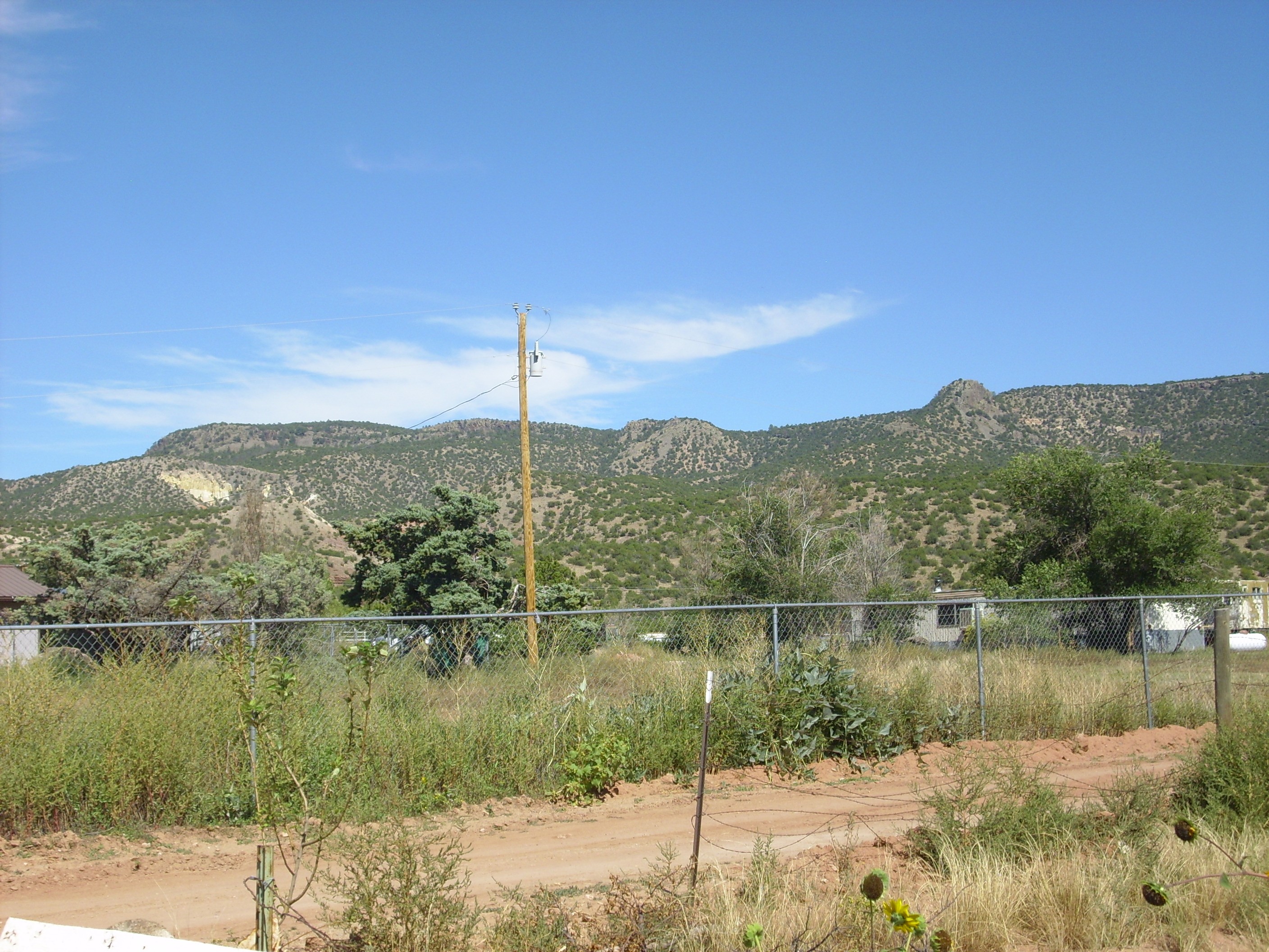
I headed down into Ponderosa and scouted for a possible route into Canon de Canada, which has the only really decent exposures of the Moenkopi Formation in the southern Jemez. It became clear I won’t be able to take Clownie in, particularly with my new, um, cautious attitude. I’m going to have to come back when I have a full day for it and hike in.
From Ponderosa, I got a photograph of some additional interesting features of Borrego Mesa.
Canovas Canyon Formation outcrops on Borrego Mesa. Looking from 35 39.678N 106 40.038W
The domes at center and to the right are underlain by Canovas Canyon Formation, the same formation I was trying to get to when I nearly experienced disaster. The white patch to left is another outcropping of Jurassic rocks. Well. I had planned to hike at least as far as the Jurassic outcrop, and maybe I could get to the Canovas Canyon Formation plugs from there. If I hiked quickly.
At this point, I realized my walking stick was nowhere in the car. It was somewhere back on that awful road where my car had gotten stuck. Well, I have reason to be grateful that that’s the worst loss I took.
The route lay across landslide deposits. Borrego Mesa is hard basalt; it is underlain by Chinle Formation and other sediments that are slick when wet. This is a recipe for massive landslides. The landslides are fairly rough terrain, with lots of low hills and gulleys, and they extend over a mile to the west of Borrego Mesa towards Ponderosa. Undeterred, I looked for a good place to park and begin hiking. And found that I had to start from quite far north to avoid hiking across private land; the natural route, up the drainage from directly to the west, is on private and fenced land.
The hike was pretty challenging. But it was not without its rewards, including seeing massive andesite landslide blocks.
Large landslide block. Near 35 41.063N 106 39.112W
Large landslide block. Near 35 41.063N 106 39.112W
Looking across the valley, one sees smaller but similar landslides of Bandelier Tuff on Chinle Group sediments.

Landslides in Bandelier Tuff. Looking west from near 35 41.063N 106 39.112W
At center, a block of Bandelier Tuff has slumped across the Chinle Group, which are the red beds underneath.
Most of the landslides appear to be at least 55,000 years old, the age of the El Cajete Pumice. This is because beds of the pumice are found in many locations on top of the landslides.
El Cajete Pumice bed on top of landslide. Near 35 40.951N 106 38.709W
As you can see from the footprints, I crossed part of this patch before thinking to take a picture. Not all the landslides are older than the El Cajete Pumice; a few small slides in this area appear to lie on top of beds of the El Cajete.
The hike was long and weary, mostly because the ground was rocky and there was a lot of up and down. At one point I realized I was being circled.
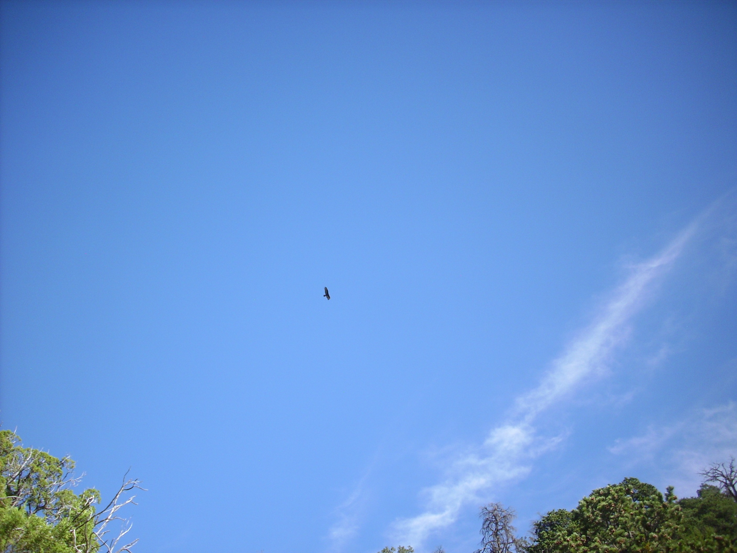
Never a good sign. Near 35 40.951N 106 38.709W
However, it was just the one large bird, and I don’t think it was a buzzard. Probably a large hawk or small eagle hoping I would stir up the local rodent population.
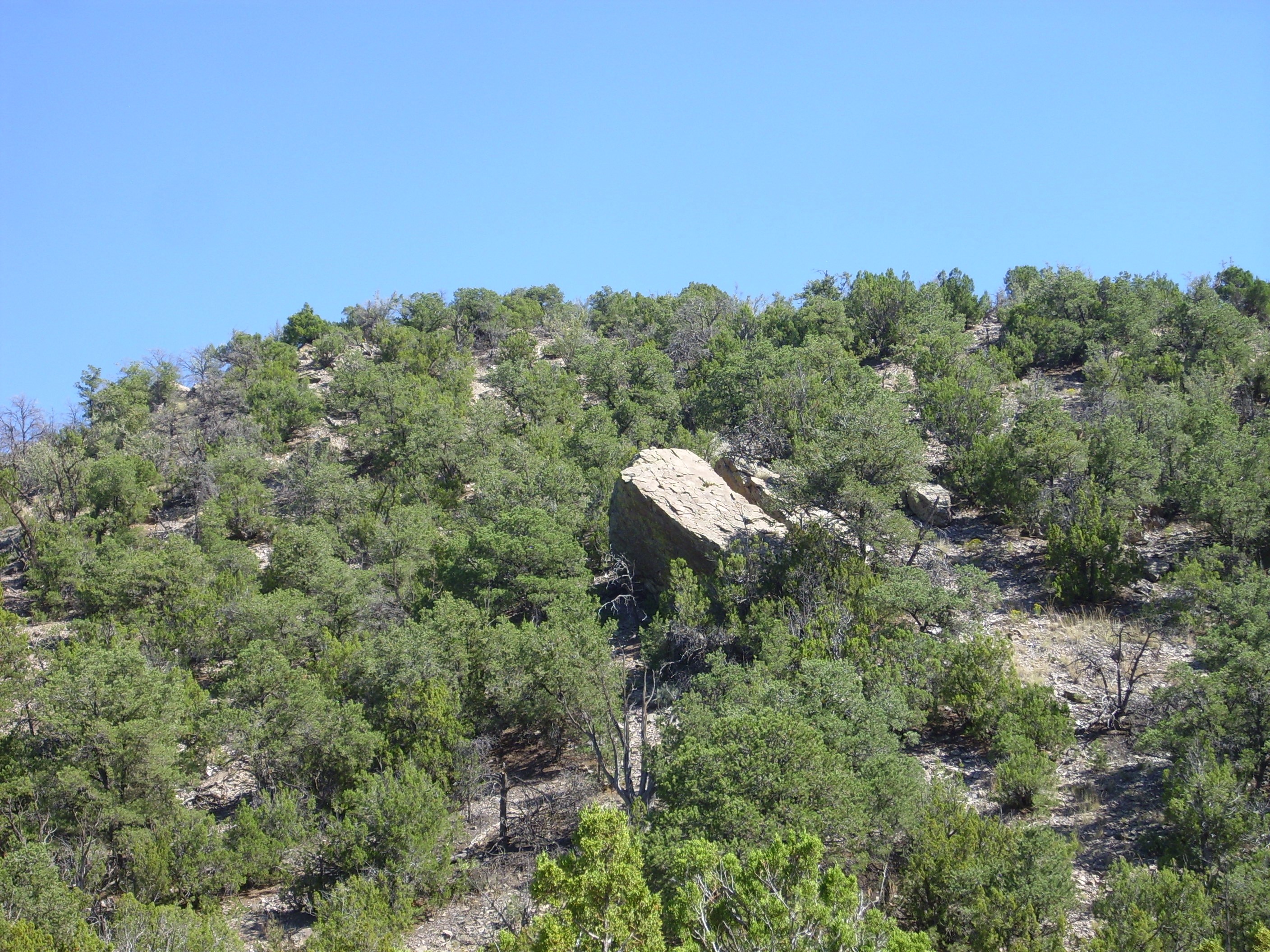
Another landslide block, this one covered with lichen:
Landslide block with lichen.
I had my GPS with me, but I had forgotten a pencil and had no way to write down coordinates. It’s a wild guess just where I saw this one.
Further up, I encountered some rather interesting rock features:
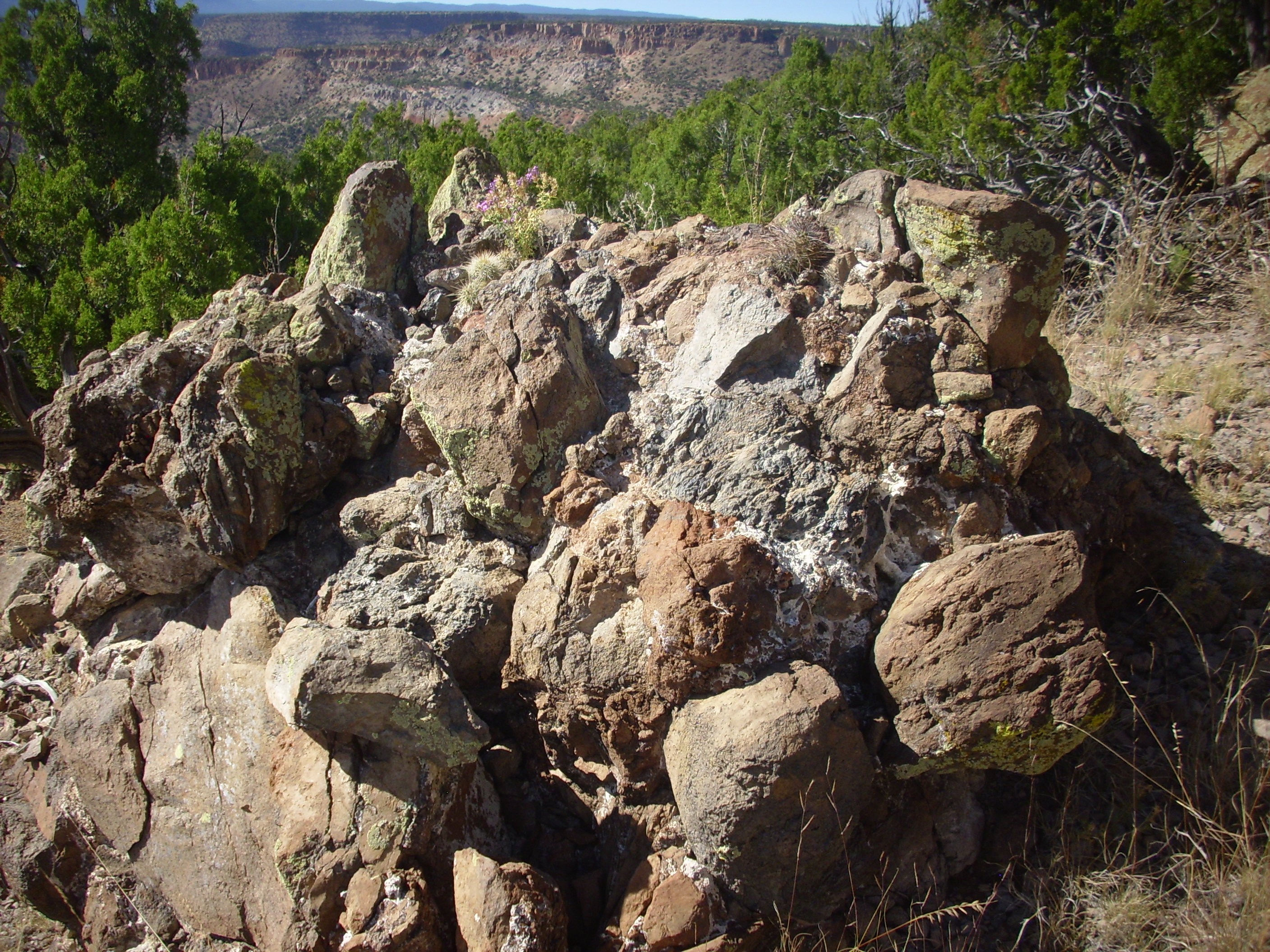
Breccia cemented with travertine. Somewhere near 35 40.618N 106 38.688W
Now I was really wishing I had brought a pencil. The coordinates are very approximate. But this appears to be a pile of broken rock cemented together with travertine. There were two or three similar stacks in the area, and my geologic map notes that there is evidence of hydrothermal activity with deposition of travertine along the San Jose Fault that runs through this area. Evidently so.
A little further on I came across an outcropping of sandstone.
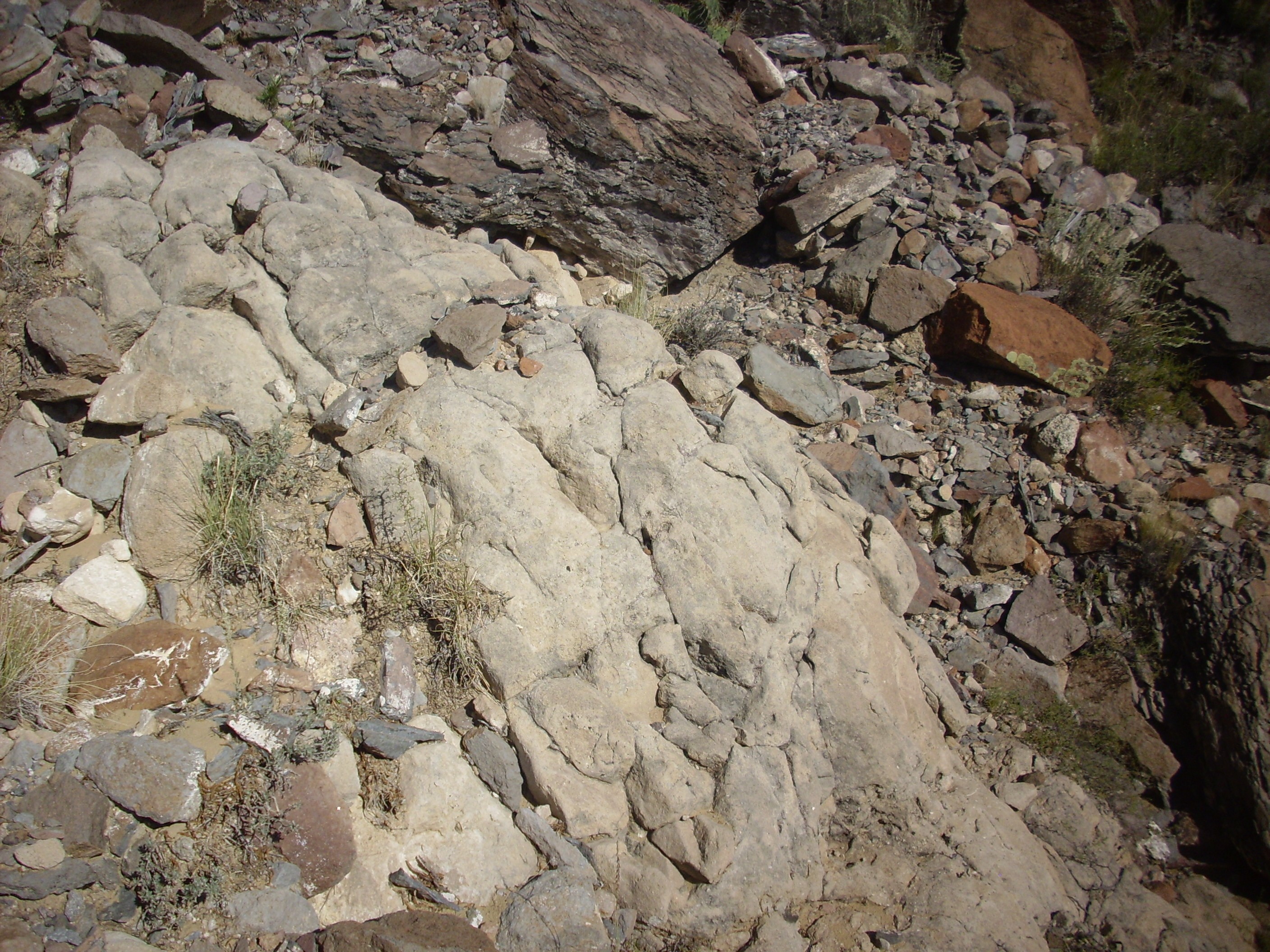
Mystery sandstone. Near 35 40.631N 106 38.612W
Mystery sandstone. Near 35 40.631N 106 38.612W
It had the look of bedrock, but that couldn’t be counted on this slide area, and so I can’t be sure of it stratigraphic position, and it’s too small to be mapped on my geologic map. Under the loupe, it’s revealed as a poorly sorted, coarse, lithic- and feldspar-rich sandstone with so much gray cement in the pores that it borders on being matrix-supported. In less geeky language: A very dirty, immature sandstone. In fact, it looks a lot like a sample of Abiquiu Formation I brought home from an earlier trip, but much coarser-grained. Huh.
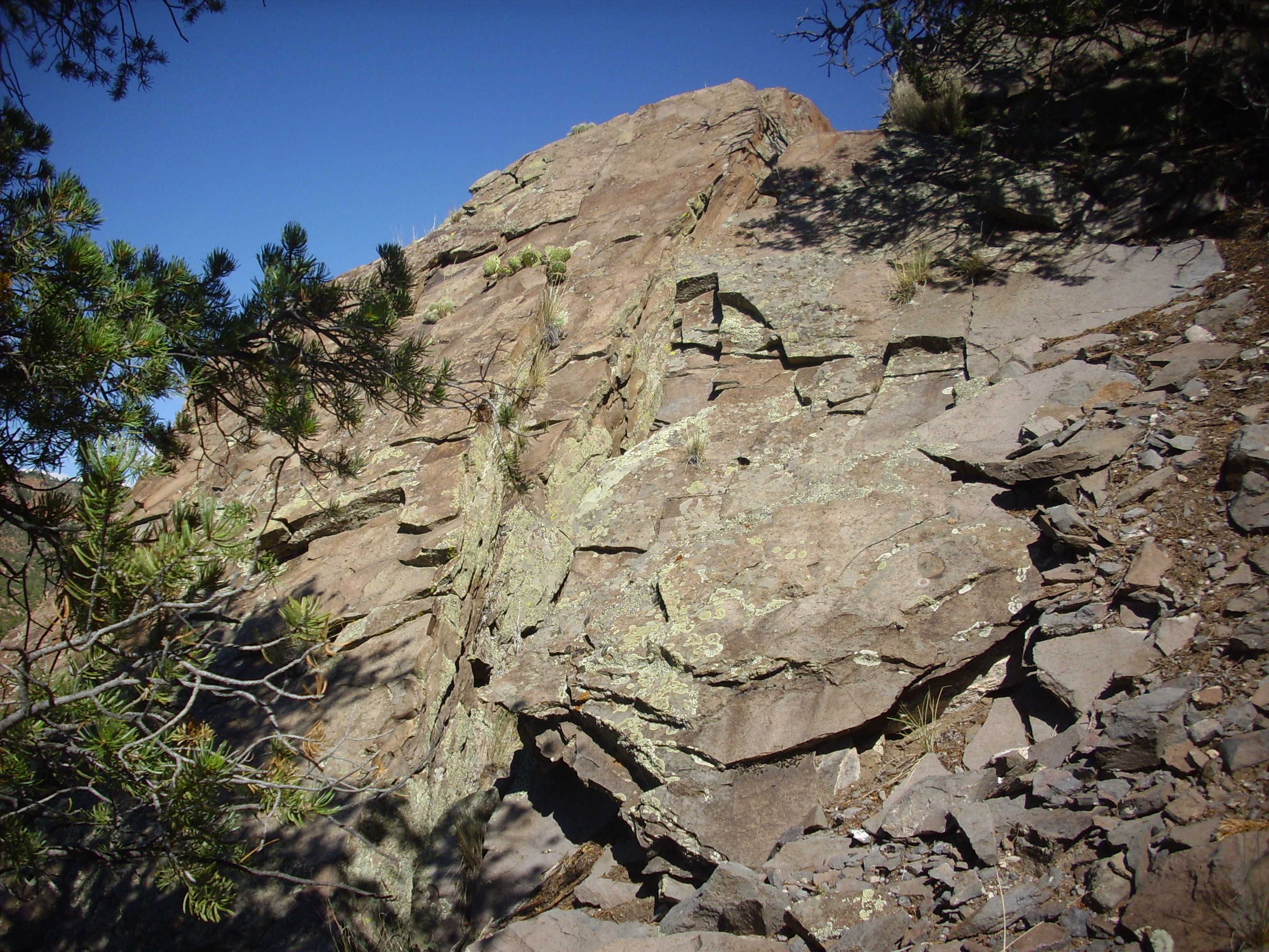
And over the hill I got to my first destination.
Entrada Sandstone. 35 40.623N 106 38.554W
This is the Jurassic Entrada Formation. The cliffs just above it are much younger sandstones derived from Canovas Canyon Formation outcrops. In fact, this is a pretty good candidate for the outcrop of mystery sandstone I saw earlier.
And a panorama:
Panorama of Ponderosa area. 35 40.623N 106 38.554W
Entrada Sandstone dominates the first frame and continues into the second. The plugs of rock on the skyline on the boundary of the first and second frame and near the right edge of the second frame are Canovas Canyon Formation, which we saw earlier. The red beds in the second and third frame are Triassic Chinle Group sediments.
Borrego Mesa continues into the distance in the fourth frame, with Chamisa Mesa beyond.
The final three frames show the Ponderosa community in the foreground, with Canon de Canada behind and the Sierra Nacimiento on the skyline.
I checked my watch; getting late. Much as I wanted to try hiking on to get at the dang Canovas Canyon Formation plugs, I needed to head back. So I retraced my steps, more or less, stumbling at one point into a boulder field:

Boulder field. Perhaps here? 35 40.837N 106 38.771W
That’s rough going. However, while crossing, I spotted a white rock standing out from the dark boulders and took a chunk:

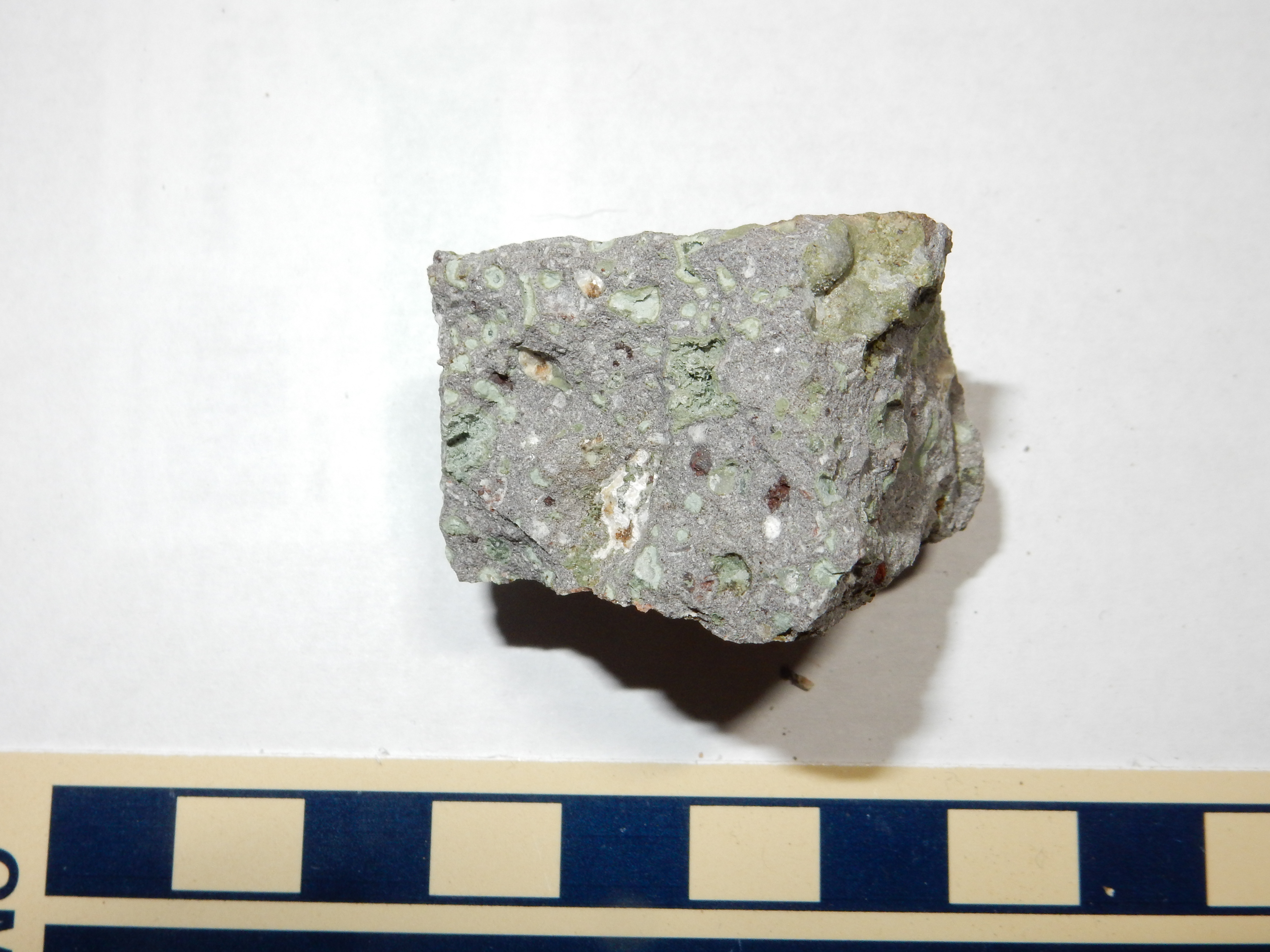
Travertine. Near 35 40.837N 106 38.771W
I had a notion perhaps this was a chunk of Canovas Canyon Rhyolite weathered from the heights. The only real possibilities were a rhyolite or a travertine. Dropped acid on it after I got home and it foamed furiously; travertine. I was vaguely disappointed, though travertine from the Ponderosa area is still pretty cool.
Got back to my car. It was getting late. Back through the forest road, which was shorter but a crummier road? Or the longer way on State Road 4? I had had enough of crummy gravel roads, actually, so I chose the latter.
Could not resist just one or two stops along the way.
Terrace gravel on Zia Formation on Yeso Group:
Zia Formation between Yeso Group and Terrace gravels. 35 38.142N 106 43.390W
Terrace gravel is gravel left behind when a river cuts down to a lower level. They’re usually geologically young. The Zia Formation is weakly indurated white sandstone dating back to before the Jemez became a volcanic field, around 15 million years ago. The Yeso Group is red sandstone dating back to the Permian, some 280 million years ago.
Well, and the lighting seemed particularly good on the Battleship Rock Ignimbrite, so I wanted a picture of that.

Battleship Rock Ignimbrite. 35 50.645N 106 38.185W
And I had recently read that there were some cool hydothermally altered basalts just across the road from Las Conchas, so I had to take a quick look at that.

Paliza Formation basalt at Las Conchas. 35 48.838N 106 31.533W
This is basalt of the Paliza Canyon Formation, which has been dated to a hair over 8 million years in age. It is also the base of the south wall of the caldera in this location.
My interest is in reports that the basalt has been hydrothermally altered. Hot fluids from magma far below has percolated through the basalt and changed its makeup. The outcrop in the photograph is not visibly altered, other than oxidization of scattered olivine crystals to rusty brown iddingsite.

Unaltered Paliza Formation basalt at Las Conchas. 35 48.838N 106 31.533W
But just a short distance east, the basalt shows minerals deposited in cavities in the rock.
Altered Paliza Formation basalt at Las Conchas. 35 48.856N 106 31.436W
This sample appears to have had quartz deposited in it.
Quartz altered Paliza Formation basalt at Las Conchas. 35 48.856N 106 31.436W
There are different degrees and modes of hydrothermal alteration. Quartz alteration is not particular extreme.
Somewhat more extreme is epidote alteration.
Epidote altered Paliza Formation basalt at Las Conchas. 35 48.856N 106 31.436W
The epidote is the green mineral appearing in patches and lining cavities in the basalt. It is a ferrous calcium aluminosilicate mineral, getting its green color from its iron content.
Really, I needed to get back, but the Cerros del Rio were so beautifully lit by the setting sun (<–clue) that I could not resist just one more picture:
Cerros del Rio at sunset. 35 48.856N 106 31.436W
I pulled in to the house a little before 7:00. Well, that’s not so bad; plenty of time for dinner.
I forgot (no, honestly) that because Cindy tends to get hypoglycemic, she likes to eat dinner early. She had already gotten herself dinner by the time I pulled in. We settled for going grocery shopping together.
I tried to make it up to her the next night. No, she had work that just had to be done for her class. (She teaches at the local community college.) No, she didn’t need me to bring her dinner. I went out on my own to take a very short hike in Rendija Canyon and stop at a new taco shop in town and then get a little more shopping done. I brought her home a sample of a couple of enchiladas from the new taco shop; she had already eaten dinner. But she had them the next day, told me they were the best she’d had since moving to White Rock, and we set another date for next Friday to go get a proper meal there.
Not an optimal outcome, but at least a partial save.
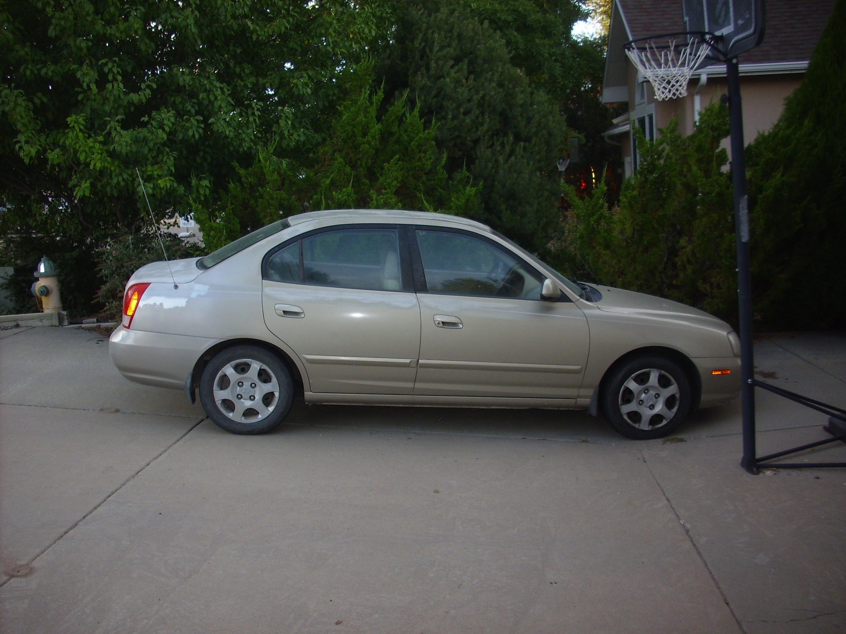
Clownie the Wonder Car
Copyright ©2015 Kent G. Budge. All rights reserved.