Wanderlusting the Abiquiu Formation in the Jemez
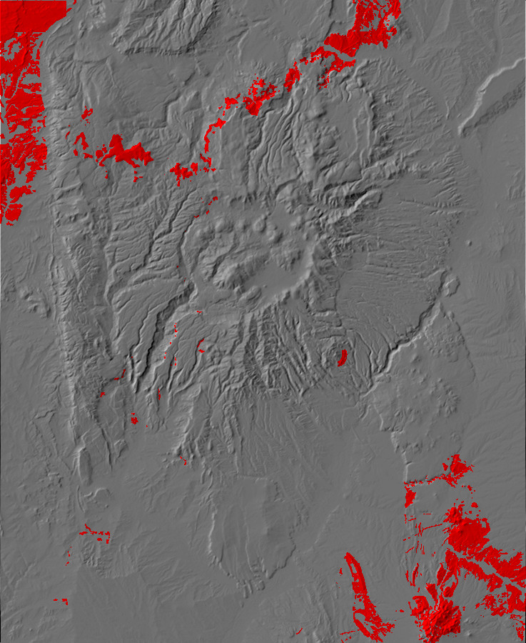
The Abiquiu Formation is quite distinctive, with its white to gray ash-rich beds. Though most prominent around Abiquiu, which I explored in my previous post, it is found here and there throughout the Jemez Mountains. With the beautiful fall weather still holding up, I decided to spend another day exploring the Abiquiu Formation in the heart of the Jemez.
I planned to get a back country permit for the Valles caldera, and visit an exposure of the Abiquiu Formation in the northwest part of the caldera. I also tentatively planned to hike around the flanks of Cerro Trasquilar, in the northeast part of the caldera, where there are exposures of Santa Fe Group sediments. I’ve been to both places before, but was focusing on other things.
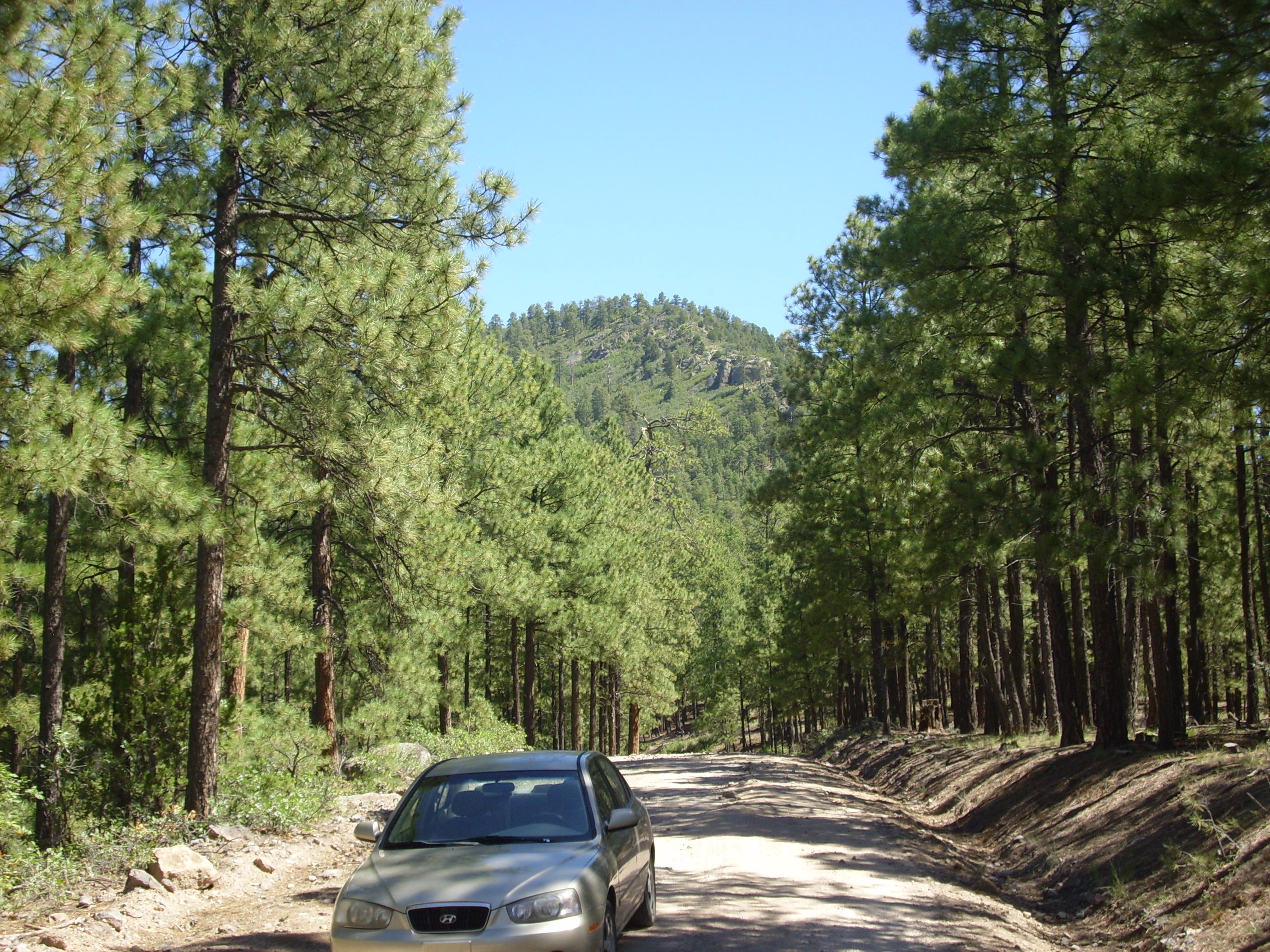
So I loaded up my gear, filled the tanks of Clownie the Wonder Car, and headed out.
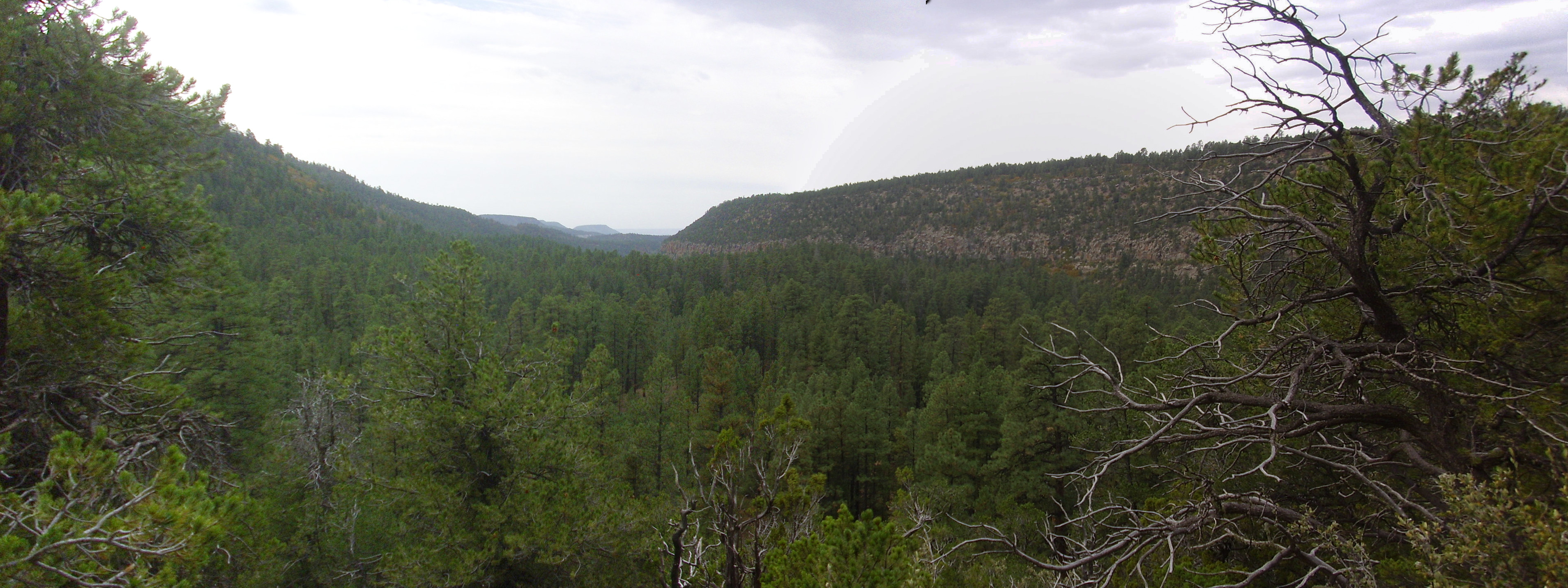
When I arrived at the Valles Preserve headquarters, I found that it wasn’t open yet. I had arrived too early. Well, shucks. I decided to get an early start on the next part of my itinerary, which was to drive down Forest Road 10 into the southern Jemez and look for an exposure of the Abiquiu Formation in the walls of San Juan Canyon, west of Cerro del Pino. I would be a bit rushed to get back in time for a back country permit, but I didn’t figure it would be that long a hike from the road to the exposure.
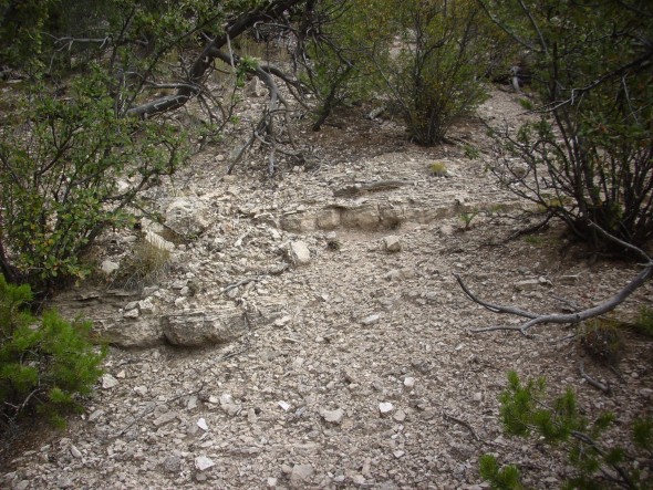
Turns out the hike was quite steep through heavily forested country. I found myself trying to work my way down a gully, where I did indeed find beds of Abiquiu Formation:

Abiquiu Formation. 35 45.219N 106 36.812W
More Abiquiu Formation. 35 45.219N 106 36.812W
And now it was late enough that I hurried back to my car to try to get to the Valles headquarters in time for a permit. I did pause to pick up a large chunk of dacite from the flank of Cerro del Pinos. Cerro del Pinos is a dome of Paliza Canyon Formation dacite, which also formed a high aspect ratio flow into a paleocanyon to the east, typical of high-silica lava flows.
Cerro del Pino. Looking northeast from 35 45.188N 106 36.771W
The dacite here is quite distinctive.
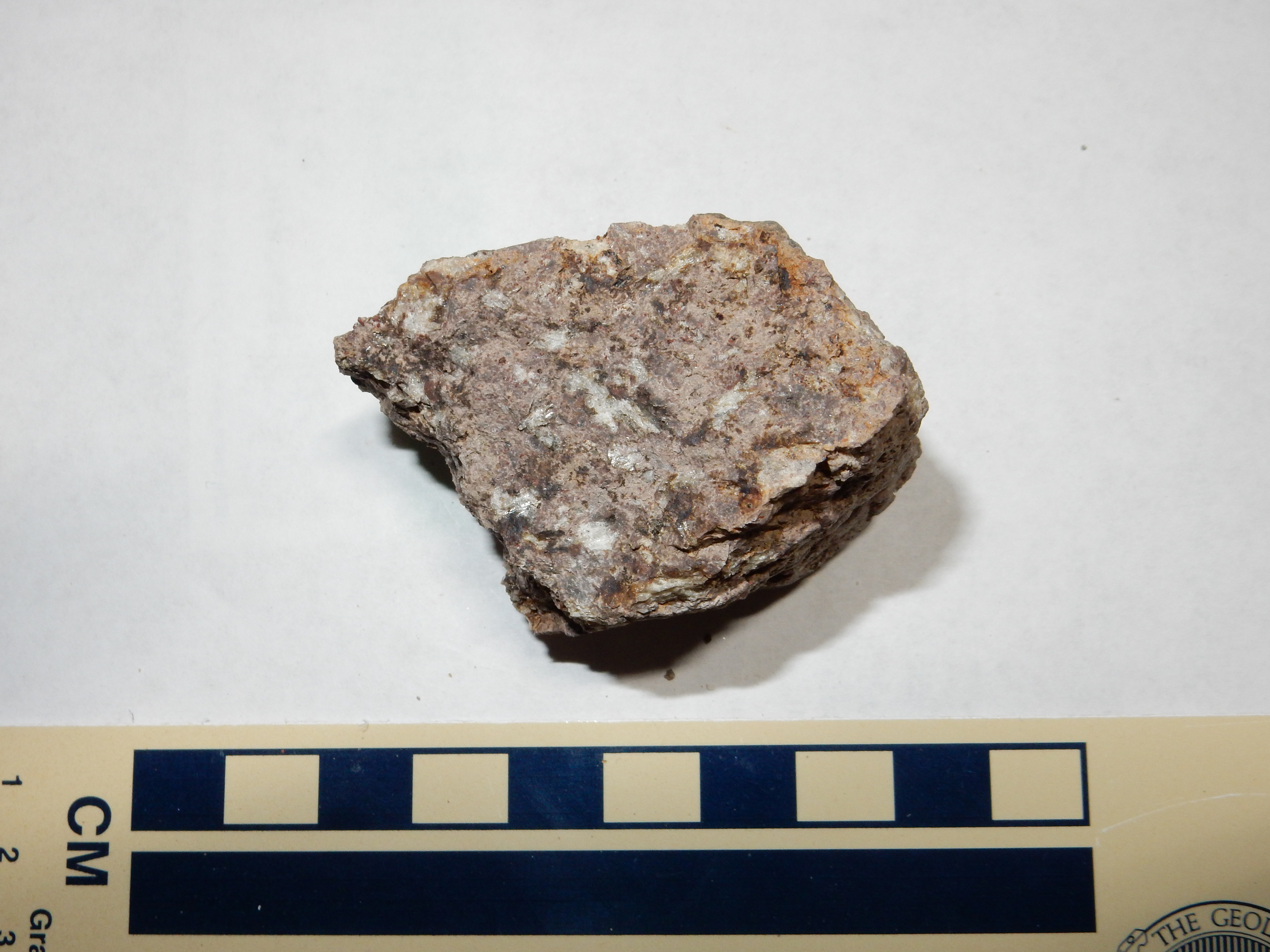
Cerro del Pino dacite. From near 35 45.188N 106 36.771W
The sample is rich with large plagioclase phenocrysts. The loupe reveals sparse needlelike crystals of hornblende, and sparser tiny flakes of biotite.
So when I got back to the Valles headquarters, I learned that the back country was already closed for the winter, as of October 1. Well, shucks and other comments. The ranger allowed as how I was permitted to go anywhere I could hike to and back from the headquarters by closing time; when I pointed at where I wanted to go on the map, she just laughed.
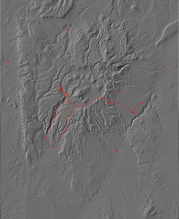
So I headed back down Forest Road 10 to take a more thorough look at the Abiquiu Formation. Having seen that the route down from Forest Road 10 to the exposure was a bit rugged, I tried the longer but easier-looking route along an unnamed jeep trail that follows San Juan Canyon. Leaving Clownie by the intersection — the jeep trail looked too rough for a Korean clown car where it crossed the dry stream bed — I found myself taking a pleasant hour’s hike down the canyon along the old road.
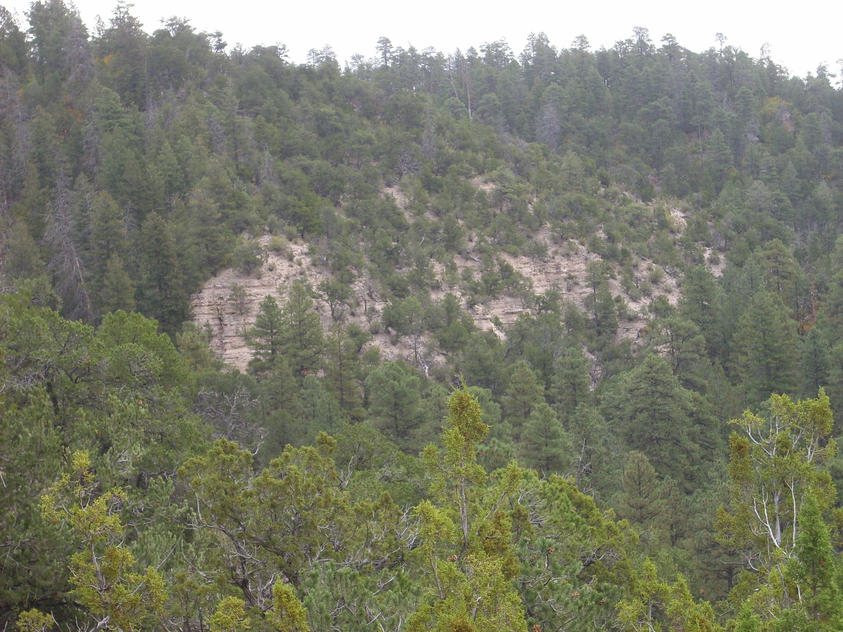
I had my GPS and planned to turn east up the canyon wall when I got to the correct latitude for the big exposure on the map. However, before I got that far south, I spotted some likely looking beds on the west side of the canyon wall. I scrambled up to take a look.
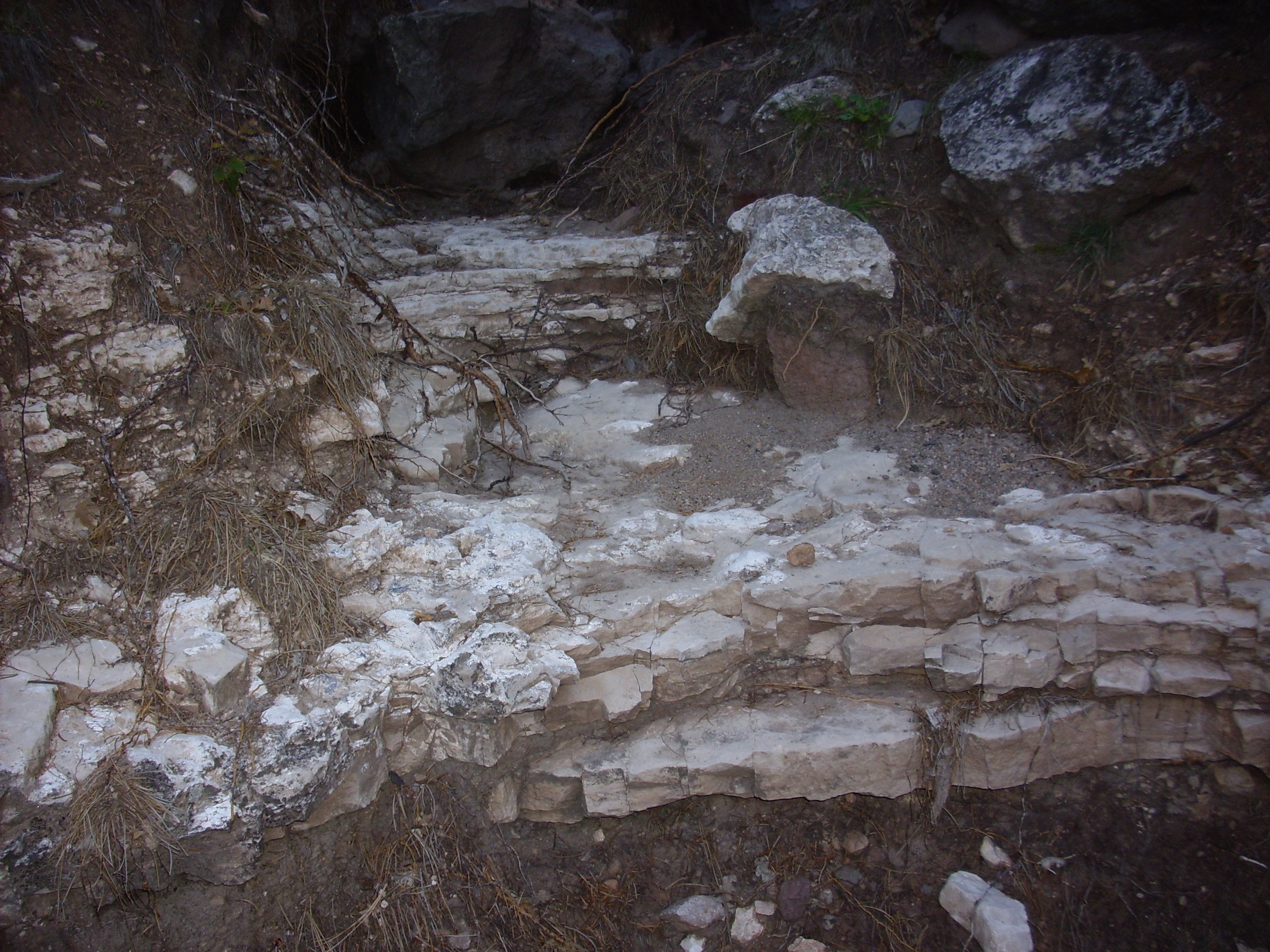
Abiquiu formation in west wall of San Juan Canyon. 35 45.551N 106 37.440W
Here the Abiquiu Formation is overlain by Paliza Canyon Formation basalt and andesite flows. I climbed up further looking for the contact. This was mantled with colluvium (in plain language, rubble and dirt) but I did get to the level of the andesite.
Paliza Canyon formation in west wall of San Juan Canyon. 35 45.552N 106 37.465W
I continued on south, checking my GPS occasionally to see when I should turn east and up the canyon slope. Sure enough, the coordinates put me just south of a large shoulder in the canyon wall where the gully I had hiked earlier joined the canyon.
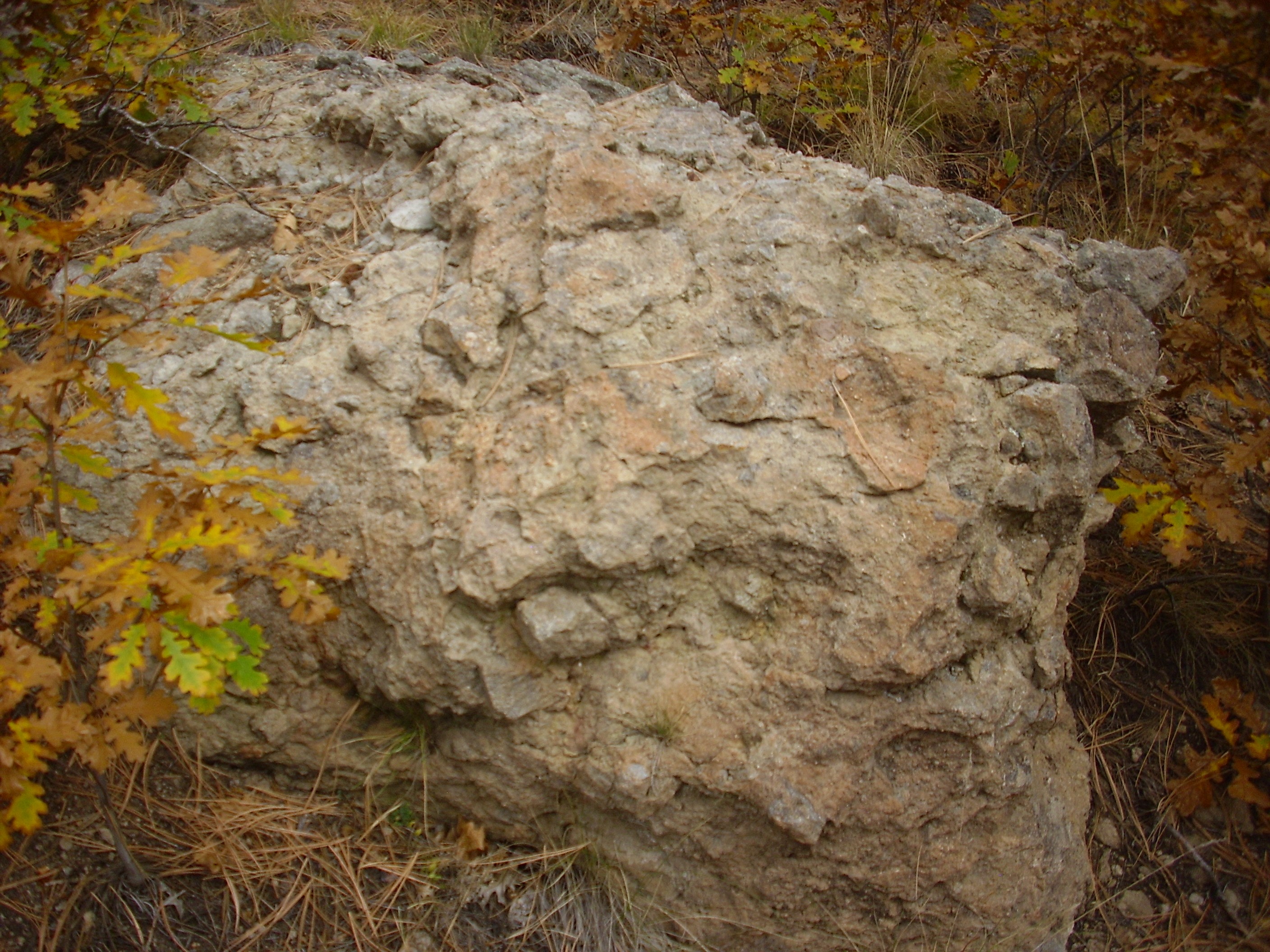
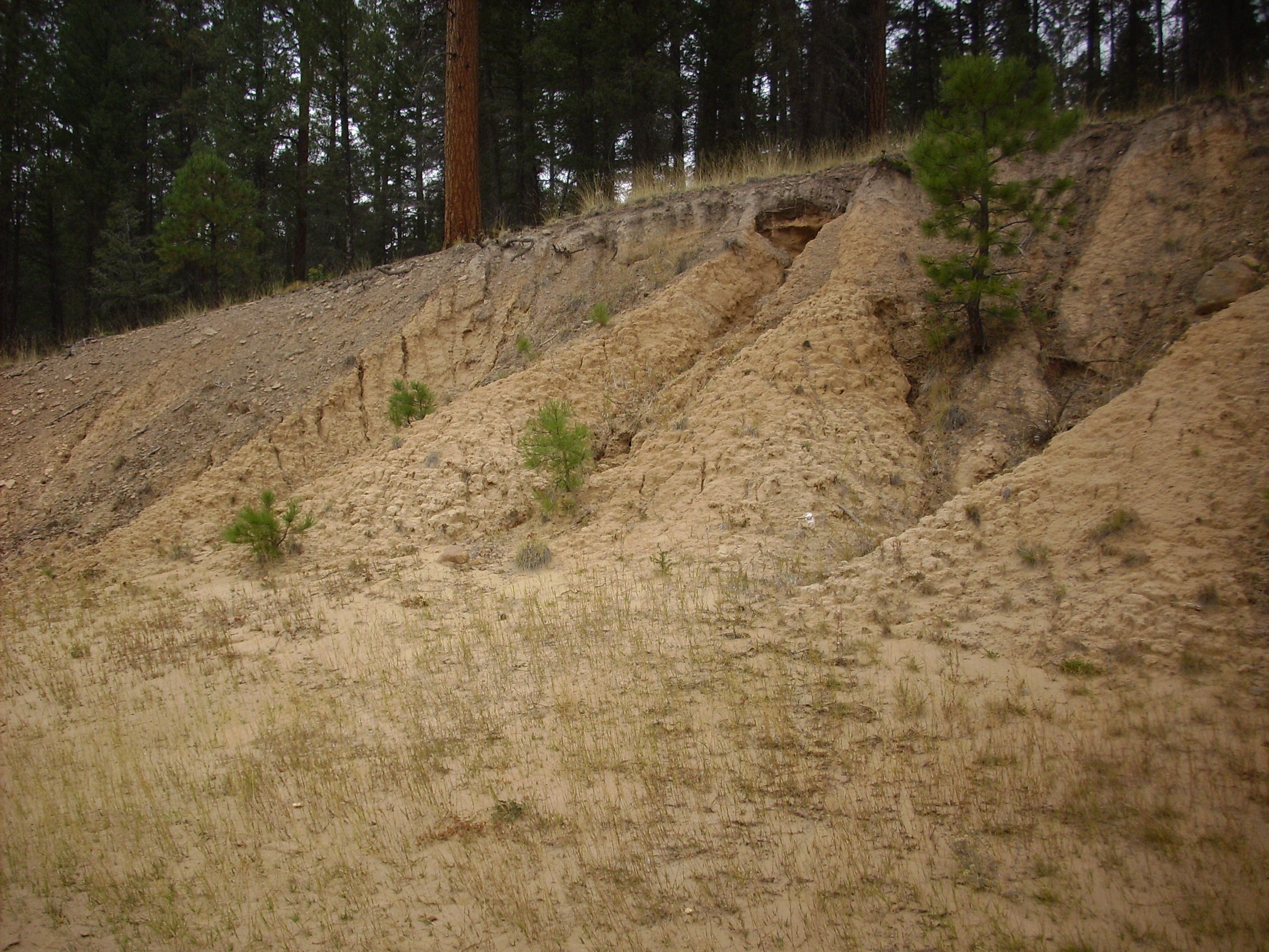
I started up the canyon wall. This turned out to be a fairly difficult scramble over steep terrain with lots of scrub. However, I was rewarded with some fairly spectacular beds of Abiquiu Formation.

Abiquiu Formation. 35 45.281N 106 37.271W

Abiquiu Formation. 35 45.281N 106 37.271W
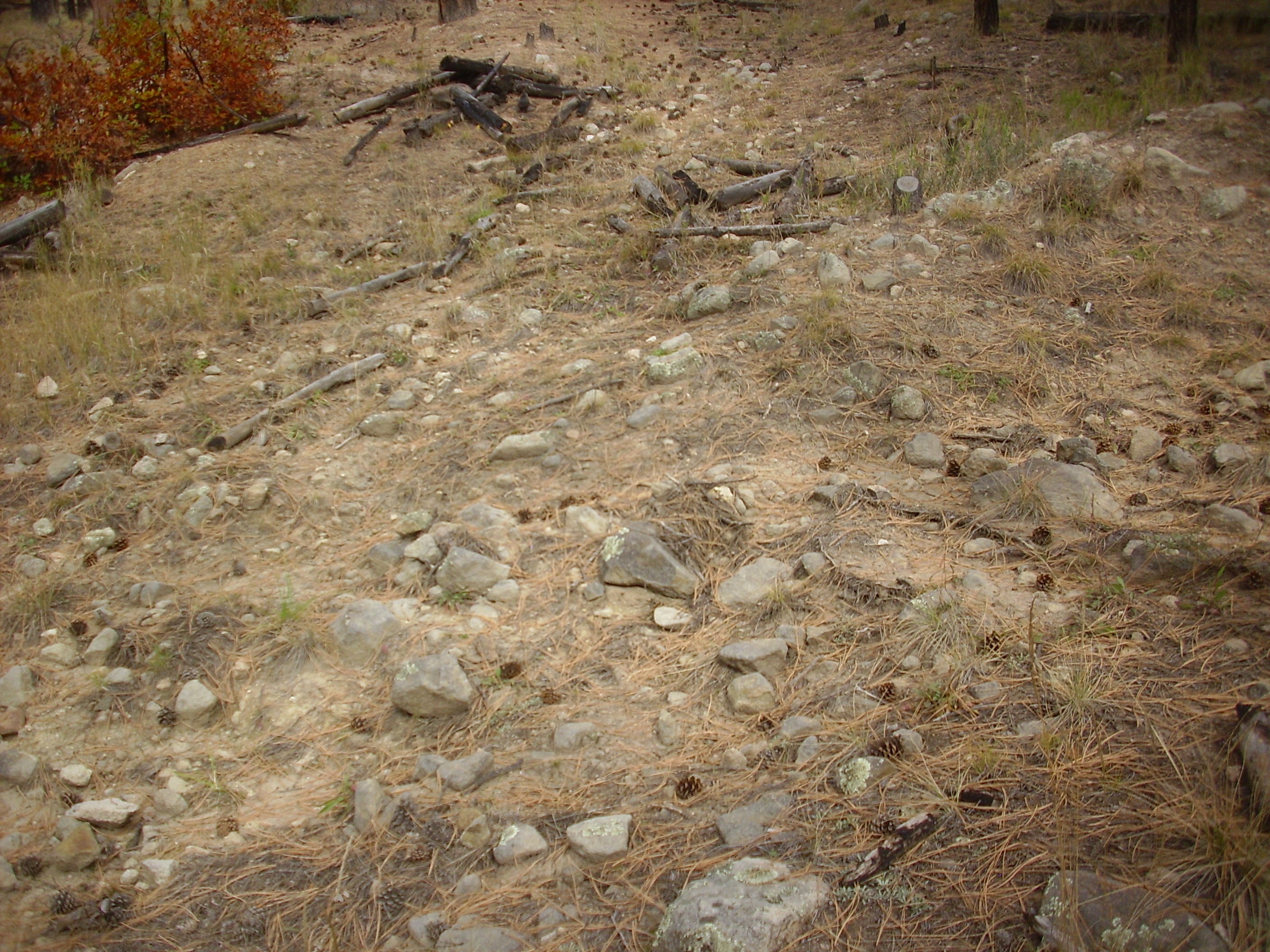
I climbed a little further, and found an open area ideal for viewing the surroudings. The view down the canyon:
San Juan Canyon. 35 45.290N 106 37.260W
The canyon wall to the right is capped with Bandelier Tuff, beneath which are the Paliza Canyon Formation and Abiquiu Formation exposures I saw earlier. Way down the canyon is Borrego Mesa, and if you squint, you can see a white patch of Jurassic beds on the side of the mesa.
To the east is a cliff of Abiquiu Formation.
Abiquiu Formation on east side of San Juan Canyon. Looking east from 35 45.293N 106 37.256W
Well, cool. I was ready to hike back to my car. I found myself disinclined, however, to try scrambling back down the canyon slope to make the hike back up San Juan Canyon; down is actually more dangerous than up. So I decided to climb the rest of the way up the canyon wall and hike back to my car along Forest Road 10. This turned out to be a quite strenuous scramble; my heart was pounding by the time I got to the road. I’m old enough to be a bit paranoid that something will blow out when I do that. On the other hand, I could look at this as passing yet another cardiac stress test.
(Yes, I’ve had a proper cardiac stress test, with the wires and EKG and resuscitation gear handy if needed. I passed with flying colors. Still.)
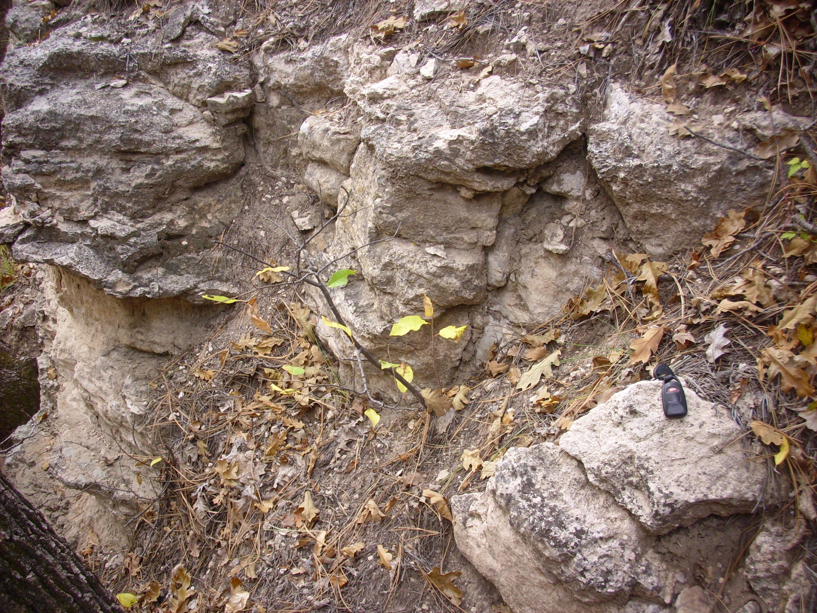
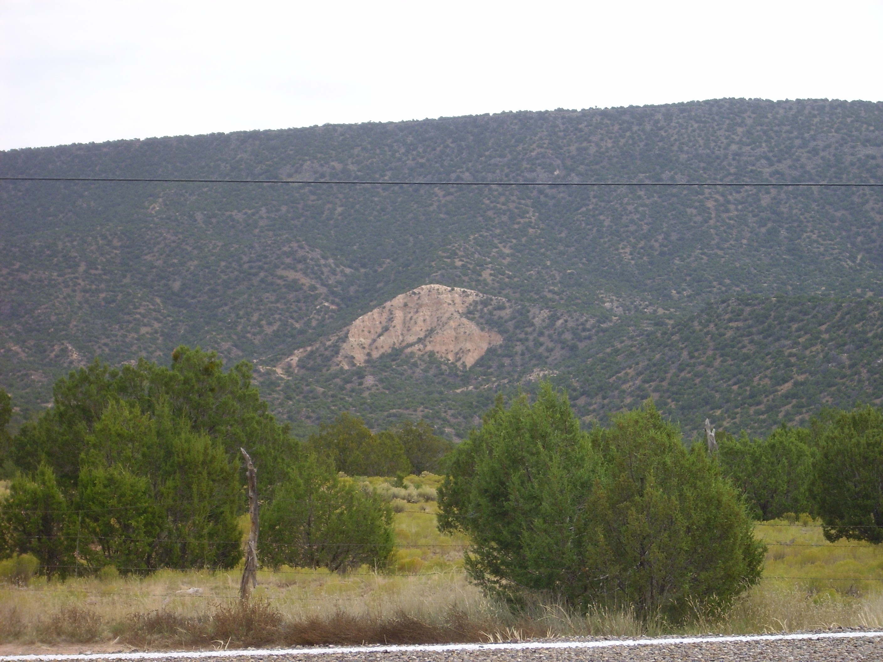
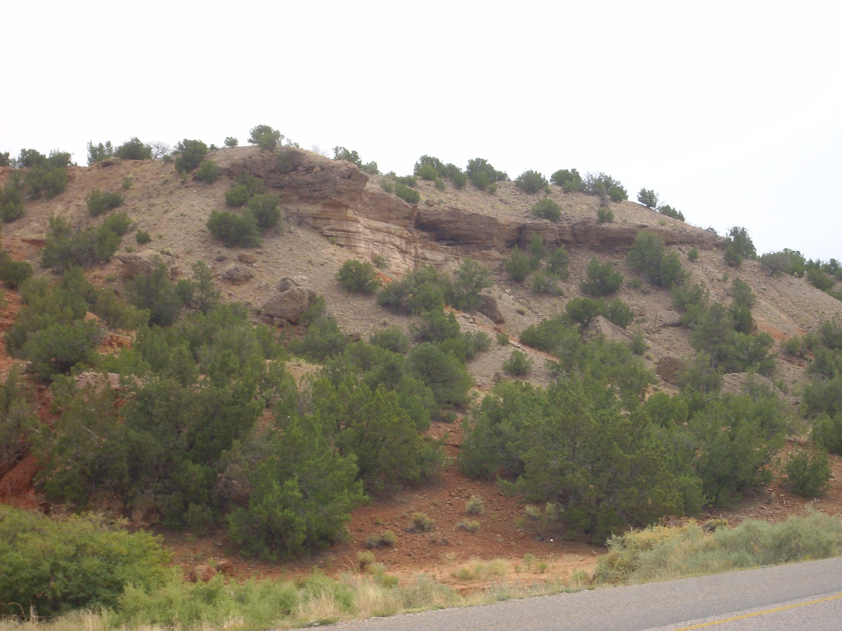
Now, something that puzzles me about this area is that there are what looks like exposures of Chinle Formation in the road cut along Forest Road 10.
Chinle Group? 35 45.648N 106 36.987W
That sure looks like Chinle Group red beds in the road cut. Furthermore, I have a road log identifying it as such. But none is shown on the latest geologic map, and the stratigraphic position seems wrong; this is well above the level of the much younger Abiquiu Formation. Well, there’s a lot of weird faulting in the area; go figure.
I huffed and puffed back down the road to my car — fortunately, mostly downhill — and paused for a quick snack lunch. Then off to the Ponderosa area; since I hadn’t got in to the Valles back country, I had extra time on my hands, and decided I’d go see the furthest south reputed outcrops of Abiquiu Formation, then look for outcrops in the west rim of the caldera.
I paused to take a photograph of Zia Formation in the flanks of Borrego Mesa.
Zia Formation. Looking east from 35 37.693N 106 42.095W
The Zia Formation is another early rift fill formation of the Santa Fe Group. It disappears in the area west of Cochiti Pueblo, buried under younger deposits of the Cochiti Formation.
I paused again at the bridge over Vallecitos Creek, where there were some more impressive beds.
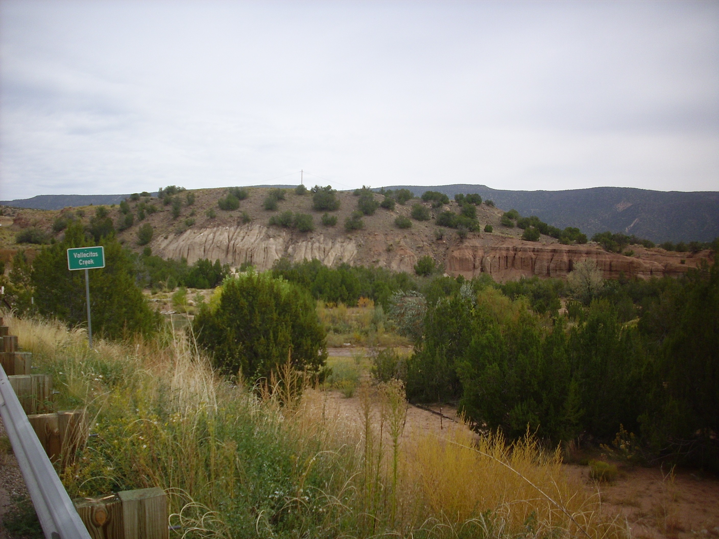
Zia Formation. Looking east from 35 37.693N 106 42.095W
The Zia Formation is the white area to the left. The contrasting tan beds to the right are much younger terrace deposits of Vallecitos Creek.
I reached State Road Four and turned north, looking for a couple of isolated exposures of Abiquiu Formation the geologic map shows on the east side of the road. Sure enough:
Abiquiu Formation remnants near Red Rocks. 35 38.251N 106 43.429W
The exposure here is the thin layered white beds, sandwiched between red Abo Formation on which the Abiquiu was deposited in this area and dark beds of much younger terrace gravels laid down by the Jemez River before it cut down to its current level.
Heading north along San Diego Canyon, I did a bit of reconnaissance into a neighborhood where there were allegedly some good tent rocks, finding that the final part of the road was fairly lousy and was all posted as private land. I then paused for a photograph of the spectacular Paliza Canyon Formation volcaniclastics in the canyon wall north of Hummingbird Music Camp.
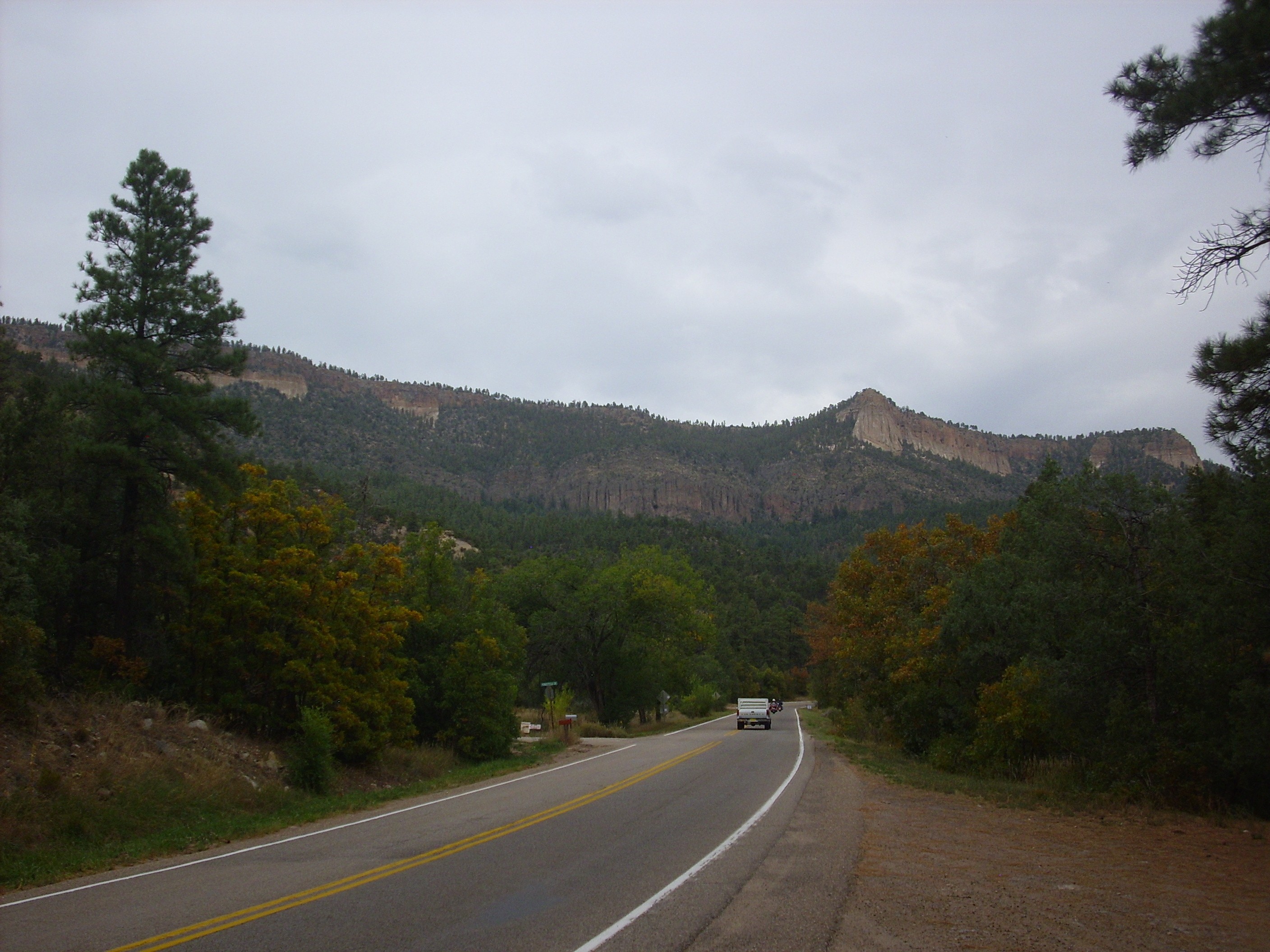
Paliza Canyon debris avalanche. Looking north from 35 48.924N 106 40.087W
The Paliza Canyon exposure is the very dark rock below the cap of lighter Bandelier Tuff. This exposure is particularly interesting because it is composed of a jumble of Paliza Canyon Formation andesite boulders that appears to fill a paleovalley in the underlying Abo Formation. This paleovalley extends south some distance and parallels the modern canyon. The exposure is interpreted as a debris avalanche that came off the flank of a Paliza Canyon volcano to the north that later foundered into the Valles caldera. The debris transitions abruptly to solid andesite flows just south of La Cueva.
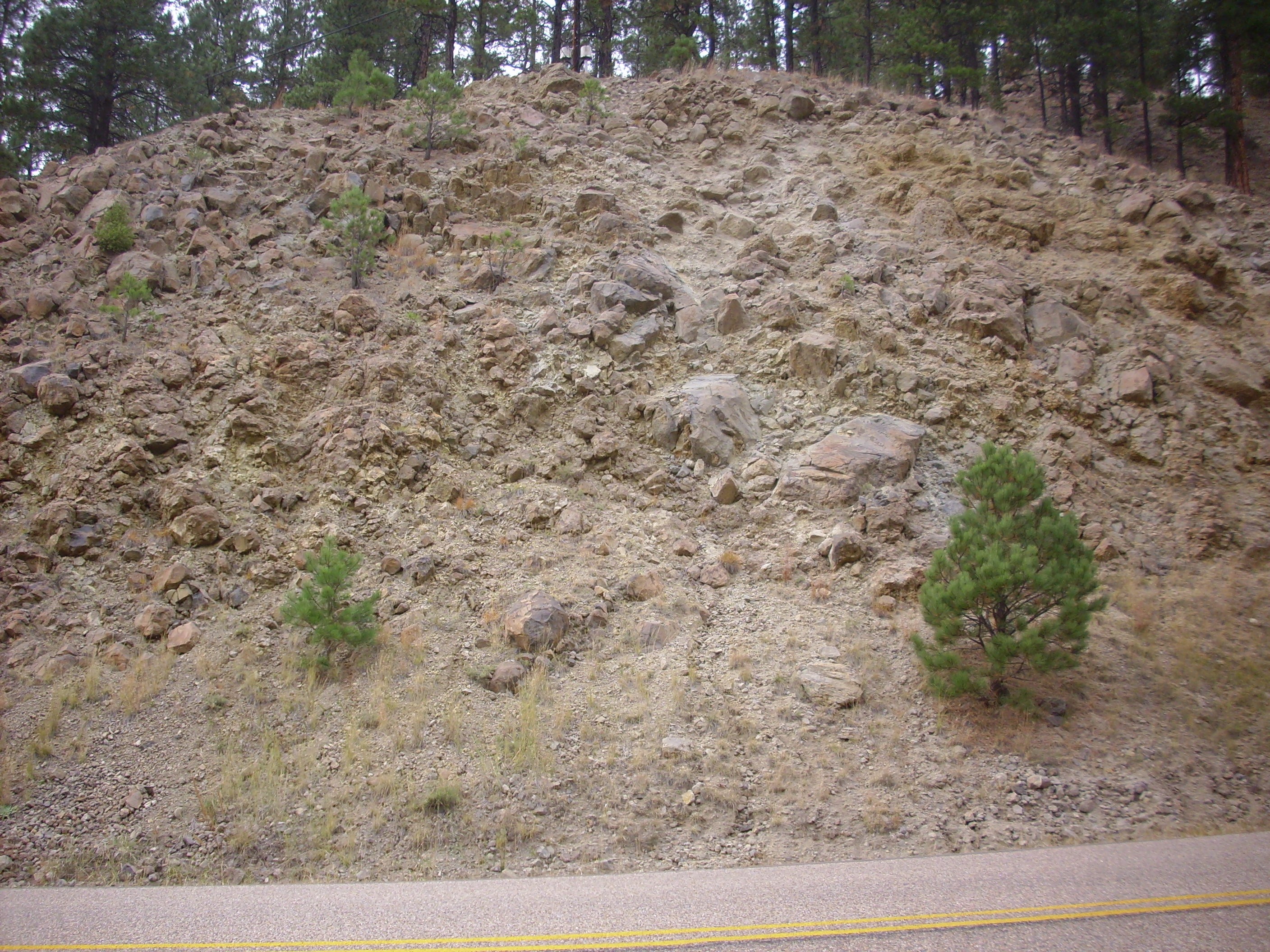
Still had some time on my hands, so I drove through La Cueva and parked across from San Antonio Campground and hiked east up Water Canyon. My geologic map shows that there are debris flows and megabreccias in the area dating back to the collapse of the caldera.
I think this is megabreccia.

Megabreccia at mouth of Water Canyon. 35 53.206N 106 38.695W
The megabreccia here takes the form of very large boulders of every composition from Abo sandstone to Tschicoma dacite. These form a jumble at the canyon mouth.
The very light colored outcrop at the top of that photograph caught my eye, and I scrambled up to it. It turned out to be an outcropping of the Redondo Creek Rhyolite that had been very heavily hydrothermally altered.
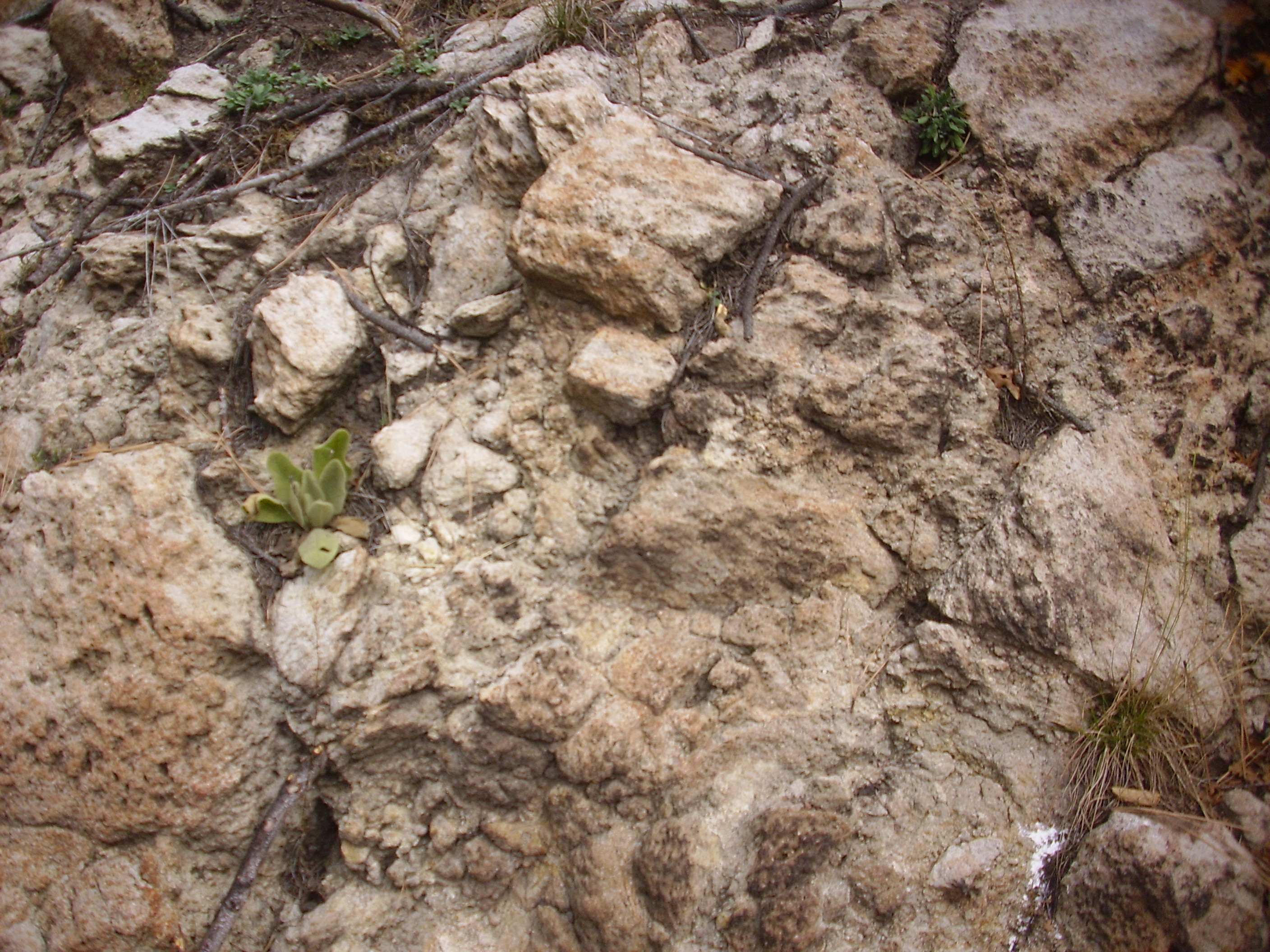
Redondo Creek Rhyolite. 35 53.221N 106 38.659W
The rock here was originally a glassy silica-rick rhyolite. However, it has been exposed to hot fluids, either from the magma chamber below or from a crater lake into which the lava was erupted very shortly after the Valles event. The hot fluids have reduced the originally hard, glassy rock to a weak spongy rock that crumbles fairly easily.
I found more of the same further up slope.
Redondo Creek Member outcrop with extensive hydrothermal alteration. 35 53.191N 106 38.544W
This looks like it may originally have been a block and ash flow, as do many other outcrops in the area.
Nearby was a possible debris flow
Possible debris flow at mouth of Water Canyon. 35 53.200N 106 38.608W
This does not have the monstrous boulders that characterize a megabreccia.
I hiked back to my car and headed on up the canyon rim. Here there is a road cut that has been much puzzled over by geologists.
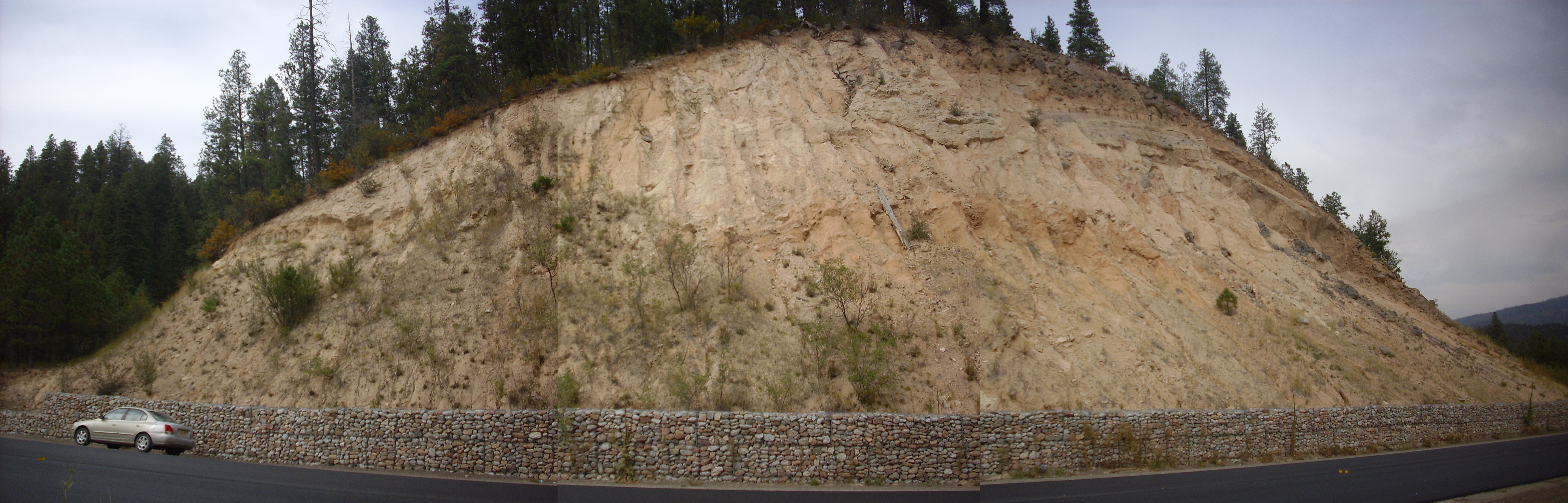
Puzzling road cut. 35 53.109N 106 39.690W
Oh, the basics are clear enough: We’re looking at sedimentary beds, probably of the Santa Fe Group, in the west rim of the caldera, and there’s a cap of lava boulders on top. But geologists puzzle over the details. The sediments look like Tesuque Formation, but are they Chama-El Rito Member or Ojo Calienta Member? And the beds to the left; they look a little like Abiquiu Formation, but then why do they seem to sit atop the younger Santa Fe Formation beds? Is that a river channel at the top of the roadcut? &c.
You know something? One of my biggest weaknesses as a scientist is that I don’t like puzzles. I have too much hobbit in me for a scientist: I like books full of things I already know, set out fair and square without contradictions.
So I moved on.
A little further along the road is an outcropping that is unambiguously Abiquiu Formation.
More Abiquiu Formation. 35 53.045N 106 39.764W
To its left is a nice outcropping of Paliza Canyon Formation andesite.

Palize Canyon Formation. 35 53.029N 106 39.780W
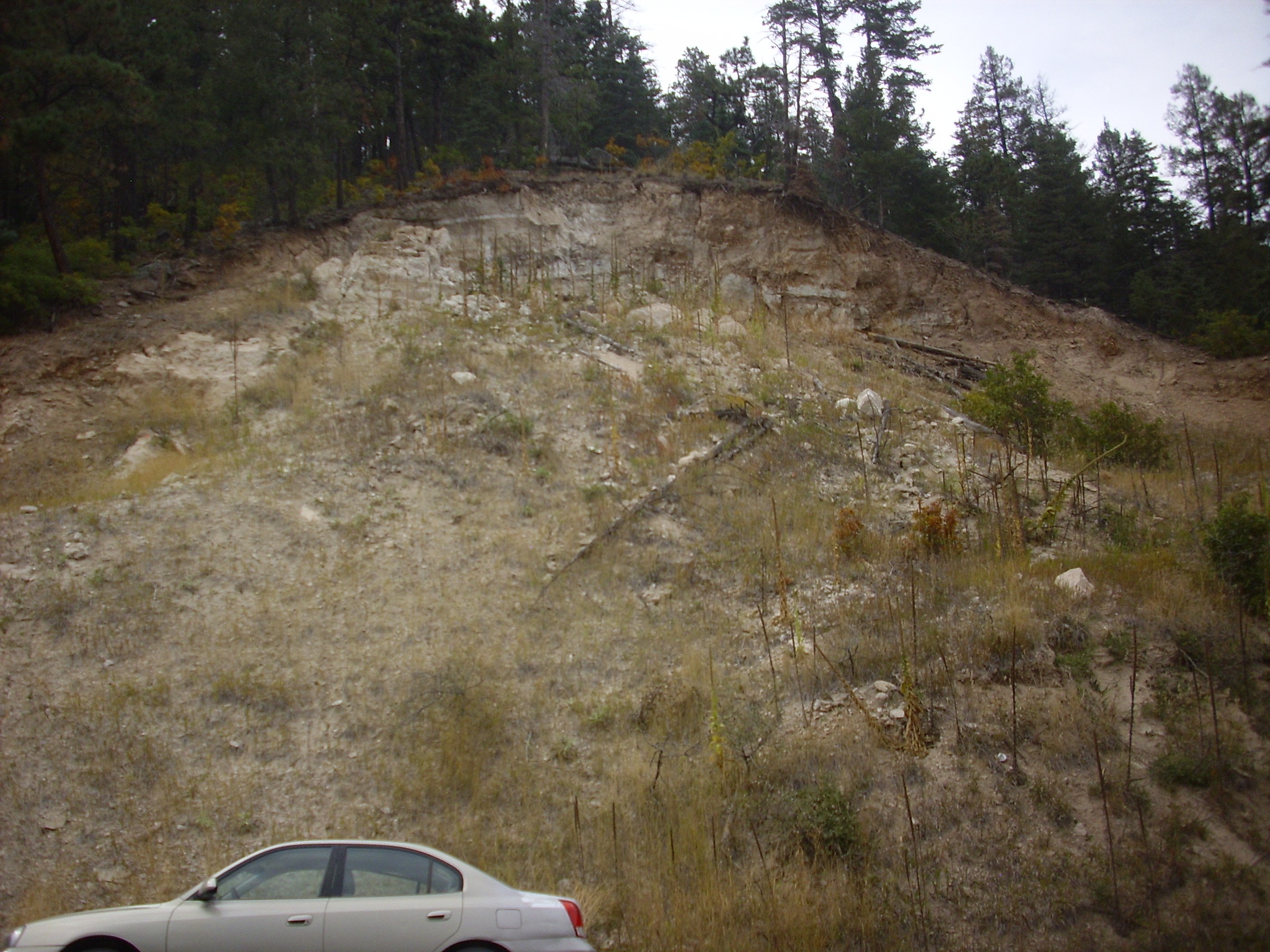
I continued along State Road 126 a little further, to where the road cut through a bank of Ojo Caliente Sandstone.
Ojo Caliente Member. 35 53.578N 106 40.262W
You can see in the photograph how deeply eroded this small outcrop is. The exposure is poorly consolidated and uncemented, with loose sand everywhere. “Sandstone” is a bit optimistic. Similar exposures are found in many places in the caldera west rim. This represents rift fill that was deposited before the Jemez volcano field really got going.
I did a little reconnaissance while I was in the area, exploring Forest Road 144 for its suitability as a route into the northwest Jemez, the area I’ve least explored. The road is fairly decent, if a bit rocky in places. Suitable for passenger vehicles in good weather. I stopped briefly at one turnoff and walked to the rim of San Antonio Canyon. Not a bad view, except it was hazy from nearby controlled burns and it had clouded over enough that the light was bad; I didn’t bother with pictures. I’ll likely be back.
I also explored Forest Road 376. The northern part; I’ve driven the part south of State Road 126 several times, and it’s one of the best gravel roads in the Jemez. Not so the northern part; I chickened out after just a couple of hundred yards, when the road turned into an impressive rock garden. Perhaps it gets better further on, but it was late and I was disinclined to take the chance.
Heading home, I paused at another road cut east of La Cueva on State Road Four, which turns out to be more Redondo Creek Rhyolite.
Redondo Creek Member. 35 52.495N 106 38.139W
Radioisotope dating of this outcrop gives it an age of 1.23 million years. The unaltered rhyolite is quite glassy, and, like much volcanic glass, quite dark in color.

Redondo Creek Member. 35 52.495N 106 38.139W
Note the many plagioclase phenocrysts. The rock has the composition of a rhyodacite but has no visible quartz. The lack of quartz phenocrysts distinguishes this rock from the Deer Canyon Rhyolite. Compare this with the spongy altered Redondo Creek Rhyolite I showed earlier.
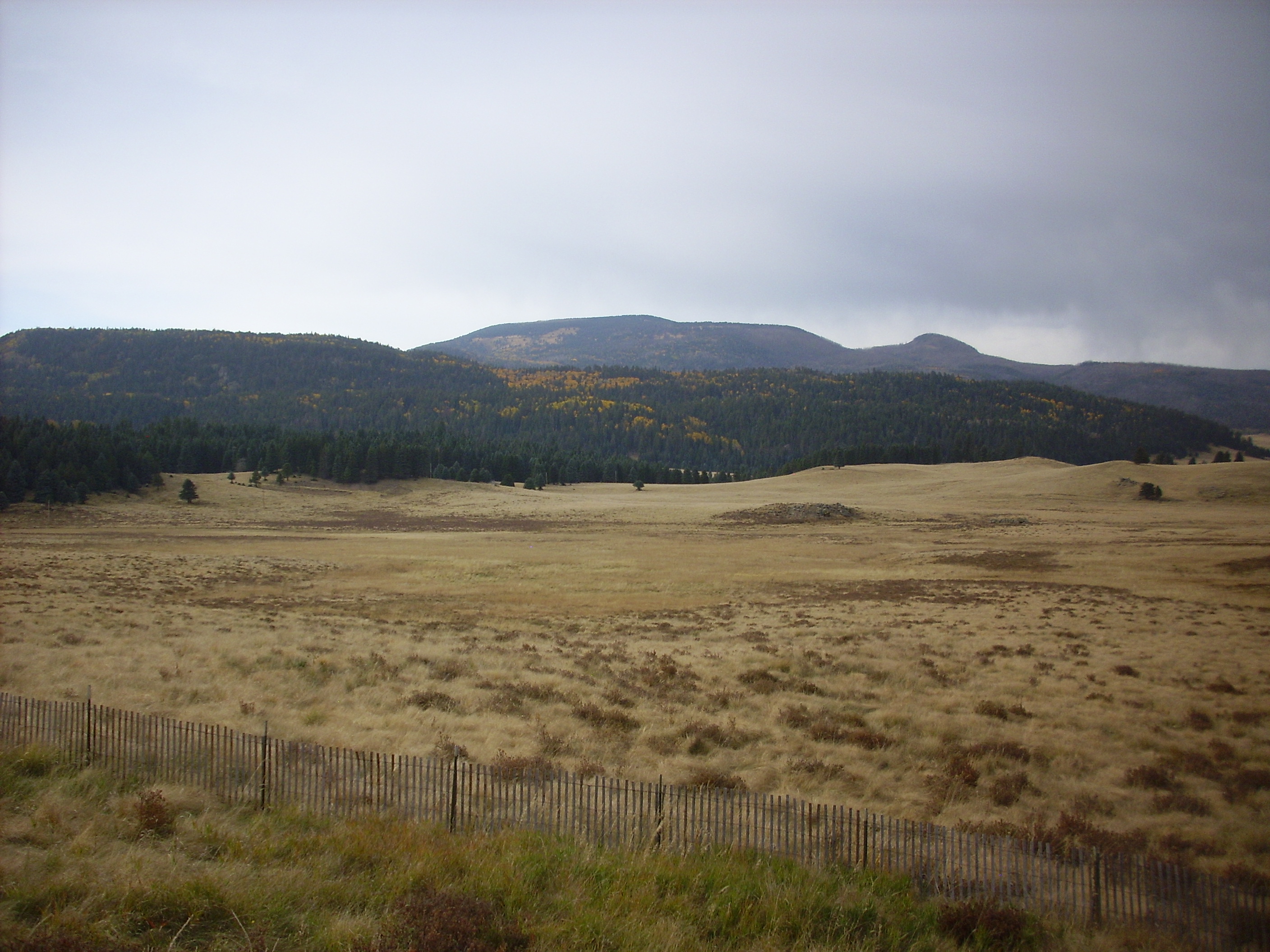
Finally, one last shot, to celebrate autumn in the Jemez.
So why all the interest in Abiquiu Formation? Well, first, I’m a geek, so I get fixated on things just on general principle. But in addition, the Abiquiu Formation nicely traces the early western margin of the Rio Grande Rift. Further west, the Abiquiu Formation has been eroded off the highlands of the Sierra Nacimiento. Further east, the Abiquiu Formation either was never deposited, or is mostly buried under younger rift fill sediments.