Wanderlusting Buckman Mesa
No wanderlust last weekend.

And that’s Friday, before the big snow hit. Saturday I awoke to six inches of snow on the ground. This ruined my hiking plans, but I got a lot of work done on the book, and the late snow is going to help a lot with the fire season.
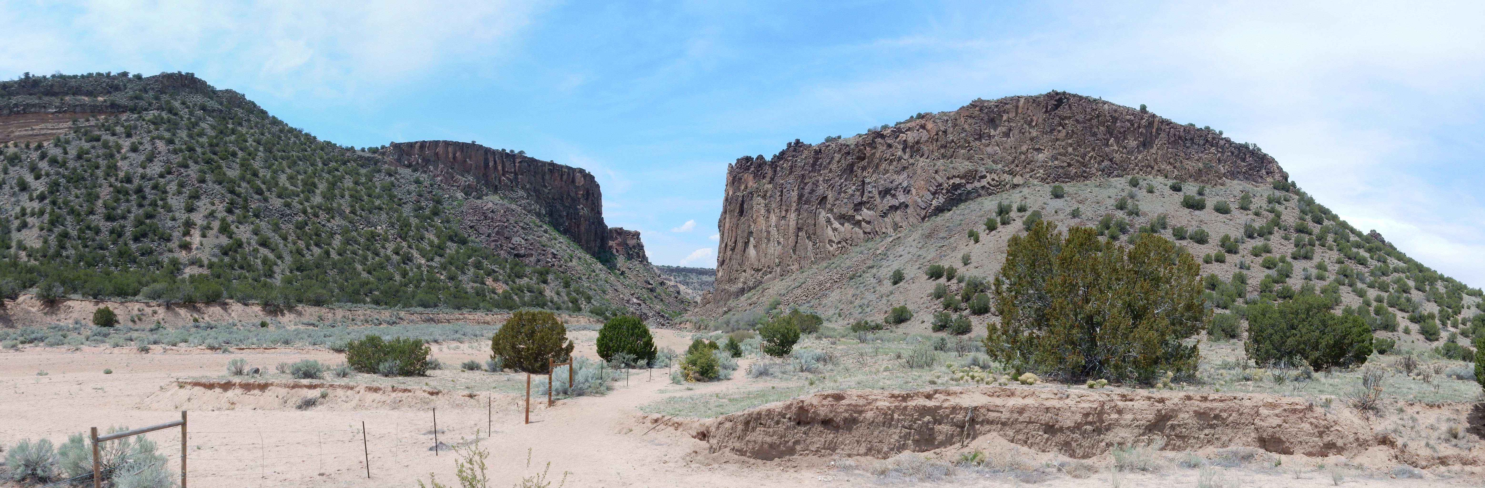
By Thursday the snow was all melted and the weather was beautiful, with hardly a cloud in the sky. The temptation to play hooky from work was great, but that verification and regression test suite wasn’t going to write itself, and I have a wife, three kids, five cats, a dog, and a hungry mortgage to feed. Yesterday it started getting a touch cloudier, and there was a lot of haze in the air from some prescribed burns at Poleo Mesa. When I checked the Valles web site, I found that back country permits aren’t being issued yet. Try a panorama from the north rim? I wasn’t sure I would have favorable weather for good panoramas, there was the haze, and with the recent snow, the roads might be in rotten shape. I decided to try to photograph a very nice exposure of Bandelier Tuff featured in one of the New Mexico Geologic Society road logs and then hike the trail to the top of Otowi Peak. Otowi Peak sits atop Buckman Mesa, and both peak and mesa are also known as La Mesita.
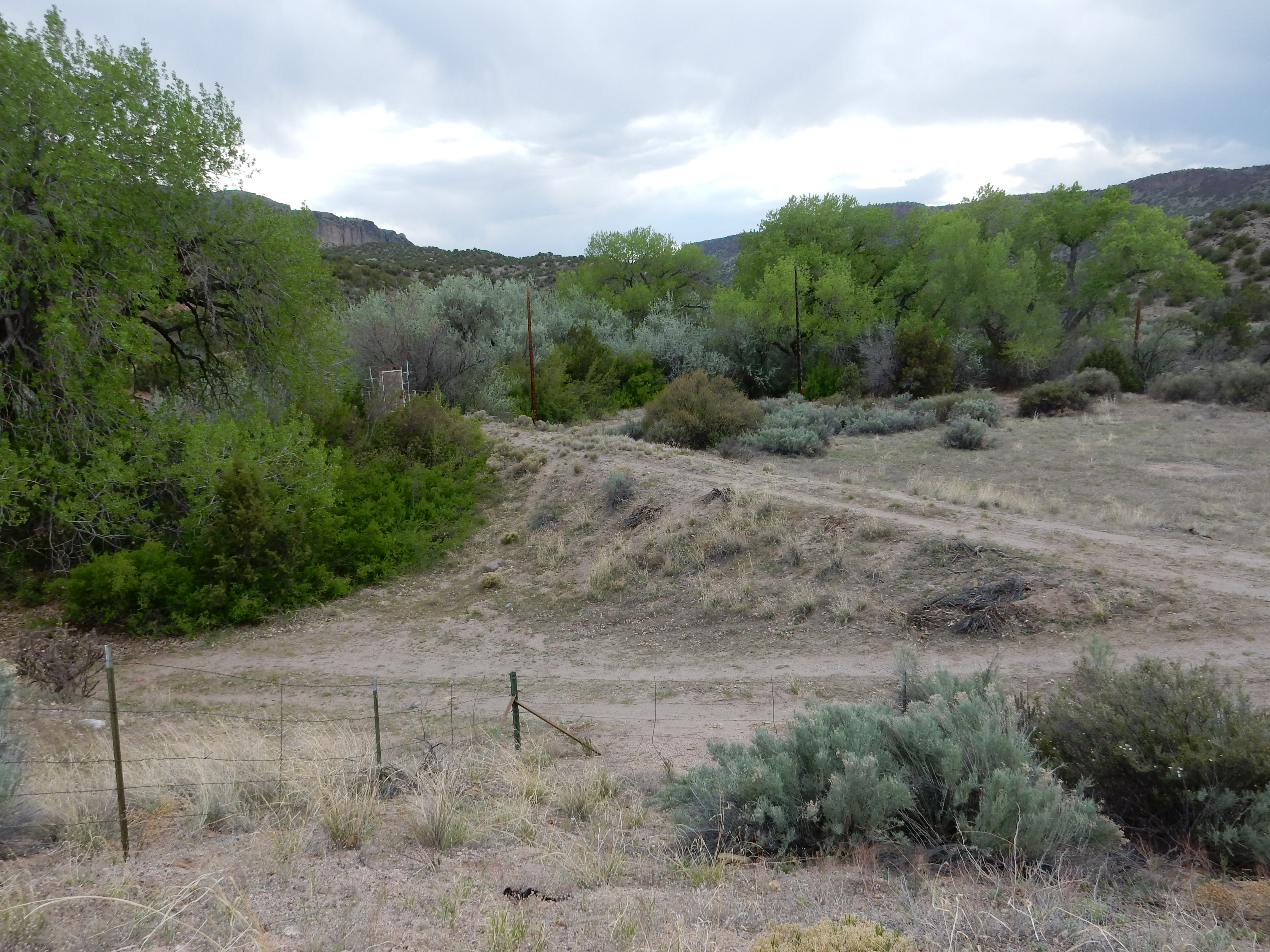
I drove up to Smith‘s in Los Alamos, figuring to park there and follow the canyon rim trail to where I could see the exposure, which my guide book seemed to place on the south wall of Los Alamos Canyon below one of the technical areas south of DP Road.
I got onto the trail and looked down the canyon to where I expected to see the exposure.
Huh. The south canyon wall was covered with vegetation, with no good exposures of the underlying rock, for as far down the canyon as I could see. Well, let’s hike on down and be sure.
The Rim Trail turned north. Shucks. I hesitated, then took the unimproved road that seemed to follow the rim. It worried me that a Department of Energy “keep out” fence was on the canyon rim, and that this seemed to get further from the rim the further I went. I gave up on that, turned around, and headed back, thinking to check my road log and follow its instructions. (These included crossing an old trailer park by special permission, which is why I tried the rim trail instead, but DP Road has seen a lot of land use patterns change, the log is ten years old, and you never know.)
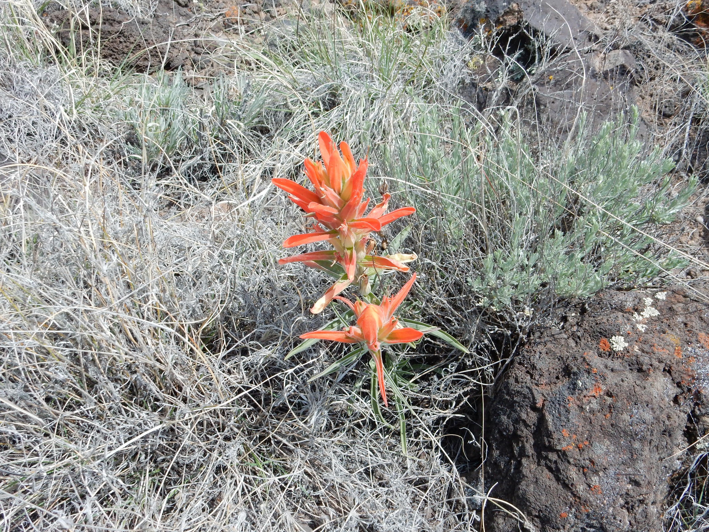
At least there were wildflowers along the way.

Indian paintbrush and some kind of daisy. I was told as a kid that Indian paintbrush are actually parasitic on the roots of other plants. A quick check with the Repositary of All Human Knowage confirms this, and adds that the flowers are edible in moderation but the leaves and roots build up dangerous concentrations of selenium.
I was told about Indian paintbrush by my father, who knew everything worth knowing, and I was about seven years old at the time. He had taken me with him, for some reason, when he drove out one Saturday to what is now Overlook Park to shoot his pistol. Back then the area was completely undeveloped except for the sewage plant and a dirt road to the canyon rim. He had grown up on a ranch, spent time in the Army, and loved firearms, and he was probably using cartridges he had reloaded himself. Funny which memories remain vivid.

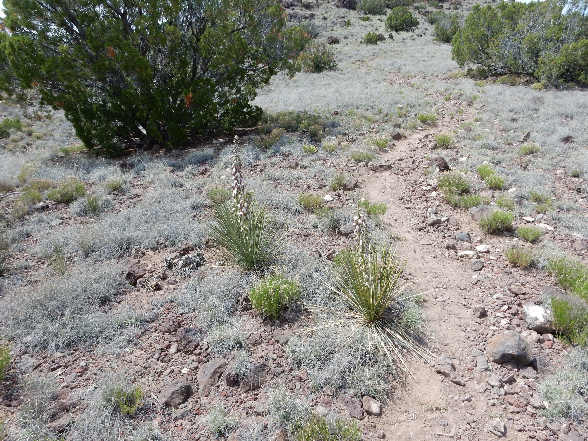
Yucca neomexicanus, most likely; the New Mexican Spanish bayonet. Unlike their close relatives, the agaves, yuccas can bloom more than once from a single rosette; you can see both the dead flower stalk from last year and the new stalk for this year.
Yuccas are from the asparagus family. I think I prefer that they do not pretend to be edible.
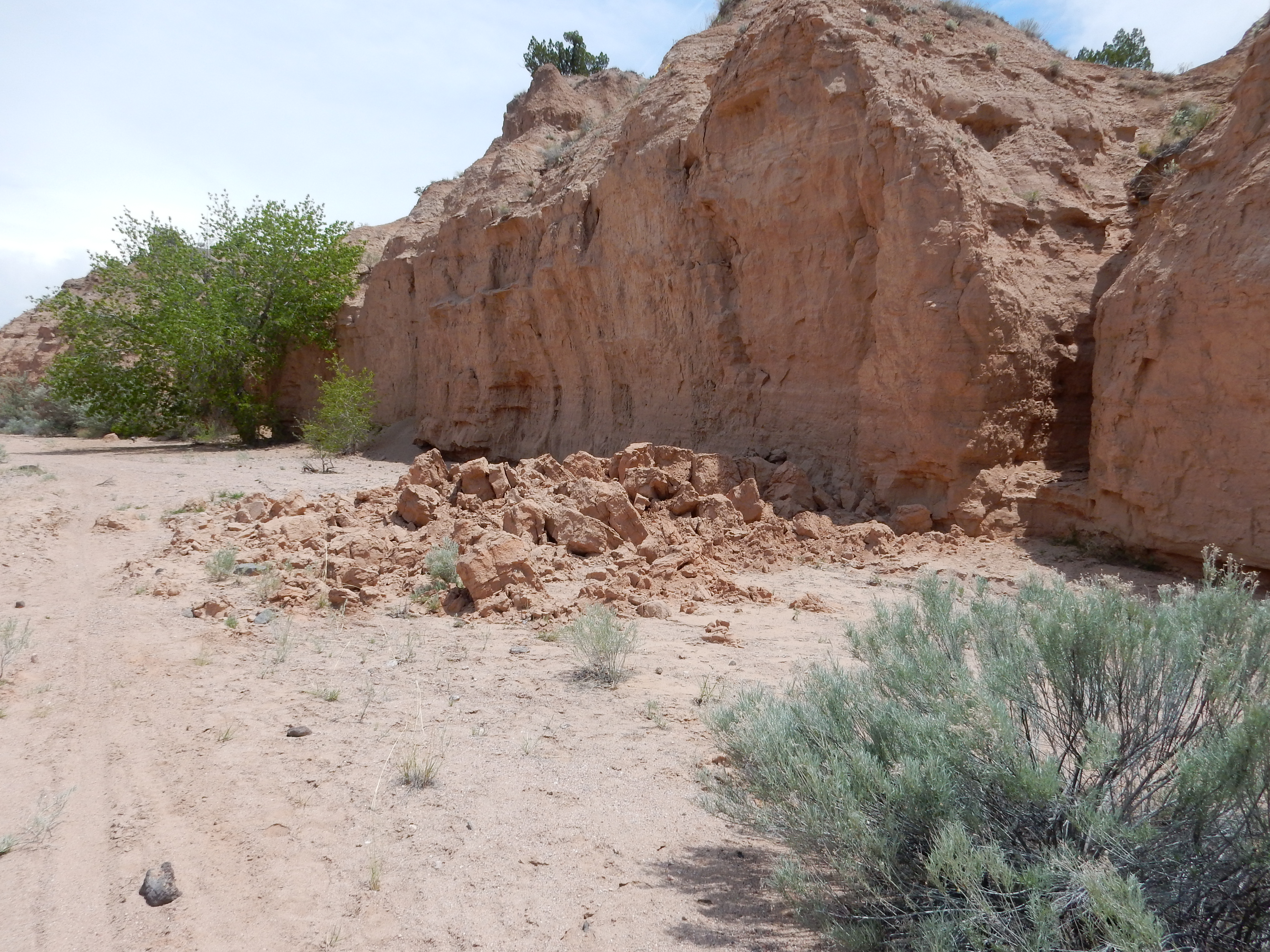
I followed the instructions on the road log, found myself in front of the old fire station mentioned in the log, looked south, and found that I was north of a point in the canyon no further east than I had already hiked. Could I possibly have missed the exposure? I parked; retraced the trail; nope. There was an exposure, but it didn’t look anywhere near as good as the one in the road log, and there were far more buildings on the mesa above the exposure in the road log photograph than were present here. In fact, nowhere on the far side of the canyon was there a cluster of buildings resembling the photograph. Checked the caption: “Near Stop 2.” Stop 2 is where I was. Near. Well, geologists study the earth, and the earth is 40, 075 km in circumference (the kilometer was originally defined as 1/10,000 the distance from equator to pole, but this was abandoned as too imprecise), so I suppose anything within ten miles might be considered “near” to some geologists. You know the kind.
I have no idea where the beautiful exposure in my guide book is actually located.
I headed on down the main hill road, pulled off at the east trail head of the Rim Trail, and peered into this section of canyon. No dice.
All I can figure is that the wonderful exposure is below the Neutron Science Center — though the buildings don’t look quite right — and is too far east to be seen from the publicly accessible part of DP Road and too far west to to be seen from the east trail head. Shucks.
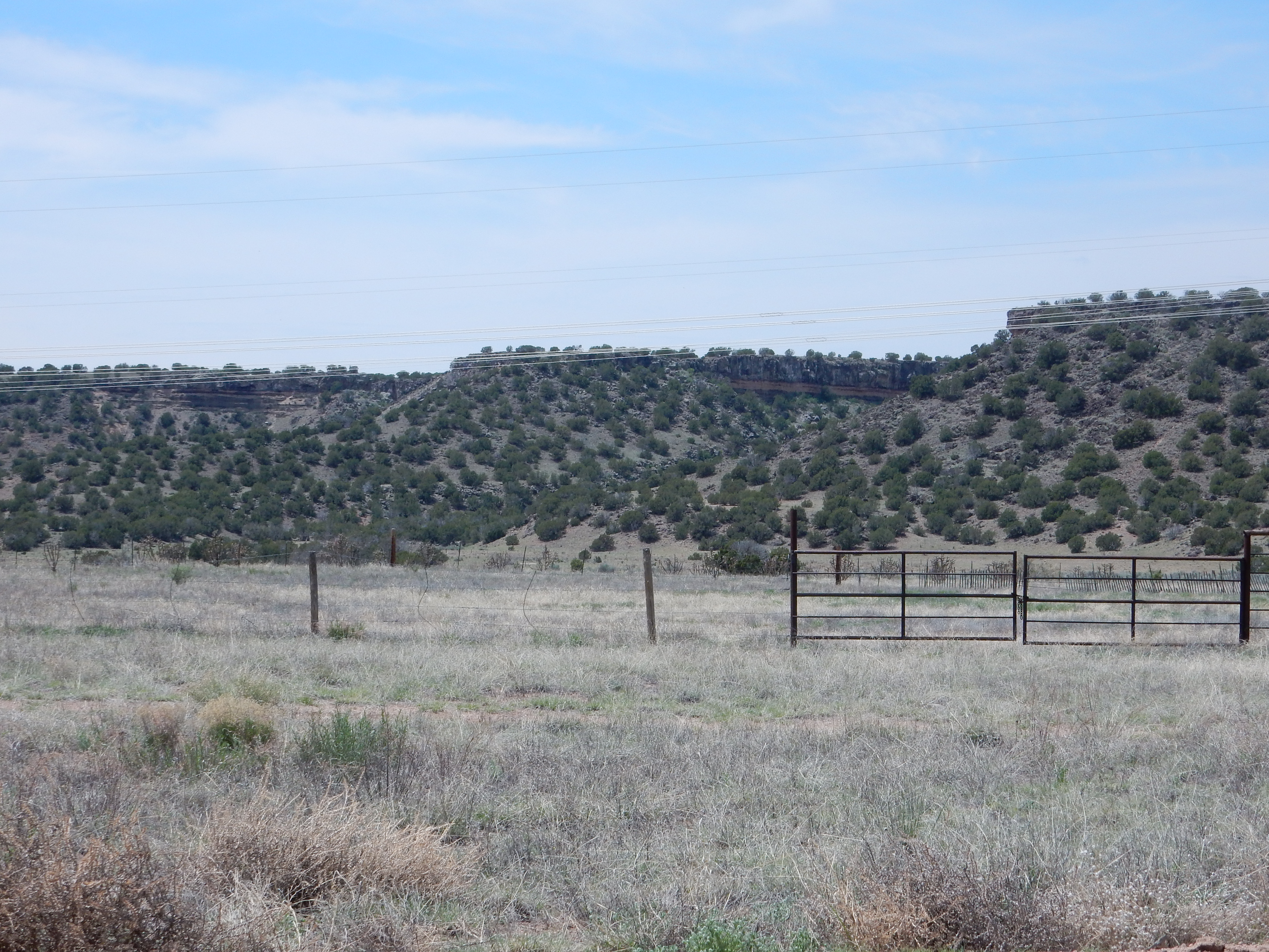
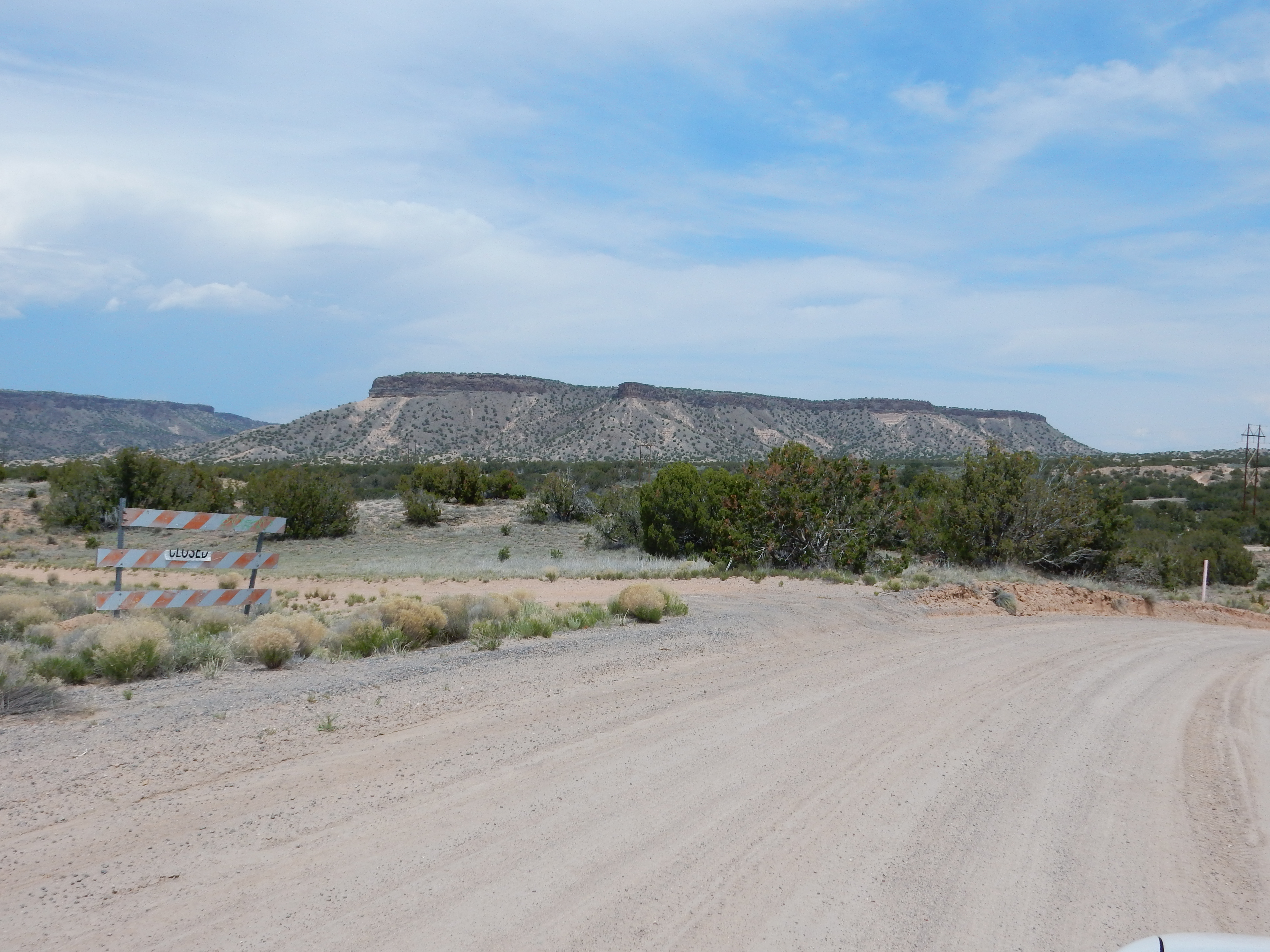
Time for Buckman Mesa. Past time, really; it was already close to noon. I paused to check blood sugar; 116. Grumble grumble. That’s not actually that bad, but I expected lower after the hiking I’d already done. I decided to put off my snack orange. I headed on down towards Santa Fe; Buckman Mesa is just a little over four miles from my home, but there’s a big honking river in the way and tribal lands to the north, so you have to go clear round through Santa Fe and then head northwest on the Old Buckman Road. At least this is a well-maintained gravel road.
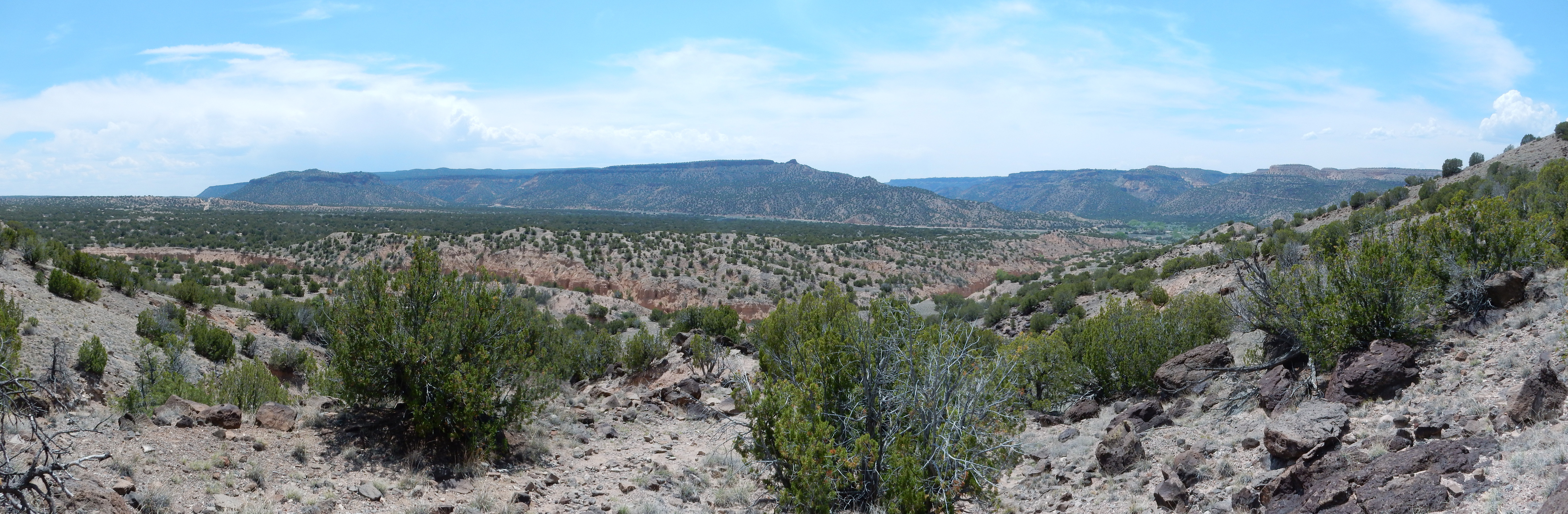
I got glimpses of a nice panorama to the southwest, but it took some time to find high ground near the road that was not fenced off. Apparently the area is mostly privately owned by very rich people. Here’s the panorama:
We’re looking across low hills of the Tesuque Formation at the Cerros del Rio on the skyline. The Tesuque Formation is rift fill sediments, from around 18 to 5 million years old, deposited in the Rio Grande Rift. This is a great crack in the Earth’s crust that runs from central Colorado roughly along the Rio Grande River to El Paso. The Cerros del Rio is a plateau west of Santa Fe and across the Rio Grande from White Rock that is capped with basalt and andesite lava flows around 2.5 million years old.
The little knob on the skyline at left is one of the Twin Peaks; the other is lost against background hills to its right. The knob just right of center is Ortiz Mountain, an andesite vent whose flows cover the northern part of the Cerros del Rio.
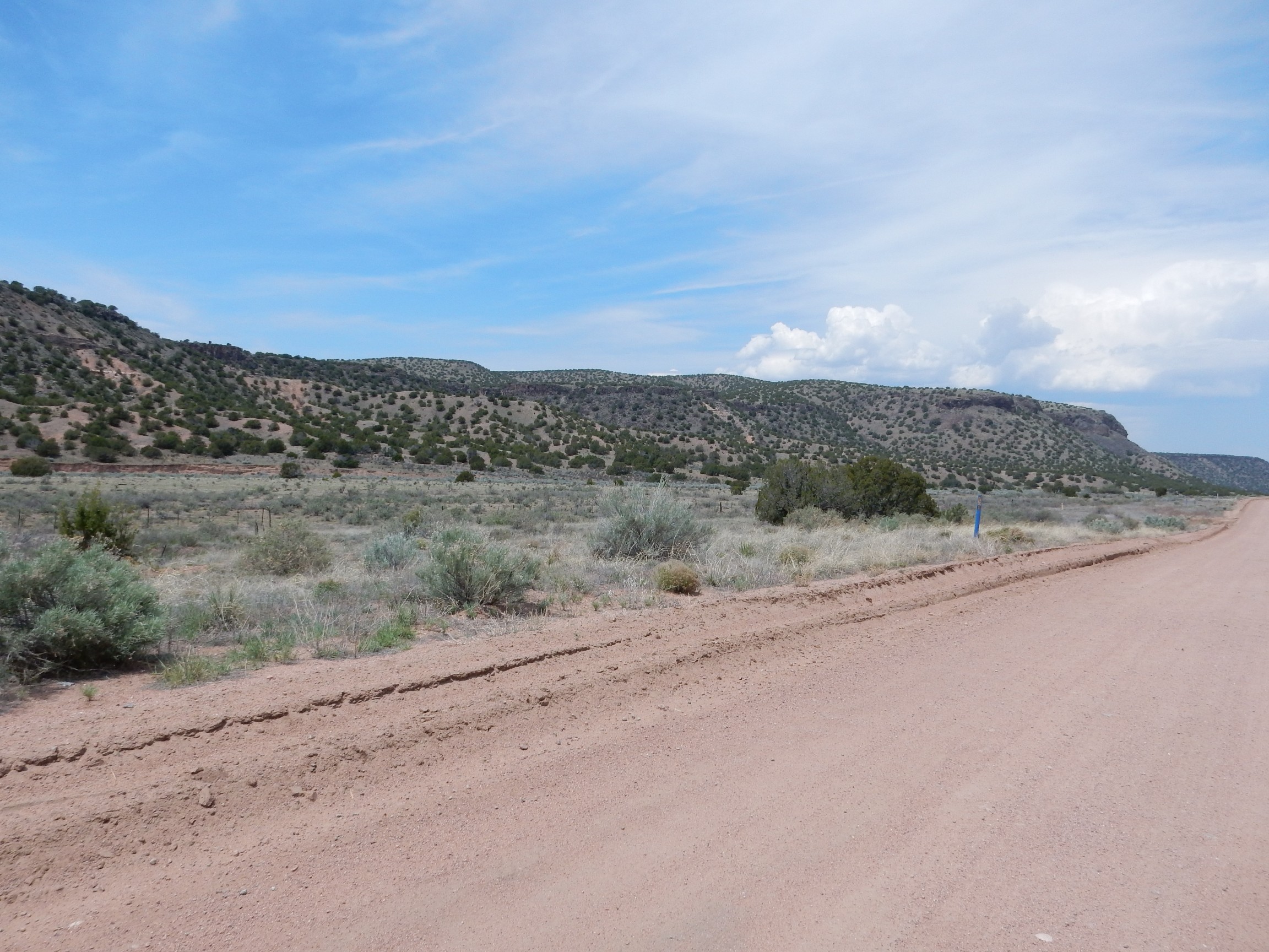
Buckman Road turns northwest to follow Alamo Creek, an ephemeral stream that parallels the eastern escarpment of the Cerros del Rio.
The mesa is capped with Cerros del Rio olivine basalt about 2.5 million years in age. Underneath are thin beds of volcanic cinders and other sediments. These rest on the Ancha and Tesuque Formations of the Santa Fe Group.
From this distance it’s hard to distinguish the different kinds of beds.


but the tan beds are probably particularly rich in granite sediments from the Sangre de Cristo Mountains to the east, while the gray to dark beds contain more volcanic debris.
Ahead, the andesite flows from Ortiz Mountain reach to the edge of the basalt mesa top.
Here’s the view from closer up.
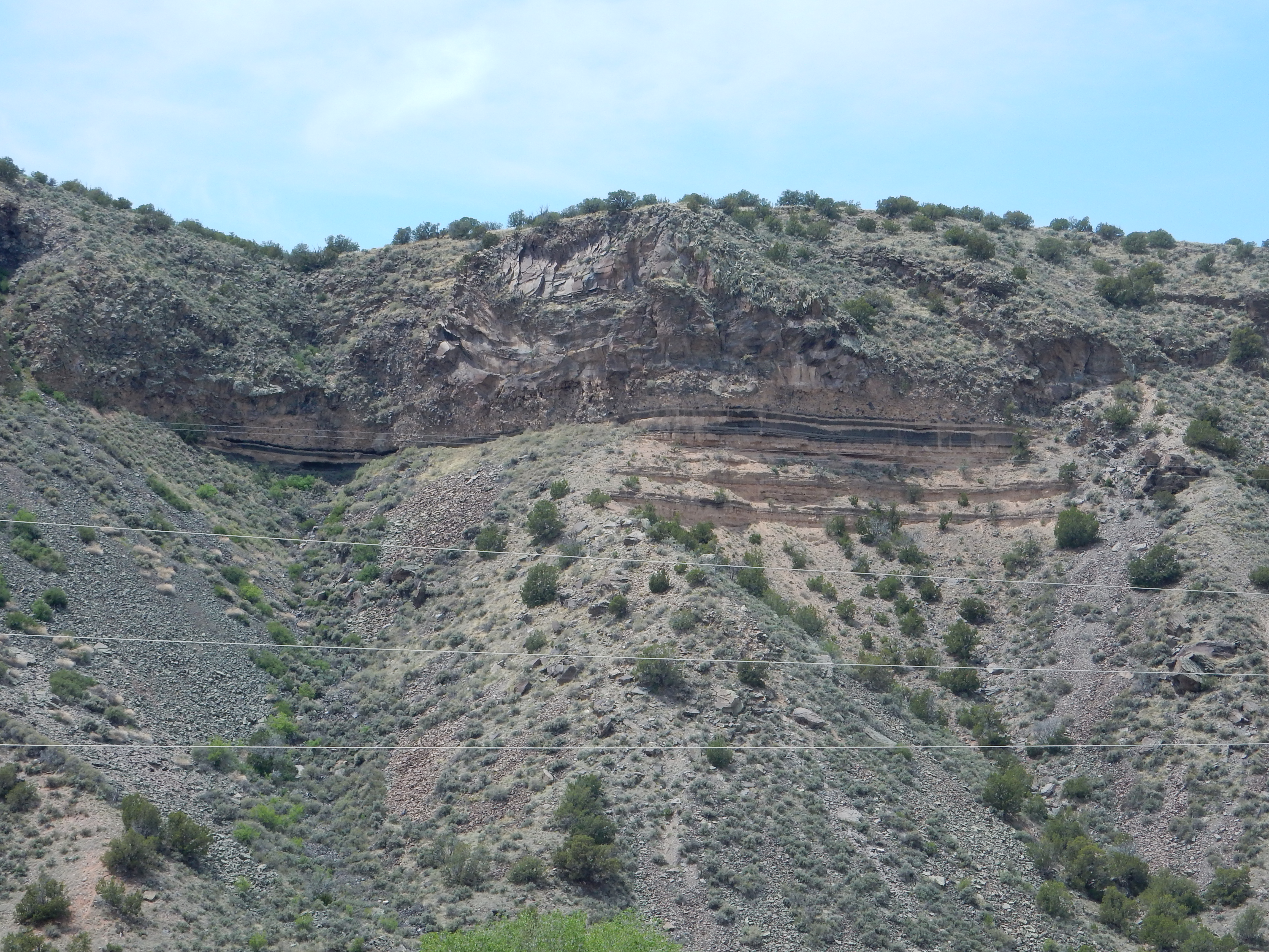
The lower slopes are the Cuarteles Member of the Tesuque Formation, with possibly a thin layer of Ancha Formation at top; closer examination would be required to be sure. Then come alternating beds of sediments and very dark volcanic debris. On top are very thick flows of andesite. Andesite contains significantly more silica than basalt, and silica makes lava viscous; the basalt probably had about the viscosity of ketchup when it erupted, allowing it to form relatively thin flows, while the andesite had the viscosity of smooth peanut butter, so that its flows are very thick. There is a layer of shattered andesite (breccia) at the bottom of the flow. The surface of slow-moving flows will solidify, then shatter from the motion of the still-liquid interior, forming a carpet of breccia at the base of the flow. This process is called autobrecciation.
Notice how very flat the beds are, including the base of the andesite flow. The Rio Grande Valley was higher in elevation and very flat when the Cerros del Rio began erupting 2.5 million years ago. Since then, changes in the flow of the Rio Grande downstream have caused the river to cut downwards, and sediments not protected by lava flows have eroded away to the new lower level of the river. This process is still taking place, producing the spectacular badlands of this area.
At the north end of the Cerros del Rio is Diablo Canyon.
The canyon was the location of a lava lake that solidified to produce the thick columnar basalt. I don’t know why the intermittent stream here cut through all this basalt to produce the canyon rather than going around.
This was the location of my first birthday wanderlust, mumble mumble years ago. The area has been greatly improved since then, with a proper parking area, signage, and camping sites. One hopes the very large population of rattlesnakes has been reduced somewhat as well.
This was not my destination for the day, but I had to stop for at least a few moments at the parking area and take it in.
There is some particularly striking columnar basalt just right of center. A closer look:

Columns like this form as the basalt cools, and the joints (formed as the cooling basalt cracks under the thermal stress) are usually perpendicular to the surface of the basalt. This shows that the basalt here was pooled against a fairly steep hill, now partially eroded away.
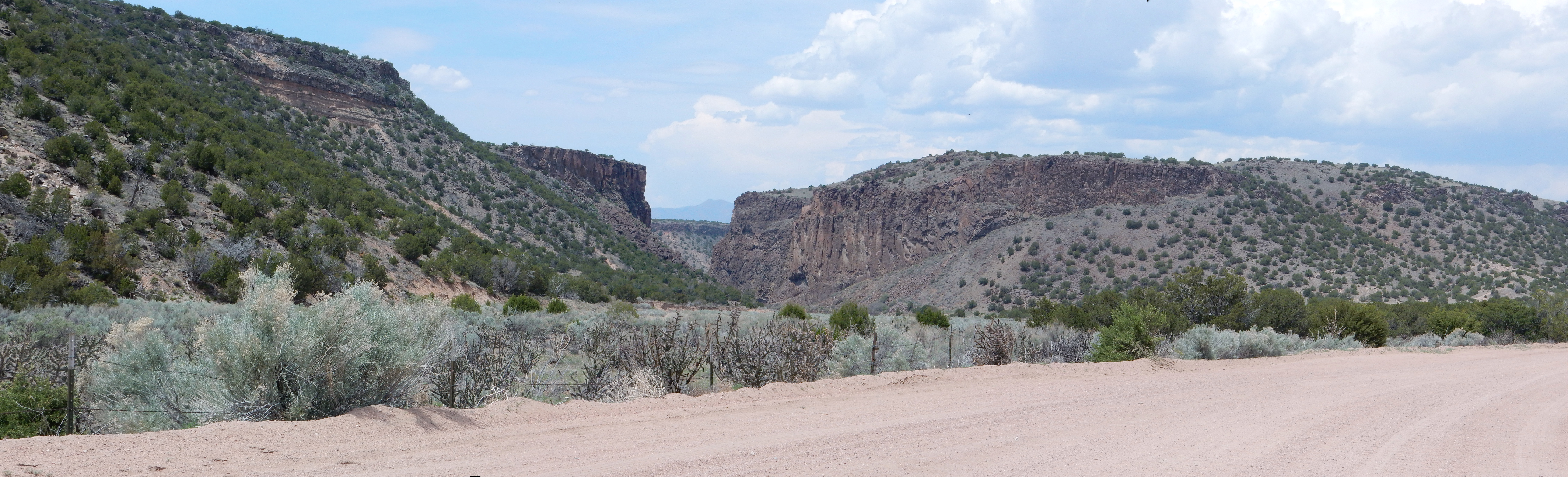
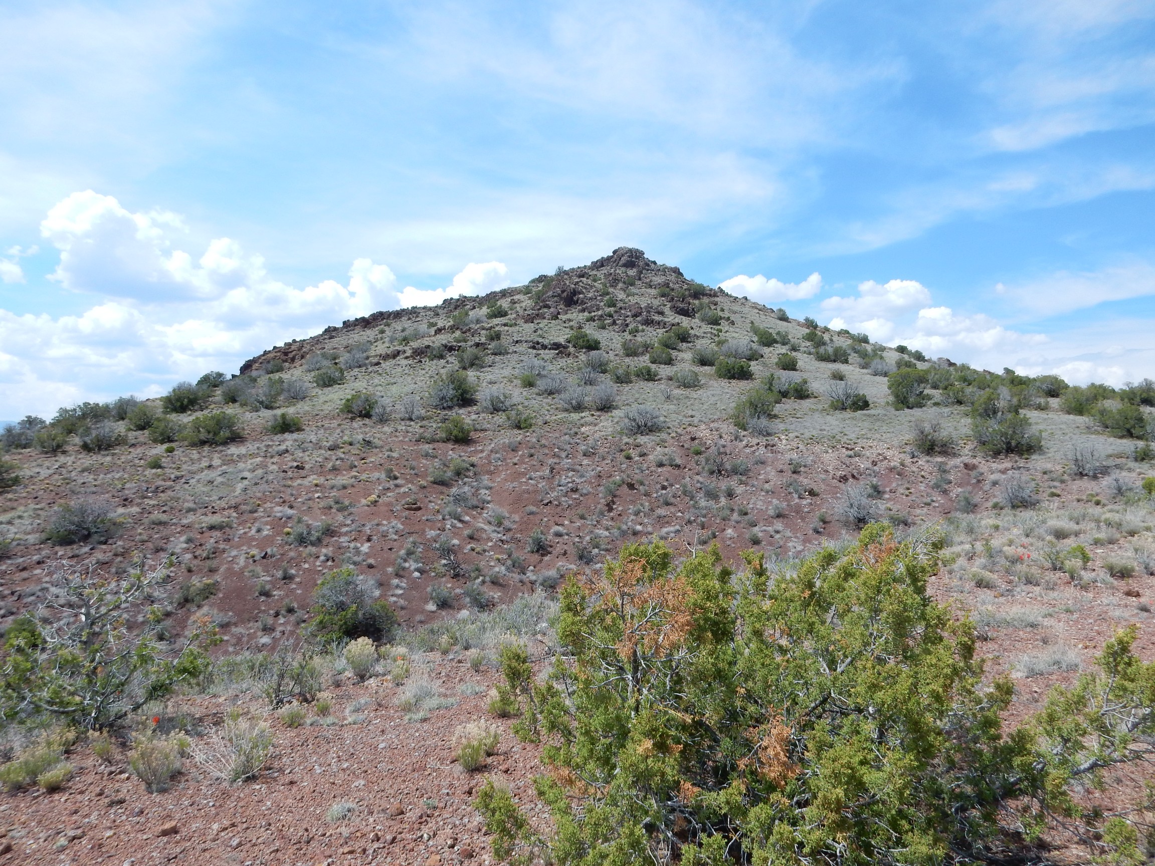
A little further, and Buckman Mesa comes into view.
Buckman Mesa is separated from the Cerros del Rio by Canada Ancha, a wide valley leading to the Rio Grande. The mesa is named after an Oregon lumberman who loaded his lumber, cut from the Jemez, onto the Chili Line railroad at this location. The area is now a well field for the city of Santa Fe.
Geologically, the mesa is part of the Cerros del Rio, being capped with basalt and basaltic andesite similar in age to the other Cerros del Rio flows. There is a large cone, Otowi Peak, atop the mesa, which is not visible from this perspective.
I drove to the end of the road, which is right on the banks of the Rio Grande, and parked.I was thirsty; I pulled out one of the water bottles I had hastily grabbed from the pantry, cracked it open, tipped back and chugged …
… and just about spit the contents clear back to Santa Fe. What is this stuff? Checked the label: Lemon Splash. Checked the ingredients: No calories, no carbs. Ah, flavored water. Technically potable. The secret is to suppress the gag reflex.
The trail head is not obvious; the best instructions I have found for getting to it are here. The trail begins at a Forest Service gate north of a large outhouse.
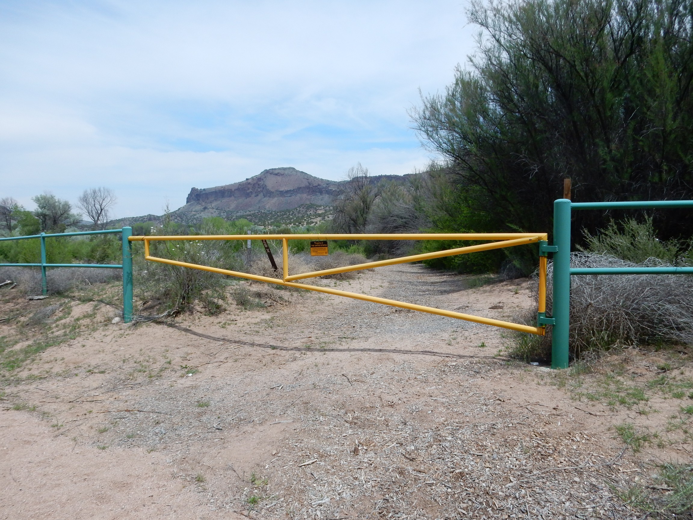
We’re looking north, with Otowi Peak, my ultimate destination, in the background. You go around this gate to the right and follow the road north a short distance to a second gate.

The trail up the mesa ascends the east side of the knob just right of center. It isn’t actually a knob; it just looks that way from this perspective.
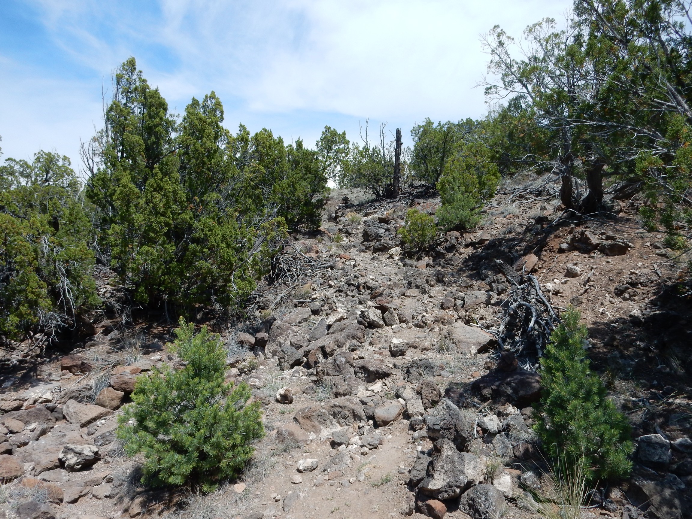
Past the gate and not very far, and you find yourself in an arroyo that narrows to the east. Head up the arroyo and you’ll find yet a third fence. This one, alas, has no opening — there appears to be one, like that in the second gate, but bars have been welded across it. You have to go under.
(Yes, this is almost certainly legal. It’s all Forest Service land. If I had to guess, I’d guess this is a well-meaning attempt to keep casual hikers out of an arroyo that could be quite dangerous in a flash flood.)
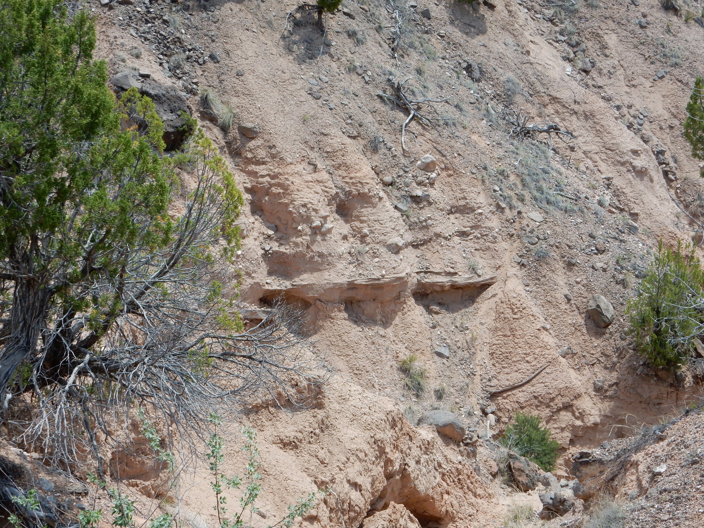
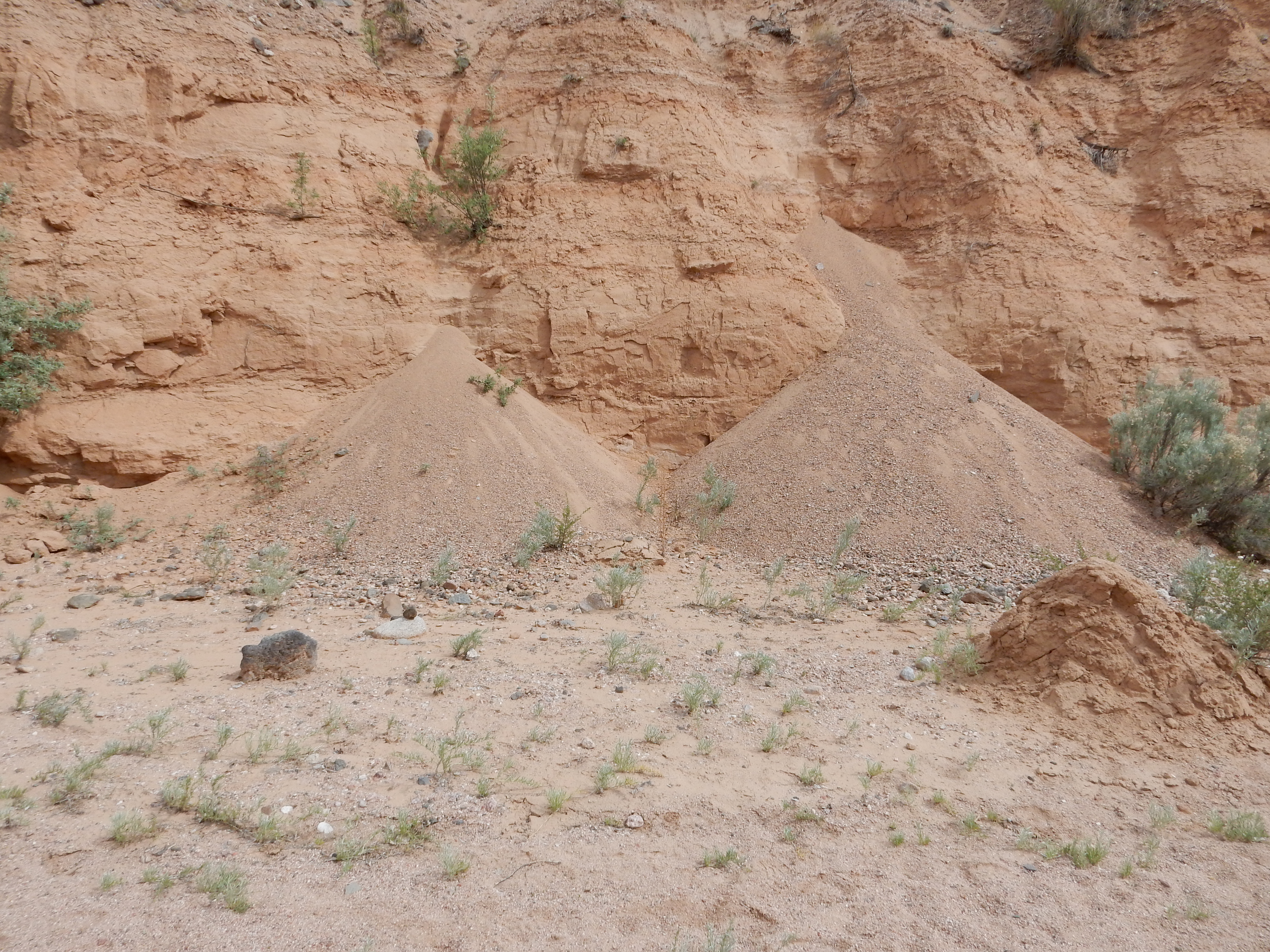
The arrow becomes quite narrow, almost like a slot canyon. The banks are mudstone of the Santa Fe Group, only moderately well cemented.

Some of the beds are very nicely crossbedded.

The crossbedding is the thin layers at the bottom of the outcrop, lying at a slight angle to the main bedding. Crossbedding usually indicates deposition by wind or in a fast-moving stream. I’m guessing this is eolian (wind-produced).
Perhaps the Forest Service is wise to discourage casual hikers.
This was not the only fresh rockfall. I found myself sticking to the middle of the arroyo.
The instructions said to look for a cairn at the 0.55 mile mark. I hadn’t brought a pedometer, and I started thinking I’d come too far, and then there it was.
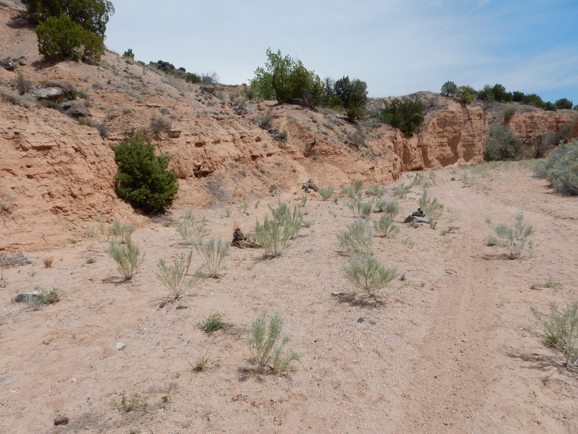
Not one, but three cairns, with the third right where the trail climbs out of the arroyo. The remainder of the trail was quite liberally marked with cairns, which proved quite helpful where the tail became indistinct.
From here, it’s a fairly strenuous climb up the side of the mesa, following the west side of a large arroyo.
The cemented beds at center cropped out at several locations along the arroyo at about this level.
Further up, the character of the Santa Fe beds changed, from very muddy sediments to fine gravel rich in granite fragments.
This may mark a transition from Tesuque Formation to Chamita Formation. My geologic map is unclear; it’s a draft map with numerous scribbled corrections for this area.
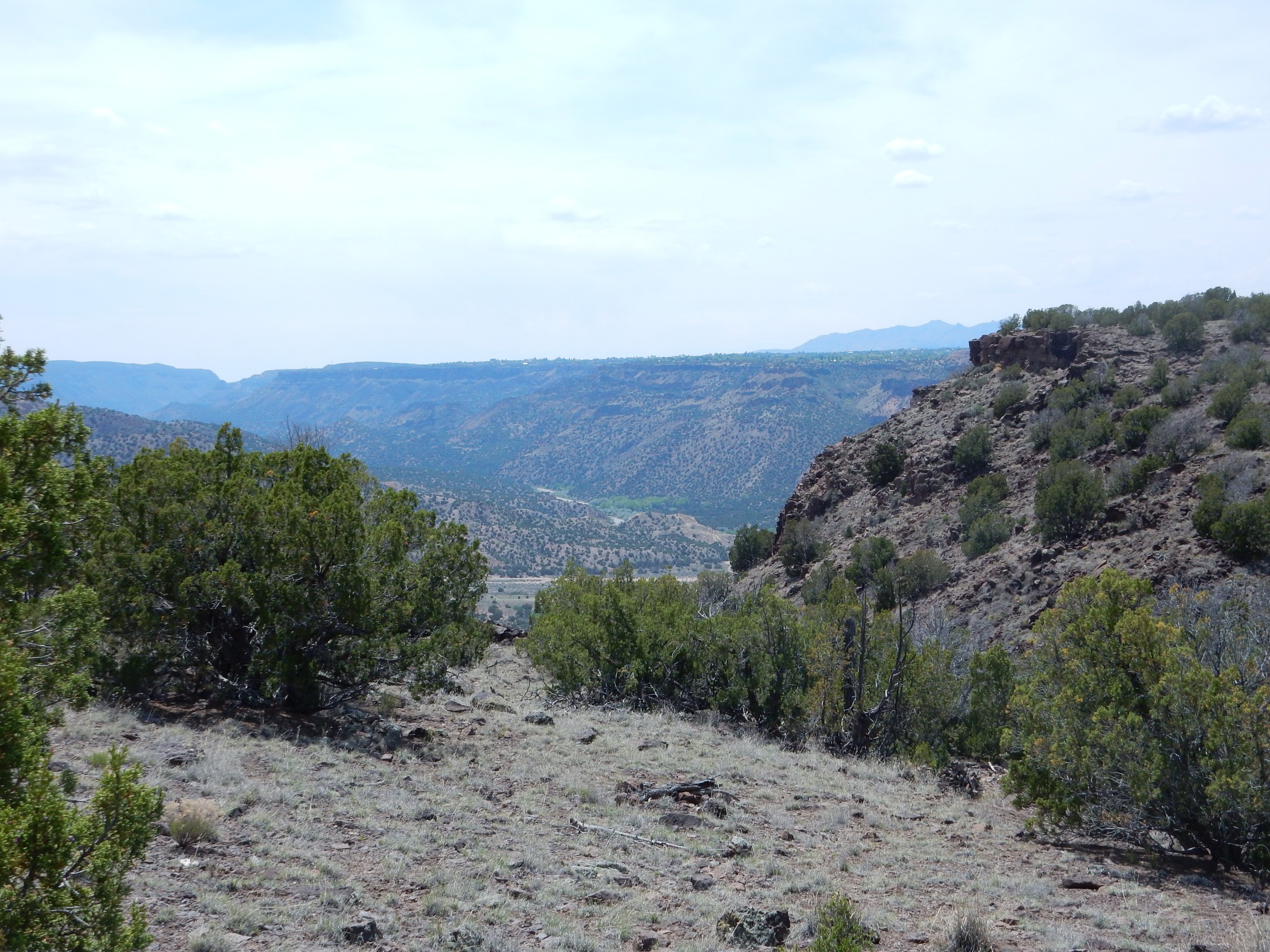
My heart was pounding from the steep climb, which made it seem like a good idea to pause and get a panorama to the south.
At left is the bluff north of Diablo Canyon. At right is White Rock Canyon, and if you click to enlarge, you’ll see Buckman Road climbing west out of the canyon. This section of the road is partly on San Ildefonso Pueblo land and not open to the public. At center is the high plateau called Sagebrush Flats, I imagine for the obvious reason.
My heart seemed to be doing okay, pounding or otherwise. I suppose this means I passed the cardiac stress test for this year. (Though it may possibly be better to take it with technicians standing by, with paddles, to restart your heart if necessary.)
Oddly, these hikes leave me feeling refreshed. At least, the arthritis pains in my back seem to diminish for a while, for some reason. Go figure.
It is a steep climb. I don’t recommend it for younger children. Boy Scout age and up is probably okay.
The mesa rim to the northwest:

Capped with basalt (I think; the map has some confused notation suggesting it might be basaltic andesite.) Beneath are phreatomagmatic beds, formed from bits of rock and lava from steam explosions where magma encountered groundwater. Such beds underlie most of Buckman Mesa, and many other parts of the Cerros del Rio. Beneath is Chamita Formation.
A view of the beds from a better angle.

The light tan Chamita Formation beds appear to be full of coarse boulders, but that may be the angle of the sun. There is a very distinct sequence of light gray beds, probably of mixed volcanic debris and sediment, then another distinct sequence of very dark beds that must be mostly volcanic debris, then the brecciated base of the basalt lava flow.
Approaching the top at last.
Some of the rock beds here have an unusual texture.

Basalt doesn’t normally weather like this. I’m thinking this is a part of the flow that was very cool and viscous (for basalt) giving it this platy texture.
Looking back from whence I came.
That’s White Rock, with Overlook Park right of center.
Onto the flat top of the mesa, with Otowi Peak ahead.

With the high escarpments on all sides and the flat mesa top, Buckman Mesa has some of the feel of an island in the sky. The proximity of the Cerros del Rio and the Pajarito Plateau keep it from being a true island in the sky, however.
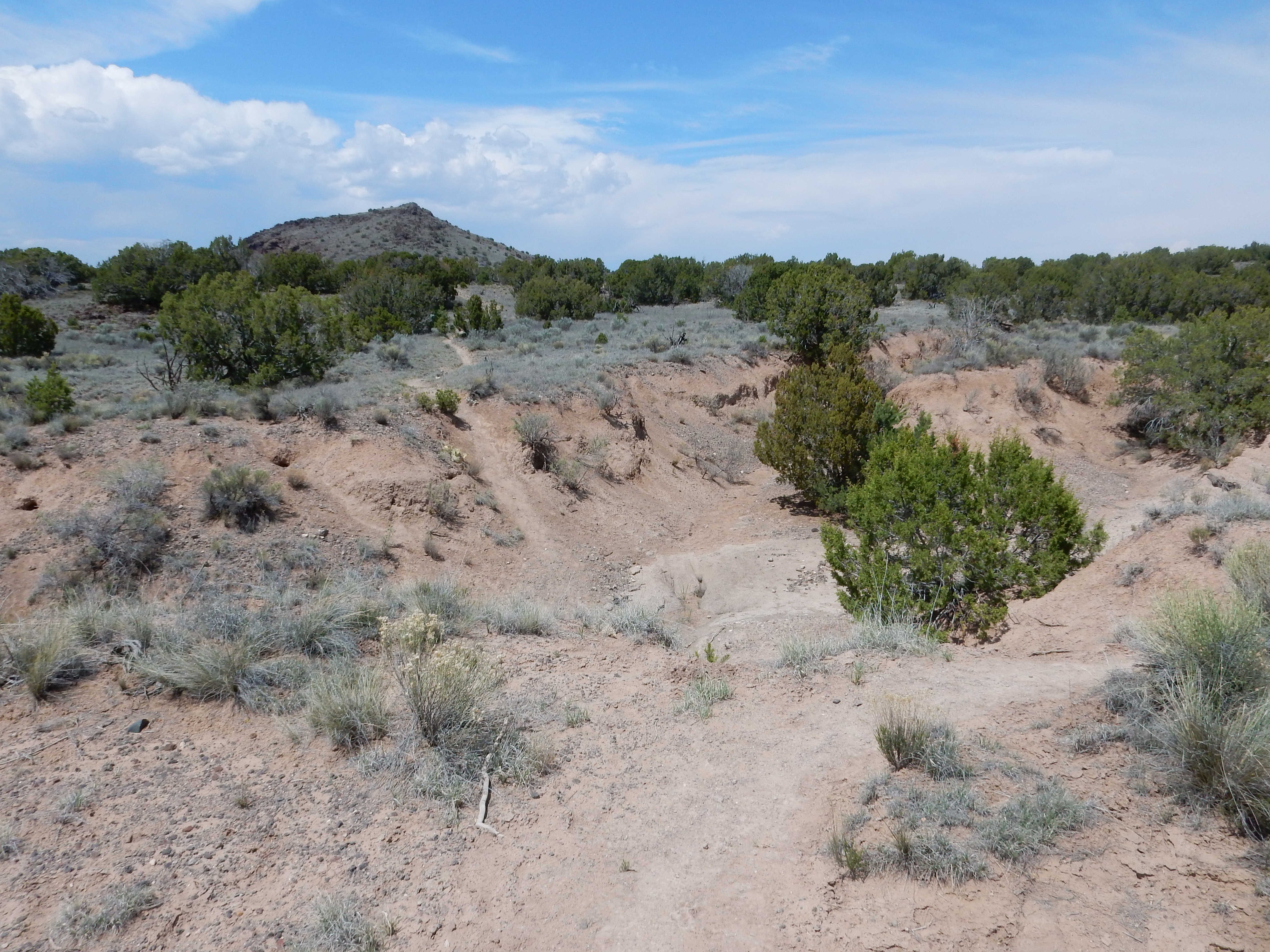
According to my geologic map, the mesa top is covered with “Qse”. “Qse” stands for geologically young deposits of sheetwash and eolium. Sheetwash is what you get when water floods across a flat surface laden with sediments. Eolium is what the wind deposits. This is deeply gullied in some locations.
This particular gully exposes a bed of tuff.
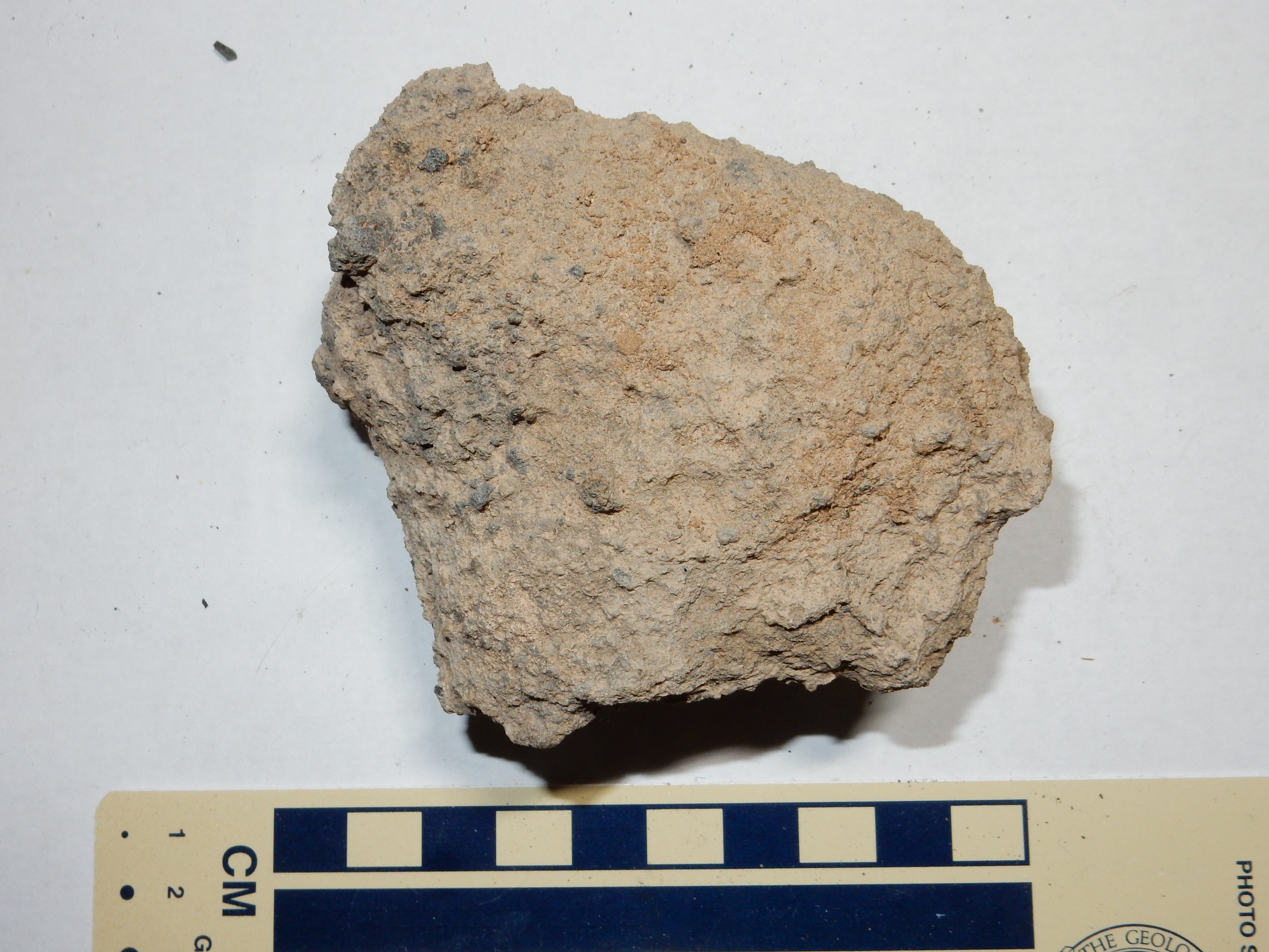
This is a fairly well cemented tuff composed mostly of bits of dark igneous rock in a light tan matrix. It’s what I imagine the stuff just under the basalt flows looks like close up, but this is on top of the flows. The basalt fragments rule out either member of the Bandelier Tuff, and they’re unlikely to be found this far east anyway. I’m guessing that this tuff is the result of Otowi Peak erupting through the basalt capping Buckman Mesa and producing small volumes of phreatomagmatic deposits.
Closer to Otowi Peak, the ground is covered with reddish volcanic cinder.
 \
\Well, that’s why they call it a cinder cone.
The edge of the mesa was invitingly close. I wandered over.
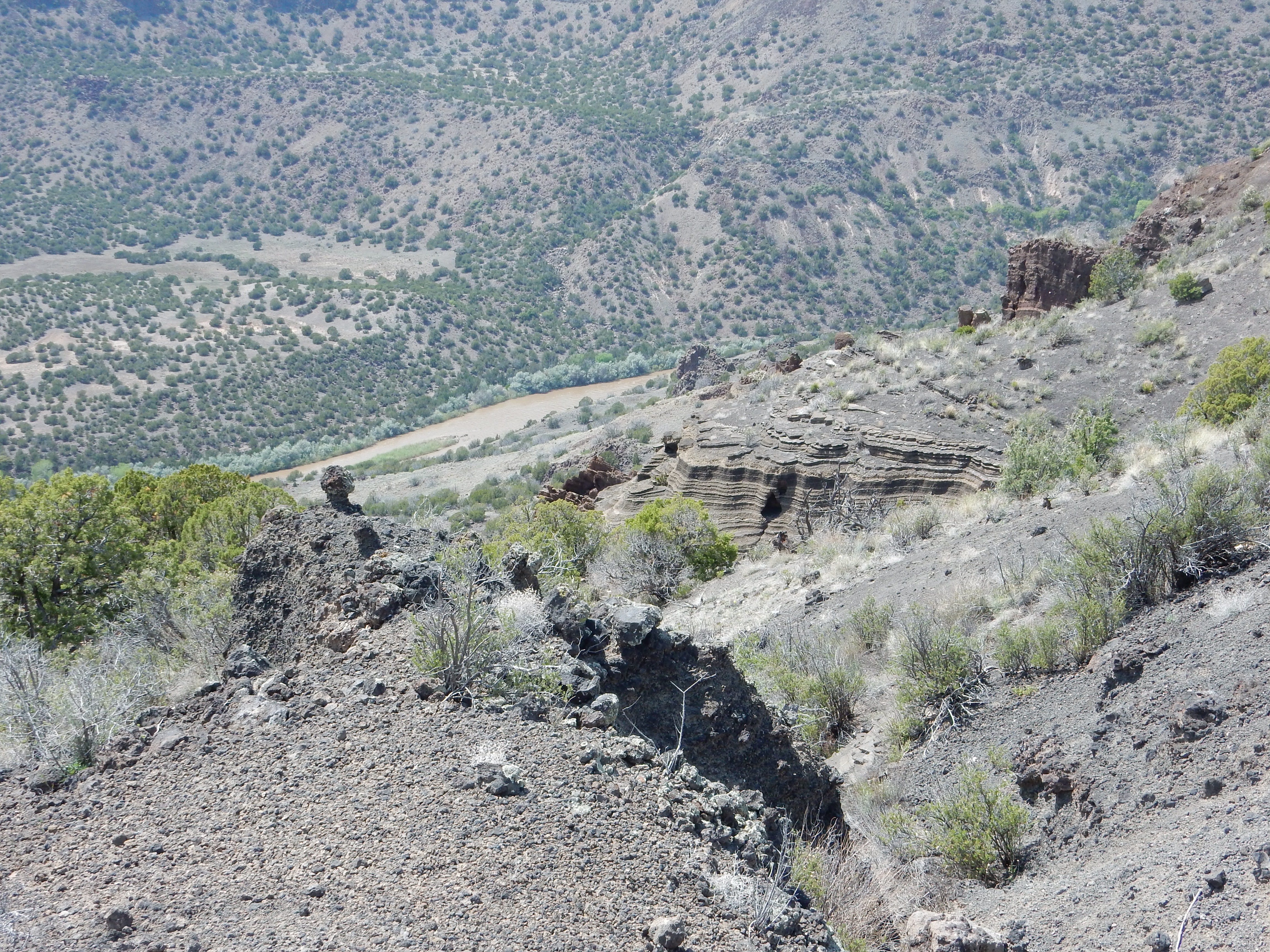
That’s the Rio Grande way down there. Much closer are cliffs of the phreatomagmatic beds. I was tempted to venture closer, but not much; I like my neck intact. However, this seemed like a good place for a panorama and lunch.
White Rock is visible atop the mesa to the left.
Across the canyon are some impressive cooling columns.
The great thickness of lava here indicates that it filled a paleocanyon in the Santa Fe Group.
I ate my lunch and choked down another bottle of Lemon Splash, then noticed an interesting feature behind me.
My first thought was that this was heavily calichified soil, but close inspection showed that this is a very strongly cemented bed of volcanic cinders with caliche only on the upper surface.
And, to the north, what looks like a partially eroded dike or squeeze-up on the flank of Otowi Peak.
Notice how the beds in the dike are parallel to the slope of the cone.
I resumed my hike. My, it’s a long ways up …
It’s always bigger than it looks.
More yucca.
And a barrel cactus.
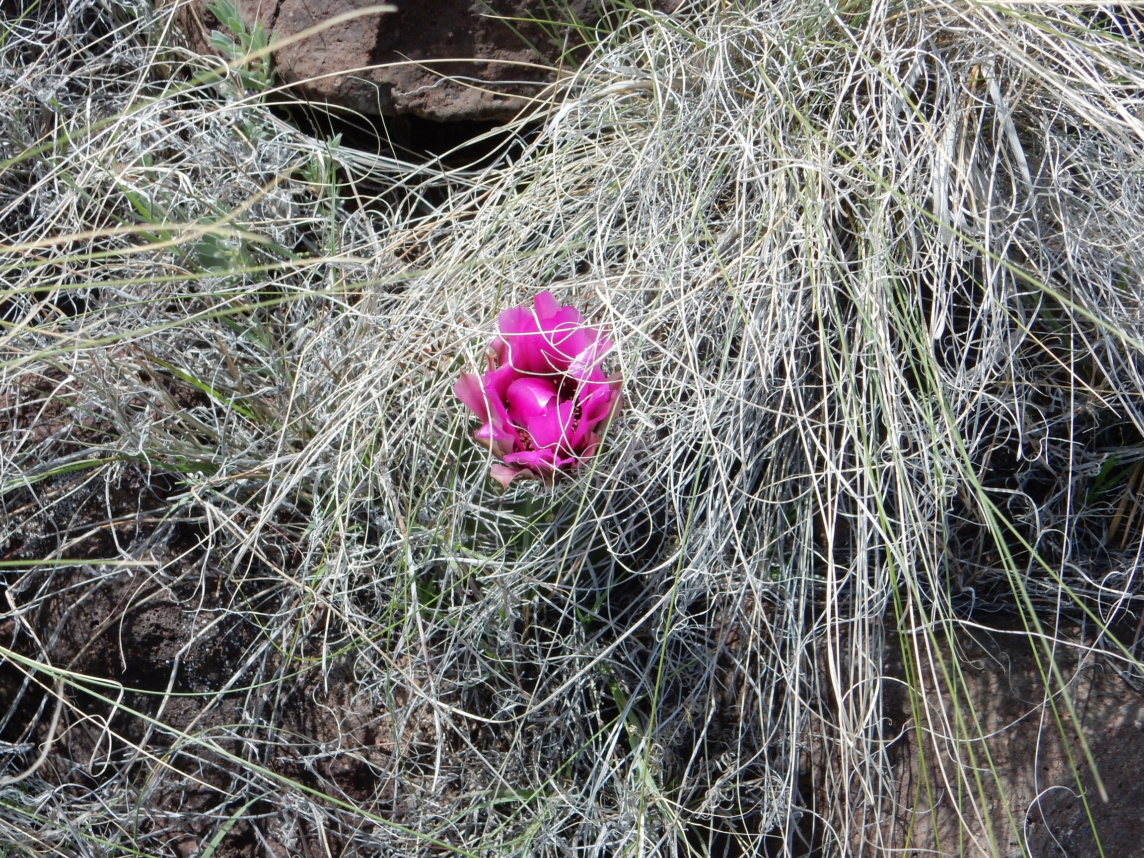
The barrel is there, hidden in the grass. Possibly Sclerocactus parviflorus, the smallflower fishhook cactus.
Looking south from part way up the cone:

The gully at center has dissected the lowermost slopes of Otowi Peak, exposing the thin beds of cinders making up the cone.
Which look something like this:

Bits of vesicular lava cemented together.
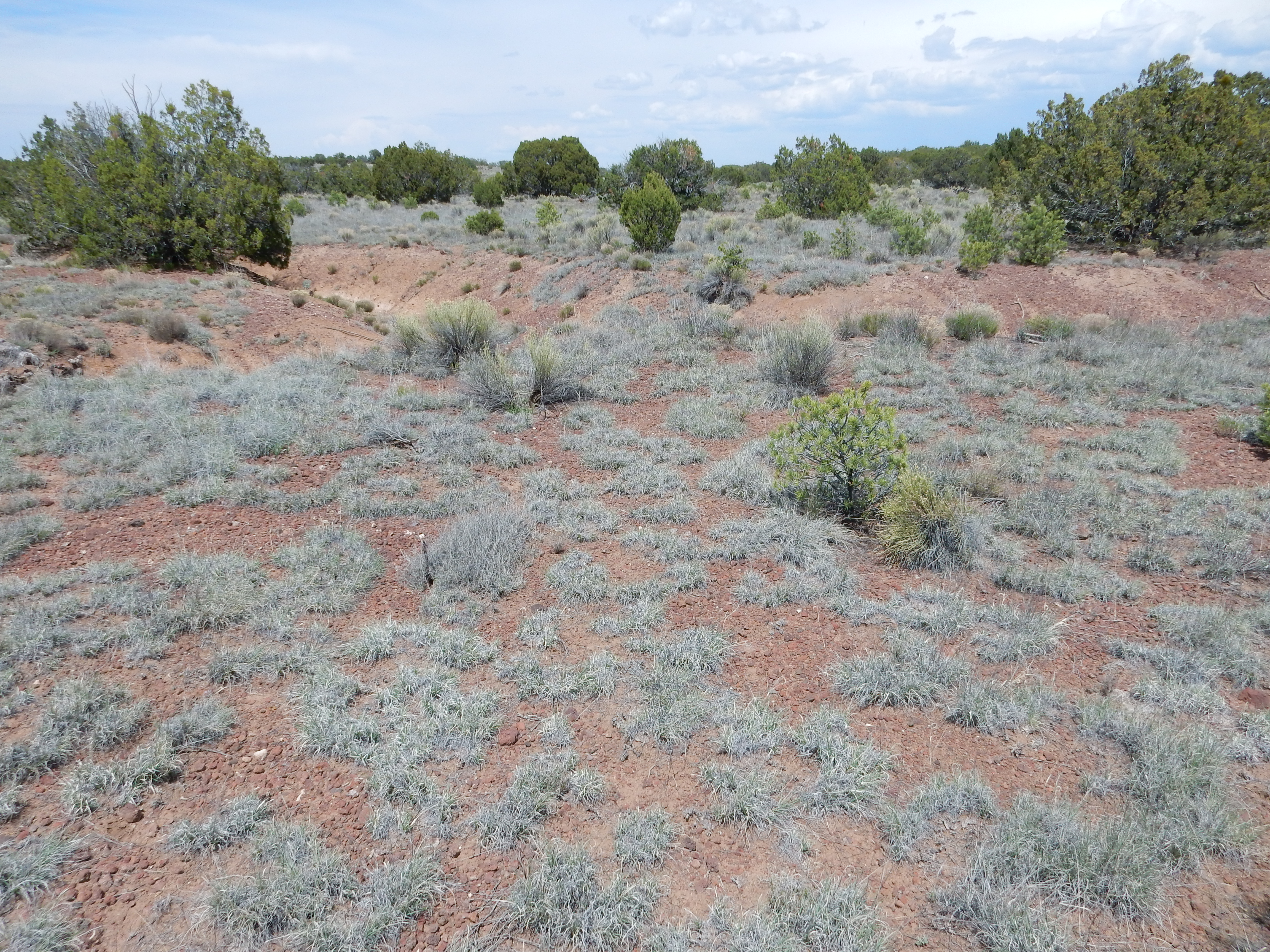
The trail wound onto the top of the peak, past more flora
There was a Geologic Survey benchmark at th top; I borked the photo. Also, windy.
Borked that panorama. Fortunately I took several from different vantages; there was no good spot for an all-around panorama that would not have involved climbing unstable piles of boulders in a brisk wind.
To the north:
A nice view of the upper Rio Grande Valley.
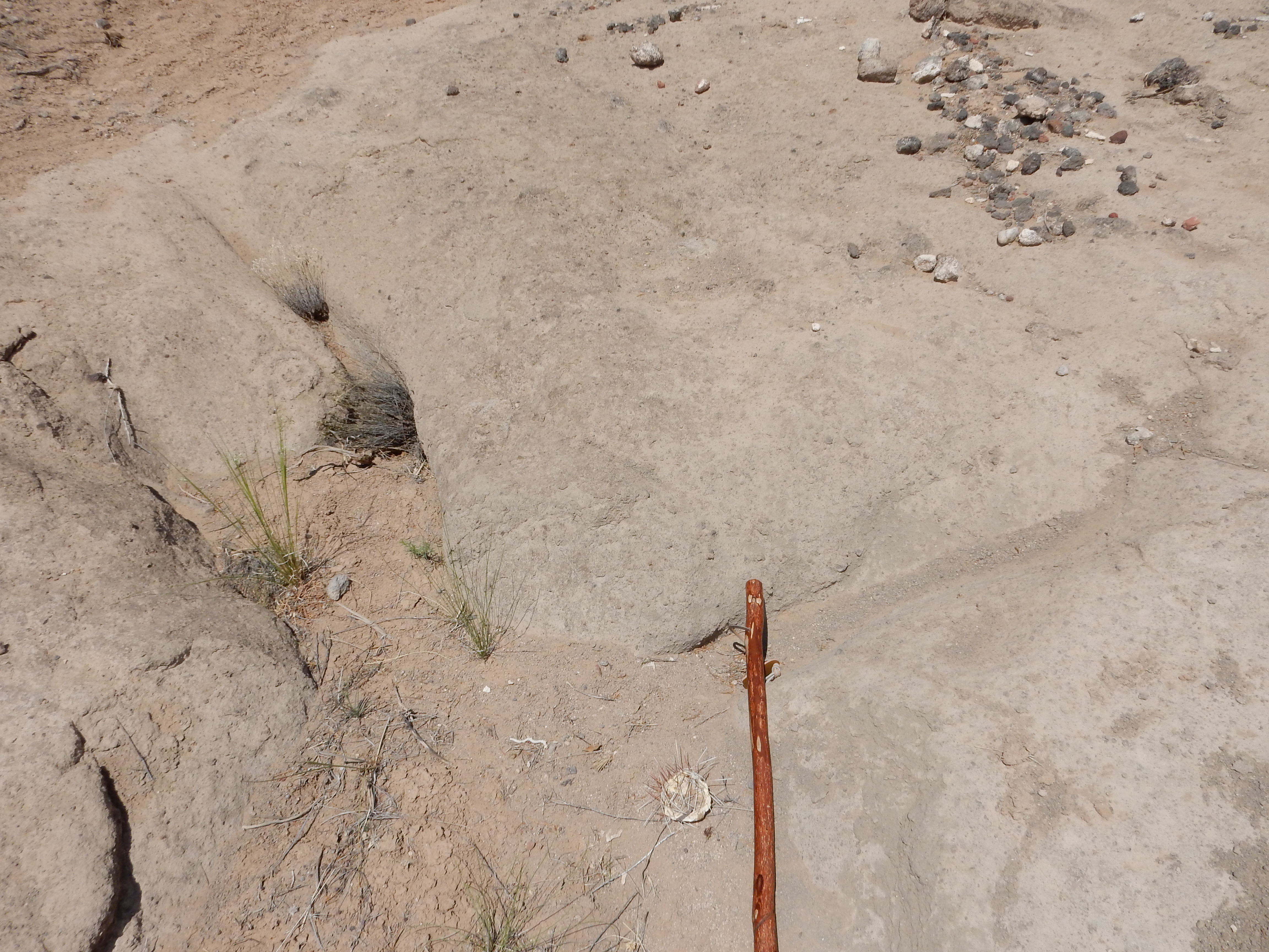
Time to go home. Just as the trail started down the side of the mesa, however, I spotted something odd.

That looks an awful lot like a rock wall laid by human hands.
It’s impossible for me to tell how old this is, but I can’t think of a reason off-hand why the modern people maintaining the trail would have put this here. On the other hand, I’ve never heard of any archaeological sites on Buckman Mesa. But this looks like the kind of defensive rock wall you sometimes see at other archaeological sites in northern New Mexico.
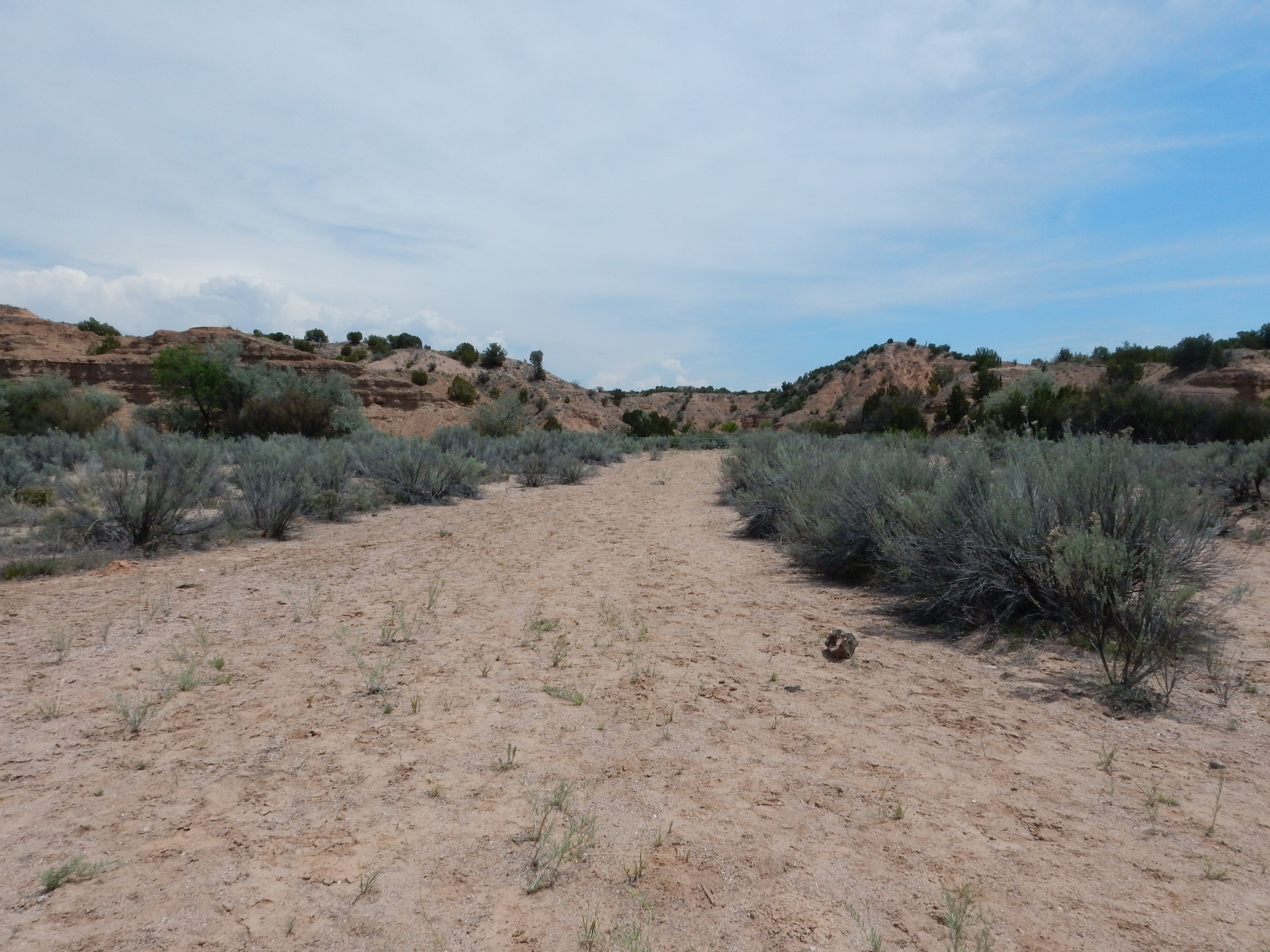
Coming down the trail; A nice view of the arroyo below.
Walking back down the arroyo, some very small alluvial fans.
Their larger cousins, formed where major streams emerge from a mountain front, are an important terrain feature of the arid West.
A nice example of a channel deposit.

The darker, coarser, more cemented beds towards the top of the gulley wall probably mark an old stream channel.
Fellow hikers:
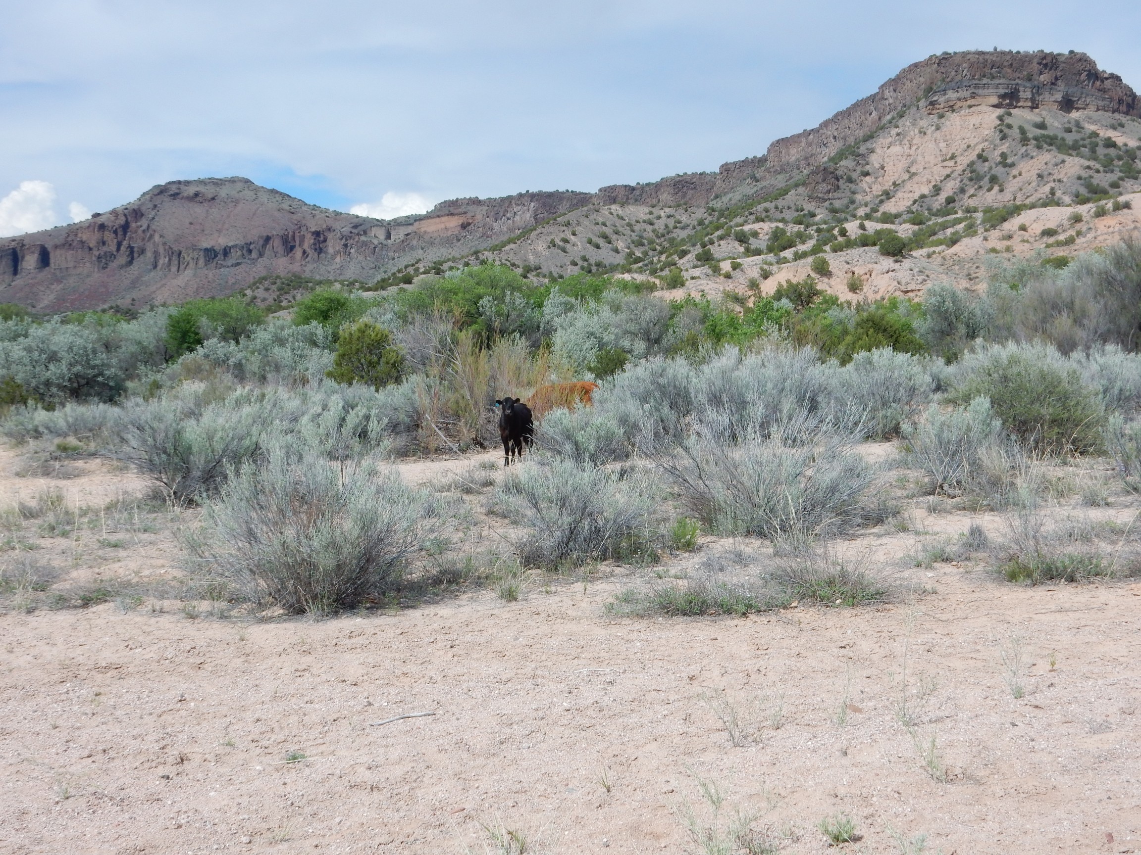
Cows are curious critters, in both senses. This one followed me a short distance before running out of attention span.
I returned to my car, slugged down some more dreadful lemon water, and headed out. My last stop was at Otowi Bridge, where I wanted to record some of the history.
The house at Otowi Bridge:
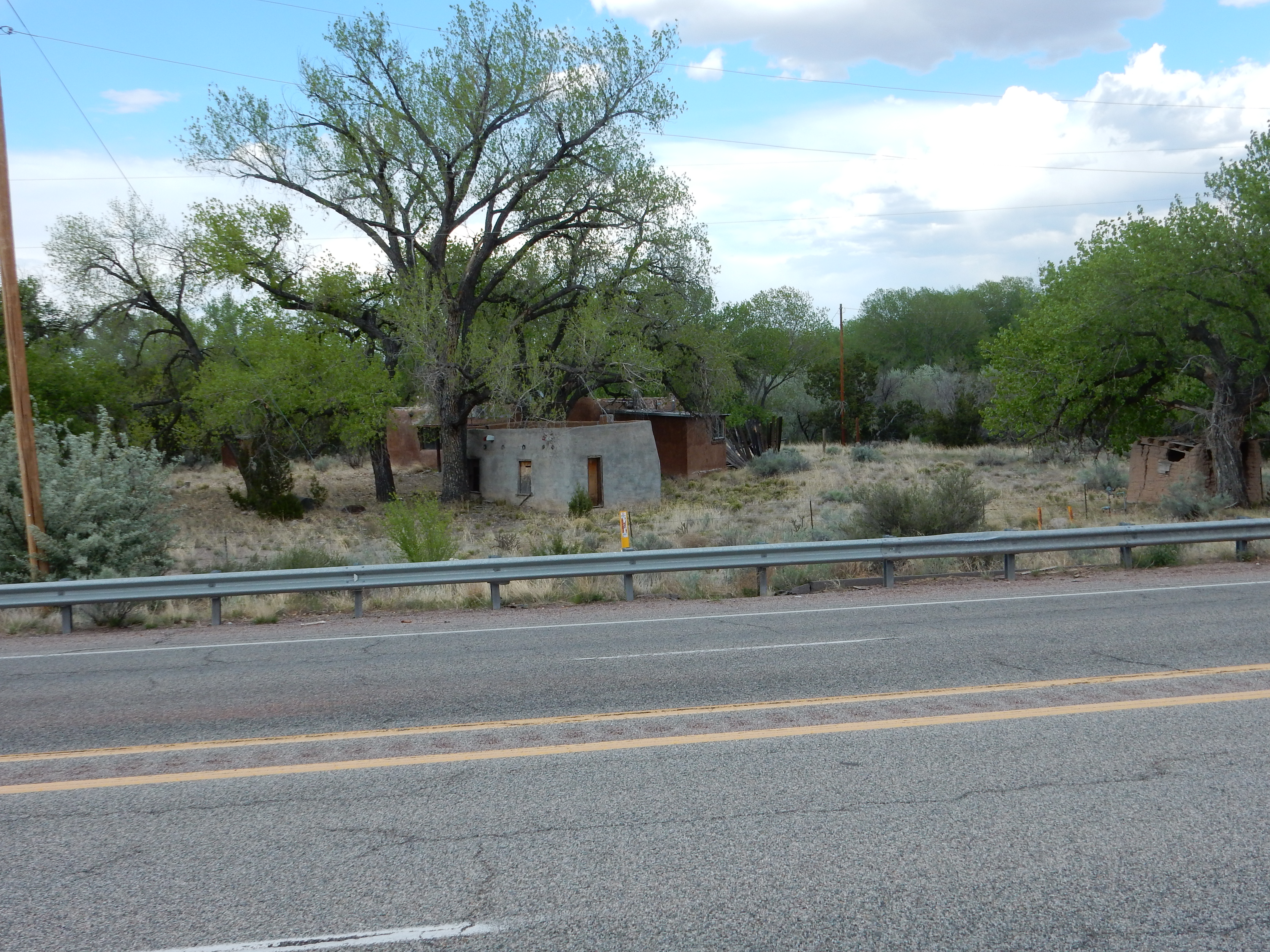
This was the home of Edith Warner, located immediately north of the modern highway bridge. Warner befriended the San Ildefonso Tribe, and vice versa, and also became acquainted with the scientists who designed the first atomic bomb at Los Alamos. Otowi was the transfer point for a lot of the more ordinary deliveries to the laboratory, which Warner was paid a small salary to manage.
South of the modern highway bridge is the old highway bridge.
‘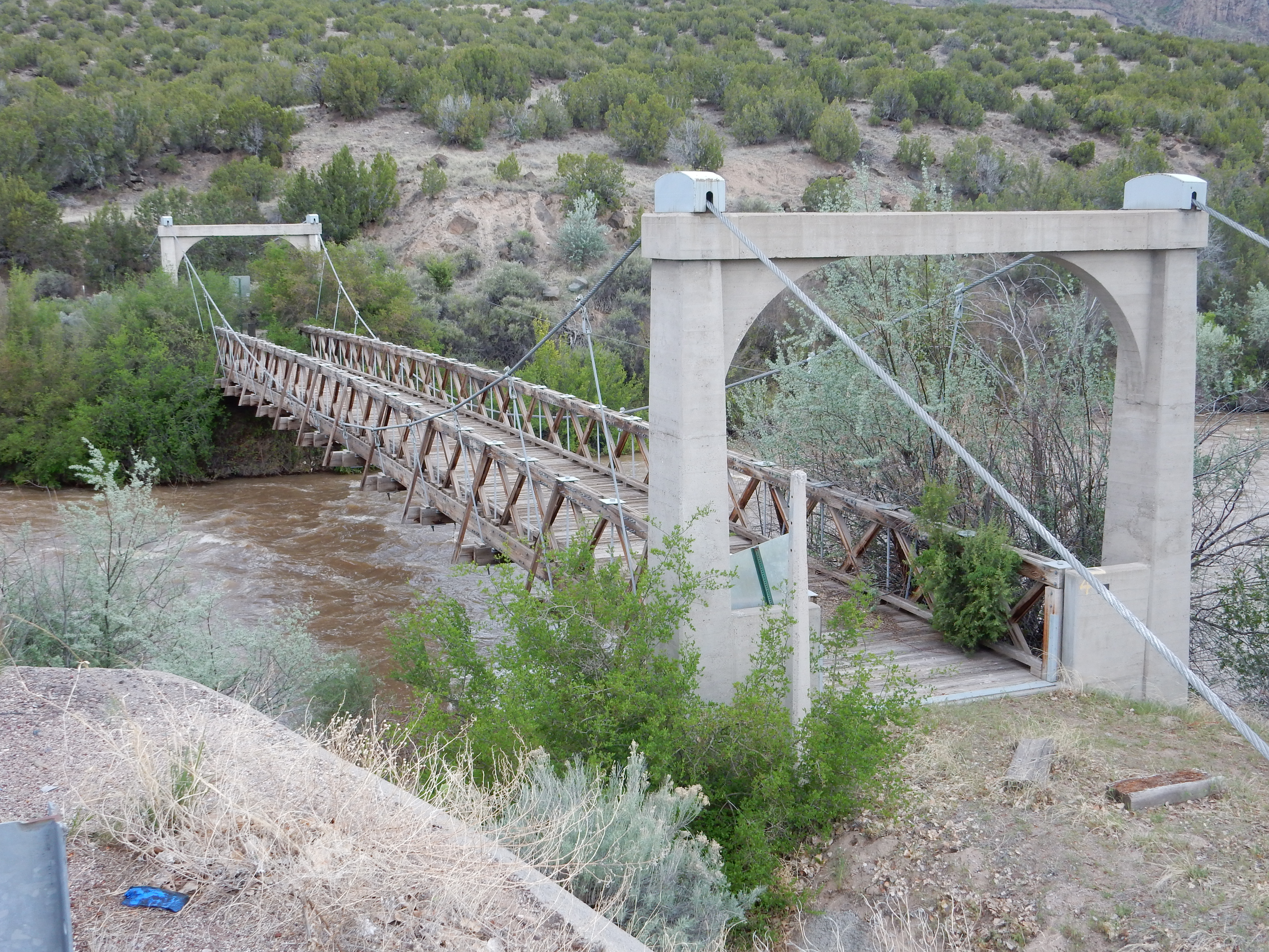
The bridge was built in 1924 and remained in use until 1948, when a steel bridge was built at the location of the modern crossing. The steel bridge was replaced sometime after 1970; I remember the old bridge from childhood but don’t recall when the new one went in — possibly when I was in college.
South of the highway bridges is the crossing of the old Chili Line railroad. The bridge itself is long gone but some of the supports remain

as well as part of the rail bed.
The Chili Line, officially the Santa Fe Branch of the Denver and Rio Grande Western Railroad, operated from the 1880s to 1941. It was driven out of business by highway truckers, but fanciful proposals are occasionally floated to rebuild the railroad. (There would be massive problems securing the right of way.)
From there home.
I found a news clipping posted online indicating that the steel bridge was replaced in 1990. That’s the year I finished graduate school. I’m surprised it was that recent.
I’m interested in your statement about walls built around the northern parts. Can you elaborate as tonteir purpose and do you have more photos?
The photo here is the only one I have, unfortunately. I’m puzzled who build them or what their purpose was. Assuming they’re actually artificial, but they sure look that way.