Orbicular granite, take 2
But first, the White Rock paleocanyon, again.
Friday I had the day off, but took the time mostly to work on the book. However, I took an afternoon hike along Knife Edge Trail south of White Rock.
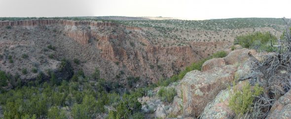
The distinctive feature of this trail is the knife edge, where the trail follows a very narrow mesa top. Approaching the knife edge:

The canyons on either side are unnamed on the topographic map, but lie between Water Canyon to the north and Ancho Canyon to the south.
I believe the knife edge is eroded out of the C unit of the Tsherige Member, Bandelier Tuff. As I’ve written (many) times before, the Bandelier Tuff is an ignimbrite formation produced by the Toledo and Valles eruptions 1.62 and 1.25 million years ago, with the Tsherige Member being the result of the Valles eruption. Both eruptions produced vast quantities of red-hot volcanic ash and gas, which formed a dense mixture (a pyroclastic flow) that flowed across the surrounding country and then settled to the surface to form the ignimbrite. The C horizon (third from the base of the member) is particularly resistant to erosion. On either end of knife edge, there are remnants of the D horizon, which is much less resistant and is also characterized by large numbers of xenoliths, bits of rock torn from the sides of the volcanic vent or picked up off the ground and entrained in the pyroclastic flow. I saw many xenoliths along the trail.
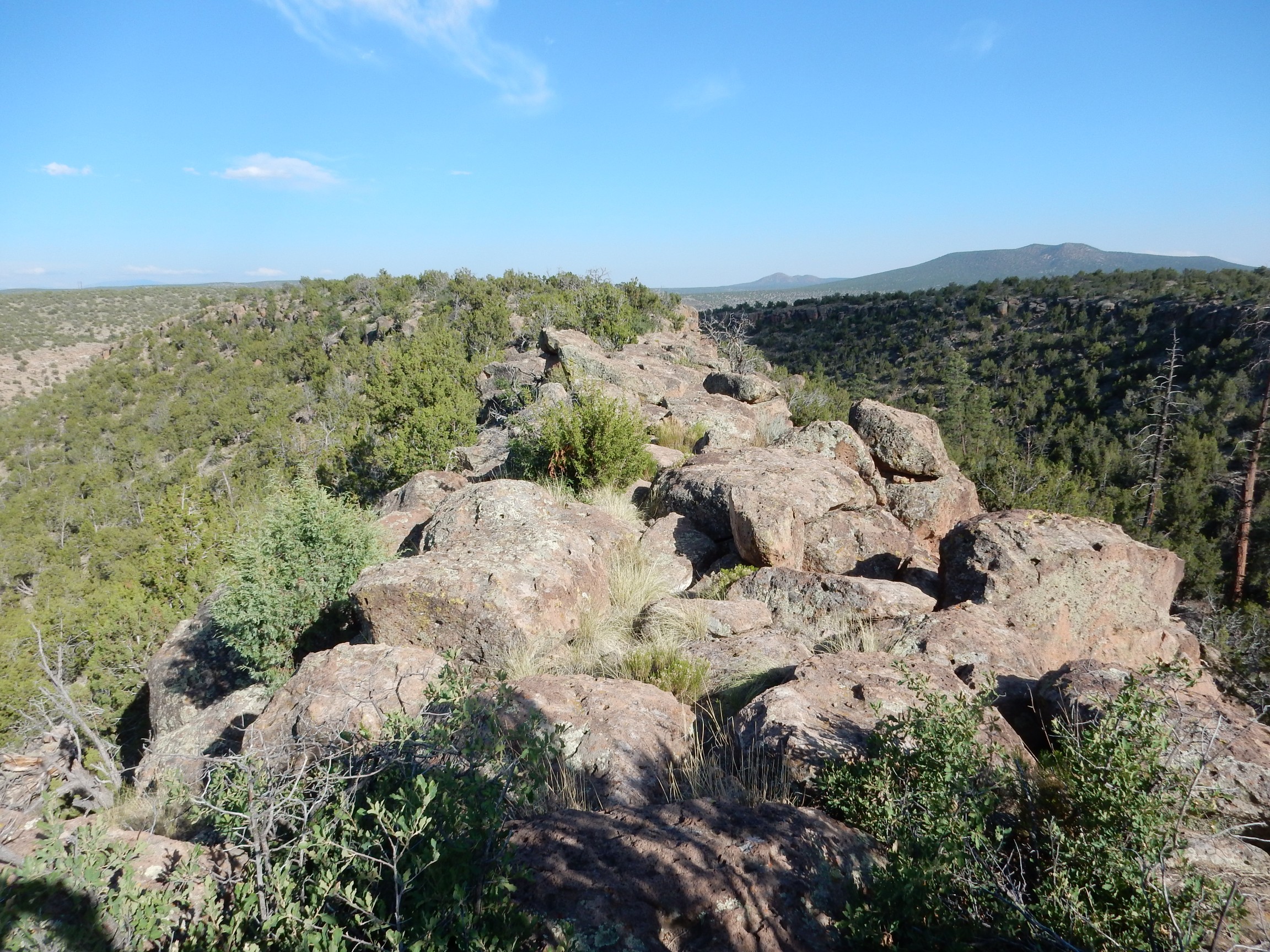
I was not quite sure what to expect on this hike. The end of the trail was somewhat unremarkable:
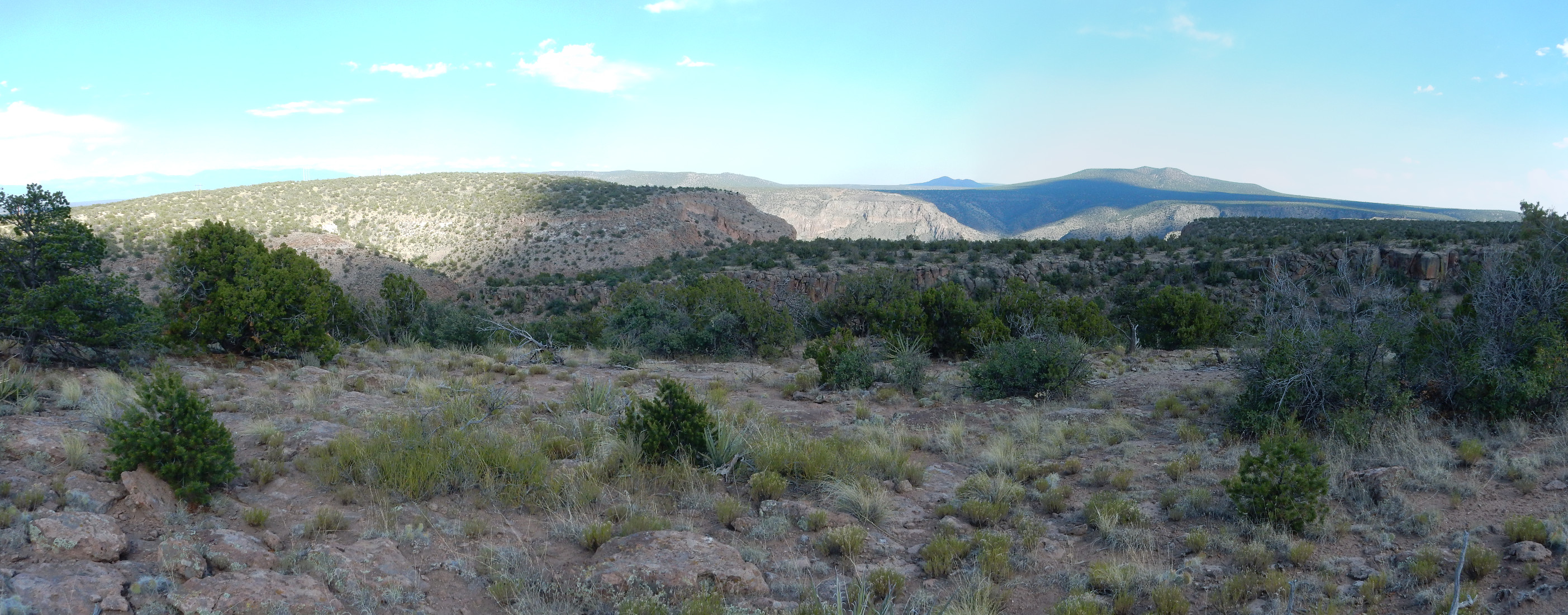
The view into White Rock Canyon is blocked by an intervening mesa. But this was cool:
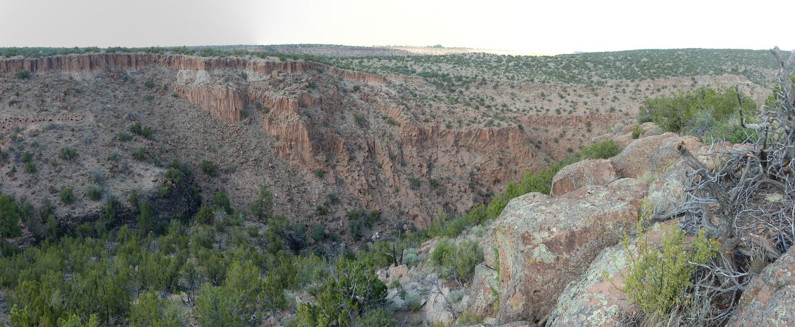
I’m going to have to come back on a day with better lighting and use my tripod. To the left are relatively thin beds of Tsherige Member sitting on basalt of the Cerros del Rio. At center the Tsherige Member is much thicker and clearly fills a paleocanyon in the Cerros del Rio basalt — the ancestral White Rock Canyon 1.25 million years ago, at the time of the Valles event.
Incidentally, the first part of this trail seems to have had some very recent work to improve the gravel road.
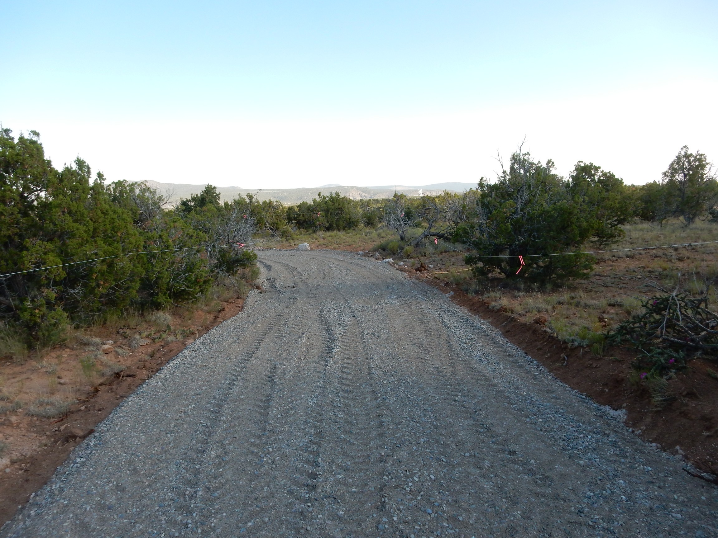
I don’t know what this is about. There’s nothing in the way of infrastructure down the trail, other than a single power line.
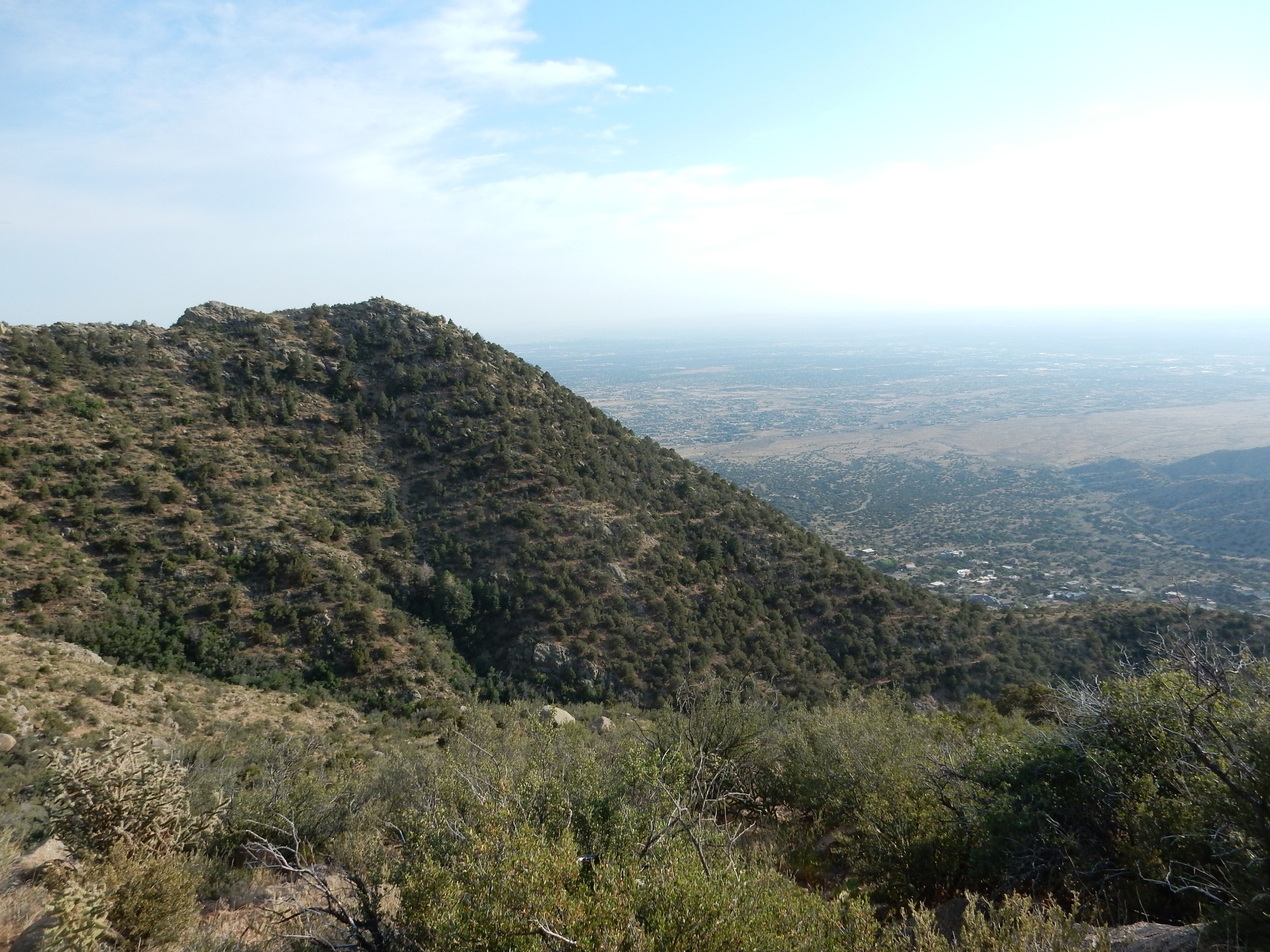
Saturday was another day for me to take Nathan to a video game tournament, attend the Albuquerque temple, and do a little hiking. I’m still interested in the orbicular granite outcropping that is supposed to be somewhere above the La Luz Trail.
I actually have fairly precise coordinates: Here. This fits the description of the location in the geologic report for the Sandias, which describes the outcropping as lying just south of the ridge that La Luz climbs, above the final switchback. The trick is getting to it. I hiked along the trail scanning for good places to start bushwacking; but time was short, I misjudged true north until I dug out my GPS and figured out its compass setting, and I had overshot and was out of time by the time I got a good fix on where I was really headed. Still:
The cholla were blooming.

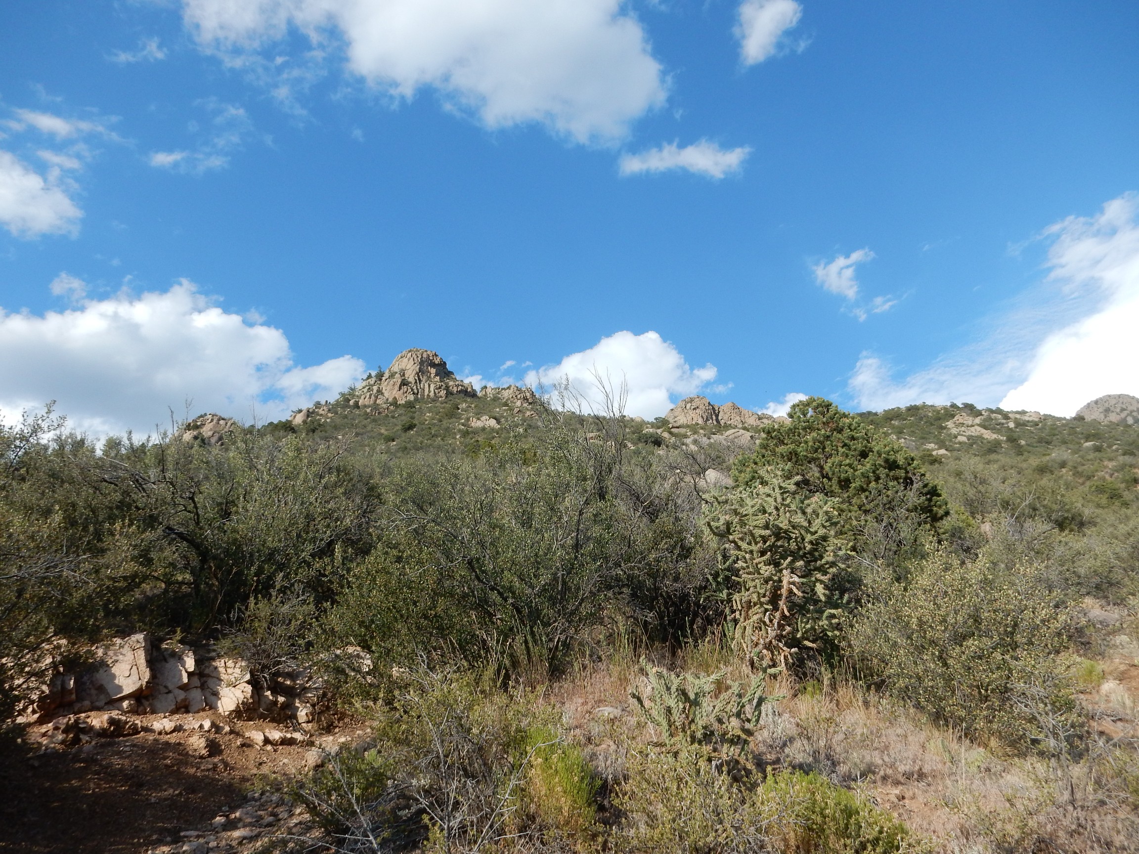
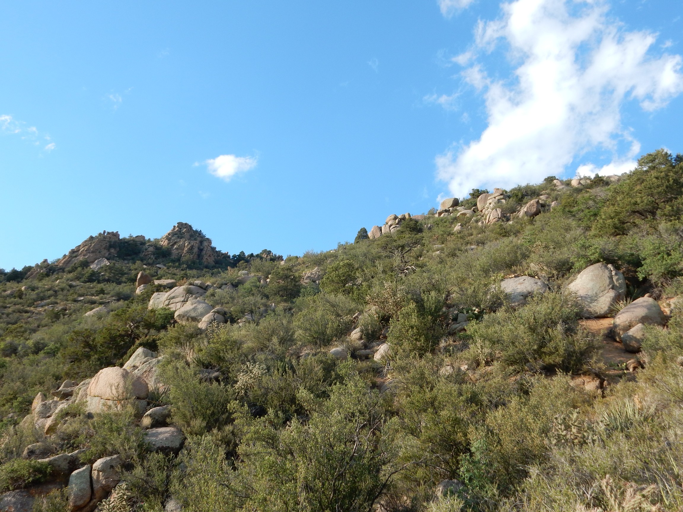
The objective is somewhere along this ridge line.
Yucca seed pods.

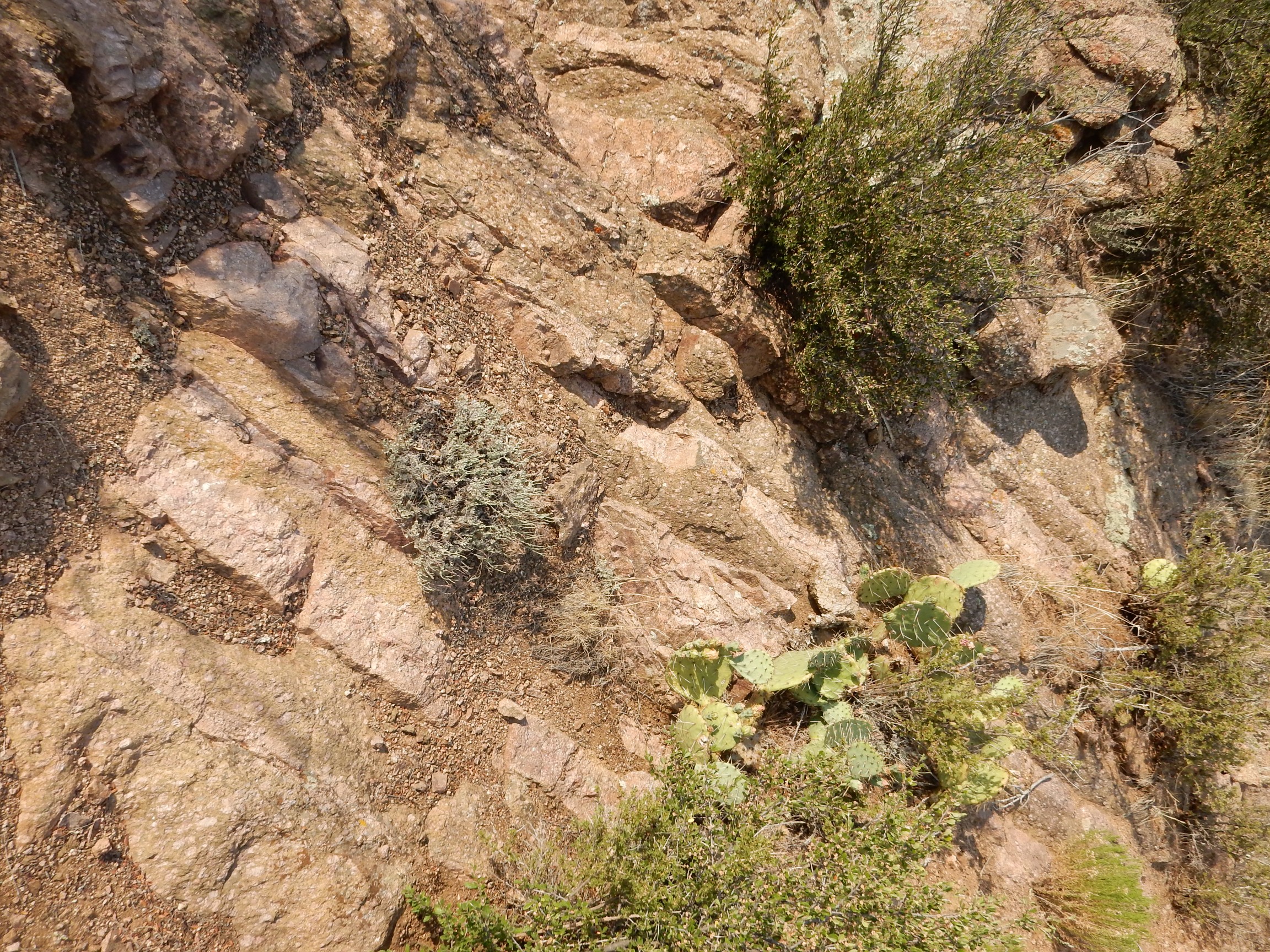
Here‘s an example of the kind of slopes above the trail I was eyeballing as possible bushwack routes.
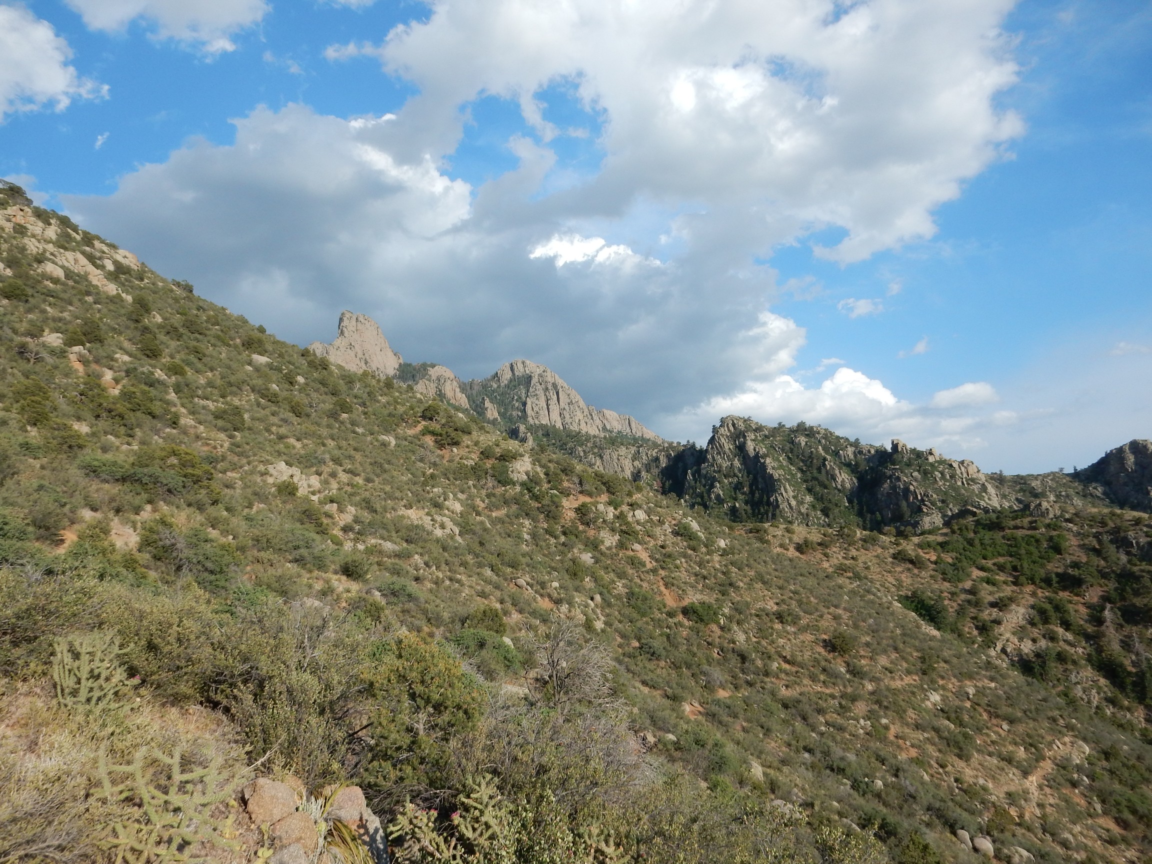
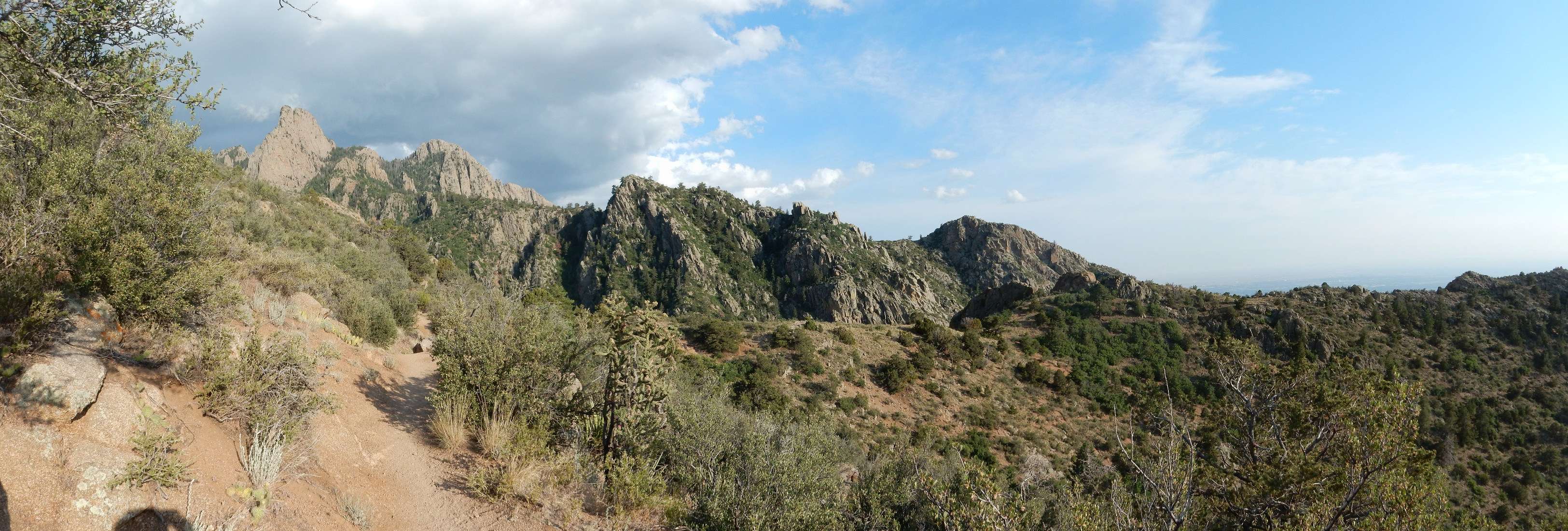
Really not too bad. The trick would be picking the best spot. Notice the majestic spires of Sandia Granite in the background.
I’m already up quite a ways after 40 minutes of hiking.
View of the Sandia Granite:
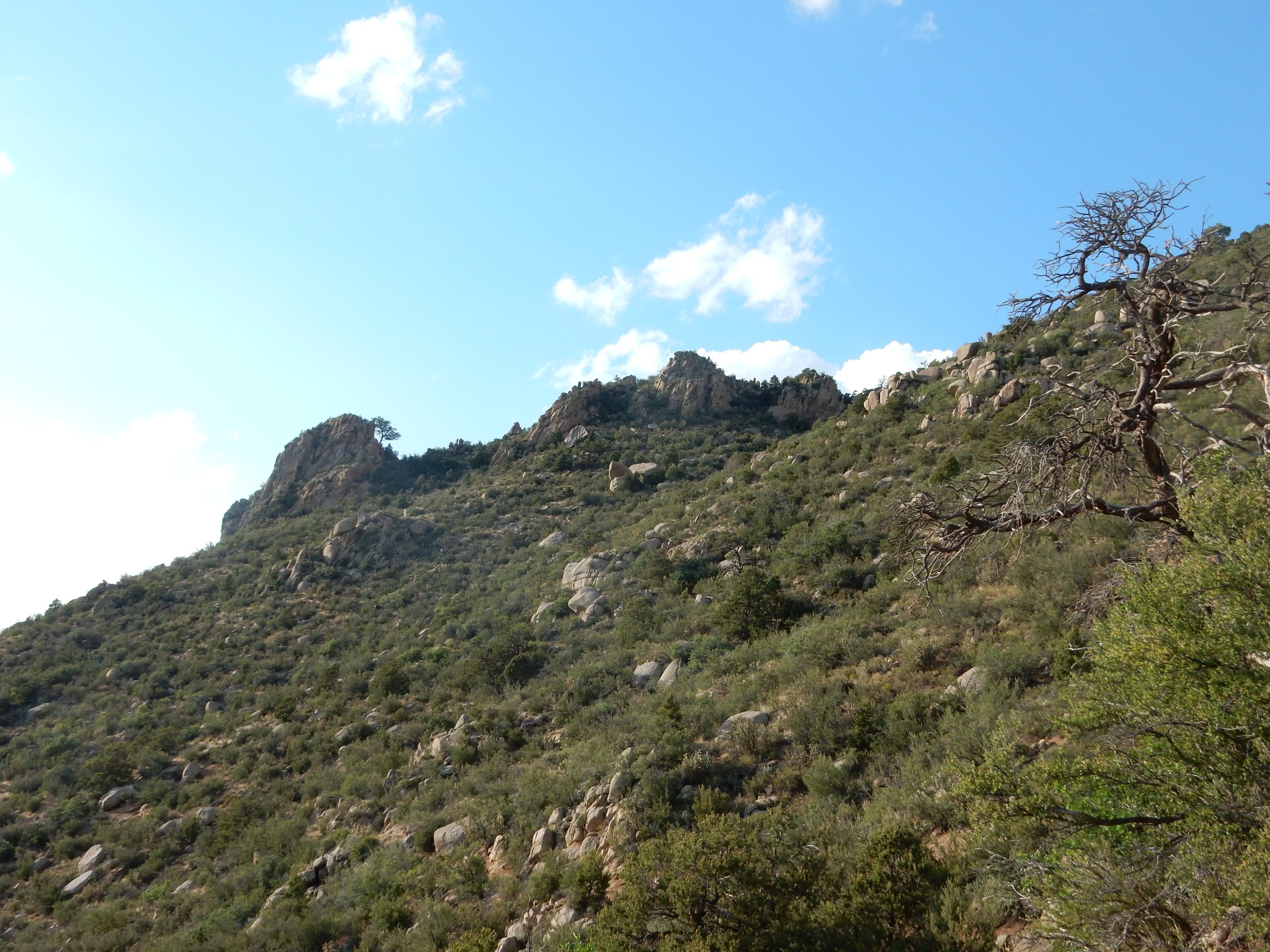
This was about the point where I realized I had come too far east. I used my GPS to work back to where I was directly south of the outcrop, then used the GPS compass to point my camera directly north:
As near as I can figure, the objective is very close to the tree on the ridge just right of center. Given the uncertainty in my map coordinates and the imprecision of my GPS navigator, it could be anywhere just south of the ridge in this area. Still, this will not be hard to get to:
The trail passes just below the slope at left. Should not be a hard scramble at all. I was really really tempted to try it right then, but I did not want to get back to my car after dark; among other things, I would be locked in the park, which closes at sunset. Next time I’ll know exactly where I’m going.
I did pause long enough to photograph a shear zone in the granite.
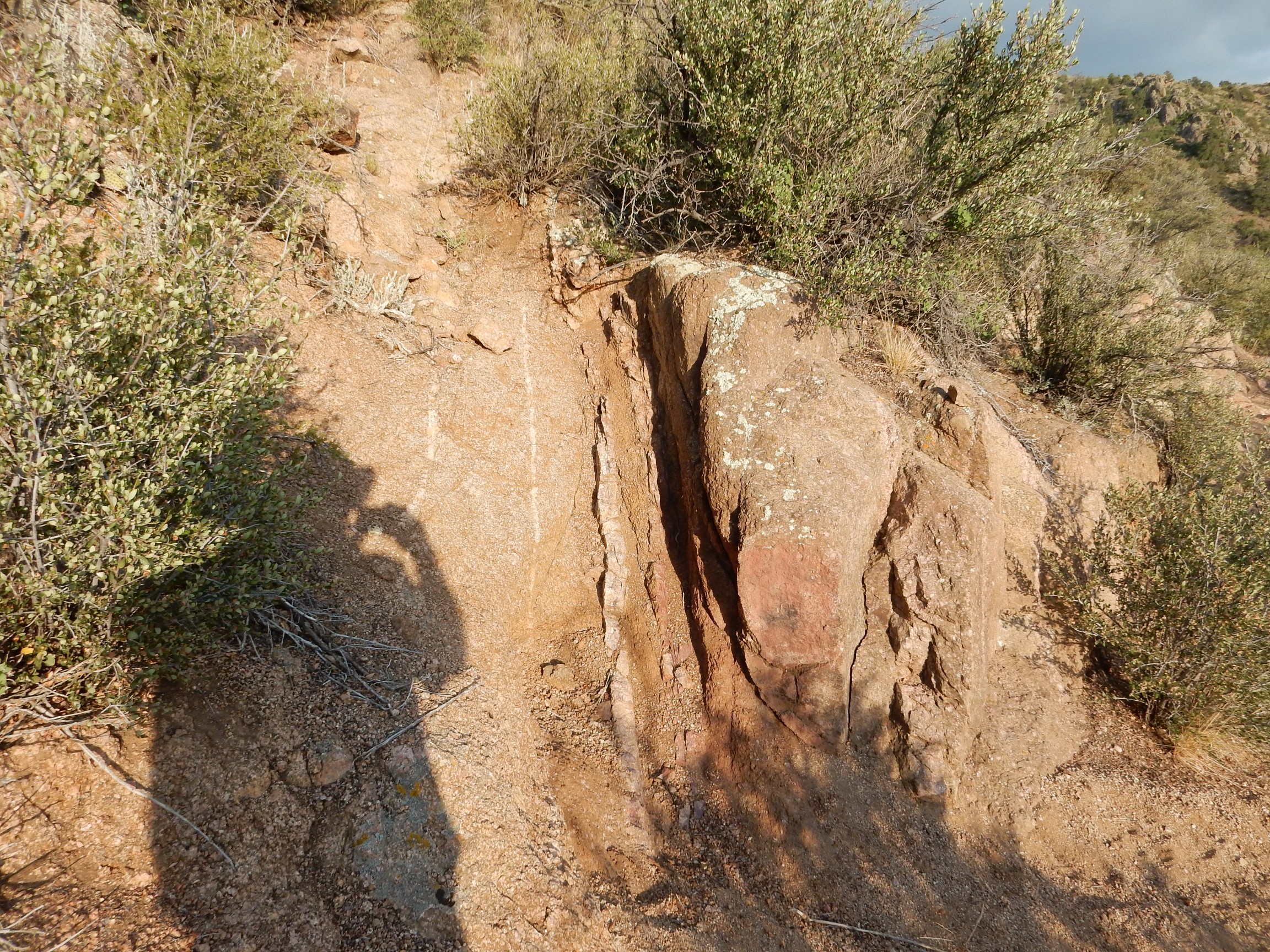
This is a zone of deformation intruded by pegmatite dikes. It may represent the deep subsurface expression of a surface fault, long eroded away.
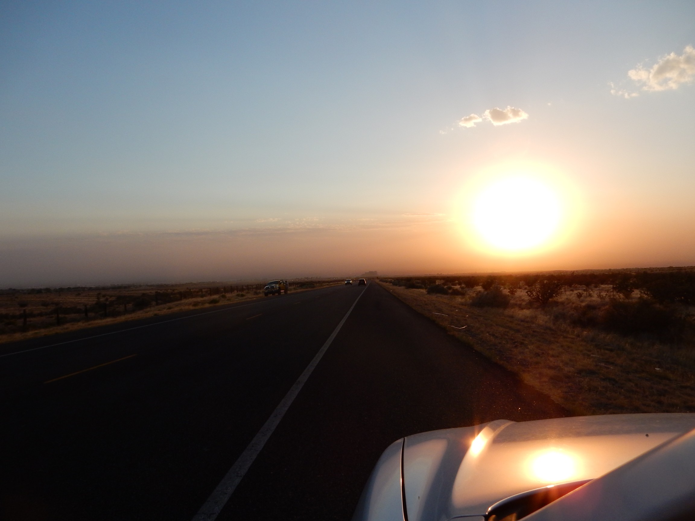
I got back to my car, with a little daylight to spare, and drove off into the sunset.
You might try submitting some photos here:
https://www.earthmagazine.org/whereonearth/submit
Well, why not?
Readers? Do you have any favorites?
As I was researching orbicular granite online, I stumbled upon Kent’s blog and got captured by his writings and adventures. I later discovered, through the comments on his last post, that he had passed in 2022. May he rest in peace, and my condolences to his family. Without any doubt, he was a person of great intelligence and curiosity, and I’m glad his writings are still here for people to discover.
Thank you, M. I’m sure Kent is happy that his adventures and writings are still being appreciated by others!
Cindy Budge