And now for something completely different
Well, not completely different. While Gary is not Bruce and is not family, he’s gotten to be a good friend. And if we’re not looking at geology in Utah and Colorado, we are looking at geology back home in the Jemez. The posts on my annual out of the Jemez geology trip will resume Real Soon.
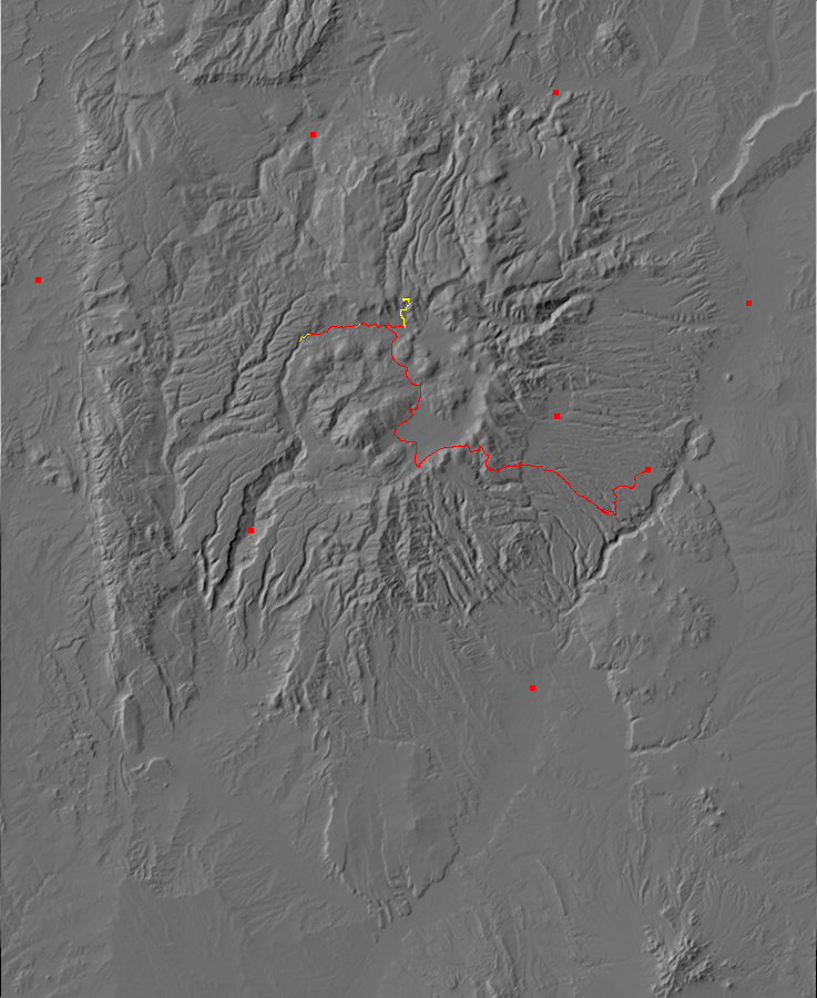
I haven’t taken Gary into the back country of the Valles Caldera, so that seemed like a very sensible way to spend this Saturday. We were up at the mandatory early hour (to ensure we would arrive at the preserve headquarters before they were all handed out.) Permits were plentiful and Gary discovered that the ranger behind the counter was an old friend.
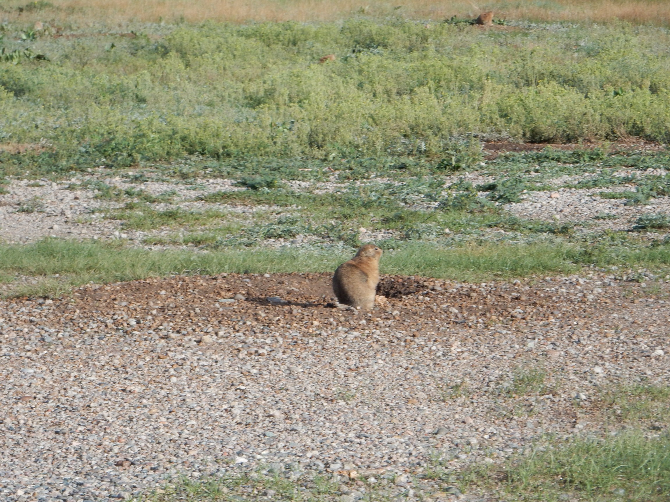
The area around the headquarters abounds with prairie dogs.

The one by the burrow is a sentinel. Two more are feeding quietly to the right.
A wider view of the colony, also showing low cloud in the caldera. How many dogs do you spot? (As with almost all images at this site, you can click to enlarge the image.)
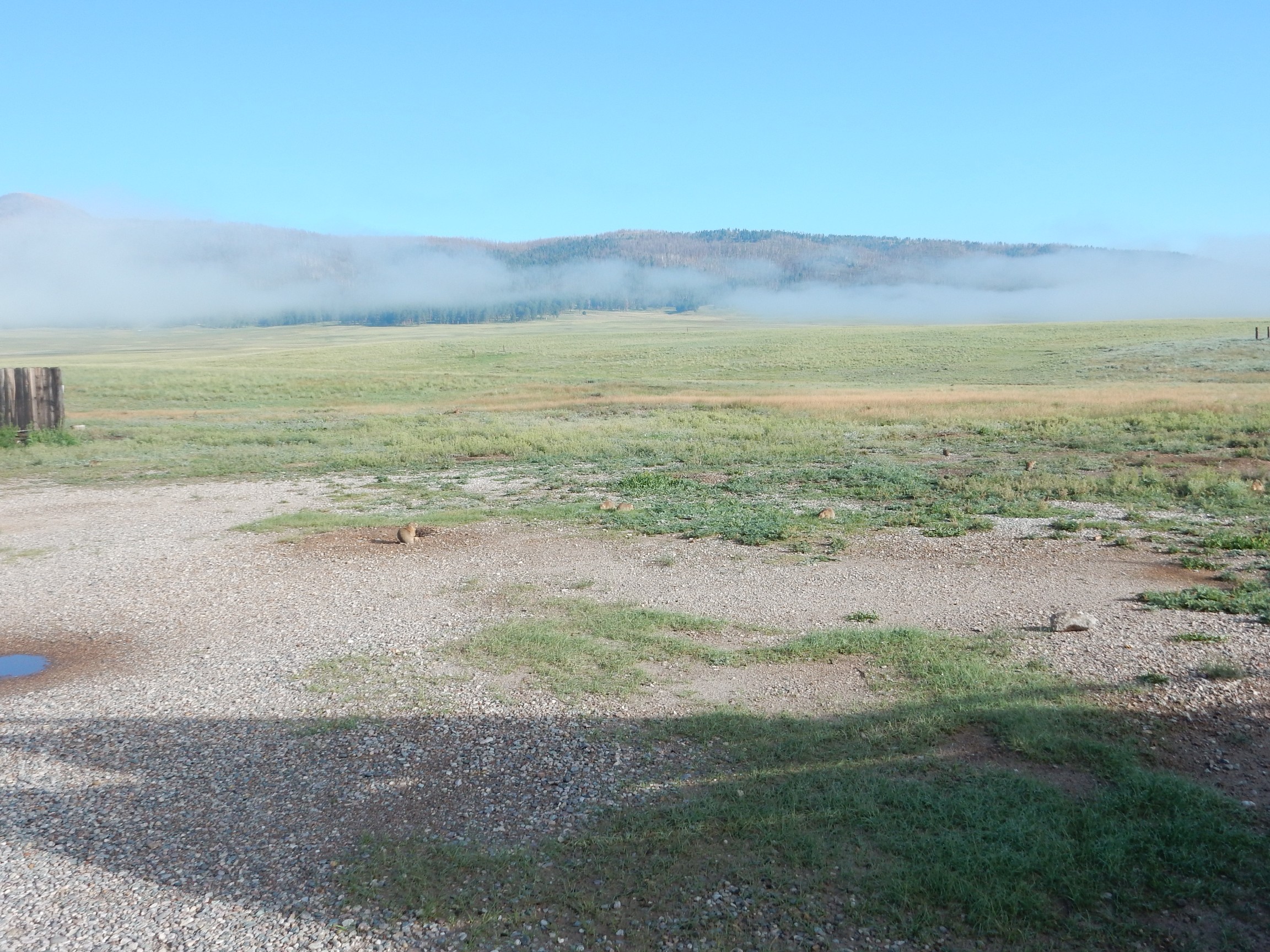
I counted seven.
I slowly walked up to the sentinel. He crouched over his burrow, ready to disappear if I came closer.
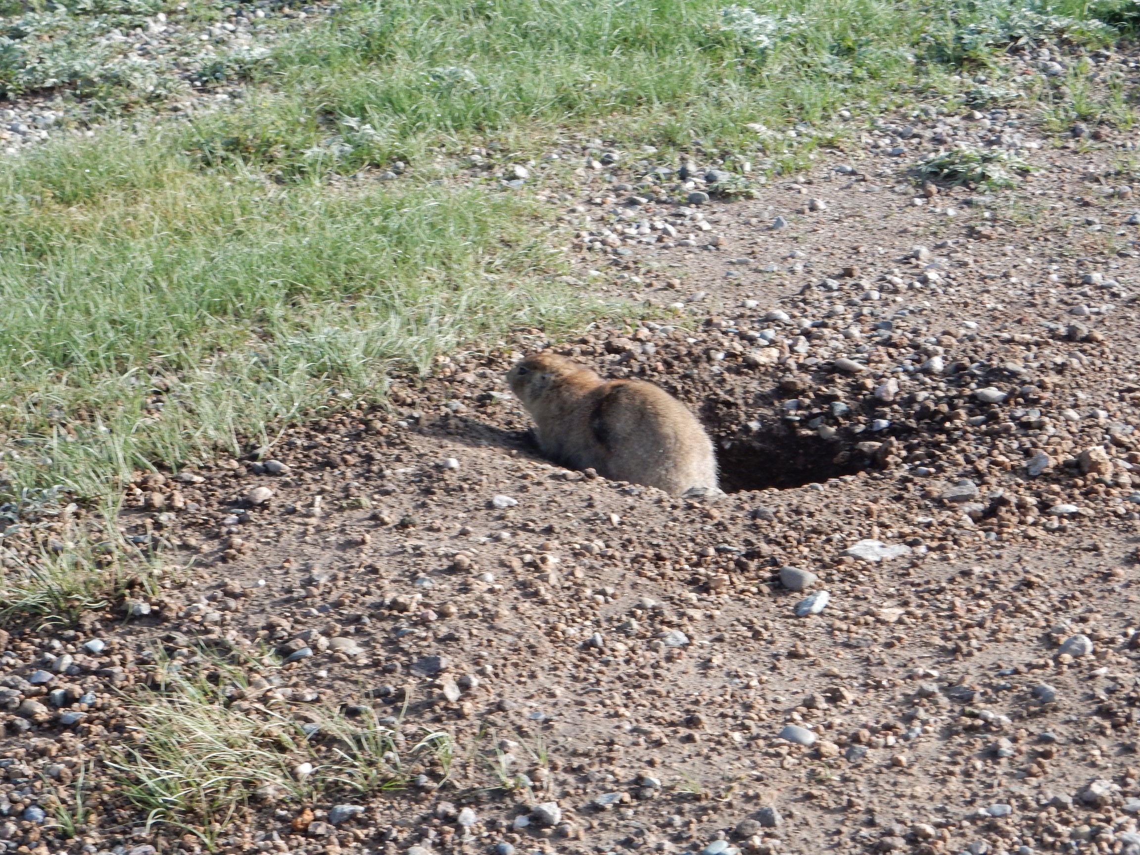
You know, they are pretty cute, for vermin.
Rodents are among our closer relatives; their last common ancestor with primates lived around 60 million years ago, versus 80 to 100 million years ago for (for example) our last common ancestor with dogs or cows.
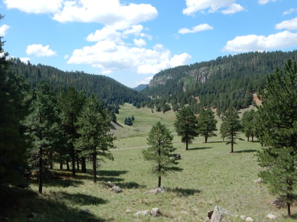
We head up into the Valle Jaramillo. To the north, on the skyline, is the north rim of the caldera.
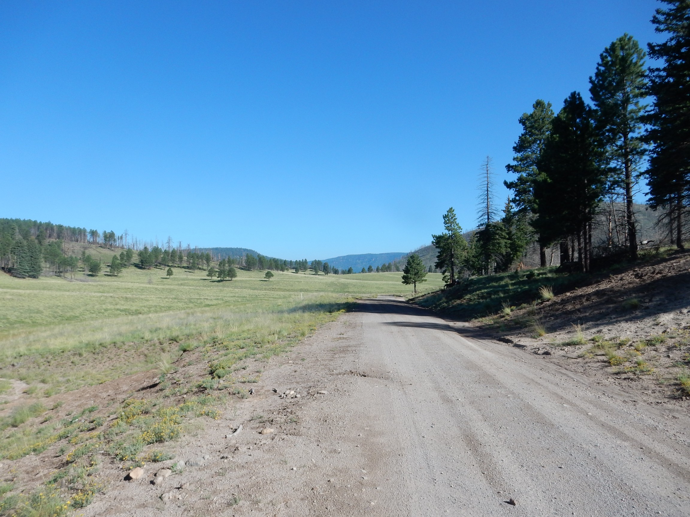
The Jaramillo Normal Event is named after this location, where rocks around 1 million years old were found to have a positive magnetic orientation in what was otherwise a time of negative orientation of the Earth’s magnetic field. Identification of this event helped establish the theory of plate tectonics, and The Road to Jaramillo describes the history surrounding these events. We are literally on the road to Jaramillo.
To the south, we can still just see the south rim of the caldera.
I probably should pause and give a little background to where we’re headed. The Jemez Mountains are mostly volcanic, with eruptions beginning around 14 million years ago — not long in geologic terms. The earliest eruptions were likely basalt flows like those of El Malpais. The lava emerged from fissures opened along the western margin of the Rio Grande Rift, a great crack in the earth’s crust reaching from central Colorado to the El Paso area that roughly coincides with the Rio Grande Valley. The rift opened around 30 million years ago as the Colorado Plateau began to separate from the interior of North America.
Although the first eruptions were of basalt, a silica-poor volcanic rock that tends to form flat flows rather than mountains, later eruptions were of lava increasingly high in silica. Silica makes lava viscous, and as the lava transitioned to andesite, the eruptions began to take the more familiar form of volcanic cones. By two million years ago, the lava had become high enough in silica that it was so viscous that it began having difficulty just getting out of the ground. The lava accumulated in a vast underground magma chamber, which finally erupted catastrophically 1.62 million years ago to produce a huge caldera, or volcanic depression in the earth’s crust, 13 miles across. The ash from this eruption mixed with red-hot volcanic gas to produce pyroclastic flows, which flowed like a liquid across the surface at high velocity for miles, destroying everything in their path. The ash then settled to the surface to form the Otowi Member of the Bandelier Tuff, which forms the lower part of the finger mesas around the Jemez.
A second catastrophic eruption occurred 1.25 million years ago, the Valles event, which dropped the caldera floor a second time and produced the Tsherige Member of the Bandelier Tuff, which caps the finger mesas around the Jemez and is particular prominent around Los Alamos.
Following the eruption, new magma entering the magma chamber pushed up part of the caldera floor to form Redondo Peak. This resurgence happened very soon after the Valles event, within 30,000 years or so. Additional injections of magma reached the surface through the ring fracture where the caldera floor had collapsed, forming a series of ring fracture domes beginning with Cerro del Medio shortly after the Valles event and ending with San Antonio Mountain and South Mountain half a million years ago. Further smaller eruptions produced Banco Bonito around 50,000 years ago; these were the most recent eruptions in the Valles caldera.
Near the photograph, the road cuts through Cerro del Medio Dome. This was a site for several Paleoindian obsidian quarries. We notice several bits of obsidian at the base of the cut, one the size of my fist and weapons grade.
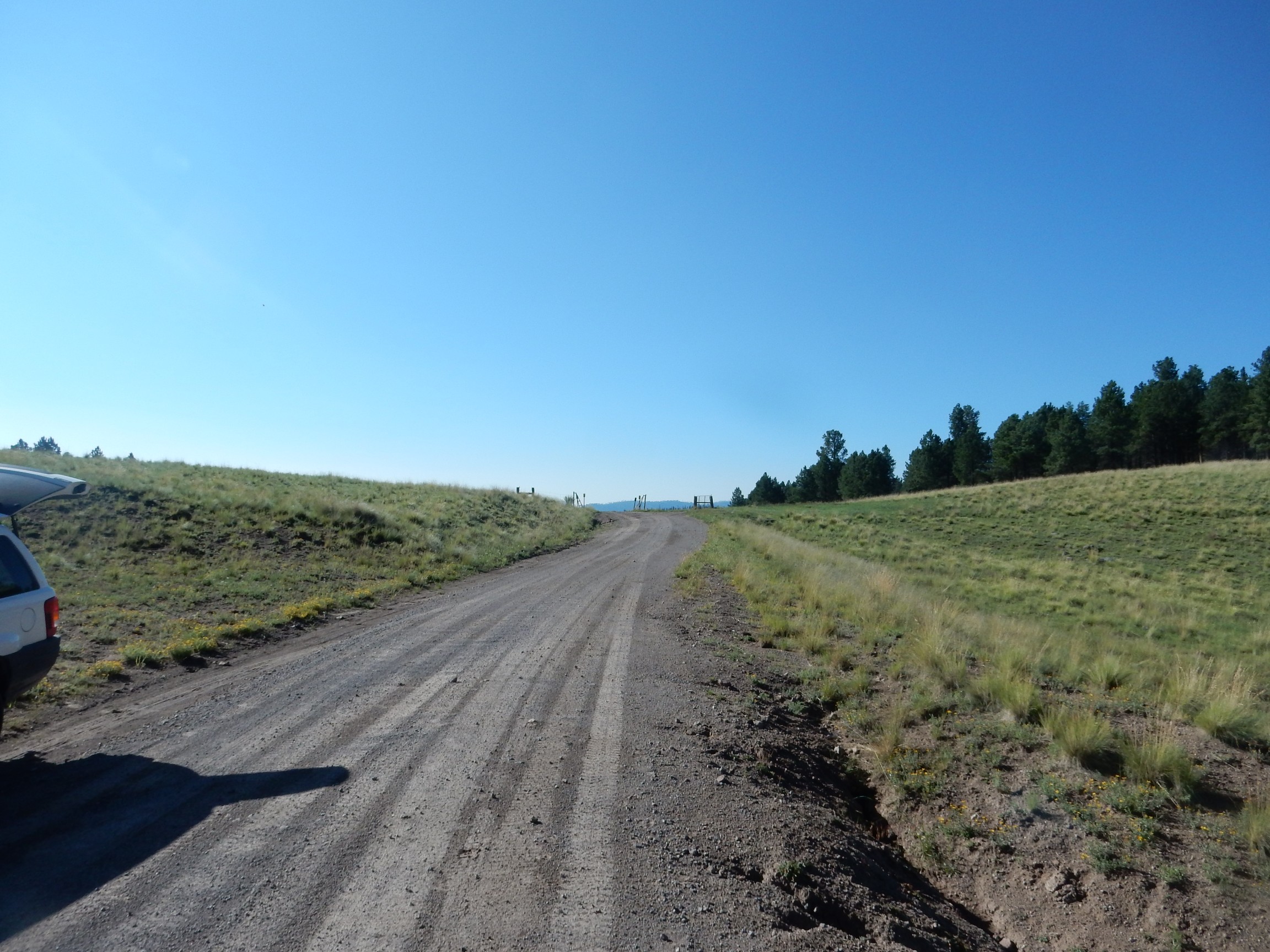
I direct Gary (who is driving) towards Warm Springs Dome.

The building is an old bath house taking advantage of warm spring water. The cow skulls are, I suppose, a warning to others. The seemingly insignificant hill in the background is of considerable geologic interest, as it has a radiometric age of 1.22 million years. This means it erupted very shortly before the Valles event, and it is interpreted as a remnant of a ring fracture dome of the previous Toledo event. This leads geologists to believe that the Toledo eruption was centered slightly north of the Valles eruption; the Valles ring fracture is a significant distance to the south.
We hike around the dome while Gary comments on the fishing potential in San Antonio Creek. (The Preserve permits fishing with a license.) The view to the south from the top:
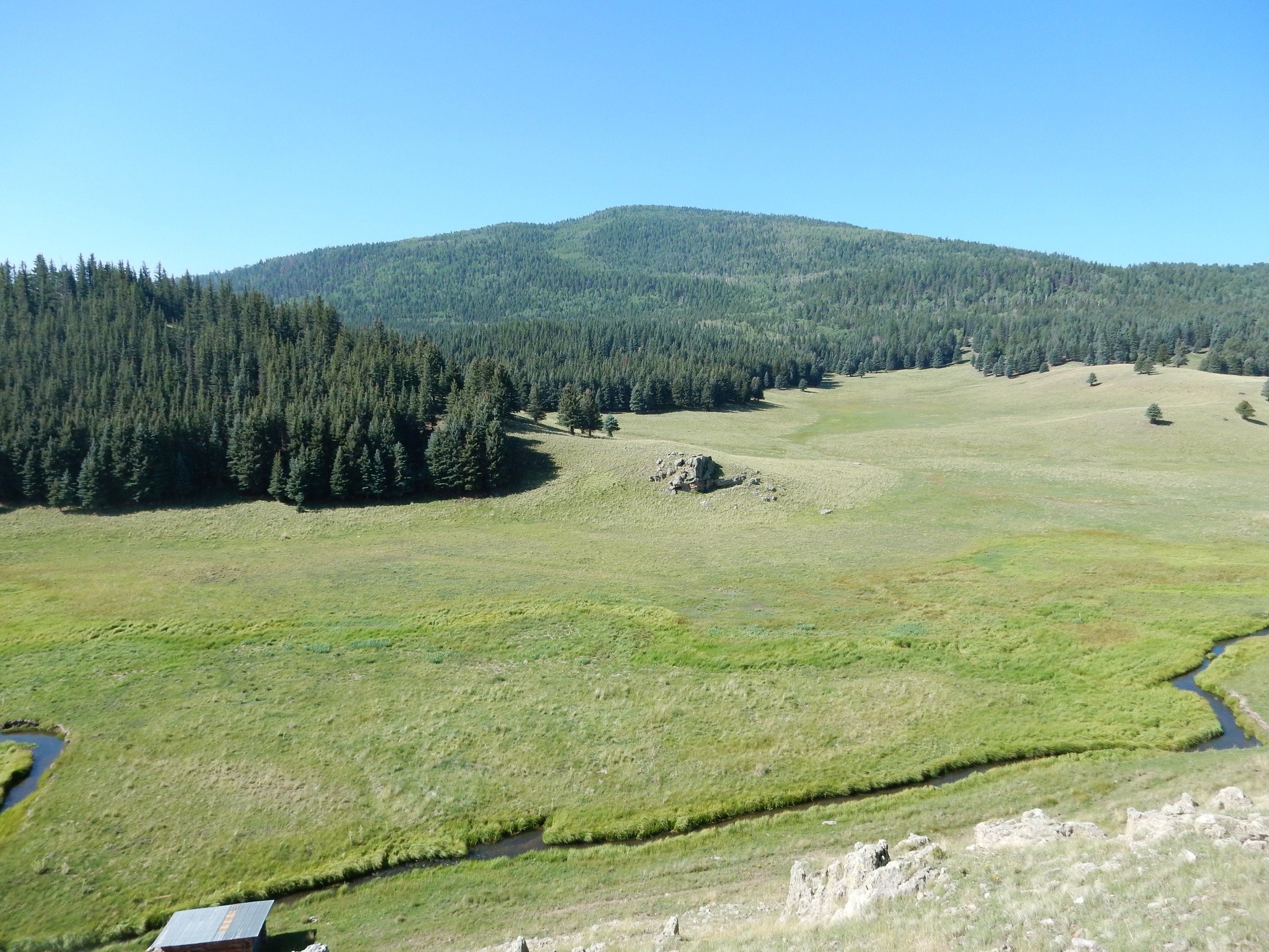
The creek at the bottom of the photograph is San Antonio Creek. The mountain is Cerro Seco, a ring fracture dome that erupted around 800,000 years ago.
The dome is surrounded by a ledge on all sides. This looks a lot like a wave-cut ledge, from when a lake filled the caldera. I want a picture for the book; alas, this is the one picture I take today that does not come out.
North of the dome are phreatomagmatic beds.
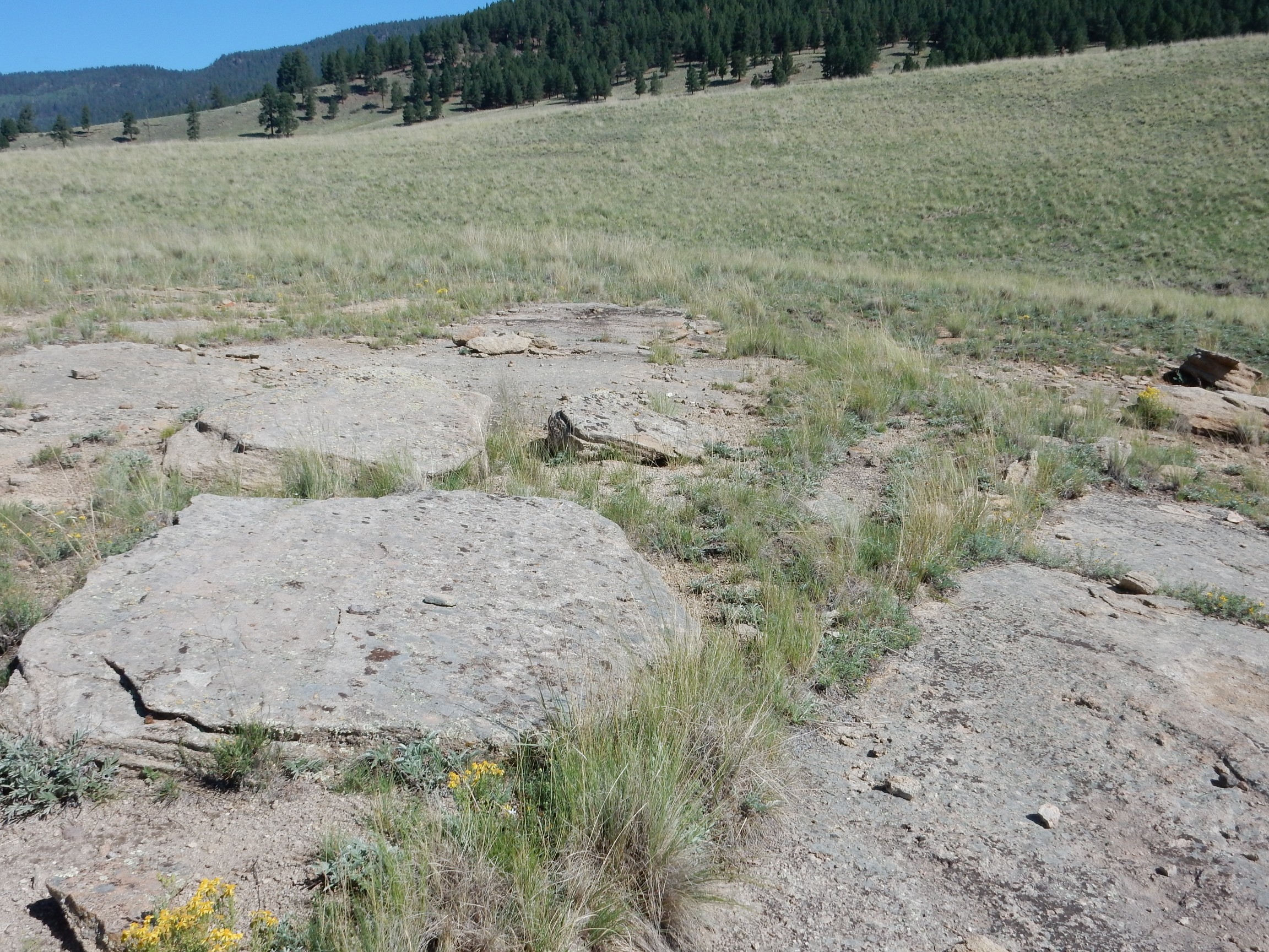
These formed when lava from Cerro Seco encountered lake water and exploded into a mess of steam and bits of volcanic rock. The beds blanketed Warm Springs Dome and these erosional remnants remain on the north side of the dome.
We continue west to near the Preserve boundary, where the road is blocked with an impressive gate and vehicle obstacles. We take a break, enjoying the fresh air and pine scent; it’s a beautiful day. I catch a glimpse of the west caldera wall through the trees.

There’s a fungus among us.
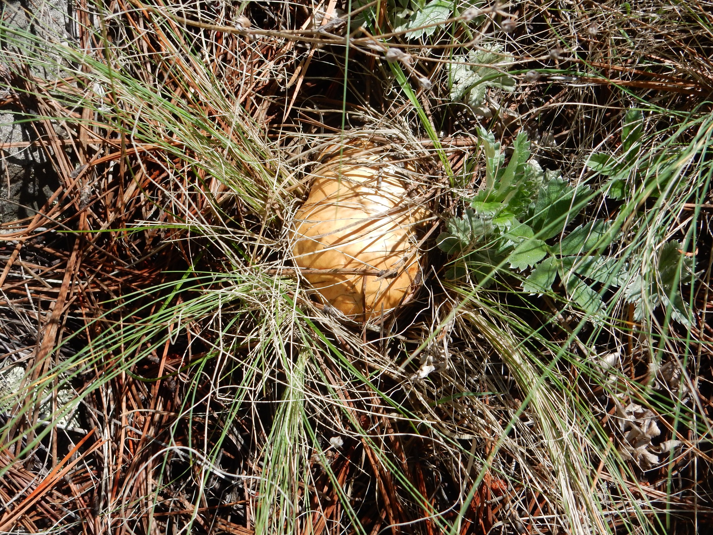
Just emerging from the ground. Has dark gills. I’m not a fungus expert; possibly Cortinarius or Agaricus.
Gary finds a big block of what looks very much like travertine. The only formation in the immediate area that seems a likely source is either lake travertine or the Pedernal Chert of the Abiquiu Formation. It doesn’t really resemble either. Go figure.
We walk down the hill a bit, come out of the trees, and
We decide to cross the gate to the National Forest side and hike down the road.
The road cuts through what I tentatively identify as lake beds from one of the many lakes that have filled the caldera at different times in the past.
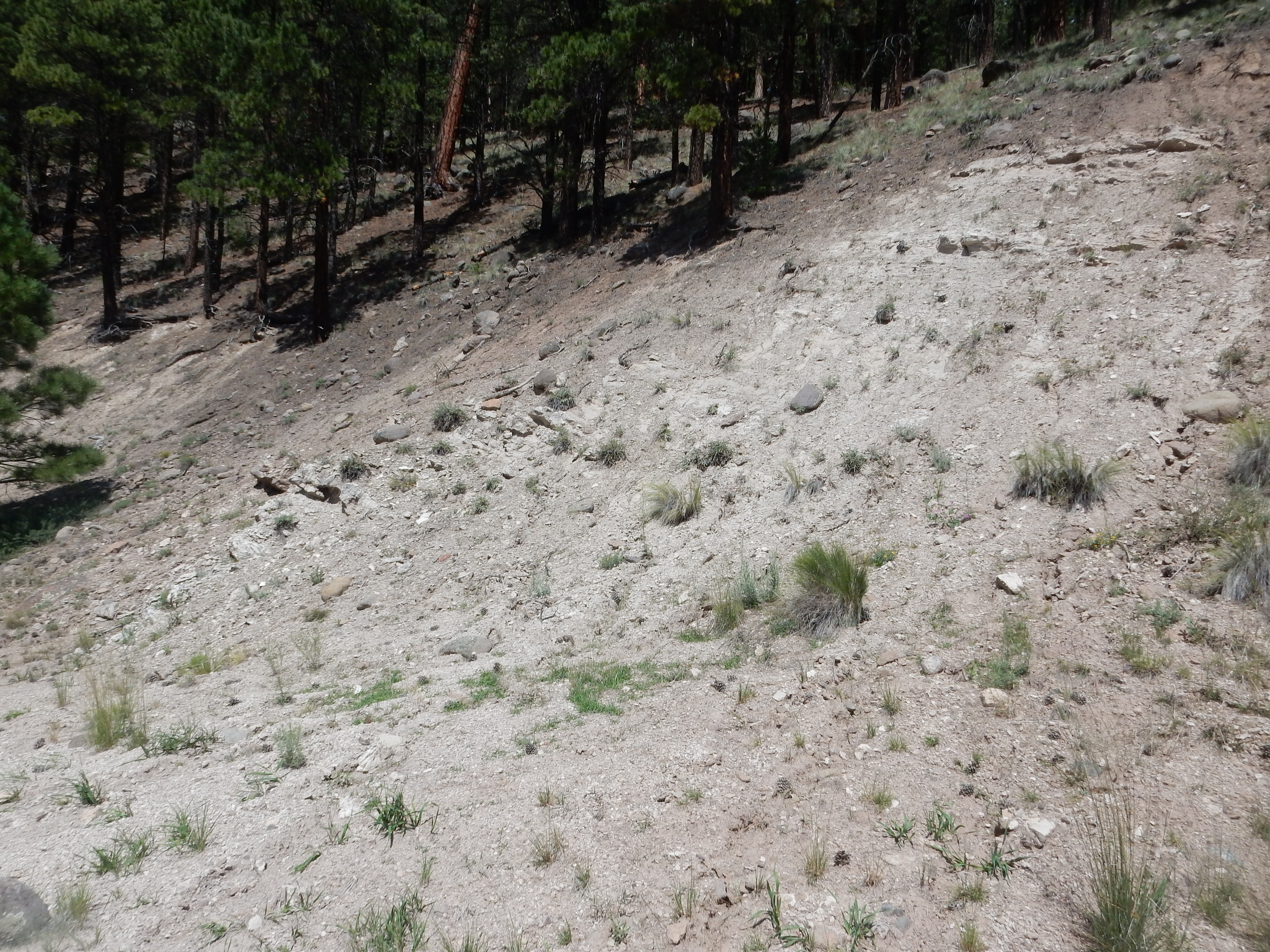
(When I get home, I’ll check the geologic map and find that this is actually Abiquiu Formation from before the caldera collapse. These beds are a full 25 million years old, predating the Jemez volcanic field. They are full of ash from the Latir volcanic field north of Taos, which was carried here by streams. That makes this a photo for the book.)
Looking south down San Antonio Creek and the west rim of the caldera.
A lichen-encrusted boulder of what is probably Otowi Member tuff. Much of the tuff in this area shows fiamme, pieces of pumice caught up in the flow that were partially melted and squashed flat. These indicate that this was a welded tuff whose ash particles were still soft from heat when the ash settled to the surface. Most of the Bandelier Tuff outside the caldera is not strongly welded, but tuff within the caldera and at a few locations outside is definitely welded.
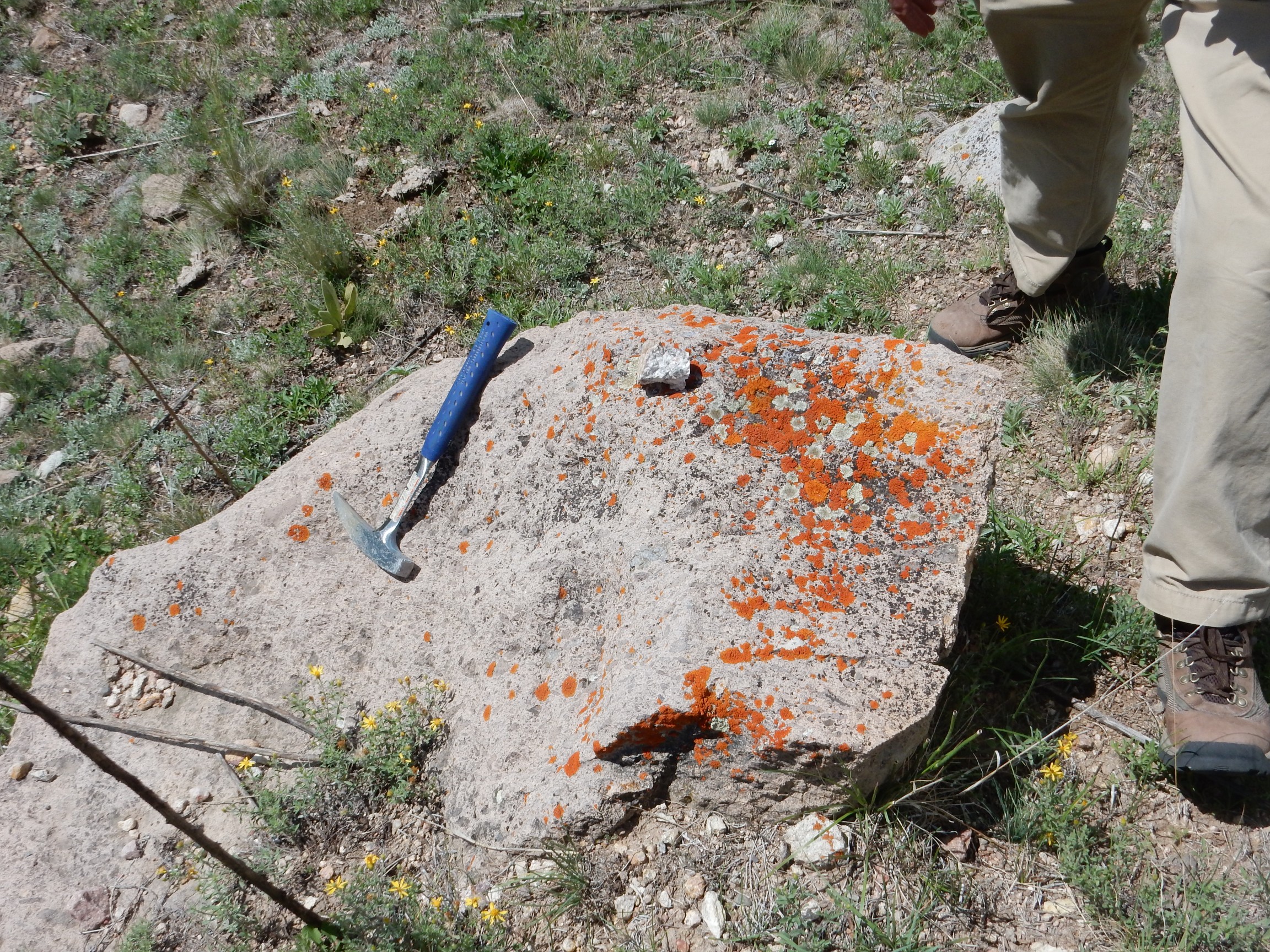
The liche is possibly a species of Caloplaca. I’m not an expert on lichens, either, but these are just spectacular.
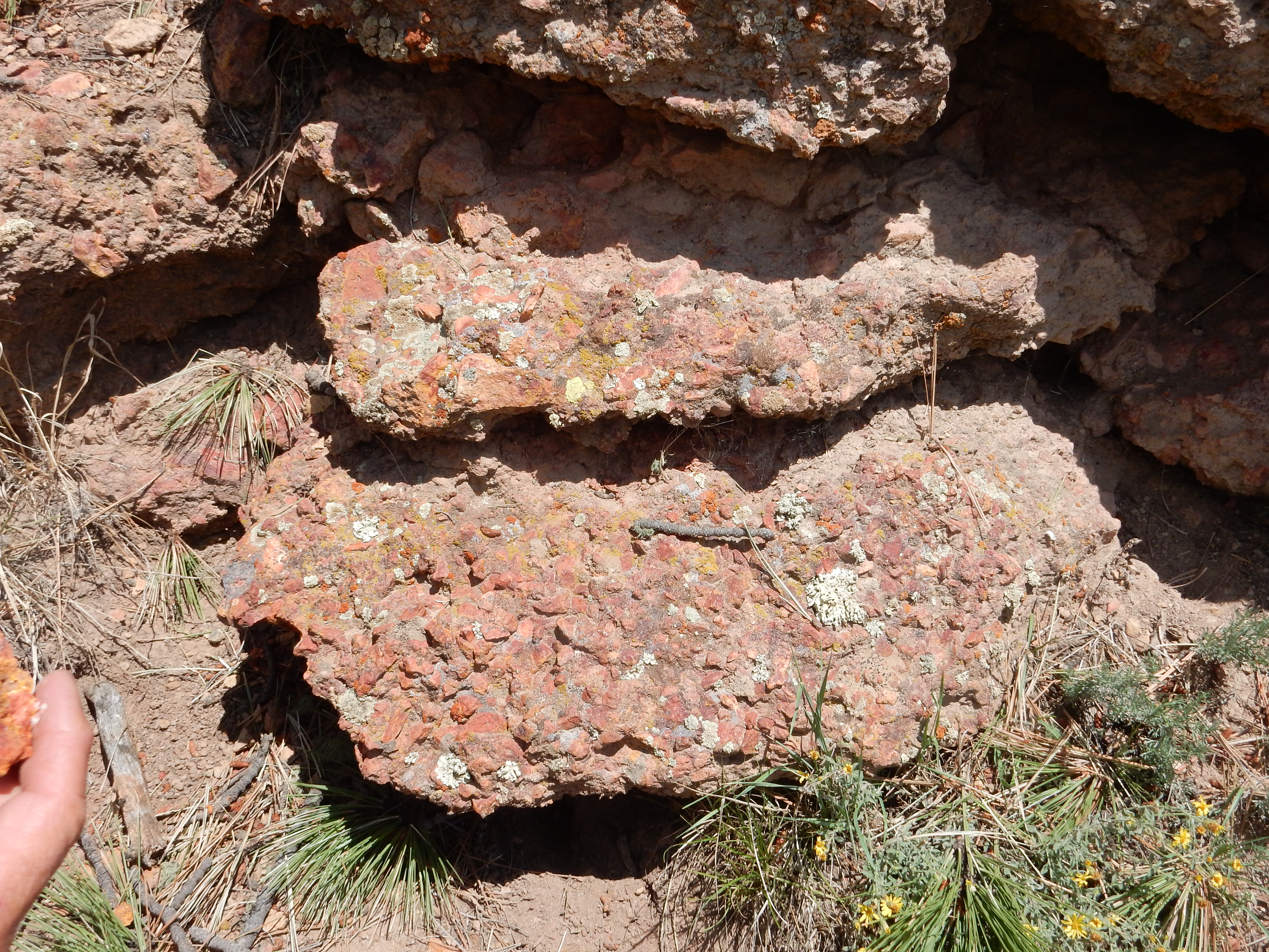
Poor exposure of Abo Formation in the road cut.
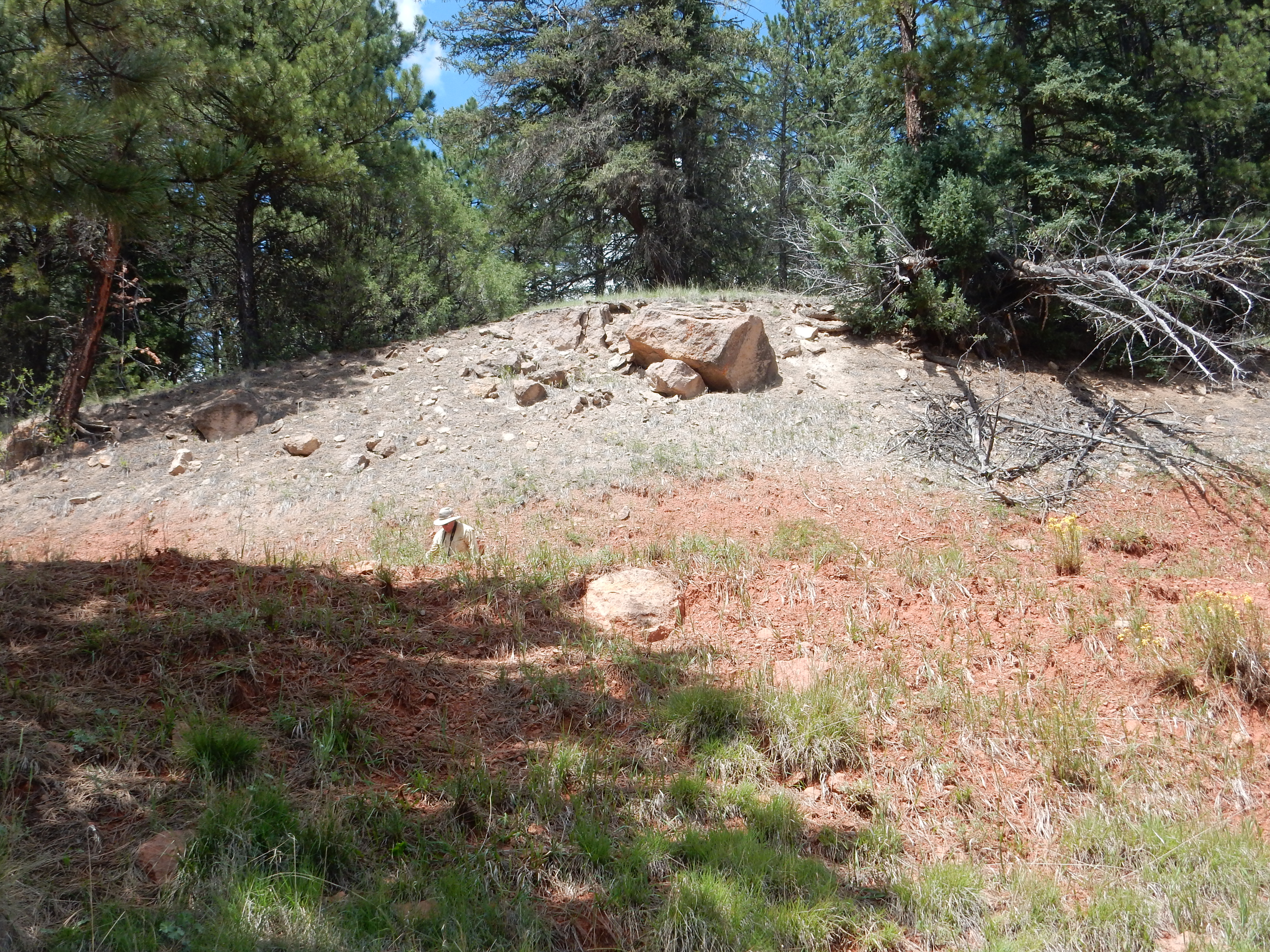
The Abo Formation is a Permian formation, about 290 million years old, which is vastly older than the Jemez volcanic field or even the Rio Grande Rift. It was deposited by rivers at a time when northern New Mexico was a rolling plain and frogs ruled the earth. The presence of Abo Formation here shows that we are at the base of the west rim of the caldera.
There is so much soil over the bedrock here that we know of the presence of Abo Formation beneath only from the distinctive red color. Gary and I had to scout around a while before we could find a sandstone chunk weathered out of this formation; most of the red rocks we picked up proved to be young volcanic rocks stained red by the iron oxide (hematite) leached from the Abo Formation.
But in the process, Gary found another treasure.
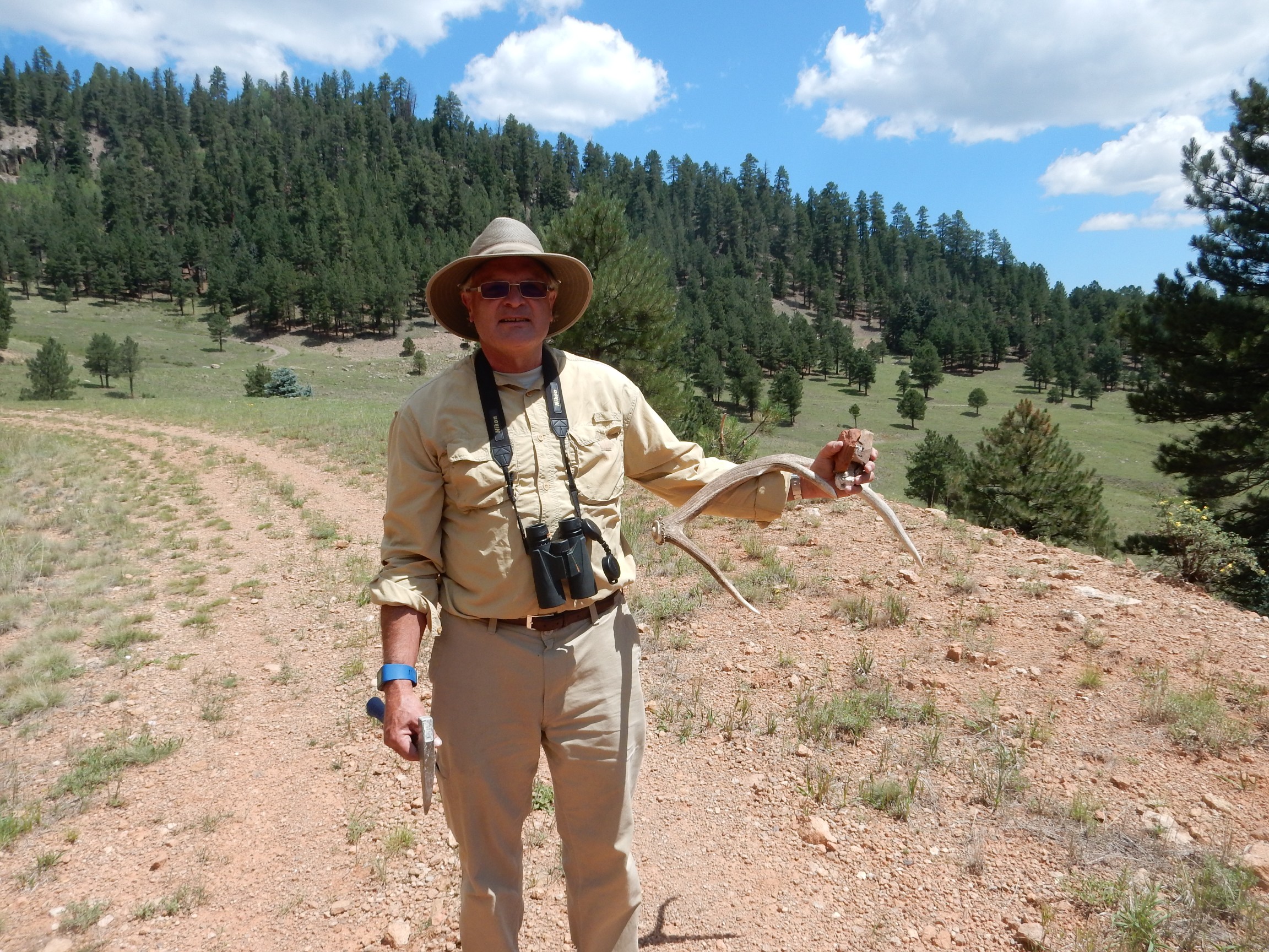
We’re on National Forest land here, so as far as I know, there is no prohibition on collecting shed elk antlers. It’s forbidden in the Preserve, so Gary will bury it deep under other stuff when we get back to the car … y’know, to avoid any misunderstanding.
We head back. Along the way, Gary, an avid hunter, identifies a small and not very healthy looking tree damaged by elk rubbing their antlers on it.
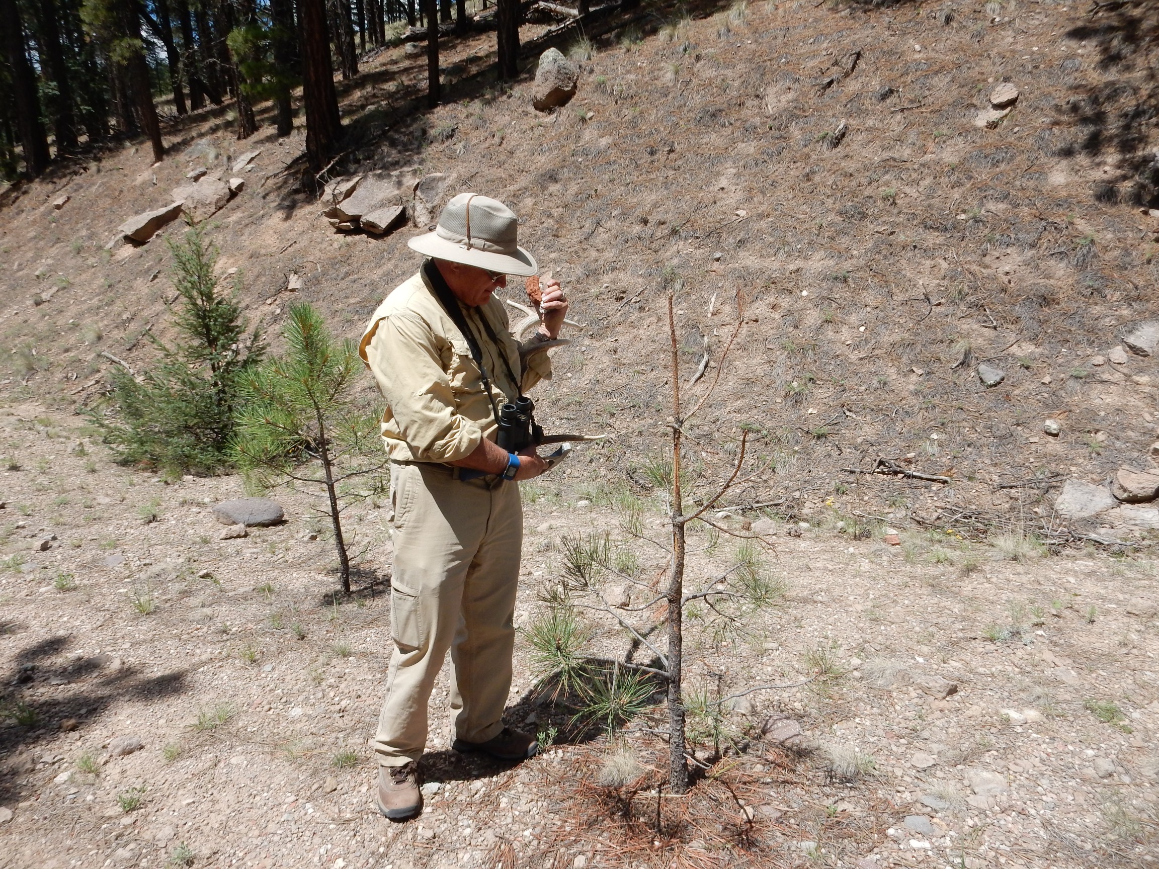
Apparently antlers in velvet are itchy.
Antlers are a curious thing. They’re made of true bone, but are shed every year. That takes an immense amount of energy. It’s like you or me growing a new pair of femurs every year. Because antlers are shed annually, they’re not a reliable year-round protection from predators; they function almost exclusively for attracting and holding mates. Apparently a healthy set of antlers signals to the ladies that this is a bull with good genes for finding food and eating large quantities of it.
I wonder why a beer belly doesn’t work the same way for human ladies.
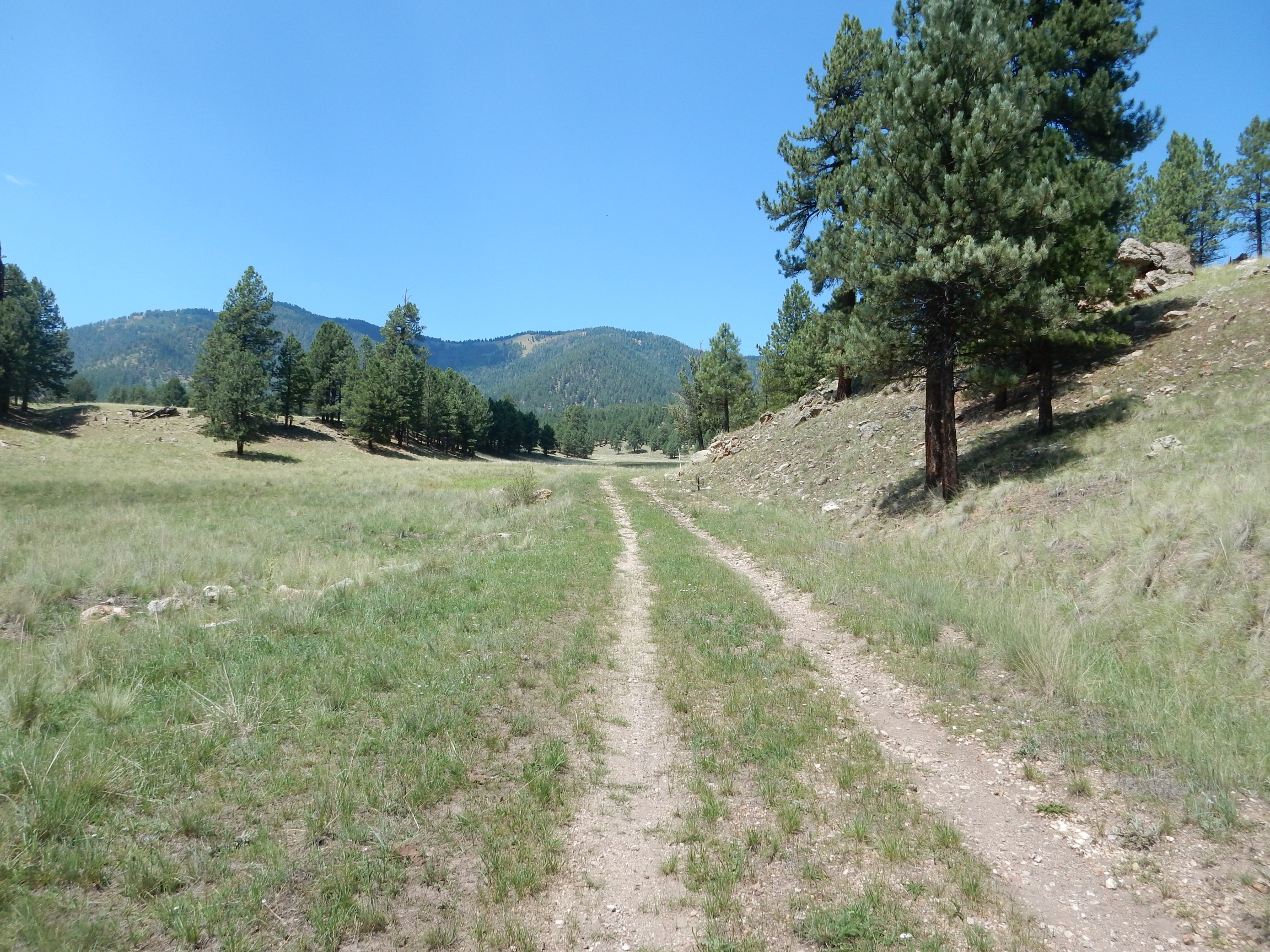
We eat lunch at the car, pack up, and head east, planning to hike G Road to the north caldera rim.
The road passes an outcrop of conglomerate, pebbles cemented together by silica and hematite from hydrothermal activity.
The pebbles must have eroded from outcrops not too far away, since they’re still pretty angular. The hydrothermal activity was almost certainly from the Bearhead Batholith, an intrusion of silica-rich magma that reaches from the southern Jemez to the north rim here. Most of the batholith never reached the surface, but in a few places the magma rose through fissures to produce some dikes and domes. The largest of these is Bearhead Peak itself. The remaining magma cooled and solidified, sweating acidic fluids that mingled with groundwater and rose towards the surface to produce the conglomerate seen here. Similar hydrothermal conglomerate is found in poor exposures for a couple more miles to the east, and this portion of the caldera rim seems to be underlain with mostly various sedimentary rocks of the early Rio Grande Rift at its base.
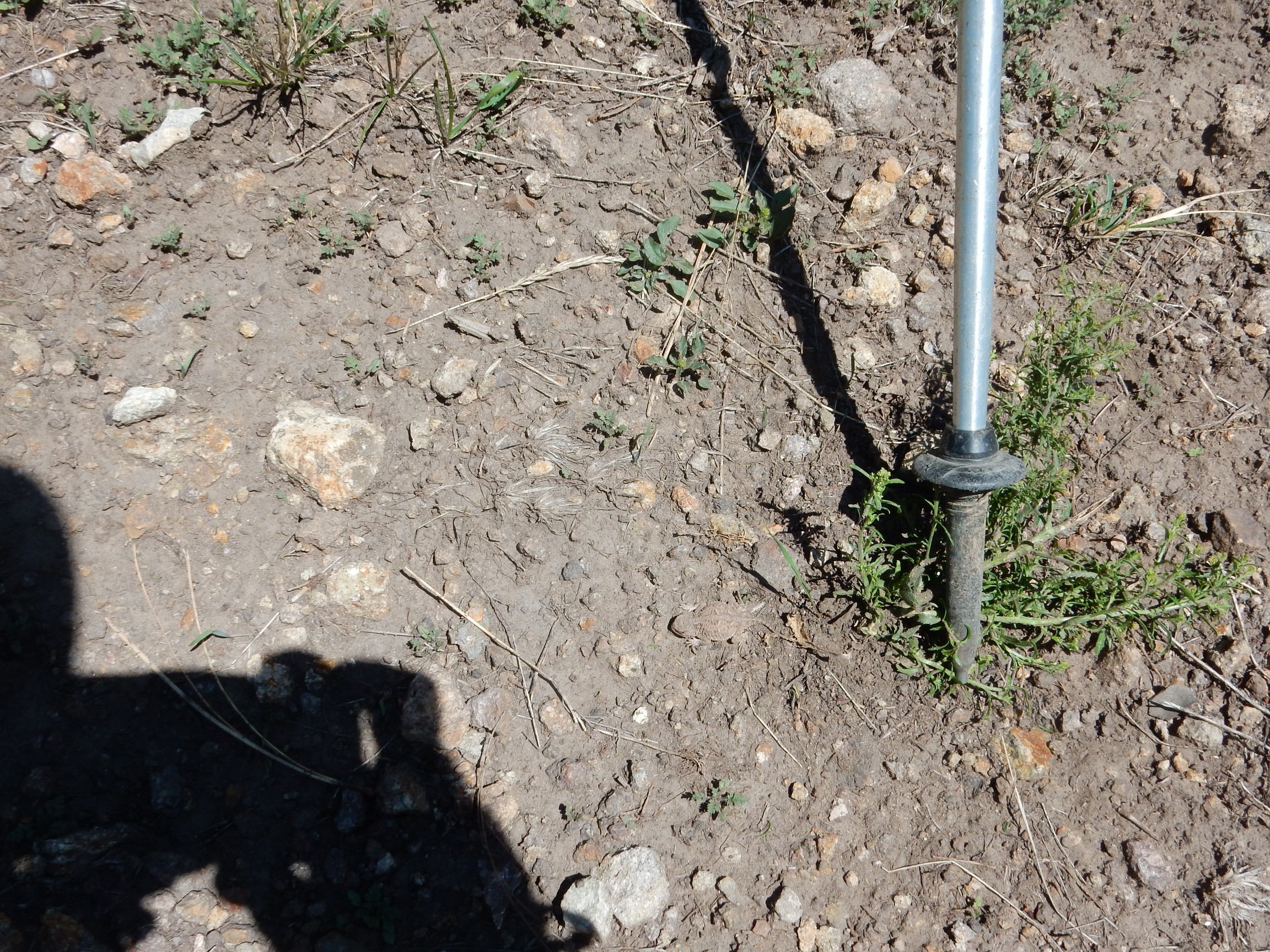
It’s a pleasant hike at first, then becomes increasingly steep. But there are occasional points of interest. For example: Spot the horny toad!*

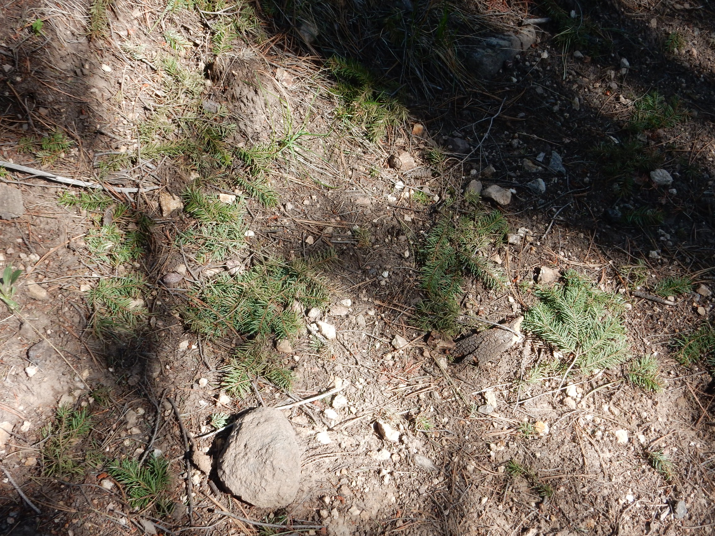
This may be easier.
We saw five horny toads (horned lizards) on this hike, more than I’ve seen in decades. Most were small, brown animals like this one, but one was larger and more yellowish; it gave us the slip before I could photograph it.
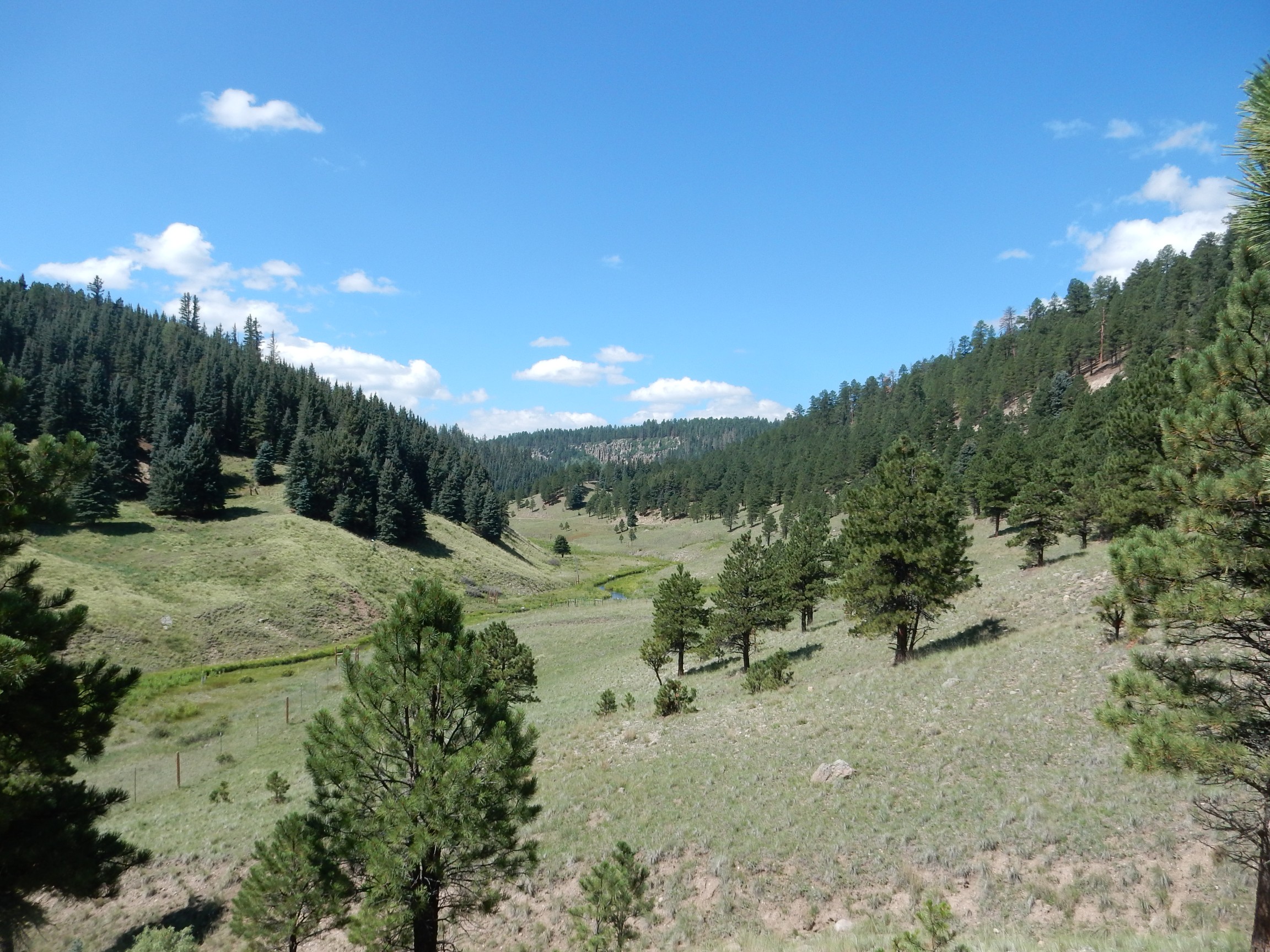
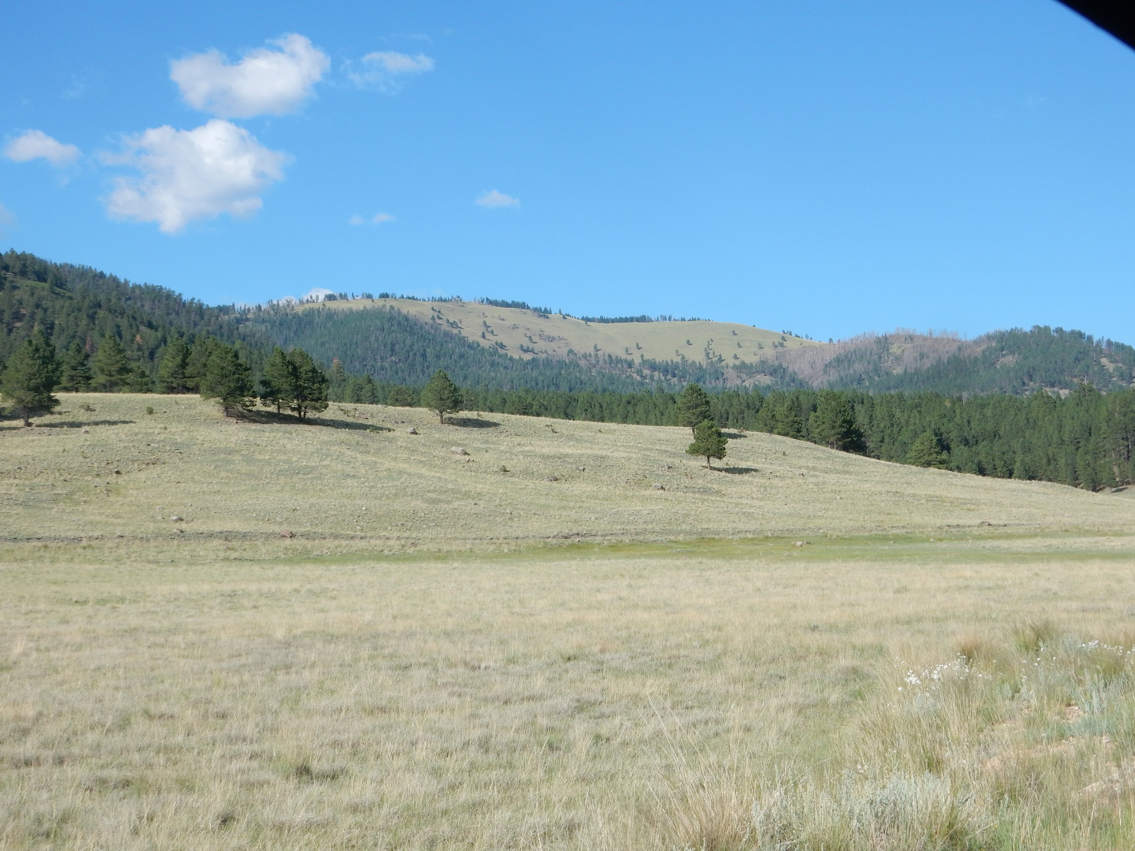
We reach a kind of terrace just below the caldera rim. (Formed, apparently, by a massive landslide of the thick volcanic beds over the softer Santa Fe sedimentary beds.) We consider. Continuing along the road to the west is an easier path, but will mean a long hike along a spur to the best point on the rim. Going straight up is grueling. Gary spots a trail to the east that looks promising, and we decide to bushwack our own set of switchbacks up the steep rim. The view to the south rapidly becomes impressive:

Redondo Peak on the skyline, with Cerro Santa Rosa in the middle distance at left and Cerro San Luis at right.
More fungus among us:

A puffball.
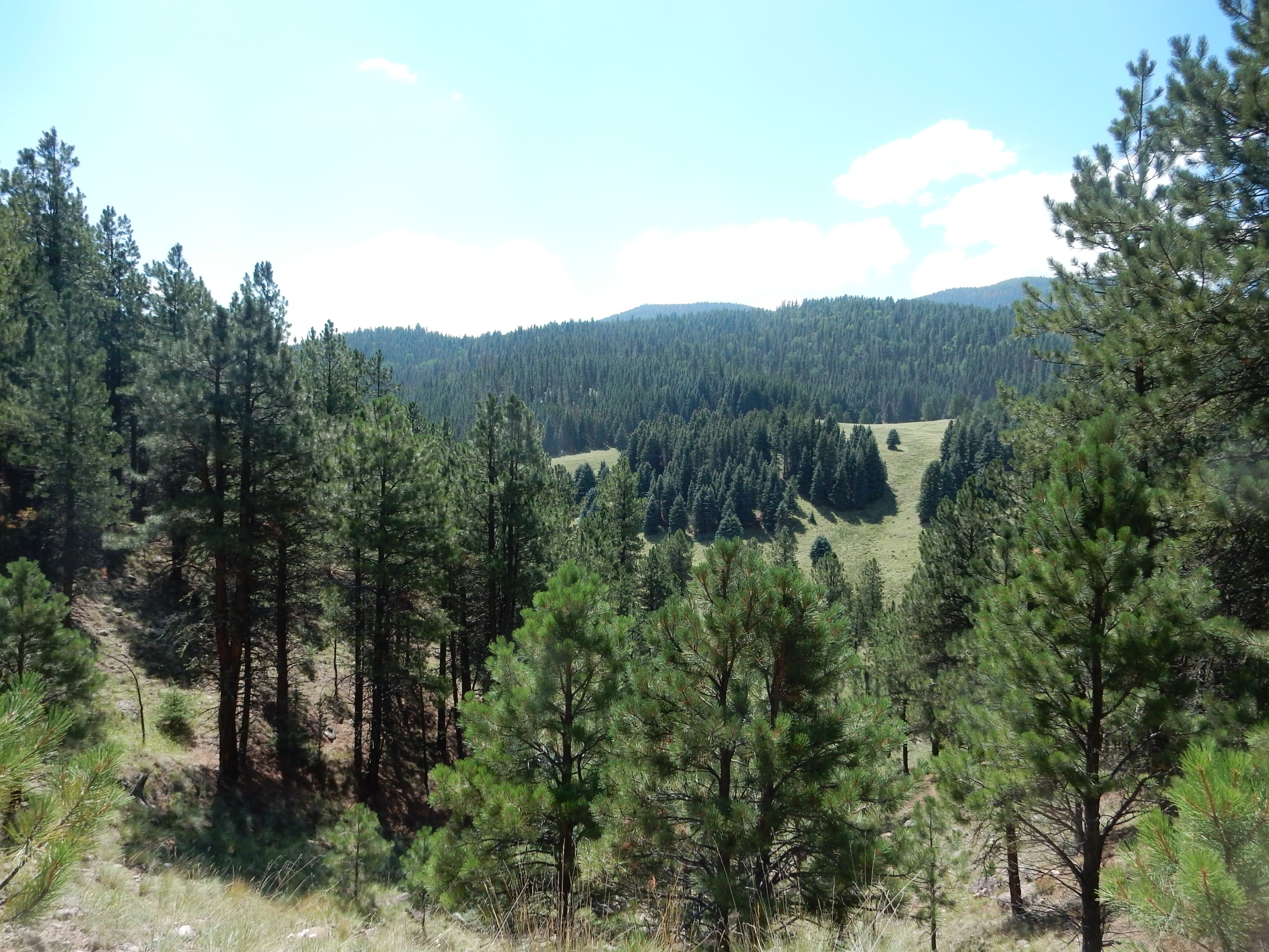
The view continues to open up.

Valle San Antonio is now clearly in view, and Cerro Seco is at far right.
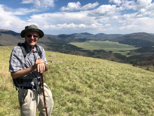
Triumphant at the top.
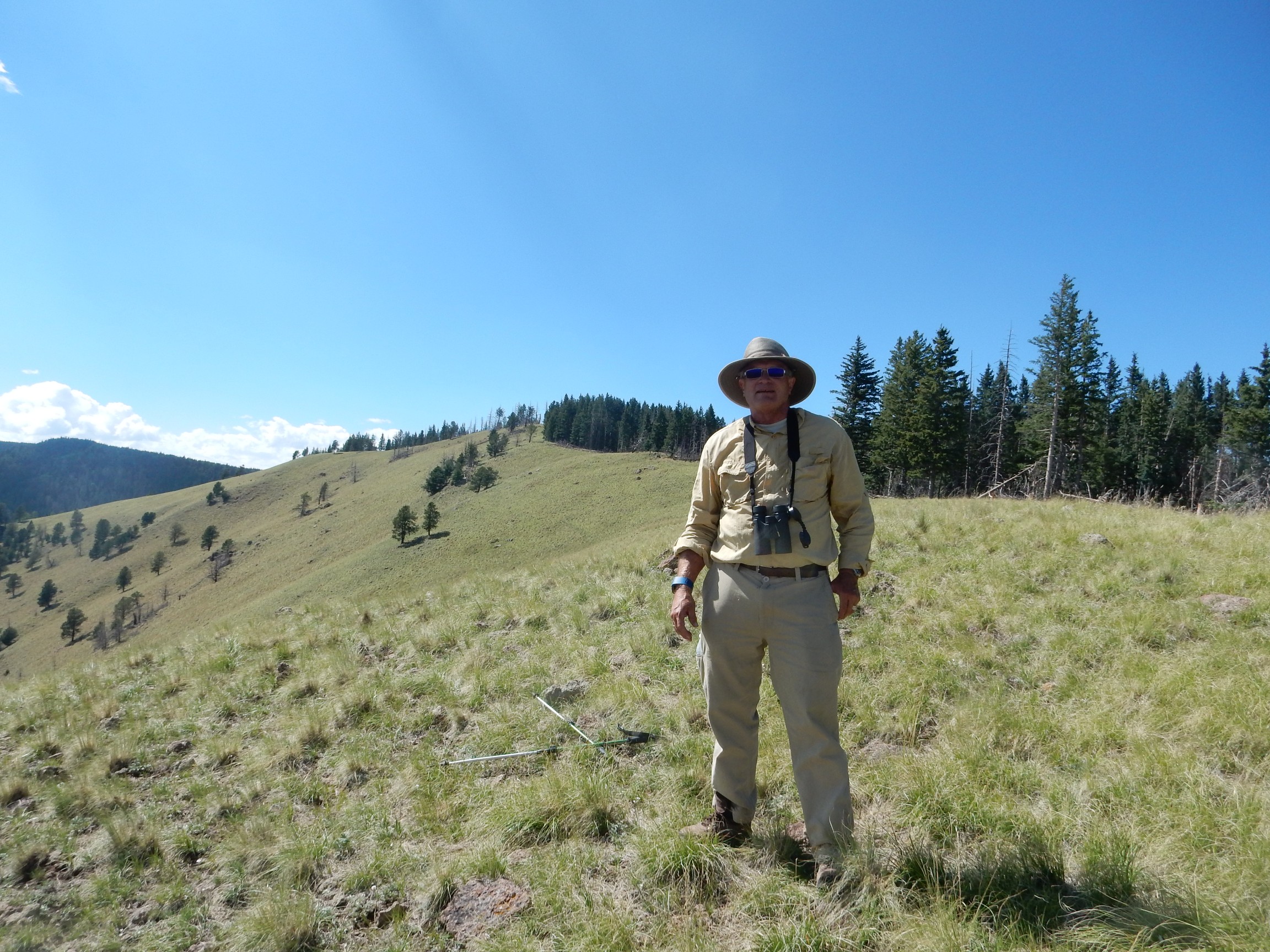
Gary takes pictures, including an excellent one of me.

Valle Toledo and the east wall of the caldera in the background.
I already have a superb set of panoramas from this point, taken in even more superb weather than today, so I simply enjoy the view.
It was grueling climbing up the grass-tufted slope; going down proves even more grueling. But soon we’re on the trail.
Hail damage:
Branches knocked off pine trees by recent powerful thunderstorms.
We are a bit pressed for time; we’re supposed to check in by 5:30 and be out the gate by 6:00, and it’s looking like we’ll be a few minutes late. However, we get one last photo of where we were.
We reached a point on the rim just a little right of center, above the spur at right.
Back to the headquarters. Gary’s phone rings. It is his wife, Rebecca. They talk briefly. It rings again. It is the ranger who Gary knew, concerned that we’ve not checked in. We’re ten minutes late. Gary reassures him, we drop off the permit at the headquarters, and head out and home.
A very pleasant day indeed.
* By which I mean “Find the horny toad”, not “We named this horny toad Spot.”