Kent and Bruce Have Yet Another Excellent Adventure, Day 4
Day 3 may be found here.
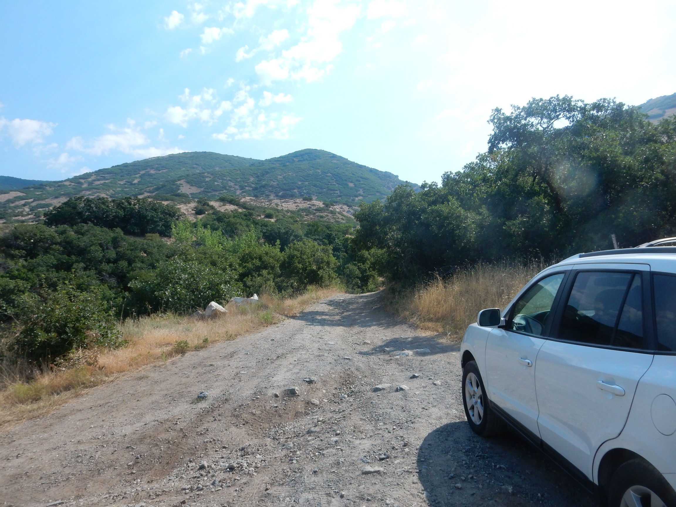
I am up again in time to make a good breakfast. My sister’s entire family are chocolate connoisseurs; when I notice Robert eying my chocolate pancakes, I decide to leave him a serving’s worth of mix so he can try one for himself. Then it’s time to pack up for the next leg of the reunion. Robert has a business trip in California and is already headed out the door, but Lori, her children &c, my mother, Susan and Lowell and their children, and I will drive to Logan to join my brother, who is the main host for this reunion. We will not particularly be driving in caravan, so I plan a bit of hiking along the way. Yesterday I purchased a fancy copper-ceramic frying pan to make up for the two I forgot to bring with me, some additional groceries, a pillow for my tent, and some other small camping items.
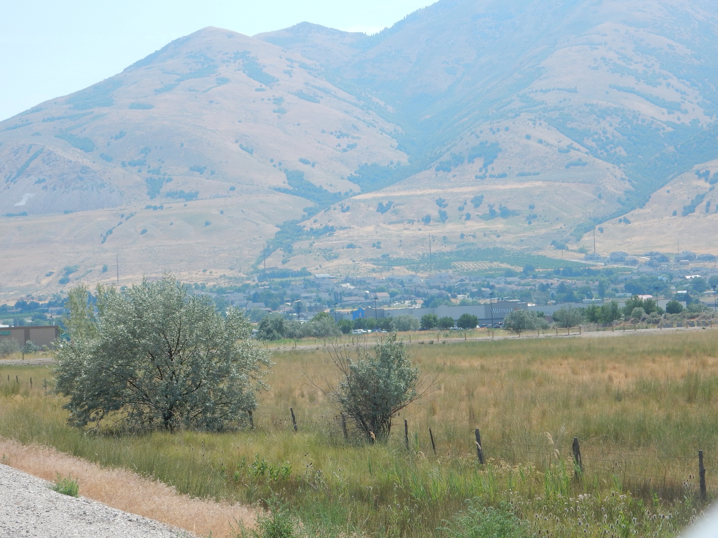
I head off and north past Salt Lake City. There is nothing particular worth photographing until I get north of the city, where I see that the gravel quarry that has been there for years has really grown.
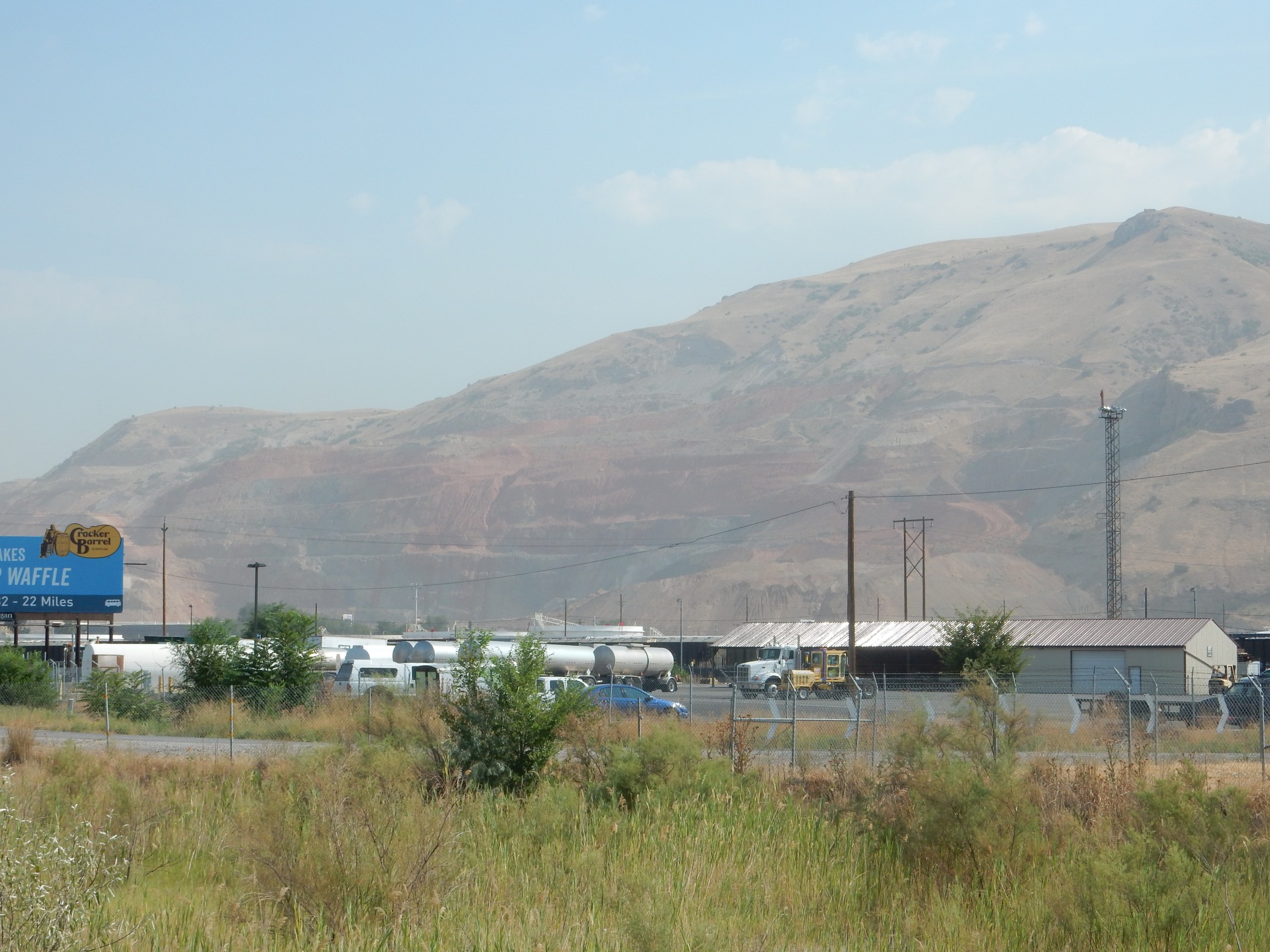
Not a great photograph. The angle of the light is wrong, but the real problem is that the air quality is absolutely miserable. Not smog from Salt Lake City, though that can sometimes be significant; smoke from large wildfires further west, including, apparently, one near Tooele. The smoke was already building up last night, so I haven’t yet had a decent sky in which to use my telescope I’ve dragged all this way.
The red beds are likely conglomerate of the Paleocene Wasatch Formation. This is relatively young sediments eroded off the young Rocky Mountains and redeposited in basins between ranges. Their age is around 60 million years or so.
My geologic map shows Archean rocks north of Bountiful all along the Wasatch Front. These are rocks in excess of 2.5 billion years in age. I’m interested in hiking this area if only because the oldest rocks in northern New Mexico are less than 1.8 billion years in age. I pull off at Centerville and head east towards the mountain front, trusting I’ll find a good place to hike into the range. And, in fact, at the eastern end of the road, the road I exited onto turns into a small parking area from which trails head up the canyon, which turns out to be Parrish Canyon.
I grease up with sunscreen, light off my satellite beacon, and start up the trail. There are boulders here washed down from the hills.
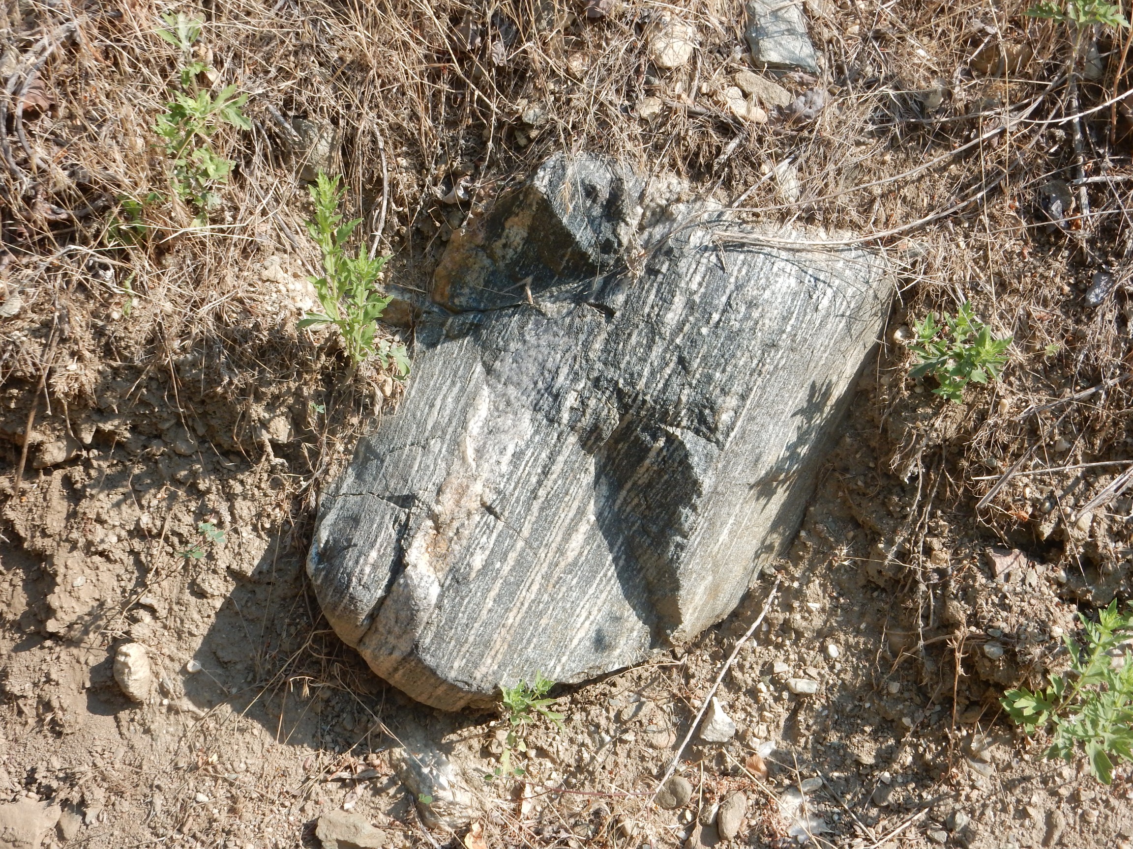
This is gneiss. It’s a metamorphic rock formed under fairly extreme heat and pressure, which causes the minerals to segregate in bands in the direction of greatest pressure. Gneiss is a good sign; it suggests old rock, though, since it’s been washed down the canyon, I can’t pin it to a specific formation.
Possibly, though there could be some very large boulders from elswhere in the canyon mouth. A coarse, slightly metamorphosed granite.
The trail climbs up from the creek bed, and it’s steep.
As experienced hikers know, going down is always harder. Not in the required expenditure of energy, of course; but it’s when you’re going down that you tend to hurt yourself. I was headed downhill when I broke my ankle last fall. Going back down that trail is going to be a hassle. I make a mental note to consider another way.
Another promising boulder.

A fine-grained igneous rock, perhaps a mildly metamorphosed diorite. At this point, I have no idea what to expect up the trail, so I’m photographing pretty promiscuously. Heck, I have room for another 4000 photographs on my camera card, and I have brought two spare battery packs, and I can recharge at Scott’s place.
A rather superfluous cairn.

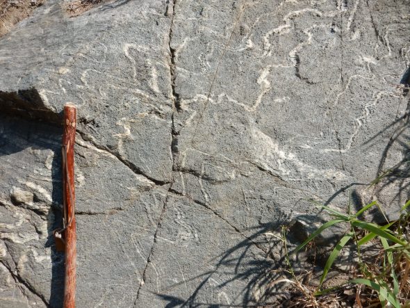
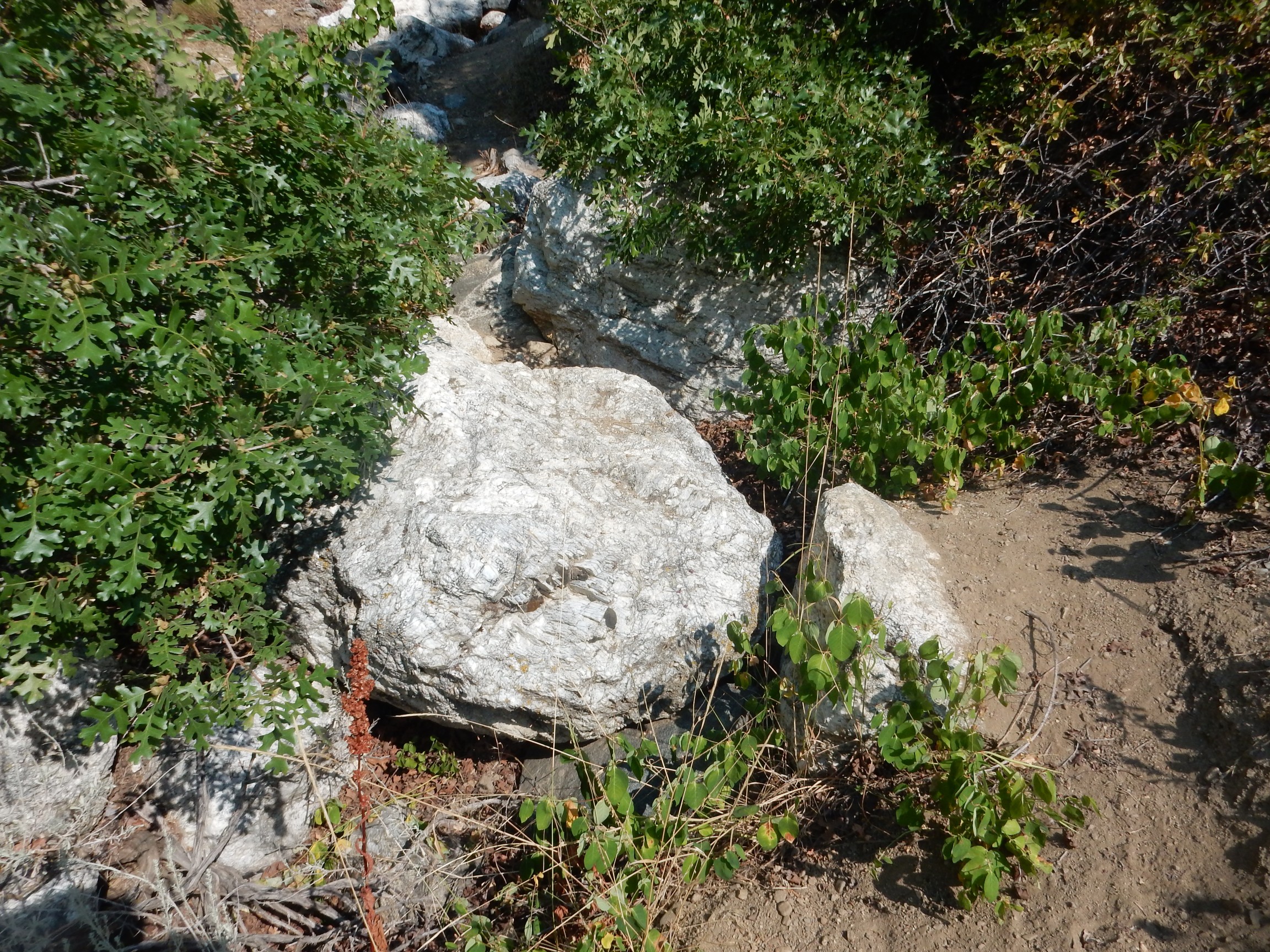
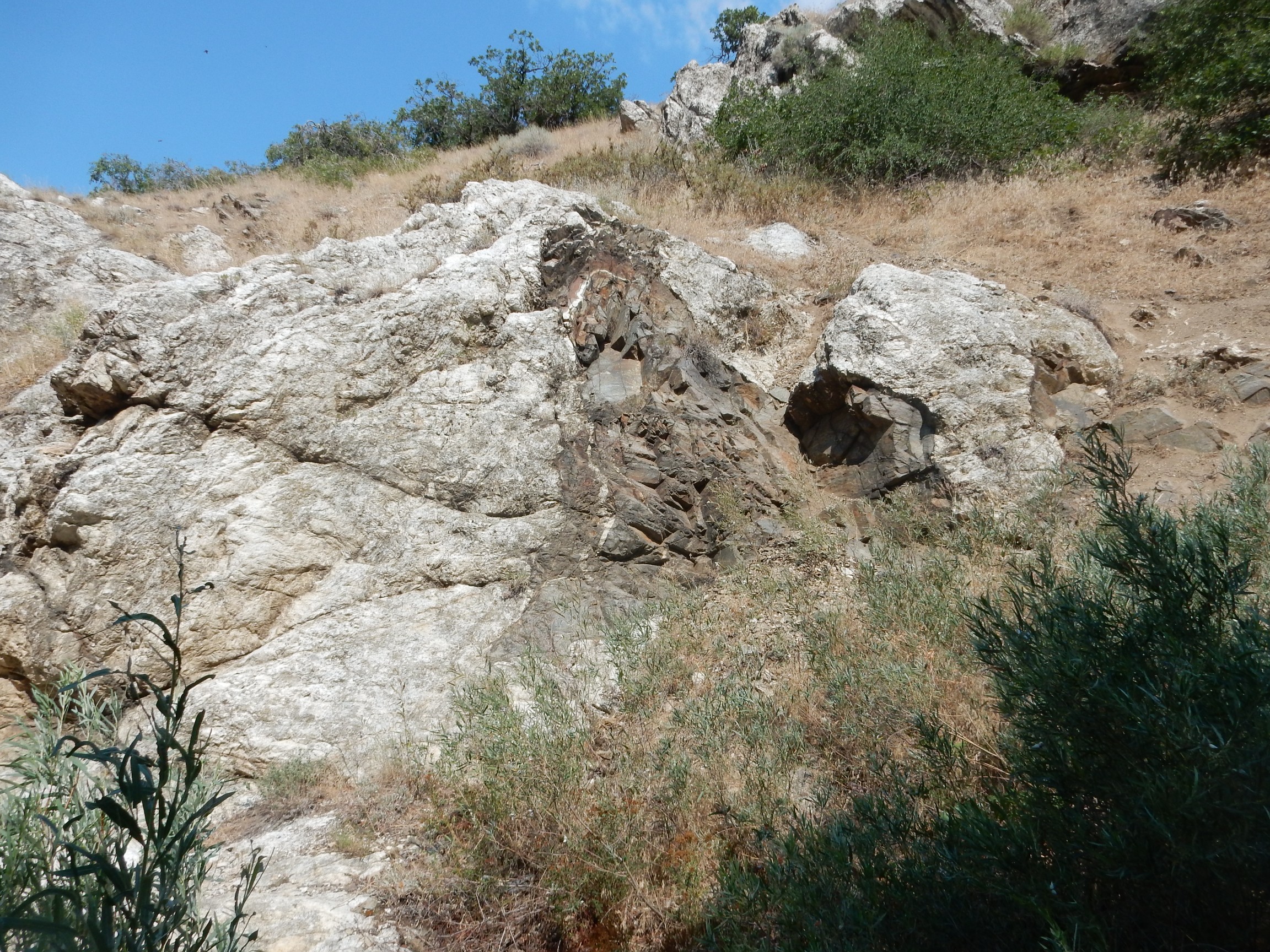
Finally, a unambiguous outcrop of bedrock.
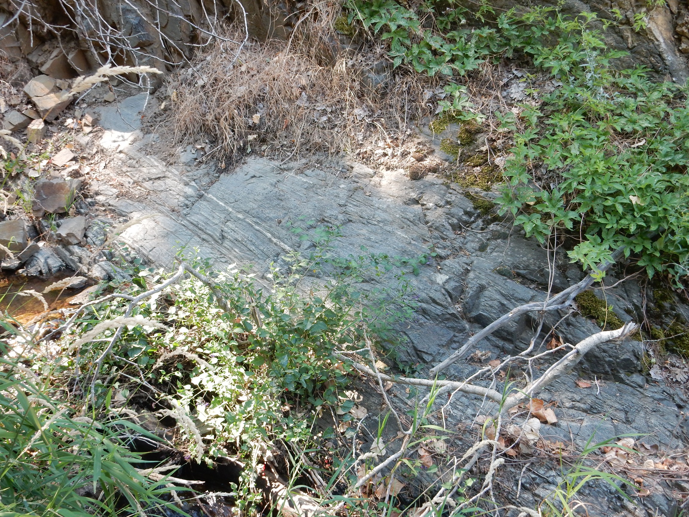
It looks like contorted beds of schist and granite. My geologic map maps this area simply as Archean schist and gneiss, which sounds about right. Gneiss often resembles granite.
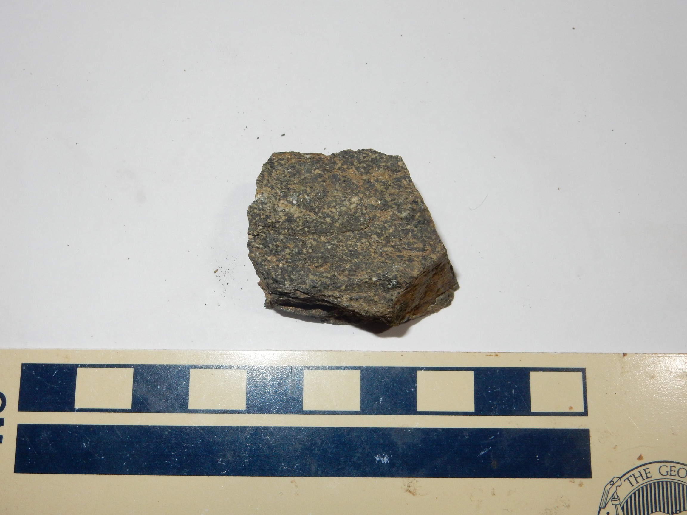
This is the schist. Under the loupe, the sample has a salt-and-pepper look, with dark grains predominating but some white grains present. There are also flakes of biotite mica. The white and dark are probably plagioclase feldspar and pyroxenes or amphiboles., minerals typical of low-silica volcanic rock
The trail comes to an exposure of sediments on the other end of the age scale.
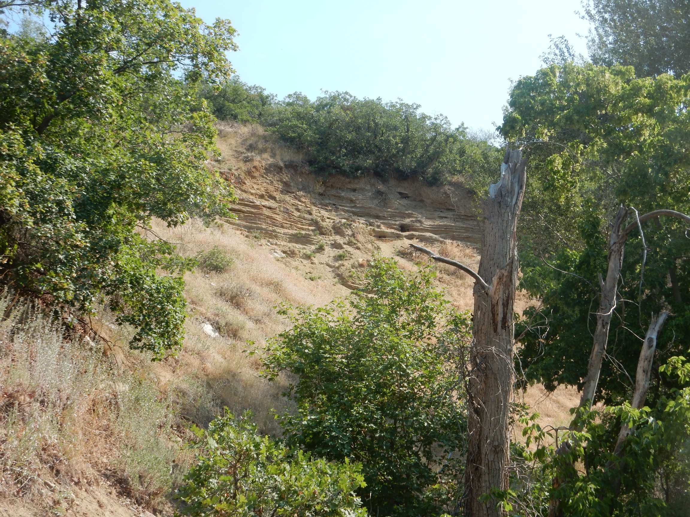
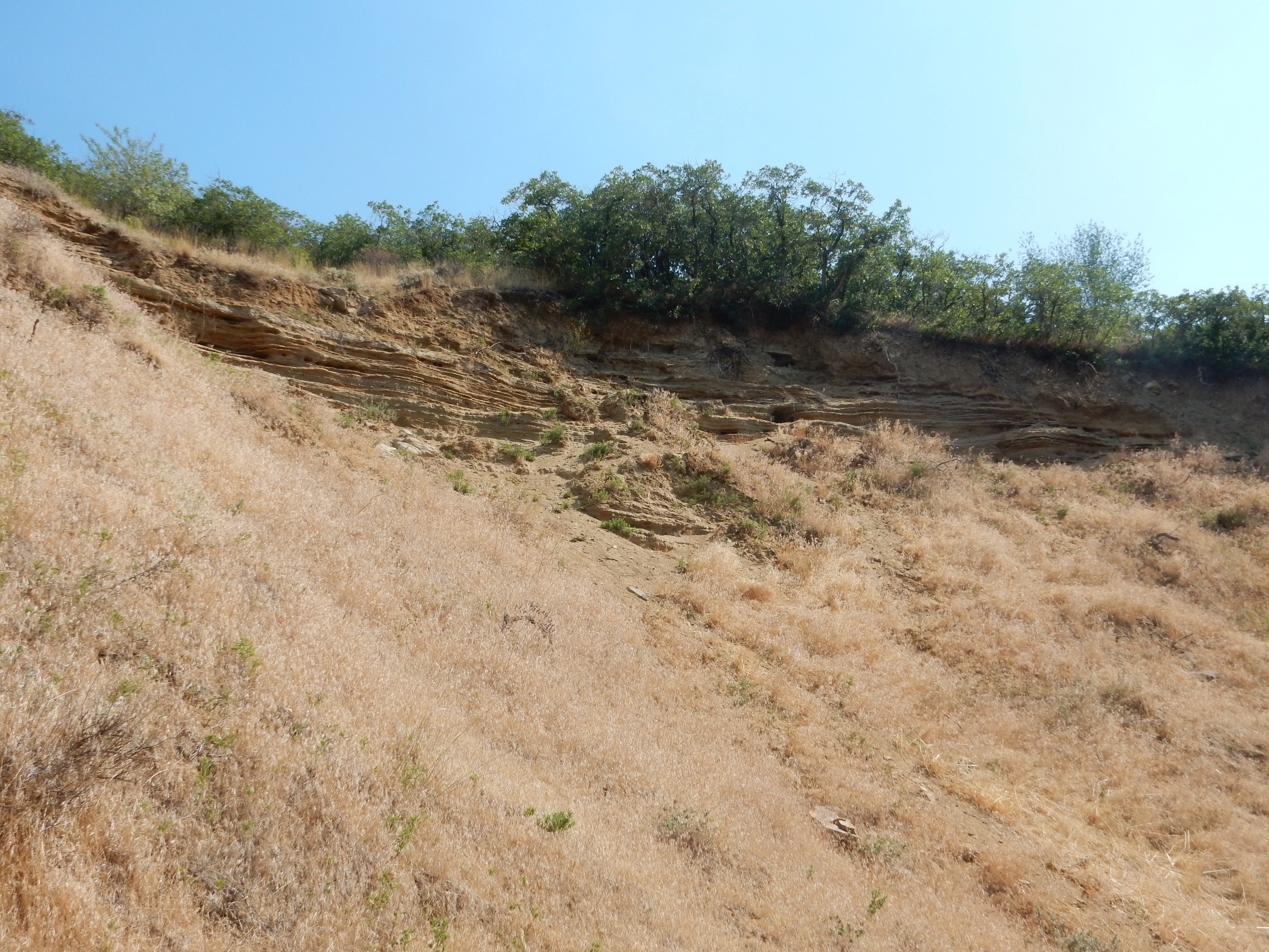
These are mapped as sand and gravel deposits from the high stand of Lake Bonneville, the ancient freshwater lake that became the Great Salt Lake after it lost its outlet to the sea. Ancient in our terms; geologically quite recent. One estimate is that the high stand, the highest level of the lake, occurred about 15,000 years ago, near the end of the last glaciation. Geologically, that’s a few minutes ago.
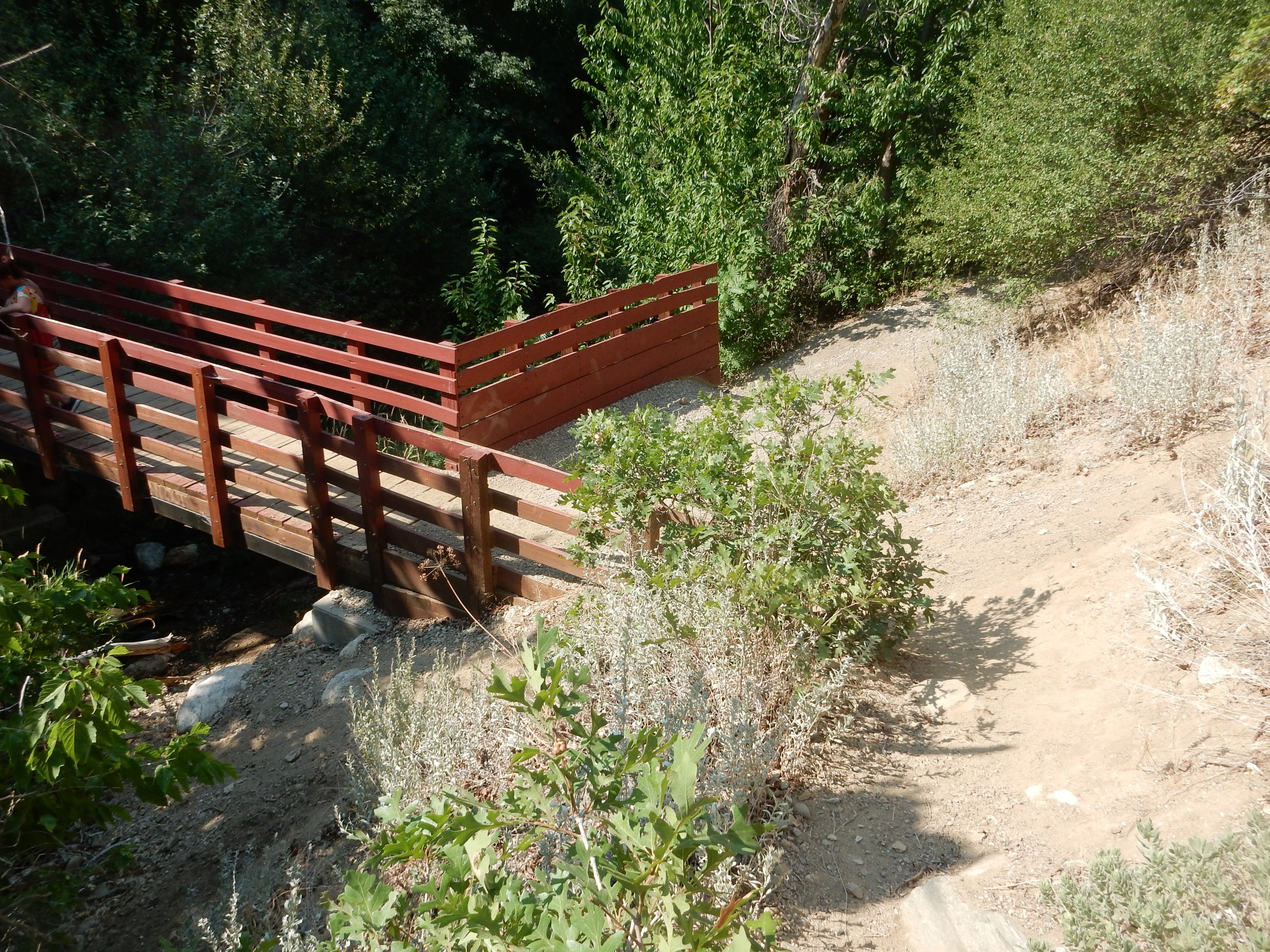
The trail crosses a neat little wooden bridge.
and passes by cliffs of schist and granite.
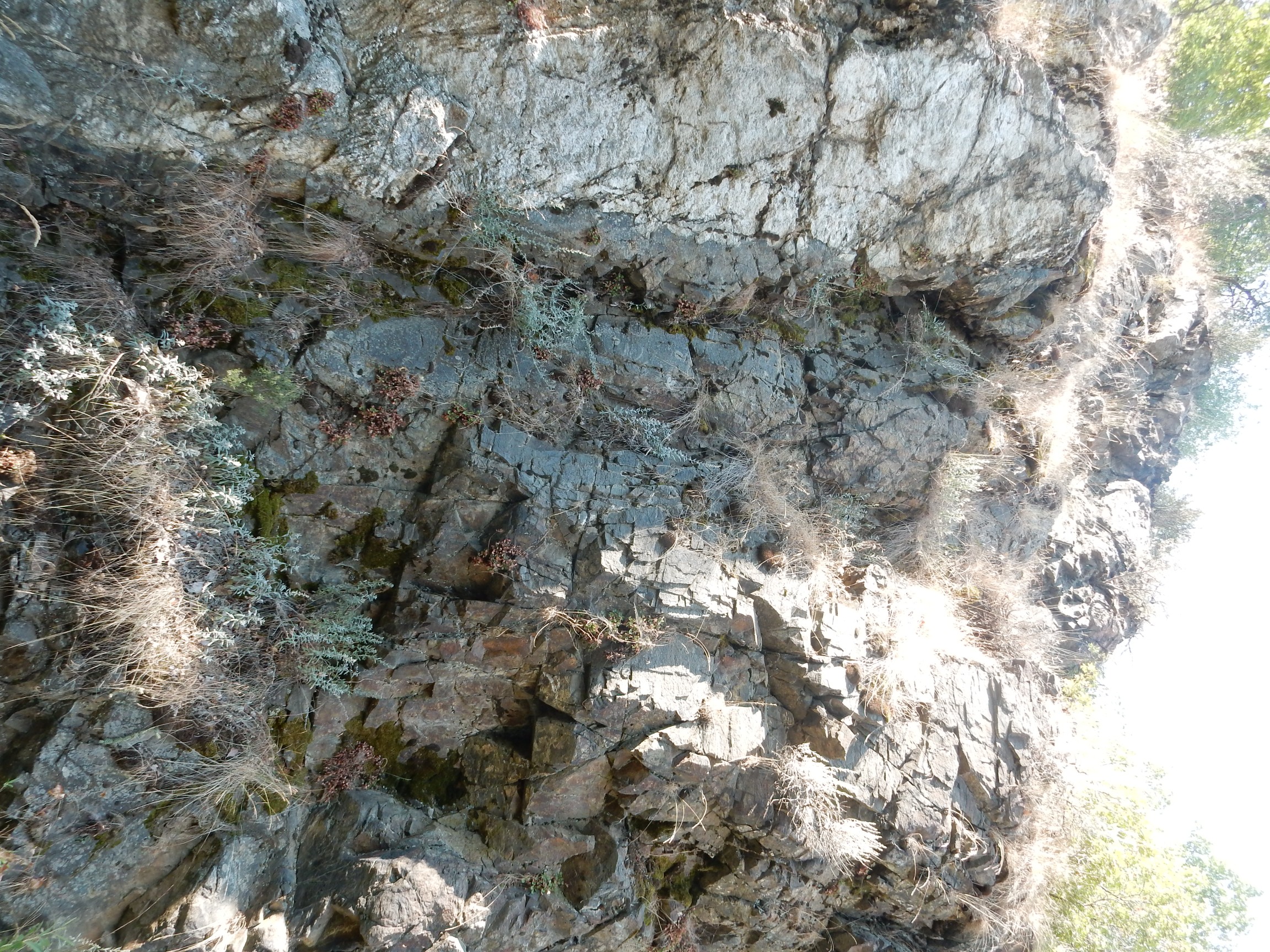
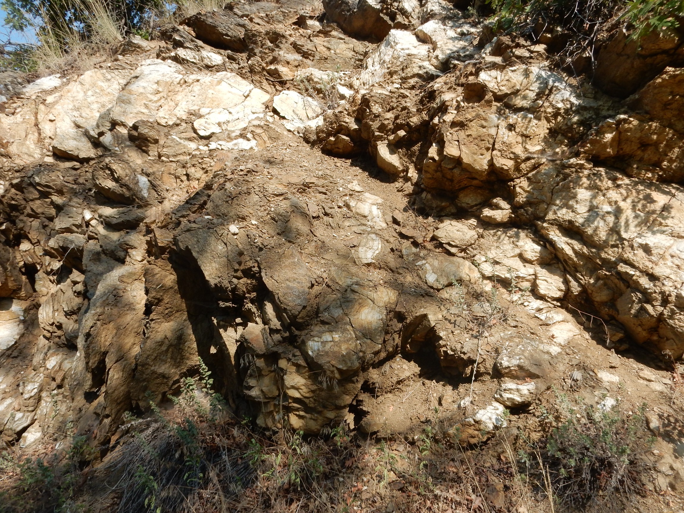
The schist in the canyon floor is quite uniformly bedded.
A more massive outcrop.
There is also what looks like a conglomerate or tillite here.
Probably not a tillite; no ice ages are known from the Archean.
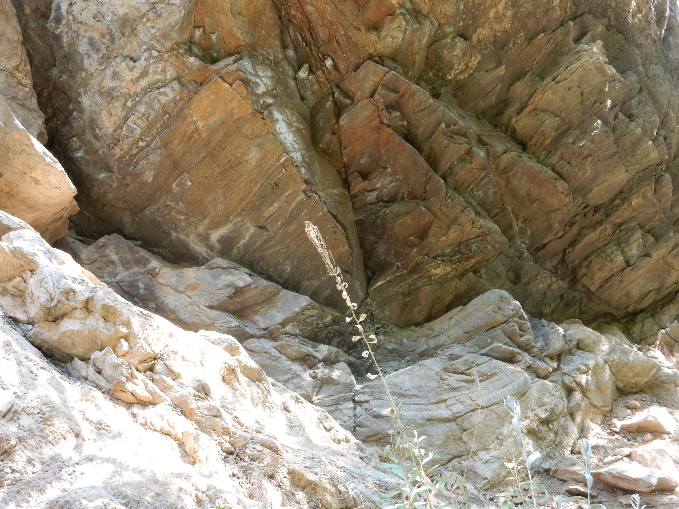
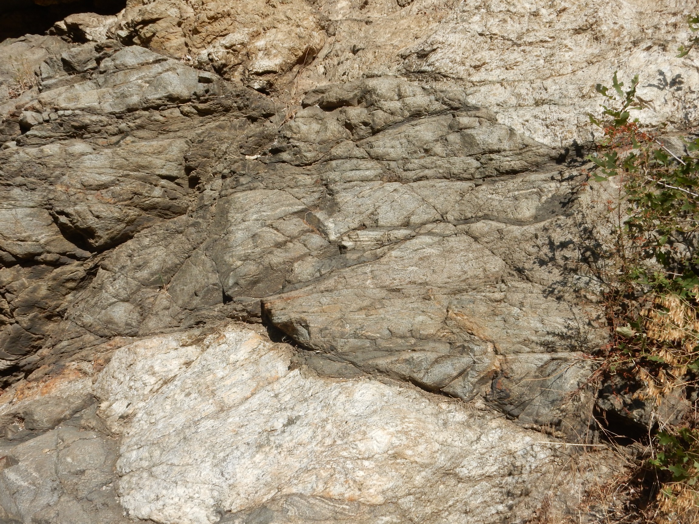
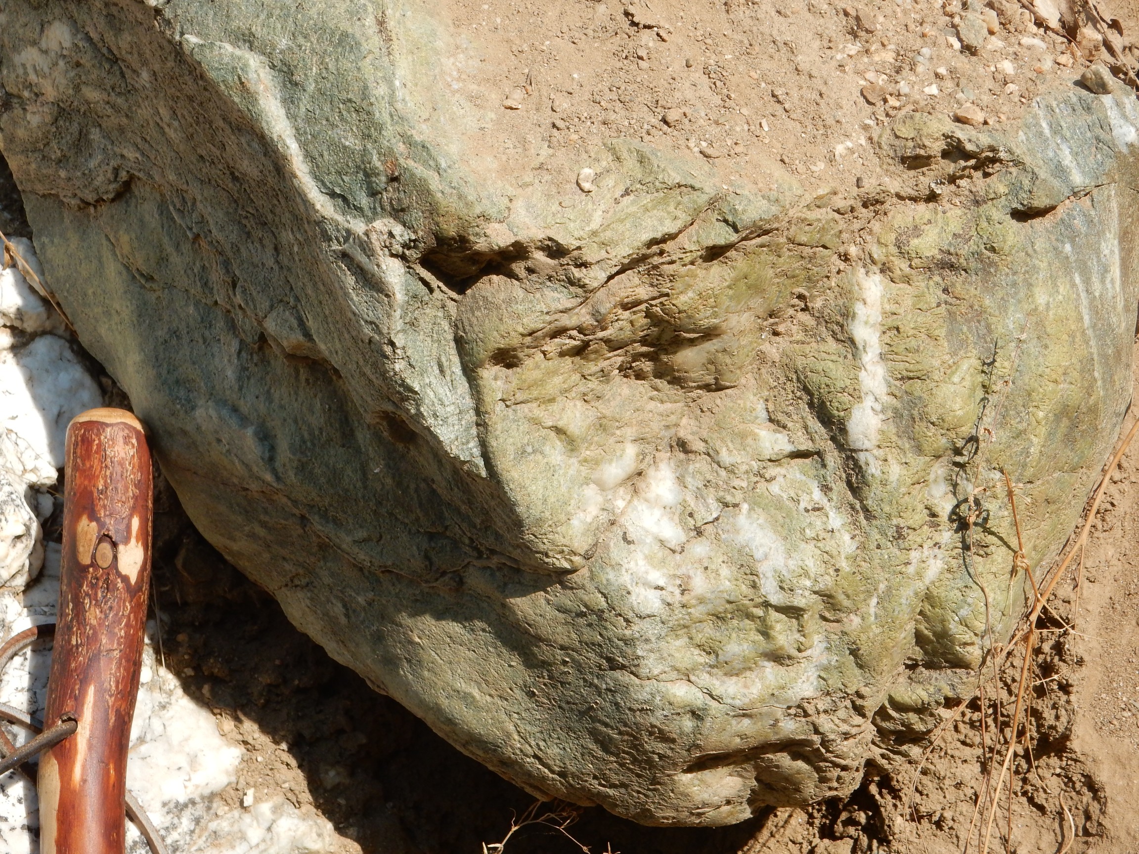
A migmatite:
A migmatite is a metamorphic rock that is thought to have been brought almost to its melting point, so that the lower-melting minerals (usually rich in silica) actually started to melt and separate from the rest of the rock. The molten portion forms the white “ribbon” in the rock and is called the leucosome. The black rock that remained solid is known as the melanosome or sometimes as the restite.
The whole area seems characterized by dark schist and light gneiss.
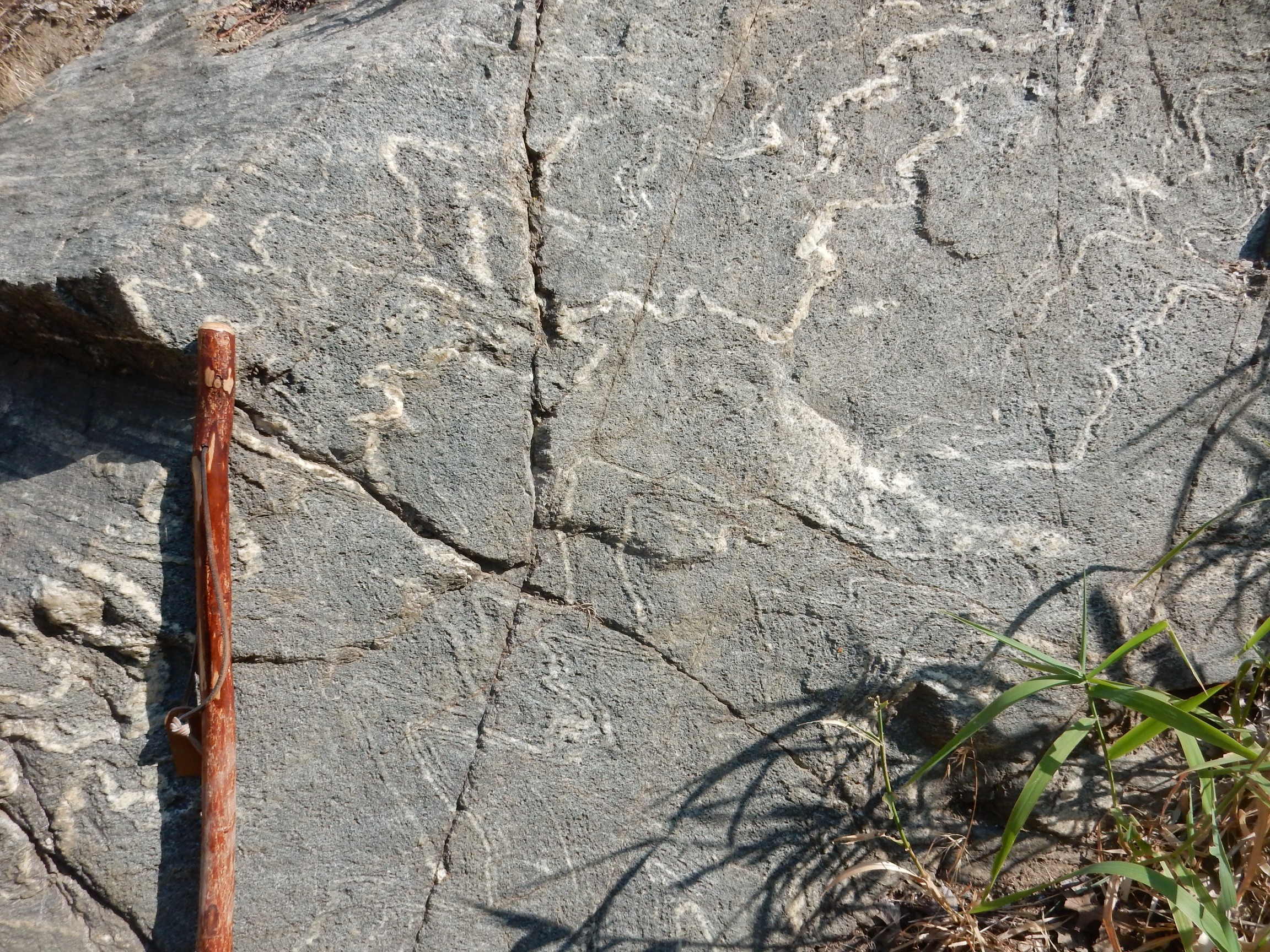
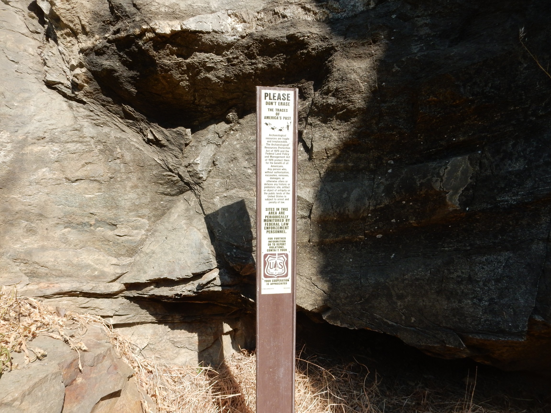
Apparently there are also archeological traces, though I saw none.
More massive beds
and migmatite
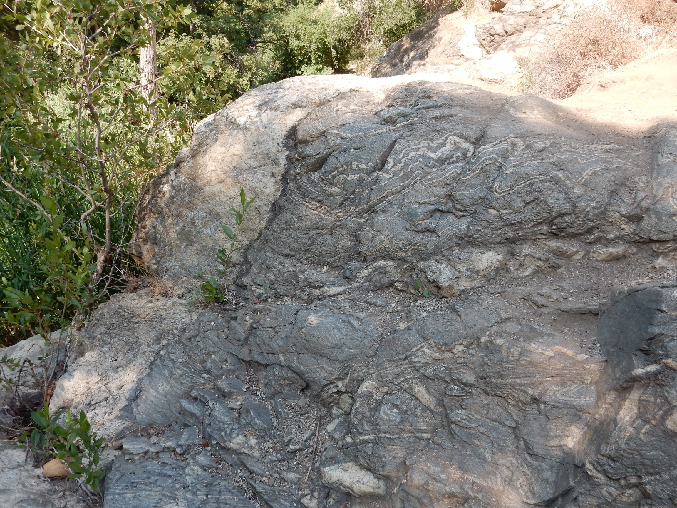
More of the contrast between the dark schist and light gneiss.
My time was up. I ate my lunch and started back.
Partway back, a highly epidotized boulder.
Epidote is a fairly common mineral, formed when hot groundwater reacts with rock under the right conditions. The green color is from reduced iron.
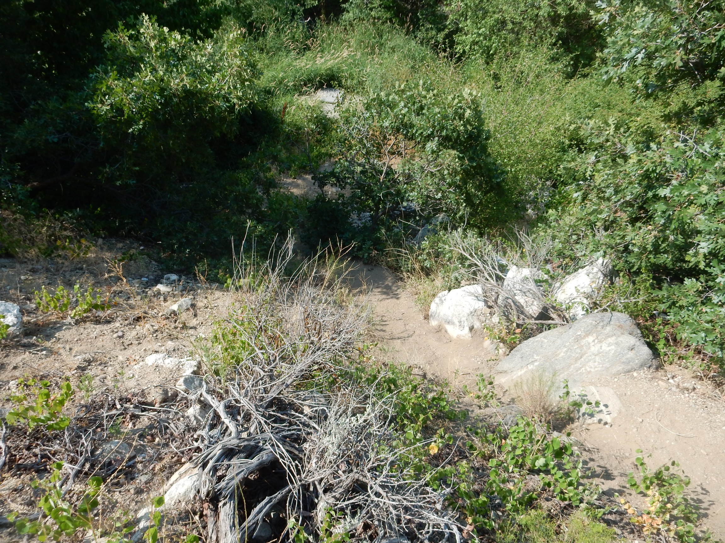
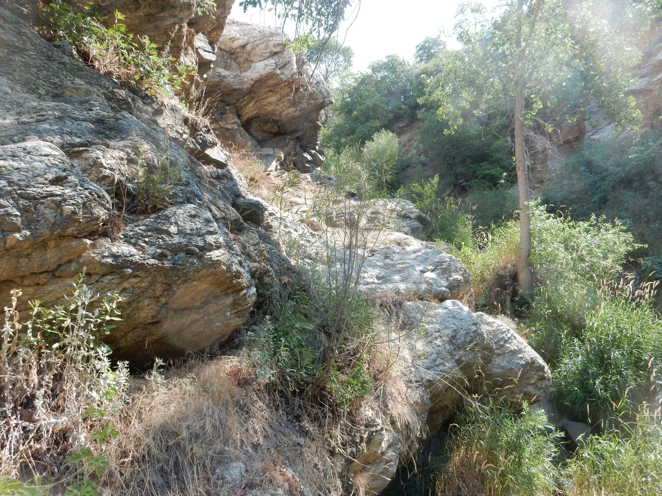
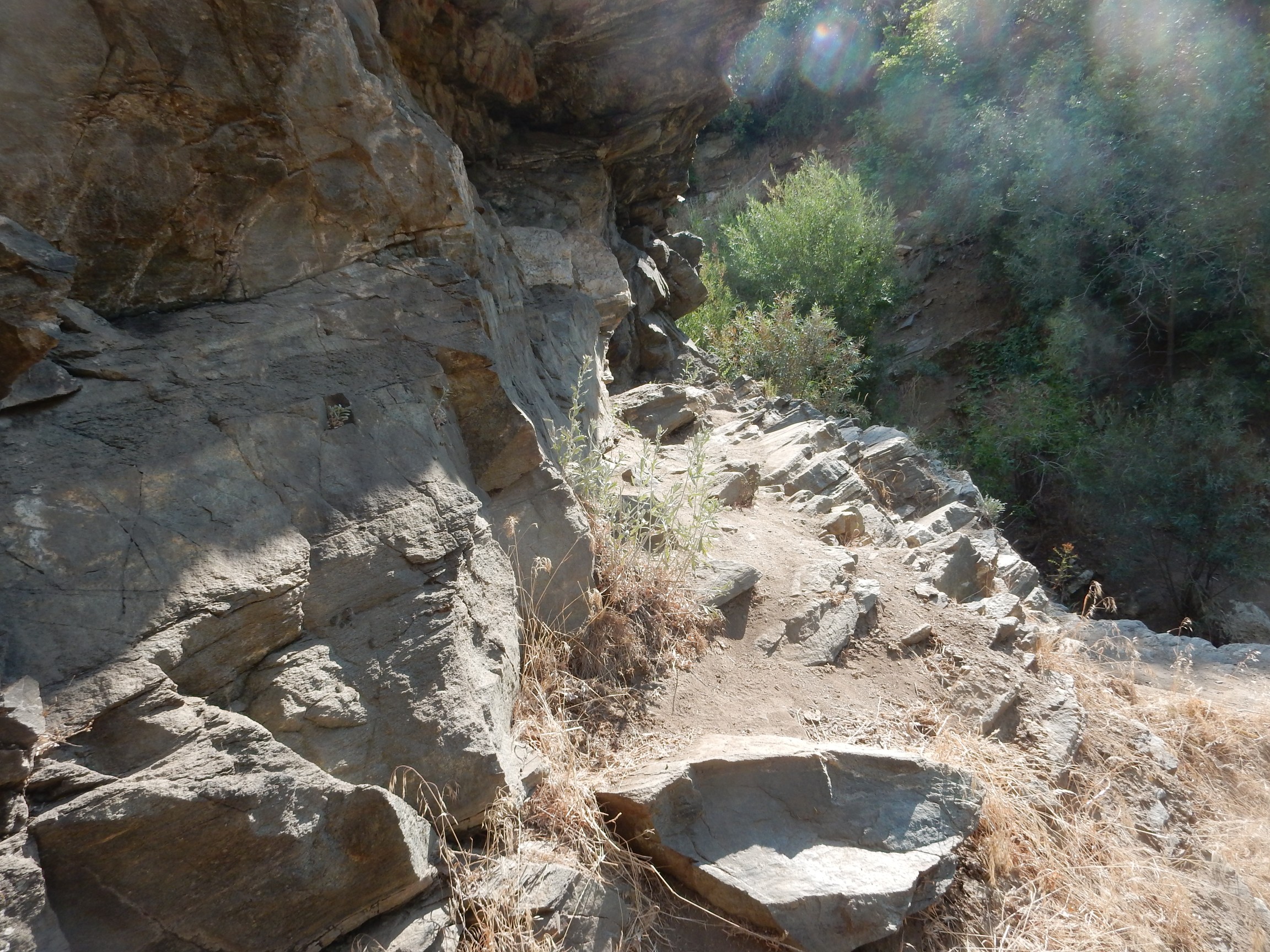
I reach that point where the trail plunged steeply into the creek.
I figure the road must be an easier way. Turns out it is.
I decide to get one panorama before I depart.

At far left is Ensign Peak, a spur of the Wasatch Front. At center. to the west, is the Great Salt Lake. The air quality is miserable due to the wildfires.
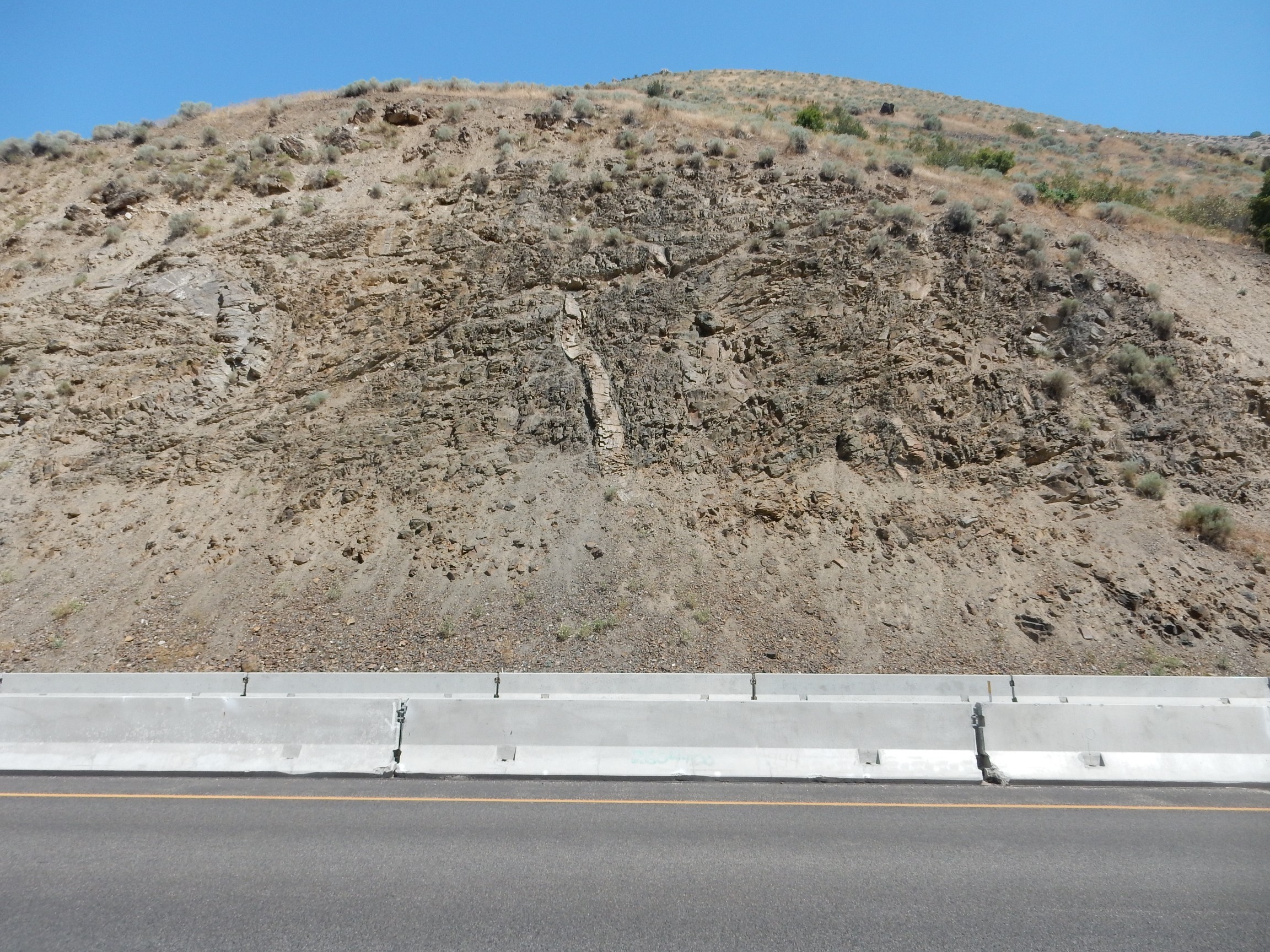
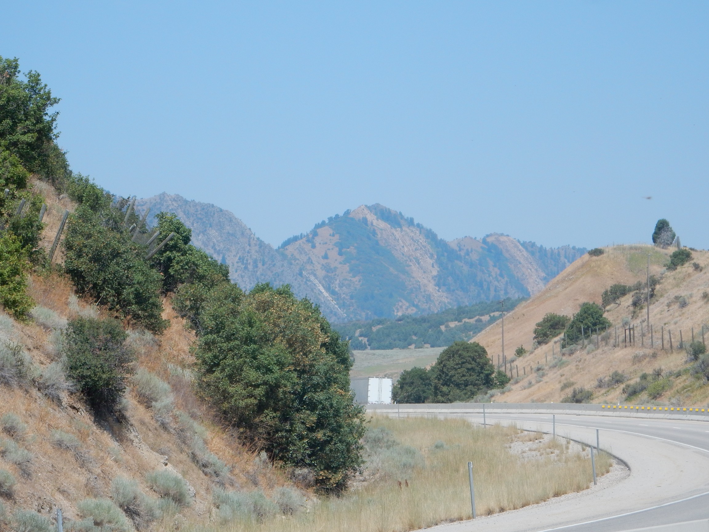
I pack and get back on the road. There is a striking formation in the mountains to the right.
This is apparently more Cambrian Tintic Quartzite, with an age of around 520 million years. I saw this the day before in Provo Canyon.
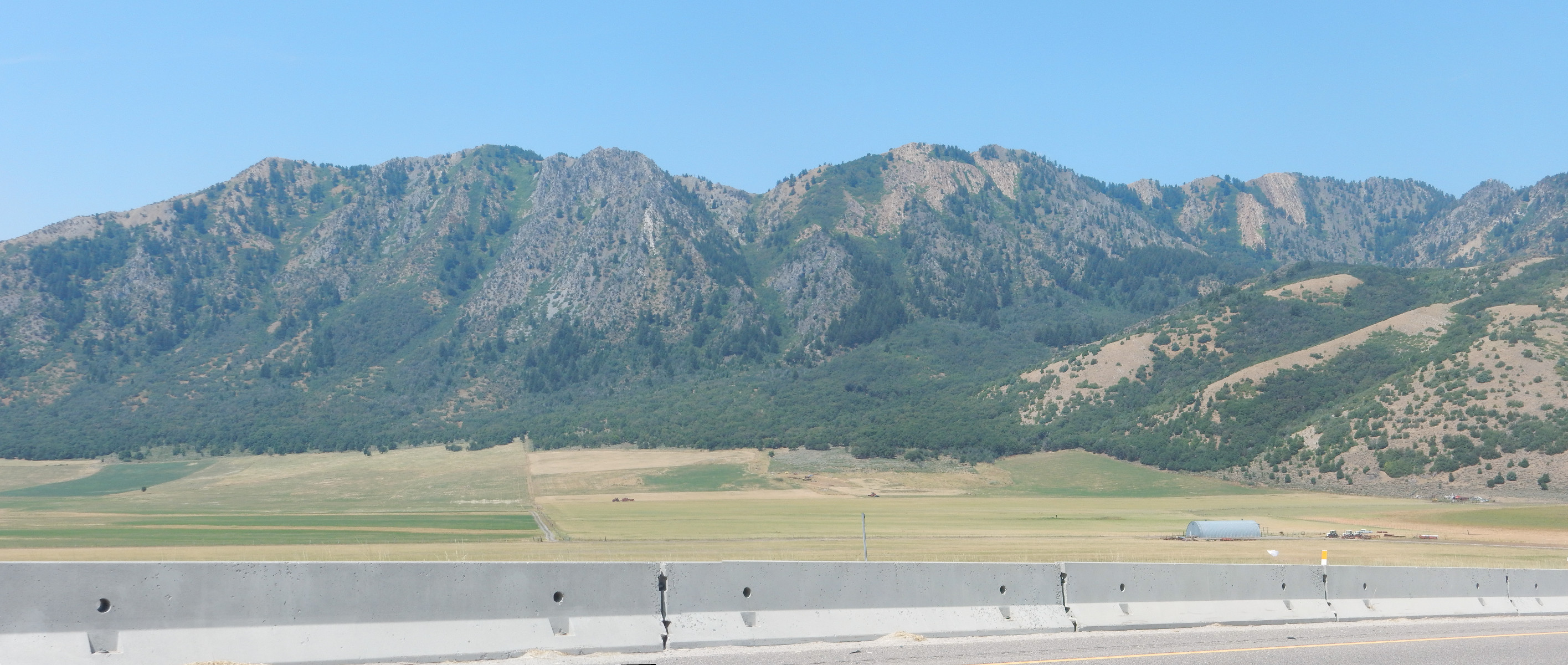
I make the turn east to Brigham City, and find myself looking at superb examples of lake terraces.
These are ancient shorelines of Lake Bonneville. Unfortunately, my geologic map for this area is not detailed, but I image the top terrace must correspond to the deposits I saw in Parrish Canyon.
The road cuts through the mountains, and there are some excellent road cuts. This cut exposes Neoproterozoic Kelly Canyon Formation.
This would be metamorphosed mudstone between 550 million and 1 billion years old.
Next is an outcrop of Neoproterozoic Papoose Creek Formation.

This is kind of a mess of metamorphosed mudstone and sandstone.
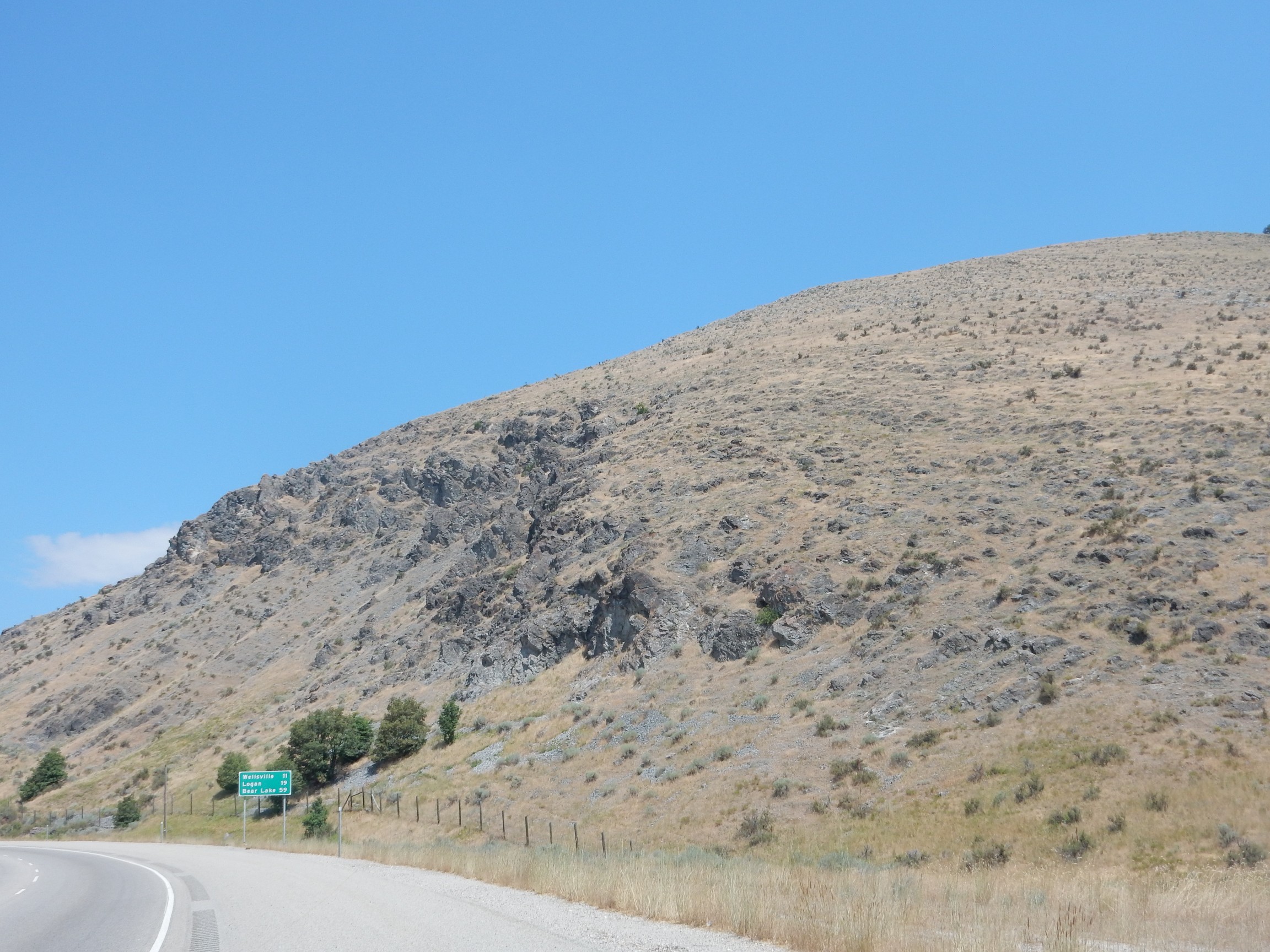
The road turns north past Mantua and into Paleozoic formations. The first here is the St. Charles Formation, which straddles the boundary between the Cambrian and the Ordovician, about 460 million years ago. This is a shallow marine limestone, marking a time when this part of Utah was off the west coast of North America and covered by a shallow sea.
Through the cut ahead I see a ridge composed of strikingly tilted rock beds.
Beyond the cut, I get a better look.
Here’s my best attempt to match formations to photograph. The brownish rock at extreme left is likely the Bloomington Formation. The prominent dark peak at left center, Black Peak, is underlain by Nounan Dolomite. The gully to its right, at the center of the picture, is the trace of an unnamed fault. To its right. the mountain is underlain by two members of the St. Charles formation, the upper, lighter one a quartzite member. The hill in the middle distance at far right is underlain by Paleozoic rock that the map does not further classify, probably because of poor exposures. Behind, the mountain is divided into three formations: The gray one at left Ordovician Garden City Formation, the tan one at center is Ordovician Swan Creek Quartzie, and th one at right is Fish Haven Dolomite, which spans the Ordovician-Silurian bouindary. The Ordovician was from 485 to 443 million years ago; the Silurian was from 443 to 419 million years ago.
All of this is a bit shaky. I don’t know the area and I’m going from a photograph of uncertain orientation and a large-scale geologic map. But these beds are all early Paleozoic beds, and the early Paleozoic has left no record back home in northern New Mexico. We have Mississippian or older beds resting on Precambrian basement. So this is kind of fun for me.
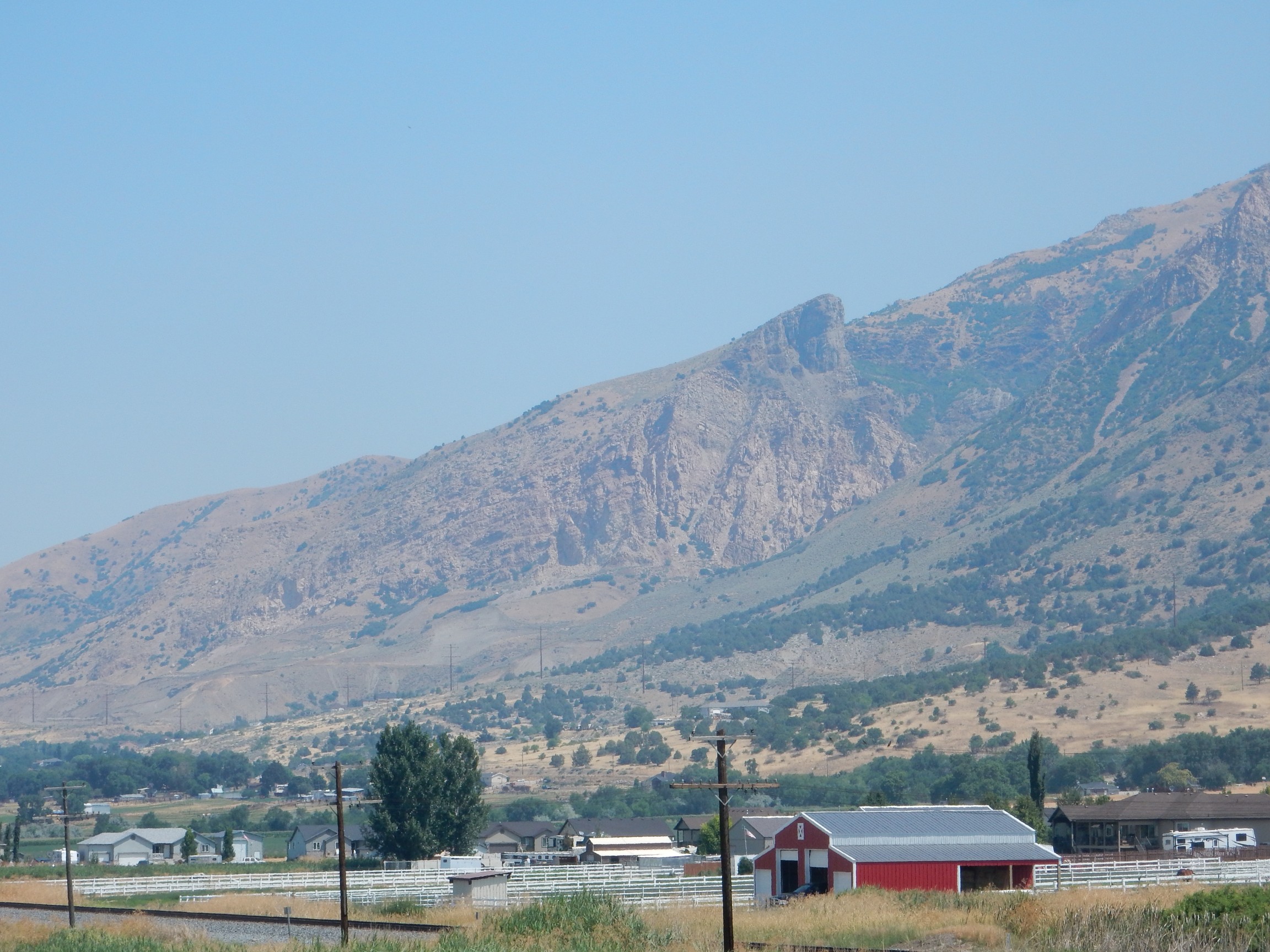
From there I proceed to Logan, stop for a little more camping shopping, then find Scott’s place, and the reunion begins. In spite of stopping to hike, it appears I am the first to arrive. Part of Scott’s family:
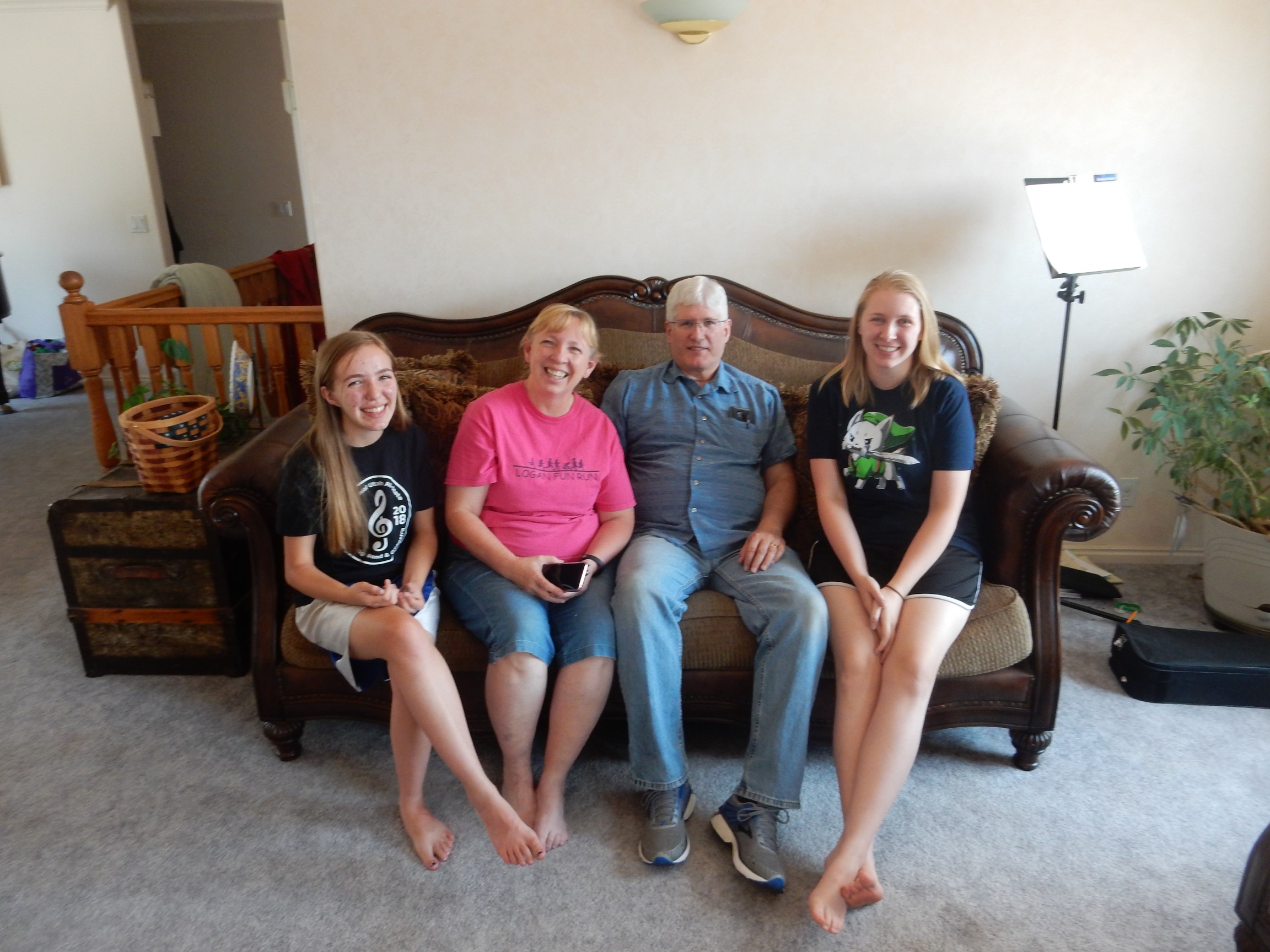
Scott, his wife Lisa, and their two younger daughters, Beth and Catherine. Catherine is 14 and interested in geology and I have a few little gifts of rock specimens for her. Beth is 20? and has found her passion, anthropology, and talks with a passion and clarity about her research into folk customs and preparations to be a museum curator. Both are very impressive young women.
Preparing the feast.
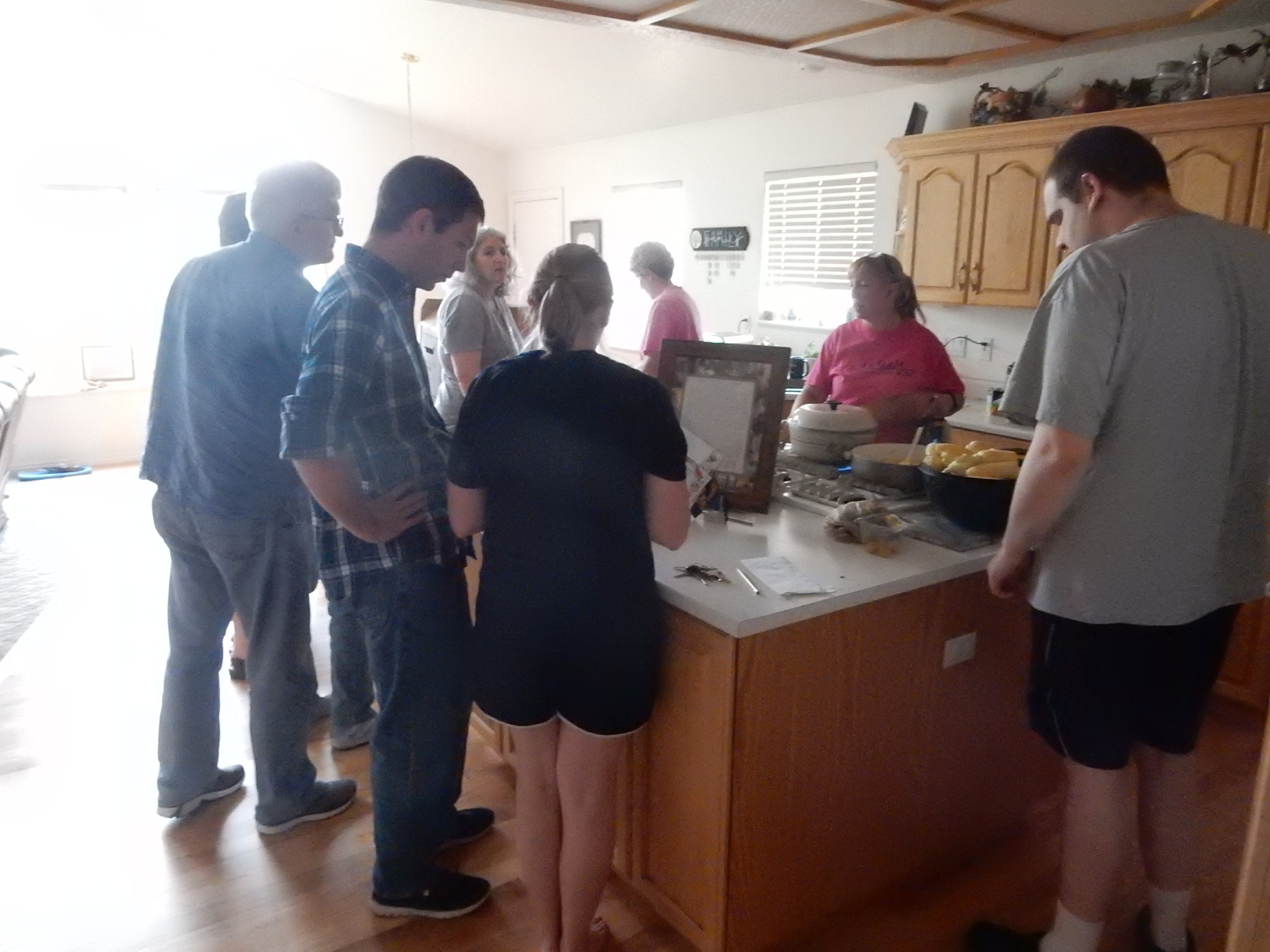
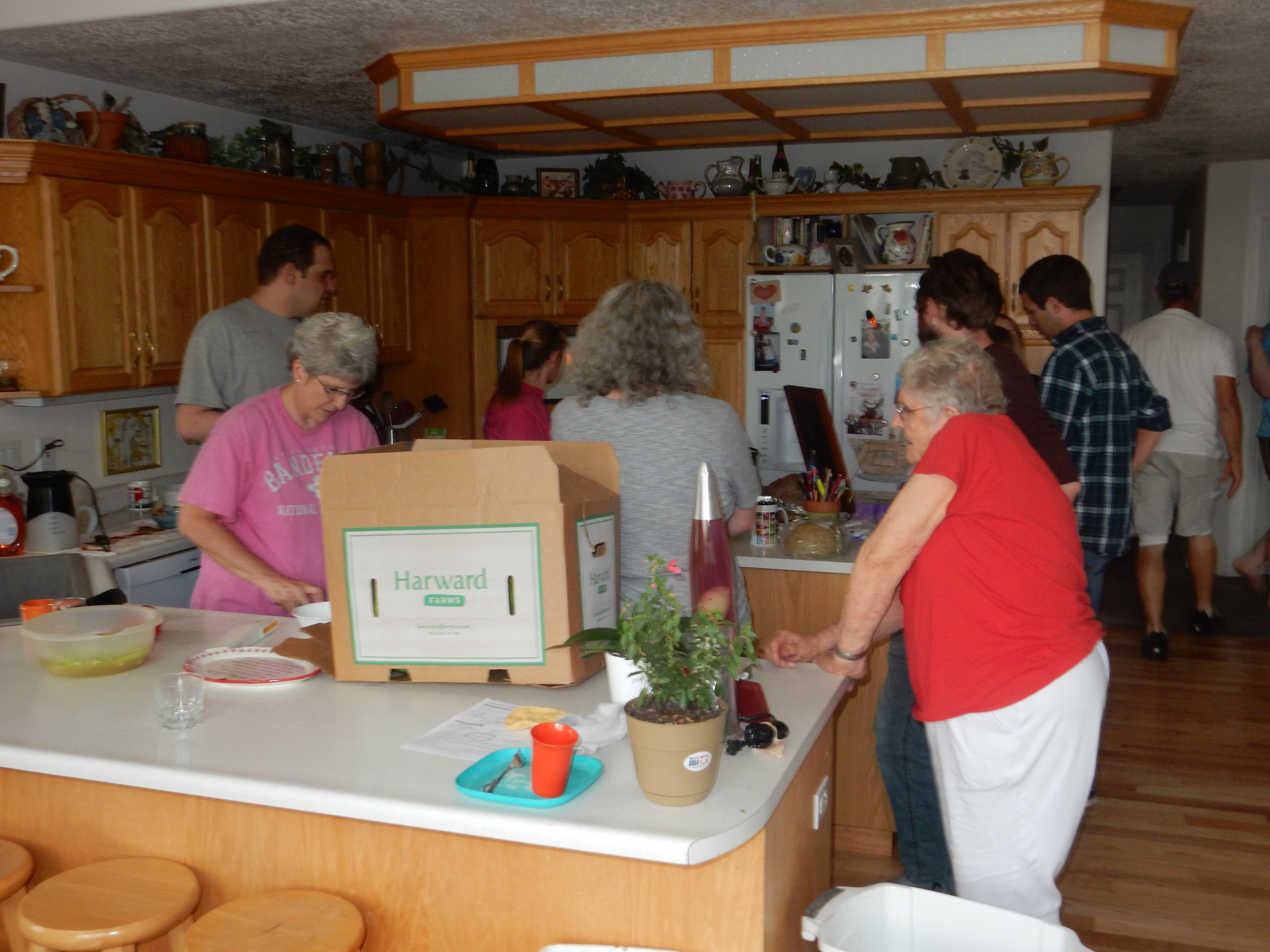
The man in plaid is Scott’s oldest son, Jeffrey, who is an electrical engineer like his father. The very large young man in gray is Susan’s oldest son, Brian, who is profoundly autistic. The fellow with the beard mostly hidden behind my mother (who is in red) is Scott’s second son, Steven, who is remarkably skilled with people, is working now as a counserlor in a camp for troubled youth, and is preparing to begin graduate studies in behavior science.
Apologies to my family if I’ve gotten details wrong (as I almost certainly have.)
Dinner is built around sloppy joes; I eat what I safely can. Afterwards it’s off to the Aggie ice cream shop.
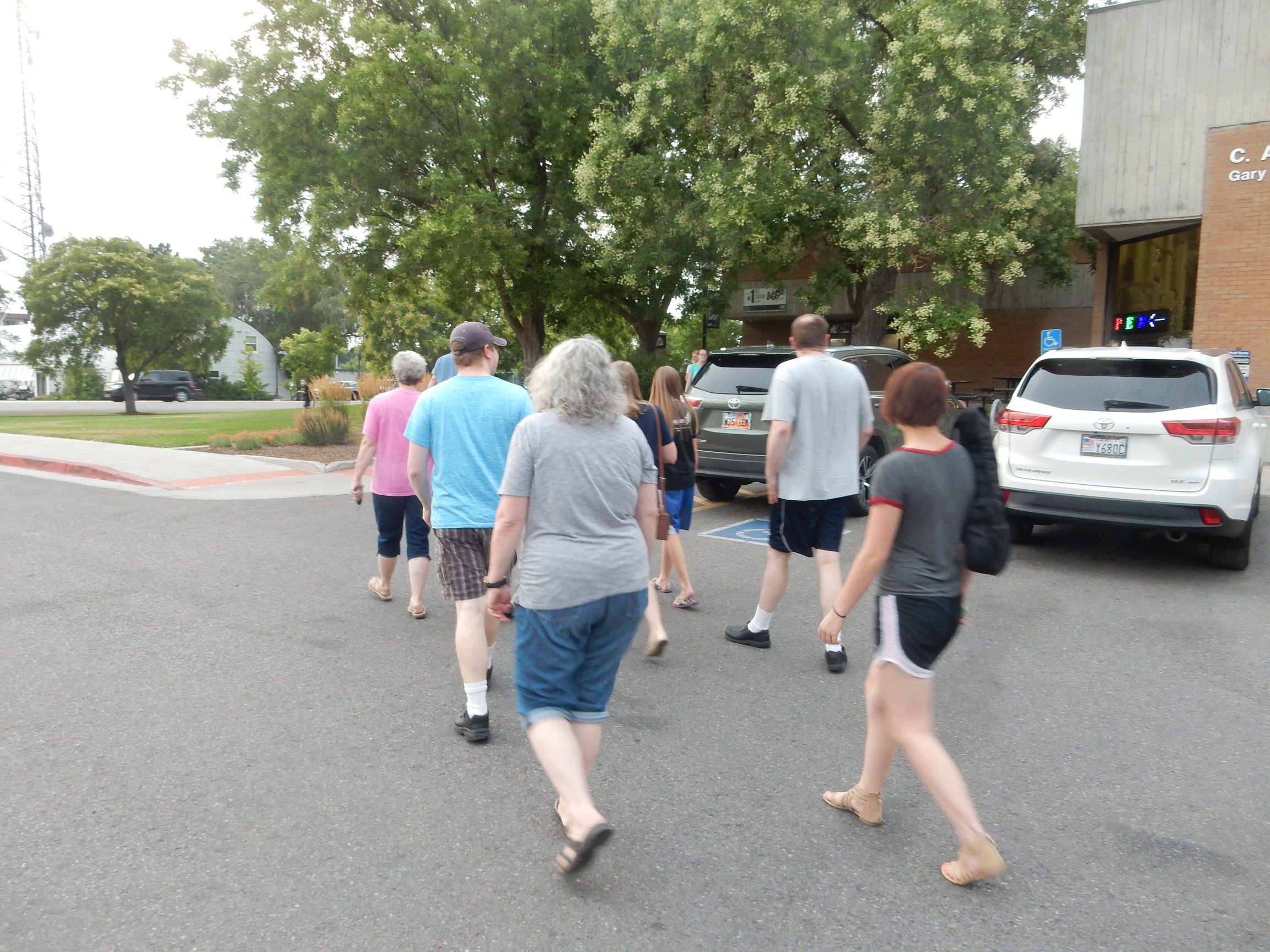
I hoped they would have some no-sugar-added or other low-carb ice cream offerings. Alas, no. However, they have cheese curd, a Cache Valley specialty and something I like and can eat, so I’m not left out.
And there is much conversation, catching up on family doings. All seem to be doing fairly well. Jeffrey cuts out early; he has a date with a young lady to a rodeo. I didn’t think rodeo was his thing, but then I suppose it might be the young lady …
And a good night’s sleep.
Tomorrow: Burned pans, and the opera.
Pingback: Kent And Bruce Have Yet Another Excellent Adventure, Day 3 | Wanderlusting the Jemez
Pingback: Kent and Bruce Have Yet Another Excellent Adventure, Day 5 | Wanderlusting the Jemez