Losing focus
I went on two wanderlusts this week, both of which were somewhat frustrating.
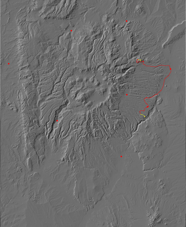
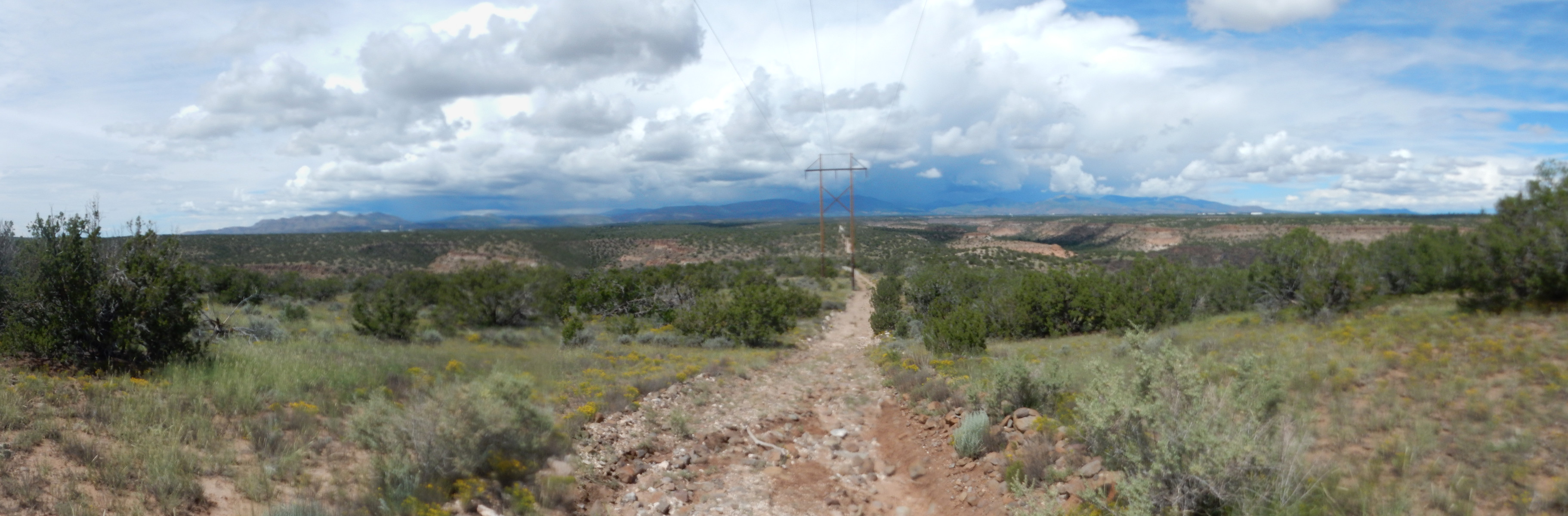
Powerline Trail
On Labor Day, the weather forecast was for a wet day, particularly in the afternoon and evening. New Mexico has a monsoon. Don’t laugh; monsoon in the weather business means a seasonal change in wind patterns due to continental solar heating, creating a wet and a dry season. That perfectly describes New Mexico weather, except that the wet season is still pretty dry. But we do get most of our meager annual precipitation in July through September, due to continental solar heating, so that is our monsoon.
Anyway, the forecast said that the flow of moisture from marine points south would be strong, so if I was going to do any hiking, it had best be at lower altitude and earlier in the day. (Thunderstorms build up over the high terrain first.) I thought about trying to climb to the top of Clara Peak, something I’ve wanted to do for a while now, but as soon as the Wandermobile hit the highway, I saw that clouds were already building up to the west over the Tschicoma highlands. Nope; back to Plan B, hiking the Powerline trail and reconnoitering the Ancho Springs trail.
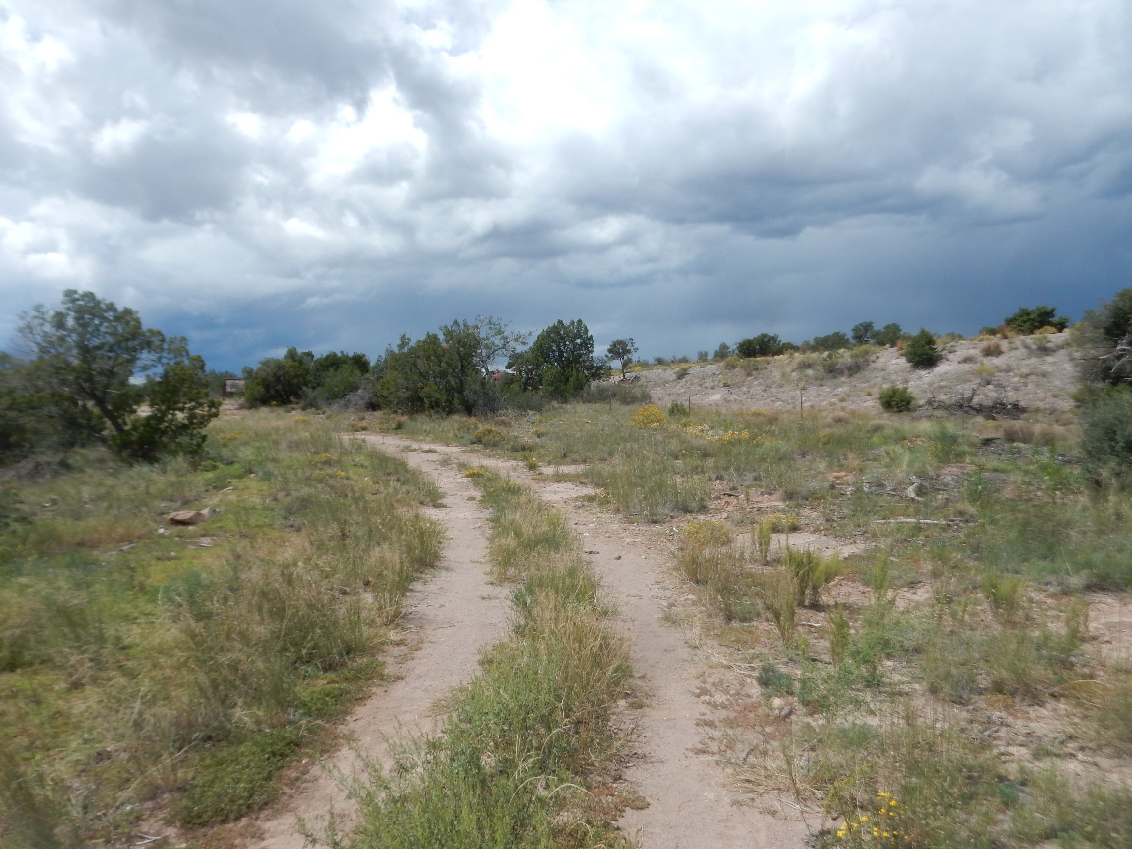
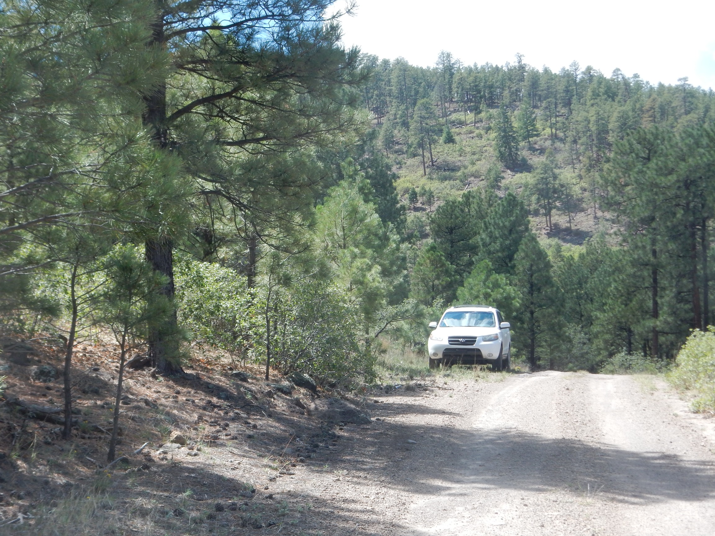
Trailhead.

Being a holiday, the parking was crowded.
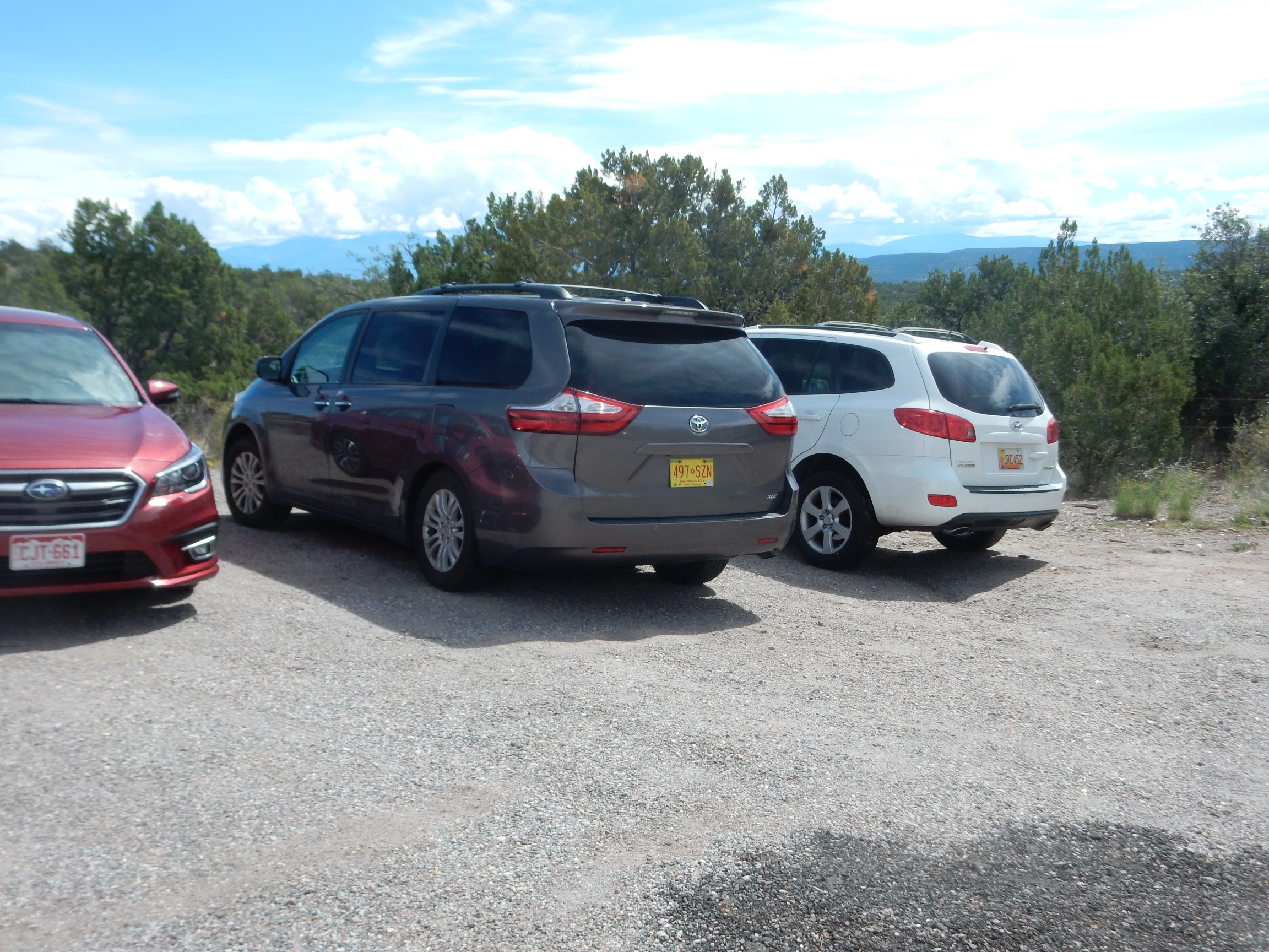
That’s the Wandermobile to the right. I kind of had to squeeze in.
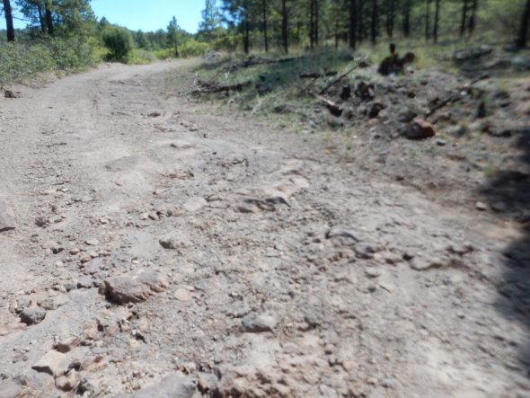
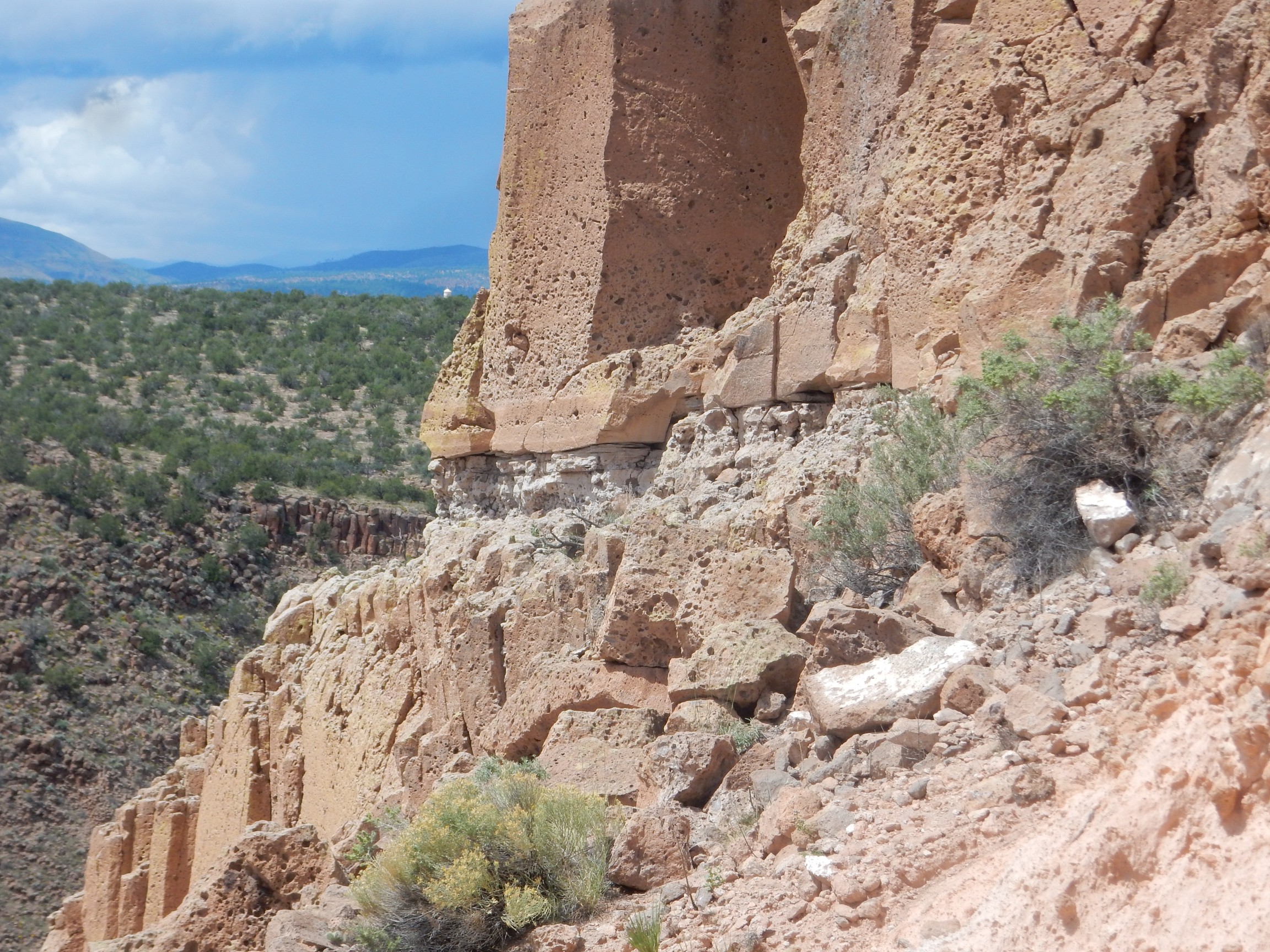
The trail crosses the upper surface of the Tsherige Member, Bandelier Tuff. This is an ignimbrite emplaced by the Valles eruption, 1.25 million years ago. This ginormous eruption created the Valles caldera, a crater thirteen miles across, by spewing the contents of a huge underground magma chamber for miles in every direction. The high-silica magma disintegrated on contact with the air into volcanic ash mixed with red-hot gas, which flowed acros the ground like a liquid (a pyroclastic flow) and destroyed everything in its path. The ash eventually settled to the surface and compacted to form the Tsherige Member, which in some places is hundreds of feet thick.
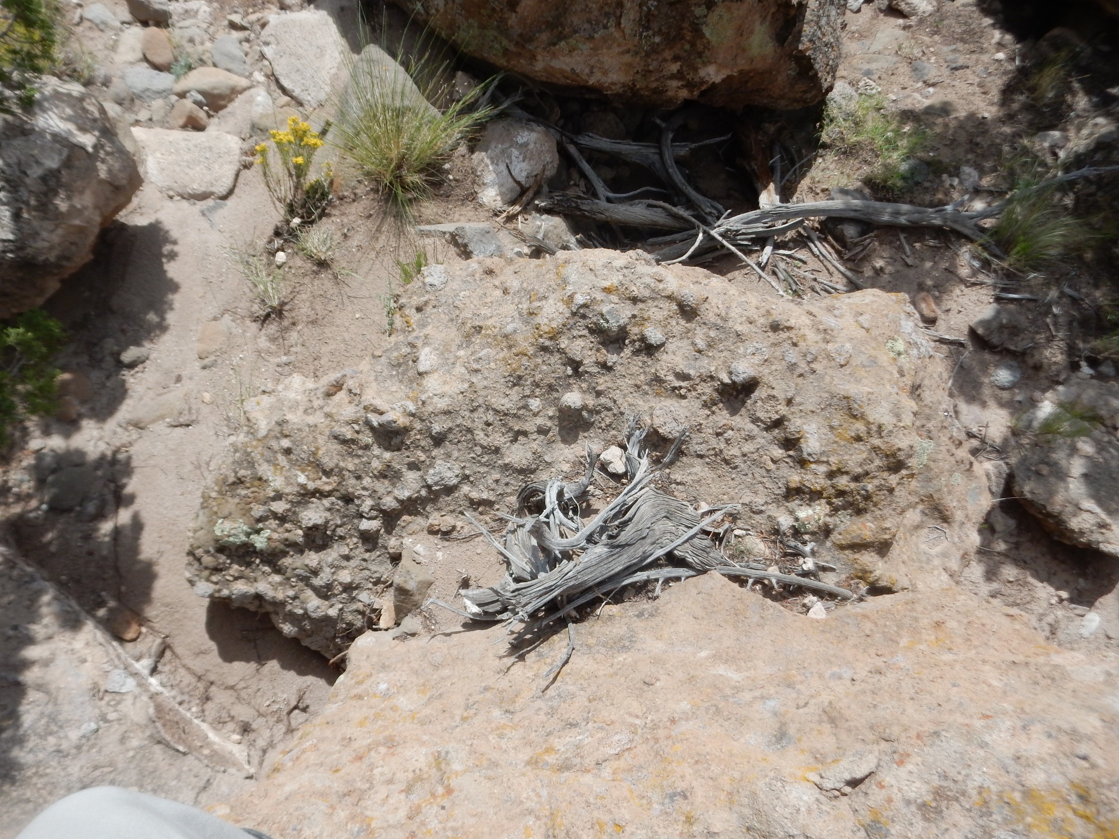
This part of the tuff contains numerous lithic clasts.
A clast is a broken fragment of rock, either by itself or incorporated into a younger bed of rock. Lithic means a solid bit of crystalline rock rather than an individual crystal or a bit of volcanic clast. This looks like Tshicoma Formation, which underlies the mountains west of Los Alamos and which the pyroclastic flows crossed to reach this area. This bit of rock was caught up in the flow and carried several miles to this location.
Aaaaand … my next couple of shots came out blurry. My camera seemed to be having a hard time focusing reliably. My next panorama was spoiled when the middle frame failed to focus properly, but here are the end shots.
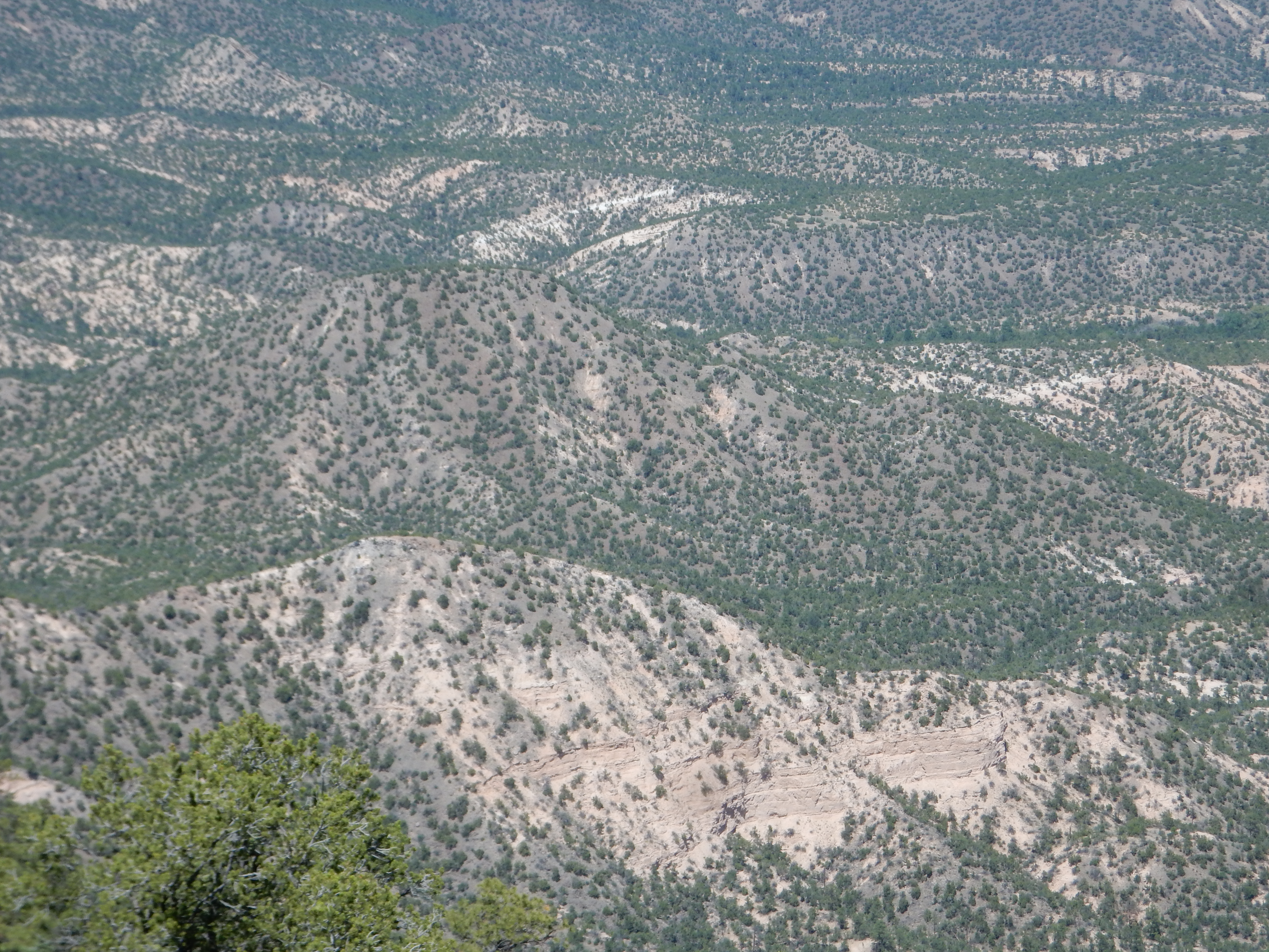
Looking northwest at the next mesa over.

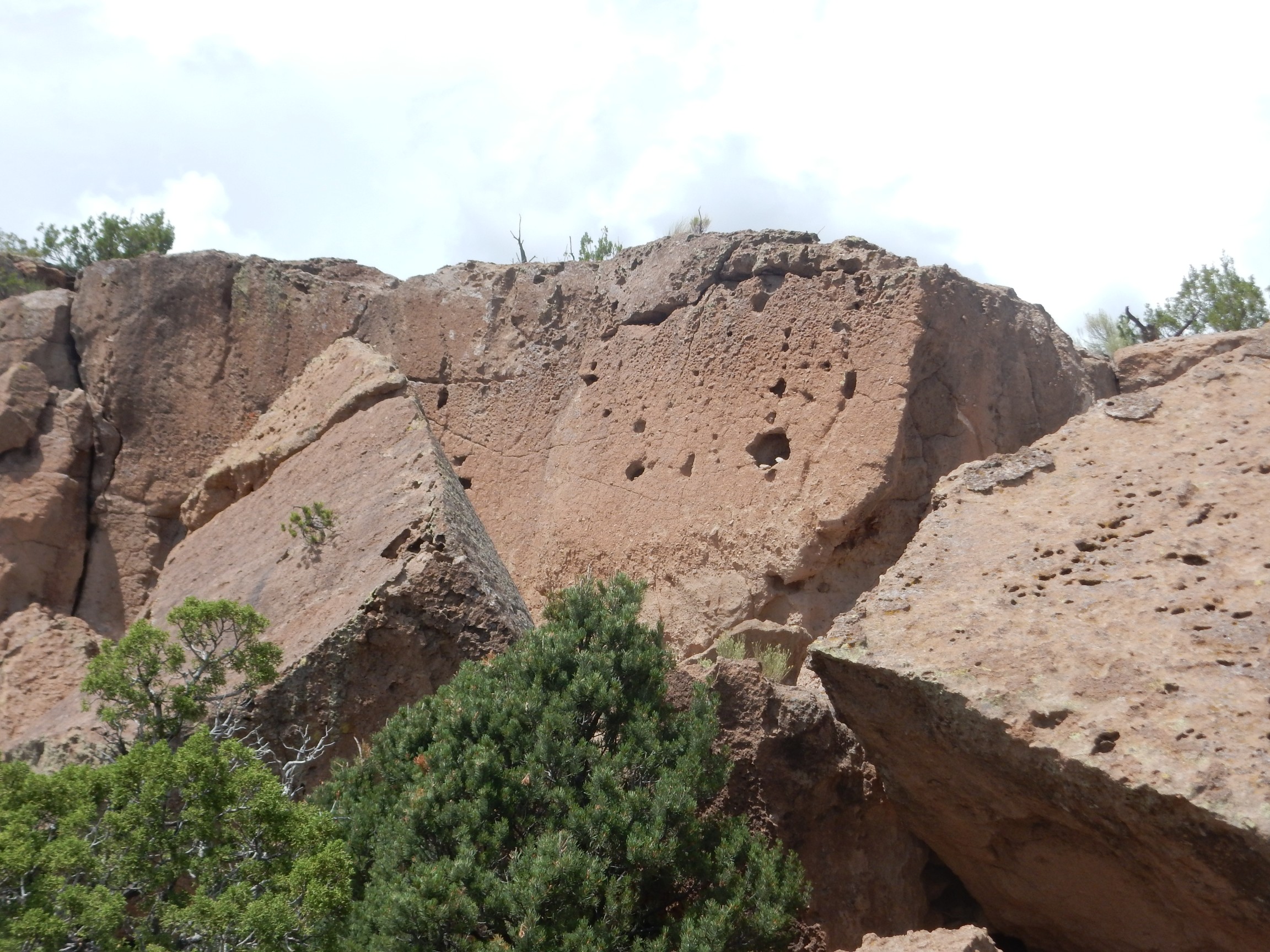
Tsherige Member seen in cross section. The Tsherige Member has distinct beds, and there have been at least two attempts to come up with a sensible classification of the beds. You can see three ledges in the canyon wall. These are labeled A, B, and C in one scheme; Qbt 1g, Qbt 1v, and Qbt 2 in another. Assuming I’ve identified them right myself. The low hills atop the mesa are D or Qbt 3. The surface I’m hiking on is likely the upper surface of the C/Qbt 2 flow.
Looking northeast:
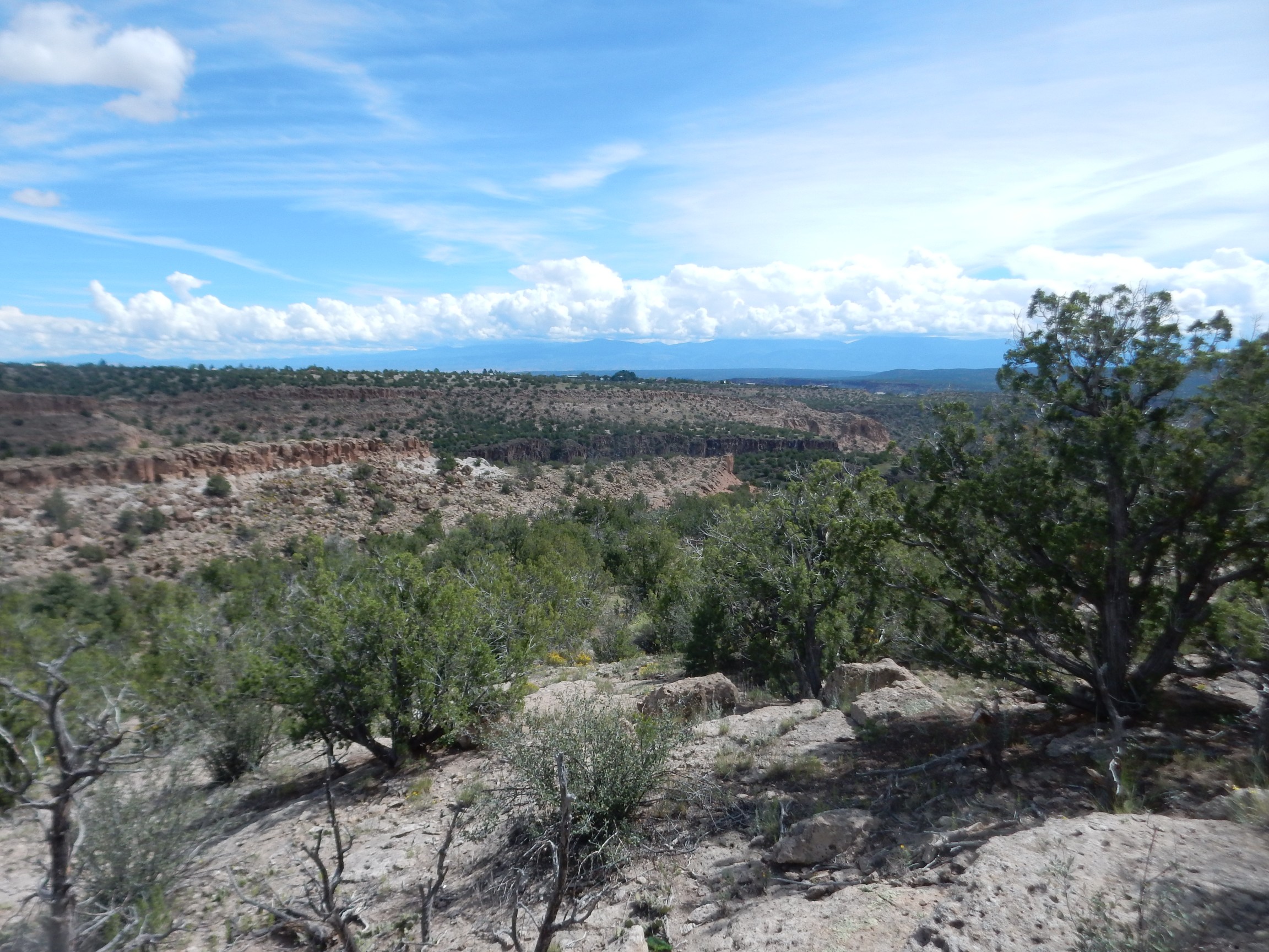
The dark cliffs at center are basalt of the Cerros del Rio Formation, which erupted between 3 and 1.5 million years ago, mostly in the area southeast of White Rock. This rock was already here when the Valles eruption took place, forming a low ridge running north and south. (We’re seeing it here in cross section.) This formed a significant barrier to the Tsherige Member being emplaced further east.
A little further up the trail, we see a paleochannel filled by the Tsherige Member.
Note how the light colored Tsherige Member fills a gap in the Cerros del Rio Formation. This was the canyon of the Rio Grande when the Tsherige Member was erupted. The ash filled the channel, forcing the river east to its present location.
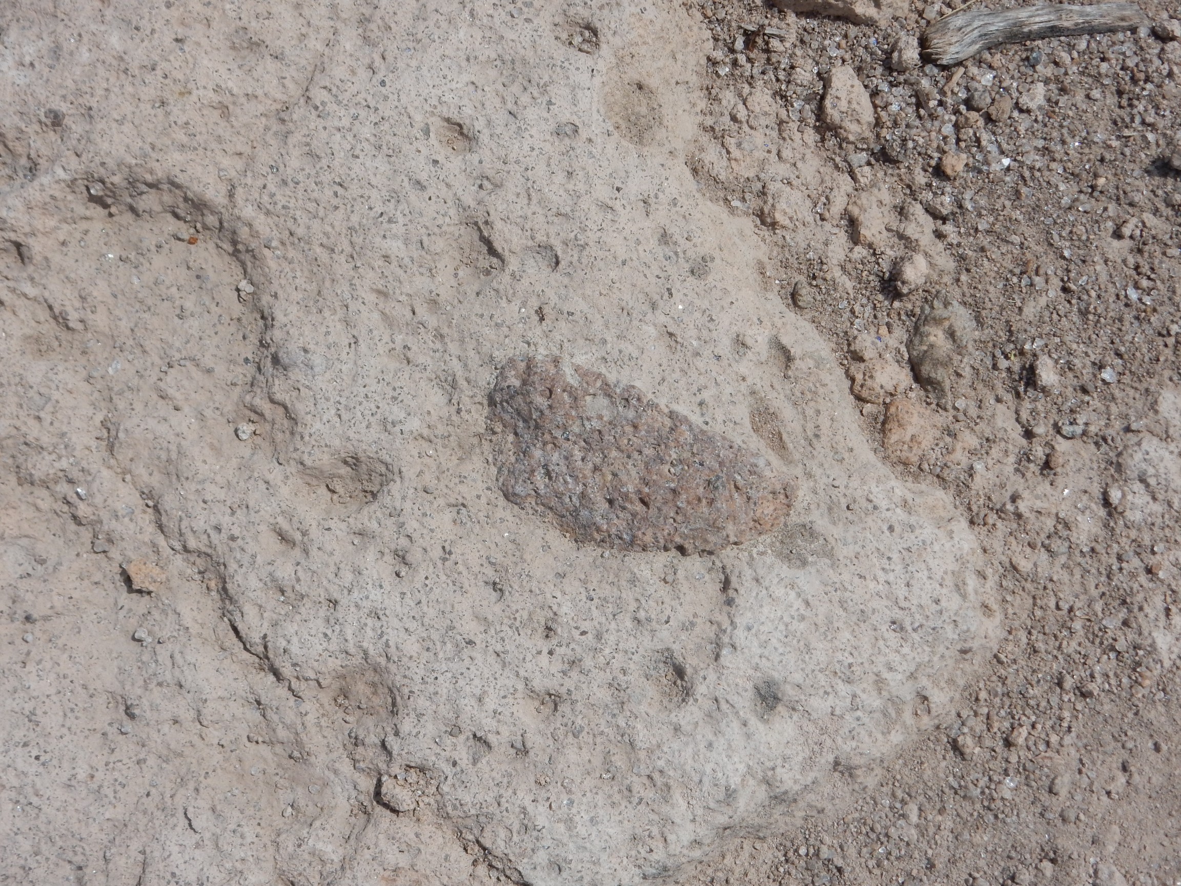
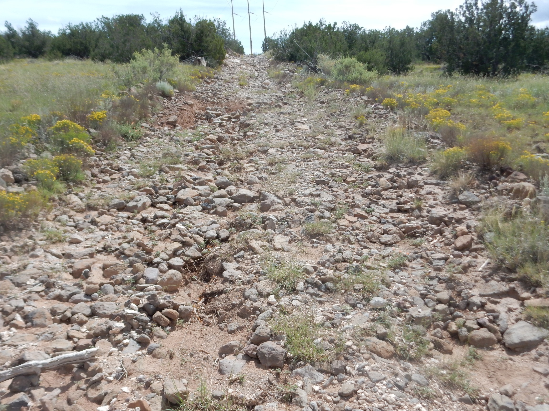
The trail I’m on is an old dirt road used during construction of the main power lines into Los Alamos County decades ago. Here it dips below the lithic-rich beds of the Tsherige Member into a pumice-rich bed.

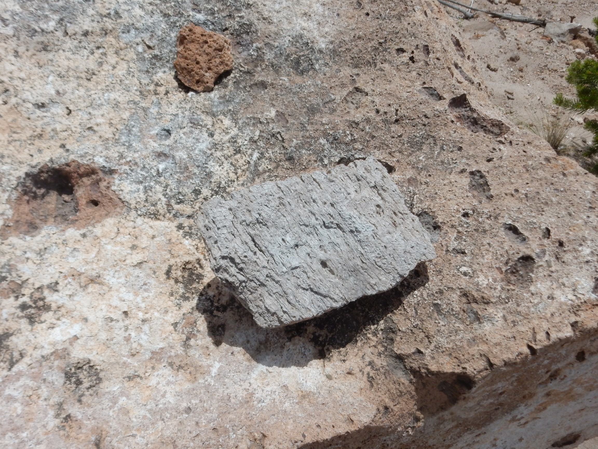
You can see several dark clasts of pumice in this chunk of tuff. Pumice is volcanic glass, formed from high-silica magma that cooled very quickly to produce a highly porous rock (due to gas bubbling out of the viscous magma).
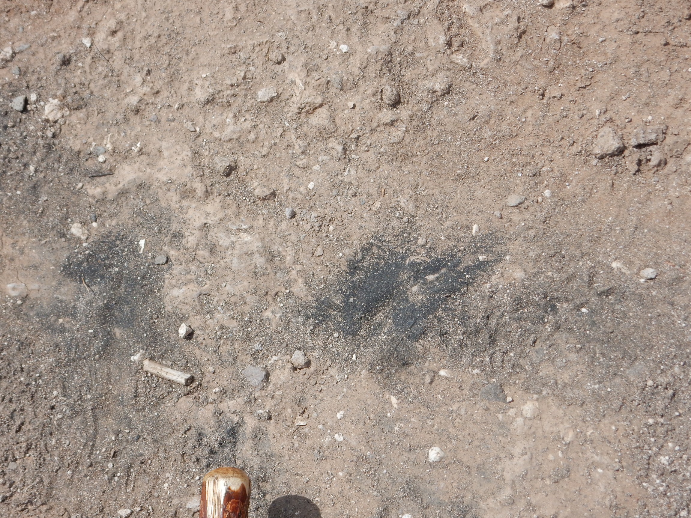
A placer deposit is where relatively heavy minerals accumulate in a low spot in a river channel or arroyo. Here it’s a low spot on the trail. The dark, heavy mineral is magnetite, magnetic iron oxide, which is common in low-silica volcanic rocks. We’re close to where the trail crosses from Tsherige Member to low-silica basalt of the Cerros del Rio.
Here:
The rocks are all fragments of basalt. We’re climbing onto the ridge of Cerros del Rio Basalt running through White Rock.
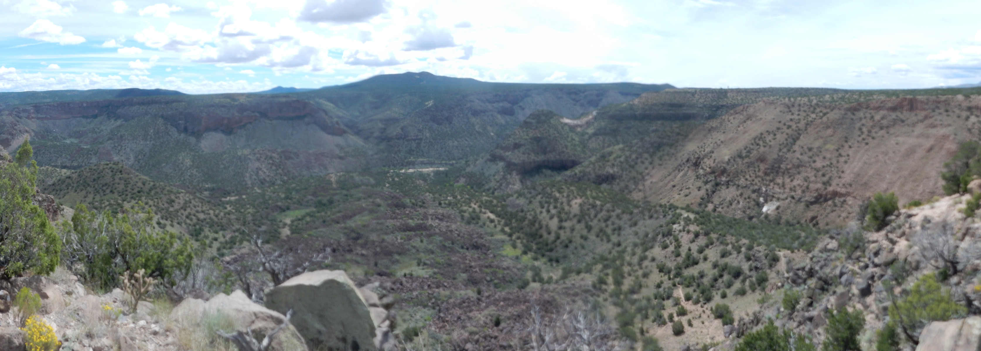
I decide to take a panorama to the west.
Later, when I get home and download it, I find these images are quite blurry. Crep. Sometimes this has happened because I inadvertently bumped the selection switch on the camera to “Special Effects”, but not this time. The camera is misbehaving.
Still. Those are the Jemez Mountains, with clouds already building up. The nearer range to left are the San Miguel Mountains, themselves well worth hiking. To the far right, the small peak on the skyline is Clara Peak. I feel a twinge looking at it here on the trail; there doesn’t seem to be that much cloud building up over it. Perhaps I could have hiked it after all.
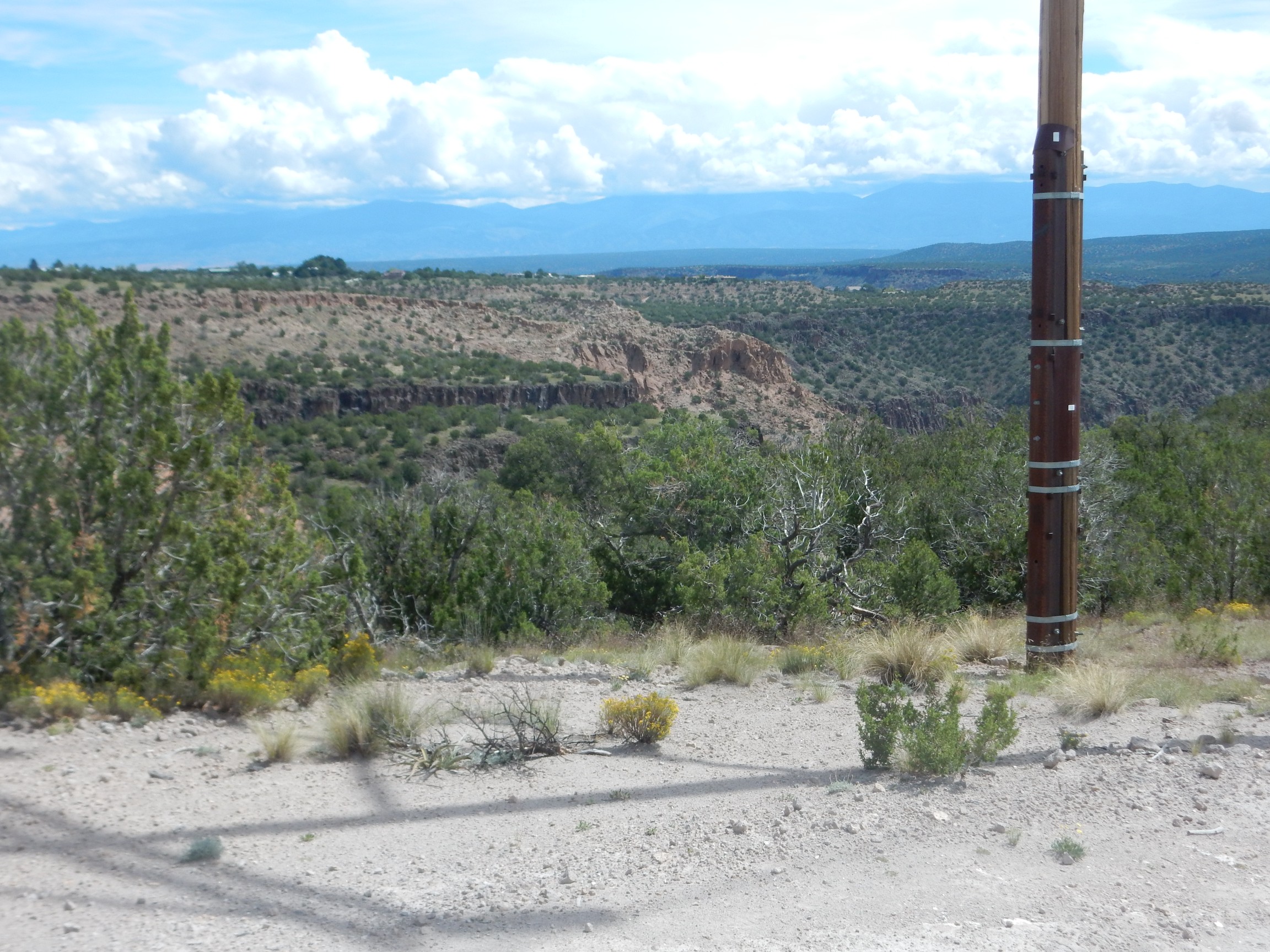
I reach the point where the power lines cross White Rock Canyon, and take a panorama.
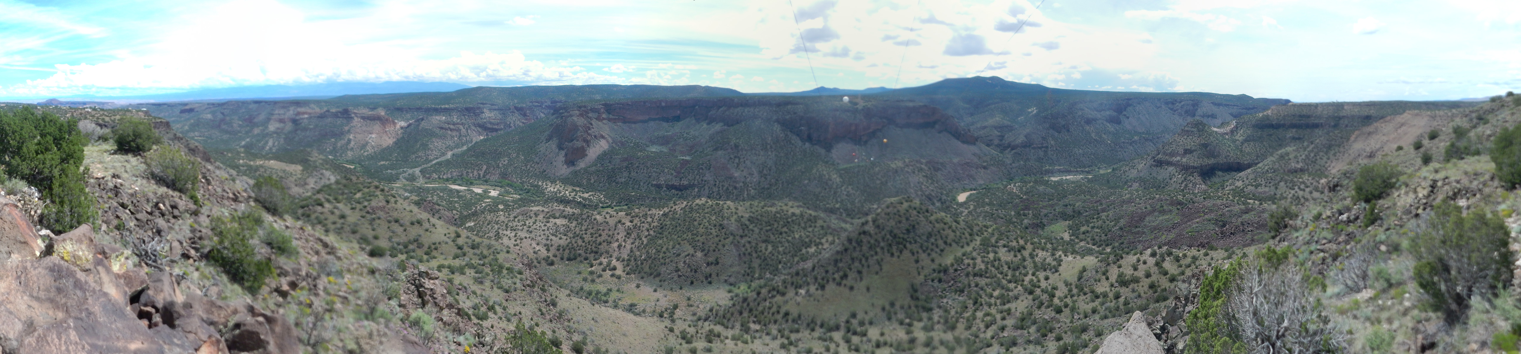
Crep in a handbasket. Some of these images came out blurry, too. And this was supposed to be for the book.
The deep zoom shots that follow seem to come out okay.
Here is another paleochannel deposit of Tsherige Member.
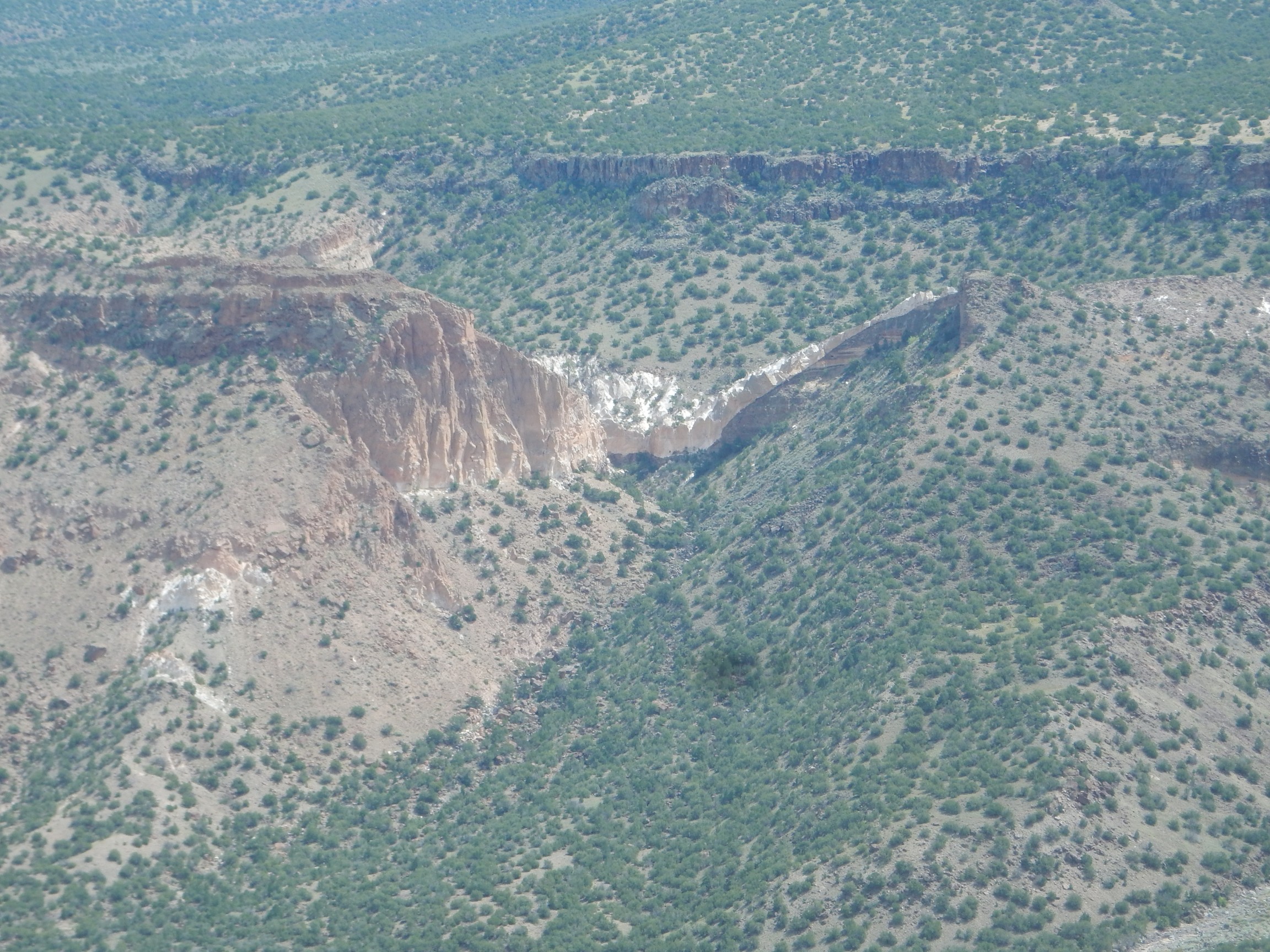
This is the furthest extent of the Tsherige Member to the east, and the only significant deposit on the east side of White Rock Canyon. This was a bend in the Rio Grande at that time, now filled with Tsherige Member. Gravel deposits under the Tsherige Member pretty much clinch that this was a bend in the ancestral Rio Grande.
Another possible paleochannel deposit.
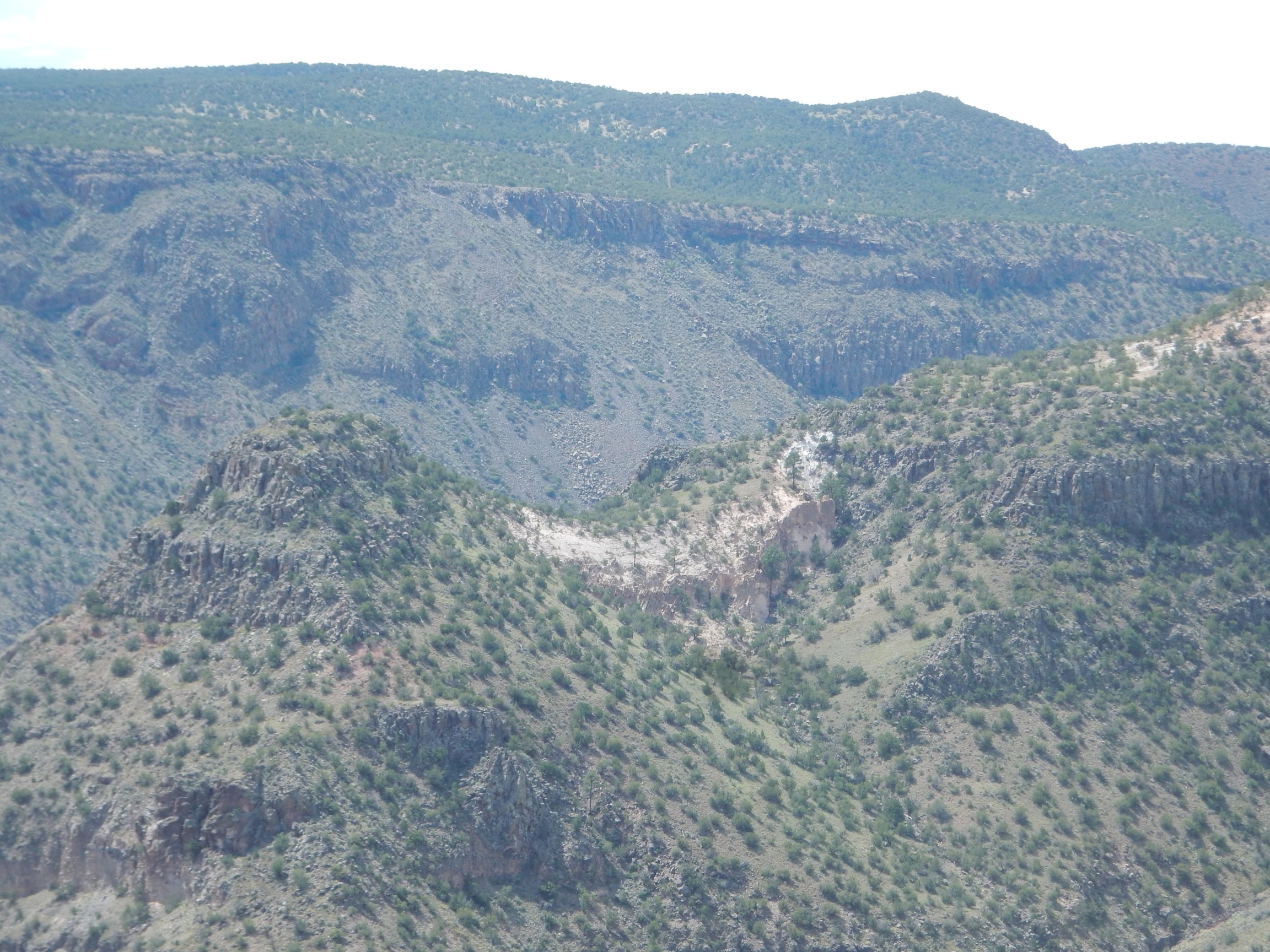
This is on the near side of the canyon, south of my vantage point.
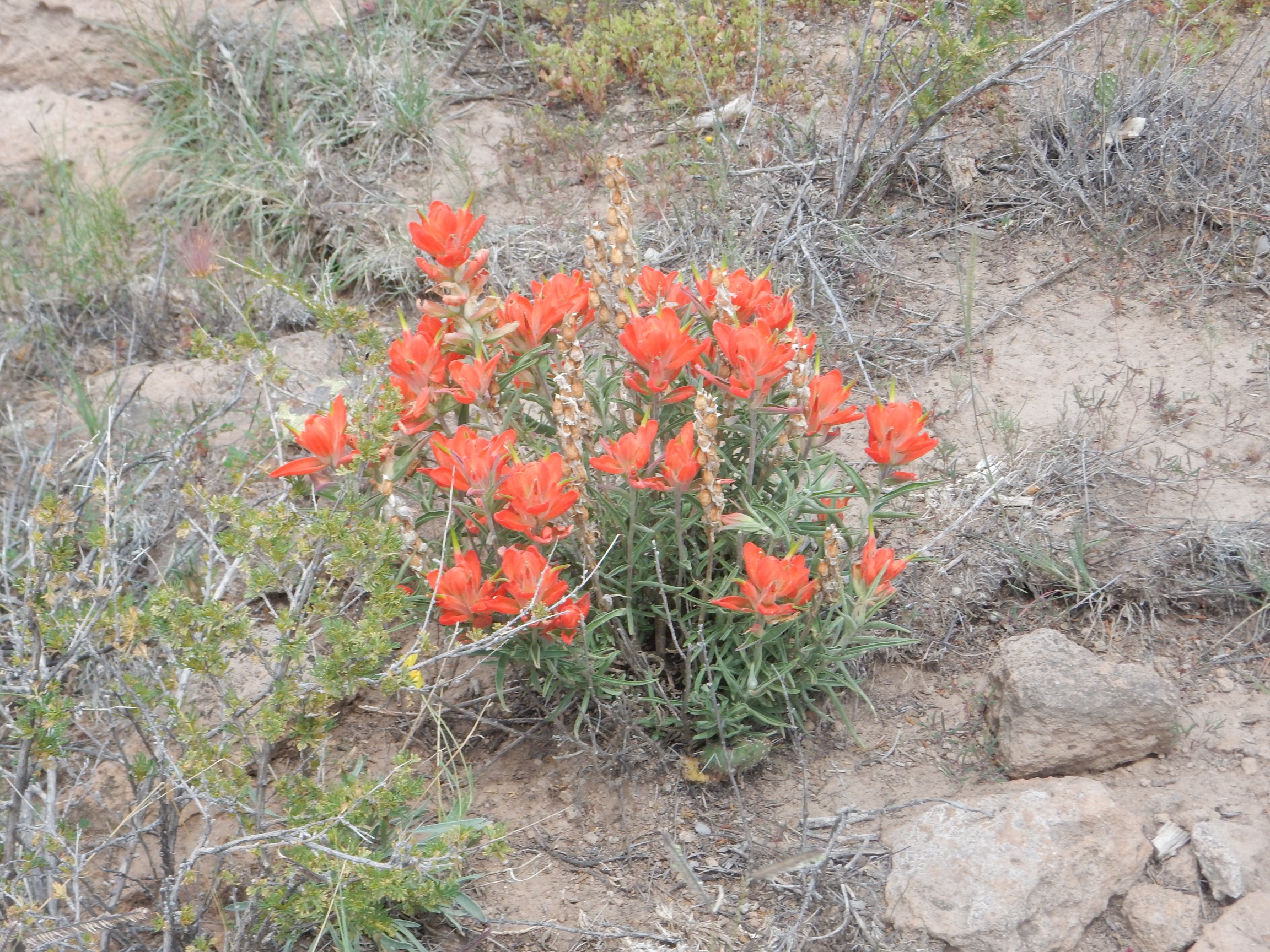
Indian paintbrush.
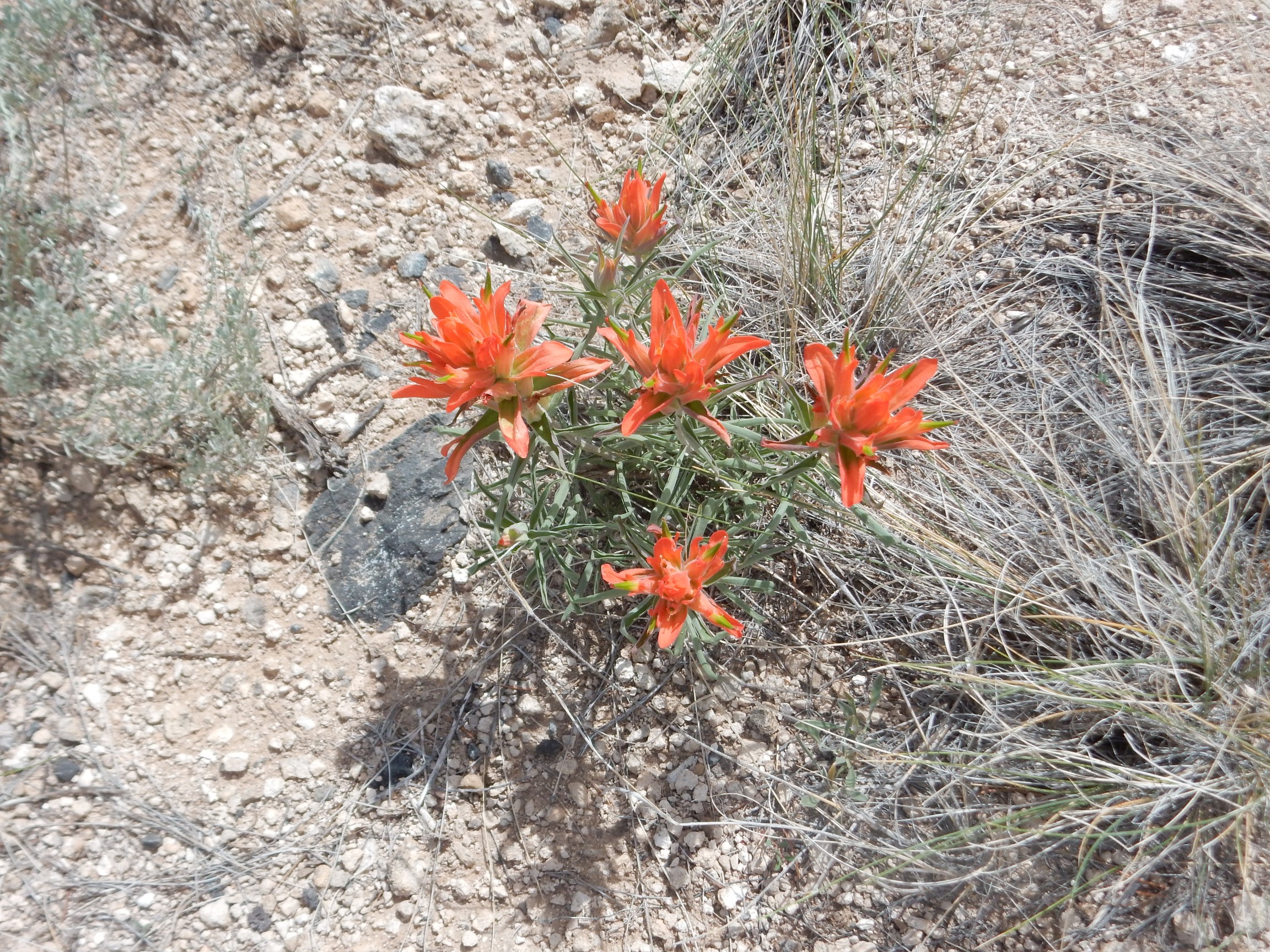
Castilleja. I don’t know which species; there are quite a few and several look like this. It’s a member of the broomrape family, and like most members of that family, they are parasitic on other plants. More precisely, they are hemiparasitic; they steal water and nutrients from other plants by sending rootlike organs, haustoria, into roots of neighboring plants, but they carry out their own photosynthesis.
Such lovely parasites. Makes me think of my five cats.
Some kind of burrow.
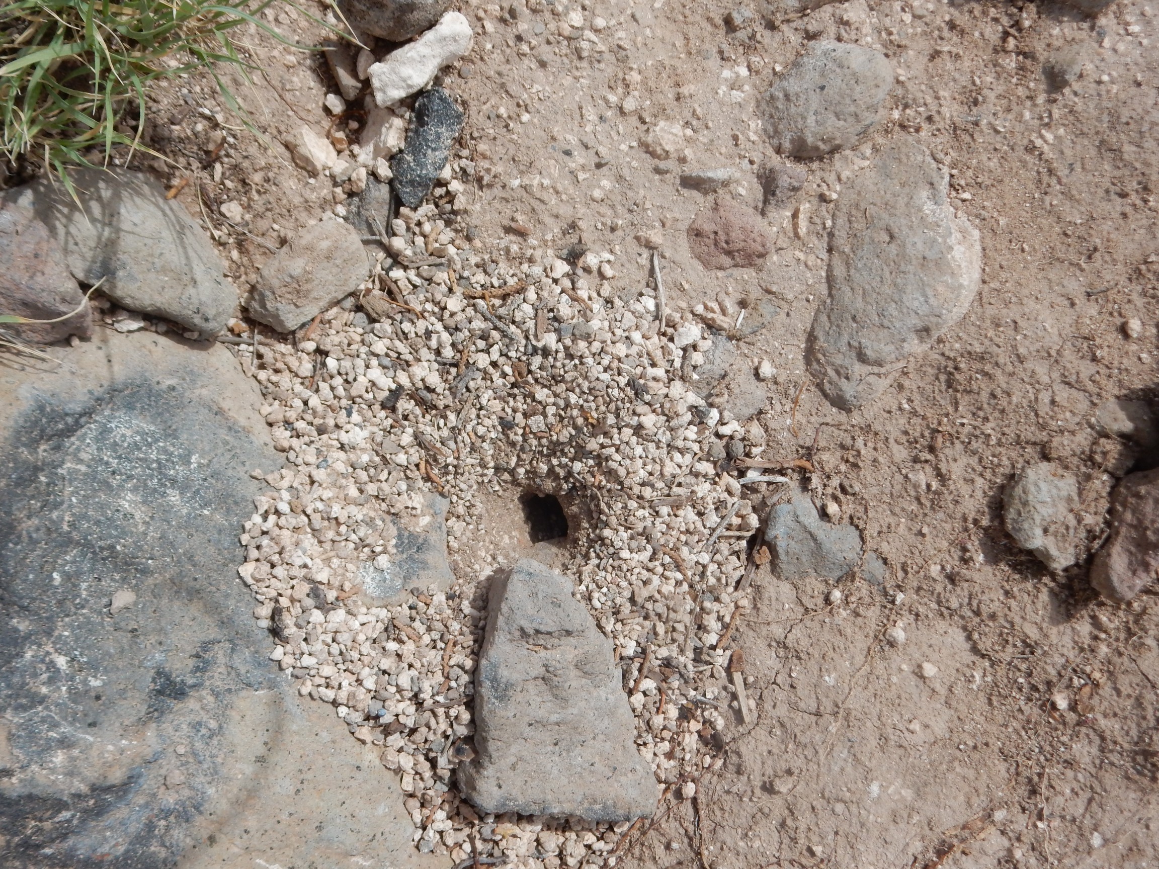
Leaf cutter bee, perhaps? I didn’t linger long enough to see the inhabitant, if any. It looks fresh.
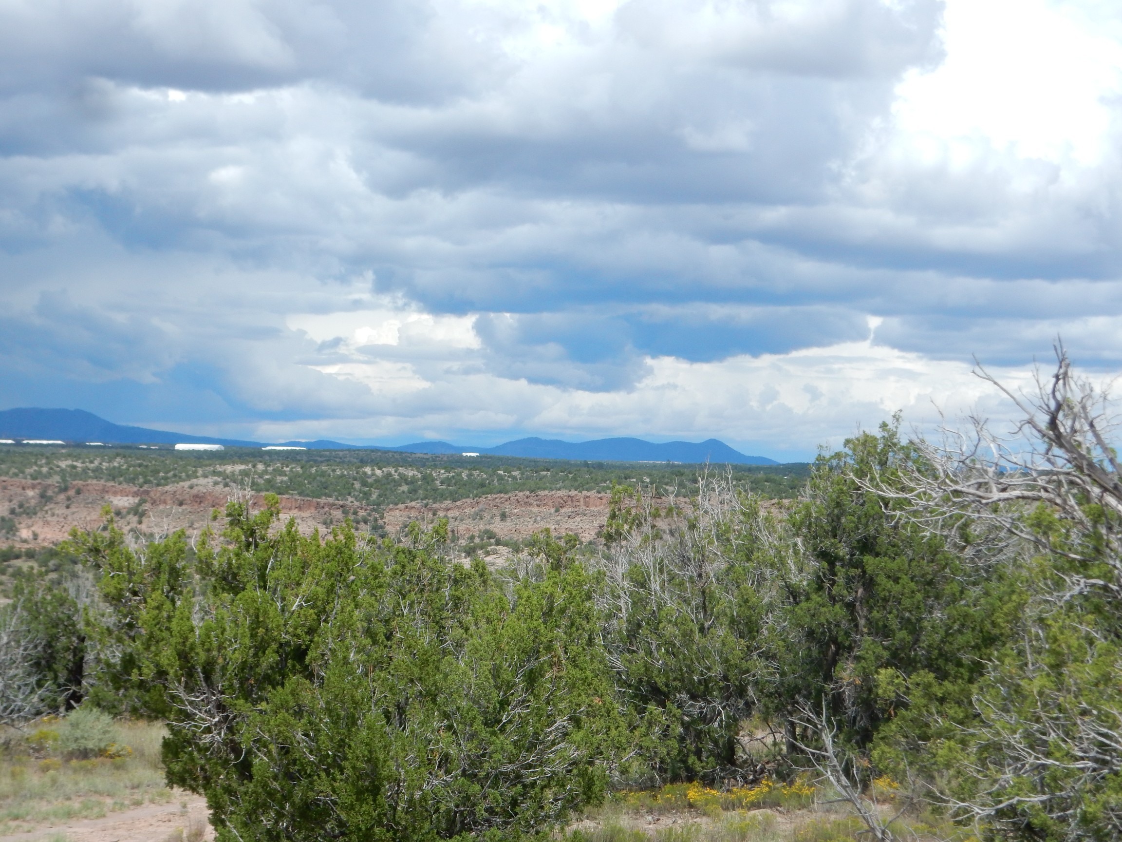
Clouds really building up to the west now.
Makes me feel a little better about skipping Clara Peak.
I decide I have enough time to reconnoiter Ancho Springs Trail. However, when I take what I think is the right trail south, the road kind of disappears. Fortunately, a little further on, I see a cairn.
And there’s an inviting gap in the fence to the left. Which, it turns, out, is the wrong way; I should have headed right. Going left, I soon find myself standing on a cliff with no obvious trail down.
Crep. Blurry again.
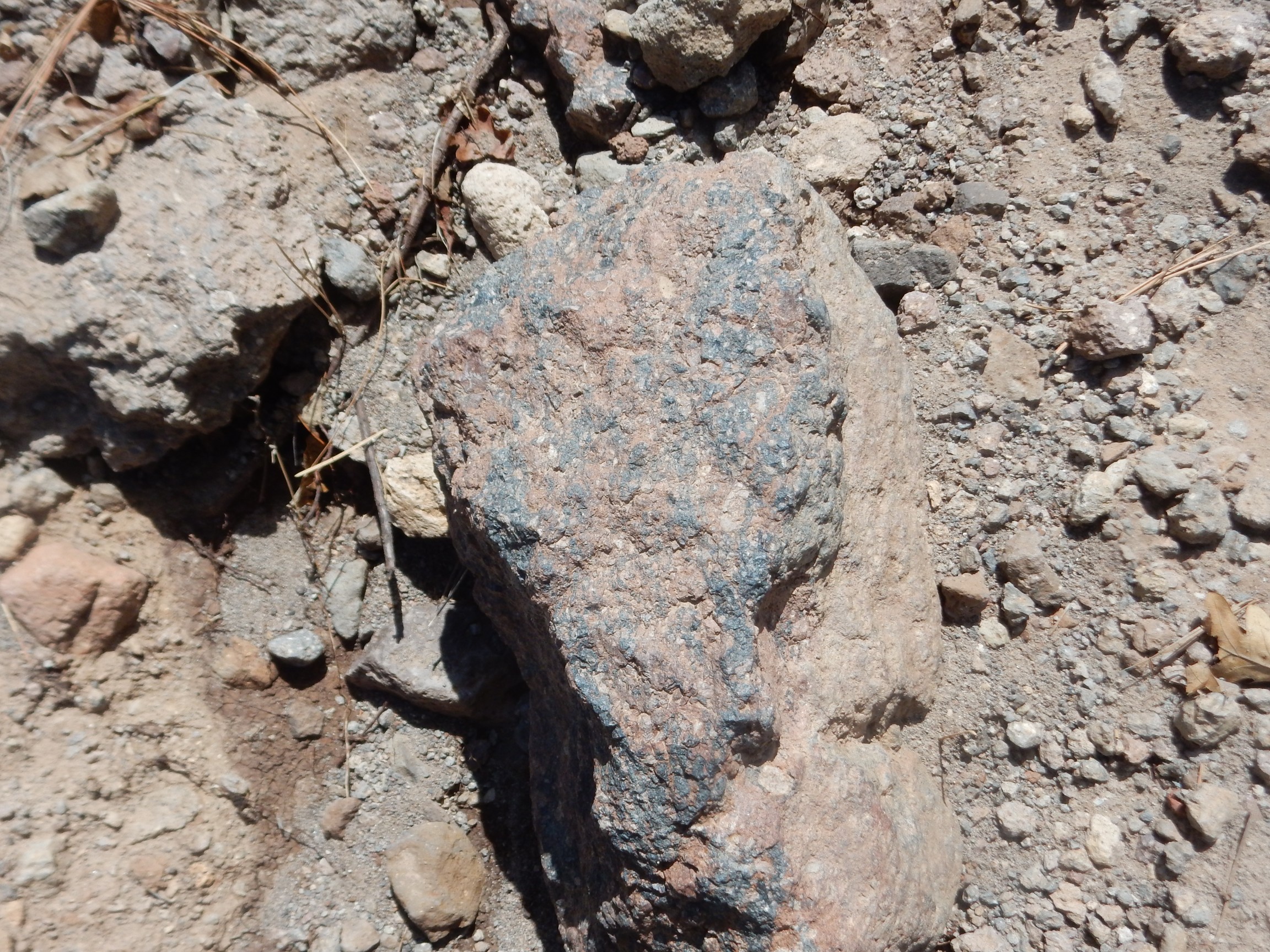
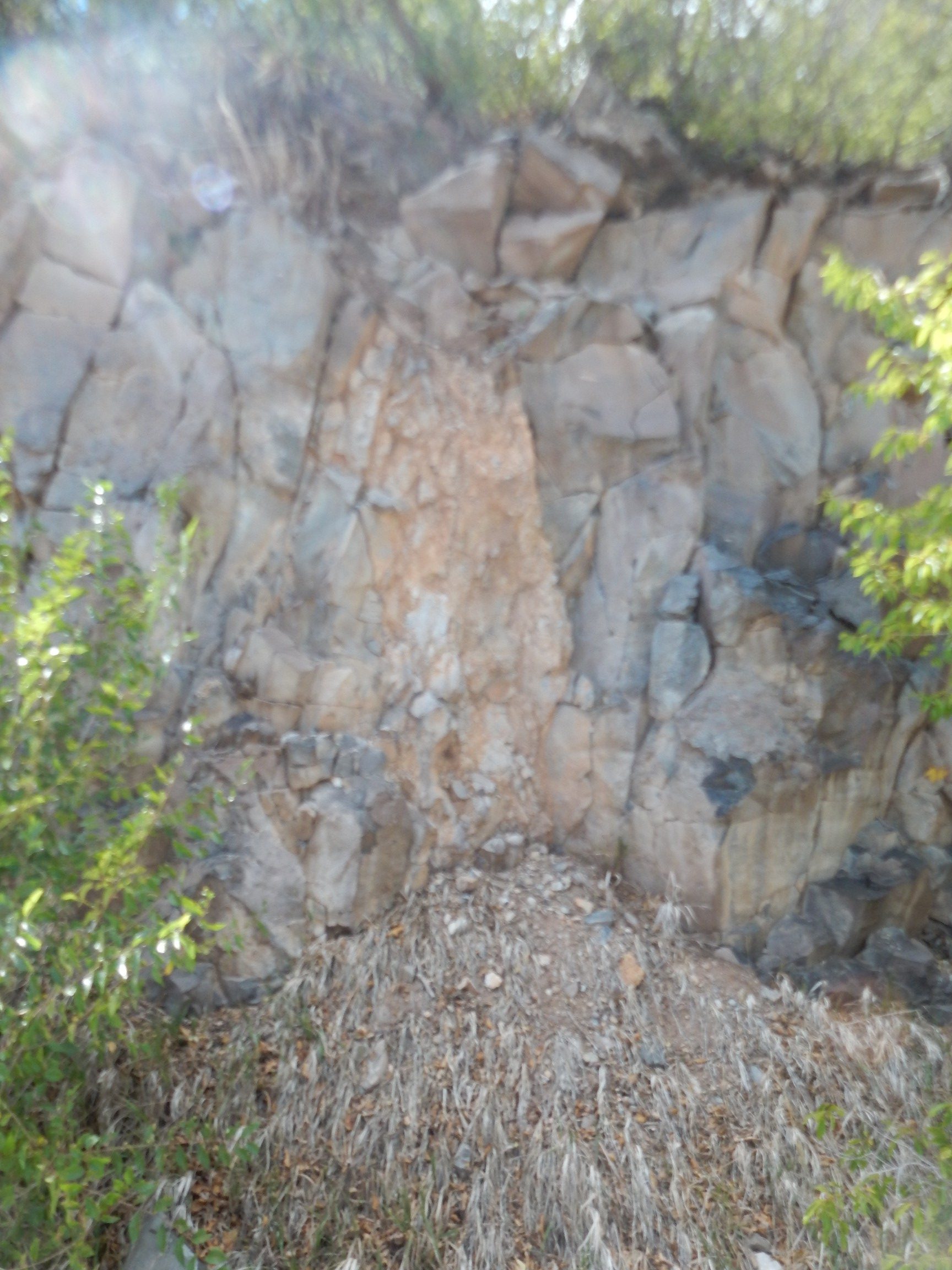
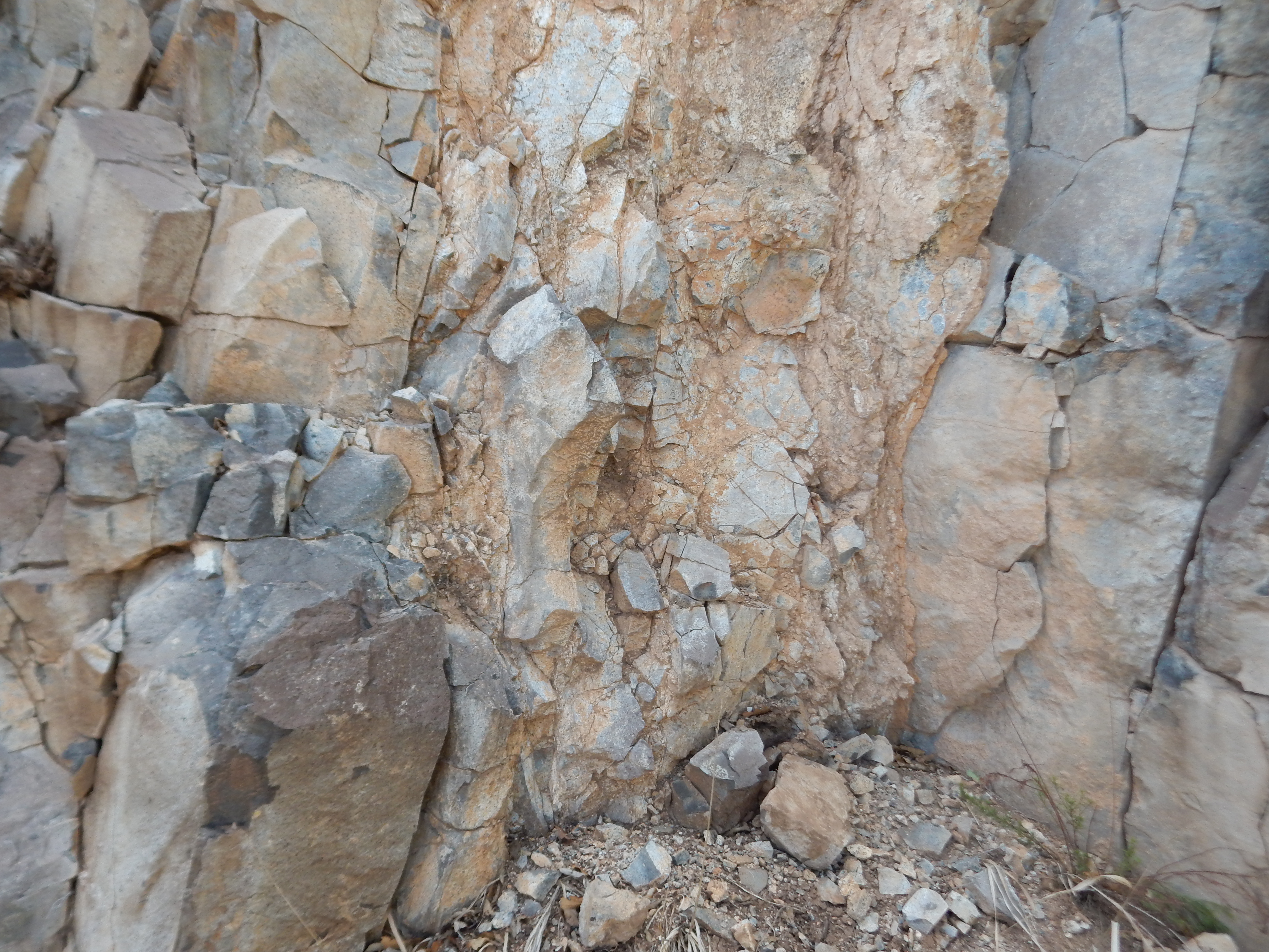
I explore the area, and find some tuff with very large clasts in it.
It looks like there is a pumice-rich layer in the nearby Tsherige Member cliffs.
The pumice.
I work my way west on a rather steep slope. There’s a definite soft bed in the middle of the Tsherige Member.
I’ve not seen anything like this in the Tsherige Member. There is often a soft layer between the Tsherige Member and the older Otowi Member, the Cerro Toledo Interval, but this is not at that level in the beds.
And this:
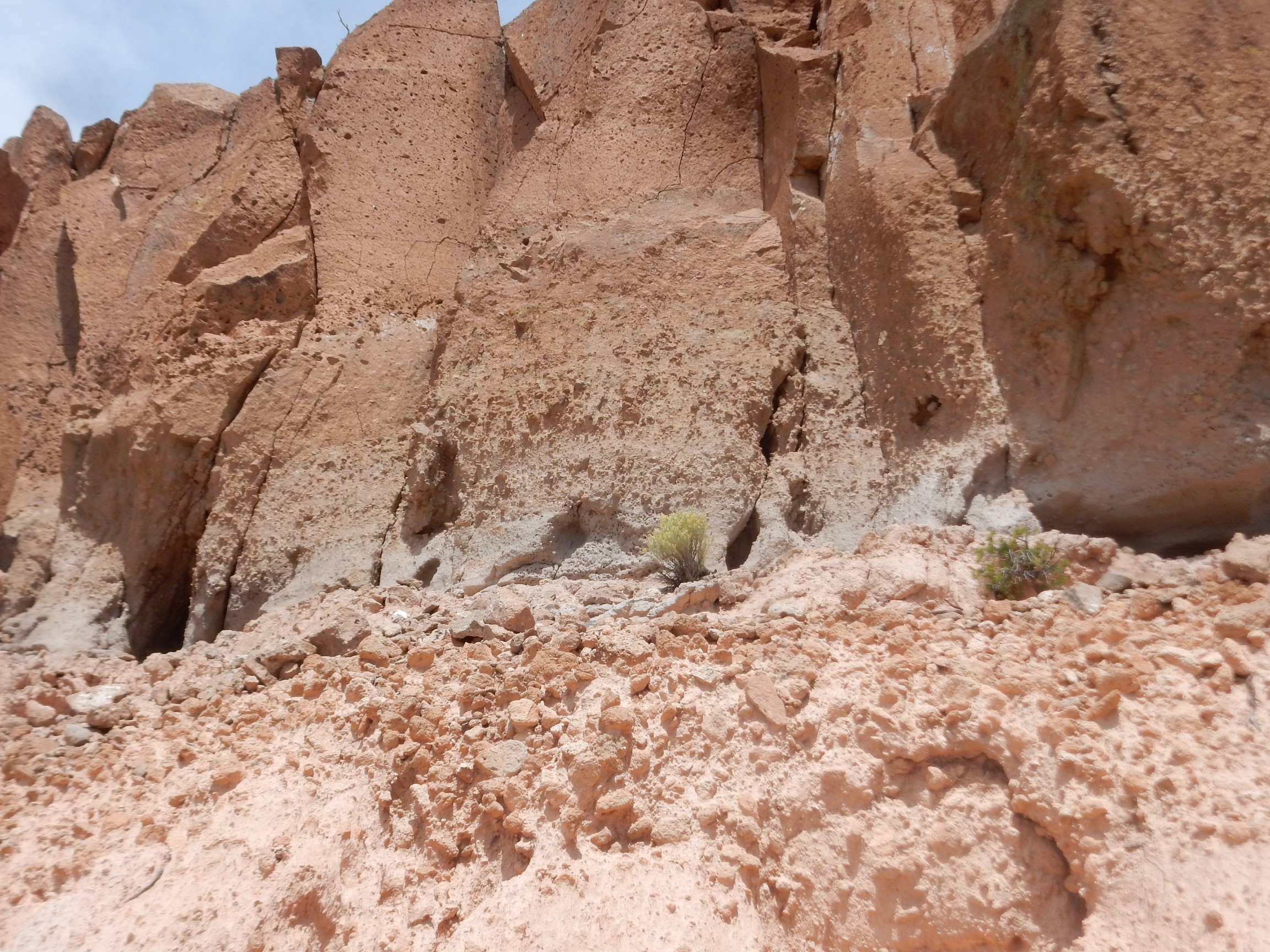
The soft bed is pretty clear. Beneath looks almost like colluvium — bits of tuff eroded off the beds above.
I can see a trail below. I finally realize where I took the wrong turn, and next time I come here, I’ll know where the trail down into the canyon below begins. For now, I’m out of time, and the weather is closing in.
Looking cloudy over Clara Peak. Glad I didn’t try to hike it today.
More ominously, the clouds are now shelving to the west.

And a stiff breeze is coming at me from the direction of the shelf. This is not good. Will I make it back to my car before getting soaked?
Cannot resist one more wildflower shot.
And, yes, I make it back to my car in time.
Then I make a crucial mistake. I do not download my photos right away. As a result, I will not be aware my camera is having focusing problems on my next wanderlust, the Saturday after Labor Day, to Clara Peak, on a beautiful sunny day that ought to have been ideal for photography …
Clara Peak
The weather forecast for today is for mostly sunny weather; we’re having a break in the monsoon, which in any case begins to die down in September. I decide it’s the perfect day to climb Clara Peak and take some wonderful panoramas. Little do I know (because I have not yet downloaded Monday’s photographs) that my camera is still having focusing issues …
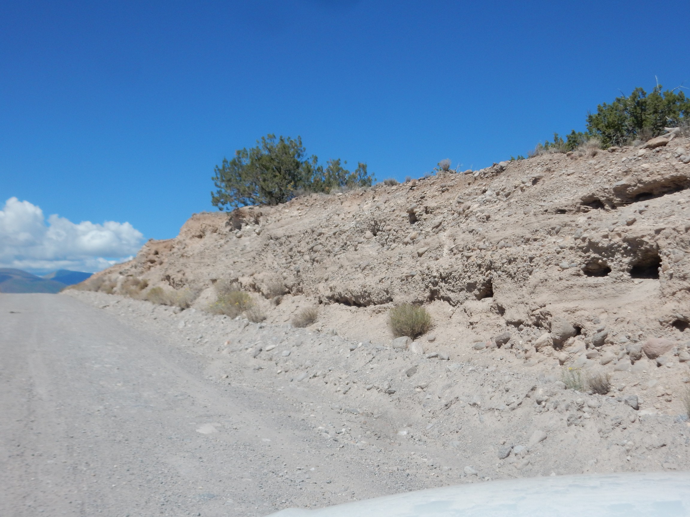
I head off to 31 Mile Road. I take a photograph of the start of the gravel road; it turns out to be out of focus.
I’ve driven this road several times, but the lighting hightlights some features I haven’t noticed before. For example, there is a prominent shelf along the mesa south of the road.

Judging from the geologic map, this may be the well-cemented beds at the base of the Puye Formation, overlying Chamita Formation.
The Chamita Formation is part of the Santa Fe Group, which includes all the sediments deposited in the Rio Grande Rift, the great crack in the Earth’s crust extending from central Colorado to El Paso. The Rift marks where the Colorado Plateau is pulling away from the test of North America. It began opening about 30 million years ago, and began filling with sediments almost at once. Regional uplift as western North America drifts onto the East Pacific Rise, a great upwelling in the Earth’s mantle, has caused the sediments in the Rio Grande Rift to begin eroding out of the rift again, producing the badlands flanking the Rio Grande River.
The Chamita Formation is relatively young, with ash beds that have been radiometrically dated from 15 million years old to less than 8 million years old.
The Puye Formation is volcanic debris eroded off the Sierra de los Valles, the mountains immediately west of Los Alamos. These erupted as dacite domes from 7 to less than 3 million years ago. Dacite is a high-silica lava that tends to crack and shatter as it cools, forming a great deal of easily eroded debris.
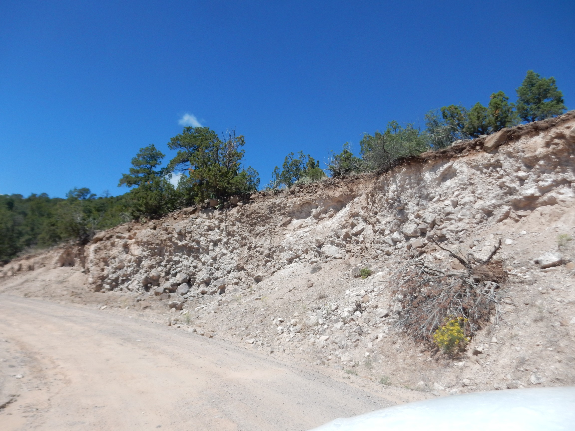
Here the road cuts through Puye Formation.
The cut here is through the low escarpment of one of the faults of the Puye fault zone. This is part of the Rio Grande Rift.
Panorama of the Tshicoma Highlands and the Santa Clara Mountains.

This one came out all right and is good for the book. At left on the skyline are the Tshicoma Highlands, underlain by Tschicoma Formation dacite. This includes Tschicoma Peak at left center, the highest peak in the Jemez Mountains.
At right in the middle distance are the Santa Clara Mountains, including Clara Peak, the goal of the expedition today. It’s the obvious high point visible right of center. You can also see the cut of 31 Mile Road going up the face of the escarpment to the south. The Santa Clara Mountains are an eruptive center of the Lobato Mesa Formation, which erupted between 10 and 8 million years ago. Clara Peak itself is through to be a vent of a shield volcano built up of repeated lava flows, and now heavily eroded.
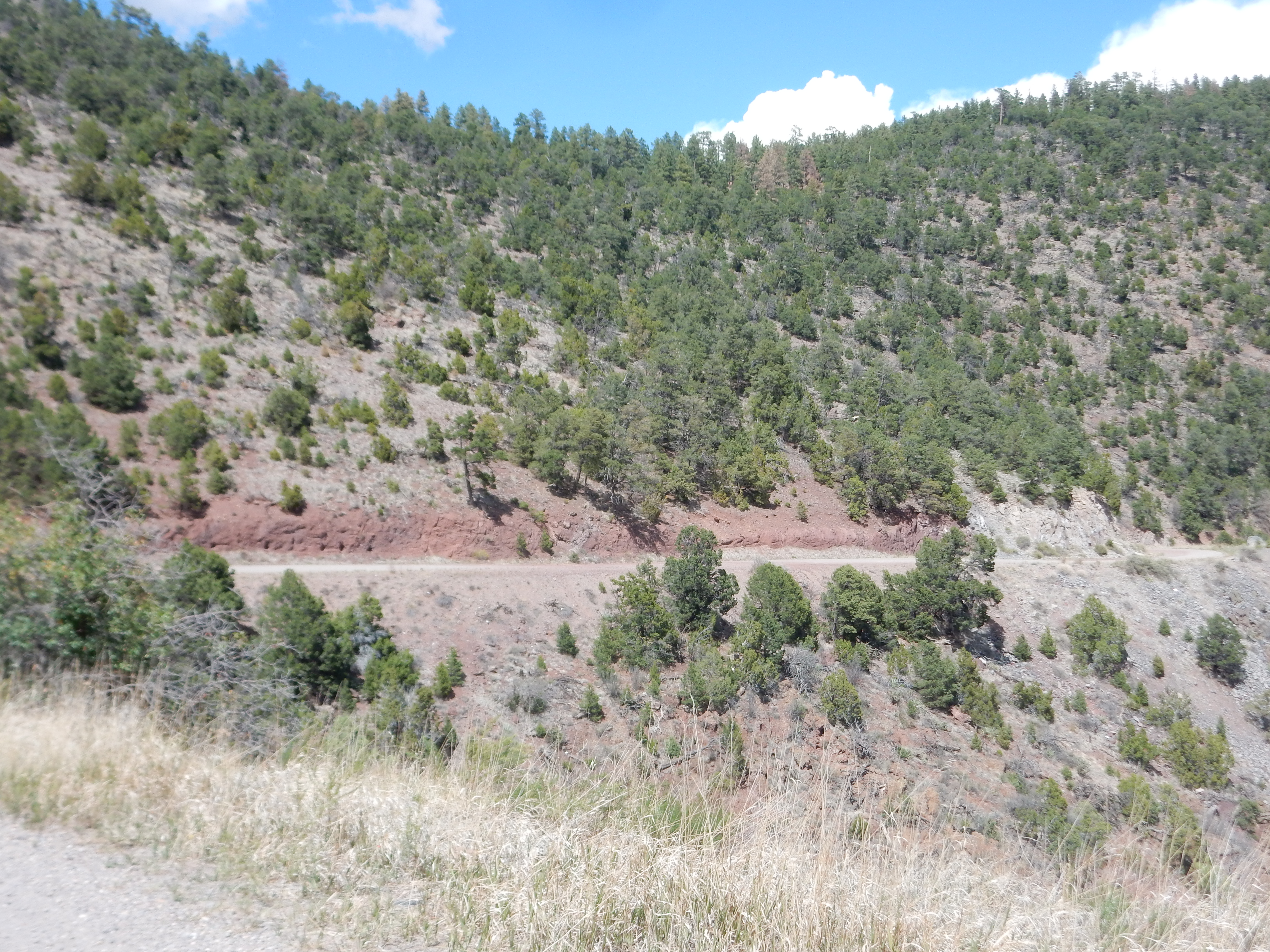
The road twists and turns and begins the climb up to Clara Peak. Here there is heavily calicified basalt rubble from the peak.
I reach the lookout point on 31 Mile Road, where I’ve take panoramas before, never in ideal conditions. The weather is beautiful; I level the tripod and take two full panoramas. And could chew the carpet now, because when I get home, I find that every single frame of both panoramas is out of focus. The autofocus on my camera definitely has issues.
It seems to come out of its funk when I photograph Pernasco Blanco.
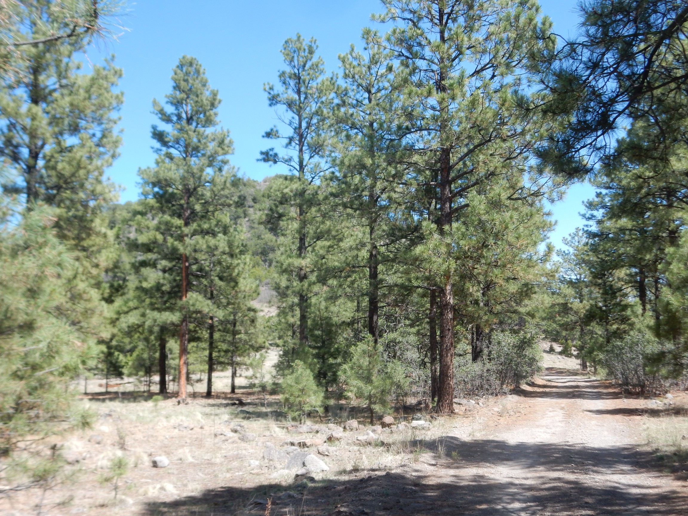
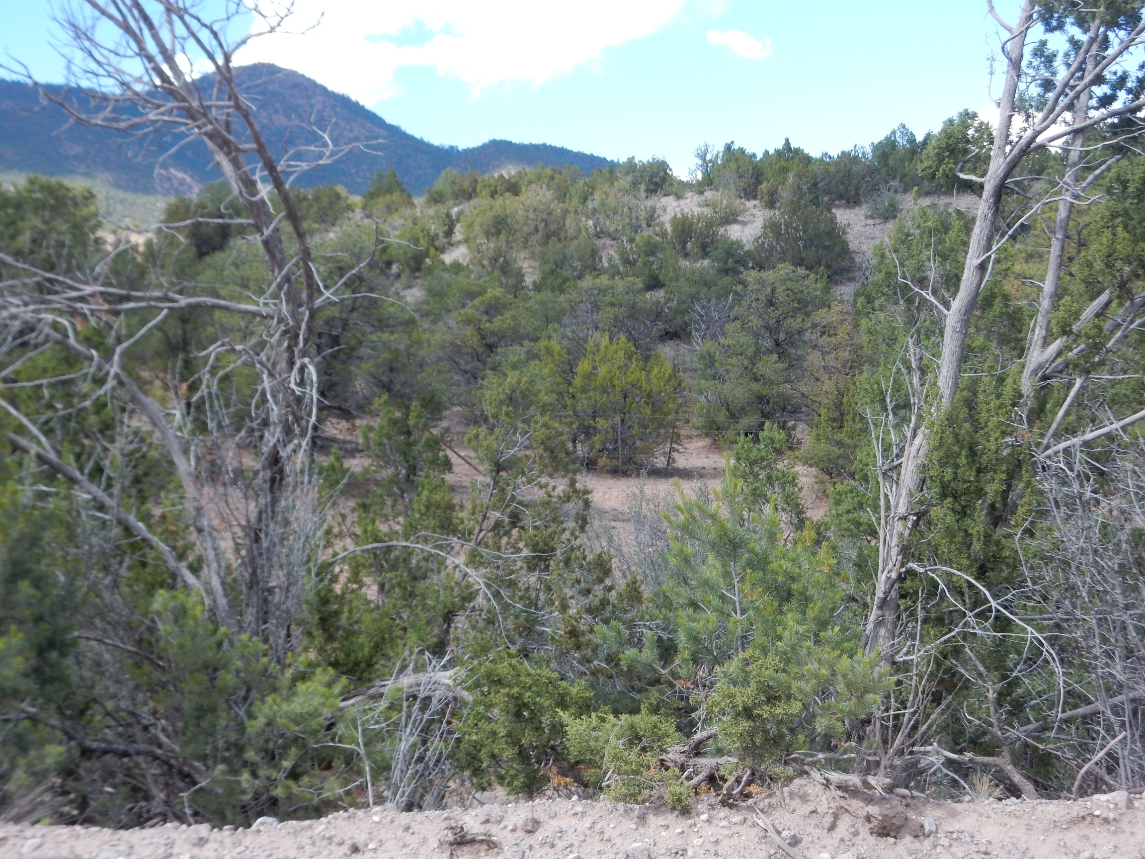
I take the road towards the peak. This is new ground for me, and while 31 Mile Road is an excellent road up to this point, the spur to the peak is not as good a road. I get this far before deciding not to push my luck further, and begin my hike. (As it will turn out, I could probably have gotten as far as the base of the peak itself, but it would have been a bit hairy in places.)
It’s a very pleasant hike, but I decide I need to be on my guard.
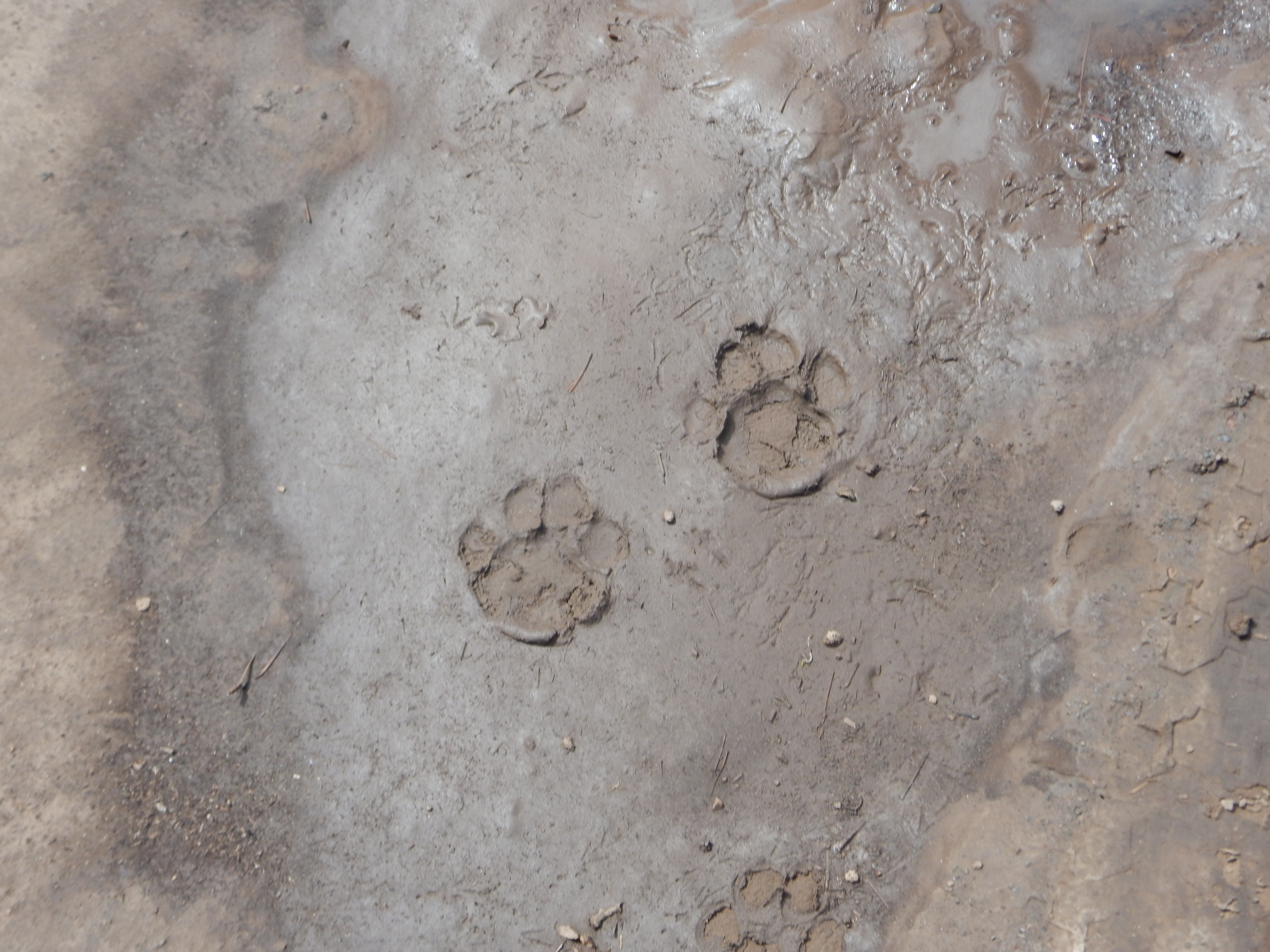
No claws, so not a dog. Wrong shape for a bear. Much too large for a bobcat. Those, my friends, are cougar tracks.
Probably a good thing I didn’t try to take my car the whole way.

The picture is again off-focus, and the GPS coordinates are not good.
The entire area is mapped as Lobato Formation basalt, but this looks a bit like a dacite.
The road begins to climb. My camera is still taking fuzzy pictures; I won’t bother with them. And at one point the camera started humming. Humming. It’s never done that before.
There is a small plateau, with the peak forming a kind of small cone atop the plateau.
Still blurry and still off on the GPS.
The road to the top is steep and rocky; impassable for my vehicle. Picture so blurry I won’t bother here.
The foundation of the old fire lookout at the top.
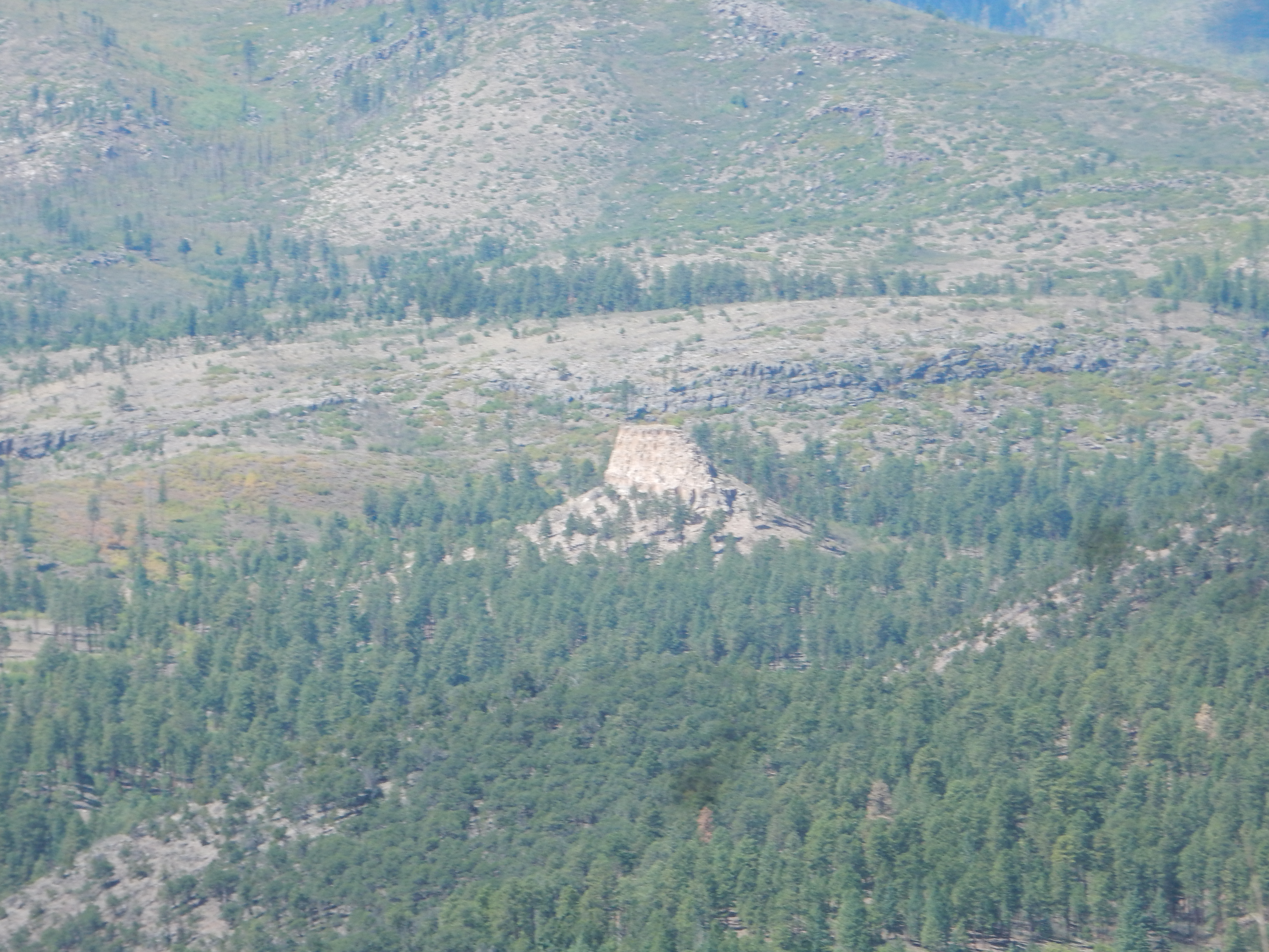
The peak left of center is Polvadera Peak, the third highest peak in the Hemez. The pointy peak on the distant horizon right of center is Cerro Pedernal, which featured in Georgia O’Keefe’s art work.
The peak benchmark.
Dated 1945. I’m guessing the Geologic Survey took a strange new interest in this area about that time …
Panorama from the top.
Not too bad — but there are still some obvious blurred patches.
The next panorama, to the east, is badly leveled, has some blurry frames, and one frame has a bad exposure level. This is all I could salvage from it.
At far left is Lobato Mesa. To the right is Black Mesa and the Rio Grande valley, with the bright white patch at far right being a diatomite mine. Diatomite is the siliceous shells of freshwater diatoms deposited in a lake; in this case, Lake Culebra, which drowned th entire Espanola valley when a basalt eruption in White Rock Canyon dammed the Rio Grande some two and a half million years ago. Between Lobato Mesa and the Rio Grande valley is an uninhabited but geologically interesting badlands, which includes some dikes of the Lobato Mesa Formation exposed by erosion. Part of my reason for climbing this peak was to get a picture of them. Alas, they do not stand out well from this vantage point.
It was at about this point that I finally realized my camera was not focusing it properly. I tweaked the controls, played with the zoom, still had trouble with the focus, and had a terrible sinking feeling about it. But I finally jiggered the camera until things seemed to focus properly, and the next panorama seems to have turned out much better.
So did the telephoto shot of the pumice mine along 31 Mile Road.
And the diatomite mine.
That looks a lot like the pumice mine, doesn’t it? I double checked the map to confirm that this was labeled as a diatomaceous earth mine.
Just because it’s pretty.

There was a strikingly bedded hill to the north I had tried to photograph from the peak; this was what tipped me off that the focus was acting up. The focus seems better now, so:

The beds belong to the Chama-El Rito Member of the Tesuque Formation. The Tesuque Formation is the most widespread and important Santa Fe Group formation of rift fill sediment in the Espanola Basin; some geologists think the Chamita Formation we saw earlier should be merged into it. The Chama-El Rito Member is distinguished by its content of volcanic gravel derived from the San Juan Mountains to the northwest.
A slightly different shot.
This shows an ash bed at upper center (the white layer.) This is marked on the geologic map as an ash bed but no further details are given. Ash beds are interesting because they often contain mineral grains that can be radiometrically dated.
I try another panorama. It comes out very blurry. The problem has not gone away.
I hike back to my car, passing a couple and their three dogs along the way. The spur road to Clara Peak actually crosses 31 Mile Road, and I am curious whether it goes anywhere to the south of interest; no where I want to take this car, as it turns out. Anyway, the road soon crosses into tribal lands, and a section of tribal land I know is particularly jealously guarded at that.

I briefly consider climing to the top of Tschicoma, or reconnoitering the road to San Lorenzo, and think better of it. Both are better saved for when I have Gary along.
On the way back, I discover I’m seeing stuff in the road cuts along 31 Mile Road I’ve never much noticed before. Alas, most of the picture come out blurred. These two are not too bad.
The second photo may be one for the book. At first glance this looks like a dike. The discolored rock falls apart with a little poking, but the bits of solid rock look identical with the massive solid rock on either side. Either a fault trace or a hydrothermal vent of some kind; probably the latter since no fault is marked here on the map and since this really doesn’t look that much like fault gouge.
It turns out the road here passes right through the eroded throat of the volcano. For some reason, I found myself spotting more of these features than on previous trips; good light and I have more experience at it now. A bed of cinders:
This is a marker for a nearby vent, and in fact the rock to its right appears to be lava that congealed in the neck of the volcano. My picture of the outcrop blurred; the close up picture did not, fortunately:

This is gabbro, the coarse-grained version of basalt. You can see the crystals easily, whereas basalt is a uniform dark rock with few visible crystals.
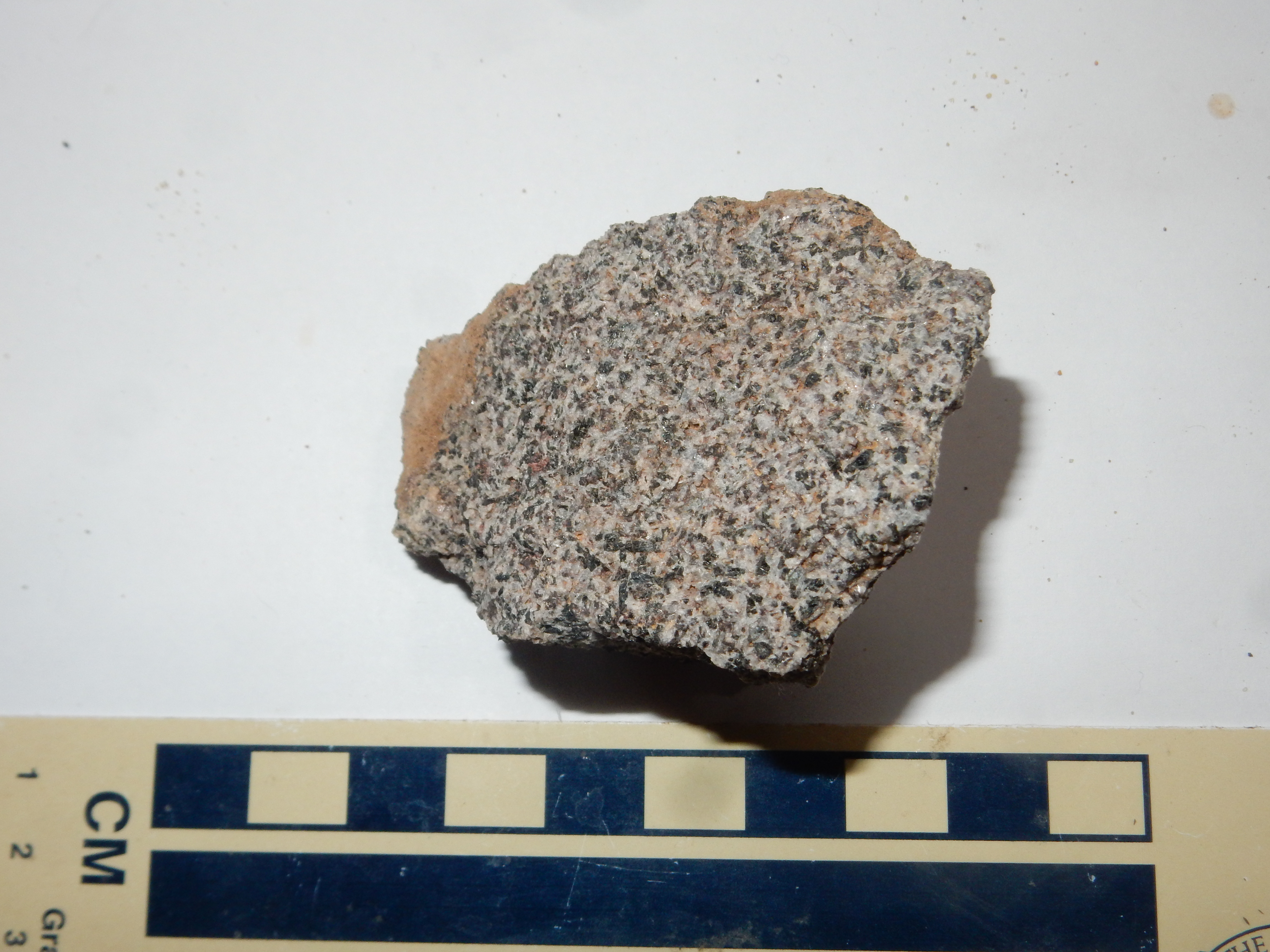
You can easily see individual grains of plagioclase feldspar (white) and pyroxene (black) with some brown patches that may have been olivine.
I walked a short distance down the road and found where the gabbro transitions back to basalt, here. Alas, the picture blurred. Crep.
Took a couple more road cut shots, of Chama-El Rito Member and Puye Formation. Both blurred.
This one did not.
I thought the ridge might be the escarpment of the Santa Clara Fault. Alas, the map shows that this runs well to the south and east.
Took one more picture on the way out that came out blurred.
Having the autofocus on the camera intermittently failing sucks all the joy out of the thought of more wanderlusts. (Actually, you can probably leave off everything after “sucks” in that sentence and it will be just fine.)
There is a place in Albuquerque that is supposedly certified to repair Nikon cameras. I am pessimistic enough to think that repair will cost more than buying another used camera. I am not happy, but at least I know now what I’ll be doing next Friday.