Obsidian’R’Us
This will be another double header.
St. Peter’s Dome
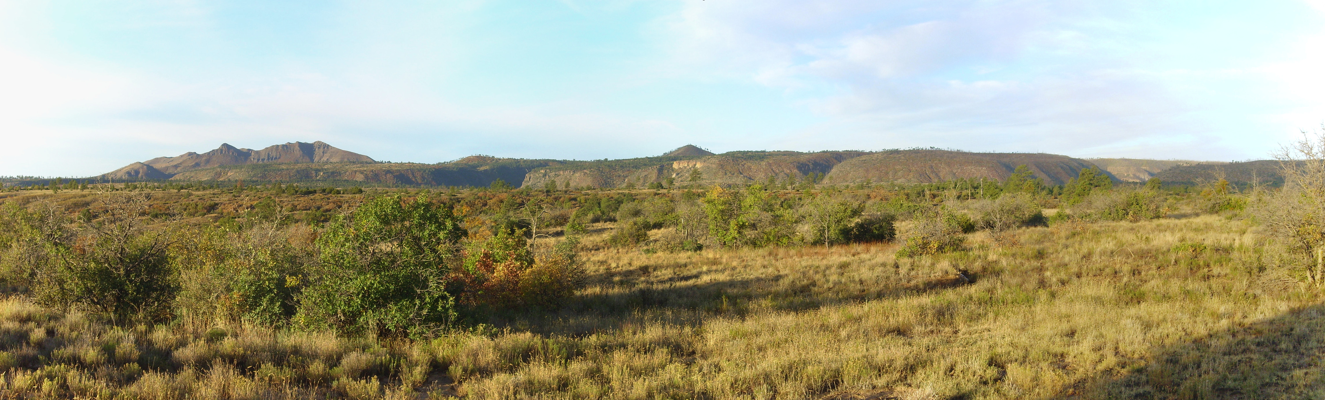
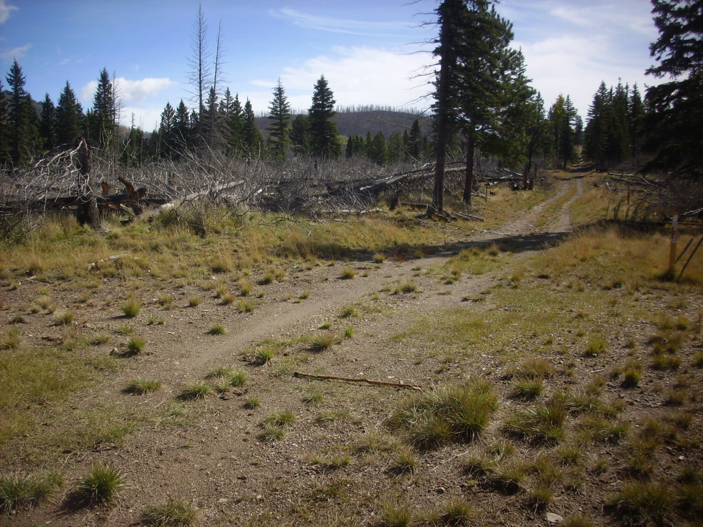
Monday was a holiday for my employer, and I ended up spending the morning with a friend and his son hiking around St. Peter’s Dome. It was also the first real taste of winter; there was some actual snow on the mountains. We paused along State Road 4 for some photographs.

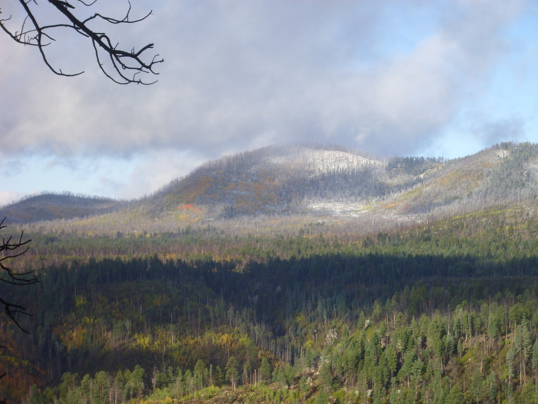
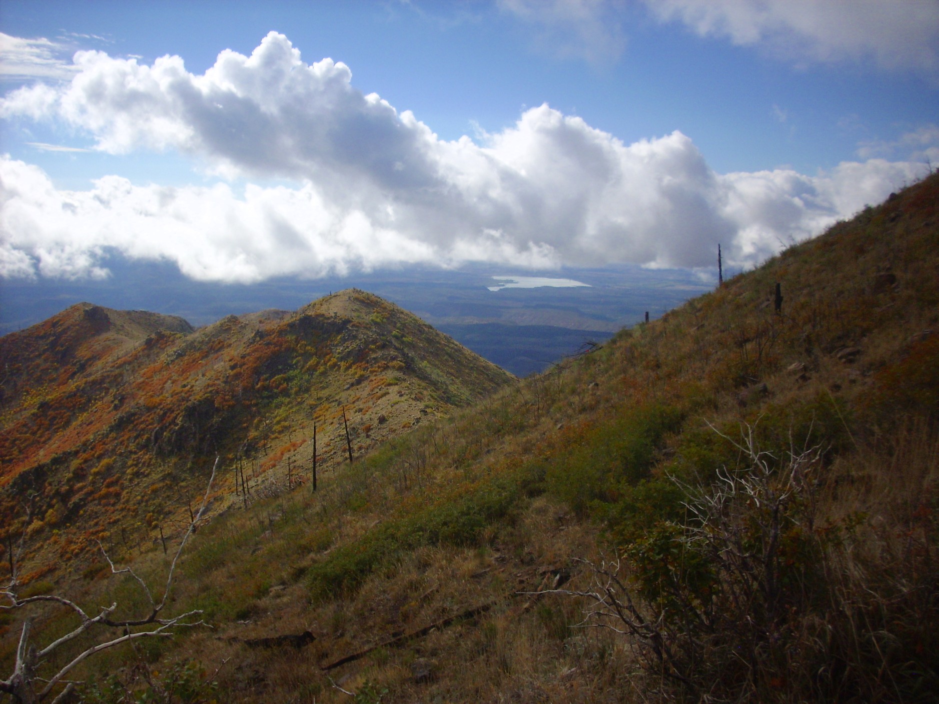
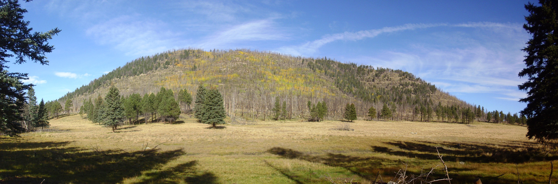
And some fall color. The mountain at center is Rabbit Mountain, part of the south rim of the Valles caldera. It’s underlain by Cerro Toledo Formation rhyolite 1.43 million years old. It’s believed to be a ring fracture dome from the earlier Toledo eruption.
Let’s unpack that. The central Jemez have seen two ginormous volcanic eruptions in the last two million years, along with a number of smaller eruptions. The first huge eruption took place 1.62 million years ago and is called the Toledo event. This eruption emptied a magma chamber that was perhaps 13 miles across, whose roof collapsed to form a caldera or giant volcanic crater. The magma that was in the chamber was erupted largely as volcanic ash and red-hot gas, which formed a mixture heavier than air that flowed across the ground for miles in every direction (a pyroclastic flow). When the ash settled to the surface, it cooled into a rock called ignimbrite or, less formally, a tuff*, which geologists have named the Otowi Member of the Bandelier Tuff.
The remaining magma in the chamber oozed to the surface through the fractures surrounding the collapsed magma chamber roof, forming ring domes, so called because the fractures form a ring shape and the domes thus also form a ring within the caldera. Rabbit Mountain is the right age and composition to be such a dome, assuming the Toledo caldera was located more or less where the Valles caldera is located today.
The Valles eruption was the second colossal eruption, occurring 1.25 million years ago and producing the caldera we see today. Because the Rabbit Mountain dome sits partially on pre-caldera rock, it is thought to be only the southeast flank of the original ring dome, most of which collapsed into the Valles caldera.
A closer look at Rabbit Mountain and its color under a dusting of snow.
In our area, the yellow is mostly aspen. Red is uncommon and is usually either scrub oak or some other kind of scrub. Yellow fall color is kind of a given; red, I’m told, is better in years when conditions are just right, with warm sunny days that produce sugar in the leaves and cold nights that traps it there to be converted into red anthocyanin pigments.
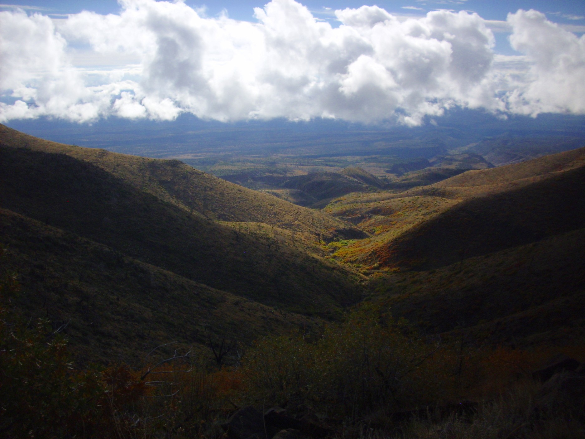
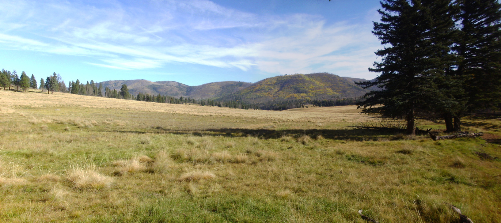
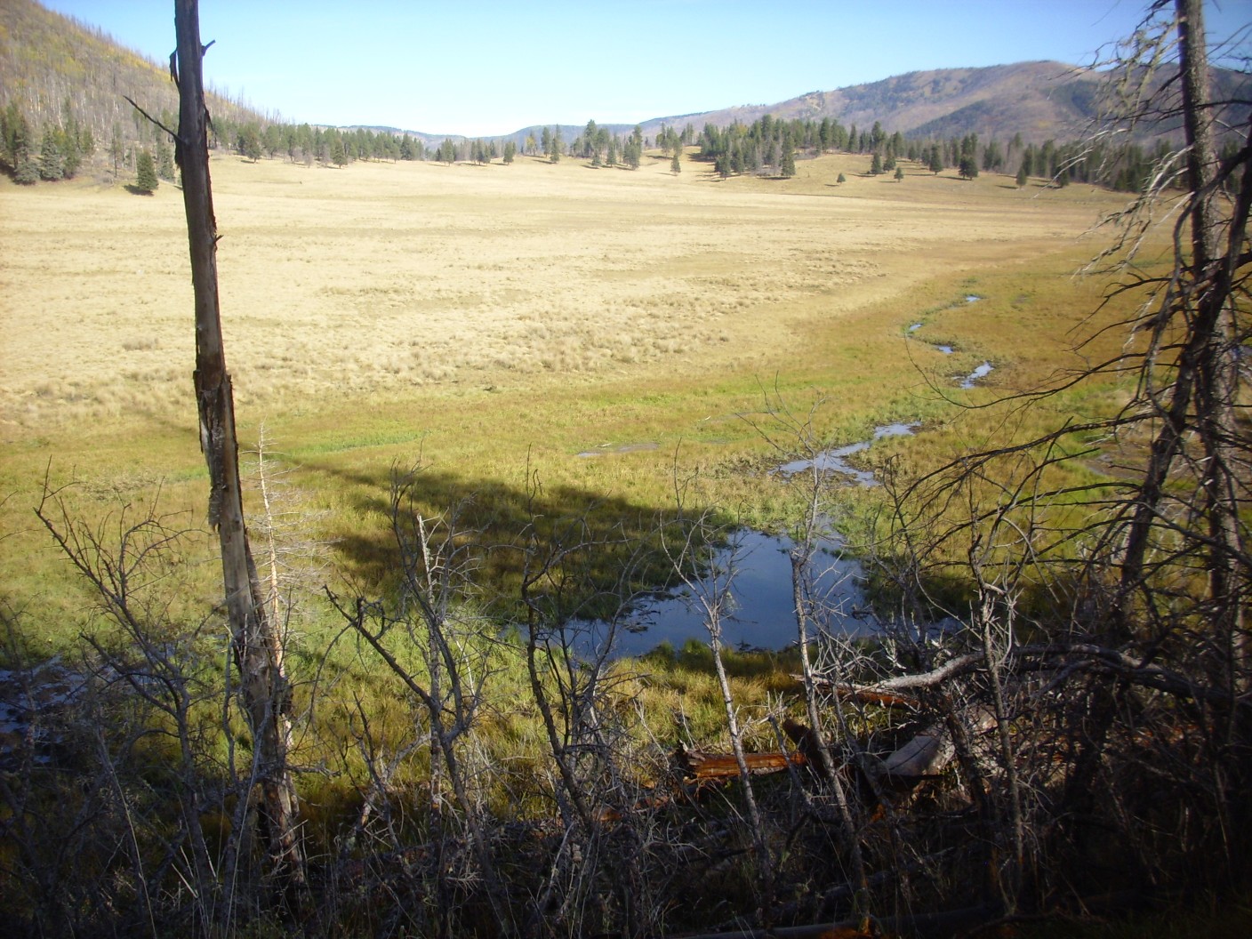
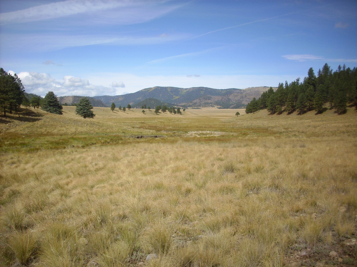
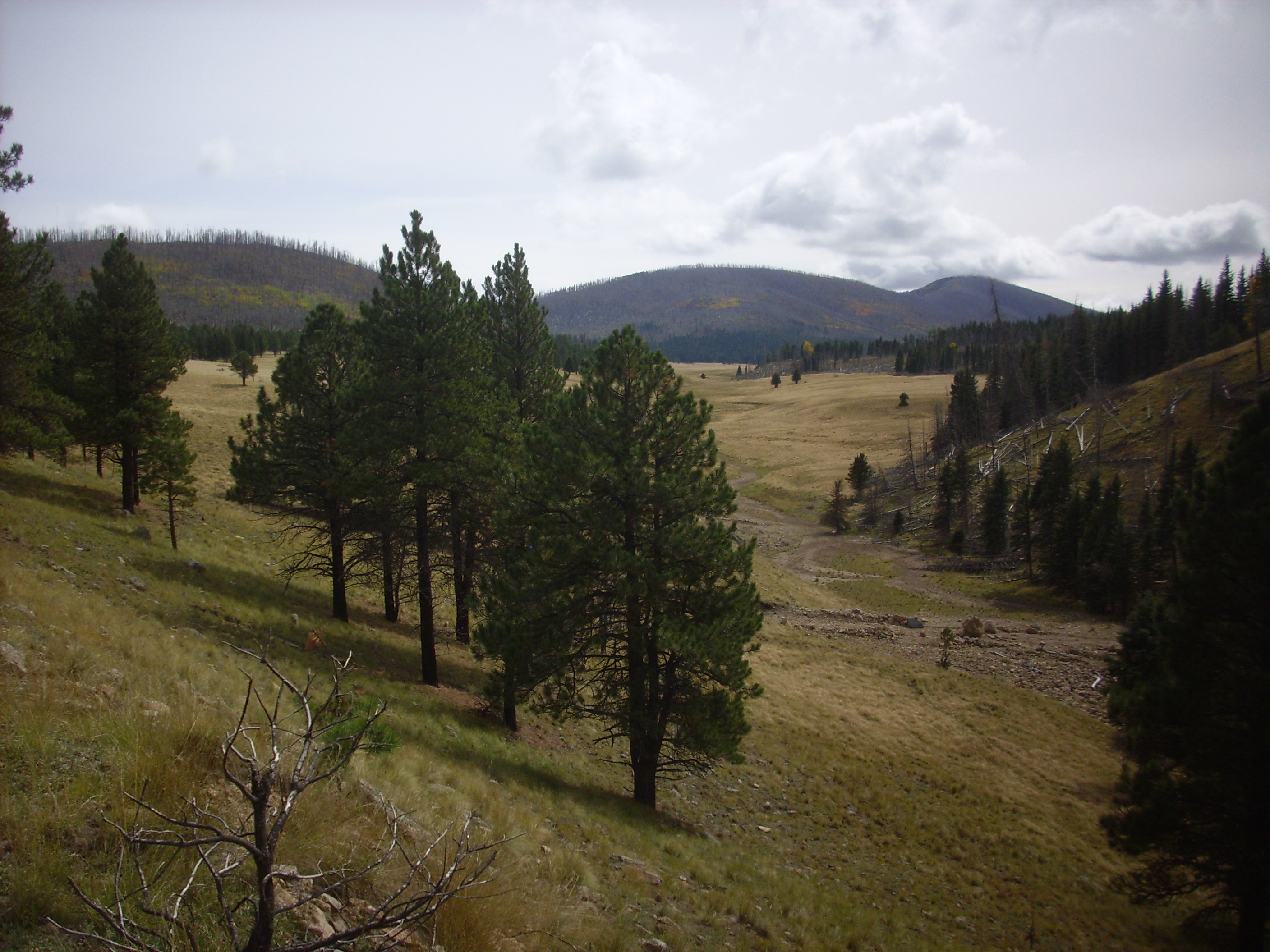
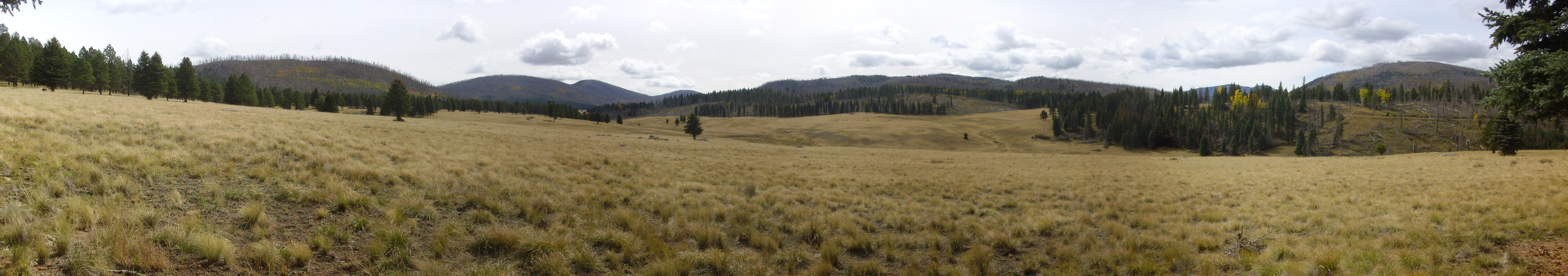
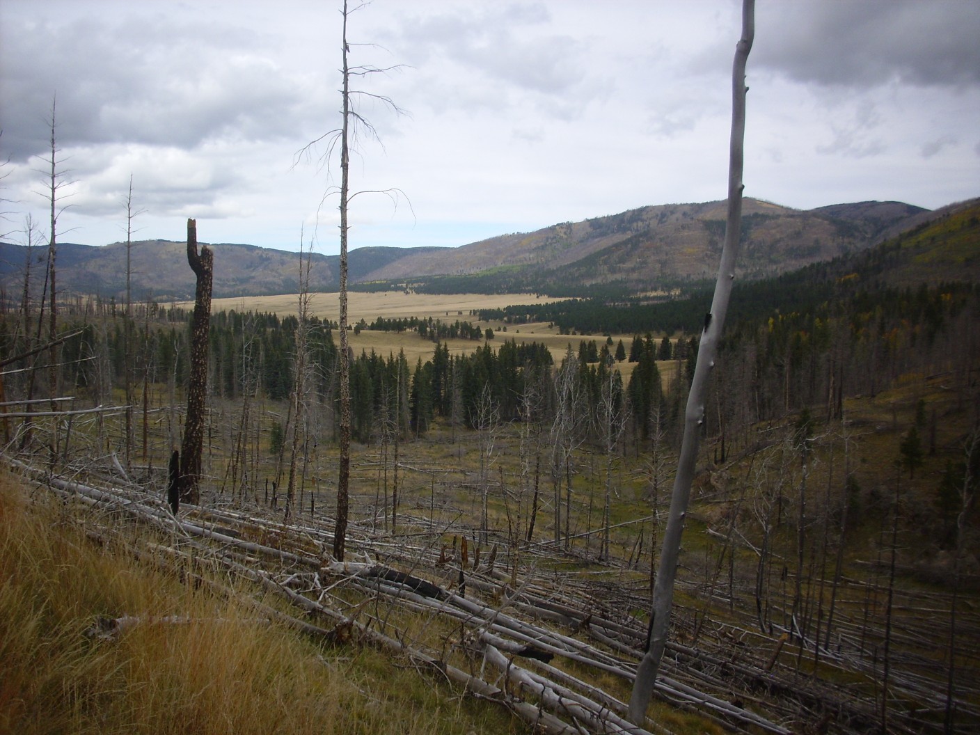
Although we are headed to St. Peter’s Dome, we head briefly into the caldera. The view turns out to be magic.

I’ve been to this overlook many times, but each combination of the weather and the time of year makes for just a little different view. The grassy plain is the Valle Grande, the southeastern part of the Valles caldera. The mountain hidden in cloud is Redondo Peak, the central resurgent dome of the caldera, formed almost immediately after the Valles eruption when fresh magma entering the magma chamber pushed the caldera floor back up. This is surprisingly common in caldera eruptions.
We head back to Dome Road and head for St. Peter’s Dome. Jeremy’s truck (“Babe the Big Blue Box”) has genuine off-road capability and has no difficulty with the somewhat rocky road to the parking area. From here we walk to the summit, where the combination of low cloud and fall colors makes for some spectacular views.
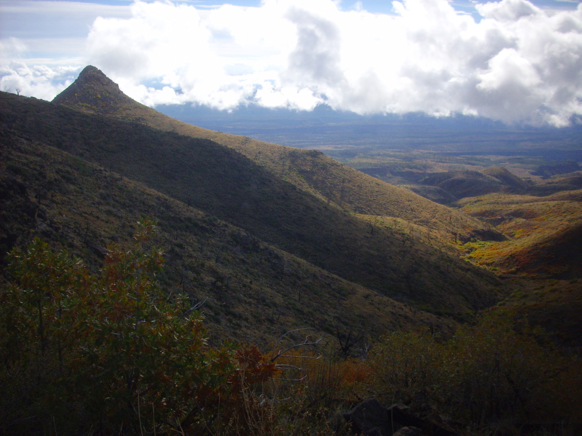
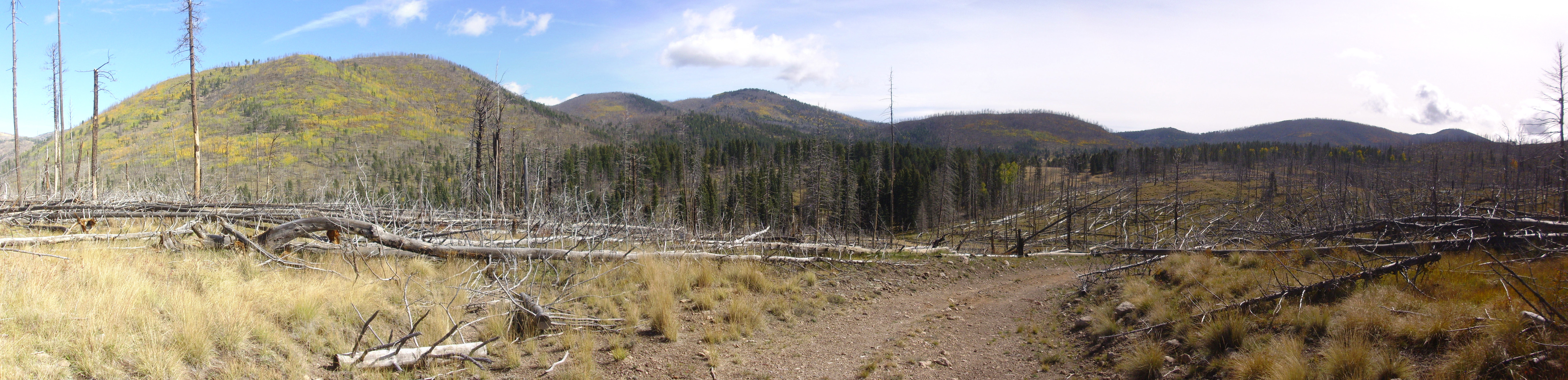
That’s Boundary Peak to the left, so called because it sits almost exactly on the boundary between Bandelier National Monument to th east and National Forest land to the west.
Cochiti Lake.
Panorama to the west.

We work our way east from the summit ranger station (now unmanned but not entirely abandoned; there are numerous instruments and a Yagi antenna pointed towards Los Alamos, all in good repair) and reach the eastern tip of the summit. Panorama to the east and south:
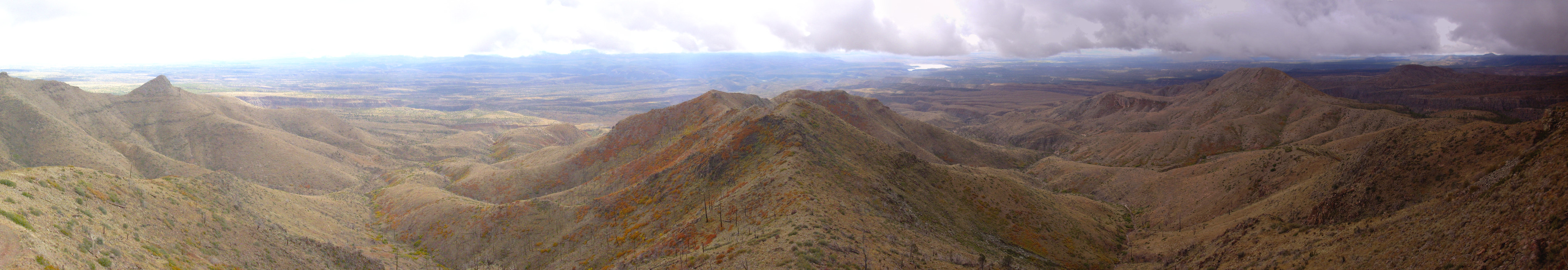
The San Miguel Mountains are an old volcanic center, heavily eroded, of the Paliza Canyon Formation. This is the single most voluminous formation of the Jemez volcanic field, erupted between 14 million and 5 million years ago, with its peak activity between about seven million and nine million years ago. The beds here are mostly between eight and nine million years old. The San Miguel Mountains are surrounded on all sides by flows of the much younger Bandelier Tuff, forming a kind of island (a kipuka) in the younger rocks.
To the east are some exposed red beds.
These are the oldest rocks in the immediate vicinity. They’re part of the Galisteo Formation, which is about 40 million years old. This formation was laid down at a time when the Jemez area was still a river valley and the area between White Rock and Santa Fe was high ground.
It looks like rain. Brigham, Jeremy’s son, is already heading back to the truck. Nugget, the dog (who I like to call “Maggot”) is having the time of his life running around the area. A few drops are already falling when we reach the truck. From there, home.
Obsidian Valley
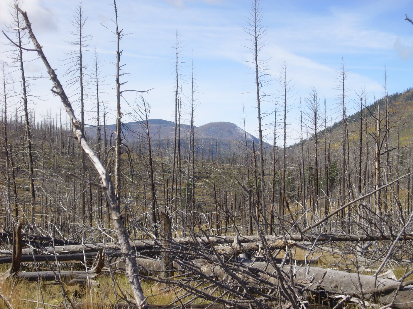
Yesterday I had my Friday off, and with the back country season fast drawing to its close in the Valles Preserve, I decided that that would be my destination for the day. I was up at 6:00 and out the door a little after seven. Although I was anxious to get to the Valles headquarters before they ran out of back country permits, the view of the Pajarito Escarpment north of the San Miguel Mountains was too good to miss.
The escarpment visible here marks a major fault, the Pajarito Fault. The mountains at left are the San Miguel Mountains, with Boundary Peak forming the sharp peak and St Peter’s Dome the broader peak to its right. At center is Rabbit Hill, with a particularly prominent exposure of light-colored Tsherige Member atop darker Otowi Member visible in the escarpment in front of it. At far right, we look far up Frijoles Canyon to see lighter Otowi Member beds exposed along Obsidian Ridge. This is not the Obsidian Valley I will be visiting today; perhaps some future trip.
I hurry on to the Valles headquarters, arriving at about 8:10 to find that they still haven’t opened. Moments later the door swings open and I enter and secure a back country permit. An improvised one; they’ve run out of the regular forms. I find it slightly unsettling when an agency of the government runs out of paper …
Nevertheless, the staff are, as always, friendly and helpful.
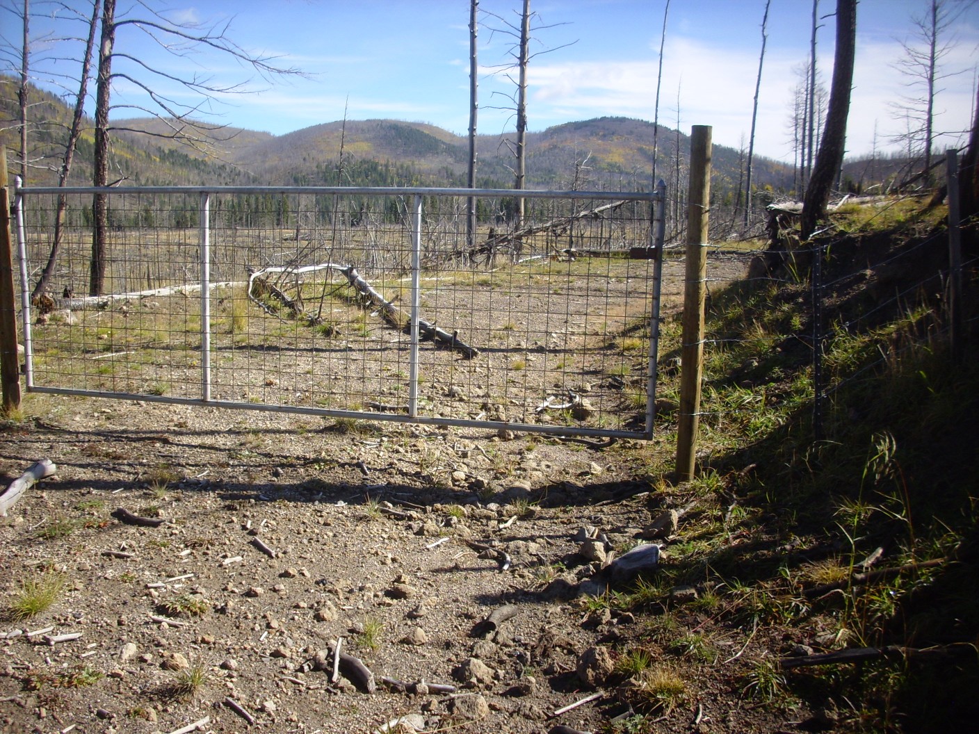
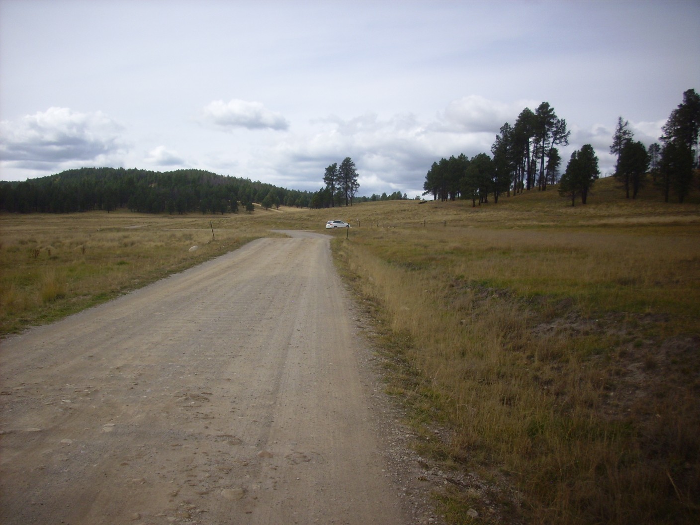
I drive to the head of the Obsidian Valley trail, pull over, then hesitate. There is not actually a designated parking area here; that’s a further half mile down the road. Perhaps I’m too much a stickler for rules; I drive on and park at the designated parking area. An extra half mile of hiking does not seem so much just now. (I will feel differently at the end of the day.)
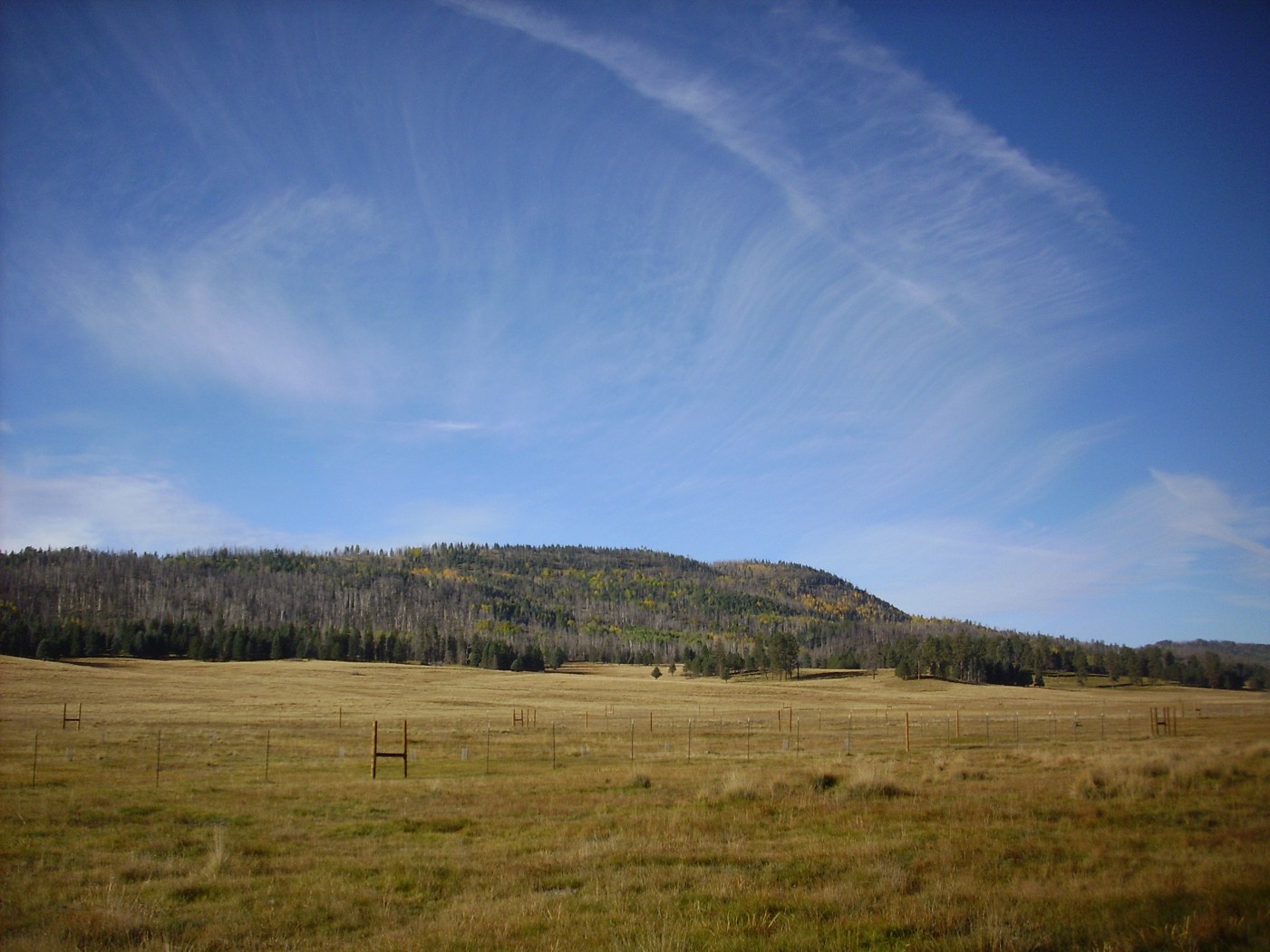
It’s a reasonably beautiful day. It’s chilly, but not freezing. There is some high cloud cover but only a little. The forecast says the weather is likely to deteriorate, but perhaps not too quickly or too badly. A tropical storm remnant is predicted to pass south of here this afternoon, but likely far enough away that we won’t catch much of it. The fall colors are on and there is some beautiful high cirrus over the foothills of Redondo Peak to the southwest.
There is some distant elk bugling, but not much. The mating season seems to be mostly over, and the elk hunt begins in the caldera tomorrow. In fact, the caldera is mostly quiet; in a day’s hiking, I will see a chipmunk and a few birds and no other wildlife.
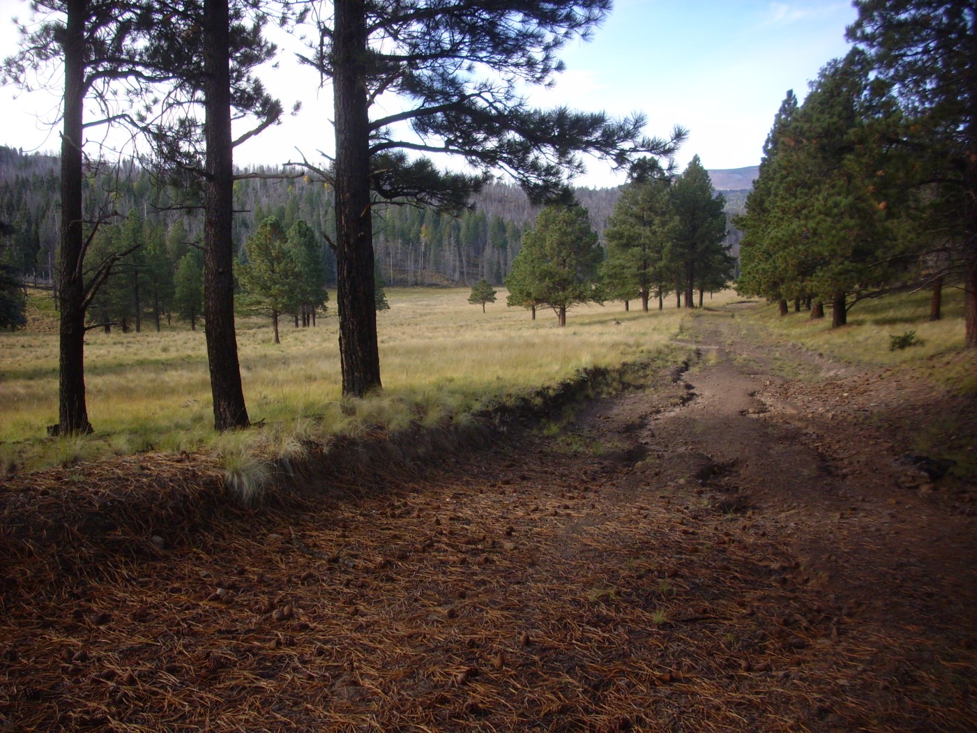
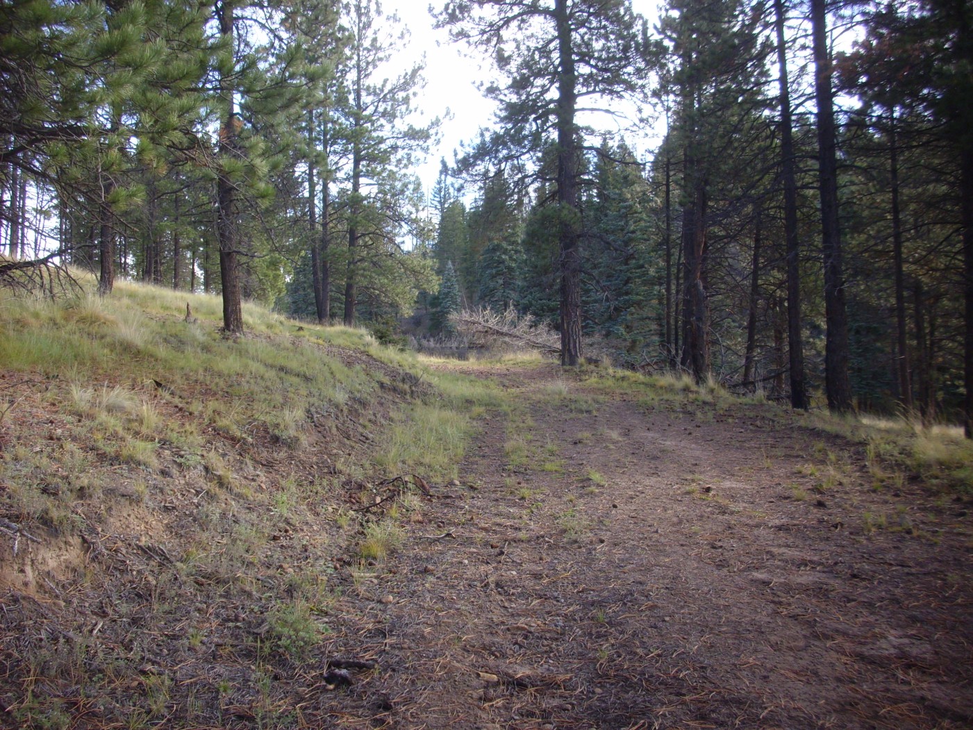
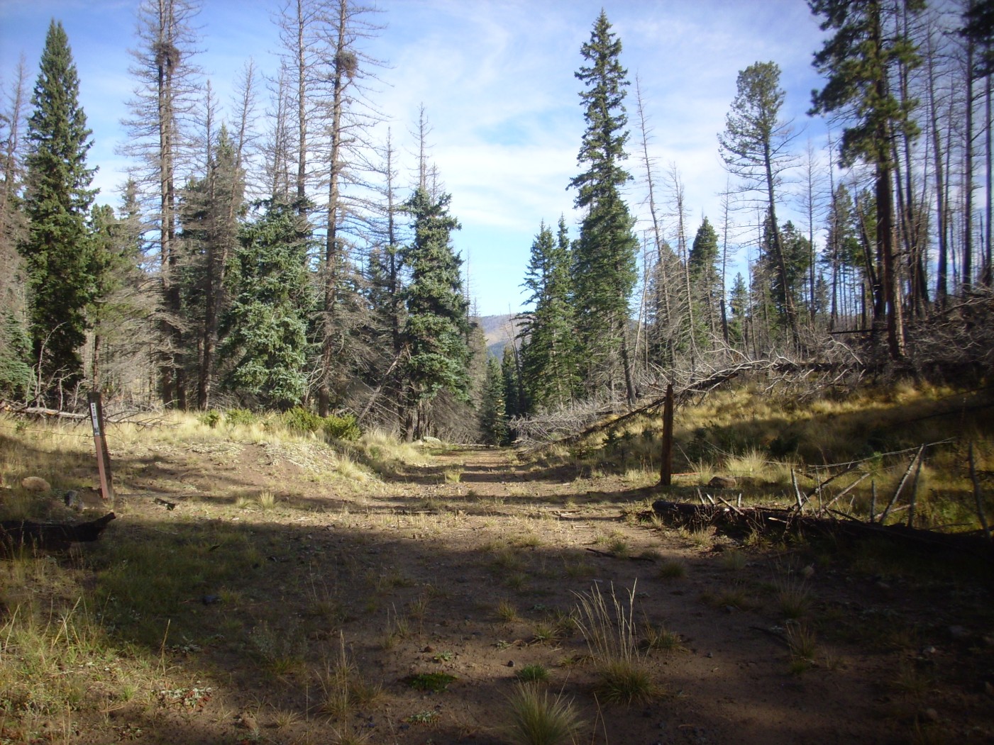
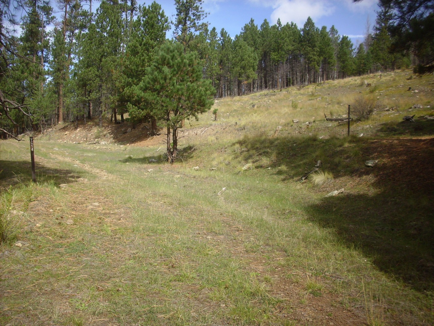
I load up my pack, hit the “heading out” button on the Spot-3, eat my snack orange (after finding my blood sugar is gratifyingly low), put on my hiking boots, grab the stick, and head out. It’s a half mile along the road to the actual trail head, and then the trail is an old ranch road now chained off. The going is easy at first.
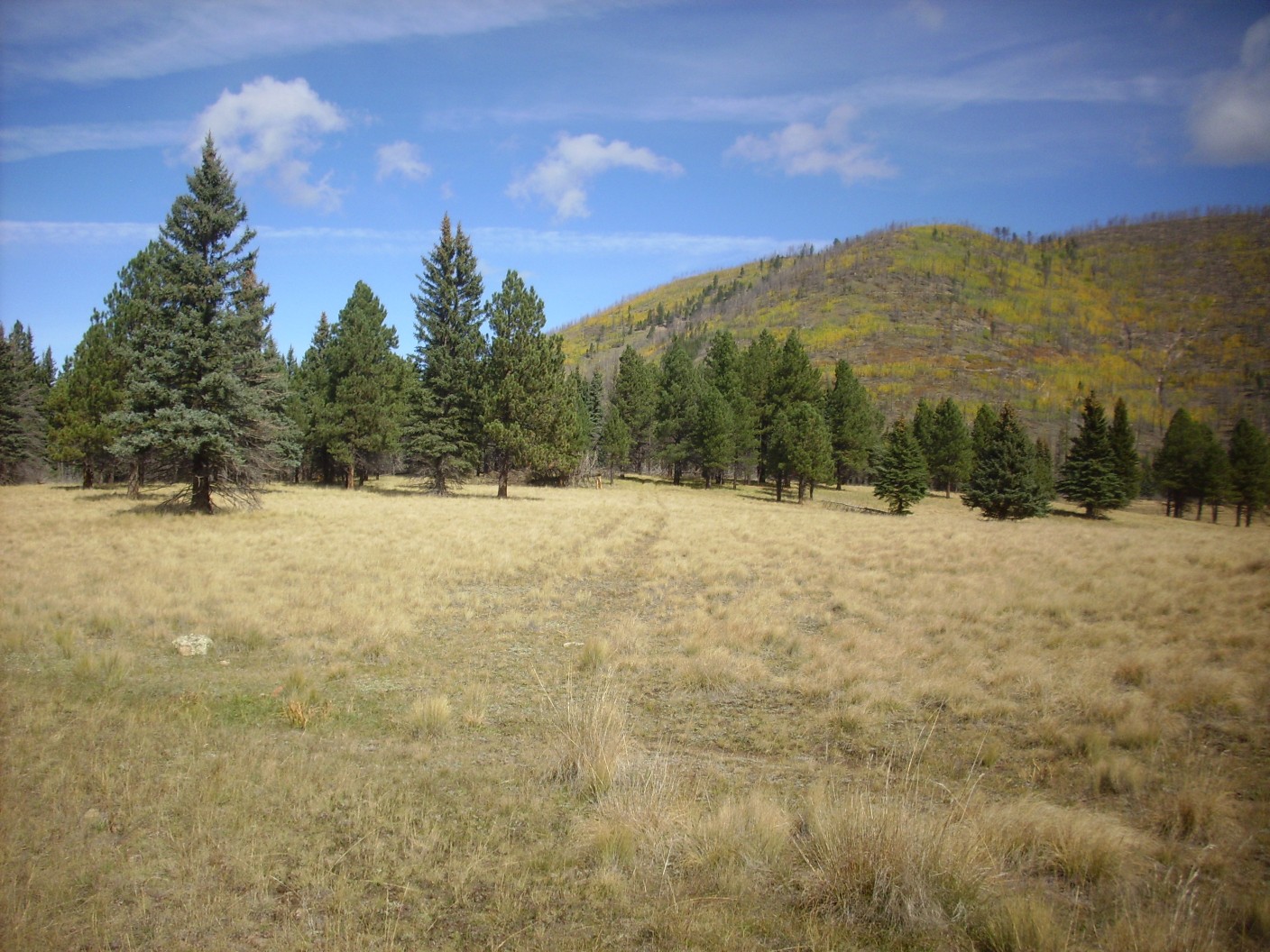
To the left is an outlier of Cerros del Abrigo; to the right is Cerro del Medio. Both are ring fracture domes of the Valles caldera. Cerro del Medio was the first of the ring fracture domes, erupting just 50,000 years or so after the Valles event, and its lavas are particularly rich in obsidian. Obsidian forms from dry, silica-rich magma, and the magma here may have been dry because most of its gases were lost in the Valles eruption. Cerros del Abrigo came later, at around 97,000 years ago, and it formed a steeper and less obsidian-rich dome.
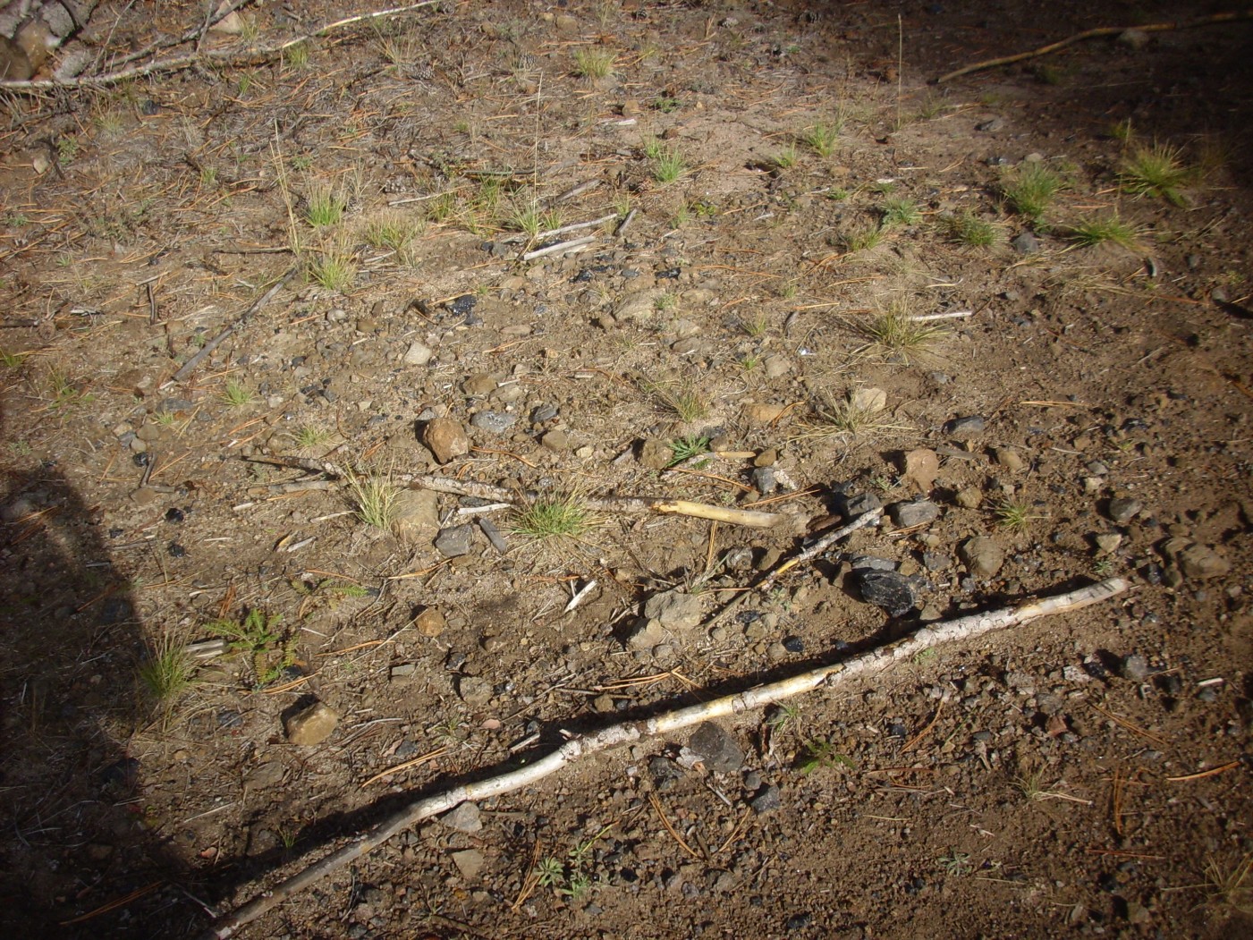
It is not far before I start seeing small bits of obsidian in the road bed.
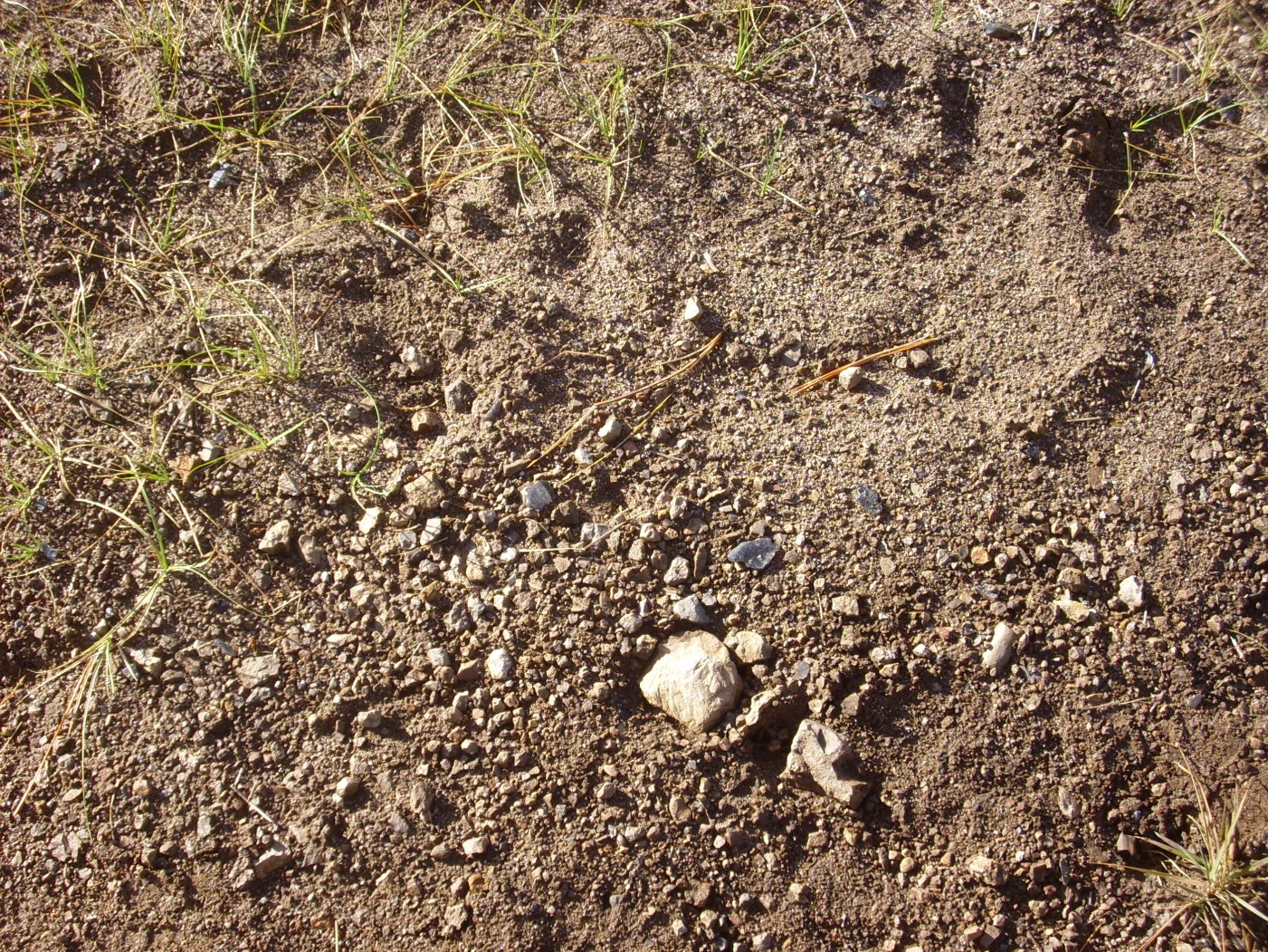
I ain’t seen nuttin’ yet. Further on, I start seeing some really abundant stuff.
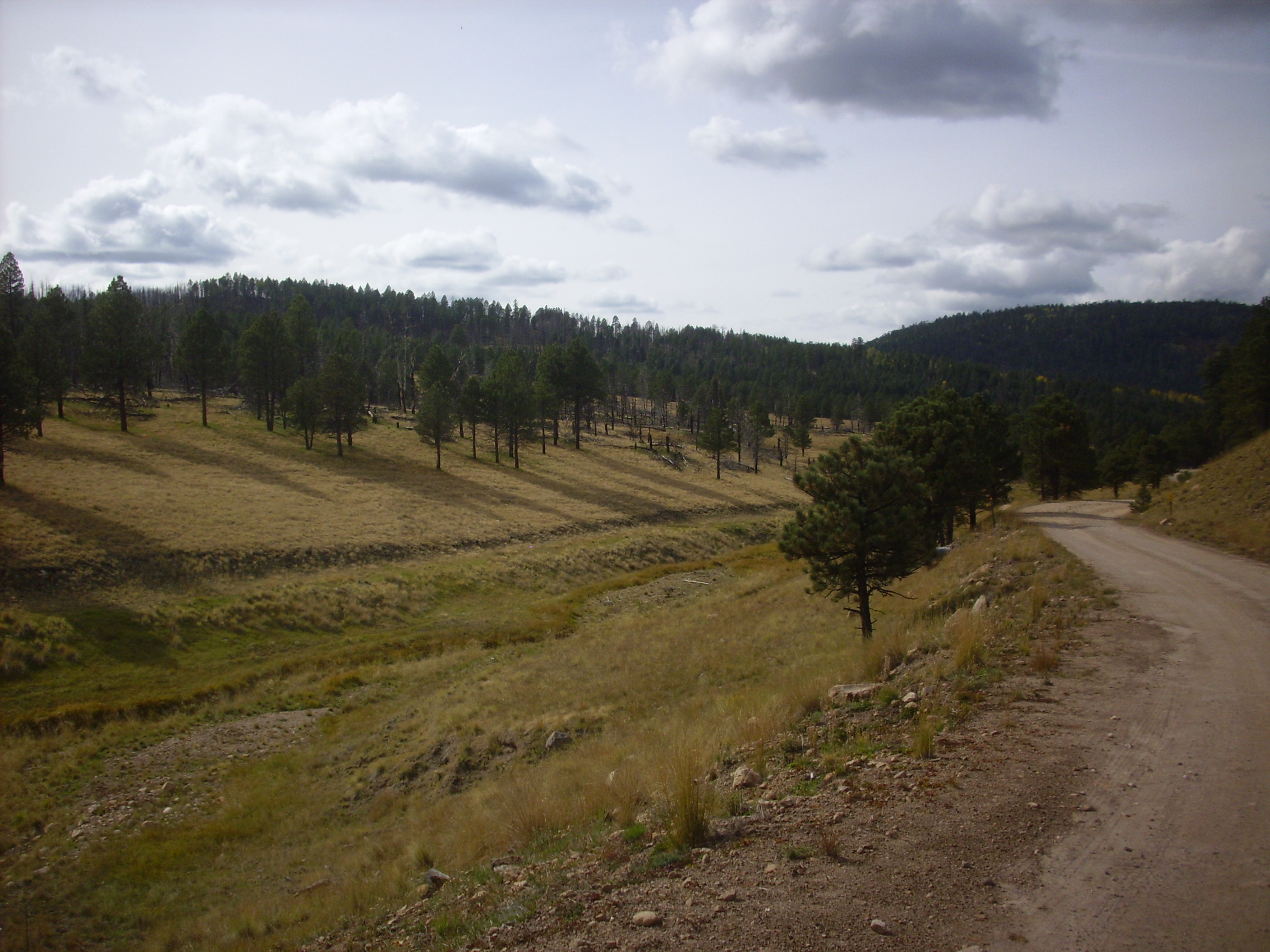
I’ve also come to a relatively clear section of trail, which gives me a nice view of Cerros del Abrigo to the north.

I’m approaching the saddle named Puerto de Abrigo on my map. Looking back at the unnamed valley I’ve been hiking through:
and ahead towards the saddle:
Puerto de Abrigo is practically on top of the ring fracture where the Valles caldera collapsed. However, there is no surface expression of the fracture, which is buried deeply under both sediments and Tsherige Member tuff deposited within the caldera itself (intracaldera tuff).
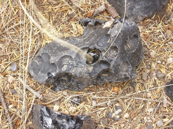
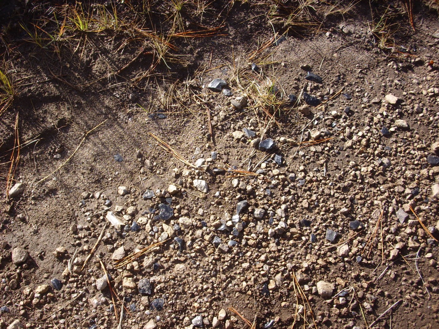
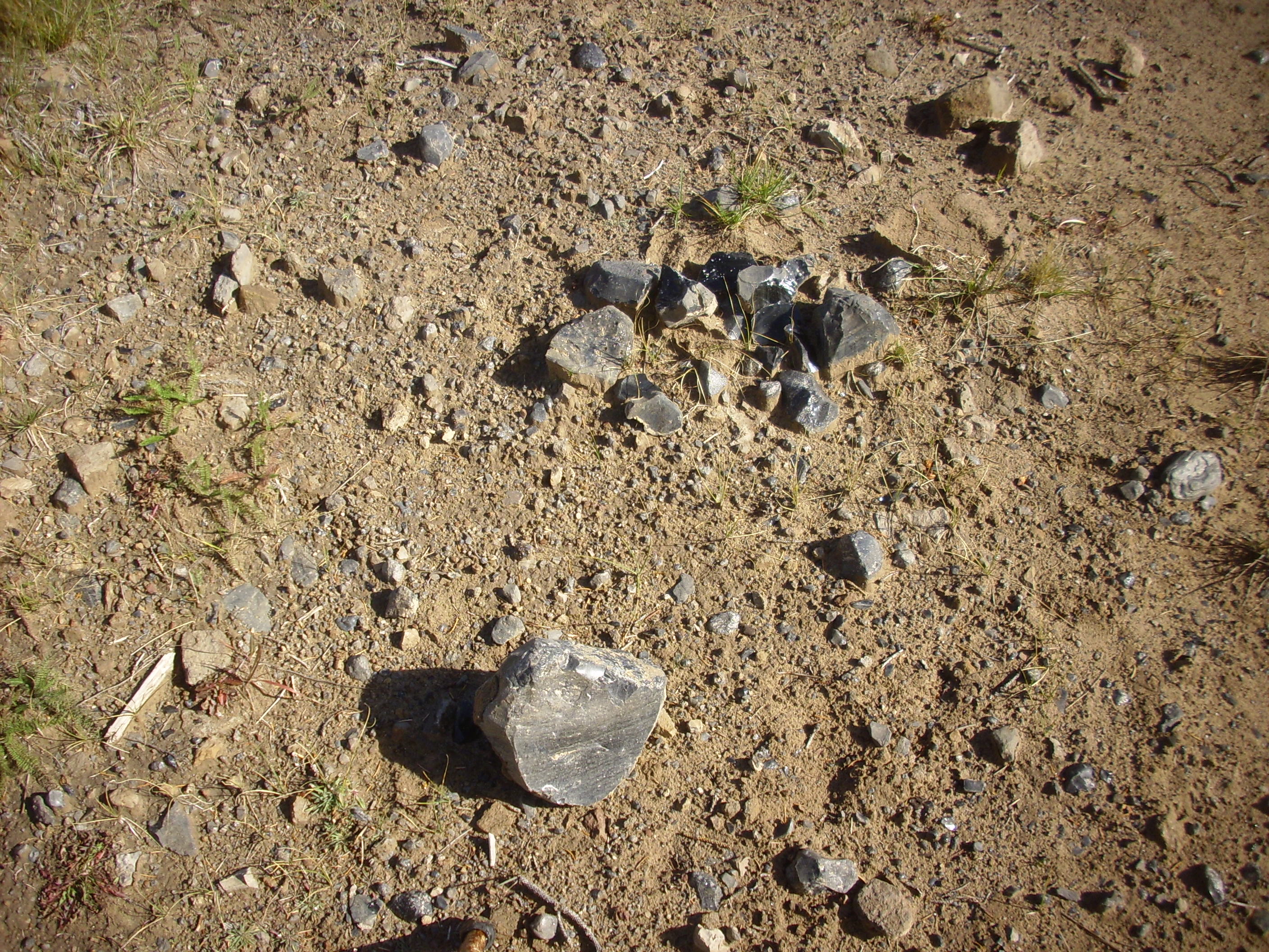
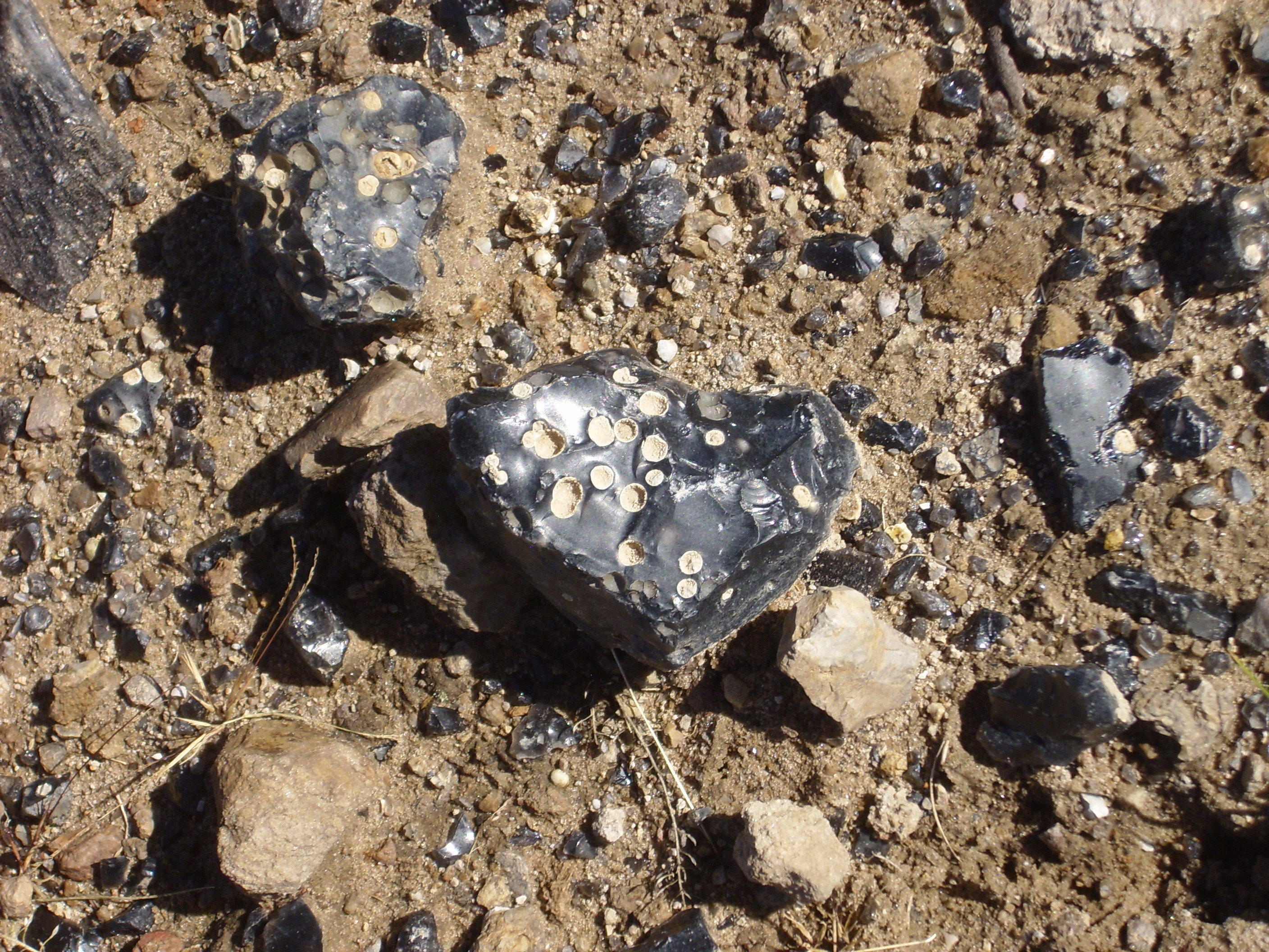
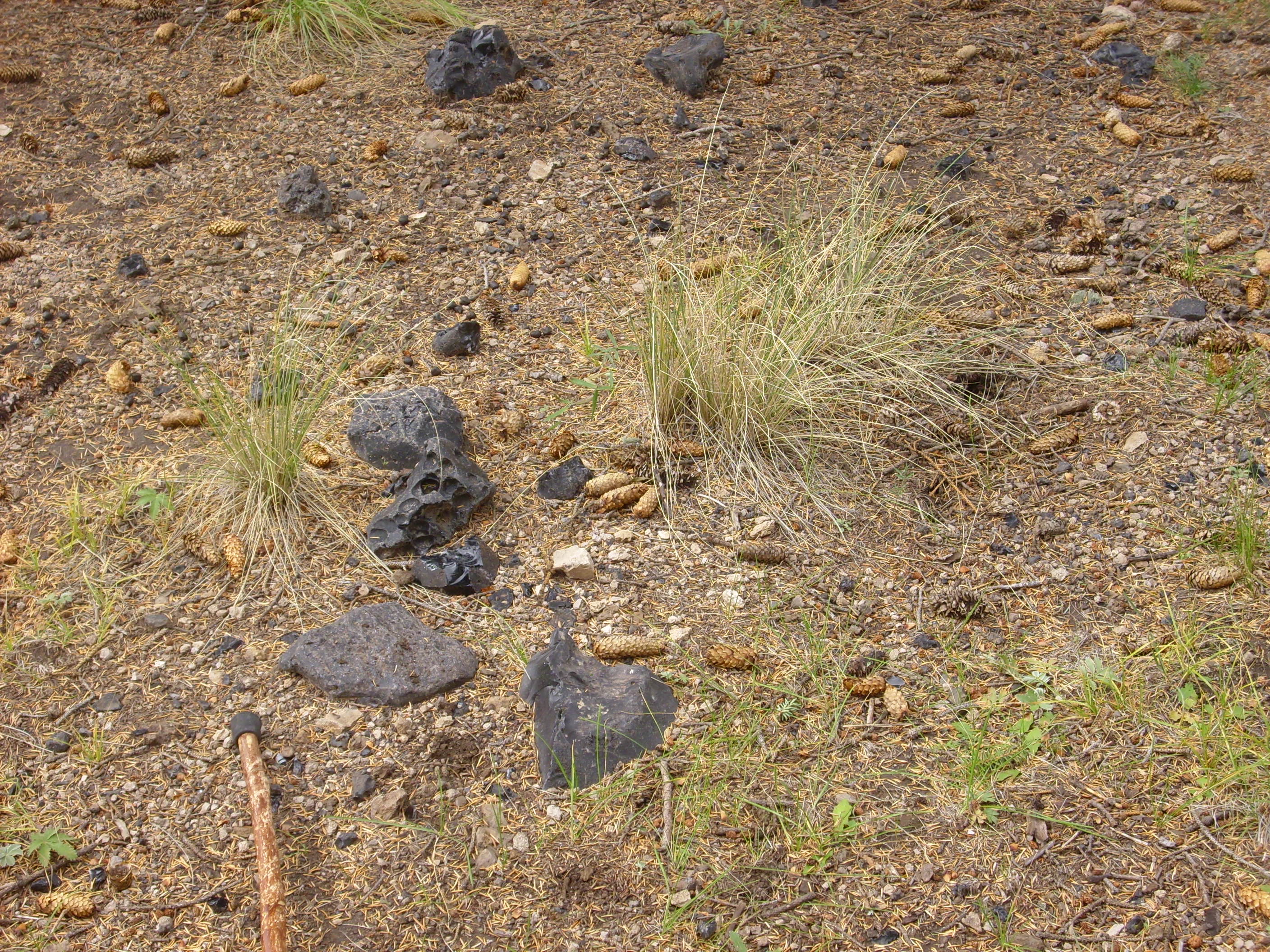
I start seeing some really sizable obsidian chunks in the road bed here.
Many are nearly flawless black volcanic glass — real weapons-grade stuff — but some contain spherulites.
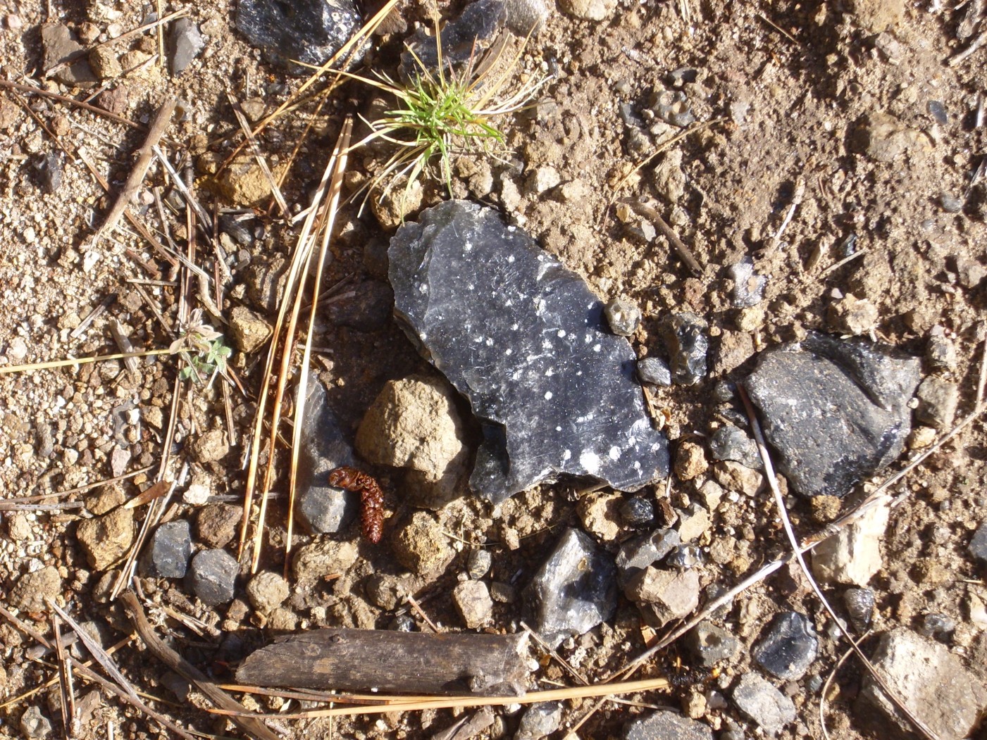
Spherulites are gas bubbles in the obsidian that later became lined or filled with crystals. These make the stone more attractive, but less desirable for tool manufacture. Again: I ain’t seen nuttin’ yet.
Atop Puerto de Abrigo, the domes of the Toledo Embayment come into view through the trees.
At left is the toe of one of the oldest flows from Cerros del Abrigo. To the right is a flow from Cerro del Medio consisting mostly of obsidian, including some very pure obsidian prized for tool making by early native Americans. I will be skirting the base of the Cerro del Medio flow for the next half mile or so.
The road bed is soon full of large obsidian fragments.
There are also bedrock exposures of devitrified Cerro del Medio obsidian.

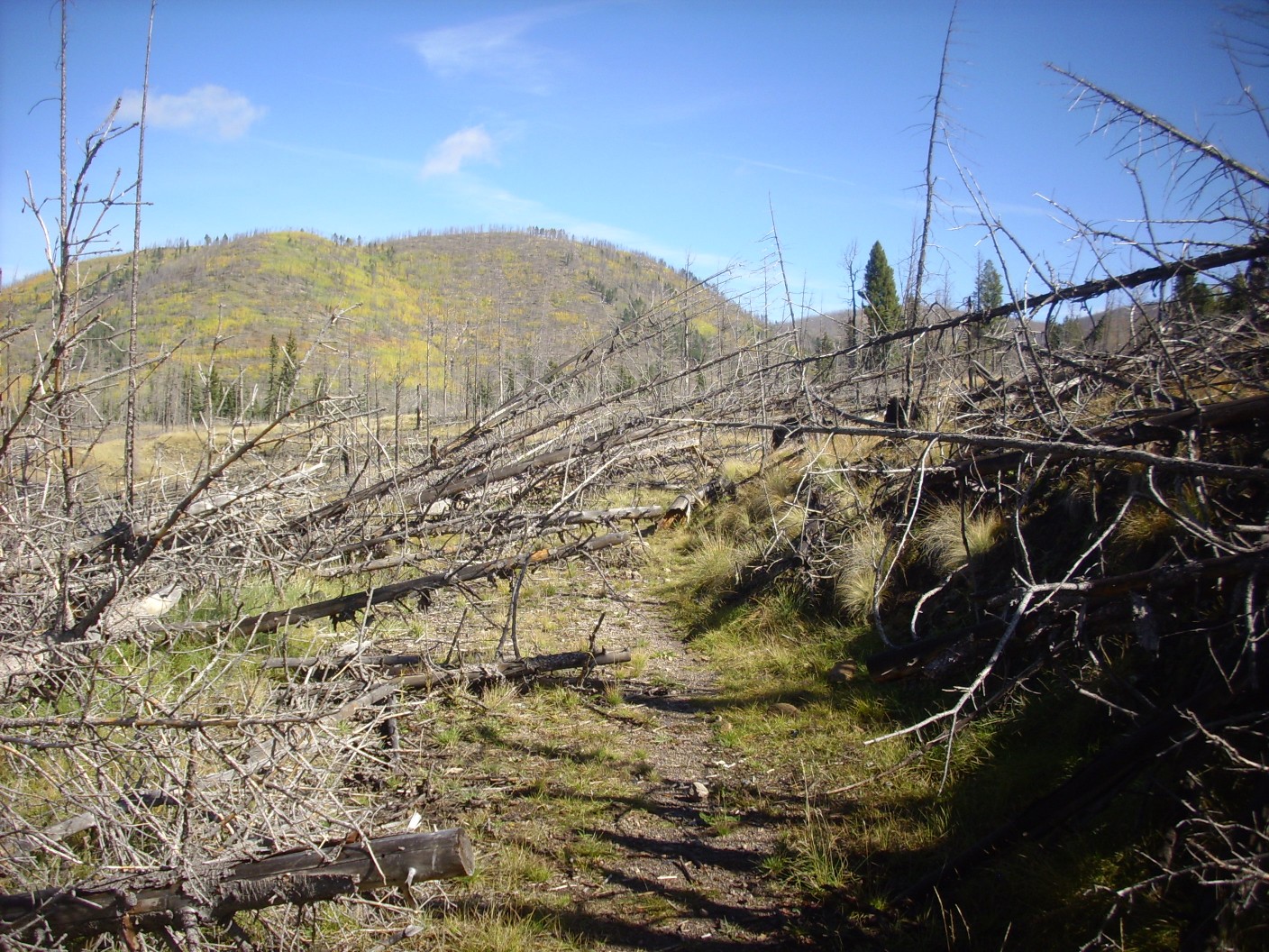
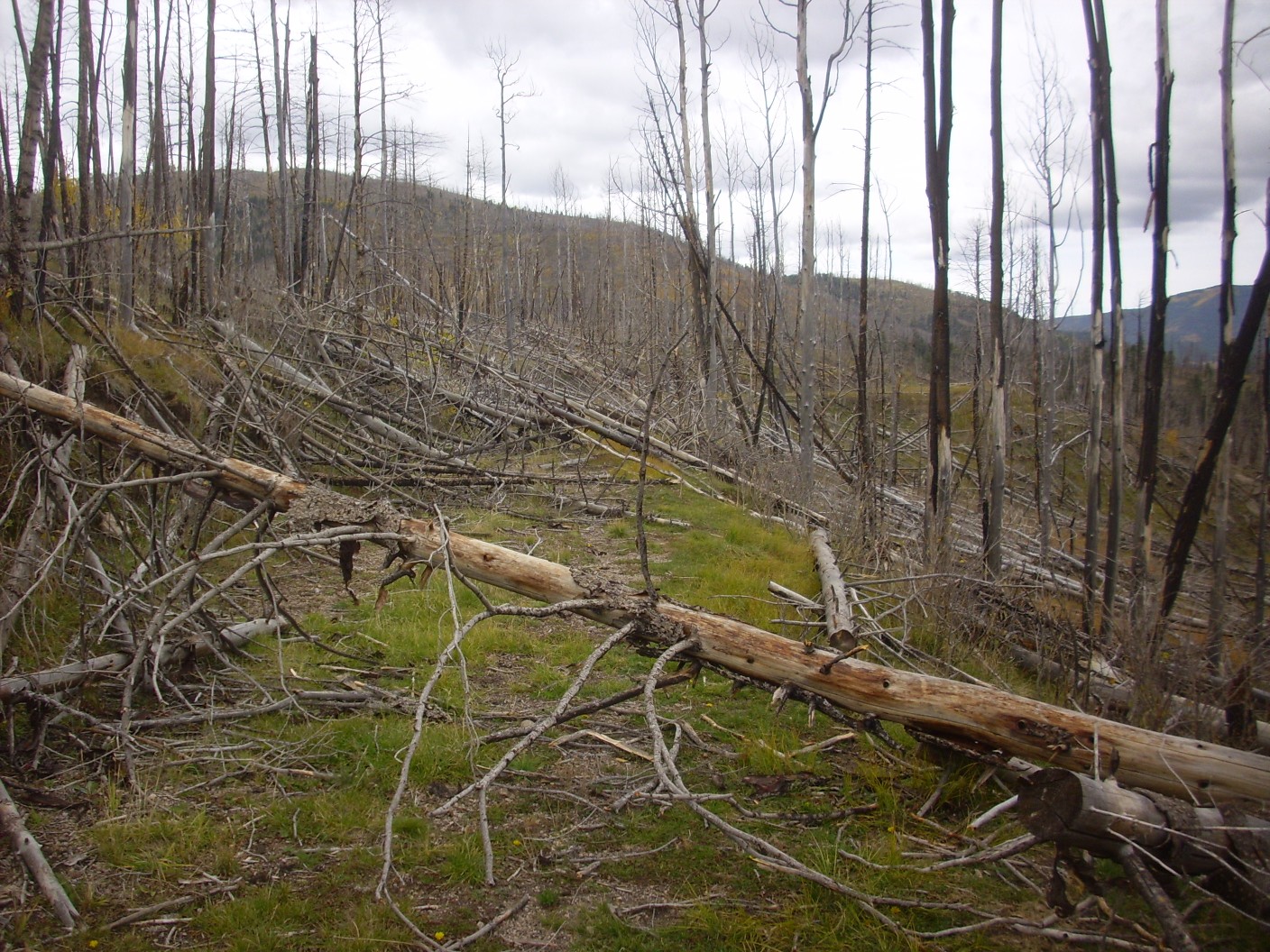
I had been warned by the rangers that there were a lot of fallen trees across the trail towards its end. Sure enough.
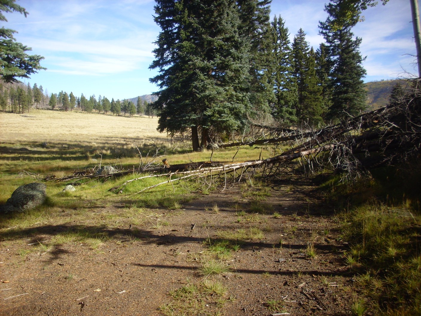
Though, to be sure, I’m still a long ways from the end of the trail. It’s easy enough to get around this set of fallen trees; the meadow to the left is not boggy at this point.
I come to a spot with a clear view of the Cerros del Abrigo dome.
A little further, and the Sierra de Toledo comes into view.
The mountain just right of center is West Posos. West Posos is about 1.54 million years old while the mountains to its left are between 1.34 and 1.38 million years old. Both ages are in the time interval between the Toledo eruption and the Valles eruption. The Sierra de Toledo extends across the mouth of the Toledo Embayment, a kind of semicircular divot in the precaldera rocks of the northwest part of the Valles caldera rim. The Embayment is filled with volcanic domes that were erupted after the Toledo eruption but before the Valles eruption. Geologists still are unsure just what its nature is.
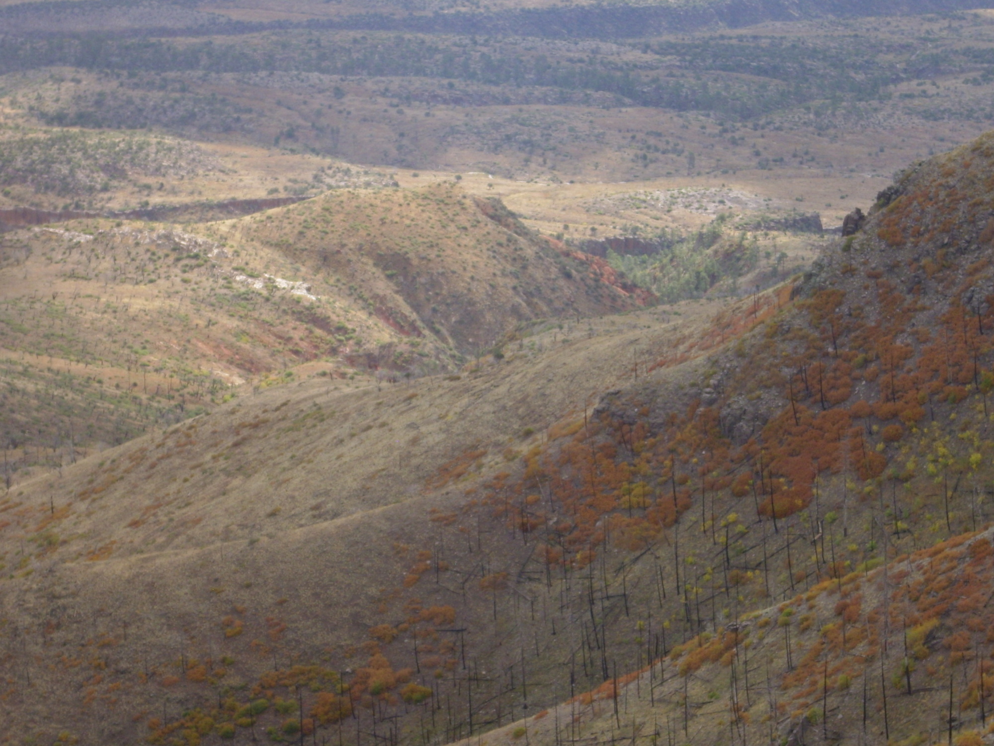
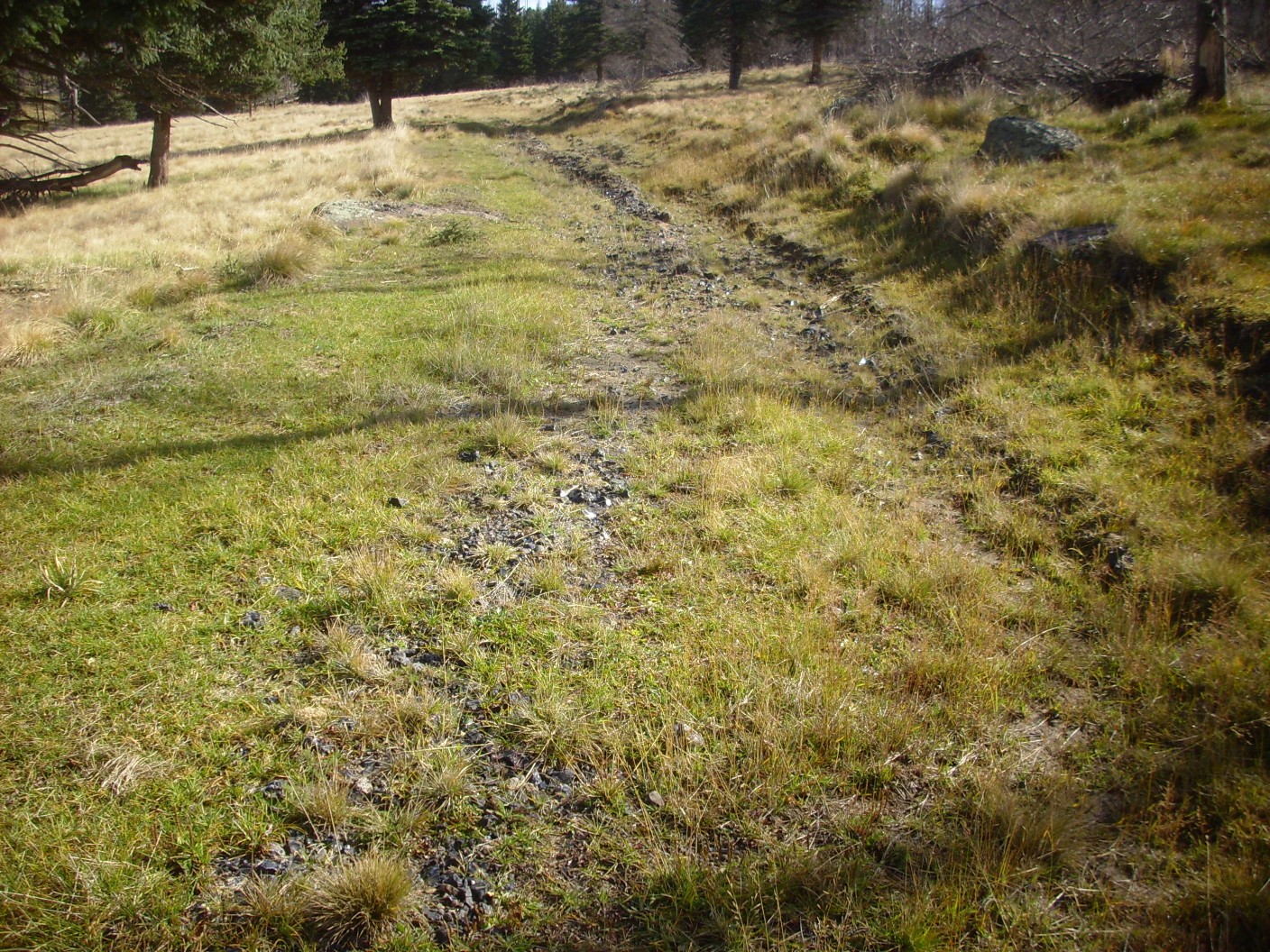
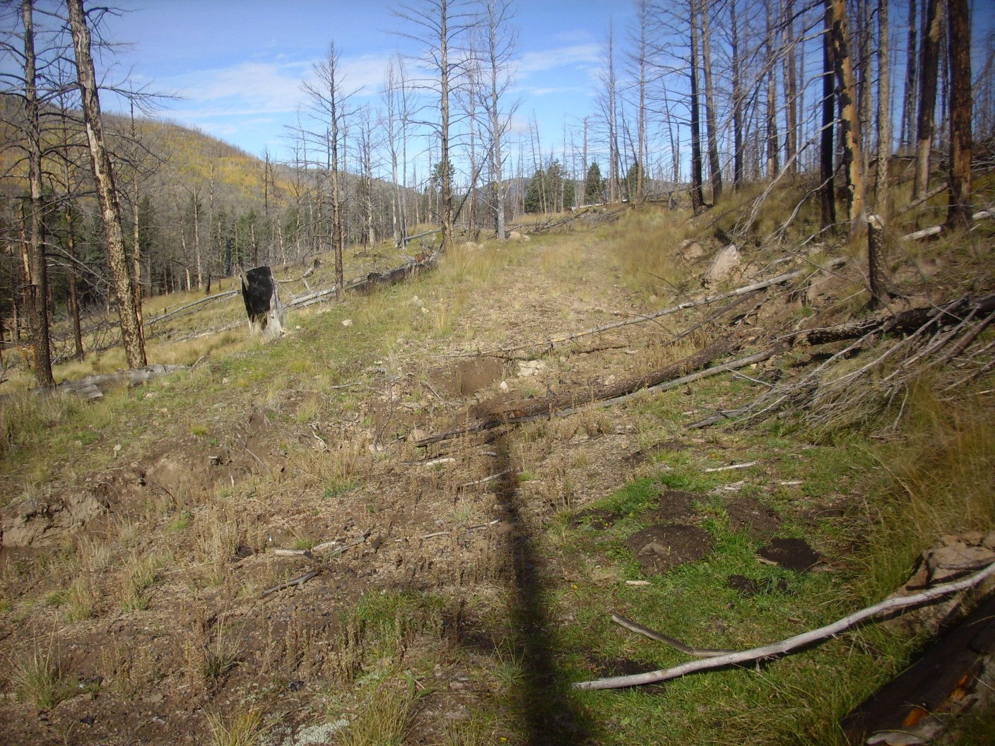
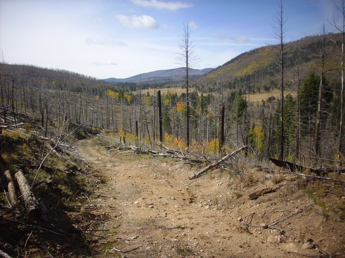
The road starts to be really bad here.
It will get far worse in spots further down the trail, due to flood damage following the Las Conchas fire.
The road begins to climb the side of the hill to escape the boggy ground below.
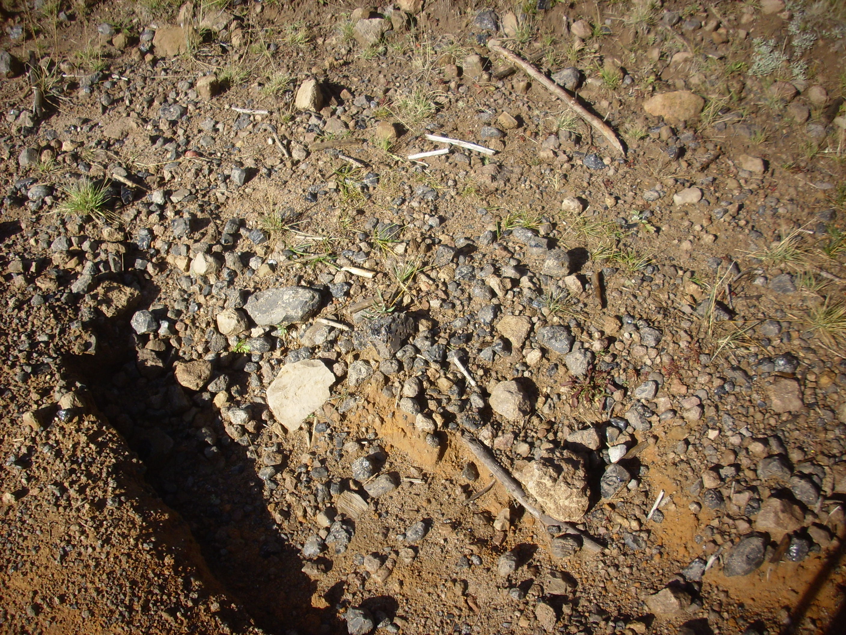
And the obsidian in the road bed begins to be really impressive.
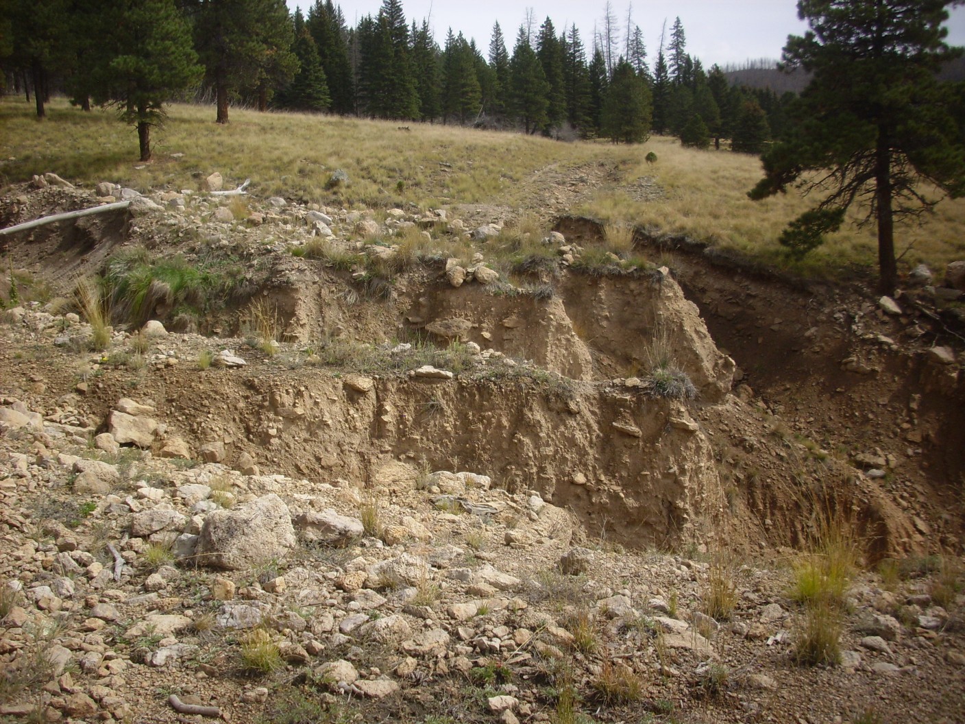
As does the gullying.
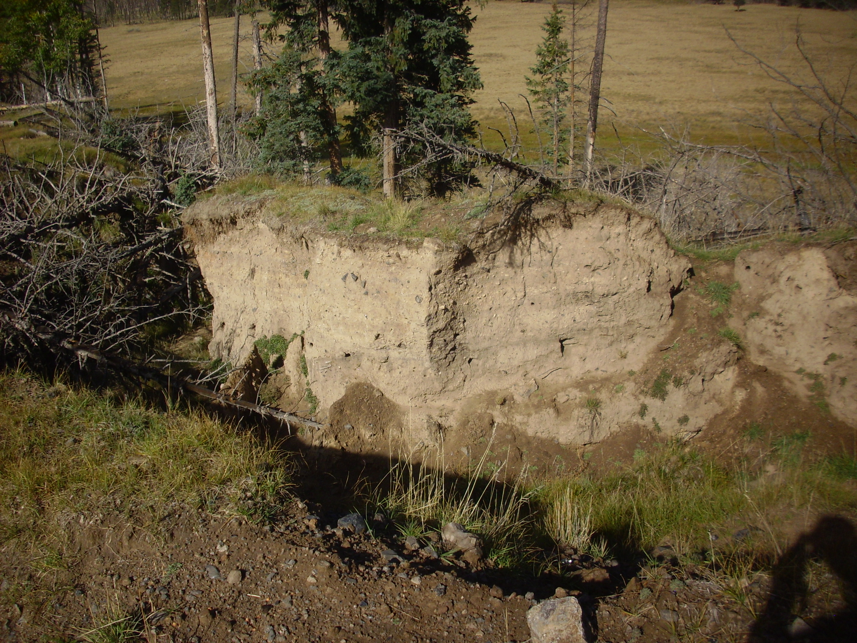
The thick beds of sediments here, which include visible large clasts of obsidian, is mapped as Qafo — older alluvium fans. This is stuff washed down into the caldera floor from the caldera rim, ring domes, and resurgent dome mostly prior to the El Cajete eruption 74,000 years ago (latest radiometric date).
End of the trail?
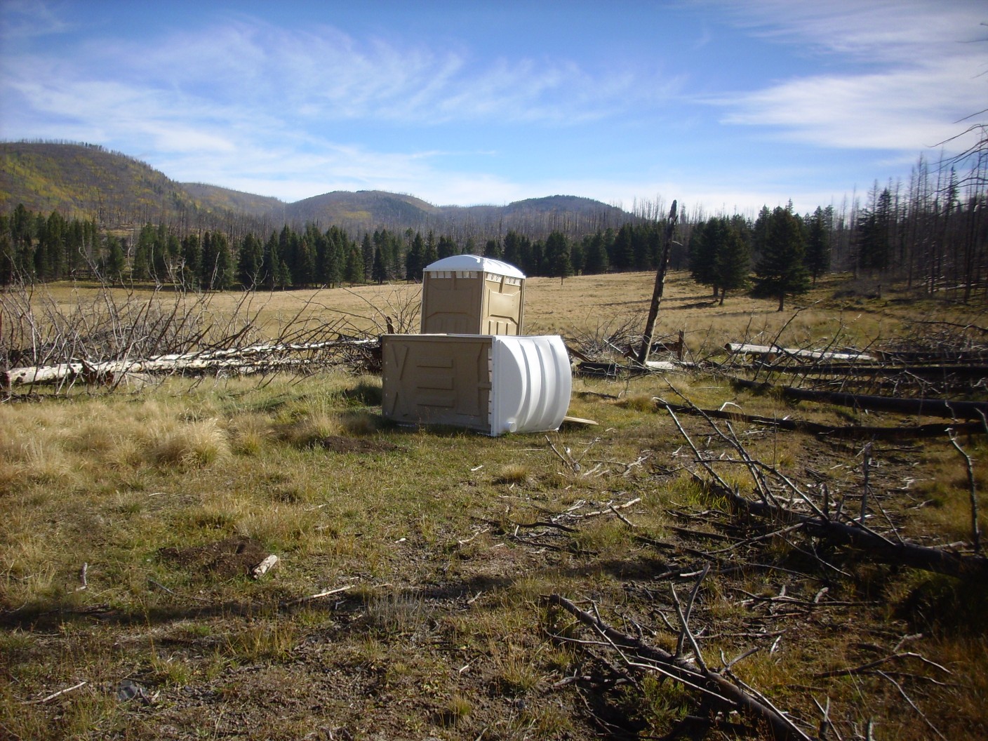
Well, no. It turns out this location is of no particular significance, other than the Porta-Potties. And the one that is still standing is out of toilet paper and hand sanitizer…
Soon the road is practically nothing but obsidian gravel.
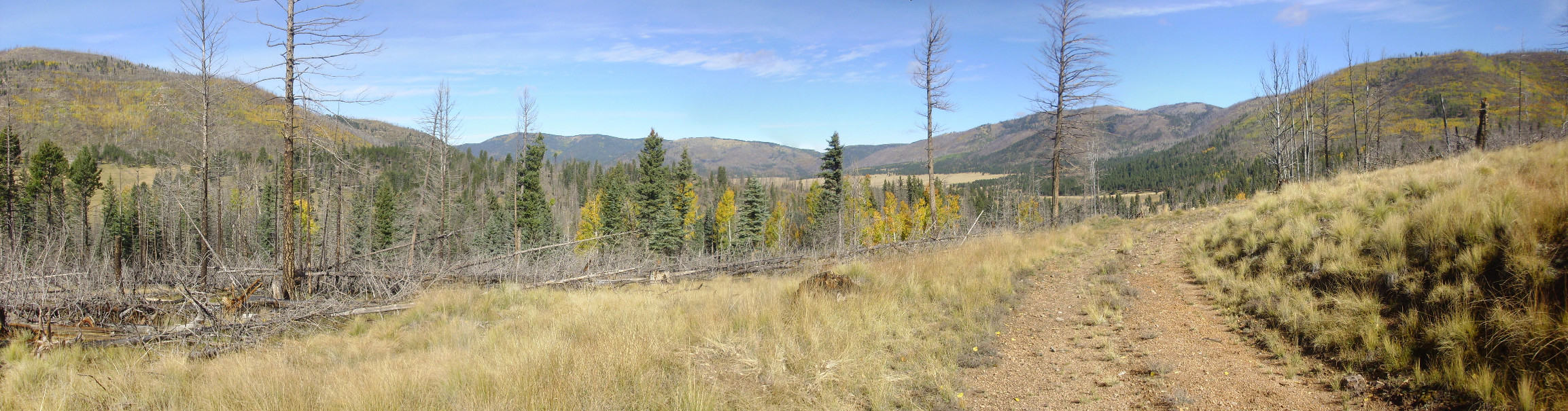
The view is opening up.
Cerros del Abrigo at left. To its right is the western end of the Sierra de Toledo, where it meets the north rim of the caldera.
The trail begins ascending a large obsidian flow extending north from Cerro del Medio. I find myself reflecting on all the obsidian I’ve seen in the road bed, and wondering why early native Americans would trouble to climb the dome and quarry solid rock, as they apparently did at many locations on Cerro del Medio. A number of possibilities occur to me:
The clasts here are generally too small or not of sufficient quality; they look fine to me but then I’ve never had the survival of my family hinge on my ability to chip a tool out of a lump of volcanic glass.
There is ritual significance in collecting obsidian from high on a mountain. I smile at myself; my friend, Bruce Rabe, likes to snark that whenever archaeologists can’t figure out what an artifact was used for, they write it off as a “ritual object.” Ancient cultures were full of rituals, but then they were not so different from us that way. Most rituals turn out to serve some practical function.
Or perhaps it’s just that there are all these clasts in the road bed only because it is disturbed ground. This hypothesis I can test. I leave the road and climb a short distance up slope. The road bed I left was full of obsidian clasts; the slope above is practically devoid of them, and what is present is often mantled in deep grass. Well, that explains it. Early native Americans did not have bulldozers.
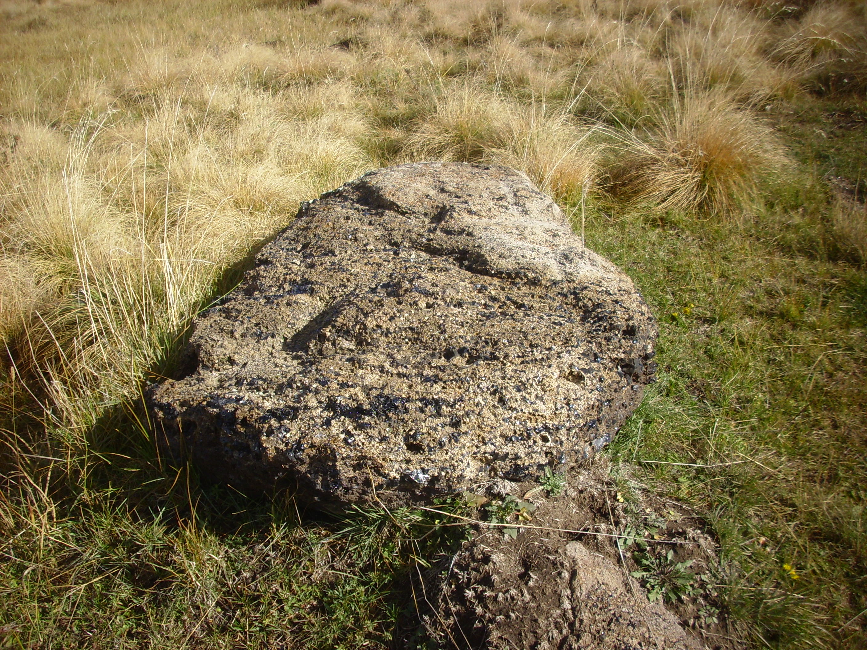
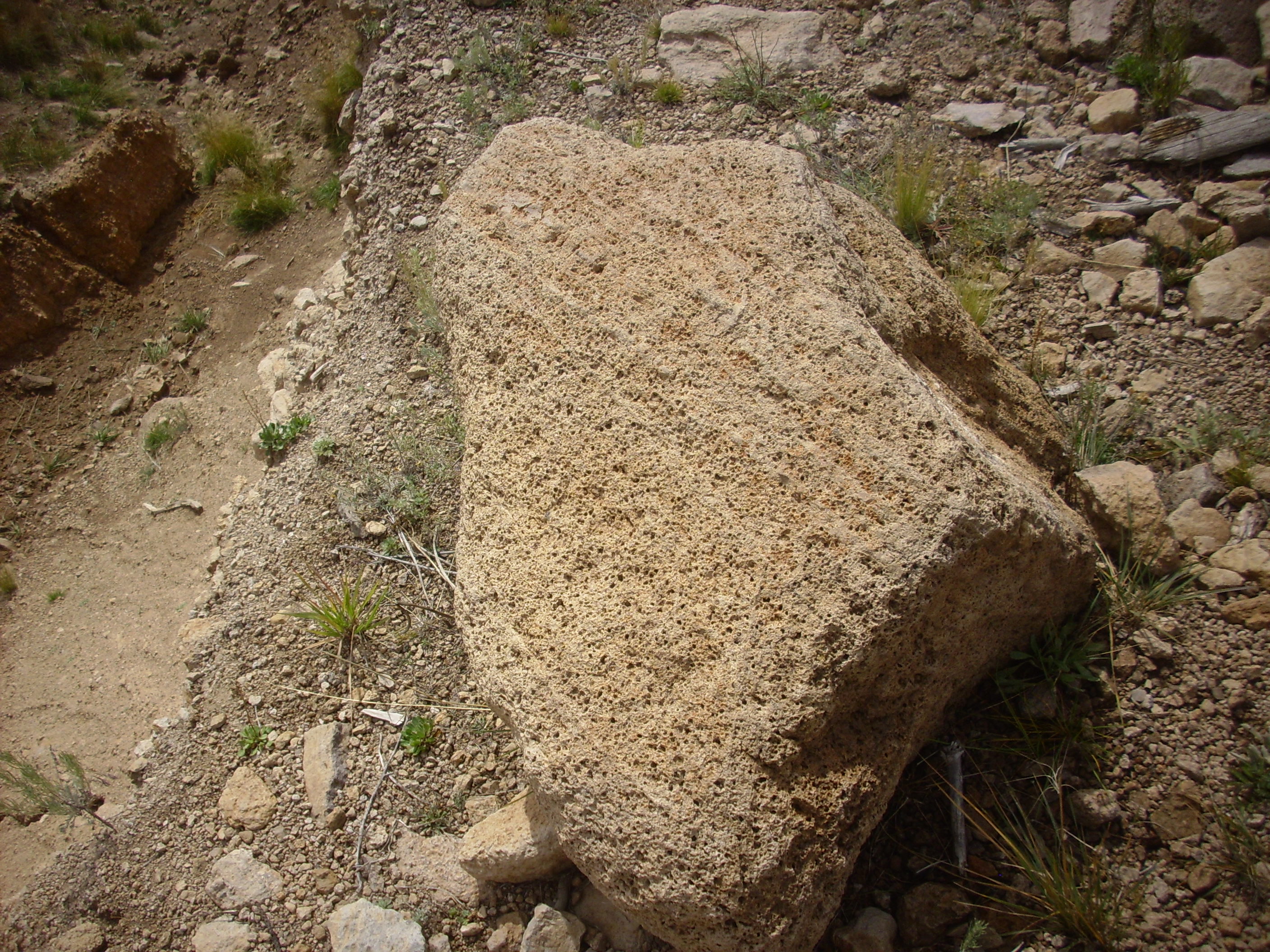
Coming back down to the road, I come across a rather large obsidian boulder.
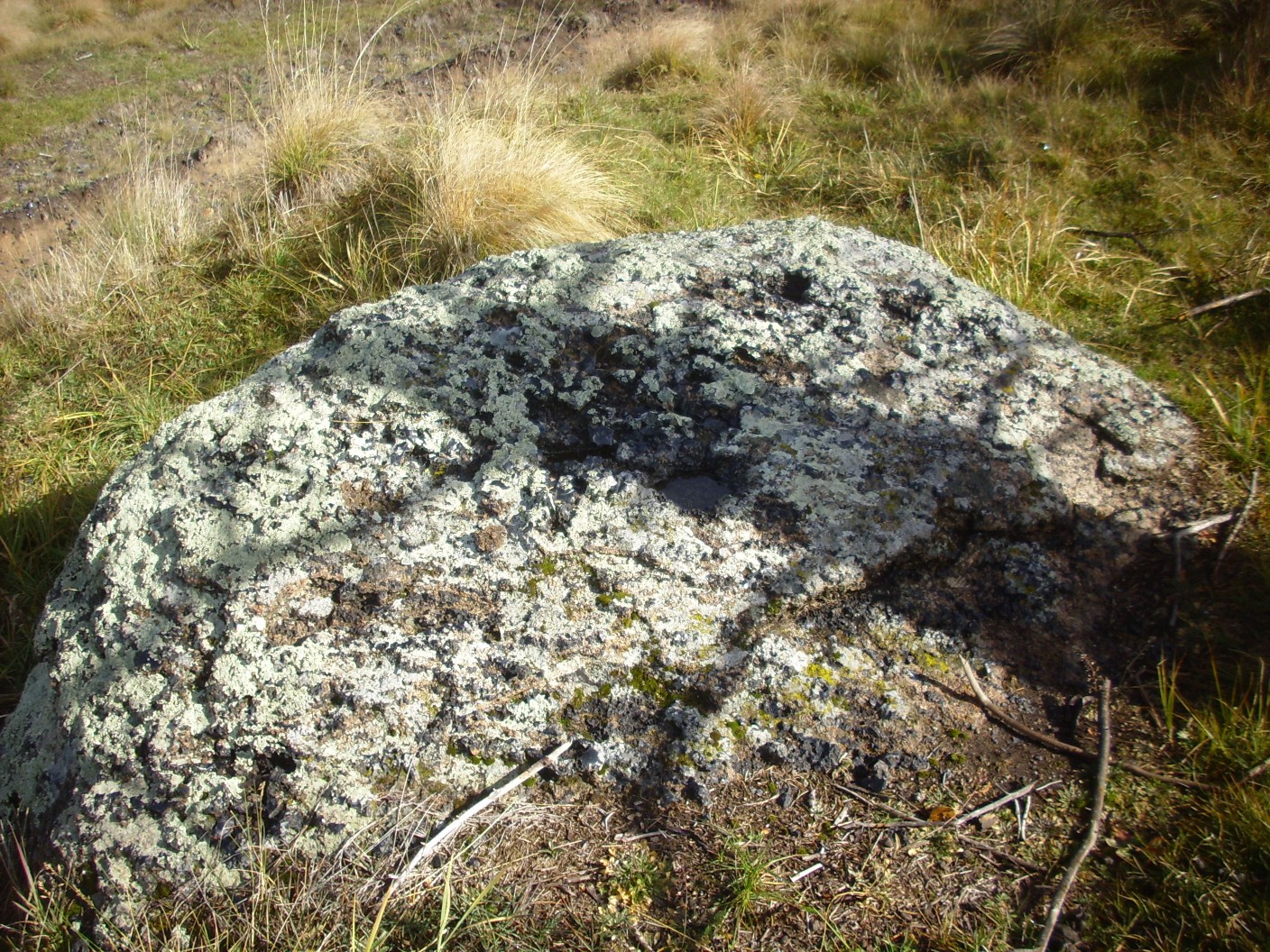
It’s heavily encrusted with lichen — they seem to like volcanic glass — but you can see that much of the boulder is black obsidian, the remainder being gray devitrified obsidian. (Devitrification is the process of glass slowly crystallizing, under the right conditions.)
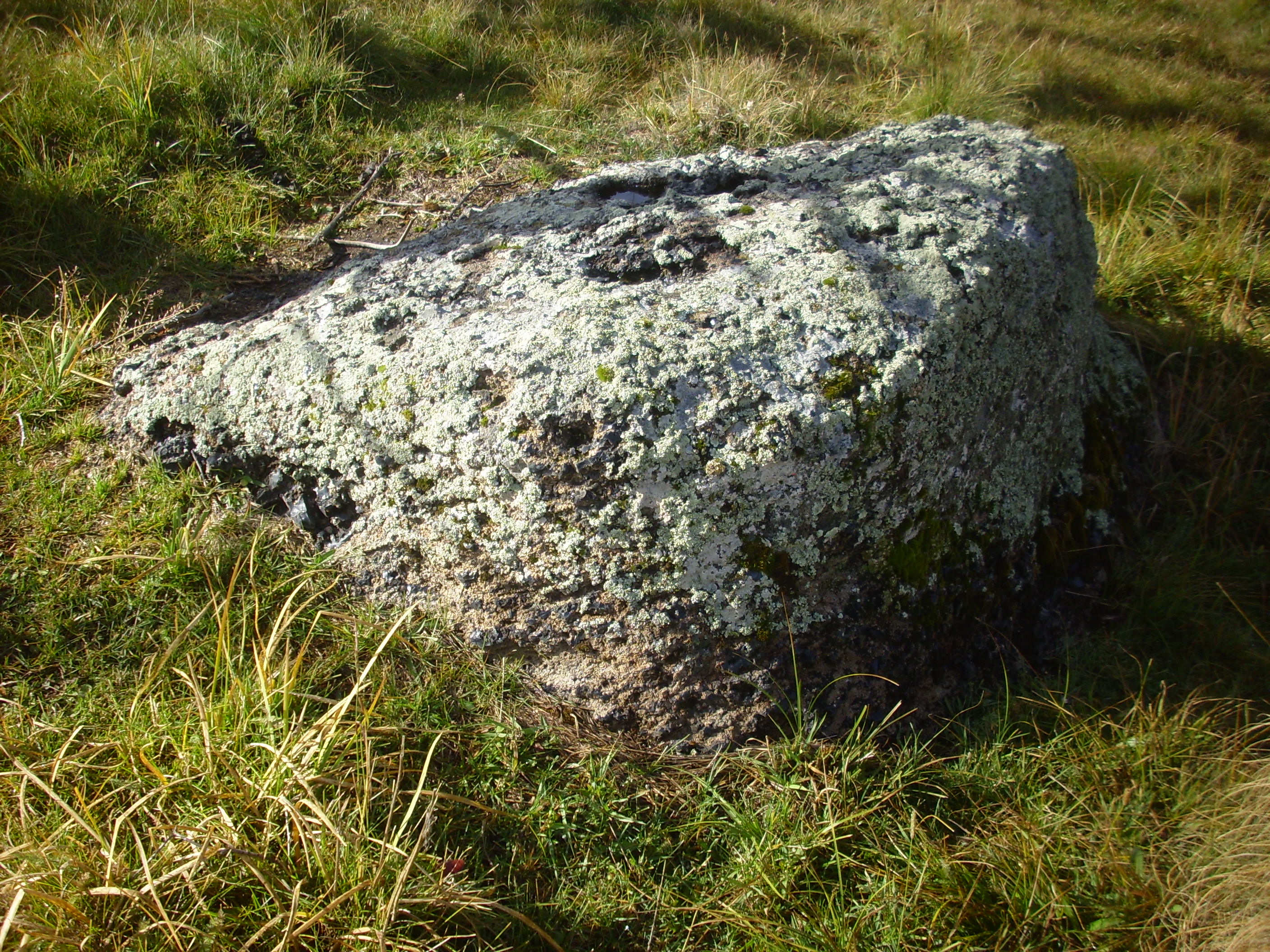
Nearby is a boulder with a fresher surface.
You can see that the boulder is mostly devitrified, but there are still a lot of obsidian nodules in it.
The trail seems to come to a junction.

I scrutinize my map. There’s a jog in the road before the big junction but no roads are marked as meeting there. Well, the clearest road is north and that’s the way I should be going anyway.
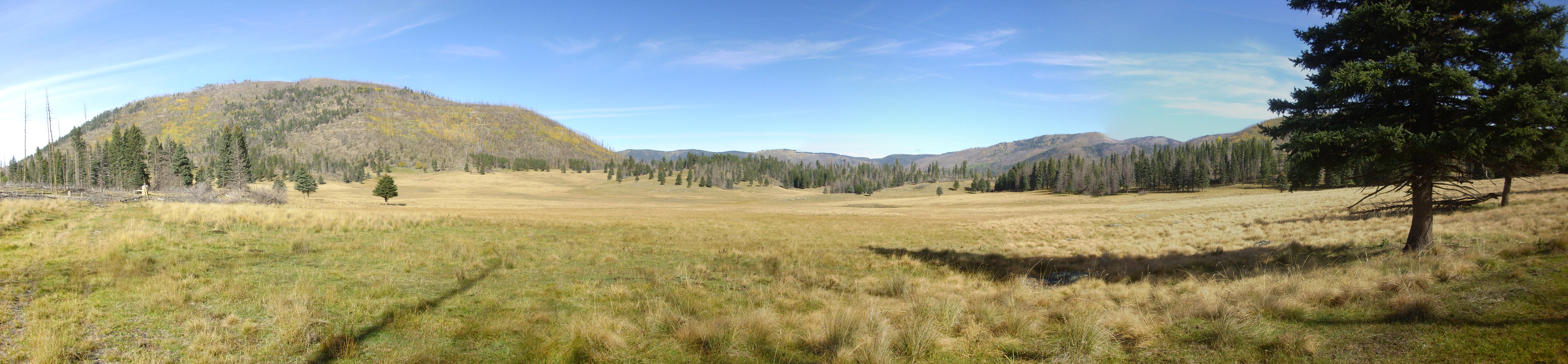
The view opens out again, and Valle Toledo just comes into view.
The valley is the yellow patch just above the tree line. At left is Cerros del Abrigo, and at left center is the north rim of the caldera. The notch on the skyline at center is the northwest extent of the Toledo Embayment. Then comes the Sierra de Toledo, with West Posos at far right.
Around the bend, and I get my first really good look at West Posos and the area to its south.
West Posos is on the left side of the panorama. Looking over its eastern shoulder, at the center of the panorama, are twin peaks of Shell Mountain. Shell Mountain is also a Toledo Formation dome, aged 1.33 million years, which presumably gets its name because the northeast side (away from our vantage point here) appears hollowed out by erosion. The peak at right center is Cerro Rubio, underlain by Tschicoma Formation dacite 3.56 million years old; it marks the southeastern limit of the Toledo Embayment, being composed of precaldera rock. At farthest right is East Posos, underlain by 1.45 million year old rhyolite; it is thought to be a ring dome of the Toledo caldera.
I reach a gate.
I’m still well within the Preserve, the gate isn’t posted, and it’s easily unlatched. I pass through, taking care to latch it behind me. General rule hiking on public lands: Leave gates the way you found them.
The tree fall becomes really impressive.
Well, I was warned. I duck, weave, and bypass the trees for the next stretch of trail.
Then I spot some beautiful spherulitic obsidian.
The hollows lined with white minerals are a kind of spherulite, characteristic of volcanic glass. I confess my fingers really started itching at this point, but not to worry: It’s still up there.
I finally reach the junction at the end of the trail.
Or close enough, anyway. Right goes along the Los Alamos pipeline through the Valle de los Posos and into the mountains.
Not really that interested. In the distance I have time for, there’s only more of the same obsidian flow terrain. Straight ahead doubles back after a significant distance and curls around West Posos into a valley with some interesting formations exposed. I have a vague notion that Cerro Rubio quartz latite is up that way. Left goes a shorter distance to a contact between what I read as Cerro del Medio tuff and Cerro del Medio obsidian. Well, contacts are fun; I decide to head left.
The view back through the burned forest towards Redondito, miles away. The north slope is still snowy from earlier in the week.
It’s close to noon; I have to decide where to strike out for in the time I have left. I consult the map, and decide I’ll strike for the contact, then see if there’s time to get far up the canyon. I take the road to the left. Which rapidly descends.
I don’t relish climbing back up. I check my map again: The contact is not between tuff and obsidian of Cerro del Medio, but between obsidian of Cerro del Medio and old sediment deposits. Boring. I decide it’s not worth the climb and turn around.
There’s a nice view of the valle to the north.
Coming up the trail, a nice view of the mountains to the east.
At left is West Posos. To its right is Shell Mountain, then Cerro Rubio just left of center. The flat mountain right of center is East Posos, then comes a small peak that is officially unnamed but is known locally as Quemazon Peak or Rendija Peak. The second broad mountain right of center is likewise unnamed, while the sharper peak at extreme right is Pajarito Mountain. The panorama suffers from looking almost directly into the sun, in increasingly overcast conditions, in the final frames.
I take VC14 into the mountains. The map shows a long switchback; the very faint road here suggests a shortcut.
I decide to take a chance. Soon I hit a very faint north-south road; the road into the mountains?

Too overgrown; besides, I think I see another drainage to the east. Alas …

Nope, nope, nope. Ain’t gonna bushwack that. No wonder there’s a long switchback. I head back west, bending a little north, to pick up VC14 again.
Continuing along VC14, I hit a ravine.
Or is that actually the road into the mountains, VC1403? I decide not. Good choice: This is the upper reaches of San Antonio Creek, here nothing but a dry, pumice-choked creek bed.
I come to a nice view to the north.
That’s Cerro Santa Rosa at left, just peeking over the nearby ridge, and just left of center is La Garita, the high point of the north caldera rim, with the smaller dome of Cerro Trasquilar in front. To the right is more north caldera rim.
Across the “creek” is a nice example of a river terrace.

This records a higher stand of San Antonio Creek sometime in the not too distant past.
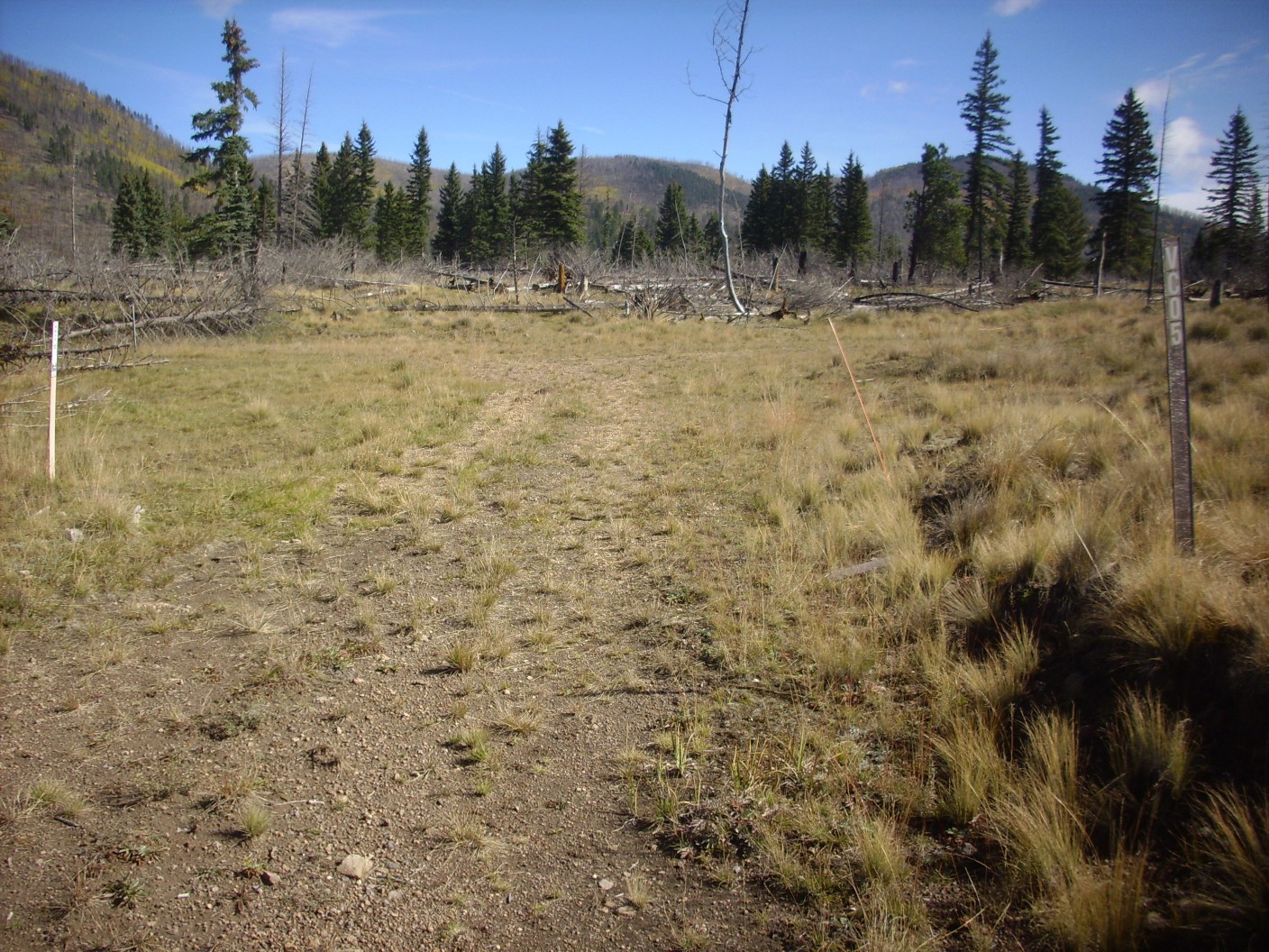
The turnoff to VC1403.
There are confirming signposts. The Preserve is actually pretty good about these; I should trust them more.
I pause here for lunch, fretting a little about the time. I must be back at the headquarters by 5:30, and I’m already tired. On the other hand, it’s mostly downhill on the way back. I decide I can continue up into the hills until 1:00, then I must turn back.
I come to a clearing and a nice view of West Posos.
This is actually too close to be a good portrait of the dome. It’s like zooming up a model’s left nostril.
But there are good examples of the rhyolite of the dome here.
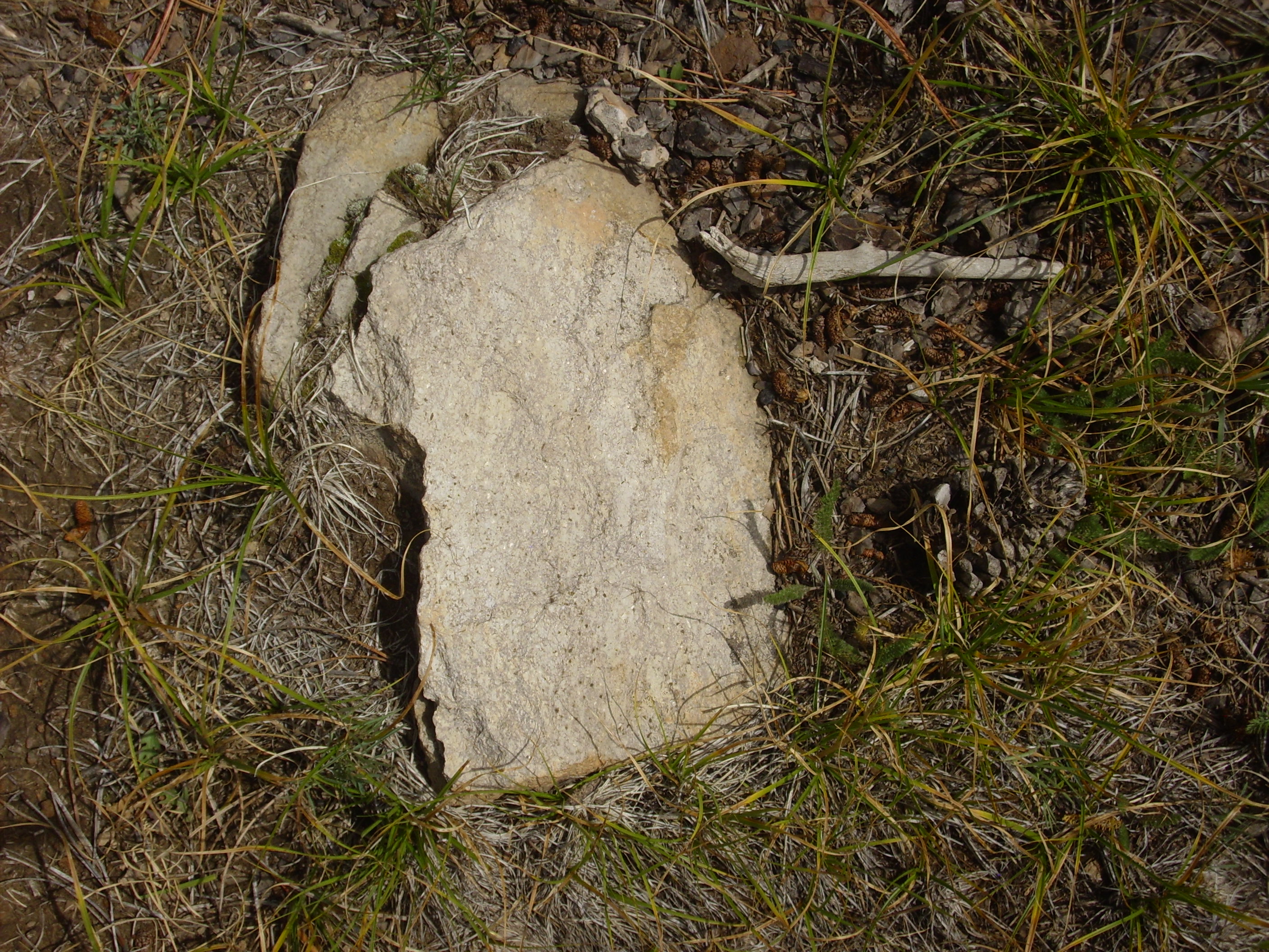
Rhyolites are the most silica-rich of volcanic rocks, and are generally quite light in color. (There are exceptions.) And there can be considerable variation even within a single flow.
Just past here, the road seems to end abruptly.

The road has crossed an old debris flow, a kind of rockslide common around volcanic domes (and in other contexts as well.) The road continues on the other side of the debris flow. I’m picking up the pace a little; I’ve been hiking to Ave, Ave, Corpus Verum in my head, and now I switch to the opening of St. Matthew Passion. Mozart dances; Back marches.
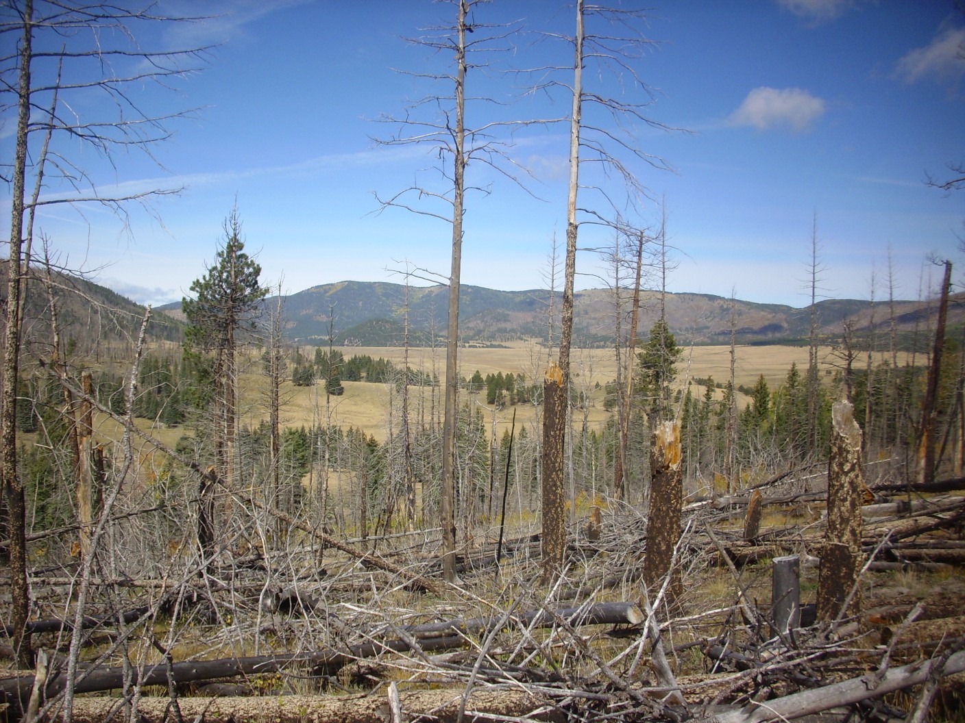
The view now opens up to the south, a direction I’ve not been photographing much, because, until now, it’s been into the sun.
I’m looking into Valle de los Posos, “Valley of Sediments”. Beyond are East Posos, the unnamed mountain north of Pajarito Mountain, and Pajarito Mountain itself, wreathed in cloud.
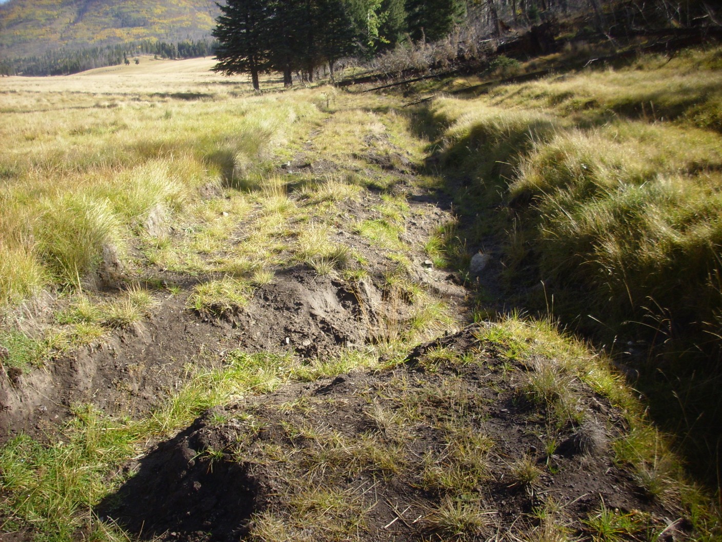
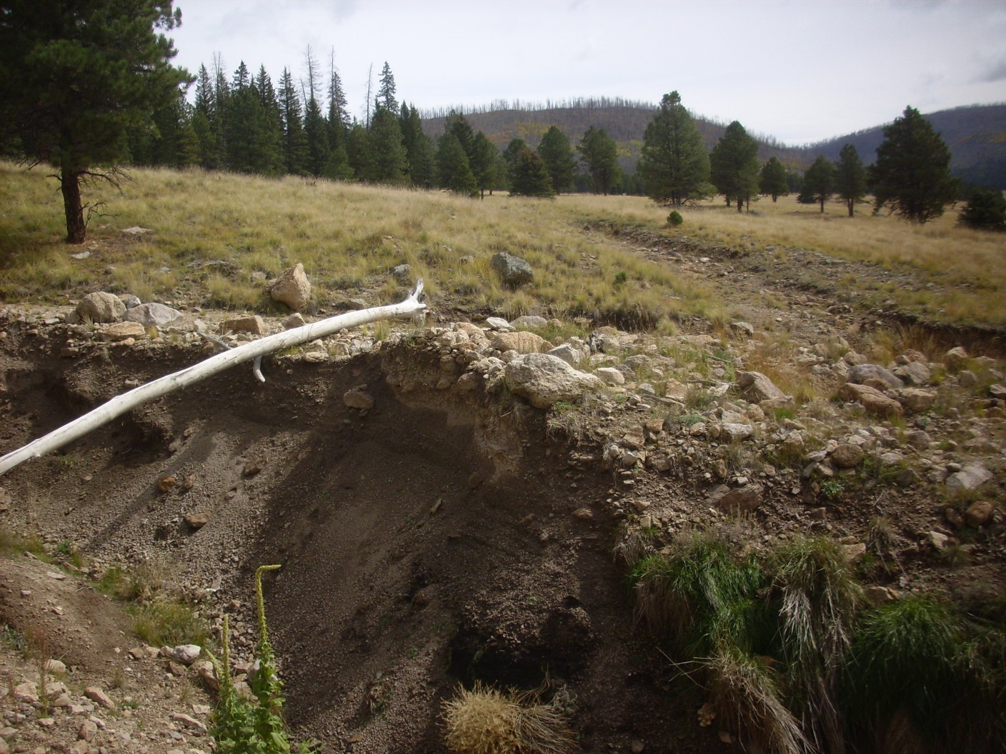
Then I come to a monster gully.
It’s at least ten feet deep and I just about give up the hike here. Eventually I find a reasonable place to cross, and on I go.
(Not by the log; I’m not that stupid.)
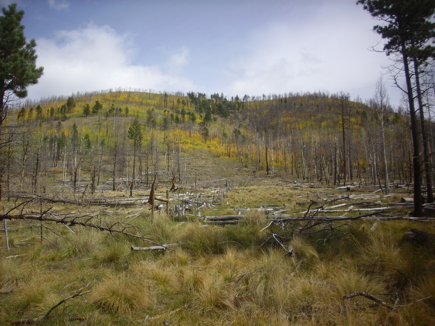
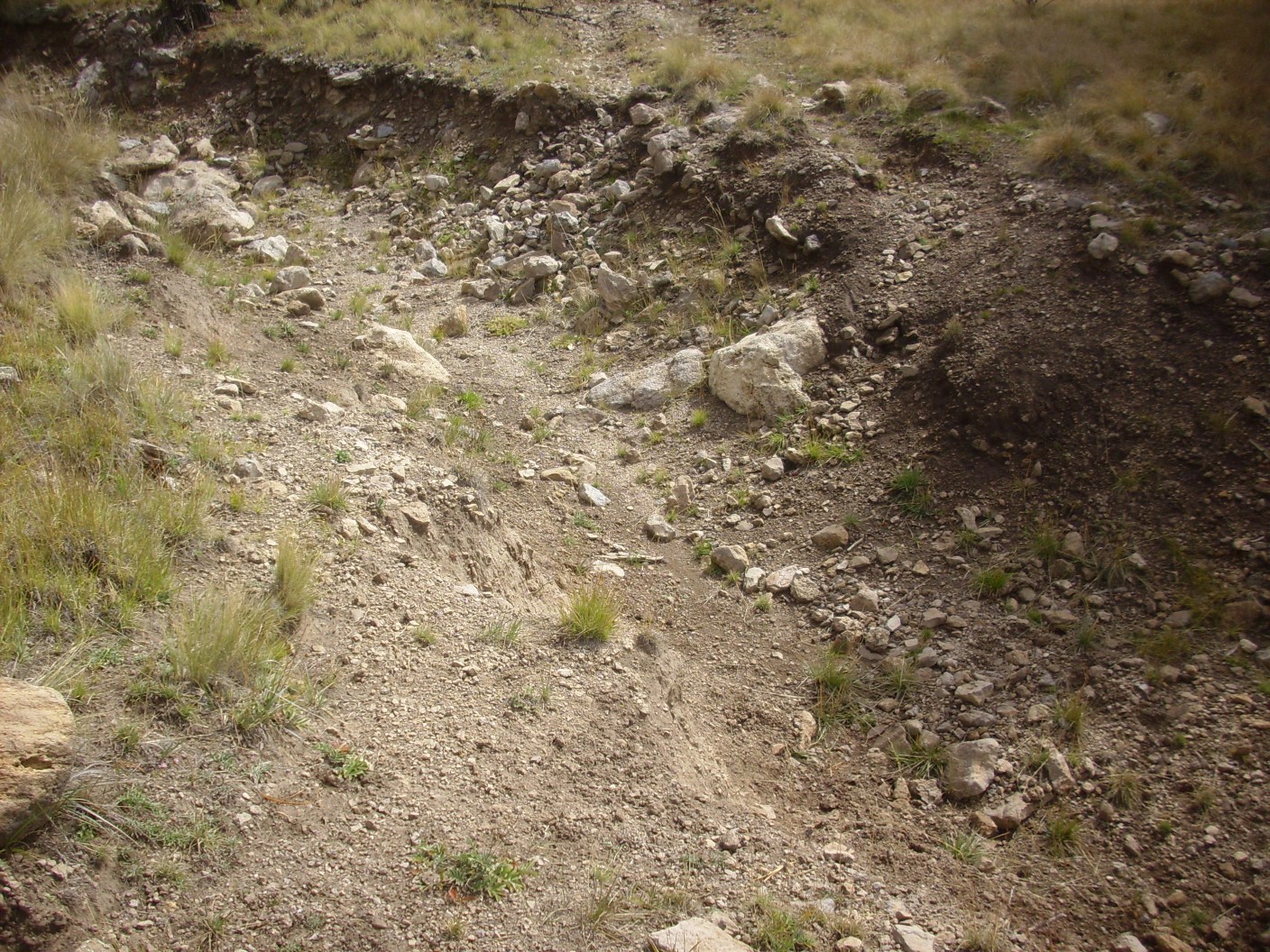
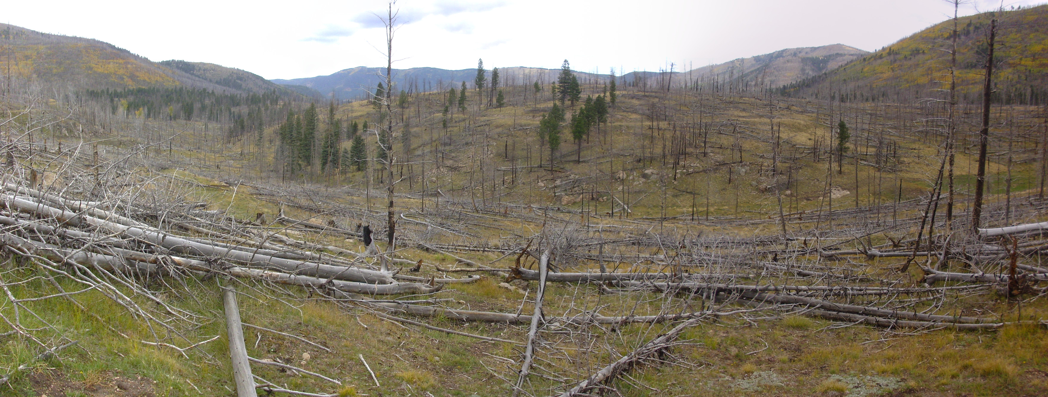
Then a second, not quite as formidable, gully.
These two gullies show the extent of erosion damage from the Las Conchas fire, which swept over this area in 2011. The loss of vegetation cover in the watershed led to catastrophic flash flooding that carved gullies like these.
I continue on just a little further, then take a final panorama.
East Posos, unnamed mountain, and Pajarito Mountain at left, as before; but now Cerro Grande is just visible over the ridge in the middle distance, left of center. The ridge is part of Cerro del Medio, which dominates the middle distance at center and center right of the panorama. At far right is Cerros del Abrigo. The grassy area before me is Valle de los Posos.
It is 12:45. I see the trail entering a wooded area ahead and decide there is nothing within 15 minutes’ hiking worth the effort. Time to head home.
An attractive boulder of vesicular rhyolite as I recross the awful gully.
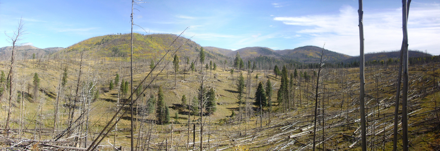
One last panorama.
This shows the terrain of low obsidian flows north of Cerro del Medio, with exposures of devitrified obsidian visible across the small valley.
Difficult trail ahead.
Best view yet into Valle Toledo.
Trees on the trail force me into an area with remarkably large obsidian chunks.
One boulder has prominent vesicles.

I wonder if these are spherulites whose linings have eroded away. Those would be mighty big spherulites.
By now my feet are very sore, especially around the toes where I have diabetic neuropathy. My back is hurting between the shoulder blades, where I have a touch of arthritis. I estimate I will have hiked 13 miles by the time I’m back to my car. Which I am very glad to see.
I have one more short adventure. I drive north to where I can see a flow whose toe I visited last week.
The ridge forming the skyline center and left is a single flow of Deer Canyon Rhyolite tuff from a vent at upper left. I’d like to climb to the vent, but not as tired as I am now. I content myself with this picture and plans to come back eventually.
I reach the headquarters at about 3:45. I could have hiked another half hour — well, except my physical endurance got pretty close to its limit.
There are no signs of the prairie dogs that were all over the place two weeks ago. They seem to know a storm is coming.
And from there, home.
* A tuff is any rock composed largely of volcanic ash. Ignimbrites are those formed from pyroclastic flows, but sedimentary rocks rich in volcanic ash have historically been described as tuffs. Ignimbrite is thus the more precise term.
Do obsidian trail like we did with the scouts. I’d like to see it after the fire.
That would be Sawyer Mesa and Obsidian Ridge. Yeah that’s definitely on my “to do” list.