
Wanderlusting Guaje Mountain

I spent most of the last week at work at meetings; we were hosting a conference. At the same time, the weather was miserable (except in the sense that precipitation is always welcome in the high desert.) The weather cleared Friday, which, alas, was not my Friday off, and by Saturday I was itching to get outside.
Oddly, I was also itching to spend some time at the office. I have an interesting “weekend project” going; something related to my work, but highly speculative in the sense that it’s not clear it will pay off. A C++ tool to help model our code performance. I wrote something similar a few years back and it really made clear what was happening with cache. So since I was inclined to drop by the office anyway, I decided to look for a hike in the Los Alamos area.
I settled on hiking to the Guaje Narrows, the section of Guaje Canyon that jogs south and passes through a ridge of resistant Rendija Canyon Member, Tschicoma Formation, where it cuts a deep and rugged canyon. Let’s unpack that. Guaje Canyon is one of the numerous canyons separating the finger mesas of the Pajarito Plateau, where Los Alamos is located. Most of the plateau is surfaced with Tsherige Member, Bandelier Tuff, which is beds of volcanic ash deposited by a ginormous eruption in the Jemez 1.25 million years ago. This eruption also formed the Valles caldera. The ash beds were red-hot when deposited, and so formed a rock called tuff or, more precisely, ignimbrite, but are nonetheless not terribly resistant to erosion. The result is that numerous eastward-flowing streams have cut through the tuff to form deep canyons separating long, finger-like mesas.
The Tschicoma Formation dates from before the Valles eruption, being from 7 to less than 3 million years old, and forms most of the skyline west of Los Alamos. The Rendija Canyon Member has been radiometrically dated to between 4.95 and 5.03 million years old, making it one of the older voluminous flows of the formation. This is mostly massive rock, much more resistant to erosion than the Bandelier Tuff.
I drive to Barranca Mesa and start down the road into Rendija Canyon.
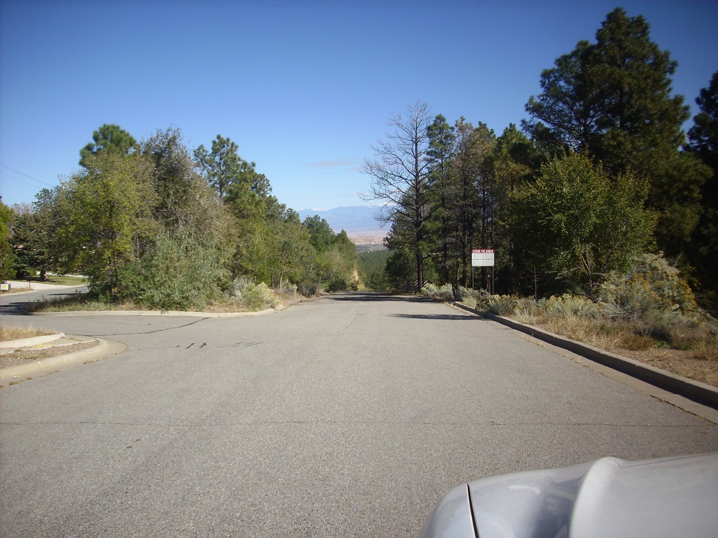
The road descends steeply through a cut in the Tsherige Member. Past a well, there is a parking area to the left that is a popular trail head. Further east is the Sportsmen’s Club, notable for a shooting range that sees heavy use. Hiking in the area is always accompanied by the staccato of small arms fire, sometimes with added tympani if someone is using explosive targets.
I park in the parking area.

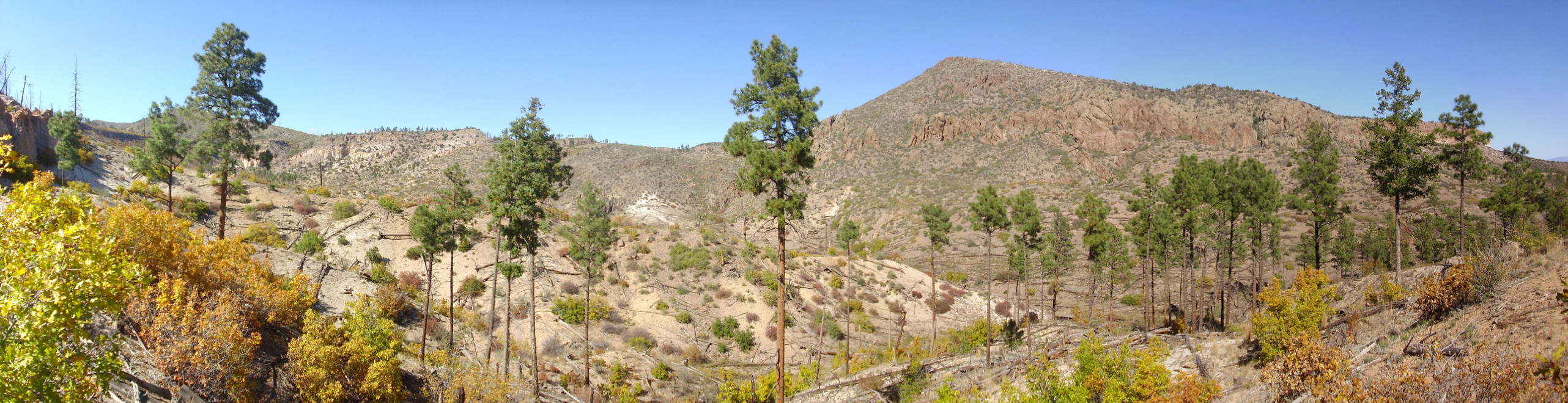
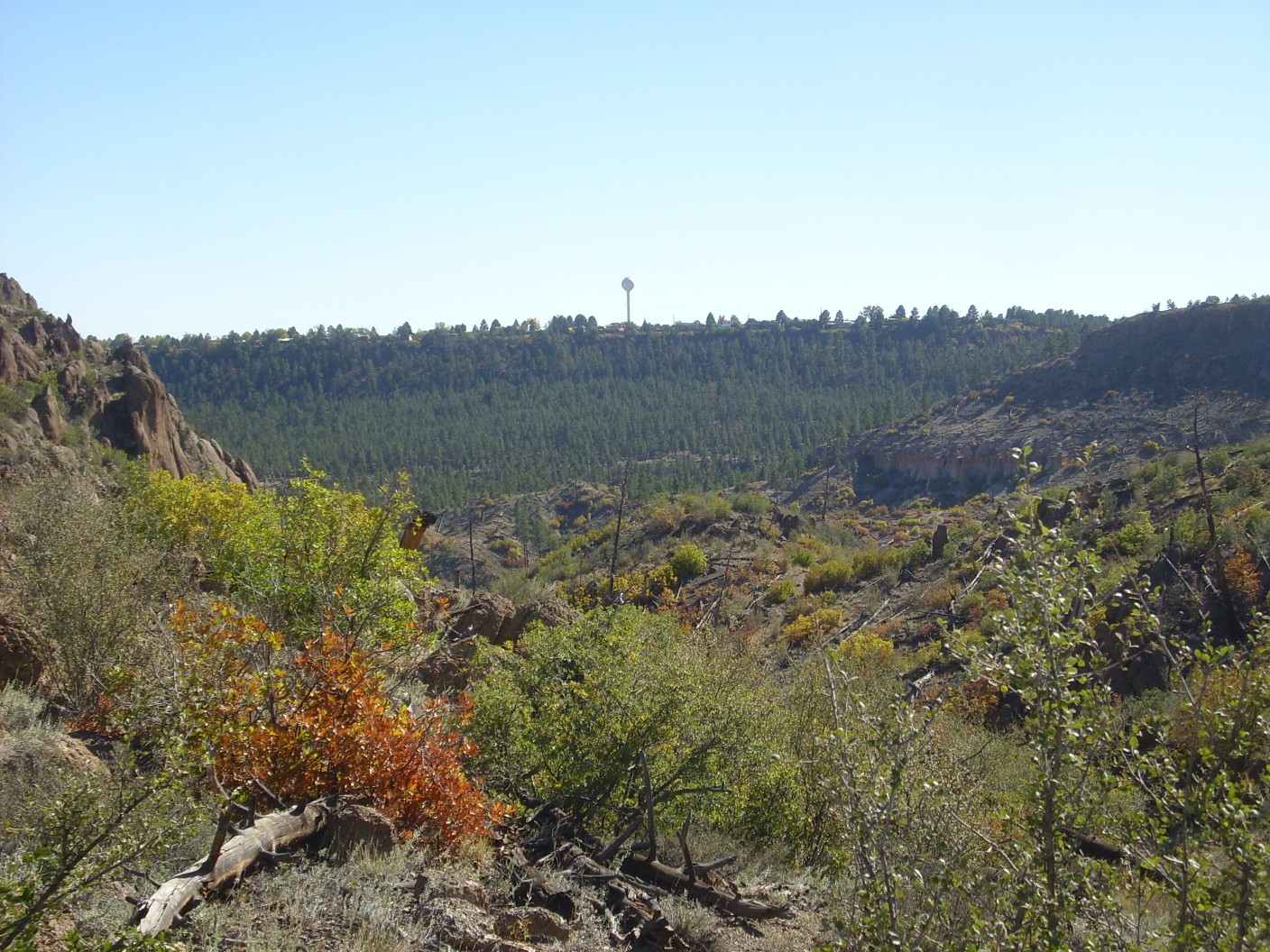
At right is Guaje Mountain, a ridge of Rendija Canyon Member. At left is Beanfield Mesa, an old homesteading site that included a log cabin until this was burned in the Cerro Grande fire in 2000. I will be hiking through the gap between. I considered hiking to the top of Guaje Mountain, but it looks awfully steep from this angle.
I gear up for the trail. Hiking boots, pack, water, goofy hat, walking stick, snack, geologist’s hammer, photography card, camera, GPS and cell phone, sunscreen (I don’t bother today), and Spot-3, which I activate and set to track. I check a posted map; there’s my trail to the Narrows, and it looks like there is a spur that goes to the top of Guaje Mountain. Excellent; I may not hike it today but it’s good to know it’s there. The trail from the parking lot descends into the canyon and then veers sharply right. I hesitate; there seems to be a trail straight north, where I’m headed, but I see that someone has taken the trouble to lay several logs across the trail. I take the hint and the trail to the right.
This descends over some fairly rocky landslide deposits.

The boulders are mostly Tschicoma Formation dacite, fairly easily distinguished from Bandelier Formation by its darker color, hardness, and the presence of white phenocrysts of plagioclase feldspar. A phenocryst is a single large crystal of a mineral embedded in much finer-grained volcanic rock. The Rendija Canyon Formation is notable for its spectacular phenocrysts, which sometimes are larger than a quarter dollar and give the rock a polka dot appearance. Dacite is a general term for volcanic rock with a fairly high silica content but not too much alkali metal content.
This area is mapped as Qc, quaternary colluvium, which means the landslide is less than 2.5 million years old and is composed of loose sediments that slumped from further uphill. Geologically young uncemented sediments of this sort are rarely assigned formation names, since they are not yet lithified, turned into rock.
The trail continues north to the dry creek at the bottom of the canyon
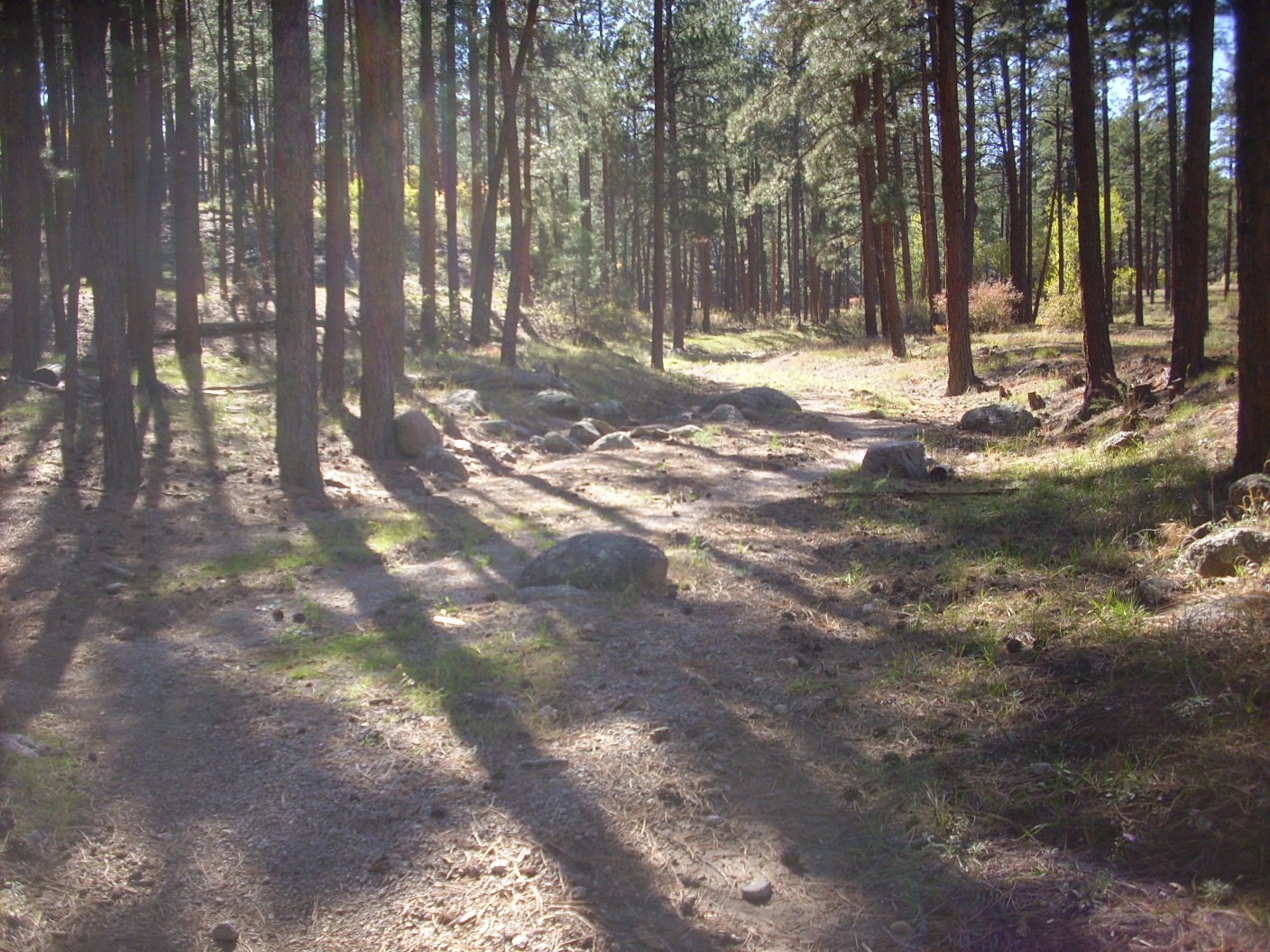
and joins Rendija Canyon Trail.
It’s a short jog to the trail up the north side of the canyon.
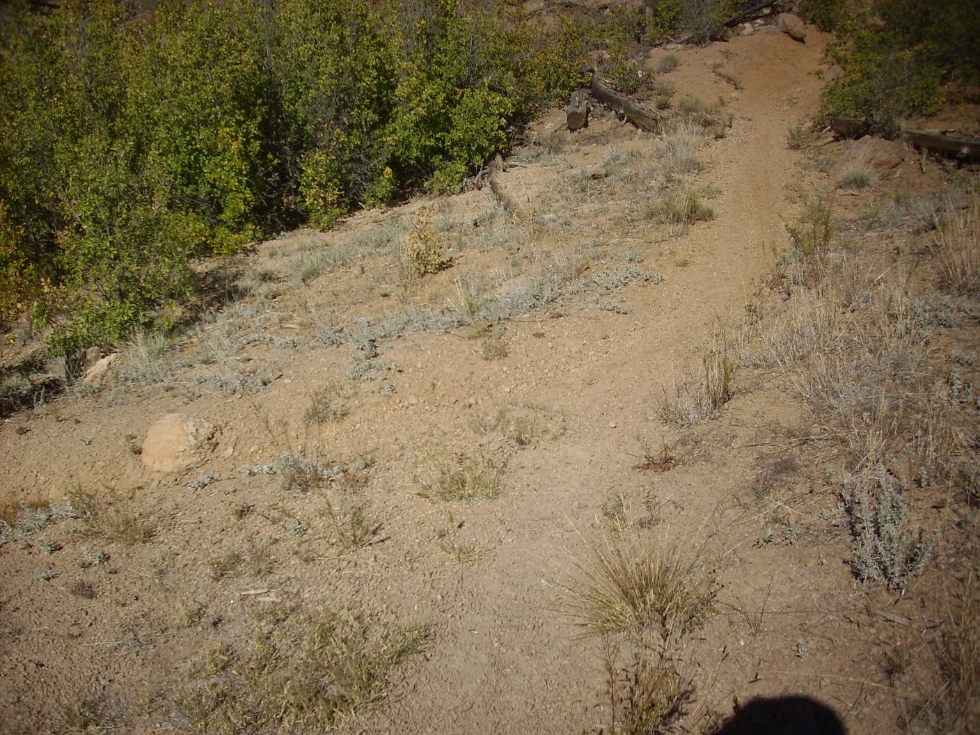
It’s clear that considerable effort has gone into improving the trails, but they see very heavy traffic and are not in great shape. There is a lot of gullying in spite of various erosion controls.
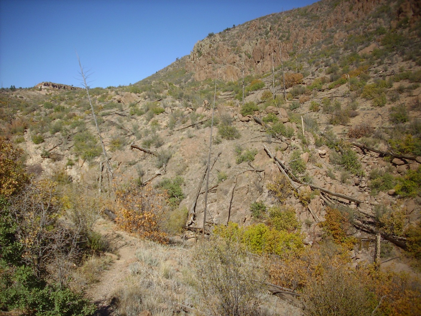
The trail crosses the eastern toe of Beanfield Mesa and the view opens up.
The nearby terrain is all underlain by Cerro Toledo Formation. This is sediments enriched with bits of Tschicoma Formation dacite and volcanic ash and pumice from the now-extinct* volcanic domes to the west. These were deposited between the Valles eruption 1.25 million years ago and the earlier but similar Toledo eruption 1.62 million years ago.
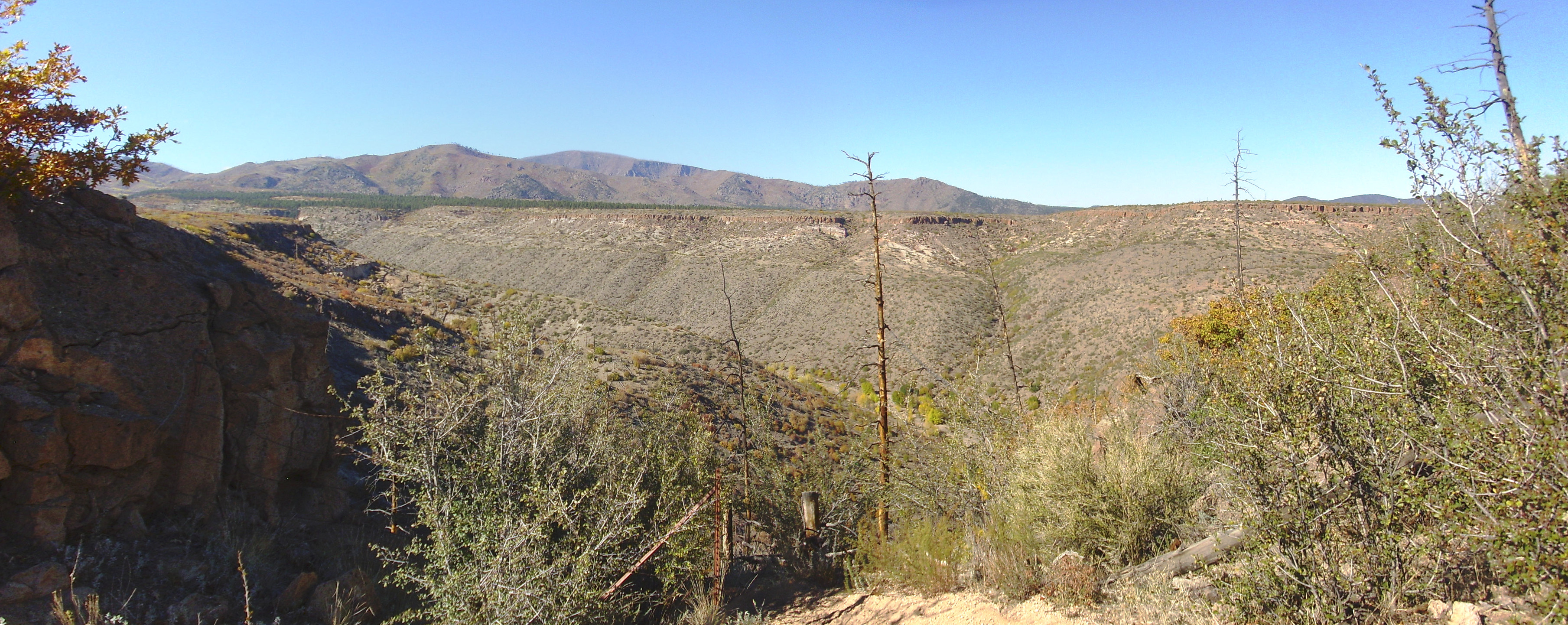
Further down the trail the view opens up even more.
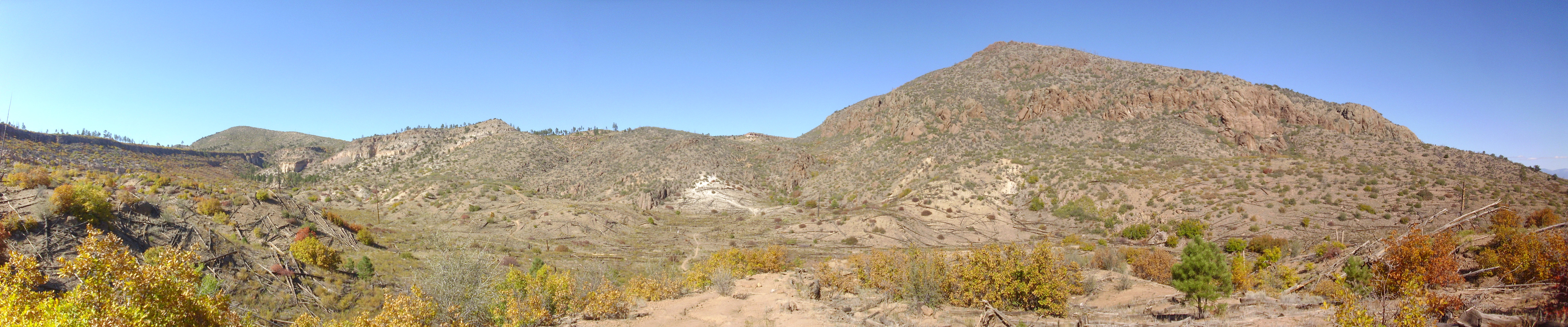
At far left is the north side of Beanfield Mesa, capped with a flow of Tsherige Member. The unnamed hill on the skyline is part of Guaje Ridge, of which Guaje Mountain at right is the easternmost extension. The ridge is thought to be a single flow of Rendija Canyon Member rhyodacite. At center left on the skyline are more beds of Tsherige Member, while the white patch at center in the hillside is a local exposure of the Guaje Pumice Bed of the Otowi Member, Bandelier Tuff. This is air-fall pumice from the first stage of the Toledo eruption 1.62 million years ago.
Guaje Mountain dominates the right side of the frame. The characteristic knobby texture of the Rendija Canyon Member is fully displayed here. This is a result of a characteristic pattern of erosion, typical of rock rich in feldspar; it’s often seen in granite exposures as well, though the nearest granite to this area is a good thirty miles away.
The notch at center of the panorama is Cabra Canyon, a shallow north-south canyon that follows a major fault, the Guaje Fault. This fault first appears to the south, where the west side is thrown down a few feet to produce a slight escarpment in the middle of the Barranca Mesa subdivision. The fault runs almost directly under the parking lot where I began my hike, past the eastern tip of Beanfield Mesa, and along the west face of Guaje Mountain, where we’ll get a closer look later. It crosses Guaje Canyon just west of the Narrows and continues north past Pine Springs to terminate against the Pajarito Fault, the major fault in the Los Alamos area.
Pajarito Fault is thrown down on the east side; Guaje Fault, and a number of other north-south faults in the area, are thrown down to the west. The depression between is a graben, the Diamond Drive Graben, in which the western area of Los Alamos sits. By astonishing coincidence, Diamond Drive is located almost on the axis of the graben. Guaje Mountain stands out because the remainder of Guaje Ridge to its west has been thrown down a considerable distance. However, the displacement of the Bandelier Formation beds across the fault is much less, only a few feet, showing that the fault has been less active for the last million years than it was between two and five million years ago, after the Rendija Canyon member was erupted but before the Valles eruption.
The canyon to the left has excellent exposures of the Cerro Toledo Formation, which I visited on an earlier hike.
I continue north. There is a station of some kind in the canyon bottom.
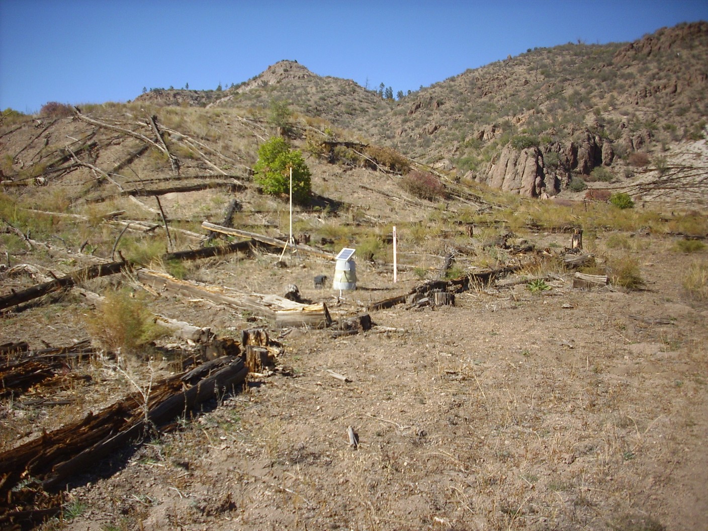
While I don’t know for sure, I’m thinking this is one of the stations of the Los Alamos Seismic Network, which monitors earthquake activity in the Los Alamos area. We experience a number of earthquakes every year, almost all of which are too weak to be noticed except by seismographs. The greatest activity in the last few years has apparently been in this area north of Los Alamos.
I continue up the hill to the north, where I encounter loose pumice.
This is Guaje Pumice. Further up are outcroppings of Rendija Canyon Member rhyodacite.
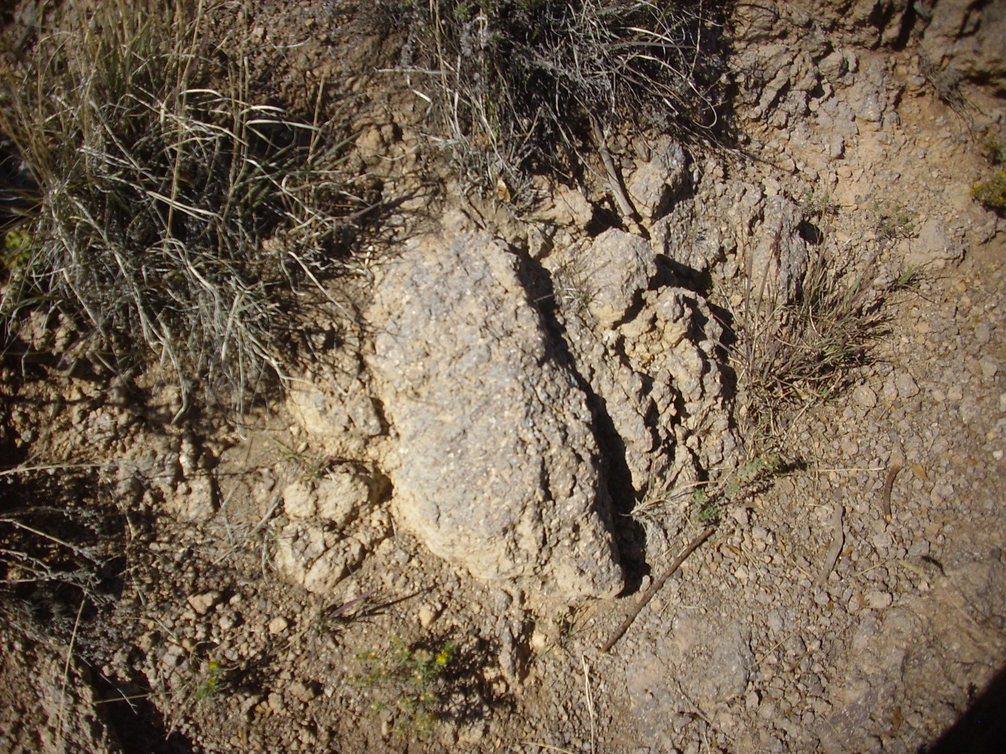
You can see the large white phenocrysts of plagioclase. This rock also contains crystals of alkali feldspar and some quartz; the presence of quartz distinguishes a rhyodacite from a dacite. I am just west of the Guaje Fault here, on the downthrown side.
Further on, the trail cuts through some nicely bedded pumice.

This is Cerro Toledo Formation pumice, likely from dome eruptions in the Toledo Embayment to the northwest between 1.62 and 1.25 million years ago.
How do geologists keep all the different pumices straight? Laboratory analysis is the definitive way; it gives ages and chemical compositions, and the ages alone are enough to identify most pumice beds. The Guaje Pumice is 1.65 million years old; the Tsankawi Pumice, which we won’t see on this hike, is 1.25 million years old; the Cerro Toledo pumices are between these ages, while Valles ring dome pumices are younger than 1.25 million years old. Identifying in the field can be tricker. Guaje Pumice never overlies Cerro Toledo sediments; Tsankawi Pumice lies above Cerro Toledo sediments but below Tsherige Member; and Valles ring dome pumices overlie Tsherige Member. But this bed rests directly on Rendija Canyon Member and has nothing above it, so it could be any of these pumices. In this case, the character of the pumice must be considered. Guaje Pumice is notable for its pure white color and lack of biotite; Tsankawi Pumice is more of a gray color and also lacks biotite. I’m not sure what the criterion are for Cerro Toledo pumices, but I trust the geologists who mapped this outcrop.
Looking north and slightly east of this point:
The Guaje Fault trace runs to the right of the low rise at center, and the flat cliffs beyond are the escarpment of the fault (the side that is thrown up relative to the fault.)
Further on, just west of the fault, I come across some flow banded rhyodacite on both sides of the trail.
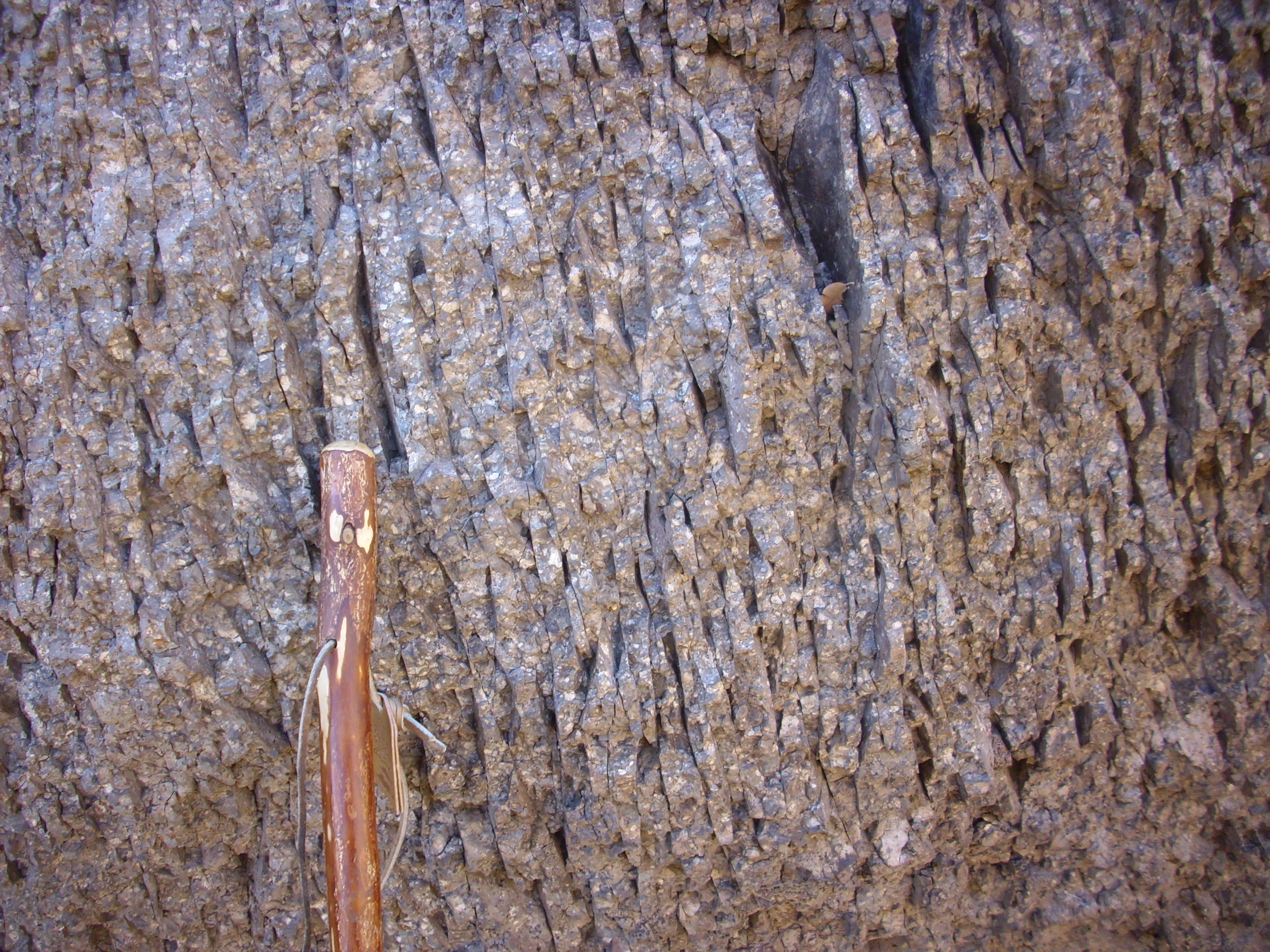
This is similar in composition and in its content of phenocrysts to the more massive rhyodacite making up most of the Rendija Canyon Formation. The thin bands (flow bands) suggest this rock was subject to shearing forces when it was nearly solid, producing the thin platy texture.
Looking back south at Barranca Mesa.
When Cindy and I first moved to Los Alamos, we very much liked a house for sale located on this canyon rim, close to the water tower. The view out the back was magnificent. Alas, the deal didn’t quite come together, and we ended up in White Rock.
The trail is here is nearly on top of the Guaje Fault, though the trace is buried under colluvium.
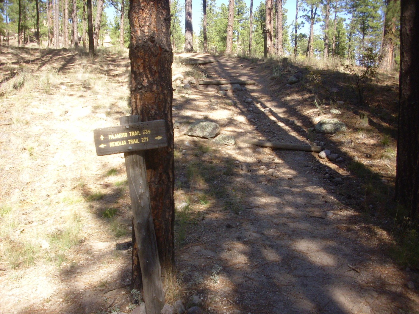
The trail forks.
The cross trail is well beaten, clearer than the one I’m on. There is also some Guaje Pumice in the area. I consider: The right must be the spur to Guaje Mountain, and the left lead to the narrows. I go left.
The trail starts curving back south. This doesn’t look right.
I turn around and head the other way, with some trepidation. However, the other fork heads straight north, with no sign of turning east. Soon I reach the summit of the trail.
It’s Tsherige Member to the left and Rendija Canyon Member to the right. The trail here is precisely on the Guaje Fault trace.
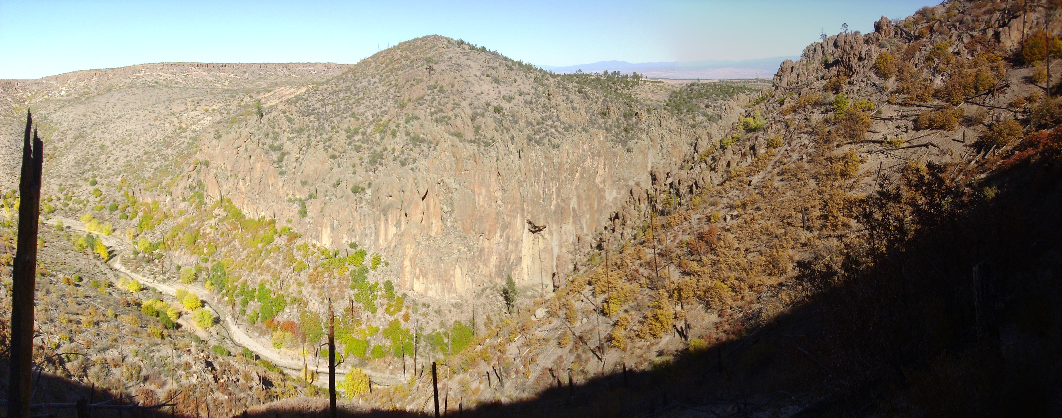
And beyond is Guaje Canyon.
The mountains on the skyline are Tschicoma Formation. The north canyon wall is Tsherige Member (the thin rim) over Cerro Toledo Formation (the light slopes below the rim) over Puye Formation (the grayer slopes forming most of the canyon wall.) The Puye Formation is also prominent along the front road to Los Alamos, west of Totavi gas station. It’s a thick package of debris flows, ash beds, and mudflows, coming off the young Tschicoma Formation domes west of Los Alamos, which formed a vast alluvial fan reaching to the Rio Grande. Such fanglomerates are not often well preserved in the geologic record; the Puye Formation is well preserved in part because it filled the Diamond Drive Graben, which acted as a natural trap, and in part because the Rio Grande to the east was dammed part of this time period by eruptions further south, and the lake so formed (Culebra Lake) hindered erosion of the Puye beds.
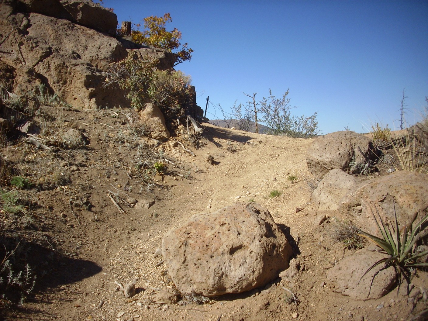
The trail here is heavily traveled, and much of the wear is from what appears to be dirt motorcycles.

I have mixed feelings. On the one hand, motorcyclists are my fellow citizens, and you can make the case that they have as much right to trail access on public lands as I do. I’ve even considered getting a dirt bike myself, to make it easier to get into areas where the roads are very poor. On the other hand, they sure seem to tear up the trails badly.
I have to decide how far I want to hike. I’ve been on the trail now for better than an hour. I could do at least twenty more minutes, albeit at the cost of time at the office working on my weekend project. I consider: What could I reach in twenty minutes? The switchbacks down into the canyon are daunting, though it would be nice to see the narrows closer up, and maybe look for slickensides, the characteristic polished rock surfaces marking a fault. In twenty minutes? Not likely. I go just enough further to get a good photograph of where the canyon comes up against the fault escarpment of the Guaje Fault and is diverted south.
Look at the nearly vertical cliffs on the left side of the hill at center. This is part of the escarpment of the Guaje Fault, which runs almost exactly along the stream bed. Or the other way around: The stream bed naturally follows the fault, because the pulverized rock in the fault trace is more easily eroded.
I turn back. A question is nagging in my head: I never saw a trail branch to the east. Where is the Guaje Mountain trail I saw on the map back at the trail head?
Well, there was a kind of pullout to the east right at the summit of the trail, but there was nothing but bare rock above it. But then if that pullout was actually the start of the Guaje Mountain trail, there would be nowhere for the trail to go but across bare rock. With that as my hunch, I climb the bare rock above the trail, and sure enough:
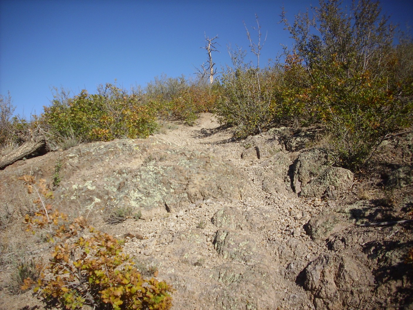
That definitely looks like a trail. When I get back home, the satellite view confirms it. I’ll definitely be back to take that trail, but likely on a clear summer day (sun directly overhead) with a better camera for some panoramas.
One final shot, on the way out: The cliffs marking the fault escarpment on the west face of Guaje Mountain.
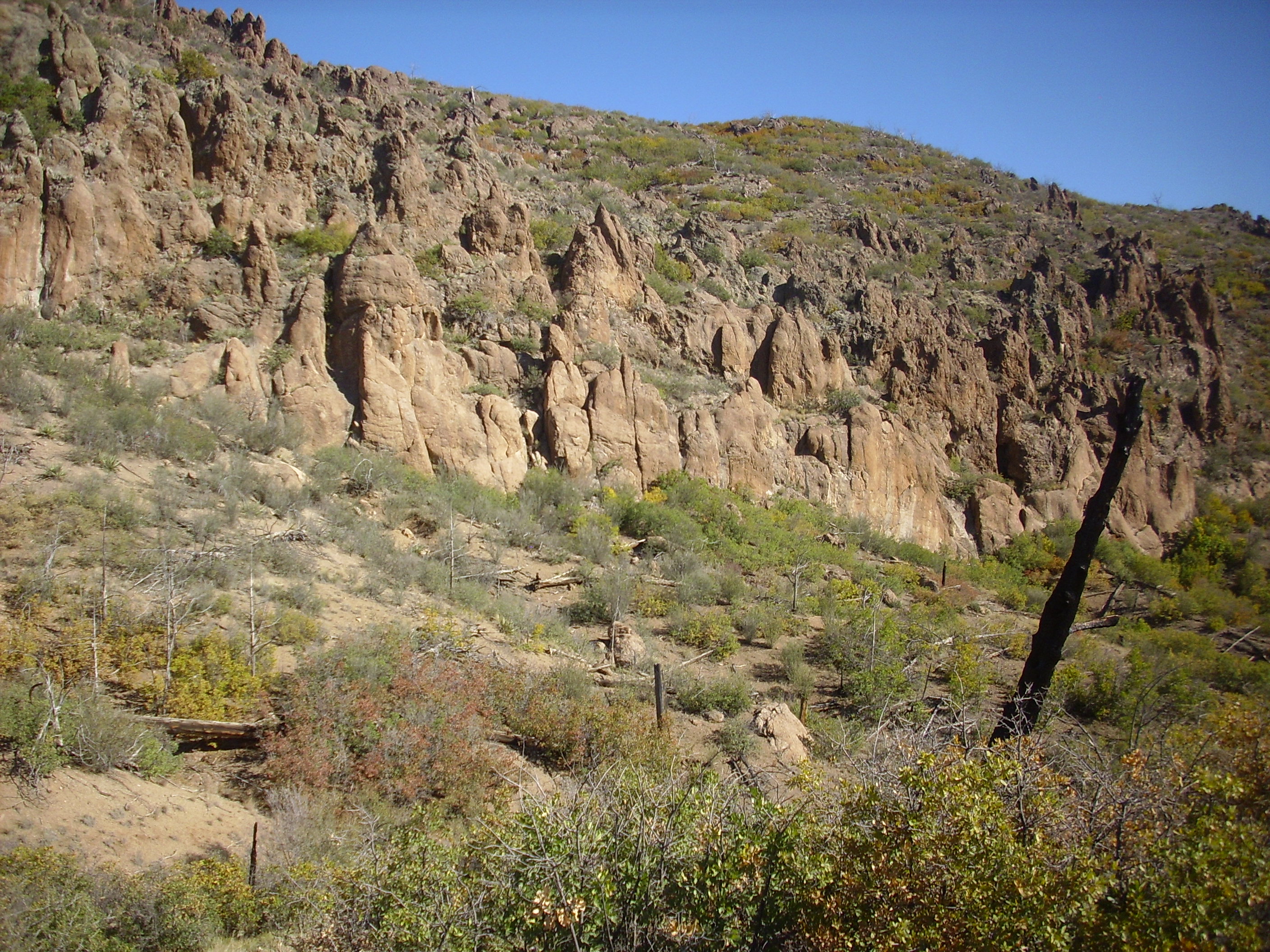
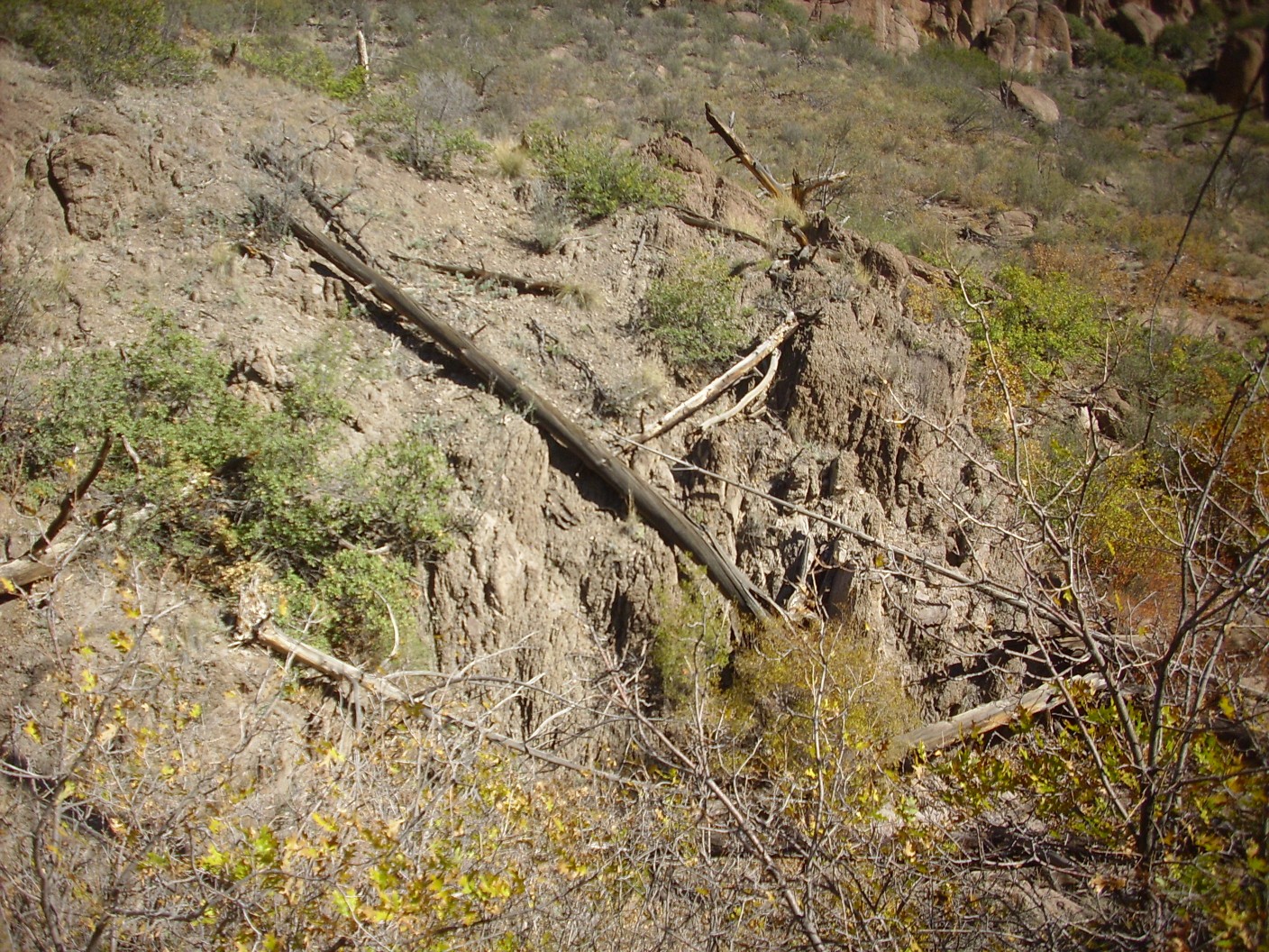
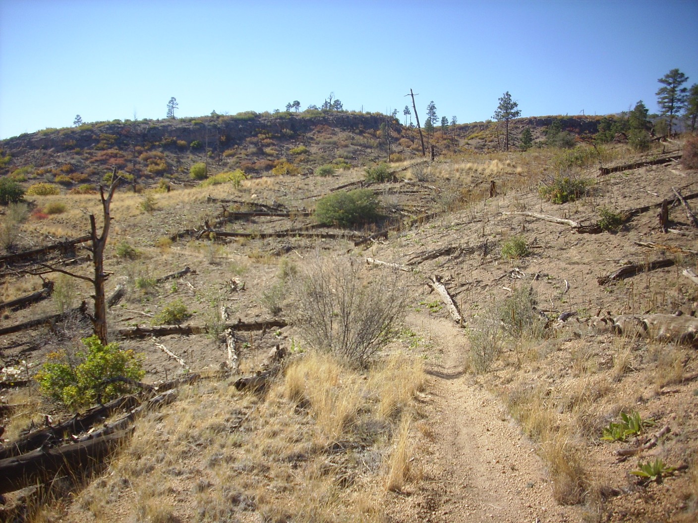
Notice the burned stump at right. This area was burned over by the Cerro Grande fire in 2000. Hiking off-trail in this area is still slightly hazardous due to the risk of stepping on hollow ground where underground tree roots have rotted away.
I return to my car, head to my office for a few hours of fun with the weekend project, then head home.
* One hopes.