Wanderlusting Banco Bonito
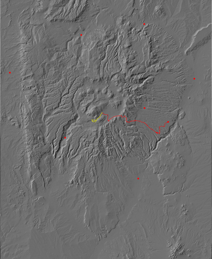
Some time back, I hiked as far as El Cajete south of Redondo Peak, but did not have time to examine the Banco Bonito just to its west. Today I’ll be hiking with Gary Stradling and we’ll see if we can push the extra distance. The constraints are that I need to be home by around 3:00 and we need to not kill ourselves on the trail.
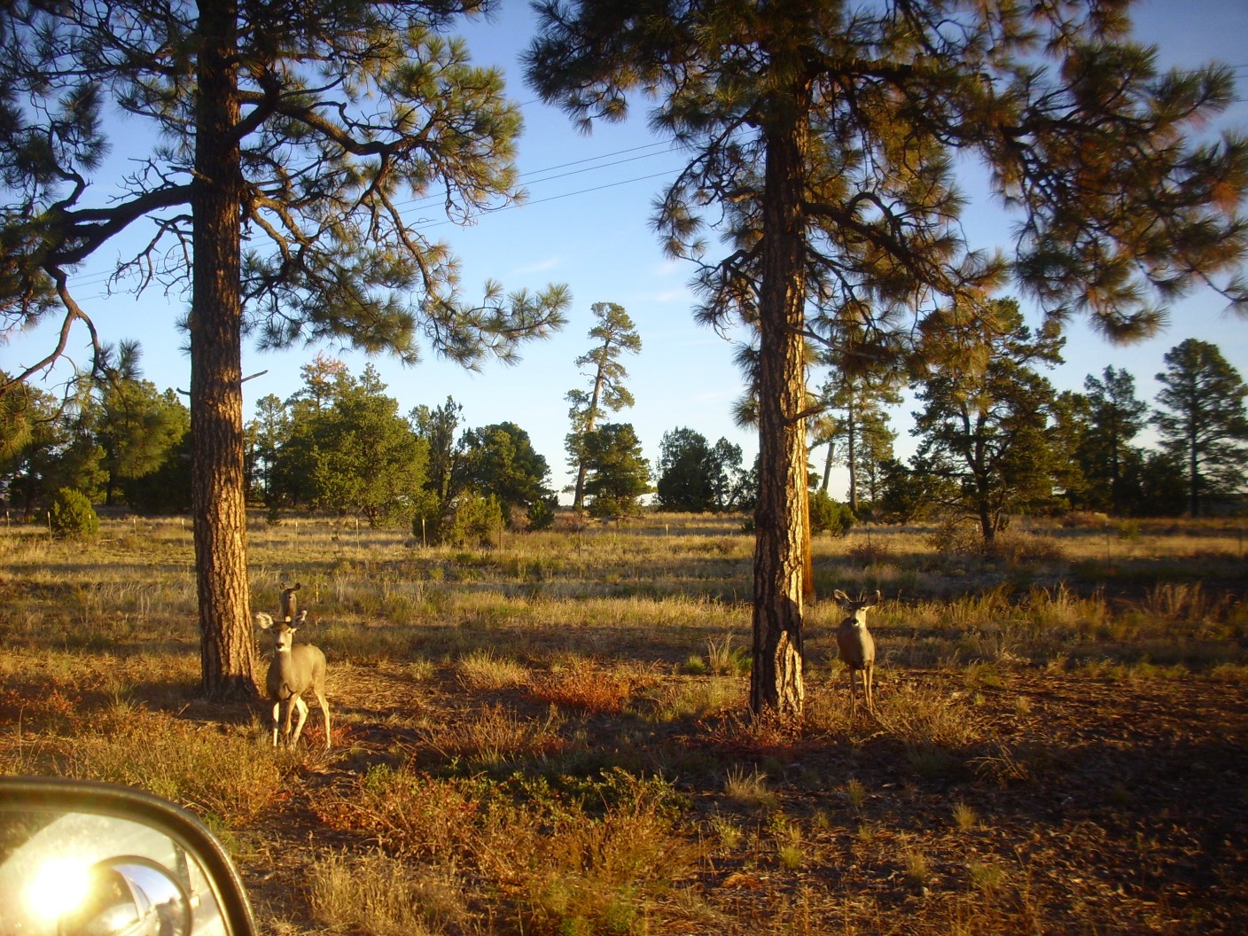
Gary picks me up a little after 7:00 and we head towards the Valles Caldera Preserve. It is a gorgeous autumn morning, a bit chilly but with perfectly clear skies. The wildlife has begun migrating to the lower country and we encounter many deer on the Pajarito Plateau.
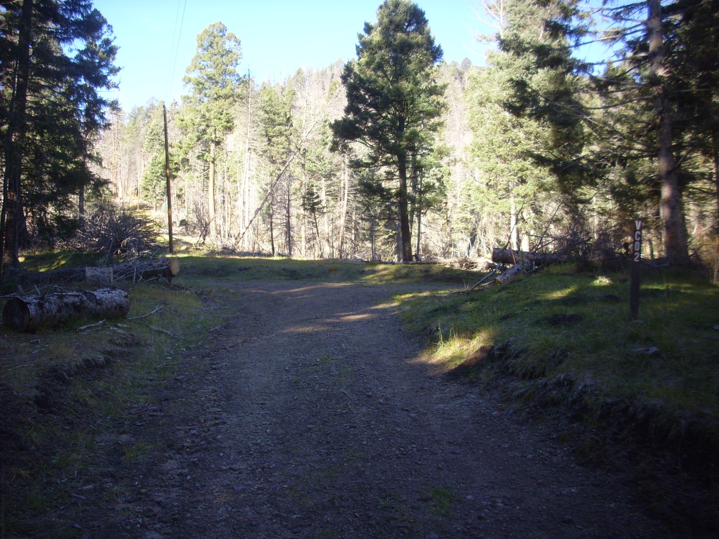
We reach the headquarters to find we are the first there. Gary knows one of the rangers and they have a good chat. We get instructions on where to park near the trail head to Banco Bonito and head that way.
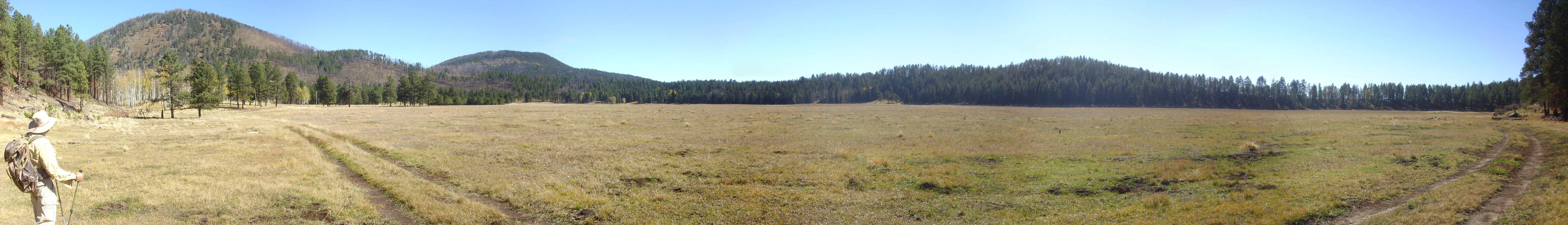
At left is South Mountain, one of the ring domes of the Valles caldera. At right is Redondo Peak, a resurgent dome.
When the Valles eruption took place, 1.25 million years ago, it emptied a magma chamber under the central Jemez that was perhaps 13 miles across and a mile thick. This caused a plug of rock 13 miles across to drop about a mile as the magma came boiling out of the ground as a mixture of bits of half-molten volcanic ash and red-hot gas. Some of this partially filled the caldera formed by the dropped plug of rock, and some flowed across the rim of the caldera to cover the surrounding countryside with thick beds of ignimbrite as the ash settled to the surface and cooled into solid rock.
Fresh magma entered the chamber almost at once (in fact, the entry of fresh magma may have helped trigger the eruption*) and pushed the caldera floor back up to form Redondo Peak. Later pulses of magma leaked through the ring-shaped fracture around the plug of rock dropped by the Valles eruption, forming lava domes called ring fracture domes. South Mountain is one such dome, formed about 520,000 years ago.
The small mountain at center is unnamed but appears to be geologically a part of Rendondo Peak, through slightly upward by a small fault to its north.
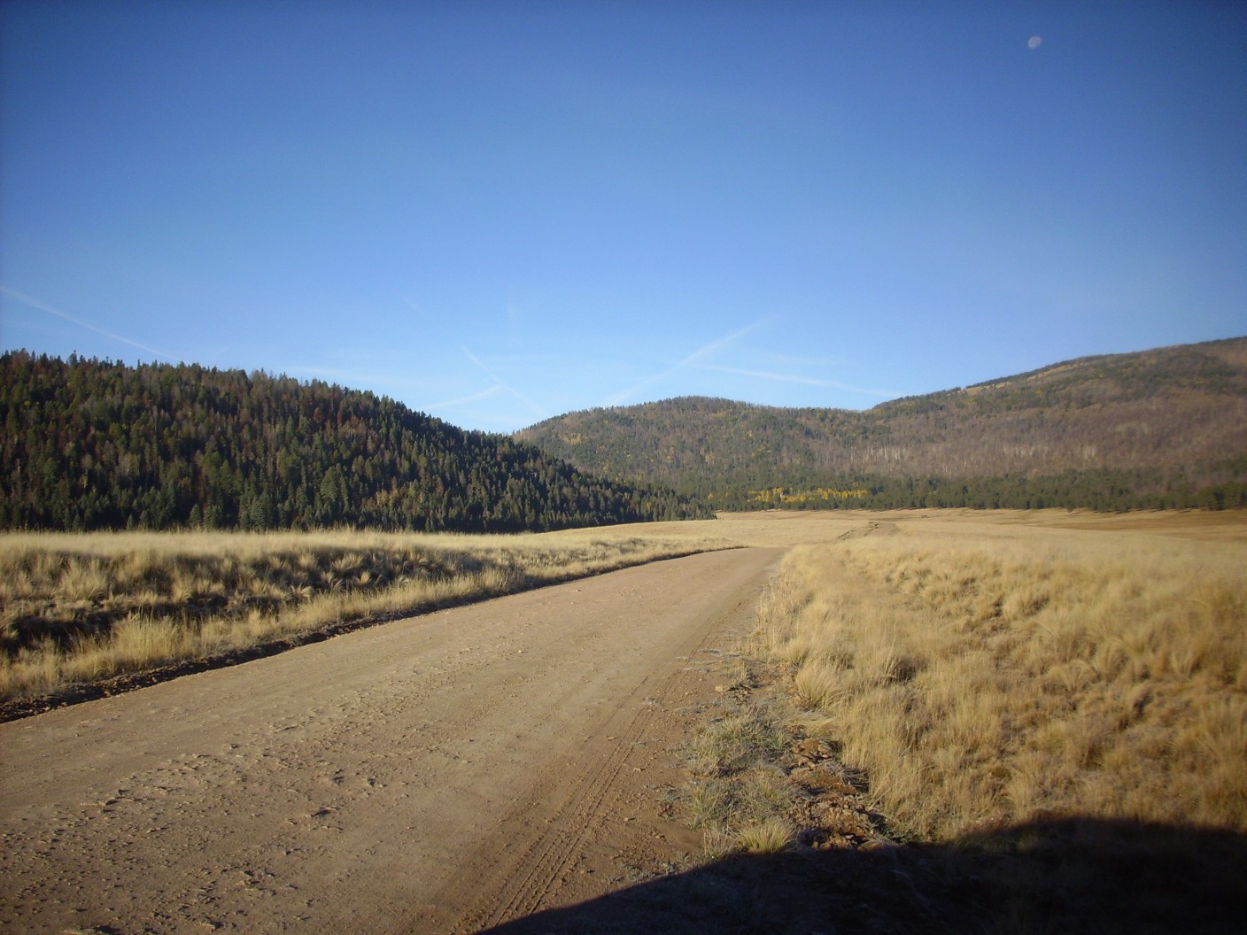
We park as instructed, load up, and head out. It is a beautiful view to the east.

The trail is pleasant, though some puddles are still present (and frozen over with ice). There are indications of recent work to improve the road, which was a fairly important part of the caldera road network back in the ranch days. We come to the branch with the old logging road to South Mountain.
At the top of the saddle we get a view through the trees to the southwest.
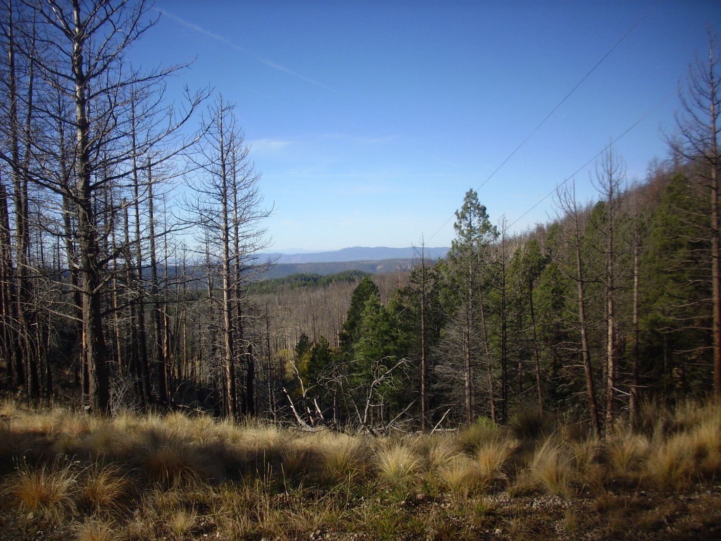
The distant mountains on the skyline are the Sierra Nacimiento, which forms the western edge of the Jemez. This is a block of ancient rock, between 1.7 and 1.4 billion years old, thrown up around 30 million years ago as part of a mountain building episode called the Laramide Orogeny. The rest of the Jemez came much later as a result of volcanic activity.
There is a spur from the saddle onto South Mountain. Gary suggests exploring it. I calculate in my head and suggest we see how the time looks coming back.
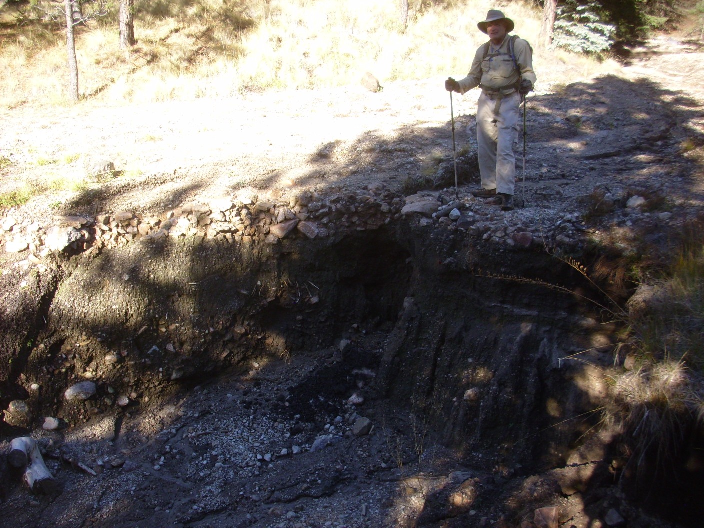
The road beyond the saddle has become badly gullied, due to flash flooding following the Las Conchas fire in 2011. We get to one particularly spectacular gully that completely blocks the road.

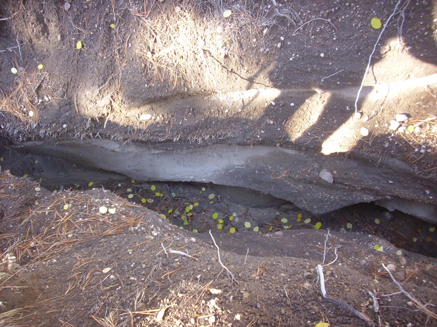
We head upstream, only to find a second very deep gully forking off the first.
However, we eventually find a spot where the gully abruptly shallows; the headwaters, if you will.

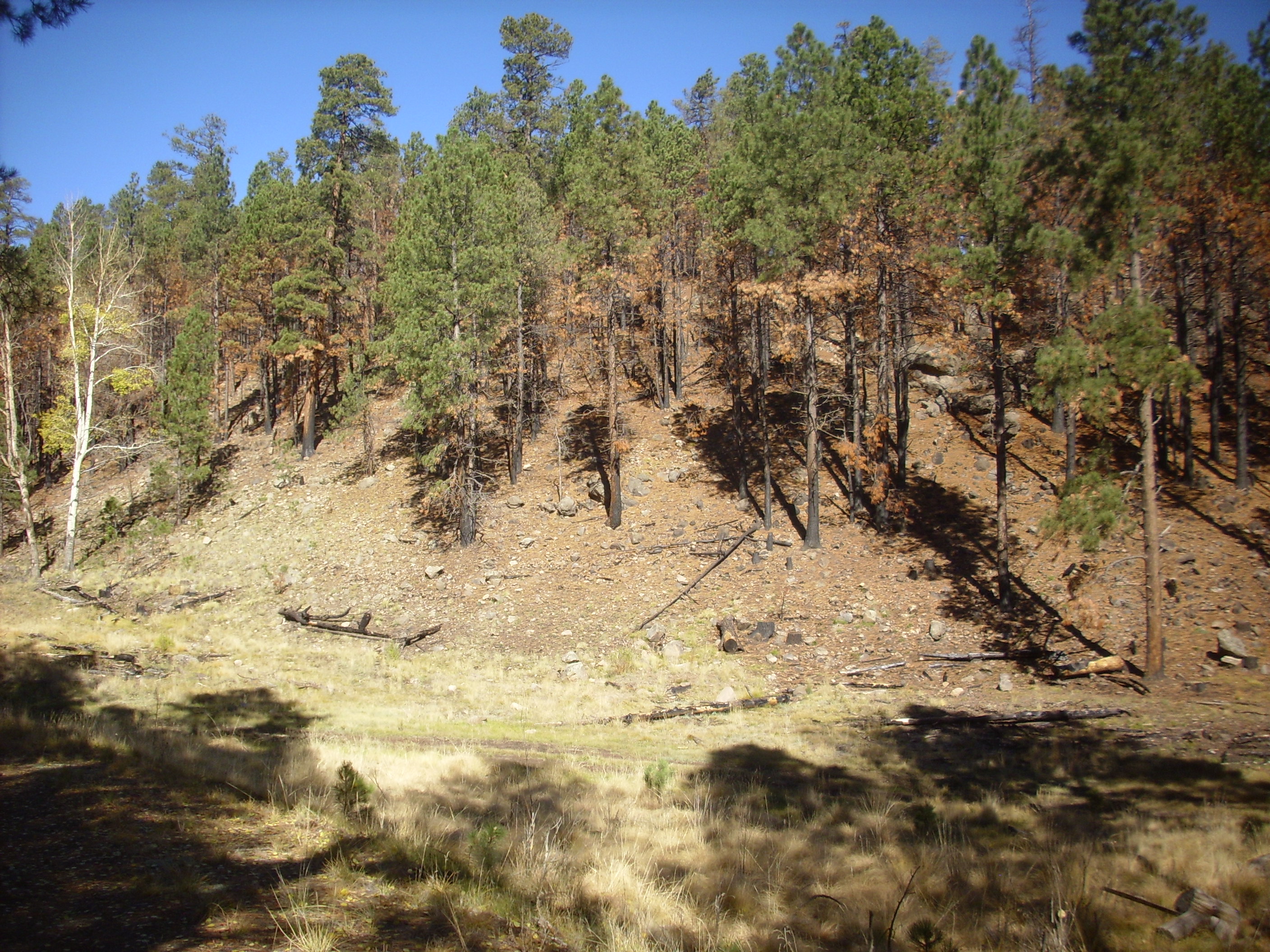
This is a pattern we will see repeatedly. Almost all the really deep gullies shallow quite abruptly further up slope, forming a lip almost like the rim of a waterfall — which I suspect is pretty much what you have every time there is a heavy rain. Further erosion likely moves the lip a little further up slope after each large storm.
Not much further along, I miss the turn to the right, and we end up going south of El Cajete rather than climbing to its east rim. This is probably not a bad thing; the other trail still takes us to our destination, it covers country I’d not seen before, and we take the correct road on our way out, so we miss nothing.
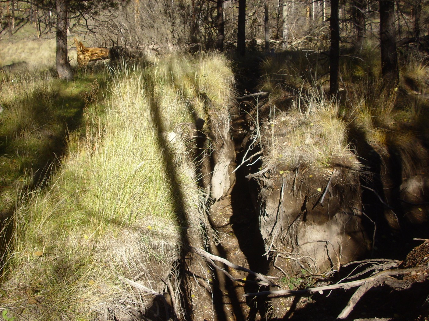
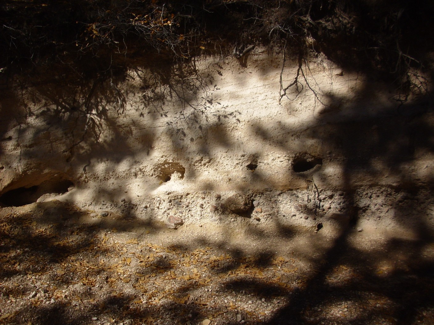
Here’s another example of the head of a gully not far from El Cajete.
The road bed is large reddish cobbles of rock, which seem to form a protective lip so that the gully has paused here at the edge of the road.
Not far past here, I begin to sense that I have lost my bearing. This doesn’t look right.

It’s pleasant enough hiking, but the steep drop to the left suggests I’ve taken us south of El Cajete. I consult the map as we pause for a mid-morning snack. Yeah, I missed the climb to El Cajete earlier, but, no, it’s not a problem.
Around here we see some nicely bedded El Cajete Pumice in the road cut.
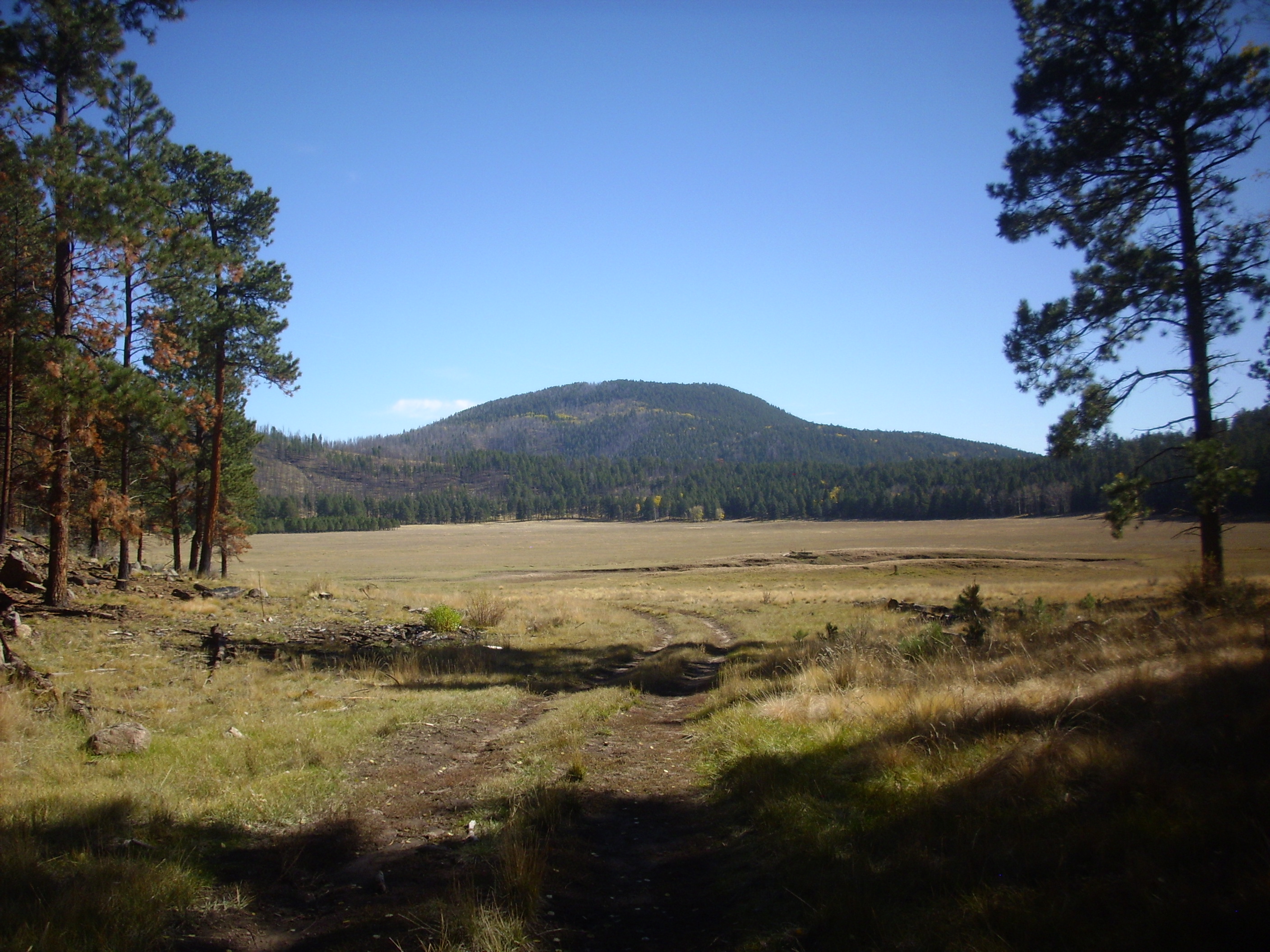
To the south is the low southwestern rim of the caldera, south of Valle de los Indios.
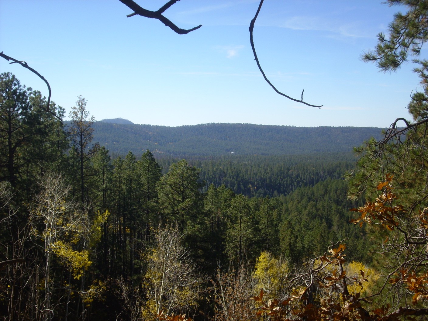
The hill peeking over the caldera rim at left is Cerro del Pino, a dome of dacite (fairly high-silica volcanic rock) erupted around 9.42 million years ago. It’s part of the Paliza Canyon Formation, pre-caldera volcanic rock that is actually the largest formation in the Jemez.
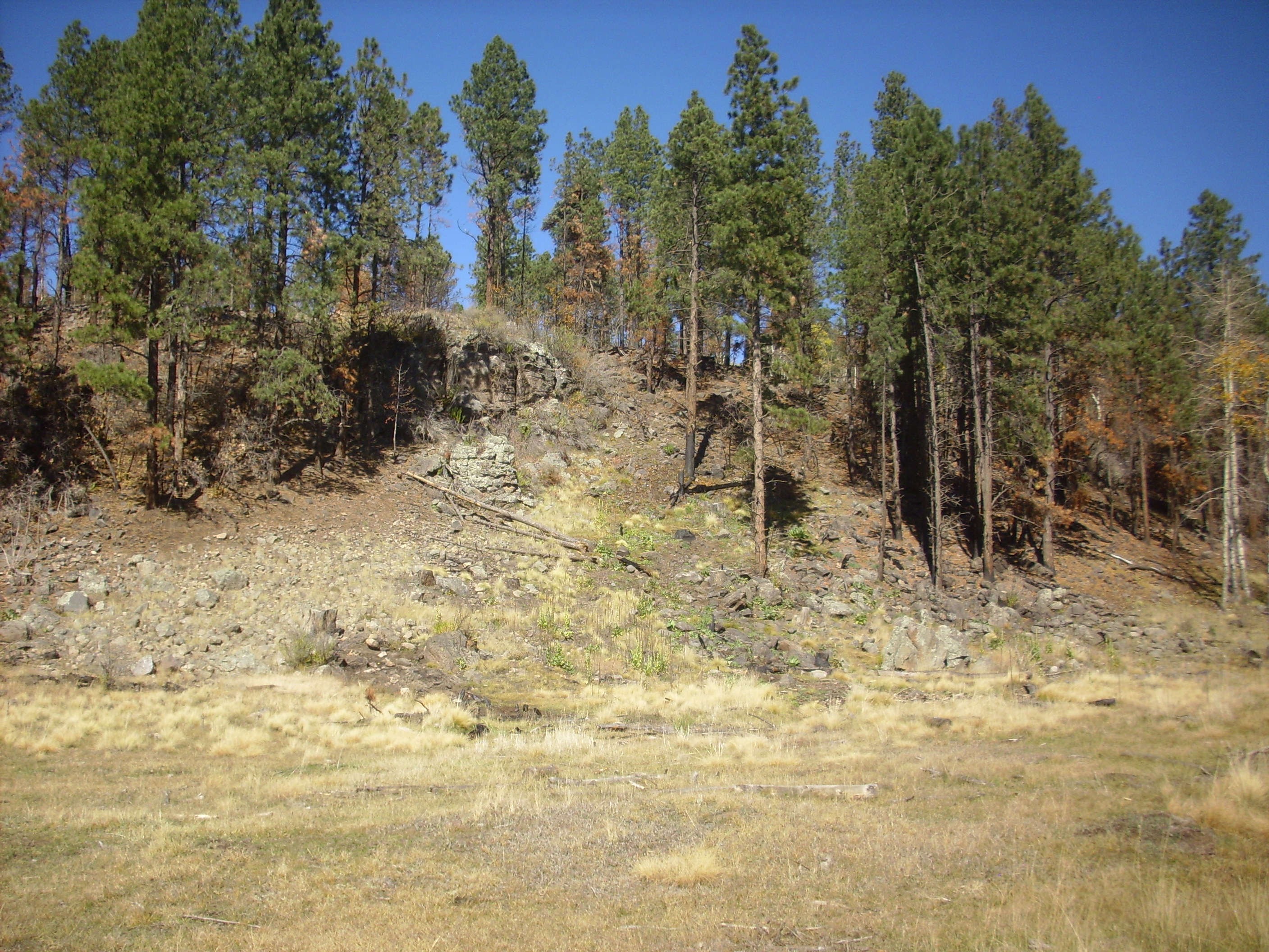
The slope to our right forms a very regular bank. On impulse, we climb to the top, and find ourselves on the south rim of El Cajete.
The rim is remarkably regular; men with bulldozers could not shape a more perfect berm. Except this is far larger than men with bulldozers could shape in any reasonable amount of time. To the north, through the trees, we see El Cajete and Redondo Peak beyond.
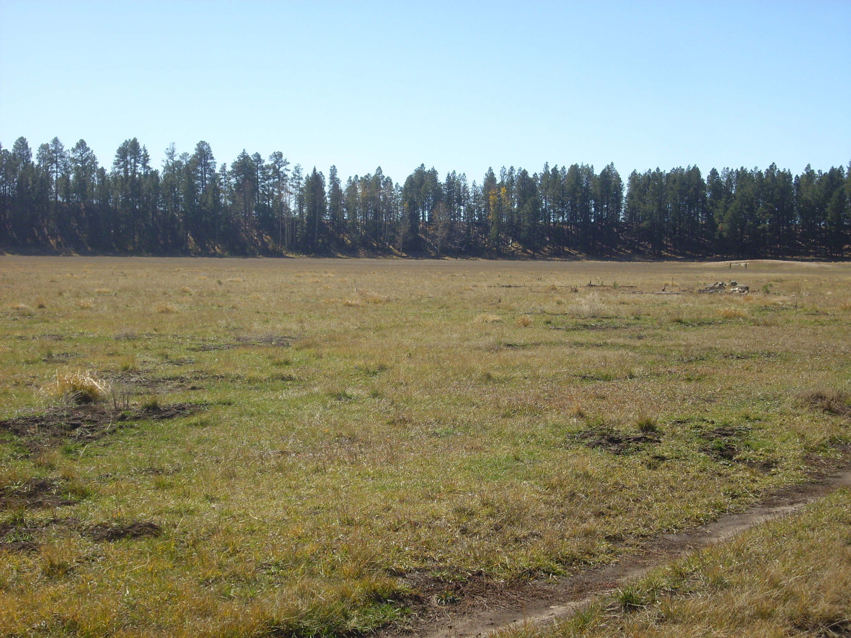
We continue along the road, and the eastern end of Banco Bonito comes into view.
Banco Bonito is the youngest known volcanic flow in the Jemez Mountains. It is young enough that its precise age has actually been quite difficult to pin down. Let me explain.
Most of the rocks of the Jemez have been dated using radiometric dating. The idea is to measure how much of a particular radioactive isotope is present in the rock, then measure how much of its daughter isotope (produced by its decay) is present. Then, if you know the decay rate of the radioactive isotope, and how much of that isotope and of the daughter isotope was present in the rock when it formed, you can easily calculate the age of the rock.
The trick is that you have to pick a radioactive isotope that is relatively abundant in the rock and that decays fast enough to produce a good amount of daughter product, but not so fast that the radioactive isotope entirely decays away. If the decay is too slow, there won’t be enough daughter to accurately measure. If it’s too fast, you won’t find enough of the parent to measure. The other trick is knowing how much of parent and daughter the rock had to begin with.
For the oldest rocks, uranium is popular. U-238 decays with a half-life of 4.5 billion years to an isotope of lead. It has quite different chemistry from lead, so that it collects in different minerals than lead when the rock crystallizes. A particularly good mineral is zircon; it soaks up a lot of uranium when it crystallizes, but almost no lead at all. So any lead you find in a zircon probably came from decay of the uranium it started with. There are various other tricks to refine the estimate of starting uranium versus lead, and we can now date older rocks by uranium-lead dating to one part in a thousand — 200,000 years of uncertainty in rock 200 million years old.
For rocks younger than about 100 million years, which would include all the volcanic rocks of the Jemez, potassium-argon dating was long the best method. Argon is a gas, so it escapes from melted rock. When the rock solidifies, argon-40 produced by decay of radioactive potassium-40 in the rock is trapped. Measuring the two gives a good age down to about a quarter of a million years. If the rock is less than 30,000 years old, then carbon-14 dating can be used to determine its age. Anything in between was long a problem.
A fairly recent refinement on potassium-argon dating is argon-argon dating. This is similar to potassium-argon dating but measures the potassium by bombarding the sample with neutrons, which convert some of the potassium-39 to argon-39. This allows a precise measurement of potassium content from the same sample as the argon-40 content. Argon-argon dating has become so precise that it can now fill in the gap between 250,000 years and 30,000 years. And so we now know that the Banco Bonito flow is about 74,000 years old.
Banco Bonito is an obsidian flow, produced from lava that was very rich in silica and very poor in dissolved gases. Such magma flows extremely slowly, and unless it cools extremely slowly, it turns to glass when it cools rather than crystallizing.
We head for the flow. To the east is El Cajete.
El Cajete is the second youngest vent in the Jemez. Its radiometric age is indistinguishable from that of Banco Bonito, but El Cajete pumice is found beneath Banco Bonito obsidian, establishing that El Cajete erupted first. The pumice came from a vent directly under the meadow in this photograph, which was later mostly filled in with sediments washed into the vent. As we’ve seen, the south rim of the vent is still easily discernible.
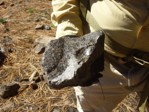
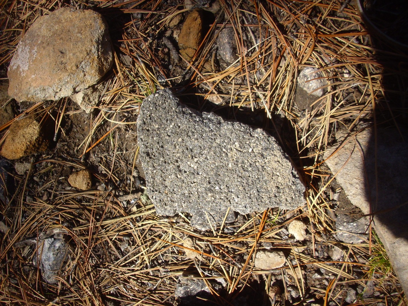
We examine some of the rocks on the lower slopes of Banco Bonito. Most are not flawless volcanic glass. The obsidian from Banco Bonito is not high quality; there are lots of inclusions, lots of cracks, and most of the surface of the flow has devitrified, slowly converting over thousands of years from volcanic glass to crystalline rock. Here are some samples.
This rock looks like a perlite.

Perlite is obsidian with a relatively high water content, which fills the rock with tiny bubbles. If the rock is heated enough to soften, the trapped water expands the rock to form a very light foamy material with numerous industrial uses.
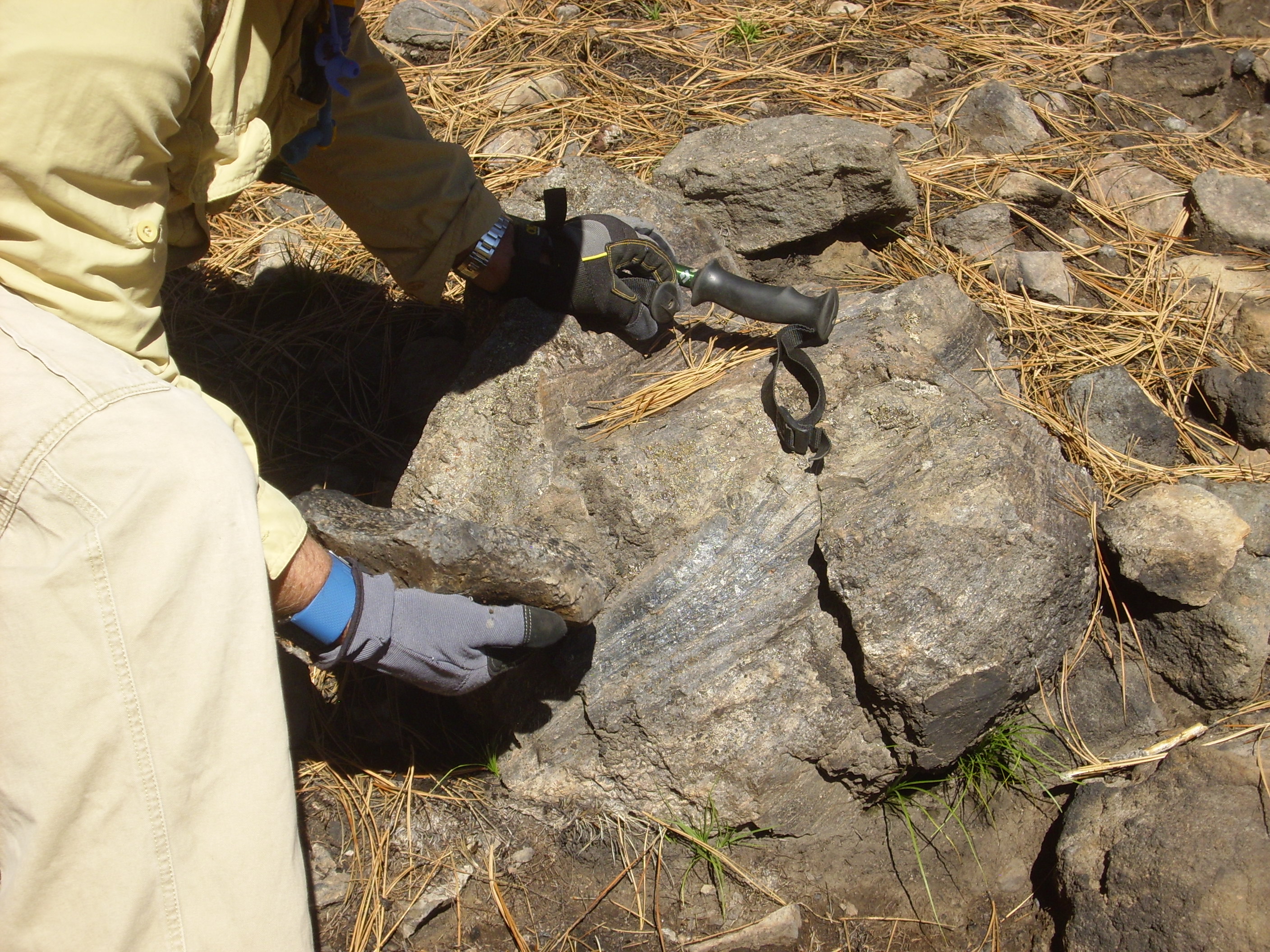
Gary has found a more conventional obsidian chunk.

Here is a partially devitrified boulder containing flow bands that are still glassy.
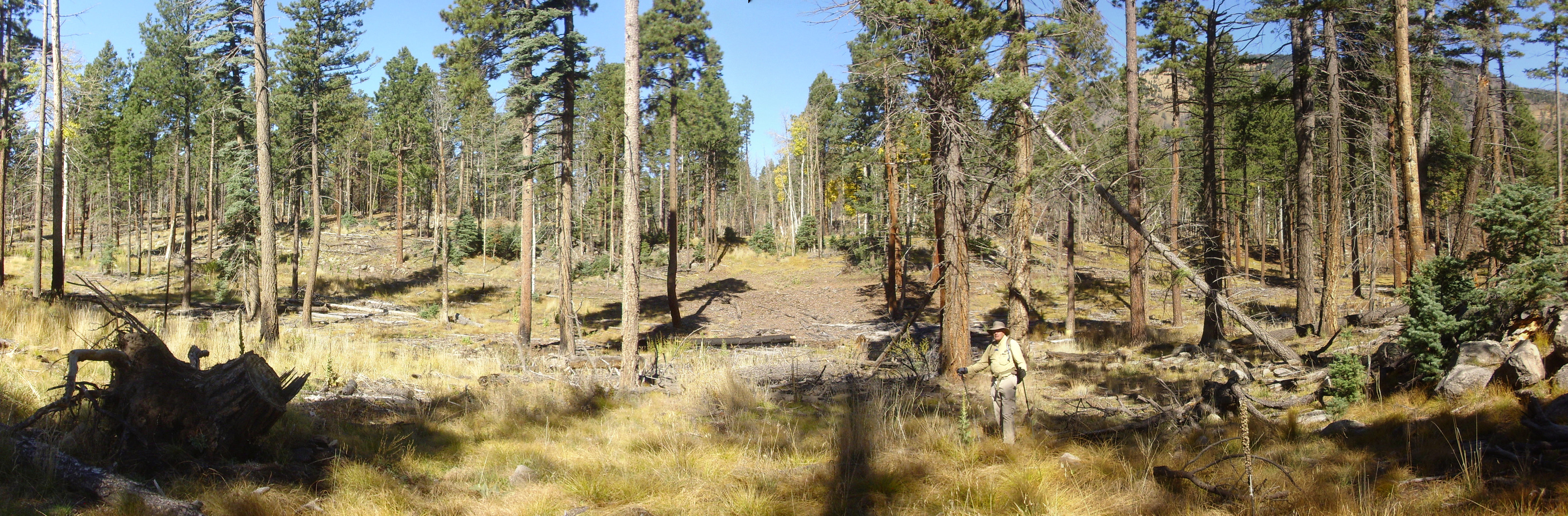
Gary and I consult. It is already past noon, but we decide to climb to the top of the flow for a quick lunch.
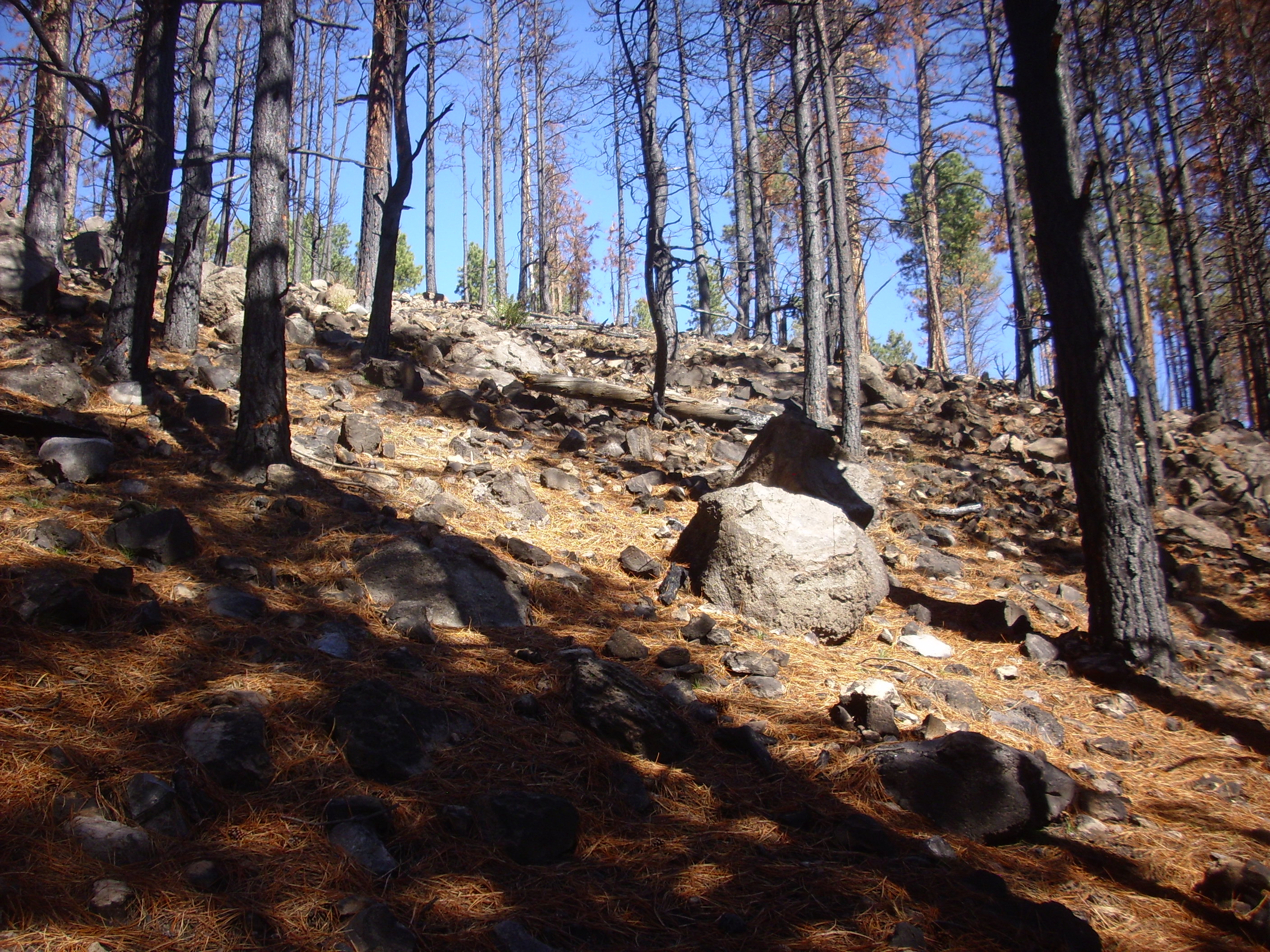
The boulders here are probably more or less where they were left at the end of the eruption. Active obsidian flows look like nothing so much as a creeping mountain of boulders, which may advance only a few tens of feet per year. The Banco Bonito flow reaches a maximum of about five miles from its likely source vent, a distance that may have required decades. The flow would have to have been insulated by a mantle of broken rock to keep it fluid all that time. The many boulders we see here were likely part of the broken rock mantle of the flow.
This is I don’t know.
It borders on being a pumice, which is volcanic glass full of gas bubbles. The bubbles are not quite pervasive enough in this sample to give it the usual white or off-white color of a pumice.
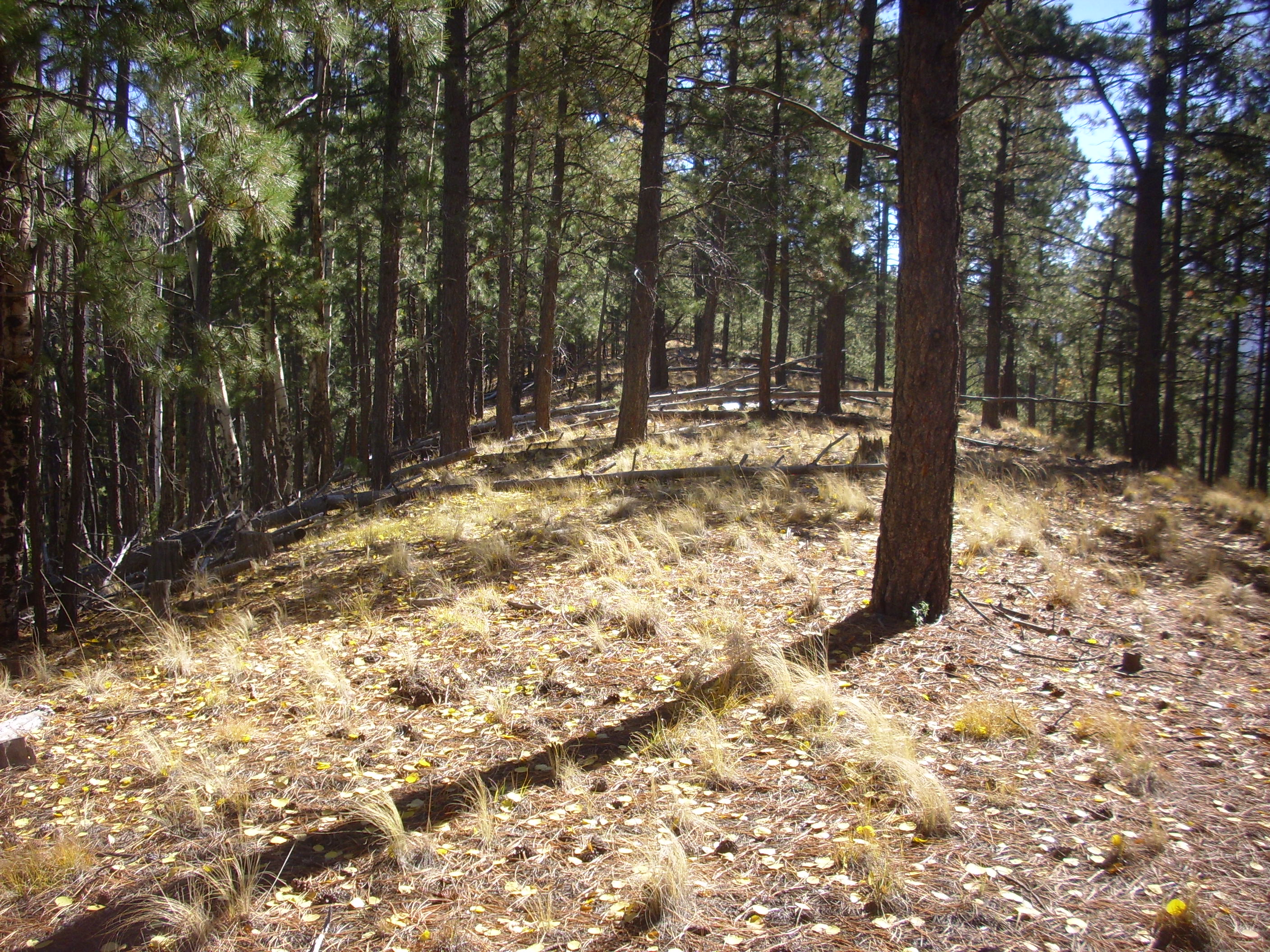
We reach the top of the flow to find ourselves on a curiously flat area with higher ground further on.
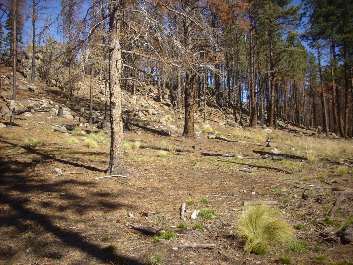
I’ve told Gary about explosion pits, which are common on young obsidian flows. Ground water soaking into the upper part of a still-hot obsidian flow can build up pressure until there is a steam explosion which blows a crater in the top of the flow. Some can be hundreds of feet across, and there are several large ones on Banco Bonito. Alas, even the most accessible is too far for us to reach today. Gary and I wonder if this might be a small and oblong explosion pit, but I conclude that we are more likely looking at the front of a pressure ridge. These are also common on viscous lava flows and look like long swells in the top of the flow. This really looks like one:
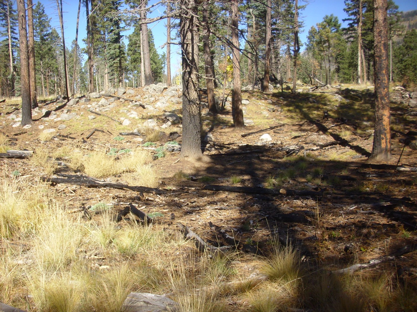
And on the other side is a long, narrow drainage and another of what I am becoming convinced is a pressure ridge.
We eat lunch, ruminating on our graduate school careers. Gary’s Ph.D. defense consisted largely of listening to his committee chair, who was an enthusiastic amateur geologist, ruminate for three hours on the eruption of Mount St. Helens that had taken place a week earlier. I feel slightly guilty about mine; the committee passed me with the understanding that I was going to publish my dissertation, but when I submitted one of the more interesting conclusions in it to the relevant journal, I got back a request to perform a few more observations to confirm the result first. I was at Sandia by then and in no position for follow up observations, so it ended up never getting published. (Dmitri Mihalas, the world-class authority on stellar atmospheres who worked briefly at LANL, later looked it over with interest and told me I should have tried harder to publish it.)
Lunch done, we head down the wash to El Cajete. My toes are starting to hurt a little; I have neuropathy, likely from my diabetes, that has destroyed the sensation in the middle toes of both feet while leaving the base of the toes rather sensitive. Gary, it turns out, is hurting worse than I am; he enquires if I thought to bring any Tylenol. Alas, no.
At far left is the dome on the southeast flank of Redondo Peak, which looks pretty respectable from this angle. Nonetheless, it has no name on the topo map. To its right in the distance is South Mountain, then the south rim of El Cajete.
I still marvel at how regular the southwest rim looks.
A final shot of the east face of Banco Bonito.
I am briefly concerned when I get to the road junction on the north side of El Cajete; the road east is awfully indistinct. Fortunately, there is signage. There are also several small debris flows across the road, from the recent fire.
We hurry back to the trailhead as best we can. My feet are hurting a bit, I’m starting to feel dead tired, and my back is very sore between the shoulder blades from the weight of my pack. (Which isn’t that much, but I have a bit of arthritis right there.) Gary’s foot is really hurting. We cut cross country the last lap to trip a few steps off, are very happy to find the car, and head on out.
I am home more or less on time. I rest up and get to bed early. The next day I am feeling better, and Gary says that soaking his feet in Epsom salts seemed to help a little. Rebbecca, Gary’s wife, who normally seems delighted Gary has found a friend to hike with, suggests a somewhat shorter hike next weekend; I’m good with that.
This one was about nine miles, round trip, and with significant elevation change. Pretty good for guys in their 50s and 60s.
Thank you for the vicarious hike and geology lesson. Your pictures, prose and georefs make a very cohesive tho not exhaustive report. I’ve spent a lot of time admiring El Cajete on google and have always hoped to go there. My husband and I do so some hiking but we’re old and creaky so not too much. Openly discussing your pain there at the end inspires me to hike a little further.
Thanks for your kind words.