Wanderlusting the San Pedro Mountains
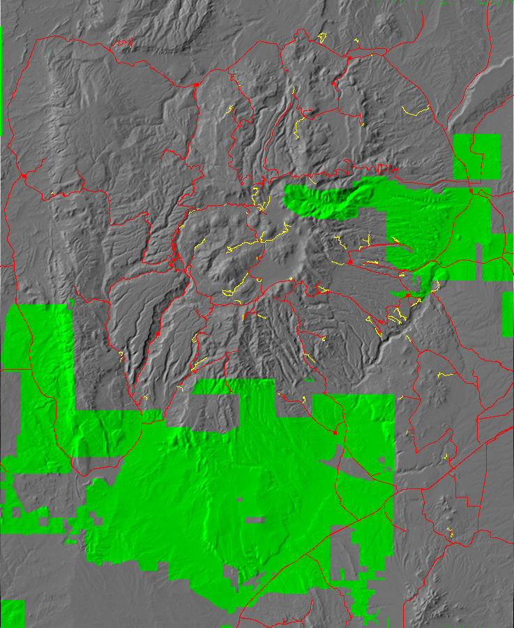
If you look at my map of where I’ve been, you see a number of blank areas.
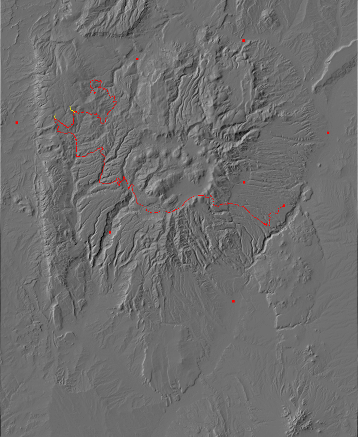
One I’ve been thinking about for a while is the San Pedro Mountains, the northwesternmost corner of the Jemez Mountains. I’ve not visited it much because it’s the farthest corner from home and much of it is wilderness area with no road network.
But I’ve been thinking about paying it more attention, particularly since I’ve started yet another redrafting of the book and I’ve been reviewing the chapter on the Precambrian. Most of the San Pedro Mountains is underlain by Precambrian rocks. So when my previous plans for today fell through, I put together a quick plan to visit the San Pedro Mountains instead.
The first part of the trip is very familiar ground, but I do pause for one panorama, of upper Frijoles Canyon, from high ground next to the highway.
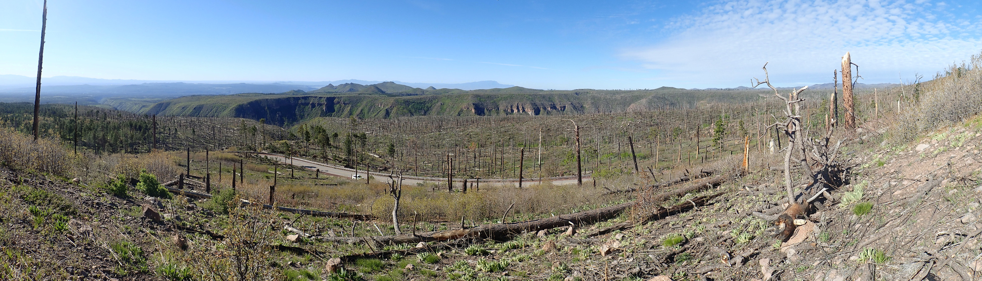
As with most images at this site, you may click to enlarge. At center are prominent white cliffs of Bandelier Tuff; these are at the west end of Mesa del Rito. Right of the spur at center right is Sawyer Mesa. The ridge connecting the two is Obsidian Ridge, which will likely be the target of my next wanderlust: An obsidian hunt with Gary Stradling.
The ridge is underlain by a glowing avalanche debris flow that came off Rabbit Mountain, eight miles to the west, sometime between the eruption of the Otowi Member of the Bandelier Tuff (1.62 million years ago) and the Tsherige Member of the Bandelier Tuff (1.25 million years ago) but probably around 1.43 million years ago, the age of Rabbit Mountain.
Okay, let’s unpack that. The Otowi Member and the Tsherige Member are ignimbrites from two giant caldera eruptions in the Jemez Mountains. These eruptions produced extremely viscous magma with a high dissolved gas content, which basically exploded into a red-hot mixture of gas and microscopic shards of volcanic glass when it reached the surface. This mixture was heavier than air and flowed across the surface for miles in all directions (pyroclastic flows) before settling to the surface and compacting into a hard rock called ignimbrite. An older term for ignimbrite is tuff, and though the two are not quite synonymous, geologists tend to use them interchangeably.
After each giant caldera eruption, smaller eruptions took place as magma leaked from the fissures where the caldera collapsed. In the case of the Toledo event that produced the Otowi Member, one of the smaller subsequent eruptions produced Rabbit Mountain. The sides of the Rabbit Mountain dome repeatedly collapsed, exposing the still-hot interior and sending an avalanche of glowing rock fragments for eight miles downhill. This avalanche debris is rich in fragments of obsidian.
Here’s a video of a glowing avalanche.
The glowing avalanche stopped just short of where you now see the prominent cliffs at the west end of Mesa del Rito. The cliffs themselves are Otowi Member with a cap of Tsherige Member. Sawyer Mesa has the debris flow sandwiched between the Otowi and Tsherige beds. Obsidian Ridge has the debris flow sitting on Otowi Member with no cap of Tsherige Member. The Tsherige Member has here has been eroded away, exposing the debris flow.
Pardon the long digression. I’m looking forward to the obsidian hunt. I had hoped to be able to make out the separate beds in this panorama, but the vegetation cover obscures it too well.
I proceed through the caldera to La Cueva and take State Road 126. This climbs the western caldera rim and eventually becomes a dirt road north of Seven Springs. It’s a pretty good dirt road, except in winter or bad weather. It opened for the season just a couple of weeks ago.
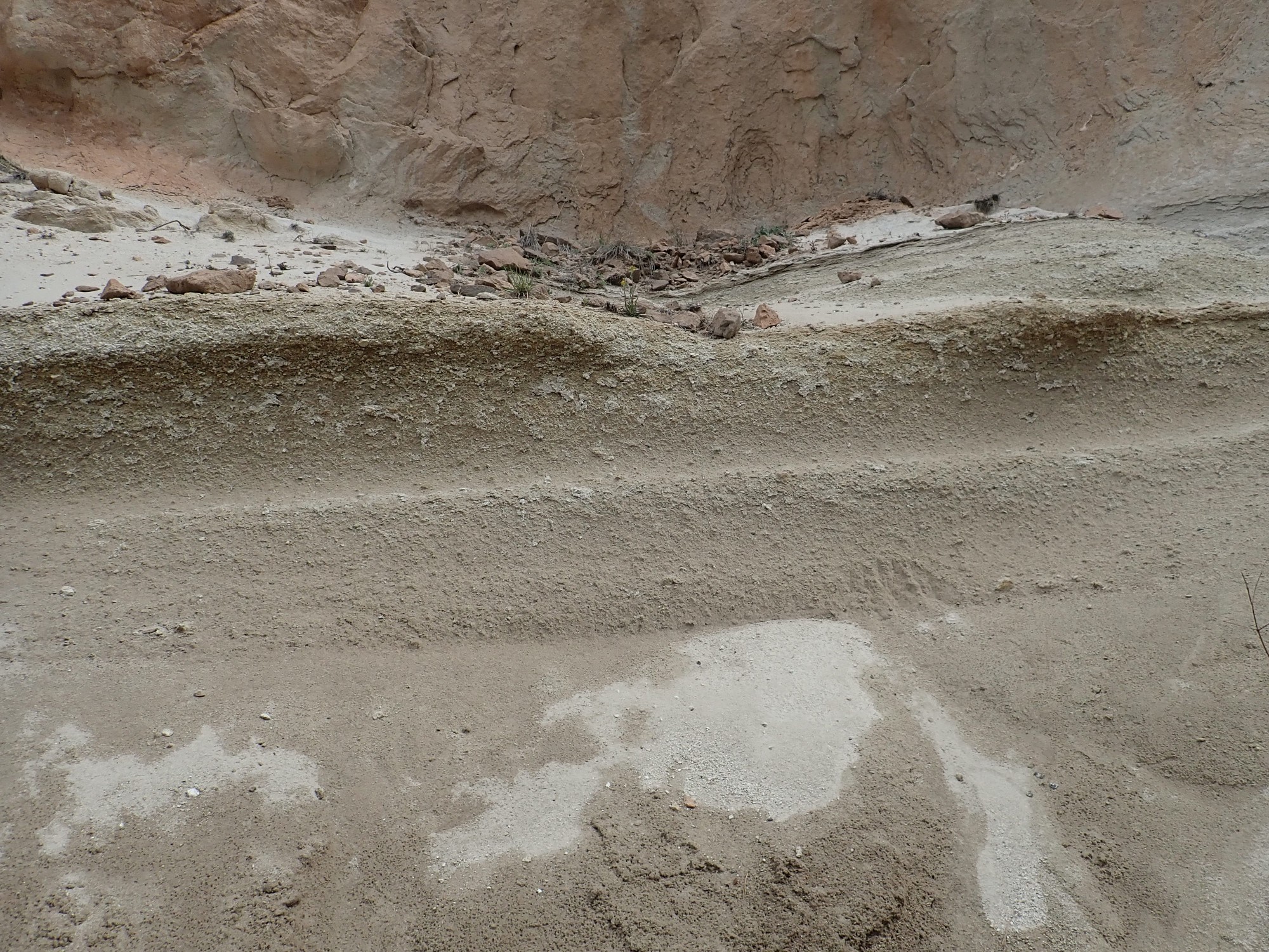
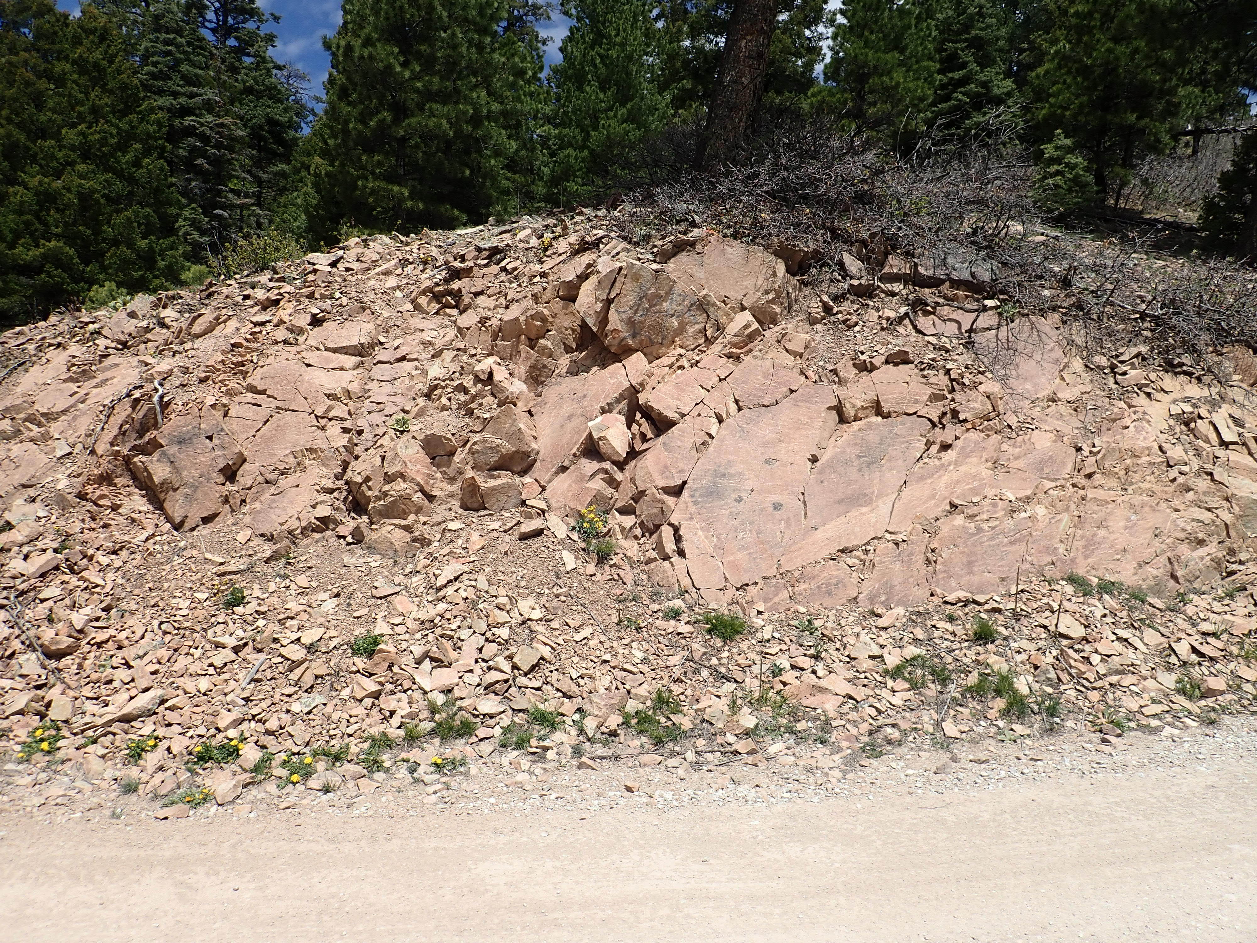
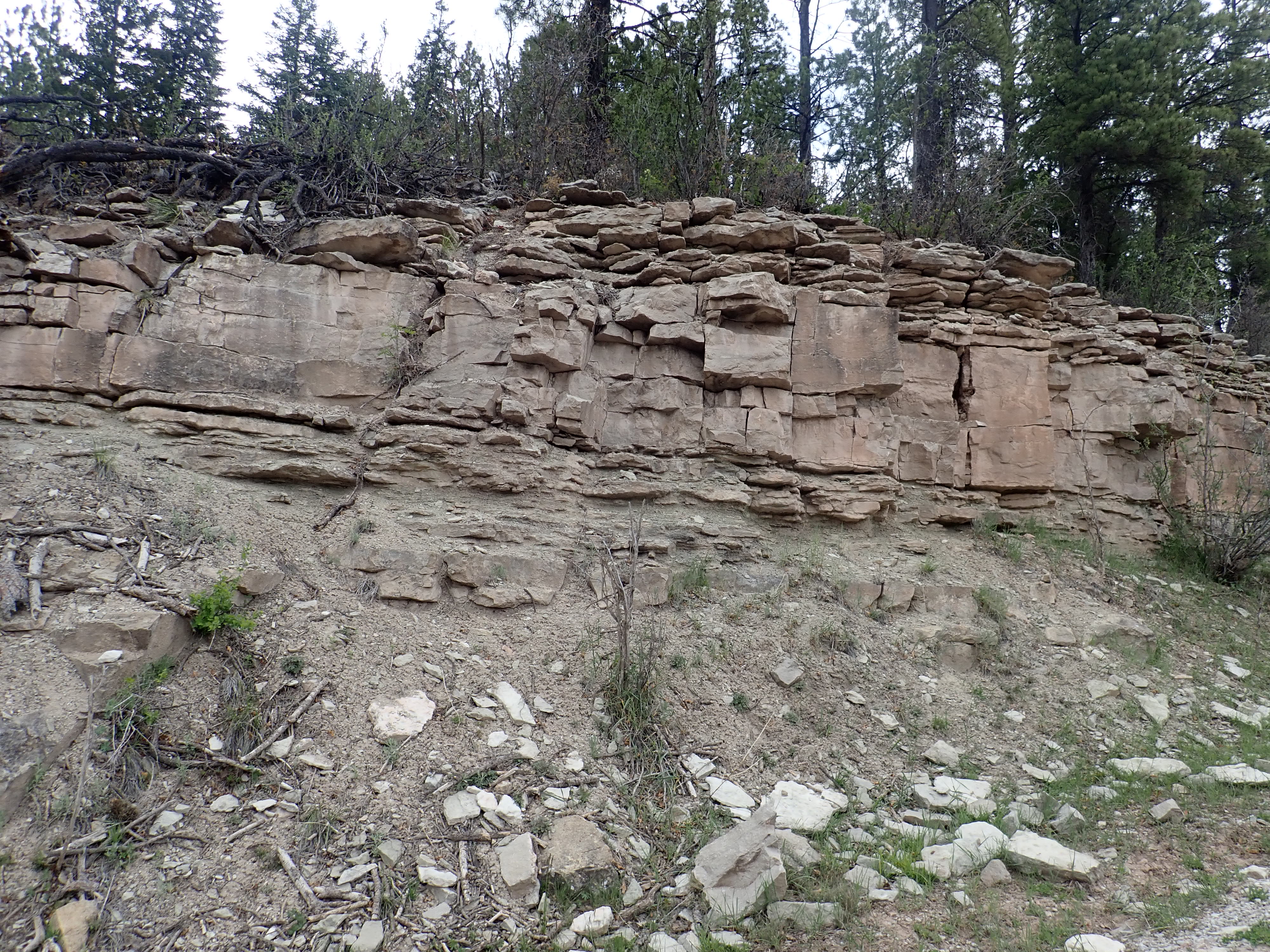
I’ve noticed this outcropping before.

This whole area is mapped as Otowi Member, but the thinly bedded layers are unusual. There are often surge beds at the lowermost part of an ignimbrite, but rarely this thick. This trip, I also notice contorted bedding to the south.
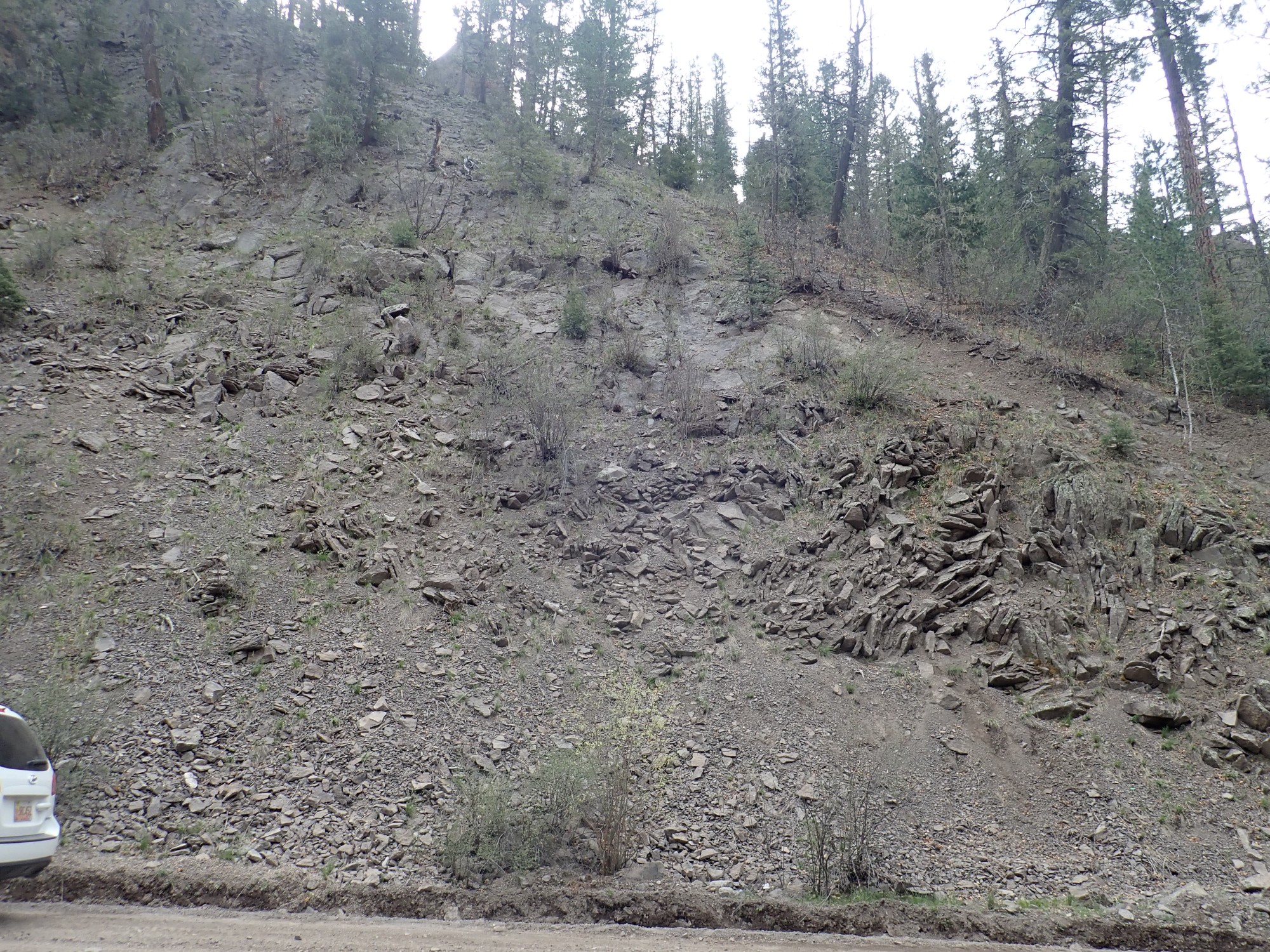
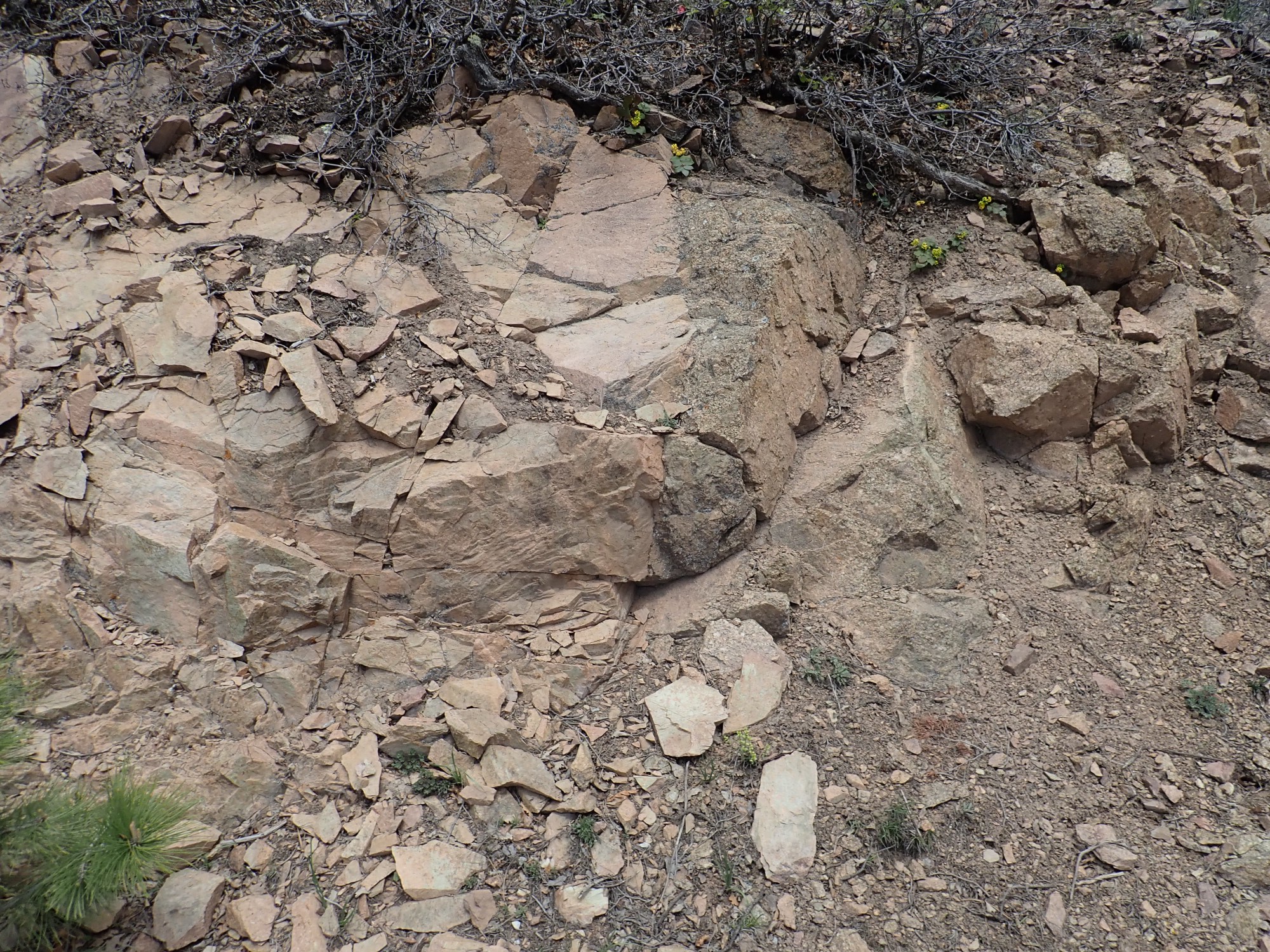
I look at a broken sample.
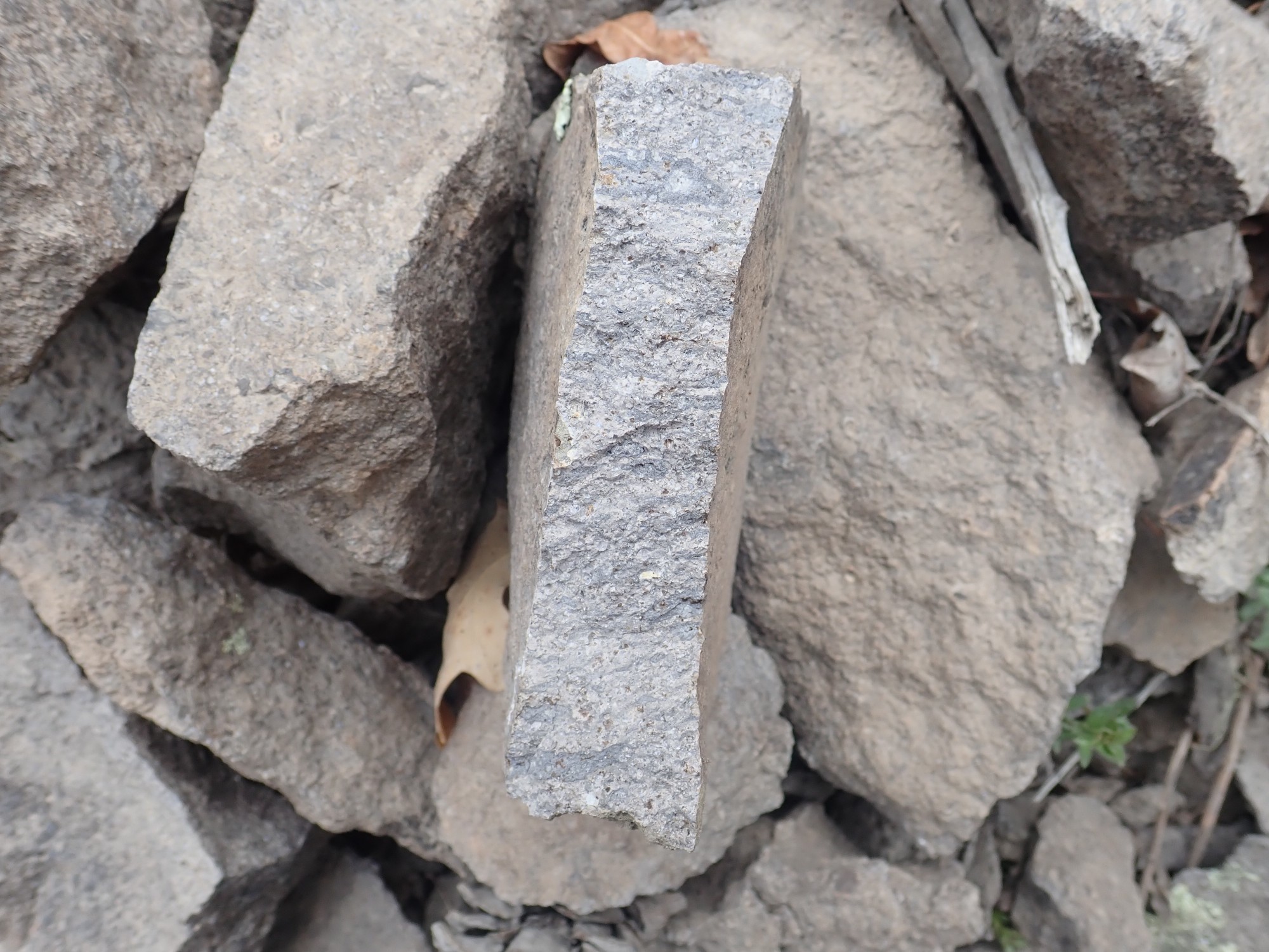
It looks like a very densely welded tuff. There are fiamme, bits of embedded rock that has been softened and squashed flat. That may explain some of the features of this outcrop; its base was extremely hot, still soft, and deformed under the weight of the overlying ash beds.
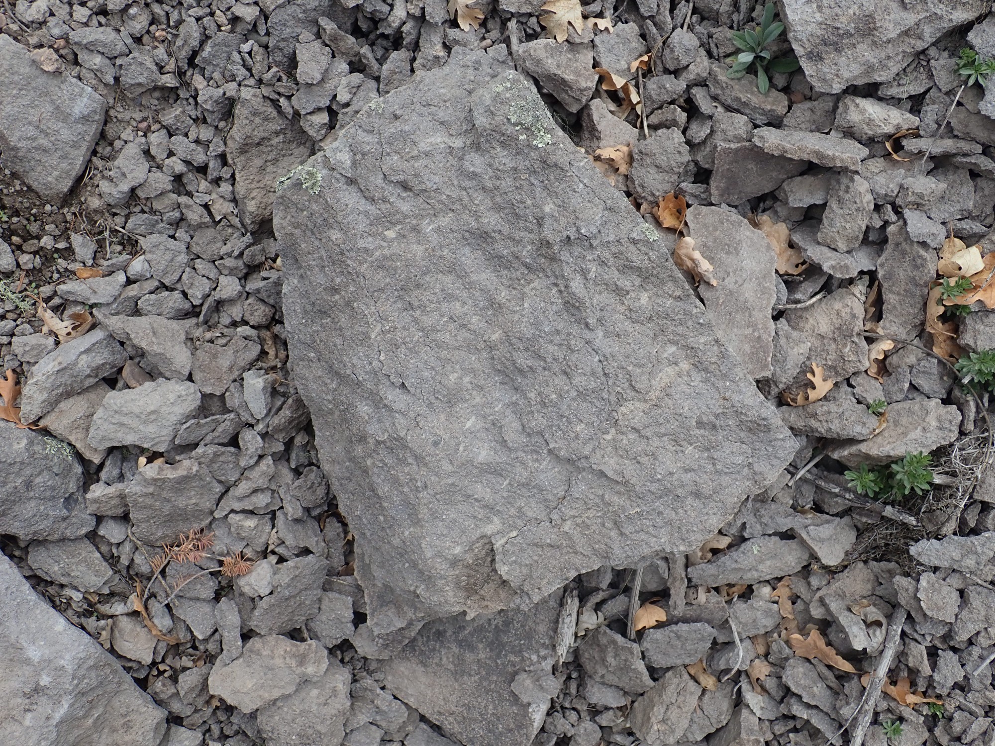
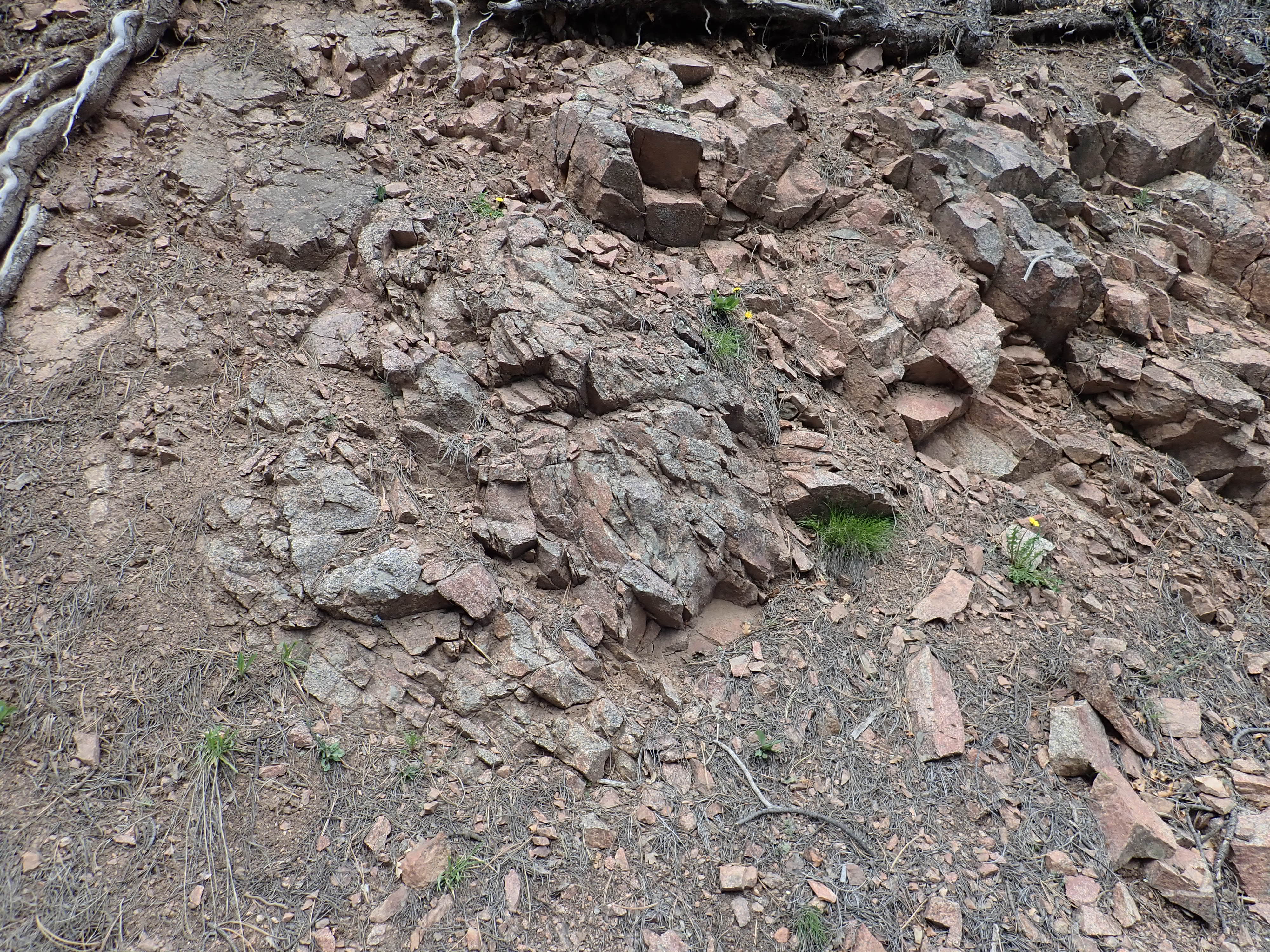
Another sample showing fiamme.
I continue over the saddle and into Telephone Canyon. Which is too pretty not to photograph.
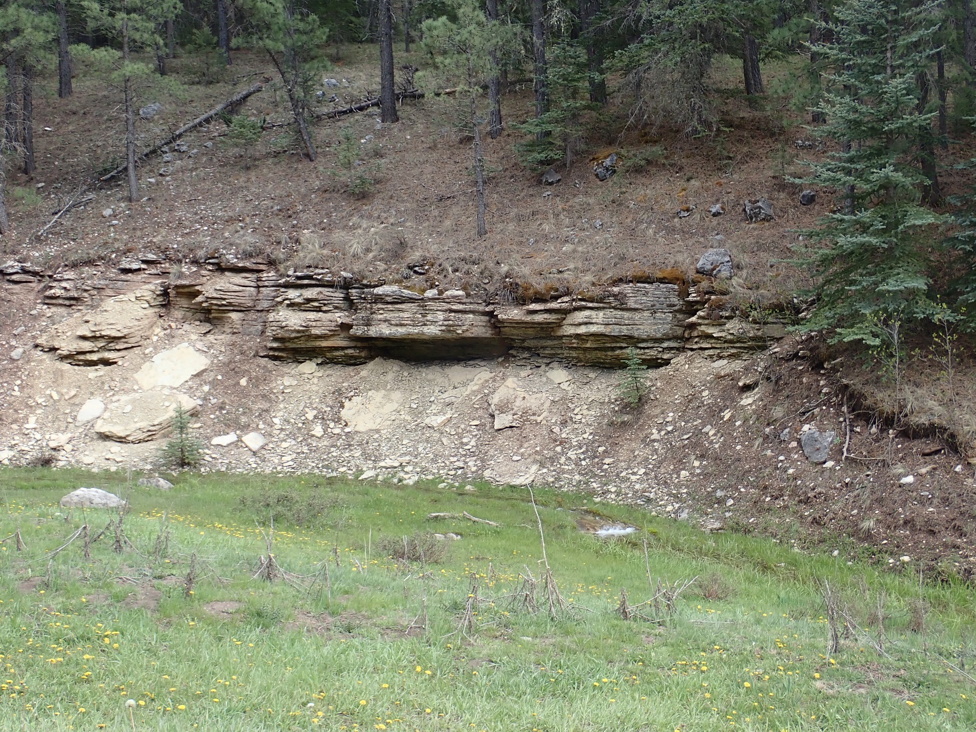
A little further on is an outcrop I may have looked at before, but hadn’t really scrutinized.
The rock at top is Bandelier Tuff; my geologic map doesn’t specify which member, but I’d guess Otowi. The beds beneath are something of an aquifer, soaked with water.
The Otowi Member has a pumice bed at its base east of the Jemez, but it doesn’t seem to be present here. These could be surge beds, but they don’t quite look right for that. They seem to be heavy with decomposed pumice and volcanic ash, but they look like they have been reworked by water. I wonder if these are lake beds rich with volcanic debris from Jemez eruptions prior to the one 1.62 million years ago that produced the Otowi Member.
The ash covers the slope beneath, but if you scrape the surface layer, you see red sediments typical of the Abo Formation. This is a Permian formation, almost 300 million years old, deposited in this area by streams long, long before there was a Jemez volcanic field.
The Otowi Member here has some pretty large embedded pumice.
The pumice fragments are not deformed, indicating that this is an unwelded tuff. By the time the ash particles in the pyroclastic flow settled to the surface, they had cooled enough that they were already mostly solid.
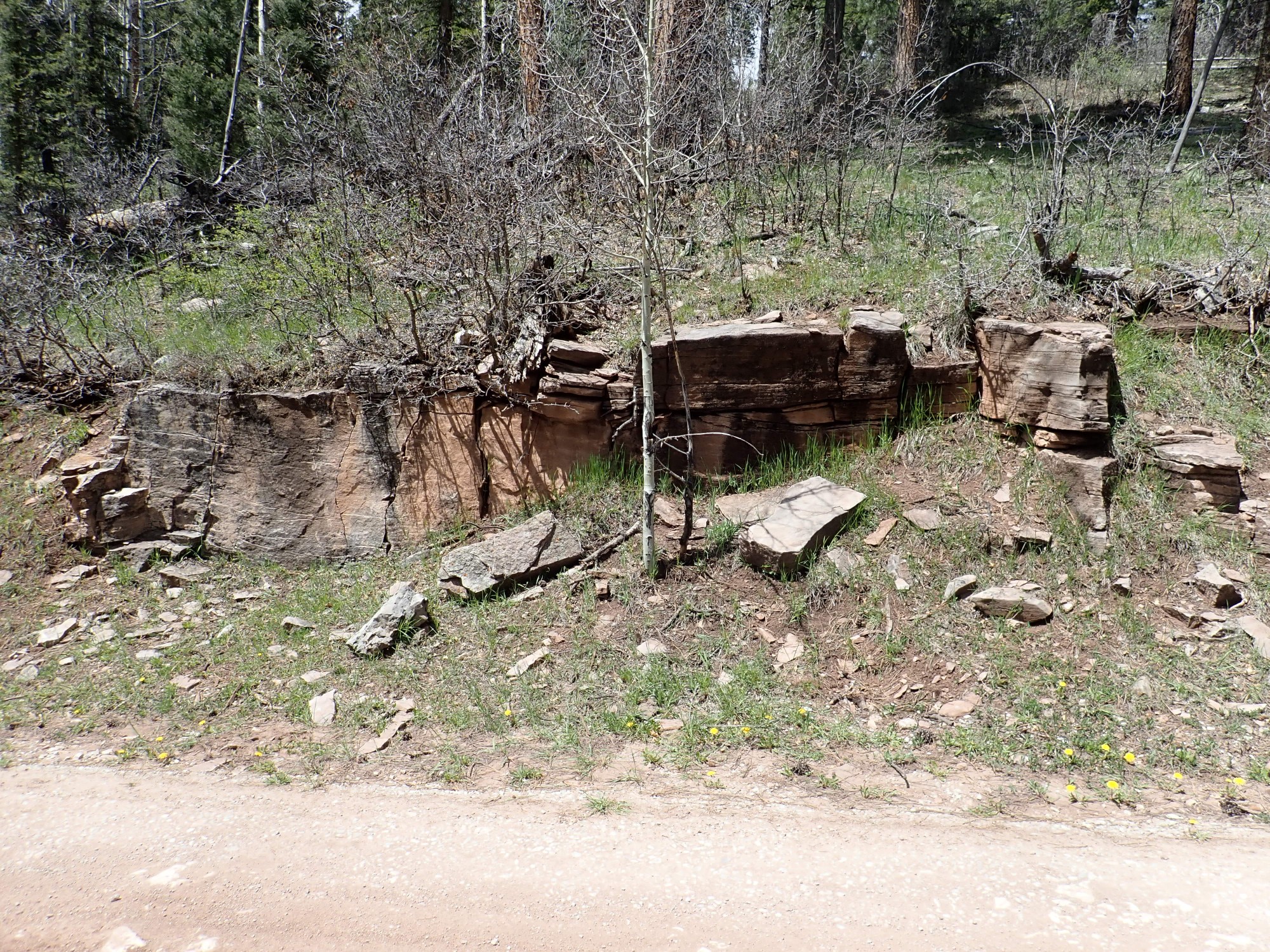
Not far past here I am back on paved road, and proceed towards Cuba. I take the gravel road towards San Gregorio Reservoir. This soon passes outcroppings of Curtis Group sandstone.
There is a small awkwardness with the stratigraphy in this part of the Jemez. In the 1900s, geologists working in southwestern Colorado named a sandstone formation the Curtis Formation, and began mapping it to the west and south. The name soon became deeply entrenched in the literature. A couple of years later, another group of geologists working in central New Mexico named a sandstone formation found there the Abo Formation, and began mapping it along the valley of the Rio Grande. That name, too, soon became entrenched in the literature. Both are red sandstones of early Permian age.
It wasn’t until the 1940s that another group of geologists working in the very area I’m visiting today made the embarrassing discovery that the Abo Formation and the Curtis Formation meet seamlessly in this area. There’s no distinction between them here. The resulting awkwardness was resolved by decreeing that the beds north of 36 degrees north latitude are Curtis Formation and those south of 36 degrees north latitude are Abo Formation. I’m just over the line, so these boulders are Curtis Formation.
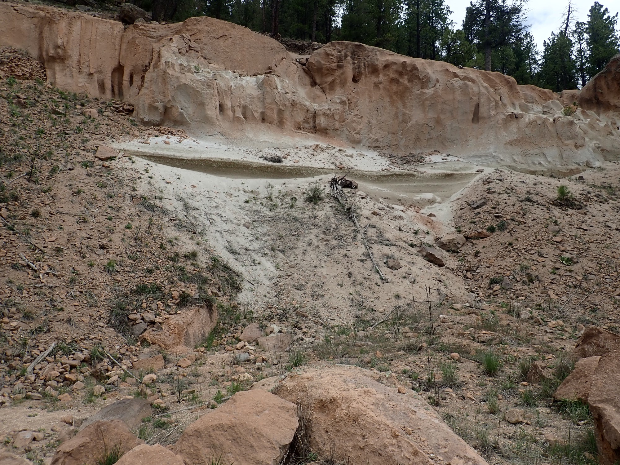
The Curtis Formation lies on top of Precambrian beds in this area, with a gap of at least 1.1 billion years in the geologic record. A similar gap is found throughout much of North America and is known as the Great Unconformity. Here is the Great Unconformity, up close and personal:

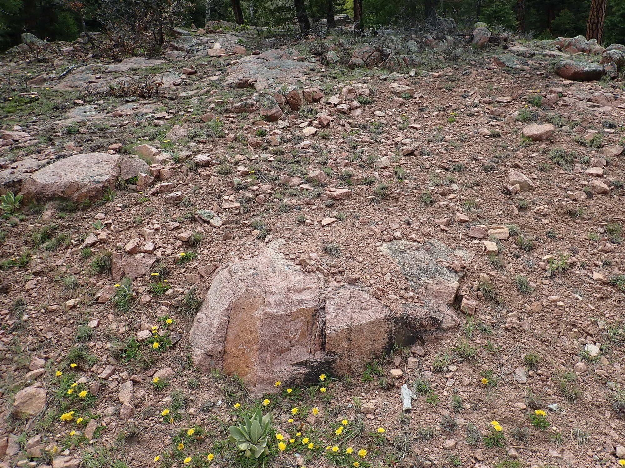
The foreground bed is an outcrop of the San Pedro Quartz Monzonite. It’s a granite in the broad sense, but geologists use “granite” in a very narrow sense and this rock doesn’t match the criterion. It has less quartz and more plagioclase than a true granite. Its age has been measured radiometrically at 1.73 billion years — one of the oldest rocks of the Jemez.
The boulders sitting atop the granite at center and right are Cutler Formation. More Cutler Formation is visible across the road. Here the road sits right on top of the Great Unconformity, on the boundary between the Cutler Formation and the monzonite.
This is interesting for another reason. The granite core of the San Pedro Mountains is a surprisingly level surface, which may be 350 million years old. This surface was faulted and thrust upwards around 320 million years ago as part of the Ancestral Rocky Mountains. Later it was gradually buried in sediments as the area subsided again. In the northwest corner of the San Pedro Mountains, there are Mississipian beds atop the granite that are 325 million years old. Around more of its edges are Pennsylvanian beds 310 million years old. Here, almost atop the granite core, are Cutler Formation beds of the Permian that are less than 300 million years old. This is a beautiful example of onlap, where progressively younger beds read further up an area that was once elevated as it again subsides.
I arrive at the trail head for the San Gregorio Trail, and look around at the monzonite here. It’s beautiful. It also has a very distinctive pattern, visible throughout the area, of fractures running northwest to southeast:
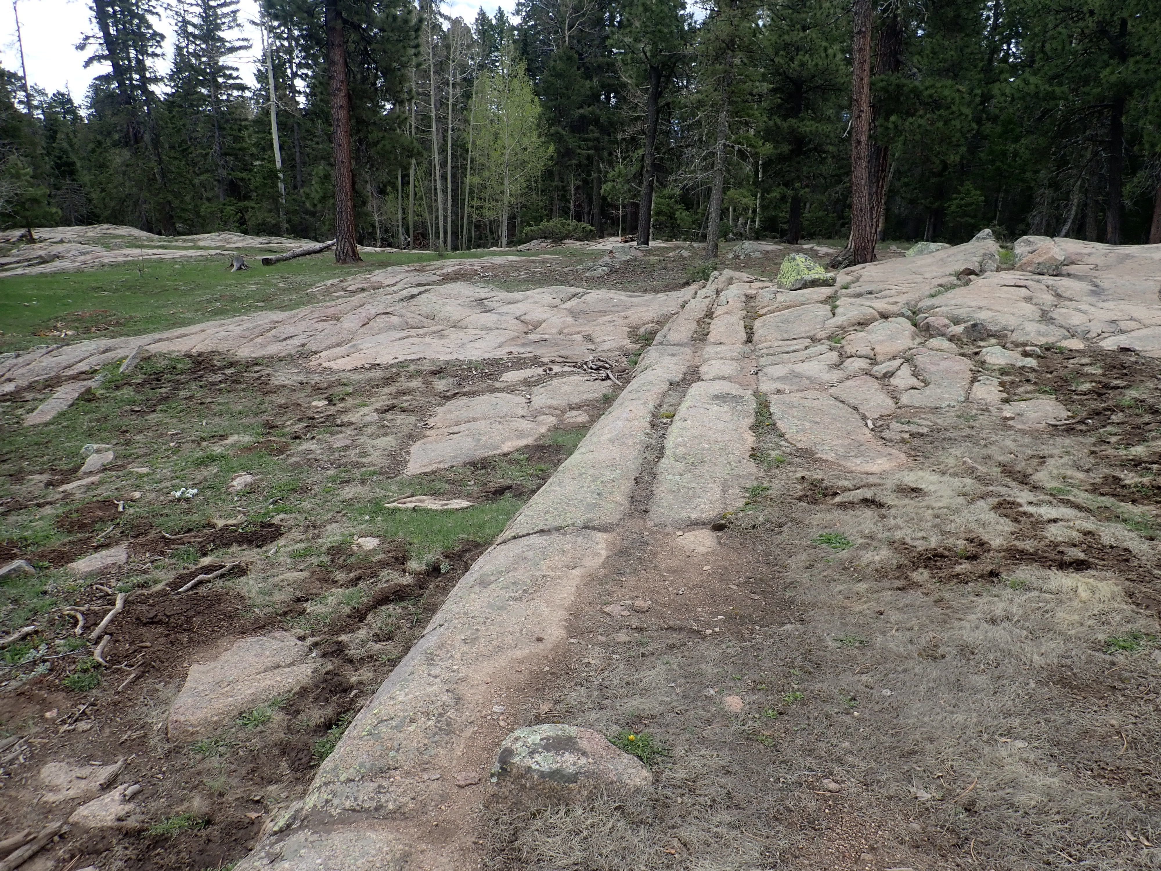
The fractures run vertically into the ground.
This likely records a time when the granite was deep underground and was compressed from southwest to northeast. Since both the Ancestral Rocky Mountains and the modern Rocky Mountains involved compression from east to west in this area, my guess is that this episode of deformation dates clear back to the Precambrian.
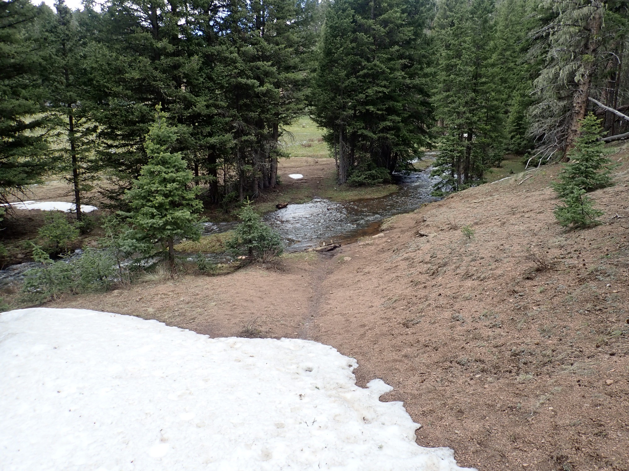
I load up and head for the trail head.
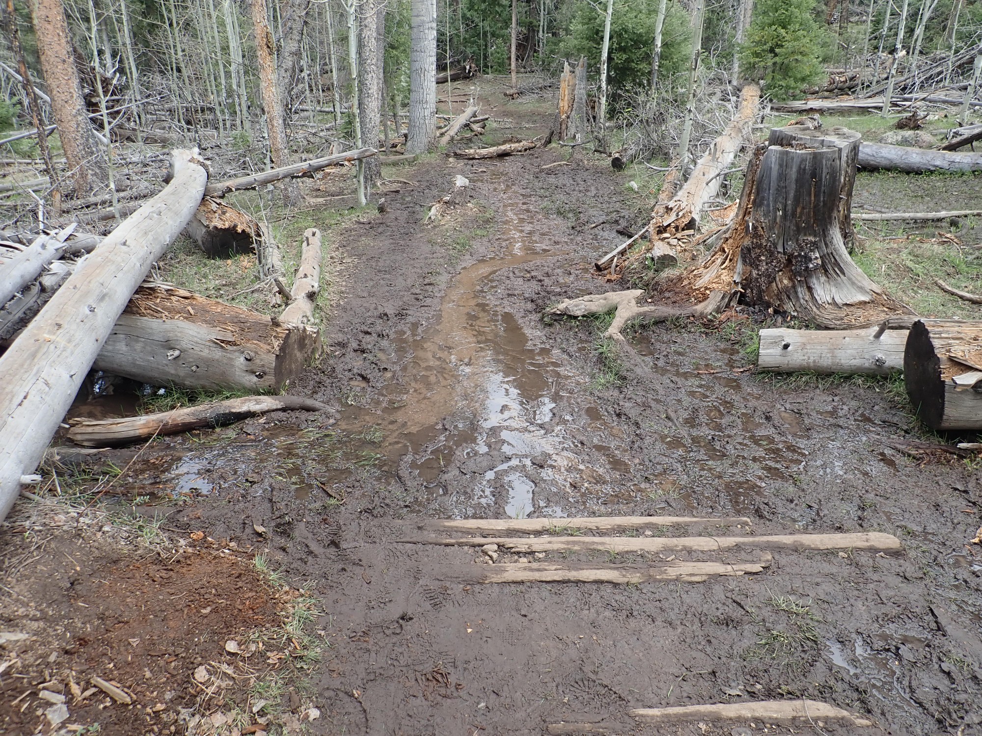
Fortunately, the mud is not deep, but this whole area is quite damp. In some places, the trail is corduroyed, but often inadequately.
Wildflowers.
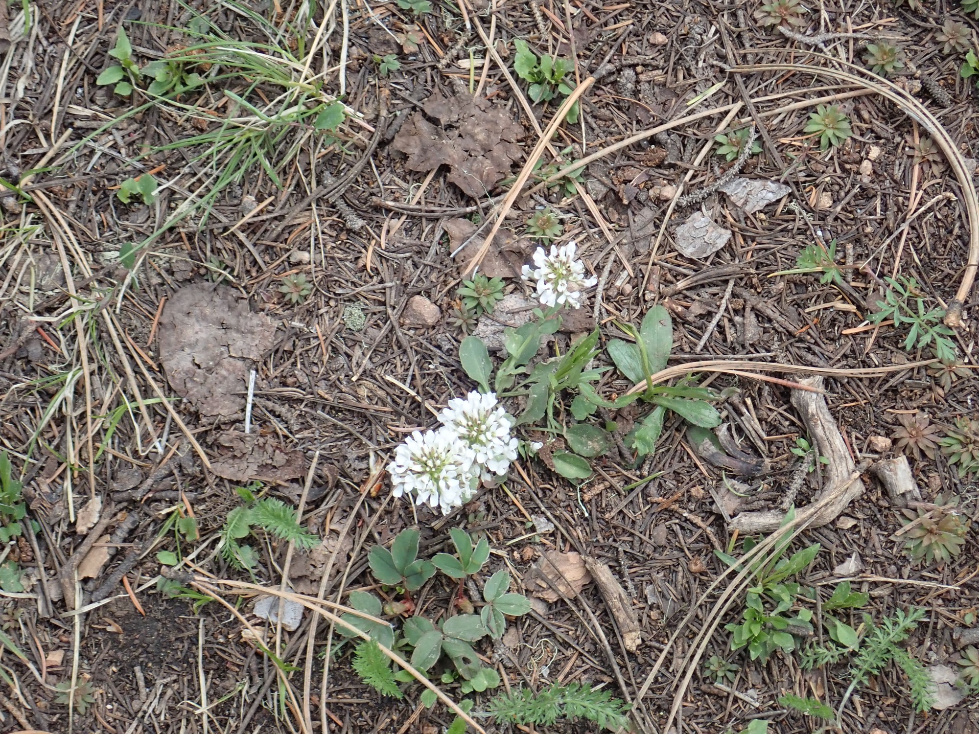
Clover of some kind.
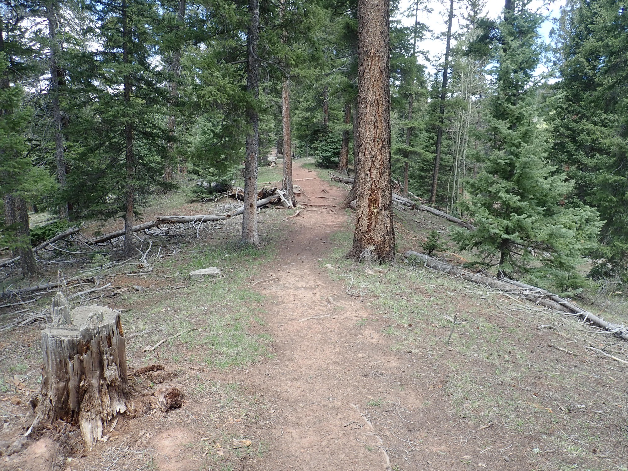
Lots of tree falls. This was the worst.

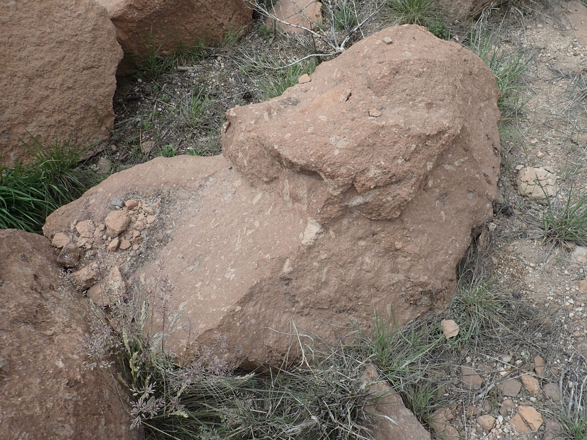
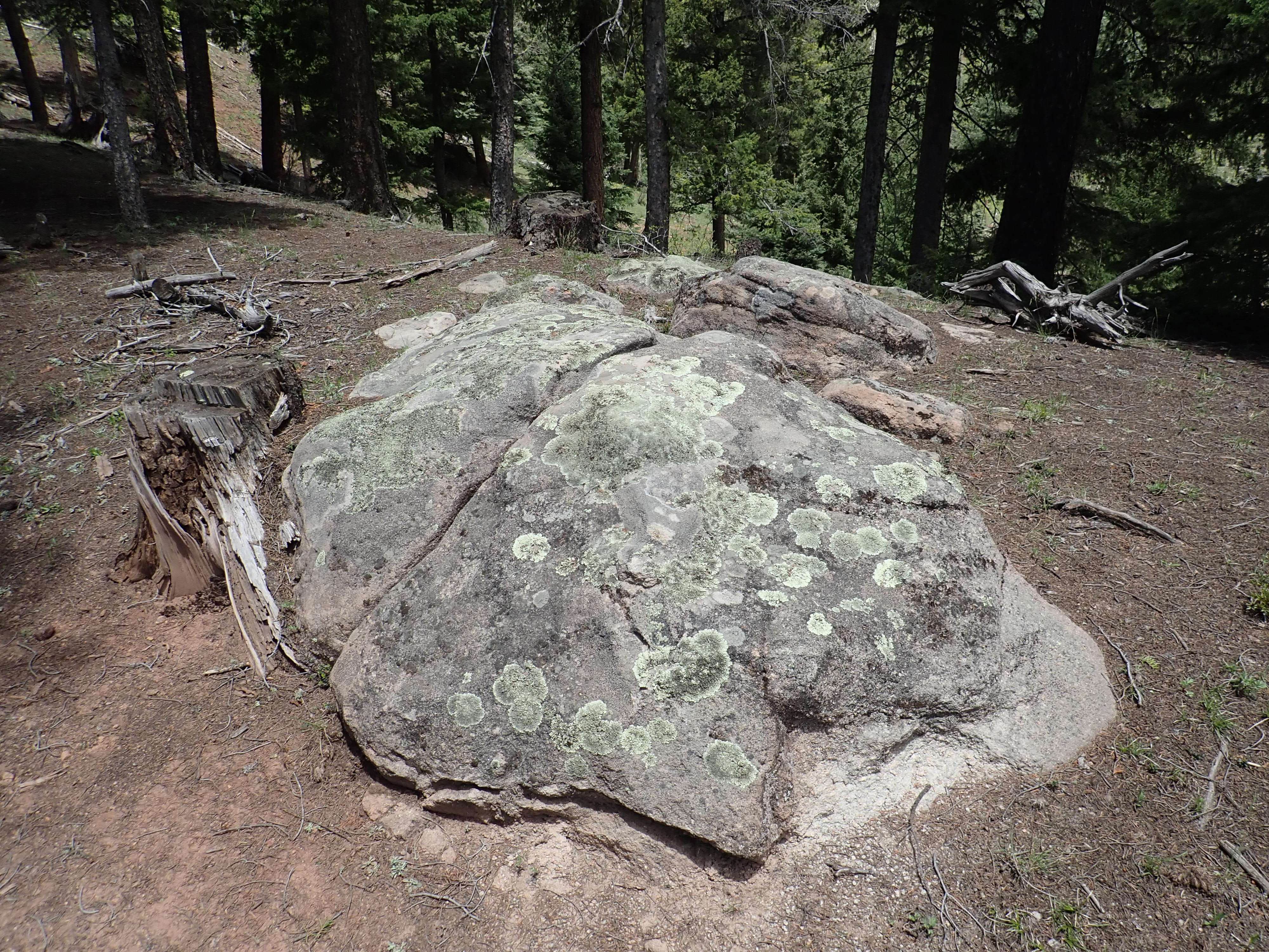
A particularly clean boulder of the monzonite.
This is part of a magma body that cooled very slowly deep underground, forming a rock with 20% quartz and roughly equal quantities of plagioclase and alkali feldspar making up most of the rest. This rock’s age indicates it was part of a stitching pluton that helped cement the crust together in this area, 1.7 billion years ago (the Yavapai Orogeny), when it first assembled from island arcs carried up against the core of North America from a spreading center somewhere to the south.
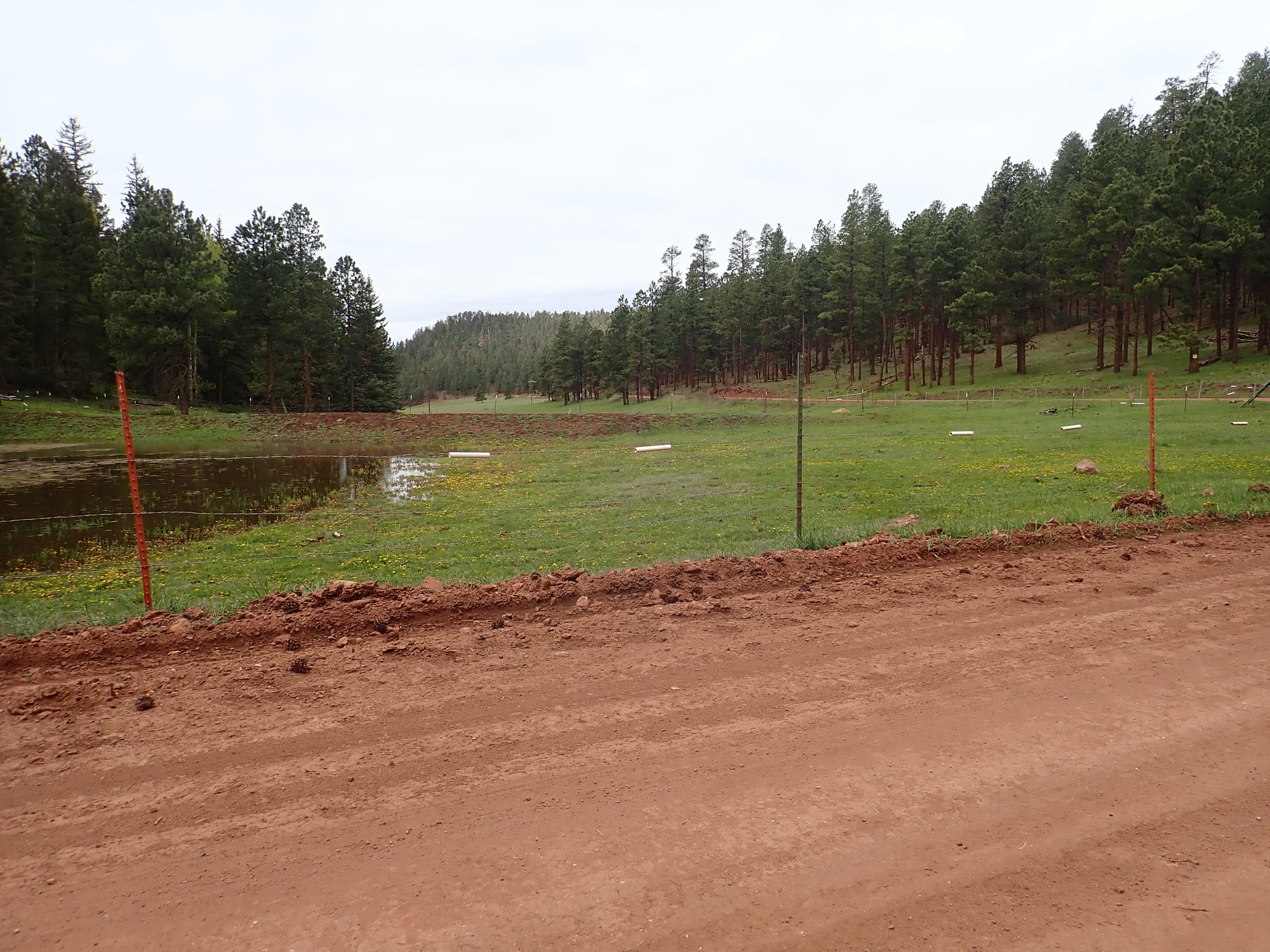
The last time I was here was around 1976. My Boy Scout troop went on a backpacking trip here. We hiked some distance north of the lake the first day, discovered that “park” is apparently a euphemism for “bog”, and came back here to camp the rest of our stay. (Nowadays you cannot camp within eyesight of the reservoir.) It was a very pleasant trip, marred only by the visit from a ranger who told us we couldn’t build bridges or picnic tables in a wilderness area and we’d have to tear down the ones we’d constructed. He didn’t make us tear them down until we were ready to leave, though.
Across the lake you can see red sediments from the Abo Formation. The Great Unconformity passes directly under the lake.
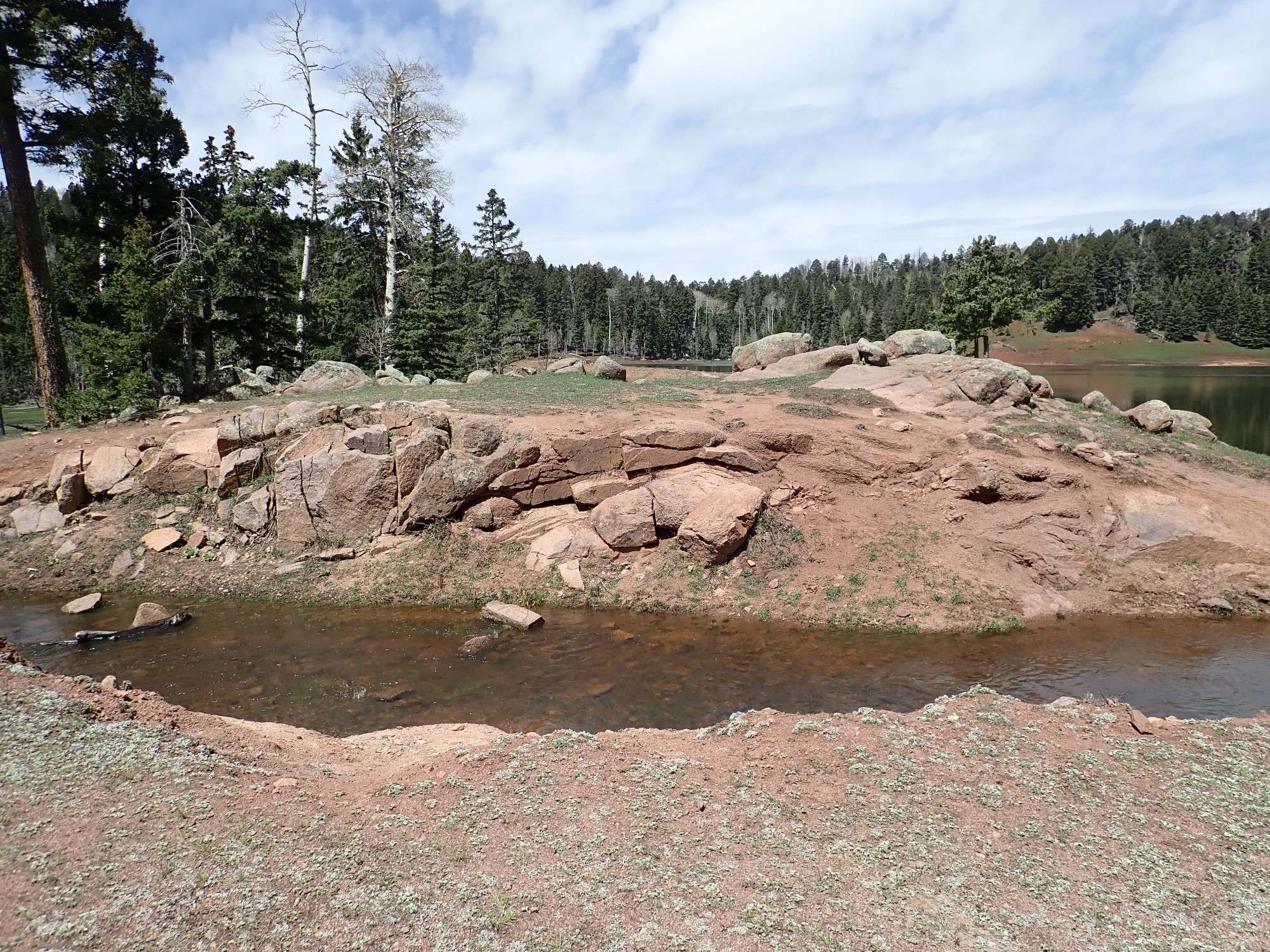
Monzonite at the spillway.
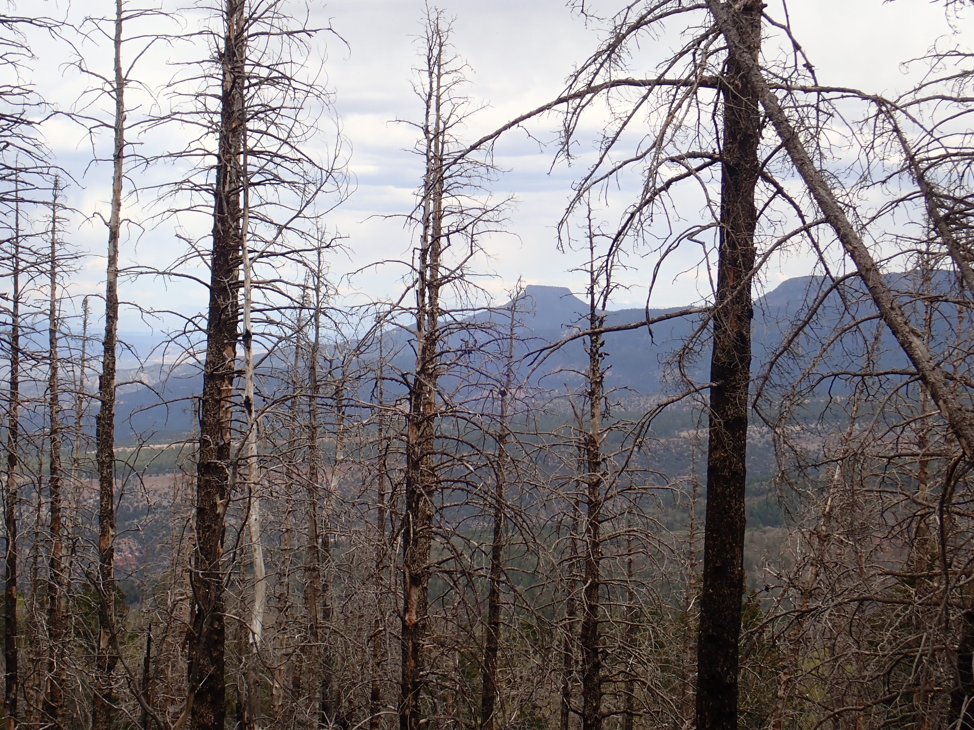
I hike back and continue east on Forest Road 70, which my map says will pass a different kind of granite. There are glimpses of distant scenery through the trees.
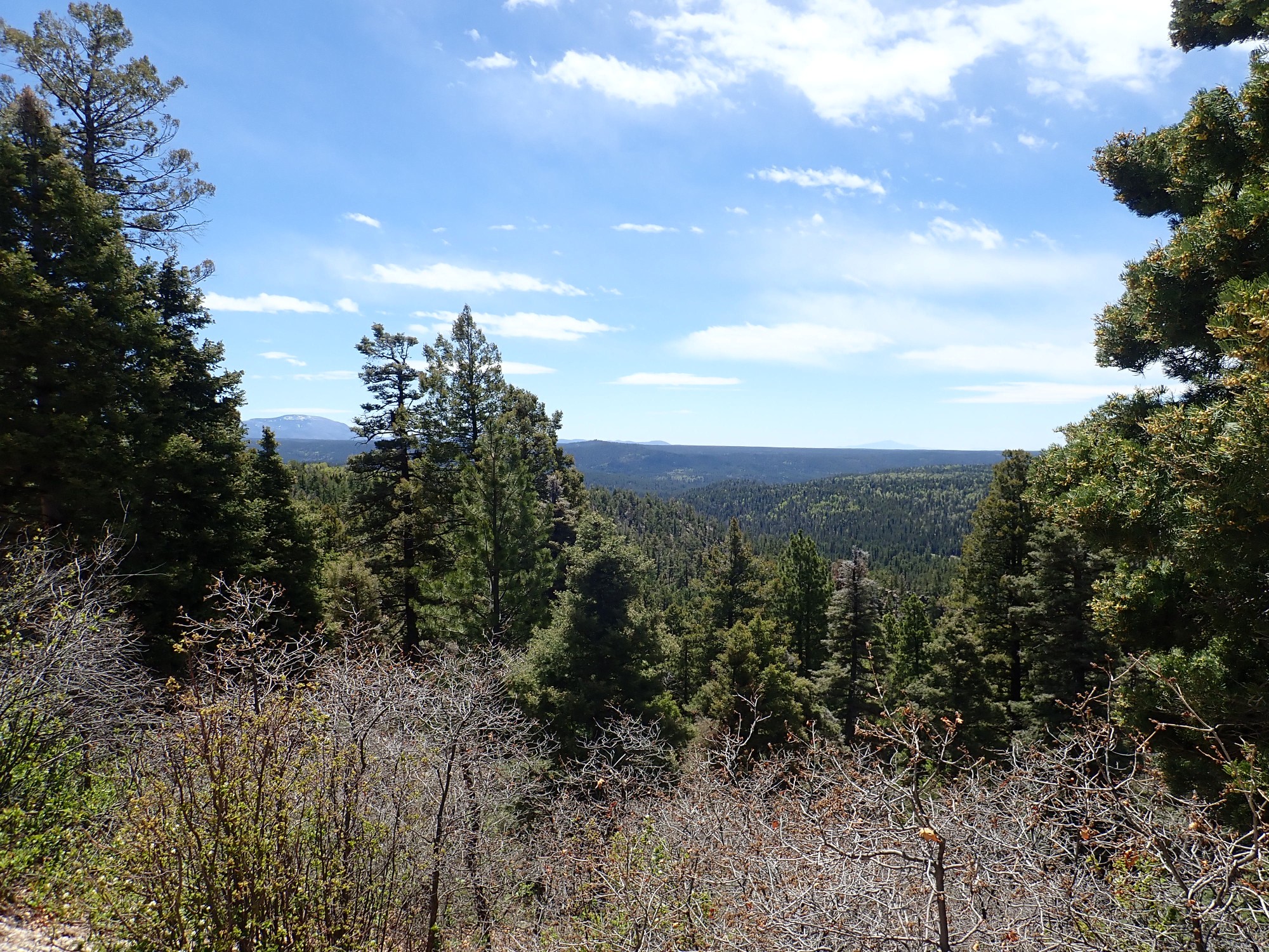
That’s Sandia Crest in the far distance at right, and Redondo Peak between the trees at left. Below the road is the canyon of the Rio de las Vacas.
Blue Bird Mesa.
The mesa is capped with a resistant layer of Shinarump Formation conglomerate and sandstone. This is a Triassic formation, around 240 million years old.
I have been watching the road cuts carefully as I drive to spot the transition from monzonite to leucogranite. Ah, here it is:

A leucogranite is a granite containing almost no iron minerals, which are dark in color. Thus the granite appears light in color. It is composed almost entirely of quartz, microcline feldspar, and sodium plagioclase. This granite is also fine grained.
The leucogranite is a relatively small pluton, just a mile or so across, and it is younger than the monzonite, which it appears to intrude. Just how much younger we cannot say until someone radiometrically dates it. Likely ages are 1.7 billion years (the Yavapai Orogeny), 1.65 billion years (the Mazazatl Orogeny) or 1.4 billion years (the Granite-Rhyolite Orogeny).
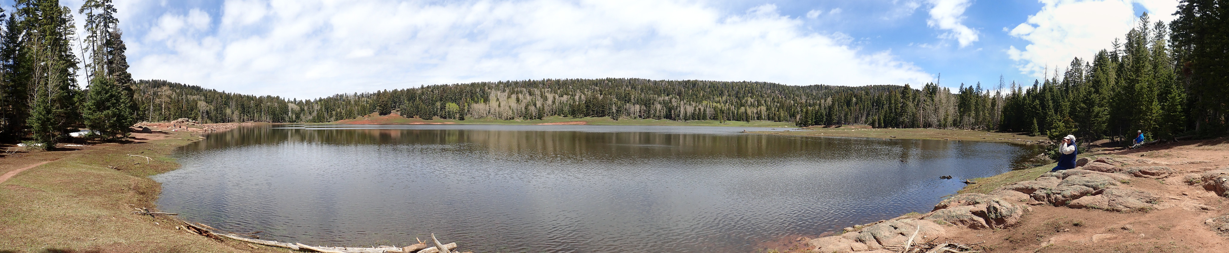
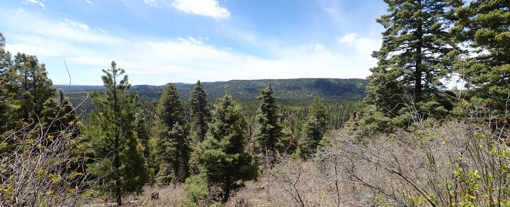
Quite a view.

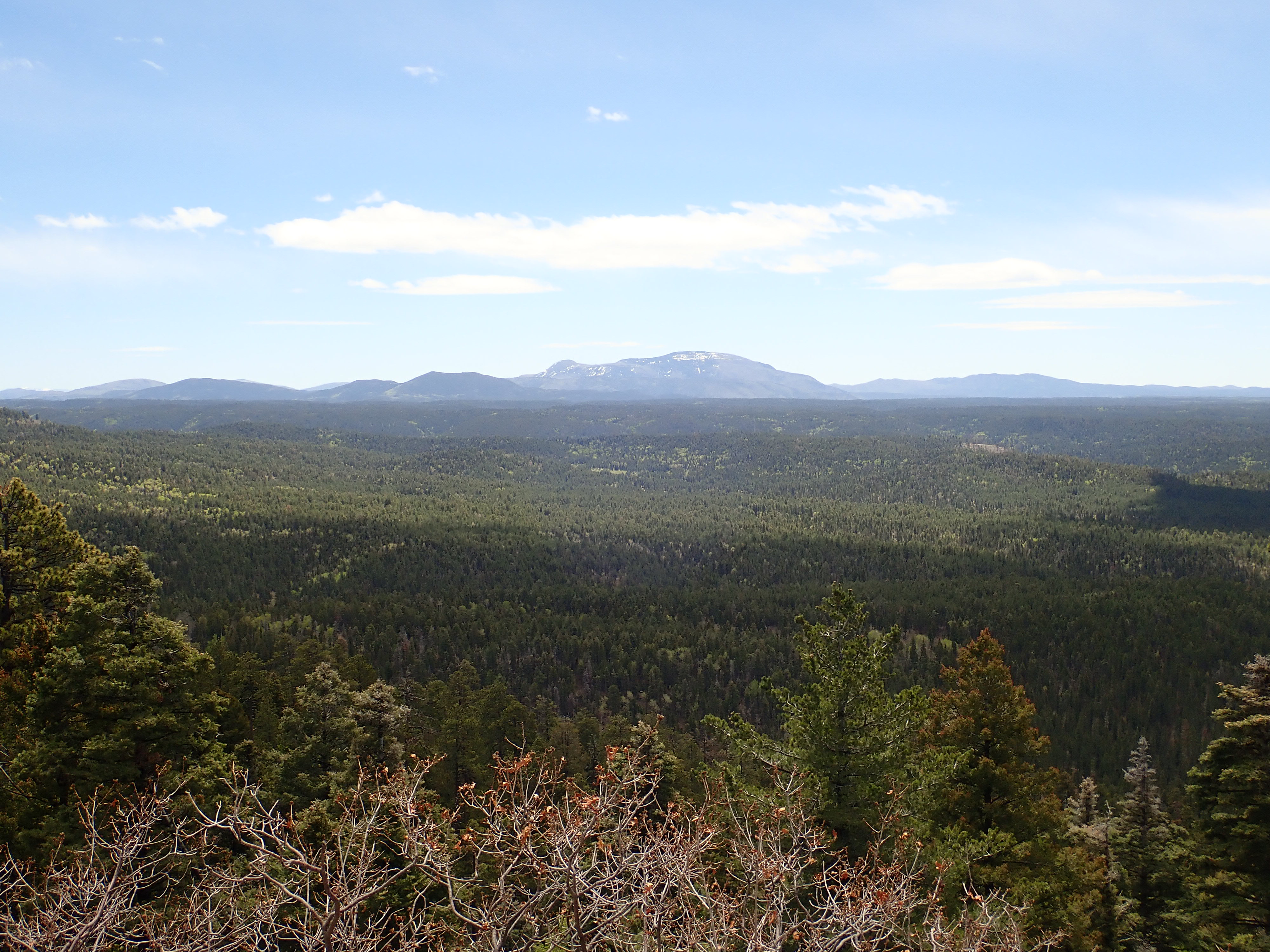
We are looking directly at Redondo Peak within the Valles caldera from the easter edge of the San Pedro plateau. Here’s a closer view of the heat of the caldera.
The road here passes an outstanding outcrop of the leukogranite.
At the right side of the road cut, I see what looks like a contact between the leucogranite and the monzonite.

The transition is remarkably sharp, but geologists have found subtle clues the leucogranite is younger. For example, in some places (but not here that I could see) there are grains of quartz in the leukogranite that look like they were melted out of the monzonite.
The geologic map does not place the contact here. But it’s an older map and the road did not exist here then; it might have been missed.
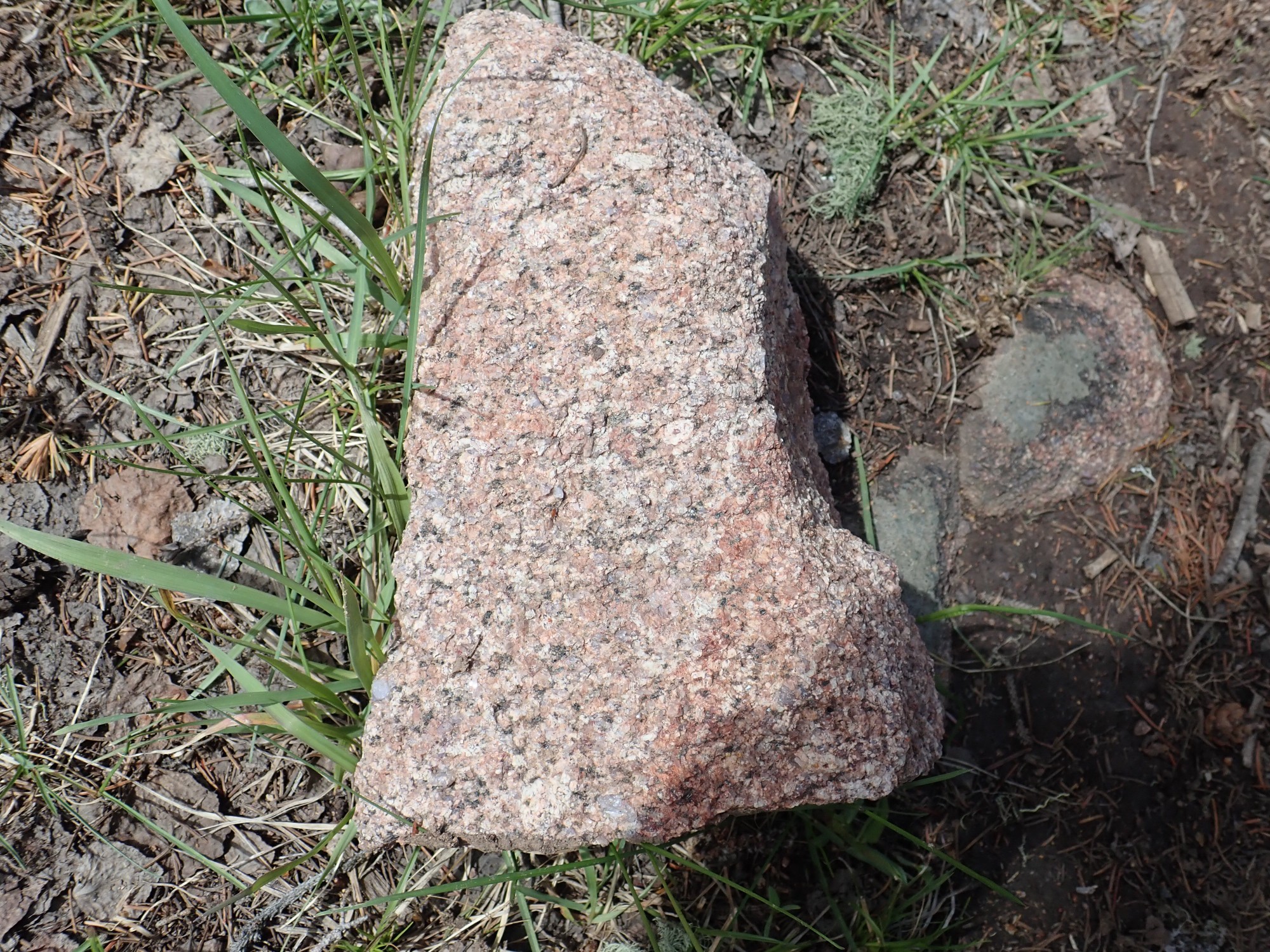
A little further down the road, there is an outcrop of quite dark granite (melanogranite):
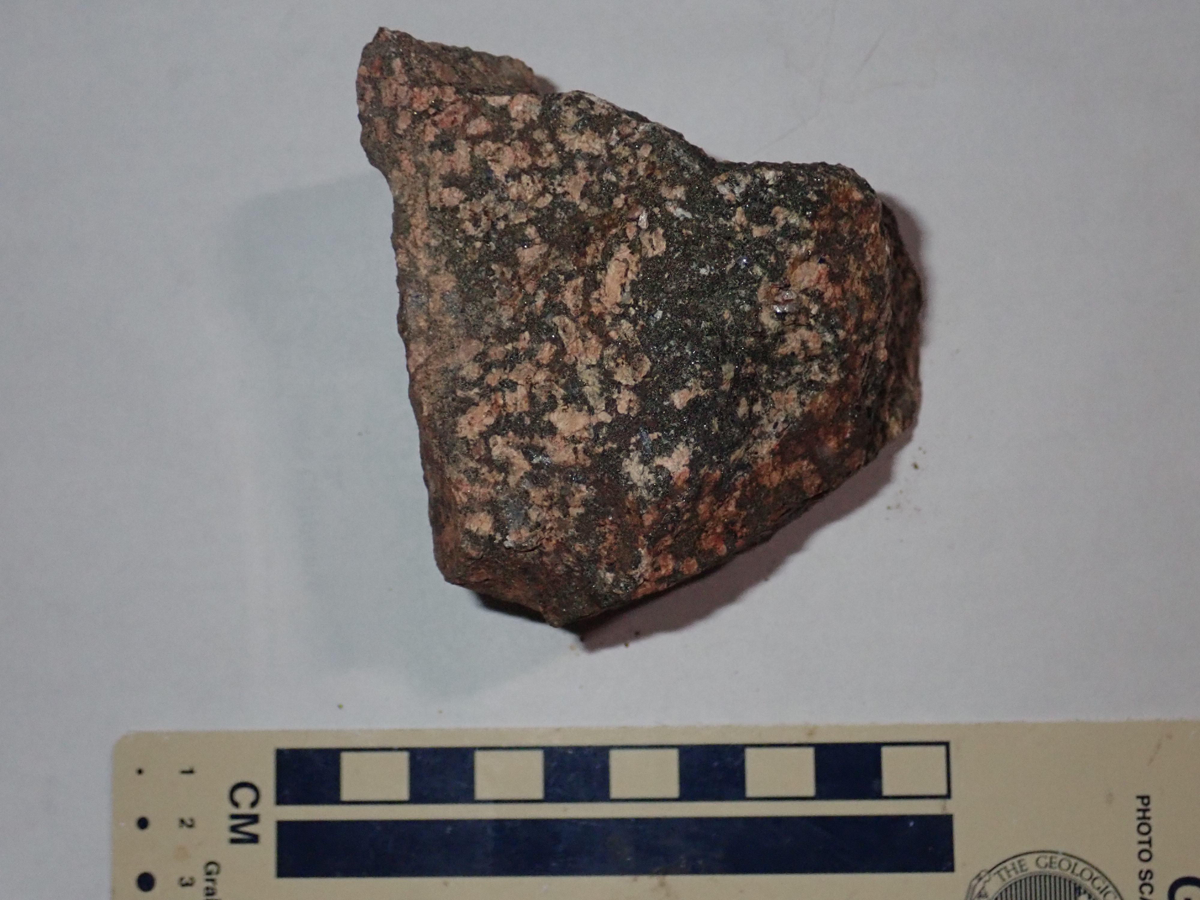
The map reveals that I have driven into an area of quartz diorite. Except that a written report, from three years later by the same authors, has them reclassifying it as tonalite. I’ll go with that. Tonalite is a granite-like rock containing 20%-60% quartz and much more plagioclase than alkali feldspar. I’m a bit surprised; I would have thought all the pink was abundant potassium feldspar. Regardless, this is thought to be older than the monzonite; that is, over 1.73 billion years old. It’s not quite the oldest rock in the Jemez; that honor belongs to metamorphic rock in a corner of the San Pedro Mountains I won’t get to today.
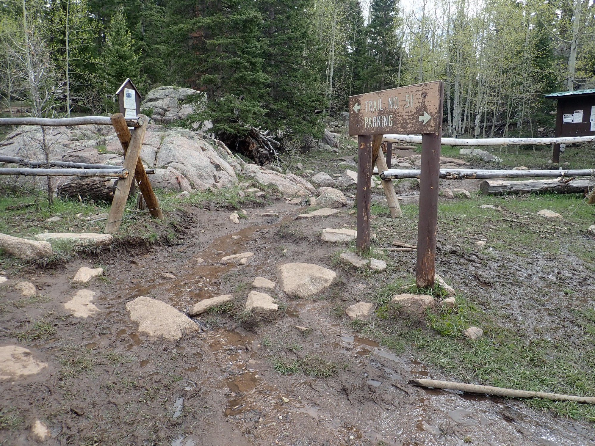
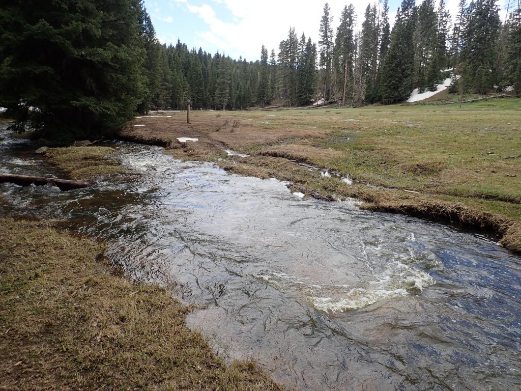
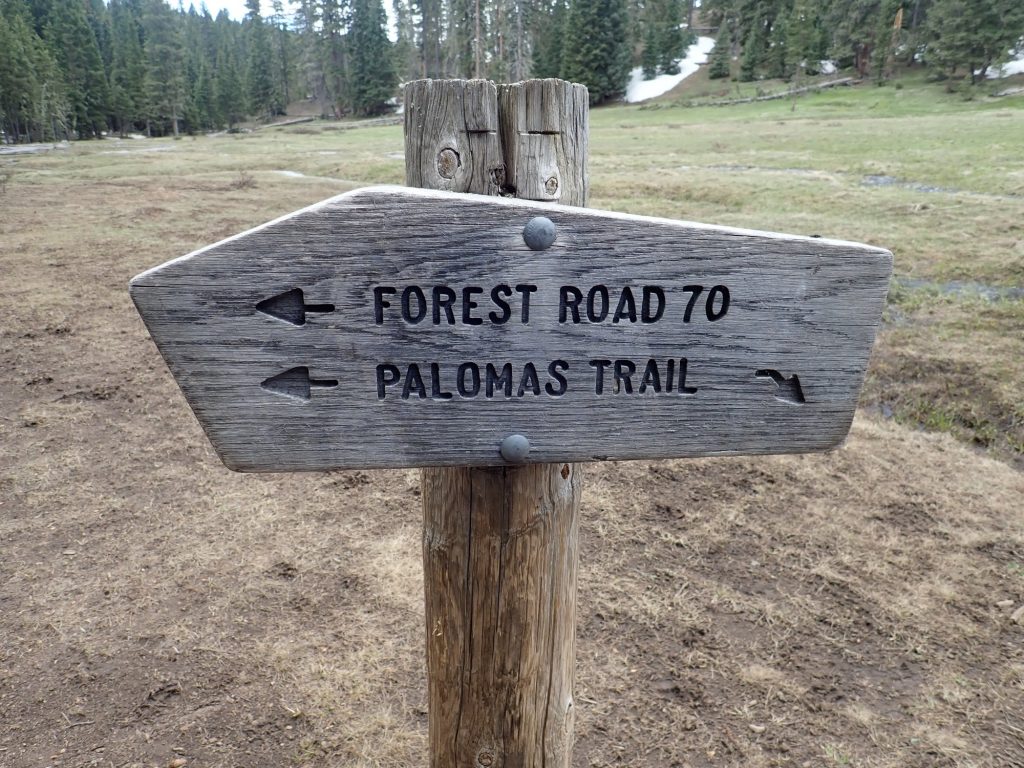
I arrive at the Palomas trail head. It is almost exactly noon, so I eat lunch before heading out.
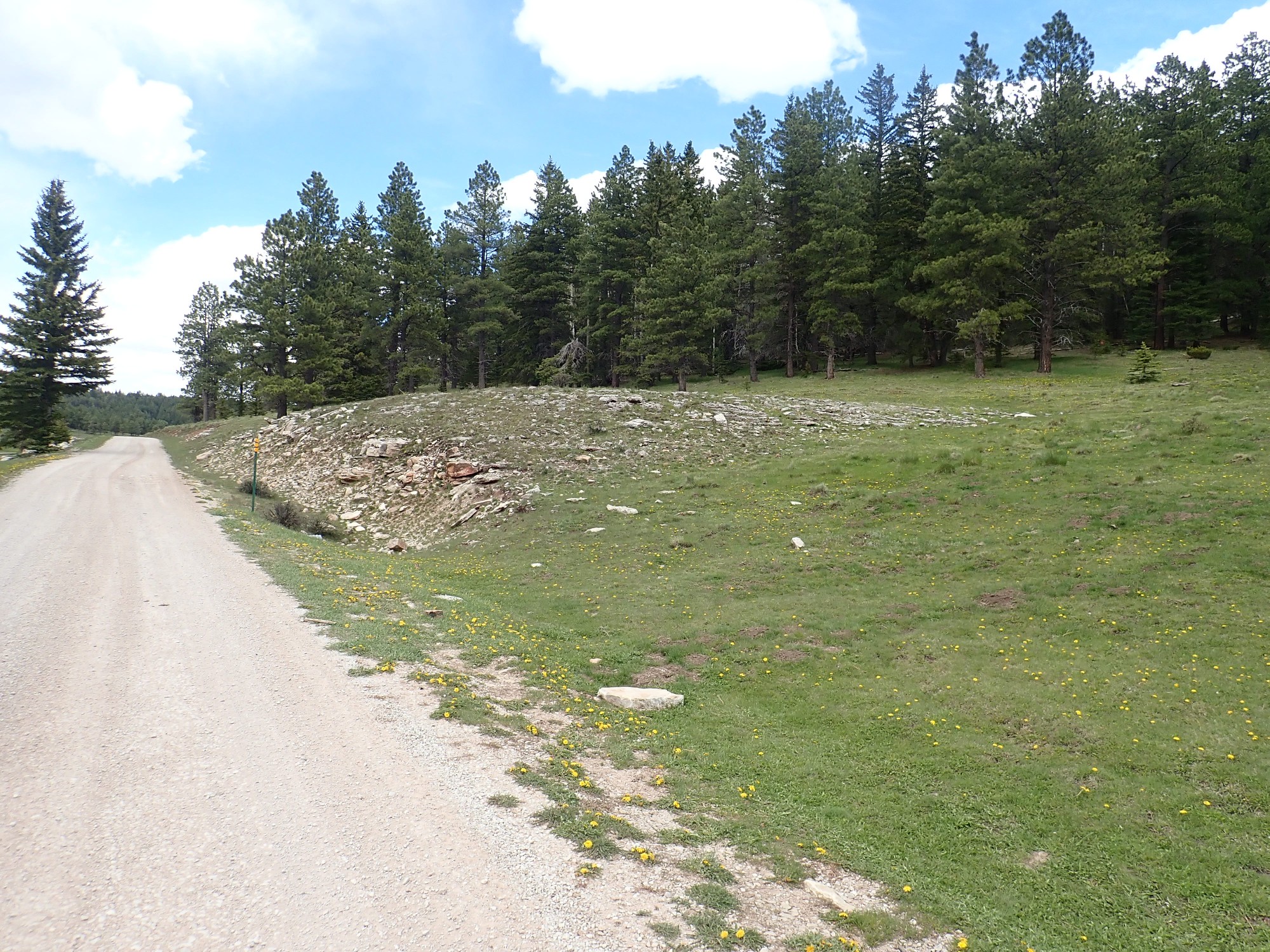
The red soil in the trail says I’m back on Cutler Formation, which the map confirms. The trail climbs steeply enough to be strenuous, but it is a pleasant cool day, except for the wind. This area is the closest thing to a temperate rain forest in the Jemez; the San Pedro Mountains have nothing but the flats of the San Juan Basin to the west for over a hundred miles, and any moisture picked up there is wrung out here.
Lichen-encrusted boulder of Cutler Formation.

It took me a minute to convince myself this wasn’t weathered granite. It’s a very coarse, angular, feldspar-rich (arkosic) sandstone, indicating the beds here were close to the source area. Which was probably the San Pedro granite beds, thrust up as part of the Ancestral Rocky Mountains and beveled flat by erosion.
We’ll see more of this presently.
More very coarse sandstone, bordering on fine conglomerate.
The wind is whipping up, and I hear what sounds very much like a wooden door creaking open. I am in an area of very old growth, with lots of dead standing trees, and … Crack.

The leaning dead tree at center was not leaning ten seconds ago. I decide to keep a sharp eye out for the forest making a serious effort to kill me.
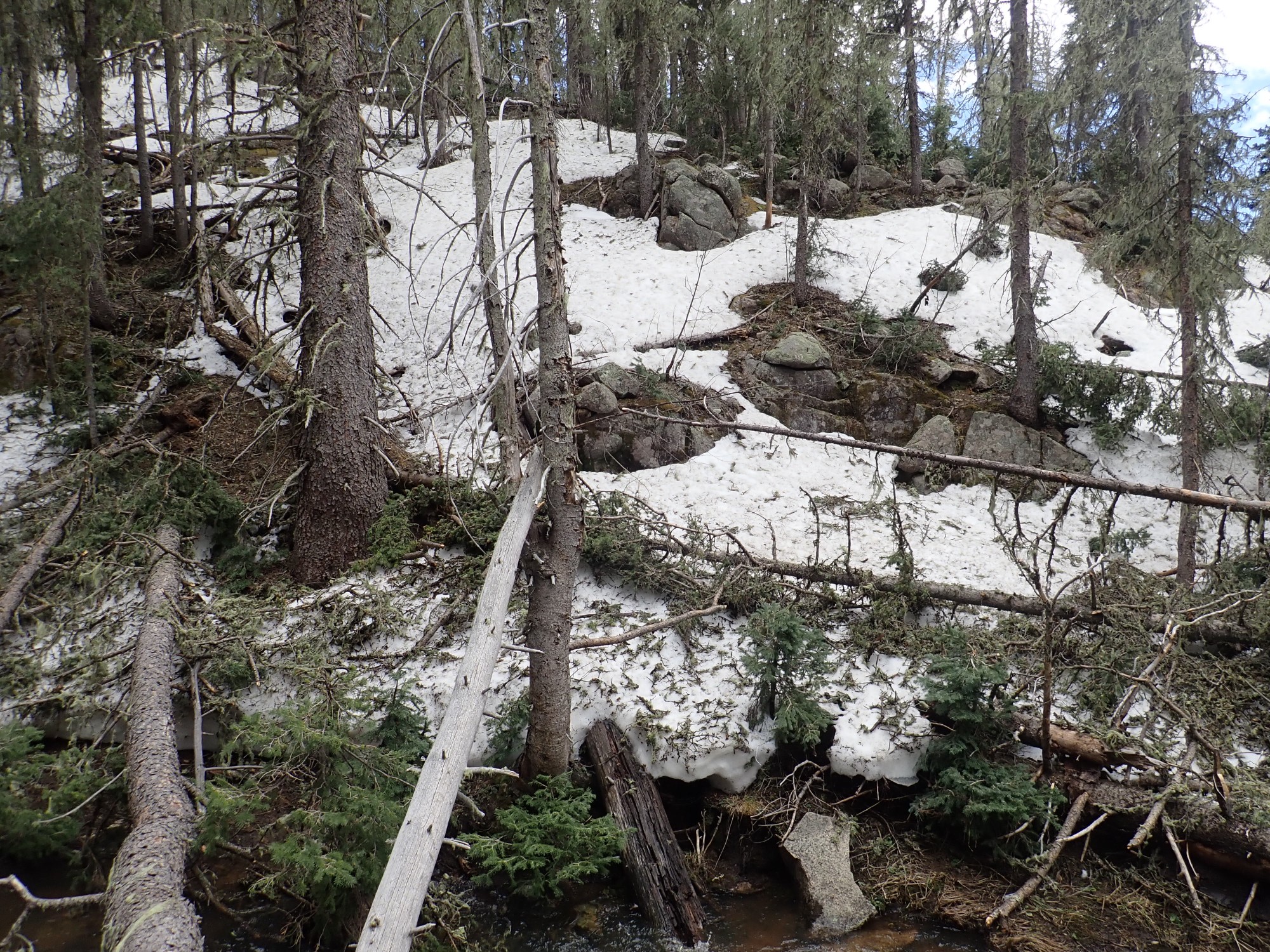
I finish the steep ascent. There are still snow banks from a very cold, wet winter.
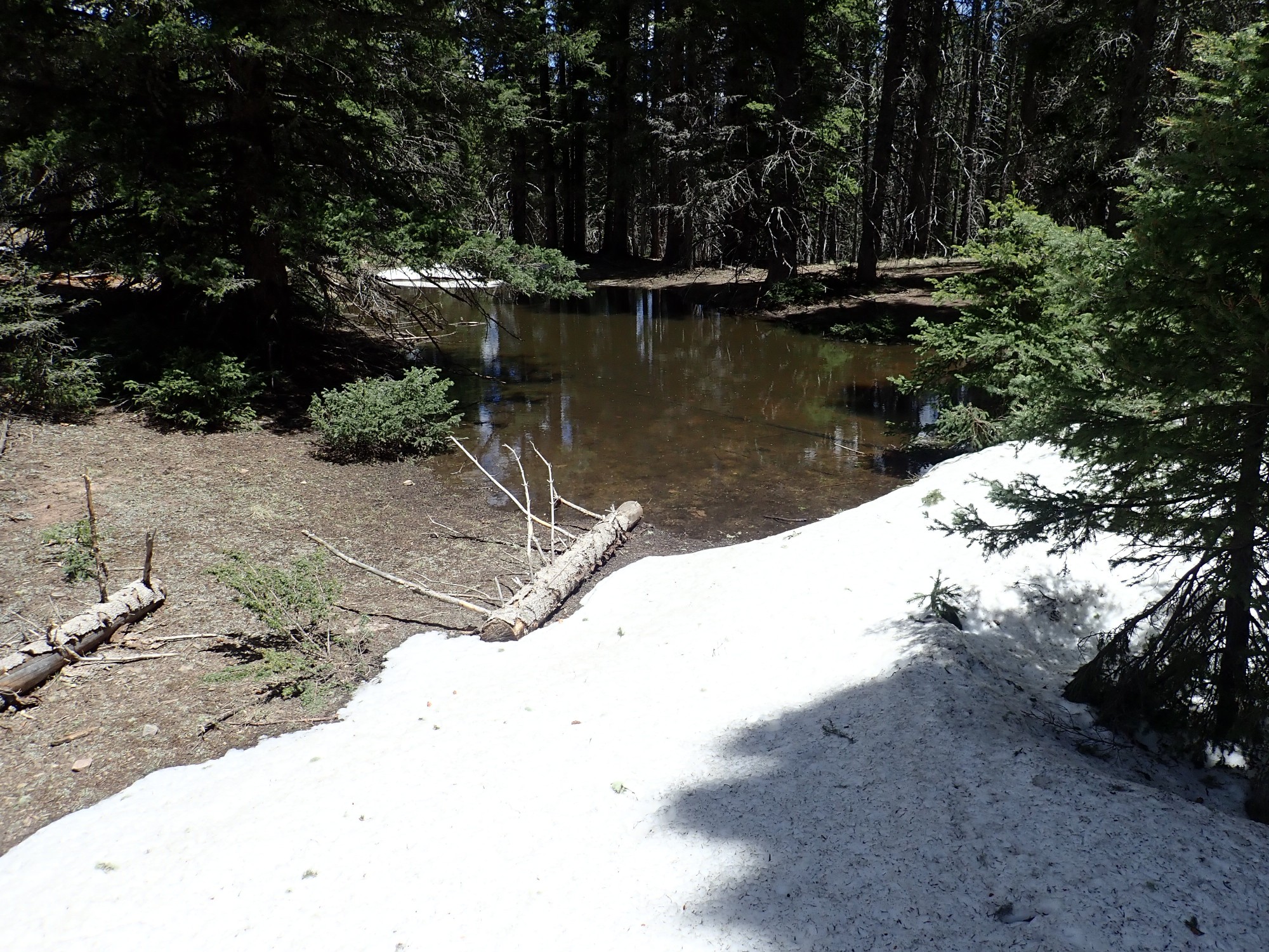
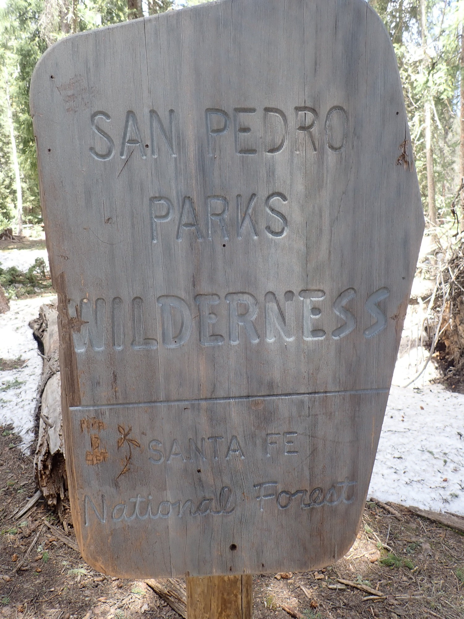
And I reach the wilderness boundary.
A wilderness area can have no maintained access roads, so the trail head has to be on National Forest land outside the wilderness boundaries.
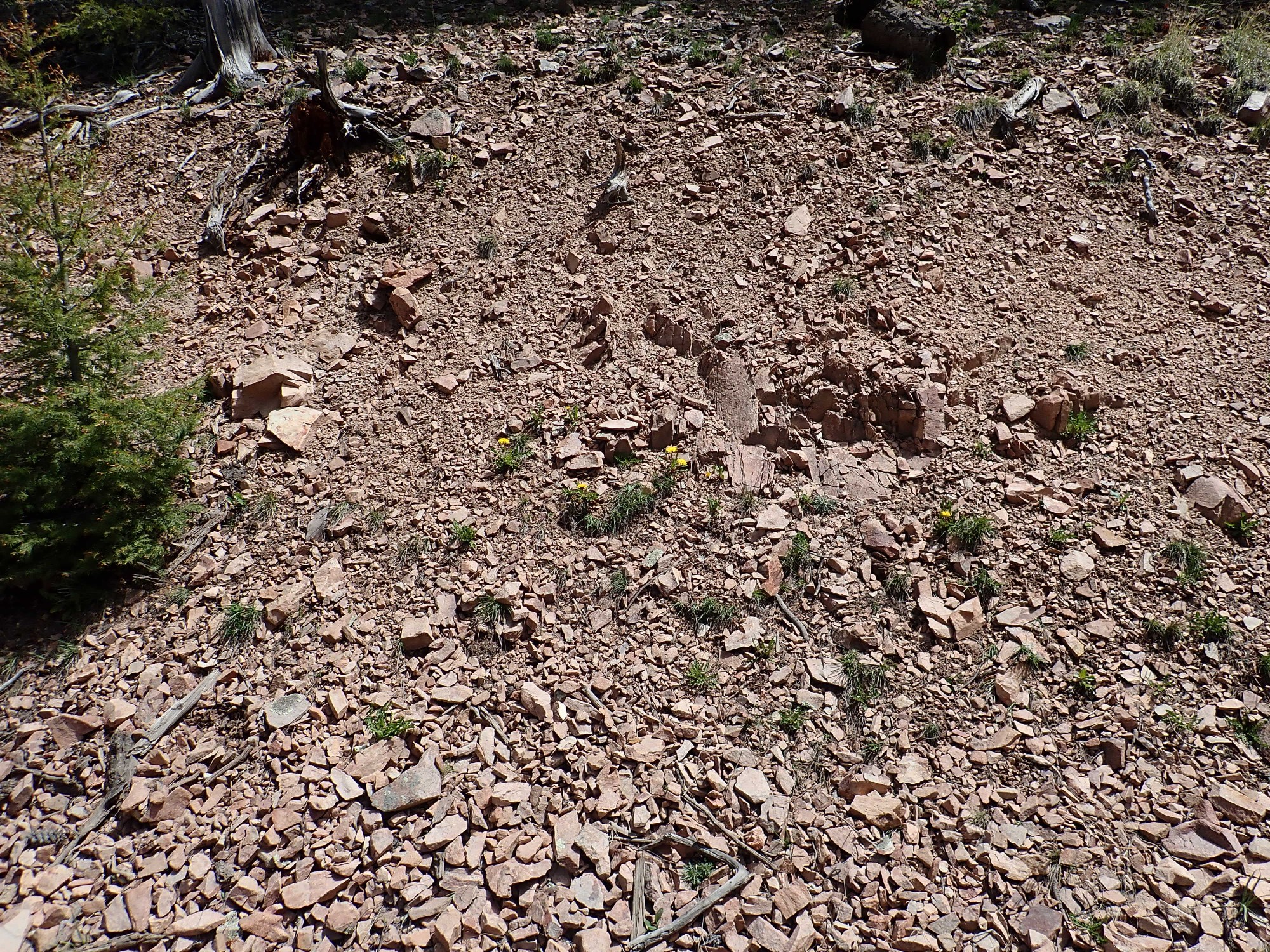
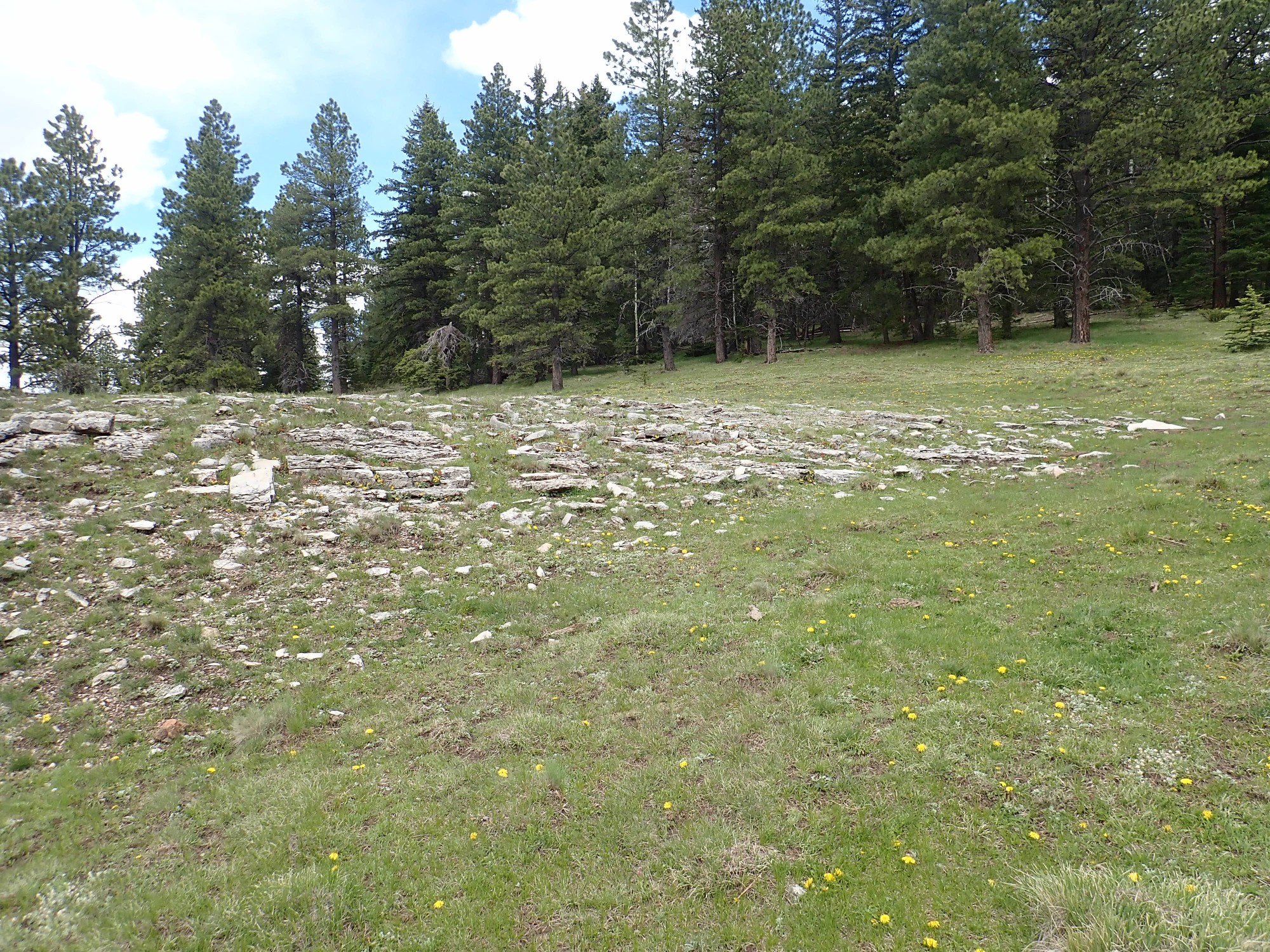
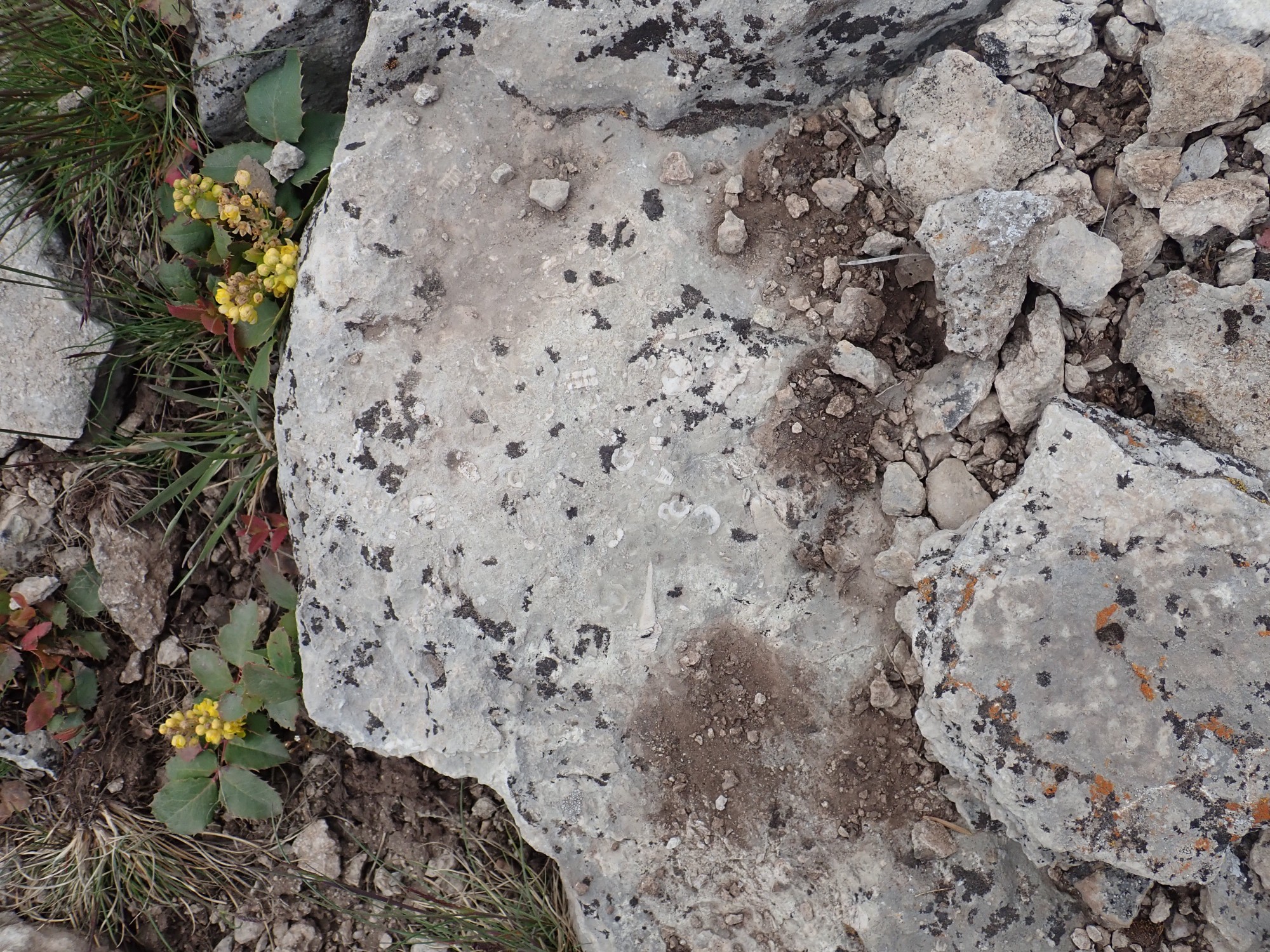
The top of the ridge is covered with chert.

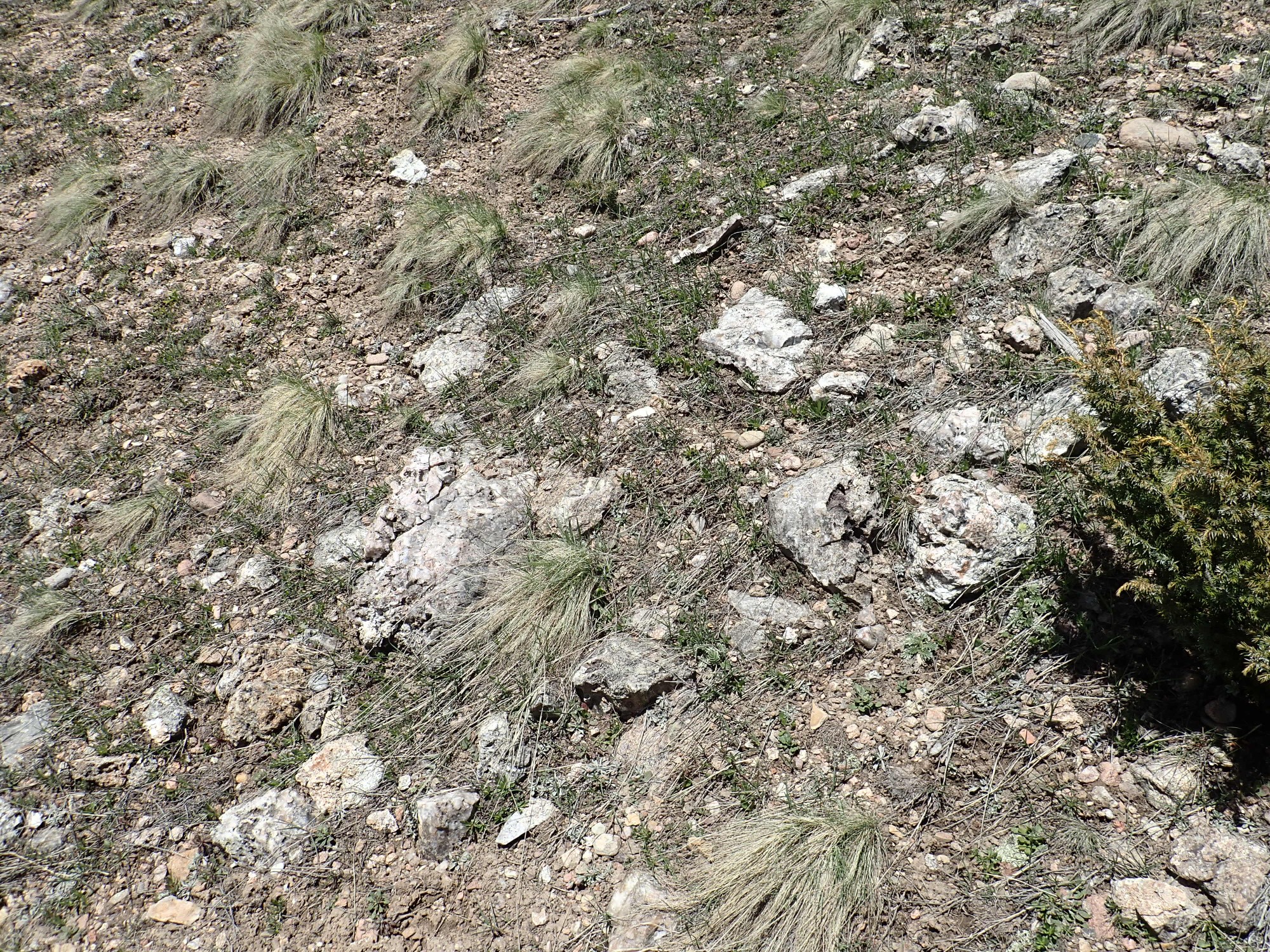
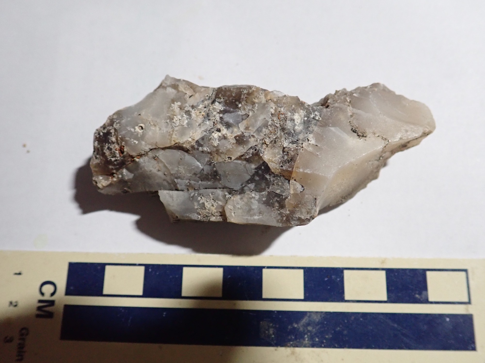
This is Pedernal Chert, the youngest named formation in the San Pedro Mountains. It is about 25 million years old, and formed as a thin layer atop a level surface of ash-rich coarse sediments, the El Rito Conglomerate, that likely stretched clear to the Taos valley and to the southern Jemez. This tells us the San Pedro Mountains are younger than 25 million years, since the eroded plateau of granite in the core of the mountains must have still been buried at that time.
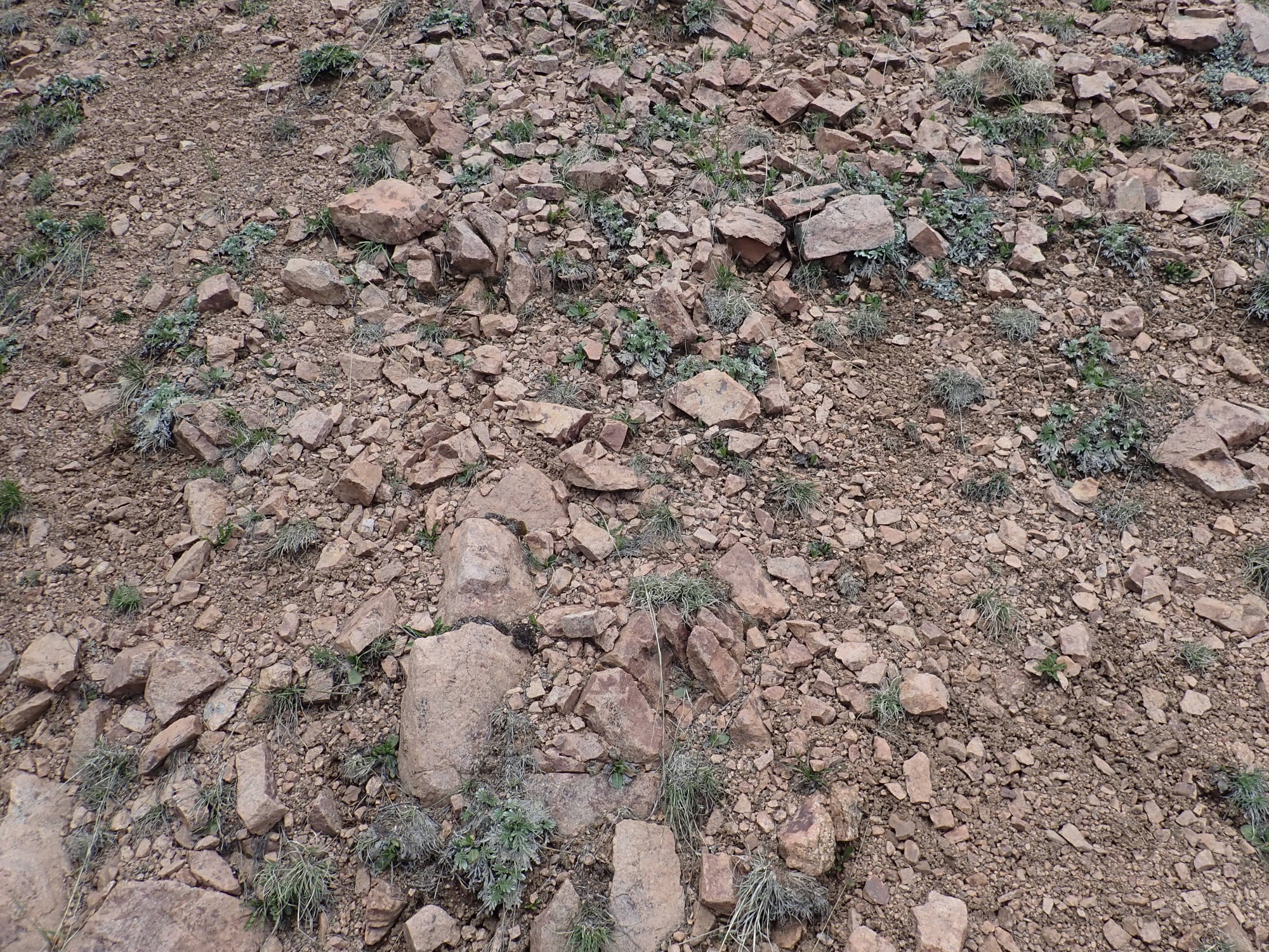
The trail starts deeply descending, and the ground is soon covered with grus, angular rock debris formed by the disintegration of granite.

This means there must be granitoid rock somewhere up slope. Sure enough:

It’s the tonalite again, though I do not realize until I get home and check the map that it’s the same stuff as back at the road cut.
A small obstacle.
The Rito de las Perchas. The Internet Spanish translator makes that “Rite of the Hangers”, which seems unlikely. Archaic or New Mexican Spanish (which I’m told are, to a surprising degree, the same thing.)
But how to get across?
Yeah. I use the island to hop across, and the worst is that I slightly wrench my back.
In case I didn’t know.
I decide I will quarter the little valley here, looking for interesting outcroppings. It turns out the whole area is tonalite, but I don’t know that at the time.
And look, more tonalite.

Not especially helpful signage.

Google Maps is not terribly helpful, but when I get home and look at National Forest maps, it looks like if I take this Damien Trail to where I would be about twice as far in as I am, I would run into some very old hornblende gabbro. I may have to come back at do that some time. Today is merely a reconnaissance.
The east side of the valley seems to have some dark gray rocks. I know there is gabbro somewhere in the area; could this be it?
There just isn’t any sane way across the river. If I was with someone, I might take greater chances, but you do not take unnecessary chances when hiking alone. I take the picture instead. Anyway, as I stare at the stuff, I become convinced the gray color is merely lichens encrusting the rock in this shady area. (The geologic map seems to confirm that when I get home.)
I hike back to the trail head. There is a Forest Service volunteer there with significant other and three terriers. He is doing a survey of forest use, and I’m the only one he’s seen all day at this trail head. Well, golly, I gotta take his survey, right?
I continue along Forest Road 70. I later realize I have failed to hit the “Back safe” button on my SPOT messenger; this causes Cindy some worry I really didn’t need to inflict on her.
Some nice Cutler Formation beds.
Or are they? On closer inspection, they look like they might be limestone that has been stained red from sediments washed down from up slope. I get out to take a close look. Wait, what’s this?
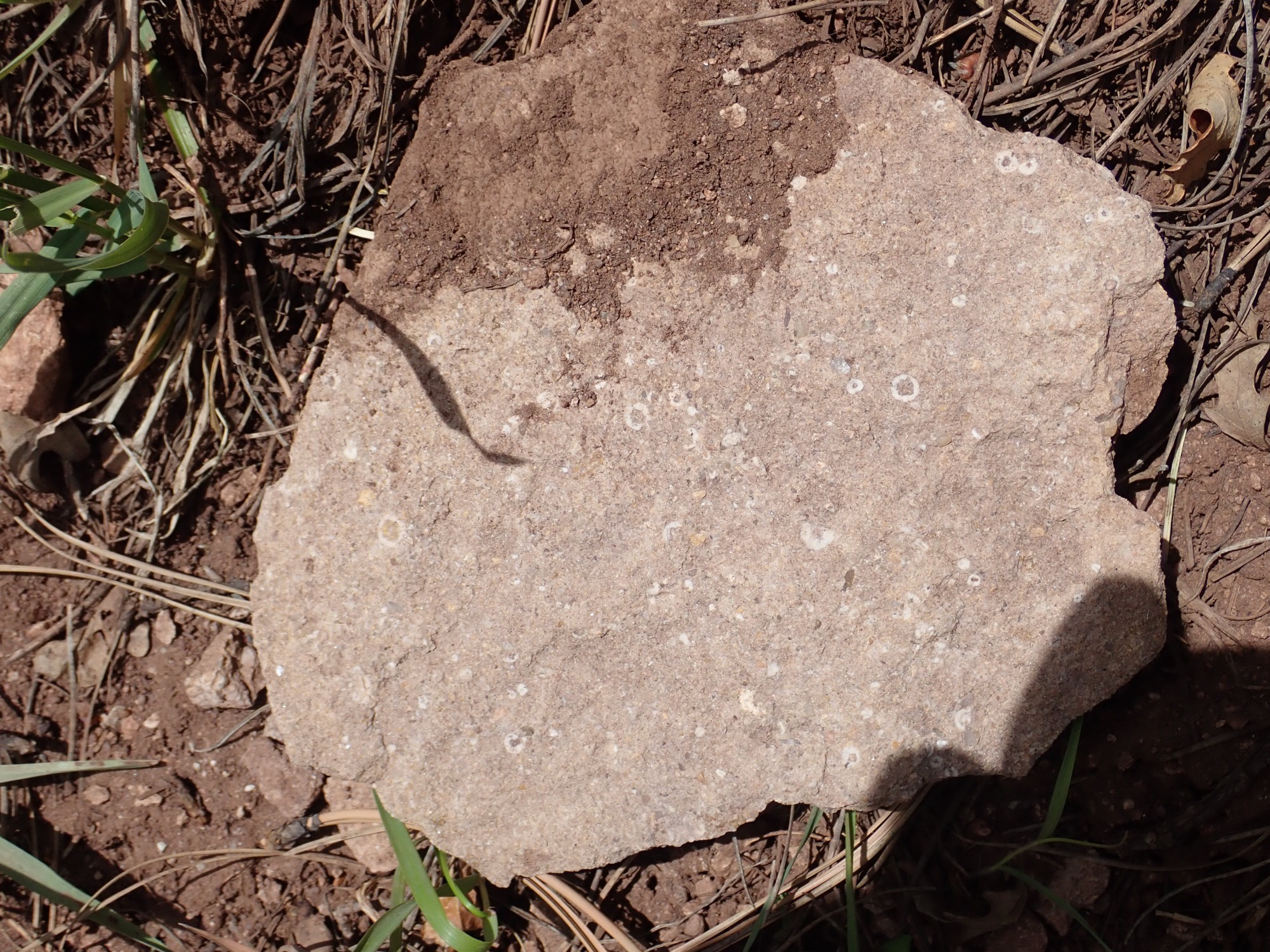
It looks like red Cutler Group sandstone, but it’s rare to find body fossils in sandstone. (Casts are another matter.) I reflect,then take it with me.
Turns out this area is all mapped as Pennsylvanian Madera Formation. This is mostly a limestone formation,but there are some thin arkosic beds (feldspar mixed with the lime). And the fossils are marine; that should have clued me in that this could not be Cutler Group, which is a continental formation.
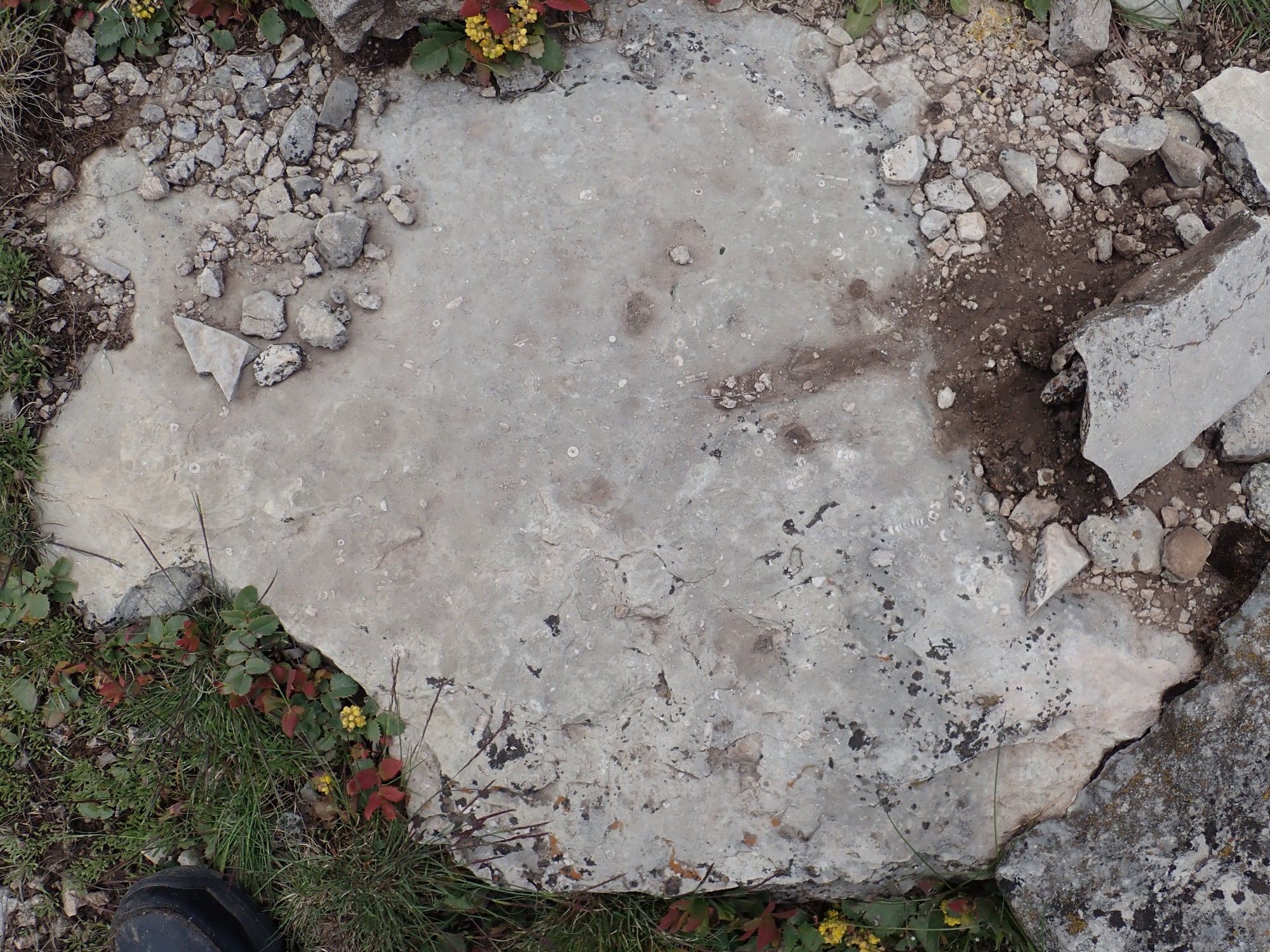
This is unmistakably limestone.
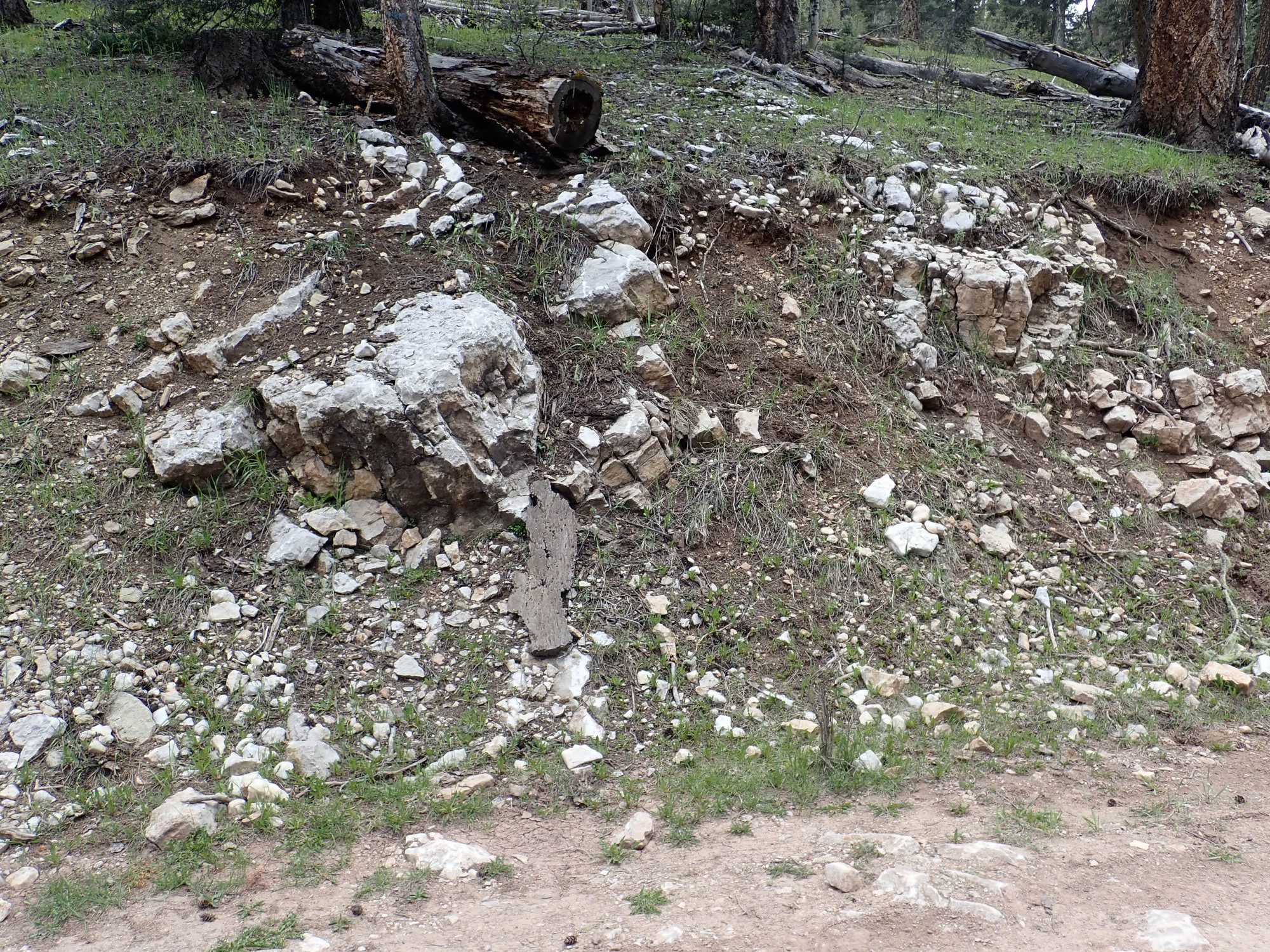
Massive limestone like this is often barren of fossils, and when I get out to look, the more massive boulders are indeed fossil free. However,there are some thinner beds that are very rich in fossils.

I scout around and find one good enough to take home with me.
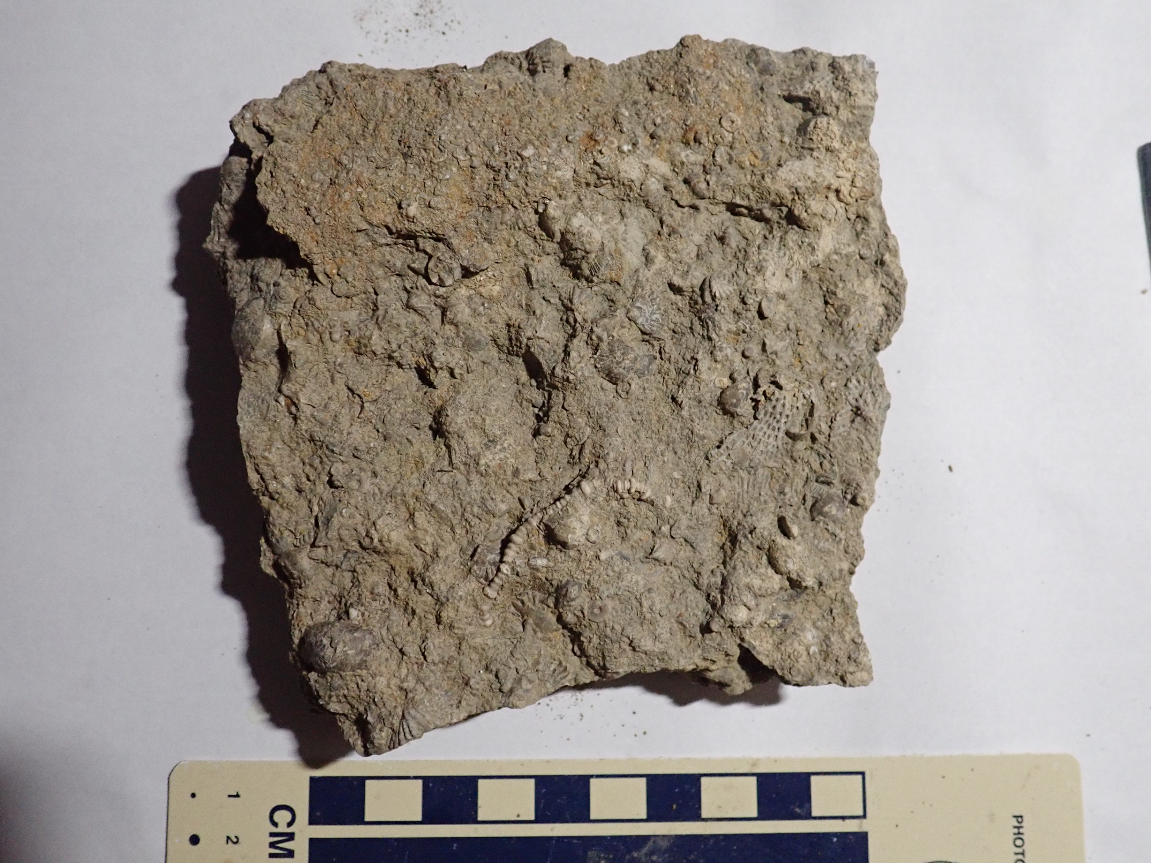
There are crinoid segments, a long crinoid stem, molluscs or brachiopods, and a bryozoan frond.
Another outcrop shows striking thin bedding.
The fossils here are abundant.
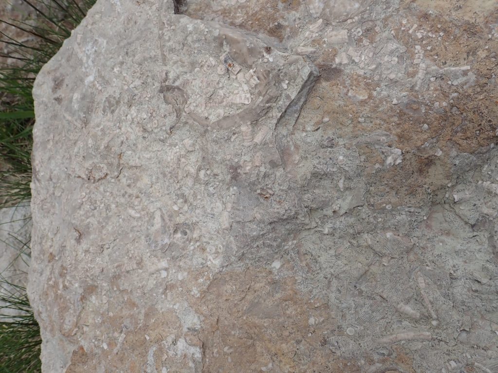
I find a boulder small enough to pick up and pack it away as a yard rock.
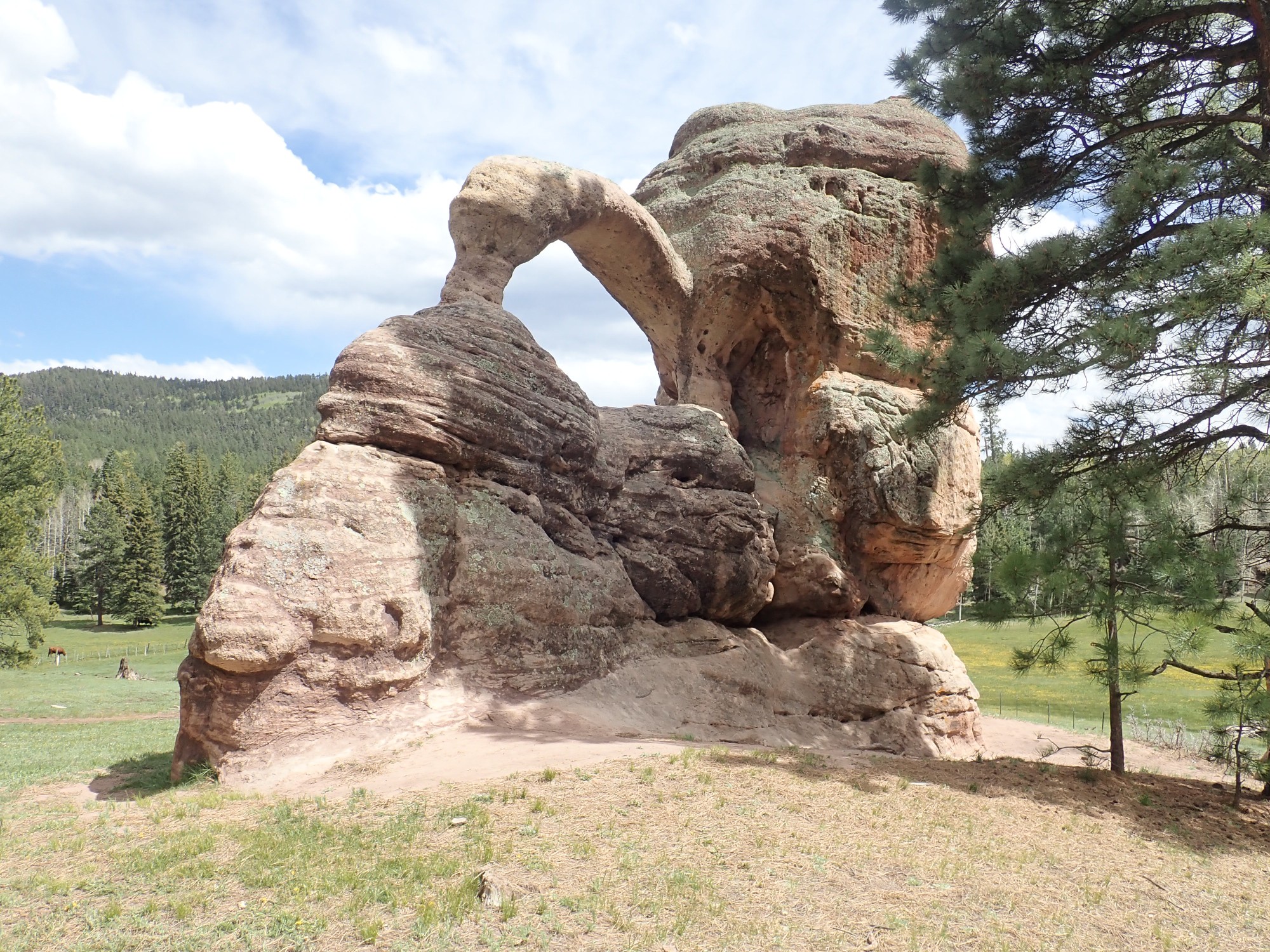
The geologic map shows this outcrop as the very topmost beds of the Madera Formation beneath the Cutler Formation. I start seeing erosional remnants of Cutler, of which the most prominent is Teakettle Rock.
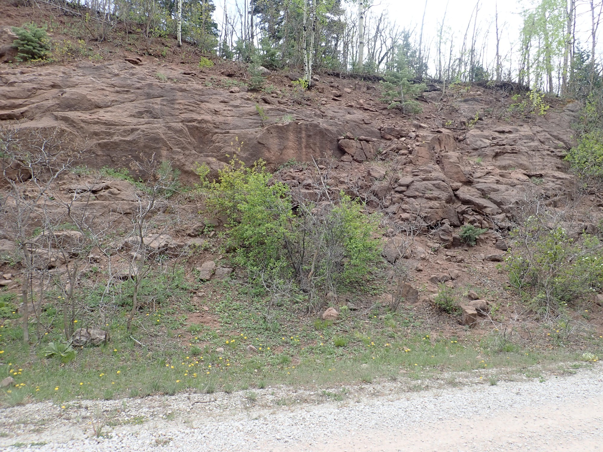
I continue along 103 towards the Rio Puerco Campground, my next destination. There are impressive Cutler Formation beds in a roadcut.
I arrive at Rio Puerco Campground. The place is already fully occupied.
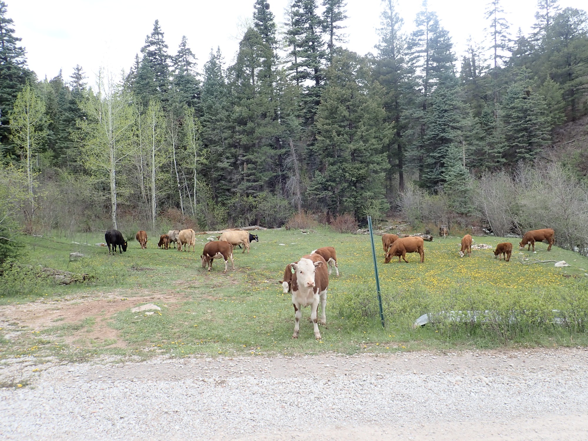
Cattle are curious animals.
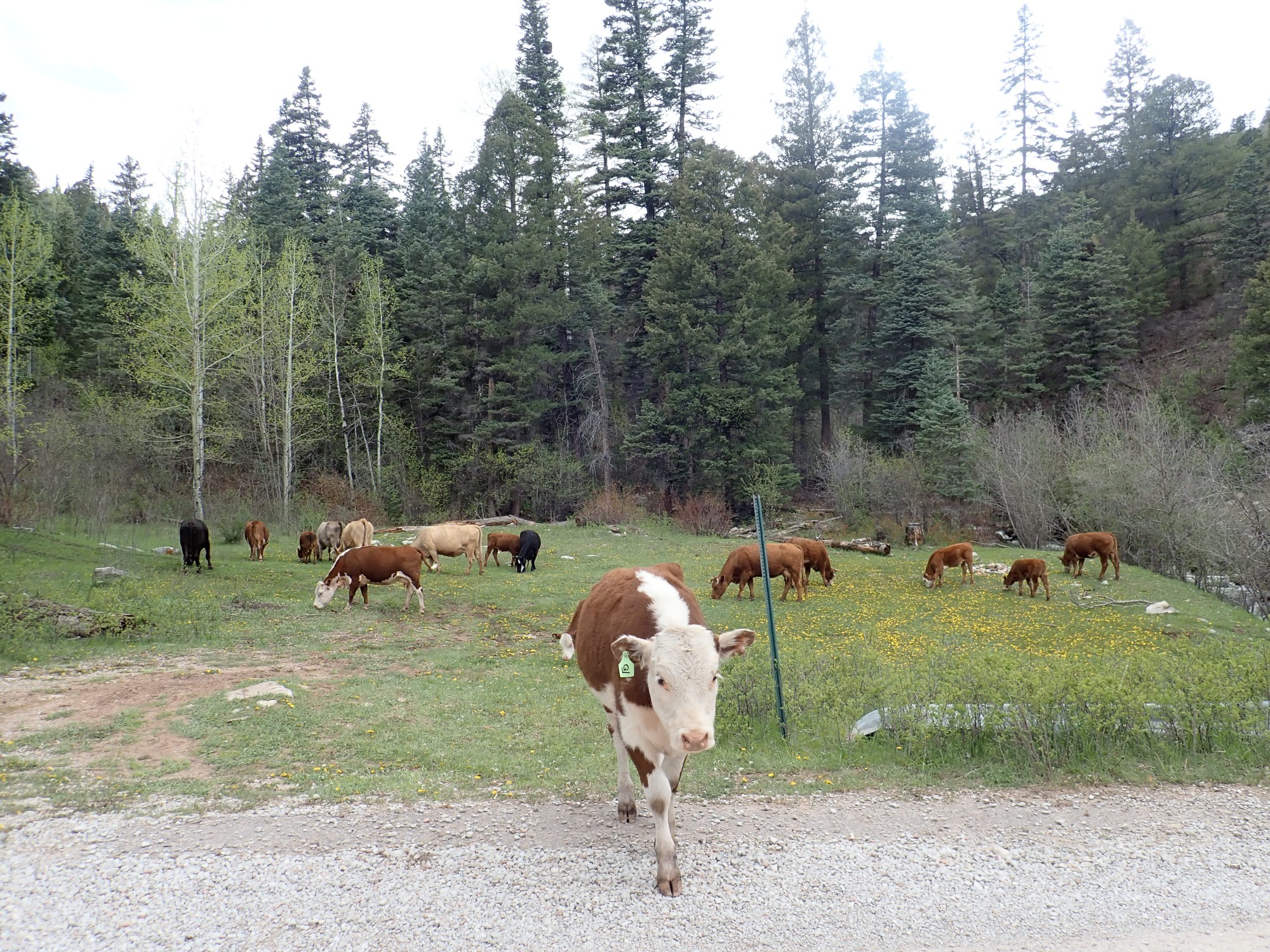
By which I mean that if they see something out of the ordinary, they will come over to check it out. It’s odd; we tend to equate curiosity with intelligence, but cattle are dumb as stumps.
I had hoped to see some spectacular Precambian outcrops in the canyon above the campground, but it is all heavily forested and concealed. I am not up for another long hike. Fortunately, there is a second outcrop above the canyon that a side road appears to actually cross.
As I exit the campground, I see yet more beautiful limestone beds.
I don’t stop for a closer look. I must be getting tired.
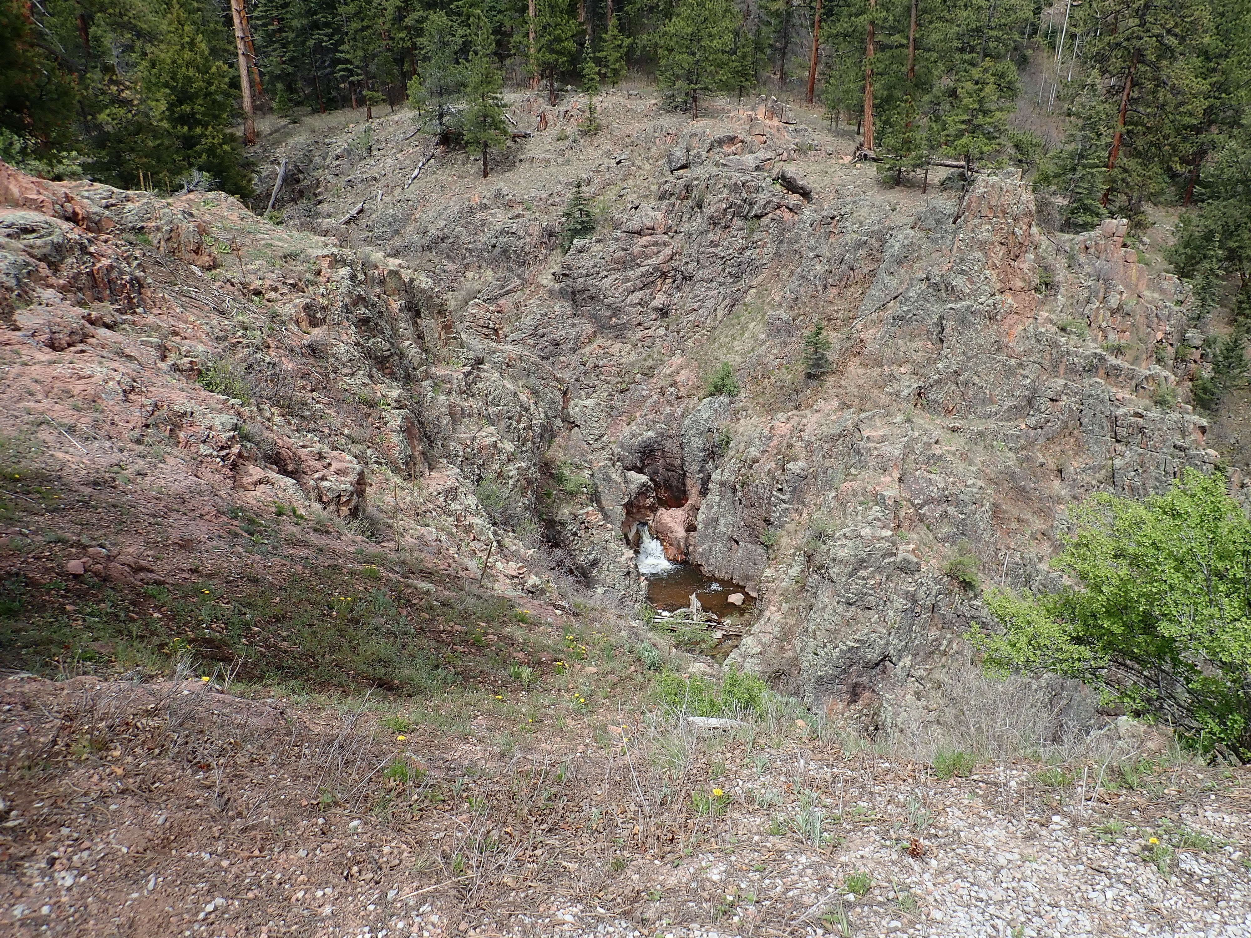
I find the side road, which turns out to be quite good; there is a campground a ways up with a couple of house trailers. Beyond is the outcrop I seek, with a nice overlook into a small canyon with a small waterfall.
This is exposed in the roadcut.
I hunt around some time for just the right sample.

This is an isolated outcrop, but identical rock crops out over a large (but difficult to access) area to the west, including San Pedro Peaks, the high area of the mountain plateau. It is described as a muscovite-biotite granite: much quartz, potassium, and sodium feldspar, with flakes of both potassium (muscovite) and iron (biotite) mica. It’s though to be intermediate in age between the monzonite and leucogranite we saw earlier, and one report describes it as Mesoproterozoic — between 1 and 1.6 billion years old. That’s almost certainly right but also not very enlightening, since at least three orogenies affected North America during that time.
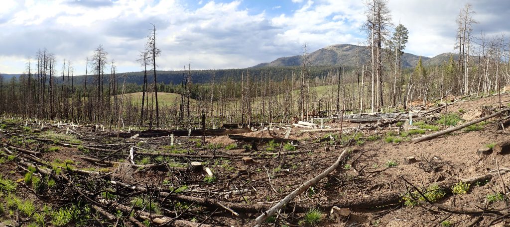
My map says this road continues south and joins back up with 103, the main gravel road. I decide to give it a try. The road starts to get a little squirrelly as we enter a burned over area from which I can see Cerro Pedernal to the east.
That’s Mesa Pinabetosa through the trees in the middle distance. I would like to get a good picture of this northern tongue of Bandelier Tuff, but there is no clear spot.
And, further on, the road becomes truly lousy. I finally reach a puddle so awful that I cannot risk taking the Wandermobile through it. I turn around and head back the way I came.
At least that lets me get this wonderful panorama above the Rio Puerco.

That’s Cutler Formation in the foreground at left.
I begin making my way home. There are a couple of beautiful limestone outcrops along the way. Here’s one right below a limestone quarry (though I didn’t realize at the time):

It’s not hard to imagine why this rock might have been good to quarry.
And this, just a short distance down the road:
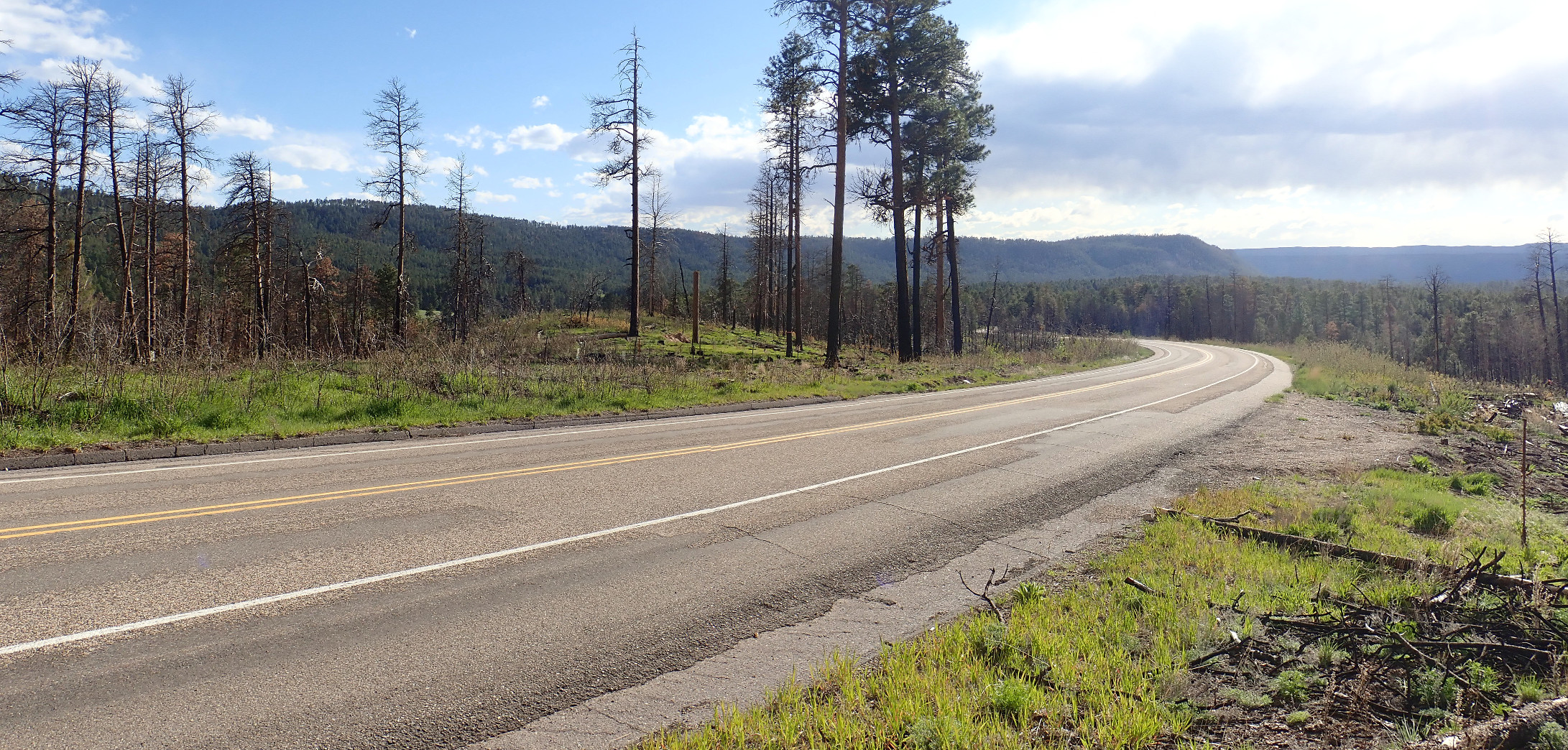
On the way back I take a couple of panorams for the book. The first is of the Banco Bonito.
Forest fires are a steep price to pay for their silver lining, which is that, with the forest burned away, it’s easier to see the geology. At left, the green ridge is the Banco Bonito, an obsidian flow that is the youngest in the Jemez. It’s at an awkward age where it’s hard to date reliably, but the geologists at New Mexico Tech think they’ve finally pinned down the age as about 70,000 years. Beyond is Redondo Peak, and below Rendondo Peak and hidden by the ridge is El Cajete, the vent from which the slightly older El Cajete Pumice was erupted.
And the second is of the southern caldera rim.
I arrive home. I run by the grocery store for some groceries and a bouquet of flowers with which to apologize to Cindy for worrying her by forgetting to hit the “back at the car” button on my SPOT. She was worried,and the flowers do help.