
Wanderlusting the Galisteo Formation
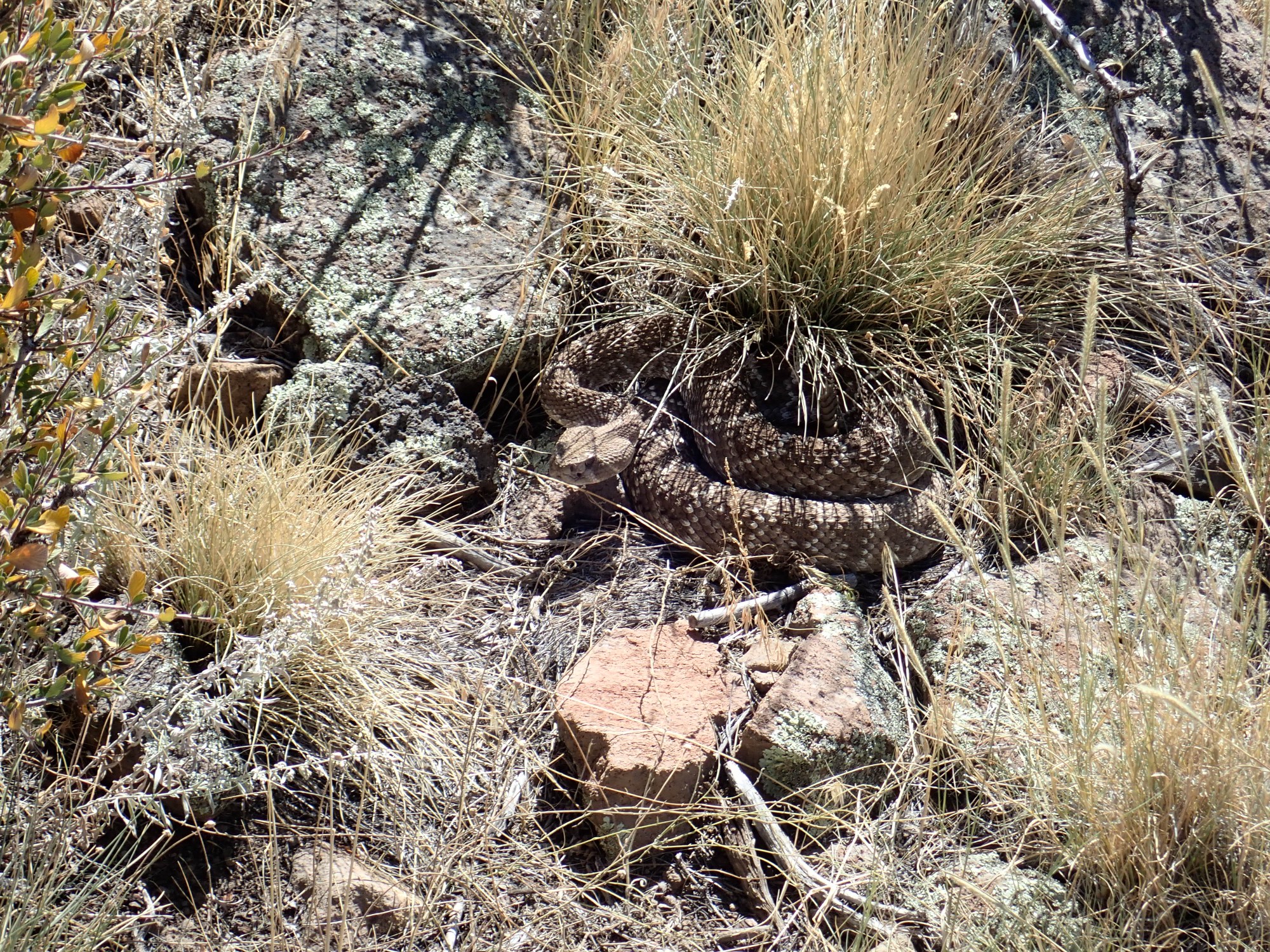
I had great fun visiting the Dome Wilderness three weeks ago. Well, aside from the frightening encounter with Snakezilla, which has got me in the habit of watching very carefully where I step.
But I did not actually make it to the Galisteo Formation beds here. These are of interest for at least two reasons: First, they predate the Santa Fe Rift and their presence here is a bit of an anomaly. Second, they are reputed to contain coarse sediment beds recording the rebirth of the Sierra Nacimiento, which originally were thrown up as part of the Ancestral Rocky Mountains but subsided sometime in the Permian, only to be thrown up again in the Laramide Orogeny.
Let’s unpack all that before moving on to the pictures.
About 320 million years ago, the continent of Africa drifted into North America as part of the assembly of the supercontinent of Pangaea. This created stress in the crust under what is now the southwestern United States, and the result was to throw up a system of mountain ranges. Many of these coincided with modern Rocky Mountain ranges, and so geologists have called the ancient ranges the Ancestral Rocky Mountains. In the Jemez area, these included the Uncompahgre uplift, which stretched from eastern Utah to the Espanola area, and the Penasco uplift, which was located in almost exactly the same location as the modern Sierra Nacimiento.
The Penasco uplift was subsequently eroded down to a bare (and approximately level) surface of resistant Precambrian cystalline rock. There is good evidence this uplift then began to subside during the Pennsylvanian Period, which ended 300 million years ago. One clue is that Pennsylvanian marine limestones of the Madera Formation began to onlap onto the Sierra Nacimiento, meaning that the younger beds extend further onto the uplift. Another is that thin Permian Abo Formation beds are found in patches atop the Sierra Nacimiento today, showing that the uplift was buried in Permian sediments.
Skip ahead 250 million years.
Mountains were again thrown up, this time by an unusually thick section of oceanic crust (the Farallon Plate) that collided with and was forced beneath western North America. This is known as the Laramide Orogeny, orogeny being the term for a mountain-forming event. Sediments eroded off the high terrain were deposited in an arid river valley occupying what is now the Jemez region. The arid climate means the sediments were poor in organic matter, so they remained highly oxidized, with the red color of ferric iron. They form what geologists call red beds, for fairly obvoius reasons.
About this time, the Laramide compression threw up the ancient Penasco Uplift as the modern Sierra Nacimiento. Another range was thrown up in the area between what is now Los Alamos and Santa Fe to form the Pajarito Uplift. Coarse sediments from the high ground were incorporated in the portions of the Galisteo Formation close to the uplift.
About 30 million years ago, the compression of the Laramide Orogeny was replaced by extension as North America drifted onto the East Pacific Rise, a great upwelling in the Earth’s mantle. This simultaneously uplifted western North American and pulled it apart. A great rift opened in the Earth’s crust reaching from central Colorado to the El Paso area that is today roughly coincident with the Rio Grande Valley — the Rio Grande Rift.
The Pajarito Uplift foundered into the Rift to produce the Espanola Basin, stretching from north of Espanola to the I-25 corridor near Santa Fe. The left and right flanks of the Rift are marked by uplifts, which in some cases form high mountain ranges — the Tusas Mountains, the Sangre de Cristo, the Sierra Nacimiento, and the Sandia Mountains, in northern New Mexico. In the Jemez area, rifting permitted large amounts of magma to erupt at the surface to form the volcanic Jemez Mountains. But a sliver of pre-rift rock buried by the volcanic activity has been exposed by faulting and erosion along the eastern feet of the San Miguel Mountains in the southeastern part of the Jemez volcanic field.
Now for the pictures.
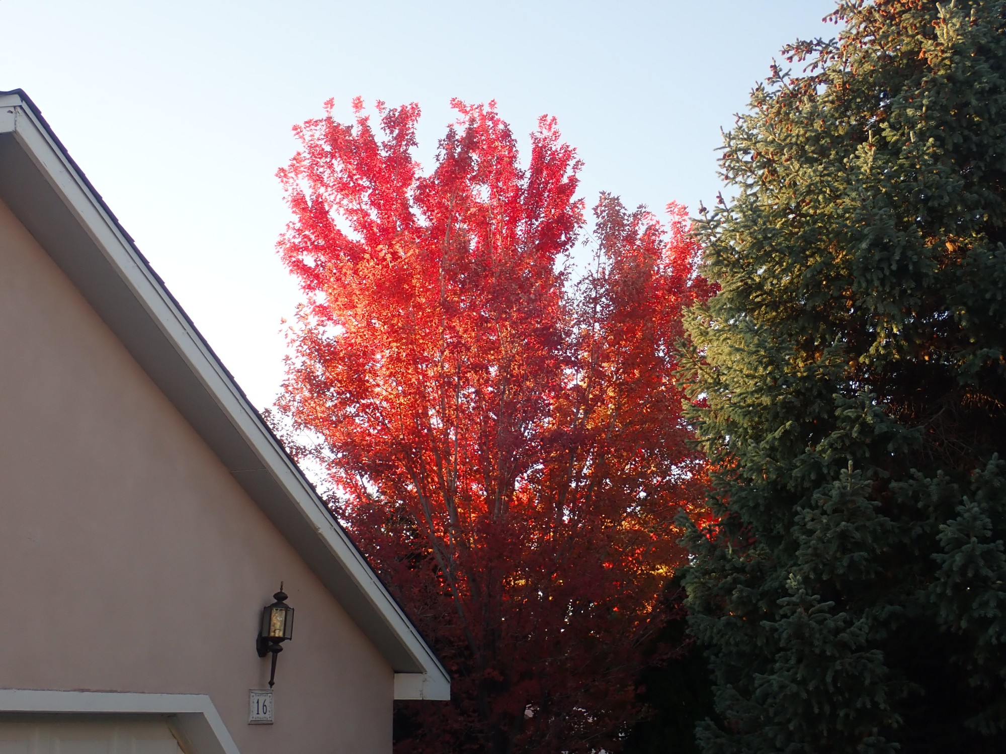
It is fall in New Mexico, and our maple tree was lovely this morning as I packed up the car for my hike of the day.
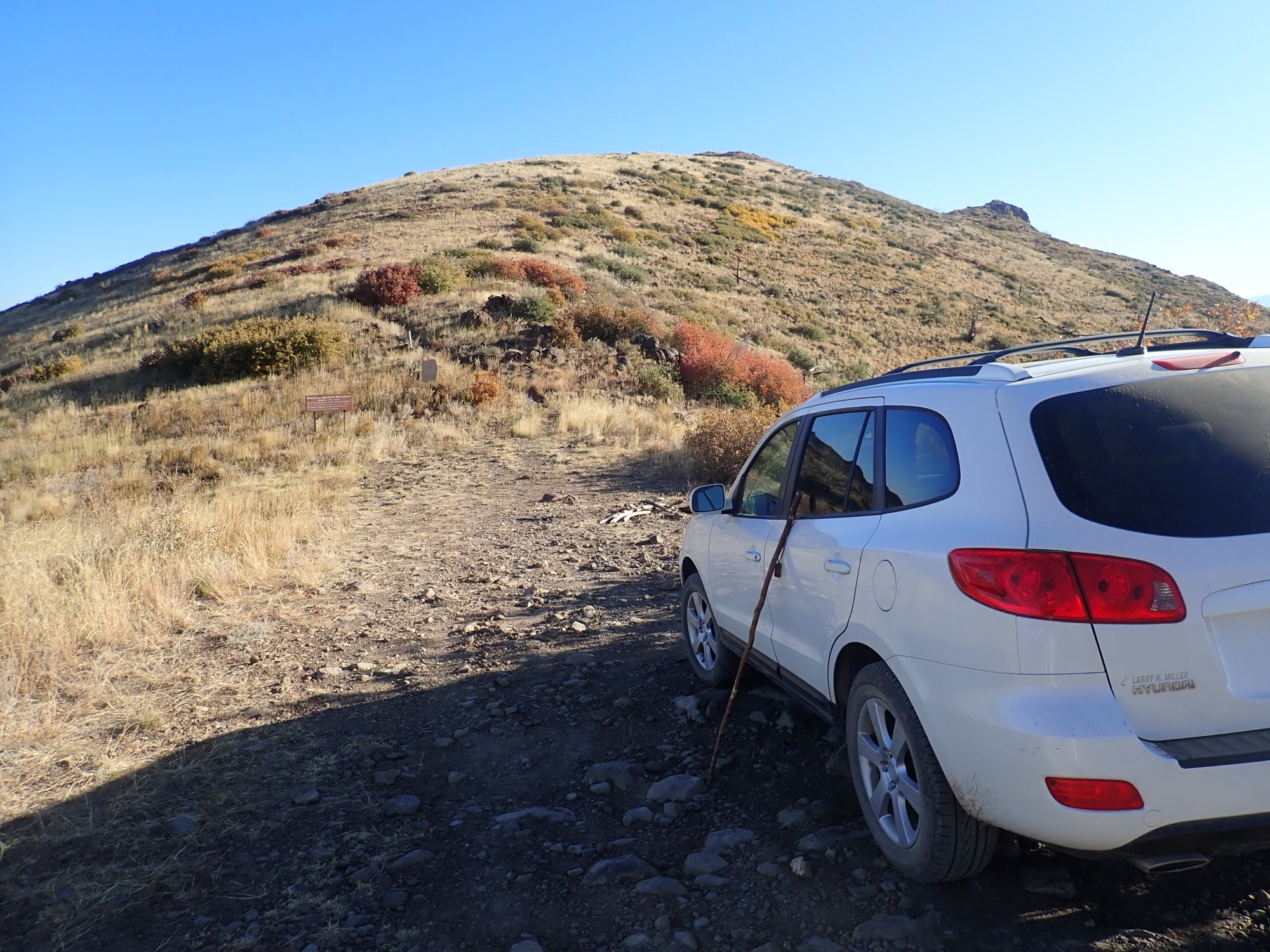
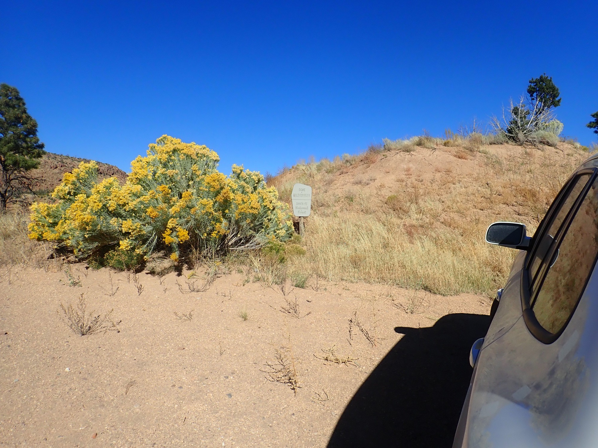
I drive from my home in White Rock to the Dome Road turnoff, then south along the gravel road to the Dome Lookout Spur. The main Dome Road is an excellent gravel road, suitable for most passenger vehicles in good weather. The Spur is quite rocky at its beginning and end, and one has to watch out for El Pothole Grande, but the weather has been quite dry for some time and the big pothole halfway along the spur is mostly dried up. Some care is needed to cross but it’s not bad today.
At the trail head.
It’s a chilly morning and I will end up hiking in a sweater all day. I also don hiking boots, a big hat (one skin cancer carved off my head is enough), and pack, after slathering in sunscreen, and start out.
It is theoretically possible to hike an 11-mile clockwise loop that passes the Galisteo beds and comes back to the trailhead from the Cerro Picacho area. I had seriously considered attempting this today, until I measured the distance and saw how hard some parts of the trail are to pick up on satellite photos. Long trail on a short day over rough terrain; hiking alone; it’s rattlesnake country; and on an unfamiliar trail that is very vague in spots.

I have decided I will do an out and back to the beds rather than attempt the loop. I can revisit Cerro Picacho another day.
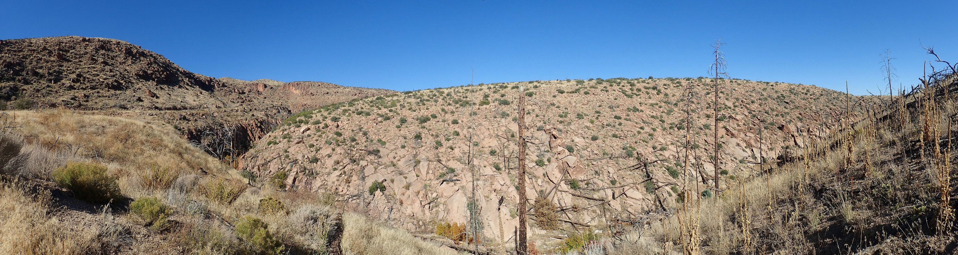
However, I hike at a brisk pace, because I did the first part of the trail just three weeks ago and I want to be sure I have plenty of time for the Galisteo beds. I pause only for a couple of photos of volcaniclastic beds, here
and here.
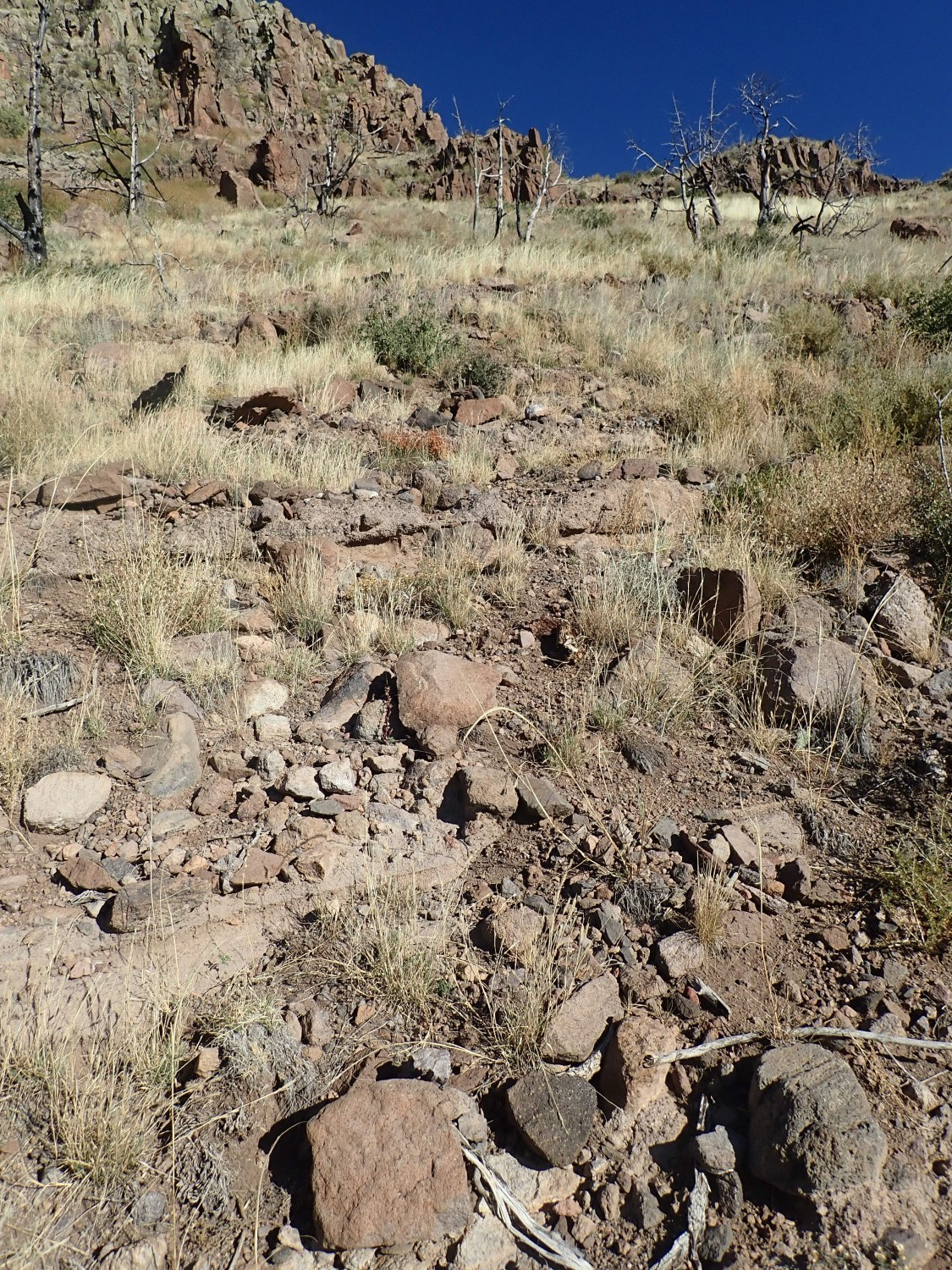
I wasn’t entirely satisfied with some of my shots from last time. I’m not satisfied with the first one here, either, but the second nicely shows layers of beds on the hillside.
Volcaniclastics: These are beds of broken rock from volcanic activity, cemented together in a finer matrix of volcanic ash. Some volcaniclastic beds, such as the ones here, look for all the world like (poor-quality) concrete. Much of the bulk of the San Miguel Mountains is composed of volcaniclastics, interbedded with andesite flows.
Andesite is a volcanic rock formed from lava with a modest content of silica, making it thick enough that andesite vents tend to produce the classical cone-shaped volcanoes known as stratovolcanoes. The San Miguel Mountains are remnants of stratovolcanoes erupted 8-9 million years ago.
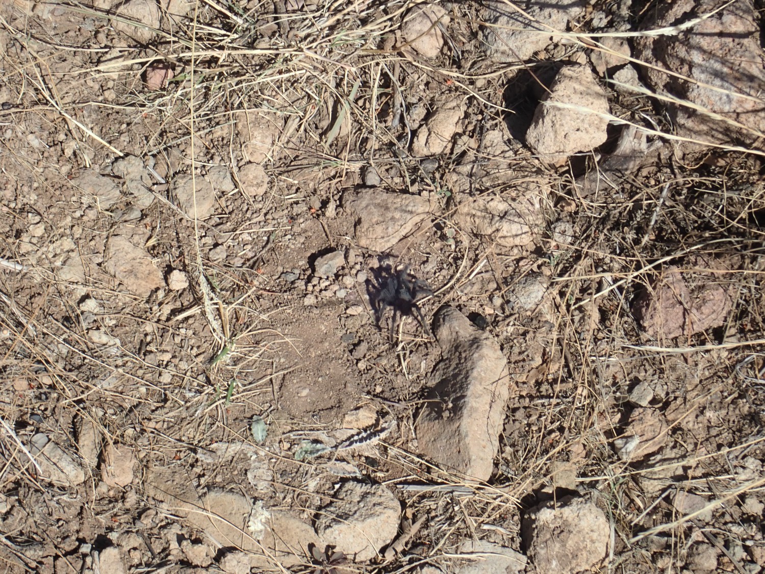
I also pause to admire a tarantula on the trail.
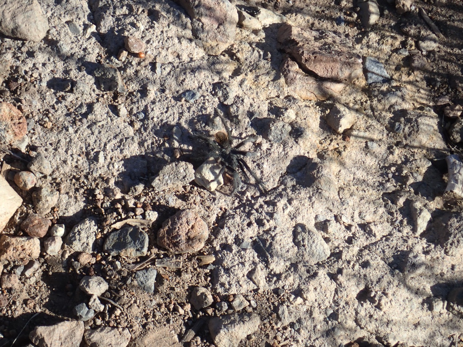
It’s migration season; this is likely a male off looking for a bride. They get kind of oblivious to distraction when on the move. This one seemed completely uninterested in my presence.
Well, after all, I’m neither a lady nor a tarantula.
I decide I want a closer look at the Canovas Canyon tuff beds I spotted last time here.
This requires a slight bushwack. I find myself being very careful where I step, and probing ahead with my walking stick.
The Canovas Canyon Rhyolite was erupted early in the development of the Jemez volcanic field, with some beds being over 12 million years old. The ones here are at least 9 million years old and are the most northeastern exposure of the formation. But the nearest Canovas Canyon beds that have actually been dated (located on the far side of Cerro Picacho) are some of the oldest beds, suggesting the beds here may be 12 million years old as well.
I wander slightly off the trail, realize my mistake, and scout uphill until I find the trail again. But this is new:

This large tree wasn’t acros the trail three weeks ago. Tree falls are distressingly common in the Jemez, due to extensive forest fires in the last twenty years that killed many trees and weakened others. The Park Service does a pretty good job of maintaining trails; I expect this will be cleared soon.
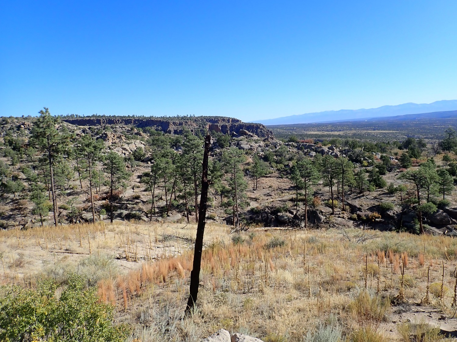
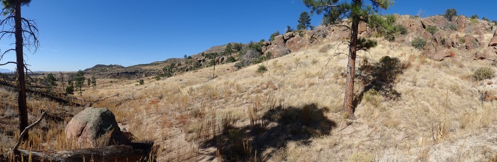
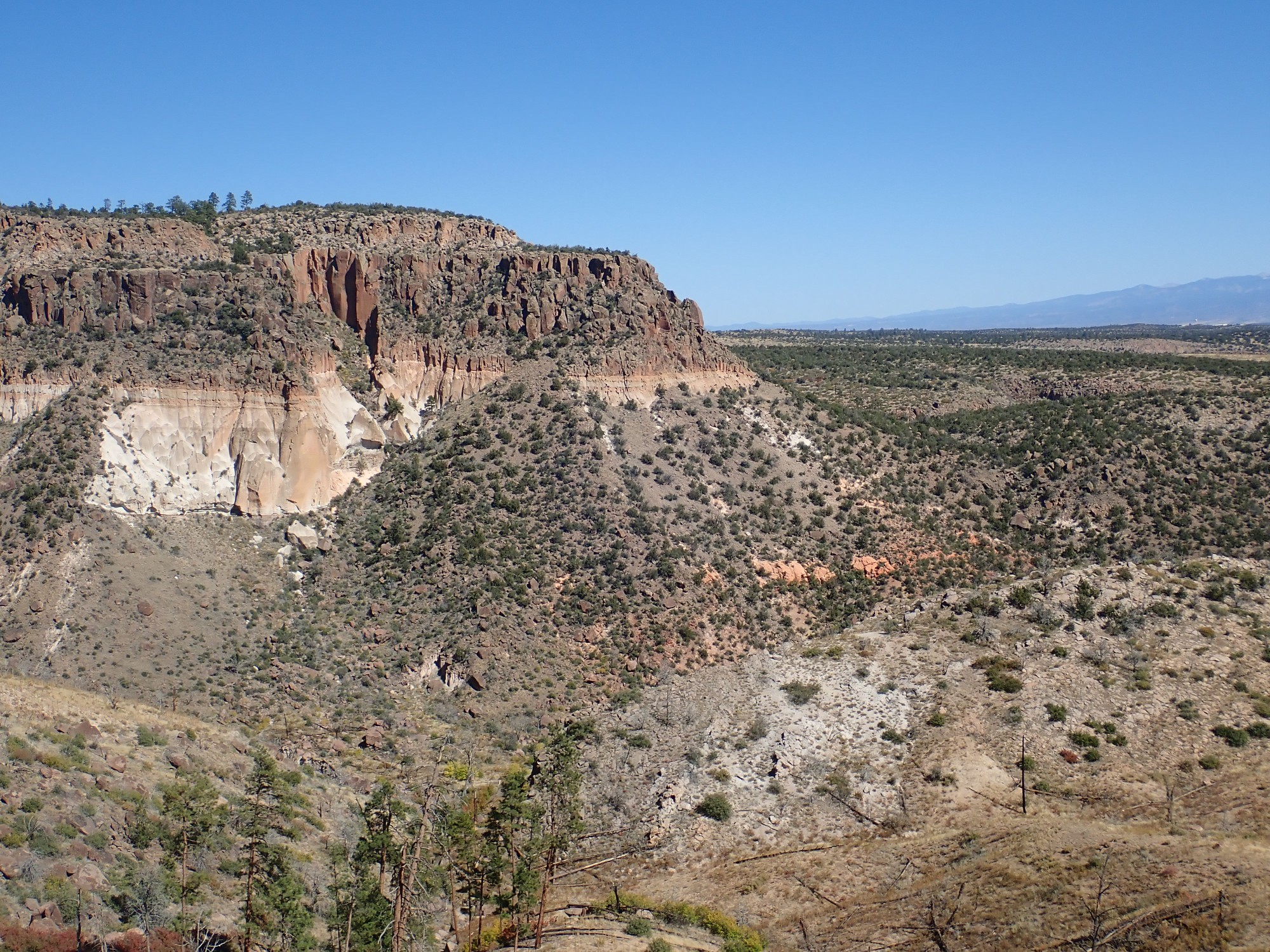
Sandia Crest visible to the south.
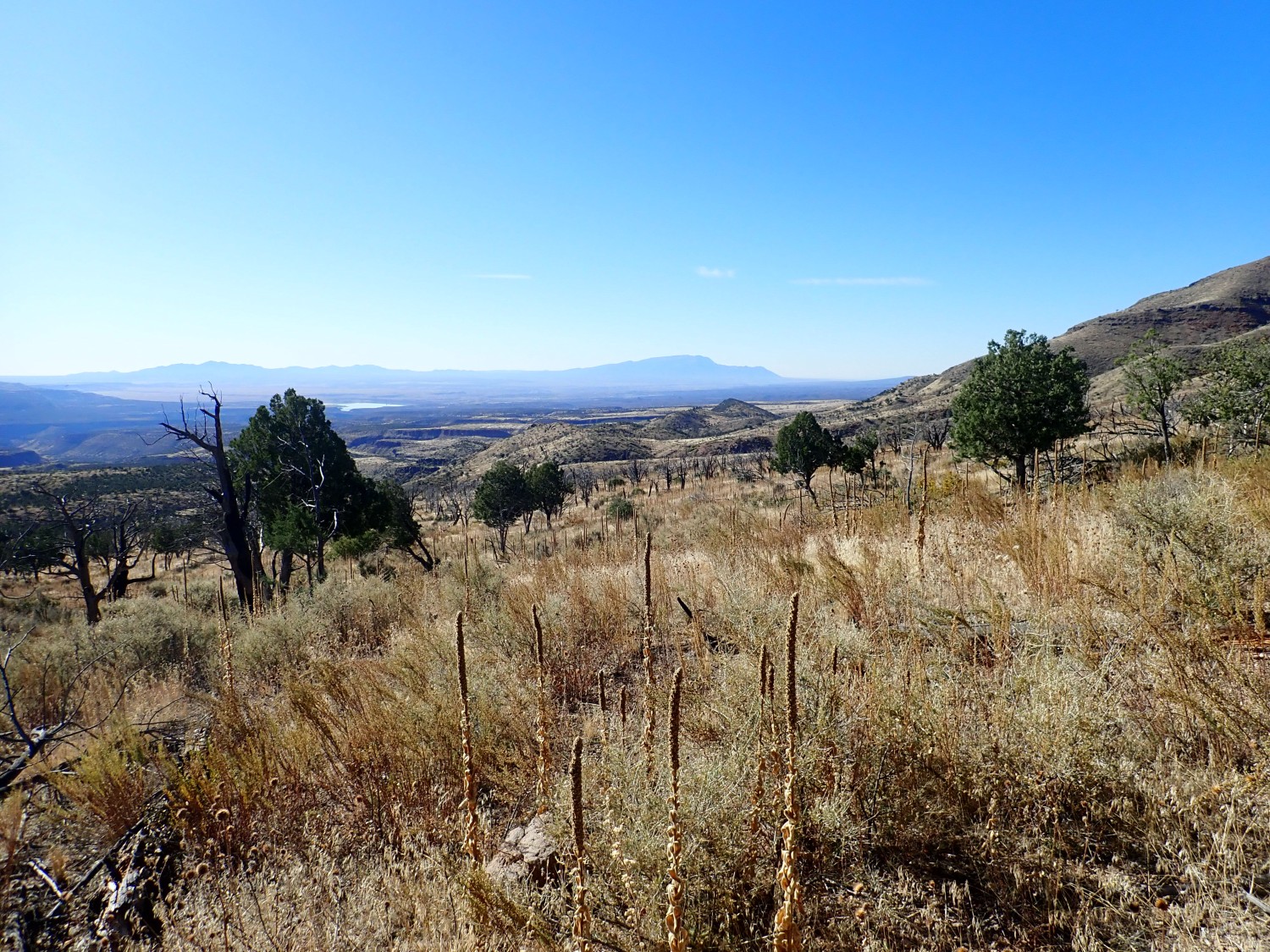
The lake at left is Cochiti Reservoir on the Rio Grande. At center in the middle distance are the hills that are the destination of this hike.
Another migrating tarantula.
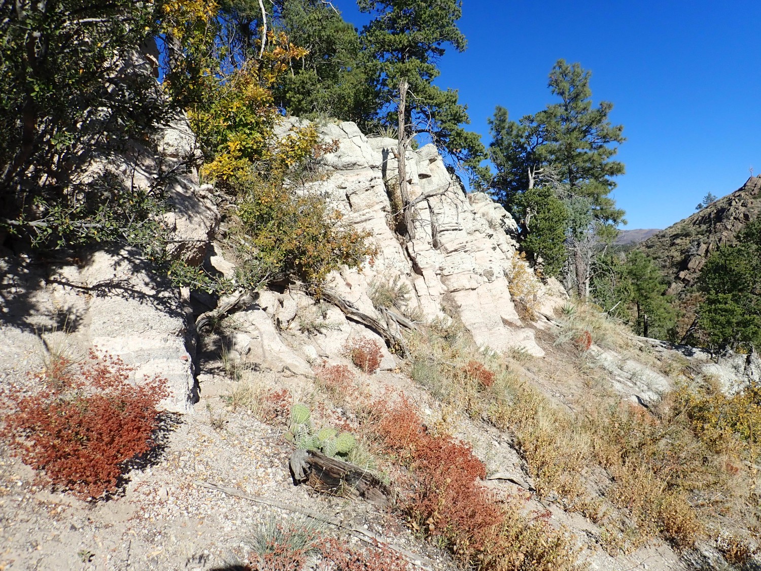
I noticed on my previous visit that there are beds of sandstone near where the trail comes out on the Pajarito Plateau. These are underlain by a shelf of white rock that attracts my attention.
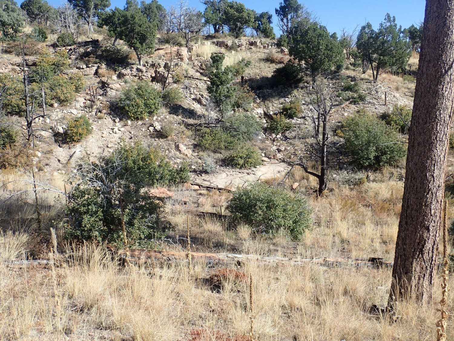
I make a mental note.
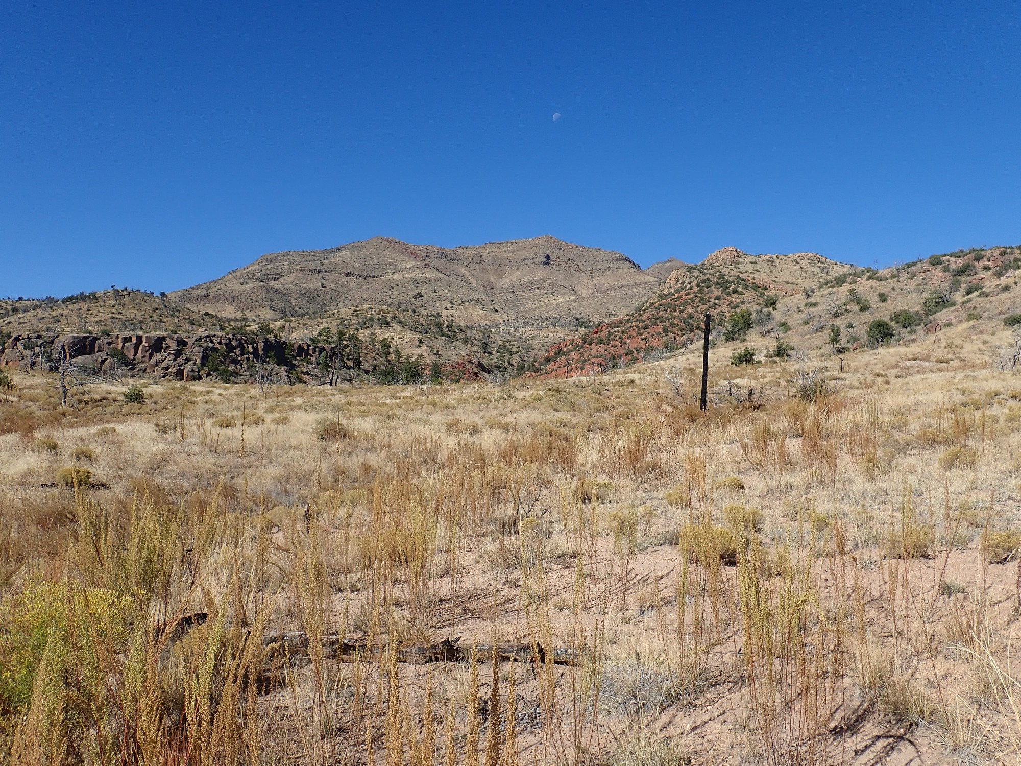
“Moon over Boundary Peak”. Kent G. Budge, 2019, TG-5 camera on landscape setting.

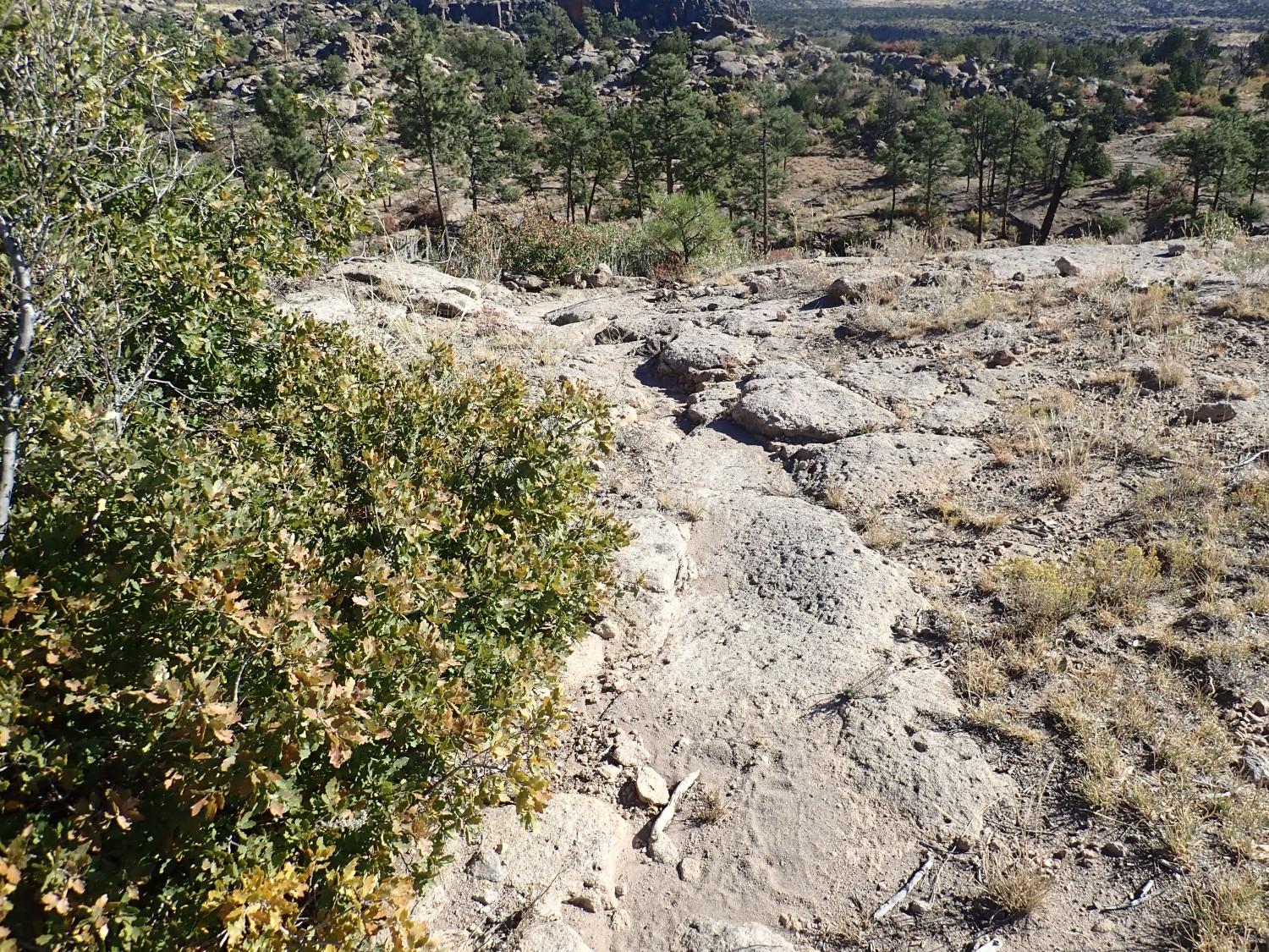
I take some comfort in the observation that this trail is heavily traveled.
It’s also quite well maintained. The log across the trail earlier was an anomaly.
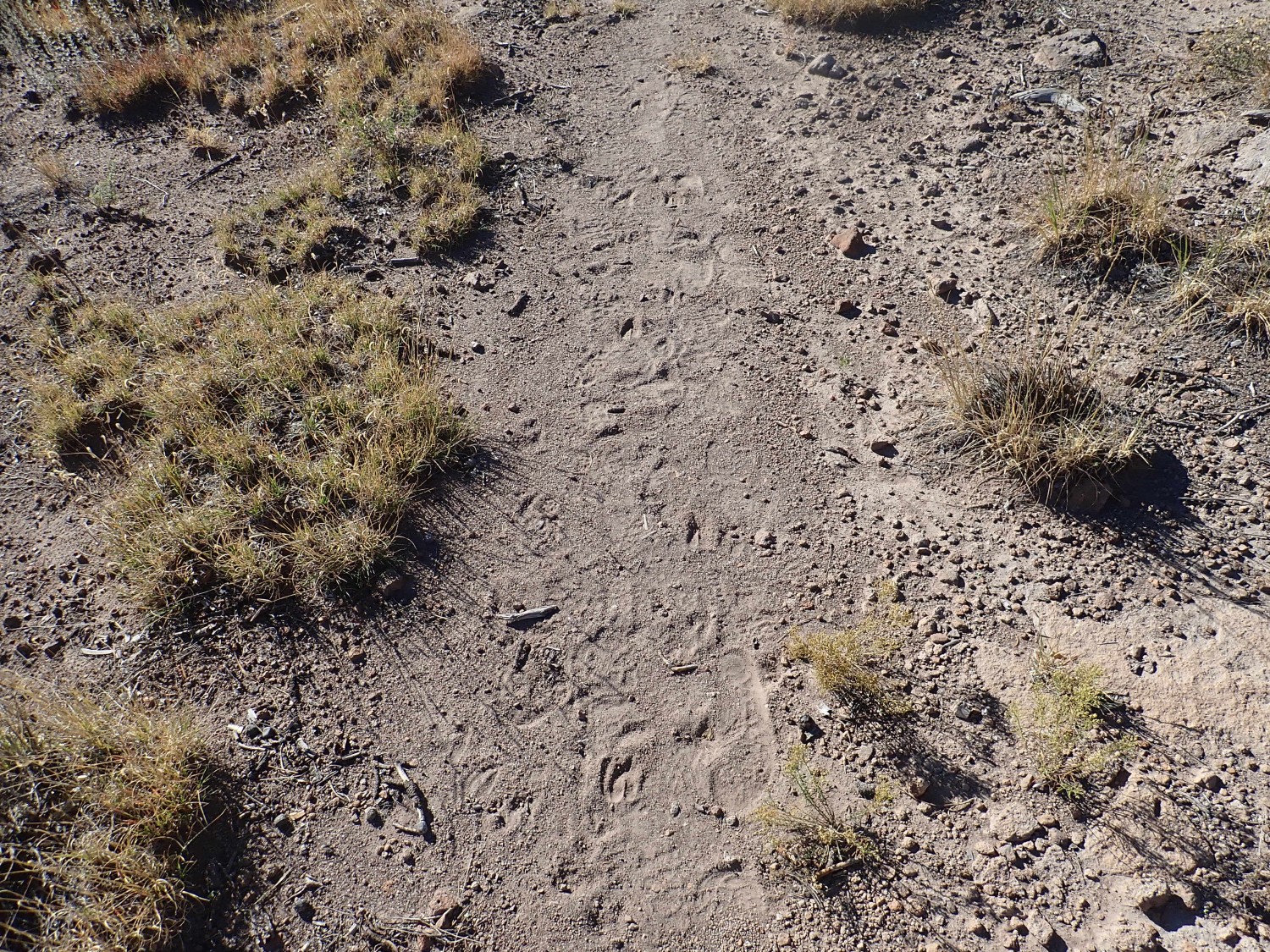
Not all the travelers on the trail are human.
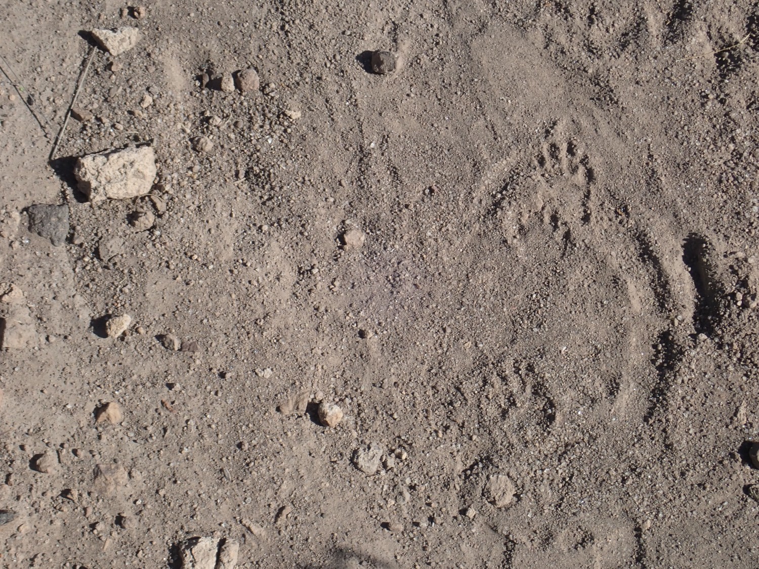
The tracks at right looked to me like they were from a cousin of Coonzilla. There were also deer tracks here.
I reach the point where I turned around on my last visit. After just an hour of hiking; I’m making good time. Of course, I’m not stopping much to examine geology.
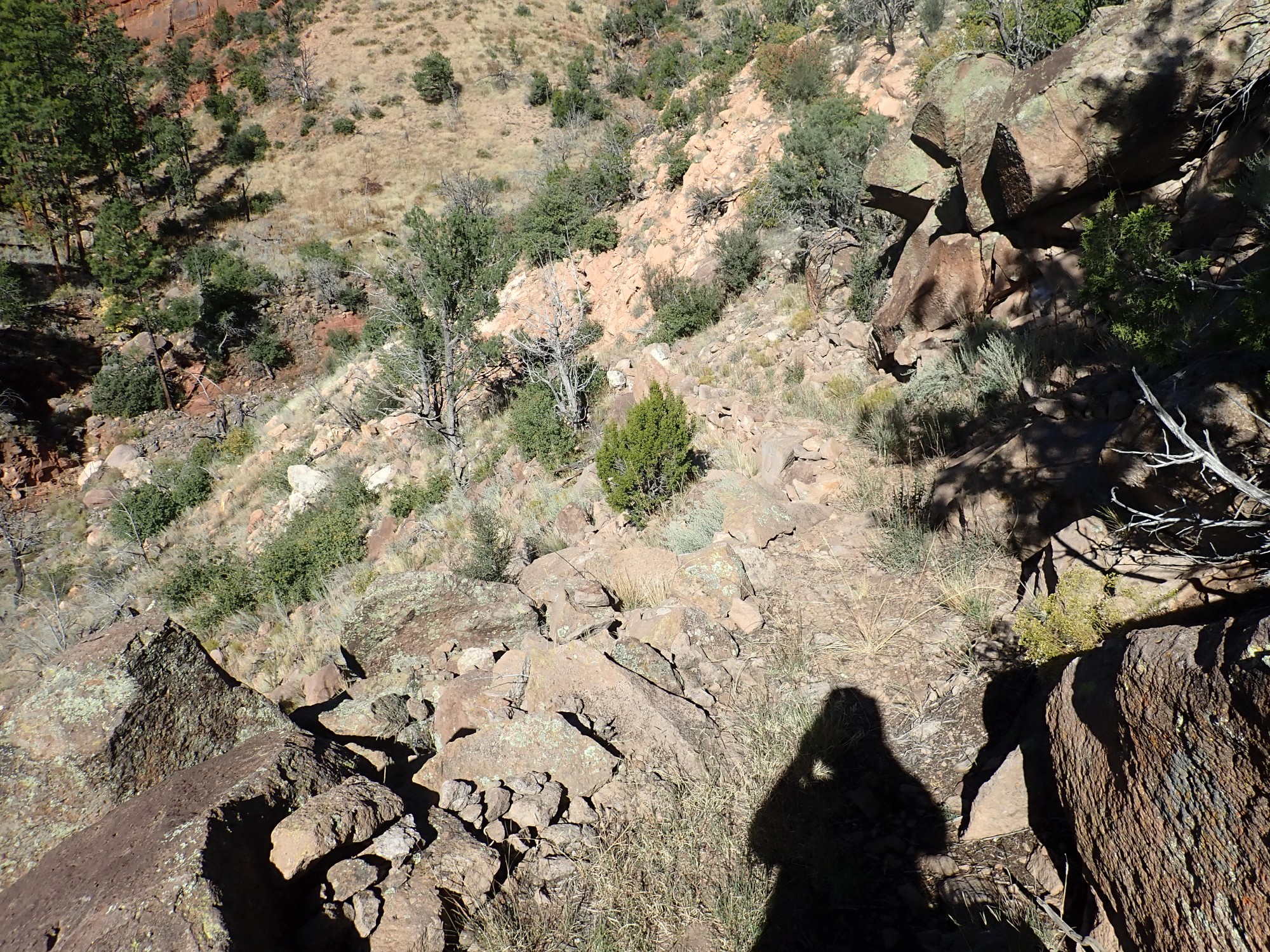
I head off into terra nova.
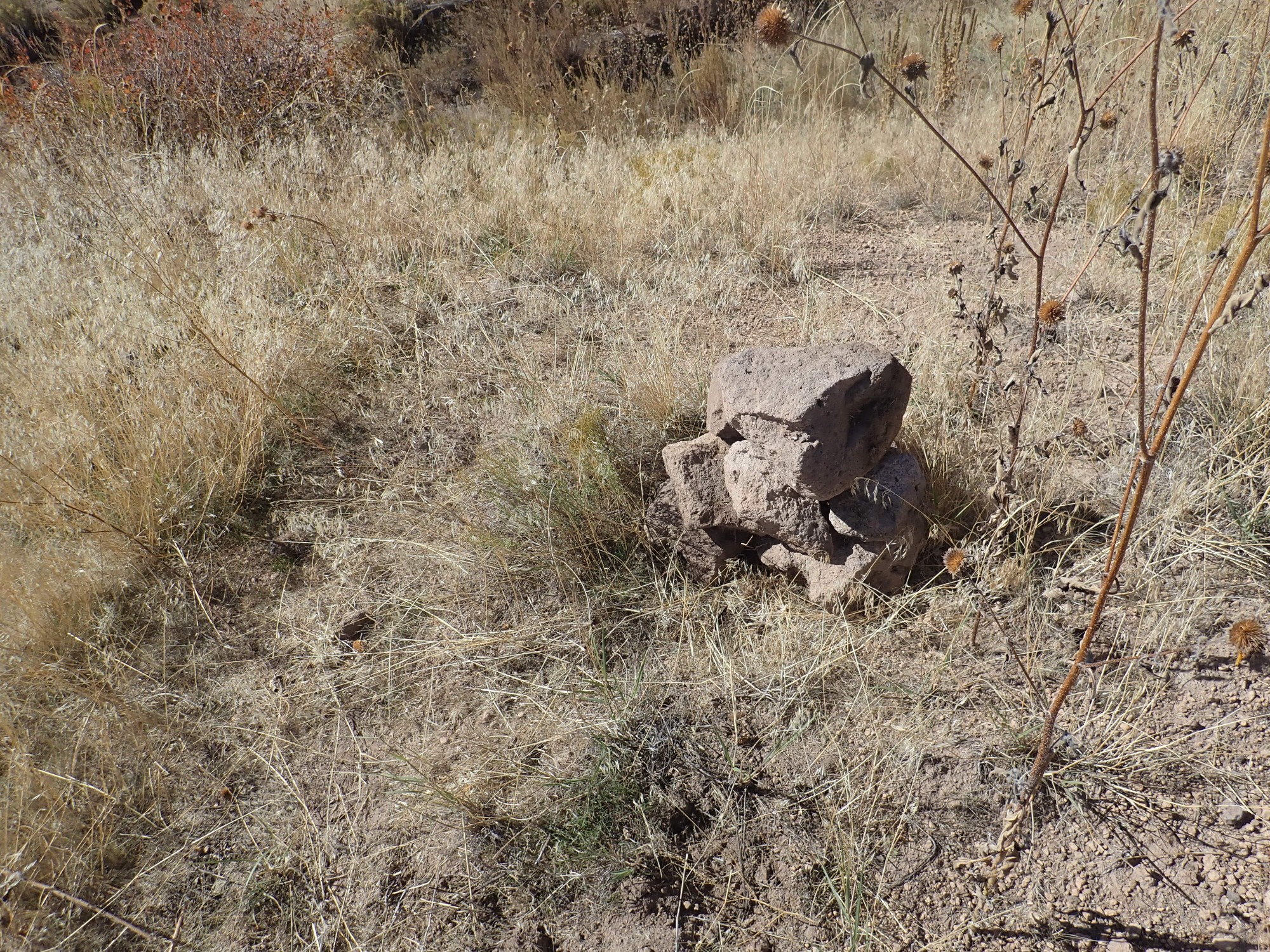
I have a few bad moments as the trail fades in an arroyo, and I worry I’ve missed the branch south. I pull out the bundle of topo maps I’ve printed out; they don’t help until I realize the orientation is not consistent with the writing, and I figure out which direction is north. The trail then matches what I’m seeing and I’m reassured. It also helps when, moments later, I spot some cairns showing the path across the bare rock.
North is a prominent fault escarpment of a major fault strand of the Pajarito Fault Zone.
The western edge of the Rio Grande Rift was originally along the east side of the Sierra Nacimiento Mountains. At this time, rifting was relatively gentle. Over the millions of years that followed, rifting activity gradually migrated east and become more focused. It was centered at the longitude of the Bland area eight million years ago. More recently, within the last four million years, it has been centered under the Pajarito Fault Zone, a zone of north-south faults at the feet of the Sierra de los Valles that form the western skyline of Los Alamos. The major strand of the fault zone is most familiar to Los Alamos residents from its escarpment where State Road Four climbs up to the Jemez Mountains.
The fault zone passes just east of the San Miguel Mountains, and exposes the interior of the old volcano and the older sedimentary rocks on which it sits. These exposures now mark the western rim of the Rio Grande Rift as it exists today. There is evidence that the Pajarito Plateau has experienced 5% extension in the last million years, making it the center of current rifting activity at our latitude.
Another one for the Japanese gardener in me.

The checkered bark is striking. This may be a result of fire damage to this juniper.
Just before the trail fork, one catches a glimpse into Capulin Canyon.
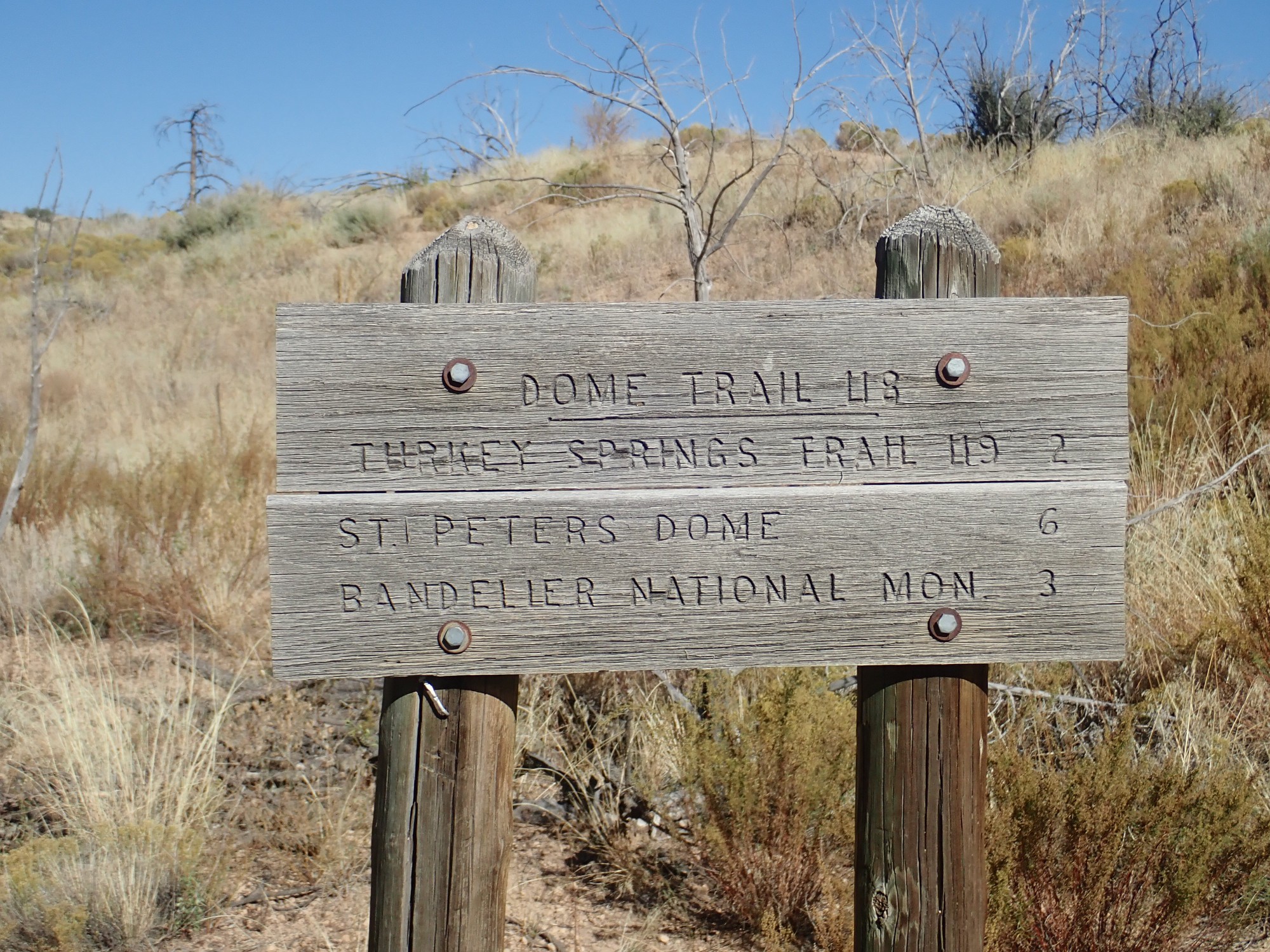
The trail forks:
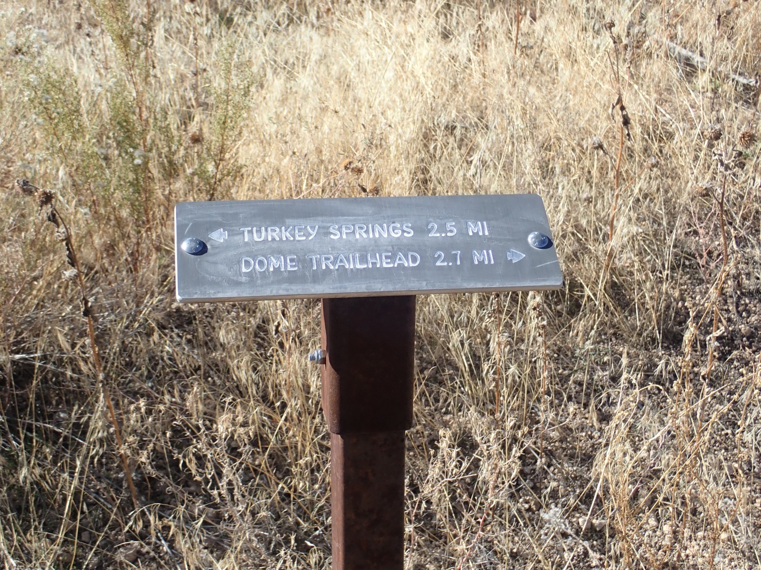
The sign presupposes hikers are coming this way from Capulin Canyon. I came in from the Dome trailhead. The trail to this point is well maintained, and looks like it continues to be well maintained on the leg into Capulin Canyon.
The Turkey Springs trail is another matter. There is a large pile of logs
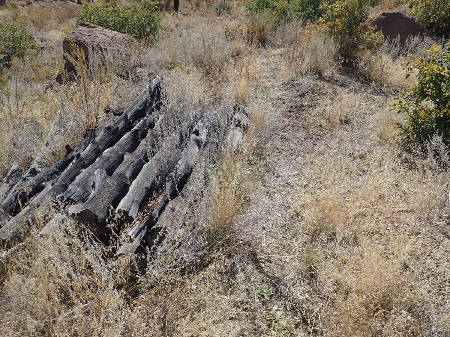
and then the trail all but vanishes for a stretch. However, I know from my topo map that my route lies along the fault escarpment.
The fault trace itself is concealed under rock fall. Also, in many places, the ground at the base of escarpment is underlain by drifts of El Cajete Pumice.
The El Cajete Pumice is air fall pumice from the most recent eruptive pulse in the Jemez Mountains. 73,000 years ago — practically yesterday in geologic terms — a vent opened south of Redondo Peak and blanketed much of the southwestern Jemez and what is now Bandelier National Monument in pumice. Some of the beds are found as far east as the Cerros del Rio across the Rio Grande. The pumice holds moisture and nutrients well and so supports thick grass, mulleins, and sunflowers, such as you see here. Native Americans were aware of this, and field houses (small two- to three-room structures housing one or two families) are very common next to El Cajete beds.
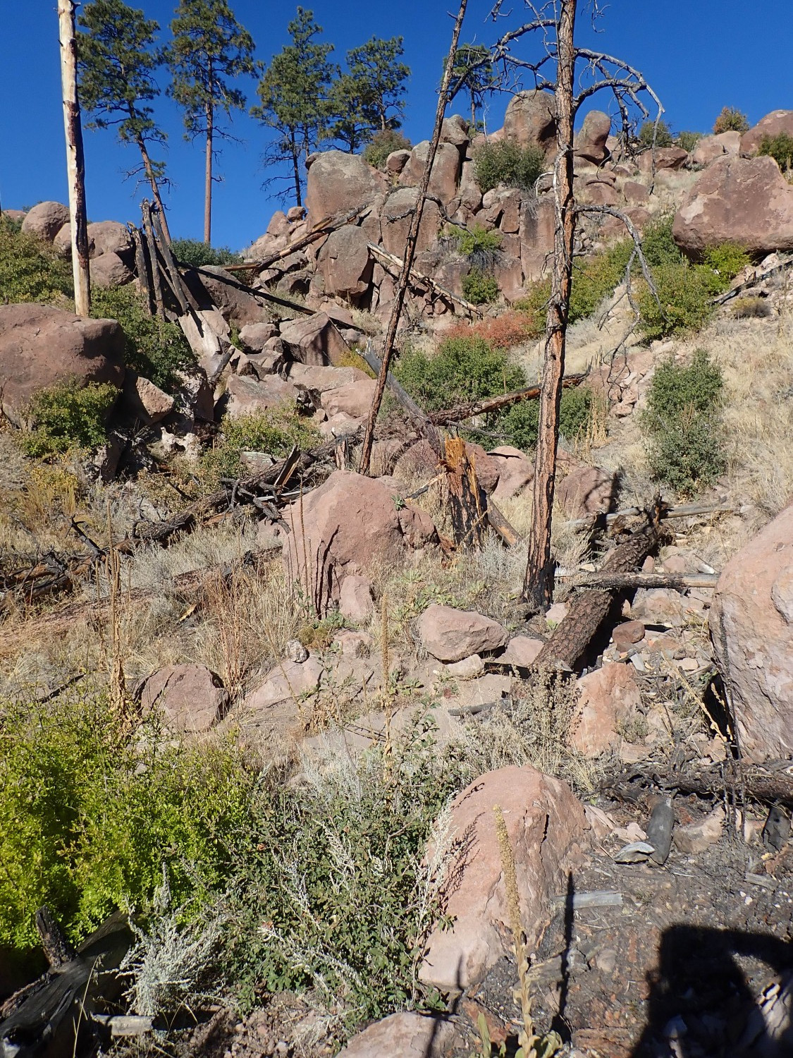
The downside, for me, is that the loose pumice just doesn’t hold a trail well. If there was regular heavy traffic on this trail, it might be a bit clearer, but it’s one of the least-hiked trails in the Bandelier back country. I know where I should be headed, which is good, because the trail frequently becomes indiscernible.
The fault scarp, with El Cajete Pumice at its foot, and no discernible trail.
(As with most images at this site, you may click for a full resolution version.)
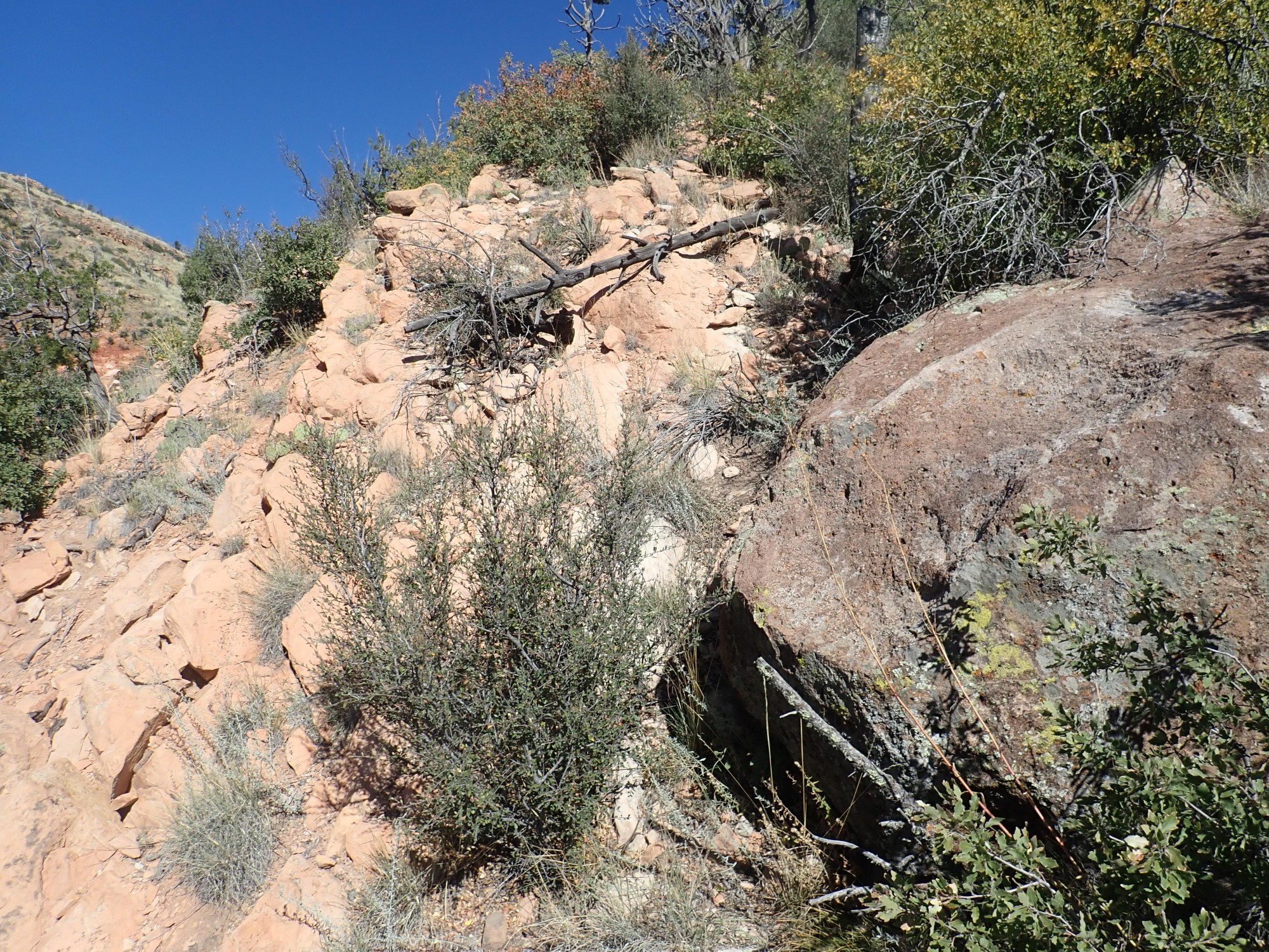
South of here, the trail completely vanishes. However, now and then, I can pick up some footprints from a previous party on this otherwise poorly traveled trail.

Still, there are spots where I have to search a few minutes to pick up the trail again.
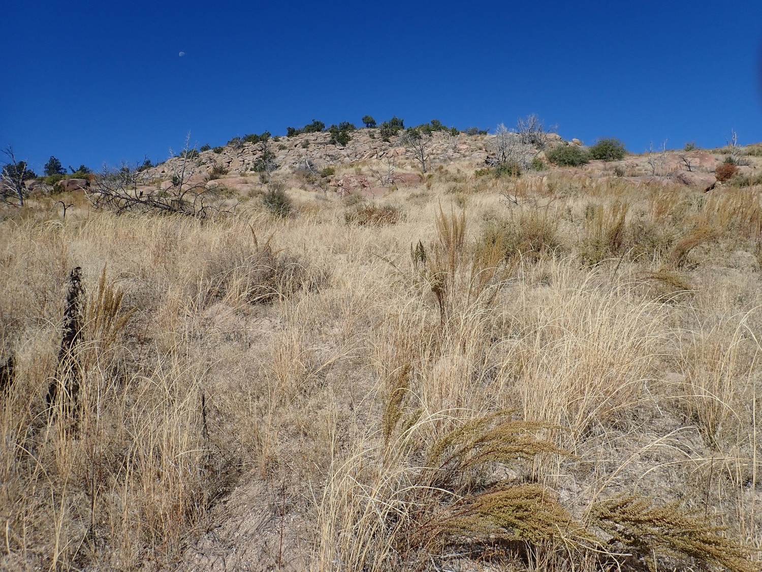
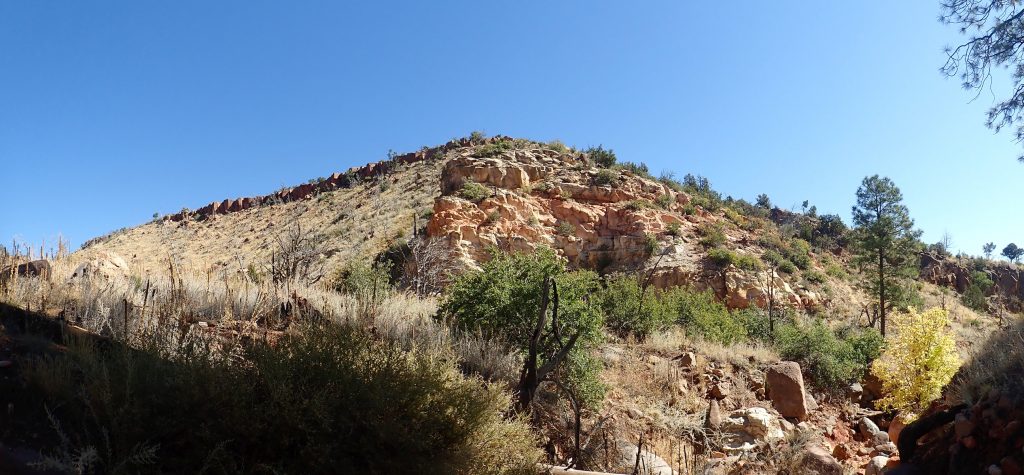
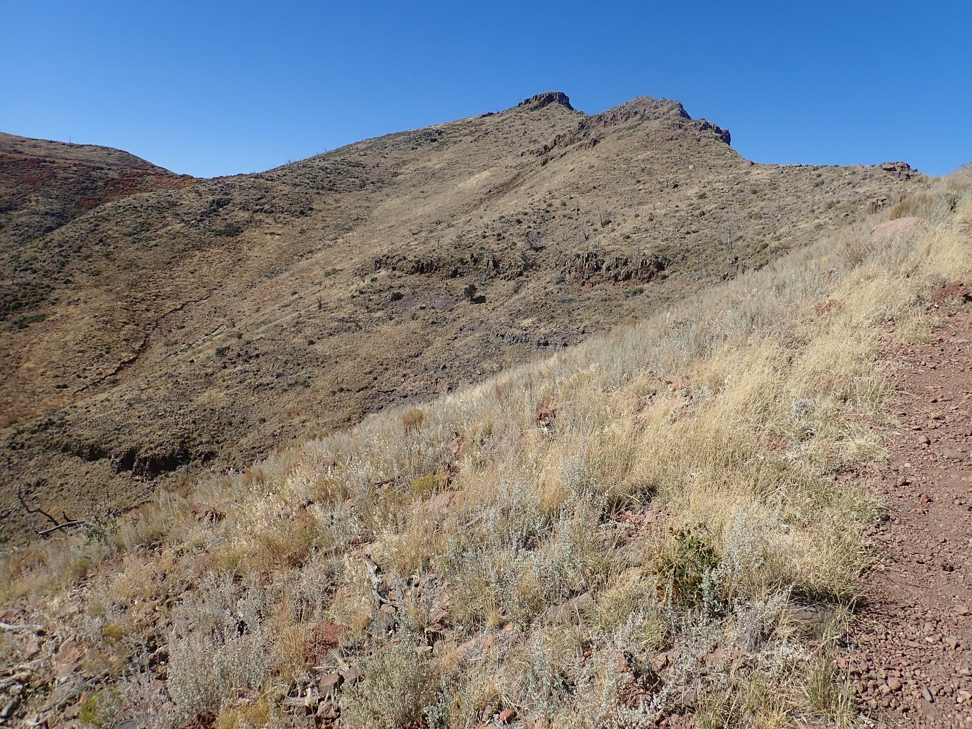
My destination comes into view.
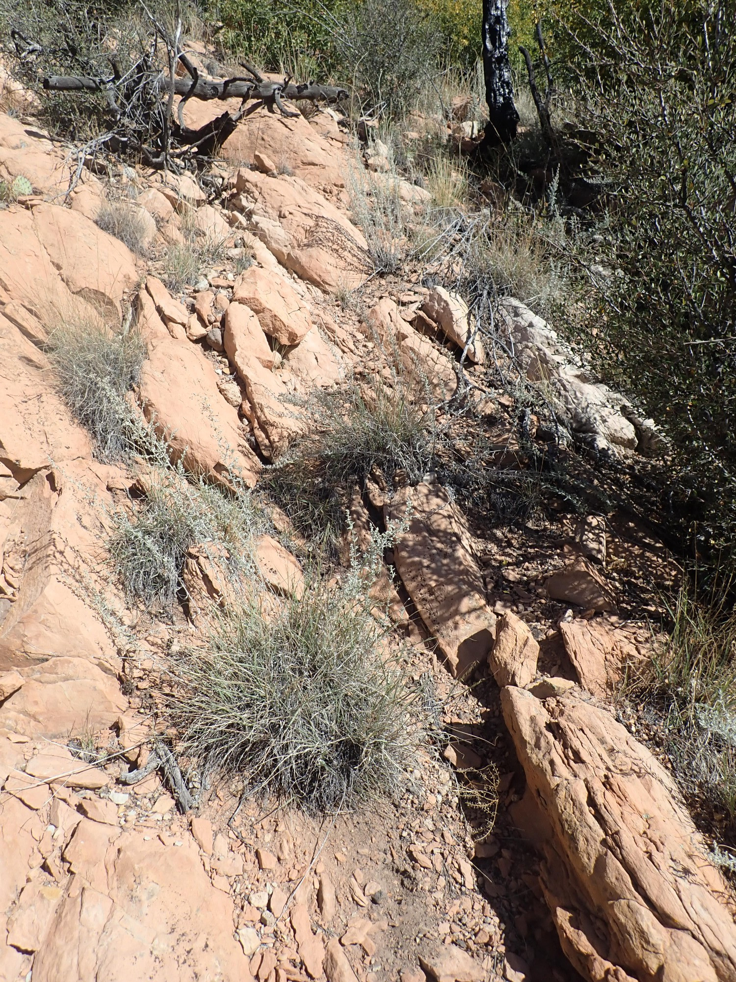
And I finally come across a cairn marking the (very faint) trail.
Adding more rock cairns along the route seems like a good idea to me.

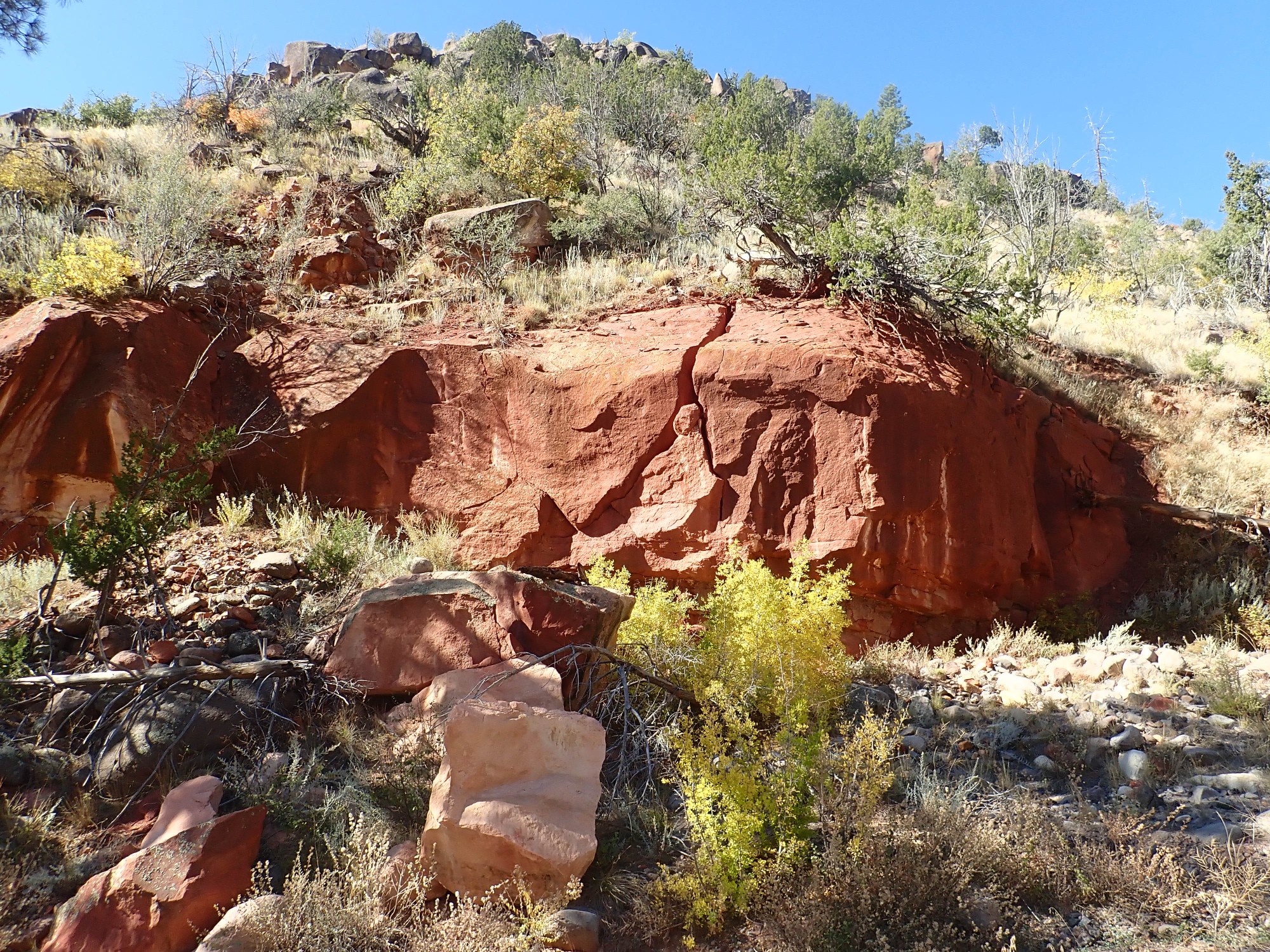
Past here, the trail becomes a bit more discernible, and the objective is near.
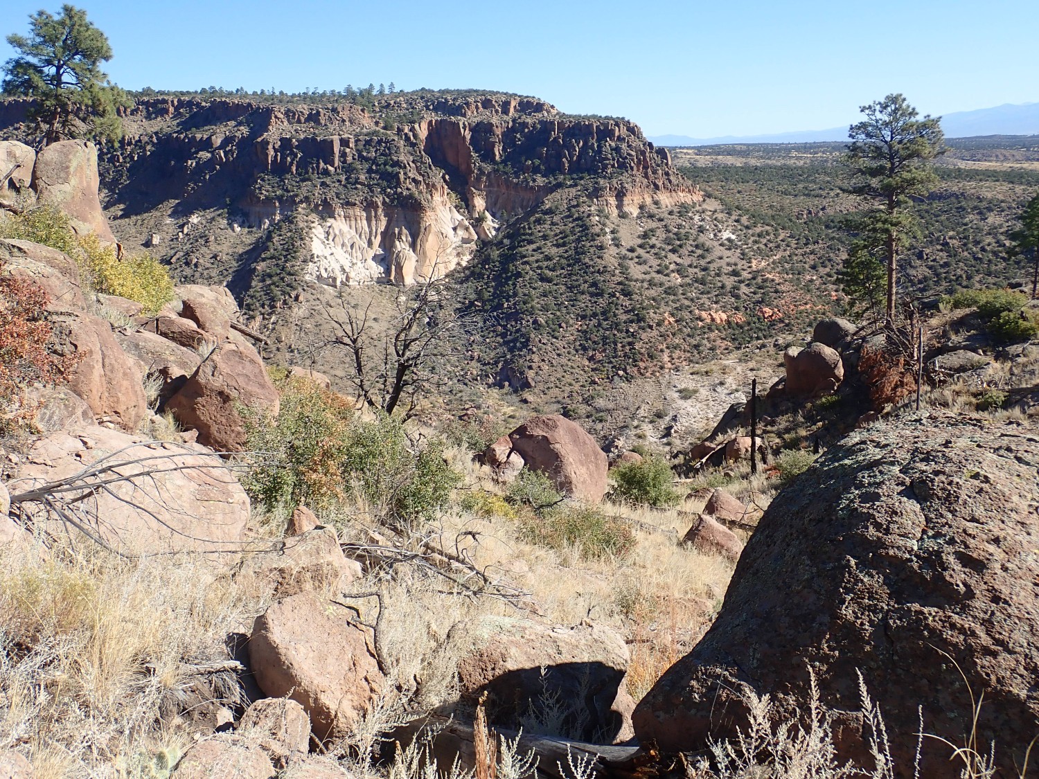
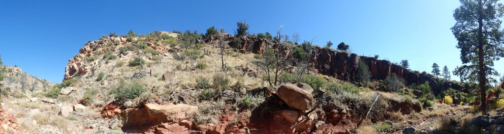
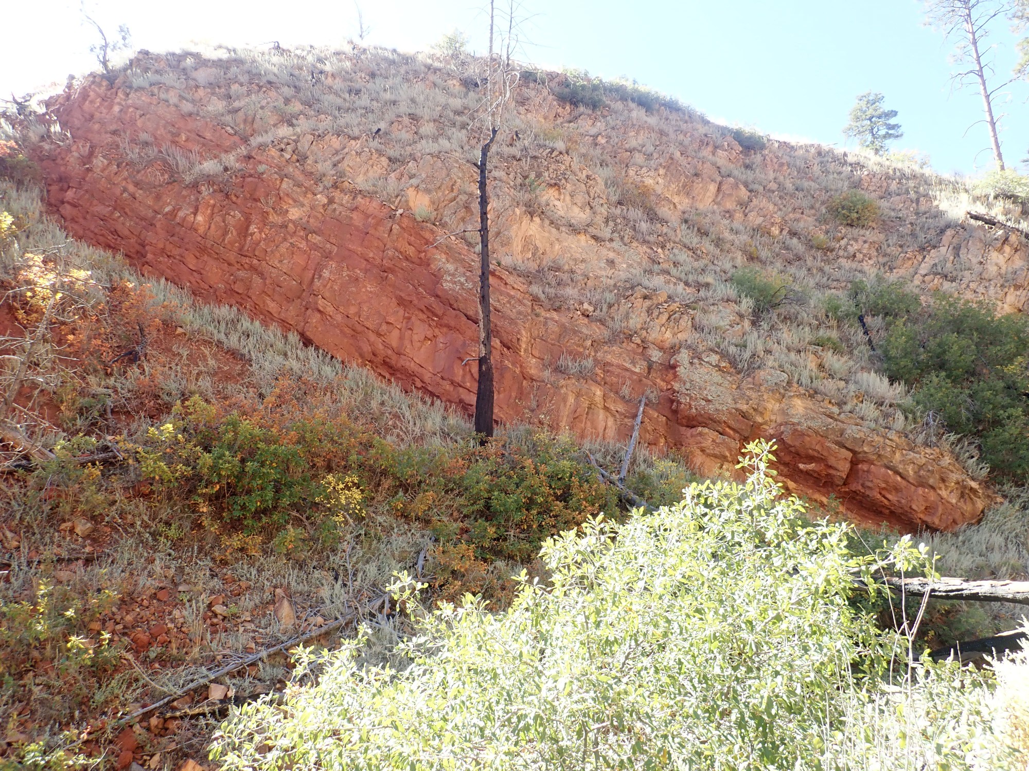
We’re looking at the western rim of the Rio Grande Rift, underlain by 50-million-year-old Galisteo Formation red beds.
The trail descends into a small canyon, tributary to Capulin Canyon but unnamed on the topo map. The trail here has obviously been well maintained in the past.
The solid rock here holds a trail much better than the soft El Cajete beds.
The fault trace of a strand of the Pajarito Fault Zone.
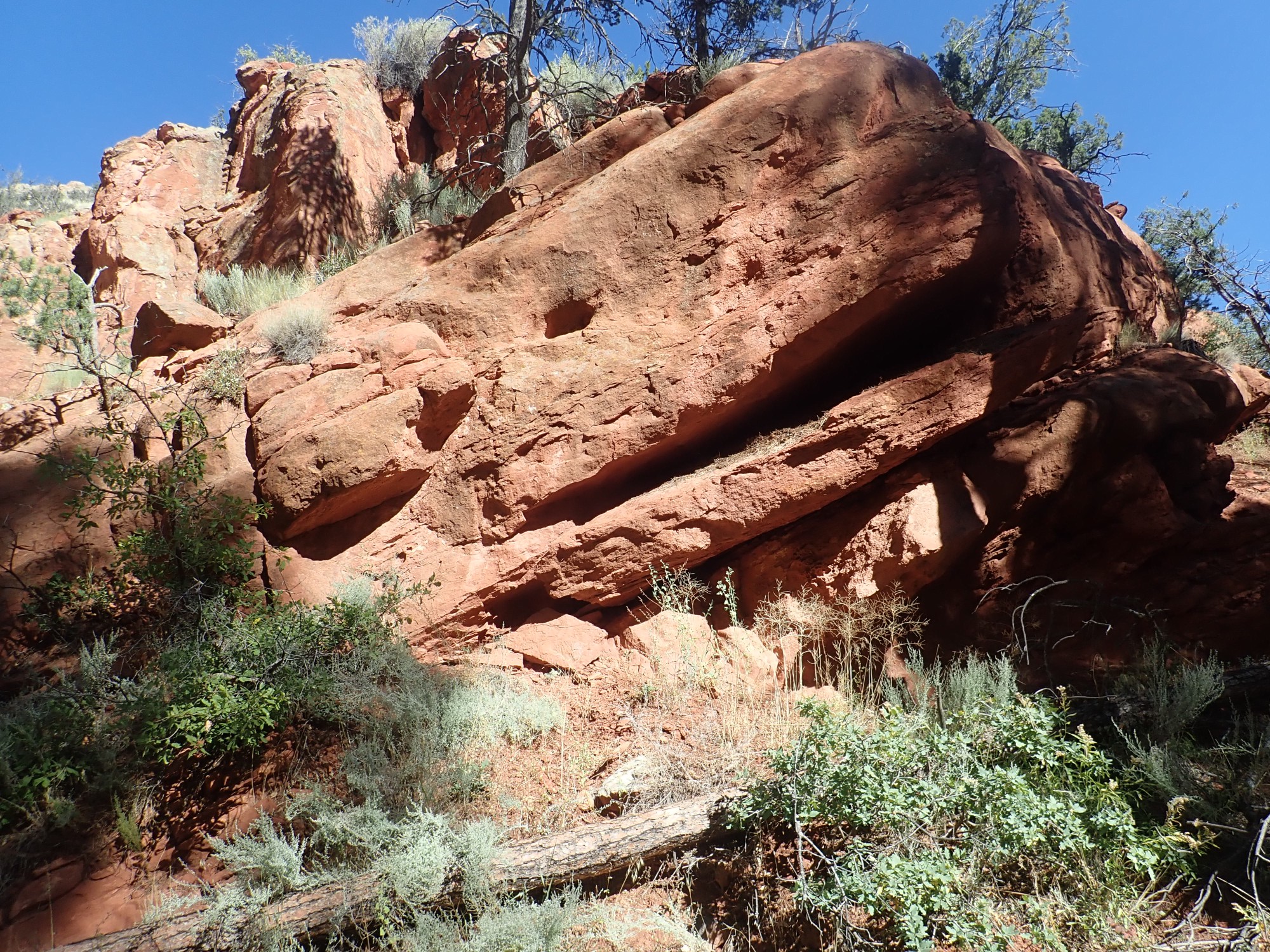
At left are sandstone beds of the Galisteo Formation; at right is Bandelier Tuff. The tuff has been thrown down by the fault to lie next to the much older sandstone. (Just how far, we’ll see in a moment.) I am struck by the steep dip of the sandstone beds.
The beds seem to dip almost vertically into the fault.
The sandstone itself is a fairly dirty, poorly sorted arkosic sandstone. That’s geologist-speak for “has a lot of clay in the pore spaces; has grains of all shapes and sizes; and some of the grains are clearly feldspar rather than the quartz of a more pure sandstone.” What this tells a geologist is that this is an immature sandstone, formed of sediments freshly eroded from exposures of crystalline rock, rather than a mature sandstone of nearly pure quartz grains, of nearly the same size and polished into nice spheres, that forms when sand has undergone repeated cycles of erosion and redeposition, including by wind. This is stuff eroded off young mountains into a river valley.

It is nonetheless a more mature sandstone than the sediments typically found in Rio Grande Rift fill. This predates the Rio Grande Rift.
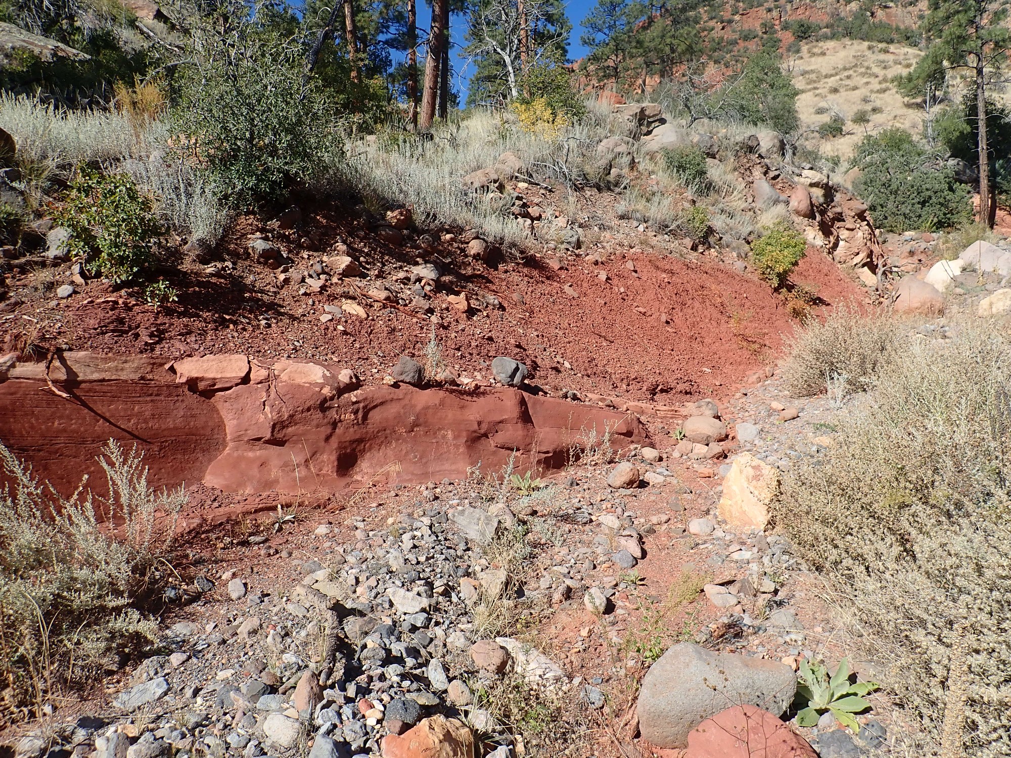
Just west of here the sandstone turns a more pale color.

It is similar to the red sandstone except for one thing: It has almost no feldspar in it. This makes it a somewhat more mature sandstone.
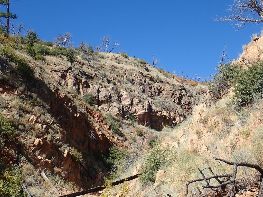
Some massive red beds across the canyon.
Looking back at the fault trace.
Alas, the sun angle is too low for this to be a really good panorama, in spite of the fact that it’s already 11:00 AM. It’s a hazard of photohiking between the fall and spring equinoxes. But it’s striking how the sandstone beds at left curve down into the fault trace, and the Bandelier Tuff beds at right bend upwards more gently towards the fault trace. This phenomenon is known as fault drag, and it’s common on long-lived faults cutting across sedimentary rock. It shows that sedimentary beds are ductile on long time scales — they can very slowly bend. The igneous tuff, not so much.
I consider. I’ve made good time to this point — two hours. Maybe I really could do the entire loop before dark? My good sense takes over: Parts of the trail this far have been miserable to pick up; the terrain ahead includes some very rugged country; I’m not more than a third of the way around the loop, maybe less. Anyway, I can pick up the far leg of the loop hiking it the other direction, as I did last week (but remembering my good camera this time.) Or I can come in via Sanchez Canyon from the dome road, a hike I’ve not done before, through geologically very interesting country. I decide to take the time to thoroughly explore this area and then come back the way I came.
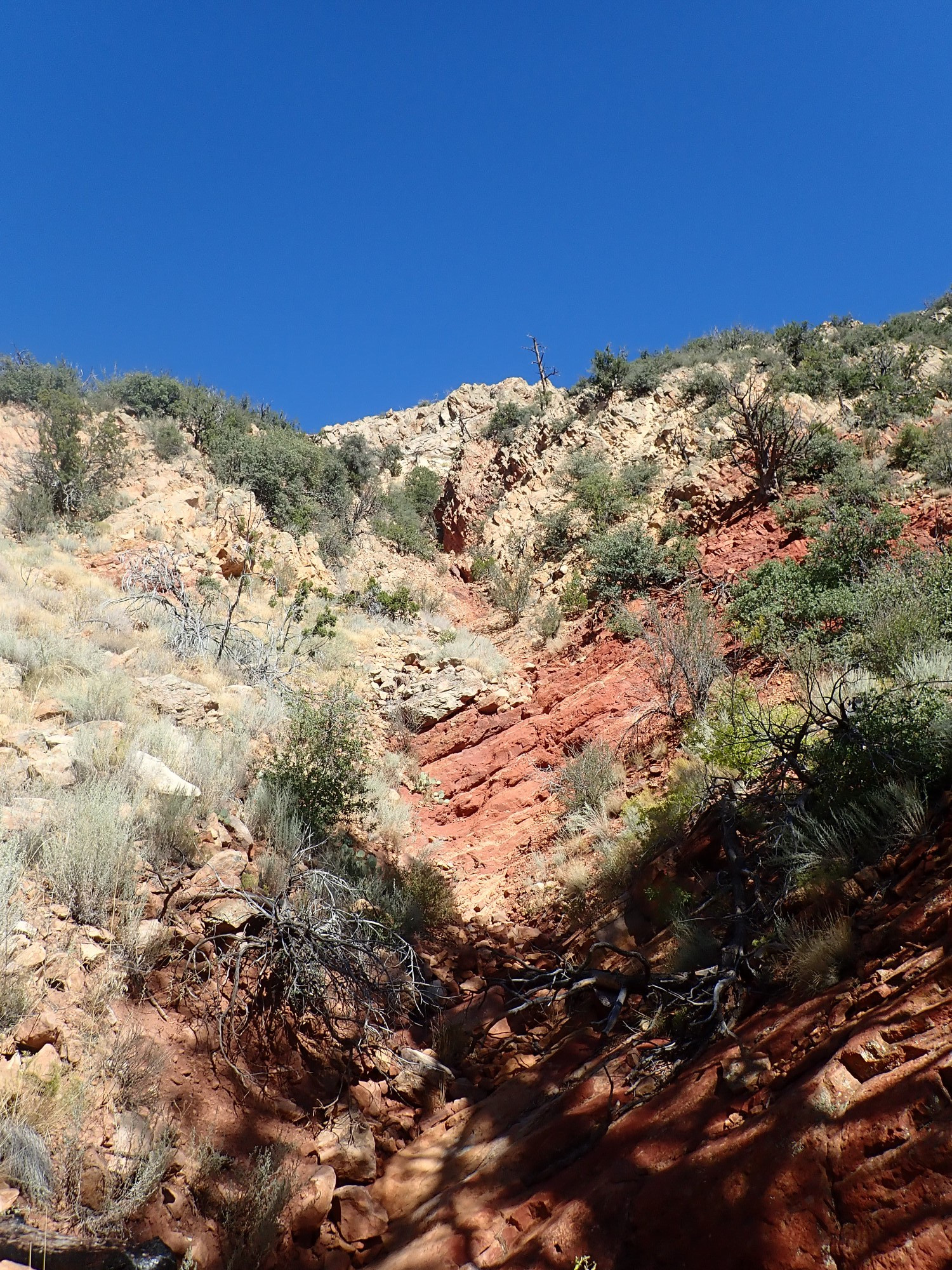
The arroyo seems like a natural highway, safe to hike on a day with a cloudless sky, like today.
Notice that the beds dip very gently to the west. The dip of the sedimentary beds in this area is uniformly westward, becoming more steep further from the fault-dragged zone.
It’s a highway full of boulders.

But I persevere. It’s a lovely area, relatively untouched by fire, though badly gullied from post-fire flash floods.
Looking back towards the fault trace from a more oblique angle.
The fault passes to the right of the sandstone cliffs. Note how the rim of Bandelier Tuff is much higher on the left of the sandstone than on the right, due to displacement on the fault. I’d guess somewhere in the ballpark of 100′ of displacement.
I come across a boulder of very coarse conglomerate.
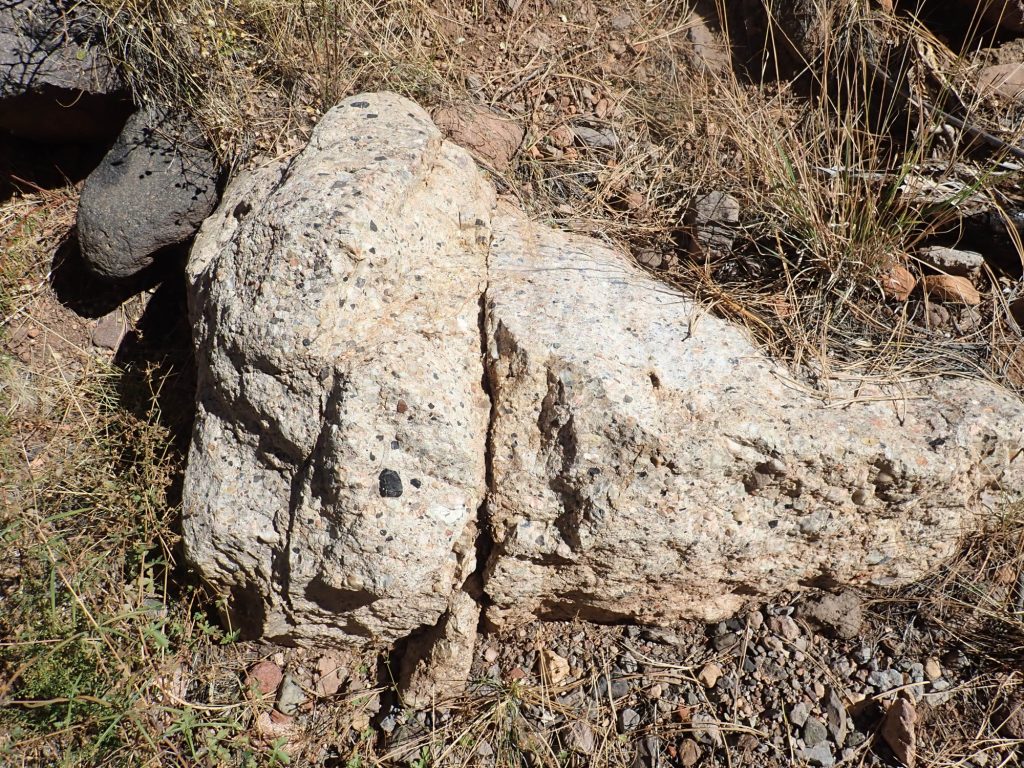
This is in the arroyo, so it comes from somewhere in the watershed. It’s not a lithic tuff; it’s a sedimentary conglomerate from somewhere in the Galisteo beds. It’s well-rounded pebbles, mostly Precambrian quartzite but with some volcanic rock, in a white, very well-cemented, matrix. Geologists would describe this as “matrix-supported”, because there is so much white matrix that the pebbles barely touch each other, and so the weight of any overlying beds would be supported by the strength of the matrix rather than the pebbles. Think of it as concrete mixed with too little aggregate.
It’s also an indication of young uplifts exposing Precambrian basement rock very near here in Galisteo time: the Pajarito Uplift, now foundered into the Rio Grande Rift.
I could almost imagine I’m on the Colorado Plateau.

In a sense, I am. The Rio Grande Rift is where the Colorado Plateau is pulling away from central North America, and this is the west rim of the Rio Grande Rift. But the red beds of the red rock country of southeastern Utah are at least three times as old as these beds.
This is the typical dip of these beds away from the fault zone.
And if you look closely, you see a happy Moby-dick rising from the depths.
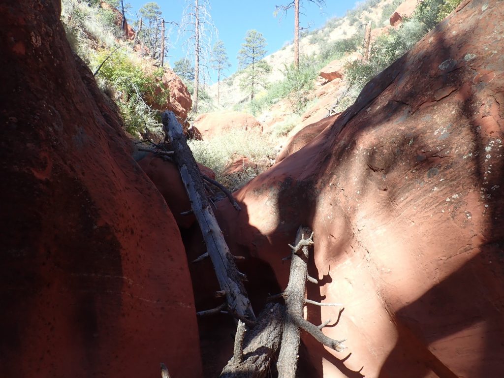
Well. There is simply no way around this. It’s vertical arroyo walls to either side.
I think a long time about this. When you’re near the end of the outward leg of your hike, and are pondering how much further to go today, there are two principles in tension. One is that you are taking a risk by pushing yourself when you’re already starting to get tired. You’re accident-prone when tired, and “I want to live” ought to be your prime directive. On the other hand (and these are also words to live by): You may never pass this way again.
I scramble up the log, which turned out to make a surprisingly good ladder, and push on.
I note in passing that potholes in solid sandstone this deep do not form from a few years’ postfire erosion. The fires did not help, but this arroyo was already deeply channeled like this long ago. This is county that naturally experiences wildfires periodically, and so has experienced periodic flash floods since time immemorial.
Above the narrows, the canyon wall to the south is striking. Alas, it’s also almost directly into the sun.

Looking at the canyon wall to the north.
There isn’t a sharp transition from the red to the pale beds. This is one reason to regard both as part of the same formation.
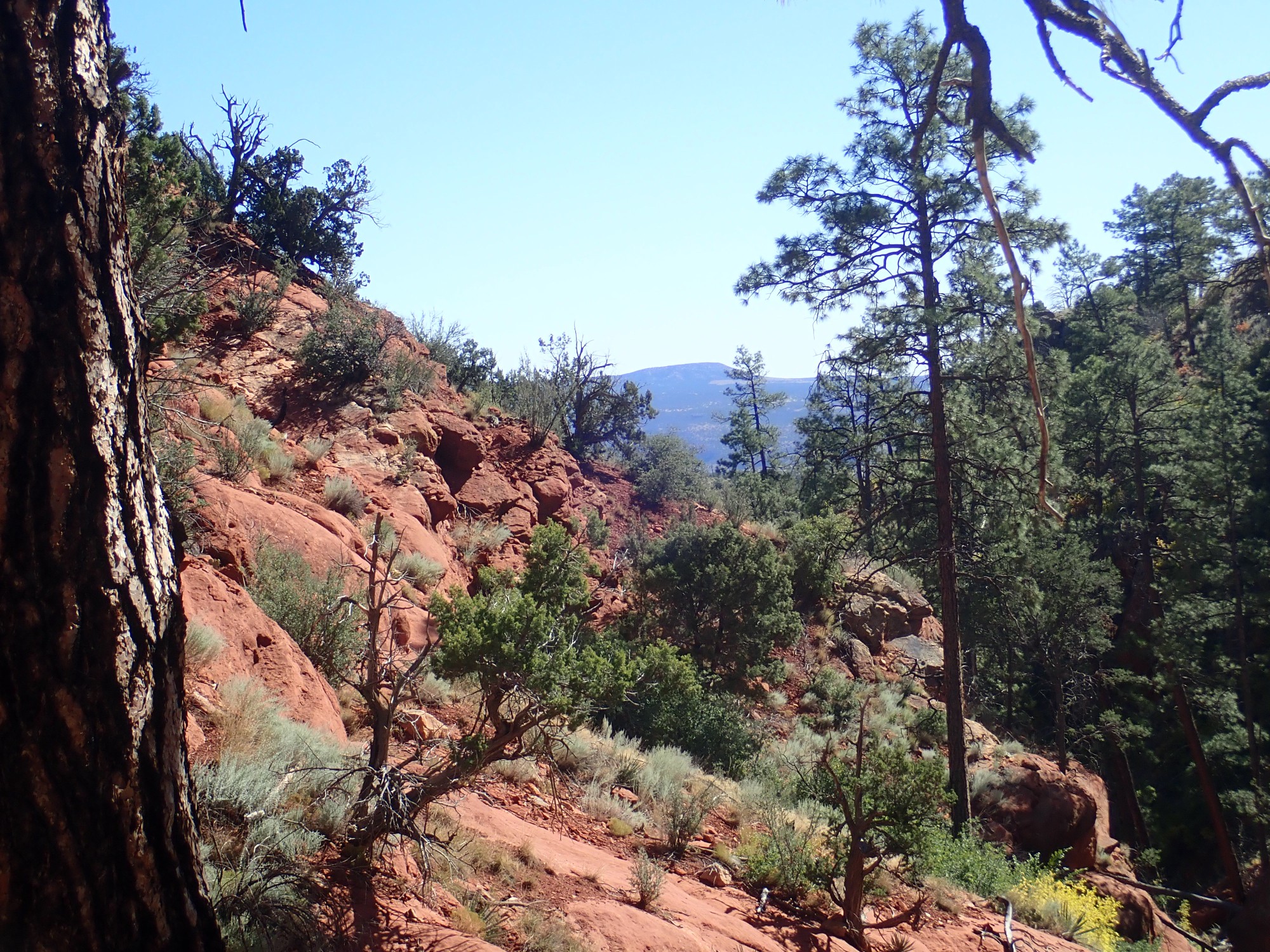
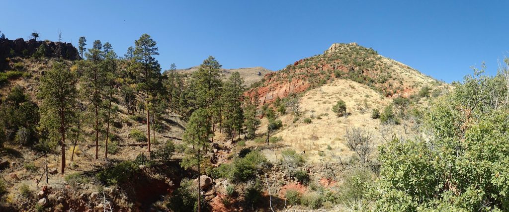
Further up I find a nice spot for lunch. Cerro Colorado is visible to the east down the canyon:
I try another photo of the south wall. Alas, it’s still into the sun.
I look up canyon. Somewhere up there are very old basalt flows, then the transition to early Santa Fe Group rift fill sediments.
The beds look dark, but not dark enough to be basalt. I consider: It is now noon. Much as I’d like to explore further, the arroyo is very rugged hiking and I can’t judge well how close I am to the Santa Fe Group beds. (It turns out, quite a ways; I’m less than half the distance from the arroyo mouth at this point.) I decide to call it a day.
Something huge was here.

Something that really, really likes ripe cactus fruit. Do bears ever nest on open ground? Apparently, it’s not unknown, but this looks a lot like an elk nest.
Back at the main canyon, I decide the shallow river terraces are worth a photo.
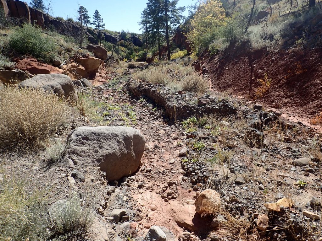
These are recent and transitory features, a result of flash flooding. But river terraces up to half a million years old have been identified in the larger drainages of the Rio Grande watershed. They are a remnant of old flood plains that have been abandoned by rivers as the rivers cut downwards.
A parting shot.
On the way out, a shot of just how large the pumice drifts are in spots.

When I get back to the fork in the trail, I decide I have enough time and stamina left to hike down to the rim of Capulin Canyon.

The end of the mesa at center is a major fault scarp, parallel to the one I examined today but with a much greater displacement. Notice that there is a small fault cutting the mesa near its end,with a displacement that is opposite that of the major fault. Such antithetic faults near a major fault are not uncommon.
Beyond the mesa is the famous Stone Lions shrine. It could be reached from the Dome trailhead by a long day’s hike, on a fairly good trail, but there would be little time to linger for other observations. I have a vague recollection of hiking to it on an overnight backpacking trip when I was a Boy Scout, where we indulged in the luxury of bringing a mule for our heavier gear. We came in from Frijoles Canyon on that trip, though.
Here’s a closer view.
The map has “Guard Station” noted at the location where the minor fault reaches the canyon floor. I see no signs of any structure there, either in my photos or on satellite. It may have been washed out by recent flash floods. My guess is that this goes back to the Manhatten Project days. Fear of someone sneaking onto the site by this rather inobvious route?
Note the red beds at the base of the mesa. My geologic map identifies these as Chamita Formation beds of the Santa Fe Group: rift fill sediments. But another recent map identifies these as Gallisteo Formation, with Santa Fe beds further up the cliff. It’s even the same team of geologists. I can understand the difficulty; the formations are not that different, and the Galisteo (and many Santa Fe units) are almost devoid of fossils in all but a few locations that might lock down the age. I’m certainly not going to venture an opinion based on a brief glimpse from a half mile away.
But I believe the identification as Galisteo is from the final draft of their June 2002 map and represents their final conclusion.
Just because this view is pretty.
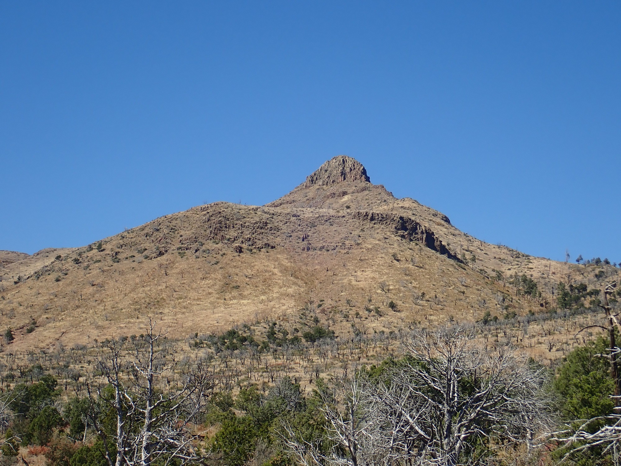
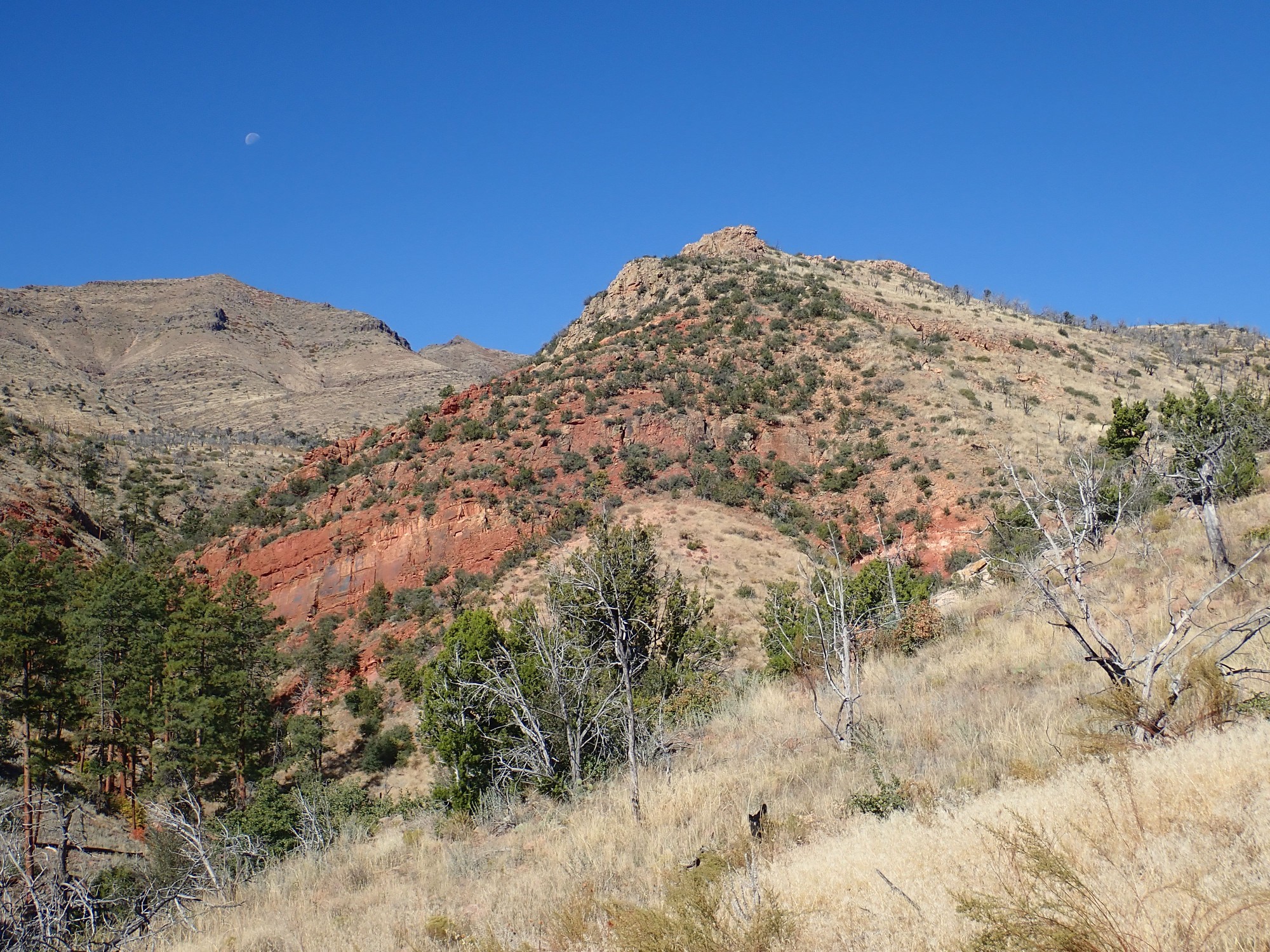
Boundary Peak. Capped with olivine andesite of unknown age (but probably around 8.5 million years.) The foreground ridge is hornblende dacite near its eruptive vent dated at 9.48 million years old
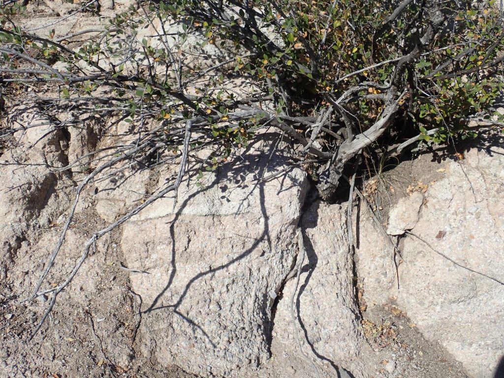
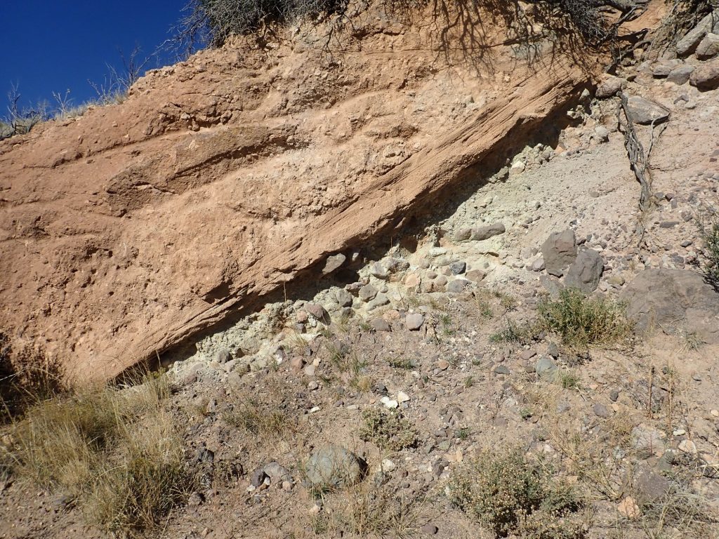
I’m back at those white beds that caught my eye earlier.
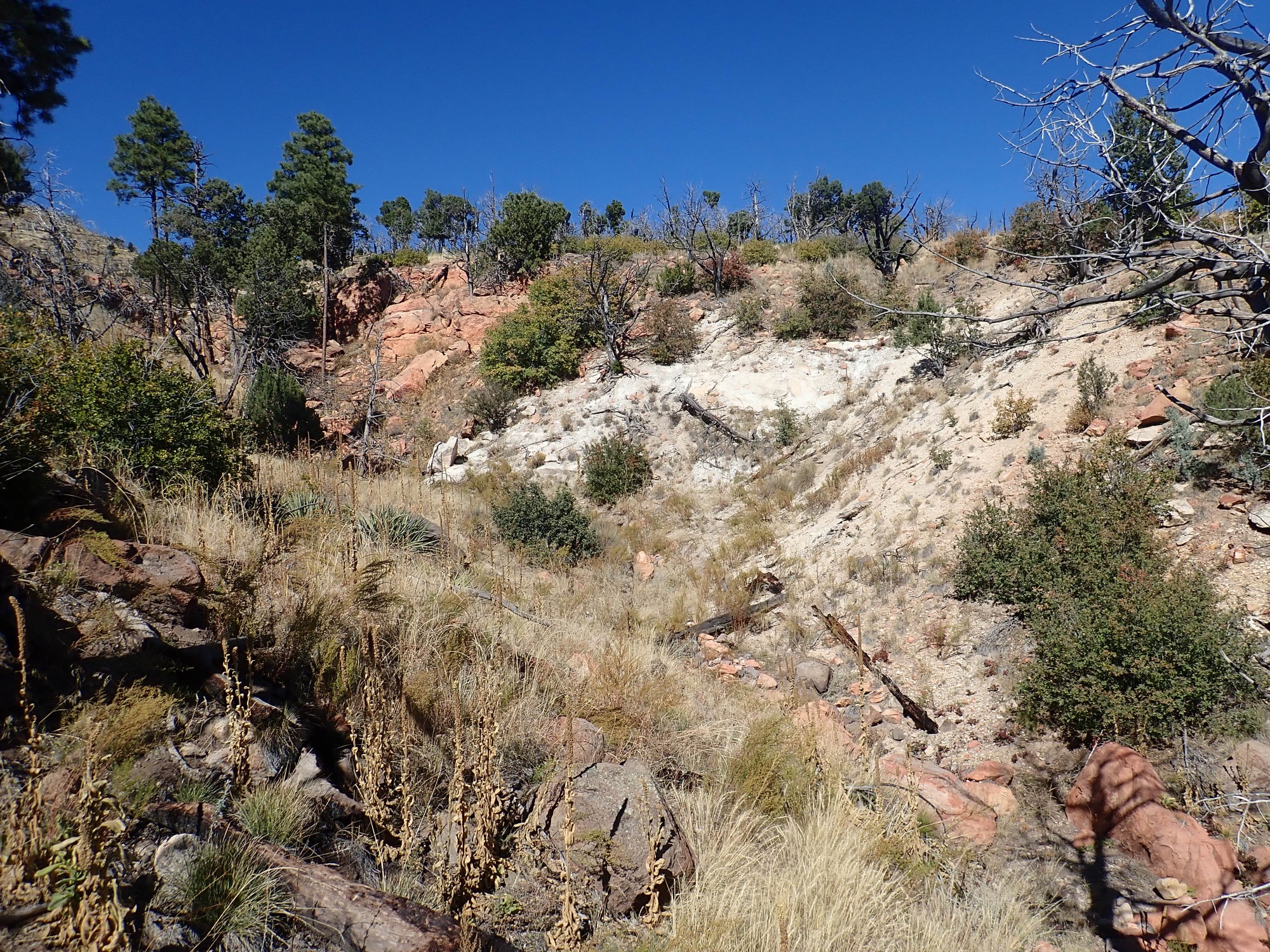
The red beds at the end of the arroyo are sandstone; I scrutinized a sample on my last visit. I start wondering if the white stuff might be ash beds of the Abiquiu Formation, which postdates Galisteo but predates Santa Fe Group. Okay, it’s not far to hike to take a closer look:
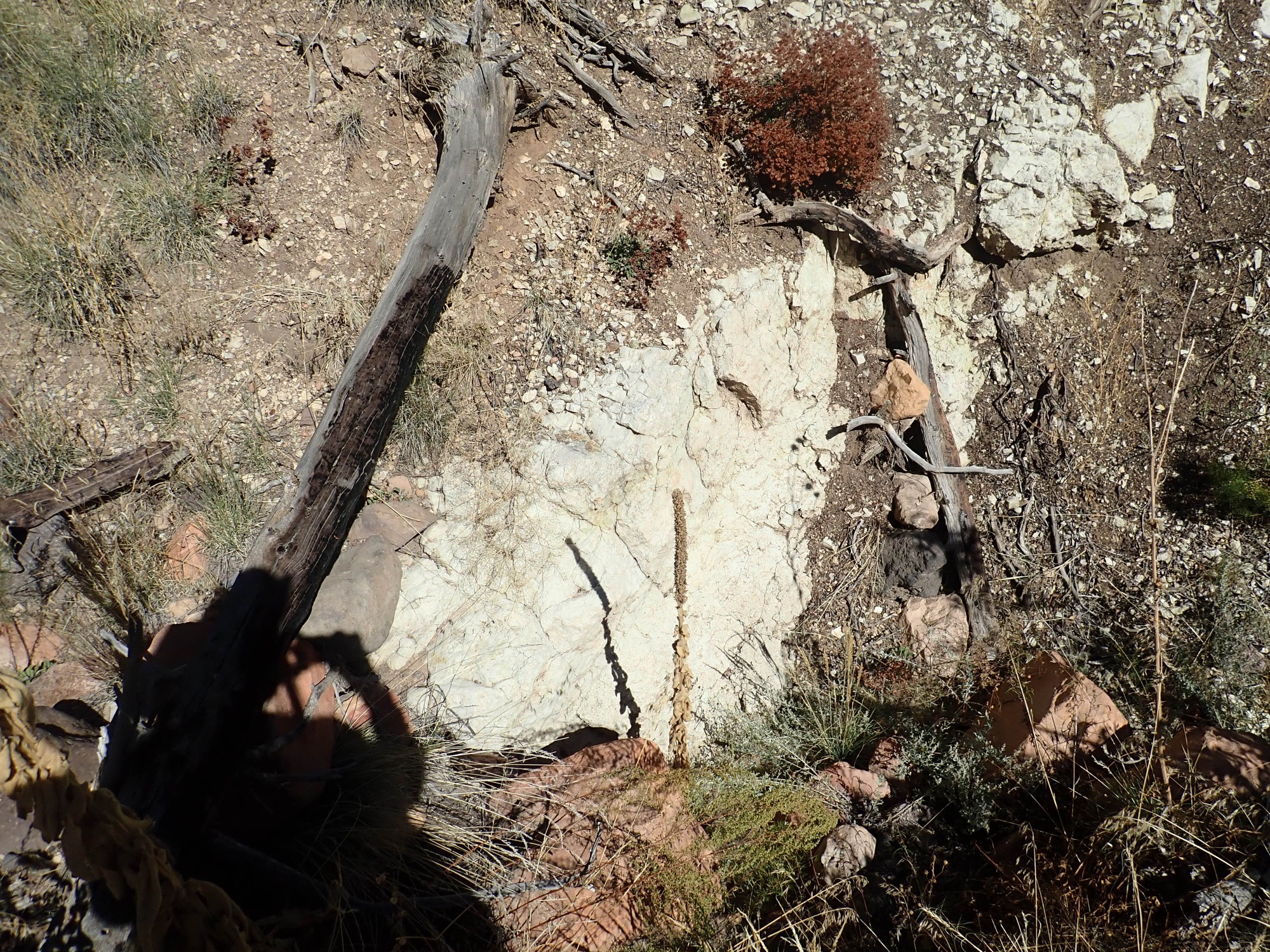
I scrutinize a sample.

This isn’t an ashy sandstone, like the Abiquiu Formation. It looks like solid rhyolite.
When I get home, I’ll check both drafts of the 2002 map, and the mystery will deepen. One maps this whole area as Chamita Formation, consistent with the red sandstone. The more recent draft maps this whole area as Canovas Canyon Rhyolite, which is what this stuff does indeed resemble. But what I’m seeing in this area is red sandstone overlying rhyolite, unless this is a local intrusion. Which is my best interpretation at the moment. So both maps are half-right.
This is Bandelier National Monument. I can’t take any samples home.
From here the hike is all uphill. My stamina is holding out okay; the problem is my left boot rubbing on my heel. The boot has never really broken in properly, and it’s always tended to rub going uphill. I’m gonna go home with a decent blister.
And my throat is getting very dry, in spite of guzzling down two pints of water. I wonder if I’m coming down with something.
But this catches my eye.

The angle of the light is just right to bring out the many layers of volcaniclastic beds exposed on the eroded flank of the volcano in the middle distance. This is very typical of stratovolcanoes.
More volcanic beds.
The “layer cake” here is a cap of olivine andesite at the highest point, with plain vanilla andesite forming the rest of the peak; then smooth slopes of volcaniclastics; then another plain vanilla andesite bed halfway down the mountain; more smooth volcaniclastics; and hornblende dacite at lower left.
I get back to the car with enough time and stamina that I decide to check out the trailhead for the Sanchez Canyon trail. Turns out the Dome Road starts to get really bad around Cerro Balitas; worse than I remember. The road is no longer open to Cochiti and I think maintenance has slacked off. The final section is just about too much for my Santa Fe, even though I’ve driven it in the past in my Elantra without too much fear. There is gullying I don’t remember from previous trips that is pretty scary.
At least I get to see some spectacular surge beds.
The boulder conglomerate at right is volcaniclastics of the Paliza Canyon Formation, the same formation as the San Miguel Mountains. At left is red tuff of the Tsherige Member, Bandelier Tuff, erupted 1.25 million years ago. Between are pyroclastic surge beds; yes, they can travel uphill for short distances.
The trail head.
I go down the trail just far enough to get a feel for the area.
I dunno. The area has an evil look to it. And, although the trail seems fairly clear on satellite, I can barely pick it out climbing the canyon wall at left. Between the evil look and dreadful drive in, I doubt I’ll be coming back. Better to repeat the hike from the Dome south past Cerro Picacho, which went okay a week ago (when, alas, I forgot my good camera.)
The drive back out is even more dreadful than the drive in. There is one very bad moment where I lose traction going uphill on a badly gullied section. I back up, take a deep breath, and take it running, which gets me past. But I can no longer recommend Dome Road below Cerro Balitas in anything but a jeep.