
Wanderlusting the Dome Wilderness
I had originally planned to take some friends to see Arroyo del Cobre this Saturday morning, but they are closing on a house this week and need the time to make preparations. Their priorities are in the right place, of course, but that leaves me needing a Plan B. The weather is just too gorgeous not to get out in it before winter sets in.
I’ve been wanting for some time to see more of the San Miguel Mountains, so that seems like a natural choice. This is a small outlier range of the Jemez Mountains that is prominent west of Bandelier National Monument. A little background first; don’t worry, the pictures are coming.
The San Miguel Mountains are underlain by volcanic rocks of the Paliza Canyon Formation, mostly various kinds of andesite and volcaniclastics. Andesite is described as an intermediate extrusive volcanic rock, because it formed from lava erupted to the surface (extrusive) and it has a moderate content of silica (intermediate) of around 60% by weight, with not too much alkali oxides. Rock somewhat lower in silica is described as basaltic andesite; rock somewhat higher in silica is described as dacite; and rock with similar silica content but more alkali is described as trachyandesite. All these rock types, and more, are found in the Jemez, which has a considerably variety of volcanic rocks; but andesite is one of the most common. Rock with the composition of andesite is mostly formed of plagioclase feldspar and either pyroxene or hornblende; hornblende seems more common in the Jemez. Hornblende and pyroxene are somewhat similar in composition and structure, but hornblende incorporates water molecules as fundamental components of its structure, so it is a more “wet” mineral in some sense.
The Paliza Canyon Formation, of which the San Miguel Mountains are part, erupted from 14 million to 6 million years ago, with the peak being between about 11 million and 7 million years. This is significantly older than the Valles caldera and the Bandelier Tuff that erupted from it, though still young for a rock formation. Paliza Canyon Formation may have made up half the original volume of the Jemez Mountains, but most of the volcanoes of the formation have been deeply eroded.
The San Miguel Mountains are no exception. The mountains are quite rugged, but their makeup of andesite and volcaniclastics (broken volcanic rock) is typical of stratovolcanoes, which when young are beautiful conical mountains like Fuji, Mount Rainier, and other classical volcanoes. Erosion has cut deeply into the original volcanic cones and exposed the interiors, which I will get a good look at today. Furthermore, the Pajarito Fault Zone passes just east of the mountains we see today, further exposing the interiors on their eastern sides. That side is in the Dome Wilderness and has to be hiked in to to be seen to best effect.
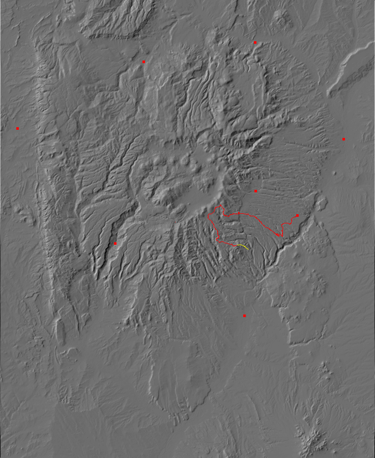
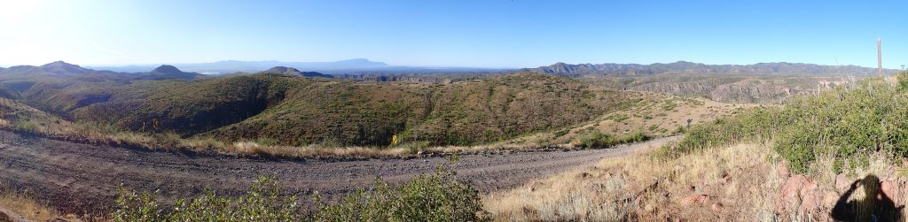
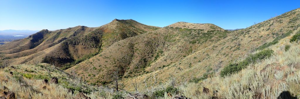
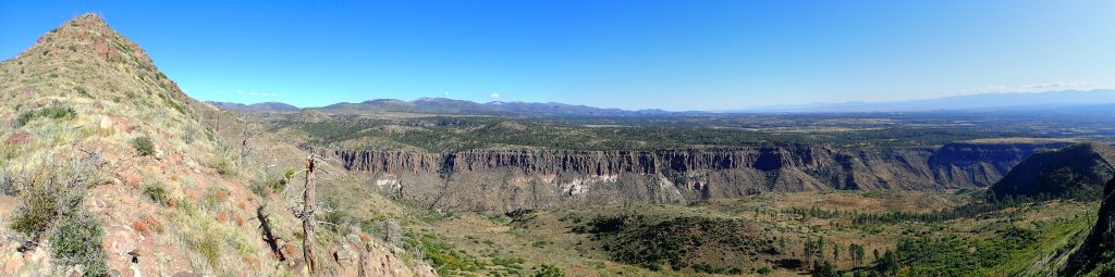
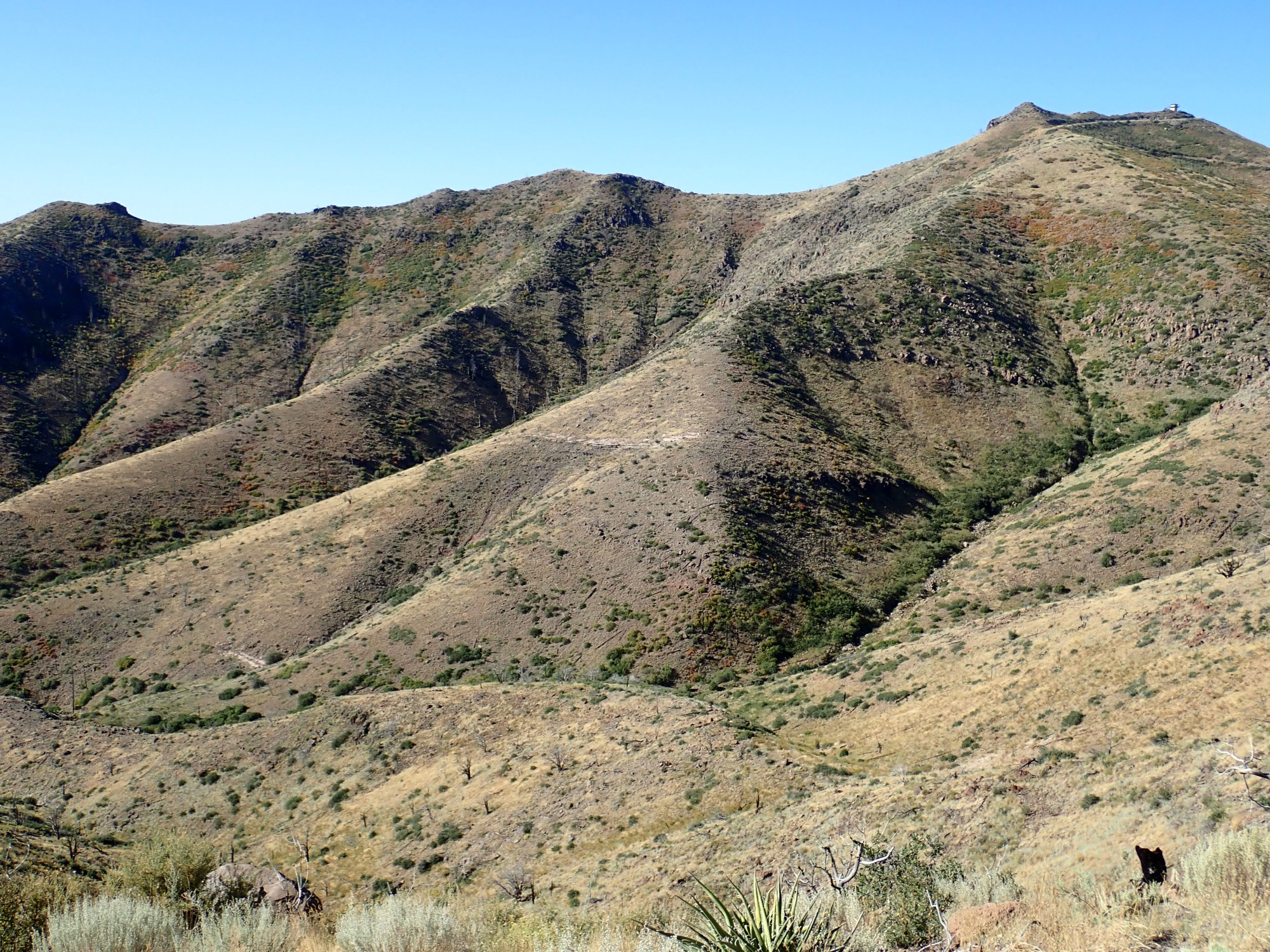
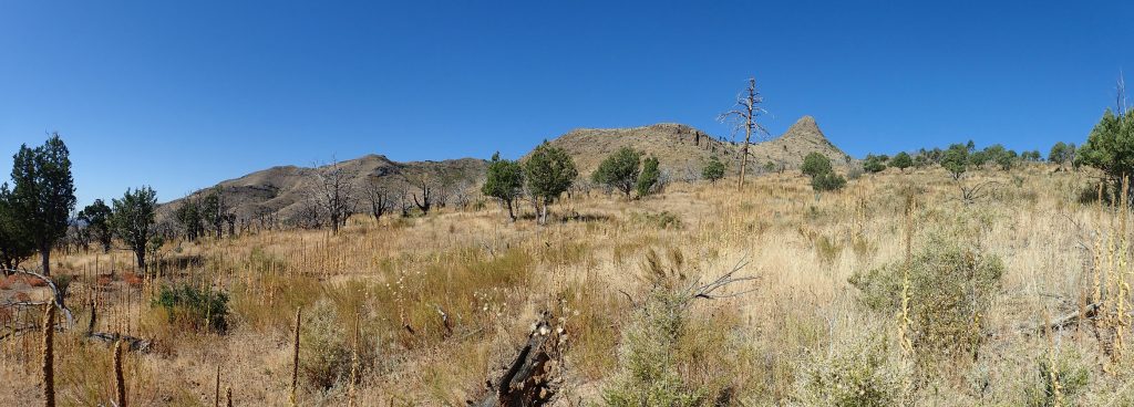
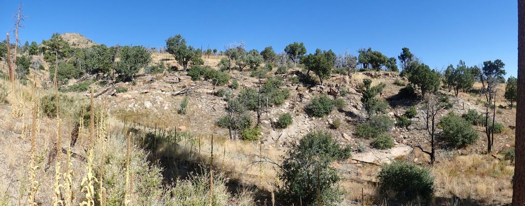
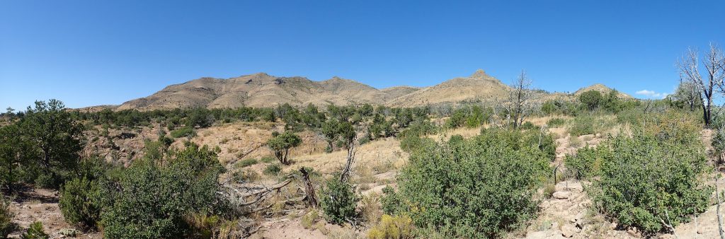
I am ready to head out by 8:00 and drive from my home in White Rock to the Dome Road turnoff, then south on the well-maintained gravel road past Graduation Flats to the Dome spur. Along the way I pause for a panorama of the San Miguel Mountains.
As with almost all images at this site, you may click to enlarge. Also, most links take you to the relevant location at Google Maps.
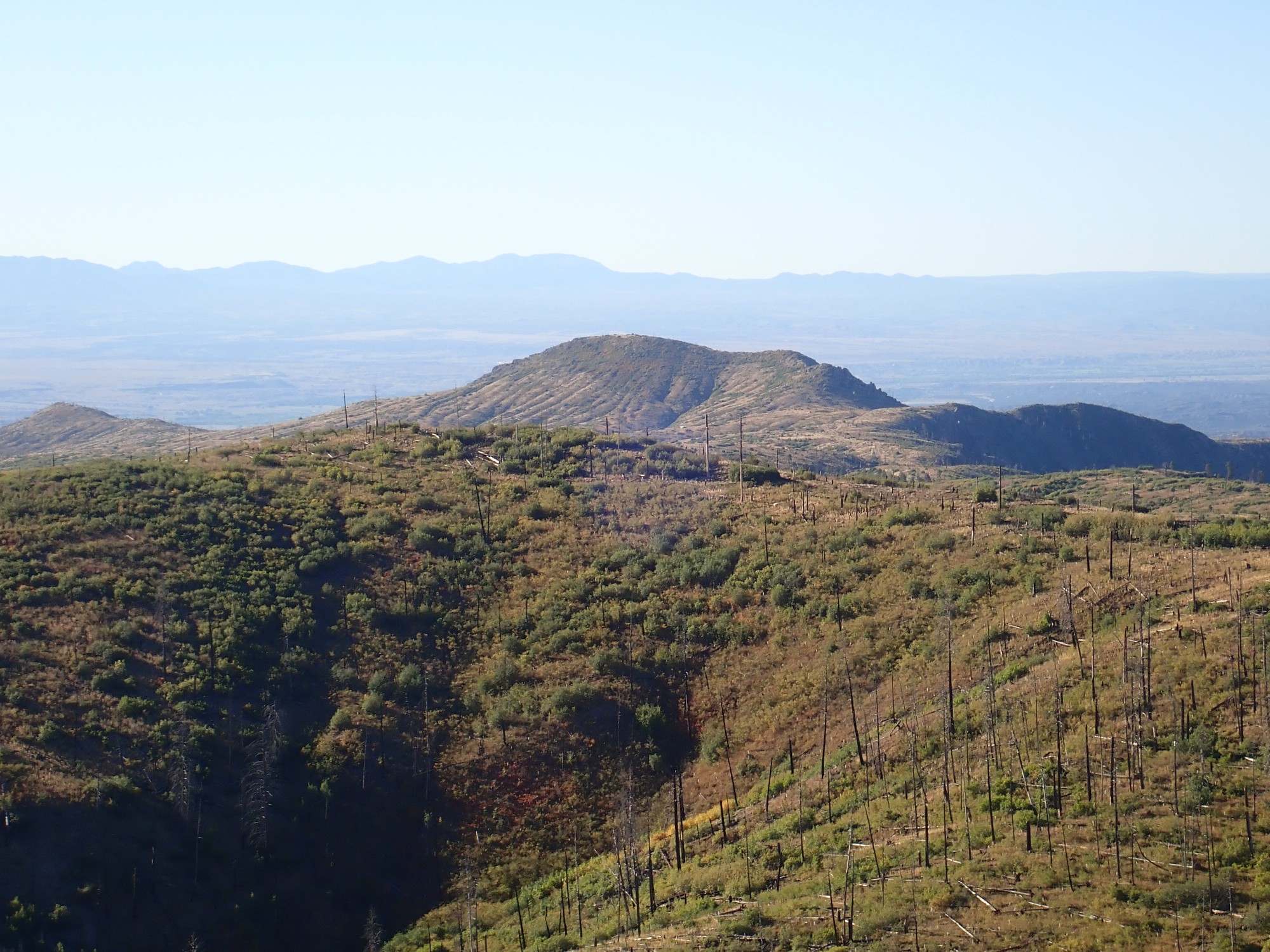
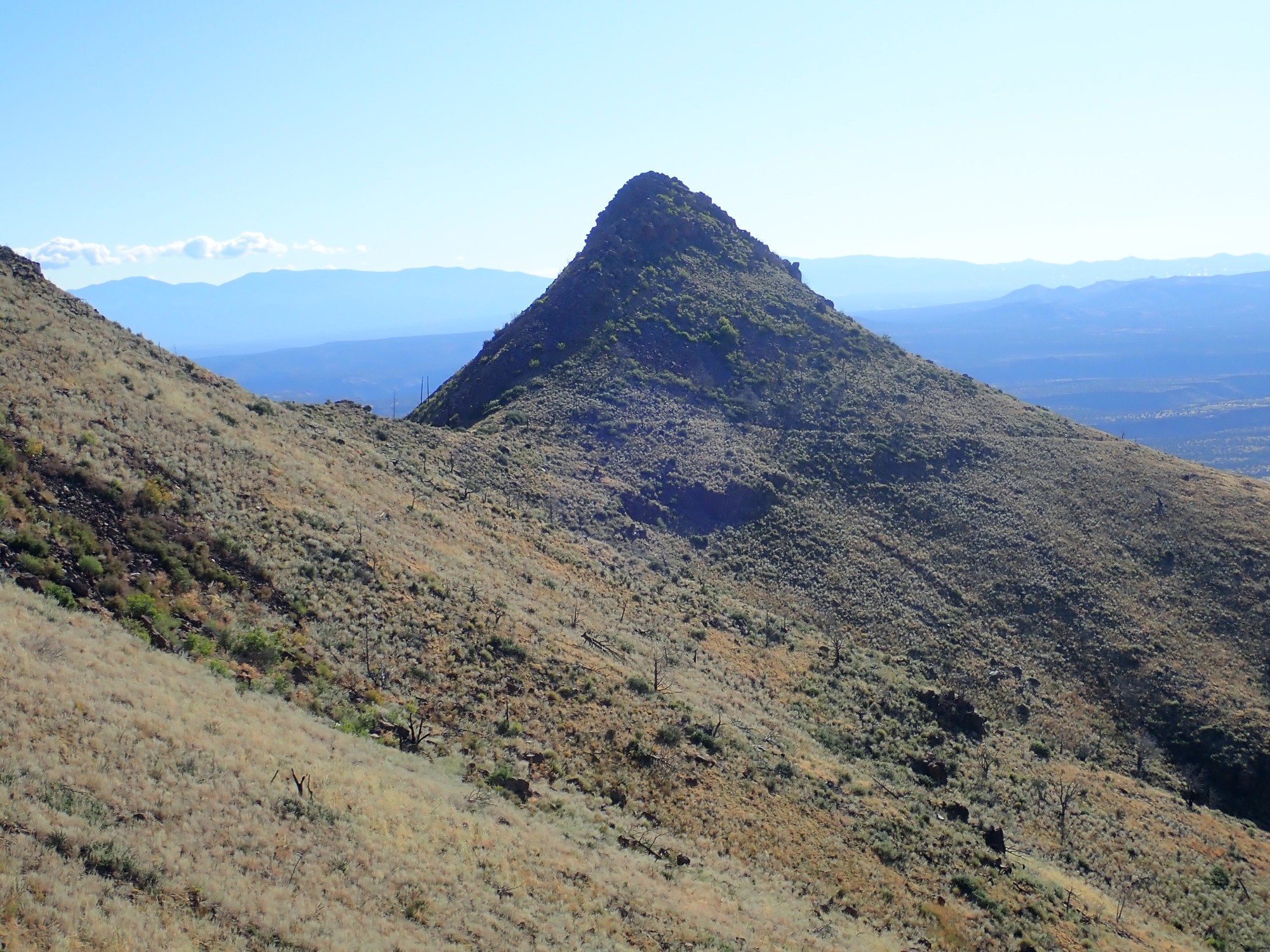
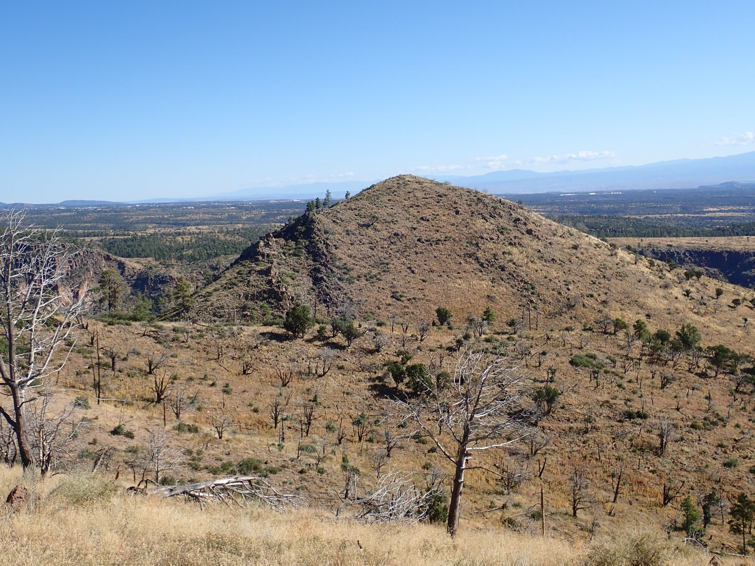
At left is Saint Peter’s Dome, the high point of the San Miguel Mountains. The prominent knob to its right, with Cochiti Reservoir beyond, is Cerro Picacho. One of my hiking options is to hike to the north slope of Cerro Picacho, but I’ve decided that’s Plan C. The next knob in the middle distance is Cerro Balitas, where I had a very successful hike four years ago. Beyond on the skyline is Sandia Crest, just east of Albuquerque. The right side of the panorama shows Aspen Ridge on the skyline, with Bearhead Peak at its south end.

That last picture is probably one for the book. Bearhead Peak is a center of an eruptive pulse somewhat younger than the Paliza Canyon Formation (6-7 million years ago), of more silica-rich magma that formed a rock called rhyolite. The Bearhead Rhyolite is found in scattered plugs and dikes across the Paliza Canyon Formation, which it intruded on its way to the surface, and both Cerro Picacho and Cerro Balitas are plugs of Bearhead Rhyolite.
At the foot of Bearhead Peak are the ghost mining towns of Bland and Albermarle, where gold was extracted in the early decades of the 20th century. Unfortunately, after investing a fair amount of money in building up the mine, the owners discovered that the best ore was at the surface and became only half as rich in gold a few hundred feet down. The value of the gold extracted was insufficient to recoup the investment, and the mines closed around 1930.
Cerro Picacho closer up.

There is some very interesting geology on the other side of Cerro Picacho; the trick is getting to it. The only trail fades on the north slopes, and the sides are very steep. It’s not a hike one can safely make with normal equipment and preparation, and certainly not alone. To the left of Cerro Picacho, in the further distance, is shapely Tetilla Peak, which I also hiked with Gary Stradling not long ago.
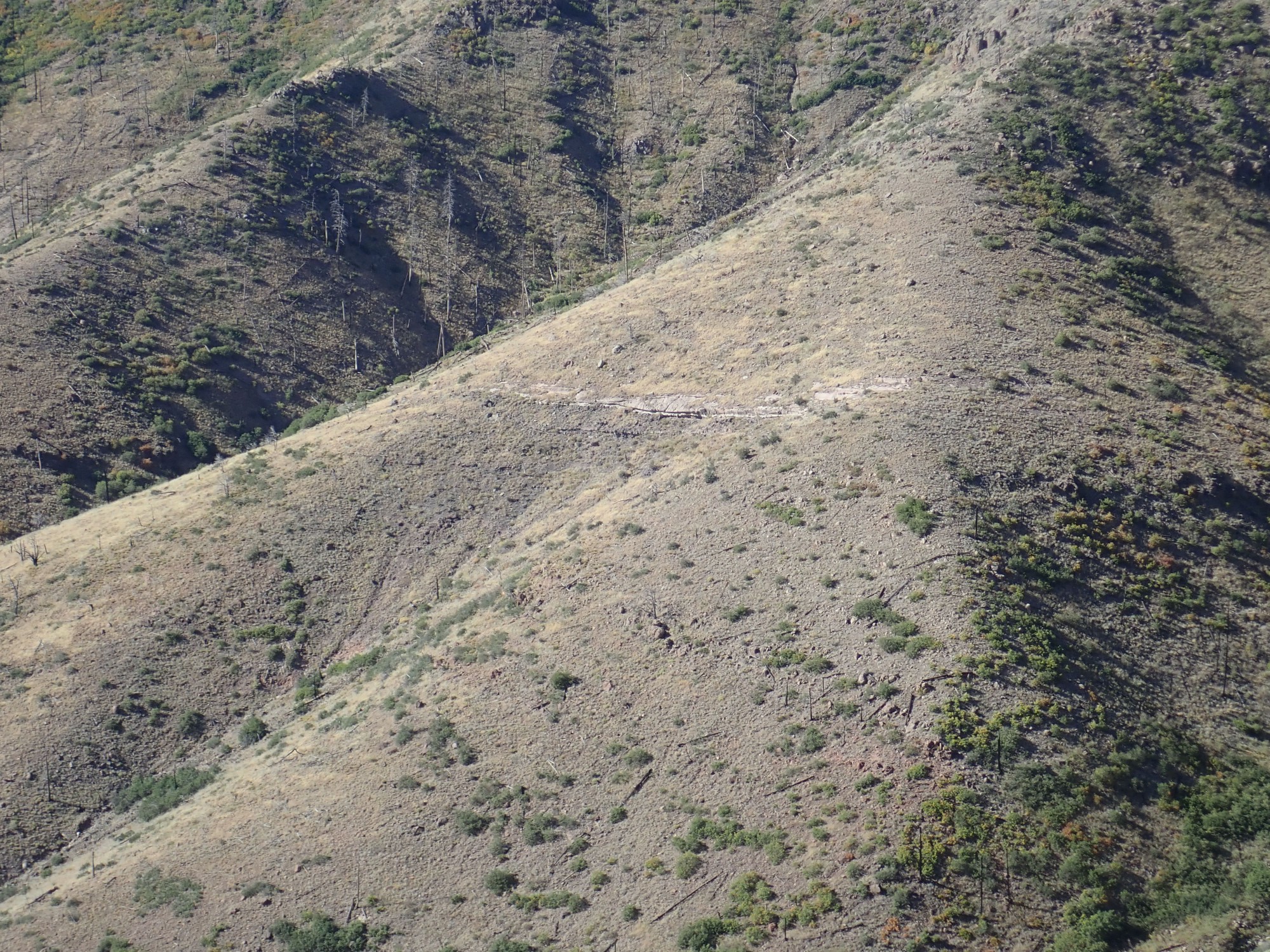
Cerro Balitas.
This is much more accessible and I enjoyed my earlier hike there immensely, though I came away with socks full of burrs — there is no trail; one has to bushwack. Fortunately Dome Road passes very close, giving a convenient non-trail head. The striations are, believe it or not, natural gullying.
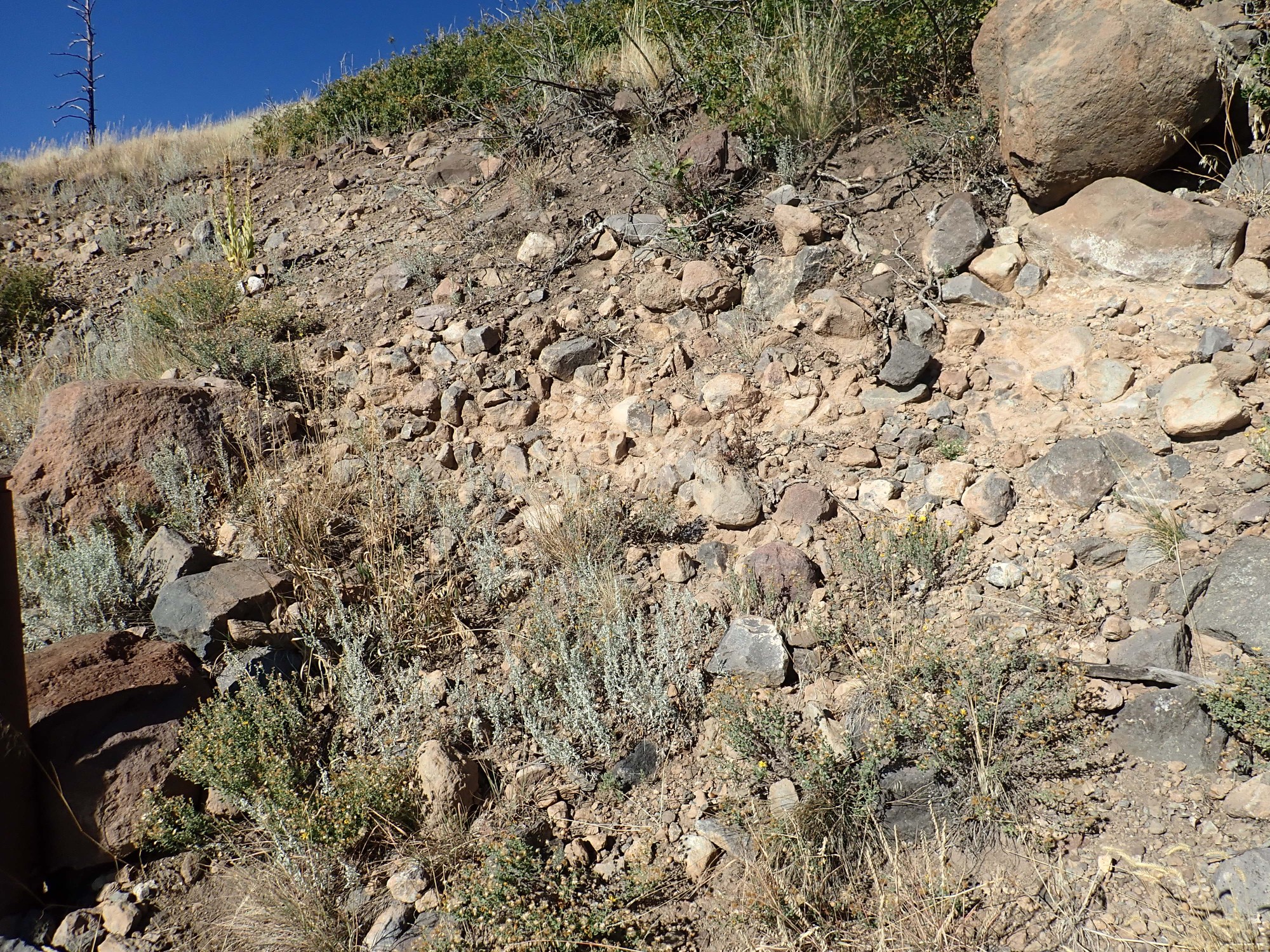
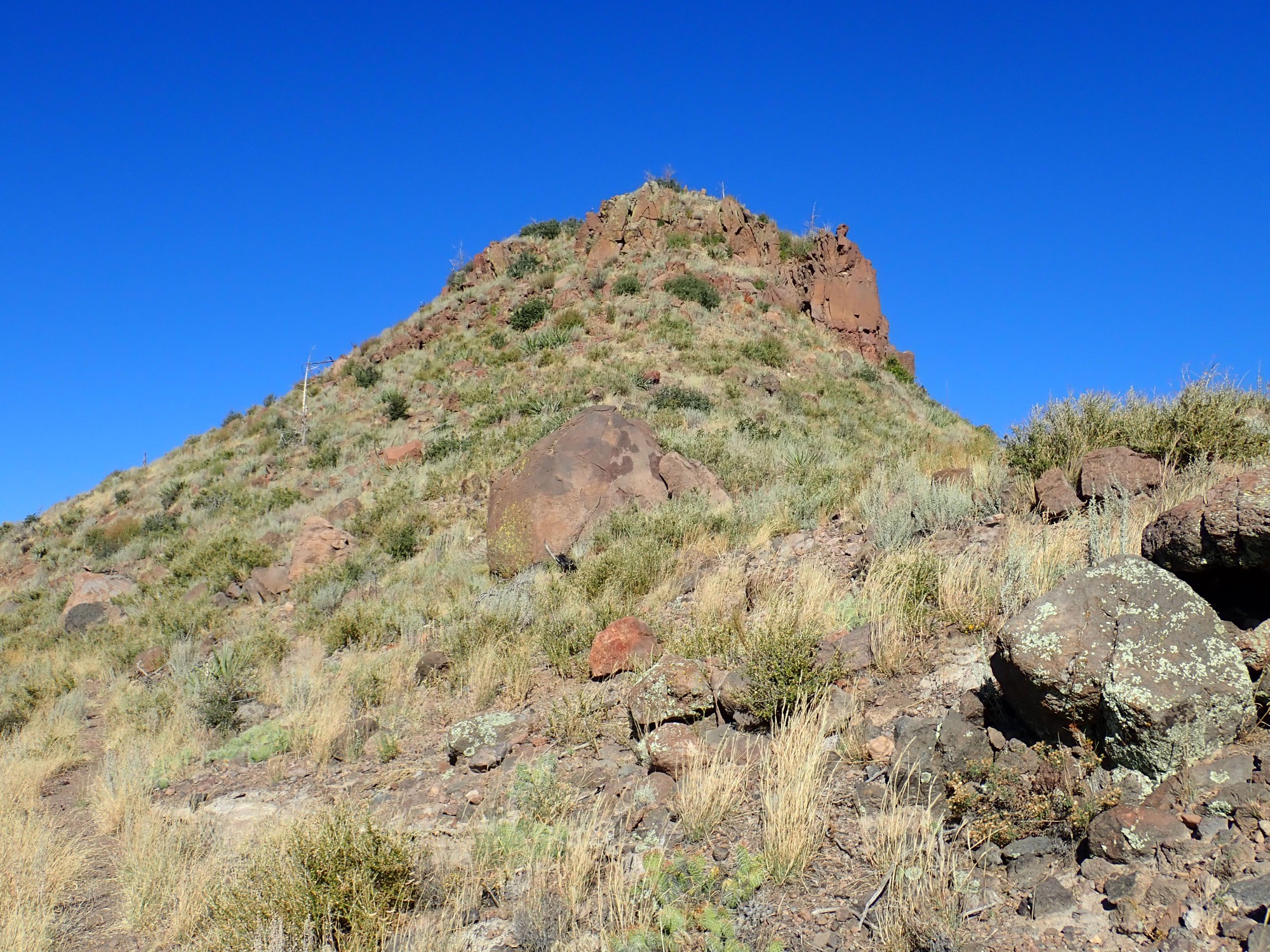
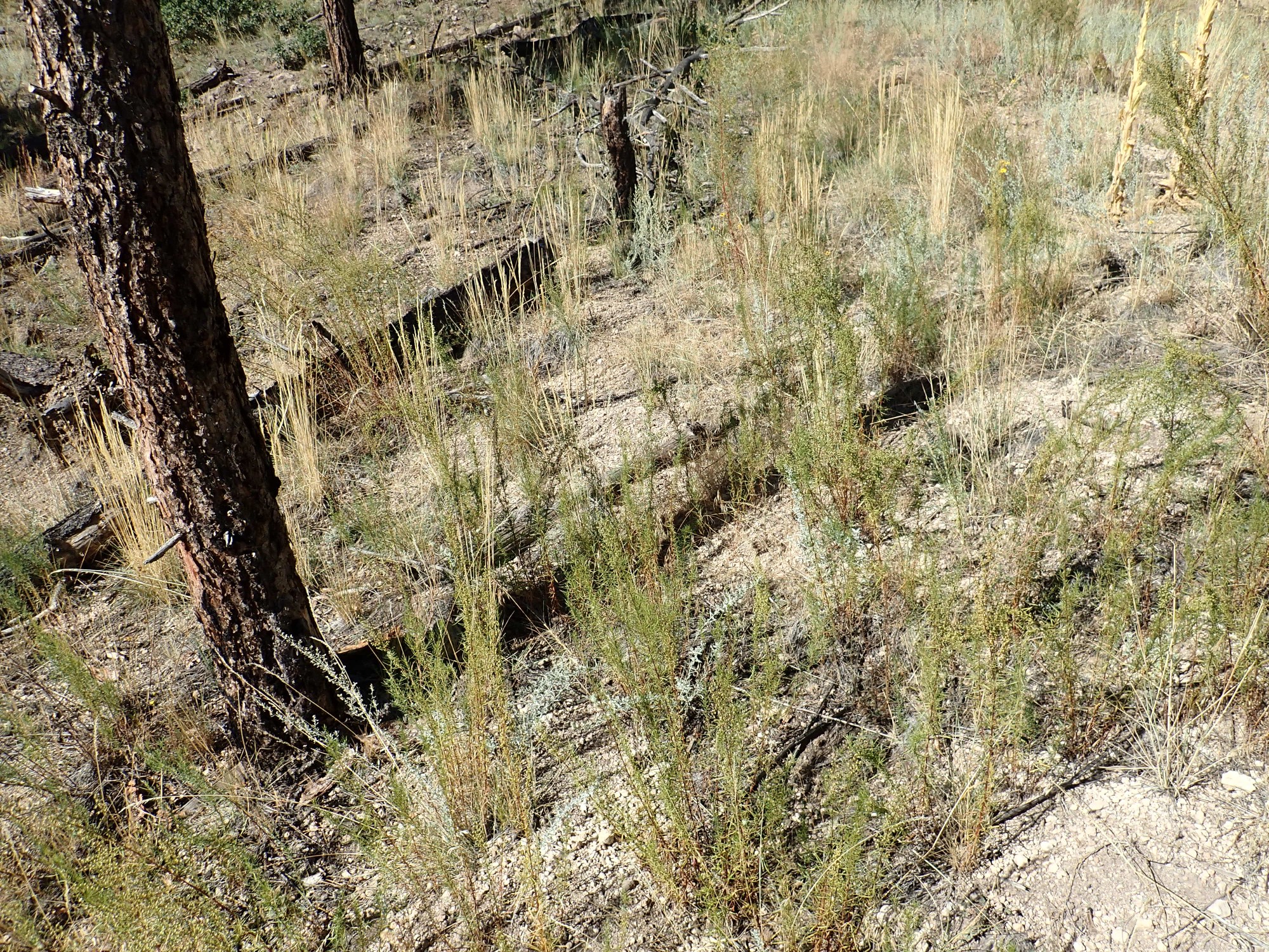
I take time to photograph some of the andesite of the knoll I’m standing on for these photographs.
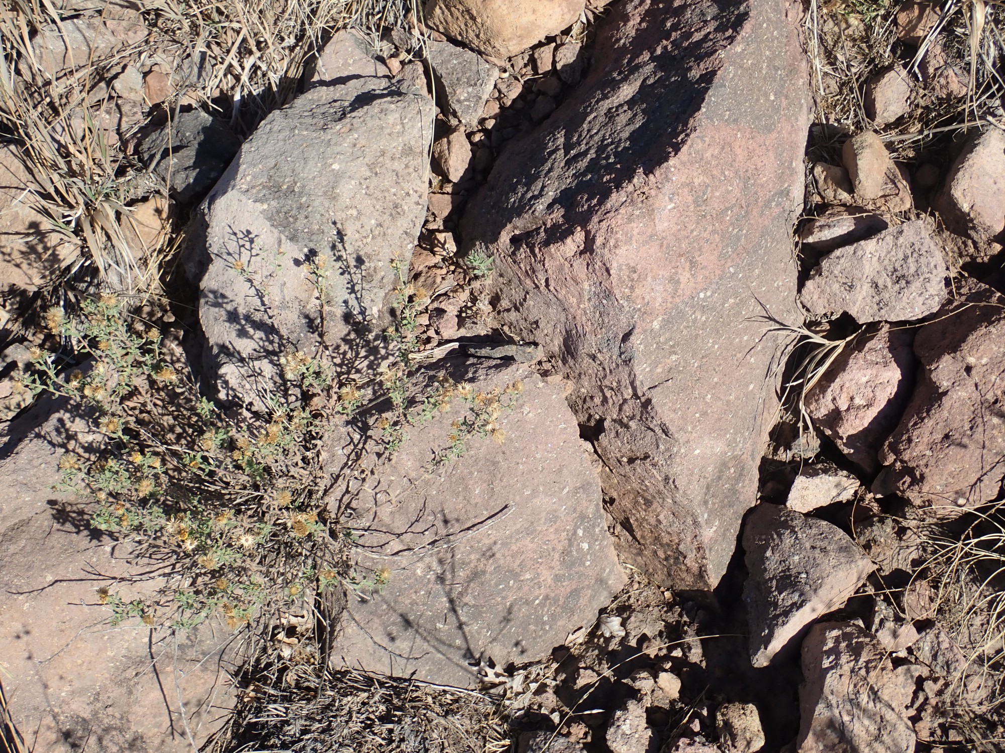
Andesite of the Paliza Canyon Formation comes in a variety of colors, from pale pink to light gray to blue-gray to nearly black. Almost all has prominent phenocrysts, large white crystals of plagioclase feldspar embedded in a much finer-grained matrix. These almost certainly formed underground, before the magma reached the surface. They’re very common in andesites and dacites.
The Dome spur is not as well maintained as the main road. The first section is very rocky, which can’t really be helped, but beyond that the road becomes better. However, some unspeakable apparently recently drove a very heavy truck on the road when it was wet, leaving big ruts, and I think they must have turned around here:
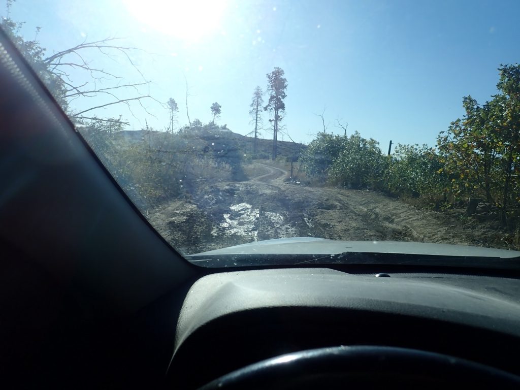
At least, the road become truly awful here, and then the ruts disappear. I hesitate, then decide I can make it across by driving way over on the right shoulder. And I get across okay. There are no spots this bad on the remainder of the drive to the summit.
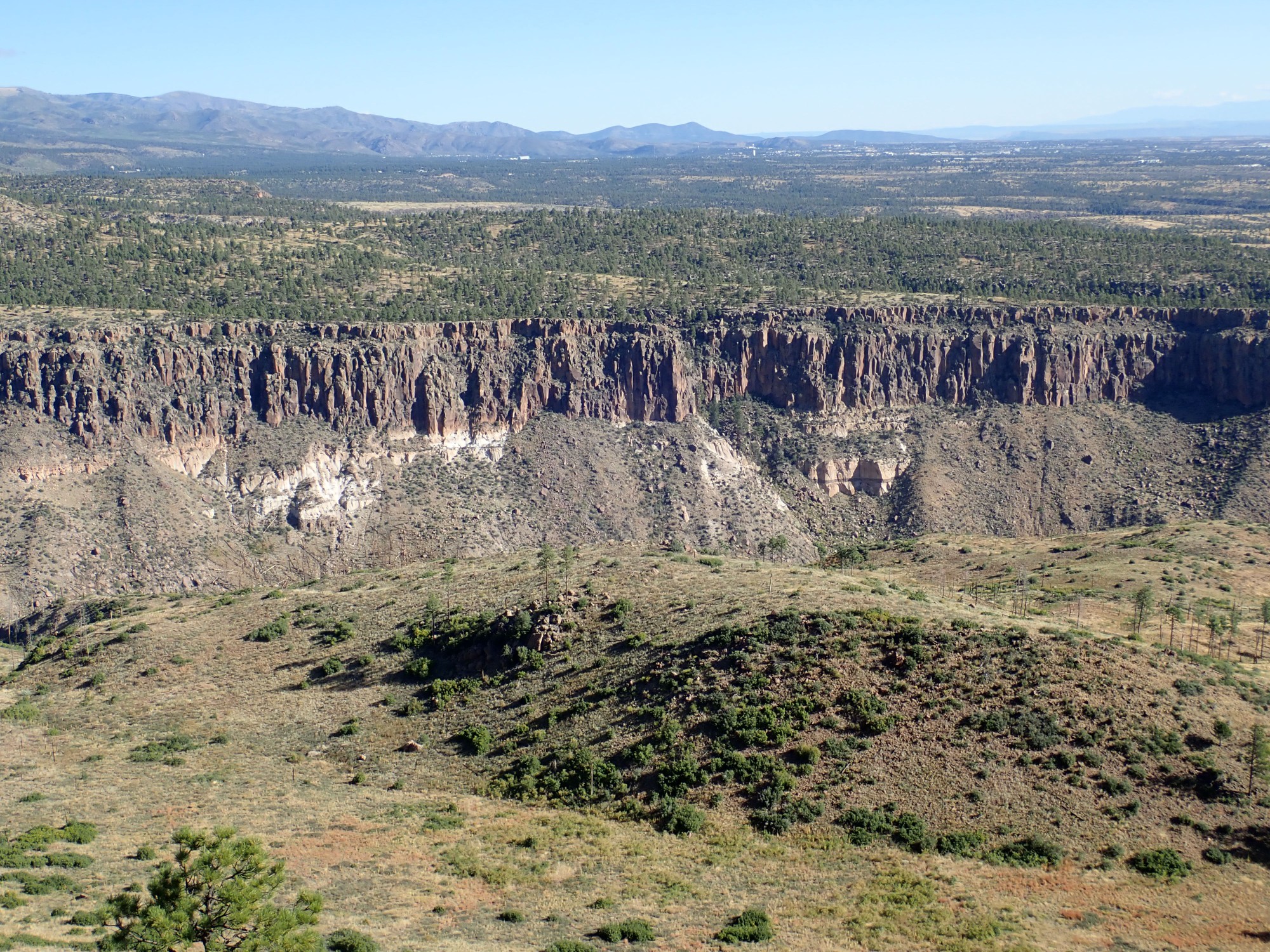
There are some nice glimpses of Capulin Canyon to the north.
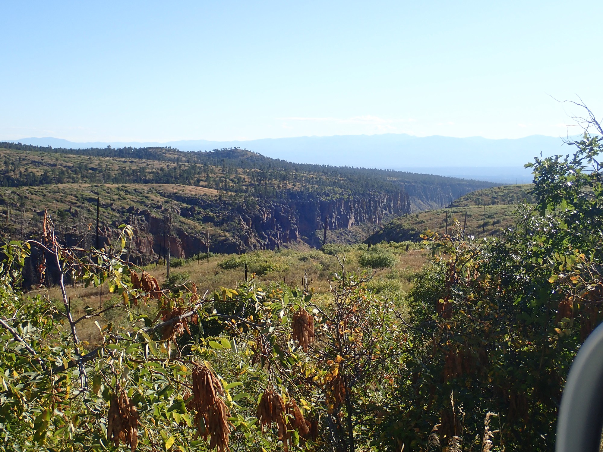
The cliffs are Tsherige Member, Bandelier Tuff, the iconic rock formation of the Los Alamos area. This was emplaced 1.25 million years ago by the ginormous Valles eruption, which erupted some 55 cubic miles of magma, likely in a matter of weeks. The very viscous magma disintegrated on reaching the surface under the pressure of its own dissolved gases, forming a mixture of red-hot gas and tiny shards of volcanic glass that flowed like a liquid across the ground for miles in all directions. These pyroclastic flows settled to the surface to form solid rock (tuff or ignimbrite), which in some places is hundreds of feet thick.
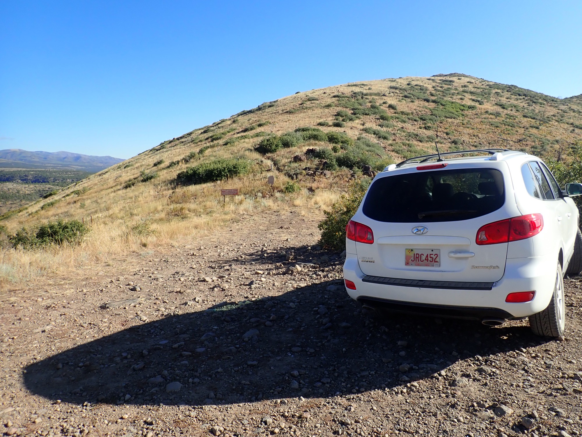
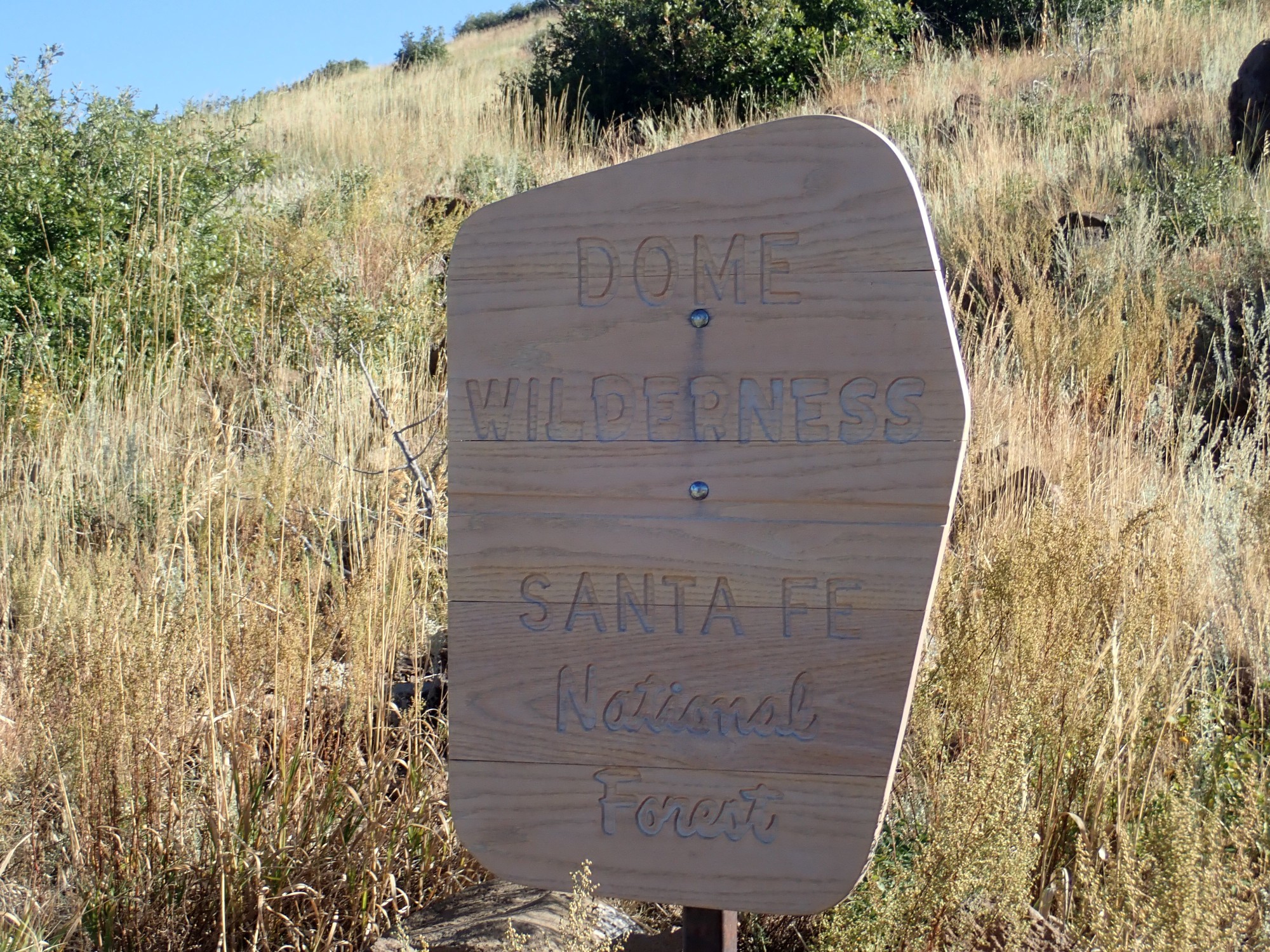
I park at the Dome Wilderness trail head.
St. Peter’s Dome to the south, with the old ranger station.
The ranger station has long been closed. It’s more economical now to rely on aircraft and on citizens with cell phones for early wildfire detection. However, there are still some automated weather monitoring stations there connected by radio to the LANL network.
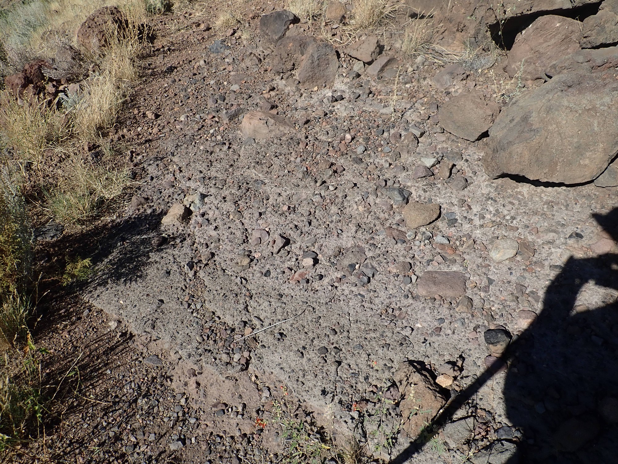
There are good exposures of weathered volcaniclastics in the road cut at right.
Volcaniclastics are beds of broken rock fragments (clasts) that form in various ways. The clasts here are somewhat rounded, and in a muddy matrix, typical of volcaniclastics transported downhill by water. There is not much uphill here and certainly little running water. But there was once.
I change into my hiking boots, activate my satellite beacon, hit the track and the “on the trail” buttons, smear myself with polyphenols as a charm against bugs and sunburn, don hat and pack and grab walking stick and head out.

Well, that answers one question that worried me, which was whether I needed any kind of permit to hike the wilderness. Apparently not if it’s a day hike.
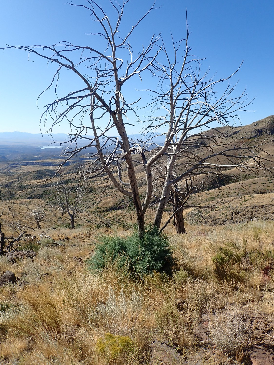
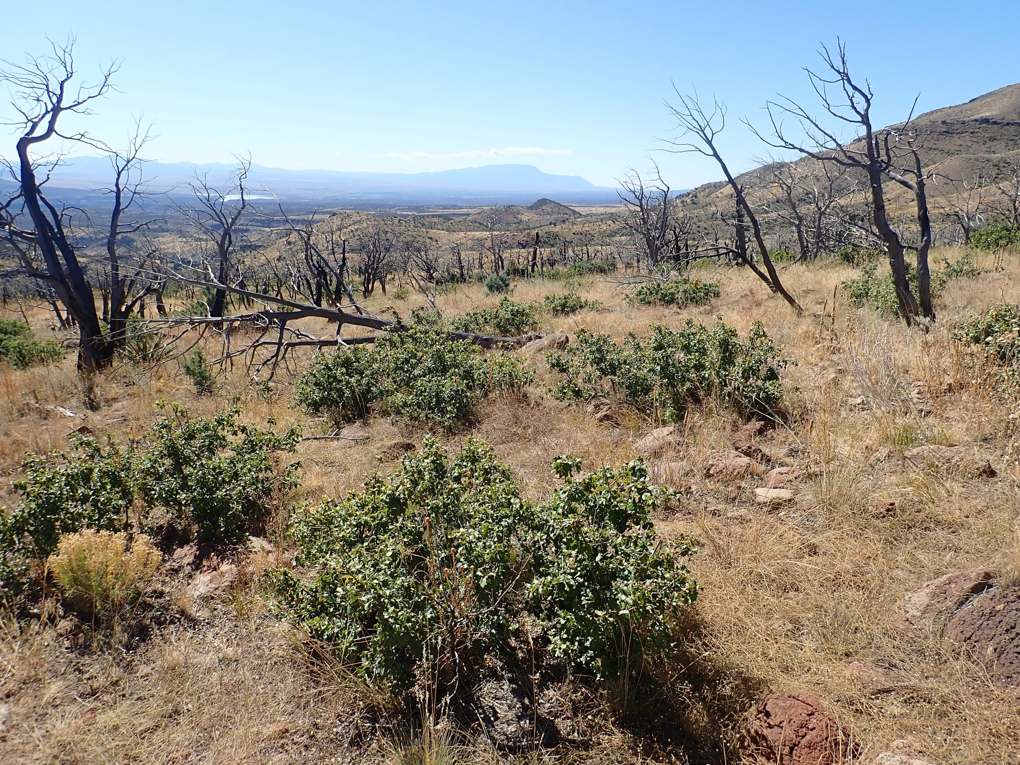
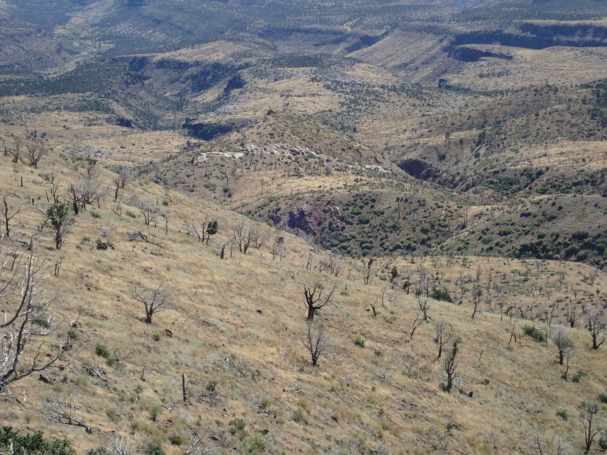
I’m far enough up the trail now to see into the lower ground below.

The sun is still low enough to badly backlight the scene, but you can see the tip of Boundary Peak at left and St. Peter’s Dome to the right. The low ground below is the Pajarito Plateau in the Bandelier back country. And my trail is at left; it’s not a hike for folks with a serious aversion to heights.
An Ansel Adams moment.
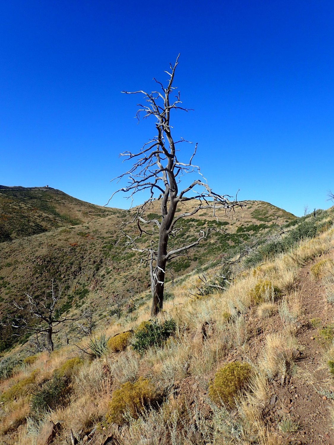
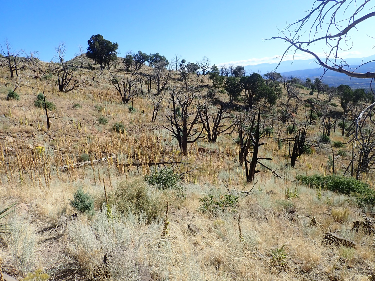
There are many such dead trees here. This area was thoroughly burned over by the Las Conchas fire in 2011. These trees were killed quite dead, but they were deeply rooted enough that they haven’t fallen over, as most of the burned trees have done at lower altitude or more sheltered locations.
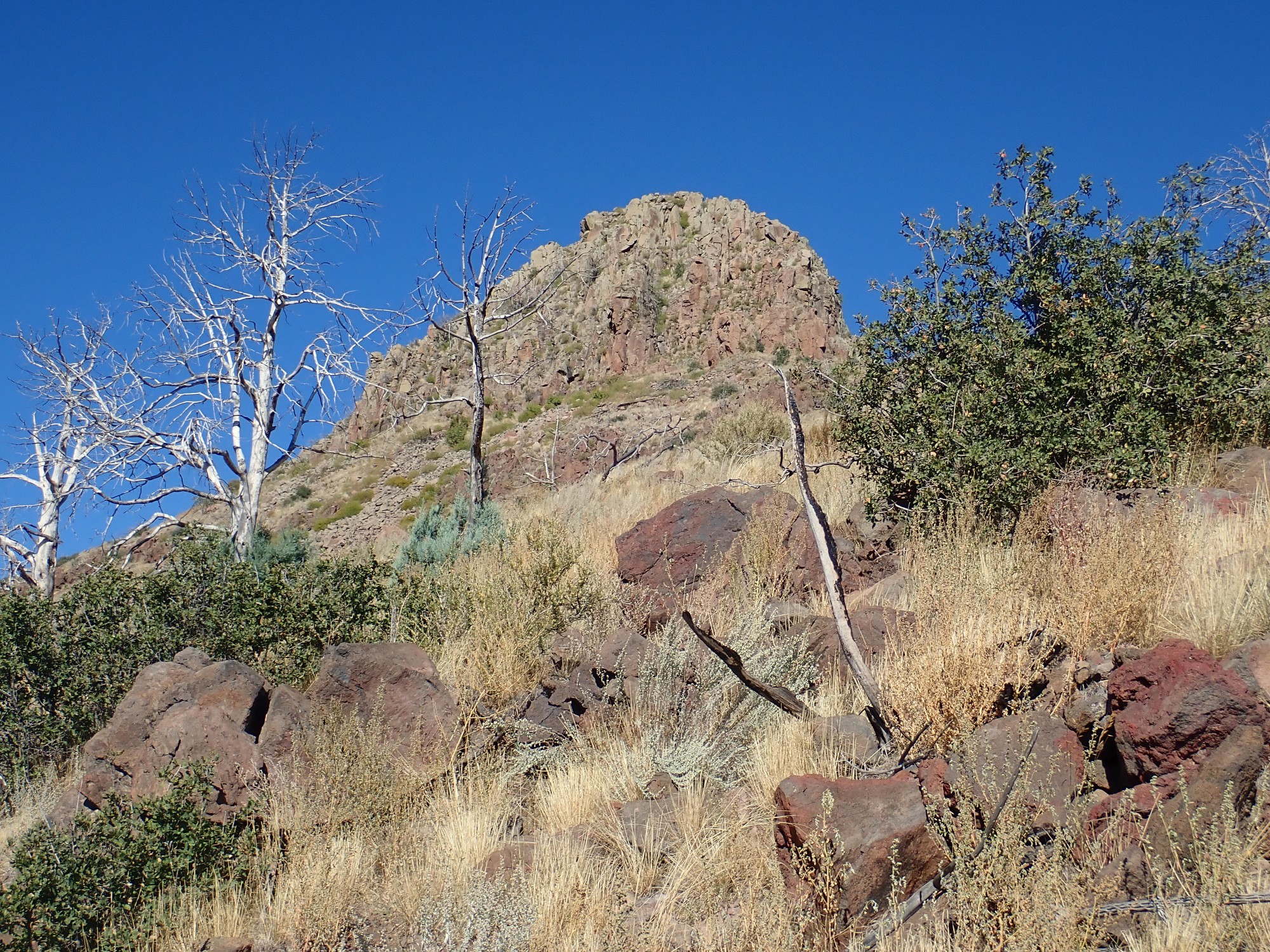
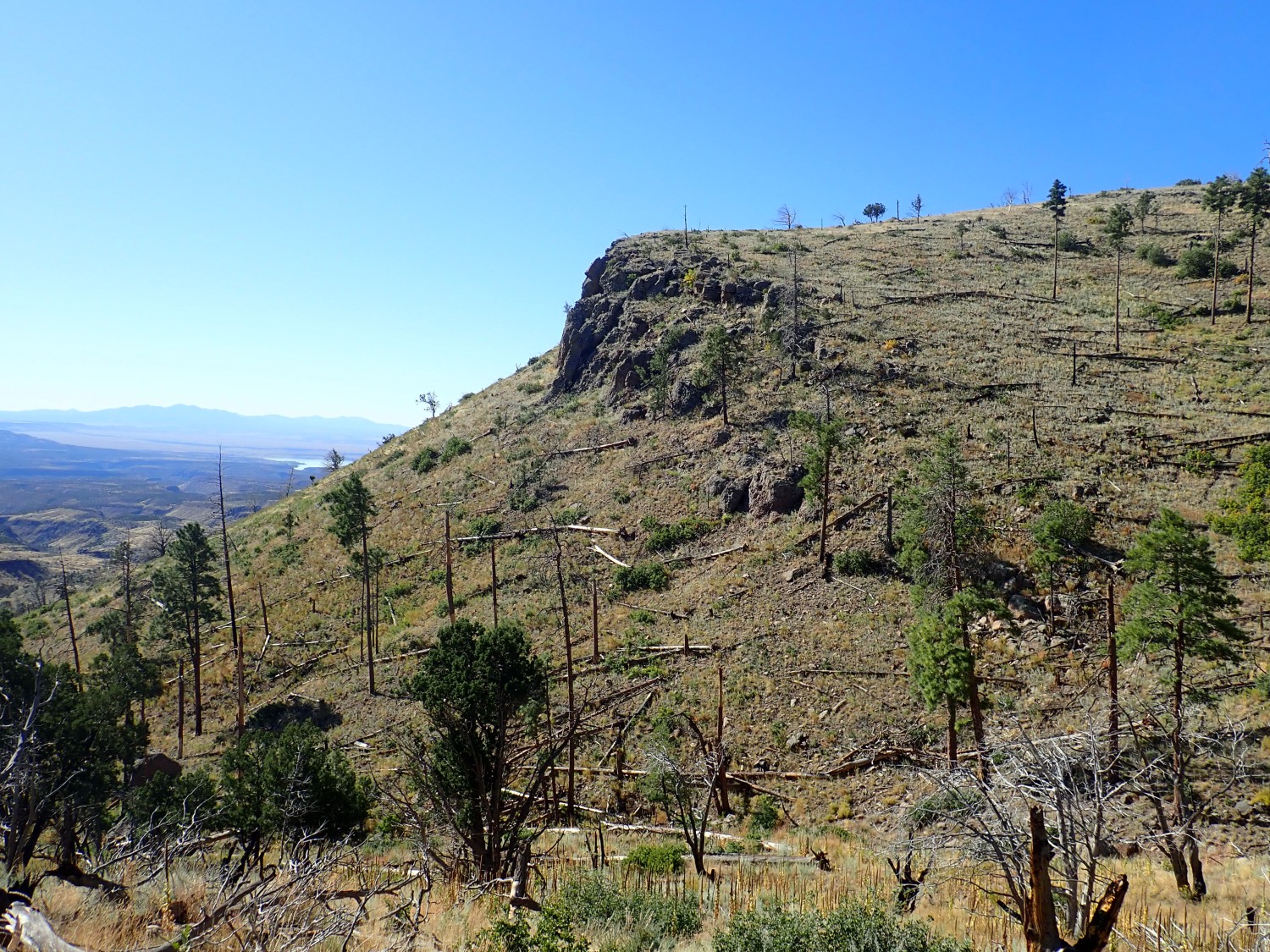
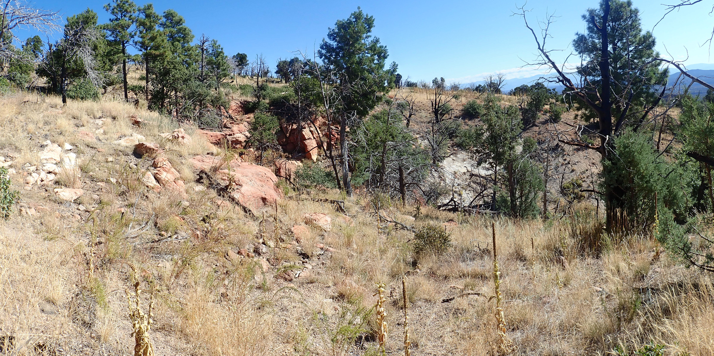
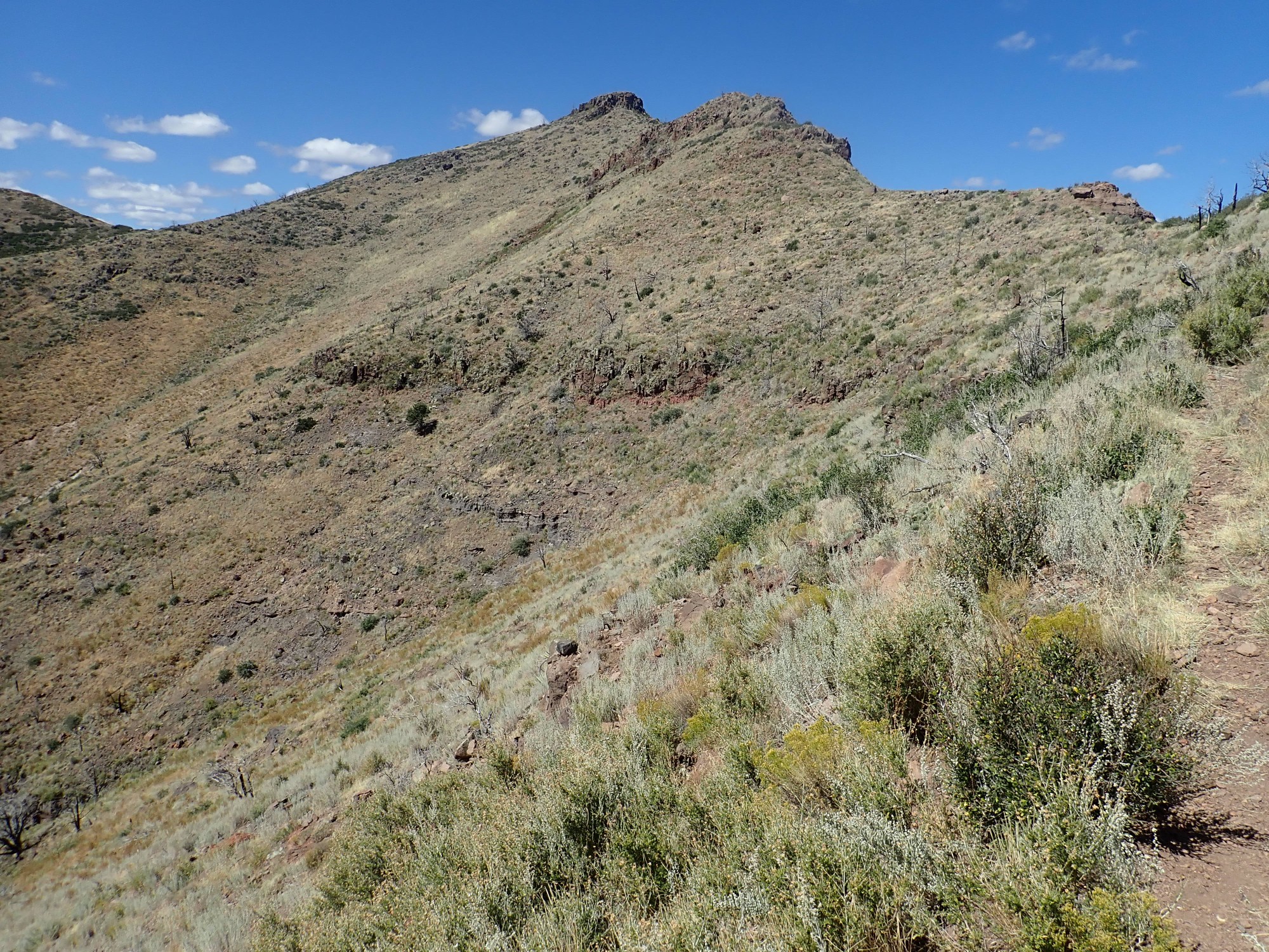
A very nice view of the north flank of St. Peter’s Dome.
The geologic map helps here. The top “layer” of the mountains is identified as clotted andesite, which is andesite containing large clumps (“clots”) of plagioclase crystals. Beneath is a rugged layer of biotite dacite, which is somewhat richer in silica than andesite and contains biotite (iron mica) in small quantites. Below that are smoother slopes of volcaniclastics, with a thin bed of plain vanilla andesite towards the bottom. This layering is entirely typical of stratovolcanoes.
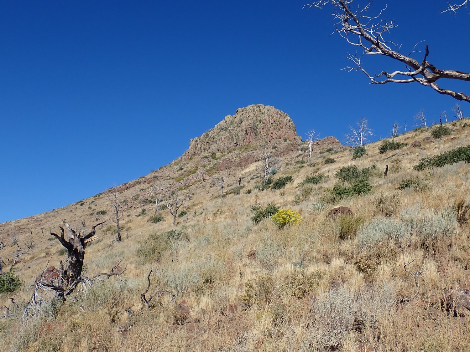
Boundary Peak.
This is prominent as seen from many locations around Los Alamos. The view from the top must be magnificent. I don’t really know; I like staying alive. The visible trail is precarious enough. I’ll explain how it got its name presently.
The cap is olivine andesite with volcaniclastics underneath. Olivine andesite is andesite containing iron-rich olivine, a mineral normally associated with rock much poorer in silica. Here it is an indication both of magma that was out of chemical equilibrium and which was iron-rich. Iron olivine (fayalite) is much more stable in the presence of excess silica than more magnesium-rich olivine (forsterite), the usual variety.
This is likely not a volcanic vent. It is more likely a remnant of a much larger flow, capping and protecting the softer volcaniclastic beds beneath.
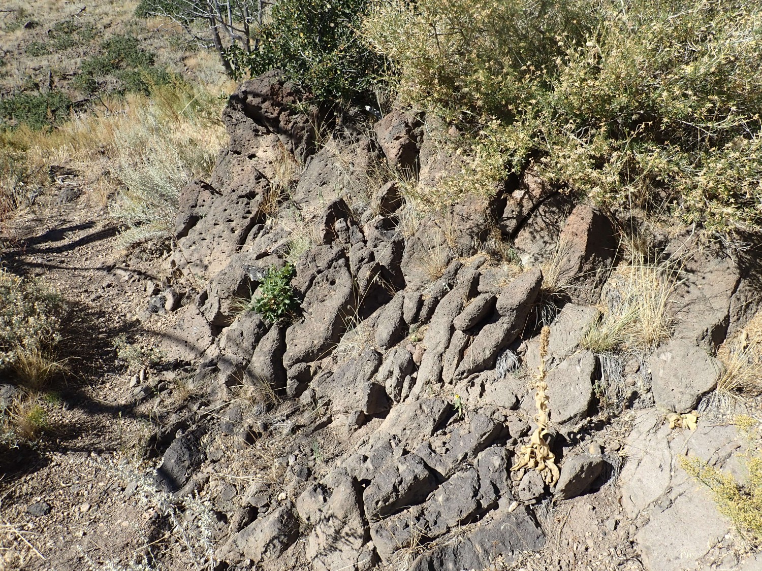
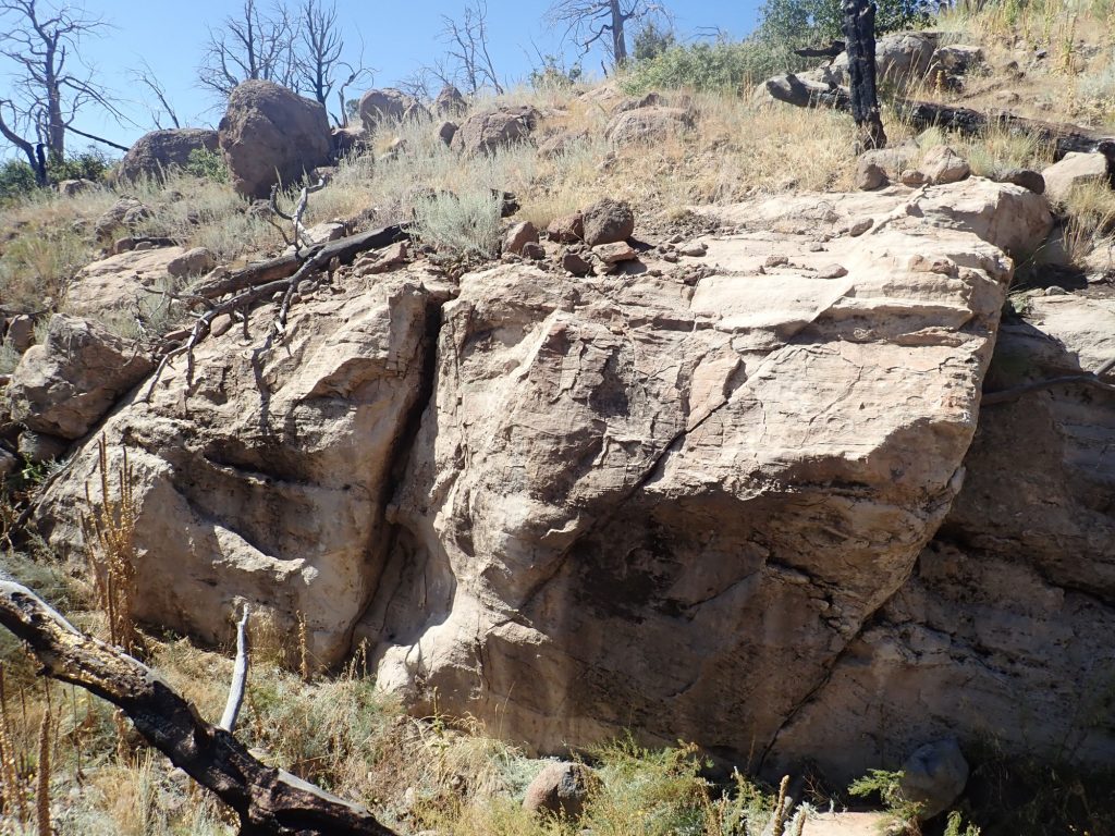
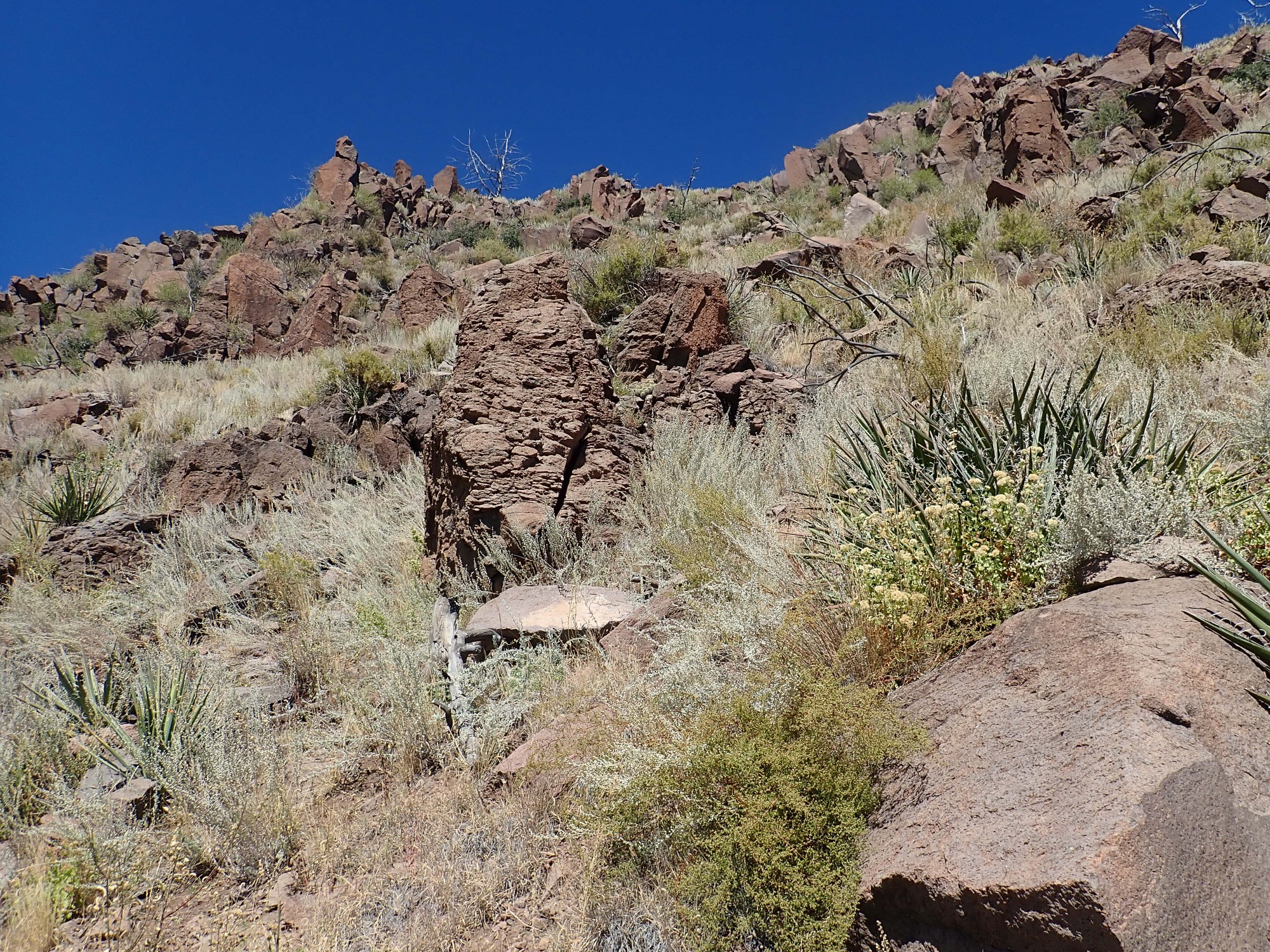
The trail passes some andesite stacks.
This actually looks like a thin dike, too small to map. The geologic map indicates the trail here is still crossing volcaniclastic beds, though with andesite nearby.
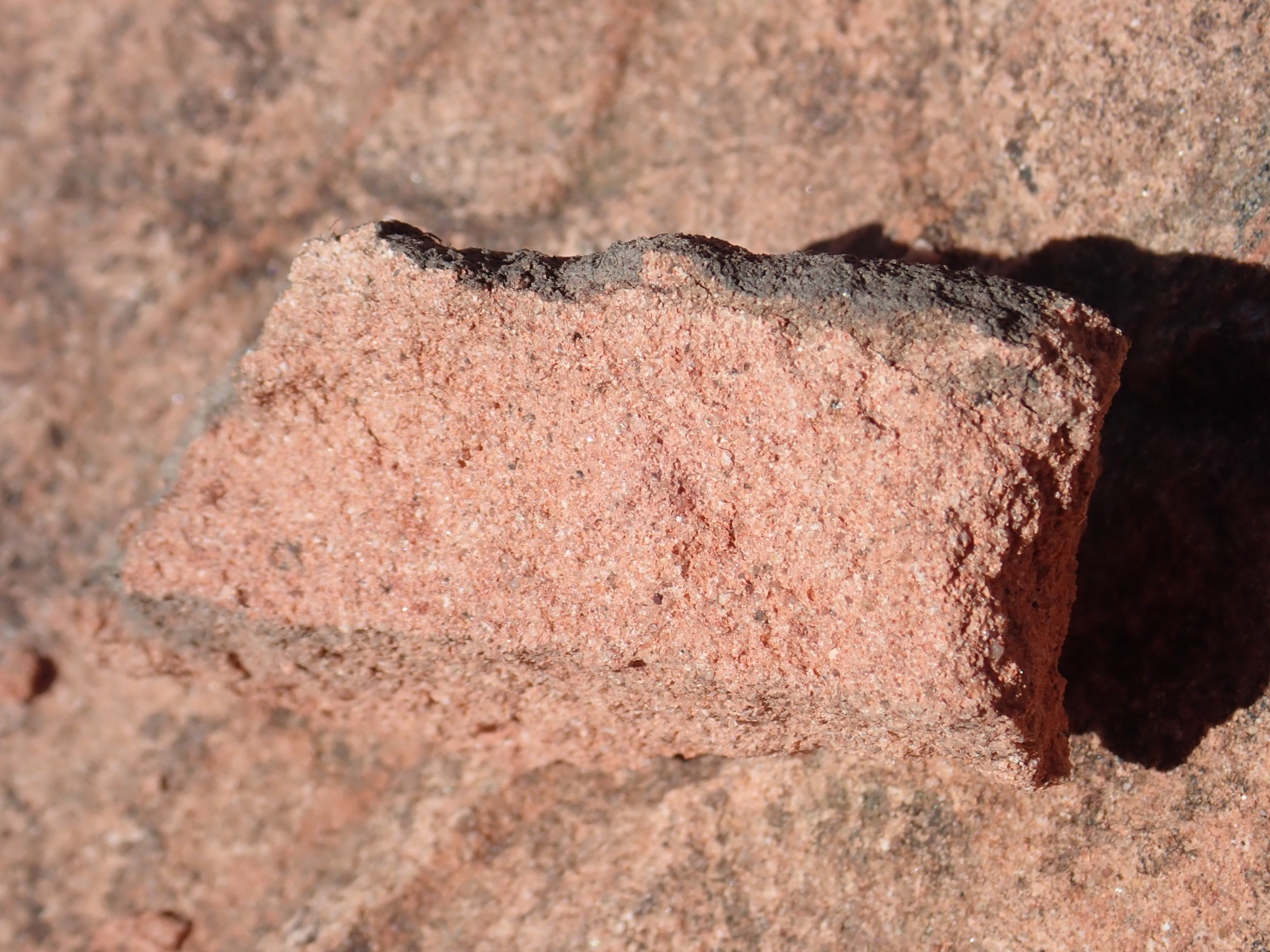
A close up:
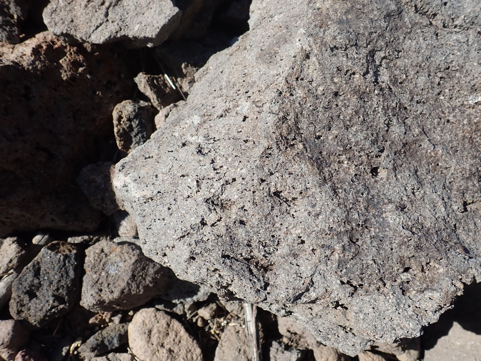
You can see that the rock has numerous bubbles (it is vesicular) and is rich with little white plagioclase feldspare crystals. Plagioclase feldspar: That’s a mixture of calcium and sodium feldspar, Ca2Al2Si2O8 and NaAlSi3O8. Calcium and sodium ions are similar enough in size that they freely substitute for each other in many minerals, so long as aluminum and silicon substitute at the same time to maintain charge balance. Plagioclase is possibly the most common mineral in the Earth’s crust.
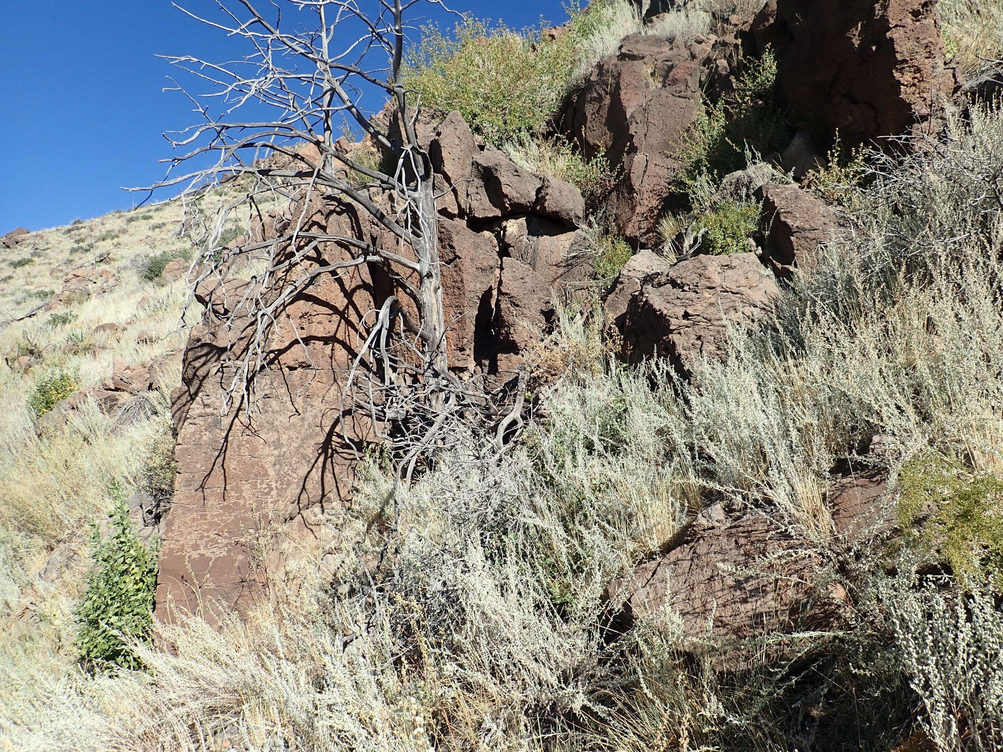
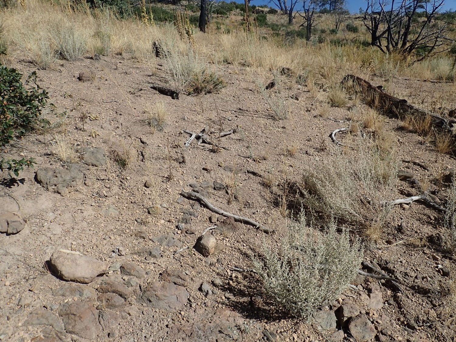
I come to my first really pristine volcaniclastic bed.
The rock fragments here are embedded in a gray matrix that is as hard as concrete. It even looks a little like concrete. I’ll encounter this stuff in quantity along the next couple of miles of trail, along with a couple of patches of actual concrete.
I’ve passed the end of the ridge on whose south flank I’ve been hiking. Looking back:
The caprock is mapped as plain andesite. The rusty red color is a result of weathering.
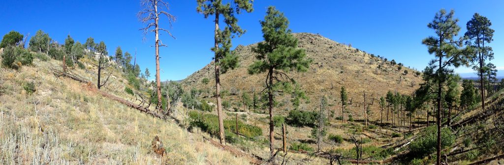
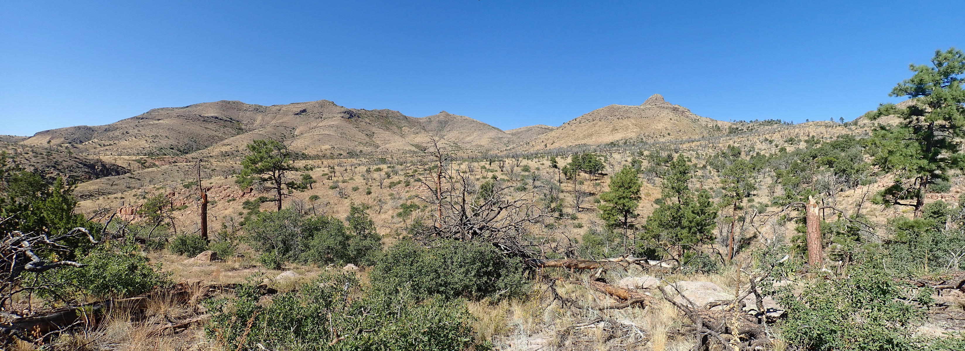
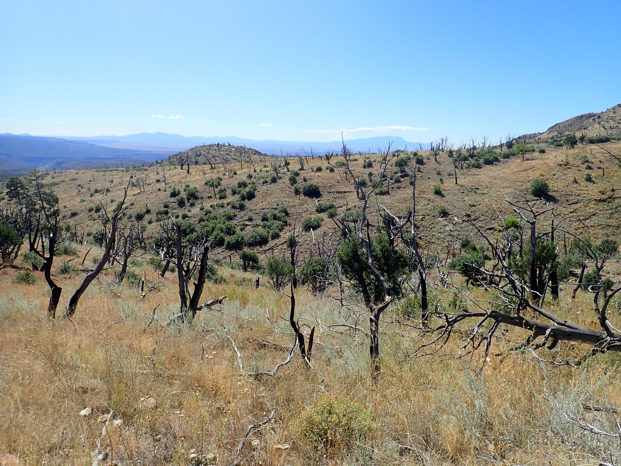
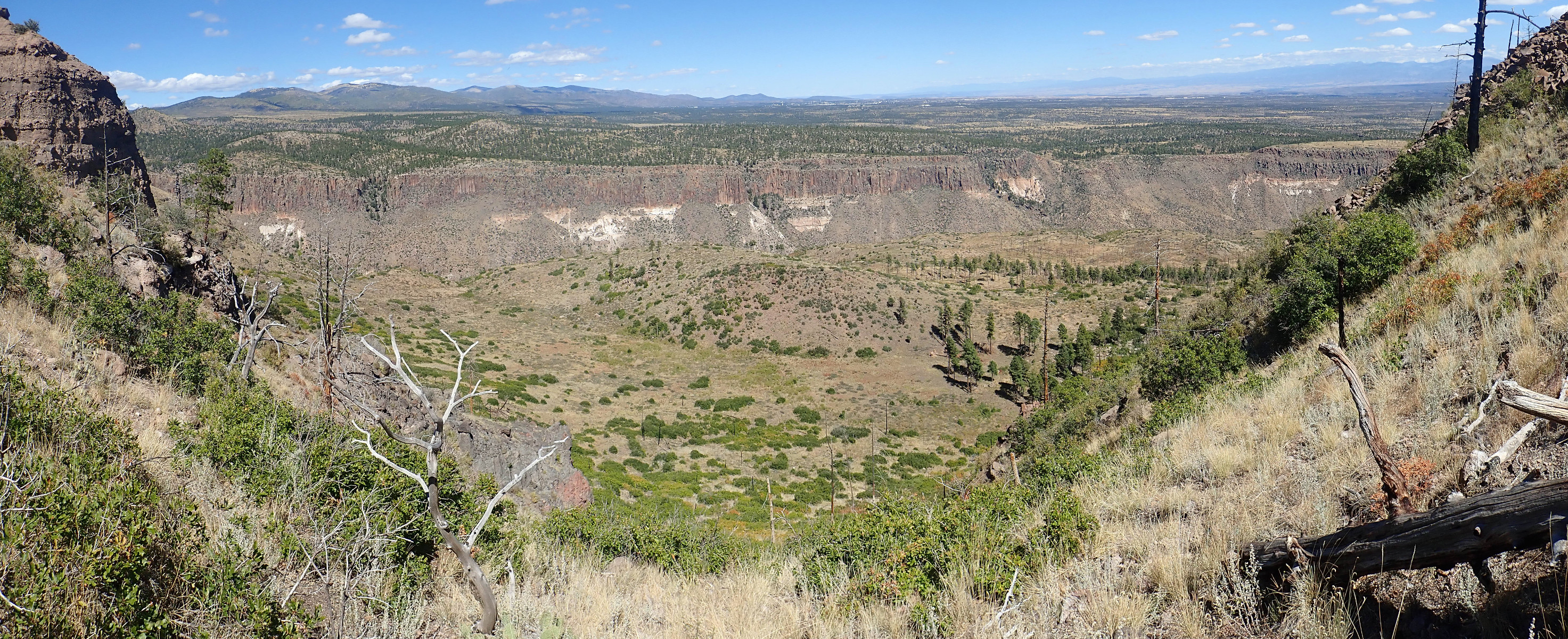
The trail crosses a knife ridge, and the view north is magnificent.
The sun angle is still just a little too low for an ideal panorama. I’ll try again on the return leg. Sierra de los Valles is on the skyline at left, the town of Los Alamos is on the plateau at center, and Capulin Canyon is below.
The darker beds at top are Tsherige Member, Bandelier Tuff, from the Valles eruption 1.25 million years ago. The white later beneath is Otowi Member, Bandelier Tuff, from an equally colossal eruption 1.61 million years ago, known as the Toledo eruption.
How do we know these precise dates? By radiometric dating. Volcanic rock is rich in potassium, and one of the isotopes of potassium undergoes slow radioactive decay to produce argon. Fresh volcanic rock contains no argon, which easily escapes from the molten rock. Once solidified and cooled, the rock traps any argon produced by radioactive decay, and the ratio of argon to potassium gives the time since the rock was last hot enough for its argon to escape. The Jemez Mountains are of great interest to geologists, and so the rocks here are more thoroughly dated than the Kardashian sisters.
I see spires of weathered volcaniclastics below me.

Beyond is an ash bed in the wall of the canyon.
Ash beds are particularly excellent for dating, because they often contain potassium feldspar crystals that can be analyzed with great precision. I see from the geologic map that some intrepid geologist fetched a sample of this ash bed and it was dated at 9.47 million years old. The rocks atop St. Peter’s Dome have been dated at 8.69 million years, so it took a little under a million years for the entire thick sequence of volcanic beds from low in Capulin Canyon to high atop St. Peter’s Dome to be erupted.
Across the canyon to the south is a similar ash bed, likely from the same eruption, which my map shows lies on top of a thin andesite flow.
And there is a nice thick section of volcaniclastics in the cliff next to me.
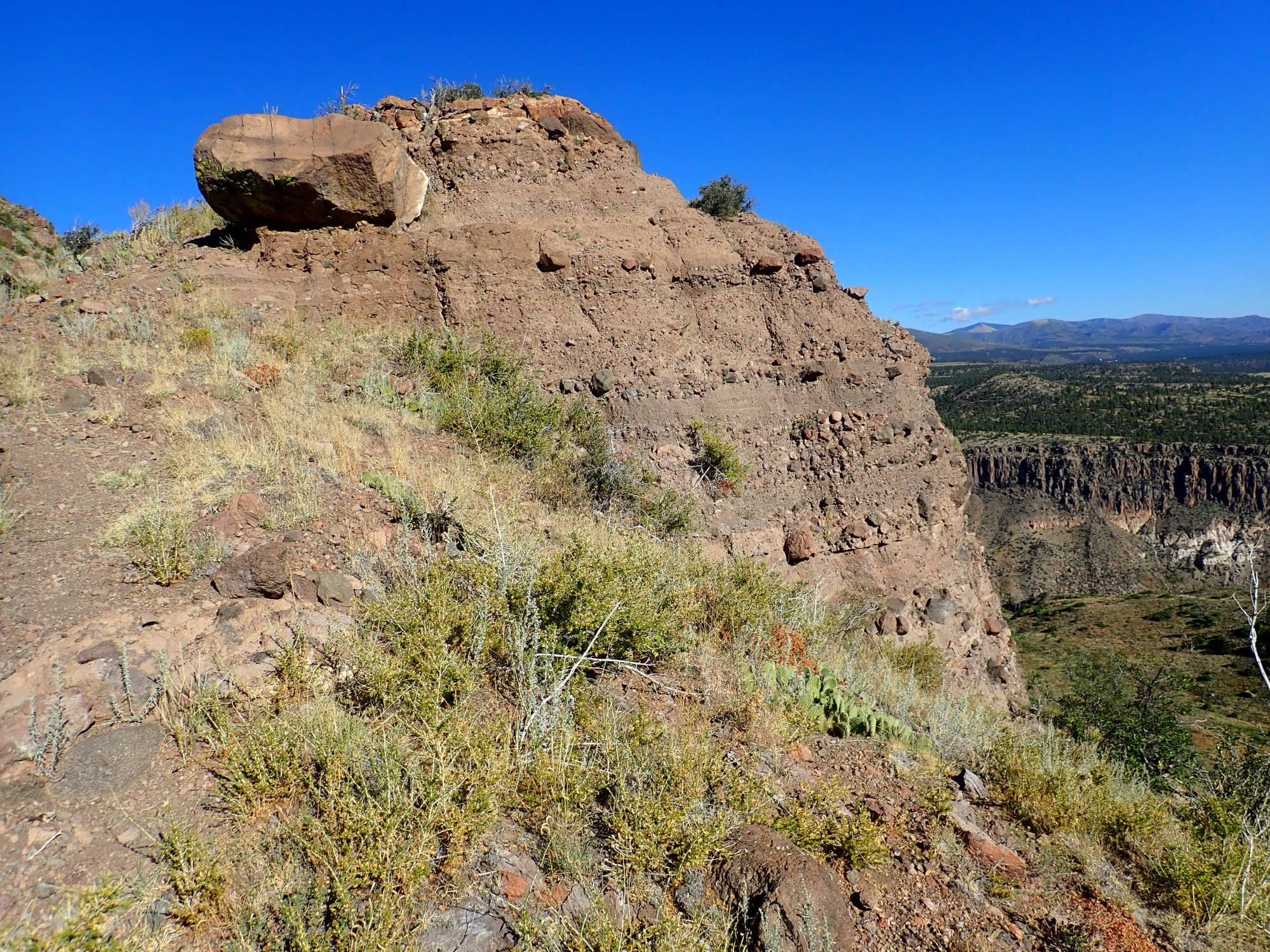
The big, precarious boulder bemuses me. I have a momentary wild impulse to go jump on it and see if I can knock it loose, but I restrain myself.
On the flank of Boundary Peak are some brick-red volcaniclastic exposures.

Most of the trail is over volcaniclastic beds, because these weather to form gentler slopes.
And now, why it’s called Boundary Peak.
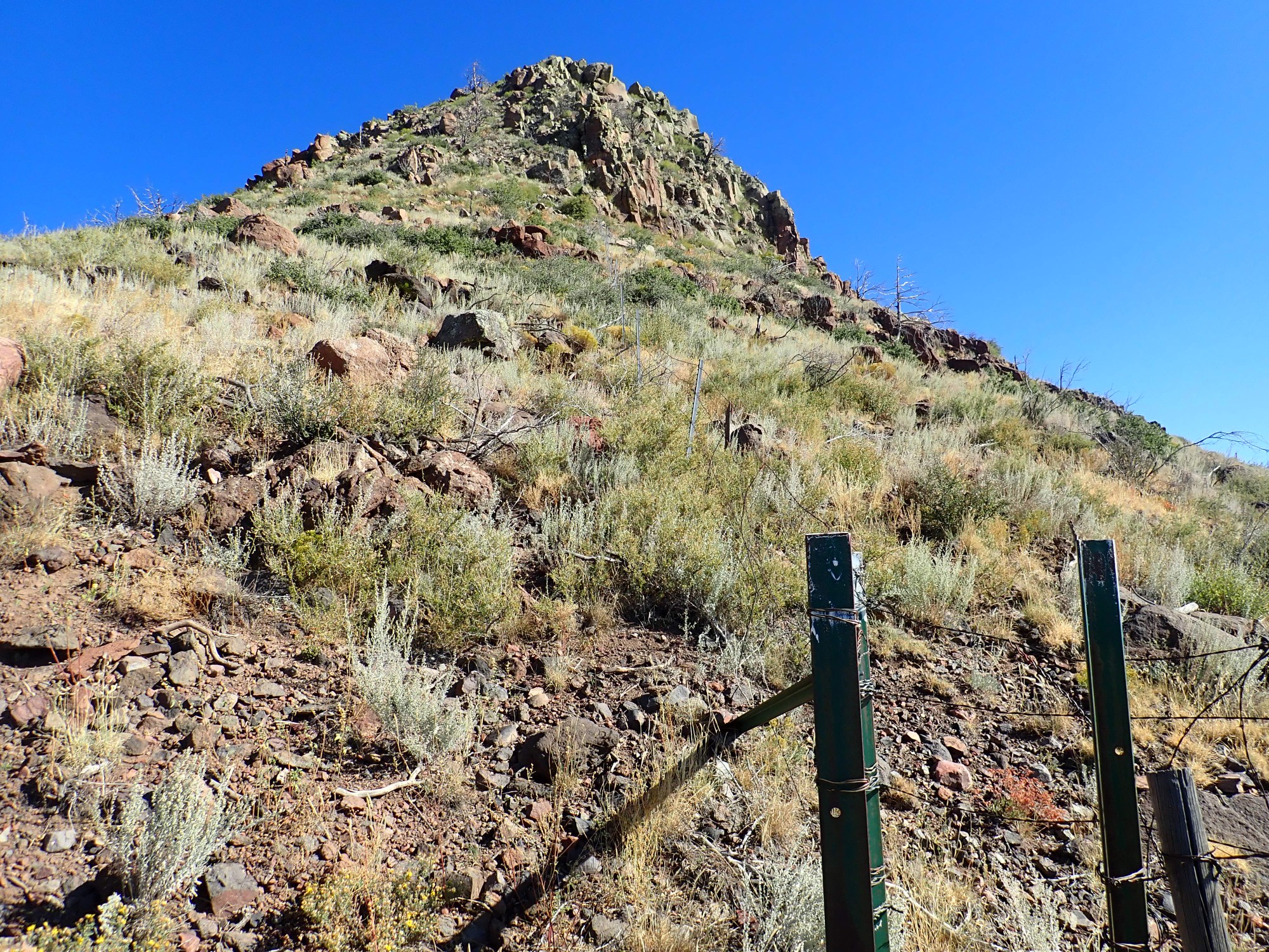
It’s located almost exactly on the boundary between National Forest land to the west and Bandelier National Monument to the east. There’s even a fence, seen here. To be sure, the fence doesn’t go very far north and south; just enough to make the point without risking the lives of the fence installers. And the stuff that looks like concrete here is actually concrete, holding up the posts.
This is not concrete. It’s more volcaniclastics.
The trail is now switching down the east flank of Boundary Peak. Looking back at the olivine andesite cap:
I have titled the next one Life Persists. Kent G. Budge, 2019, Olympus TG-5 on auto setting:
This was a mountain cedar burned over by the fire. Its roots survived and are putting forth new green shoots.
Another view back at Boundary Peak.
My next landmark.
This knoll is directly north of 40-million-year-old Galisteo Formation sandsone beds that are more or less my objective today, and I figured it would be a useful landmark. Turns out not; there is too high a ridge between it and the beds. But something puzzles me. The two flows at left are tilted nearly vertical. Dikes?
(When I get home, I will learn from the geologic map that this is a single huge landslide block. The mountain-sized block breaking loose from the flank of Boundary Peak rotated as it slid until the beds in it were at this steep angle. Cool.)
I come to thin deposits of El Cajete Pumice.
This deposit is too small to be mapped, but I will cross much thicker beds further down. The El Cajete eruption was the most recent in the Jemez, taking place 73,000 years ago. That’s a recent and hard-won date measurement; rock that young falls into a kind of gap, too young to accumulate enough argon for an accurate potassium-argon date and too old for carbon dating to be accurate. The previous estimate was 55,000 years, but with a range of uncertainty from 20,000 years to a quarter of a million years. The new date is from very high-precision argon-argon dating at New Mexico Tech.
And you might keep in mind the existence of this dating gap if you ever run across a young-Earth creationist crowing that radiometric dating is unreliable, because one of their preachers sent a sample of fresh Mt. St. Helens dacite to a laboratory for conventional potassium-argon dating and they dated it at 350,000 years. I’m actually pretty religious, but I’m also pretty sure Jesus doesn’t need me lying for Him.
A sad and solemn place.
“Hot” forest fires do a good job of exposing geology. I can think of nothing else good to say about them. (And I specify “hot” because forest fires in a forest left to itself, which are mostly beneficial, are usually relatively cool.)
There is another outcropping of solid volcanic rock here.
This is too thin to map. The report accompanying the geologic map notes that some thin flows in the volcaniclastic section have not been mapped.
I draw abreast an escarpment to the south.
I wonder if this marks a fault. (Sure enough, when I get home and check my coordinates against the map, I find that this is very near an eruptive vent for hornblende dacite, dated at 9.48 million years old, and the east side is a fault. The age is very slightly older than the ash beds we saw earlier, within the margin of error, so the ash in the ash beds was probably erupted from this vent.)
The trail takes me into the nearest to a cool forest grove I will see this hike.
Some fluke of nature mostly spared these trees from the Las Conchas fire. It’s a little sheltered valley and a good place to stop and rest for a few minutes.
I notice some white cliffs that look like ash or tuff.
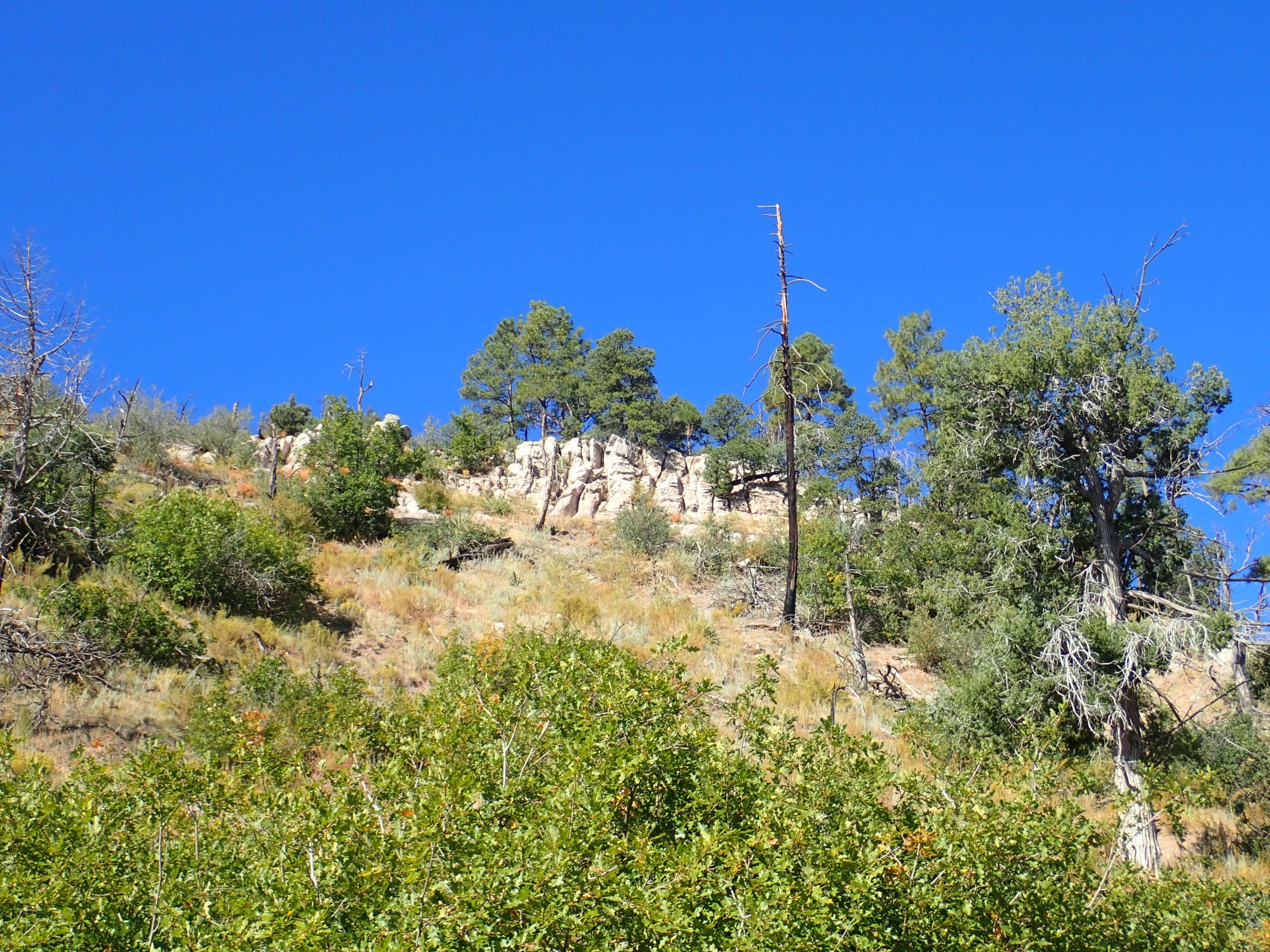
Some blocks have fallen to where they are accessible.
Thir strongly resembles tuff of the Canovas Canyon Rhyolite that I visited in Paliza Canyon a few years back, and that’s what it’s mapped as here. There are extensive exposures of the Canovas Canyon Rhyolite around Bear Springs Peak several miles to the southwest, where they underlie Paliza Canyon Formation flows and overlie basalt of Chamisa Mesa. Geologists saw a pattern of low-silica magma (Chamisa Mesa) followed by high-silica magma (Canovas Canyon Formation) followed by a second sequence of low-silica magma (Paliza Canyon Formation, whose lowest flows are basalt) followed by high-silica magma (Bearhead Rhyolite.)
We now know that this pretty picture does not hold up well, and the basalt of Chamisa Mesa is very similar to Paliza Canyon Formation basalts and the Canovas Canyon Formation is very similar to the Bearhead Rhyolite, and all erupted over a long span of time. Nevertheless, geologists still map rhyolite found beneath Paliza Canyon Formation flows as Canovas Canyon Formation and rhyolite found intruding and overlying Paliza Canyon Formation beds as Bearhead Rhyolite, and the existence of a marker bed (the Peralta Tuff) separating the two gives some continuing credibility to the distinction. The bed we see here is at the base of the massive edifice of the San Miguel Mountains, so it’s correct to map it as Canovas Canyon Formation.
The El Cajete pumice becomes very abundant here.
However, the map maps this area as colluvium, probably because the pumice is very impure, with lots of other sediments mixed in, showing this is not a primary airfall deposit. The pumice was deposited somewhere further uphill and was washed down the valley.
And I emerge from the mountains onto the Pajarito Plateau.
I know that, if I want to visit the Galisteo beds, I will have to bushwack south and a little west from somewhere near here. I go a short distance off thet rail, then decide to just follow it for as long as is reasonable and find a bushwack site (if I do) on the return leg.
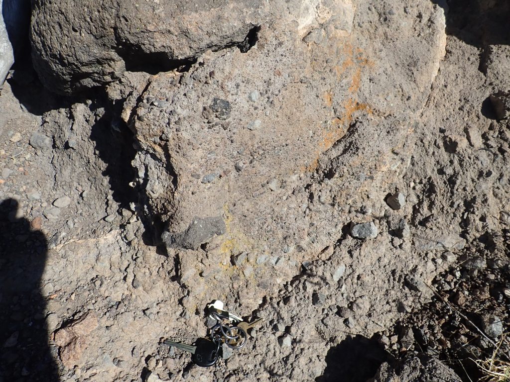
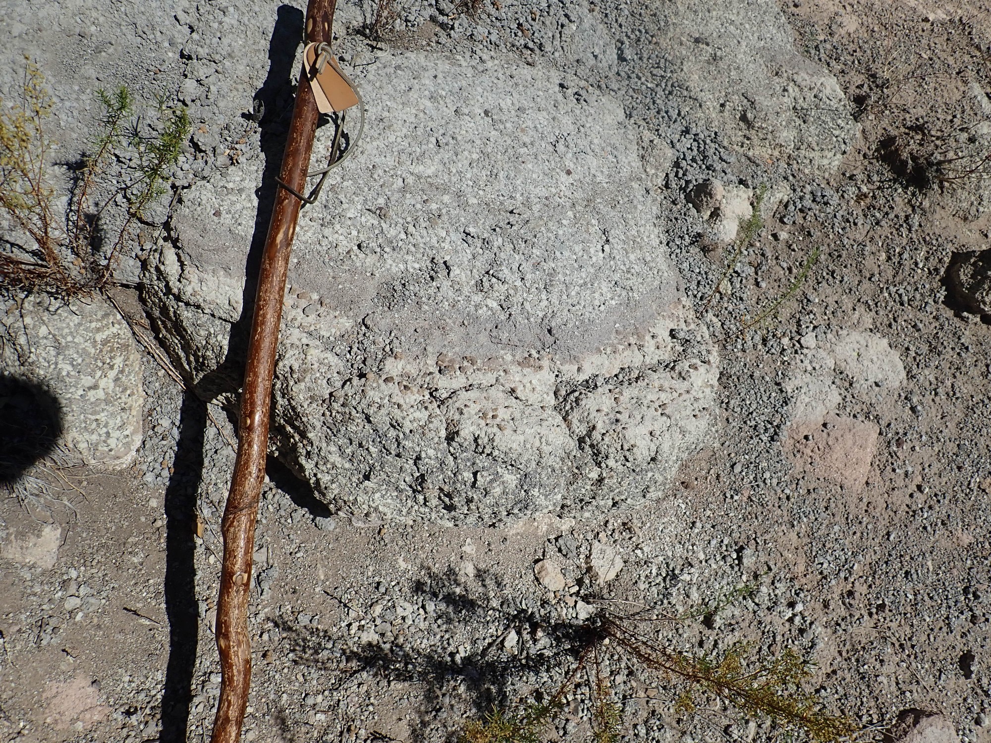
The trail crosses beds that look for all the world like sandstone.
I find a specimen with a fresh surface. It is sandstone.
According to the geologic map, this is lower Vallitos Member of the Chamita Formation. This is sandstone laid down at least ten million years ago in the Rio Grande Rift, the great crack in the Earth’s crust reaching from central Colorado to northern Mexico where the Colorado Plateau is being slowly pulled away from central North America. I am standing on the western rim of the Rio Grande Rift as it exists today.
Hiking further down the trail takes me further “down section”, to lower and older beds of this formation.

And then the trail crosses over to the very level, geologically young surface of the Tsherige Member.

This is the original upper surface of the pyroclastic flow. It completely filled the low ground east of the San Miguel Mountains and lapped up to the edge of the west rim of the Rift.
I find myself speculating on whether someone could have survived the Valles event on the east slopes of the San Miguel Mountains. Probably not; pyroclastic flows are accompanied by pyroclastic surges, which are hot, dust-laden shock waves that precede the main flow and can, to an extent, move uphill. The heat and fumes would stilll have killed anyone who avoided the path of the main pyroclastic flows. Anyway, 1.25 million years ago, our Homo erectus ancestors were still confined to the Old World, where they had mastered tools and fire, but are not thought to have had a fully developed language.
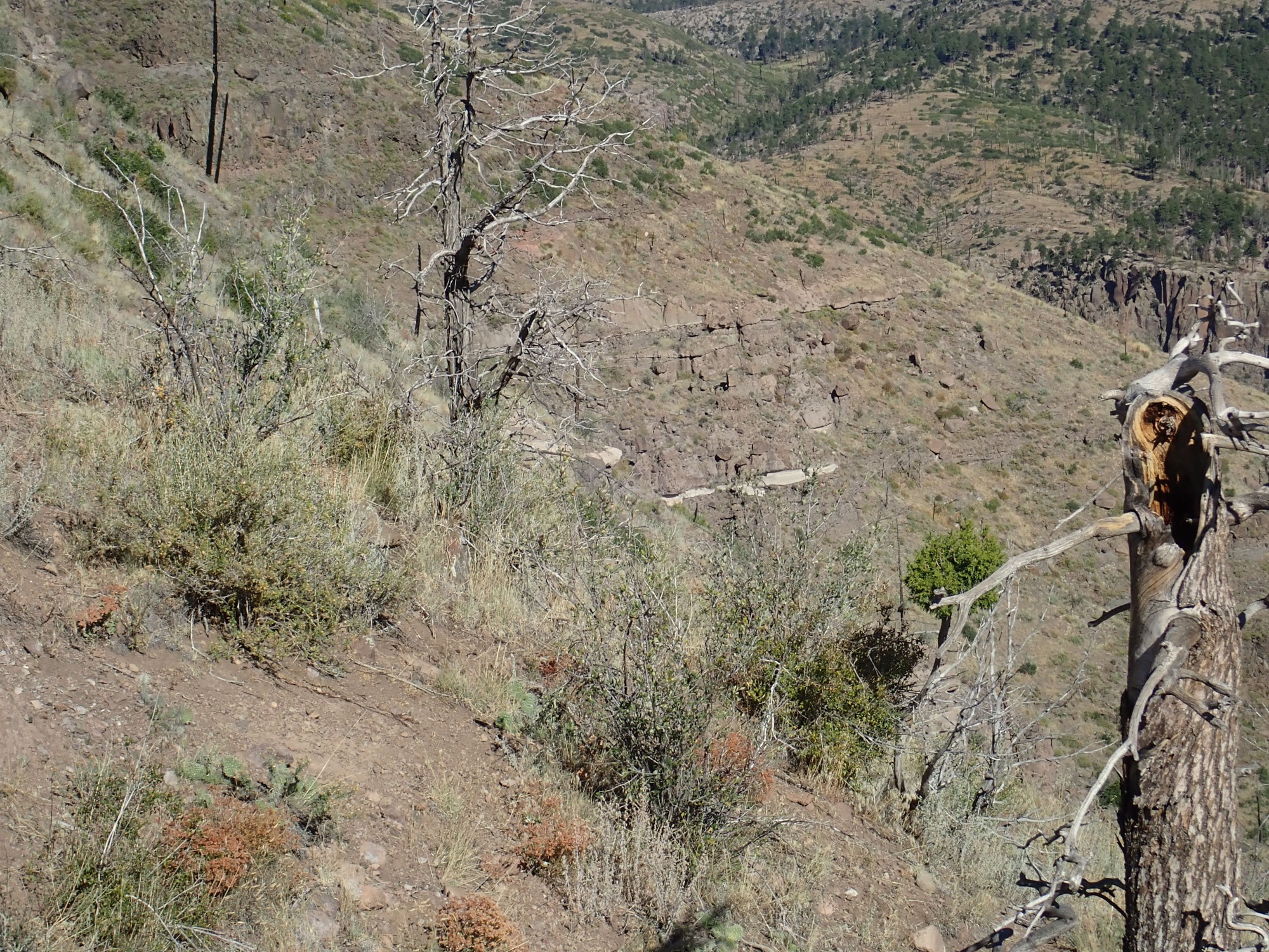
I don’t know what this is about.
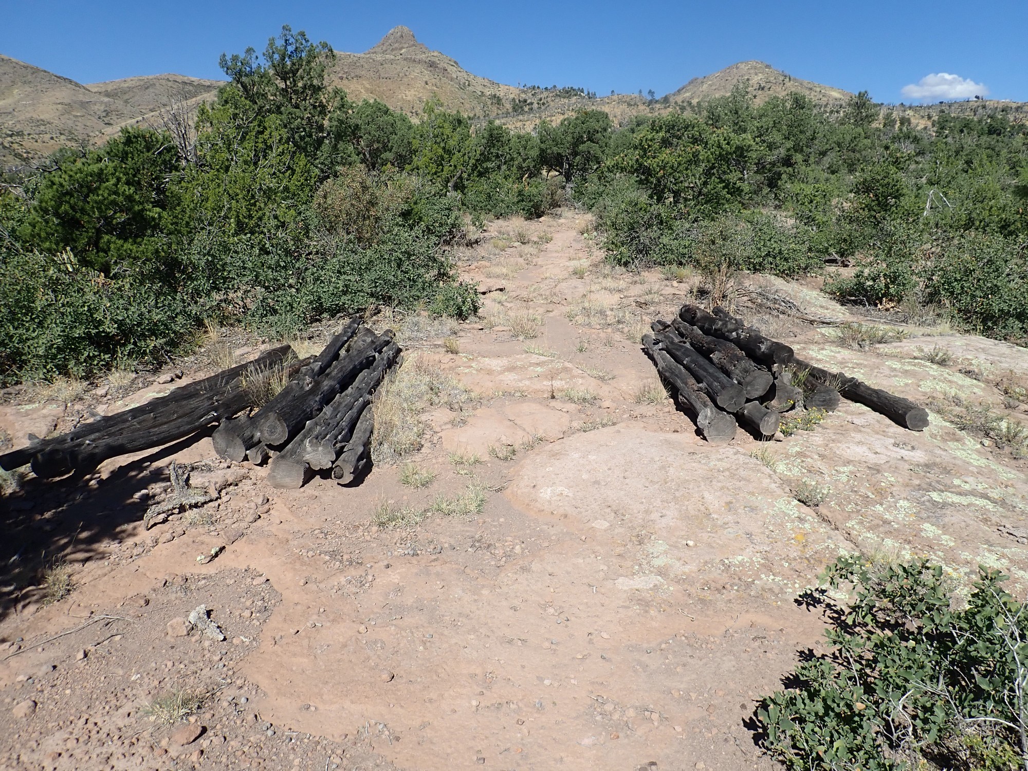
It has the look of timbers stacked and ready for trail renovation that never quite got into the trail.
I reach the point where the trail begins to descend towards Capulin Canyton. This seems like a good place to stop. The tuff here is notable for the presence of lithic fragments.
In other words, you can see big chunks of rock embedded in the tuff, and now partially weathered out. I am also near a major fault escarpment.
The cliffs at left and right mark the location of a major strand of the Pajarito Fault Zone, which throws down the terrain to the east. This is all associated with continuing rifting in the Rio Grande Rift.
On the way back, evidence that I am not the only large omnivore who has been on this trail recently.
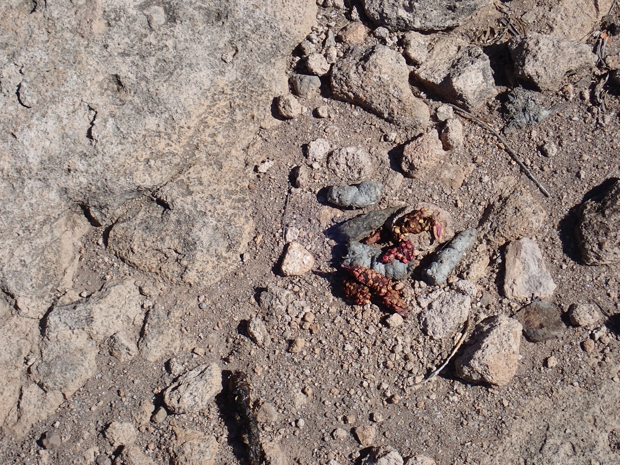
I know: “Kent, what kind of crap are you posting now?” Bear crap, if I’m not mistaken. The prickly pears (cactus fruit) have ripened to a bright red in this area.
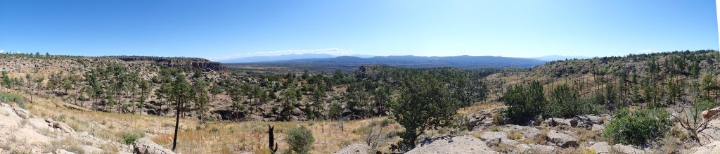
One more panorama.
Still looking for a bushwack to the Galisteo beds.

The near pink beds are Tsherige Member, but the more distant red beds a couple of ridges back are Galisteo Formation. I consider striking south from here, but decide the arroyo is too much. (When I get home and study the map, now that I have some idea of the lay of the land on the ground, I will realize that this would have been pretty much a highway straight to the beds I am seeking. C’est la vie.)
Though wrong it retrospect, it seems like a good decision now. It looks like there is a long, gentle slope from higher up the trail, on the other side of the arroyo, down to the Galisteo outcrops that should make for a decent bushwack.
I decide this looks like a promising place to start my bushwack. My impression is that if I head south, I will cross flat, easy ground, with just a couple of shallow arroyos to cross.
(Looking back from my comfortable man-cave, with the computer showing the recorded coordinate on Google Map, I see that this is not entirely wrong. But it’s a lot of ground to cover, and the arroyos are a lot more formidable than they look. I should probably make better use of 3-D mode when planning these hikes.)
The ground is covered with a lot of spongy growth, and I soon am covered with stickers. Then I tear my pants. (They were on the verge, so this is no great shock, nor particularly disabling.) I reach the end of the El Cajete pumice and find myself on rocky ground.
Curiously, the whole area is mapped as Chamita Formation, though it doesn’t look much that way. Then I reach the first arroyo, which has some nice sandstone beds in it.

I climb down and take a closer look.
The map says this is Chamita Formation again. Sure, why not.
I climb the other side and pause to consider. It’s clear I’m too far west and it’s a ways south; also, I’m perceiving that there is still at least one rather deep arroyo to go.
And I’m feeling pretty tired and it’s almost noon. After thinking about it for a long time, I decide this is just not my day to visit the beds. I turn back. (In retrospect, an excellent decision. But next time I know how to get there reasonably safely.)
I find myself back at the arroyo, about a hundred feet downstream of where the sandstone was. I am being pretty careful about watching where I’m putting my feet down, both to avoid twisting an ankle on a rock and to avoid stepping on a venomous critter. Like this one:
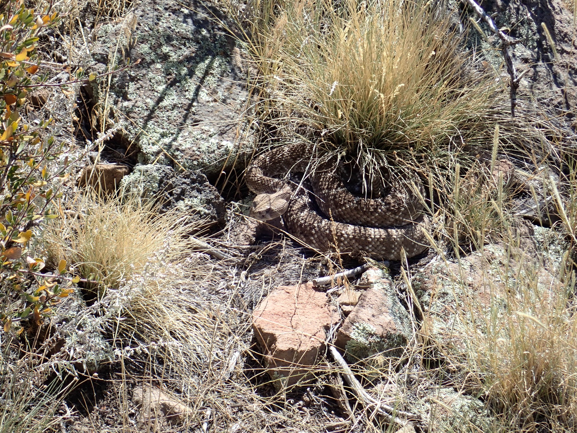
A nice fat Crotalus atrox, the Western diamond rattlesnake. I spotted it just in time to not step on it. And I had enough presence of mind to continue watching where I was stepping as I backed away. But it about scared the spit out of me. The rattle alone is creepy enough.
I want to be very clear that I did not scream like a girl. It was definitely much more of a Wilhelm scream.
I am very careful to watch where I step the rest of the hike.
I am not the first to bushwack this way, if that ‘s any comfort.
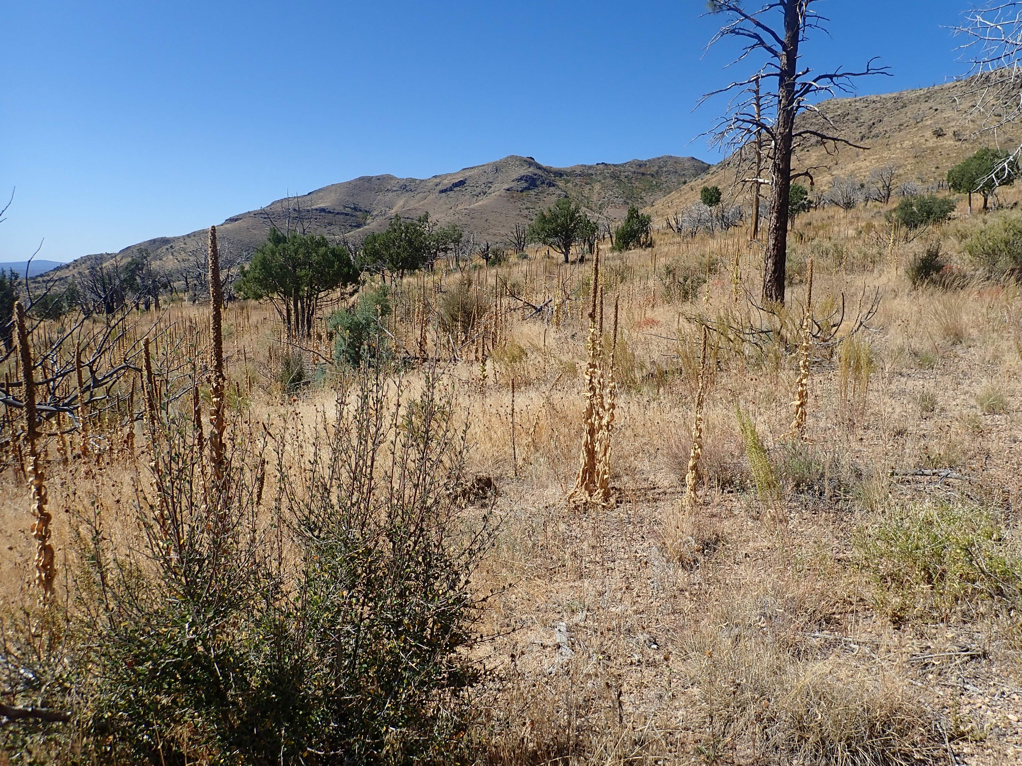
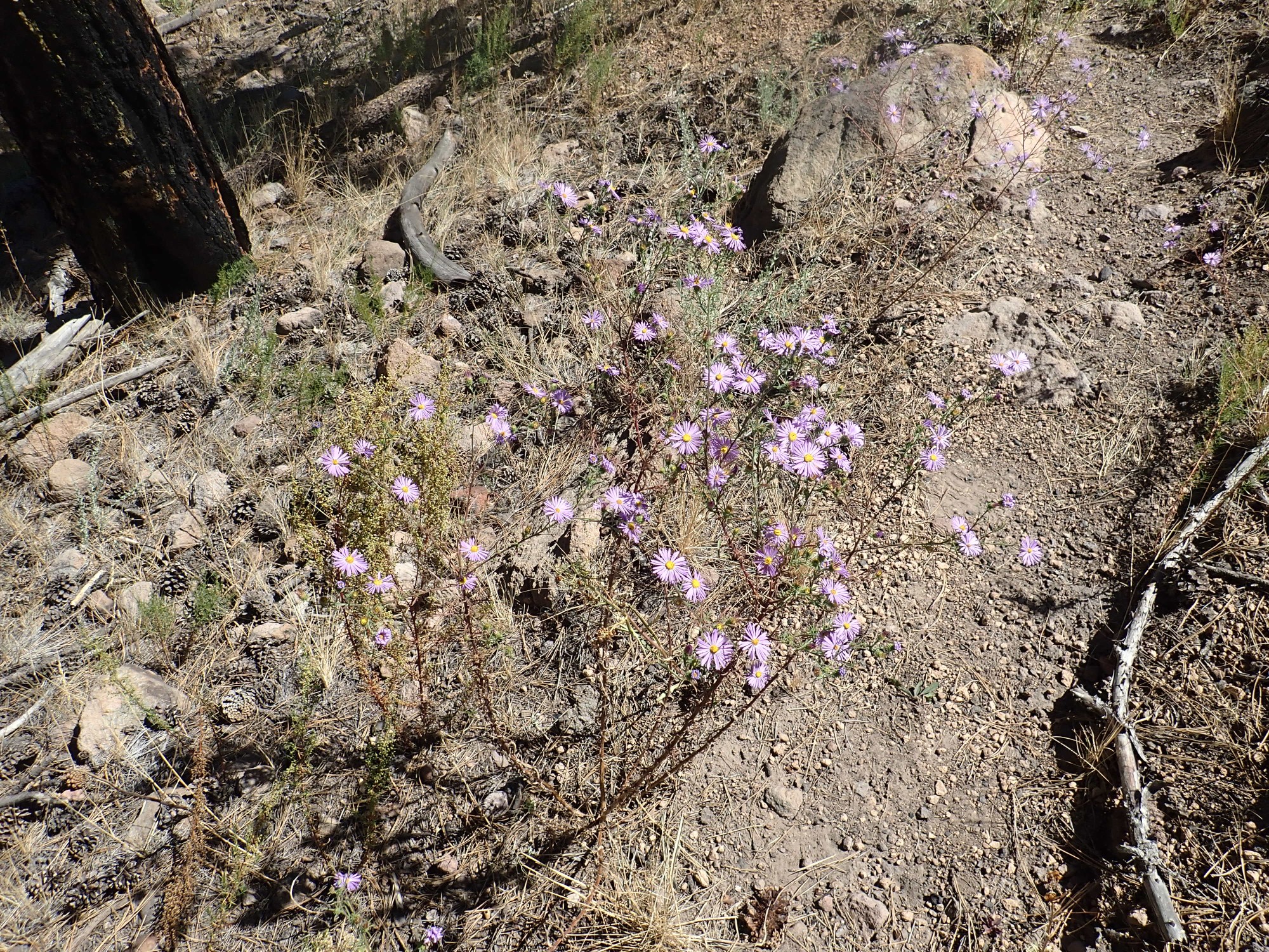
I’m soon back at the forest grove, such as it is, and eat my lunch. There are even wildflowers.
Then it’s the long haul up to my car. I pause along the way to zoom in on the beds I could not quite reach.
Signage.
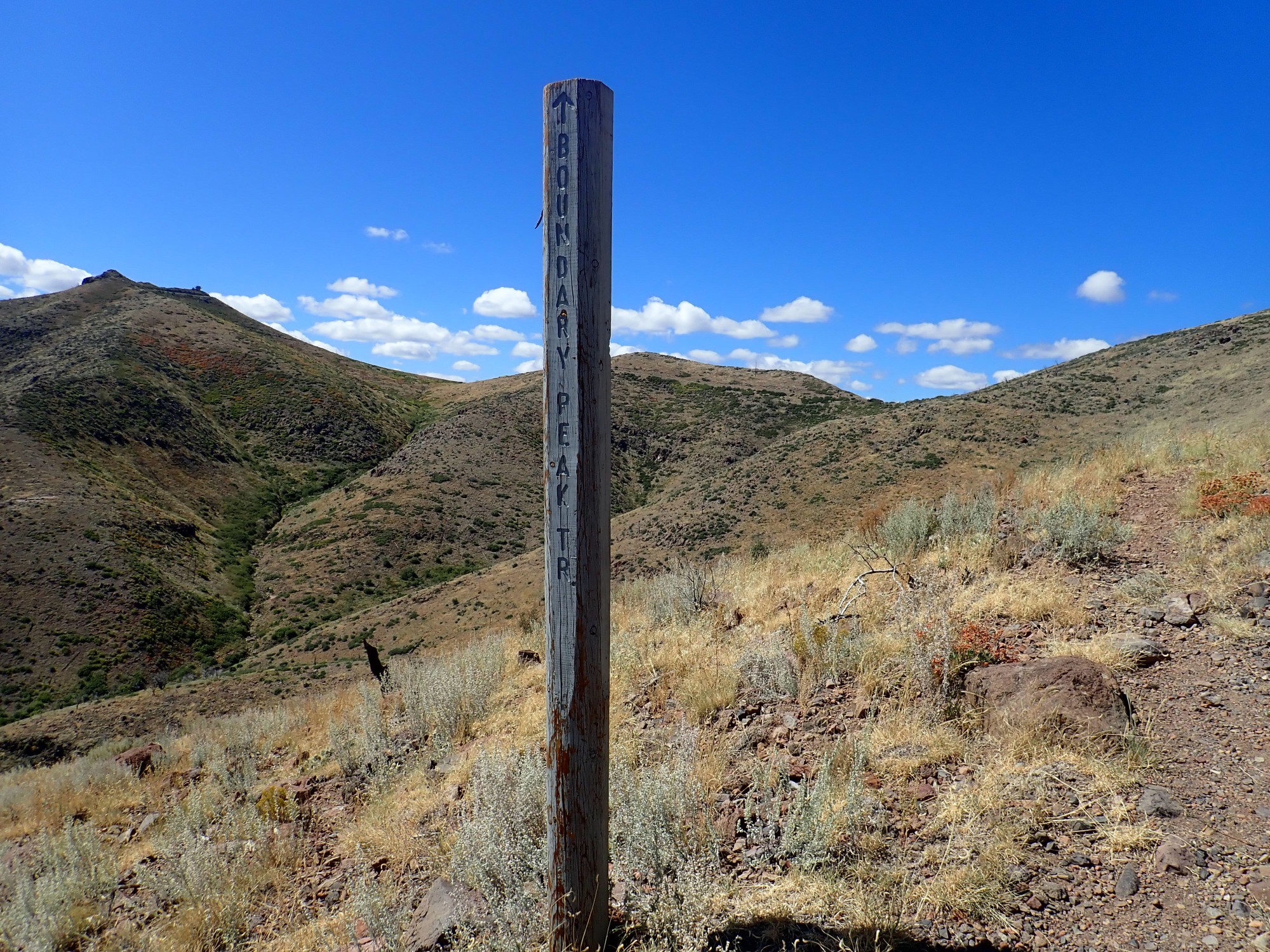
I’m on the Boundary Peak Trail. Oh.
View of layers of volcanic flows in the south flank of the mountain, now in noon sun.
View from the knife ridge into Capulin Canyon, now with better lighting angle.
Back at the andesite stacks.
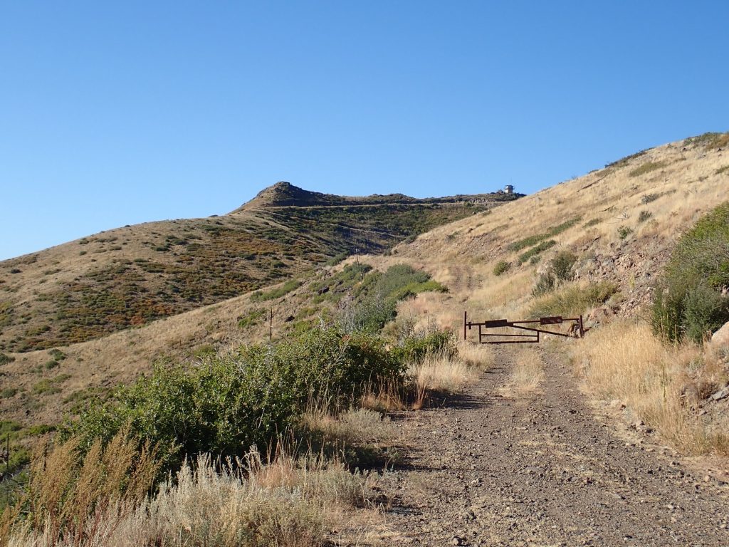
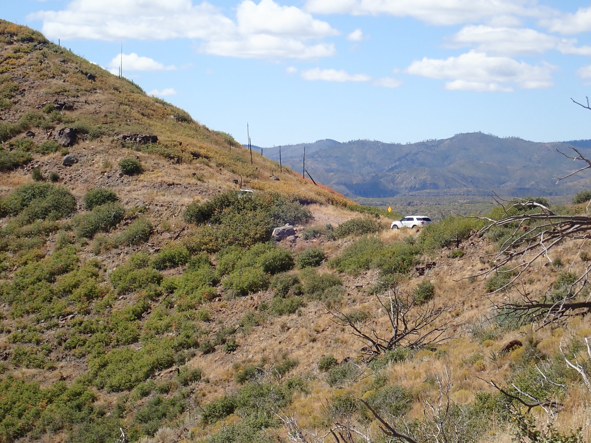
My car in the distance.
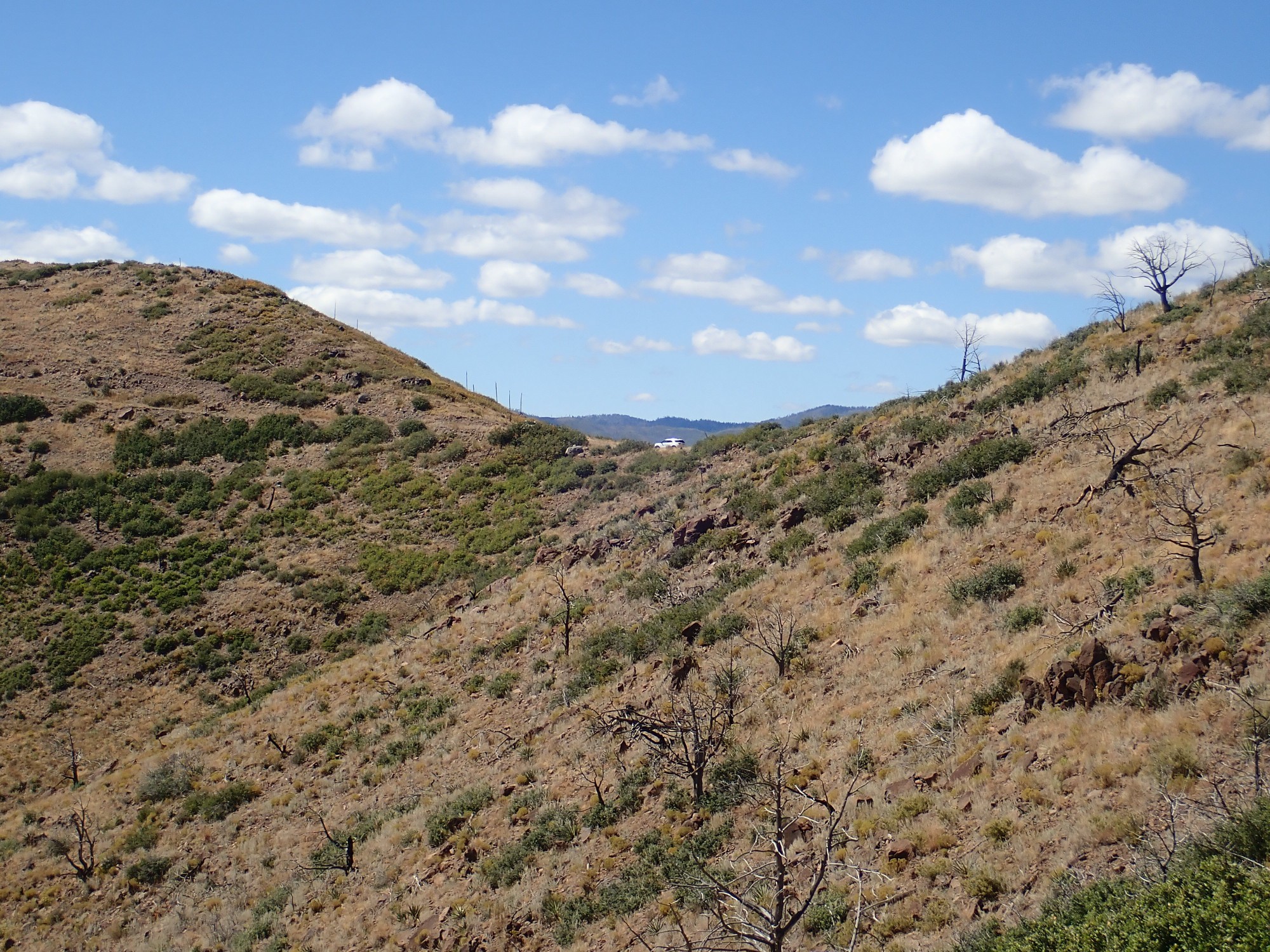
Except it turns out that’s not my car. Mine is hiding behind the bushes.
And my very last panorama today.
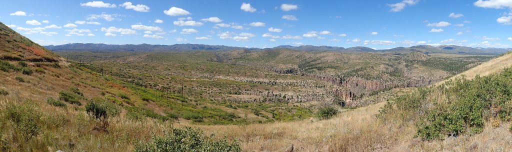
Almost all the high ground here is underlain by Paliza Canyon Formation. The Tsherige Member has filled in all the low ground, and has then been deeply eroded to form steep-walled canyons.
I head out, spending a couple of hours at the office on another hobby — a weekend project in C++ linguistics — and then home.
And have trouble getting to sleep. The encounter with the rattlesnake has given me the willies.