Rendija wanderlust
Today was just too beautiful a day not to do some hiking, particularly since I may soon be out of action for a while. (More on that later.)
However, I’m still feeling just a bit peaked after my adventure in medical imaging last week. And with the quarantine still in place, I could not invite anyone to come along with me. I decided I needed a not too long hike not too far away. I settled on revisiting the Rendija narrows, which I have not been to in some years. I wanted a closer look at what I took to be a small block and ash flow on the north side of the canyon. Also, Cindy had some errands I could run while uptown.
The trail head was very full, as they have tended to be since the quarantine. A lot of people seem to believe, I think correctly, that hiking is a pretty good socially distanced activity. I see now that the trail head is flagged as “temporarily closed” on Google Maps; there was no sign of that, and it would frankly be asinine if it was so.
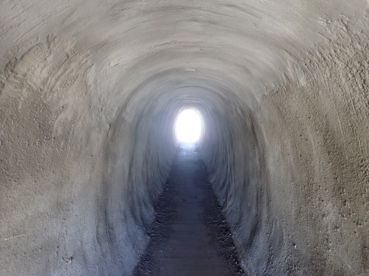
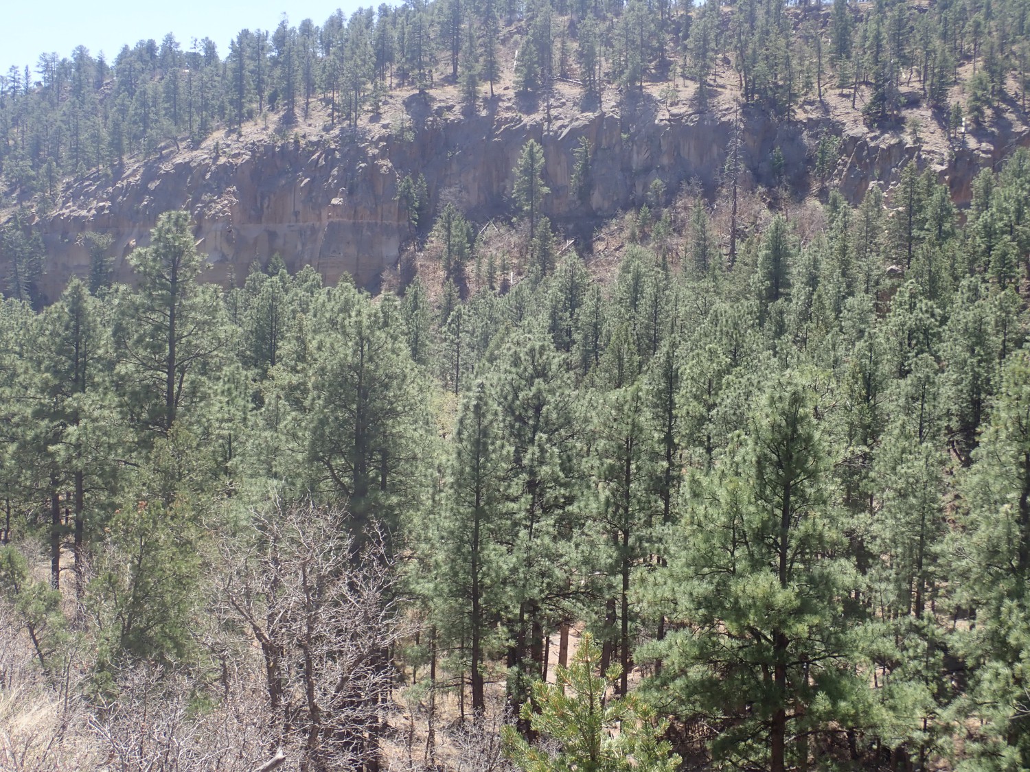
It is a cool but pleasant day; zero on the BEC scale. The trail passes under a busy highway by tunnel.
From there, the trail curves around to the north, following the escarpment of the Rendija Fault.
The Rendija Fault forms part of the eastern rim of the Diamond Drive Graben, an area where the crust has sunk a significant distance between north-trending faults along the feet of the Sierra de los Valles, the mountains just west of Los Alamos. This is an area of active rifting along the Rio Grande Rift, the great crack in the Earth’s crust that reaches from central Colorado to the El Paso area. The Rio Grande Rift is where the Colorado Plateau is slowly pulling away from the interior of of North America.
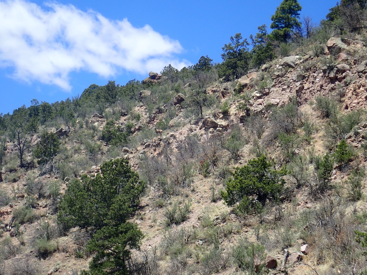
The precise trace of the fault (where it reaches the ground surface) is tough to pin down because it’s covered with stuff eroded off the escarpment to the east. But it must run just west of the escarpment. The escarpment includes the cliffs here, east of Guaje Pines cemetary, and continues southwest to form the cliffs southeast of the Los Alamos golf course only to peter out somewhere in the vicinity of Ashley Pond. Ashley Pond itself is a sag pond, formed where the ground dropped between two splays of the fault where it begins to branch out and fade.
This intrigued me.
I wondered if it was related to the fault. And, in fact, the GPS coordinates turn out to be precisely on the fault trace as shown in the geologic map for this area. However, we’re looking west, and the west is the downthrown side of the fault. A remnant of the more resistant beds at the top of the Bandelier Tuff that are much higher to the east? As good a guess as any.
Long-time readers will be familiar with the Bandelier Tuff. For new readers (Welcome!) the Bandelier Tuff is an ignimbrite, a type of rock emplaced as pyroclastic flows from the Valles Caldera in two ginormous eruptions (and at least one smaller eruption) in the last two million years. Here we are looking at the Tsherige Member of the Bandelier Tuff, which was emplaced in the Valles event 1.256 million years ago. That’s a very reliable radiometric date, determined by the decay of a radioactive isotope of potassium in the rock to argon. (Because of its great interest to geologists, the Bandelier Tuff has been more thoroughly dated than the Kardashian sisters.)
A pyroclastic flow occurs when very silica-rich magma reaches the surface. Silica make magma viscous, and this magma was so viscous that it could barely make it out of the ground. Instead, on contact with air, it disintegrated under the pressure of its own internal dissolved gases, producing a mixture of tiny volcanic ash fragments and red-hot gas that flowed across the ground like a liquid. When the ash settled to the surface, it formed a hard rock called tuff.
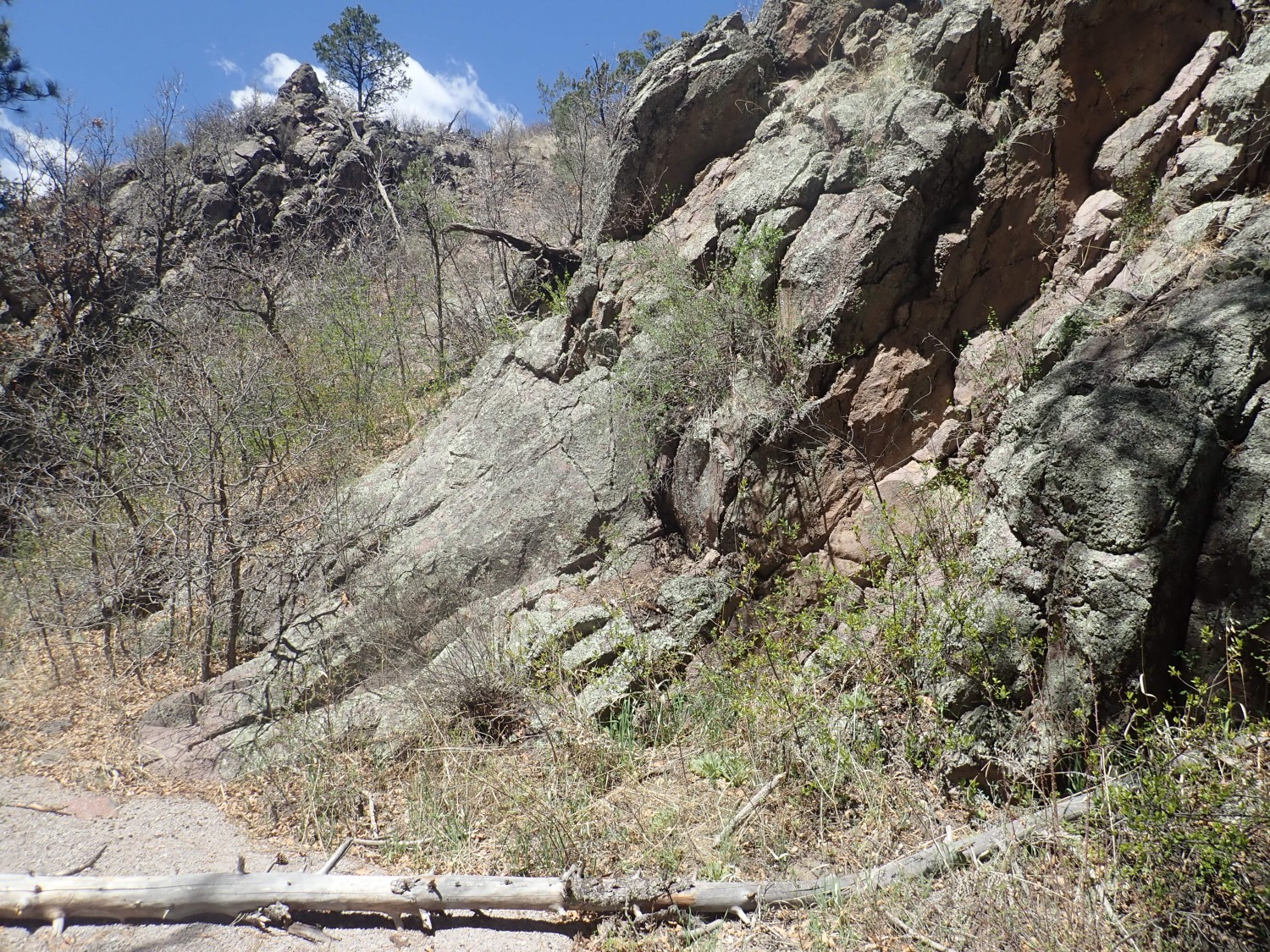
The Bandelier Tuff was emplaced on older rocks of the Jemez volcanic field, which in this area means the Tschicoma Formation. Here the trail crosses the contact between the Bandelier Tuff and the Tschicoma Formation.

The Tschicoma Formation underlies the rugged terrain west of Los Alamos, and it’s not hard to distinguish from the Bandelier Tuff even at a distance with some practice. Up close, the Bandelier Tuff is usually a fairly porous rock with small glistening crystals (phenocrysts) of quartz and sanidine (potassium feldspar). The Tschicoma Formation is a much denser rock with large white crystals of plagioclase feldspar, and only occasionally small crystals of quartz. This reflects a difference in composition: The Tschicoma Formation is dacite, which is slightly less rich in silica and alkali metals than the rhyolite of the Bandelier Tuff.
Slightly further on are unmapped beds of soil rich in pumice.
The lowest part of the Tsherige Member is rich in pumice (the Tsankawi Pumice) so that’s one possibility. But I am also almost directly east of Cerro del Medio, a vent in the Valles caldera that erupted pumice all over the golf course area 1.21 million years ago. I take a sample to make a guess later.
Tshicoma Formation dacite.
You can see the big white plagioclase crystals, so typical of a dacite.
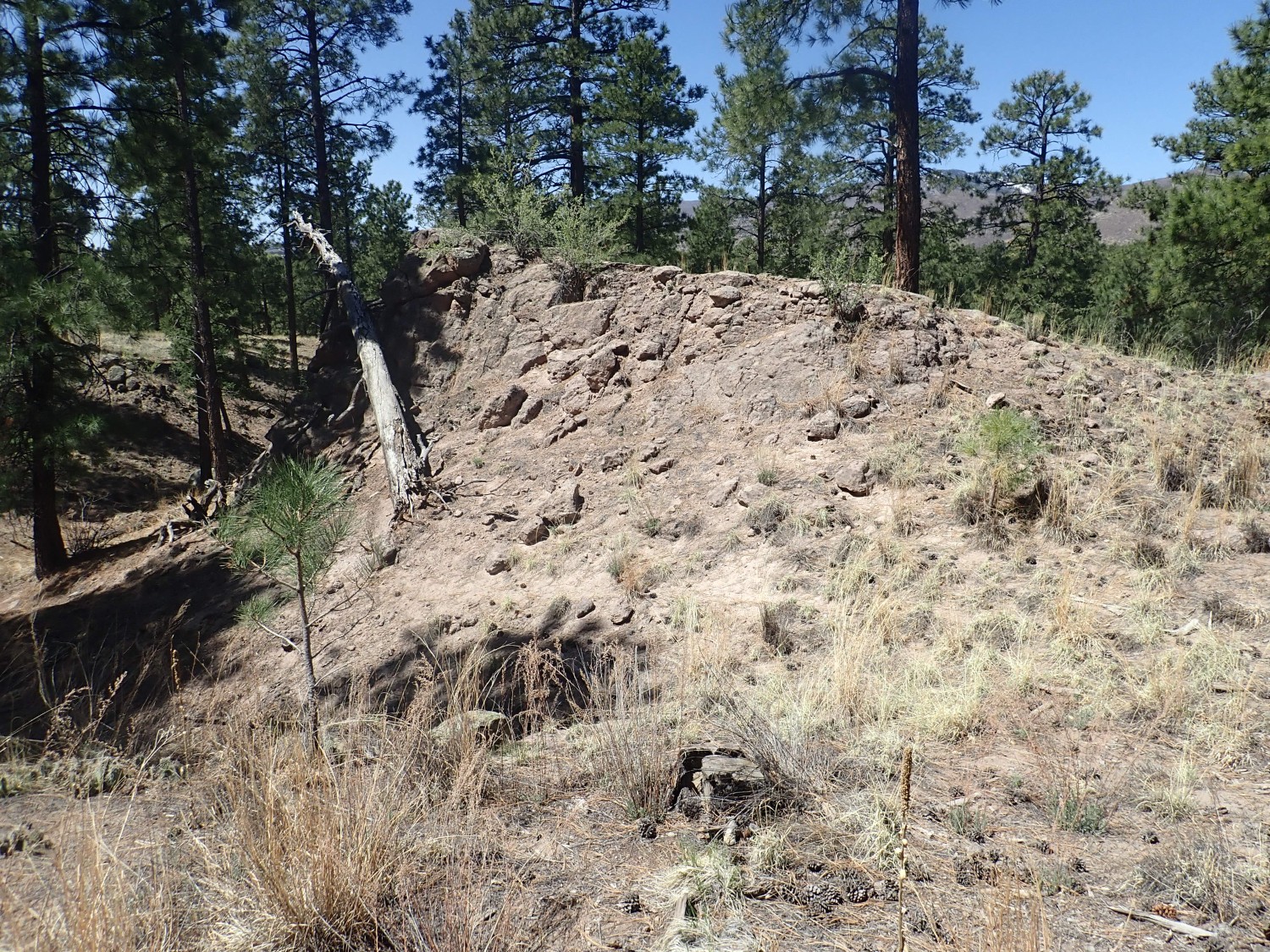
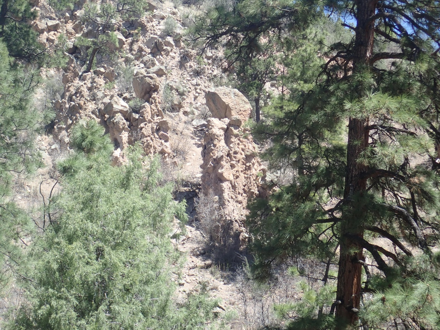
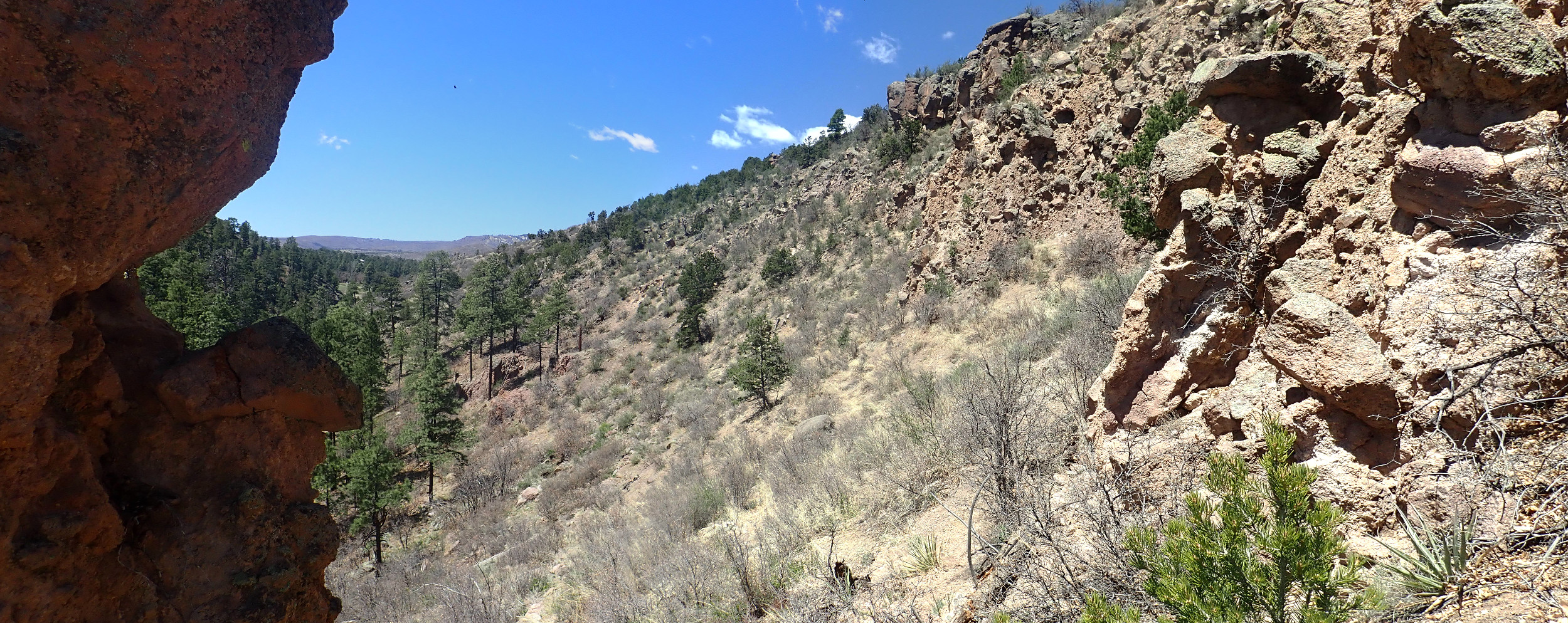
I reach the south rim of Rendija Canyon, and there is my block and ash flow across the canyon.
It looks pretty substantial. As I continue down the trail, I find that it is actually quite extensive.

I got just a glimpse of it my last time here and thought I was seeing just a little local feature. But here I see a layer of broken volcanic debris at least a hundred feet thick beneath the canyon rim, which appears to be a more massive single flow of dacite capping the rubble.
Well, this makes my day.
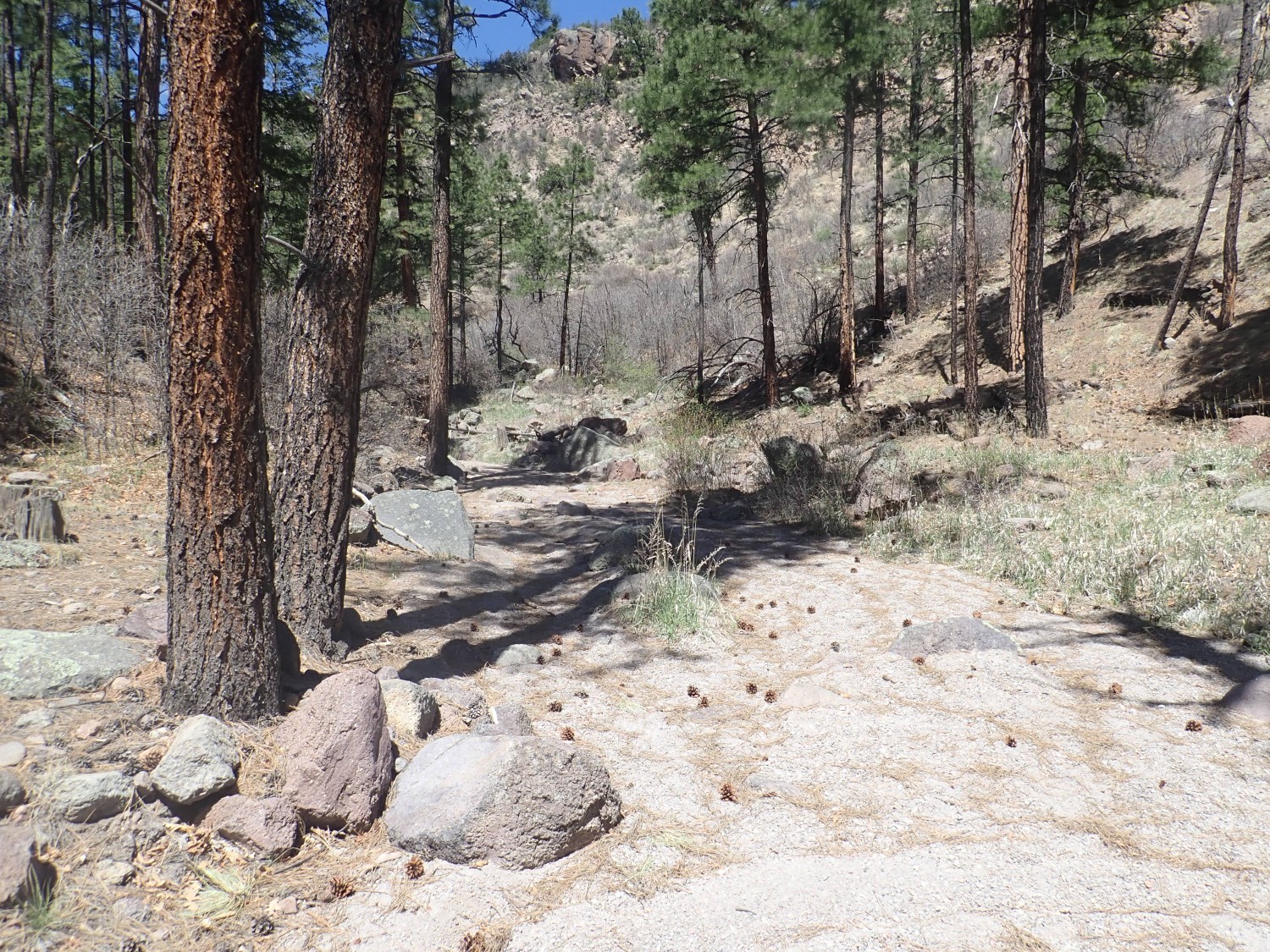
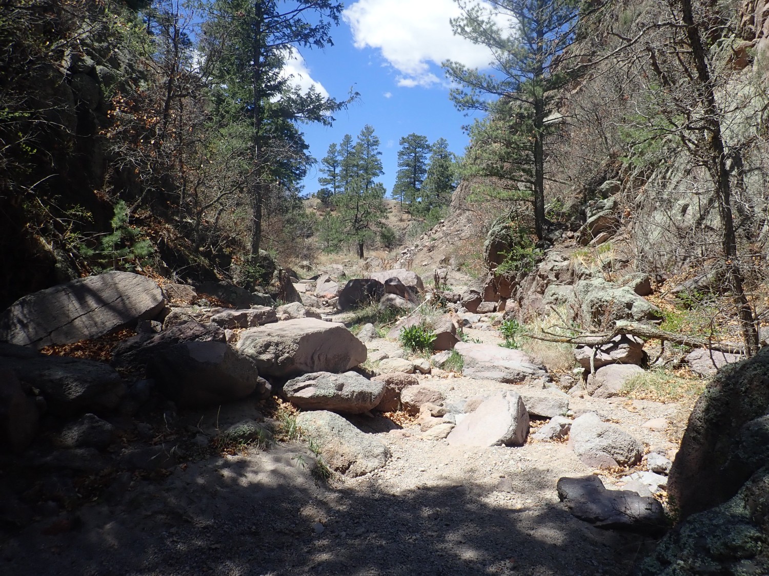
I descend into Rendija Canyon.

I had originally planned to hike some distance down Rendija Canyon, but the cliffs are too interesting. I decide to carefully bushwack up to them instead for a closer look.
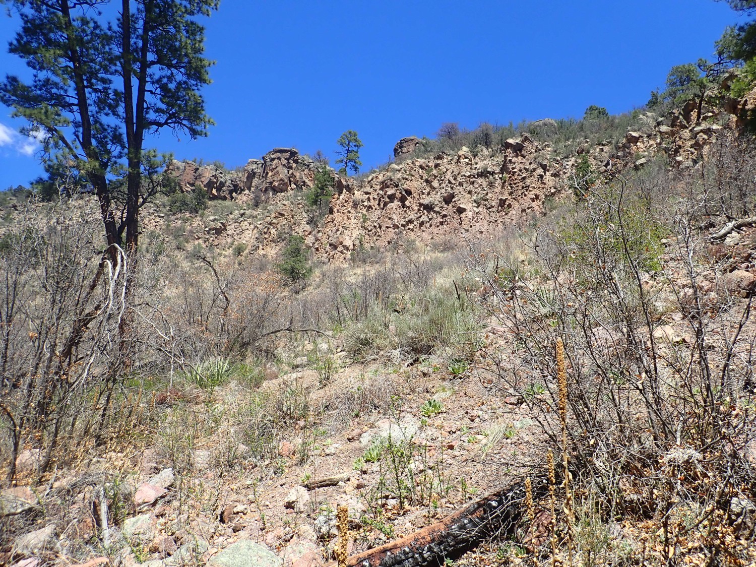
Some of the beds have eroded into hoodoos.
I think about how to reach them. It’s the usual tradeoff between length and steepness of route. I decide to head up the arroyo
and bushwack more or less straight up to the hoodoo. I don’t think a more roundabout approach is going to accomplish anything for me; there’s no obvious ridge I could use for a less steep climb.
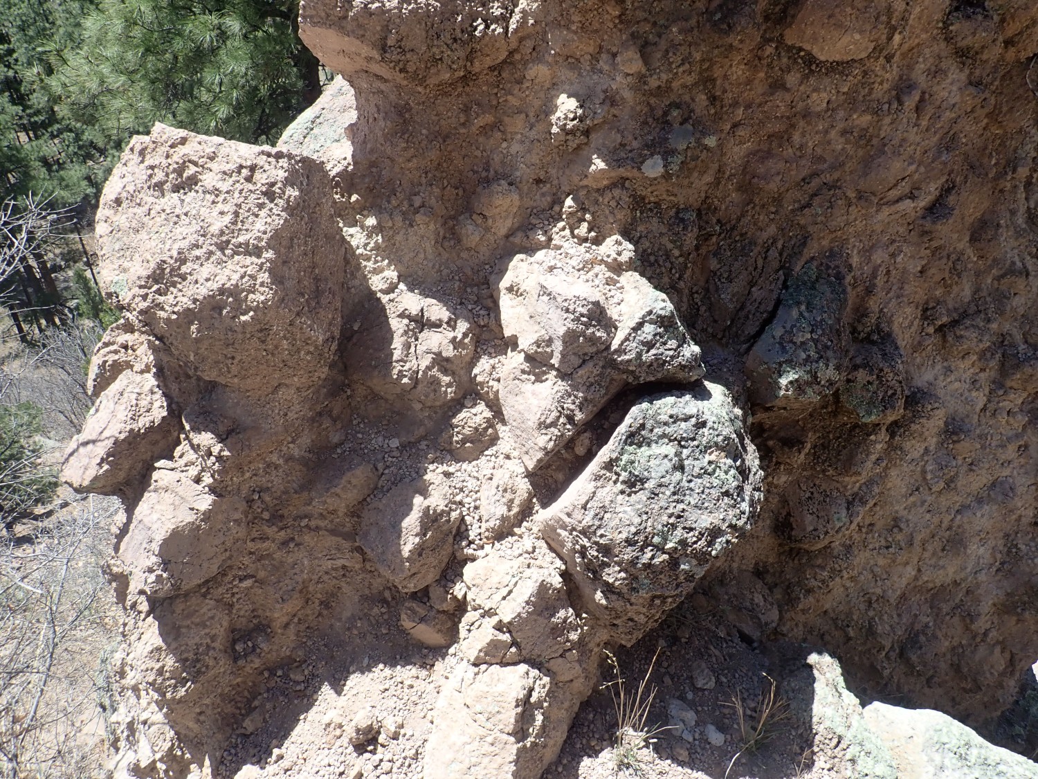
The beds are impressive from below.
I reach the hoodoo with not too much scrambling.
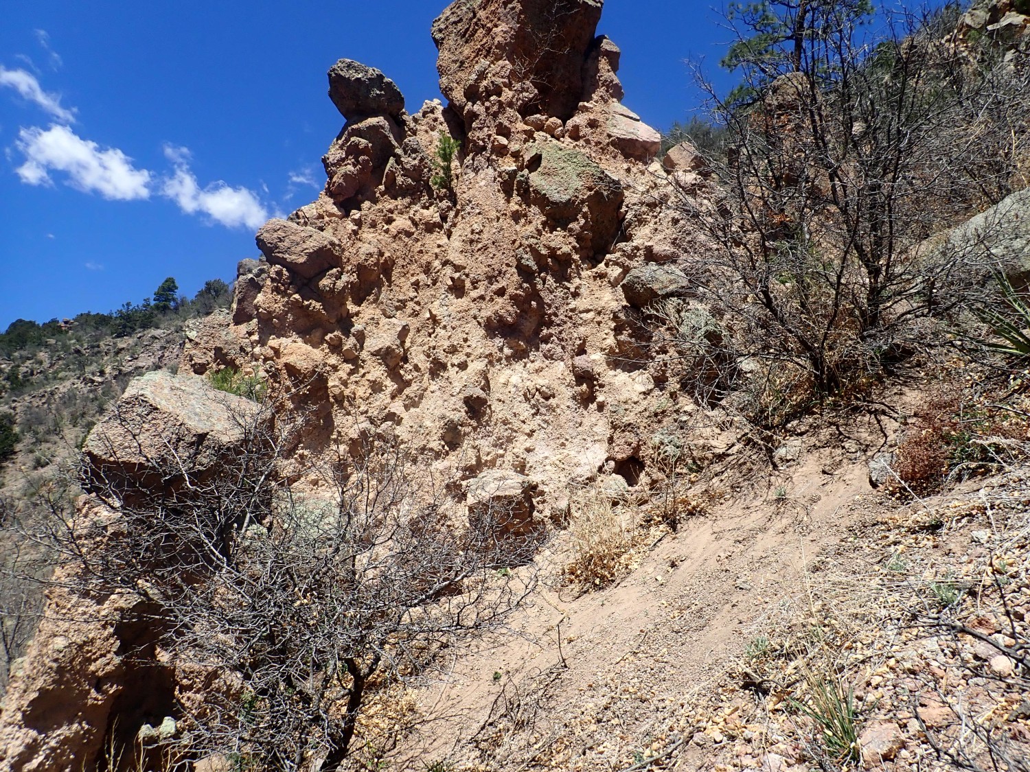
Hoodoos, also known as goblins, form when a big boulder compacts the beds beneath while protecting them from erosion. The boulder ends up atop a column of unusually resistant sediments.
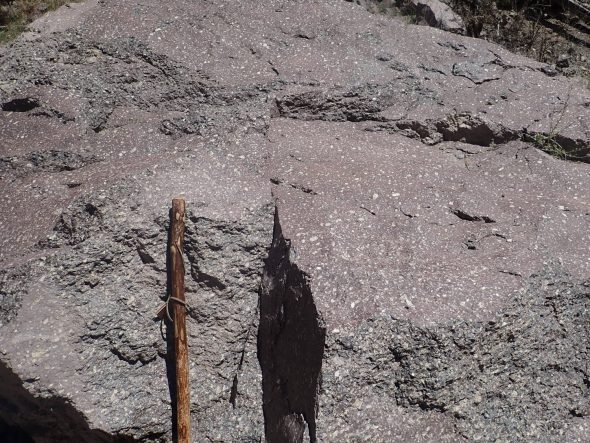
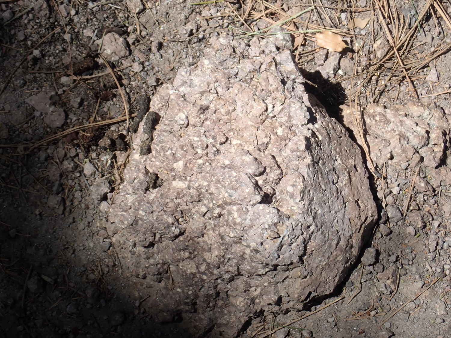
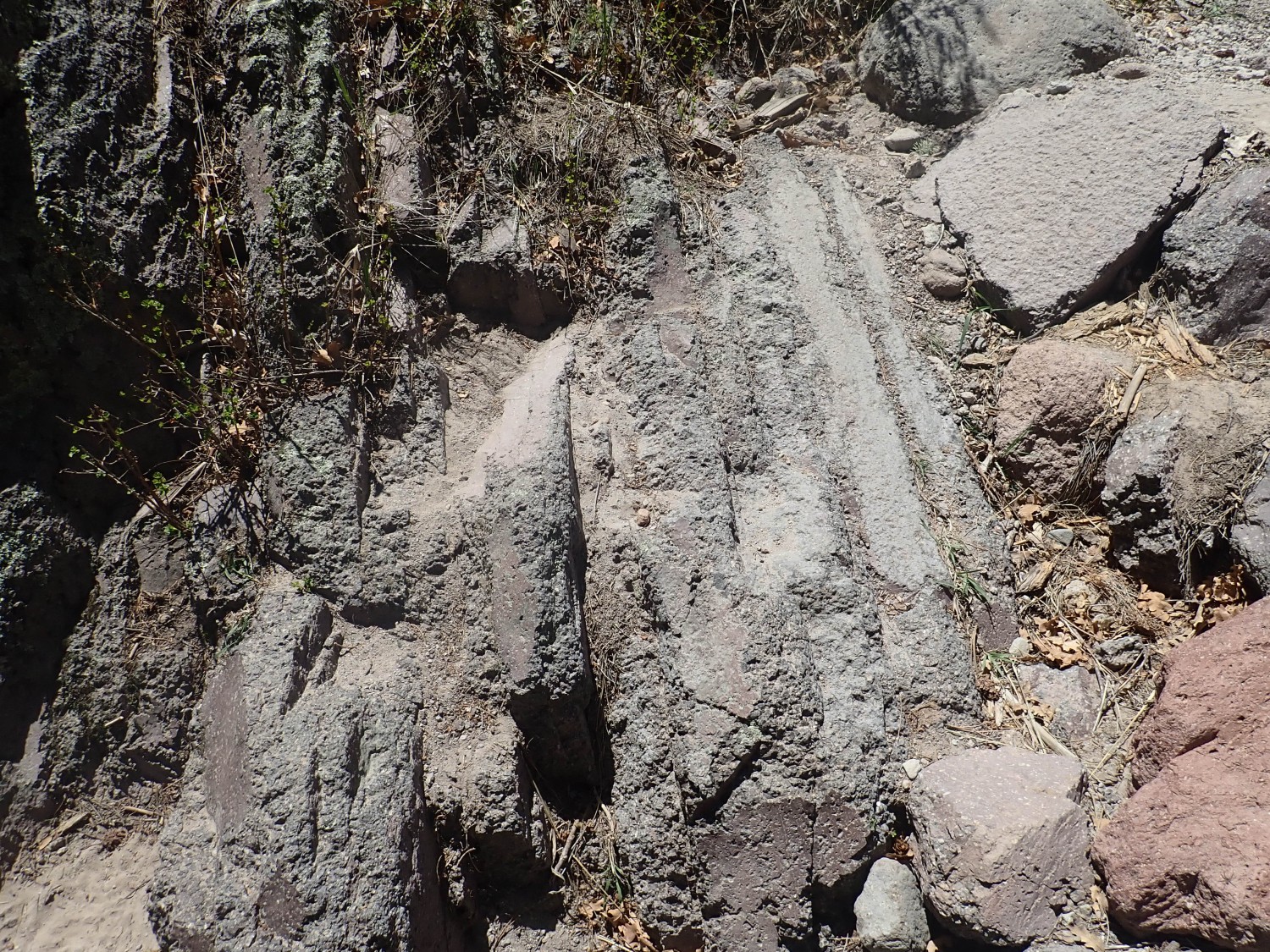
I examine it closely.
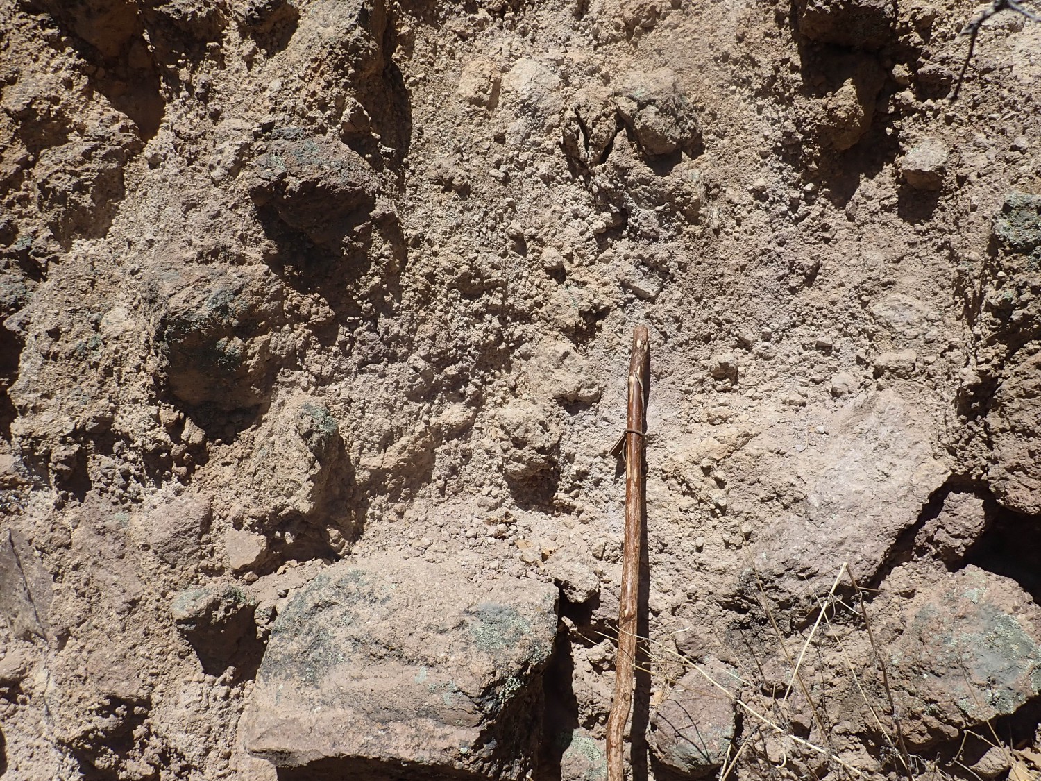
My overall impression is of a completely unsorted mass of dacite fragments packed very tightly together. There is almost no matrix (fine-grained cement) between the fragments.
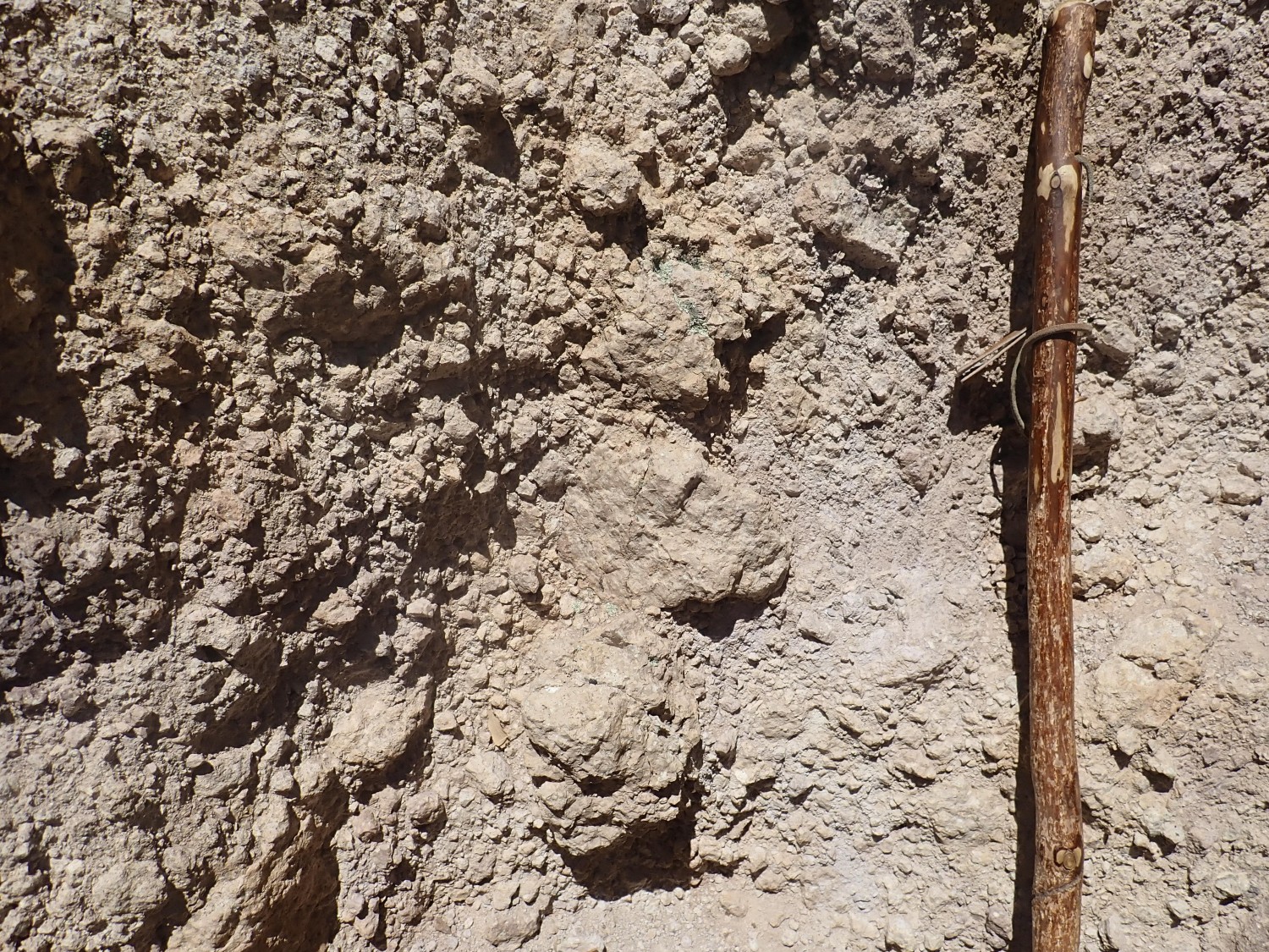
I look for signs of cooling fractures. This looks promising.
The boulder at center has split, and finer grained material has filled the fracture.
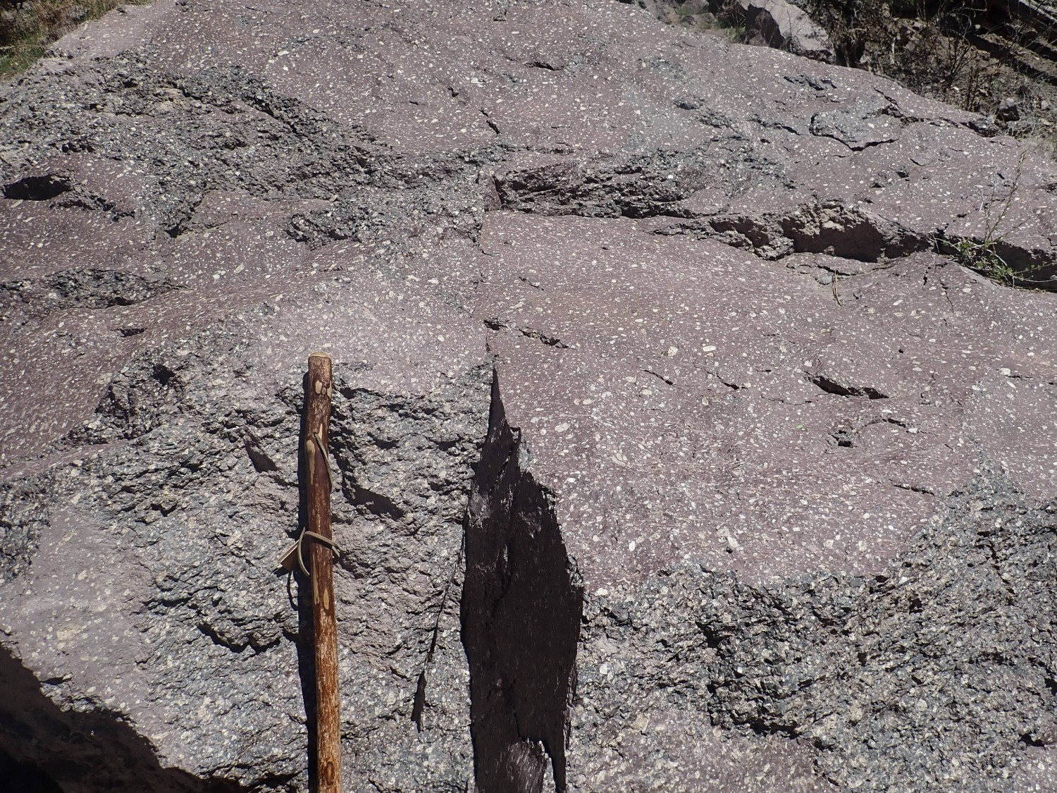
I have not had the opportunity to explore volcanic rocks with an experienced vulcanologist, and so I cannot claim any great expertise at distinguishing different kinds of volcanic deposits. But these beds are entire composed of dacite fragments, of all sizes with no signs of sorting by size, tightly packed together, with possible cooling fractures. That makes this a block and ash flow, where a dome of half-molten dacite oozing out of a vent reached its mechanical limits and the side of the dome collapsed. The hot, gas-rich fluid interior would have disintegrated into half-molten bits of rock and red-hot gas, mixing with the fragments of solidified dacite from the exterior of the dome, and roared downhill to settle in place as tightly packed beds of broken volcanic rock.
Other possibilities include a glowing avalanche, which is different in having little ash. I don’t see much cementing ash here but I do see the rock bits very tightly packed and cemented together, which is not what I think I’m supposed to expect in a glowing avalanche deposit. This can’t be a debris flow, volcanic debris deposited by water, because there is absolutely no sign of sorting of the fragments. The flow is a big one, extending along most of the narrows. Not as big, though, as the Rabbit Mountain glowing avalanches.
Which reminds me how much I miss hiking with Gary and Alden Stradling and their families. Alden’s girls make me smile, and I could use a few smiles right now.
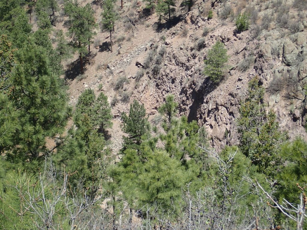
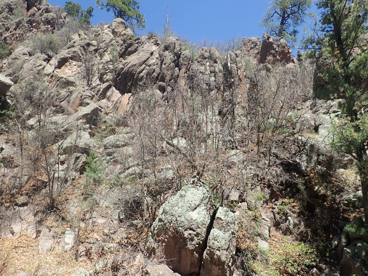
Looking west at the block and ash beds.
You can see th massive rim atop the flows, and what looks like another massive flow below the beds and lower left. (Click to enlarge, as you can do with most images here.) All these beds are mapped as Rendija Canyon Member of the Tschicoma Formation. The rock has been dated as 5.03 to 4.95 million years old. The description in the geologic map precisely describe the massive outcrops I’ll see further up canyon in a minute, and it says that there are block and ash flows from dome collapse. So, yeah, what I just said.
You can’t hope to pinpoint ages precisely enough to know how soon it was after the lower flow was erupted that the block and ash flow took place, or how long after it was until the upper flow was erupted over the block and ash flow. But there is no sign of any soil development between the block and ash flow and the overlying lava flow. So if I tell a story of dome collapse at the start of an eruption, with subsequent liquid dacite flowing over the fresh block and ash flow, it’s as likely a story as any. All taking place when our ancestors in Africa had not yet split off from the chimpanzees.
The base of the Tsherige Member is clearly visible across the canyon to the south.
The light bed may mark the base of the Tsherige Member, or it may divide the lowermost bed from the rest of the member. Below (easier to see if you click to enlarge) are beds definitely belonging to the Cerro Toledo Interval, a period of 400,000 years between the Valles event and the earlier Toledo event. This was long enough for the earlier tuffs to be eroded into a flat surface covered with sediments.
Movement catches my eye to the west.
There’s mule deer standing on a rock ridge just left of center. I saw two of them, actually. They stood and watched me for some time, even though I doubt many hunters could have nailed them with a rifle at this range. (Gary, of course, but not many others.) I suppose the stupid deer who assumed they were safe outside of a hundred yards from a human have all been culled out of the population by now.
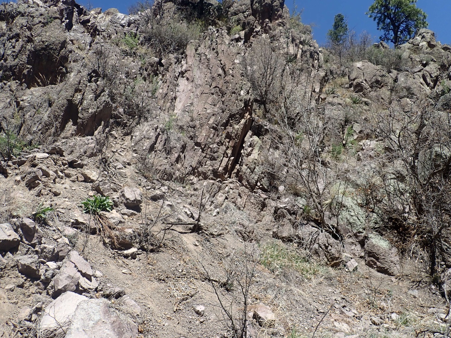
I head up the arroyo. Turns out part of the massive flow is another block and ash flow.

This does not look like the one higher up, or I might think it was a landslide block. It is composed of rock fragments much more uniform in size. A different flow, or maybe a landslide block, after all, that just happens to be a bit different from most of the bed it came from.
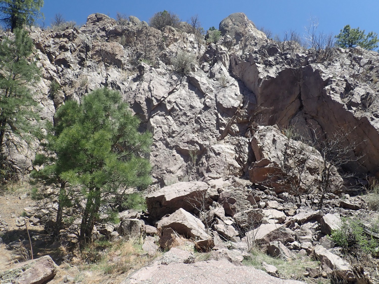
Massive flows, with bedding tilted to the west.
The east end of Guaje Pines Cemetary comes into view at the end of the narrows. I have acquaintances there.
A sheeted flow.
Sheeted flows are thought to form when the lava is still flowing when at the point of solidifying. Since dacite is pretty much always at the point of solidifying, they mystery is why there is any massive dacite. Evidently it sometimes erupts very slowly indeed, as has actuallly been observed in active volcanoes.
Here is more massive stuff.
And here is some upper Anthropocene biogenic conglomerate.
😉
I hike back to my car. There is one awkward moment when the trail turns back north, and I see no sign of a trail back south further up the escarpment. But it turns out to be there, all right; trails can be very hard to spot from below sometimes.
Some years back, the gonzo journalist P.J. O’Rourke introduced me to the Swedish word, lagom. It can be translated as “just right”, neither too much nor too little. This hike was lagom.
But I have a little time. I decide to car-reconnaissance the forest road from Guaje Pines to Guaje Canyon for possible future hiking. I want to see how far I can get with the Wandermobile. Turns out the road gets bad almost at once, and I finally give up here.
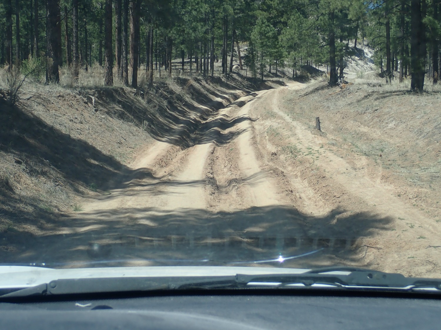
So either I hike six miles round trip to see the canyon (not impossible) or I talk Gary into taking his jeep and braving the bad road.
From there I go and fill up with gas; I’ll need it next Friday. (More in a moment.) Then I pick up a few items from the Smiths’ in Los Alamos; discover that nutritional yeast is available but spirulina is ludicrously expensive at the organic co-op (not for me; for feeding Daphnia for feeding my pampered fish); and pick up bedding plants at the nursery. Curbside service only. The selection is not great; apparently no one has anything better to do than plant flowers and they’re having trouble keepoing up with demand. But it’s adequate and I plant some flowers for Cindy, and it feels now like I got too much sun doing so.
Oh, and my pumice sample? It’s rich in sanidine crystals, but there are no needles of hornblende, and it has a tan rather than grayish color. Not Tsankawi Pumice; probably Golf Course pumice.
I was supposed to hear from my neurosurgeon yesterday on the results of the imaging. Instead I got a call scheduling me for a procedure next Friday. The neurosurgeon himself never called so I don’t know details, but since they scheduled me for a myelogram/blood patch, they must have found a leak somewhere along my spine after all. That’s good news, so far as it goes, compared with a leak somewhere in my skull that would have required a much more invasive procedure. I may be required to rest for an extended period to be sure the patch stays put and seals tight; we’ll see.
I just hope I don’t catch coronavirus at just the wrong time.