Wanderlusting the Tusas
The weather has been beautiful, and with a long weekend coming up, I invited my friend, Gary Stradling, to go with me to look at some of the oldest rocks in New Mexico.
These belong to the Moppin Complex. This is a highly deformed mass of rock exposed in the Tusas Mountains close to the Colorado border. Rock units are named after nearby locations, and this one is named for the Moppin Ranch in upper Spring Creek. The “complex” part means that the rock mass contains both metavolcanic and metasedimentary rock, but the rock is so deformed that it is almost impossible to map individual strata.
The Moppin Complex itself has not been dated, but it is intruded by a somewhat less deformed rock unit called the Maquinita Granodiorite. This has been radiometrically dated at 1.755 billion years old. The Moppin Complex has to be at least that old, since the intrusion can’t be older than the rock it intruded; but circumstantial evidence suggests the Moppin Complex is not much older. Some of that circumstantial evidence is that pretty much the entire basement (the oldest rock exposures) between Wyoming and the Jemez area has a maximum radiometric age of 1.7 to 1.8 billion years. This region is called the Yavapai Province, and it is thought to be where a big juvenile island arc drifted into the southern edge of Laurentia, the ancient core of North America, and got welded in place.
By “juvenile” we mean that the island arc was compsed of crust that was freshly extracted from the Earth’s mantle. The evidence for this is rare earth isotope ratios. There’s a very long-lived isotope of samarium that slowly decays into an isotope of neodymium, and it turns out that when mantle material is melted, neodymium is more likely to enter the melt than samarium. This means that the isotope of neodymium produced by samarium decay becomes increasingly abundant, compared with other neodymium isotopes, in magma extracted from the mantle over geologic time. The so-called isotope model age is not a precise clock, but it tells us the material that made up the Yavapai Province could not have been extracted from the mantle very long before it was fused to Laurentia.
Regardless, 1.755 billion years old is about as old as it gets in northern New Mexico.
We headed out Saturday morning early (7:30) from White Rock and headed north. Because of coronavirus, we were in separate cars; on the trail, we’d keep a reasonable social distance, and there would be plenty of disinfecting sunshine. I did pull over for a picture of some cliffs exposing the Puye Formation.

This picture was specifically for Wikipedia. I’ve been trying to improve their articles relevant to New Mexico geology. The Puye Formation is a quite young formation, between 5 and 2 million years old, formed from debris eroded off the volcanic domes of the Sierra de los Valles west of Los Alamos.
Gary needed to fill up his gas tank, and he likes the price at the Puye Cliffs gas station. I had filled up the night before (at $0.62 a gallon; not only are gas prices spectacularly low now, but I get a discount from my local grocery store.) I took another photo while he was pumping gas.
(For new readers: Blue links almost always take you to the relevant location on Google Maps. Most images can be clicked to get a full-resolution version.)
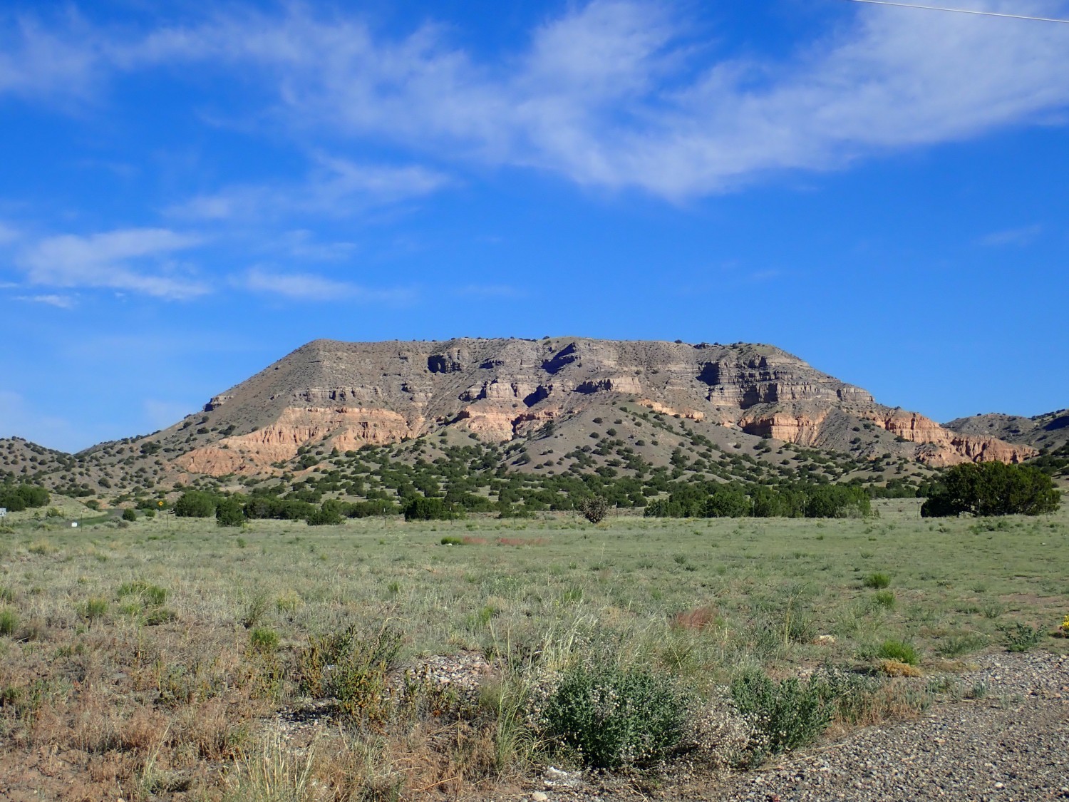
The upper part of this unnamed mesa is more Puye Formation, which has a distinctive gray color from its high content of volcanic ash. The lower pink beds are Vallito Member of the Chamita Formation. This is much older material, 10-13 million years old, deposited by the ancestral Rio Grande in the Rio Grande Rift.
The Rio Grande Rift is the great crack in the Earth’s crust extending from central Colorado to the El Paso area, more or less coinciding with the Rio Grande Valley. The rift has been filled with sediments eroded off the high ground nearby, and as our entire region is being uplifted by currents in the underlying mantle, these sediments are now being eroded back out to produce the badlands found in the Rio Grande Valley throughout our area.
I pause for one more photograph north of Ojo Caliente.
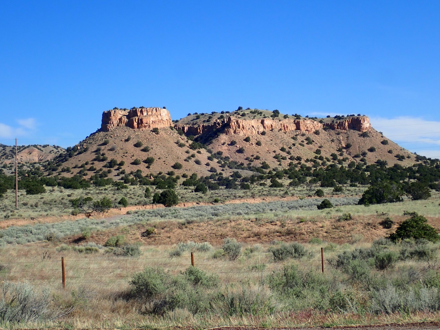
If I’m reading my map right, the upper beds are Ojo Caliente Member of the Tesuque Formation and the slopes beneath are Chama-El Rito Member of the Tesuque Formation. The Tesuque Formation is another Rio Grande Rift rift fill sedimentary formation. The Chama-El Rito Member is stuff eroded from the watershed of the Rio Chama and El Rito Creek, containing characteristic volcanic debris from the San Juan Mountains, while the Ojo Caliente Member is sandstone deposited by a dune field that swept across the area around 10 million years ago.
We reach Tres Piedras and my first (planned) stop of the day. This is the Tres Piedras Orthogneiss.
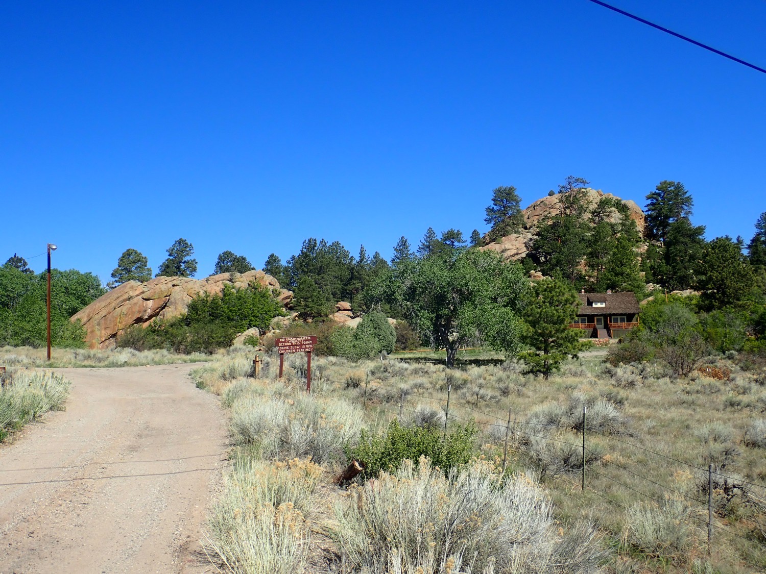
I wanted photos both for the book and for Wikipedia. I would like to have gotten closer, but the road turns out to be a private road. Fortunately, there’s a small exposure right next to the post office.

This is a very pretty orthogneiss, formed by metamorphic deformation of a granite body. The granite was intruded 1.693 billion years ago, based on radiometric dating, which is probably when the Yavapai island arc was fused to North America. The deformation that turned it into a gneiss is trickier to date, but probably took place around 1.45 billion years ago, when another island arc was fused to North America to the south.
I take a small sample; Gary, a slightly larger one. There seems to be plenty around.
We would like to get closer to a really large outcrop. Alas, the one across the road is apparently in someone’s back yard, and I’m shy about asking. I could photograph it from the road but that’s straight into the sun. Another huge one is behind the ranger station and off-limits. I can’t find a really good place to get a clear shot, so my first photograph will have to do.
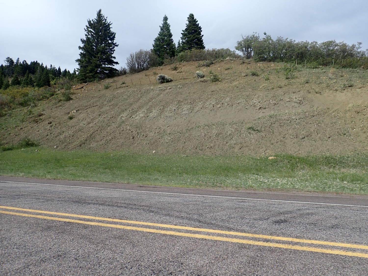
We head west into the Tusas Mountains. There are some striking sedimentary beds here.
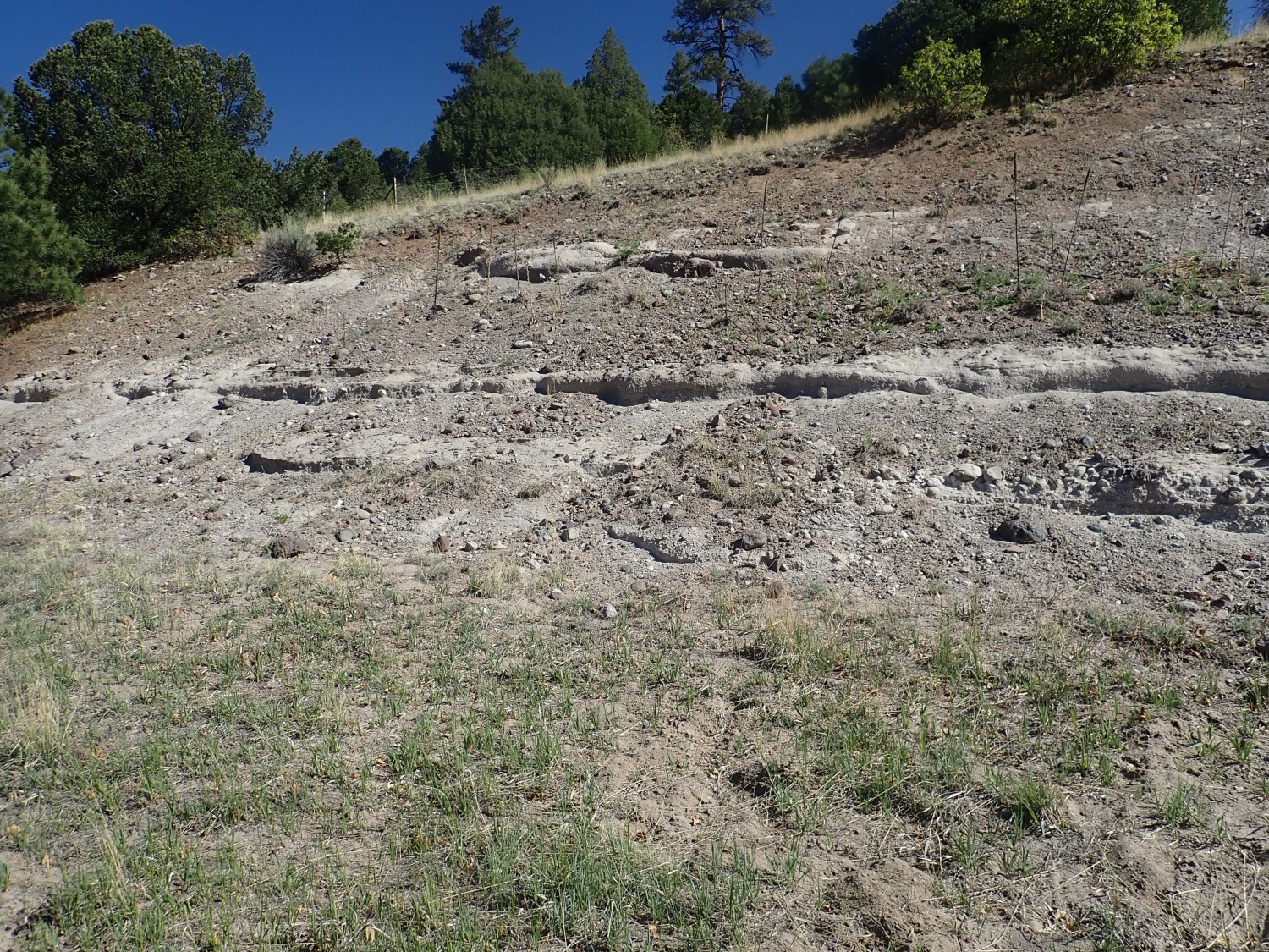
My guess is Los Pinos Formation. I see what looks like tuffaceous sandstone and mud flows. Checking the map after we get home: Cordito Member, Los Pinos Formation. “Gray tuffaceous sandstone, mudflow units, and moderately well sorted conglomerate.” This stuff is around 25 million years old, the same age as the youngest caldera eruptions in the San Juan volcanic field and at at Questa, New Mexico. These sediments eroded off the mountains into the Rio Grande Rift, which was just beginning to open then. A lot like the Puye Formation, but five times older.
Gary finds some interesting bits of rock. I see what looks like Amalia Tuff. It’s got a lot of feldspar crystals in it, and quite a lot of them are chatoyant, blue-green iridescent at just the right angle in the sunlight. The feldspar is alkali feldspar, in which sodium and potassium freely mixed at high temperature, but as the feldspar cooled, the sodium and potassium tended to separate into very fine layers that produce the iridescent effect.
Another exposure down the road is too nice not to stop and photograph.
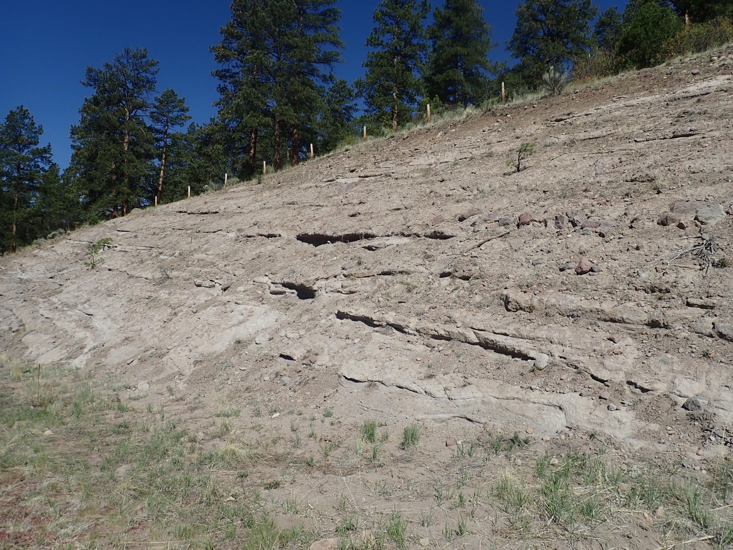
This is mapped as Equibel Member of the Los Pinos Formation. No, it doesn’t look much different to me, either. The distinction may be based on subtle differences in the population of rock fragments it contains; the Esquibel Member has more bits of very old rock.
There’s a lot of this stuff atop the ancient rock of the Tusas Mountains. We’re not too far south of the Platoro caldera and we’re directly west of the Questa caldera across the Rift. I suspect most of this stuff was eruped from the Questa area.
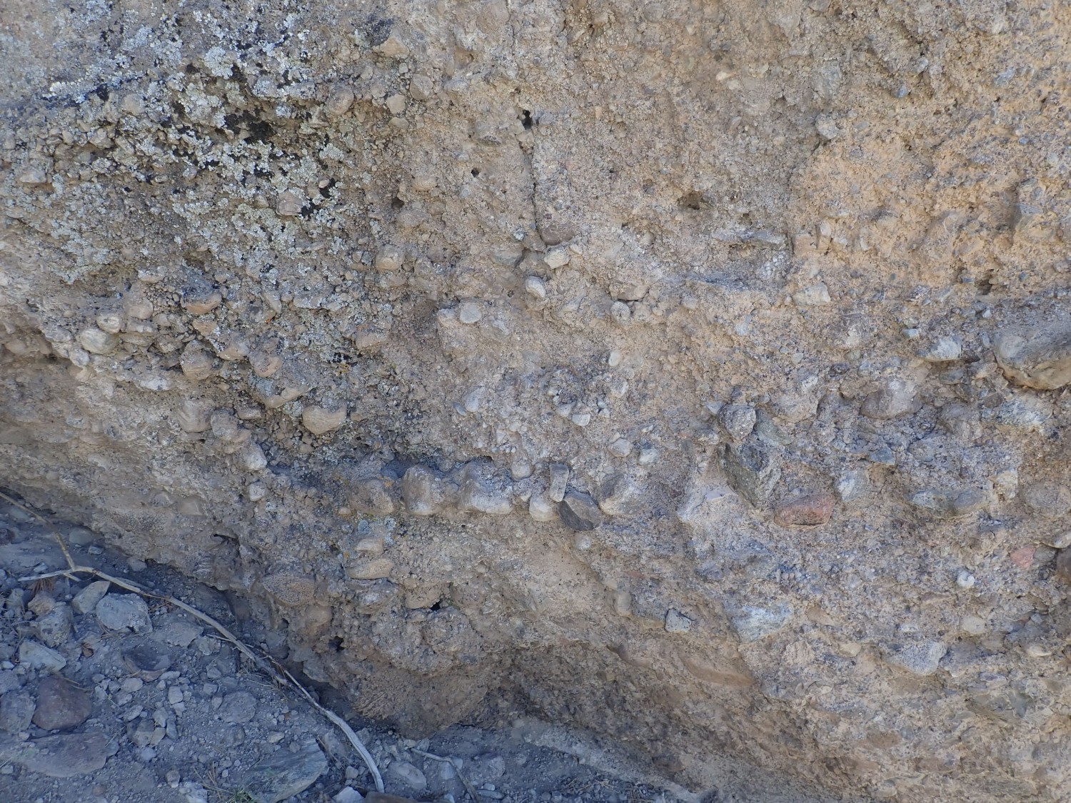
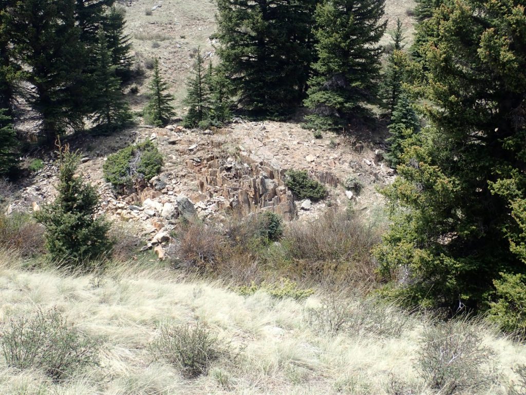
I take the side road to Hopewell Ridge. This is a pretty good dirt road as they go, though a lot of recent logging has taken place. However, I am mildly alarmed when we reach the side road I meant to take; there is a big sign saying “Not suitable for passenger vehicles.” Well, I took it in a Hyundai Elantra last time I was here, and while it’s not a great road, it was okay. But I pull off to look south into Spring Creek Canyon and to inspect a big bed of what I took to be Big Rock Conglomerate.
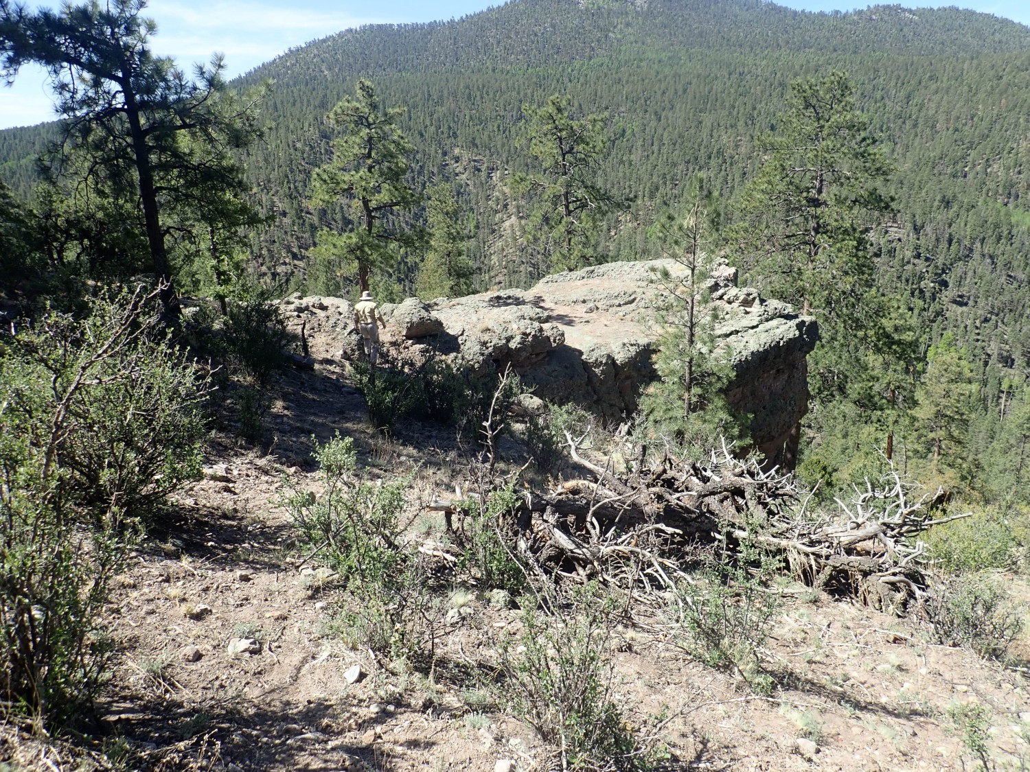
If this had been Big Rock Conglomerate, it would have been our second really ancient rock of the day (after the Tres Piedras Orthogneiss.) But the more I look at it, the less I think so. The Big Rock Conglomerate is nice round polished pebbles of quartzite embedded in mica schist. This is a conglomerate, but not very well rounded — almost a breccia — and there is no sign of schist; the cement is a uniform brown cement.
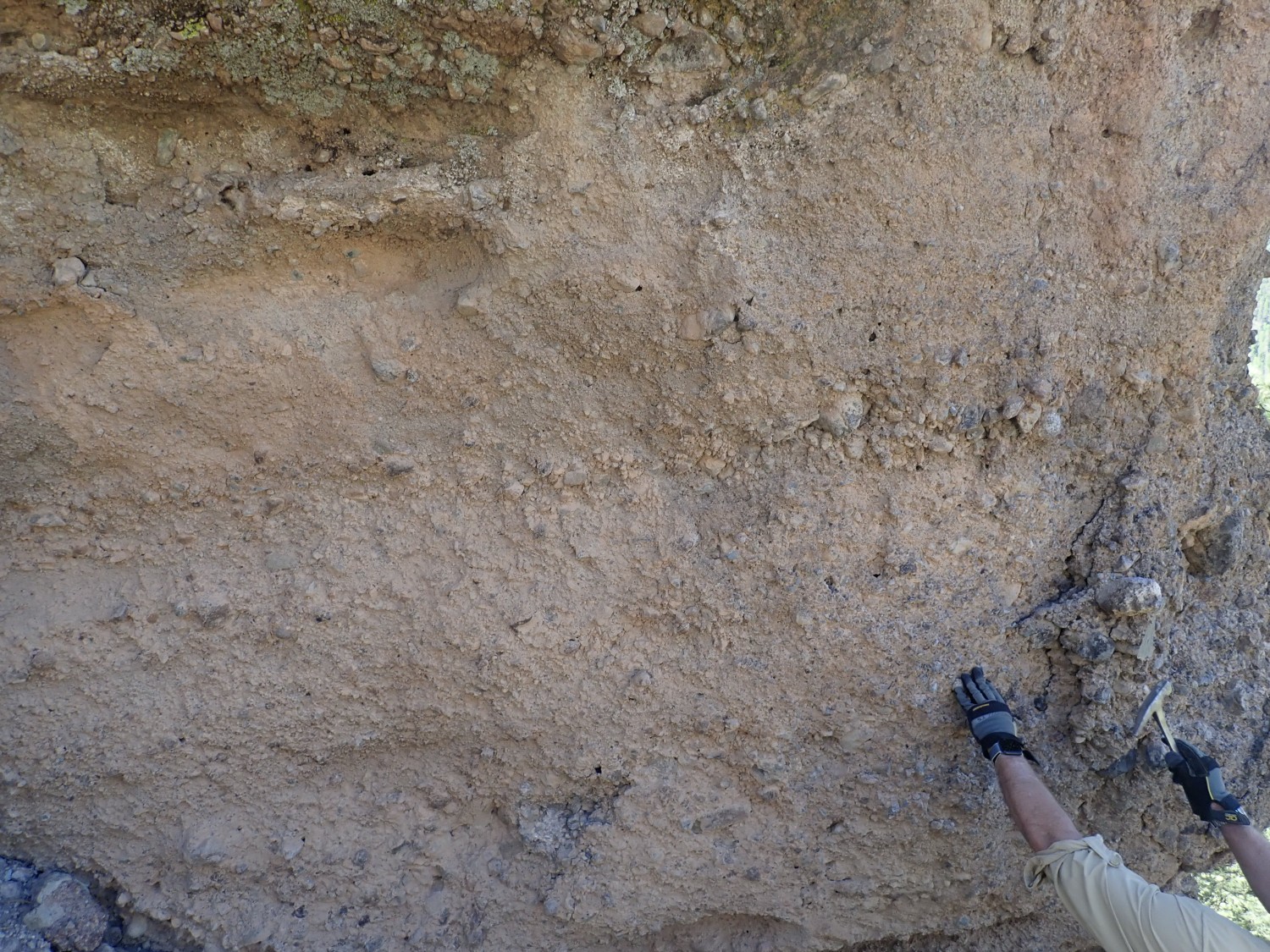
Gary hammers off a clast and cracks it open. It looks just like Amalia Tuff. He cracks open a boulder. It looks like unaltered flow-banded rhyolite.
(Back home, I’ll discover that the canyon rim here is mapped as Cordito Member. This is indeed a well-cemented young conglomerate stranded on the canyon rim as it cut deeper. Crep, I’ll have to revise something in the book again…)
We decide to ignore the “Not suitable for passenger vehicles” sign and try our luck ont he road. As I said, I’ve been here before, in a much less suitable vehicle, and seemed okay. And except for some rocky patches, the road is not bad.
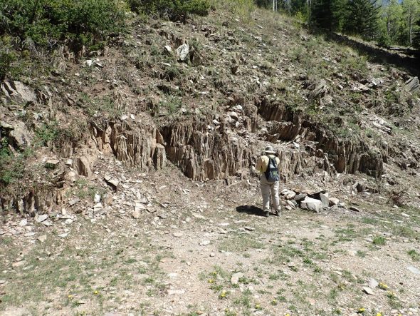
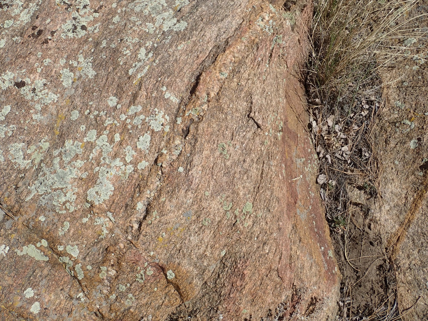
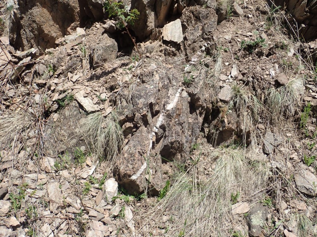
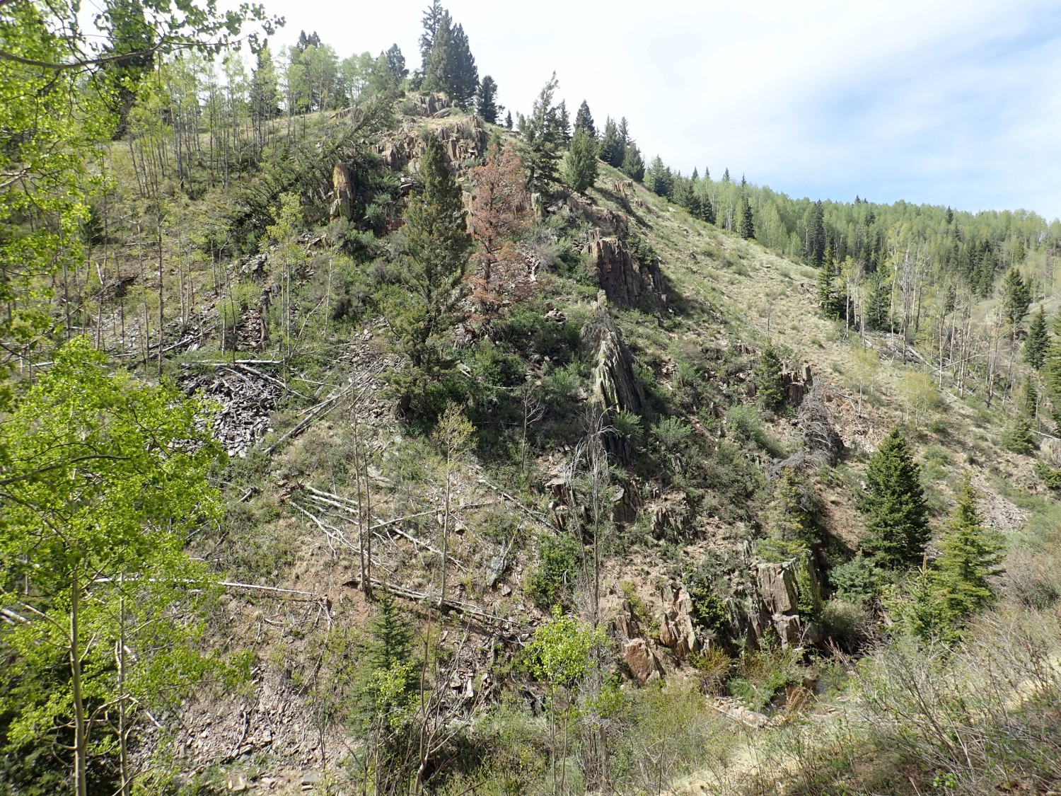
And some of the rocky patches are interesting.
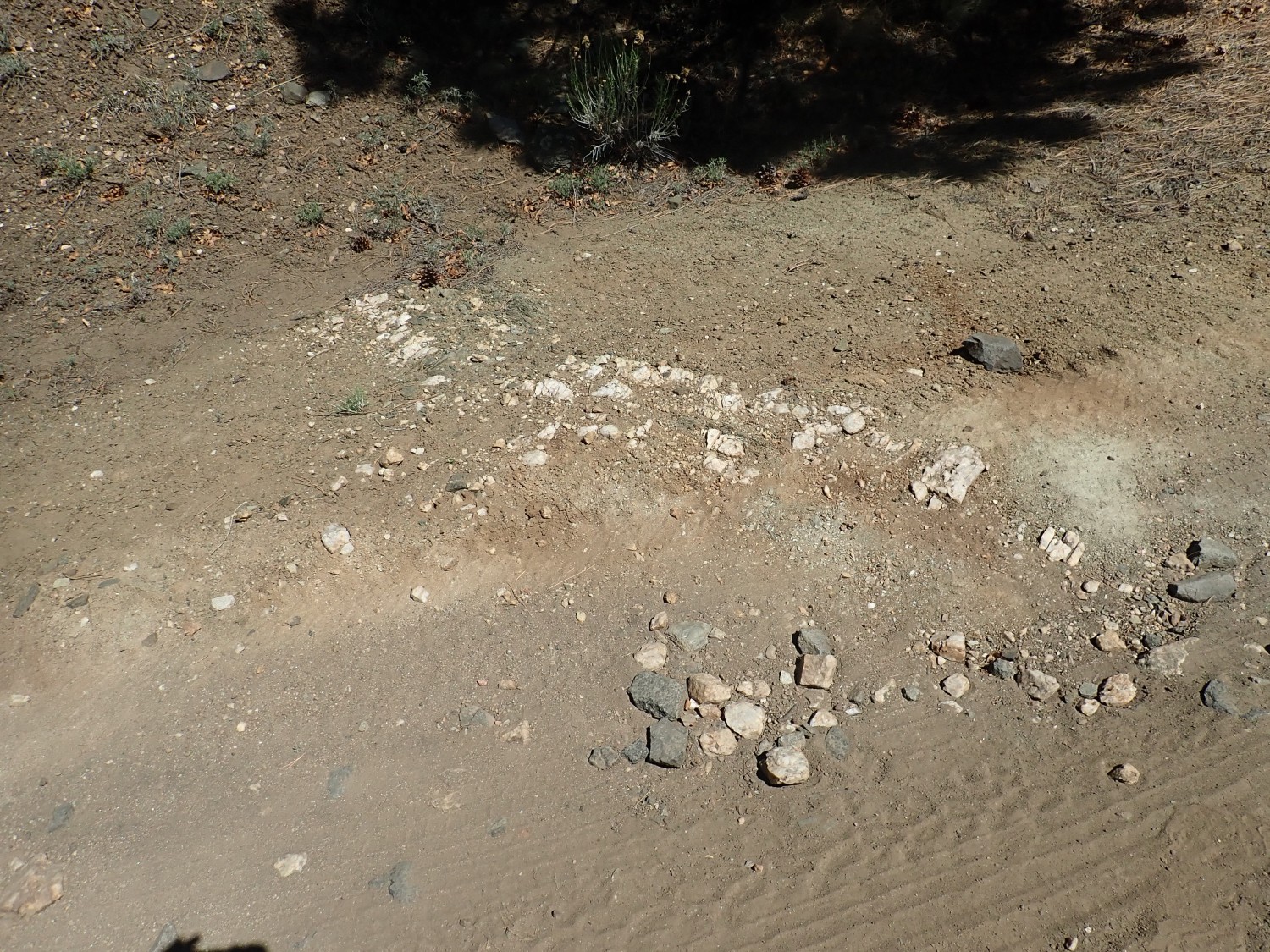
There are several pegmatite dikes cutting across the road here. They are simple pegmatites, composed largely of quartz and potassium feldspar, but some pegmatites are more complex and have highly valuable minerals. Prospectors therefore get pretty interested in pegmatites. Well, amateur geologists, too.
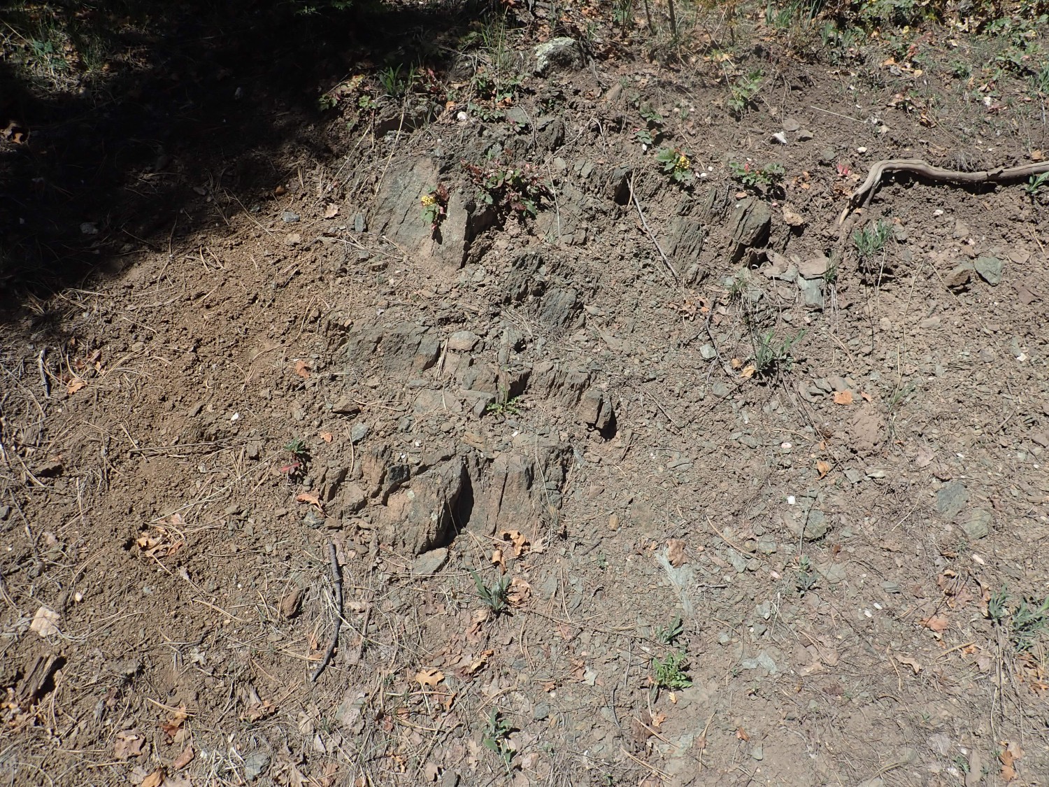
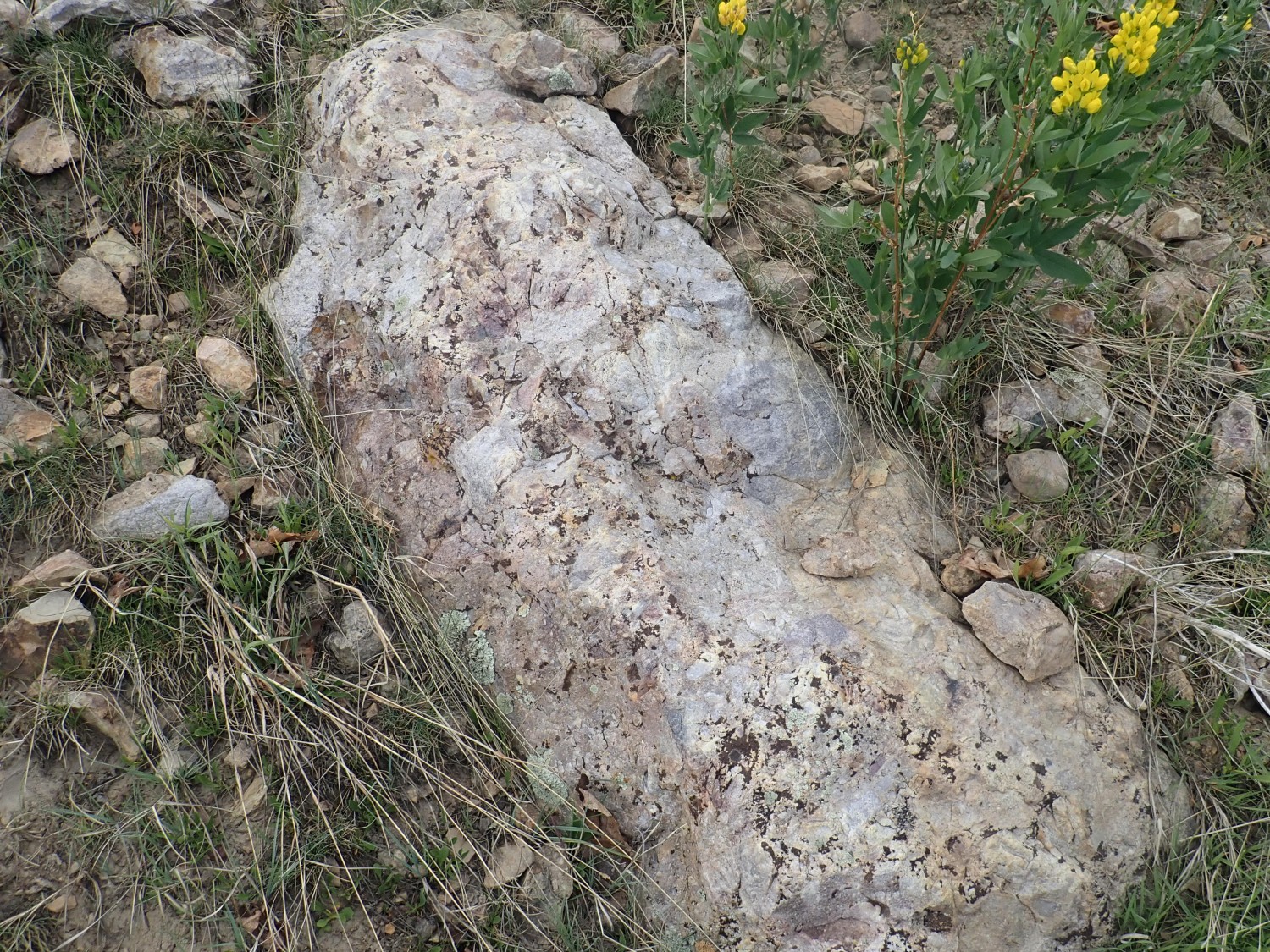
The rock being intruded looks like amphibolite.
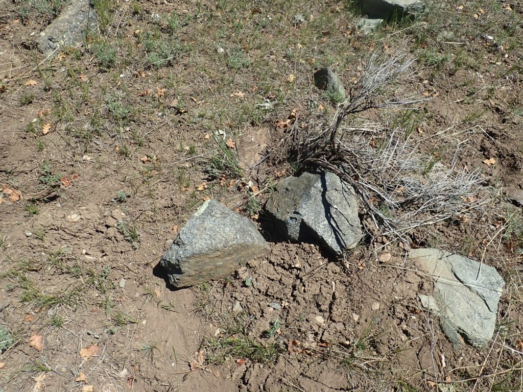
That would be the Moppin Complex, as I confirm with GPS coordinates on the geologic map when I get back home. We’re looking at some of the most ancient rock in New Mexico.
We explore the area. There is a lot of biotite schist here, dark rock that splits into very thin layers with lustrous surfaces. The blocky stuff is more coarsely crystallized amphibole with just a little feldspar. It’s typical of basalt flows that have undergone metamorphosis. We’re looking at what was the basalt of an island arc, 1.8 billion years ago, and the remnants of the black sand beaches around the islands.
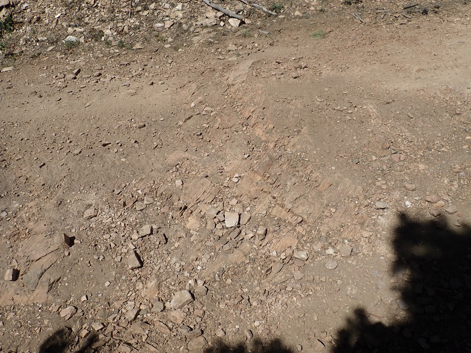
Further up the road, some Moppin Complex schist in the road cut.
And very close by is some feldspathic schist.
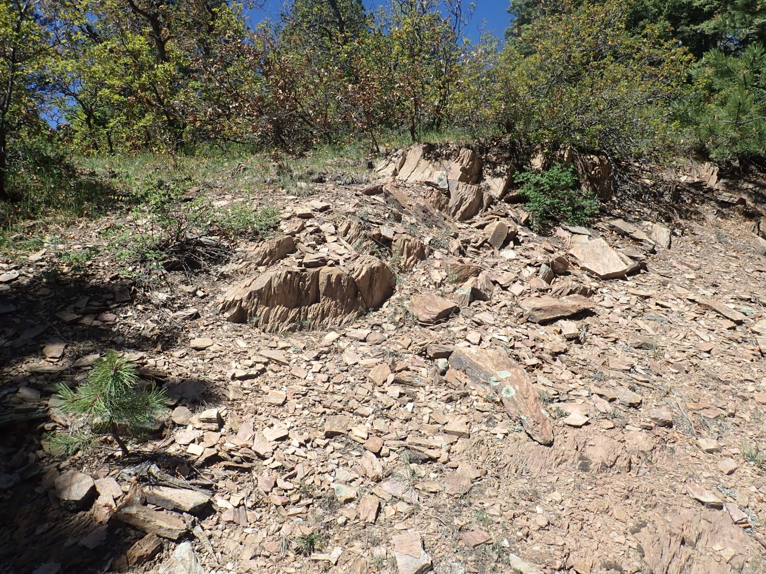
This is quite different from the other rock. It has very little amphibole, but an abundance of feldspar and quartz. My identification is still Moppin Complex, which has a few feldspathic beds. But it could also be Burned Mountain Formation or Maquinita Granodiorite that I’ve identified badly.
(And when I check the geologic map against the GPS coordinates back home, yeh, this whole area is mapped as Moppin Complex. And the geologist doing the mapping could not have simply missed this obvious outcrop.)
Further on, the rock is different enough that I figure we have crossed into an area of Maquinita Granodiorite.
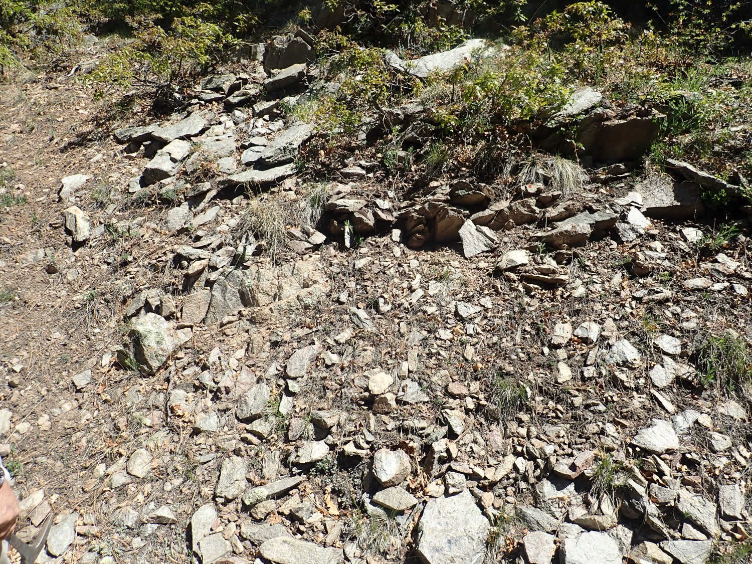
The rock is a light gray now. But it’s still a bit schisty. (The geologic map back home puts these coordinates right on the unit boundary.)
Further up, I’m more confident.

Yep, this looks like a granodiorite that’s seen some metamorphosis. It’s mostly gray plagioclase feldspar rather than pink potassium feldspar, with some quartz. This was part of a magma chamber in the island arc, from a time when the island arc began to mature and the magma chambers became more silica-rich and iron-poor.
More granodiorite. (Said in that whiny Sean Astin voice that drives me nuts.)

We reach the top of the ridge. It’s been years; I decide not to try to immediately locate the borrow pit from the last time I was here, but to follow what looks like it might be an old prospector’s road. Prospector’s road mean prospect pits, right?
It turns out we spend a lot of time exploring in vain. But Gary finally explores in vein.
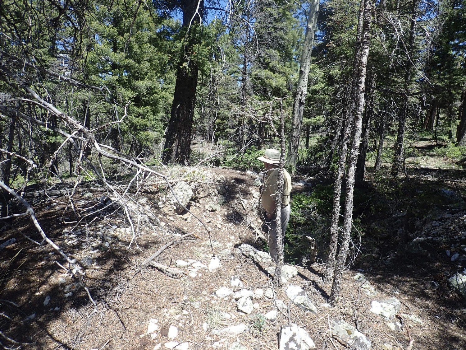
Gary has found a prospect pit dug into a big pegmatite vein. But it’s all simple pegmatite, without any more interesting minerals or signs of gold mineralization. The GPS coordinates put this just within the northern limits of the Maquinita Granodiorite.
I’m trying to find the banded iron formation now. We scout for a long time before I finally come across what I think is the prospect pit I found last time here.

Gary wants me in a picture for some reason.
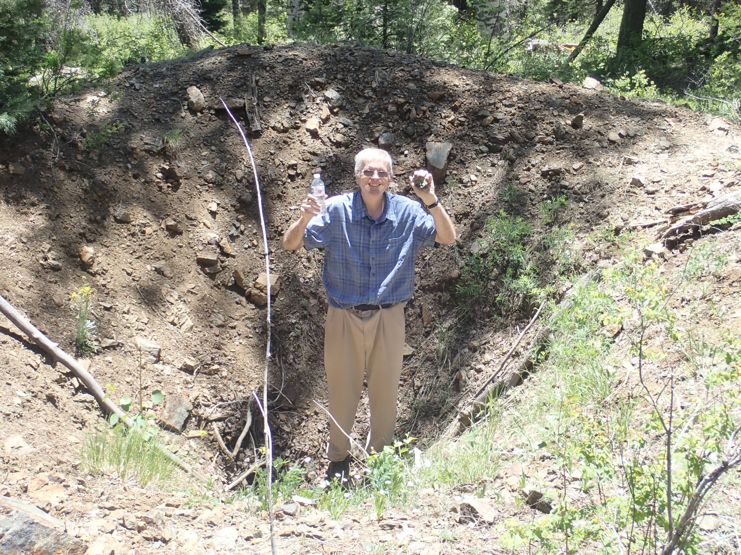
Rock in one hand, bottle of brain coolant in the other. I have to make a conscious effort to stay hydrated; I get pounding headaches if I don’t and my sense of thirst is defective. The rock has a big black lens of what I thought was magnetite, but when I get home, I find it doesn’t attract a magnet. Shucks.
From there, it’s off to Hopewell Lake.
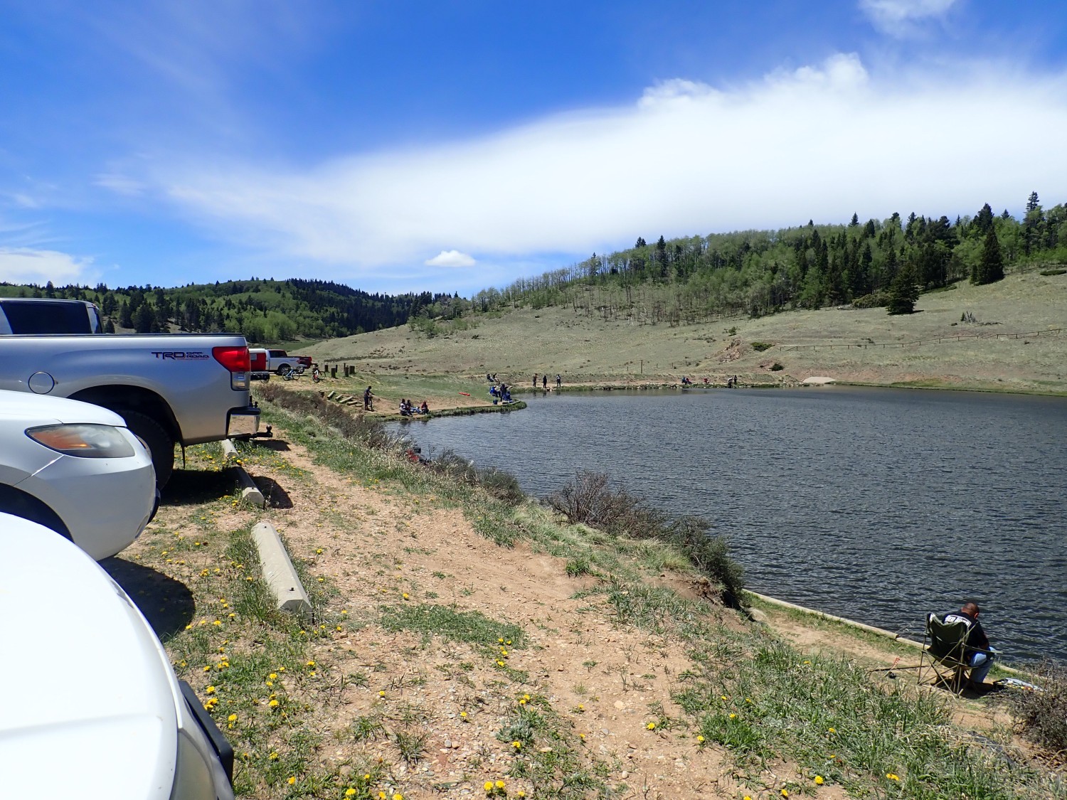
We eat lunch (in separate vehicles; coronavirus) and then set out to hike Placer Creek to the south.
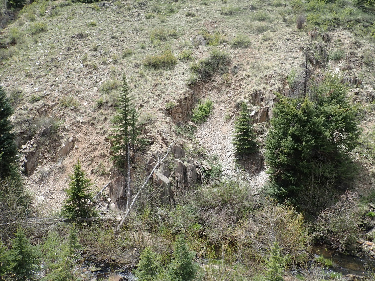
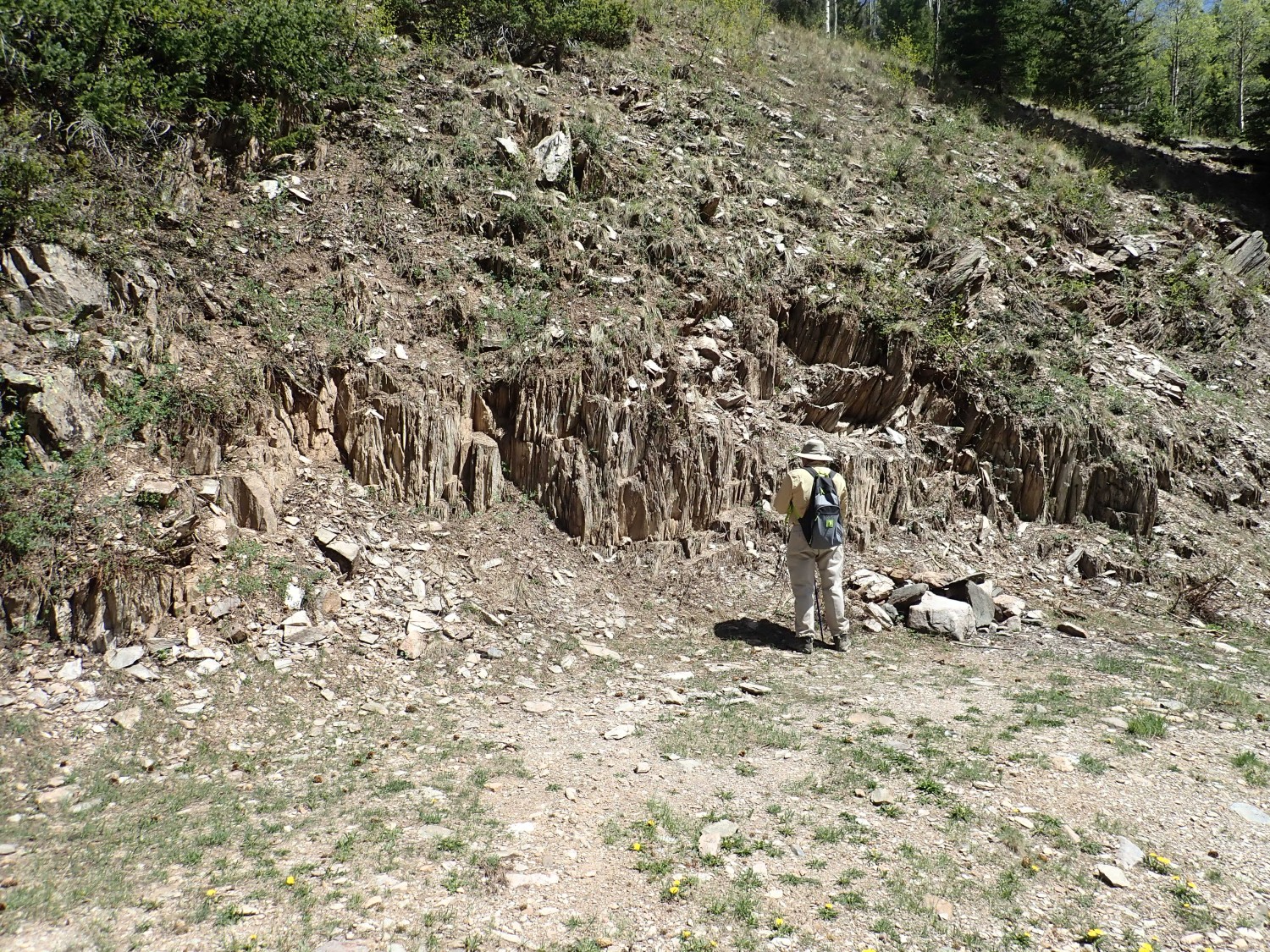
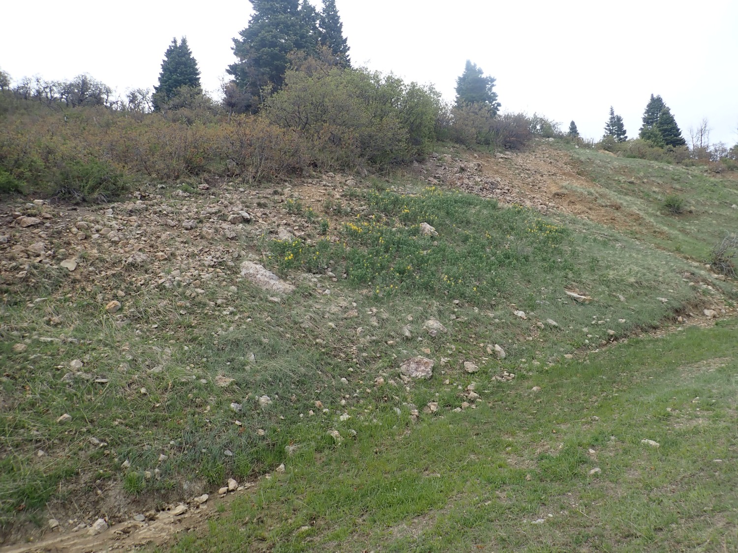
The creek bottom is full of outcrops of Moppin Complex.
Shucks. This looks very schisty. I was hoping the beds here would preserve some sedimentary structures, including pillow lavas. The paper redefining the Moppin Complex describes a reference section southwest of Jawbone Mountain where pillow lava is preserved. The locality is described as Iron Mountain, but that’s apparently not an official name and I can’t locate it on the map. We’re south of Jawbone Mountain here, not southwest, but I was hoping anyway. Schist.
But at least the creek is full of interesting old mine works.
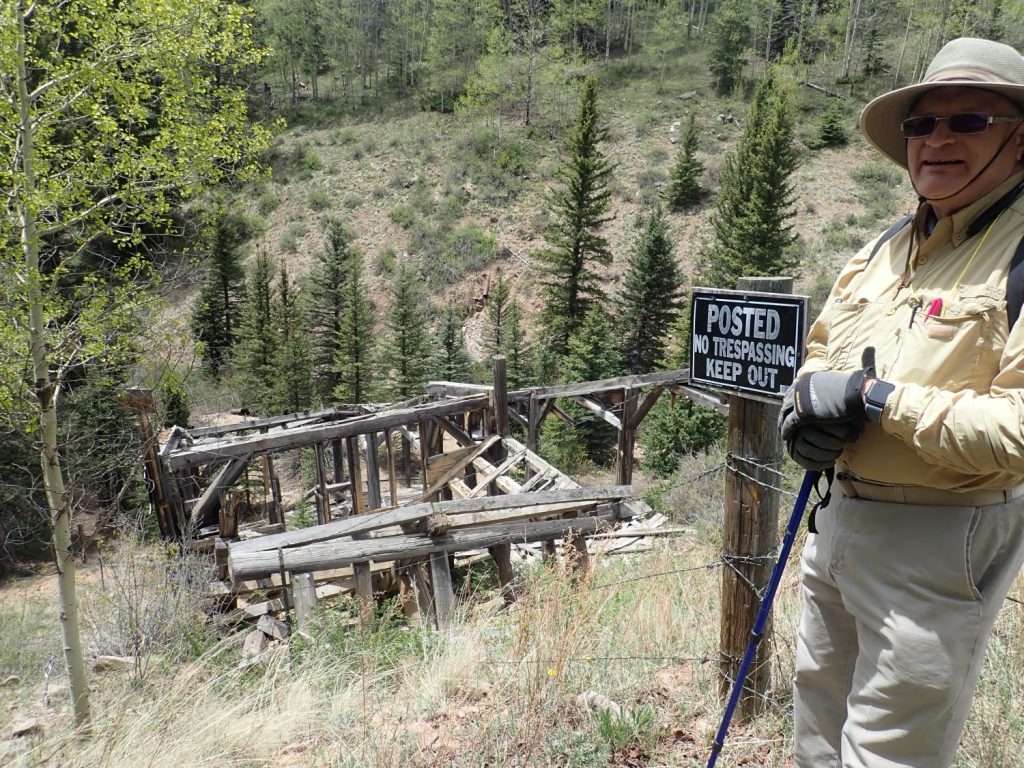
We explore the area, being careful to stay away from the works themselves. This looks a little like an old sluice, but it’s not obvious where the water came from to run a sluice or where placer deposits were dug to run through the sluice. The canyon across the stream looks dug out, but not in great quantity. My guess, after reflecting on it overnight, is that this is the “Mine” marked on the map and is, in fact, the decayed entry to a hard rock mine adit.
But you can’t blame us for thinking “placer”, since the road in had a big sign saying that panning and sluicing were legal in the creek and giving a number to call for permits. Which I now realize we didn’t photograph on the way out as we had planned. Schist.
More exposures across the creek.
The tailings pile.

I don’t actually know which this is, but it looks processed enough that I’ll call it tailings.
More Moppin outcrops.
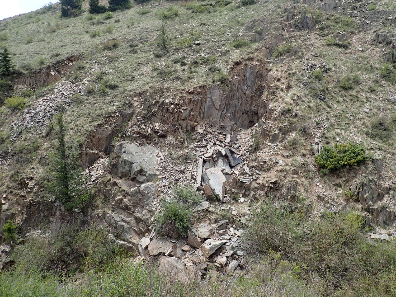
This is good enough for the book or for Wikipedia, so the day has been a success even if we don’t find pillow lavas.
Gary thinks he sees a couple of adits in the exposure here. I think he may be right.
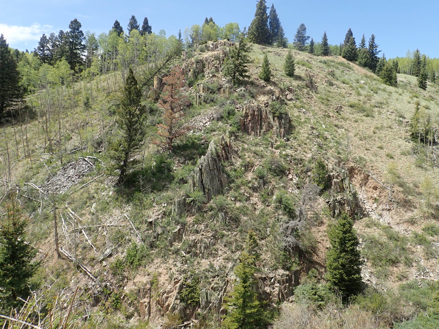
Here’s an outcrop that is much more massive and less shistose.

If I squint my eyes just right, I can convince myself I see some pillow structure here. But it’s hard to get to and I don’t get a better look.
Nice outcrops along a ridge.
(And my camera is having troubl elocking GPS accurately in the canyon.)
Quartz mineralization in Moppin Complex.
It’s pretty clear the mining in the area was after gold from veins like this. And about this time we meet a couple of guys on horseback who tell us there is a panning association that claims the lower canyon and charges $30 for membership. Gary figures he’ll bring the grandkids up here sometime to pan for gold for that much.
Maybe this is the picture for the book.
But not for Wikipedia; the GPS cut out and I’d rather use a photo there that has a location stamp.
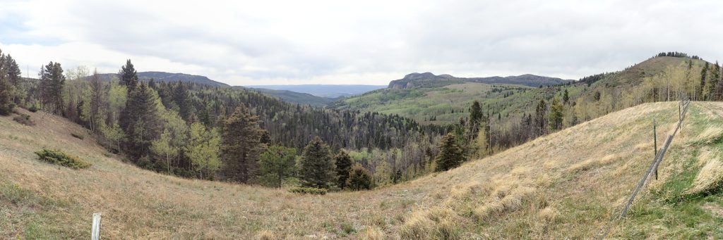
We reach the end of the canyon, and my first panorama for the day.
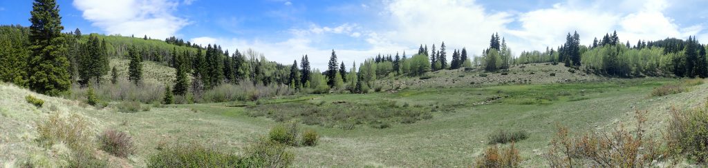
The valley cutting across our path, Long Canyon, is part of the Spring Creek Shear Zone, a major structural feature in the mountains here. The Moppin Complex disappears south of it, replaced by slightly younger rocks of the Vadito Group that were deposited as sediments on the island arc terrane after it was fused to the edge of the continent.
And I missed seeing an exposure of Burned Mountain Formation, part of the Vadito Group, that crops out right on the shear zone. I spot it on the way back.

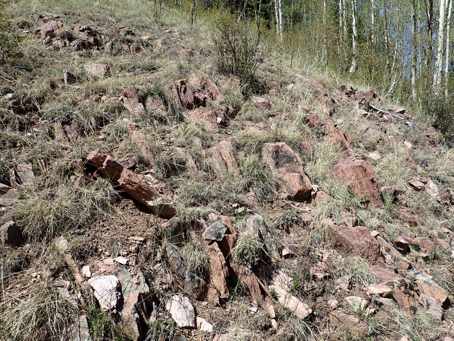
The Burned Mountain Formation is metamorphosed rhyolite,a high-silica volcanic rock. It’s interpreted as ash flows deposited in a back-arc basin, the Pilar basin, that formed after the Yavapai island arc fused with North America and subduction continued along the continental margin.
There tends to be a lot of disagreement and uncertainty about Precambrian beds, because they’re so deformed, and I wanted to see for myself if this looks like the same stuff as the metamorphosed rhyolite around Ojo Caliente, which the latest geologic map describes simply as Proterozoic rhyolite. Short answer: Yup. Long answer: This stuff is more altered but seems like the same kind of rock.
Parting shot of the Moppin Complex.
Then back to the cars and start home. I want to see the Brazos Cliffs. And I still have a lingering desire to find some pillow lava. I’m thinking this is Jawbone Moutain.
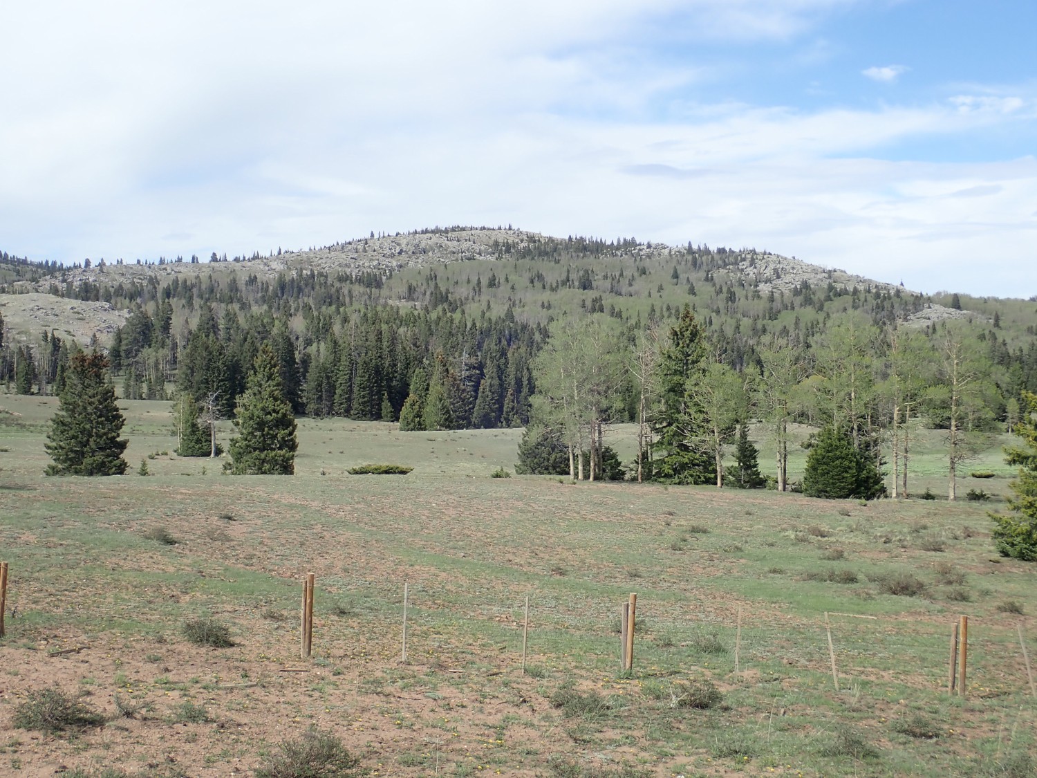
Turns out I’m already too far west, so it’s just as well that the two dirt roads I find to the north are both gated closed. I’ve scrutinized the geologic map in the area southwest of Jawbone Mountain and concluded I just don’t know where to look for the pillow lava.
And the beds up there are likely Ortega Quartzite, part of the Jawbone Mountain Syncline. This is a local sag in the Earth’s crust filled with ancient quartzite originally deposited as sandstone in the Pilar basin.
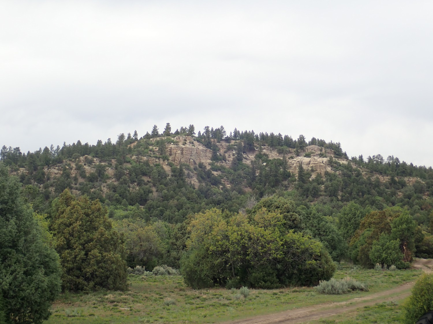
Brazos Cliffs Overlook.

These spectacular cliffs are also underlain by Ortega Quartzite. The exposed thickness of the formation here is over 2400 feet.
Then home via Tierra Amarilla and Abiquiu. Along the way I see what I take to be a Cretaceous sequence of beds. This looks like Dakota Formation.
Turns out it’s more likely Mesaverde Group. These are sediments deposited when the waters of the Western Interior Seaway briefly retreated from this area, 80 million years ago.
Which I began to suspect when I came to these shale beds further down the mountain. These look like Mancos Shale, which is younger than the Dakota Formation but older than the Mesaverde Group.
The Mancos Shale was deposited in the Western Interior Seaway at its peak. The Western Interior Seaway covered most of what is now the western United States, a result of the highest sea levels in the geologic record and the mass of mountains thrown up in Nevada and western Utah pushing down the crust to their east.
Final shot.
And, sure enough, my GPS cut out at this point. But I think near here. Which would make these what the geologic map describes simply as an unnamed sandstone bed of the Carlisle Shale Member of the Mancos Formation. The geologic map suggests these are an early stage of the Point Lookout Sandstone of the Mesaverde Group.
From there, home. A pretty good day in the mountains, though I still wish I could have found some pillow lavas.
Meanwhile, on the microscope front
The aquarium is still doing well, except that the telanthera got looking ratty again. I think it requires higher nutrient levels than almost anything else in the tank.
And, under the microscope:
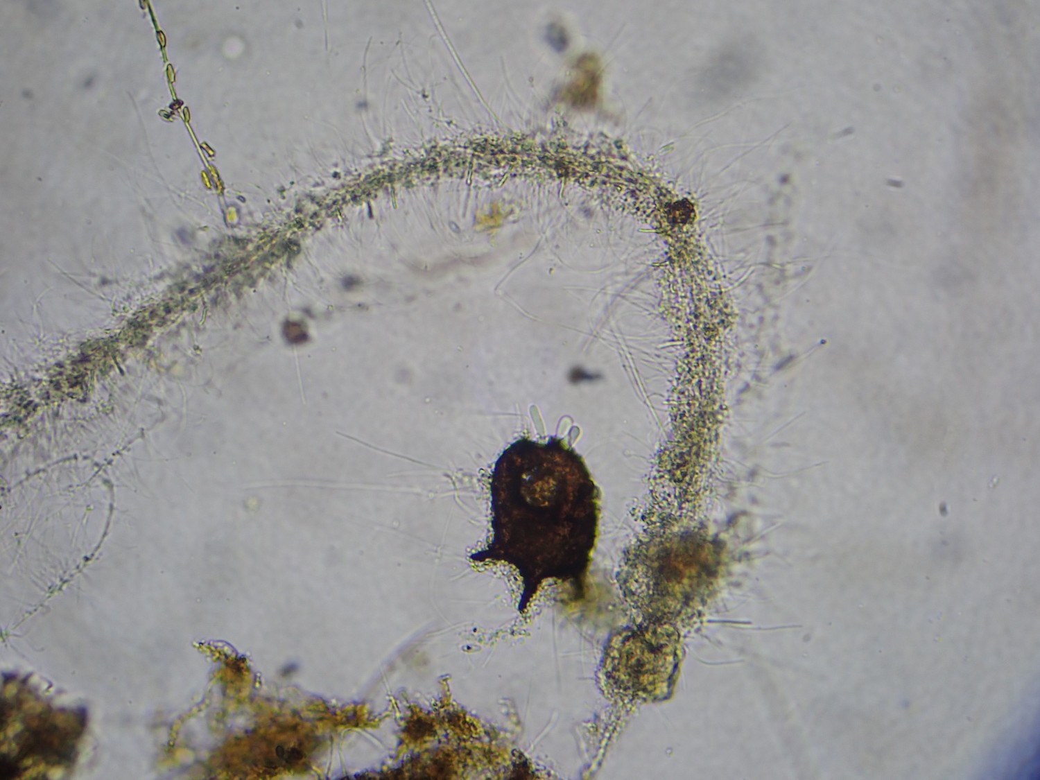
It took me some time to recognize that the dark, sack-like objects I see from time to time are amoeba tests. And here I finally caught one with a live amoeba in it, putting out pseudopods. (Click to enlarge; at the top of the test.)
The Tusas/Brazos are my favorite mountain range (after my hometown range in Grand County, Colorado). Thanks so much for this post! There is public access to the big outcrop just west of Tres Piedras (about a quarter mile past the Ranger Station on U.S. 64) as rock climbers use it and I’ve taken kids on field trips there when I used to drive a school bus. Just an FYI in case you want to check out that formation up close.
Yes, I discovered this on a later trip, and got some good photographs.
What kind of rock did you find here that has 2 billion years old? Is it quartzite?
I’m a geology student and I grew up in Tres Piedras. The Moppin Complex is named for my great-gteat-grandfather’s ranch. Each summer I work as a cowboy for a ranch that sits near Jawbone Mountain. Love seeing all this awesome information! As a kid I ran all over the forest marveling at the rock formations and now as a geology student I wish I knew everything about them!