90th Birthday Wanderlust, Day 2: Salt Anticline Country
I’m up early, make breakfast, break camp, and head south into the park.
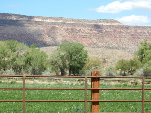
Almost the entire thickness of the cliffs is mapped as Point Lookout Sandstone. As I discussed in yesterday’s post, this is beach sand deposited when the sea briefly retreated from this part of the world around 80 million years ago.
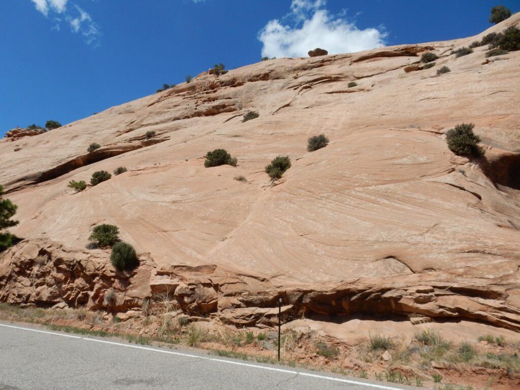
Further on, I come to a magnificent road cut.
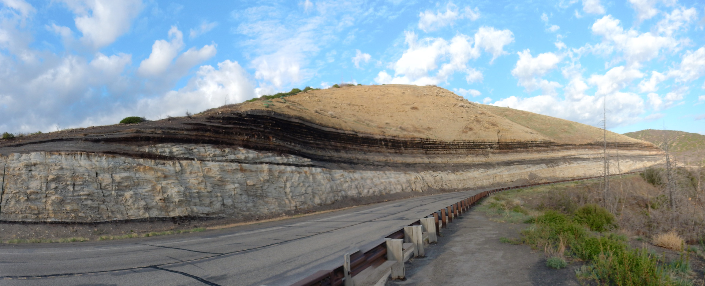
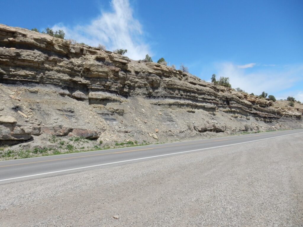
The lower part of the road cut is Menefee Formation, laid down in the coastal swamps behind the Point Lookout beaches. The dark bands are very poor coal. In other locations, the coal is good enough to be economical to mine. The tan beds in the upper part of the road cut are the lower beds of the Cliff House Formation, which is alternating sandstone and shale. The upper part is massive sandstone, which we’ll see shortly.
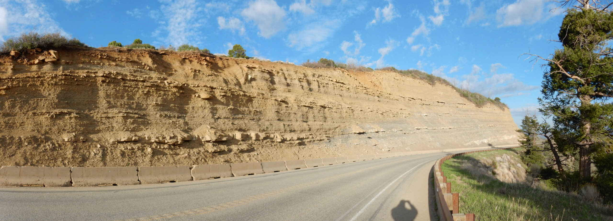
Another road cut, all of which is mapped as Cliff House Formation.
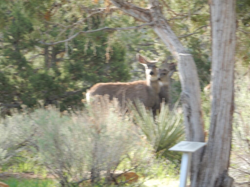
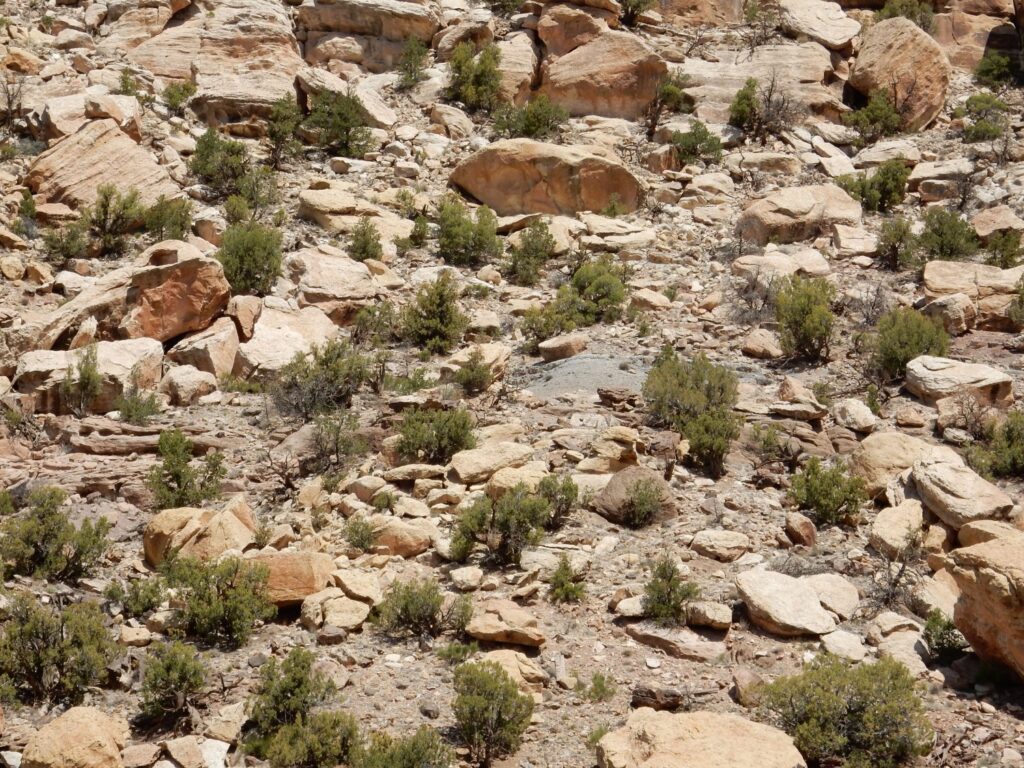
I pull into the visitor’s center parking lot. There are wildlife nearby; the deep zoom comes out unfortunately blurry.
The museum is closed for renovation. Shucks and other comments. Well, I figure, with COVID reducing tourist traffic, this was as good a time as any to do it.
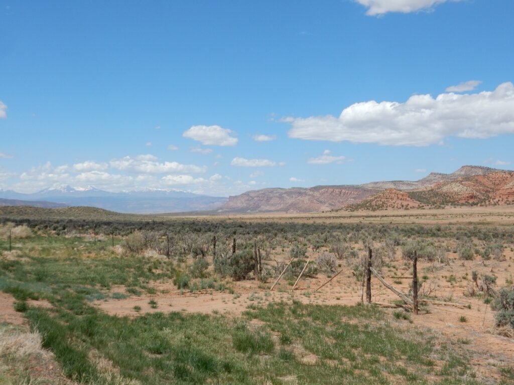
On to Navajo Canyon.
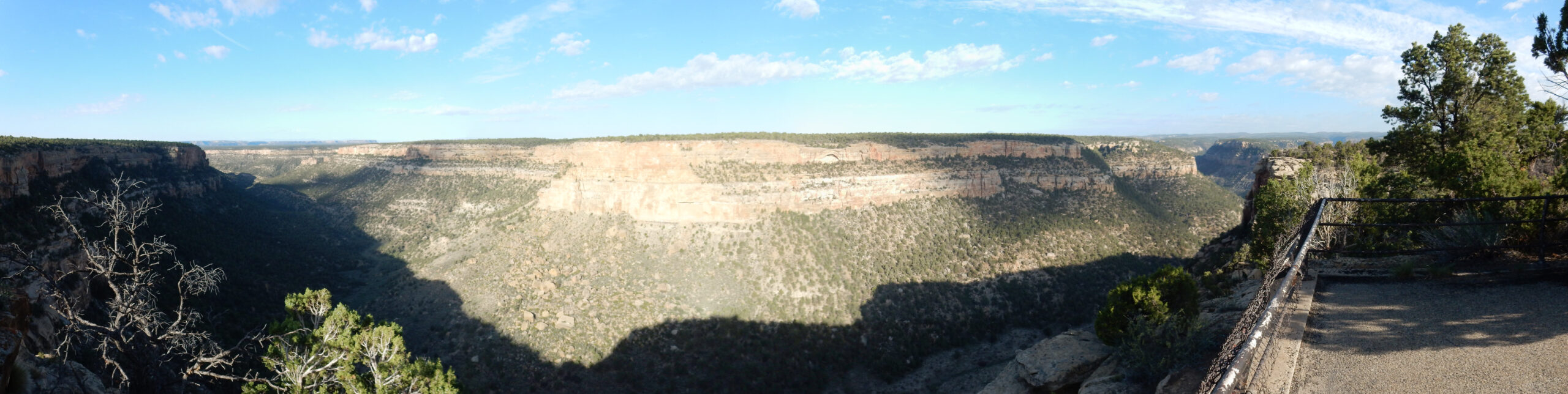
Alas, the sun is directly behind me, washing out the center of the panorama. But the massive cliffs are clearly upper Cliff House Sandstone. There are some thinner beds peeking out just above the debris-covered slope at center, and my first guess is that these are Menefee Formation beds. However, they also look a little like the lower shale and sandstone beds of the Cliff House I just saw in the road cut. The geologic map does not resolve the issue.
And here is the Cliff Palace (as it is now called), or Cliff House, from which the formation gets its name.
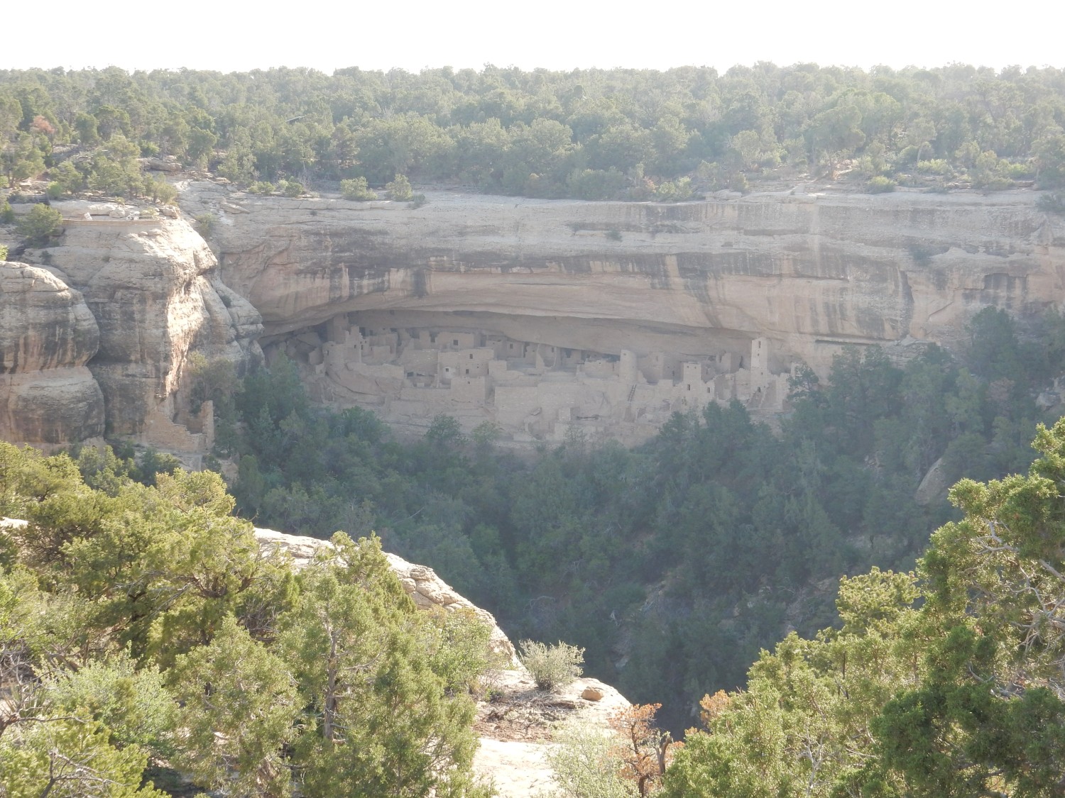

Alas, the view is almost directly into the sun, and neither I nor the other photographer I meet here can do much about that.
I’m guessing the overhang is eroded out of the less resistant lower beds of the Cliff House Formation. The park literature tends to confirm this, noting also that the shale beds within the formation are locally rich in fossils.
The Cliff Palace itself was likely something like a real palace. It has a very large number of ceremonial rooms (kivas) relative to the number of other rooms, and many rooms were brightly painted. It was likely more ceremonial center than population center.
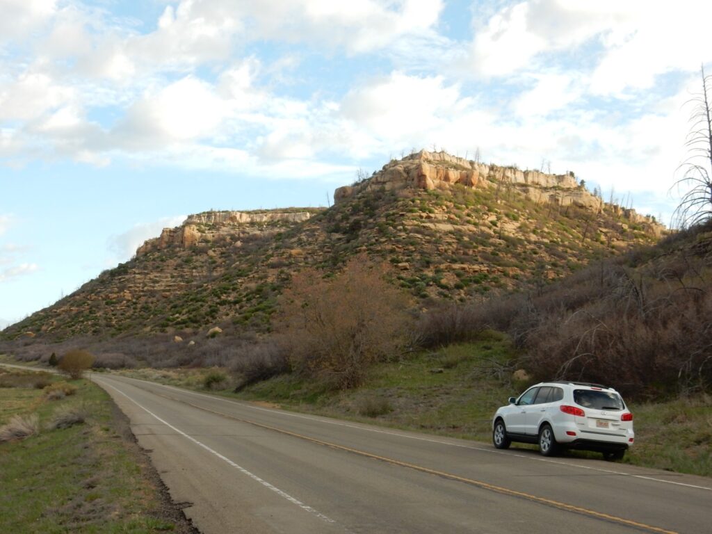
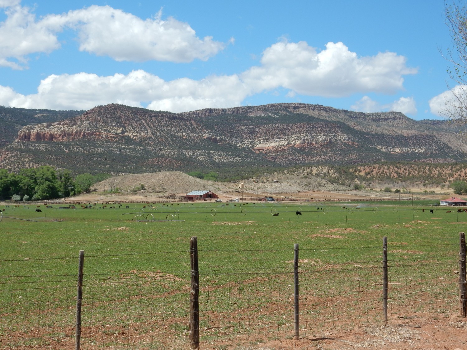
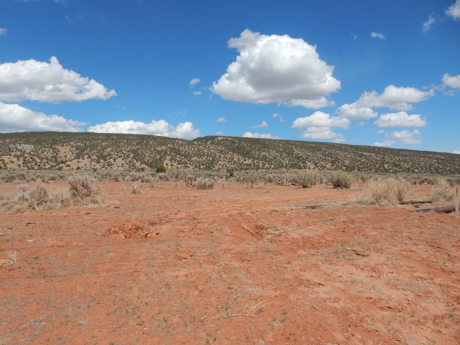
I head on out of the park, refuel, and drive to Dove Creek, famous speed trap. After driving slowly through the town, I take a turn north on 141 to Slick Rock, where I plan to photograph the type section of the Burro Canyon Formation and incidentally get some hiking in in Burro Canyon.
I am a little uncertain where to begin my hike. I first pull in next to an old mining shed (the Morrison beds just below the Burro Canyon were heavily prospected here for uranium.)

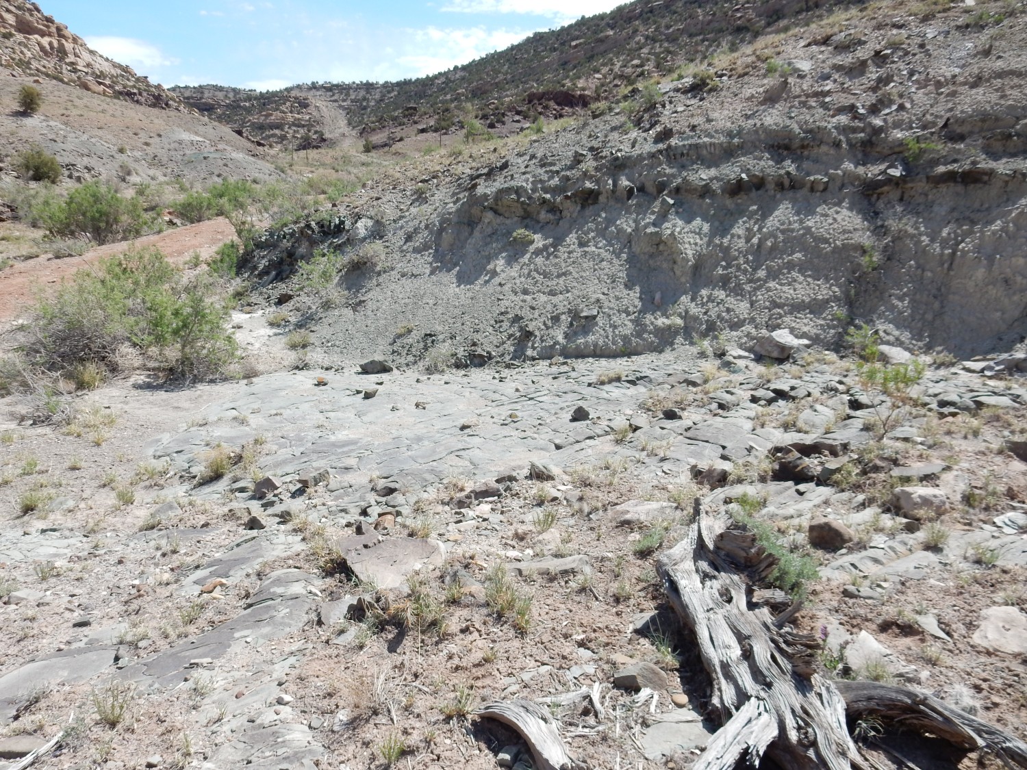
The sandstone beds on the north rim of Burro Canyon are Burro Canyon Formation; below are shale slopes of the Brushy Basin Member of the Morrison Formation. I suppose I could claim victory at this point, and it soon becomes clear there is no easy path up canyon from here to the precise type section. I consider hiking up the arroyo from the paved road, but this looks unappealing. I finally spot the fork in the road that gives a good path up canyon and proceed on my way.
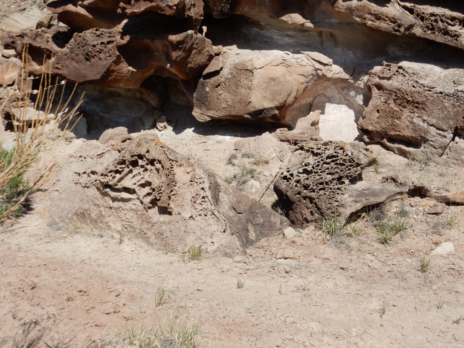
The honeycomb structure is a form of weathering called tafoni. Its cause is unclear, but the current favored theory is that it is caused by formation of salt crystals under the surface of the sandstone, driven by cycles of wetting and drying. The salt crystals wedge the rock apart.
Sandstone bed in the Morrison Formation.
This may mark the transition from the Brushy Basin Member to the underlying Salt Wash Member. Or it may just be a local lens of sandstone.
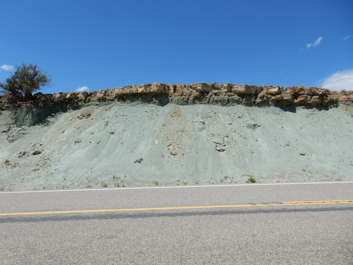
Impressive blue beds.

The blue color is here so pronounced that it cannot just be contrast of gray clay with the surrounding red beds. It likely represents deposition of sediments in a persistent pool of alkaline water that altered the chemical composition of the sediments to produce distinctive blue alkaline minerals.
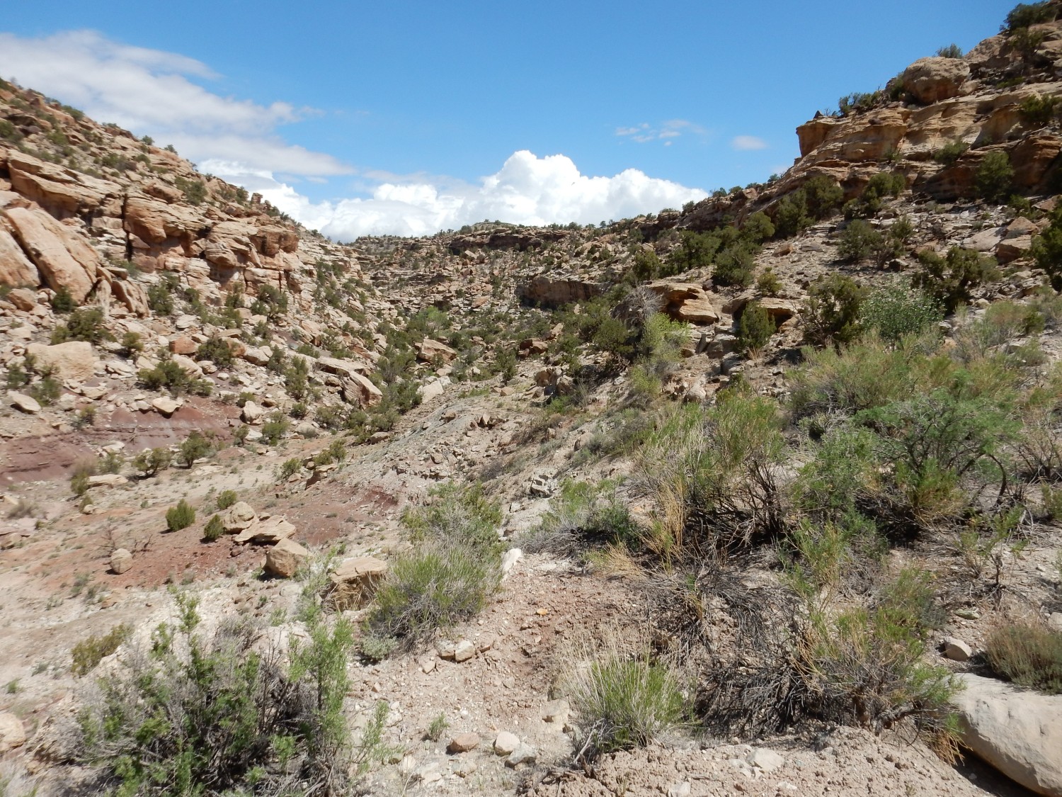
I get as far up the canyon as the road will take me. This is the type section; and, sure enough, my camera borks the focus on the middle photograph of the panorama. This will have to do:

Or perhaps this.
The first, I think.
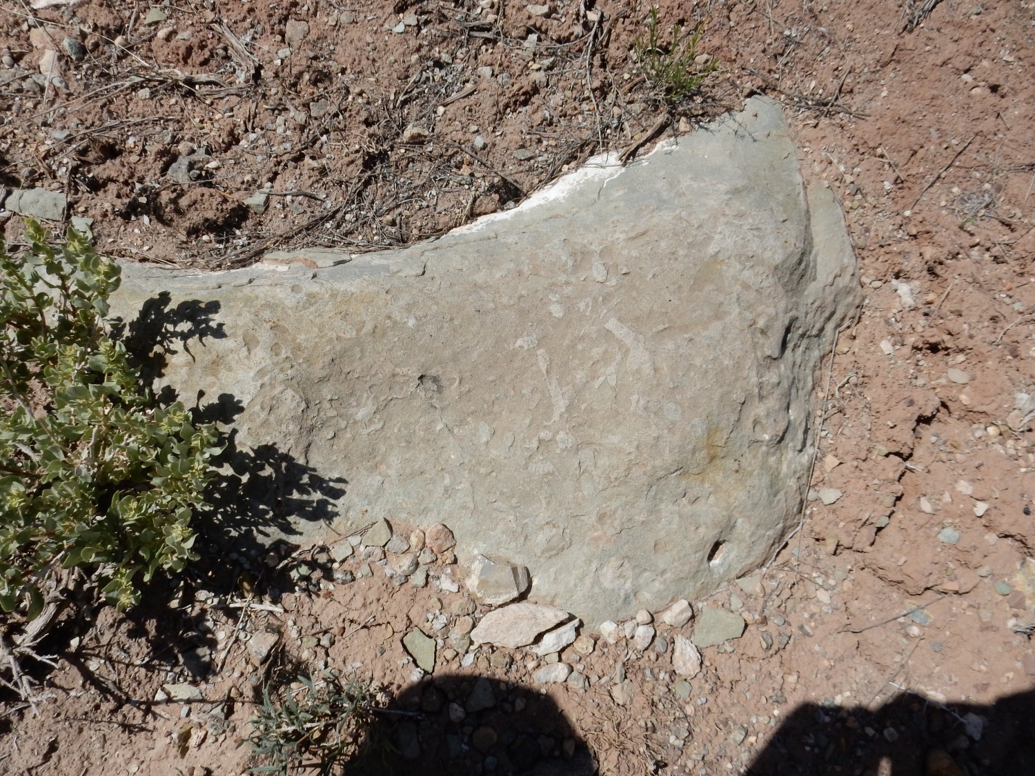
Trace fossils?
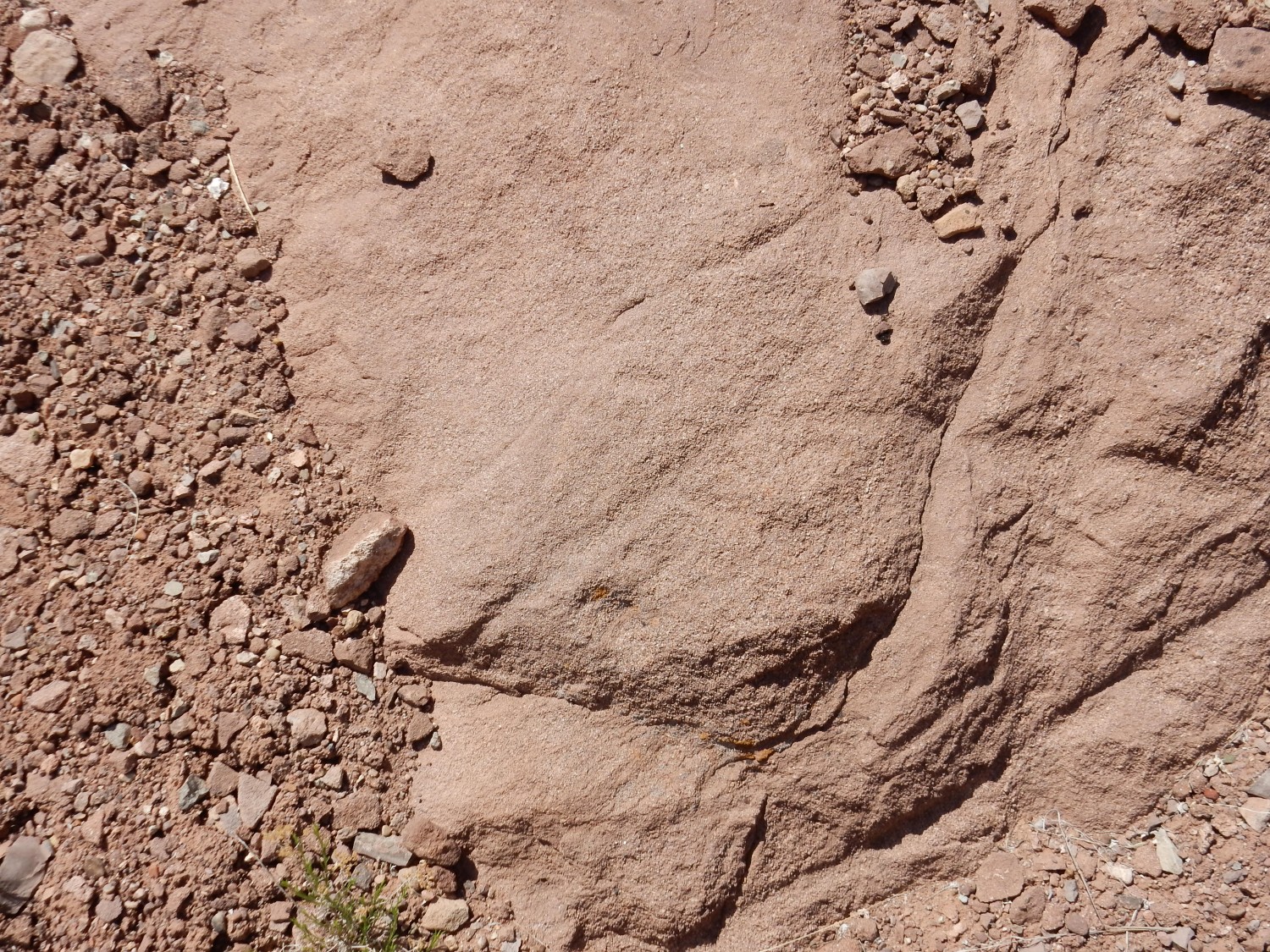
The Burro Canyon is described as sandstone lenses interbedded with green mudstone. The sandstone is very evident here, sitting on red beds of the Brushy Basin Member. I get just a glimpse of a green mudstone bed.
Red mudstone signifies deposition of clay that is almost devoid of any organic matter. Under these conditions, the iron in the mud remains in the form of red ferric oxides. As the amount of organic matter increases, the ferric oxides tend to be converted to ferrous oxides that leach away, leaving greenish clay minerals. Very high organic content makes the mudstone gray to black in color. Thus, the Brushy Basin Member was deposited in the late Jurassic under conditions of low organic productivity, while the Burro Canyon was deposited in the early Cretaceous under conditions of higher organic matter productivity. Some of this organic matter was likely washed from the fertile slopes of the Sevier Mountains to the west.
I find all well with the Wandermobile and head on out. The road cuts through a very impressive sandstone lens resting on green mudstone.
Then it’s on to Gypsum Valley. I take a panorama but the focus is borked. Further east, I hit a road cut in the Paradox Formation.

This is the formation responsible for the unique geology of the salt valleys of southwestern Utah and southeastern Colorado. It is a Pennsylvanian formation composed mostly of repeated beds of salt and gypsum, deposited in a deep basin that was repeatedly flooded by the ocean and then dried out. The salt and gypsum was then buried by other sediments. As these accumulated, the pressure of the overlying sediments on the light, ductile salt beds caused the salt to flow upwards as underground walls of salt. These pushed up the overlying beds, producing structures geologists call anticlines, where sedimentary beds are deformed upwards. Between the anticlines, the flow of salt towards the walls lowered the rock beds to produced complementary structures geologists call synclines, where sedimentary beds are deformed downwards. Where the salt approached the surface, it was dissolved out by groundwater, causing the top of the anticline to collapse and form a valley (a salt valley). There are numerous salt valleys in the area, including Spanish Valley (in which the city of Moab is located), Gypsum Valley (where I am taking this photograph), and Paradox Valley (which we will come to presently.) The beds in this image are gypsum of the Paradox Formation, which is less soluble than salt and sometimes penetrates clear to the surface.
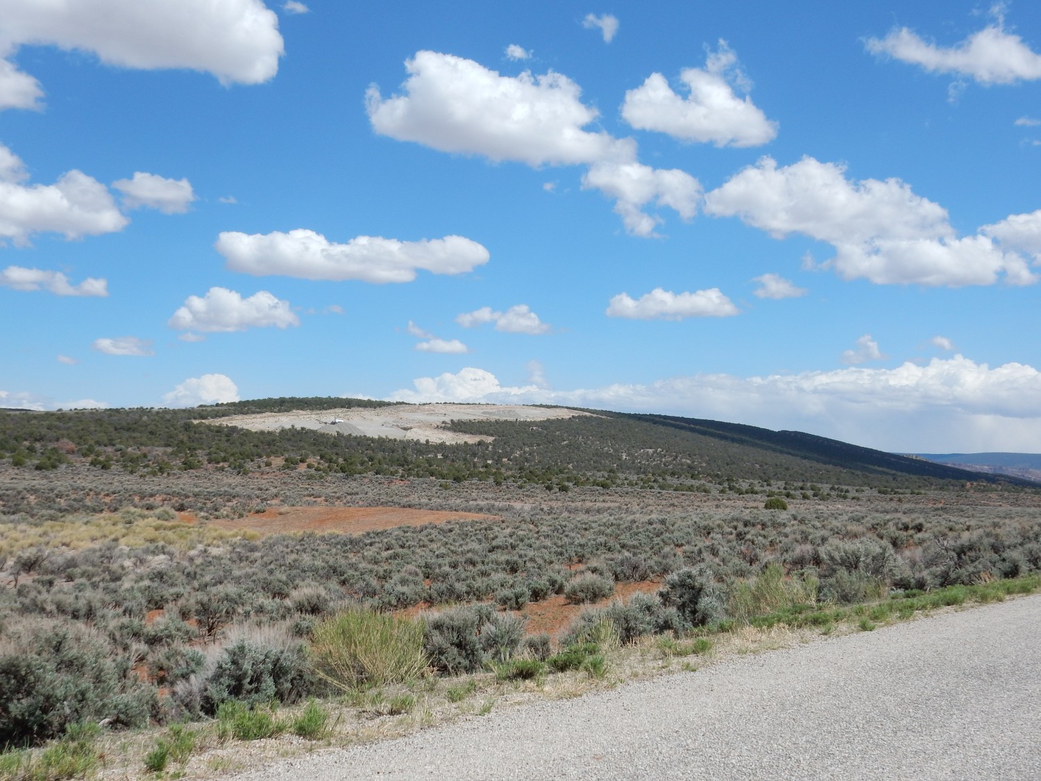
I continue on to Naturita. Here I find nothing in the way of fast food, and pull over to eat out of my supplies. I then proceed on, passing another road cut.
This is Dakota Formation, another very famous and extensive Cretaceous formation of the Western Interior Seaway. It was deposited around 95 Mya as the ocean advanced onto the continent to create the Western Interior Seaway. In many places it is clean sandstone, but here there are also mudstone beds rich in organic matter.
I enter Paradox Valley.
The valley was so named because the Dolores River cuts across the valley, through deep canyons carved in its northeast and southwest walls, rather than running along the valley like any respectable river should. But the river did not cut the valley; it is a salt valley created by collapse of a salt anticline. The river is something of an accident.
I drive into the little town of Paradox to try to get a good photograph of Paradox Formation plugs at their type location.

The second, I think, though I’ll have to crop it and the resolution will be poor. I tried to get closer but there is too much private land here. Anyway, the Paradox was first recognized, not from these plugs, but from drilling near this location that discovered thousands of feet of salt and gypsum beds. So the type is actually a core from drilling.
It’s possible the landowner here would have given me permission to get closer for a better photograph. But I’m shy.
I drive on, as the road climbs the west wall of the canyon and heads towards La Sal. I pass a striking outcrop of what is clearly crossbedded eolian sandstone.
My thought was Navajo Sandstone, which is famous for its crossbedding. My geologic map is a bit imprecise here, but it turns out this is likely Entrada Formation, the formation in which most of the arches of Arches National Park are found. This formation is extensive and we saw exposures of it in New Mexico, close to home, in yesterday’s post.
I reach La Sal and head south to Lisbon Valley. Here there is a big swell of Pennsylvanian limestone of the Hokaker Trail Formation running the length of another salt valley.
This is the next formation above the Paradox Formation, but since it’s less soluble limestone, its exposures can be significant. Furthermore, my geologic map says it is “locally highly fossiliferous”. Fossiliferous I’m keen on; locally? I’m hoping to get lucky.
But I do not get off to a lucky start. I park where there is a trail to the whaleback, but as I pull out my camera bag, I inadvertently push the on button. The lens tries to extend in the confines of the bag, there is a ratchety sound, and when I take the camera out, the screen is flashing “LENS ERROR” in red. And I can’t get it to either stop flashing or even turn off. I take out the battery momentarily, but when I turn the camera on again, it won’t focus. At all. I just about ready to have kittens.
I mentioned yesterday that an odd sense of foreboding had clung around me from the start of the trip. Well, here it is: Disaster!
But I as I turn the power off, the lens kind of does a thoughtful readjustment of itself. I turn the camera on again, on the off-chance, and this time it seems to be focusing correctly:
The red beds in the foreground are eroded from the arkosic facies of the Cutler Formation. This is the same Cutler Group I mentioned yesterday, but here it is a solid mass of clastic sediments (sediments composed of rock fragments) that cannot be divided up further, so it remains at formation rank. Arkosic means the sediments contain a lot of feldspar grains. This is stuff that eroded off the highlands of the Uncompahgre uplift, which bordered the Paradox Basin to the northeast. Surprisingly, deep basins and high mountains go together. The weight of mountains depresses the Earth’s crust, typically forming a foreland basin adjacent to the mountains where sediments usually accumulate.
The ridge behind is the limestone. There are indeed fossils here.

The fossils are mostly crinoid stems. Crinoids are distant relatives of starfish that look a lot like some kind of plant. They have a long stem attached to the ocean bottom holding up a body with a mouth fringed with frond-like arms. They’re survivors, first appearing 480 million years ago and still around today, but they are particularly common in Carboniferous rocks like this limestone.
More crinoids, plus hints of broken shells and bryozoans. Bryozoans are tiny, very distant relatives of molluscs that form frondlike colonies.
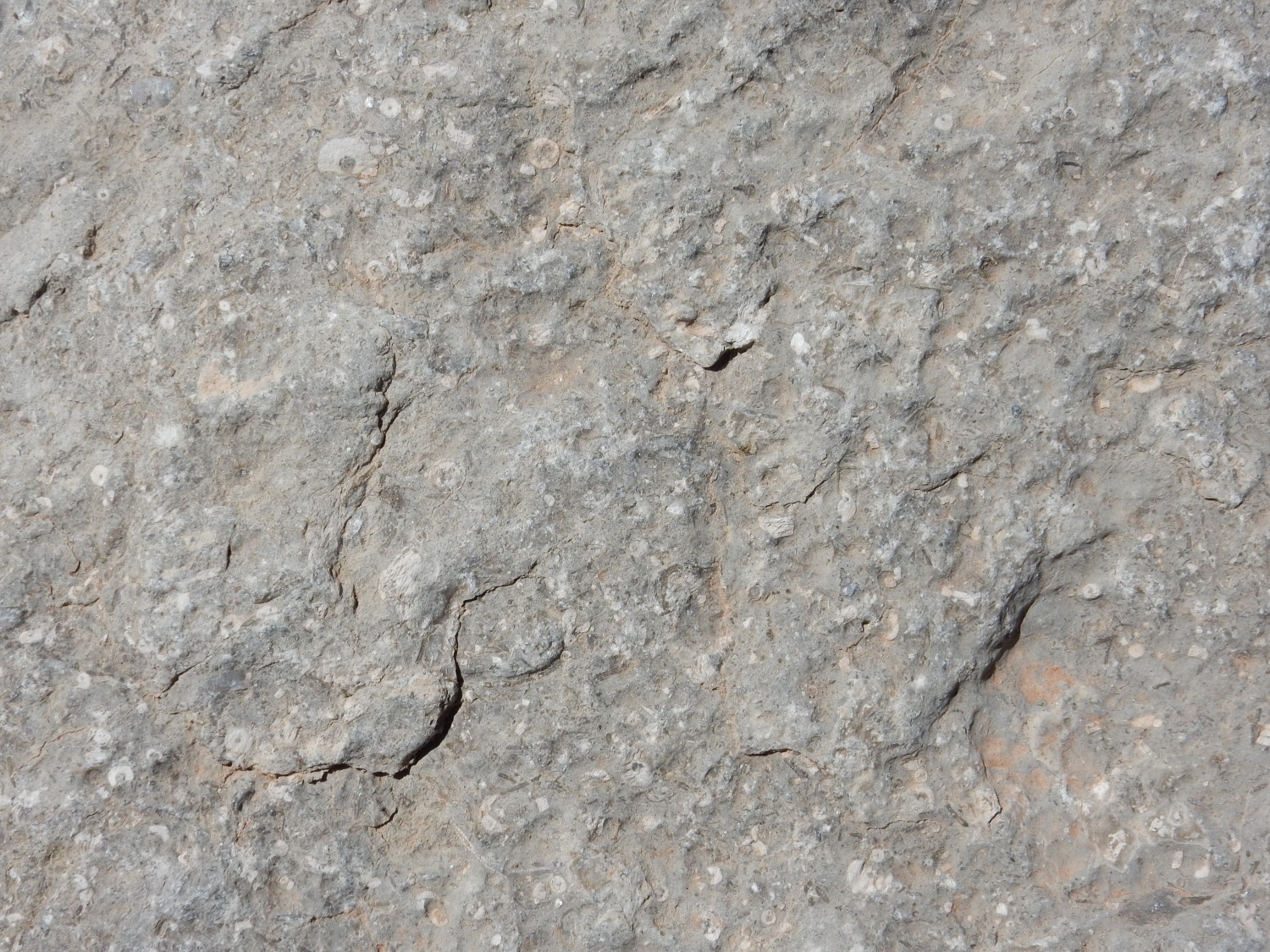
And fusilinids:

Each of the little rice-sized grains is a single fusilinid. A fusilinid is a single giant cell, resembling an amoeba, that secretes a calcite shell. Unlike crinoids, they are age-distinctive, first appearing in the Pennsylvanian and then being wiped out by the great Permian-Triassic extinction event (the “Great Dying”, in which vast numbers of families of living organisms were wiped out.) Even an amateur paleontologist (cough cough) who sees these in a rock bed immediately knows that the rock must be Pennsylvanian or Permian in age.
The pickings are not all that great. And I find myself in an overhang encrusted with rat middens.

Pack rats build nests of debris cemented together with their own urine. But the rock beds here are interesting.
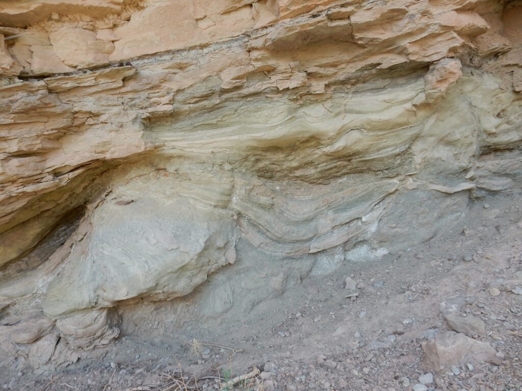
Shale beds interbedded with the limestone. These sometimes preserve fossils exceptionally well. But I see no fossils here, and the sense of foreboding is back. I return to my car.
There is some excellent scenery to the southwest.

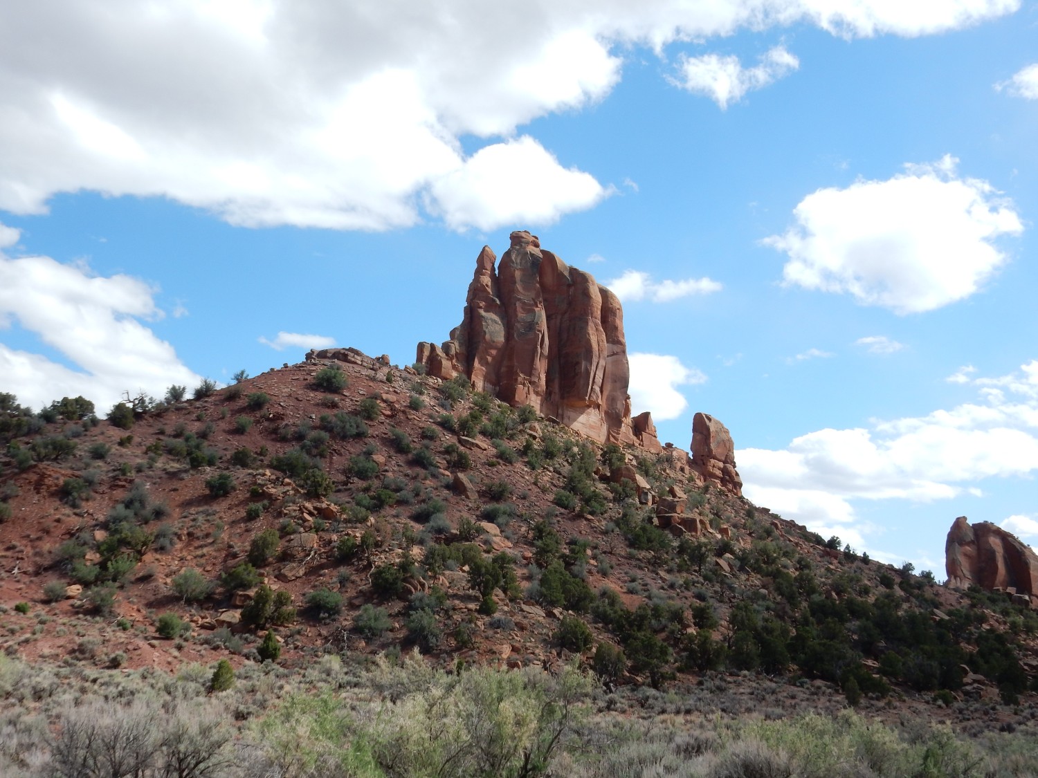
That’s the deep focus doing what it’s supposed to do. The camera seems undamaged. The tower is named Big Indian Rock and is carved out of the Wingate Sandstone, which is resting on less resistant Chinle Formation. We’re going to see a lot of this combination the next few days; it rims much of the canyons of the area. The Wingate Sandstone is earliest Jurassic in age, about 200 million years old, and records the development of a vast sand sea across what is now the Colorado Plateau. Mountains had been thrown up to the west (the Sevier Mountains) and created a rain shadow, and this area was in any case located in the arid belt north of the equator. This made for an exquisitely dry climate.
The road takes me past Big Indian Rock.
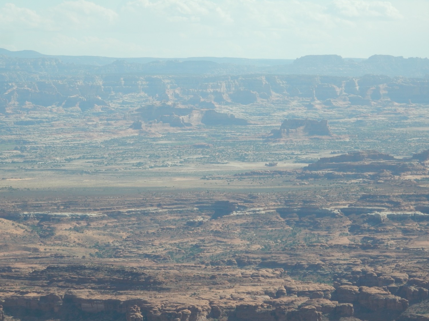
I continue west, then decide to drive to Needles Overlook. Though it’s late in the day for panoramas, the view is spectacular.
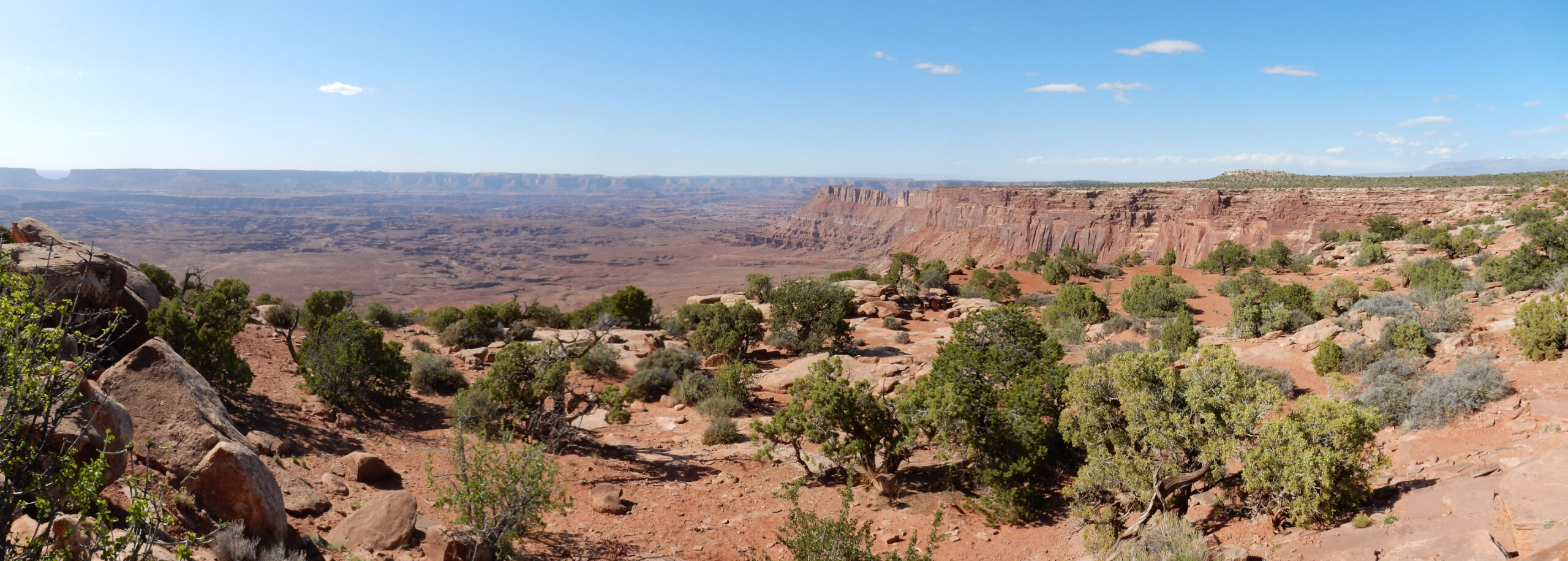
Here we are looking north towards Island in the Sky in the far distance. Junction Butte is at extreme left. The cliffs here are capped with the Wingate Sandstone we just saw at Big Indian Rock.
Now looking south:
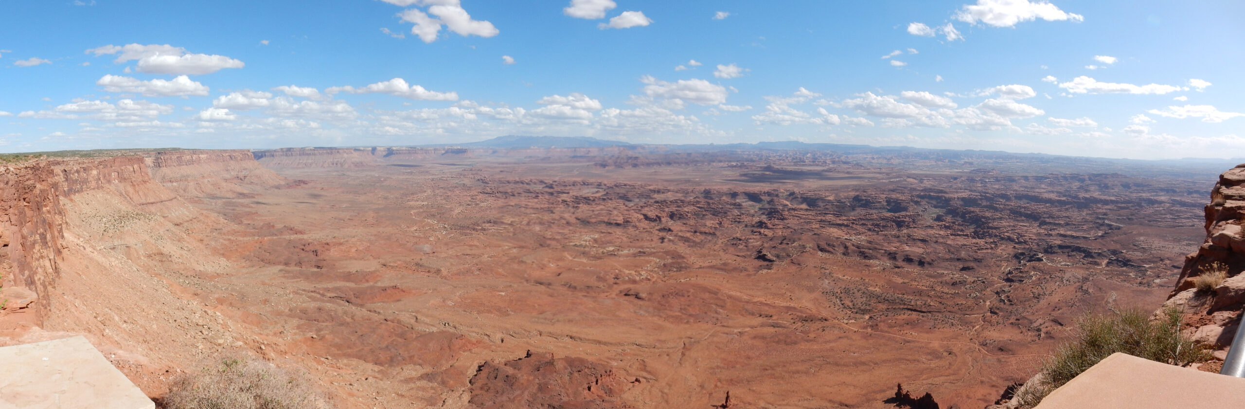
At center is the Abajo Mountains, at whose feet I’ll be camping tonight. At right is the Needles District.
Meh, too distant with the light this low. But I’ll be hiking there tomorrow.
A small whaleback on the way out:

This really looks like Navajo Sandstone. The geologic map confirms it.
From there, I drive to my campground, filling up in Monticello and replenishing my ice. I find my spot at Devils Canyon Campground and pitch tent. I’m hungry and inclined not to cook a dinner, having eaten two meals out of my supplies already, and I’d like to recharge my camera batteries. I head down to Blanding and find a hotel restaurant; no, they won’t let me recharge, and the place looks like a madhouse. (The road and parks will be full of tourists throughout this trip.) Further into town I find Pop’s Burritos. They’ll let me recharge while I eat. It’s a “build your own burrito” kind of place. The food? Look, I’m from the Santa Fe area; no one is going to match our burritos. But I like the atmosphere, which is indeed small town mom and pop.
I return to my campsite for the night, with batteries not quite fully charged (the burrito place was closing down for the night and I really couldn’t stay longer.)