
90th Birthday Wanderlust, Day 1: San Juan Basin
Just to be clear: It is my mother who has turned 90, not me.
Our family had been planning a reunion and party for Mom for her 90th birthday for some time. However, COVID intervened, and it was only after we were all reasonably sure that Mom and most of the adults would be vaccinated by her birthday that we finalized the plans. This meant a bit of a rush getting details worked out. I found that it was already impossible to reserve a campsite anywhere in the Canyonlands area other than my old standby at Devils Canyon south of Monticello. I did score a reservation at Mesa Verde on my first night, and reservations in Arizona for the return leg.
And I offer a small apology: This is primarily a science blog, particularly focused on the science of geology, but blogging about a trip like this will inevitably include a lot of personal blogging. Feel free to skip ahead if that’s not to your tastes.
I settled on a plan for a three-week trip — the longest I’ve ever taken. I would spend about a week on the drive to Orem, stopping frequently to explore geology, and would be joined by my friend, Gary Stradling, for most of it. I would then spend better than a week with Mom, including both the family reunion and party and time with Mom to record some of her stories of her early life. This would not preclude some hiking in central Utah, of course. I would then return via Arizona, where I would again be joined by Gary to look at the geology there.
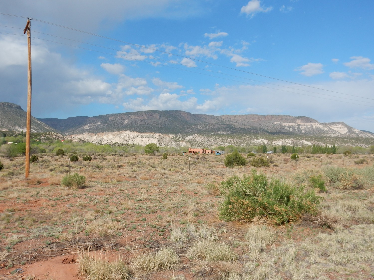
I started out early on a Friday morning, after packing most of my gear the night before in the Wandermobile. I packed the remaining perishables and such and had a good breakfast, then was on the road from my home in White Rock by 8:00. The first part of the trip was familiar ground; I didn’t pause until I reached the Abiquiu area, where the view of the Abiquiu Formation was irresistible even though I had seen it many times before.
For new readers (Welcome!): Almost every image at this site can be clicked for a higher-resolution version. Also, almost all blue links will direct you to the relevant location on Google Maps. This usually means the location from which I took a photograph, as recorded by the GPS feature on my camera.
Abiquiu is located on the north flank of the Jemez Mountains, which is a large volcanic field erupted from around 16 million years ago to just 65,000 years ago. In this image, you are seeing white cliffs of the Abiquiu Formation, viewed towards the southwest from the highway, with a cap of Lobato Formation lava flows. The red soil in the foreground is mostly eroded from the Cutler Group.
Let’s unpack all that. Geologists divide rock beds into units called formations. A formation is a bed or set of beds that has a composition, texture, color, or other physical properties that distinguish it from adjacent rock, and it is extensive enough to be depicted on a geological map of the area. Formations are thought to have been laid down over a relatively limited interval of geologic time in an environment that preserved the rock. Geologists may combine formations into groups or divide them into members based on some physical characteristic or assumed origin, but the formation is the basic unit of stratigraphy, the branch of geology that tries to make sense of the many layers of rock found in the Earth’s crust.
I mentioned two formations and a group that are identifiable in this picture. The red sediments likely eroded from the oldest of these units, the Cutler Group. The Cutler Group in this area consists of the El Cobre Canyon and Arroyo del Agua Formations, which are both composed of reddish sandstone and mudstone dating to the early Permian Period. The Permian covered a time interval from about 299 to 273 million years ago, when most of the land mass of Earth had assembled into the supercontinent of Pangaea, and New Mexico was just north of the equator. The largest forms of life on land were primitive tetrapods, the common ancestors of reptiles, birds, and mammals. Many tetrapod fossils have been found in the Cutler Group in this area.
The Abiquiu Formation is much younger, with an age around 19 to 25 million years. It consists of sandstone and conglomerate (rock composed of pebbles to boulders embedded in a muddy matrix) tinted white by a high content of volcanic ash. The ash came from eruptions in the San Juan and Latir volcanic fields, to the northwest, north, and northeast. These eruptions were part of what geologists call the mid-Tertiary ignimbrite flareup — a wave of violent supervolcano eruptions that swept across western North America from around 40 to 25 million years ago. Most geologists believe that the flareup occurred when the Farallon Plate, an oceanic tectonic plate that had been sliding beneath western North America (subducting) at a shallow angle, began to break up and sink into the Earth’s mantle. This allowed hot mantle rock to creep upwards to take the place of the disintegrating Farallon Plate, and some of this mantle rock melted as it decompressed, forming great quantities of magma (molten rock) that rose to the surface to feed the eruptions.
The final formation in the photograph, the Lobato Formation, is very young in geologic terms, at just 12 to 8 million years old. It consists mostly of basalt, the most common of volcanic rocks, formed from highly fluid lava that erupted from fissures and spread across the surface as extensive flat flows. These cooled to form hard black basalt, and this resistant rock protected the softer Abiquiu Formation beneath from erosion. When the entire region was uplifted over the last few million years, erosion removed the Abiquiu beds except beneath the protective Lobato basalt layer, which now caps mesas like those in the photograph that stand above the surrounding erosion surface.
Continuing further west, I pass a road cut that is just too good not to photograph.
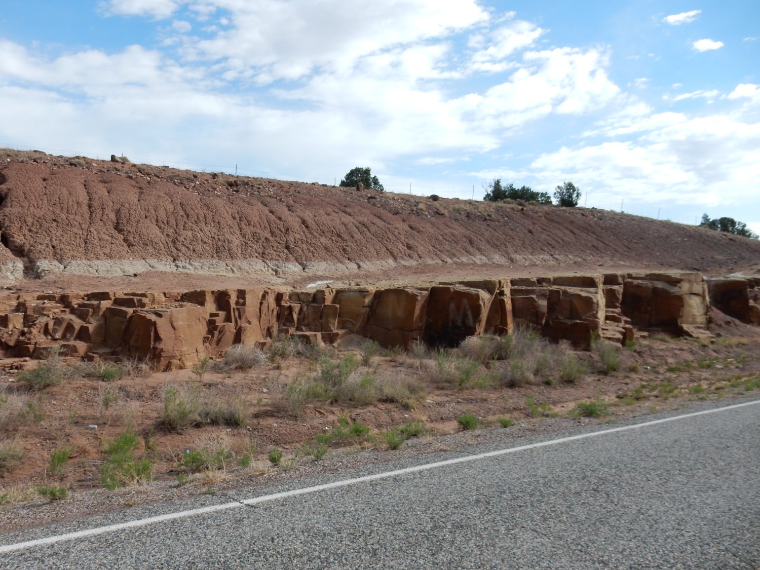
The lower bed of sandstone is the Poleo Formation, while the upper soft beds are part of the Petrified Forest Formation. Both are part of the Chinle Group and are late Triassic in age, 240 to 215 million years old. They record different stages in the development of a mighty river valley, the Chinle River, that reached from the southern Appalachians to the Pacific coast, which then lay in central Nevada.
The Poleo Formation is mostly clean sandstone, indicating a very arid climate in which sand was carried west by the rivers, deposited along the coast, then carried back east by prevailing winds — over and over, until it was thoroughly sorted and winnowed to pure quartz grains, well-rounded and nearly identical in size. The Poleo Formation is quite local in extent, restricted mostly to the northern Jemez and southern Chama Basin, but it is locally quite thick and impressive. Here conditions allowed a great mass of the clean sand to accumulate and eventually be buried and cemented into a hard sandstone.
The Petrified Forest Formation is a result of violent volcanic activity to the west and southwest. Ash from the eruptions choked the Chinle River and spread a great sheet of mud across its floodplain. The climate was exquisitely hot and mostly dry, and the iron in the ash was oxidized to red iron oxides that give the formation its color.
View of Loma Coyote:
The lower red beds of the mesa are Cutler Group beds. The white layers above are part of the Shinarump Formation, which is the lowest formation of the Chinle Group through most of its extent. This is considerable; the Chinle Group reaches from central Utah to northern Arizona and into our part of New Mexico, and the Shinarump Formation is almost as extensive. There was a period of erosion after the Cutler Group was deposited, of several million years (a disconformity), and when sediments were again deposited, they became the coarse conglomerate and sandstone of the Shinarump. Locally, a layer of mudstone (brown in the photograph, and near the top of the mesa) was deposited over the Shinarump, which is the Salitral Formation. Unlike the Shinarump, this is a local formation, found almost nowhere outside the northern Jemez and southern Chama Basin. Above it is a cap of white Poleo Formation, similar enough to the Shinarump that it is all but indistinguishable where Salitral beds are not found between the two. Finally, there is a small plug of Bandelier Tuff atop the mesa, which is the northern point of a much more extensive body of tuff extending south along the mesa.
The Bandelier Tuff is very young, at just 1.85 to 1.26 million years old. It is composed of ash deposited by repeated caldera eruptions in the Jemez Mountains, in which a huge underground magma chamber full of silica-rich magma erupted as red-hot ash and gases. These flowed across the surface for miles as pyroclastic flows. This mixture of ash and gas was heavy enough to hug the surface, and it cooled to form a distinctive kind of volcanic rock called tuff. Bandelier Tuff is the distinctive rock of the Los Alamos area, and you’ll see it in many of my other posts.
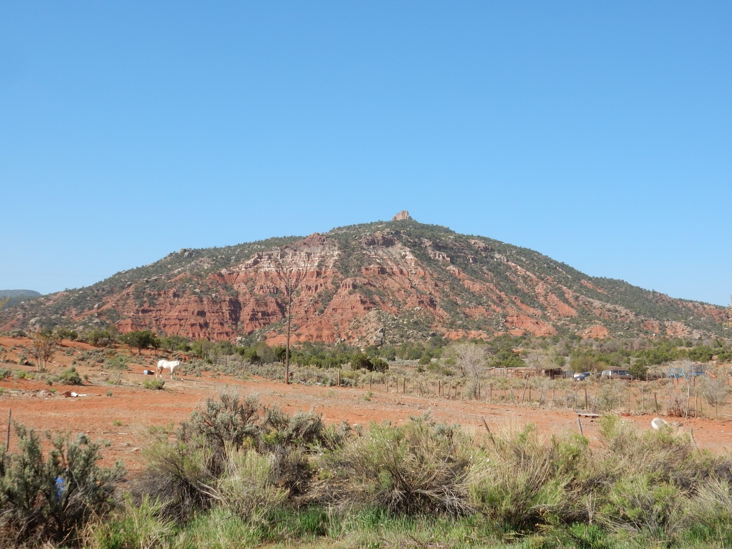
A view of Mesa Montosa.

This is the same sequence of beds. The lower red beds are Cutler Group. Above are white beds of the Shinarump Formation, then brown beds of the Salitral Formation, then a tan cap of Poleo Formation.
Here we see a new set of formations, exposed by a great upwarp in the Earth’s crust. The lowermost pink to white beds are the Entrada Formation, a Jurassic formation some 164 to 174 million years old. This is mostly sandstone, deposited in the great deserts that covered western North America in the Jurassic. Atop this is a thin gray layer of Todilto Formation, another Jurassic formation deposited by a short-lived arm of the sea that experienced very high rates of evaporation. The formation consists mostly of limestone and gypsum.
Above this, and partially forested, is a slope of Beclabito Formation, which may be correlated (formed at about the same time) with the Summerville Formation of Utah. Older geologic maps map it as Summerville Formation, but it is not clear that the beds here are identical in age with the Summerville beds in Utah, and there are small but significant differences in the makeup of the beds.
Then comes the famous Morrison Formation, here consisting of lower sandstone beds (the Salt Wash Member) and upper mudstone beds (the Brushy Basin Member). The Morrison Formation was laid down from 147 to 156 million years ago in a vast basin west of the young Sevier Mountains, which were pushed up in eastern Nevada by tectonic forces associated with the Nevadan Orogeny. (An orogeny is a mountain-building event.) The Morrison is one of the most famous of American rock formations and has produced numerous dinosaur fossils. We’ll see much more of it on this trip.
Finally, the mesa is capped with Cretaceous formations. These are the Burro Canyon Formation and the Dakota Formation, which we’ll also see more of on this trip, which here are partially forested. These formations are somewhere between 120 and 94 million years old.
Oddly, I was having some trouble enjoying my drive. Perhaps it was just taking me some time to decompress after a long year of working under COVID restrictions. But I had a sense of foreboding that I had a hard time shaking off — fear that the Wandermobile would suffer a breakdown (not entirely irrational; it has over 200,000 miles on it, though it’s been an extremely reliable and enjoyable vehicle to drive) or that something would go wrong with my new camera (again, not entirely irrational; this is the second Coolpix I’ve owned — the first destroyed itself when I turned it on one day and I could never get it properly repaired). I don’t think I started to really enjoy the trip until the second or third day.
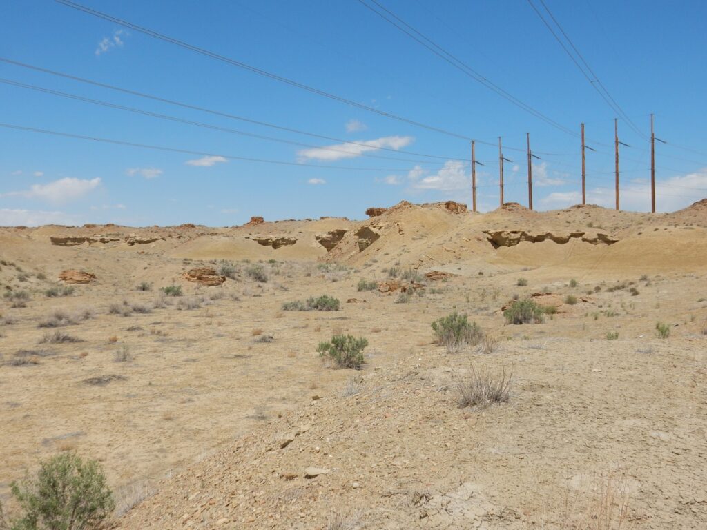
Regardless. From here I got on the main highway from Cuba to Farmington and had a long drive over the familiar ground of the San Juan Basin. I’ve been this way many times before and did not linger.
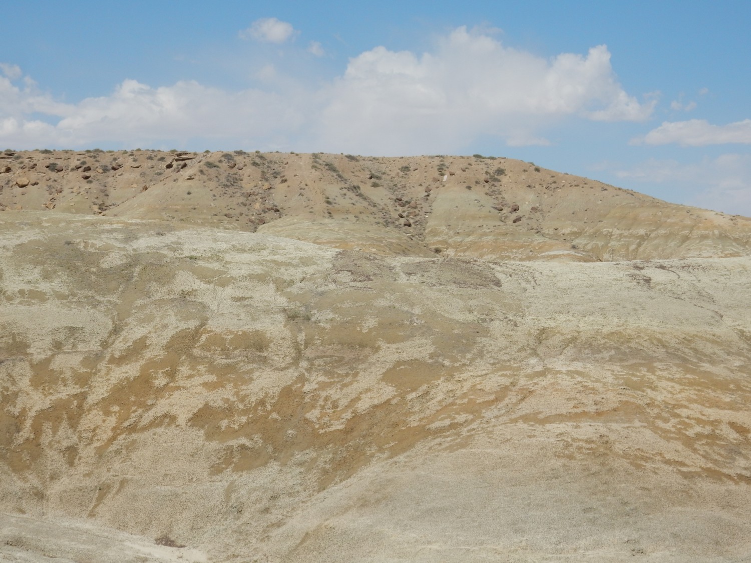
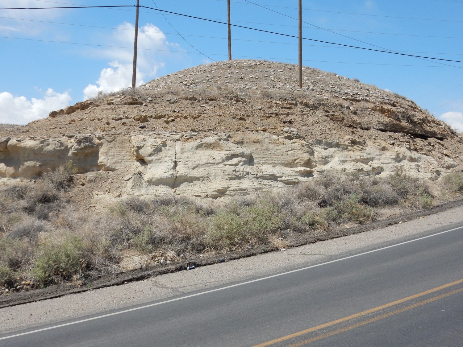
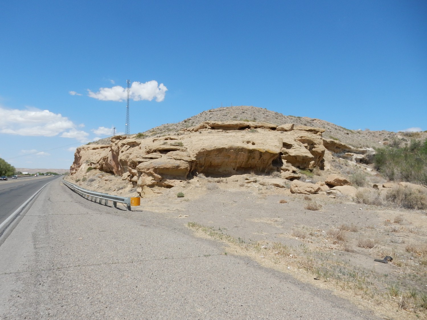
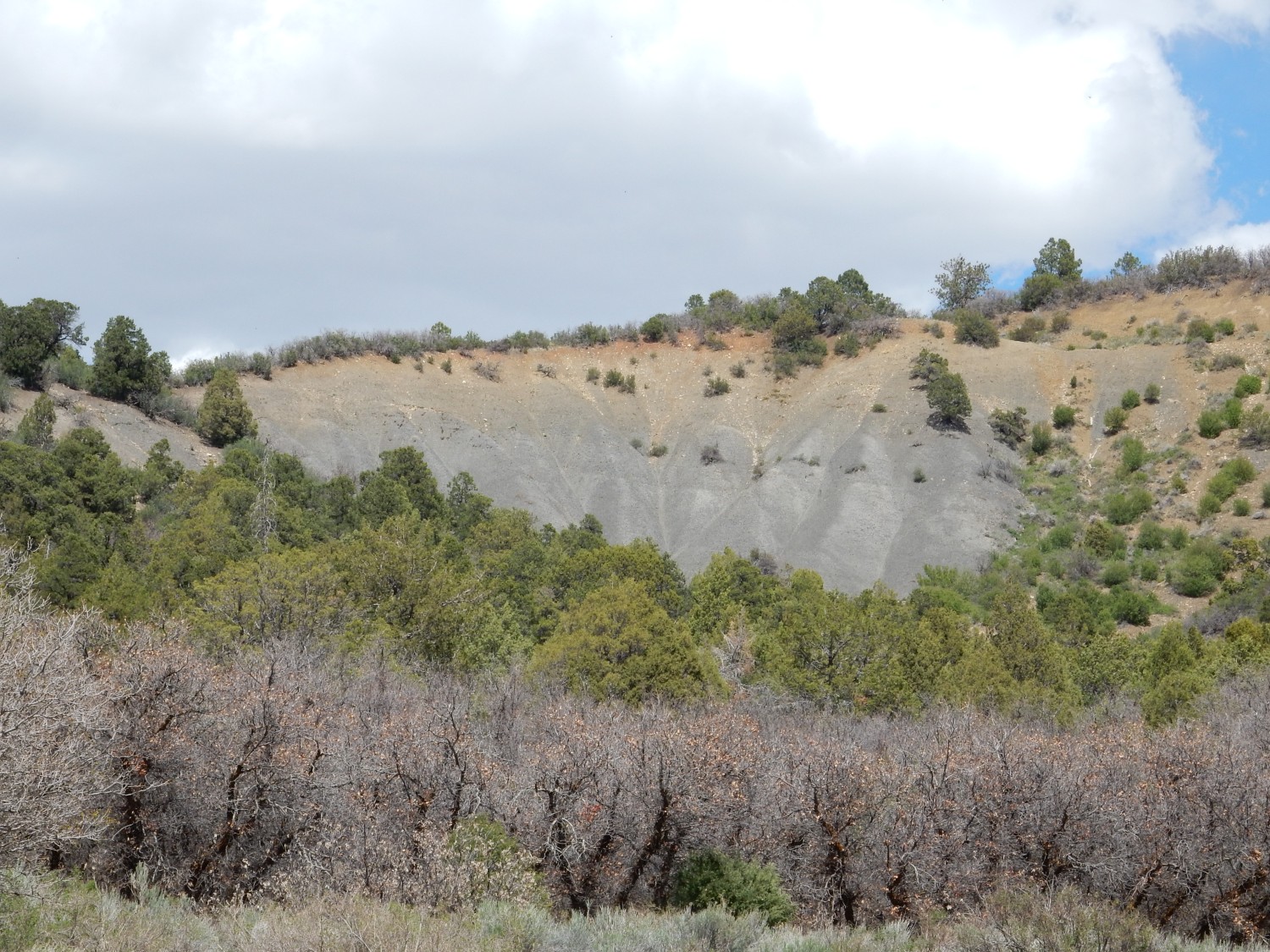
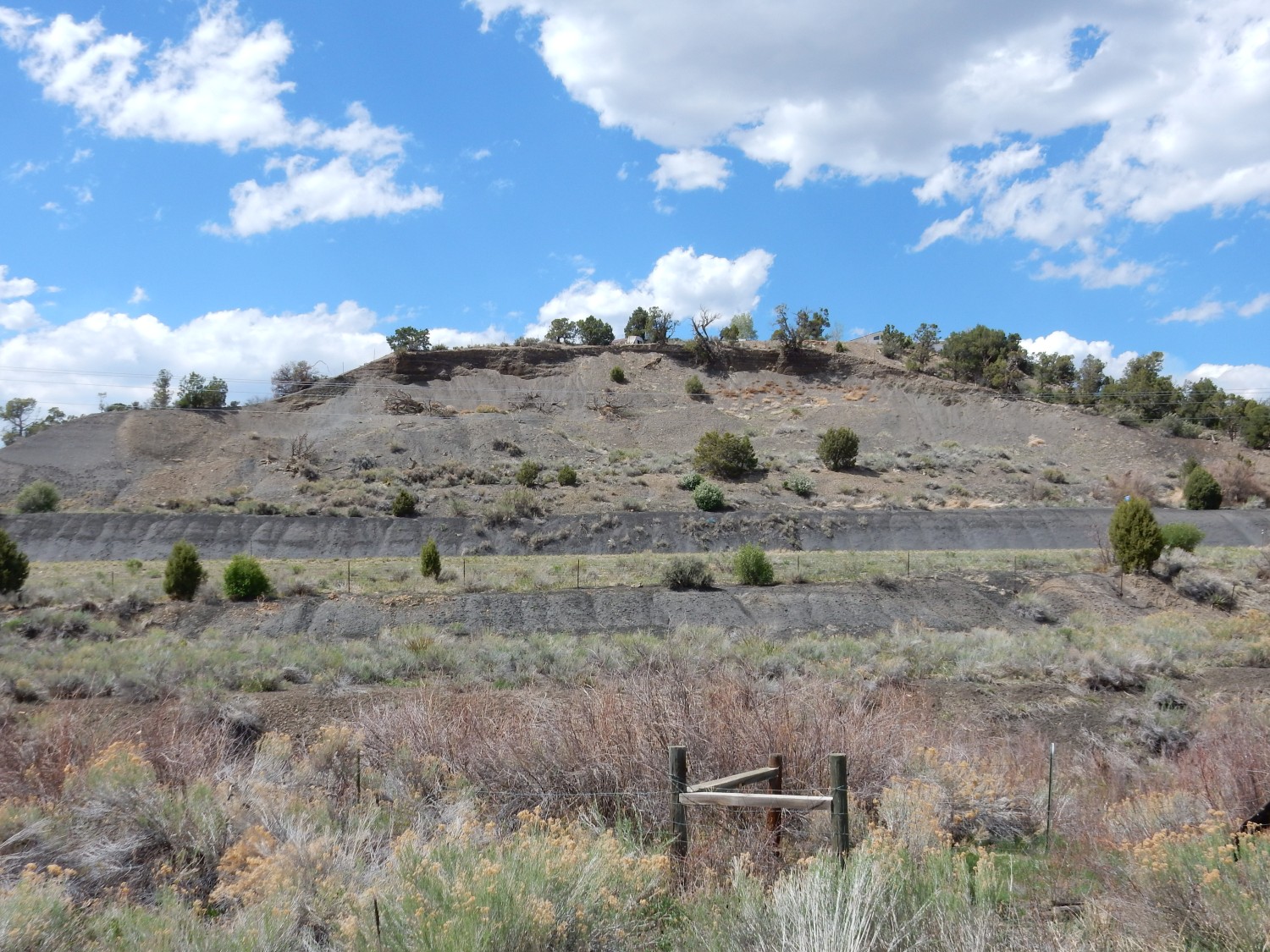
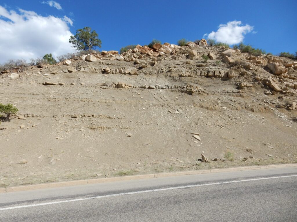
Just before reaching Bloomington, I turned off the main highway and headed west. I was looking for the type location for the Kirtland Formation, which I meant to photograph for Wikipedia.
When a geologist names a new formation, he is nowadays expected to designate a type section, which is an exposure of the formation that other geologists can examine, verify, and then trace to other locations. If the whole formation is nowhere exposed in one place, the geologist may designate additional reference sections to cover the entire thickness of the formation, or (as a last resort) he may designated a type location, which is a general area in which the formation is exposed. In the early days of modern geology, pioneering geologists tended towards type locations that were often very broadly defined, and later geologists sometimes designated reference sections within the type location. But a formation is supposed to be forever tied to its type section or type location (its stratotype) and must never be redefined to exclude its original stratotype. It’s rather like a type specimen of a plant or animal species.
The Kirtland Formation was first defined early in the 20th century and a type location was designated in the cliffs south of the Kirtland post office. This is where I am headed. The road climbs the cliffs here and there are extensive exposures of the formation.
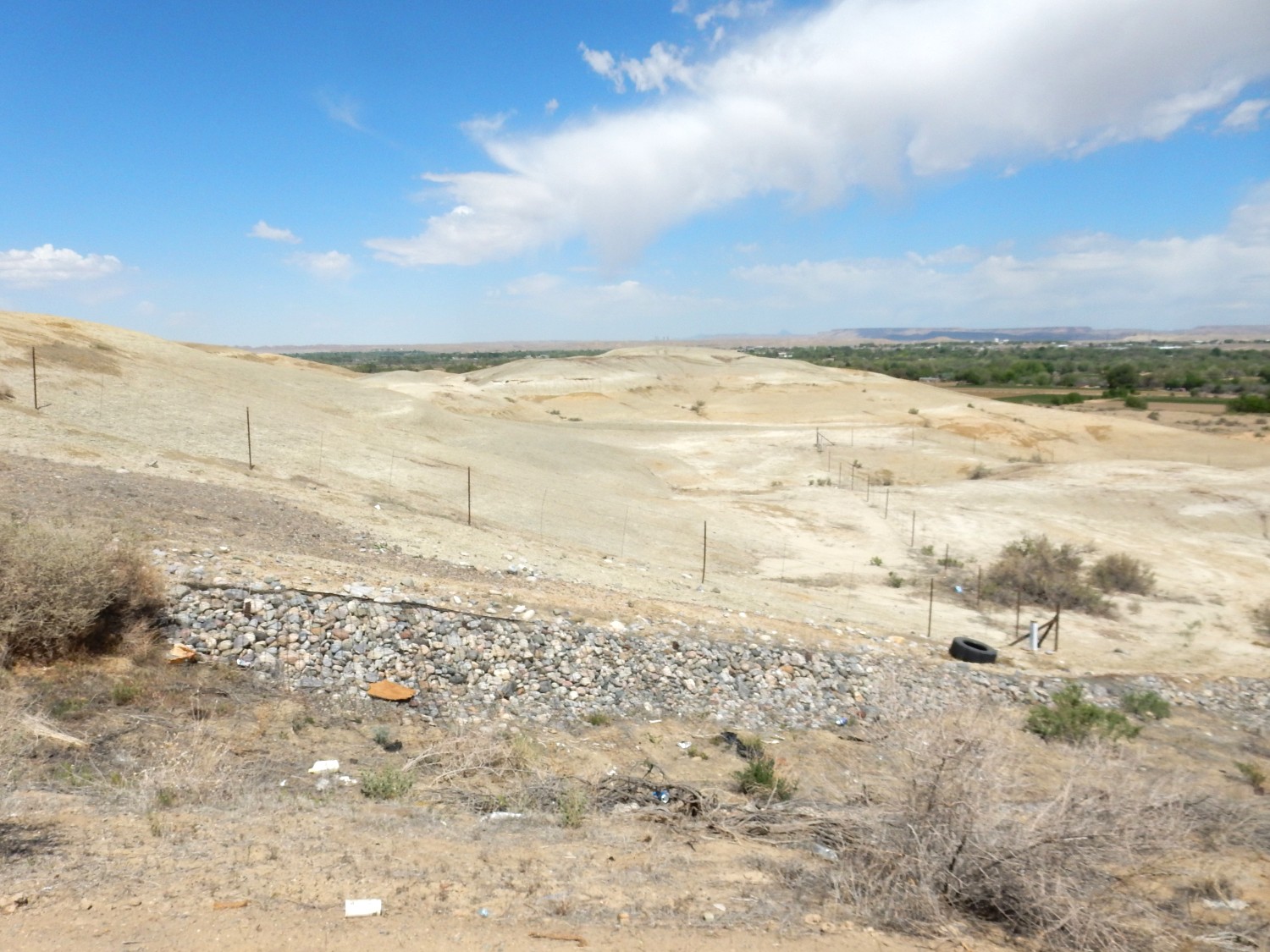

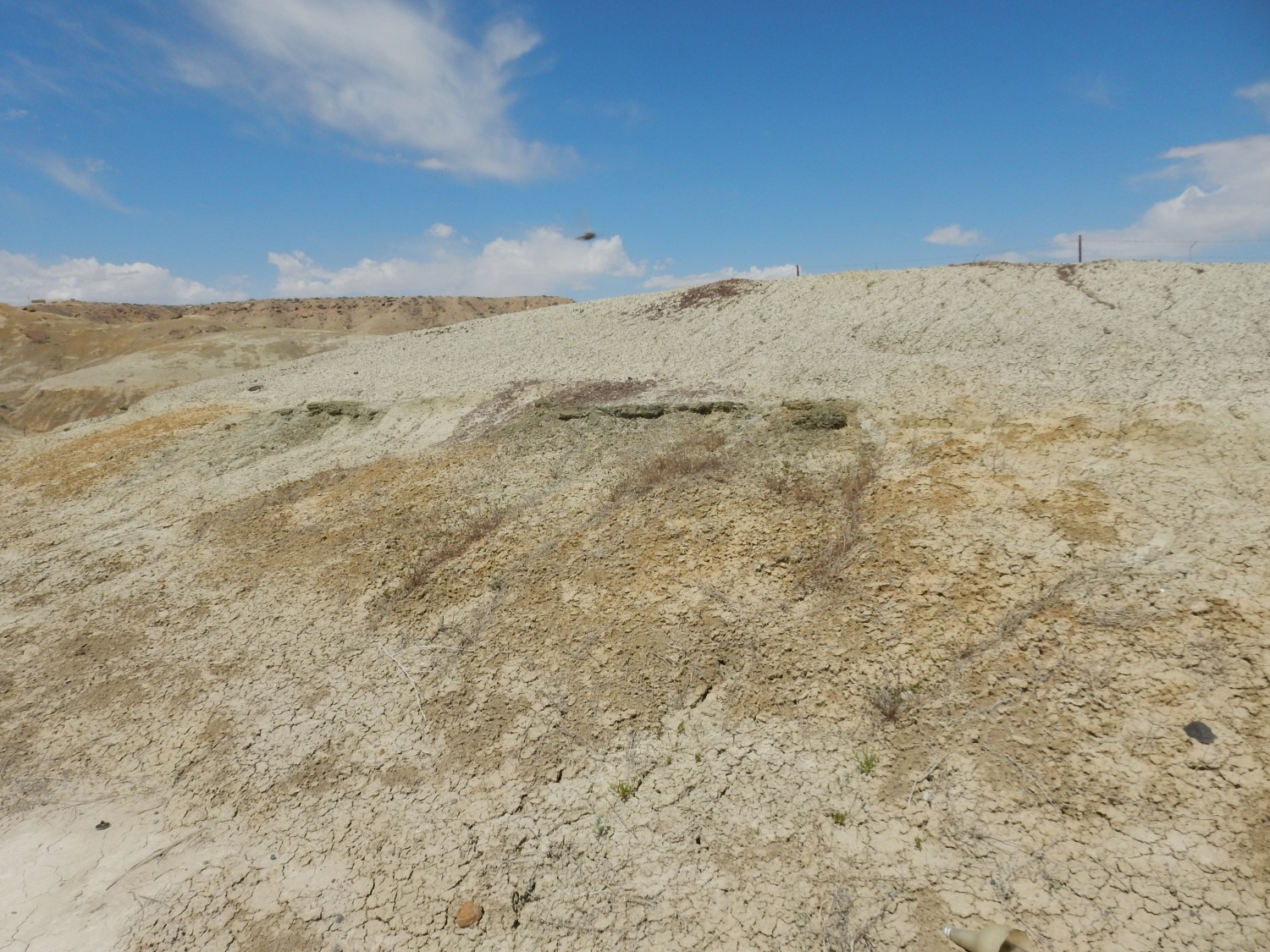
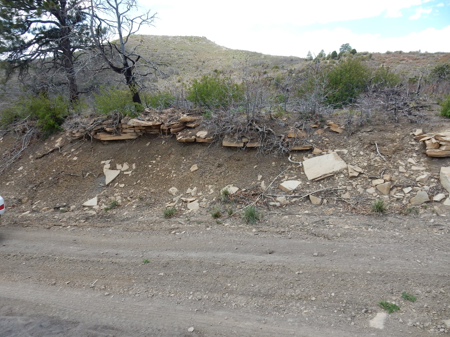
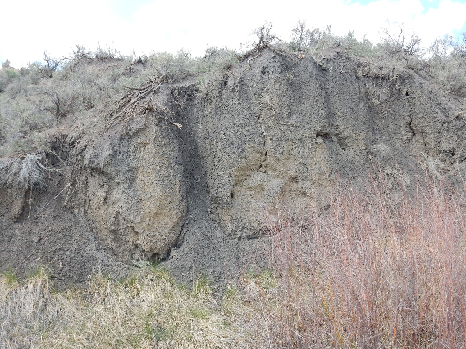
The previous image shows a road cut with “popcorn” texture. This is caused by the presence of swelling clays, which are clay minerals that easily absorb large quantities of water. The swelling and shrinkage as the clays are moistened by rain and then dry produce the distinctive texture. Such clays indicate the presence of volcanic ash in the formation.
And, no, that’s not a UFO. It’s a fast-moving helicopter caught in the frame.
This is a good candidate for Wikipedia.
Or possibly this one.
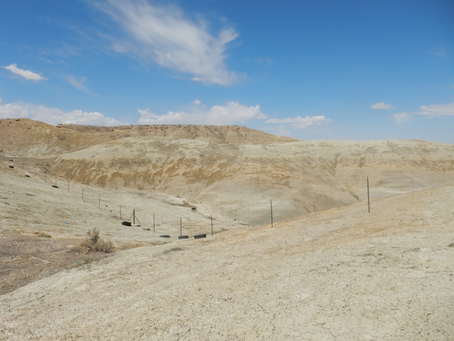
The first, I think. It has excellent definition and does not have distracting fencing (and discarded tires).
The Kirtland Formation is mostly mudstone (it was originally called the Kirtland Shale) and it is late Cretaceous in age, around 74 million years old. It has yielded a large quantity of vertebrate fossils over the years.
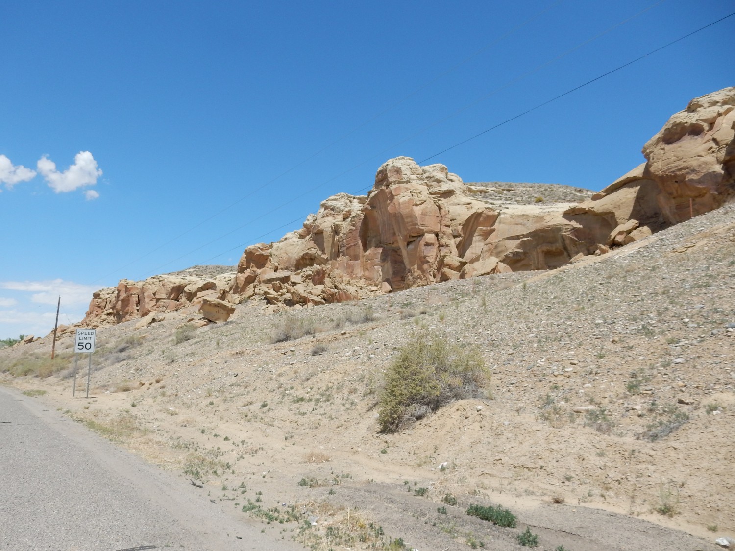
Next is the type location for the Pictured Cliffs Formation. This is a mostly sandstone formation. I follow the road, take a couple of turns, and the road descends through the formation.
It’s a road cut exposure, but not especially good. I take a gravel road along the cliffs and get some better shots.
The second one, I think. The first has too much foreground clutter and the last is too shadowed. The second is not ideal, but shows a section in sunlight and that it is resting on the Lewis Shale. What should have been the best shot came out unfocused — I think I may have had the camera on the soft focus setting by mistake.
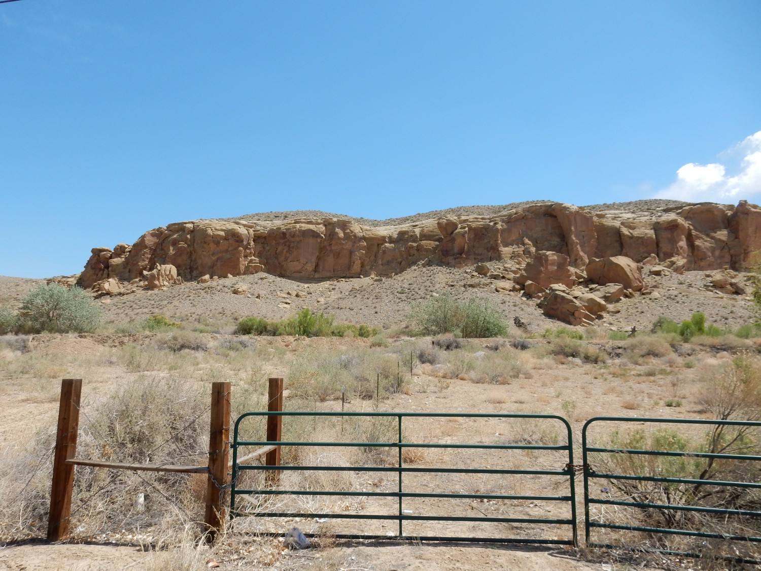
Then across the San Juan River to see the Fruitland Formation at its type location.

None of these quite does it. The Fruitland Formation is variable in composition, consisting of sandstone, mudstone, and coal beds, including coal extensive enough to economically mine. This was the foundation of the Four Corners power plant, which is just north of here. All we see here is sandstone not much different from the underlying Pictured Cliffs Formation, and in fact I’m not 100% sure this isn’t Pictured Cliffs. I work north along the road to the power plant for a better view.
This, perhaps.
The right half, I think.
To the northwest are sandstone and mudstone beds. Fruitland?
The geologic map says this is all Pictured Cliffs Formation.
You may be wondering about looking at a geologic map to confirm that an outcrop is the formation I think it is. Geologists who map an area have the opportunity to spend days or weeks tracing beds and carefully examining the characteristics of the rocks, in order to sort out different formations. I don’t have that luxury and have to rely on the maps to be sure.
From here I head east towards Farmington, refueling along the way. I still have the weird sense of looming disaster that has plagued me all day, but all has gone well so far and I am starting to feel more like I’m on vacation. Anyway, who hasn’t experienced a vacation disaster? It’s part of the experience.
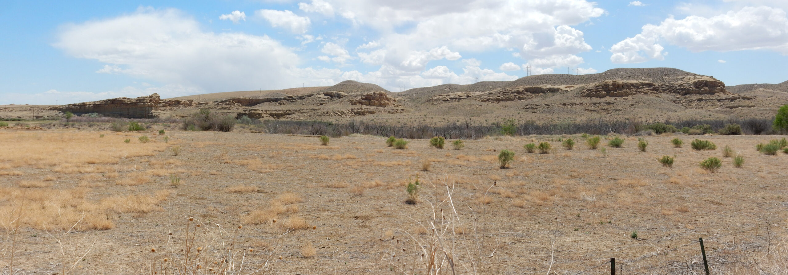
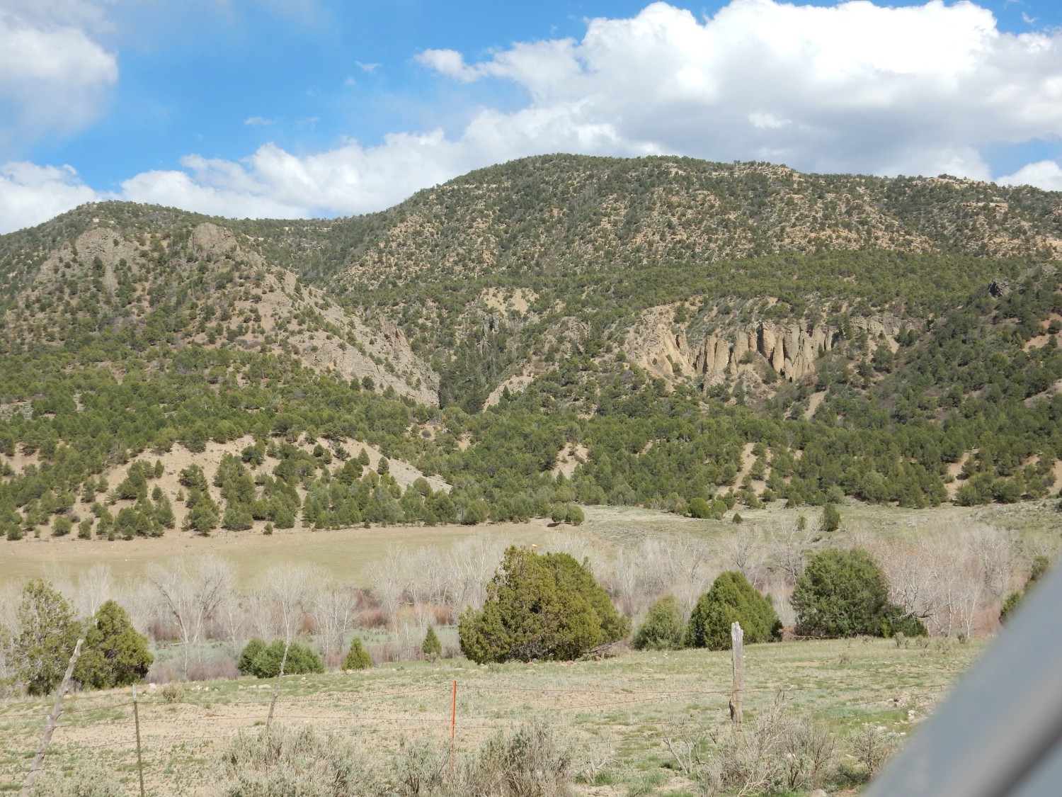
I turn north into the La Plata valley and head towards Colorado. To the east are outcrops too good not to photograph, though I’m not sure of their identity.
It turns out that the lower mudstone beds that look a lot like Kirtland Formation are … Kirtland Formation. The sandstone cliffs capping the mudstone slopes are Ojo Alamo Formation, which somewhat controversially straddles the Cretaceous-Tertiary boundary at 65 Mya. The actual boundary is not found in the formation, which contains several pauses in deposition. One of these pauses is where the asteroid impact in the Yucatan Peninsula finished off all the non-avian dinosaur families.
The controversy is over dinosaur bones found just above the estimated position of the boundary. These are thought to be reworked fossils, eroded out of the older beds and redeposited in younger beds, based on several lines of evidence. There are a few holdouts in the geology community who insist these are post-asteroid dinosaurs, the last lingering survivors of the catastrophe, which they suggest did not kill the non-avian dinosaurs all at once.
More exposures of these pair of formations.
Just past the Colorado border, I come to the type location for the Lewis Shale.

More or less, anyway. The Lewis Shale was named a long time ago, when geologists were less rigorous about designating type locations. Its original description described it simply as a shale found in outcrops in the La Plata Valley in the vicinity of Fort Lewis. That’s pretty vague, particularly as there are not actually any outcrops in the immediate vicinity of the old fort. But this road cut is in the Lewis Shale, it’s in the La Plata valley, and the old fort is located perhaps sixteen miles north. It will have to do.
It turns out that a different geologist later defined a precise reference section for the Lewis Shale … in Wyoming. That seems unsporting, though it is not actually against the rules.
I get stuck behind a very slow vehicle belching diesel fumes whose driver appears to be in the business of sharpening knives. I finally break loose and pull over for a quick lunch out of my supplies; there have been no fast food places since Farmington. Then through Hesperus, past which I see another very pretty outcrop of shale on the slope to the west.
This is the Mancos Shale, another very famous and extensive formation. This was deposited across the Western Interior Seaway in the late Cretaceous, from 110 to 80 million years ago. That’s a considerable interval of time, and the Mancos is a very thick and complex formation with many members. In some areas, it is raised to group rank and its members to formations.
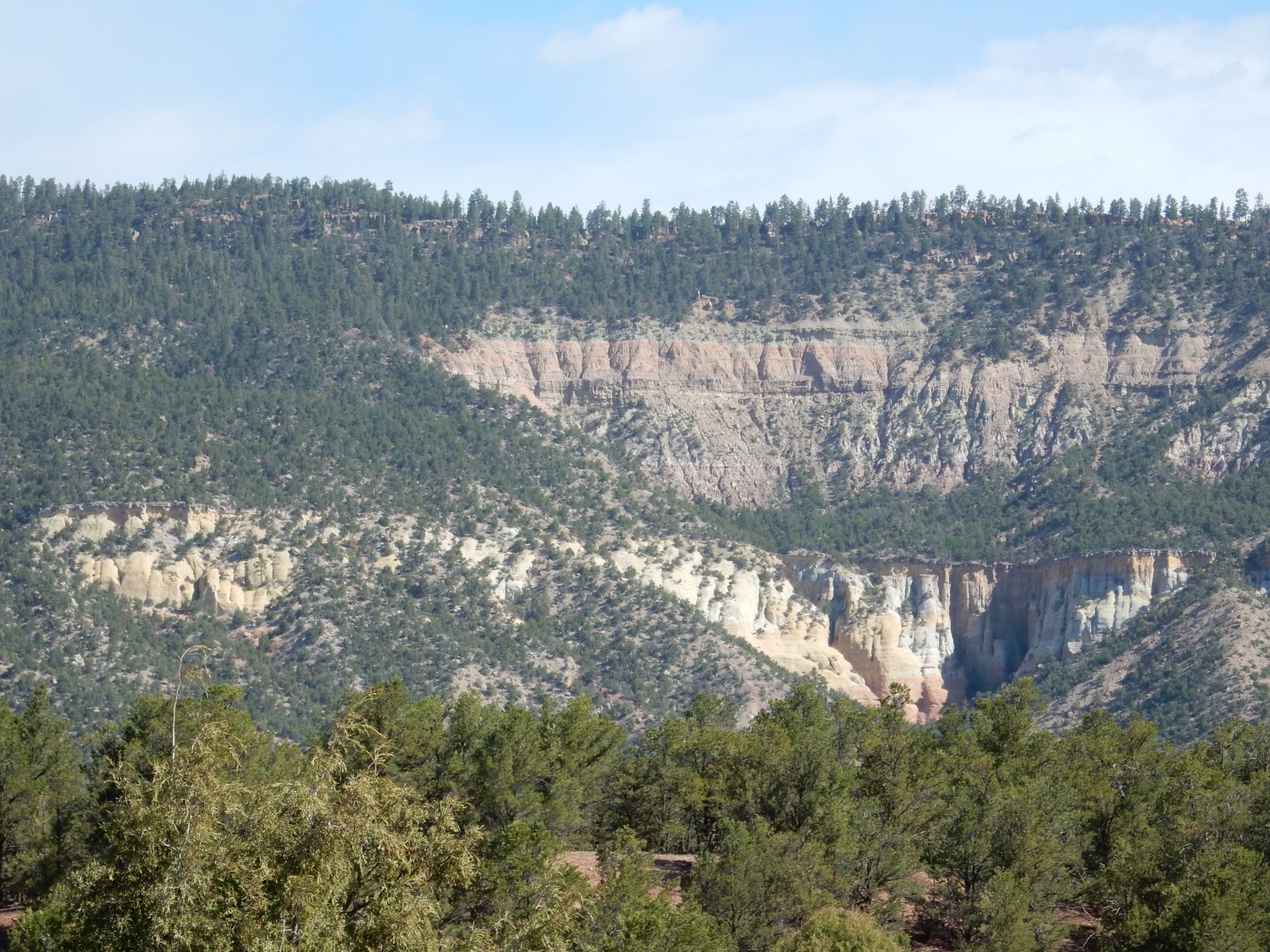
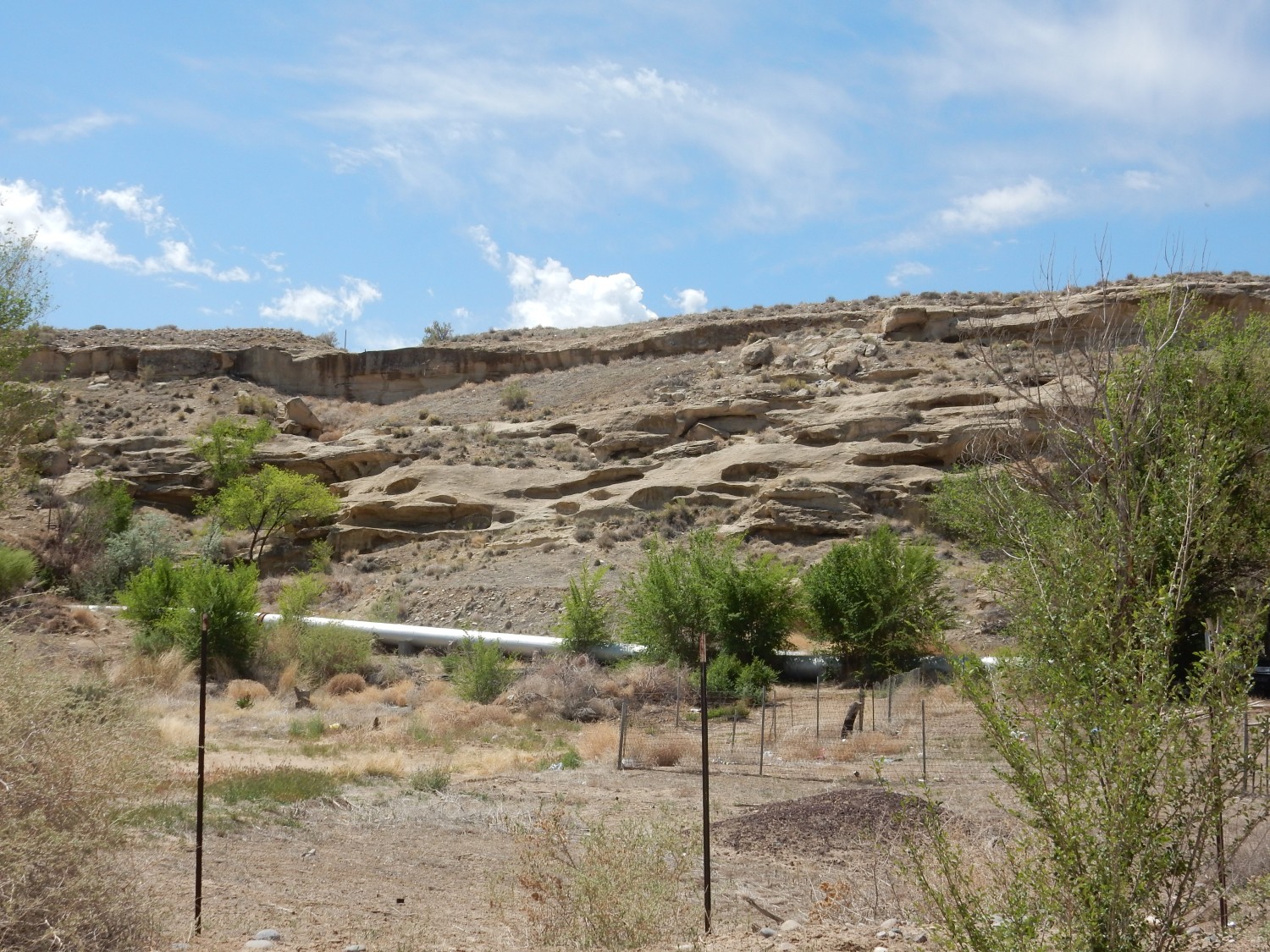
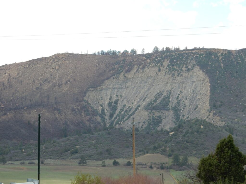
Beyond is Menefee Mountain, type location for the Menefee Formation. The formation caps the mountain, and one must drive up poor gravel roads to see the outcrops. That sense of foreboding is still clinging to me, but I decide to give it a try. Soon I see massive sandstone beds of the Point Lookout Formation.
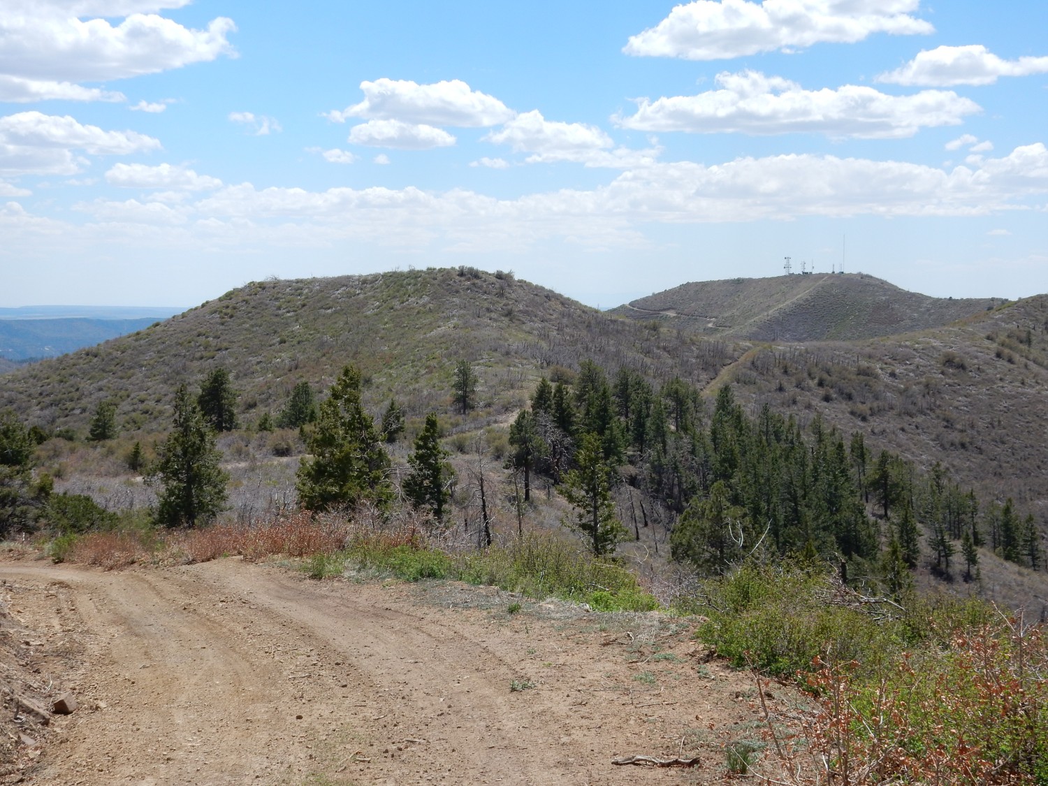
The Menefee beds are located above. I reach a junction where one road takes me north to a local summit, or south to the actual summit of Menefee Mountain. The latter is steep and rocky, and I decide not to chance it. I take the north road instead, which is bad enough. There are radio towers and a nice view to the northwest.
I hit a particularly rocky, steep part of the road, and decide I can walk the rest of the way. To the south is the actual peak, with its own cluster of towers.
Although it looks like I am definitely at the level of the Menefee, outcrops are few and poor. This is the best I can do.
I consider, but I have a strong sense I’ve already pushed my luck, and I decide not to try for the actual summit for a better outcrop. There are magnificent outcrops at Mesa Verde and, like the Lewis Shale, the Menefee was originally defined rather vaguely as cropping out in the vicinity of Mount Menefee.
I meet a truck going the other way on the very narrow road up the mountain. It is a very tight squeeze getting by, but I am soon safe at the main highway, and sighing with relief.
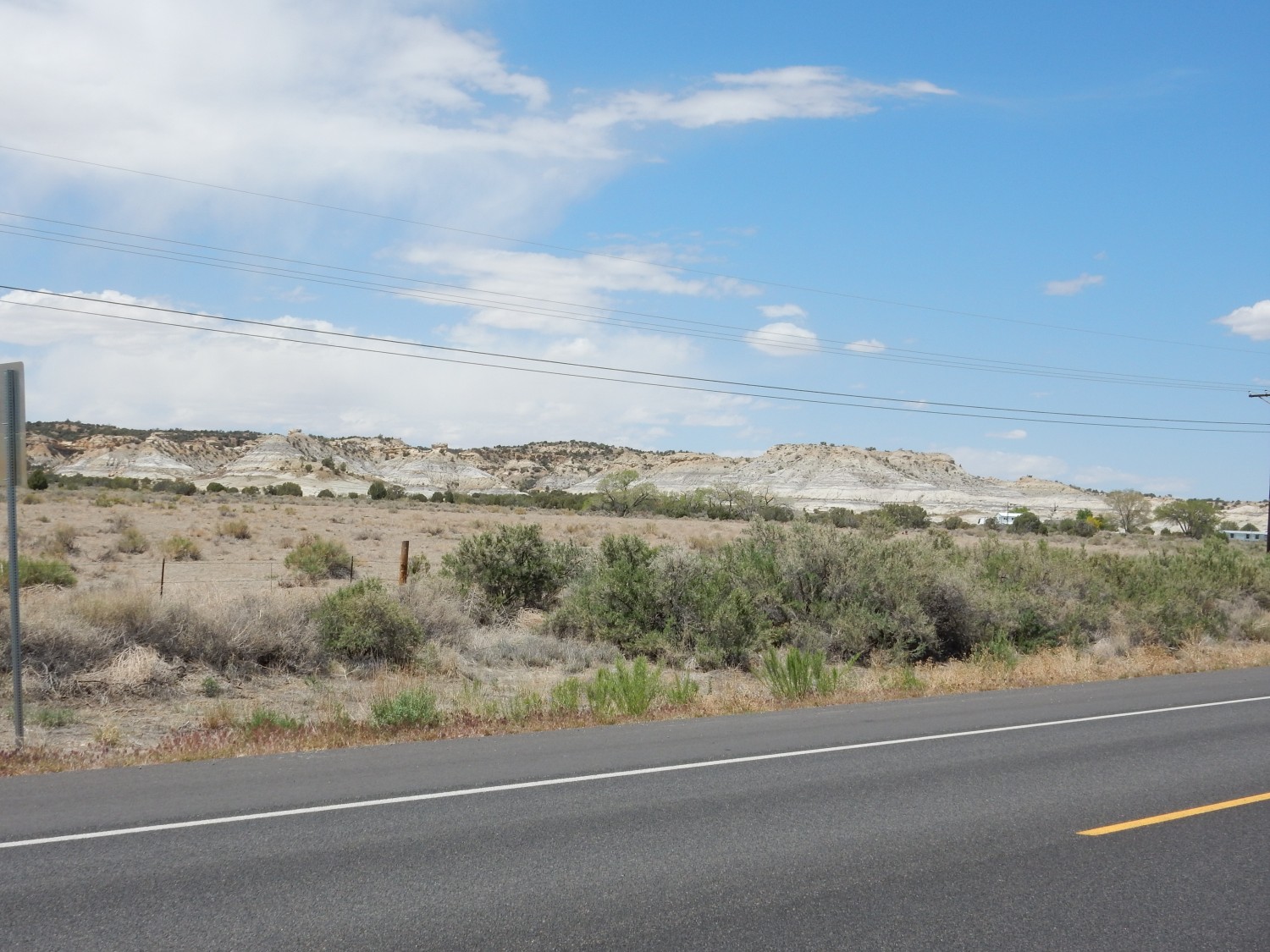
From there, it’s in to Mancos, where I want a photo of the Mancos Shale at its type location (again, described vaguely as “north of the town of Mancos.”)
There is a gorgeous exposure some distance east of town.
I reach the town itself and photograph some exposures to the north.
The second, I think. There are better exposures elsewhere but this is precisely in the type location.
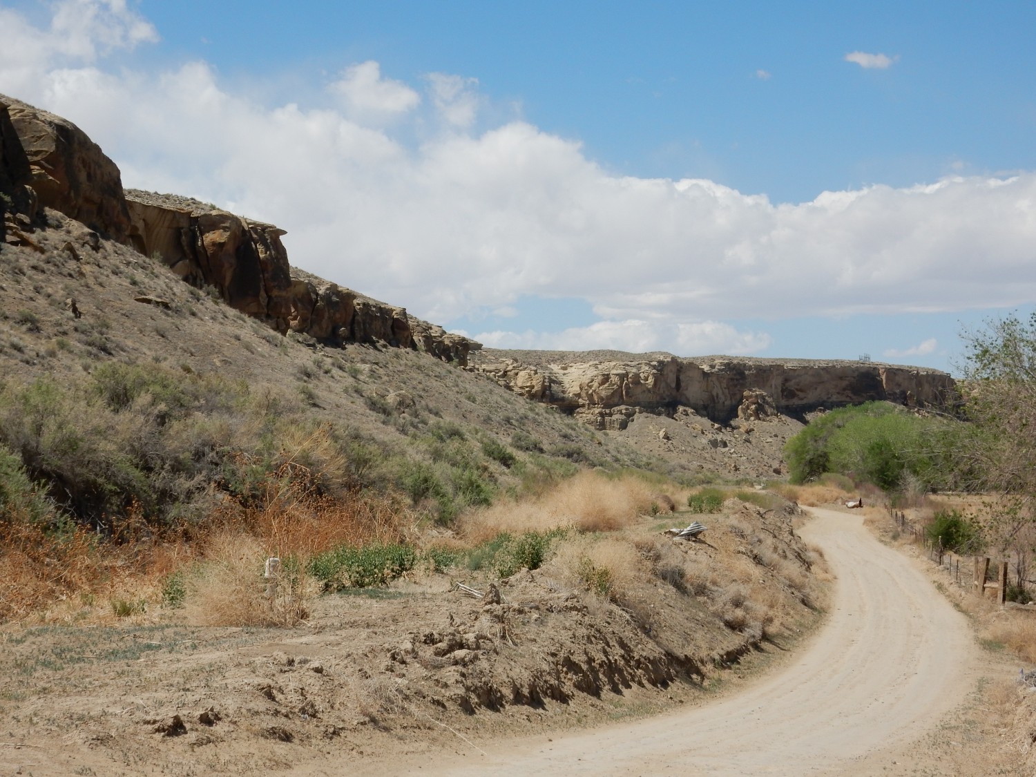
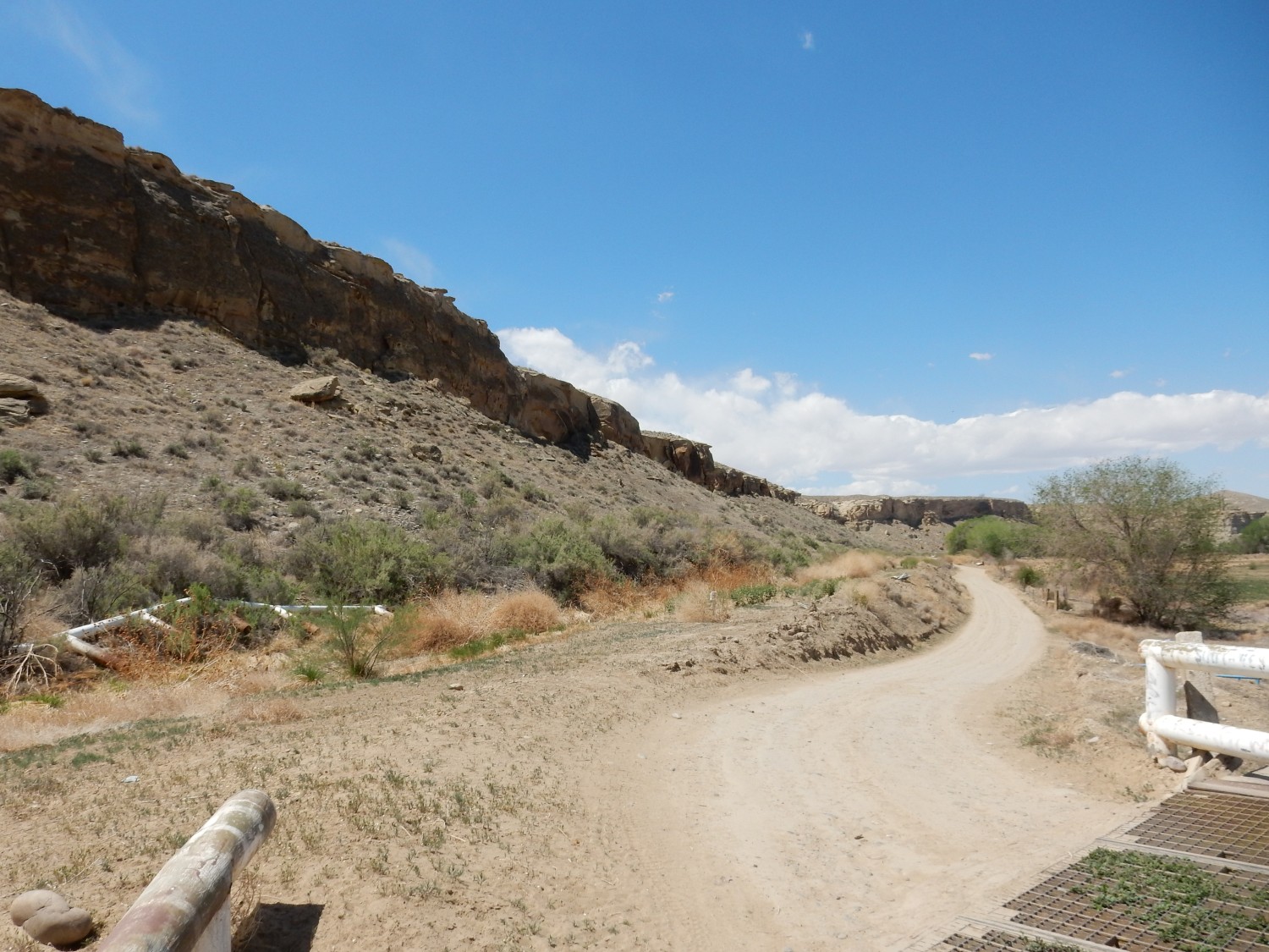
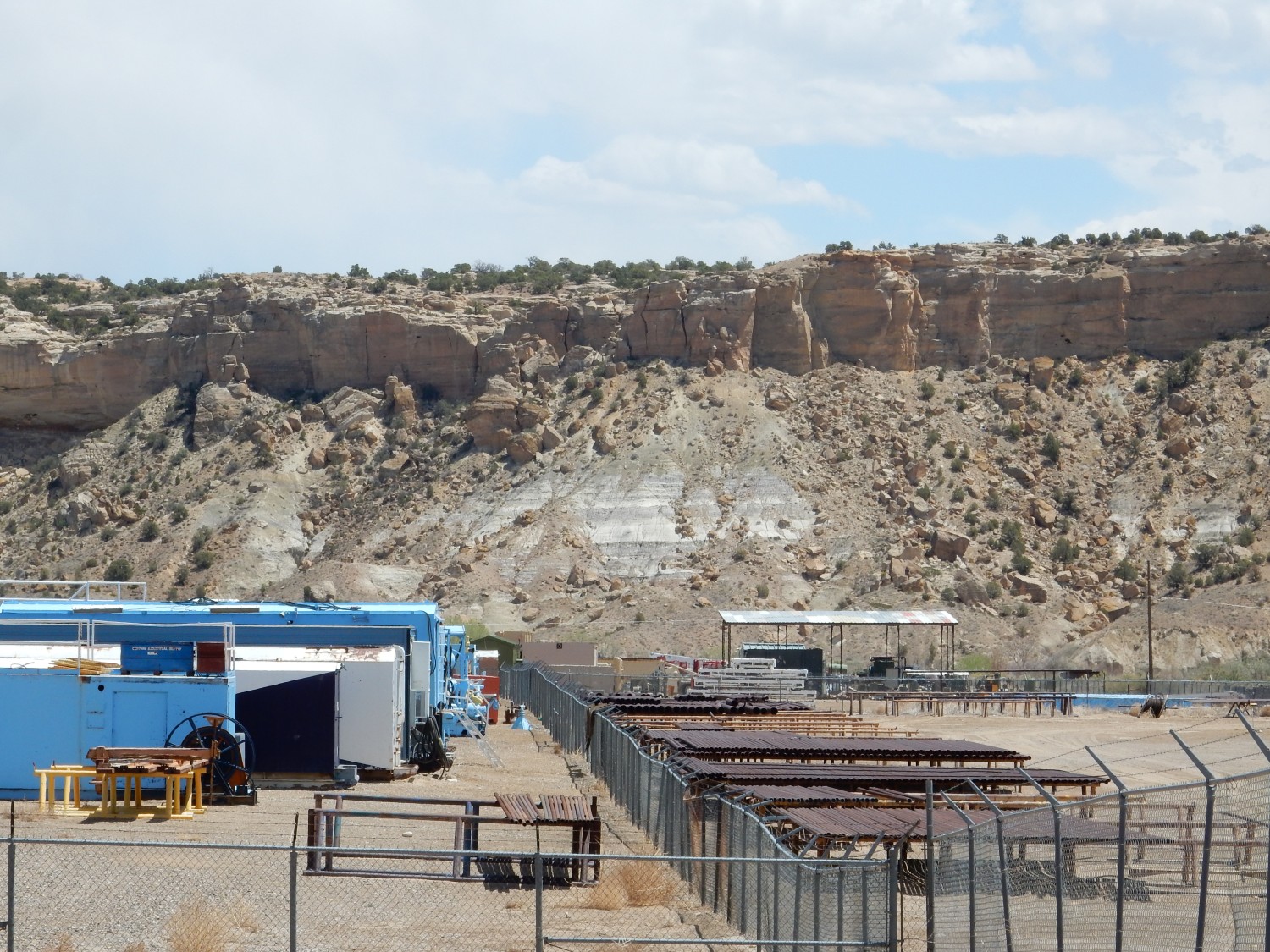
I turn off the main highway at Mancos Valley, where there is a good gravel road south to a plug of a rare type of volcanic rock called minette. The plug is on National Forest land so I hope to collect a sample. Alas, the road south reaches a fence and a sign: “Private Road – No Trespassing”. I continue on for a short distance, hoping it reaches public land, but there is a second sign: “Yup, still a private road”. (Really. I am not making this up.) Okay, I can take a hint. I settle for a photograph from afar.
The plug is the dark rock at left. At far right is a dike of the same rock radiating from the plug.
I’m not being morally scrupulous to the point of silliness. It’s clear now that the pullout where I intended to park, and the bridge over the not-insignificant Mancos River that I intended to cross, are on the yup-still-private-land. I see no point even trying to ask for permission.
It turns out I’ll see some minette up close later in the trip, though not where I can collect a sample. At least I’ll get some good close-up shots. I’ll say more about this rock type then.
I decide to drive briefly into Cortez for something to eat. I spot a KFC; alas, at the drive-in, I’m told they had a power failure and won’t have any fresh food for another hour. I try a Taco Bell; same story. Finally I find a Subway and have a meatball sandwich. Not terribly healthy, but delicious.
I reach Mesa Verde and a very nice view of Point Lookout.
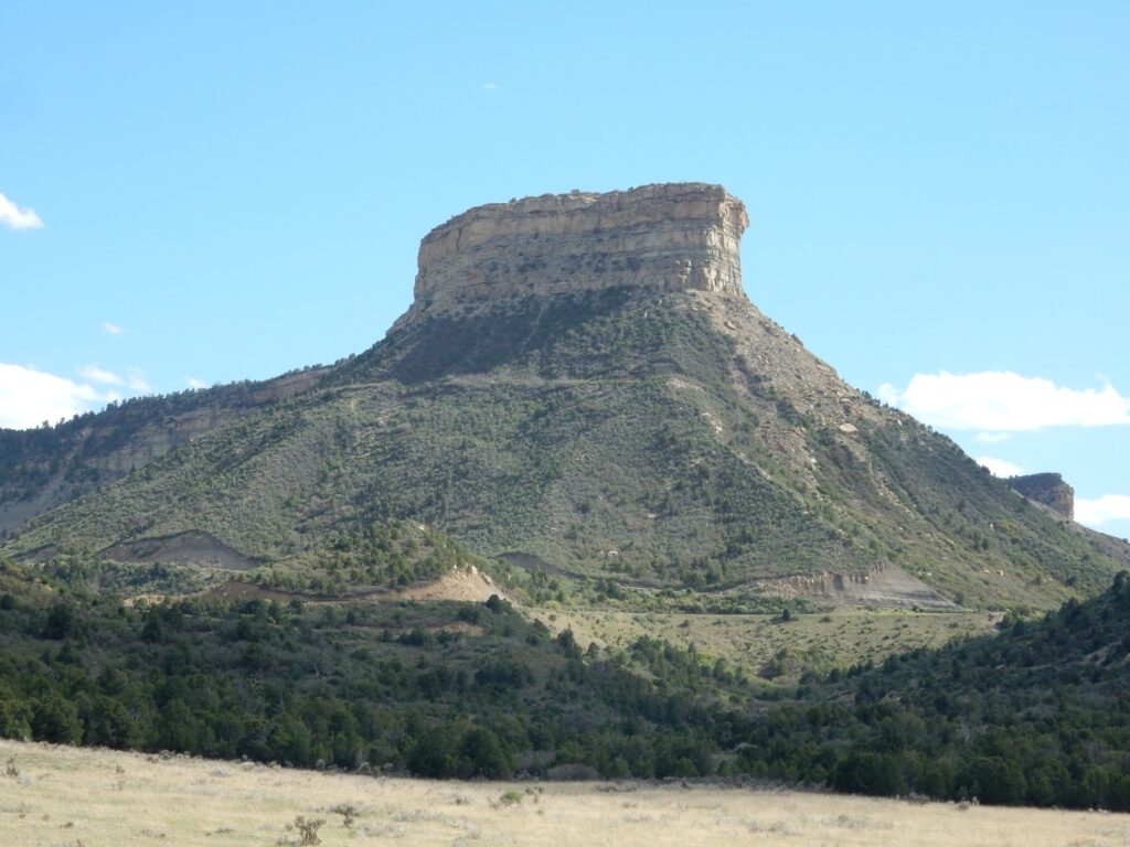
And now it’s time to tie stuff together. The oldest formation we’ve seen today is the Mancos Shale, which forms the lower slopes of Point Lookout and represents prolonged deposition of mud in the Western Interior Seaway, the deep basin that formed east of the Sevier Mountains in Cretaceous time. This seaway reached from the Arctic to the Gulf of Mexico and covered much of the interior of North America. A brief retreat of the sea deposited beach sand that now forms the Point Lookout Sandstone. Behind the beach, coal swamps are recorded in the Menefee Formation (which was once extensively mined for coal.) The return of the sea laid down another layer of beach sand, the Cliff House Sandstone, which we’ll see tomorrow. The three formations recording this retreat-and-return of the sea are grouped into the Mesaverde Group, which in turn is overlain by the Lewis Shale, which like the Mancos Shale is mud deposited in the Western Interior Seaway.
Above the Lewis Shale is the PIctured Cliffs Formation, recording the final retreat of the sea from this area. And above this are the Fruitland, Kirtland, and Ojo Alamo Formations, recording deposition in a continental basin by a river system.
View from a pullout by the road:
The hills at left are gorgeous exposures of Mancos Shale.
One small annoyance with Mesa Verde National Park is that almost the entire road to the summit has NO STOPPING OR PARKING signs. There is apparently danger of rock fall from all the spectacular road cuts I would otherwise stop to photograph. I have to get this one on the fly, from my car window as I drive slowly past. Consider it a tribute to the quality of the motion correction on modern digital cameras:
This is Nusbaum Gap, and what we’re seeing here is the transition from Mancos Shale (lower part of the road cut) to Point Lookout Sandstone (upper part). The sandstone beds are the first fingers of coastal sand deposited in this area as the sea briefly retreated.
I register my campsite and get set up. It’s a good thing I had a reservation; the campground is completely full. I then drive a very short distance to the trailhead for the Point Lookout trail.
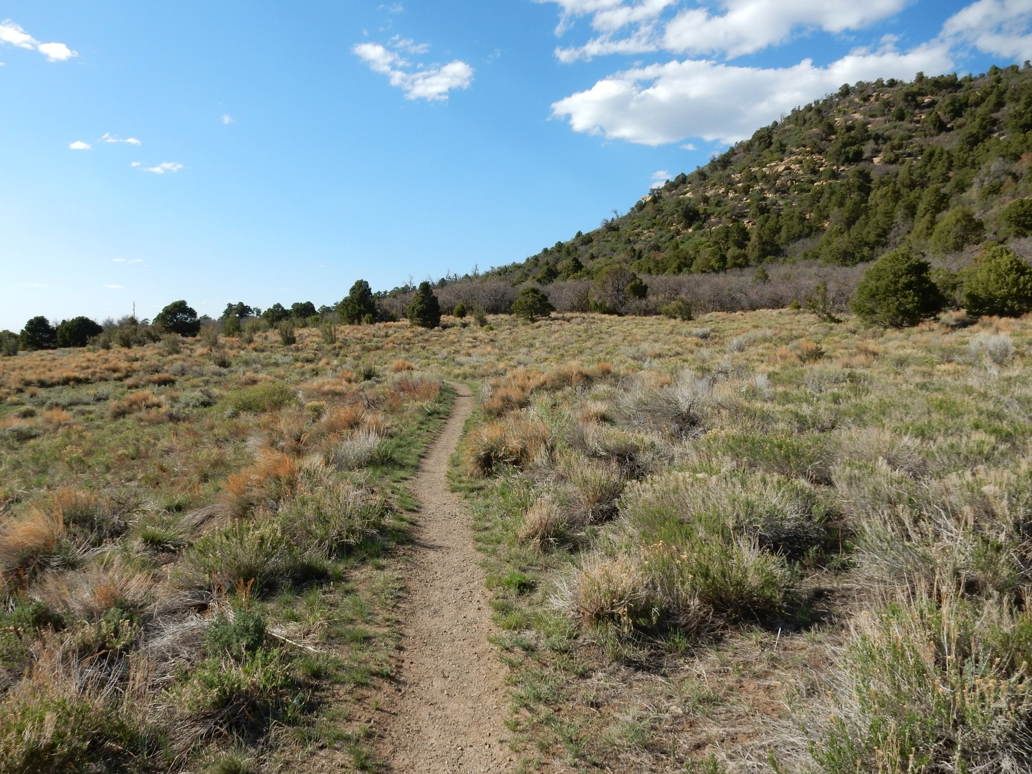
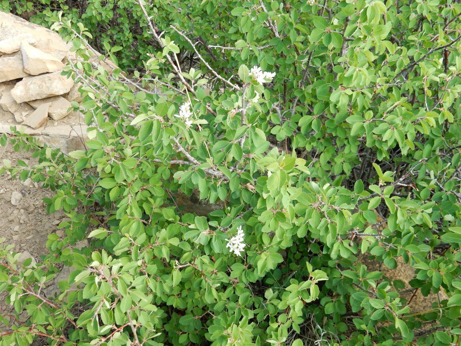
The trail ascends through poor exposures of the Point Lookout Sandstone. There are wildflowers.
At the top, the trail levels off and heads to the north point. Here I find geologically recent biological traces.
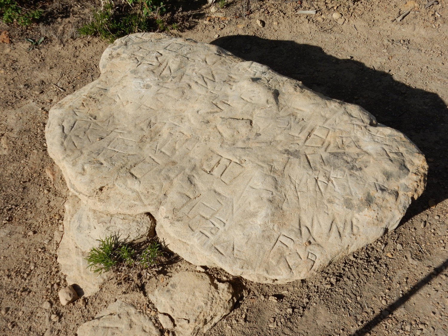
Mesa Verde is one of our oldest national parks, established in 1906, and early tourists (generally few in number and wealthy) had no qualms about scratching their initials in the rock to record their not-inconsiderable accomplishment in reaching the point.
And here we are.

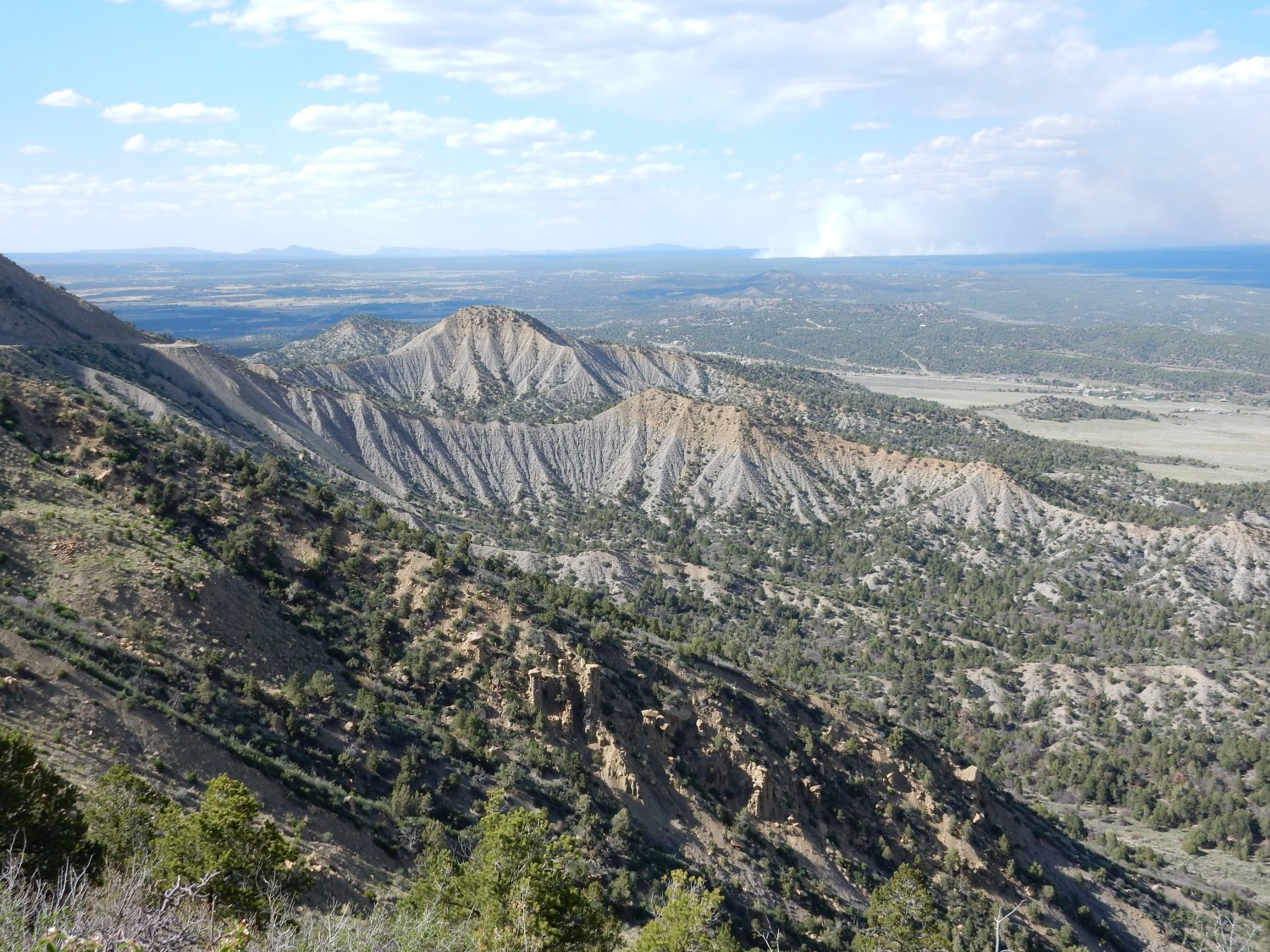
Point Lookout is the northernmost of a series of north-south finger mesas capping Mesa Verde. These are composed of resistant Mesaverde Group beds that protect the softer Mancos Shale beneath from erosion.
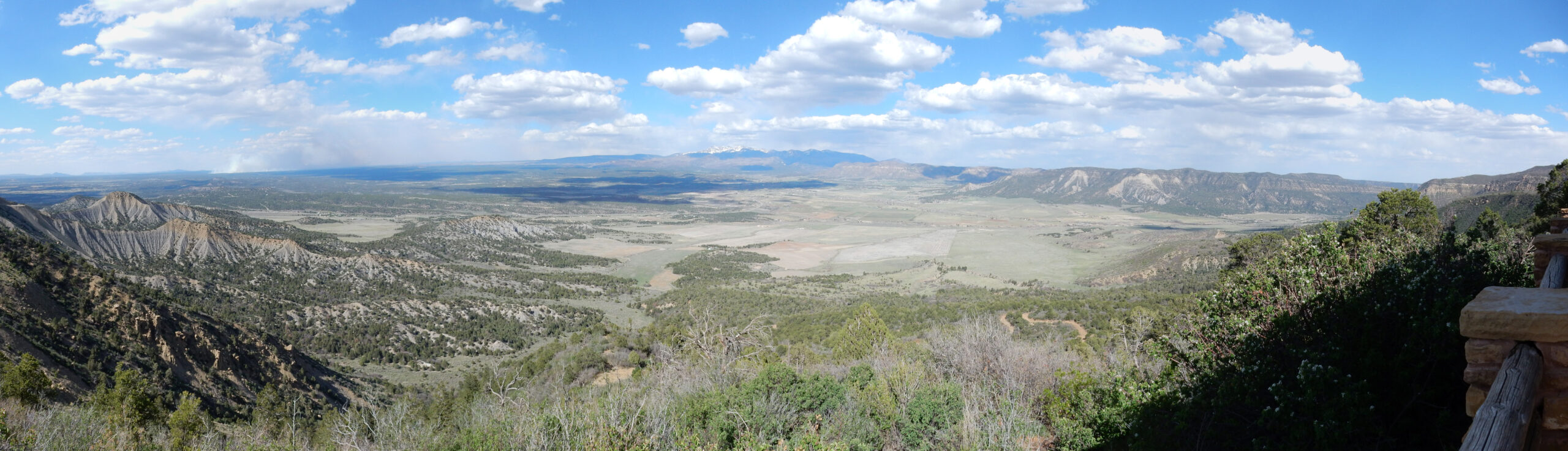
Sobering thought for the day: The entire view in the panorama was once filled with Mancos Shale and Mesaverde Group beds up to the level of the camera. All have been eroded away. Think of the immense volume of sediments carried into the Colorado River drainage from that erosion. Some of that stuff was redeposited in the Imperial Valley of California to produce rich truck crop farmland. Think about that while you’re eating your dinner salad.
The entrance highway.
Deep zoom shot to the northeast, into the La Plata Mountains. According to tradition, these mark the northern boundary of the Navajo homeland.
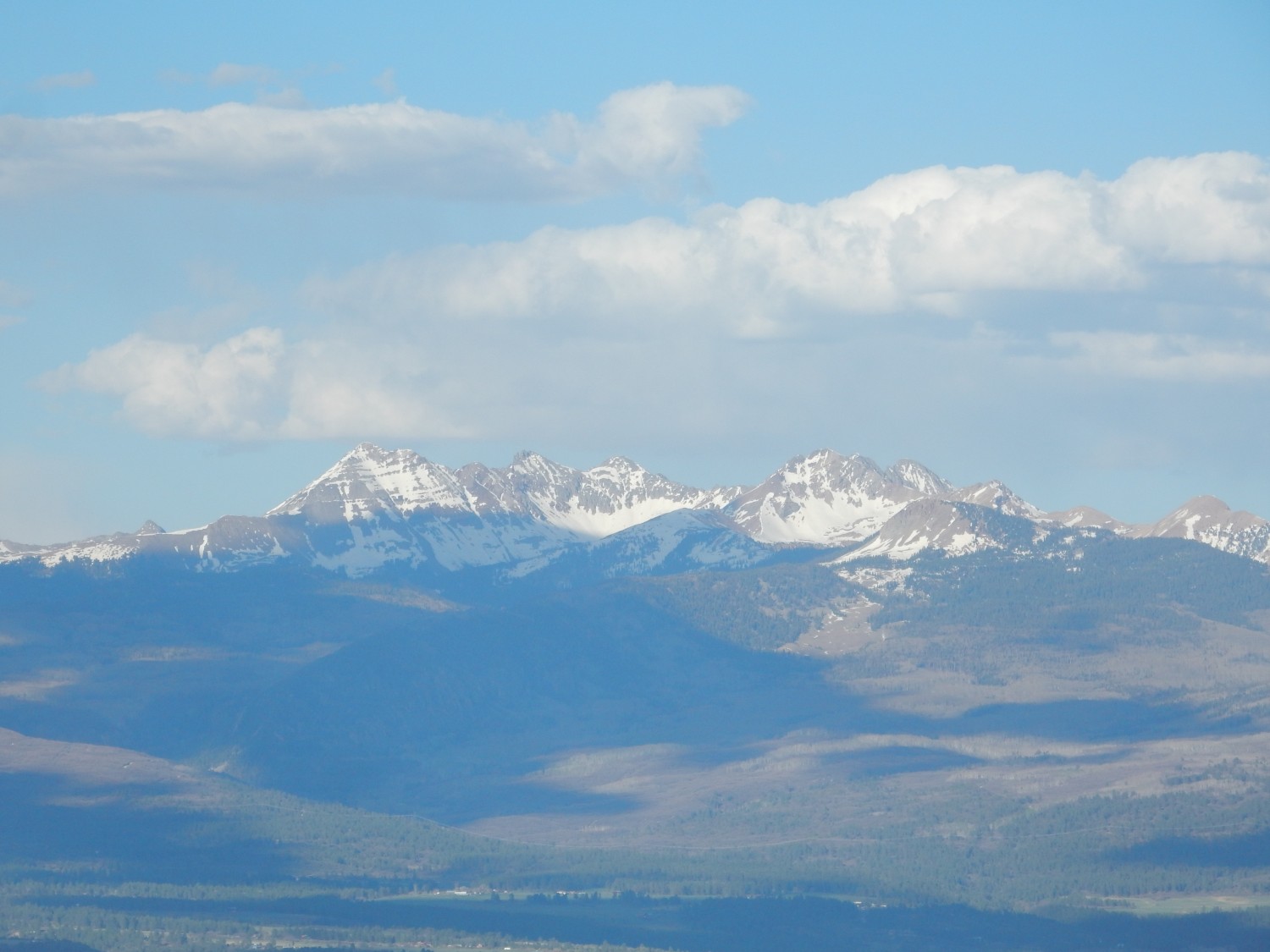
The highest points are Permian and Triassic sedimentary rock; these rest on intrusive igneous rock injected into the crust during the Laramide Orogeny, the mountain-building event that raised the Rocky Mountains. Here the magma injection was probably associated with the mid-Tertiary ignimbrite flareup I discussed earlier.
Circle shrine or tourist spot?

Serious question. Circle shrines constructed by native Americans on high ground are a real thing, but this area is so frequented by modern tourists that that seems iffy.
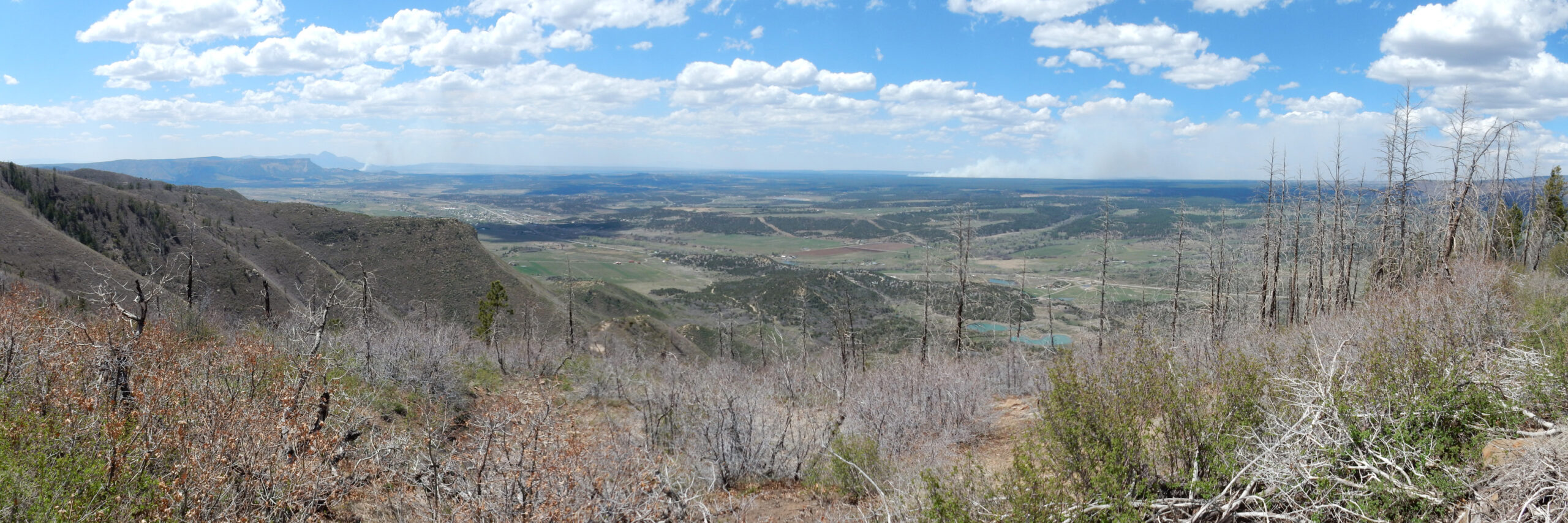
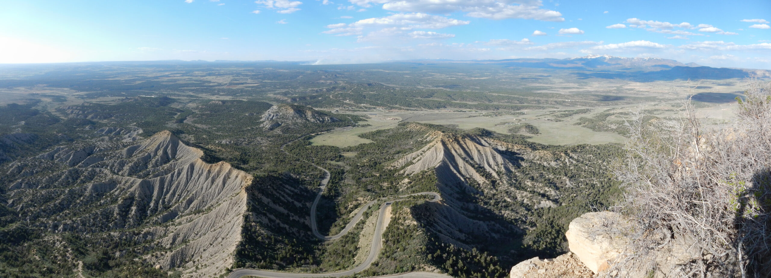
Panorama across the Mancos Valley to the east.
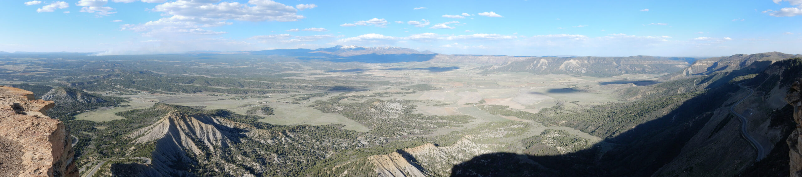
Not an ideal panorama; the sun is almost at my back and it washes out the center section. Still, what a view.
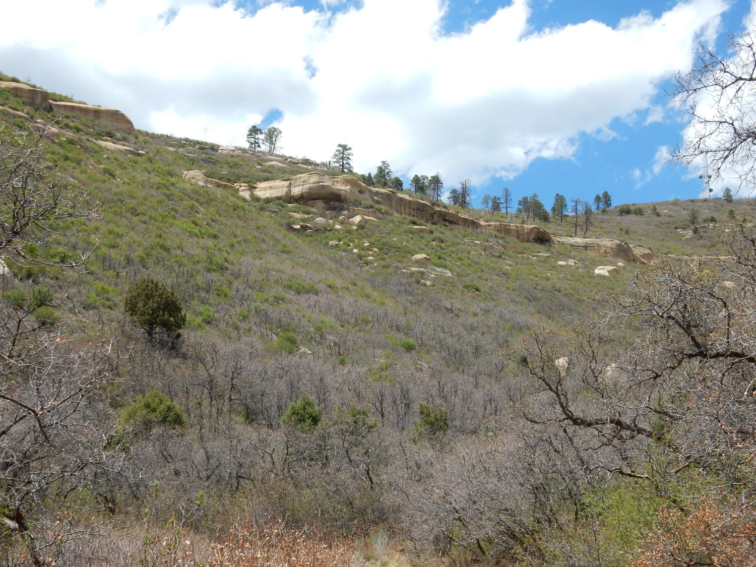
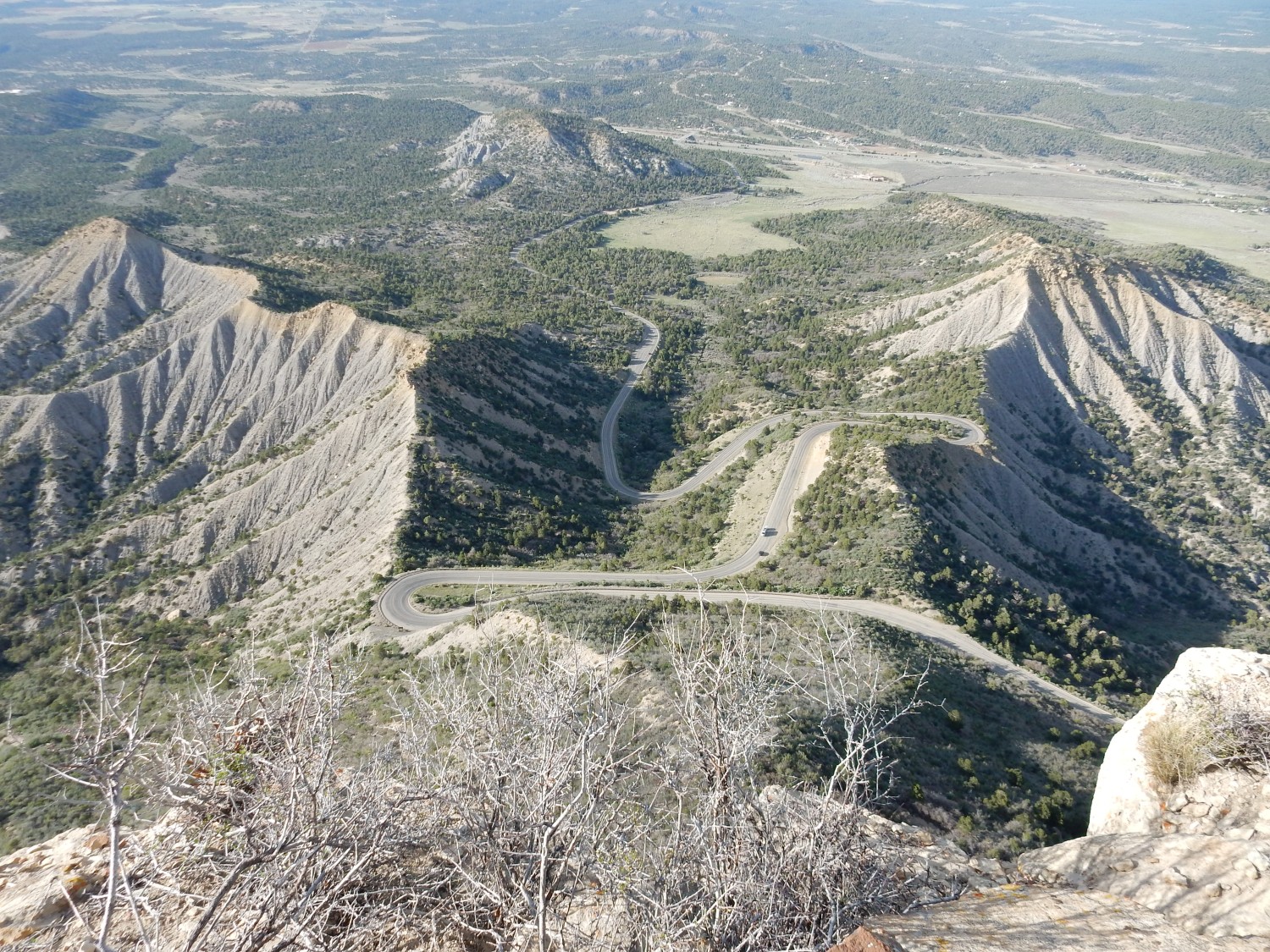
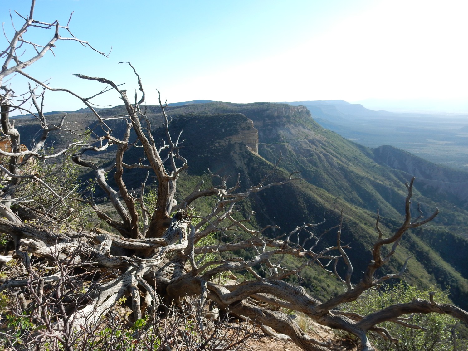
View southwest along the escarpment.
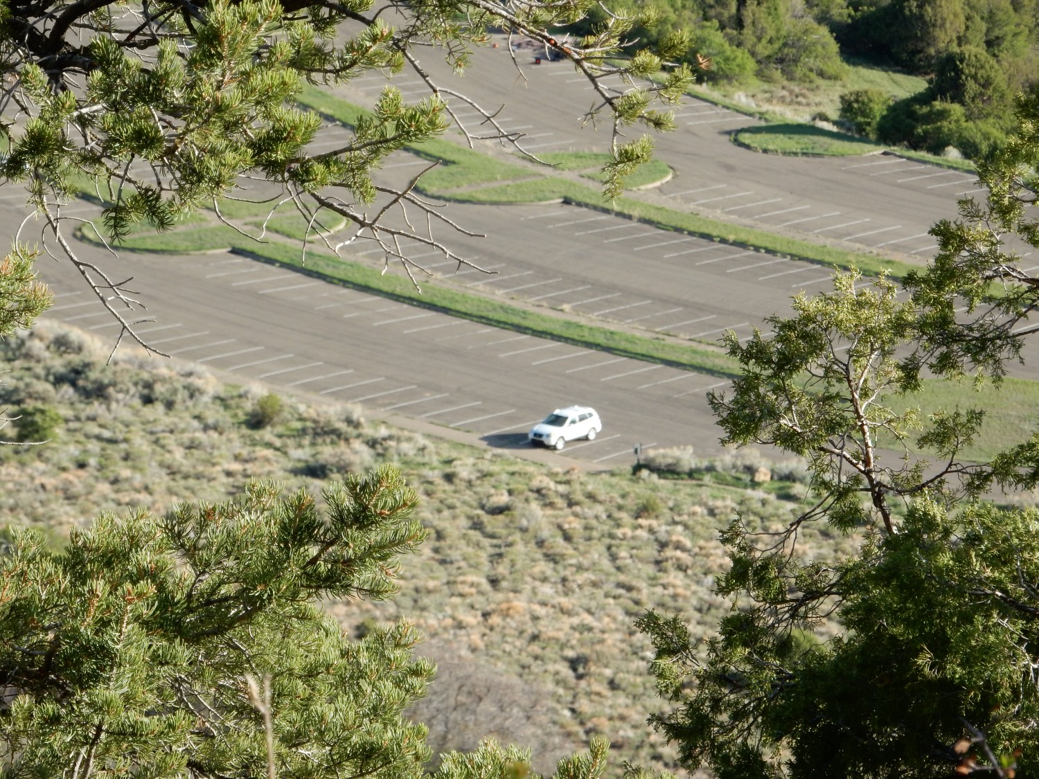
I head back down. Far below, the Wandermobile awaits patiently.
Just below the crest, I meet an older couple and we briefly converse. Our conversation is interrupted by a nearby loud buzzing sound.
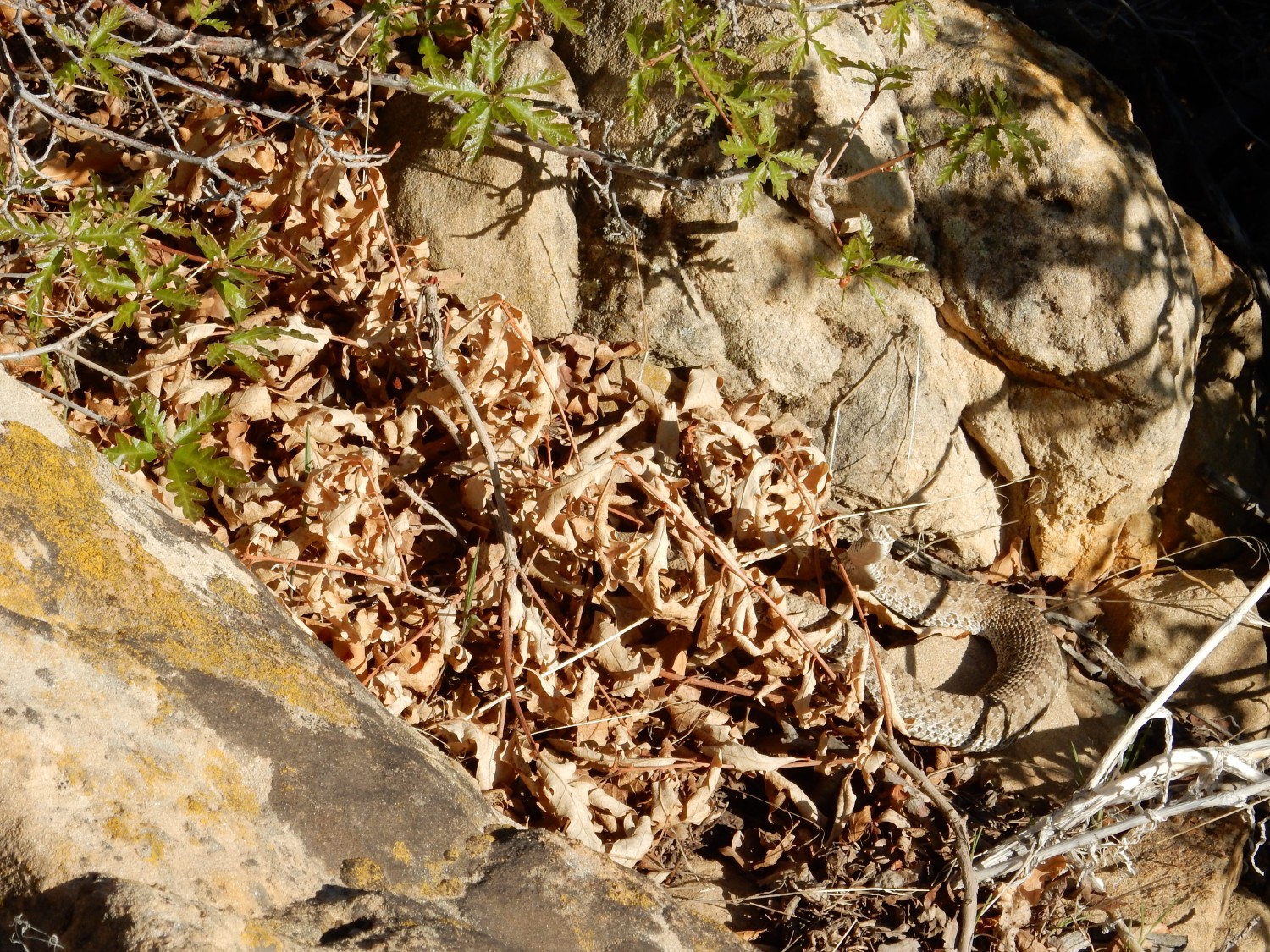
Do youy see him? His beady reptilian gaze is fixed on me. Crotalus, but it doesn’t look like Crotalus atrox, the western diamondback rattlesnake, with which I have had several encounters. Possibly Crotalus viridis, the prairie rattlesnake, which despite its name is widespread throughout western North America.
I return to my car, drive back to my campsite, and have a reasonably good night’s sleep.