
90th Birthday Wanderlust, Day 5: Canyon Country
We wake, make breakfast, and break camp. We convoy north, stopping at a road cut I think Gary might enjoy looking at.
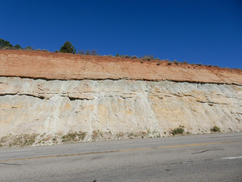
The geologic map says only that this area is underlain by “Burro Canyon Formation and Dakota Formation, undivided”. That generally means either that the formations are thin and always occur together and so are not worth trying to map individually, or that the formations are difficult to distinguish in the field. However, it’s hard not to think that the lower sandstone lenses embedded in green mudstone are Burro Canyon Formation and the massive sandstone bed at top is Dakota Formation. The descriptions of the two formations and of their contact in the literature closely match what’s seen here.
We saw a fair amount of Burro Canyon Formation, including at its type section, earlier in the trip, as well as an exposure of Dakota Formation. They’re both Cretaceous formations, around 90 to 100 million years old. The Burro Canyon Formation was deposited in river systems in the great basin located east of the Sevier Mountains in western Utah. The Dakota Formation was deposited as this basin was flooded by the ocean to form the Western Interior Seaway. Here the initial flooding laid down a sheet of sand that became massive sandstone.
We examine the cut for some time. I am mostly interested in lithology (the physical characteristics of the rock); Gary is very interested in fossils. These formations do not have high potential for body fossil preservation, but there are some good candidates for trace fossils. Body fossils are the actual remains of an organism that have been preserved in the bed; trace fossils are things like footprints or burrows that were left by organisms and are preserved in the beds. Sandstone rarely preserves body fossils, but it often contains well-preserved trace fossils. The opposite is true of limestone.
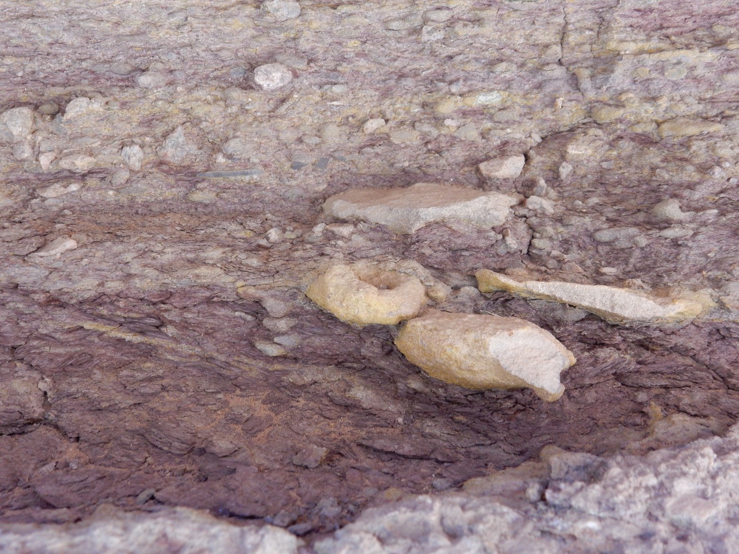
We continue in to Moab. Here we divert to the southwest side of town, where there are several accessible plugs of Paradox Formation caprock.
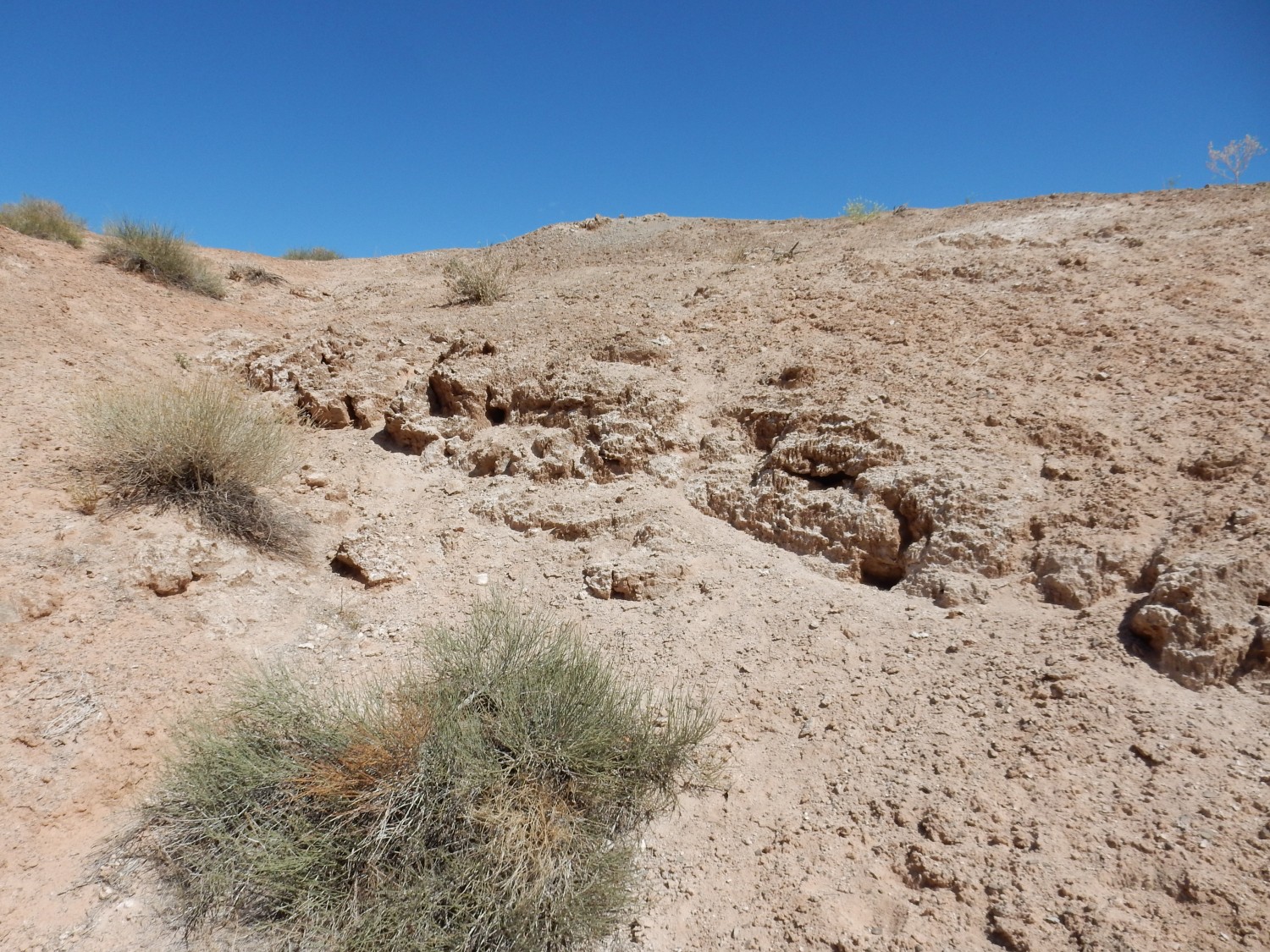
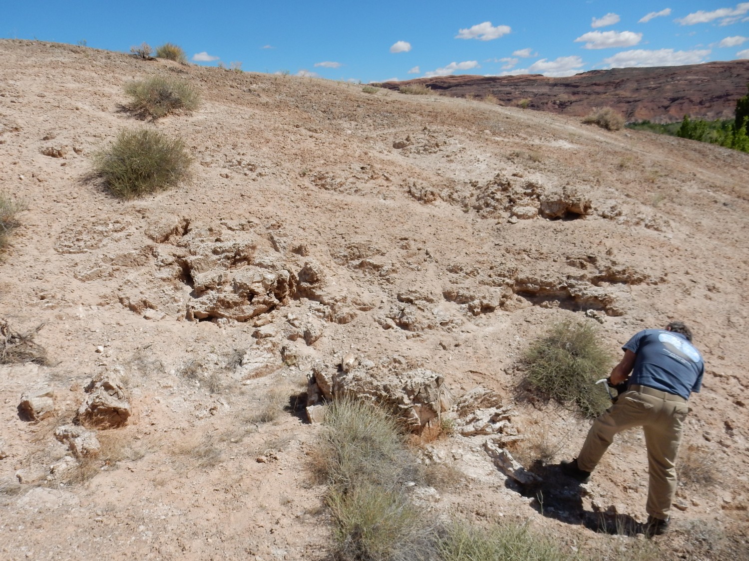
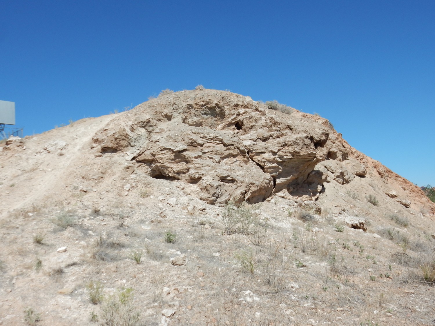
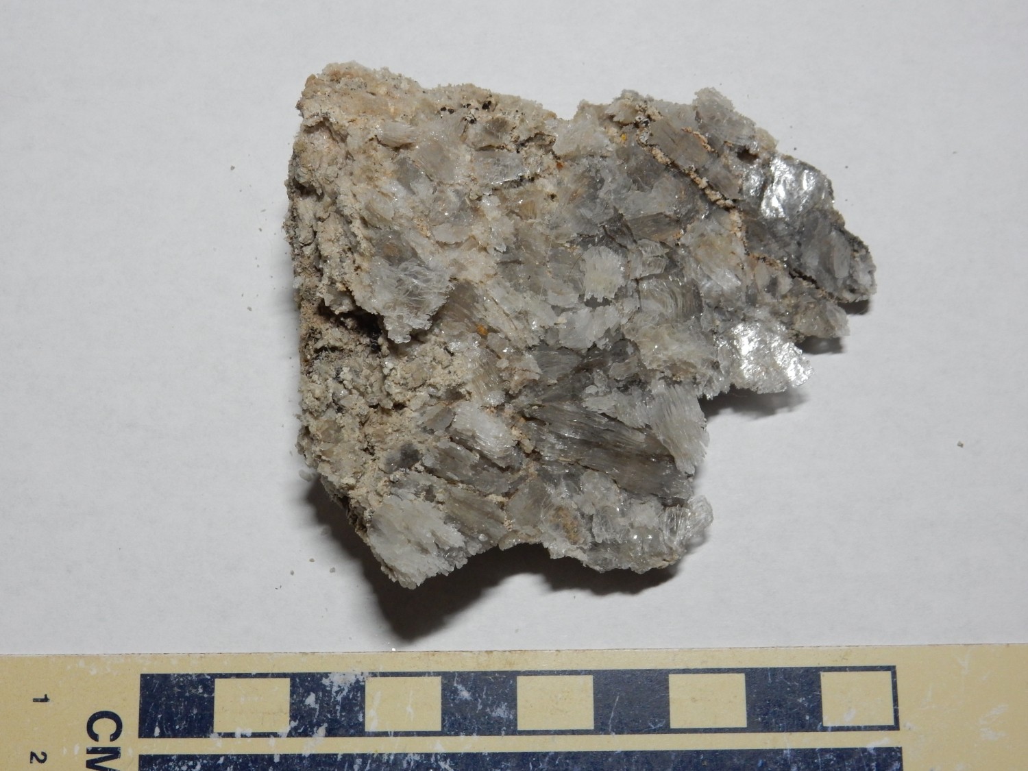
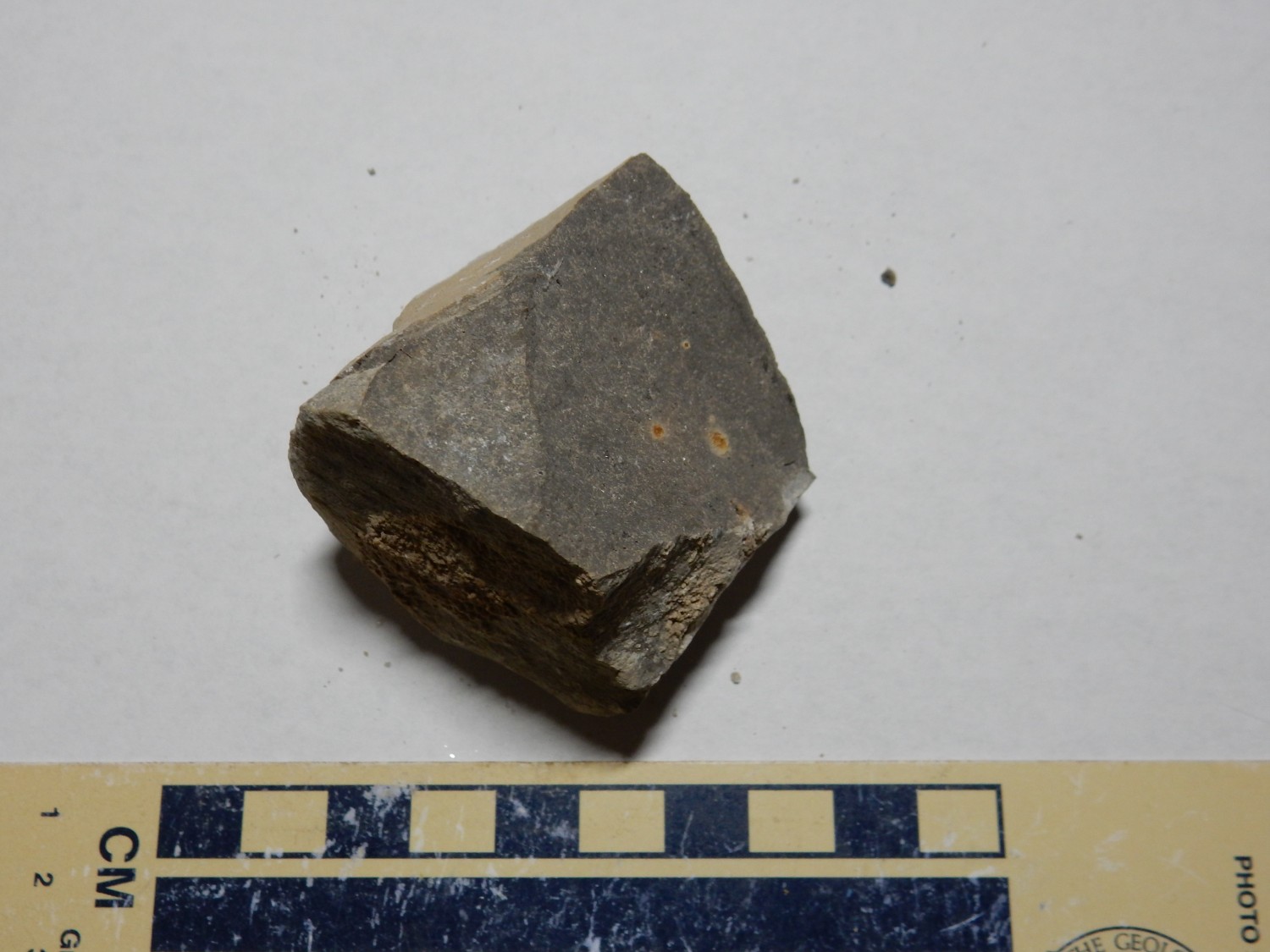
The caprock consists of distorted beds of gypsum and shale with minor limestone from which all the salt has been dissolved by groundwater. The outcrop is quite bland to the taste, indicating that not even traces remain. (Yes, geologists sometimes taste rocks. I have a great story about that …) There are some impressive crystals of gypsum and calcite here and there, as well as scattered shale fragments; none of the ones I find show visible fossils, alas.
We drive back into the main part of town, which is a madhouse of tourists. We get a pretty decent lunch at a Mexican restaurant and buy a quart of hydrochloric acid at a nearby hardware store, for testing for carbonate rock. The trick is finding dropper bottles for the stuff; we end up improvising, buying some eyedrops, emptying the bottles, and replacing the contents with acid. (And clearly marking the bottles … the thought of someone accidentally dropping concentrated hydrochloric acid into his eyes is slightly horrifying.)
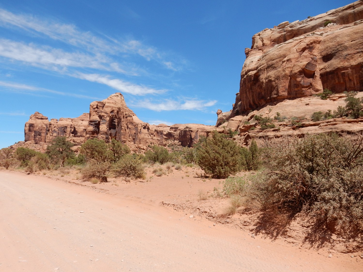
Then on to the Gemini Bridges road and the quest for Roberts Rift. Roberts Rift is a fissure extending for miles across the sandstone landscape north of Canyonlands, filled with a breccia of rock fragments derived from underlying beds that were forced upwards into the rift. This is thought to be the result of a meteorite impact at Upheaval Dome. The rift shows up clearly on Google Maps due to the bleached zone around it, but is a bit tricky to access. My plan is to try hiking to an exposure in Bridal Canyon, and if that fails, then take an iffy gravel road to the most obvious exposure in the sandstone.
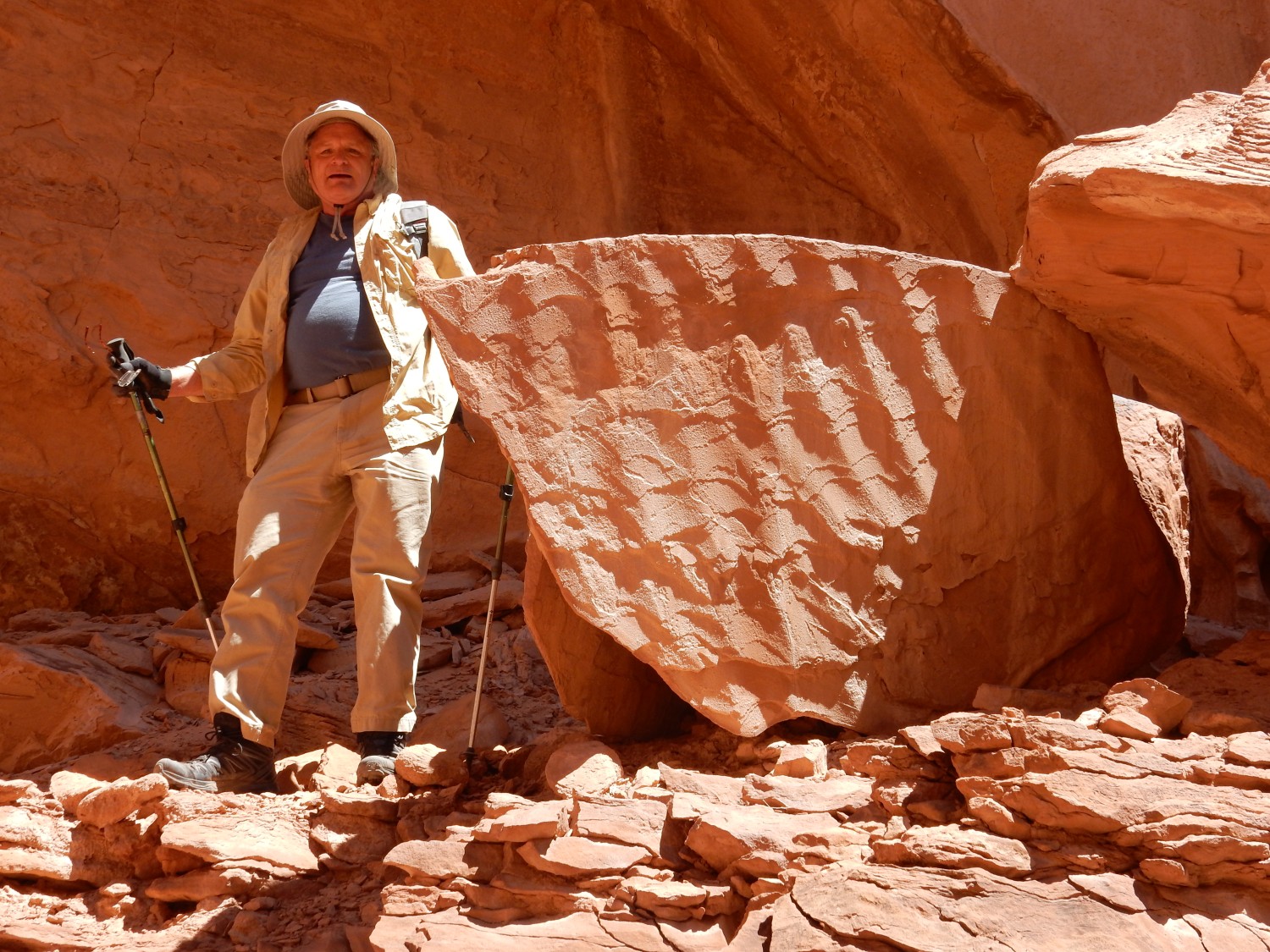
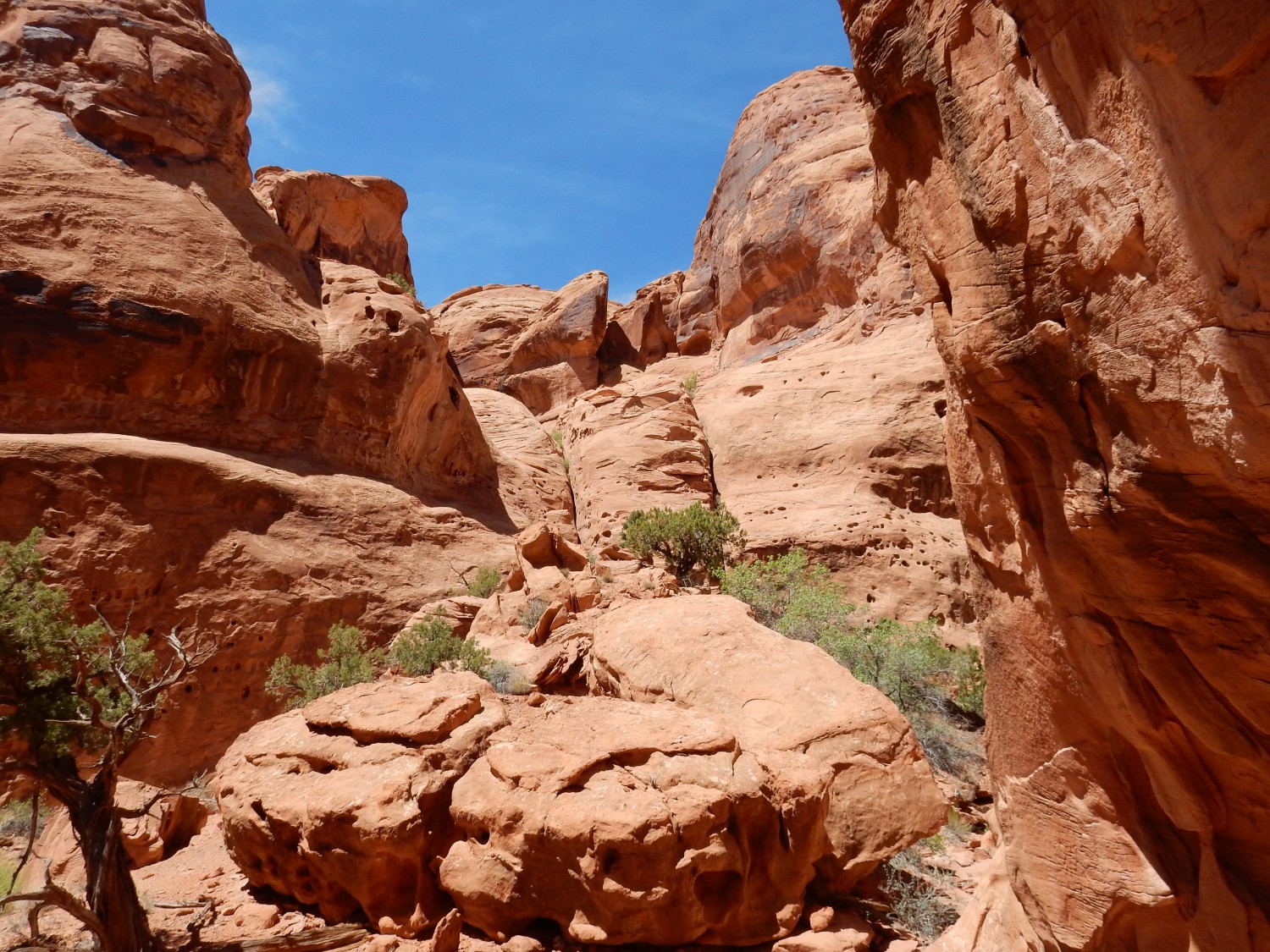
We turn off the main highway onto the Gemini Bridges road. The road turns out to be awful — steep, rocky, and narrow. But we persevere, and arrive at the mouth of what I mistake for Bridal Canyon.
The canyon seems to lack the road I remember from Google Maps, but perhaps that was just an arroyo. The canyon is very scenic but the hike becomes steep towards the end. Still, there are things like very impressive ripplestone.
Yes, that’s wave ripples preserved in the rock. This area is all Wingate Sandstone over Chinle Formation; we’re close to the contact here, but this ripplestone is likely lower Wingate Sandstone.
The rift?
I try to convince myself that one of these two vertical fissures is it. There is a matching fissure on the other side of the canyon.
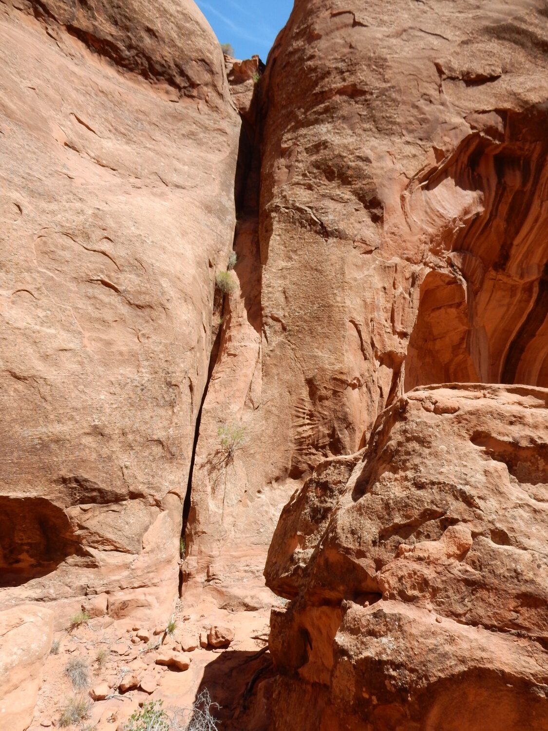
But no. There is no breccia in the fissure, and it turns out I led us to the wrong canyon. It’s the next one. Looking at my notes and at Google Map, I can see how I confused myself. Well, sometimes you have to see the ground itself and then look at the map before you can orient properly. Next time I’ll get the right canyon.
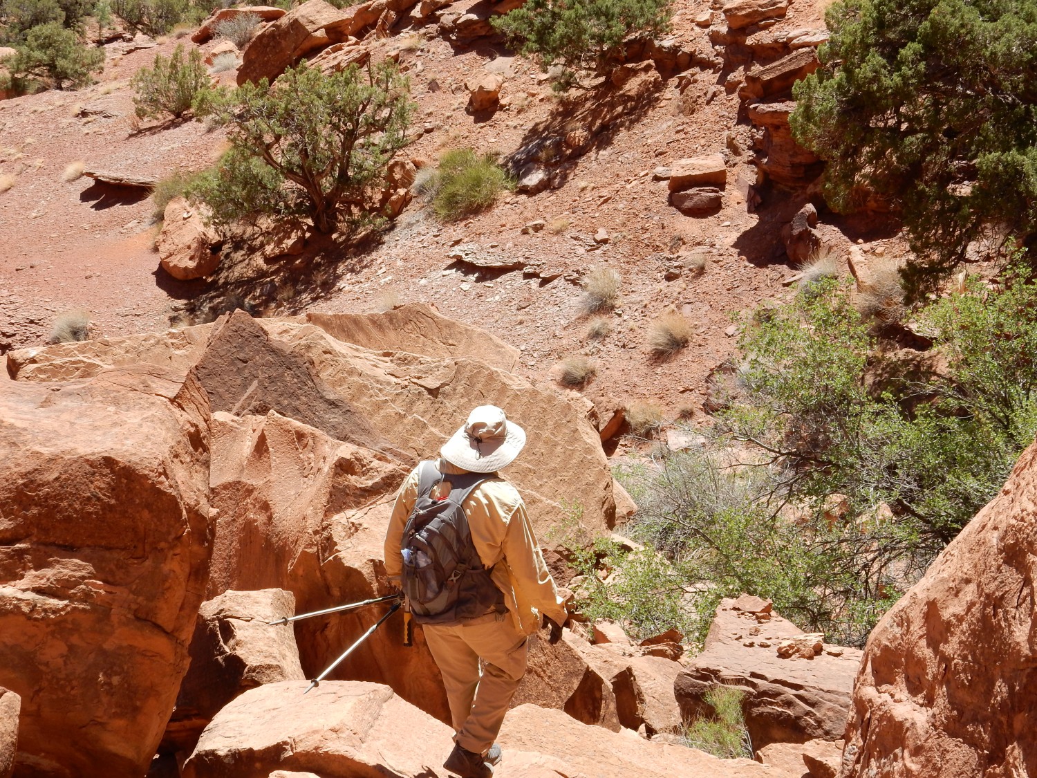
Except there won’t be a next time. The canyon exposure just doesn’t look promising enough in Google Maps to be worth it. And the road is awful; I won’t chance it again except in a better vehicle, in part because of what comes next, though I think finding the rift in the sandstone flats will then be straightforward.
But we explore a bit more while hiking back out of the canyon. More ripplestone:
Artificial?
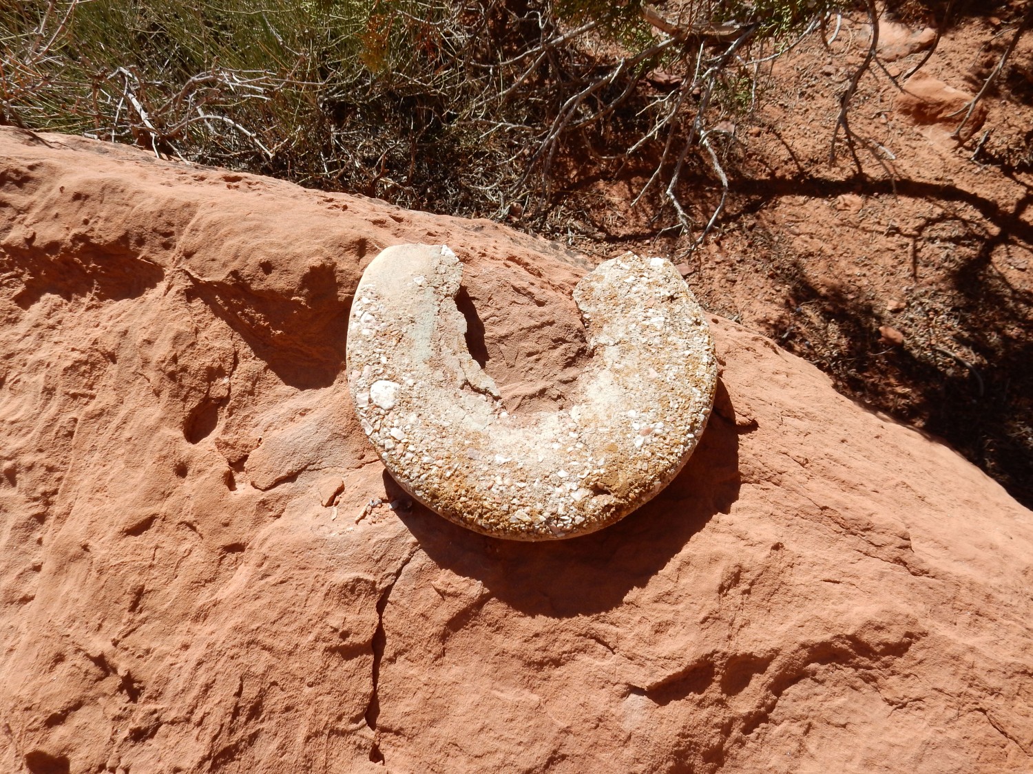
Gary spots an interesting shale interval right at the base of the Wingate. It has what looks like a burrow cast
and Gary is soon hammering away. I look at the three hundred feet of Wingate Sandstone above us and wonder what it will take to bring a slab down. (I’m a terrible worrier that way. I appreciate Gary’s forbearance with me.)
We return to the cars and continue on to the sandstone flats to look for a better exposure of the rift. This does not turn out well.
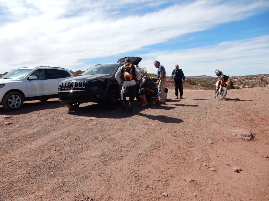
Gary loses a tire on the sharp gravel. The bikers are businessmen from Portland, Oregon, who are very kind to help us put on the “donut” (the emergency spare tire). The poor donut then has to get us back over that awful road and into Moab to get a proper replacement. We never get to Roberts Rift.
Gary’s Jeep is new to him (just purchased used) and it is perhaps not surprising that it will require some shaking out on this trip. But after this experience, I am shook enough myself to somewhat scale back our plans. We cancel the drive into The Maze, for example, as something not prudent to try in a 2WD with 200,000 miles on it nor a newer Jeep that is still undergoing its sea trials.
We get a new tire and are on our way soon enough to make the long drive through Green River to Temple Mountain, in the San Rafael Reef, before dark. We find a good camp site, out of the way but accessible to the road and the toilets, and set up camp. Sunset is beautiful.
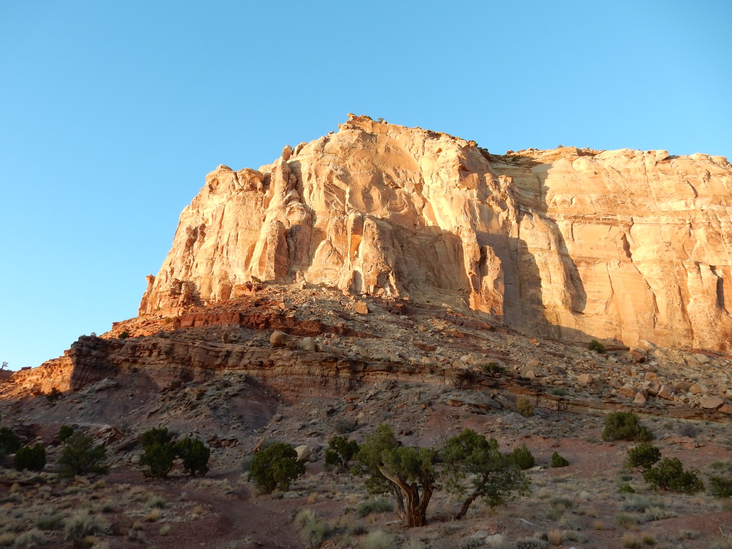
The massive cliffs are again Wingate Sandstone. Below are thin red beds of the Chinle Formation (Template Mountain Member — fancy that) and the cliffs are capped with thin fluvial beds of the Kayenta Formation. The Chinle is Triassic in age, while the Wingate is very earliest Jurassic — its base is essentially the beginning of the Jurassic in this area. The Kayenta is also Jurassic.
We have an excellent dinner. Gary has brought along some of Jake for a stir fry. Jake was Gary’s last elk kill and his head is mounted proudly in Gary’s living room. Gary views such things philosophically: Jake lived a full life, gathering a harem and fathering offspring, and then died much more cleanly and quickly than most wild animals experience. I think Gary has a point.
Also, the elk meat is quite good; not at all gamy. Gary knows how to properly handle game meat.
We turn in for the night.