90th Birthday Wanderlust, Days 16 and 17: Bryce Canyon
Another Sunday morning with my mom, and a late winter storm has dropped snow on the mountains.
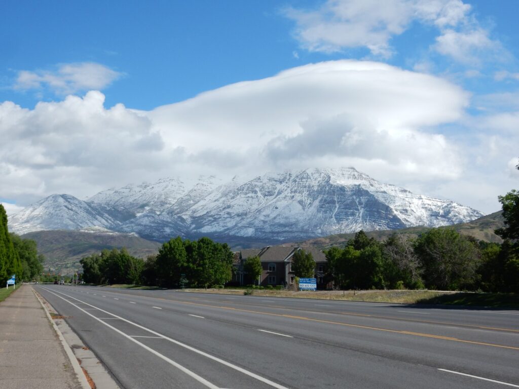
Mount Timpanogos. Almost the entire mountain is underlain by Oquirrh Canyon Formation, mostly Bear Canyon Member. The smaller mountain at far left is underlain by Granger Mountain Member, which is mostly sandstone — unusual for the Oquirrh, which is overwhelmingly dominated by Pennsylvanian limestone.
I spend the rest of the day resting and visiting with Mom and my sister. Then it is time to prepare to depart the next morning.
I awake early and have breakfast with Mom and her caregiver. Then one more photo of Mom before heading out.

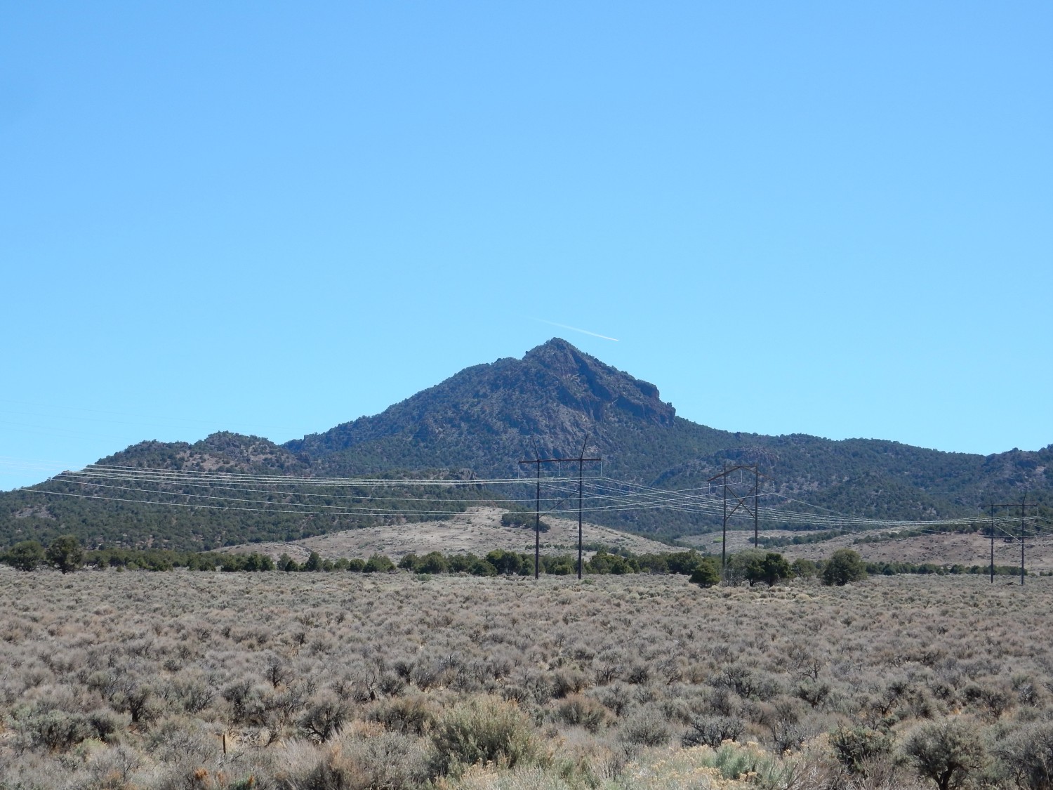
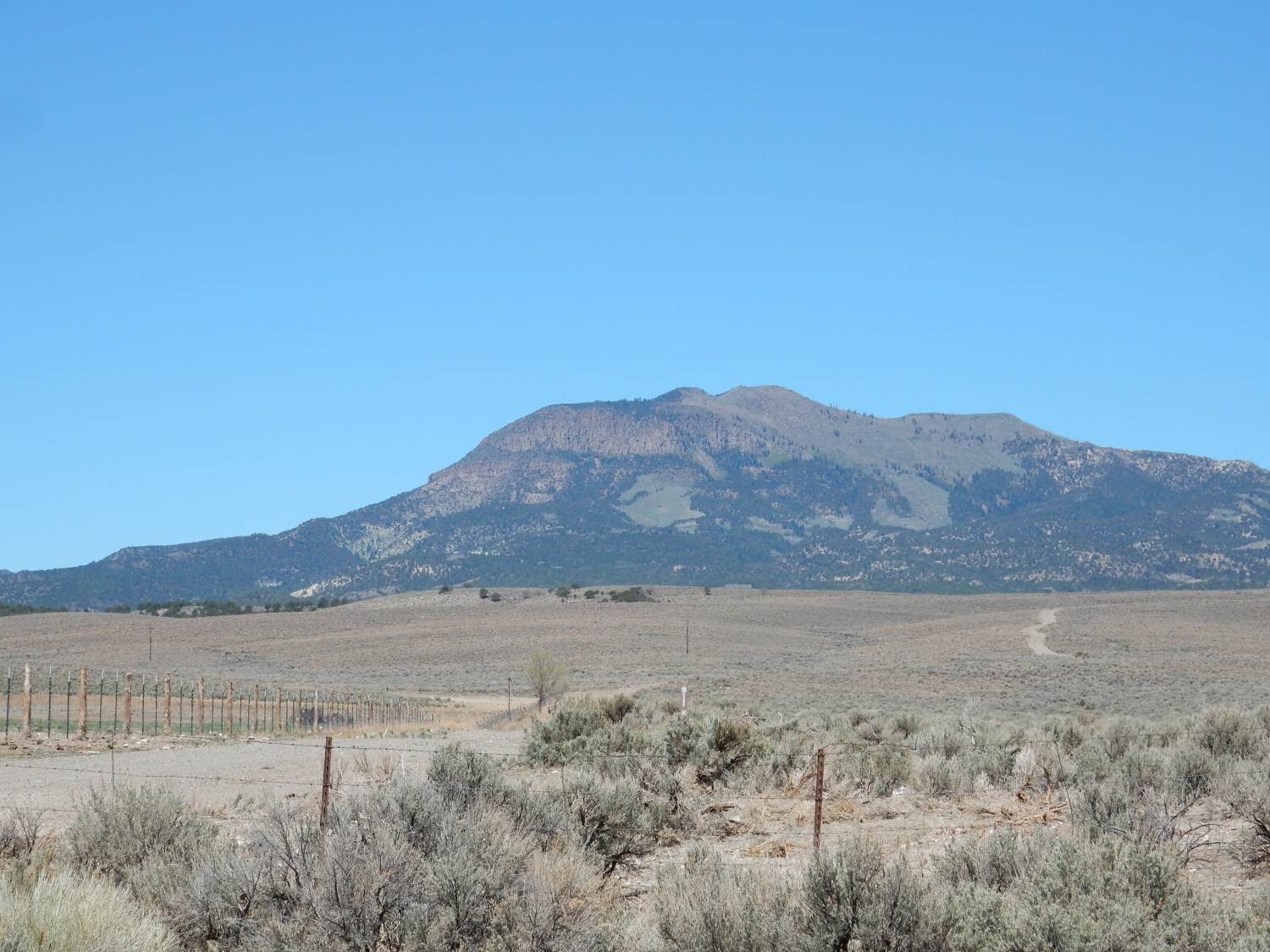
The first part of the trip is familiar ground, but the view of Mount Nebo is too good to miss.
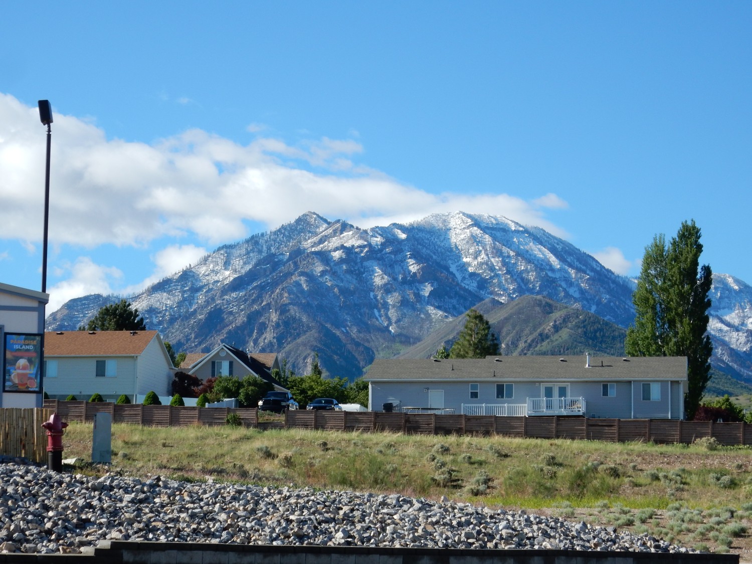
Though, in fact, this is just the northern part of Mount Nebo, known as Bald Mountain. Mount Nebo proper is the highest peak in the Wasatch Front. More Oquirrh Formation. And this part of the trip is less familiar ground — I must hurry through but will likely be back for a closer look on a future trip.
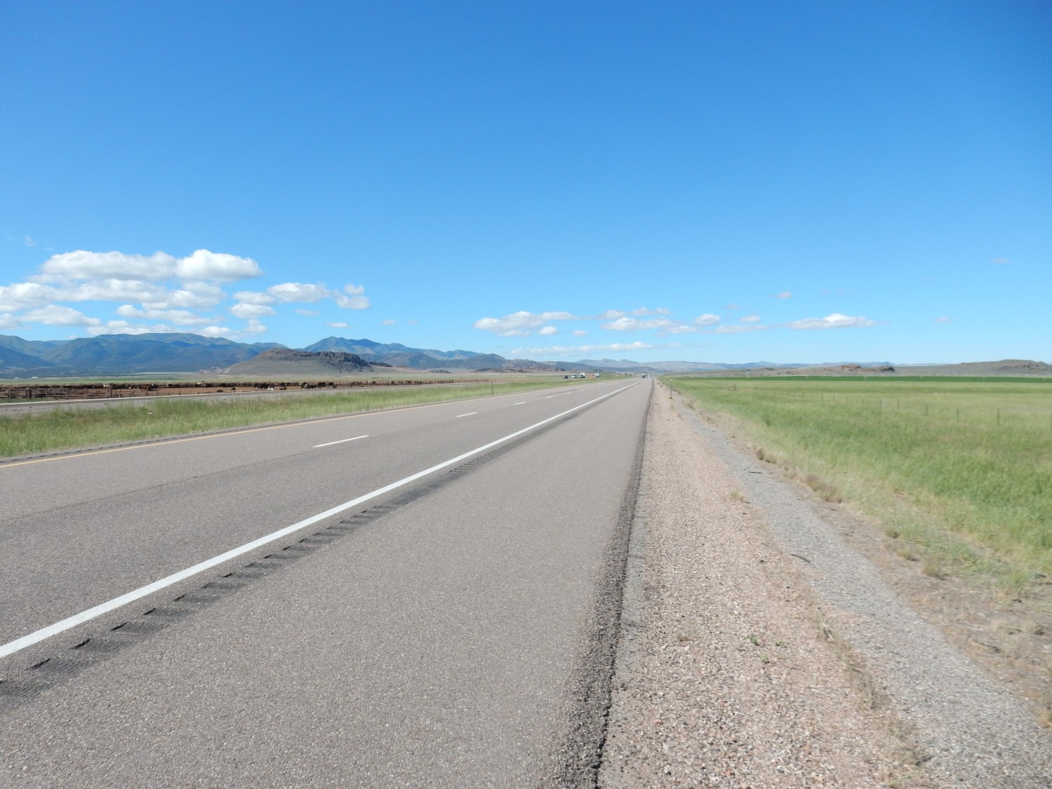
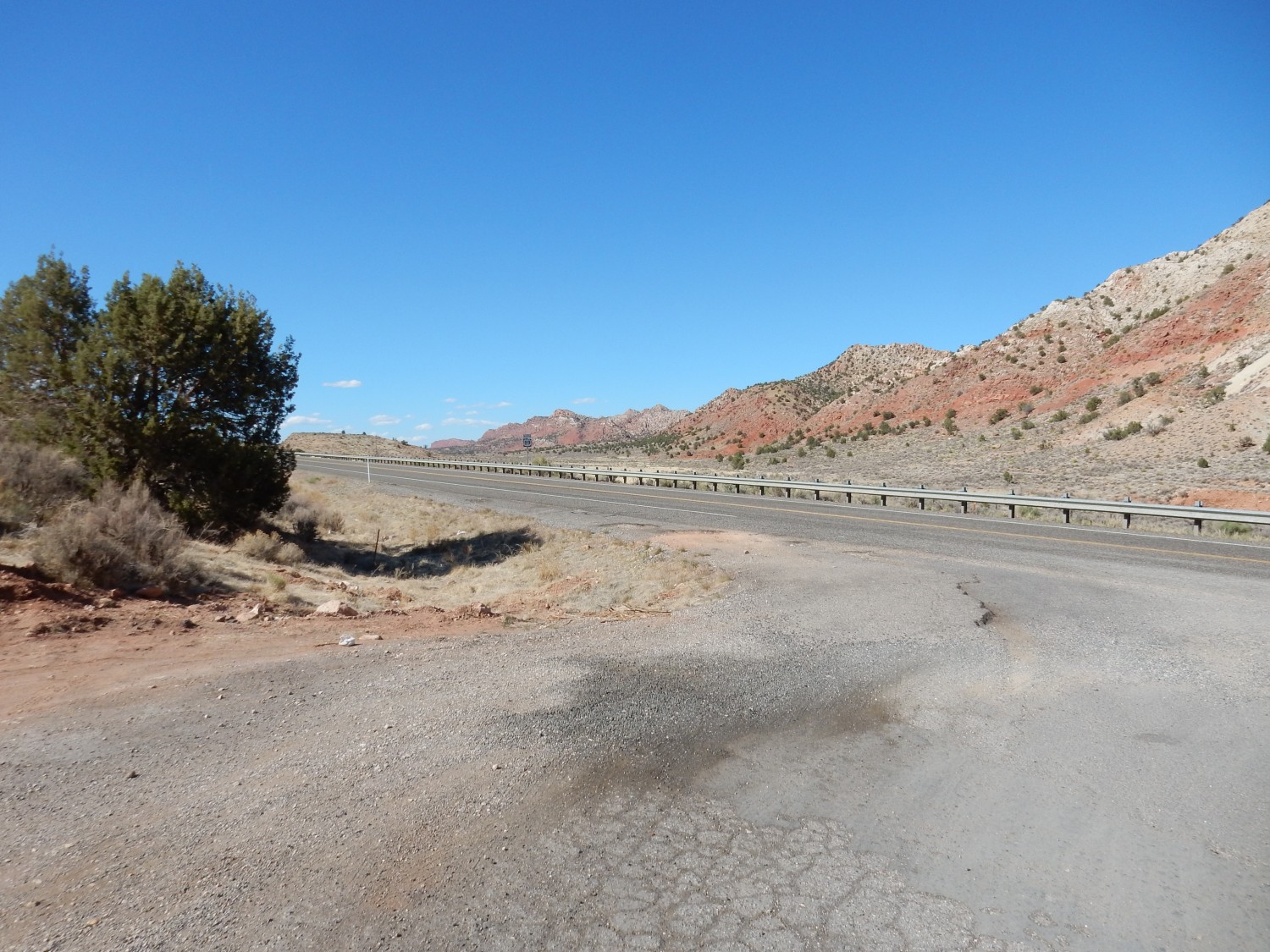
On the high road to southern Utah.
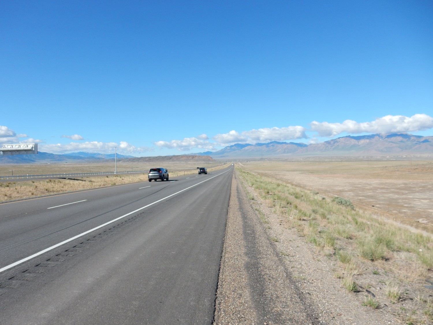
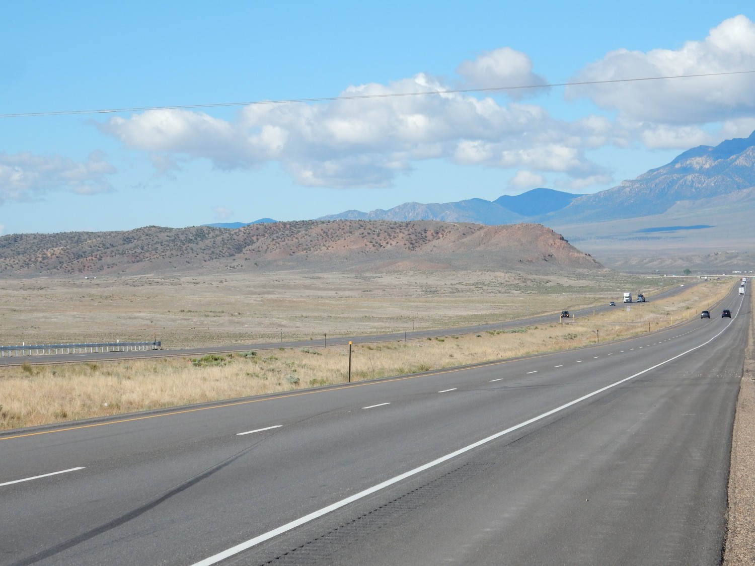
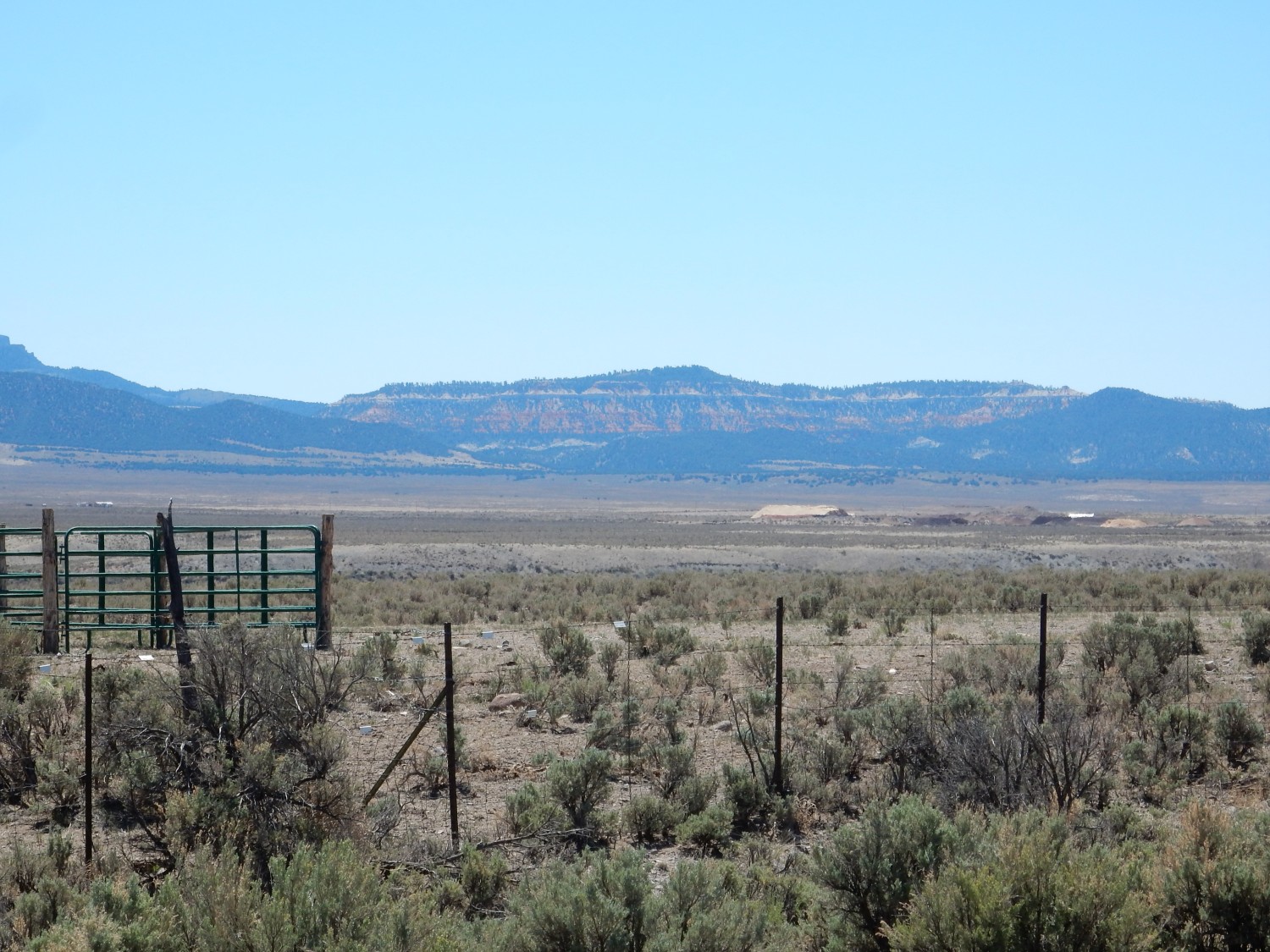
The mountains at right are a Precambrian-cored Laramide uplift. I described this a few days back, while on Antelope Island. These mountains were thrust upwards during the Laramide orogeny, 70 to 30 million years ago (very roughly), due to compression of the crust of western North America. This brought up deeply buried rock, including rock over 560 million years old (Precambrian), from before the appearance of shelly fossils. The face of the mountains towards us has a veneer of younger Devonian dolomite.
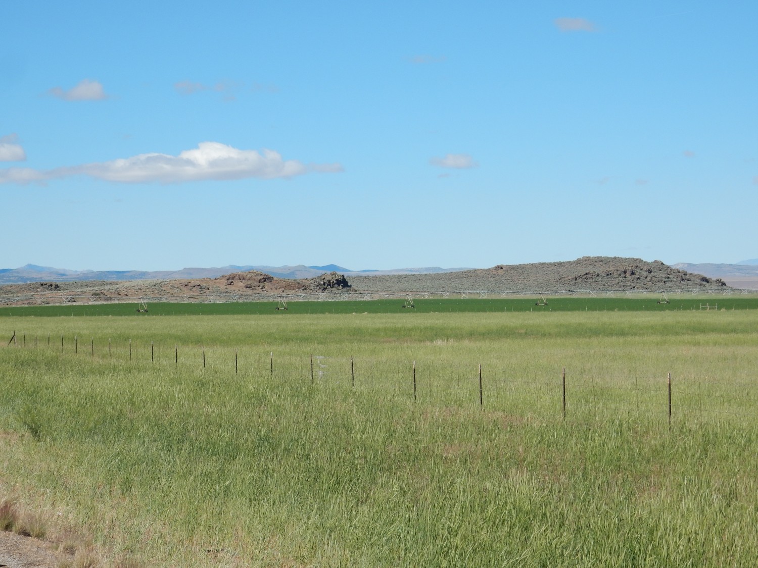
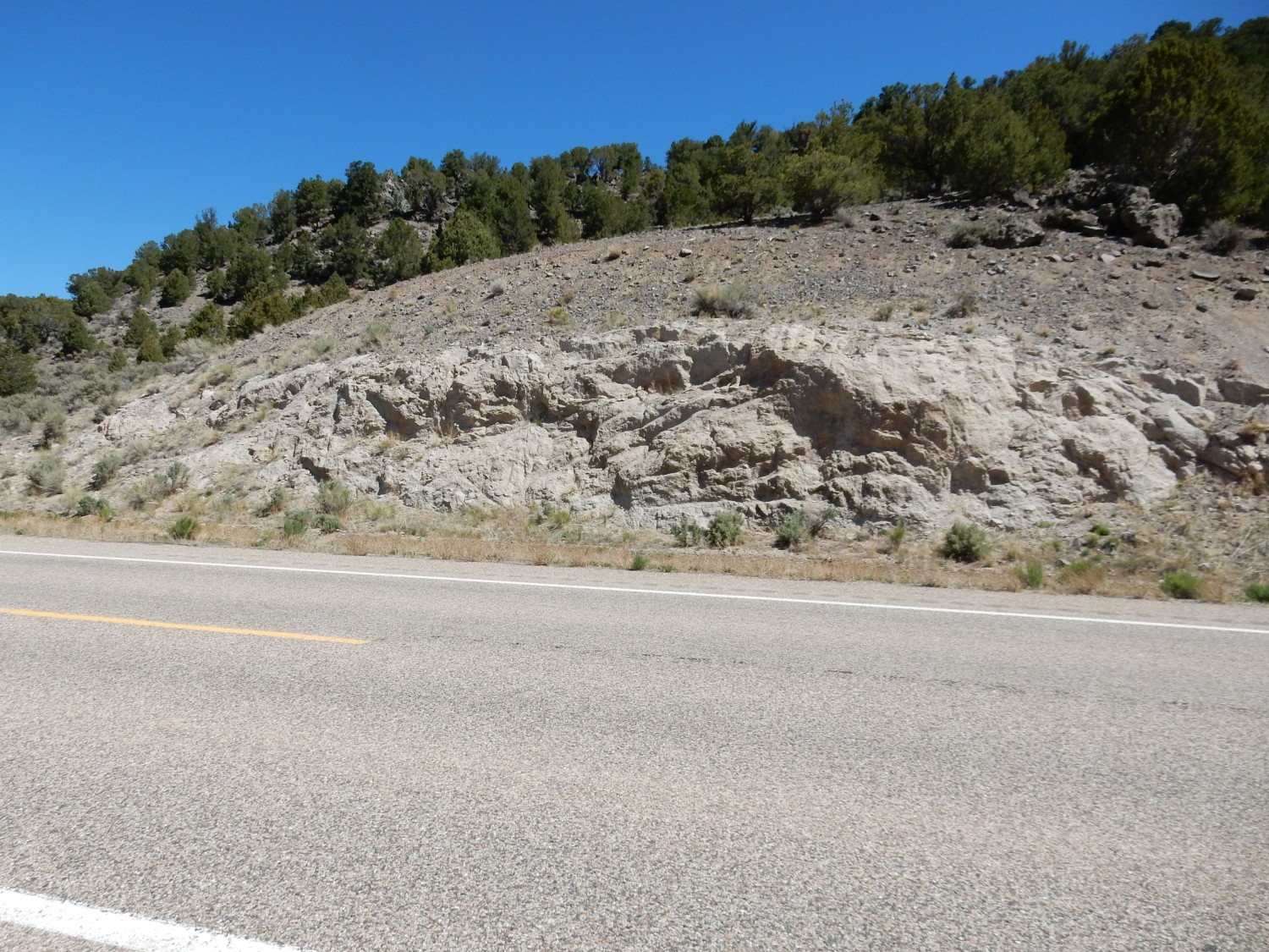
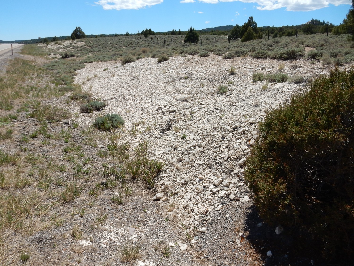
The low hill at left caught my eye. I thought it might be a northernmost flow of the vast Marysville volcanic field.
Turns out it’s Flagstaff Formation, which is relatively young sediments eroded of the rising Rocky Mountains during the Eocene, around 50 million years ago.
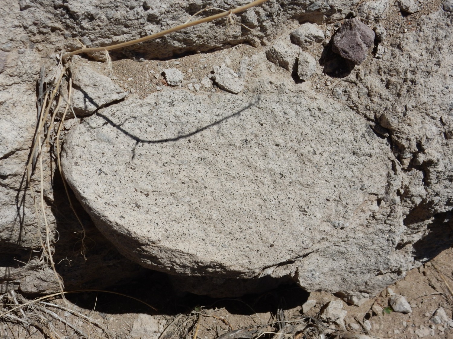
This is the northernmost outliers of the Marysvale field.
Well, maybe. This is very young volcanic rock of Black Rock Volcano, and it’s just 670,000 years old — too young to really be included in the Marysvale field, which is generally 30 to 20 million years old. Some authorities include the sporadic volcanism that continued in the area almost to the present day. But the earlier big pulse of volcanism was associated with the mid-Tertiary ignimbrite flareup, which I described early in this trip, while the later stuff is part of Basin and Range extension, where the crust locally began to be uplifted and stretched as hot aesthenosphere (ductile upper mantle) began to move upwards below western North America.
This
is zoomed out to show Black Rock Volcano itself. The mountains beyond are mostly Devonian and Missippian formations that we will see again in the Grand Canyon area — the Redwall Limestone and Kaibab Formation.
I am not quite sure where I am supposed to exit the freeway east, and fear I have already passed my exit. I am also down to half a tank of gas, among other things. So I find a gas station, fill my tank, and glance at a map in the store. It turns out the exit is just a few miles down the road.
To the west:
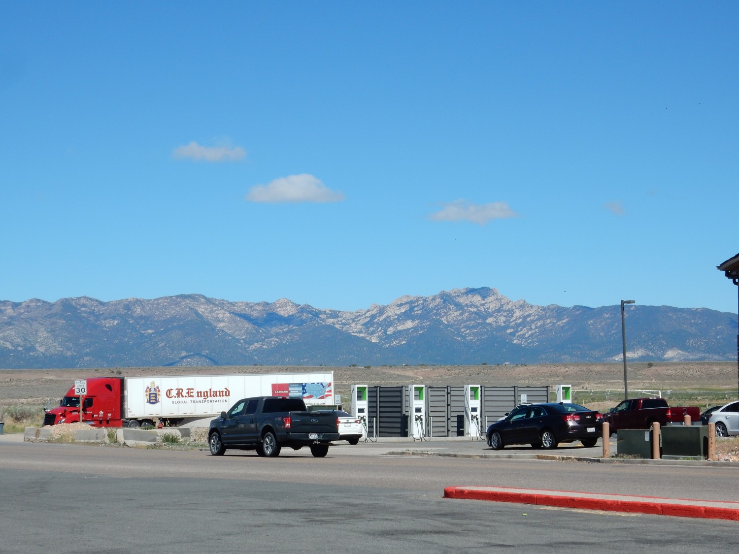
The right side of the range is granite intrusions around 18 million years old. The left are a jumble of crustal blocks, originally of much greater age, displaced by caldera formation in the Marysvale field.
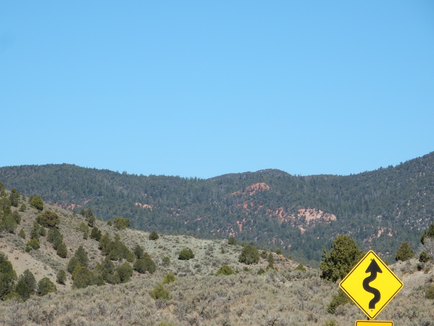
I take my exit east. There are prominent volcanic deposits to the north.
This is Mount Dutton Formation, mostly mudflows off the volcanoes of the Marysvale field.
Tuff?
The geology is confused here, but the answer seems to be Yes.
A very pretty hornblende-rich tuff, confusingly called the Buckskin Breccia. (Breccia is normally an accumulation of broken rock.)
To the southeast.
This is, apparently, also mudflow deposits.
The road continues south. To the west:
Sandy Peak. More Mount Dutton Formation mudflows.
To the southeast:
My first glimpse of the Claron Formation, the Eocene formation making up much of Bryce Canyhon National Park.
I had not actually much noticed that my planned route came close to Bryce Canyon. But I’m making very good time, and I decide to use some of it to visit the park.
Mouth of Red Canyon.
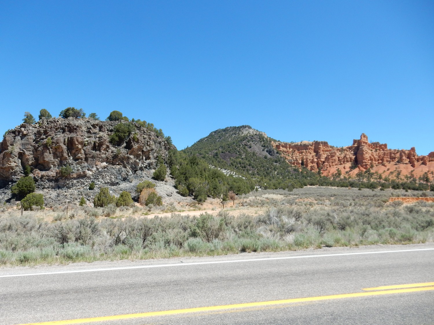
The dark rock at left is from the Red Canyon lava flow, a fairly local and young eruption (around half a million years old). It looked to me like there was faulting going on here, and the geologic map confirms that this is a fault zone thrown down generally to the west. One fault strand passes through the notch between the flows left of center, and another fault stand separates the black lava from the red Claron Formation beds at right.
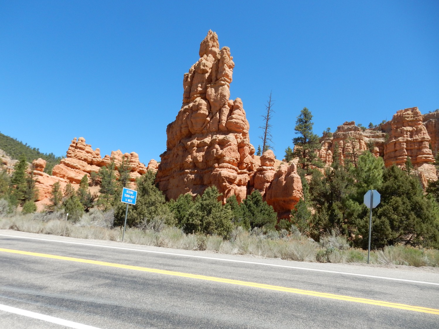
The Claron Formation is varied in composition, ranging from calcareous mudstone through calcareous sandstone to sandy limestone. The red color indicates deposition in an oxygen-rich environment, probably an arid floodplain. The formation is Eocene, with an age around 30 to 60 million years, and was likely deposited in a mountain basin during the Laramide mountain building.
Tunnel through the Claron.

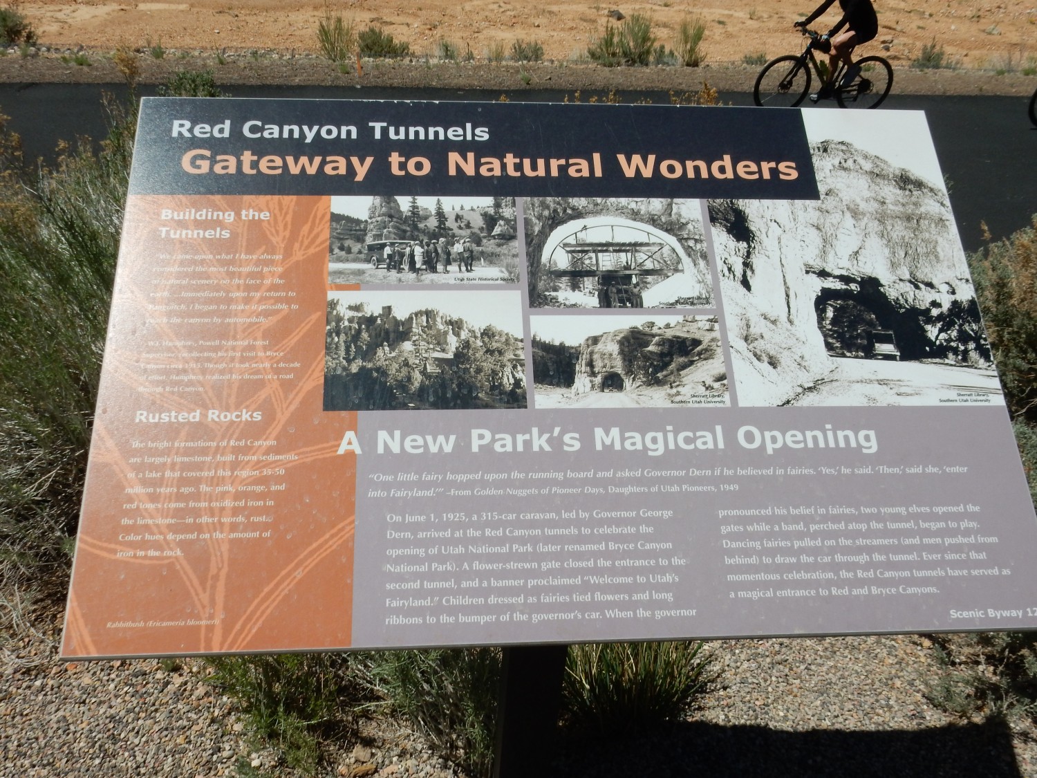
Signage.
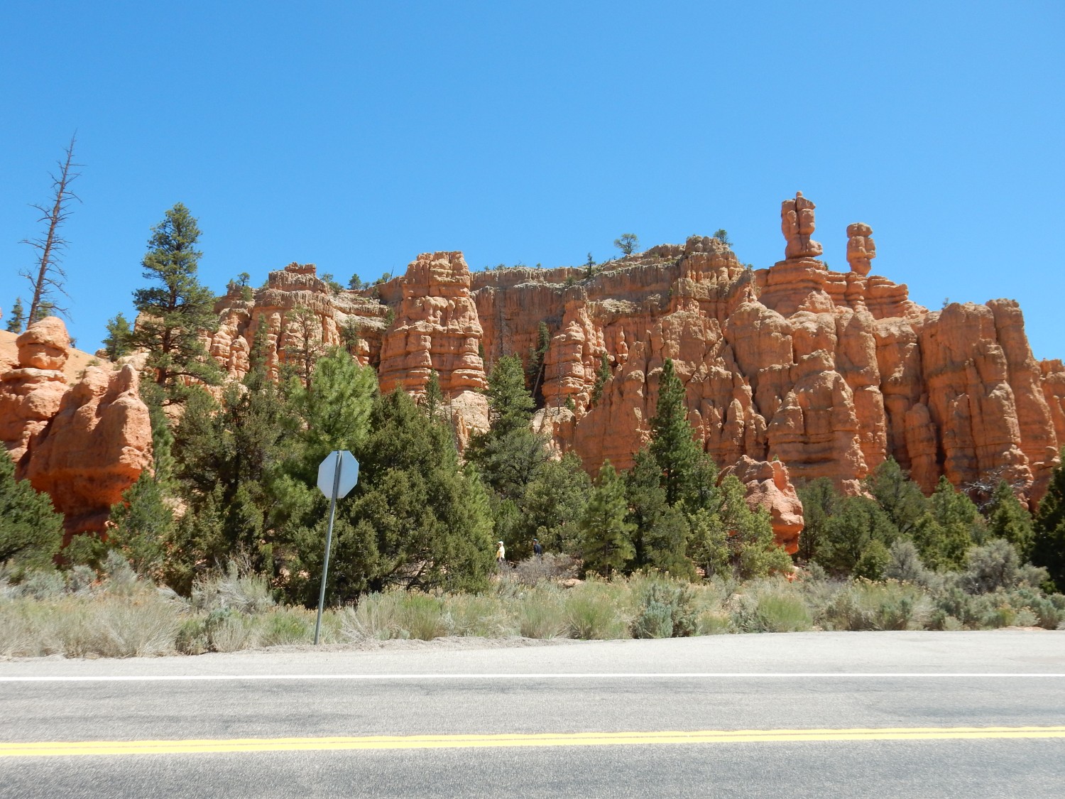
The Claron is apparently mostly freshwater limestone in this area.
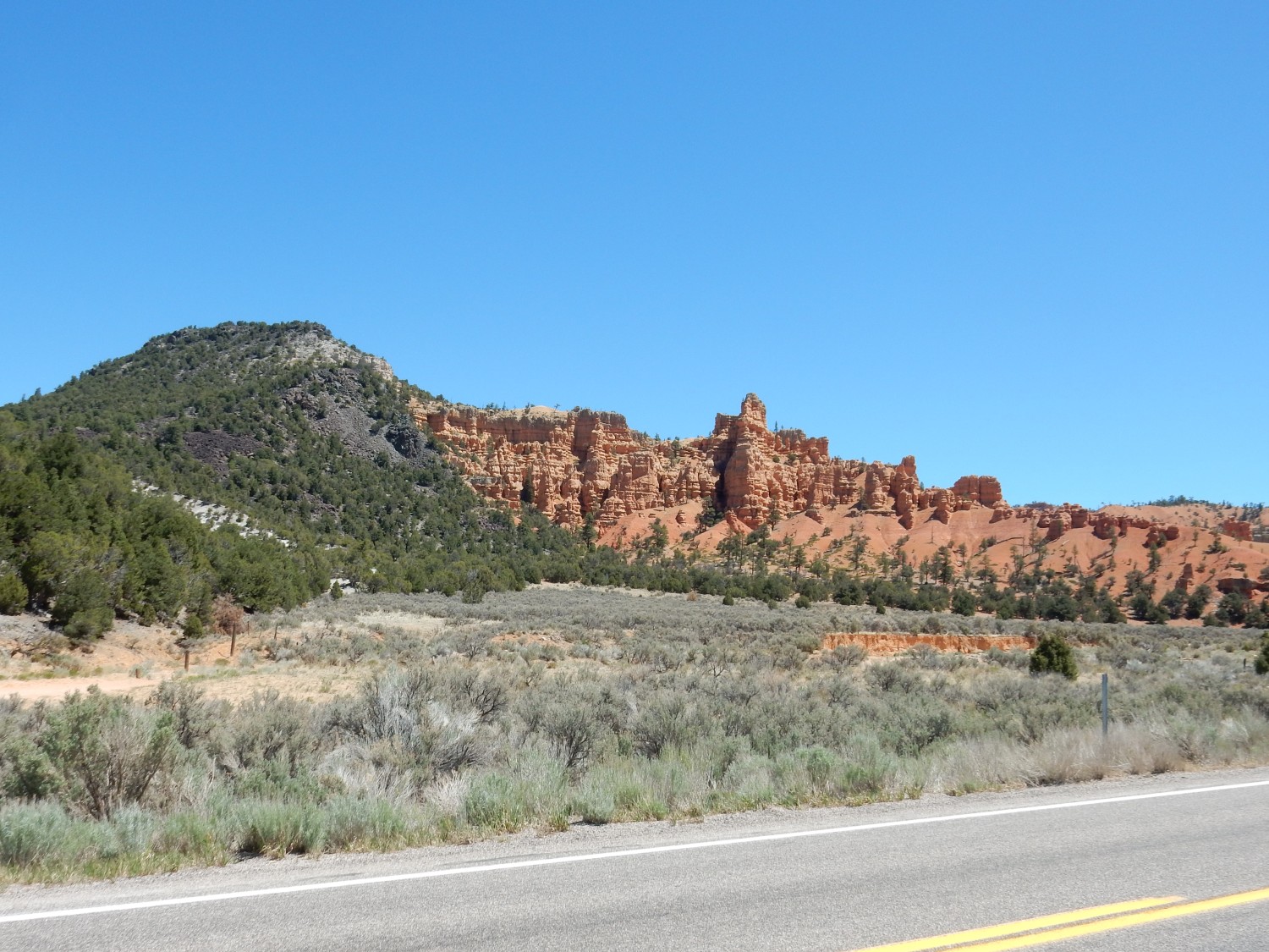
More red cliffs.

The road passed a picnic area and rest stop. I stopped and rested but was reluctant to picnic; the entire area was full of schoolchildren on a class excursion. Driving on, I found the intersection to Bryce was in the process of being replaced with a roundabout. Highway engineers are evidently in love with the things.
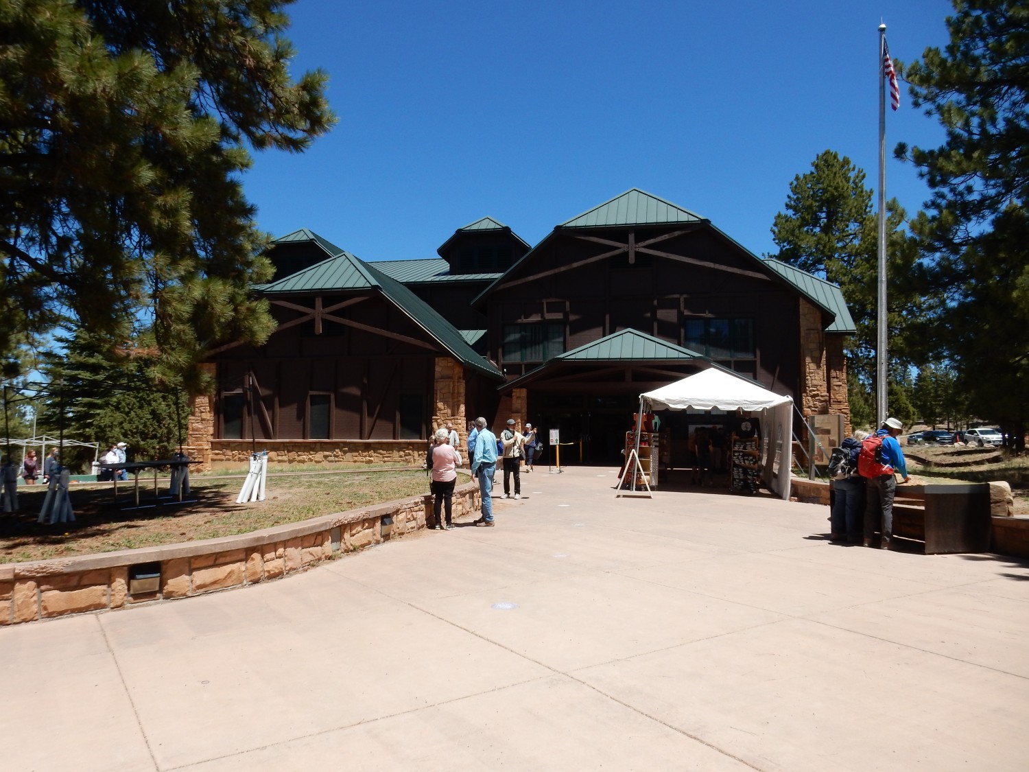
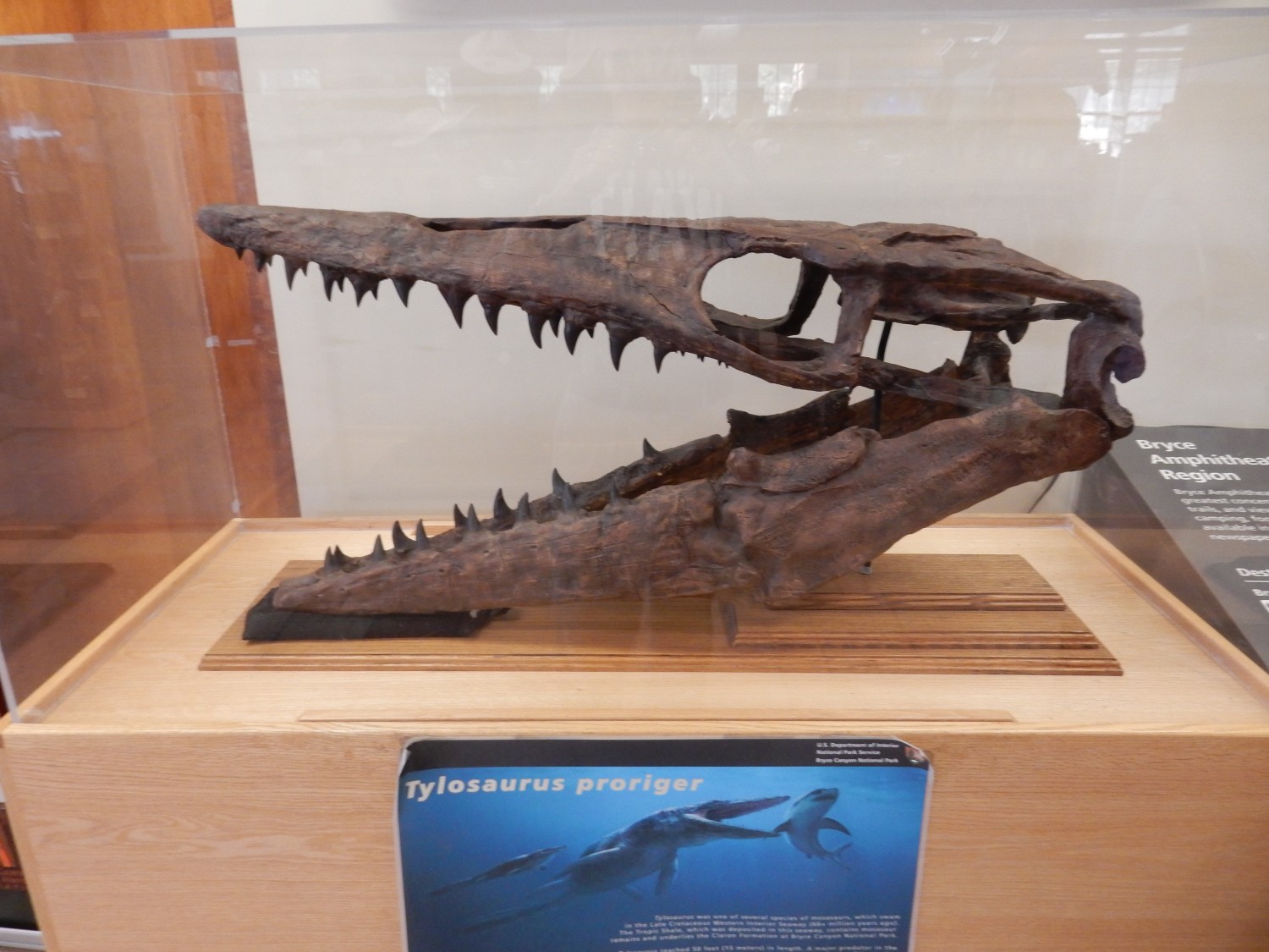
Visitor’s center at Bryce Canyon National Park.
Apparently the canyon is actually an eroded monocline, which is fault-controlled.
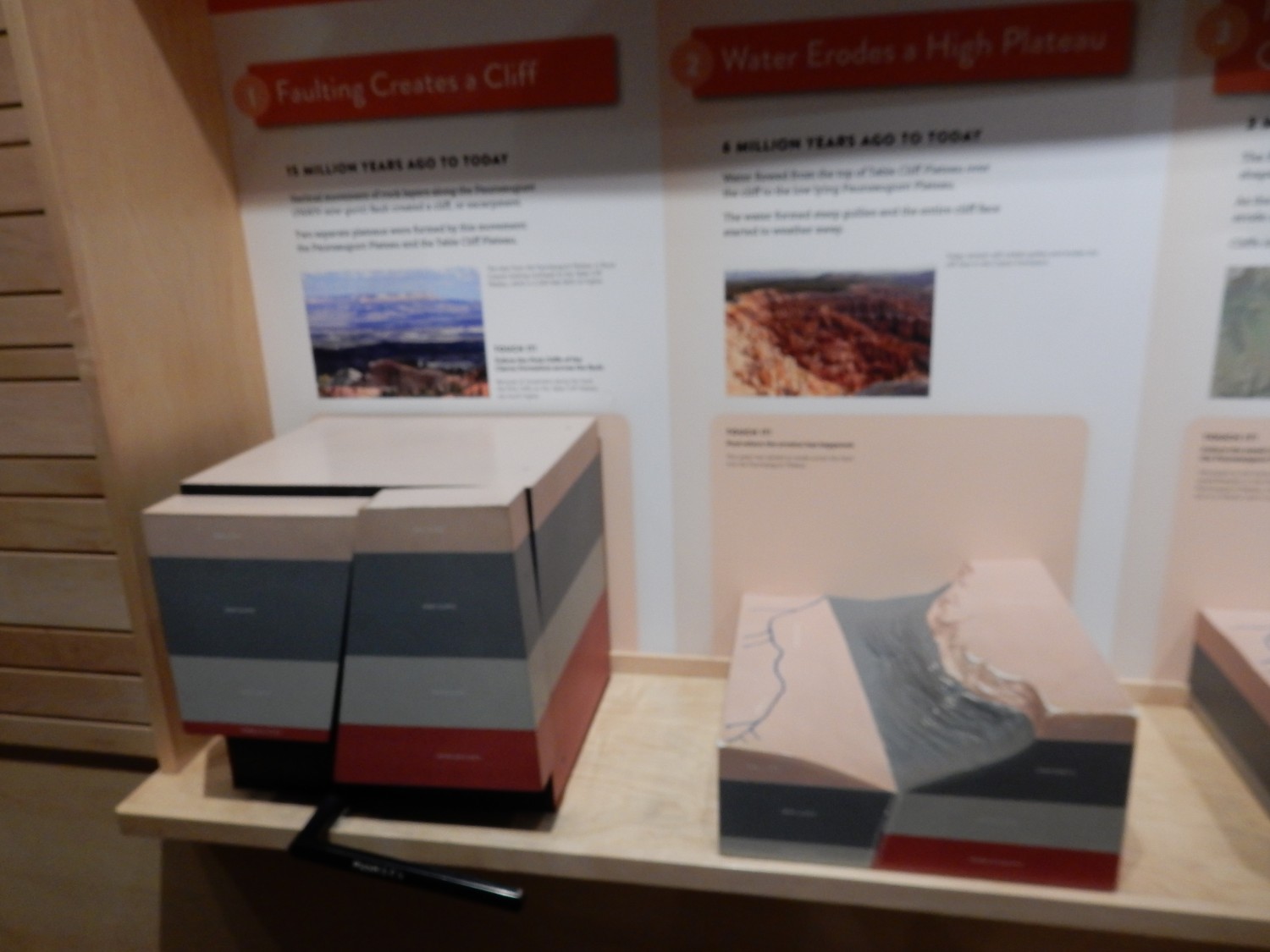
However, the geologic map shows the canyon as the eroded crest of an anticline. I suppose the two are not strictly incompatible.
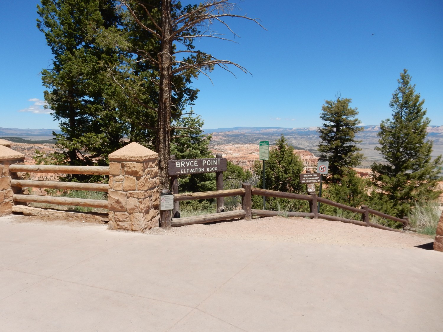
I try driving down to Bryce Point. The area is a madhouse, with no hope at all of finding a parking space any time soon. I return to the overflow parking from the visitor’s center, eat a quick lunch, then catch one of the buses circulating through the park. This soon has me at the point.
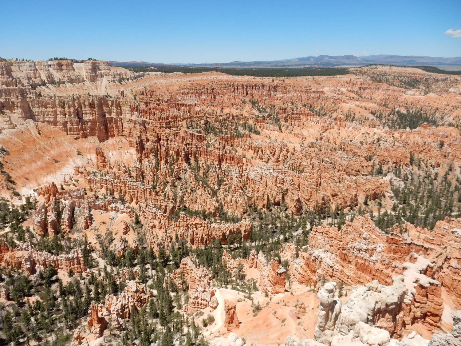
And, yes, it’s worth the fuss.
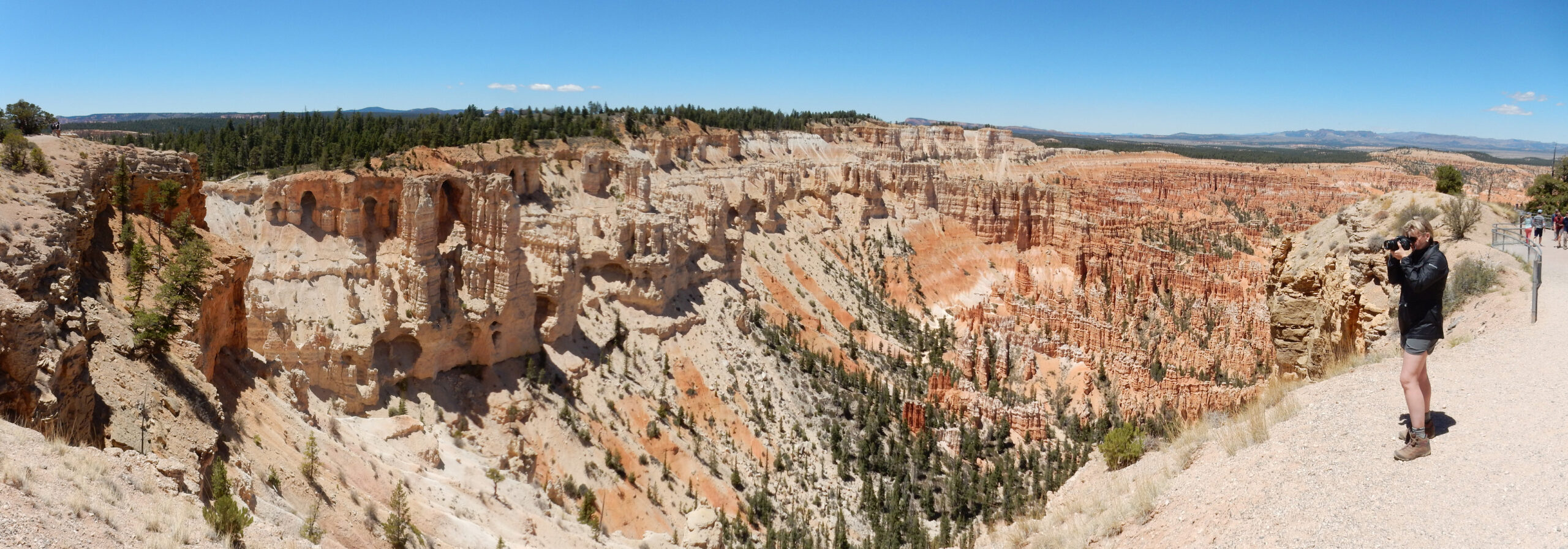
The canyon is underlain by the white and red members of the Claron Formation. Should not be too hard to see which is which here.
View from the point itself.
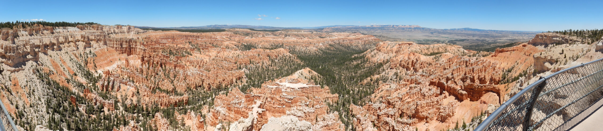
This one you’ll definitely want to click on for the higher-resolution image.
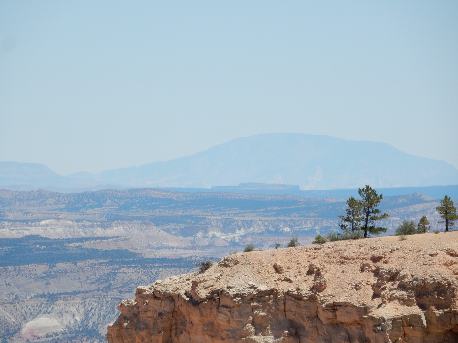
The gray beds at the base of the canyon walls at the furthest end of the canyon is Cretaceous Wahweap Formation. On the skyline, right of center, is Table Cliffs Mesa. This is apparently the southernmost outlier of the Aquarius Plateau, which our bus driver described as the highest plateau of North America.
(I’ve not been able to verify that. The scholarly sources I’ve found claim only that it is the highest in Utah. I suspect this is citogenesis from Wikipedia, which I’ve tried now to correct.)
To the east, the town of Tropic.
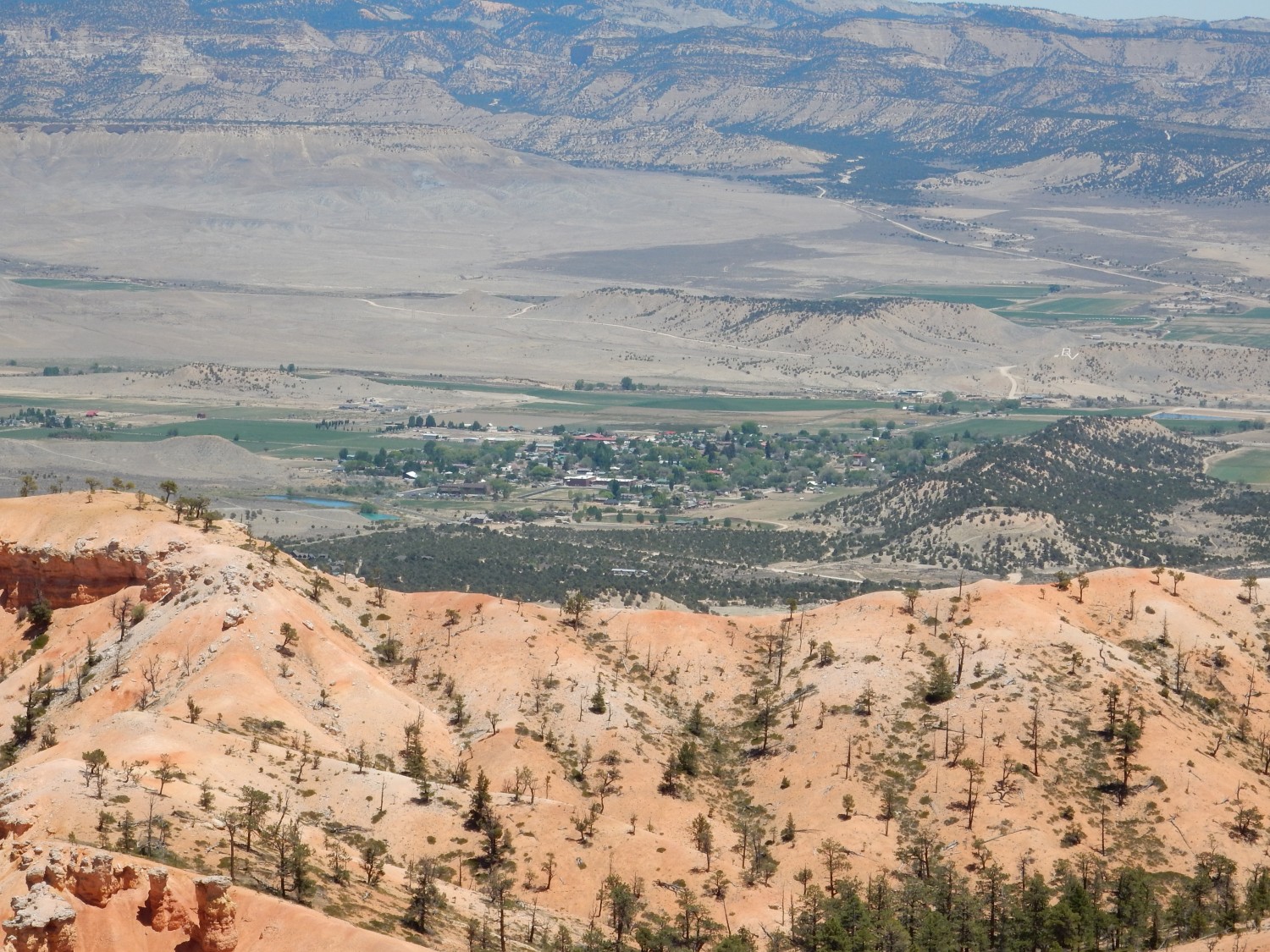
I sometimes wonder how it would be to grow up in a small town like that, with spectacular geology right next door. Then I remember.
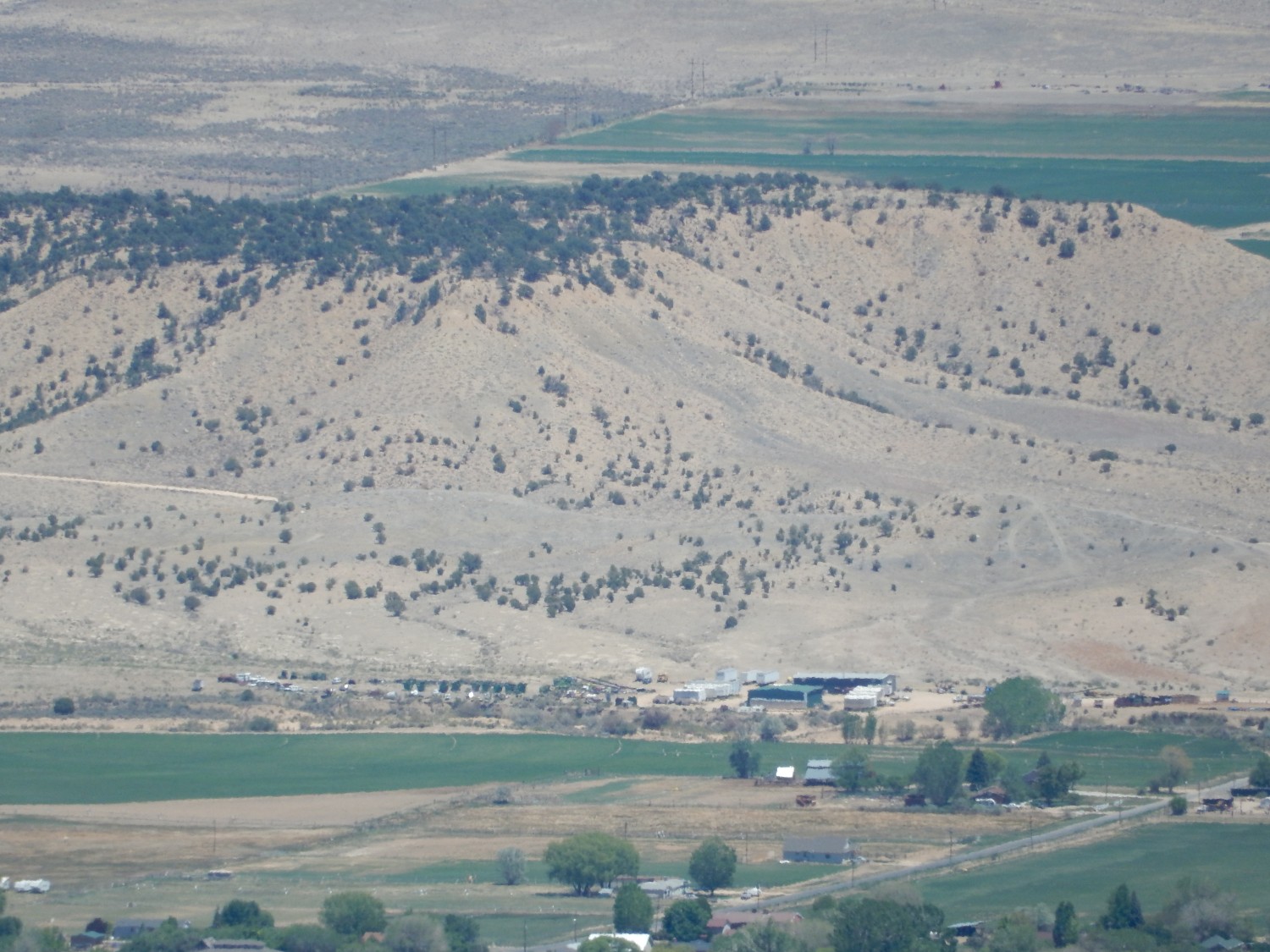
Also, the type section of the Tropic Shale:
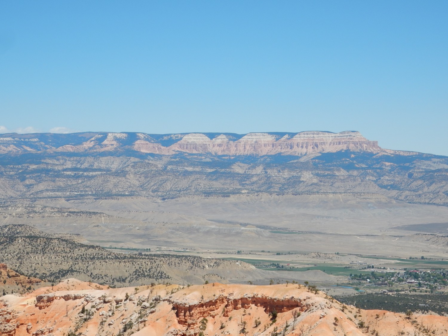
Telephoto on Table Cliffs Mesa.
To the southeast, in the distance, is Navajo Mountain.
Just one more.
Okay, that was definitely worth the side trip. But I need to hurry on. I retrace my route and head south from Parowan towards Orderville. Claron Formation is still with us.
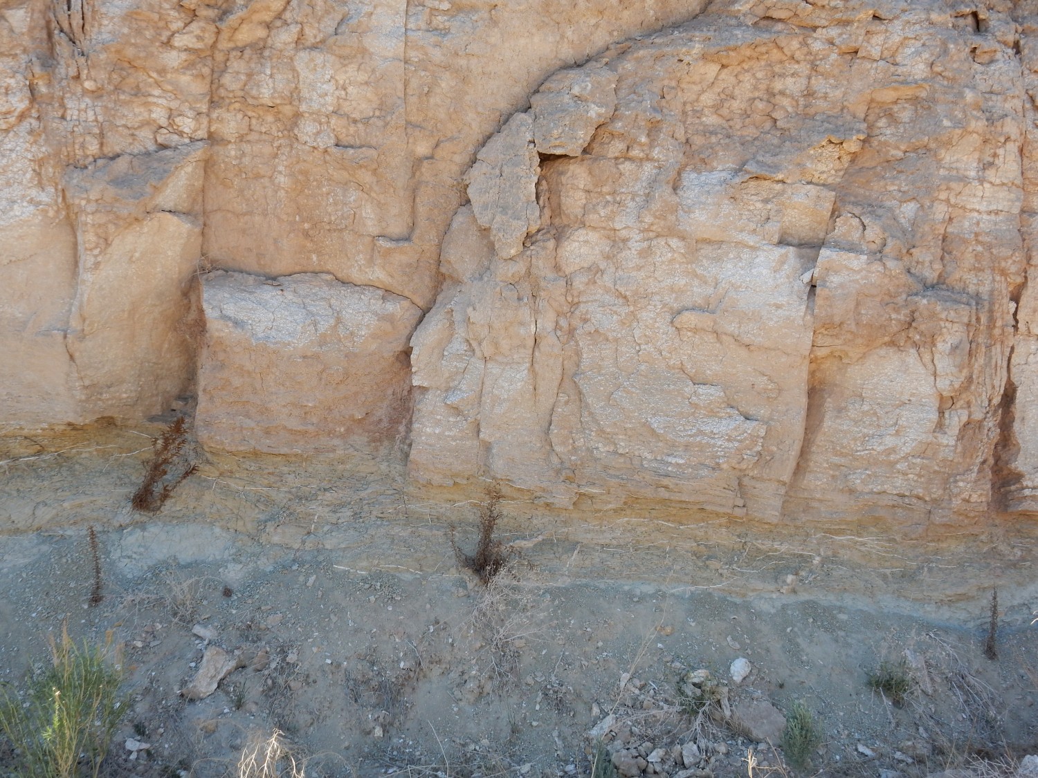
A road cut.
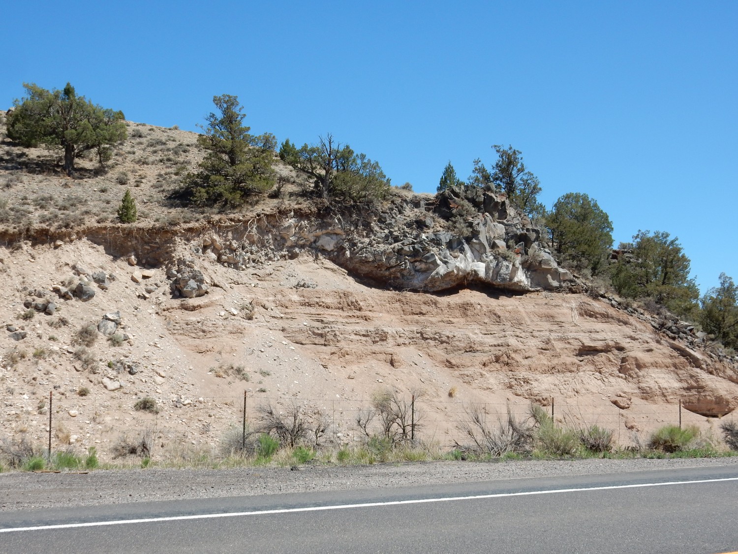
This is the Rock Canyon lava flow, a 5.3 million year old flow related to the Red Canyon lava flow we saw earlier, but significantly older. It rests on unnamed sediments.
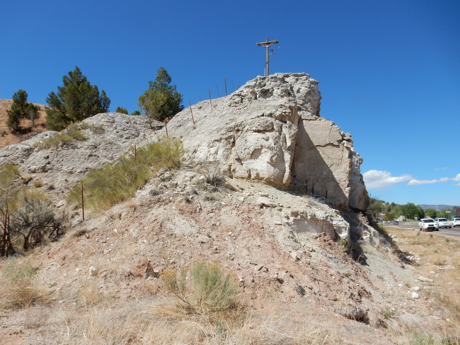
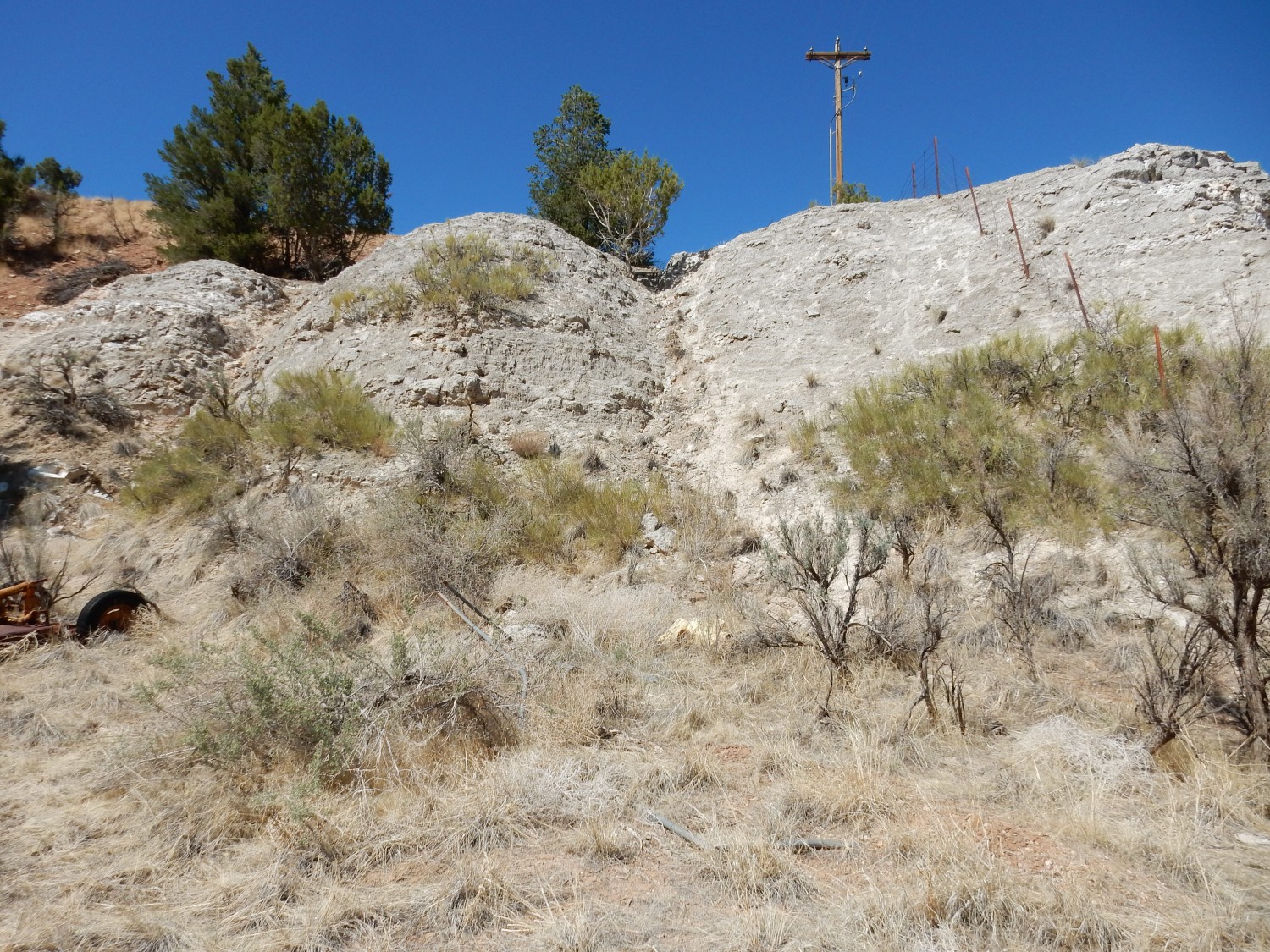
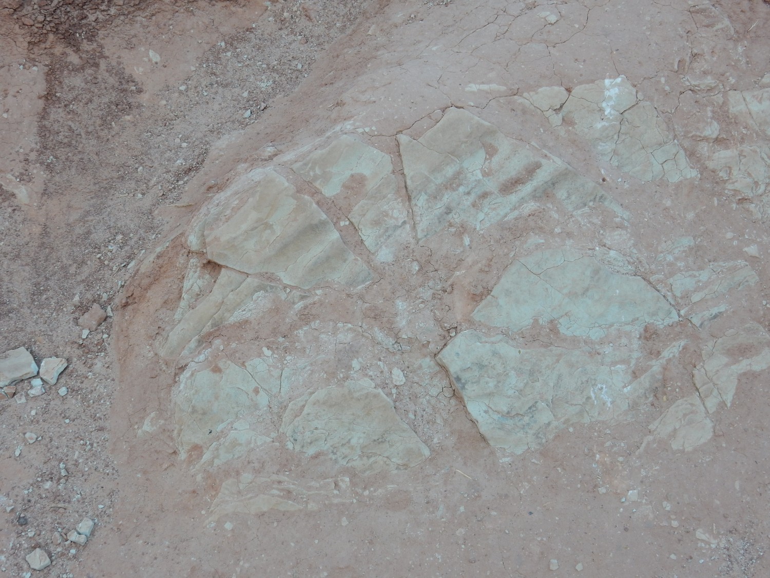
Masses of what look like caliche by the road caught my eye.
This turns out to be uppermost white limestone of the Claron Formation.
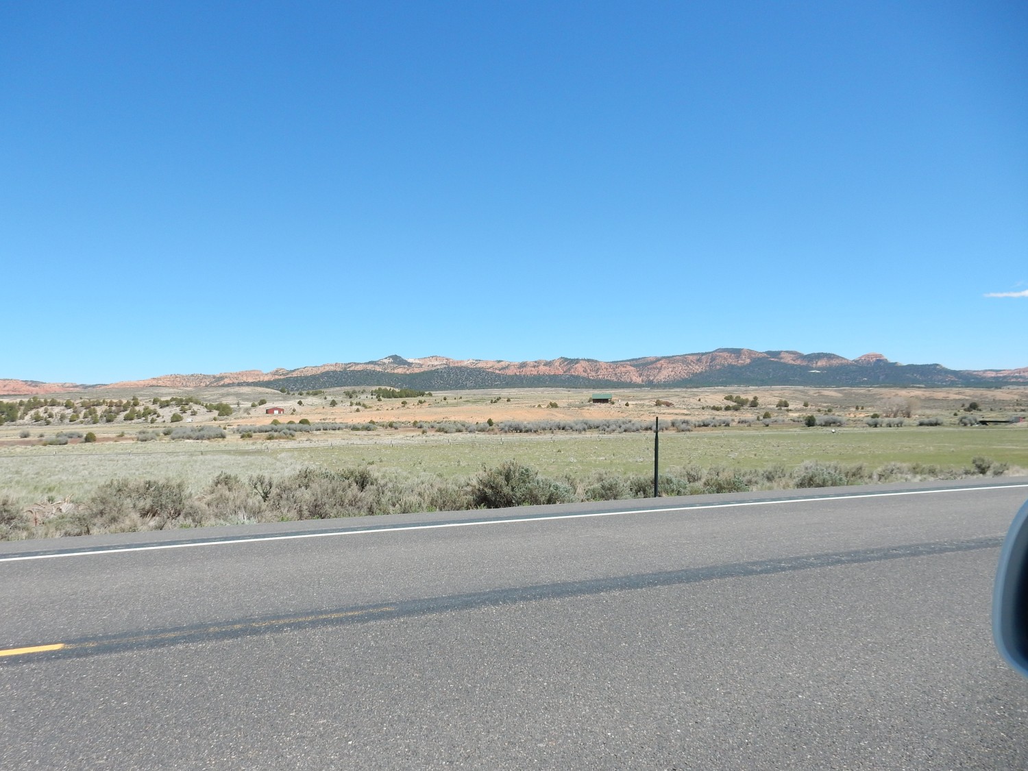
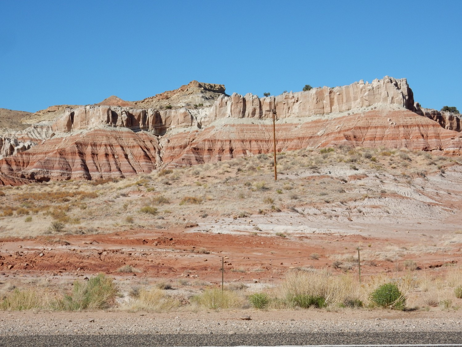
Near Orderville:

The topmost beds are Carmel Formation, and the bulk of the cliffs beneath are Temple Cap Sandstone. The low plateau in front of the cliff is Navajo Sandstone. All are Jurassic formations.
I arrived at the type area for the Carmel Formation.
This is the Pariah River Member, which includes thick beds of gypsum.

I look for a good photograph for Wikipedia.
The last is discolored red, probably eroded from the overlying Winsor Member.
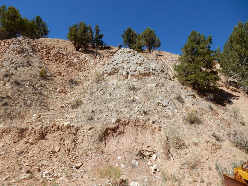
I head for Kanab. But this is too good not to stop for.
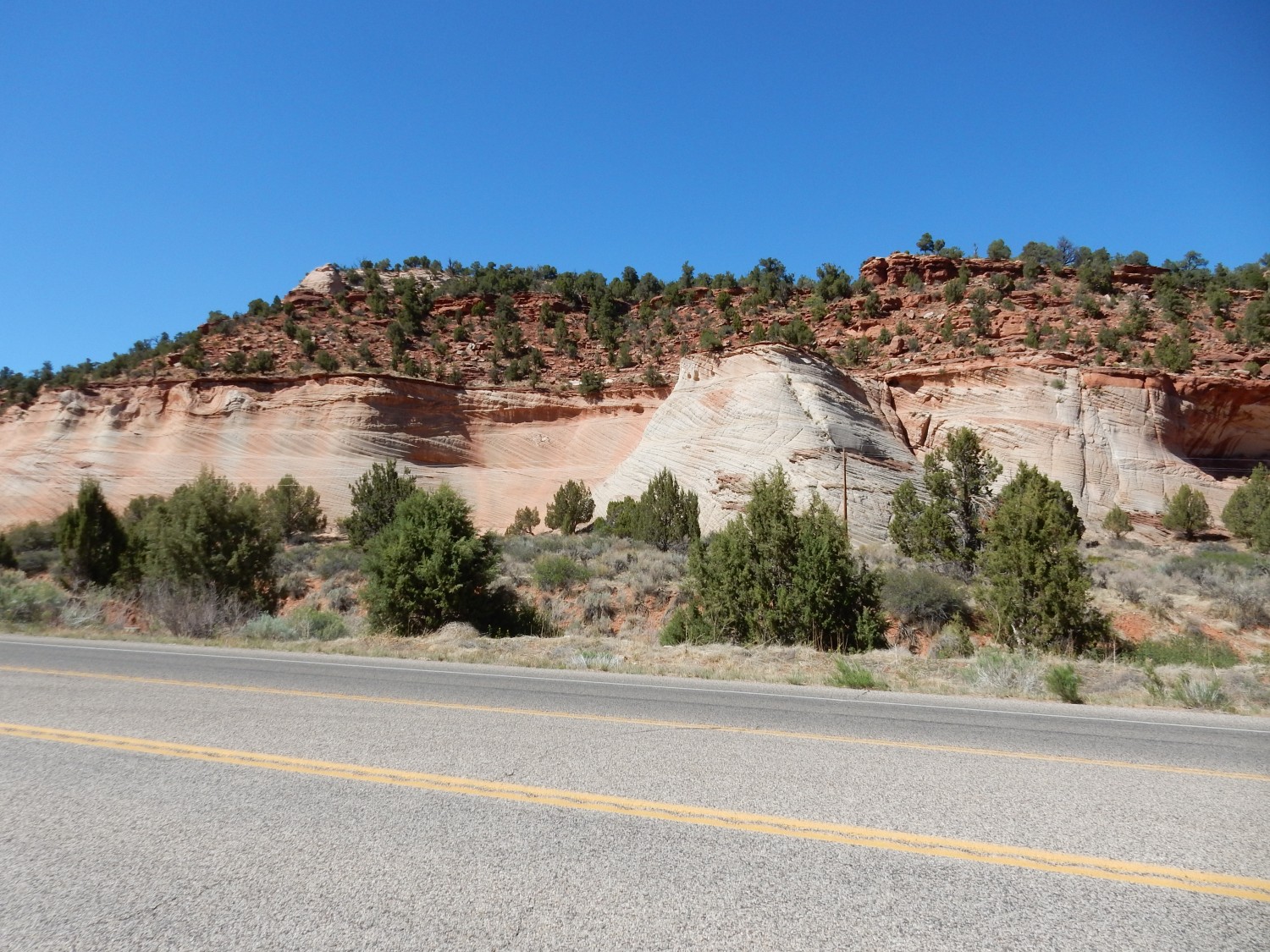
Lookit that crossbedding. I immediately think Navajo Sandstone. Which the geologic map confirms. The thin beds above are the Kayenta Formation, and above that is … more Navajo Sandstone. The Kayenta beds here form a tongue, the Tenney Canyon Tongue, into the Navajo Sandstone. The Kayenta Formation is one of the rare fluvial formations in the early Jurassic of Utah, marking a brief wetter period in a time of generally extremely arid climate.
Just lookit that.
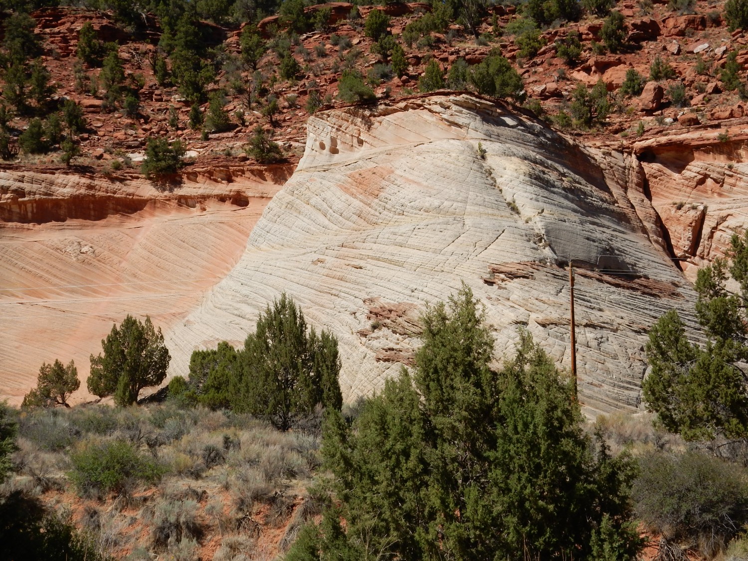
That is textbook crossbedding, formed in sand dunes deposited by a steady prevailing wind. From the left, since the crossbeds dip away from the wind or water direction.
I reach Kanab and continue south, to see the Shinarump Formation at its type area, the Shinarump Cliffs.
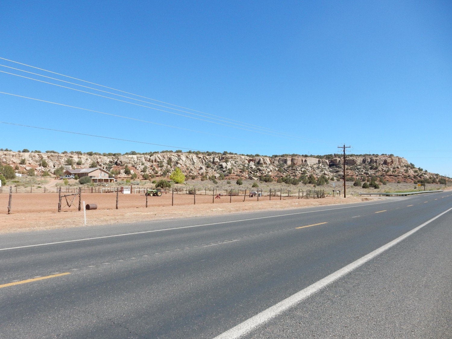
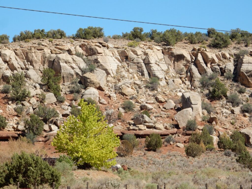
The last, I think.
I head into Kanab and stop by the BLM field office, to familiarize myself with where the lottery is held to get permits to hike The Wave in Vermillion Cliffs National Park. There is a big poster showing the gymnasium where the lotteries are now held. They must have a heck of a lot of applicants. I begin rethinking the idea.
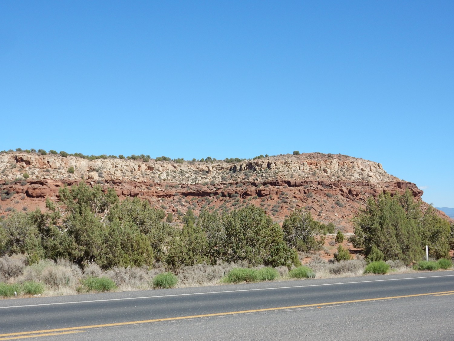
The cliffs north of Kanab are impressive.

Navajo Formation over Kayenta Formation. This is thickest section of Kayenta Formation I’ve ever seen.
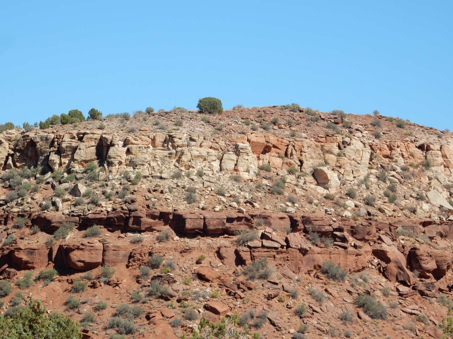
There is a side road, with signage. It also looks like a good place to photograph the hogback to the east. I stop.
The country east.

The cliffs to the left are still Kayenta Formation. The brown ridge to the right is Moenkopi Formation, an older formation, where the beds have been thrust up over another deep fault, just as at Comb Ridge early in this trip.
Navajo Sandstone peeking over the beds of Moenkopi Formation.
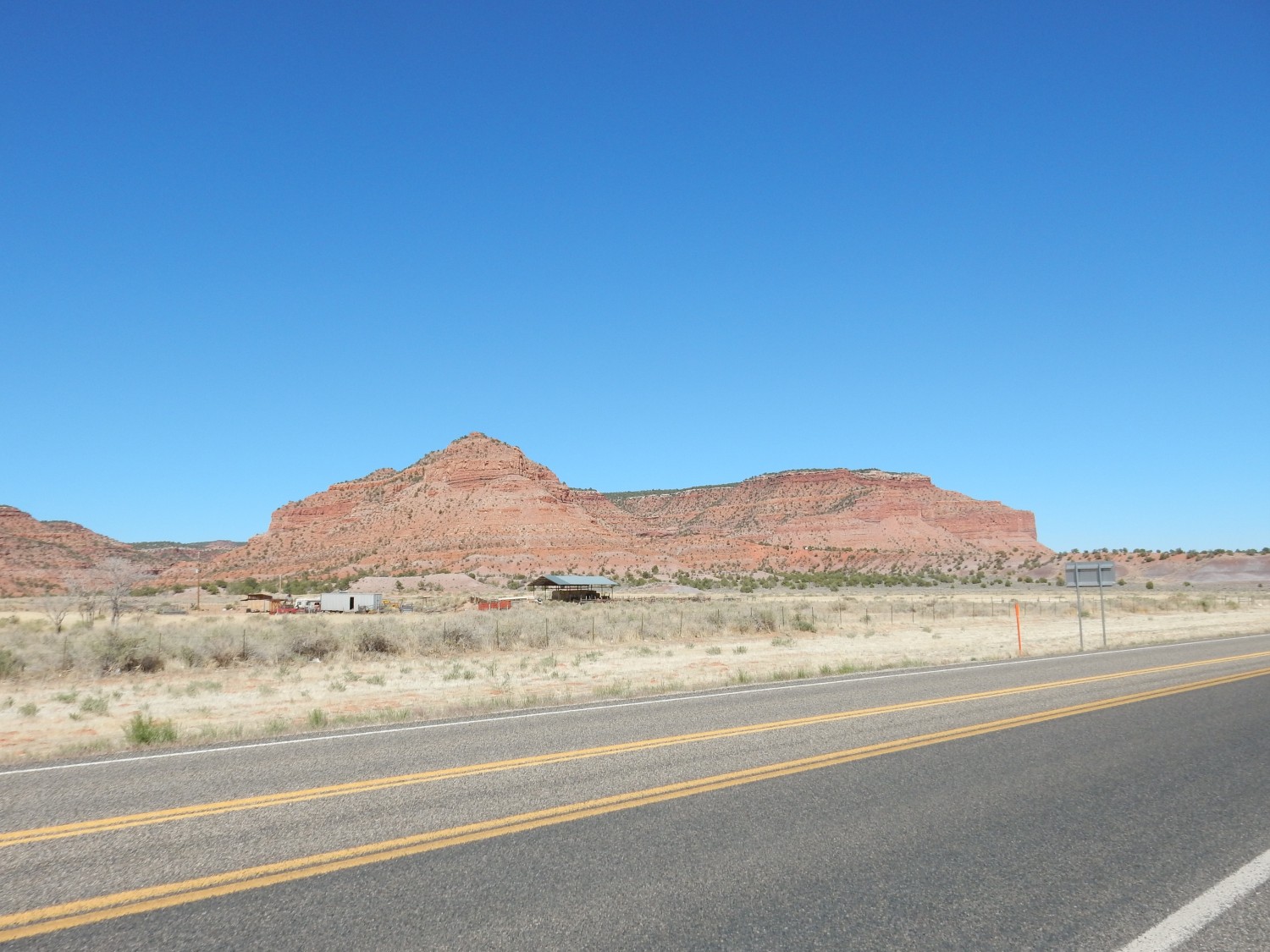
I drive into the hogback and look south

and north.
To the west is a ridge of Moenkopi Formation. To the east is Kayenta Formation and Navajo Sandstone. The stuff between is more easily eroded beds of the Chinle and upper Moenkopi Formation, which produce a strike valley in the middle of the hogback, between its east and west ridges.
Spectacular beds.
The geologic map is a bit unclear here. But I believe the lower striped beds are the upper part of the Carmel Formation, while the capping sandstone is the Entrada Formation.
I drive past the trail head I’ve been watching for, catch myself, and turn back.
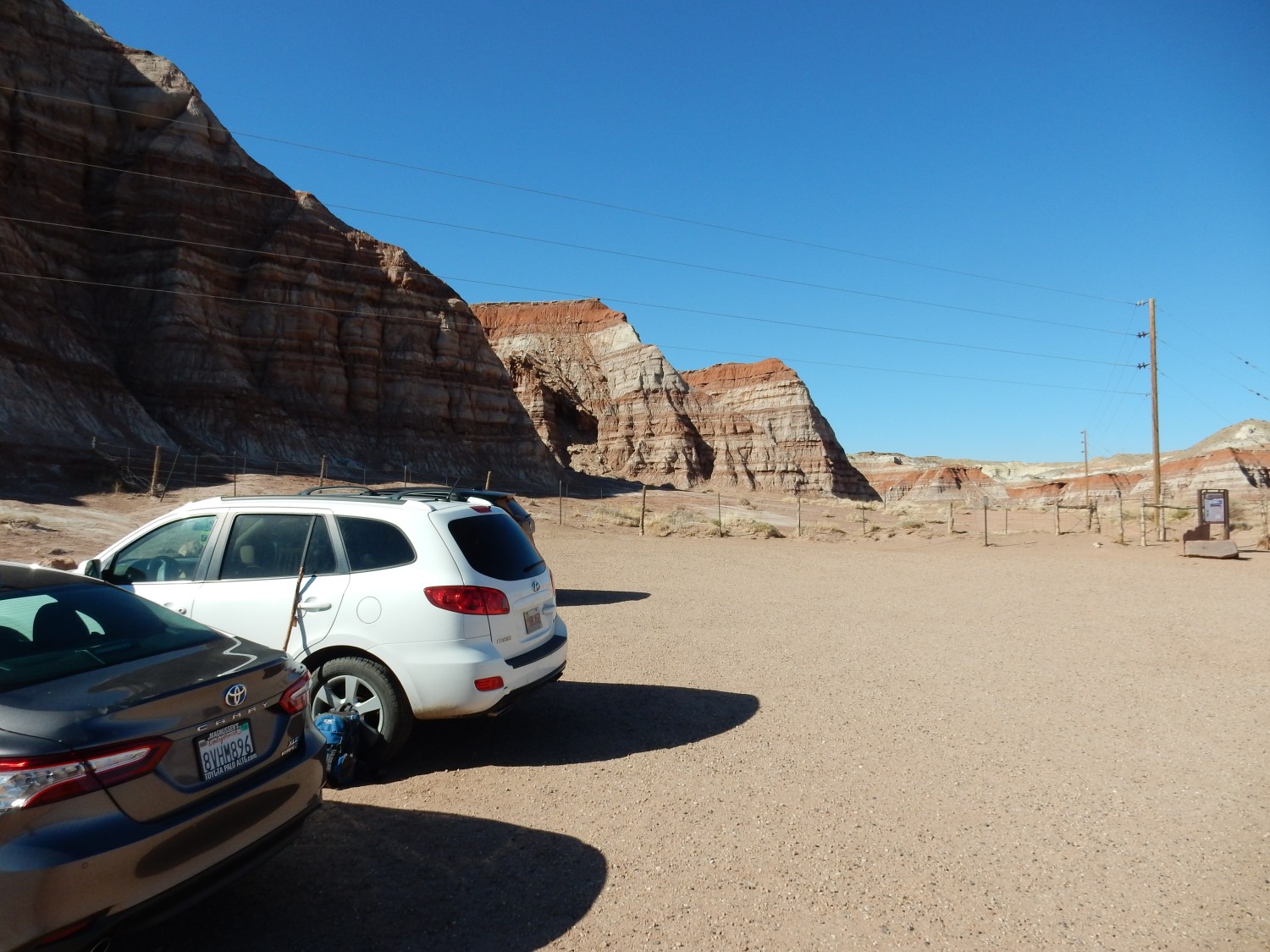
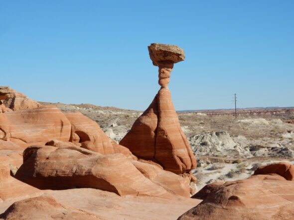
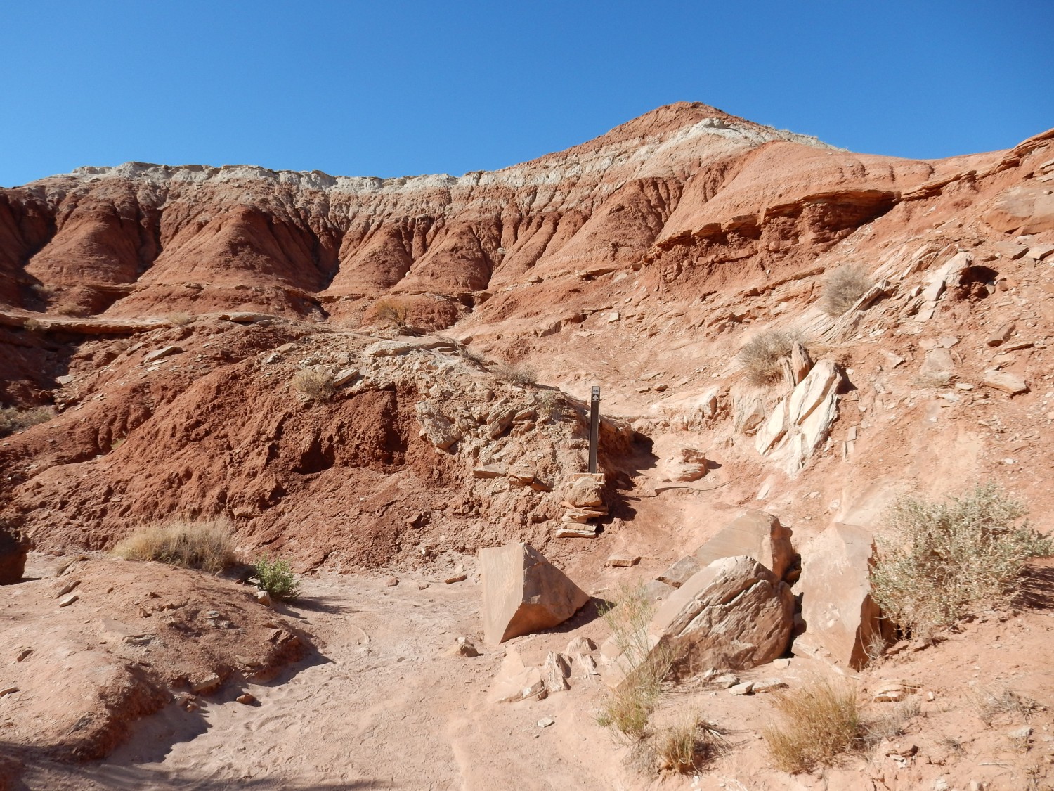
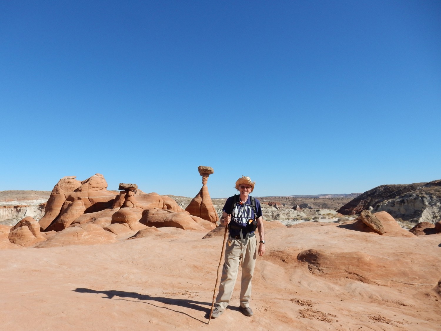
This is the trailhead for the Toodstool Hoodoos Trail. I’m less than an hour from my campsite and there’s still ample daylight, so I decide to hike this fairly short trail.
Signage.

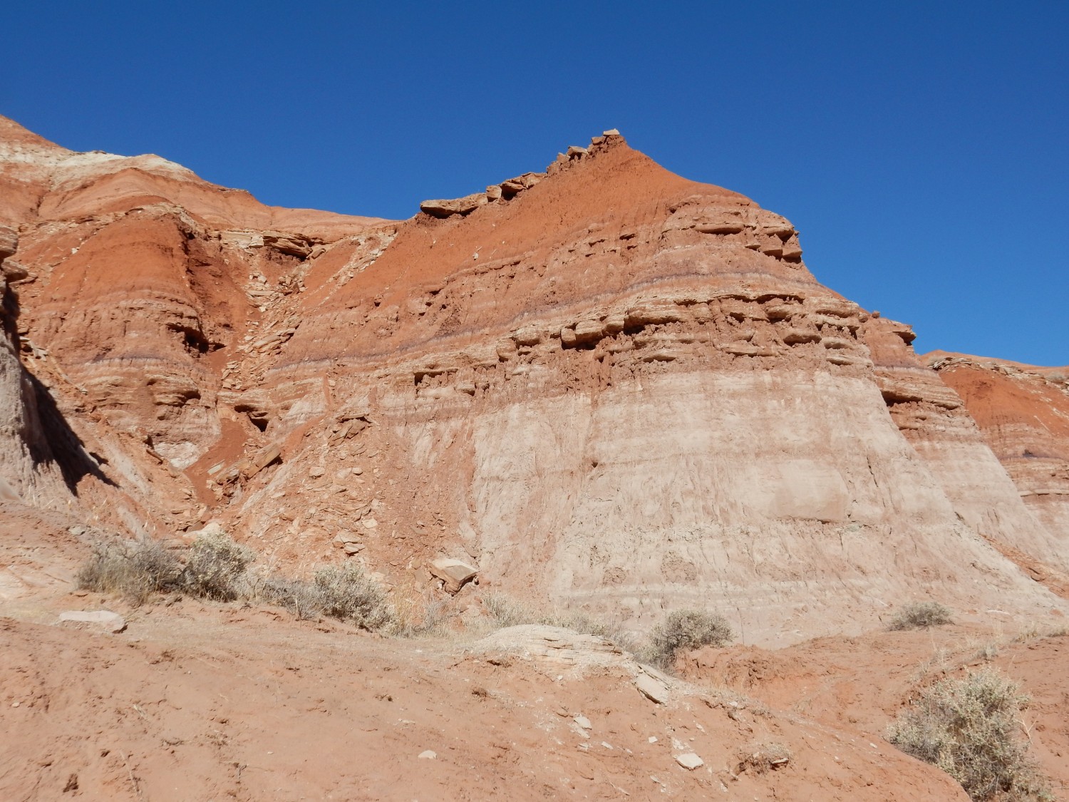
Impressive Carmel Formation beds.
There are occasional well-indurated sandstone beds in the generally soft sediments of the Carmel Formation.
Induration is part of the process of lithification, the conversion of sediments to sedimentary rock. Lithification involves compaction and then cementing of the compacted sediments into rock, which is induration.
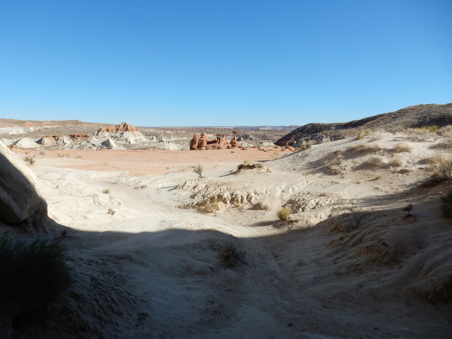
Telephoto of hoodoos ahead.
I don’t believe the trail actually climbs to this level.
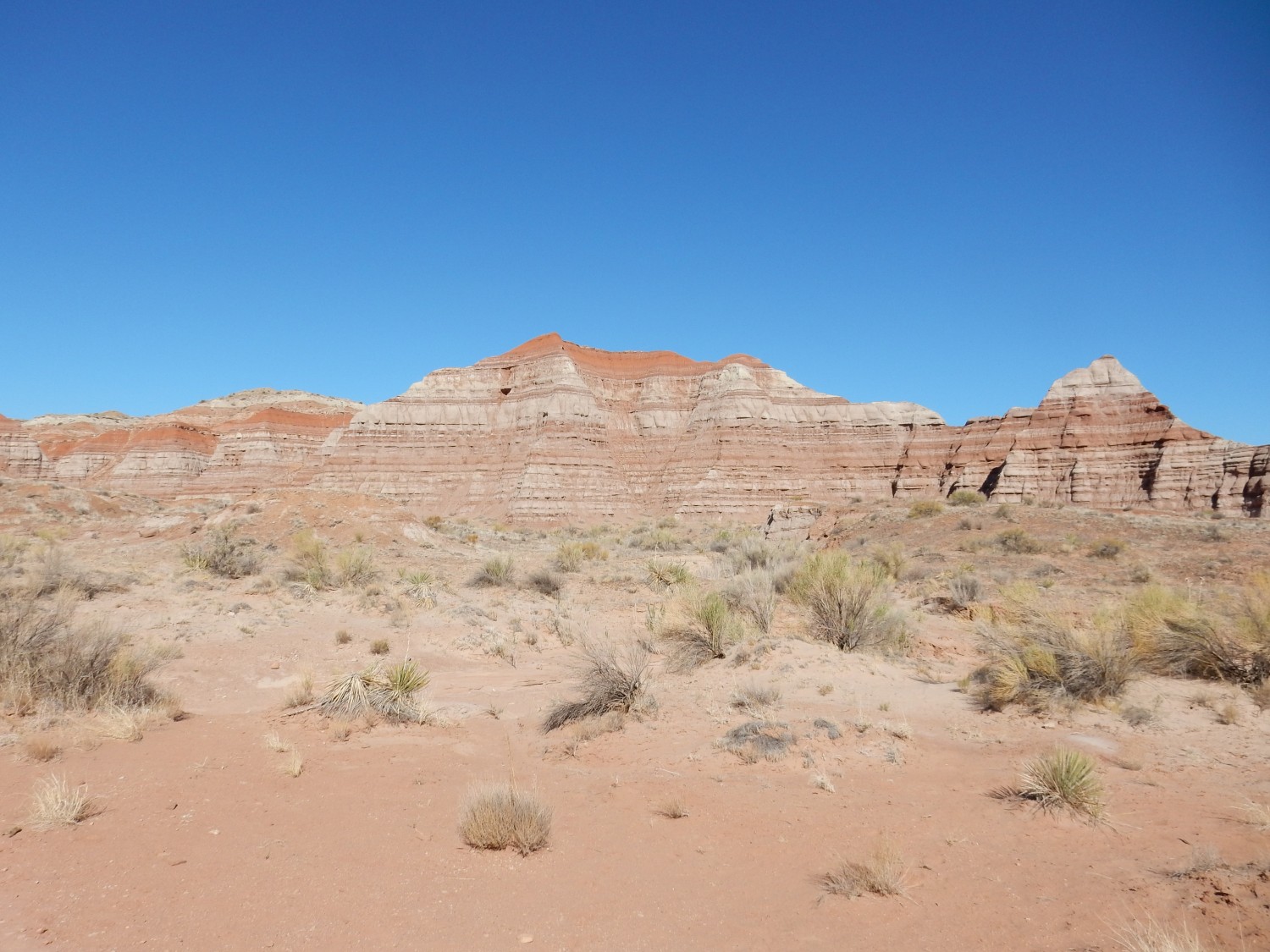
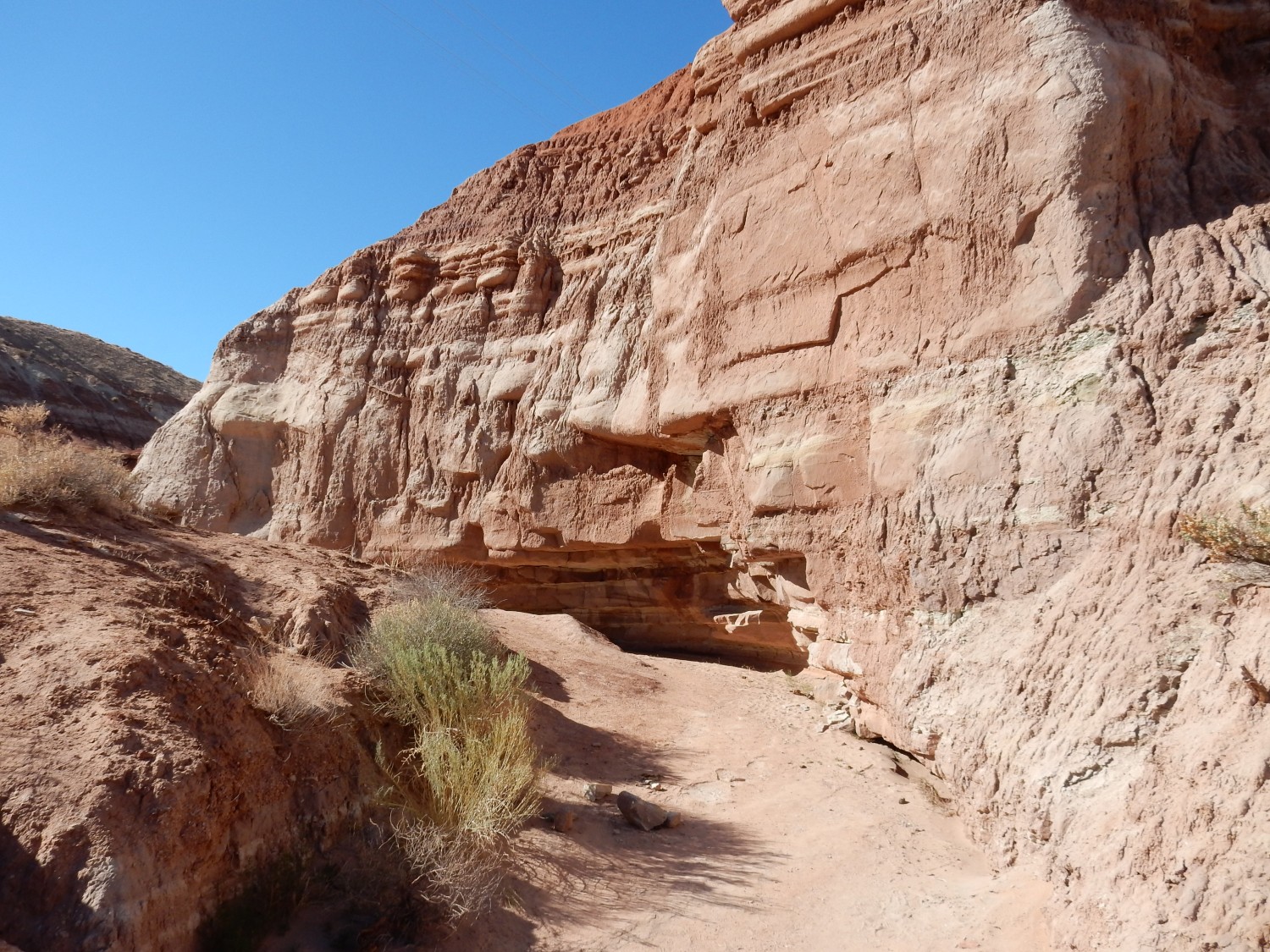
Somewhat different beds from what we’ve seen so far.
The lower, more uniform beds suggest a contact between different stratigraphic units. Two are mentioned in this area but not separately mapped: the Windsor Member (upper) and Pariah River Member (lower) of the Carmel Formation. The descriptions don’t precisely match but I’m guessing that’s what we’re seeing here.
Beds in a gully.
These solid red beds may be the Pariah River Member.
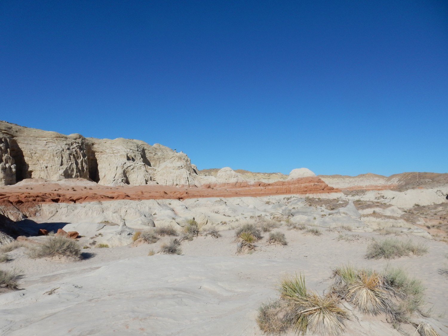
The lower hoodoos come into view. These are eroded from the Entrada Formation, which lies above the Carmel Formation.
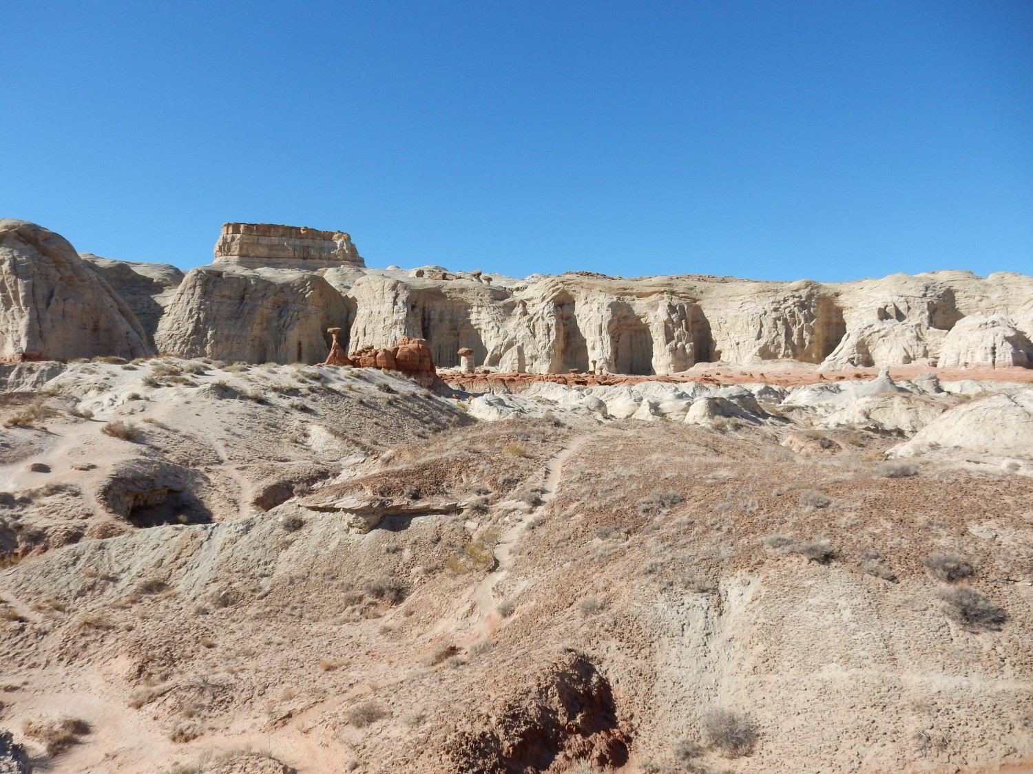
The dark bed capping the skyline at left is Dakota Formation. It’s interesting that this sits directly on the Entrada Formation in this area. In our neck of the woods (northern New Mexico), there are four formations between the Entrada and the Dakota that are missing here (Todilto, Beclabito, Morrison, and Burro Canyon.)
Zooming in.
I wonder what it is about the Entrada. It is also the formation from which the goblins of Goblin State Park to the north, and the arches of Arches National Park to the northeast, are eroded from.
Showoff.
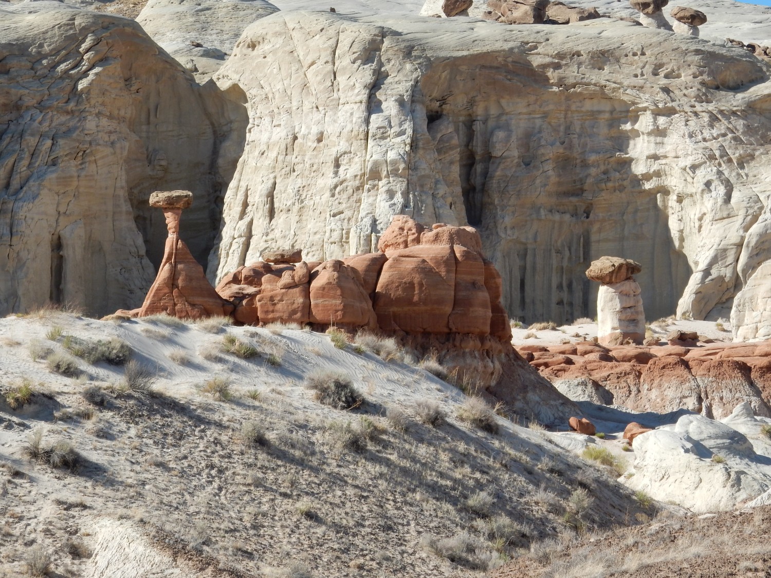
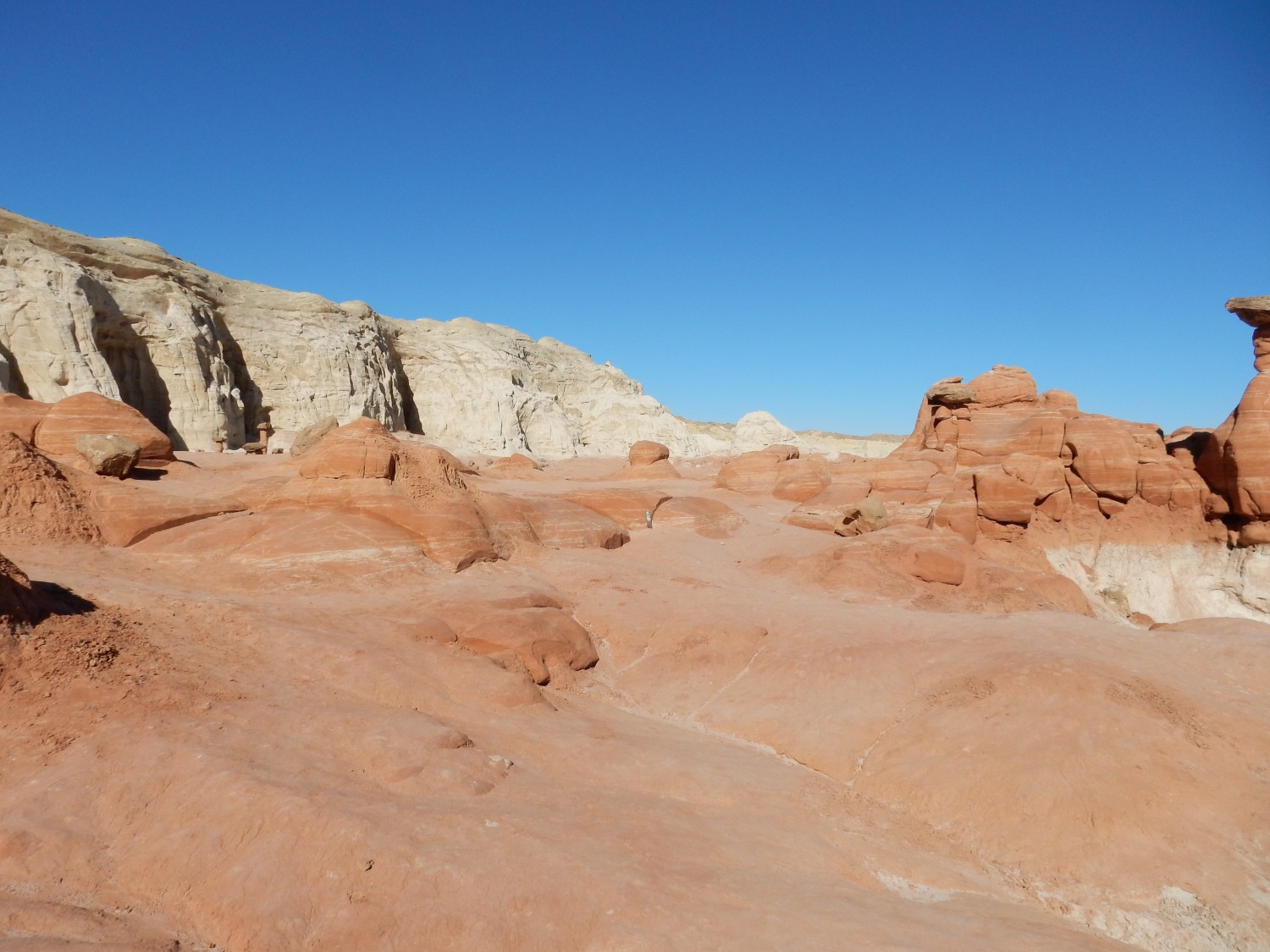
And I’ve arrived.
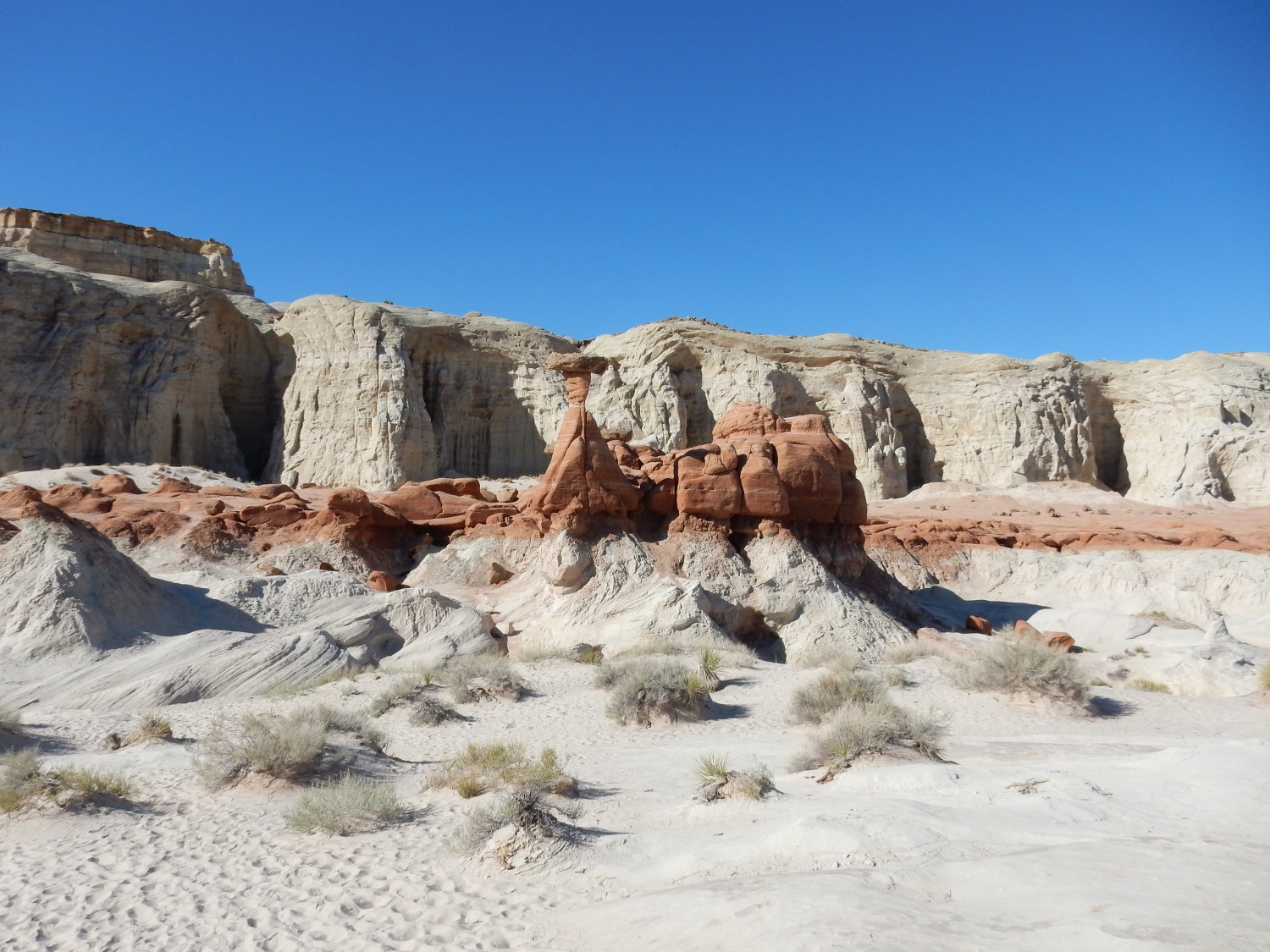
The hoodoos seem to form from a more resistant reddish bed within the generally white beds of the Entrada in this area.

Another hiker kindly takes my photograph.
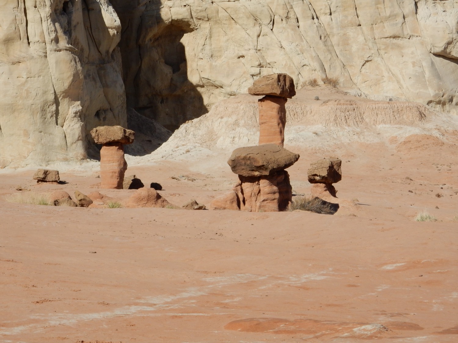
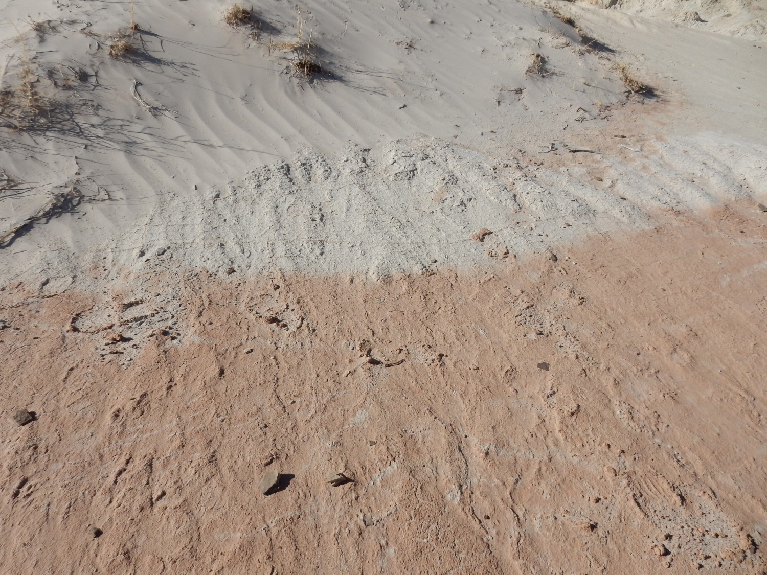
The color transition is quiet sharp.
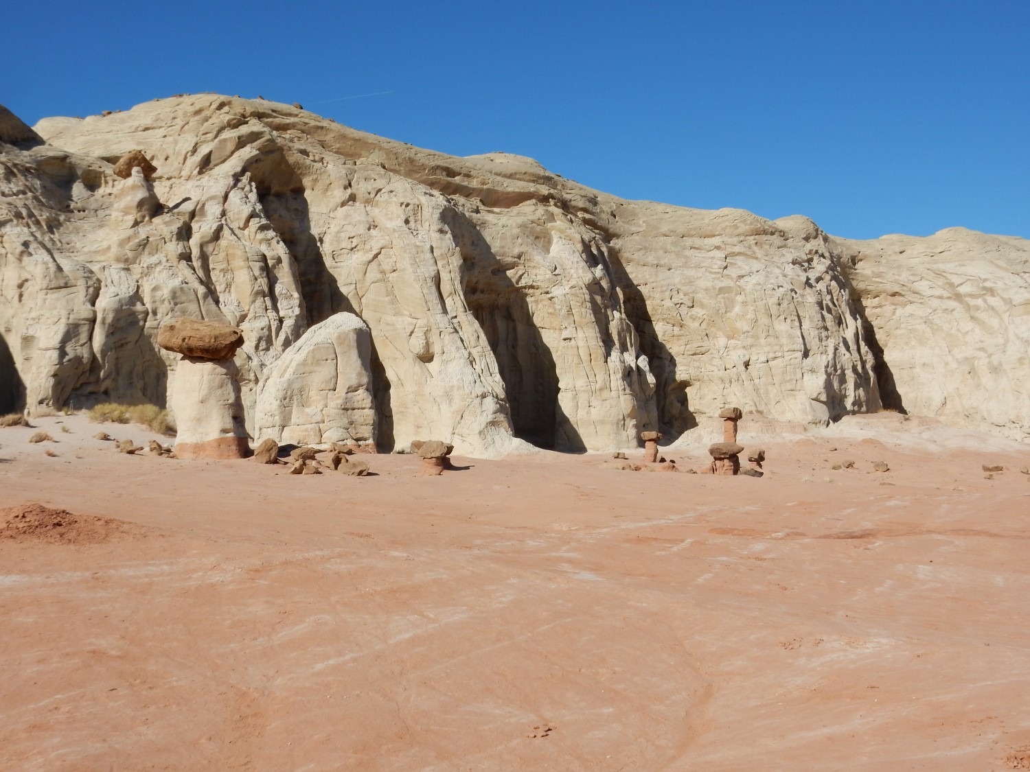
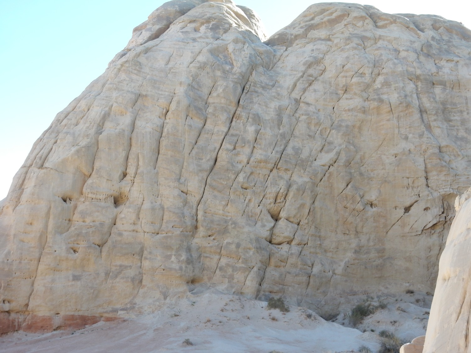
Another hiker suggests I try a photograph from a grotto eroded into the cliff of Entrada Formation. well, why not?
Massive sandstone cliff. I could easily mistake this for the Navajo Sandstone, but that’s in the subsurface here. Tghis is Entrada Formation.
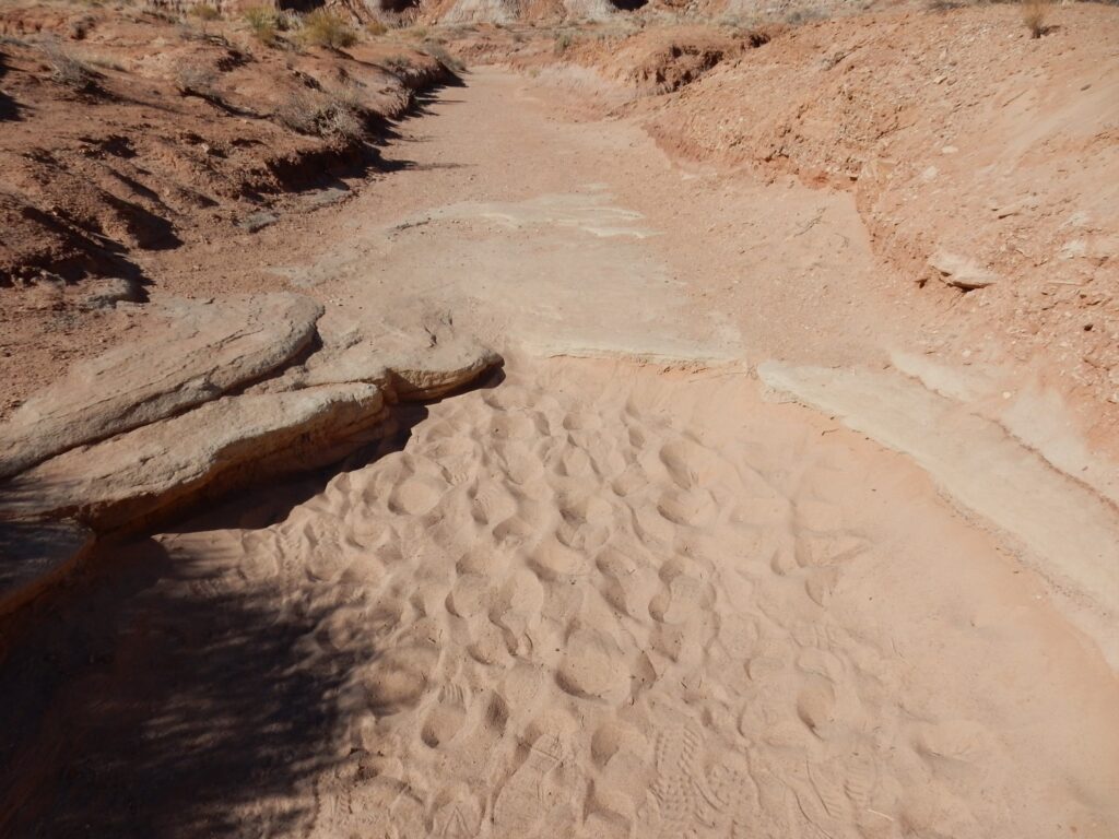
Time to head back. Ripplestone in the Carmel Formation — unless this is a local exposure of Moenkopi Formation, famous for its ripplestone.
I return to the Wandermobile, and race daylight for my camp at Wahweap. But this is too good to miss.
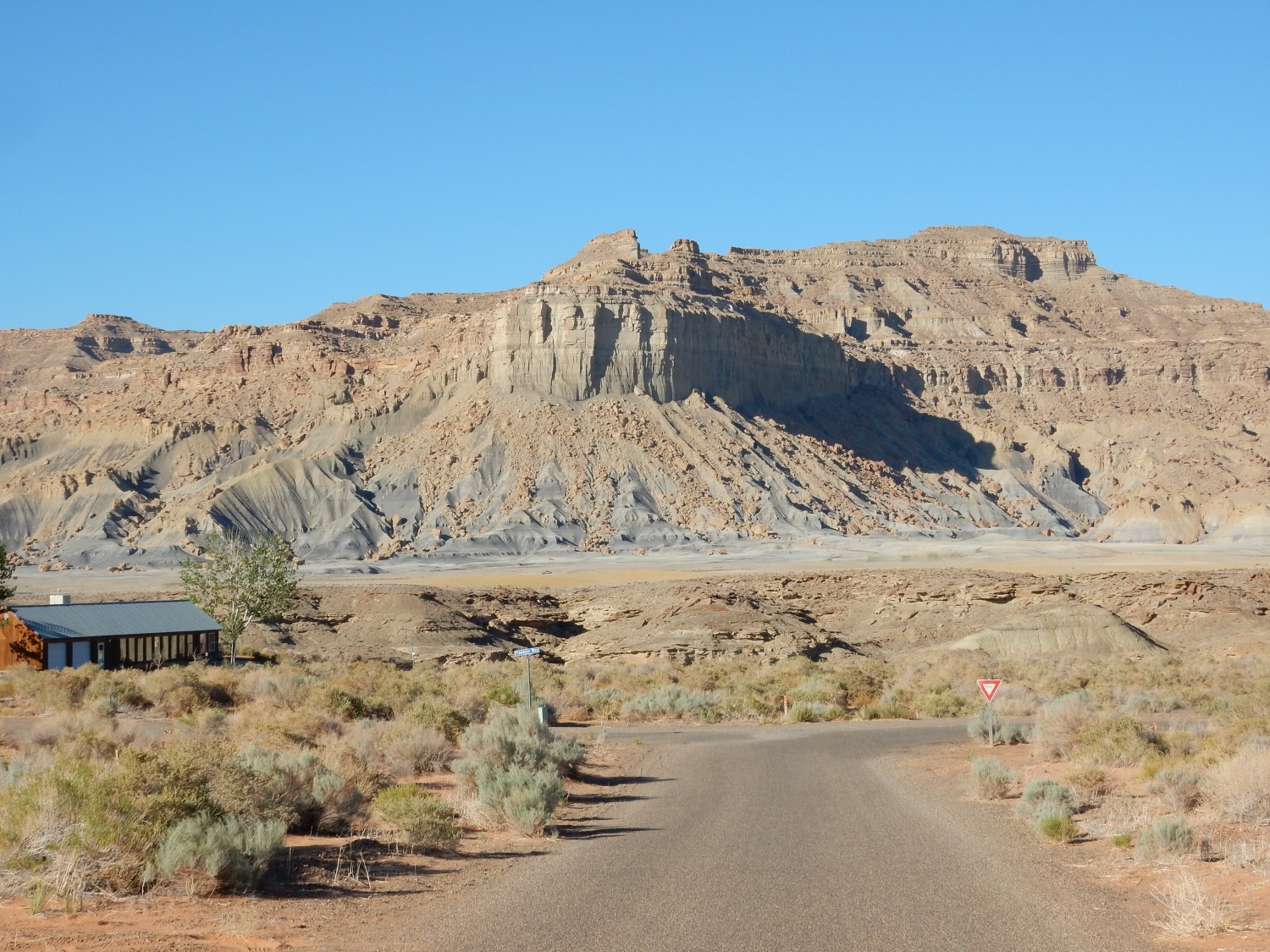
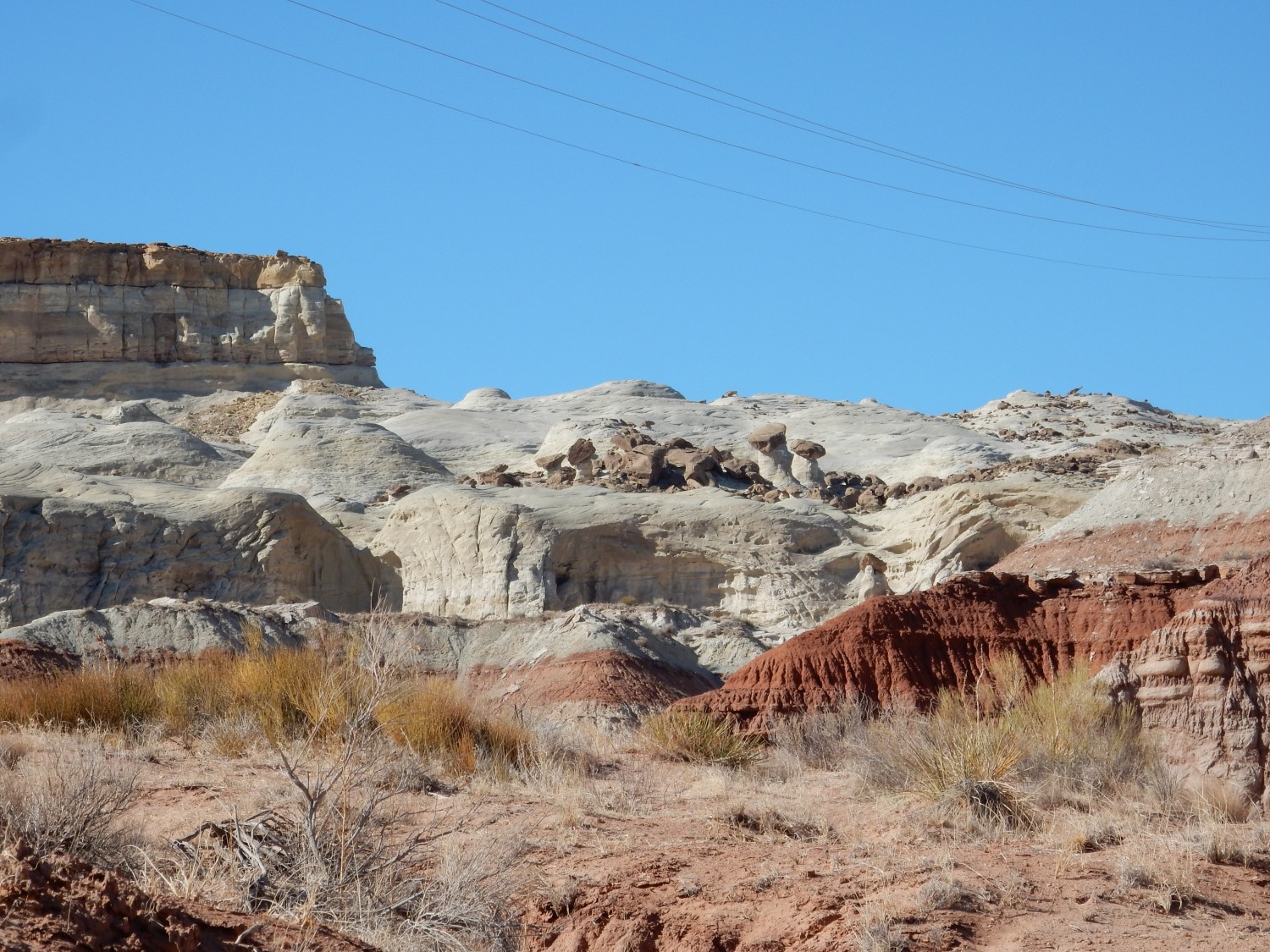
This looks like Mancos Shale, capped with either Mesaverde Group or one of the sandstone members of the Mancos. Geologic map? Sez it’s Tropic Shale capped with Straight Cliffs Formation. The Tropic Shale is known to correlate with the Mancos Shale, while the Straight Cliffs sounds in its age and description a lot like the Mesaverde. Local synonyms?
I arrive at Wahweap. The headquarters is closed, but has a list posted of site assignments, and my name’s there. Well, they did take my money.
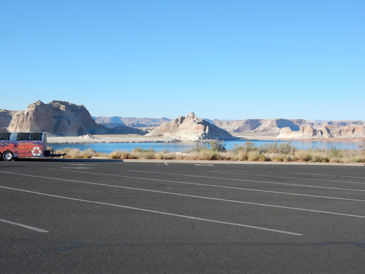
The islands and cliffs are mostly Entrada Sandstone.
Gary finds me at the campsite and we set up camp. Sunset comes, and Navajo Mountain glows gently to the east.

It’s a promising start to the Arizona leg of my trip.