Monsoon season
New Mexico has a monsoon climate. No, really. It’s true that the annual precipitation in my neighborhood is 16 inches a year, which is not precisely the torrential rainfall one often associates with a monsoon; but the climate pattern is a monsoon climate pattern. We get most of our rain in the summer, when the continental land mass of western North America is heated, causing air to systematically rise over the region and be replaced with damper air drawn in from the surrounding ocean. Much of this is lost as precipitation on coastal ranges, but what gets through gives us scattered afternoon and evening thunderstorms.
Curiously, after I returned from the big May trip and had a couple of weeks to recover, we had a bout of local thunderstorms. These are of course always welcome — we rarely get all the rain we would like. But the threat of a local cloudburst makes me hesitant to get very far off pavement, so even this tepid version of a rainy season is a significant hindrance to wanderlusting.
That said: I had a couple of very welcome invitations to take small groups to choice spots in the Jemez in June.
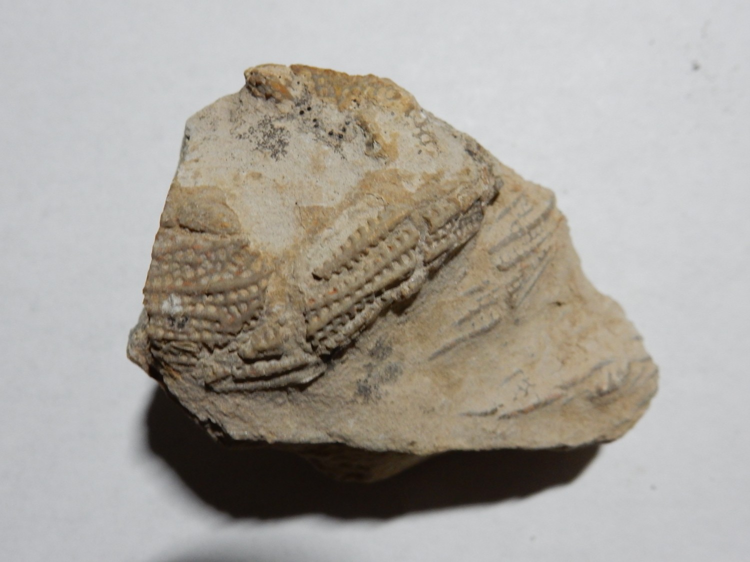
The first was a young couple who wanted to hunt fossils. He was one of my Webelos Scouts back in the day, and his bride had been interested in paleontology since she was a child. So they approached me about some fossil hunting, and we ended up having a very nice trip to the beds west of Hummingbird Music Camp in the Jemez. These are well-known beds but they never seem to get fully picked over. The best fossils are near the top of the Pennsylvanian Atrasado Formation, just below where red beds start to appear in the formation. We had pretty good luck and I think they found some fossils they really enjoyed. My big treasure of the day was this one:

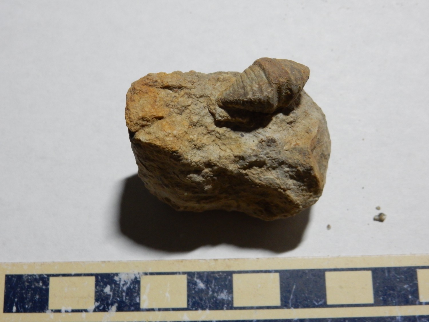
I really can’t do it justice with the photographic equipment I have. Still, this is a very nice little Spirifer brachiopod still partially embedded in limestone. At least, I think it’s a Spirifer. (I’m pretty confident it’s a brachiopod.) Brachiopods are distant relatives of molluscs that look a lot like a clam. However, their internal anatomy is quite different. Clams have shells on either side of their soft bodies, and they filter feed through gills. Brachiopods have shells on the top and bottom of their soft bodies, and they feed with an organ called a lophophore, which is a kind of arm covered with ciliated tentacles that filter feed.
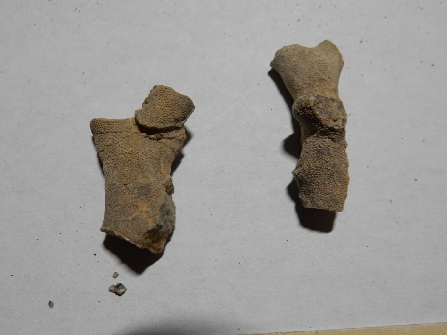
Also found a slab of some fossil types I’ve not collected before.
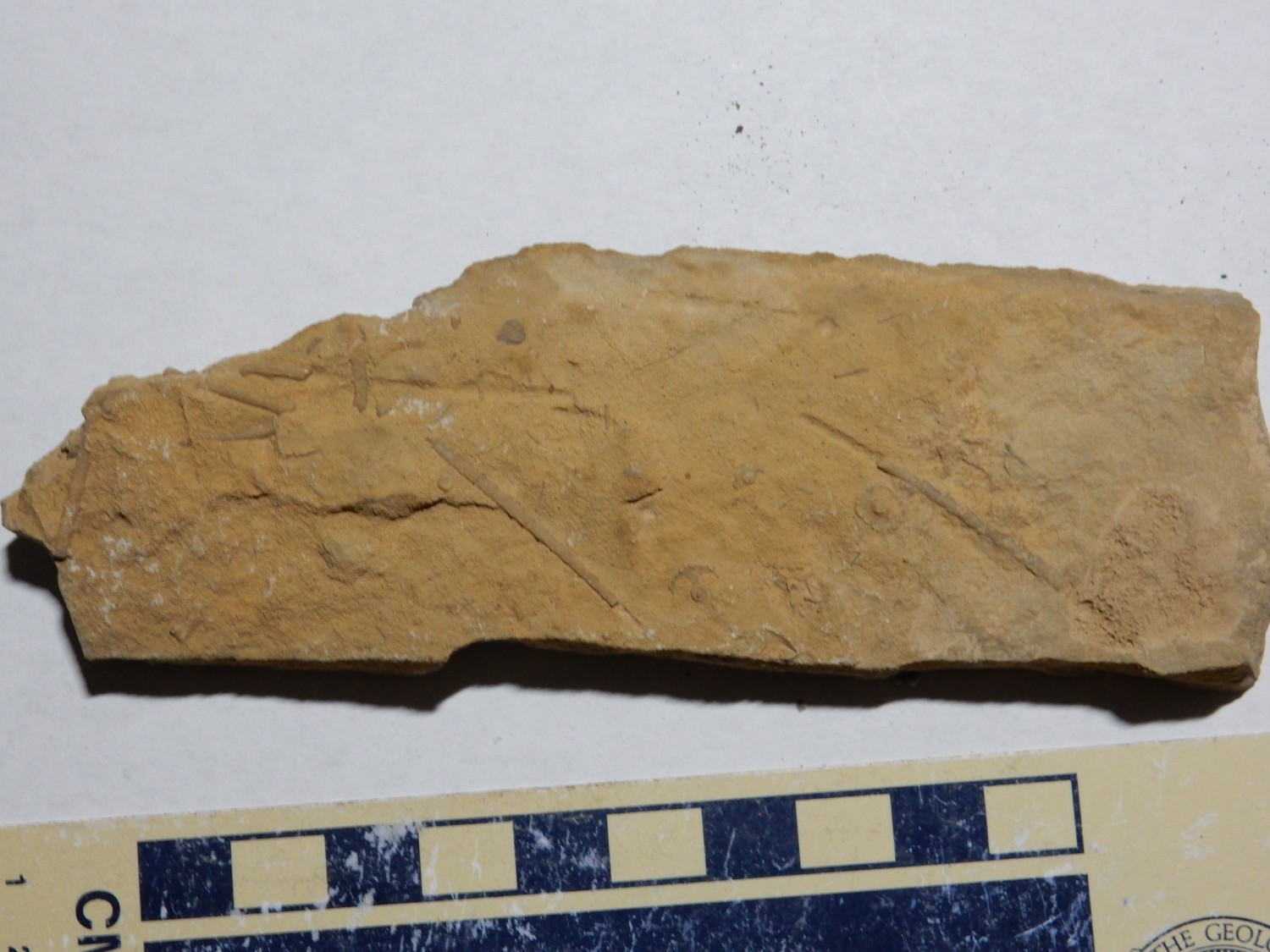
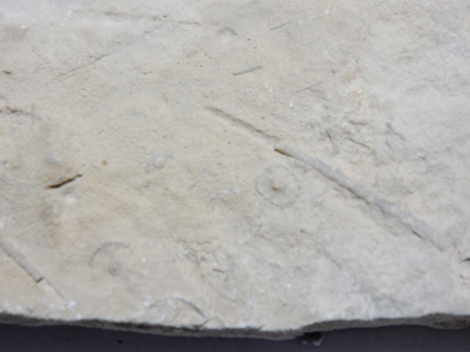
The long objects that look a little like broken bits of hacksaw blades resemble graptolites, distant relatives of chordates (the clan dominated by vertebrates), but graptolites were pretty scarce by the Pennsylvanian. My second thought is that this is a variety of bryozoan that I’ve simply not run across before. A third possibility is that they are echinoderm spines. I find myself leaning towards the latter, because the circular structures in the photo are echinoderm plates, and because the objects in the upper left part of the first photo clearly are echinoderm spines with characteristic bases.
Echinoderms are probably our closest non-chordate relatives. They include starfish, sea urchins, sand dollars, and crinoids. The fossil fragments here are likely from an ancestor of sea urchins.
This is definitely a bryozoan.
This is a fenestrate bryozoan, so called for the appearance of a frond covered with little windows. Each window was a pocket in which a single bryozoan lived. These bryozoans were colonial. Bryozoans are distant relatives of molluscs but more closely related to brachiopods; like brachiopods, they filter feed using a lophophore, but theirs forms a ring of cilia immediately around their mouths that is not quite like the ciliated arm of a brachiopod.
This was also new to me, but abundant in the beds we found.
These are also bryozoans, of a species that somewhat resembles a coral. The individual pockets occupied by each bryozoan in the colony are pretty clear. This is likely a fistuliporoid bryozoan.
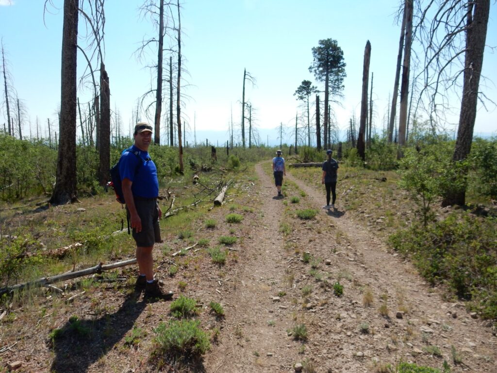
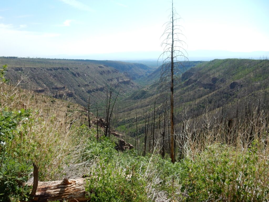
Later in June I had the opportunity to take a group of 12- to 13-year-old boys and their adult supervisors to hunt obsidian. This is the familiar hike from the wilderness boundary
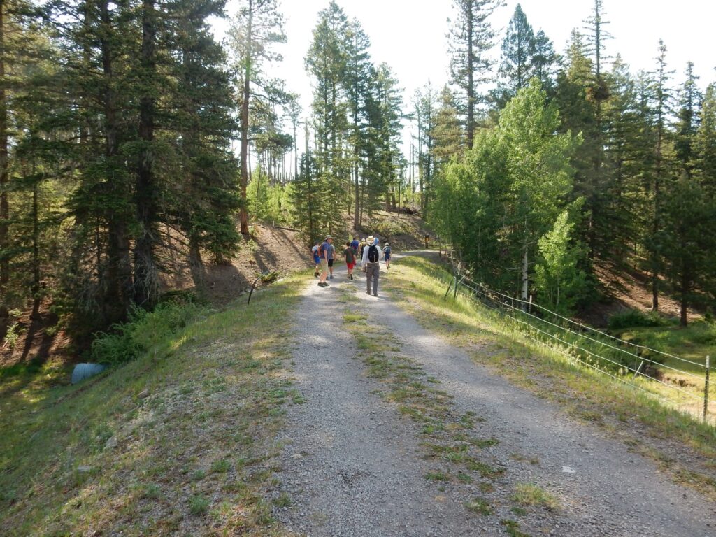
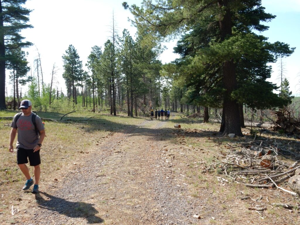
along the old forest road to Obsidian Ridge. Much of the first part of the trail remains forested even after the catastrophic forest fires of a decade ago
and the boys were delighted to spot what we used to call “horny toads”.
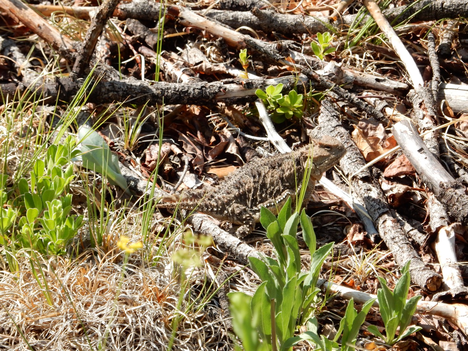
These are actually horned lizards, distant relatives of iguanas, that have toad-shaped bodies and rely on camouflage rather than agility for protection from predators. They were quite common in White Rock when I was a kid; alas, they have almost disappeared from the area and are getting scarcer elsewhere. They are very poorly adapted to live alongside humans, since they prey mostly on ants that have been displaced by exotic fire ants. Human efforts to get rid of the fire ants (which horned lizards do not eat) tend to get rid of the native ant species they do live on.
And, yes, they really do squirt blood from their eyes when disturbed. We refrained from disturbing this one to that extent.
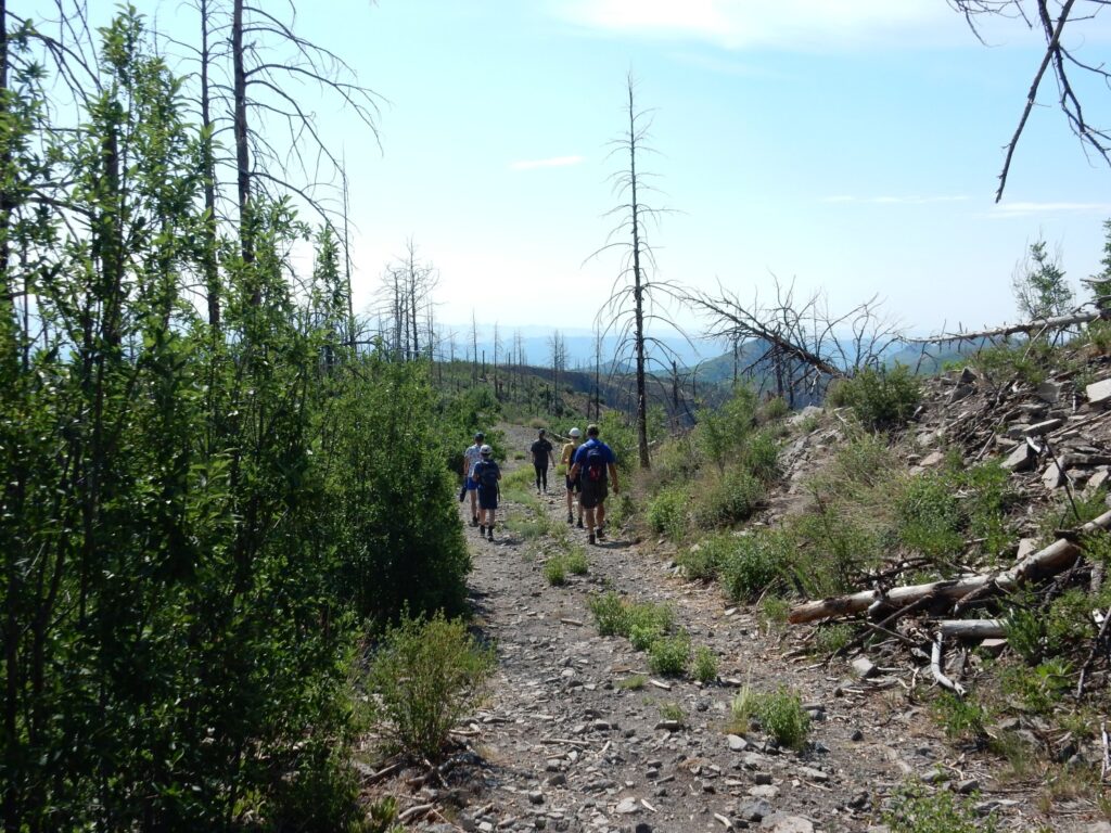
My friend Alden.
Approaching the obsidian exposures.
The obsidian is exposed along a knife edge topped by the old road. To the west, the bed is covered with Tsherige Member, Bandelier Tuff. To the east, it pinches out.
Let’s unpack that. The obsidian is found in a bed of debris from a glowing avalanche that came off Rabbit Mountain, some miles to the east, sometime around 1.4 million years ago. Rabbit Moutain was a dome of thick, silica-rich lava erupted from the ring fracture where a magma chamber miles across was emptied of its contents in a colossal eruption 1.62 million years ago. This Toledo Event produced a caldera roughly in the same location as the younger Valles Caldera. Or so we think. The extensive tuff beds formed from ash erupted during the Toledo Event are are unmistakable and have been accurately dated; the caldera itself was overprinted by the Valles eruption so much of what we know about it is conjecture. But Rabbit Mountain has also been dated, so we know it’s older than the Toledo Event and younger than the Valles Event, so we’re pretty confident it was lava erupted through the fractured surface left by the Toledo eruption.
Because the magma was very rich in silica, it was extremely viscous — so much that it formed a dome hundreds of feet in height. This eventually collapsed, at least twice, sending red-hot rock and still-soft clumps of lava roaring off to the east and southeast as colossal avalanches. The lava rapidly cooled to form volcanic glass, obsidian, which was exploited by ancestors of the Pueblo tribes of the Rio Grande Valley. The avalanche beds were buried by later ash of the Valles eruption (that would be the Tsherige Member of the Bandelier Tuff) and preserved, but erosion has exposed them again along Obsidian Ridge.
Alamo Canyon, south of the knife ridge.
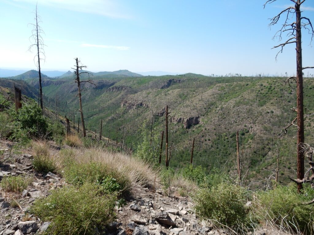
Frijoles Canyon, north of the knife ridge.
And: I didn’t take a single picture of the boys actually collecting obsidian. (There was ample.) I’m sometimes pretty bad about getting complete photographic documentation of trips where I have others along whose company I am thoroughly enjoying. But there was lots of obsidian, the boys had a great time, I had a great time, and we took time to find the toe of the obsidian avalanche, at the east end of the ridge. The obsidian quite abruptly disappears from the road bed, so you can pinpoint the location pretty accurately. It turns out to be a good 3.8 miles from Rabbit Mountain to the toe of the avalanche. Other parts of other avalanches from Rabbit Mountain extend a good eight miles from the mountain. These were pretty big avalanches.
More recently: Birbs!
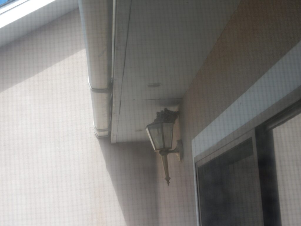
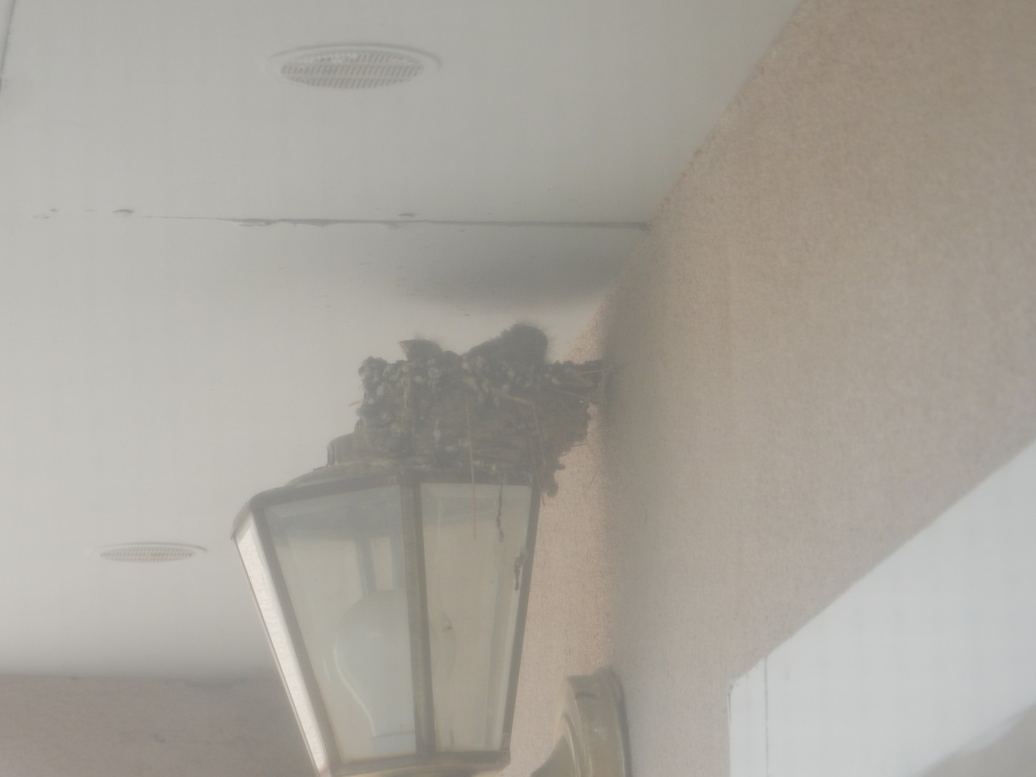
A pair of house finches constructed a nest by our porch, and there are at least four baby birds in the nest. Baby birds in the nest are unbearably cute; almost as cute as a litter of puppies with their eyes just opened. Cindy and I have been enjoying them immensely. However, it probably means no apples this year from our nearby tree; I’ve refrained from spraying the crop in order to protect the little birds. And if you don’t spray your apples on schedule in White Rock, the coddling moths get them all. Life is full of tradeoffs.
Yesterday I took the closest thing to a proper wanderlust this month. A couple of years ago I got a routine X-ray that showed something the doctor decided needed to be checked again now and then, so I was in Santa Fe for the followup X-ray. I took the time to explore some local geology.
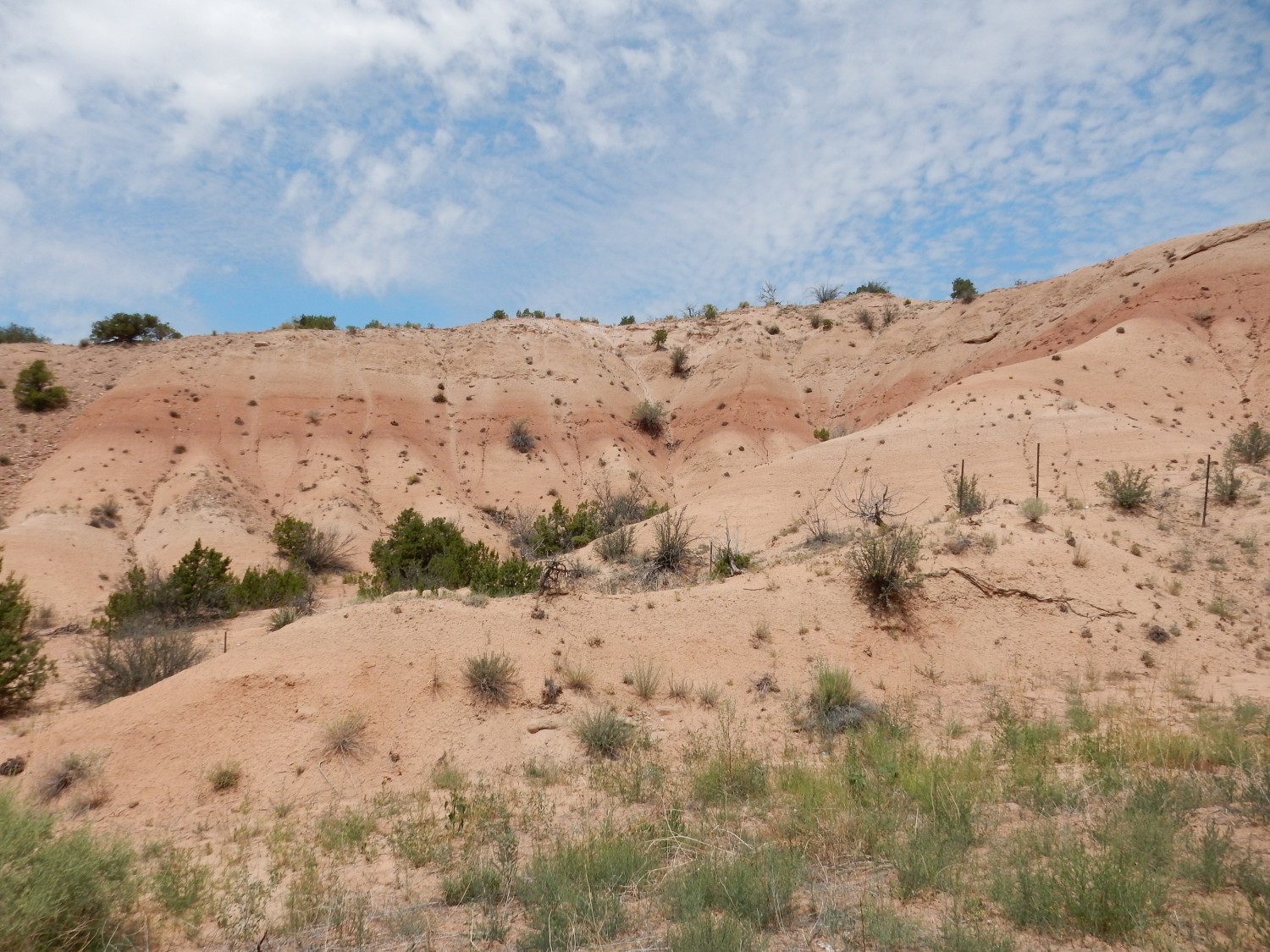
First was a stop in Tesuque to get the Tesuque Formation at its type section. It turns out these are not the best exposures, because we’re close enough to the mountains in Tesuque for there to be a lot of vegetation, but sometimes that’s how it is with type sections. This is a ridge west of the town.
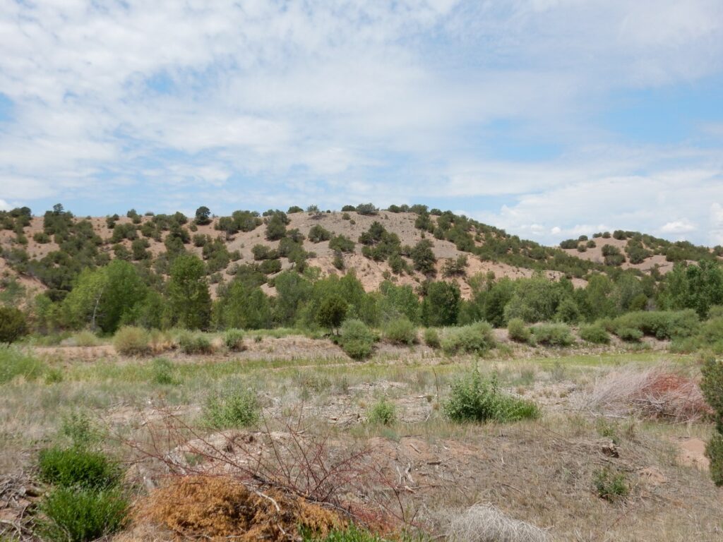
Not really that great an exposure. The Tesuque Formation is rift fill sediments of the Rio Grande Rift, the great crack in the Earth’s crust from central Colorado to El Paso that more or less coincides with the Rio Grande valley. Here the Colorado Plateau is pulling away from the interior of North America. The Rift filled with sediments as it formed, and the Tesuque Formation is sediments from about 25 to 12 million years old. More recently, erosion has exposed the sediments again to form the badlands of the Espanola Basin north of Santa Fe.
A somewhat nicer exposure in a road cut.
This is mapped as Nambe Member, the oldest part of the Tesuque Formation.
Bluffs to the northwest.
This, too, is Nambe Member.
I think this might be my picture for Wikipedia.
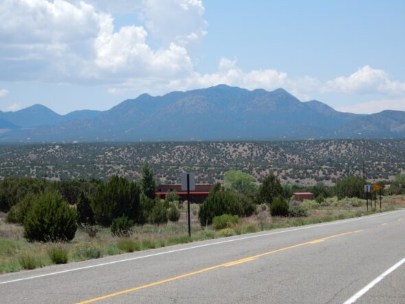
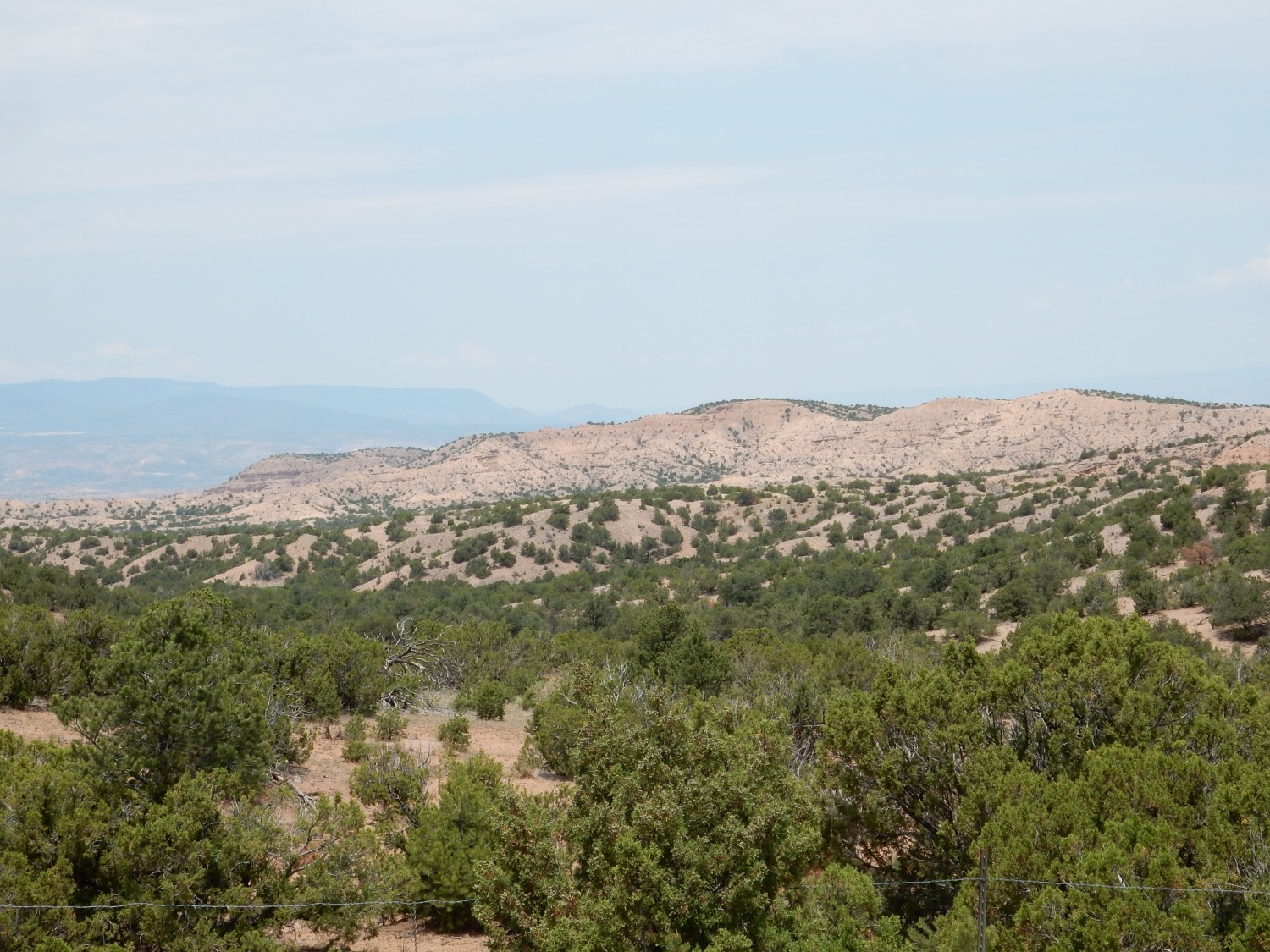
Then south to get some good images of the Tuerto Formation. The Tuerto formation (or Tuerto Gravel) is of uncertain age, but it caps a very level pediment surface surrounding the Ortiz Mountains (known at one time as the Tuerto Mountains). The surface is quite striking from the right vantage point.

Pedimentation seems to be a common phenomenon, especially in arid climates, but it is not entirely understood. Here the underlying rocks around the feet of the Ortiz Mountains were beveled very flat by erosion, and a thick cap of gravel was deposited on top of the pediment surface. This was later cemented by caliche, calcium carbonate minerals deposited by groundwater, so that the gravel layer became resistant to erosion.
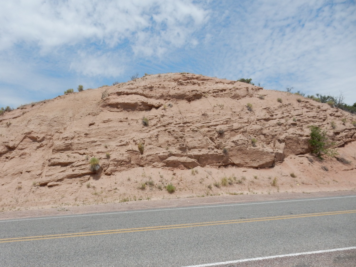
Here is the Tuerto Formation in a road cut ascending the escarpment in the previous photograph.


A close up view showing the composition
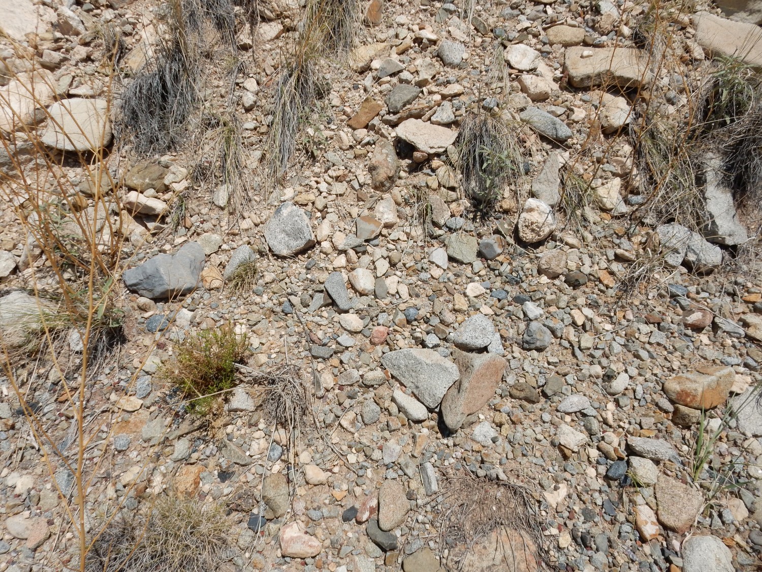
But not all that well. It needed to be closer. The gravel is almost entirely coarse-grained intrusive rock eroded from the Ortiz Mountains, which were formed as laccoliths. A laccolith is a little like a blister in the Earth’s surface; magma that has not quite reached the surface spreads out between sedimentary rock layers instead, bulging up the overlying sedimentary rock and then slowly cooling to solidify as distinctive crystalline rock.
I scout the area to see if there is somewhere I can photograph the base of the gravel, where it rests on older rock. Unhappily, there are no good exposures. The road cut ends before the base is reached on the east; on the west, there is a gully that interrupts the road cut. The nearby terrain is covered with enough gravel and vegetation to obsure it. Well, that happens. (Too often.) I think the second photograph will do; the yellow double line is offputting in the first one.
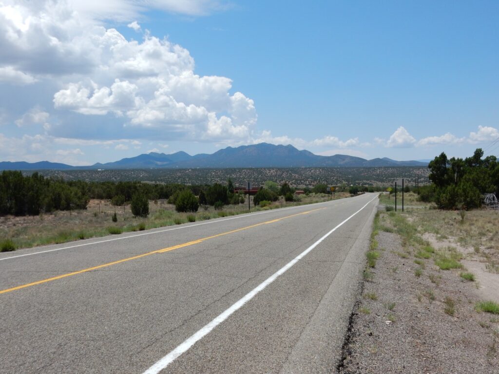
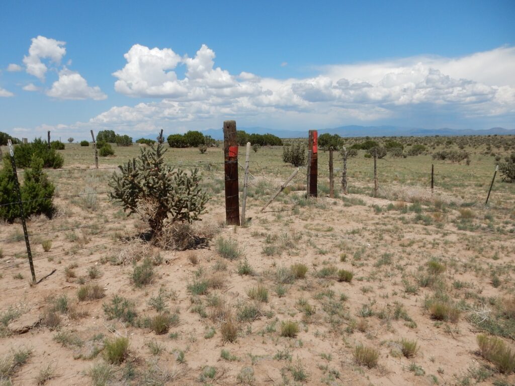
Then off to the Canon area to try once again to find mantle xenoliths in the lava flows here. I think I’ve finally pinpointed the best location from a paper; alas, the northern part is on private land, but the southern part appears to be on BLM land. But time is short. I reach a fence that looks suspiciously like a private land boundary
and divert west along the fence. It’s soon clear that this passes well south of the flow with the xenoliths. Durn. Anyway, I’m out of time; I have an X-ray appointment to make.
Turns out later that I check the jurisdiction map, and it shows this all as BLM land except for state land to the east. Probably these are unit boundaries and I’m legal to pass through the gate. I’ll doubtless be back sometime.
I get to my appointment, the X-rays are done in maybe five minutes, and then home.
Not to leave you hanging: The X-rays came back fine. The small nodules have remain unchanged over two years, so they’re benign and probably harmless.
Pingback: Birb is back | Wanderlusting the Jemez