To the Gates of Hell
This weekend I hiked with the Los Alamos Geological Society to the Gates of Hell.
Naturally, a statement like that requires explanation. All in good time…
I was up early (for a Saturday), had a good breakfast, and threw together my field trip equipment: hiking boots, hat, and walking stick; backpack with satellite messenger, first aid kit, and drink; trail lunch; and camera, cell phone, and loupe. I had a bad moment wondering where my hiking boots were, but I found them in the garage with the rest of my camping equipment — still caked with Rock Point Formation mud. I knocked most of this off on the fire hydrant next to my driveway (it was a convenient hard surface), loaded into the Wandermobile, and was on my way.
I arrived pretty much exactly on time (I had Googled the drive time) at the trail head off Highway 84, the road from Espanola to Abiquiu.
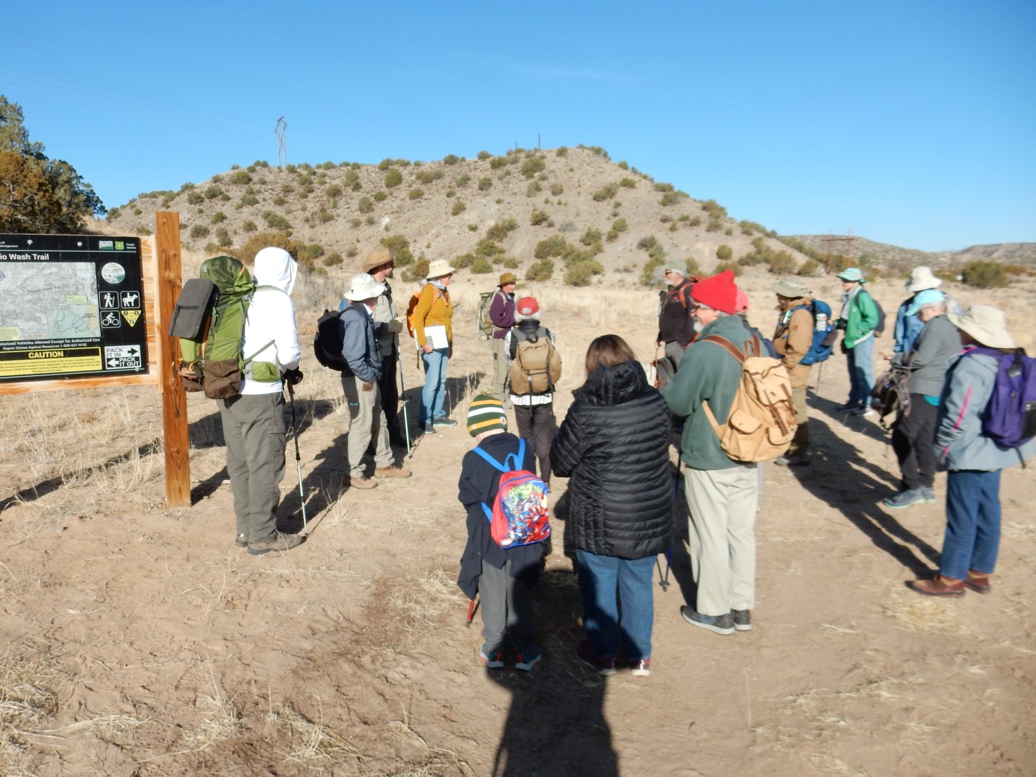
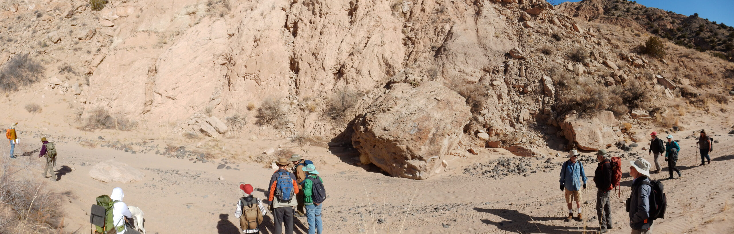
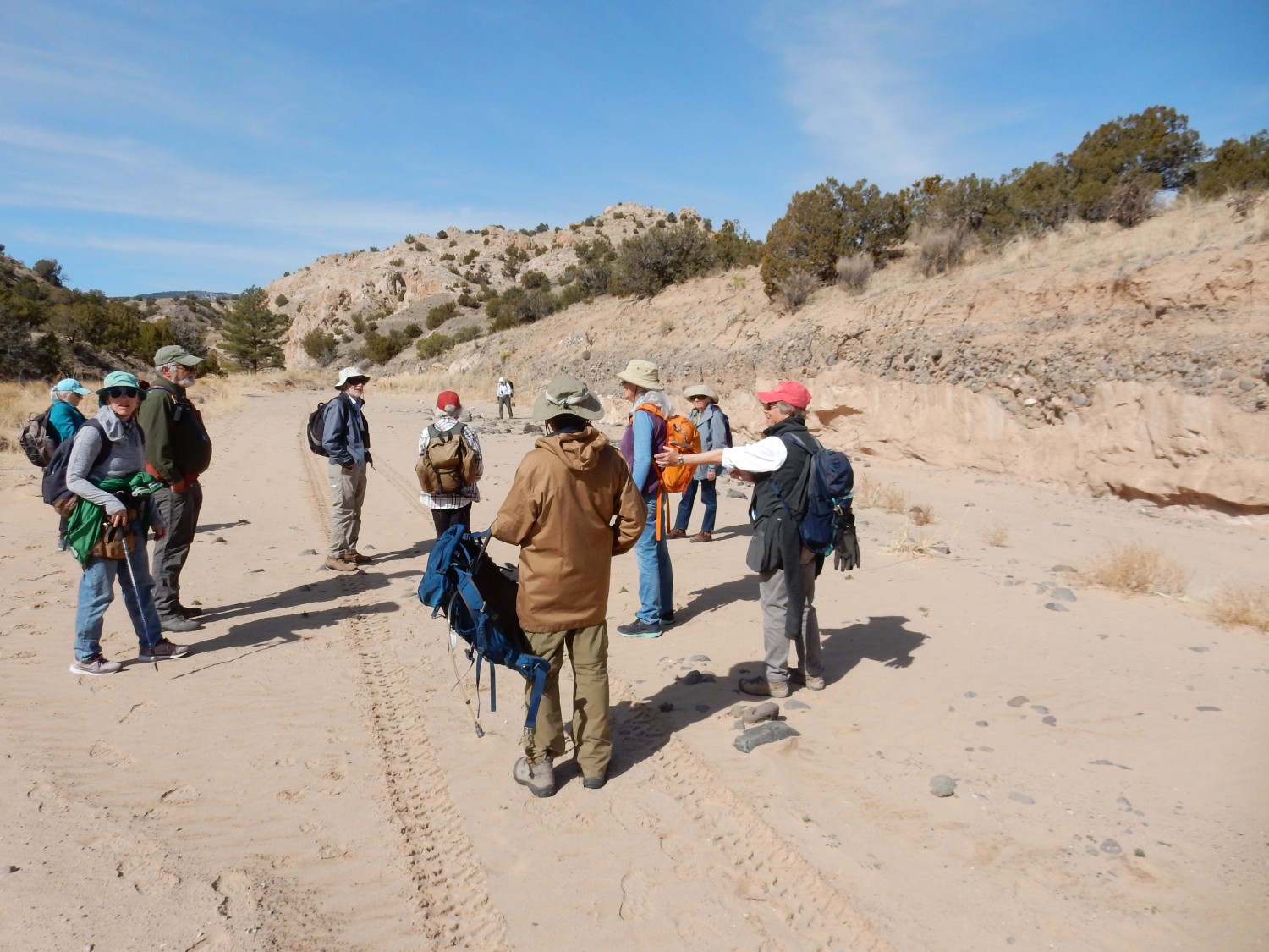
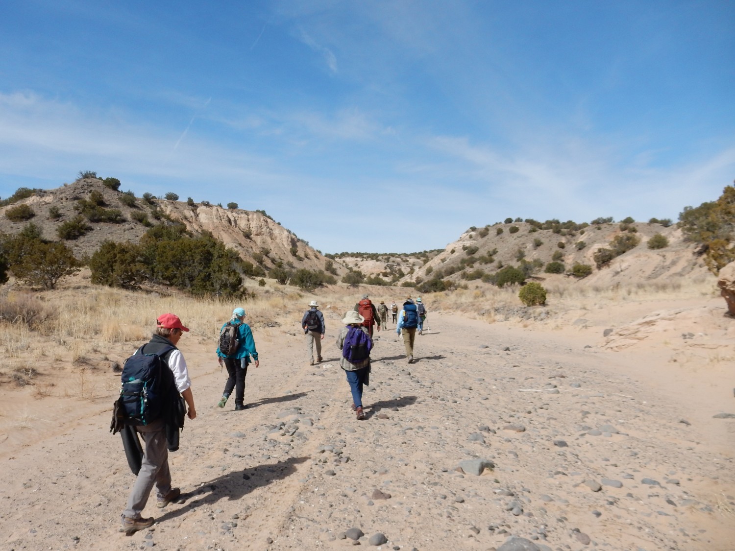
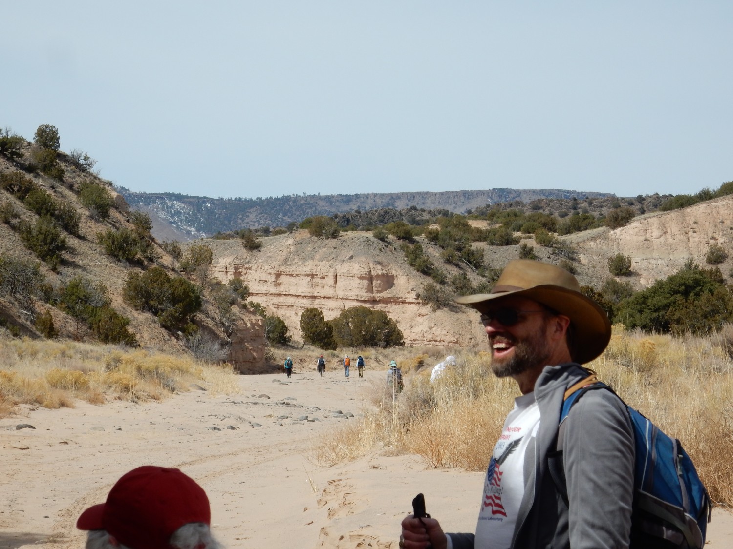
I put on my hiking boots (they’re a pain to drive with) and decide it is a cool enough day, and I am wearing enough clothing and have a hat with a large enough brim, that sunscreen will not be needed. Turnout is good. We start with eighteen hikers, of whom we will shed six along the trail. (It’s okay. We announced from the start that anyone could turn around any time they needed to; it’s a long hike.)
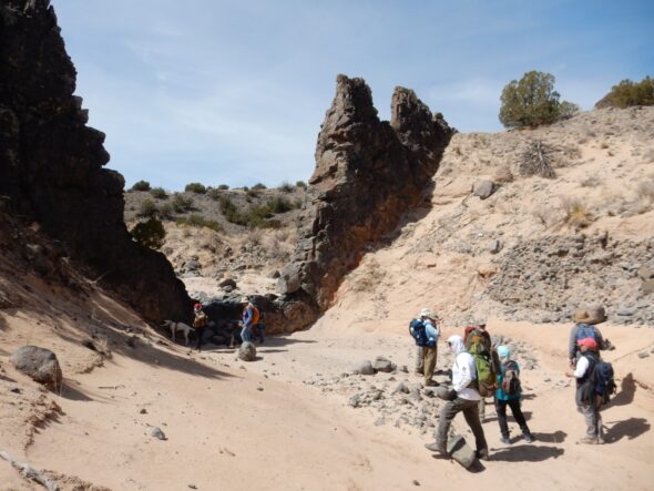
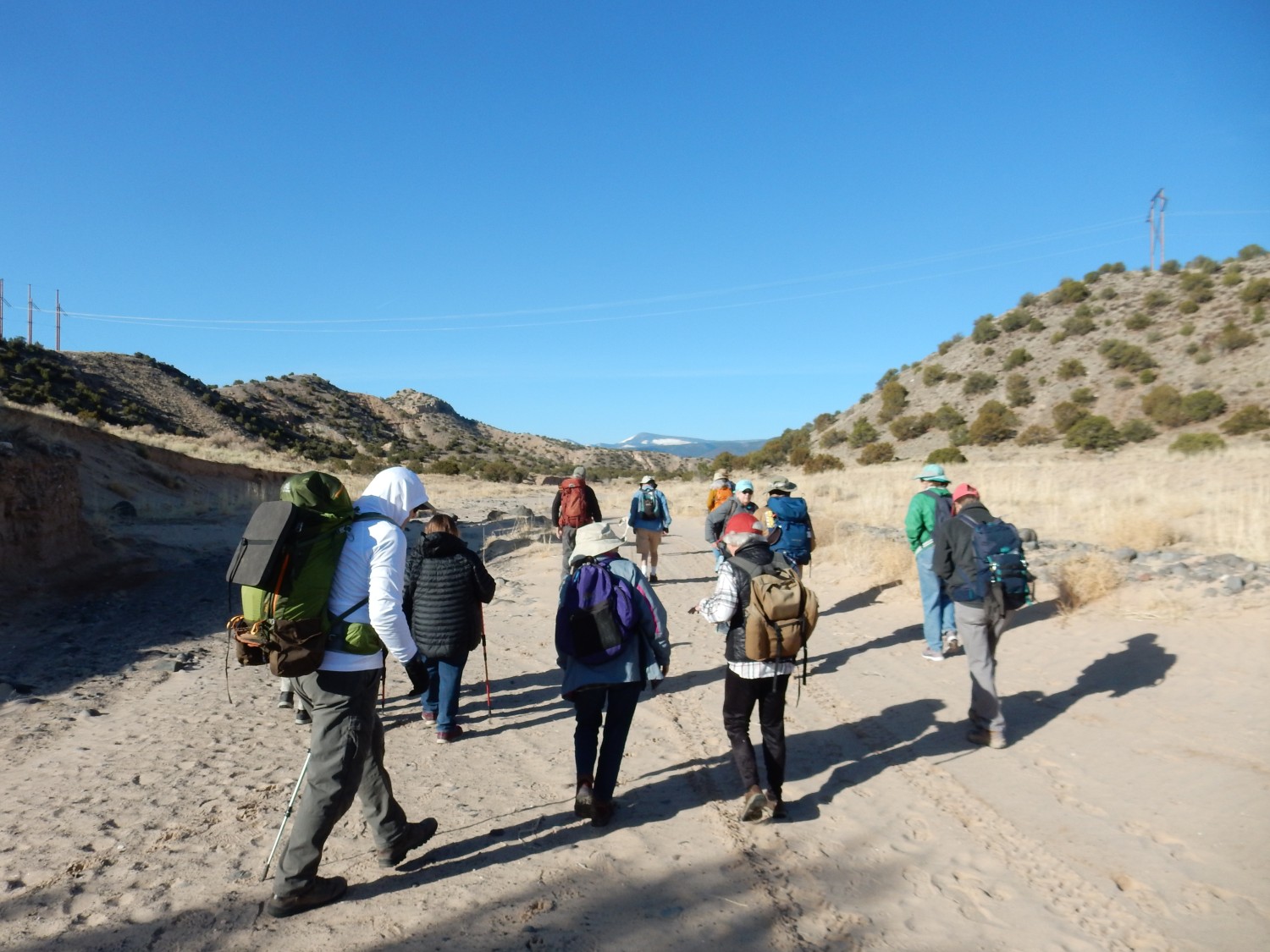
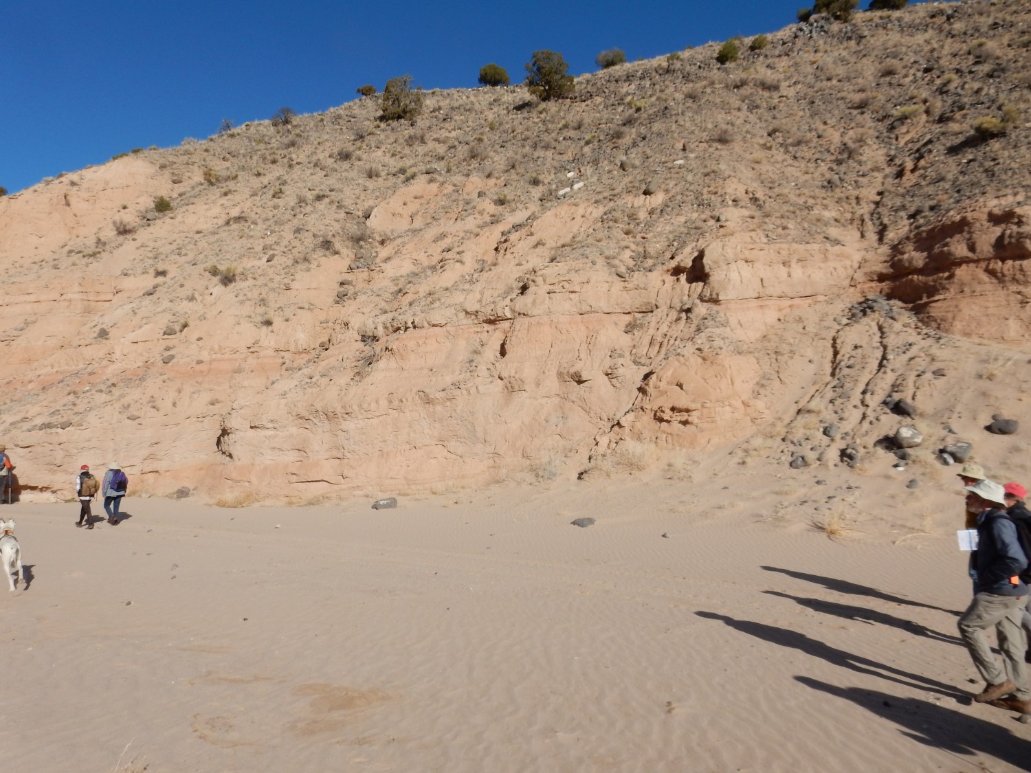
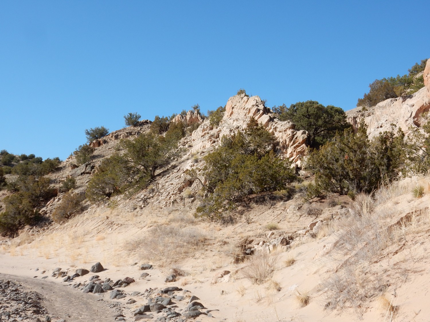
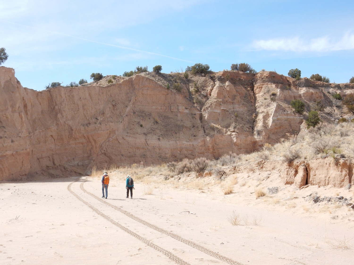
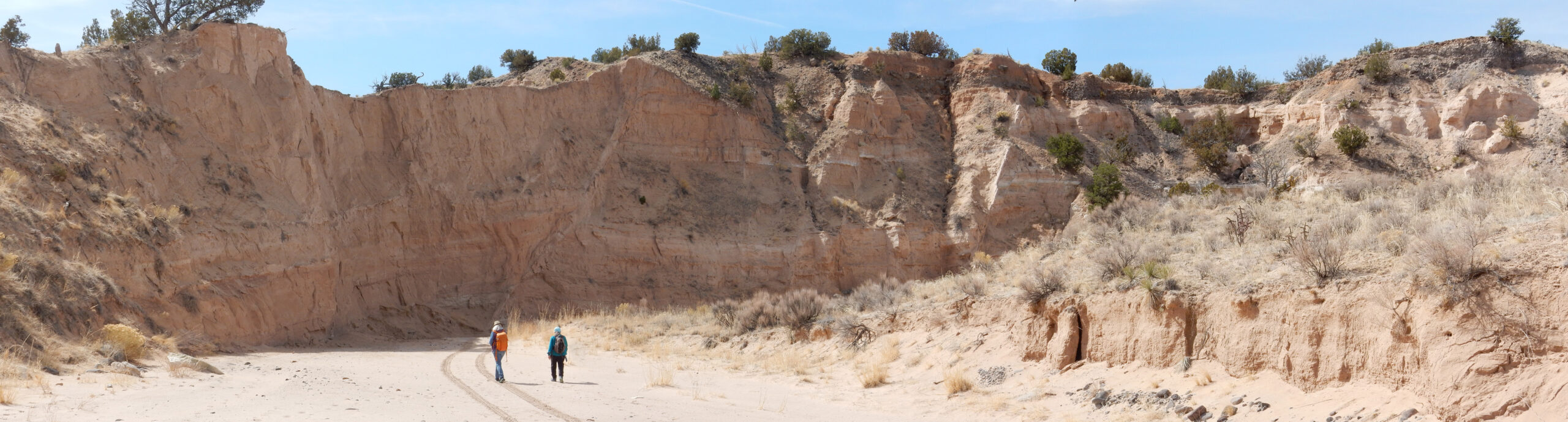
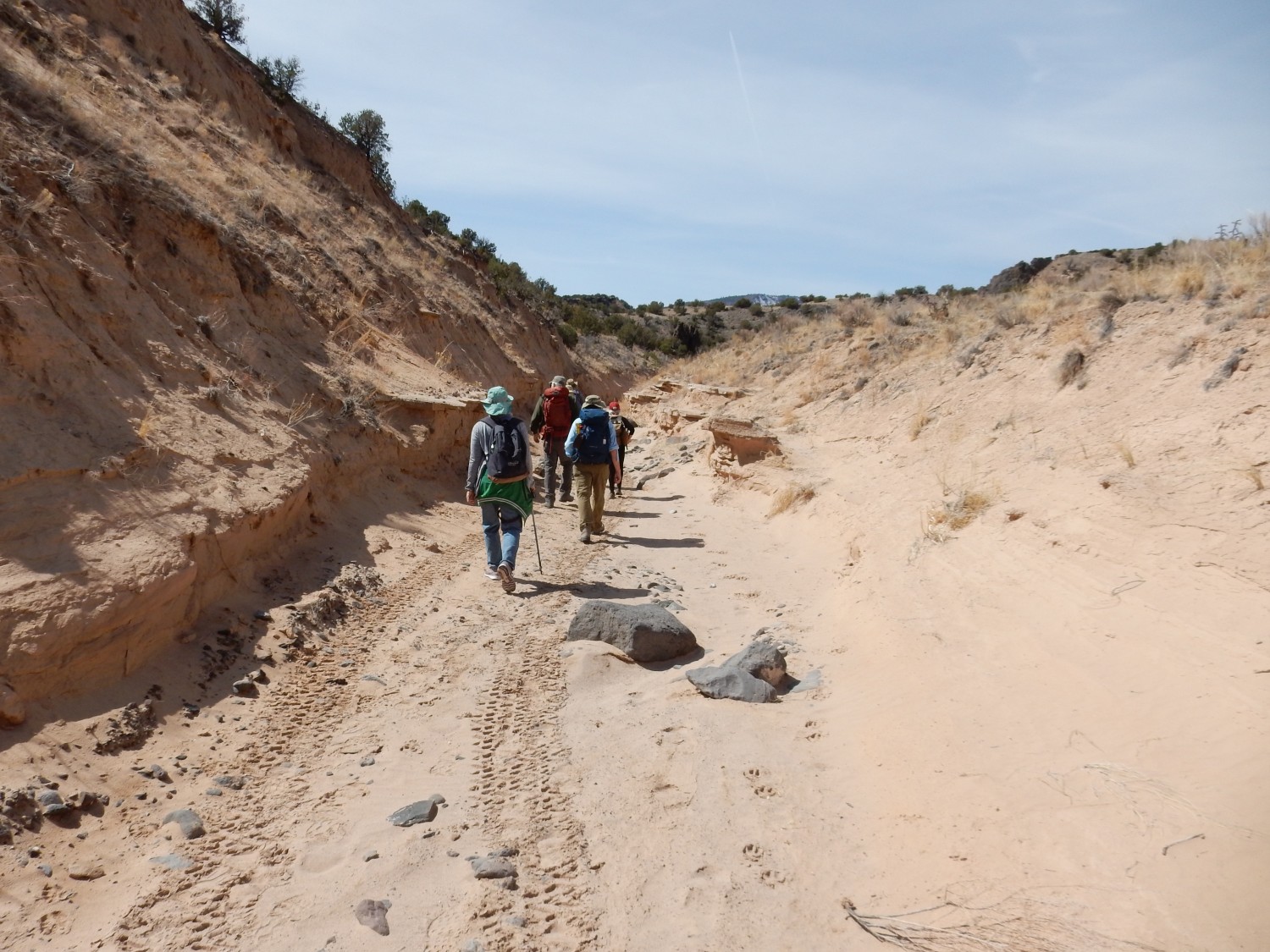
The trail follows Arroyo del Palacio for its entire length.
Yeah, shadow. It’s still early in the day.
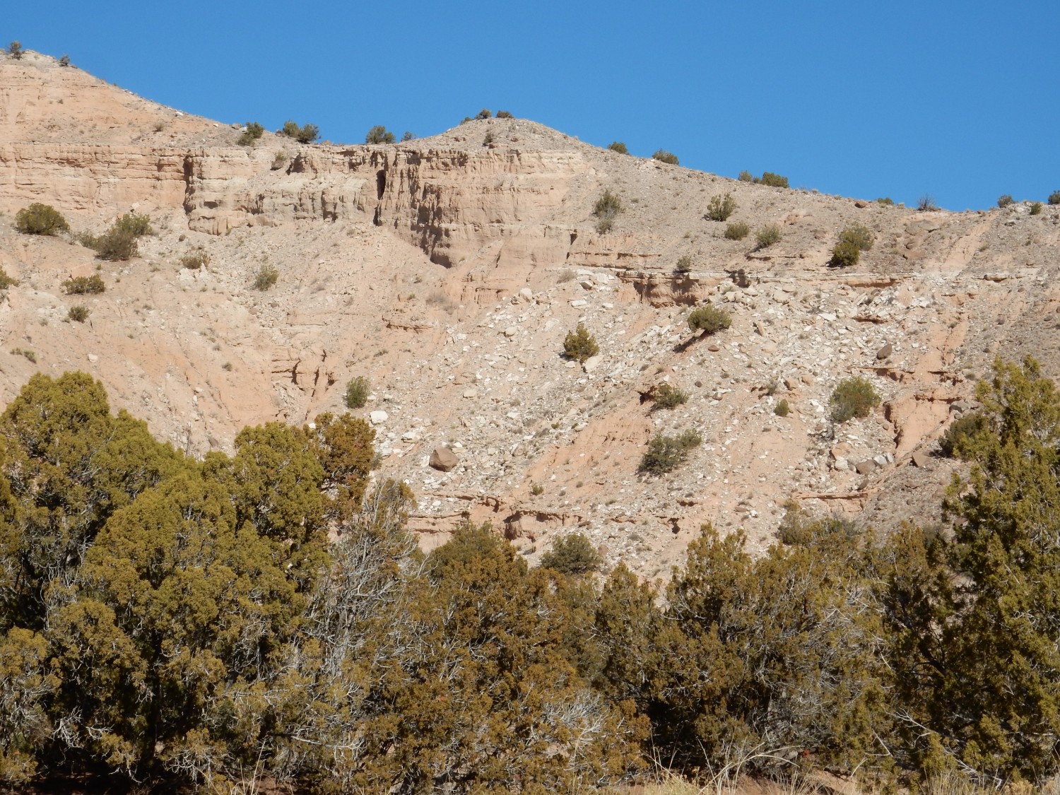
The arroyo is littered along most of its length with large black boulders.
These are likely all Lobato Formation basalt. The Lobato Formation, named for Lobato Mesa to the west, was erupted between 14 and 7 million years ago, with the main peak between 10.8 and 7.8 million years ago. This was some of the early activity in the Jemez volcanic field, and it was characterized by mostly mafic lava — lava relatively poor in silica, but rich in iron and magnesium. Basalt is a mafic rock containing around 48% silica and relatively low amounts of alkali metals (sodium and potassium). Mafic lava is thought to form from the Earth’s upper mantle, the layer of rock just below the Earth’s outer crust. In this region, the lava likely formed by decompressional melting of mantle rock that crept upwards beneath the Rio Grande Rift.
The Rio Grande Rift is the big tectonic player in today’s geology. It is a great crack in the Earth’s crust reaching from central Colorado to El Paso, Texas, so that it runs more or less straight north-south through the center of the state of New Mexico. The Rift first opened around 30 million years ago, really got going around 15 million years ago, and is still slowly opening today. The latest thinking is that the Rift is opening as a result of shearing motions clear out on the edge of the continent, in California, which are transmitted through the rigid lithosphere (the rigid crust and upper mantle of the Earth) far to the east. The shear is causing the entire Colorado Plateau to rotate clockwise like a ball bearing, and the Rio Grande Rift is where the Colorado Plateau is rotating away from the interior of the North American continent. The upper crust factures along faults as it pulls apart, while the lower crust, which is more ductile, thins like pulled taffy. The thinning crust is an invitation for underlying mantle rock to move upwards into the rift.
Of course, we don’t see a yawning chasm running down the center of New Mexico. As the Rift opened, it rapidly filled with sediments eroded off the higher terrain to east and west. Later, the development of the Rio Grande river system caused some of the accumulated sediments to be eroded and exposed to view, forming a group of geologic formations called the Santa Fe Group.* The most important of these formations in the immediate area of our field trip is the Tesuque Formation, and today we will see two members (subdivisions) of the formation called the Chama-El Rito Member and the Ojo Caliente Member.
Back to the boulders: The nearest Lobato Formation outcrops are to the west some five miles — they are, in fact, the destination for this hike. Boulders this big require a lot of energy to transport five miles. Flash flooding of the arroyo, impressive as it can be at times, seems inadequate. Most likely these are lag deposits. For almost the entire length of our hike, we will see surrounding hills covered with basalt fragments, some of boulder size. These were likely deposited as debris flows from the outcrops to the west. Floods in the arroyo probably did not so much carry the boulders here as merely wash away everything else that was smaller, leaving a residue of the biggest rock fragments, which is what we mean by a lag deposit.
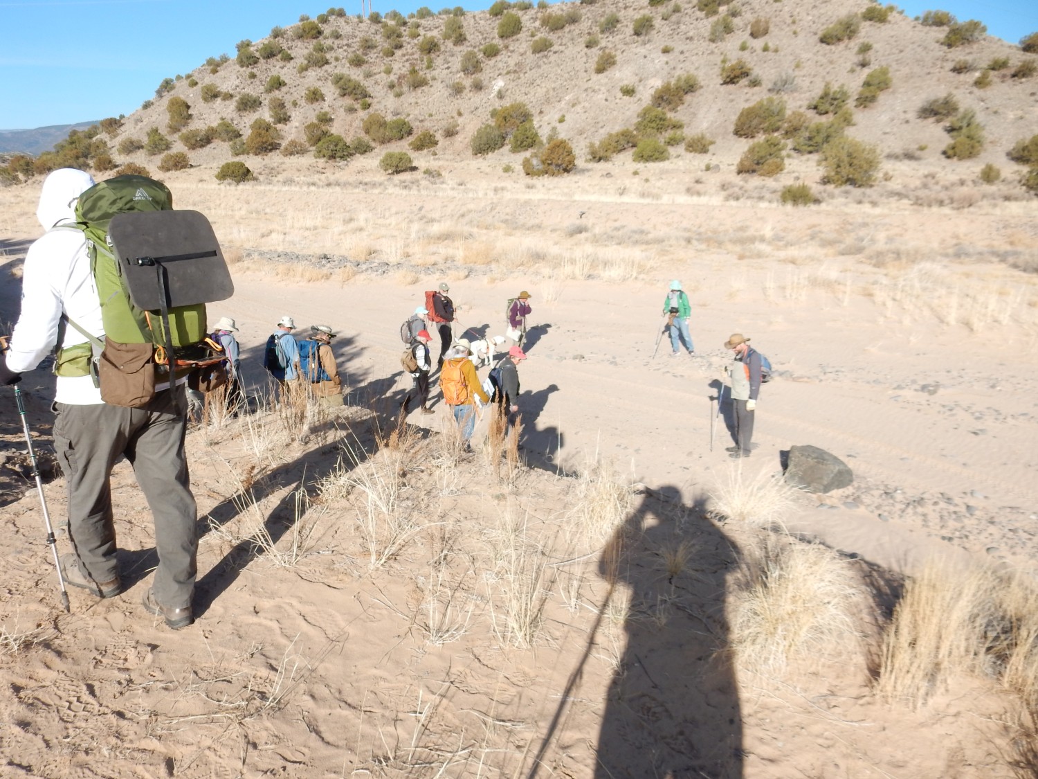
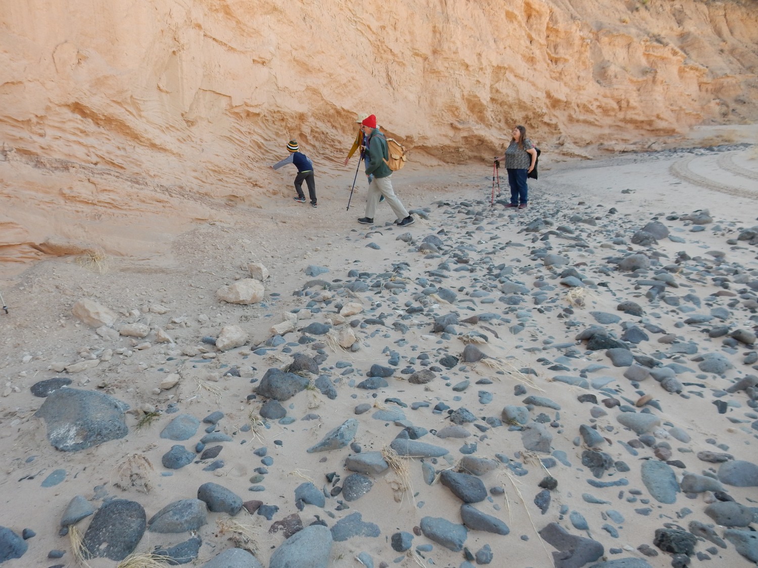
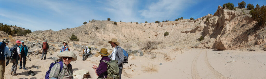
It really is a pleasant day for hiking. The temperature is just right, the sky is clear, and there is just enough moisture in the sand to make it firm. We won’t be slogging through dry dunes. And we have entertainment:
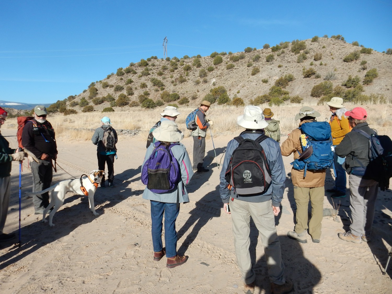
Rick Kelley, at left, has brought his new young dog, Panda. (Poor old Yeso has passed on.) Panda will prove to be highly entertaining.
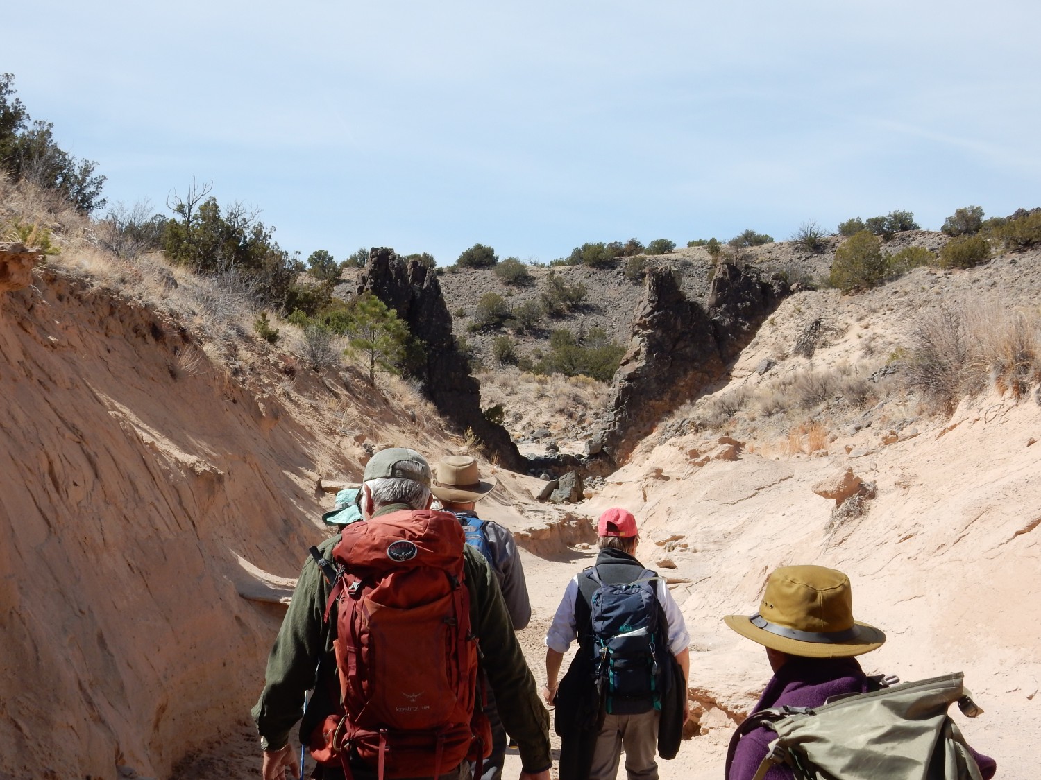
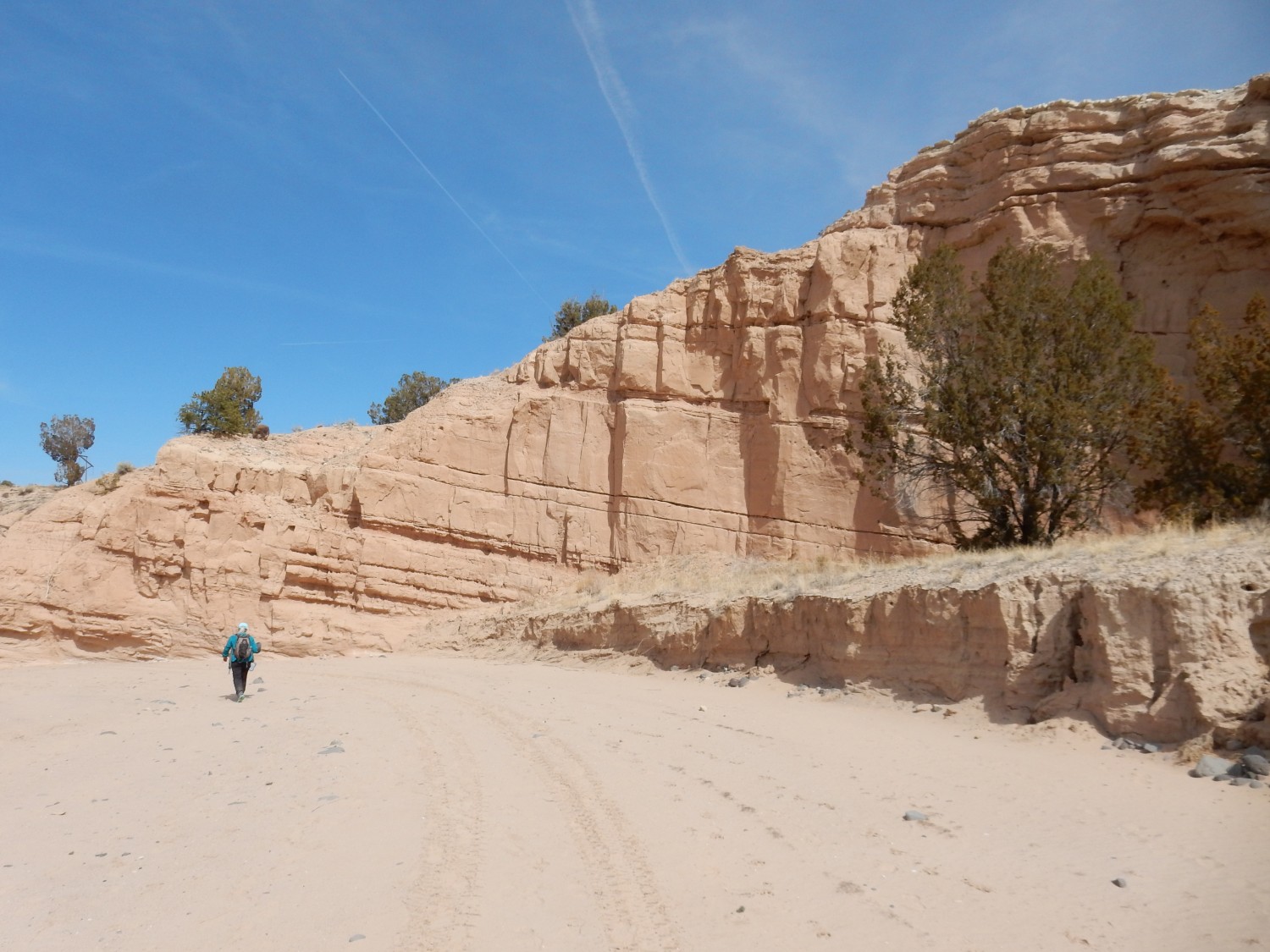
We head up the arroyo. Straight ahead is Tschicoma Mountain, still mantled with winter snow.
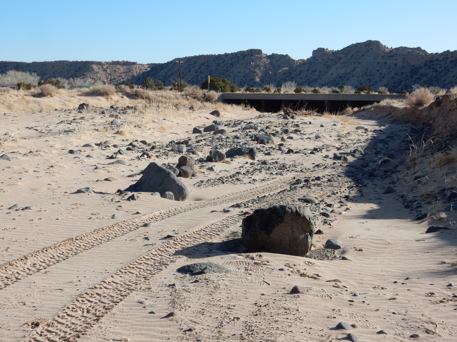
The sand in the arroyo is gently rippled.
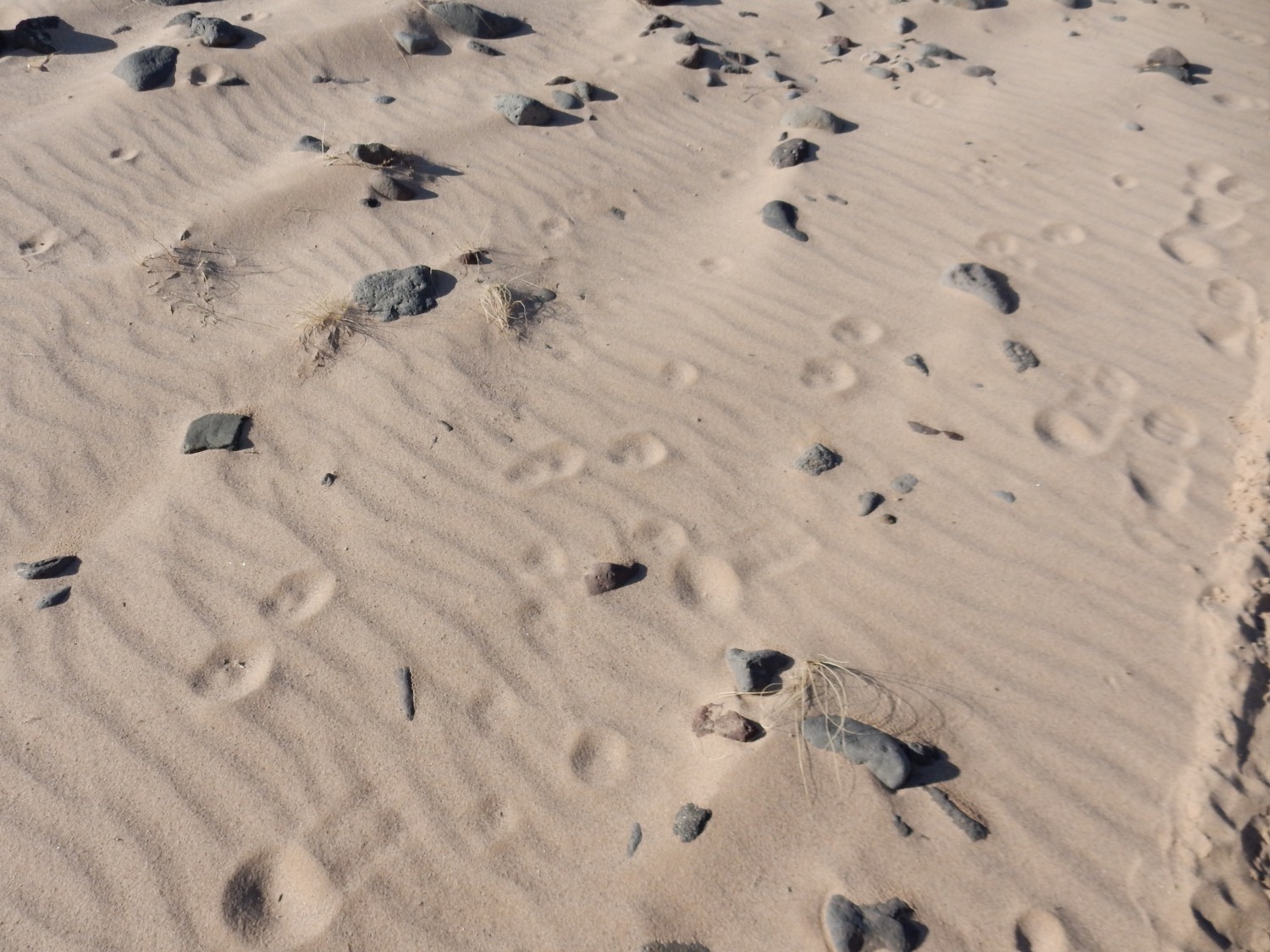
This is likely due to wind rather than water transport. You can also see footprints, paw prints, and (alas) an ATV tread at far right. ATVs are not supposed to go here.
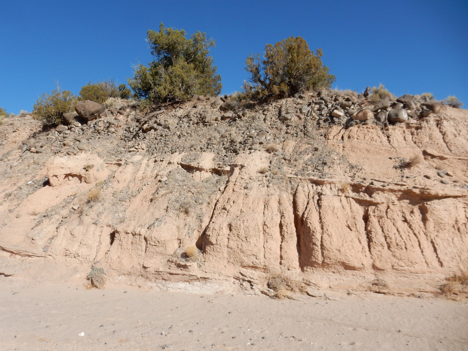
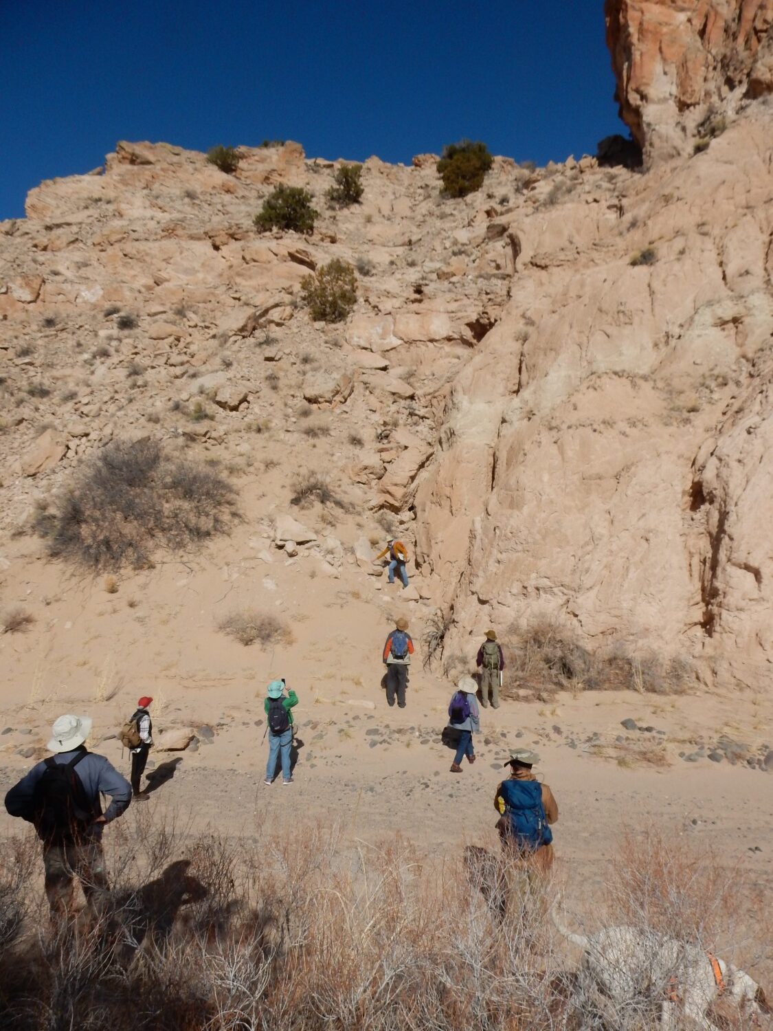
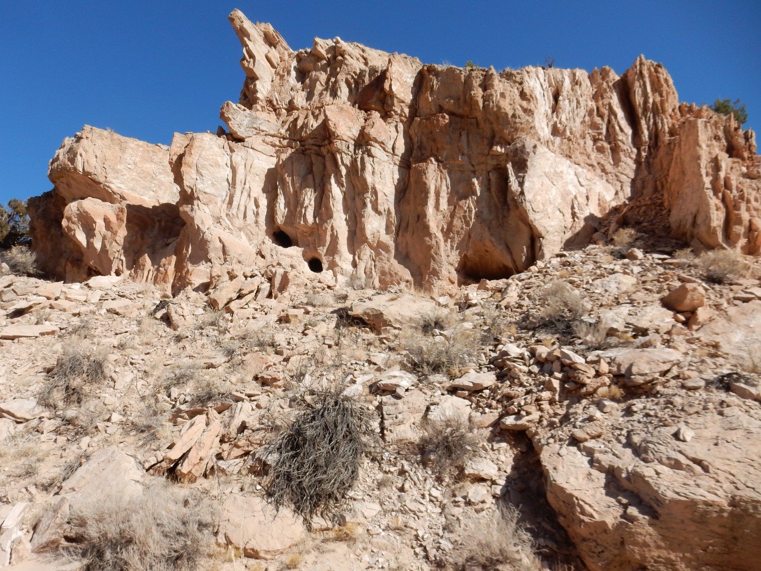
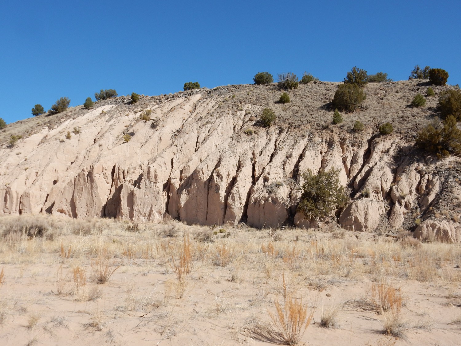
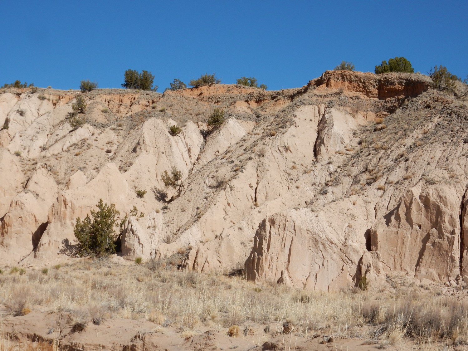
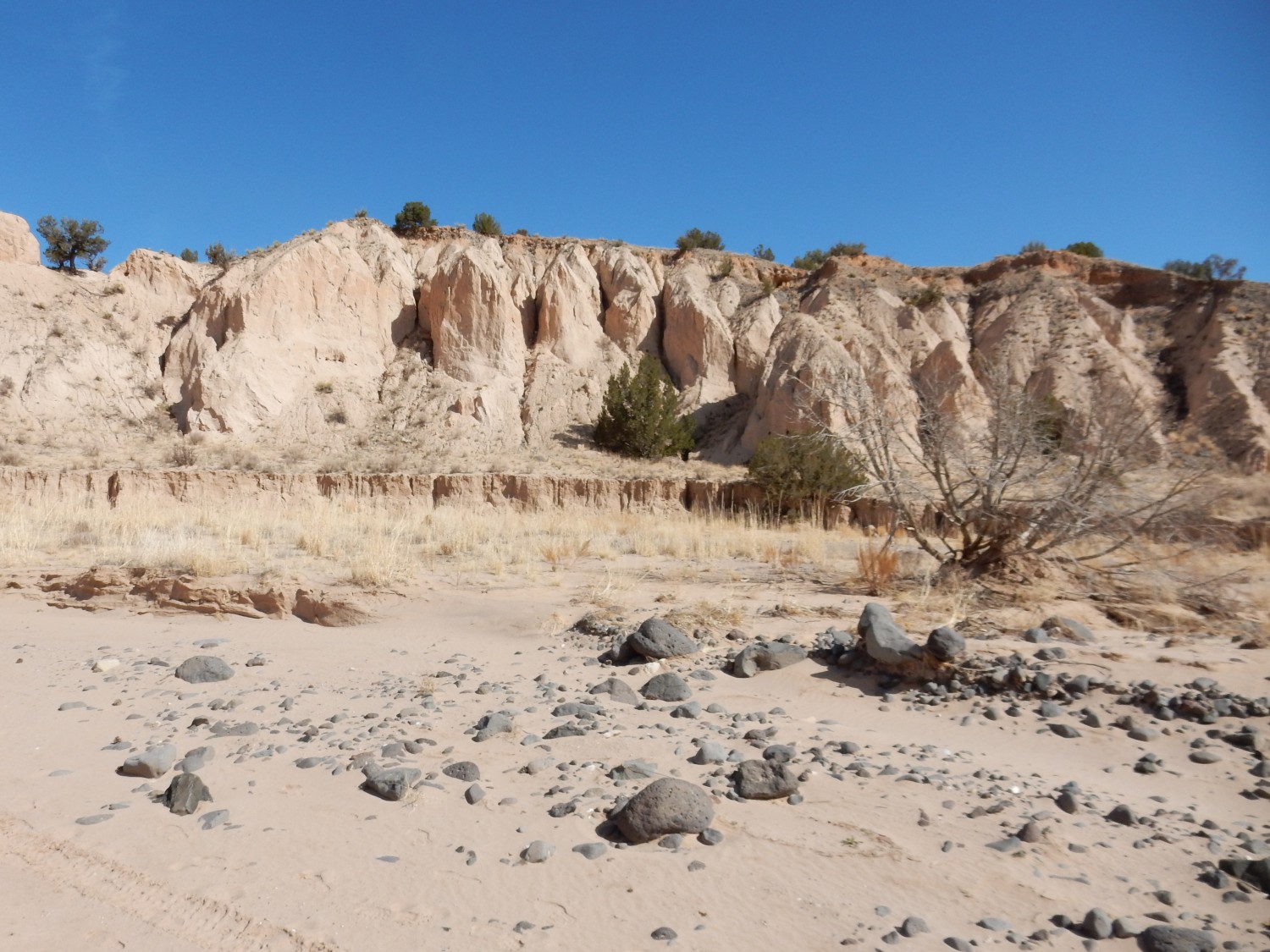
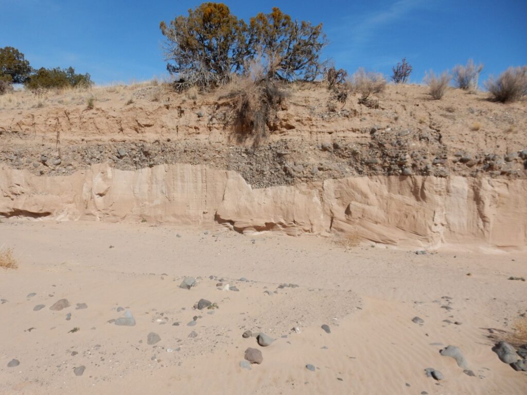
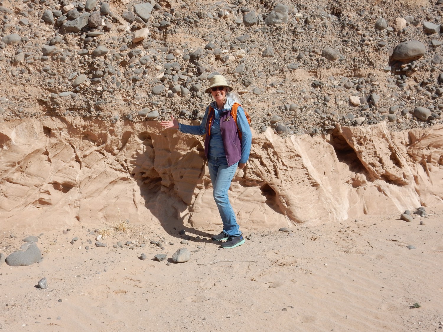
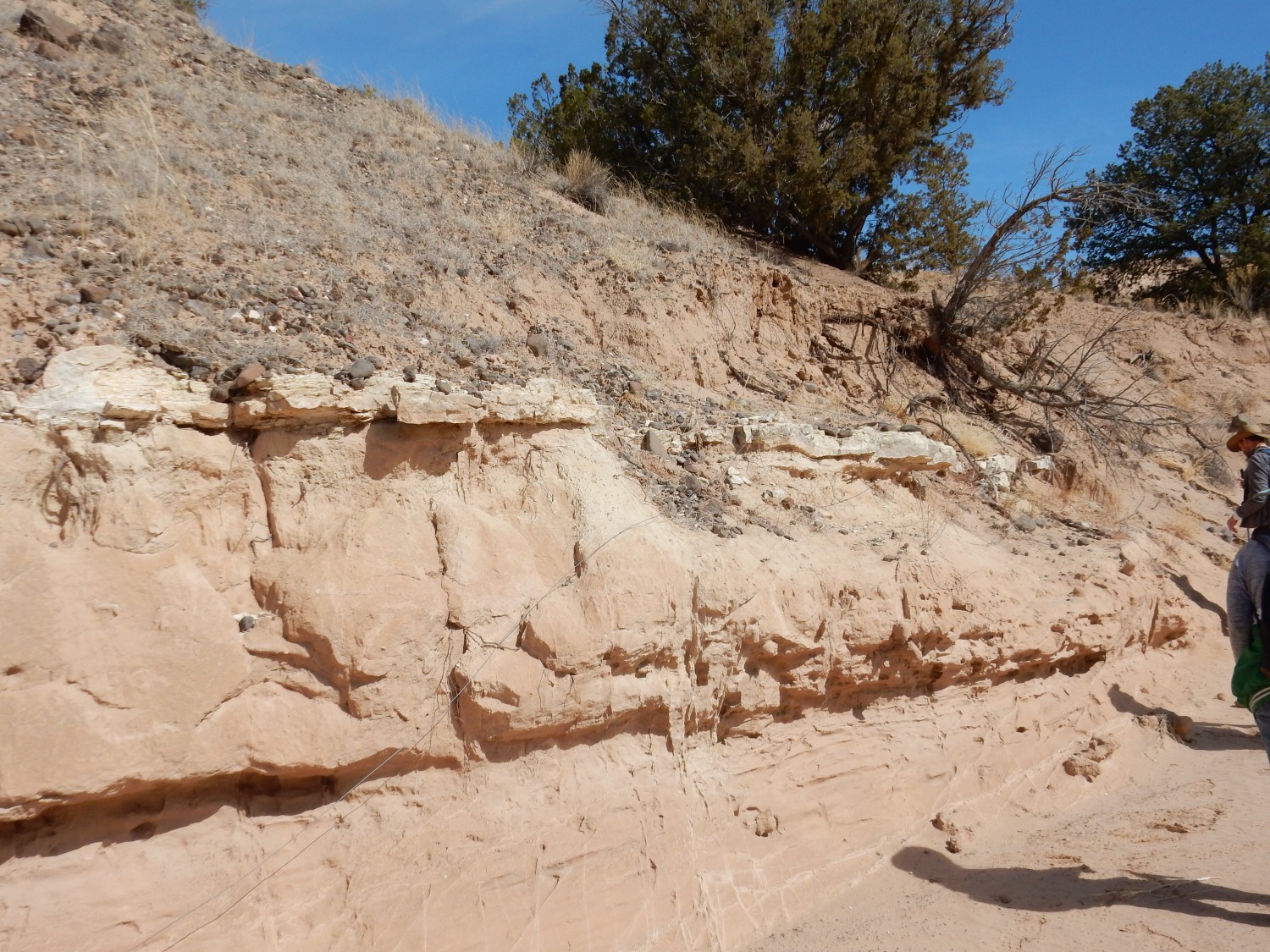
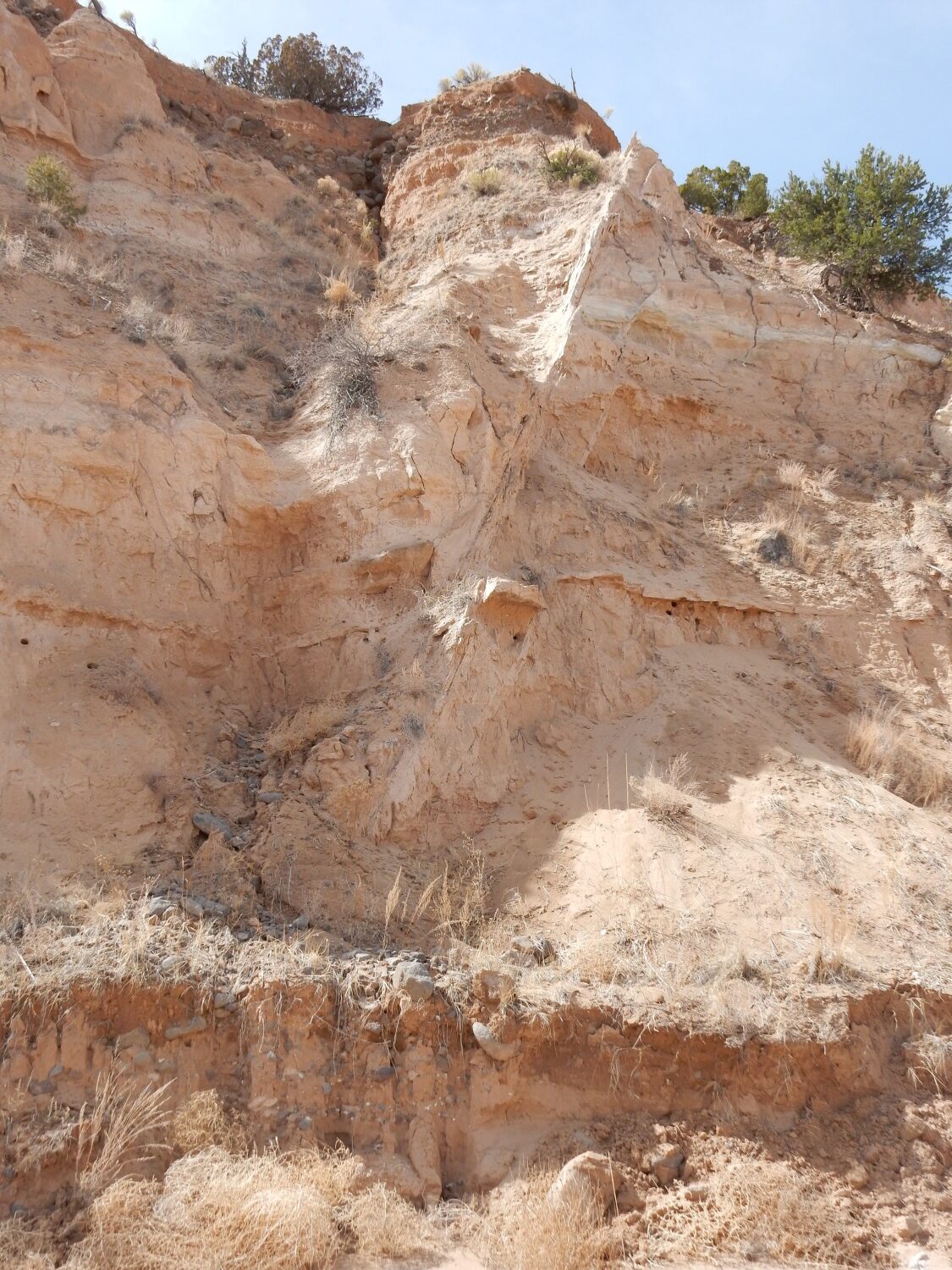
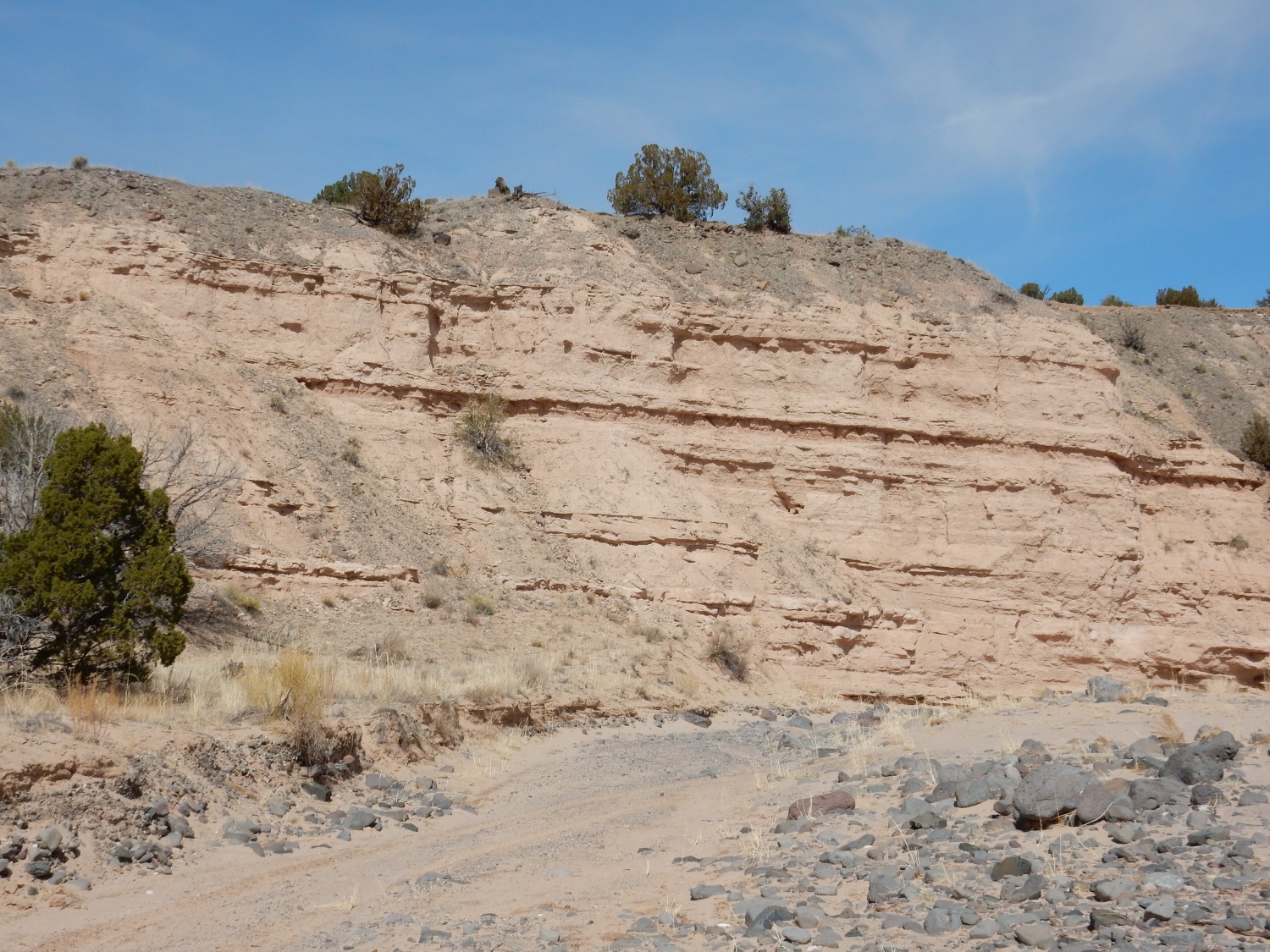
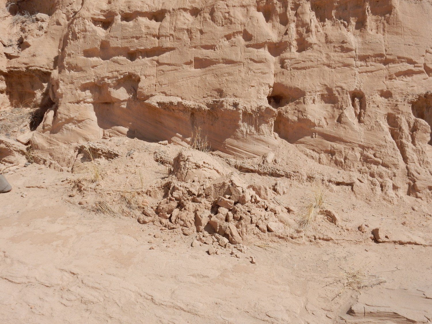
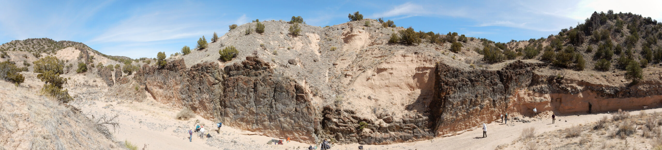
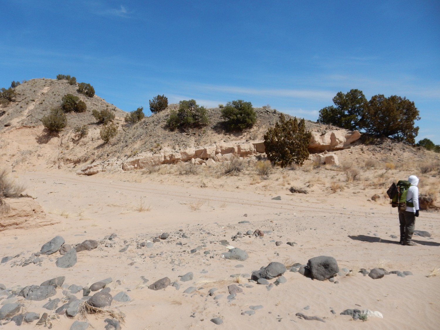
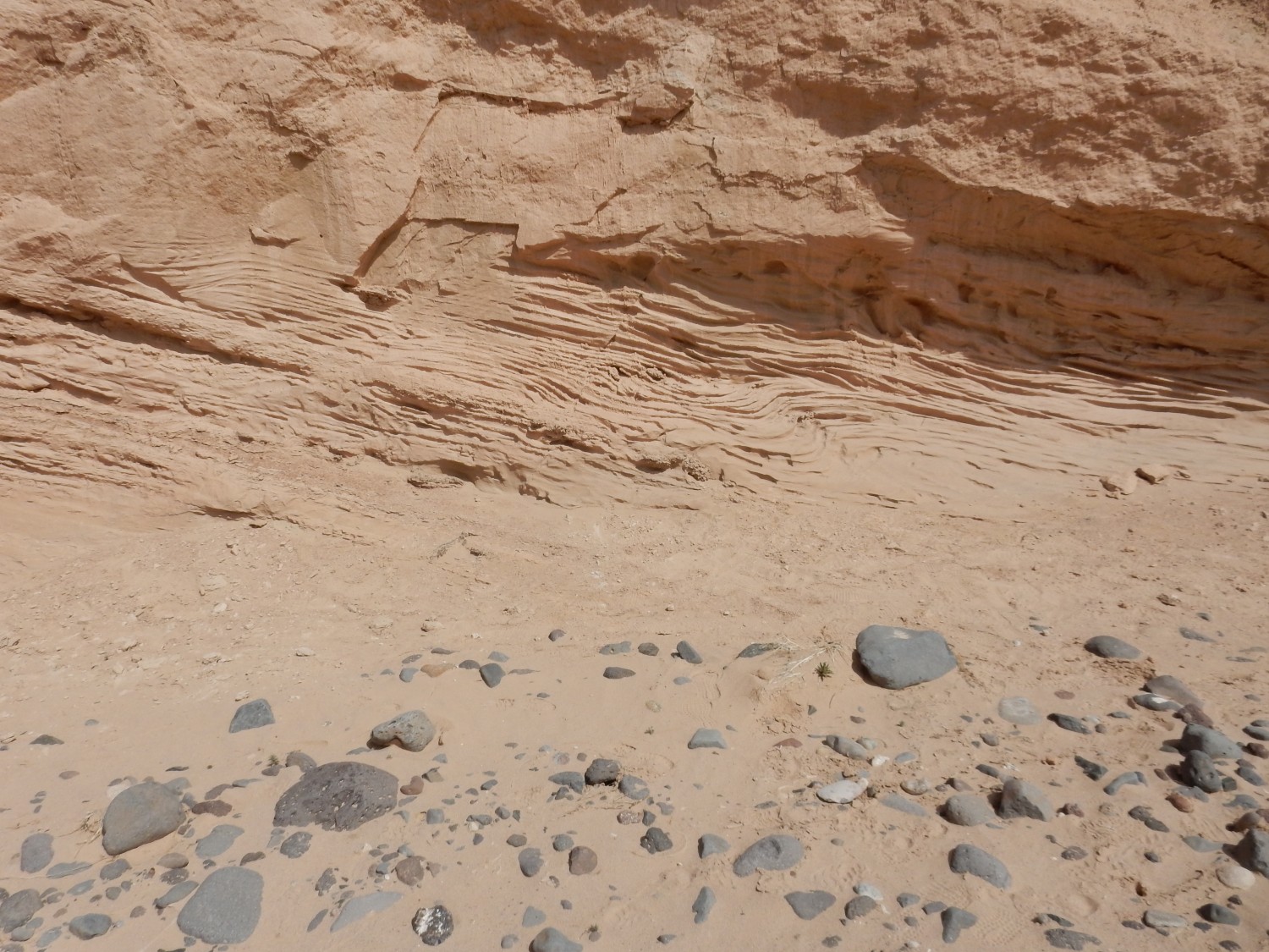
Our first outcrop of the day.
We’re going to see a lot of this kind of thing today. The lower gravel bed is mostly clasts (rock fragments) of Lobato Formation basalt, which cannot be older than about 8 million years old but was probably deposited here much more recently — perhaps within the Holocene, the period of the last 12,000 years since the end of the last glaciation. Above are thick silt beds likely laid down in the floodplain of the nearby Rio Chama. Our region shows repeated abandonment of old flood plains by rivers, where some knickpoint downstream (possibly hundreds of miles downstream) is eroded through and drops the base level.
That needs unpacking. The base level of a river valley is the level at which erosion and deposition are in balance. This allows development of a mature flood plain. The ultimate base level is sea level, but in rugged country such as New Mexico, base level is locally set by a knickpoint, usually a particularly resistant bed of rock that the river has trouble cutting down through. The river valley above the knickpoint cannot erode lower than the knickpoint and a floodplain builds up upstream. But when the knickpoint is finally eroded through, or if tectonic forces lift the region — a likely occurrence in our part of the world — the river begins cutting down again, abandoning its old floodplain. We see the river terraces left by rivers abandoning their flood plains all over northern New Mexico. In some places, up to seven separate terrace levels can be mapped, showing the the process of uplift and downcutting (incision) can recur many times.
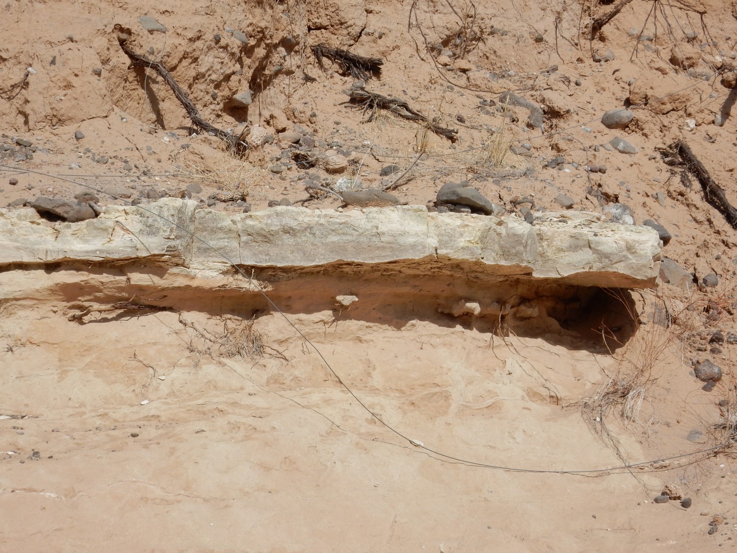
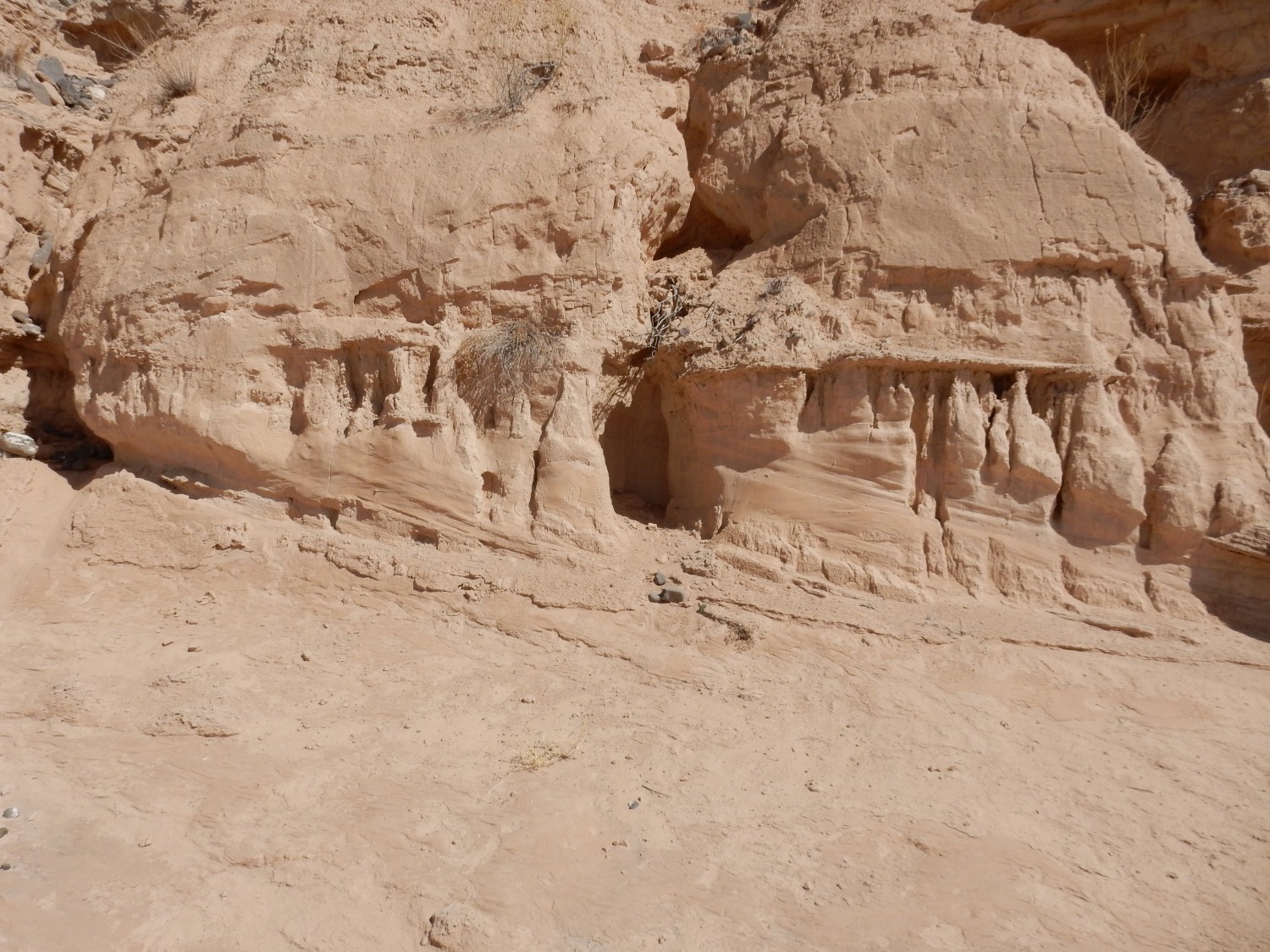
Another view.

A normal river bank is produced by deposition of sediments during periodic flooding of the river. The river terrace forming the steep bank here is a result of erosion.
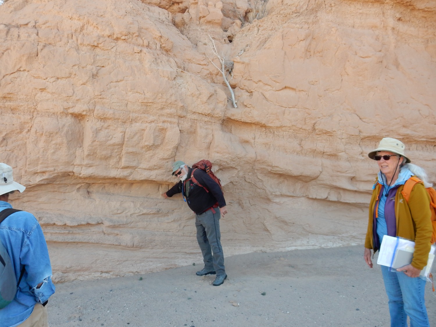
Next outcrop.
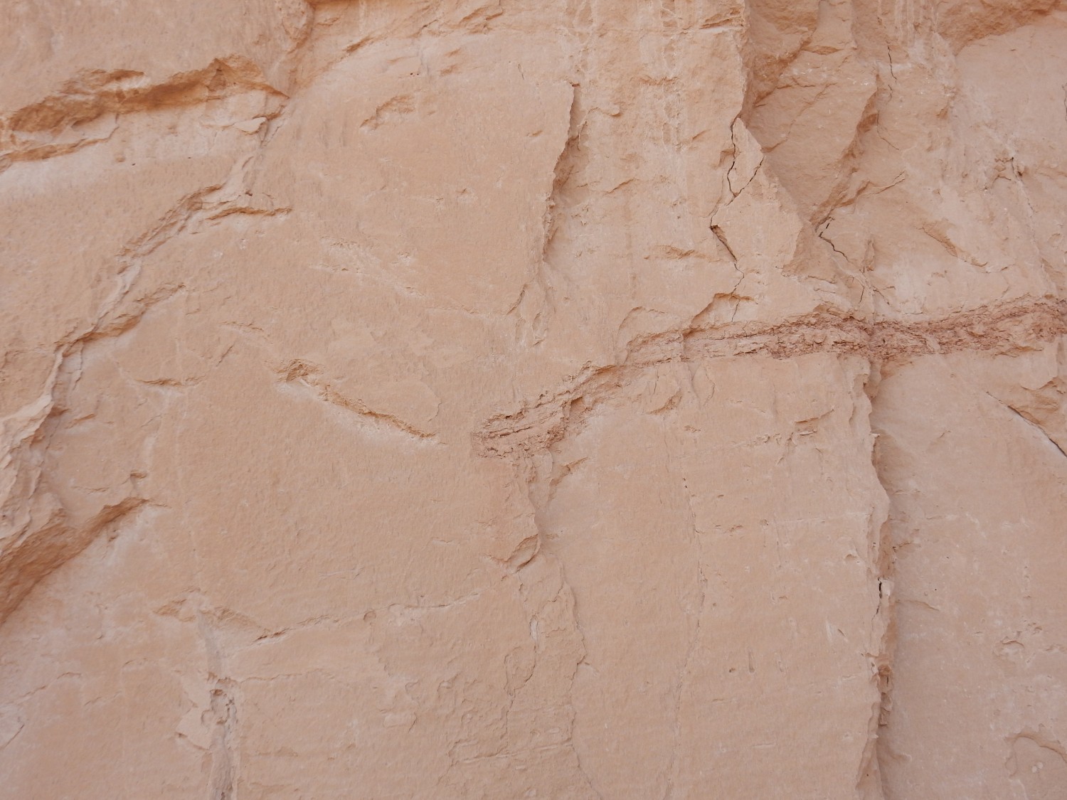
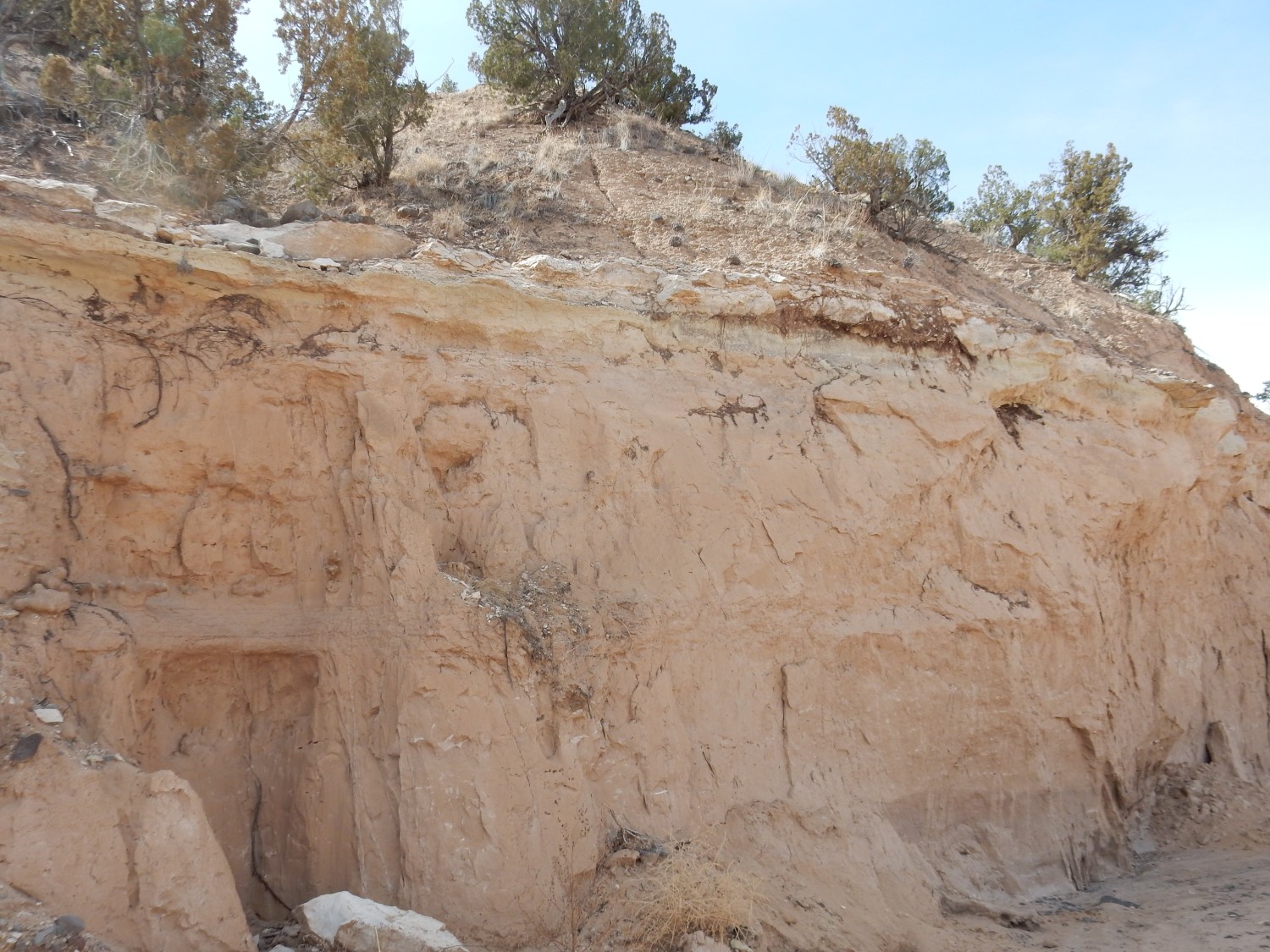
This is the Chama-El Rito Member of the Tesuque Formation. This member crops out all over the northern Espanola Basin and has the characteristics of fluvial sediments deposited mostly by small rivers and streams. It’s composed of sandstone, siltstone, and claystone (depending on the size of the larger particles) but is poorly sorted, that is, the grains show a wide range of sizes, so that (for example) even the sandstone has a fair amount of silt and clay in it. Such sandstone is sometimes described as dirty sandstone. Another term for it is immature, contrasting with a mature sandstone that has been sorted by wind and water and weathered by prolonged exposure to leave nearly pure quartz grains of about the same size. The sediments here were eroded relatively recently (in geologic terms) from nearby highlands and have not had time to mature.
The layering here is typical of a fluvial formation. We’ll get a closer look later. The Chama-El Rito is also distinguished from other members of the Tesuque Formation because it contains distinctive lenses of gravel. This is mostly volcanic rock that looks like it came from the San Juan Mountains to the north. The fluvial-style bedding and the volcanic gravel lenses are among the characteristics that allow a geologist to distinguish the Chama-El RIto from other bodies of rock in the area and plot its outcrops on a map — a necessary requirement for any stratigraphic unit such as a formation or its members: A stratigraphic unit has to be mappable at the appropriate map scale.

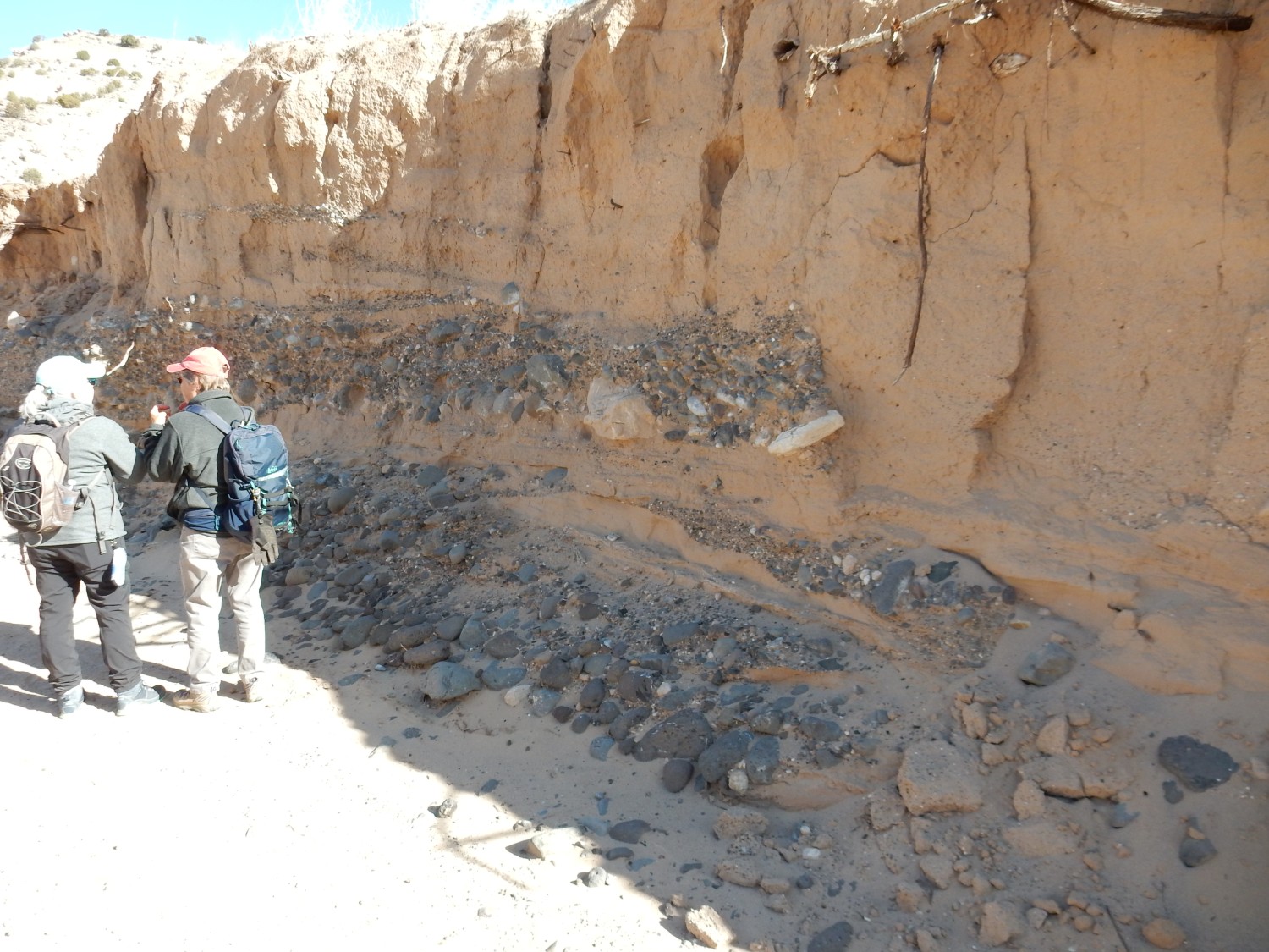
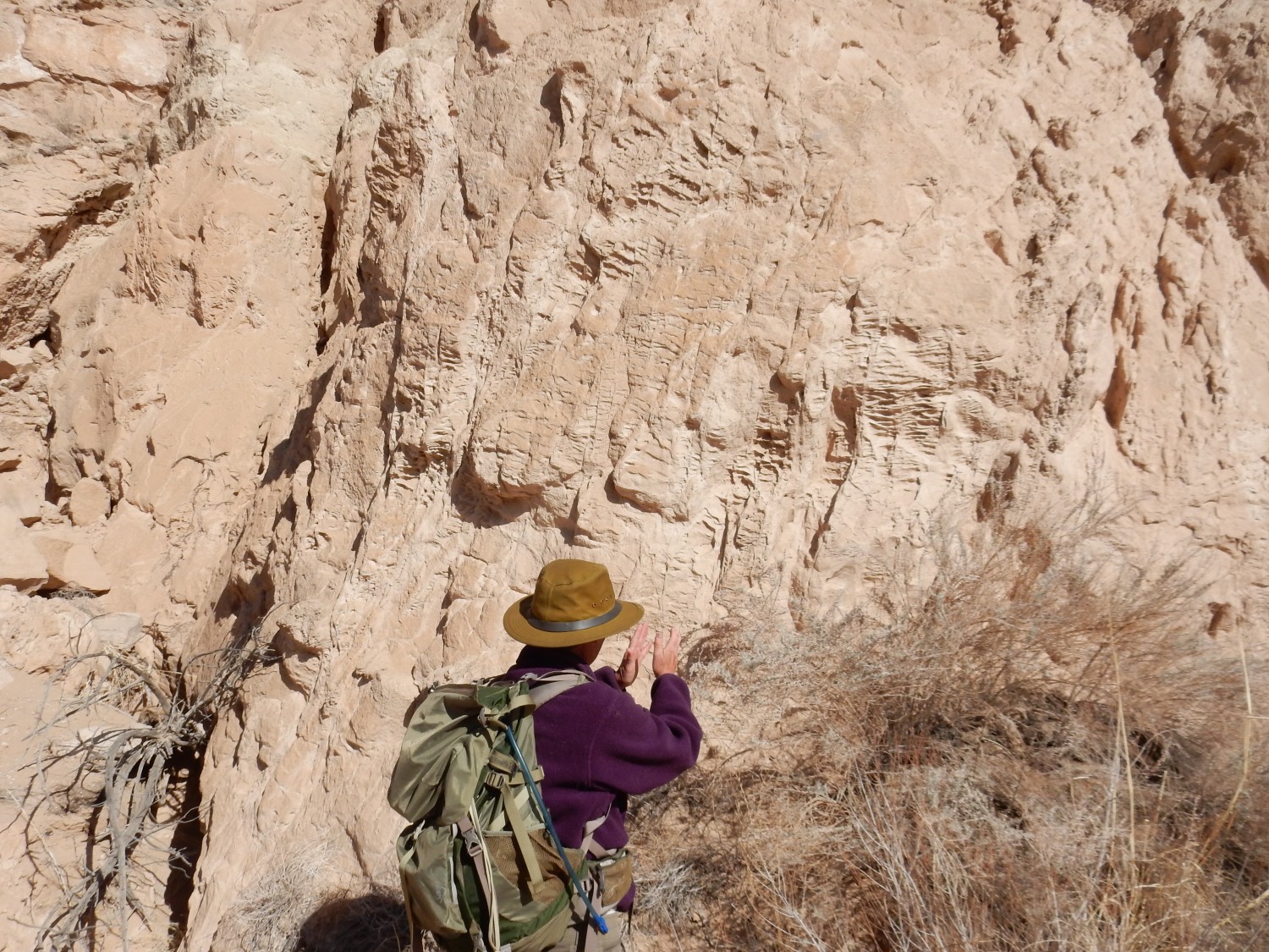
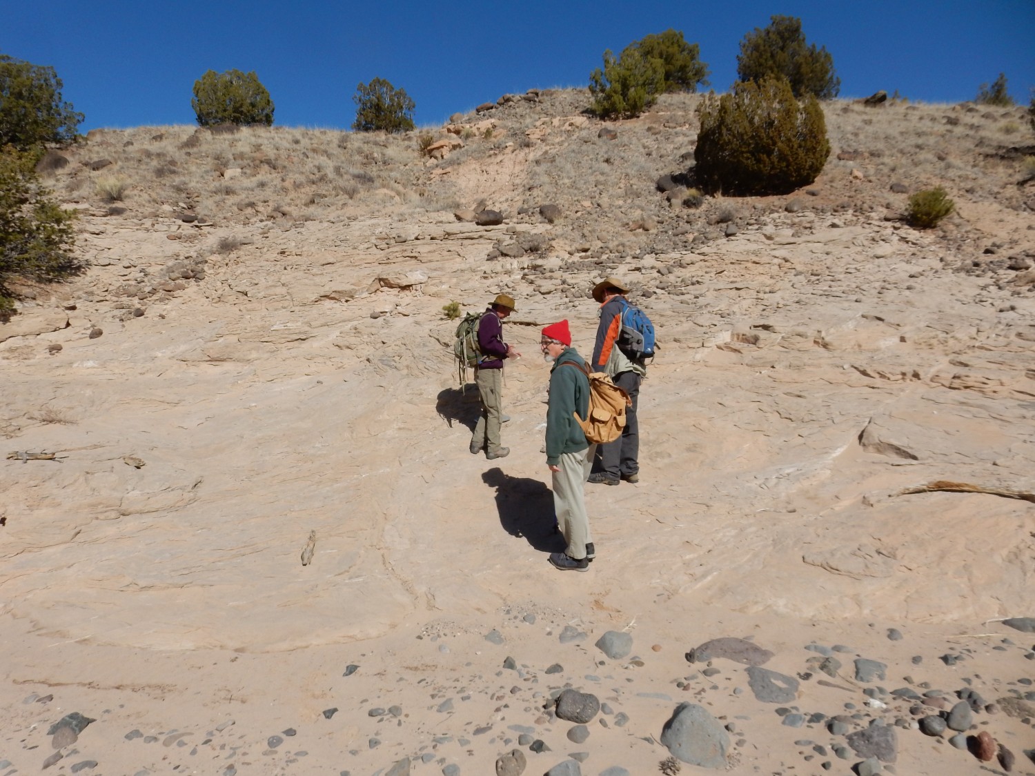
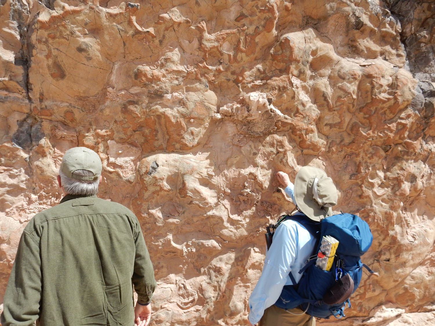
Our hike is being led by Shari Kelley and Carol Hogsett, who are genuine geologists and not enthusiastic amateurs like myself. Shari is an excellent “rock whisperer” and pauses to talk to us about the beds here.

Shari is pointing at one of the gravel lenses in the formation. This likely was deposited in a small stream channel. As the channel shifted, more fine-grained layers above were deposited, then the massive overbank deposits forming most of the rock above the gravel layer. Overbank deposits were deposited on the floodplain rather than in the river channel. The pattern of coarse to fine sediments, which repeats through the beds, is called a fining upwards sequence. You can see the top of an older sequence just below the gravel bed.

A little further down, we see a very small local fault that has displaced rock horizontally — unusual for this area.
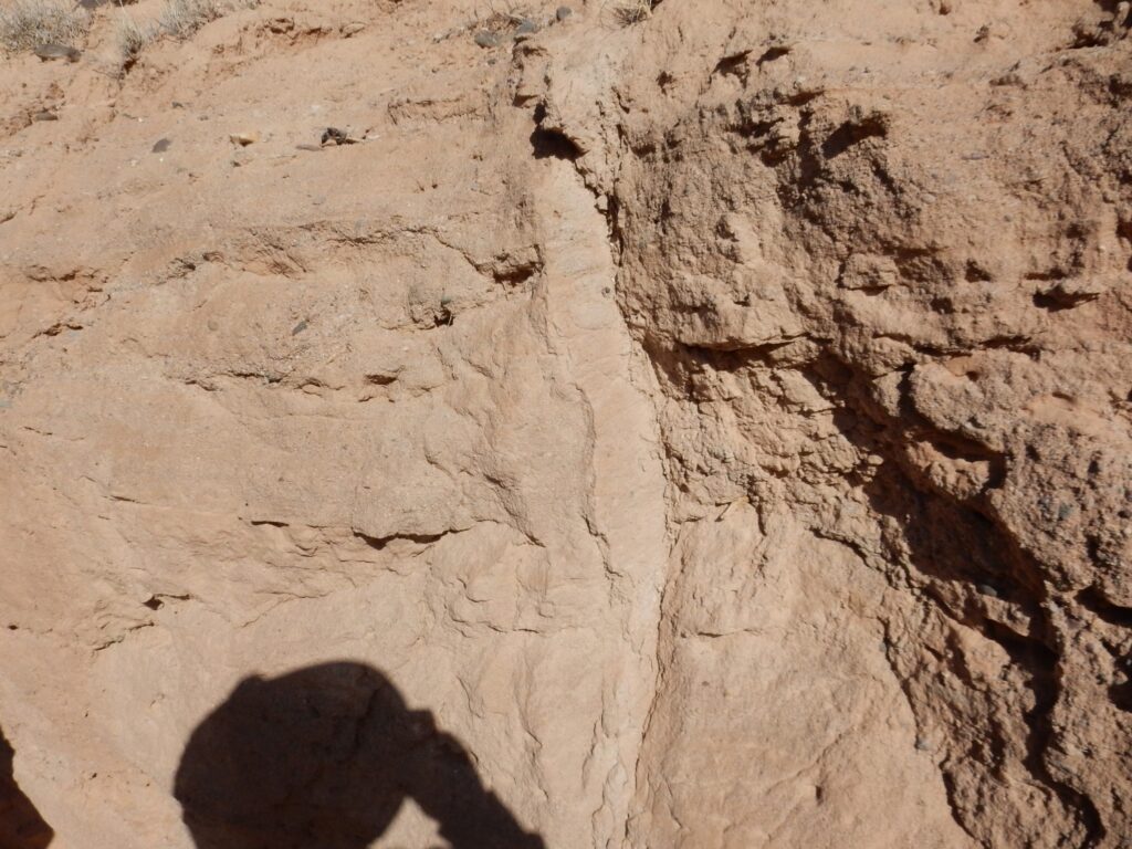
The surface at center shows slickensides, grooves in the rock where the rock on either side of the fault ground past each other. The grooves are horizontal, showing the direction of motion on the fault.
Most faults here are normal faults typical of regions where the crust is being stretched. One side of the fault drops downwards relative to the other side. We’ll see some excellent examples later. This fault is a little local fault that is not even on the map; a microfault.
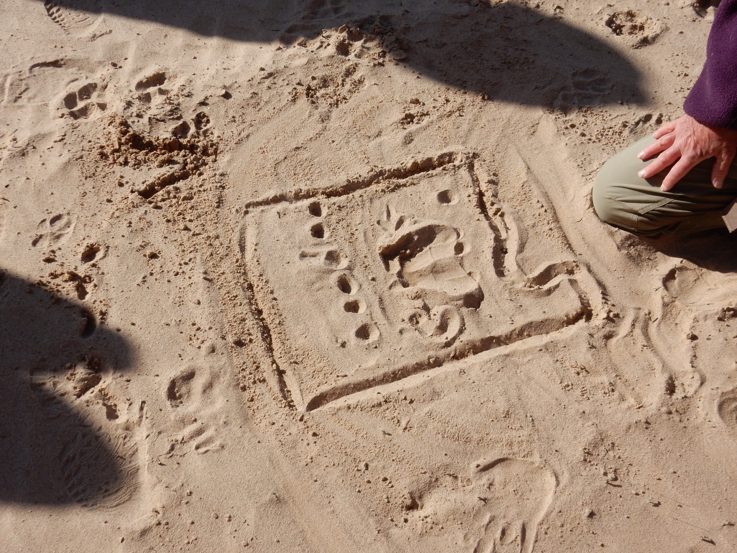
Shari attempts to sketch the local tectonics for us in the sand, but Panda walks across her diagram, leaving pawprints.
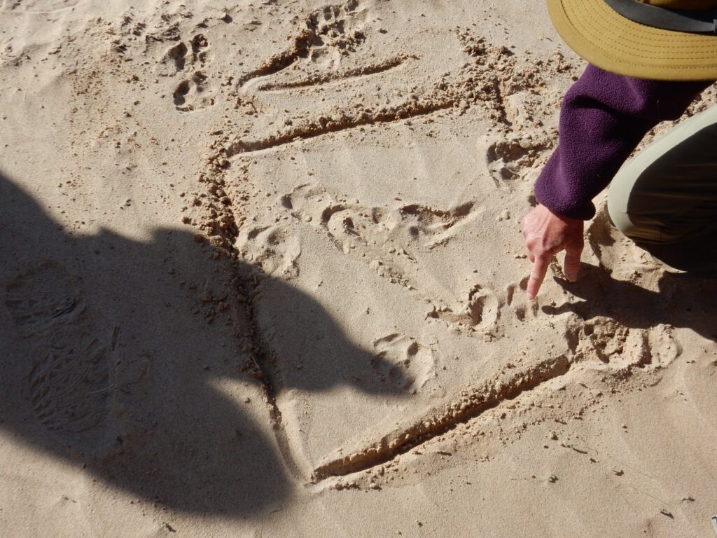
Shari is attempting to show us how the direction in which the Rift opened has changed over time, from southwest/northeast to west/east.
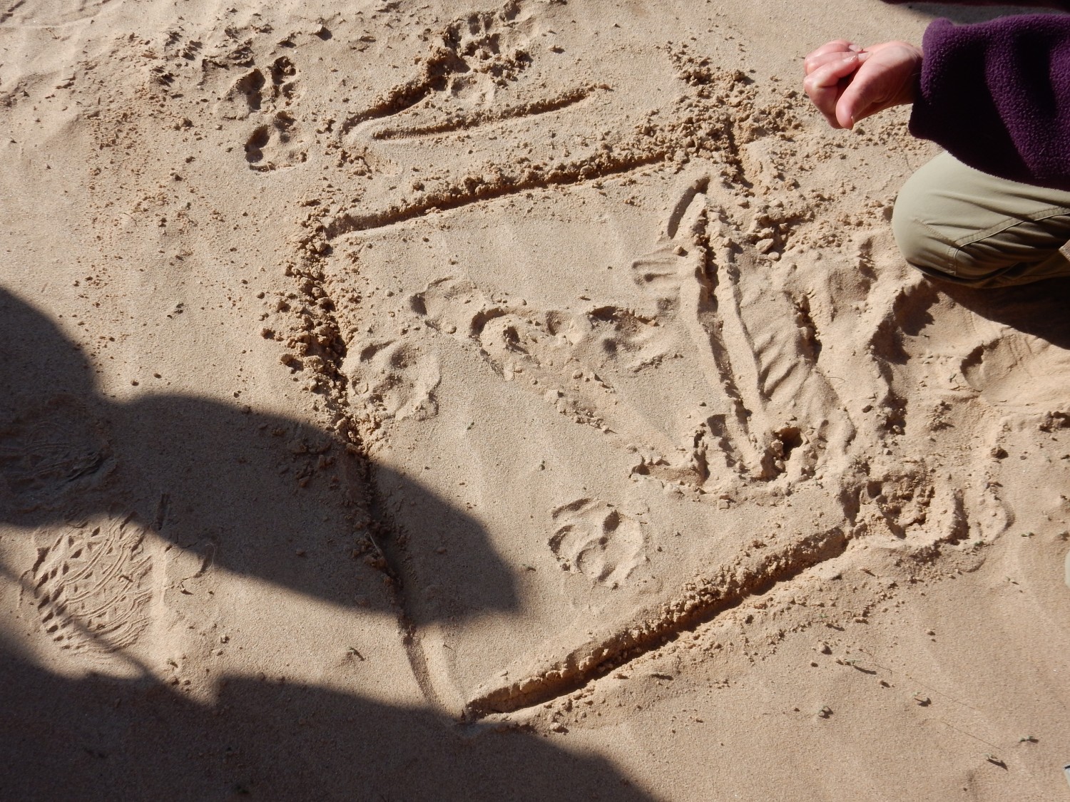
Illustrating how arrays of GPS stations can measure slow tectonic movement.

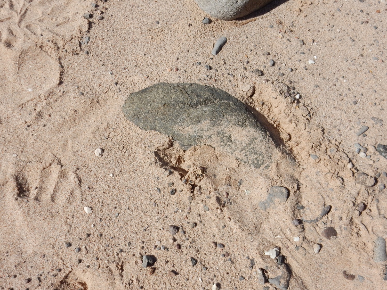
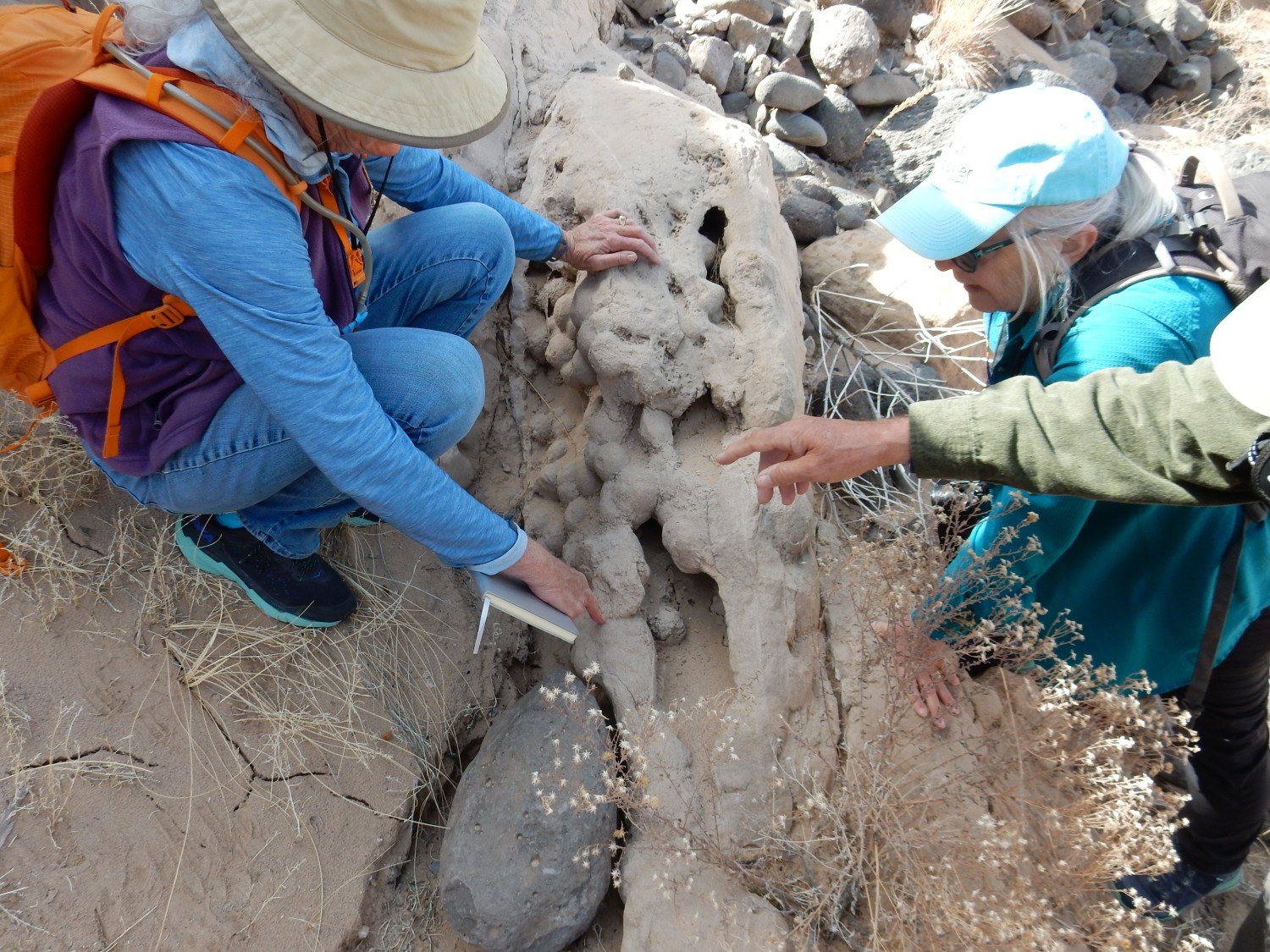
Rick Kelley has found a rhizolith (fossil root cast)
You can just make this out if you embiggen the image by clicking on it, as you can do with most images at this site. Also, most blue links will take you to the location in Google Maps.
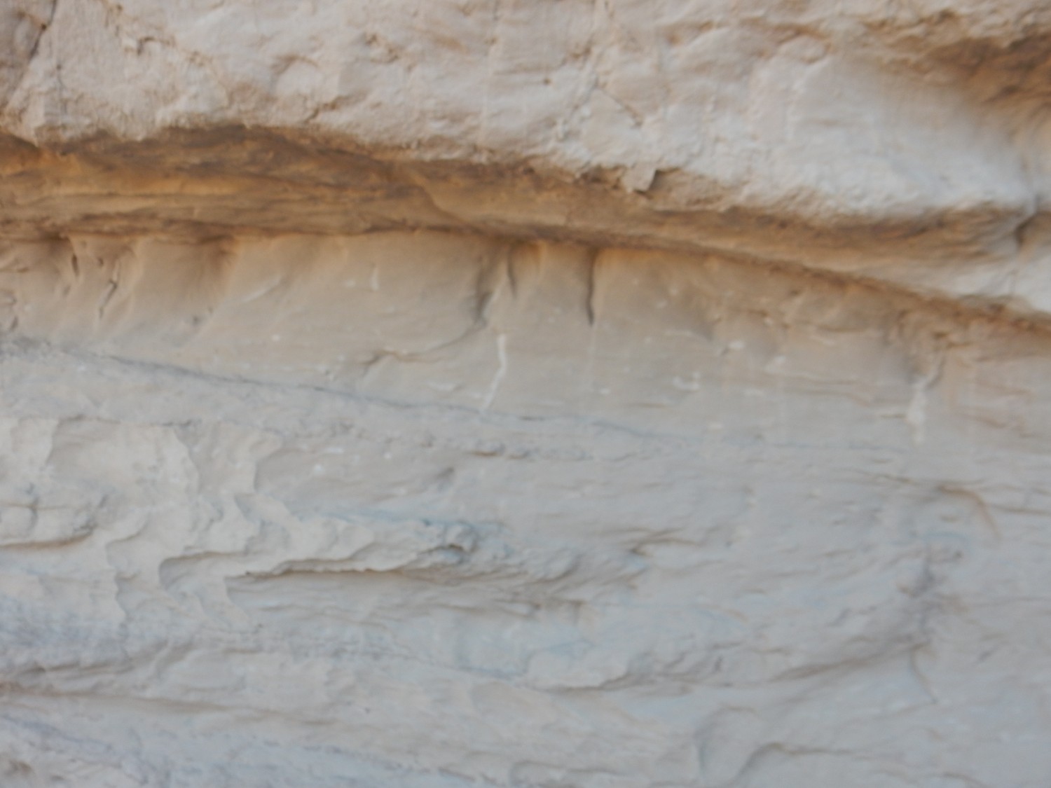
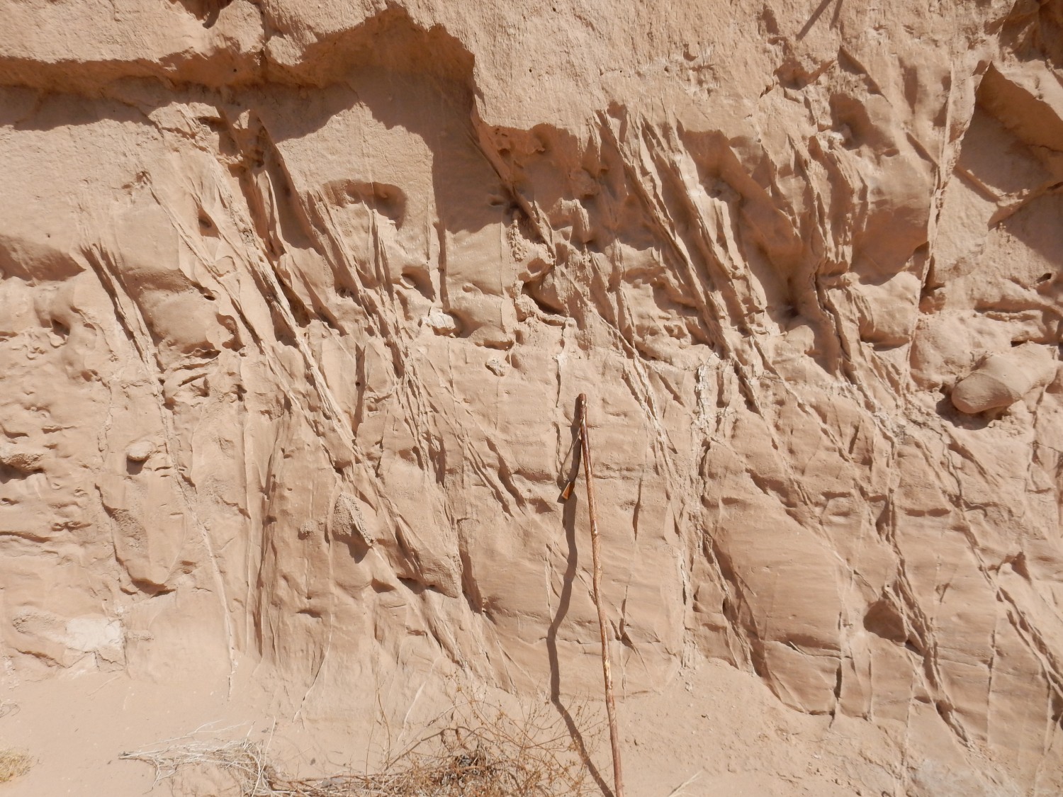
Alas, in the shadows, my pictures come out a little fuzzy.
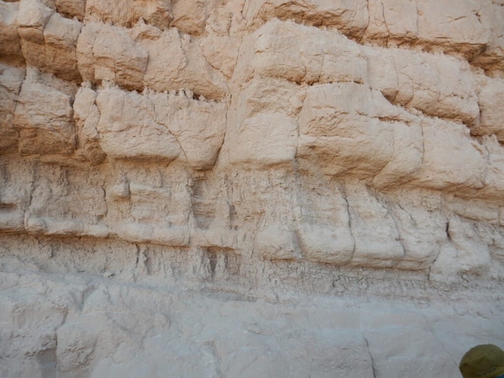
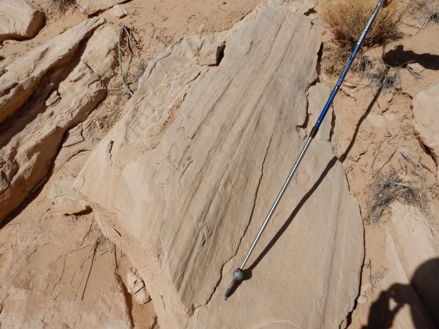
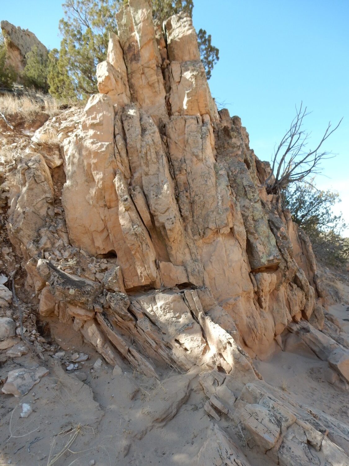
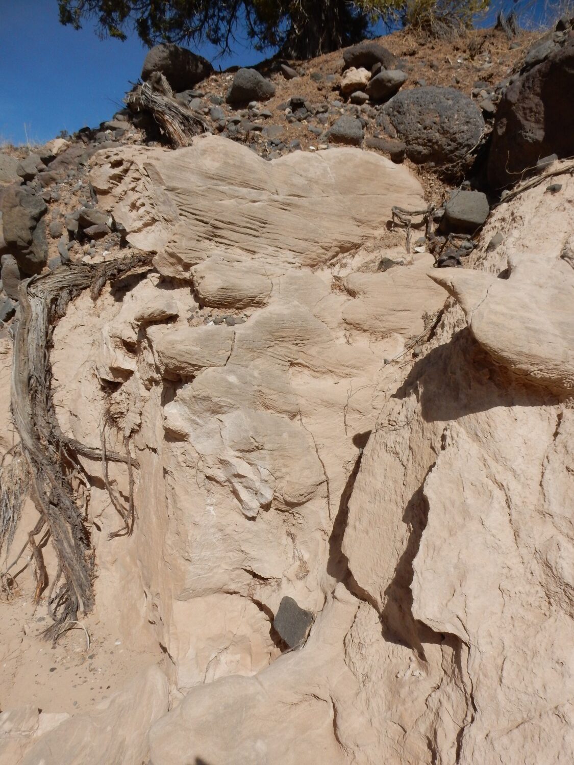
Some excellent examples of fluvial beds.
Not sure what this is about.
The light rock scattered across the slope seems like an ash bed or something. But the map shows this all as Chama-El Rito with no particular notation for this spot.
This outcrop shows some thin well-cemented beds.
With a cap of basalt gravel. The basalt gravel may be an old debris flow.
More terrace deposit with a black gravel bed.
Panda finds an old cattle bone and the change in his demeanor is remarkable. He goes from young pup racing back and forth along the line of people to purposeful dog looking for just the right spot to secrete his treasure.
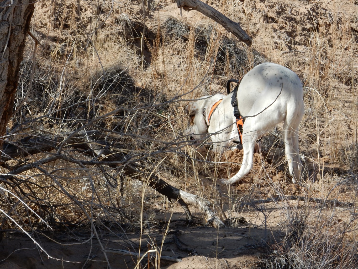
He digs a nice hole, deposits the bone, then uses his head to bulldoze the dirt back into the hole. As someone noted, it’s a nice hard, thick tool.
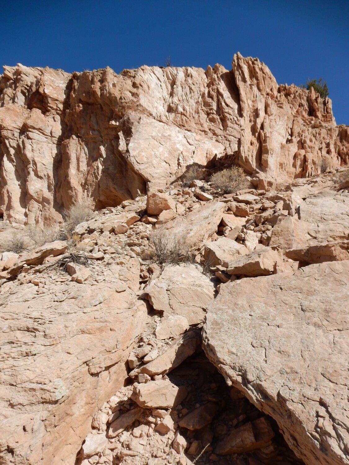
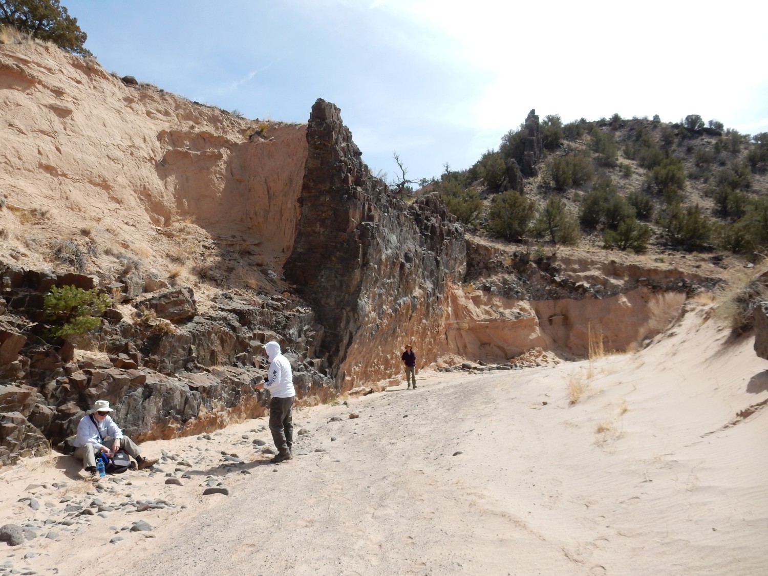
We come to a sizeable fault.
The fault is at left.
Closer:
Shari is looking at the thin horizontal bedding, likely due to fluid rising into the fault and then spreading out into the wall rock.
Richard Stead has spotted an impressive boulder with slickensides.
Alas, this block is out of place, so it doesn’t tell us the direction of displacement on the fault. But the fault is important enough to be on the geological map, and the map tells us the fault is a normal fault with the down side to the west. Furthermore, the rock west of the fault is the younger Ojo Caliente Member of the Tesuque Formation. I’ll have more to say about it in a moment.
Because faults bring in fluids containing cementing minerals, they are often marked by resistant ridges like this one.
According to the geologic map, this is actually a small branch of the main fault; the main strand runs beneath the arroyo.
But first the arroyo loops back east to give us one last good look at the Chama-El Rito Member.

The map has this as Chama-El Rito, but our geologists speculate that we may be in a transition zone between the two. There is some spectacular bedding.

Alas, my closeup is a bit fuzzy. Shade.

These look wind-deposited, but perhaps then deformed by wet sediments deposited on top.
There are also lenses of concretions.
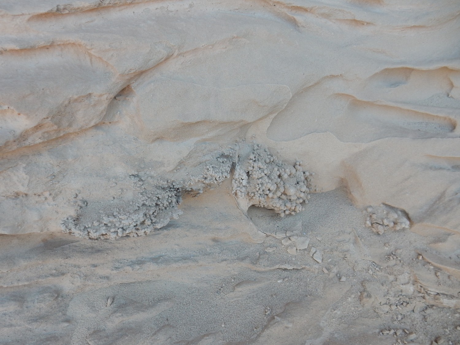
Concretions like these are likely nodules of calcite growing within the sandstone. Claystone and siltstone are fairly impermeable to water while sandstone forms a decent aquifer. But this is dirty sandstone, and permeability can change dramatically over short distances to produce very localized channels for groundwater flow.
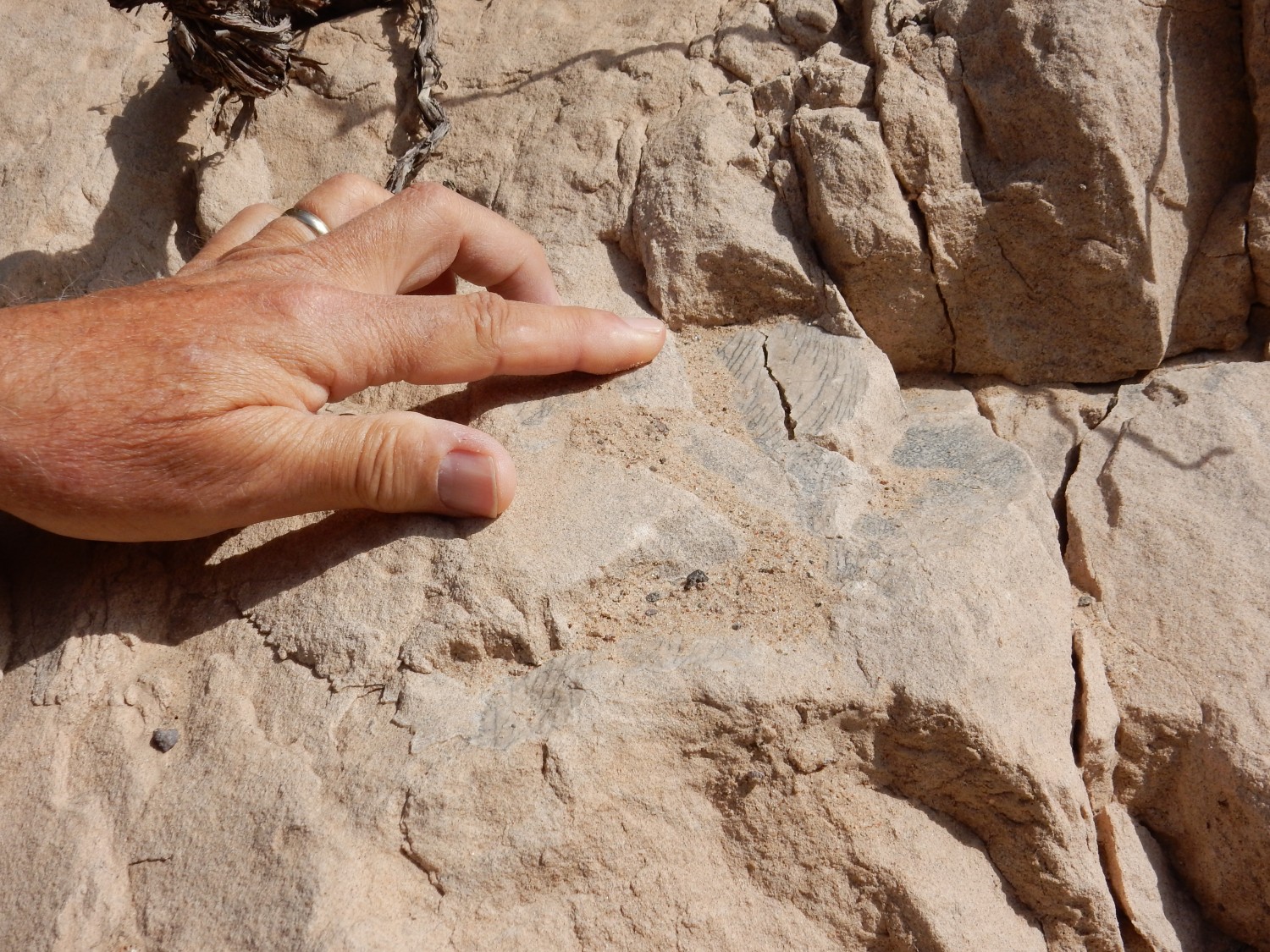
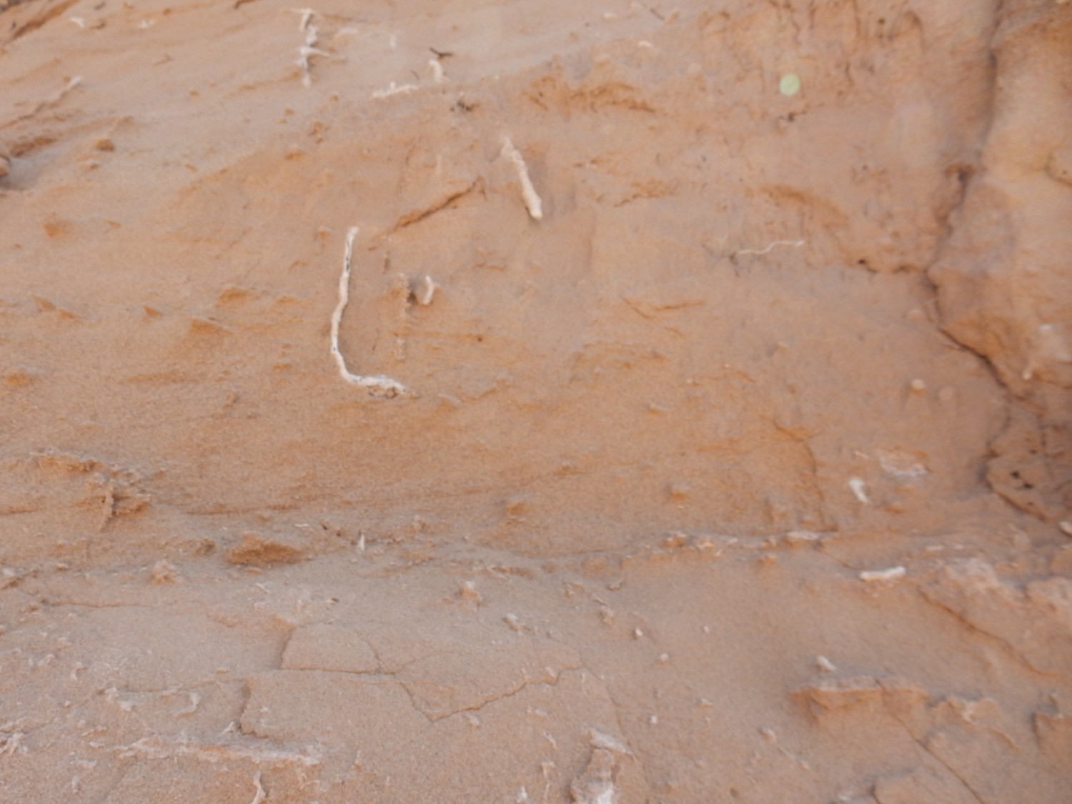
Very close up:
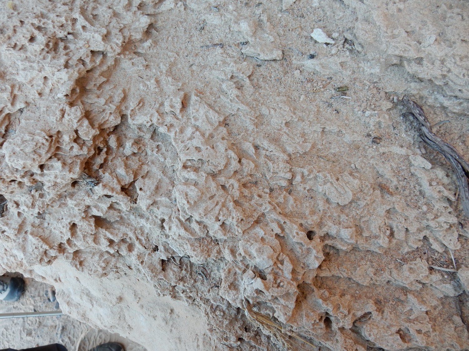
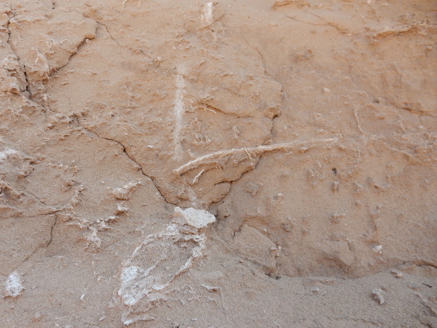
I should have placed a coin for scale. The main part of the image is only a few inches across, and shows what looks like tunneling in the sandstone. Some kind of critters seem to have burrowed here a few million years ago. Perhaps we’re looking at a fossiiized ant’s nest?
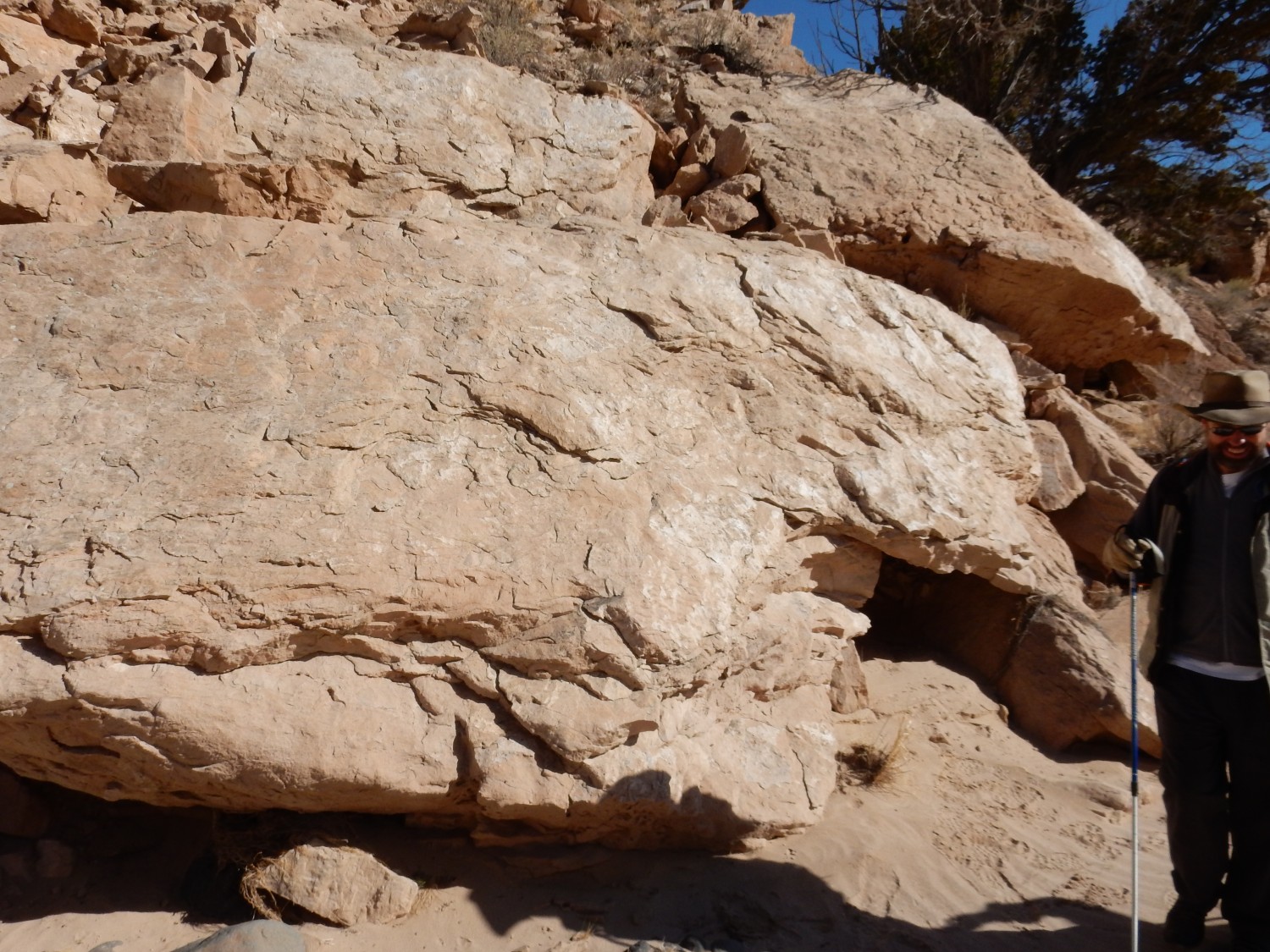
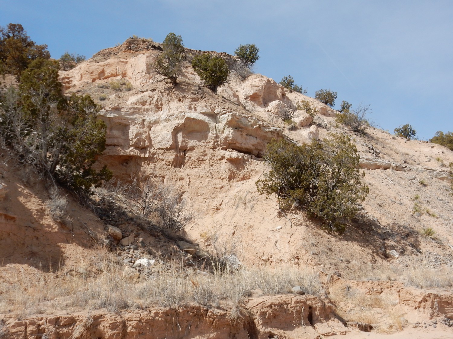
Another outcrop.
The left part may be part of the fault strand I mentioned earlier. Regardless, Richard Stead (who is relatively young and fit) gets teased by some of us older types to go see what’s in the caves. (He declines.)
On the other hand, Richard spots some more slickensides.

The rock surface is polished shiny from the fault motion. This is right down at the arroyo level.
The shiny surface may be tachylite, formed by the rock literally melting momentarily during rapid movement on the fault.
We do seem to be nicely aligned with the fault strand.
On the other side of the arroyo:
Richard scrutinizes this outcrop for slickensides, but finds none.
Further on, we are well into the Ojo Caliente Member. This is a wind-deposited body of sediments — a fossil dune field. The area must have been drying up.
The Ojo Caliente is younger than the Chama-El Rito. The Chama-El Rito is thought to be about 15 to 13.5 million years old, while the Ojo Caliente cannot be older than 13.5 million years; it contains zircon grains that are this age.
Fossil dune.
There is a mineral vein.
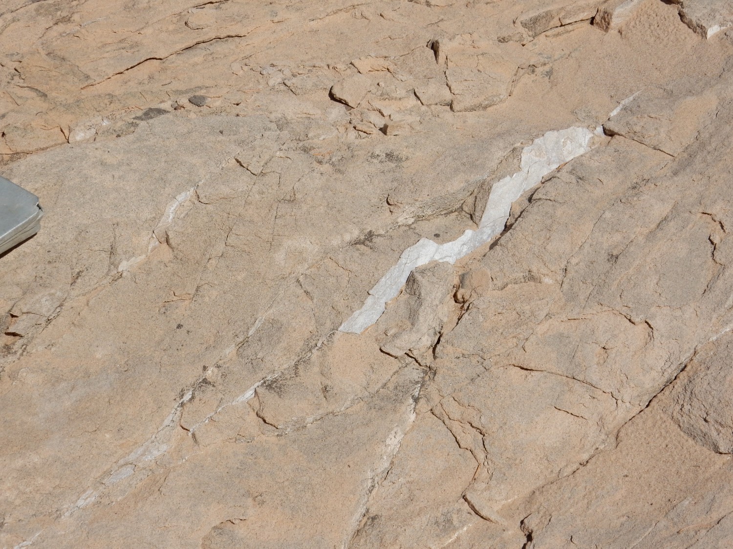
Shari Kelley drips some dilute acid on the vein. It does not react; this cannot be calcite, but is likely silica.
This looks for all the world like a petrified log.
But that’s very unlikely. This is probably an unusual concretion.
Another fault?

Yep, the map shows another one about here. But this is a fairly local fault.
Curious honeycomb erosion.
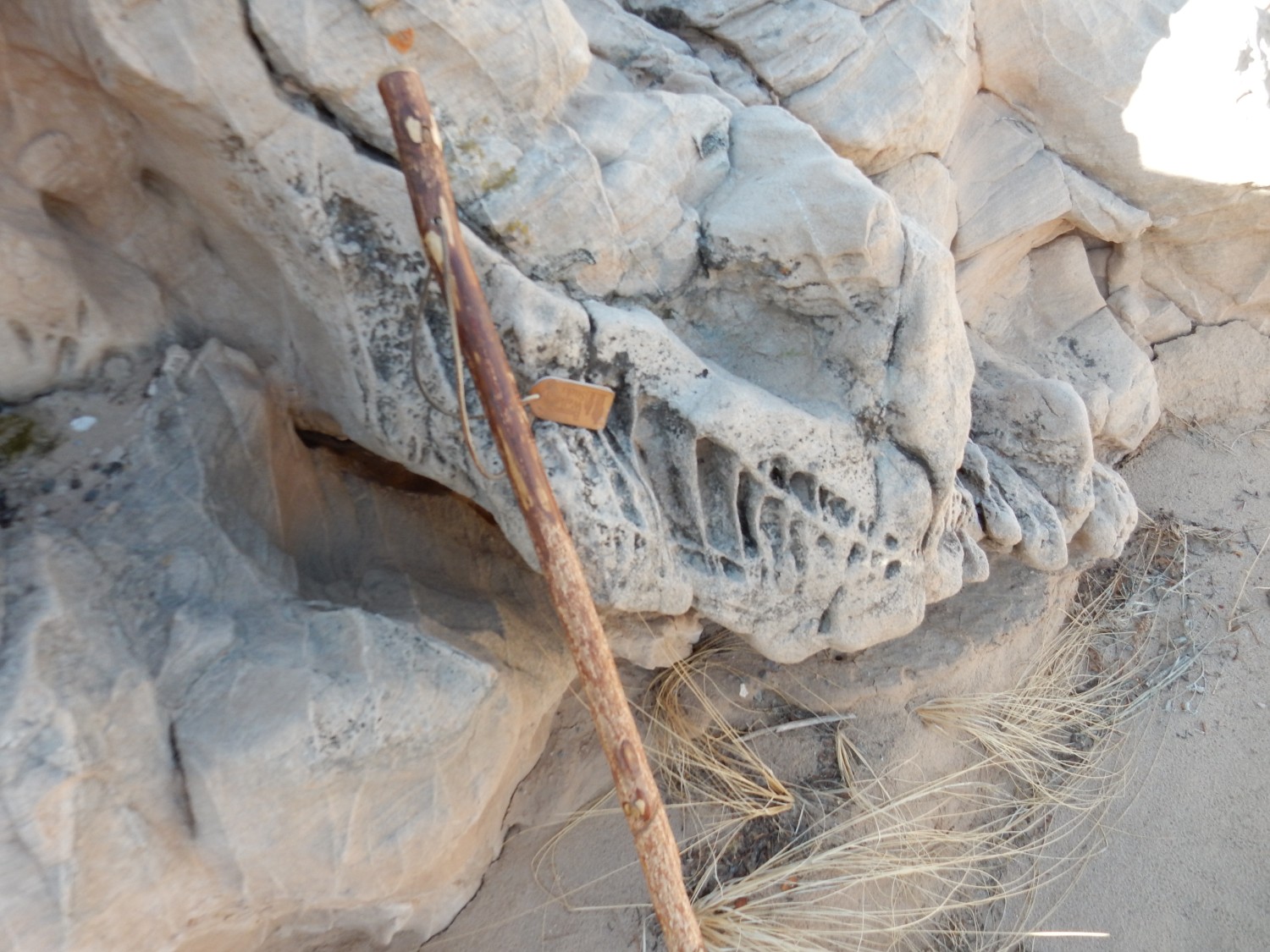
Somewhat like what we saw near the major fault earlier.
Richard again scrutinizes for slickensides.
The polished surface just above his walking stick, perhaps.
Crossbedding.
Beds at an angle like this can occasionally form in water, but they are much more common in wind-driven sediments. This confirms we are in the Ojo Caliente Member at this point.
Another basalt lag bed.
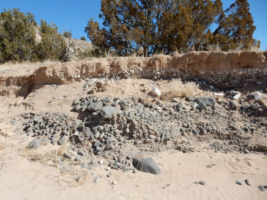
This is apparently just large enough to appear on the map. (Though probably the terrace behind is also included in the little patch of “Qayh, younger alluvium occupying a high topographic position in valley bottoms (upper Pleistocene to Holocene, greater than 100 years old)”, to quote the map legend.
Soft, massive, light pink sandstone typical of the Ojo Caliente. The cliff surface is an erosional feature.
Another thick river terrace deposit of basalt on top of Ojo Caliente Member.

Under the thin layer of soil is a bed of very coarse basalt gravel, some of which is calicified. That is, groundwater rising to the surface has evaporated and deposited its dissolved calcium to form a white crust around the basalt clasts. This tends to cement the basalt in place and makes the surface highly resistant. Here this has protected the soft Ojo Caliente beds beneath to form this small mesa.
In the distance, beautiful Tschicoma Mountain.
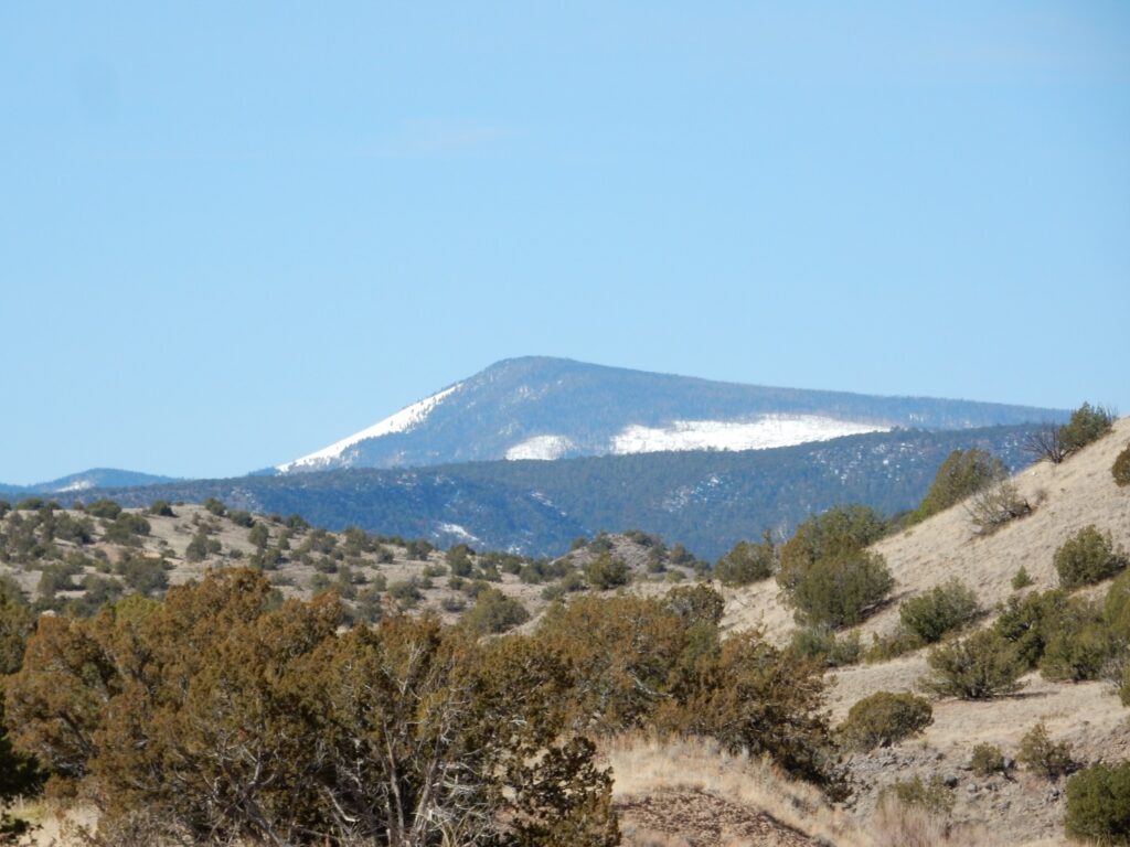
Tschicoma Mountain is the namesake of the Tschicoma Formation, which forms the western skyline of Los Alamos. This formation is dacite, formed from silica-rich lava that was erupted mostly between 5 and 2.5 million years ago. The lava was so viscous that it formed enormous domes and plugs rather than spreading out as lava flows.
In the middle distance, below the peak, is Lobato Mesa. This is the namesake of the older Lobato Formation which, as we’ve already seen, formed from low-viscosity lava that spread out to form thin flows.
More Ojo Caliente Member.
Again, there is a thin rim of gravel deposited on top of the Ojo Caliente that protected the softer beds beneath from erosion.
Greenish basalt.
Basalt can be green because it contains a mineral called olivine, part of the original rock; or because it has been hydrothermally altered to produce a mineral called epidote. I peered at this through a loupe but could not tell which it was.
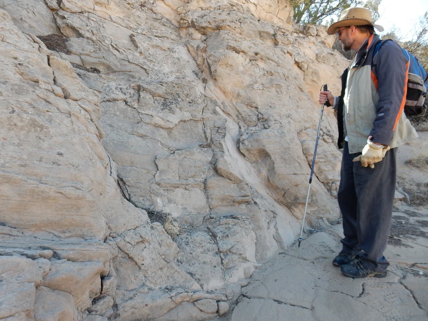
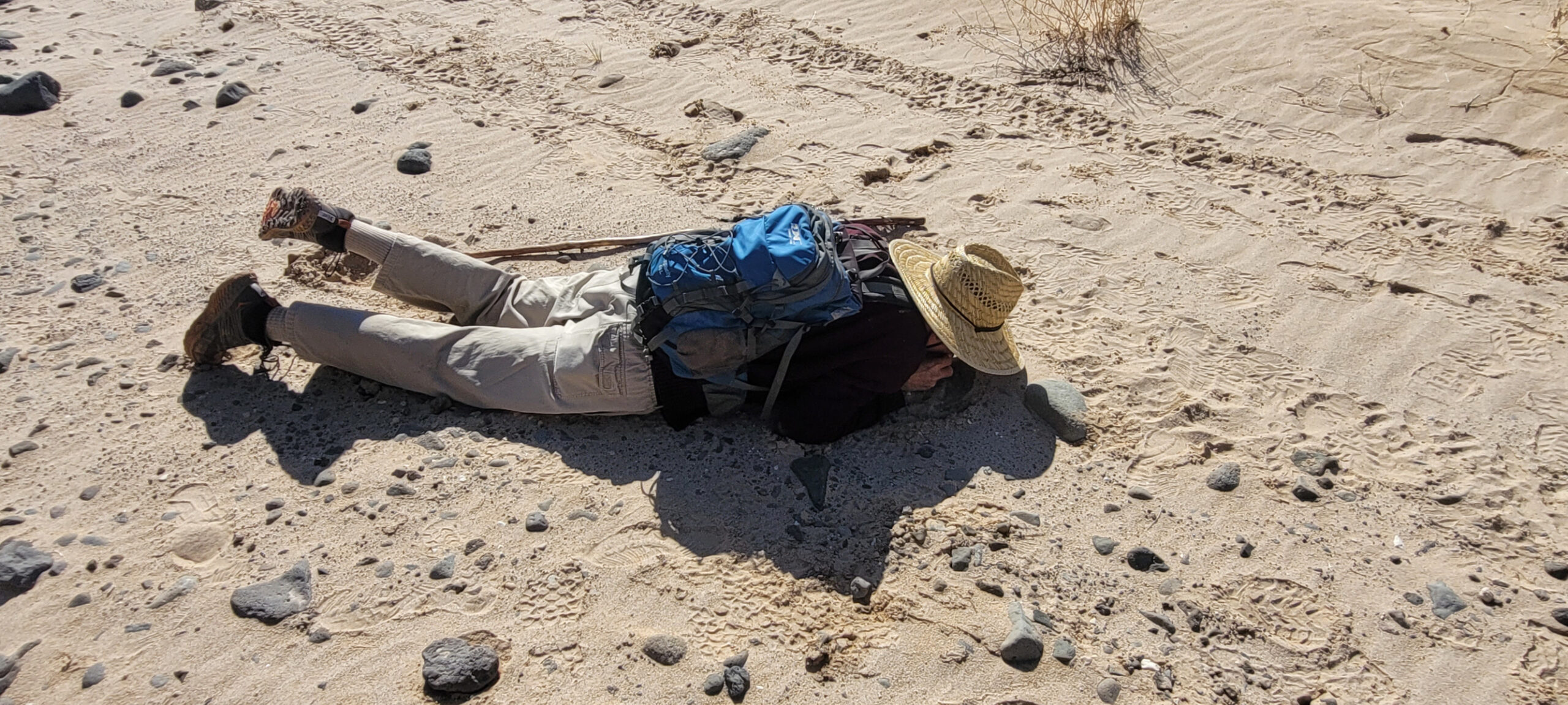
Some oddball studying the geology up close and personal.
Very small river terrace.
Very close to ground level. This suggests a knickpoint being eroded through locally and very recently — perhaps within historical time. Perhaps anthropogenic disturbance dropped the base lavel.
Another gravel bed.
Old Ojo Caliente, with younger gravel filling what was even then a rather irregular erosional surface,then overlaid with quite young sediments. Notice the cross-bedding in the Ojo Caliente rght of center.
This extends for some distance along the arroyo.
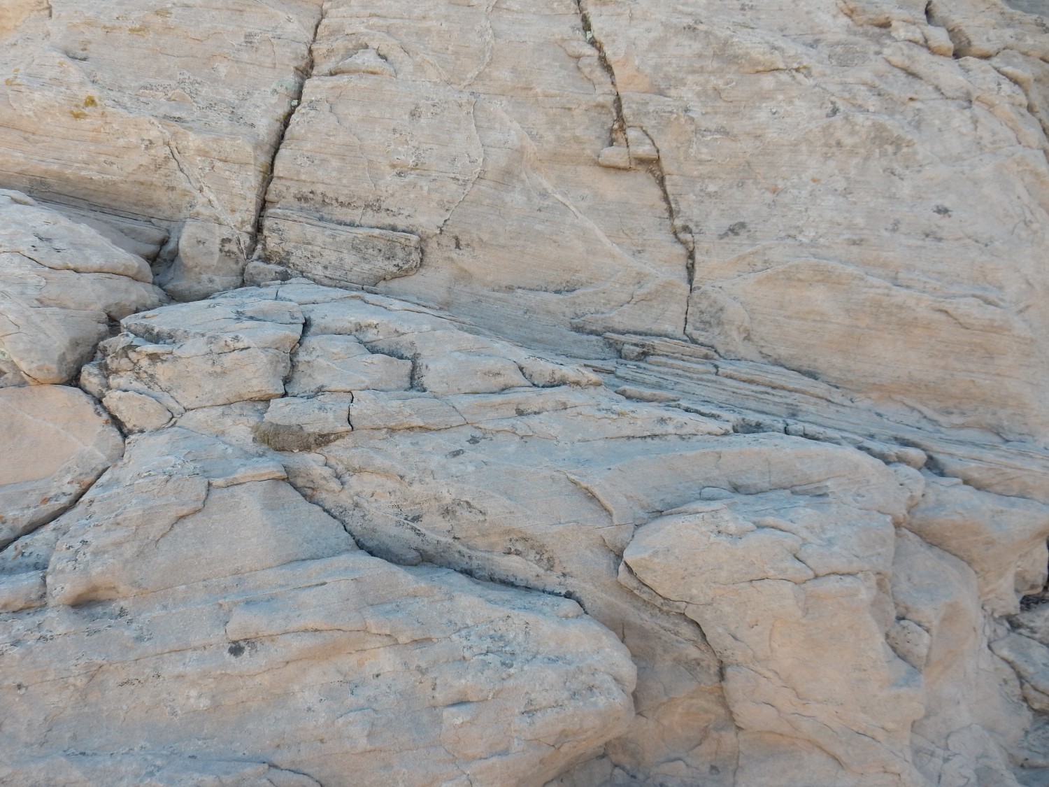
Curious jointing.

My first thought is that this was simply erosion, but the regular pattern is striking. It suggests some feature of the rock bed itself.
Conjugate jointing?
Notice how the beds are cut by two sets of joints, not quite at right angles.
More crossbedding.
This is the kind of thing that gives Arroyo del Palacio (“Palace Creek”) its name.
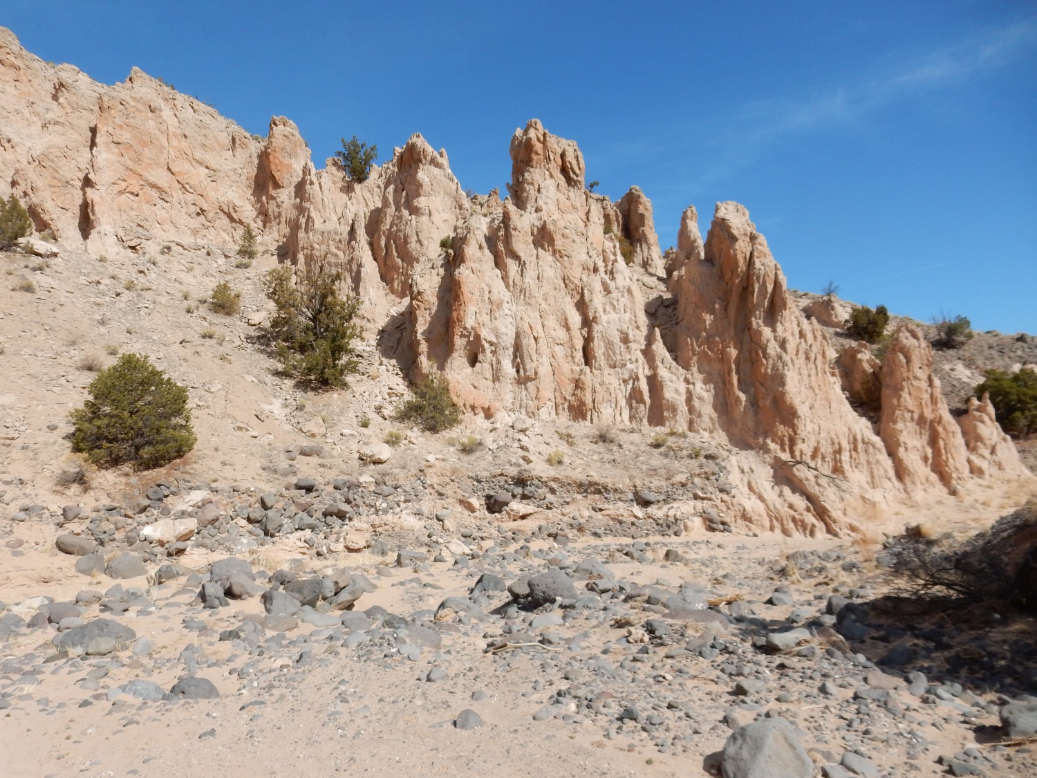
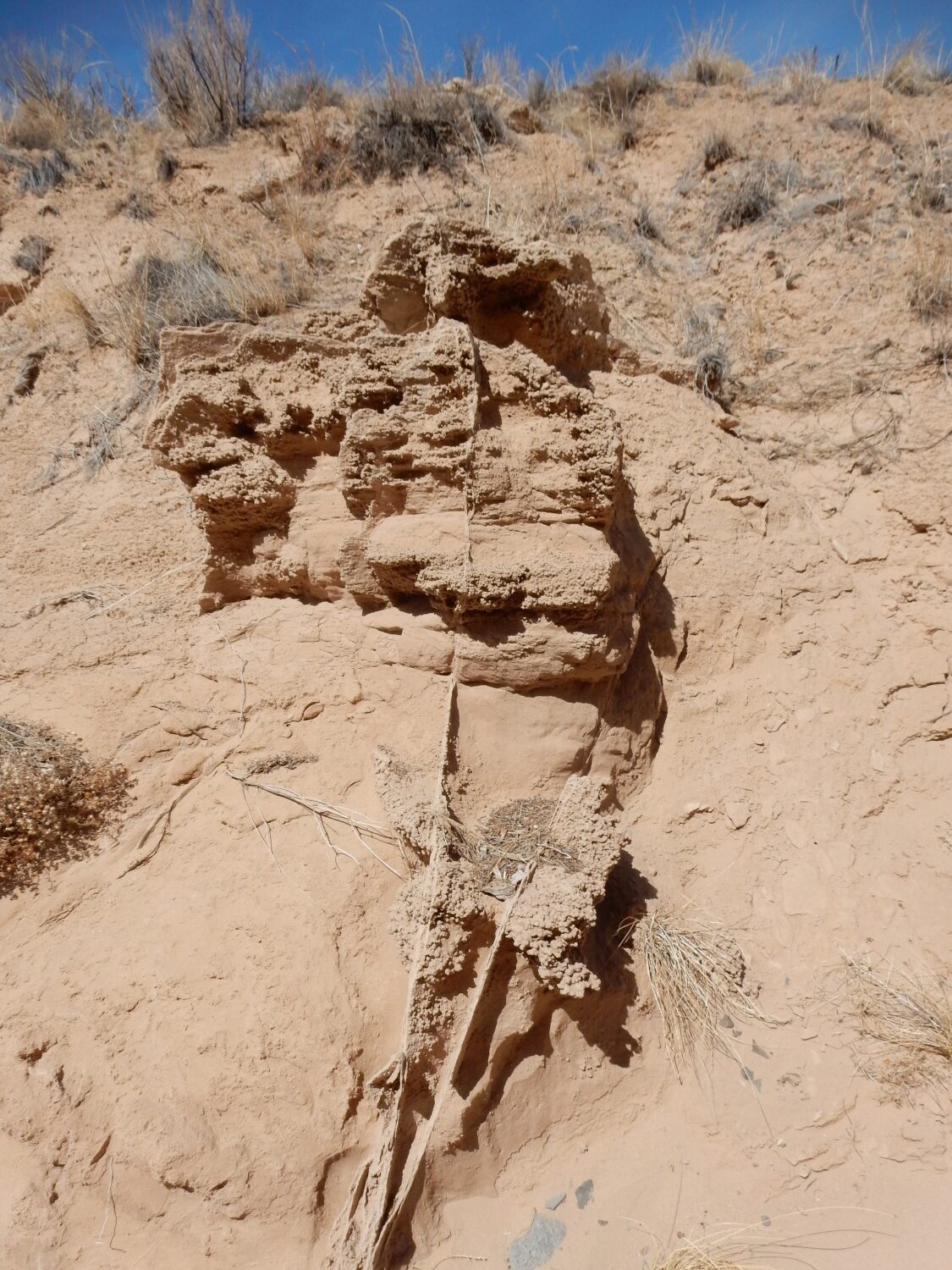
Ahead, a hoodoo.
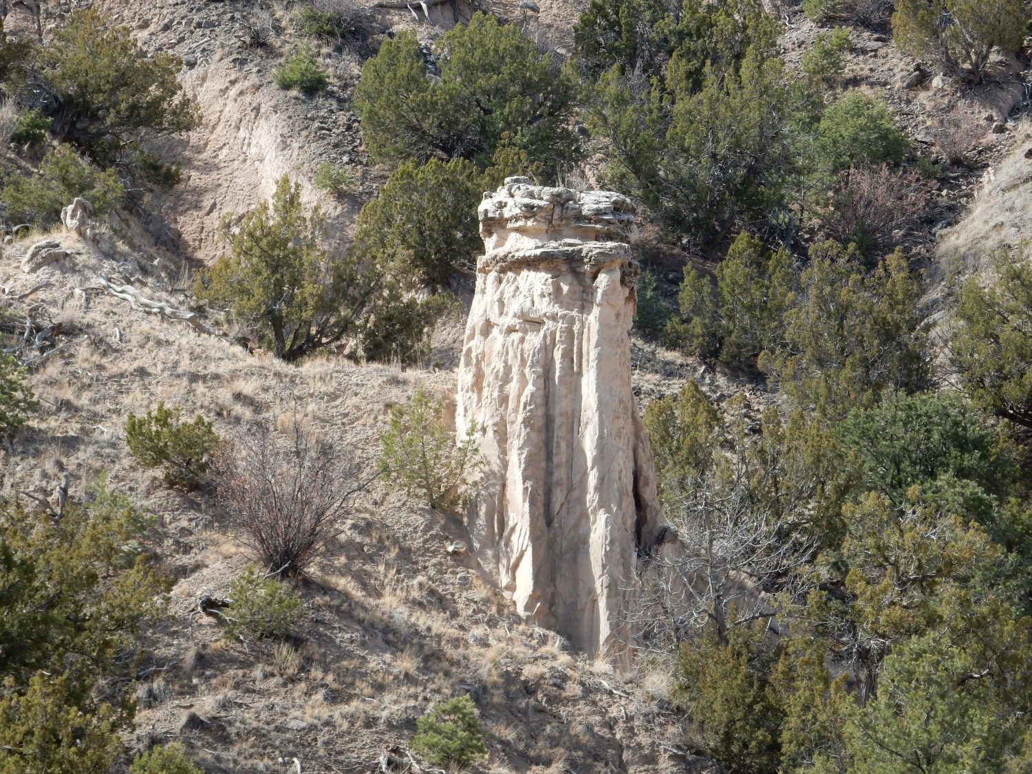
Hoodoos form when there is a thin more resistant cap over soft beds. You can see a remnant of this capping layer at the top of this hoodoo.

Apparently not. There is a major fault just to the west, but the map makes it pretty clear we’re not there yet. Just a well-cemented bed of uncertain origin, containing concretions.
These have an interesting internal structure.

The radiating structures are likely large calcium carbonate crystals that have overgrown the sand grains making up most of the carbonate rock.
Further down, more slickensides.
The map does indeed put this right on top of a major fault.
Soldiering on.
Because we’ve just crossed the major fault, we’re back in outcrops of the Chama-El Rito Member.
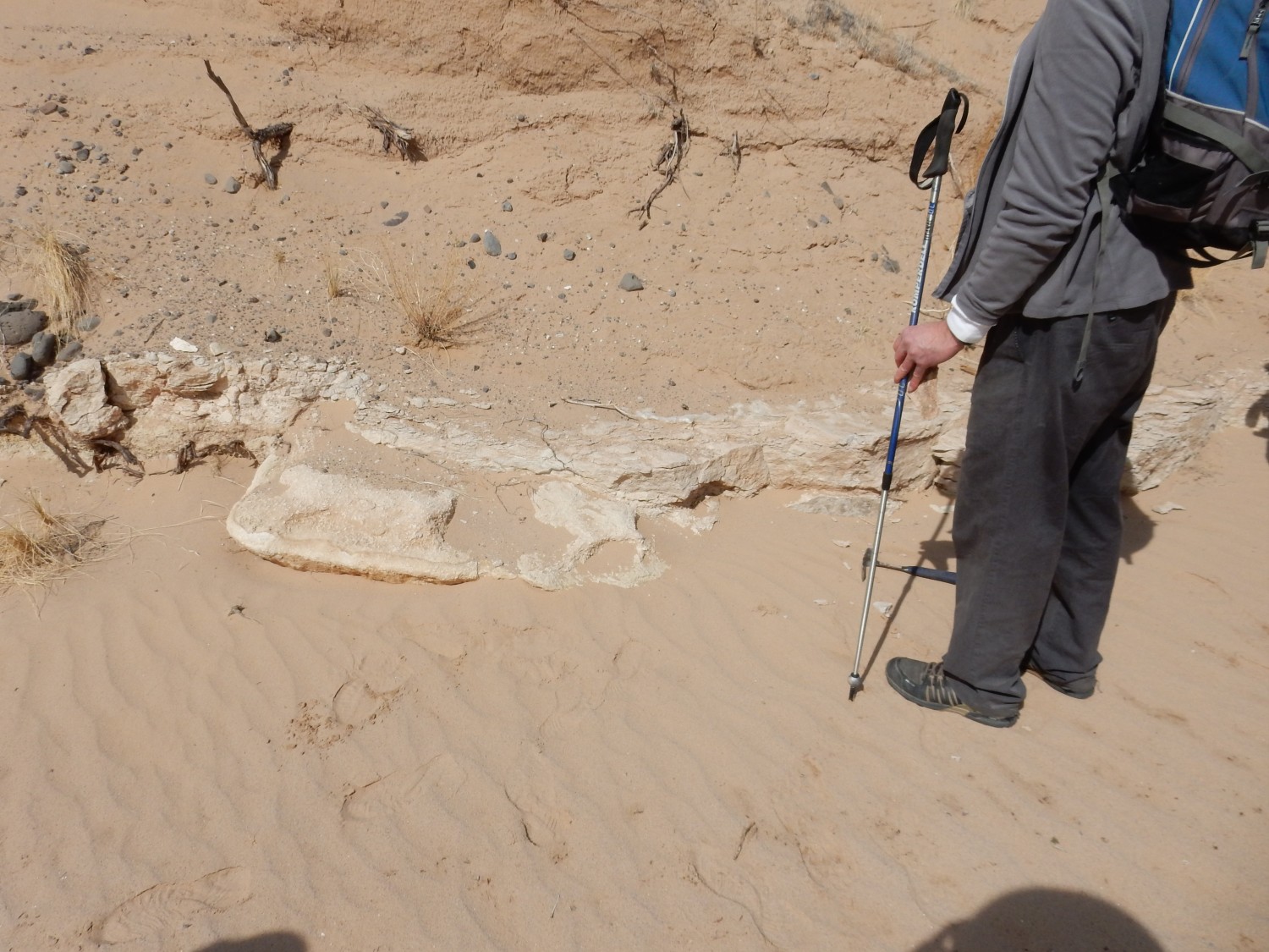
Limestone?
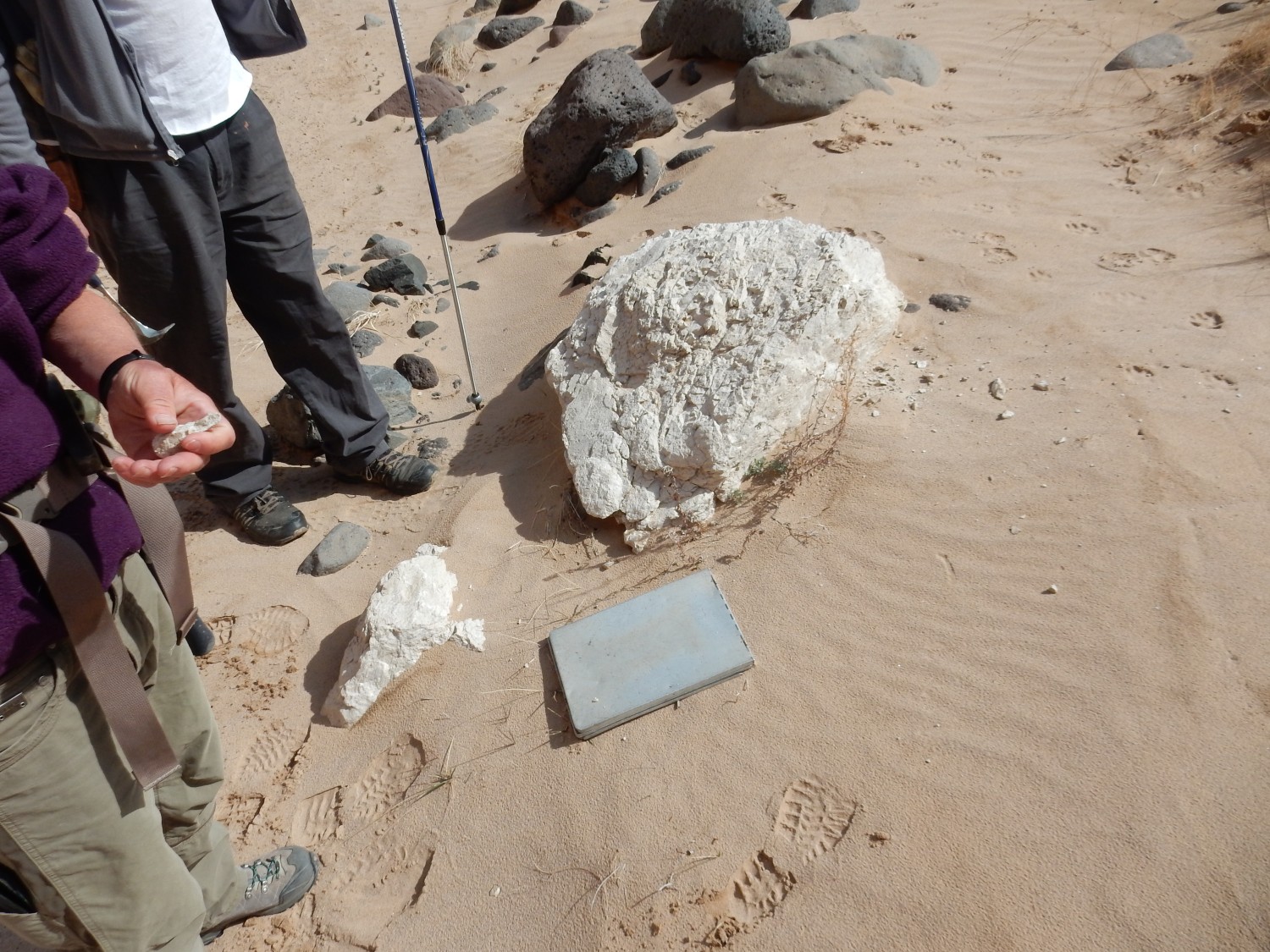
Yes; bubbles merrily when Shari drips dilute acid on it. It’s in the middle of the arroyo, so it could have come from some distance away. T
Ah:
Except this is thinner than the boulder. Interestingly, the geologic map seems to choose this limy layer as a marker bed separating the Ojo Caliente Member (above) from the Chama-El Rito Member (below).
Mineral veins cutting across the Ojo Caliente sandstone.
Brief pause.
The rugged area at far right is apparently another fault. To the south is a pair of spectacular faults.
Do you see them? One right above the two hikers, and another to the right where the sun illuminates the arroyo bank. Panorama:
A limestone bed.
Various ideas are expressed. Cemented by groundwater? Deposited in a playa lake? Derived from volcanic ash?
In the rock wall, an odd pinchout.
Scale: several feet across. The mudstone layer at right ends rather abruptly after taking a jog. I have no ready explanation.
The one fault, close up:

Our thought at the time was that this was a reverse fault, in which the upper side of fault was pushed upwards over the lower side of the fault. But I don’t think so now. The two lighter beds don’t really match, and the map shows both the faults here as strands of a single normal fault. And we don’t expect reverse faulting in a zone of extension like the Rio Grande Rift; we expect reverse faults in zones where the crust is being compressed.
The second fault strand.
From this angle, it looks almost like there is no displacement, with one thin cemented bed seemingly crossing the fault undisturbed. But from a further distance, it seems clear there has been considerable displacement, and two cemented beds line up by chance.
Massive limy bed.
I wondered if some of the limestone boulders we found in the arroyo downstream came from here. The bed continues some distance west.
We’ve fallen a bit behind and must catch up.
A sand shadow.
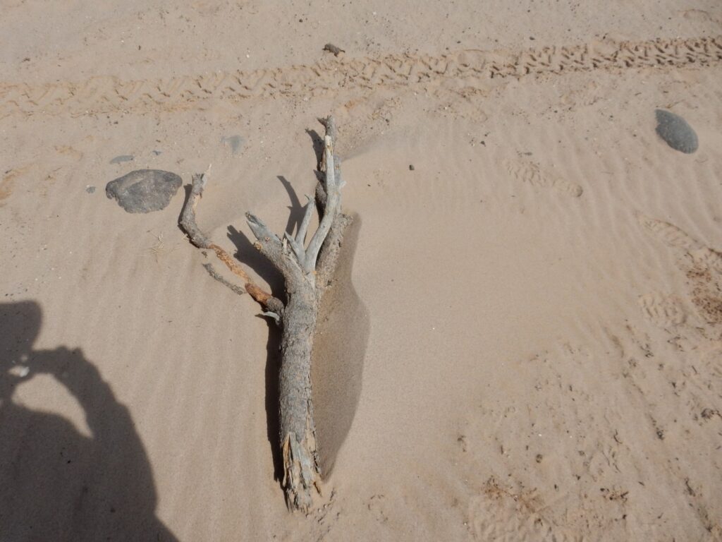
This confirms that the ripples in the sandy arroyo were created by wind and not water. The tree branch is an obstruction to wind and has allowed an accumulation of sand (a sand shadow) behind it.
Panda is continuing to have a wonderful time.

These beds sure look like Chama-El Rito to me.
The geologic map is very busy here, and my GPS position uncertain, but I don’t know how these could be anything else.
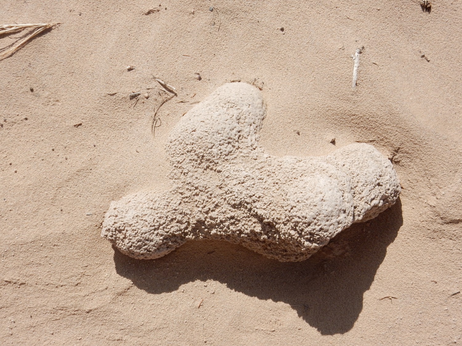
Concretion of smaller concretions in the arroyo bed. Too big to dig out.
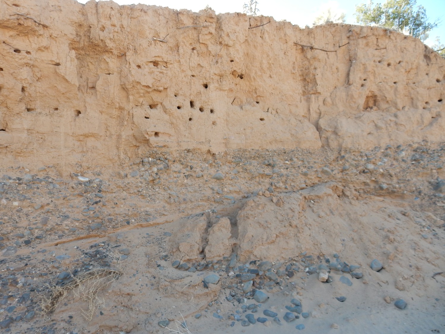
Fossil root casts in the arroyo wall.
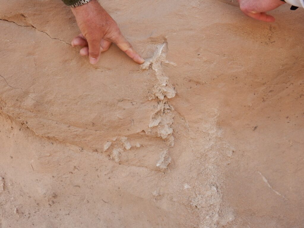
Another indication that we are back in the fluvial beds of the Chama-El Rito rather than the dune beds of the Ojo Caliente.
Then again:
Cross-bedding. We may be in a zone of transition between the two formations, where fluvial and dune environments fluctuated back and forth.
More:
Sez the geologic map: “Ttco: Interbedded Ojo Caliente Sandstone Chama-El Rito Member” Yup.
Another fault.

Not a major one; not on the map. The displacement is just a few feet.
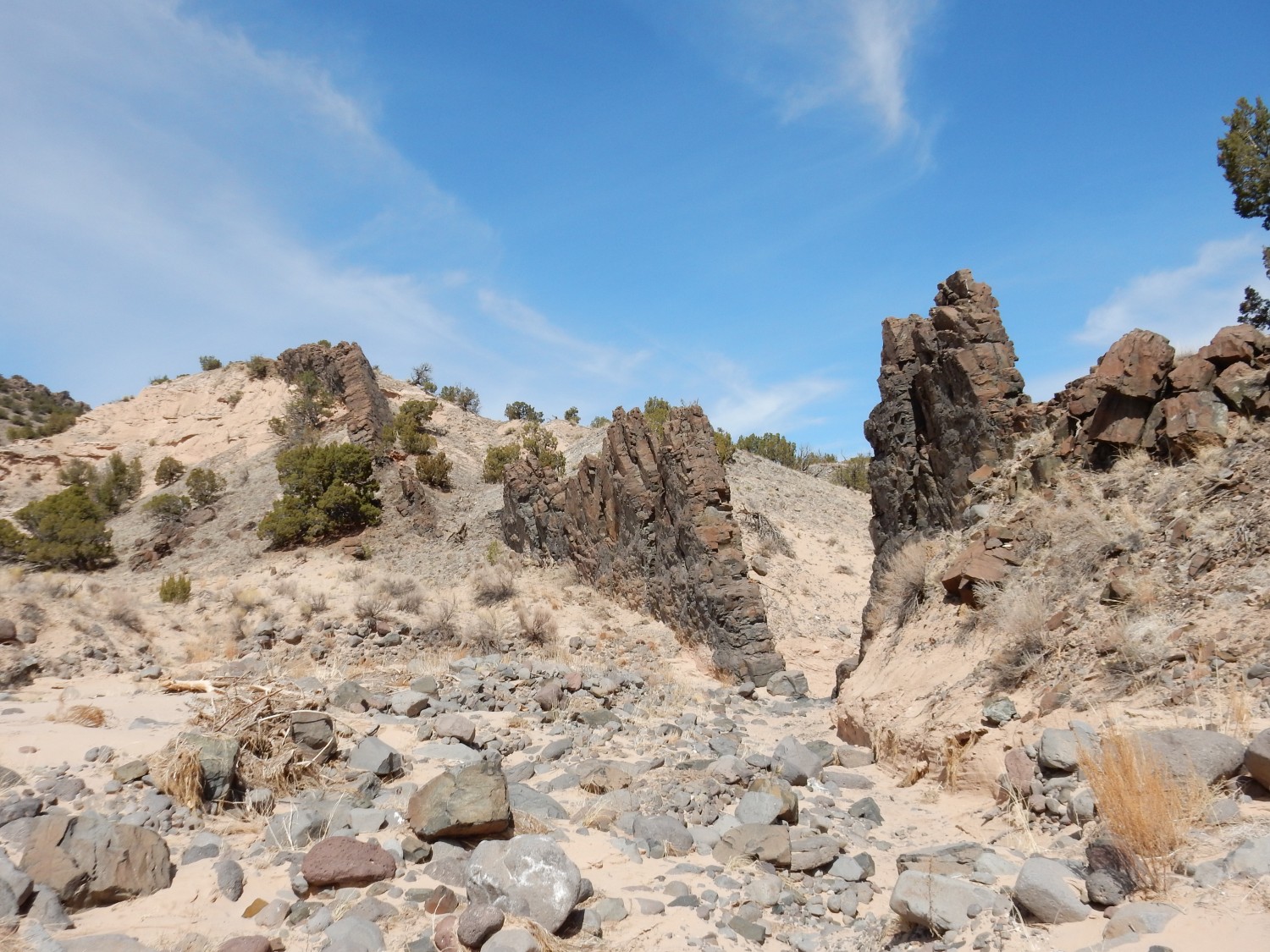
Our first glimpse of the Gates of Hell.
And into full view.
I am the way into the city of woe.
I am the way to a forsaken people.
I am the way into eternal sorrow.
Sacred justice moved my architect.
I was raised here by divine omnipotence,
primordial love and ultimate intellect.
Only those elements time cannot wear
were made before me, and beyond time i stand.
Abandon all hope ye who enter here.
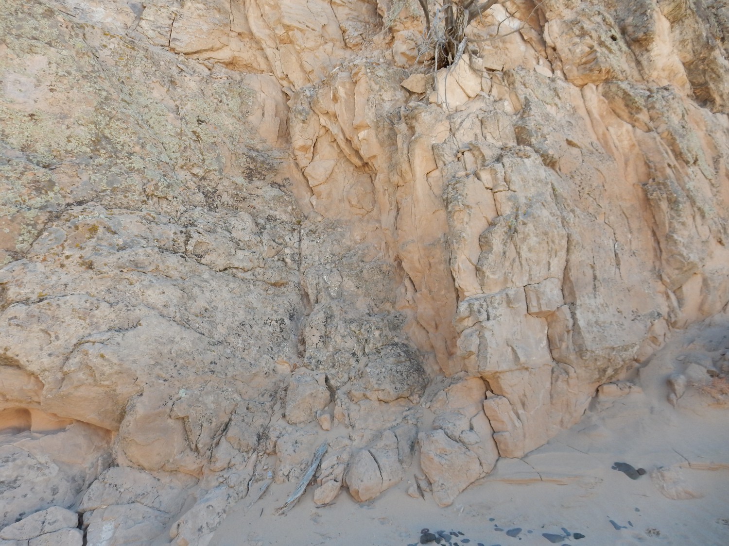
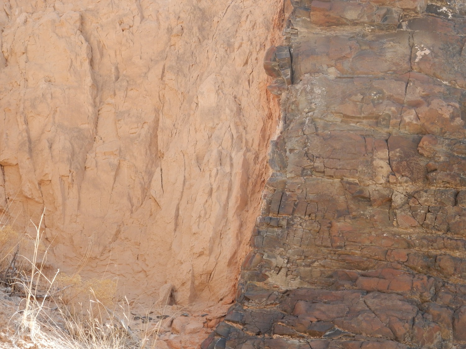
The Gates of Hell are parts of a basalt dike through which the arroyo cuts.

A dike is where magma filled a fissure in the Earth’s crust and then solidified. The basalt here is Lobato Formation basalt, and Lobato flows still remain on the surface at the top of Lobato Mesa to the west. We can surmise that this point was then a few hundred feet underground, and that the magma continued upwards to erupt as flows at the surface that have since been eroded away. Erosion likewise exposed this dike.
The hot lava cooked a thin zone of the surrounding Ojo Caliente sandstone — a surprisingly thin zone. This still adheres to the dike.
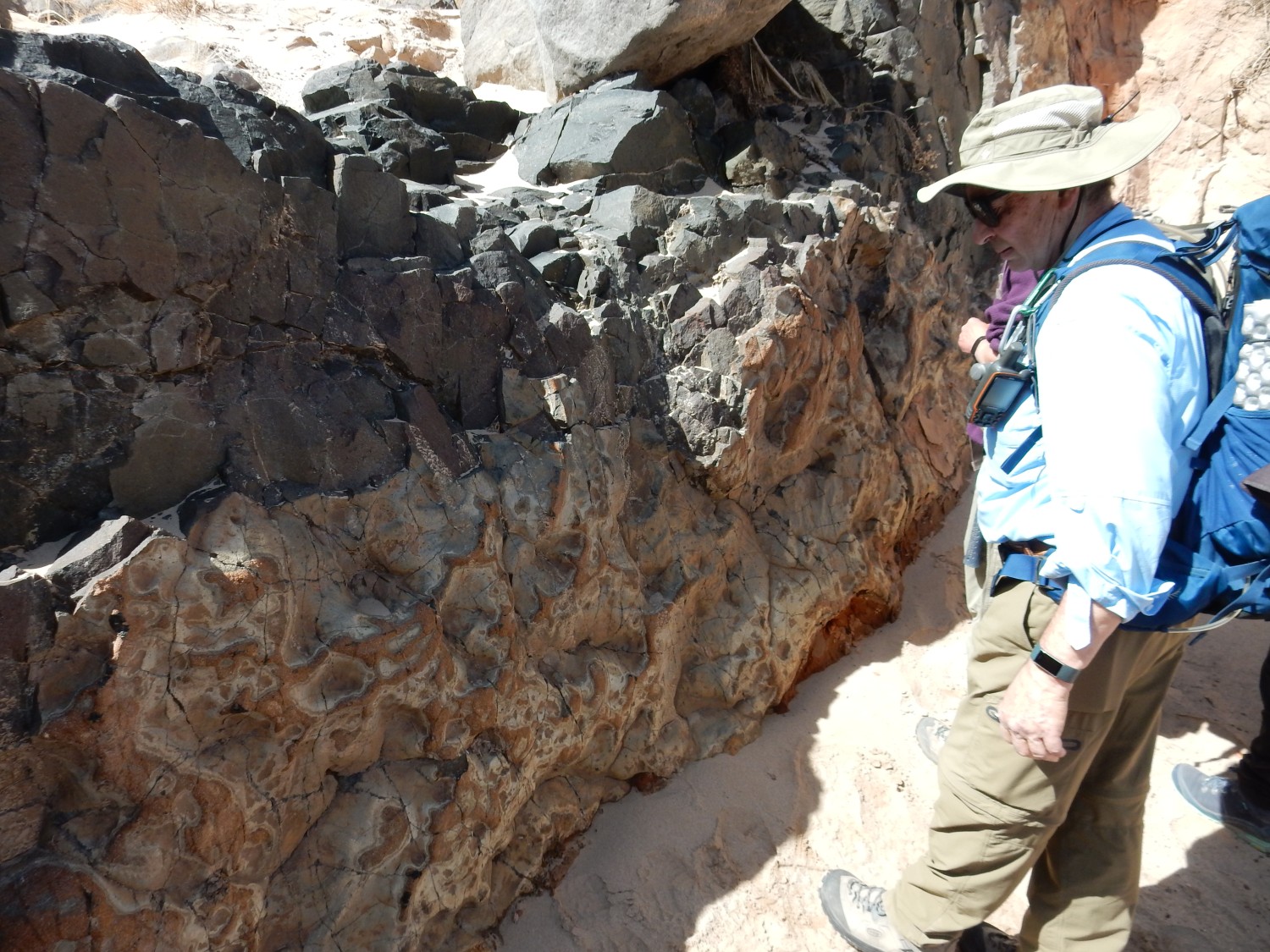
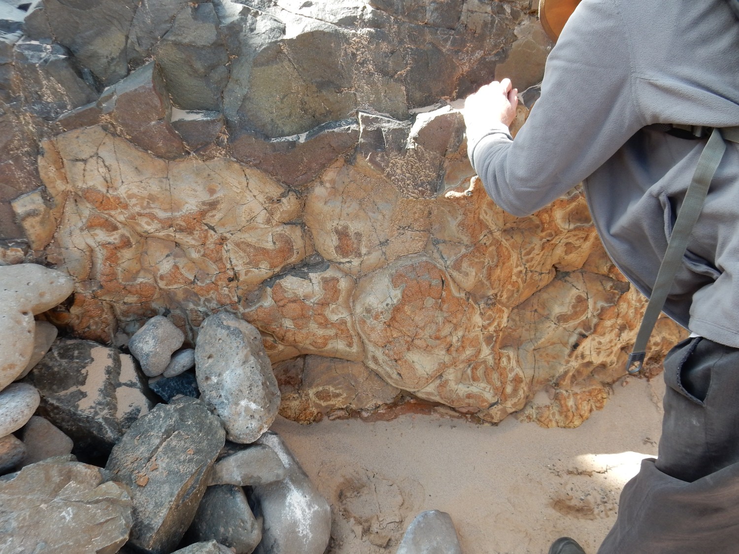
The cooked crust has a quite distinctive appearance.
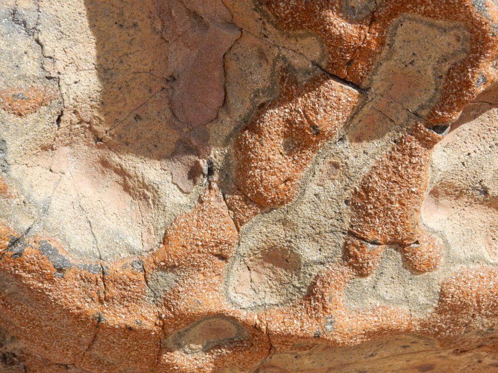
The red does look a little like fused sand grains under a loupe. The white crystals are bladed crystals, tentatively identified as gypsum. This is consistent with the sulfur in the magma encountering calcium in the surrounding rock in a fairly well-oxygenated environment — rock not saturated with water and not too far underground. This assumes the gypsum crystals are not a secondary growth from when the dike was eroded out on the surface. They’re so consistent and uniform I’m disinclined to think so.
In the foyer of Hell.
RIck and Shari have noticed that dikes intruding relatively soft sedimentary rock tend to curve and weave a lot more than dikes intruding more competent (well-cemented) rock.
The back side of the Gates closer up.
Curious how something took a divot out of the dike here while leaving the soft sediments behind intact.
But if you look back a couple of images, at the front of the gates, there is evidence that erosion cut down to the dike but was followed by some deposition: Look at the enormous bed of basalt gravel in the arroyo walls in front of the gate.
So perhaps the dike was exposed by erosion, which also cut this notch — perhaps creating an earlier stream channel — then buried again, and is now being eroded out a second time. But I didn’t think of it at the time and didn’t look for indications whether this might actually have taken place.
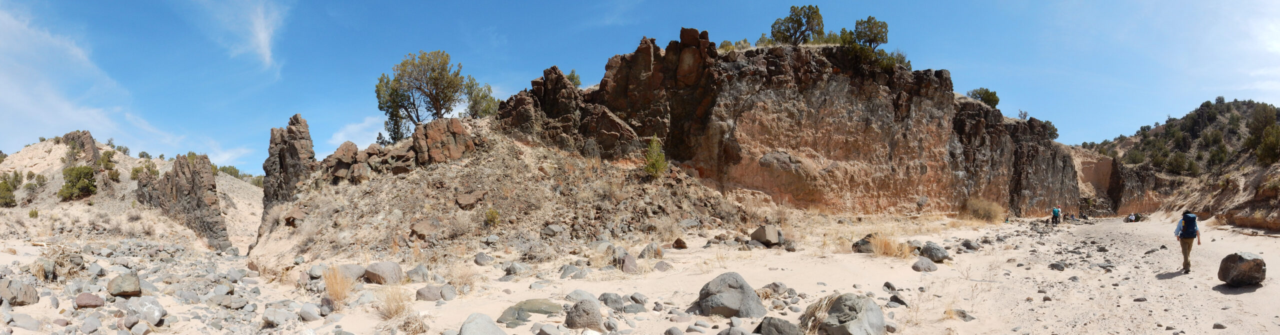
At Rick’s suggestion (or maybe it was Richard) I climb atop the knoll to the west, and take a panorama from there.
Oddly, Panda is watching me like a hawk as I climb back down. I am very careful, on the off chance that he knows something I don’t.
This is the easternmost of several dikes in the area. We can just make out the next dike to the west.
Lunch time. Panda is furiously begging for snackums. He doesn’t waste much time with me, though; while I’m not a vegetarian, it happens there is very little animal product in my lunch today. On the other hand, I discover that the Gatorade I packed was not the sugar-free variety. Crep. I drink a little anyway, because I’m gong to need the hydration.
There are more rhizoliths in the Ojo Caliente beds next to the dike and below the basalt gravel beds.

Admiring the cooked sediments adhering to the dike.
The more precise term is hornfels, which is classified as a type of metamorphic rock.
My theory about the sediments behind the dike being younger doesn’t hold up.
There’s the cooked layer, clearly extending into the sediments. It remains a mystery how the dike was eroded away here and the soft beds left intact.
Close up of the margin of the dike rock.

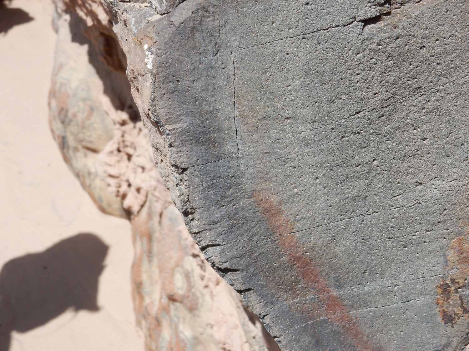
The dark zone, about an inch or two wide, is a chilled margin where the lava cooled relatively rapidly in contact with the cold wall rock. I see hints of a very thin glassy margin which has since recrystallized. The dike rock itself is quite coarse for a basalt, with crystals visible on a fresh surface under the loupe; not surprising for lava that cooled somewhat slowly hundreds of feet underground.
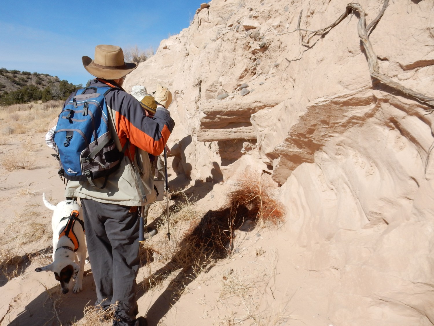
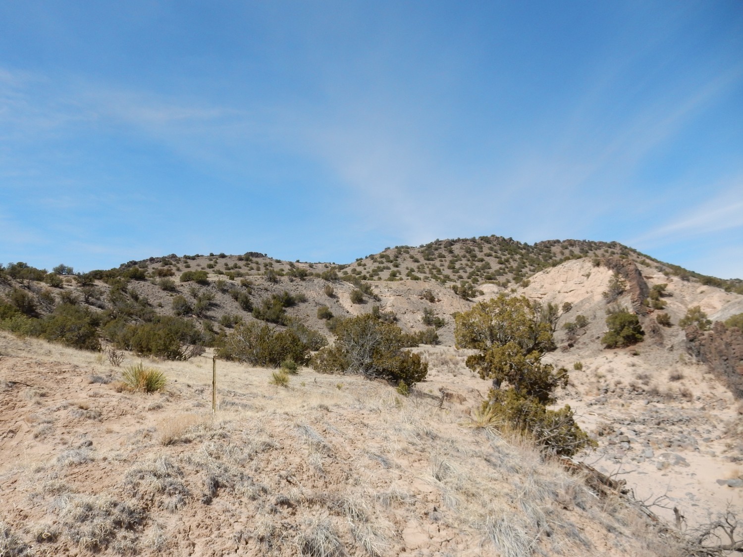
We have eaten our lunch and it’s time to start heading back. A few things I missed (or had poor light for photography) coming in.
Mnor fault?
Well-cemented layer.
Lone Ponderosa pine. The seed must have washed down from higher ground, and found a wet spot in an “island” in the middle of the arroyo.
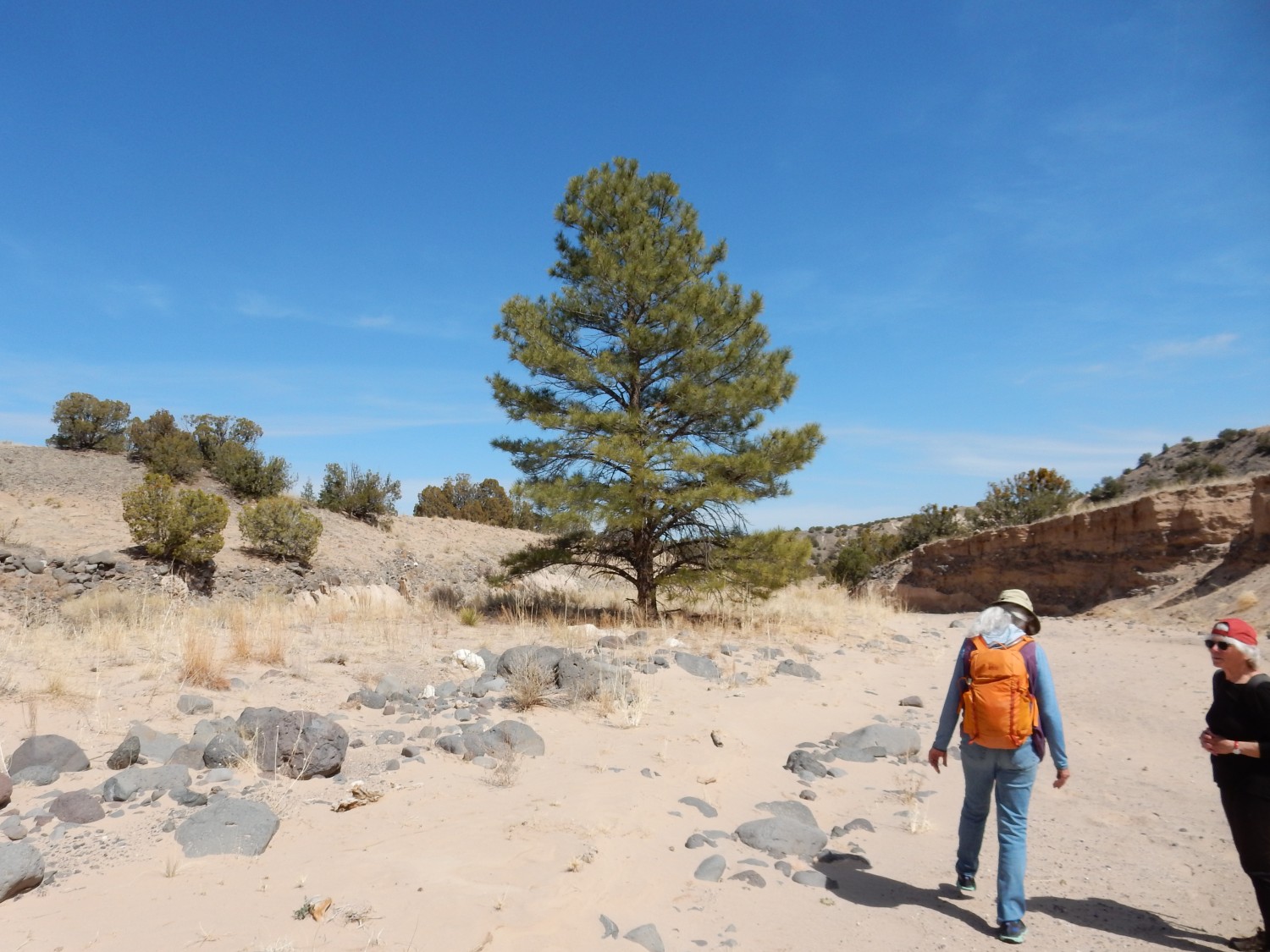
Life persists.
A second look at those impressive thin beds, in better light.
And one last cliff face.
This is back in the Chama-El Rito.
I discover on the way back that Richard Stead is something of a movie fanatic. I have a fair library of DVDs myself, which I watch while on the treadmill keeping myself fit.
We arrive back at the parking area, wait until all are accounted for, and then I head out. I do some shopping at Cheap-Mart after consulting with Cindy by cell phone, and then home.
I am feeling pretty good, in spite of just hiking ten miles. It’s good to know last fall was kind of a fluke and I still have it in me.
* Which is also, perhaps unsurprisingly, the name of a local musical ensemble.