Wedding wanderlust, day 3
The previous day may be found here.
I had started to feel achy and with a sore throat on Tuesday, though it was easy to chalk this up to hiking in a dry climate. Wednesday I woke up feeling crummy enough to realize that I had a bad cold. Well, talk about rotten timing.
I ended up spending most of the morning napping on my mom’s couch. However, I felt the need for some exercise that afternoon, and my freshly purchased guide to the geology of Utah parks and monuments mentioned that there was a Wasatch State Park not far away, in the Midway area past Provo Canyon. I gravitated that way for my daily exercise.
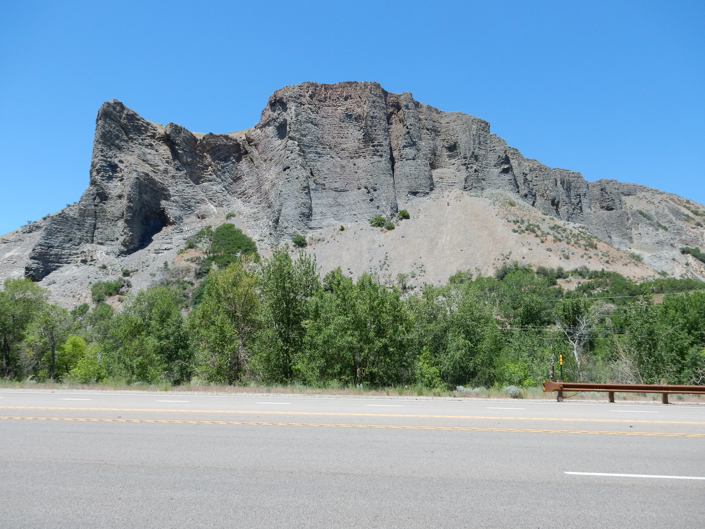
This is the Mississippian Great Blue Limestone, laid down in a shallow sea about 330 million years ago.
Mount Timpanogos:
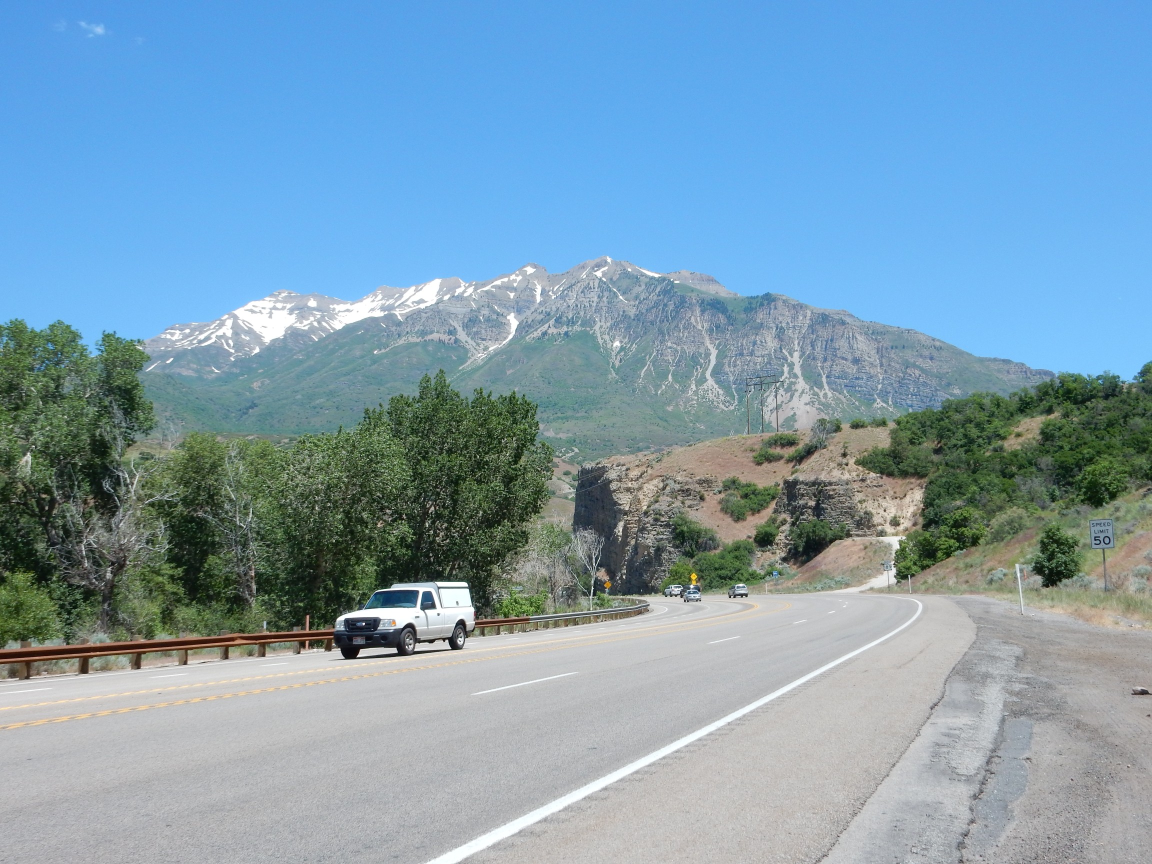
Underlain by the Pennsylvanian Oquirrh Formation, about 310 million years old.
Some highly deformed beds ahead.
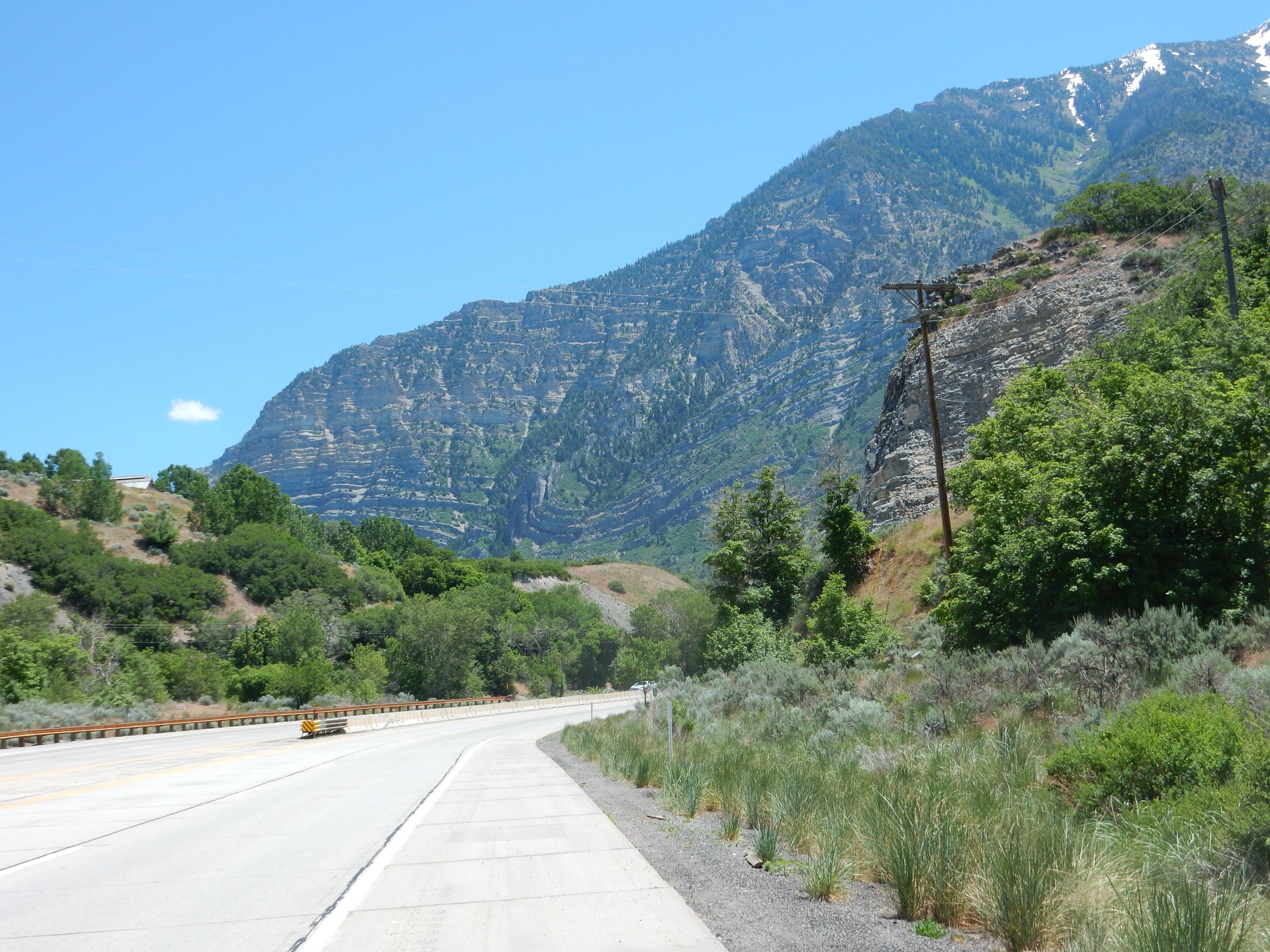
The deformed beds low in the canyon wall are probably Manning Canyon Formation, if I’m reading my map right. The map shows a major discontinuity at the top of this formation, and I do seem to see this here; the lower twisted beds don’t match the overlying beds. This is Cascade Mountain, which together with the other Wasatch Mountains was thrown up by the Laramide Orogeny sometime in the last 30 million years.
This seemed just … different.
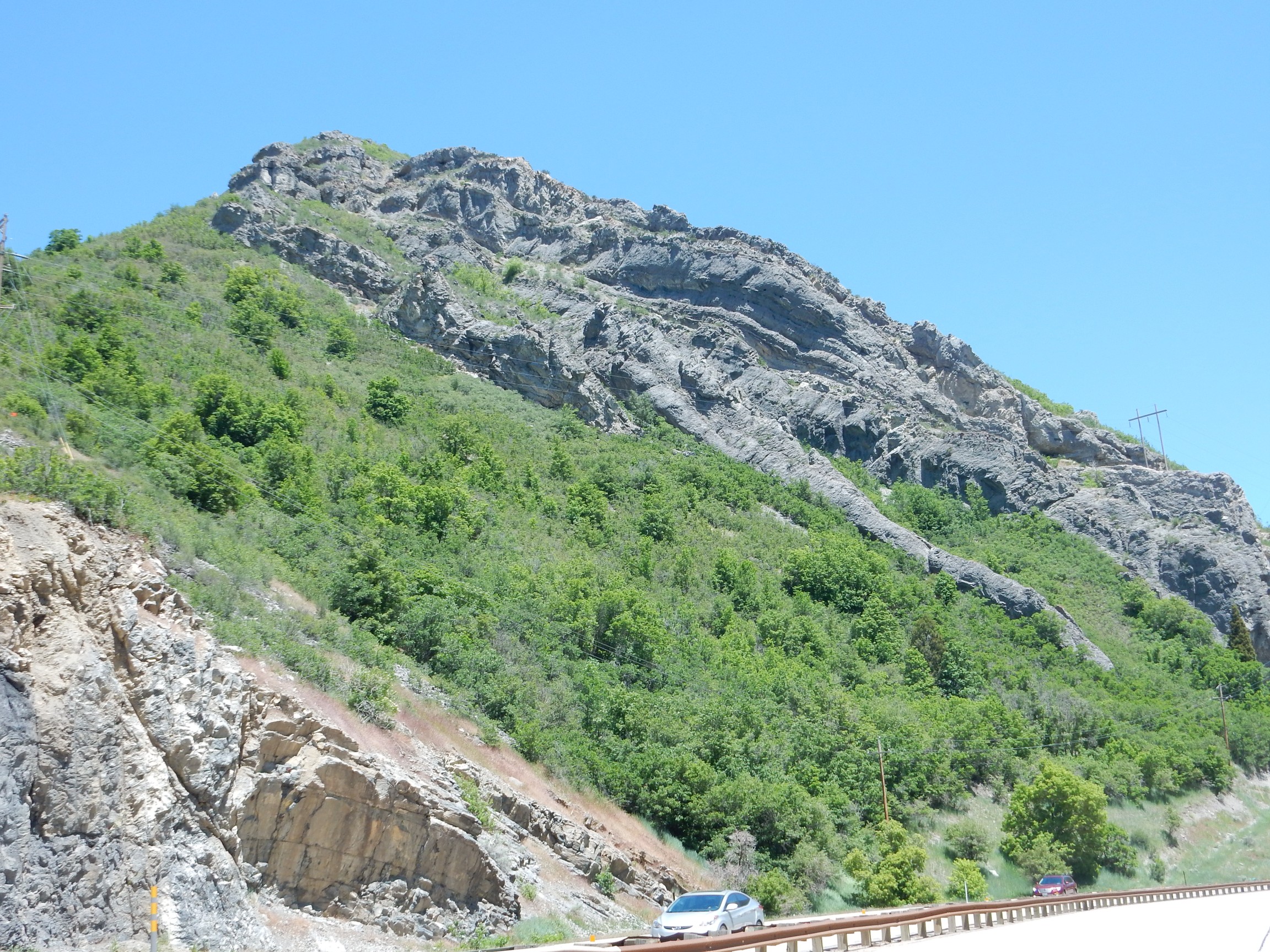
The dark beds are Bridal Veil Member, Oquirrh Formation. They look almost like igneous dikes, but are not.
I reached Midway, found a sign pointing to “Wasatch Park Visitors Center”, and found that road closed. The detour was not well marked at all. I found myself reflecting on a friend’s observation that every state hires its highway engineers from the bottom half of that year’s the civil engineering class.
But I eventually found the visitor’s center, more or less by trial and error; paid the fee for the park; and talked to a ranger who, when he heard I was mostly interested in geology, enthusiastically recommended a trail to some glacial outwash that was about the right length. I headed up that way, found the map and directions again inadequate, but eventually found the trail head.
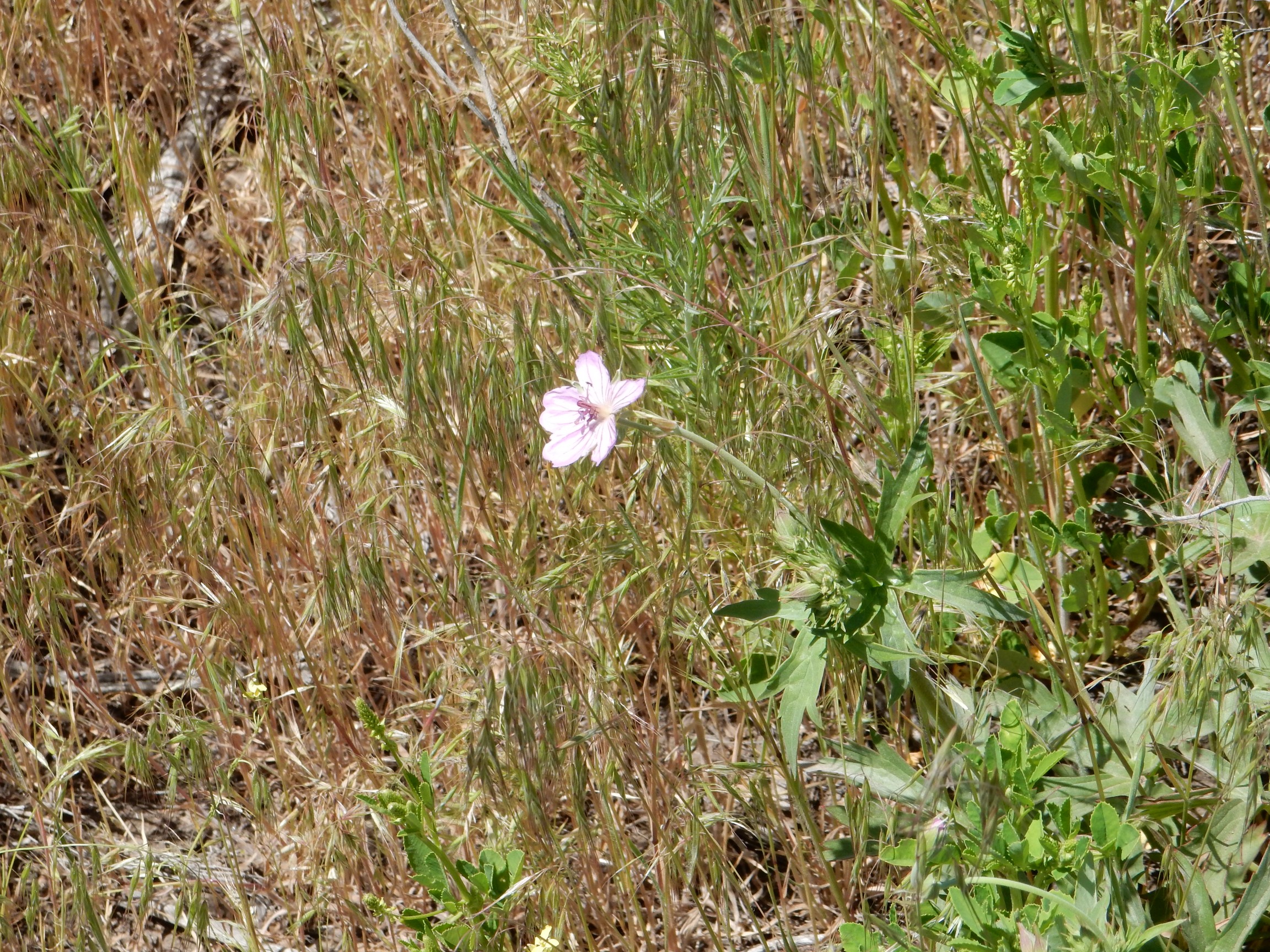
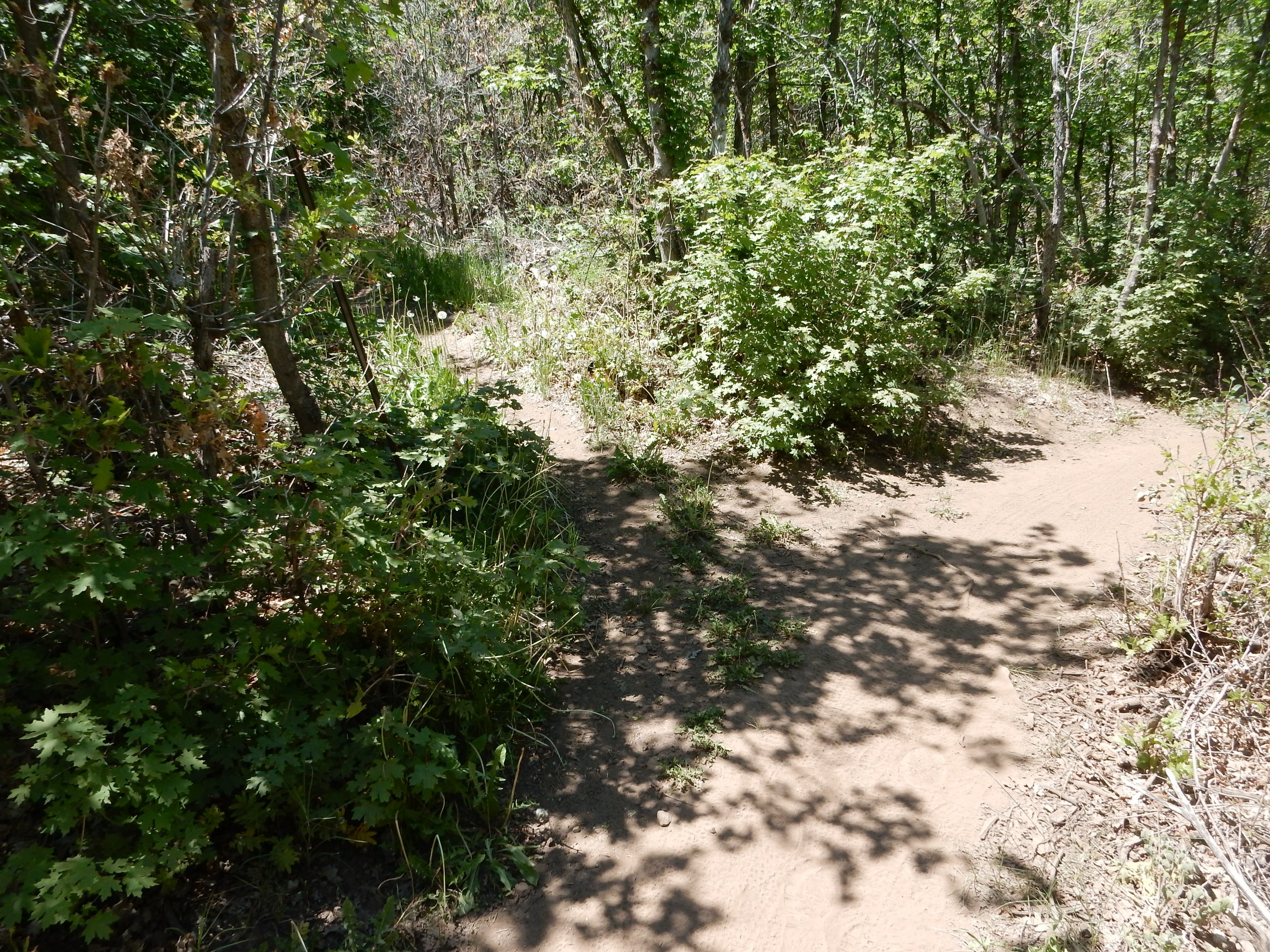
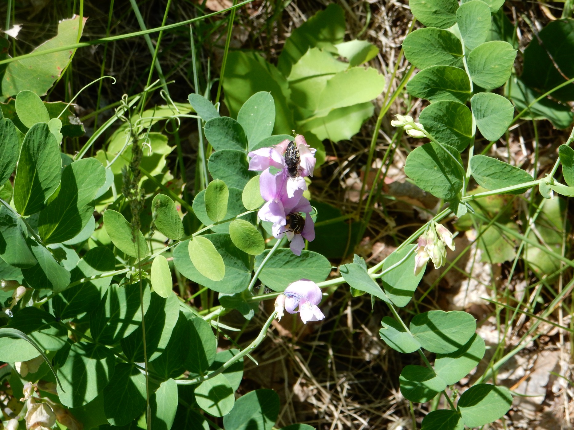
The trail meandered back and forth between the road and a campground, on ground that was open at first but became increasingly forested. There were wildflowers: Wild geranium.
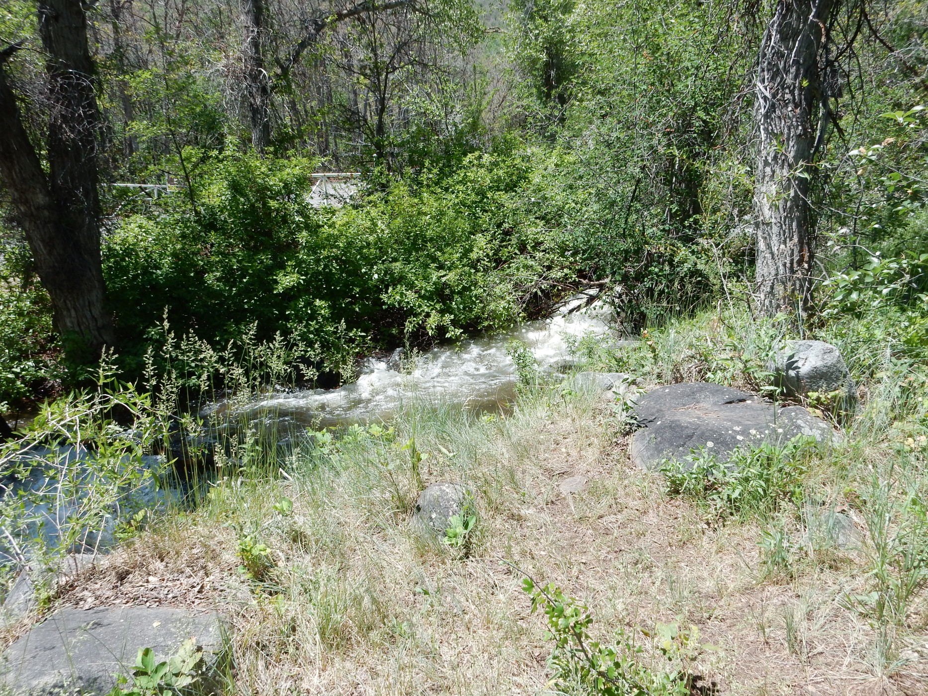
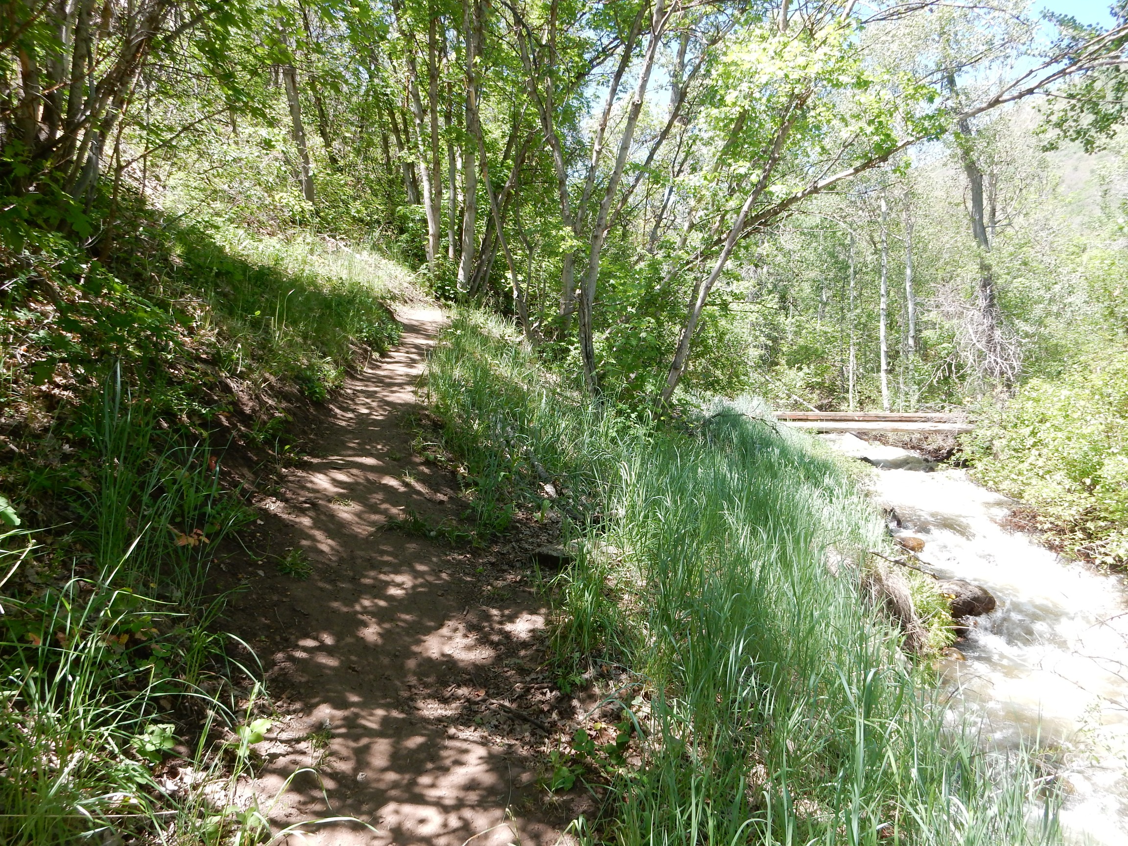
A nearby sizable creek.
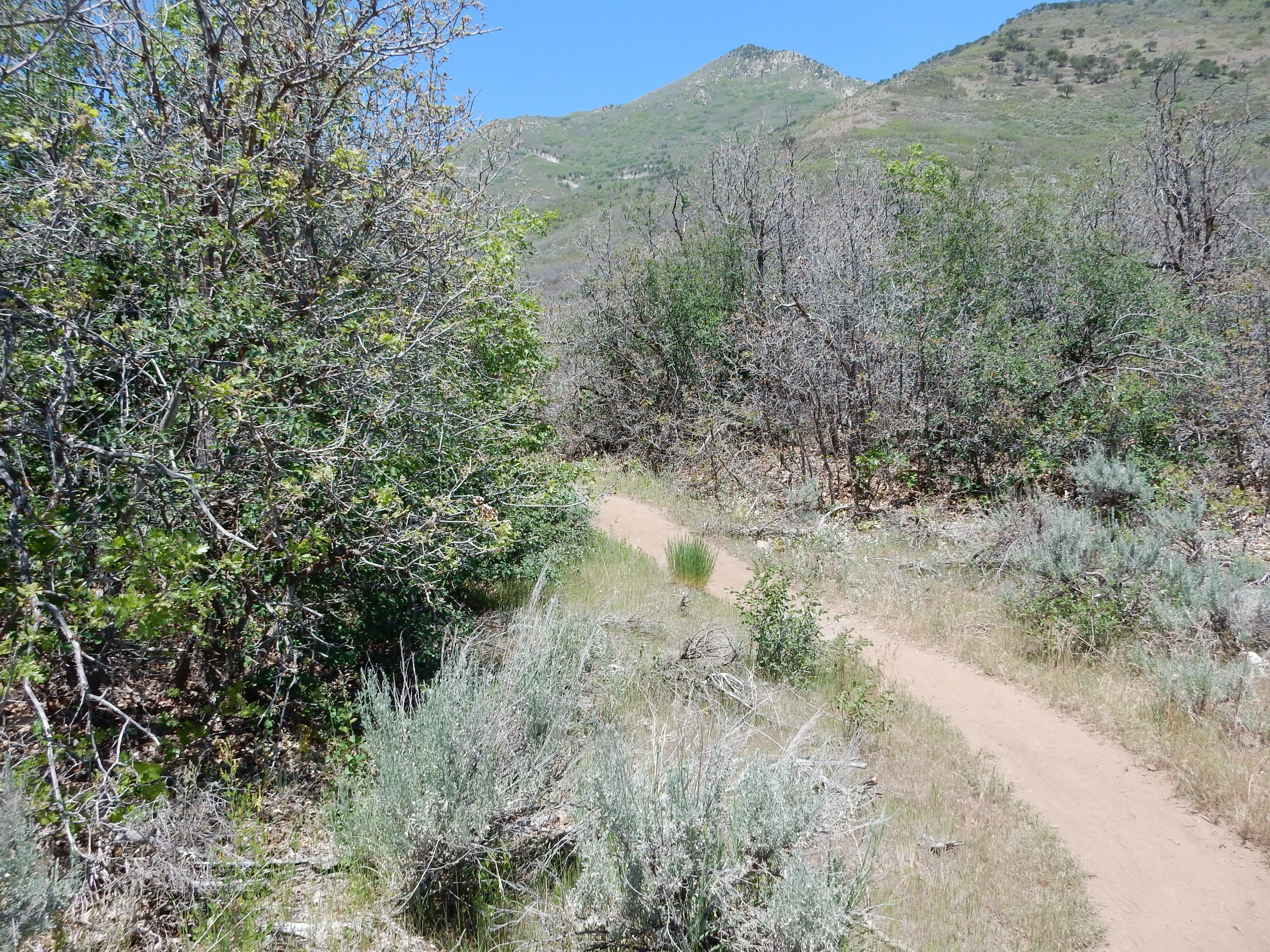
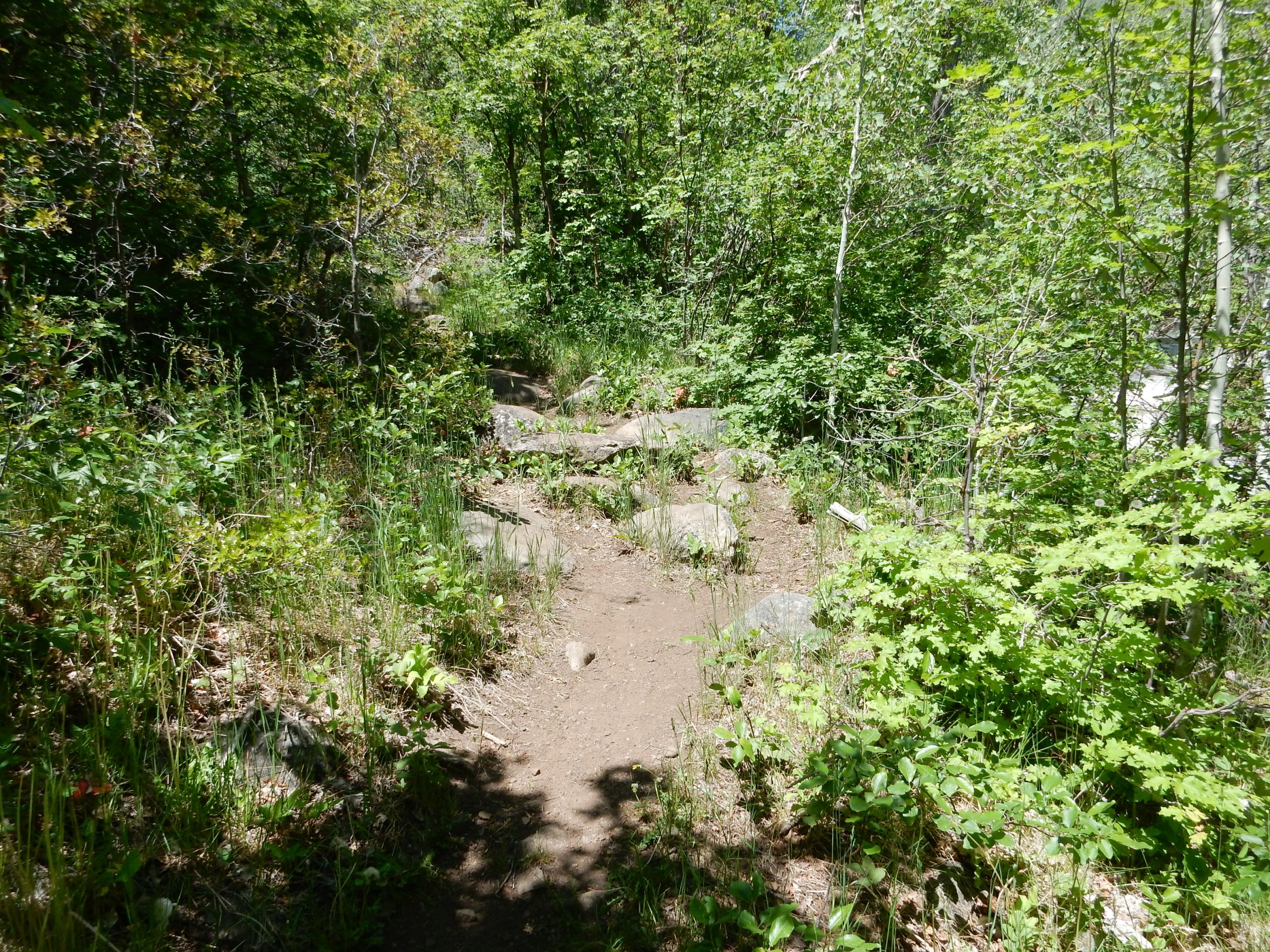
The trail begins to climb.
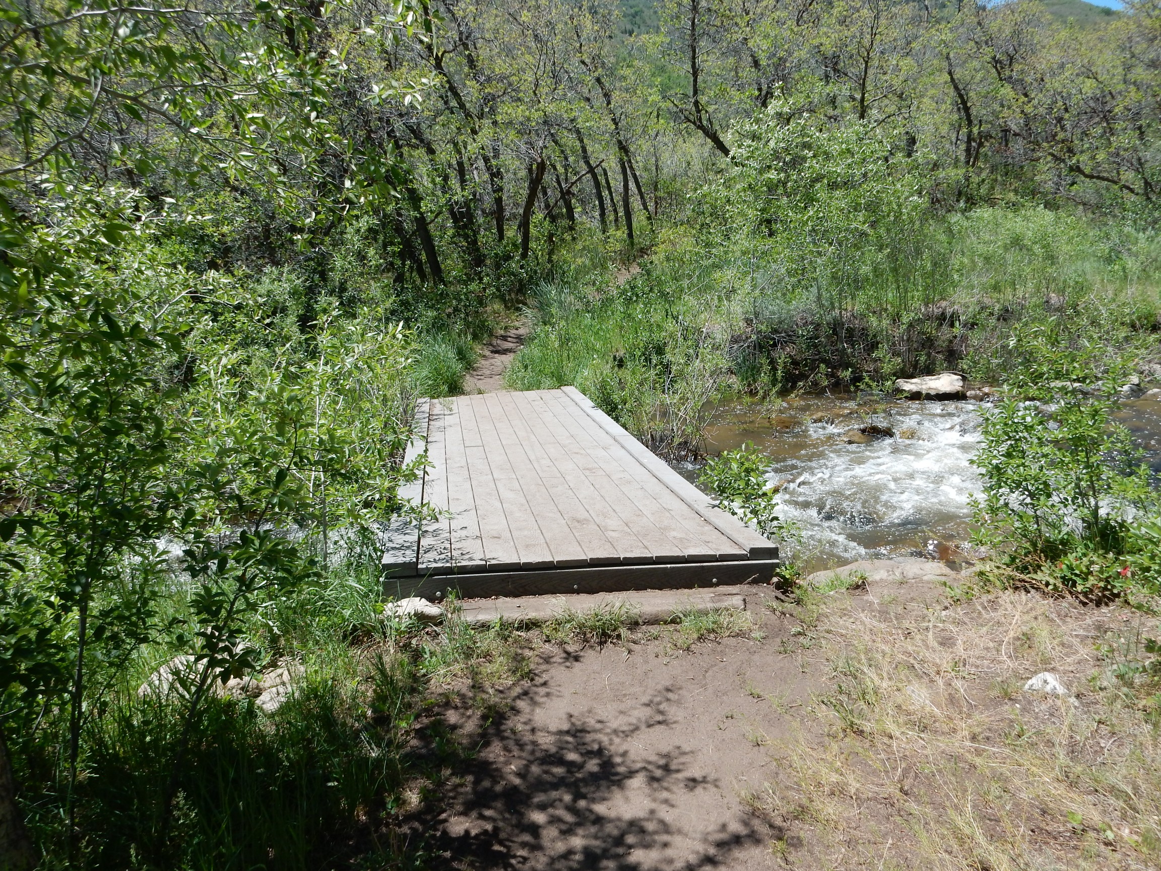
Across a bridge. I don ‘t think my GPS was recording positions well.
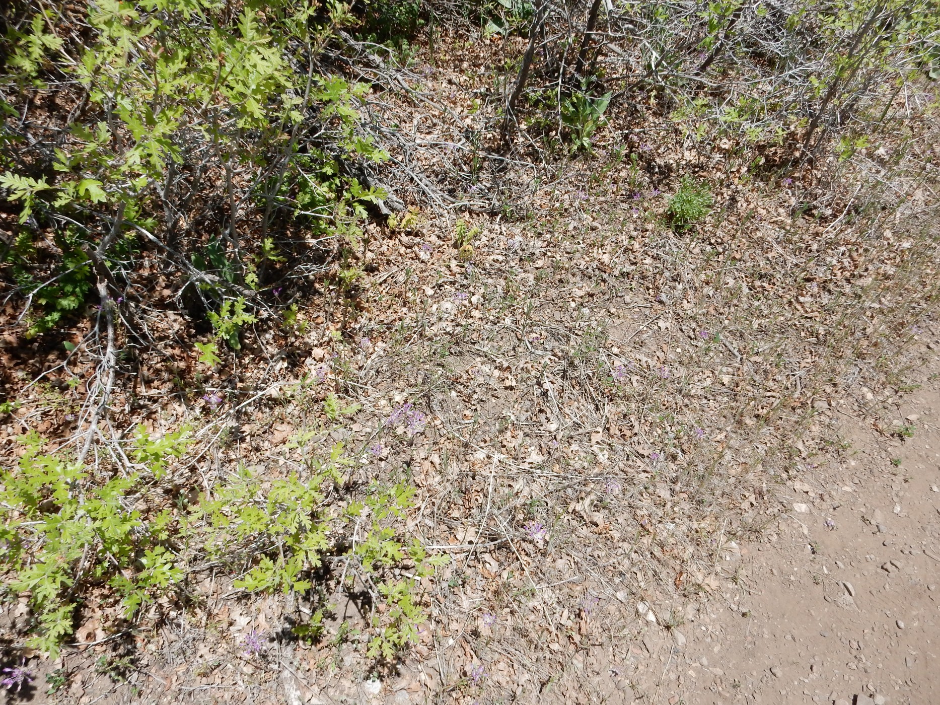
Wild alliums. Very delicate clusters of flowers, with no leaves yet — stems coming straight out of the ground. Did not show well in the photo, alas.
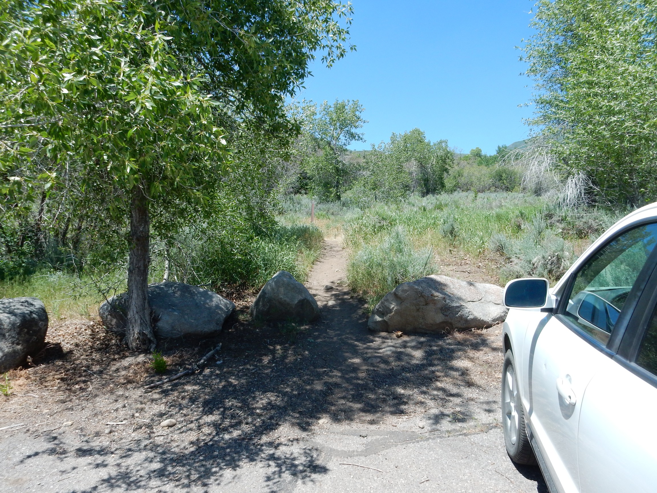
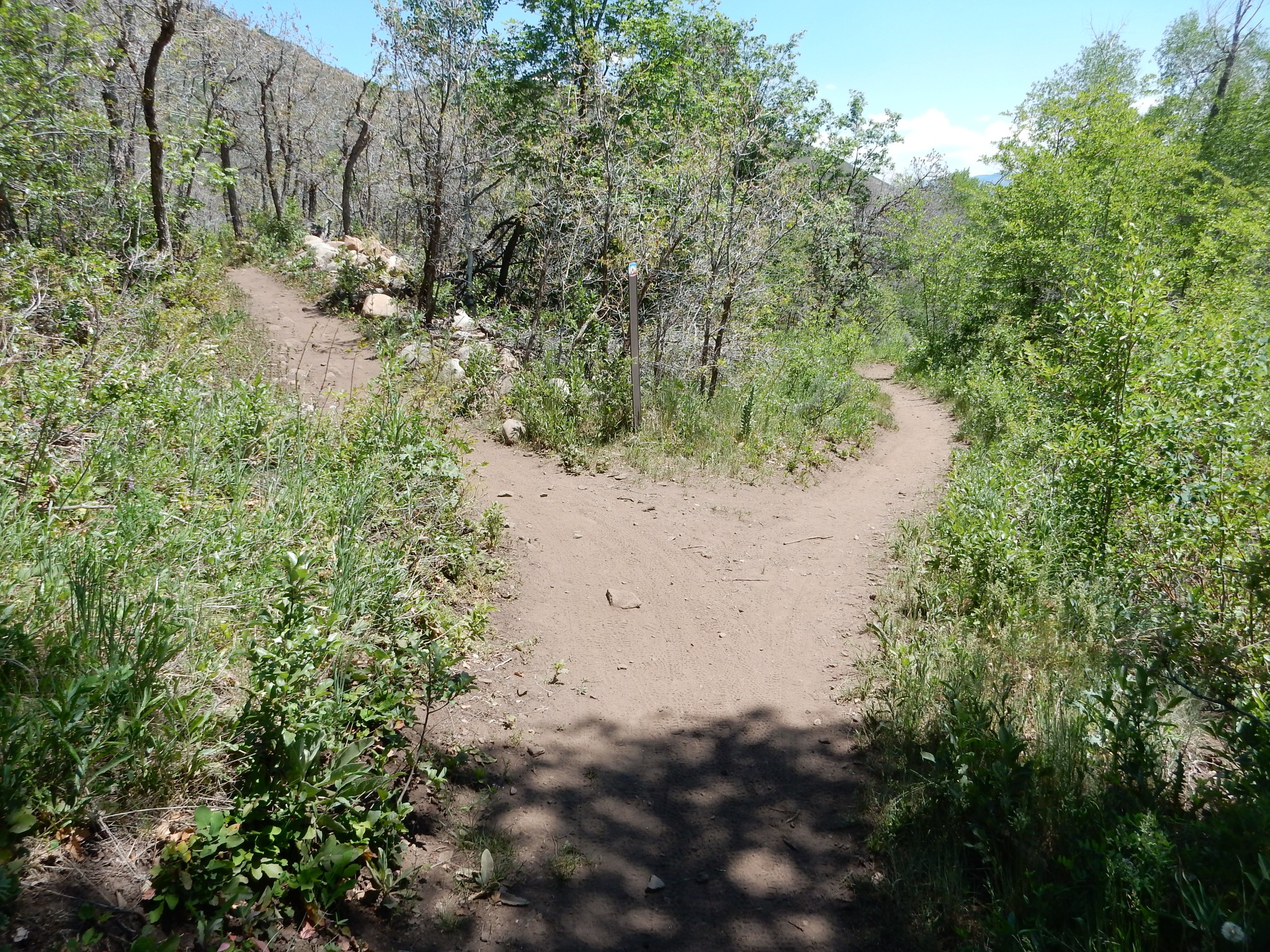
Well, crepp. Left or right?
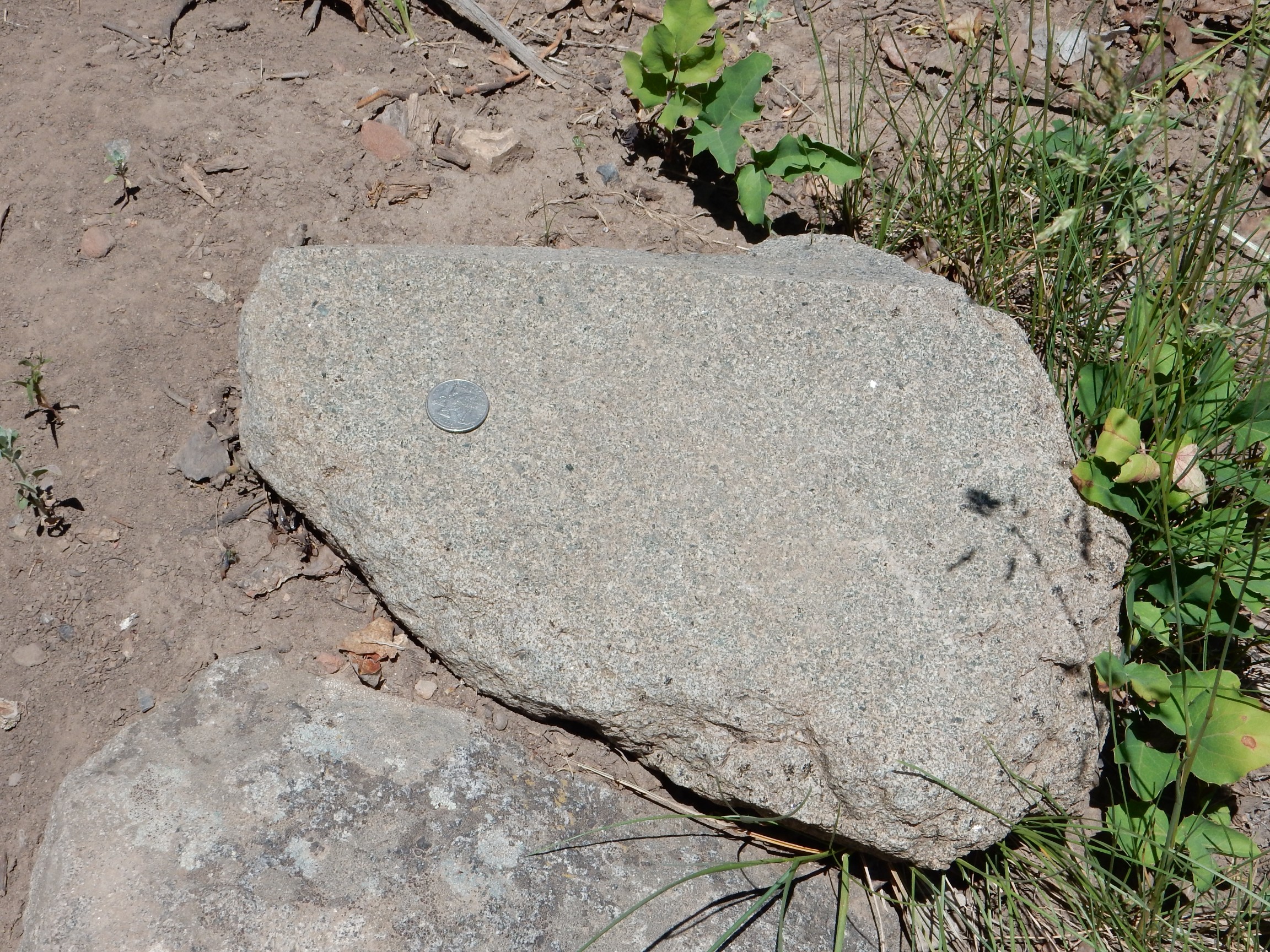
I went left, and it seemed to work There were increasing numbers of large boulders, most of a very pretty diorite.
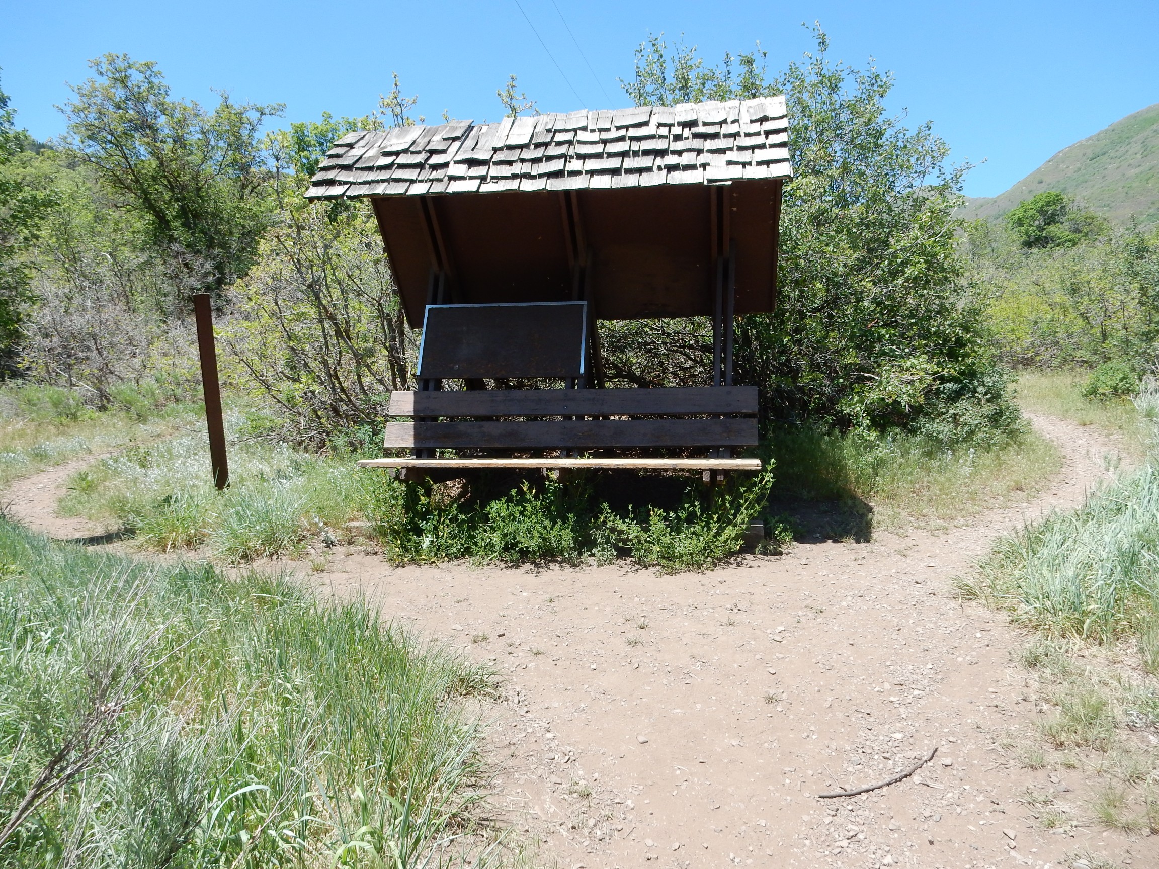
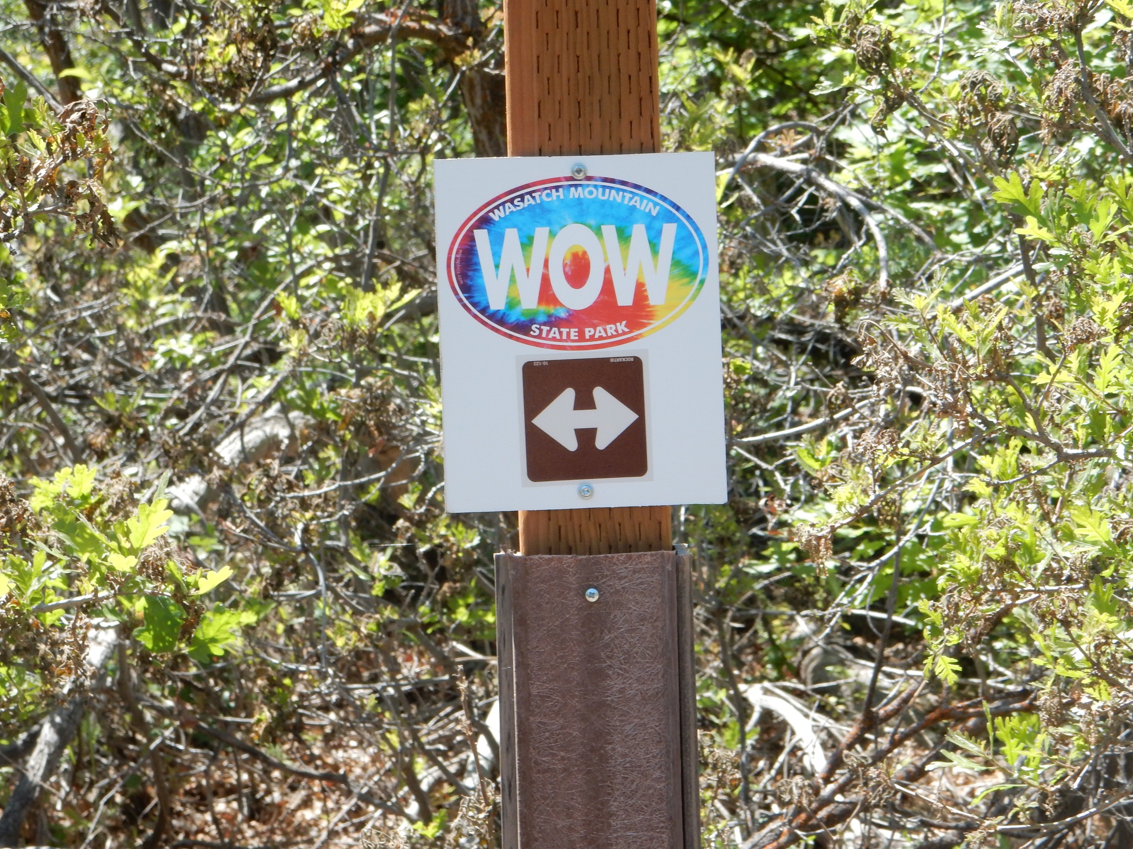
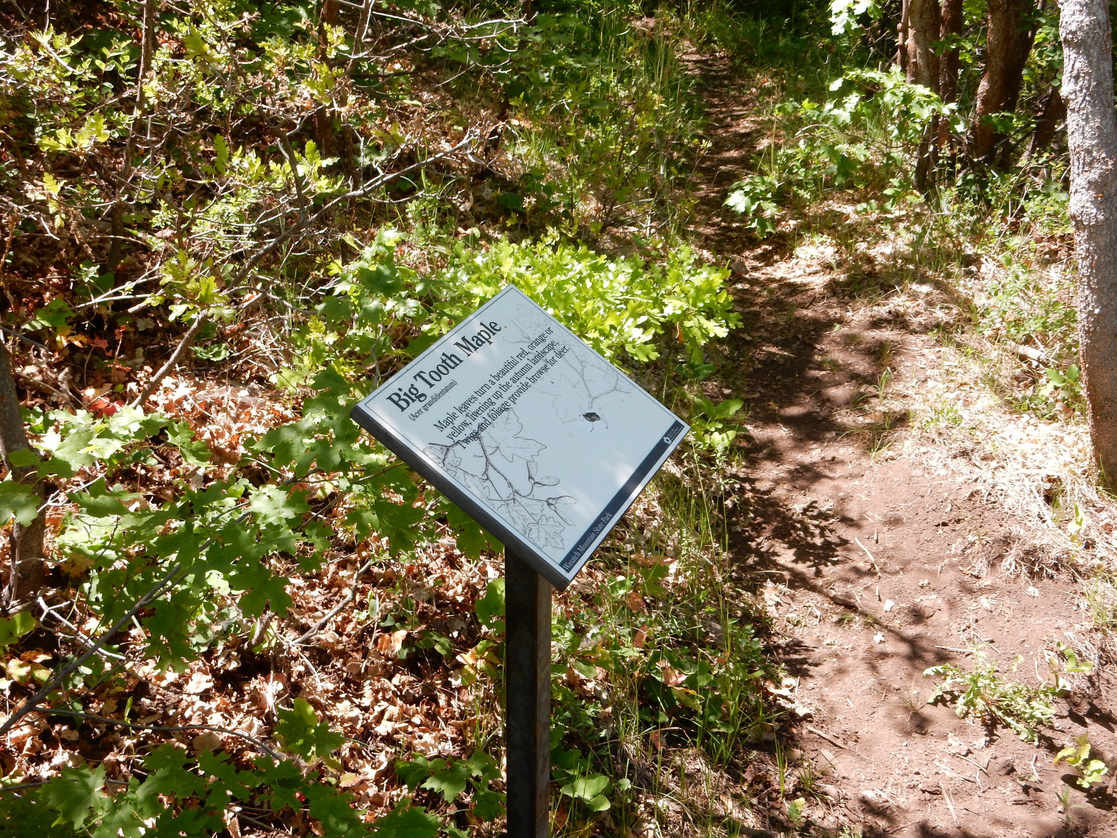
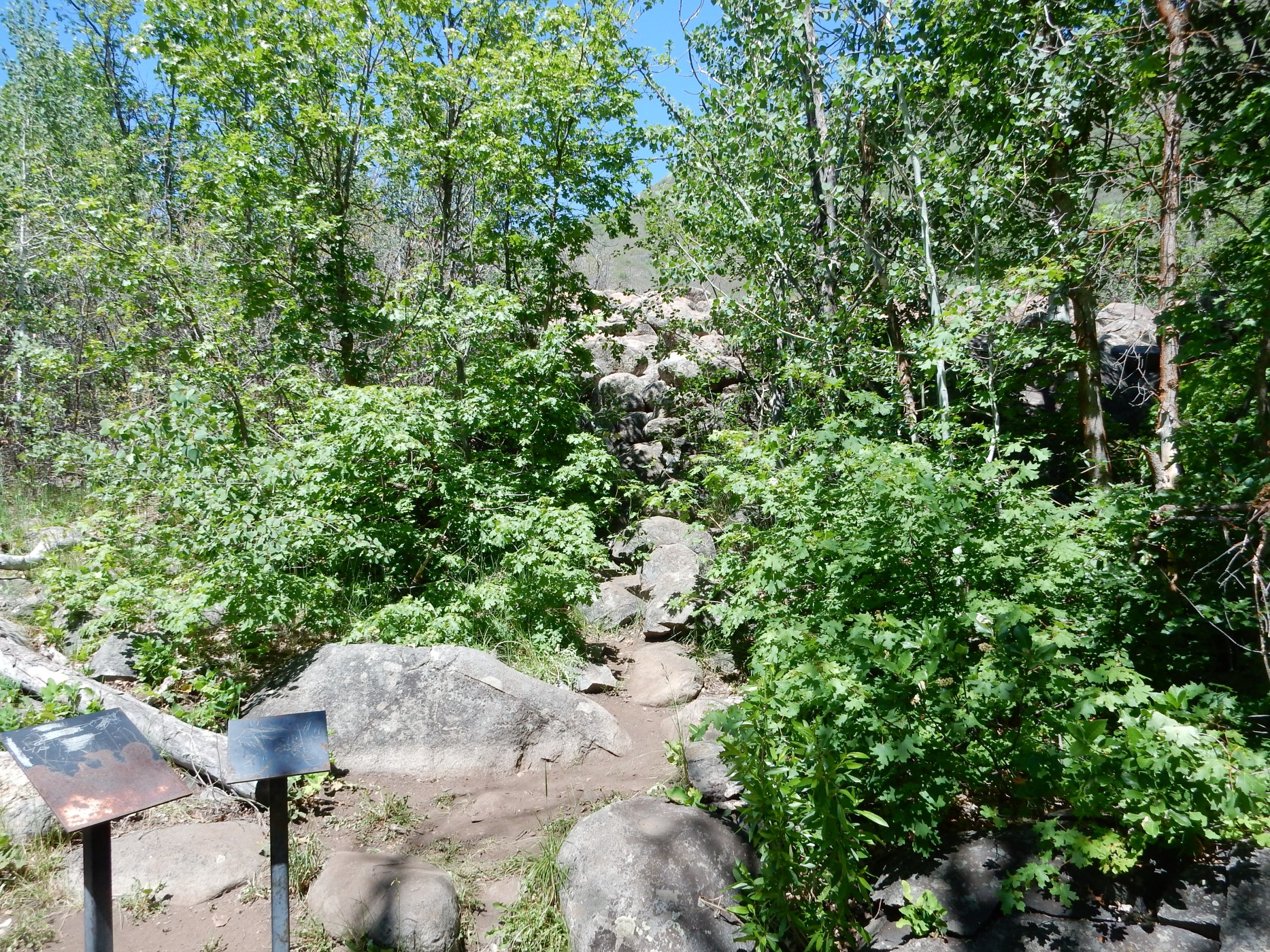
Signage:

My trail came to a larger trail, possibly a mountain bike trail. Fortunately, it was obvious which way to go, as it was a north-south trail and I was headed north.
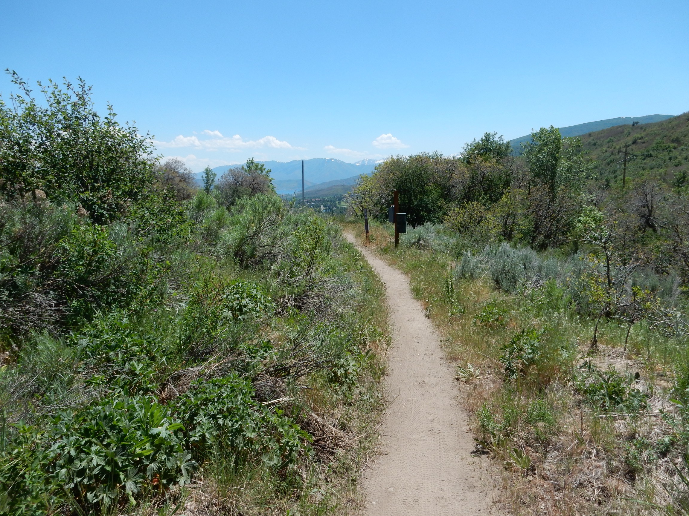
I had come high enough for a nice view.

I was also feeling awful, with an aching chest and huffing and puffing. I was seriously wondering if my heart was not in as good a shape as I thought — notwithstanding having climbed the Valles caldera north rim just two weeks earlier. It was the cold, of course; I didn’t appreciate how much it took out of me until I was back home and feeling better.
The trail forks yet again.
I went right, which turned out to be correct.
Yet again:
I chose right again, but this time this was wrong. I found myself going south
Well, shucks, and other comments. The trail came out at a parking area on the road. No map at the kiosk. There was another hiker there, but he was clueless. I retraced my steps, going left at the big fork this time. More signage; an indication I was on the right trail.
Some serious boulderage suggests I am approaching the outwash.
A very pretty diorite porphry.

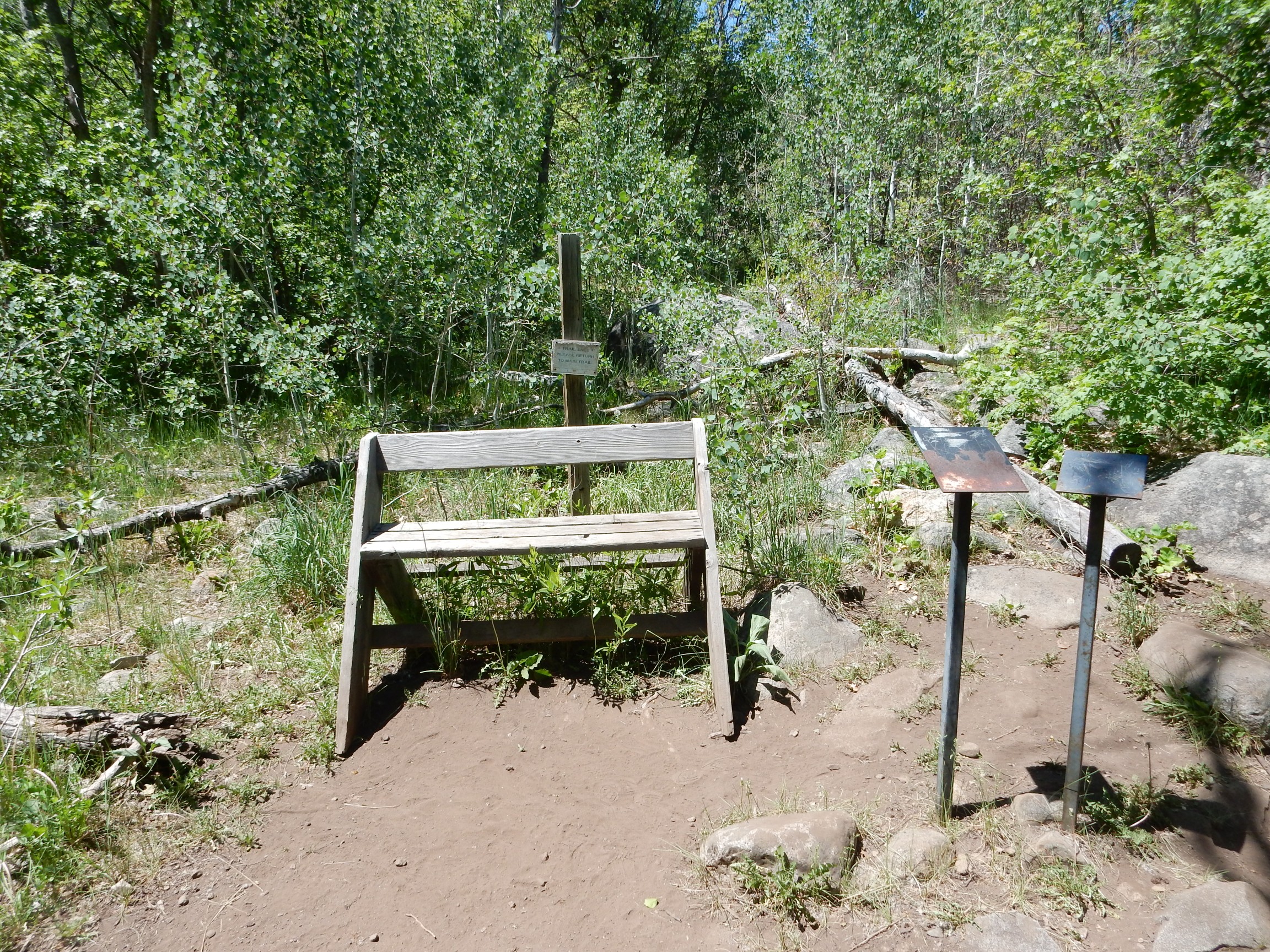
One more bridge:
and then trail’s end.
Nothing dramatic in view. Then I realized I was seeing the outwash through a gap in the trees.
The outwash field.
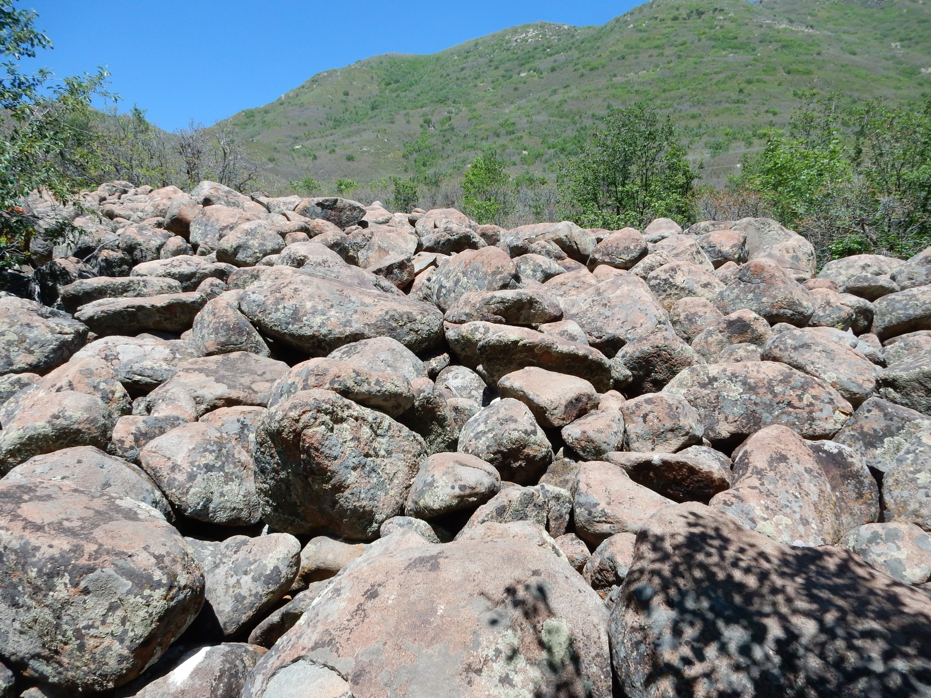
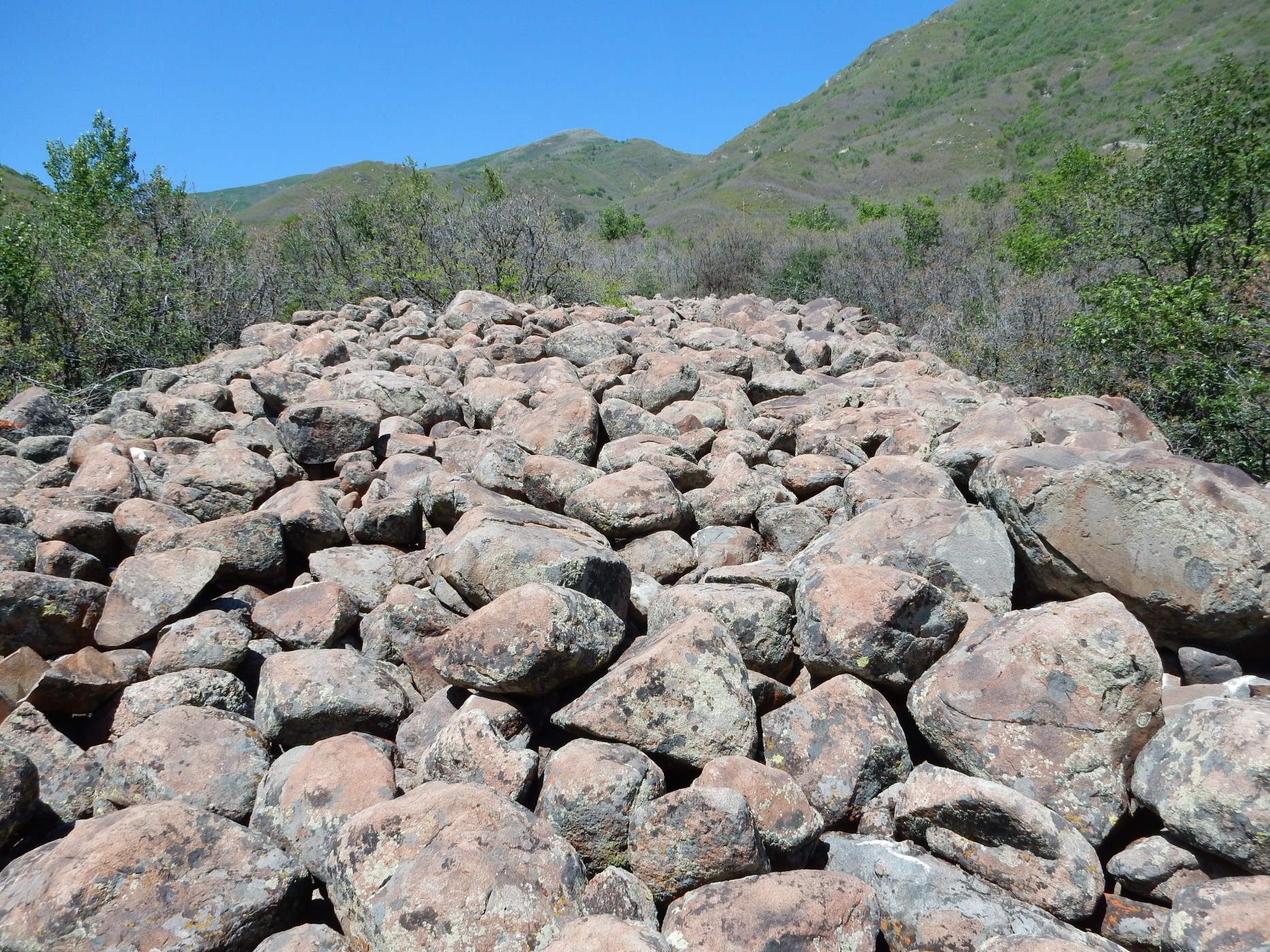
There were no signs of imbrication (boulders aligned like shingles on a roof) or other features of a rock glacier, so this probably is glacial outwash. This whole valley must have been filled with a glacier in the last ice age, which dropped these boulders here when the glacier retreated. I don’t know a whole lot about glaciers; they apparently never have been present in the Jemez. I imagine I’ll have an opportunity later this summer, when I hope to spend a day on the Beartooth Plateau near Yellowstone.
The boulders were very uniform in composition; apart from lichens and weathering, they were all composed of a uniform gray rock, probably more diorite.
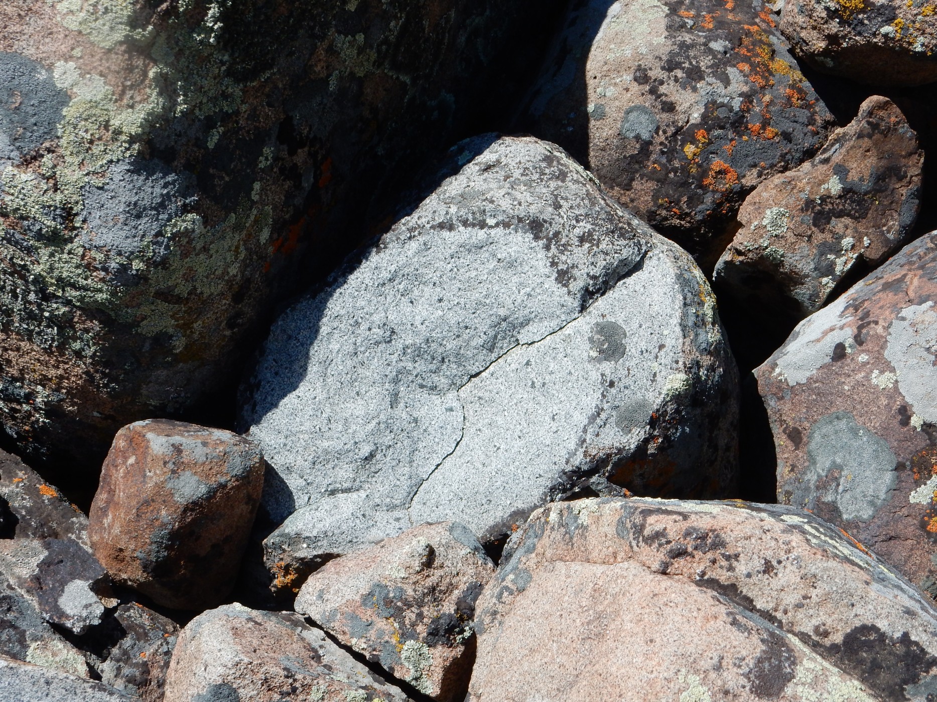
Oddly, this is probably some of the younger rock in the area. The best candidate is Pine Creek Granodiorite, which is a Tertiary intrusive rock, emplaced as part of the Wasatch Igneous Belt 35 million years ago. The whole canyon wall to the east is underlain by this rock, according to the geologic map. The Wasatch Igneous Belt is aligned with the Uinta Mountains directly to the east and probably represents a deep feature of the Earth’s crust.
The granodiorite of Little Cottonwood Canyon to the north, where stone for the Salt Lake Temple was quarried, is also part of this belt.
Wildflowers (entertaining guests) on the way out.
Almost back to the car. By this point, I was really beat. (The cold.)

A couple more shots on the drive back. Memorial Hill in Midway:

This is, apparently, a large tufa mound. Not tuff; tufa. Tufa is a spongy form of limestone, similar to travertine, deposited by hot springs. This area has the greatest concentration of such spring deposits in Utah, probably associated with the Wasatch Igneous Belt. Early settlers used the easily-quarried tufa to construct their homes.
And a Utah peculiarity:
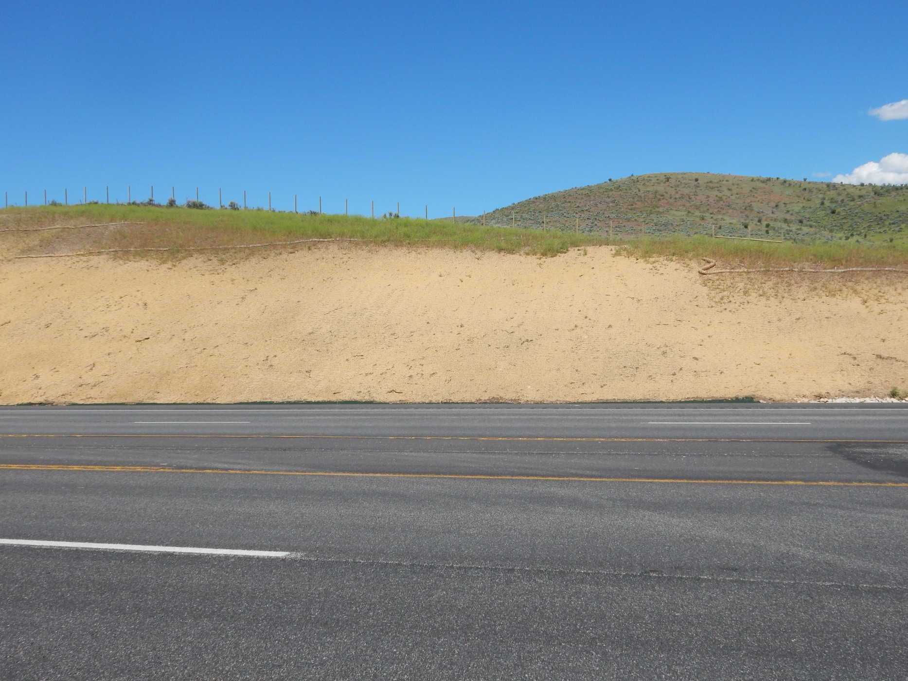
These are alluvial deposits which have been grouted over. Utahans seem to be fond of this. It is particularly striking in Price Canyon, where road cuts have been thoroughly plastered with concrete, which was textured to look like rock beds. It can be confusing. Probably reasonable as a way to reduce erosion and rockfalls, though.
I returned to Mom’s place. She was perturbed that I had been out so long; I told her I’d be hiking an hour, which was not too far off, but the drive took longer than I realized. She was afraid I’d walked off a cliff; ironically, this was the least cliff-infested day of my trip. I made it up by taking her to dinner at Los Hermanos, the most popular Mexican restaurant in Provo. It’s a nice restaurant, but, at risk of offending my Utah relations, the chile relleno was quite bland. I’ve been spoiled living near Santa Fe; I can get really excellent New Mexican cuisine just about any time I like.
Day 4 may be found here.
Pingback: Wedding wanderlust, day 2 | Wanderlusting the Jemez
Pingback: Wedding wanderlust, day 4 | Wanderlusting the Jemez