A sedimental journey, day 3
Up with the sun.
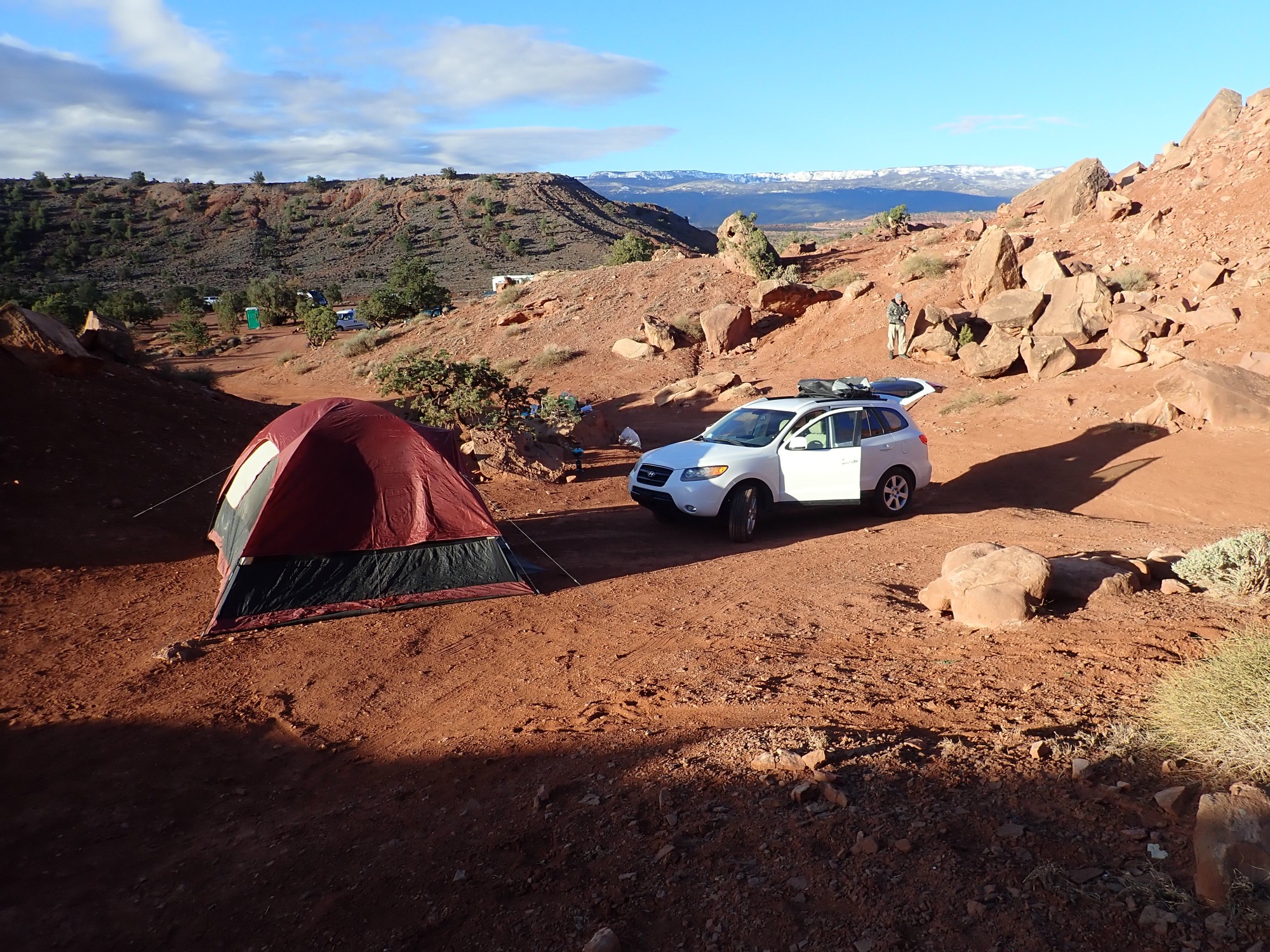
The rain apparently did not fall for long the previous night, and the ground is already mostly dry. It is shaping up to be a cool but beautiful day. We feast on pancakes, bacon, and eggs, and break camp.
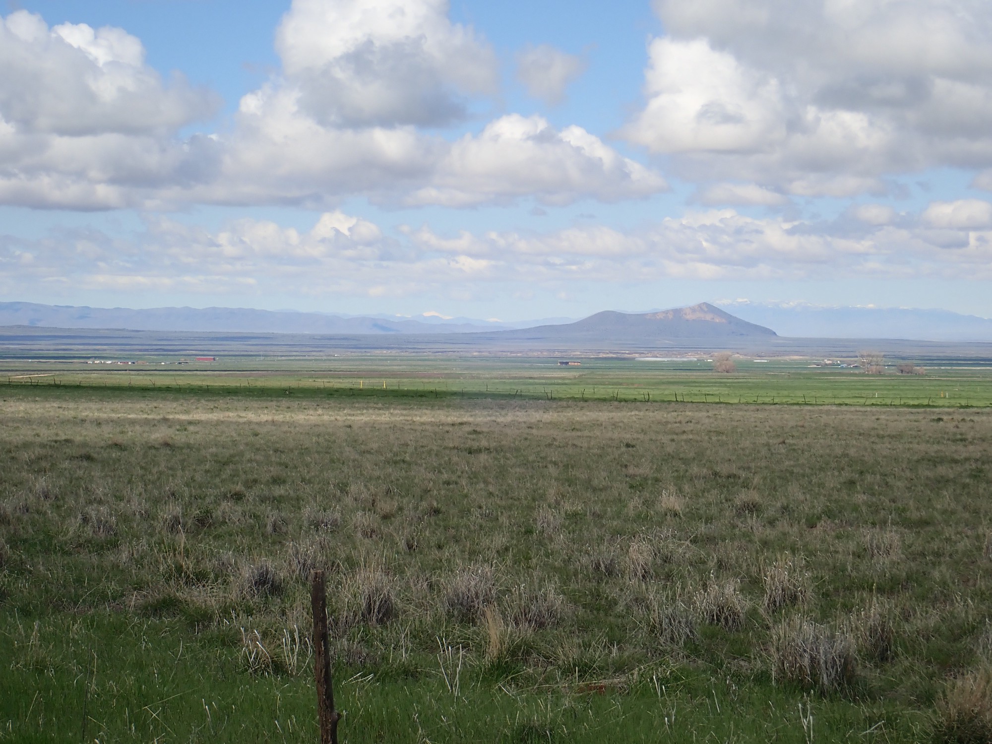
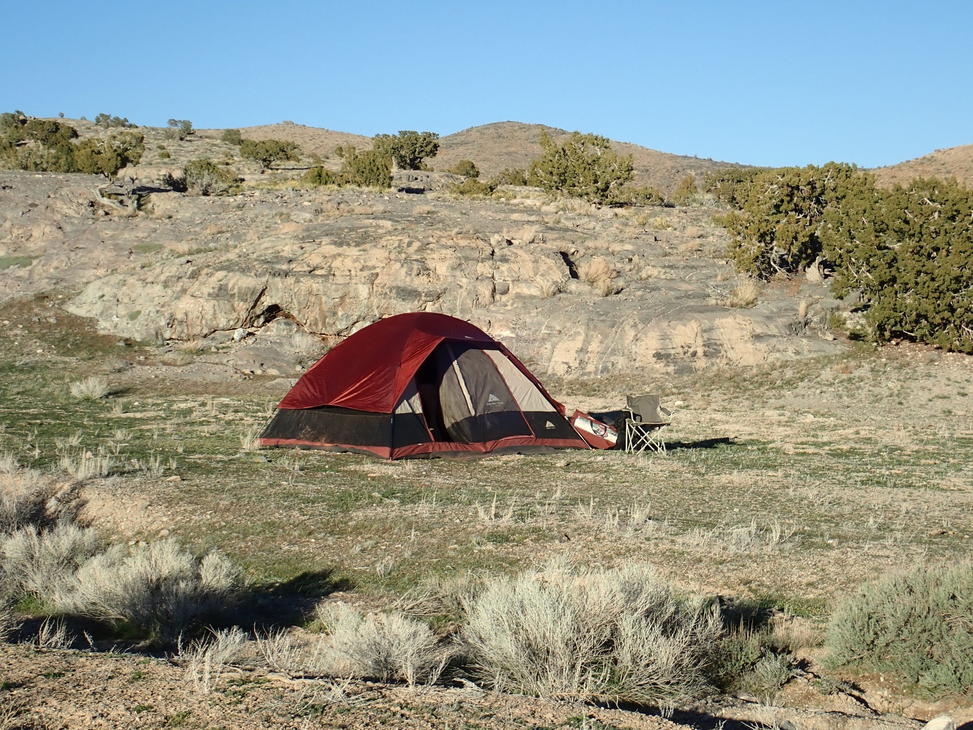
I pause just outside the camp area for a photograph.
The peak is a knob of Kayenta Formation over Wingate and Chinle Formations.
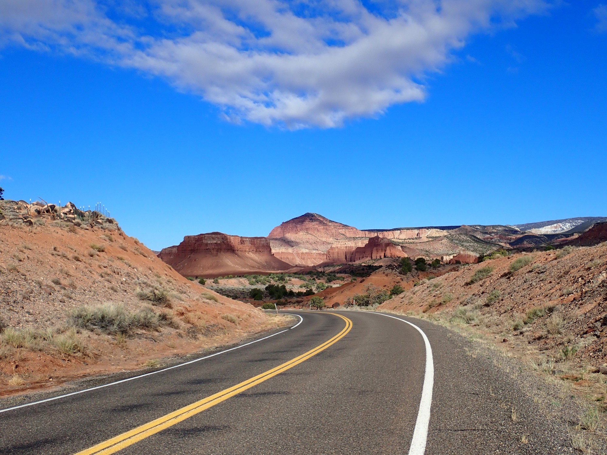
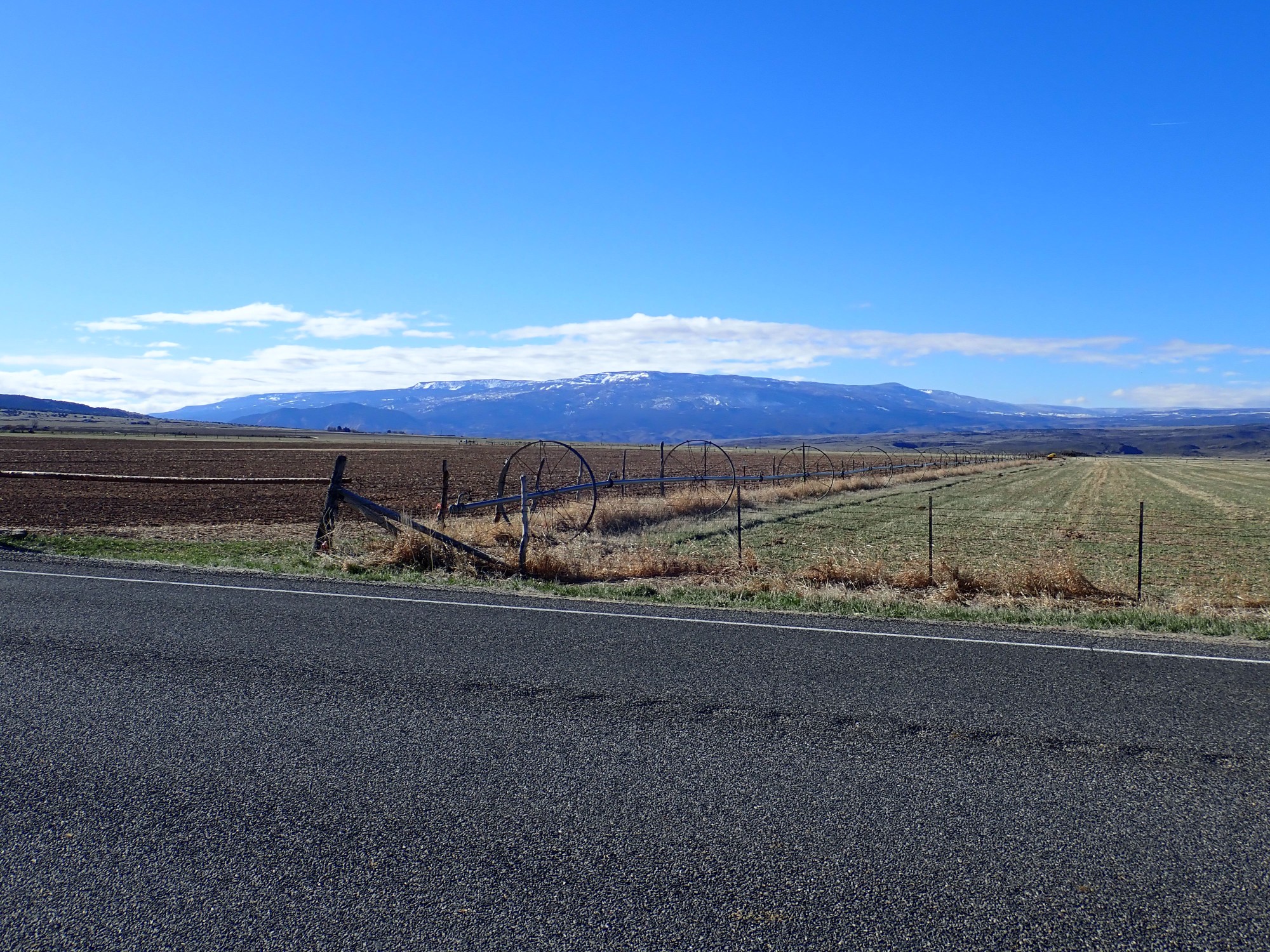
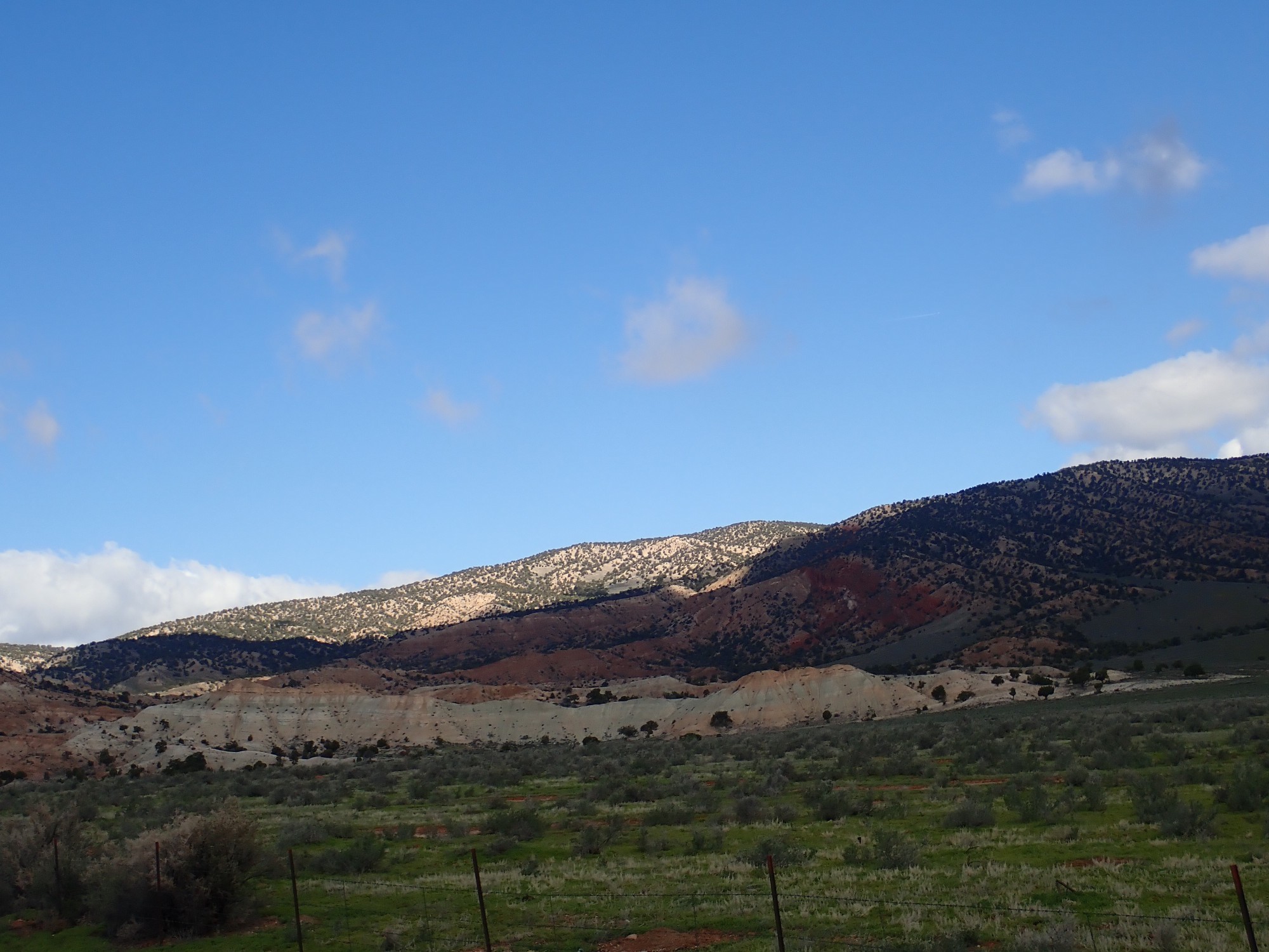
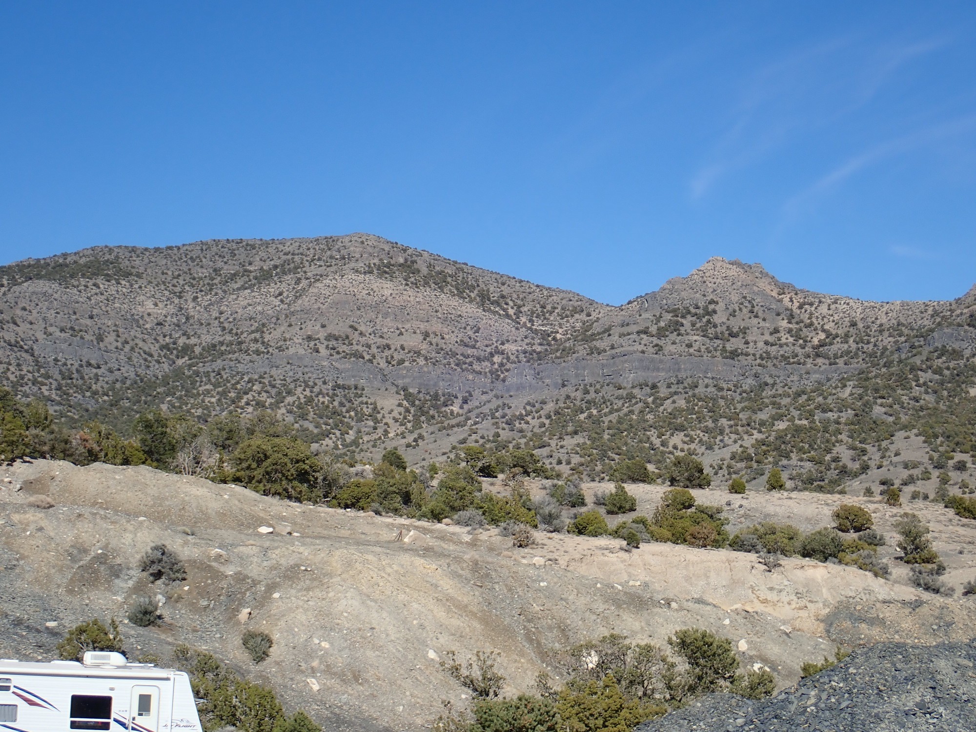
We are headed west into country that is new to me. However, I know that this is the Marysvale volcanic field, which includes several giant calderas. This was part of the great Oligocene igneous flareup, 25 million years ago, across much of the West. We pass a field covered with basalt boulders.
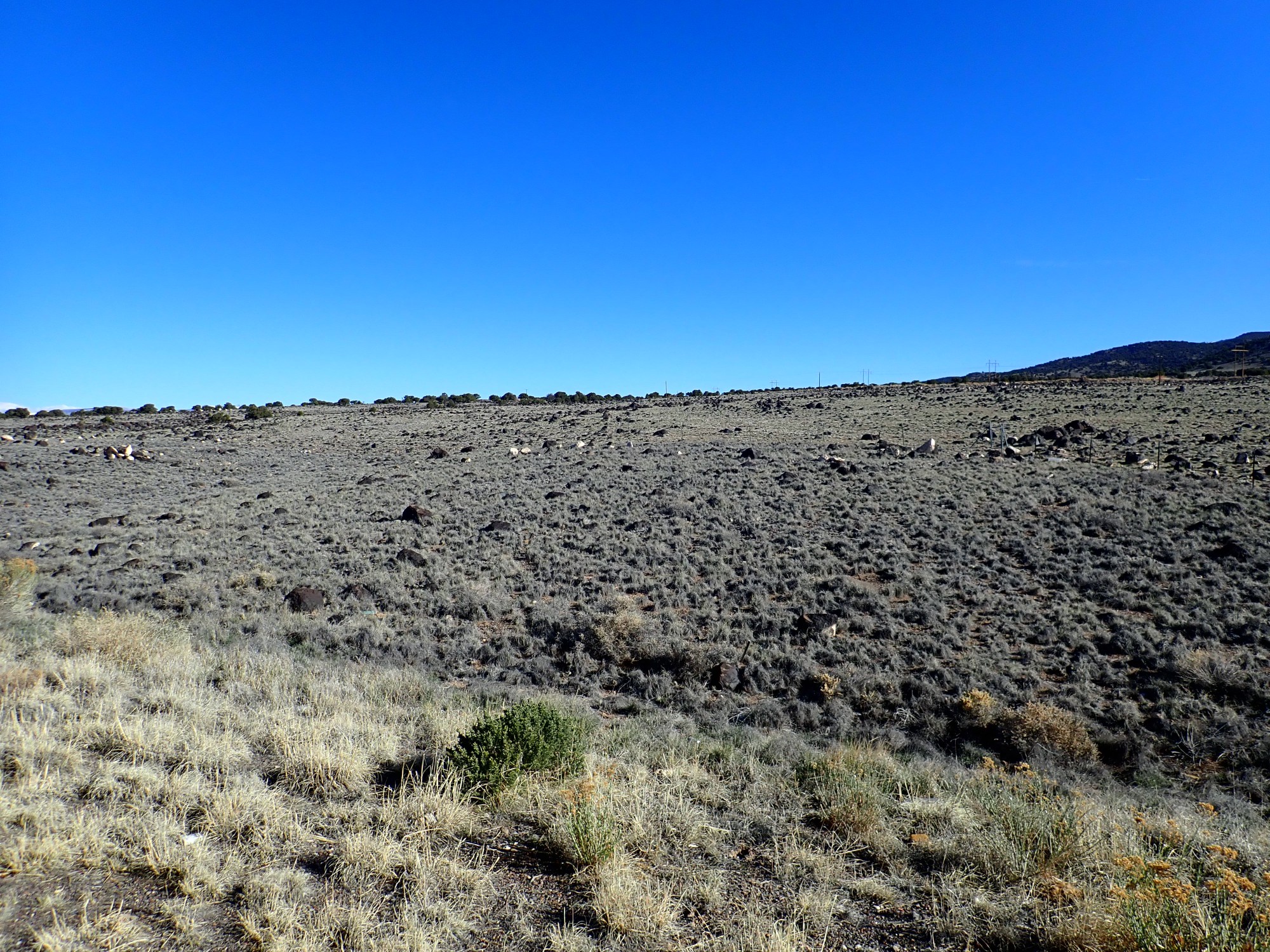
I speculate that the boulders are glacial erratics from nearby basalt flows. The map says old alluvium and colluvium, and Flat Top Mountain is to the northeast and is covered with a basalt flow. So, old colluvium at the base of the mountain.
To the southeast is Boulder Mountain.
This is apparently capped with thick flows of latite, a kind of volcanic rock also described as potassic trachyandesite. It’s formed from lava that is moderately rich in silica and high in potassium. The flow has been dated at around 25 million years, so it’s part of the Marysvale field.
To the northeast are cliffs I suspect are ignimbrites of an outflow sheet.
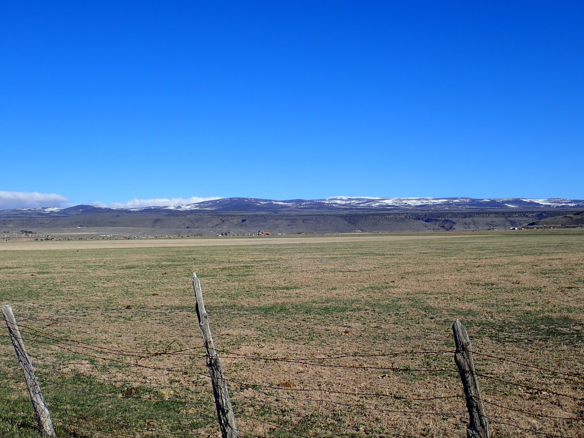
And it’s times like this I miss the deep zoom of the old camera. Regardless, this is the Osiris Tuff, the outflow sheet of the Monroe Peak Caldera, the largest and youngest of the Marysvale field. It erupted 23 million years ago as a single massive cooling unit. The caldera itself is located in the next range to the west.
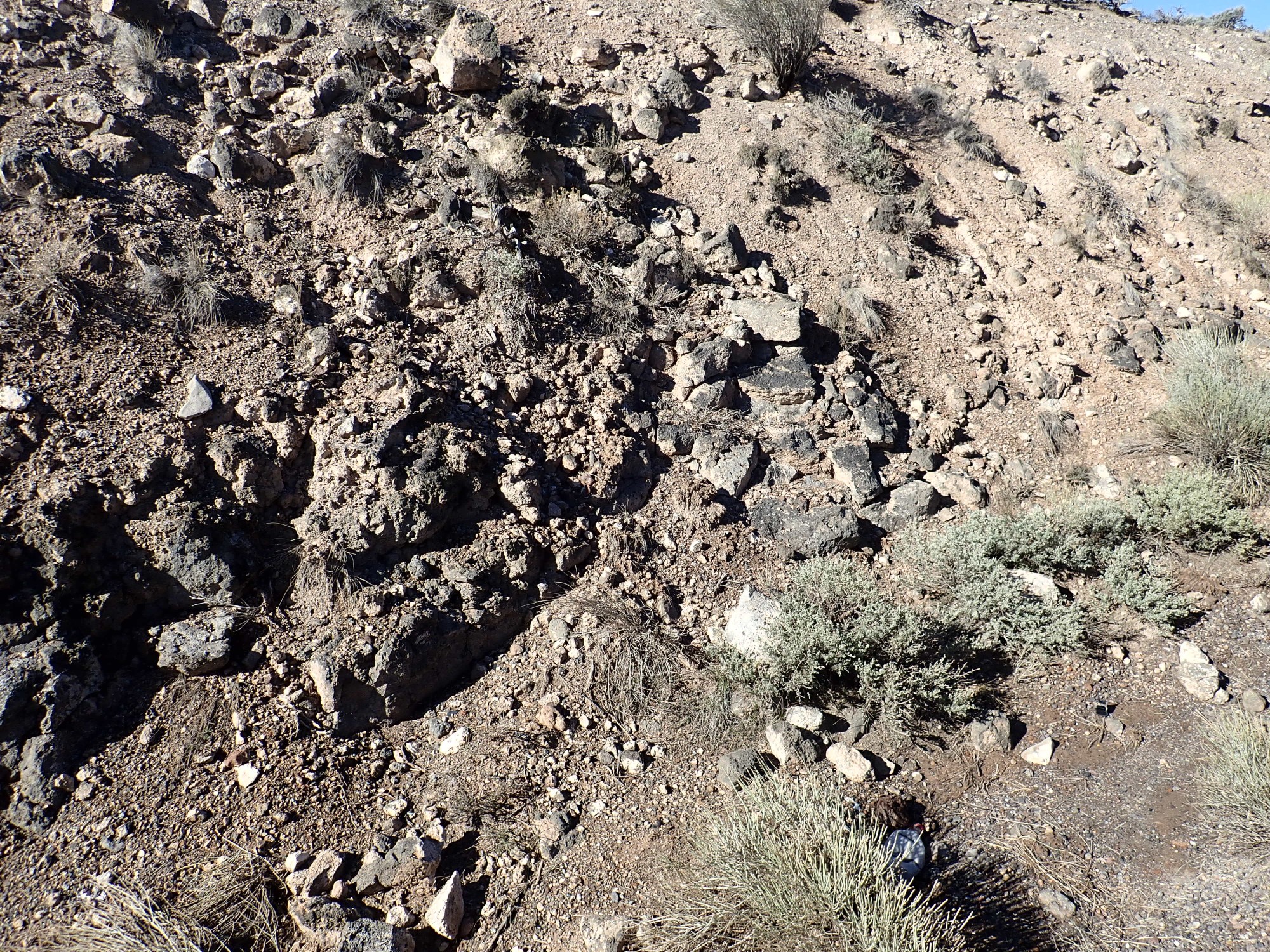
We pass through a road cut that looks very much like a volcaniclastic debris flow.

I tell Gary that it is probably not glacial till, since the boulders do not have the flattened faces typical of glacial debris. A glacier tends to scoot a boulder along on one face, grinding it flat, until the boulder hits something that flips it and causes a different side to be ground flat, and I see none of that here. The geologic map lumps this with “young colluvium and alluvium” resting atop the Osiris Tuff.
Critters:

Gary, who loves to hunt, is positively salivating.
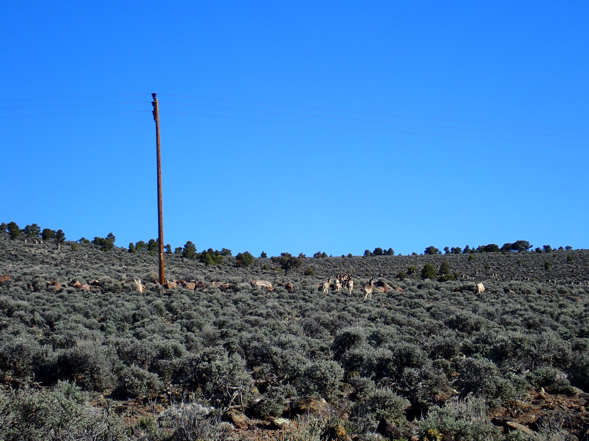
I note that these deer lack the mule ears of the critters back home. Yep, whitetail deer.
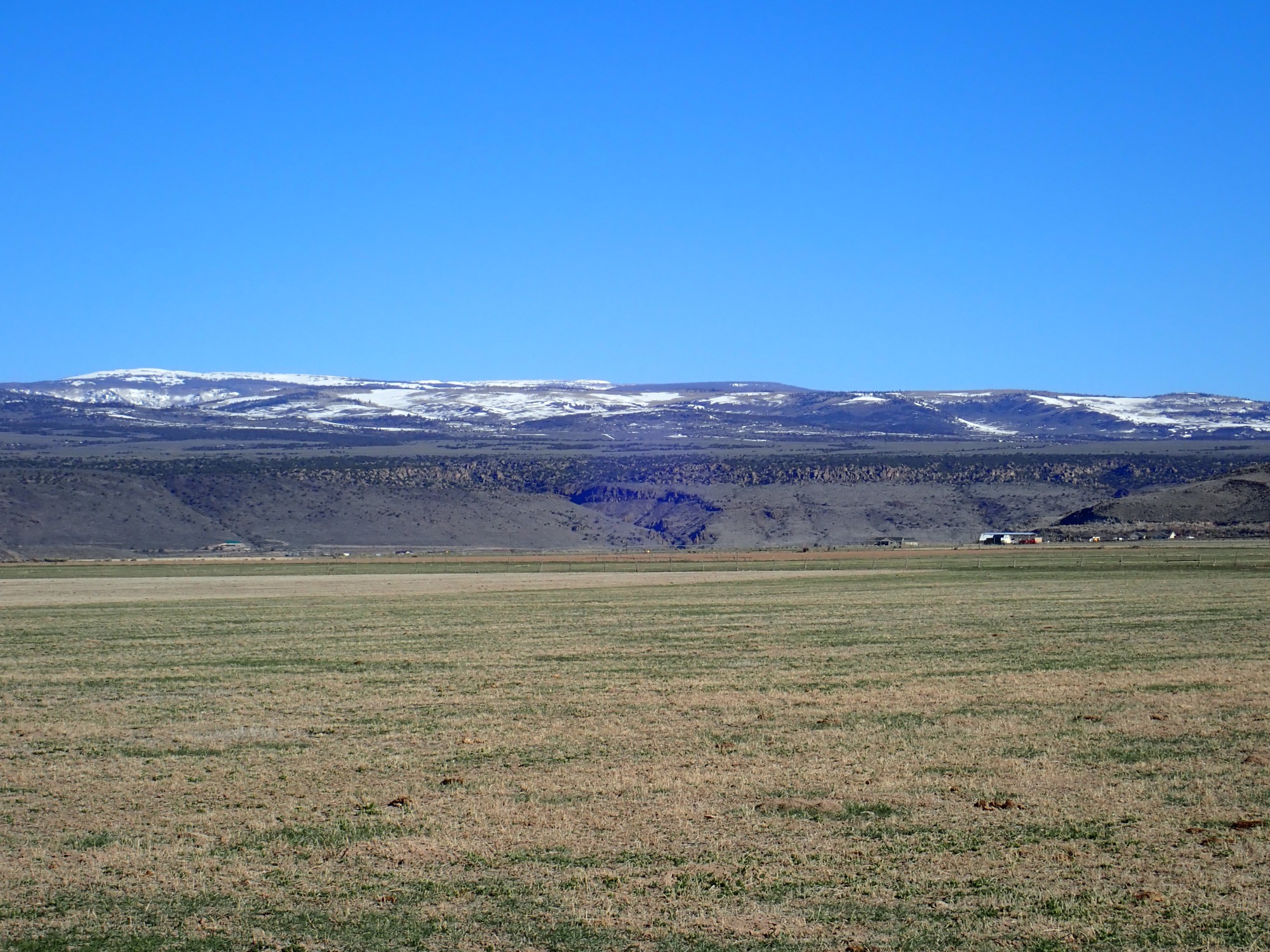
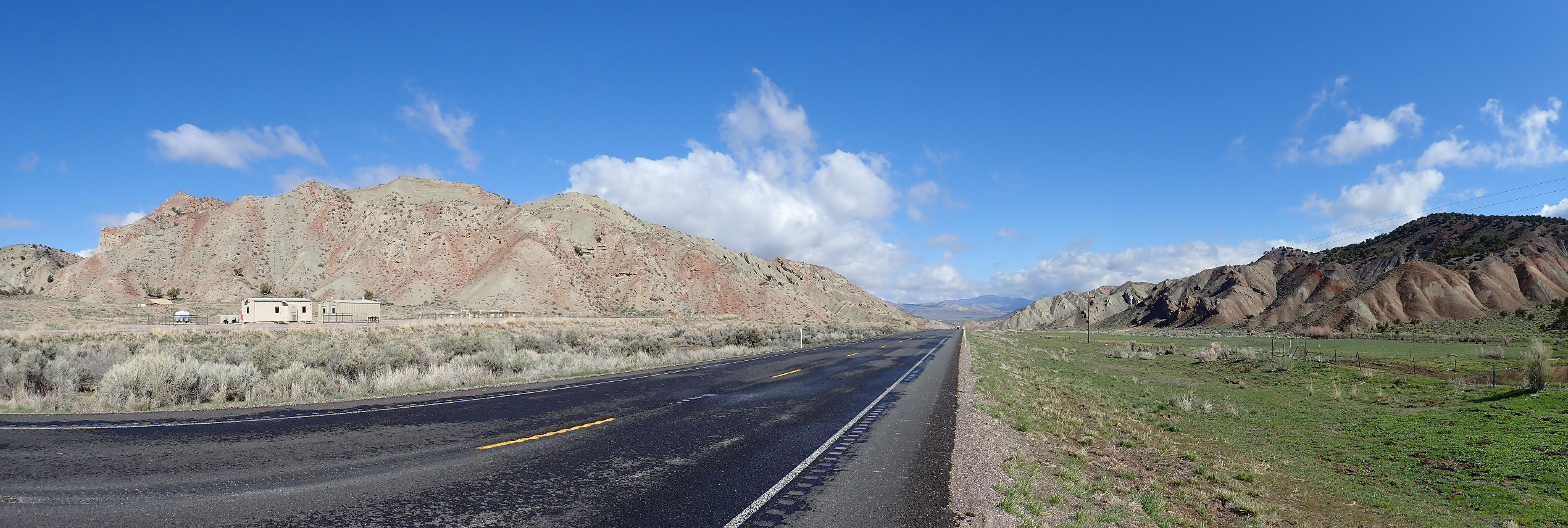
Another road cut catches our attention.
The map describes this as a basalt flow from Abbes Knoll, but does not offer an age more precise than 5 to 10 million years. It may be a product of the same tectonic forces that are pulling the Colorado Plateau away from the rest of North America along the Rio Grande Rift.
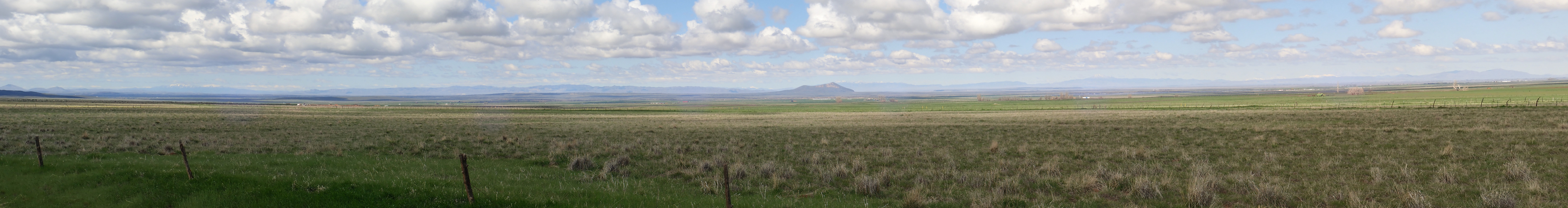
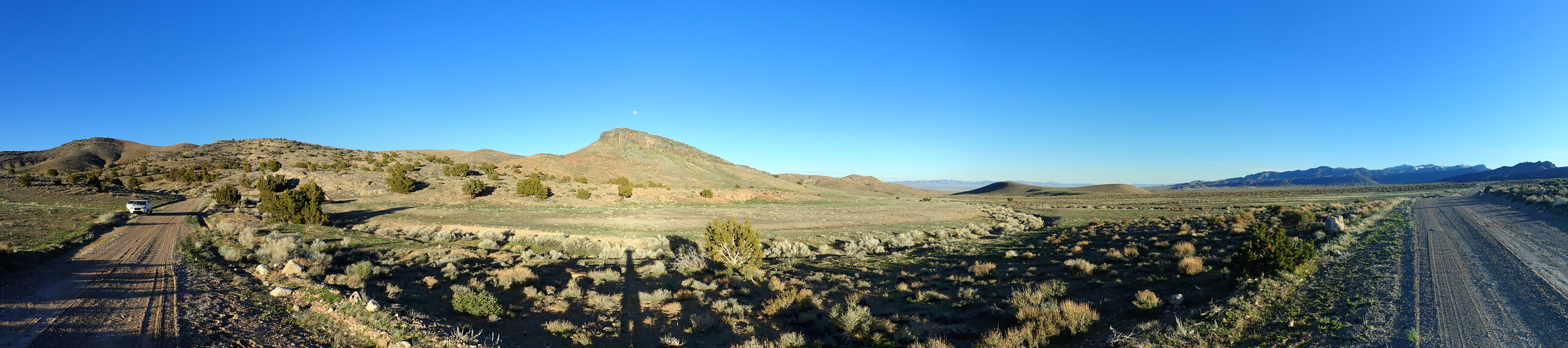
The road turns north as we enter the next valley, and I pull onto a side road for a panorama. There is tuff here.

This is mapped as the Latite of Johnson Valley, and is described as a densely welded tuff or possibly a lava flow. I’d say tuff based on how it looked here. Its age is 26 million years and it is closely related to, if not identical with, the latite atop Boulder Mountain.
The panorama.
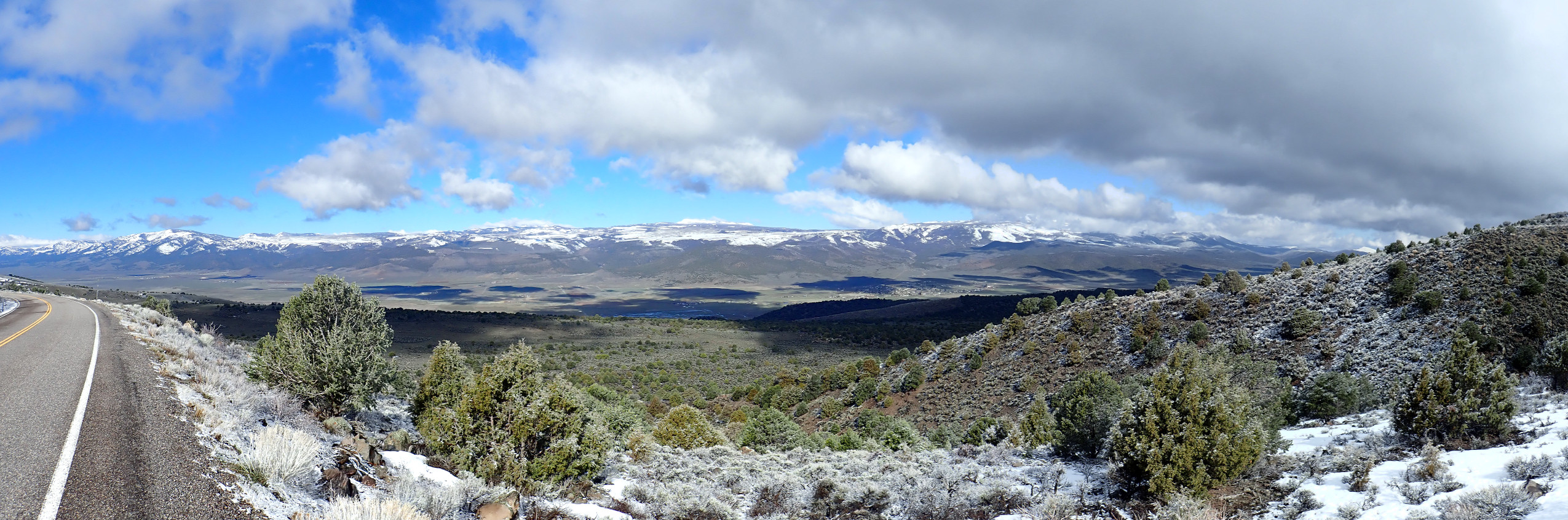
We are looking into the heart of the Monroe Peak caldera in the range across the valley. Unlike Valles, this caldera has been heavily eroded and deformed by mountain uplifts and so is not obvious without geologic mapping. The mountain at right, Monument Peak, is a short distance northeast of the caldera, of which a remnant of the east rim remains in the center of the photograph. The peak at far left, Langdon Mountain, is just outside the southern limit of the caldera. Monroa Peak itself is nearly centered on the panorama and may be part of a resurgent dome.
We press on, but soon stop at another road cut. My GPS does not get a very good lock; somewhere around here.

It looks like a lower basalt flow, heavily oxidized, and an upper densely welded tuff or possibly an andesite flow. The area is King’s Canyon Meadow and it is very poorly mapped; the geologic map simply says “volcanic rocks.” Swell. Thanks.
On into the next valley, and beds I suspect are rather young.
No. My geologic map is poor for this area as well but identifies these as lower Jurassic — Carmel, Entrada, or Summerville age. It looks more like Morrison but that’s not on the list.
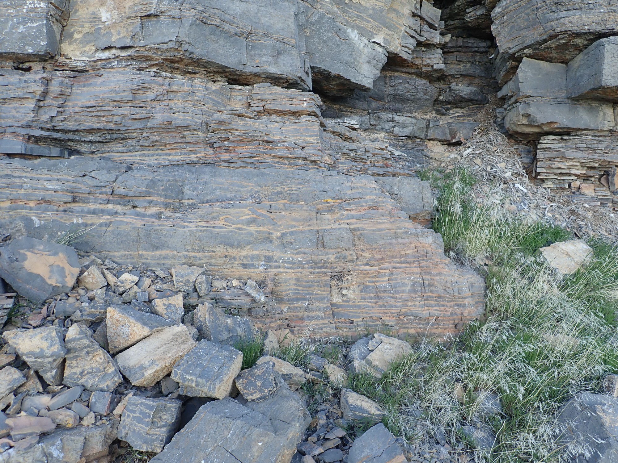
Further on are outcrops interesting enough to stop and look at.
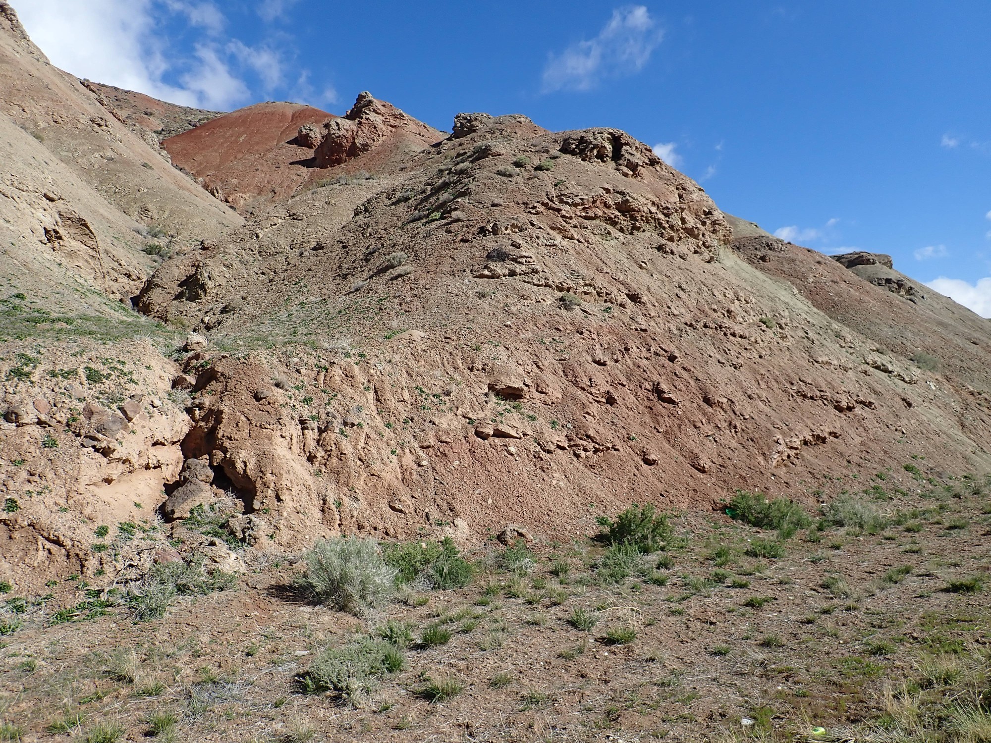
The map is no more specific, but the rock is rich in gypsum.
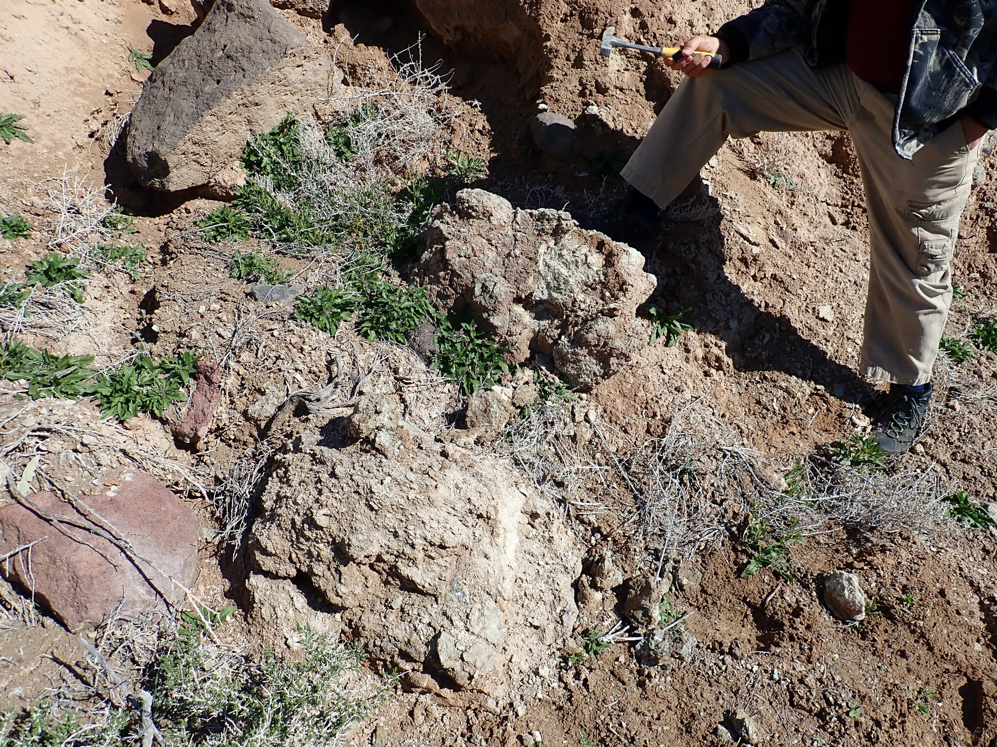
I take a sample.

I wish I had better information on what formation this is. A clue: The nearby creek is called Brine Creek. So this is an evaporite that progressed far enough to deposit salt.
Unpacking that last statement: When a body of saltwater evaporates, the first mineral deposited is calcite (calcium carbonate), so you get limestone beds. Gypsum (calcium sulfate) usually comes next. Then comes rock salt or halite (sodium chloride.) Next comes sylvite (potassium chloride), carnallite (potassium magnesium chloride), and then a host of unusual magnesium, potassium, and sodium chlorides and sulfates. We can see gypsum here, and it’s a good bet Brine Creek didn’t get its name for nothing.
It is only after I get home that I learn about a Jurassic formation called the Arapien Shale that is mapped not far north of here, and contains thick evaporite sequences that have formed some salt domes and other structures. My guess is that what we are seeing here is also Arapien Shale.
In the next valley: The clouds are unfortunate.

The colorful beds are apparently the Tertiary Flagstaff Limestone. This was laid down as a freshwater limestone in the great Eocene lakes of the intermountain west, 50 million years ago.
We get a closer look west of Salina.
The map is still poor, identifying these only as Tertiary formations of roughly Eocene age.
Then through Round Valley and the final range of mountains before the Basin and Range.
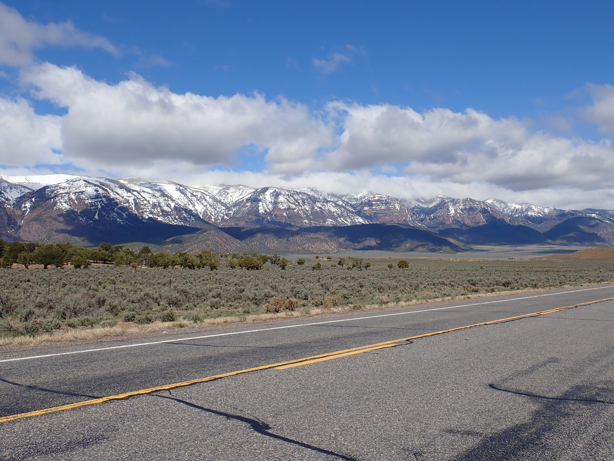
These mountains are underlain by surprisingly young formations. The low hills in front are underlain by the North Horn Formation, deposited when Utah’s central mountainous spine was first raised around 65 million years ago, at the Cretaceous-Tertiary boundary. The mountains behind are the Cretaceous Canyon Range Conglomerate. The far side of the mountain is much older rock, of Cambrian age (500 million years or more), but that has not yet come into view.
A little further along, I say cliffs halfway down the mountain that I thought might be Tintic Quartzite. Not quite.
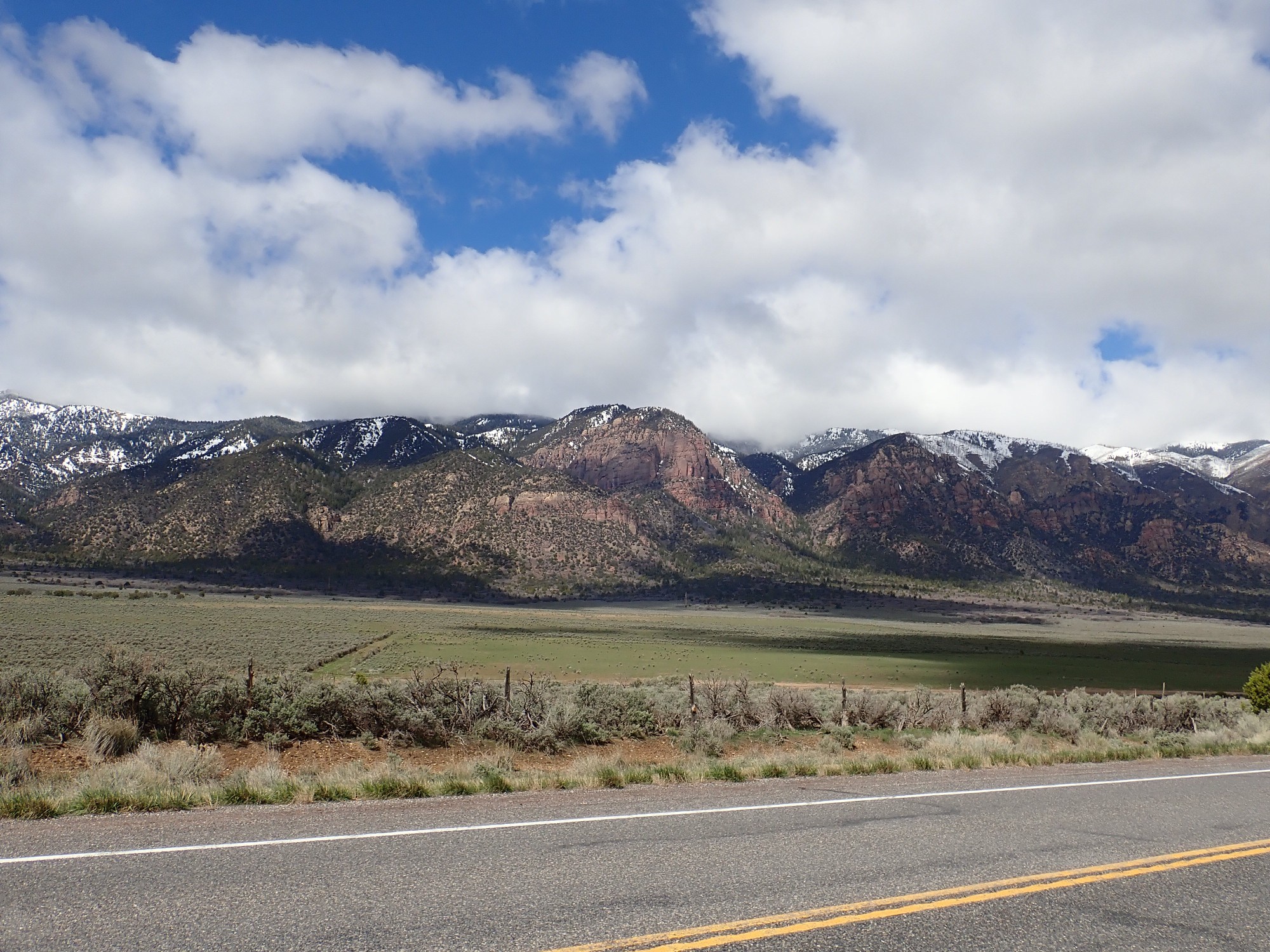
The upper beds are still the Canyon Range Conglomerate, but the lower beds are much older beds of the Silurian Laketown Dolomite. This is around 430 million years old, and dates back to a time when almost all of Utah was a continental shelf accumulating thick limestone beds. These were later exposed to magnesium-rich fluids (a process still not well understood) and the limestone was converted to dolostone.

I thought these might be Paleozoic limestone beds, but they turn out to be young Canyon Range Conglomerate as well.
We emerge from the mountains into the Basin and Range. Up until now, almost our entire trip has been on the Colorado Plateau, a large block of crust that has somehow survived being pulled away from the rest of North America along the Rio Grande Rift and uplifted by a deep upwelling in the mantle called the East Pacific Rise. Not only did the Colorado Plateau survive, but it remained level and intact.
This morning we traversed the central mountainous spine of Utah, with its volcanic fields and upthrust mountains. This zone may date back as far as the Precambrian, but its latest uplift was part of the Laramide Orogeny.
Now we are entering the Basin and Range, where the crust was first compressed during the Laramide Orogeny, around 70 million years ago, from a collision with an unusually buoyant section of the oceanic Farallon Plate. The Basin and Range was then stretched out and uplifted by the East Pacific Rise. The result is a terrain of block mountains, raised along north-south faults, with deep valleys between that have been filled with sediments eroded off the mountains. This terrain stretches clear to the Sierra Nevada on the California-Nevada border.
The first thing I notice as we turn south towards Holden is Pahvant Butte.
Fifteen thousand years ago, most of Utah west of the mountain spine was covered by Lake Bonneville, the freshwater ancestor of the Great Salt Lake, then at its maximum extent. The entire valley before us was covered by water. Pahvant Butte erupted through the floor of the lake, creating a distinctive volcanic structure called a maar. Lava coming into contact with water created hydromagmatic beds resembling very fine cinder around the vent. Alas, we never find an opportunity to visit the immediate area of the butte.
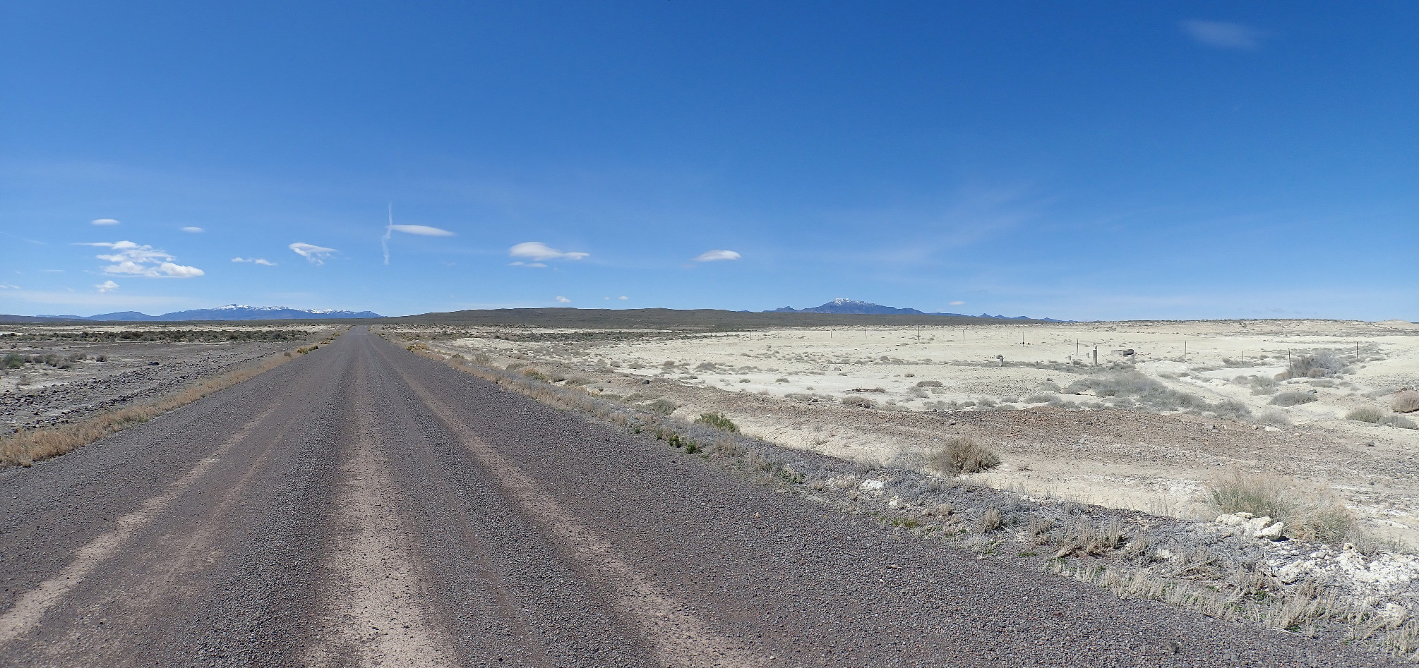
Panorama to the west. (Click to embiggen, as you can do with most photographs at this site.)
The distant mountains directly behind Pahvant Butte are the House Range, the object of our expedition on this leg of the trip. The southern part of the range, with its white snow cap, is Sawtooth Mountain, and to its north, the prominent notch is Marjum Pass — one of our planned fossil collection sites. The middle part of the range is Howell Peak, north of which is another pass, Death Canyon. The prominent peak north of Death Canyon is Swasey Peak, at whose southern foot is Wheeler Amphitheatre and our other planned fossil collection site.
The nearer mountains left of Pahvant Butte are the Cricket Mountains, while the near range at far right are the Drum Mountains. I considered and rejected this as another fossil hunting site. The Drum Mountains host Middle Drum Observatory, a cosmic ray observatory run by the Telescope Array Project.
The very distant mountains between the Drum Mountains and the House Range are the Deep Creek Range, nearly on the Nevada-Utah border.
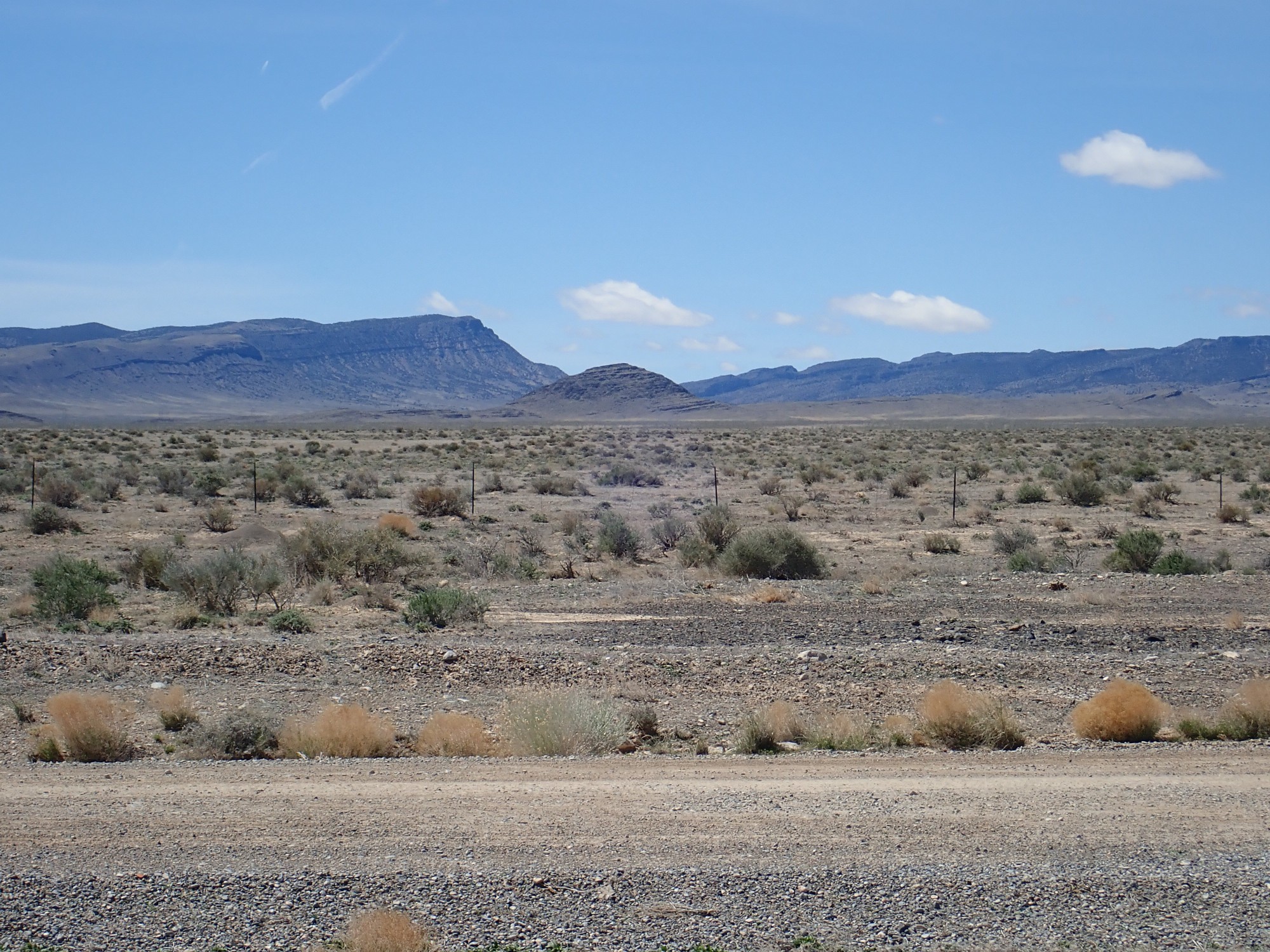
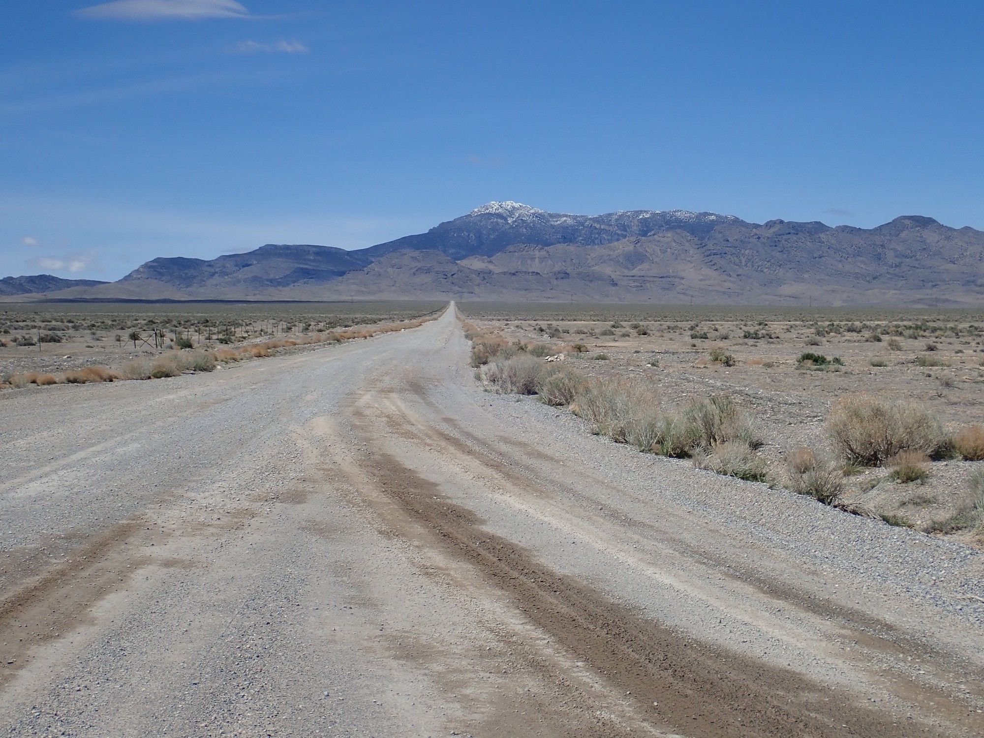
We find a McChinese for lunch in Delta, then reprovision. With the day wearing on, we hurry out into the Sevier Desert, taking Old 6 & 50. I have been concerned how the gravel roads would be after recent heavy rain; they turn out to be okay.
We are truly in the middle of nowhere here. However, we have ample water and a SPOT messenger if anything goes wrong.
The ridge in front of us is underlain by the Tertiary Skull Rock Pass Conglomerate.
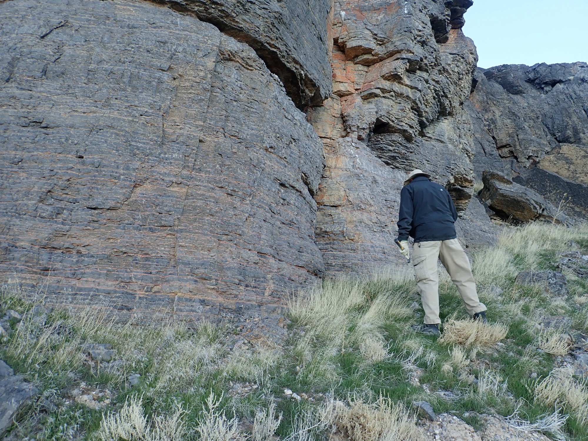
We reach Death Canyon Road and turn north. To the west is Marjum Pass.
The knoll is underlain by Weeks Limestone, a middle Cambrian formation containing trilobites. It is a tad younger than the Wheeler Formation in which we will do our fossil hunting, but both are around 507 million years old.
North is Swasey Peak and the Wheeler Amphitheater.
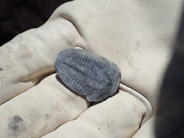
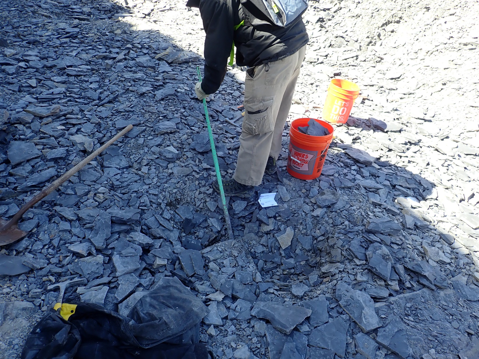
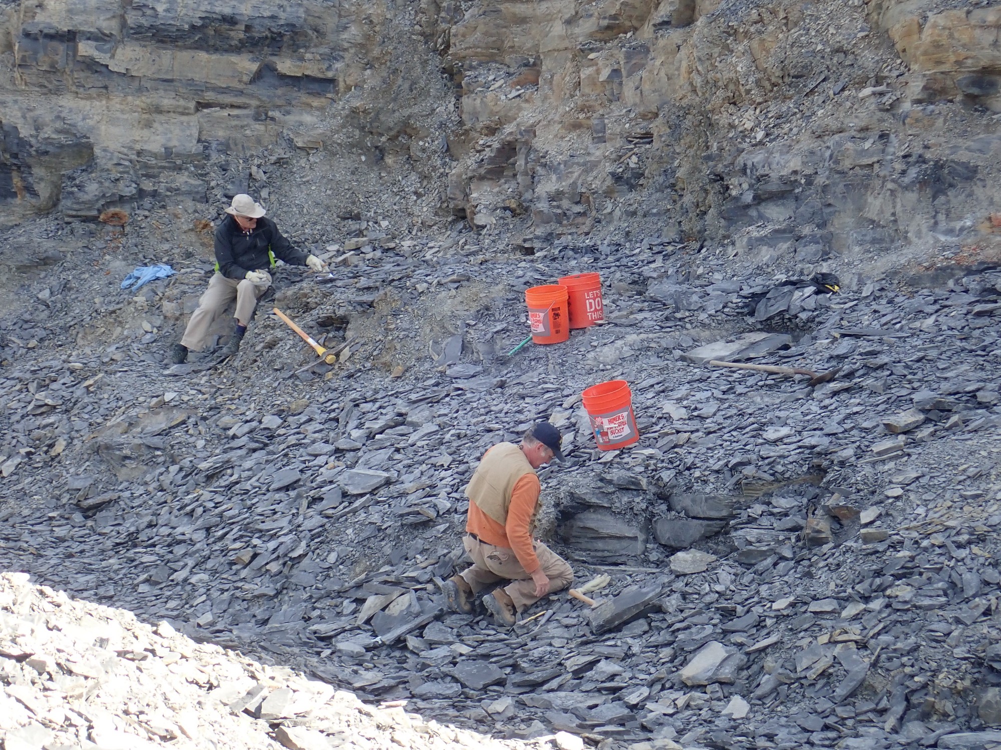
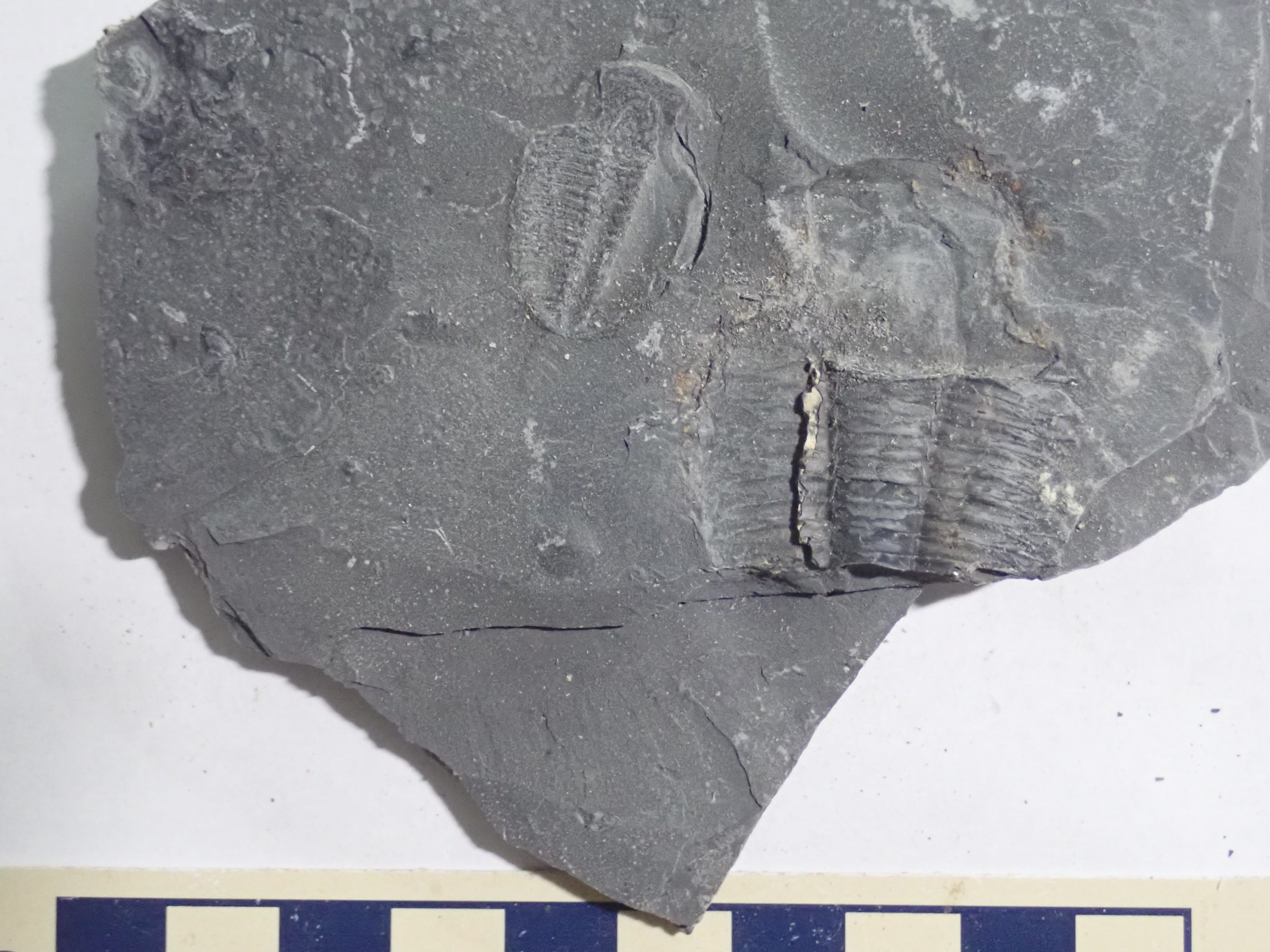
We soon arrive at U-Dig Trilobite Quarry. $42 to dig for four hours in the quarry. We pay up.
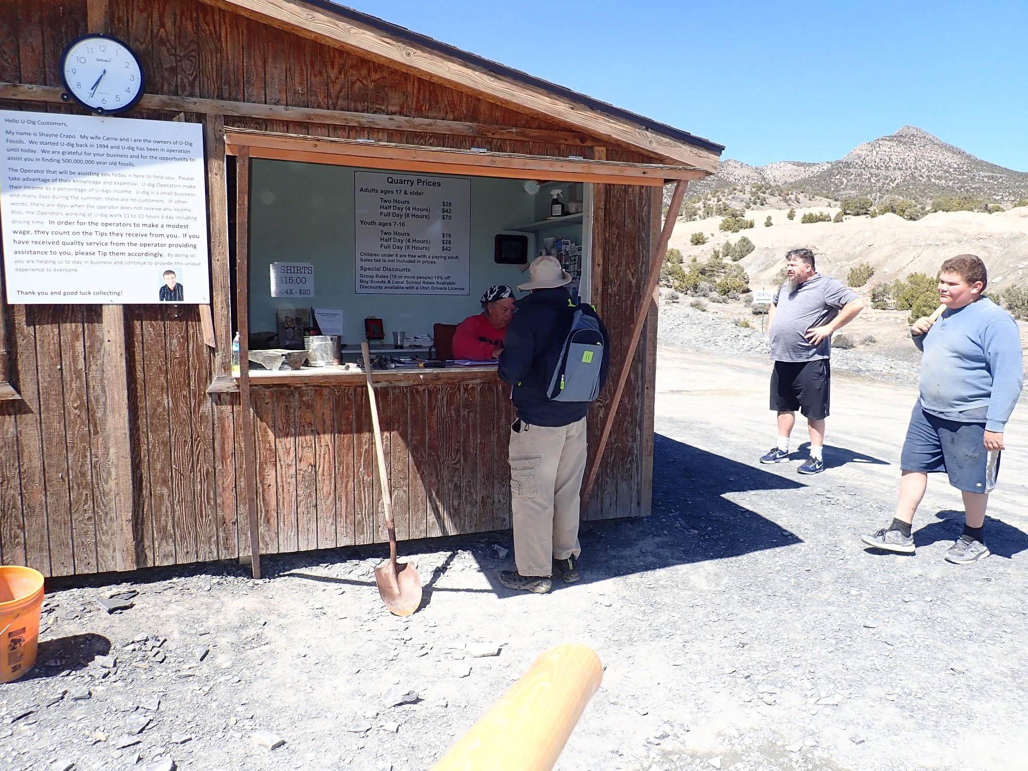
The young man at right is named Hunter. His grandfather, to his right, pretty much runs the quarry, and Hunter is adept at finding trilobites. He has even had a new nearby quarry named after him by paleontologists, though Hunter Quarry does not yet show on the maps. Hunter leads us over the tailings

to a good spot.

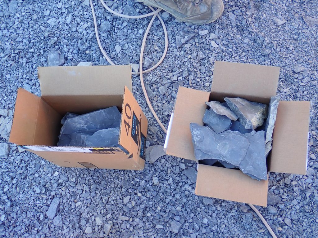
The process is simple: Pull up a big slab of Wheeler Shale. Split it between layers with a hammer and chisel. See if any trilobites are exposed on the split surface. Rinse and repeat.
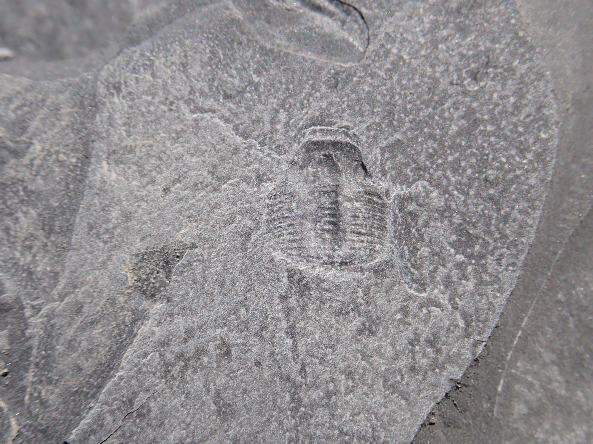
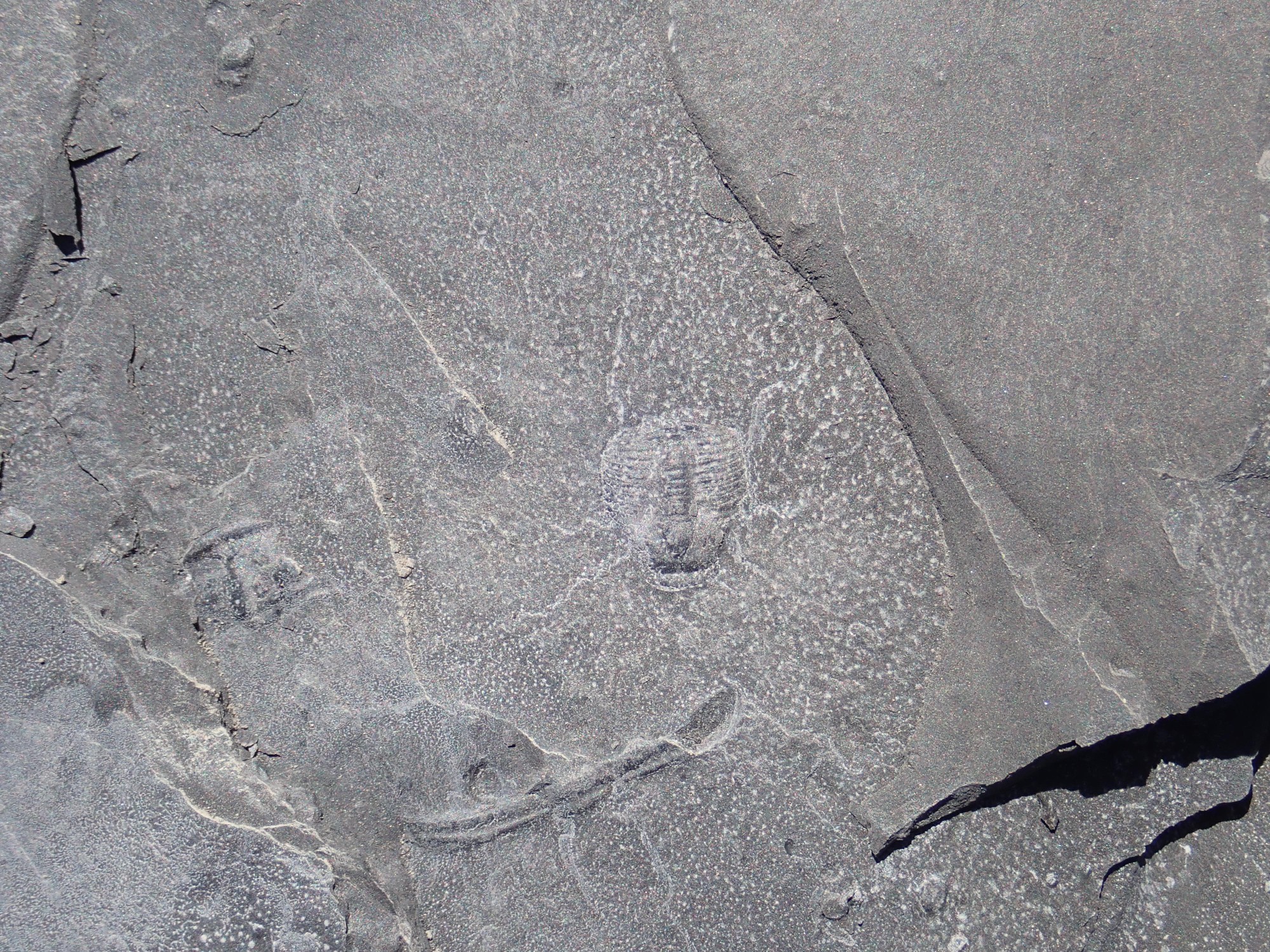
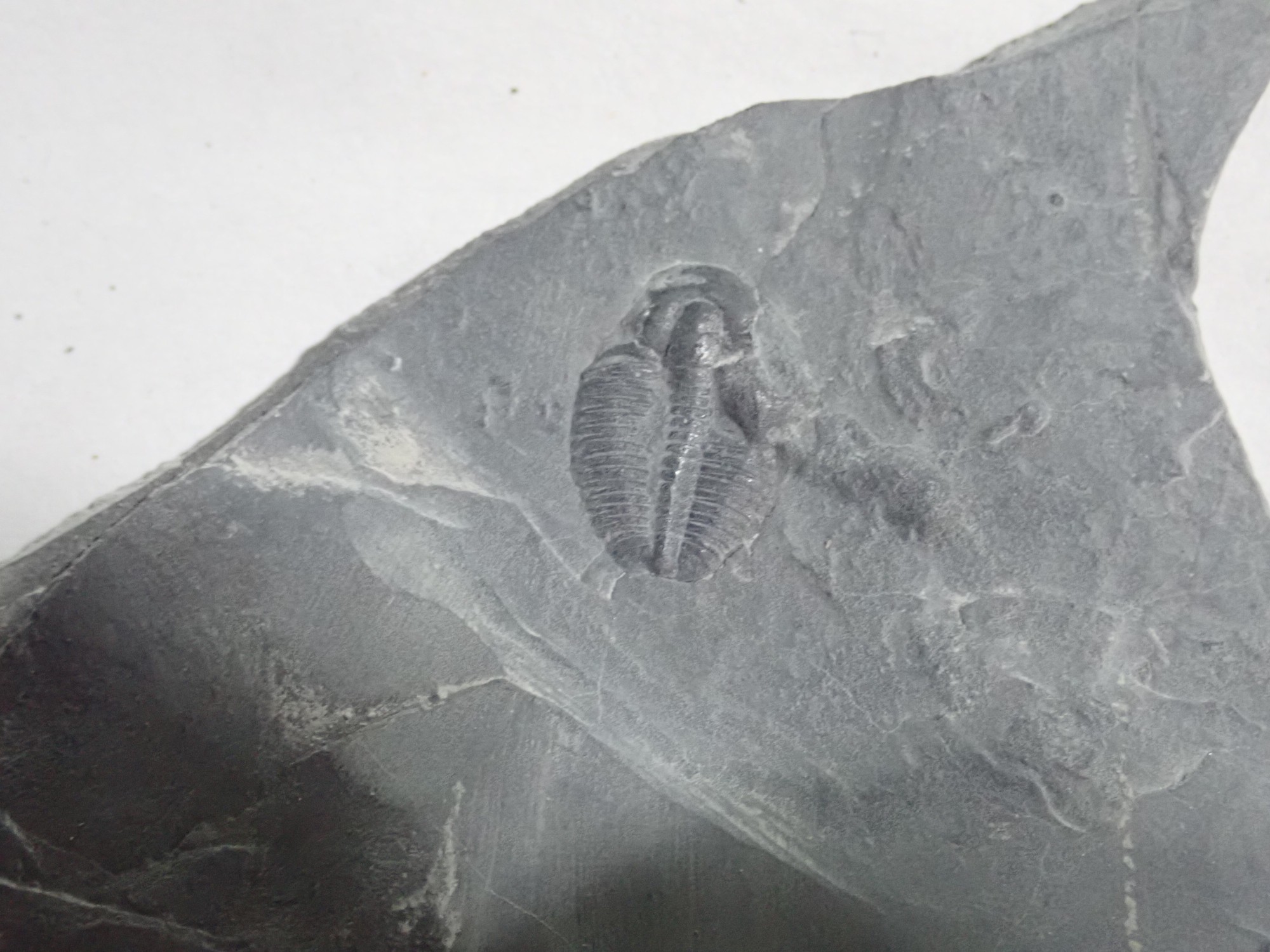
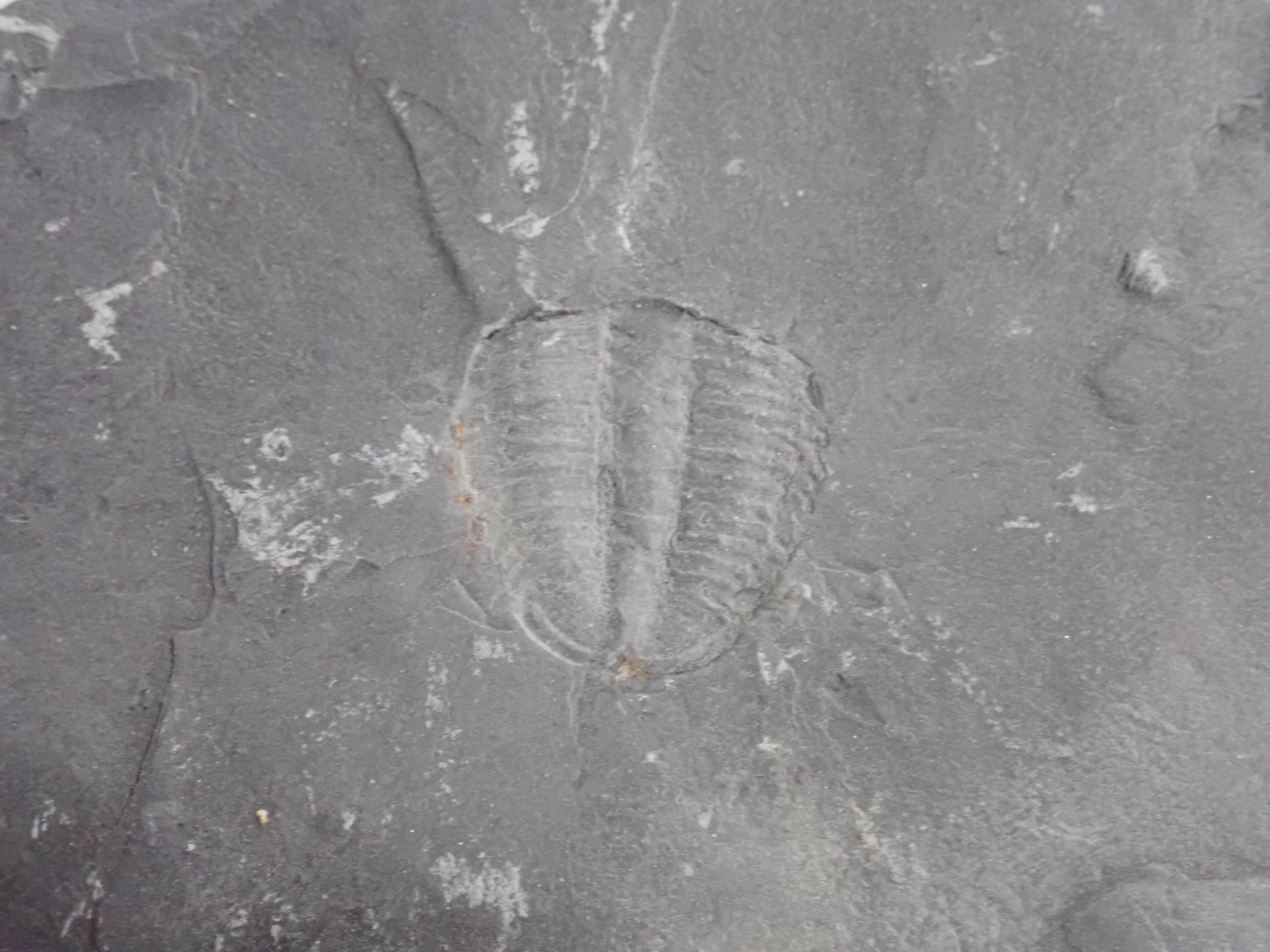
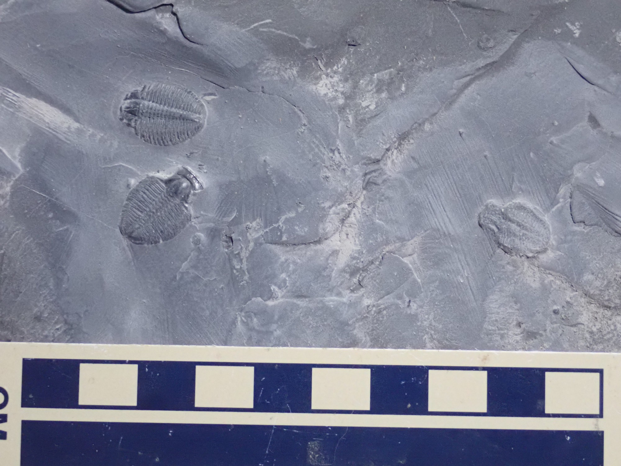
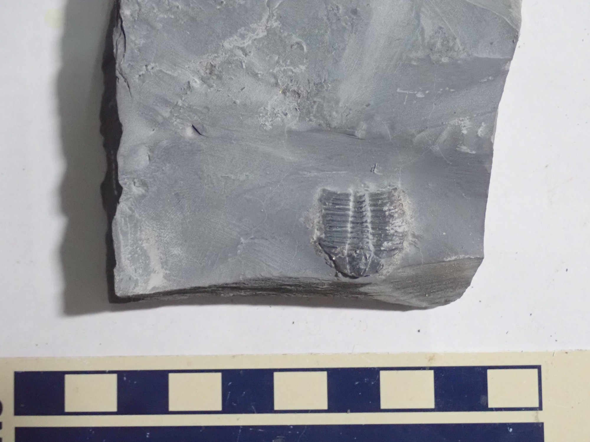
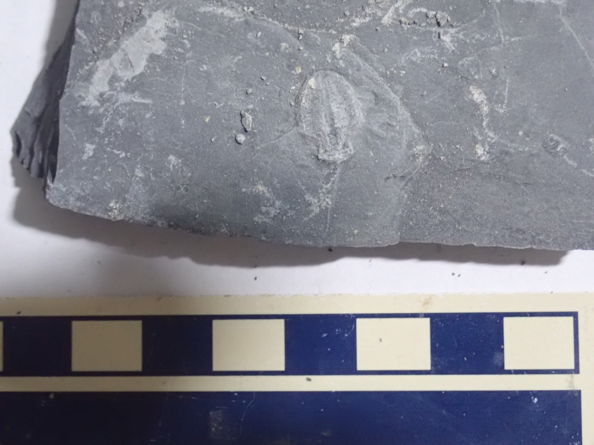
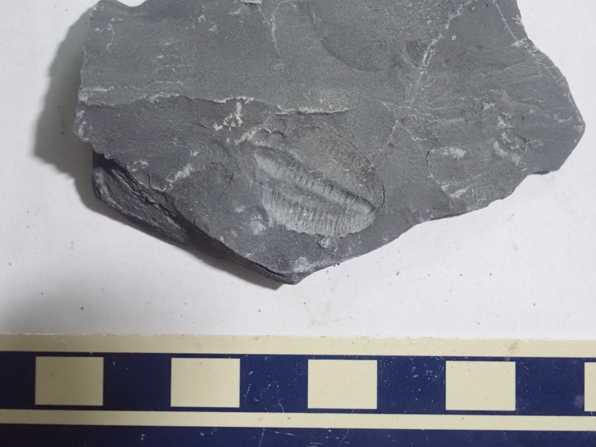
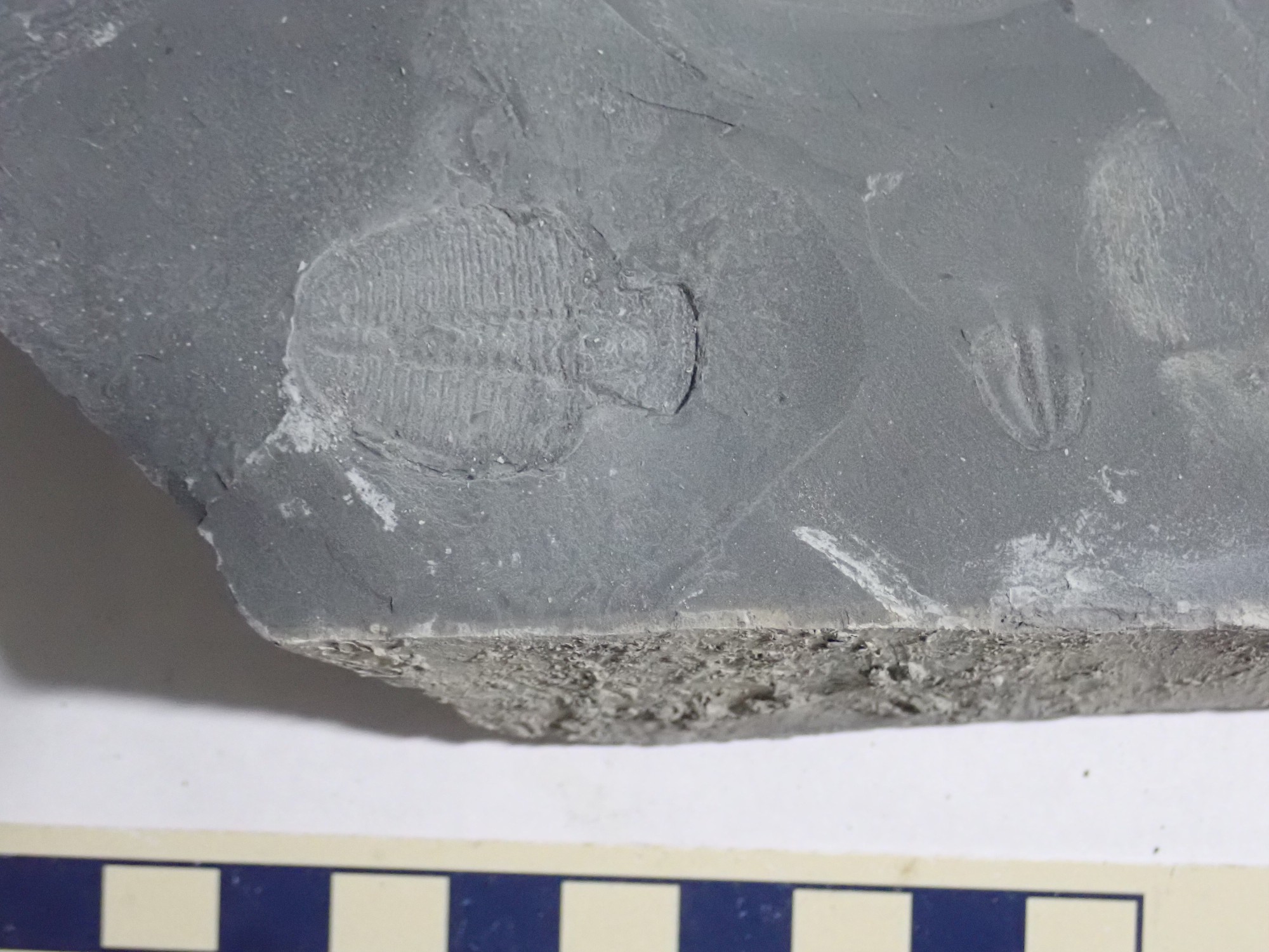
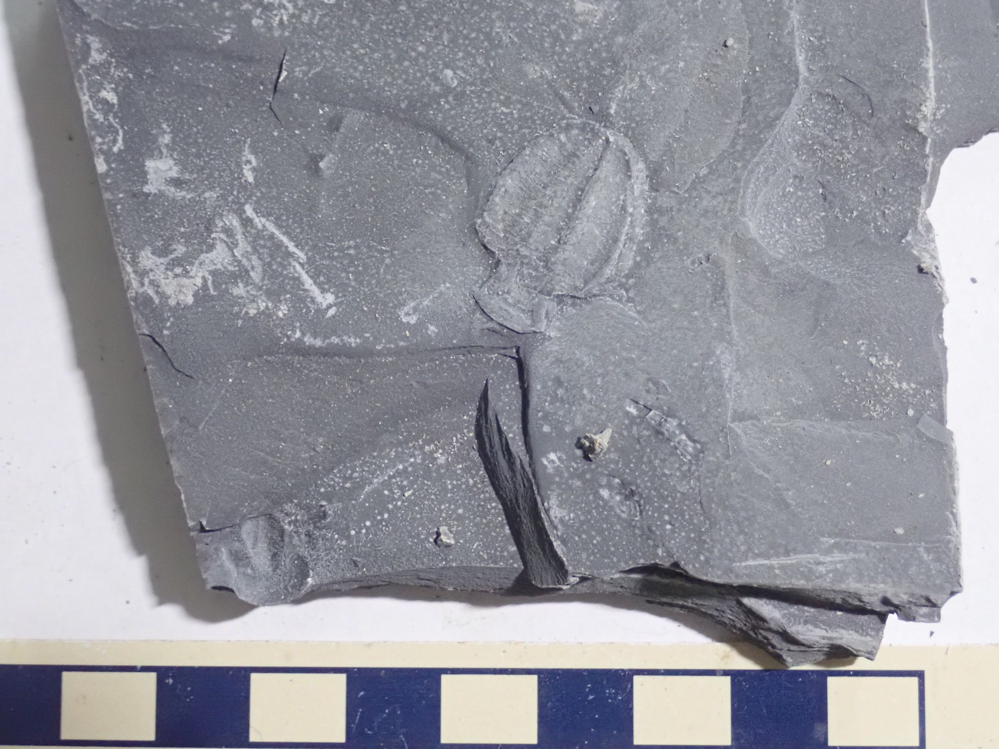
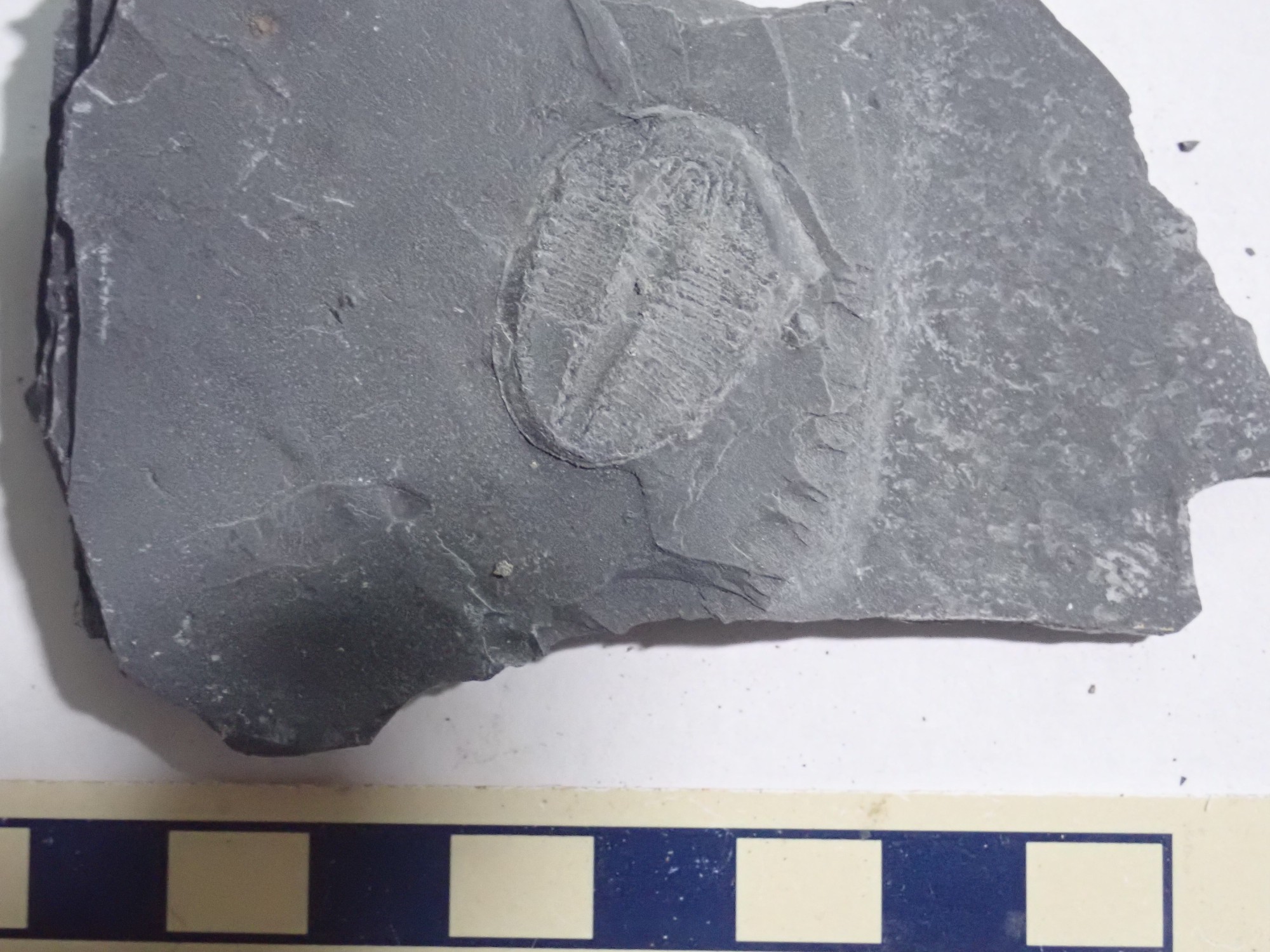
We soon find bugs!


The ones still embedded in their slab are actually considered more choice.
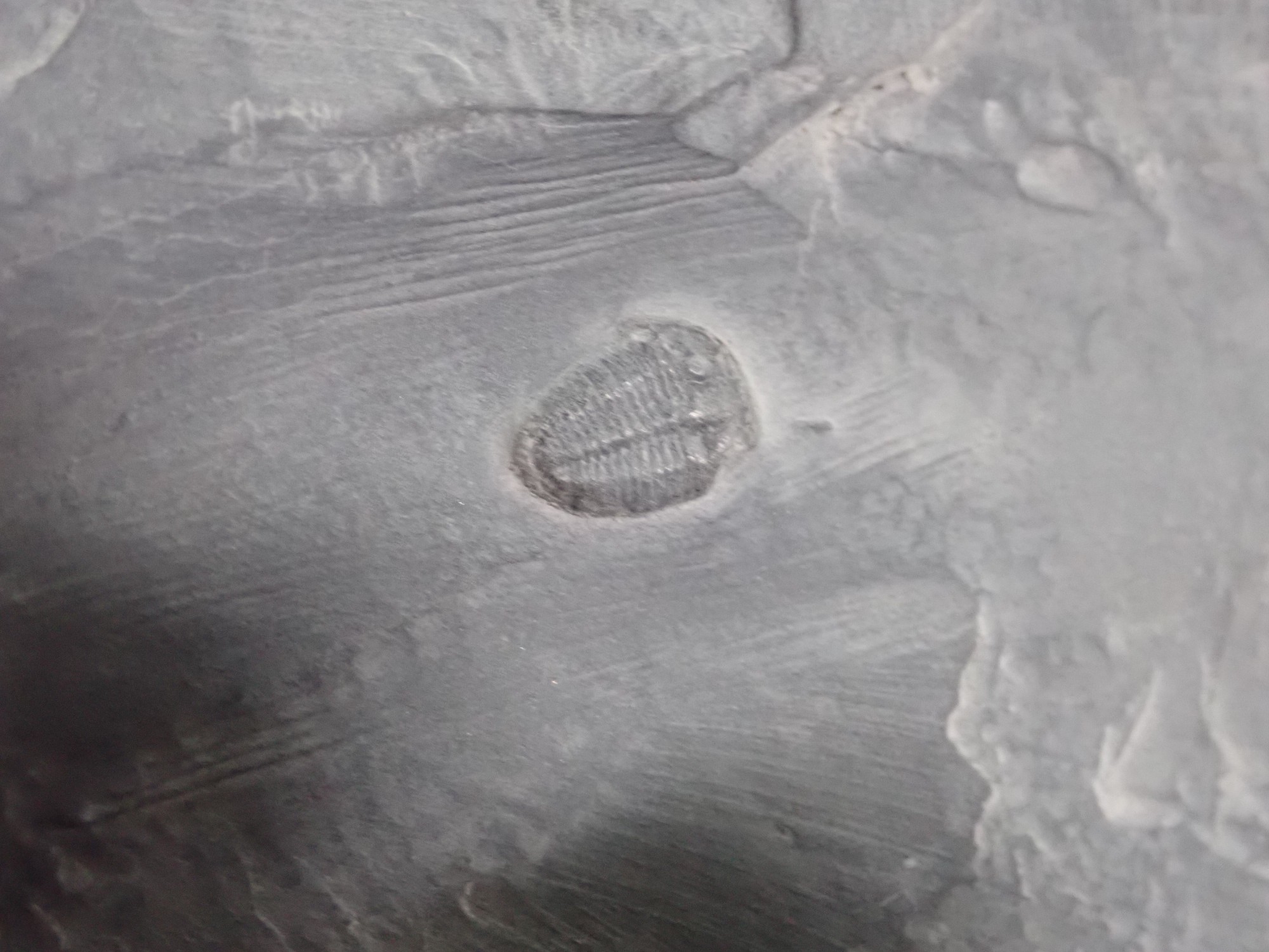
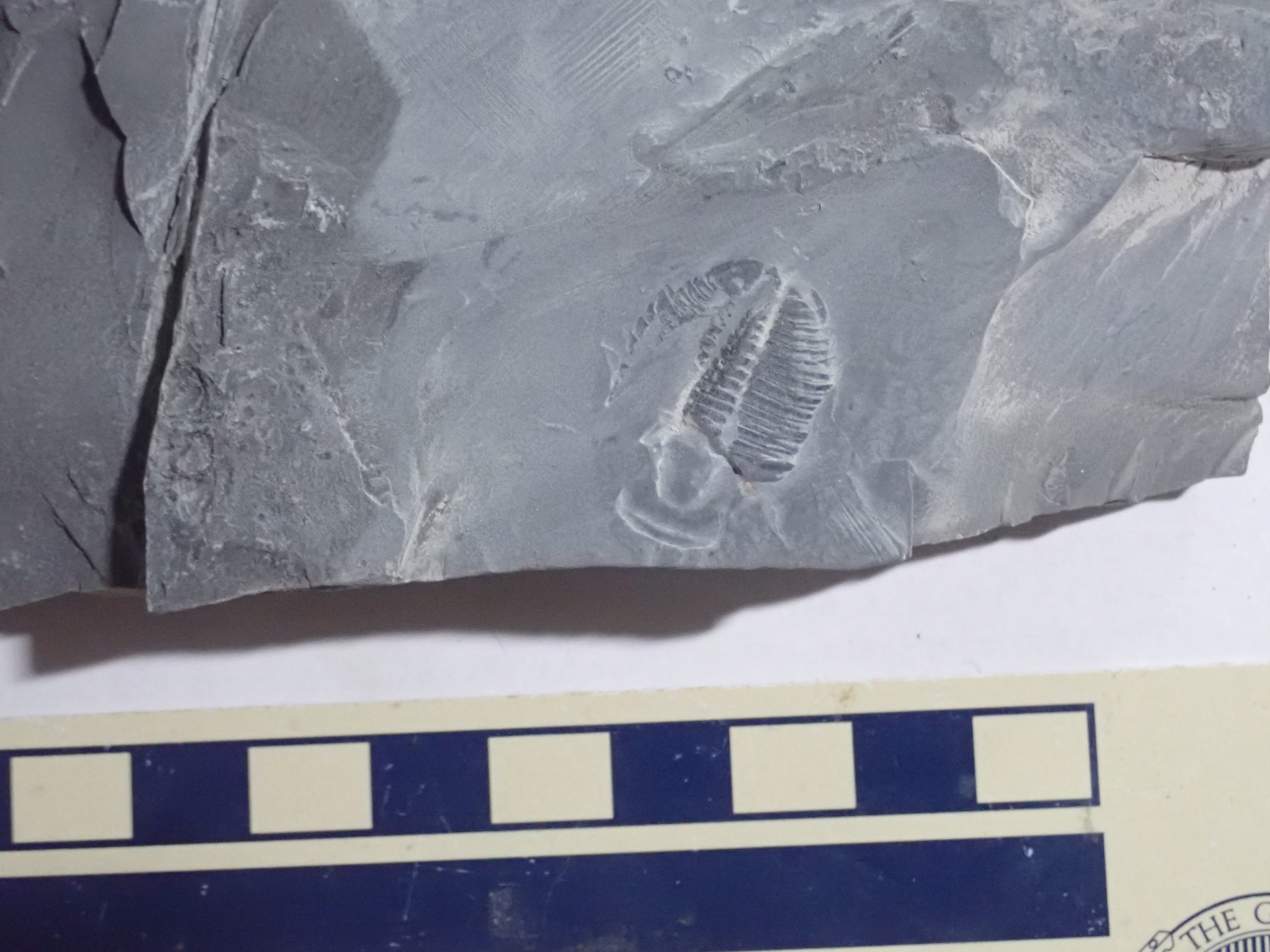
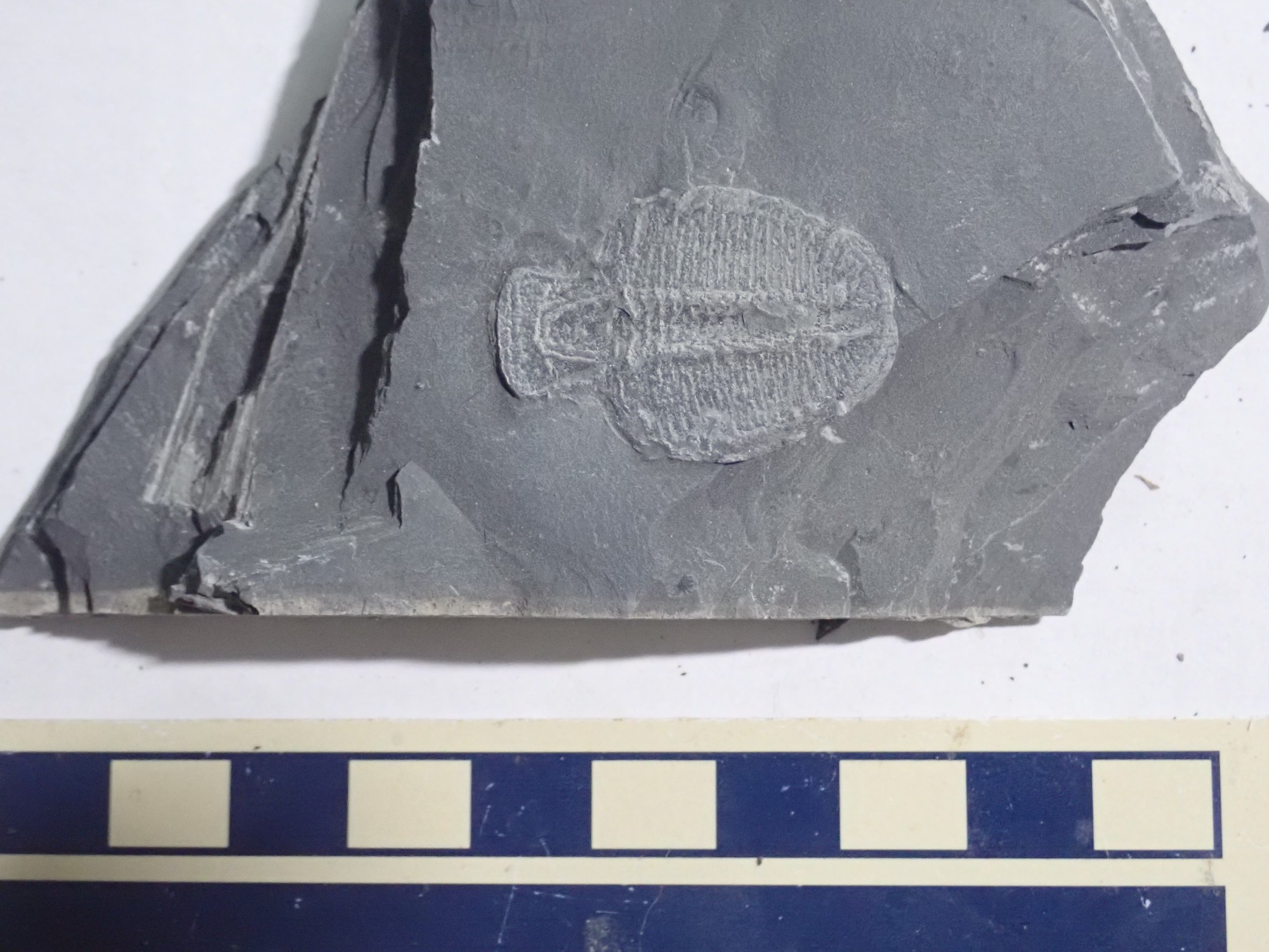
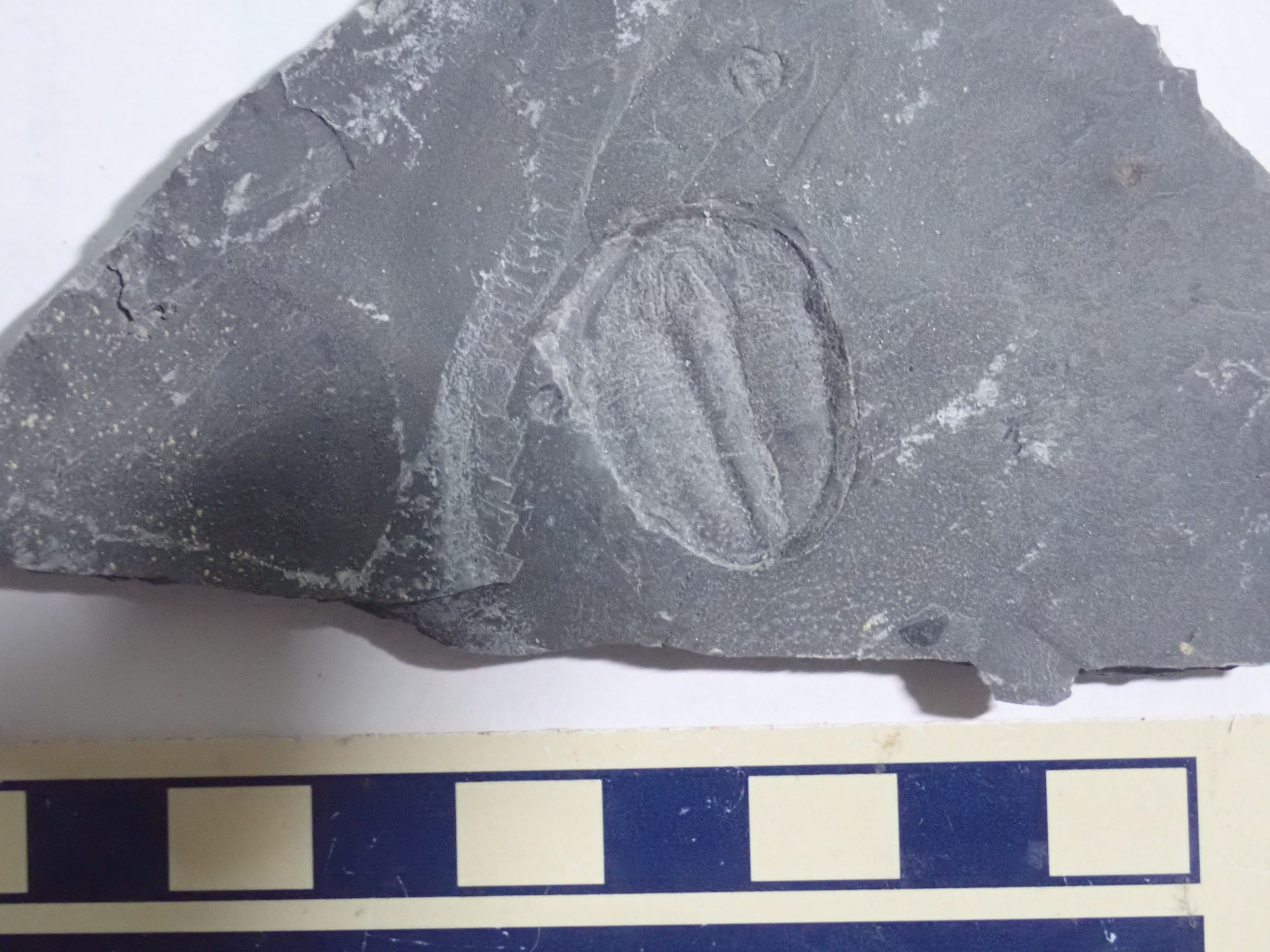
Some are impressions rather than the actual fossil.
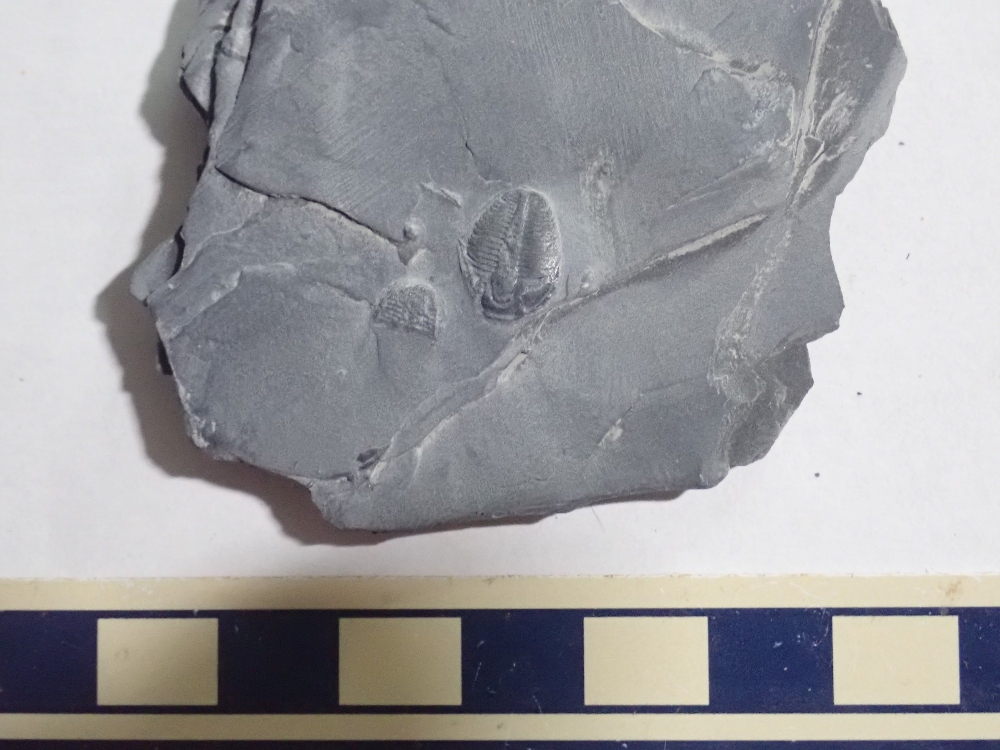
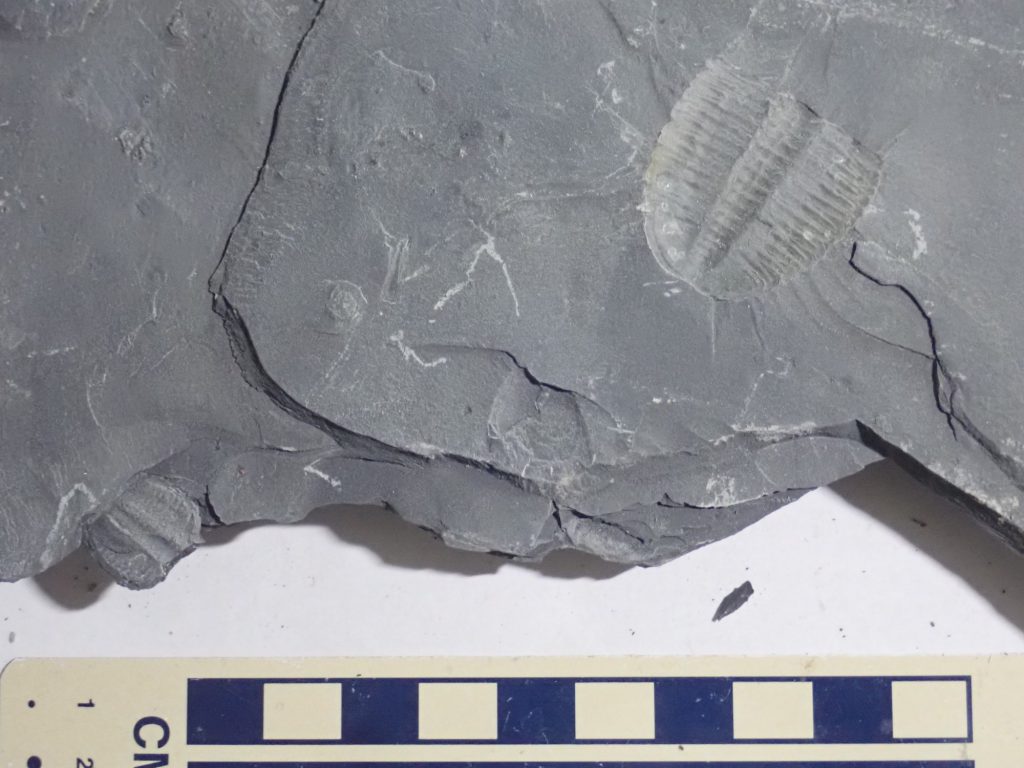
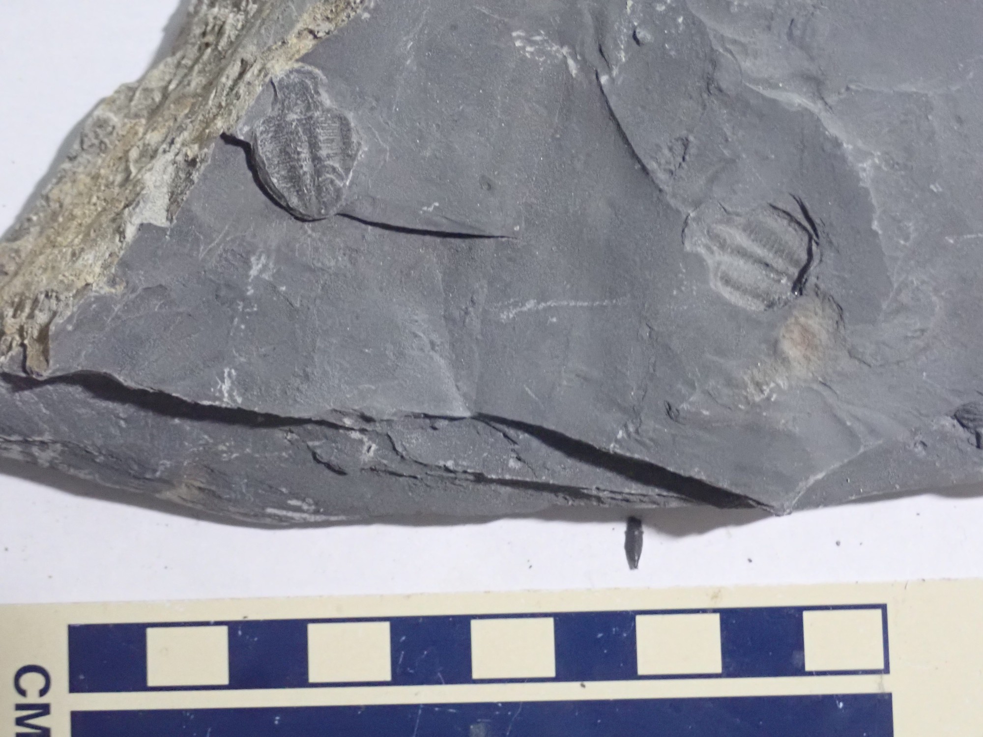
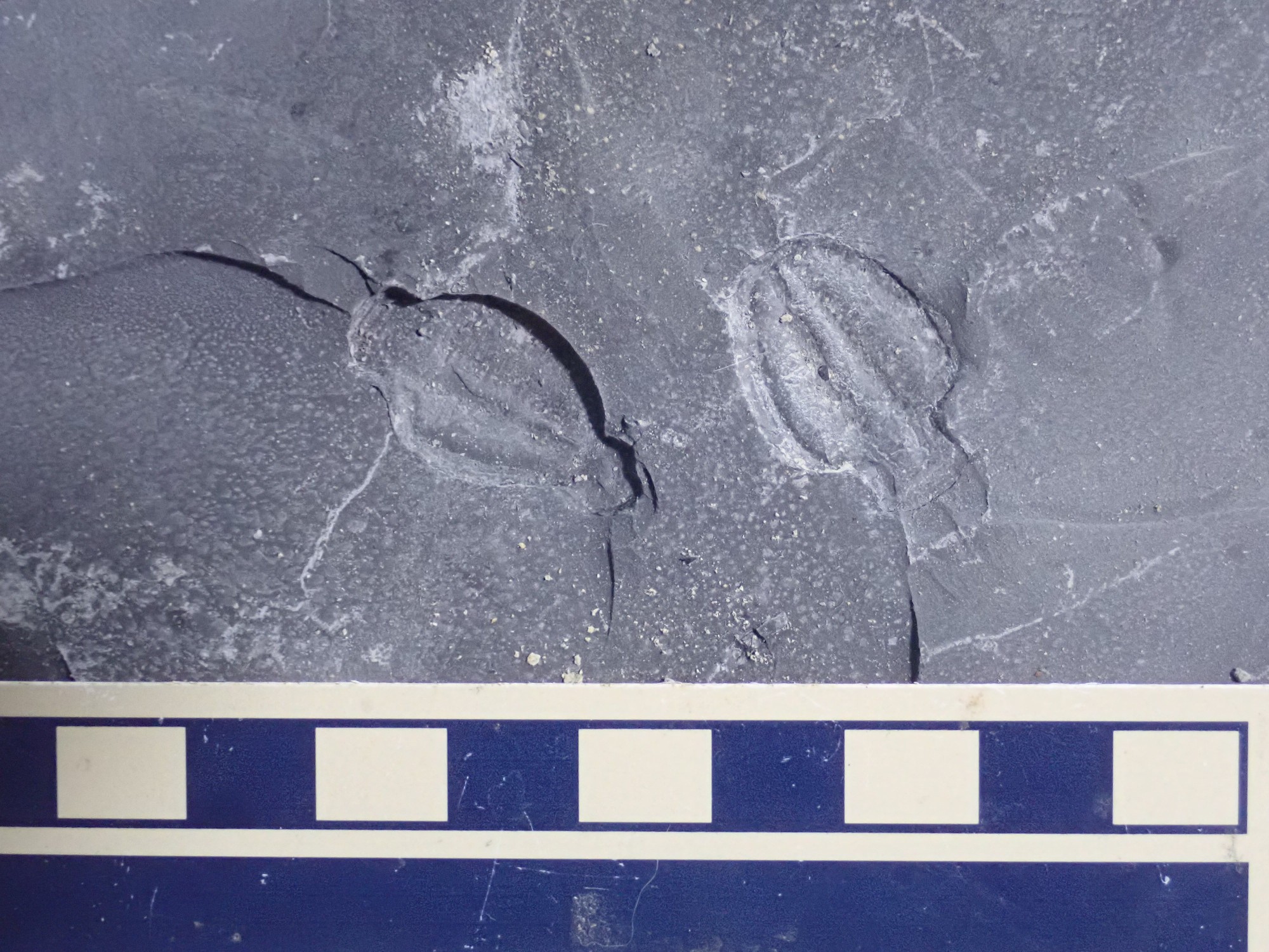
A slab with multiple trilobites.

I pause to survey the nearby hills.
Everything there is Cambrian. The beds capping the hills are probably Weeks Limestone.
Gary pries up a big block of shale.
Another visitor is a retired paleontologist who worked for a time as a petroleum geologist and then as an environmental geologist; made me think of my friend, Bruce Rabe. He has hit it big.
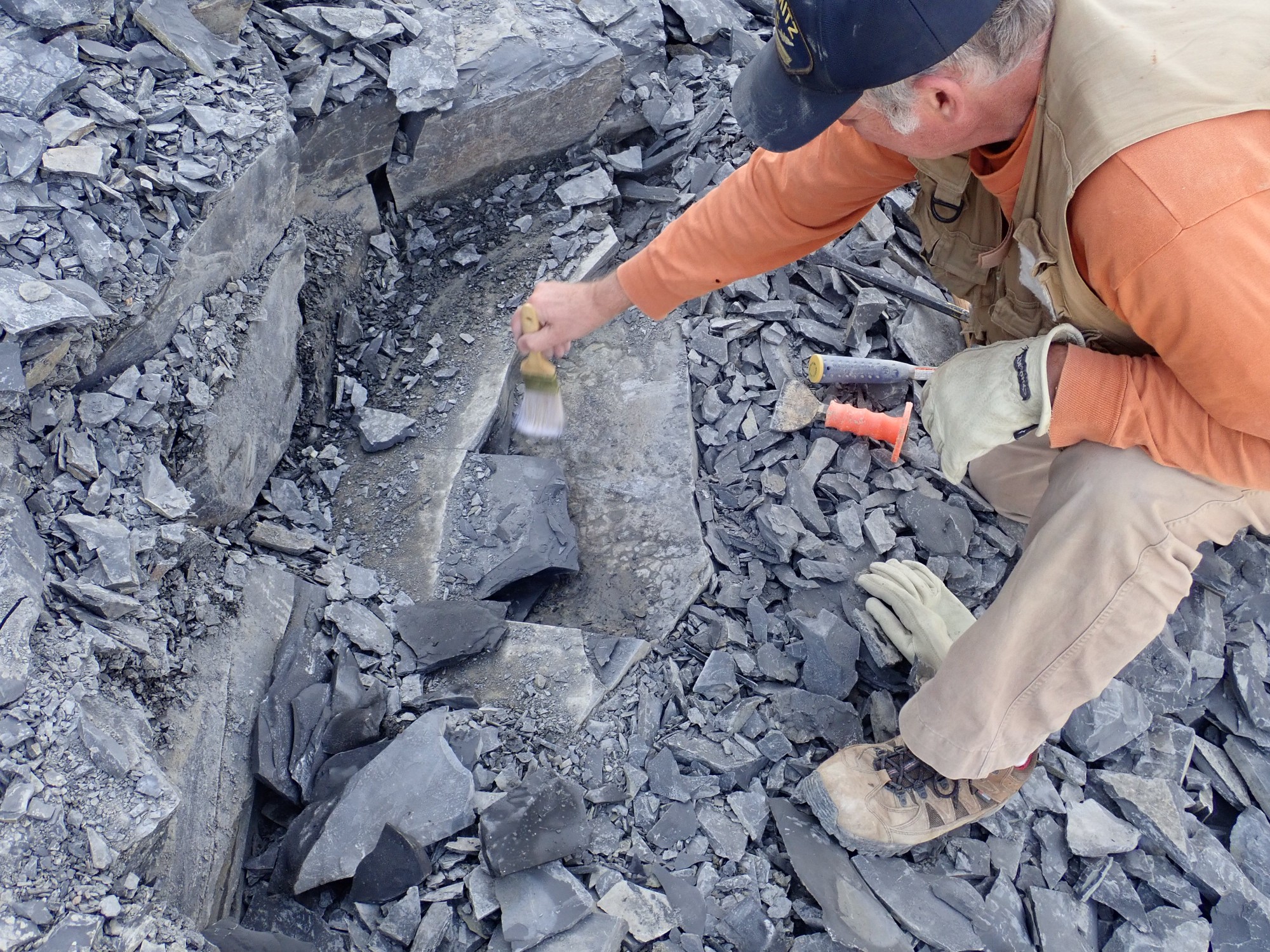
The layer he is working is a mortality plate, a single layer containing a mass of fossils that presumably all died at the same time from some untoward event. He keeps chipping at the overlying rock and uncovering more mortality plate.
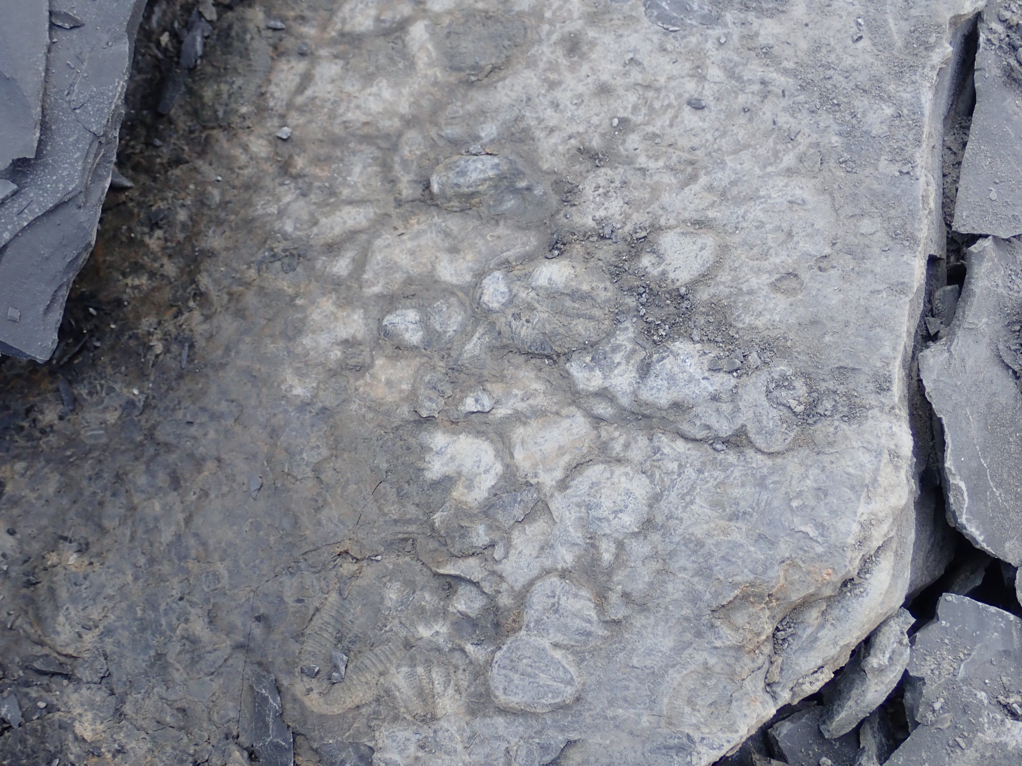
That’s a whole mass of trilobytes covered by a thin layer of clay. With some polishing, it will be spectacular. And there are at least three square feet of it — the more he chips around the edges, the more he exposes.
The trick will be getting it out intact and getting it home.
There is a bench grinder with a wire wheel at the quarry. Hunter’s grandma is adept at polishing the clay off the tops of trilobites.
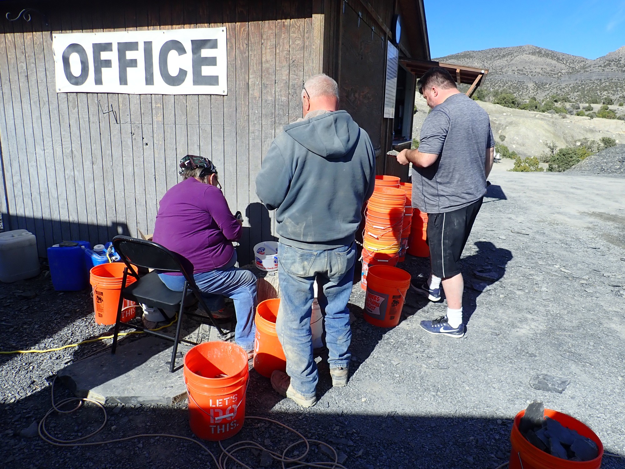
I try trimming down some specimens while she polishes. Naturally I split my best, largest trilobite in half. Sigh. But she polishes up several others, and I have a fair amount of booty.
Polished to the left, raw to the right. You cannot polish a cast, of course, but it also turns out that you can’t polish the underside of a trilobite very well. So the polished ones are limited to those that are not inverted with respect to the split surface.


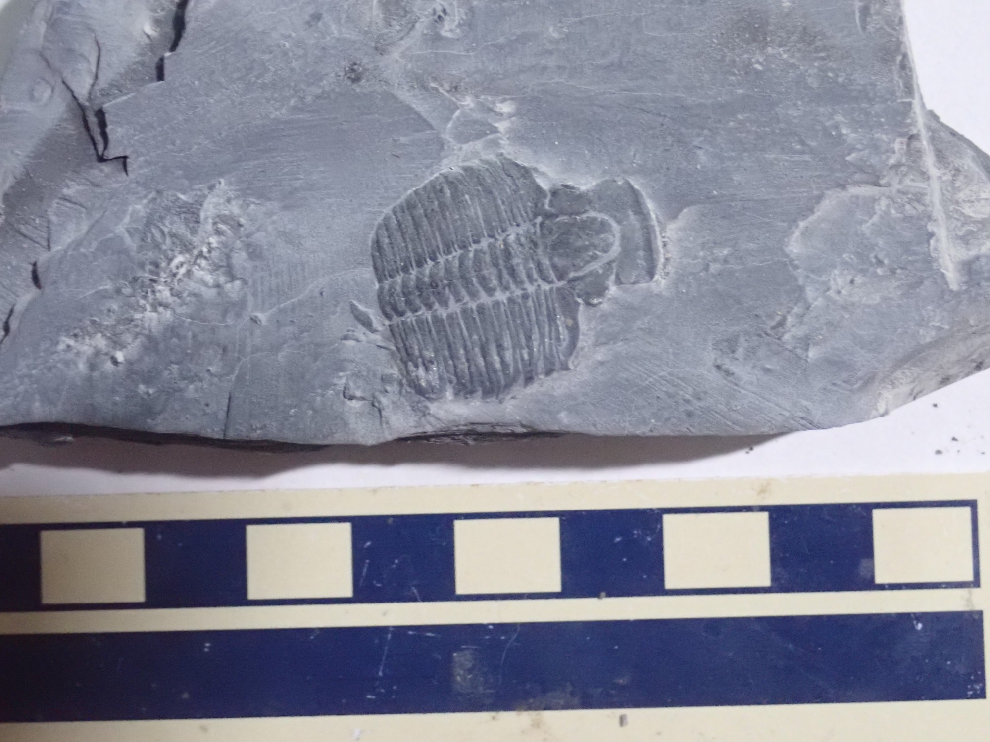
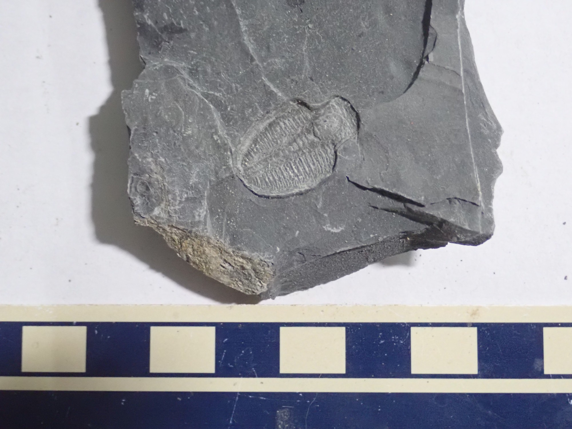
This one has partially broken off, leaving a cast.
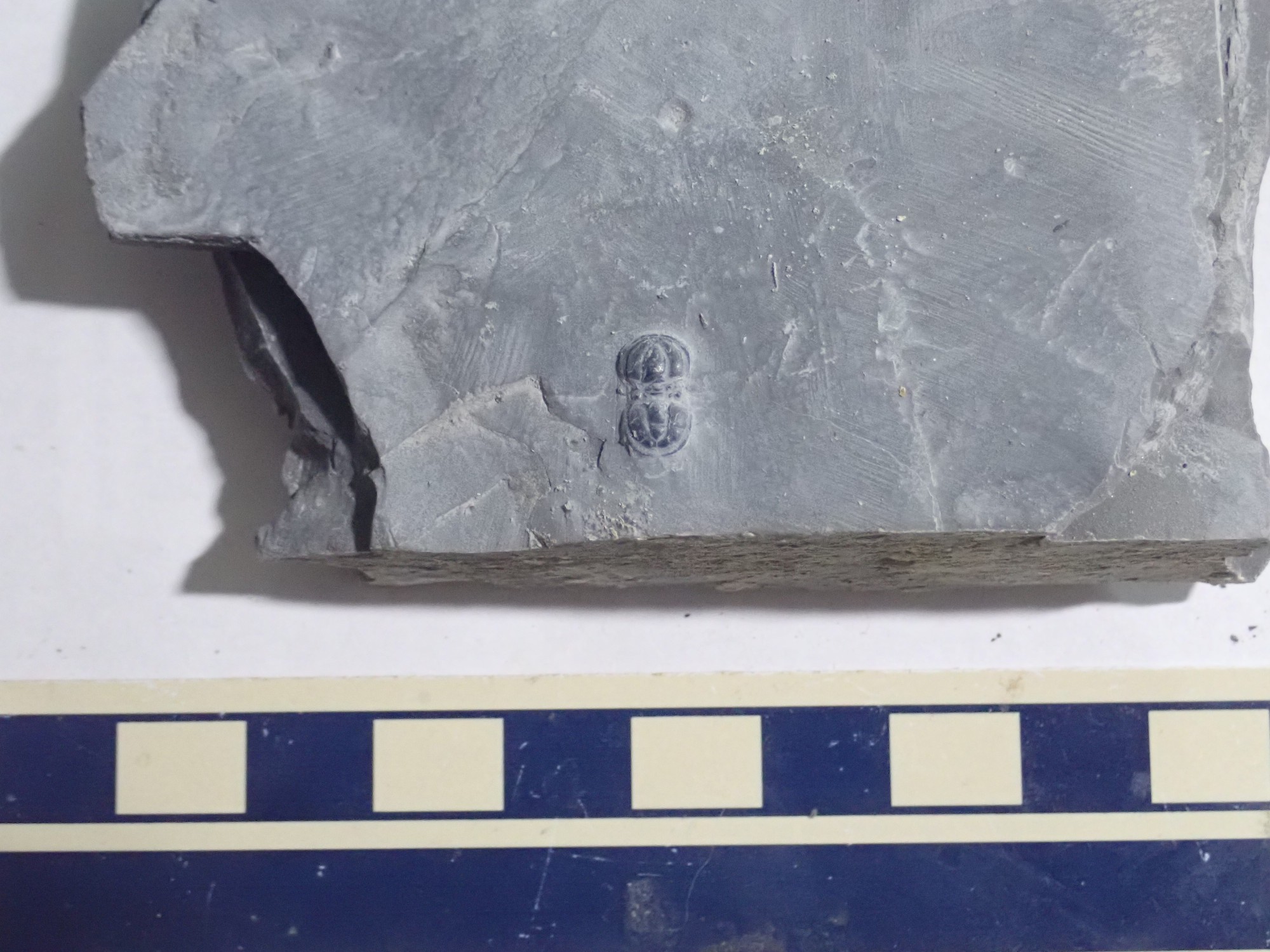
This little guy is an agnostid (eyeless) trilobyte, the only one we found at this site.
This was my best find. Naturally, I split it trying to trim down the rock. Grandpa tried gluing it back together for me.
Many of these fossils are missing their “cheeks” (librigena) during fossilization. This indicates that they are molted outer shells of trilobites rather than the complete animal. The librigena are detached during molting.

Only the upper surfaces polish well, and casts do not polish at all. The remaining specimens are casts or lower surfaces.
This one is missing its head but seems to still have its legs.

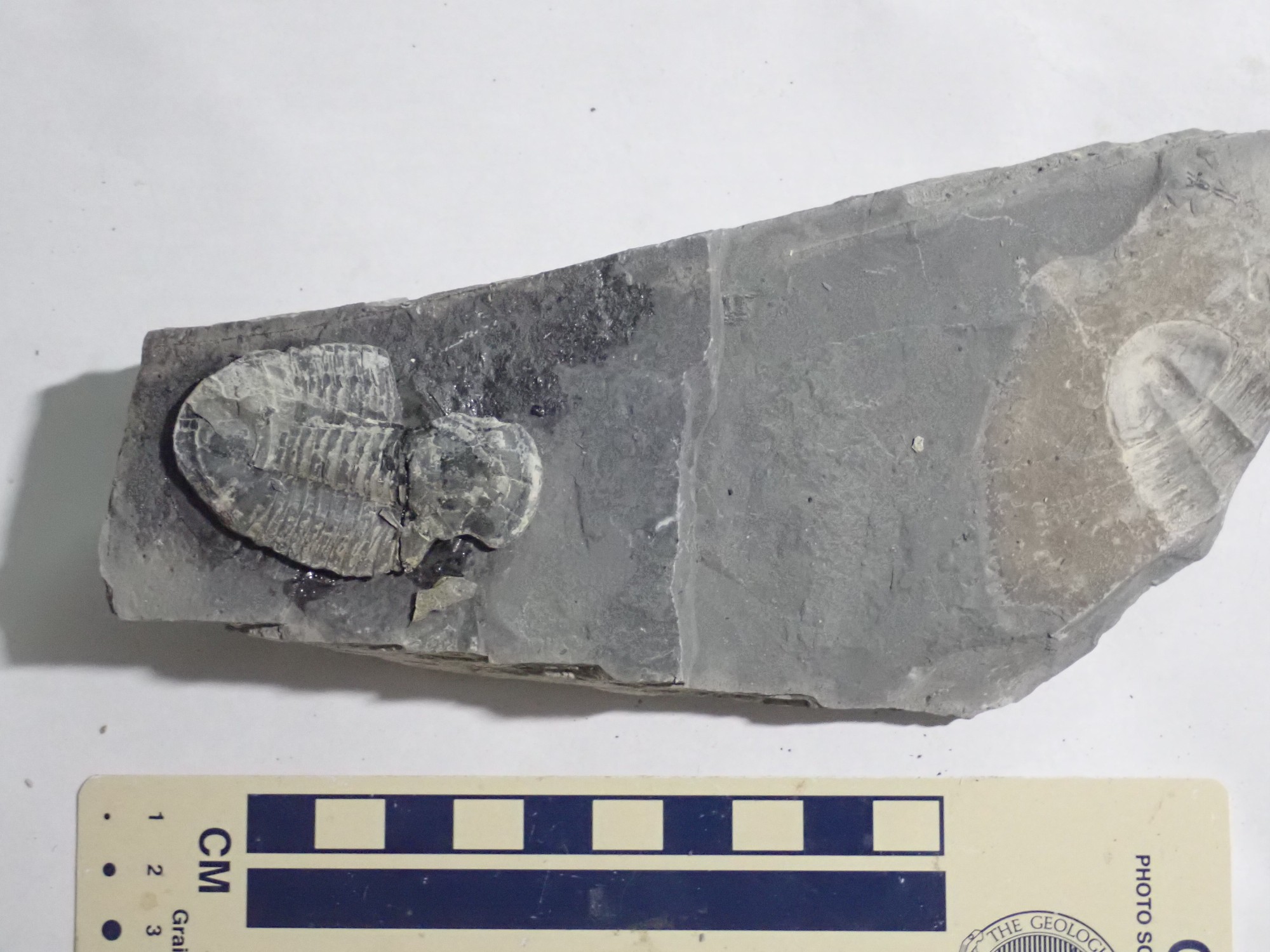
The last one has some pyrite around it. Pyrite sometimes replaces organic material, since the decaying organic material consumes oxygen and reduces sulfur to sulfide, which combines with iron to make the pyrite.
Grandma gets a tip. I tell her that Hunter should get part of it. Gary is more of a merchant at heart: He purchases a couple of large fine specimens found by Hunter and his little sister, after Hunter has consulted Grandpa on the asking price.
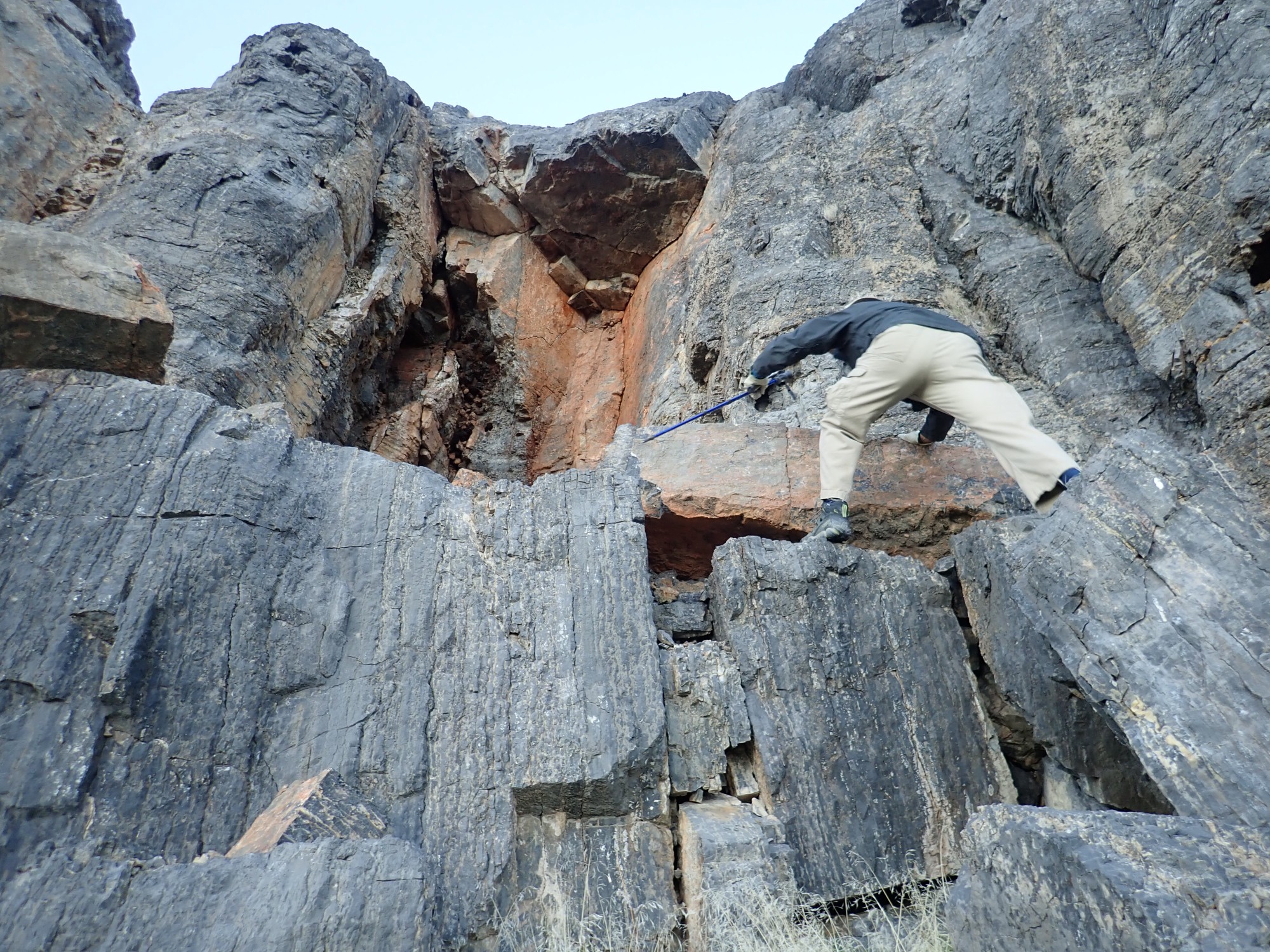
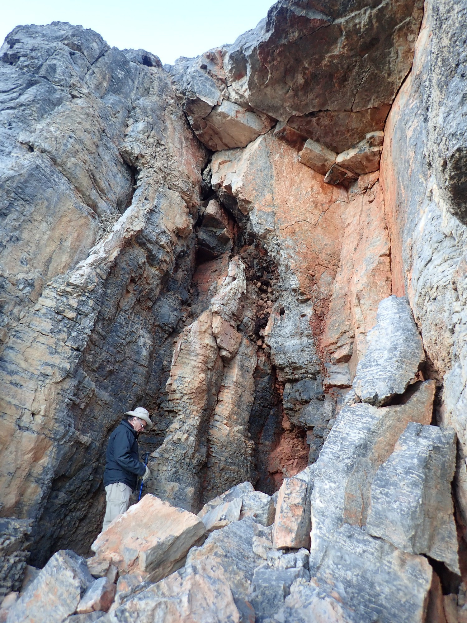
I’m still looking at that bed halfway up the amphitheater wall.
I find that the geologic map has a higher resolution version; as near as I can tell, the gray band is the lower Trippe Limestone.
Our hunt is done for the day. Worth $60 in fees and tips? You betcha.
We decide that the roads all look good enough for us to try the road directly south to Marjum Pass, which is less used than others hereabouts.

These cliffs are the mid-Cambrian Swasey Limestone.
We come to a spot of dark gray outcrop.
Gary: “That has to be basalt.” It does look a lot like it.
“Limestone.”
“I’m sure it’s basalt.”
“It’s limestone.”
Gary smashes off a piece. It’s limestone. (The geologic map later confirms that it is Swasey Limestone.)
Look, I’ve been at this several more years than Gary. You’d expect me to be right now and then. But now the two of us have a running gag:
Kent: <says something objectively incorrect>
Gary: “Limestone.”
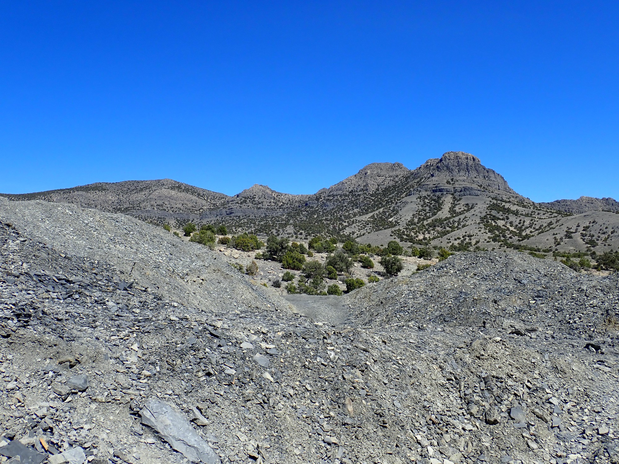
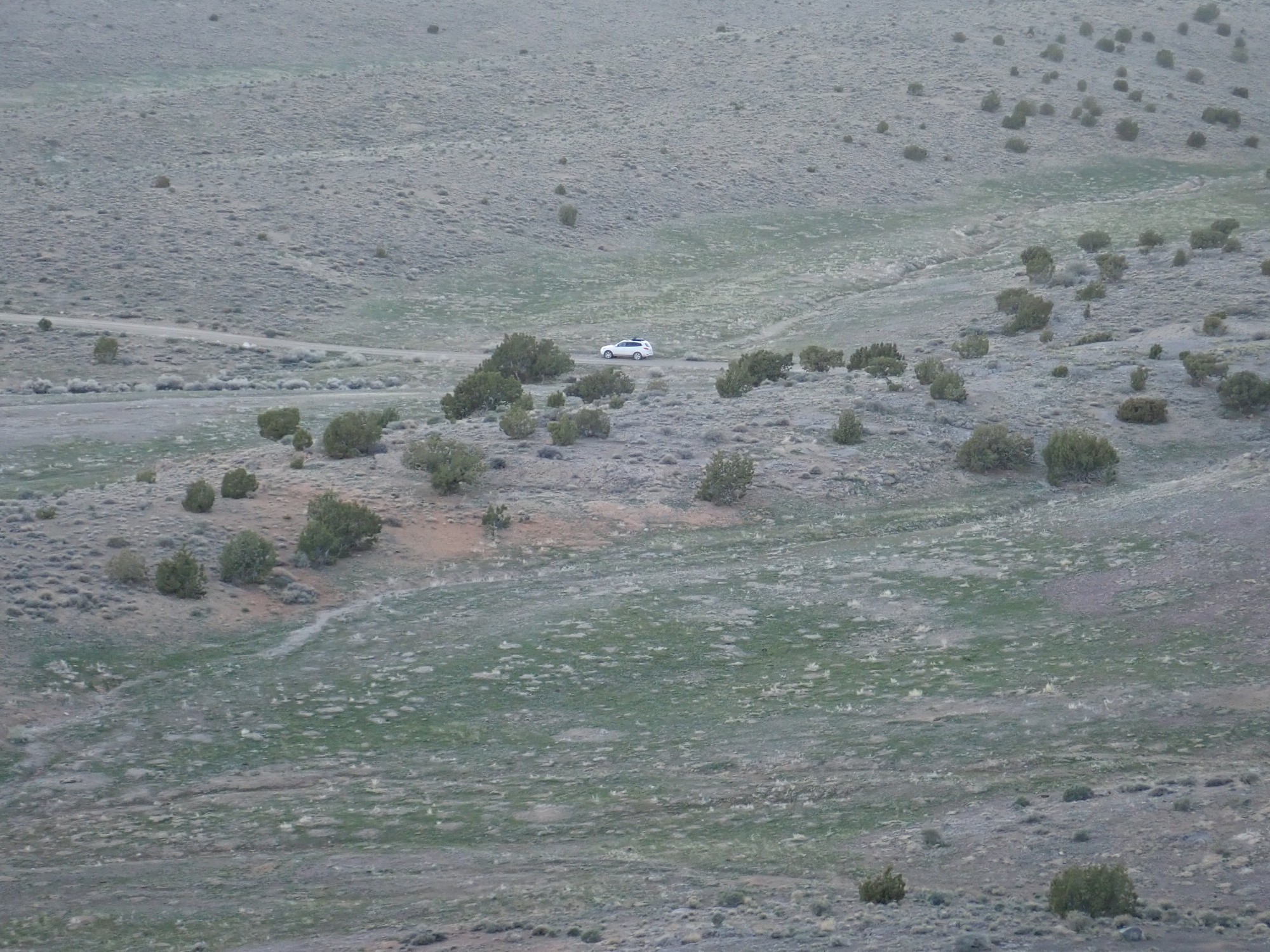
It had been my intention to drive clear to Marjum Pass and find a camping spot. But the light is fading fast and we come to a perfectly lovely spot for camping. Plans are adjusted.
The knolls around the road at left are underlain by Dome Limestone. The prominent hill left of center, to the east, is a foothill of Antelope Mountain, which lies beyond. The hill is capped with massive Swasey Limestone over alternating thin limestone and shale beds of the Whirlwind Formation.
At right, to the south, is Marjum Pass in the distance.
Right of center we see down to Sevier Lake, which appears to actually have some water in it at the moment. It is sometimes called Sevier Dry Lake, indicating that that is not the usual case. It is a remnant of Lake Bonneville that has no drainage and so accumulates salts; there is talk of mining potash here. The geologic map shows that the immediate area of our camp includes some lacustrine breccia and limestone, showing that the lake stood at least this high at some point in the geologic past.
Tent sweet tent.
It really is as fine a camping spot as one could hope for, except for no fresh water nearby and some residue of free-range bovine. We still have some daylight; Gary suggests climbing the nearby hill.
“It’s a long ways away.”
“No it isn’t.”
This time, Gary is right, and we soon reach the hill. There are wildflowers.
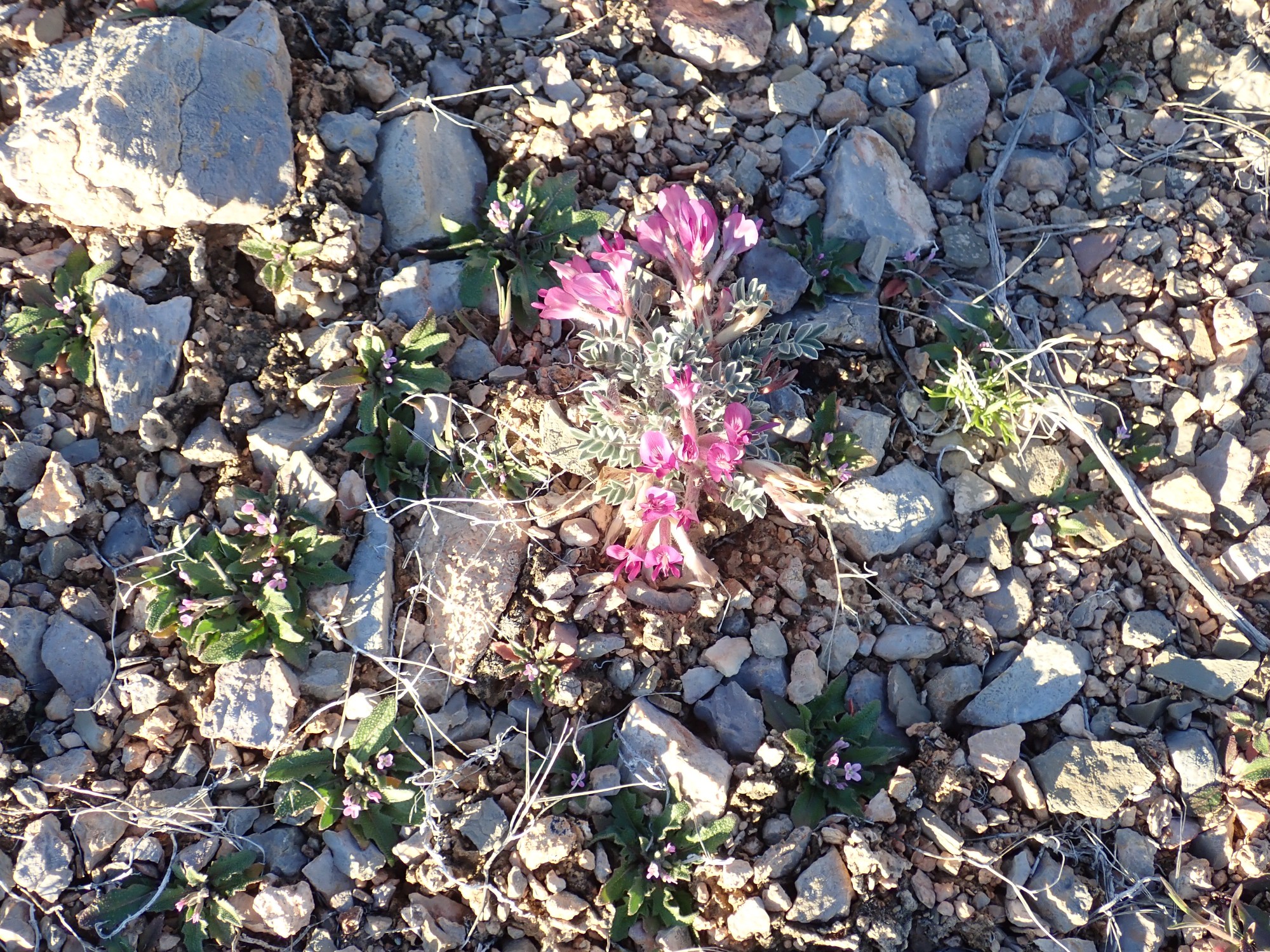
A legume, based on the flower shape. Possible a vetch. I look it up after we are home and it is possibly Newberry’s milkvetch or Torrey’s milkvetch.
A view of Marjum Pass, again.
We come to a distinctive outcrop.

It looks like limey sandstone. We’ve probably come to the Whirlwind Formation here. Also the shale here.
We reach a very distinctive outcrop.
I’m guessing this is Whirlwind Formation as well, though it could be the base of the Swasey Limestone. It’s all middle Cambrian in age, and there are so many formations of that age in this area that they all kind of blur together. The Cambrian lasted from 541 MYa to 485 MYa; that’s almost as long as the entire time interval from the extinction of the dinosaurs to the present day.
The base of the cliffs capping the hill.
I’m going to venture a guess that the prominent notch above Gary’s head is a discontinuity marking the base of the Swasey Limestone.
We have company.

Crotalus viridis, the prairie rattlesnake. Except we’re outside its reported range. But the color closely matches. Regardless, it’s a rattlesnake. We admire from a distance.
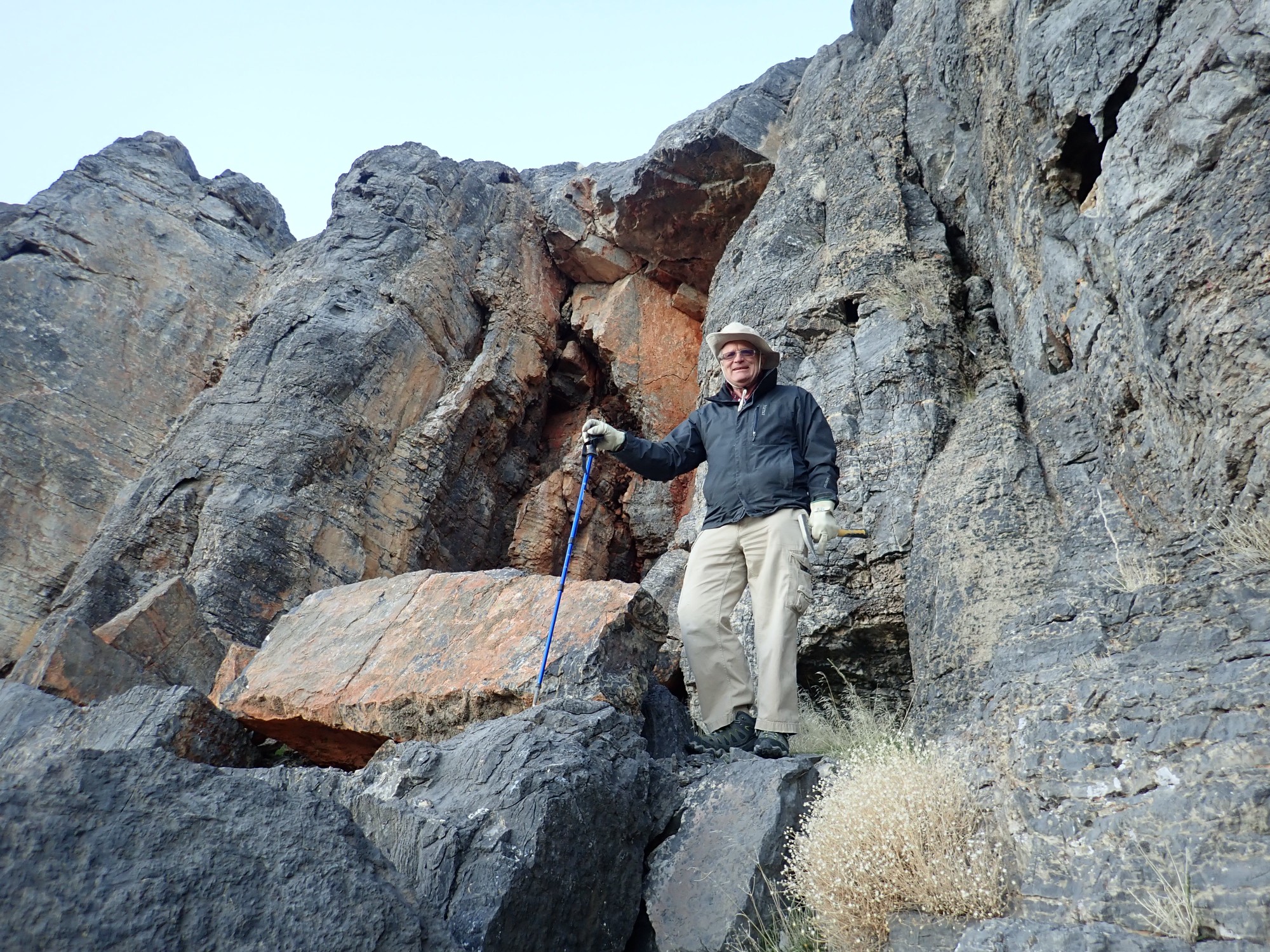
I think Gary aspires to be a mountaineer.
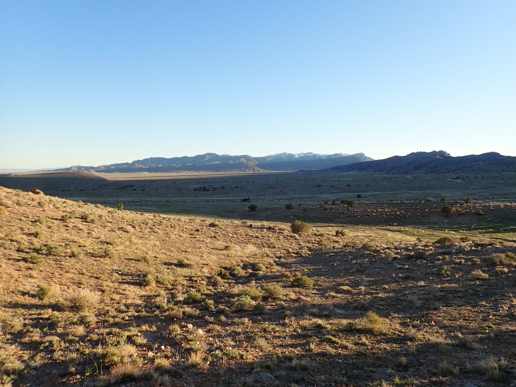
View northwest.
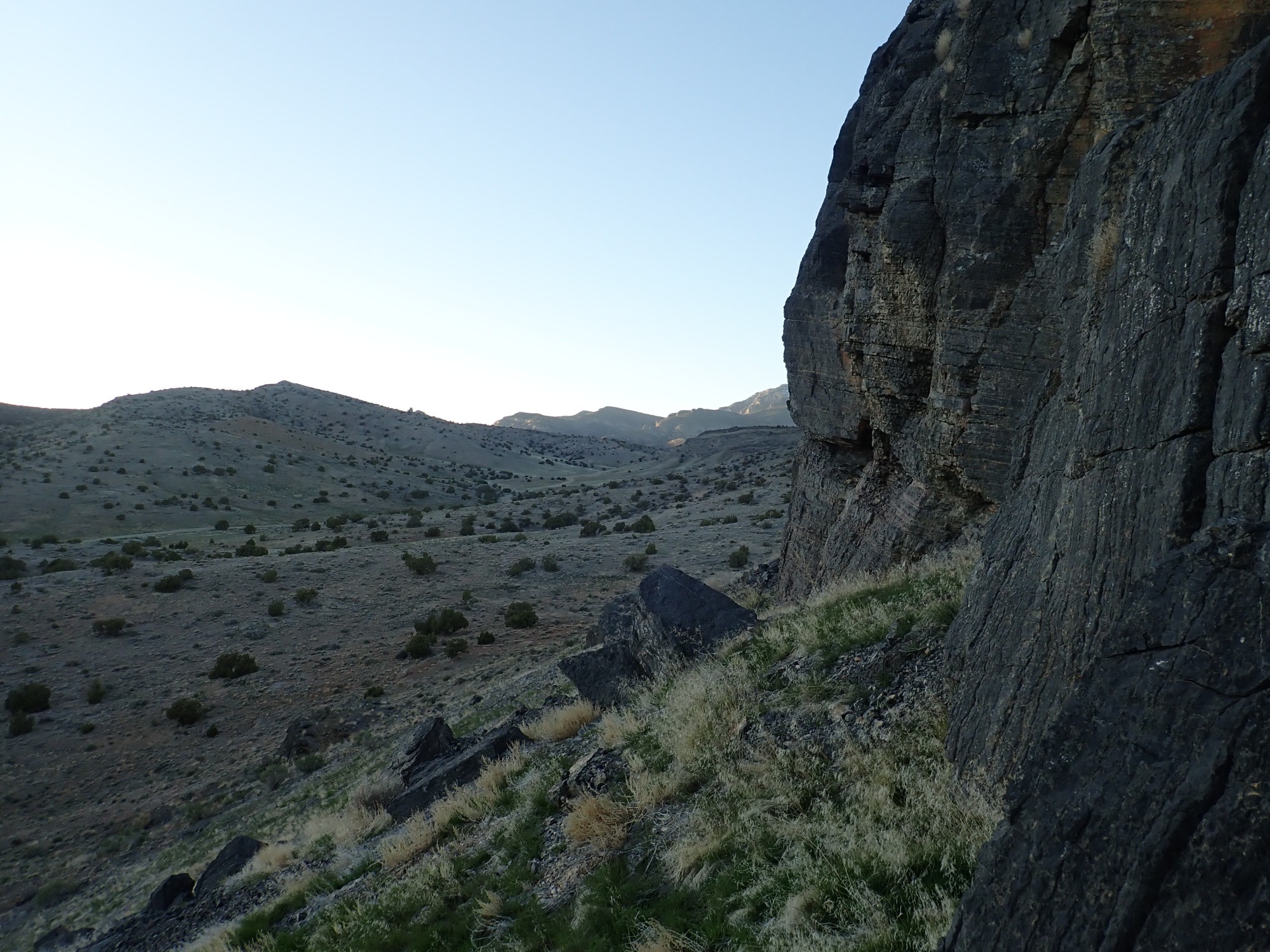
Notice the beds dipping to the east. The House Range is a block mountain range, with a steep west face and gentler eastern face.
We’re a long ways up.
At the top.


The summit has been somewhat besmirched by birds. From here we can see the water of Sevier Lake to the southeast.
We work our way down. As we do so, a pride of horses enters the valley from the southeast.
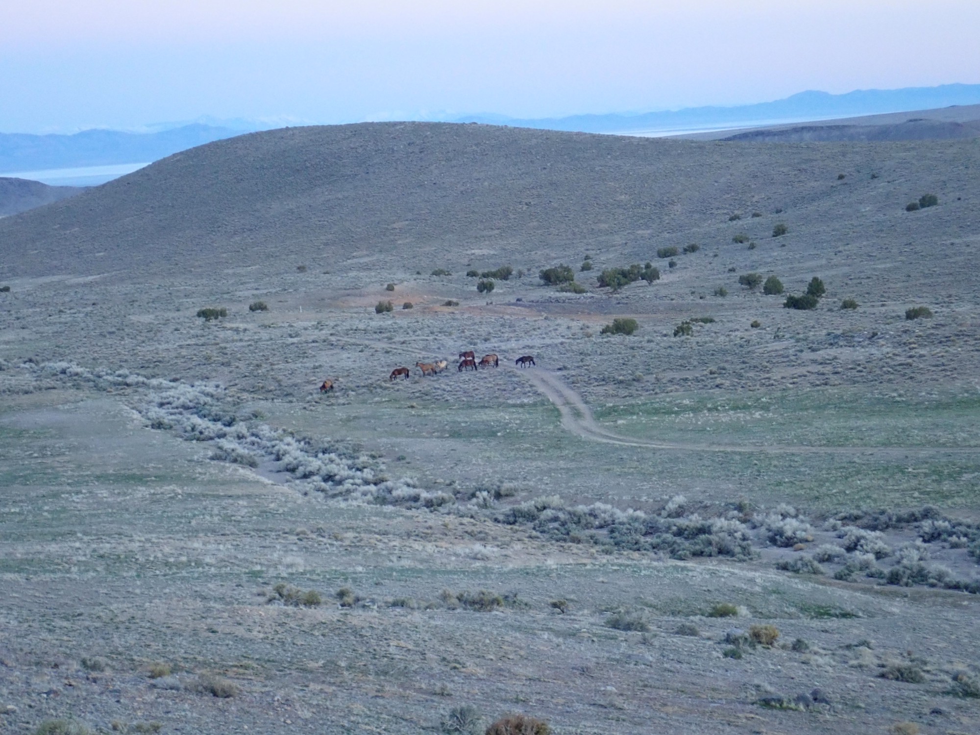
Wild horses, I imagine. This is open range and I have a hard time imagining a domesticated herd here. Horses have a dignity and sense of purpose lacking in cattle.
The moon rises.
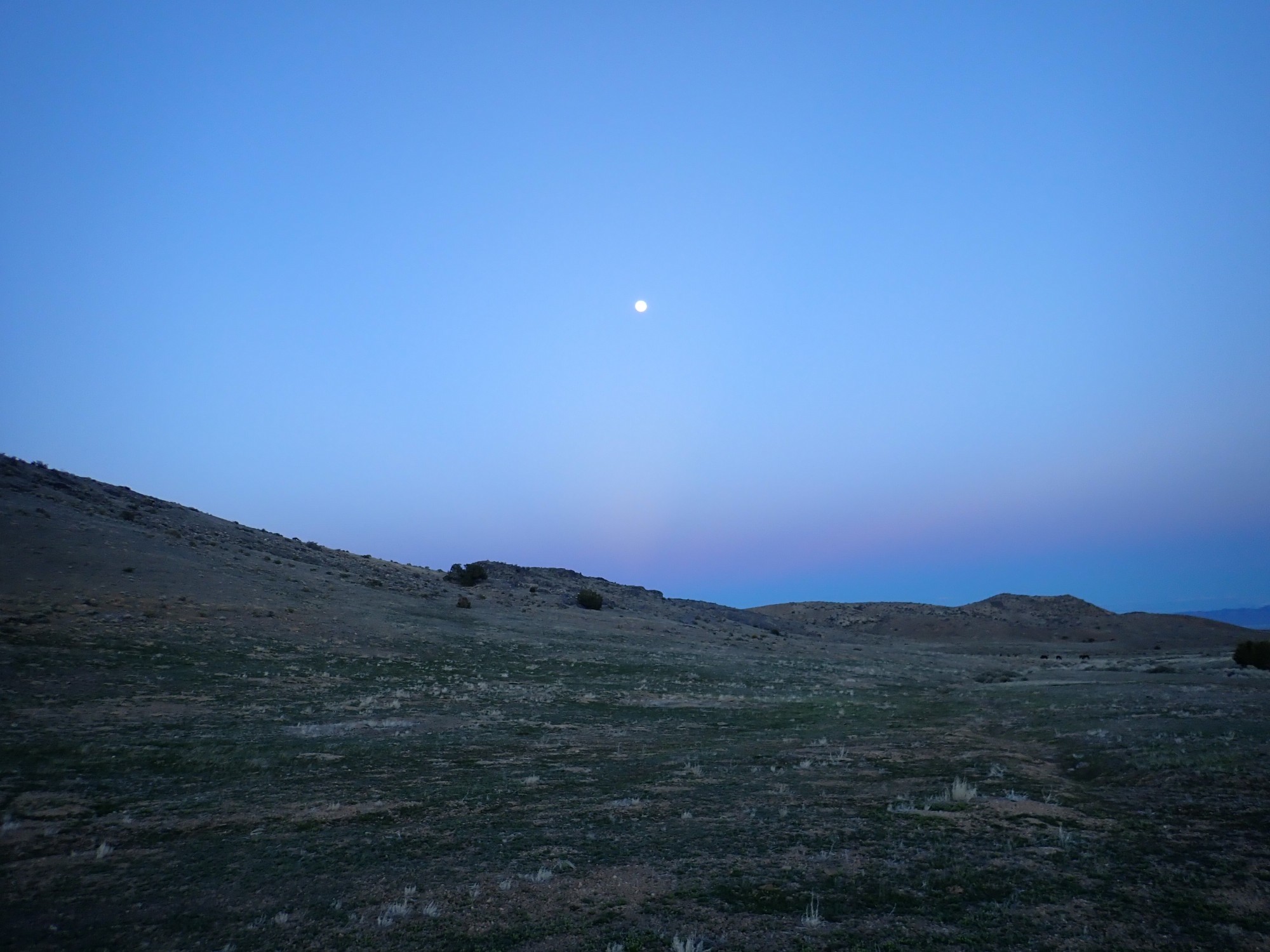
I’m liking the low-light capability of this camera. It has captured the faint pillar of light below the moon, opposite the setting sun and probably caused by peaked backscatter of sunlight. I’m not quite sure what this is called; “moon pillar” is close but refers to scattered light from the moon itself.
We arrive back at our camp. It is a bit chilly. Gary warms some electrocuted milk and we have hot chocolate (in Gary’s case) or sweetened (with xylitol) milk (in my case) and wraps. It’s probably the coldest night of the trip, in the wake of the cold front that brought in the weather yesterday, but my sleeping bag is warm enough when I’m sleeping in a sweater with my woolly hat on and my jacket spread over the sleeping bag.
Next: The politics of dishonor