
Wanderlusting the Rito de las Perchas
Not too long ago, I visited the San Pedro Mountains, which contain the oldest rocks exposed in the Jemez region. You can visit that post for a more detailed explanation of the geology of this area, but the short version is that the San Pedro mountains are a block of basement rock consisting of numerous overlapping plutons (intrusions of magma) around 1.7 to 1.8 billion years in age, in which only a few outcrops of the slightly older metamorphic rocks they intruded are still preserved. This block of crust has been uplifted at least twice; the first time, during the Ancestral Rocky Mountains Orogeny (mountain-building event) around 320 million years ago, and the second time as part of the Laramide Orogeny that peaked around 60 million years ago and produced the modern Rocky Mountains.
The first period of uplift ended when the ancestral San Pedro Mountains were buried in Permian red beds of the Cutler Group, and remnants of Cutler Group beds are still present atop the San Pedro Mountains. These are often capped with Pedernal Chert of the Abiquiu Formation, suggesting the more recent uplift did not really get going until less than 25 million years ago, when the Pedernal Chert formed.
My previous visit got me samples of some of the plutons, but I came home from it with some loose ends still to tie up. I did not get to visit the metavolcanic rocks that are among the oldest in the Jemez region, and I was left dissatisfied with my samples of tonalite — they look more like granodiorite. The guide for the area warns that the tonalite pluton occasionally grades into graniodiorite, so I was sampling the right pluton, but at a not very typical location.
If you’re still reading this, you presumably are willing to care about such things, so: Granodiorite is a coarsely crystalline rock with a fair amount of quartz (20%-60%) and somewhat more plagioclase feldspar than alkaline feldspar (65%-90%). Plagioclase feldspar, in turn, is calcium-sodium feldspar, while alkaline feldspar is potassium-sodium feldspar. Tonalite differs from granodiorite in that it has very little alkaline feldspar (less than 10% of the total feldspar.). Like almost all the intrusive rocks of the San Pedro Mountains, tonalite and granodiorite are “granite” in the broadest sense. (Geologists use “granite” in a much more narrow sense to mean a crystalline rock with 20% to 60% quartz and with a feldspar content that is 10% to 65% alkaline feldspar.)
I know. Probably not many people care about these subtle differences in composition. But geologists scrutinize them for clues to the origins of the rock,and I find them interesting for, I suppose, the same reason a coin collector cares which mint coined a particular dime. I tend to be a bit detail-obsessed that way.
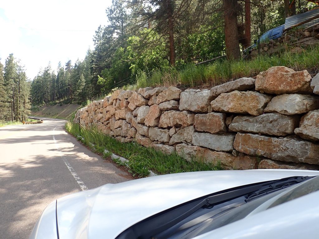
Anyway, I decided the way to tie up some of the loose ends was to visit the valley of the Rito de las Perchas. This is fairly easily accessible by the Las Palomas Trail, whose trailhead is just off Forest Road 70, a good gravel road. I hiked the first part of this trail my first time through, and found the valley very wet with spring runoff. This weekend gave me a perfect window of opportunity to visit again: Spring runoff finished, monsoon not yet kicked in, and forecast for beautiful weather.
Here’s the geologic map of the area.
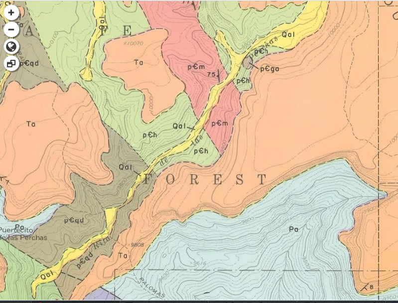
It’s an older map, from 1974, and I eagerly await a newer map of the entire Jemez region being worked on by Shari Kelly and her collaborators that will bring all the quadrangles up to date and resolve inconsistencies across quadrangle boundaries. But this map will do for today.
The Rito de las Perchas valley is the ribbon of yellow from lower left to upper right, marking alluvium, loose sediments transported by water. My hike will consist of following the trail up this valley with occasional excursions to the hills on either side to sample outcrops. The valley passes through a region of megavolcanic rock (pCm) that is my principal target; but I also hope to find and sample the little patch of gabbro on the east side of the valley towards the north (pCga). This is thought to be slightly younger than the metavolcanics, though this area is such a jumble that that’s not a sure conclusion.
So yesterday I packed up and headed out for the somewhat long drive (two hours) to the trail head. Along the way, I encountered something I’ve neve seen the Jemez before.

Goats. I’ve never seen domestic goats in the Jemez before. (Note the ear tags.) Cattle are commonly encountered but not goats. I would not have thought this was goat country (though, not being a farmer, I’m not really expert in such things.)
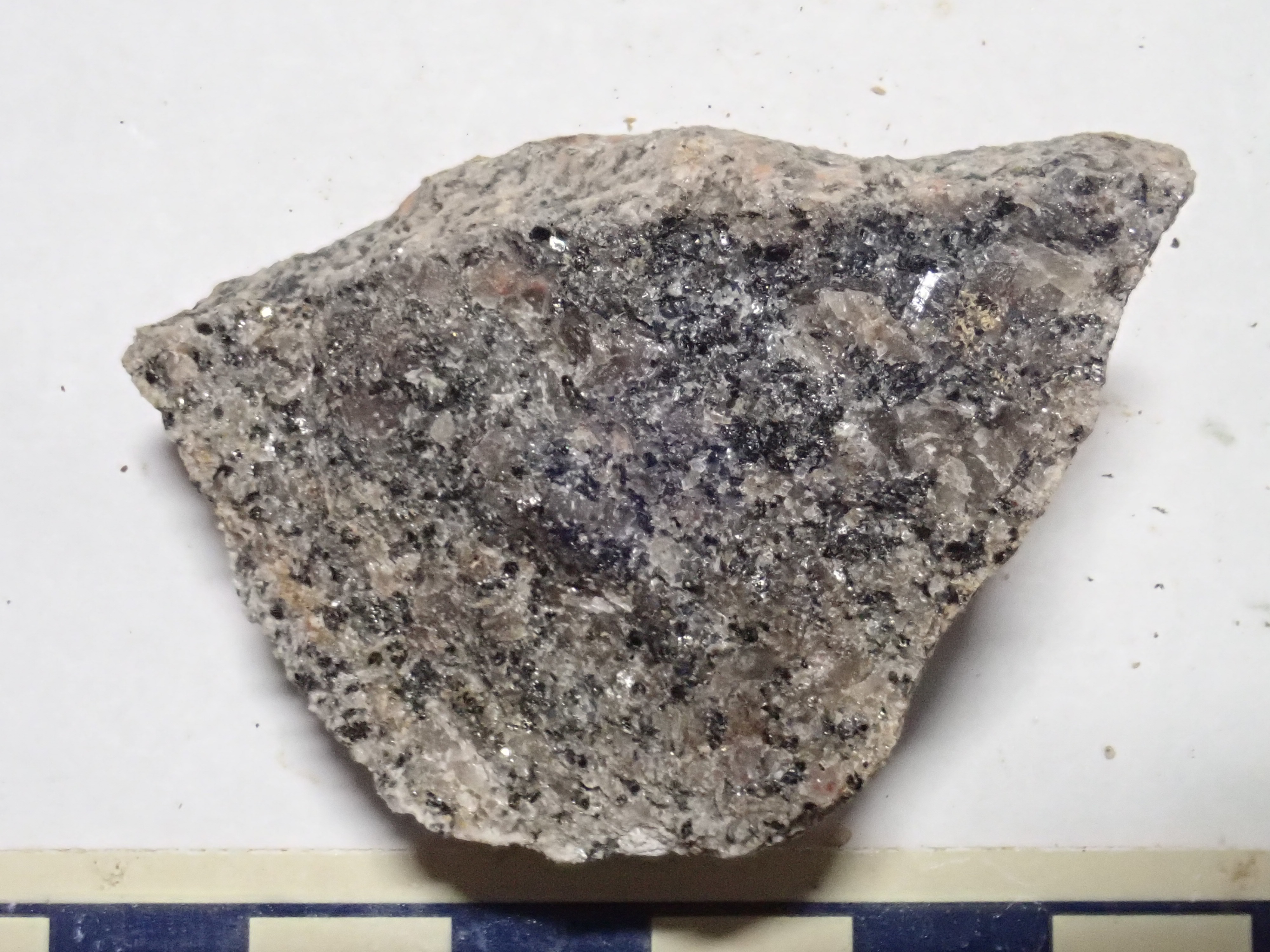
I am on Forest Road 70 on the approach to the trail head when I pass a nice outcrop of tonalite.

I’m in an area clearly mapped as tonalite, and this time it really is tonalite.
Tonalite is typically rich in biotite (iron mica) which makes it rather weak and prone to erosion. The outcrop could easily be mistaken for a bank of dirt, and I probably did the last time I drove past here. This time I realize it is solid rock and stop. Along with biotite is plagioclase feldspar and quartz.
I wonder if the reason there is so little alkaline feldspar in this tonalite is because the potassium is tied up in biotite. Which in turn suggests the magma forming this rock was enriched in iron and volatiles (biotite contains water in its structure) but not particularly in aluminum. I’m not sure what that tells us, though.
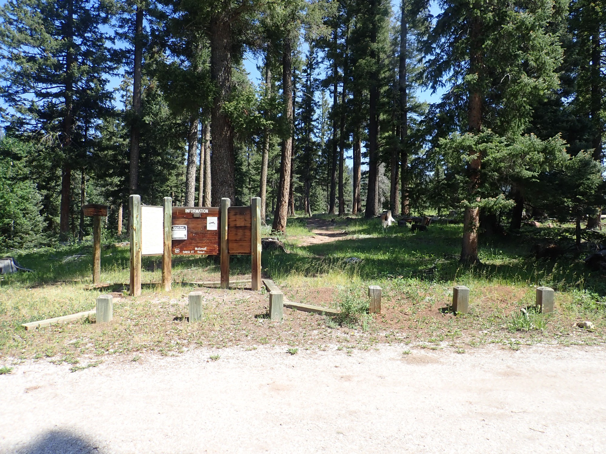
The trailhead.
The first part of the trail is quite steep, crossing Cutler Group sandstone (mostly poorly exposed) and leveling off after about 0.8 miles atop the Pedernal Chert. I got good photographs of these last time and so won’t repeat. The snow banks I saw the last time are all gone, unsurprising in 75F weather. It’s a warm hike, but not too warm.
The trail then steeply descends for about two tenths of a mile to the river.
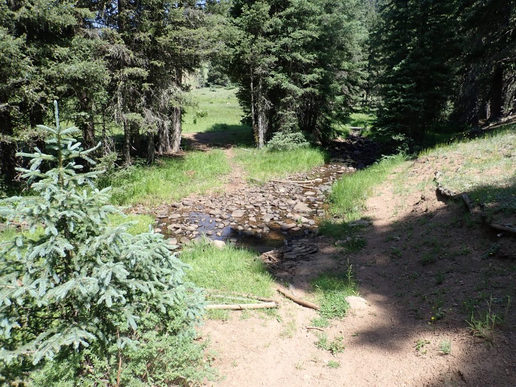
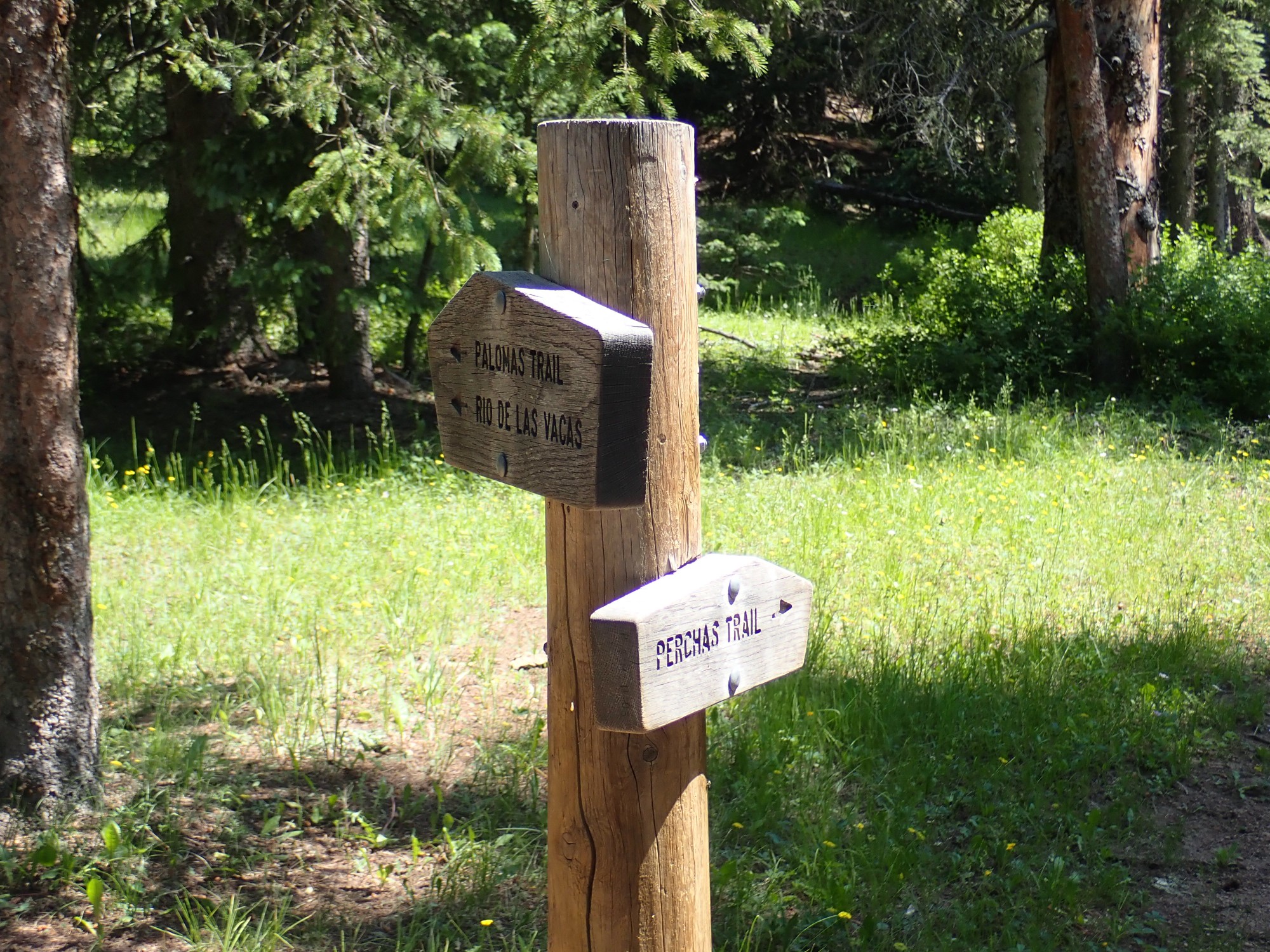
This is much lower than my previous visit and there is no difficulty at all crossing. I turn north, taking the Perchas Trail:
It’s a beautiful hike, though just a touch warm and at times very buggy. I am well-doused in DEET and grateful for it. I had one biting fly manage to light on me, and he promptly met his Maker.
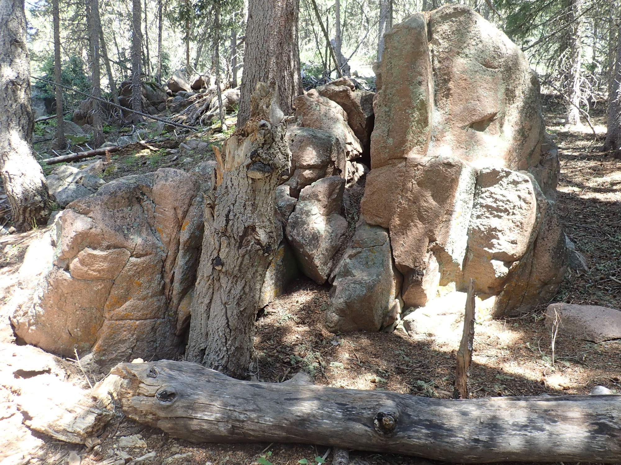
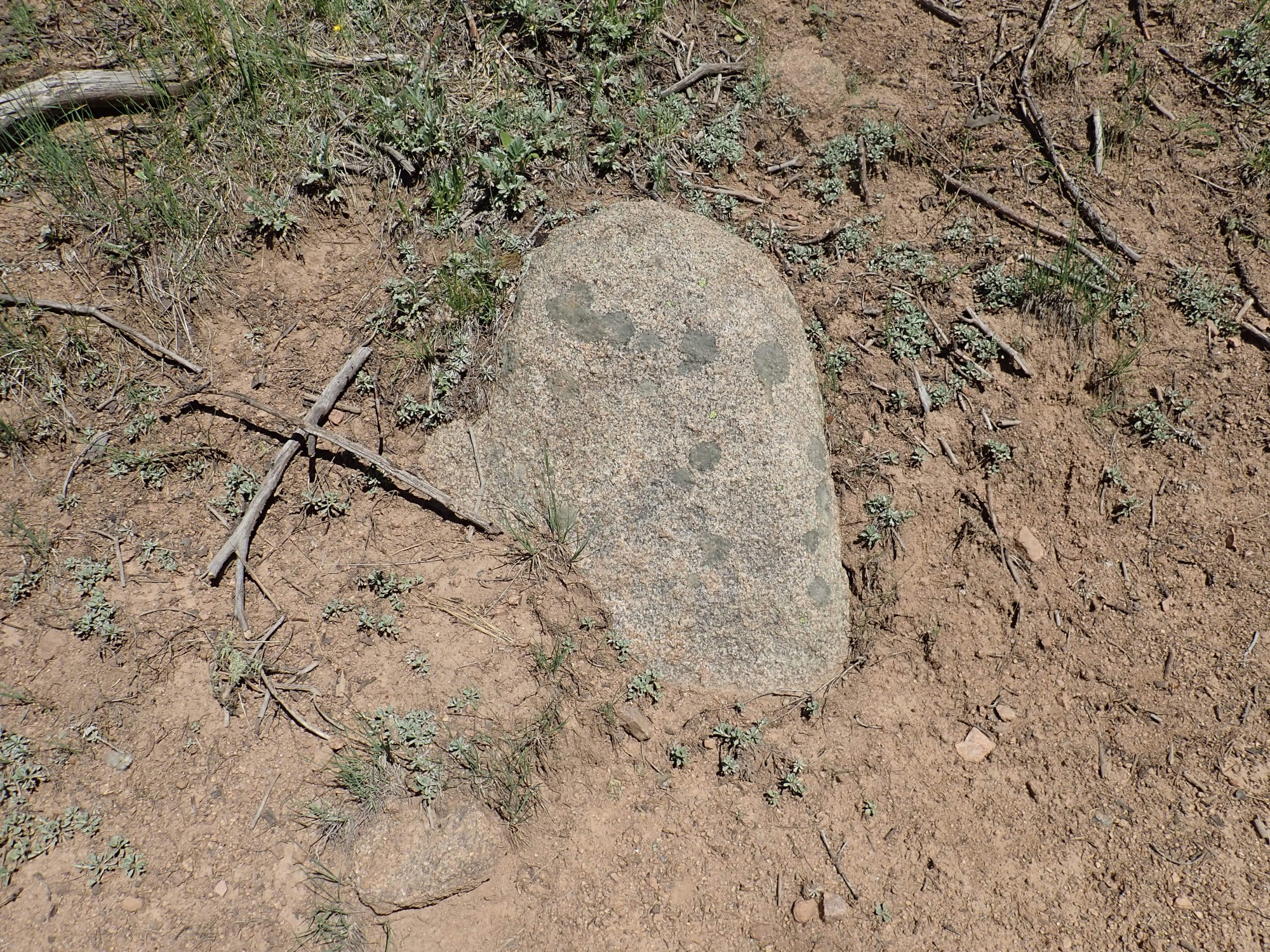
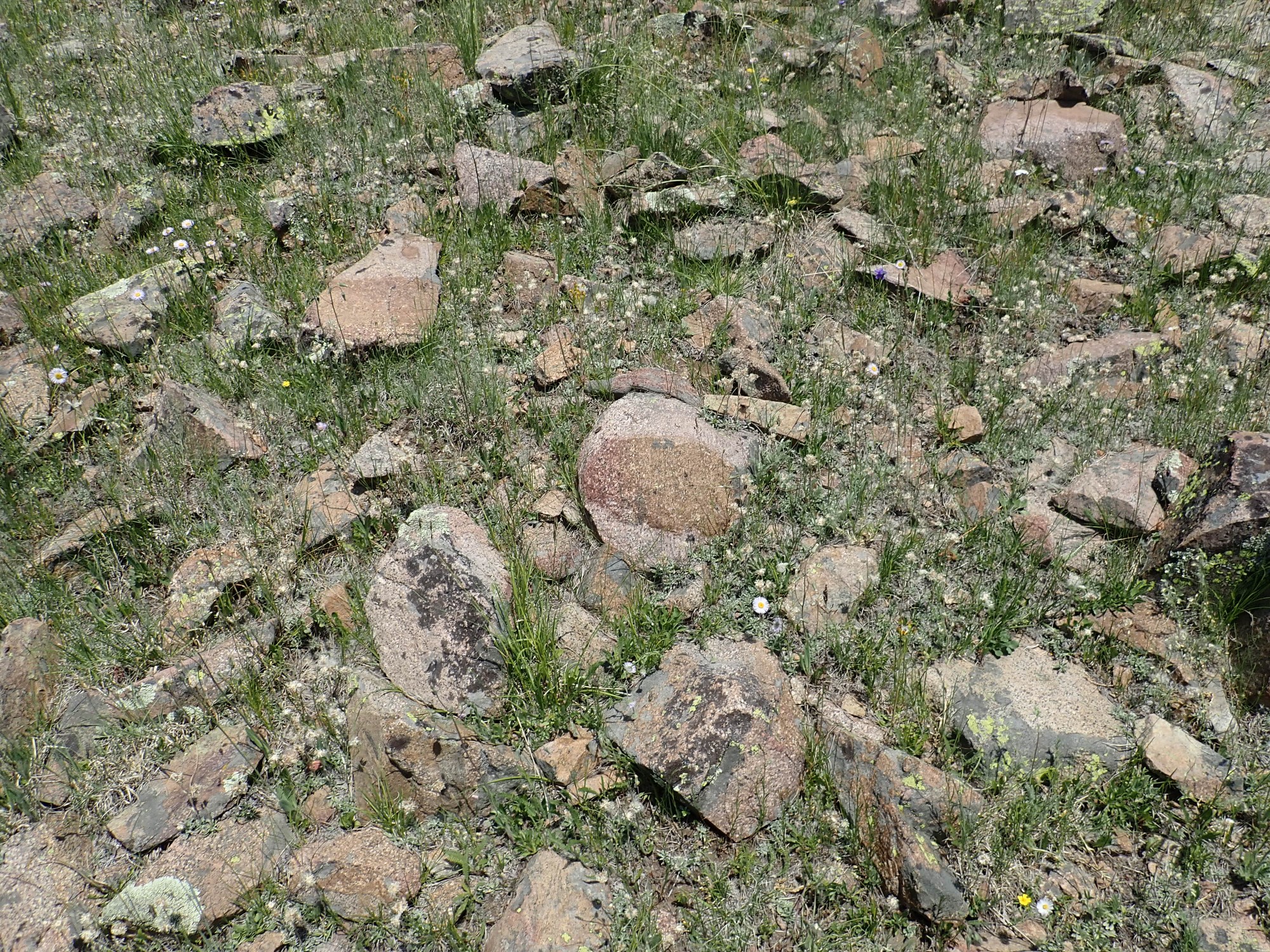
My second outcrop of the day.
I’m mostly watching for a transition from the tonalite pluton to the so-called hybrid zone further up canyon. The hybrid zone is a mixture of tonalite bodies and porphry on too fine a scale to map. The porphyry features big crystals (phenocrysts) of quartz and oligoclase (sodium-rich plagioclase feldspar) in a pink fine-grained groundmass. This has nearly the composition of the nearby metavolcanics and is though to be metavolcanics recrystallized by the heat of the intruding tonalite.
However, this outcrop looks like part of the tonalite pluton, and is well within the area so mapped.
A little further on is some quartz monzonite.
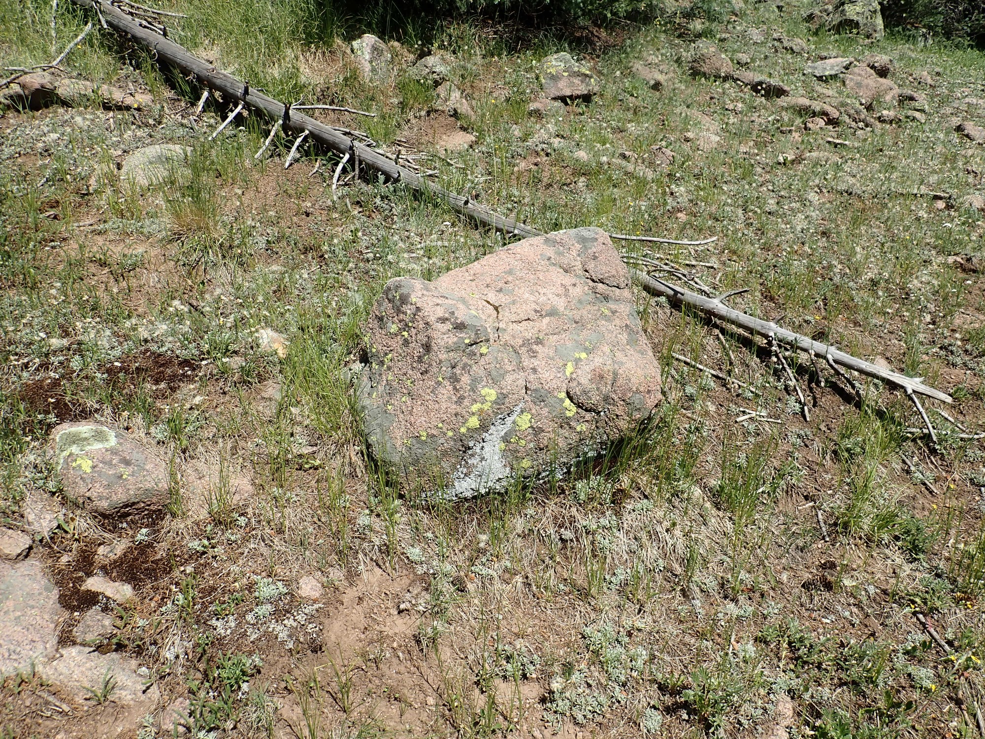
Still within the tonalite pluton.
This looks a little different.
We’re still well within the tonalite pluton, but this is a much whiter rock. This suggests a mica-poor tonalite. Alkali feldspar tends to pick up a pink color, because small amounts of iron substitute for aluminum in its structure; plagioclase is much less prone to do so. This isn’t a sure guide; some alkali feldspar is gleaming white, while some plagioclase picks up a pink tint. But in this case it’s probably correct.
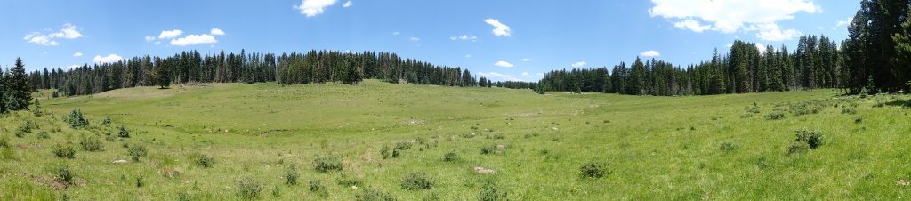
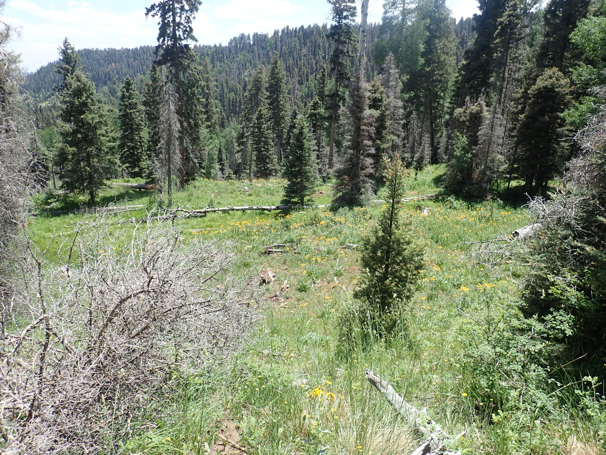
Fork in the valley, and time to show how beautiful the area is.
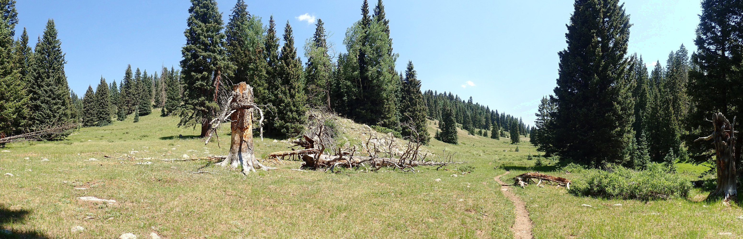
As with almost all images at this site, you may click to get an enlarged version.
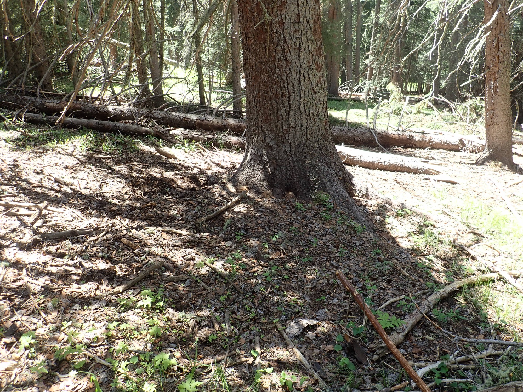
A closer view of the outcrop left of center in the panorama.
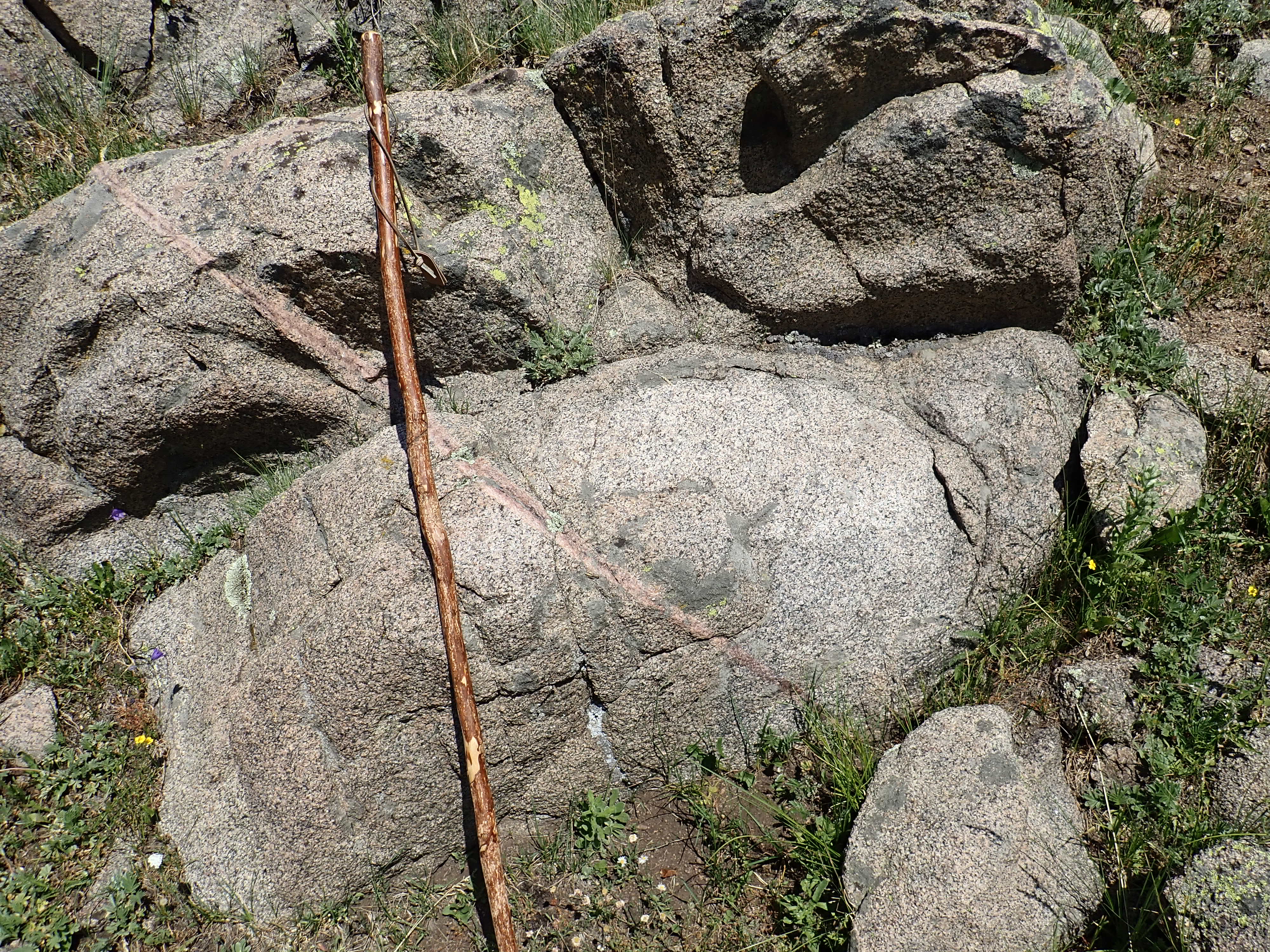
This is beautiful tonalite, near the margin with the hybrid zone. It has a touch less mica than the very first outcrop I showed, and seems slightly tougher. I wonder if part of that is that the stuff in the first outcrop was exposed by road work, which tended to shatter it, while this stuff has weathered more naturally.
It’s not wildly different from the earlier stuff, except there’s less red iron staining overall, and a definite clump of alkali feldspar at upper right. Most of the rest is plagioclase with quartz and biotite.
I now cross into the hybrid zone, but at first the rocks don’t look much different.
The transition is gradual, and much of the hybrid zone is lenses of tonalite like this one.
Further north I hit something definitely different.
This is just within the hybrid zone, and it’s fine-grained rock quite unlike the tonalite. I conclude it’s the porphry.
Maybe. The description in the paper is of rather large quartz and plagioclase crystals in a fine-grained pink groundmass. This rock is quite small crystals of quartz in a pink groundmass with no plagioclase. It looks like a tuff that has been metamorphosed — and I’m close enough to the metavolcanic zone that that might be what this is. But then the porphyry is thought to be metavolcanics metamorphosed a second time by the tonalite intrustion; this could be stuff that was relatively lightly metamorphosed during hte second round. It’s coarser than the metavolcanics I’ll find later.
And this is not a clean outcrop. It has some rocks clearly carried down from further up canyon. One is a quite dark rock that I take a sample of without too much thought; we’ll come back to it later.
Further on and we’re clearly in the metavolcanic zone, but the rocks look like more tonalite.

Exposures are poor here and this is likely alluvium from up canyon, which confuses things.
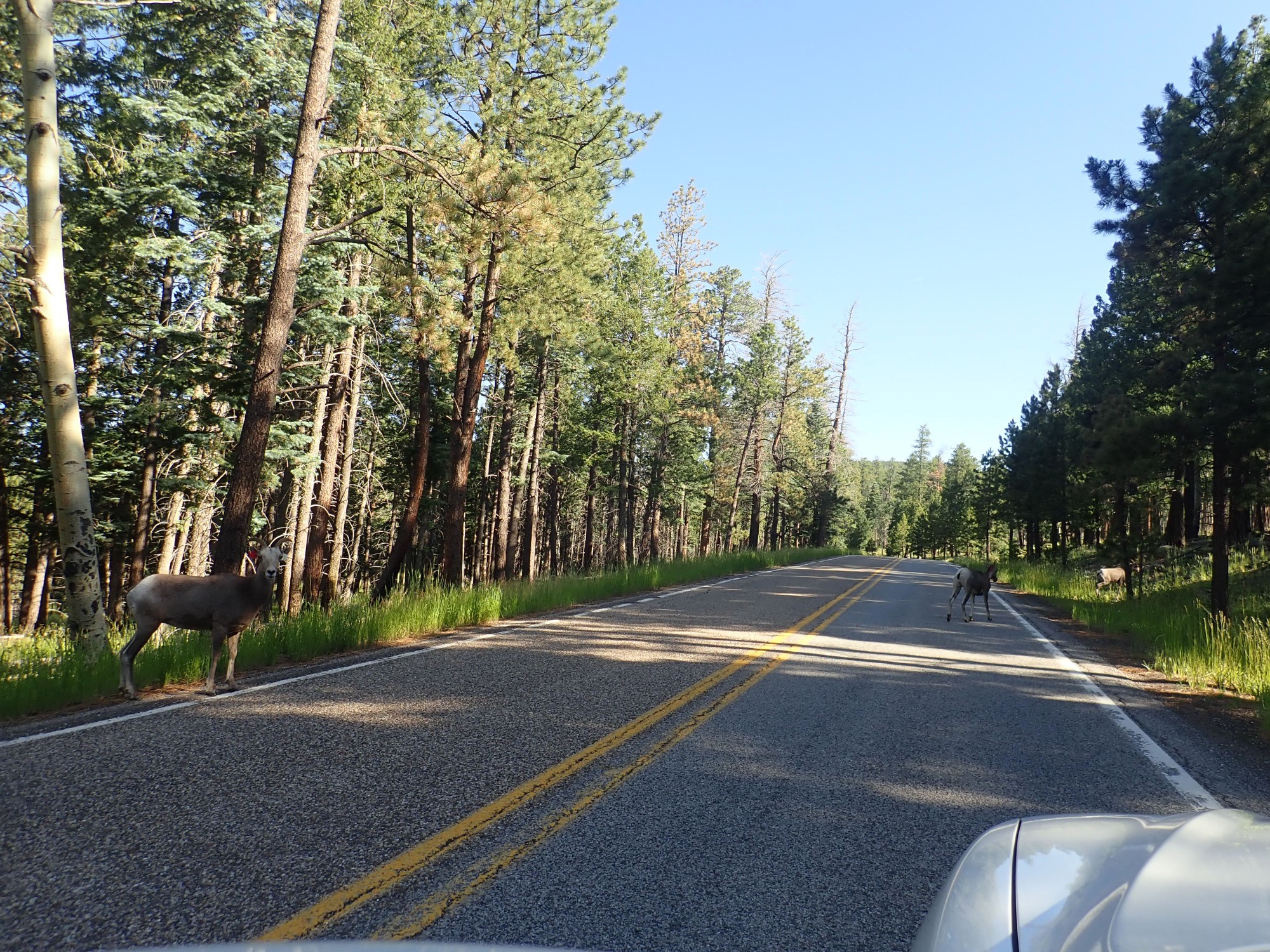
I have company.
The cows give me the hairy eyeball. I can’t blame them: Guys like me eat guys like them.
Here I’m near the northern edge of the metavolcanics, where I’m about to reenter the hybrid zone. The rocks are a mixture of both.
These look a lot like the description of the hybrid zone porphyry.

And this is the metavolcanic.

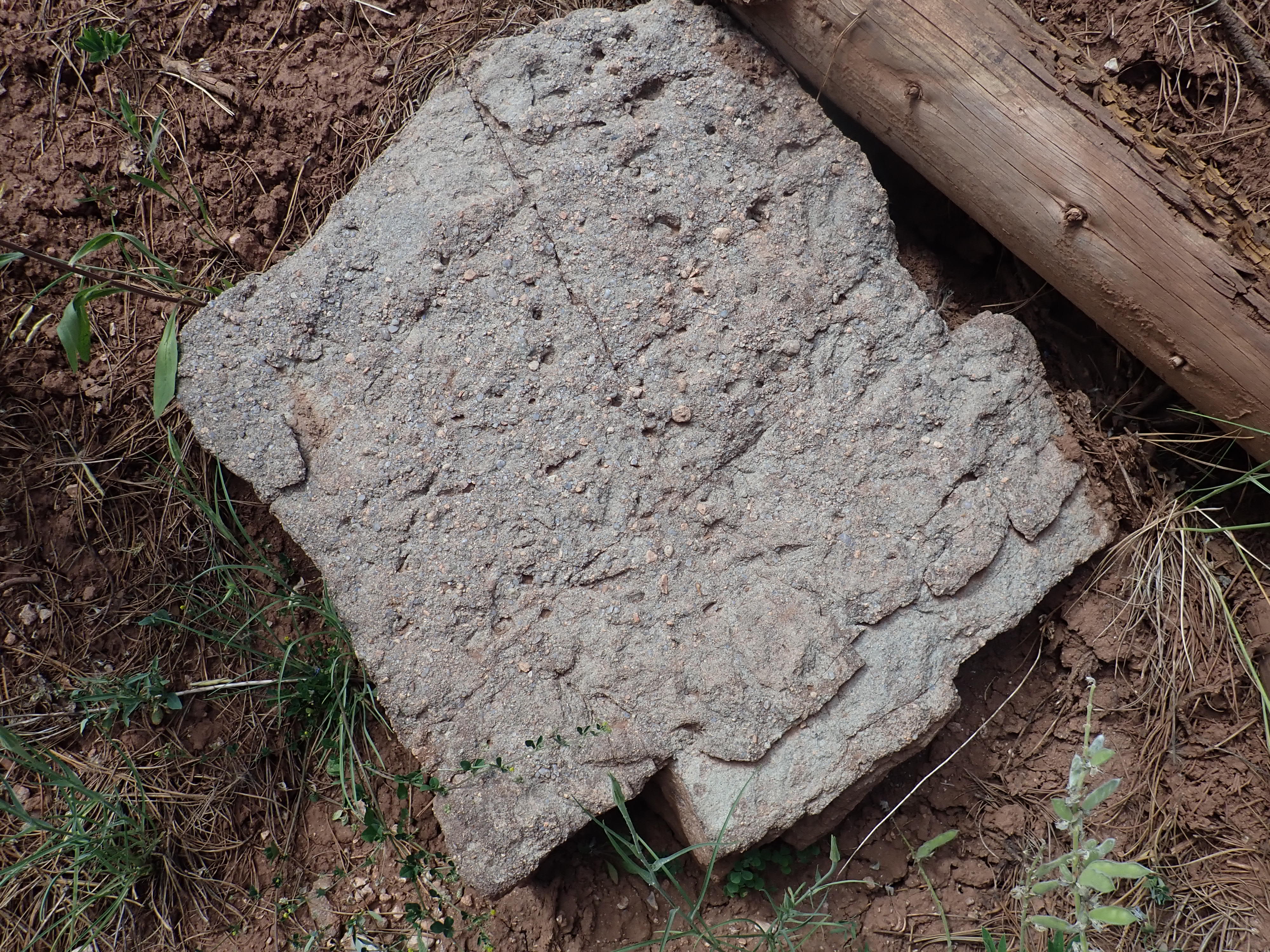
A sample of the latter:
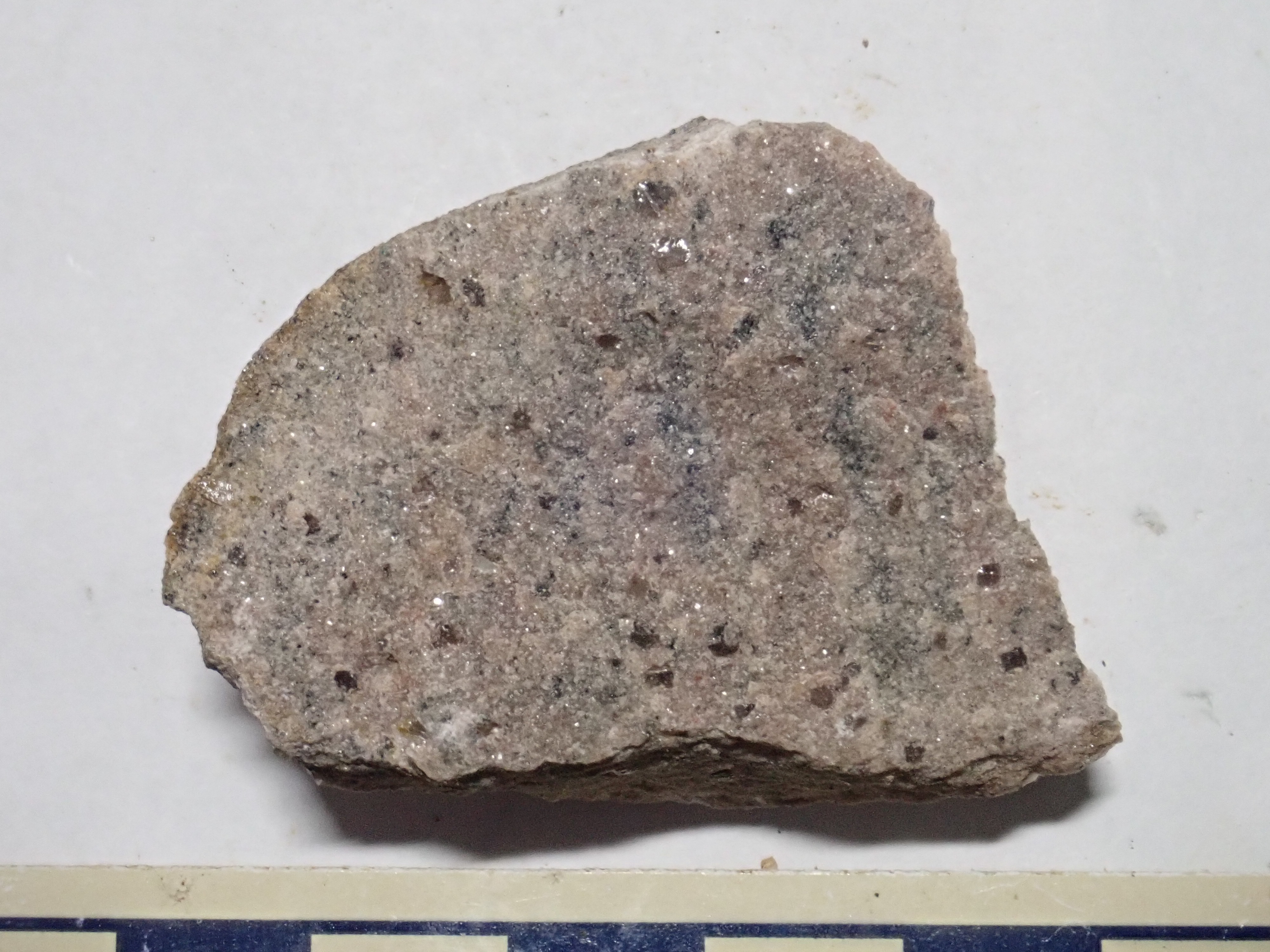
You can see it’s quite different from the various granitic rocks I’ve shown so far. It has banding — an almost sure sign of metamorphosis — and is quite fine-grained. The porphyry looked enough alike when I broke of a chip that I didn’t take a sample; wish I had. But this reinforces the idea that hybrid zone porphyry is recrystallized metavolcanic.
This rock would have been a rhyolite or dacite ash flow that was buried and partially recrystallized, and is among the oldest rocks in the Jemez. It was radiometrically dated in 1974 as 1.8 billion years old, but I’m not sure how reliable that date would be considered today.
I reach a side canyon.
I think I know where this is. To my east should be that outcrop of gabbro. But, you know? In my care to pack my GPS so I could check my position, I forgot the actual map with the GPS coordinates I’m aiming for. Snow.
It turns out this is the right spot. However, finding the gabbro proves difficult. I scout the hill to the east but without luck. And my GPS on the camera, poorly locked in the last photograph, is now failing to lock entire. I find what looks like possible gabbro in the stream, where it could have washed down from the outcrop, and take a sample. More on that later.
But nothing is exposed on the hillside where my navigation puts the gabbro.
(The coordinates of this photograph, if accurate, put me at the right spot, but no outcrop. Bummer.)
Well, maybe I just didn’t come far enough. I tend to overestimate how far I’ve come on hikes. I continue north. And if nothing else, this puts me at a decent outcrop of metavolcanics.


Except the map says I’m well out of the metavolcanic zone into the hybrid zone. Tears hairs out.
Look, it’s probably called the hybrid zone because it’s a confused mess. This is a local pod of metavolcanics.
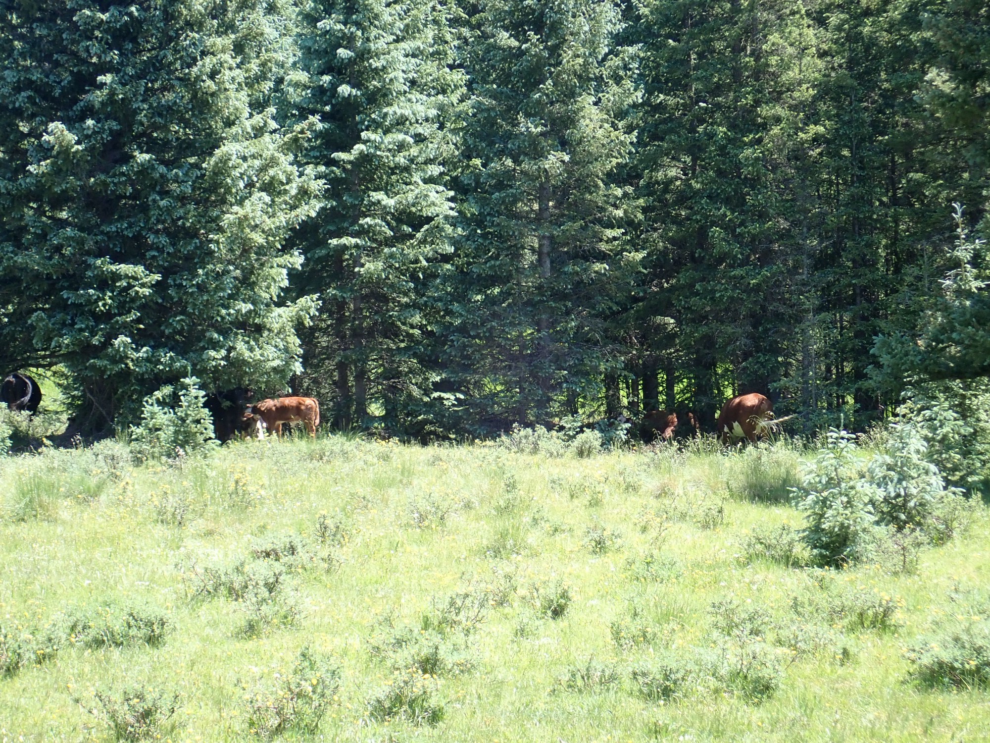
Continuing north, I have company again.

This herd paid a little less attention to me than the last herd. They were preoccupied chewing grass and flicking flies away with their tails. It was rather buggy. (I think is is where a fly managed to get past the DEET and land on me, only to be promptly dispatched.)
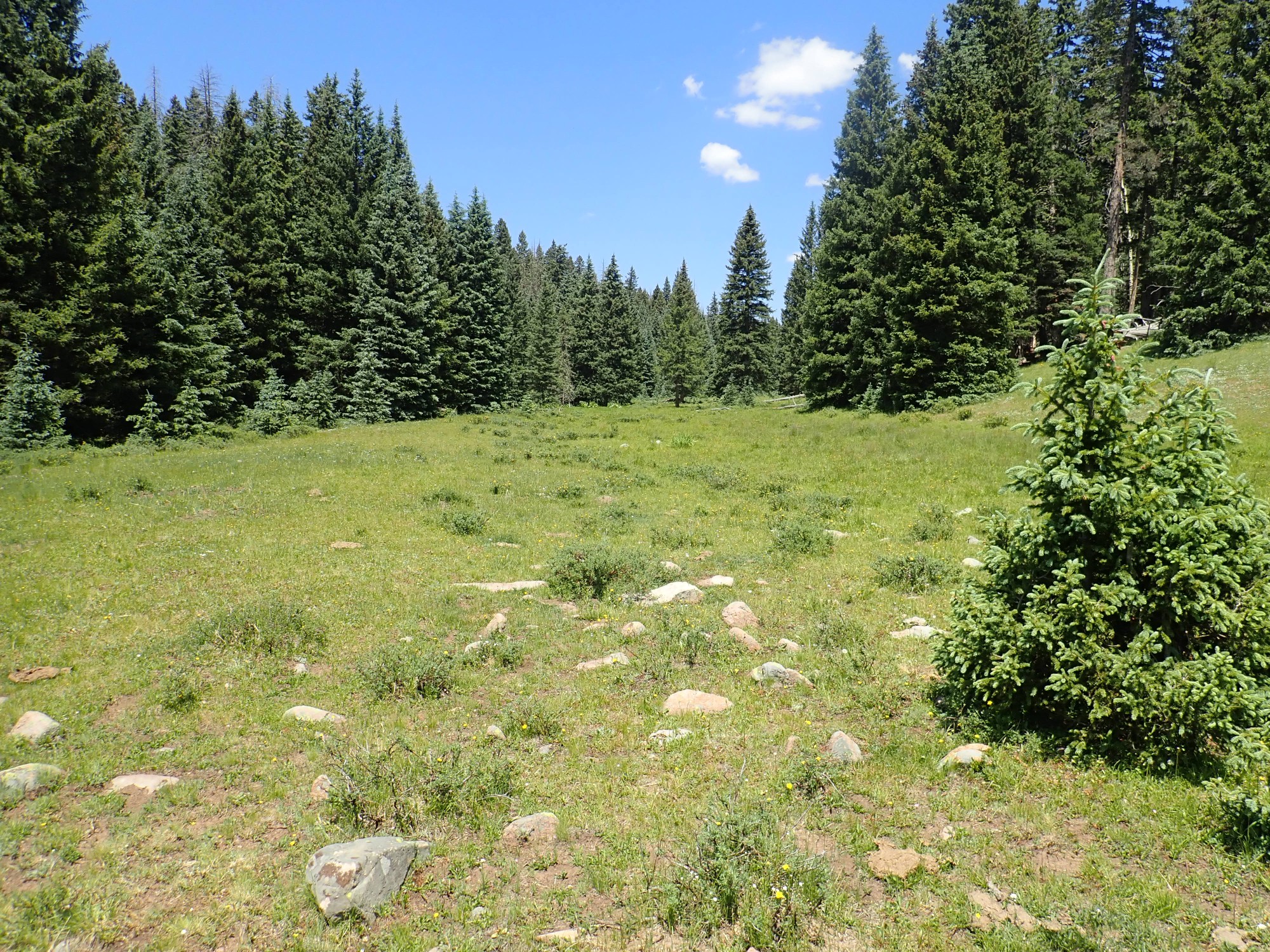
The valley widens into a beautiful grassy park here.
The surrounding hills are also lower here. This is typical of the parks (grassy mountain valleys) that give the San Pedro Parks Wilderness its name.
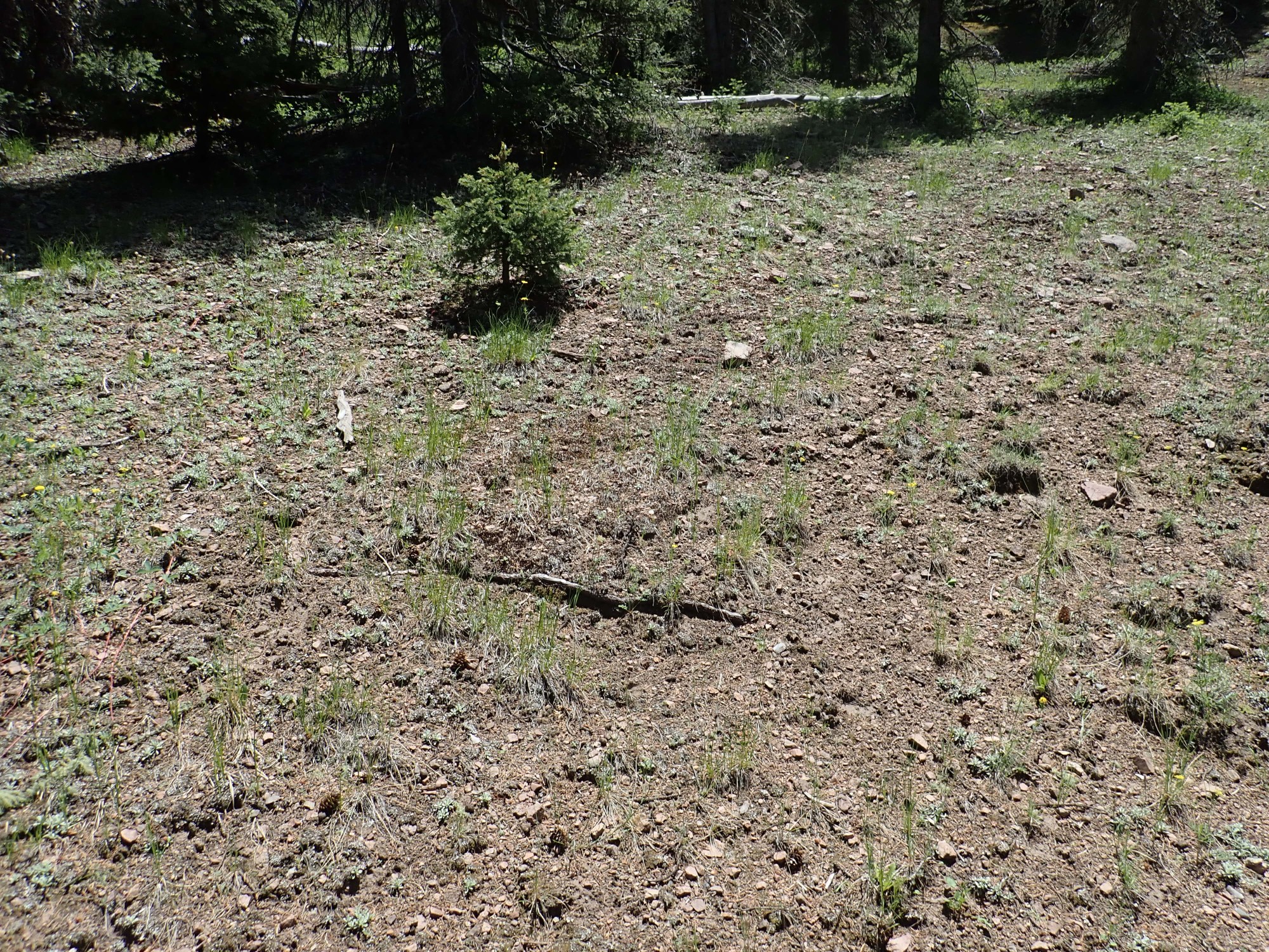
The hills here are all capped by Pedernal Chert, and boulders of chert are scattered across the area. I’m obviously north of my target outcrops; time to turn back.
I explore a knoll to the south, on the chance that it’s my gabbro outcrop. No such luck — it’s hardly elevated at all, while I remember distinctly that the contours were bunched at the gabbro on the map — but I find a nice spot for lunch.
Lunch complete, I continue down the east side of the valley past the herd of cows. I figure to explore the east side one more time for my gabbro outcrop. And, eureka!

The rock here seems rather darker than anything else so far, and when I break off a chunk, I convince myself it could be gabbro.

Except it’s not. When I get home, I find that this spot was much too far north, well into the hybrid zone. And under the loupe I find the sample is choked with quartz grains — no gabbro has more than a trace of quartz. In fact, it looks very much like the first rock I sampled on the south side of the hybrid zone, complete with pink matrix around the quartz grains. A meta-tuff.
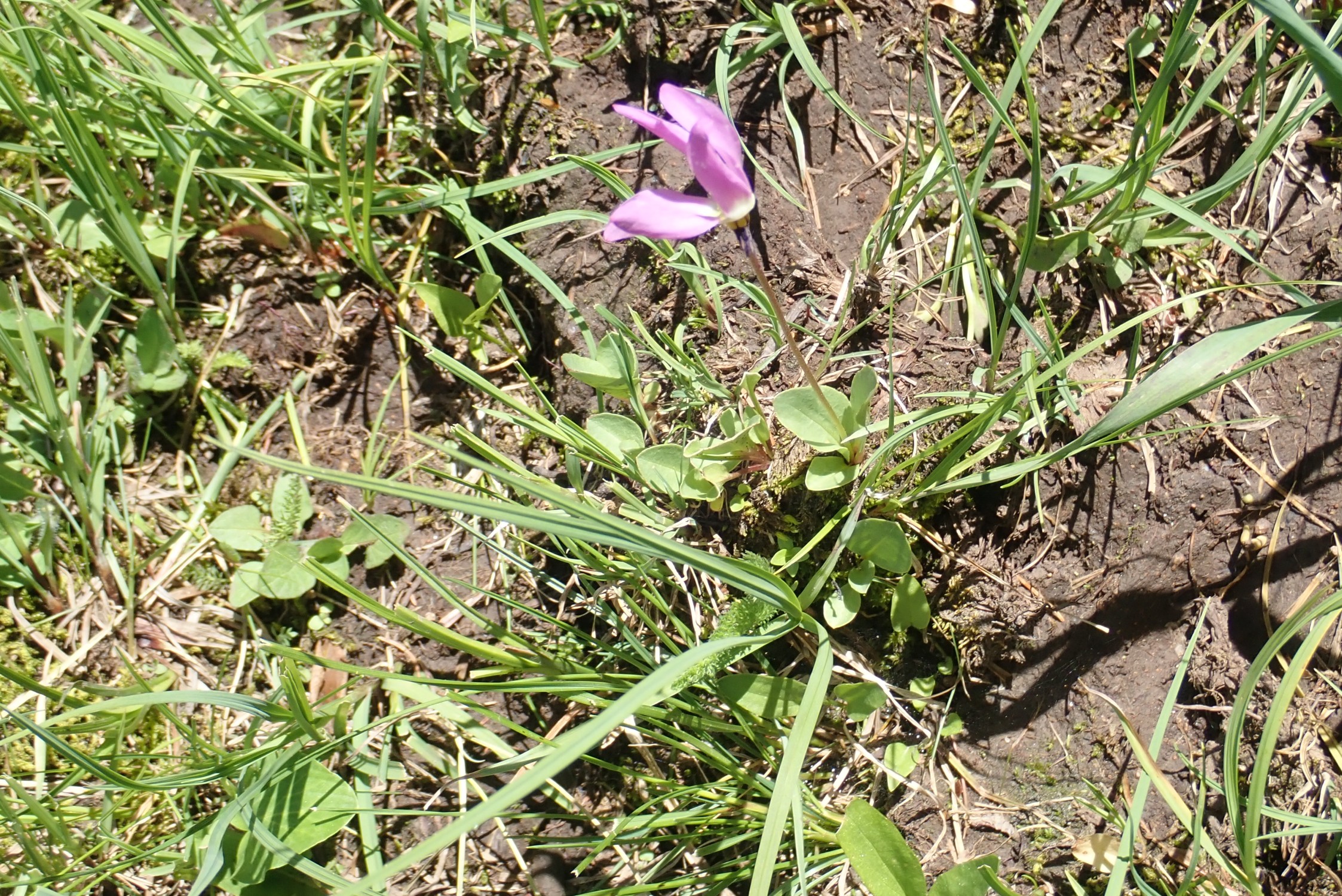
But I don’t know that at the time, and decide to declare success and go home. I pause for some wildflowers along the way.
Primula pauciflora, possibly. Shooting star.
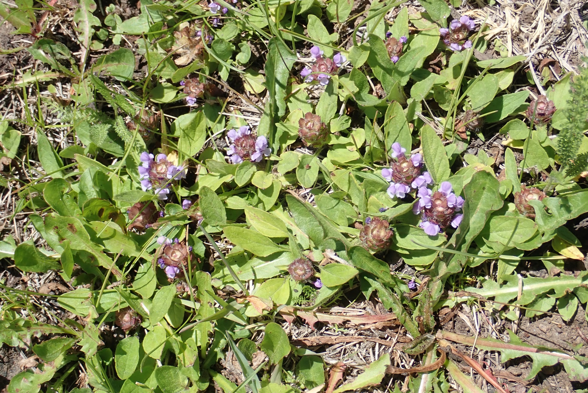
Prunella, possibly?
I climb out of the valley and there is a beautiful meadow of wildflowers south of the ridge out.
On the way out, I decide to swing by a possible fossil site I found last time, and then look for a limestone quarry I spotted on the map. But I take a wrong turn and never find my fossil site. Still, more wildflowers:
Scarlet penstemon. likely.
A fine conglomerate bed in the Cutler Group.

My next stop is the quarry. I found it on Google Maps near a massive limestone bed in the road cut.
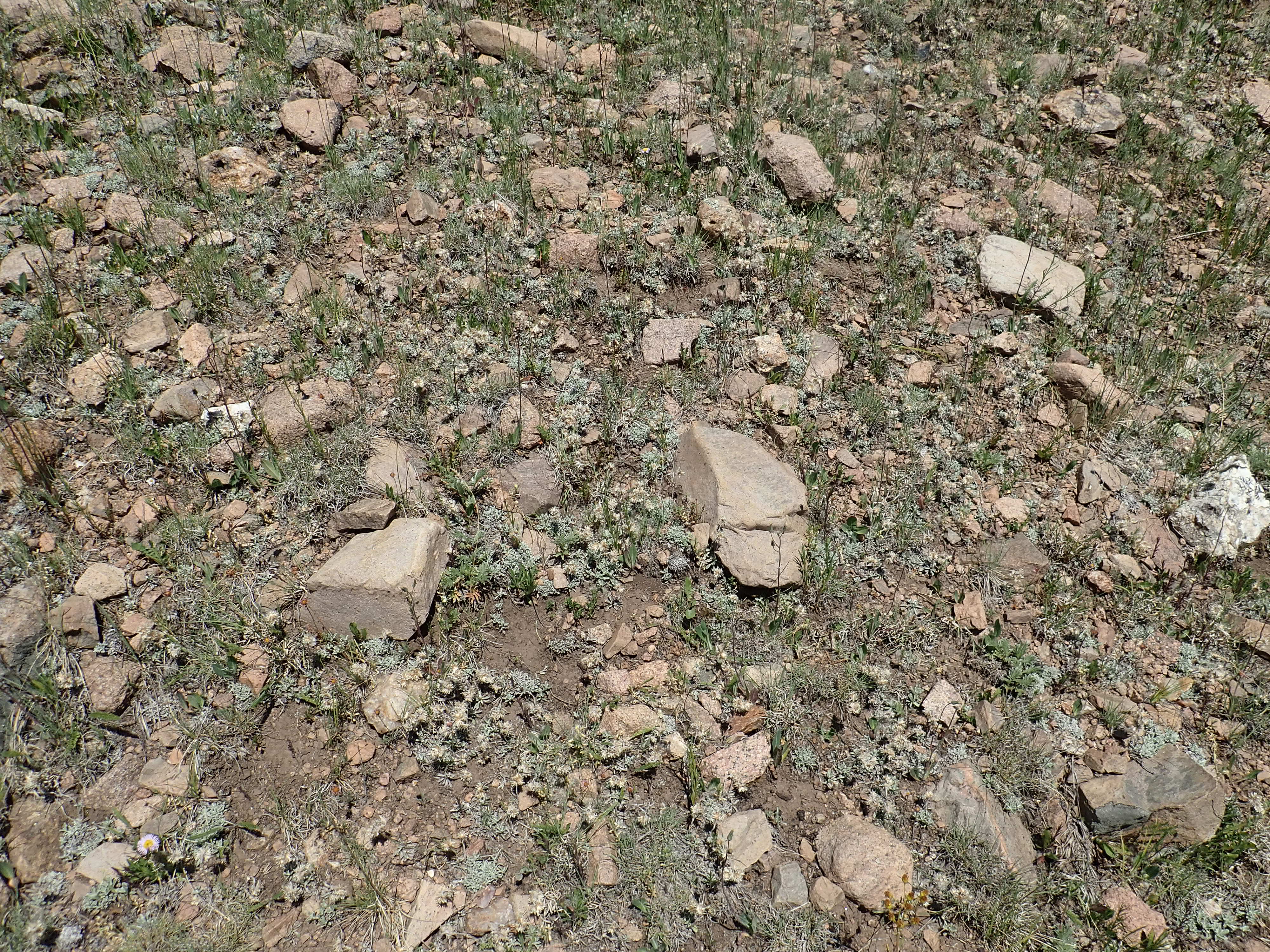
I park at the first convenient spot to the east and start walking up the slope. There is limestone here and scattered fossils.
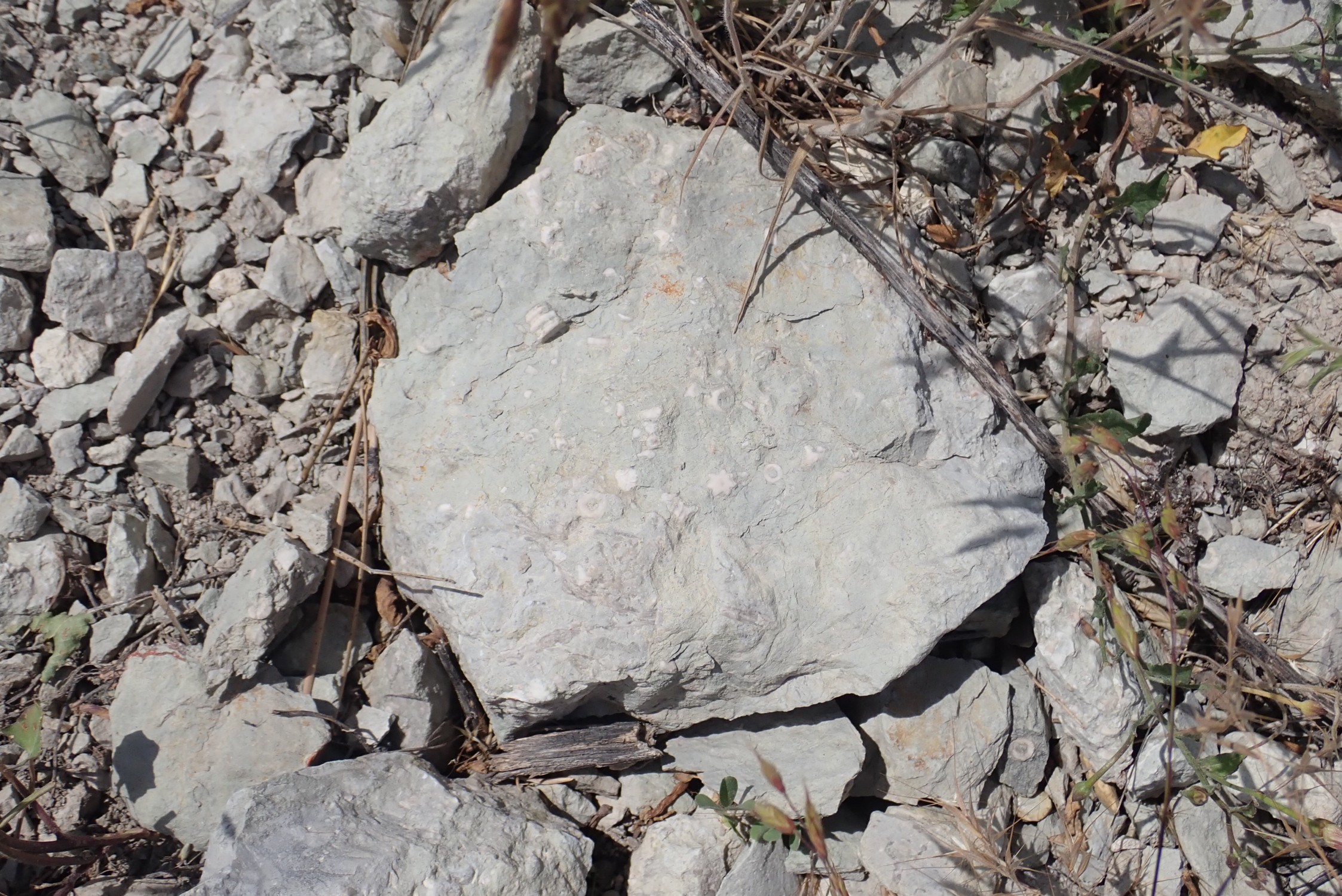
I didn’t think this good enough to take with me,and now I regret that: At the time, I didn’t notice the peculiar star-shaped fossil at center, among the crinoid stem segments. A six-sided star is a pretty unusual fossil shape, and I really have no idea what it is.
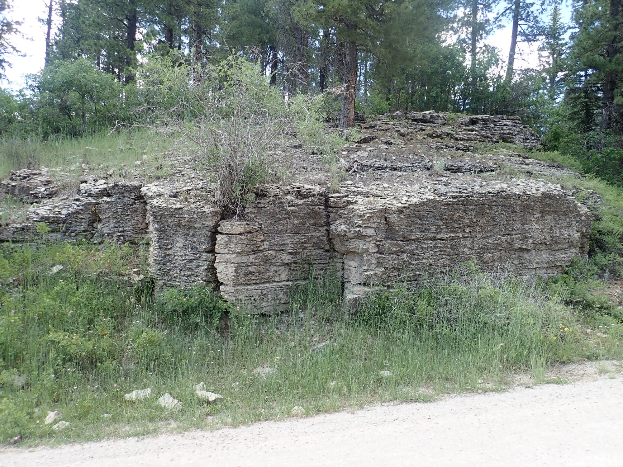
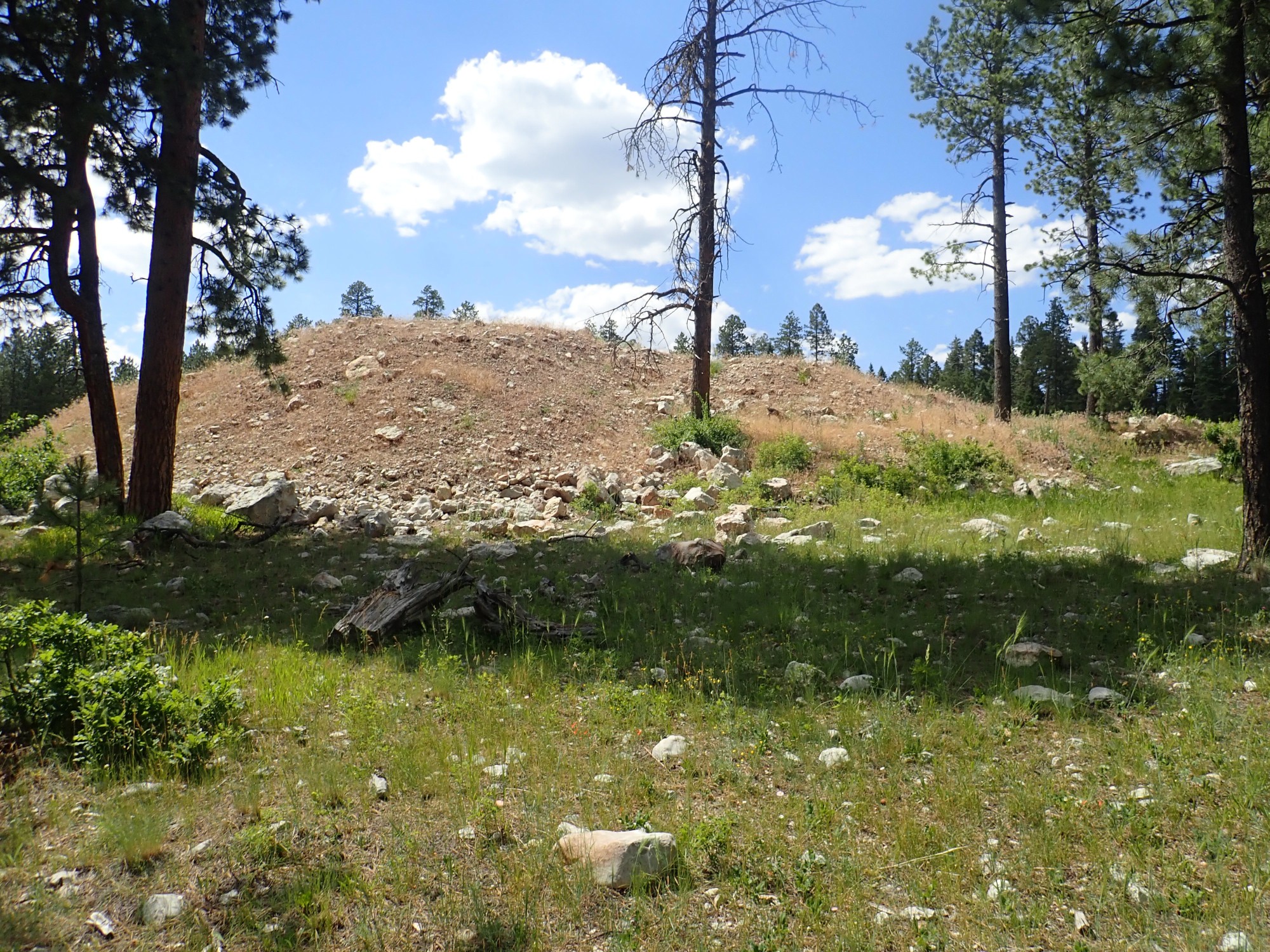
No quarry up this way. I start working west, but there is a big gully in the way. I head back to the road, pause to pull a bunch of stickers out of my socks, then climb up the west side of the massive limestone and immediately spot a tailings pile.
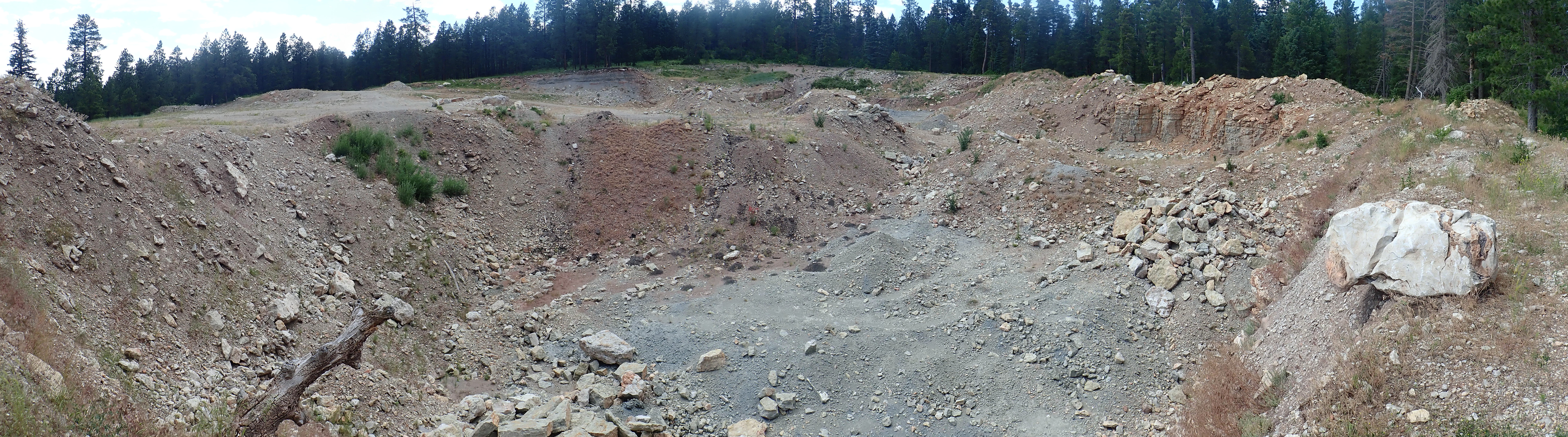
Beyond is the quarry.
The beds across from me catch my eye.

There’s no easy way to get to them. I decide to go back to the car, and see if the access road to the quarry is open and navigable. Turns out it’s open and it’s not too bad; just some mild gullying and one bad spot (that I can get around). There’s a gate but it’s a Forest Service gate and it’s wide open. This suggests that this quarry was originally a Forest Service quarry for gravel to pave forest roads (most of the forest roads I’ve driven today were paved with crushed limestone) and for blocks to hold up road cuts. The lack of any fence or any claim memorials suggests it’s not a private quarry.
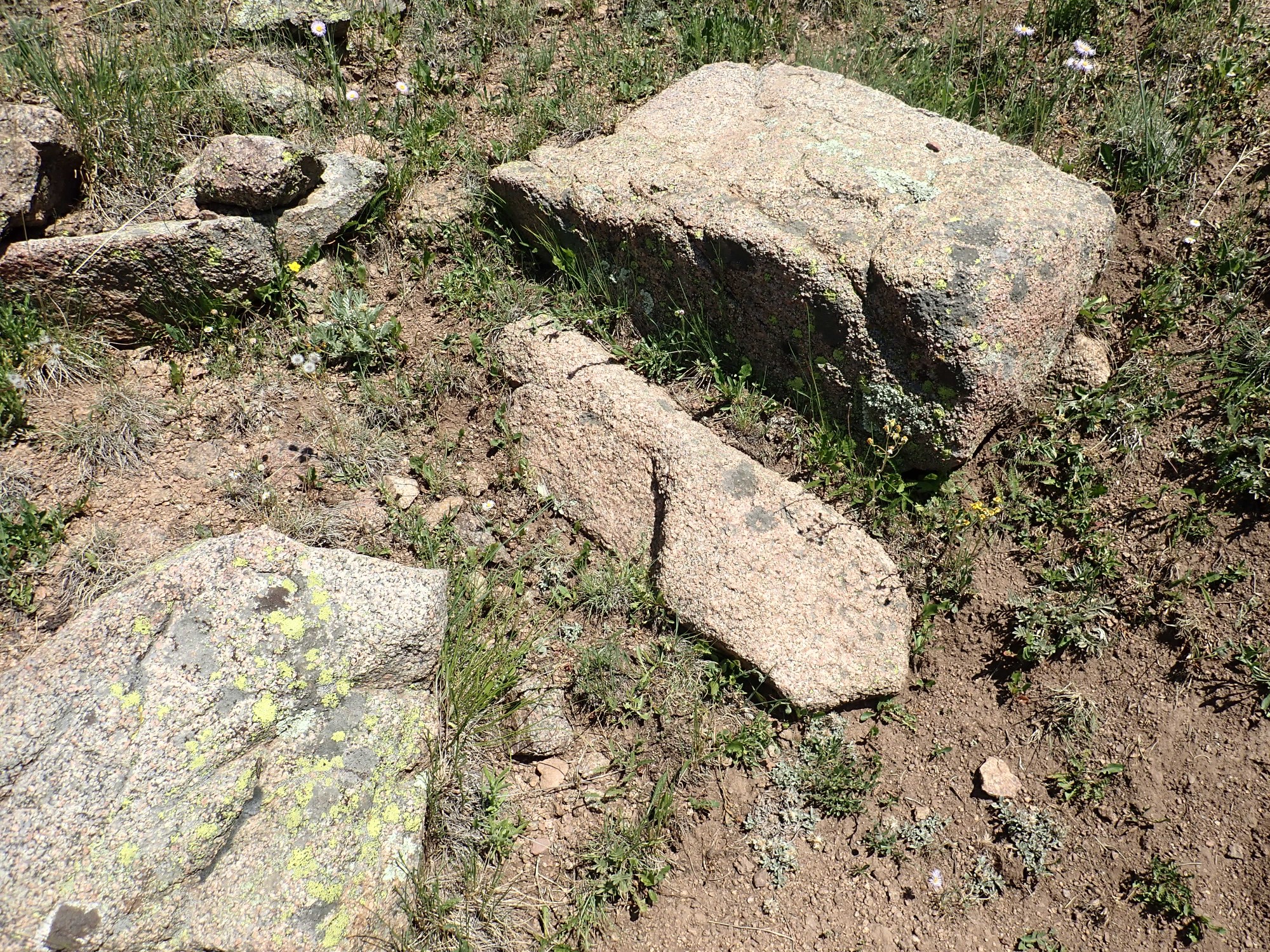
The previous beds close up.

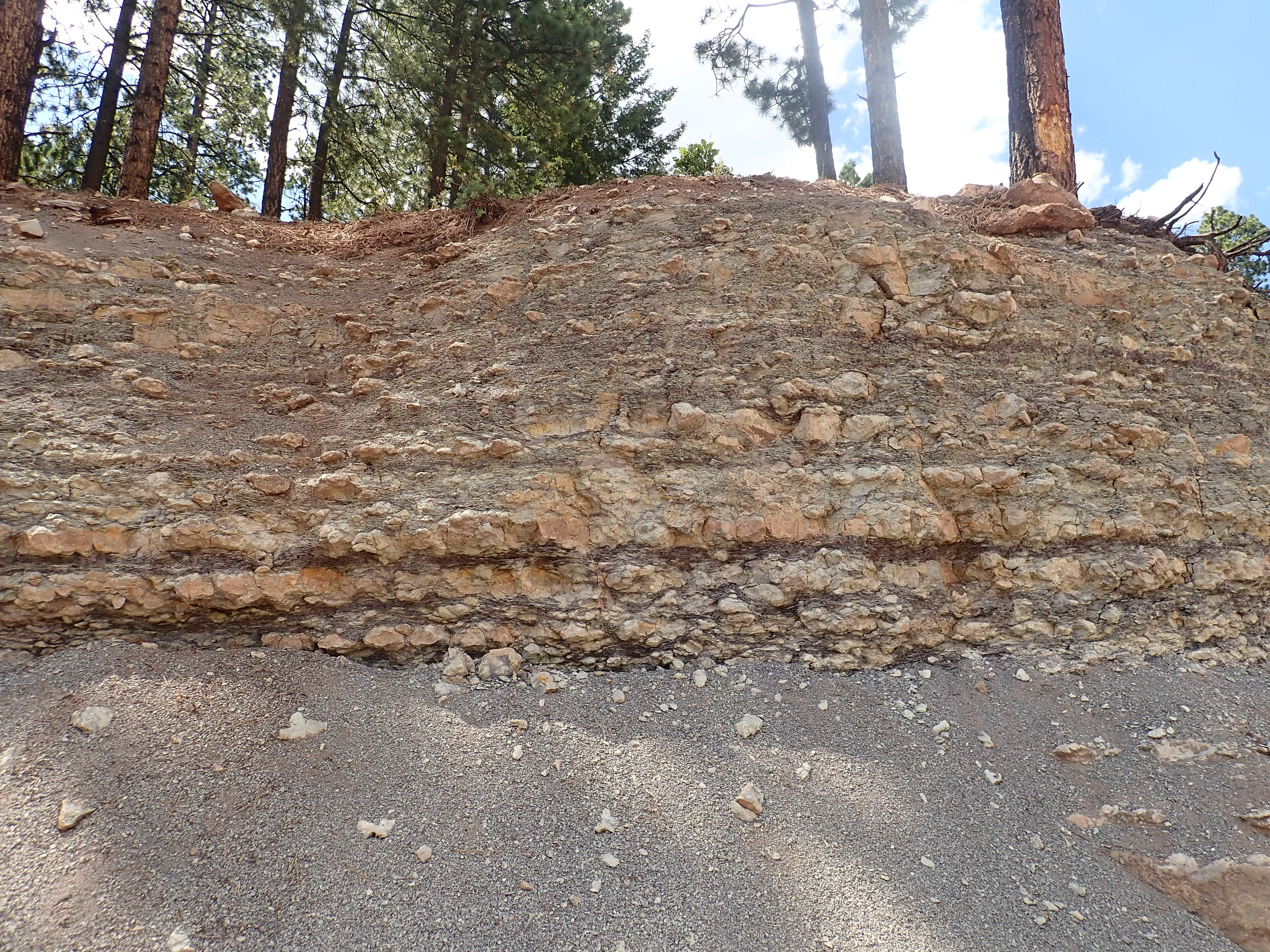
It’s thinly bedded limestone and siltstone. Perhaps a river delta was nearby at this point in geologic time.
There’s a pond.

I’n not entirely sure what to make of this. The fine gray material around it suggests this may be where a gravel crusher was once sited. Or perhaps there was a Portland cement kiln here. More likely the former.
These are for the book, for the section on economic geology.
As I’m passing through Seven Springs, I see some of the limestone from this quarry put to use.
No, I’m not sure it’s from this quarry, but it seems likely.
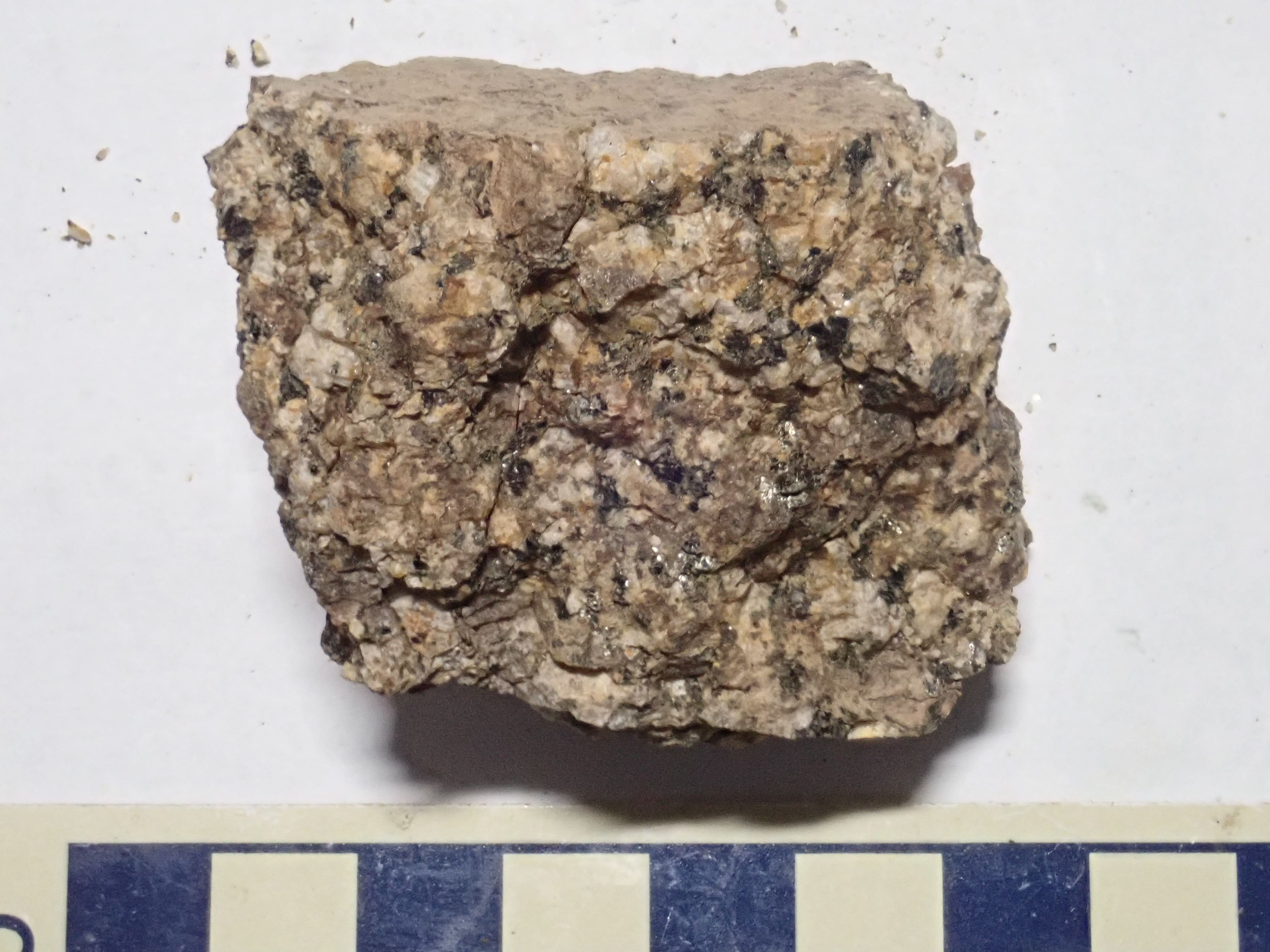
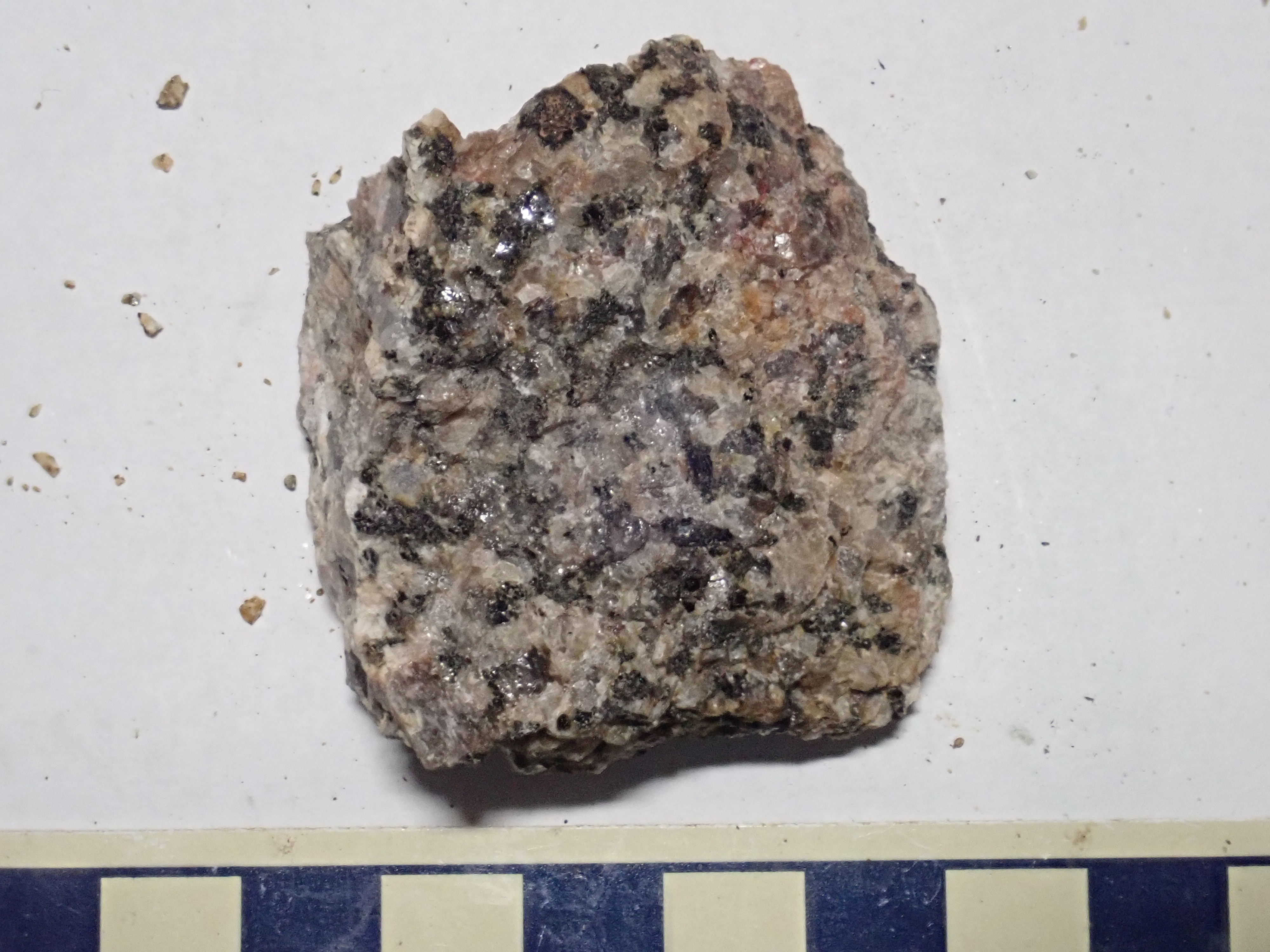
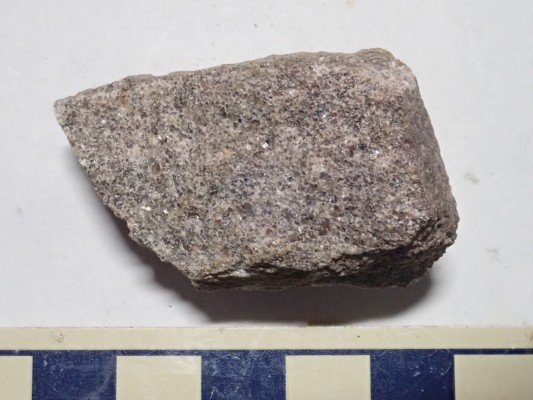
I get home and discover that my “gabbro outcrop” wasn’t. Crep. But a couple of dark boulders I picked up from the creek below where the outcrop should have been do, in fact, look like gabbro under the loupe.
Under the loupe, the light crystals all show facets — they’re feldspar. I see only a few grains with the conchoidal fracture of quartz. The black stuff is short stubby crystals of pyroxene, not mica. Gabbro. Or perhaps diorite, given that it’s mostly feldspar with only modest pyroxene. According ot the geologic report, this unit contains both rock types.
So I suppose I found the gabbro outcrop after all, sort of. Though I might still hike in to the bigger gabbro outcrop here. And the metasedimentary rocks here may be the very oldest in the Jemez, so I suppose I’ll have to visit them someday,
Thanks Kent. Sorry to have not gin along!