Wanderlusting VC0201
The forecast was for a gorgeous Saturday, and those are not to be wasted. I briefly considered hiking one of the trails from St. Peter’s Dome, but those typically remain open until January. On the other hand, the usual back country season on the Valles Caldera preserve ends in October, and I haven’t actually been on the preserve yet this season. So I decided to try hiking along the east flank of Redondo Peak, with a target of a Deer Canyon Rhyolite vent above the old ranch headquarters.
For new readers, the Valles Caldera is a volcanic crater over 13 miles across in the heart of the Jemez Mountains. This formed 1.25 million years ago when a giant underground magma chamber was emptied in a ginormous eruption that also produced the Tsherige Member of the Bandelier Tuff, the characteristic salmon-colored rock making up the finger mesas of the Los Alamos area. The roof of the magma chamber then collapsed into the empty chamber, dropping as a giant plug of rock ten miles across
Fresh magma entered the magma chamber almost at once, and pushed up the center of the plug to form what geologists call a resurgent dome. Resurgent domes have now been recognized in calderas around the world, including two in the Yellowstone caldera, but the Valles caldera was the first to be recognized for what it was, making it the type specimen of a resurgent caldera. The dome itself forms Redondo Peak and nearby Redondo Border.
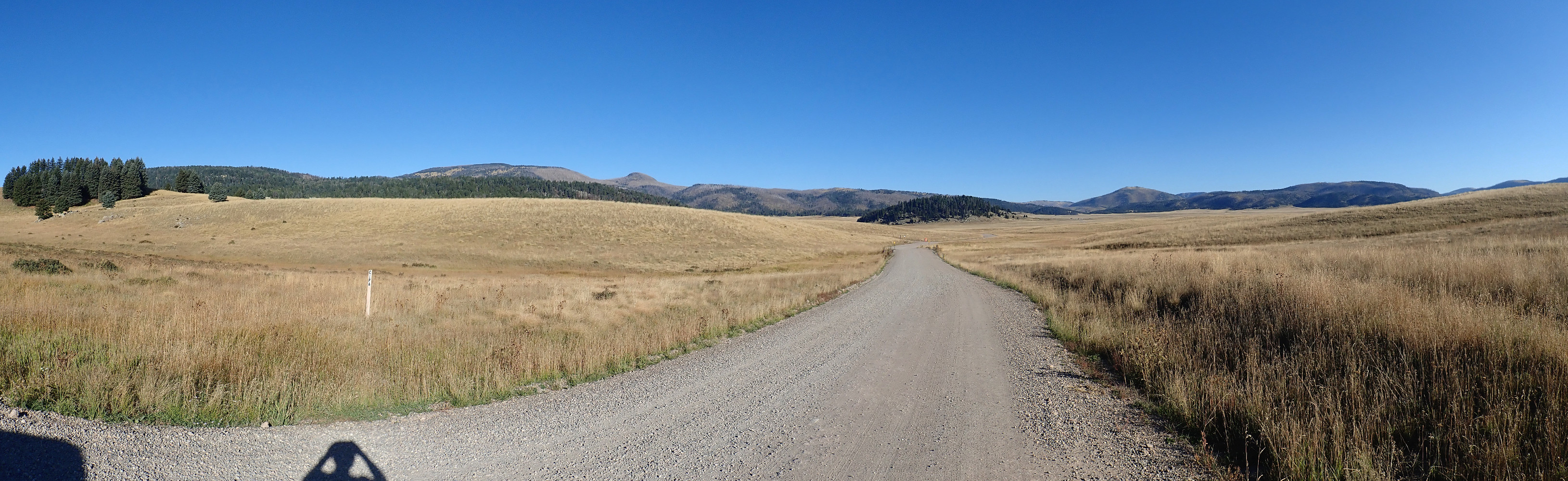
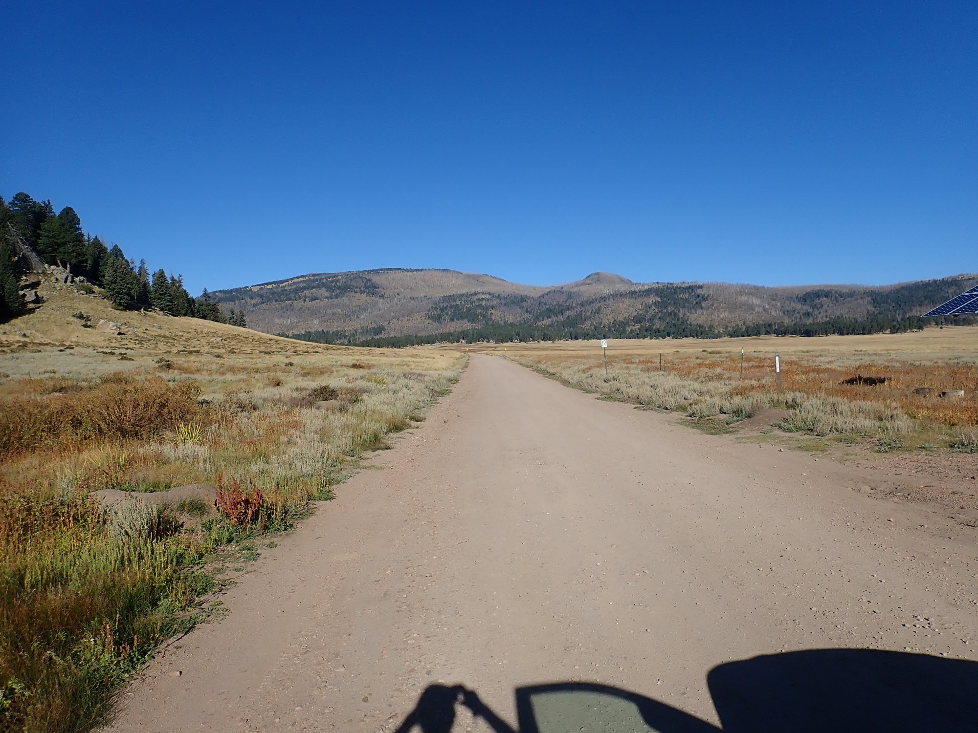
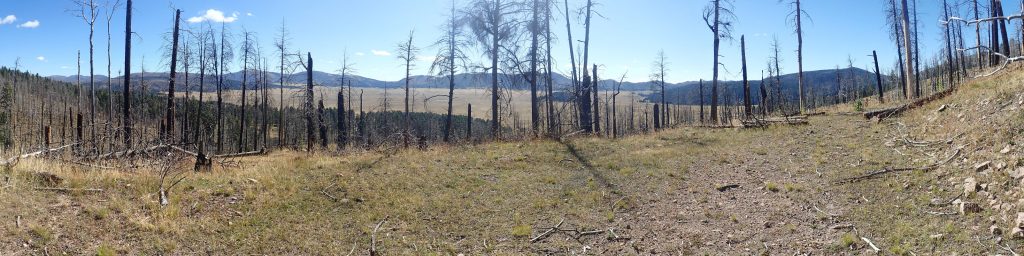
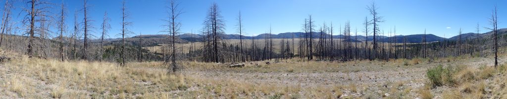
I pack my gear and head out, pausing for a panorama of the caldera in the morning sun.
As with most images at this site, you may click for a full-resolution version. Likewise, most of the blue links at this site direct you to a location on Google Maps.
At left, looking west, is South Mountain, one of the ring domes that form a circle around the Redondo Peak/Redondo Border resurgent dome. These are thought to have formed from eruptions of high-silica magma through the fracture surrounding the rock plug that dropped into the magma chamber. The foreground has some exposures of an early, less viscous flow from the South Mountain vent, but most of it is lake bar deposits from a lake that filled this part of the caldera 70,000 years ago. The lake formed when the El Cajete eruption to the west, the most recent in the Jemez Mountains, blocked the valley of the Jemez River.
At left center are Redondo Peak and the knob of Redondito, which sits on the north flank of Redondo Peak. Directly down the road is Cerro la Jara, the smallest of the ring domes, and beyond to its left is part of the northeast flank of Redondo Peak. To the right of Cerro la Jara, the north rim of the caldera is just visible, and then comes two more rings domes, Cerros del Abrigos and Cerro del Medio. The east caldera rim is mostly hidden by another foreground hill of lake bar deposits.
I arrive at the Preserve headquarters at about 8:45, somewhat concerned whether they will still have any backcountry permits available. They only give out a maximum of 45 a day, and it is such a beautiful day that I am sure they will go fast. I needn’t have worried; plenty are left, and the ranger is extremely helpful about giving advice for my hike. I tell him that I will be hiking VC0201, alone, but with a satellite beacon. He compliments me on my choice of trail. I feel a little like the waiter has just complimented me on my order, except that’s never happened, because I’m a teetotaler, and even the most oleaginous of waiters is not going to pretend to compliment you on your choice of dealcoholized wine.
The ranger tells me I should be aware that it is elk bow hunting season and this road is the boundary of the hunt area. I express appreciation for the important safety tip: I don’t want to fall victim to a bow hunting elk. The ranger clarifies and then warns me to be wary of bears as well. The trick is not to make so much noise that I upset the hunt, but enough to warn bears I am coming so they won’t be startled and attack me. The other rule is that all back country visitors must restrict driving to a designated set of roads and be back at the headquarters before 5:30. Neither should be a problem for me.
The headquarters area is surrounded by an enormous colony of some of the fattest, sleekest prairie dogs I have ever seen.
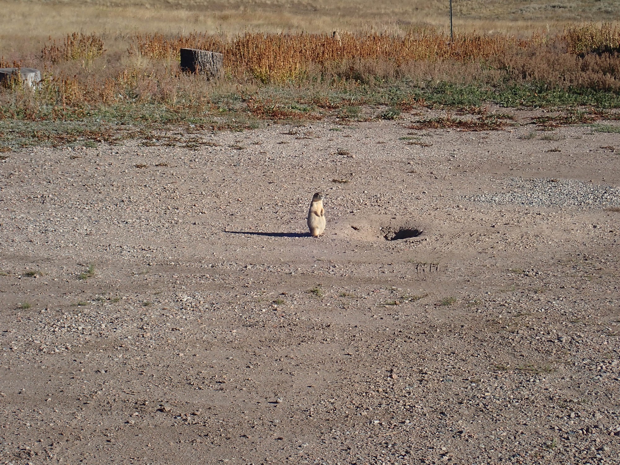
These guys are so well fed they can hardly waddle. Apparently predators are wary of the headquarters area. You can see the dogs standing guard like this for a hundred yards in all directions.
Start of the back country road.
Cerro la Jara at left foreground, and the great mass of Redondo peak, with Redondito right of center, ahead. The vent I will be hiking to is almost directly along the direction of hte road, halfway down the flank of the mountain, south of Jara Creek.
Parked near the trail head.
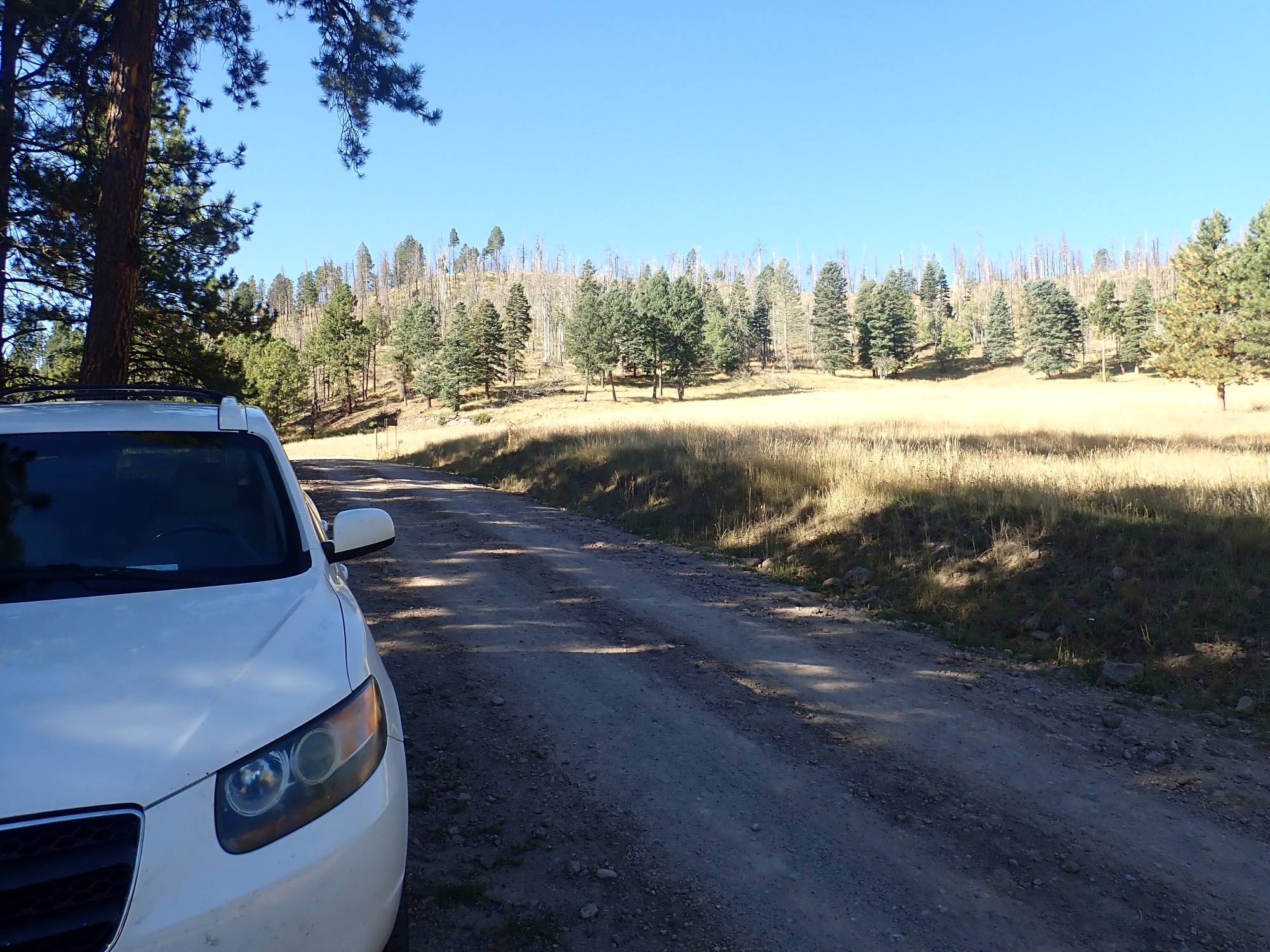
It’s a cool morning, but it will warm up soon enough. I slather myself with sunscreen and insect repellent, activate my satellite beacon, send out the “Heading out” message (Cindy finds these very comforting, and the “Back safe” even more so), activate the track mode, don pack, and start hiking.
The start of VC0201 is not impressive.
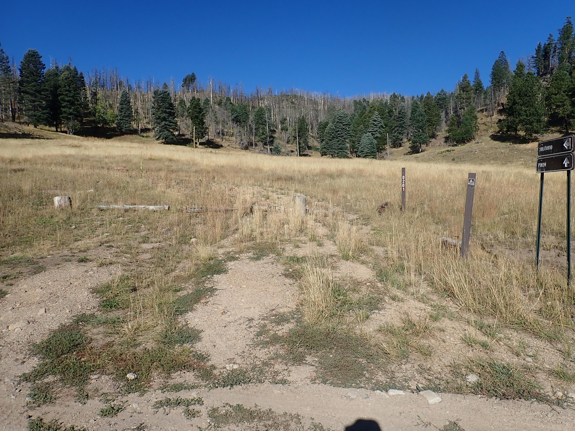
The caldera staff are serious about letting all but the main back country road revert to wilderness, though they mean to keep the old roads clear enough for hikers. There are obviously good reasons for this, but the one drawback is that there are some parts of the preserve that are all but impossible to visit, because even a strong hiker cannot drive to the nearest point on the maintained road, hike in, hike out, and return to the headquarters in the 9.5 hours between the headquarters opening at 8:00 and closing at 5:30. However, probably 70% of the preserve is accessible to a strong hiker. And there’s the option of taking a mountain bike to the more inaccessible spots, which would probably open up almost all the preserve to me, if I owned a mountain bike. May have to get one.
Geologists love road cuts. The first cut exposes alluvial fan deposits.
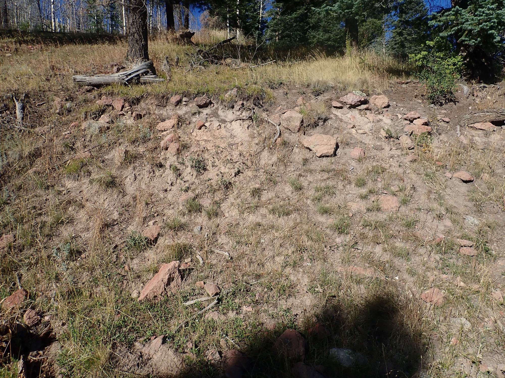
Alluvium is geologist-speak for sediments transported by water. An alluvial fan is sediments deposted from water flowing out of the mouth of a canyon. These are described as “older” on the geologic map of this area because they appear to be older than the El Cajete eruption 73,000 years ago. In other words, they contain no El Cajete pumice, as younger alluvial fans would.
The salmon-colored rocks are all fragments of Tsherige Member tuff from the Valles eruption. Only part of the magma erupted during the eruption made it out of the caldera; much of it settled back onto the caldera floor, blanketing it deeply. Redondo Peak is covered with thick beds of Tsherige Member, which was one clue to its nature as a resurgent dome.
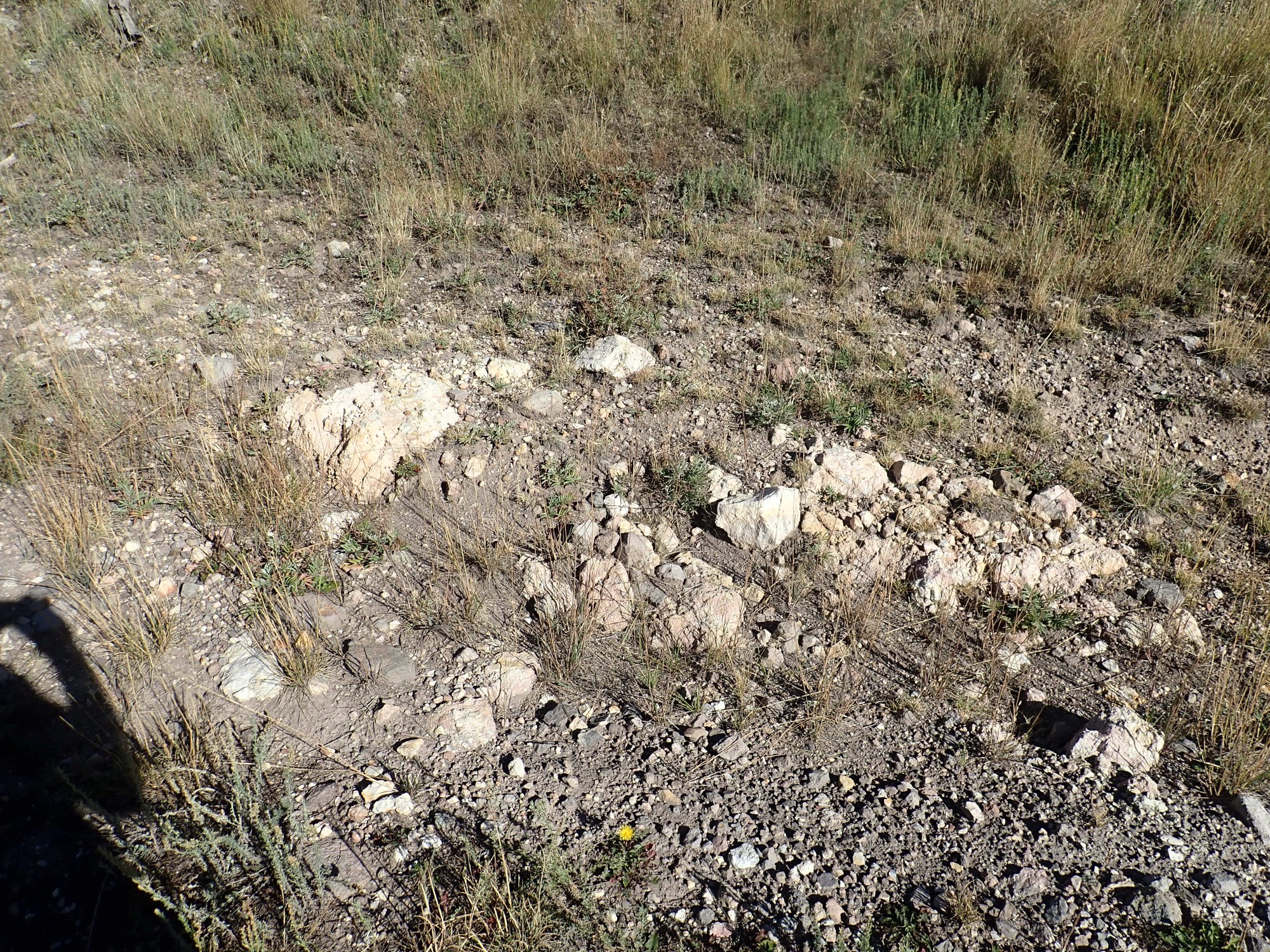
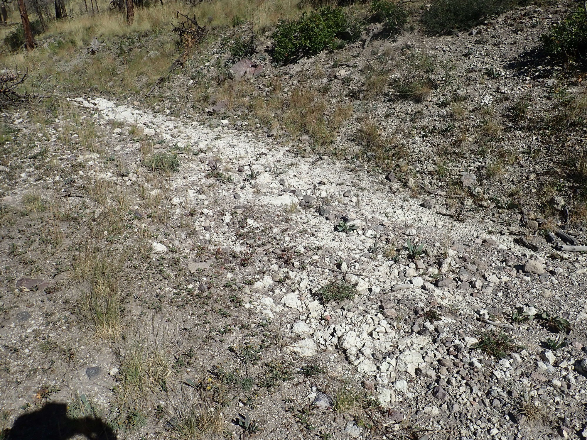
A little further on, the road bed is covered with white bits of Deer Canyon Rhyolite tuff.

The Deer Canyon Rhyolite was erupted very shortly after the Valles eruption, before resurgence was complete. A few vents, including the one I’m hoping to reach today, seem to have volcanic rock flowing downslope from the vent, as if the dome was already rising when they were erupted. However, one has to be careful to be sure the rock is actual original outcrops and not just eroded rock washed downhill long after the vent erupted.
Regardless, the Deer Canyon Rhyolite was erupted in relatively small volumes as the resurgent dome rose. It is distinguished from the underlying Tsherige Member tuff from its very pale white color and from the presence of bits of older rock in the tuff, including bits of Tsherige Member. I’m puzzled that it is such a pale white; the last of the Tsherige Member tuff to erupt was quite dark pink, and the Deer Canyon Rhyolite came almost immediately after. One wonders if it represents a completely fresh batch of magma rising into the magma chamber and causing resurgence.
There’s another rock here whose lithology (makeup of minerals) I don’t recognize.

Oh, I don’t mean that I don’t recognize the minerals. I mean that I don’t recall seeing any intracaldera formation before with this particular blend of minerals.
The road curves to the west and there are more solid outcrops of Deer Canyon Rhyolite tuff.
I see more outcrops on the hill above me, and decide to hike up to them.
A view of Cerros del Abrigo in the distance.
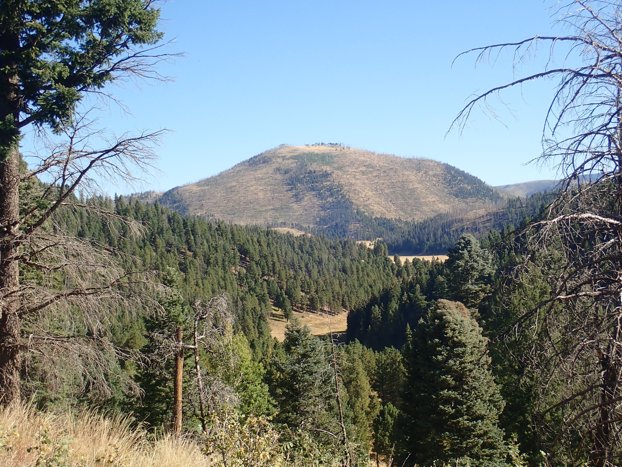
Cerros del Abrigos is just a hair under a million years old, and formed in three eruptive pulses through the ring facture of the caldera. It was heavily lumbered in the 1970s and the lumber roads are still visible on its flanks. More recently, the mountain was burned over by the Cochiti fire, which did more damage than the lumberjacks ever did.
In the foreground is the valley of Jaramillo Creek.
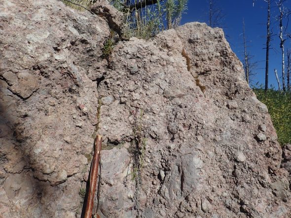
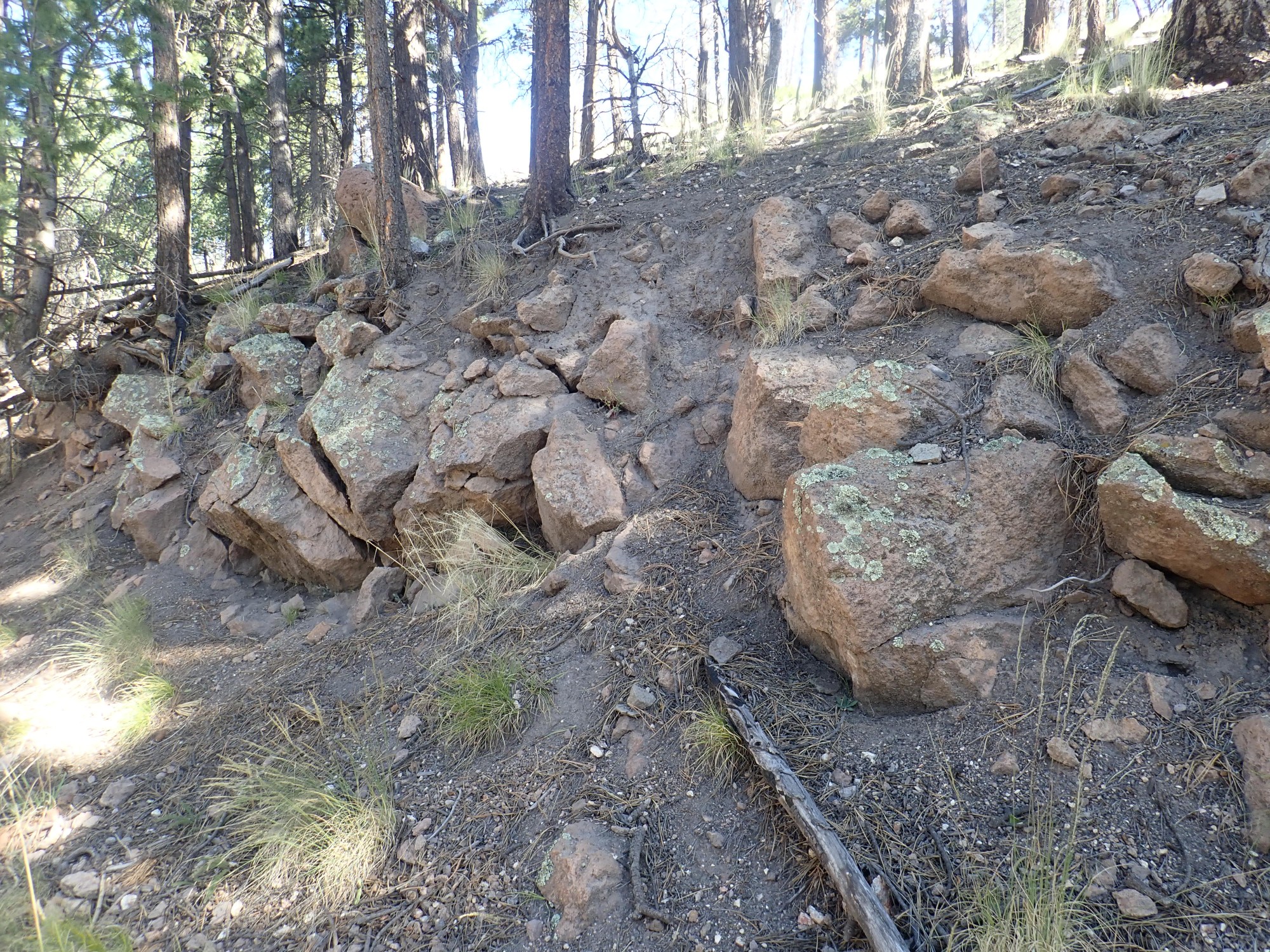
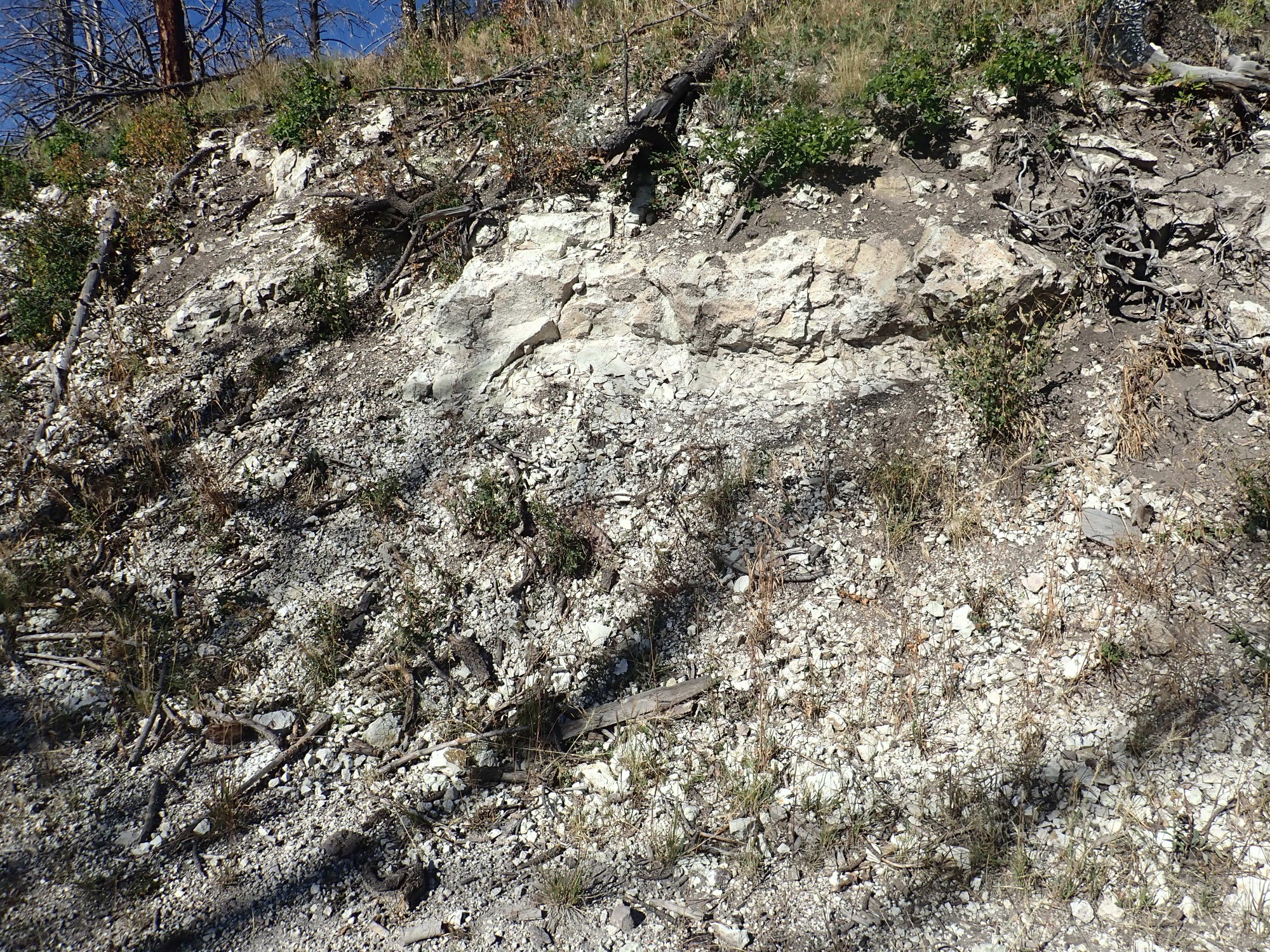
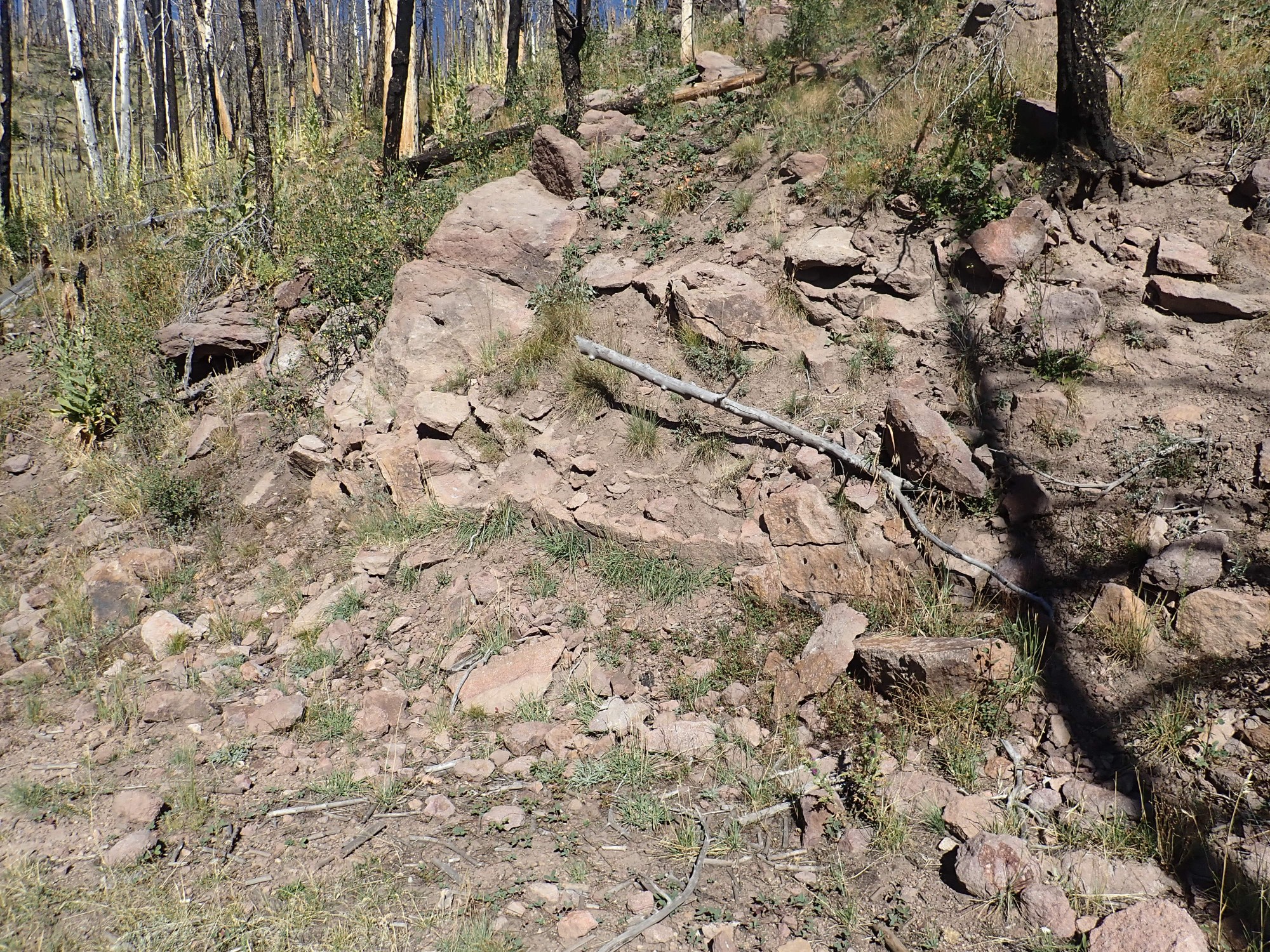
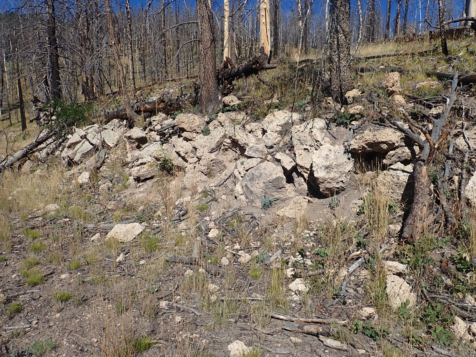
I reach an outcropping of Deer Canyon Rhyolite.
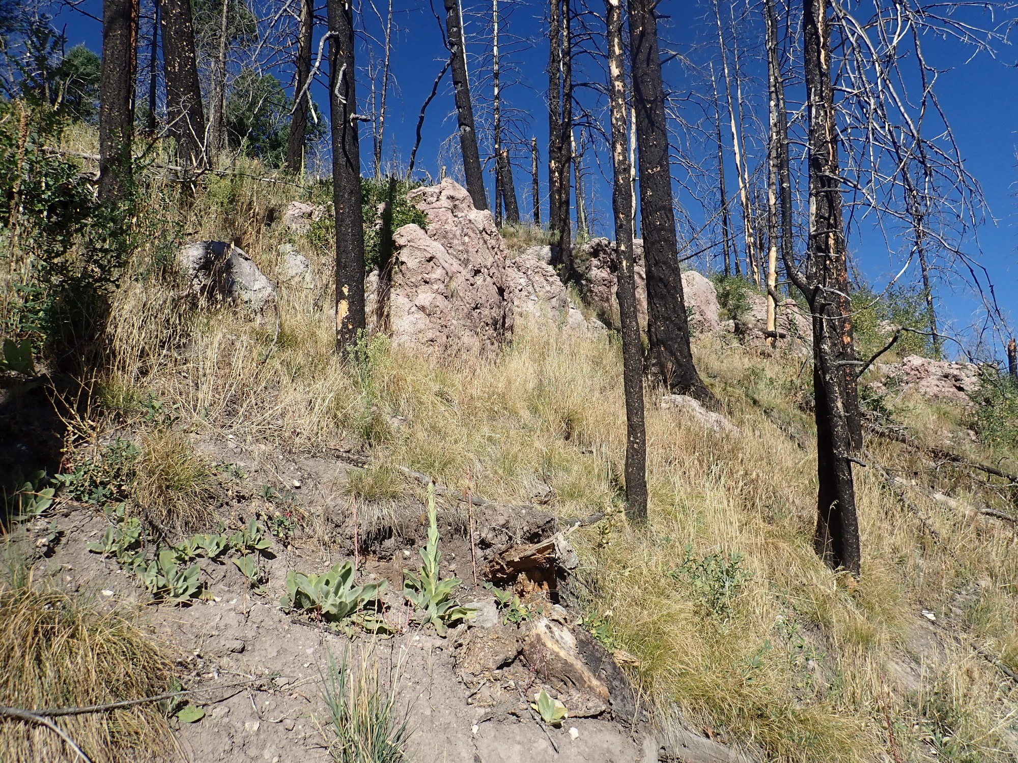

As I noted earlier, the Deer Canyon Rhyolite is high-silica magma that leaked out of the resurgent dome in relatively small quantities as it was pushed up. Unlike the tuff I saw earlier in the road bed, this is solid bedrock. However, you can see that it is autobrecciated; the rock is a mess of fragments that welded back together while the rock was still hot. High-silica magma is extremely viscous, and the outer parts of a flow will shatter into fragments as the flow moves. These are either mixed into the still-liquid interior, or are themselves still somewhat plastic, so that they shatter under sudden stress but very slowly deform under lighter stress.
No sampling in the Preserve.
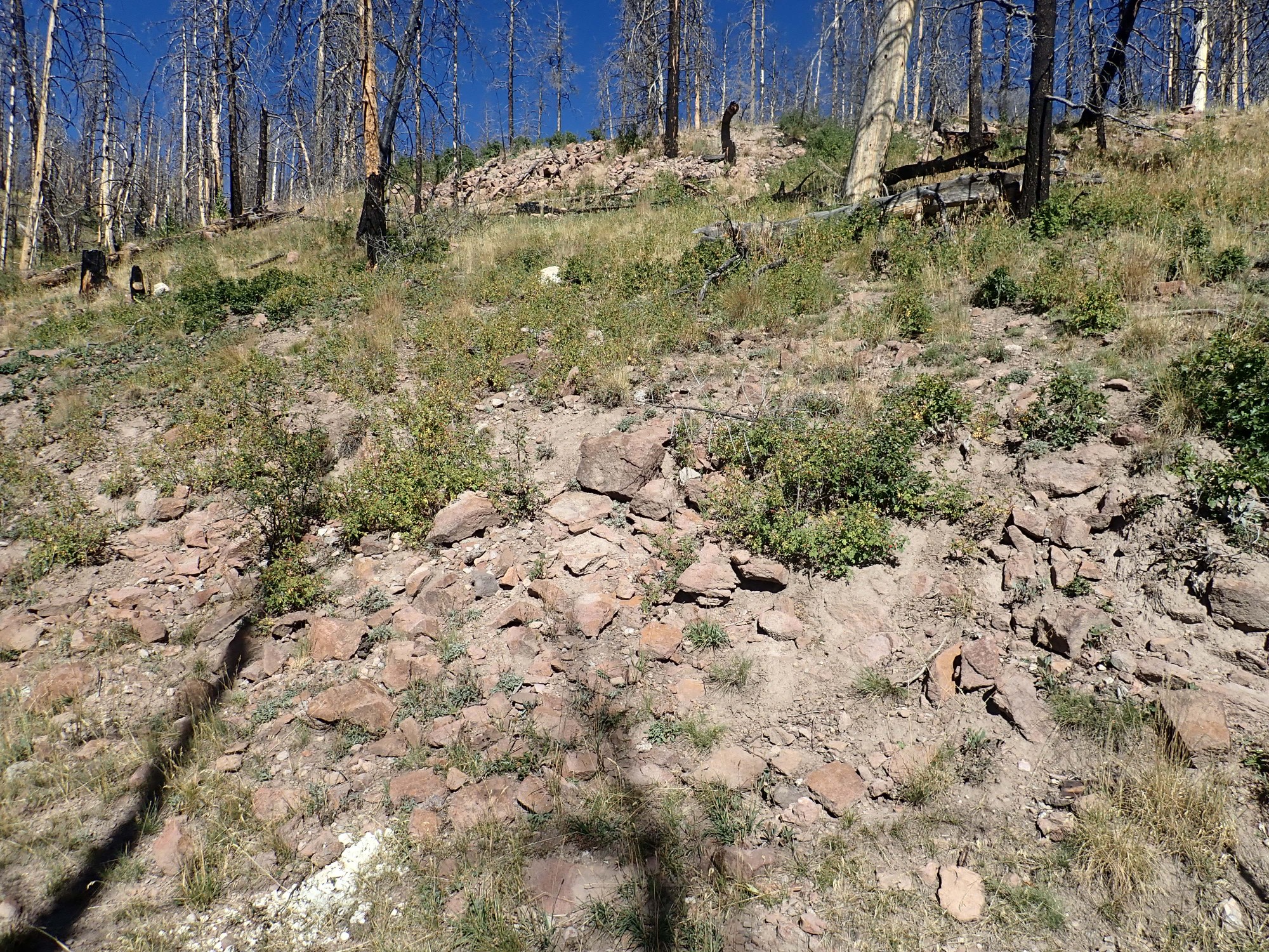
I climb to the top of this knoll, which is covered with debris eroded off higher ground to the west.
This is looking south.
I scramble down the south side of the knoll back to the road. This side is completely covered with soil and eroded rock, with no pristine exposures until I reach road level.

This is very typical Tsherige Member, Bandelier Tuff. There a bits of pumice in it that look like they may have been very slightly flattened. However, this tuff shows no other signs of welding. Tuff is formed when very viscous, high-silica magma with a lot of dissolved gases reaches the surface, and basically disintegrates under the pressure of its own escaping gases. The red-hot mixture of gas and tiny shards of volcanic glass can flow like a liquid, sometimes for miles, before settling to the surface. If the volcanic ash is still soft from the heat, it will “weld” into a very solid rock as the fragments flow together. If the ash is somewhat cooler, you get an “unwelded” tuff that is typically a less solid rock, though it’s rare for the ash to be so cool that it is deposited as loose sediments.
As the road ascends, I come to some more Deer Canyon Rhyolite tuff.

So we’ve seen the “rock column”, the sequence of beds, of this knoll. It is Bandelier Tuff (Tsherige Member) at its base, on top of which are beds of Deer Canyon Rhyolite tuff, then beds of solid Deer Canyon Rhyolite, then debris flow deposits. The tendency for the lower beds of Deer Canyon Rhyolite to be tuff and the upper beds to be solid rhyolite is quite characteristic. I attribute it to the later eruptions being from deeper in the magma chamber, where the magma was less saturated with gas (which tends to migrate to the top of a magma body) and was also hotter and so less viscous.
Slightly further on, I see that some geologists have been very interested in these beds.
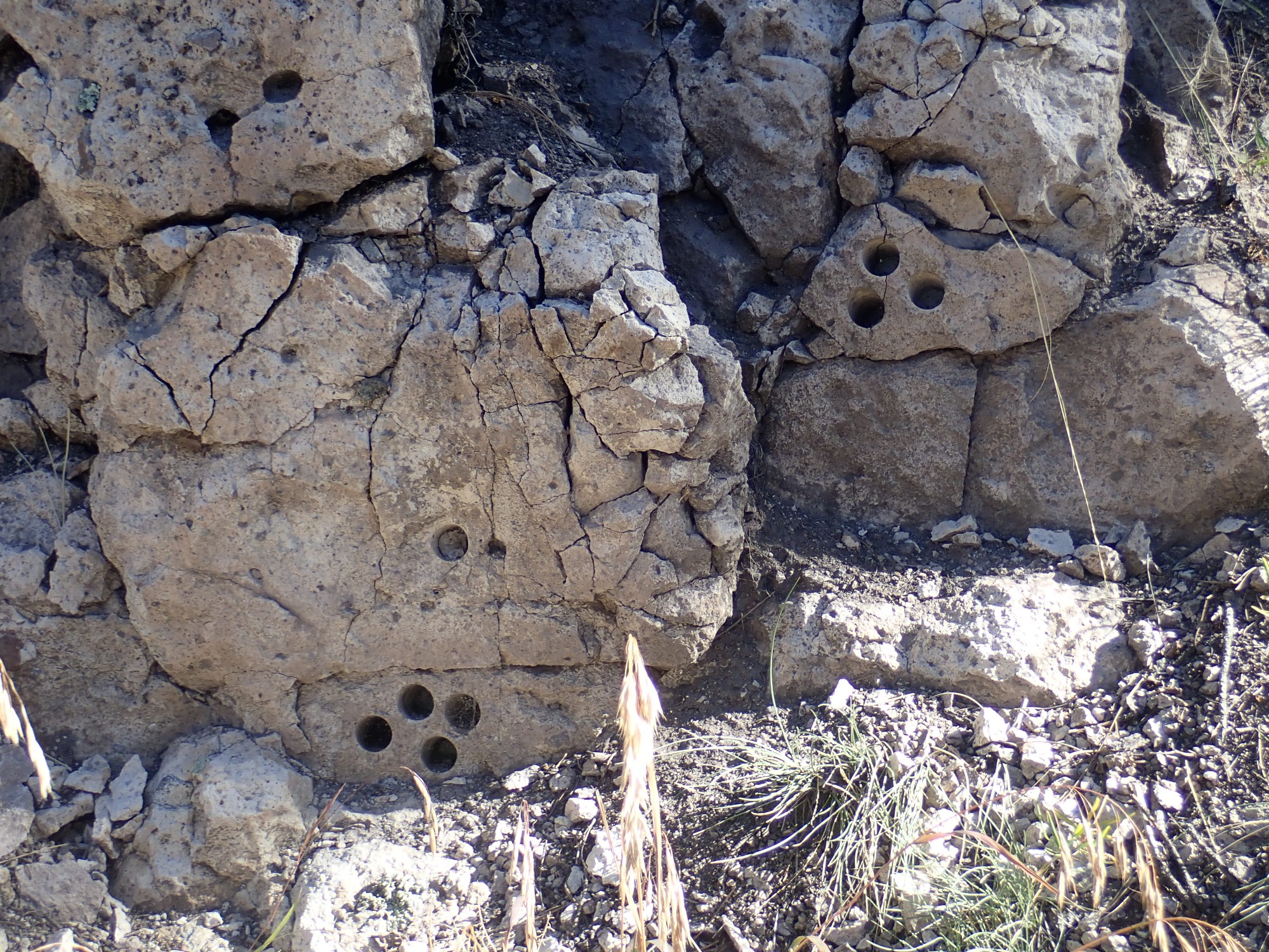
The boreholes are where a geologist has taken plugs of rock for laboratory analysis. This was likely to get a radiometric age for the rock and to determine its composition. Generally, Deer Canyon Rhyolite is almost exactly the same age as Tsherige Member, indicating it erupted immediately after the Valles event — but it is not just leftover Tsherige Member magma; the composition is distinctly different.
Some distance down the trail is another outcropping of Tsherige Member.

This, too, has been sampled. In fact, almost every substantial outcrop along this road from this point on will have boreholes in it. As one of the youngest and best-preserved resurgent calderas in the world, the Valles caldera has been thoroughly scrutinized by geologists.
Fork in the trail.
I have no difficulty identifying the right fork as my road. The other road looks a little primitive for my tastes.
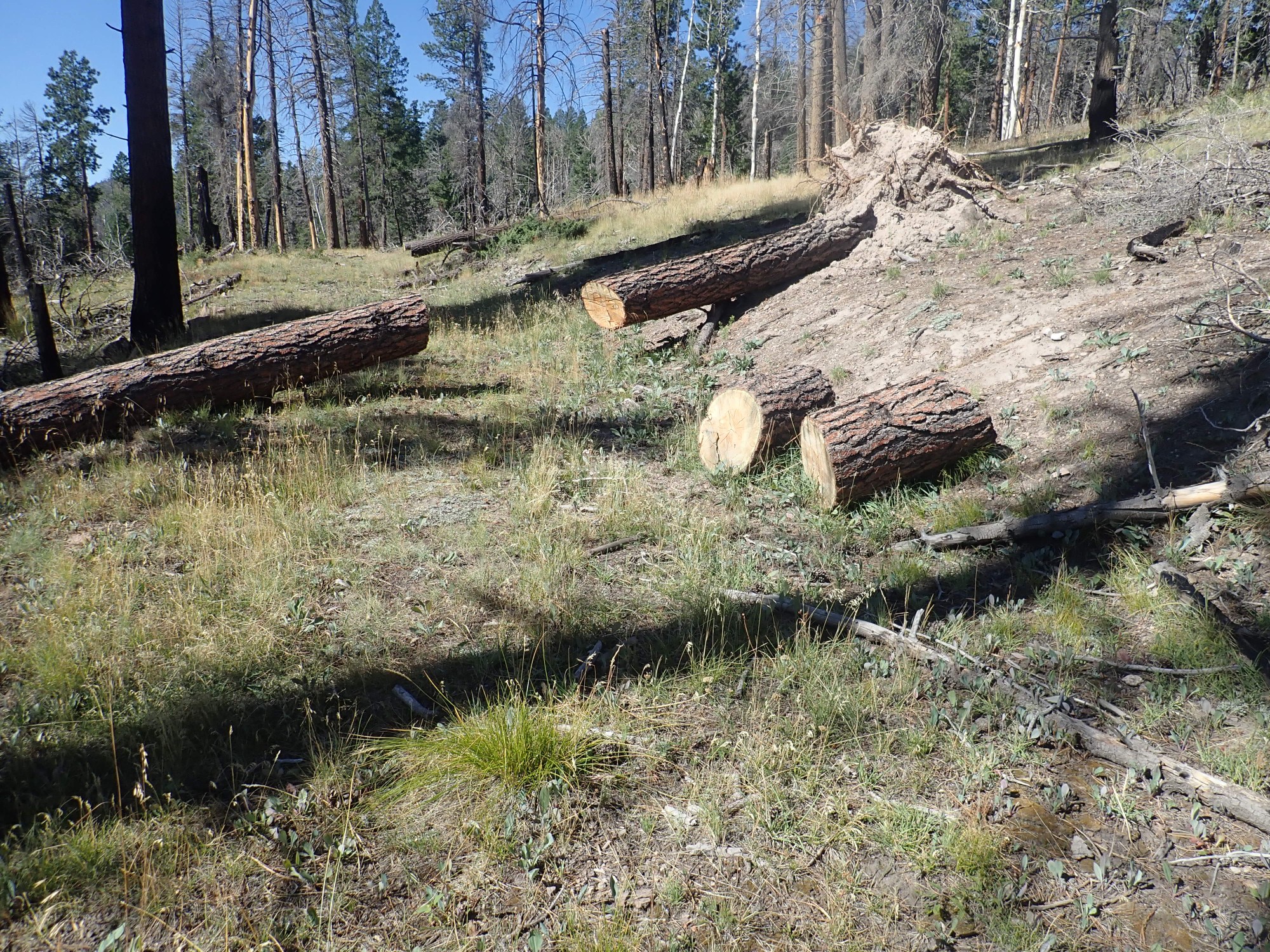
The next fork is a little less obvious.
Still, the big tree across the left fork is A Clue, and I continue right.
The road passes through more Deer Canyon Rhyolite, here
and here
and here.

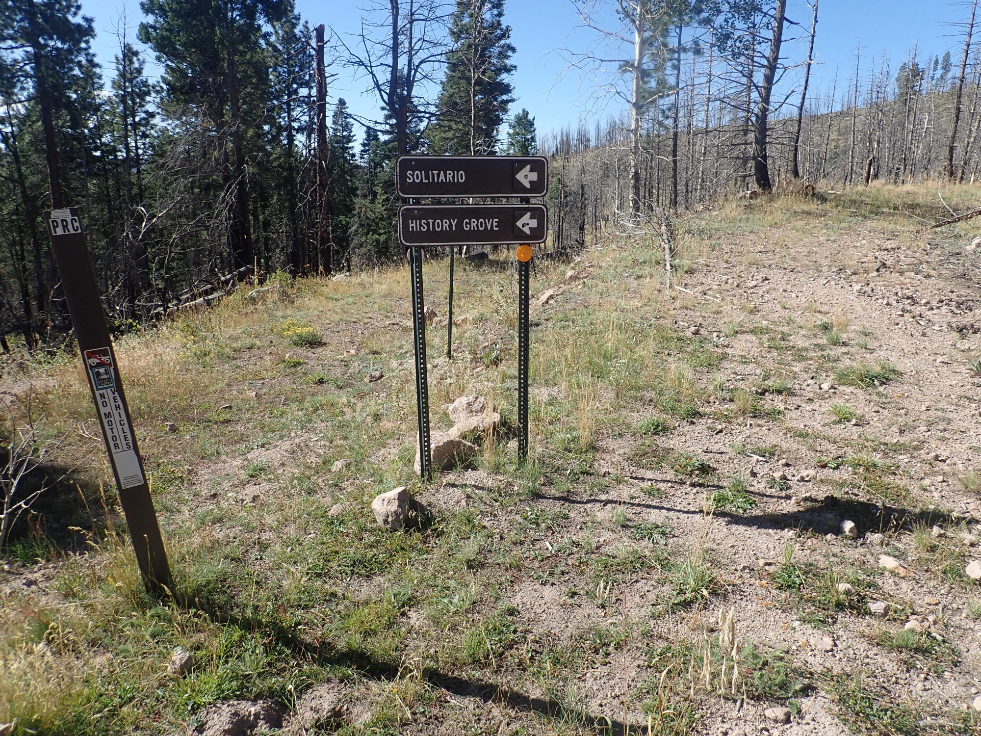
And this time the fork is less obvious. The road right looks clearer, but the one left has had some fairly recent clearing work, too. Fortunately, there is signage; the one right is marked VC0301 and left is VC0201, my road. I turn left.
But the road right might be worth exploring another day. It goes up to where there are early lake bed deposits, another indication of resurgence, then into a maze of forest roads of which one eventually comes out and on towards Redondito. However, it would be easy to get lost in the maze, and Redondito is within the cultural exclusion zone surrounding Rendondo Peak.
I continue to see indications of recent trail maintenance in the face of postfire erosion.
More Tsherige Member, but his is likely colluvium eroded higher up. What looks like an outcrop of tuff up the hill is actual the roadbead of VC0301.
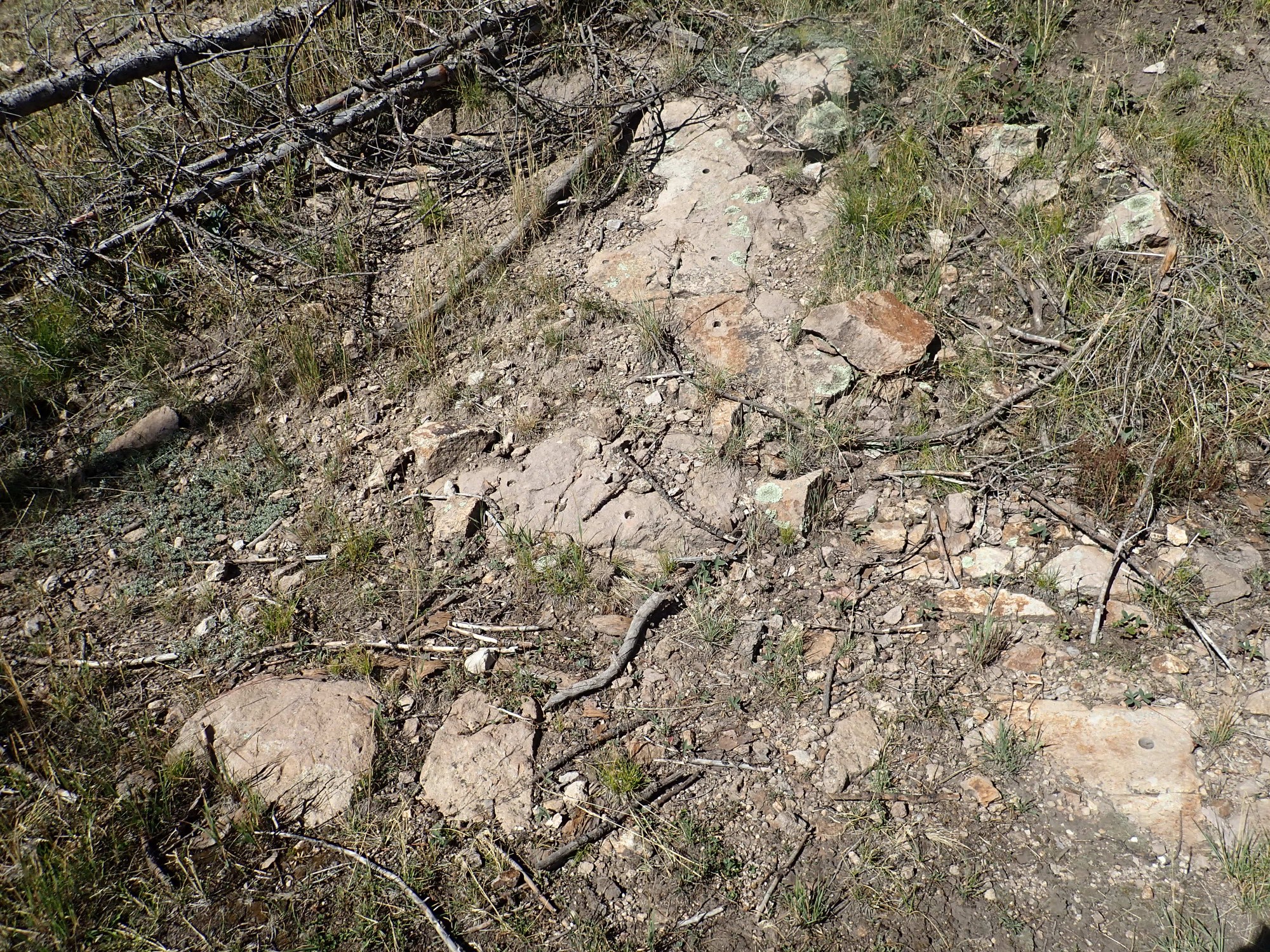
And bedrock Tsherige Member.
With more sampling boreholes. Do you see them? (Click to enlarge.)
More recent trail maintenance.
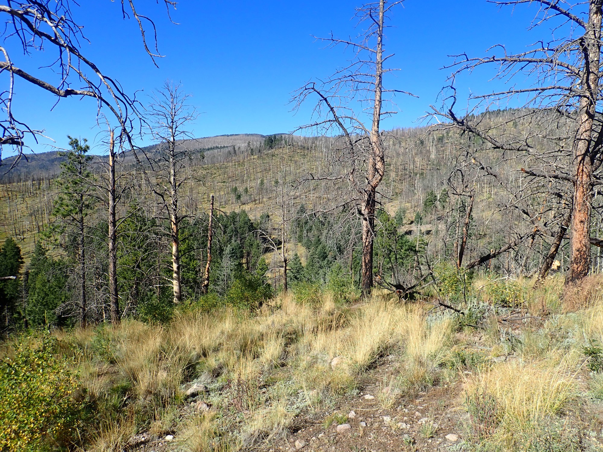
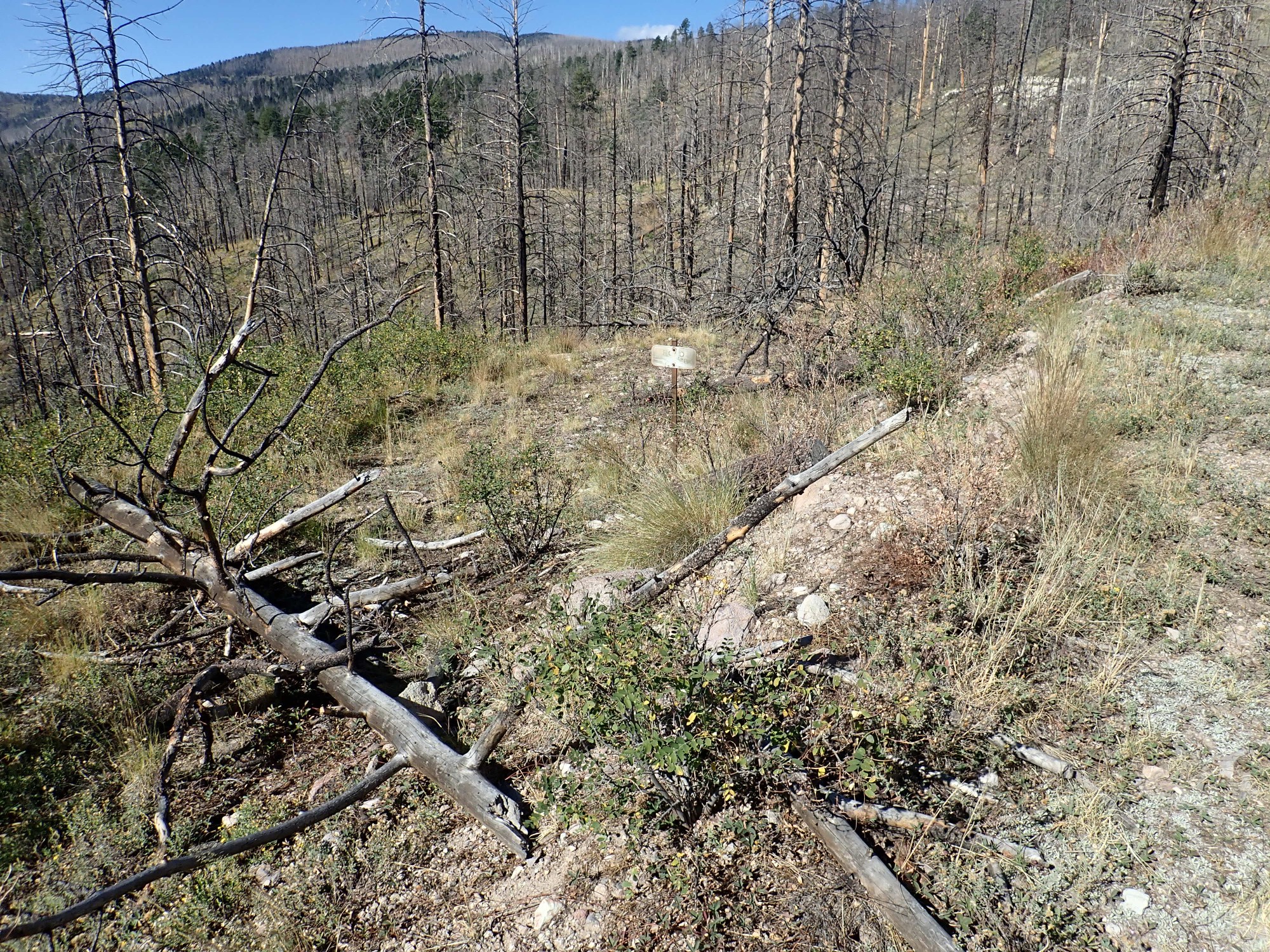
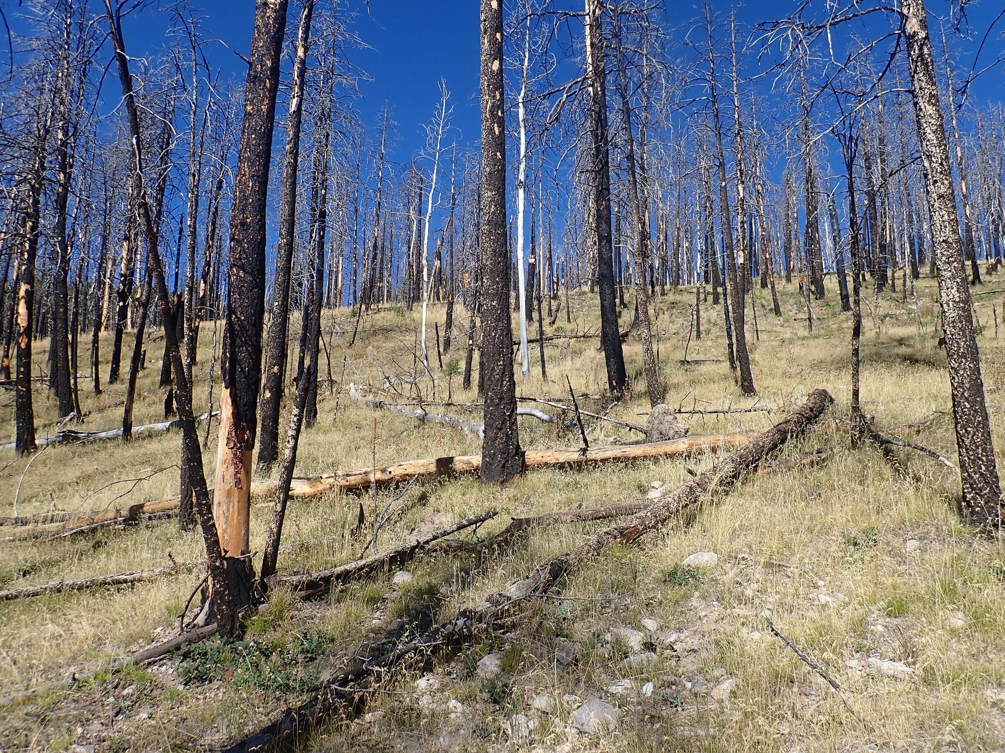
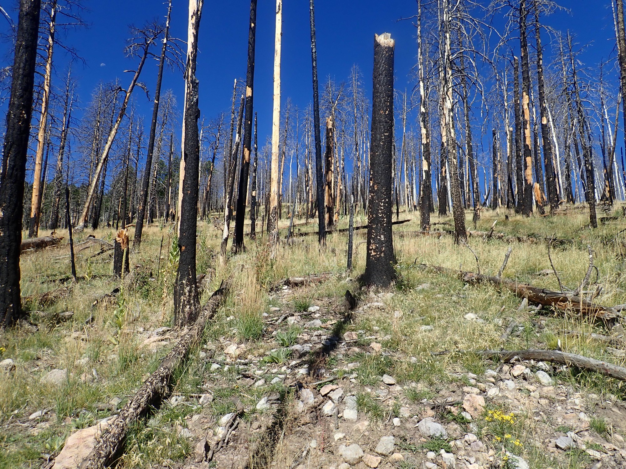
And I see what I take for the burn scar on the south side of Jara Creek. Almost there!

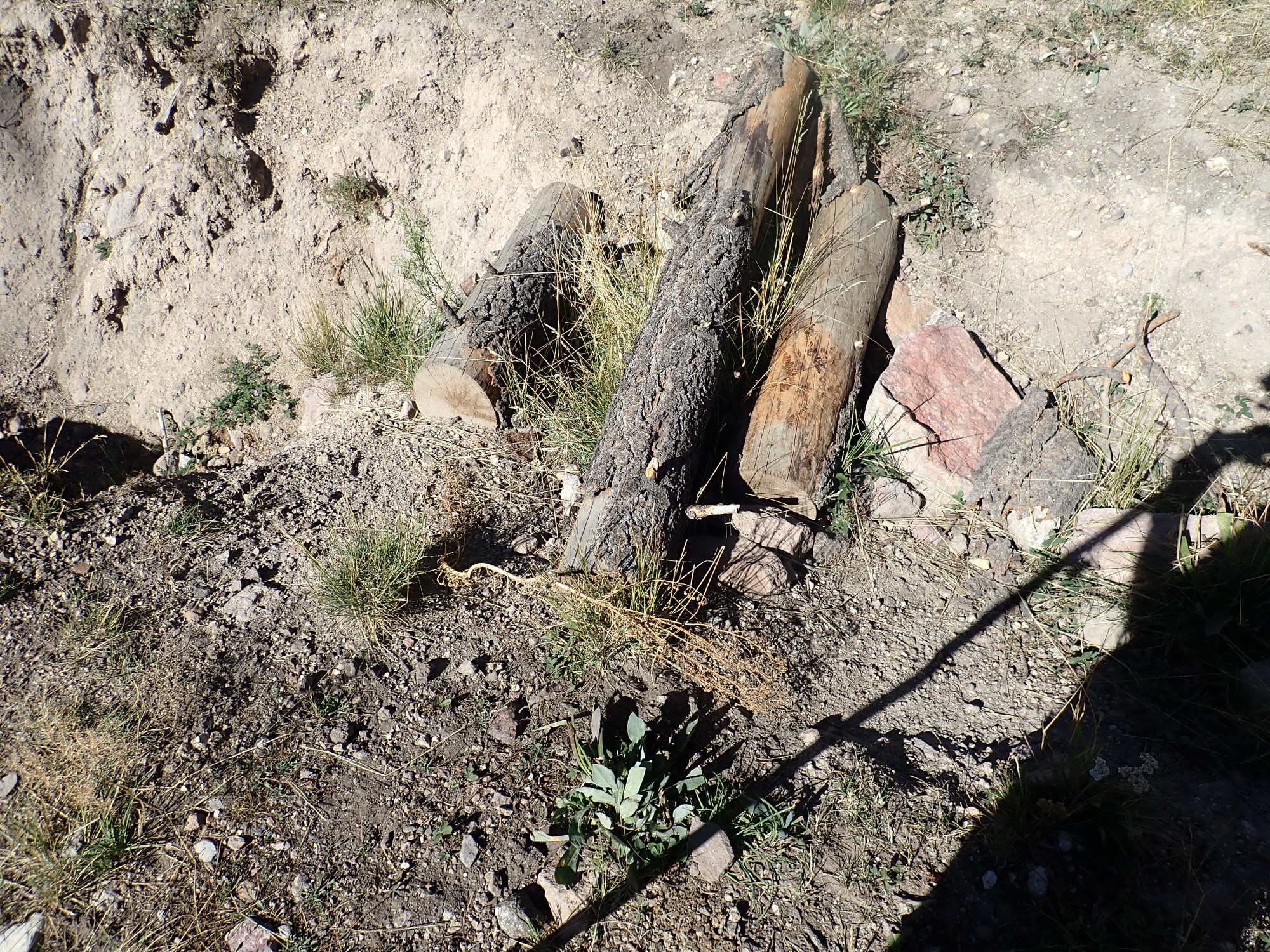
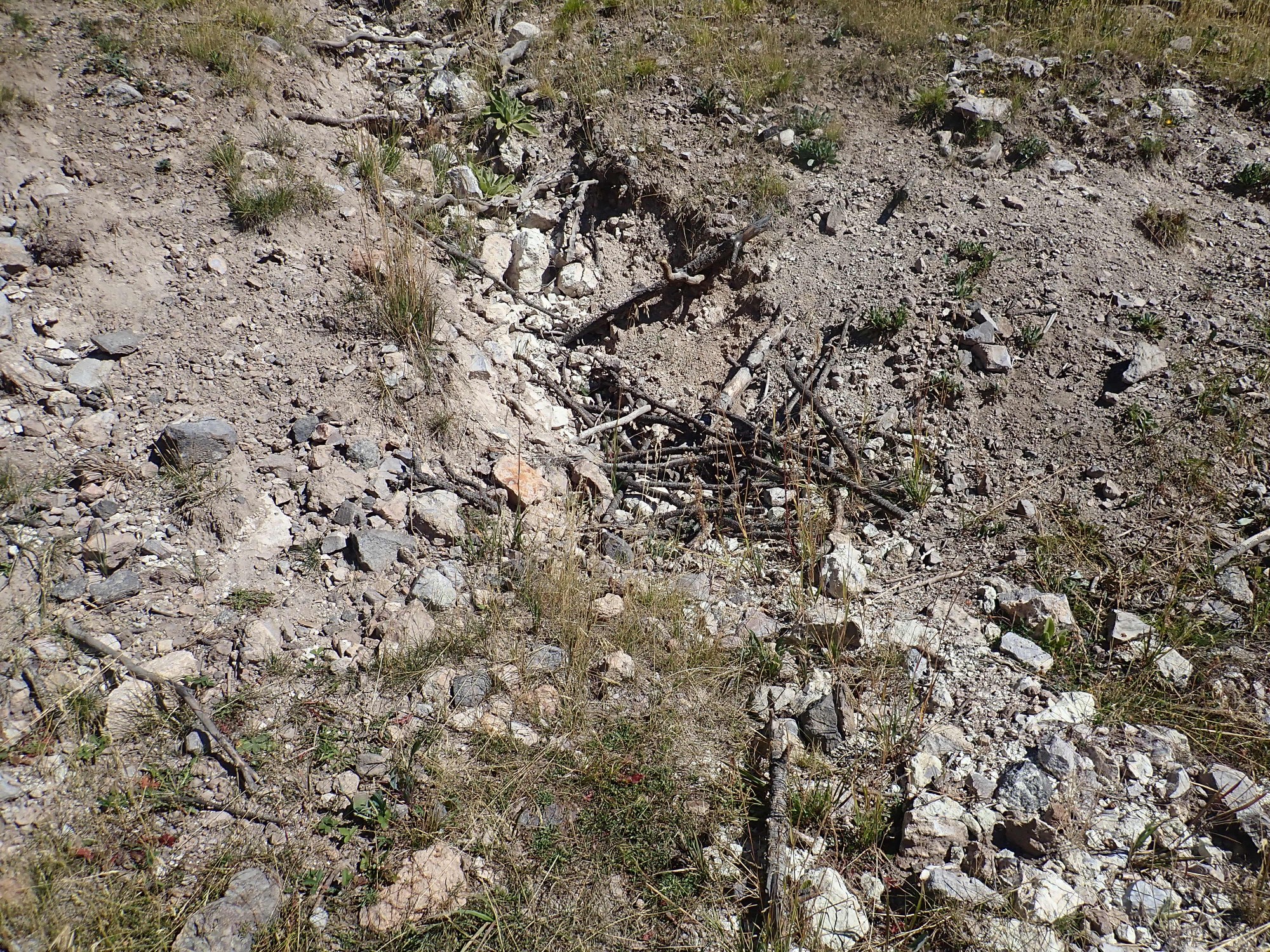
And, sure enough, the gorge beyond has an actual creek, with running water — and severe gullying across the trail.
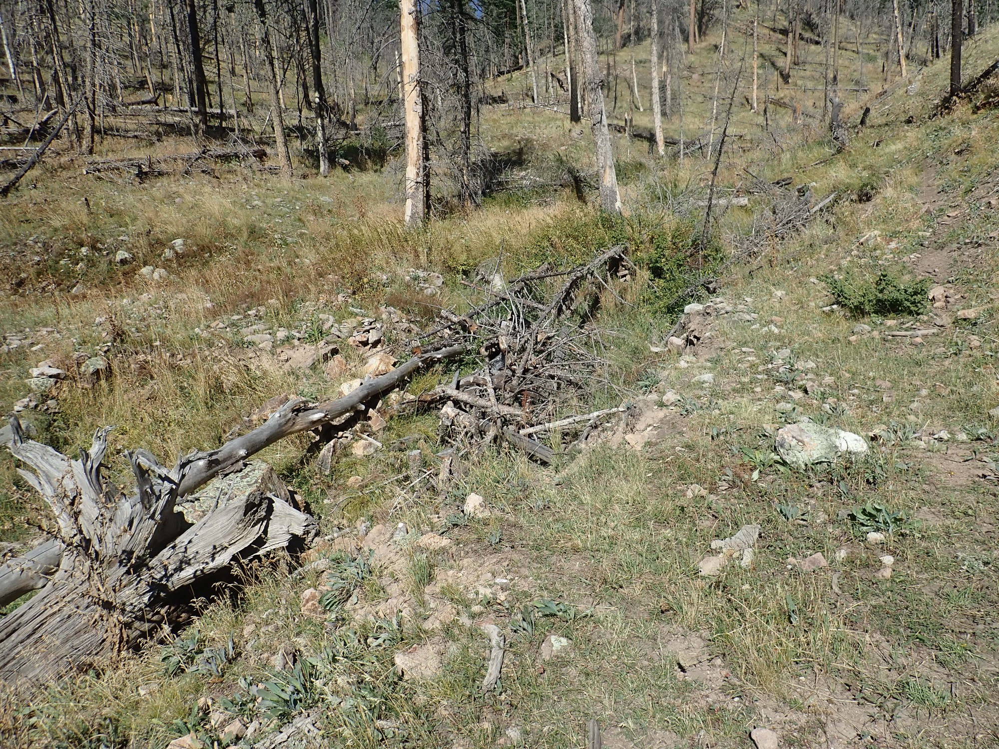
The picture isn’t clear, but the road has been gullied clean through, and the gap has had branches thrown in — as much to check erosion as anything; you still have to hike up canyon to get across. And the new trail is already eroding out.
Yet more boreholes, this time in the roadbed itself.
And I finally reach a spot where the trees are sufficiently thinned and the sun is now sufficiently high for a nice panorama across the Valle Grande to the east.
So far, it all seems to correlate with the map in my head. I’ve crossed a running creek, presumably Jara Creek, and I’m hiking around a ridge where there should be a Deer Canyon Rhyolite vent above me. So far I’m seeing just Bandelier Tuff in the roadbed
but then I see bits of Deer Canyon Rhyolite in a gully. I must be at the spot.
I start bushwacking up the hill, mindful of bow-hunting elk and bears. In fact, I can hear some elk bugling off in the distance … unless that’s hunters doing a credible imitation. An elk bugle sounds a little like someone enthusiastically working a kazoo.
I see more and more Deerhead Rhyolite as I ascend, which only confirms my belief that the vent is just up the slope.
Some very nice lithic tuff.
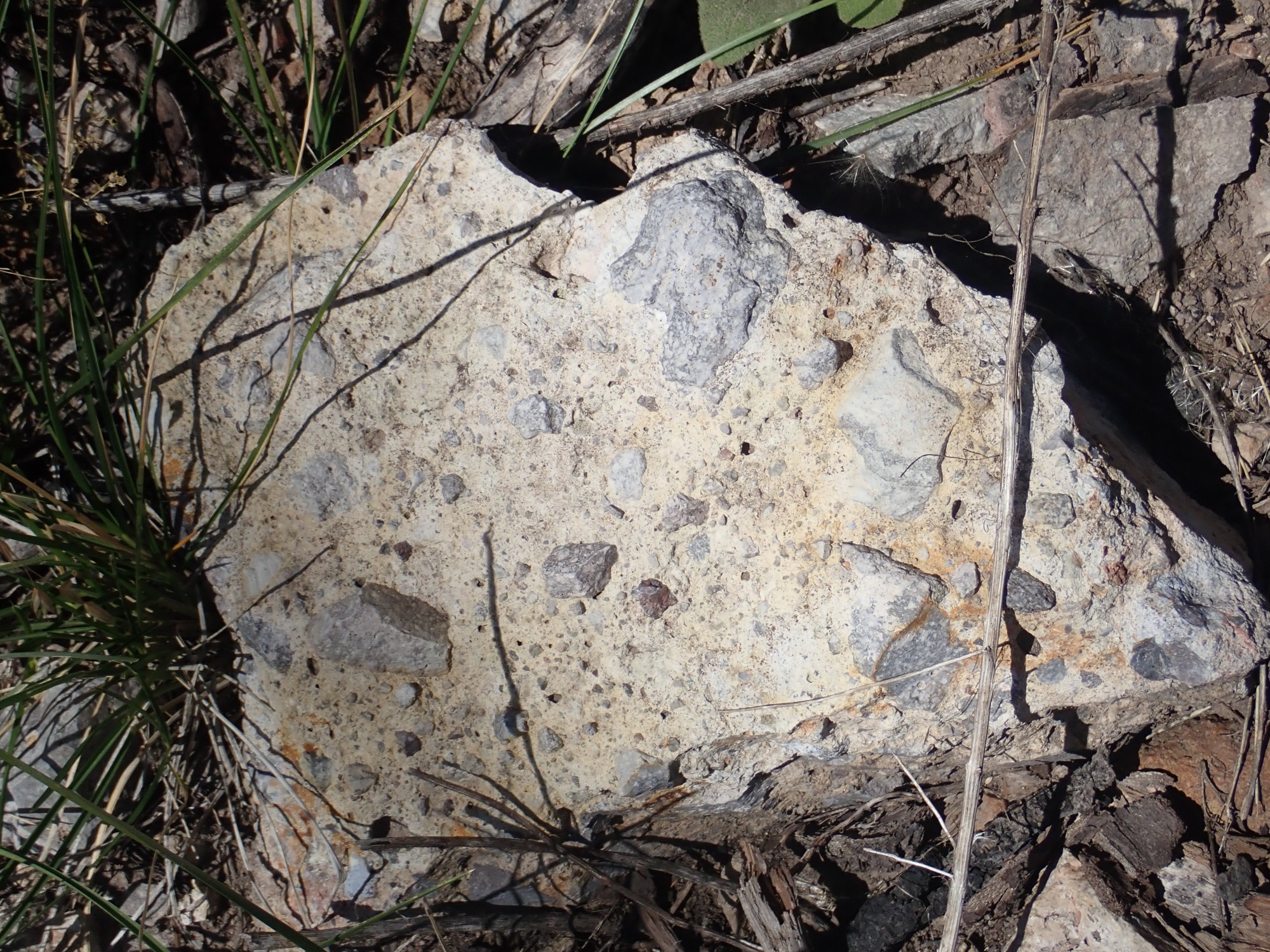
So-called because lots of bits of rock are caught up in the ash and cemented into it. Curiously, they all appear to be bits of solid rhyolite.
It’s always bigger than it looks.

There are some very big boulders here, suggesting I’m nearing the vent.

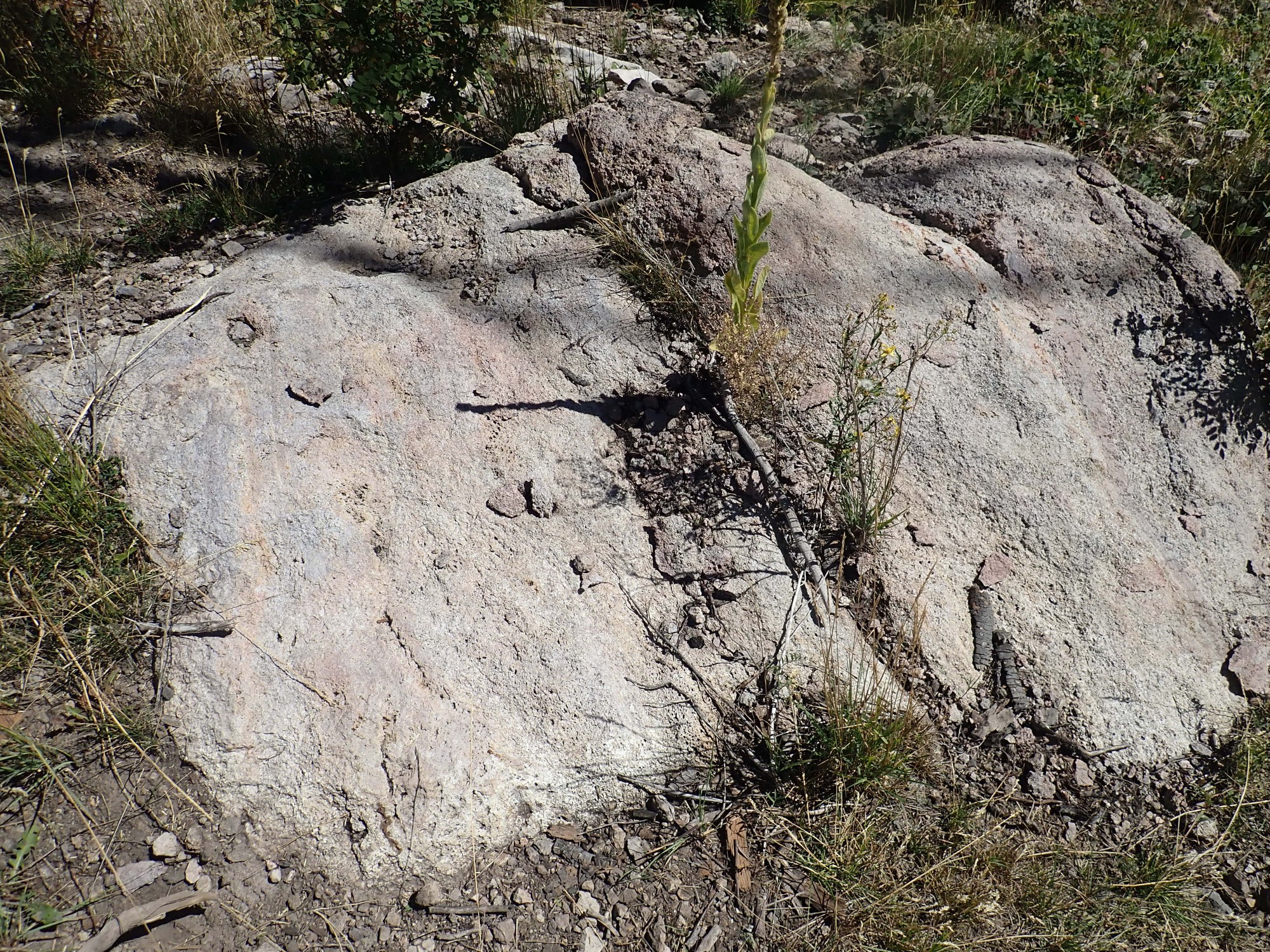
This doesn’t look much like other samples of Deer Canyon Rhyolite I’ve seen. This stuff is full of bubbles. Perhaps that’s a near-vent facies?
The is clearly from the actual surface of the flow.
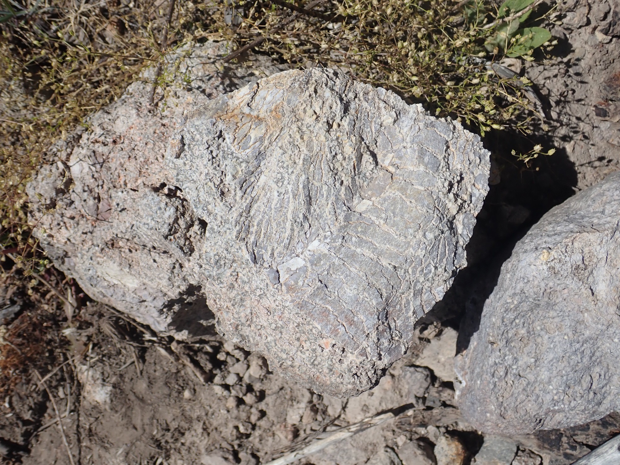
The bark-like surface forms from cooling in the air of a very viscous lava. You see some flows very similar in appearance in young lava flows in places like Hawaii, though it’s a very different kind of lava.
Massive outcrops are clearly bedrock, rather than stuff that washed down from higher up.
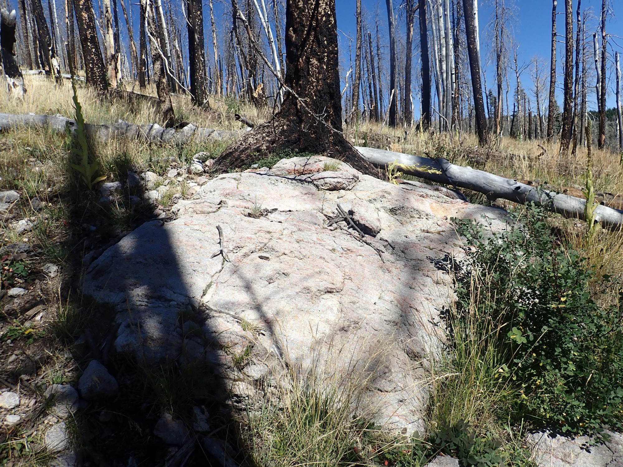
And beyond the number of boulders abruptly drops. I assume this means I’ve climbed above the vent.

Well, cool. I start back down.
I’m not the first large mammal here recently.
That’s where an elk settled down for a nap. I become extra careful, not wanting to be speared, gored, or mauled. Then, through the trees …
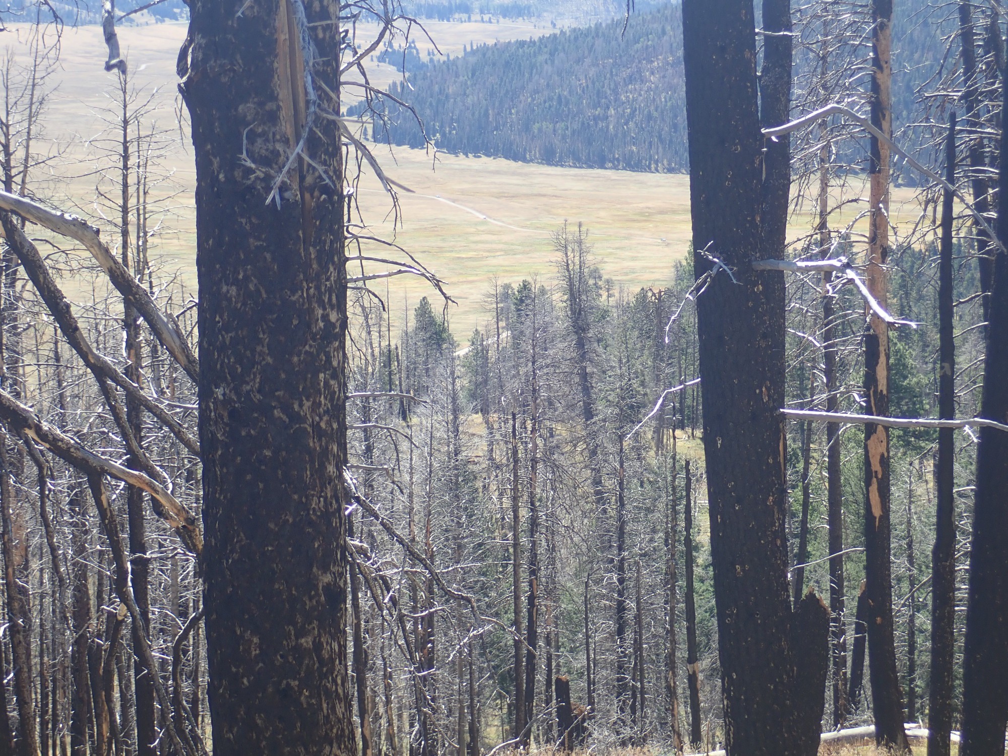
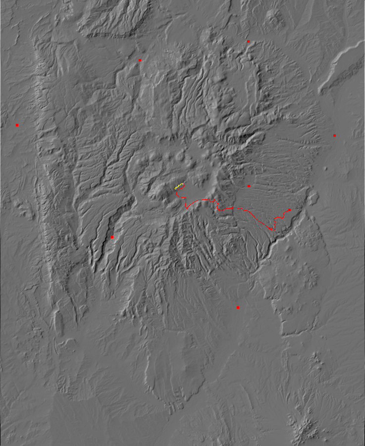
Who told you that you could navigate, monkey-boy? That, Dear Reader, is the road from the Valles Preserve headquarters to the old ranch headquarters. My vent is supposed to be directly west of that road. I’m a good three-quarters of a mile too far north. So what the profane metaphor did I just hike across?
(When I get home, I will find that this is indeed a Deer Canyon Rhyolie outcrop; just not the one with a vent that was marked on the geologic map.)
I consider hiking the additional distance south to the right spot, but I’ve already bushwacked up two substantial hills, I sense I’m nearing exhaustion, and I have some things I want to do at the office. I decide I’m done for the day.
Back to the road. Yeah, I don’t want to go further south on that.

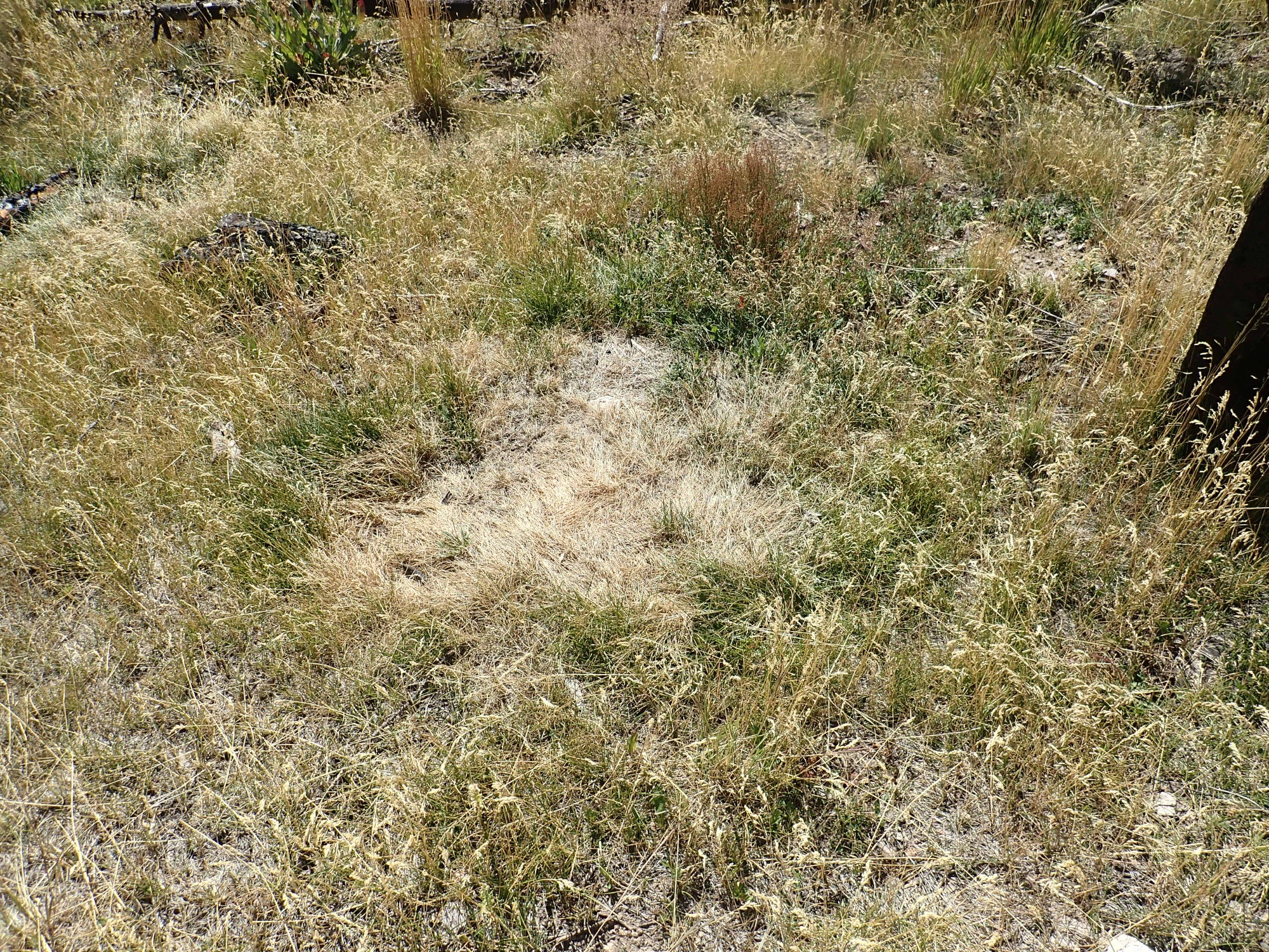
And I find I’m on the wrong side of a big muddy patch.

I squishle my way through and head on back. One last panorama, though:
And then back to my car for a trail lunch (it is not much past noon) and home.