Wanderlusting Clayton, day 3
We awake to find the weather has taken a decided turn for the worse. (Which does not surprise us; we have been following the forecasts.)
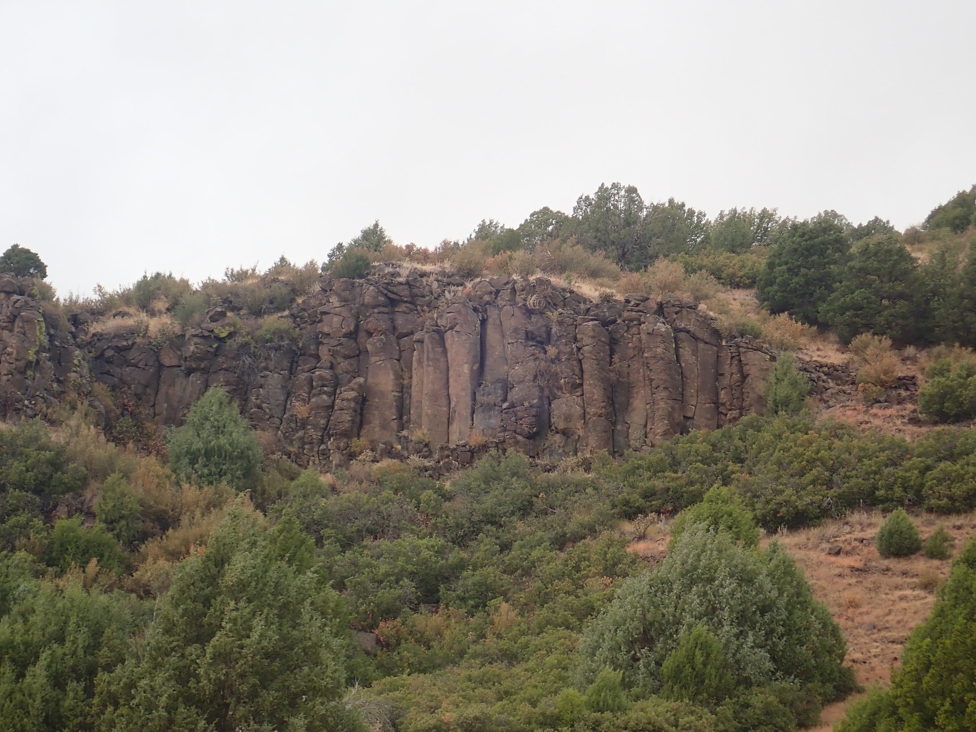
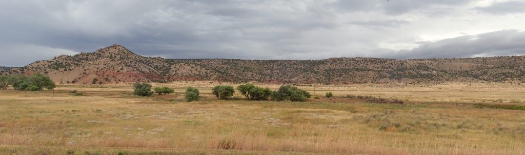
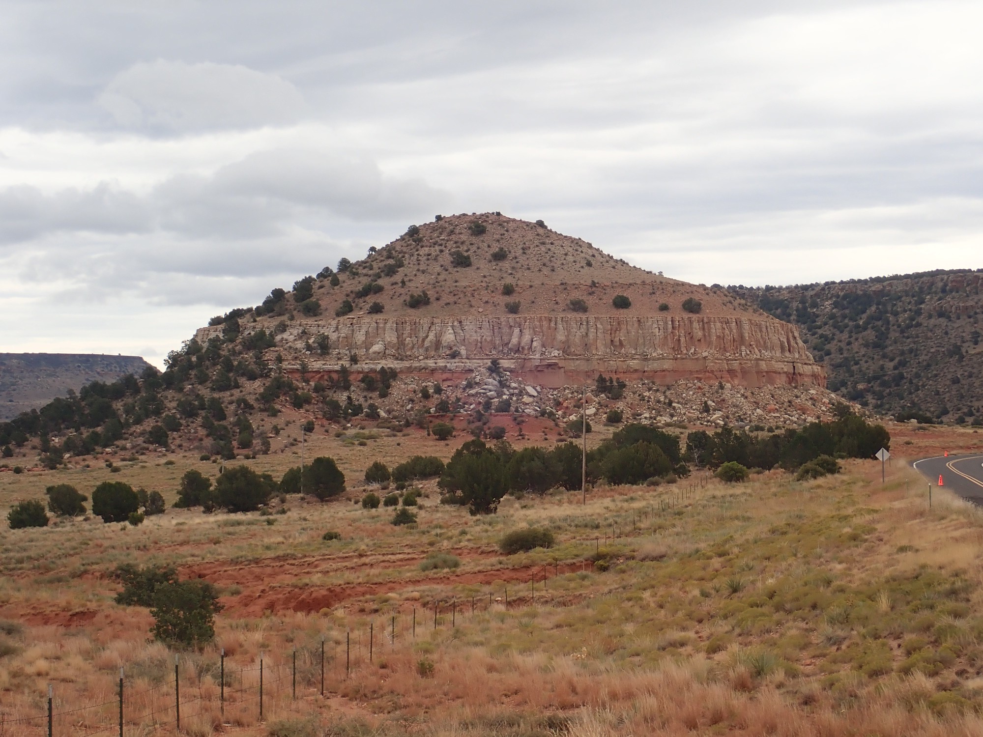
The vans take us to Folsom and on towards the valley of the Dry Cimarron. We stop at Folsom Falls, which is located in a valley surrounded by basalt-capped mesas.
The mesa top flows are mostly alkaline basalt from Emery Peak, dated between 2.6 and 2.9 million years old. Their age and composition makes them some of the youngest of the Raton phase flows. There are indications that the flows cascaded downhill in a way that suggests that the Dry Cimarron drainage was already established three million years ago.
At the Folsom Falls parking area.
The valley floor here is underlain by young basalt flows, into which the Dry Cimarron has incised a river channel. Near this spot, a resistant bed has created a small waterfall, and the natural pool at the foot of the fall was long a popular swimming hole. It is now closed to the public (I suspect for liability reasons) and we are here by special permission.
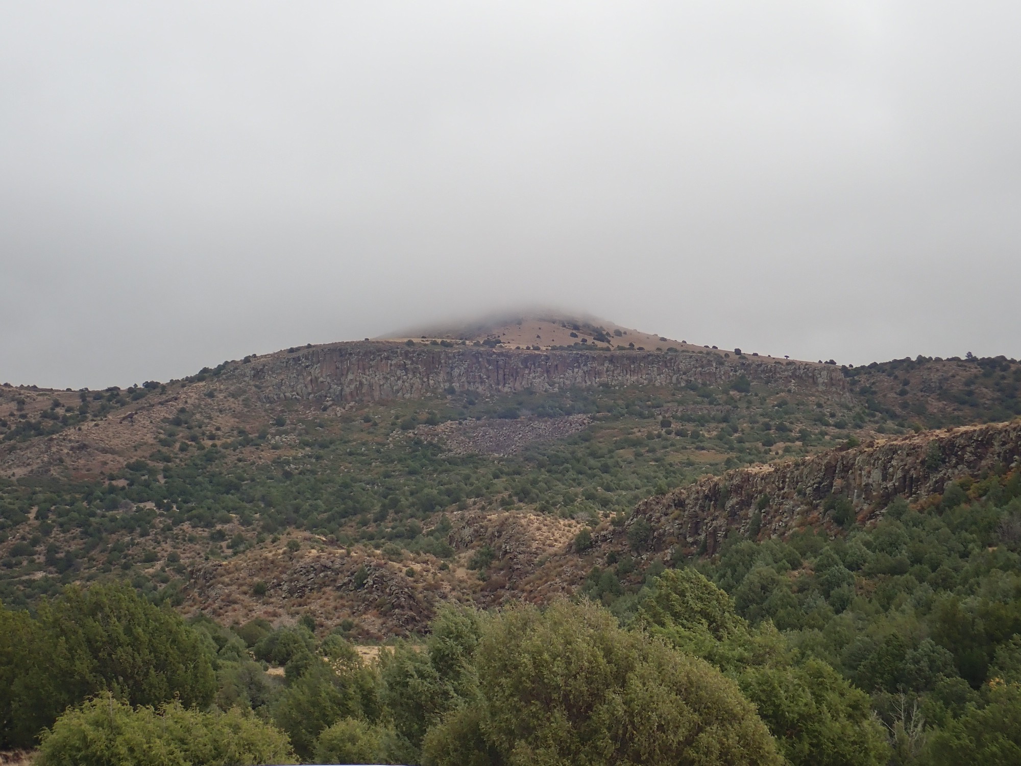
The peak at center right is Emery Peak, the source of the mesa cap lavas.
The cliffs to the west have a peculiar grayish-blue patina.
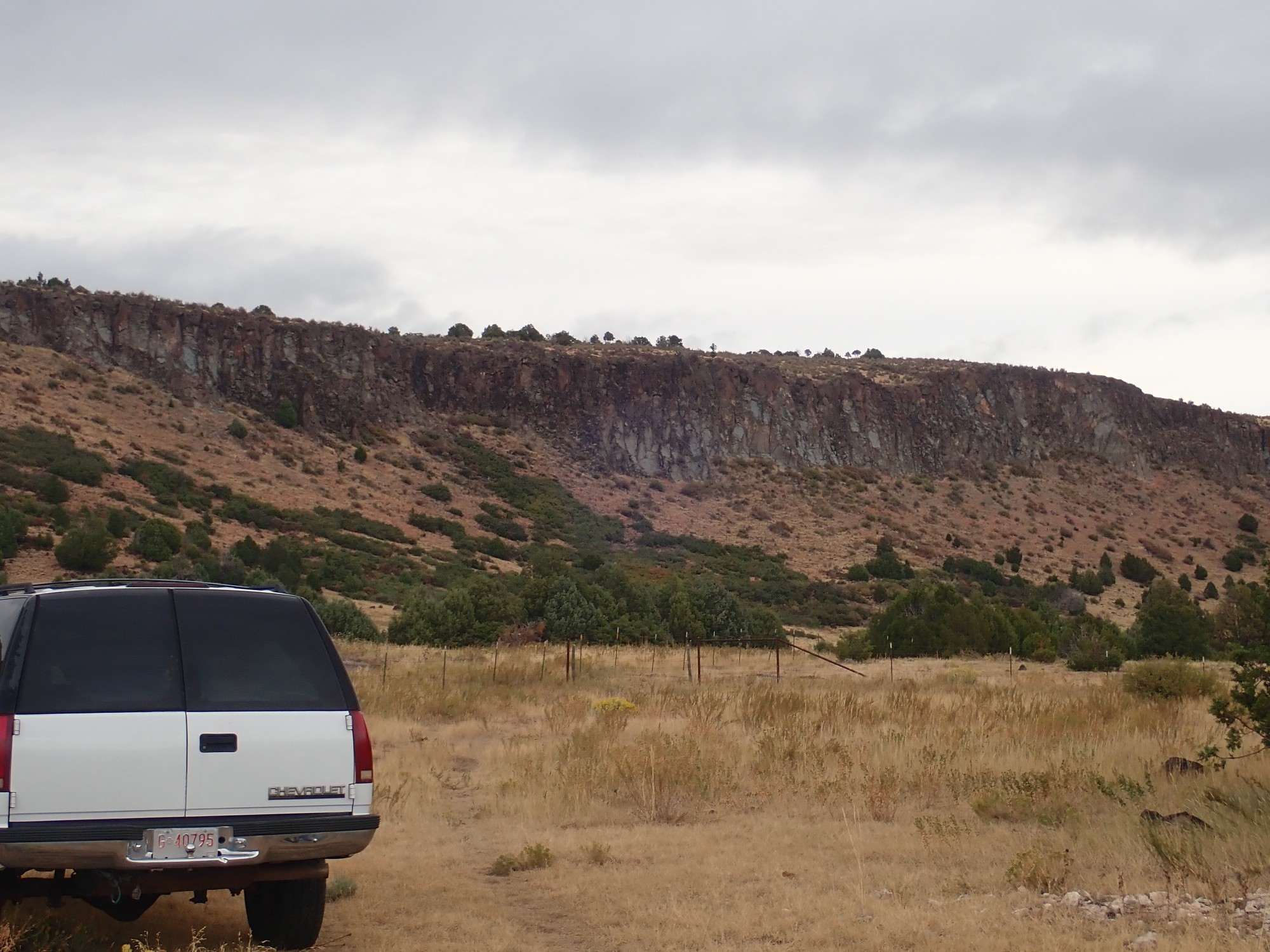
This does not resemble the caliche on the Cerros del Rio basalts back home, though the flows are roughly the same age. Perhaps the explanation lies in the fact that the basalt here is much more alkaline.
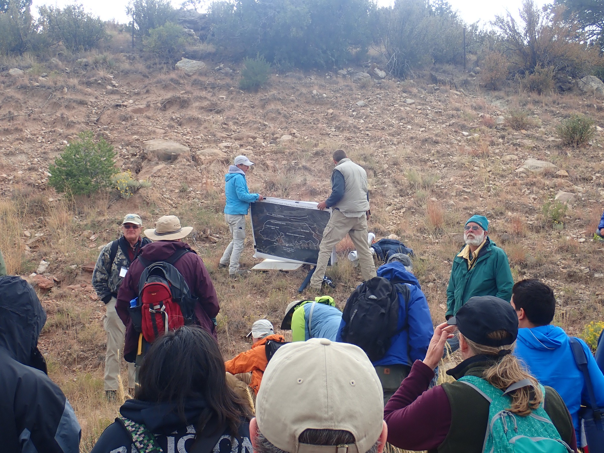
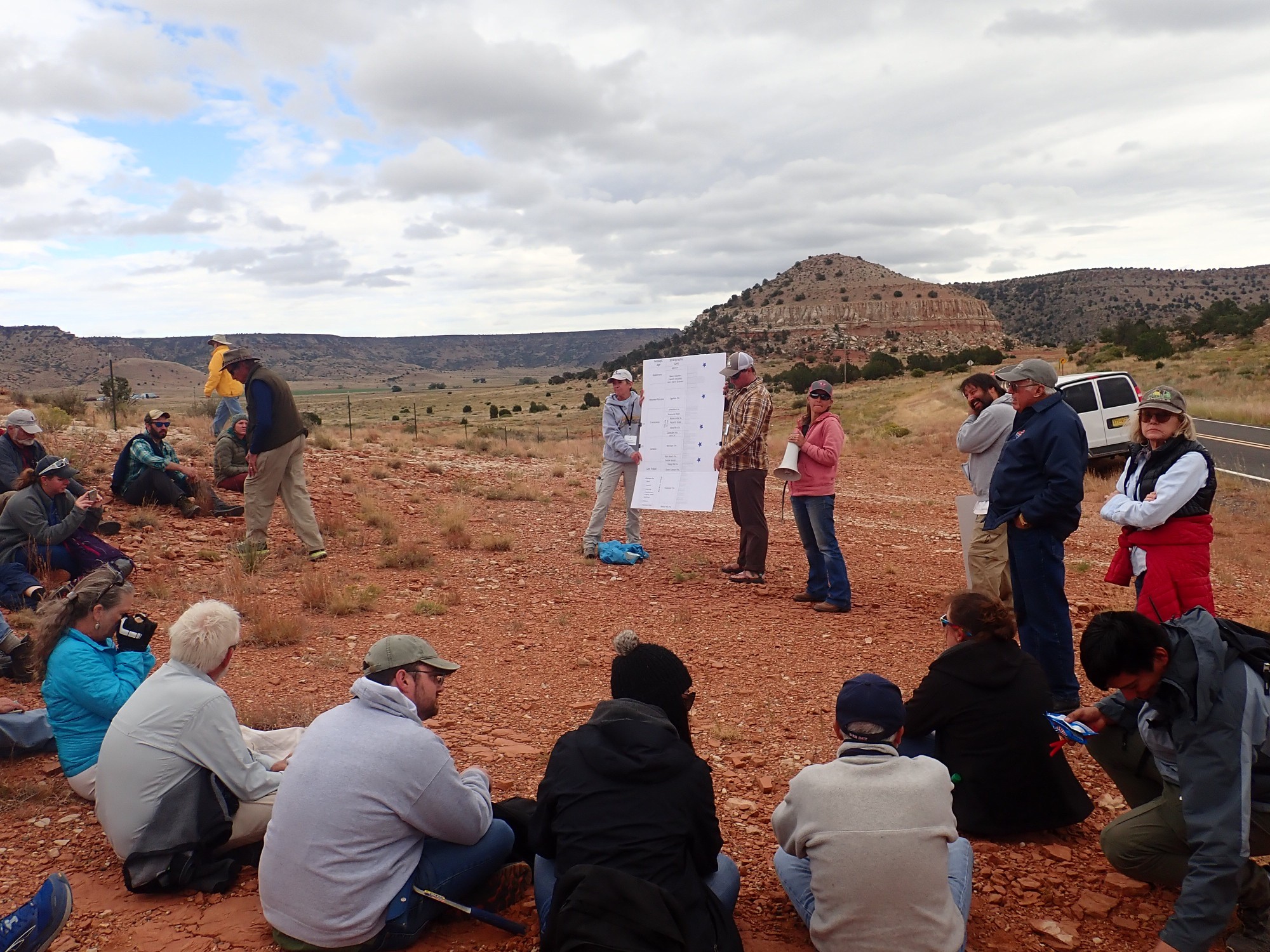
Matthew Zimmerer makes another presentation.
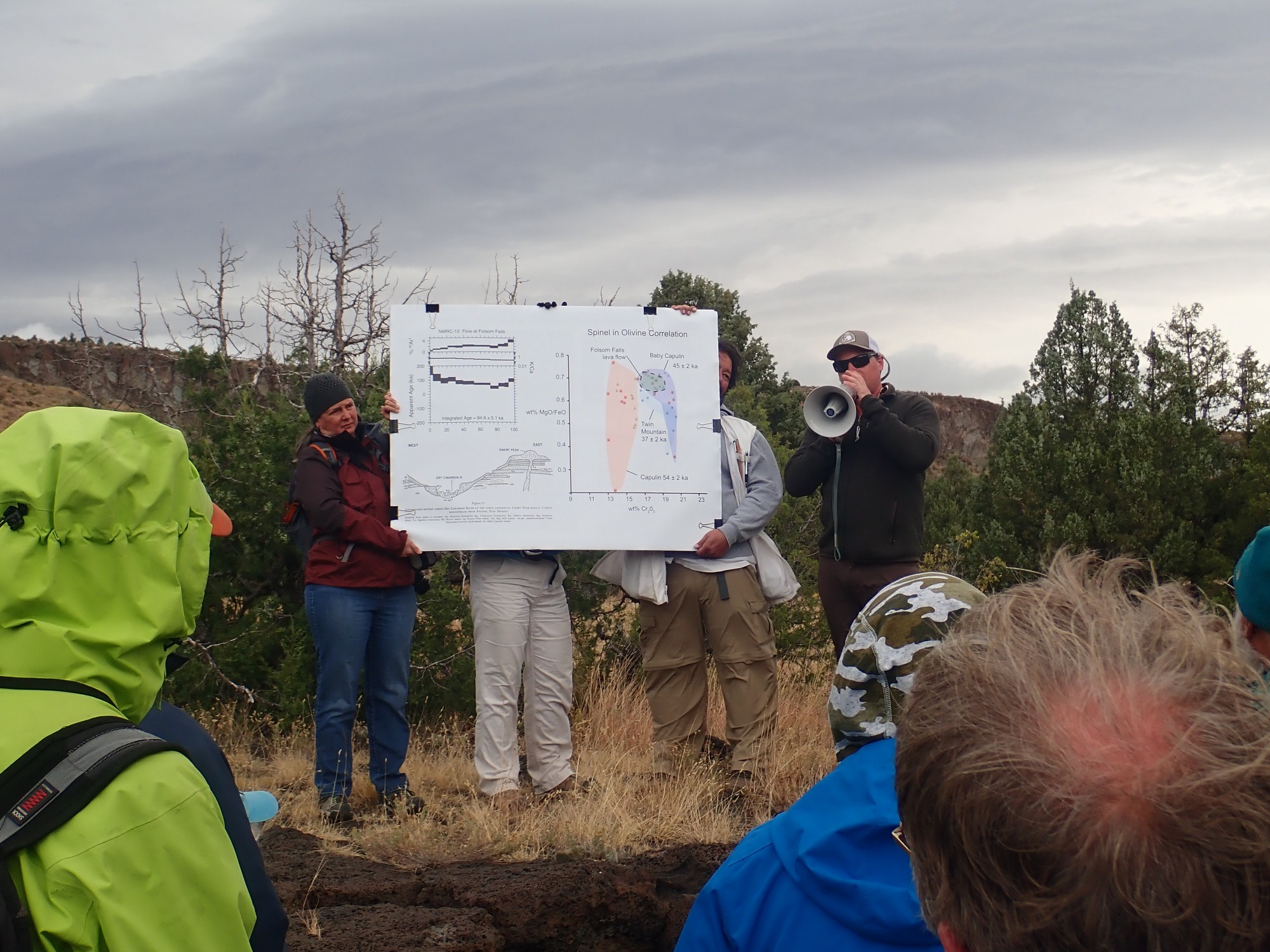
The basalt here contains olivine, and Matthew has found that the olivine has small inclusions of spinel, a magnesium-aluminum oxide found in some metamorphic rocks and in the Earth’s upper mantle. The chemistry of the spinel matches the lava erupted from Baby Capulin, pinpointing where this flow originated.
More than one flow, actually.

This is a pretty obvious flow boundary. However, if there was any soil atop the lower flow, it was mostly fused by the heat of the upper flow.
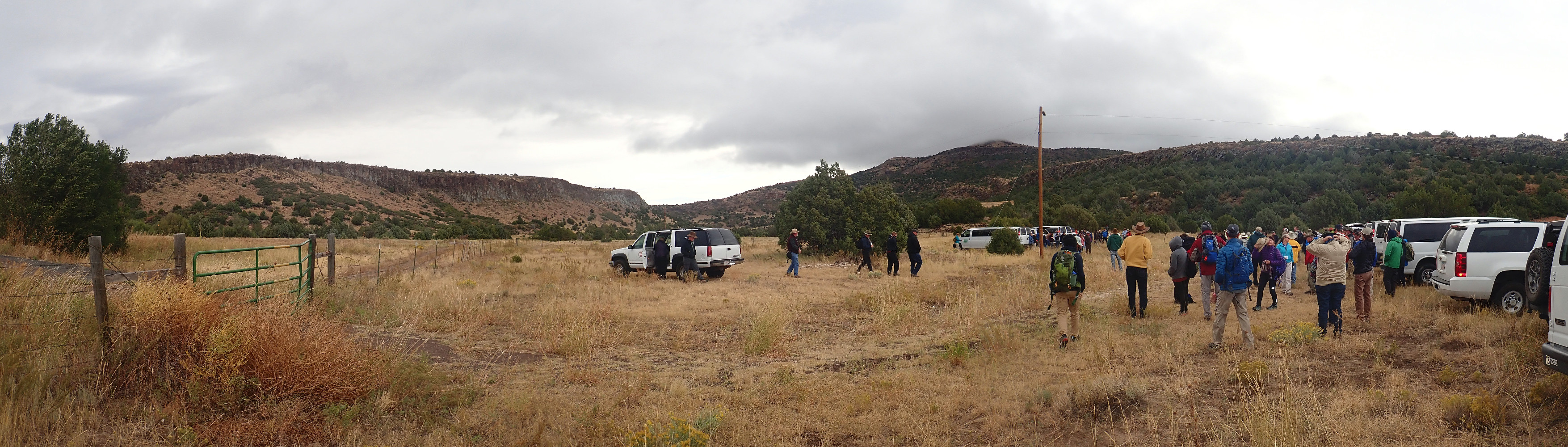
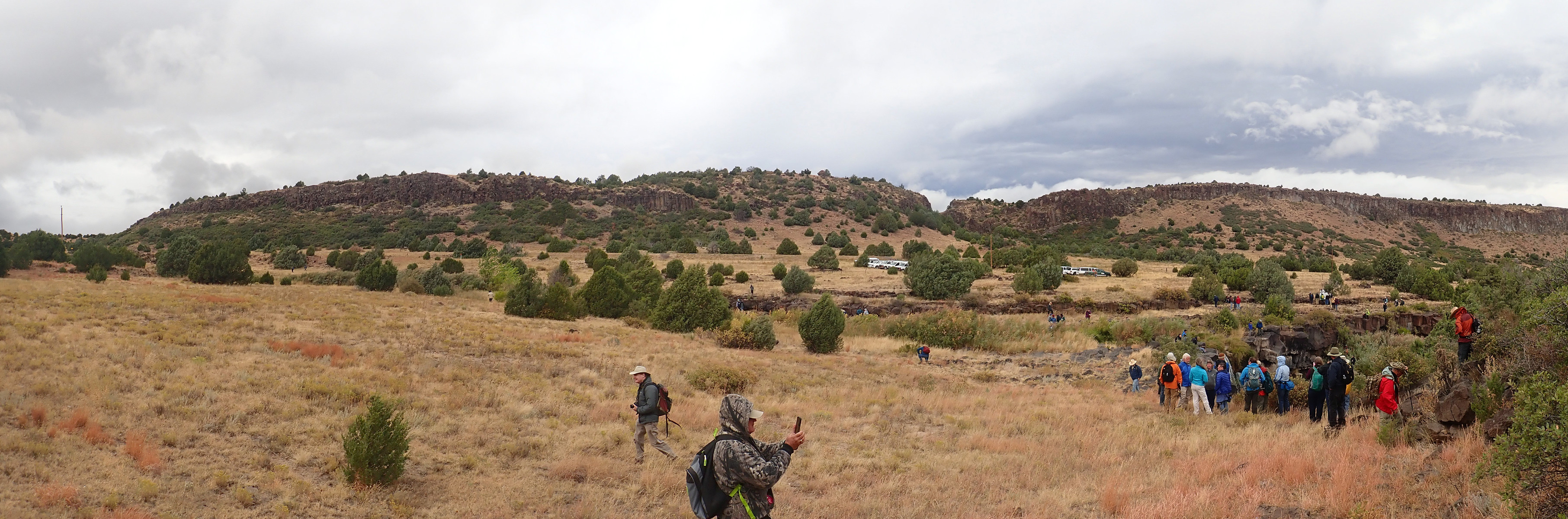
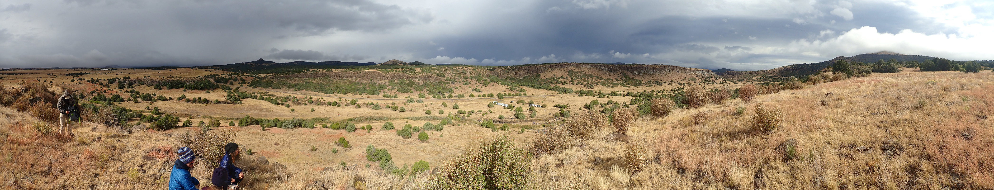
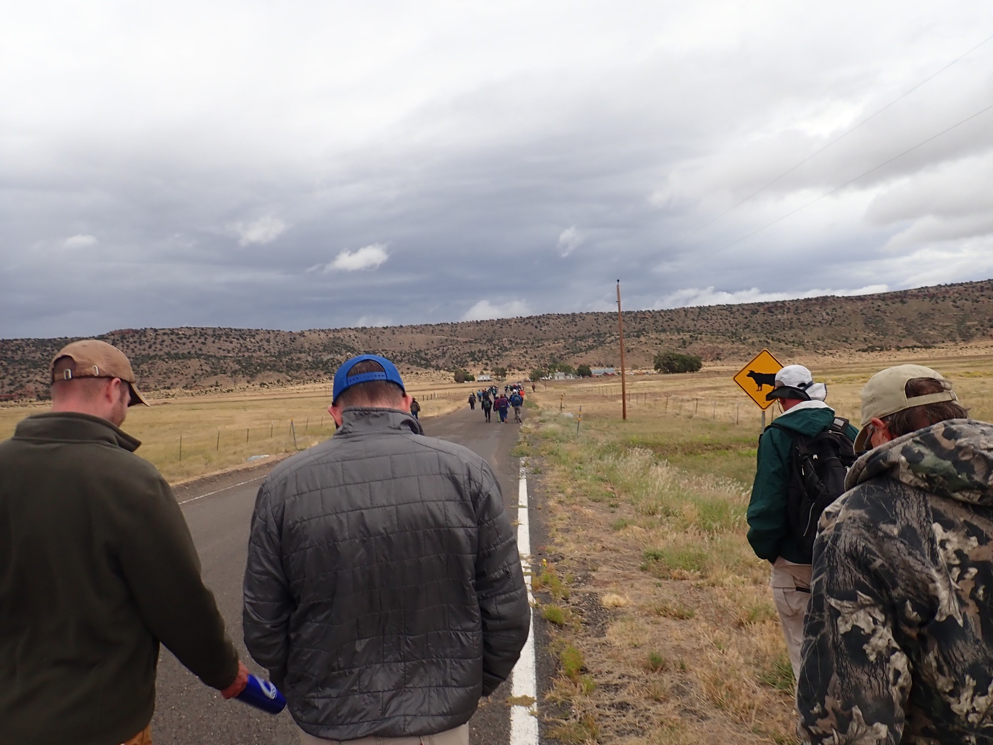
We all set off exploring.
Halfway up the canyon wall to the southeast, Gary and I find a basalt boulder and crack it open. The fresh surface is a uniform dark gray, and completely aphanitic — no crystals are visible at all, even under the loupe.
The sun comes out and gives us a rainbow.

We scramble to the top of the canyon rim as the sun fades again.
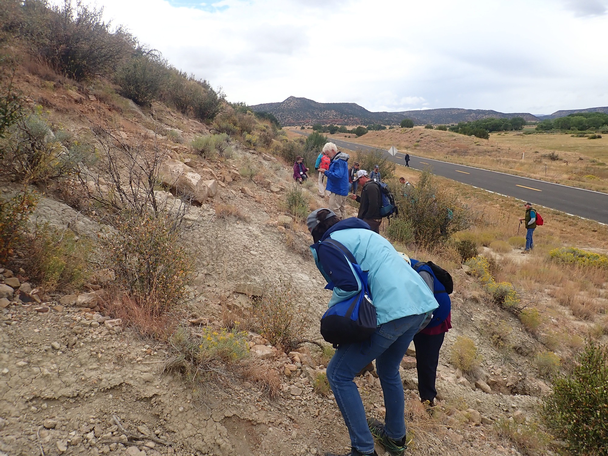
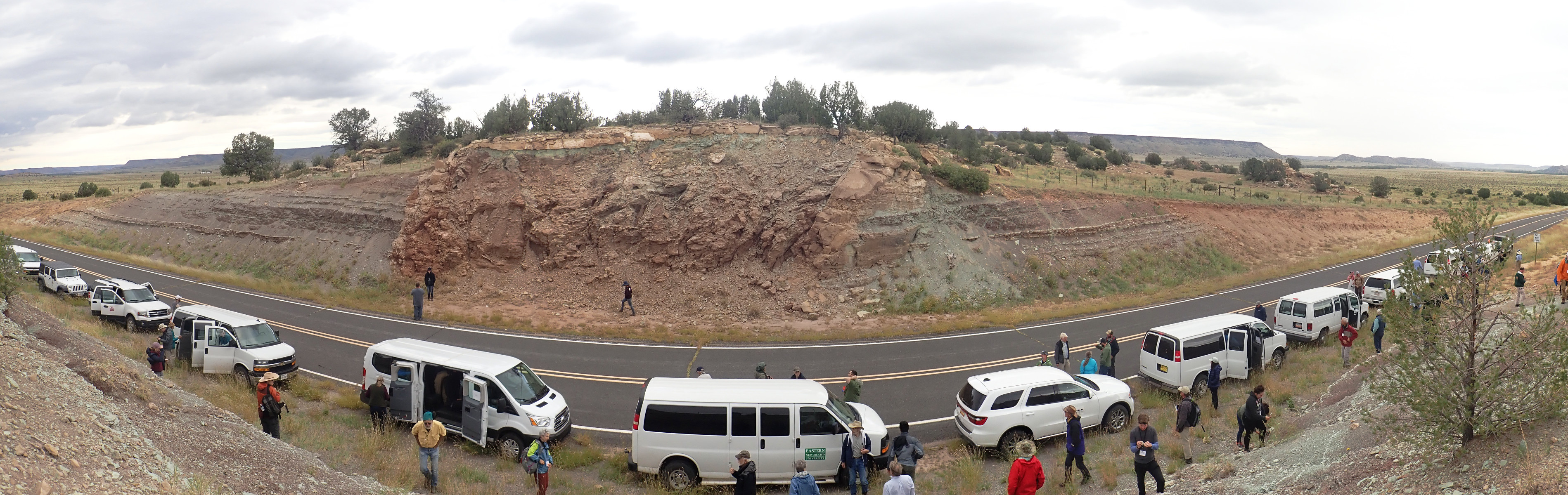
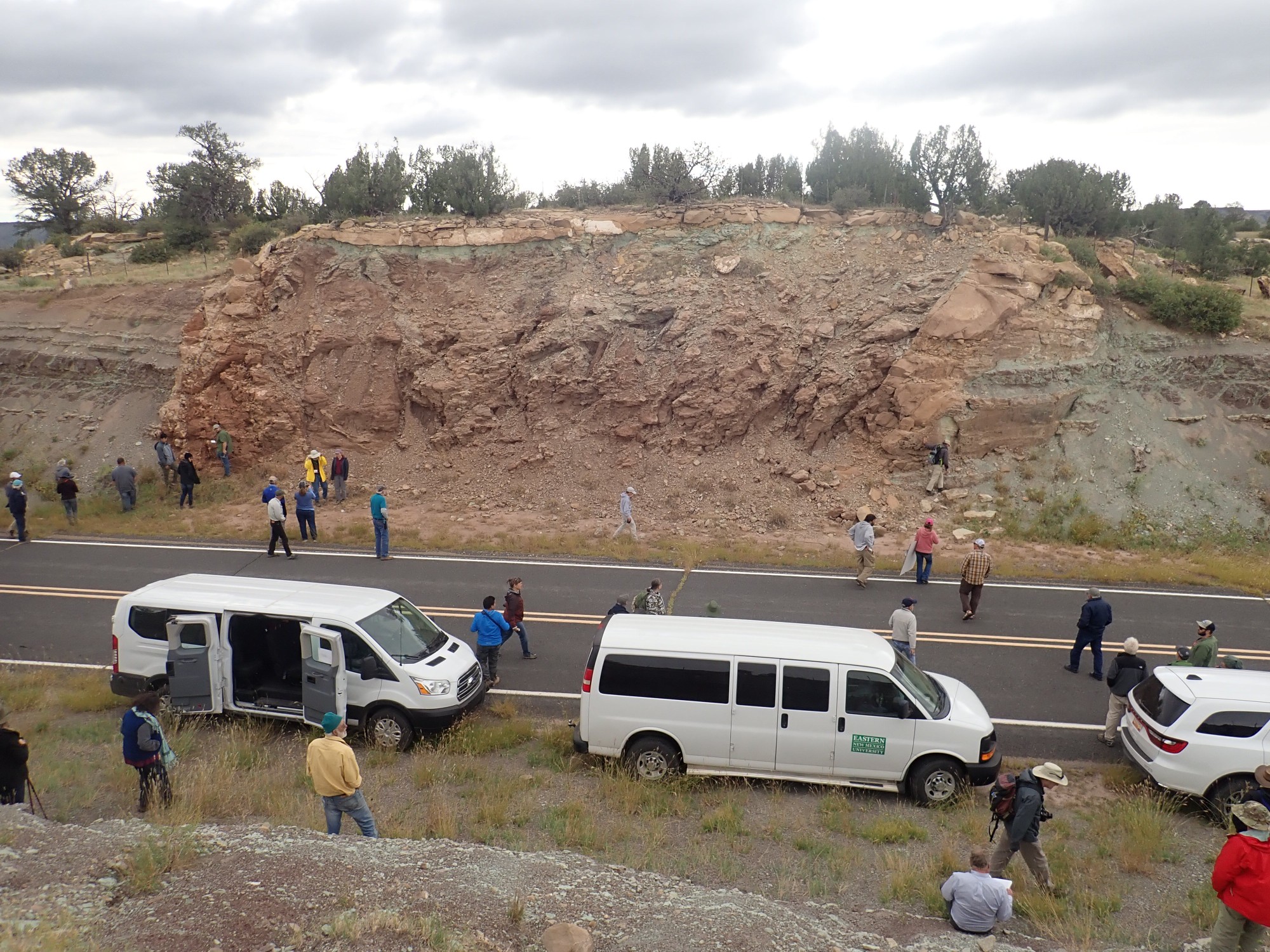
Next stop is an outcrop of Tertiary Travesser Formation of the Dockum Group. (I never did get the pronunciation of “Travesser” down right.) These red beds are probably the same age as the red bed Chinle Formation back home — though, as Kate Zeigler explains, age controls are pretty poor in this corner of New Mexico and the formations may not actually correlate. Regardless, it’s a formation of red sandstone and mudstone most likely laid down in a fluvial environment.

This outcrop is likely disturbed by landslide motion. The outcrops at the base of the canyon wall to the north are relatively undisturbed and slow a gentle dip to the east.
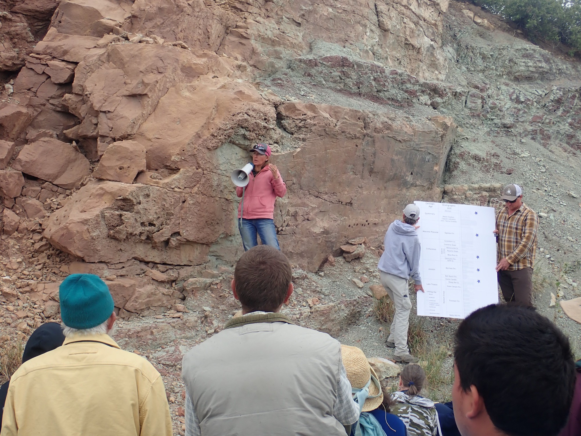
Above the Travesser Formation are Sloan Canyon Formation and Sheep Pen Formation, also Triassic formations of the Dockum Group, but these are likely missing here.So is the Jurassic Exeter Sandstone, which (as near as the poor age controls tells us) correlates with the Entrada Formation back home. Above that are Jurassic Bell Ranch Formation and Morrison Formation and Cretaceous Lytel Formation, Glencairn Formation, and Dakota Group capping the canyon rim.
Correlates: This means the formations are the same age. The term comes from the days before radiometric dating gave us any absolute geologic time scale. We knew (for example) that the Morrison Formation was younger than the Cutler Formation, based on the kinds of fossils they contain and on field relations (rocks on top are usually younger than rocks below), and geologists worked out a relative time scale; but absolute time could not be determined. We could correlate formations, but not assign absolute ages to them. After radiometric dating made an absolute time scale possible, geologists continued speaking of correlating beds in different locations. It is mostly igneous beds that can be accurately radiometrically dated, and so correlation by field relationships and fossil content is still a big part of sedimentary geology.
Nowadays new techniques, such as detrital zircon dating (dating individual zircon grains in a sedimentary bed), make absolute dating of sedimentary formations a little easier, but “easier” is still not “easy.”
Another discussion, led by a geologist whose name I did not catch.
The valley of the Dry Cimarron has a fair number of landslides along its walls. These are mostly of the Toreva variety, where an entire slab of canyon wall comes loose and slides downhill as a more or less coherent unit. I can illustrate this with a diagram from the book:
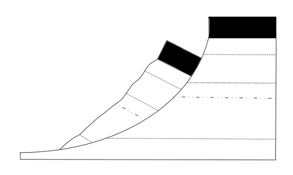
These kinds of landslides typically occur where a resistant bed sits on softer sediments. Here, it’s the resistant Dakota Group and Lytle Sandstone resting on softer Morrison Formation beds.
There are some mysteries still to resolve. There is a prominent bench halfway up the canyon wall through much of the upper canyon. Its origin is uncertain. An old river terrace, cut by the Dry Cimarron long ago when it was less dry and the canyon shallower? The top of oddly similar Toreva blocks? A resistant bed in the rock column? I don’t think we really resolved the question, but we had fun looking at the landslide deposits nearby, such as these Morrison beds.
The Morrison Formation is Jurassic in age, about 150 million years old. It is a very famous formation found throughout much of the West, and is a particularly good hunting ground for dinosaur fossils. It likely formed in a fluvial environment of mud flats and river channels in a monsoon climate. Here it lies directly on the Travesser Formation and beneath the Cretaceous Lytle Sandstone. It makes up most of the middle slopes of the valley here.
The beds here give away their identity by the mixture of sandstone and mudstone and from the pastel color of the mudstone, so typical of Morrison Formation.
The Morrison Formation in this area includes an agate bed, and the road cut here is near the level of this bed in the landslide.
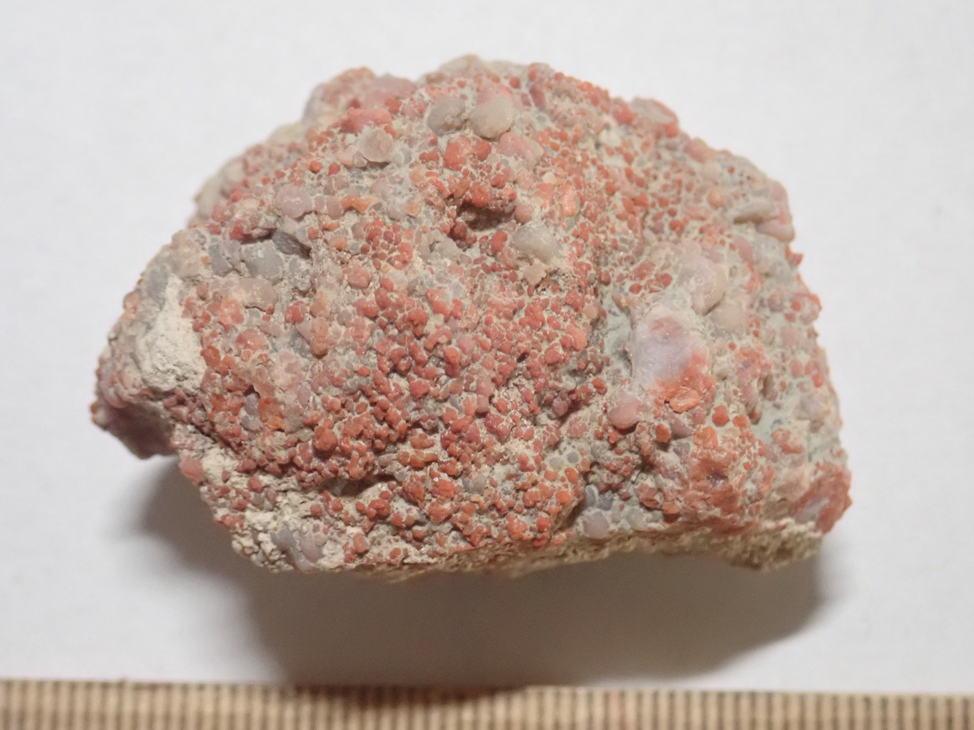
Mine is a relatively small sample. Gary finds a large and splendid sample for his display cabinets.
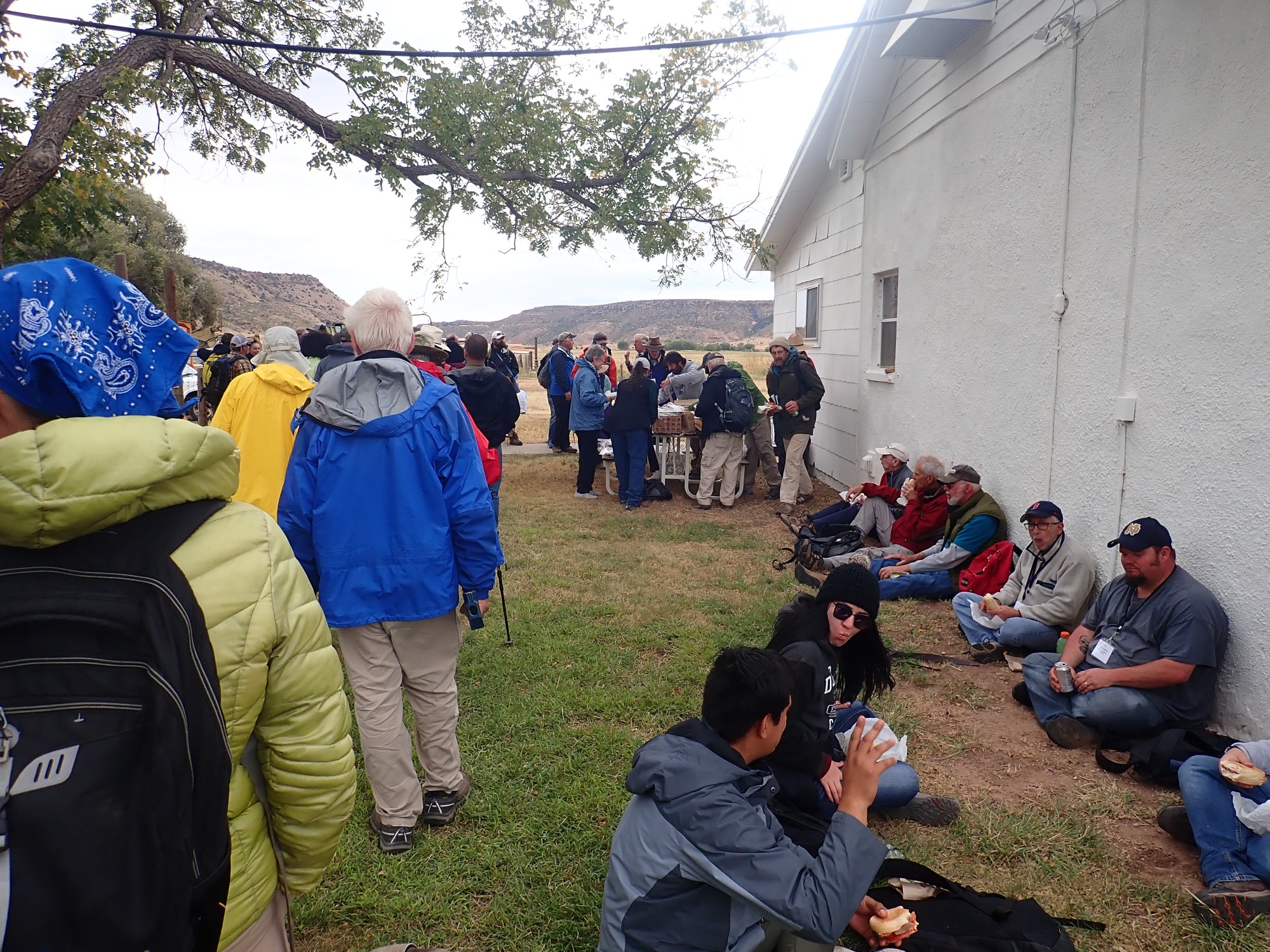
The group discusses the geologic evidence of a landslide on the north canyon wall near our location. Alas, we do not have time to actually hike to the location and examine it ourselves. Instead, we walk to the nearby Y-L Ranch for lunch as guests of ranch owner Boyd Burchard, a para-professional geologist.
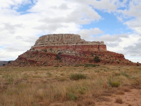
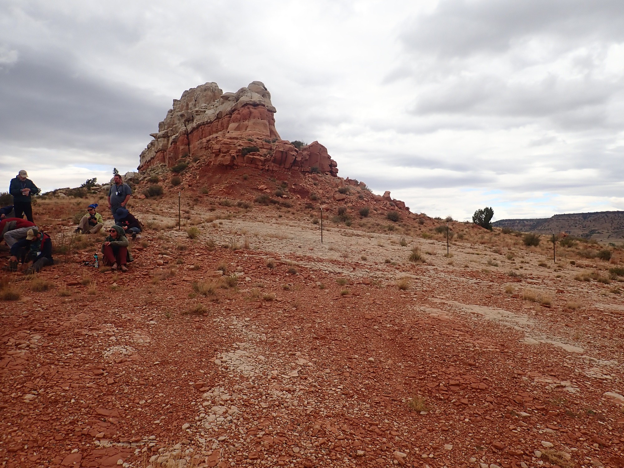
Following lunch, our next stop is Steamboat Butte.

This is a truly world-class example of an angular unconformity. The older beds of the Dockum Group at the base of the butte were tilted, beveled flat by erosion, and then Exeter Formation sandstone was deposited on top. The lower beds thus meet the upper beds at an angle.
The guide book notes that there is a small fault to our west that displaces the Exeter Sandstone beds.
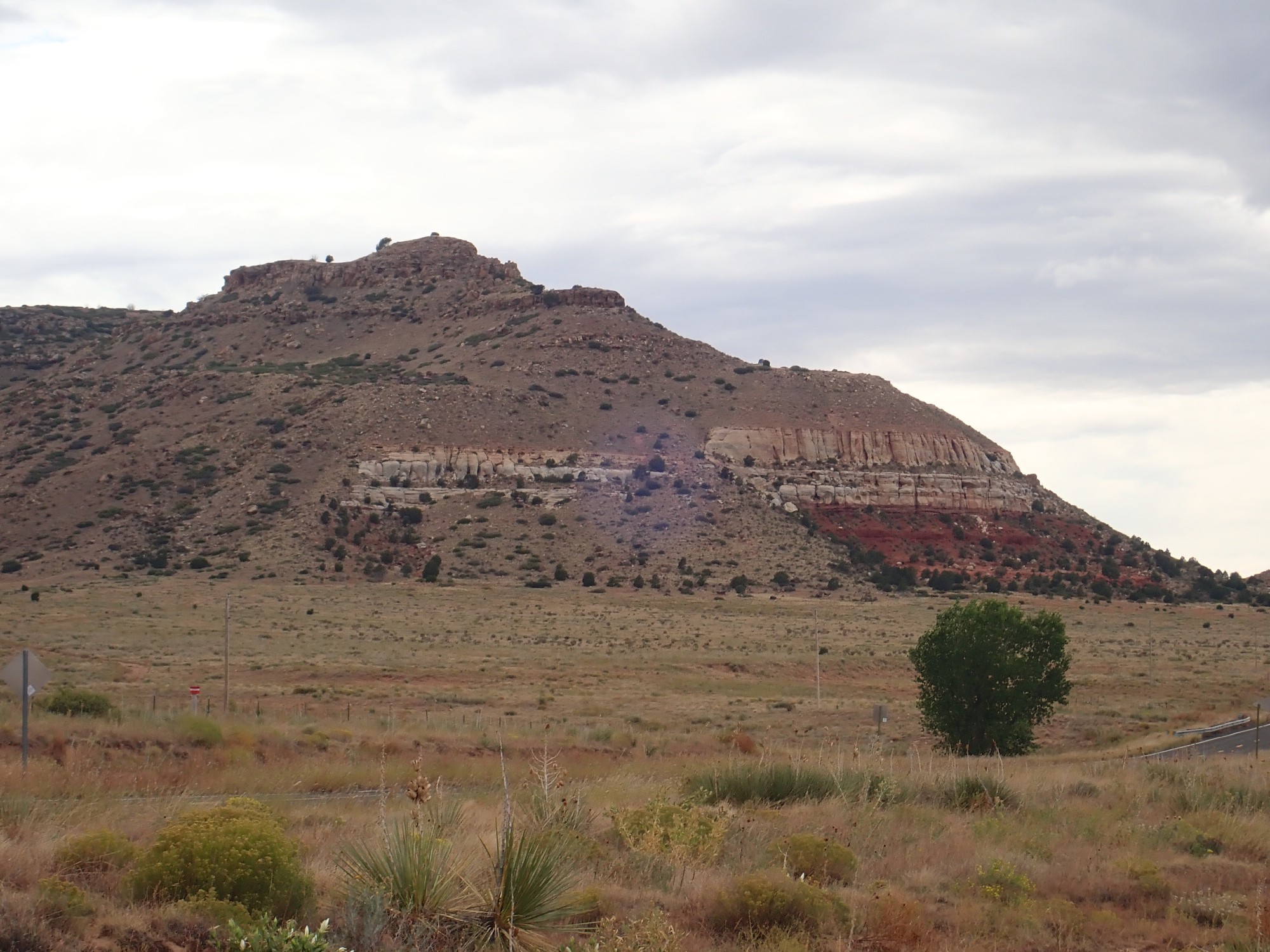
You can see the displacement right at the top of the talus cone just right of center. Talus cone: These form where a feature in a resistant bed forms a kind of natural channel for sediments from above to move downslope. Here the feature is likely the fault itself.
I notice that the Exeter Formation beds in Steamboat Butte are distinctly higher than those in the mesa just across the road to the south. Likely the same fault continues east roughly along the road.
Kate Zeiger gives the next presentation.
The Travesser Formation in this area shows a peculiar pattern of very gentle deformation, forming very broad ripples with hinge lines (tops of the ripples) spaced perhaps a mile apart. It’s discernible in the upper valley of the Dry Cimarron but quite distinct here to the east. It’s just discernible to the south along the I-40 corridor. What could cause this peculiar deformation? It seems to date back to about the time the Gulf of Mexico opened. I’m not a real structural geologist, but it seems to me that such regular deformation on this scale suggests very ductile deformation from a local heating event.
The feature behind Kate may have caught your eye.
This is Wedding Cake Butte. The same angular unconformity is exposed here as at Steamboat Butte, but there is enough rockfall around the base of the butte that it is not as obvious.
Dipping Travesser Formation beds south of Steamboat Butte.
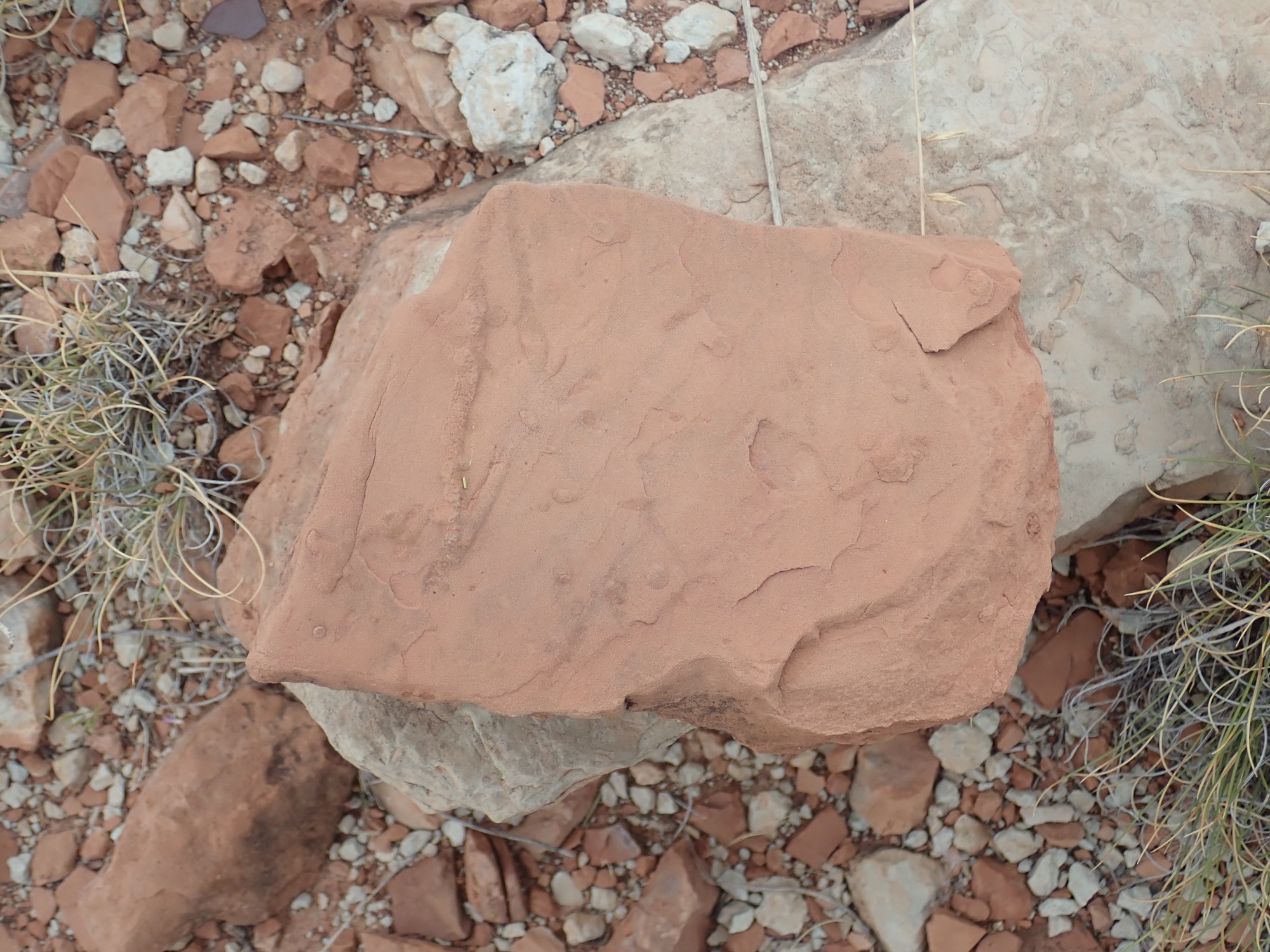
Kate invites us to look for bioturbation in the beds. This is disturbance of the sedimentary layers by burrowing organisms. I find what look like small worm burrows.
Then off to our last big stop of the day, which is a road cut through an injectite.
A peculiar feature of the lower valley of the Dry Cimarron is the presence of dozens of injectites. These are locations where it appears that portions of buried sedimentary rock beds were liquefied and injected through the sedimentary beds above. The liquefied rock then hardened again to very hard rock, which forms plugs and pillars when the surrounding softer rock is eroded away.
Here is a closer view.
Kate Zeigler leads the presentation.
The injectites are rather mysterious. This one cuts through otherwise undisturbed beds of Sloan Canyon Formation, and clearly contains large clasts of the underlying Travesser Sandstone. Except that the rock next to the wall of the injectite (right behind Kate here) looks like it was ground to powder before hardening again. The entire plug is extremely well cemented, suggesting that a lot of silica-rich (hot?) groundwater circulated through it after it was emplaced. Then the top was beveled flat by erosion, and then the entire area was capped with Exeter Sandstone. This puts some time controls on when this happened: The injection occurred in the late Triassic, between the time the Sloan Canyon Formation was laid down and the Exeter Sandstone was laid down atop it. Kate is doing paleomagnetic studies of the rock in the injectite to get clues to just how it was emplaced.-
The general picture one gets is of a mud diatreme, a very violent, gas-driven mud volcano. The igneous variety of diatreme is what forms kimberlite pipes. The injectites of the Dry Cimarron are not obviously igneous in origin and are on a much smaller scale.
It’s of lesser interest, but I notice that the Sloan Canyon Formation to the sides of the road cut gives way to young (Quaternary) sediments with what appears to be a lag bed of small cobbles separating the two. This suggests that the ridge containing this injectite was exhumed by erosion (which scattered cobbles of Exeter Sandstone over its surface), then buried again fairly recently (in geologic terms), and is now being exhumed once again.
We return to Clayton for the conference banquet. I hit the showers at the campground while Gary runs back to our campsite. He returns to inform me that the tent is not in good shape (the weather has turned quite windy) but I have no time to look as Gary takes his turn in the showers. We head off to the banquet.

Gary finds us seats across the table from Kate Zeigler and her honored guests, the Podzemnys. Barbara Podzemny is one of two local leaders to whom the conference is dedicated. (The other, Bill Sauble, was not able to attend the banquet.) These leaders helped bring Kate and her team into this area to better understand the story with the groundwater supply. Kate turns out to be very interesting to converse with. She apparently had a terrific time learning about farming while staying with the Podzemnys at their ranch. Kate even speaks of the Podzemnys as her farm mom and dad.
Then back to our campsite. Gary is right — the tent will no longer stand up properly by itself. It does not help that a windstorm has come up and the wind is steadily blowing at 40 MPH or better. One of the fiberglass support rods, which cracked on our last trip, is now close to complete failure, and there is a large rip in one corner of the tent. We end up putting the jeep upwind of the tent and tying some of the tent supports to the jeep, which keeps the tent from completely collapsing. But it is a fairly uncomfortable night with the wind howling and the tent swaying.
Gary finds his Benadryl tablets all over the tent floor, then discovers teeth marks in the plastic bag they were in. Apparently Coonzilla broke into our tent, tearing the hole in the corner we first thought was wind damage, and mistaking the pills for candy. Gary hopes out loud that the raccoon is okay. My thoughts are, I am sorry to report, less charitable.
Next: Alkaline dikes
I’ve tweaked the article slightly since it was first published. I had no idea what I was stepping in when discussing Chinle versus Travesser.