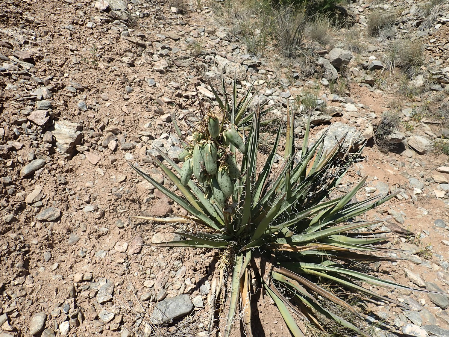
Wanderlusting the Picuris Mountains
Yesterday was the summer solstice and the weather was gorgeous. I have a relatively newly published road log with places to visit in the Picuris Mountains. I think you can anticipate what followed.
I got a good night’s sleep, then packed up supplies (backpack with lunch, water, hammer, bug spray, sunscreen, spare shoelaces, loupe, spare batteries, and SPOT tracker; battered straw hat; hiking boots; more water bottles in the back of the Wandermobile; camera and GPS but I forgot the cell phone (not deliberately. No, really.)
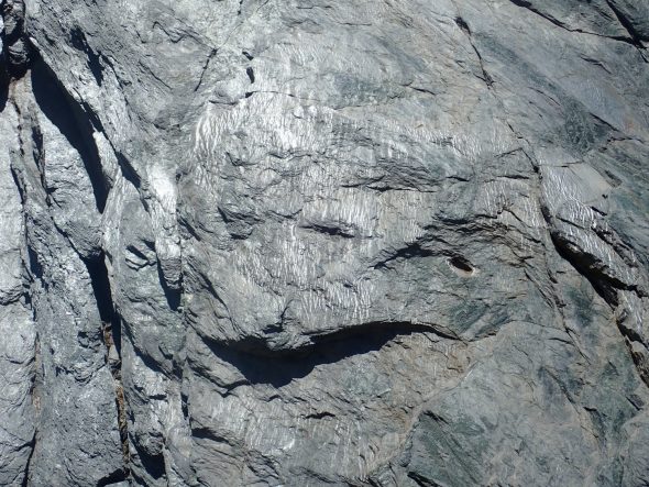
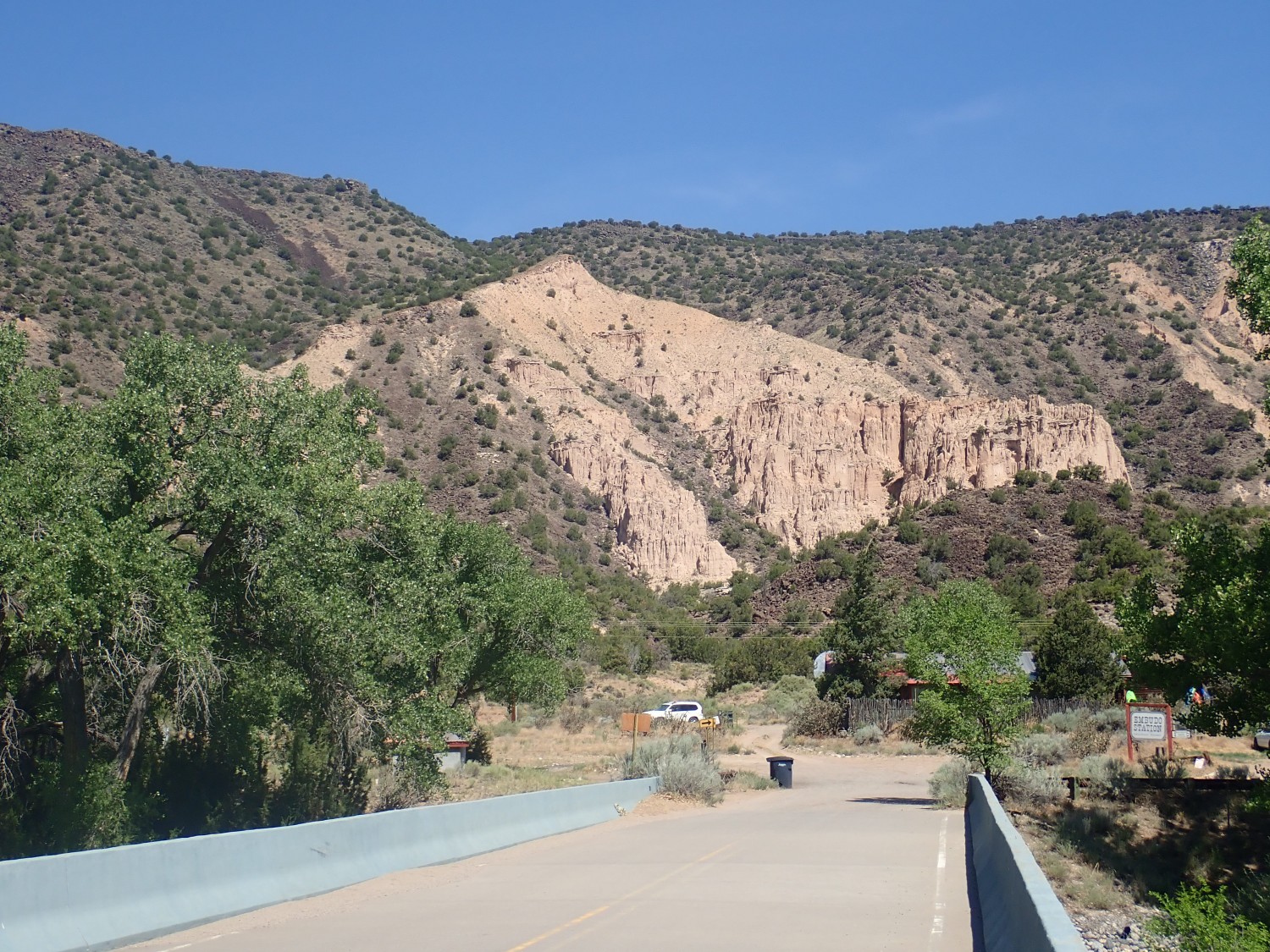
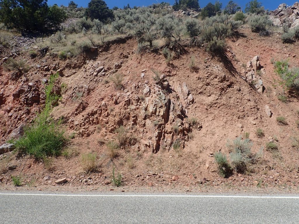
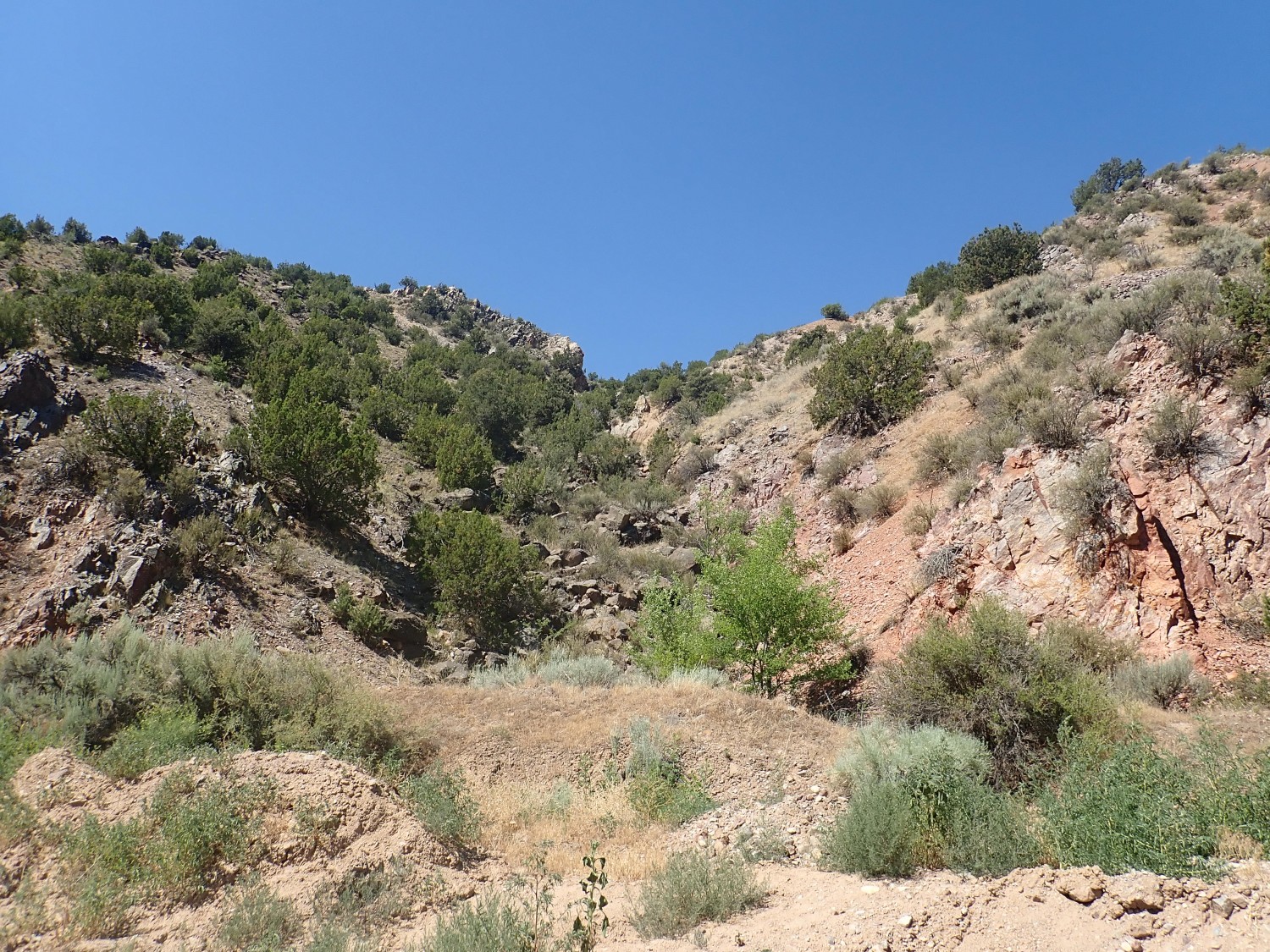
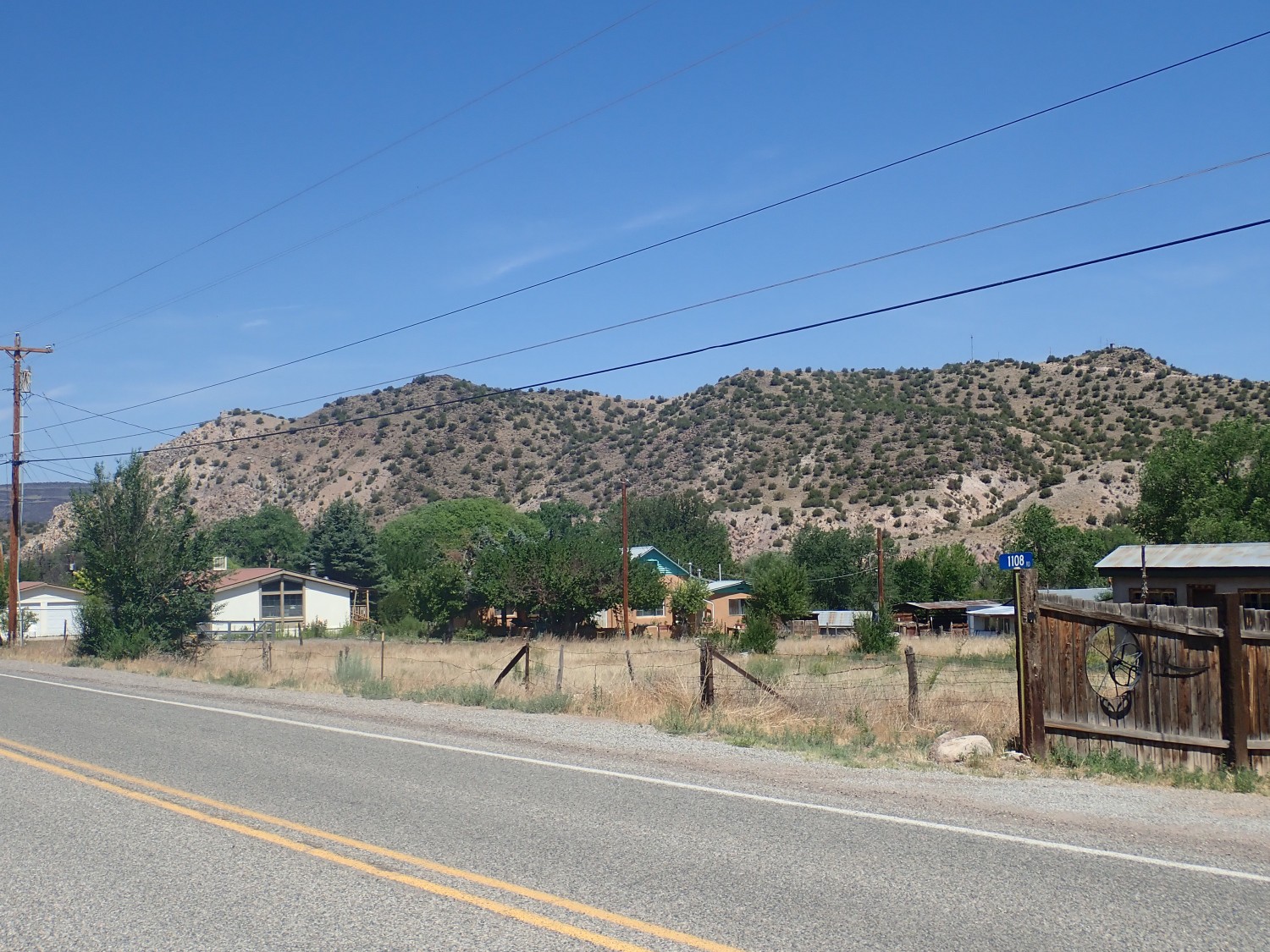
I wasn’t far from home when I spotted what looked an awful lot like a geological activity. I doubled back to see.
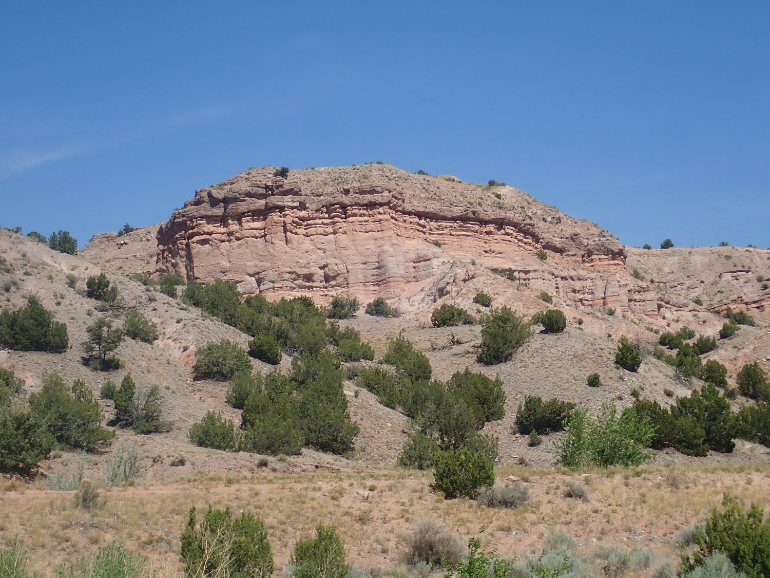
I wore my face mask and so did one or two of the group, which is socially awkward. But it turns out this was not a geology excursion; it was paleoastronomy. Apparently there is a petroglyph somewhere up on the cliffs to the north
that gets a finger of sunlight precisely on its center sometime during the morning on the day of the solstice.
Color me skeptical. Oh, I’m confident some such are real. I went with my high school geology club to Pueblo Bonito in Chaco Canyon (mumble mumble) years ago on the solstice, a trip that was organized largely because the presidents of the geology and archeology clubs realized it was a perfect excuse to go camping overnight together, and it’s clear the pueblo is aligned with the points of the compass. It’s less clear that there is any alignment with the solstice, though there are other alignments elsewhere in the park that are more convincing. But if your criterion for alignment is “sometime on the day of the solstice, a shadow will fall across a petroglyph in a suggestive way”, you’re going to find lots of alignments.
In any case, I was told it would be another hour. I didn’t care to linger.
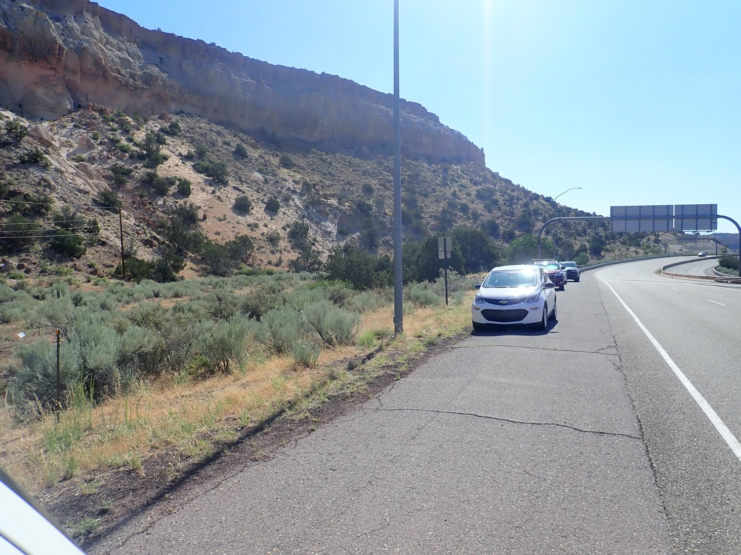
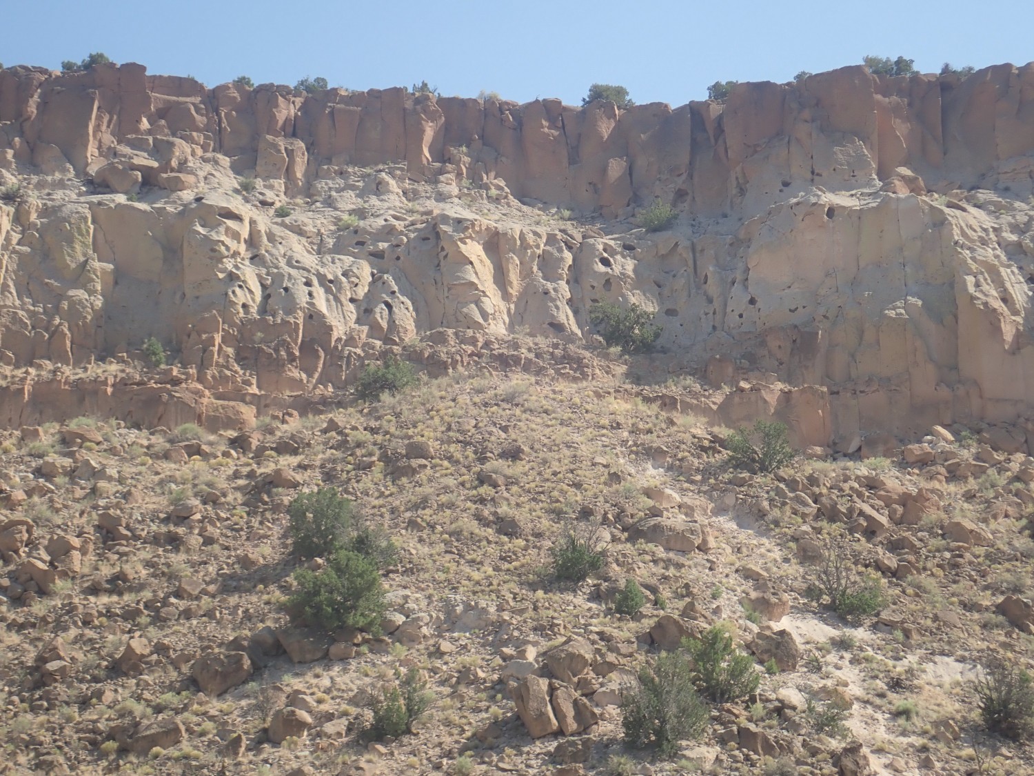
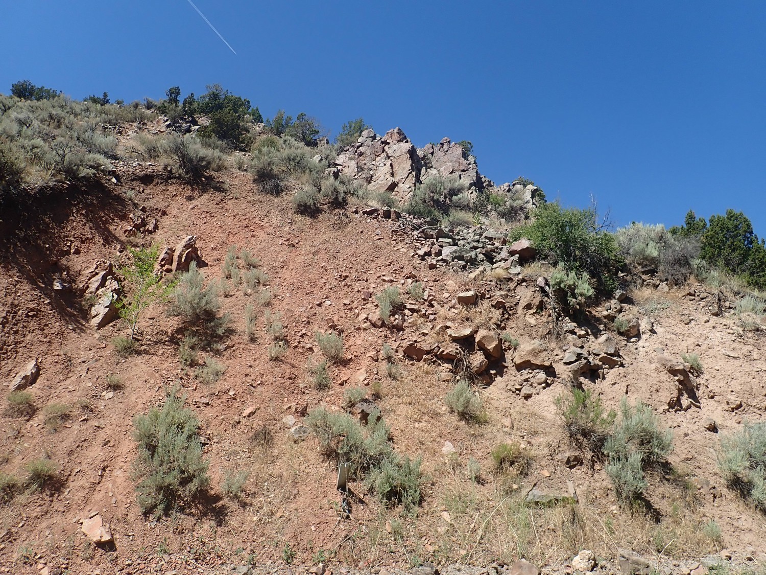
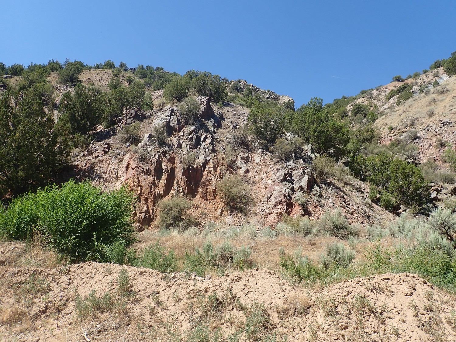
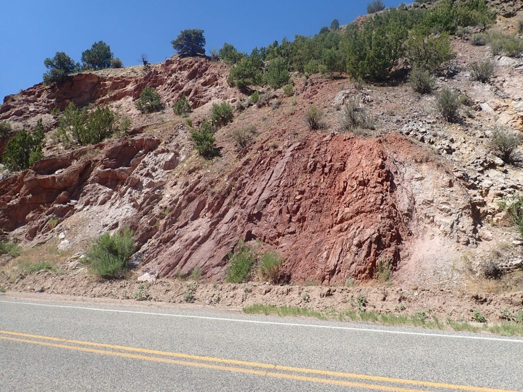
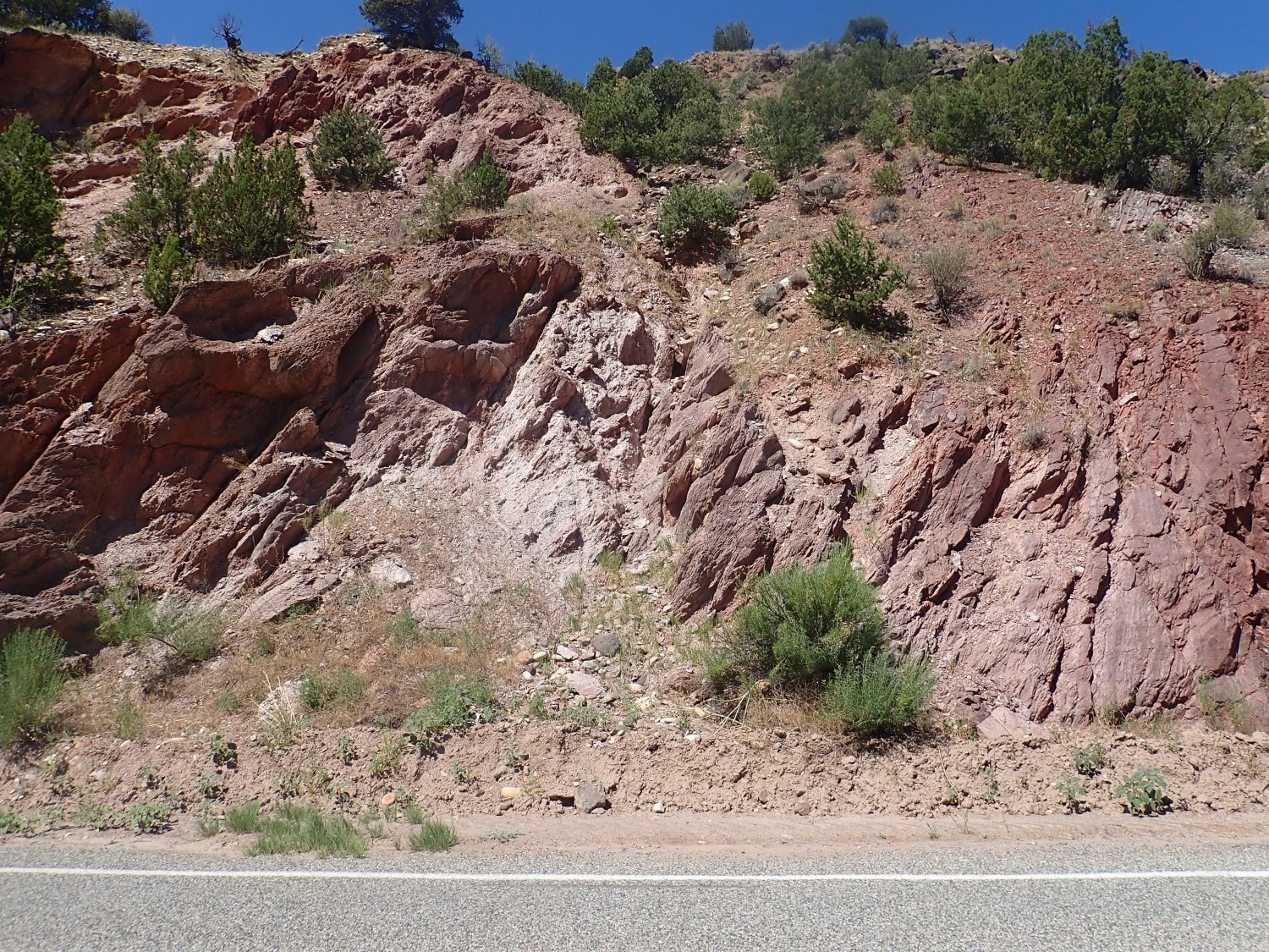
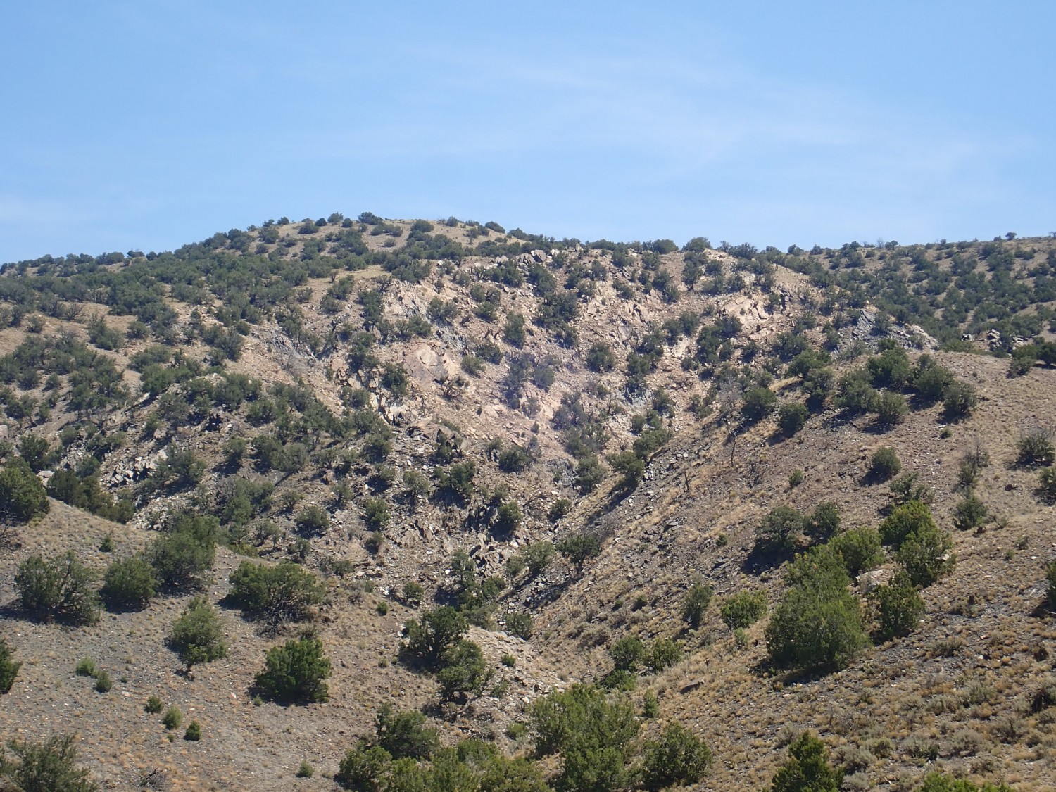
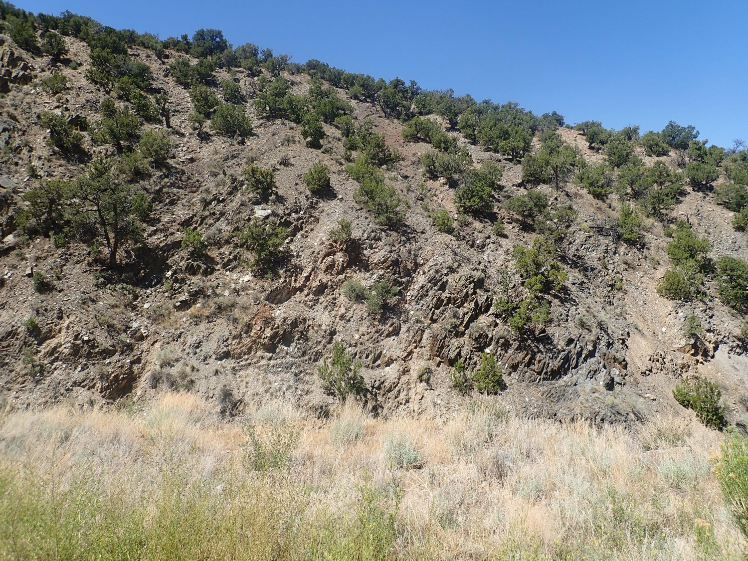
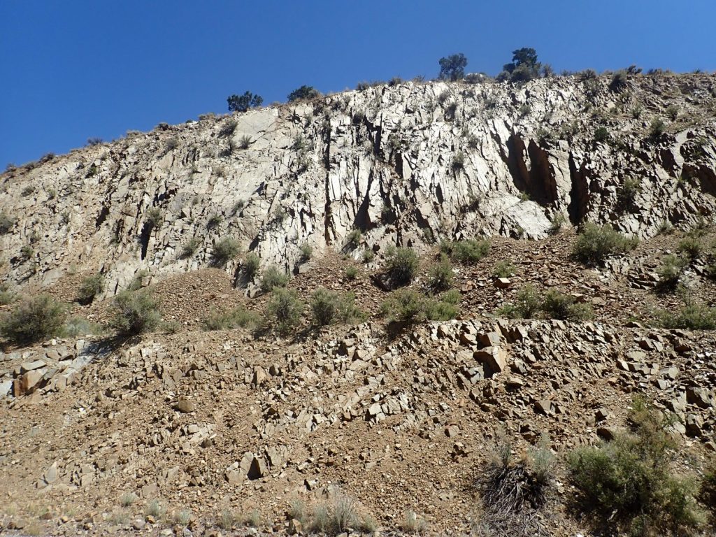
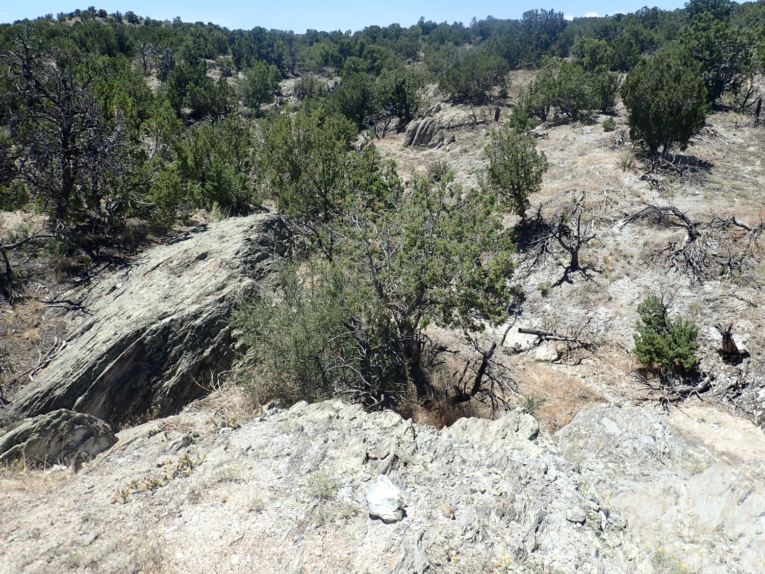
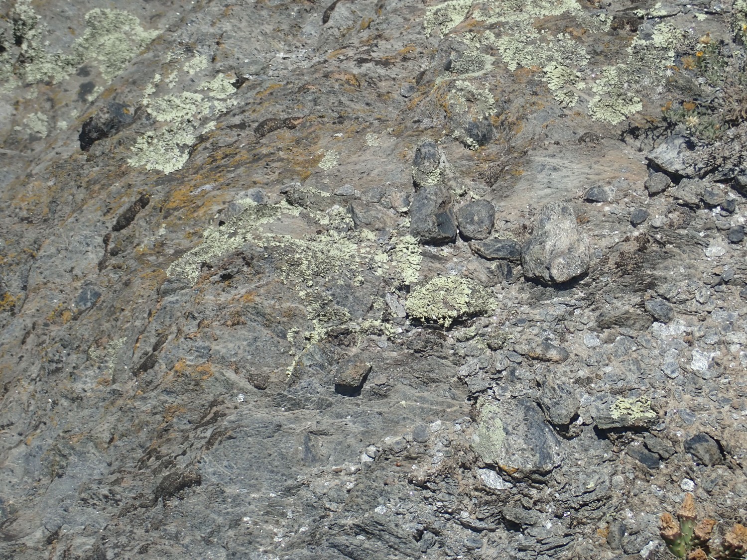
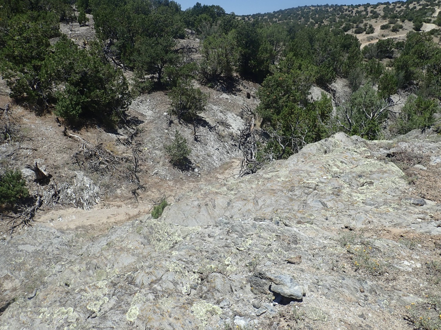
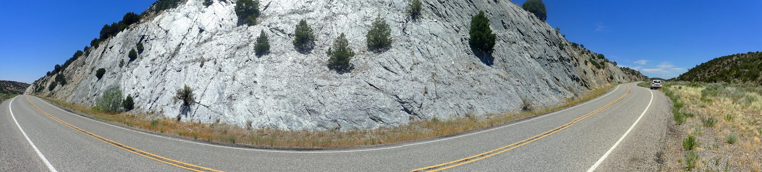
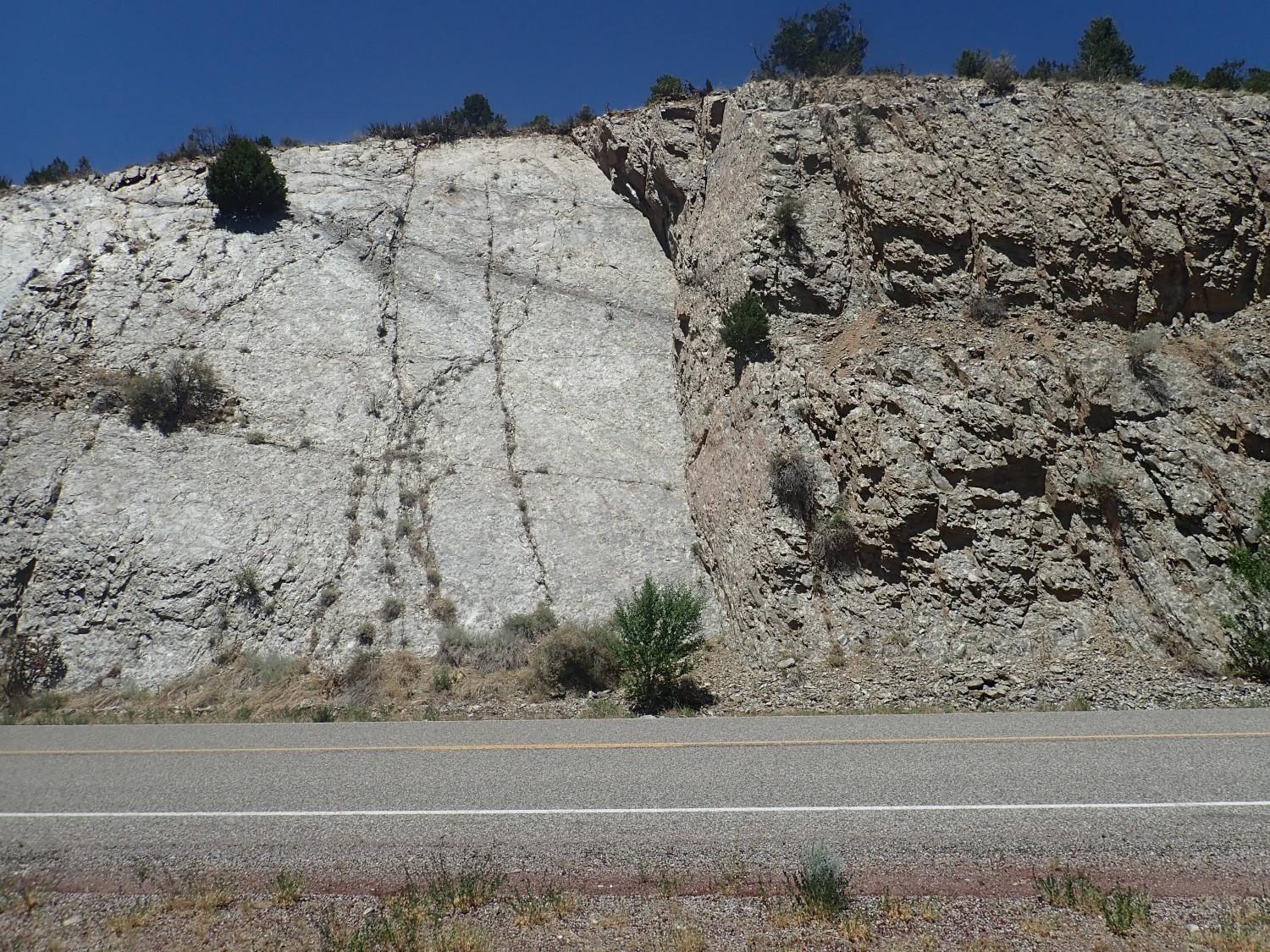
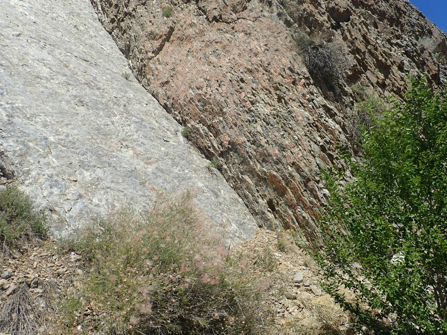
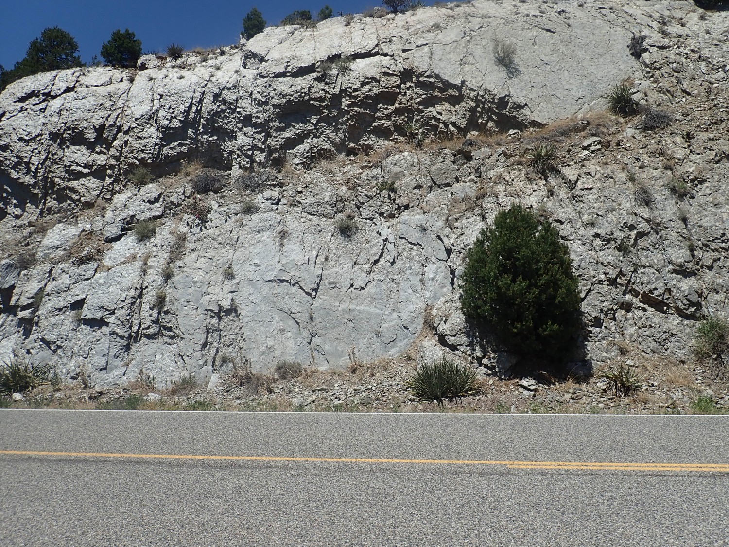
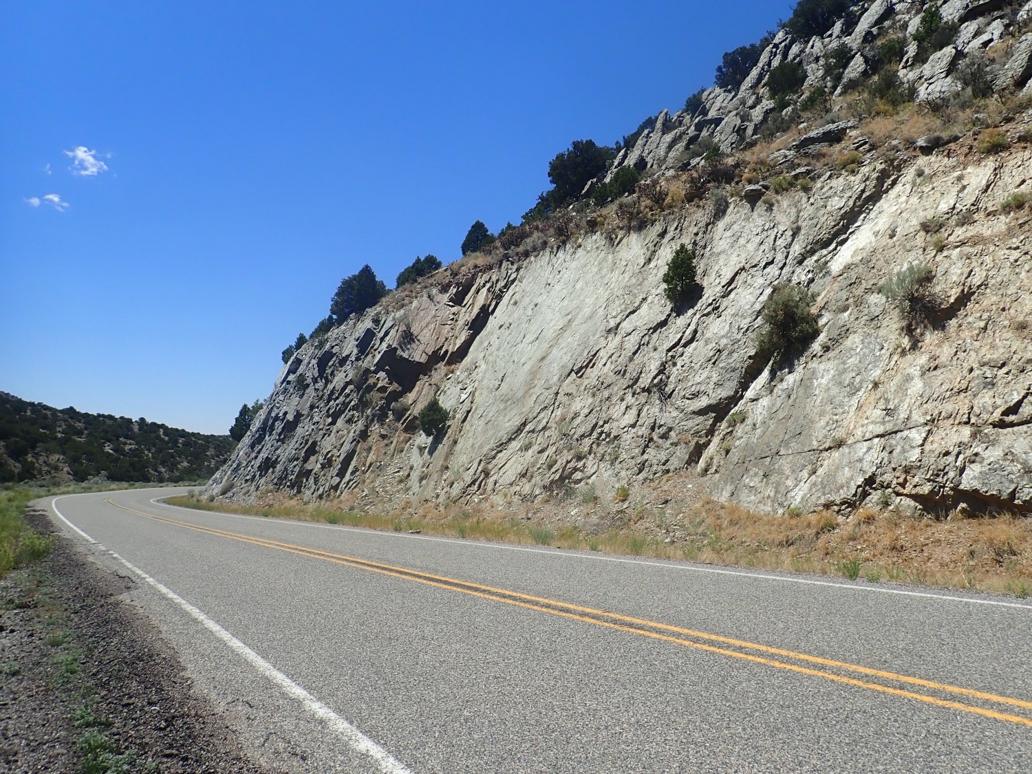
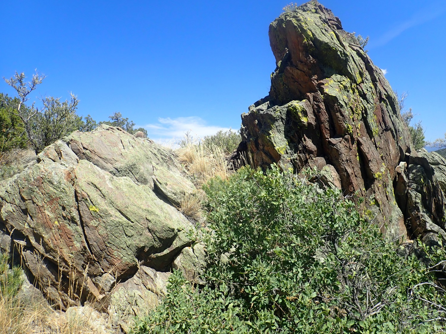
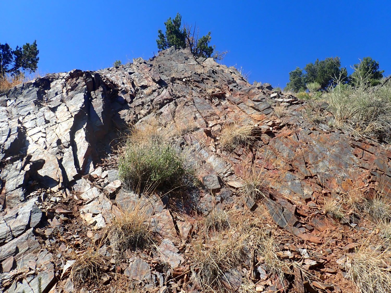
Oh, geology. This cliff is eroded out of the Bandelier Tuff. Regular readers will have heard me explain this countless times. For new readers (welcome!): The Bandelier Tuff is the iconic rock formation of the Los Alamos area, and arguably the most famous rock in New Mexico, at least to geologists. It is thick beds of volcanic ash laid down by pyroclastic flows erupted from the central Jemez Mountains during ginormous caldera-forming eruptions.
A pyroclastic flow occurs when magma (underground molten rock) that is rich in silica and dissolved gas reaches the surface. Silica makes magma very viscous, so that it can barely flow out of the vent. Instead, it disintegrates into a red-hot mixture of volcanic glass particles and gas that is denser than air and so flows across the surface like a liquid for many miles. When this mixture cools and the ash settles to the surface, it forms thick beds of rock variously described as tuff or ignimbrite.
The Bandelier Tuff is divided into three members. Each corresponds to a different caldera eruption. The first took place 1.85 million years ago and was relatively small (La Cueva Member) and there are no beds from it here. The second was probably the largest (Otowi Member) and took place 1.62 million years ago. The third (Tsherige Member) was nearly as large as the second and took place 1.25 million years ago. Those are the latest radiometric dates; the Bandelier Tuff is so famous that it has been more thoroughly dated than the Kardashian sisters.
The eruption that emplaced the Tsherige Member, the Valles event, formed the Valles caldera at the heart of the Jemez. This is a depression twelve miles across and a mile deep — that’s a lot of magma that erupted and left space for the surface to collapse into the emptied magma chamber. The Toledo event, which produced the Otowi Member, is though to have produced a caldera more or less of the same size and in the same place as the later Valles caldera.
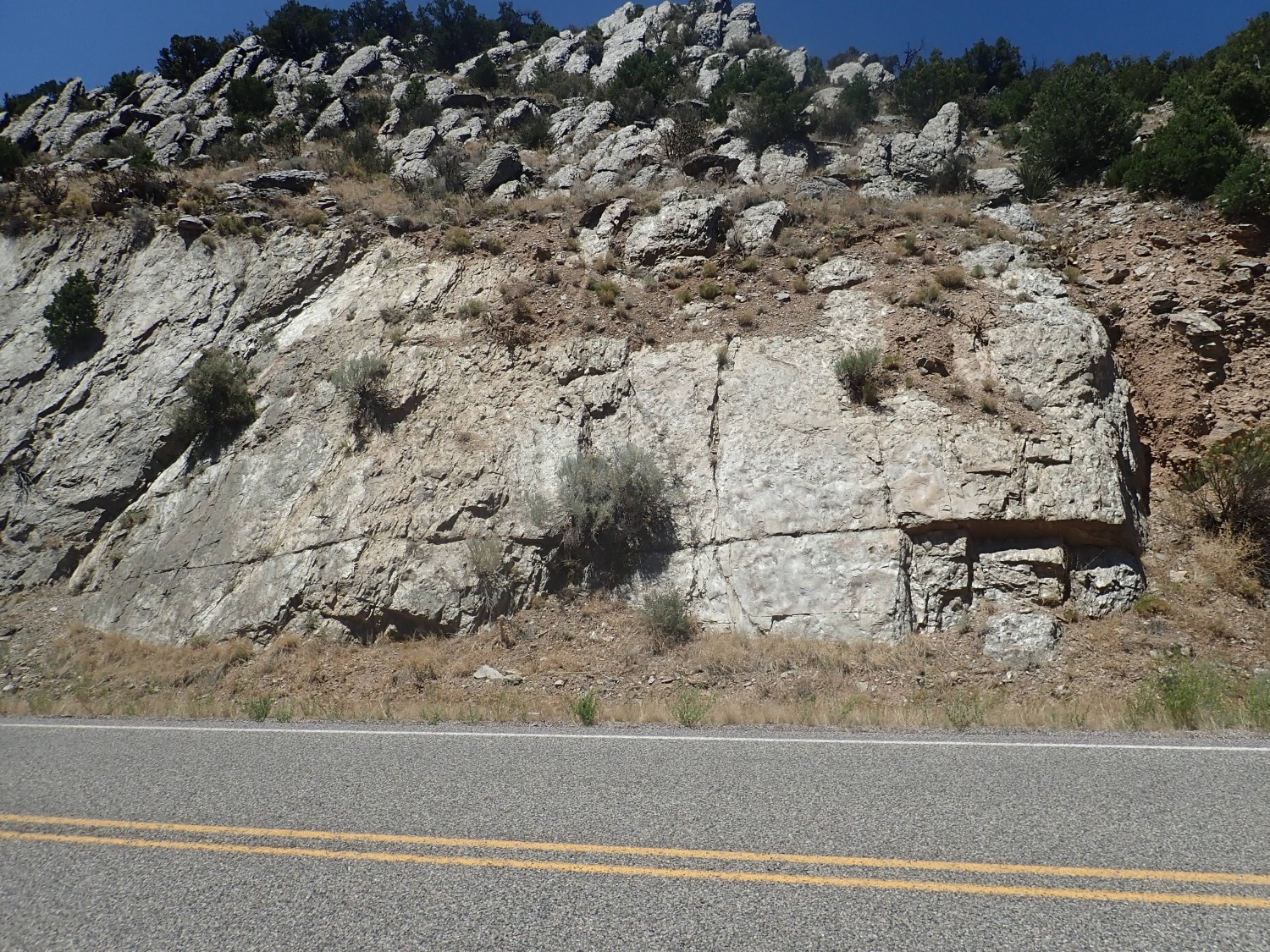
The visible rock in the previous photo is all Tsherige Member. There is Otowi Member here, but it’s all buried under the talus, rock fall, covering the lower part of the cliffs.
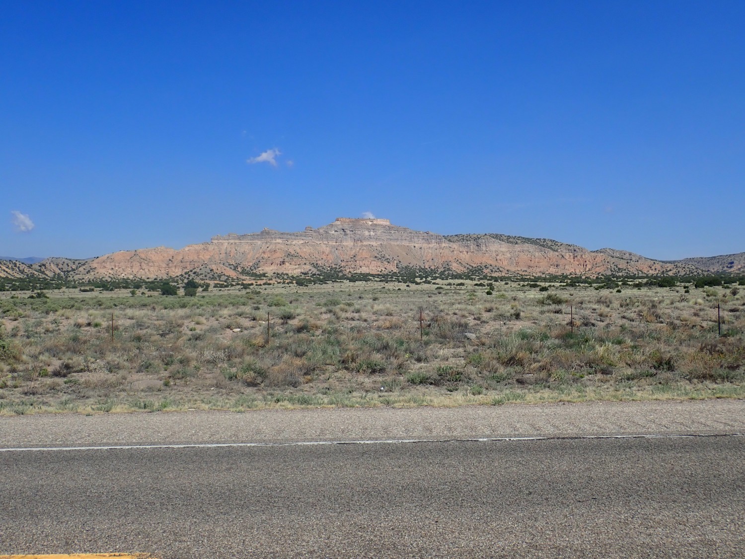
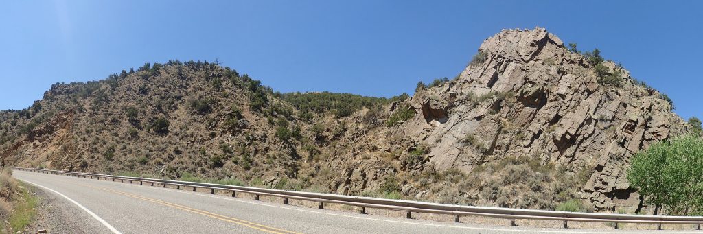
I continue on and make the turn to Espanola. I’ve photographed Battleship Mountain many times, but it just seems to attract the camera.
For any new readers: You can click on most images at this site for a higher resolution version. Most blue links take you to the location on Google Maps.
A beautiful day, with just a very few clouds in the sky; one of which is stubbornly directly behind the peak. I try again from slightly further north.
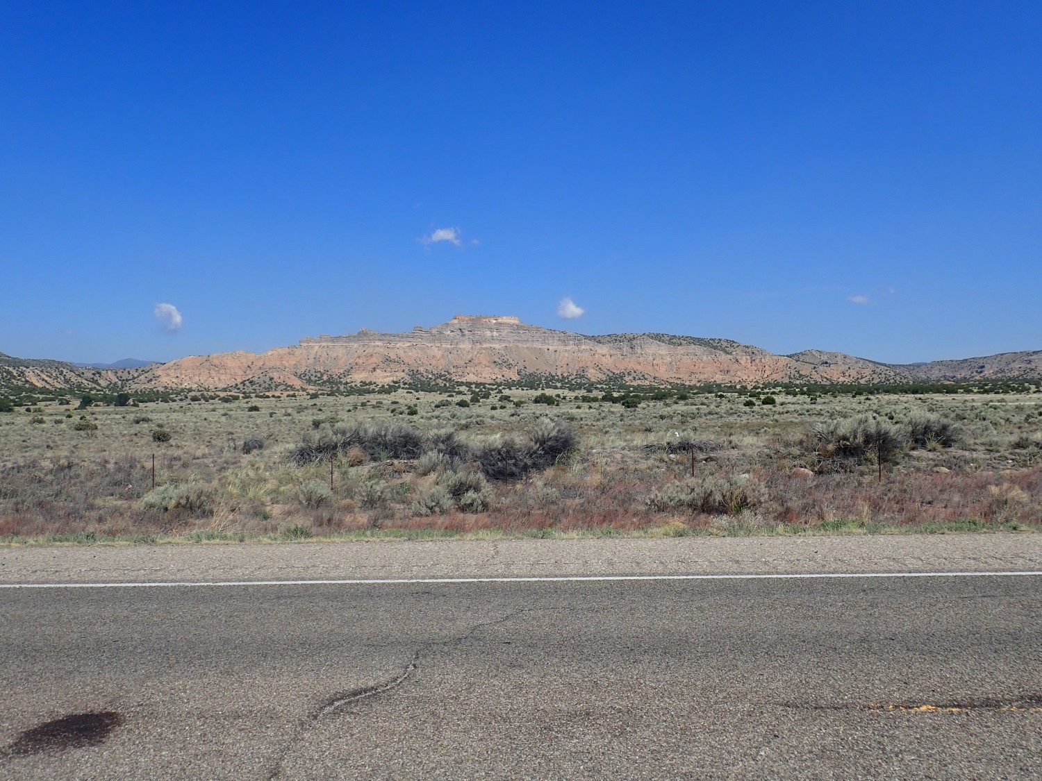
Better. Mostly; I should have zoomed in more.
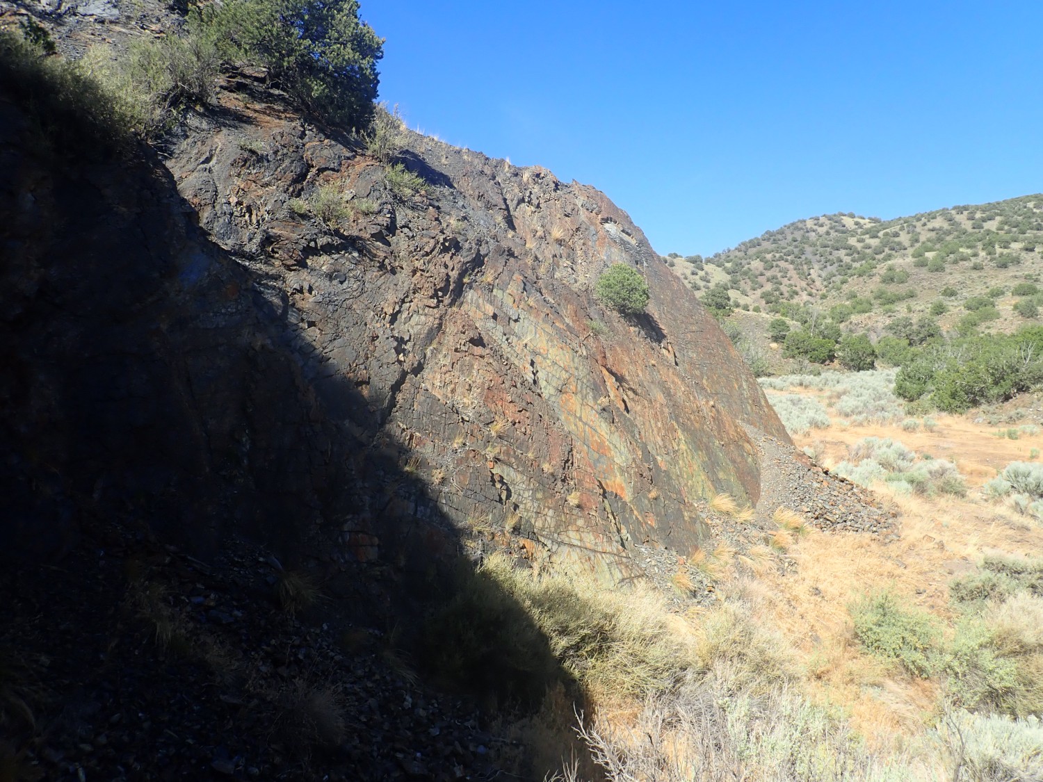
Geology: The very top of the mountain is a cap of Tsherige Member of the Bandelier Tuff; this is as far east as the pyroclastic flows got, so far as we can tell. Beneath are gray ash-rich beds of the Puye Formation, which is fanglomerate, beds of volcanic debris eroded off the pre-caldera volcanic centers of the Jemez. You can see a particularly light bed as the base of this formation. Beneath are reddish beds of the Chamita Formation. This is a formation of the Santa Fe Group, which are all formations that have accumulated in basins of the Rio Grande rift.
The Rio Grande rift is the great crack in the earth’s crust reaching from central Colorado to south of El Paso. It more or less coincides with the valley of the Rio Grande. The rift began opening about 30 million years ago as the Colorado Plateau began to slowly pull away from central North America. The crack immediately began to accumulate sediments. Now the whole area is being uplifted as western North America drifts onto the East Pacific Rise, a great upwelling in the Earth’s mantle. Uplift has hastened erosion in this area, and these beds of sediment are being progressively exposed by erosion.
I stop for gas then continue on towards the Picuris Mountains. North of Espanola, I have to pause for a photo of the Chamita Formation south of Black Mesa.
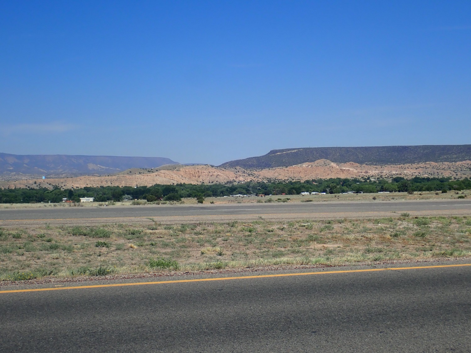
This, too, I’ve photographed before. What caught my eye this morning was some obviously deformed beds.

You can see that the level beds at left begin dipping to the right. They are dipping into the Velarde Graben, where rifting in the Rio Grande rift is most active at this latitude. Rifting is not as active today as it was ten million years ago, but it is still slowly taking place.
This, even though I’ve also photographed it before, because it’s just so pretty.
This is an outcrop of the Ojo Caliente Member of the Tesuque Formation of the Santa Fe Group. Unpacking: Whereas the Chamita Formation is prominent west of the Rio Grande beween White Rock and Black Mesa, it’s the Tesuque Formation east of the Rio Grande throughout the area between I-25 and Dixon. The Ojo Caliente Member is a part of the Tesuque Formation that seems to have been deposited as a field of sand dunes, and this is distinctive enough for the member to stand out of the rest of the Tesuque Formation.
On the skyline is a black rim of Servilleta Basalt, erupted around 4.5 million years ago. This stuff covers the entire Taos Plateau.
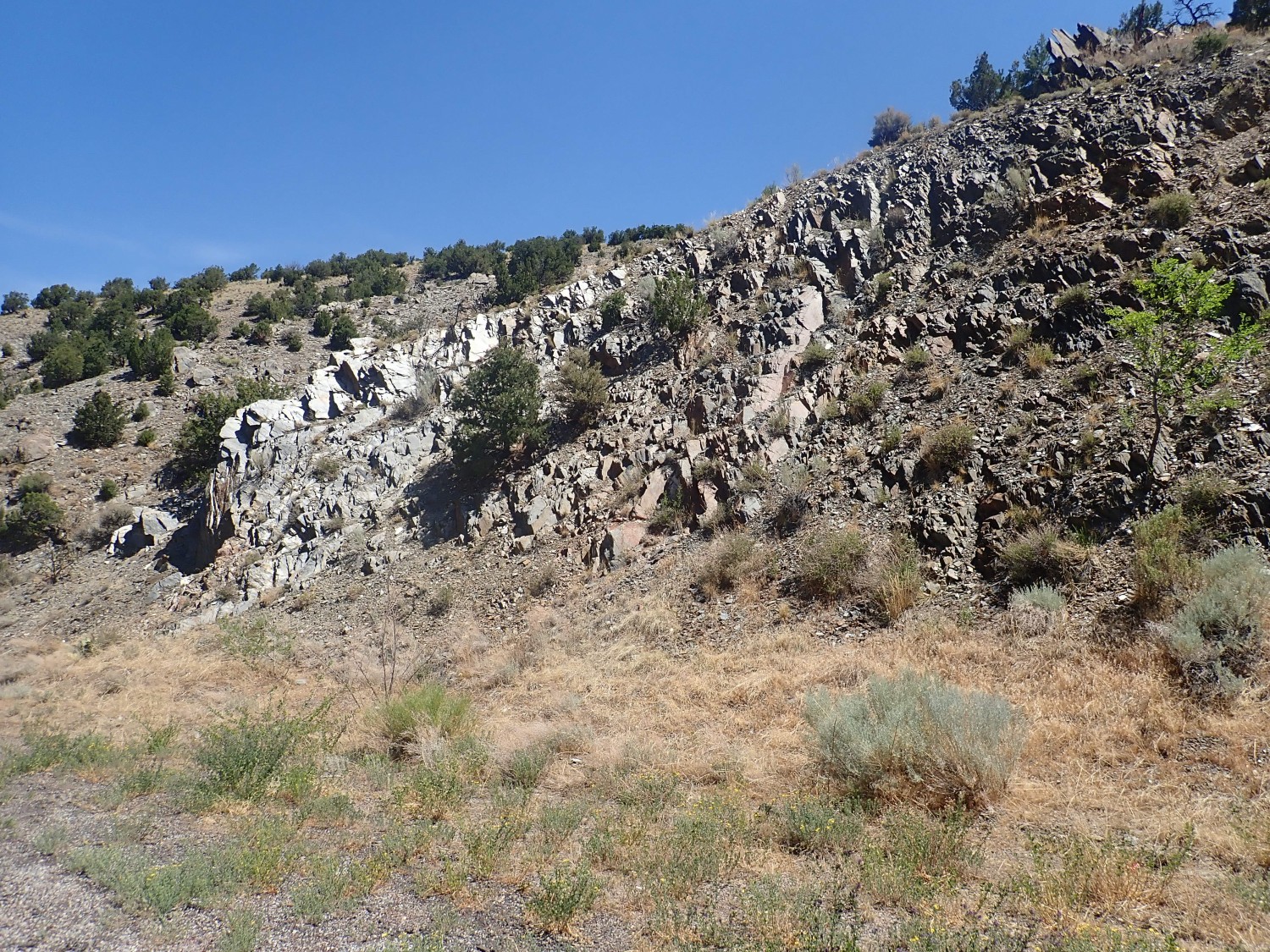
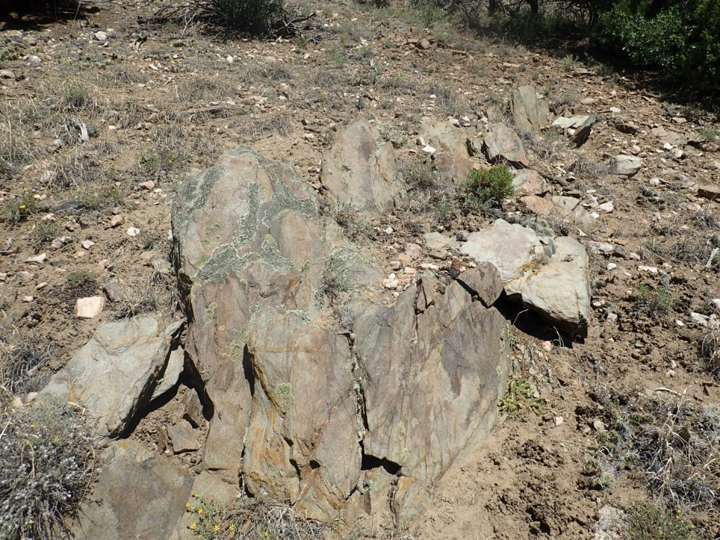
And now, my first serious geology of the day. There is a little island of Precambrian rock just as you turn onto the road to Dixon, and the highway cuts through part of it. I have an older map around somewhere that identifies formations, but the newer map just marks the area as Precambrian. (Progress!) I’ve noticed before that there is a prominent contact halfway along the exposure that looks just a little like a famous contact in the cliffs near Pilar, but the formations don’t seem quite right. I’m going to check it out today.
Here is the westernmost end, where the Precambrian rock just begins to crop out.
And my GPS is slightly vague on the coordinates. I hope it gets better. A little further east, the rock is accessible at road level.
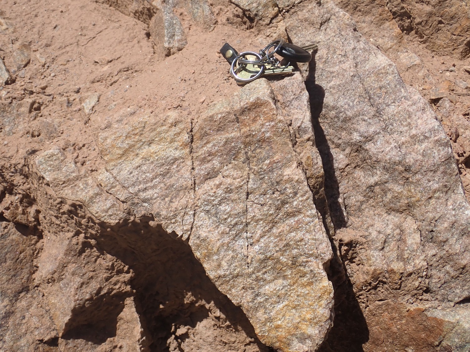
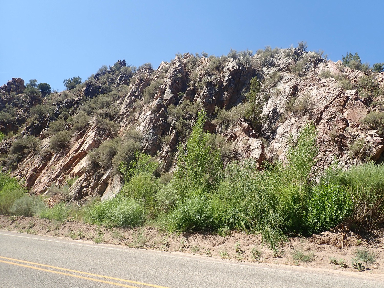
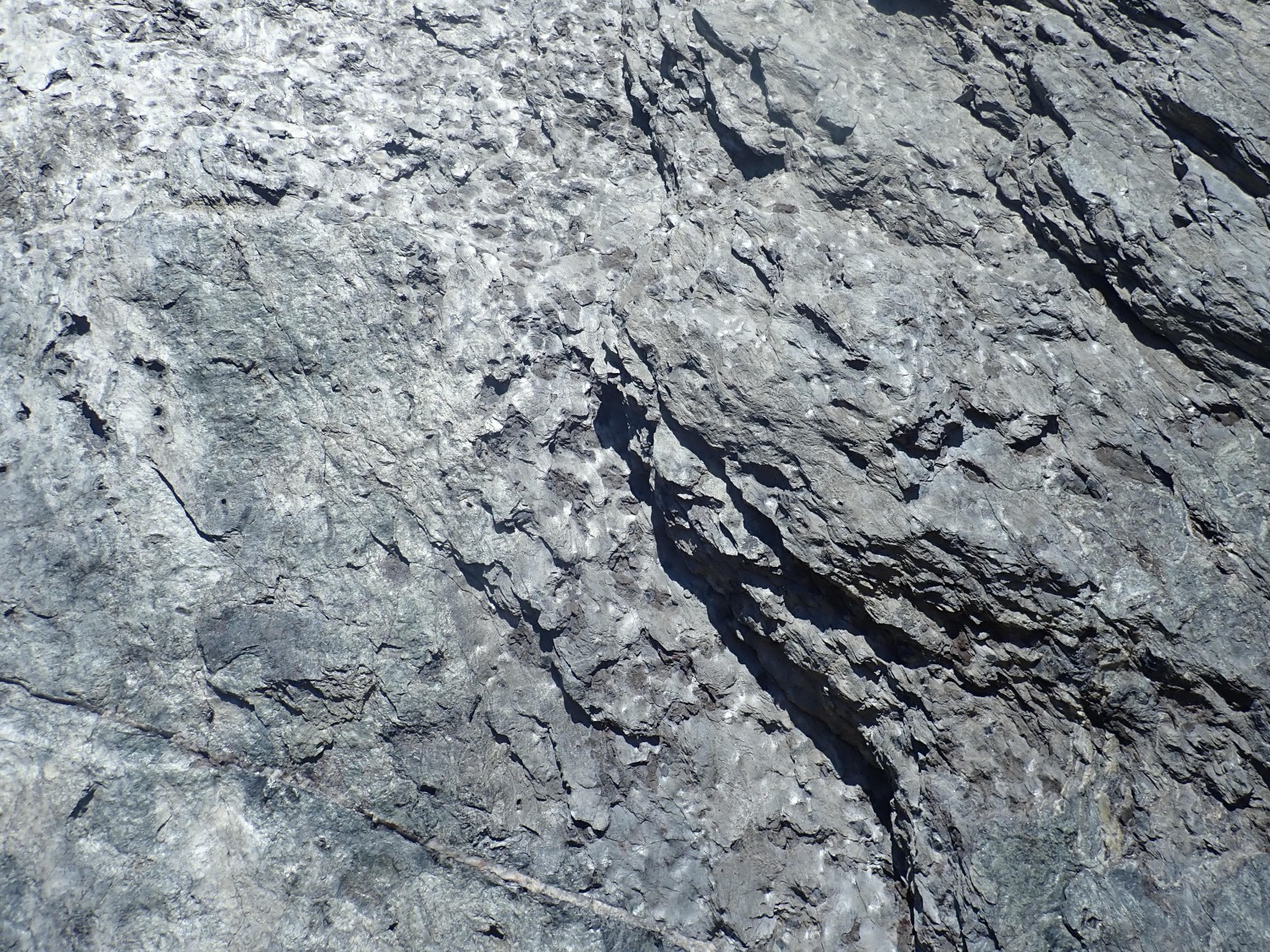
This is a very clean quartzite, a rock composed almost entirely of densely crystallized silica. There is one rock unit in this area that meets that description: the Ortega Formation.
Look, older readers know this, but I’m not actually a professional geologist. (Wait, don’t go away …) I’m an enthusiastic amateur, albeit one with a very solid Ph.D.-level education in an allied science (astronomy). The only way to be sure this is Ortega Formation is in a laboratory, and I don’t have access to one. But I’m pretty confident of this identification.
The Ortega Formation was laid down around 1.65 billion years ago, a time period geologists have named the Statherian period of the Paleoproterozoic era. We think it was deposited in a big basin, the Pilar Basin, that was formed during an event called the Yavapai Orogeny. This began with a big island arc, something like modern Indonesia, drifting into the southern edge of what would someday be North America to form the entire region of crust between southern Wyoming and central New Mexico and stretching from Arizona to at least the Midwest. Orogenies produce mountain ranges, but they also produce various kinds of basins, and the Pilar Basin accumulated sediments for many millions of years. The Ortega Formation was deposited relatively late in this process (we think as the sea invaded the basin) as a very thick bed of almost pure sand.
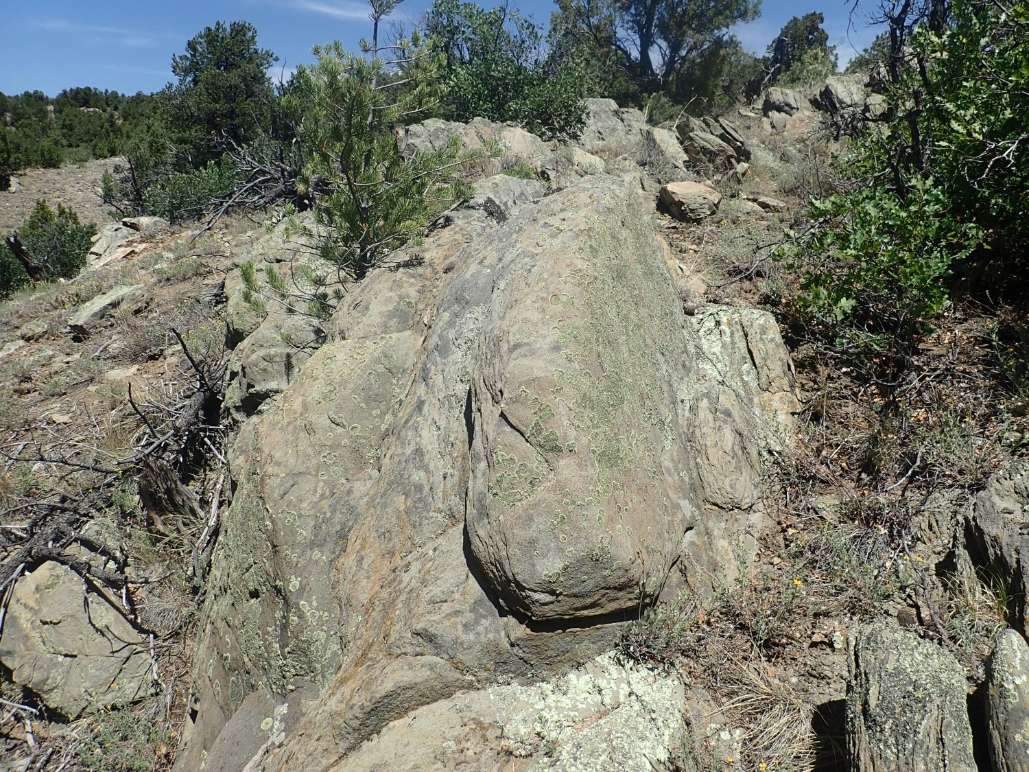
Here’s a slightly different example, just because it’s pretty.

Here the rock is broken up, but it’s still quartzite. This must be a small local fault.
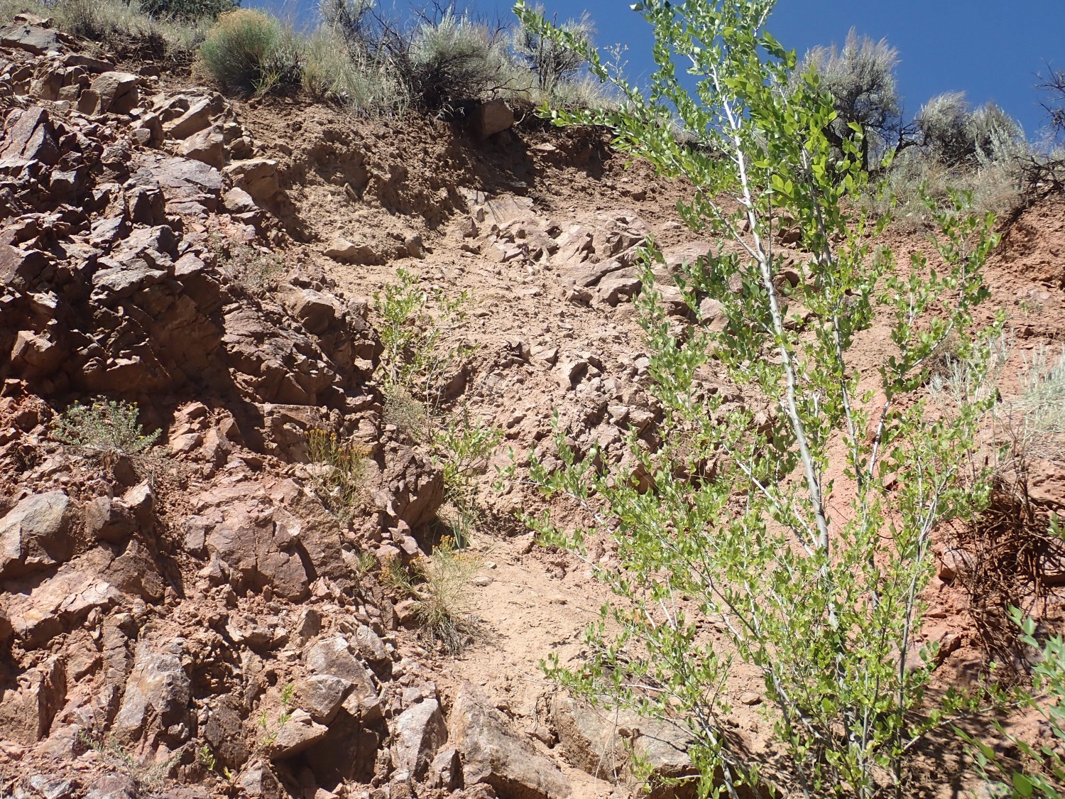
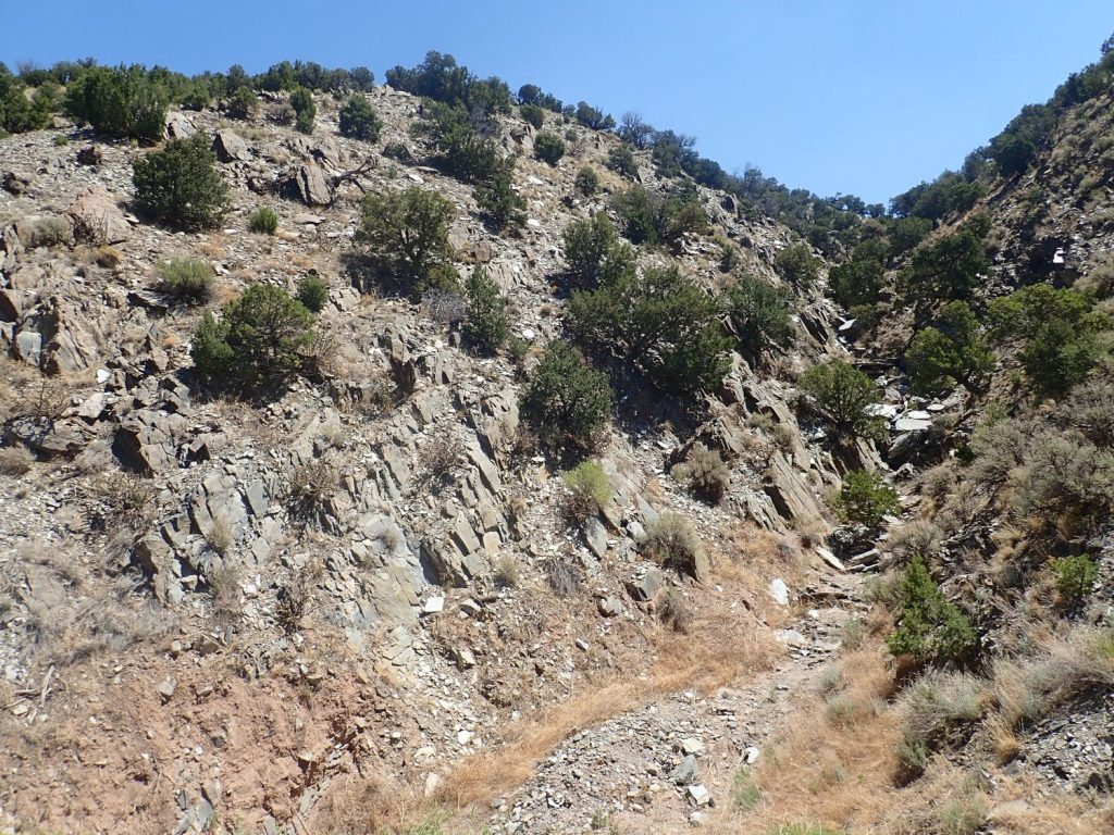
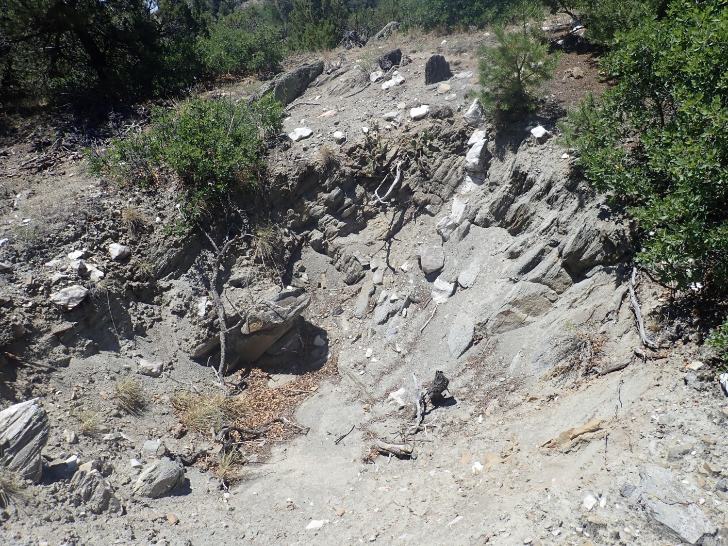
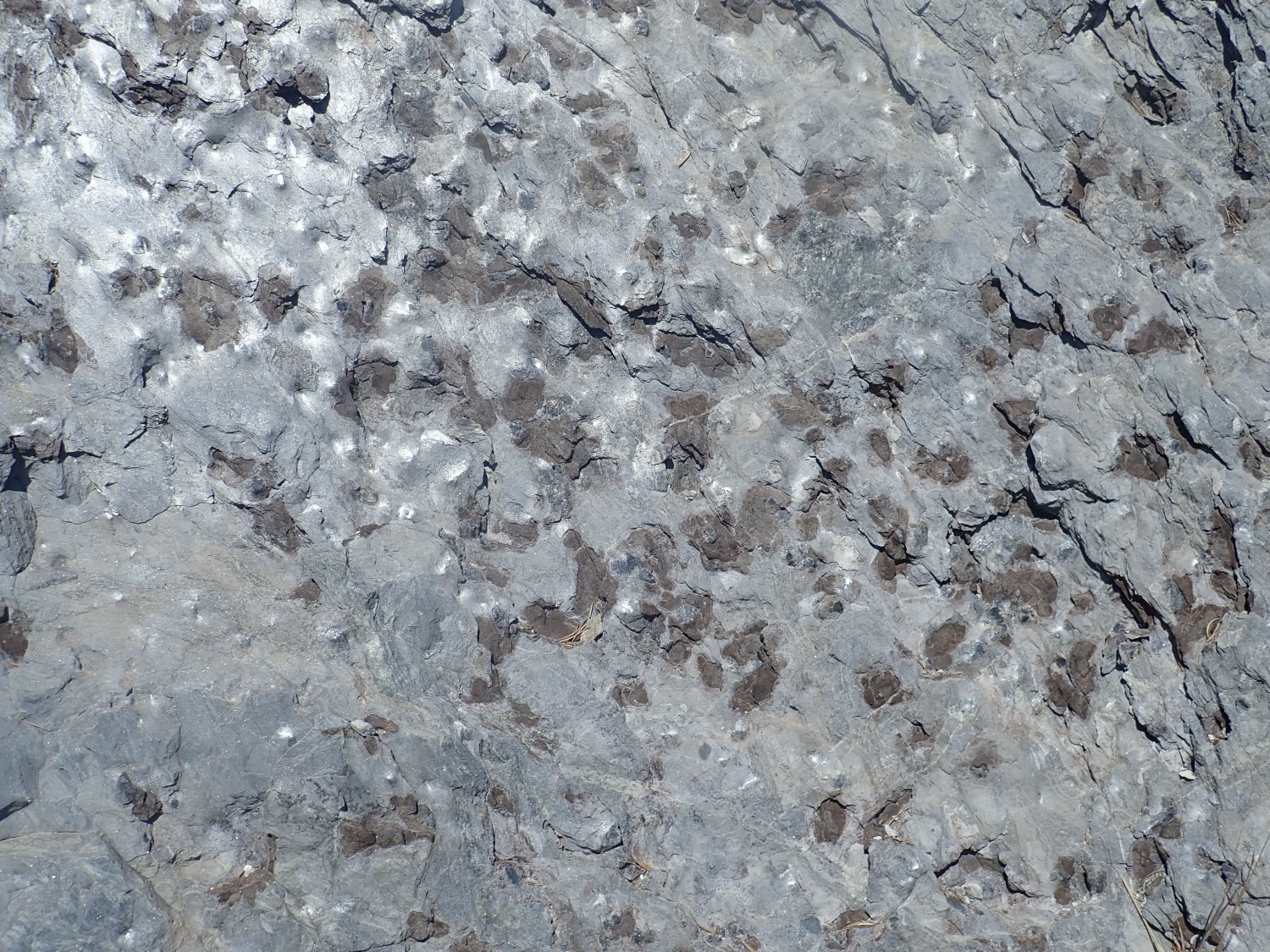
Similar exposures continue some distance east. I took more pictures but they don’t really show anything new. Then we hit a gully.
Gullies in hard Precambrian rock are a clue that something is going on here. They often mark faults or contacts between different beds. Here the change from red at right to more gray at left is also suggestive. But not always: Color is often a poor diagnostic feature in rock, and the local rainfall has to drain somewhere.
It turns out the rock to the left is still clean quartzite.
Though there is an obstacle to closer investigation.
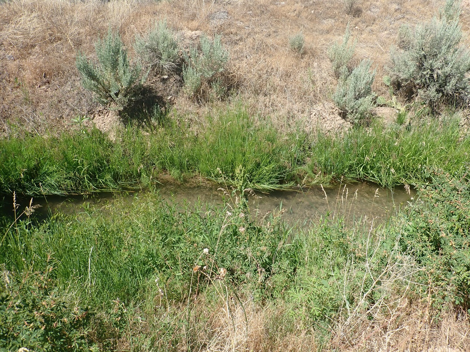
Respect the acequias. Most are much older even than I am. They are an institution in northern New Mexico going back centuries, shaping entire communities along permanent water courses in this arid climate. Agua es vida.
Just because it’s lovely.
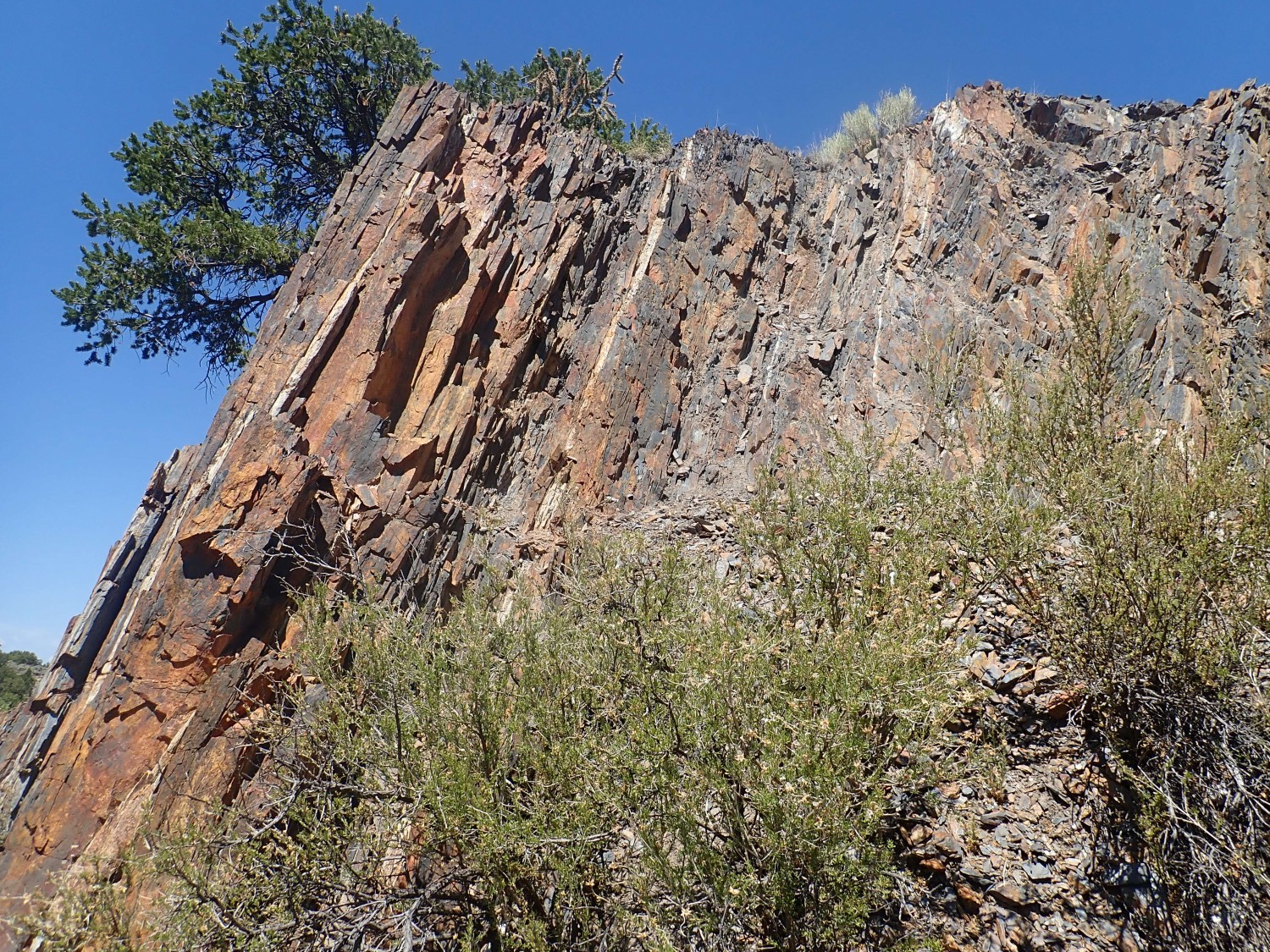
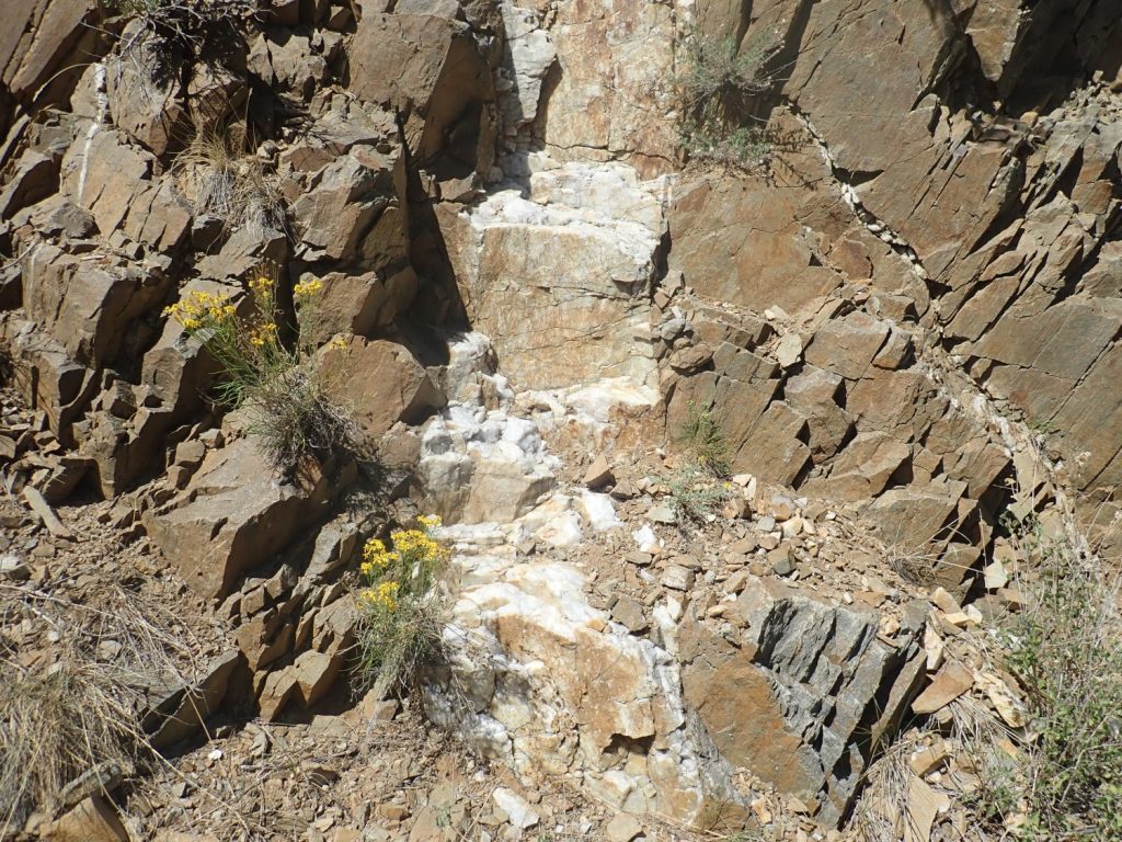
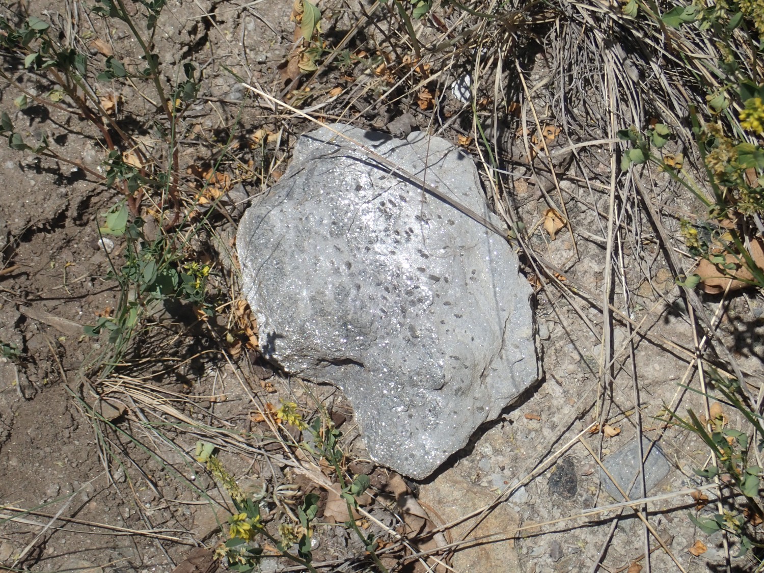
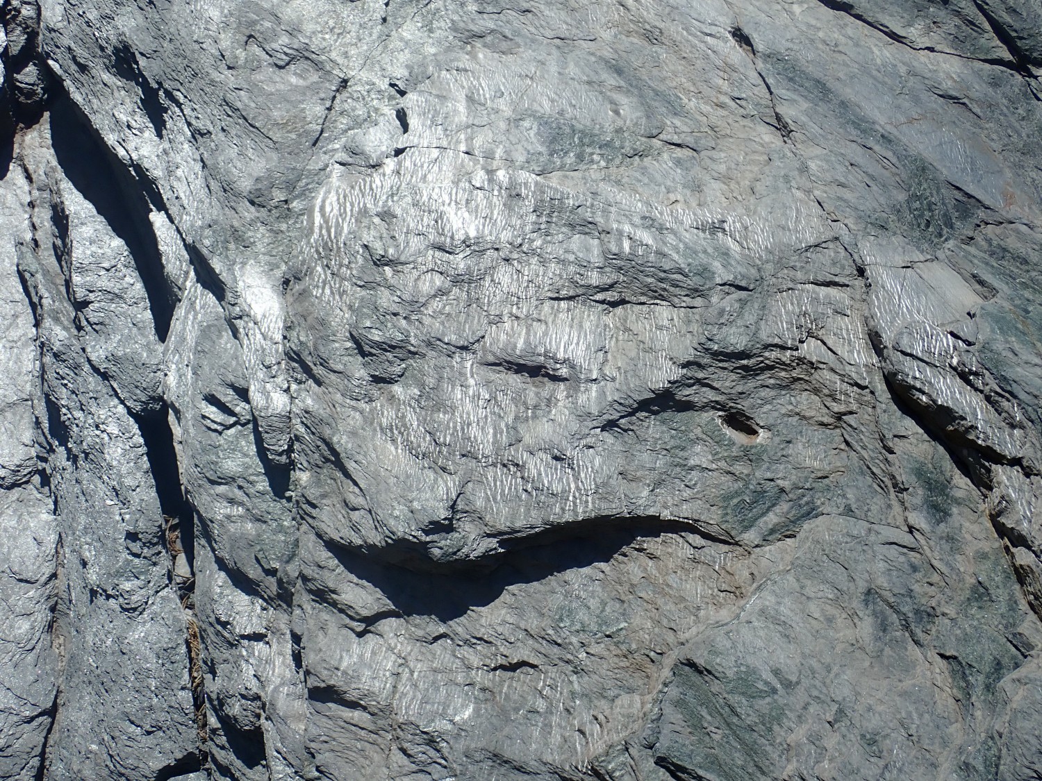
The sunshine glinting off the quartzite shows that it is foliated with a steep dip to the northeast. The foliation is not necessarily aligned with the original sand beds; it formed when this area was subject to metamorphism, likely around 1.45 billion years ago. I’ll say more about that presently.
I continue taking more photos as I walk east, none of which really show anything new, until I reach the contact.
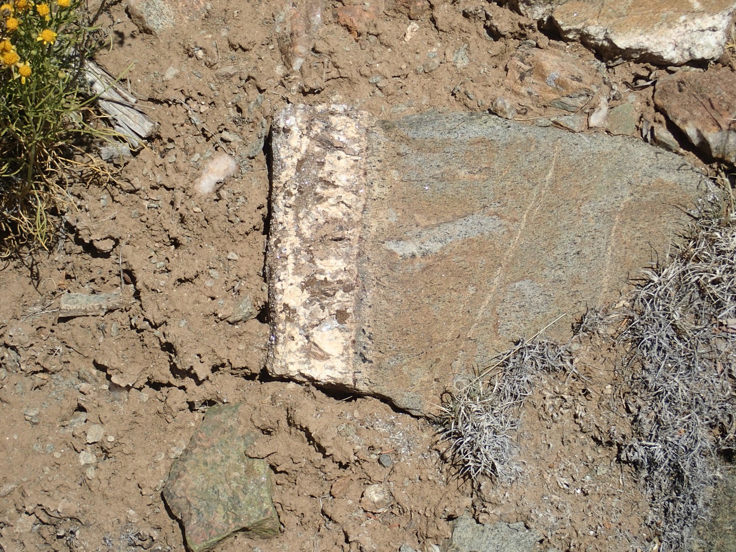
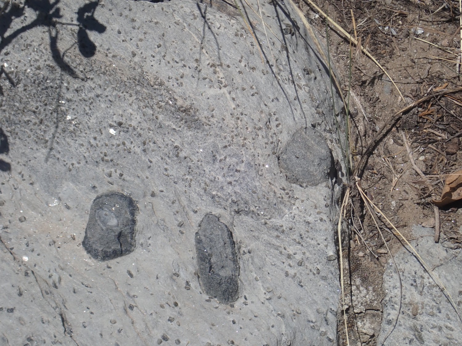
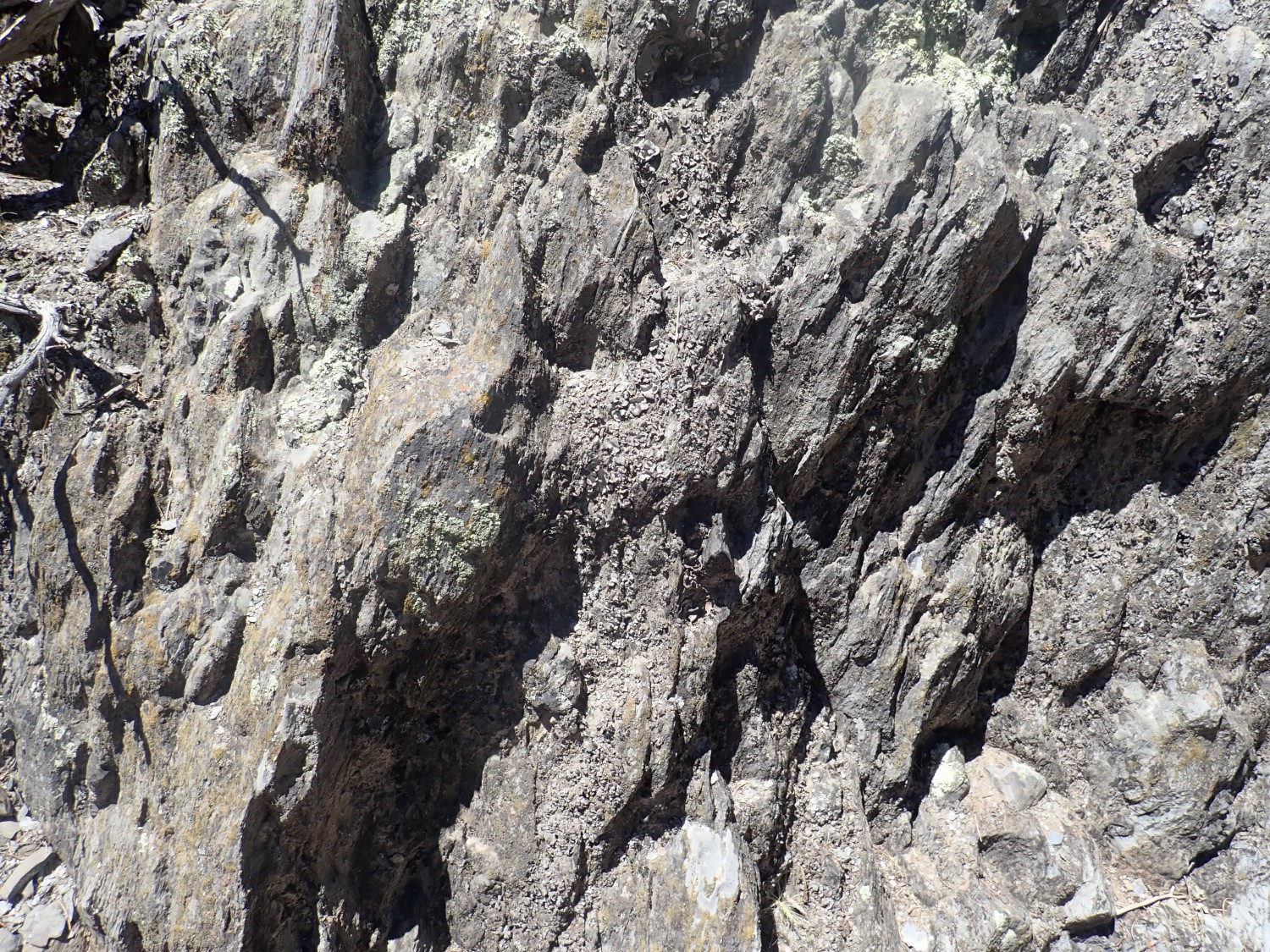
The red zone is very distinctive, though it’s still quite clean quartzite. But at left it fairly abruptly transitions to staurolite-garnet-mica schist, a completely different rock type.
The red discoloration extends into the schist, but only a short distance.

Staurolite-garnet-mica schist is formed under similar conditions as quartzite, but from sediments with a very different composition. These likely started out as beds rich in clay, with its high aluminum content, and both mica, garnet, and staurolite are high-aluminum minerals. The mica forms the shimmering white matrix; the garnet and staurolite form the “pepper” of black crystal grains.
Further east the schist is pure white.


until the schist is finally buried under young sediments in the Embudo fault zone.
So I’m confident the quartzite is Ortega Formation. What’s the schist? It most closely fits the description of the Rinconada Formation, which is famous for its staurolite beds. But staurolite schist is not uncommon, particularly in this area, and it’s present in some other formations.
I have two possibilities: This is a previously unrecognized member of the Glenwoody Formation, which lies below a similar red zone in contact with the Ortega Formation in the Pilar Cliffs. Or this is Rinconada Formation, deposited on top of the slightly older Ortega Quartzite across an erosional surface that got stained red but is otherwise unrelated to the red zone of the Pilar Cliffs. If I was a better geologist, I could look for sedimentary structures in the quartzite that would tell me which way is “up” and resolve the question, but I’m not sure sedimentary structures are well preserved here and I’m not a better geologist.
North across the valley are matching beds.

It all looks like quartzite, with possibly some remnant schist under young sediments.
But I suspect much of the rock column has been sheared away by the Embudo fault zone.
It’s private land. I’d have to knock on a door and get permission to get closer, and I’m shy about that. There are definite disadvantages to being very mildly autistic.
This, too, is just too pretty not to photograph, even though I’ve done so before.
I’m having to guess from abbreviations on the geologic map, but I believe this is mapped as Chama-El Rito Member of the Tesuque Formation. More rift fill sediments, much younger than the rocks we were just looking at. The Chama-El Rito is distinguished by the presence of volcanic clasts (clasts: bits of broken rock) eroded from the San Juan Mountains or possibly the Latir volcanic field.
Beautiful beds like this continue north of the road for about a half mile or so. Then we hit this dull, drab stuff.

This is still mapped as Chama-El Rito, but I suspect we’re seeing contributions of darker sediments of the Pilar Formation just up the road.
Looking back down the highway:
All that lovely distant stuff looks like Ojo Caliente Member to me, and the geologic map seems to agree.
Ahead is the first outcrop of Pilar Formation.
The Pilar Formation is very distinctive, because it is composed almost entirely of a very dark rock called carbonaceous phyllite. This is rock composed mostly of muscovite mica and quartz, but thoroughly impregnated with up to 30% graphite. No rock formations in New Mexico over 540 million years old are preserved well enough to contain recognizable fossils, but this huge carbon content screams Life. The formation had to have been deposited in a basin full of nutrients in which the lower layers were anoxic. Photosynthetic cyanobacteria must have thrived in the upper waters, pulling carbon out of the atmosphere that was preserved in the anoxic sediment beds below.
This formation is about 1.488 billion years old. This is the time of the Picuris Orogeny which, like the earlier Yavapai Orogeny, was accompanied by the formation of basins as well as mountains. This one was huge; it left traces over an area larger than modern Tibet. Our best current guess is that it happened when a microcontinent slammed into North America to become the Granite and Rhyolite Province. Deformation was tremendous and reached clear up to Wyoming.

This big, bad, black bed is so distinctive that it’s played a major role in helping geologists decipher the structure of the deformed rock beds of this area. Such a bed is called a marker bed.
I find a spot to pull over and explore. Northeast of the road:
As near as I can figure from the map, this is an outcrop of Rinconada Formation, which at 1.65 billion years old is actually older than the Pilar Formation on which it sits. The beds here are so deformed that they are actually overturned. There’s not much doubt about the relative ages: The age of the Pilar Formation (1.488 billion years) is from high-precision zircon dationg of a metamorphosed ash bed within the formation, and the age of the Rinconada Formation is from detrital zircon geochronology. The Pilar age is a direct age; the Rinconada is inferred from the fact that no zircons younger than 1.65 billion years are found in it.
A very handy and pretty outcrop of Pilar Formation just off the road.

The thin white layers are ash beds, of the kind from which zircons were extracted to date this rock.
Zircons: I’m tempted to call these God’s gift to geochronologists. Zircon is zirconium silicate, and uranium easily sneaks into the crystallizing grain in place of some of the zirconium. Lead does not; it has the wrong chemical properties. So a freshly crystallized zircon has plenty of uranium, but practically no lead. But the uranium slowly decays over billions of years to lead, which remains trapped in the zircon. This is practically a clock dial glued to the grain. And zircon grains are all but indestructible; they easily survive being eroded out of solid rock and redeposited in sedimentary beds, with their clocks unreset, and they can even survive high levels of metamorphosis without their clocks being reset.
I walk south along the road, looking for the contact between the Pilar Formation, which I’ve photographed before, and the Piedra Lumbre Formation, which I have not. The rock becomes much less dark in color just north of this arroyo
and I figure that’s the contact. But the geological map seems to disagree, putting the contact well south of the arroyo.
The map puts me very close to the contact here, but I think I’m still looking at Pilar Formation.
Looking across the arroyo: This, too, is apparently still Pilar Formation.
Ah.
Do you see the change? Here, it’s pretty obvious:

The map puts this point precisely on the contact between Piedra Lumbre Formation to the left and Pilar Formation to the right.
I must confess, though, that I still thought that contact was to my north, and perhaps this contact was between the Piedra Lumbre Formation and the Marquenas Formation. At least I spotted it as a contact. Understand: I have no device with the bandwith or memory to let me access good geologic maps while in the field. I look at them beforehand at home, and again when I get back, matching photo GPS readings to the maps to figure out, after the fact, whether I got it right.
Spotting contacts is a basic geologic skill that I’m trying hard to teach myself. Some are easy to spot. These are harder.
I’m looking here for the Plomo fault, which separates Marquenas Formation from Piedra Lumbre Formation. The Piedra Lumbre is just a little younger than the Pilar Formation, but the precise age relationship between the Marquenas Formation and the Piedra Lumbre Formation is unknown since they are in contact only along a fault. But they are roughly the same age, around 1.45 billion years old, based on detrital zircon geochronology. Marquenas Formation is mostly quartzite, but far “dirtier” than the Ortega Formation, so they’re usually fairly easy to tell apart.
Aaaand … here’s the fault zone.
Incidentally, you really do want to click for the full resolution of the panoramas. They’re distorted at small scale, but at full resolution, it’s just like being there.
The fault runs just to the left of the big massive should of rock at right, which is Piedrea Lumbre Formation. The irregular rock to the left and in the next shoulder is all Marquenas Quartzite, as I’m beginning to realize as I take these photos.
Looking the other direction:

Even clearer this way. And now I’m kicking myself: I did not think to look for slickensides, the distinctive scratching pattern found on rock surfaces along faults. Though, since this fault is probably 1.4 billion years old, the chances of finding preserved slickensides is slim to none, particularly at my level of field craft.
So the Plomo Fault likely formed around 1.45 billion years ago during the Picuris Orogeny, and it was likely a thrust fault, pushing rock beds from the south a great distance over the beds to the north. The Marquenas Quartzite is full of old boulders, none of which seem to come from other older formations in this area. We don’t know their provenance, in other words. The boulders likely came from older formations to the south that are now either eroded away or buried deep underground.
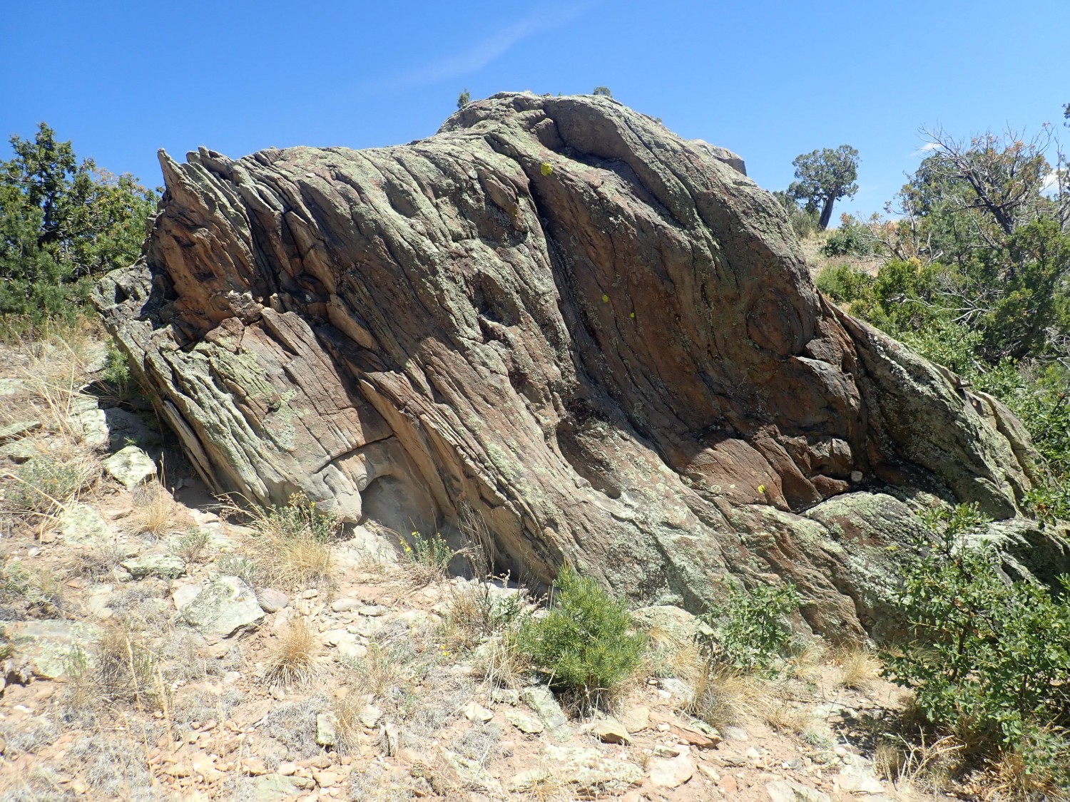
I’ve photographed this section of Marquenas Formation before, but not under lighting this good.
In fact, I photographed this very spot, at nearly this angle, in inferior light, and public domained it as the photograph for the Wikipedia article. I think I’ll keep this one for myself to use in the book.
I decide to look more closelly at the dike.
It’s virtually pure quartz. I don’t think that can form from any reasonable magma composition. My guess is the source of the quartz is nearer at hand: The host rock itself, redeposited by hydrothermal action.
I decide to follow the rock face a little further west. The thought seeps into my head that this is treacherous ground — so I am very careful where I step. I still fall once, but not hard, but I also don’t see anything else worth risking injury.
This is what we mean by dirty quartzite.
The cliff shines because the sun is reflected off parallel layers of mica in the quartzite. Mica is composed of potassium and aluminum in addition to silica, so this shows the sediments were not pure sand, as they were for the Ortega Formation.
I reach the first stop in my guidebook. This requires parking north of the road, and bushwacking south to the specified GPS coordinates. I brought a spare GPS navigator to supplement my camera.
I come across some Vadito amphibolite.
If I read my map right, this is likely not local, but eroded off the higher ground to the south. The local schist is much less resistant to erosion, so amphibolite eroded off nearby outcrops will tend to accumulate here as boulders. Amphibolite is usually metamorphosed basalt, so this was part of basalt flows erupted in the Pilar basin when it first opened. Later, more silicic volcanic ash was erupted that formed the younger schist beds of the Vadito Group.
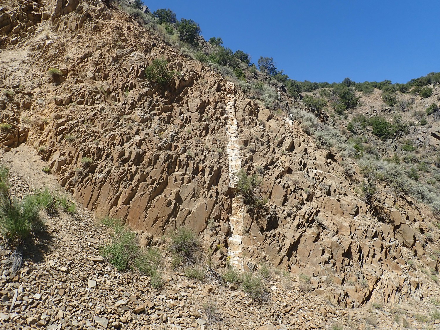
There are occasional pegmatite veins here.
We are close to the Harding pegmatite mine.
I come across an outcropping of Vadito schist.
This is feldspathic schist, rich in quartz, feldspar, and mica. The mica has crystallized into layers along which the rock easily splits.
You may be wondering why all the ancient rock we’ve seen seems to be layered more or less vertically. When rock beds are compressed in an orogeny, and begin deforming, there’s really no direction for them to go but up.
The prospector must have seen “color” in the pegmatite vein crossing the pit. Alas, the color must have disappeared below the surface … as it usually does.
I come across a bit of schist with coarse crystals.
Most likely staurolite, a very aluminum-rich mineral common in metamorphic rocks that reached just the right temperature and pressure.
Further south, I see that I’m at the right latitude, but a bit too far east. Still, these rocks catch my eye:
Had I known, this is a superb example of what the guidbook is trying to take me to. The small crystals are still staurolite. but the big crystals that look like embedded cobbles are actually huge (if not very well-crystallized) crystals of andalusite, aluminum silicate. Aluminum silicate comes in three flavors, each of which forms at a different range of temperature and pressure. I already have samples of kyanite, the low-temperature form; silimanite, the high-temperature form; and now I’ll have samples of andalusite, the medium-temperature, low-pressure form.
I start working my way west to nail the GPS coordinates. When I do, I find this outcrop.

Lots of big andalusite crystals here. I crack one open.

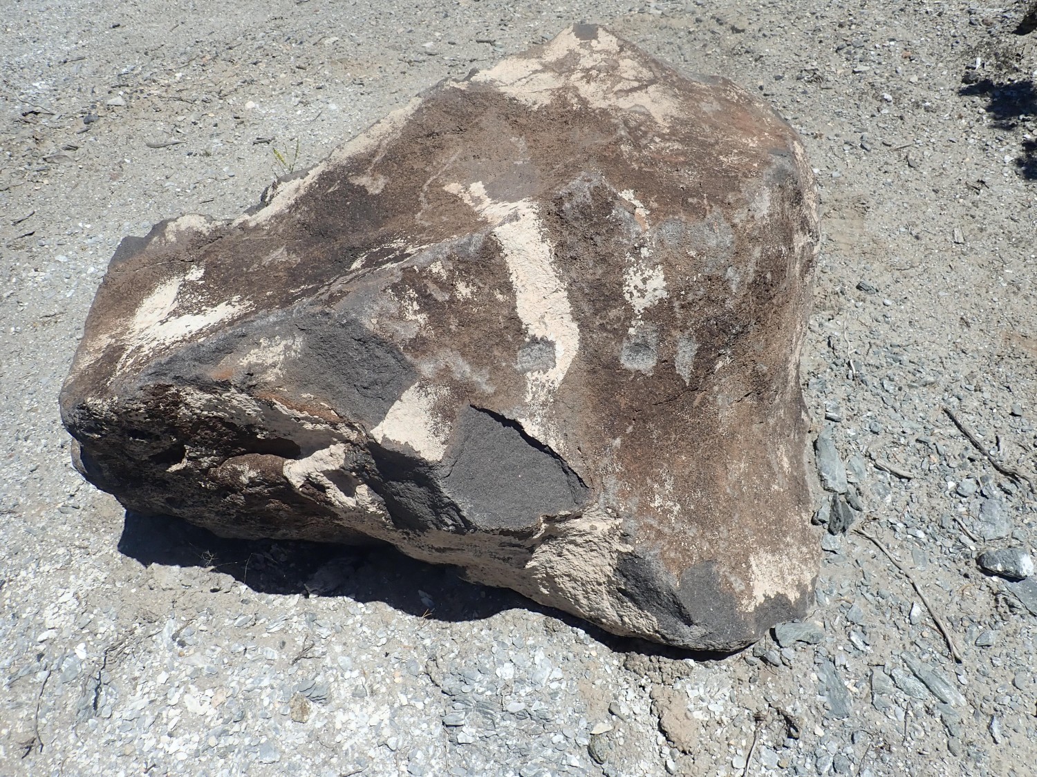
and take it with me. Then I start back. This catches my eye
but it turns out it’s just a crust of lichens. One more photograph for Wikipedia:
I drive to the nexty stop and hike to the indicated coordinates. There is a lot of trash here, and a lot of branches have been laid across the side road I was supposed to hike. And this doesn’t belong, either:
The rock is unlike anything I’ve seen locally in outcrop. Amazing someone would bother to haul it in.
According to popular belief (or, in the case of my particular denomination, scripture) the streets of Heaven are paved with gold. Here we make do with silver:
The silvery color is muscovite weathered out of the underlying shale.
Then left to the lip of an arroyo.
This, too, is full of andalusite.
Maybe this can be the picture for Wikipedia.
Or we can just stick with the one that’s there.
Some very coarsely crystallizes amphibolite along the road.
Again, there are no nearby outcrops, so this has weathered out of high ground some distance to the south.
I drive to the next stop from my road log.
I have family and friends who really don’t understand geology as a pastime. I can’t entirely blame them, but when you look at a picture like that, you have to understand just a little.
The appearance of a shining silver wall is, again, from layers of mica in the rock. This is a section of Vadito schist in the road cut, with more giant crystals (the correct geologic term is “porphyroblasts”) of andalusite.
At some point, conditions of temperature and pressure in the rock changed such that a lot of the andalusite was transformed to staurolite.
The staurolite here did not develop its distinctive crystal shape; it pretty much retained the shape of the andalusite is replaced. Such a transformation is called a pseudomorph.
I find it interesting that, once a crystal of andalusite started transforming, it almost always transformed completely, so that the crystals are all almost completely black andalusite or almost completely brown staurolite. Only a few very large crystals show remnants of andalusite in their centers.

A crenulated surface.
Crenulated: Well … like this. Ripply.
And on to the next stop.

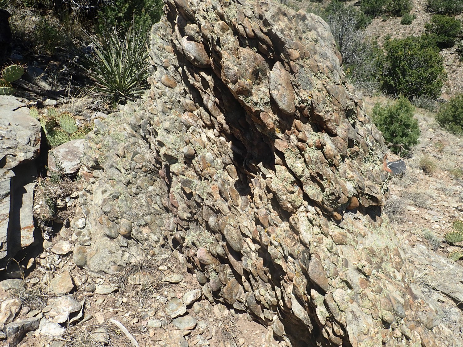
This is a road cut in the lower part of the Marquenas Formation. The lower beds are a very coarse conglomerate, full of very large cobbles of rounded rock:

This distinguishes the Marquenas Quartzite from the Vadito Group, with which it is in contact along the arroyo through which this road runs. I go hunting for the contact, which turns out to be quite subtle, since both units are silvery with mica.
Here?
Well, no; the stuff on the left has cobbles in it, and the Vadito Group is supposed to be to the south anyway. Still, it’s an interesting contact within the Marquenas Quartzite.
The bed seems to have cobbles with a lot of pink feldspar.
Here?
This does look like a thin veneer of schist on the quartzite face.
But I’m soon back in cobble conglomerate. With a pretty flower.
I’ve got a photo in the guidebook, and it’s only four years old, but shrubs and trees change even in that time. I finally decide the contact is here.
It seems to match the photo in the guidebook, allowing for tree growth. And the rock at left is cobble-free. And, yes, it’s just around the corner from the earlier stop, and a long ways west of the current stop. Be warned.
And it’s precisely where the geologic map puts the contact. W00t, etc. But you can see why geologists believed for so long that the Marquenas Formation was only slightly younger than the Vadito Formation: The contact is subtle. It doesn’t look like the gap of over 200 million years that we now know it is.
Next I’m supposed to hike clear across the ridge to the north. But the guidebook stops giving GPS coordinates at this point. Which makes it pretty much useless. Yeah, I know: I’ve gotten a steady stream of complaints that my post on the staurolite beds at Pilar is pretty much useless for finding them. I’ll try to publish a compact list of GPS coordinates for it soon.
I climb anyway. Dunno that this is the best starting route
but it seems to work at first. In retrospect, the best route is probably much further east. Anyway, the cobble conglomerate is very impressive here.
“Be fruitful, and multiply.”
Sedimentary structure in a cobble, the first I’ve seen.
If this were part of an outcrop, and I were better at field craft, this would tell me which side of the beds was originally up. This is how geologists first established that the Marquenas Quartzite is overturned.
The slope is covered with quartzite cobbles, but I have to climb some distance to reach the next outcrop. Ands my GPS dies at this point.
Further up, I leave the conglomerate beds and enter the middle sandstone beds.
GPS kicks back in.
You can see there’s a fair amount of sedimentary structure still preserved here.
For example, here’s a pebble bed.
I decide it’s time to crack a rock and see what a fresh surface looks like.
Yeah. Dirty quartzite, rich in mica. The dark spots are probably garnets.
I’m high enough now to see the Harding Mine quarry to the southeast.

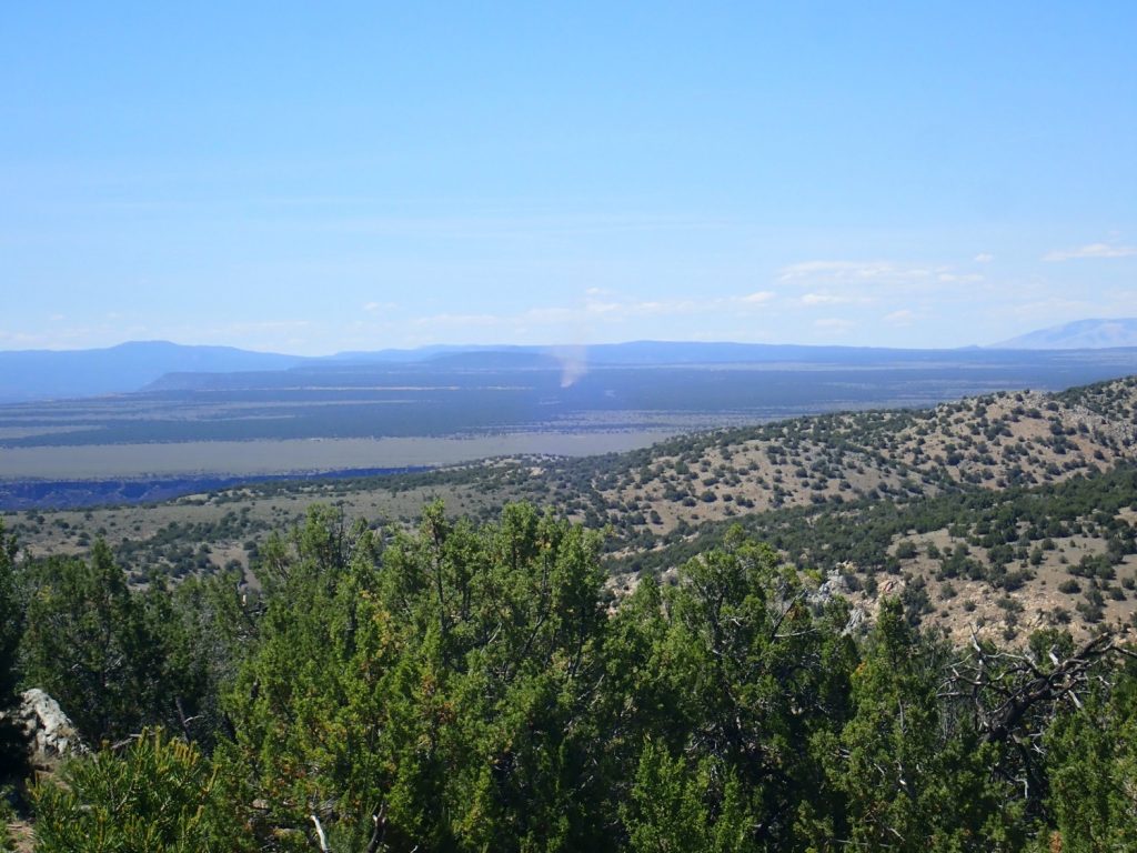
Then I’m at the top. A dust devil is visible far to the north. (It’s a hot, dry day.)
And, yes, Gary: At this point I have already drunk three liter bottles of water, and I’ll drink one or two more. It’s still not enough, though, and I’ll return with a pounding headache. (Though other factors were involved.) And my scale informs me this morning that I lost three pounds yesterday.
A road. With lots of quartz. This may lead somewhere interesting.

A pegmatite.
I get to a good spot for a panorama.
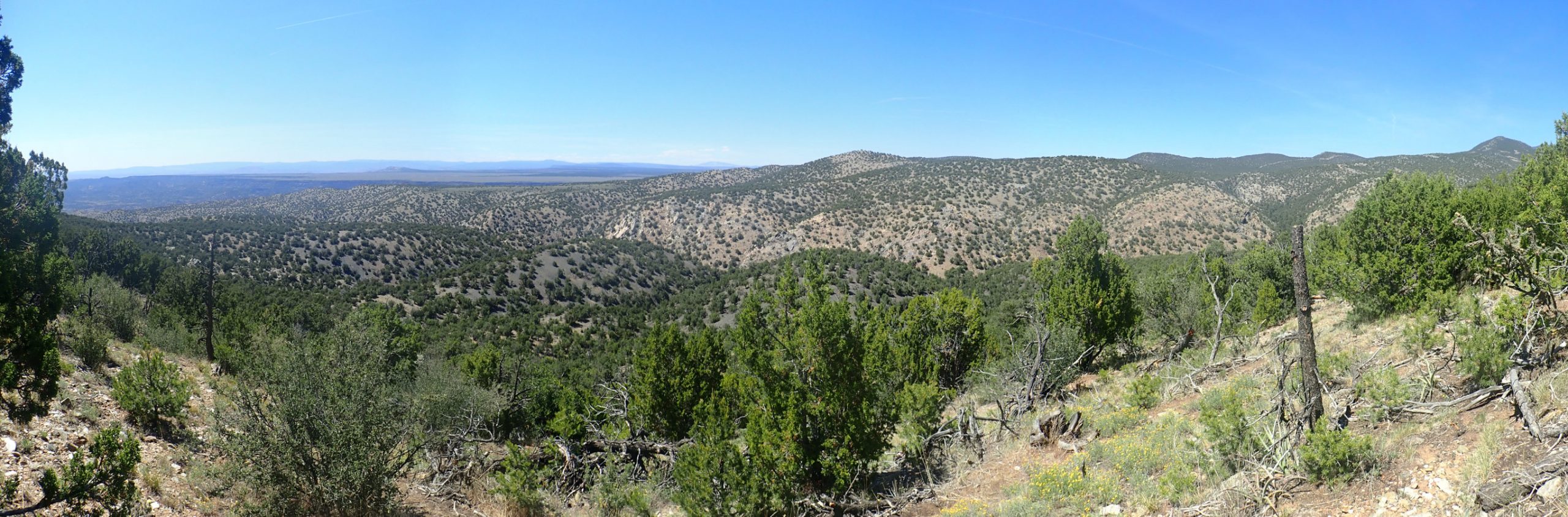
The dark rock in the foreground is Pilar Formation. The light rock beyond the half-hidden drainbage (Piedra Lumbre Canyon) is Rinconada Formation. It is capped to the right with Ortega Formation, at Copper Hill, where some serious prospecting took place decades ago. (It turned out not to be a profitable mine.) The hill is the crest of the Copper Hill anticline, an upwards warping in the beds — which are actually overturned, the Ortega being older than the Rinconada. Beyond the hill, out of view, is the Hondo Syncline, where the beds finally get into the right order, with the older Rinconada Formation below another outcrop of the younger Pilar Formation.
The road log has me tramping down into that canyon to inspect the beds. Not today; I’m alone (albeit prudently hiking with the SPOT messenger) and I’m already tired.
I start back. (Sigh) It’s a long return hike, and I find easier ground further east.
Looking at the map now, and the guidebook, with some better feel for the lay of the land, I think I know how’d I hike it on a second try to hit the spots in the guidebook. But I’m not going back any time soon or without a physically fit buddy.
I head to the final stop.

Yeah. This is the spot where the Plomo fault cuts across the road that I visited earlier in the day. And that’s still Pilar Formation behind my car, though I still don’t realized it yet.
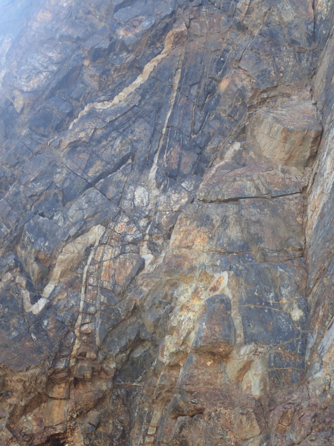
I’ve parked precisely on the coordinates in the road log. Instructions: There’s a trail north of shoulder here; take it into Piedre Lumbre Canyon. I dutifully memorize final coordinates and head out. At first it makes sense; the route seems to be down into the canyon and east, then up a tributary. Here I find a very beautiful piece of rock.
Lookit that beautiful crust of garnets and mica. It would make a splendid yard rock. Kind of heavy; I decide to look for it on the way back.
And the trail just gets worse and worse. I do a quick mental calculation from the memorized coordinates versus what my GPS is reading: It seems to be saying two more miles up this rotten little tributary arroyo. Yes, there are some nice outcrops here,
but two more miles? Sigourney-Weaver-in-Galaxy-Quest-that!!
And then I get a horrible feeling I dropped a digit in the memorized coordinates.
Heading back down the trail, I have to hunt a bit for my yard rock. Golly, that’s heavy. It’s a struggle to get my pack back on. But it’s a beautiful rock.
I take a wild guess on how I misremembered the coordinates, find that it’s a fairly easy hike to that location, and …

The only problem is the sun backlighting the photos because of the time of day. I’ll likely be up this way again some morning, and I’ll do this outcrop justice then.
The white bands are metatuff, ash beds that have been metamorphosed, and they contain pristine zircons from which this rock was very reliably dated and gave some of the best evidence for the Picuris Orogeny 1.45 billion years ago.
Then back to the car. Man, that yard rock is heavy. I consider dropping it on the road and coming back for it in the car, but deside to tough it out.
On the way out, I see what looks like a mountain of granite to the south, and decide to investigate.

I find a sample at road level.
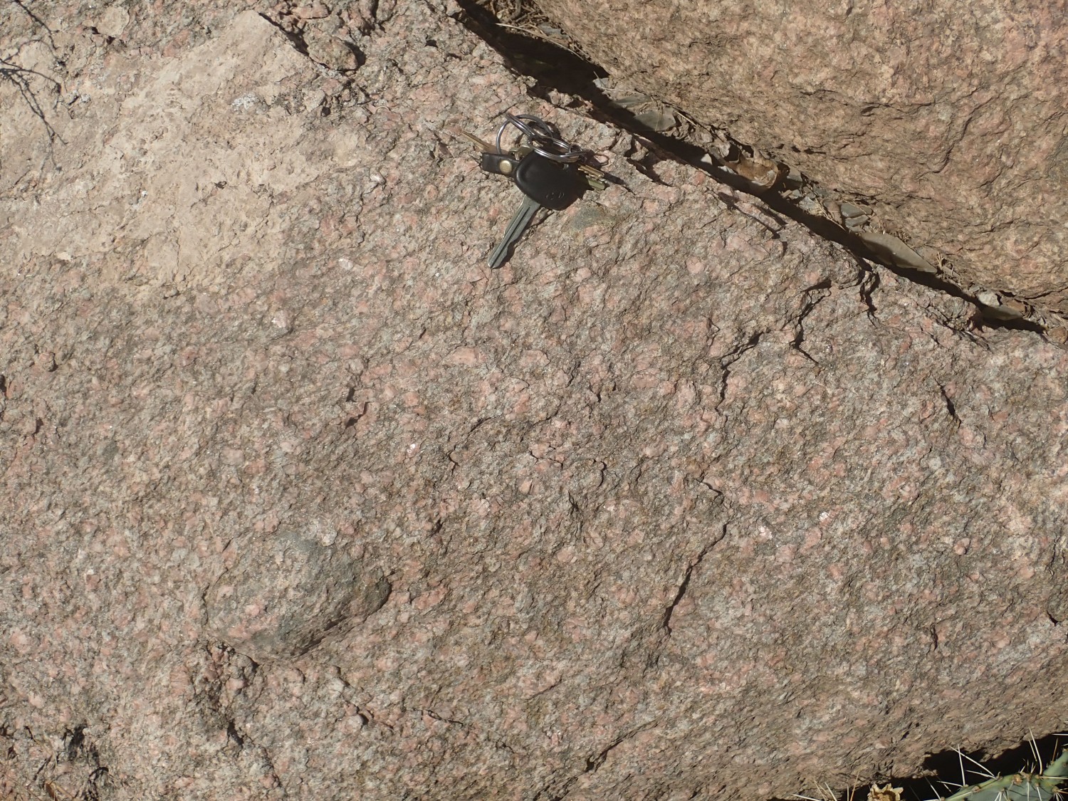
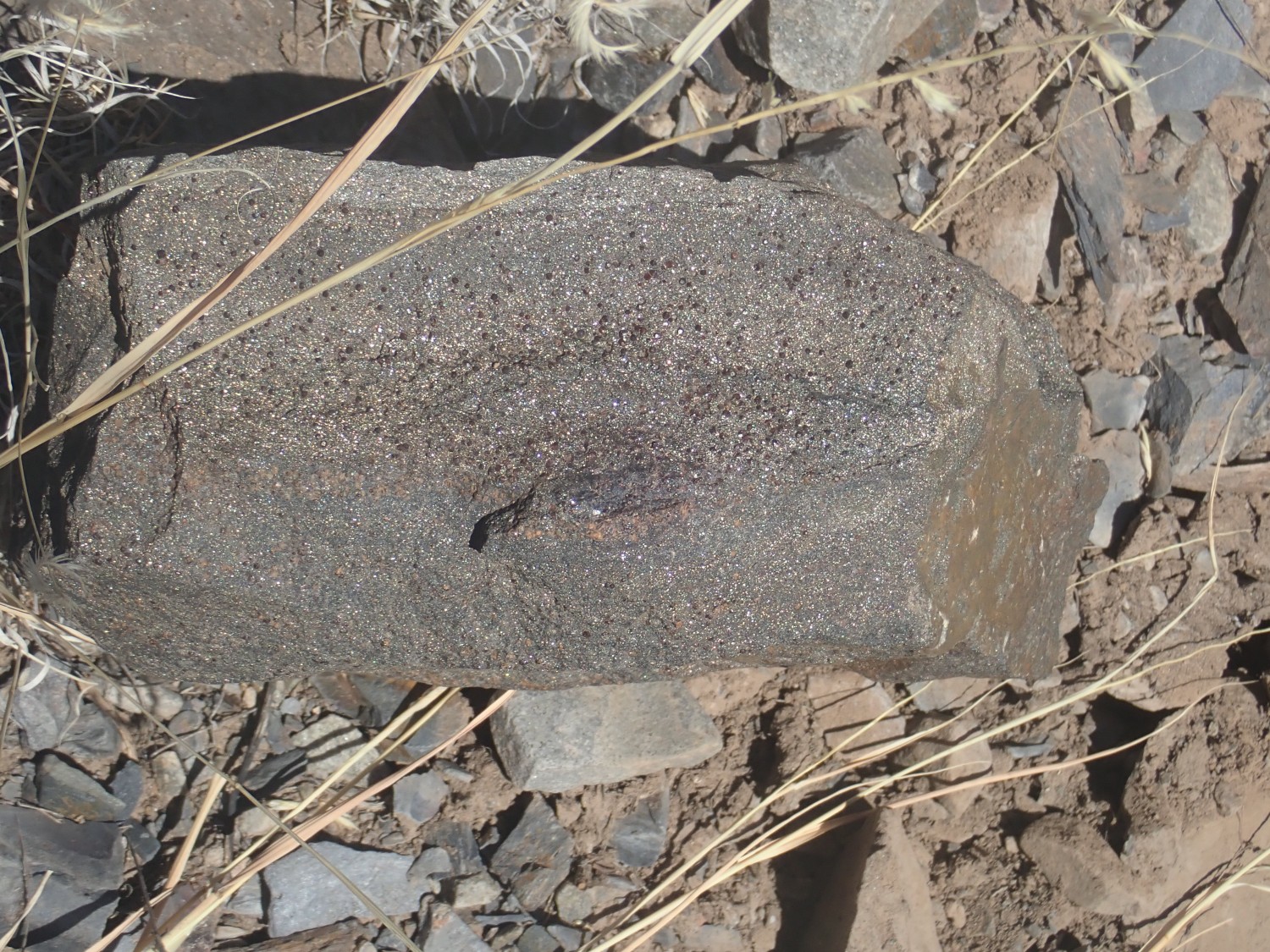
Everything here is weathered. I grab a chunk to take home and break later, expecting a fresh surface will be gorgeous.
Meh.
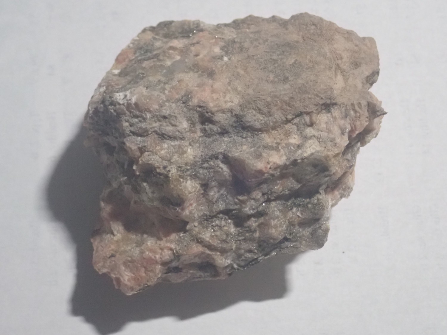
It turns out to be gneiss, with enough banding to break up the beautiful interlocking crystals of a first-rate granite.
But the banding is interesting. This turns out to be the Puntiagudo granite porphry, and it’s been radiometrically dated as 1.684 billion years old. This means it was emplaced during the Yavapai orogeny and later deformed and metamorphosed during the Picuris orogeny at 14.5 billion years. Every granite I’ve seen from the Yavapai shows some banding; every granite I’ve seen from the Picuris orogeny is close to pristine.
And from there, home. I arrive very tired and with a headache, but having made the most of the day.
Good job. And enough water.