Wanderlusting White Ridge
This one was recommended by Sixty Hikes Within Sixty Miles: Albuquerque. I’m not super impressed with this series, which doesn’t much emphasize geology, but it has occasionally given me some very useful tips. Enough to be worth the purchase price.
I wanted a hike at low elevation, because the monsoon is finally kicking in and the higher terrain is starting to get damp. This hike is southwest of the Jemez and well away from the mountains, so the chances of good weather are reasonable if I leave early in the day. So I’m off this morning as soon as the fish are cared for and the hiking gear is packed.
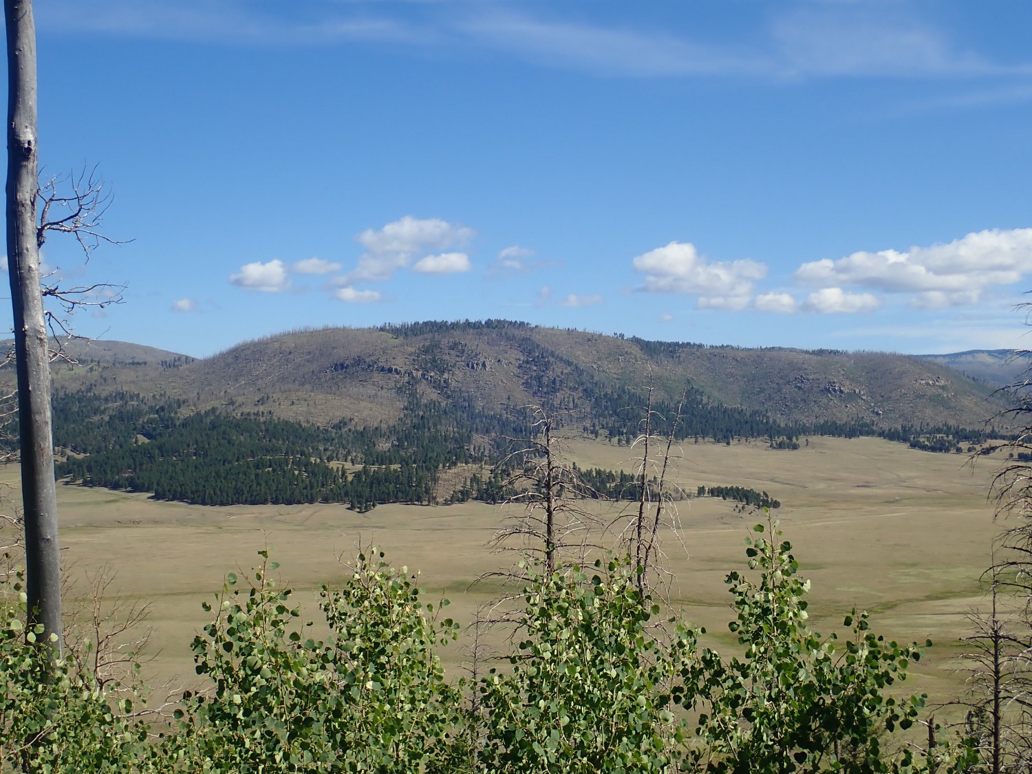
My route takes me through the Valle Grande, and the light seems especially good for Cerro del Medio.
This is looking north from where State Road Four enters the Valles caldera. For new readers: Almost all images at this site can be clicked for a high-resolution version, and most blue links take you to the location on Google Maps where the picture was taken.
The Valles Caldera is a depression in the central Jemez Mountains some thirteen miles across. Here a huge magma chamber was emptied by the ginormous Valles eruption 1.25 million years ago, and the roof of the magma chamber collapsed to form the Valles Caldera. Cerro del Medio, the small mountain in the photograph, sits within the caldera. More magma was injected into the magma chamber shortly after it collapsed, and some erupted through the ring-shaped fracture that had formed around the plug of rock that dropped into the magma chamber. Cerro del Medio was the first of these ring domes to be formed, and subsequent eruptions formed a circle of ring domes along the ring fracture.
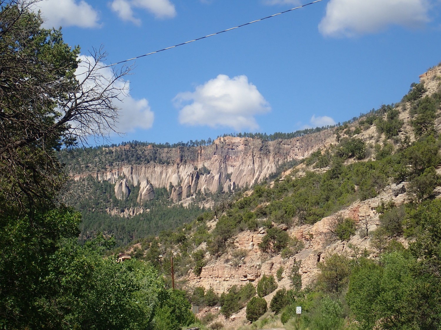
I drive through the caldera and into San Diego Canyon, which cuts through the caldera rim to the southwest. Here the light is perfect for photographing tent rocks in the upper canyon wall.
The rim of the canyon consists of pyroclastic flows from three separate giant eruptions. The first was merely enormous and laid down the La Cueva Member of the Bandelier Tuff some 1.85 million years ago. The second was the largest known eruption in the Jemez, the Toledo eruption, and it laid down the Otowi Member of the Bandelier Tuff 1.62 million years ago. The third, which was only slightly smaller, I’ve already described — the Valles eruption at 1.25 million years ago, which laid down the Tshirege Member of the Bandelier Tuff.
Pyroclastic flows occur during eruptions of high-silica magma rich in dissolved gas. The silica makes the magma so viscous that it can barely make it out of the ground. Instead, it disintegrates under the pressure of its own dissolved gas, becoming a mixture of red-hot gas and half-molten tiny volcanic glass fragments that is heavier than air and can flow across the ground for miles before settling to the surface and hardening into rock. This rock is known as tuff or ignimbrite.
There’s not much La Cueva Member visible in this photo, but the tent rocks are eroded out of Otowi Member. Above is a cap of Tshirege Member. The tent rocks form when the lower beds of a flow are less resistant to erosion than the higher beds. This is very common in the Otowi Member, which was apparently erupted in one steady belch that tapped increasingly hot material as the magma chamber was emptied. So the hottest material was deposited on top, and was still molten enough to weld into harder rock than the cooler material beneath.
I also pause for some Atrasado Formation.
The Atrasado Formation is part of the Madera Group, which is limestone deposited in shallow marine environments in New Mexico during the Pennsylvanian period, around 310 million years ago. This was a time when New Mexico had been compressed to form a series of mountains (the Ancestral Rocky Mountains) separated by low basins, and high sea levels had flooded the basins. So New Mexico was a tropical sea studded with mountainous islands, not unlike Indonesia today.
“Madera” is a familiar name to New Mexico geologists, but its division into formations has occasioned some heated debate. However, geologists seem to be converging on Gray Mesa Formation for the lower beds of clean limestone and Atrasado Formation for the higher, arkosic limestone beds. “Arkosic” is a nice way of saying “dirty”; the beds contain a fair amount of clay mixed with the lime. They are also spectacularly rich in marine fossils, and I’ve done a fair amount of fossil hunting in this formation.
This one is for the book.
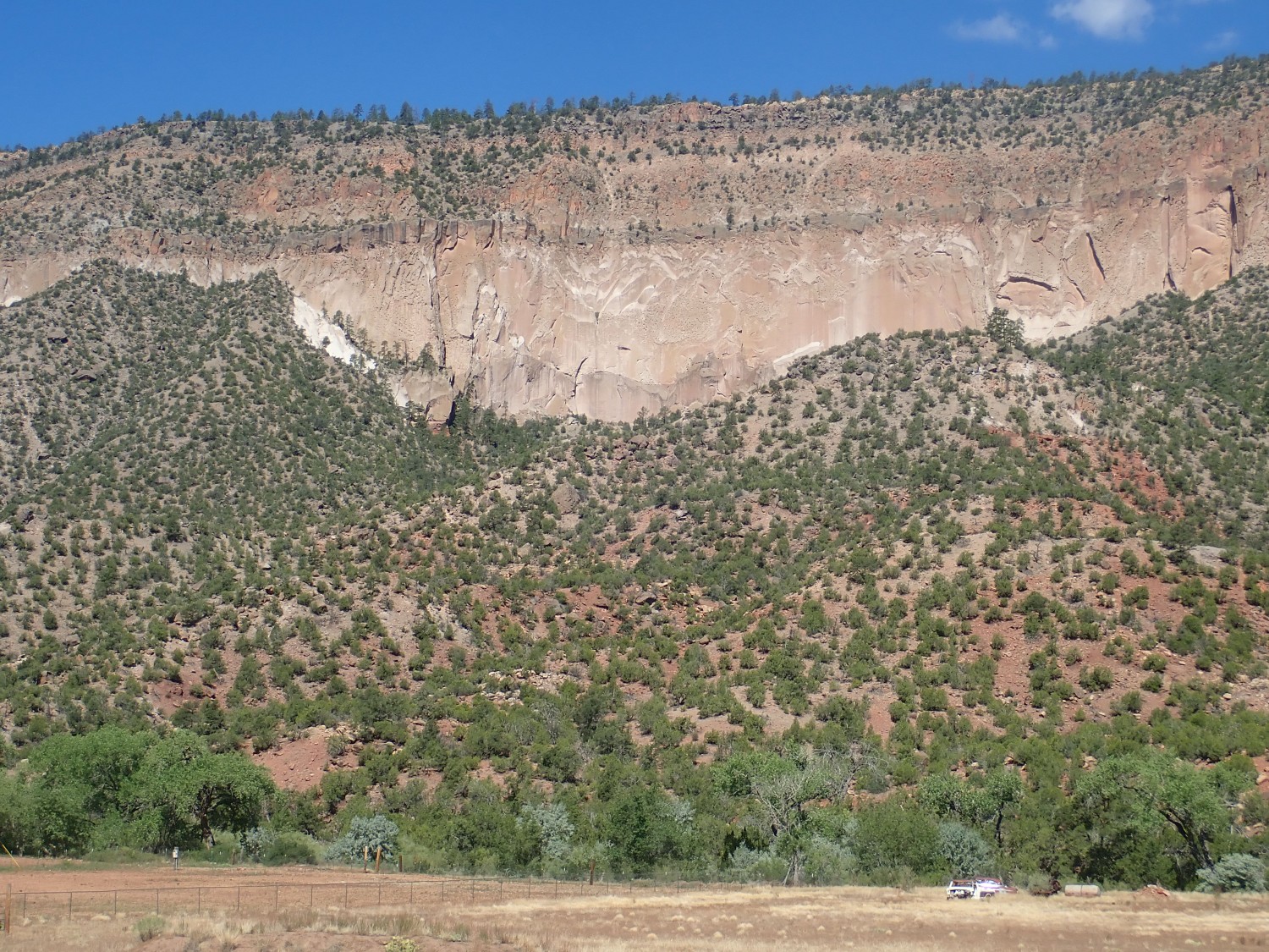
This shows all three members of the Bandelier Tuff in the canyon wall, sitting on red beds of Permian Abo Formation. The gray zone at the base of the cliff, above the shrub-covered slopes, is La Cueva Member. Above the La Cueva Member is a relatively featureless wall of Otowi Member, and on top of this are multiple flows of the Tshirege Member. I have a picture of this location from some time back but it was taken in much less favorable light.
This was really just because it was so pretty.
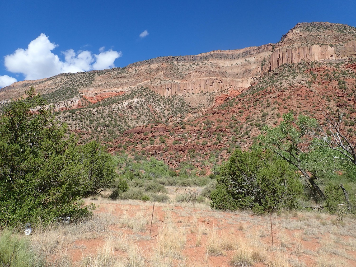
The rim is Tshirege Member with a thin layer of sediments separating it from the Otowi Member below. The Otowi here takes the form of cooling columns, which is a bit unusual. If there’s any La Cueva Member here, it’s buried under rock fall. But beneath the Bandelier Tuff are bright orange cliffs of the Yeso Group, and below these are reddish-brown beds of the Abo Formation. Both the Yeso and Abo were laid down in an arid river delta environment during the Permian, around 300 million years ago.
There are similar outcrops throughout the lower canyon, and I take some more pictures. Just the best here:
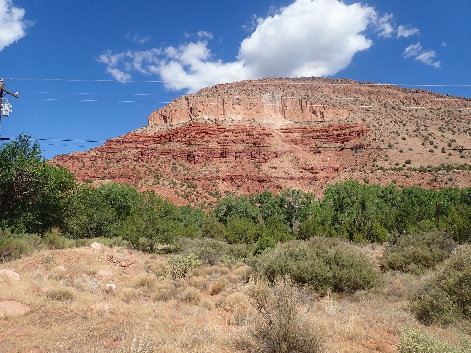
Here the Yeso Group forms the orange beds just below the Bandelier Tuff; the rest is Abo Formation.
The Yeso Group is divided into the lower massive De Chelly Sandstone and the upper thinly bedded San Ysidro Formation. I didn’t get a good picture of the latter, unless that’s the one we’re seeing in the canyon walls, but I did get a good photo of the De Chelly Sandstone in an outcrop by the road.
I wanted better photos of the Zia Formation, which is found on both sides of the highway in the lower canyon. Unfortunately, the highway stays to the east of the river, and so all the road cuts were on the east side of the highway where any photographs would be into the sun. However, there were some good examples some distance to the west.

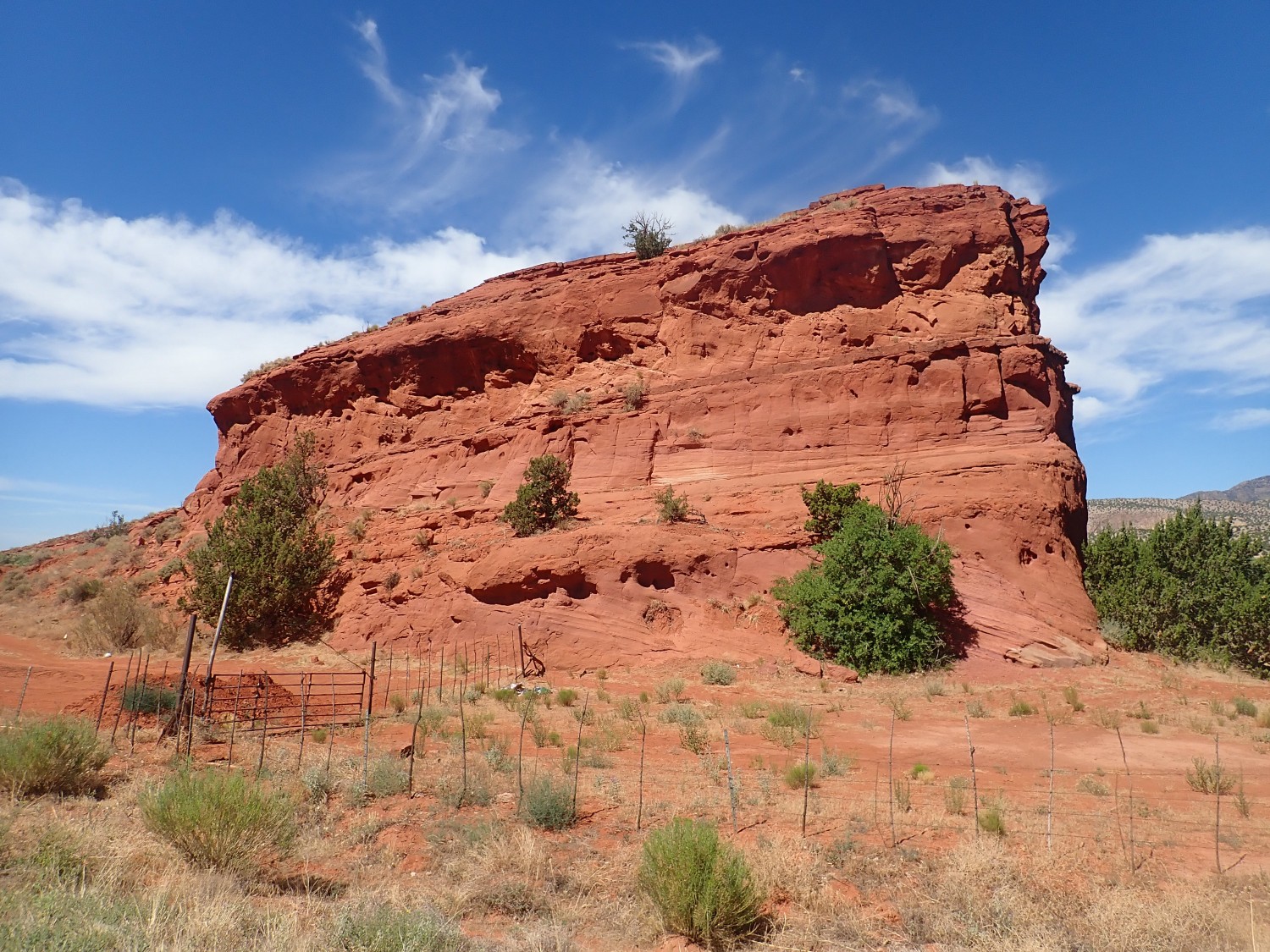
I’ve photographed this before, but not so well. The Zia Formation is around 20 to 10 million years old, and likely formed as sediments carried south by the ancestral Jemez River, then carried west by the wind. It’s a very soft sandstone and one of the earlier rift fill formations of the Rio Grande Rift.
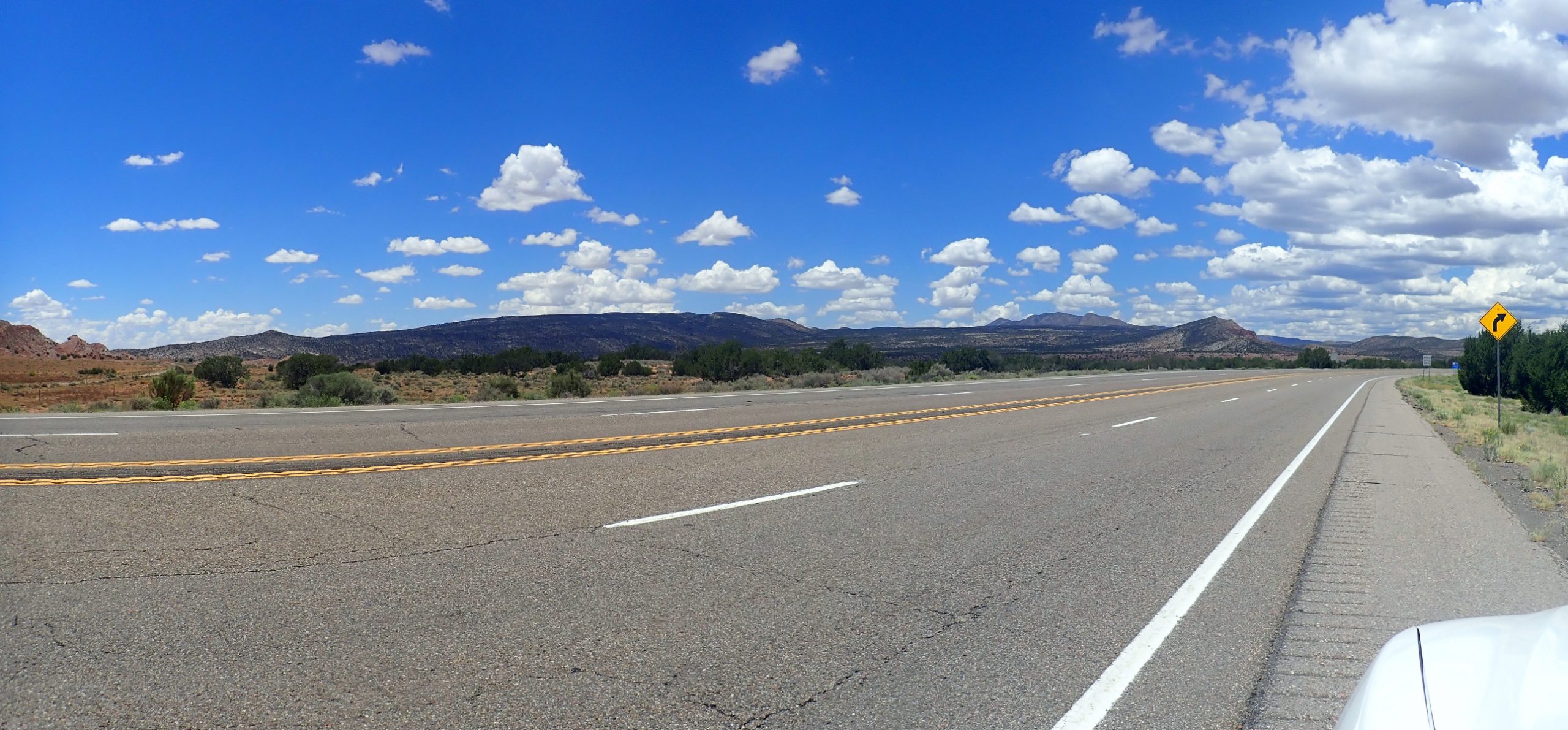
I pass through San Ysidro, turning south towards Bernalillo. My exit to the right proves not too hard to find. Signage makes it clear that I want the fork to the left.
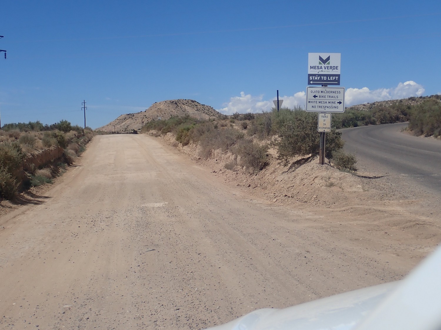
To the right is to the Zia Pueblo’s gypsum mine on White Mesa. More on that later.
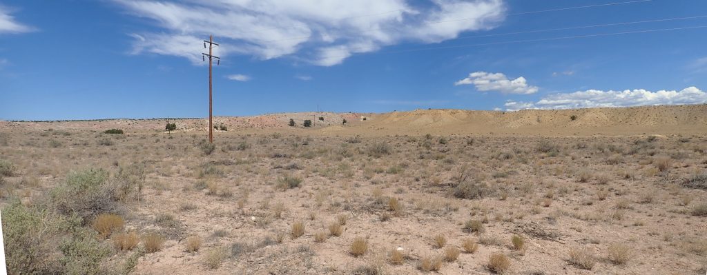
The road goes more or less straight west, past exposures that I judge to be Mancos Formation and Dakota Formation.
The stuff at right has the appearance of brown shale typical of the Mancos Formation, while the sandstone at left would be expected to be the next formation down, the Dakota Formation. Turns out not so, according to the geologic map; I’m standing practically on top of the San Ysidro Fault, and the stuff at right is mapped as Dakota Formation and the stuff at left is older Todilto and Morrison Formations.
Unpacking that: The Dakota Formation is a very extensive formation (as you might guess from the name) of Cretaceous age, around 80 million years old. It was laid down in the Western Interior Seaway, which flooded much of the western United States during a time of record high sea level. I’m used to seeing it as a sandstone, but it apparently has some shale beds as well.
The Morrison Formation is another very extensive formation laid down in the same huge basin as the Dakota, but much earlier, before the sea had flooded it. The Todilto is a local formation composed mostly of minerals deposited by an evaporating arm of the sea. We’ll see a lot more of both these formations later on.
Further down, some impressive sandstone beds.
I guess that these are Morrison Formation, and they are indeed.
About this guessing: I don’t own any electronic device I can take in the field to pull up geologic maps on the spot. I study the area beforehand, then work from memory. I take photos, guess what they are of, then compare GPS coordinates with online maps when I get home. It’s actually kind of fun.
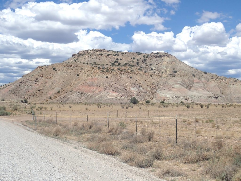
The road turns south towards a small mountain.
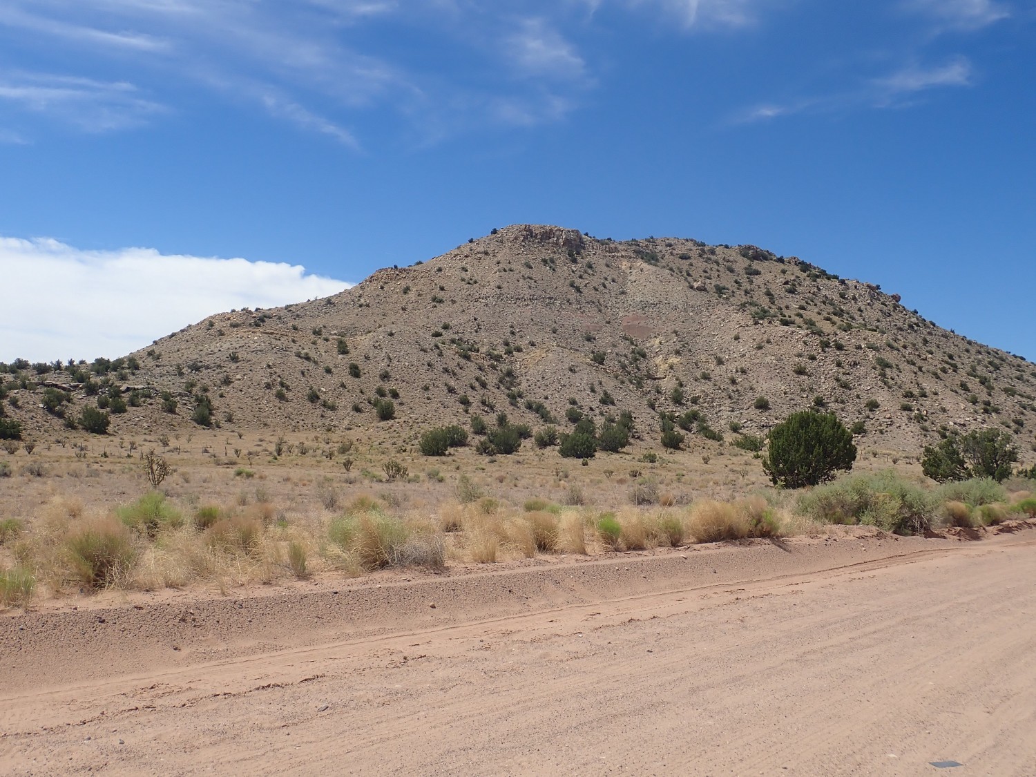
My guess is a cap of Dakota Formation, with Morrison Formation beneath, with perhaps some Burro Canyon Formation between. The geologic map says it’s all Morrison Formation.
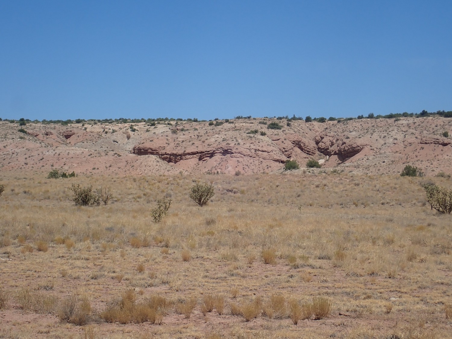
To me, this practically screamed Mancos Shale.
As did this.
The geologic map agrees that the first is Mancos Shale, but the second is again mapped as Dakota Formation. This shale facies is really pretty new to me.
But then, the map for this area is quite old, dating back to 1976, and might be mapped differently today.

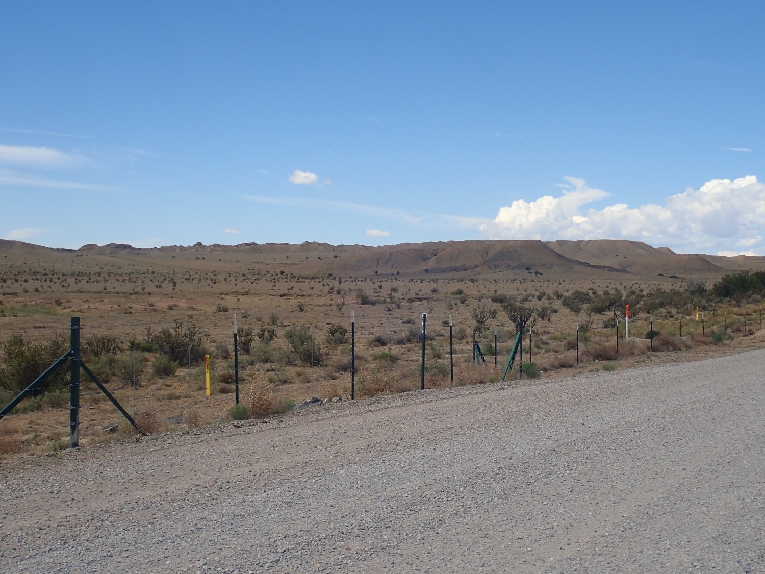
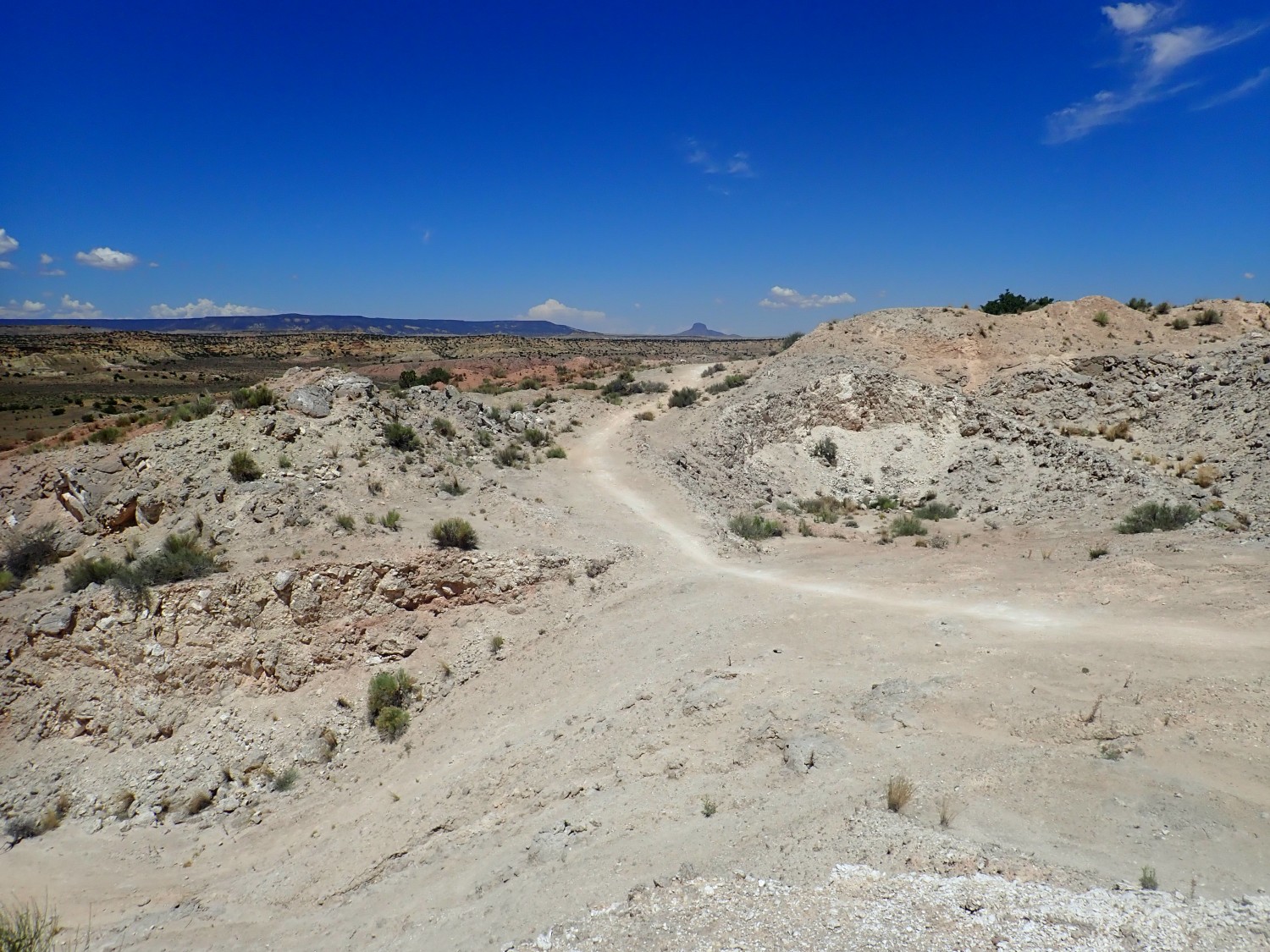
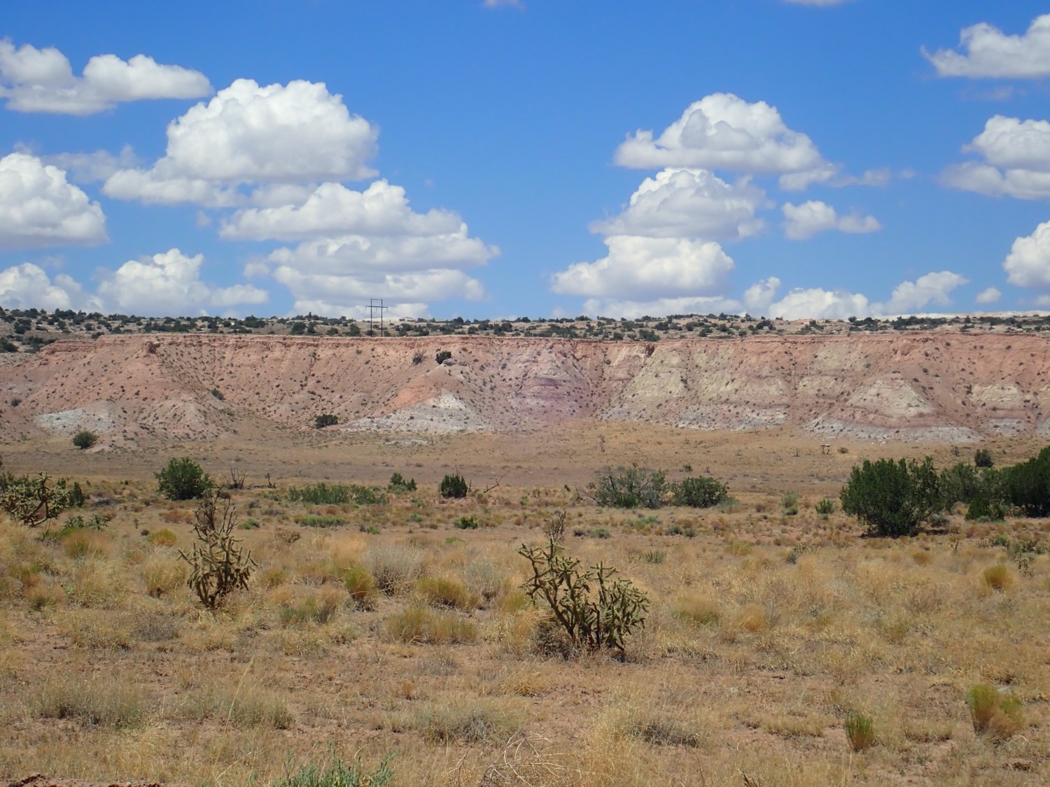
The road approaches a low ridge that I find faintly reminiscent of the San Rafael Swell in miniature.
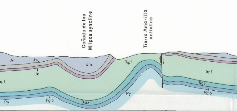
This turns out to be a heavily faulted hogback. It’s the southeastern margin of the Tierra Amarilla anticline, which in turn is the southernmost surface expression of the Archuleta anticlinorium.
Let’s unpack that. A hogback is where a set of tilted rock beds that are unusually resistant to erosion stand out from surrounding softer rock and sediments. An anticline is where rock beds are warped upwards. In other words, the rock beds have folded, and the anticline is the top of a fold. A bottom of a fold is called a syncline. Here’s a diagram from the geologic map that explains it all.
My planned hike is along the left margin of the anticline, which forms another hogback ridge.
The Archuleta anticlinorium is a very large regional upwarp in the crust, reaching from southern Colorado to about where I am standing. It includes the Sierra Nacimiento on the west edge of the Jemez, as well as Mesa Alta north of the Sierra Nacimiento and Apache Mesa west of Vaditos Lake. This warp is itself warped into smaller synclines and anticlines like the Canada de los Milpas syncline and the Tierra Amarilla anticline.
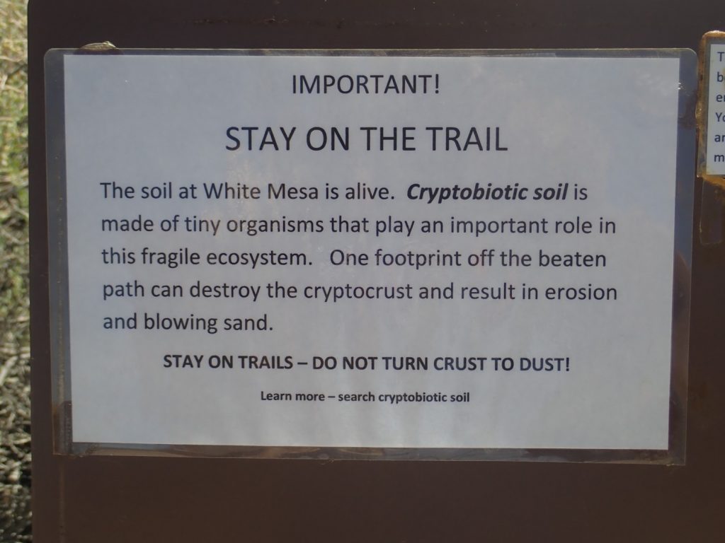
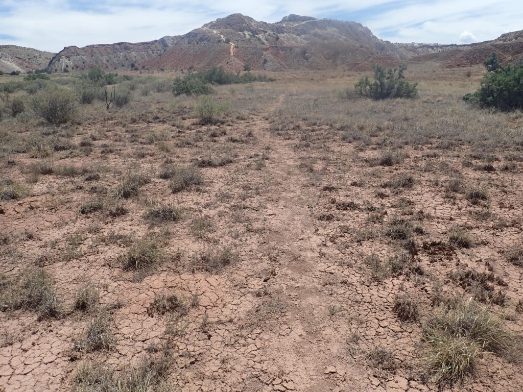
I park in the parking area for White Ridge Bike Trail. The trails are also (mostly) open for hikers and horseback riders. There is a BLM … ranger? I’m not sure what you call BLM field officers. He is friendly but wants me to fill out a survey. Well, why not. I note that the area seems clean and there is signage.
Such as this:
And for some reason some Olivia Newton-John comes to mind. Geez, that was a cheesy movie. Incredibly 80s.
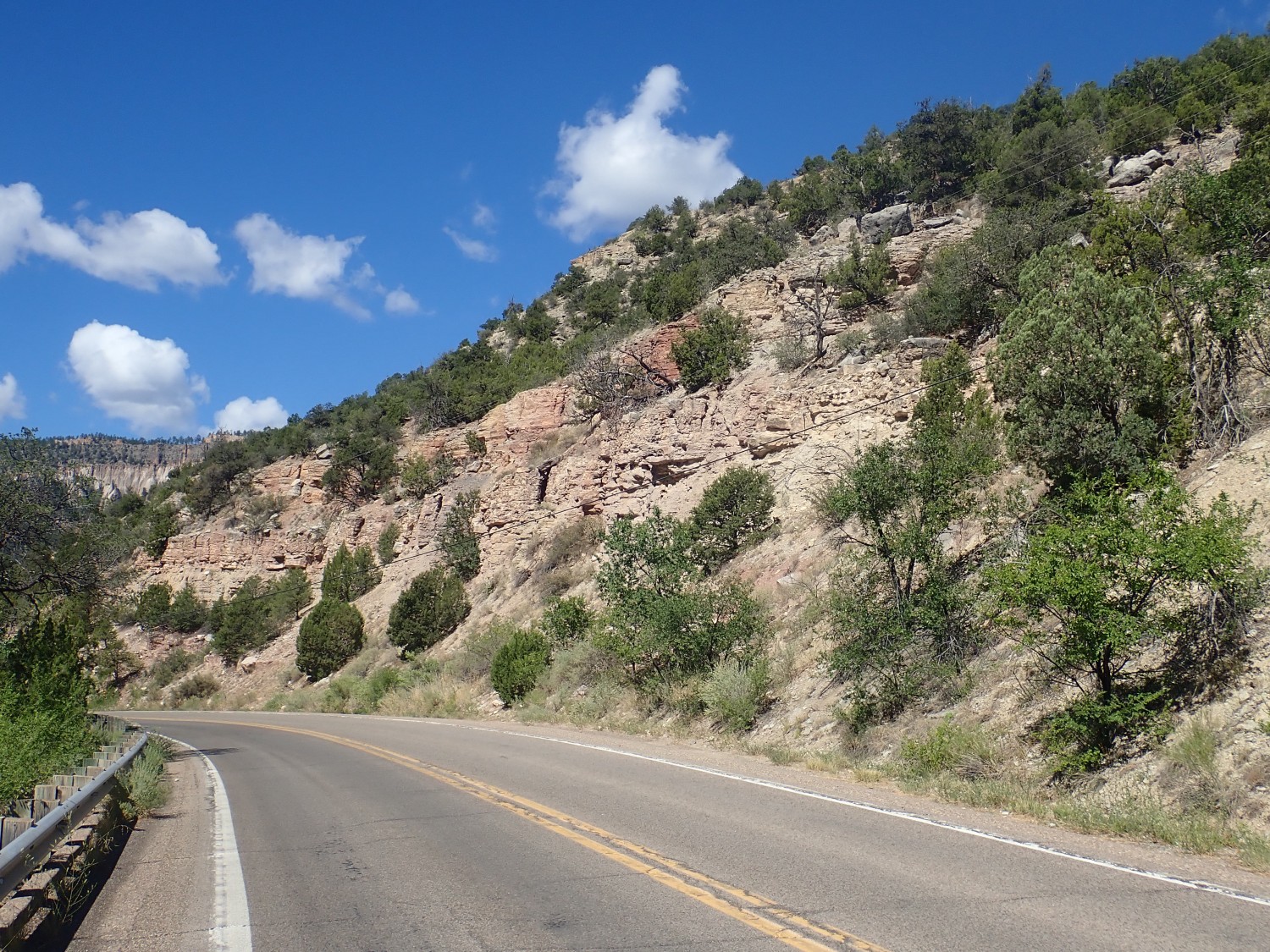
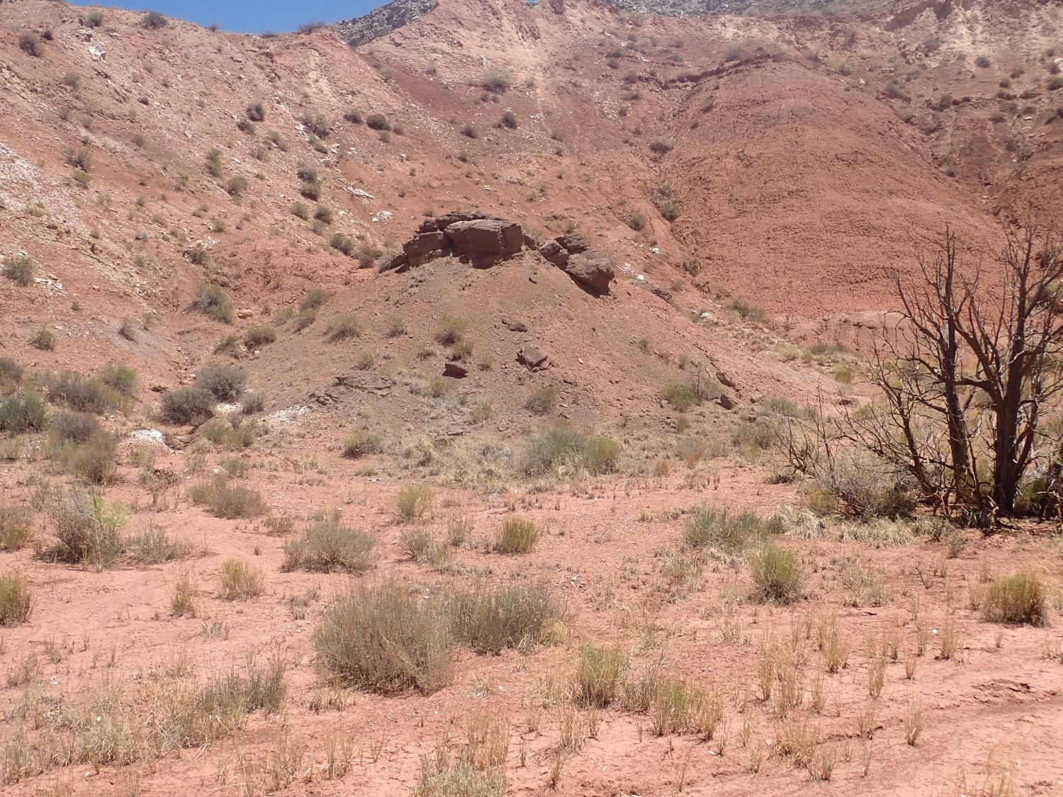
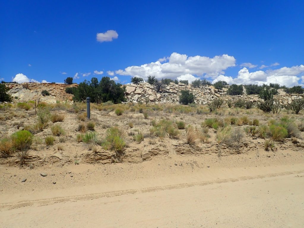
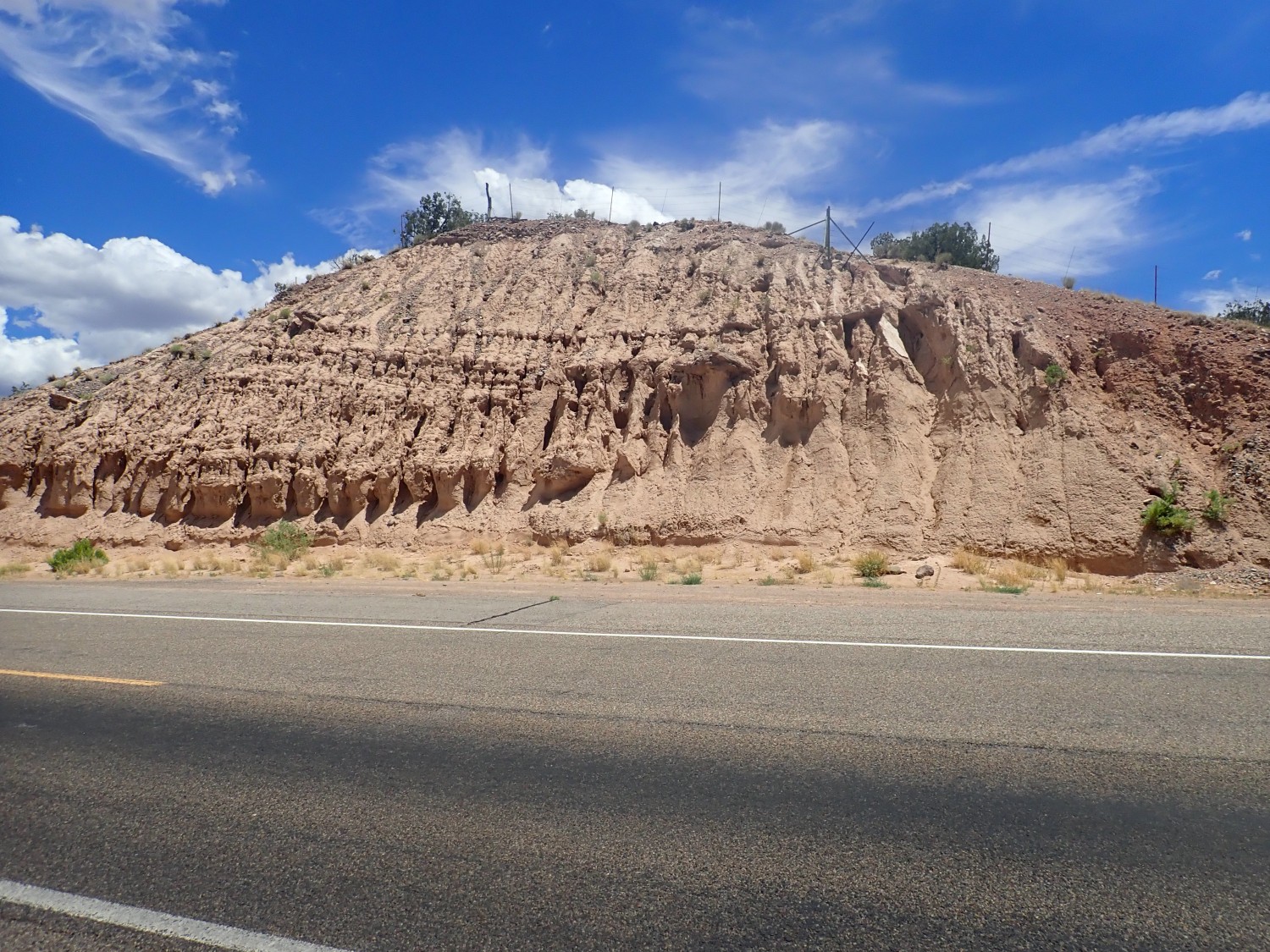
Loaded up, with satellite tracker on, I head out. A road cut near the trail:
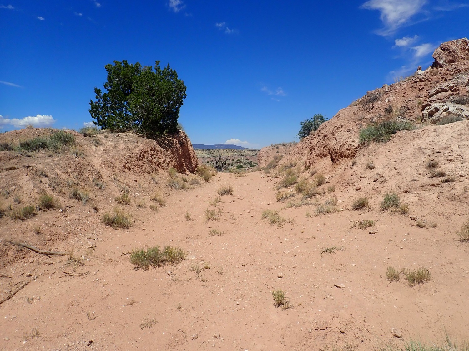
The geological map says this is Morrison Formation.
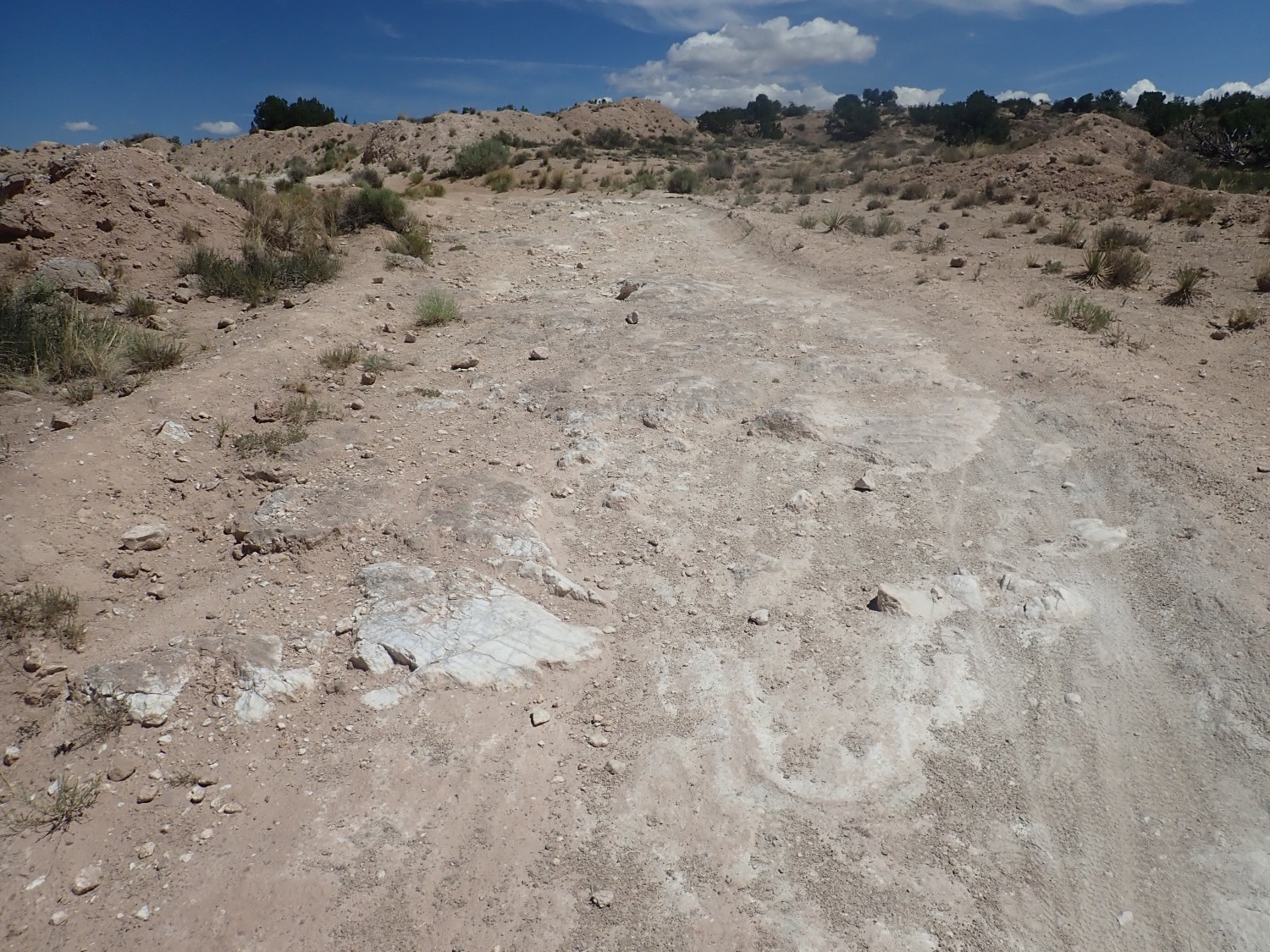
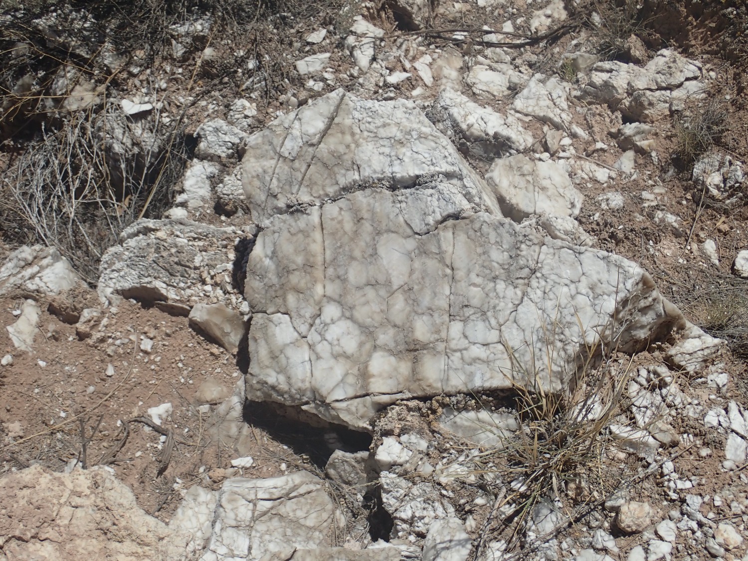
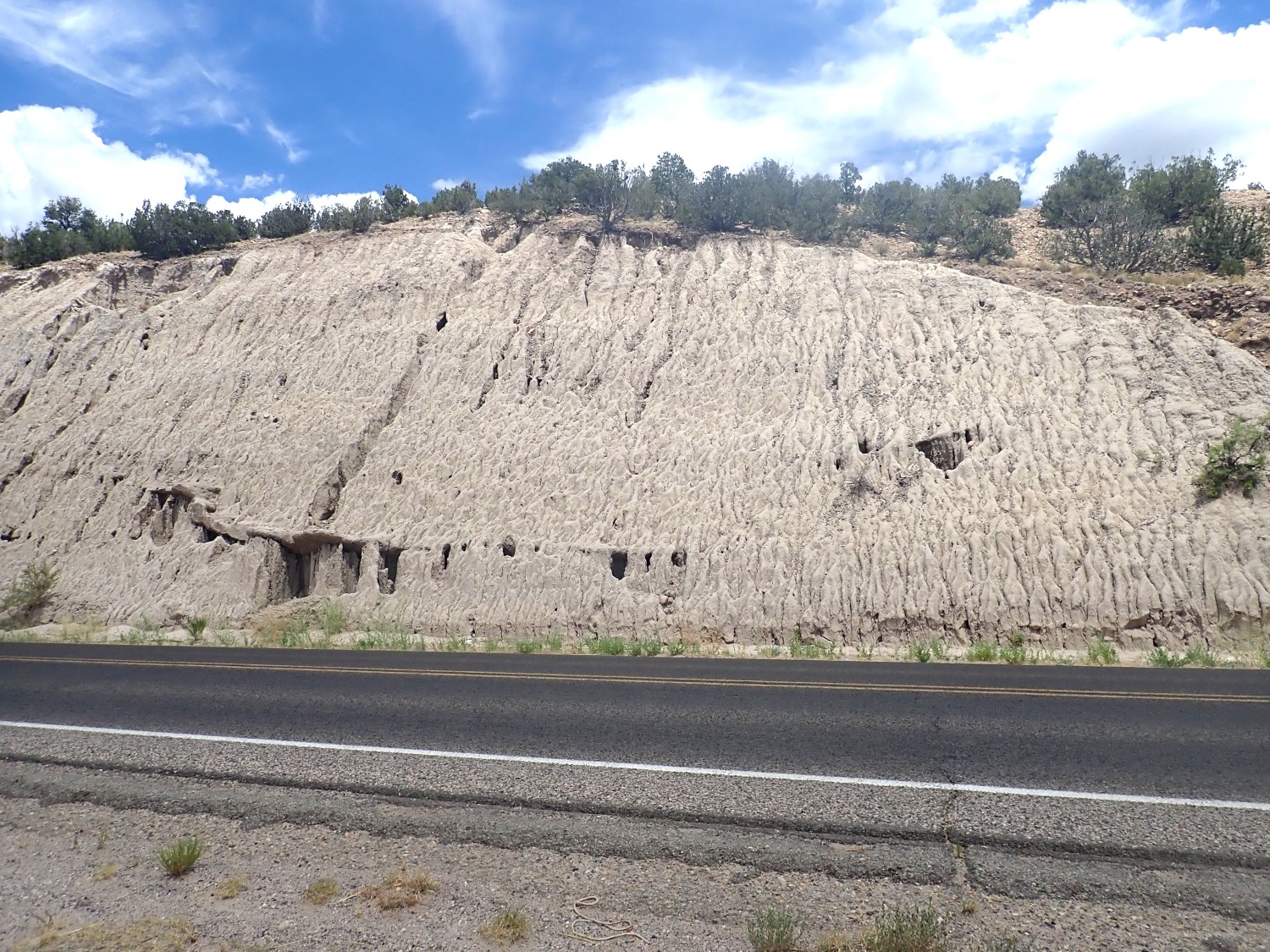
Further up, the trail crosses into Todilto Formation.
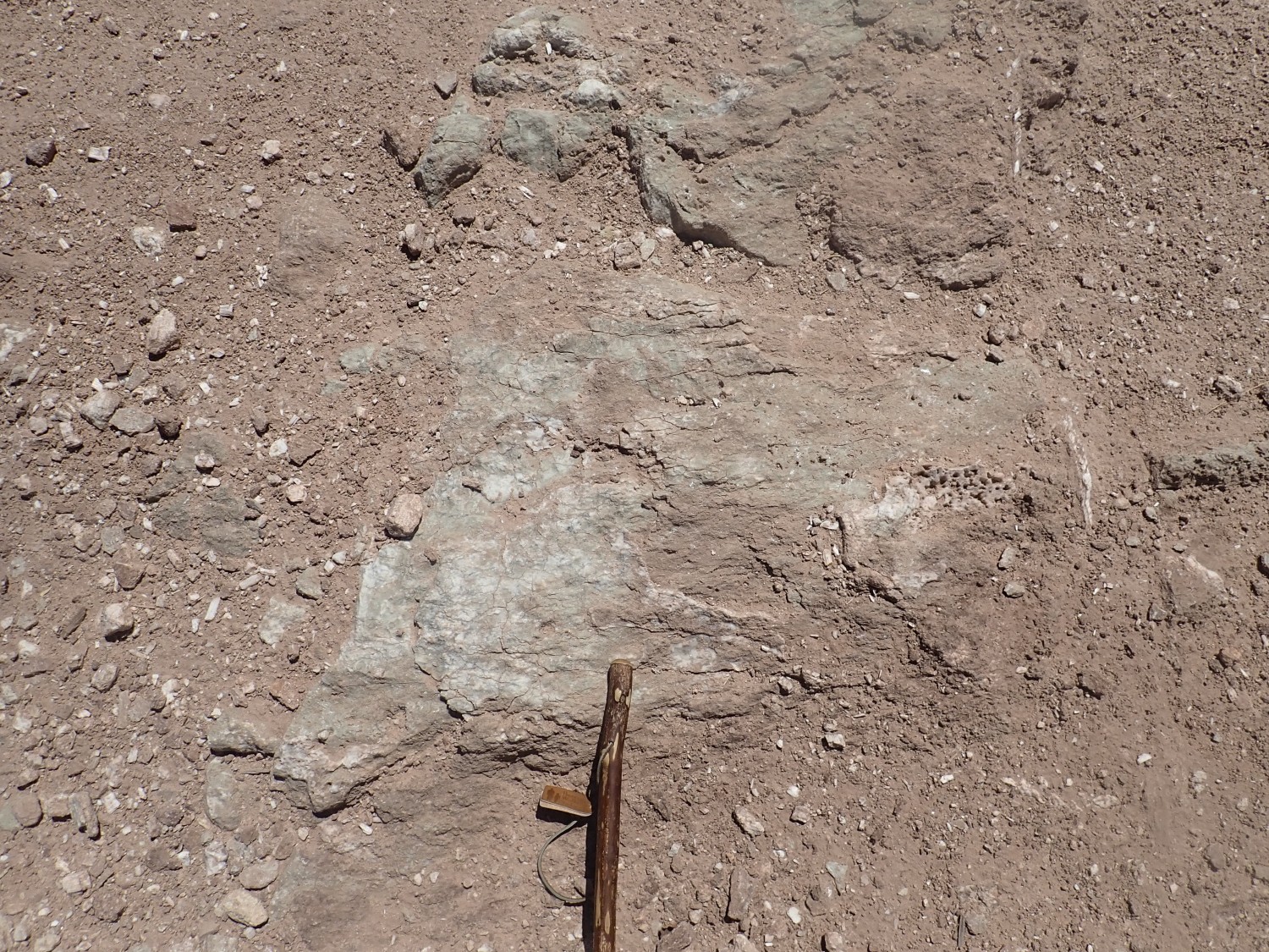
This looks like a mixture of limestone and gypsum, typical of the Todilto Formation. The Todilto was deposited as an evaporite in an arm of the sea that dried up about 165 million years ago. Lime was deposited first, then, as the brine became more concentrated, gypsum was deposited. I’ve never seen or heard of rock salt beds in the Todilto, so apparently the evaporation process did not get that far. The limestone-rich lower part of the Todilto is known as the Luciano Mesa Member.
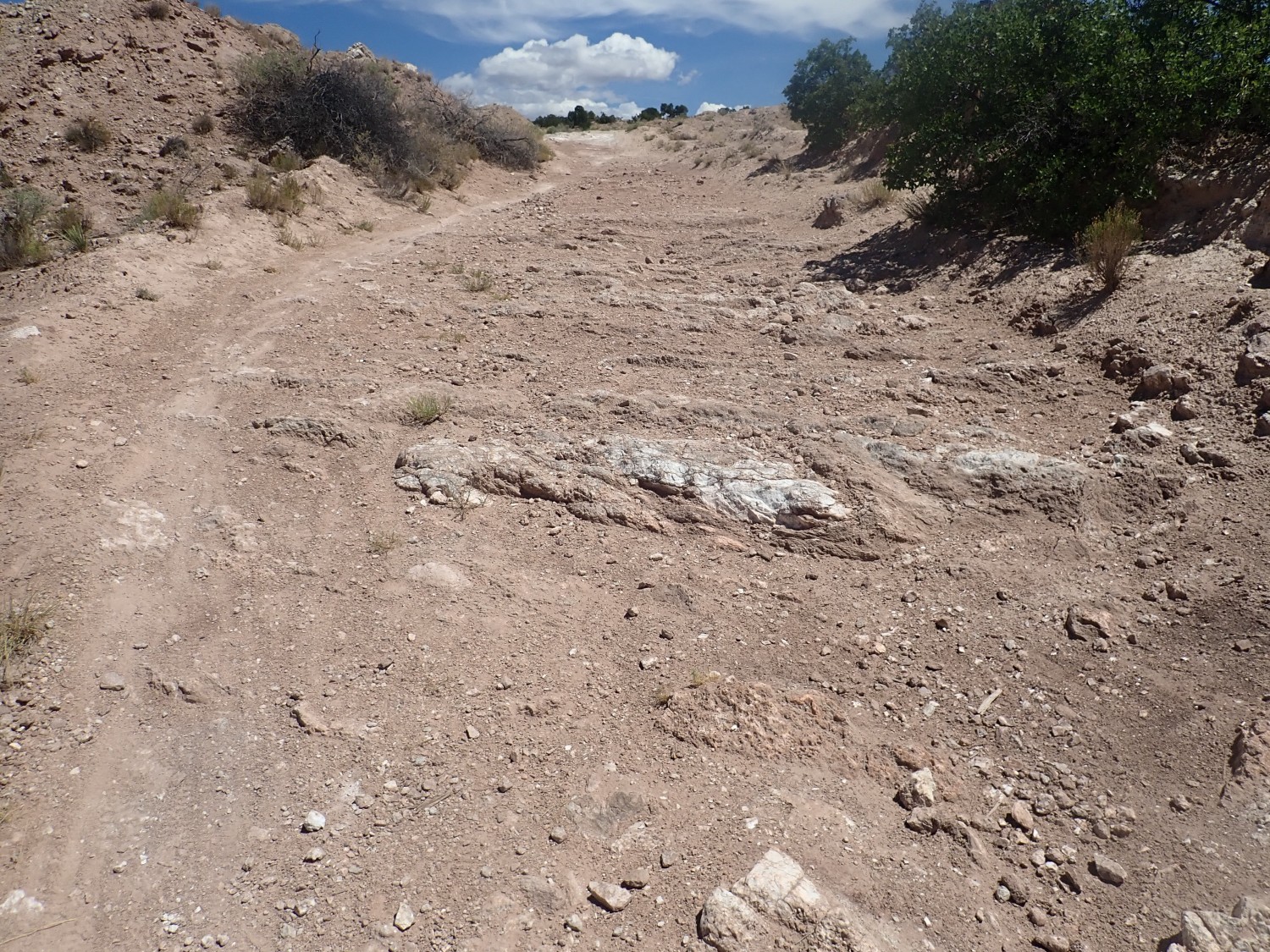
Further up we reach the Tonque Arroyo Member, which is almost pure gypsum.
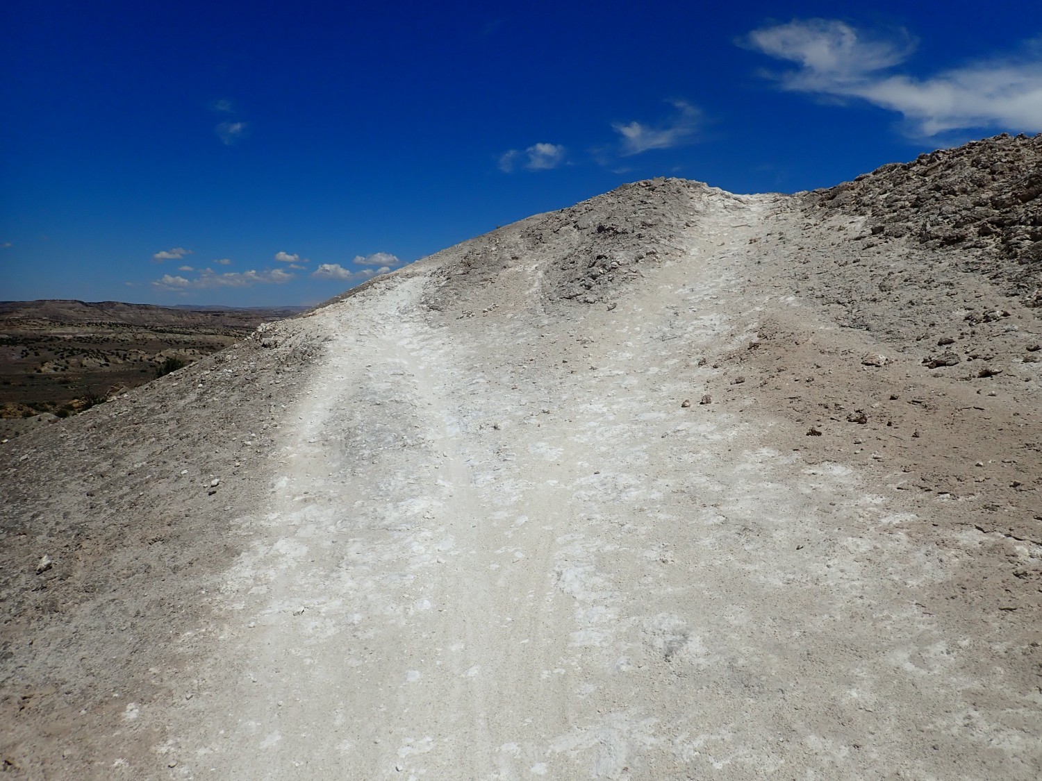
I’ll be hiking on this most of my outward leg.
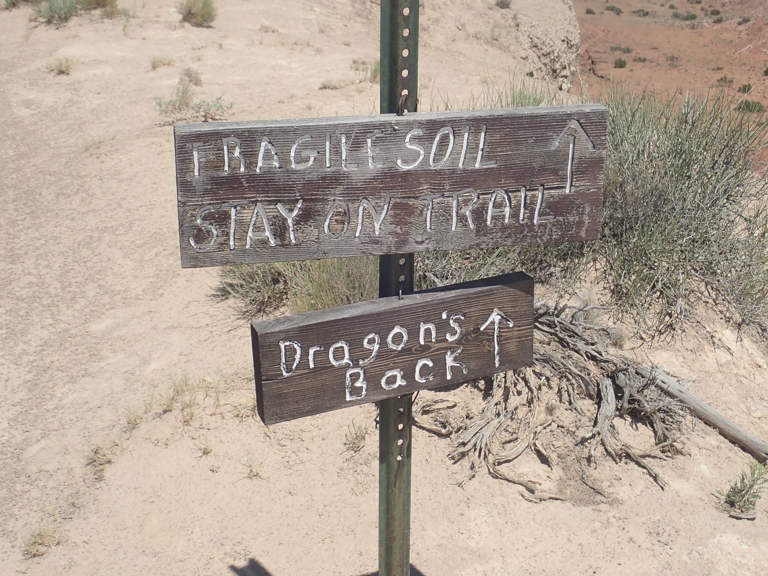
Trail junction.
This part of the trail system is known as the Dragon’s Back Trail, for fairly obvious reaasons.
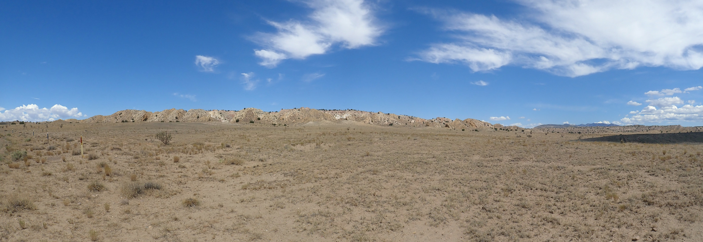
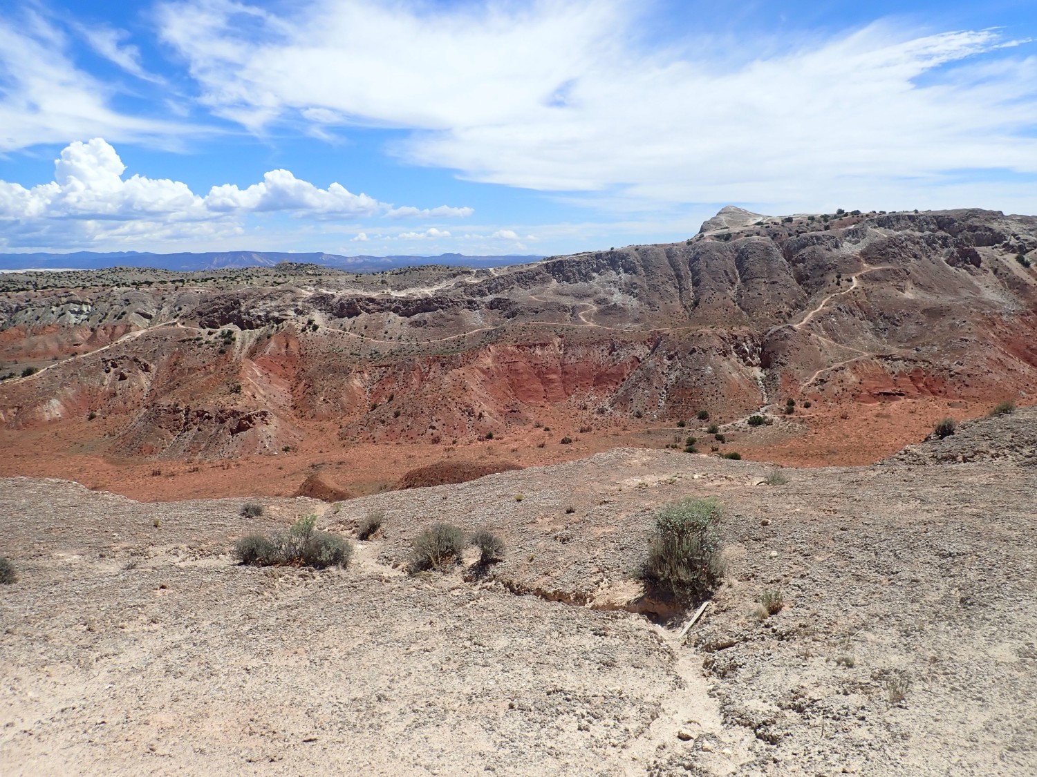
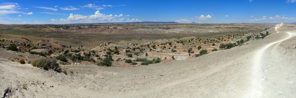
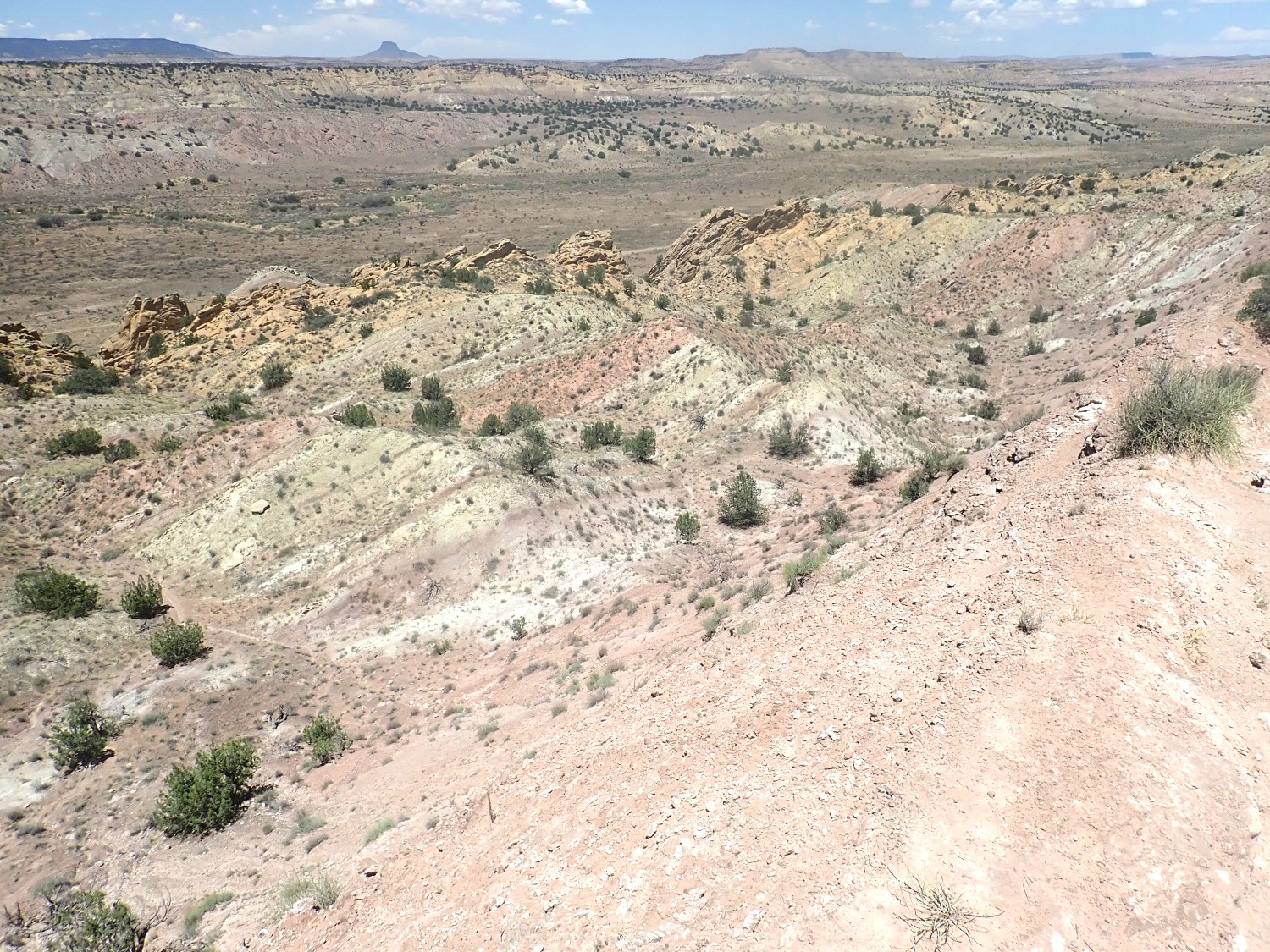
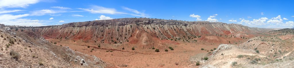
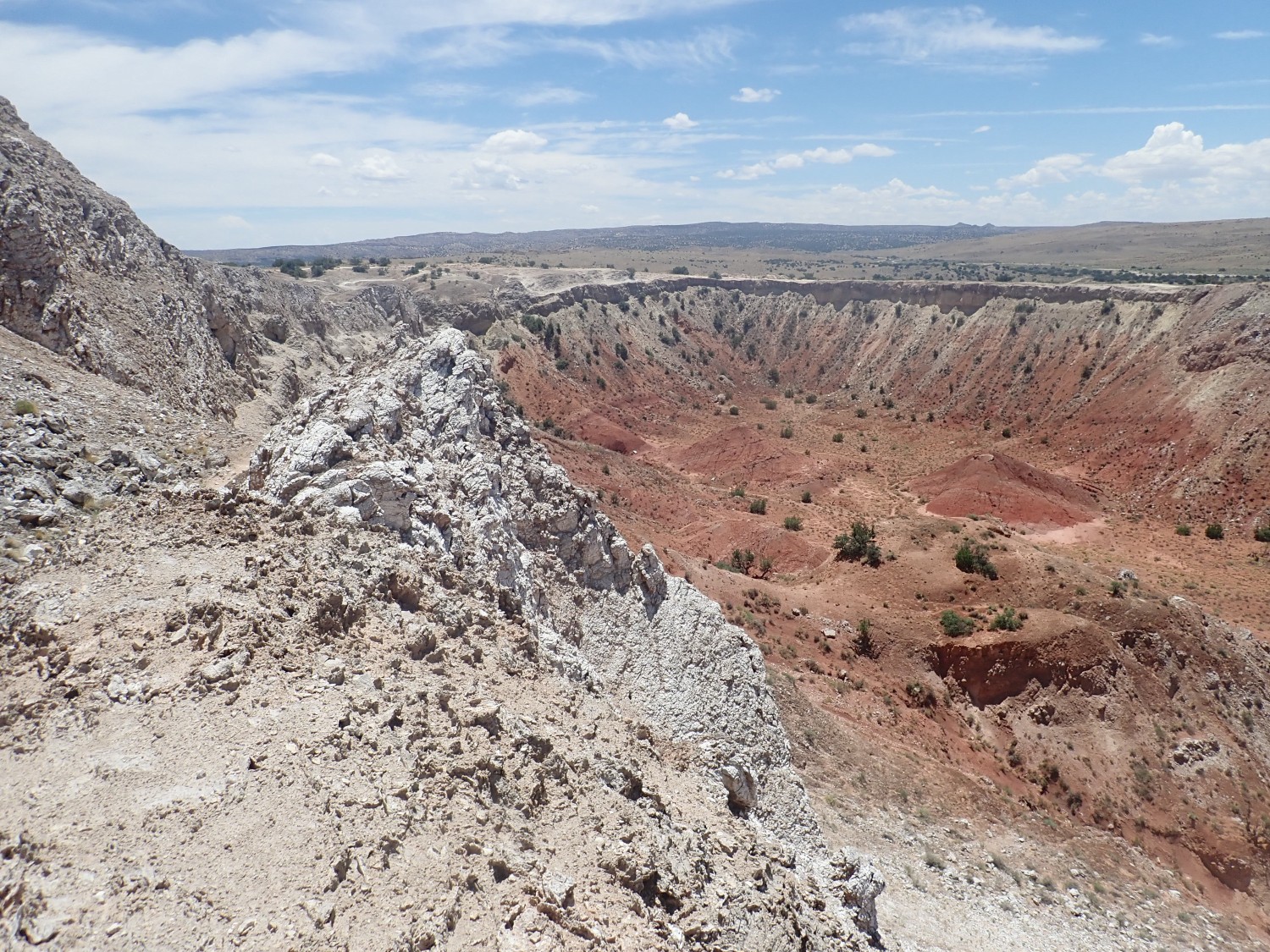
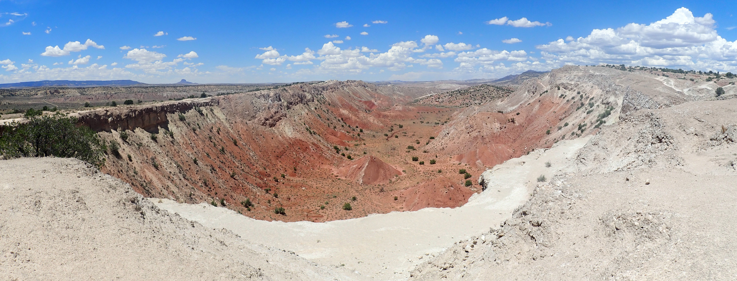
And … the heart of the Tierra Amarilla anticline comes into view.
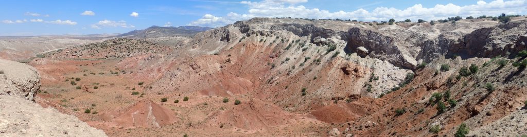
The panorama (click to enlarge) looks to the northeast The resistant Todilto beds have eroded off the top of the anticline, exposing very soft Entrada Formation and Painted Forest Formation beds beneath that rapidly erode out of the core of the anticline to produce an anticline valley.
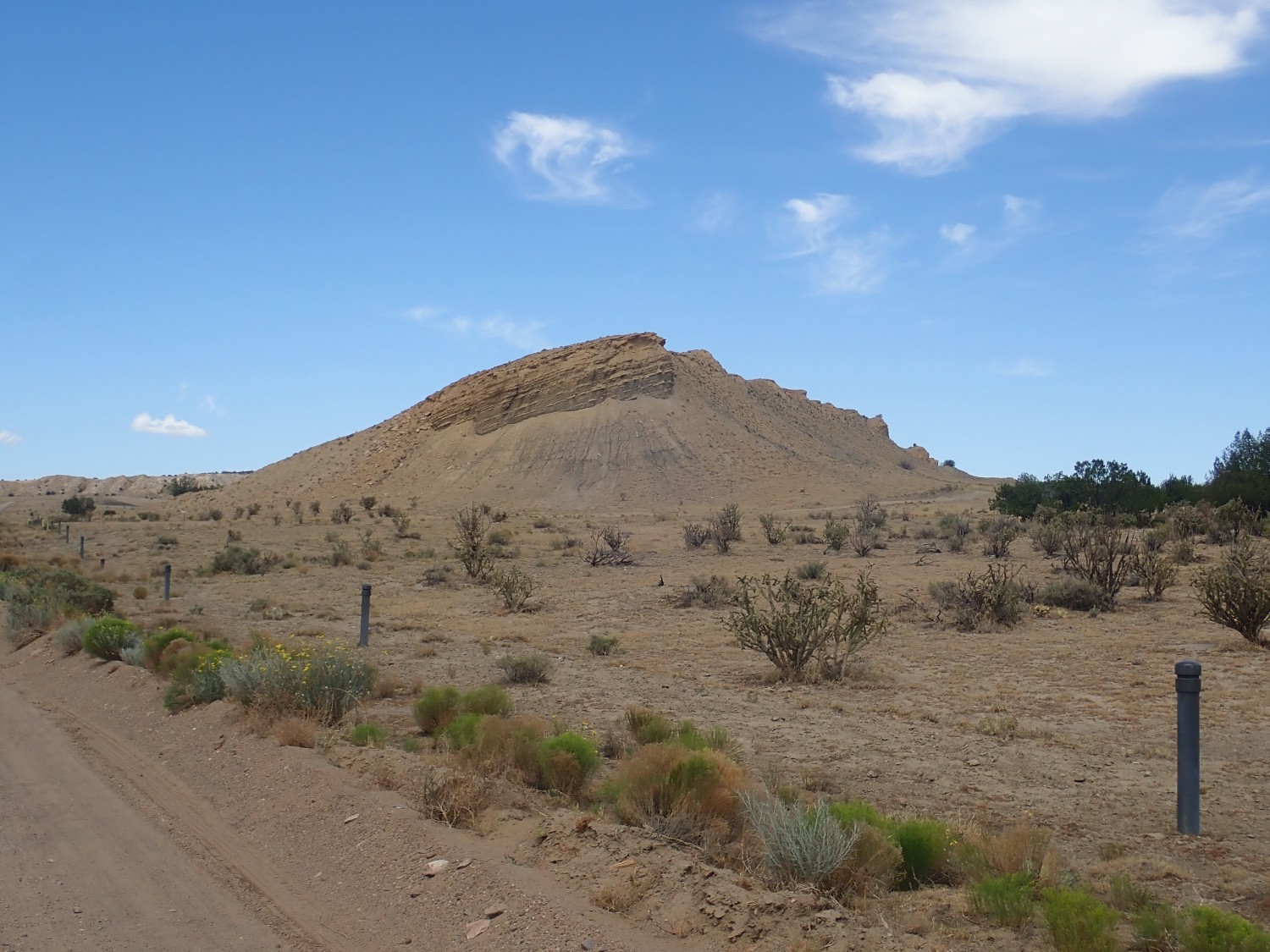
Looking northwest across the Canada de los Milpas syncline towards Cabezon Peak.
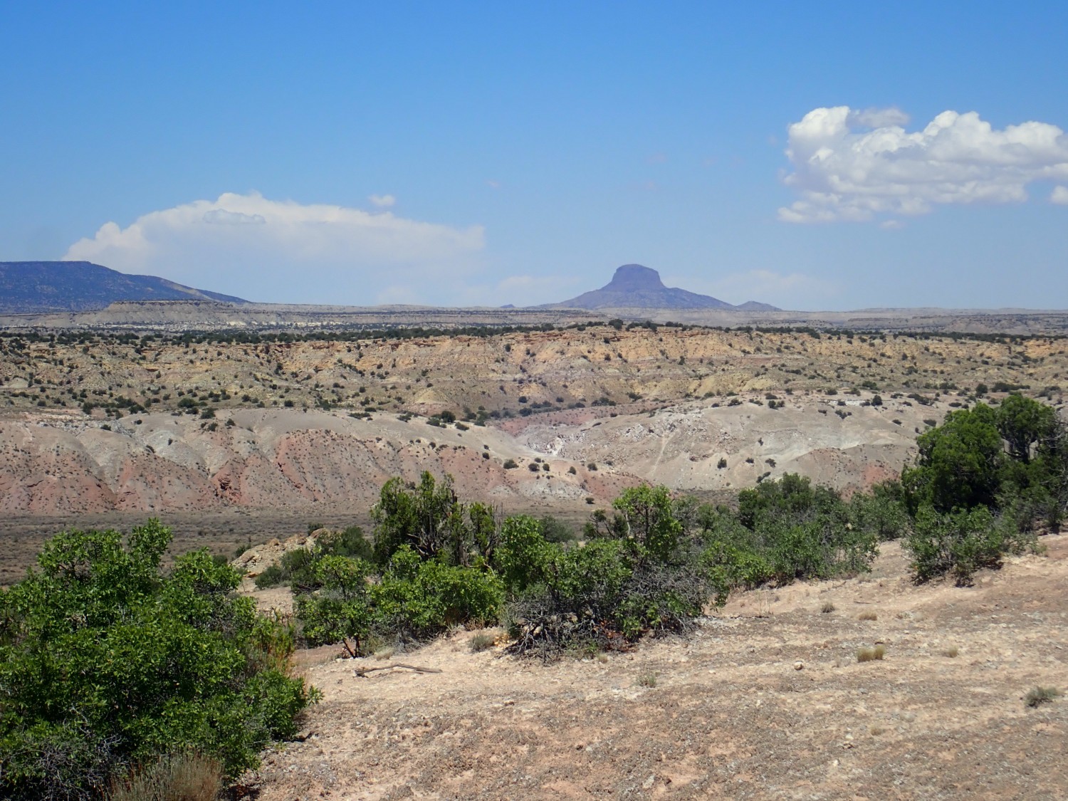
Cabezon Peak is a large volcanic neck, formed from lava that congealed in the throat of a cinder cone. The soft cinder making up most of the cinder cone has been eroded away to leave the much more resistant basalt of the throat.
The plateau in the middle distance is mostly underlaid by Morrison Formation. The soft mudstone below is mapped as Morrison on this older map, but would probably be mapped as Summerville Formation today.
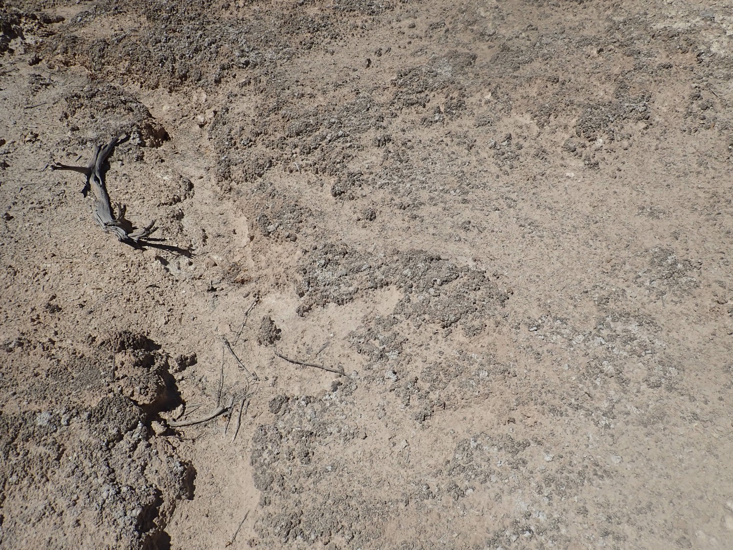
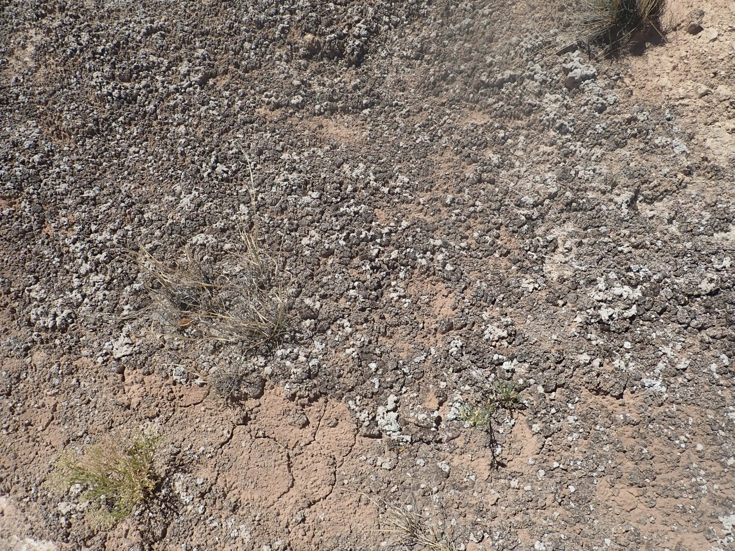
This is a good example of the cryptobiotic soil crust the sign was telling me not to step on.

I’ve seen crust with this texture in several locations, all close to Todilto outcrops. I think the gypsum must be as vital to its formation as soil microorganisms are.
More.
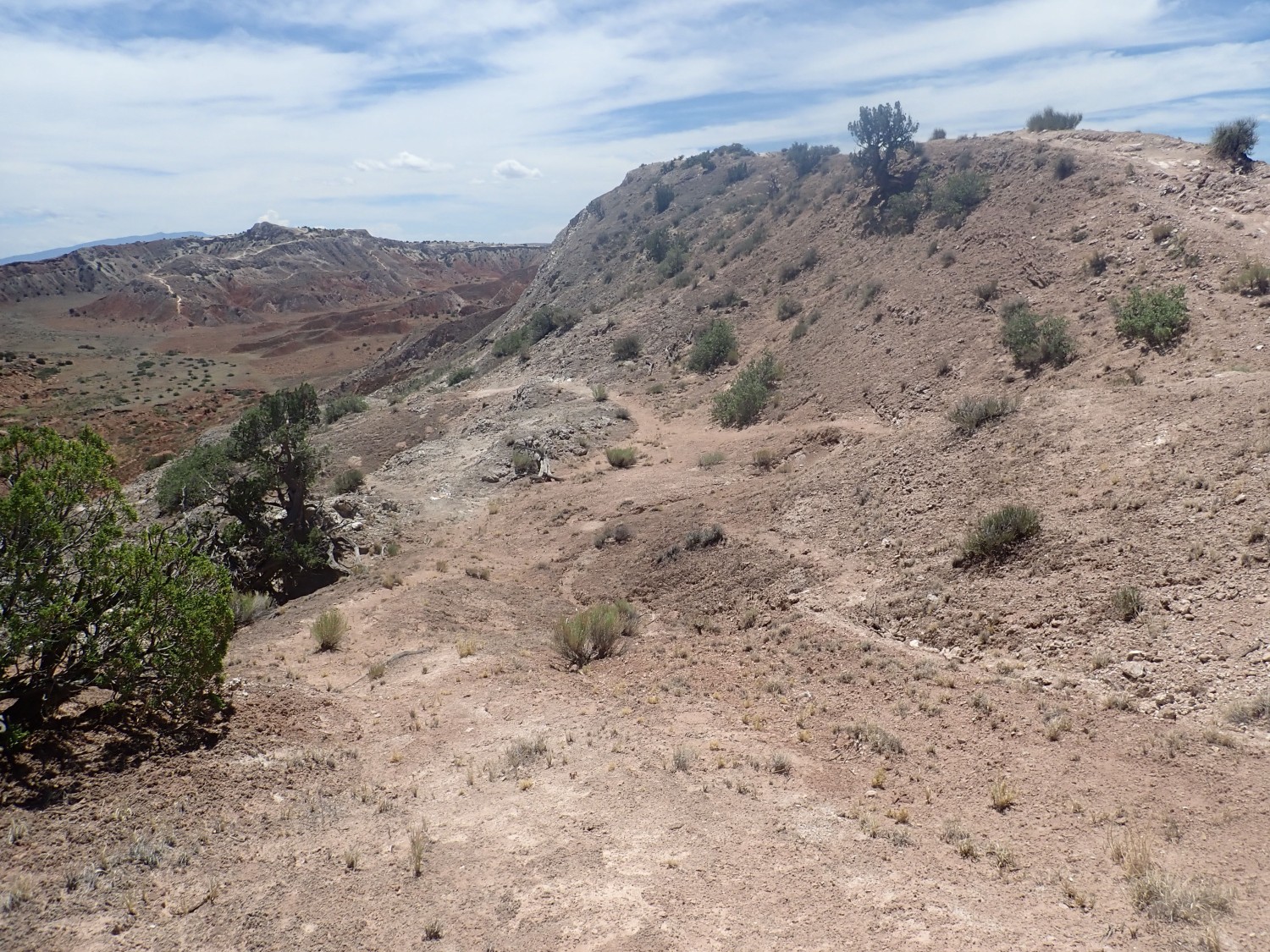
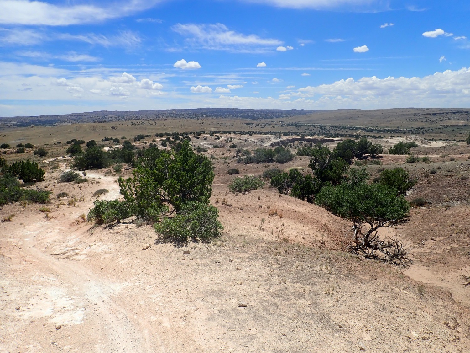
View of the system of trails across the anticline.
And a panorama across the anticline.
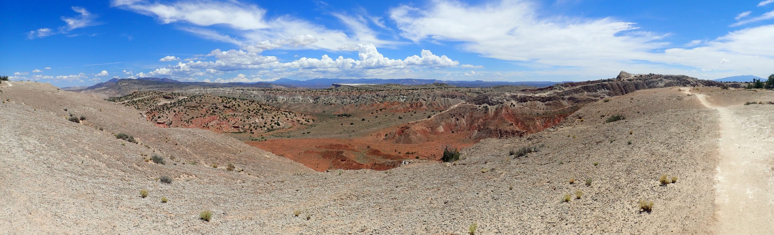
You can see that the other side of this canyon is actually a ridge dividing the south end of the anticline, with another deep canyon beyond.
At center in the panorama is White Mesa. Here’s a zoomed view.
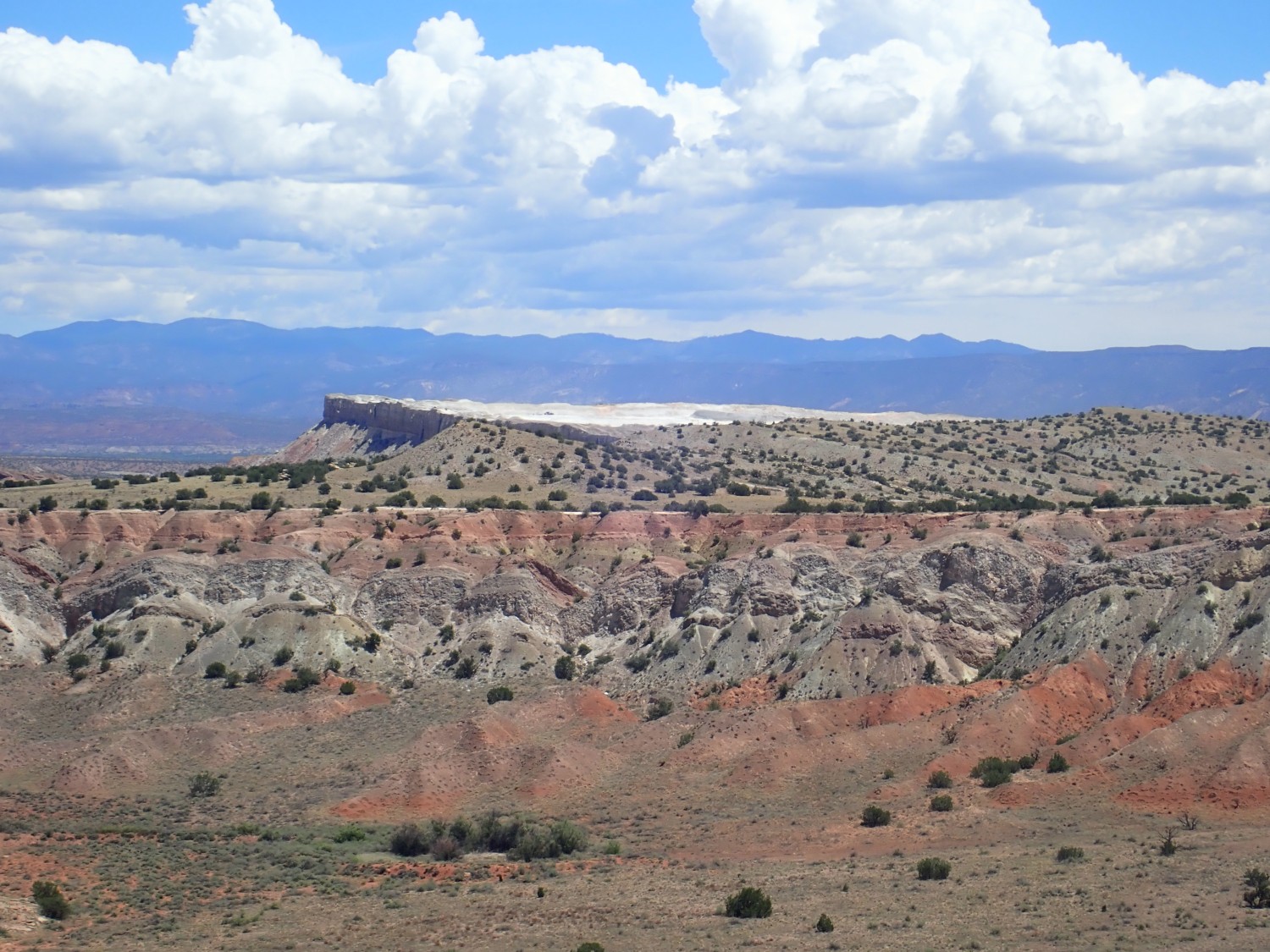
You can just make out some heavy equipment on the full resolution version version. The cap of the mesa is unusually thick and pure gypsum of the Tonque Arroyo Member that is mined by Zia Pueblo. Gypsum is used in Portland cement and other forms of mortar, as plaster of Paris, and to manufacture drywall. Since it’s nontoxic, it’s also used as a food additive to improve gelling of foods that need to be gelled, such as tofu. Gypsum is calcium sulfate, and calcium is good for you.
Which isn’t to say that I’m going to start chewing on the local rocks.
I come to a clear view to the west, across the syncline.
As before, almost the entire high ground across the syncline floor is Morrison Formation, though there is some Todilto Formation exposed as white beds at right at the base of the far valley wall. Morrison Formation also makes up most of the lower slopes of White Ridge, just below where I’m standing, though there are a few brown hills of Dakota Formation shale at the very base of the ridge. The order of age is Todilto-oldest; Morrison; Dakota-youngest. It’s the folding of the beds that puts these formations below us.
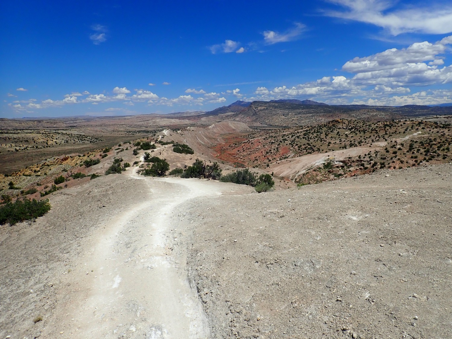
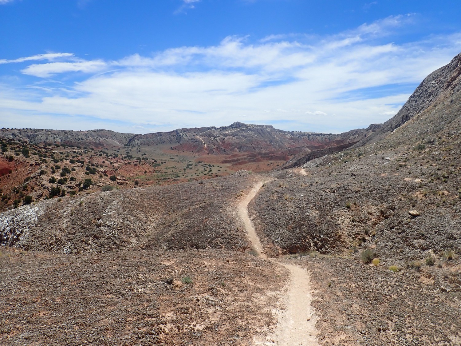
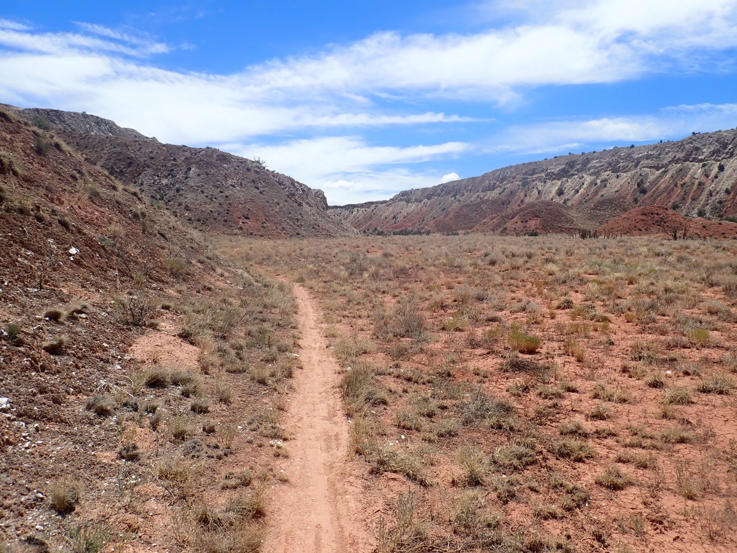
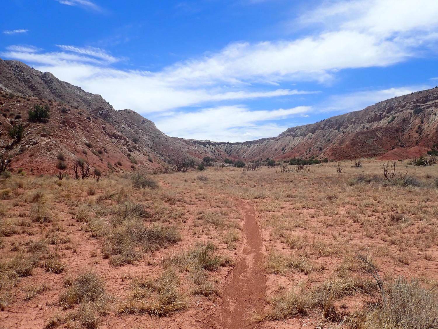
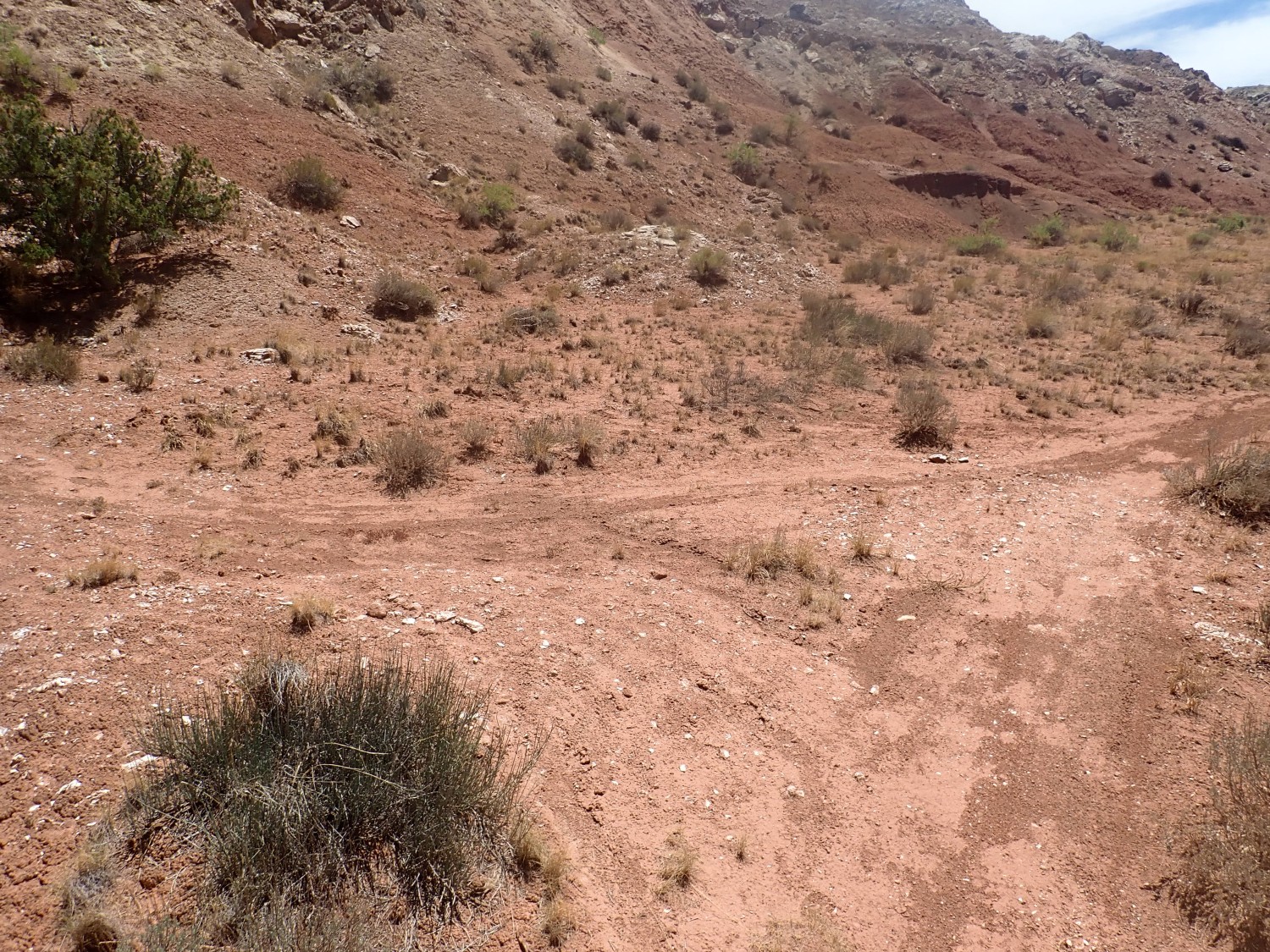
The road goes ever on and on …
… and on and on …

I haven’t tried to tinker with these two images. As a result, the sky and background are rather dark as the camera bases its exposure on the gleaming white gypsum. Which is the same mineral, incidentally, that makes up White Sands far to the south.
There’s boggy ground visible in the bottom of the anticline valley. The map did show a couple of springs.

The low mound beyond the springs is covered with travertine, a form of limestone found in caves (stalactites and stalagmites are travertine) and around springs. There are similar quite large deposits of travertine to the north, all on the west side of major faults that mark the western boundary of the Archuleta anticlinorium. The fault allowed water that was saturated with calcium carbonate to reach the surface and deposit the calcium carbonate as travertine.
About this point I meet a cyclist going the other way. He tells me the trail continues on clear to the major highway to the north. That’s not my plan; I hoped to find a junction with a trail that would loop back south and show me some new ground. He tells me there is such a junction just over the rise. Well:
I think we misunderstood each other. I was thinking of a loop to the east, in the anticline, and he was thinking of a loop to the west, in the syncline. So I’m looking east as I continue north, past an impressive vein of gypsum
and colorful beds of Morrison Formation.
There does seem to be a clear trail branching off to the southeast from here.
I decide that’s my loop back and go that way. The trail is rather indistinct at first but then seems clear.
Notice all the wonderful cryptobiotic soil crust on either side.
The trail suddenly seems to come to an end.
Wait, no, it reappears … at the bottom of a scramble. I decide to press on.
I’m on hands and knees a couple of spots but I get down okay.
My GPS is failing to lock through this entire section.
Chicken wire gypsum.
So-called for the pattern of dark impurities.
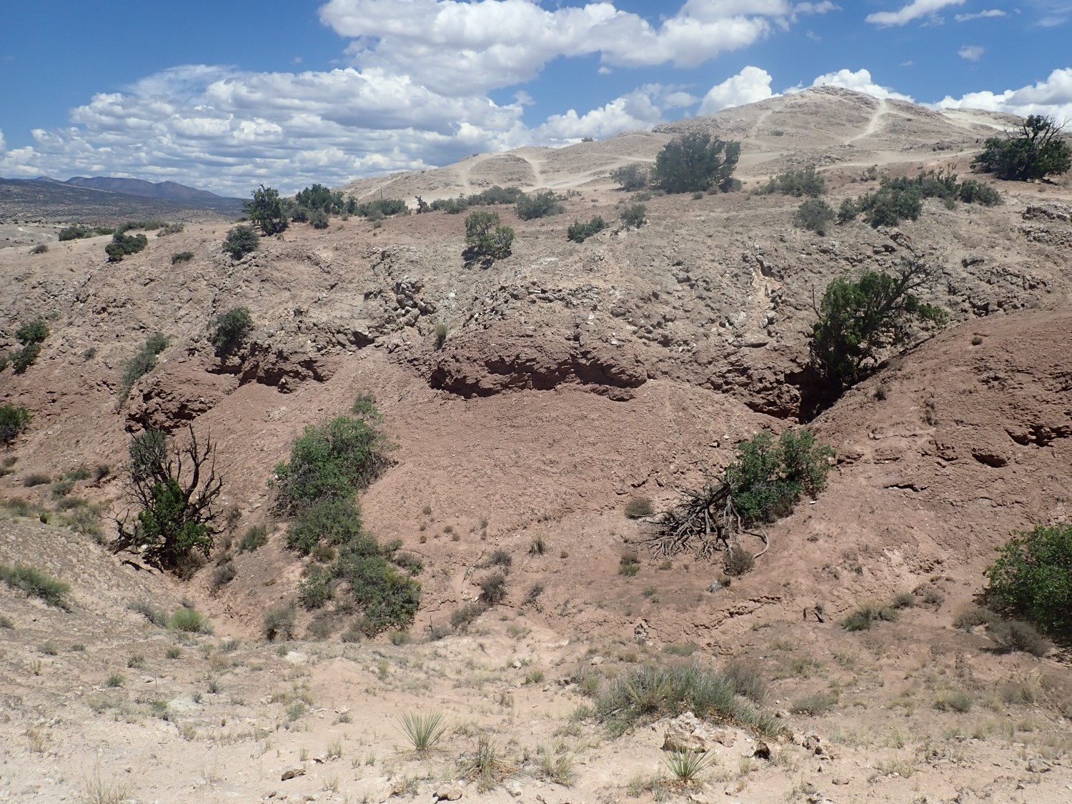
And I reach the anticline valley floor.
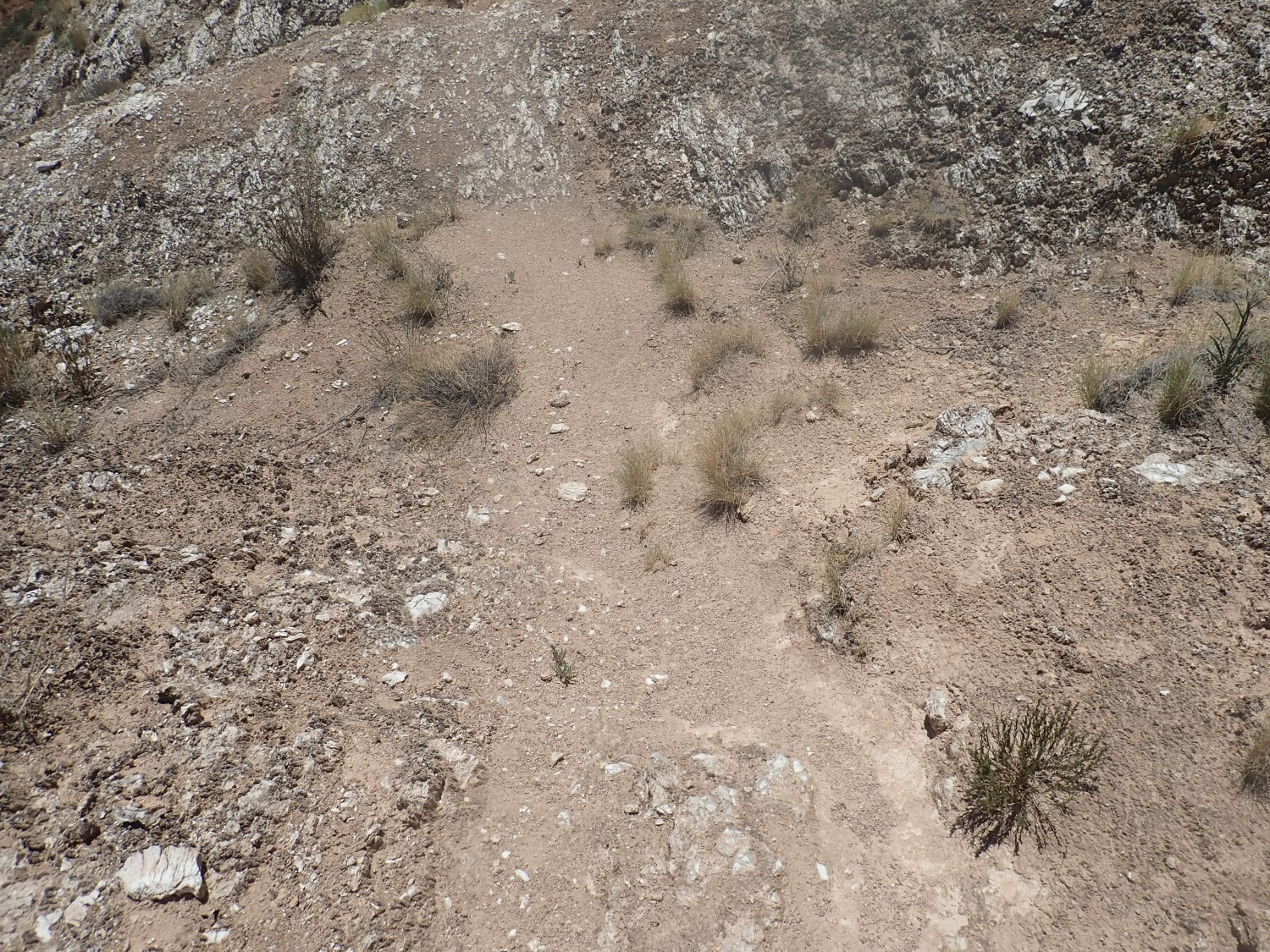
There’s a clear trail for a ways.
But then it pretty much peters out.
I’m reduced to following occasional faint footprints from an earlier hiker. Fortunately there is not much obvious soil crust here that I’m destroying.
Travertine mound? I’m well south of the mapped deposits.
Ahh, back on a trail.
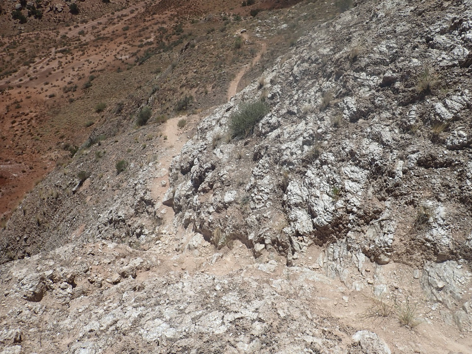
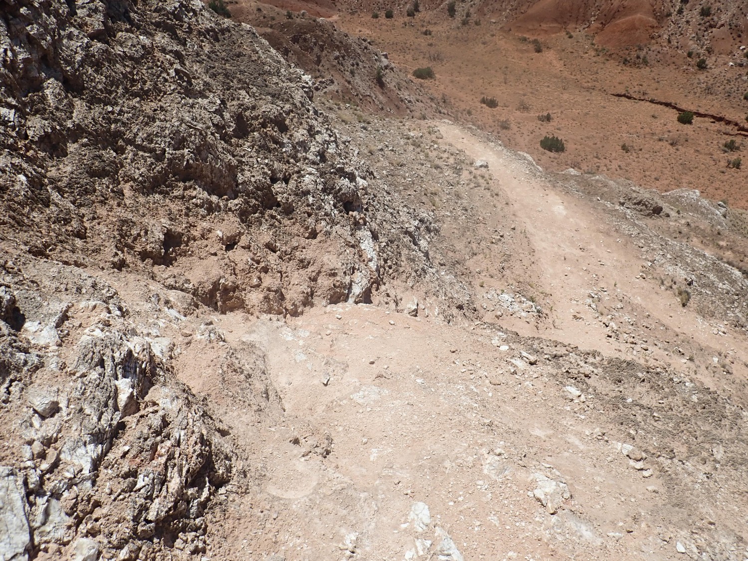
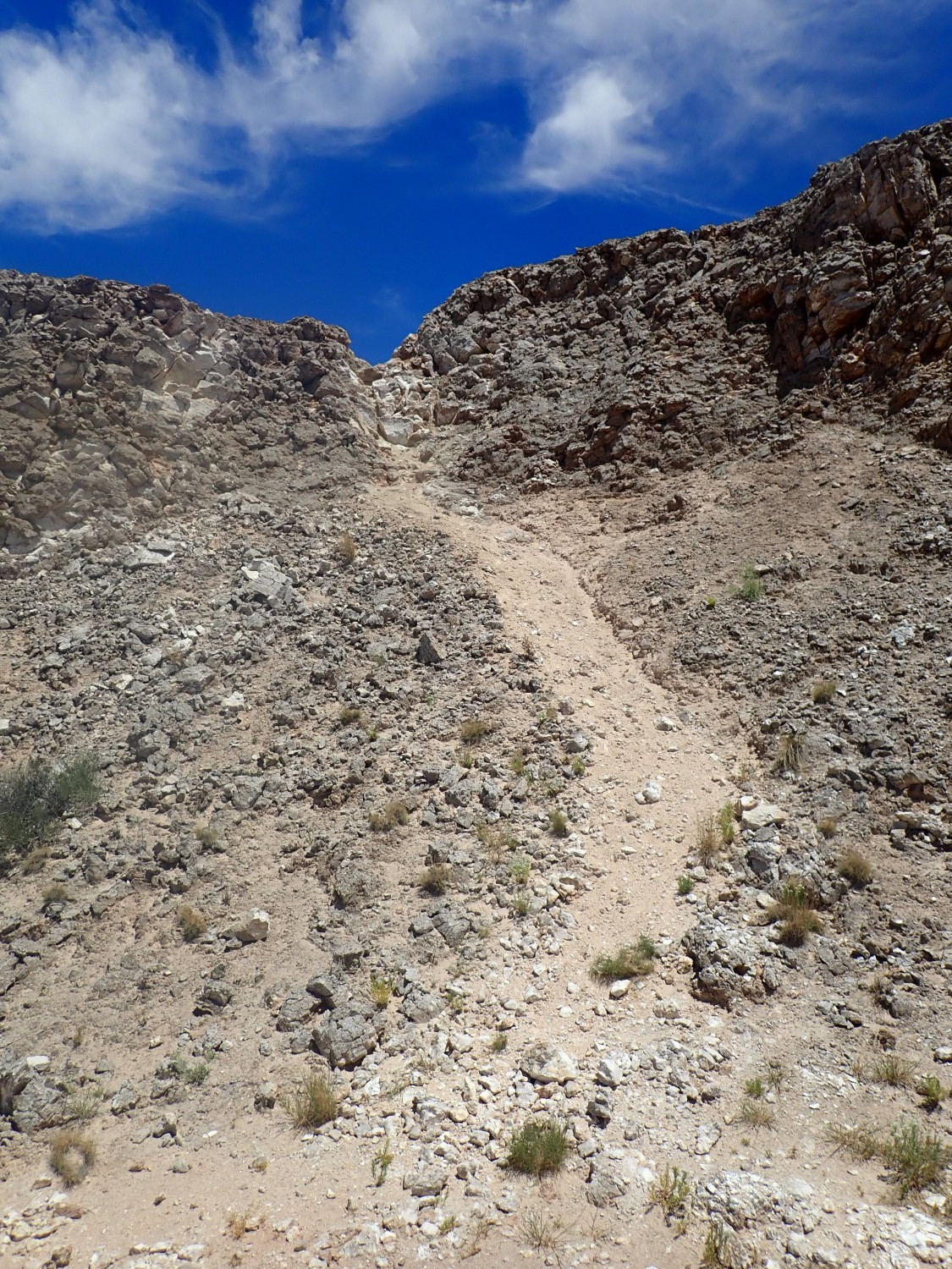
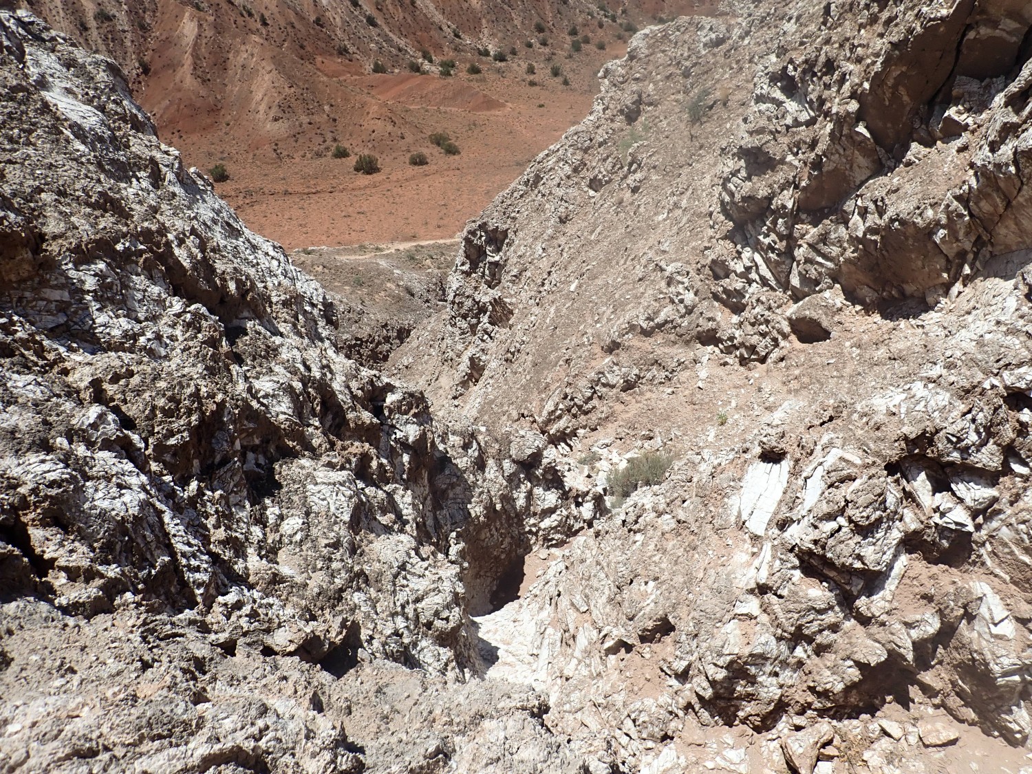
Past here, the trail seems to branch, with one branch going quite steeply up the canyon wall to the east and a fainter trail heading south. It’s not obvious where the latter ever climbs out of the canyon, so I decide I will ascend here. It turns out to be quite steep and my heart is pounding by the time I get to a ledge to rest.
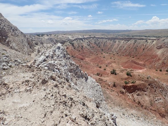
The gray rim is Todilto Formation. Below is a layer of Entrada Formation, but this is hard to distinguish beneath the gray rockfall from the Todilto. The lower canyon walls are all Petrified Forest Formation red bed shales. These are thought to have been deposited in the valley of the mighty Chinle River, which flowed from the Appalachians west to the sea coast in Nevada and passed very close to here. It was comparable in extent to the modern Mississippi river, but around 210 million years ago.
The red color indicates a strongly oxidizing environment that converted all the iron in the sediments to bright red hematite. This was not that long after the Permian-Triassic exctinction, which nearly destroyed all life on earth, and organic matter may still have been scarce. Plus New Mexico was in an arid and exquisitely hot climate at the time.
It’s a steep climb with some serious scrambing.
What amazes me is that there were a couple of old hoof prints on the lower part of this trail. Who brings a horse this way?
Last scramble. (I hope).
Again, I’m on hands and knees for part of this. Then at the top, and … Yeauuugh!
But it’s not as deep as it looks, and, as it turns out, I don’t have to cross it. The trail goes north and then south around it. Nice view from here, though:
I’m thinking I was right to come this way. I see no sign of a trail out of the canyon further south.
From here the rest of the hike is pretty straightforward. There is even some signage.
Deep gully in the gypsum beds.
And just past here I have my only trip-and-fall on this hike — onto level, sand-covered ground with no nearby dropoffs. Someone is looking out for me.
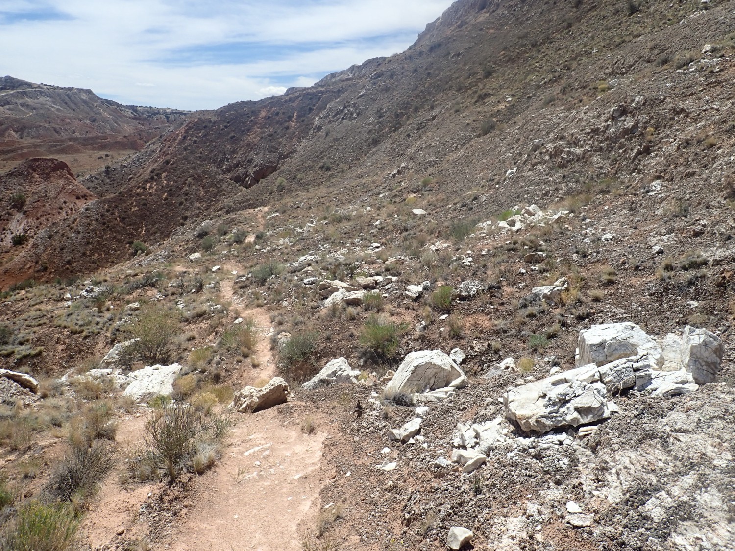
The trail approaches the south end of the canyon.
The canyon from its south end.
Elapsed distance, about 3.5 miles, but with some significant changes of elevation. I met exactly one other person (the cyclist) on the trail and three more people were at the trail head.
On the drive out, I can’t resist a photo of some rock beds.
Morrison Formation again.
And the small mountain, from the other side.
All Morrison Formation. My guess is that the upper part, with the sandstone beds, is Jackpile Member, while the colorful mudstone beds below are Brushy Basin Member. Or the sandstone may be Salt Wash Member and the mudstone below is actually Summerville Formation, which was not recognized in this area in 1976, when the geologic map was made, and was mapped as Morrison.
Another view north.
All still Morrison.
I return to the main highway, then pause for some structural geology.
The view is north and a little west into the southern end of the Sierra Nacimiento. The high ground at left on the skyline is Red Mesa, which is much more dramatic on its western side, where it is cut by the major Pajarito Fault. On this side, it’s mostly folded, with only modest faulting. To its right is relatively low ground of Jackrabbit Flats. Further right is the dramatic upwarp of Mesa Chuchilla, which is thrown up along the San Ysidro Fault.
In the distance beyond Jackrabbit Flats is Pajarito Peak, the highest point in the southern Sierra Nacimiento. I’d like to visit there, but I’m not sure it’s accessible; there is a cluster of radio towers at the summit but the access road appears to cross tribal lands.
On the way back, with the sun now to the west, I try for some road cut exposures of Zia Formation. This …
… looks a touch pink, but the map has it as Zia Formation. This …
is definitely Zia Formation. So I have my photos.
On the drive back, the weather, mostly sunny up to now, begins to deteriorate. Still, it’s a pleasant enough drive, and … wait. What?
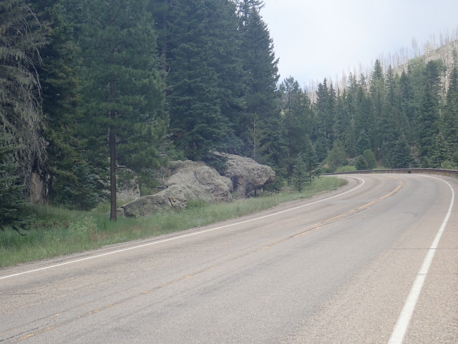
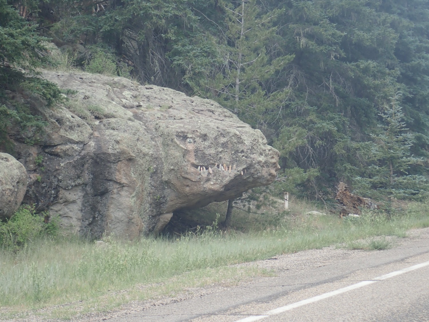
That made me laugh out loud, and turn around to get the pictures.
This is National Forest land. I’m sure this is technically illegal. I’m also sure I don’t want the Forest Service noticing it and removing it any time soon. Rule of law is a wonderful thing … except when it’s in the hands of people utterly devoid of humor.
The outcrop, incidentally, is South Mountain Rhyolite, part of the youngest ring dome of the Valles caldera (just a little over half a million years old.)
From there, home. The rain starts coming down as I’m driving through Bandelier National Monument but is brief. We get a real lightning storm later in the evening, though, and a thorough soak. The monsoon season was a touch late this year, but it seems to be getting off to an okay start.
I saw the monster Rock on Facebook today, so maybe it is recent!
I love riding my bike through this area because of all the amazing formations. I don’t have the knowledge of geology and have always wondered about the region. Thanks for the great explanation!
Welcome, Kent. I hope you’ll linger and read some of the other posts. There’s lots of good hiking (and mountain biking, though I don’t do that myself) in our area.