
Wanderlusting on hands and feet
I had Friday off and the weather was beautiful in the morning. The forecast was for it to remain decent most of the day. This is not actually good news during what is supposed to be our monsoon season, but it seemed right to make the best of it. So I dropped an email to Gary Stradling and he replied by inviting me to go kayaking.
I’ve been river rafting in a rubber boat once that I can remember. I was about 15 or so at the time. I also went on a kayaking trip down a relatively calm portion of the Colorado River with my fellow astronomy graduate students when I was in my late 20s. Both were great fun. I was game to try again.
So I threw together a lunch and rendezvoused with Gary at his place, and we headed for the Rio Grande Gorge.
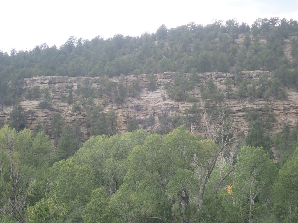
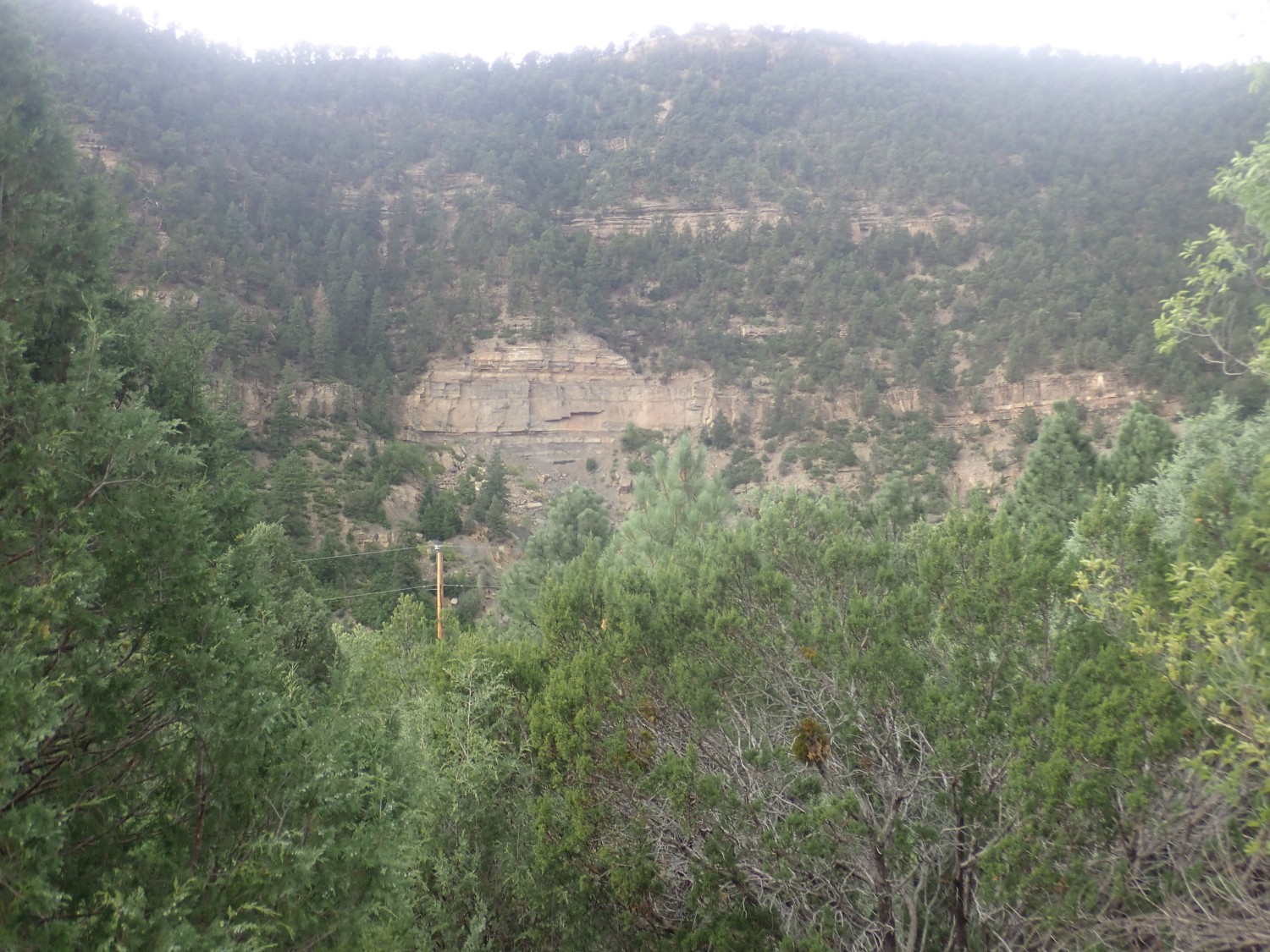
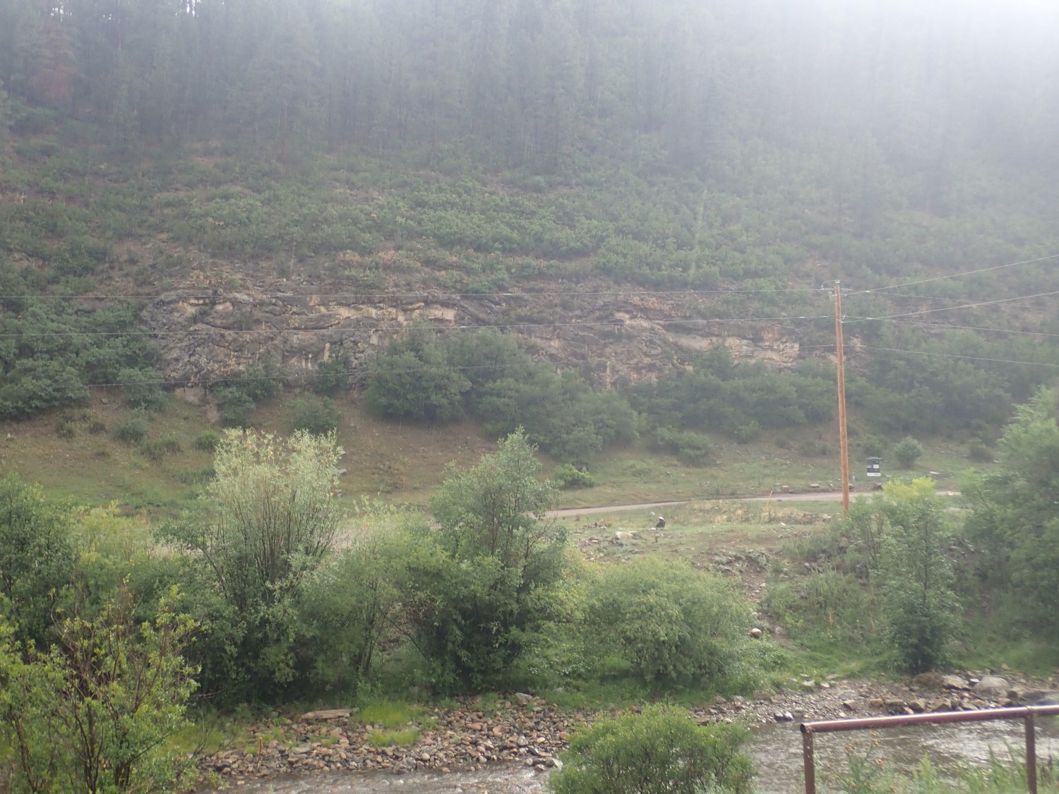
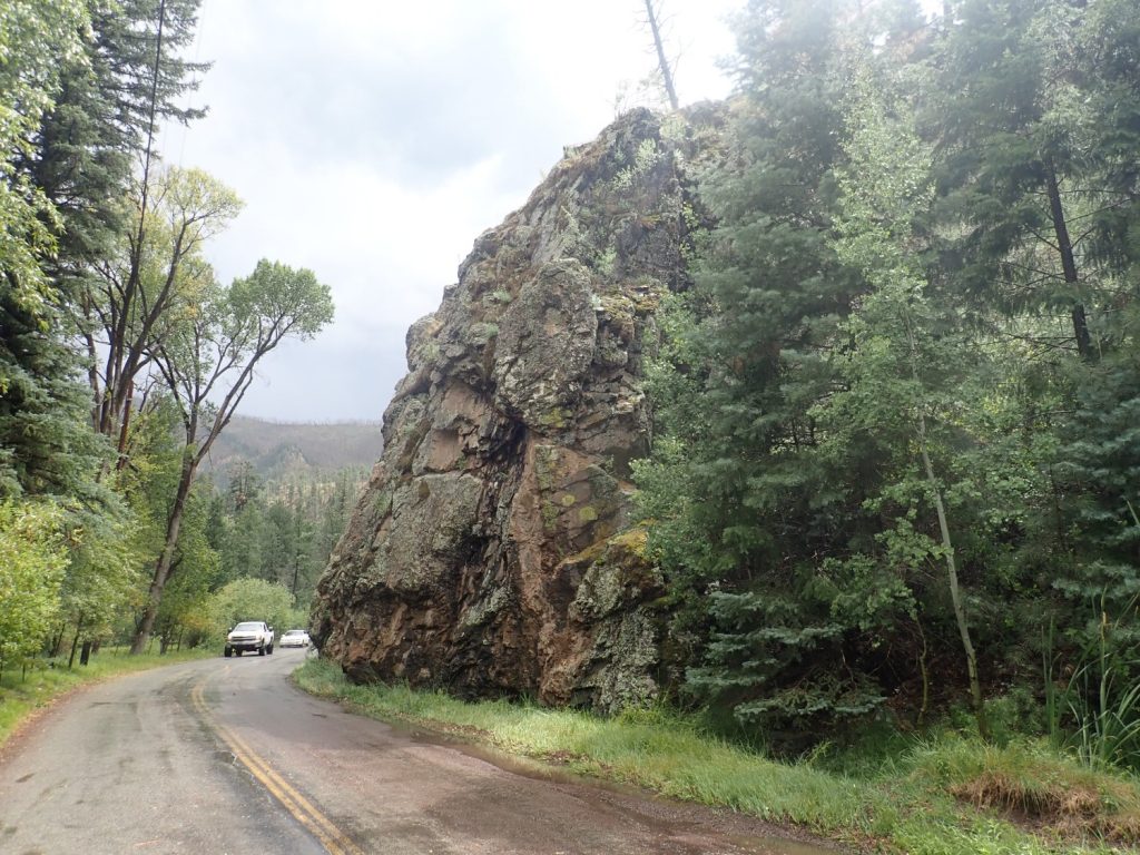
I pulled over near Totavi to take a couple of pictures of the Puye Formation and Totavi Lentil.
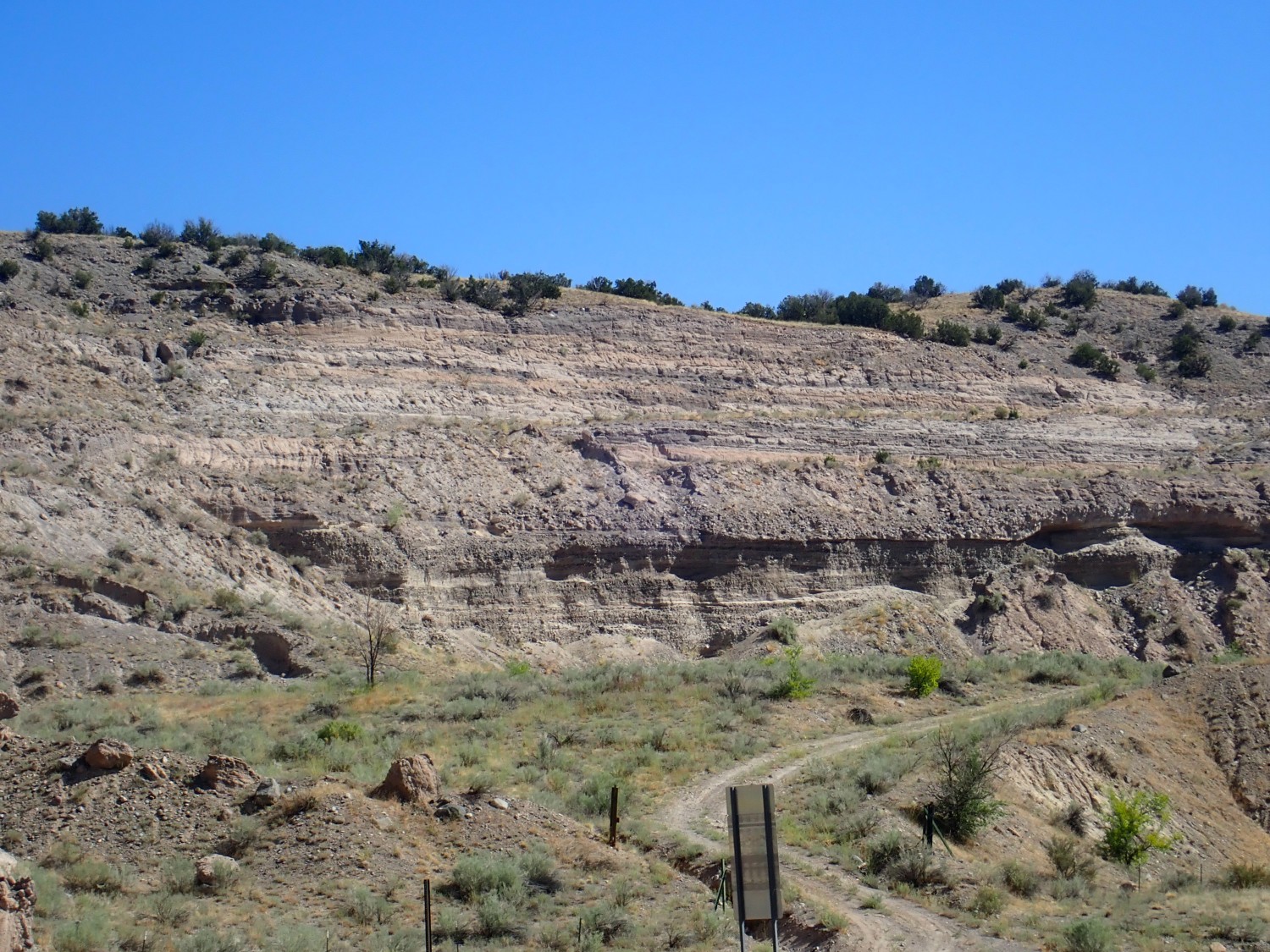

This was supposed to be for Wikipedia. I’m not sure I’m entirely happy with either.
The Puye Formation is exposed below the Bandelier Tuff through much of the eastern part of the Pajarito Plateau. It’s volcanic debris eroded off the Sierra de los Valles west of Los Alamos. The debris collected in a part of the Rio Grande rift that was subsiding and thus formed a trap for the debris.
For new readers (Welcome!): The Rio Grande rift is a great crack in the Earth’s crust that separates the Colorado Plateau to the west from the High Plains to the east. It reaches from central Colorado down at least to the El Paso area, where it merges into the Basin and Range province, and it roughly coincides with the valley of the Rio Grand. The Rift first began opening around 30 million years ago, and it is full of sediments eroded off the surrounding highlands. These are now themselves eroding, due to uplift of the entire region as it drifts onto an upwelling in the Earth’s mantle called the East Pacific Rise. This recent erosion has produced the spectacular badlands between Santa Fe and Espanola.
Of which we’ll see more later.
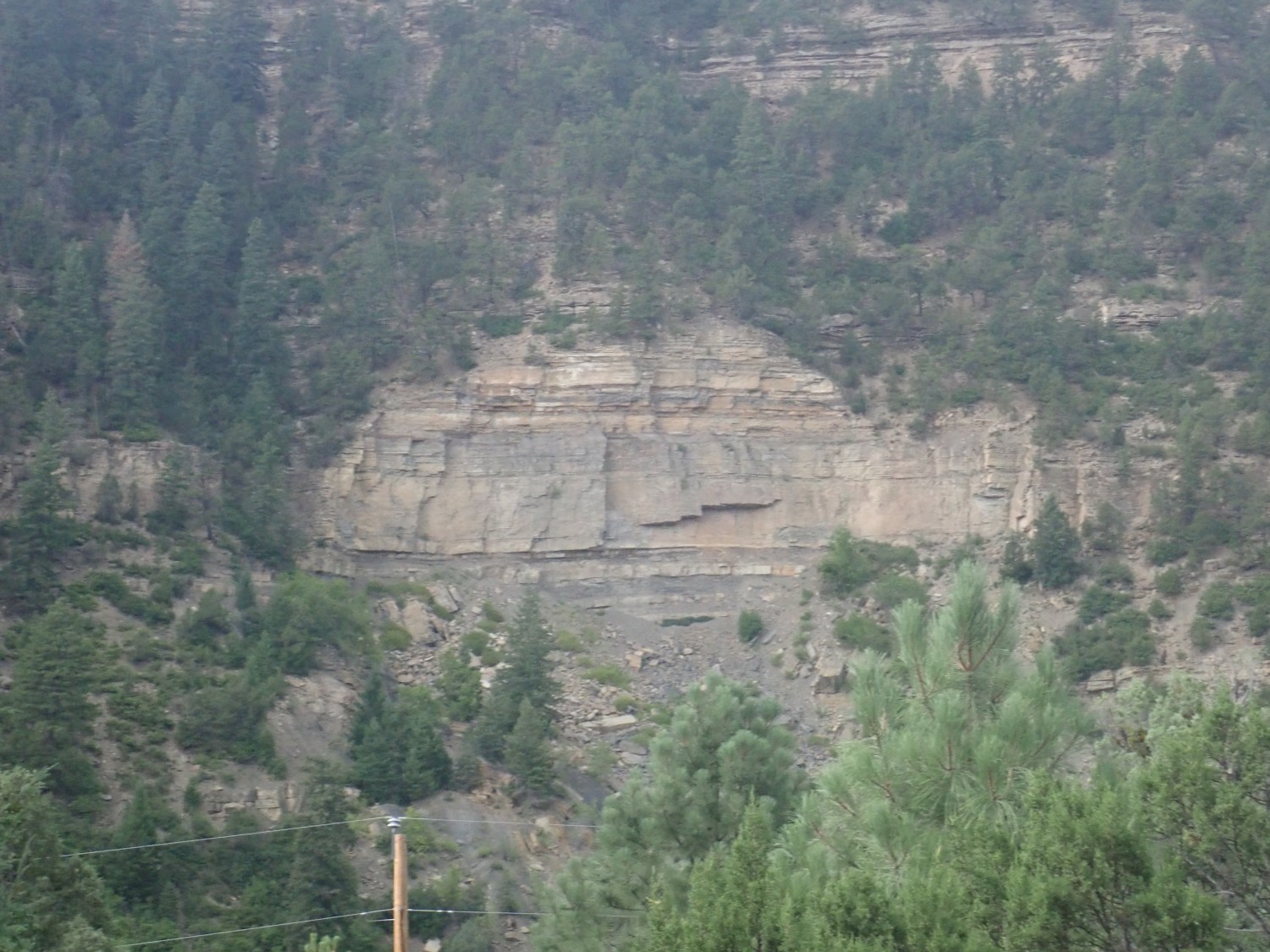
The Totavi Lentil is a thick gravel bed at the base of the Puye Formation. Its gravel is from mountains to the north, rather than the Sierra de los Valles, and it was brought it by the ancestral Rio Grande. Some geologists suggest it should be regarded as a separate formation, but most regard it as a member of the Puye Formation.
And the gravel from the Totavi Lentil was long quarried from the location in the second picture. When I was very young, there was a large gravel crusher here, and I suspect much of Los Alamos and White Rock are paved with Totavi gravel. If my memory is any good, the gas station was also on the north side of the road, across from the location of the modern (and much larger) gas station.
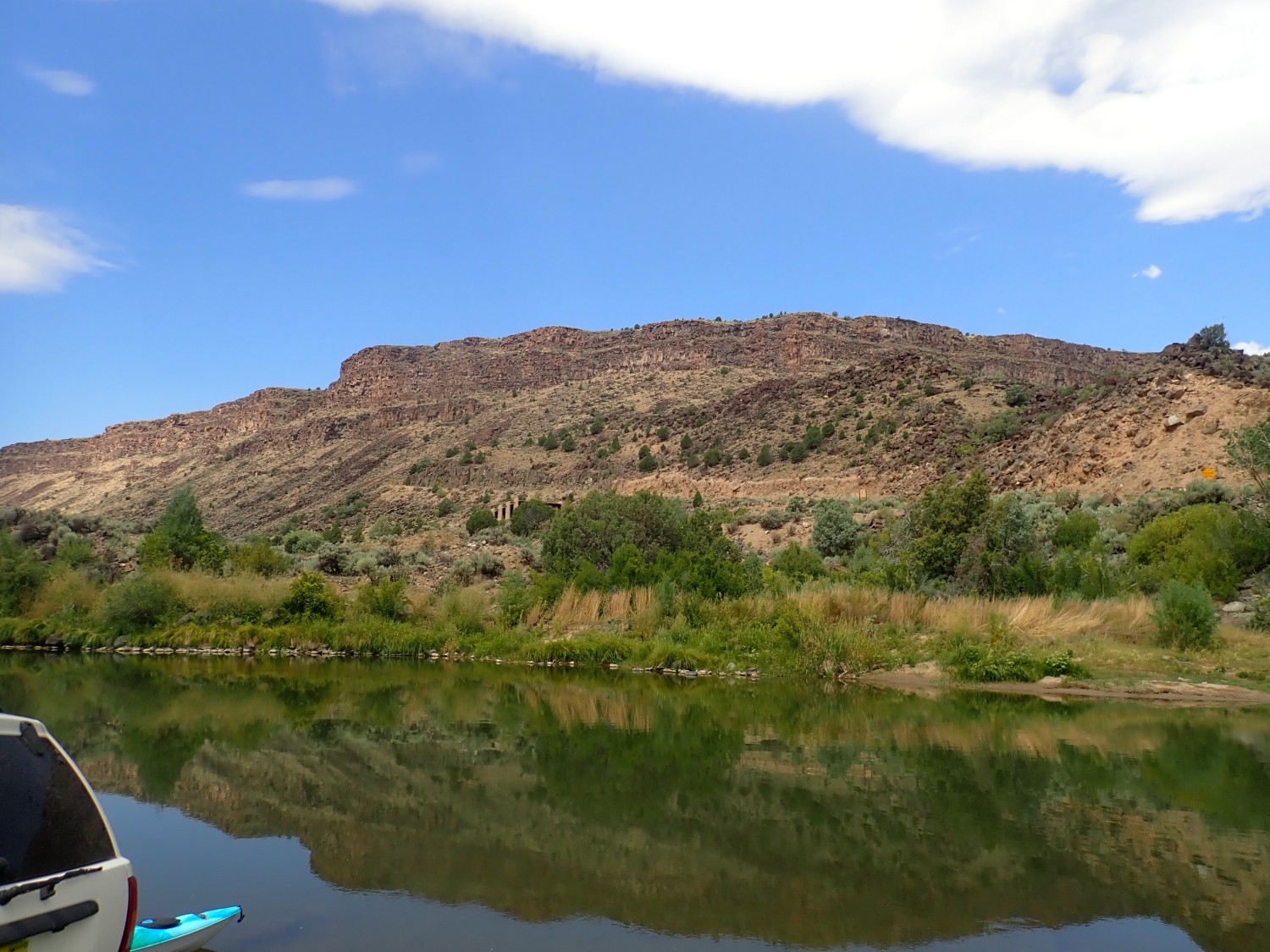
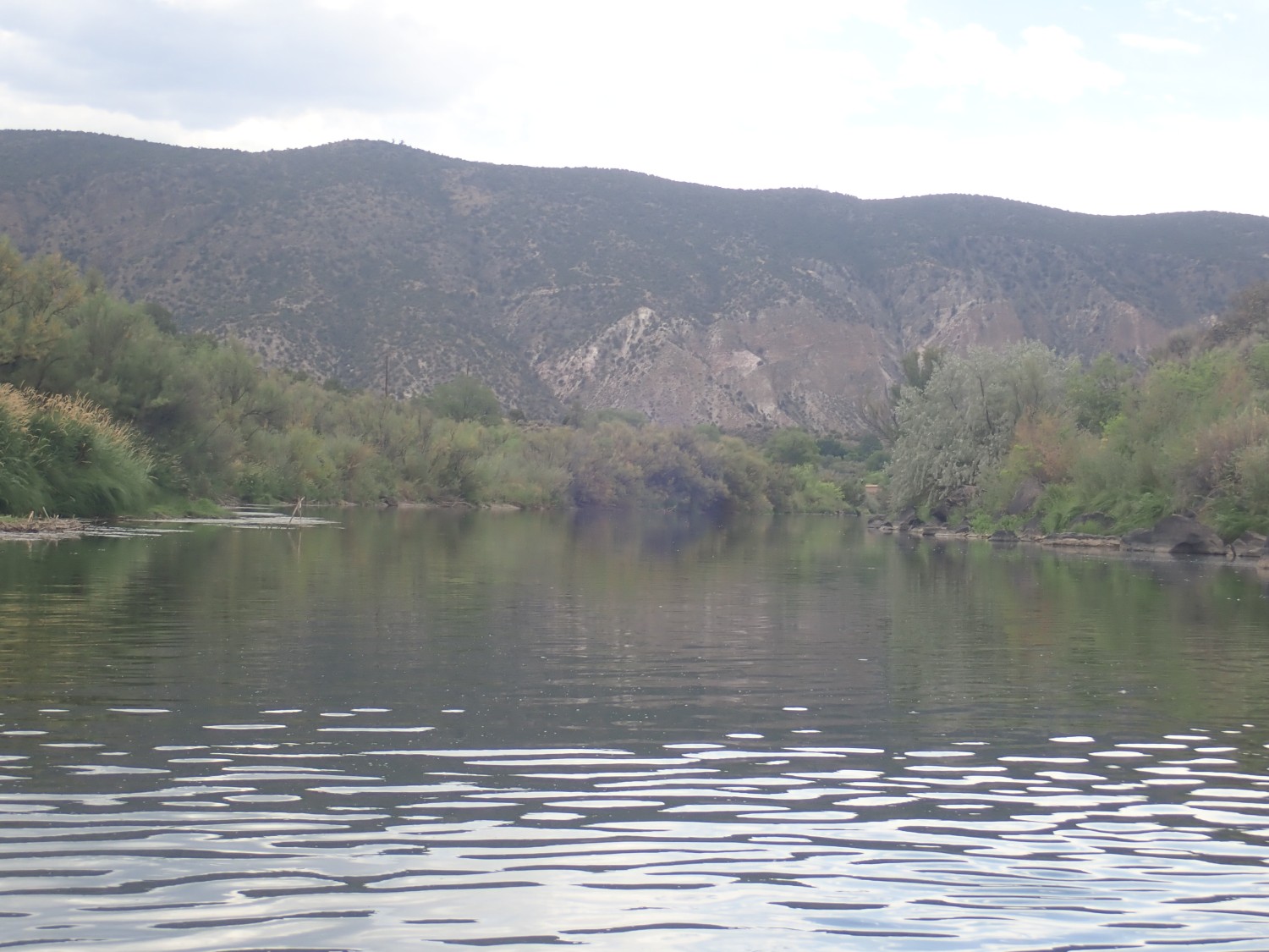
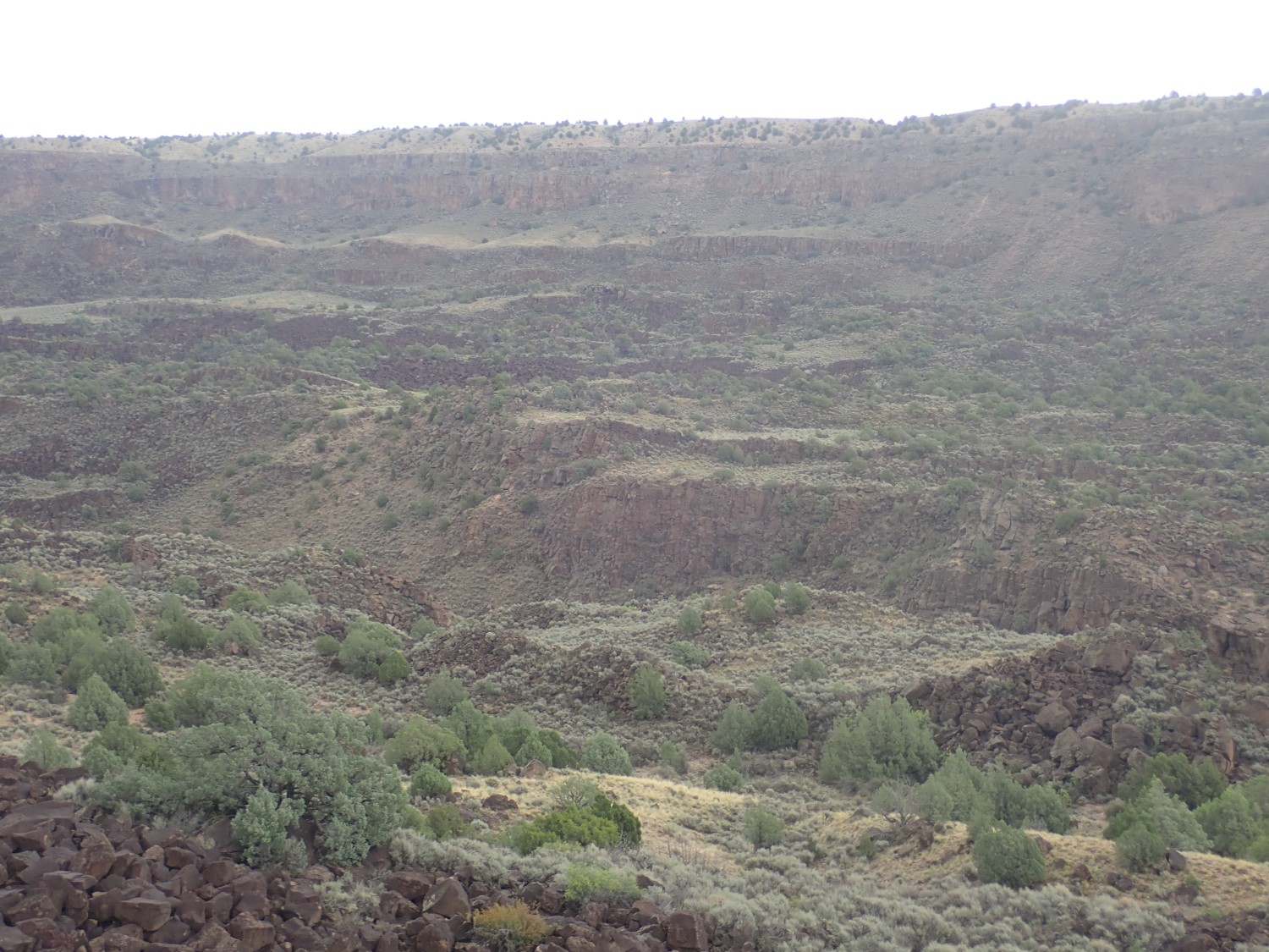
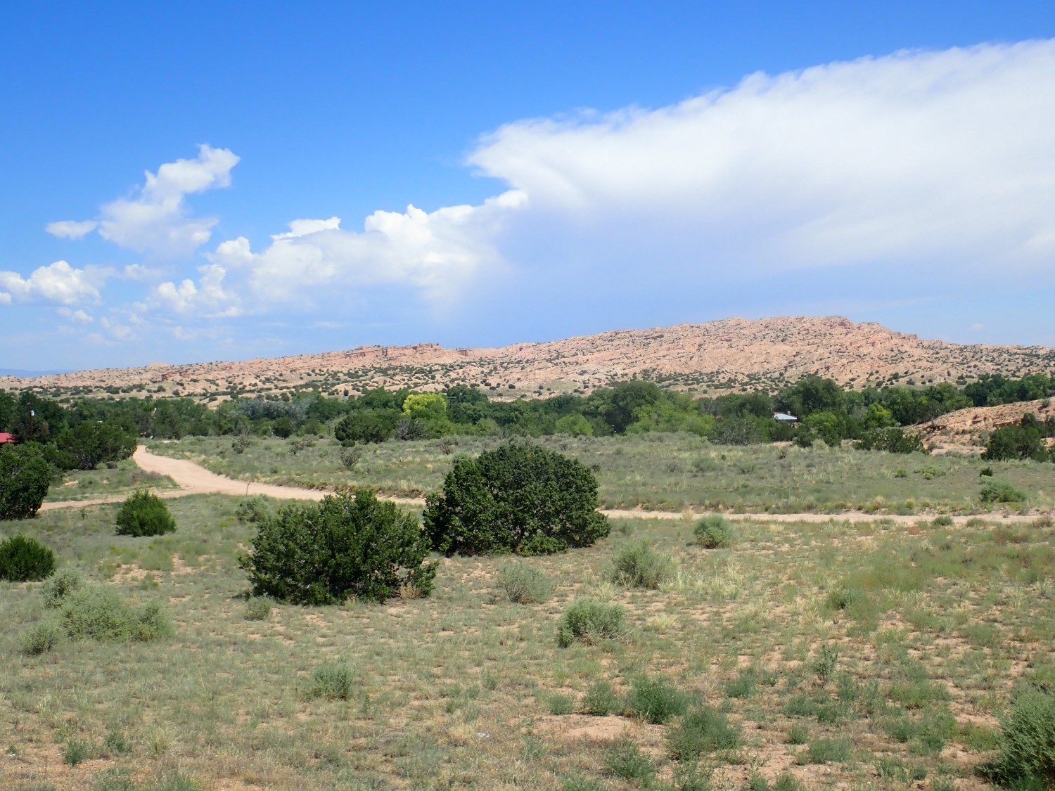
We arrive at the gorge.
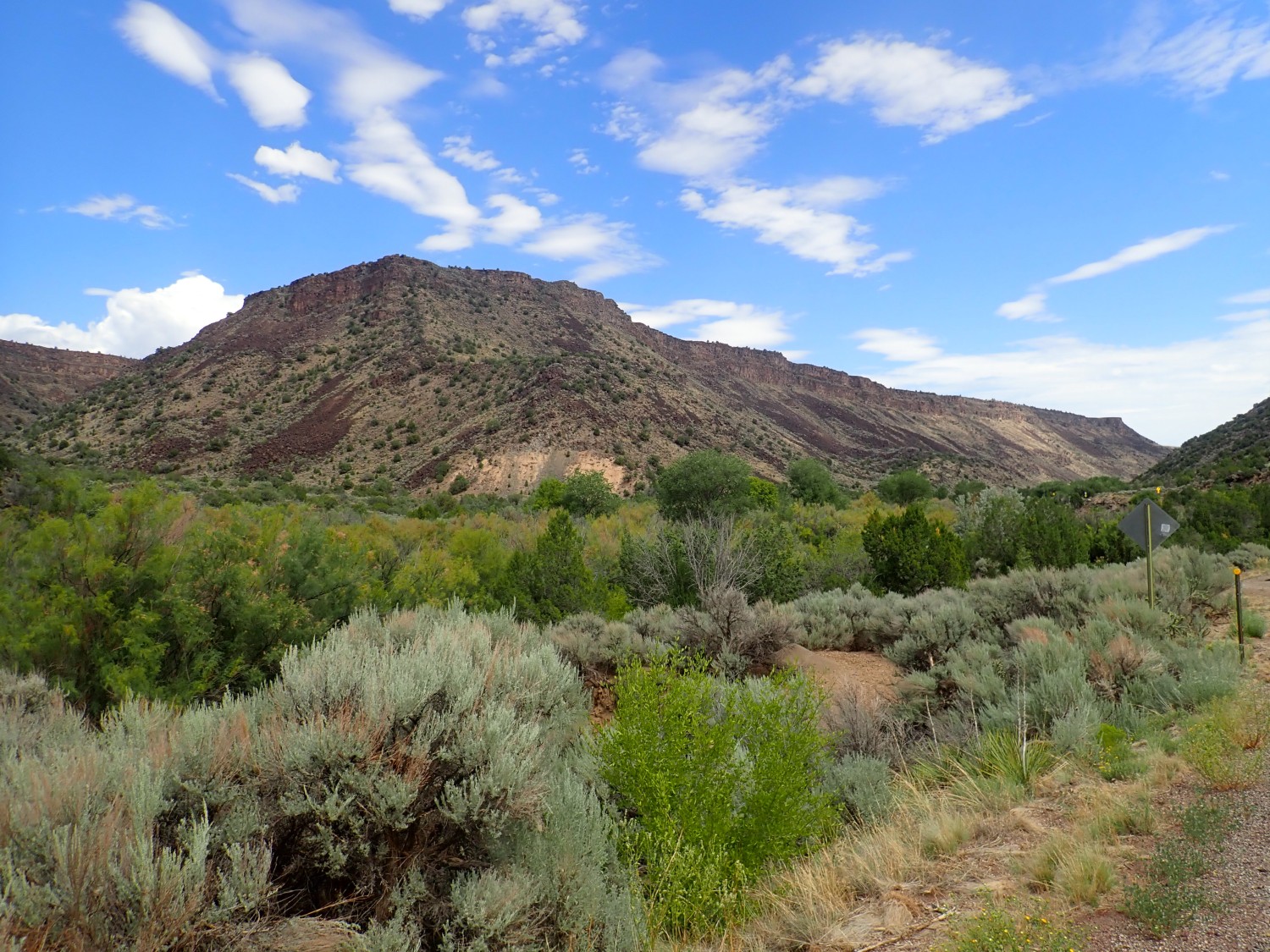
Gorgeous, isn’t it? 😉
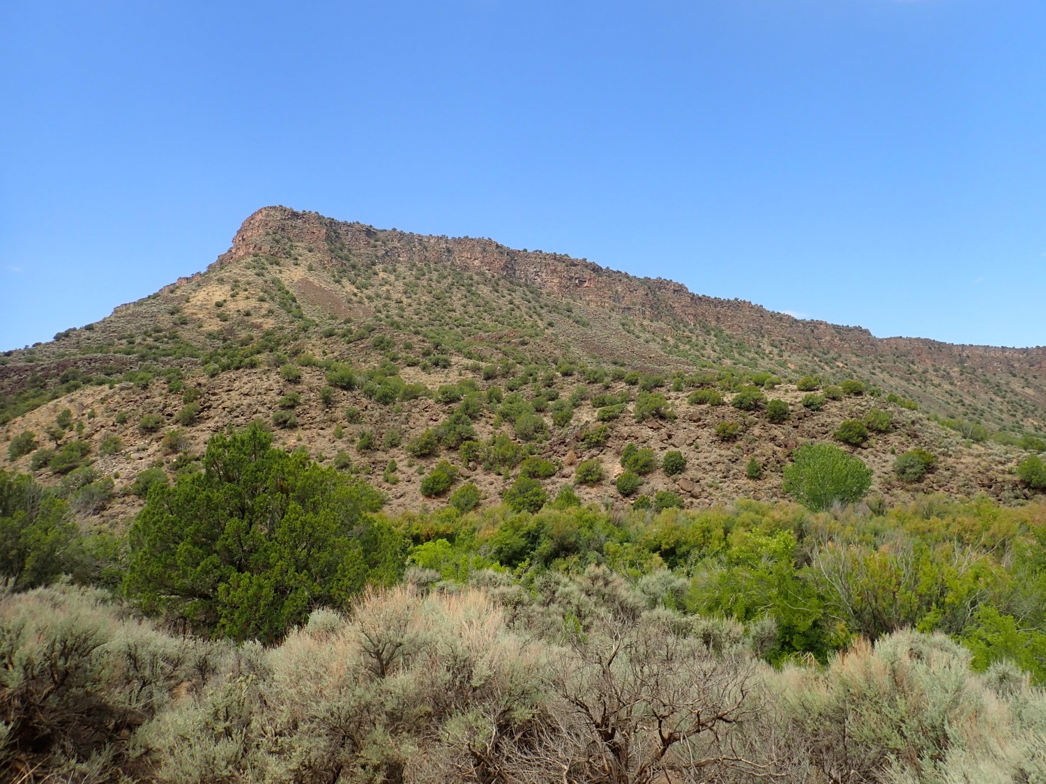
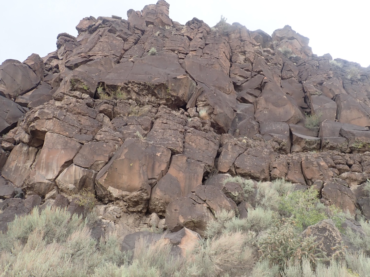
The black rock capping the rim of the gorge is Servilleta Basalt. My recollection was that it is about 5 million years old. Turns out the range of radiometric ages is from 3.3 to 5.1 million years old. This basalt solidified from very fluid low-silica lava that erupted from fissures opened within the Rio Grande Rift west of Taos. It paves pretty much the entire surface of the Taos Plateau.
The slopes below are littered with blocks of basalt eroded from the edges of the canyon rim, but here and there you see patches of tan sediments peeking out. These are mapped here as the Chamita Formation of the Santa Fe Group, which is pretty typical Rio Grande rift fill sediment.
Another view of some Servilleta Basalt. This one is for Wikipedia.
Gary and I have to do an elaborate dance with the cars. We first drop the kayaks off at Taos Junction.
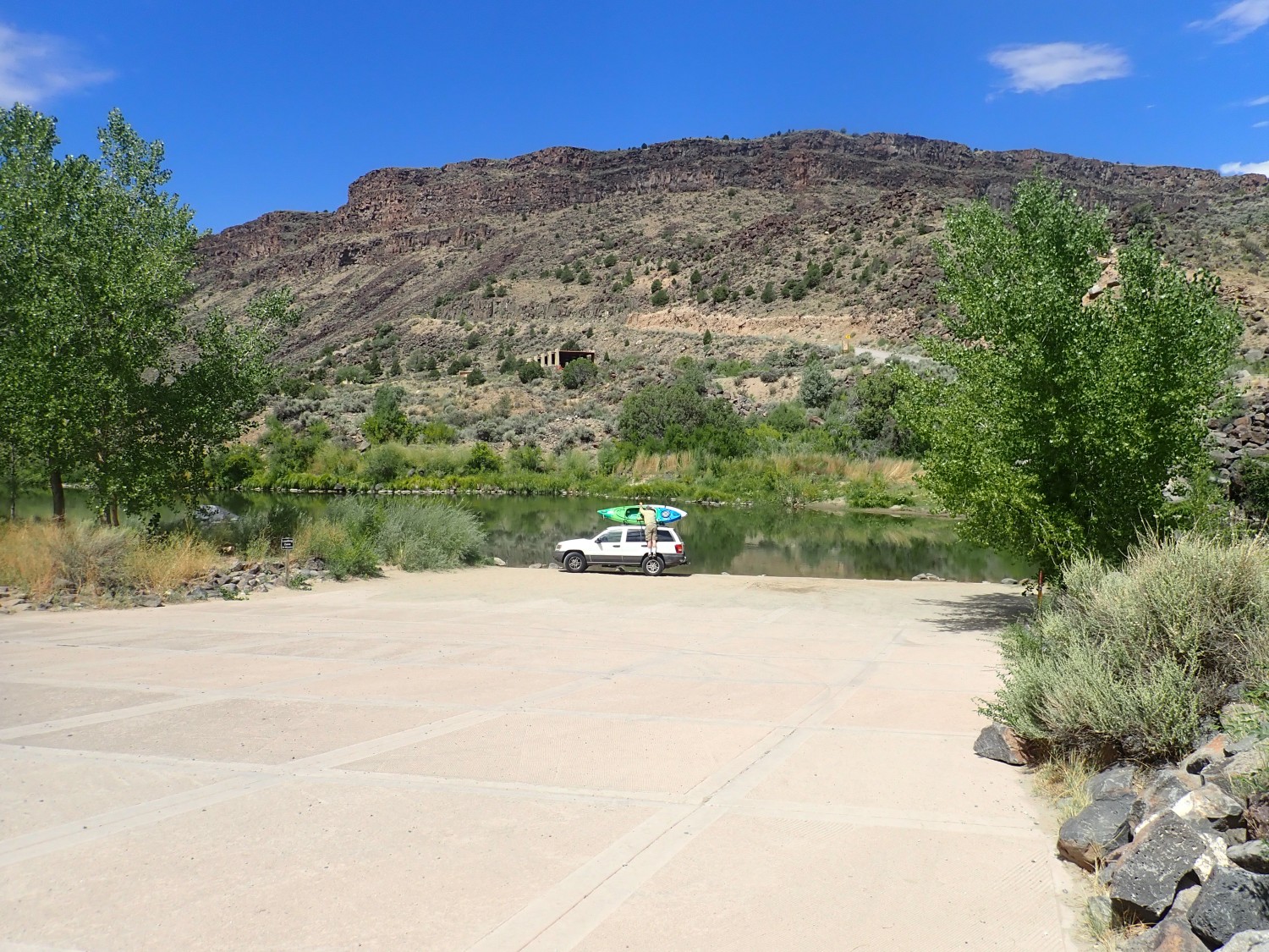
Then we drive both cars down to Quartzite Landing. We leave Gary’s car with the kayak rack there, and take my car back to Taos Junction. Along the way, there are mountain goats.
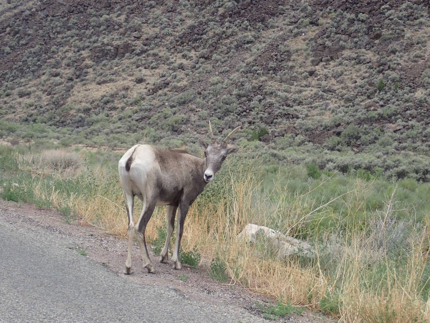
A small herd, actually. Gary gets some better pictures; he’s not busy driving.
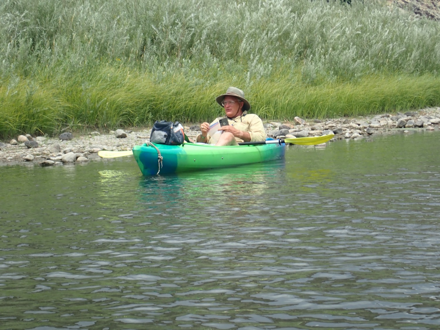
Then into the water.
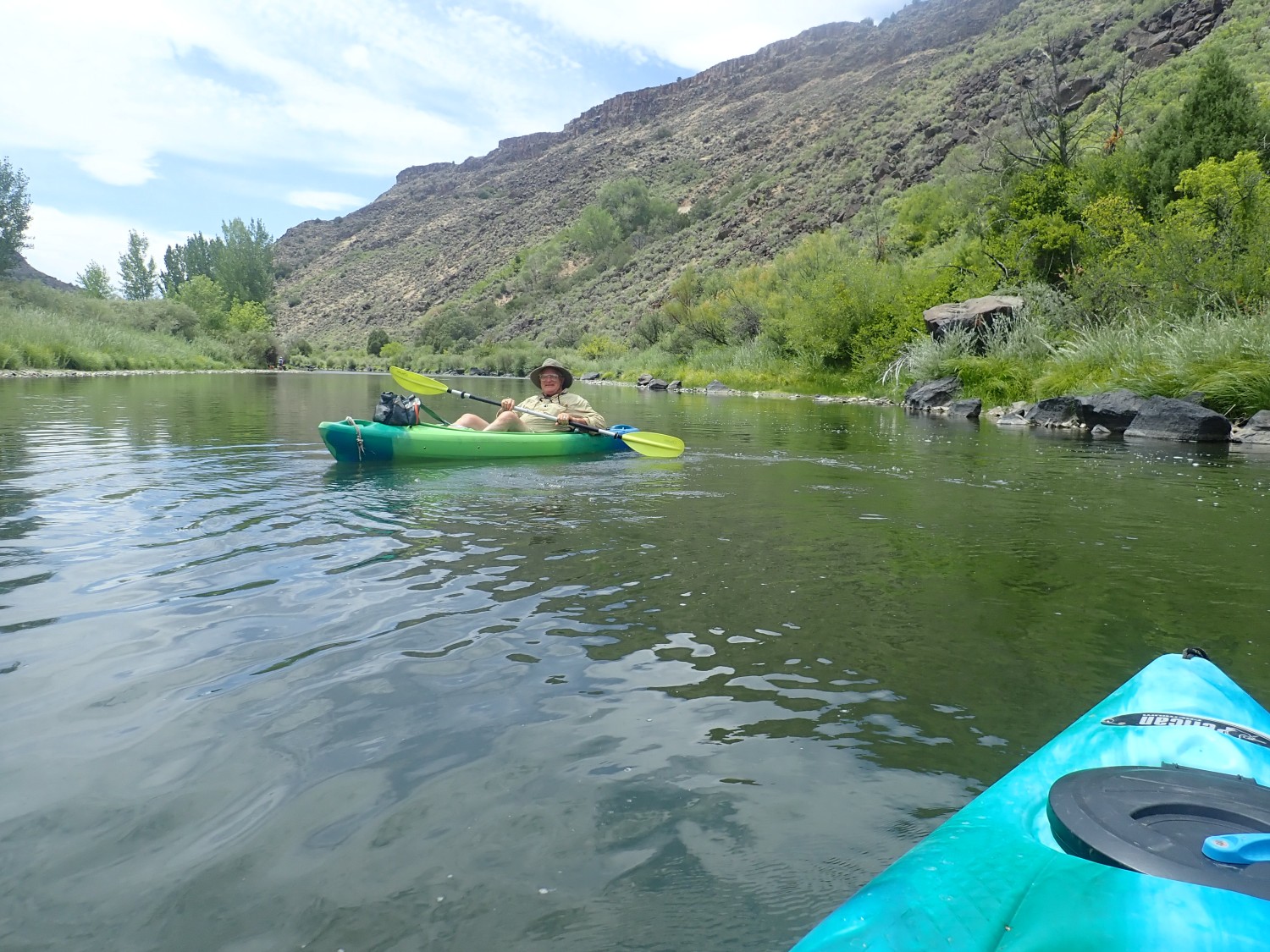
Yes, I brought my camera. It’s supposed to be shock and water resistant. In other words, it’s made for these kinds of things. But I found that pulling it out of my pocket, where I felt I had to keep it safe in case the kayak went over, took long enough that I missed a lot of good shots wrestling with the camera. Next time I’ll get a stout lanyard for it and string it to my belt. (Not around my neck; strangulation danger.)
We’re both having an amazingly fun time.
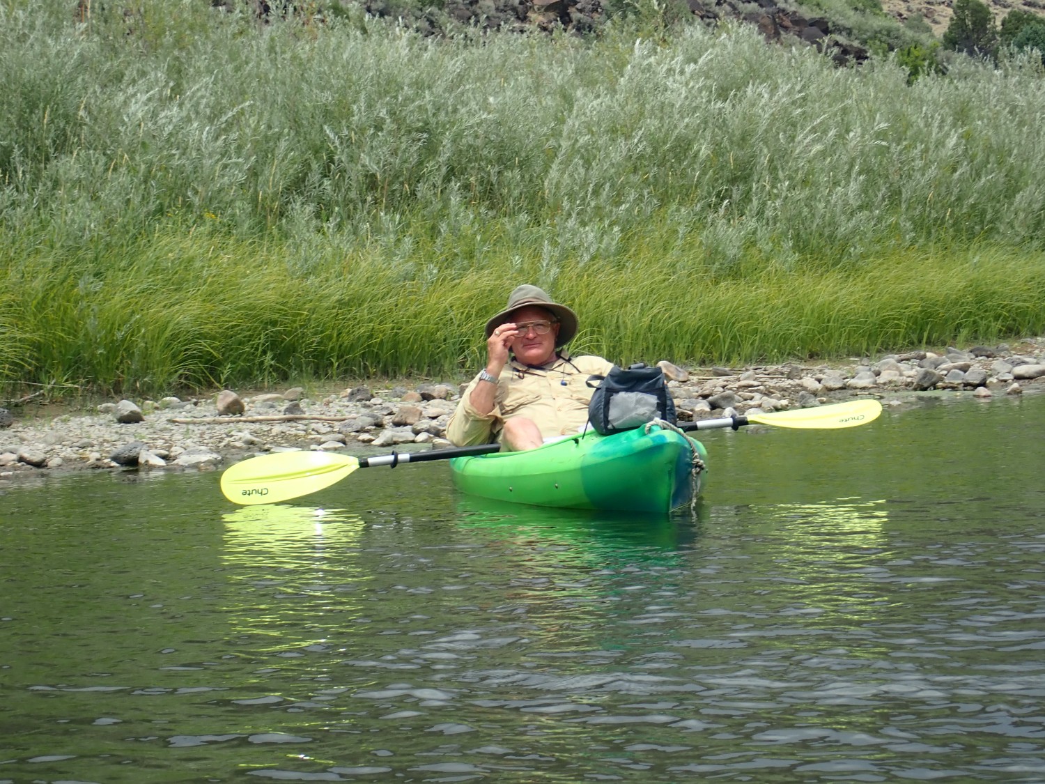
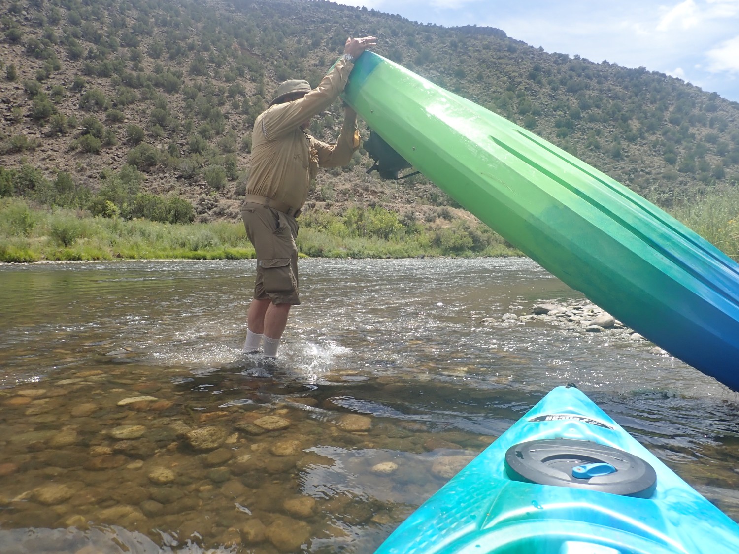
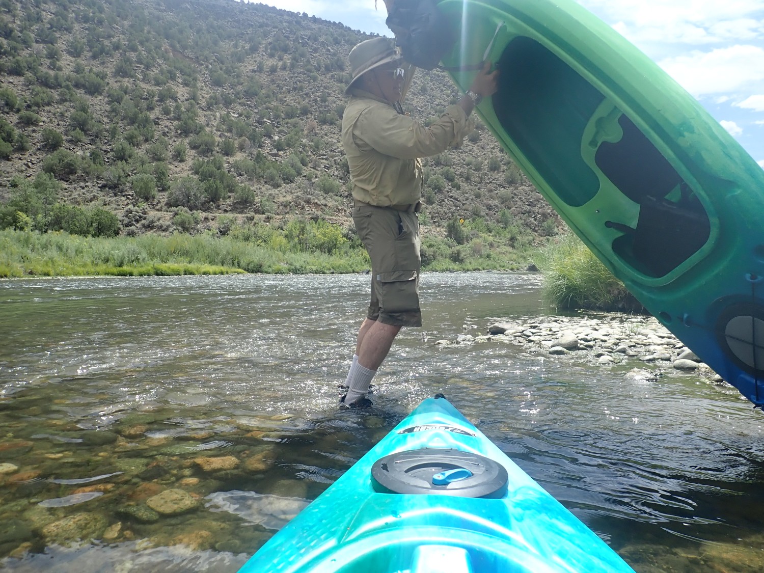
The river is gentle through most of this stretch; rapids are few and not particularly challenging. This is good, seeing as I haven’t run a river in three decades. There are some spots that shallow badly, and I have to get out and drag my kayak over one short stretch. We do manage to tip a kayak over at one spot. Retrieving and draining the kayak:
We paused here for lunch, then set out again.
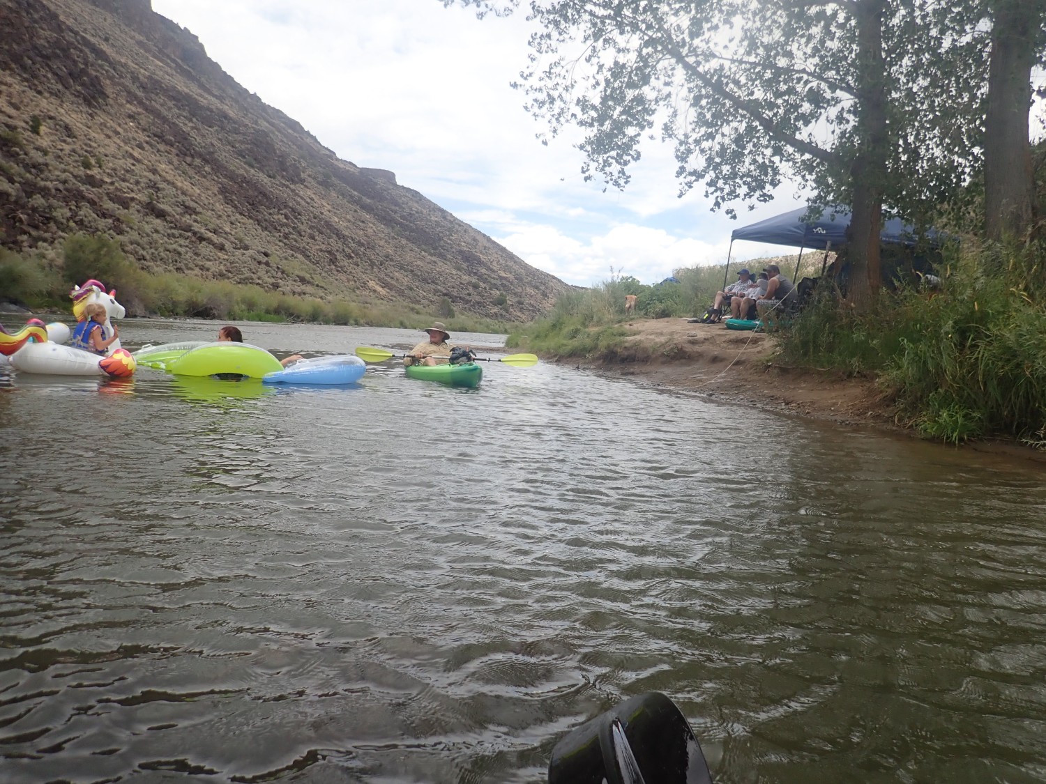
Lots of families picnicking on the river.
We pass a rock with about five ducks relaxing on it. Alas, I cannot get my camera out of my pocket in time for a photo.

Fortunately, Gary had better luck, and passed along his photo for me to post.

Ahead, the Pilar Cliffs.
The cliffs are underlain by very old rock, in the ballpark of 1.65 billion years old. The lower part (lighter in color) is the Glenwoody Formation, thought to be volcanic ash laid down in a basin behind a coastal mountain range. The upper part is Ortega Quartzite, laid down as beach sand in another part of the basin, then shoved over the Glenwoody Formation during a continental collision 1.4 billion years ago. Geologists call the depositional basin the Pilar Basin and the two episodes of mountain building the Yavapai Orogeny and the Mazatzal Orogeny. They were important episodes in the assembly of the southern United States as part of the North American continent.
We reach our exit point, and I can barely get out of the kayak, I’m so tired and stiff. And I have fairly spectacular bruises on my sides and back today, and feel like I walked six miles on my hands. And I had the time of my life. Thanks, Gary, for inviting me. Let’s definitely do it again, once my scar tissue has had time to harden up.
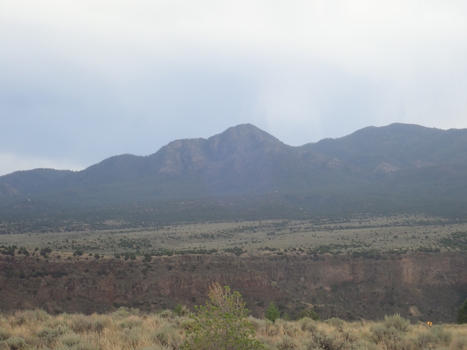
We load the kayaks and drive up to Taos Junction to pick up my car. Gary’s great-grandfather was a homesteader at Carson. We decide to drive up the side of the canyon to the area.
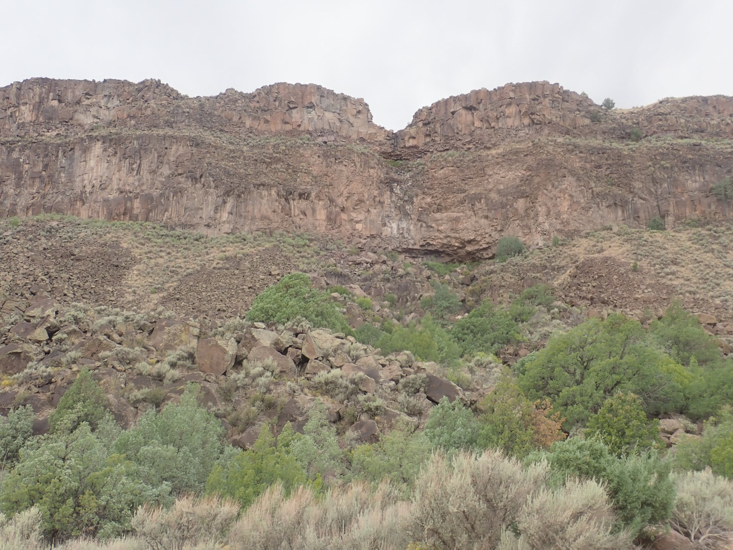
Close view of some Servilleta Basalt.
I see at least two individual flows here. They’re impressively thick.
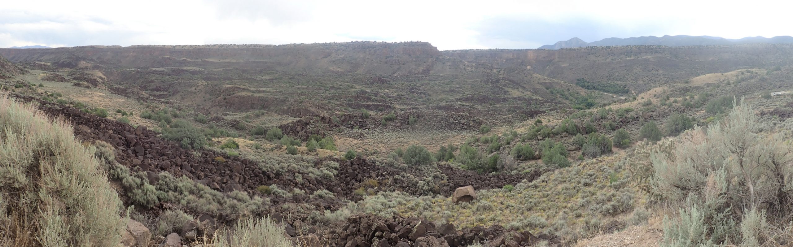
Panorama to the east
For new readers: You can click most images at this site for a high-resolution version.
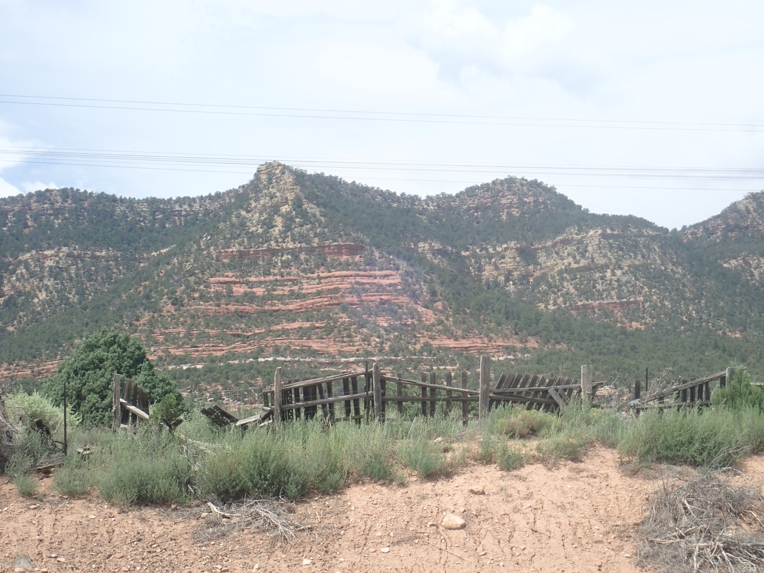
The weather has become rather muddy, alas. We got rained on a couple of times in the river, and now it’s bad for photography. Which is too bad, because the many beds of lava across the canyon are impressive.
Some of these are blocks of lava from the rim that have slid intact into the lower part of the canyon.
No, that’s to the right. This peak has no name on the map.
Taos Mountains.
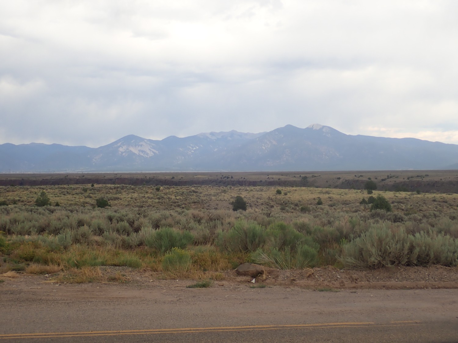
The high bald one to the right is Pueblo Peak. The one at left with all the white patches is Lucero Peak. I don’t believe Wheeler Peak, the highest point in New Mexico, is visible; it’s hidden behind Vallecito Mountain at the center of the photograph.
Then home. We carpeed the diem out of this one.
One thing we didn’t do much is hike. So the next morning I consider where I might do some light hiking. Lately I’ve been trying to get photos of formations at their type sections, so I looked at some possibilities there.
A type section is supposed to be designated for every new formation identified. A geologist can study the formation at the type section and then trace it out across the landscape, often to great distances. However, a lot of older formations were named before the modern formal rules went into effect, and they have no type section. And sometimes there’s no one good section that shows the whole formation, so a type location has to be identified instead.
I think about photographing the type locations for the Arroyo Ojito Formation or Juana Lopez Member, but decide I’d save those desert locations for winter hikes. I decide instead to try to find type locations for some formations around Glorieta Pass.
So I throw a lunch in the car and head out. I can see storm clouds gathering over the mountains, but it looked like clear weather over the pass if I hurry.
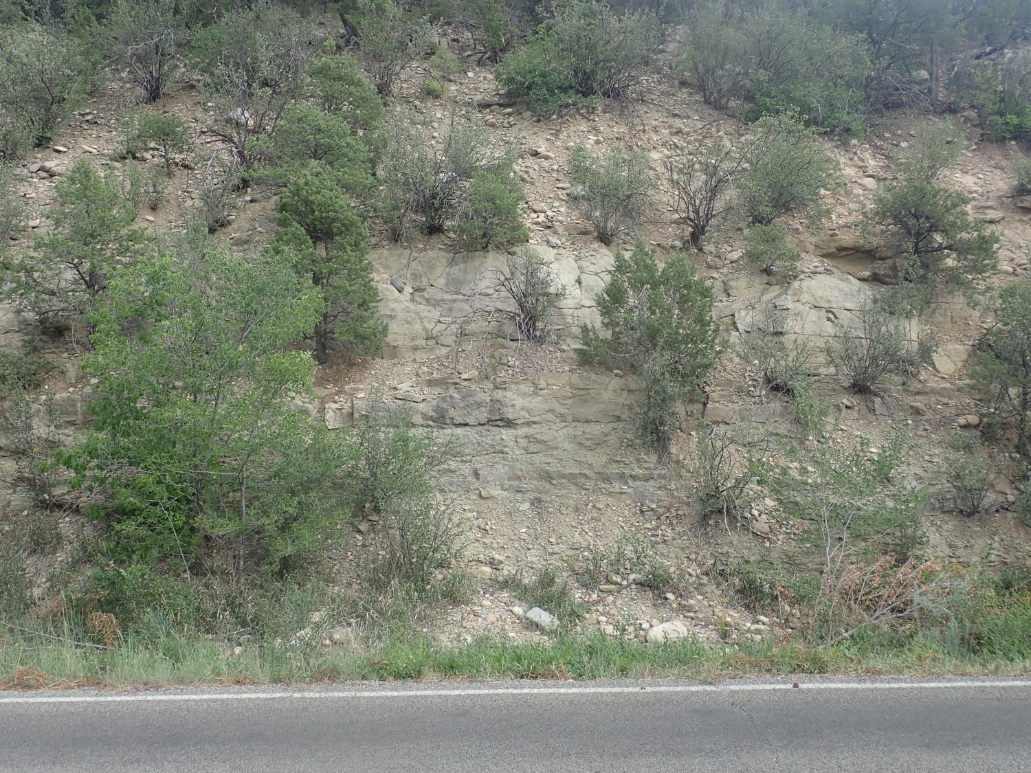
Another shot of the Puye Formation on the way.
This one I’m fairly satisfied with; it will go into Wikipedia.
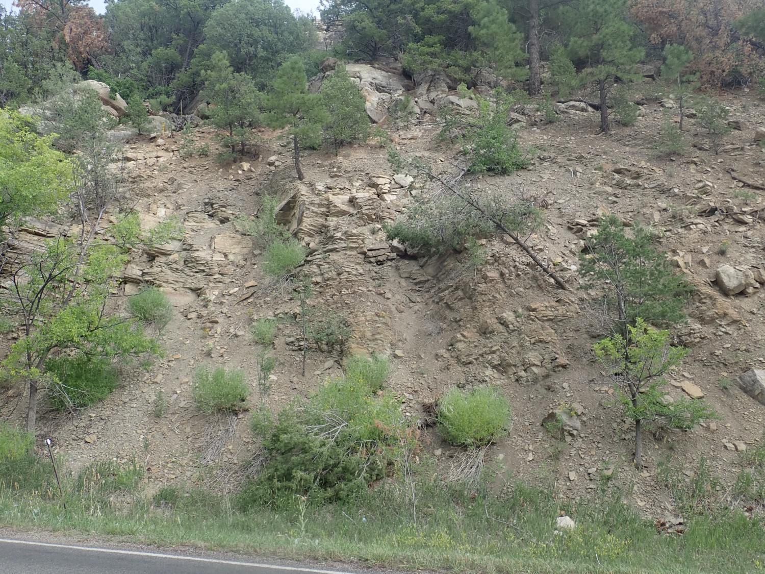
And, mostly on impulse, this one as well.
The field is flatter, but with the background thunderhead, I’m not sure it’s actually an improvement on the one already at Wikipedia. This is Los Barrancos, known to Anglos at one time as the Pojoaque Bluffs, and it isthe type location for the Pojoaque Member of the Tesuque Formation. More rift fill sediments.
I drive through Santa Fe and take the interstate to Las Vegas. Here I’m in unfamiliar country. Hey, what’s this?

If I’m reading the geologic map right, the massive sandstone is the Triassic Santa Rosa Formation. The red beds at lower right are the Bernal Formation. Except I’m looking at an older map, and the Bernal Formation is apparently no longer a thing; these beds would be mapped now as Artesia Formation. Either way, the red beds are Permian beds.
Triassic: About 200 to 250 million years ago. Permian: 250 million to 300 million.
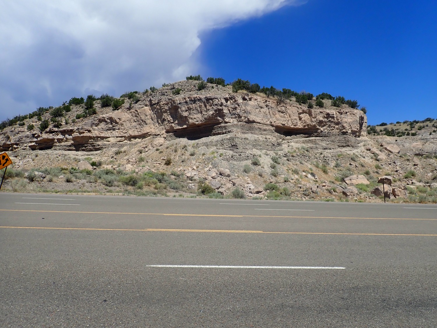
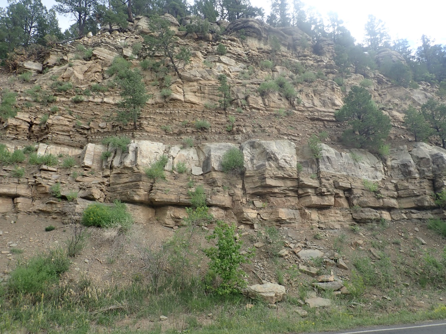
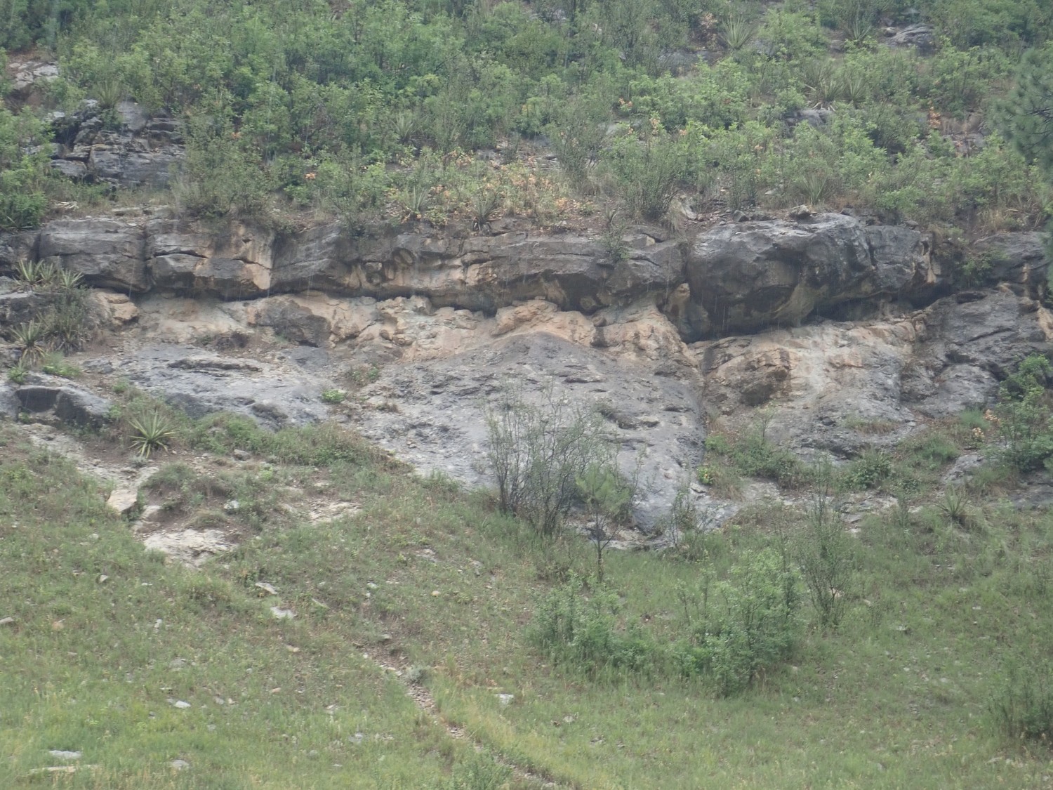
I arrive at Rowe before it completely clouds over, and get several photos of the type section of the Glorieta Formation. This is probably the best.
The beautifully exposed red beds in the lower part of the cliff are Yeso Formation, whose type section is a good hundred miles to the southwest. The light gray beds above are the Glorieta Formation at its type section.
This is a good place for a type section because the contact with the Yeso Formation is very clear, and the contact with the overlying Artesia Formation is also present, though not clearly visible from this angle. So the entire formation is nicely exposed in one spot.
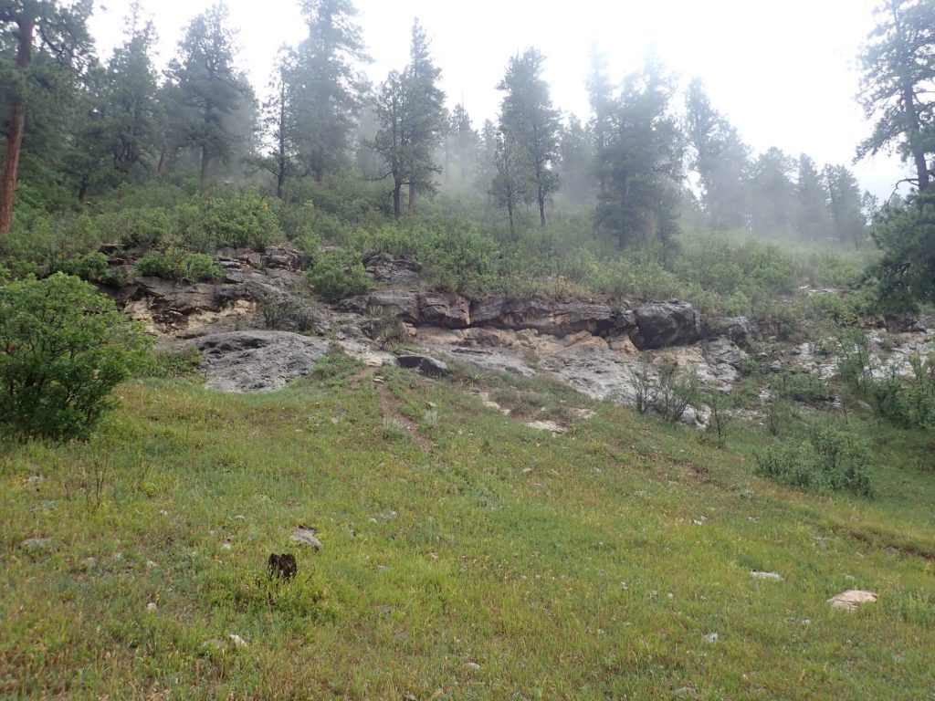
I head north for the next formation, the Pennsylvanian Alamitos Formation. This one is fully exposed in no one location, and so there is no one this-is-the-place type section to photograph. But here is my first glimpse in the type area:
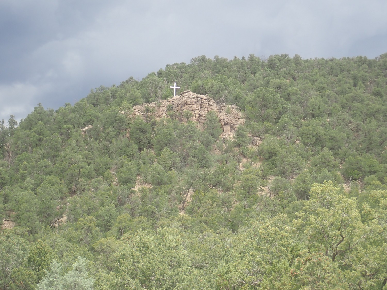
The cross is because this is close to Our Lady of Guadalupe Abbey.
And looking west, this is probably as close as I will come to a type section photo — though it’s marred by muddy weather than is rapidly closing in.
This is probably the one for Wikipedia. Though I really need to come back some morning on a clear day for a really good photo. This trip probably best chalked up as a reconnaissance.
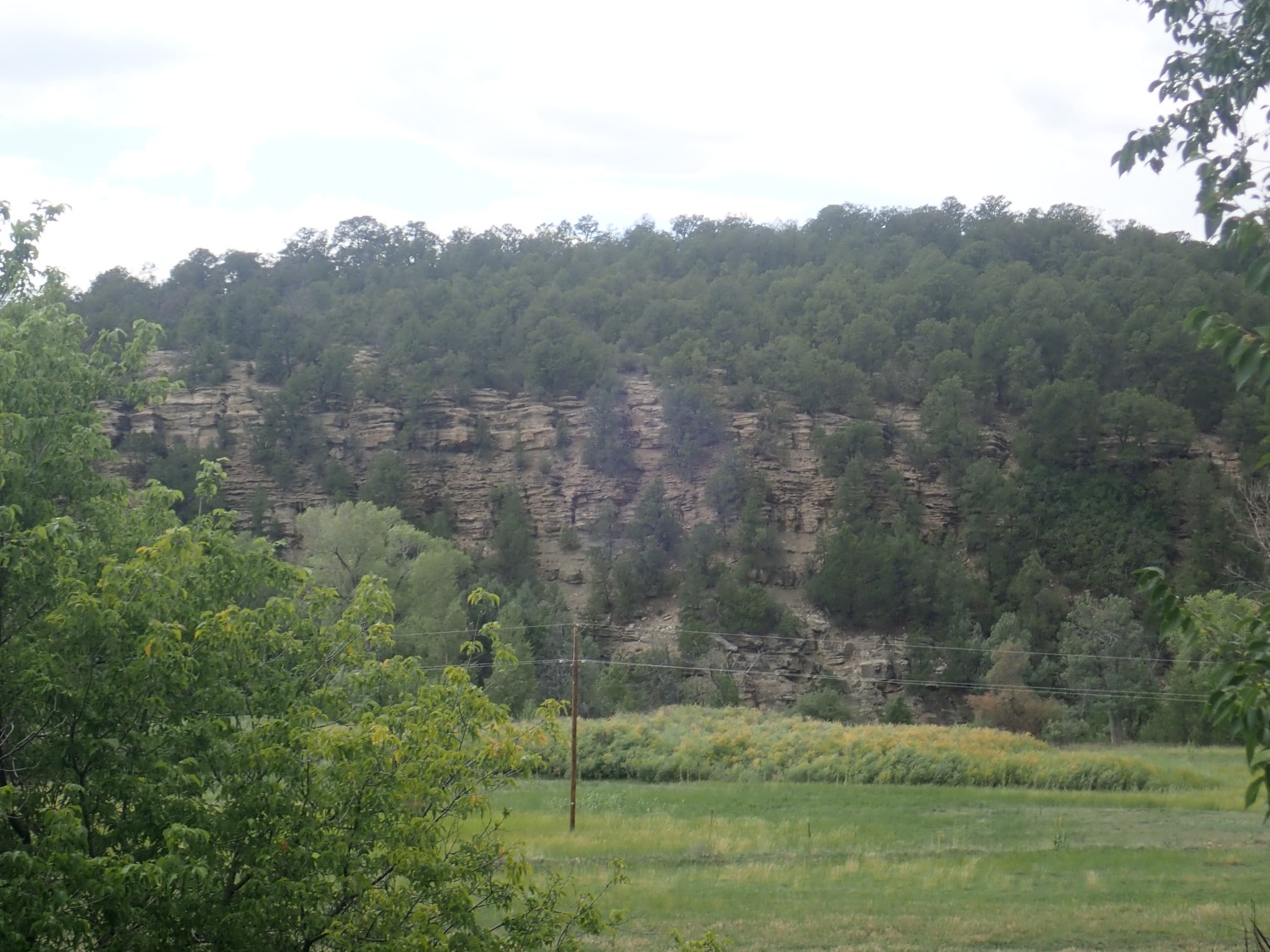
I start to see some nice exposures in the road cut, here
and here
and, ooooo, here:
I examine some rock fall. There are traces of fossils.

The Alamitos Formation is muddy limestone and limy sandstone and conglomerate. It’s typical of the late Pennsylvanian in New Mexico, and the uppermost beds actually slop over into the Permian. Its counterpart in the Jemez, the Atrasado Formation of the Madera Group, is wonderful fossil hunting ground.
Hullo, what’s this?
The next formation on my list is the La Pasada Formation. Its type section is described as “Dalton Bluff overlooking Dalton Campground”. Problem: There is no Dalton Bluff marked on any map I can find, and the map shows a Dalton Picnic Area, a Dalton Fishing Area, and Dalton Canyon, strung out along a considerable stretch of river valley; but no Dalton Campground. I’m left guessing.
But the geologic map does identify these exposures as La Pasada Formation. Or I think so; the massive bed may actually be the underlying Tererro Formation.
Ah; there are people camping here. Perhaps the outcrops to the north are the type section.
I’ve mentioned before that “dignity” is not a strong requirement for a type section.
Turns out, when I get home and check my sources, that the type section is probably in exactly the opposite direction. It’s a good 1000′ of canyon wall. However, it’s covered with brush, doesn’t look that dramatic, and I don’t photograph it. This is another one to come back and photograph some bright clear morning — probably in early summer so the light will be perfect.
But these beds are indeed La Pasada Formation; just not the type section. It’s alternating limestone and shale beds, just a little older than the Alamitos Formation: Early to middle Pennsylvanian.
Around the corner, a promising outcrop.
I’m thinking this is massive limestone of the La Pasada Formation. But then the rain comes pouring down and I scurry to my car before taking a closer look. It’s pretty clear the rest of my day will be pure reconnaissance, getting to know the area for better photography some other day.
Turns out this is actually Precambrian amphibolite. Interesting in its own way.
I reach the little settlement of Tererro and look for the campground. I take the wrong turn but soon realize my mistake. I turn back and park at the (closed) local store and eat my lunch. The rain is still coming down but I see some distinctive beds to the west.
Tererro Formation? You think?
I pull onto the other fork. The campground has conflicting signage; it can’t seem to decide if it’s closed. The gate is partly open. I decide to park outside and hike.
And this, so far as I can figure, is the type section of the Tererro Formation.

The published description of the type section is: West side of Pecos River, about 75 yards north of Holy Ghost Creek. Yup. Old quarry. Uhh… I don’t see any obvious old quarry, unless this is it. Could have been a small one and long closed.
I continue north into the campground.

Looks like an old mine here.
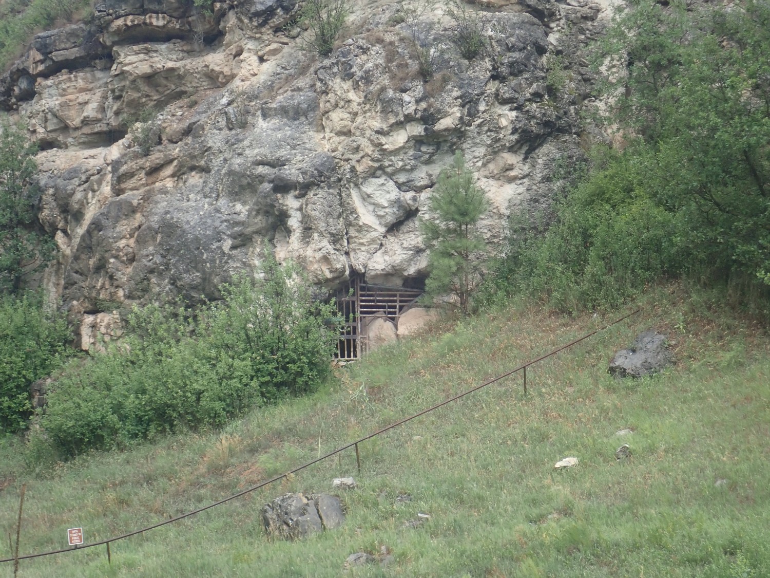
Or more likely just an old cave. Marine limestones like the Tererro are not notably rich in mineral resources. (They do sometimes have cool fossils.)
This looks interesting.
Since I’m still figuring out the lay of the ground, I wonder if this might be the type section (Probably not; too far north.) Still a nice section.

The boulder looks like it might be a collapse breccia, which is what the lower beds of the Tererro Formation are supposed to be. This is a product of deep erosion of limestone that excavates caves and tunnels that just ask to crumble and collapse.
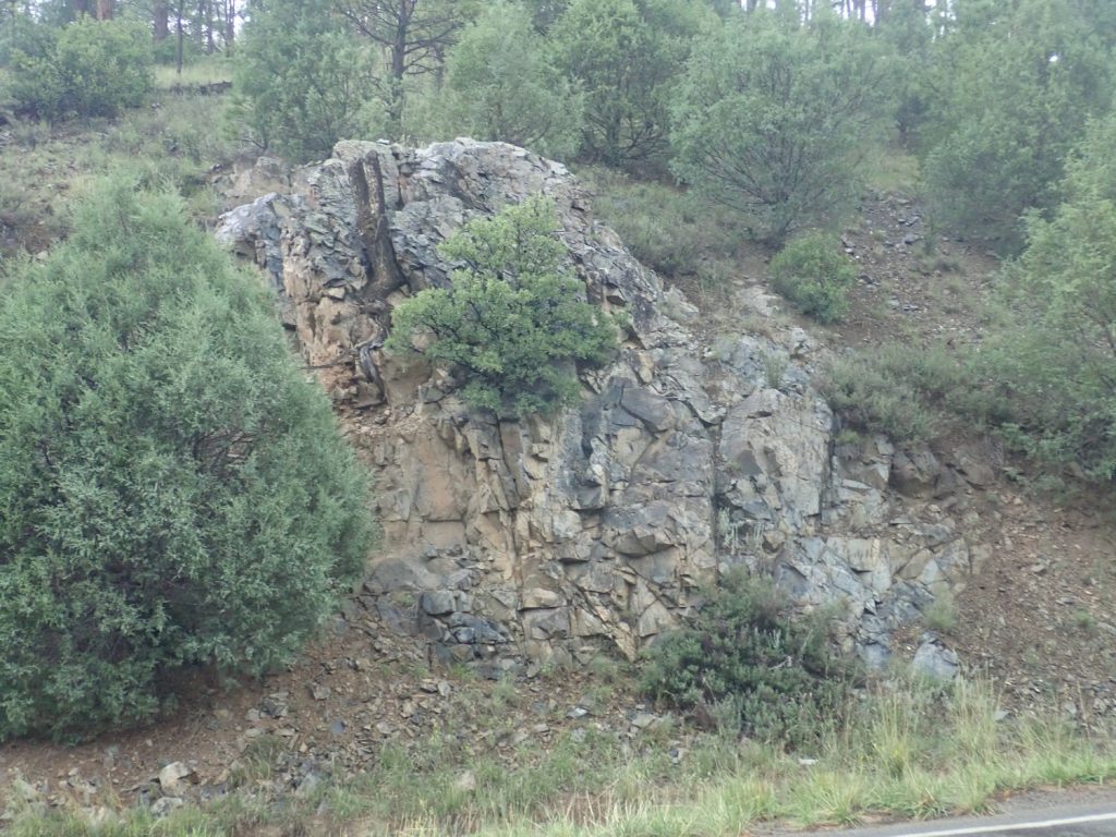
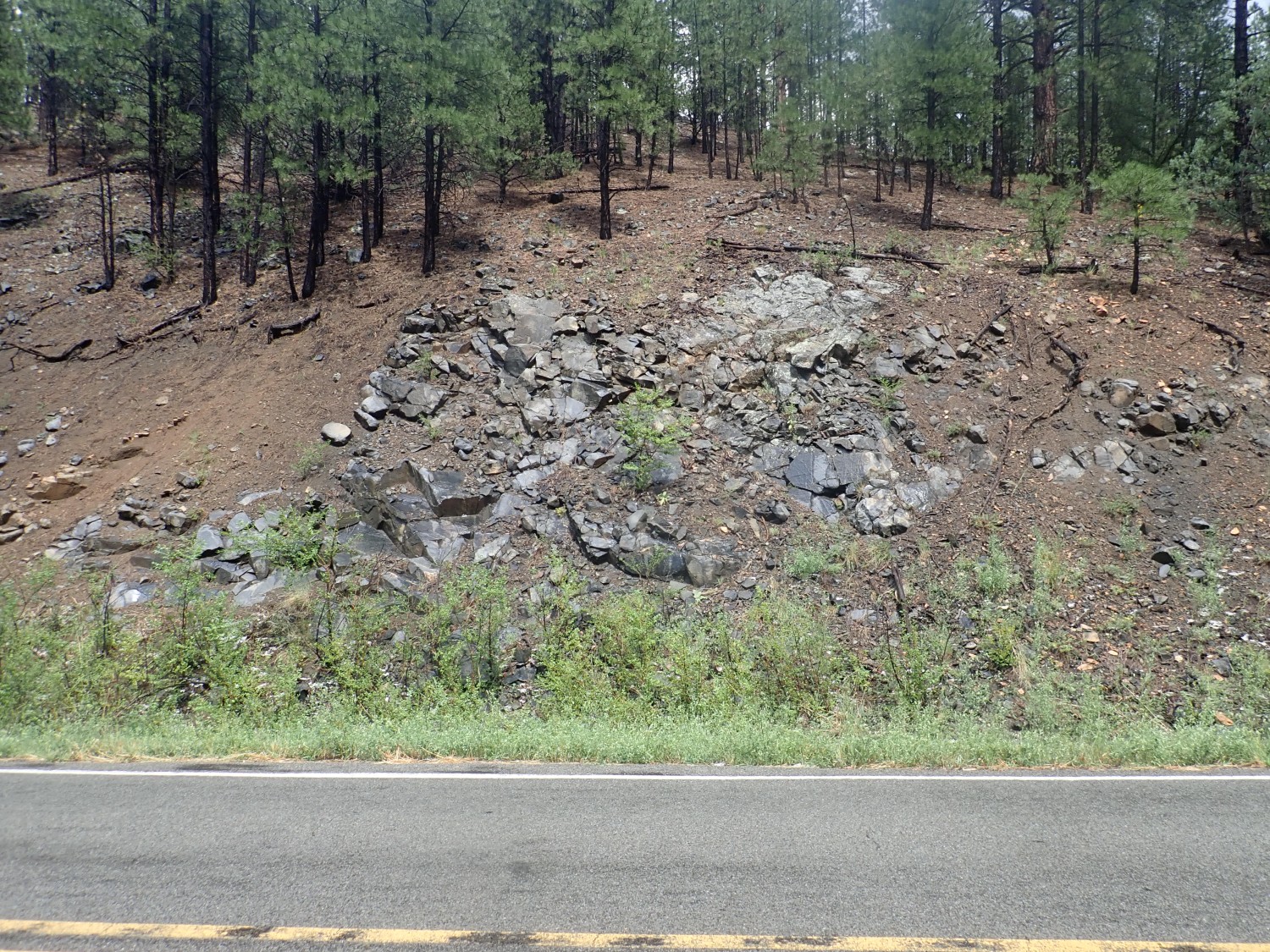
Heading out, I see a nice granite outcrop.
Well, maybe granite. It’s rather fine-grained. Turns out it’s metarhyolite of the Jones Rhyolite, 1.72 billion years old. This is almost the oldest rock in the area. We’re looking at the very bones of the mountains here, where an island arc collided with what was then the south coast of North America and was welded onto the continent (Yavapai Orogeny).
I start seeing patches of dark rock along the road that I figure must be amphibolite from the same island arc. Amphibolite is usually metamorphosed basalt lava flows. The best patch:
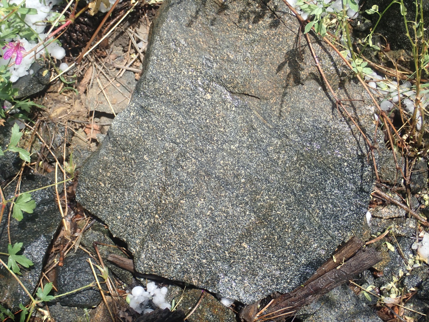
A pretty rock, in its way. A patchwork of feldspar and amphibolite — pretty much what basalt is, except the dark mineral in basalt is usually pyroxene, a non-drinking relative of hornblende.
Okay, that joke probably was too subtle even for some geologists. Pyroxene and amphibolite are both chain silicates, with nearly the same composition. But amphibolite has water as part of its crystal structure and pyroxene does not.
From there, home. With a pretty decent Puye photography for Wikipedia, a pretty decent Glorieta type section photograph for Wikipedia, a good road cut and somewhat mediocre type section photograph of the Alamitos formation for Wikipedia, and a decent type section photograph of the Tererro Formation for Wikipedia. I’m going to have to come back for better La Pasada type section photos, and I’ll probably want to redo the Alamitos type section photo while I’m there.
I shop a bit in Santa Fe on the way back. The fish store has a fairly sorry selection; pandemic. I do get a replacement betta for my betta tank and some otos and snails to control algae in the quarantine tank. All seem active and healthy this afternoon; if they survive the first 24 hours, they have an excellent chance of surviving long-term, in my experience. A very pretty betta, too. I’ll post pictures when it’s a little bigger.