Wanderlusting to Nowhere
I think I would probably have just rested up this weekend, except the beautiful weather continues to hold but is expected to end today with a big winter storm. I hate to waste a good weekend when the season is practically over.
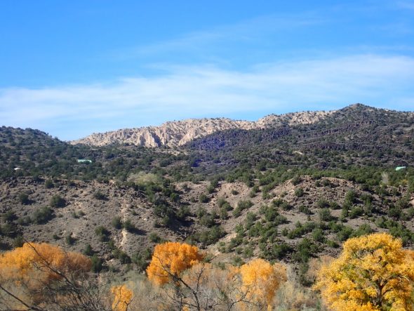
So Friday I got a little exercise by hiking the Camp Hamilton Trail. This begins just where the main road into Los Alamos comes onto the top of Los Alamos Mesa. This area is also known as the East Gate area.
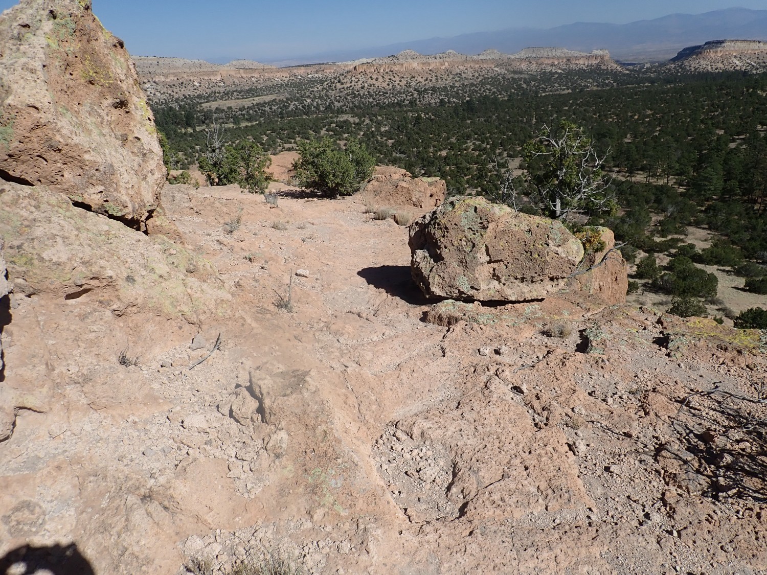
I pull over too soon and the trail I find rapidly ends up at a sheer cliff. At least it’s a nice view.
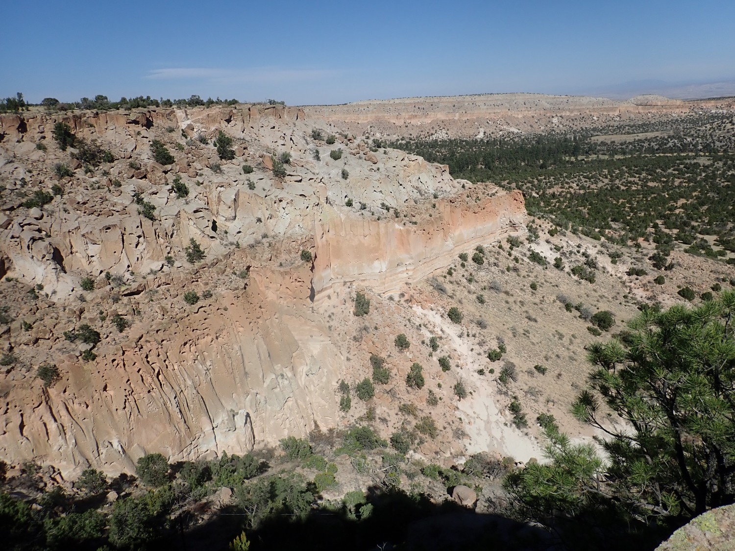
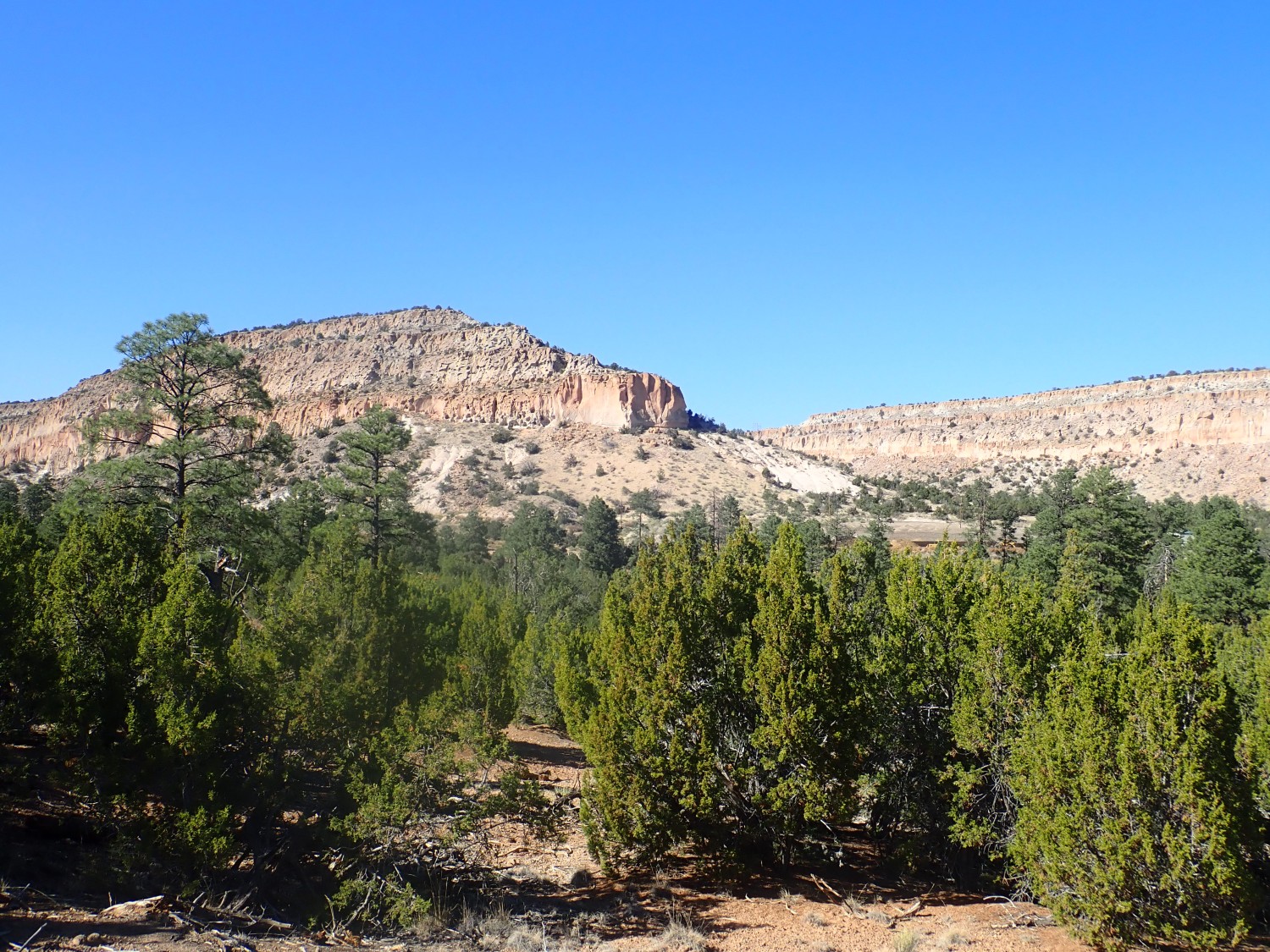
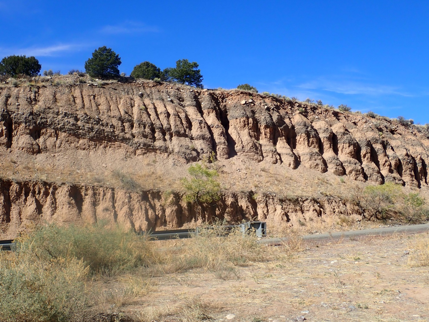
I’ve photographed this area before, but it’s a beatiful time of day for photographing it again. We’re looking at a spur of Los Alamos Mesa. The thin beds at center right are Pueblo Canyon Member, Cerro Toledo Formation. These beds are a mixture of alluvium (sediments carried in by water) and pumice fall from the Cerro Toledo domes to the northwest. Below, under a cover of soil and vegetation, is the Otowi Member of the Bandelier Tuff; above are cliffs of the Tshirege Member of the Bandelier Tuff.
Don’t worry; for new readers (Welcome!) I’m going to unpack all that. Los Alamos is located just east of the Jemez Mountains, which is a large volcanic field going back at least 14 million years. About 1.62 million years ago, a truly enormous eruption emptied a giant magma chamber in the heart of the mountains. The erupted magma was rich in gas and silica, and silica makes magma (molten rock with dissolved gas) extremely viscous. The stuff can barely make it out of the ground as a liquid. Instead, the dissolved gas bubbles out at such high pressure that the magma essentially explodes into a mixture of red-hot gas and tiny shards of half-molten volcanic glass. If this mixture mixes with enough air as it comes out of the vent, it forms an eruption column that carries the gas and glassy shards (volcanic ash) high into the atmosphere. The stuff then falls out over the surface downwind to form fallout beds. If the mixture comes out of the vent so fast and furiously that it does not have time to mix with much air, it remains heavier than air and flows like a fluid across the ground. These ash flows can travel great distances before the ash settles to the surface and consolidates into a porous rock called tuff.
The Toledo eruption produced an enormous ash flow in essentially one big belch that was deposited as a tuff called the Otowi Member. It’s part of the Bandelier Formation, which is where geologists group all rock beds formed by ash flows from the Jemez within the last couple of million years.
After the Toledo eruption, residual magma in the collapsed magma chamber continued oozing to the surface, periodically erupting pumice that fell to the surface downwind. This mixed with stream deposits to form the Pueblo Canyon Member. Both the Pueblo Canyon Member and the lava domes within the caldera that erupted the pumice are grouped into the Cerro Toledo Formation.
1.25 million years ago, another ginormous eruption empied the magma chamber again. This produced the Valles caldera, which obscures most of the older Toledo caldera. The ash flows from this eruption were deposited as the Tshirege Member of the Bandelier Tuff.
I go back to my car, drive a little further on, miss my trail head, come back and park opposite it as far off the highway as I can manage. This time I find the right trail.
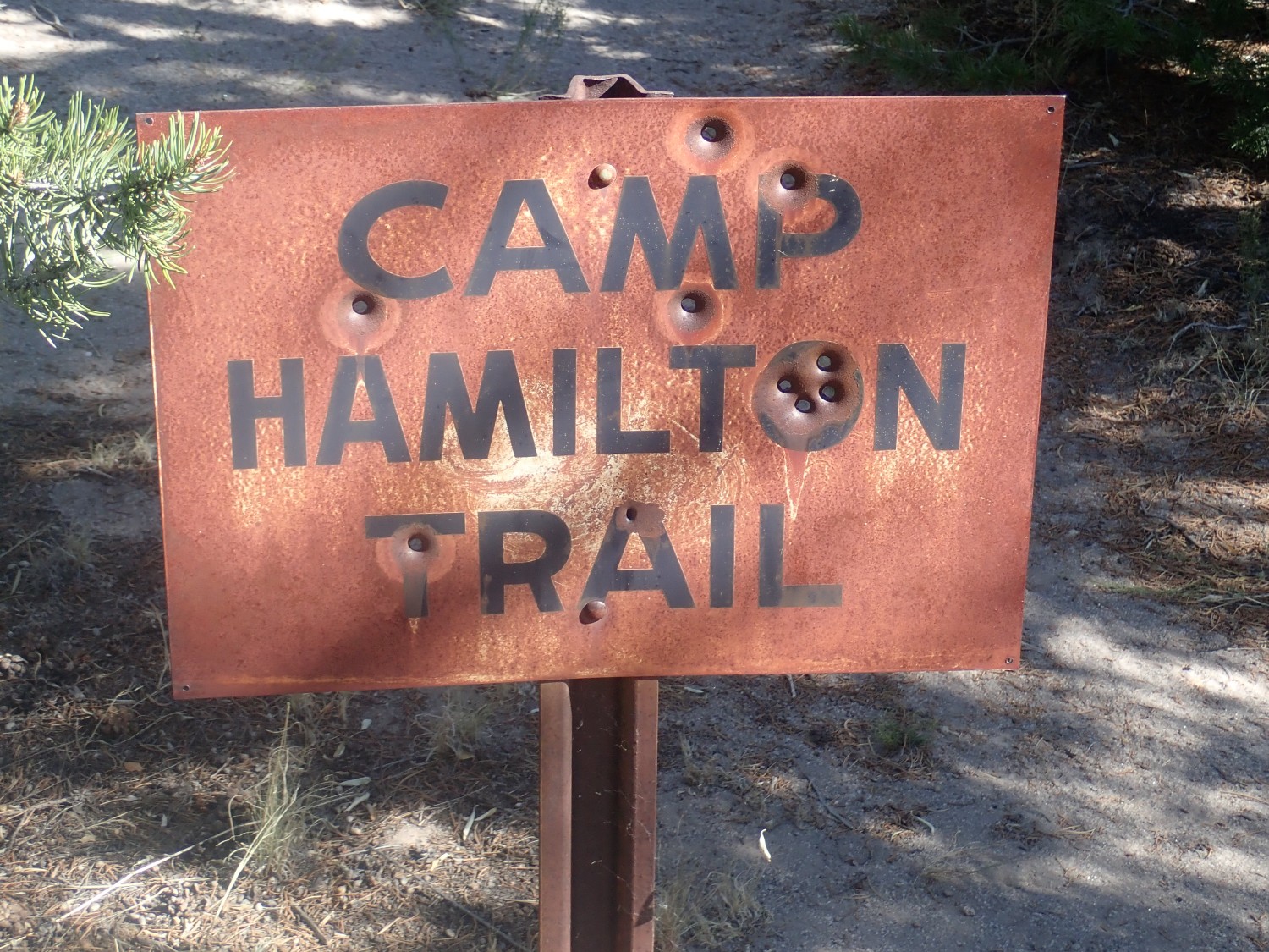
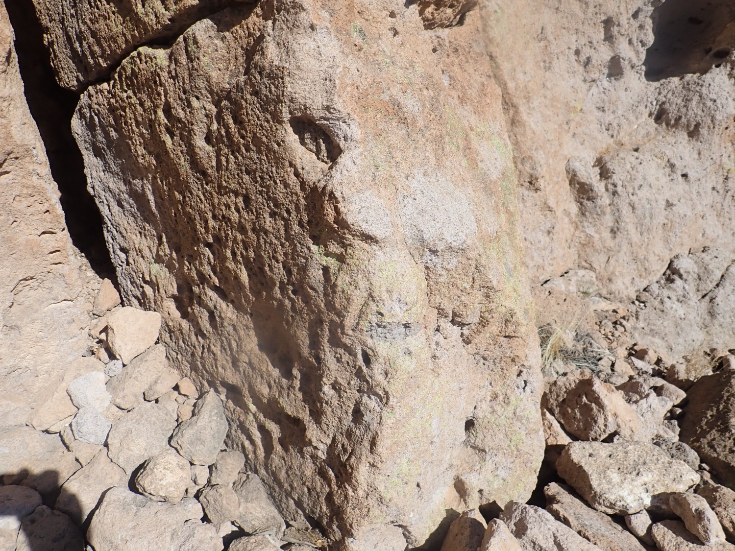
I don’t understand the bullet holes. I suspect beer is involved. (Evil Kent: “Nice grouping.”)
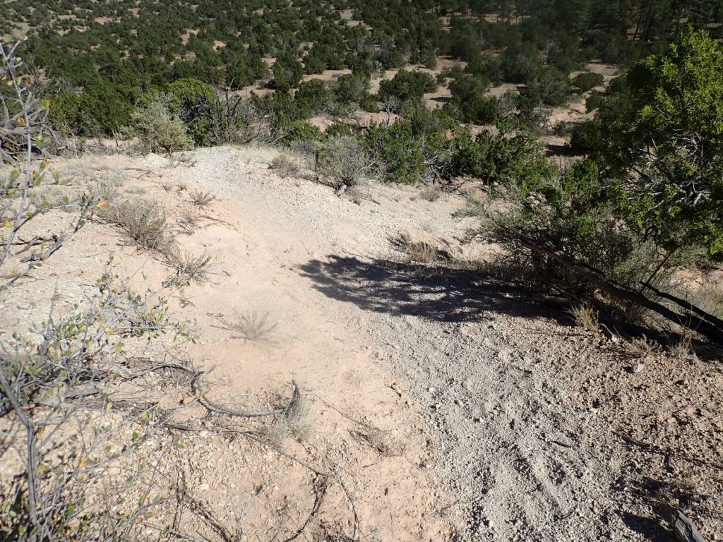
The trail crosses the mesa and then descends.
Geologists have divided up the Tshirege Member ito several beds, which likely represent individual pulses of the eruption. We are hiking here on the upper surface of the “C” bed (or QTb 2 bed; there is more than one scheme published.)
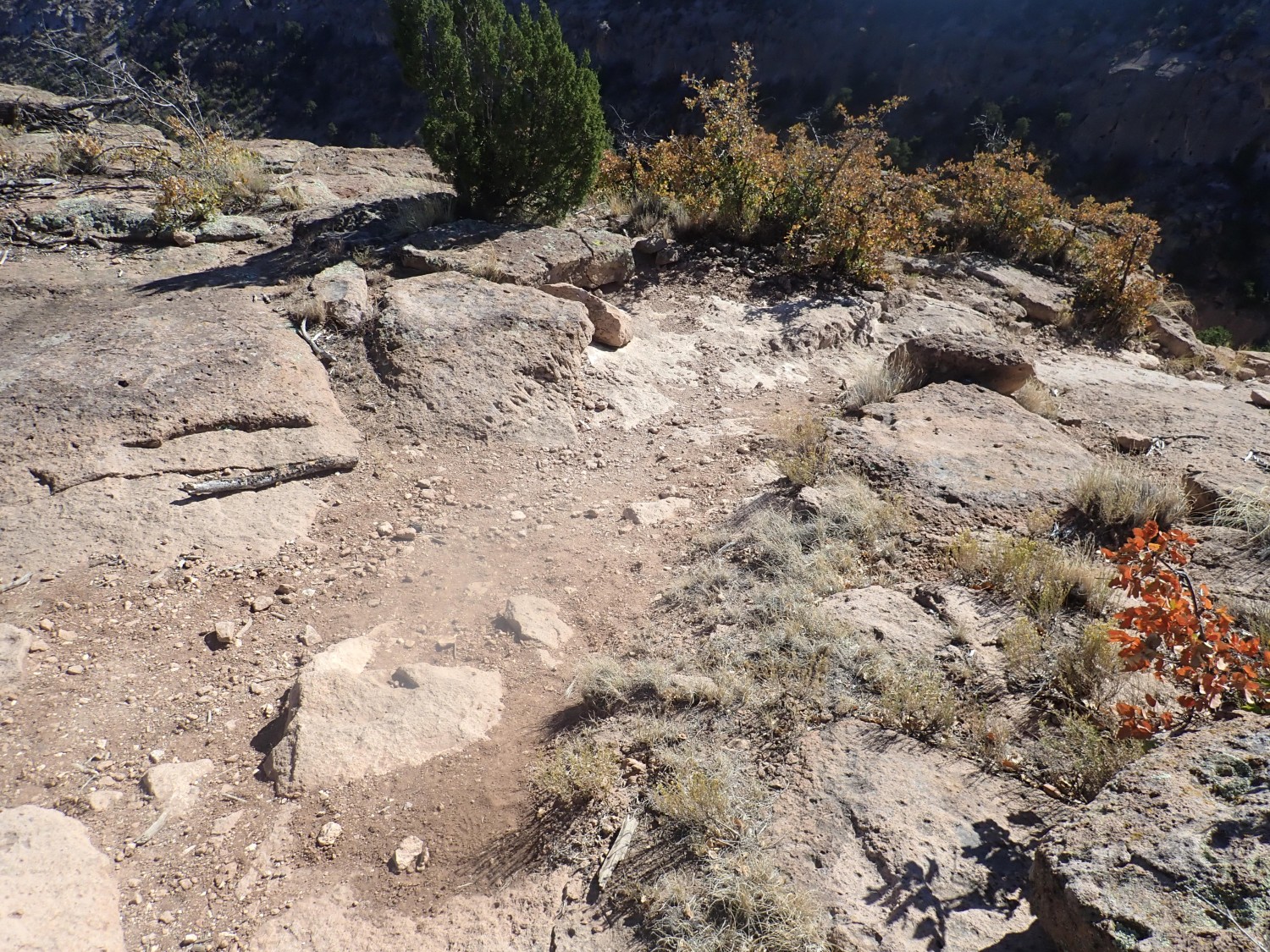
The trail is obviously maintained.
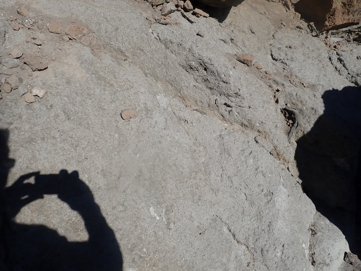
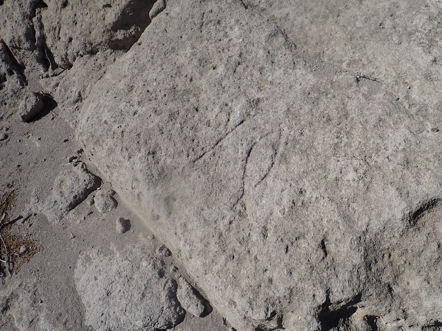
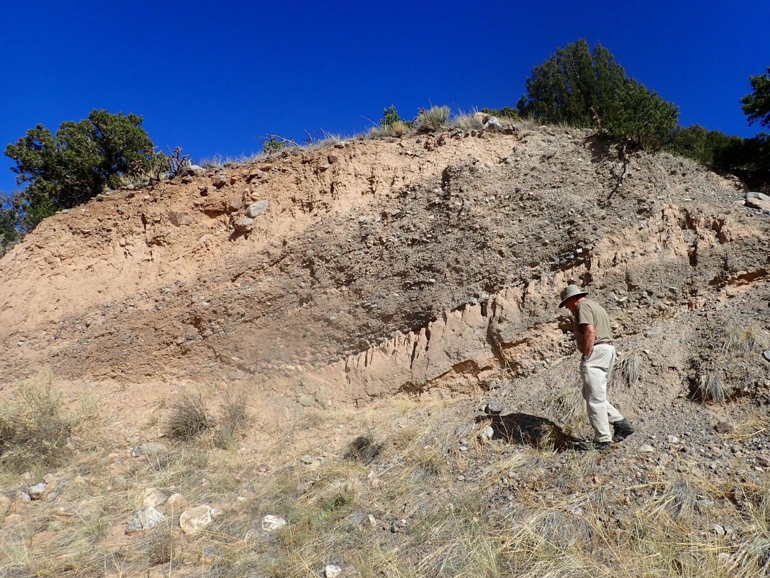
Close view of C unit beds. You can see bits of pumice, caught up in the ash flow, that were softened and flattened as the ash congealed on the surface. This indicates that this is a welded tuff, where the ash was still partially molten and the individual ash fragments glommed on to each other.
Further down, we enter the “B” bed (or QTb 1). The flow is a more gray color and appears to be unwelded.
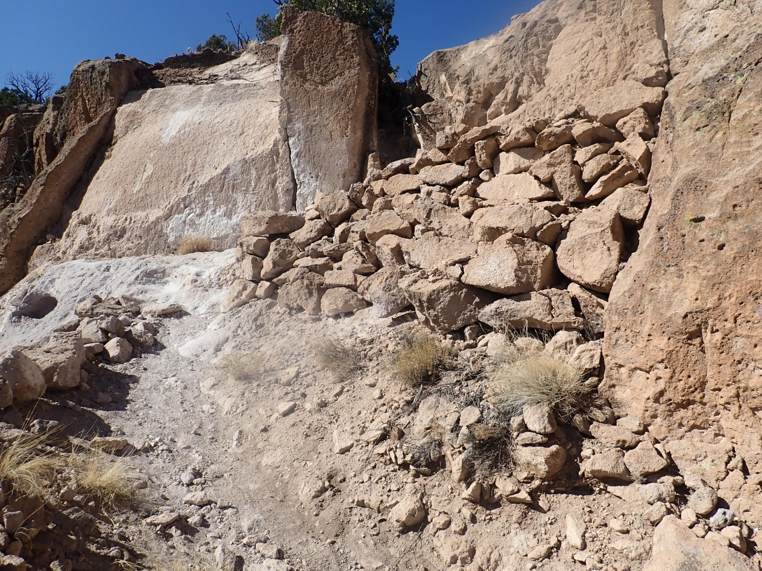
If I can trust what I Googled up, the Camp Hamilton trail was part of the Los Alamos Boys’ School that preceded the modern community. The trail led to a cabin in the bottom of the canyon (Pueblo Canyon) that was used for winter adventuring. The marks here do not look like Native American symbols but are very plausible as Boys’ School marks.
The trail is deeply etched in places.

Here we come out on the top of the A bed (or lower QTb 1 bed). The GPS coordinates are a bit off; GPS does not always function well near cliffs or in canyons.
The top of the A bed is often marked by a shelf or a deep notch in the side of cliffs. Oddly, it is not thought that this is a separate flow from the B bed; the tuff below and above is identical chemically and texturally, differing only in that the tuff below has devitrified (the glass has crystallized) while the tuff above still consists of microscopic glassy shards. This boundary is thought to have developed after the flow settled to the surface, due to subtleties of the chemical effects of residual gas within the flow.
Further down is what I identify as Pueblo Canyon Member pumice.
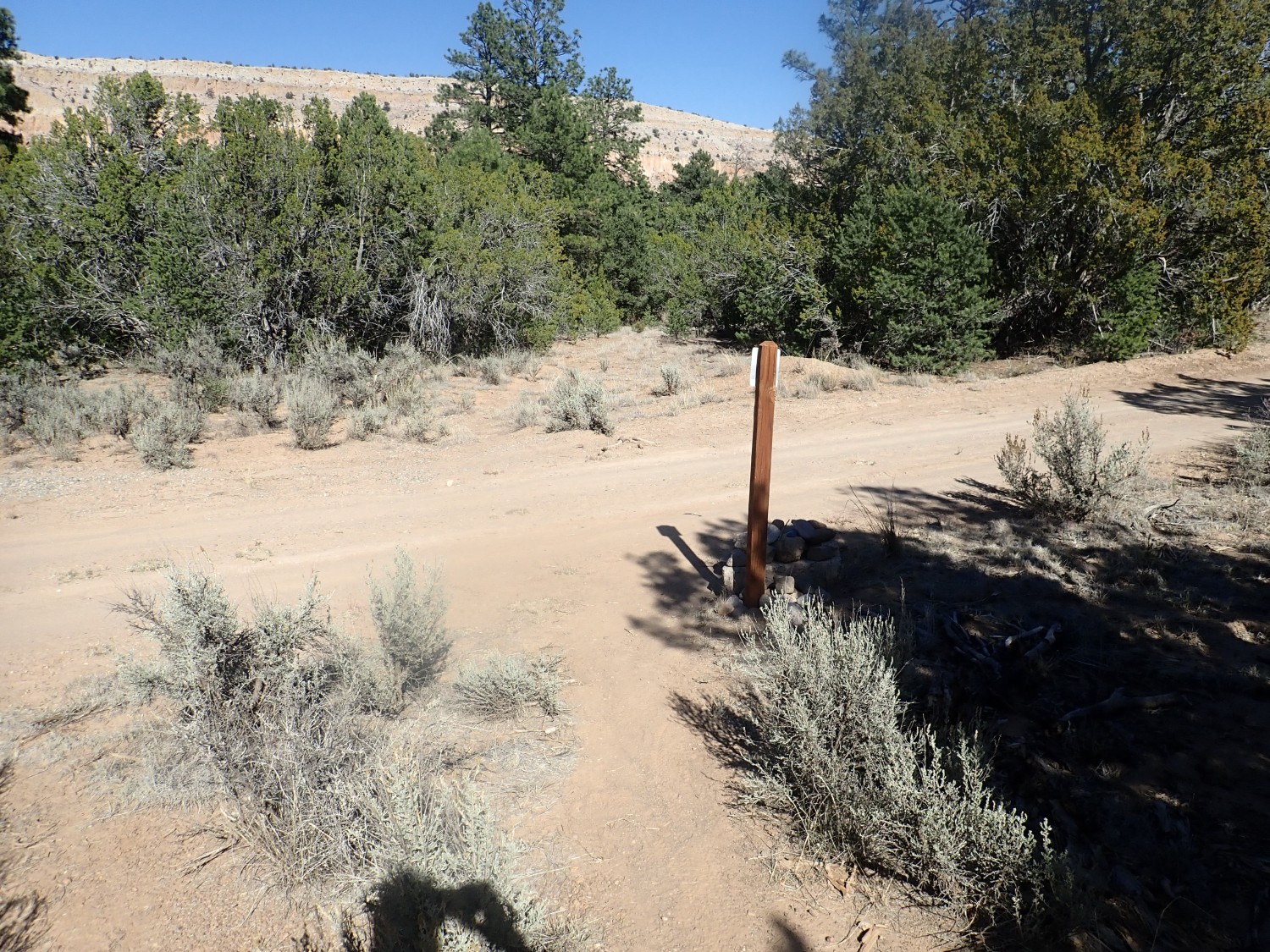
I come to a trail junction.
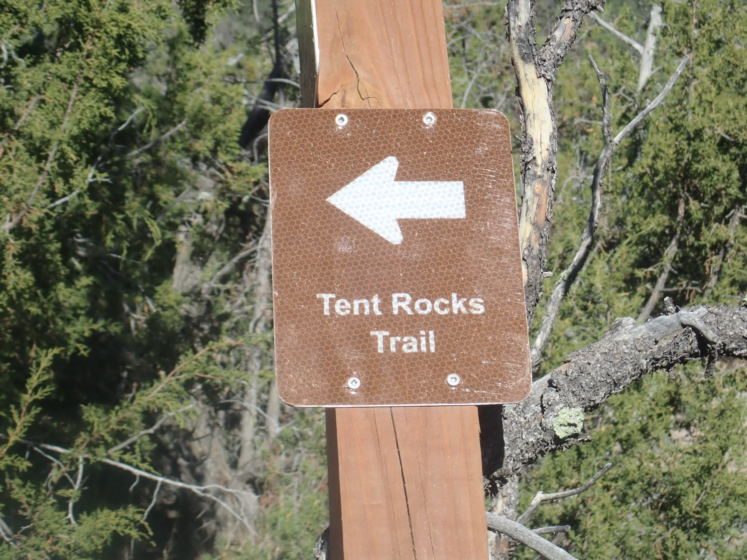
The tent rocks are cool, but I’ve been there before. I proceed ahead to see what’s there.
Wildflowers.
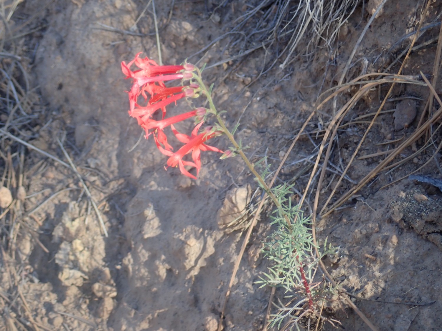
Scarlet penstemon, Penstemon rostriflorus, judging from the finely divided leaves.

This is tuff formed of ash that was washed from its original deposits to form new (usually, more poorly consolidated) deposits downstream.
The trail takes me into an area of distinctive gravel.
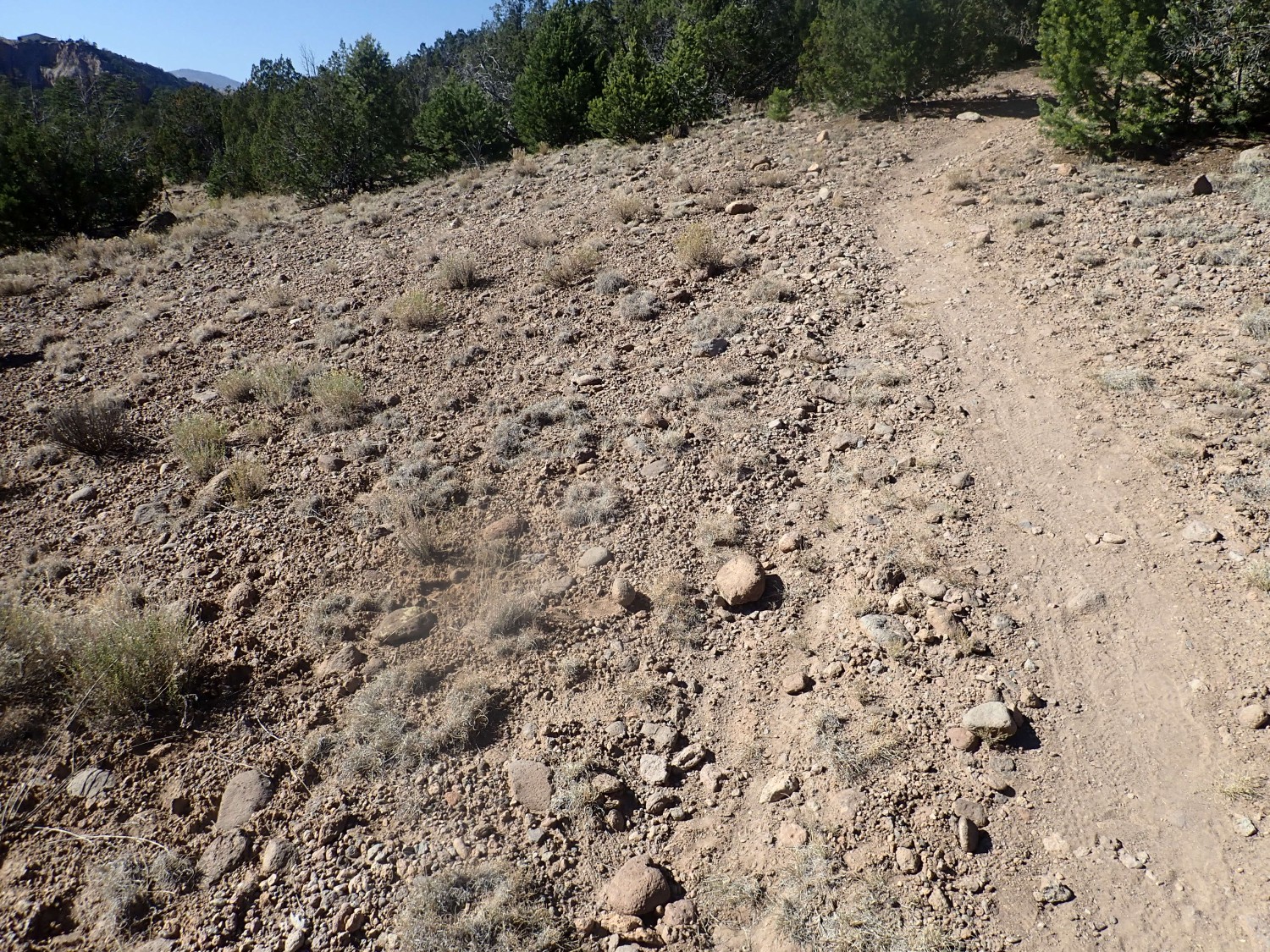
The geologic map describes this cryptically as Qtpu. Q : Quaternary in age, less than 2.5 million years. tpu: Piedmont alluvium, undivided. This is apparently younger than Cerro Toledo Formation (so less than 1.25 million years) and tends to form long ridges in canyon bottoms, like this one. The gravel is distinctive because it is mostly Tschicoma dacite, weathered from the mountains just west of Los Alamos. Tschicoma dacite is volcanic rock moderately enriched in silica that erupted around 5 to 2.5 million years ago.
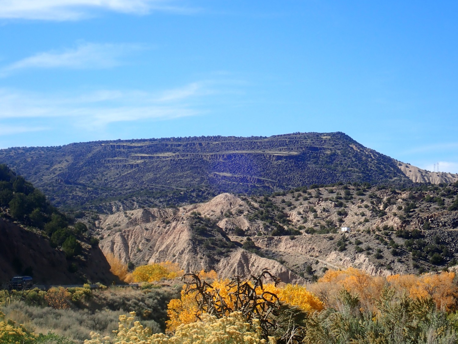
East end of Kwage Mesa.
End of the trail, where it comes out on a utility road. This one goes to the Los Alamos sewage treatment plant. Hard pass.
On the way out, a view of the ruins that give Pueblo Canyon its name.
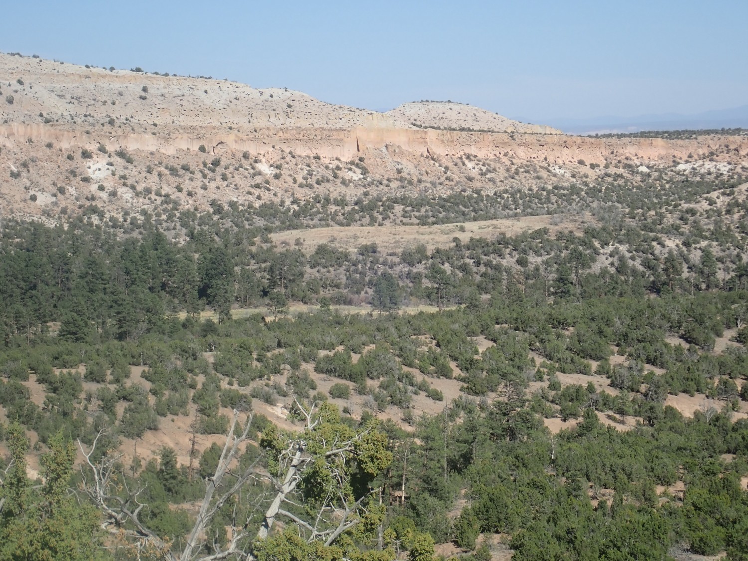
Completely unexcavated, and likely to remain so, since the descendants of the people who lived here (San Ildefenso) still own the land. But this was one of the largest settlements of the Pajarito Plateau. … Where? The bald patch atop the low hill.
I hike back. Elapsed time, about 90 mines, for a reasonably fit 58-year-old man.
Yesterday it was an attempt to hunt staurolite in the Picuris Mountains. I know of two sites; one I’ve described before. The other, which is a less strenuous hike through geology at least as interesting (but apparently not as rich of staurolite beds) is up Arroyo Hondo just north of Pilar.
Gary and I headed out and tried to find the turn. It was described to me as a forest road into an obvious arroyo that branches off the highway where it makes a broad loop to the east. We found what seemed like the right spot — north of Pilar, check; an obvious arroyo, check; highway loop, check; forest road, check.
We pull onto the forest road and it almost immediately becomes bad. We get out and hike. But it just doesn’t look right, and eventually we turn around and head back to the car. But at least there are some interesting sedimentary beds in this area.
Ortega quartzite with magnetite streaks.

There’s a lot of this stuff here. The Ortega Quartzite is ancient, around 1.65 billion years old. It records the advance of the sea into the Pilar Basin, a sedimentary basin that formed just behind the margin of the ancient North American continent when southern New Mexico (and southern Arizona and a broad belt of rock extending clear into Newfoundland) glommed on to the continental margin due to continental drift. It’s a very clean quartzite, meaning that it contains little but silica. The magnetite is a trace impurity, making up much less of the rock than it seems.
Across the highway:
and just north of the pullout:
The dark gravel beds are not basalt fragments off the nearby basalt flows of the Taos area. They are Precambrian Pilar Phyllite, a black rock which breaks into unmistakable flat plates when it is eroded. The few round chunks are Ortega Quartzite. This records stream flow out of the mountains to the east over 5 million years ago.
The geologic map identifies this as the Chamita Formation of the Santa Fe Group. The Santa Fe Group is rift fill sediment of the Rio Grand Rift. The road we pulled onto is atop a somewhat different formation, the Ojo Caliente Member of the Tesuque Formation of the Santa Fe Group, also rift fill sediment composed of very soft sand beds. Gary was rather impressed by these beds. I didn’t think to take a suitable picture; I was admiring other things.
Gary wonders if the bottom of the black layer, which is probably a low-energy stream channel, would be a good place to find placer gold. I should think so, except I don’t think much gold has ever been found in the Picuris Mountains. We have a good-natured debate about what one would do it one came across a five-pound nugget of gold on BLM land. (My guess is it belongs to the finder, under current prospecting law, but I’m not sure of that. As a matter of practicality, I’m not sure one would inquire too deeply about it. A nugget that size would be worth about $50,000 in very rough terms — as bullion. It might be worth more as a museum piece.)
We try a forest road further south, which hits a fork and then goes the wrong direction. (And up a steep and gravely hill.)
We never find the right road. Turns out it was the next loop eastward on the highway, and the road in is much better than the one we tried. It really does look like fascinating geology up there, as well as staurolite; it’s the type area for the Hondo Group of Precambrian geologic formations and I want pictures as much as fairy crosses. We’ll try again sometime.
On the way out, slumping along Black Mesa.
Also, gorgeous fall color. This is really a great time of year. Alas, it will probably end tonight with a big winter storm forecast to come in.
Ojo Caliente beds north of Black Mesa.

I’ll count that as my Ansel Adams moment for this trip.
And then home, where I need to make a happy birthday for Cindy, who turns 29 again. Part of the reason we gave up so soon when we couldn’t immediately find the right forest road was the need for me to be back in good time. Apologies again, Gary — we’ll try this again when the weather is favorable for it.
I get home and do my own chores, then start on Cindy’s. Our refrigerator filter is supposedly due to be replaced. Last time we ended up with a repair man out before we got the blasted thing in. But I saw what he did and am reasonably confident I can successfully change the filter this time. Nope; the old one comes out but the new one won’t lock into place. Confusticate and bebother. I look online; there is no useful information. It’s supposed to be easy. Well, the repair man left a spare filter cartridge holder with us last time; it turns out not to be hard to remove the old one, get the filter locked into the new one, then screw it into the refrigerator compartment and replace the cover, and it all works. I figured the cartridge wouldn’t lock because the design is inherently flawed; I still don’t like the design, but when I pulled the old one out, I saw that some parts that were supposed to be locked together had come unlocked. Could explain it. Turns out I could snap them back in place, so I still have a spare. But it’s a heck of a thing when changing a water filter cartridge on a refrigerator requires getting out the screwdrivers and partially disassembling the refrigerator.
And that leaves me little time for other chores. But I get Cindy a birthday card and gift card and flowers, and find time to do her usual vacuuming and mopping for her. (It’s what she asked for for her birthday.) I don’t get the sense she’s big on birthdays any more. I still am, but then I usually get gifts of books, which I look much forwards to.
Speaking of which, a couple of books I want to recommend as thoroughly enjoyable for a moderately well-informed amateur geologist:
Geological Evolution of the Colorado Plateau of Eastern Utah and Western Colorado
Carboniferous Giants and Mass Extinction
I’m also going through the newly released set of papers that was to have been the field conference publication of the New Mexico Geological Society this fall. No field conference due to COVID, but the papers were published anyway as a special publication. They’re much more technical than the books, but I’m thoroughly enjoying them.