Wanderlusting Mount Taylor, Day 4
We wake to another cloudless day for the final day of the conference.
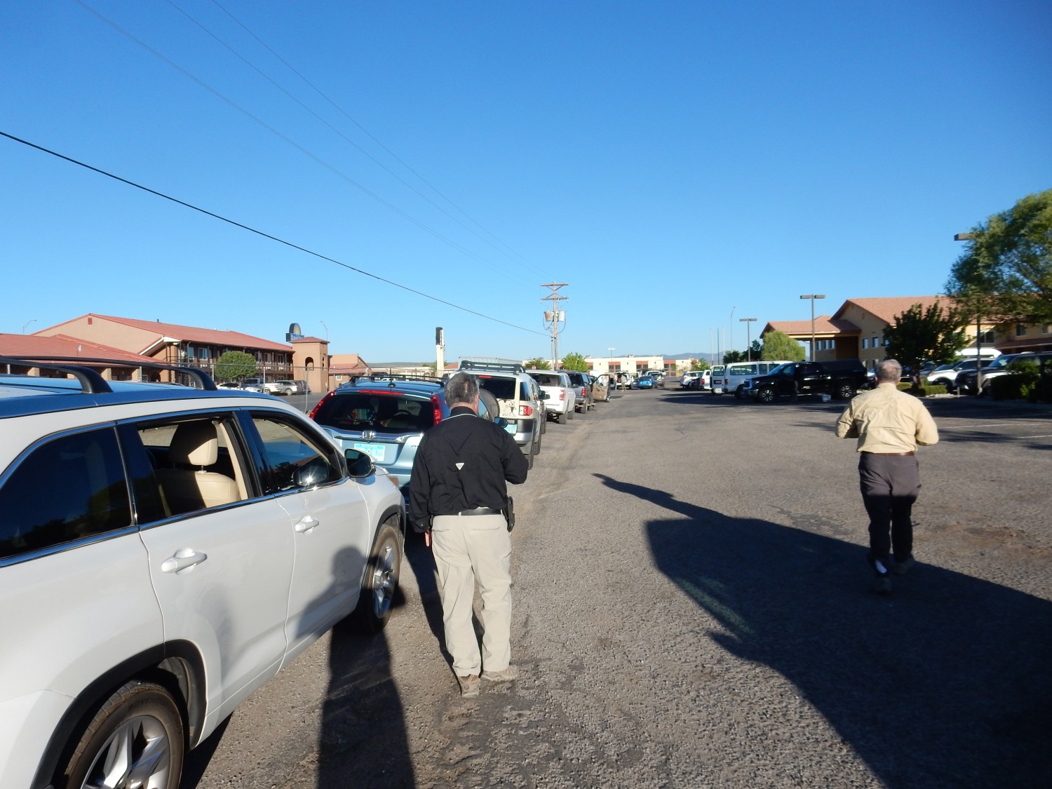
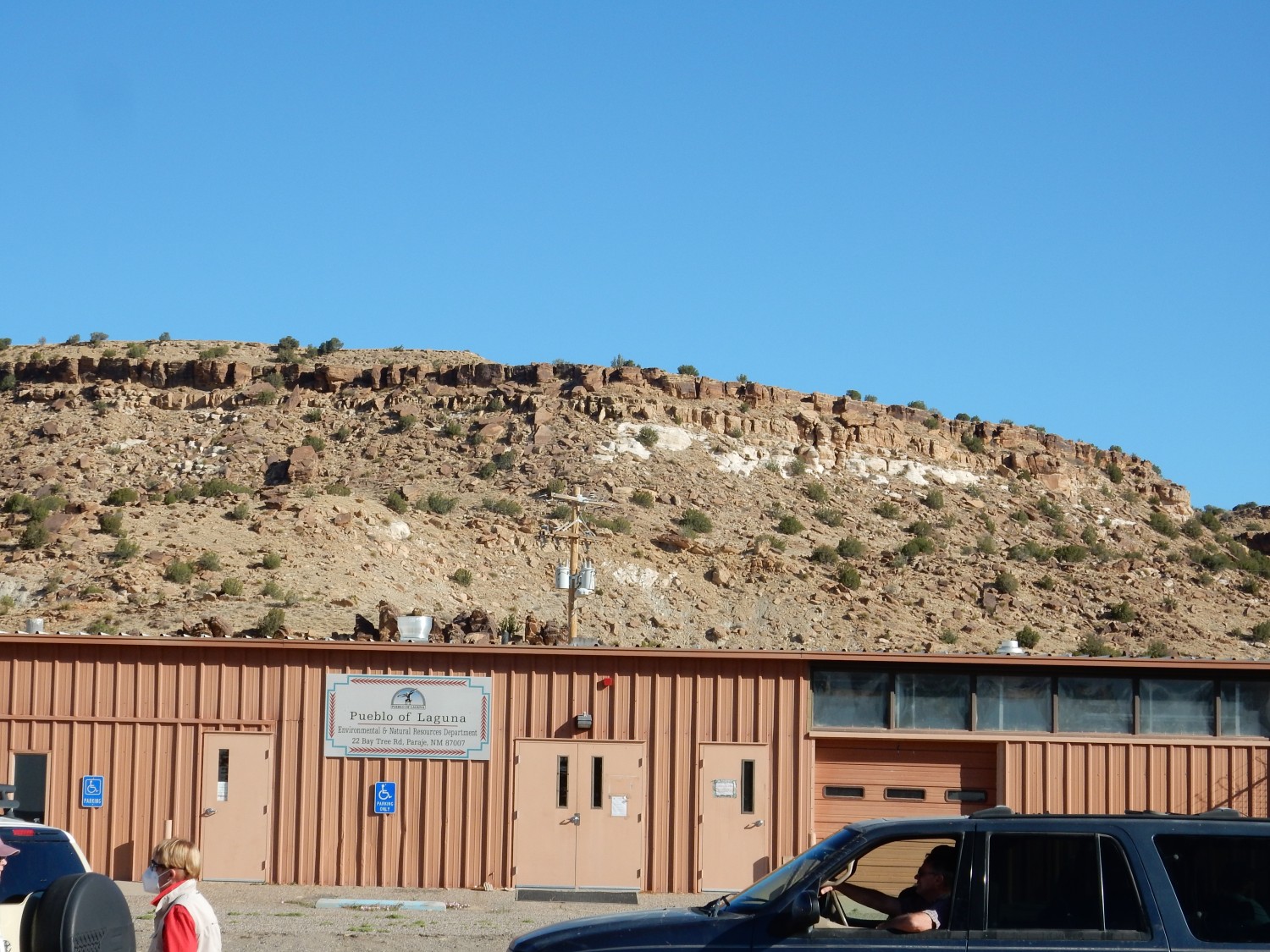
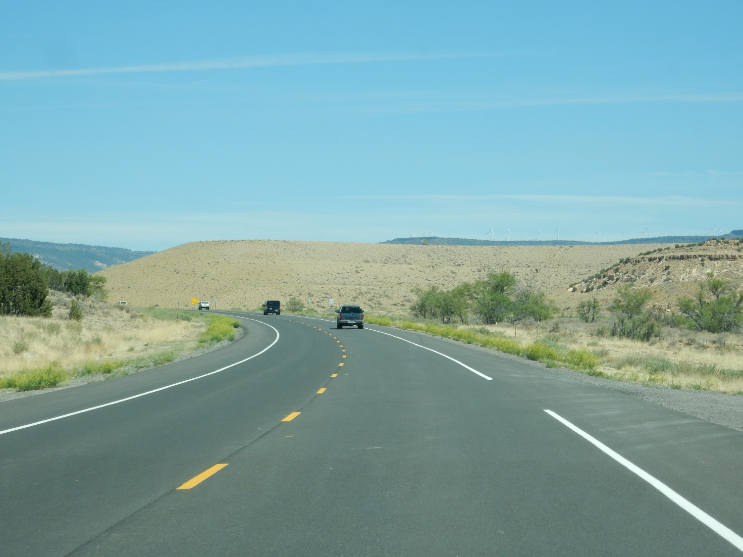
We will be seeing some of the uranium mining district east of Mount Taylor, and then some more volcanism. Since most of us will not be returning to the hotels afterwards, we rendezvous near Paraje to fill more seats in fewer vehicles.
I apologize profusely for not remembering the names of our passengers today. Well, mostly not remembering; I’ll always remember one as “Thomas Caldera” because his first name is Thomas and he tells us he was named by his parents for Thomas Caldera in Utah, where they were working when he was born. I’ve found that geology often seems to be a family vocation.
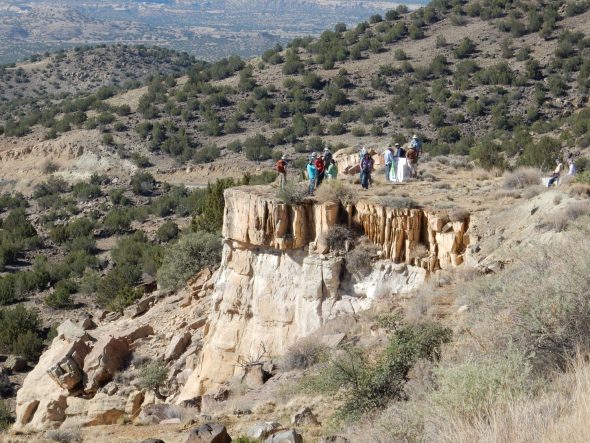
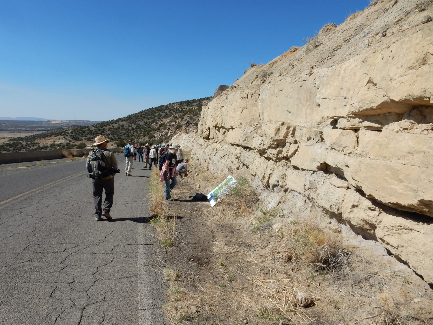
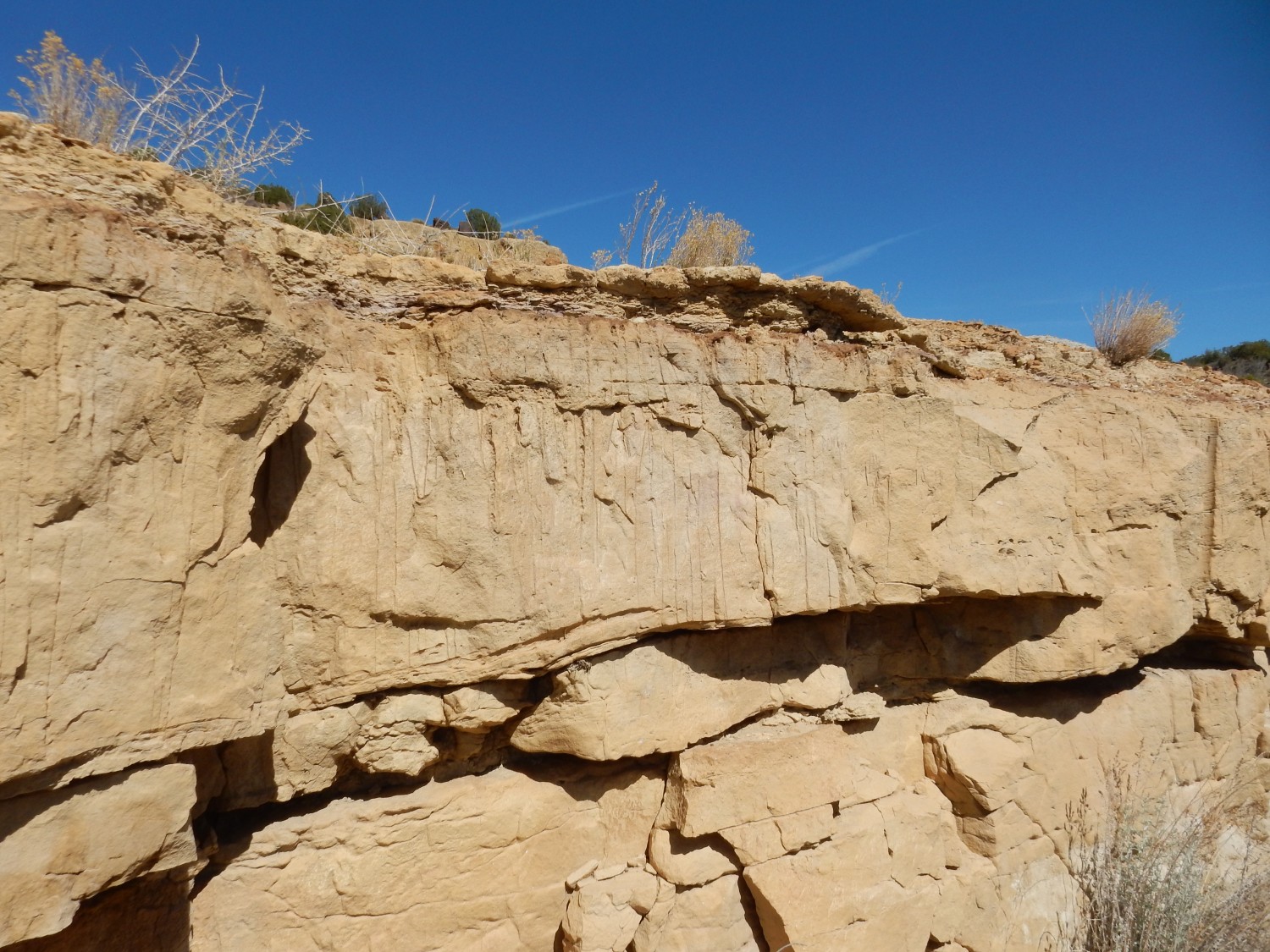
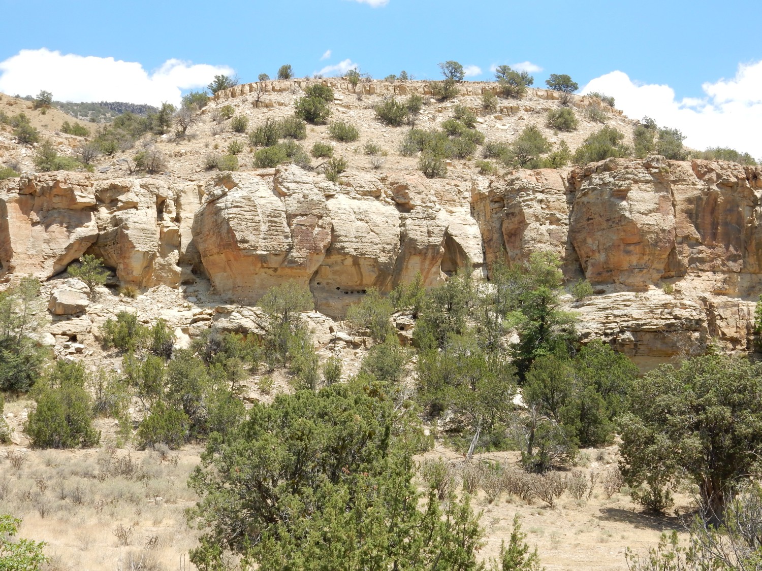
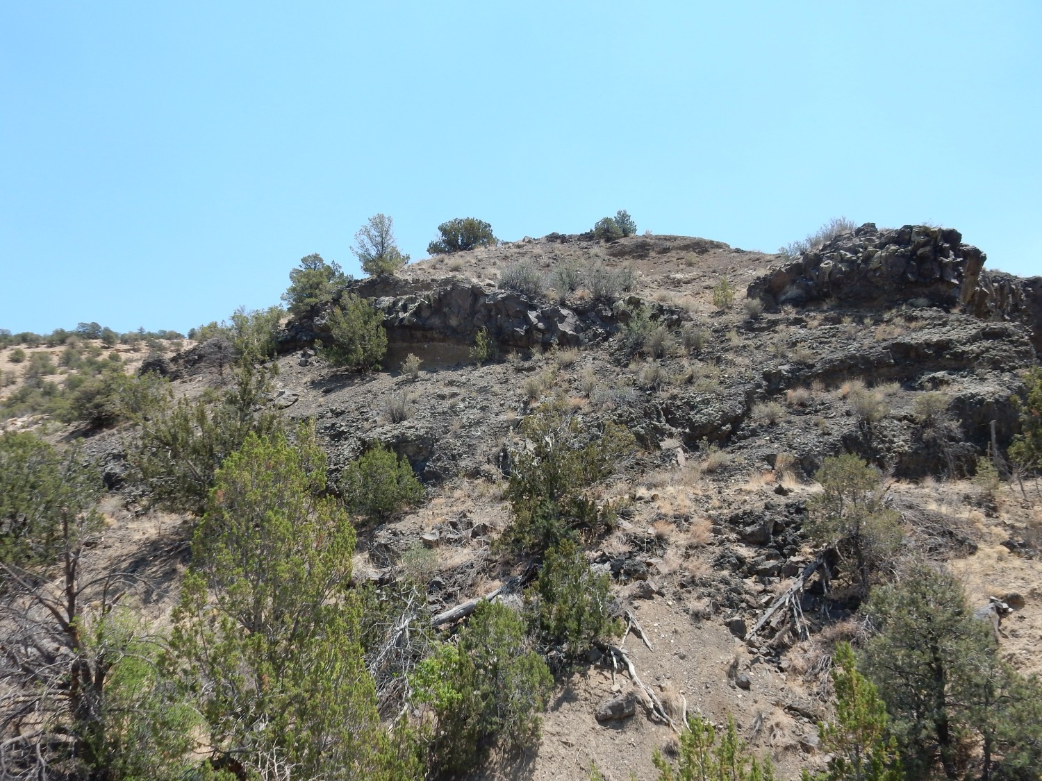
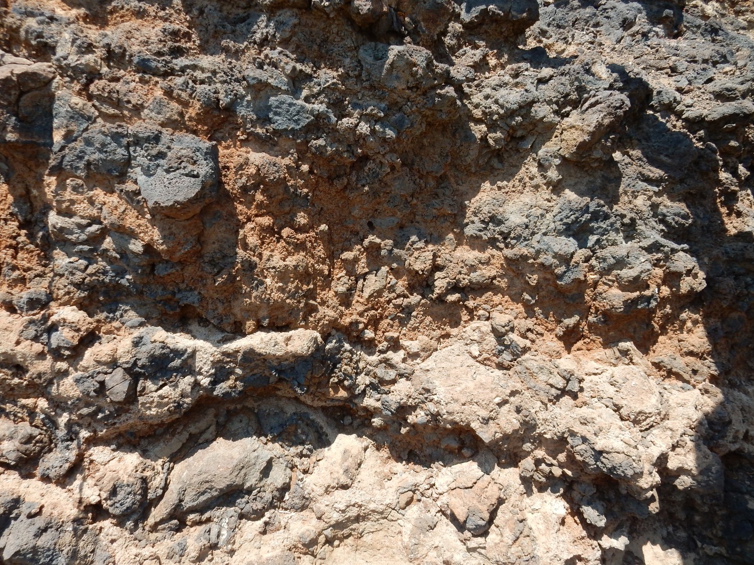
The cliffs to the west, along East Paraje Mesa, show us a unit not present west of Mount Taylor.
The map I have for this area is preliminary and slightly vague, but the mesa is capped with Dakota Formation; which member this is is a touch uncertain, but I’ll go with the Encinal Canyon Member. The white beds below the cap of sandstone belong to the Jackpile Member of the Morrison Formation, which we are seeing for the first time today. Well, that’s actually a matter of controversy; more shortly.
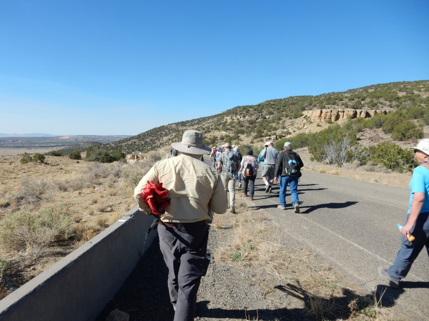
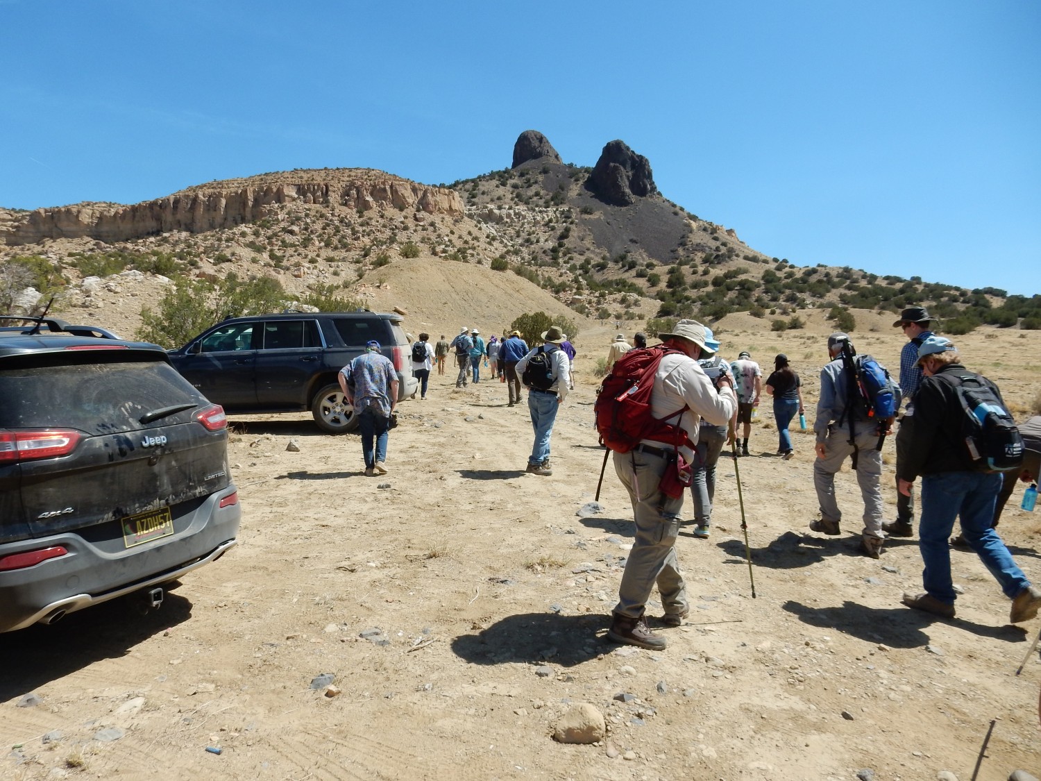
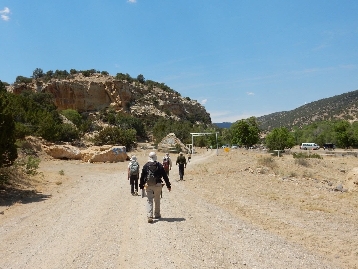
We car up, head north, and park.
And I have my Ansel Adams moment for this trip.

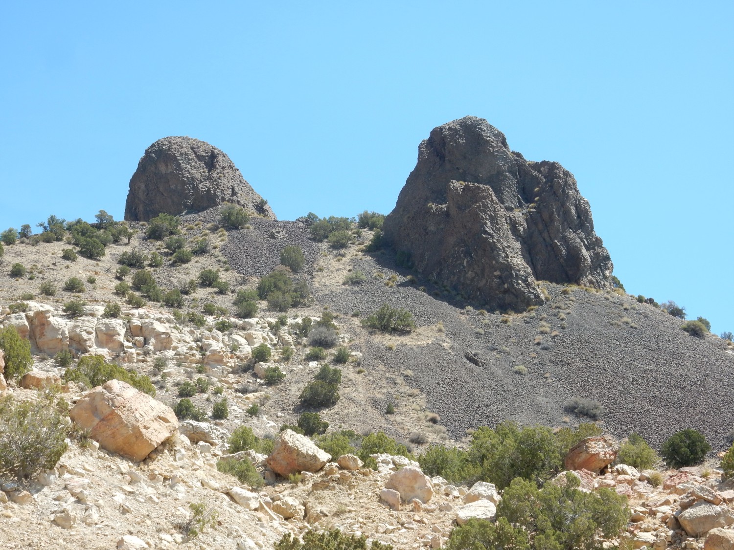
The rock on which we will have our briefing for this stop is a bed of the Dakota Formation. (My guess: Encinal Canyon Member). Below are white beds of the Jackpile Member.
We hike down to the rendezvous. Just beyond is the road cut we will shortly be scrutinizing.

But the briefing is delayed. There is too much local entertainment in the valley below:


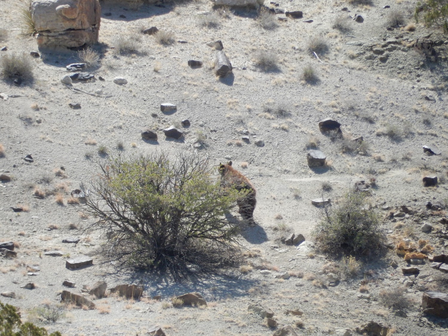
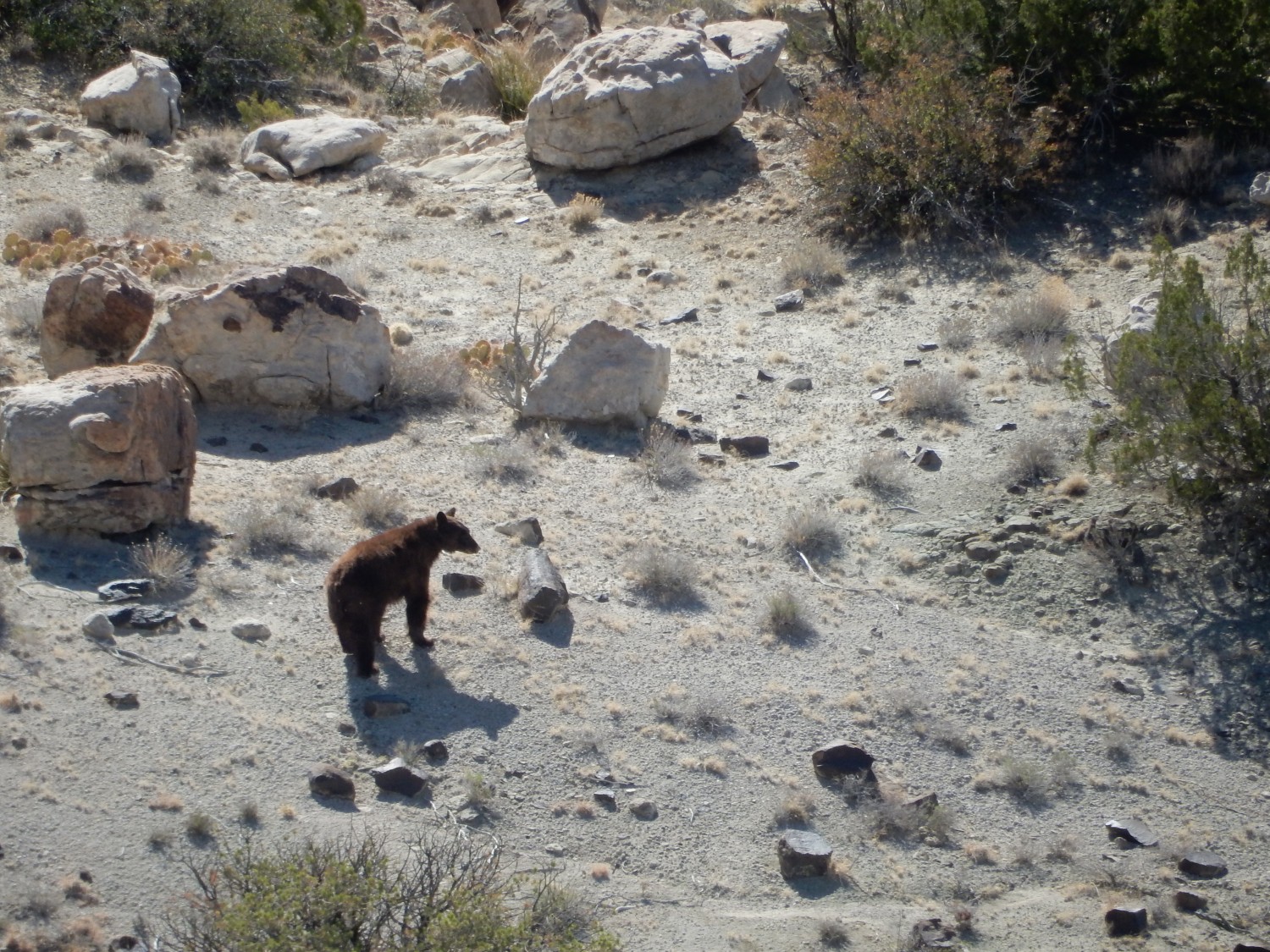
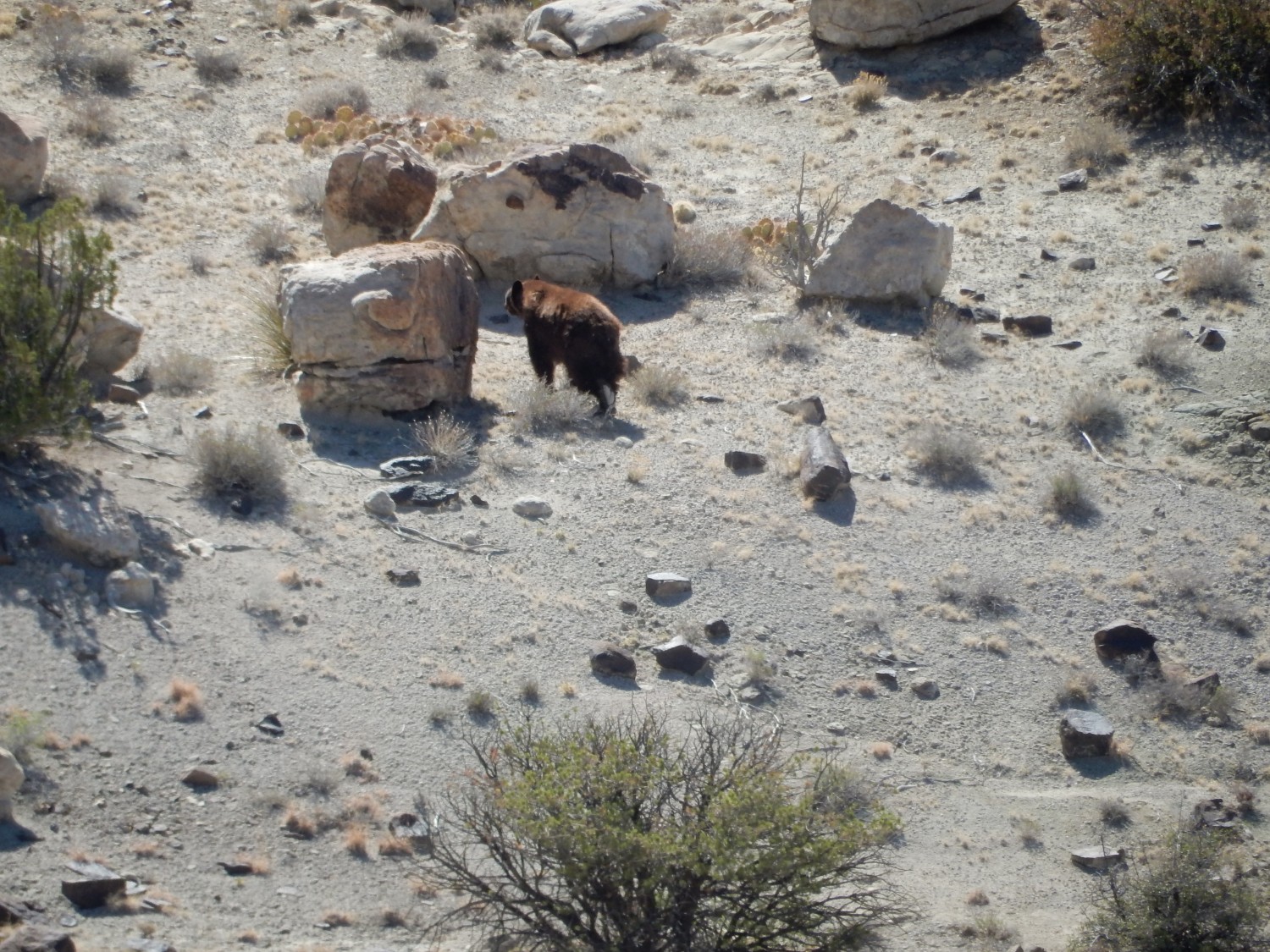
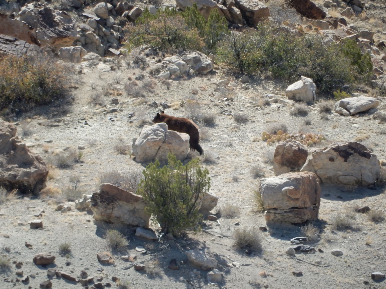
From the shape of the face, I’d guess a black bear, notwithstanding the coat color. He has the good sense to scurry off when he hears us talking far above him. I’m a little surprised to see him here; we’re a long way into the desert from the mountains.
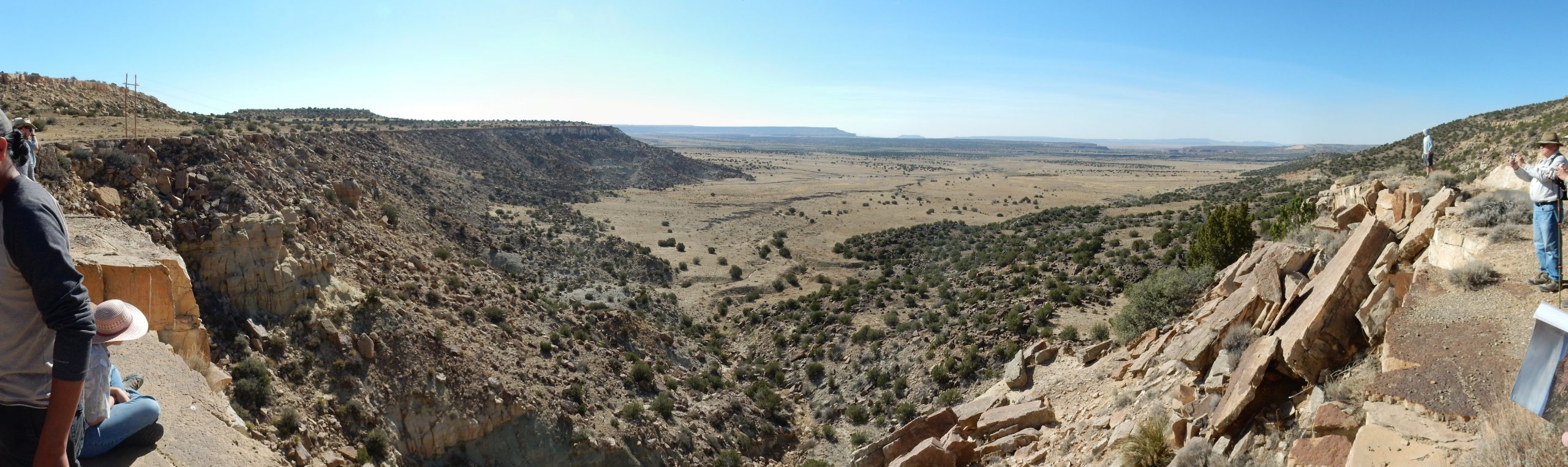
The mesa at left is capped with Dakota Formation. The hills above are remnants of Mancos Shale that has mostly eroded away. Beneath the mesa cap, in the mesa face, is Jackpile Member over Brushy Basin Member of the Morrison Formation. The valley floor has a heavy cover of sediments eroded off the cliffs, which obscures the lower beds of the Morrison Formation, but beneath the cover is a broad shelf of resistant Bland Formation.
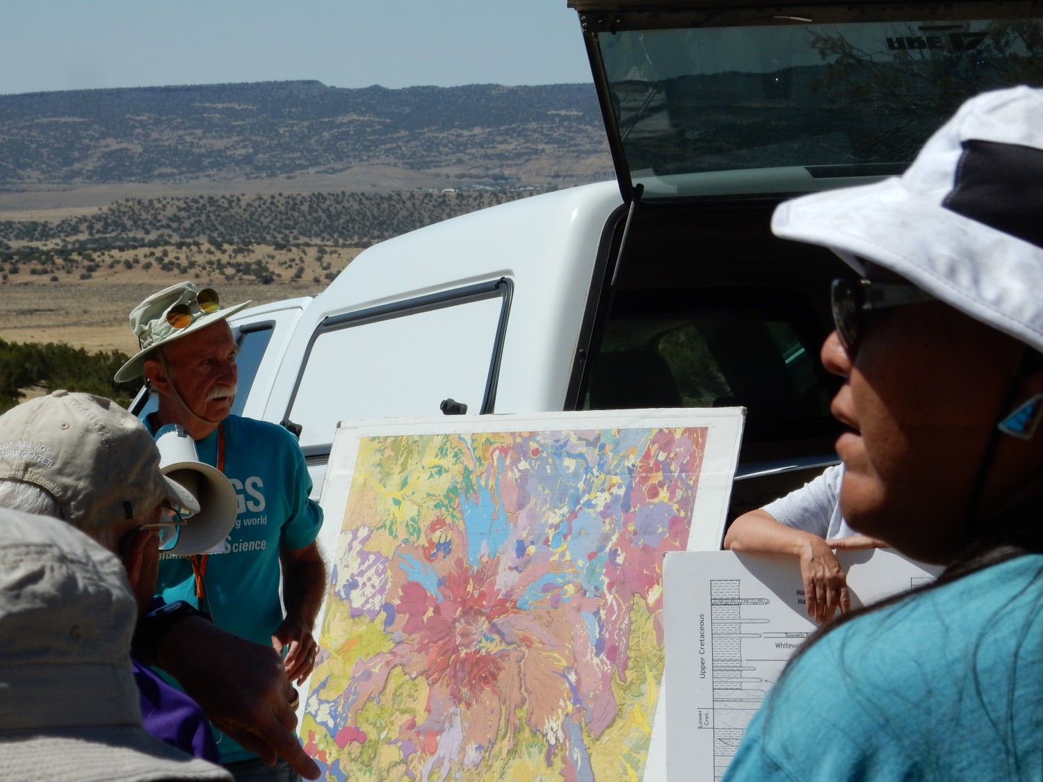
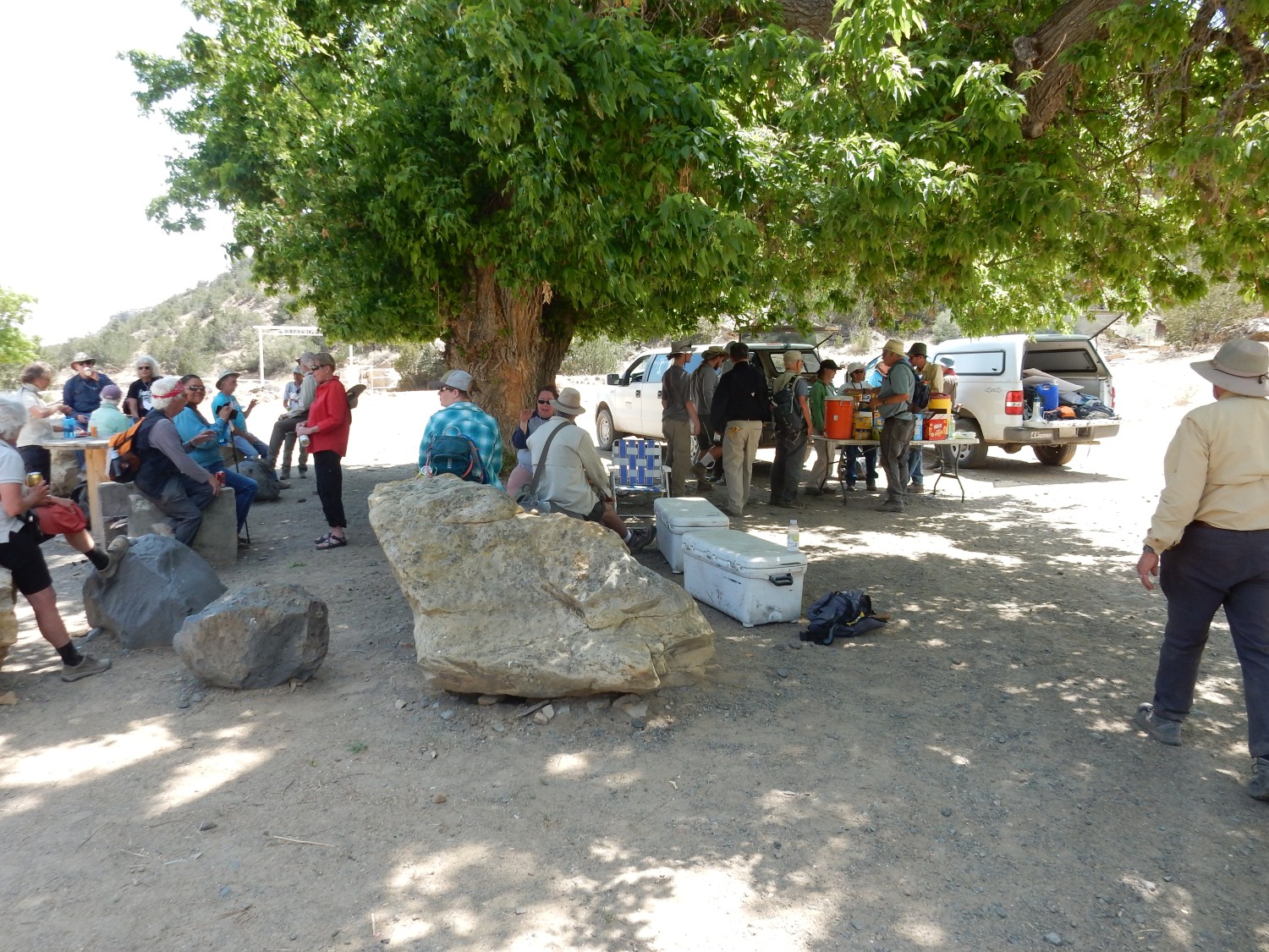
The charts come out.
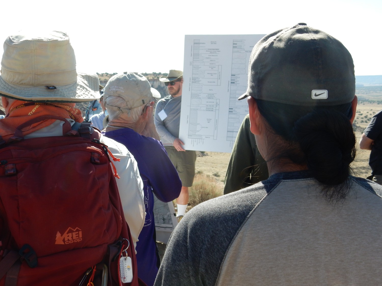
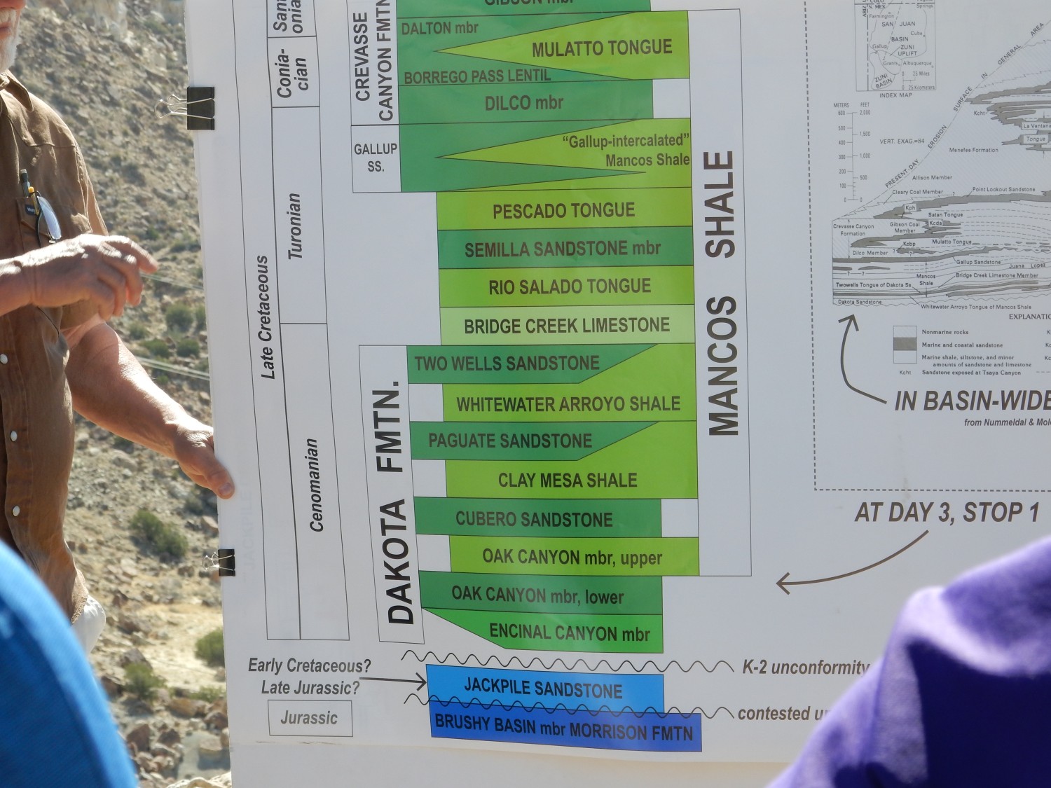
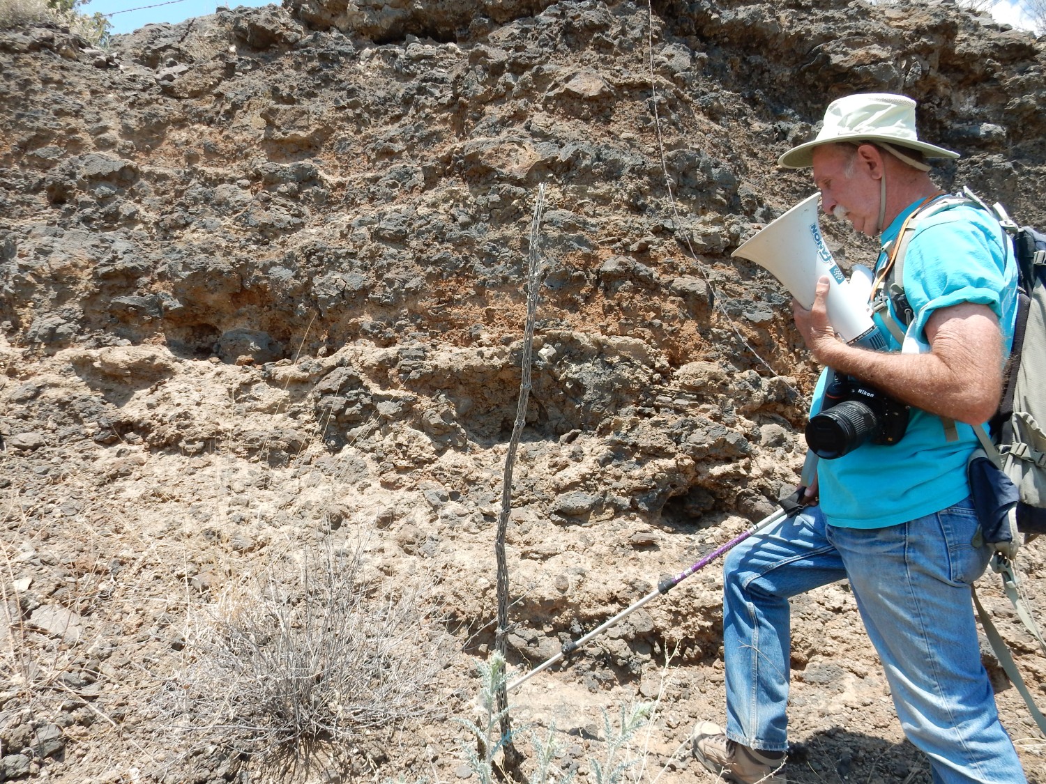
Steve Cather tells us more about the complicated stratigraphy in this area. As you can see from his chart, there is debate about the right assignment of the Jackpile Sandstone. It was long placed at the top of the Morrison Formation, but there is evidence of an unconformity at its base. In addition, there is detrital zircon geochronology data for the unit that calls its former assignment into question.
Detrital zircon geochronology is a way to try to constrain the age and origin of sedimentary beds. It is done by breaking up the sedimentary rock and extracting zircons from it. These are crystals of the mineral zircon, usually quite small and making up only a very small percentage of the rock, but present in most sedimentary rock and fairly straightforward to extract from large masses of rock. Zircon is an extremely stable, durable mineral, so it can be weathered out of the igneous rock in which it first crystallized, redeposited in sedimentary rock, eroded out and redeposited several more times, and even survive medium-grade metamorphism of its host rock, without being altered significantly. Better still, zircon easily incorporates uranium into its crystal structure when it initially crystallizes from magma, but not lead, the ultimate daughter product of the decay of uranium. You can assume that practically all the lead found in an old zircon grain was produced by decay of uranium, and by measuring the lead to uranium ratio, you can get a quite precise age for the zircon. Geologists could not hope for Nature to give them a more useful set of little clocks for dating rock beds.
In the case of sedimentary rock, zircons that originally eroded from igneous rock of all ages, up to the age of the sedimentary bed, may be present. These produce an age spectrum that tells you the age of the most important sources of sediments in the bed. And there will not be any zircons present that are younger than the bed, for obvious reasons. The cutoff in age tells you the maximum possible age of the bed. And since zircons are constantly being produced by ongoing igneous activity, the cutoff is a fair guess for the actual age of the bed.
The Jackpile Sandstone has a zircon spectrum significantly different from the Brushy Basin Member. Most notably, a few zircons are found in it that appear to be of Cretaceous age. If confirmed, this pretty much removes it from the Morrison Formation. The spectrum is very similar to that of the Burro Canyon Formation, a Cretaceous formation found to the north between the Morrison and the Dakota. So the thinking now is that the Jackpile Sandstone is actually a facies of the Burro Canyon Formation.
A facies is a rock with characteristics of a particular depositional environment within a depositional basin. Depositional basins can be pretty sizable, and not all parts have the same conditions. Imagine a river system where sediments are accumulating due to subsidence. You will have a different depositional environment in the main river channels, on the floodplains, and at the feet of surrounding mountains. These produce axial channel, overbank, and piedmont facies of the sediments, all the same age and part of the same basin, but showing different lithological characteristics. The axial channel facies will have coarse but well-rounded gravels and occasional cross-bedded sandstone. The overbank facies will be dominated by silt and clay. The piedmont facies will be poorly sorted and the rocks in it will not be as well rounded. These may all be mapped as the same formation, but the most detailed maps will identify different facies within the formation.
The Jackpile Sandstone is also one of the most important uranium-bearing units east of Mount Taylor. It is named for the Jackpile Mine, which we will drive past shortly.
Looking at the rest of the chart: You see a good illustration of intertonguing between the Mancos Shale and the Dakota Formation and Crevasse Canyon Formation. Here in Grants, we are close to the west coast of the Western Interior Seaway, the great shallow sea that covered the interior of North America during the record-high sea levels of the Cretaceous. The shoreline fluctuated back and forth with episodes of mountain building to the west, and when the sea retreated, sand was deposited along its shores; when the sea returned, marine mud was deposited to become shale. At its peak, the Western Interior Seaway stretched from west of Grants to Tennessee, but was not more than a few hundred meters deep.
Volcanic ash is a possible source of uranium for the Jackpile Member. There is discussion of how no ash beds are found recording an episode of volcanism we are confident took place, which produced the Sierra Nevada batholith along the Nevada-California border. This catches my attention. Sediments are deposited only when there is accommodation for them — either the area is subsiding to make room for sediments to accumulate, or land is rising nearby that sheds sediments faster than they can be carried away. You can picture a hypothetical land surface at which deposition and erosion would balance; if the actual land surface is lower than this hypothetical surface, the volume between is accommodation space in which sediments will be accumulating.
During the emplacement of the Sierra Nevada batholith, great amounts of volcanic ash were spewed out, but we have no record of them here, because there was no accommodation for them to accumulate. Why not? I have a vague recollection of reading that the Sierra Nevada experienced delamination, in which a dense lower layer of the crust formed, detached, and sank back into the mantle. It seems to me that this would give the mountains a big bump upwards and eliminate accommodation just as the volcanoes were spewing away. I get corrected: Rise of mountains is almost always accompanied by subsidence of nearby basins, creating accommodation.
Well, that’s the advantage of being educated versus just reading about it on your own: There is someone there to do you the favor of telling you when you are wrong.
Alas, it doesn’t answer the question of why there was no accommodation at this time. I suspect more research is needed.
To the west, Oak Canyon Member (I’m guessing) of the Dakota Formation.

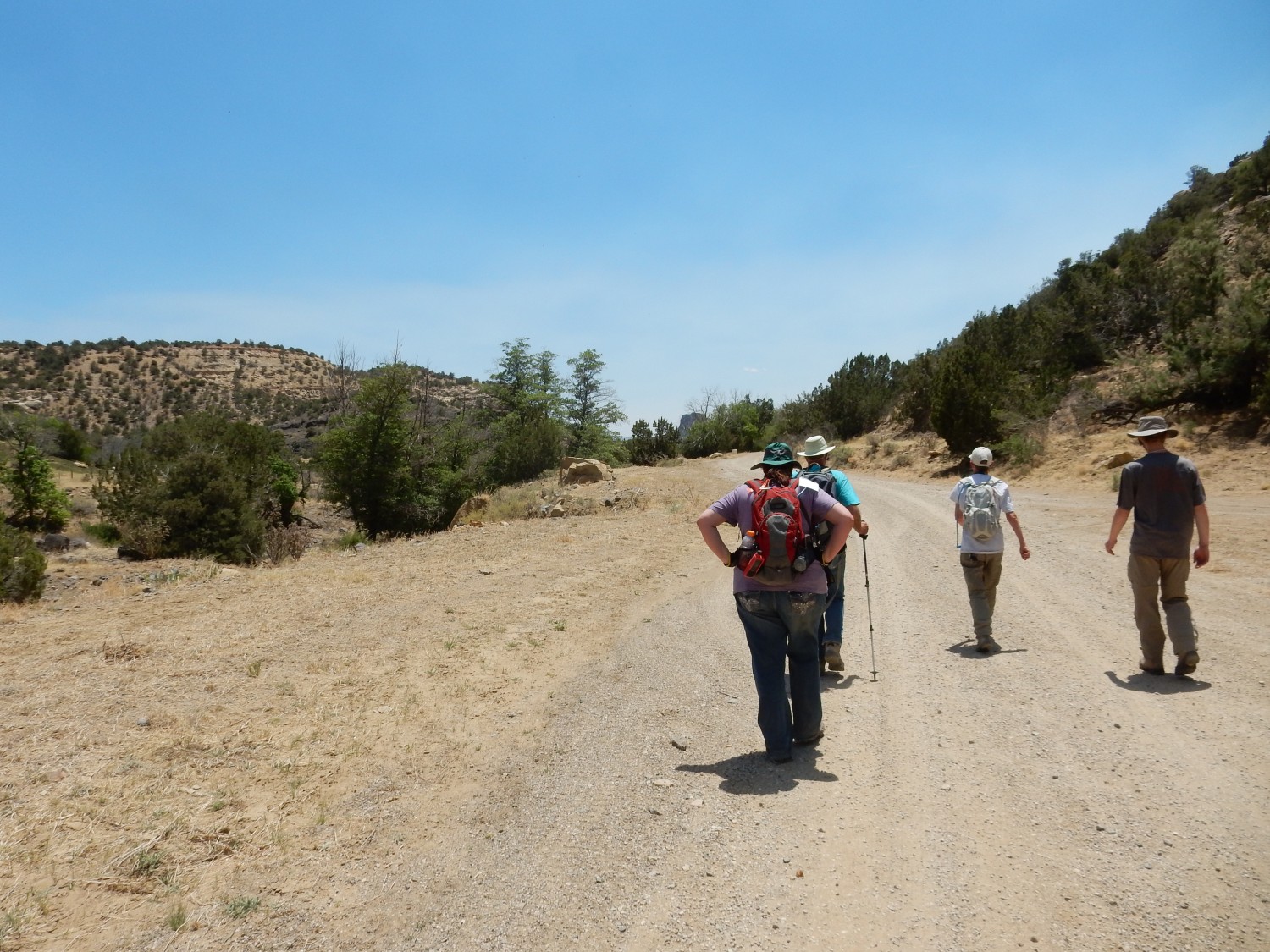
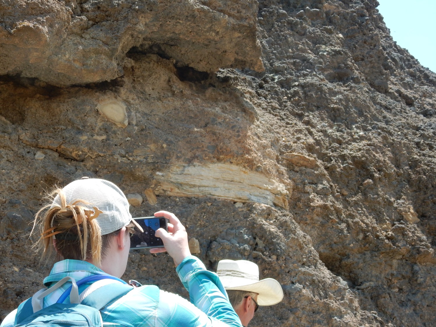
We start down the road to look at the contact between the Dakota and the Jackpile.
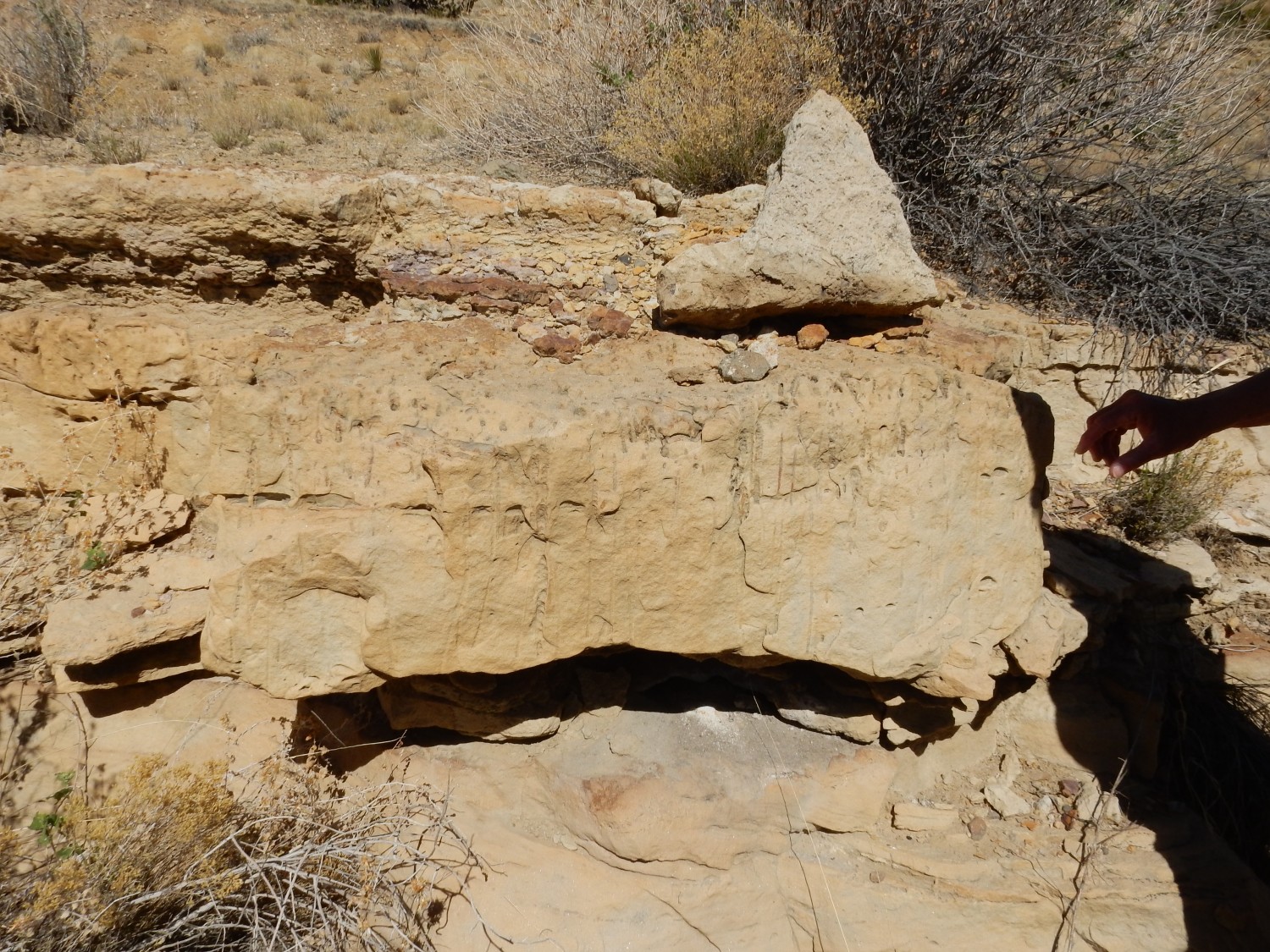
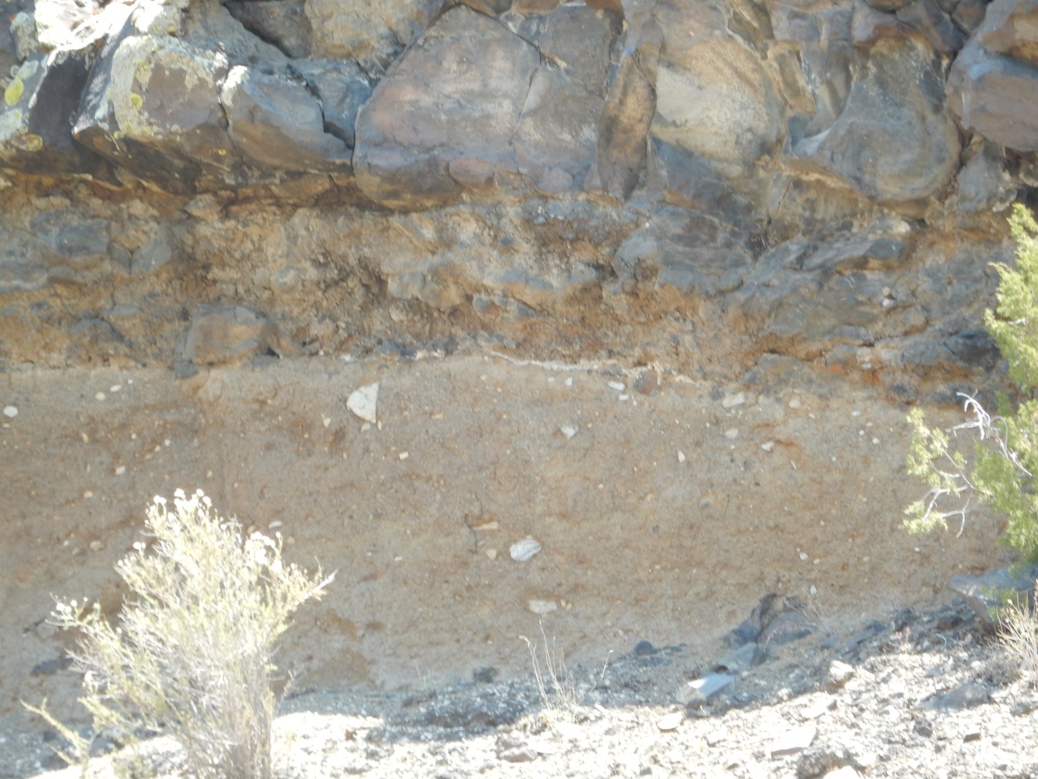
The contact is actually pretty sharp — an unconformity. You can see it clearly in my Ansel Adams shot from earlier. Here in the road cut it’s slightly harder to pick out, but it’s at the base of the massive sandstone.
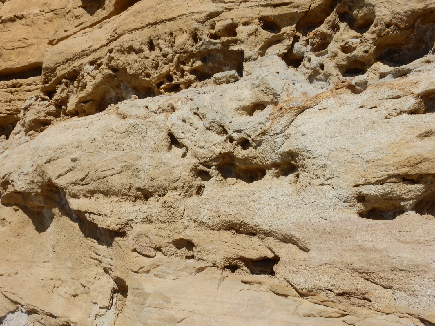
The patterns look like dirt washed down the face of the cliff. But they’re surprisingly well-cemented. Still, likely weathering features.
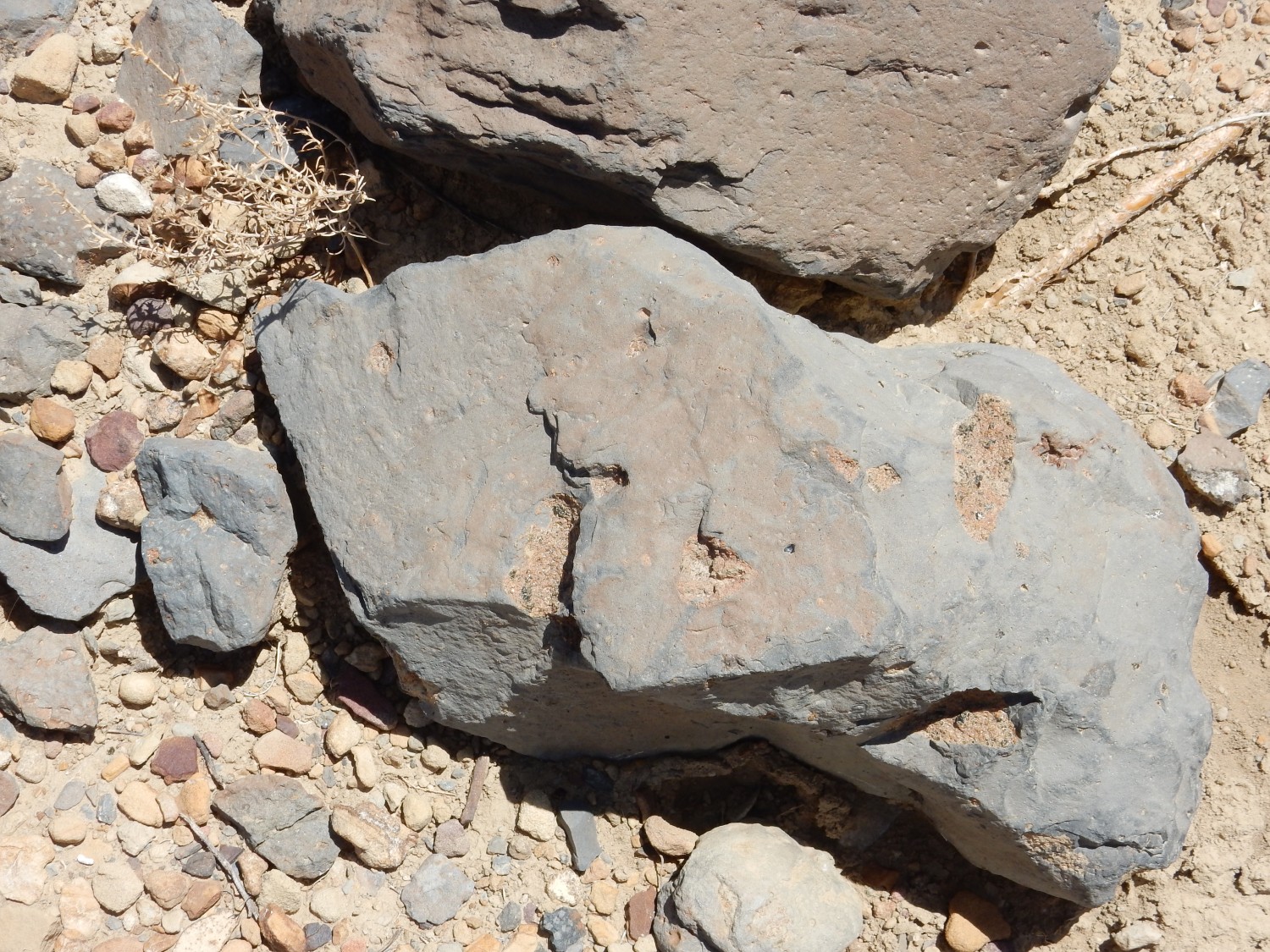
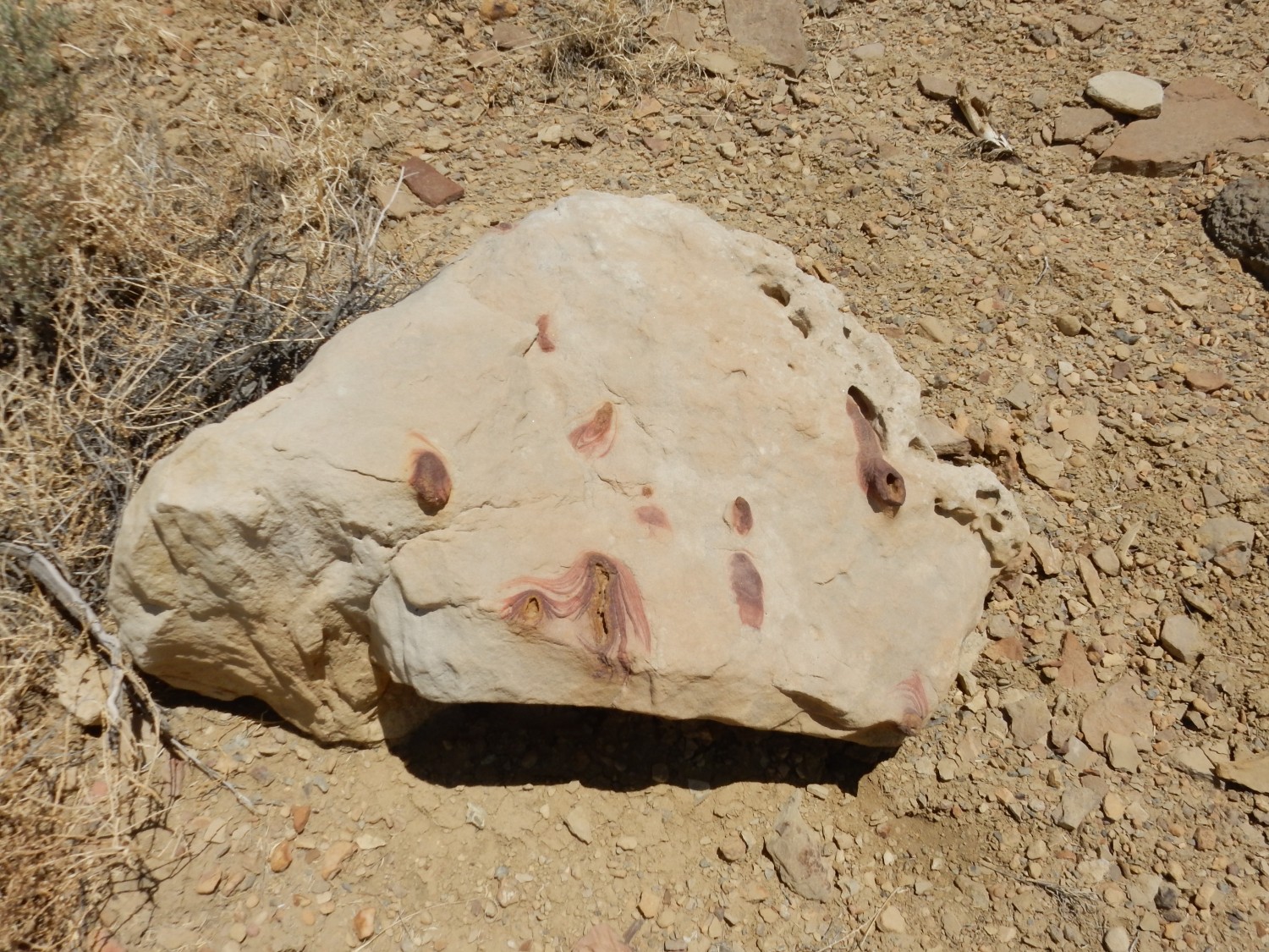
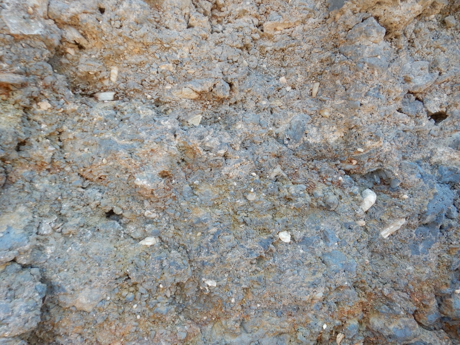
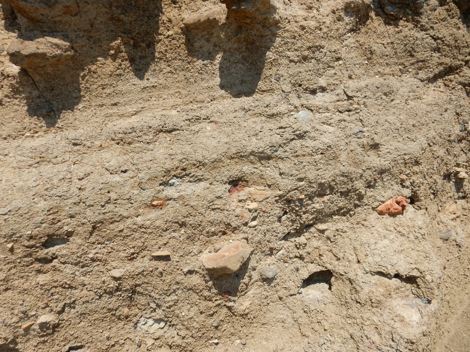
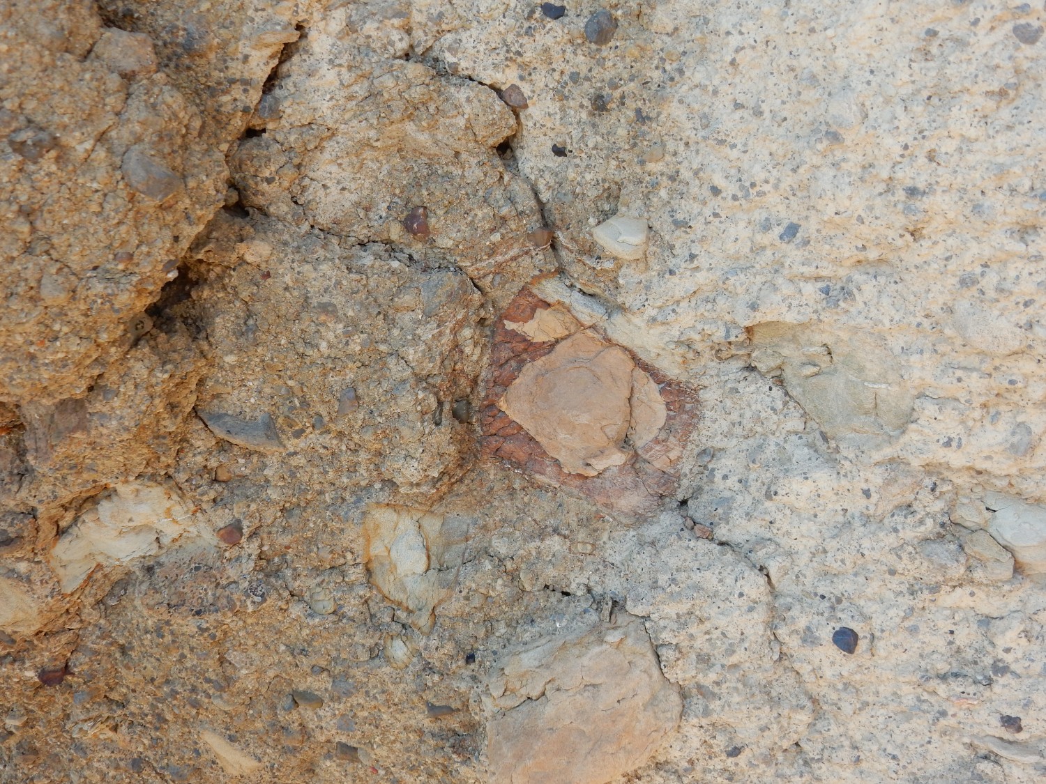
Soft, kaolinite-rich sandstone of the Jackpile. The Jackpile Member gets its white color from the abundant kaolinite, a clay mineral, that fills the spaces between the sand grains in the rock.
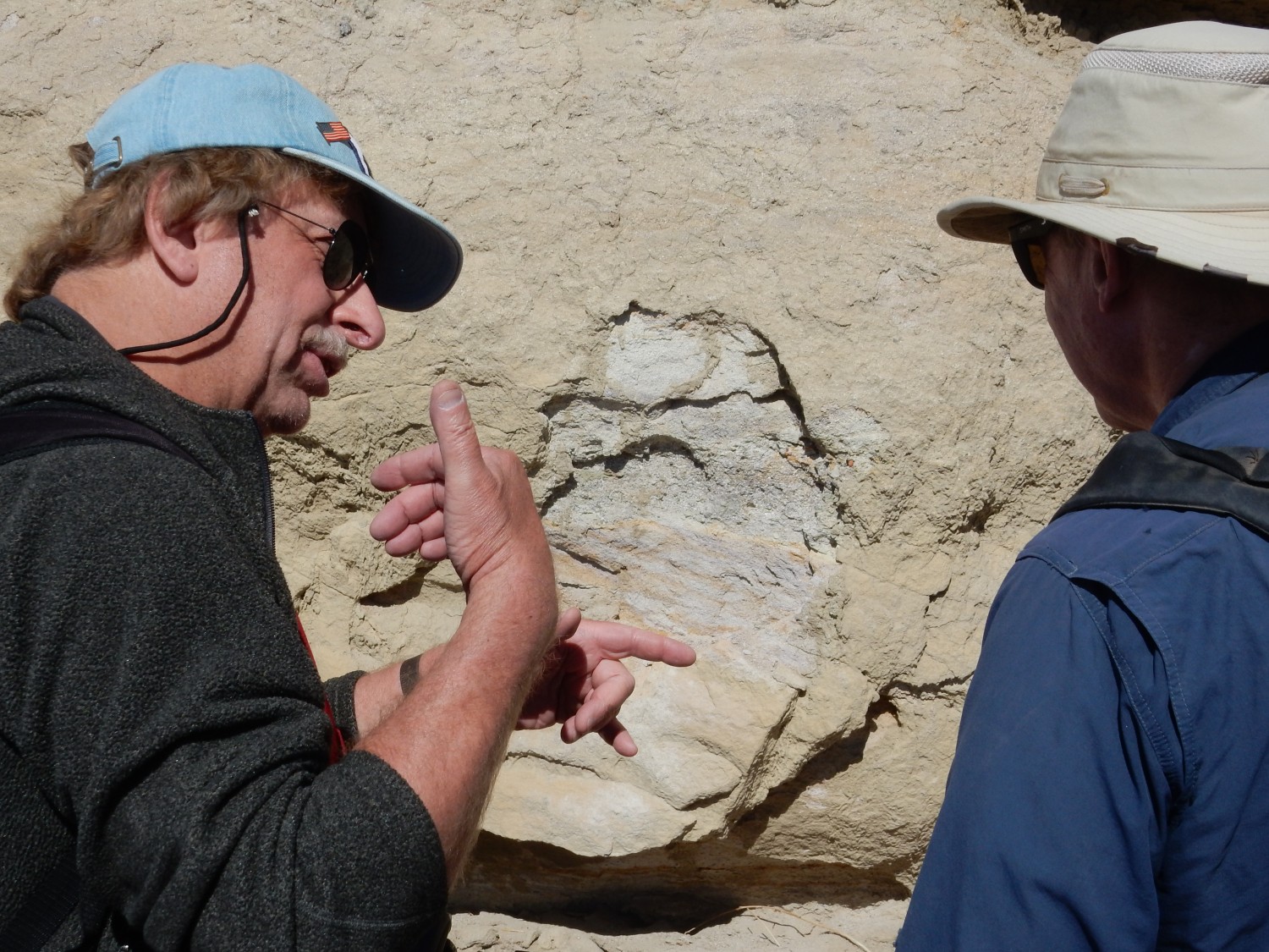
Lively discussion.
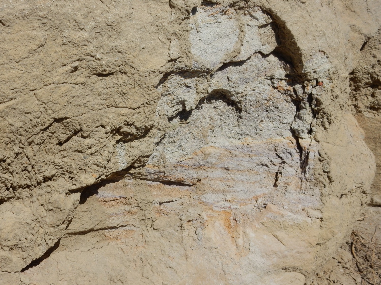
Rather contorted beds of the Jackpile. It looks like this is right at the top of the formation, with Dakota just above.
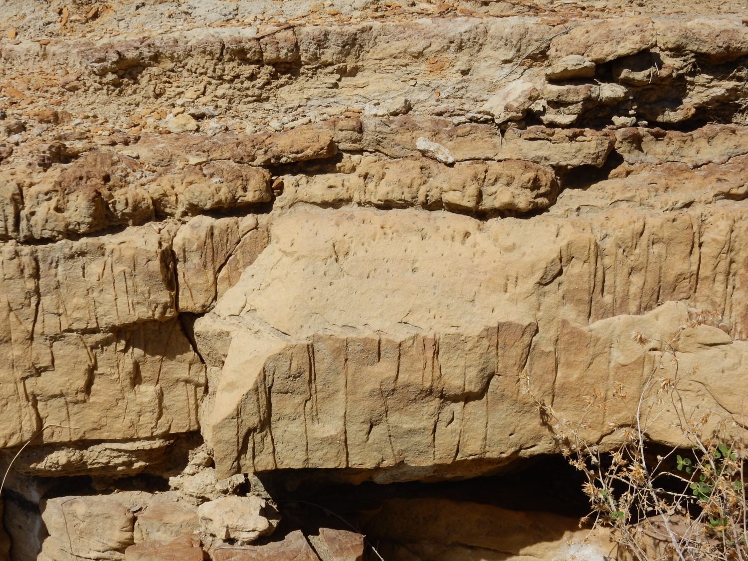
Starting back up the road cut (because we are pressed for time) I get another shot of the kaolinitic Jackpile sandstone.
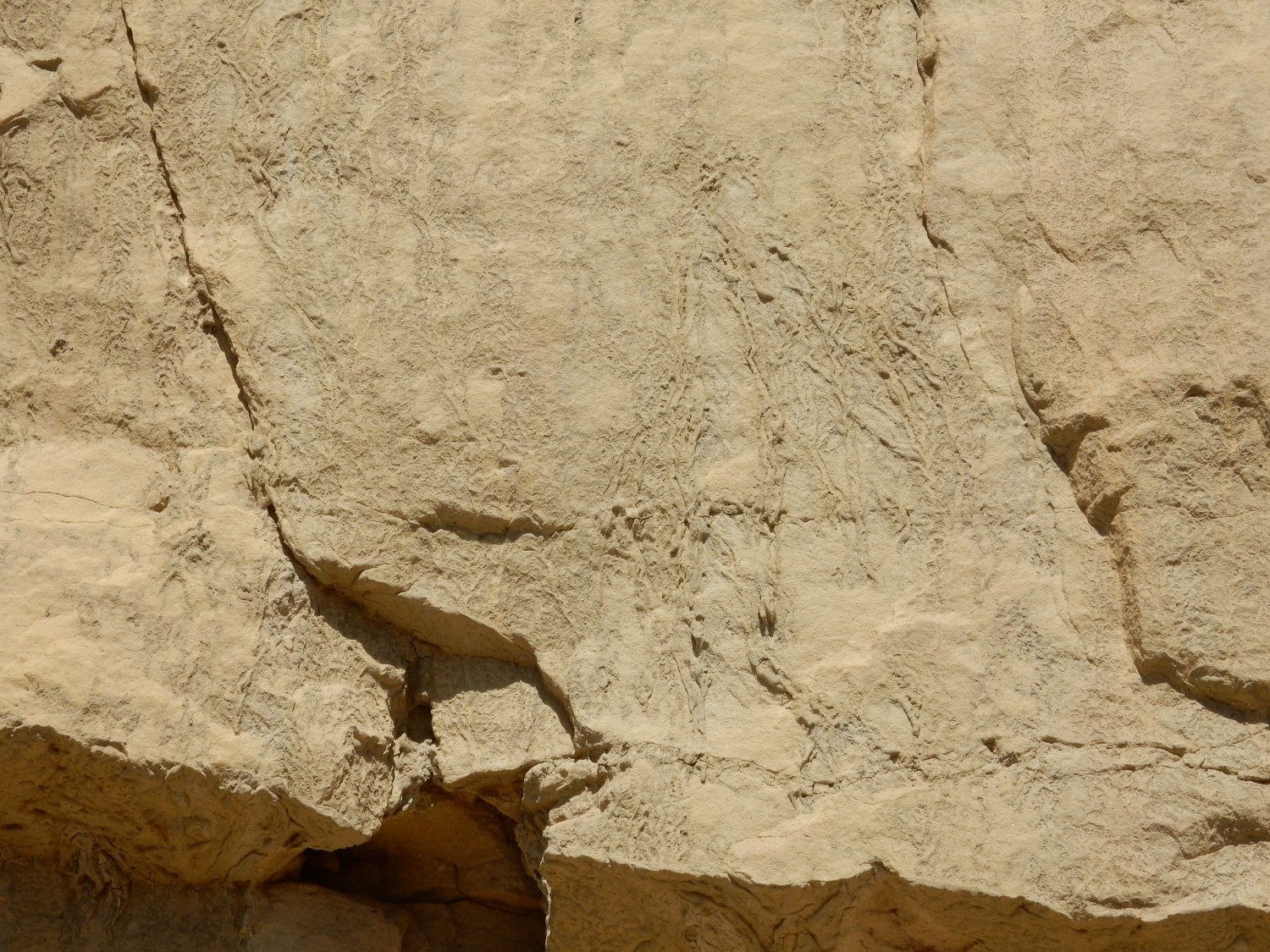
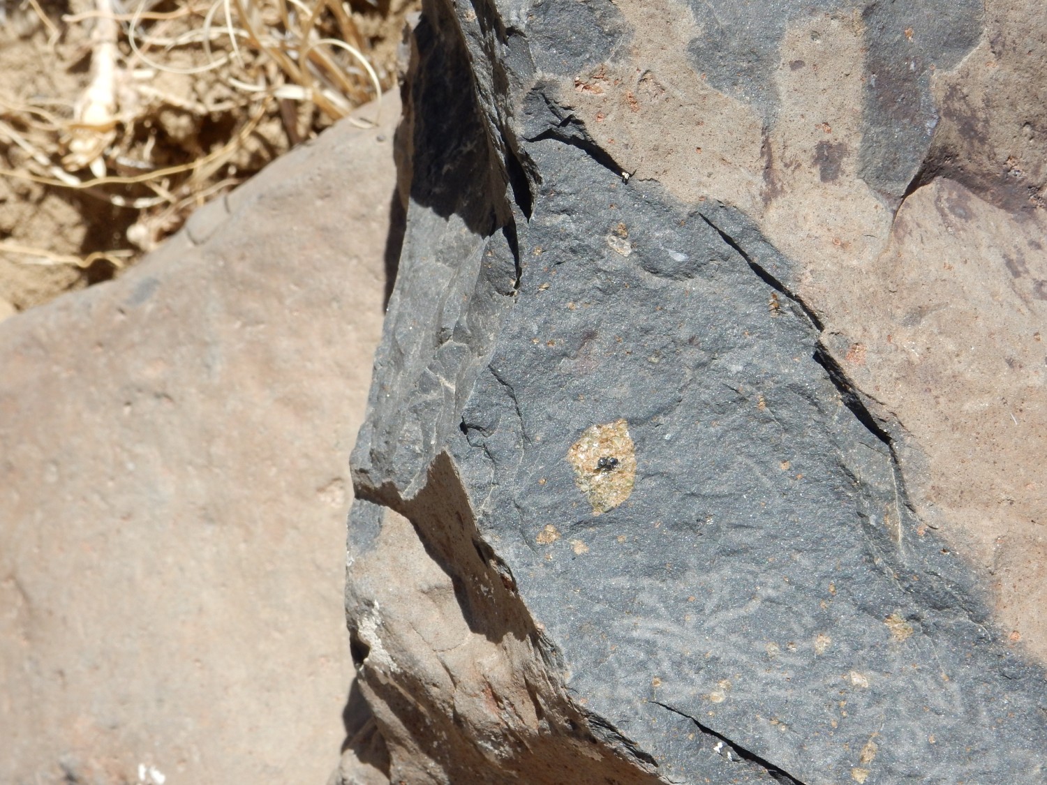
Across the road, on the opposite cut, are possible trace fossils of Ophiomorpha.
A trace fossil is a record in a rock bed of an organism, but which is not the actual body of the organism. Dinosaur tracks are a good example. They record the activities of dinosaurs but are not the actual dinosaur bones. Here we may be looking at burrows, likely from crayfish-like organisms in a shallow sea.
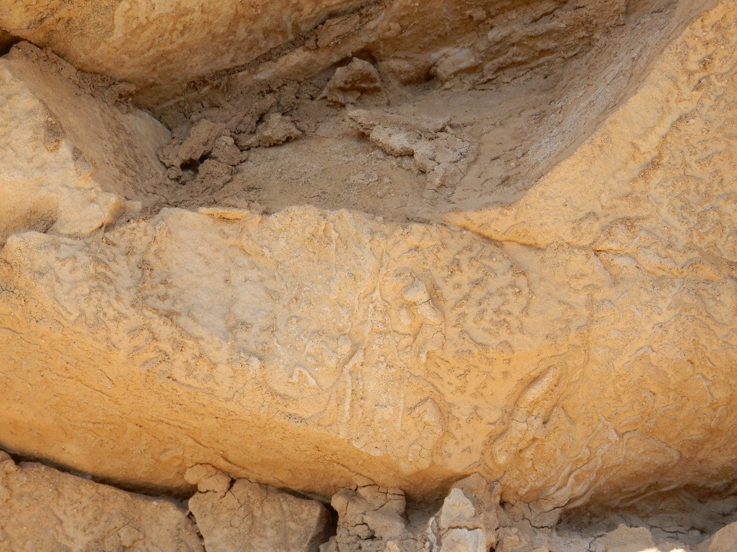
Not sure if these are actual trace fossils.
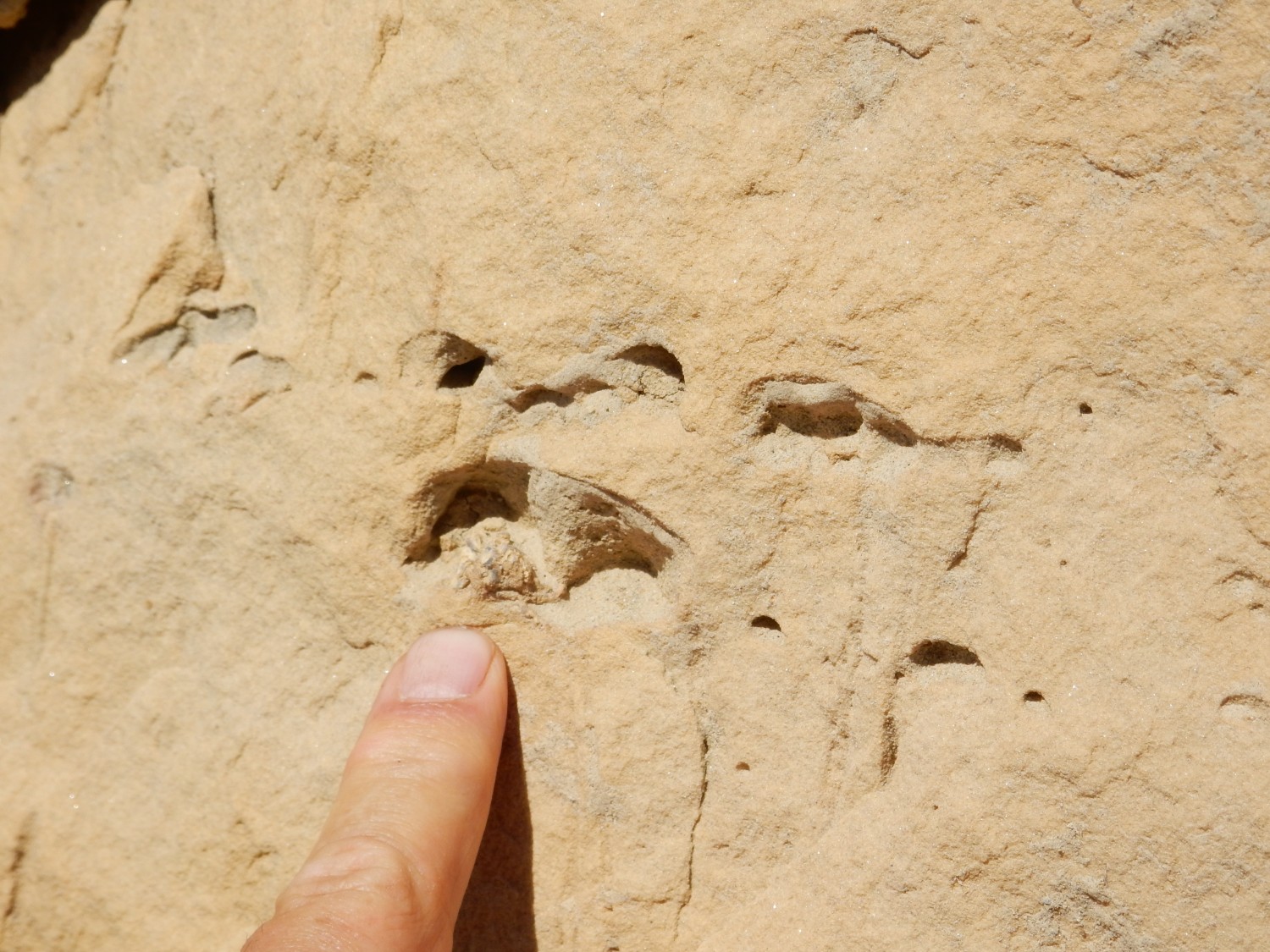
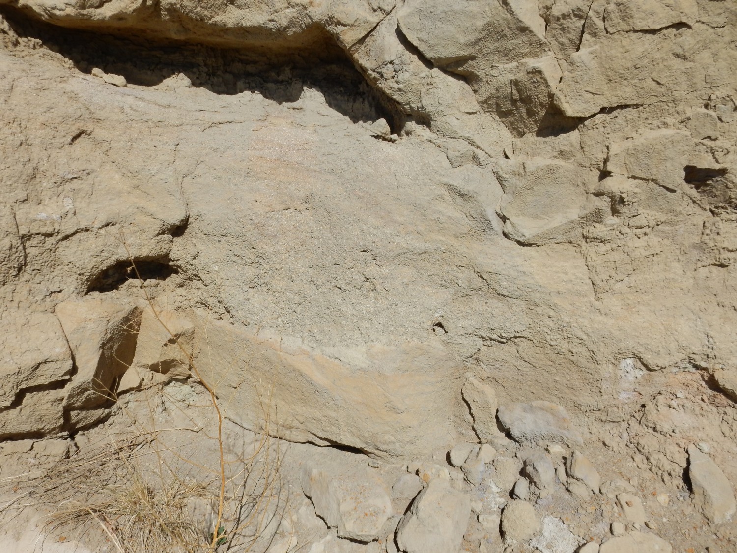
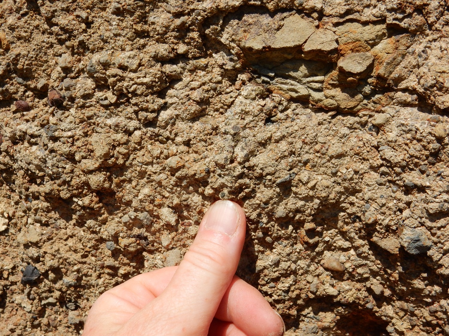
But there’s no doubt about these.
Vertical burrows, seen in cross-section on the fractured upper surface of the bed. This is a trace fossil known as Skolithos, produced by a variety of different organisms. Rock dense with these burrows is sometimes described as piperock.
Gary notices that the burrows all end at a thin mudstone layer. He wonders if the organisms were tunneling down to a food supply in that layer. It’s an interesting speculation.
To the north is the Jackpile Mine.
These are tailings piles from the Jackpile Mine, once the largest open pit uranium mine in the world. The mine is no longer in operation and we do not get to actually visit the open pit. Inactive mines are quite dangerous. But here the rich ore deposits of the Jackpile Member supplied 26.6 million tons of uranium ore.
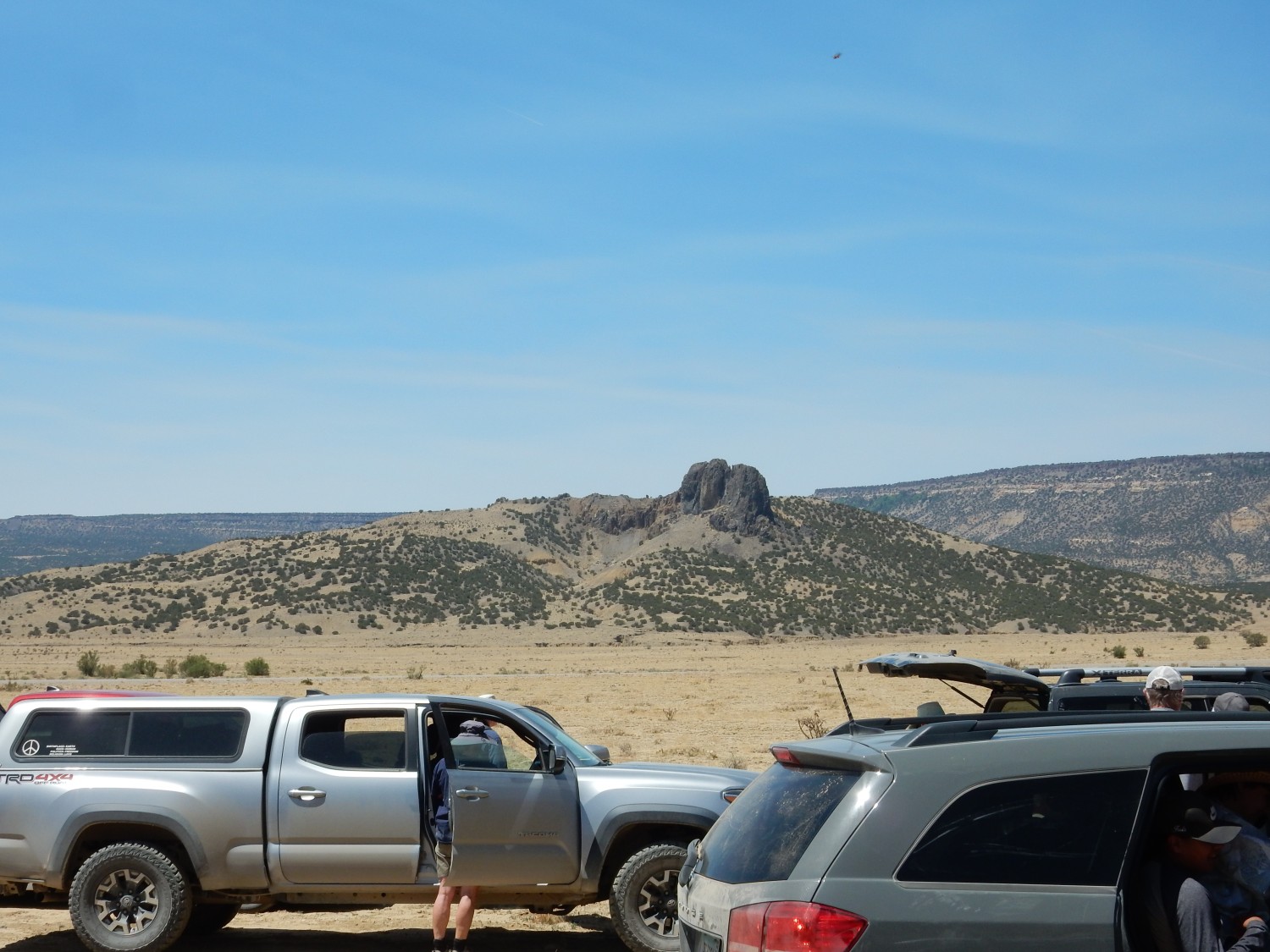
We drive north to our next stop, Cerro Negro.
This area is known informally as Dead Horse Mesa. With apologies to my more tenderhearted readers, who may wish to skip ahead: It is literally that. There were several animal carcasses in the area, some obviously of domestic horses, and the smell was pretty pronounced.
The original plan was to park at the top of the road, which forms a kind of loop, but the road had visibly worsened since two years ago and we were compelled to park further down, again taking great care not to park over grass. It was not that much further to walk, fortunately. Once more the posters come out.
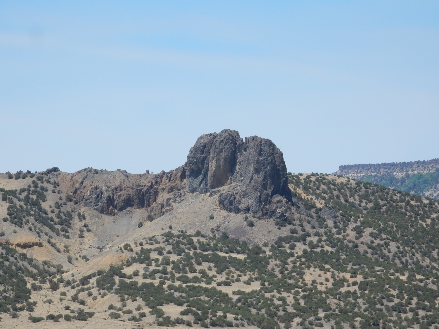
We are just off the east edge of the new map here, but Fraser Goff tells us that Cerro Negro consists of three plugs and two dikes, composed of hawaiite. This is sodic trachybasalt; that is, alkaline basalt with a high ratio of sodium to potassium. The plug is dated as 3.39 million years old.
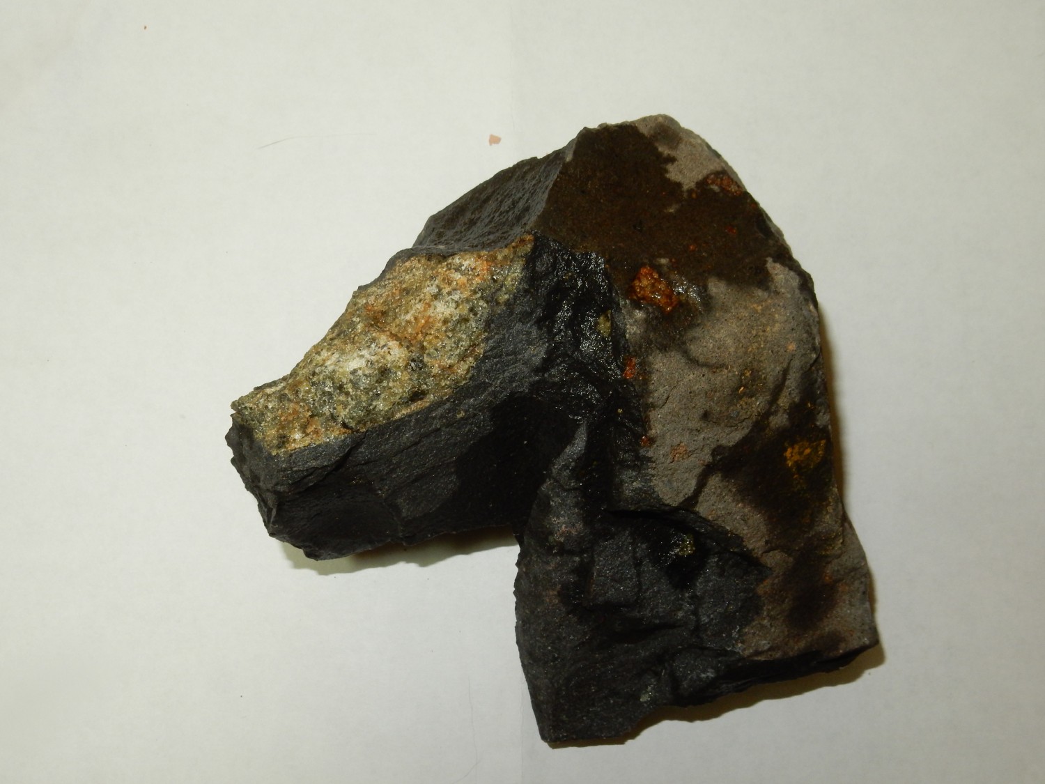
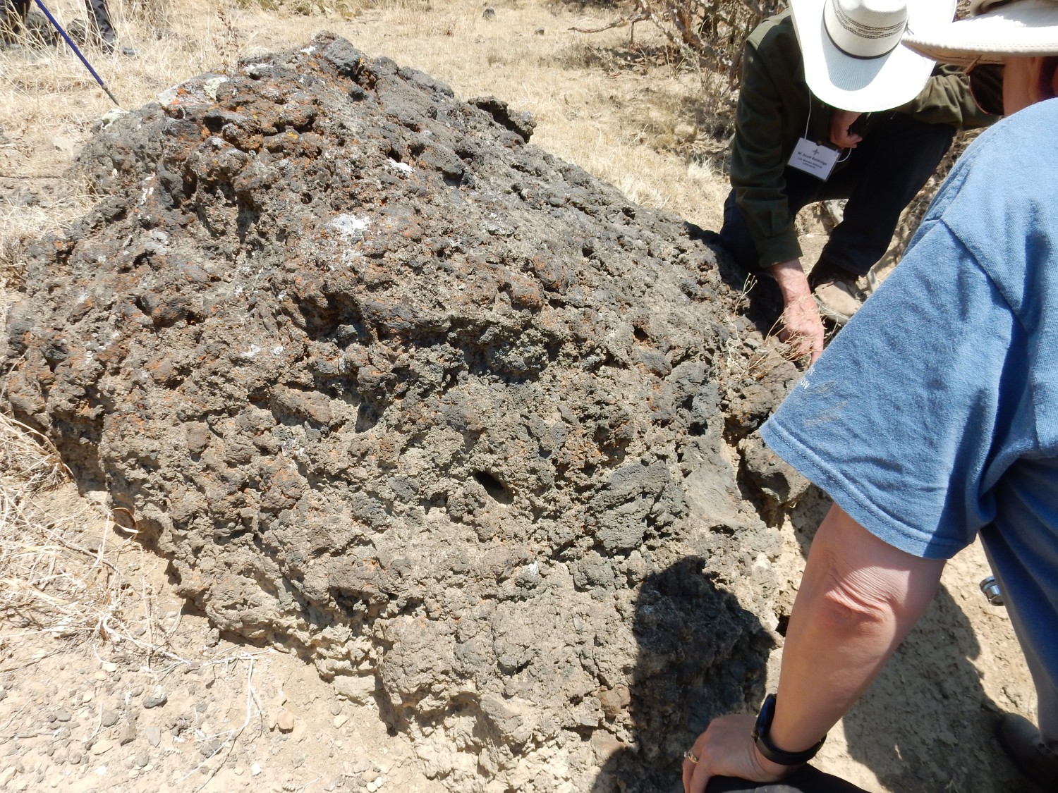
The most distinctive feature of the plug is that it is rich in mantle xenoliths. These are bits of solid rock from the Earth’s upper mantle that were entrained in the magma and carried to the surface. Their composition is a spinel lherzolite; that is, a rock composed mostly of olivine and pyroxene, with significant amounts of both clinopyroxene and orthopyroxene. (The two forms are distinguished by the angles of their crystal faces, but clinopyroxene is also typically more rich in metals other than iron or magnesium.) Iron-rich spinel (FeAl2O4) is also present. This is the composition of mantle rock from which not much magma has been extracted, exactly what we would expect in an area of alkaline volcanism. It is similar to the mantle rock brought up as xenoliths further south, at Kilbourne Hole, though I don’t think the xenoliths here have been as thoroughly characterized as those at Kilbourne Hole. We do not have to go far to look for xenoliths; they are abundant even in the rock washed down into a nearby gully below the plug.

We also find a lower crust xenolith. Foolishly, I hand it off to an interested party before thinking to get a photograph first. But it looked like a gneiss, a type of rock not found on the surface anywhere near here but common in the deep subsurface.
One of our student scholars, a young man named Devlin (if I’m recalling correctly), and I take turns whaling on a big chunk of basalt with a sledgehammer. We crack it into several manageable specimens showing fresh xenoliths and hand these out. (We have been told that specimen collecting is permitted here.) A fresh xenolith has a distinctive appearance, coarsely crystalline and greenish in color, with dark speckles. On weathering, it develops a rusty red color as the iron minerals are oxidized. I take my own sample (freshly washed in this photo):
Devlin, who somewhat reminds me of my youngest son, is interested in hunting for ammonite fossils. Well, so am I. Shari Kelley advises us that the best hunting is on a low ridge just to the west of where we had the poster presentations, which is capped with the Juana Lopez Member of the Mancos Shale. Yes, I’m familiar with this unit as a good fossil bed. We go hunting, and find several Inoceramus fossils (“oysters”, thought the relationship is not quite that close.) Devlin finds what looks very much to me like an ammonite impression, but later one of the geologists tells him it’s just another oyster, and he discards it. So not much luck with the ammonites, though our search was quite brief.
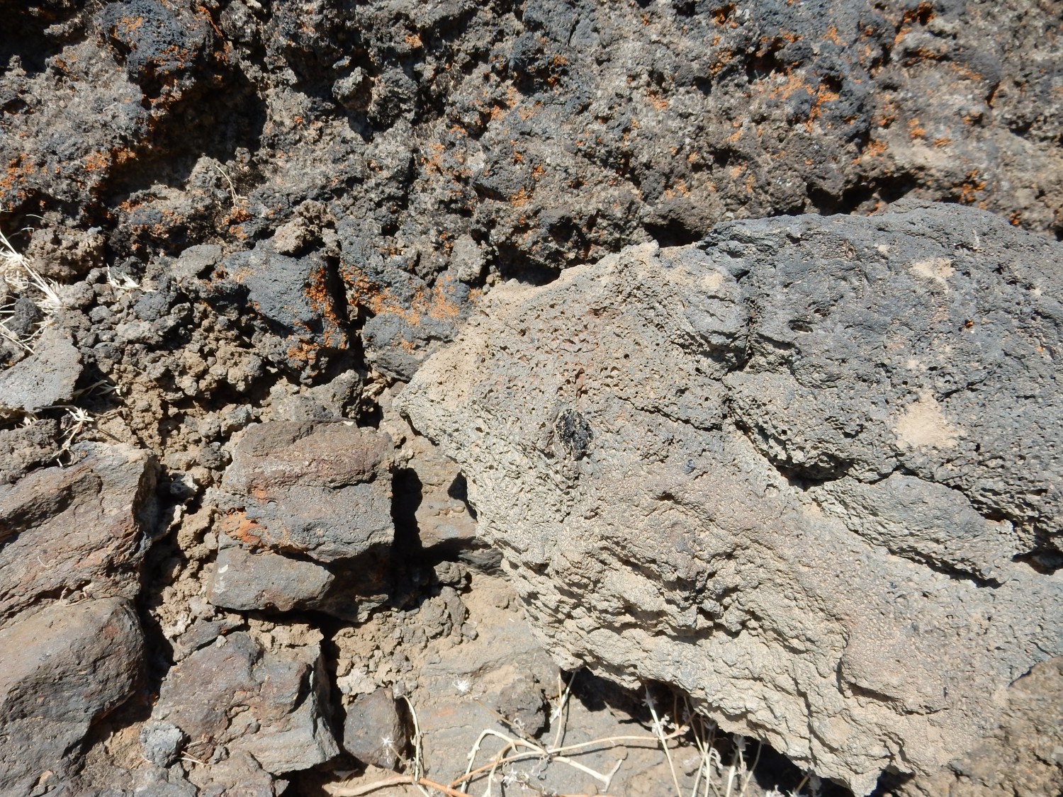
Ocellar basalt.

The speckles are clumps of tiny plagioclase feldspar crystals. This is apparently common in alkaline basalts in the Mount Taylor region.
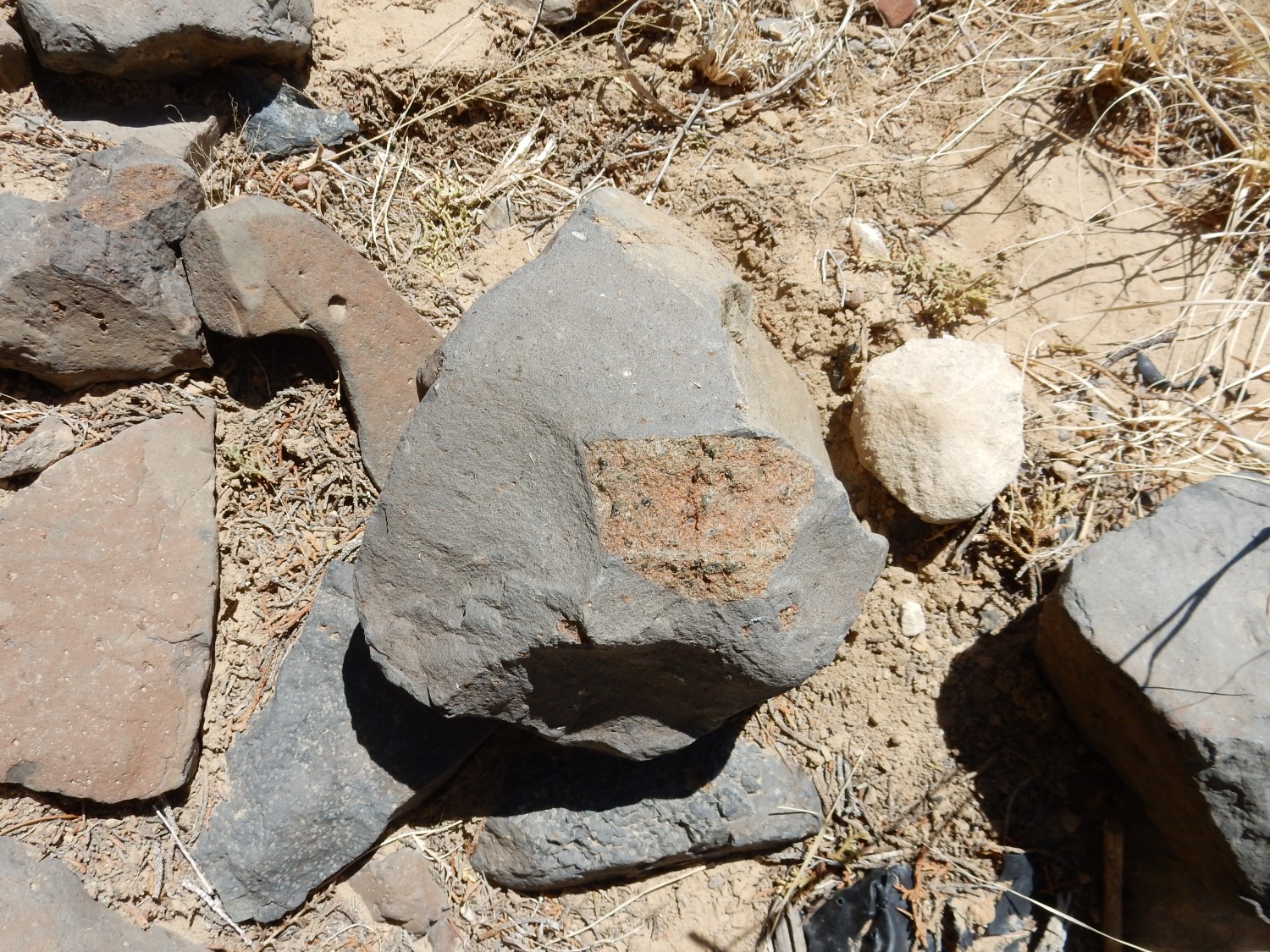
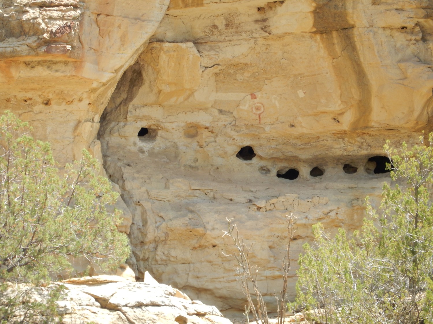
Burrows?
These look somewhat like crustacean burrows common in the Cliff House Sandstone above Pueblo Bonito at Chaco Culture National Historical Park. I have a suspicion that this rock is float from much higher up the stratigraphic column; the sandstone does resemble Cliff House. However, the stratigraphic column in this area ends with the Menefee Formation, the formation just below the Cliff House.
We prepare to leave. To the south is Cerro de la Celosa, another plug.
We head to our next stop, near the Our Lady of Bernadette of Lourdes shrine in Seboyeta Canyon. Here we have lunch, then head out to see a nearby geologic wonder.
The canyon walls are exposures of the main body of the Gallup Sandstone.
The very top of the cliffs may be Dilco Coal Member of the Crevasse Canyon Formation. We’ve seen a lot of both these formations earlier in the conference.
The holes catch my eye.
My guess is that this is groundwater sapping of the cliff. The bed in which these holes formed is likely unusually permeable to groundwater, and groundwater seeping out of this bed has enhanced erosion to produce these features. You see a lot of this in the red rock country around Moab, Utah.
This bed definitely is seeping groundwater today.
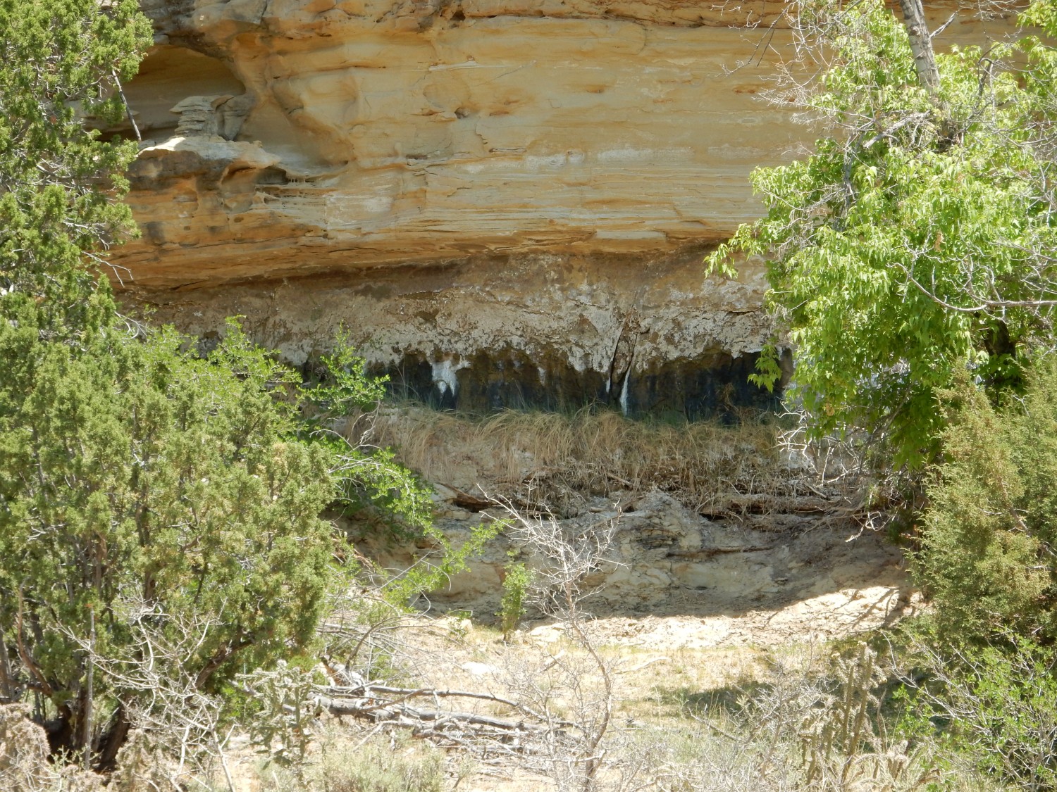
I’d guess the earlier beds are now well above groundwater level, due to topographic changes and climate change.
Ahead is our point of interest, a maar or plug of some kind.

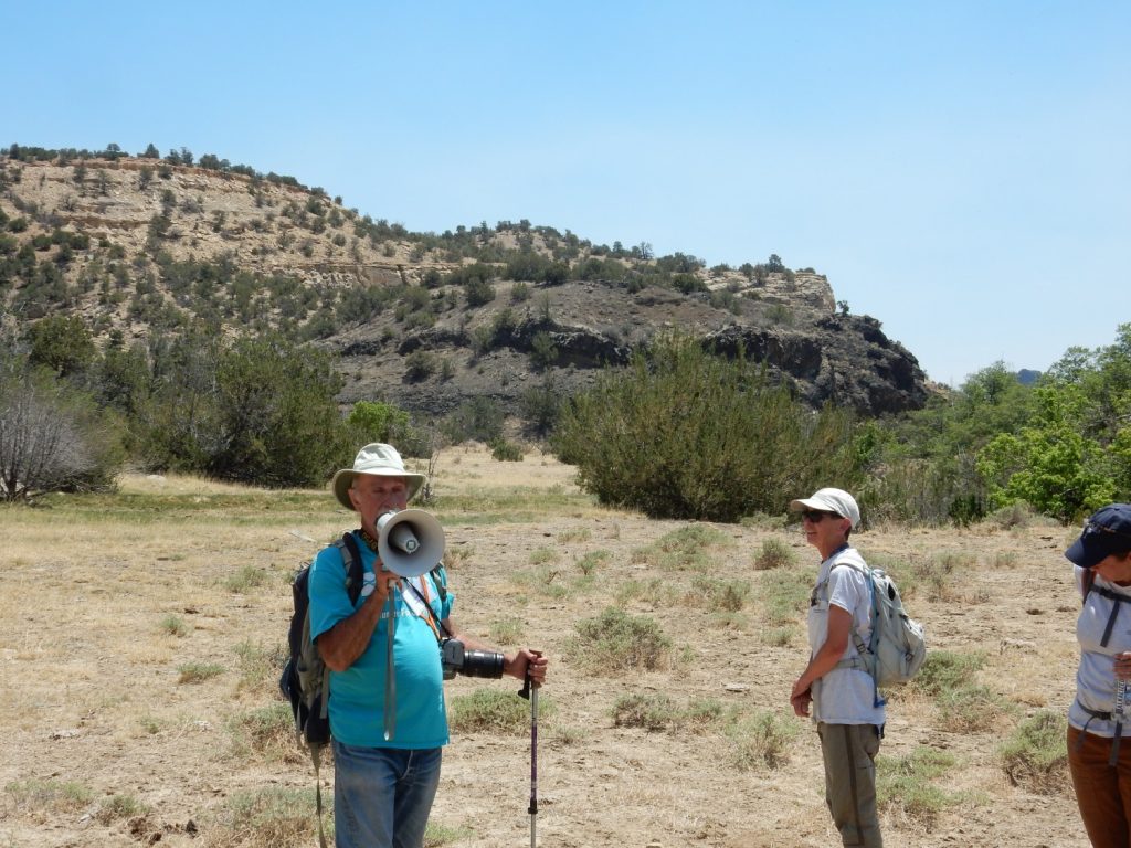
Fraser Goff takes the bullhorn.
A dike in this feature has been dated as 3.07 million years old, which is surprisingly old. The plug looks younger than that. The rock is a true basalt, not particularly alkaline, but with the unusual feature of large phenocrysts of augite (a form of clinopyroxene) that have overgrowths of hornblende (an amphibole.) When I ask, Fraser is clear that the hornblende is an overgrowth and not a reaction rim. He notes that this is almost unique to this plug. Hornblende is chemically somewhat similar to augite, the chief differences being a somewhat different backbone silica structure (augite is build around single chains of silica while hornblende is built around double chains) and the presence of essential water in the hornblende structure.
Fraser interprets the plug as a diatreme, a breccia pipe formed by maar-type eruptions. The rising magma encountered groundwater, and steam explosions produced a very distinctive type of surface crater called a maar. Erosion of this canyon then exposed the throat of the maar, which is the diatreme. However, Fraser wants us to look it over and get our own ideas. I think he ended up with more of an earful than he expected.
One striking feature is a nearly level massive bed of basalt.
This overlies classical hydromagmatic beds.
We hike down and up a small arroyo and onto the west side of the feature. Here we encounter blobs of basalt showing what looks like agglomerated texture.

Agglomerated texture is typical of lava spattered on the ground around a volcanic vent.
That massive bed again:

It looks a lot to me like a lava lake.
More agglomerated-looking basalt.
This contains one of the big augite phenocrysts.
I should have put something in for scale, but: about the size of a quarter dollar.
A bit of basalt with xenoliths of what looks like thinly bedded sandstone.

This is not typical of agglomerate, but it is consistent with a volcanic pipe breccia.
The side of the plug, up close:
This does look a lot like a volcanic pipe breccia. (To the extent that I, as a non-expert, would correctly recognize such a thing.)
The breccia contains some really large fragments of country rock, illustrating the violence of the explosions.
Fraser shows us some palagonite in the plug.
The palagonite is the reddish-brown material. Palagonite is low-silica volcanic glass, produced by rapid quenching of magma by groundwater, and then altered to oxide and clay minerals by residual heat and moisture. (Volcanic glass is chemically very unstable and is subject to rapid alteration.)
Nearby are very typical hydromagmatic beds.
By “very typical” I mean “just like other beds I’ve been shown that have been identified as hydromagmatic”, so take that with a grain of salt. Notice the very faint bedding.
Since Fraser has more or less brought us here to check his work, the crowd is being as skeptical as possible. A lot of the rock looks like agglomerate; doesn’t that mean this was close to the surface, and not deep in the throat of a volcano? Isn’t the bedding inconsistent with a chaotic volcanic pipe breccia? Isn’t that massive flow actually a subaerial lava lake? One participant thinks she has found an accretionary lapillus in the beds:
An accretionary lapillus is a core of some kind that accumulates layers of ash around it. It’s a subaerial phenomenon.
Gary spots something, I find it interesting, and I persuade Fraser to take a look.
Gary has spotted this as a rock within a rock, which it does indeed look like. Fraser interprets this as Precambrian rock. It’s not actually diagnostic of much; it’s not that far down to Precambrian rock at this location. But Gary and I find it interesting. The rim really does look like the outer part of the rock was cooked.
I get a bit neglectful of pictures, so I missed photographing Gary’s fusiform bomb. It looks for all the world like a big piece of petrified wood. but it’s actually an elongated volcanic bomb that developed a wood-like texture.
On the way back, I take a rather bad tumble. Coming around a fence post, the ground gives way under me. I am largely unhurt but will be picking cactus spines out of my leg and neck for a couple of days.
Then back to the lunch area.
There is some final discussion of the plug. There seems no dispute it was associated with maar volcanism. The questions are about the age of the volcanism and the depth below surface of the feature we see here. The radiometric dating is much older than the likely age of this canyon, suggesting that the canyon must have eroded down to the level we saw here and we are looking deep in the neck of the maar. The breccias do look like volcanic pipe breccias. The hornblende overgrowths suggest water activity abruptly increased, consistent with magma rich in augite phenocrysts encountering groundwater, though the details of the overgrowth process remain obscure. On the other hand, some of the features (such as Gary’s fusiform bomb) suggest that we are looking at rock deposited close to the surface. The lava lake does as well, unless it’s actually a sill (magma injected into the breccia deep underground.) This is Fraser’s interpretation. The age will likely be double-checked, since it’s one of the strongest indicators that the rock we looked at must have been emplaced deep below the surface. And, in my mind’s eye, I can already picture a swarm of graduate students working over this plug. 😉
Since I’m not a real geologist, I’m not entitled to an opinion, but after reading Fraser’s description of this plug and thinking it over, I think Fraser has more likely correctly interpreted this feature than not. (Yes, that’s a little presumptuous of me, given Fraser’s vastly greater training and experience. It reminds me of the opening of a speech apocryphally attributed to the monumentally egotistical Bernard Law Montgomery, 1st Viscount Montgomery of Alamein, KG, GCB, DSO, PC, DL: “As God once said, and I think rightly …”) The plug was really interesting. I appreciate Fraser including it in the program.
With that, the conference is done. It’s been a wonderful conference, and I look forward to the fall fall field conference in the Socorro area. Meanwhile, Gary and I plan to take the next couple of days to explore further west before heading home.