Mount Taylor Wanderlust, Day 4, Postconference
I’m splitting out the postconference part of this day as a separate post, since the conference days may attract an unusually wide audience from conference attendees. Of course, the attendees are perfectly welcome to read this and subsequent posts as well. (Or read the whole website if you like. I’m easy.)
With the conference complete, Gary and I return to the hotel. We had originally planned to camp in the Zuni Mountains this evening, and I had a nice spot picked out. But we learned that Stage III fire restrictions were going into effect on Thursday morning — amounting to closing the forest to all visitors. So I extended our hotel stay another night instead. But there was still daylight left today, and the forest was not yet closed, so we went exploring.
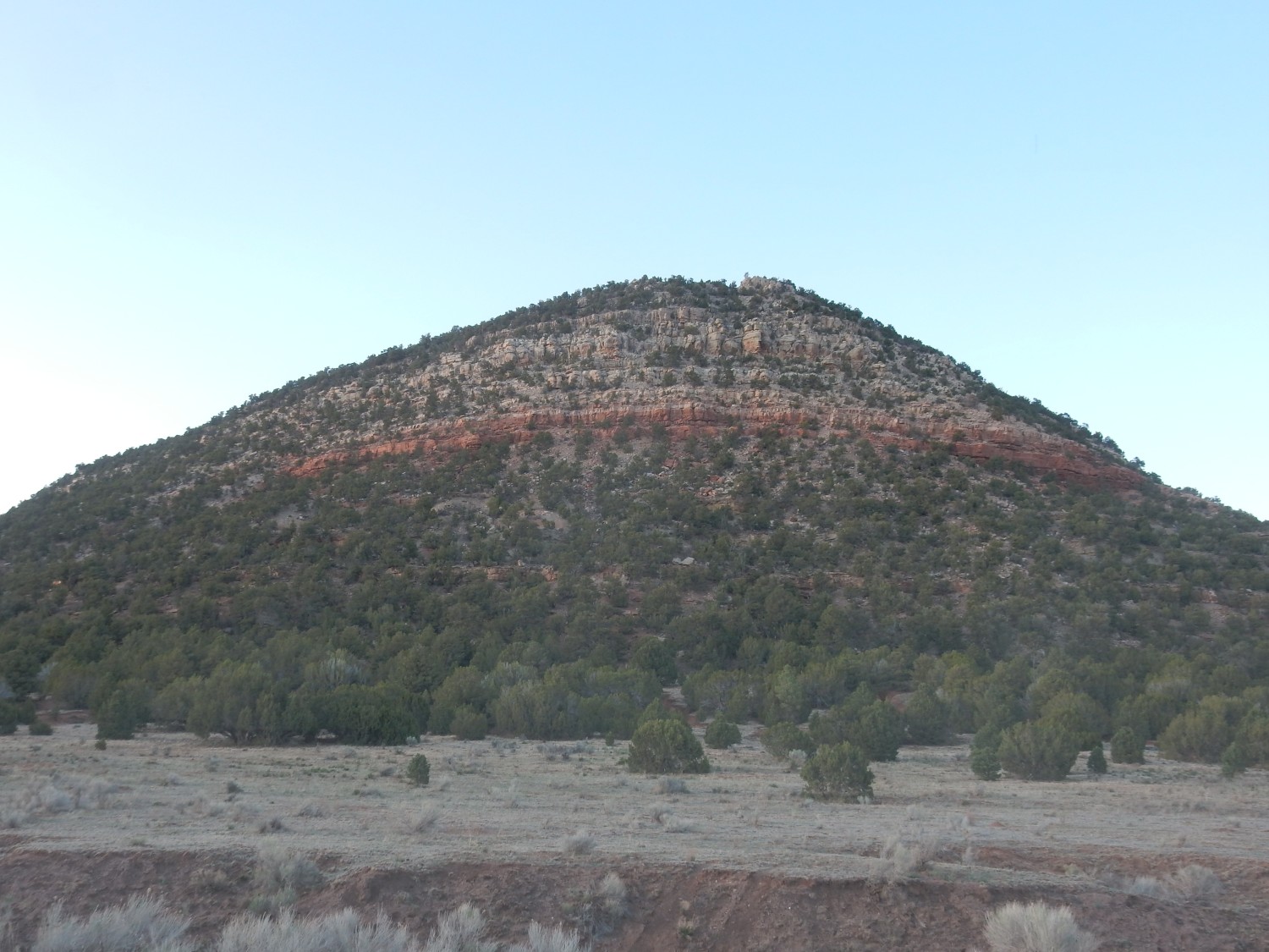
One feature that had caught my eye several times during the conference was East Grants Ridge.
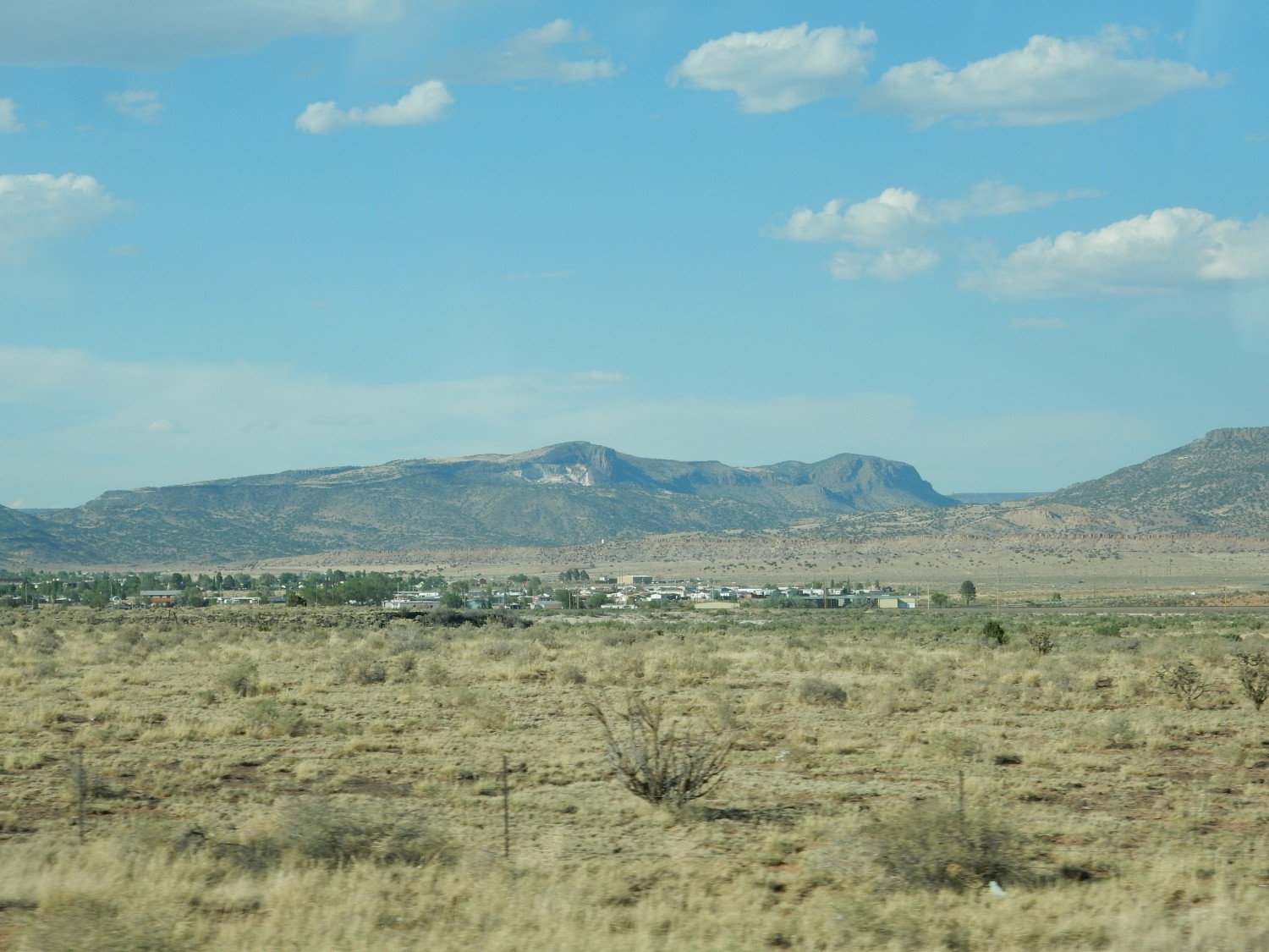
The white outcrop is the source area for the Grants Ridge rhyolite, erupted between 3.5 and 3.18 million years ago. We saw tuffs from this event on the afternoon of the first full day of the conference. The dark plug to its east is part of a basaltic cone that erupted through the tuff.
We are headed west on I-40, but exit south onto Highway 53. This takes us past an outcrop of San Andres Formation, which we stop to inspect.
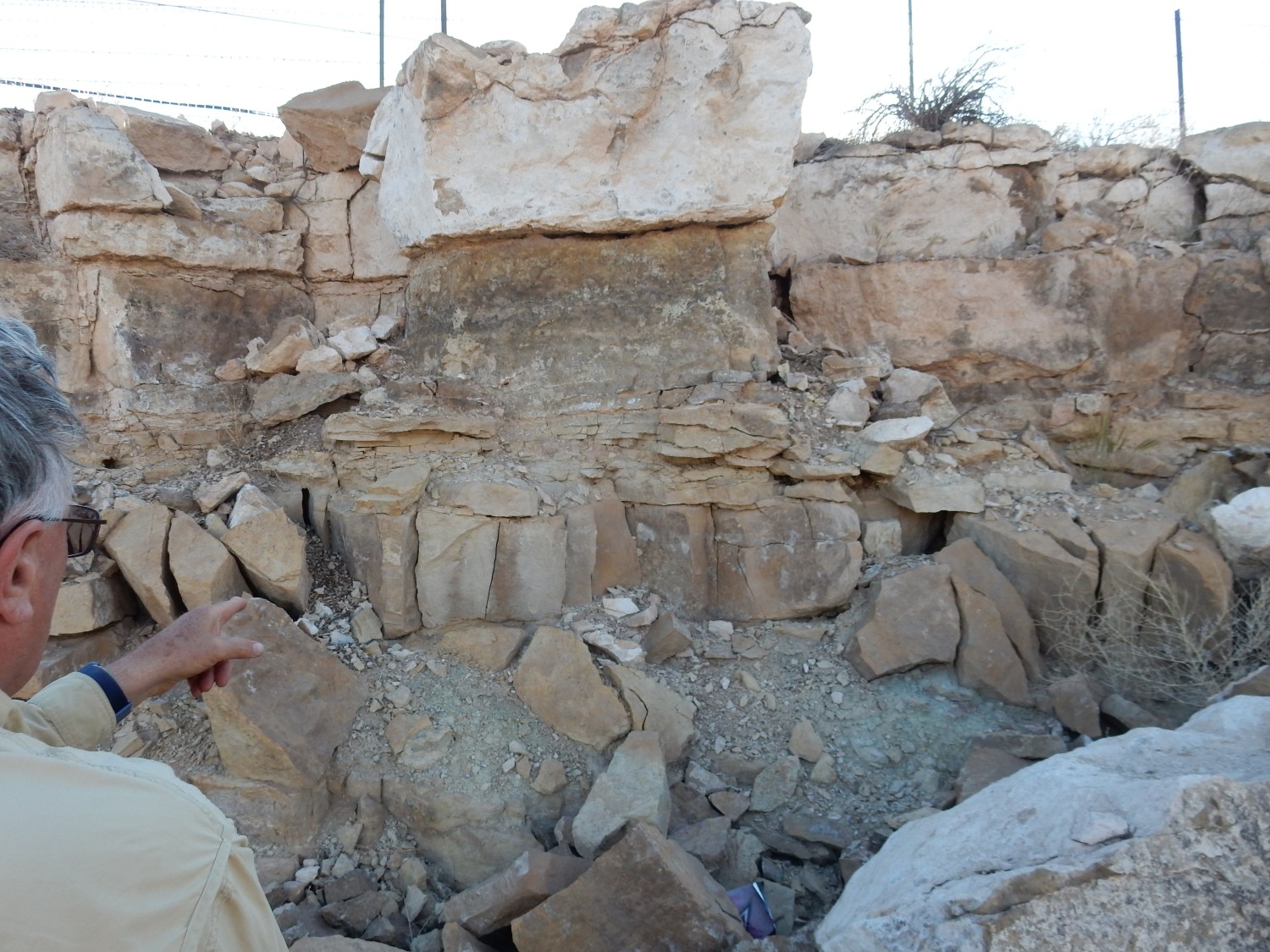
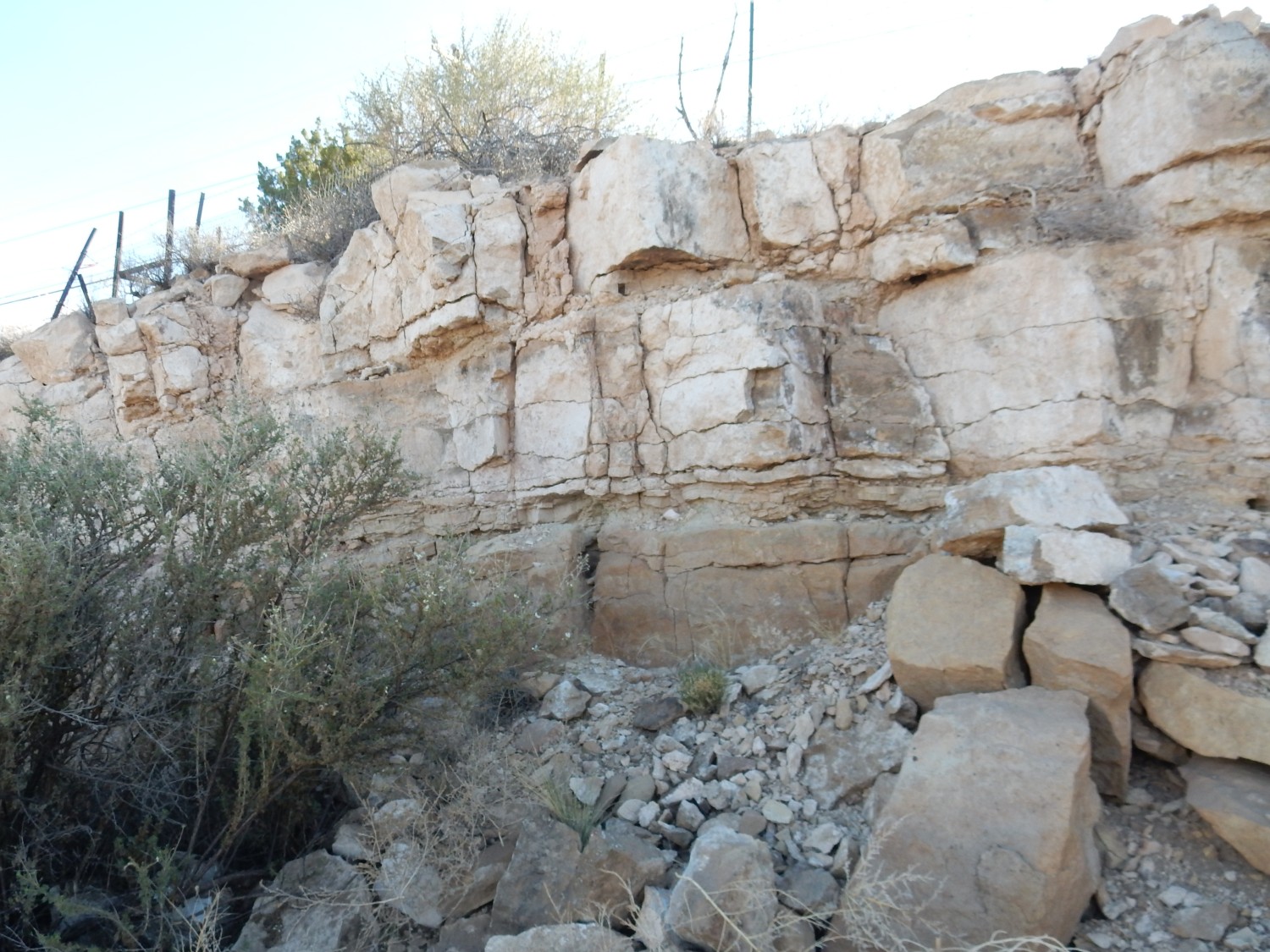
Though mostly limestone, the formation contains some mudstone.
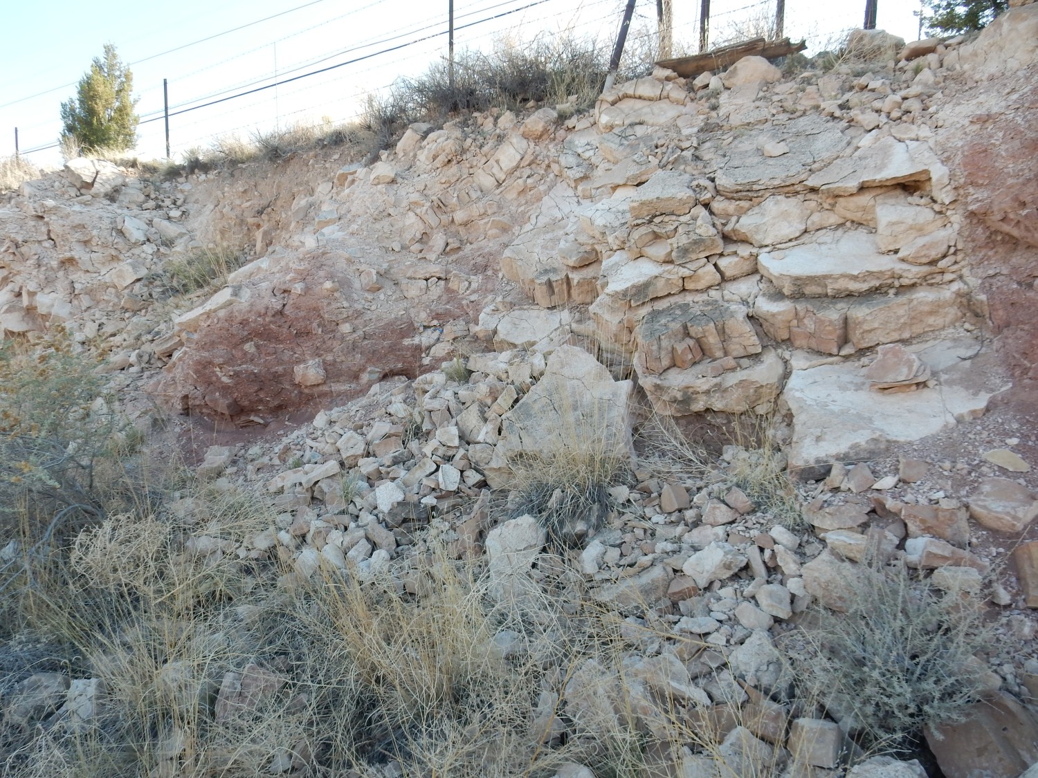
I find myself wondering if there is a fault here. None is shown on the geologic map. On the other hand, a different map suggests that this is not a road cut at all, but is a small fault escarpment.
Faint traces.
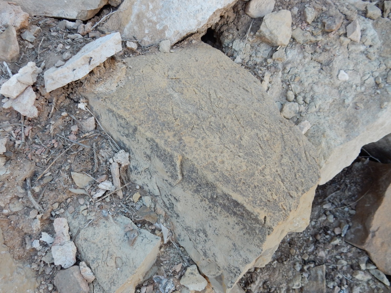
Body fossils, however, are uncommon in the San Andres, being abundant only at a few choice locations around the state. This isn’t one.
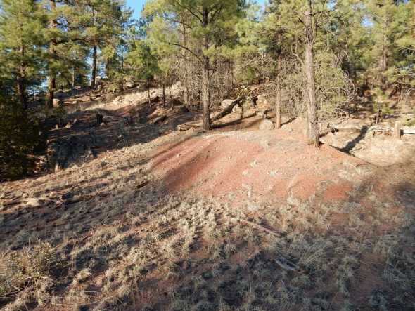
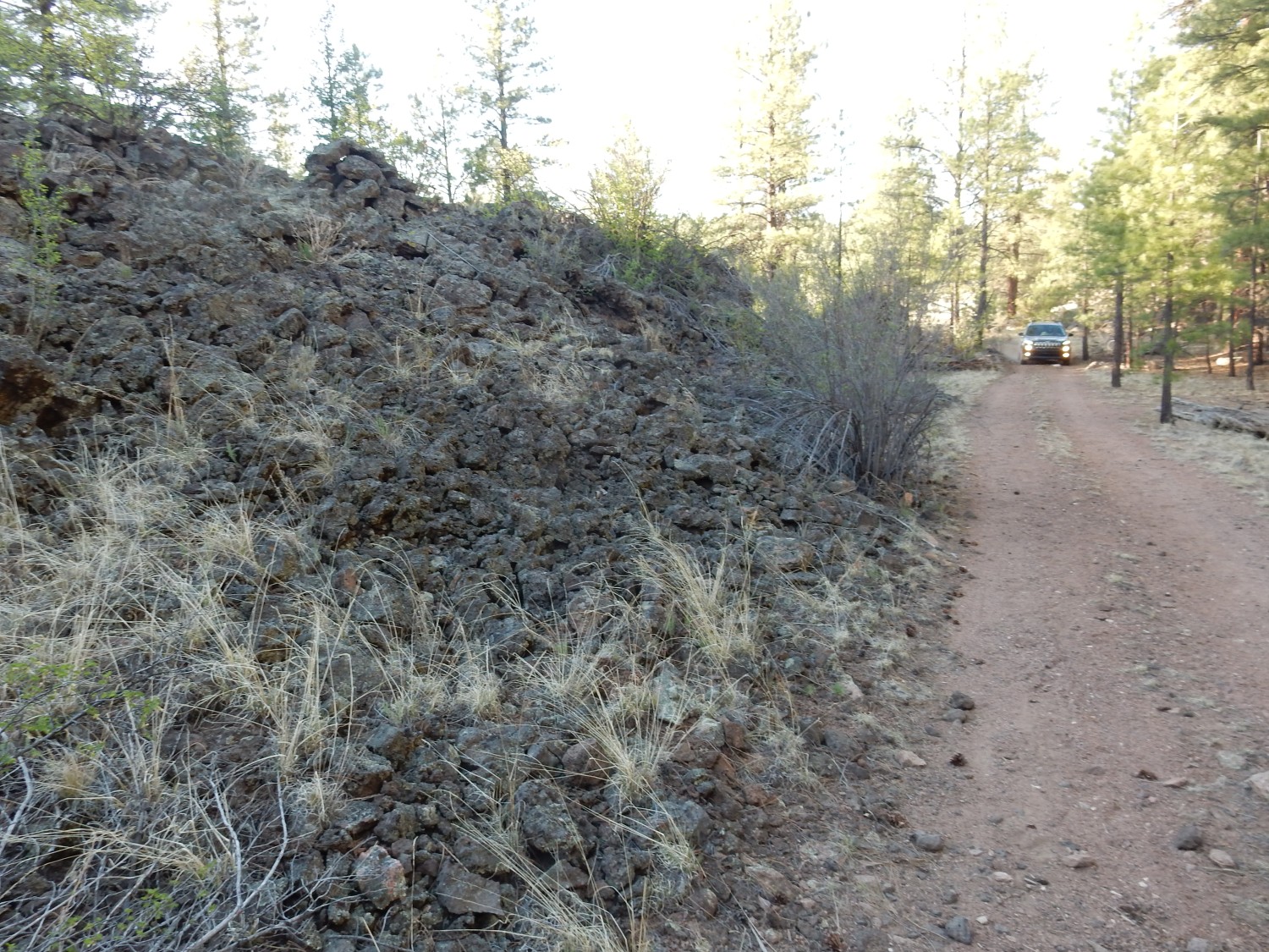
We continue on. I had hoped to visit the Bandera ice cave and crater, but they are already closed by the time we get there. We turn north onto Highway 57, a first-rate gravel road that cuts across the Zuni Mountains. The road winds upwards, and at one sharp turn, we are obviously in cinder beds.
Indeed; the map shows that a large cinder cone is located immediately to the west that marks the eastern terminus of Oso Ridge. Oso Ridge is a hogback of Glorieta Sandstone that extends along much of the southwestern flank of the Zuni Mountains.
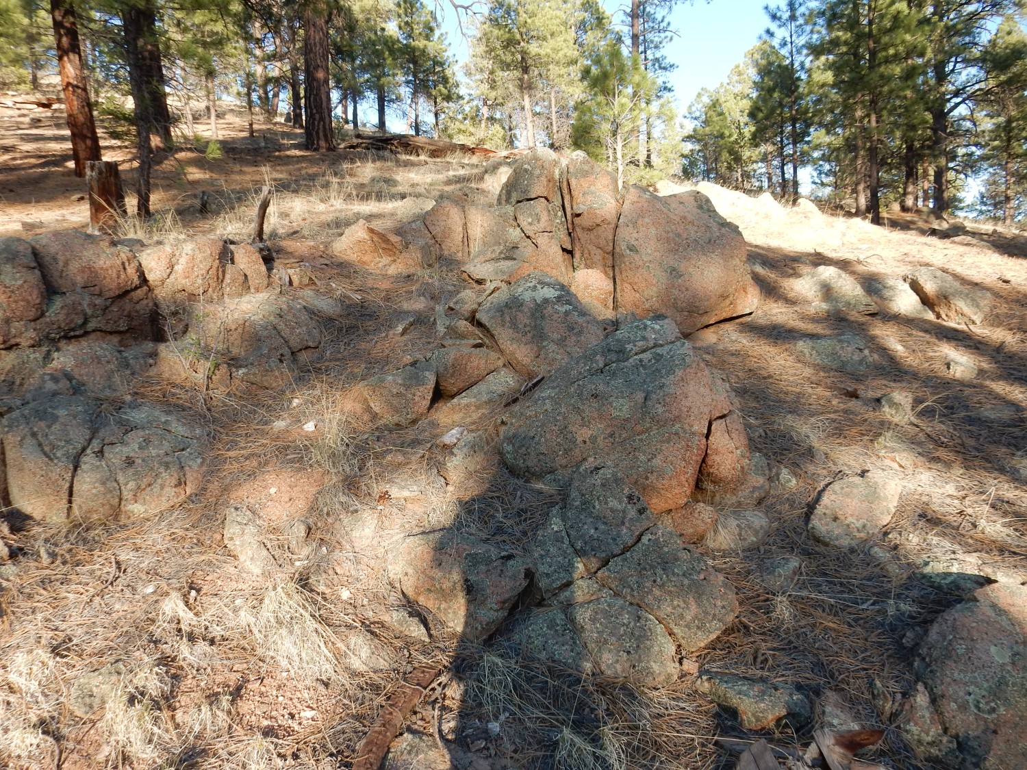
We are looking for an episyenite dike for which I think I have a good location. The road winds around a big basalt flow and we turn onto a side forest road. We are soon passing beautiful outcrops of granite.
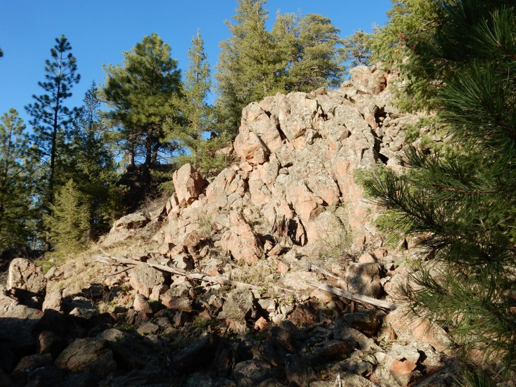
More precisely: This is a granitic gneiss with the composition of quartz monzonite, dated to 1655 million years old. Unpacking that: This is an intrusive rock, formed from magma that cooled and solidified deep underground. It is composed mostly of plagioclase feldspar, but with significant alkali feldspar and quartz, and smaller amounts of other minerals. It has been deformed by tectonic forces since it first formed, turning it into a gneiss.
We get out and look. Some is quite pretty.
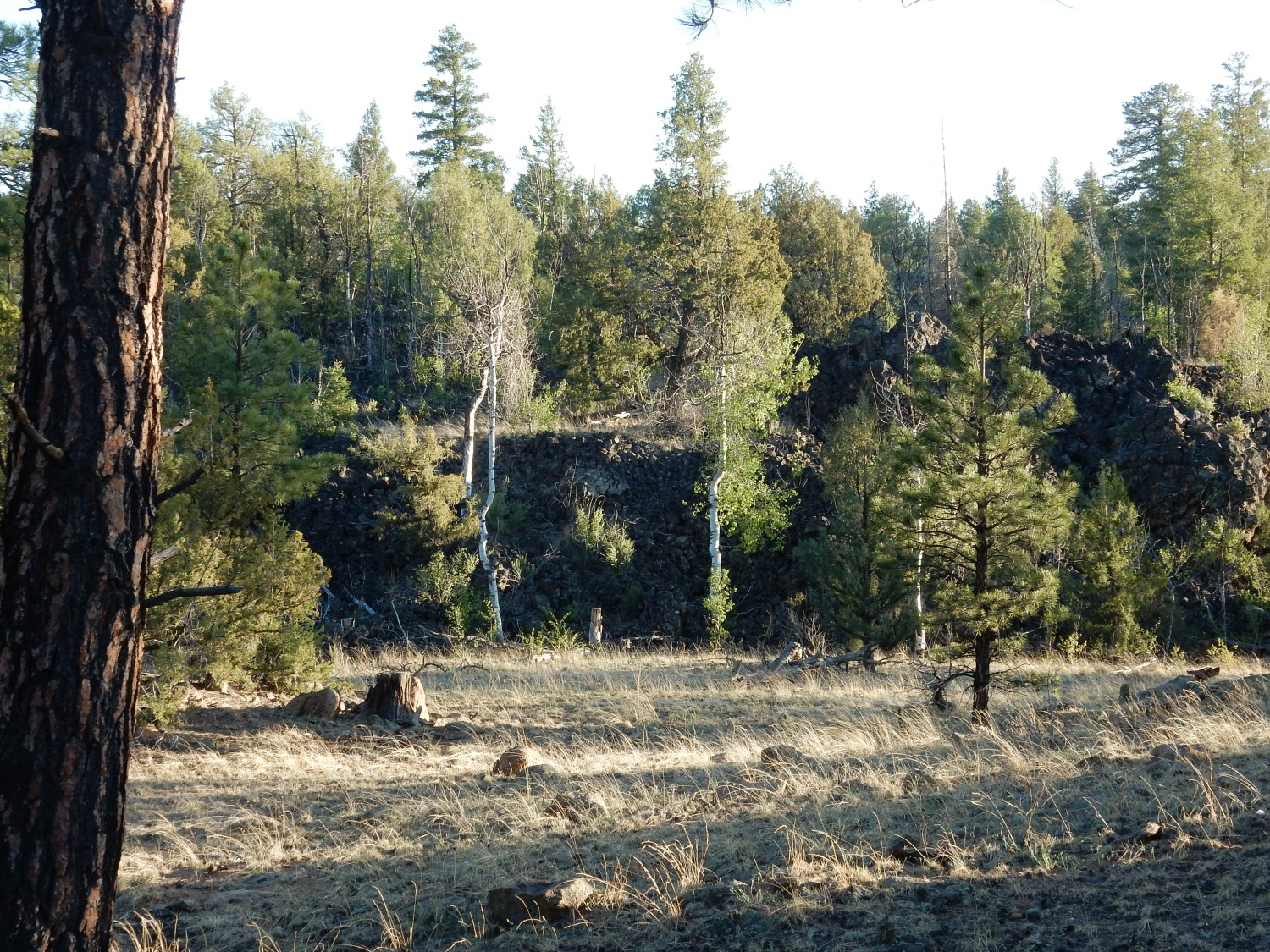
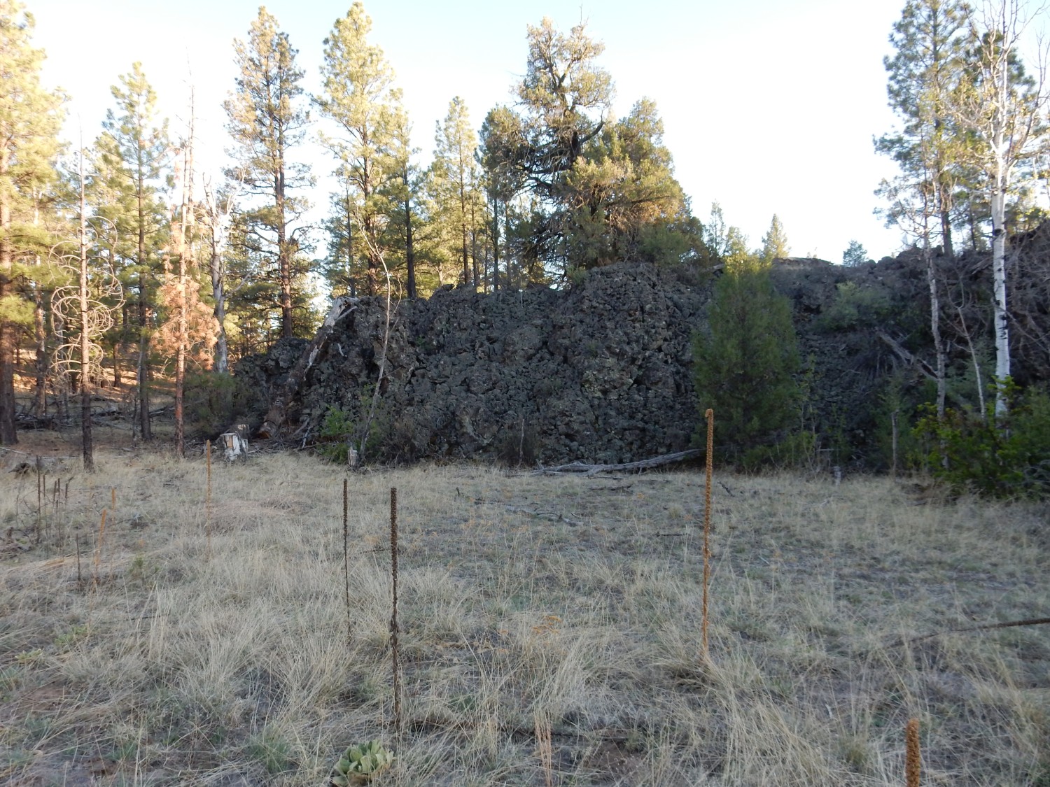
We are past the point where I expected to see the episyenite. I get out and scout ahead on foot while Gary follows in Obsidian. The road skirts the foot of the big lava flow.
I scrutinize outcrops for the brick-red coloration of episyenite.
We are, in fact, far past the coordinates where I thought I’d pinpointed the dike. What transpires next is pure luck.
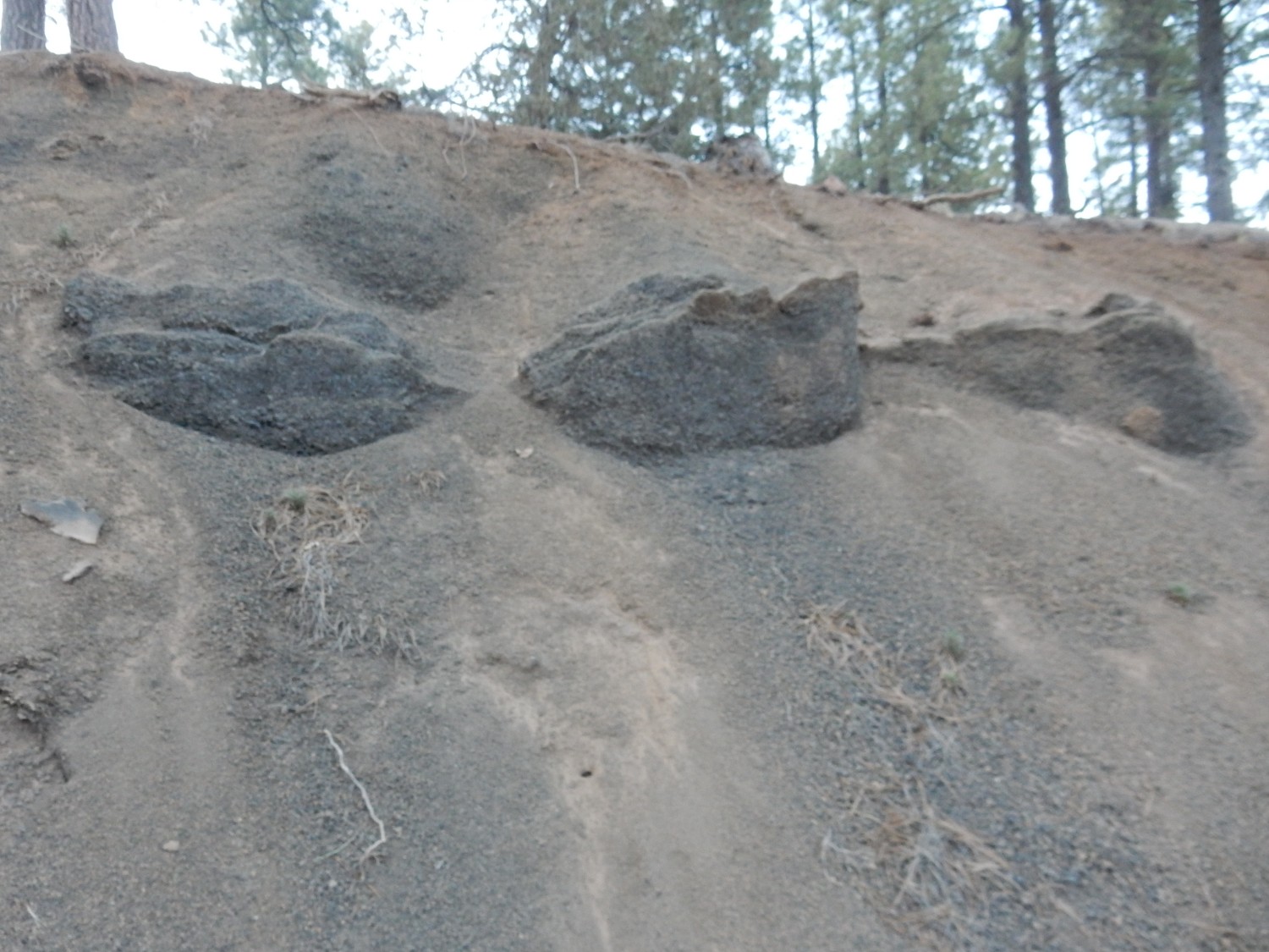
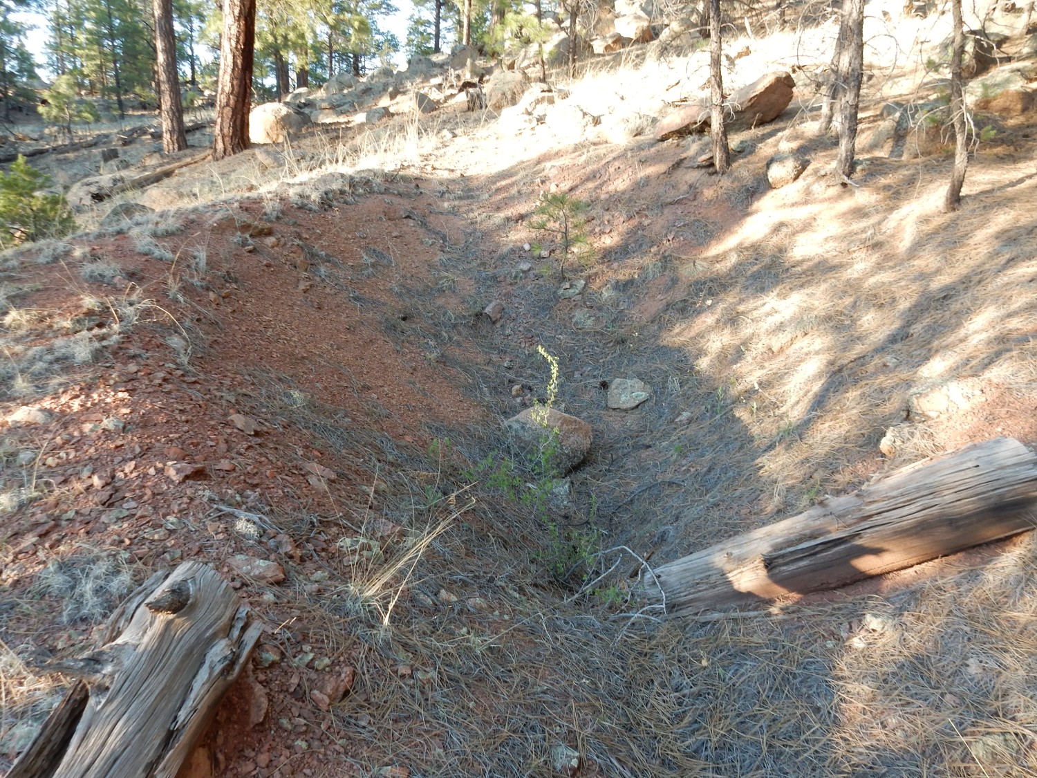
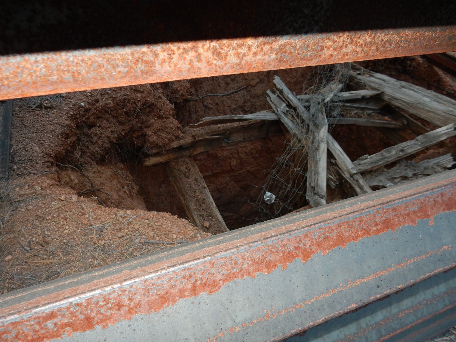
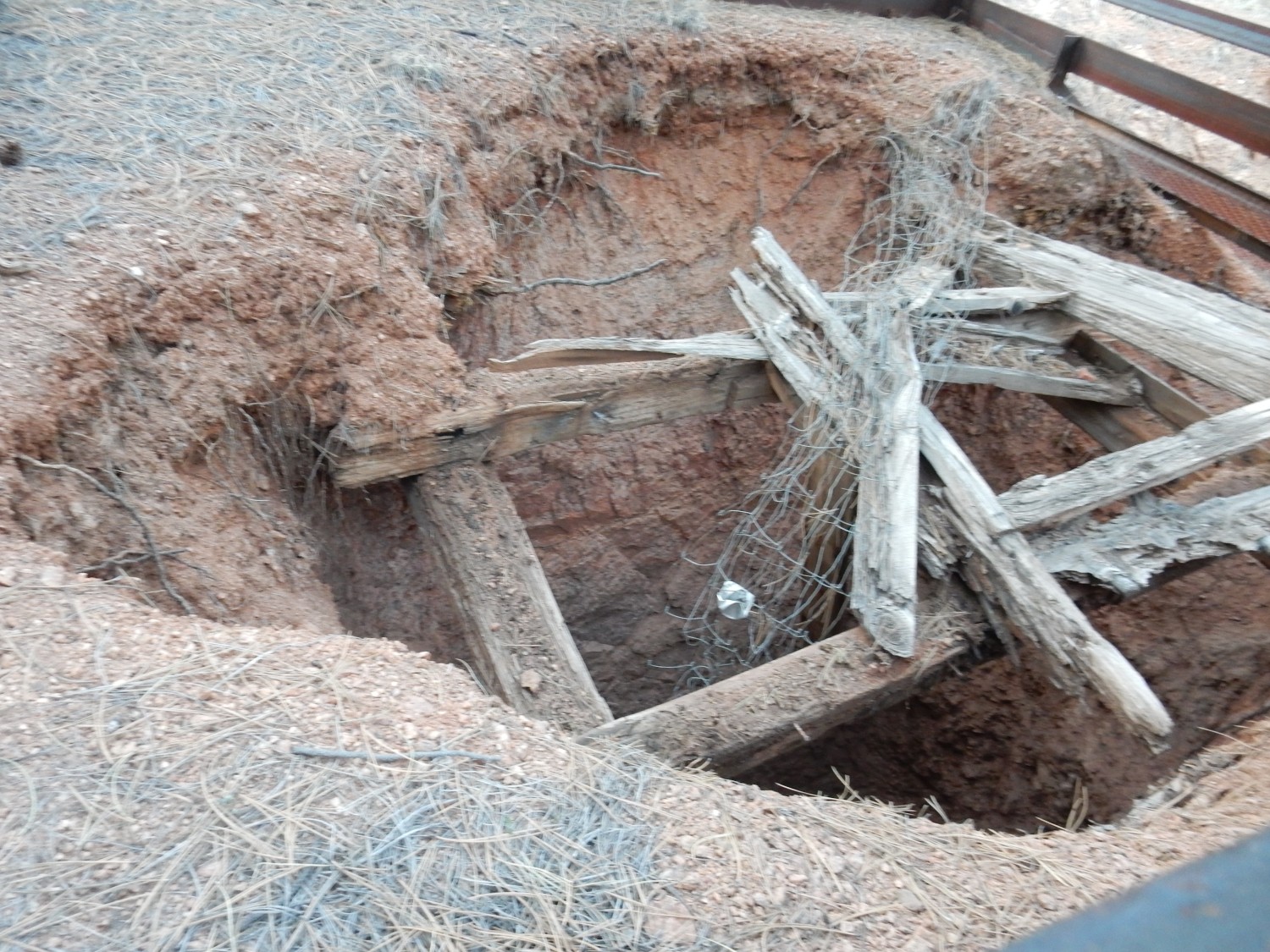
We come to an old mine.
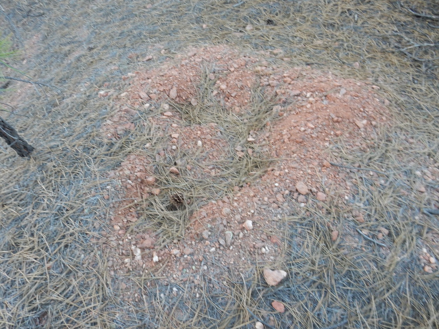
Nearby are tailings that seem to have some of the brick-red color of episyenite.
We scout the area. On a hunch, I continue on down the (badly rutted) road along the front of the lava flow.
And then we finally hit pay dirt.

Okay, I’ve been holding out on you. Time to explain what an episyenite is.
A syenite is an uncommon but nonetheless not too remarkable intrusive igneous rock composed mostly of alkaline feldspar, usually rich in potassium. It contains only small quantities of quartz and modest amounts of plagioclase feldspar. Its volcanic equivalent is trachyte, which is found at Mount Taylor and which is a fairly silica-rich, quite alkaline, volcanic rock.
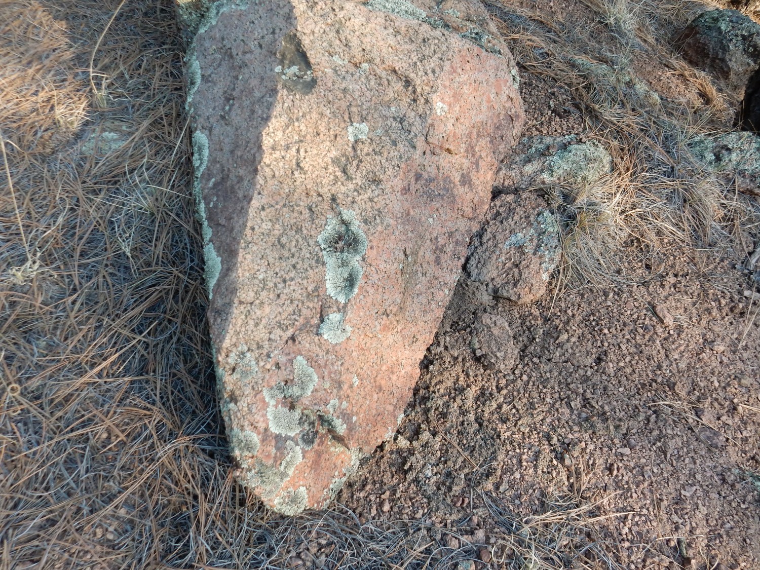
Episyenite has a composition somewhat like syenite, but forms in a completely different way. It is found where moderately hot alkaline fluids have circulated through quartz-rich rock, such as the granite gneiss here, for a prolonged period of time. This leaches out the quartz in the rock and replaces it with potassium feldspar, typically brick-red in color, that often contains valuable quantities of rare earth elements.
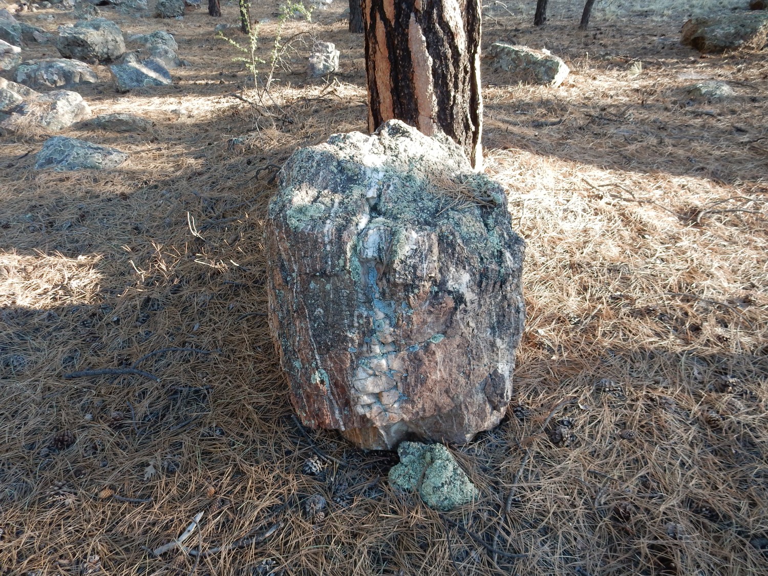
We examine some of the rocks in this pile, and it’s pretty clear it’s episyenite. Here, for example, is a boulder that has been episyenitized on one side.
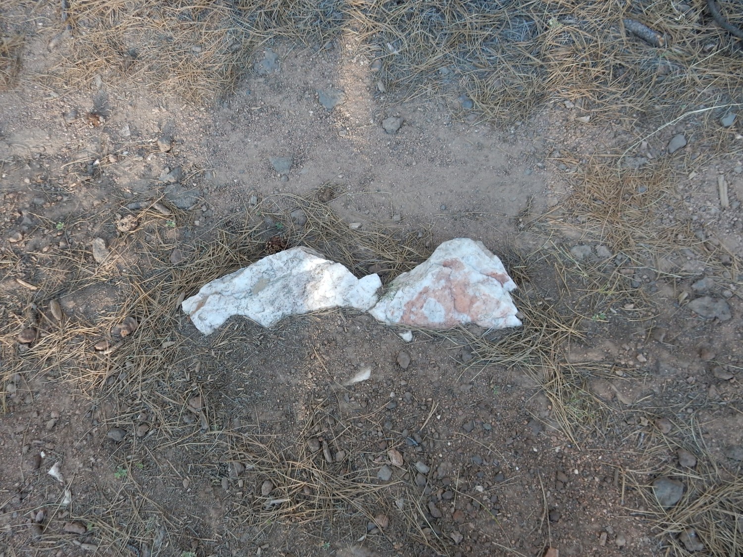
We collect samples.
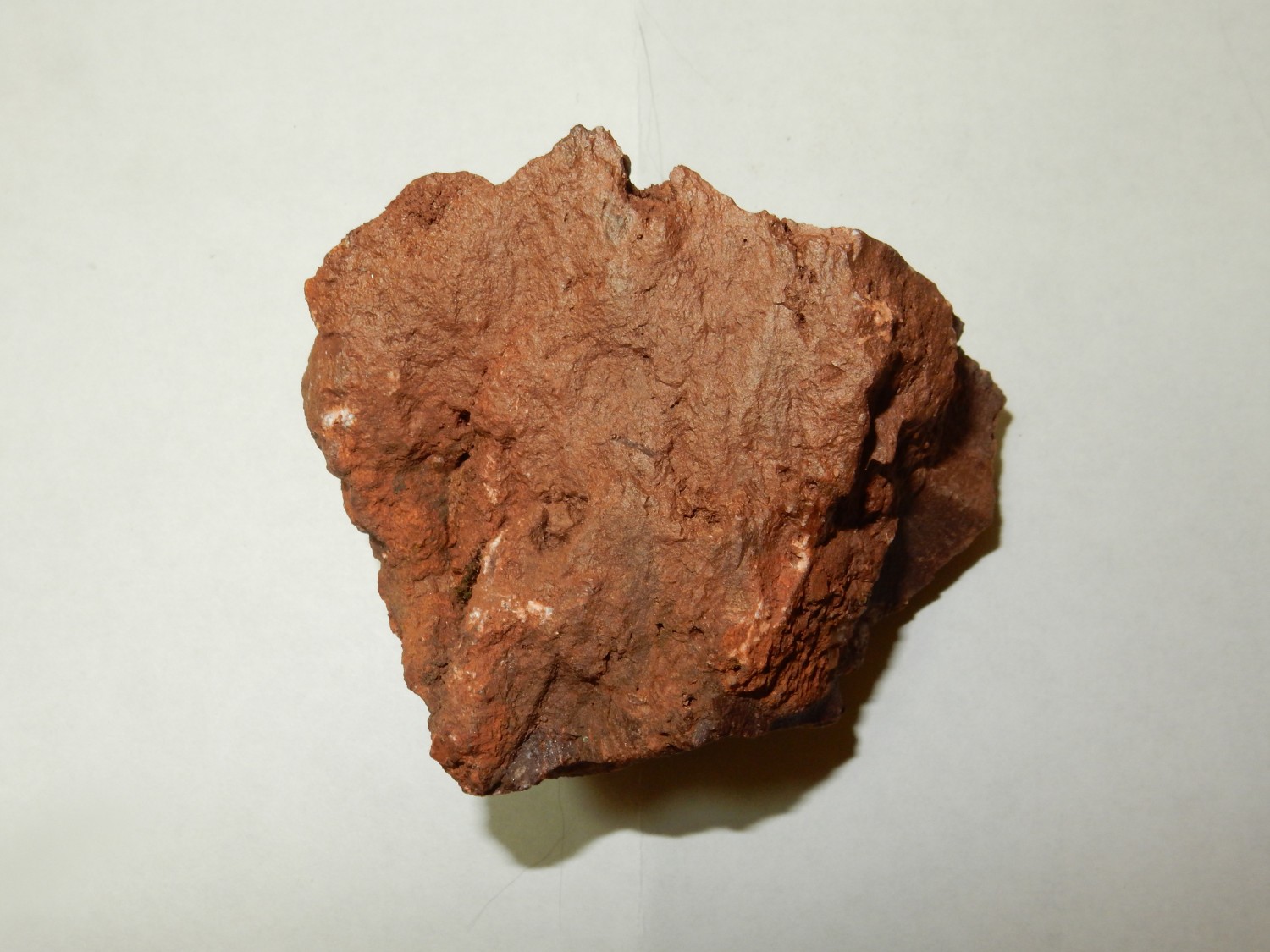

The first sample is an almost completely altered episyenite. The second sample shows the original rock on the left and the effects of alteration on the right.
Well, cool.
The dike here is almost gone; it looks like it was completely dug out by the prospector, who was likely looking for gold. The valuable resource here is rare earth metals, though the episyenites of the Zuni Mountains tend not to contain very high levels of rare earths. The prospector probably had no idea.
This dike was likely part of an extensive system of episyenite and carbonatite dikes running north-south from southern New Mexico into central Colorado, emplaced in the Cambrian or Ordovician, 450 million years ago. The Iron Hill complex in Colorado may be part of this mineral belt. The belt has been interpreted as an aulacogen — a rift that didn’t quite open. Continental rifting seems to begin with three zones of extension, more or less at 120 degrees, radiating from a central point; and typically only two of the arms rift all the way. The rifting here may have been of South America away from North America during the breakup of the supercontinent, Pannotia.
Gary, back at the mine. The light has faded enough for the focus to be uncertain.

… Wait, how’d my grandfather get into the picture?
I’m still struggling just a little with the idea that I’m now 60. Yeah, that’s me, courtesy of Gary.
The mine.
There seems to have been some serious effort at mining here. I would guess they were after gold. However, I don’t have a quadrangle map for this area, and it probably would not indicate what was being mined here anyway.
Another mine?
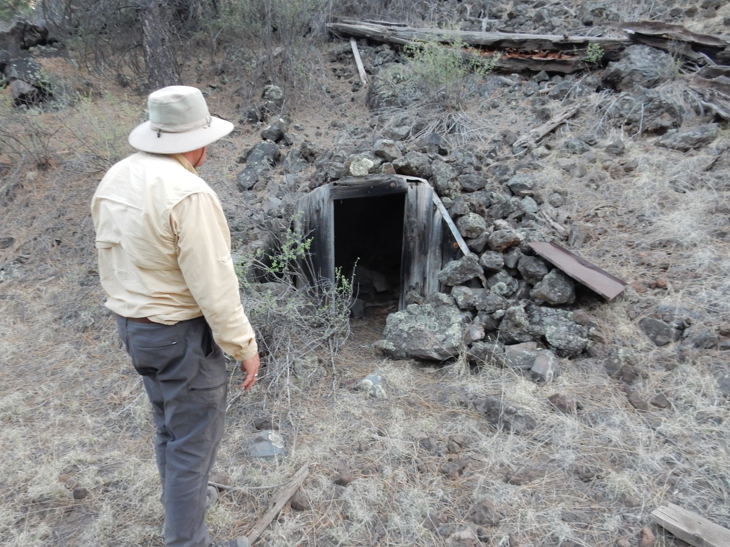
This puzzles me some. Young lava flows are not typically a good place to look for valuable minerals. Perhaps this was a storage tunnel, taking advantage of the insulating properties of the lava.
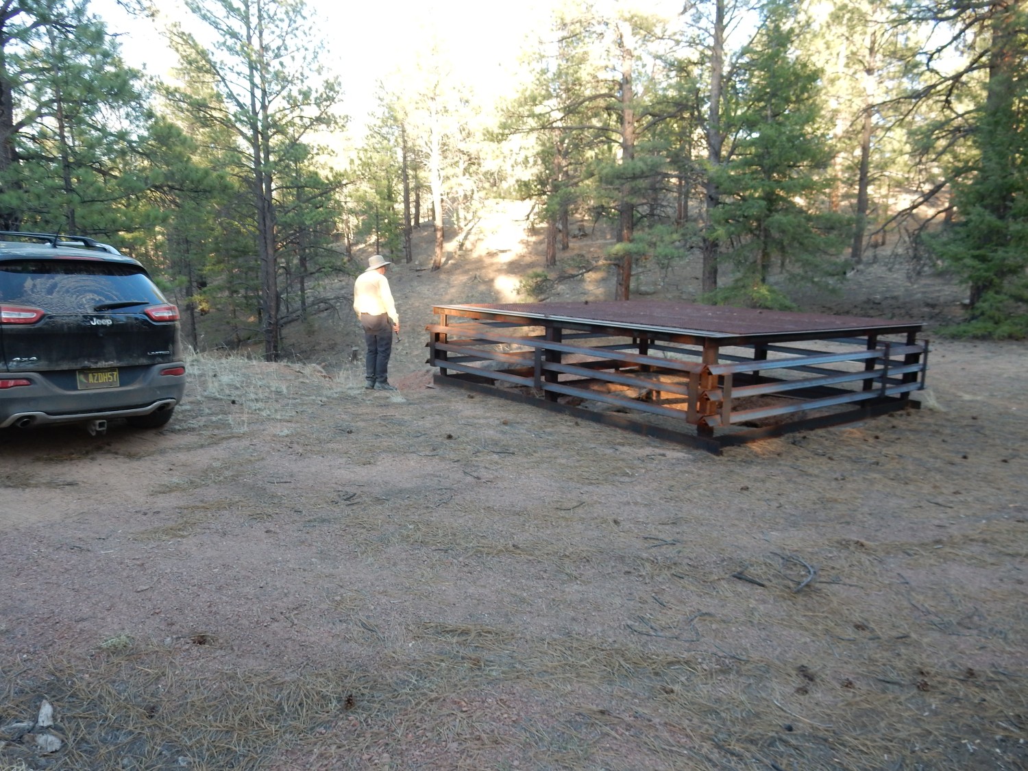
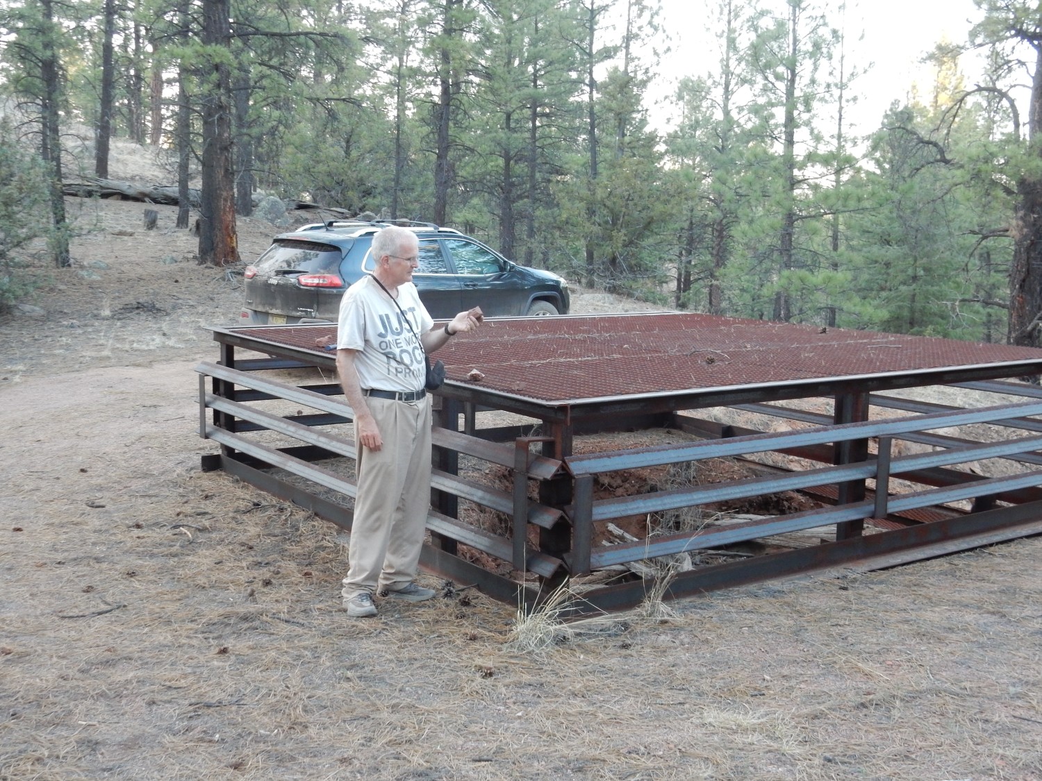
Gary encourages me to record just where we are.
Since we are already halfway through the Zuni Mountains, the shortest route back to the hotel is the rest of the way through the mountains. I anticipated this would be a scenic drive, and I was not disappointed.
At the mouth of Zuni Canyon:
The lower red slopes are Permian Yeso Formation beds, around 280 million years old. This formation records an advance of the sea from the south, and the beds here are basically beach dunes. The lighter rock above is the Glorieta Formation, only slightly younger. It is sand cycled through a river and beach system, with the rivers carrying the sand to the northwest and the sand being carried back southeast by wind. This repeated cycling of the sediments produced well-sorted, well-rounded, relatively pure sand grains.
One last shot before the light fades.
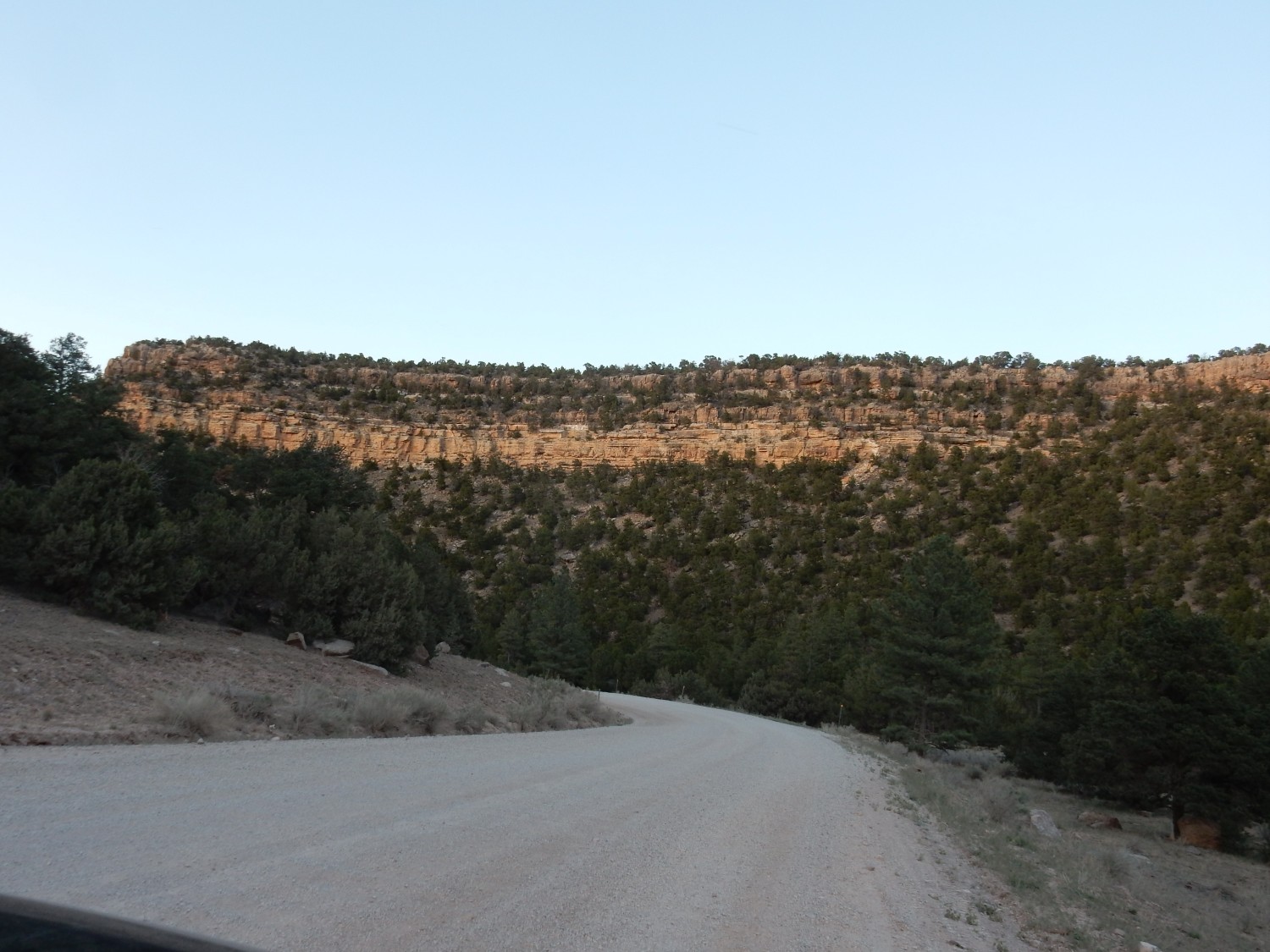
The Glorieta Sandstone really stands out here. The darker beds above are the San Andres Limestone, which we saw at the start of our loop around the mountains.
Then a late dinner at Denny’s (which is actually pretty good) and back to the hotel for the night.