Mount Taylor Wanderlust, Day 6
Dawn on the last day of the excursion.
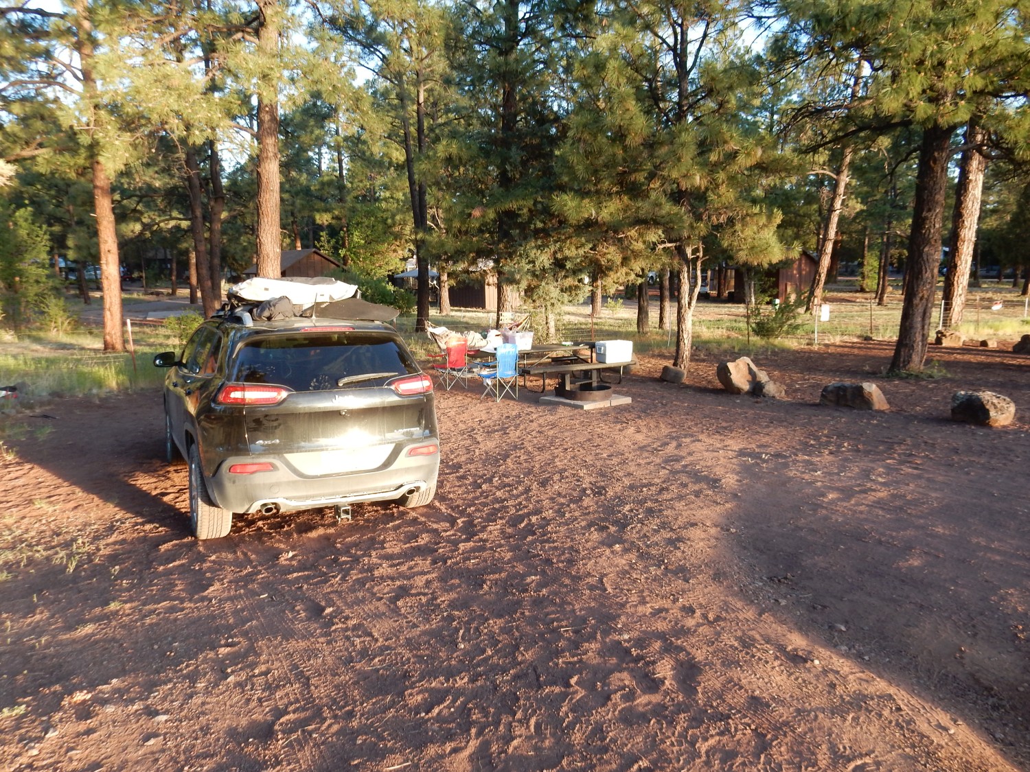
Our camp is near Show Low Lake, which is on the western margin of the Springerville volcanic field. This volcanic field is near the western end of the Jemez lineament, which we learned about on the second full day of the conference. We will more or less follow the lineament all the way back to White Rock.
Here the principal volcanic rock is basalt, some boulders of which are used to mark camping areas.
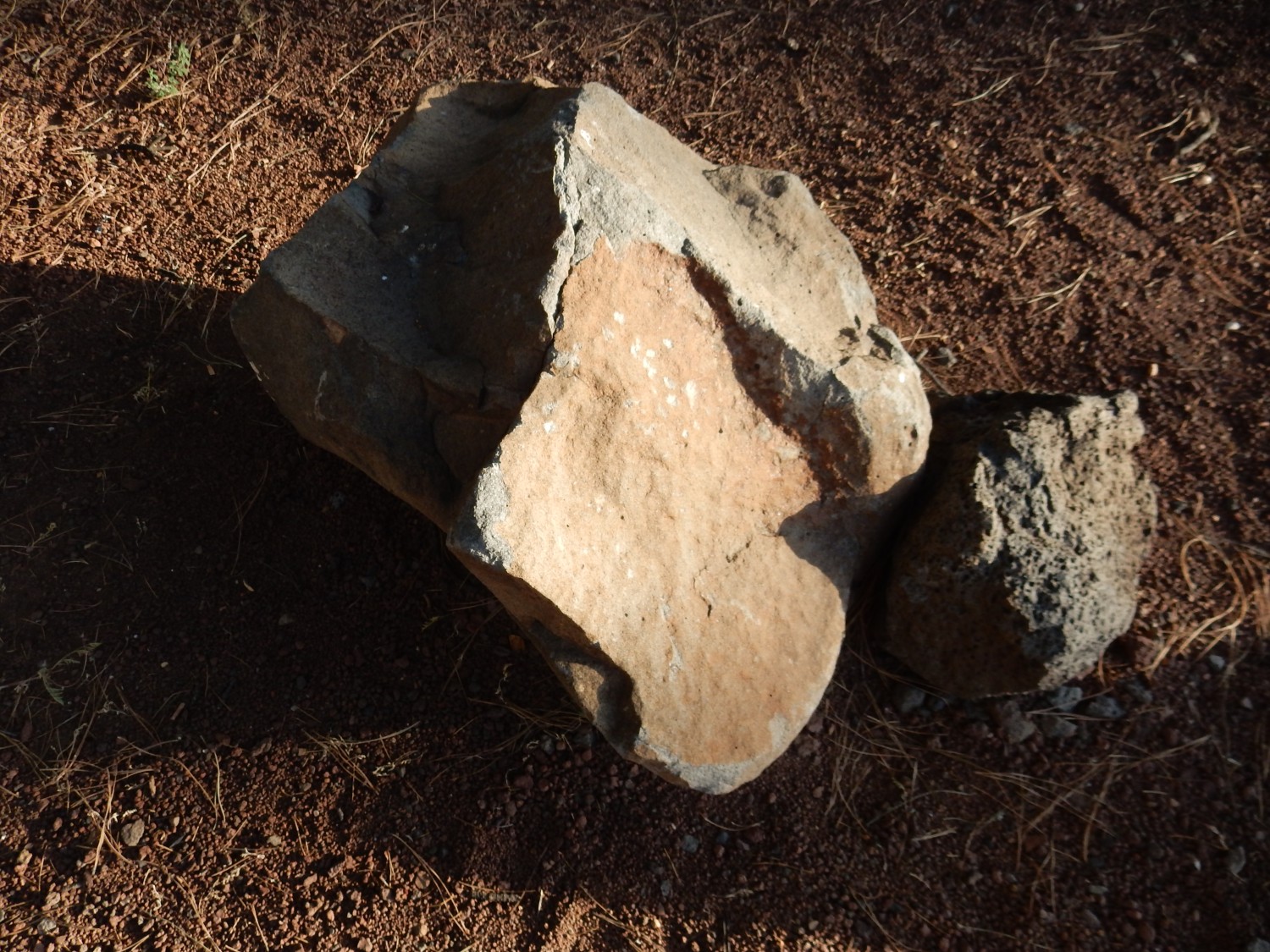
It’s a rather coarse-grained basalt, with visible crystals. However, taking a sample here seemed crass and I didn’t get a chance anywhere else.
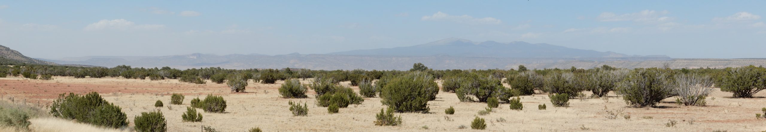
I do persuade Gary to let us stop and get some photos into the volcanic field from a convenient view point.
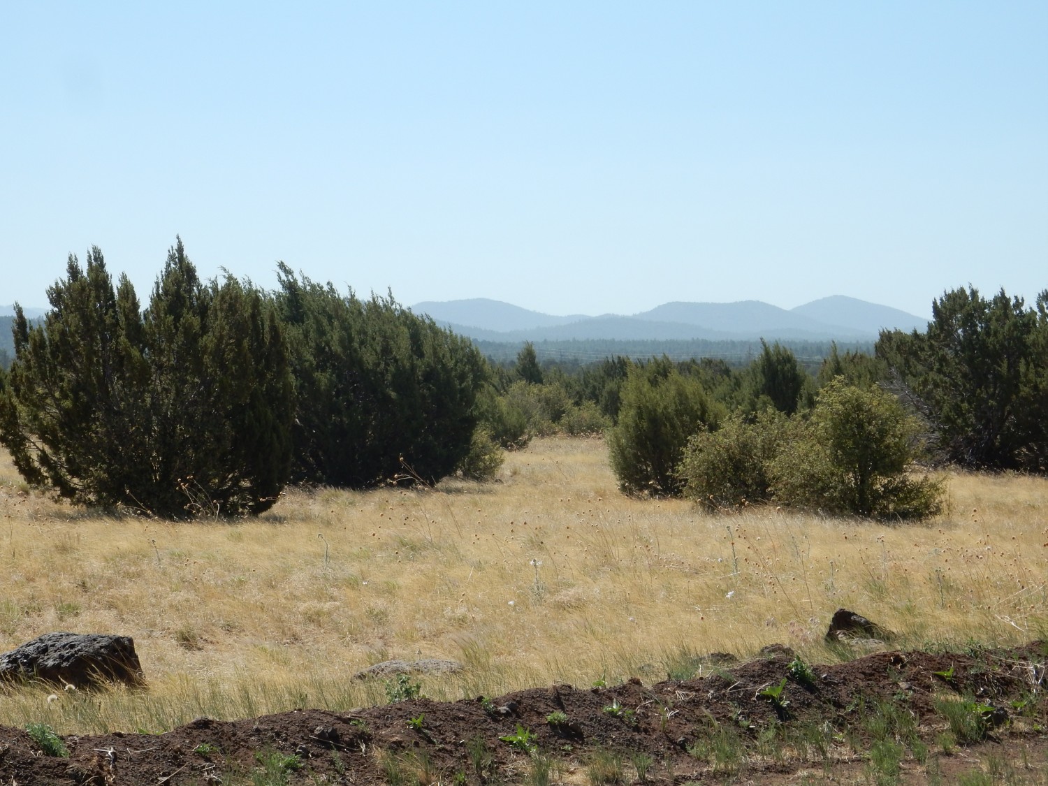
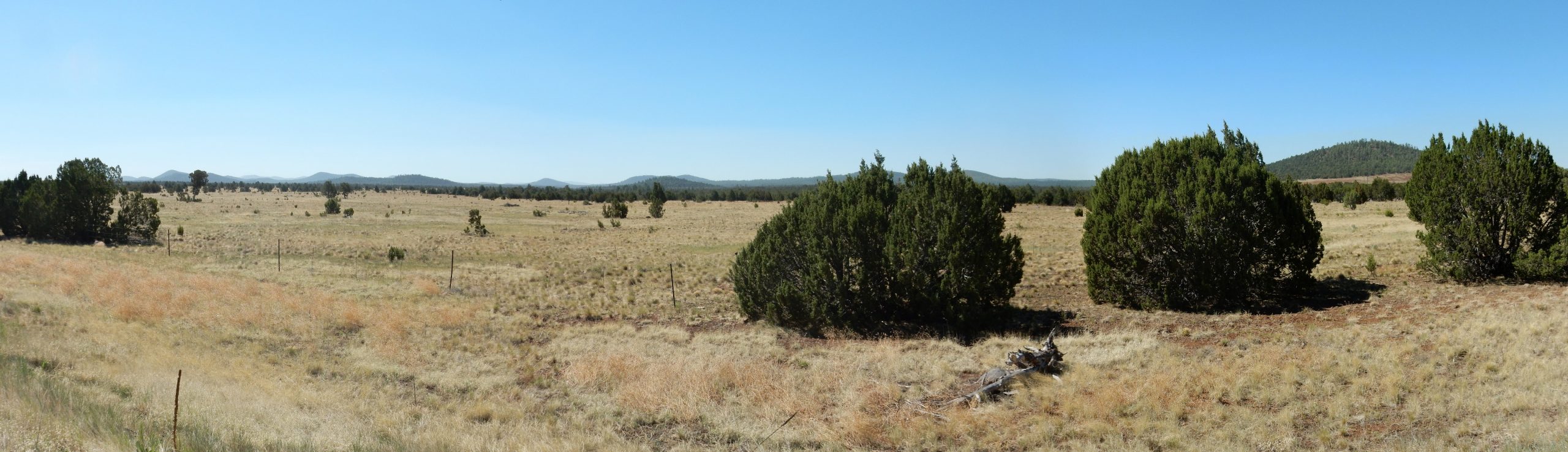

We are looking more or less down the long axis of the field. The Springerville volcanc field is a monogenetic volcanic field and one of the largest such fields in North America. Here low-silica magma has repeatedly come to the surface, but always at a different location, so that no one large volcanic edifice is built up. Instead, over 400 individual vents are found in the field, almost all of which take the form of small cinder cones.
We pass through St Johns, and Gary reminisces. He has family ties to the area. We then enter an area of Chinle Formation exposures.
This looks like Petrified Forest Member again, though my map is no more specific than Chinle.
This is, incredibly, the furthest western flow from the Zuni-Bandera volcanic field, which seems to have flowed some 50 miles west along an ancient river valley from its source vents. Amazing.
And then we’re into some really pretty beds.
Alas, I have very poor geologic maps for this area. This could be anything from Chinle to Quemado Formation, but my best guess is Bidahochi Formation. We saw this in Petrified Forest National Park.
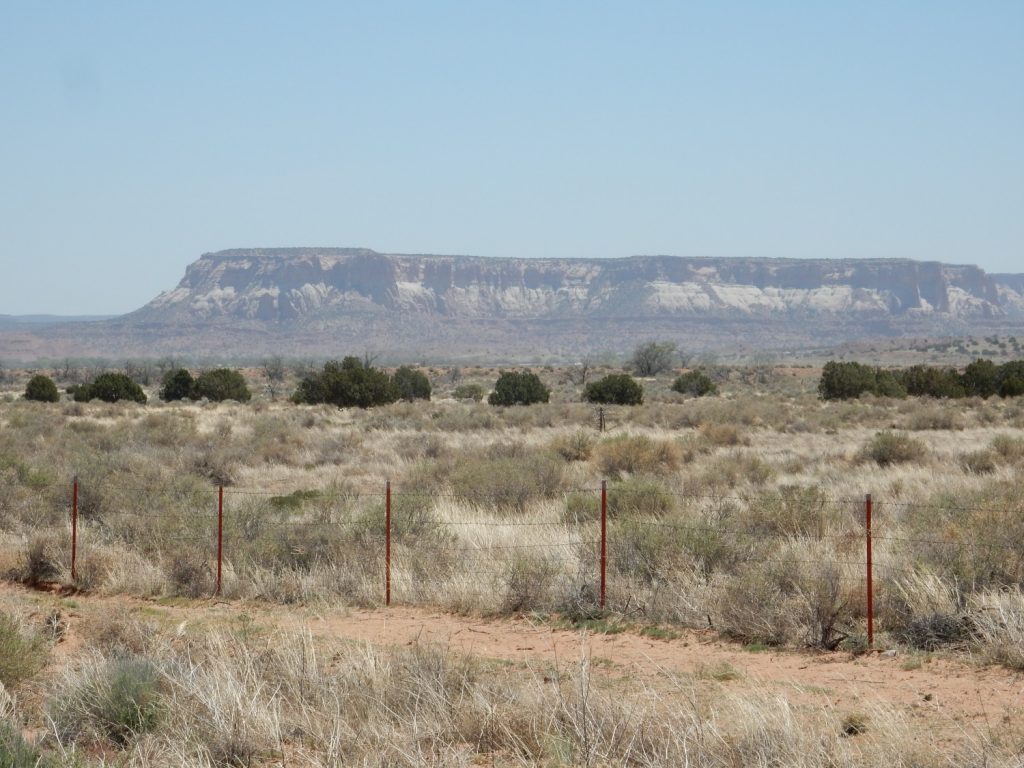
We approach Zuni. I have a recollection that one of the nearby mesas is the type section for the Zuni Formation, but am not sure which; so I photograph at random.

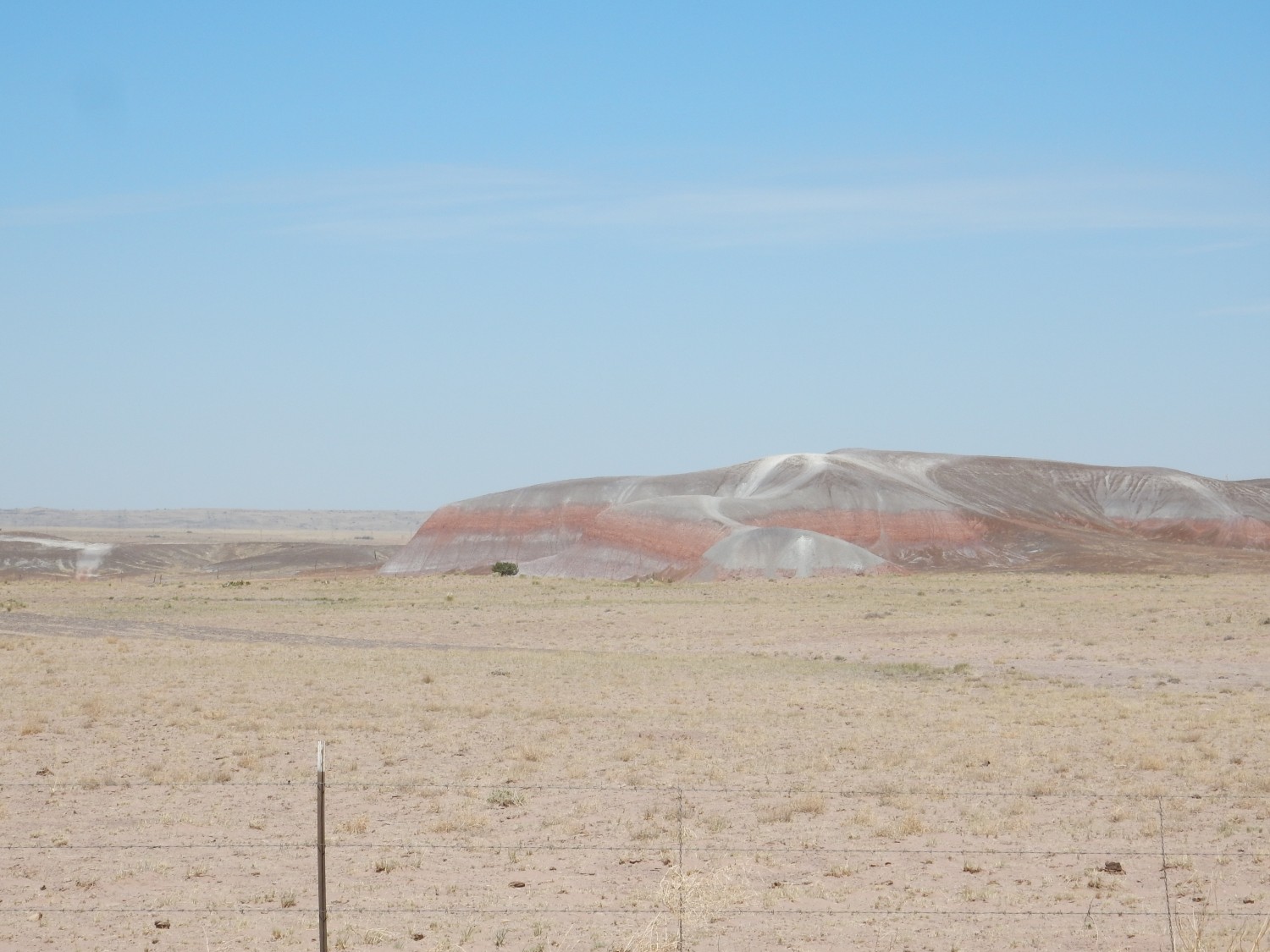
At left are Zuni Buttes. The butte at right is unnamed. I don’t have a good geologic map for this area, but the state map tells us the lower plateau is Chinle Formation, and the buttes and mesa are composed of Zuni Sandstone capped with Dakota Formation.
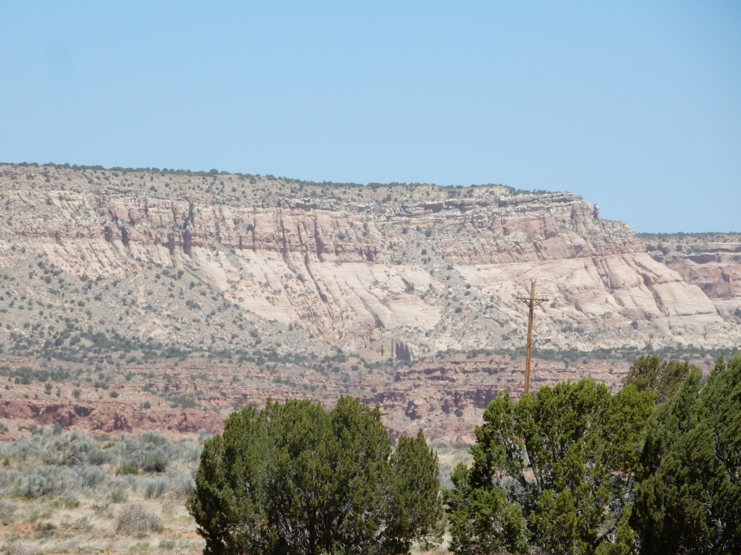
To the southeast is Dowa Yalanne, “Corn Mountain”.
This is apparently the heart and soul of Zuni Pueblo, and it also turns out to be the type location for the Zuni Sandstone, which forms the white lower slopes. The top is Dakota Formation beds. And I’ve come at almost the worst time of day to try to get a good photograph. Durn.
The mesa is closed to all but Zuni Pueblo members. That makes it an odd choice for a geologic type location, but it was designated in 1983, and perhaps the mesa was open then.
Further down the road, I get a better view of the Zuni Sandstone in the unnamed mesa to the north.
Past the pueblo, a striking mesa comes into view to the northeast.
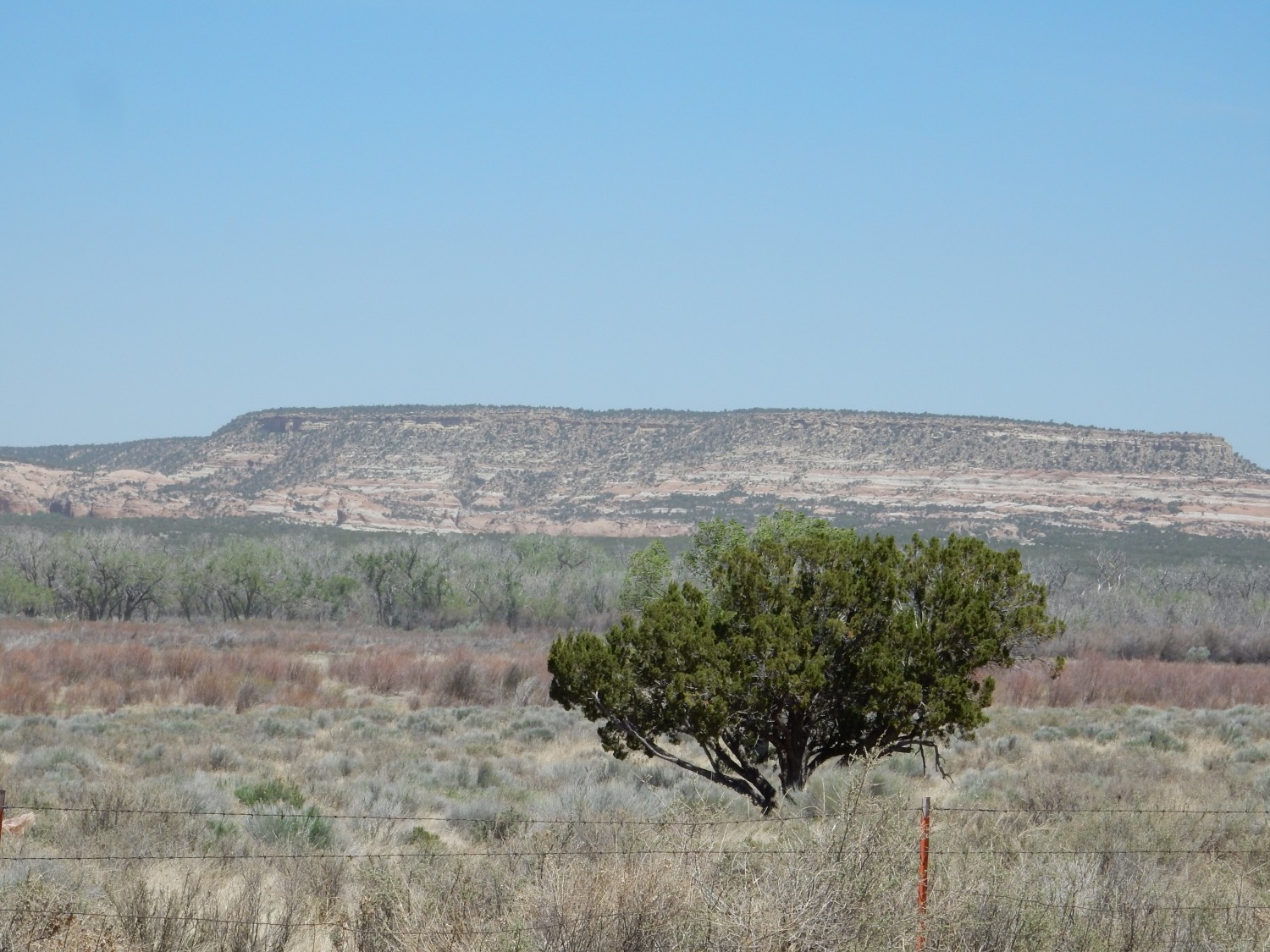
The red and white layering. This is mapped (roughly) as Zuni Formation also.

We proceed up the highway towards Ramah. I hit the brakes when I see the turn for Fence Lake; I was considering going to see the Fence Lake Formation at its type section. But then I see it will add an hour to our trip, and drive on. Some other time.
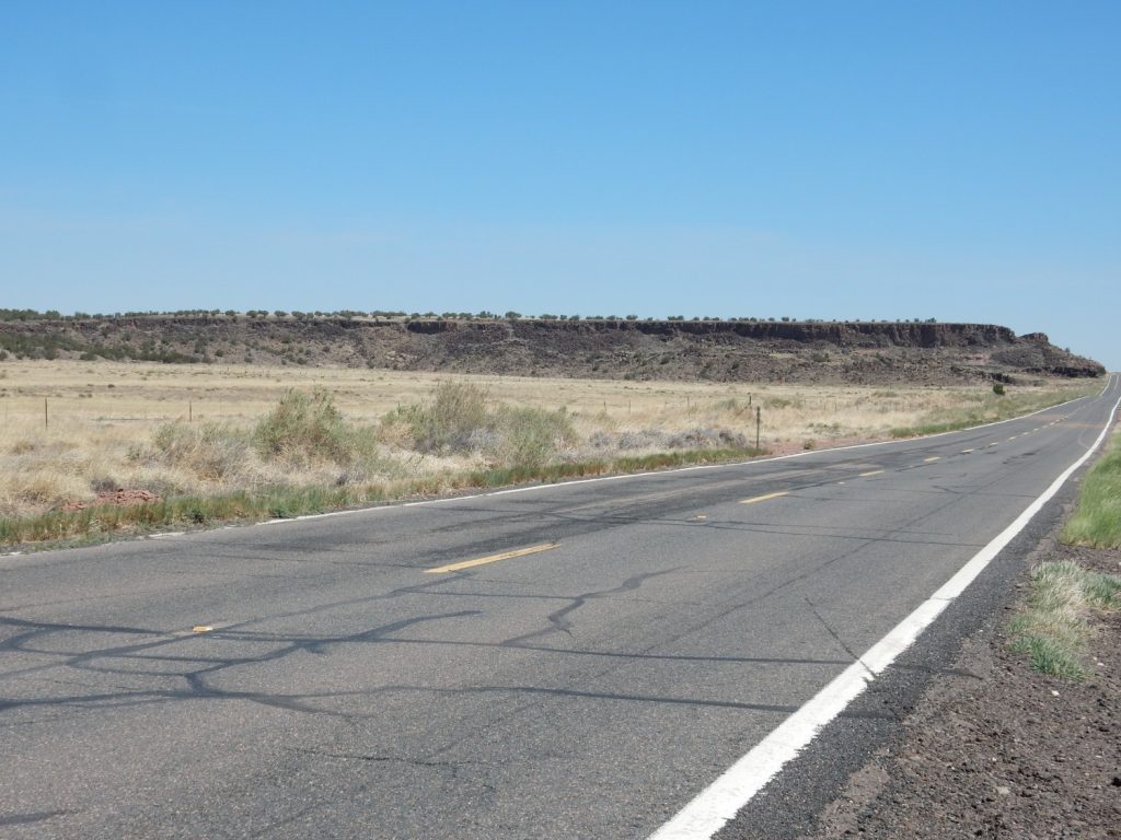
On the road to Ramah:
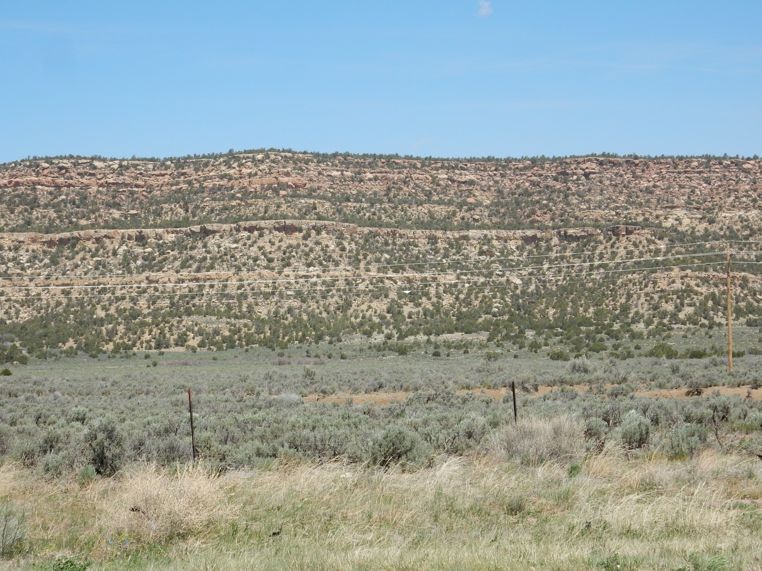
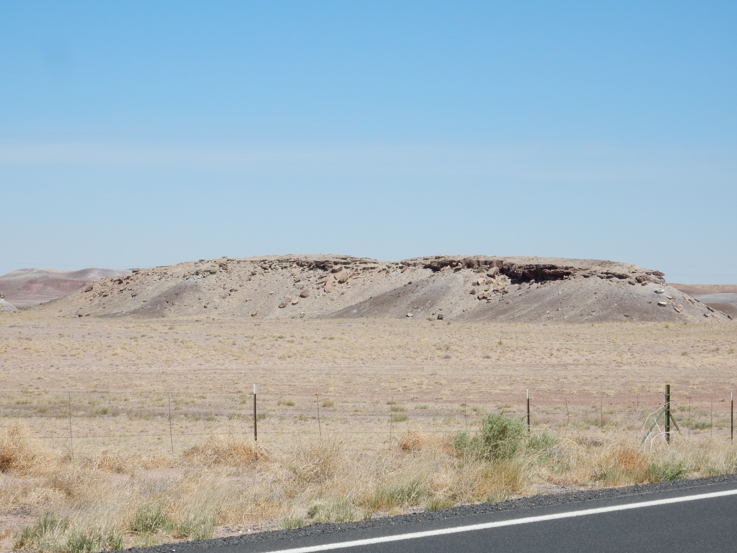
I’m again hurting for a detailed geologic map. But this is probably Tres Hermanos Formation up to the prominent shelf, and Mancos Shale and Gallup Sandstone above. Both are Cretaceous formations.
We pass through Ramah, originally established by Latter-day Saint pioneers as a mission. Though I don’t have any direct ties to the town, my wife had a roommate from Ramah when I met her.
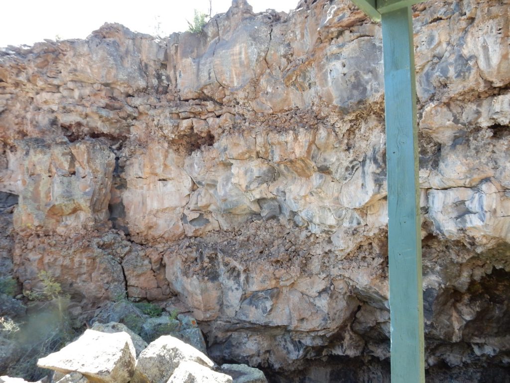
We skip El Morro National Monument and continue on towards the Zuni Mountains. Here we come across some kind of large mine or quarry.
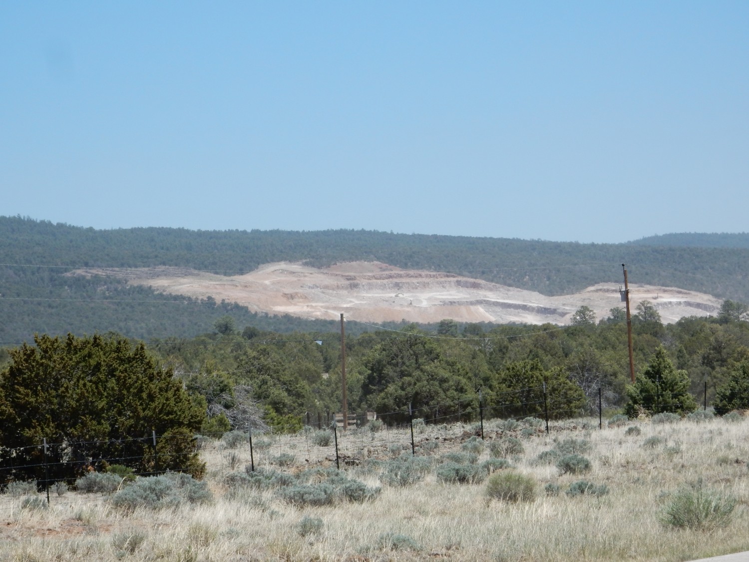
This is located in the lower Chinle Formation, possibly the Shinarump Formation, which is famous for its copper deposits. However, this appears to be a very large gravel quarry.
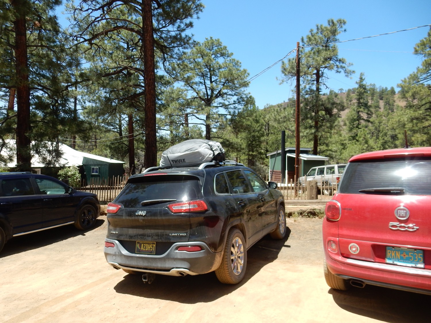
We have now completed a great loop through New Mexico and Arizona, and are now back at Bandera Crater. However, this time it’s open. We park.
This is probably the most interesting part of El Malpais, and it’s entirely privately owned. It’s also at least as well run as any Park Service site of comparable size. The admission fee of $12 seemed entirely reasonable.
We visit the gift shop. There are some interesting displays of pottery found on the malpais.


I have only a very cursory knowledge of native American pottery. But the pots at top in the first image looks like Ancestral Puebloan corrugated grayware, one of the earliest styles of pottery. Those at the bottom look like Chaco culture pottery, while those in the second image may be post-Chaco styles.
These might be better curated at a museum or Park Service site, but it’s clear the private owners here value these and have tried to take good care of them.
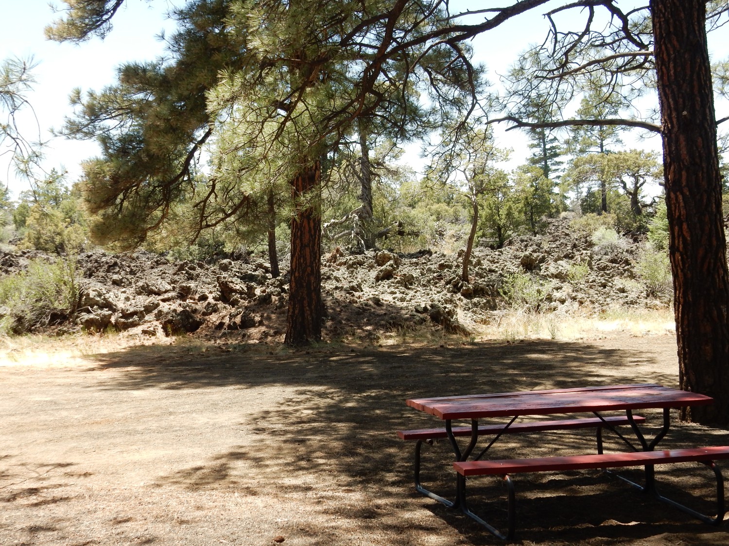
We eat lunch. The edge of the Malpais behind our picnic area:
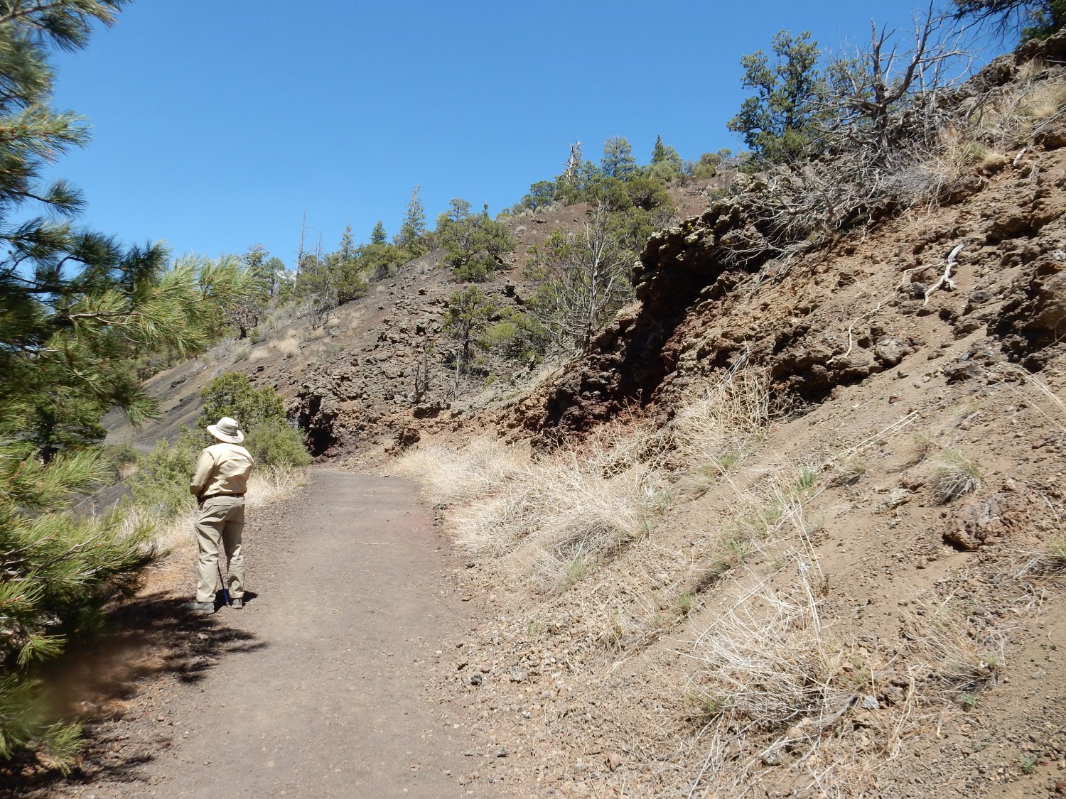
Gary at the start of the trail:
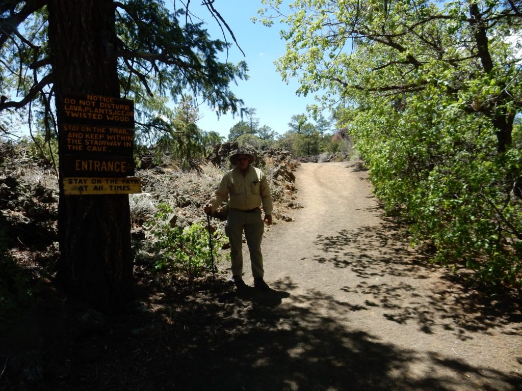
The trail has markers and a very nice guide, but we’ve started at the wrong point. No big deal.
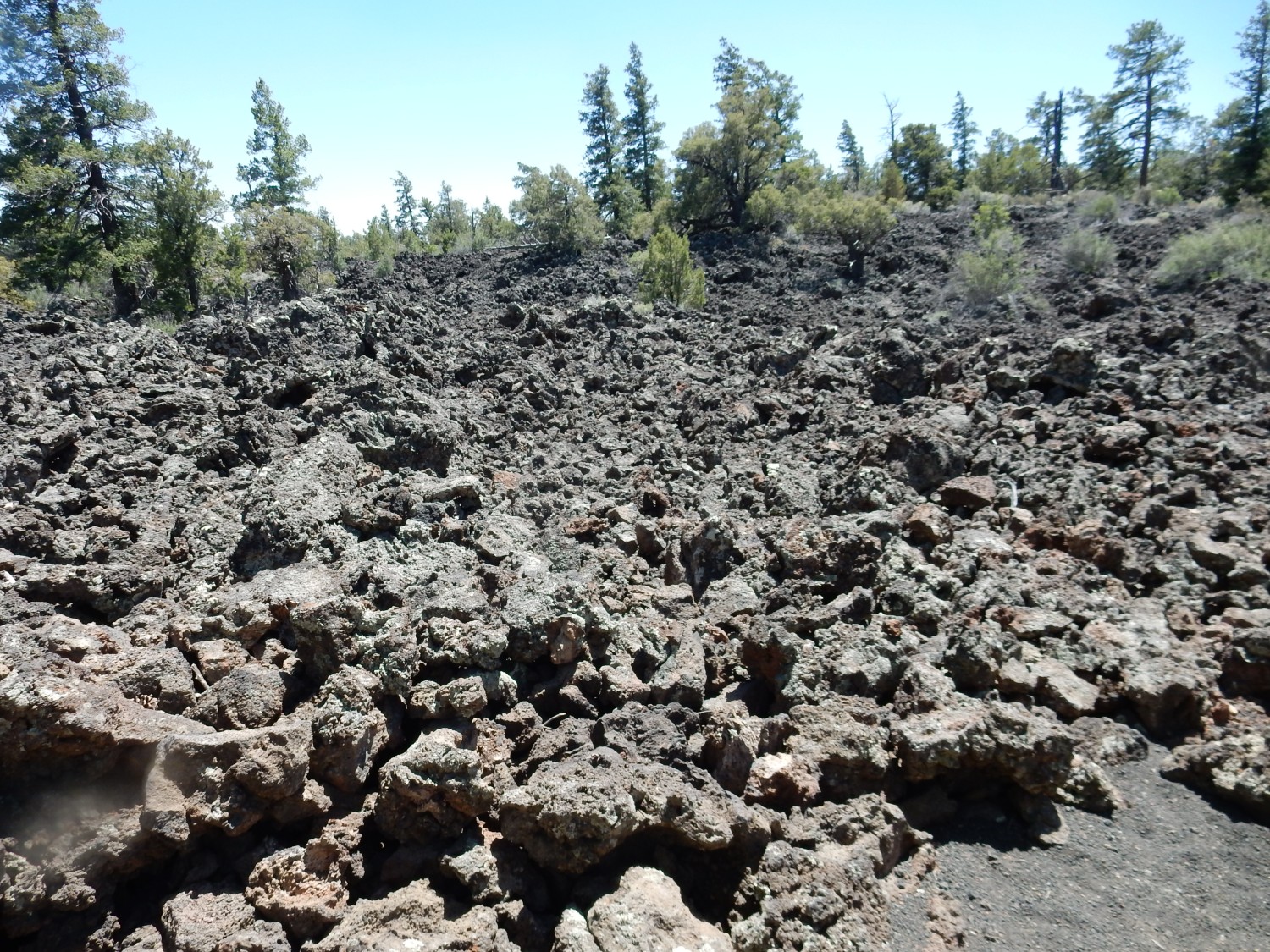
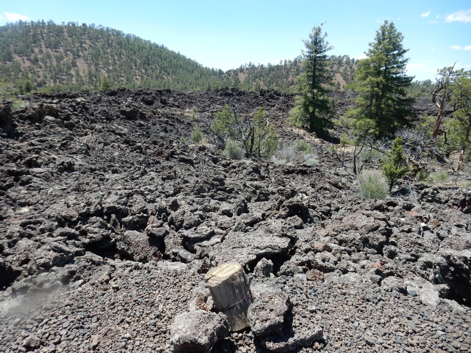
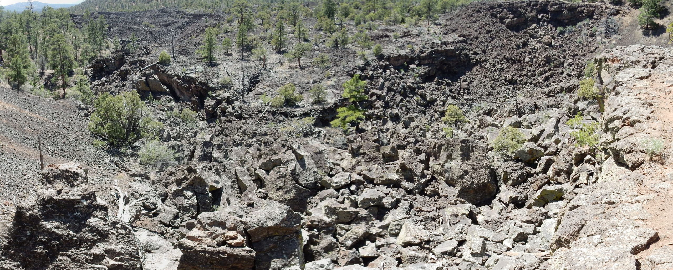
The malpais.
We’ve missed the turn to the ice cave. No matter; we’ll come back for it.
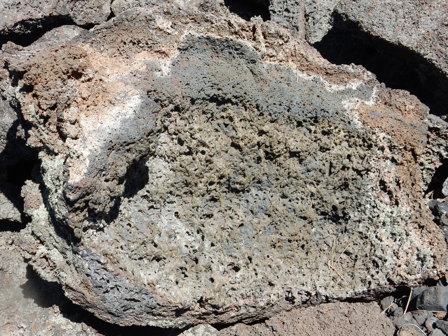
This is very fresh lava, some of which is still quite glassy.
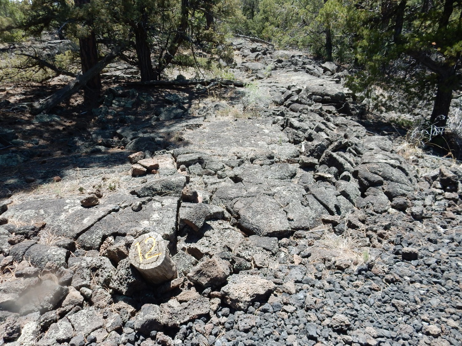
Stop 12. I think the feature here was pahoehoe lava, a smooth-surfaced kind of lava flow that is not all that common in this area. Most seems to be a’a lava, with a very rough clinkery surface.
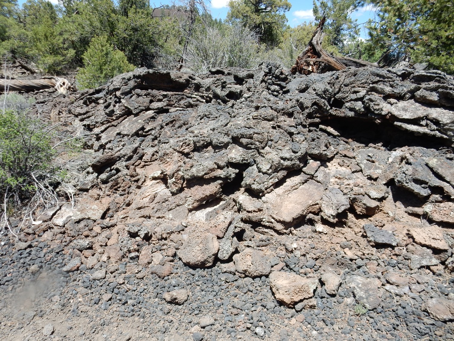
Stacks of lava.
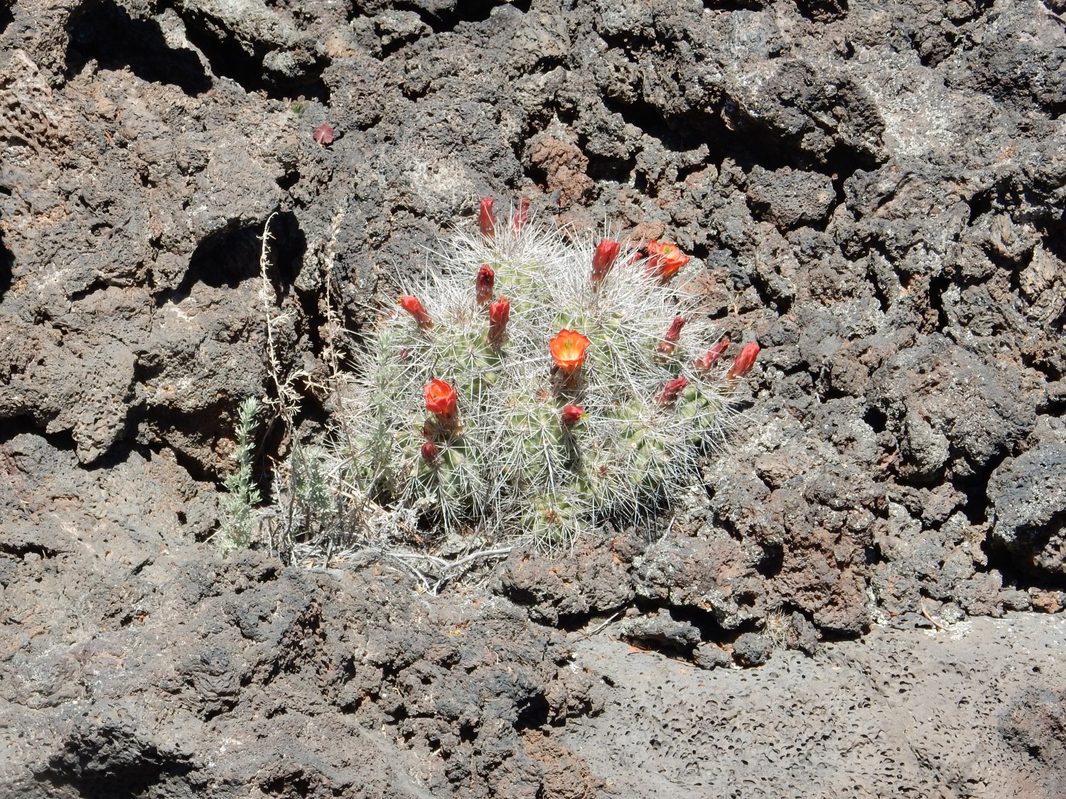
Barrel cactus blooming.
More glassy lava, showing a wonderful stretched texture.

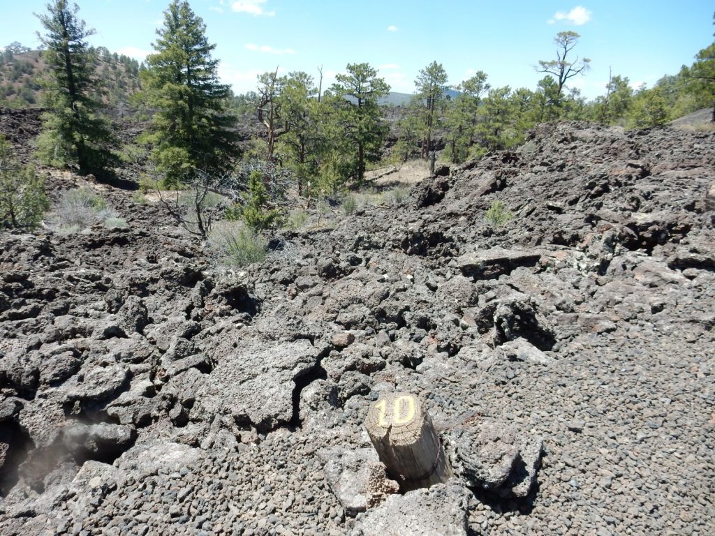
I think this is what Marker 10 was supposed to call out.
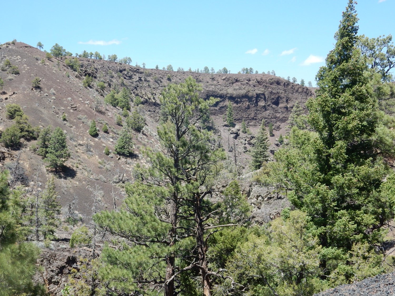
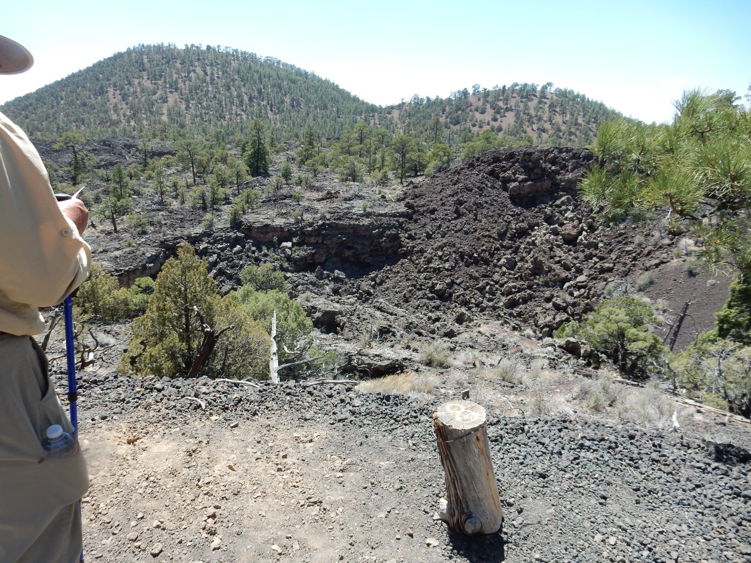
Here we are close to the edge of a levee that once banked a gigantic lava river, whose source we will shortly explore.
Taking in the view of the numerous cinder cones to the south.
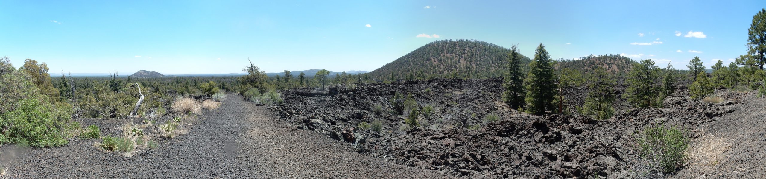
The isolated cinder cone at left is Lost Woman Crater. The closer cone at right is Cerro Bandera. The distant cones at center form the Chain of Craters.
The nearest is likely Cerro Rendija, then Cerro Americano and Cerro Leonides. Don’t bet any large sums I’ve got it right.
The cones form a rather diffuse trend to the southwest, with many more cones beyond what we see here. They are not precisely aligned, giving no indication of any single fissure along which they erupted. The trend is not precisely aligned with the Red Hill volcanic field, the next field in the Jemez Lineament, but pretty close.
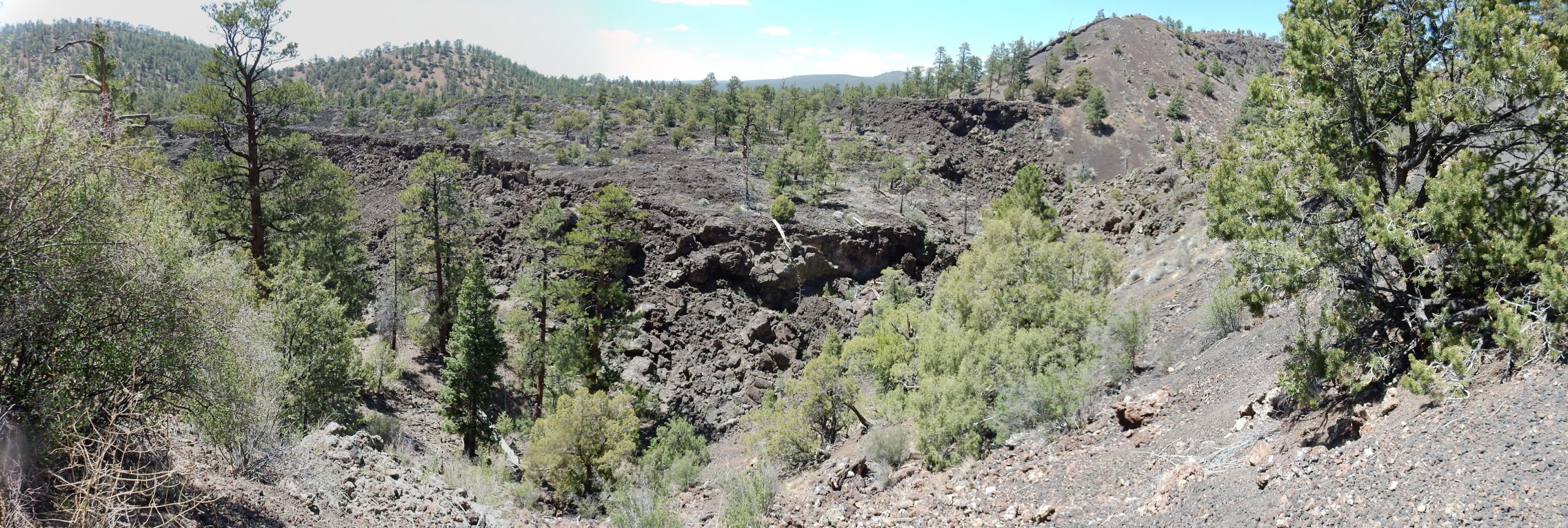
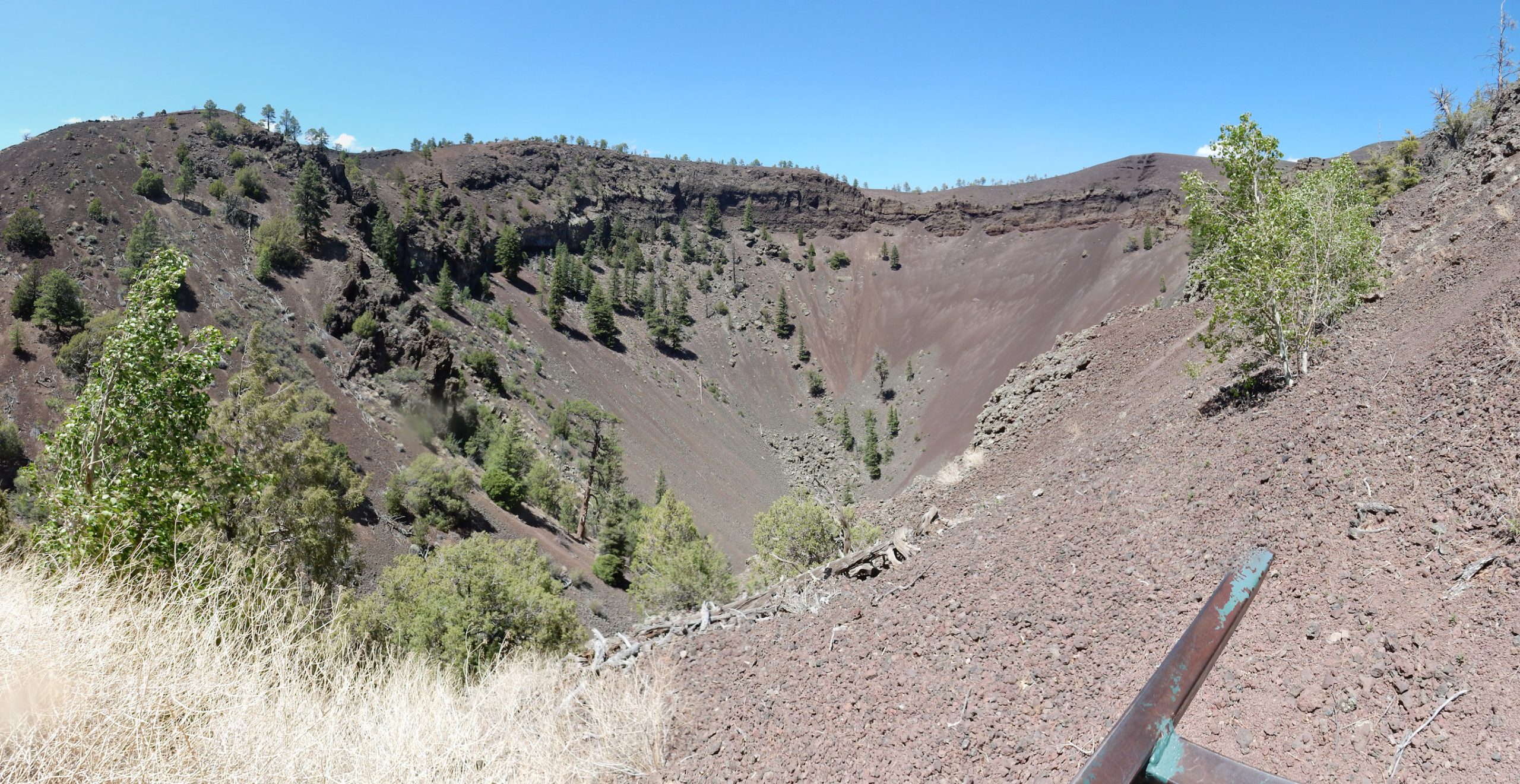
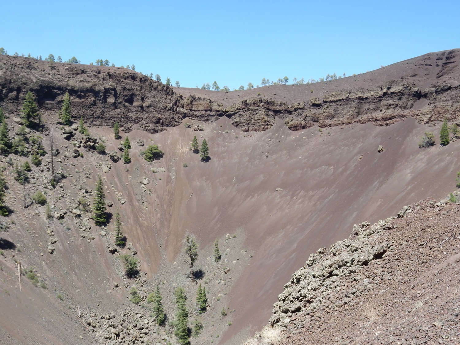
Stop 6. We are approaching the mouth of Bandera Crater.
The crater ahead is one of the largest of the Zuni-Bandera volcanic field. Like many (possibly most) cinder cones, the first phase of the eruption created a symmetrical cone of cinder that piled up around the vent. This reflected the eruption of lava heavily charged with gas, which shot the lava high into the air — probably thousands of feet here — so that the lava cooled into cinder while still airborne. Later, the degassed lava accumulated in the vent, and, being denser than the light cinder, burrowed under the cinder cone wall, rafting away part of the wall to breach the cone.
I’m not kidding about the “thousands of feet” part. The highest lava fountains ever observed by professional geologists, at Mount Etna in Italy in September 2013, peaked at 11,000 feet. Eruptions thousands of feet above this crater are not at all inconceivable.
From this point, we just see the far wall of the crater.
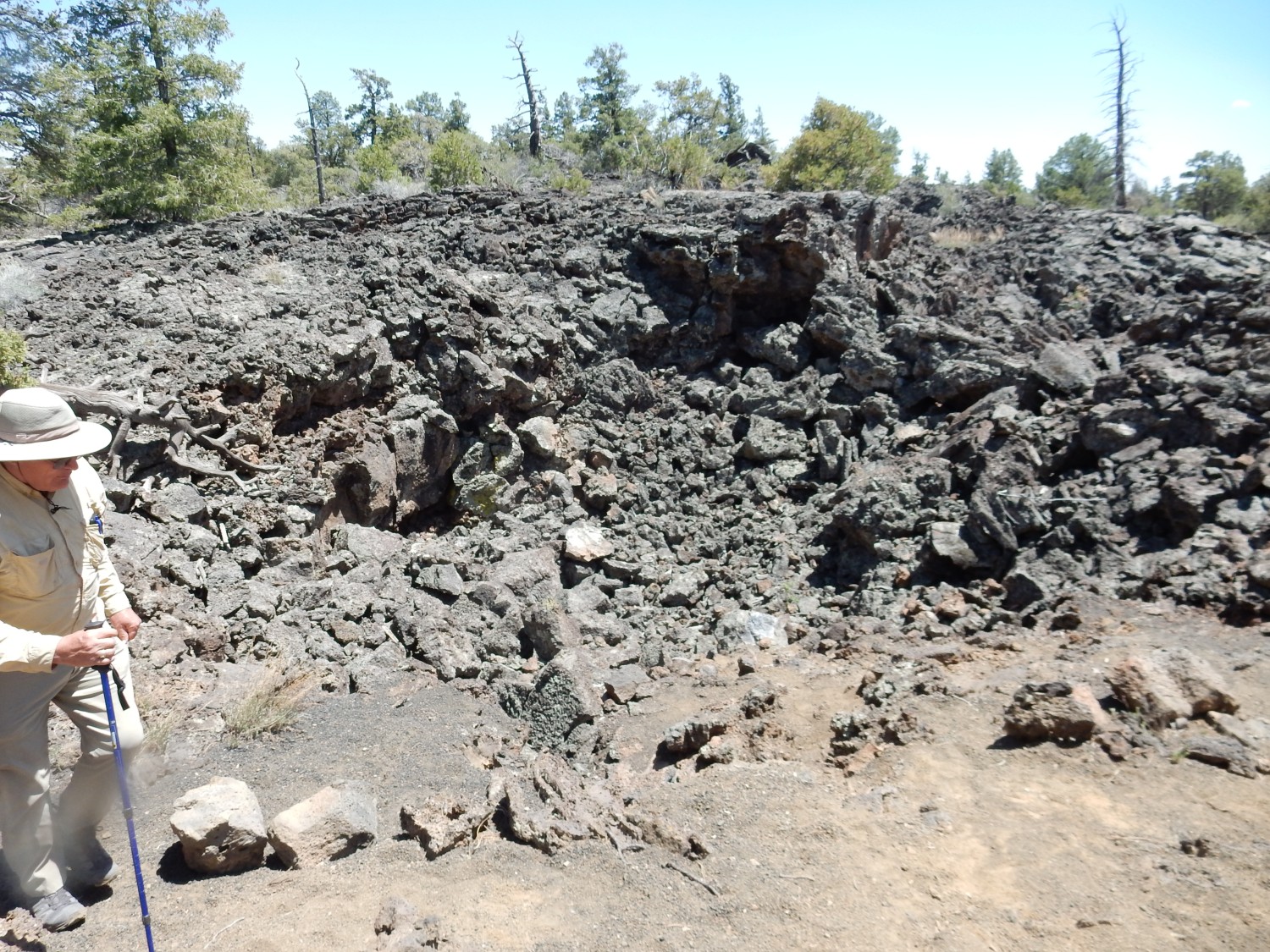
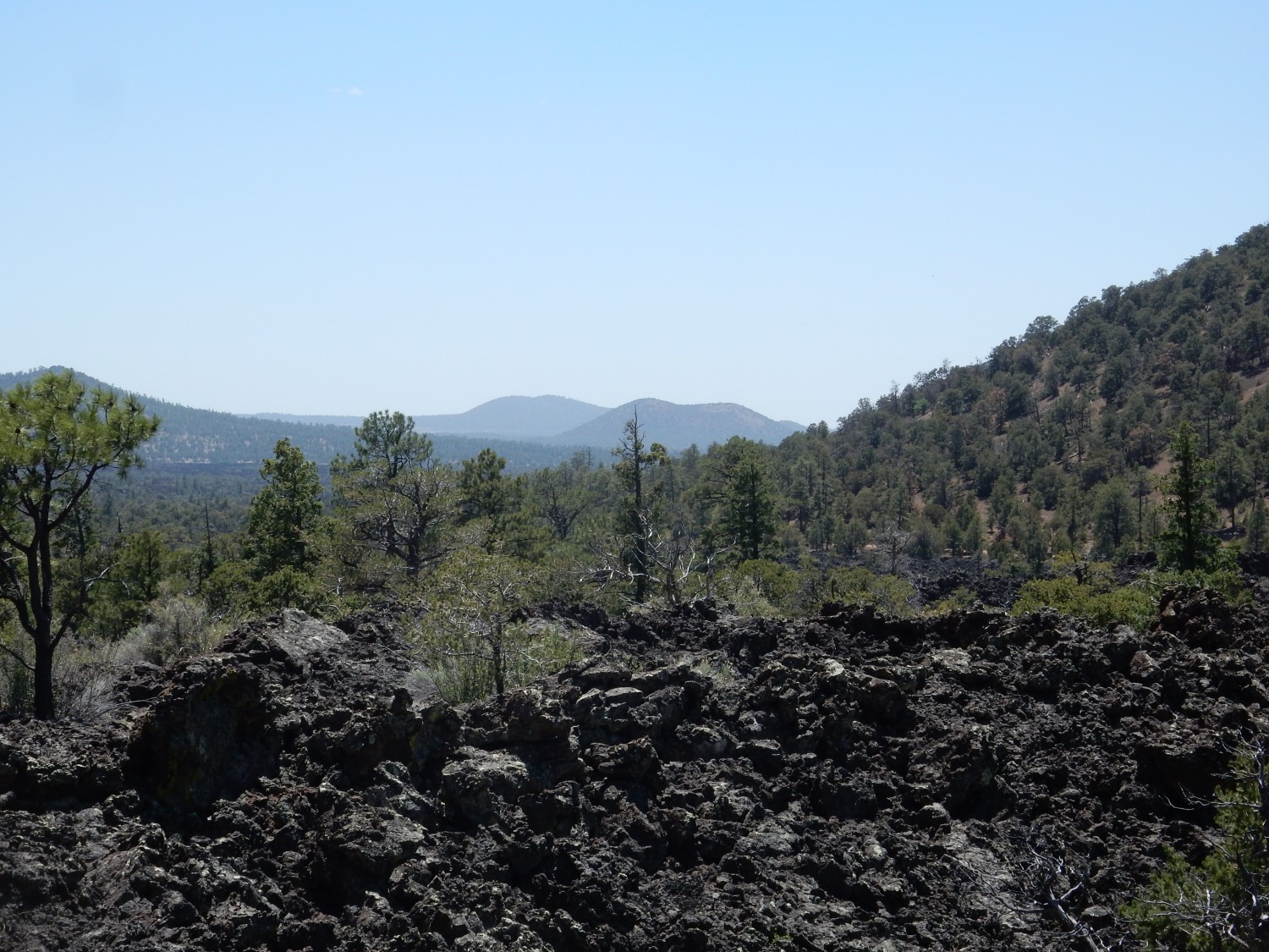
We come into view of the giant lava “riverbed” where lava streamed out of the breached wall of the crater.
The next stop seems to be an extinct fumarole.
Another view of the lava riverbed below.
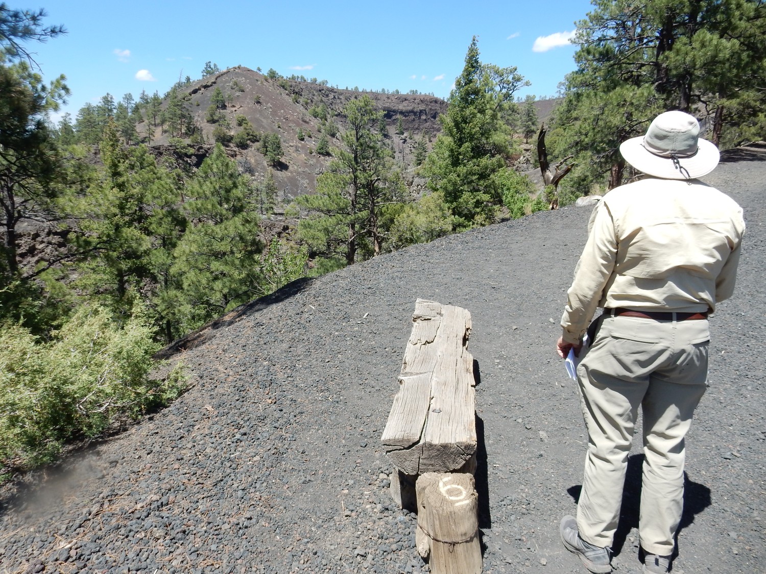
Gary examines the lava riverbed at Stop 8.
The main crater from the observation ramp.
Closer view of far rim.
We continue on to the spatter cone (Stop 3).
This was a kind of subsidiary vent, probably formed atop an active lava flow, where gas-charged lava found a vent to the surface and produced a small cone from semifluid lava spattering out of the vent.
I’m particularly interested in the final stop, but have to hunt around just a bit for it. It’s off the main trail on a short side spur.
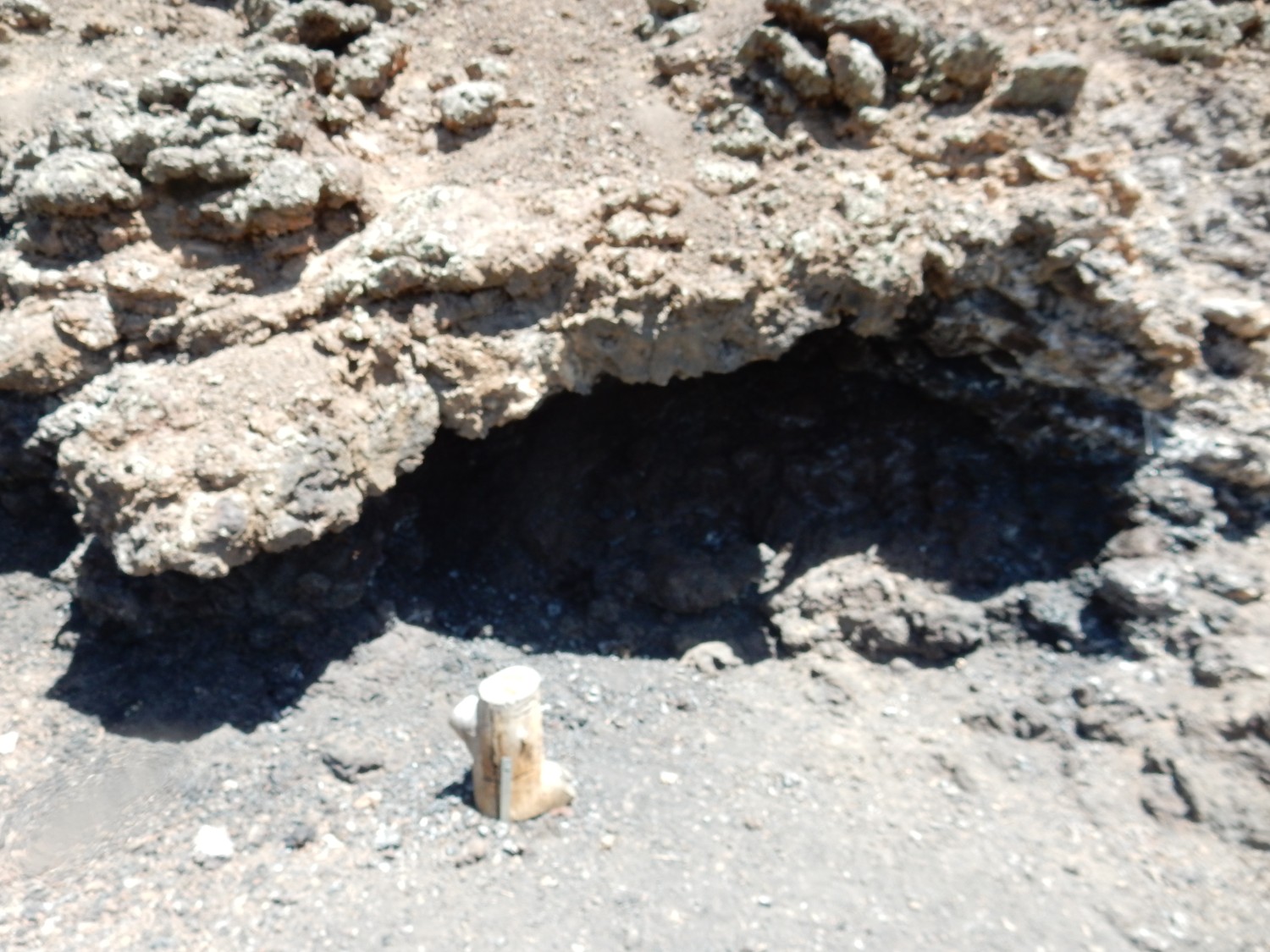
This is a tree cast. Here the lava flowed around a tree trunk, which cooled the lava enough to solidify. The trunk subsequently burned or rotted away to leave a cast.
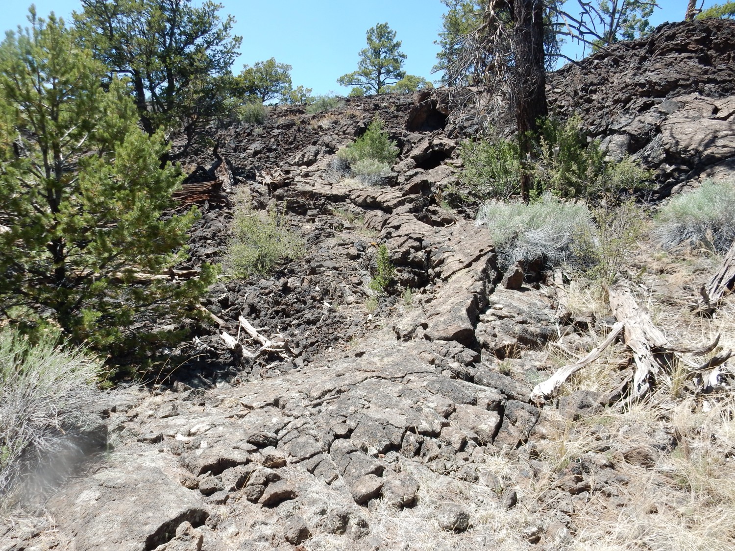
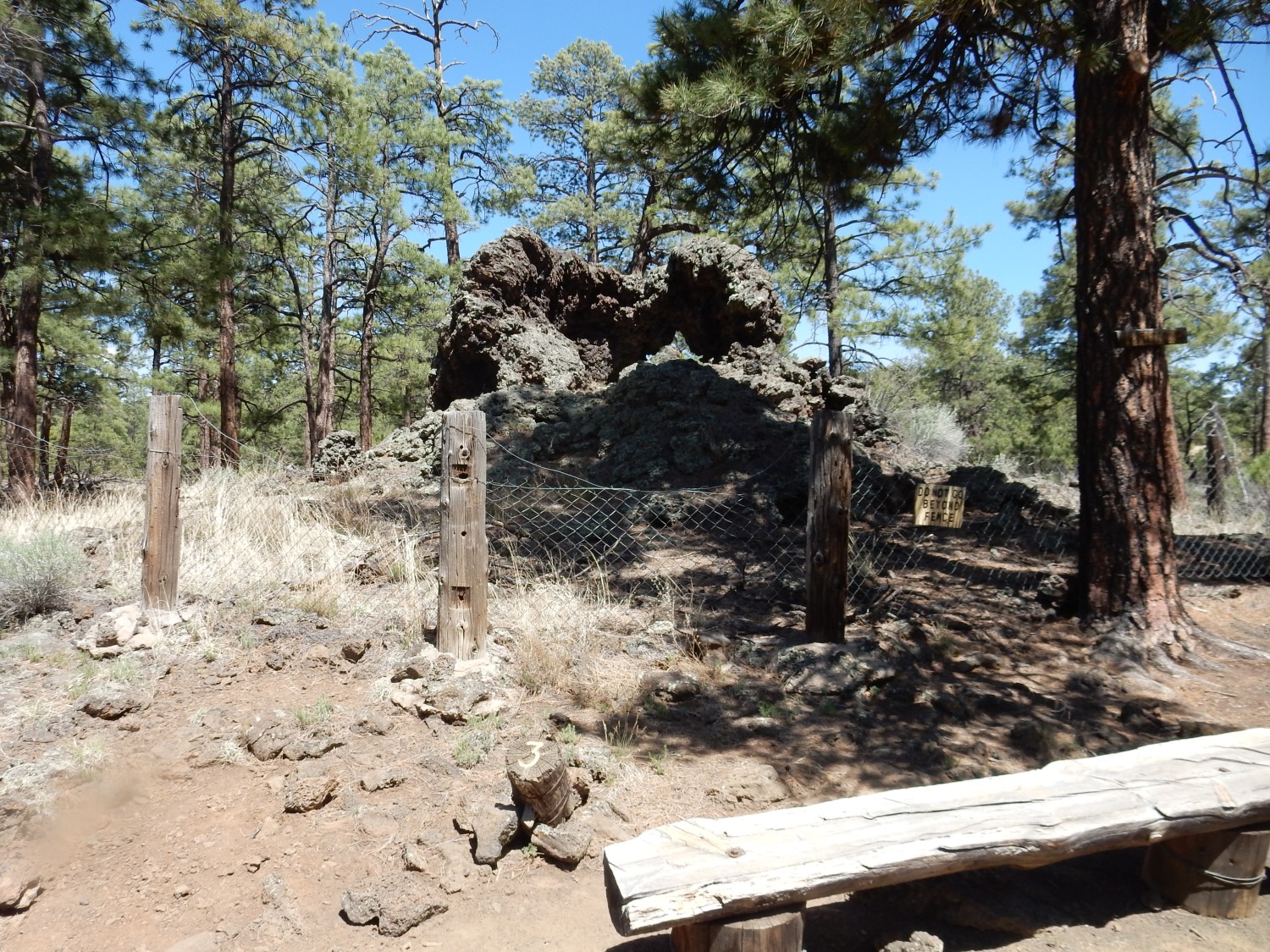
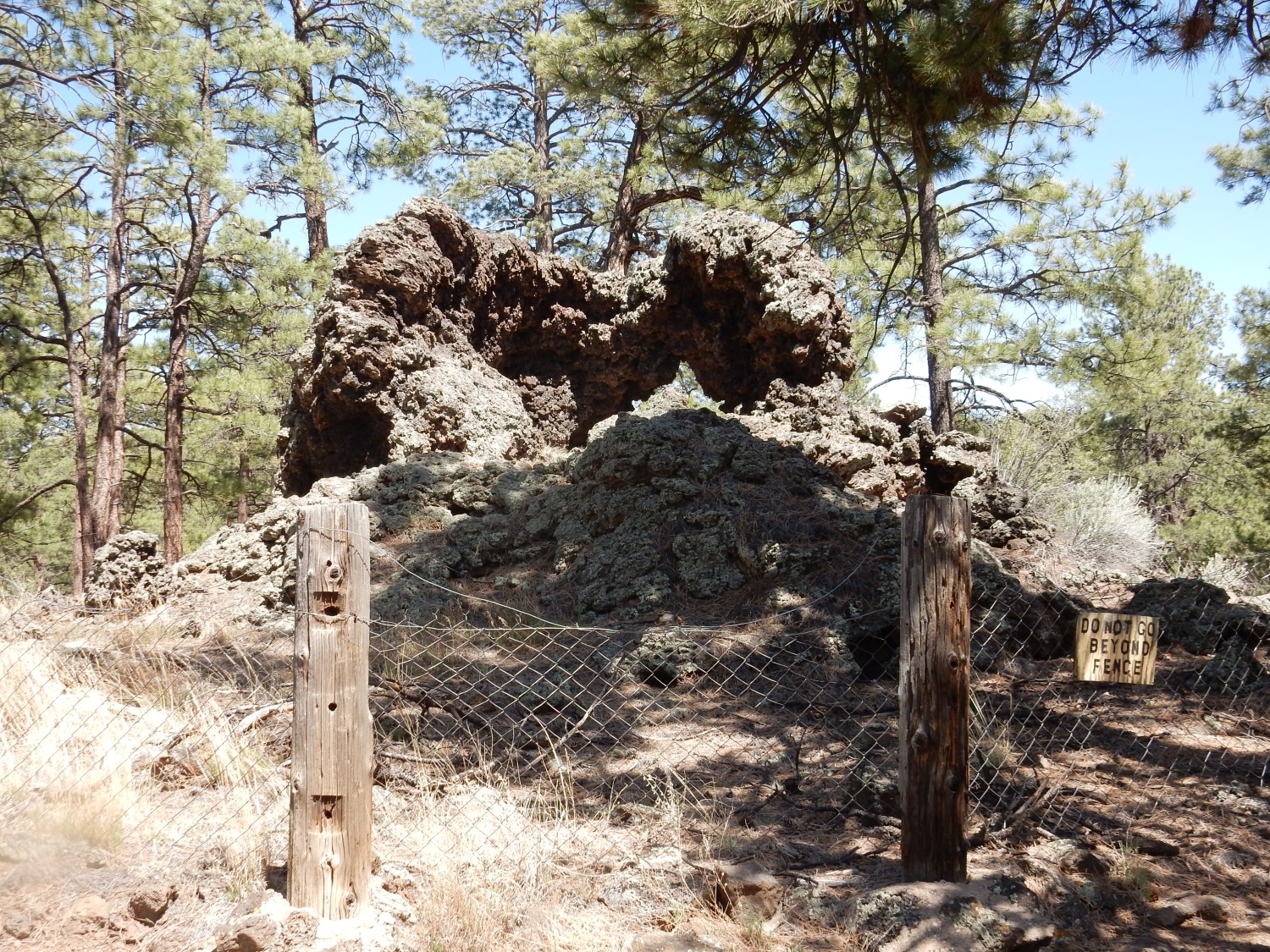
We missed the ice cave. We go back and find the spur. First stop: Native American construction.

The stone wall. I’ve seen something similar atop Buckman Mesa near White Rock, and there are similar structures atop mesas near Bandelier at at Petroglyphs National Monument.
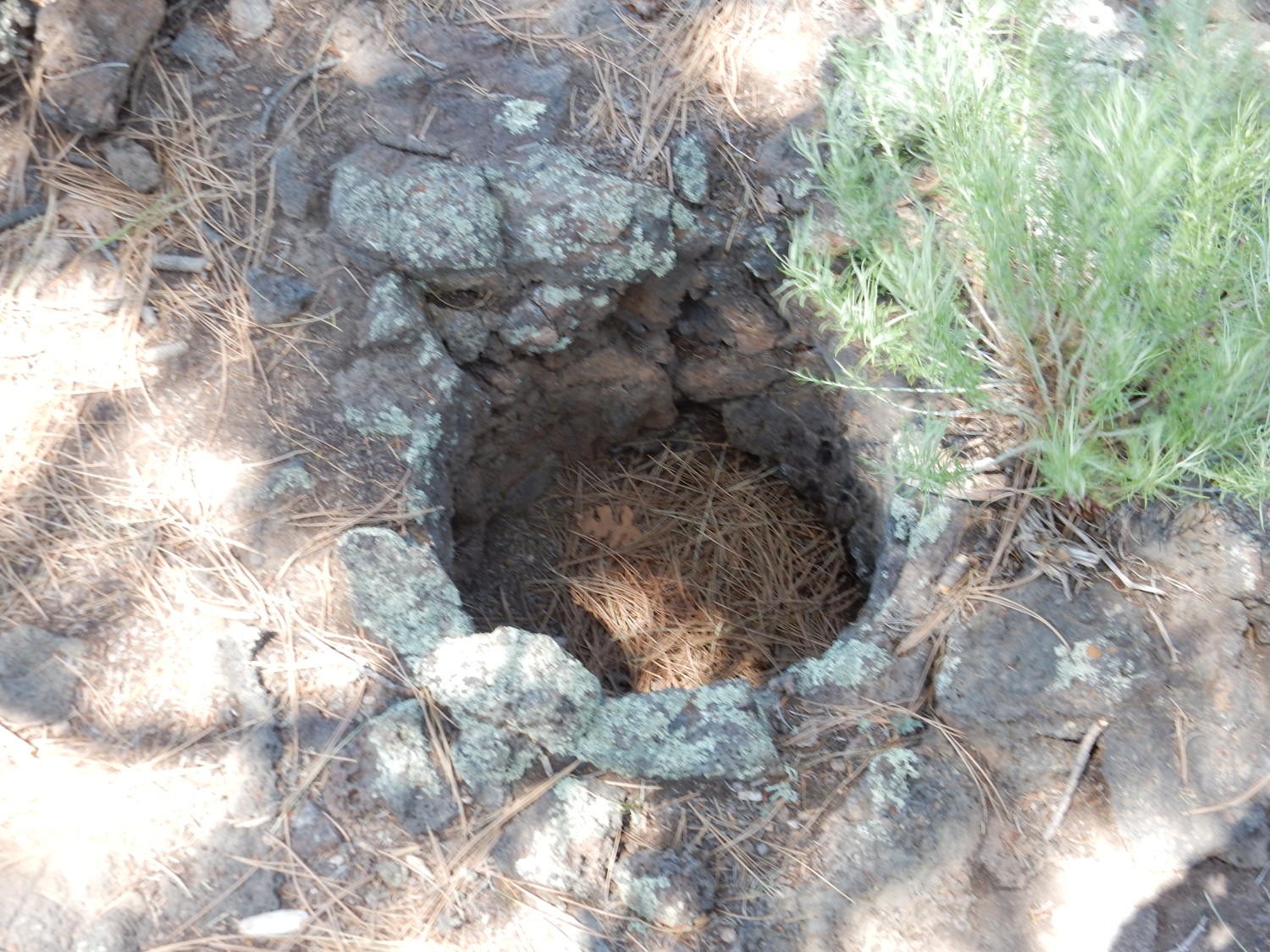
Gary inspects a small cave.
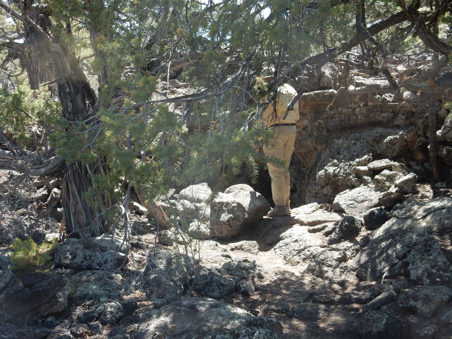
And then we come to the collapsed lava tube containing the ice cave.
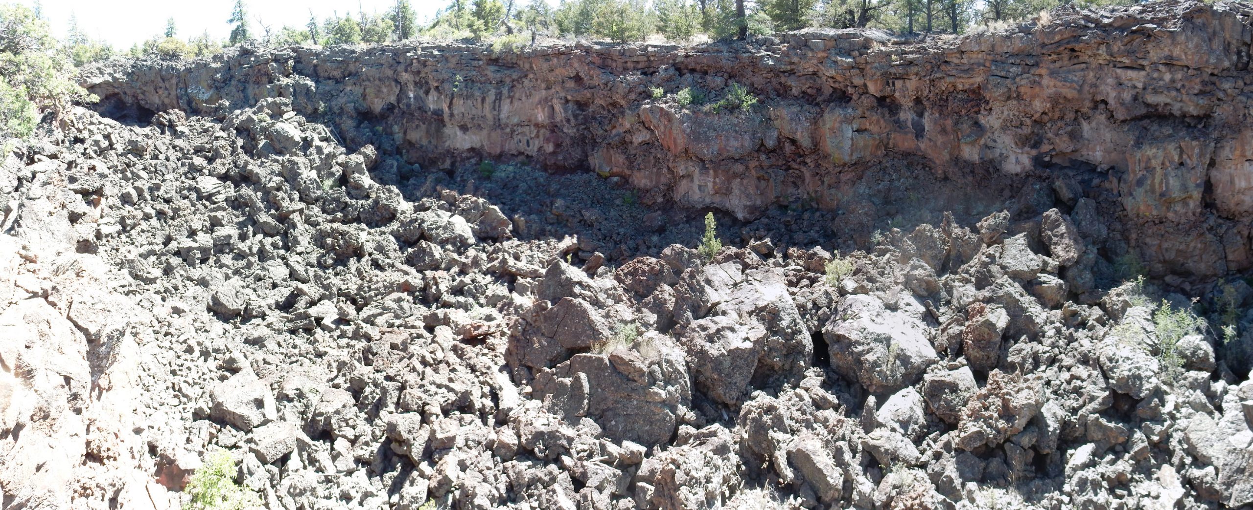
Looking at the map, it’s pretty clear this is part of the lava river that emerged from Bandera Crater. The lava would have been very hot at the vent, forming a surface river for some distance from the crater, then cooled enough to form a solid roof and become a lava tube. When the eruption stopped, some of the lava drained back into the volcano, some drained down the tube, and the rest solidified in low parts of hte tube. The parts from which the lava drained subsequently collapsed, as here.
The trail guide claims the tube is over 17 miles long. I can only trace about 1.7 miles on the map; I wonder how the rest of the tube system was mapped.
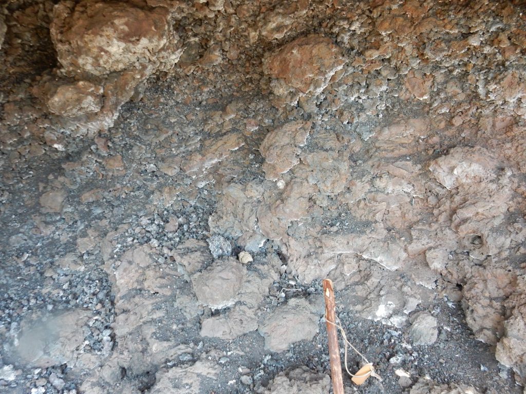
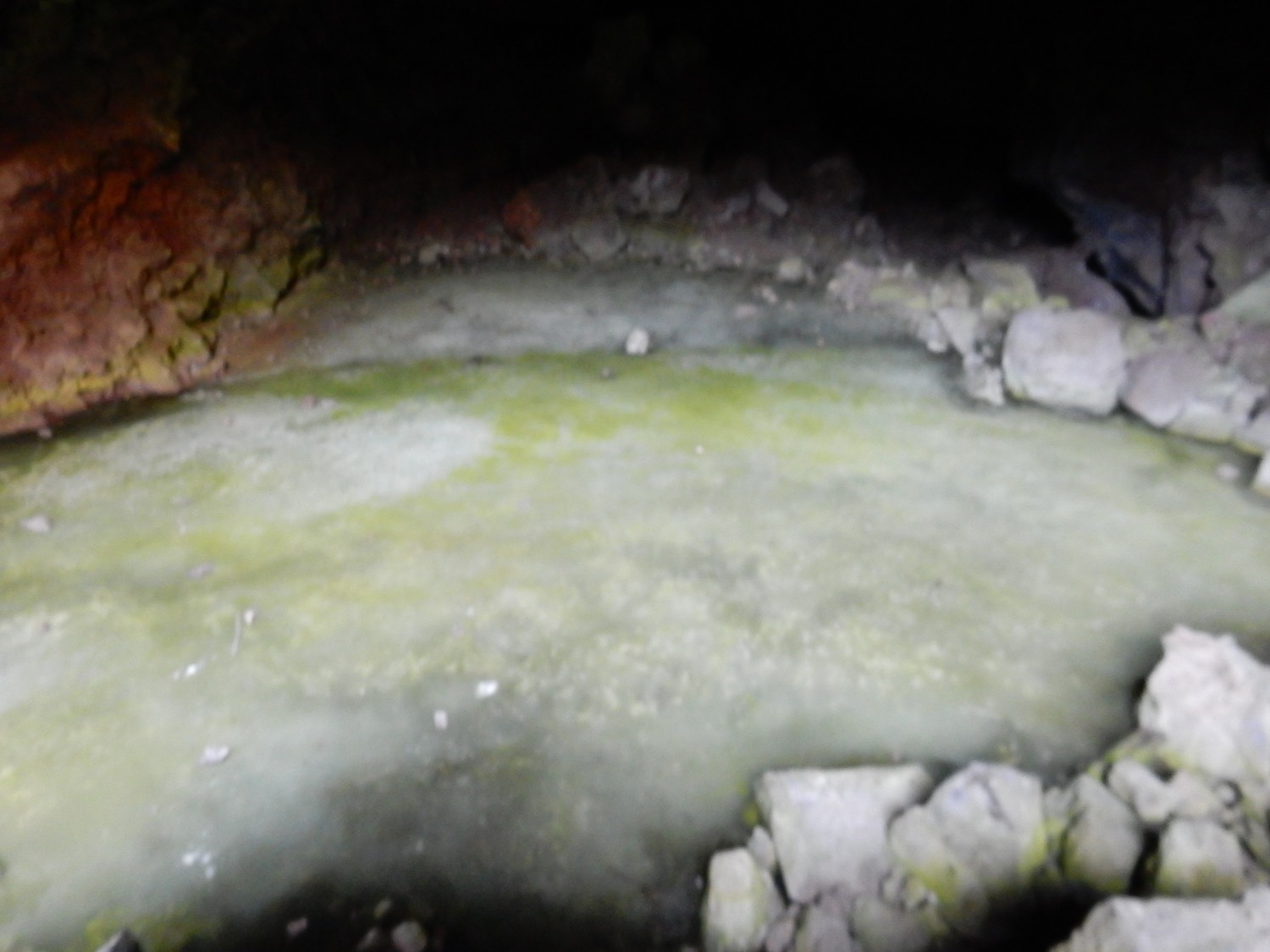
The ice cave.

My camera didn’t do too great in the cave itself.
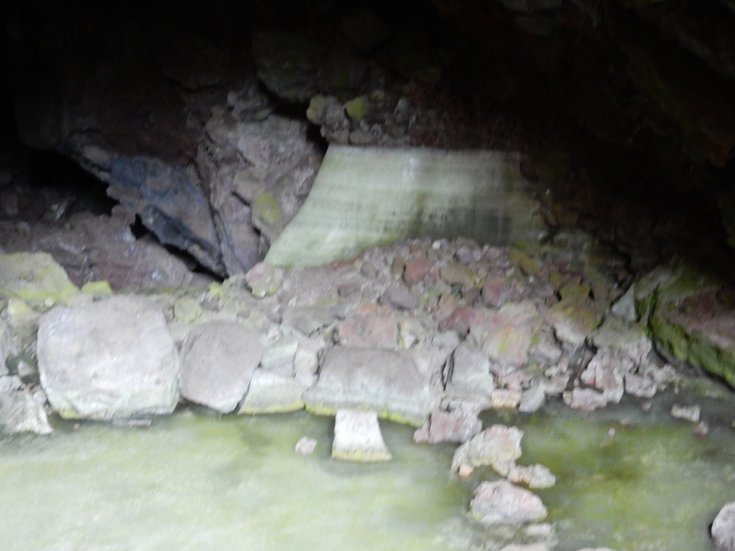
The rock over the cave.
I see what looks like three massive flows separated by clinker. I’m not quite sure how that would work with the lava tube here.
Back to the gift shop. I pick up a chunk of Brazilian amethyst.
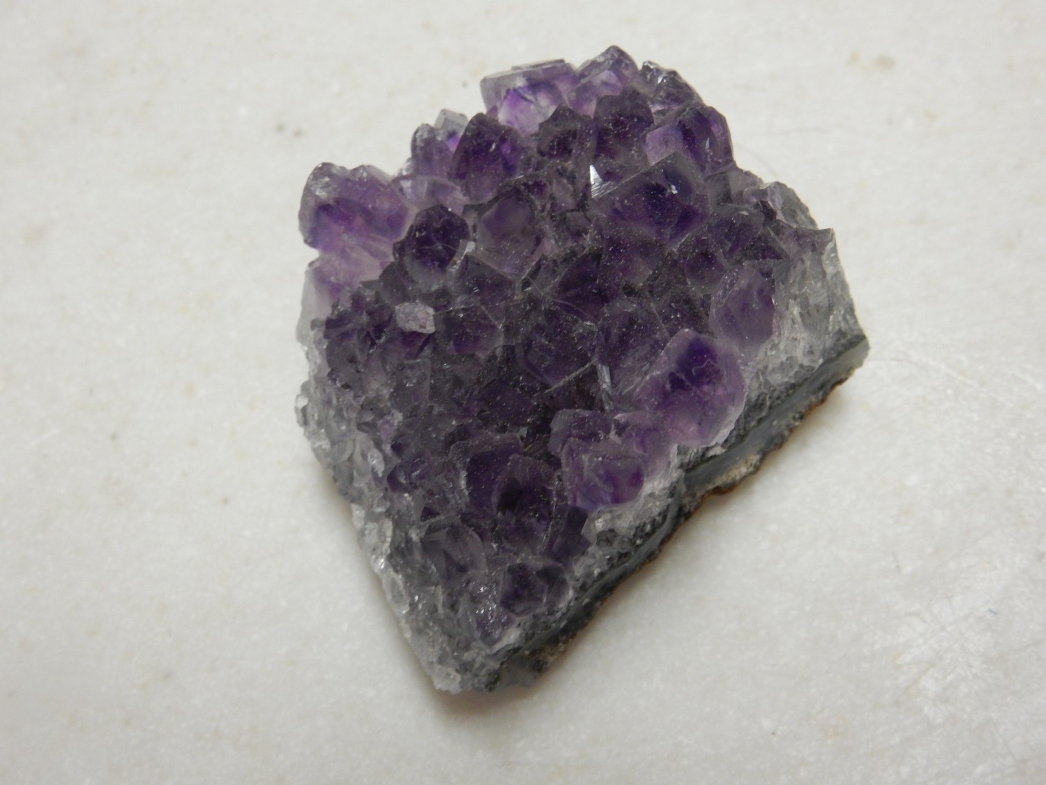
The discovery of large deposits of amethyst in Brazil changed this form of quartz from a precious stone to a rock shop curiosity. Still rather pretty.
Lazurite.
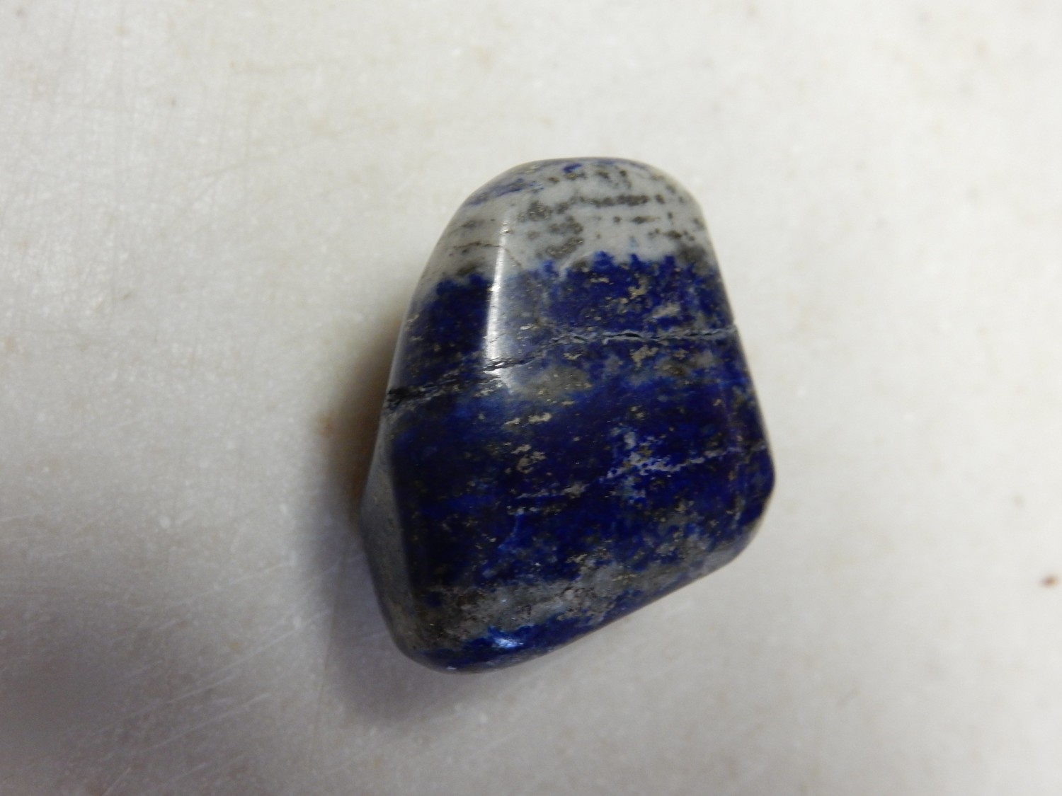
A feldspar-like mineral, but rich in sodium and containing sulfate anions that help give the blue color. Formed by contact metamorphism of limestones.
Since this was a Mount Taylor trip, it seemed like I ought to get a final shot of the mountain as it comes into view.
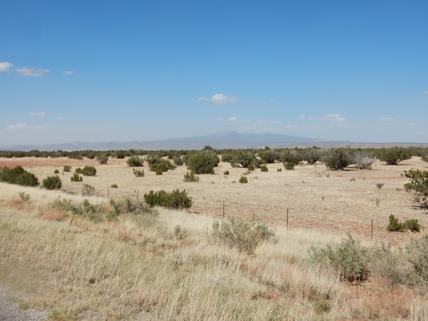
Alas, it’s a windy, dusty day.
I am behind the wheel as we enter Albuquerque. I am quickly reminded how much I hate city driving (and how much I loathe highway engineers.) That is all.
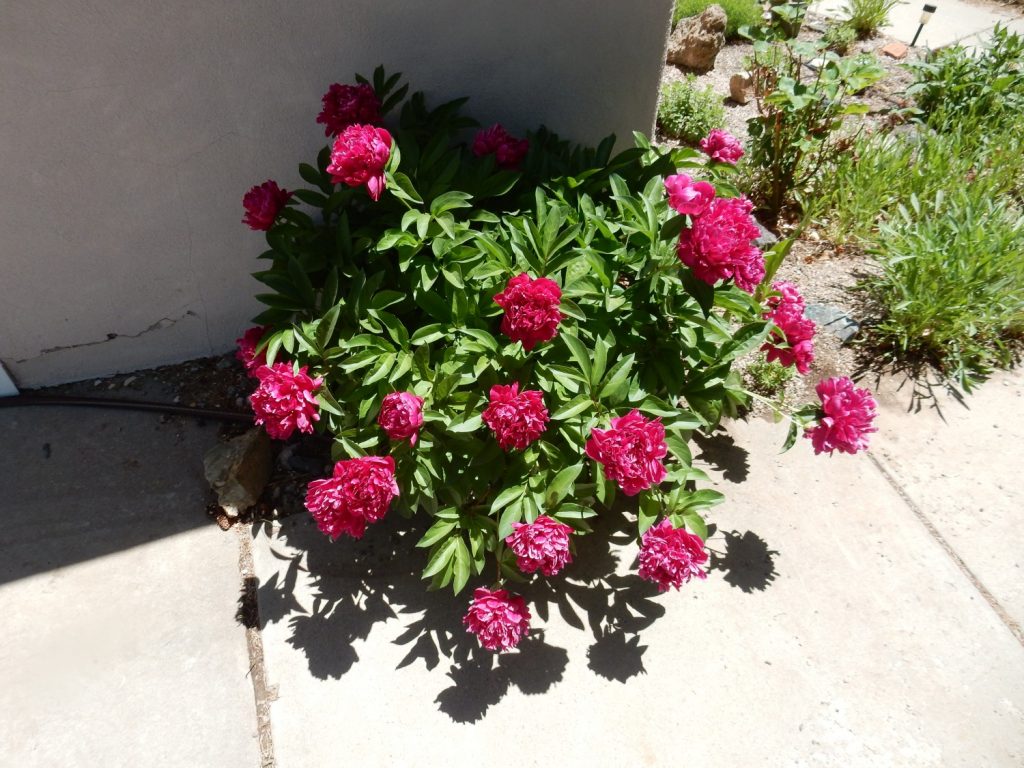
I return home to find the peony blooming.
And chores to catch up on. Nevertheless, it’s been a wonderful trip, and the one this fall is looking very promising.