Faultfinding
We had a bit of a pause of the monsoon this week (alas), and yesterday was sunny enough that I decided to go see some rocks. With gas prices what they are, and some hope of rain later in the day, I decided to keep it close to home, and took the Walnut Canyon Rim Trail right here in Los Alamos.
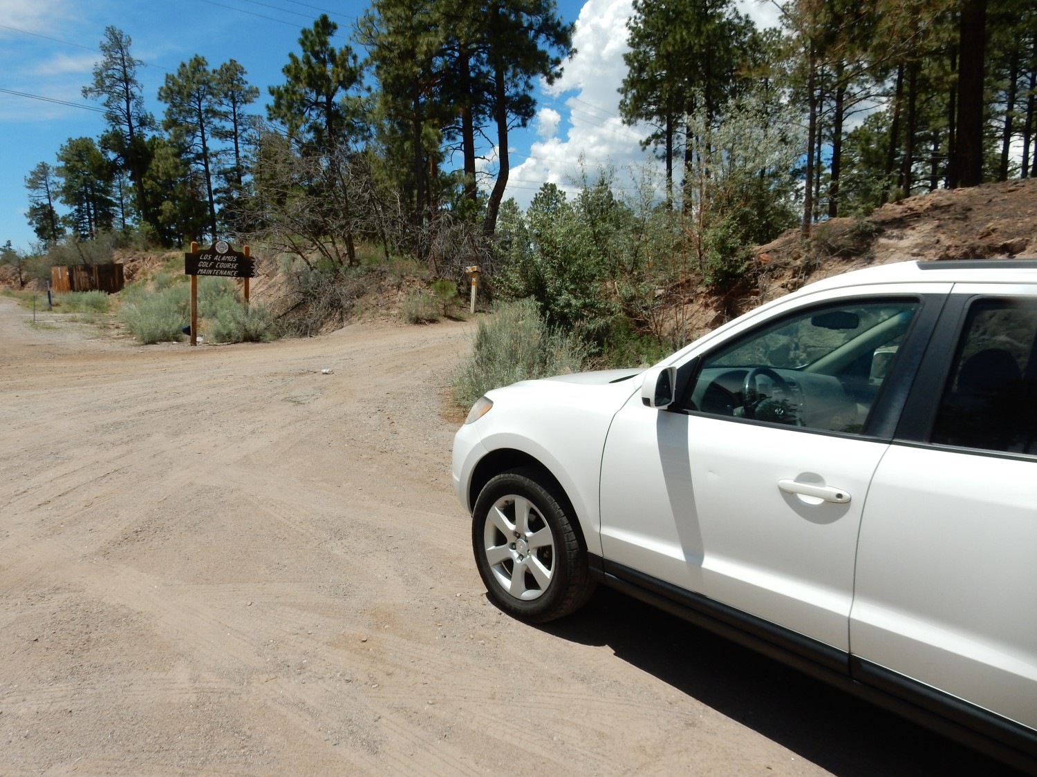
There is parking here, and the trail initially follows the golf course maintenance road before forking off.

The chief geological feature in this area is the Rendija Fault.
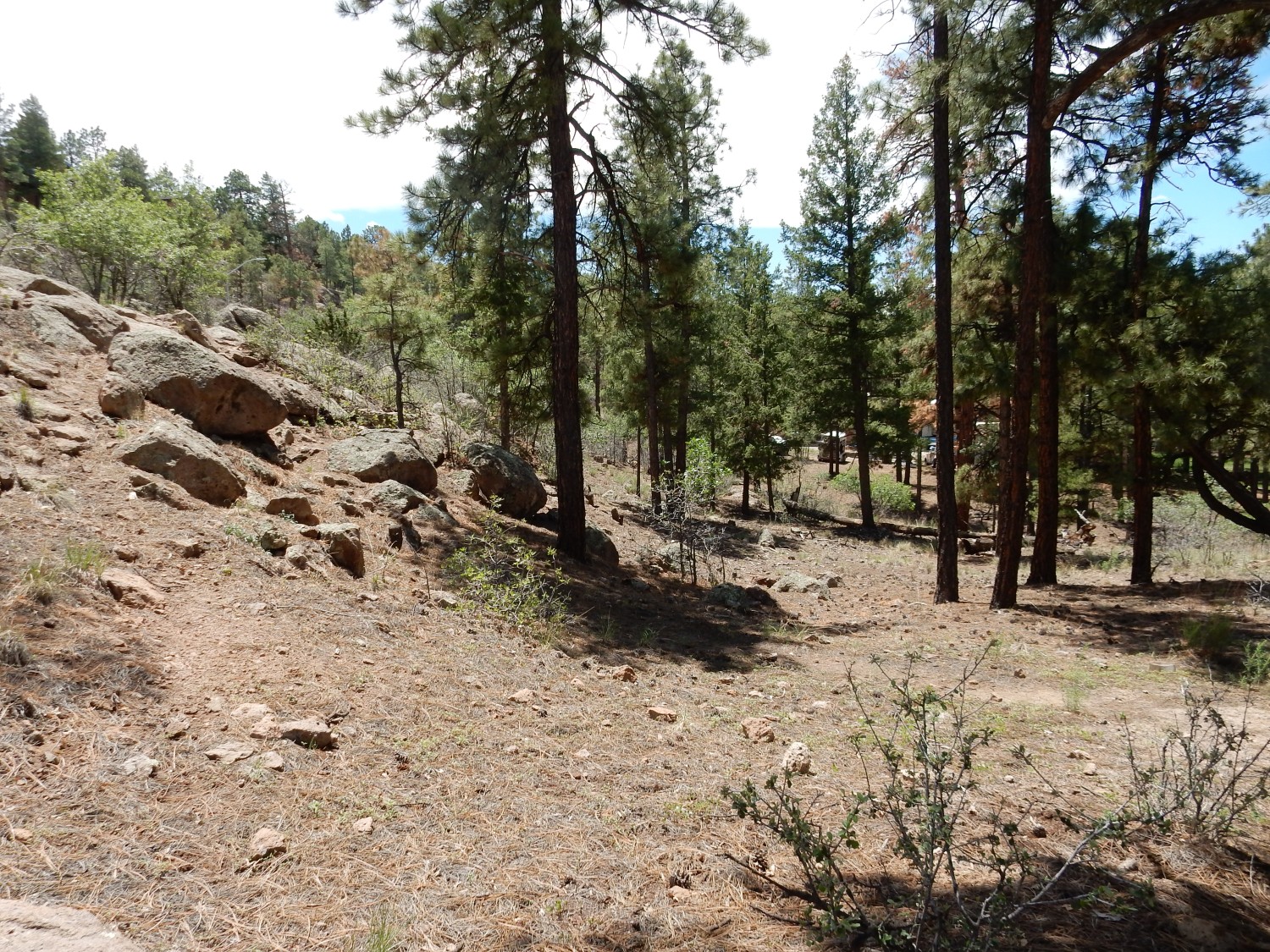
I moved a short distance east of the trail for this photograph. Here I am standing almost exactly on top of the Rendija Fault as mapped. This fault is located on the east side of the Diamond Drive graben, an area of subsidence at the feet of the Sierra de los Valles, the range of mountains immediately east of Los Alamos. The exact origin of this subsidence is uncertain, though it is ultimately related to the opening of the Rio Grande rift in our area. One theory is that the subsidence was associate with the eruption of the lava making up the Sierra de los Valles. In any case, here the “basement”, the ancient rock found deep underground in almost all locations, has subsided by as much as 5000 meters. The graben was subsequently filled with sediments (important as future ground water aquifers for the community) and lava flows, and capped with the Tsherige Member of the Bandelier Tuff, which was erupted over the entire area about 1.256 million years ago. The rocks in this photo are all Tsherige Member, and we’ll see little else for most of the hike.
The Rendija Fault lies at the foot of the prominent escarpment east of the golf course, and it is responsible for the existence of the escarpment. The low escarpment here is though to be the actual fault trace; the higher escarpment a short distance to the east has been eroded back somewhat from the fault. Los Alamos Middle School sits on the top of the escarpment, which continues north to Guaje Pines Cemetery. The fault itself extends even further, though it becomes harder to pick out in the hilly terrain to the north. It ultimate joins up with the Pajarito Fault, which in turn heads northeast. To the south … we’ll see by and by.
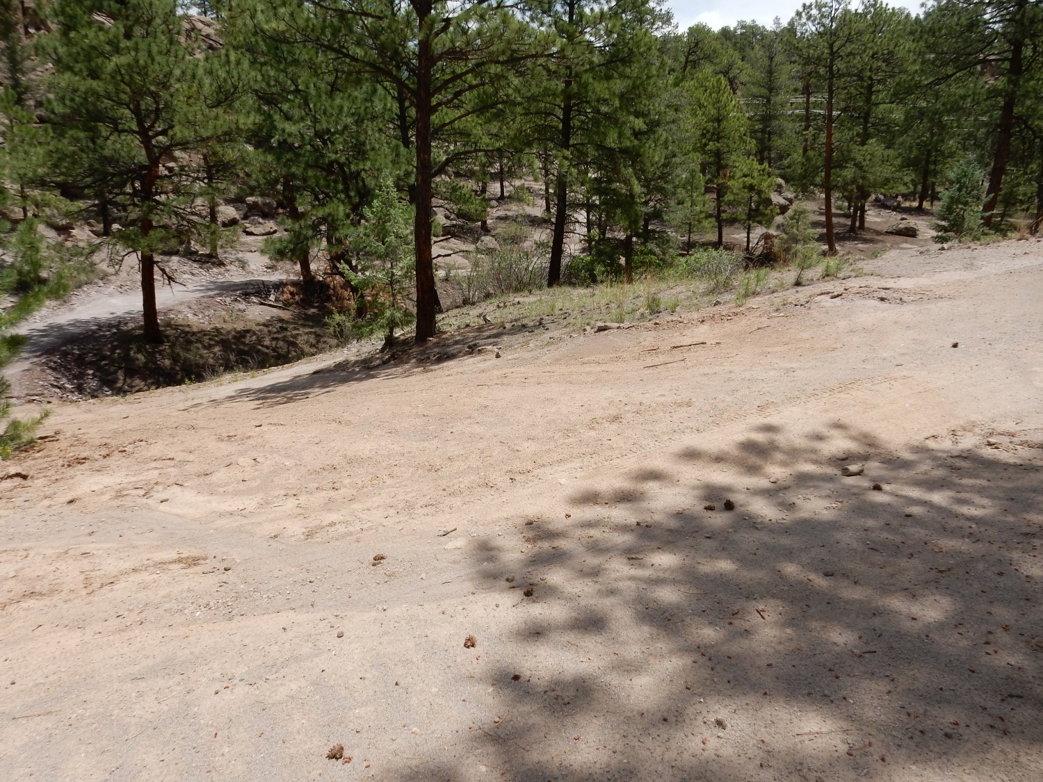
I come to a fork in the trail.
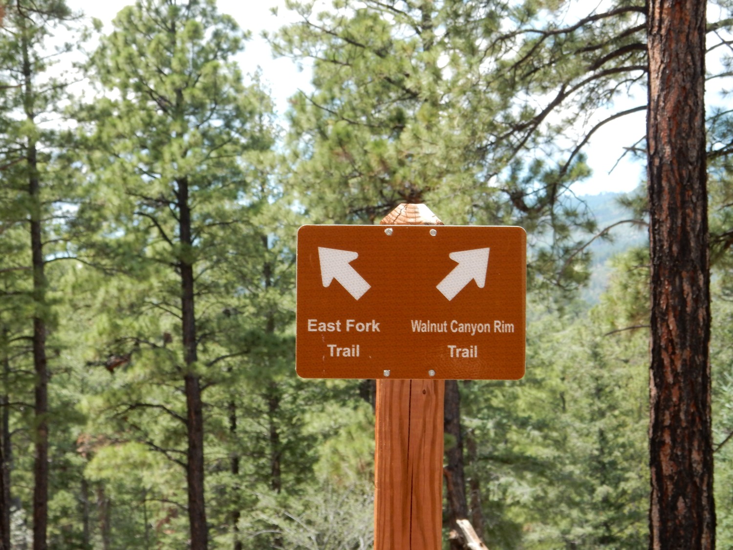
I’ve taken the East Fork Trail before, so this time I’ll take the Walnut Canyon Rim Trail in hopes of seeing something new.
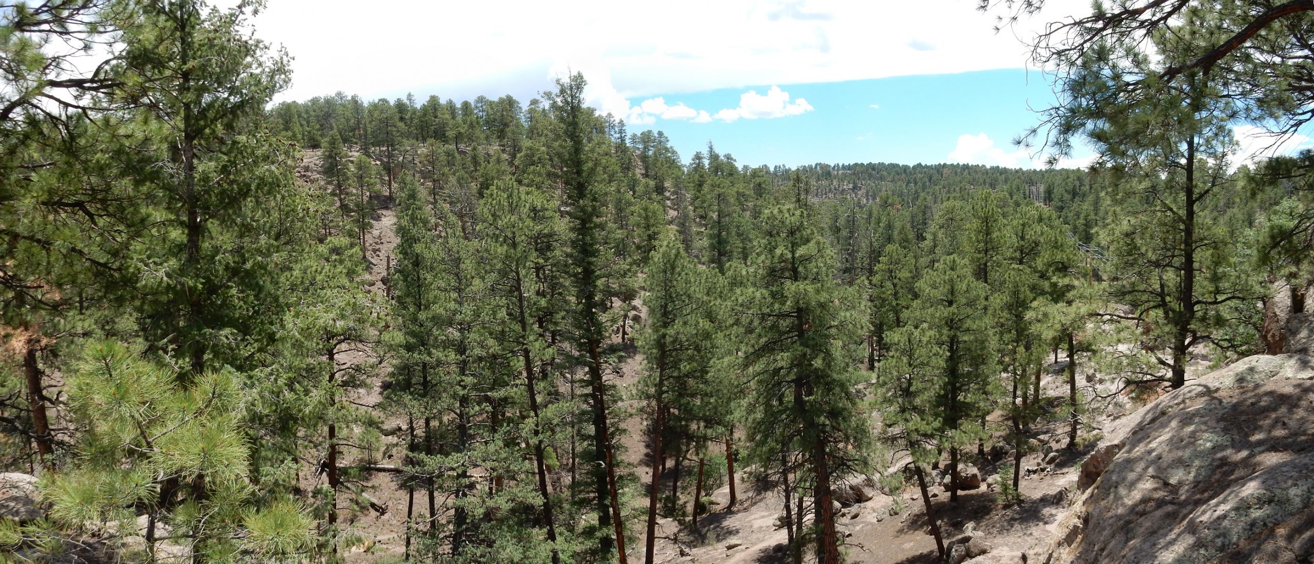
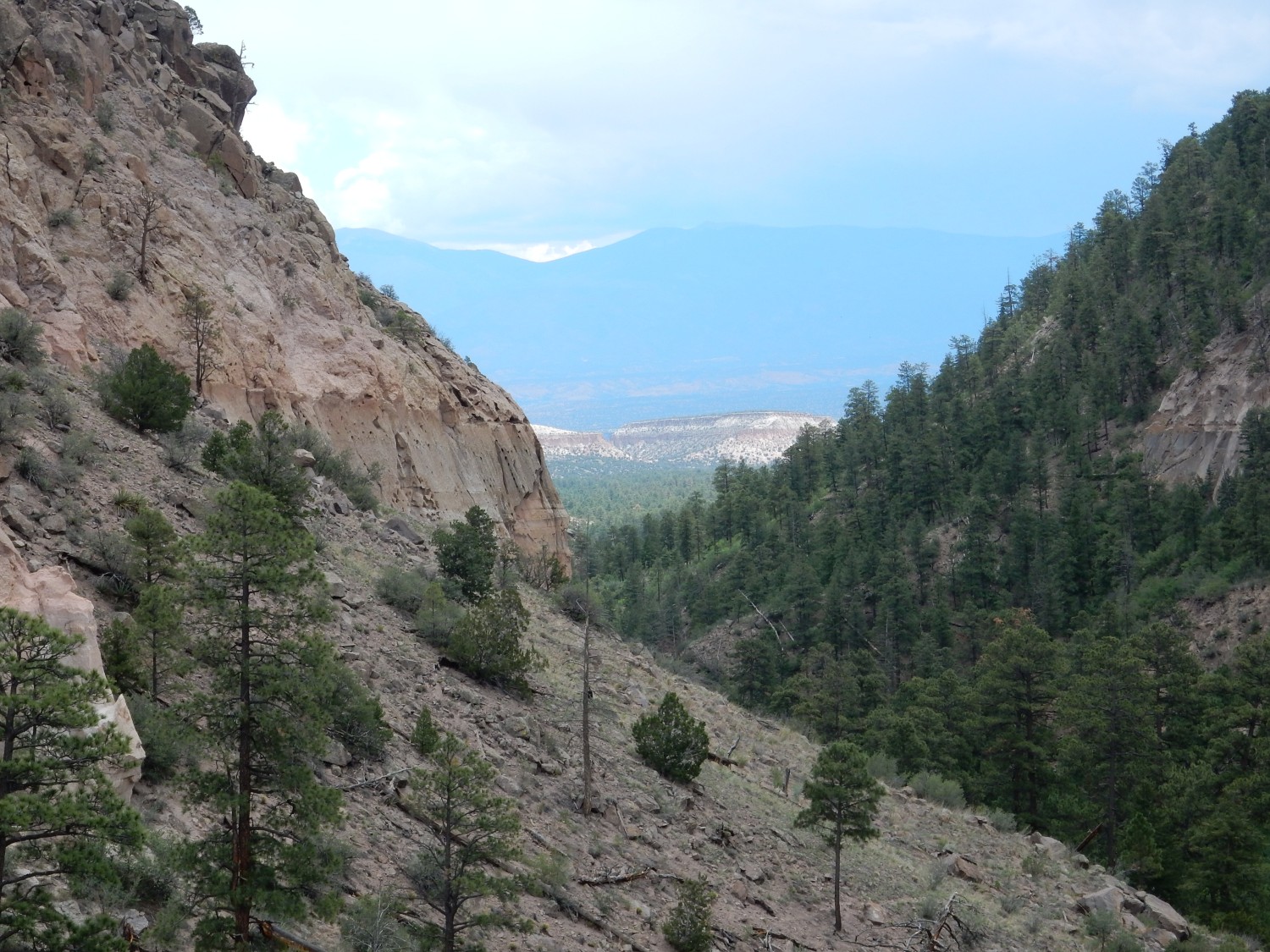
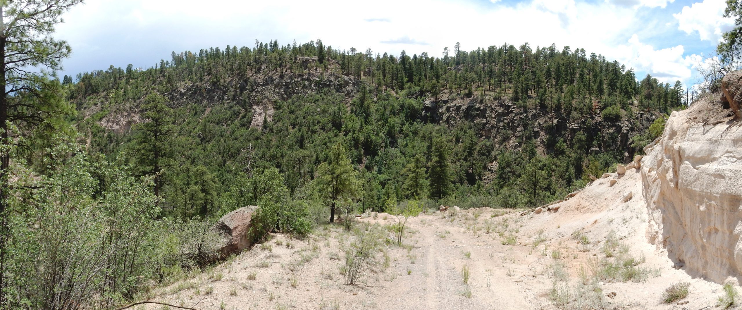
Walnut Canyon has a quite pronounced and definite head.
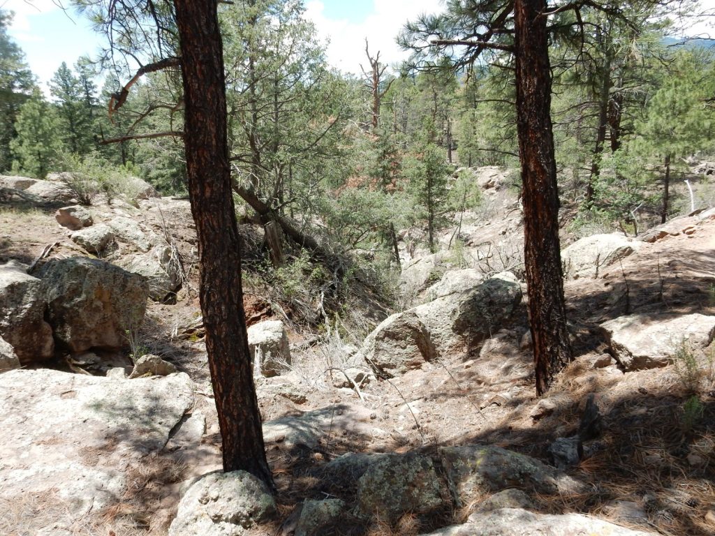
This is quite typical of canyons formed in rock where the uppermost part of the rock is more resistant than the lower beds. Such canyons have steep walls rimmed by vertical cliffs.

The weathered log here caught my eye, as did the closely jointed Tsherige Member from which it emerges.
In terrain like this, you always have to consider the possibility that a canyon is structurally controlled; that is, the canyon has formed along a fault (where the already crushed rock is easily eroded) or other geological feature. In this case, no; or, at least, the geologists who mapped this area found no clear evidence of a fault. The beds are not displaced across the canyon, for example.
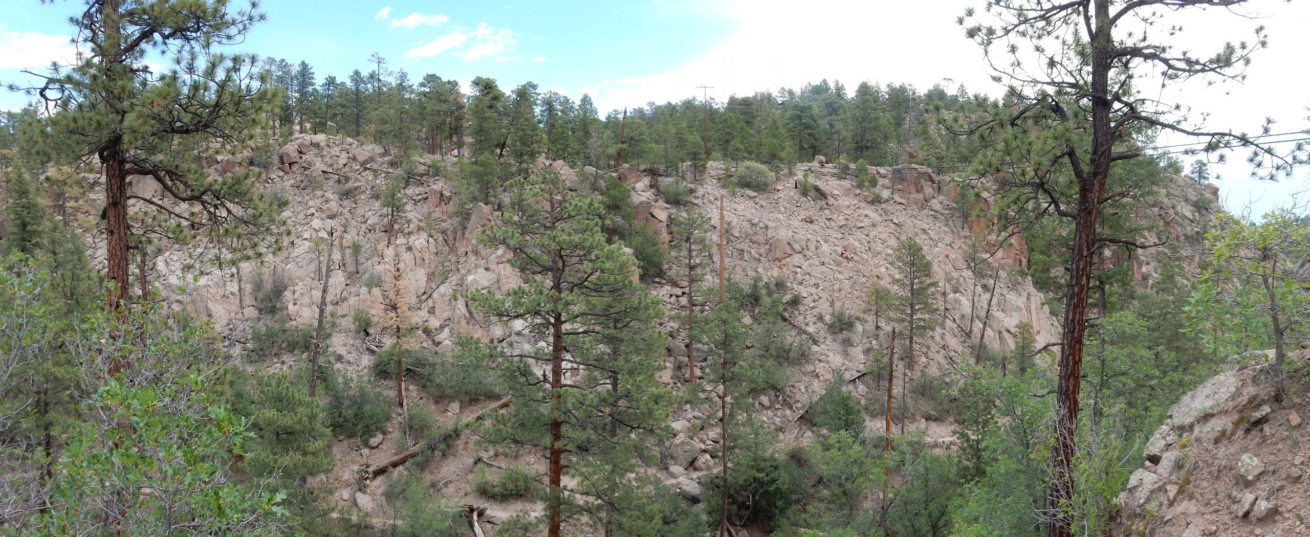
Looking across the canyon at the Rendija escarpment to the east.
For new visitors (Welcome!): You can click on this, and most other images at this site, for a full-resolution version. Also, blue links will typically take you to the location on Google Maps where the photograph was taken from.
The escarpment seems to end at Pueble Canyon to the south. This is not quite right; as we will see, the fault continues to the south across the canyon. But the escarpment becomes less pronounced, and I wonder if there is a possibility that Pueblo Canyon is also structurally controlled, by an east-west fault. None is mapped, though, and I trust the geologist who made the map for this area — K.A. Kempter and Shari Kelley. Still, blind faults not obvious at the surface are the bane of seismologists in earthquake hazard zones.
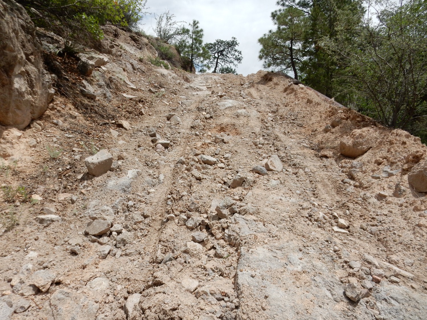
The trail joins a jeep road bulldozed down into Pueblo Canyon.
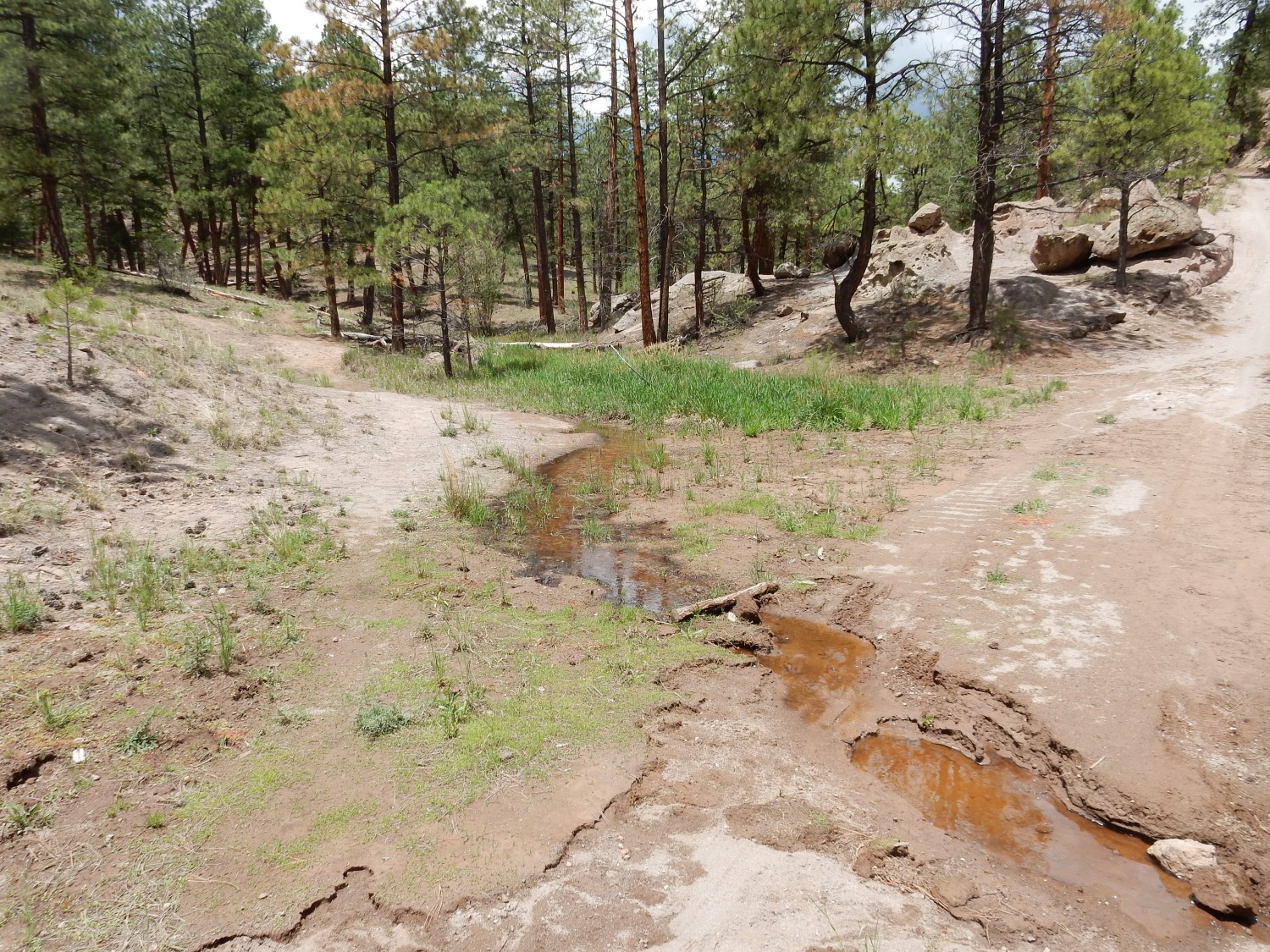
There is some water flow in the lower ground, a gift of the recent monsoon rains.
I come to a fork.
After some deliberation, I choose the right.
A second fork.
I figure the left is the ultimate way I want to go, but the right is worth exploring first. I turn out to be right on both counts.
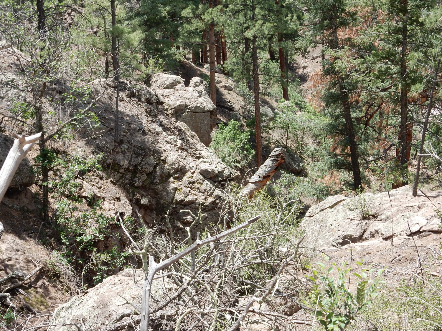
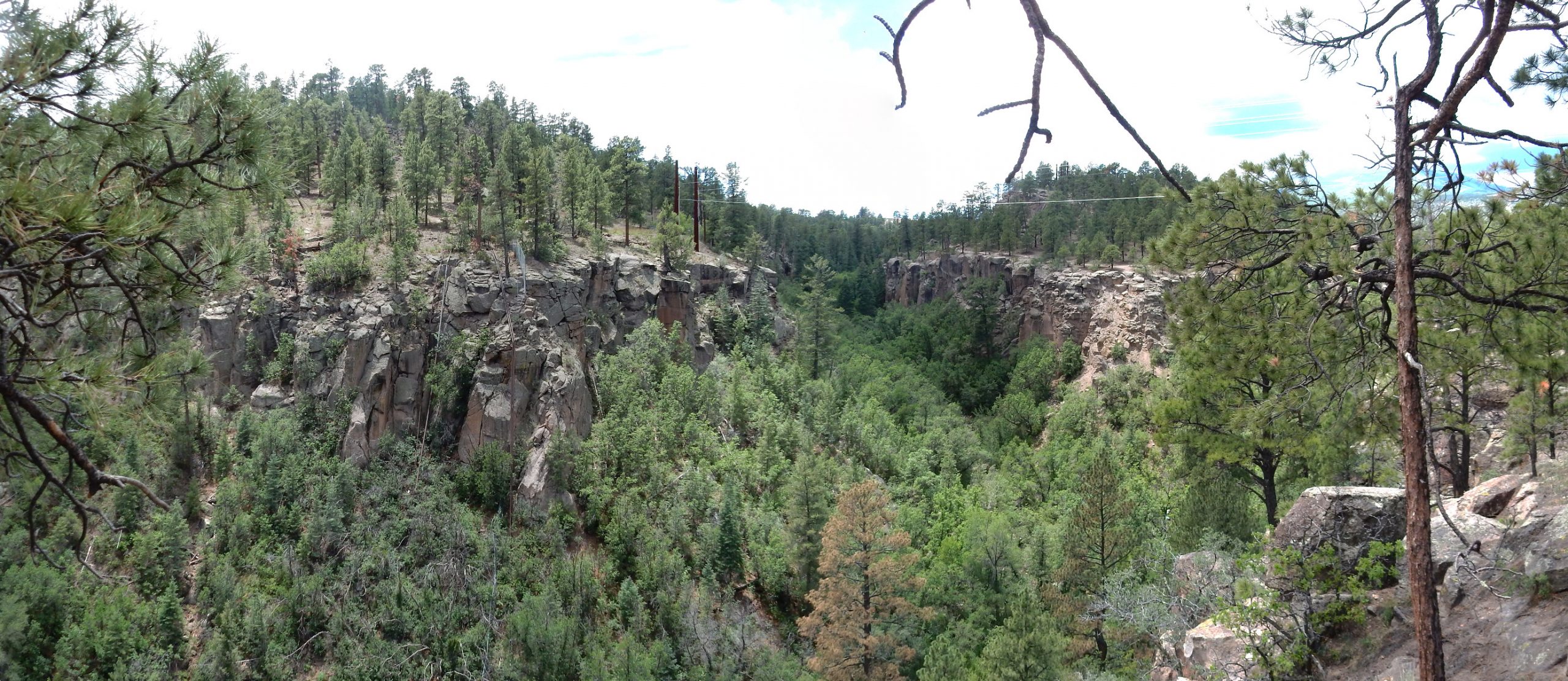
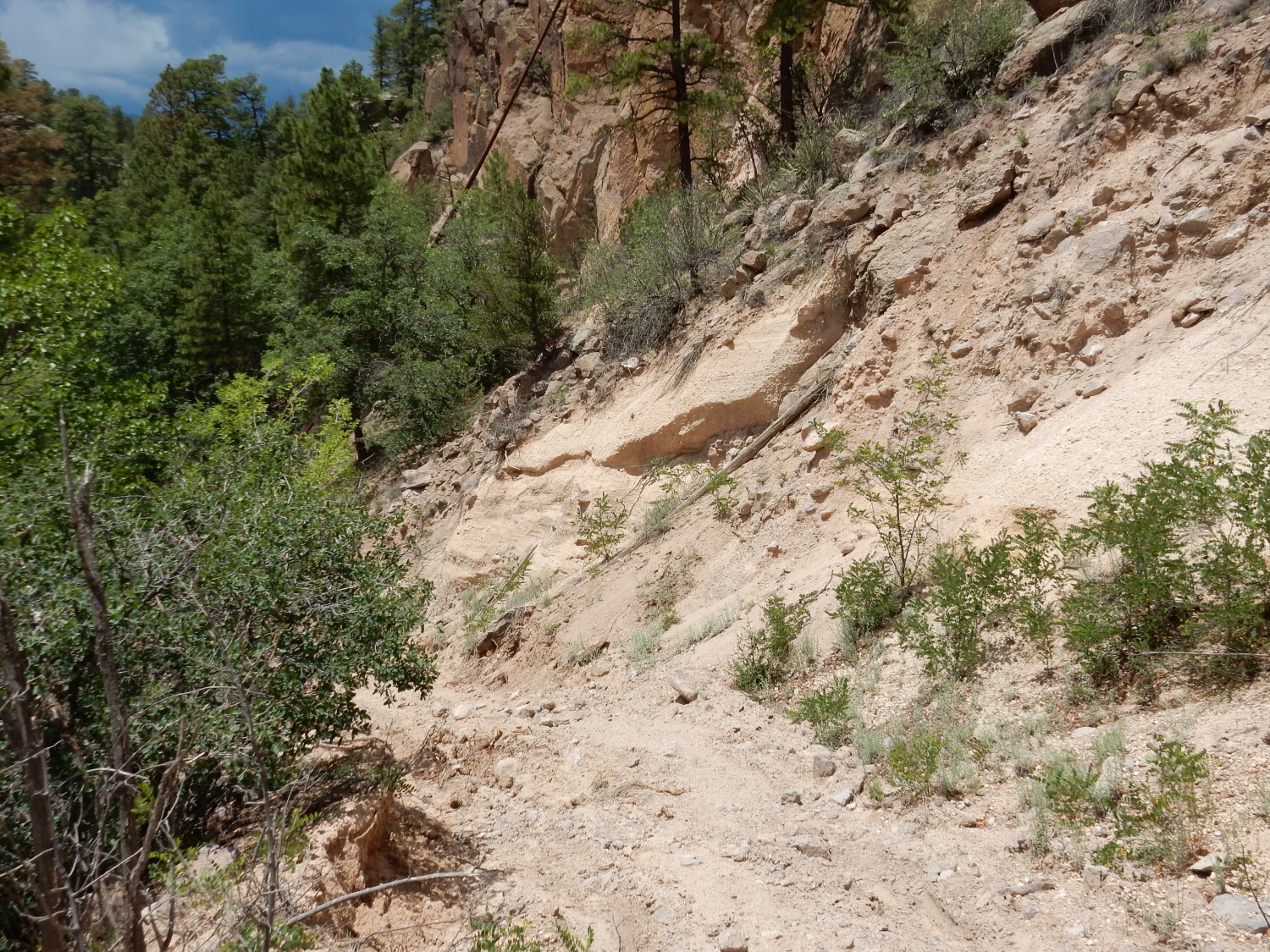
The trail gives me an excellent view of the north rim of Walnut Canyon along the Rendija fault race.
Notice the coarsely jointed rock at left and at right right, with the highly crushed rock right of center. I believe the crushed rock marks the fault.
A little further on, I can get a panorama across Pueblo Canyon along the fault trace.
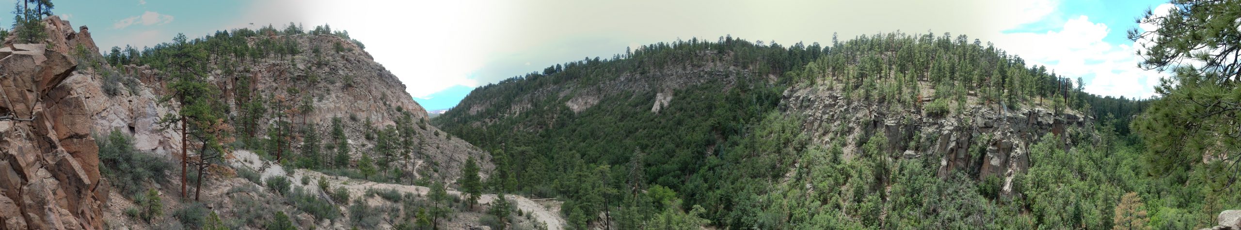
At center left, Pueblo Canyon continues east. The notch just right of center is the fault trace, and the beds of Tsherige Member are visibly displaced across the fault. The canyon at far right is Acid Canyon, which is not thought to be associated with a fault.
Zoom view down Pueblo Canyon.
The close match of beds at left and right, on the two canyon walls, suggests that there is no blind fault below the canyon.
Another view of the mouth of Acid Canyon.
No indication of displacement across the canyon: Not structurally controlled.
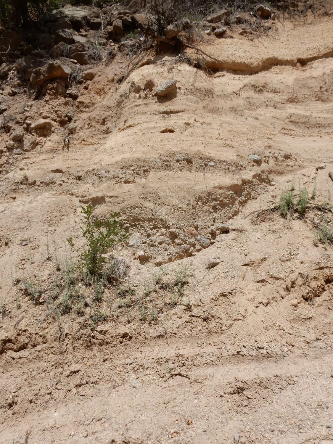
The road ends here,where numerous utility connections snake across the canyon. I retrace my steps to the previous fork and go left. Fault trace?
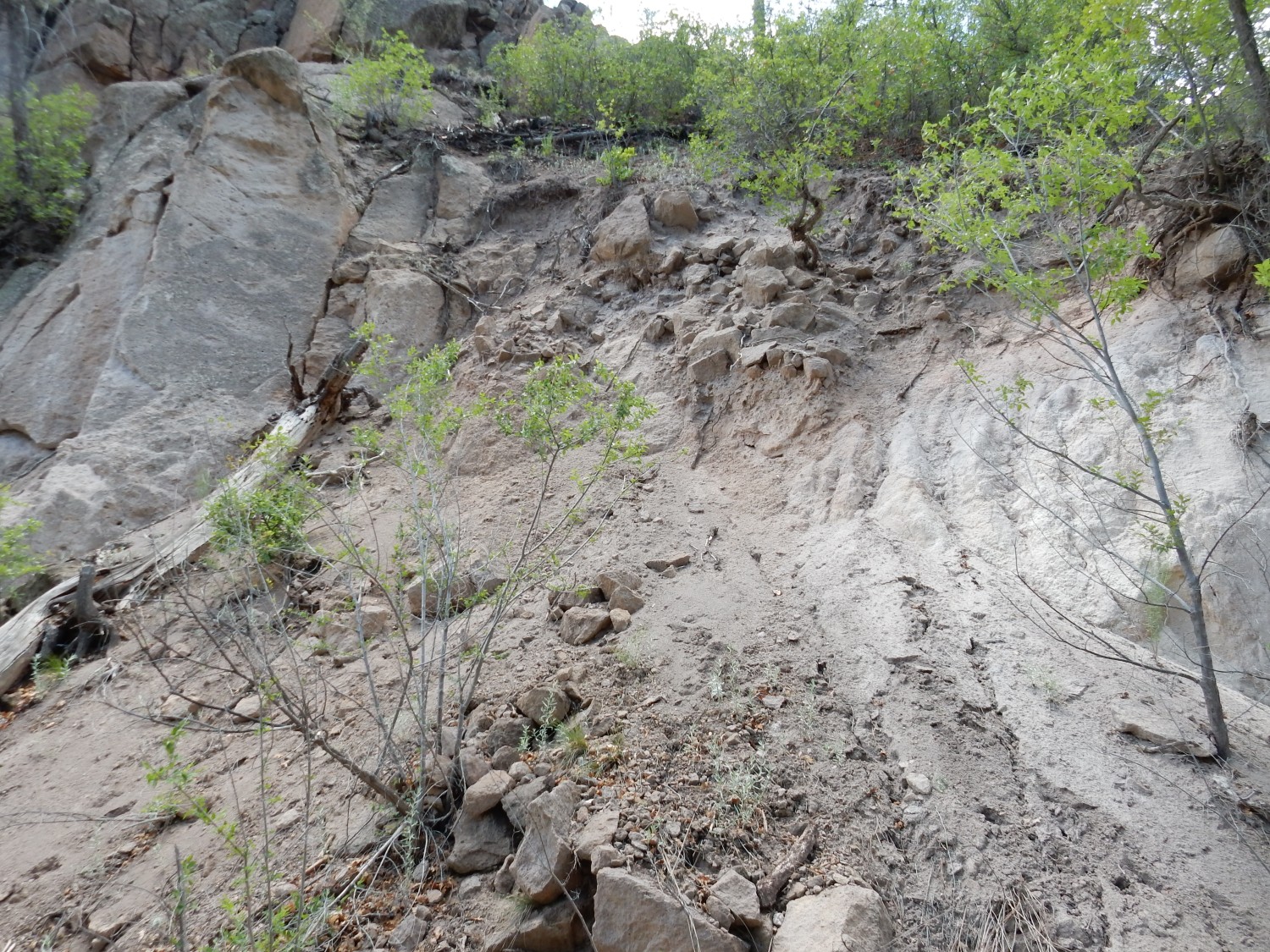
Probably not. At most, a local microfault.
To the north, the chaotically fractured Tsherige Member.
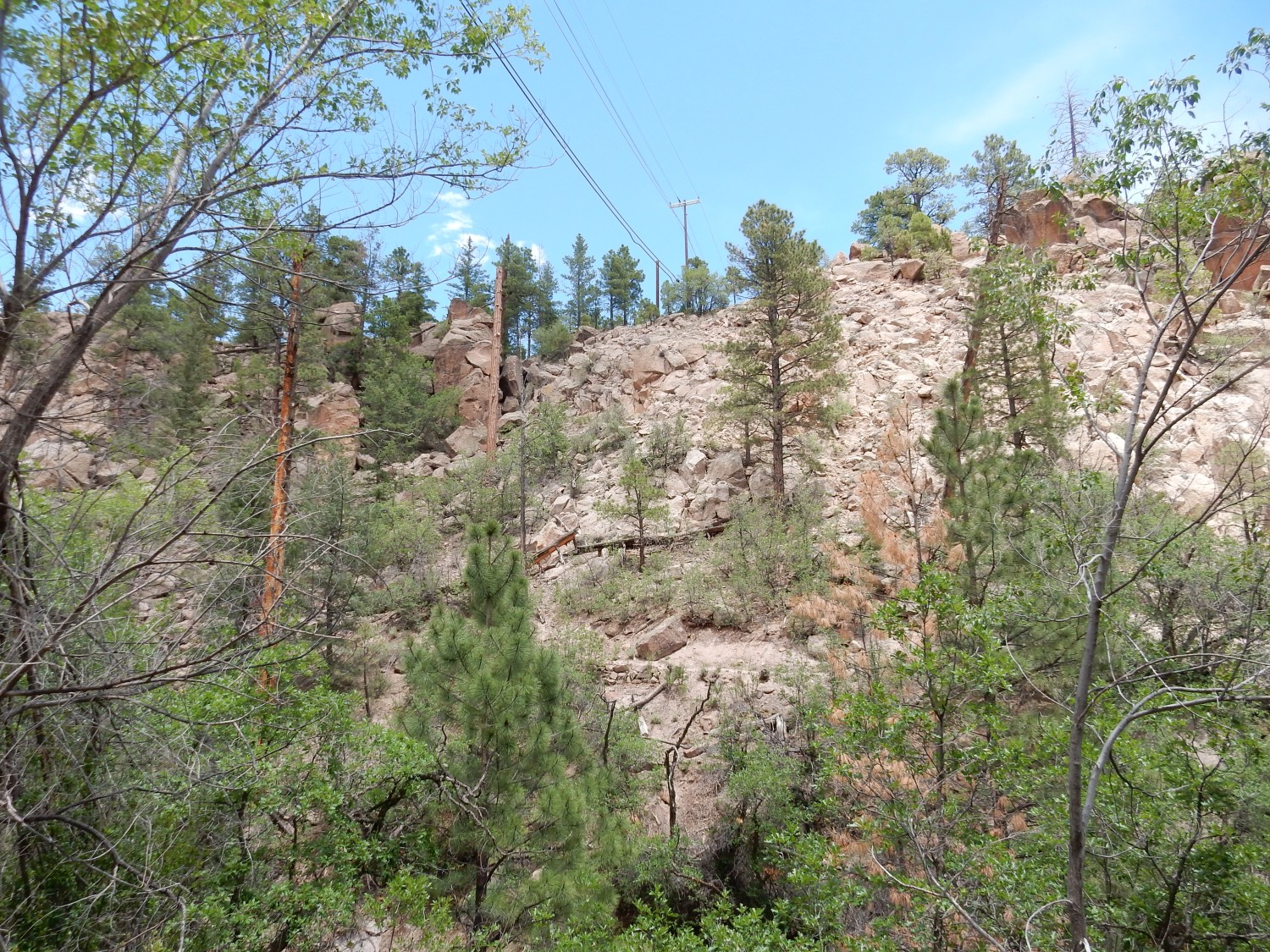
This is indeed very close to where the geological map puts the Rendija fault trace.
The road turns south, giving a great view of the opposite canyon wall.
The road here is headed almost directly at the fault. You can see the displacement of the Tsherige Member beds across the fault. The displacement here is less than to the north, though, and decreases further to the south, where the fault splays (breaks into several distinct strands) around Ashley Pond. The pond itself is a sag pond, formed where a block of rock has dropped between two faults to form the low ground around the pond.
The beds to the right are the first beds we’ve come to today that are not Tsherige Member.

The annotated bed is pumice, likely erupted from the Jemez after the Toledo caldera was formed 1.65 million years ago but before the Valles caldera was formed 1.256 million years ago. This makes these beds part of the Pueblo Canyon Member of the Cerro Toledo Formation, which separates the Tsherige Member of the Bandelier Tuff (erupted in the Valles event) from the Otowi Member of the Bandelier Tuff (erupted in the Toledo event.) Otowi Member is exposed in just a few locations at the bottom of Pueblo Canyon.
The beds towards the bottom show characteristics of fluvial beds, deposited by small streams. This includes sorting of gravel (all composed of Tschicoma Formation dacite from the Sierra de los Valles) into thin beds.
Underfoot is our second formation of hte day that is not Tsherige Member.
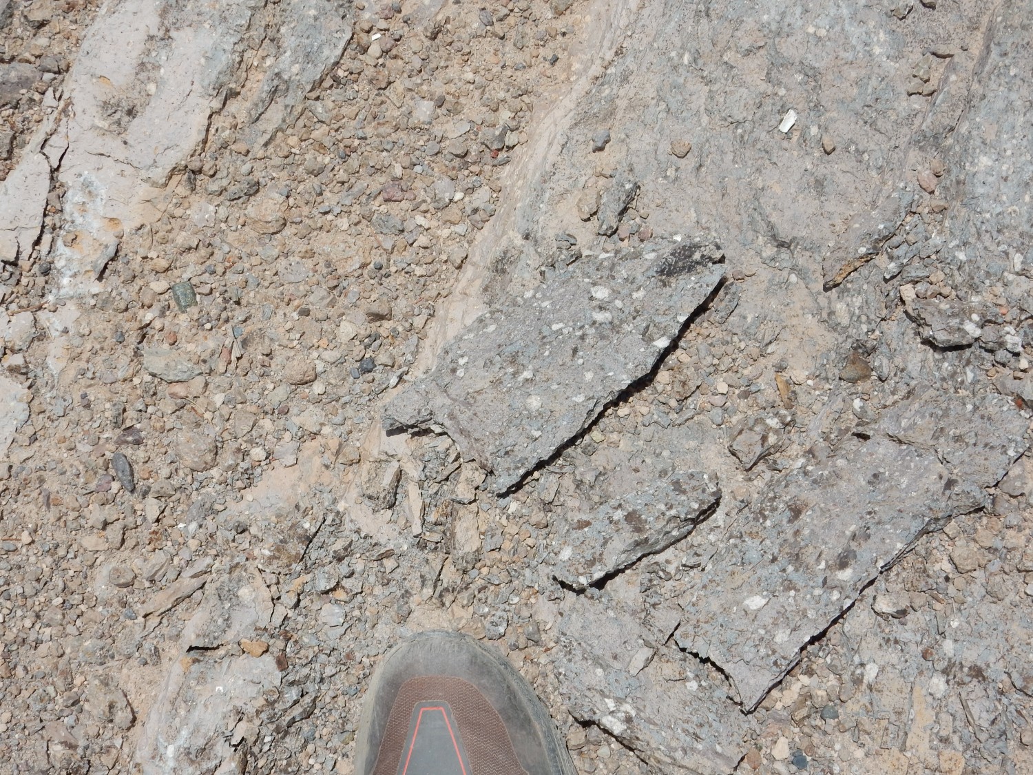
(Note boot for scale.) This is quite solid, hard rock, not like the relatively soft tuff of the Tsherige Member. This, and the honking big white crystals of plagioclase feldspar, suggest this is Rendija Canyon Member of the Tschicoma Formation, which the geologic map confirms. We’re standing on a local outcrop of this rock marking the east side of the Rendija fault.
Tschicoma Formation makes up most of the high ground west of Los Alamos. It’s older than the Bandelier Tuff, with ages from 7 to 2.5 million years, but the bulk was erupted around 3 million years ago. The outcrop here is a bit older; the Rendija Canyon Formation was an earlier pulse of activity around 5 million years ago. The oldest stuff is found further west while the youngest is found in drill cores in the Diamond Drive graben.
This is a rock type called dacite. Whereas the Tsherige Member is high-silica rhyolite, a rock about as high in its silica content as volcanic rock can get and with a high alkali metal content, dacite contains somewhat less silica (though still quite a lot) and is not as enriched in alkali metals. The Rendija Canyon Member is a bit richer in silica than most Tschicoma Formation dacite and so is sometimes described as a rhyodacite.
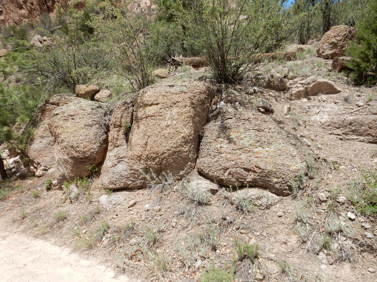
That rock is pretty enough that I take it with me. (Beauty is in the eye of the beholder.) It will be my only specimen today.
The road winds west past some solid Tschicoma Formation outcrops.
Just west is a fault trace truncating the Tschicoma beds.
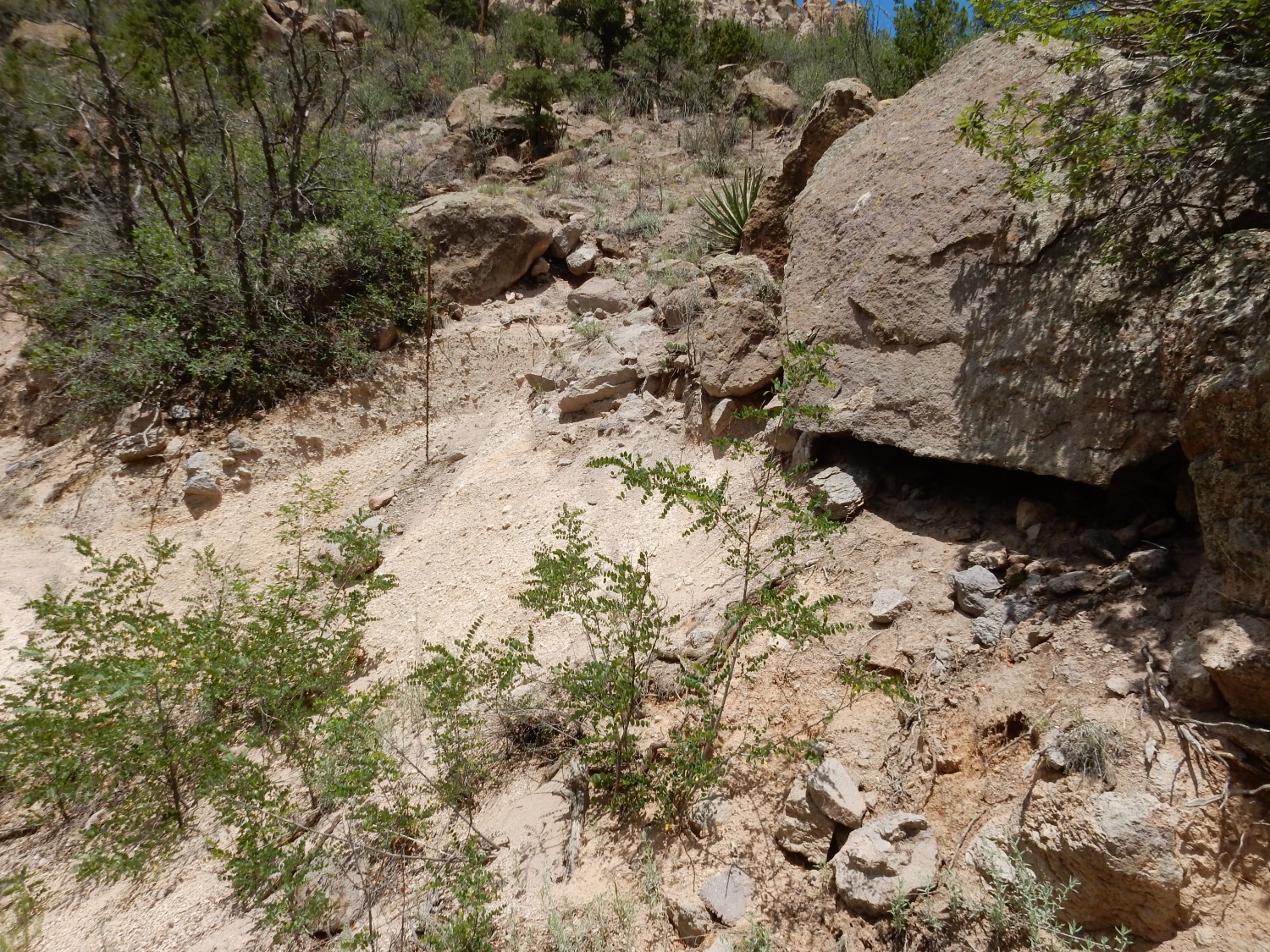
This is apparently not the main trace of the Rendija fault, but a subsidiary fault that branches off the main fault from here.
Further down are some more Cerro Toledo beds, thrown down west of the fault.
Beyond are more Tsherige Member beds, thrown down further still by a second strand of the fault.
The Cerro Toledo beds:
The lower beds are quite coarse fragments of Tschicoma Formation. The coarse bed above seems to coarsen upwards, with the larger fragments at the top. This is characteristic of a debris flow, a kind of avalanche of wet boulders common in areas of volcanic activity.
There is a running stream at the bottom of the canyon.
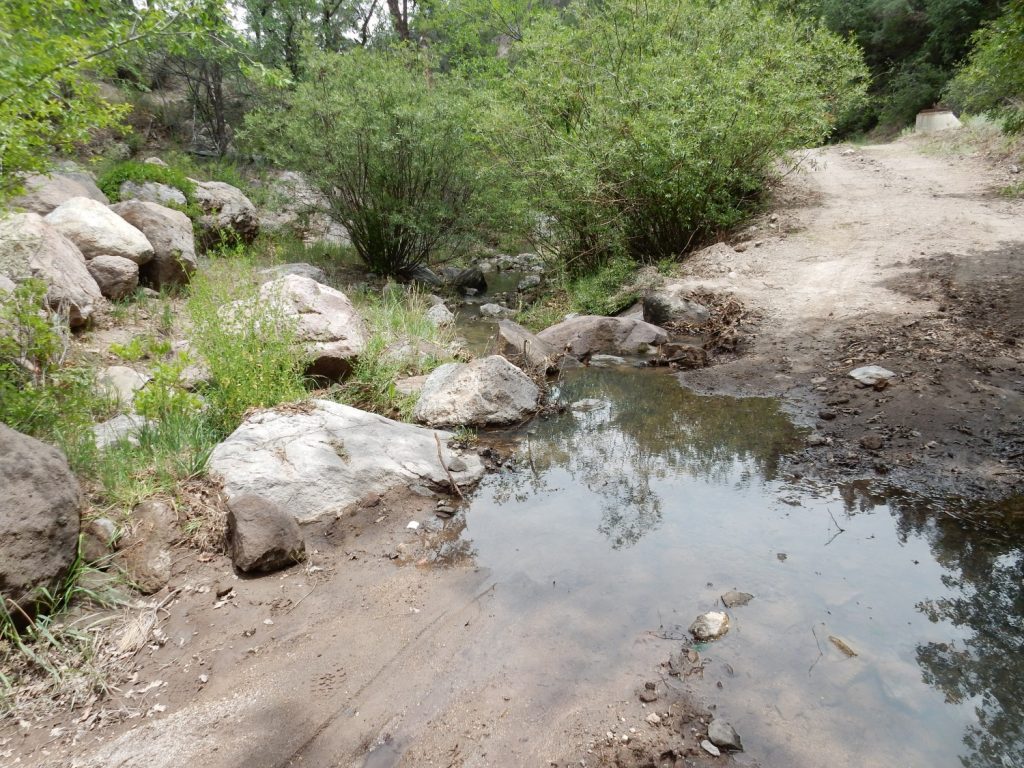
This is an ephemeral stream, not present year round. It’s running at the moment because of recent monsoon rains. More rain is likely this week, with a 70% chance Tuesday. Here’s hoping. (We almost can’t get too much rain this time of year.)
It’s time to turn back. I notice just how shattered the Tsichoma Formation is close to the fault strand.
Some of the rock has been torn up by the bulldozer that build the road; but no bulldozer was going to tear up solid, intact outcrops of Tschicoma Formation.
Looking again at the Cerro Toledo Formation up the road.

I’m a little surprised how hard it is to pin down the contact between the Cerro Toledo beds and the overlying Tsherige Member beds. There are some indistinct surge beds that may mark the contact — thin beds laid down early in the Valles event. Perhaps the problem is that some of the pumice below is actually Valles Event air fall pumice (the Tsankawi Pumice) that is hard to distinguish from earlier Cerro Toldeo air fall pumice.
I decide to divert onto the East Fork trail coming back, for variety. Some massive beds of Tsherige Member, suitably annotated.
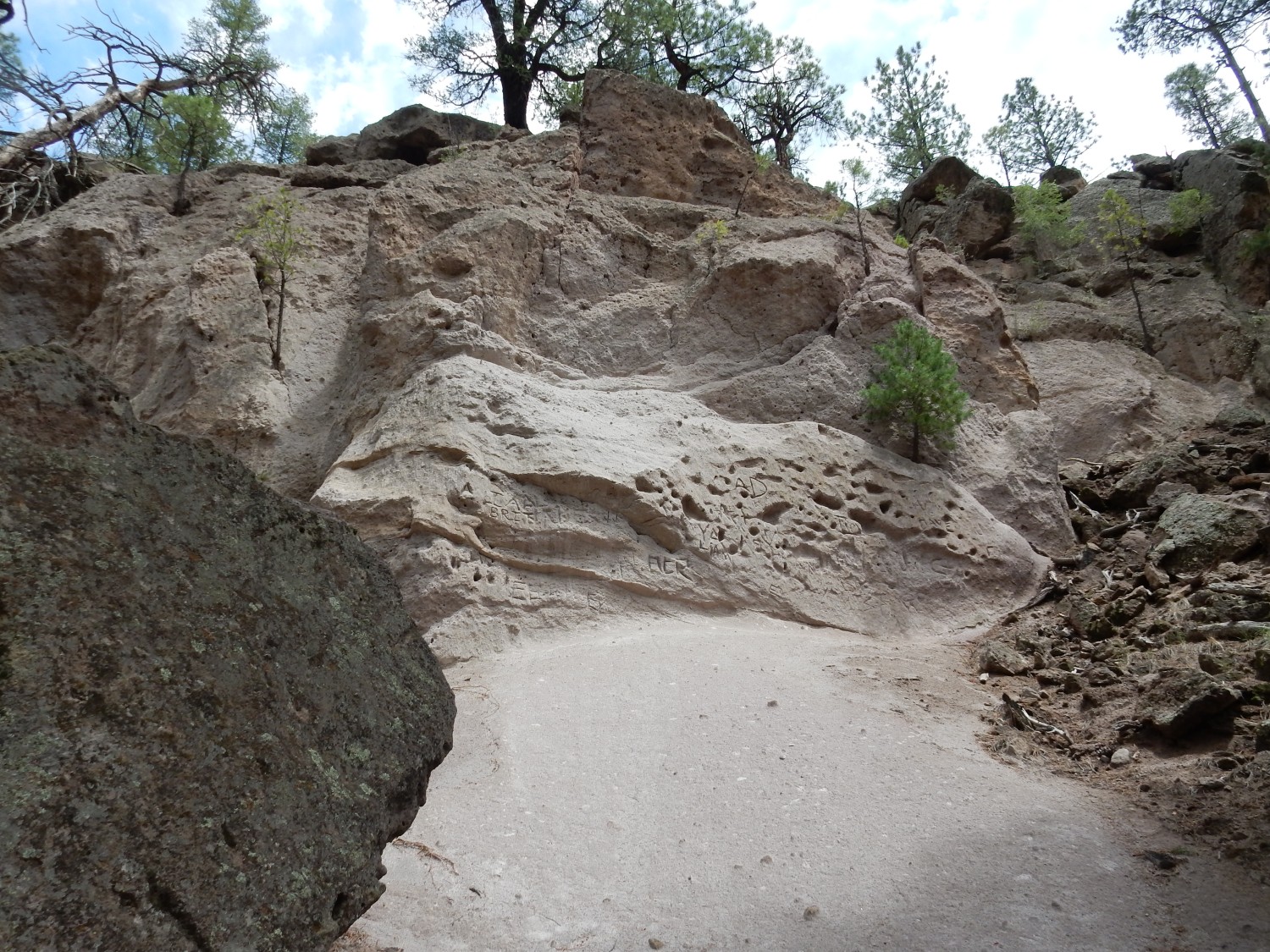
I do understand the impulse to carve your initials into the soft tuff, even if I can’t condone it.
From there, back to the Wandermobile and on home. The weather is closing in a bit, and we get a little rain that evening. Hoping more is on the way.