
Wanderlusting faults
The long weekend gave me opportunity for three short wanderlusts, whose common feature was the presence of faulting.
Friday I planned to visit a hydrothermal breccia pipe shown on the geologic map at the north end of Aspen Ridge. Aspen Ridge is the easternmost of the north-south ridges that form the Keres Highlands south of the Valles caldera. This rugged country is underlain mostly by Paliza Canyon Formation andesites, basalts, and dacites. This is volcanic rock of variable silica content erupted between about 13 million and 6 million years ago,with the peak around 8 million years ago. In places this was intruded by pulses of rhyolite, high-silica magma, with a particularly large pulse around 6 to 7 million years ago that is mapped as the Bearhead Rhyolite.
A hydrothermal breccia pipe is a small area (in the ballpark of a hundred yards across) underlain by chunks of volcanic rock cemented together with calcite or silica. The ones I will be looking for are located along faults that are also intruded here and there by Bearhead Rhyolite, and so are thought to be associated with this pulse of volcanism.
So Friday I packed my gear, headed out the door … and found the driveway empty. Cindy had assumed I would be home all day and had take the Wandermobile to work. Well, my fault for not telling her my plans. She comes home for lunch and I ask for the car. The weather seems to be holding and I head on out.
And about halfway to the Pajarito Escarpment I notice that the gas is real, real low. I turn on the range indicator; it says I have 82 miles. Well, that should be plenty … on a good highway. I decide to chance it rather than waste time going back for gas; some clouds are beginning to gather and the weather may not hold. I nearly miss my turn onto the forest road, burning some rubber as I (somewhat foolishly) simultaneously hit the brakes and turn my wheel. In fact, I turn sharply enough to wrench something, and my rib cage is hurting as I head up the rather rocky road.
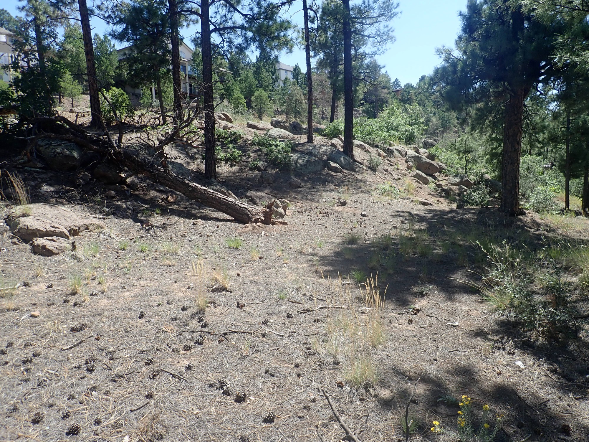
And, halfway up, the low fuel indicator light comes on. I decide I’m pushing my luck too hard, turn around, and head in to Los Alamos for some gas and some more local hiking. I decide to try a branch of the Pueblo Canyon trail from East Park west.
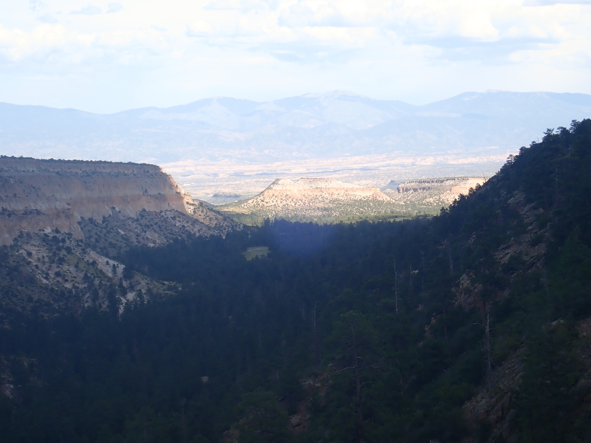
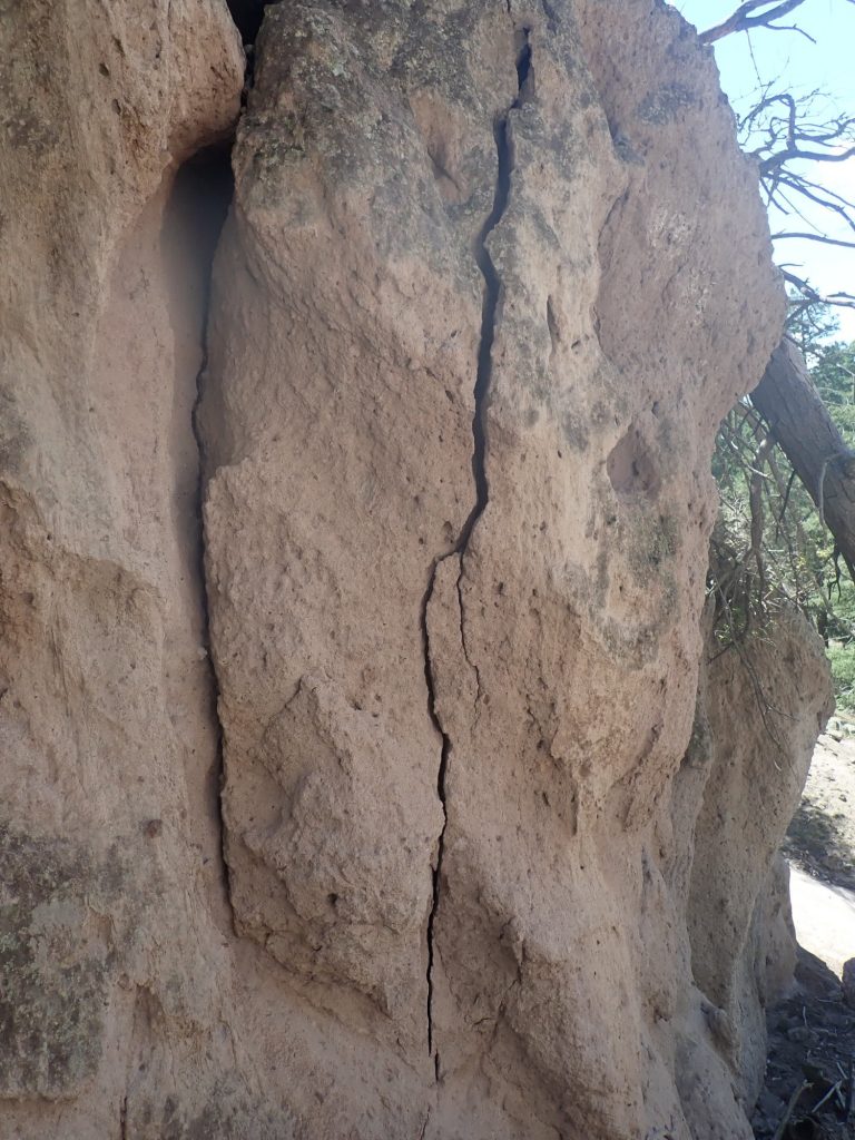
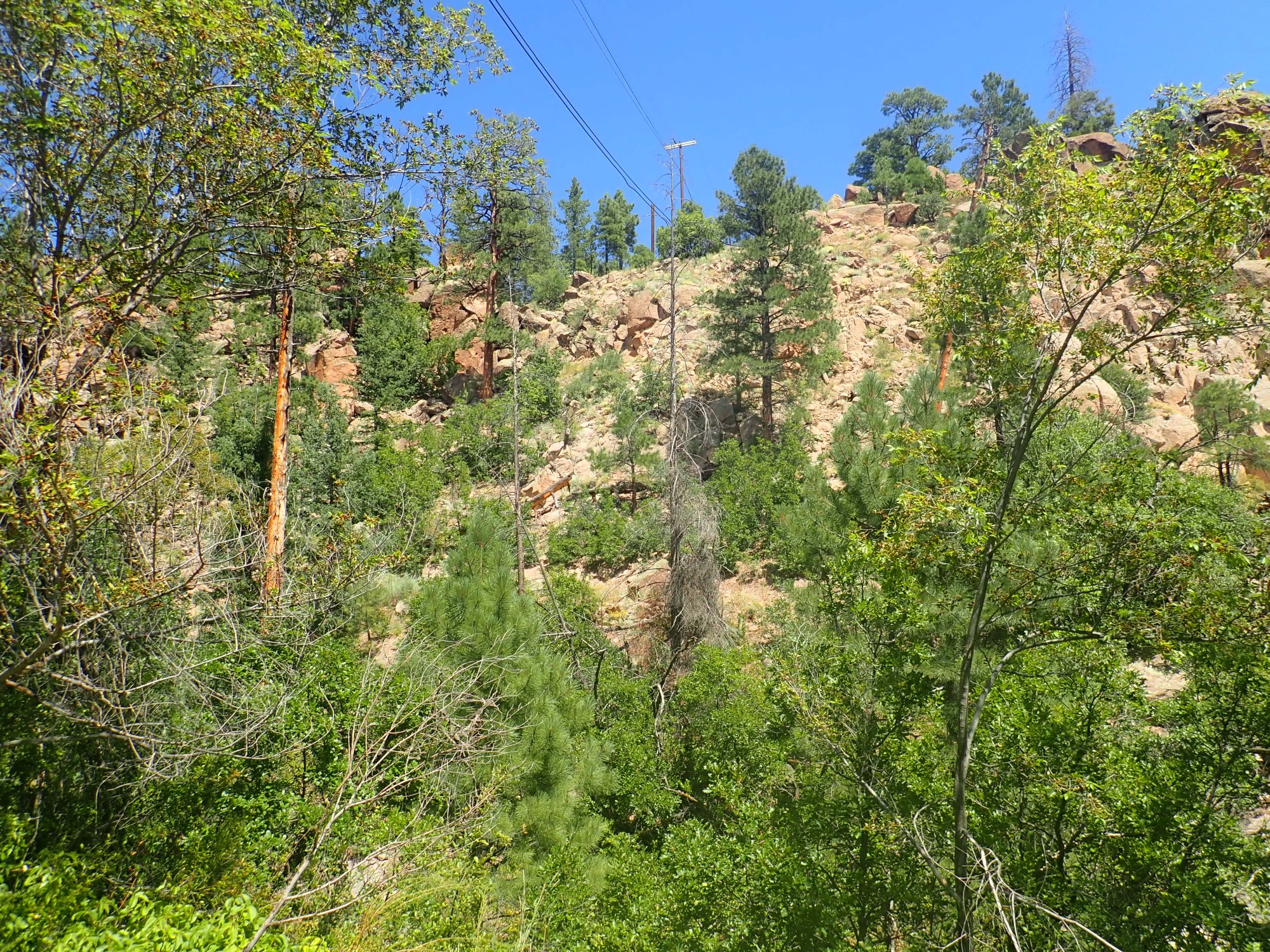
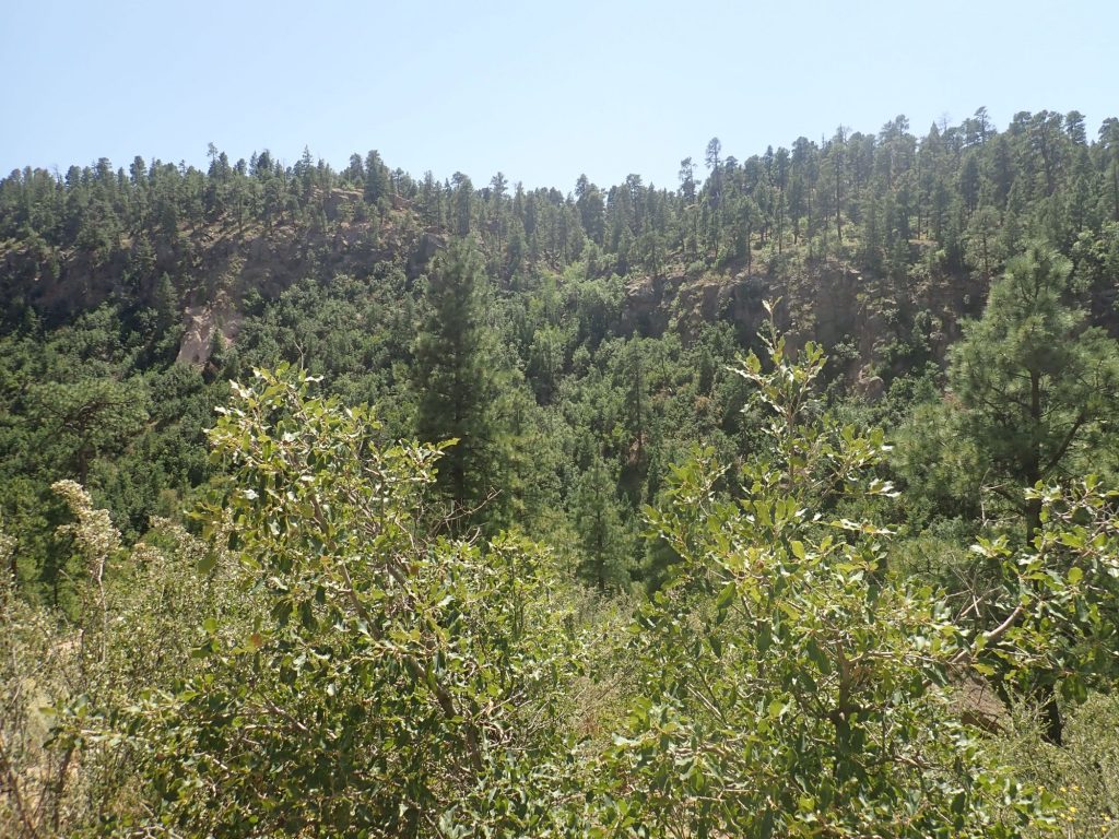
The main attraction on the first leg of the hike is the opposite canyon wall.
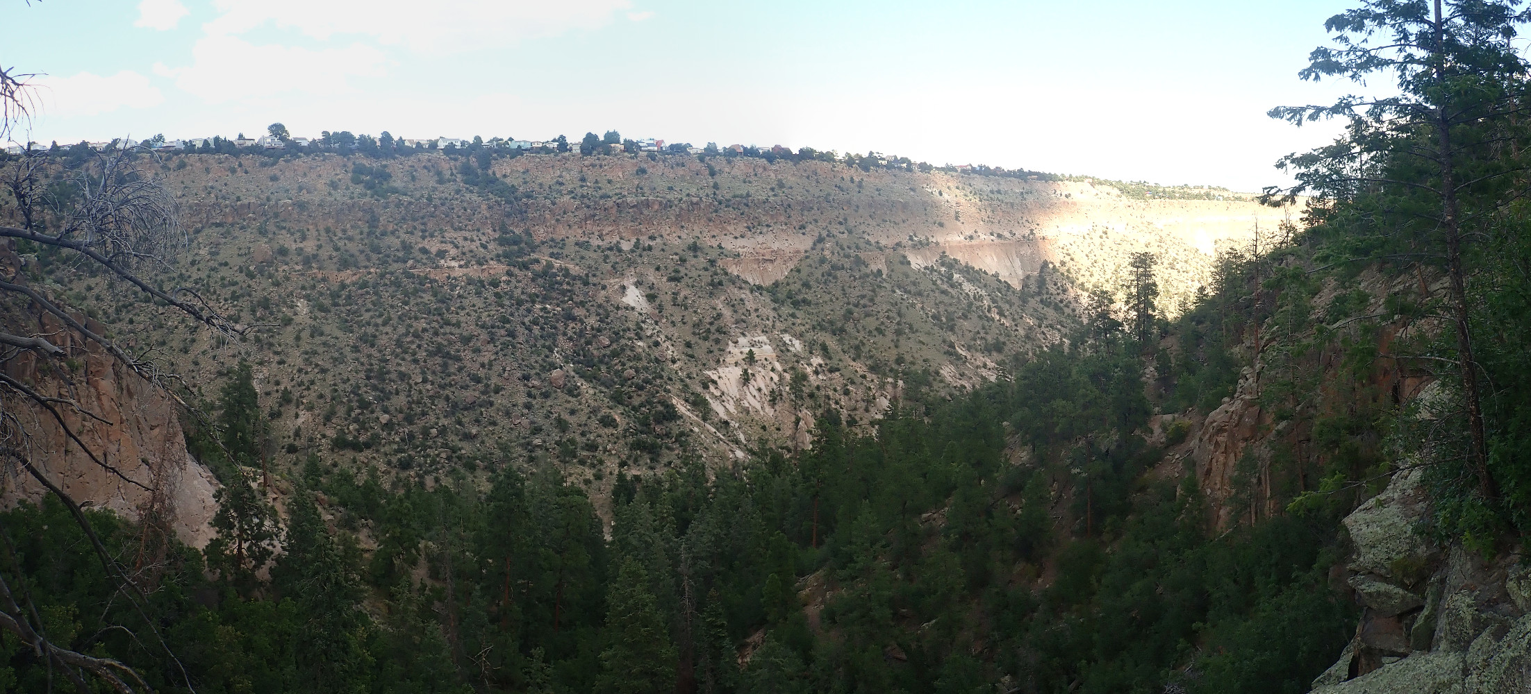
As with most images at this site, you can click to embiggen. Though it won’t help much in this case: Most of the canyon is in shadow from clouds building to the south, and brightly lit lower canyon and sky beyond tend to wash out the picture. But we are looking across Pueblo Canyon at North Mesa, which is underlain by multiple flow units of the Tsherige Member, Bandelier Tuff.
Long-time readers have heard this spiel before, but, for new readers: the Bandelier Tuff was erupted in a series of explosive volcanic eruptions in the central Jemez, of which the two most enormous were at 1.61 and 1.25 million years ago. These two large eruptions produced a caldera, or giant volcanic crater, over 10 miles across, as hot ash and gas poured out of the ground and emptied the magma chamber below, whose roof then collapsed.
The hot ash and gas formed a red-hot mixture that was heavier than air, and it flowed across the surface for miles in every direction as pyroclastic flows. These destroyed everything in their path, then the ash settled to the surface to consolidate into a soft rock called tuff. The older eruption produced the Otowi Member of the Bandelier Tuff while the more recent eruption produced the Tsherige Member of the Bandelier Tuff and created the Valles caldera we see today.
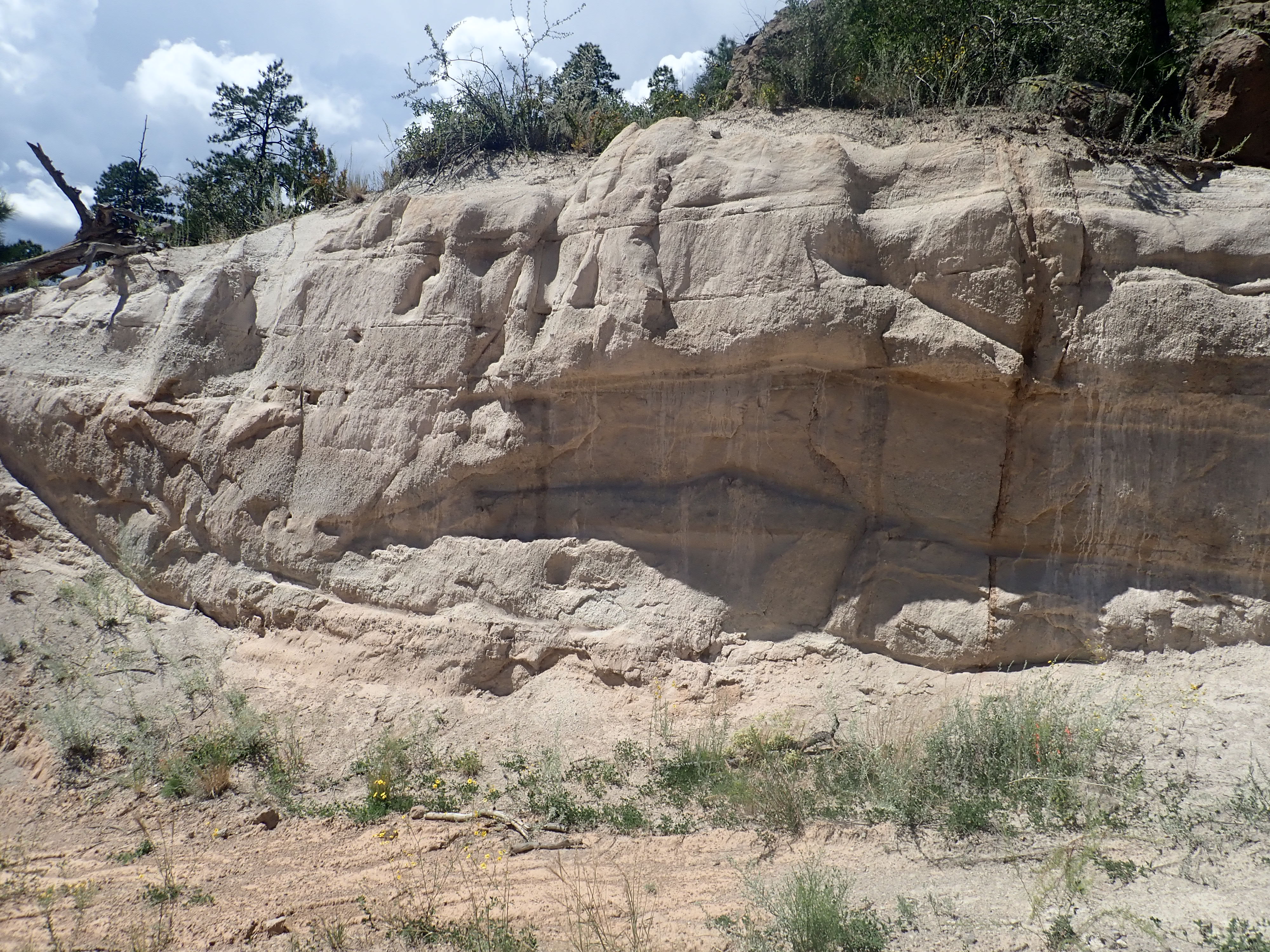
In some places, the tuff is hundreds of feet thick, showing just how enormous the eruptions were. Here in Pueblo Canyon, the top part of the canyon wall is all Tsherige Member; below are thick beds of sediments that accumulated between the two eruptions, then, half-buried at the base of the cliffs, is the Otowi Member.
Here’s a close up of the intermediate sedimentary beds.
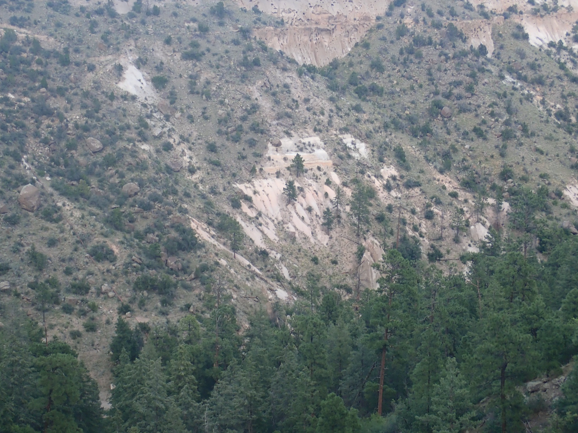
The exposures here are not great, but you can see thin beds of sediments of the Pueblo Canyon Member, Toledo Formation, as it is called. These include quite a lot of pumice from smaller eruptions going on in the Jemez during this time. These were centered in the mountains just northwest of Los Alamos. Beneath the Pueblo Canyon Member are poorly exposed and somewhat featureless beds of Otowi Member.
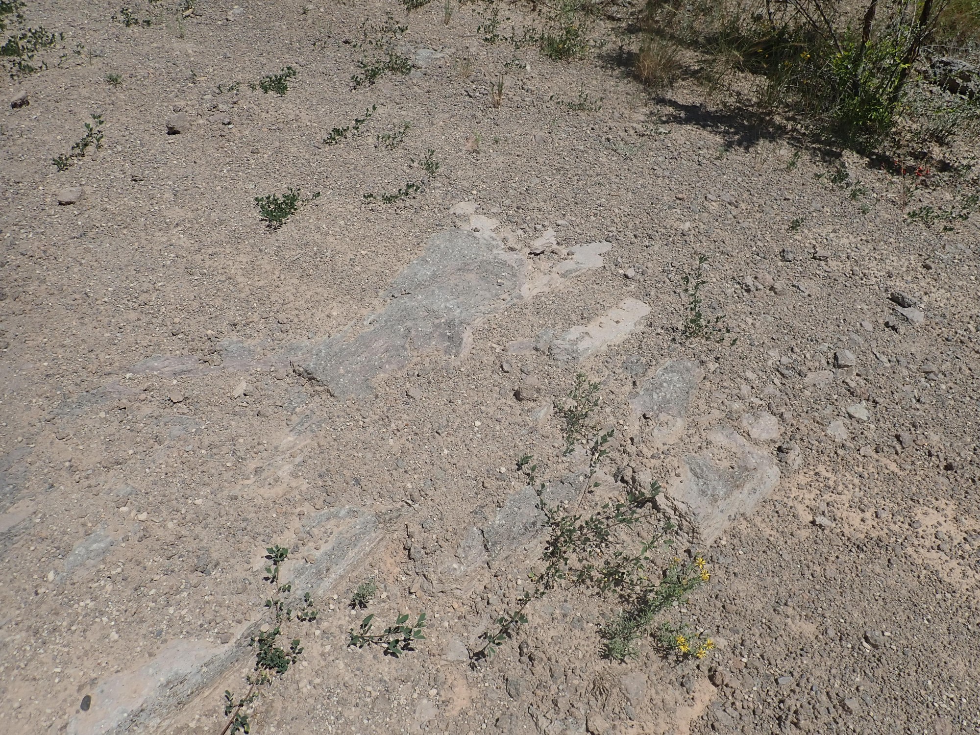
I continue on down the trail, the find something quite foreign to the area.
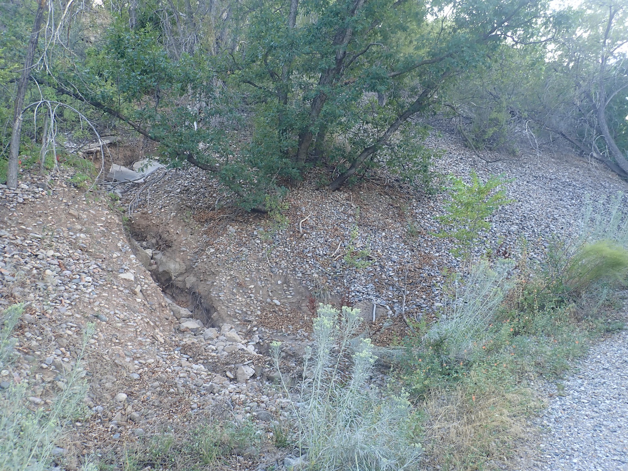
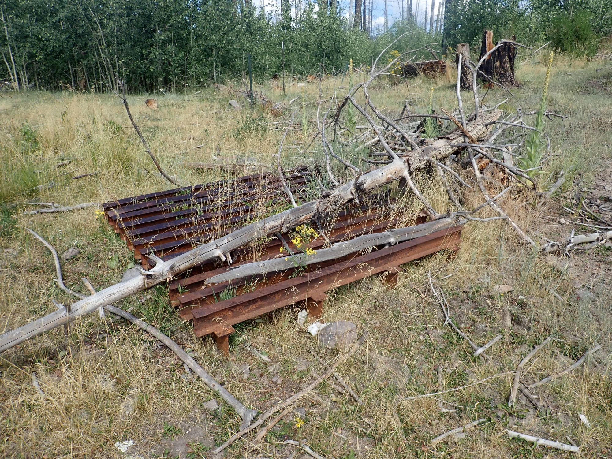
Gravel. Though it looks a lot like a river deposit, there has not been a river here in nearly two million years, and its old bed is buried far below us. (Where it forms an important local aquifer.) The gravel is very coarse, well-sorted (the individual rock fragments or clasts are all close to the same size) and highly polished, like river gravel, and the rock making up the gravel is quartzite that is very much out of place here. The odds are that this is man-made, an old gravel dump that didn’t all get used.
Another badly washed-out view down the canyon.
Far down the canyon the sun is shining brightly and illuminates an unnamed mesa in the distance.
Another shot across the canyon.

The Pueblo Canyon Member is just visible at the bottom of the cliff. Everything above it is Tsherige Member. It is clear that the eruption took place in several closely spaced pulses , corresponding to the different layering in the cliffs. Geologists are still sorting these out.
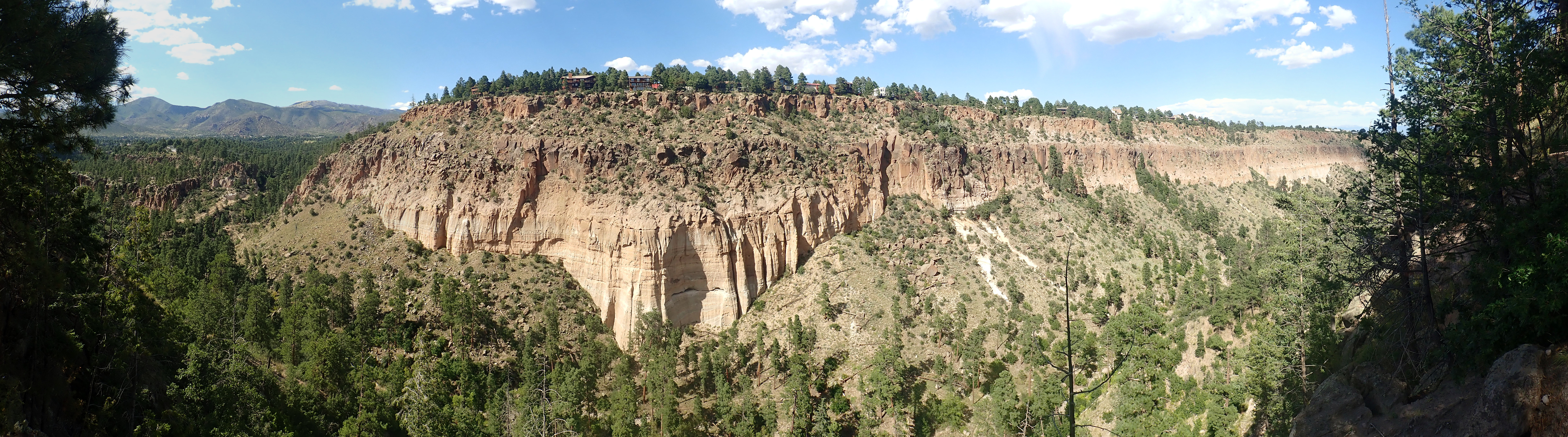
A panorama view.
It’s hard not to look at that and think we’re looking at three eruptive pulses during the Valles caldera eruption. But it may not be as simple as that. For example, the “vapor notch”, the reddish boundary that appears to divide the lowermost light colored part of the Tsherige Member, may not be separating two eruptive pulses. The rock above and below is chemically and texturally identical, except that that the tuff above contains glassy volcanic ash shards and the tuff below has had all its glassy shards devitrify, that is, turn into crystalline material. So the “vapor notch” may be a boundary that developed within a single eruptive pulse due to quirks of the chemistry of volcanic gas leaking from the tuff. Likewise, the ledge near the top is almost certainly a pulse boundary, but the seemingly featureless rock below may actually be multiple pulses, and, for that matter, so may the rock above.
And then the sun comes out, just as I come into view of some really spectacular cliffs, and I finally get some good photographs.
The vapor notch is obvious, and the lower part of the cliff is clearly thin beds of Pueblo Canyon Member sediments, but the boundary between the lowermost Tsherige Member and the uppermost Pueblo Canyon Member is hard to pick out. I think only the relatively thin massive zone just below the vapor notch is Tsherige Member, though there may be surge beds at the bottom of the Tsherige Member that are tough to distinguish from Pueblo Canyon Member sediment beds at a distance. Surge beds are produced by the hottest, least dense part of the pyroclastic flow, at its leading edge.
It certainly seems like the pyroclastic flow scoured the top of the sediment beds beneath absolutely clean, leaving no trace of soil, burned vegetation, or even early air fall pumice between the two units. In other locations, where the flow was less energetic, all of these have been found.
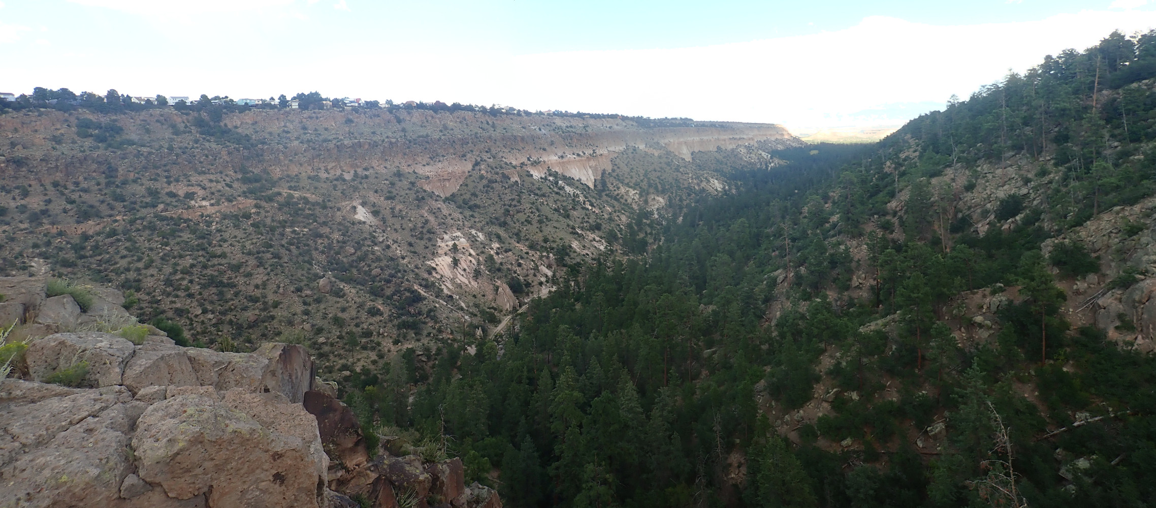
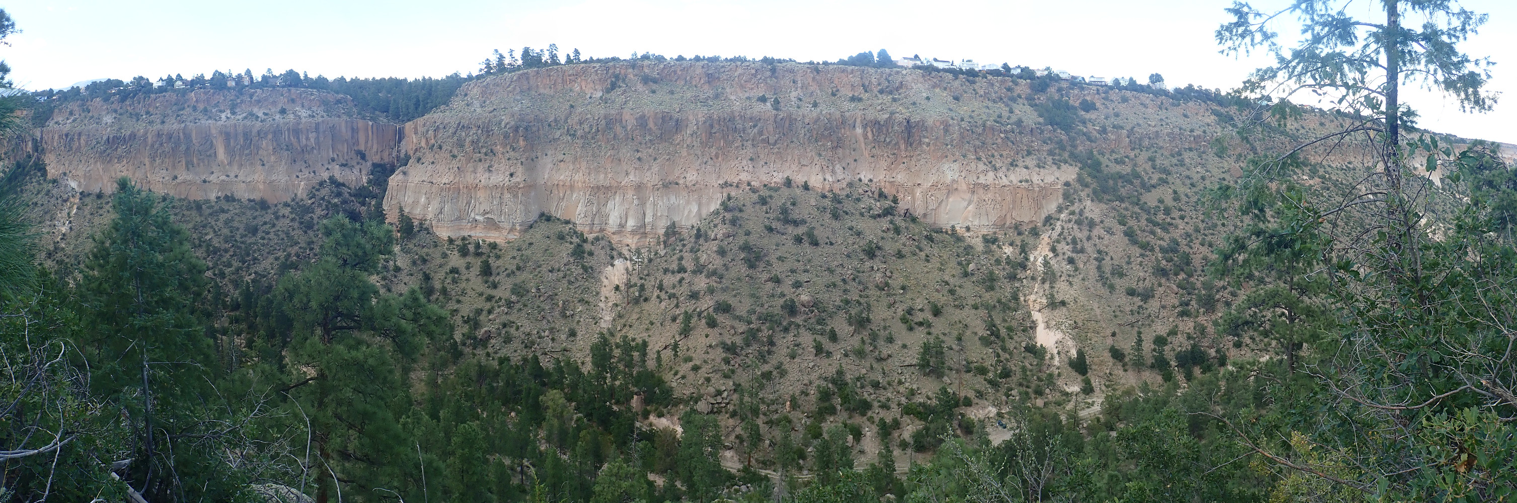
And conditions here are now right for a decent panorama.
At left is a fault escarpment produced by a major fault, which is rather surprisingly unlabeled on my geologic map. It seems to mark the eastern boundary of the Diamond Drive Graben, a block of crust that has dropped down between the fault here and the Pajarito Fault at the foot of the Sierra de los Valles (the mountains just west of Los Alamos.) Much of the western area of Los Alamos sits in a shallow valley that is the topographical expression of the Diamond Drive Graben.
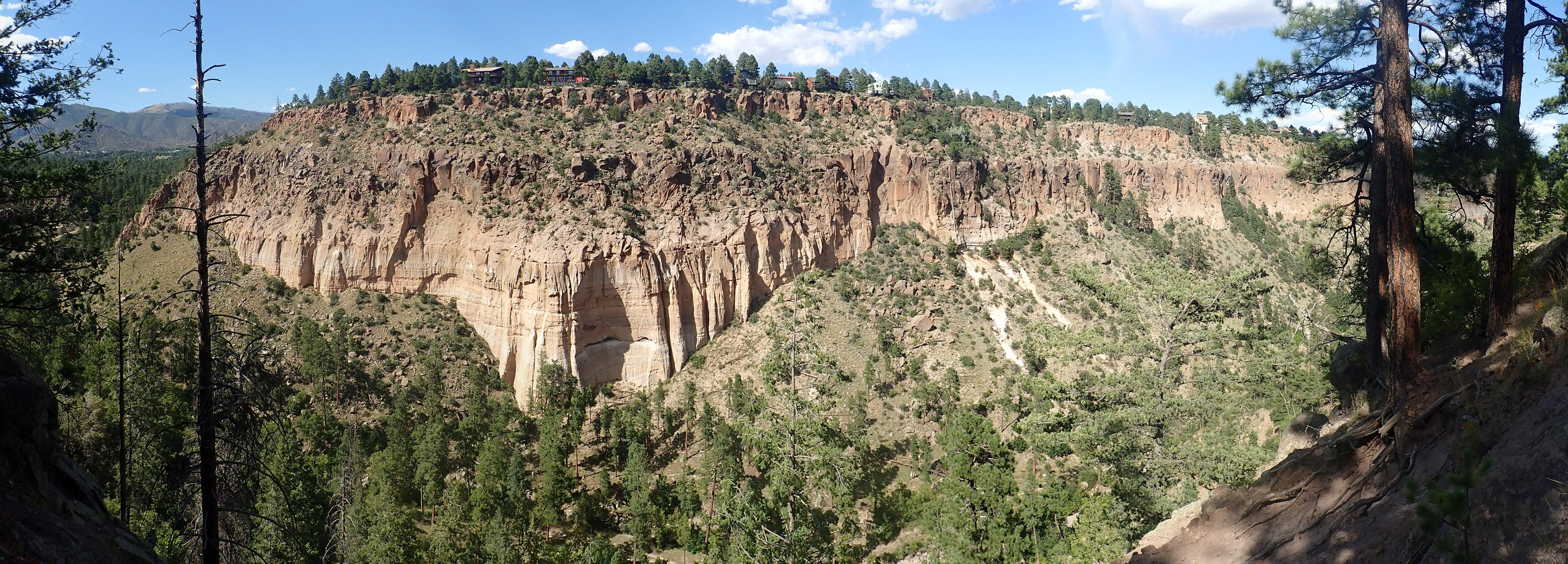
A little further down the trail, and I get an even better panorama.
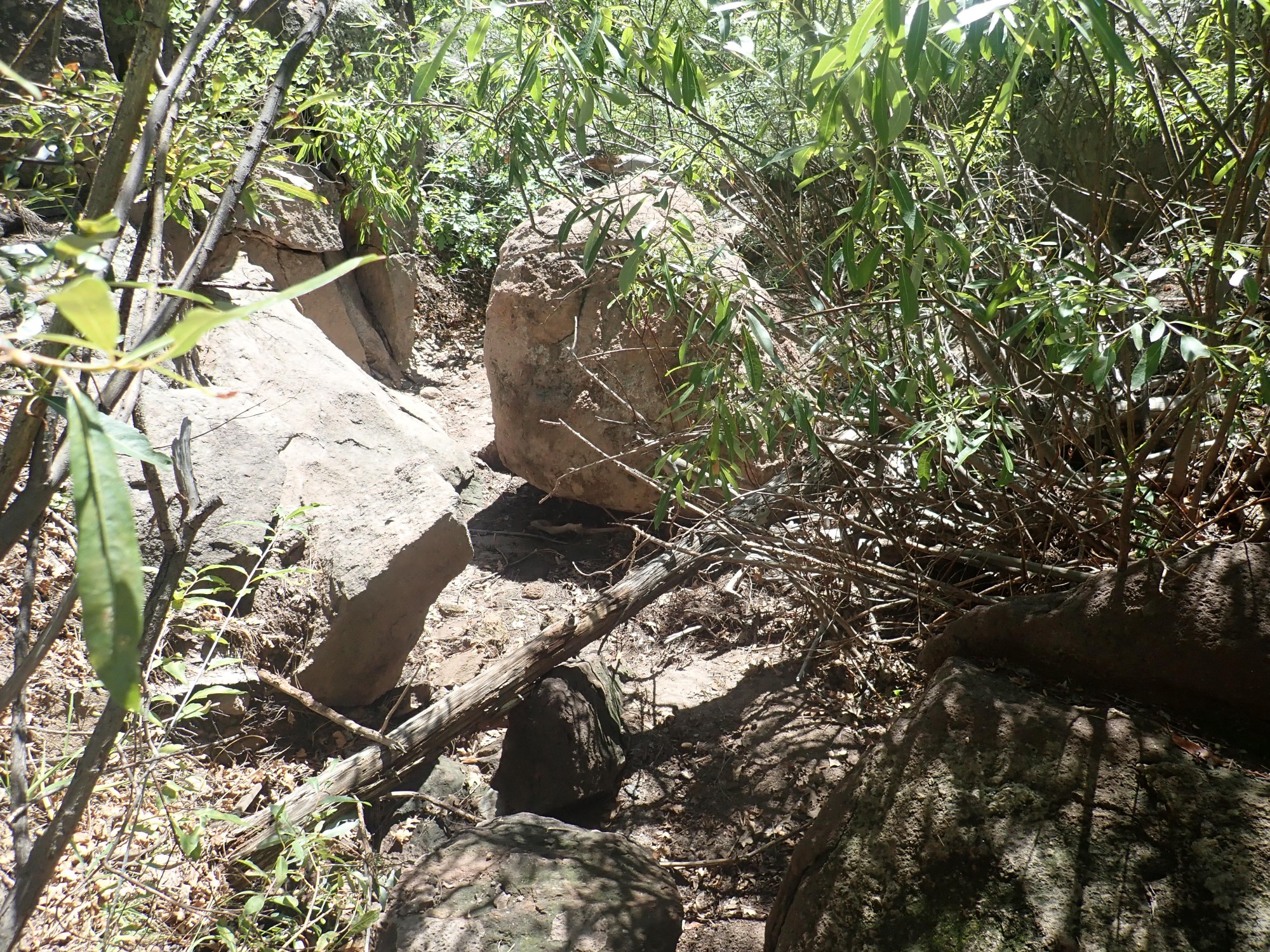
Far below is a hoodoo in the canyon bottom.
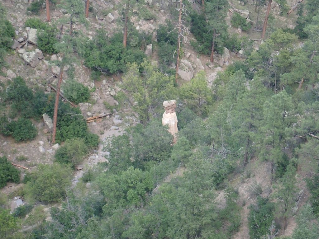
Here a heavy boulder has compacted the tuff beneath, producing a column as the surrounding tuff was eroded away.
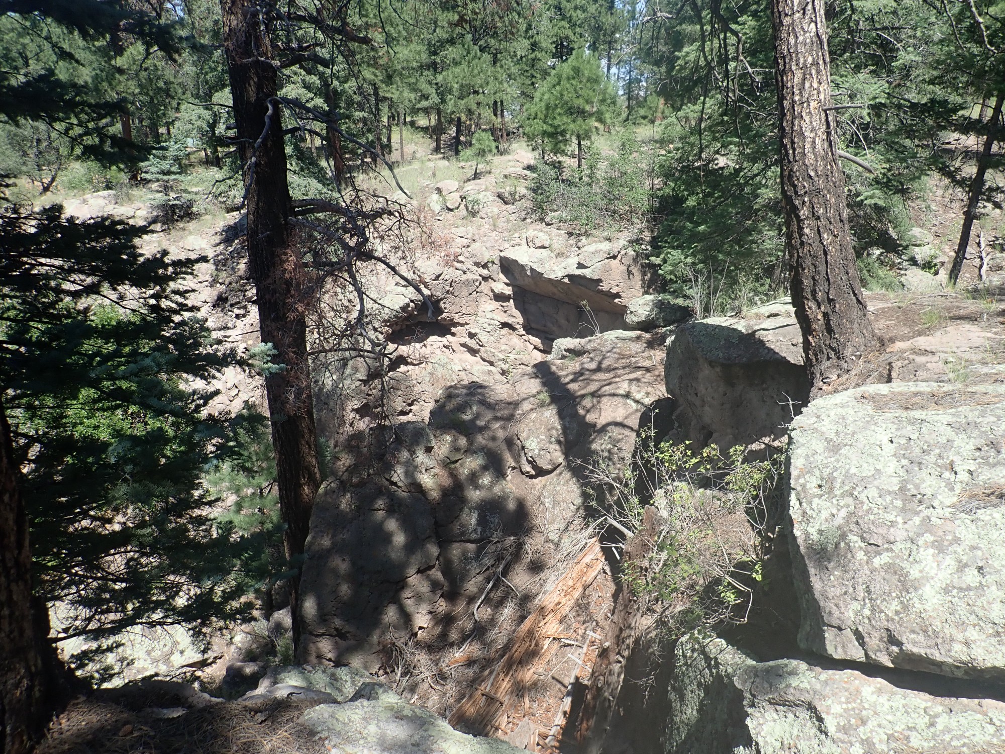
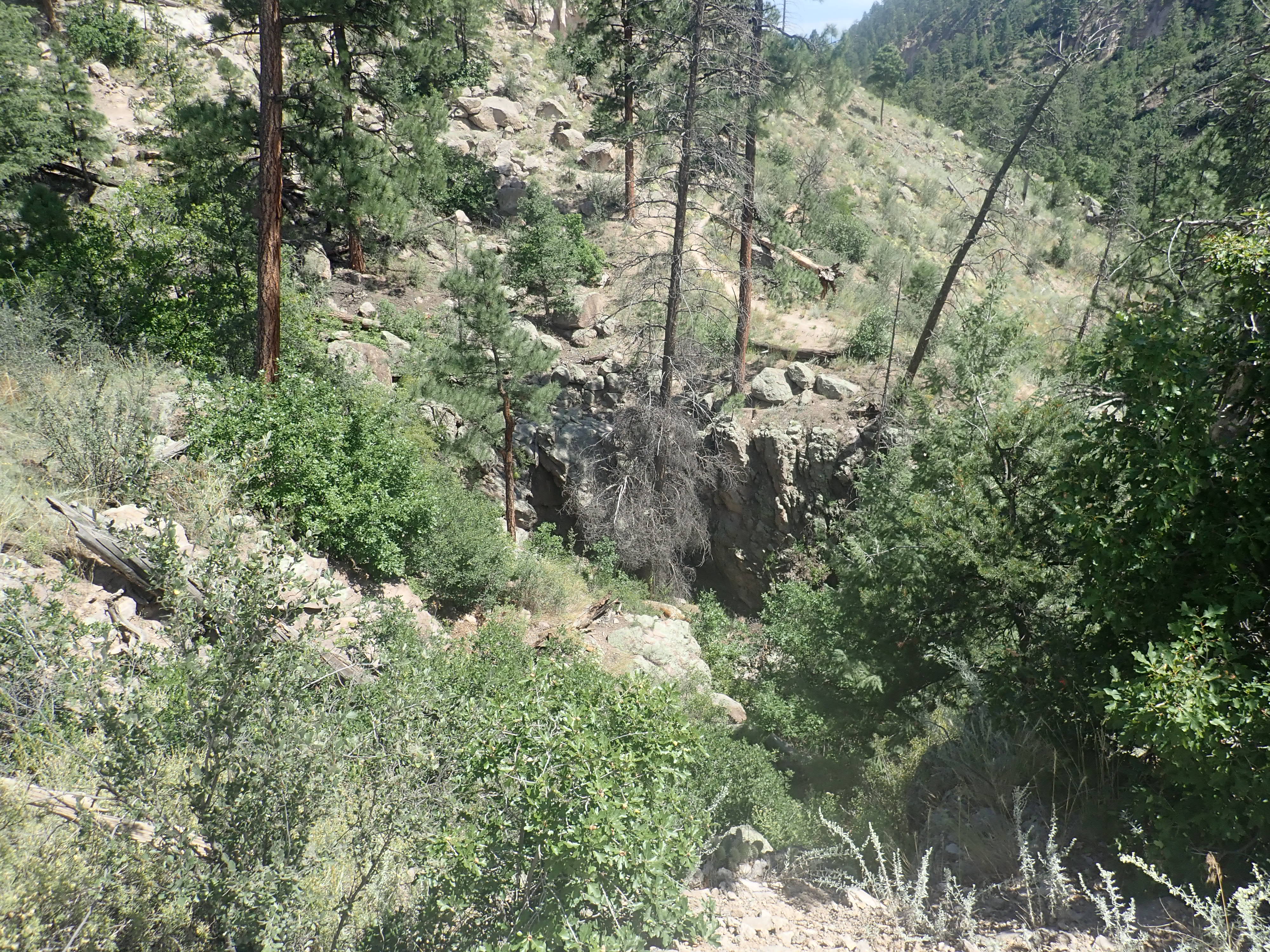
Looking at the fault area.
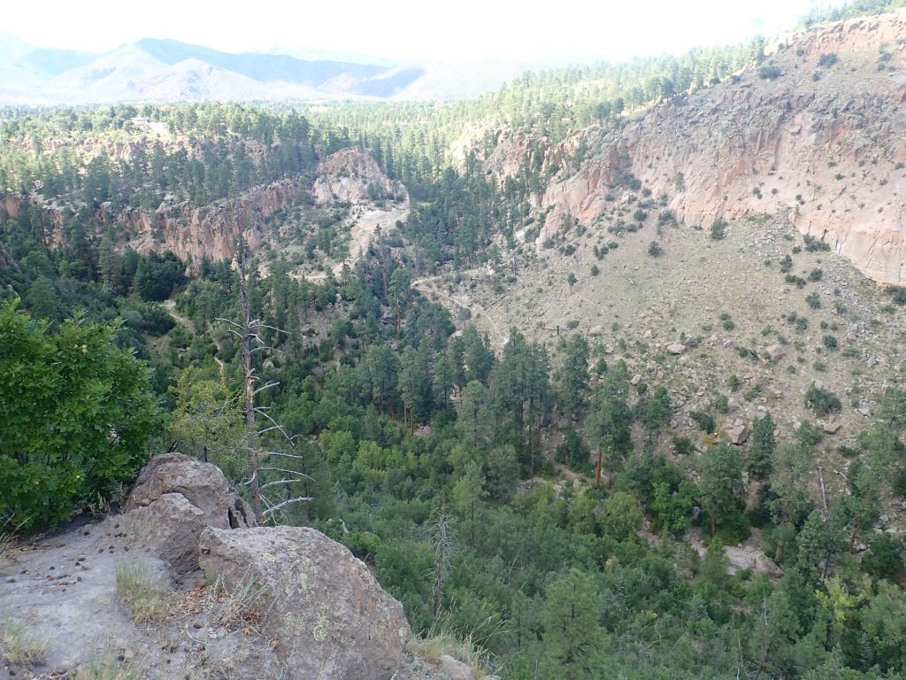
The lighting is again less than ideal. The fault does not actually follow the canyon coming down from the north. Instead, it crosses the canyon wall to the right. It then splays out into three separate faults; one runs more or less straight down into Pueblo Canyon, just left of the elbow in the walking trail you can see across the canyon; another runs more or less along the broader jeep trail; and the third runs west of the jeep trail to form a small escarpment.
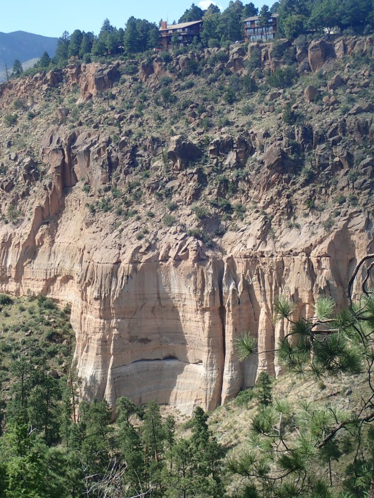
Here’s a closer view.
The fault displaces the Bandelier Tuff by over a hundred feet, but it was present before the Valles Eruption — we’ll see the evidence shortly — and the great thickness of Pueblo Canyon Member sediments here is partly the result of accumulation in the Diamond Drive Graben. There is geophysical evidence that the graben is much deeper than its surface topological expression; it has been largely filled in by sediments.
And then I’m back up the trail and on my way home. However, I want to visit again.
Saturday I have chores, and Sunday is a day of rest. Monday I take another crack at the hydrothermal breccia. If I can get past the bouncers:
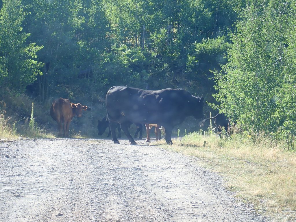
The cows reluctantly give way as I creep past in the Wandermobile. I reach the turn to the trail head and take a deep breath. The fork straight ahead is to private land and of no concern to me. The fork right is in good shape, unsurprising given that it’s the access road for the radio towers on Peralta Ridge. The left fork, my fork, looks awfully narrow, rocky, and gullied; but I’ve driven it before and am (reasonably) confident it isn’t that bad for its whole length. And that turns out to be right, though it’s a bumpy ride,and I’m soon at the trail head.
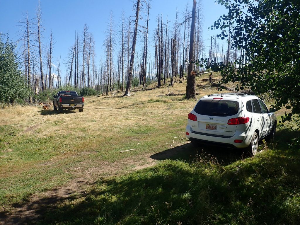
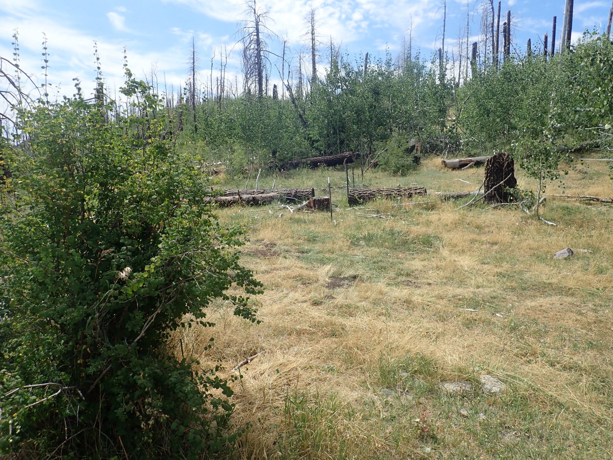
A truck is already there, though I never see its driver. You can see that the area took a lot of fire damage during the Las Conchas fire, but was not quite burned to the ground.
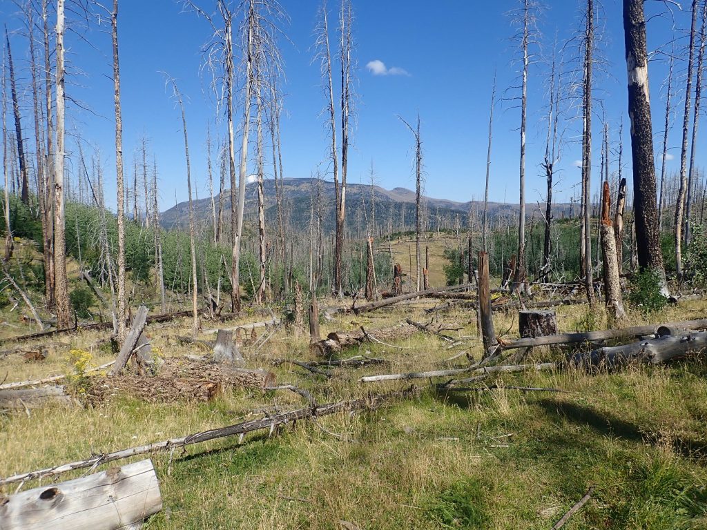
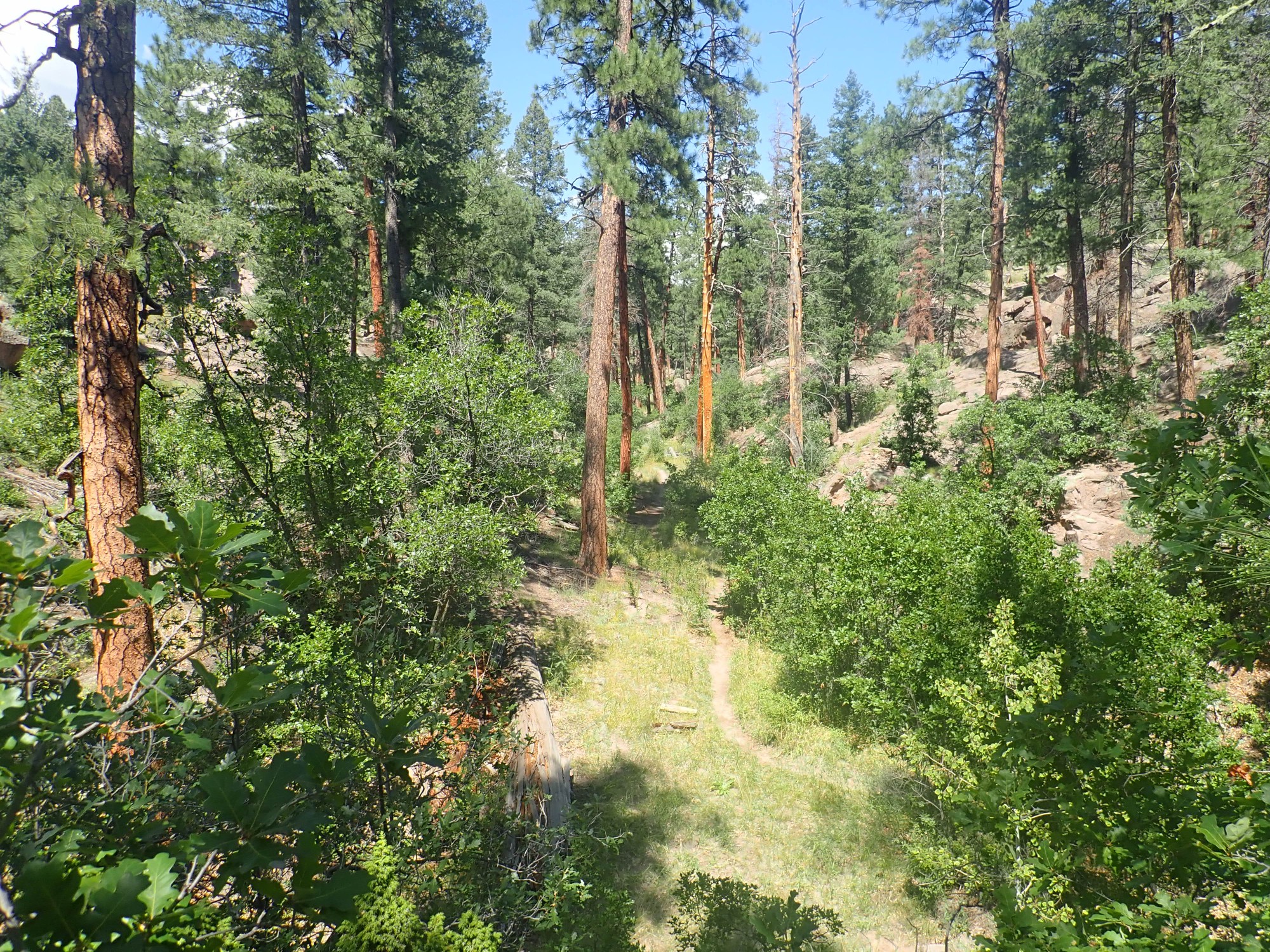
My trail is to the north, along an old jeep trail that is still technically navigable. In fact, I see some fairly fresh tire tracks, but in general this does not seem to be a road that has much traffic. Unsurprising: it theoretically goes clear in to Bland, but Bland has been a ghost town since the 1930s, the Las Conchas fire burned what remained of it to the ground, and the further reaches of the road are hopelessly gullied and blocked by downed trees. I actually hiked across it a few years back, and it was a grassy mess of downed trees then.
But the first part of the hike is quite pleasant. Through the trees I get a nice view of Redondo Peak.
Redondo Peak is a resurgent dome, an area of caldera floor pushed back up by fresh magma entering the magma chamber. In fact, it is the type specimen of a resurgent dome, the first described as such in detail in a scientific paper, back in the 1960s.
This looks promising, but I hiked here once before and am pretty sure it isn’t the hydrothermal breccia pipe.
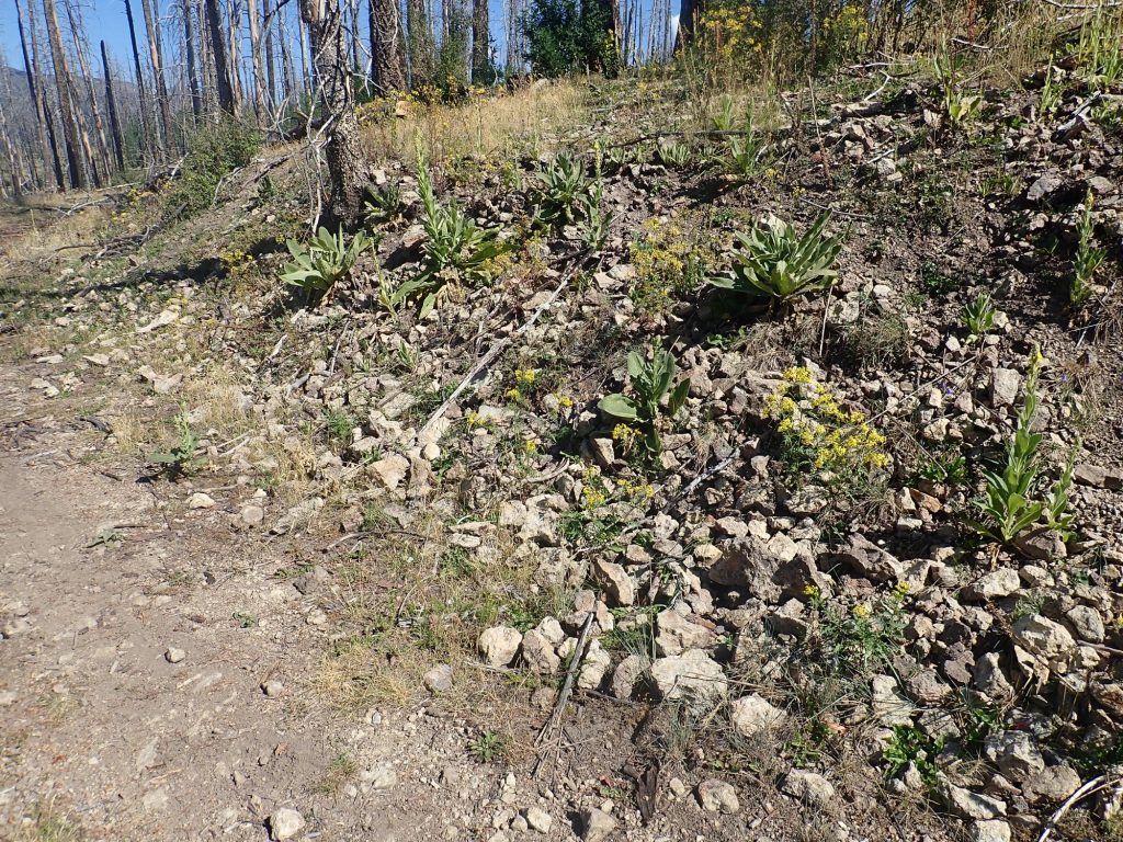
The geologic map and my photo coordinates say no. This area is mapped as hydrothermally altered andesite, probably associated with the breccia pipe, but not as the pipe itself.
But just up the road:
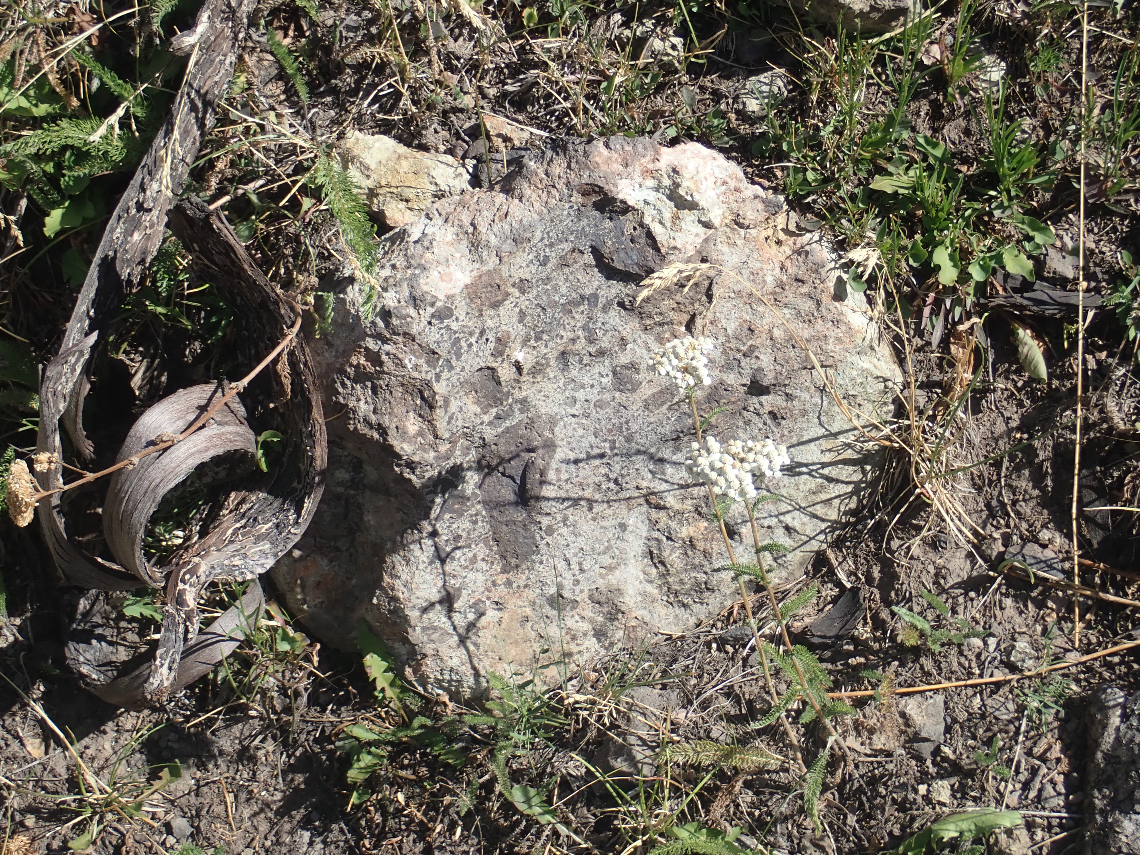
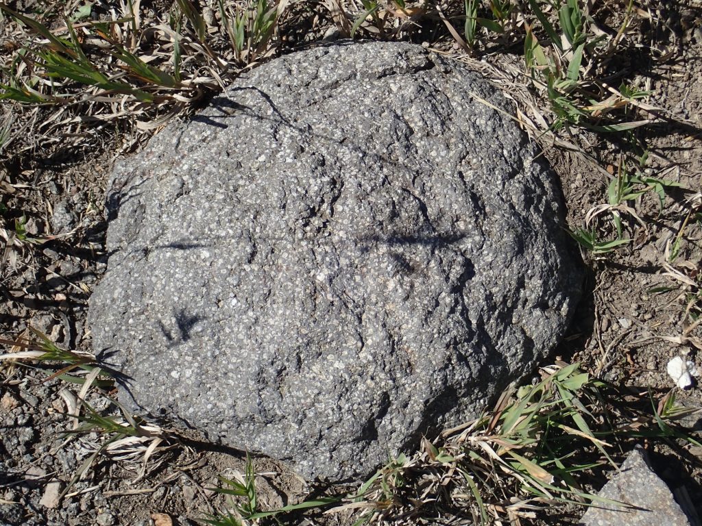
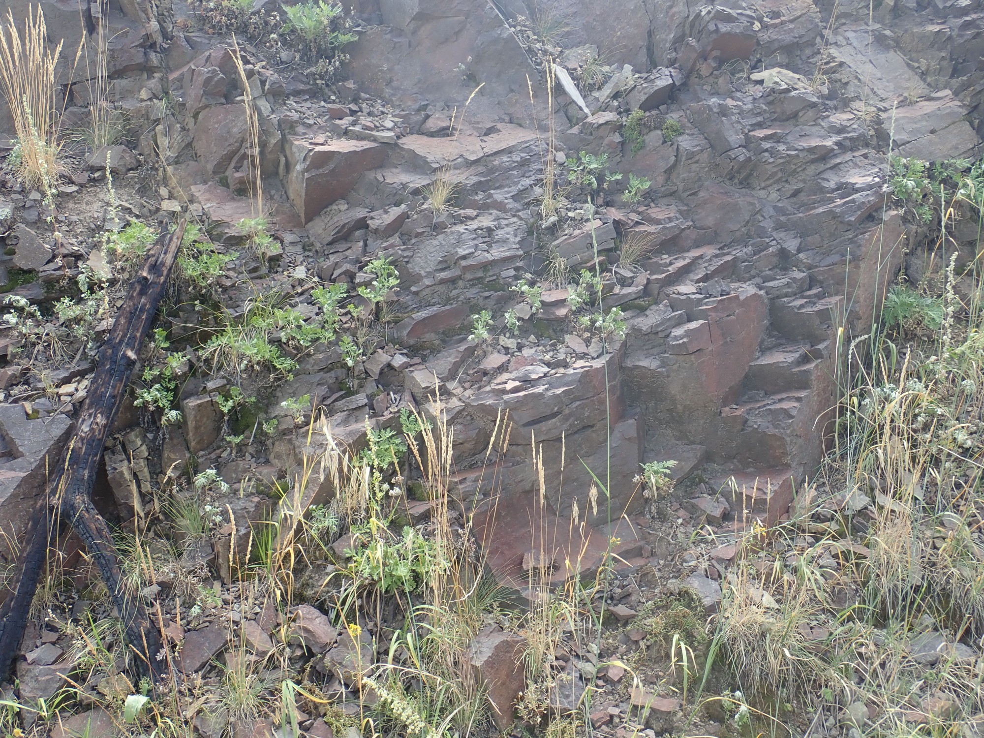
Just to be sure it isn’t weird surface staining, a broken section:

Yep. That certainly looks like bits of andesite cemented with abundant silica. The map says the northern loop of this trail crosses right through a hydrothermal pipe, but my camera chooses this moment to relax its GPS lock and my coordinates are a touch uncertain. But I’m near the right location and this sure looks like the stuff.
So the interpretation is that this may be rubble filling a volcanic vent that became saturated with hydrothermal fluids, which cemented it all together.
For contrast, this is the unaltered andesite, from close by. (The pipe is not large.)

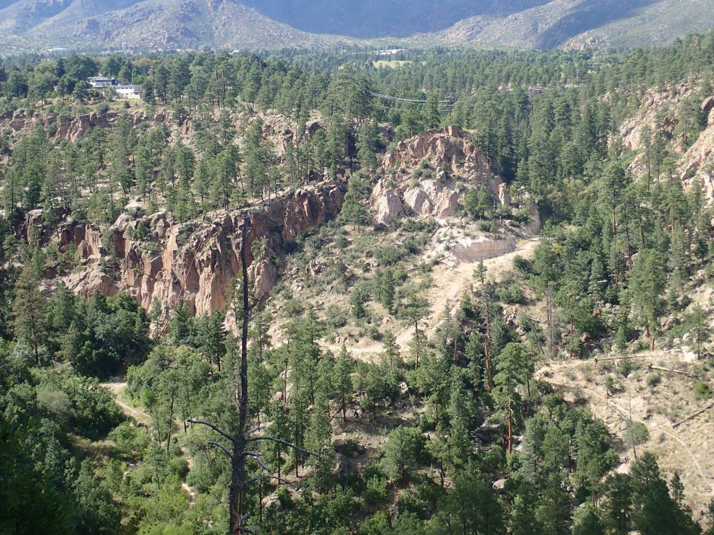
I reach the northern turn of the trail, and the panorama is nice, even if it’s partially blocked by burned forest.
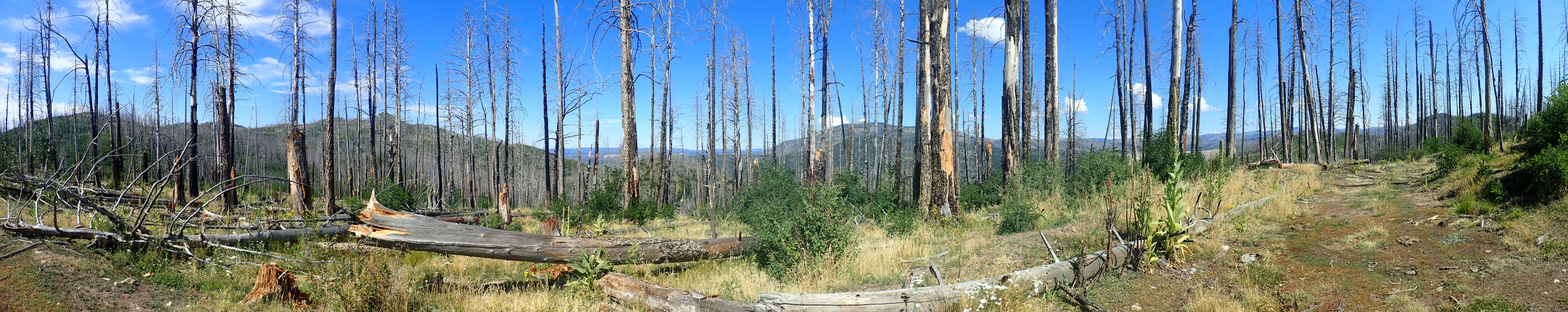
At far left is Peralta Ridge, with the sharp knob of Las Conchas. Left of center is Vallecitos de los Indios, then the great dome of Redondo Peak, and Valle Grande just showing at right.
Around the corner is more hydrothermally altered andesite.
This is just about where the map shows the breccia pipe, but this rock does not look like cemented breccia; it looks like solid andesite that has been “cooked” in hydrothermal fluids. Well, geologic maps aren’t infallible. (But then neither am I.)
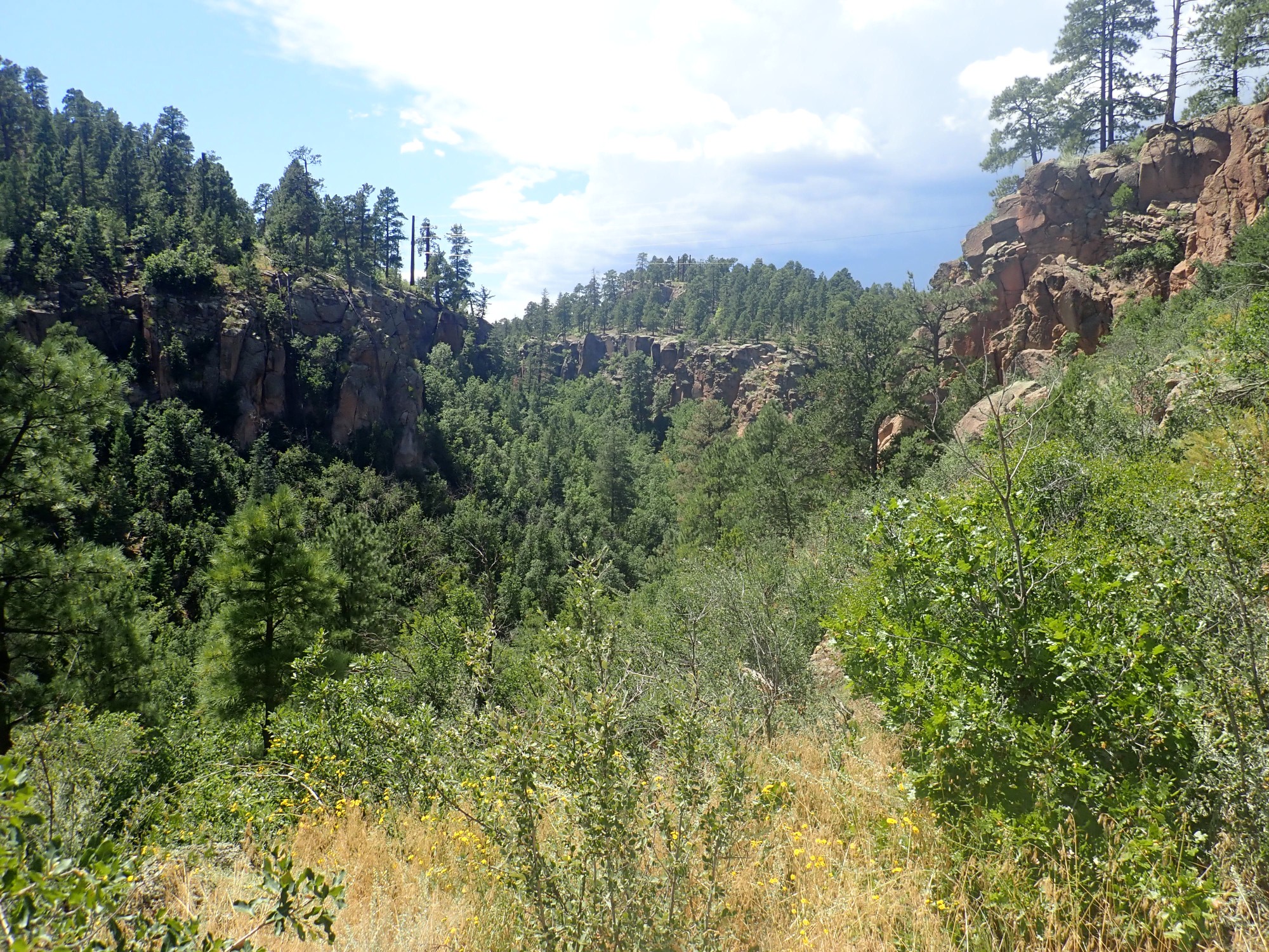
Next is a wonderful view to the east.
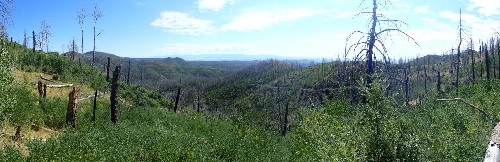
We are looking east across a canyon-carved plateau of Bandelier Tuff towards Bandelier National Monument. The foreground hills and the hills to the left are Paliza Canyon Formation andesites.
I seem to have found the breccia pipe, but I’m in a mood for more hiking. I decide to see how far the road gets before it is impassable. The tire tracks end about here, but there are signs of recent work to clear the road, such as trees across the road that appear to have been recently cut and cleared.
Anyway, the andesite up here is very pretty.
That’s almost good enough for the book. But I have lots of photos of andesite already; it makes up nearly half the entire volume of volcanic rock in the Jemez Mountains. Andesite is intermediate in silica content between silica-rich rhyolite, which as lava is extremely viscous, and silica-poor basalt, which as lava is so fluid that it flows for miles from its vent to form plateaus of volcanic rock. Andesite is viscous enough to form high peaks, and it is the main rock type in the classical cone-shaped volcanoes of the world.
The knob to the north attracts my attention. The view from atop could be magnificent. It doesn’t look far, though it’s rather overgrown. I decide to bushwack.
I’m not the first large mammal here recently.
It looks like there’s been an elk resting here. I can thank Gary Stradling for teaching me how to spot these,
The knoll turns out to be a false summit, with as higher knoll beyond it. Andesite exposed on the second knoll:
Notice the steep tilt of the beds to the right (north). This is consistent with a vent somewhere to the south, now mostly eroded away. The map shows such a vent two or three miles to the south.
It turns out there is nowhere on the summit with a clear 360 degree view. But I do find a spot for a pretty good 180 degree view to the west.

At left is Redondo Peak and a glimpse of the Valle Grande over the south caldera rim. Left of center is Rabbit Mountain, and to the right is the canyon-cut plateau of Bandelier Tuff. At far right we are looking back down Aspen Ridge, which has numerous spurs to the east — we see the northernmost here. I’ve climbed the small knob at right and taken a panorama on an earlier visit to this area.
The view west is not nearly as unobscured, but still:
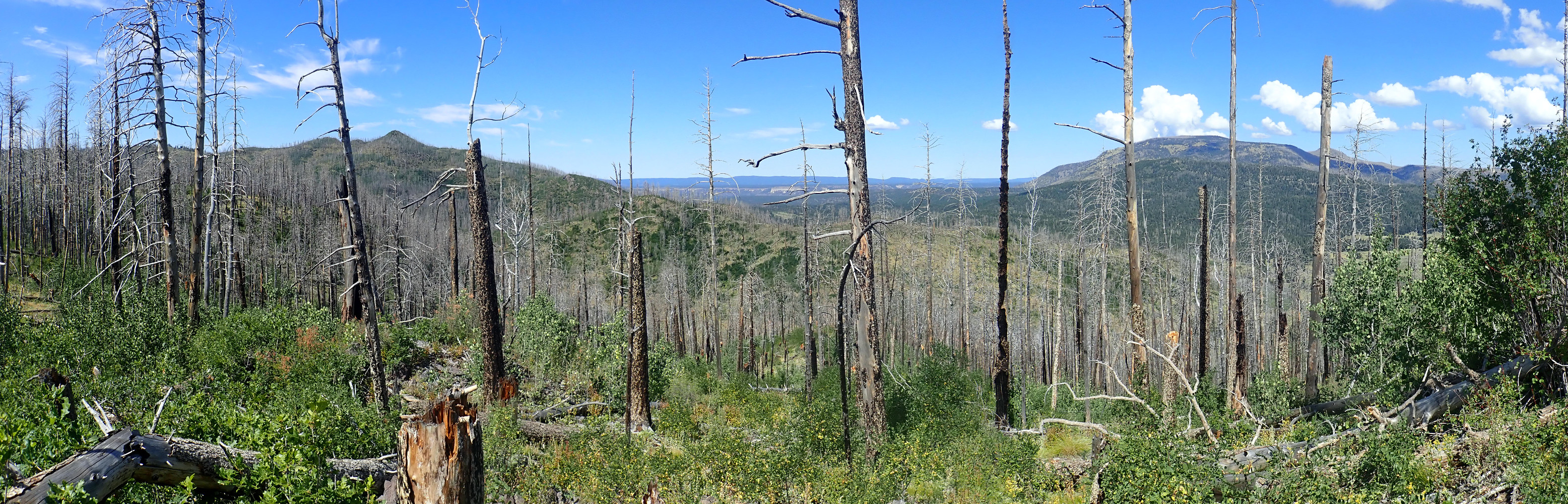
At left is Peralta Ridge,with the little knob of Las Conchas prominent. It’s on my list to hike to the top of sometime. I got close a couple of years ago but it’s a fairly brutal bushwack and I didn’t have my satellite beacon yet at the time. At right is Redondo Peak again, and between is Vallecito de los Indios, with Cebolla Mesa and Sierra Nacimiento in the distance.
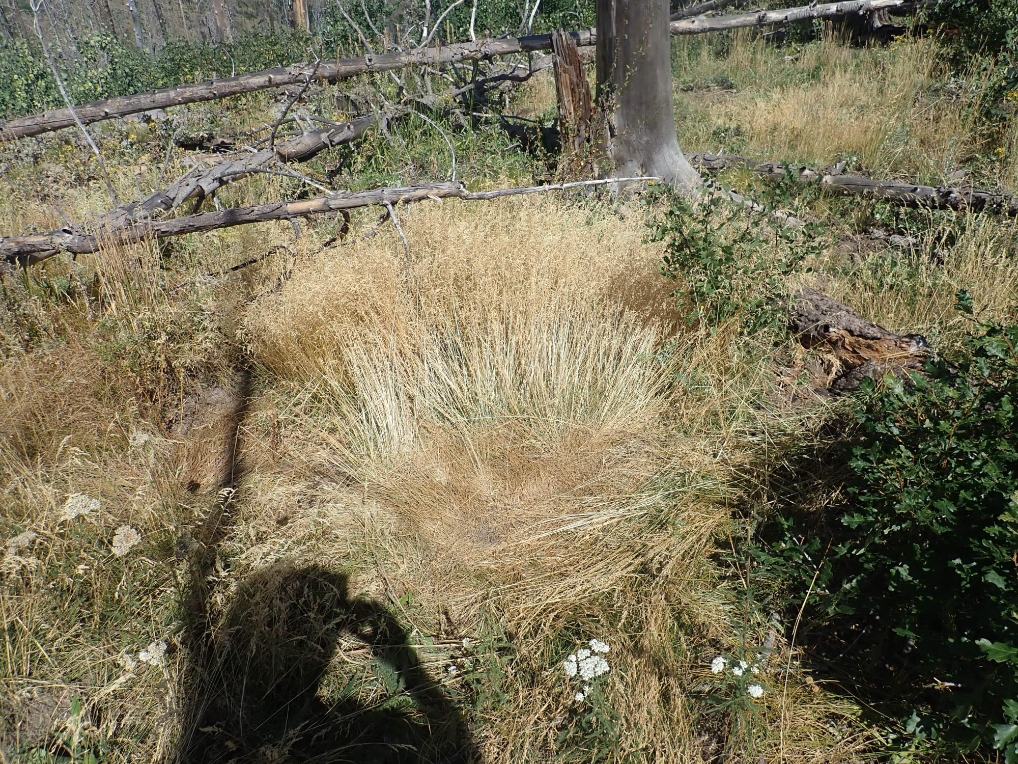
Wildflowers.

Aster, but I can’t pin down the precise species.
Coming back off the knob to the road, I marvel at what looks like a fair amount of effort to block the road.
The land jurisdiction map has this entire area as National Forest, though there is a boundary fence here.
Monkeywrenching? Regardless, I decide to hike a ways down the road and just see what’s there.
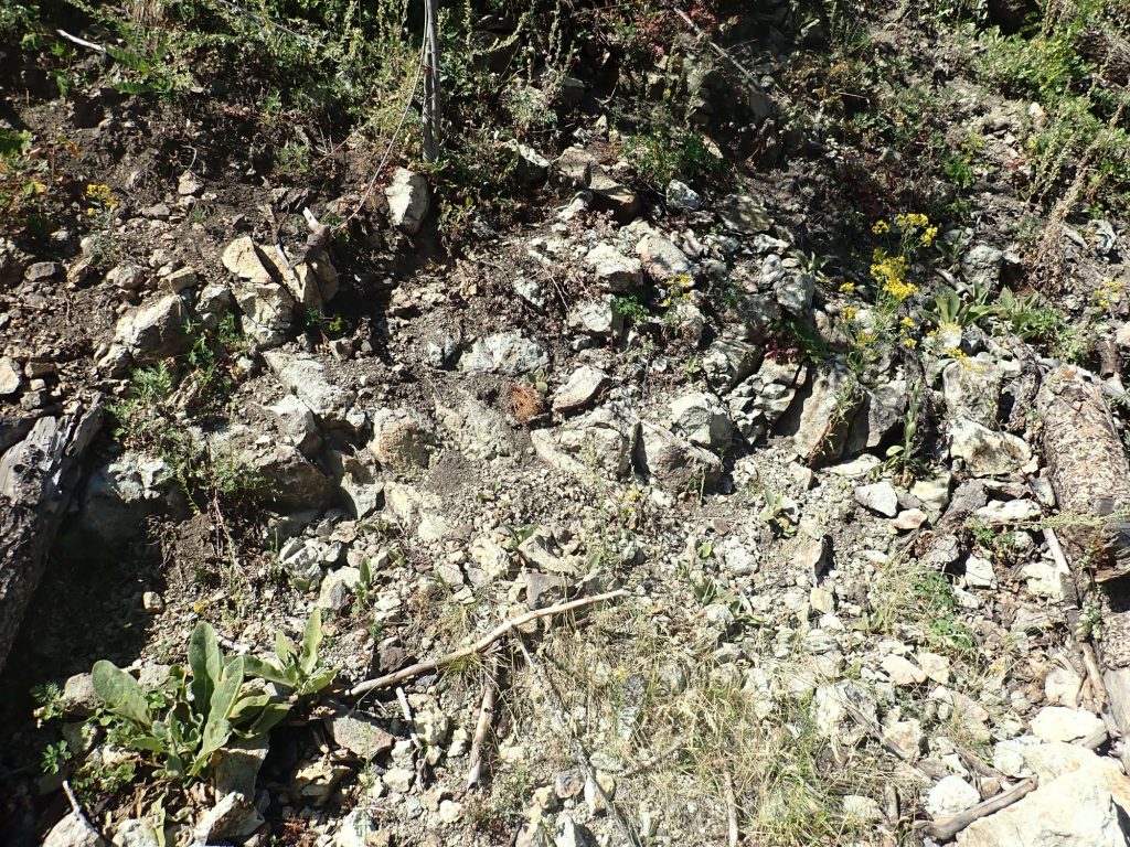
What’s there is mostly andesite with occasional zones of hydrothermal alteration.
Beyond the road cuts through some good, solid andesite.
Up to now, with the exception of that one roadblock (which it would not be hard to go around), the road has been nominally usable by motor vehicles. This is about to change.

Here the road becomes heavily gullied, enough so that only a jeep could safely go further. Up until now, I’ve seen indications from time to time of efforts to reopen the road; they pretty much end here.
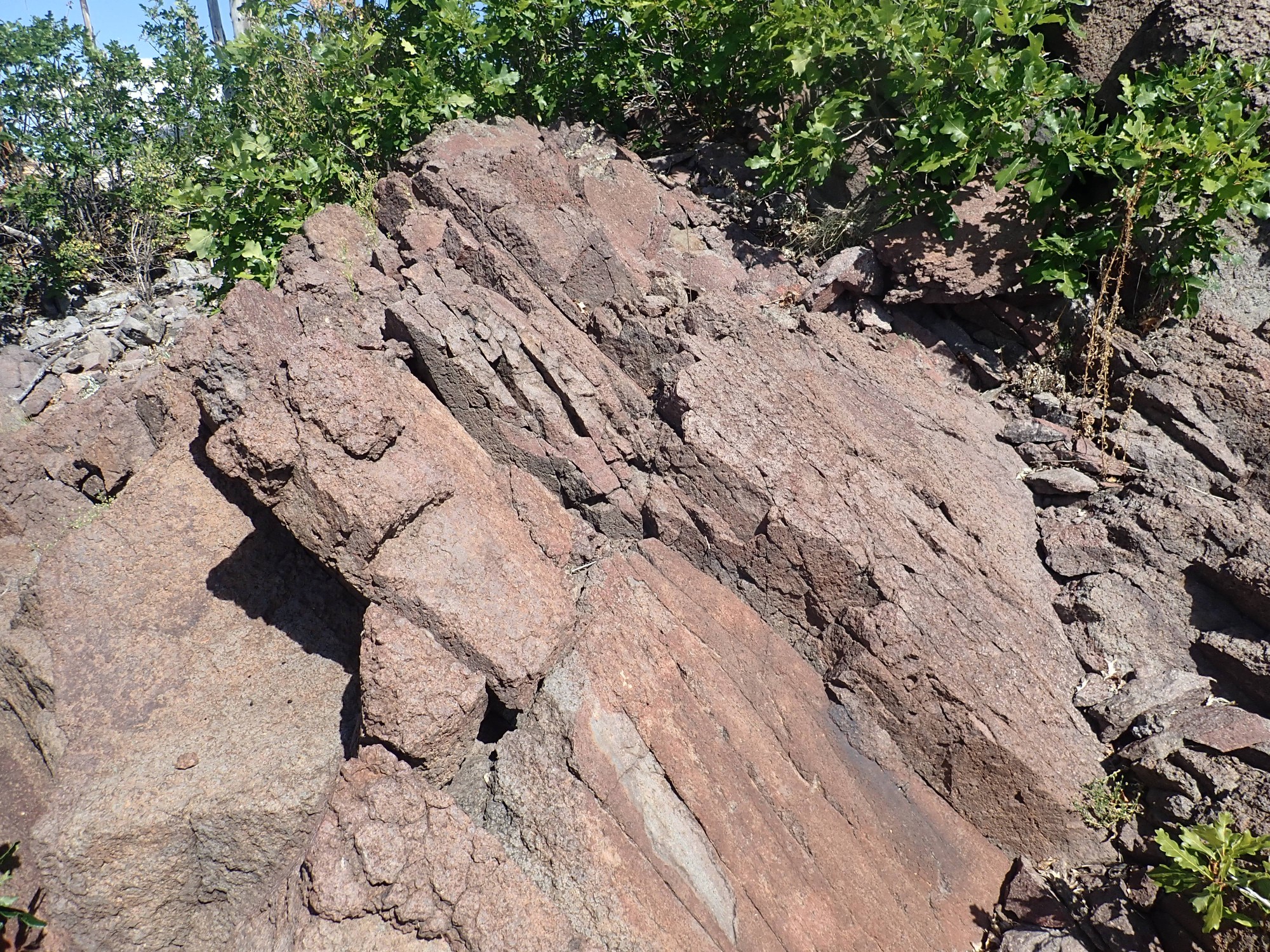
But there’s still interesting geology. Here are andesite beds dipping to the east.
A relatively short distance east, the dip abruptly changes.
I scout between; sure enough, there’s a zone of hydrothermal alteration where the beds seem more disorganized.
My thought at the time is that this must be a fault. Looking at the geologic map later, and comparing with the camera coordinates, I see that this location appears to be right on the boundary between two distinct Paliza Canyon Formation flow packages. To the right (west) and below is fairly ordinary andesite; to the left (east) and above is a slightly younger flow of biotite dacite, a rock somewhere between rhyolite and andesite in composition. The nearest dated outcrops are miles away, but show ages of 8.85 million years for the andesite and 7.38 million years for the dacite. Those are pretty typical ages for the Paliza Canyon Formation.
Aaaand I decide I’ve had enough hiking here:
The road is becoming unpleasantly overgrown, and I know of nothing in that direction worth the effort. A mile or so down it reaches a point that I hiked to once from the other direction, and much of the road beyond that is choked with downed trees.
I’m not done hiking for the day, however. I head into Los Alamos and drive to the maintenance entrance to the golf course, which also doubles as a trail head for my next hike. A quick lunch, and then I’m going to try to trace the fault that marks the eastern edge of the Diamond Drive Graben, which I got a view of the day before from across Pueblo Canyon.
This looks like it might be the very trace.
Probably too far west, though. Frustratingly, my camera is locking poorly on GPS again. The trace is likely closer to the foot of the escarpment on which Los Alamos MIddle School sits.
I pass the headwaters of a small canyon.
My camera is still locking badly, but I think about here. The trail starts down into the canyon.
As you can see, Los Alamos takes its trails pretty seriously.
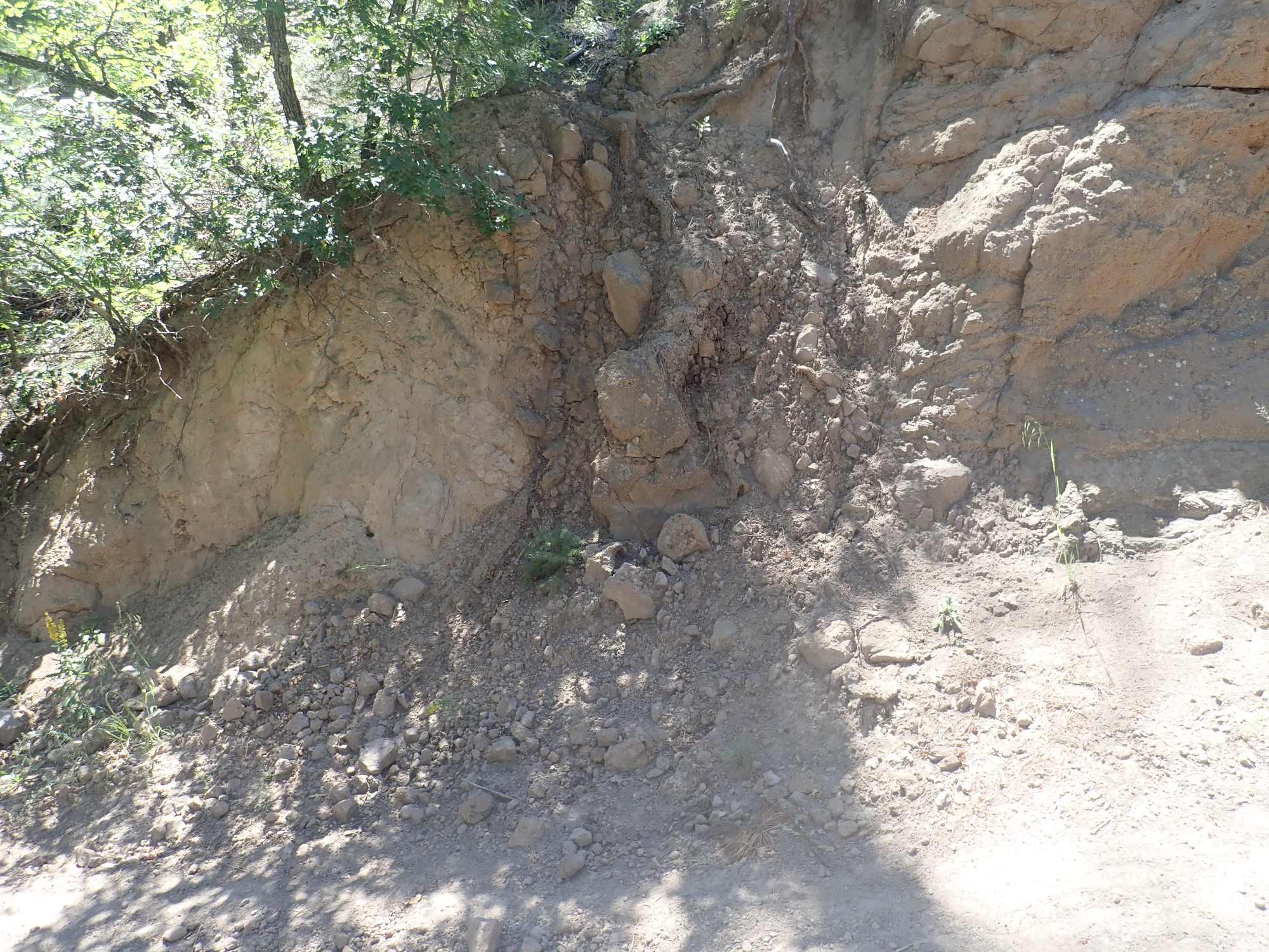
I’m a bit out of my reckoning, and wonder if this might be the fault trace.
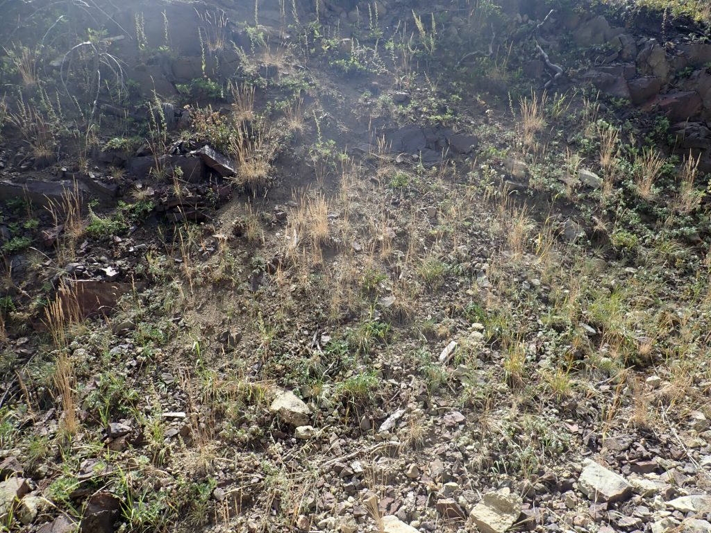
There’s a lot of tuff-rich sediment here, which could be fault gouge. Or it could just be sediments eroded off the canyon walls. I explore up the gully.

I don’t see an obvious fault trace, but I half convince myself that a fault in a tuff bed will tend to fill with fault gouge that is practically indistinguishable from undisturbed tuff. And the tuff here is very soft:
But no; looking at the map, and doing my best to estimate my location, it seems I’m quite a distance west of the fault still.
The trail descends the arroyo, then more or less disappears.
Dang; did I miss a turn? I resort to scrambling up the arroyo wall to the west, and sure enough.
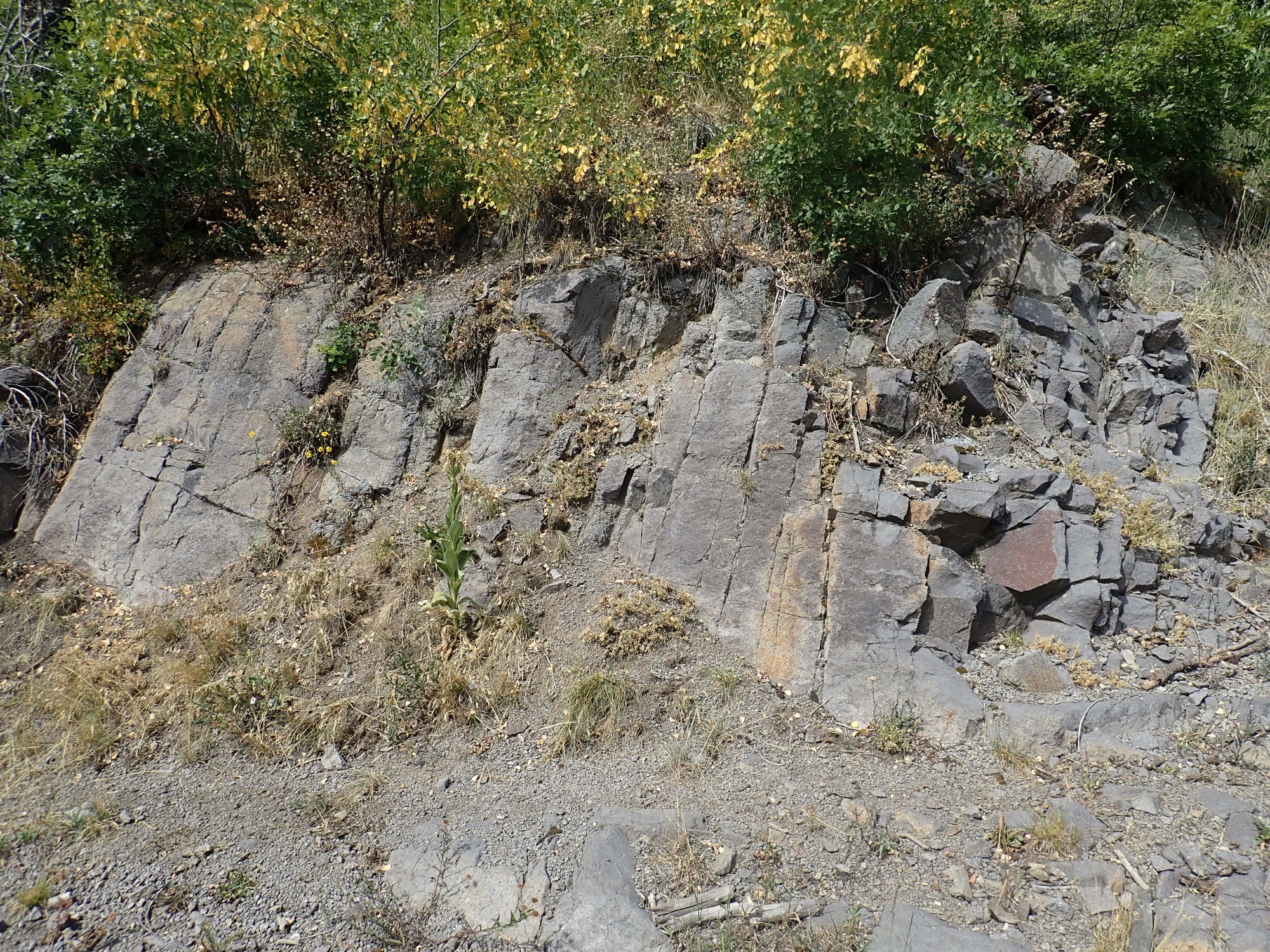
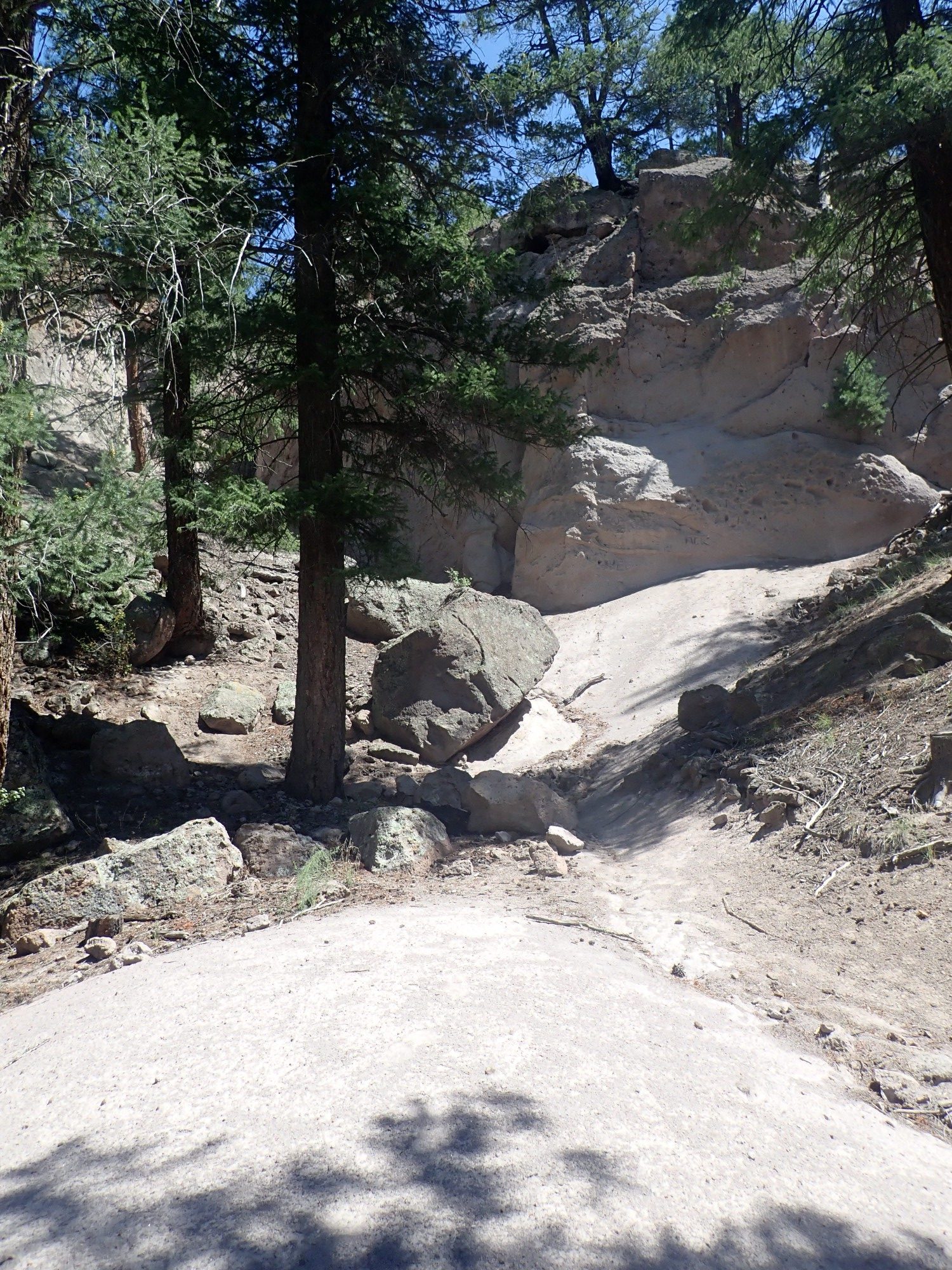
I soon find myself on an old jeep trail, and the road cuts through this:
It looks a little like a fault trace, but no.
I know the fault has to come down the canyon wall to the north somewhere. And then I see, where telephone lines come into the canyon, a shallow dip in the rim and the beds beneath look subtly disorganized.
From the map, it appears the fault trace is a little ways east of here. Unfortunately, I do not spot it.
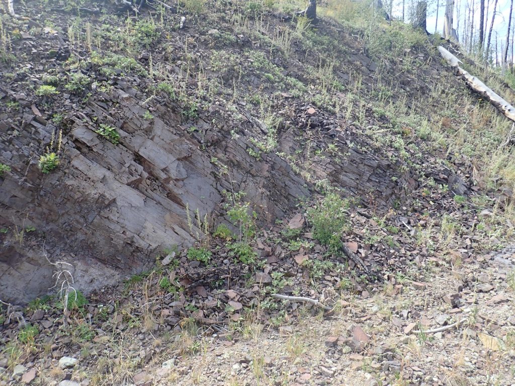
But the road comes to an impressive bed of Pueblo Canyon Member sediments.
The thin bedding shows that this is eroded sediments, and not the original tuff flow. To the right, the beds have slumped, and to the left are indications of a period of erosion that beveled off the beds before more sediments were deposited. Unless the ” bedding” there is bulldozer marks from when this road was build.
And, according to the map, I’m practically standing on the fault trace. Indeed, there are telltale exposures in the road bed:
This is mapped as dacite of the Rendija Canyon Member of the Tschicoma Formation, and it has the characteristic gray to pink color and large white phenocrysts of plagioclase typical of that formation. Phenocrysts: These are large minerals crystals in an otherwise fine-grained volcanic rock. They’re interpreted as crystals that formed underground before the magma was actually erupted. Plagioclase is a general term for calcium-sodium feldspar, one of the most common minerals in the Earth’s crust. It’s a mineral rich in silica, but with some aluminum and a mix of calcium and sodium in its structure. It ranges from nearly pure calcium plagioclase (anorthite) to nearly pure sodium plagioclase (albite) but, in a dacite like this it’s probably fairly sodium-rich (oligoclase.)
The Tschicoma Formation underlies pretty much the entire skyline west of Los Alamos, extending north past Polvadera Peak and south to Sawyer Dome. There are small flows showing Tschicoma characteristics in the west rim of the caldera, suggesting this was an even more extensive formation before much of it foundered into the caldera. The earliest flows of this formation are nearly 7 million years old, but these are low-volume flows; the Rendija Canyon Member, at around 5 million years old, was the first large pulse of Tschicoma volcanism, and most of the Los Alamos skyline is around 3 million years old.
Regardless, it’s much older than the Bandelier Tuff. I’m standing here on what was once the fault escarpment, which was then buried by Bandelier pyroclastic flows. These are extensive to the west.
The base of the Bandelier Tuff just to the west is well below the level of the Tschicoma Formation outcrops I’m standing on, which allows geologists to place the fault trace here. The rock to the west is thrown down a considerable distance.
To the south, the main fault trace is visible as a small dip in the canyon wall.
To the south,the fault breaks into parallel strands running under the heart of Los Alamos. One strand runs almost directly beneath Fuller Lodge, then along the east side of Ashley Pond; I wonder how geologists traced it. The pond itself is a “sag pond”, formed in a local depression between two fault strands.
At my feet to the east, erosion has exposed a channel in the Tschicoma Formation.
The gray rock just right of center is a Rendija Canyon Member outcrop.
Then back along the trail.
Apart from interesting geology, it really is a pretty area. Not a bad way to spend a Labor Day.
Pingback: Faultfinding | Wanderlusting the Jemez