Wanderlusting Mount Taylor, Day 2
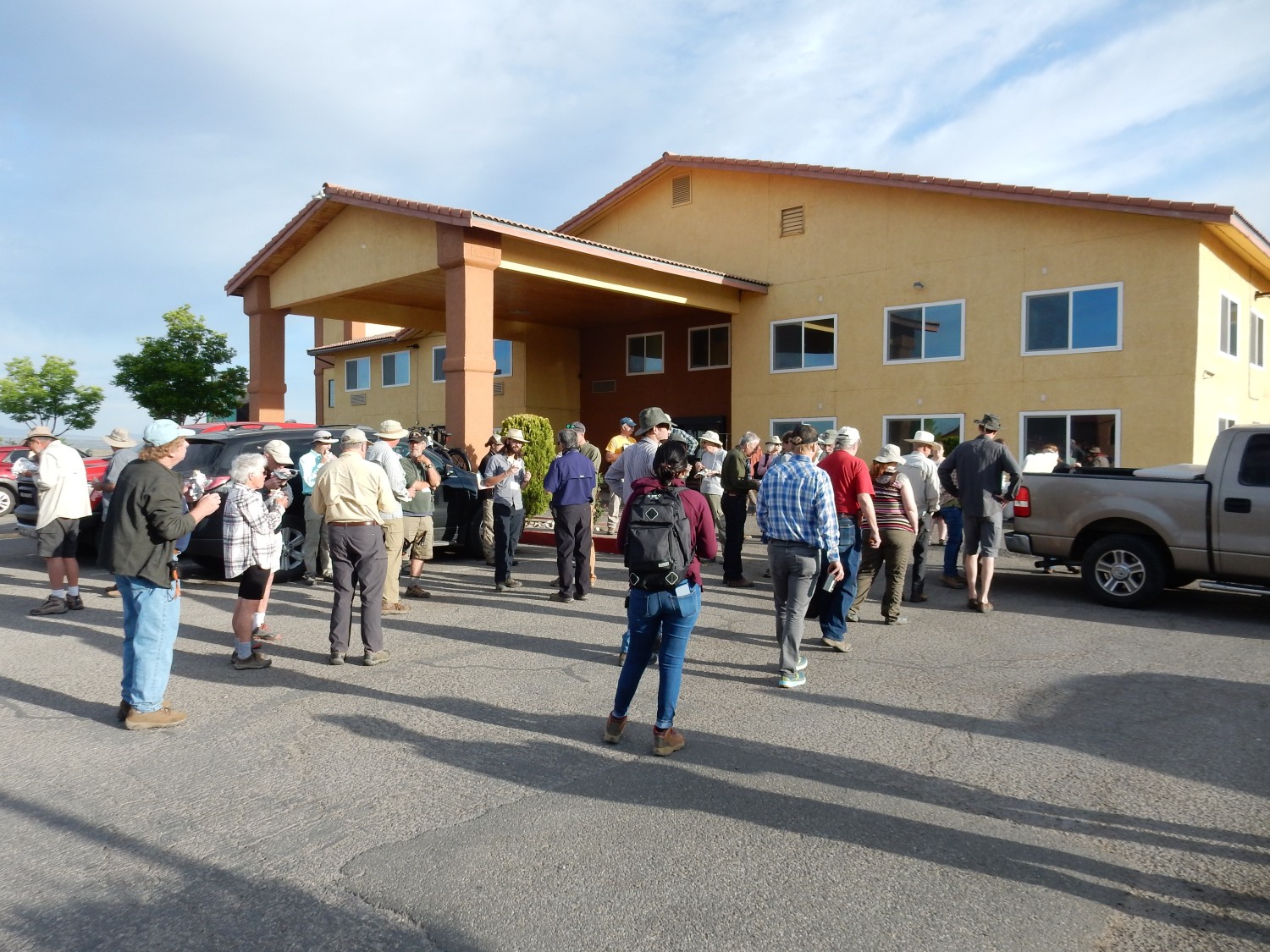
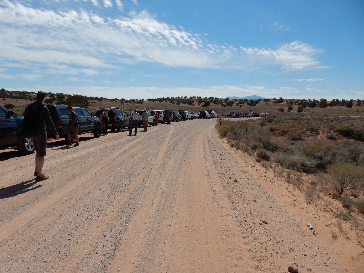
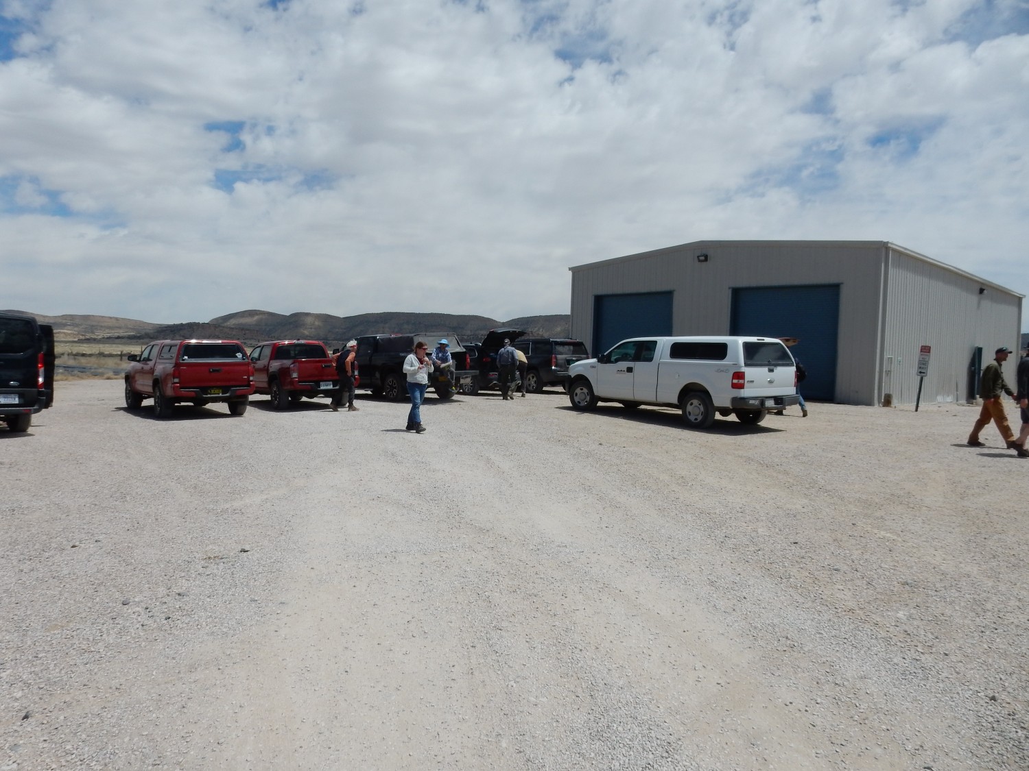
We awake to a slightly cloudy morning and the first full day of the conference. We will be taking our own vehicles into the field, with carpooling to minimize the number of vehicles. The assembly point is just north of our hotel.
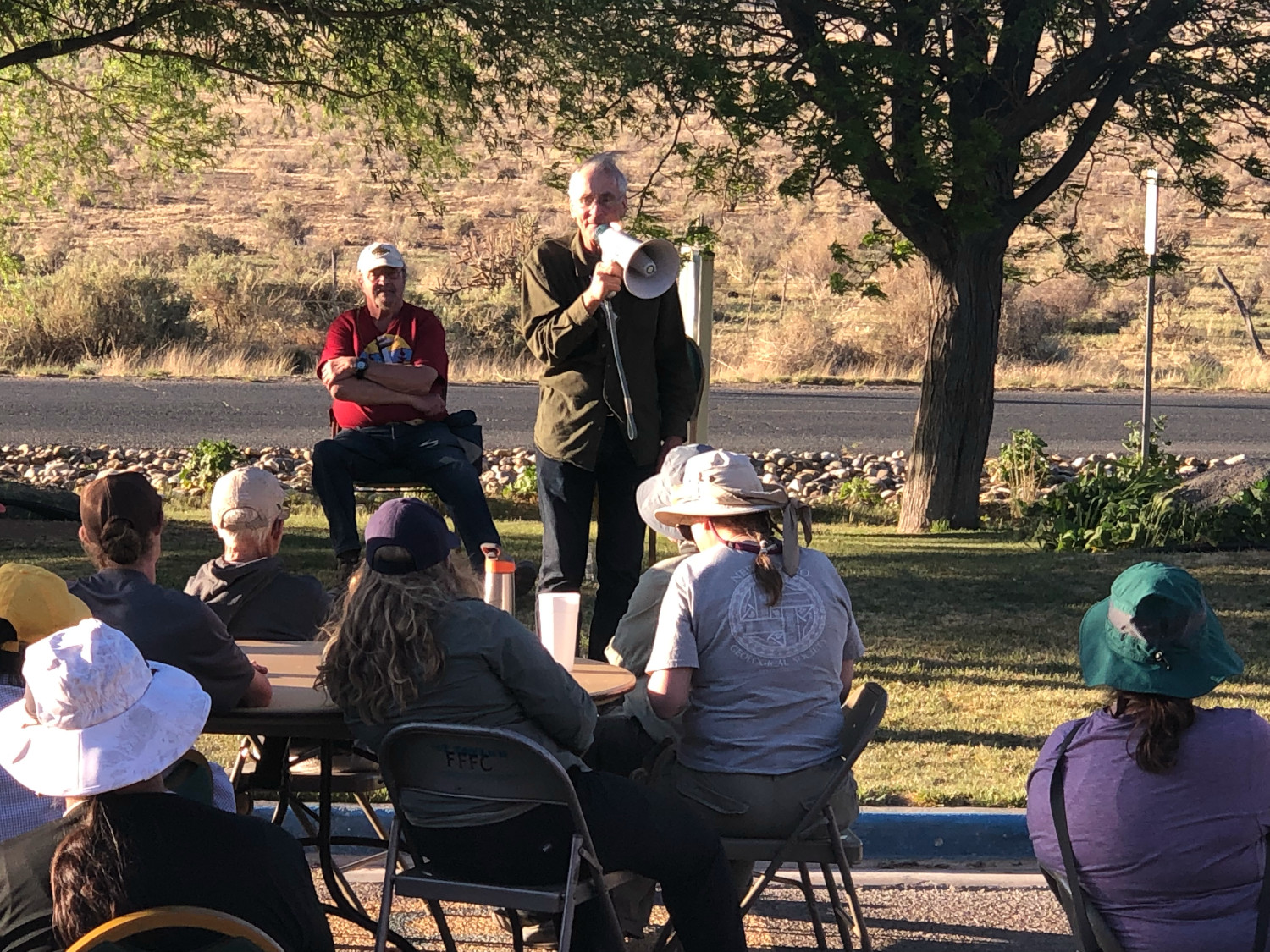
Sheri Kelley (in white hat, with bullhorn) prepares to herd cats.
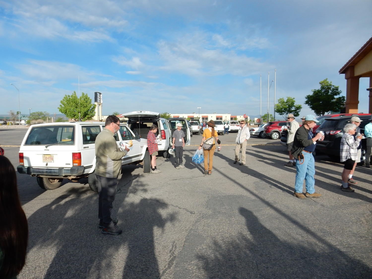
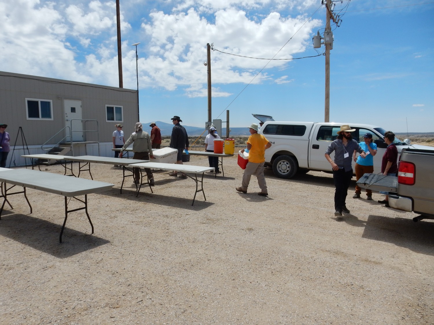
The conference is providing breakfast, since hotel breakfasts are still shut down by COVID. The breakfast burritos arrive and the attendees converge.
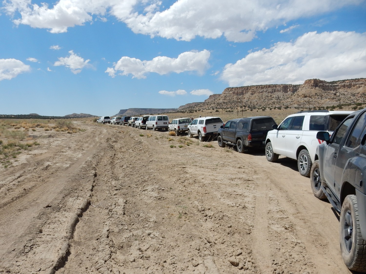
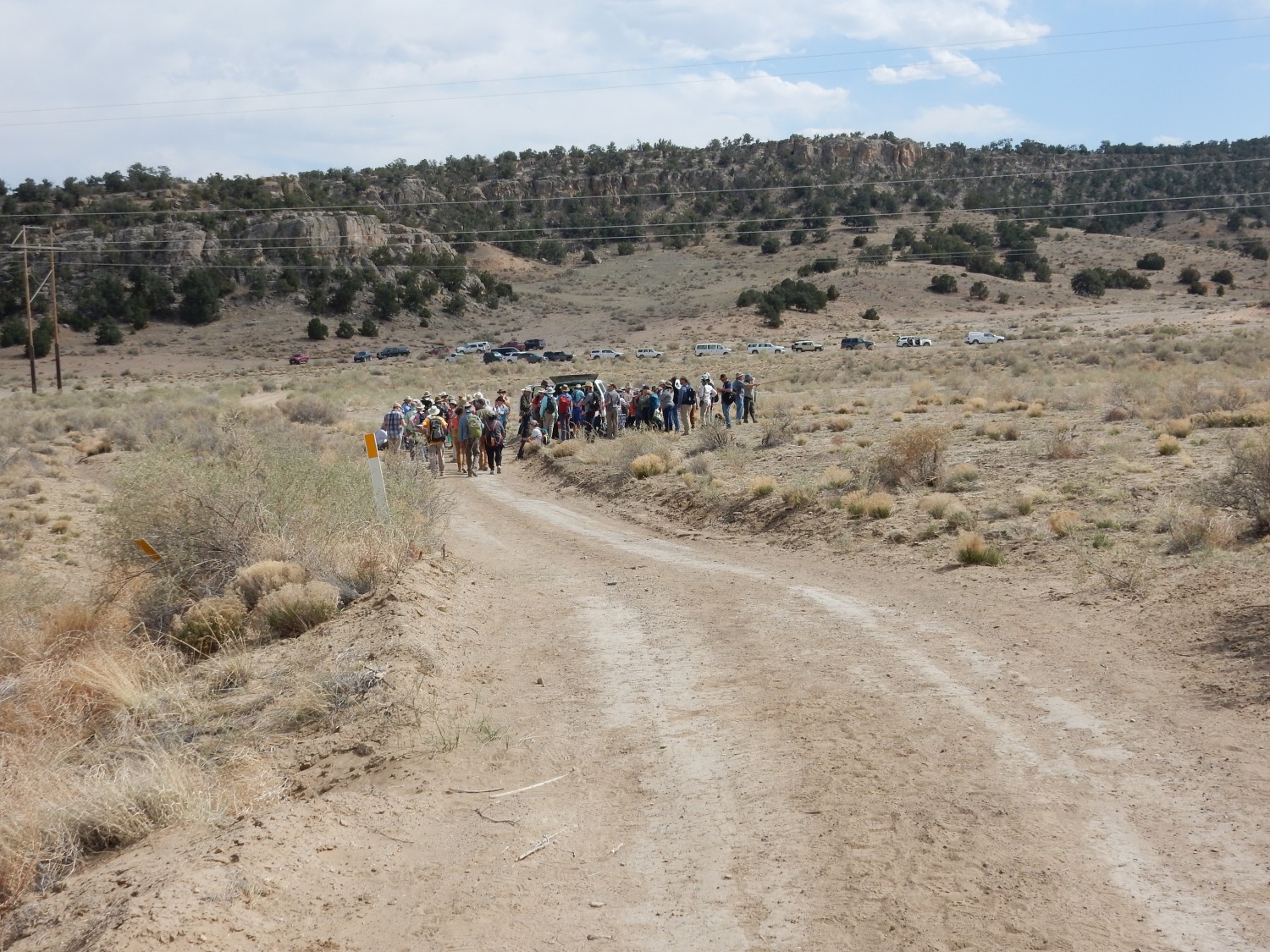
The convoy forms up and seats are filled.

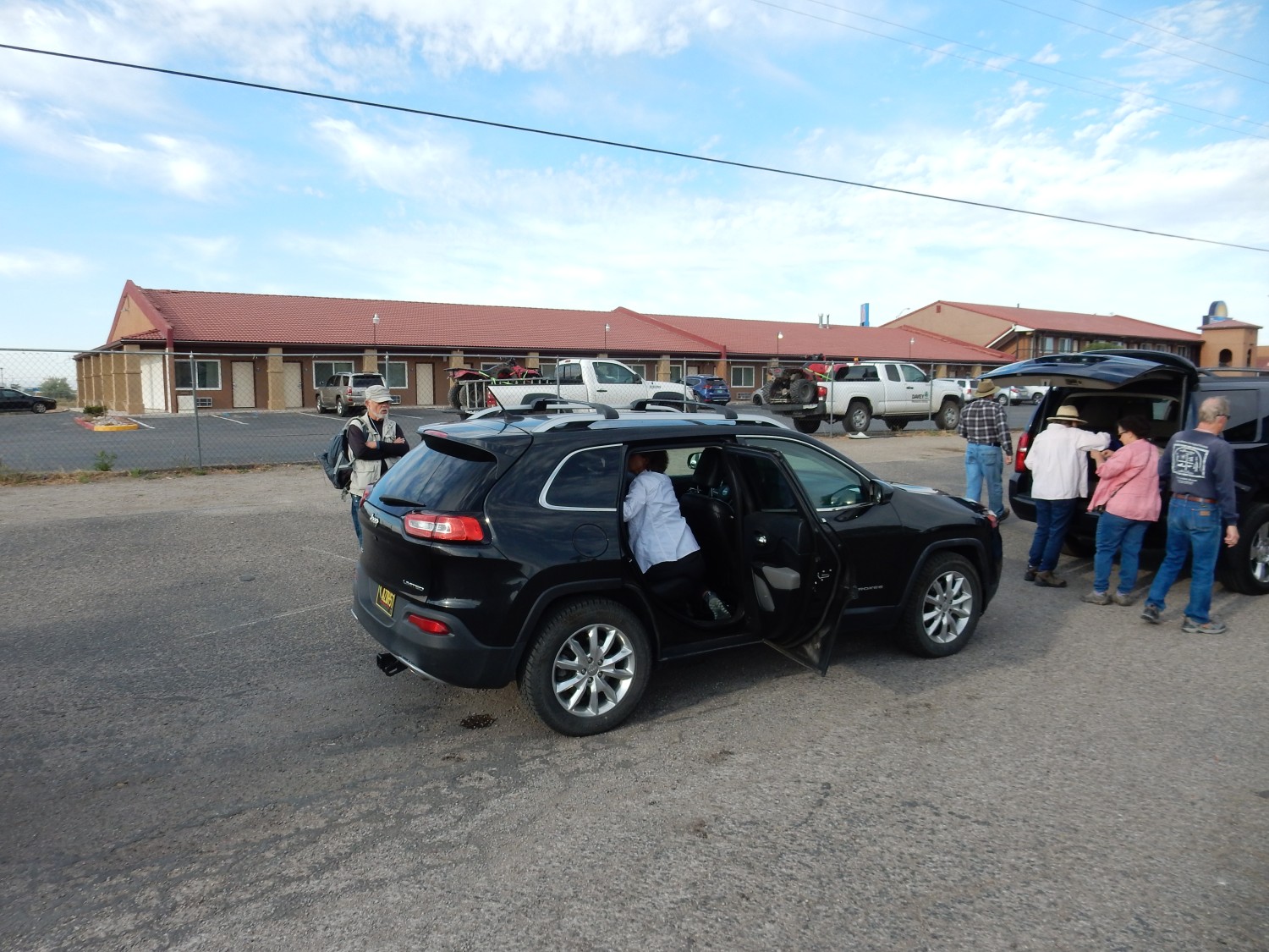
Gary has Obsidian, his Jeep Cherokee (named by his grandchildren) and we will be part of the convoy. We are joined by Susan Hall and Richard Stoops to fill out Gary’s seating capacity. Susan is with the U.S. Geological Survey in Santa Fe and has expertise in uranium geology, and Richard seems to have had an interesting life, including time as a pastor and an attorney.
Richard and Susan settling into Obsidian.
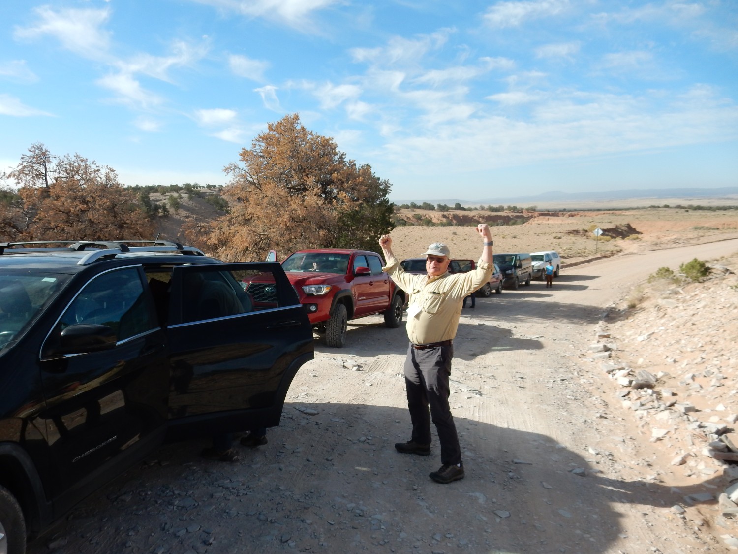
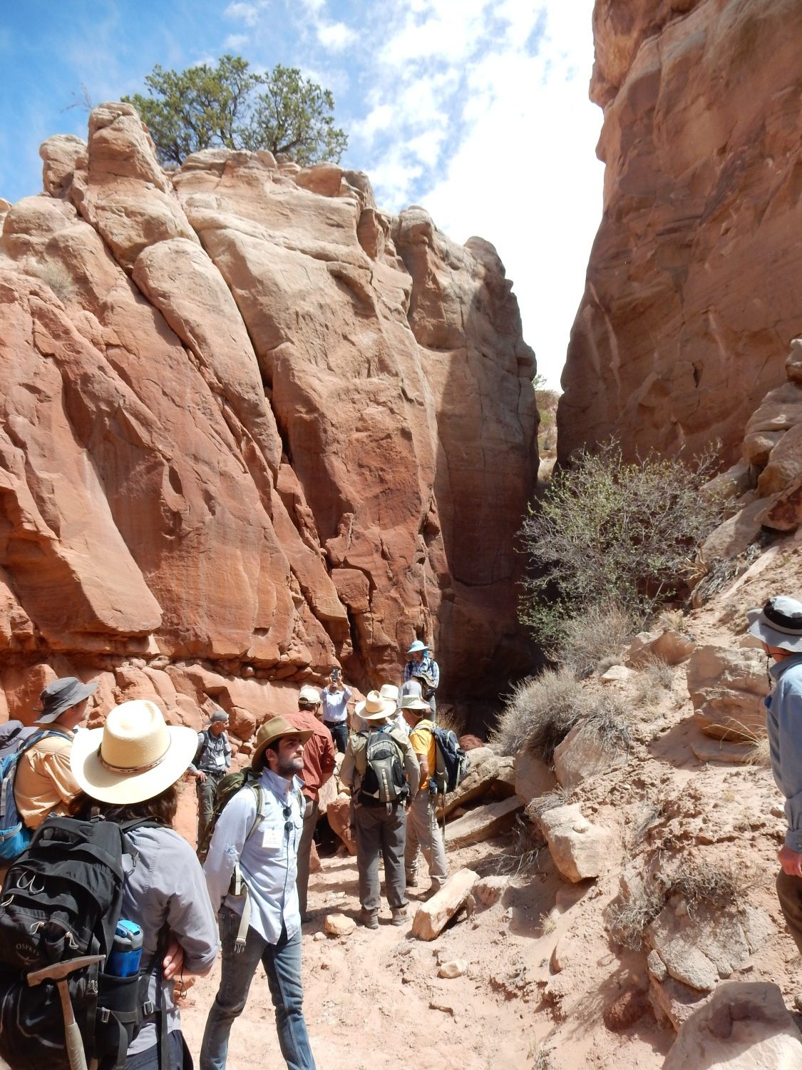
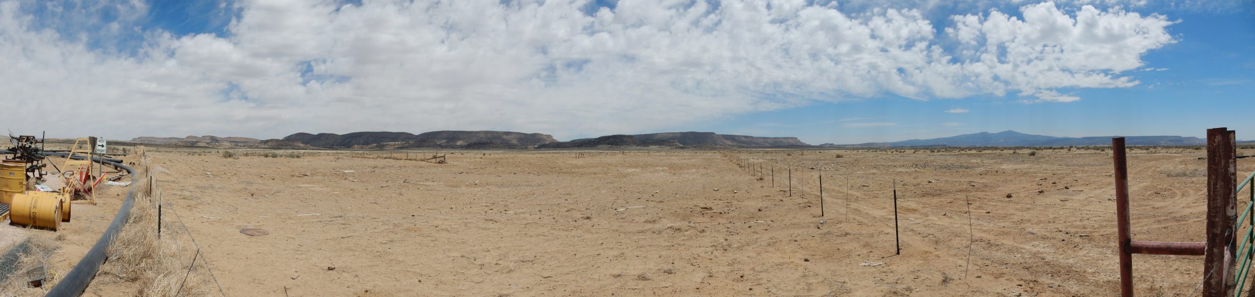
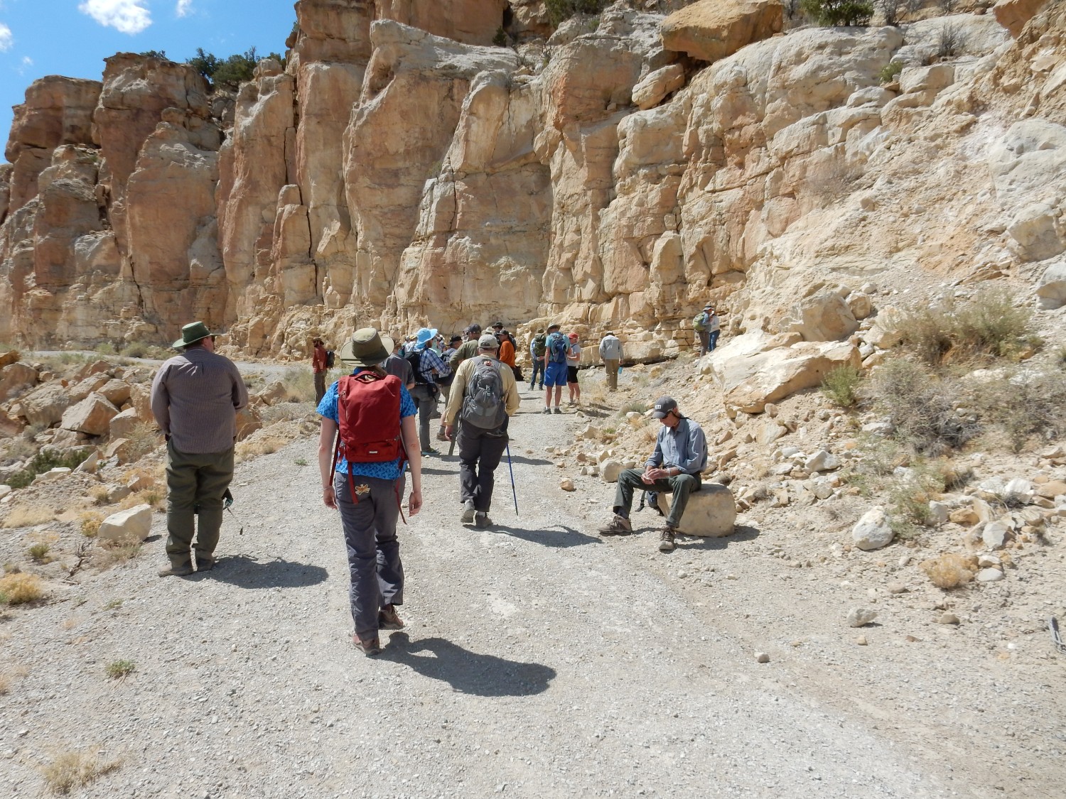
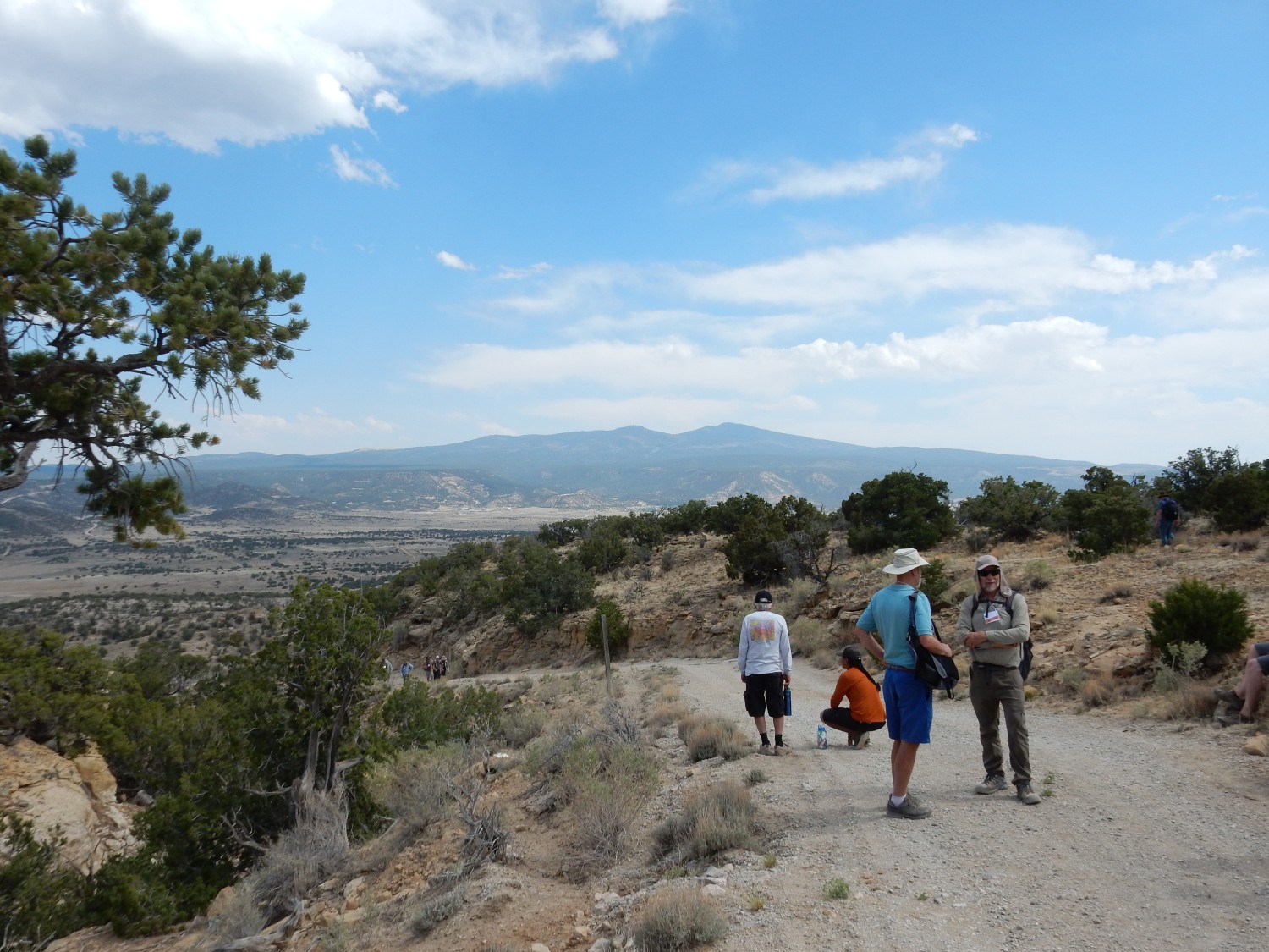
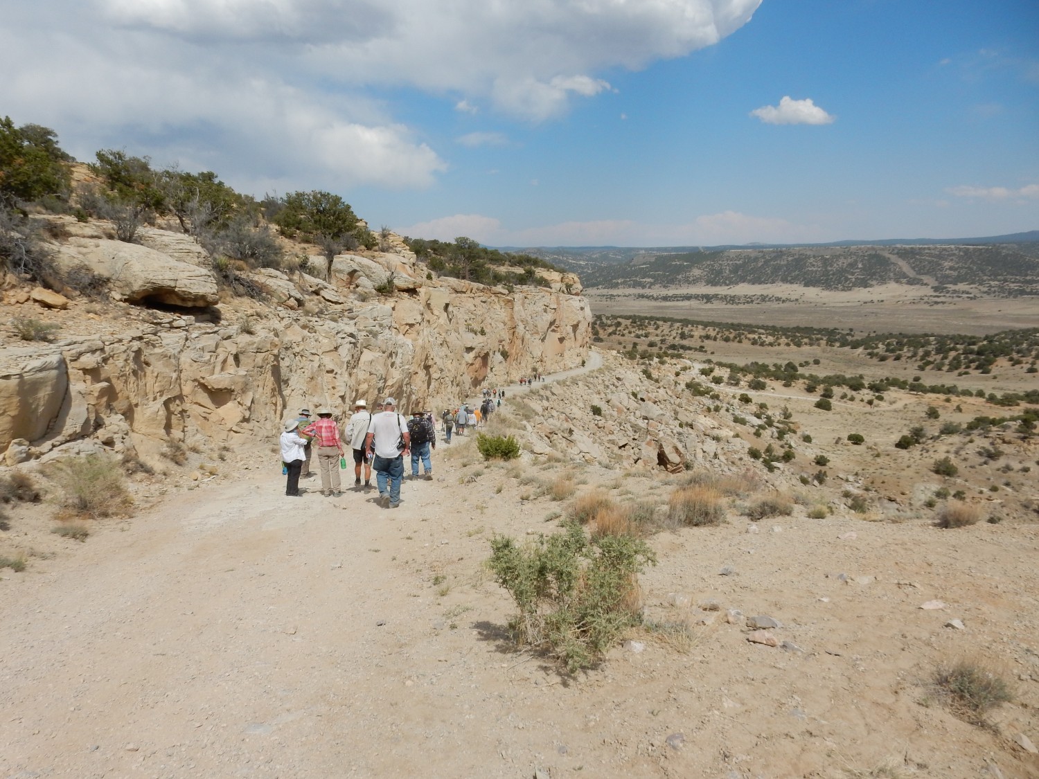
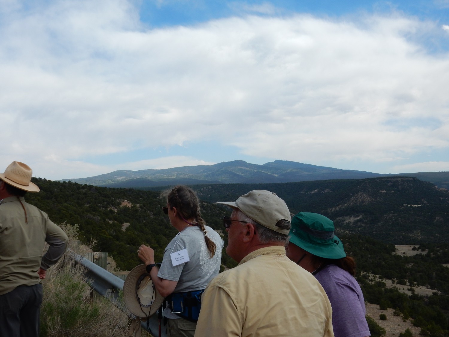
The convoy heads west on I-40 and then exits north at the Prewitt exit. We turn east almost at once along 122 (old Route 66) and then turn northeast at Haystack Road. This passes south of Haystack Mountain and the forks and we stay right on the gravel portion. Soon we are at our first stop of the day. Gary celebrates our arrival.
We are here to examine the Todilto Formation and its contact with the underlying Entrada Formation. These are both Jurassic formations, with the Todilto fairly precisely dated at about 165 million years old. This point in time was the Callovian Age of the Middle Jurassic Epoch of the Mesozoic Era.
Unpacking all that: In 1669, Nicholas Steno first published the insight that strata, or layers, of rock were most likely laid down horizontally and sequentially, so that the lower strata are older than the higher strata (the Law of Superposition.) Occasionally one sees strata that have been deformed by tectonic forces to the point where they are overturned, but this is uncommon enough for the Law of Superposition to be the right first assumption. Later geologists identified characteristic fossils in rock beds, with older, more primitive forms of life in the lower beds and life more like that of our time in the upper beds. This allowed geologists to create a relative time scale based on fossils, but geologists couldn’t determine absolute ages.
With an increasingly precise system of relative dates, but no absolute dates, geologists divided geologic time into named intervals. The oldest beds were assigned to the Paleozoic Era (“ancient life”), the middle beds to the Mesozoic Era (“middle life”), and the younger beds to the Cenozoic Era (“young life”). These were further subdivided into periods, beginning with the Cambrian Period at the start of the Paleozoic and the Quaternary Period at the end of the Cenozoic. Periods were in turn divided into epochs, such as the Middle Jurassic Epoch of the Jurassic Period. Epochs are divided into ages, such as the Callovian Age. The earliest fossil-bearing beds lie on rock devoid of fossils, which was also often highly deformed and altered. Geologists could not determine even relative time for these Precambrian beds, though some efforts were made to estimate relative age from how highly deformed the beds were. (Unlike relative age from fossils, this relative dating by degree of deformation proved wildly inaccurate.)
The Jurassic was named for exposures in the Jura Mountains along the French-Swiss border. The Callovian is named for the small settlement of Kellaways Bridge in England, where the age was first characterized. (It was traditional to Latinize such names at the time.)
In 1907, Bertram Boltwood invented radiometric dating, giving geologists a way to obtain absolute ages for some rock beds. Radioactive elements have known rates of decay, and by measuring the amounts radioactive elements and their daughter products in the various minerals making up a rock sample, geologists were finally able to calculate absolute ages to match the relative scale provided by fossils. We now know that the Cambrian Period begins at about 538.8 million years ago, and the Callovian Age begins at about 166.1 million years ago. Absolute dating also allowed geologists to begin constructing a useful time scale for Precambrian rocks, and it was found that the oldest such rocks then known were around 3.5 billion years old. Subsequent discoveries have pushed the record for solid rock beyond 4 billion years, and individual zircon grains have been dated to 4.4 billion years. Meteorites, thought to be the oldest substance in the Solar System, put the age of the Solar System (and therefore the Earth) at about 4.55 billion years.
This means that the Precambrian is actually about 85% of the Earth’s history. Geologists therefore created the Phanerozoic Eon for all the fossil-bearing younger beds, from the Cambrian on, and divided the Precambrian into the Hadean, Archean, and Proterozoic Eons. These Precambrian eons are in turn are divided into eras (such as the Paleoproterozoic Era) and periods, though these are much less familiar than their Phanerozoic counterparts even to geologists (unless they are Precambrian geologists.)
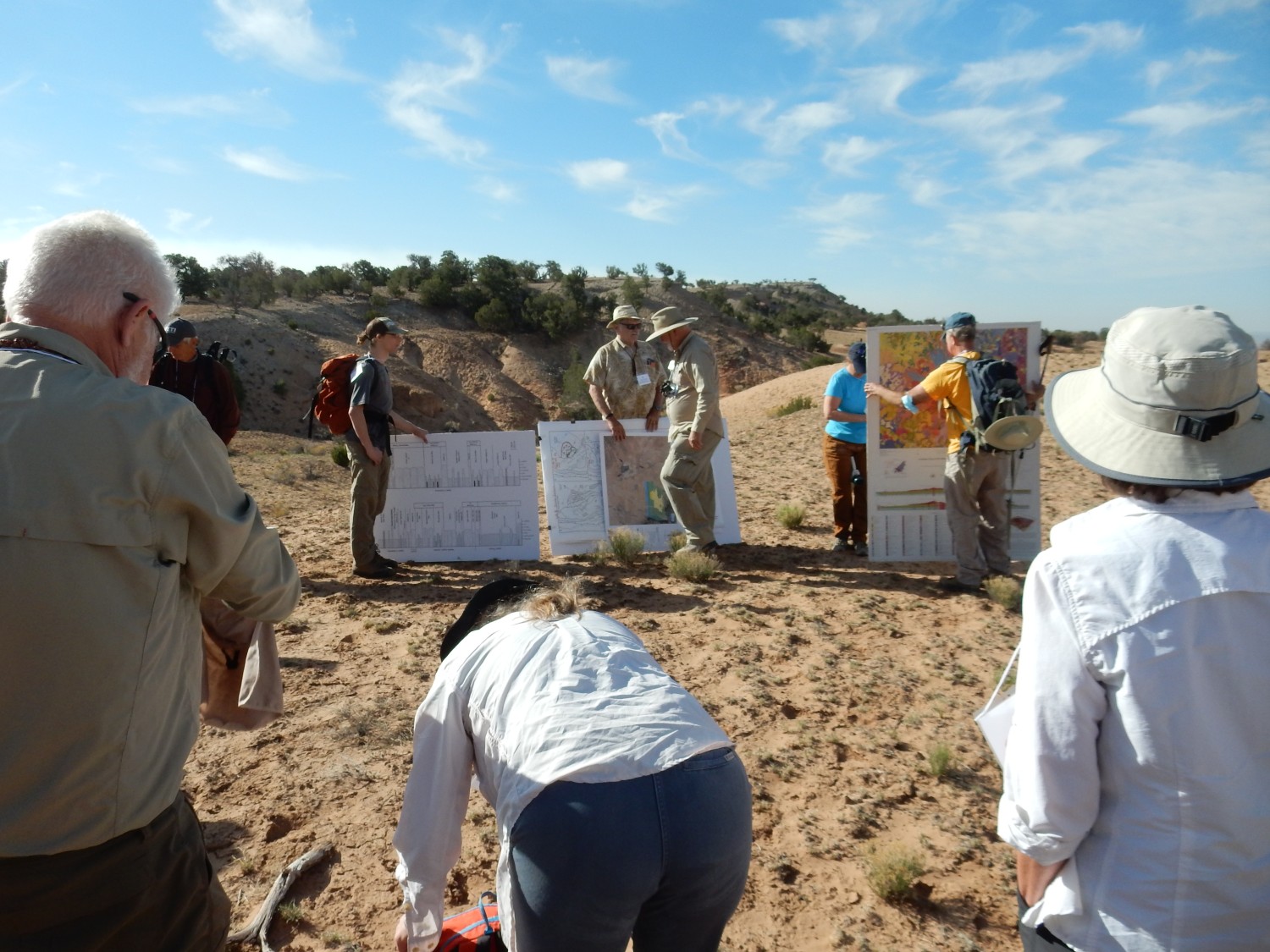
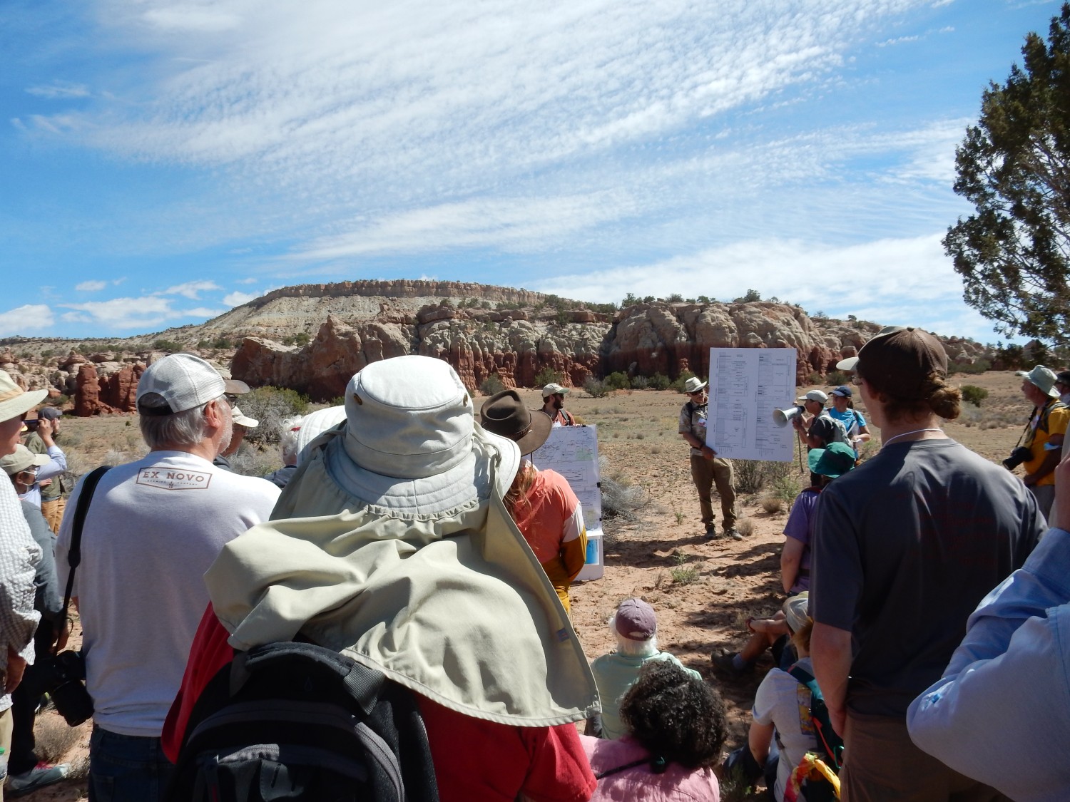
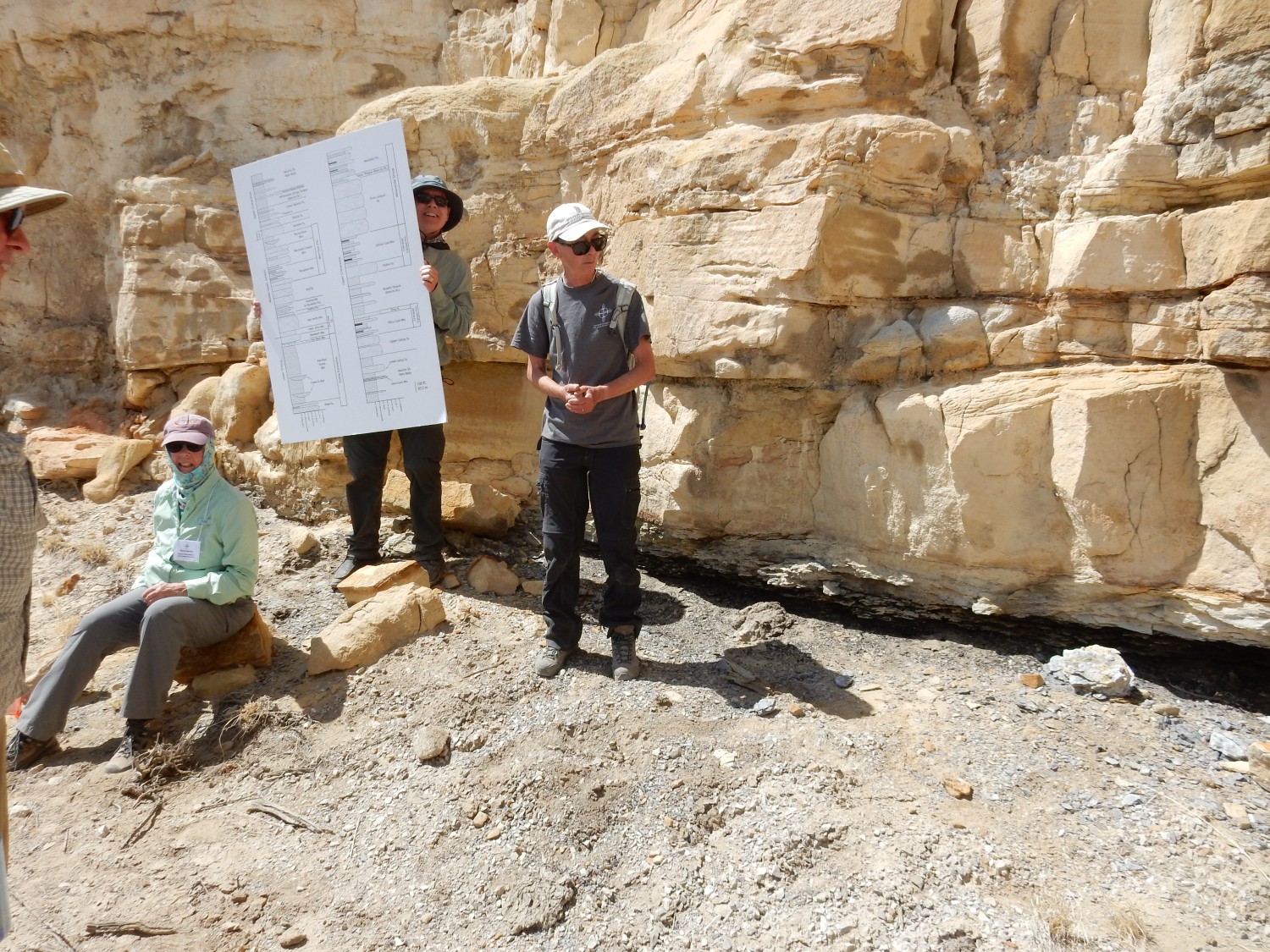
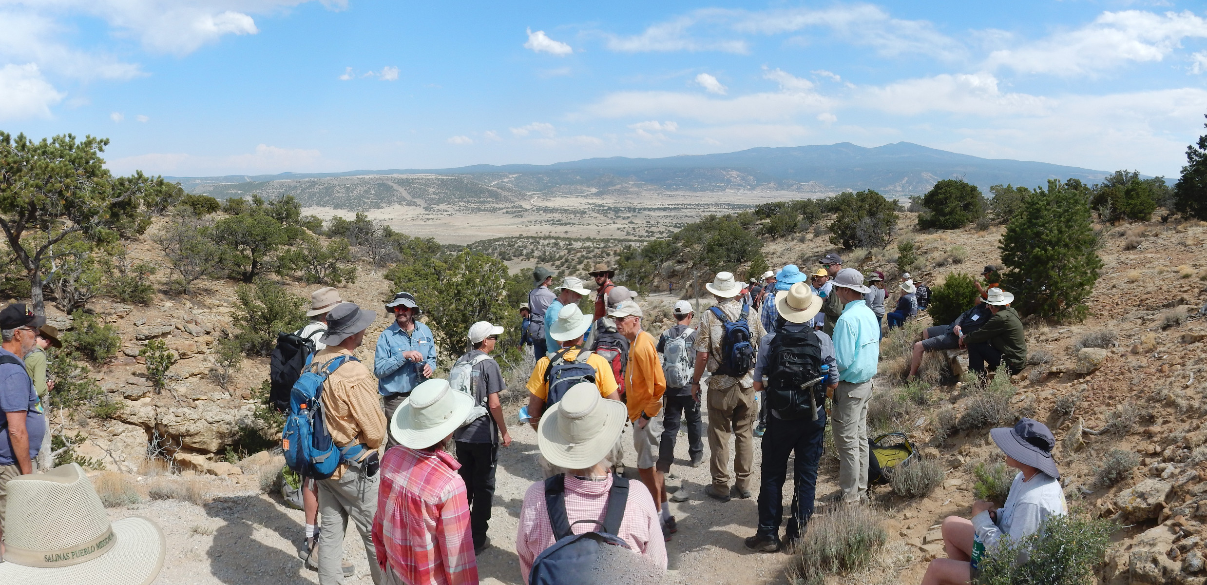
The conference leaders set up posters for a discussion of the local geology.

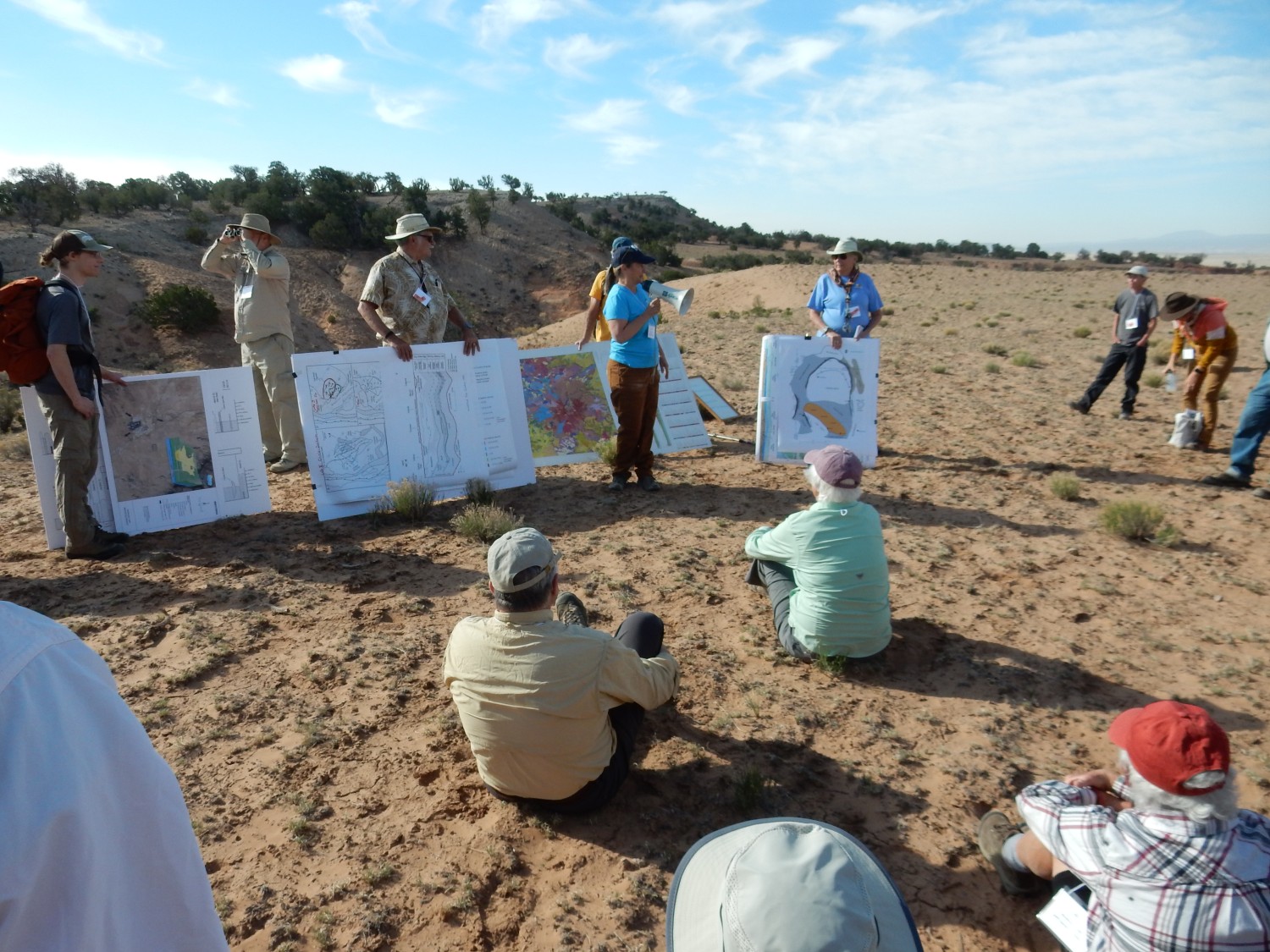
Bonnie Frey takes a turn cat-herding with the bullhorn.
Fraser Goff introduces the new map of the Mount Taylor area.
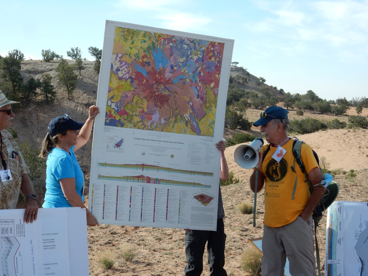
A geologic map is based on a topographic map, but shows different types and ages of the rock at the Earth’s surface in different colors. There are some conventions: Precambrian rocks are typically shades of red, Cambrian are green, Permian (the oldest Phanerozoic rocks in this area) are shades of bright red, Triassic are purple, and so on. Igneous rocks tend to be shades of red, brown, or blue — you see a lot of this around Mount Taylor on the map. A good geologic map is as much a work of art as of science; I love the things. (My copy of this one just arrived in the mail.)
Steve Cather talks about stratigraphy, a field in which he is one of New Mexico’s leading experts.

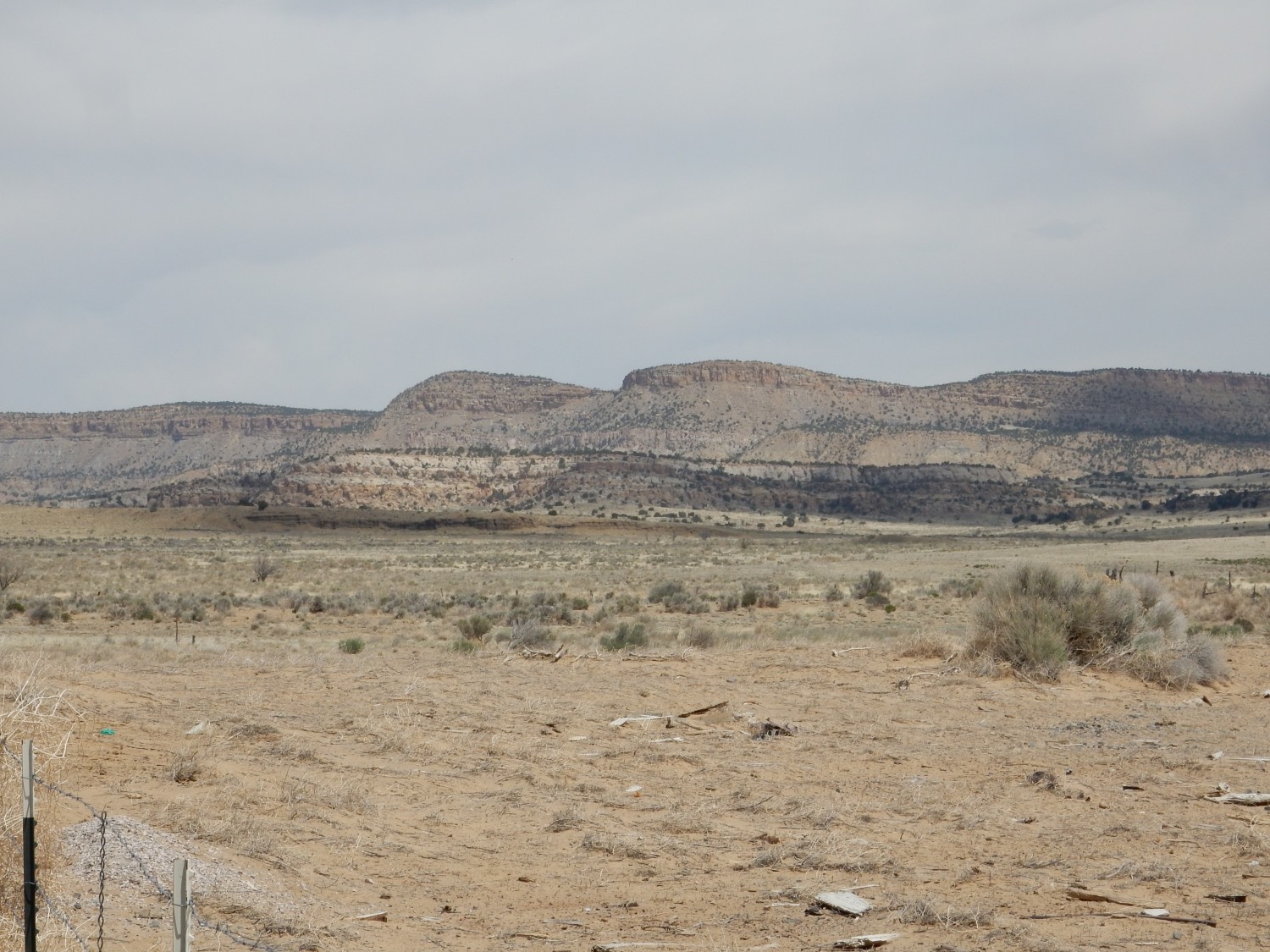
There are a number of controversies in the Jurassic stratigraphy of northwestern New Mexico. I’ll mention these in due course. There is not much debate about the Entrada Formation and Todilto Formation, which are widely accepted by geologists working in this area. The Entrada was part of a vast sand desert, or erg, that reached from central Utah to at least as far as north-central New Mexico. It varies somewhat by location, but in our part of the world, the Entrada is mostly massive sandstone.
The Todilto records a short-lived basin in which vast quantities of seawater evaporated away in an arid climate. At first, this deposited limestone at the bottom of the basin, and the water was not yet briny enough to be inhospitable to all life; fossils of various kinds are found in the limestone layer, which has been named the Luciano Mesa Member of the Todilto Formation. Further evaporation began depositing gypsum in water so salty that most large organisms could not live in it. The gypsum layers are assigned to the Tonque Arroyo Member of the Todilto Formation, and they are mined close to home, in San Ysidro and south of I-25 between Santa Fe and Belen. Excellent exposures are accessible in the northern Jemez and at Mesa Alta. Here in Grants, only the limestone is present; we are on what was the rim of the basin, and evaporation dropped the water level before gypsum began to be deposited. Further south, the Todilto thins to a knife edge and disappears — pinches out — and the massive sandstone of the overlying Bland Formation and the underlying Entrada Formation become almost indistinguishable, so that the combined beds are assigned instead to the Zuni Formation.
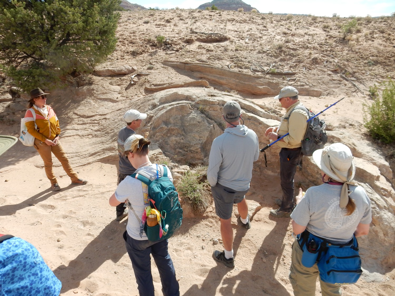
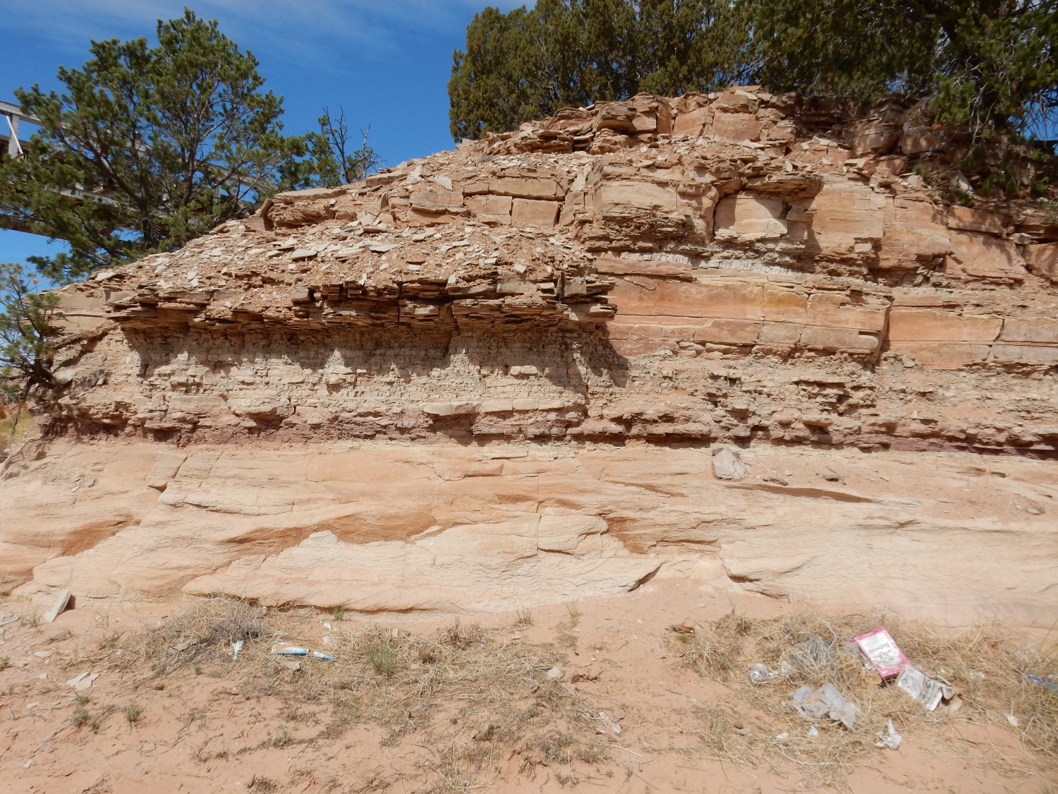
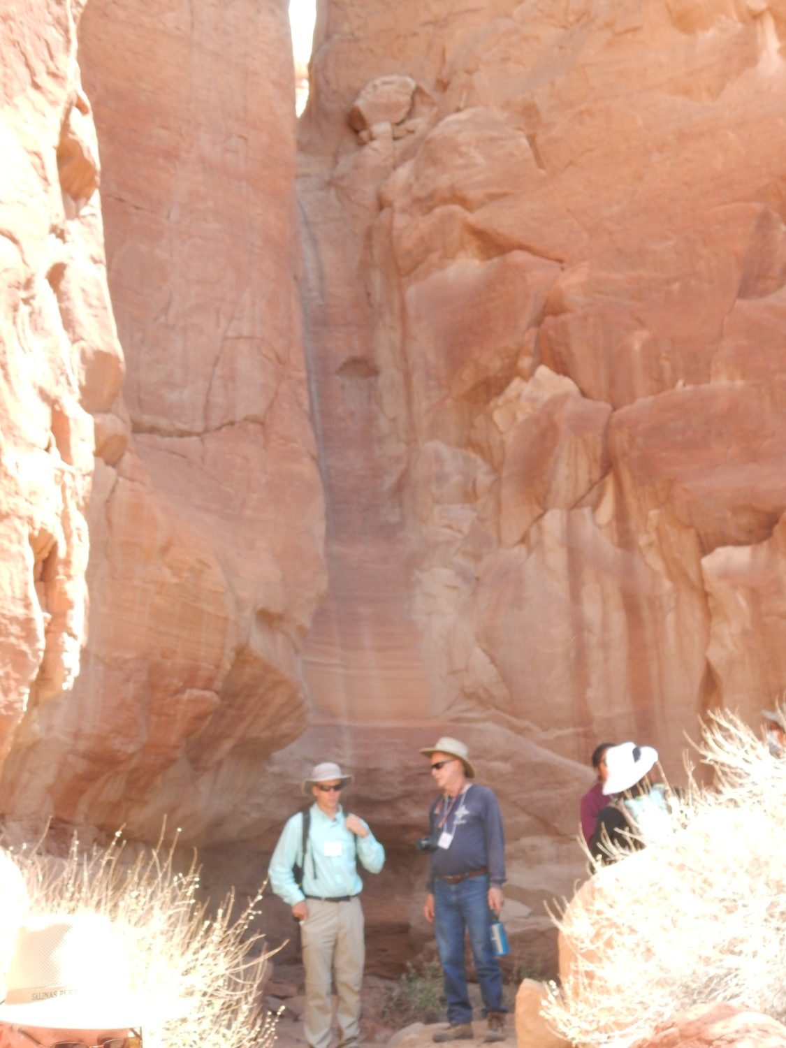
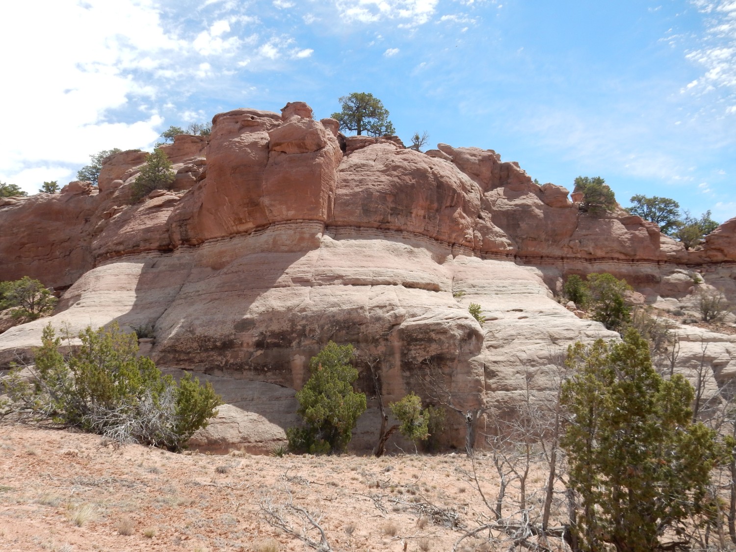
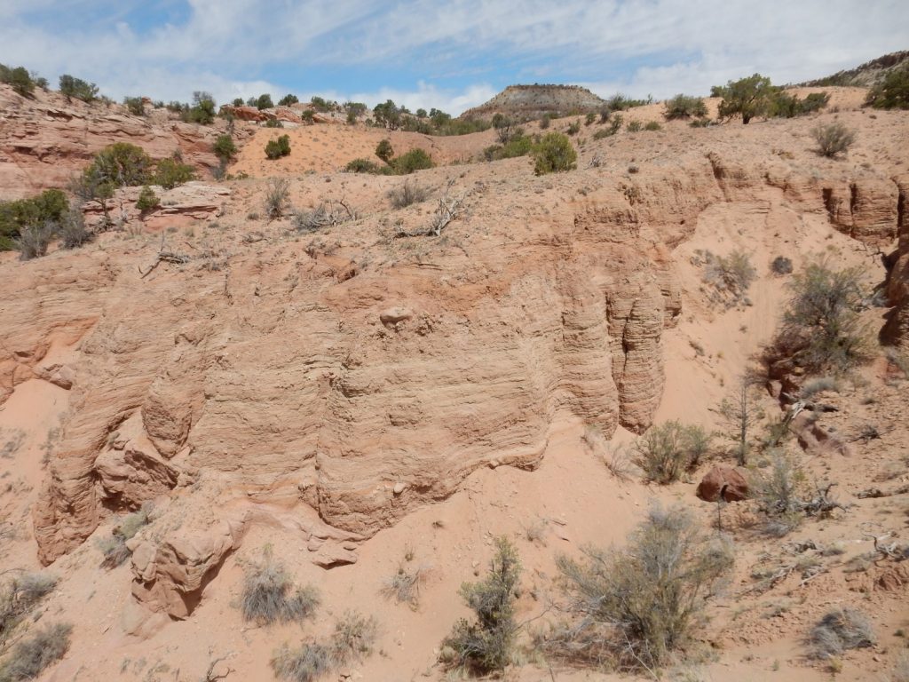
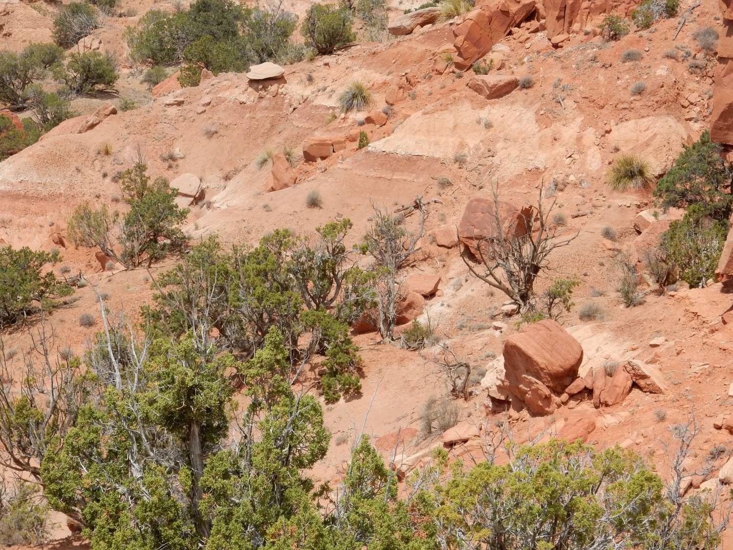
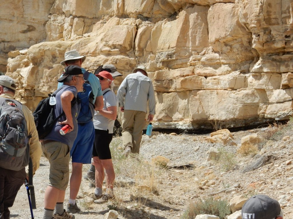
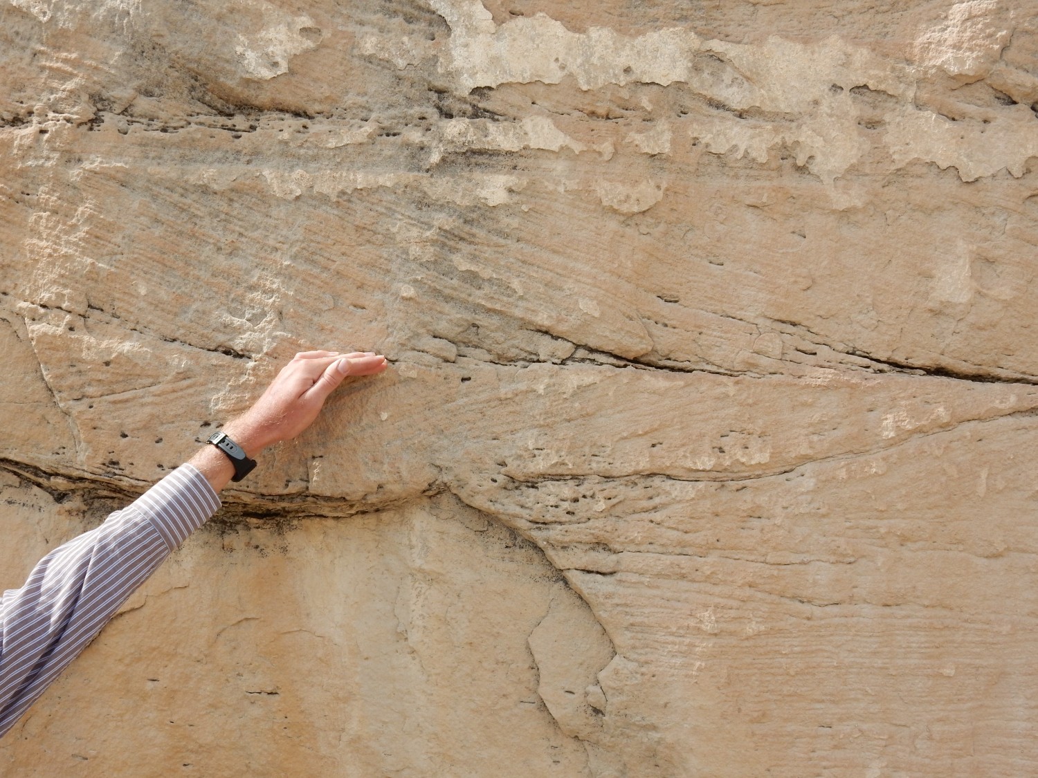
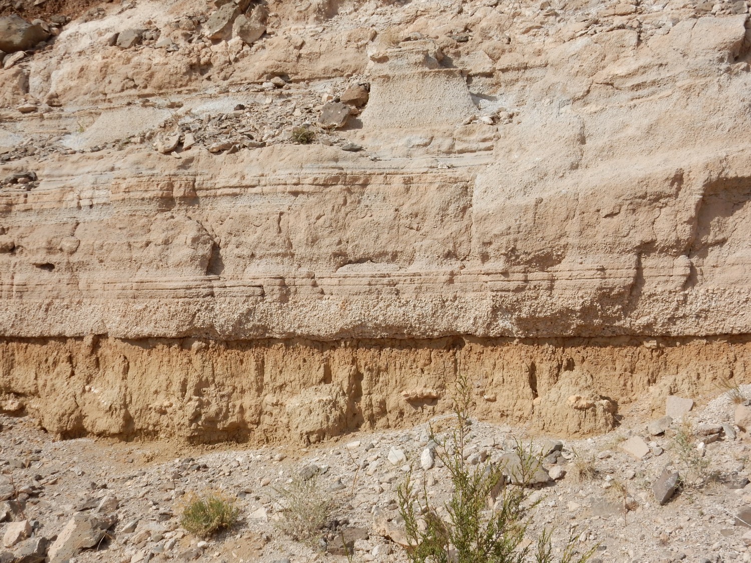
Across the arroyo is a nice view of the contact between the Entrada and the overlying Todilto.
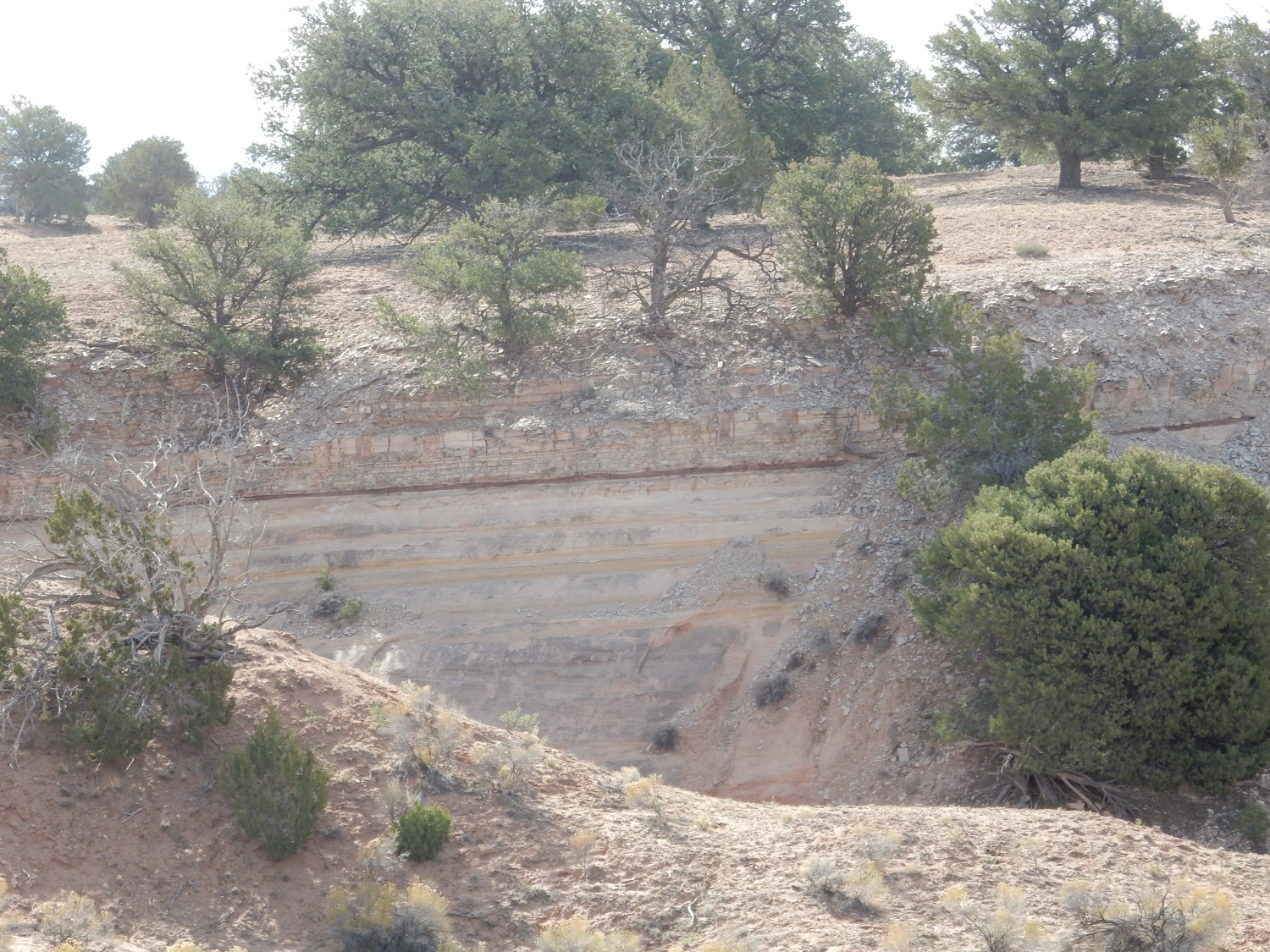
It’s the thin reddish bed. Below are massive beds of Entrada Formation sandstone; above are thinner limestone beds of the Todilto Formation.
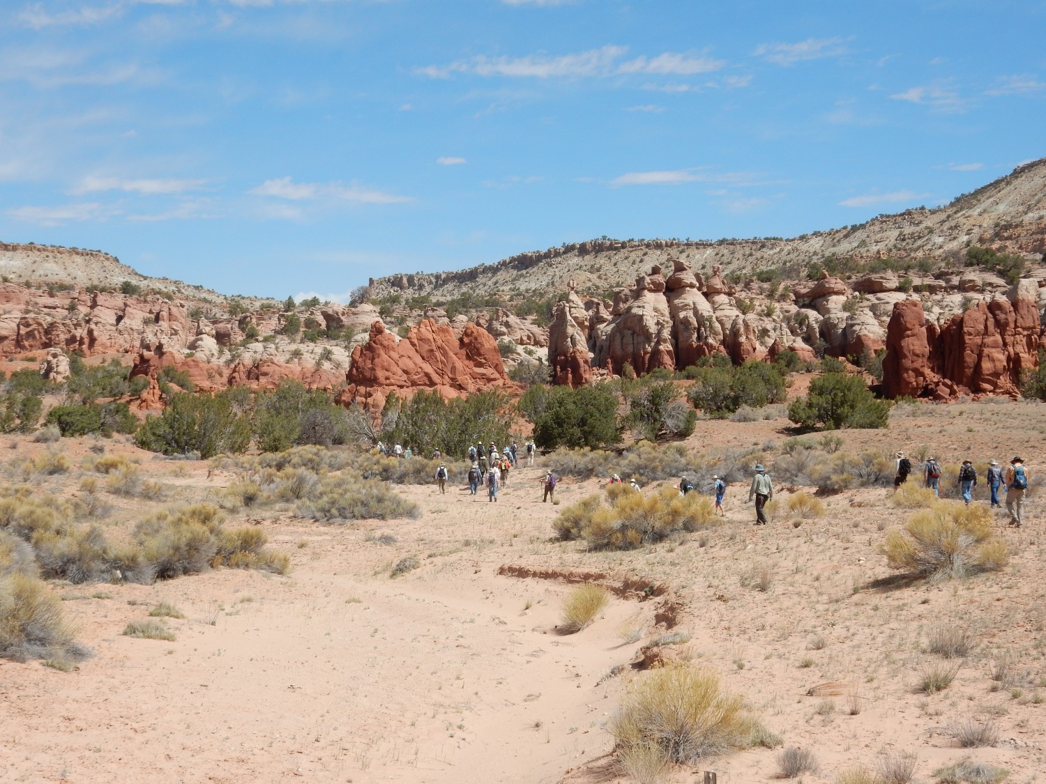
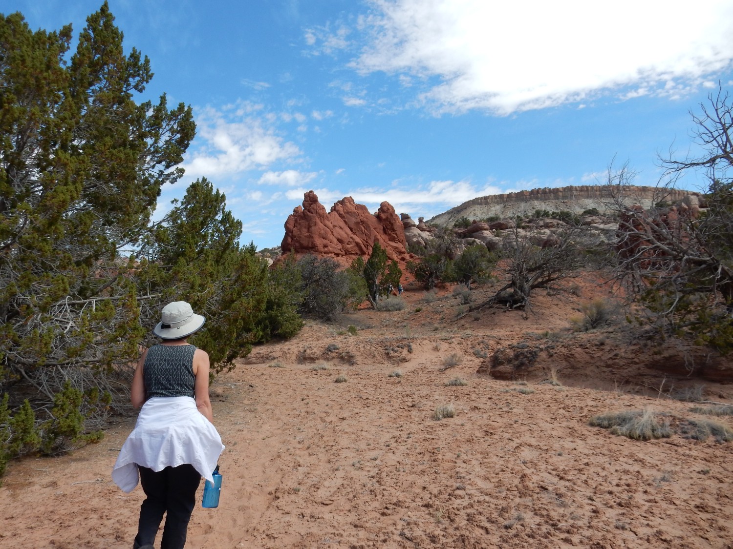
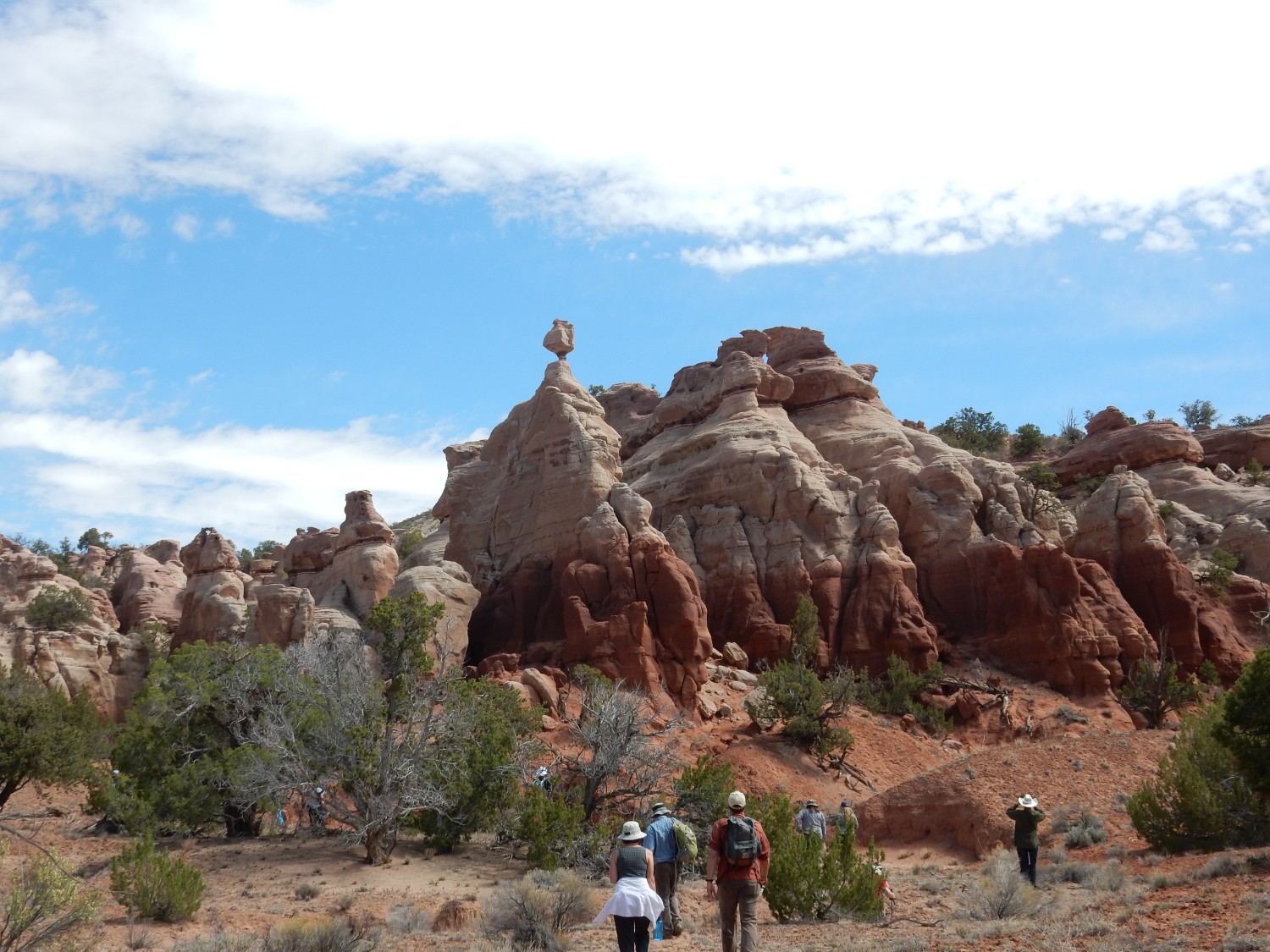
Well, obviously, we want a closer look. So off we all troop.
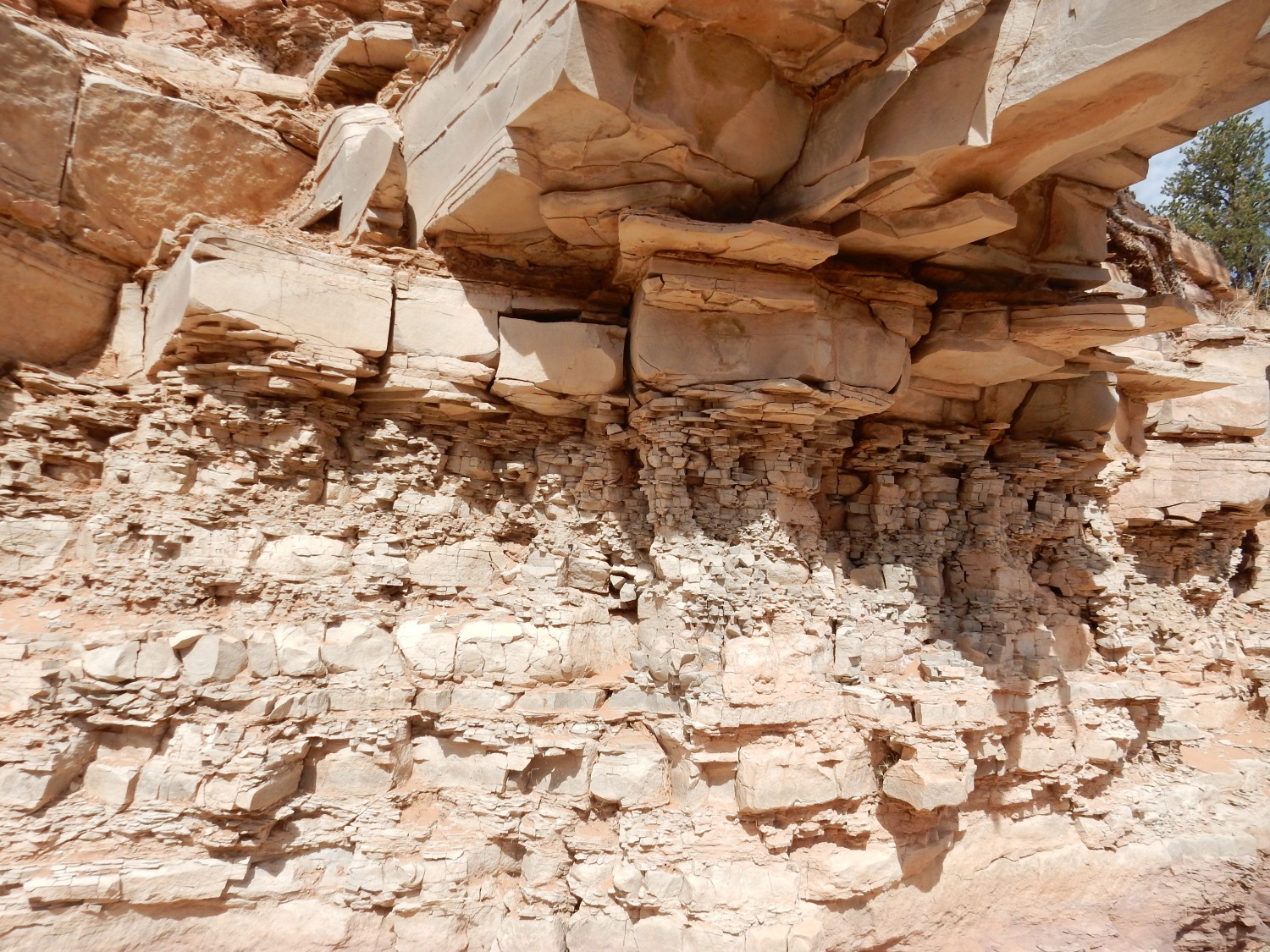
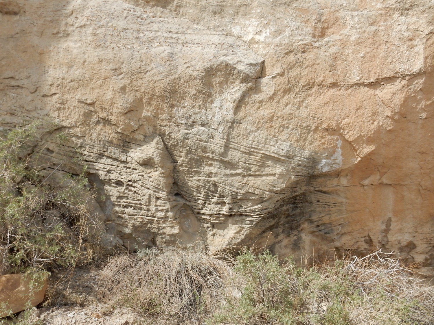
This area contains various kinds of folding of the Todilto beds. Some may be algal mounds, a kind of reef formed by algae growing at the margins of the Todilto sea.
Thinly layered and mildly folded limestone.
“Folded”: The beds are bent out of the horizontal. This is thought to have take place after deposition, through tectonic processes or perhaps just slumping of the beds before they hardened into solid rock.
Shari Kelley shows off a big algal mound:

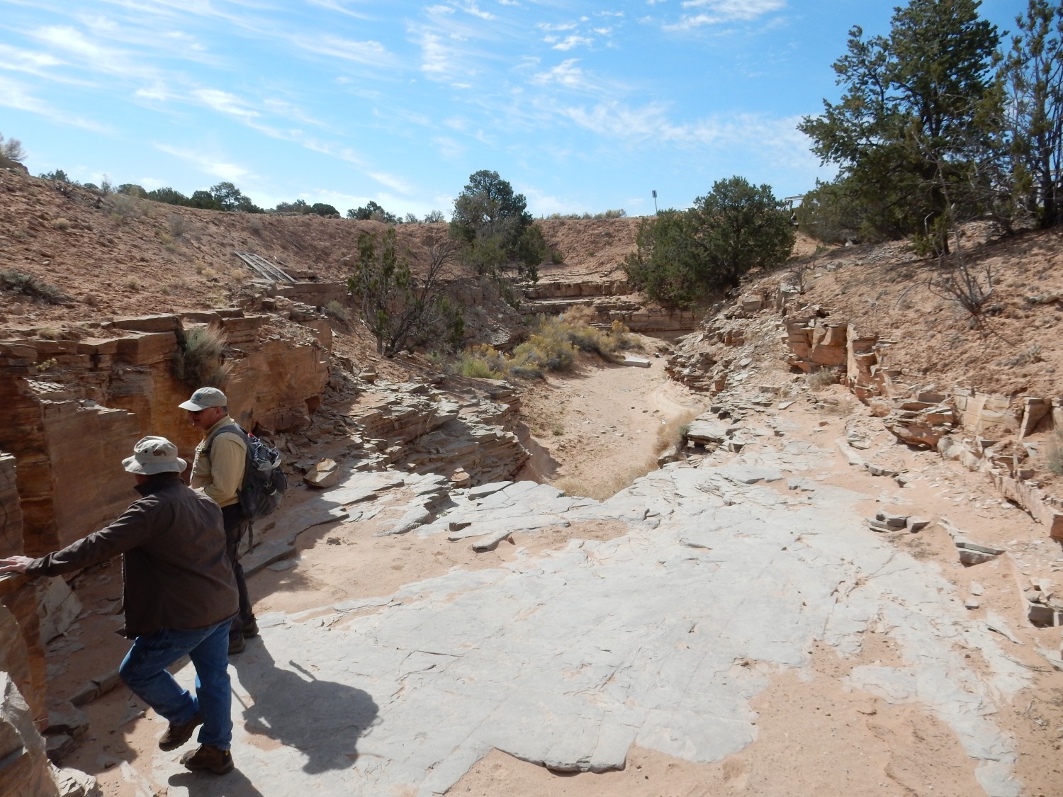
Further down, the arroyo cuts into the Todilto.
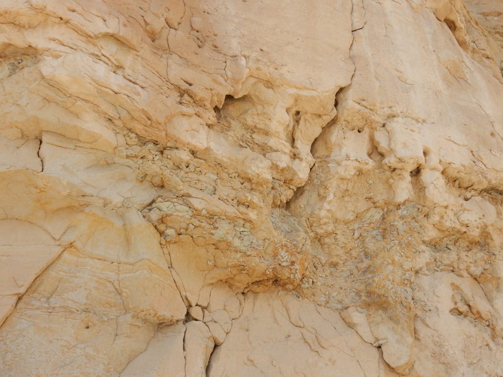
A rock surface covered with a rind of calcite crystals.
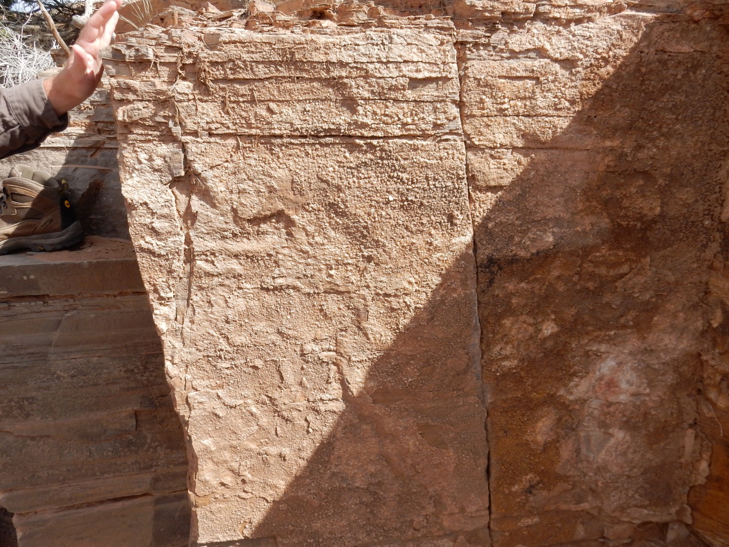
Calcite, calcium carbonate, is the principal mineral in limestone, and it’s slightly soluble. In this climate, moisture saturated with calcium carbonate wicks to the surface and the calcium carbonate is redeposited as fresh, large calcite crystals.
Tracers of … something … on a bedding surface.
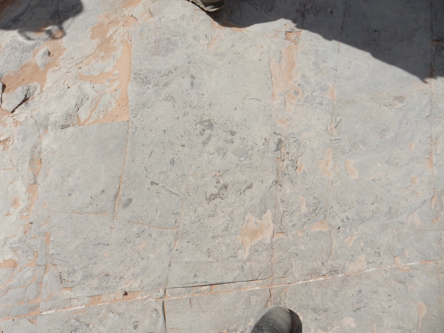
You may wish to click for higher resolution on this image. There are spines of some kind in the rock surface, possibly echinoderm spines. (These would be relatives of modern sea urchins.)
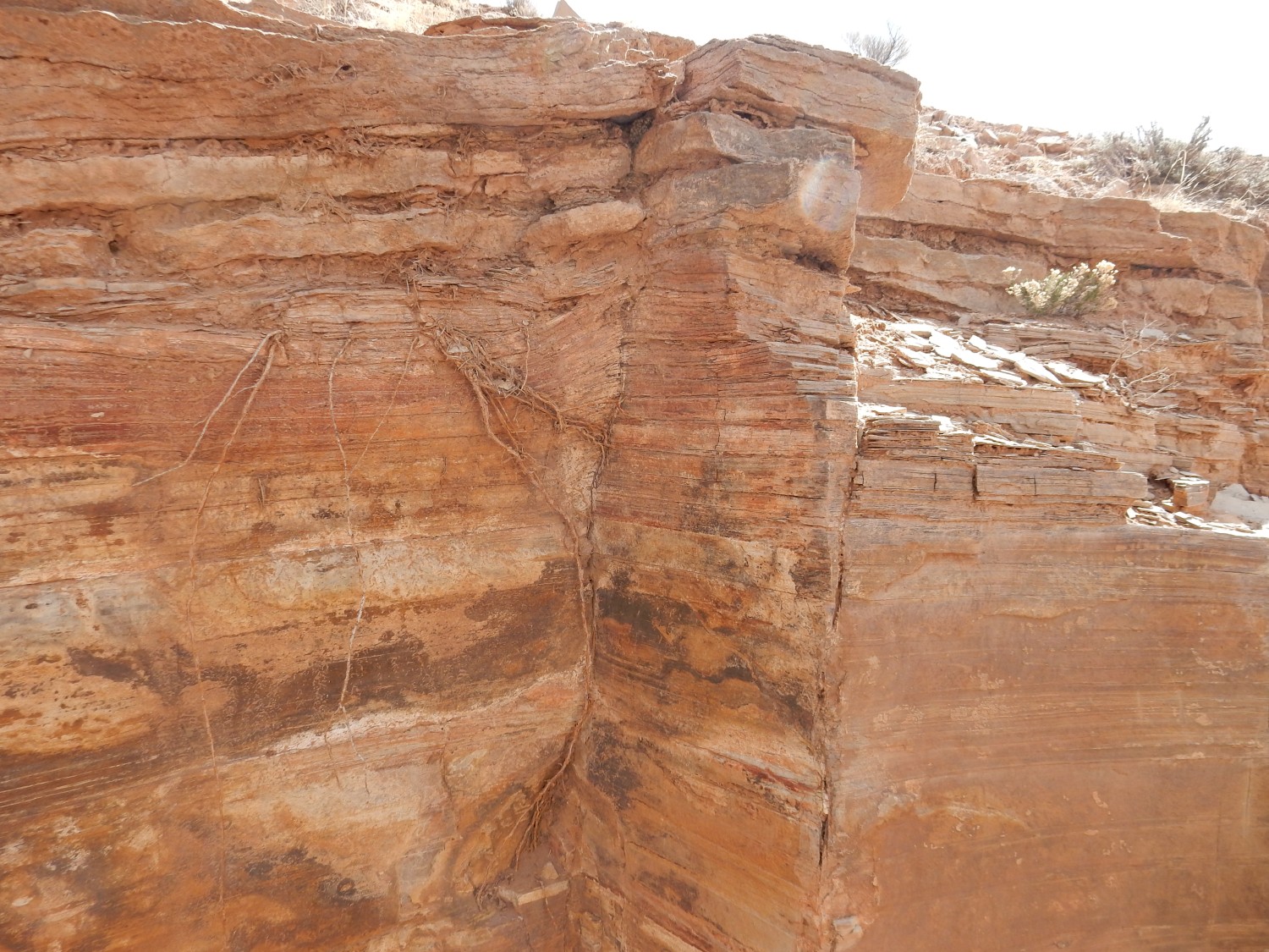
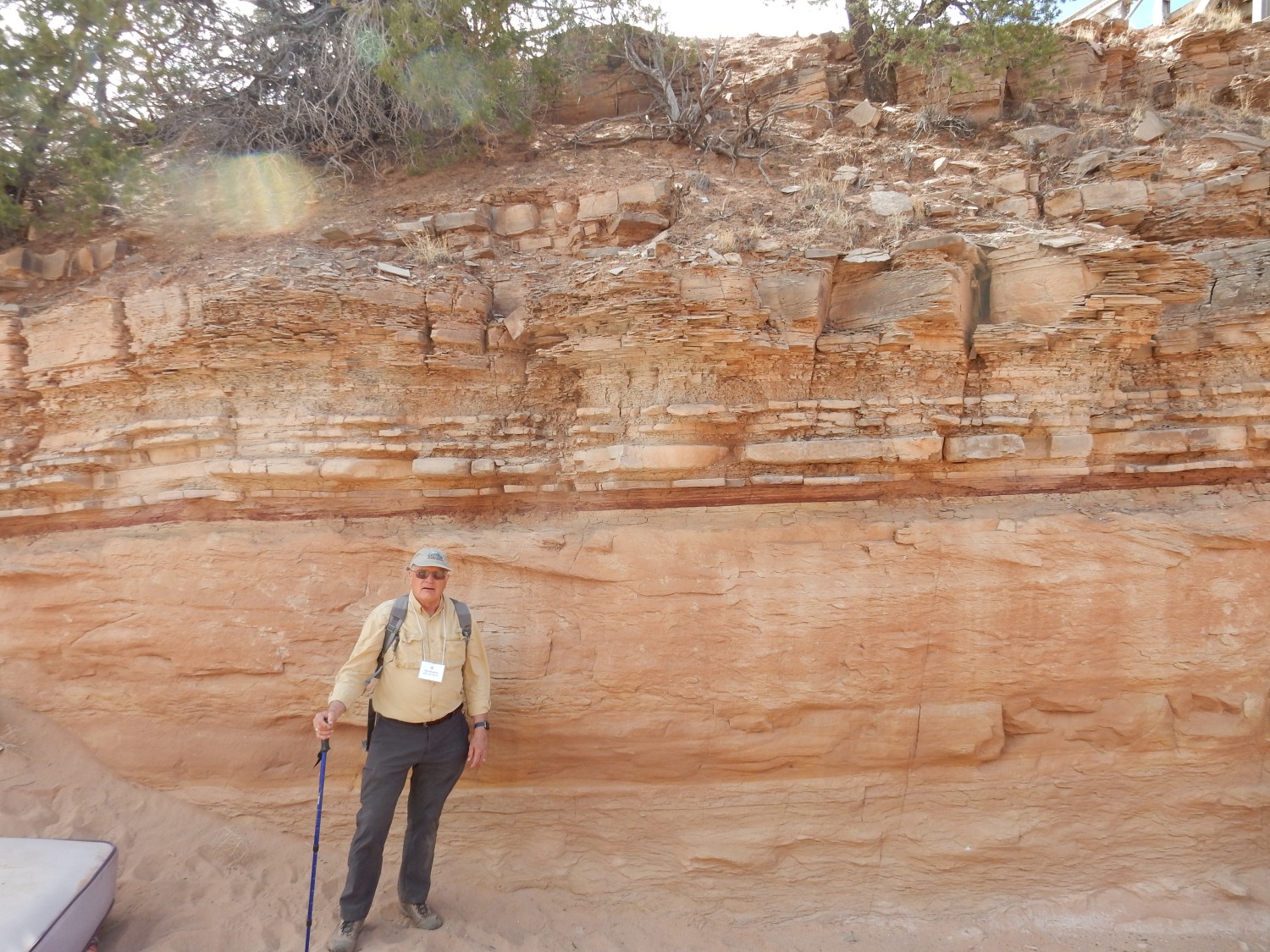
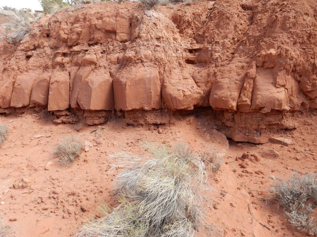
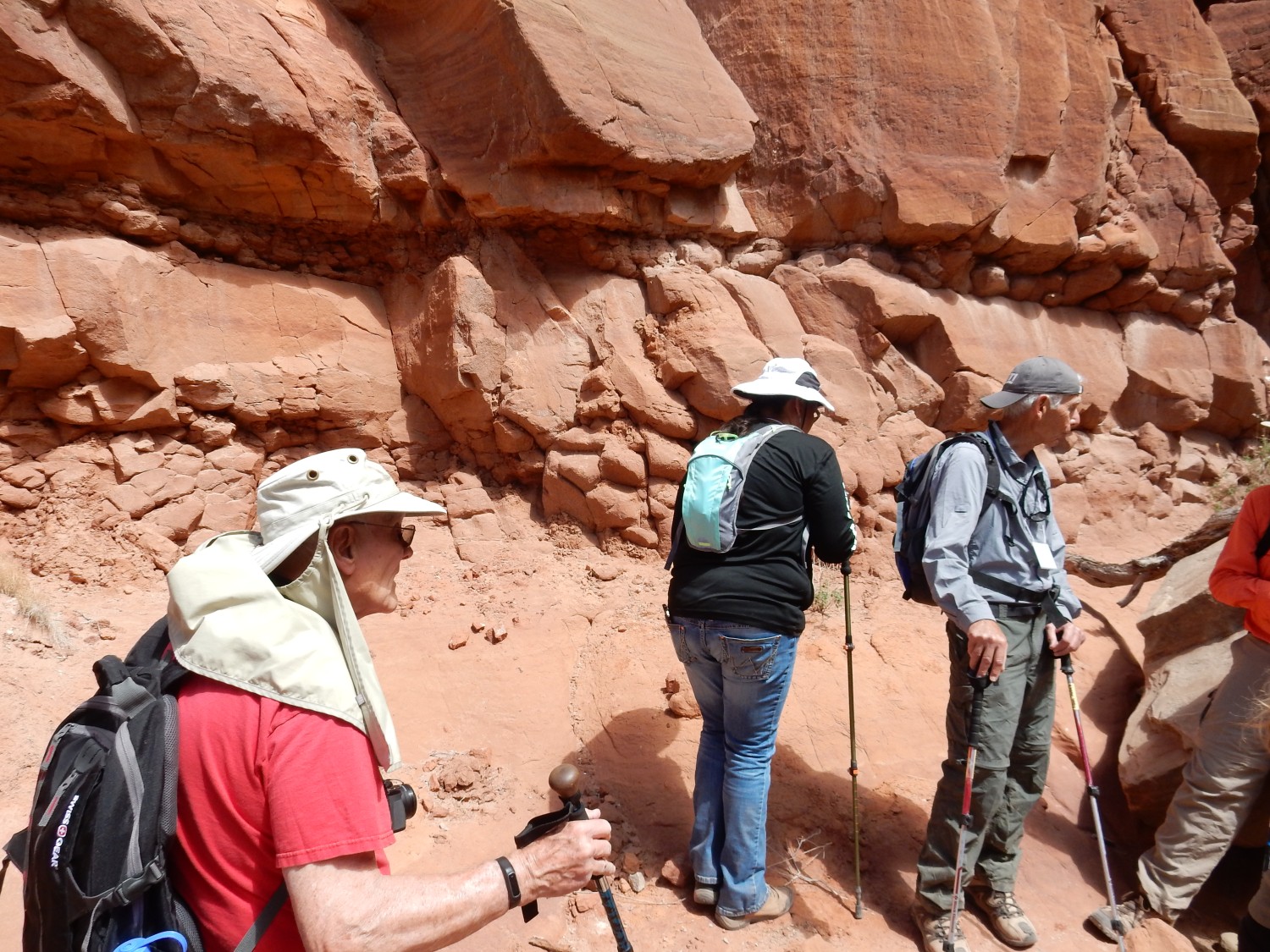
The contact between Todilto and Entrada.
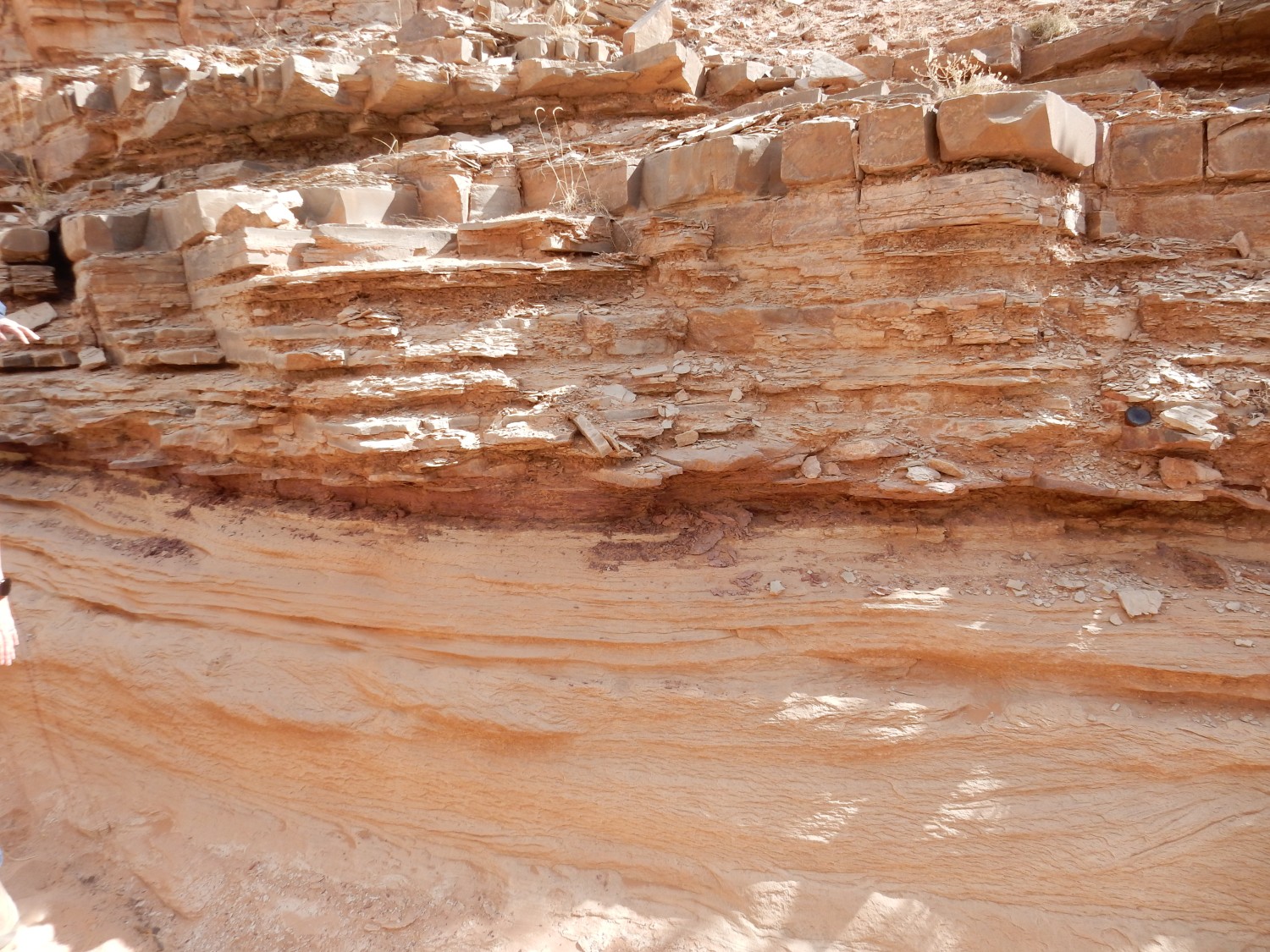
A sharp contact between two formations, like this one, is usually interpreted as an unconformity. An unconformity marks a period in time in which no sediments were deposited and erosion may have taken place. It is a gap in the geologic record. There are several types of unconformity, but this one would be a disconformity, where the contact is parallel with the beds above and below the contact.
But that assumes this is actually a disconformity. Some geologists believe the Todilto basin was flooded in a catastrophic event, in which the ocean cut through some kind of barrier to flood the basin in a geological blink of an eye. In some locations, such as Mesa Alta north of the Jemez, the contact is perfectly clean, with sandstone abruptly giving way to limestone with no transition at all. Here there is a thin layer of brown sediments.
The layer is mottled but otherwise shows little structure. It doesn’t have the characteristics of a paleosol, a soil that developed on top of the Entrada that was subsequently buried and preserved. It looks more like a layer of silt that settled out of quiet water. This is consistent with the flood idea, but probably not conclusively so.
Shari Kelley discusses the local geology.
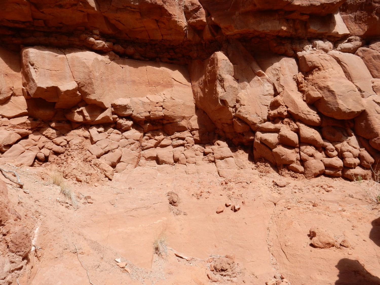
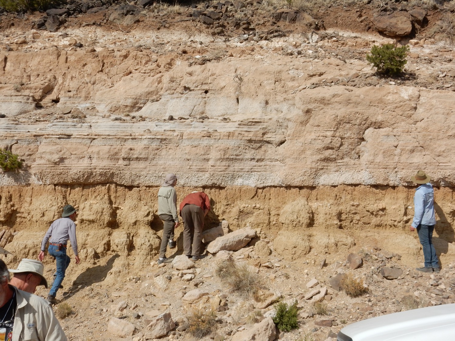
Another view of the contact.
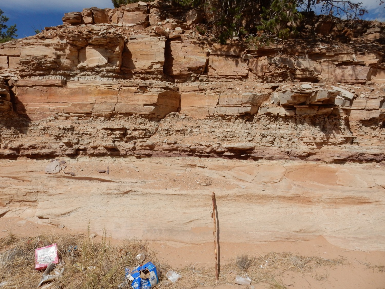
Walking stick for scale. Also, “locally derived anthropogenic colluvium” (trash.)
The sandstone of the Entrada shows faint layering but is otherwise massive and featureless. Then comes the thin silt layer, then massive limestone alternating with shaly limestone. Shaly limestone layer:
The attendees peruse the layers.

Further down the arroyo, there are repeated silt layers.
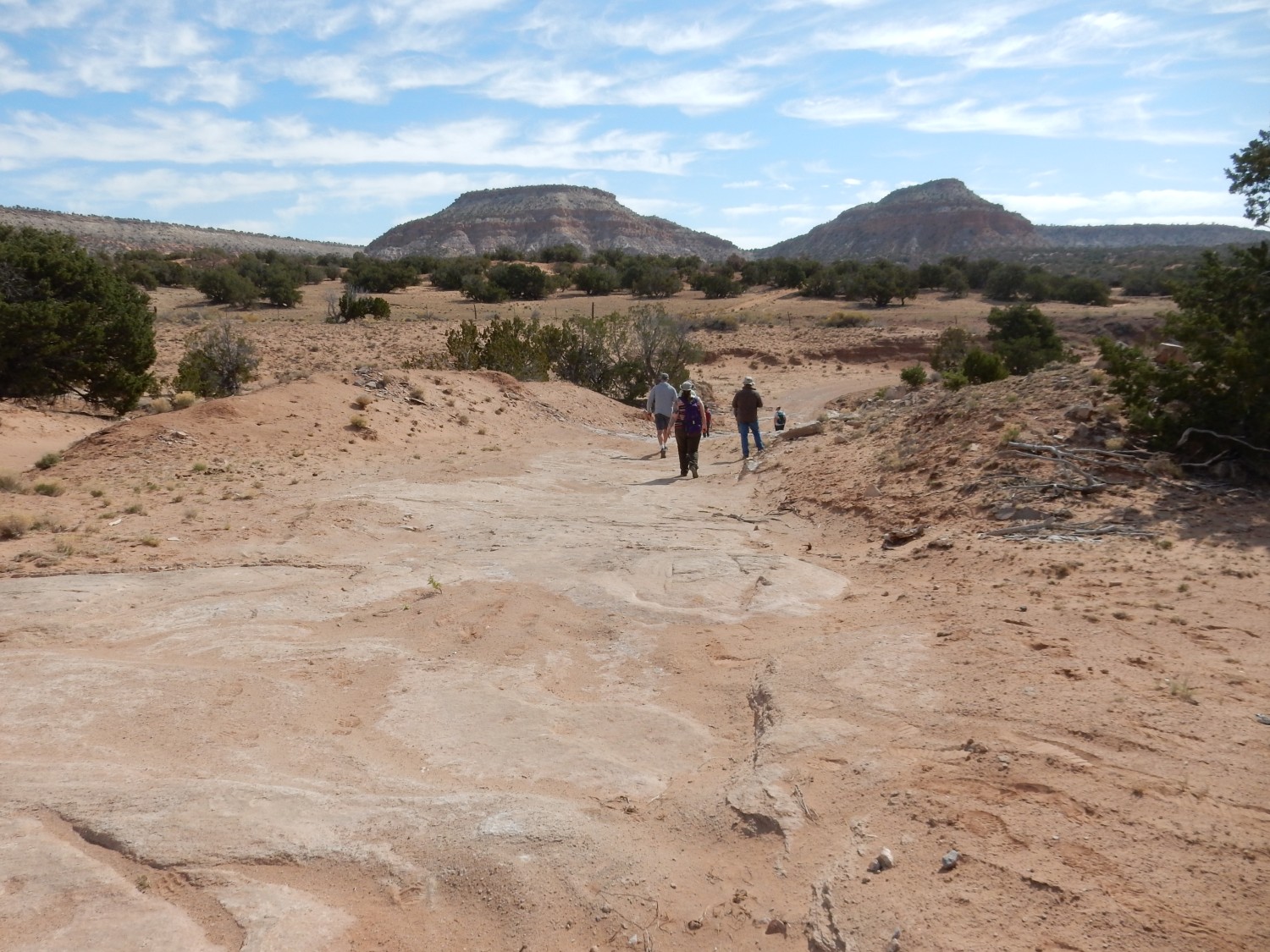
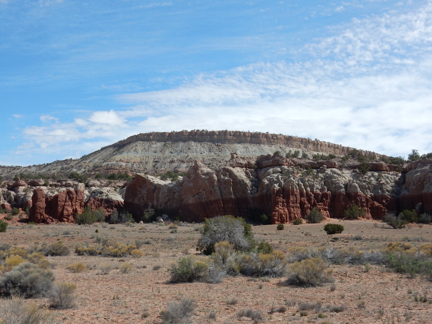
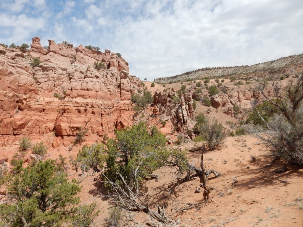
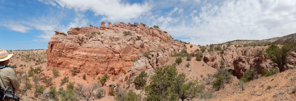
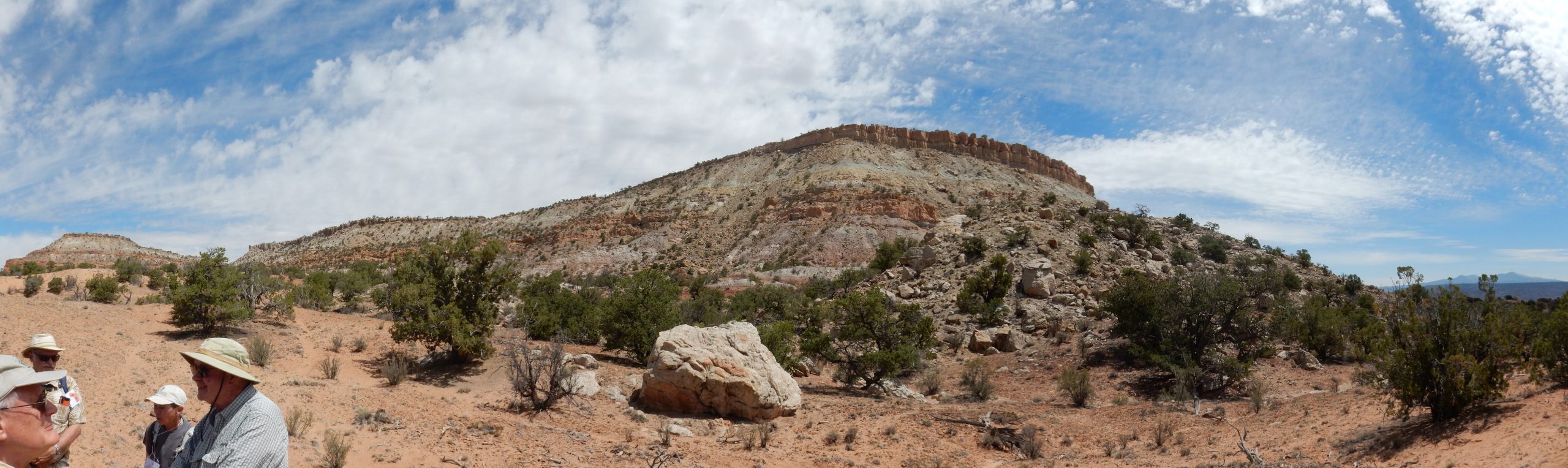
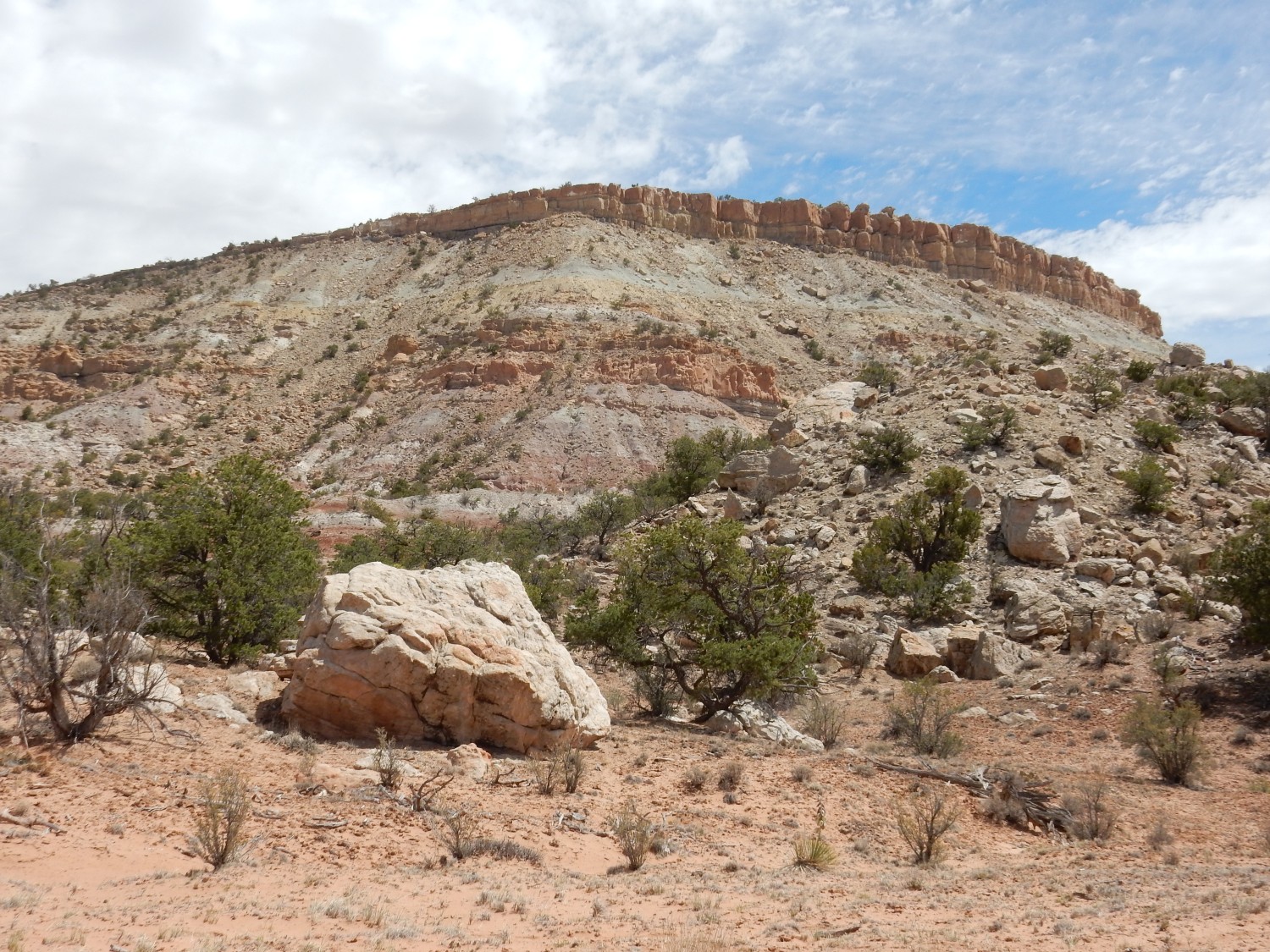
Then off to the next stop, at Mesa Montañosa.
Here we will jump some distance up the stratigraphic column (the stack of rock strata) into the Jurassic.

(Like most images at this site, this can be clicked to get a higher resolution version.)
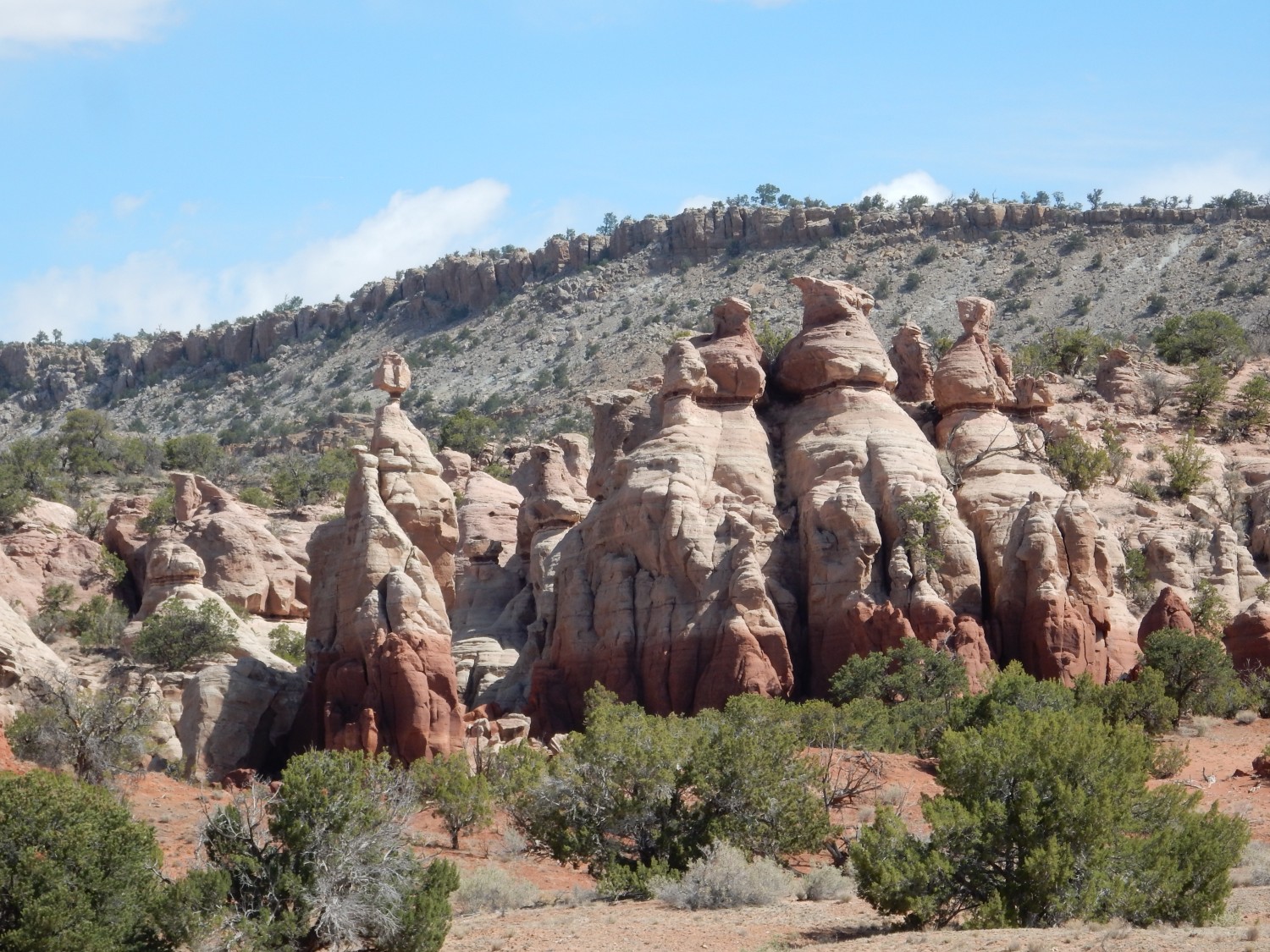
The mesa has two “skirts” on its south flank. The southernmost exposes the Entrada Formation and Todilto Formation, and our previous stop was along a low point of this skirt. We are now on top of this skirt and looking at the second skirt, where we see spectacular cliffs of the Bland Formation. Above this skirt rises the mesa itself, which is underlain by Morrison Formation capped with Dakota Formation. All but the Dakota are Jurassic formations.
A closer look:
Shari Kelley again takes the bullhorn to discuss the stratigraphy here.
While the Entrada and Todilto are relatively uncontroversial, this changes with the next formation up the column (that is, the next youngest formation). This was long mapped in New Mexico as the Summerville Formation, a tidal flat formation first identified at the San Rafael Reef in Utah and which is spectacular near Hanksville east of Capitol Reef National Park. However, Steve Cather believes this should be mapped as a separate formation, the Beclabito Formation, because the correlation is uncertain (that is, it’s not clear they’re the same age) and there are some differences in the characteristics of the rocks making up the beds (their lithology). I’m not a real geologist so I’m not entitled to an opinion, but I’ll call it Beclabito from here out.
Above the Beclabito is the Bluff Sandstone. This was first identified at Bluff, Utah, and there’s not really much controversy about its name or that the beds here are the same formation. However, there is some controversy over whether it should be treated as a member of the Morrison Formation or as an independent formation in its own right. I get the impression the New Mexico geologists lean the latter way.
Above the Bluff Sandstone is the Recapture Member of … the Morrison Formation or the Bluff Formation? Steve Cather leans towards Morrison Formation.
Why do we care? Formations are of course human constructs imposed on nature. We create these constructs because they are useful for understanding what we see. Formations are more useful if their boundaries coincide with significant unconformities. The problem is that there are probably brief unconformities scattered through most formations. If there is a major unconformity at the top of the Recapture, but not at its base, then it is most useful to make it a member of the Bluff Formation. If the greater unconformity is at its base, then it’s more useful to make it a member of the Morrison. So the debate is over the strength of the evidence of unconformities at top and bottom.
Next is the Westwater Canyon Member of the Morrison Formation. This is in the same stratigraphic position (place in the rock column) as the Salt Wash Member of the Morrison Formation, mapped in Utah. The rock of the two members is similar, being mostly sandstone with some conglomerate, though my impression is that the Westwater Canyon Member has more mudstone and organic matter than the Salt Wash Member. The thinking seems to be that they were deposited in separate megafans of the Mogollon volcanic arc and so should be regarded as distinct members.
That may need some unpacking. During the Jurassic and into the Cretaceous, an oceanic plate (the Farallon Plate) began to subduct under the west coast of North America. That is, the oceanic crust and underlying uppermost mantle began to sink back into the mantle along the west coast of North America. This threw up a range of mountains and triggered volcanism all along the coast (the volcanic arc) which, at that time, stretched from southwestern New Mexico (and possibly even further southeast) through southern Arizona and into Nevada. The mountains shed great quantities of sediments, which were carried by rivers out of the mountain front. Here the rivers fanned out to deposit the sediments. A similar process is taking place today along the Himalayas in India, producing megafans such as the Kosi River fan.
Above the Westwater Canyon Member is the Brushy Basin Member of the Morrison Formation, named for Brushy Basin near Monticello, Utah. The Brushy Basin is widespread throughout the Four Corners area and its identification here is uncontroversial.
Finally, we reach the cap of Dakota Formation sandstone. This is Cretaceous in age and marks the invasion of the area by a shallow sea, the Western Interior Seaway. The Cretaceous was a time of rapid seafloor spreading at mid-ocean ridges, and such rapid spreading actually reduces the volume of the ocean basins enough to slop the ocean onto the lower elevations of the continents. The Cretaceous was characterized by the highest sea levels we know in the geologic record, and as much as a third of the continents were drowned in ocean water. As the sea invaded North America, it laid down beds of beach sand, with some mud and organic matter. My map for this area does not distinguish members in the Dakota Formation.
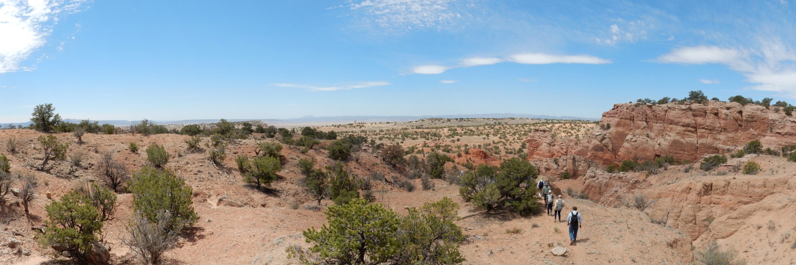
We troop off to explore.
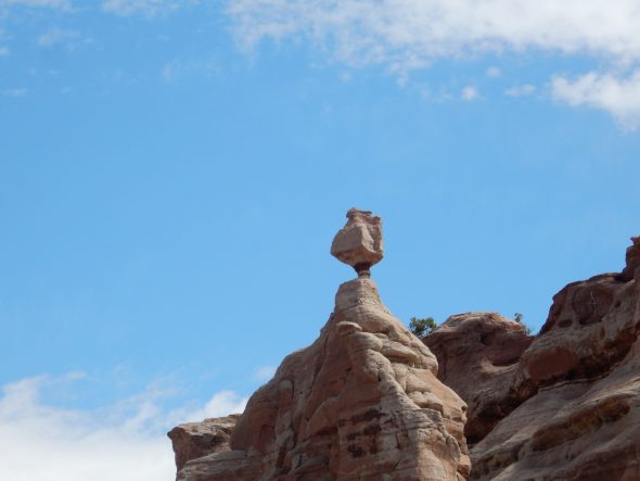
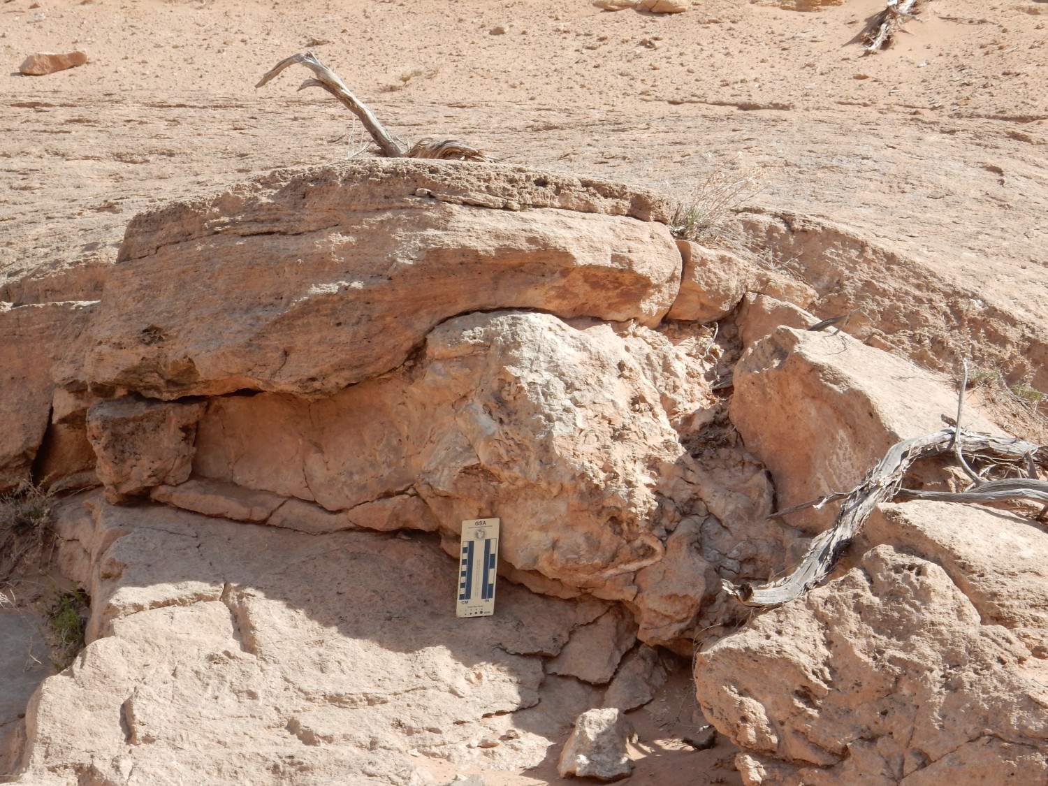
Balancing rock:

It’s tempting to think they must not have many earthquakes around here. But I understand that balanced rocks are surprisingly sturdy.
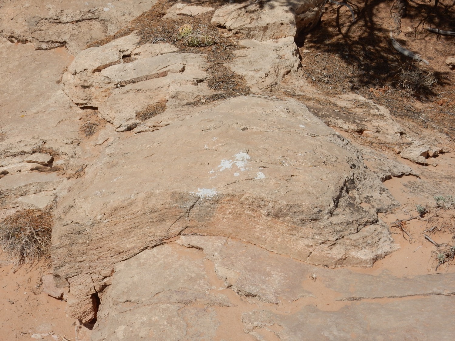
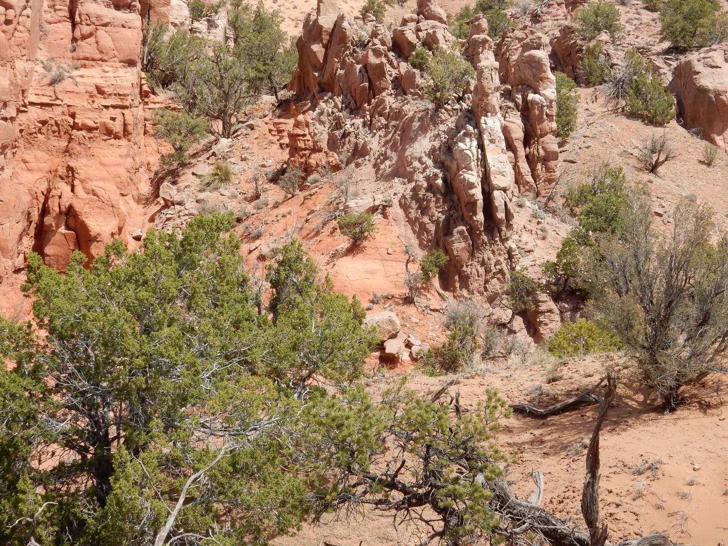
One thing I never quite sorted out was where the contact between the Beclabito and Bluff was located. It’s tempting to think it’s at the dramatic color change, from brick red to off-white, but I gather that’s much too high; we were told we would only see Beclabito peeking out at the bottoms of the deepest arroyos. I wondered if this might be it
but I decided I was not so sure. Looking at the guidebook today, though, it appears I’ve identified this correctly — there is a picture of this very outcrop identifying it as Summerville (Beclabito).

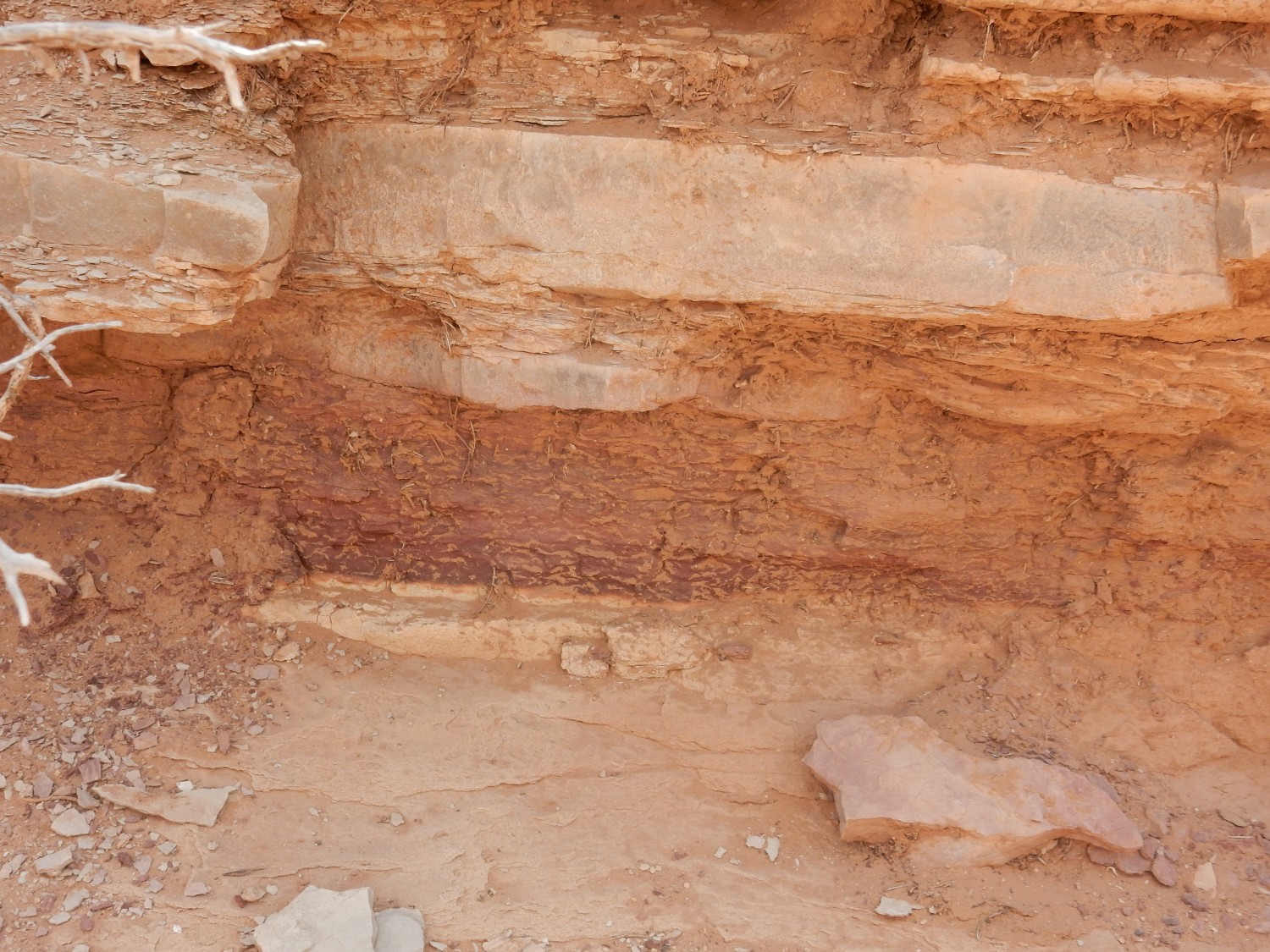
Bed of concretions; uppermost Beclabito?
Waterfall, except no waterfall at the moment. It’s the dry season, and this year’s dry season has been particularly so.
We hike back out of the canyon. Crossbedding:

The red layer reminds me of “supersurfaces” in the Cedar Mesa Formation of Utah, except the Cedar Mesa Formation is considerably older. The crossbedding (large beds formed of much smaller layers tilted at an angle) tells us the Bluff Formation is probably eolian, deposited by wind as dunes, but the red horizon likely records a time of temporary flooding of the dune field.
We hike towards the top of the Bluff skirt. This caught my eye; it’s a fault trace:
The beds are thrown down to the right (east).
A little further on are some laminated sediments.
I’ve trailed behind taking photos, so I miss the explanation. But the map shows nothing special (this may be too small an outcrop to map) and my guess is young alluvium.
The mesa itself:
You can clearly see the three members of the Morrison Formation here, as well as the cap of Dakota Formation. The lower multihued slopes are the Recapture Member of the Morrison Formation; the beds of sandstone halfway up the mesa are the Westwater Canyon Member; and the slopes above that are the Brushy Basin Member.
The Morrison Formation is famous for its uranium deposits. I’ll say more about that later.
We turn back.
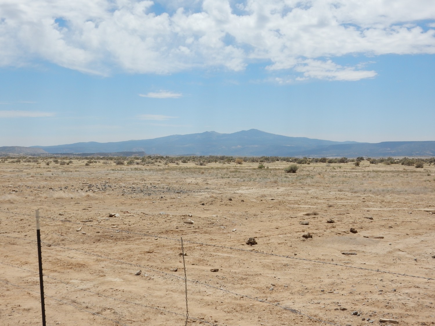
In the distance are the Zuni Mountains. We had some talk about these in the conference, but did not actually visit them during the conference. They are an example of a Precambrian-cored Laramide uplift, a particular kind of mount very common in the western United States. The Laramide was an episode of violent mountain building from about 90 million years ago to about 30 million years ago. During this time, the crust of the western U.S. was strongly compressed, and great blocks of crust were thrust upwards, exposing deep rock dating back to 550 million years in age or more. In the Zuni Mountains, the Precambrian rock is much older, around 1.7 billion years old. The uplift of this block warped the sedimentary beds draped over the basement rock, creating patterns of groundwater flow north into the San Juan Basin that were important in creating the uranium deposits of the Grants area.
And I get another glimpse of the Beclabito Formation:
At the base of the cliffs to the west, on the high side of the fault. The Beclabito is mostly soft mudstone, easily eroded, and accounts for the “step” between “skirts” south of the mesa.
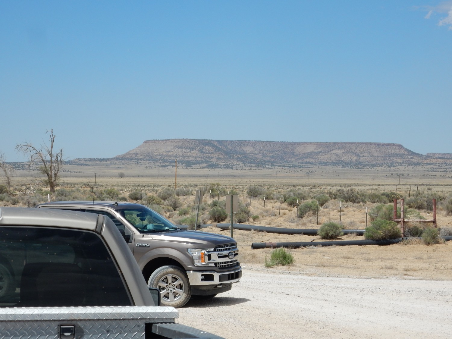
We car up and head to the next stop, which is well to the north, at the Rio Algom field office of the Ambrosia Lake Mill site.
This is our lunch stop.
Mesa Redondita.
I mentioned earlier that Precambrian rock is exposed at the center of the Zuni Mountains. Around the core are exposed beds of Permian age, and as one moves north, one reaches progressively younger formations. These form a series of mesas north of Grants, as we’ve seen, capped with the more resistant formations (usually sandstone) with slopes and valleys underlain by softer mudstone. The youngest formation (Paleogene San Jose Formation) is found far to the north in the center of the San Juan Basin. These beds, tilted away from the Zuni Mountains into the San Juan Basin, are called the Chaco Slope.
Mesa Redondita displays the next section of the stratigraphic column. Whereas the valley floor here is underlain by soft mudstone of the Mancos Formation, the slopes of Mesa Redondita include beds of the Gallup Sandstone (visible partway up the cliffs) that intertongues with the Mancos Shale and are capped with Crevasse Canyon Formation, with the Dalton Sandstone forming the uppermost cap. All are Cretaceous formations, ranging from about 110 to 83 million years in age.
Our lunch site is in the middle of a major uranium mining district, with twenty mines and two mills within two miles. Uranium was first reported at Haystack Mountain byt Paddy Martinez in 1950, and in 1956, the AEC launched a uranium rush in which 1500 claims were filed by prospectors in just two days. At one point, the mills were processing 4800 tons of uranium ore a day, and also producing vanadium as a byproduct. Total production was about 211.2 million pounds of uranium oxide. But the mining produced over 30 million tons of tailings which needed to be properly managed. Some was used to backfill mines, and the rest is being stabilized.
View to the northeast:
At left and center is San Mateo Mesa. This is one level futher up the steps of the local stratigraphy; whereas Mesa Redondita is capped with Dalton Sandstone of the Crevasse Canyon Formation, the Crevasse Canyon Formation appears near the top of the San Mateo Mesa but is overlain by the Point Lookout Sandstone, a slightly younger Cretaceous formation.
Closer view:
The foreground “skirt” is here the Gallup Sandstone. Behind is Mancos Shale forming the slopes of the mesa, with more resistant beds of Crevasse Canyon Formation and Point Lookout Sandstone above.
At right in the panorama is Mount Taylor.
The smaller peak to the left (north) is La Mosca.
We gather for discussions of old uranium mining days and of how the uranium got here. Among the speakers are Ginger McLemore and Susan Hall.

The uranium comes mostly from the Morrison Formation, particularly the Westwater Canyon Member on the west side of Mount Taylor. But we’re not quite sure how it got here. It may have come from volcanic ash of the Mogollon volcanic arc deposited in the formation, but there are also indications it may have weathered from igneous rock exposed in nearby uplifts. The uranium, leached out of ash or igneous rock exposures, is thought to have been carried by groundwater into the Morrison Formation. Here it encountered organic matter in the rock that precipitated the uranium to produce what are called primary tabular uranium ore beds. Much of this was subsequently remobilized by oxygenated water and redeposited. But nothing we heard at the conference fully explained the chemistry; I don’t think anyone really understands it.
We did see a map showing the known ore bodies, which looks to me rather like the uranium was preferentially deposited in buried channels of an ancient river system. That would be similar to how copper ore deposits near the Jemez were deposited.
We then proceed to the fourth stop, where we will hike to the top of Sam Mateo Mesa South to examine the Crevasse Canyon Formation and Point Lookout Sandstone. We take care not to park over any grass patches.
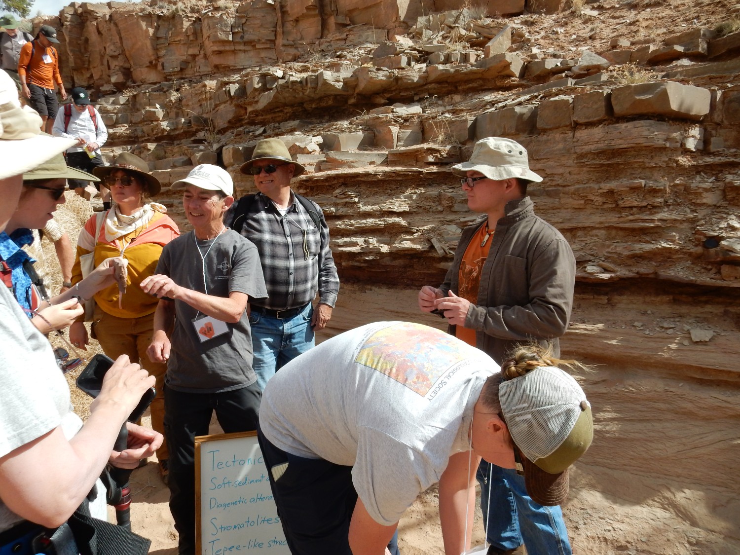
The posters come out again.

Then off to climb the mesa.
Coal seam of the Gibson Coal Member of the Crevasse Canyon Formation.
Shari Kelley again discusses stratigraphy.
A seam like this is of course of no economic value, but there are other places north of Grants where the Dilco and Gibson Coal Members of the Crevasse Canyon Formation contain much thicker seams that have been mined for coal.
The massive sandstone beds belong to the Point Lookout Sandstone. These show some interesting sedimentary structure. This looks to my (inexpert) eye like a pocket of rip-up clasts, bits of sediment torn loose by a storm current before the sediments fully hardened into rock.
This I dunno.

The rock face is covered with rather regular pits. Some kind of odd weathering?
So called because the crossbeds flip directions vertically. This is diagnostic of an environment where current regularly reversed direction, such as a sand bar in a delta — which is likely the origin of the Point Lookout Sandstone.
At the top, looking back at Mount Taylor.
The sandstone becomes more thinly bedded here, reminding me of the Kayenta Formation in Utah. However, there is no obvious shale, which would indicate we had reached the Satan Tongue of the Mancos Shale.
The group gathers at the top.
Why, yes. We have two Sheri Kelleys in the photograph, due to the wonders of panoramic photograph software. The better to herd geologists?
And down the mountain.
And we’ve managed not to ignite the grass. Good.
The final stop of the day is at La Chuchilla. Here we inspect outcrops of tuff.
The lower earthy beds are Menefee Formation, a Cretaceous mudstone, sandstone, and coal formation that overlies the Point Lookout Sandstone we were just looking at at the last stop. On top of this is a very nice exposure of Grants Ridge rhyolite tuff, which here takes the form of air fall pumice, surge beds, and ignimbrites. The pumice is easy enough to pick out; it forms the light beds with lots of obvious bits of pumice, such as the bed at the bottom that rests on the Menefee. The thin beds are likely surge beds; the ignimbrite I’m less sure, but perhaps the light bed at top with some layering. Over this are thick beds that, from the map, may be tuffs of Water and San Mateo Canyons. The Grants Ridge rhyolite tuff was was erupted very close to 3.3 million years ago, from a vent an impressive distance to the southwest; I make it about 13 miles on the Google map. The tuffs of Water and San Mateo Canyons range from 3.04 to 2.74 million years old. The mesa is capped with alkaline basalt, described as xenocrystic trachybasalt, containing occasional xenoliths of mantle rock. This flow is about 1.79 million years old, but it’s not clear from the map where its source vent was.
I grab a chunk of basalt. I don’t have anything in my rock collection that is unambiguously trachybasalt. And to unpack that: Trachybasalt has about the same silica content as basalt, around 48%, but has an elevated alkali content, greater than 5% sodium and potassium oxides. A xenolith is a bit of solid rock entrained in the lava and carried along without fully melting.
Final shot of Mount Taylor.
And then we head back to town. After a few minutes of cleaning up, we are off to the awards dinner at the Coyote del Malpais golf club. Dinner is tacos. I forgot my camera; my photos are courtesy Gary Stradling.
About a dozen students from around New Mexico have received scholarships to attend the conference, and they are duly honored.
Fraser Goff is honored for his excellent work on the geology here.
Bonnie Frey is honored for her excellent work pulling the conference together — no easy thing with COVID.
And then back to the hotel to get some rest. It’s been a good day, but neither Gary nor I are young men any more. We need our beauty sleep (for whatever good it will do.)
Next: Into Mount Taylor