Wanderlusting the Precambrian in the Southwest Jemez
With a few other stops along the way.
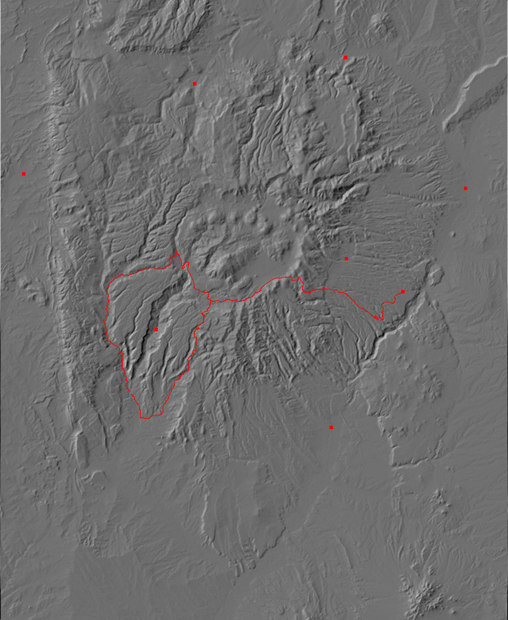
This trip was to the southwest Jemez to see some of the Precambrian rocks exposed along Guadalupe Canyon. This area is along the boundary of the Jemez volcanic field and the Sierra Nacimiento uplift, and has the most accessible Precambrian outcrops in the Jemez area apart from the small outcrop around Soda Dam. Since I have a newly purchased set of road logs that include a trip from Los Alamos to this area, via Forest Service Road 10, I folded that into the trip plans as well.
After packing up the usual supplies, I departed from my home in White Rock and headed along State Road 4 to the Jemez. This is old familiar territory, but I did make one stop at a particularly nice road cut I hadn’t photographed before.
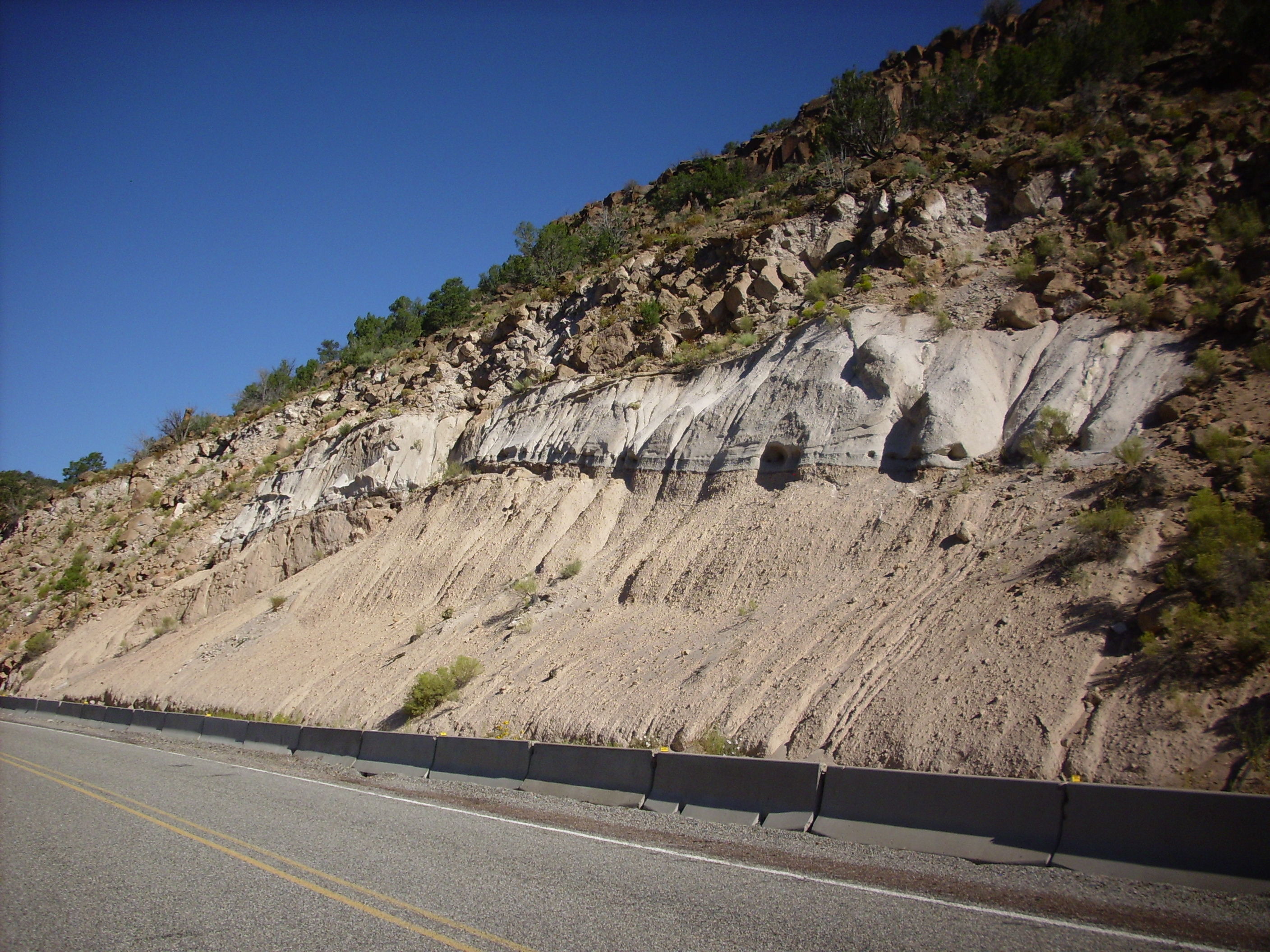
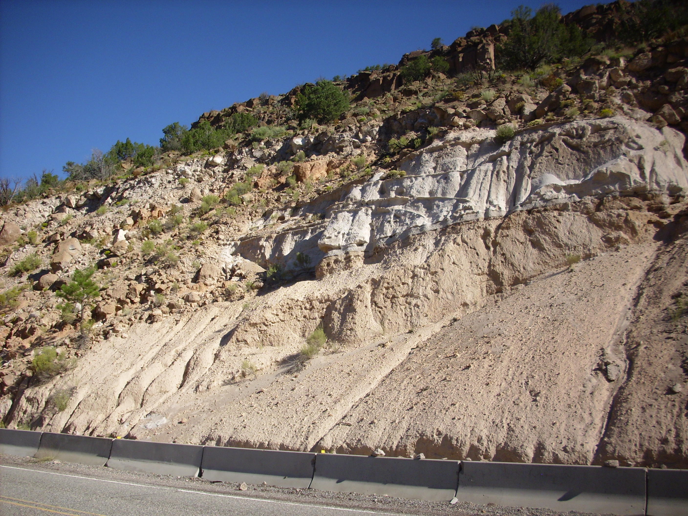
Road cut in Bandelier Tuff
The road cut here exposes ignimbrite of the Otowi Member of the Bandelier Formation from the first Bandelier caldera supereruption (the Toledo event), which took place 1.6 million years ago. The Otowi Member is not usually tightly welded, and it forms gentle slopes at the base of the distinctive finger mesas of the Pajarito Plateau. Above the Otowi Member is a few inches of Tsankawi Pumice, which is is air-fall pumice from the start of the second Bandelier caldera supereruption (the Valles event). This took place about 1.2 million years ago. The Tsankawi Pumice is overlain by moderately welded tuff of the Tsherige Member of the Bandelier Tuff, which was erupted later in the Valles event.
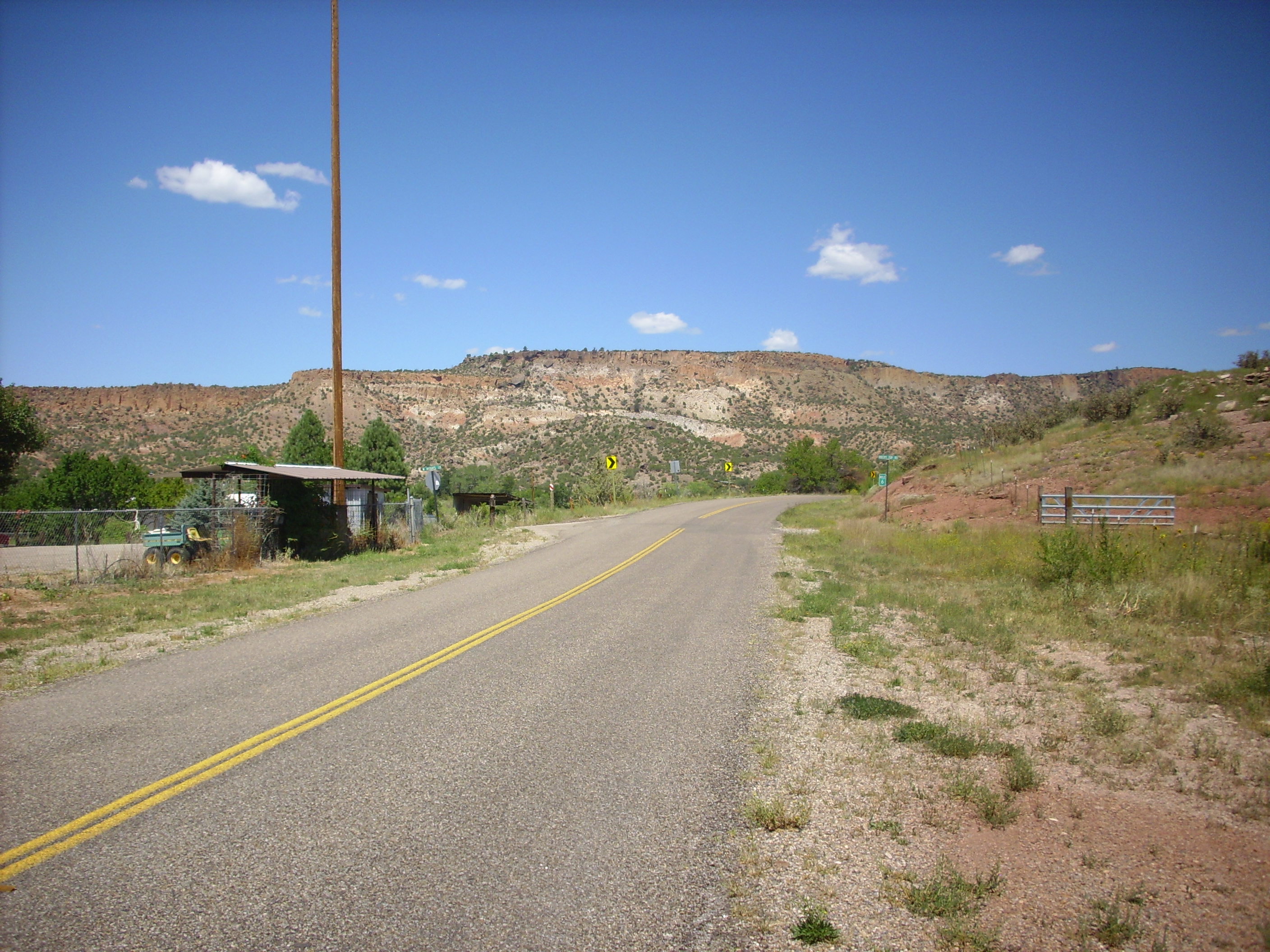
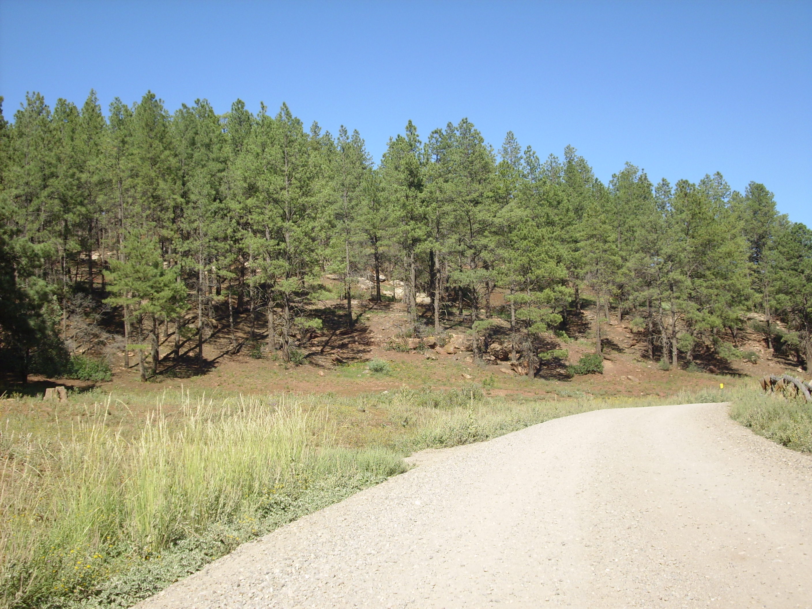
From there I hurried along to the intersection of West Jemez Road and the Ski Hill Road, which is where the road log I was planning to use begins. At about this point I had second thoughts about trying to drive all day in the Jemez on less than half a tank of gas, and proceeded on in to Los Alamos to fill up, then back out to my starting point. And it occurred to me that I ought to get a picture of the Pajarito Escarpment.
Looking south along hte Pajarito Escarpment
My picture doesn’t do the escarpment justice, alas. The escarpment extends for several miles north and south on the west edge of the Pajarito Plateau, and the road to the Valles Caldera winds up its face at one point. The escarpment marks the location of the Pajarito Fault Zone, which has produced at least several hundred feet of displacement since the eruption of the Tsherige Member of the Bandelier Tuff 1.6 million years ago.
Another quick stop in the Jemez was at an outcropping of hornblende dacite of Cerro Grande in a road cut.
Hornblende dacite
Alas for my hopes of seeing something amazing, the hornblende appears under the loupe to have all oxidized to hematite. Bummer.
Anyway, this is moderate-silica rock erupted from Cerro Grande sometime between 3.5 and 2.6 million years ago. It’s considered part of the Tschicoma Formation, which makes up most of the mountains (the Sierra de los Valles) on the west and northwest of the Los Alamos skyline. These began erupting perhaps 7 million years ago and quit at about 2.5 million years ago; Cerro Grande is thus one of the younger domes in the Sierra de los Valles.
The mountains are full of wildflowers this time of year, with the monsoon and all. Here are some mountain asters.
Mountain asters
I’ve seen the Valle Grande countless times, but I’ve never tried a panorama, so I stopped for that. I got about halfway through when another couple of visitors posed themselves in what was going to be my last frame for their own picture, so the last frame is a bit off, because I paused for them to finish. Well, I don’t own the place.
Valle Grande
The Valle Grande is just the southeast corner of the Valles Caldera. After the supereruption took place 1.2 million years ago, the central region of the volcano field collapsed thousands of feet into the empty magma chamber over an area 11 miles across to form the caldera. This was partially filled in by Bandelier tuff when the eruptive column over the caldera collapsed, and further partially filled in by landslides from the rim. A large lake then formed in the caldera. Not long after the eruption (in geological time; less than 100,000 years) part of the floor of the caldera was pushed back up to form Redondo Mountain, at the right edge of the first frame. Additional eruptions then occurred along the ring fracture around the perimeter of the caldera, forming the mountains in the third and fourth frames, which hide the northern caldera rim behind them. The east rim of the caldera appears in the last frame.
From there it was on past other familiar ground to Forest Service Road 10, which is new ground to me. Here State Road 4 road runs south of South Mountain and Banco Bonito, two of the the youngest ring fracture features in the caldera, and FSR 10 branches off south into the Valle de los Indios between Banco Bonito and the southern caldera rim.
Along the way there was an outcropping of South Mountain Rhyolite.

South Mountain rhyolite
This outcropping probably came from the second of four eruptions that formed South Mountain about half a million years ago. Rhyolite is volcanic rock high in silica, which forms high domes and steep flows because of its extremely high viscosity. Most of South Mountain is in the Valles preserve and strictly off limits for collecting, but this outcropping is located on a right of way just outside the preserve.
There is an impressive bed of El Cajete pumice in a driveway cut as one begins to ascend the caldera rim.

El Cajete pumice
The El Cajete pumice is a product of the most recent eruption in the Valles caldera, which came from the El Cajete vent just south of Redondo Peak. The pumice was ejected in the first part of the eruption as gas-rich magma was blown into the atmosphere as a bubbly froth. This solidified in the air to form blobs of extremely light rock consisting mostly of gas bubbles blown in high-silica lava. Pumice has so much air space in it that it will usually float on water. Its volatile gas fraction expended, the remaining magma erupted as a very dry lava that solidified into the Banco Bonito obsidian flow.
I have collected both El Cajete pumice and Banco Bonito obsidian from other locations, so I didn’t stop here; but this bed was impressive enough to be worth a photo.
From here the road ran up the caldera rim, affording a nice view of Rendondo Peak through the trees (but no clear patch for a decent picture) and down into the southern Jemez. Here the Bandelier Tuff is draped over much older volcanic rocks of the Keres Group, which date from about 12 million to 7 million years in age. Of these, the most widespread is the Paliza Canyon Formation, which is basalt and andesite flows that erupted over most of the area south of what would someday be the Valles caldera. There is a similar formation, the Lobato Basalt, north of the caldera, and it is possible both are part of a single episode of intermediate volcanism that covered the entire Jemez area.
Anyway, down the road, I hit my first outcropping of Paliza Canyon andesite.

Paliza Canyon Formation andesite
My road log describes this as a glassy two-pyroxene andesite. It’s widespread throughout the southern Jemez, and it is likely somewhere around 10 million years old. A little further down the road is more andesite on the hillside, showing flow banding.

Andesite with flow banding
Andesite is intermediate in silica, with more than basalt but less than dacite.
The Paliza Canyon Formation in this area sits on top of Abiquiu Formation volcaniclastic sandstones, which sit on Triassic Chinle Formation sediment beds. I looked in vain for a rock sample from the Chinle; it turns out none of it is at all well consolidated here. It’s a mudstone, which has little strength, and in this area it’s little more than beds of loose sediment. (210-million-year-old beds of loose sediment, to be sure.) However, the Paliza Canyon Formation is hard basalt and andesite, and the Abiquiu Formation is relatively hard sandstone.
Do you know what happens when you have hard rock sitting on top of soft mudstone in a region undergoing tectonic uplift? You get landslides.
Here is where landslides have brought a jumble of Bandelier Formation, Paliza Canyon Formation, and Abiquiu Formation down the side of a mountain.
The Bandelier Tuff and Paliza Canyon Formations you’ve seen already. Here is some Abiquiu Formation.
Abiquiu Formation volcaniclastic sandstone
It looks a lot like tuff. It probably was tuff, once, which was reworked — eroded and then redeposited as a sedimentary bed. This stuff is found in great quantity around Abiquiu, as you might have guessed, but the formation extends well south of the Valles caldera. It is about 25 million years ago, and was probably erupted by the Questa caldera.
A shot back along the road at Cerro Del Pino.

Cerro del Pino
There are also outcroppings of Paliza Canyon Formation basalt along the road. Basalt is the least silica rich of common rocks, and it is probably the first type of rock to have been erupted in the Jemez volcanic field. Basalt is less widespread than andesite in the Paliza Canyon Formation, but not uncommon.
Paliza Canyon Basalt
A little further down the road is the Kiatsukwa Pueblo ruins, somewhere around here. The side road is more gully than road, but I hiked down it until it ran into a barbed wire fence. I never did find the pueblo. However, the area is notable for deposits of El Cajete Pumice, quite evident in the road bed, which holds moisture and makes for relatively good Native American farming.
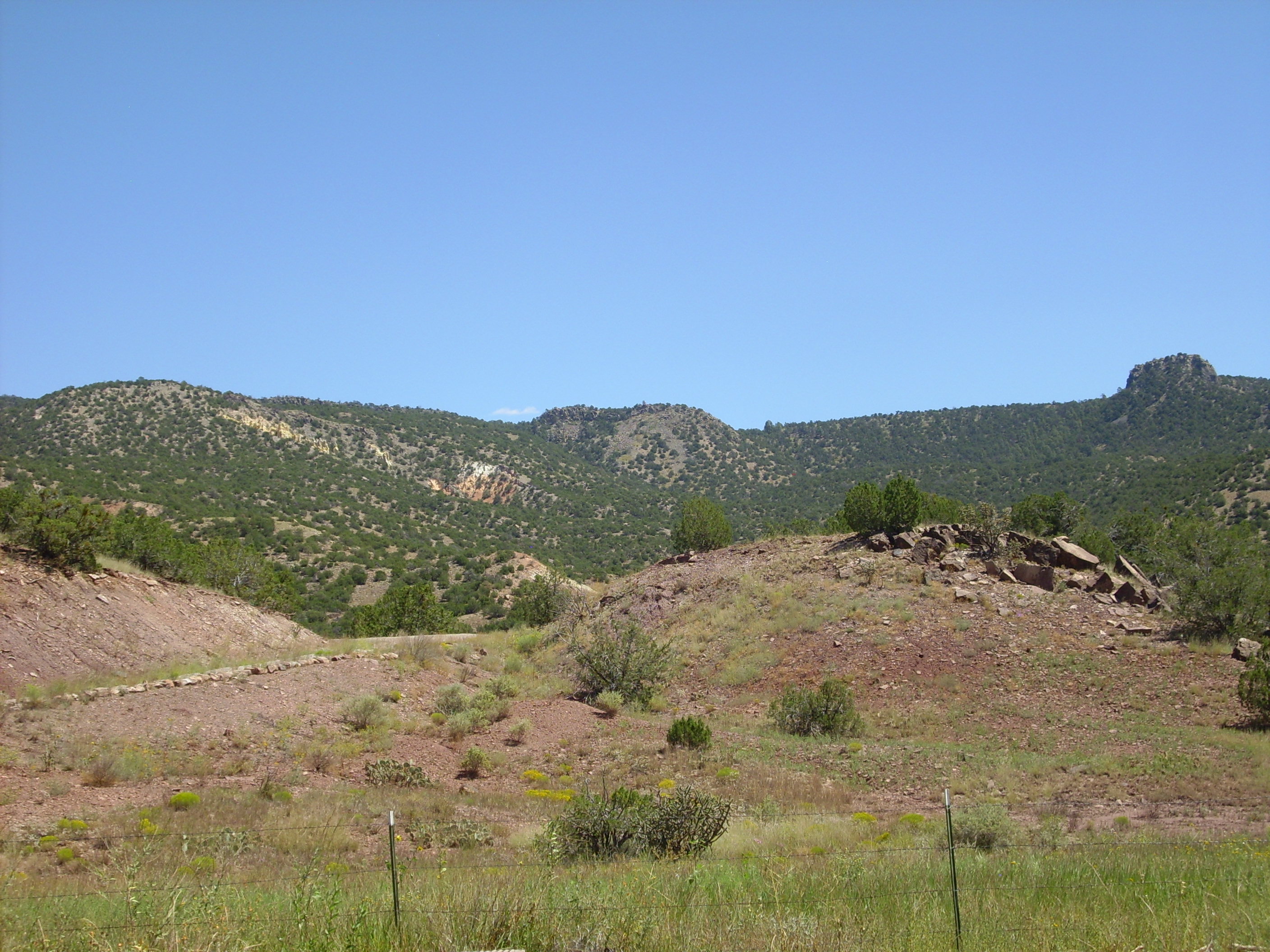
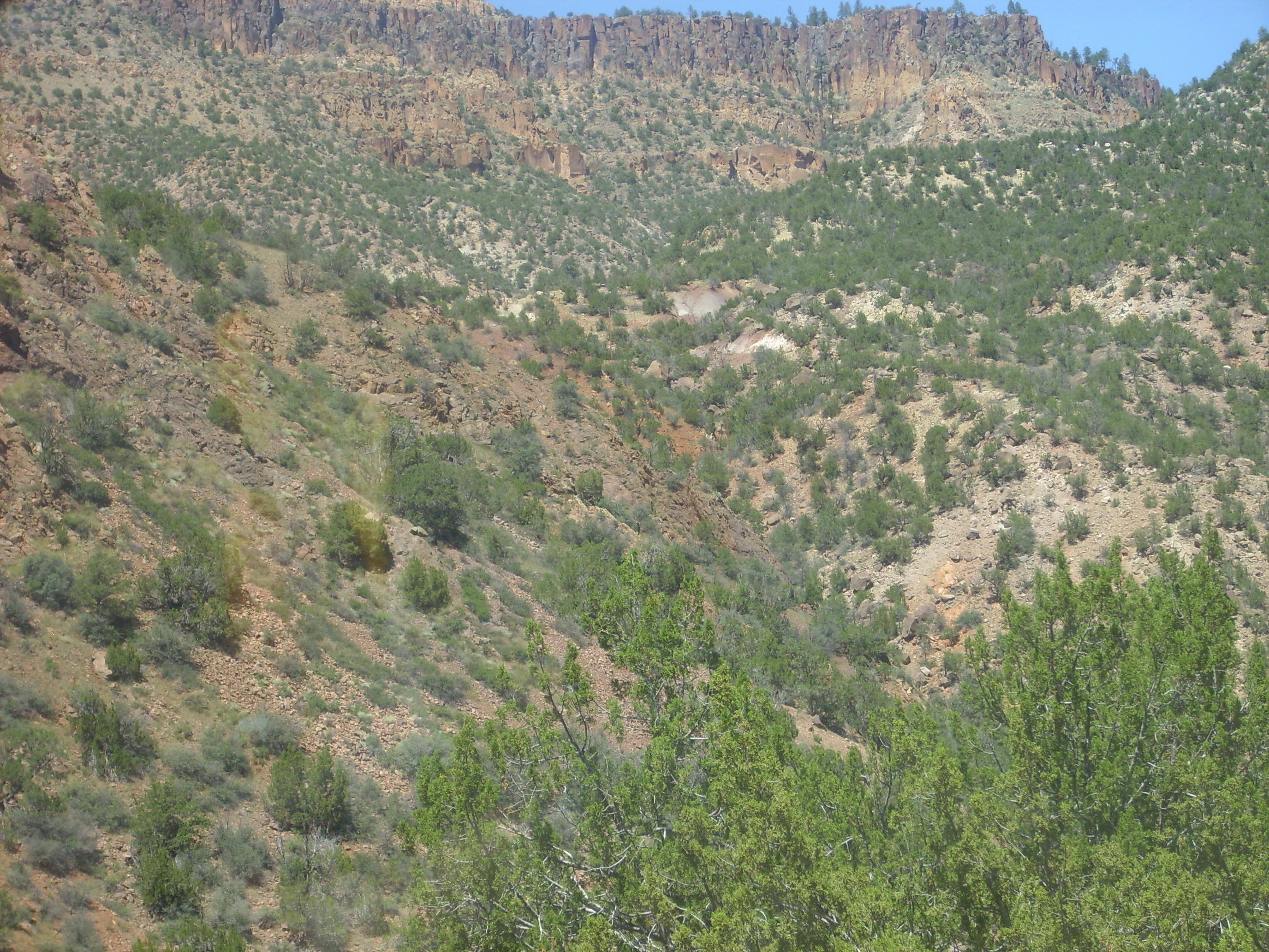
Next was a spectacular overlook across the southwestern Jemez.

Panorama of southwestern Jemez
To the east are the highlands of the old Paliza Canyon volcano, with Canovas Canyon Rhyolite and Bearhead Rhyolite on Paliza Canyon Formation forming the skyline to the east (first three frames.) To the south (third and fourth frames) is Borrego Mesa. The canyon to the left of the rise in the fourth and fifth frame is Paliza Canyon and to the canyon to the right is San Juan Canyon.
The Paliza volcanic highlands formed a topographic barrier to the Bandelier Tuff pyroclastic flows, which flowed around them to the southeast (in the Cochiti area) and to the southwest (forming the prominent cliffs in the rightmost frame.) However, the Paliza highlands were not a complete barrier, and outcroppings of Bandelier Tuff are found scattered through the southern Jemez.
A zoomed view down San Juan Canyon to its intersection with San Diego Canyon, in a region of colorful Mesozoic outcroppings.

Looking down San Juan Canyon
The southern Jemez around the old Paliza volcano are one of the more inaccessible parts of the Jemez volcano field, which is regrettable, since erosion has exposed much of the plumbing of the old volcano. This became the Bland (or Cochiti) mining district, since there are numerous exposed hydrothermal veins with modest gold content. If Google can be trusted, the road in is far beyond the ability of my Korean clown car even on the best of days. It would be several miles to hike in, not impossible but not something I’m going to try without at least two sturdy fellow hikers.
The next interesting road cut has what my road log describes as semicircular vapor phase pipes. These are apparently something like tent rocks, but cylindrical rather than tent-shaped, where rising vapors within the fresh pyroclastic flow followed particular paths and hardened the tuff in a cylindrical shell around each path. The pipes are hard on the surface and soft within. Or so I’m told; I didn’t want to disturb them.
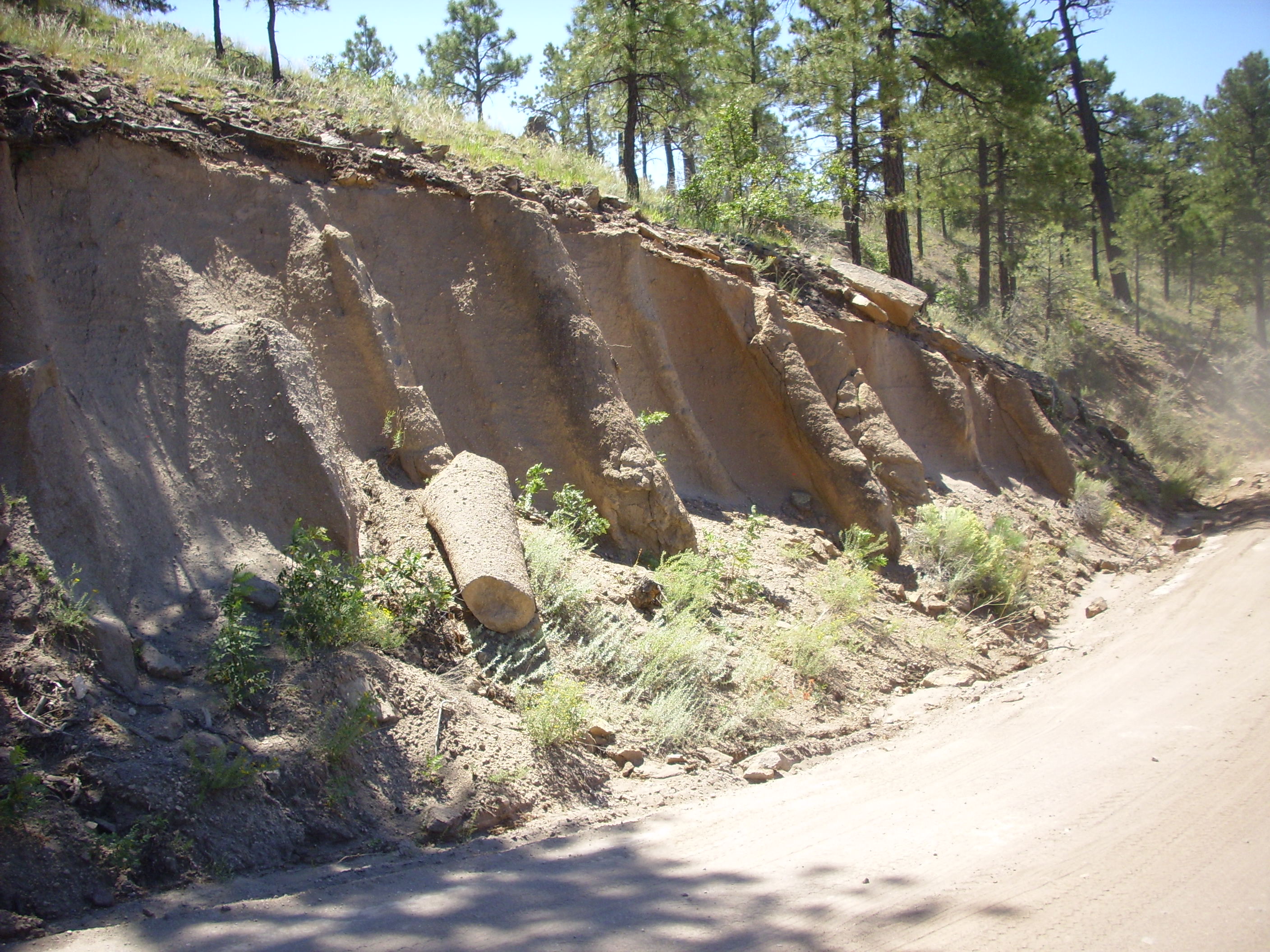
Vapor phase pipes in the Bandelier Tuff
Tent rocks are a common feature of the Otowi Member of the Bandelier Tuff, but this outcrop is identified as Tsherige Member.
From there I proceeded to Paliza Canyon Campground, where Chinle Formation sediments start to become prominent. These are overlain by Bandelier Tuff.
Further down is the village of Ponderosa. In the north part of the village, one has a good view of Borrega Mesa to the east.
Borrego Mesa
Borrego Mesa is underlain by Zia Formation and Santa Fe Group, two Tertiary sedimentary formations, and is topped by Paliza Canyon Formation flows. The knobs in the picture are Canovas Canyon Rhyolite, erupted towards the end of the Paliza series of eruptions, when the magma chamber had become rich in silica (mostly due to fractional crystallization of mafic minerals.) The knobs are a little over 9 million years old. I’m going to want to hike in for a sample sometime.
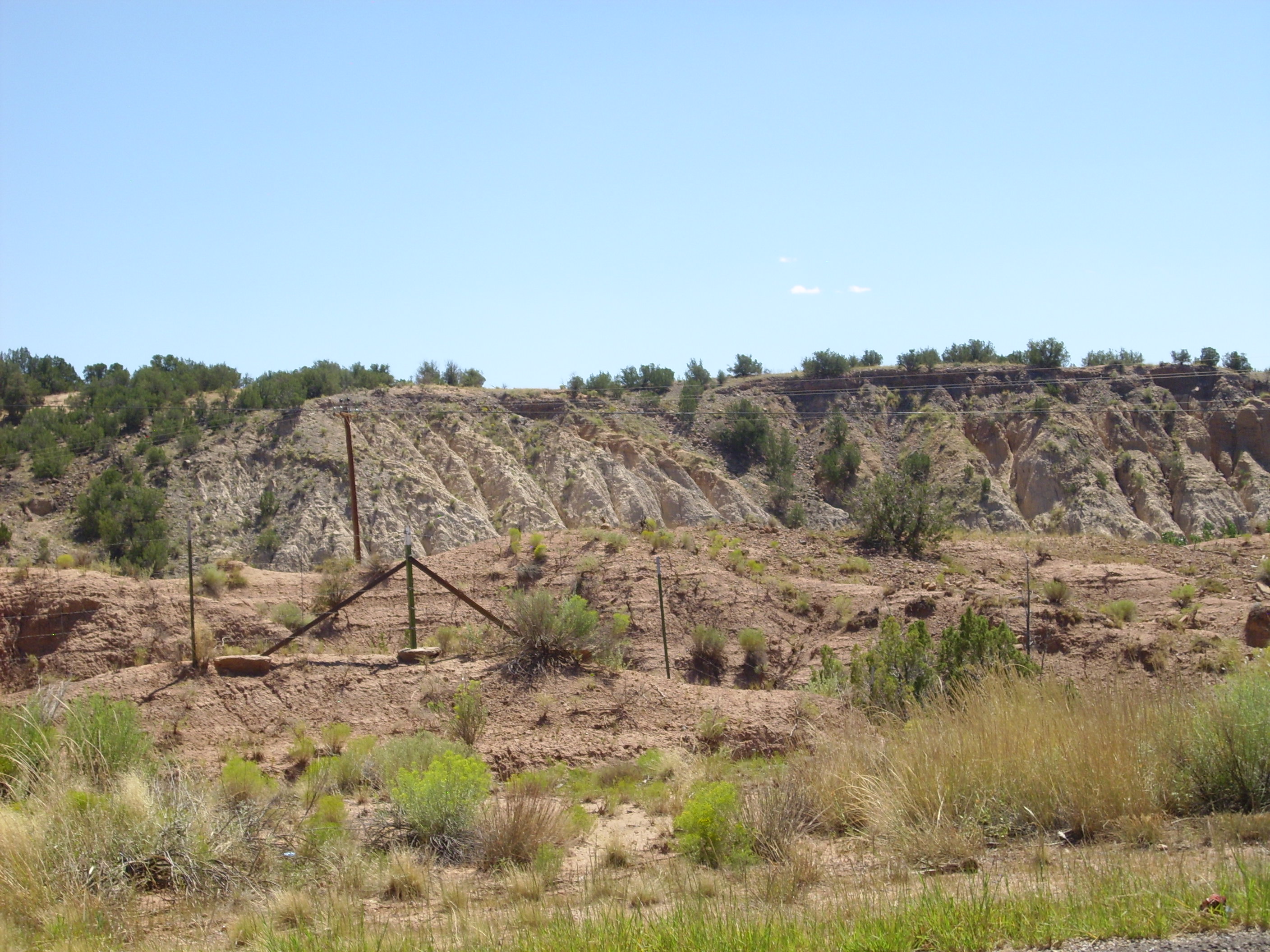
The hummocky terrain in the foreground is part of a landslide, clearly visible on the relief map. The hard lavas and sandstones on Borrego Mesa sit on the loose sediments of the Chinle Formation, which is the perfect recipe for landslides.
There is a nice view of the Bandelier Tuff capping Chinle Formation in the mesa to the north.
Bandelier Tuff atop Chinle Group
Halfway through the village, we encounter Shinarump Formation of the Chinle Group. Unlike the soft red sediments encountered so far, this formation of the Chinle Group is a hard, light tan sandstone that we will encounter for many more miles.
Shinarump Formation
The Shinarump is the lowest member of the Chinle Group in the Jemez area. It is interpreted as a braided river channel deposit, but my road log does not identify the direction of river flow. Since the rock is thought to be about 230 million years old, it probably was formed from sediments eroded off a highlands close to the present location of the Sierra Nacimiento Mountains to the west, part of the Ancestral Rocky Mountains.
Across the road is a knob topped with Poleo Sandstone, also of the Chinle Group.
Poleo Sandstone capping hill
I could not get to this without leaving the roadway and crossing private land, so no sample.
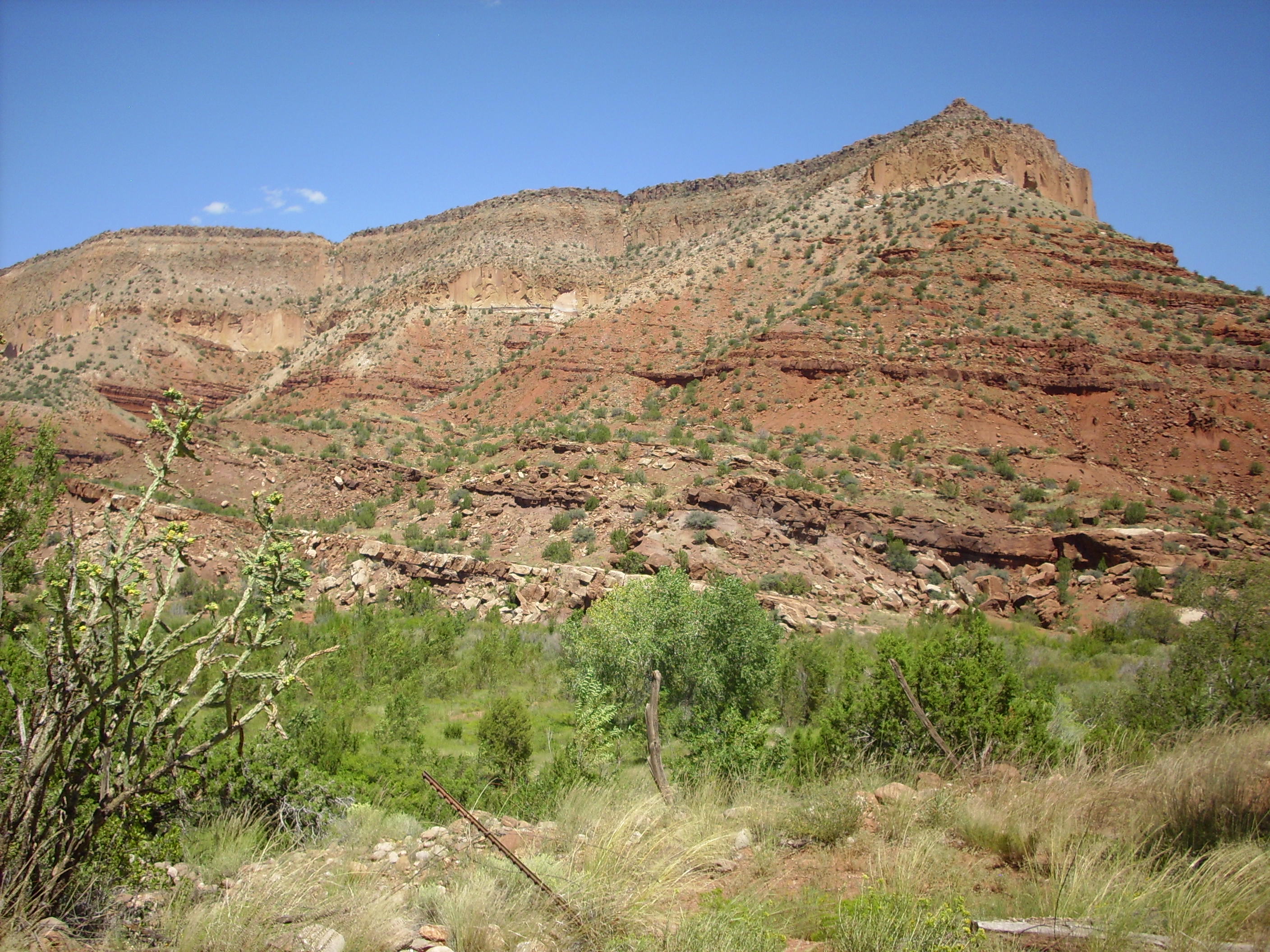
From this point there is a nice view of a pair of basalt flows on Borrego Mesa. Left of these (to the north) is the southernmost Bandelier Tuff deposit in the southwestern Jemez Mountains.
Borrego Mesa
Looking to the southeast, there is another large landslide.
Landslide west of Borrego Mesa
The mesa in the distance is Chamisa Mesa, capped with Paliza Canyon Formation basalt. A close up:

Chamisa Mesa
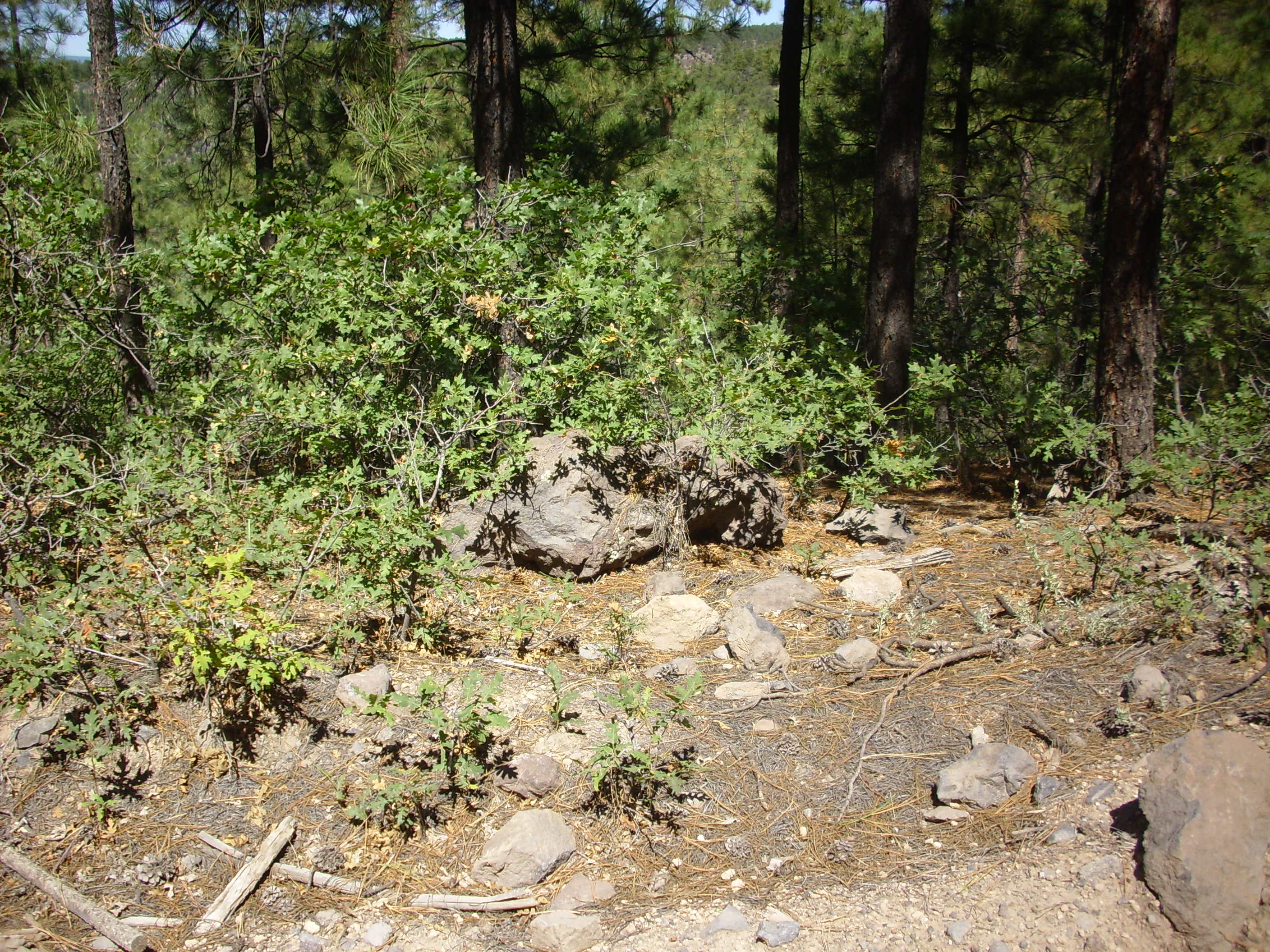
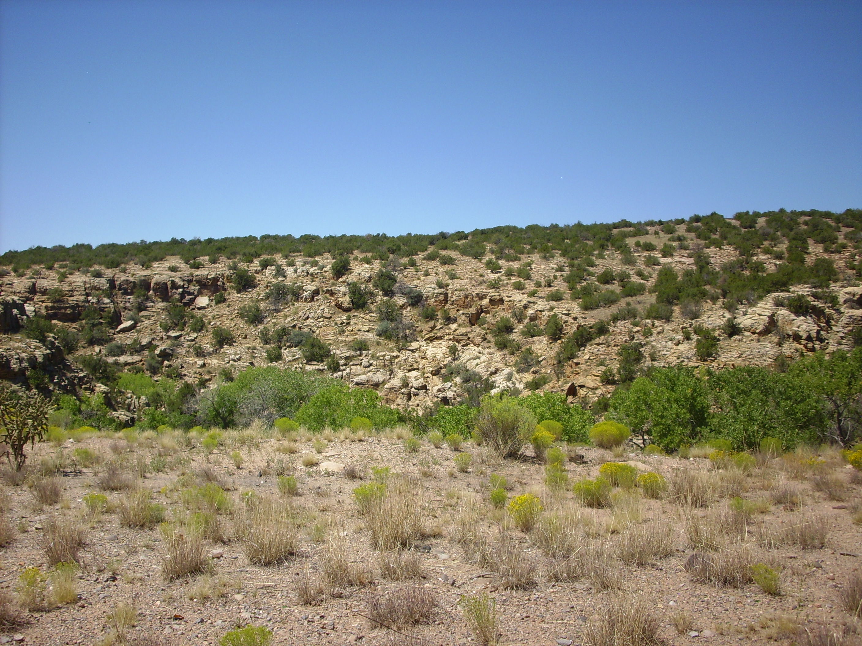
Further down the road, about here, I spotted what looked like a small patch of basalt on a hillside of Shinarump sandstone. I don’t know what this is about.

Small basalt outcrop?
I couldn’t get close enough for a sample, but it sure looks like a field of basalt boulders. But from where?
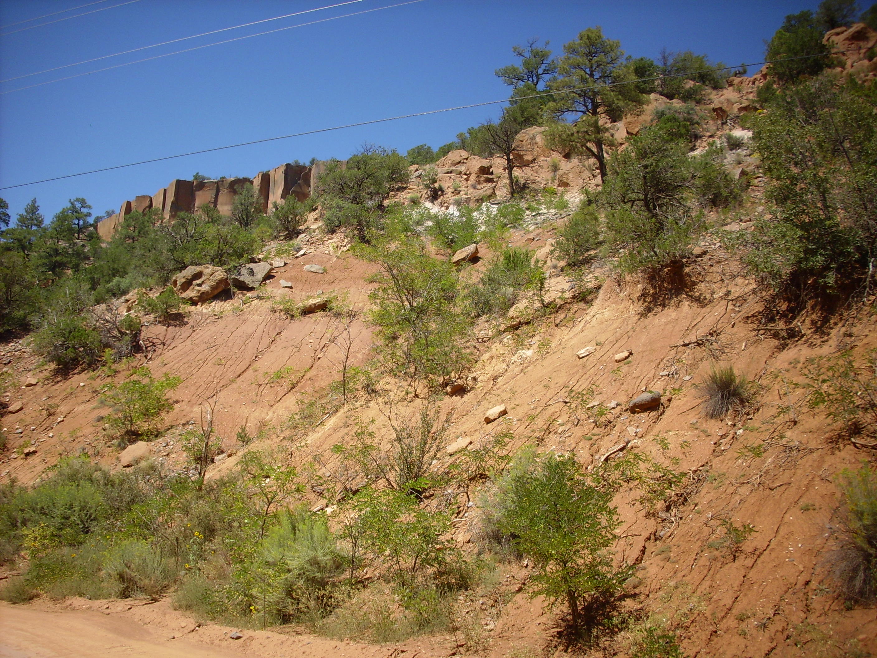
Turning this corner, we see some glorious mesas of what is probably Abo and Yeso Formations, which are Permian red beds going back somewhere in the ballpark of 270 million years. The older Abo Formation is a river deposit, which the Yeso is slightly younger windblown sand. Both have long since hardened into durable sandstone.
Abo and Yeso Formations
South are hillsides of Zia Formation topped with young gravel deposits.
Zia Formation
There are similar, if more spectacular, formations across San Diego Canyon to the west. I assume these are also Zia Formation.
More Zia Formation?
This is where my New Mexico Geological Society road log ends, so the rest is my own best guess.
Turning north on State Road Four, we see more spectacular mesas of Abo and Yeso red beds.
Abo Formation?
Ahead we see that the Bandelier Tuff appears to rest directly on the Permian formations.
Bandelier Tuff on Permian red beds
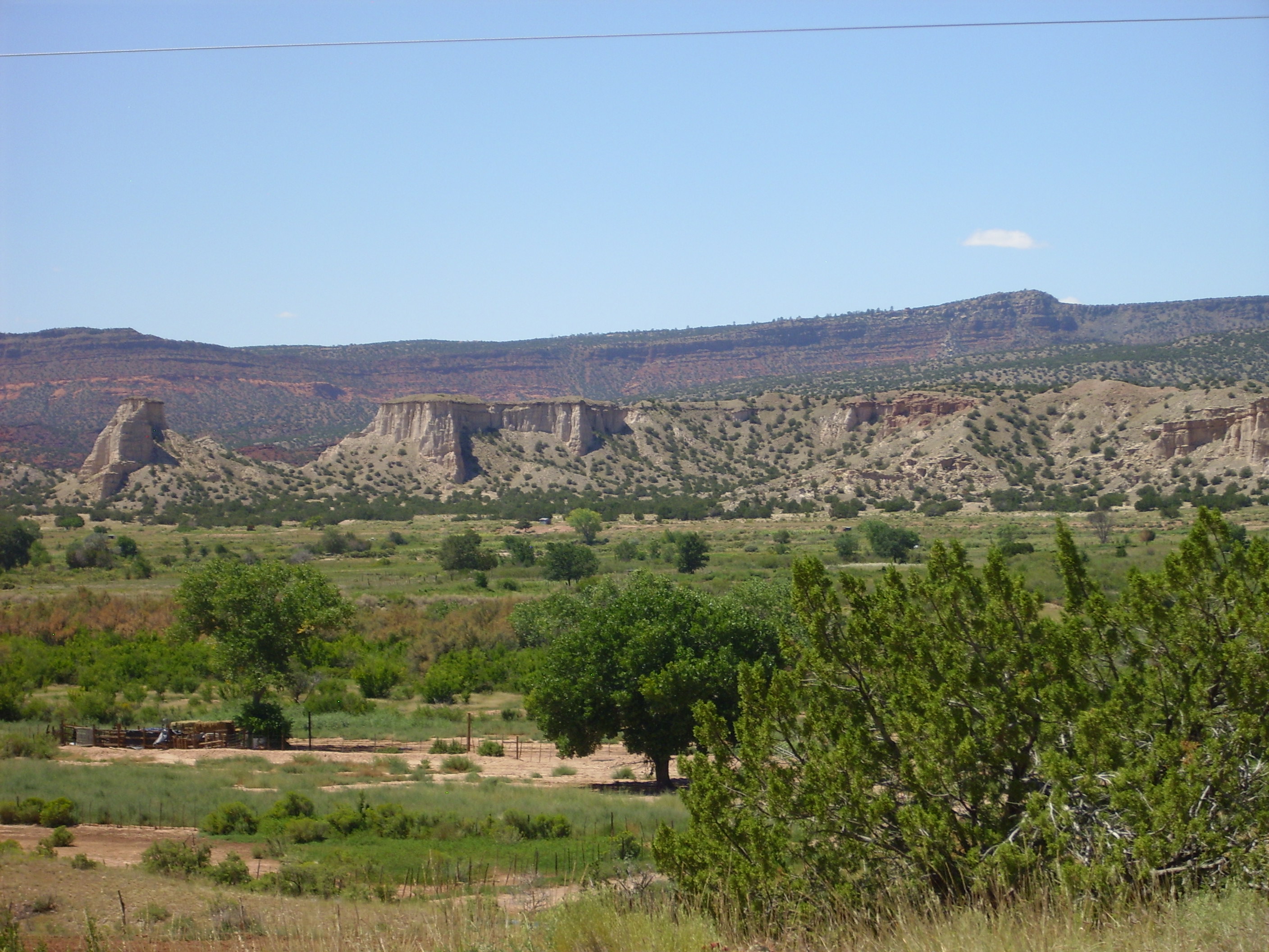
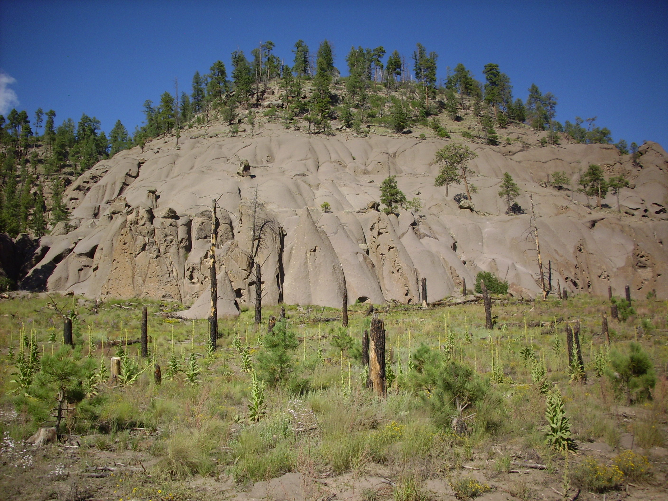
I turn off Highway 4 and San Diego Canyon onto Route 485, which takes me towards the Guadalupe Box. This also gives me a spectacular view of the west side of Mesa de Guadalupe.
Mesa de Guadalupe
The geology here is Bandelier Tuff over Permian red beds over Mississippian and Pennsylvanian limestones. Or that’s the simple version, which is the best I can do without a more detailed road log.
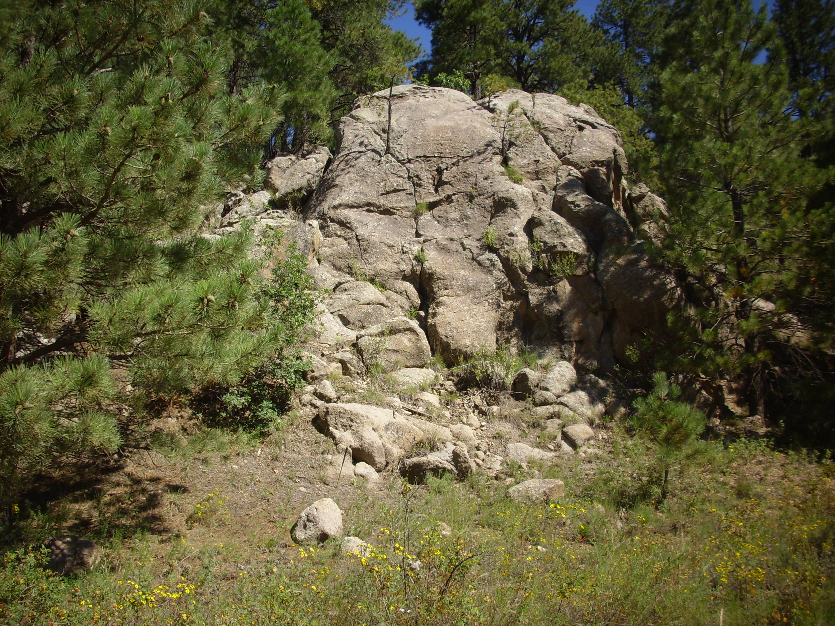
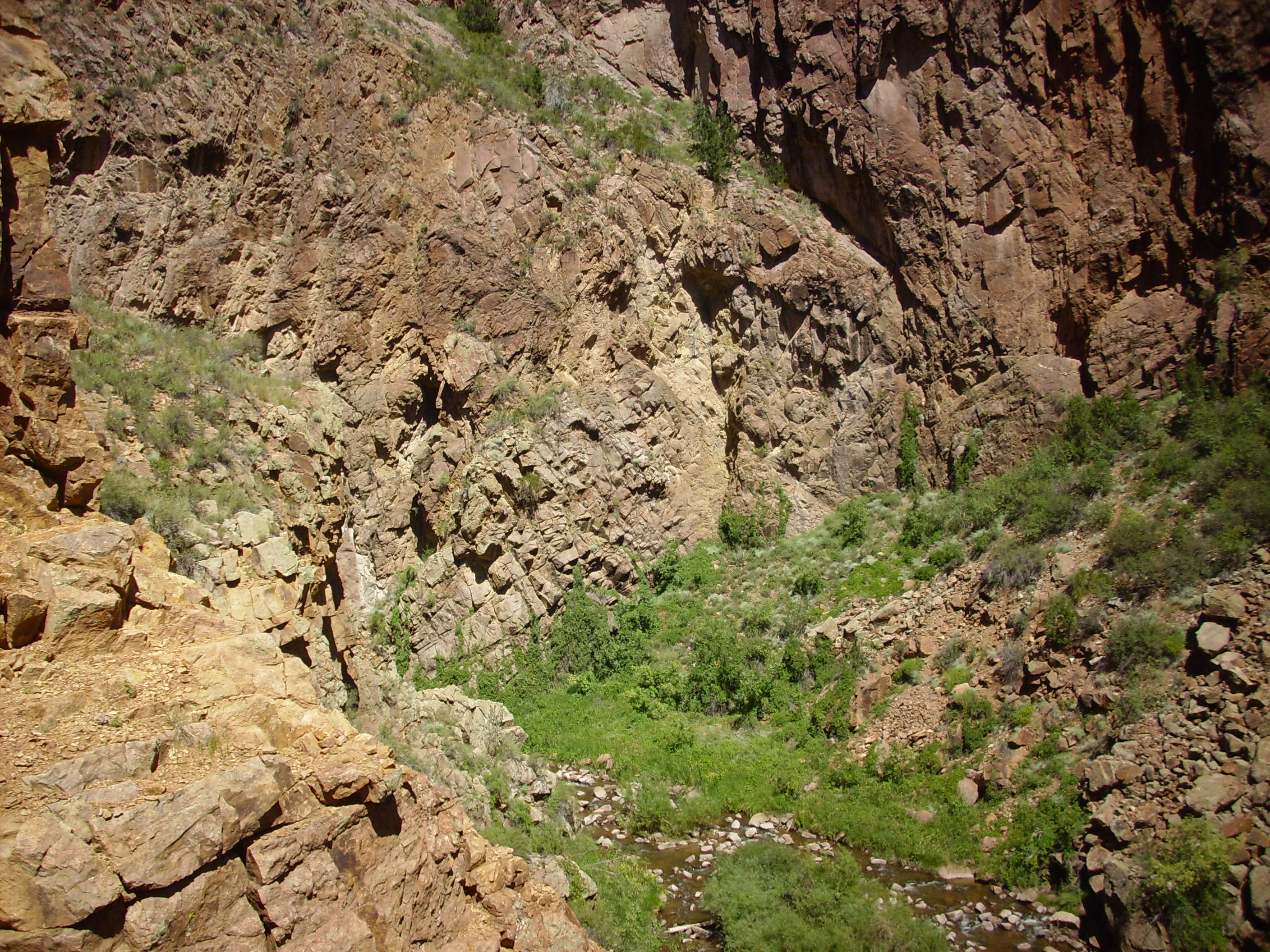
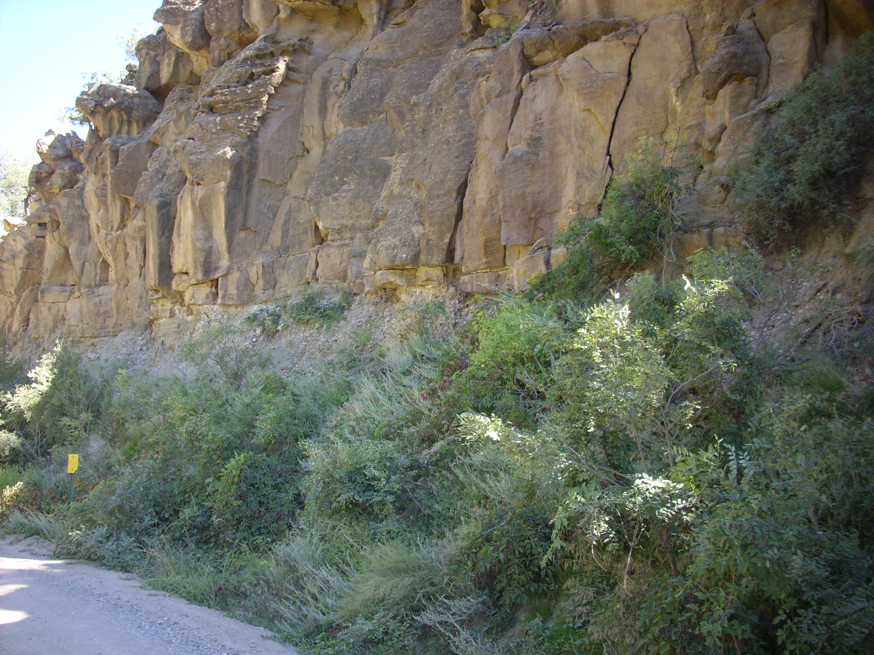
And a little further along the road, the Guadalupe Box, which is eroded into Precambrian granite. This is what I’ve really come all this way to see.
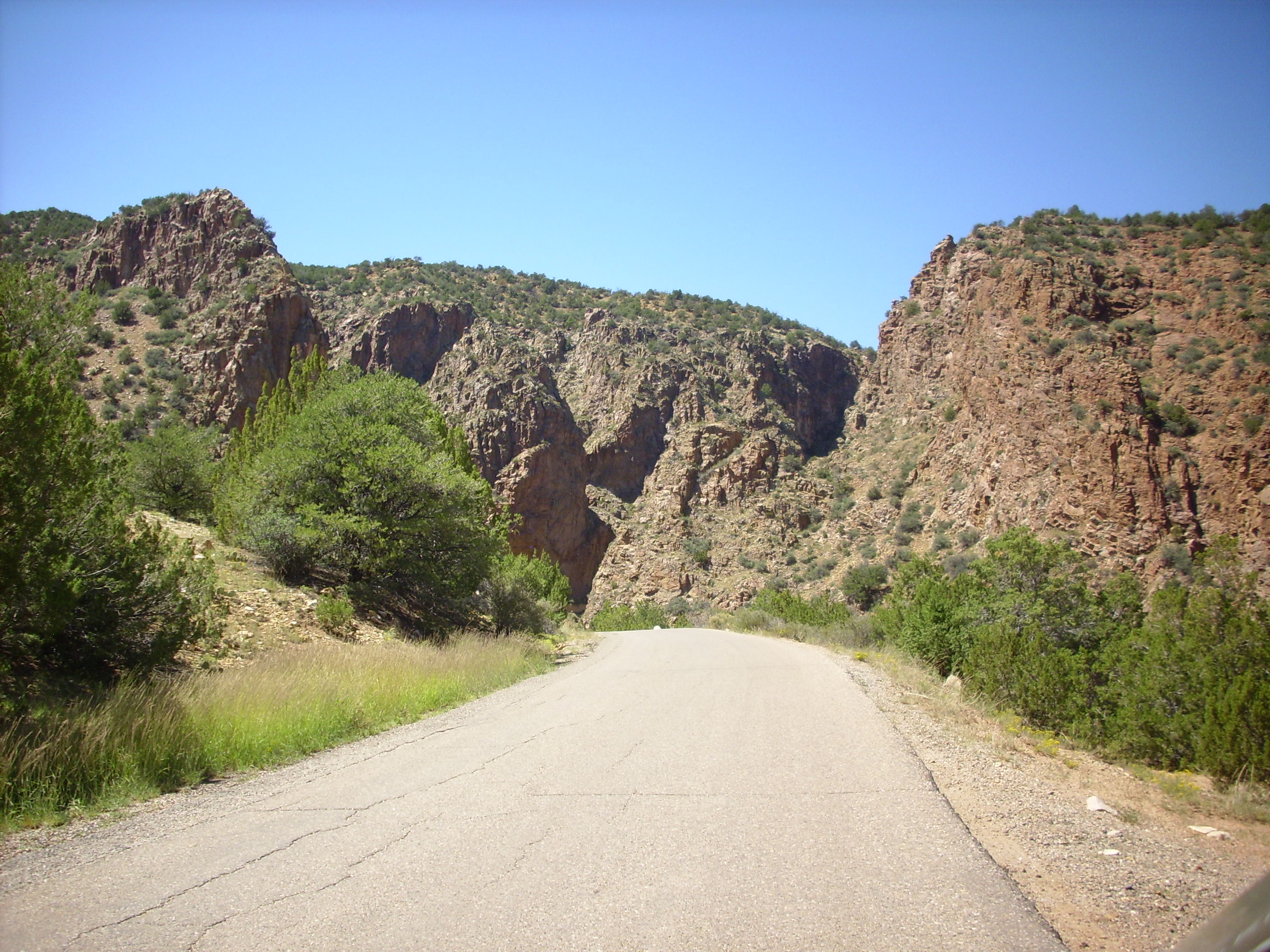
Guadalupe Box
To the east is the contact between the Precambrian granite and the Mississipian limestone above it.
Contact between Precambrian and Mississippian formations
I would love to declare this yet another exposure of the Great Unconformity. Regrettably, it probably isn’t a true unconformity. The relief map of this area suggests very strongly that this is a fault scarp, which has thrown down the Mississippian rocks to the right (east) to bring them into contact with the Precambrian rocks.
Not to worry. We’ll see the Great Unconformity further along.
The road here passes through a pair of tunnels carved in the rock to serve the mining community of Gallatin, which, it turns out, no longer exists. The Guadalupe Box is beautiful; I’ll let these next pictures speak for themselves.
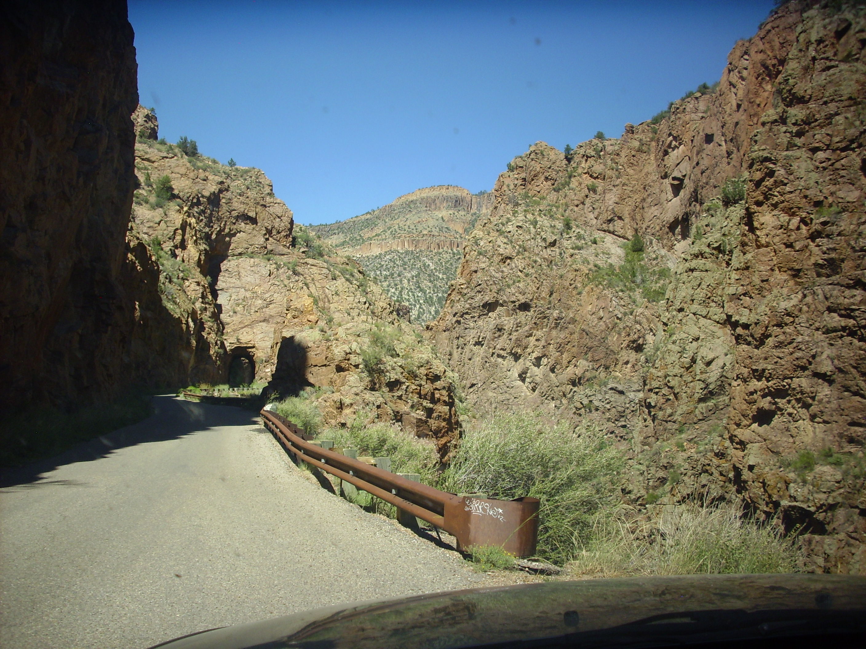
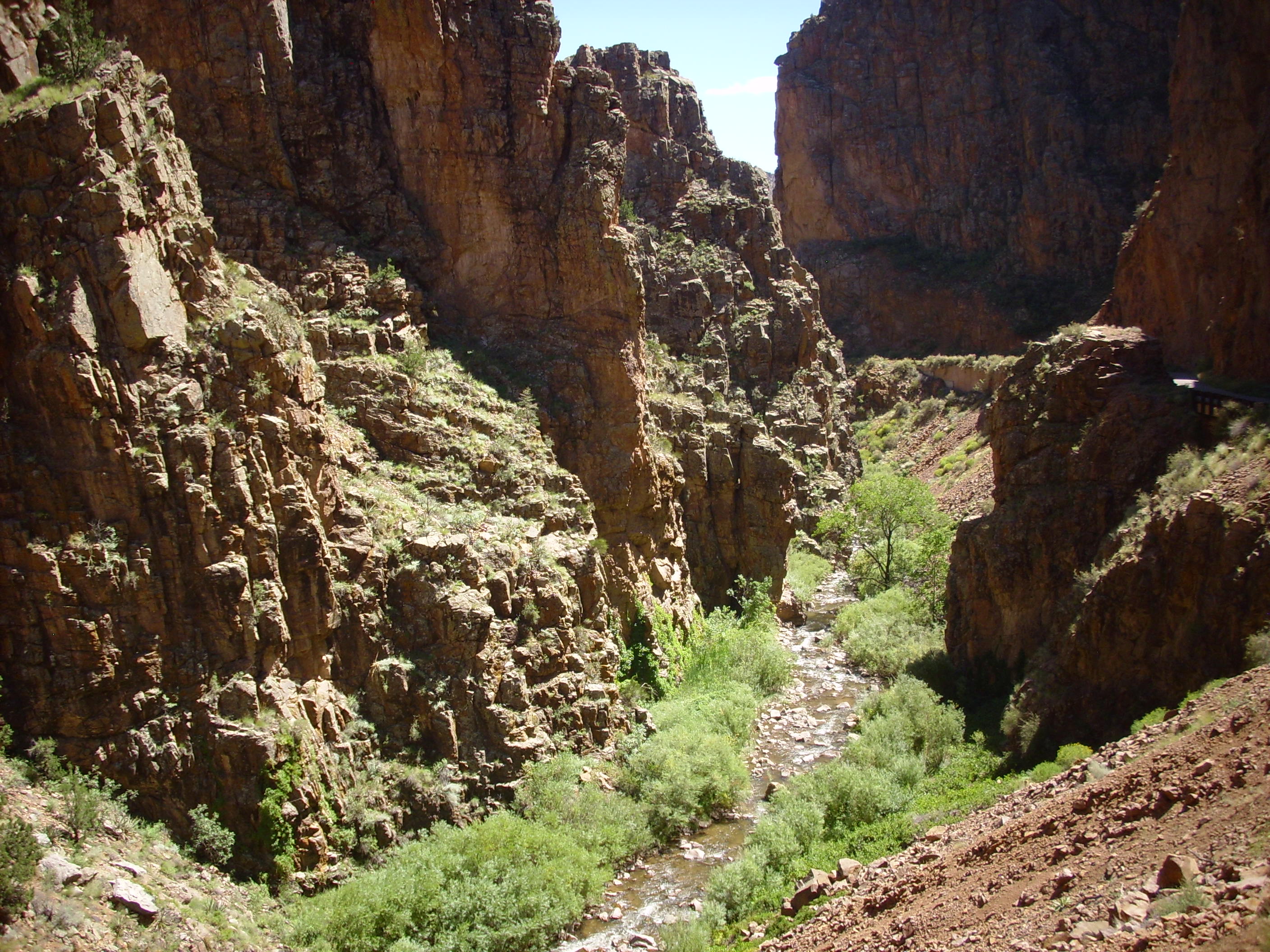
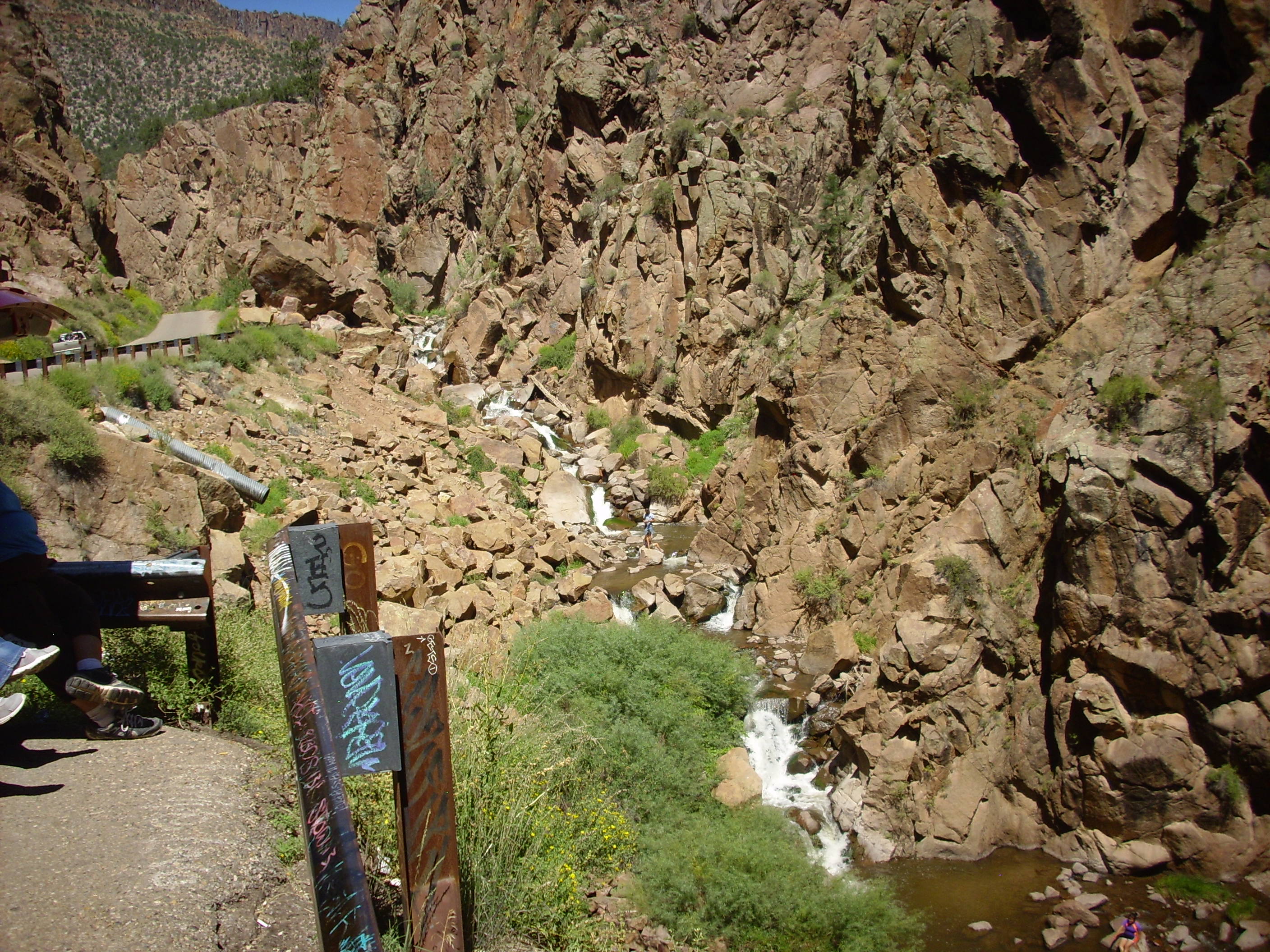
Guadalupe Box
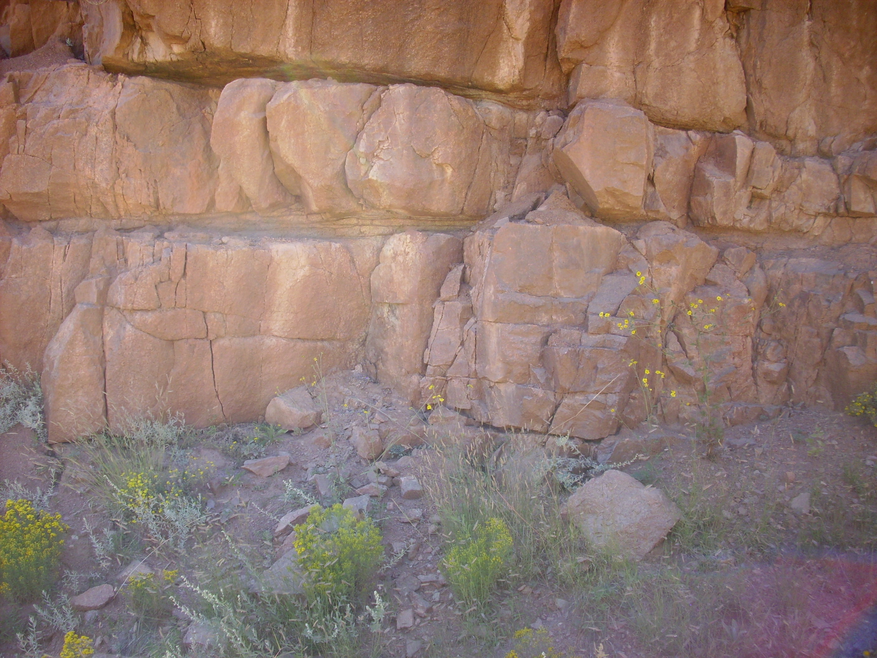
The granite itself is not much to look at when weathered.
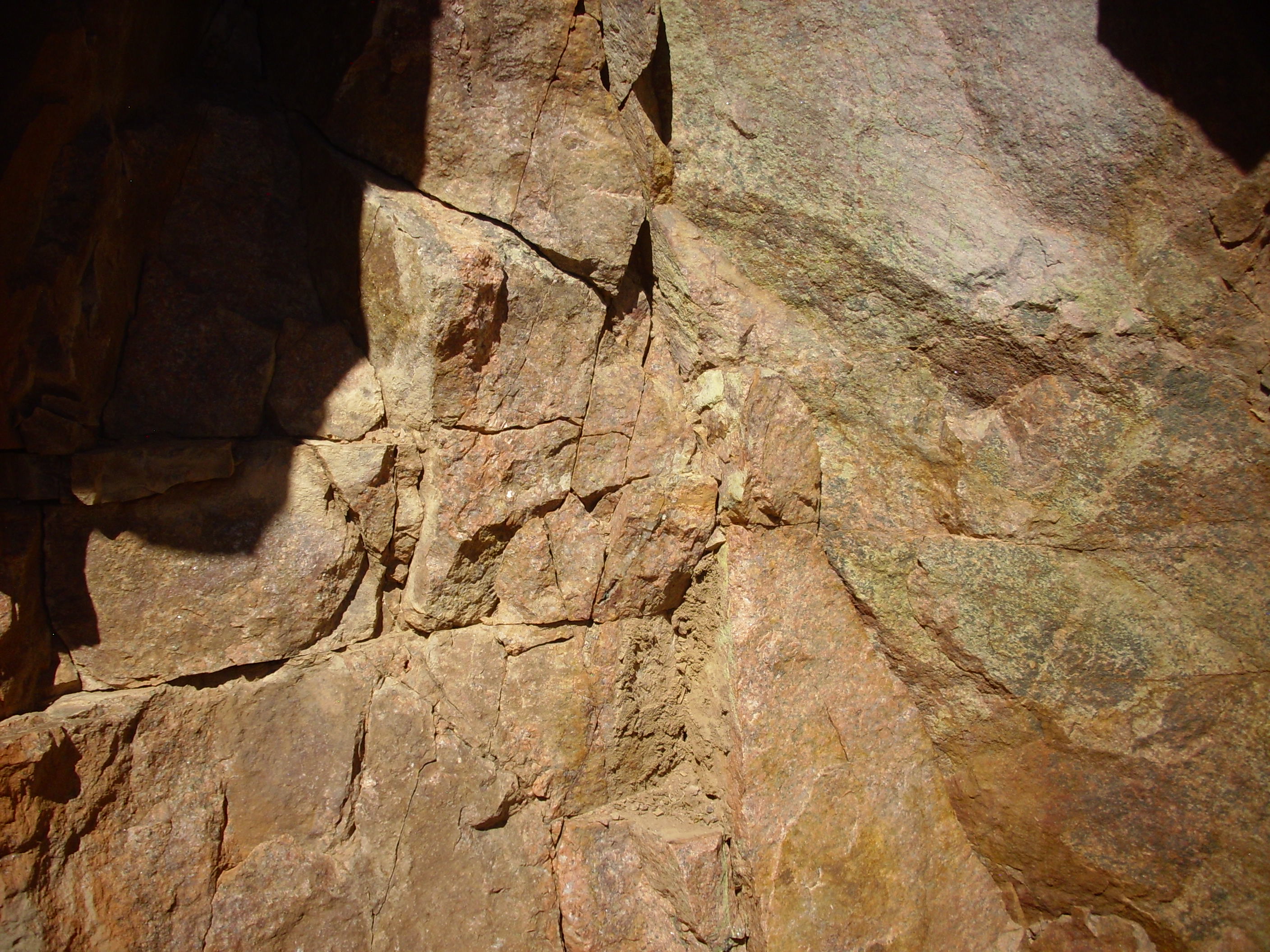
Weathered Guadalupe Box granite
But fresh surfaces reveal just how gorgeous a stone this is.
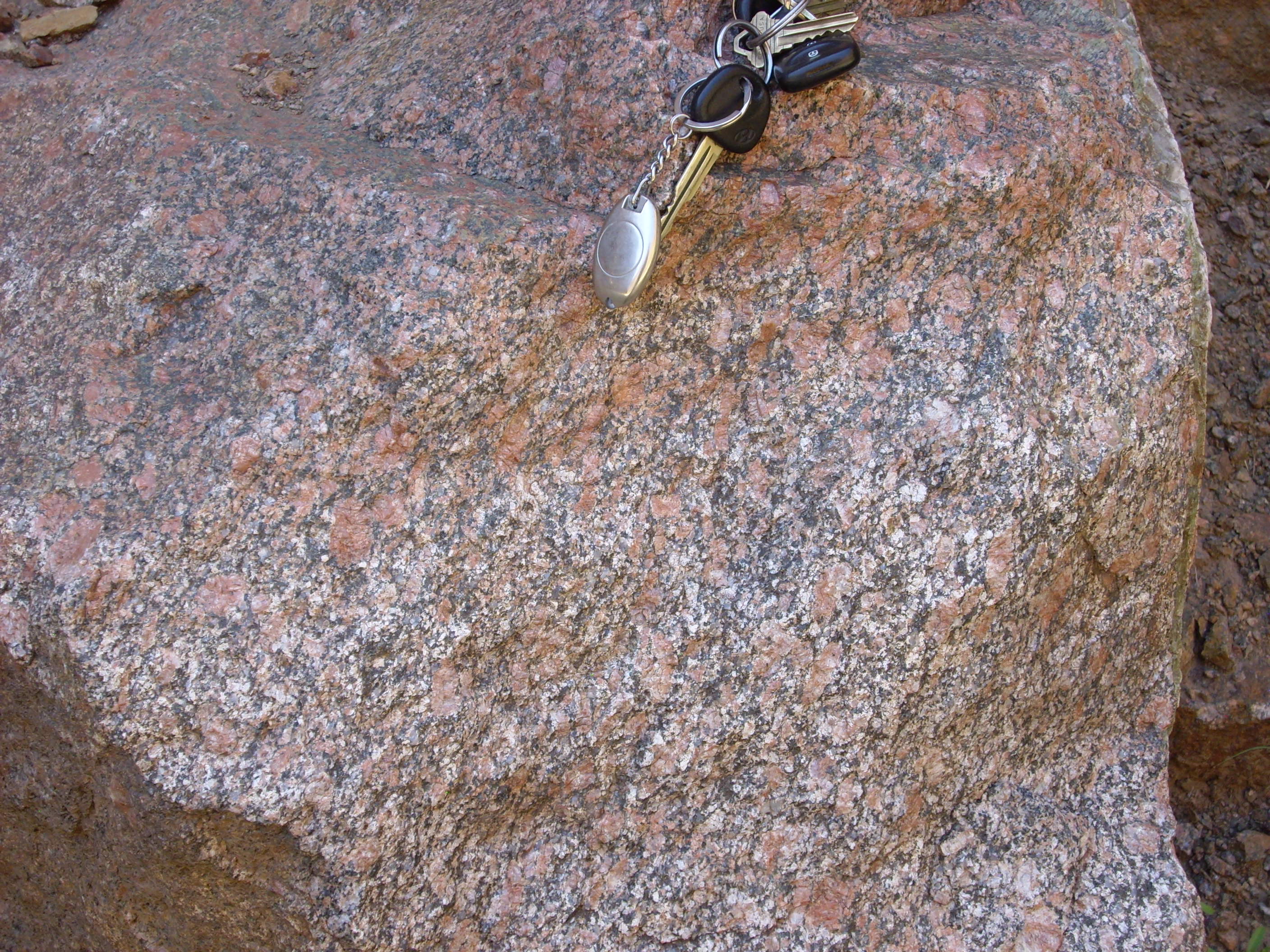
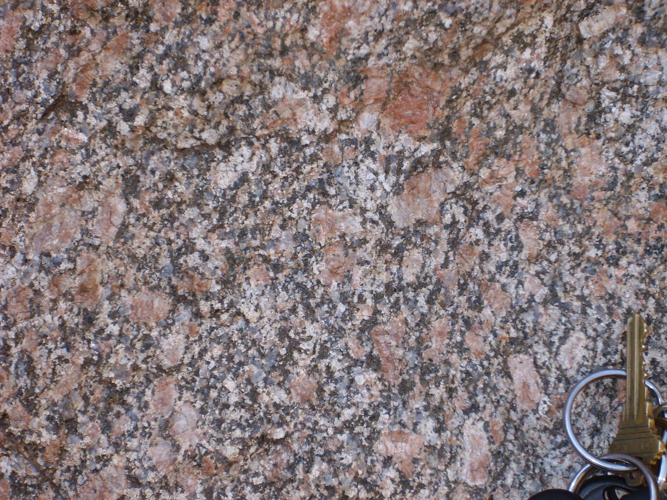
Fresh surface of Guadalupe Box granite
Full disclosure: I have been using the word “granite” here rather loosely. Strictly speaking, this beautiful rock is a hornblende-biotite quartz monzonitic gneiss, meaning that it is a touch less abundant in quartz and more abundant in alkali feldspars than a true granite, and it has been metamorphosed. Any foliation from metamorphism is barely evident here, though.
This rock is estimated at about 1.6 billion years in age.
I am pretty sure the next photograph is not of what geologists mean when they talk about graphic granite.
Not actually what geologists mean by graphic granite
My aesthetic reaction to this is roughly what my aesthetic reaction would be to Jennifer Aniston with full body tattoos.
As we emerge from the north end of the Guadalupe Box, the Great Unconformity is visible across the Rio Guadalupe.
The Great Unconformity
That’s Mississippian limestone sitting unconformably atop Precambrian granite. The gap in time represented by this unconformity is about 1.3 billion years.
As I’ve noted elsewhere, the Great Unconformity is unusually wide in New Mexico, which apparently remained above water in the early Paleozoic era.
There are rumored to be excellent fossil beds high on the bluffs on the far side of the Rio Guadalupe.

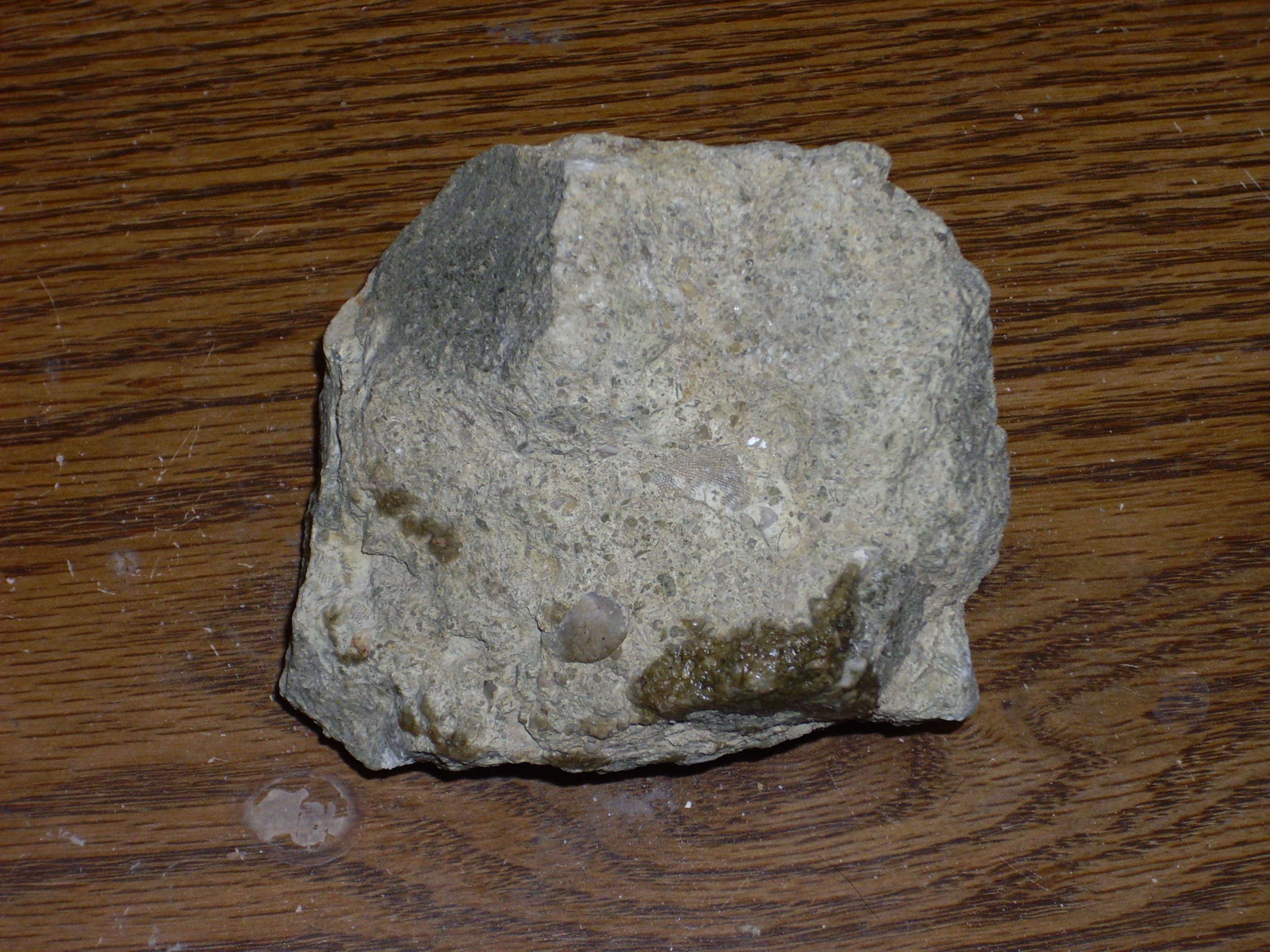
Turns out, though, that the Rio Guadalupe is a permanent and fairly substantial stream, with few decent fording points, and the bluffs beyond are fairly steep. Since I’m squeamish about getting my feet wet, it took me quite some time to find a way across. I never did find the fossil beds, through I did find some fossiliferous limestone.
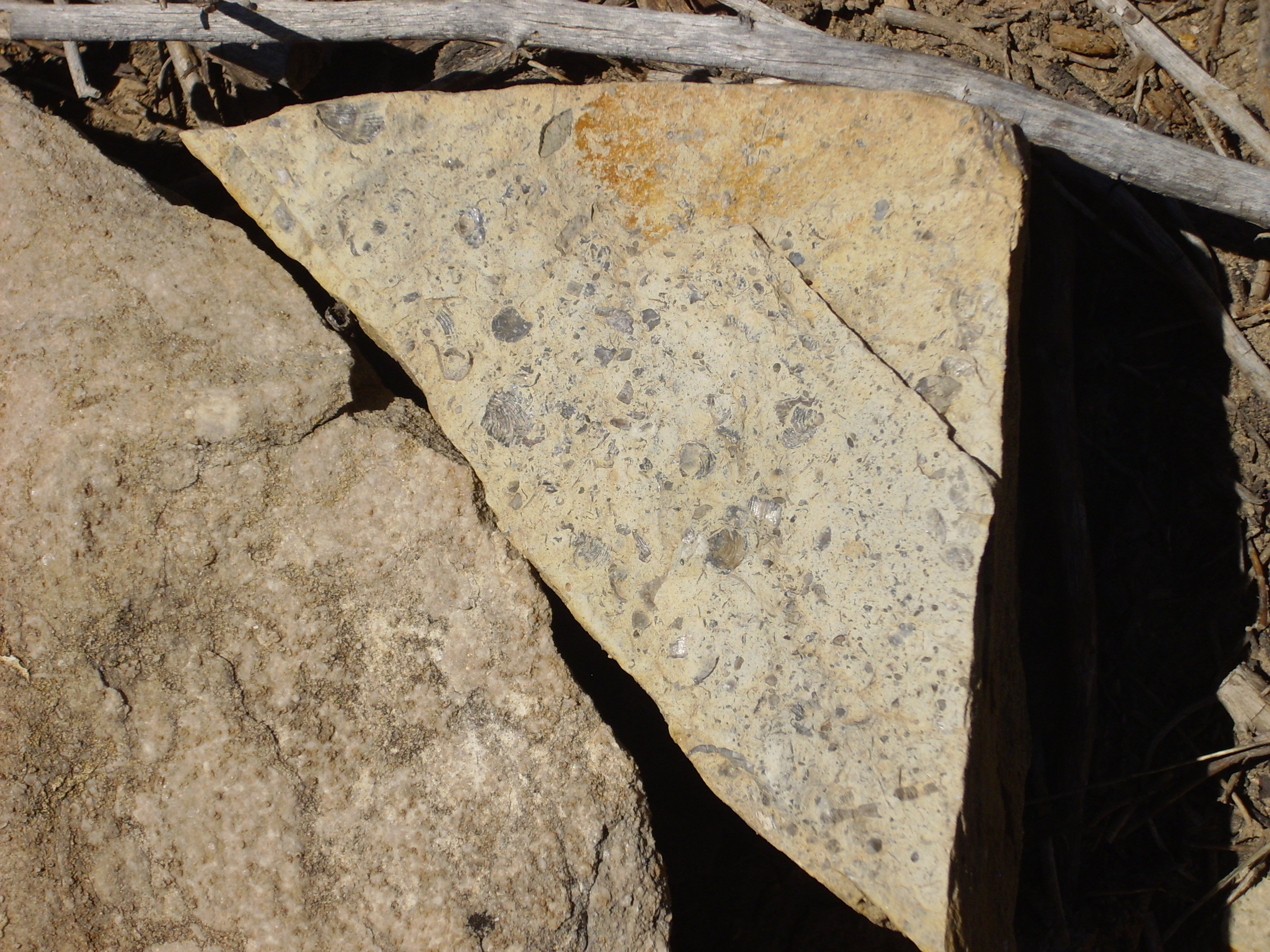
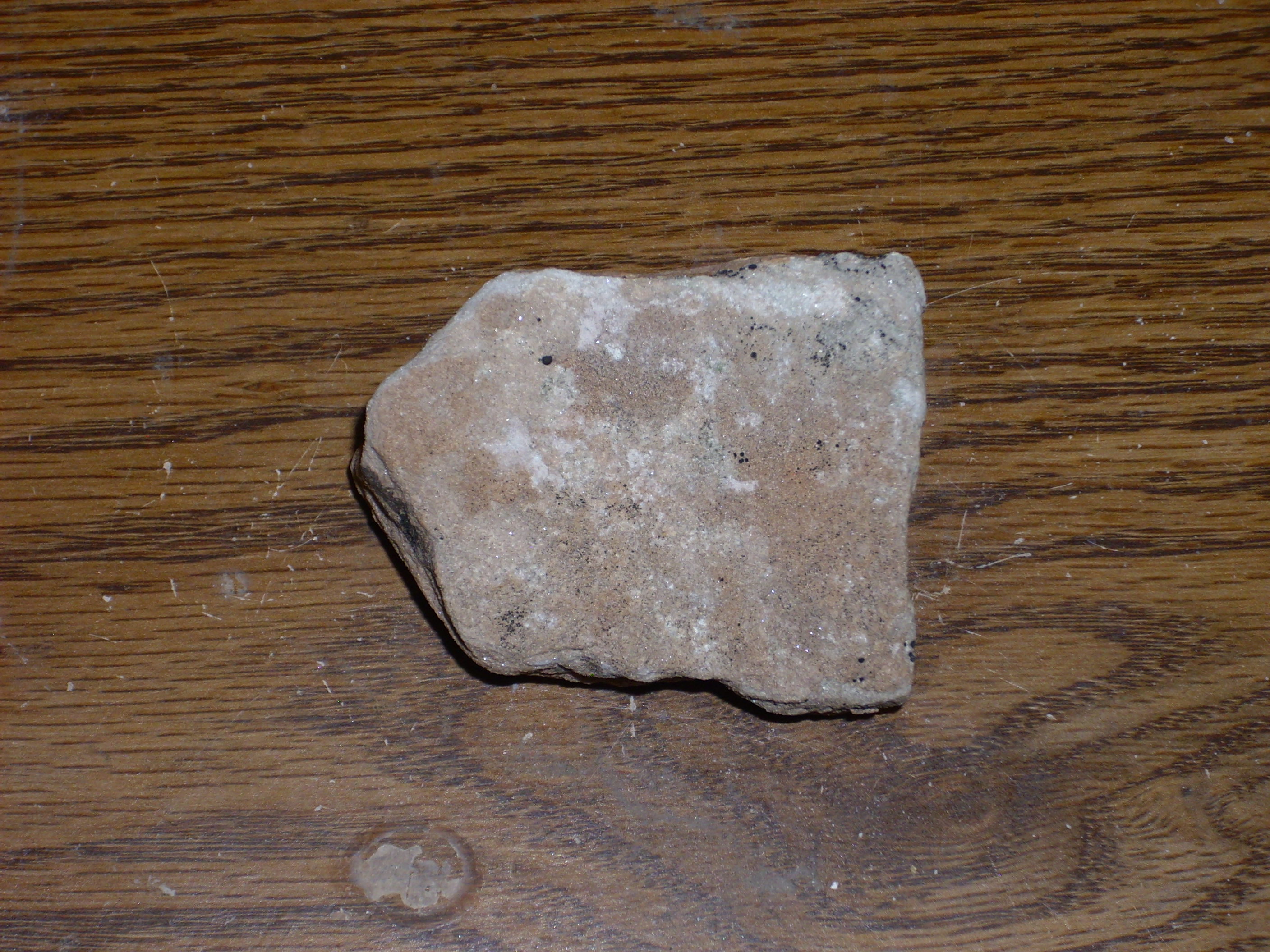
Fossiliferous limestone
Not sure what period these are from. The fossils are crinoids and brachiopods, which doesn’t actually narrow it down much. (Both groups were abundant throughout the upper Paleozoic.) The hard sandstone cliffs near the top of the bluff might be Shinarump Formation, but everything beneath is a jumble covered with alluvial deposits.
This jumble includes some very coarse sandstone.

Coarse sandstone
There is an outcrop of mudstone under a sandstone bed.
Mudstone
I’m not sure what this is. Looks like green mudstone; perhaps reworked volcanic ash?
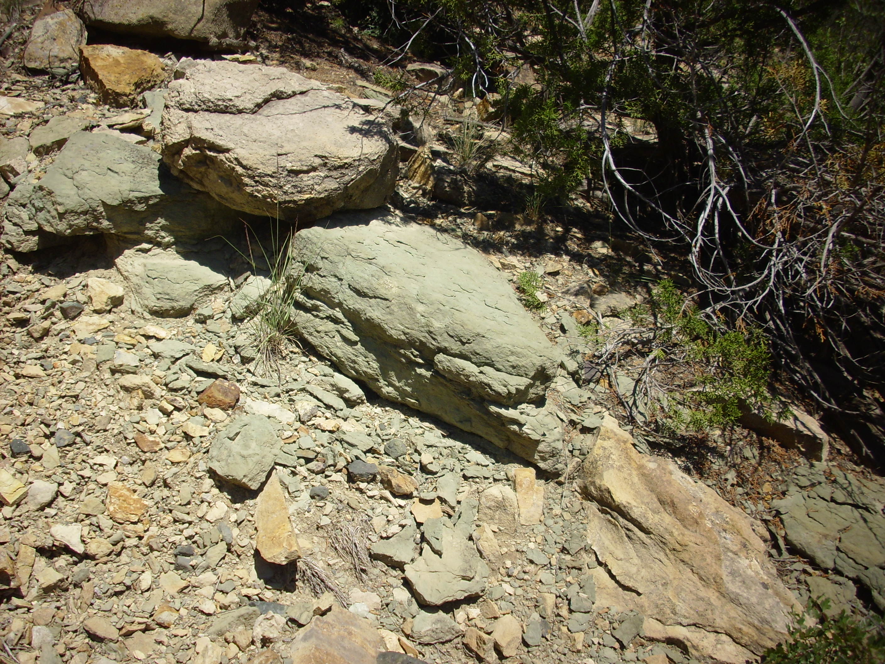
Ash bed?
But mostly limestone clasts.
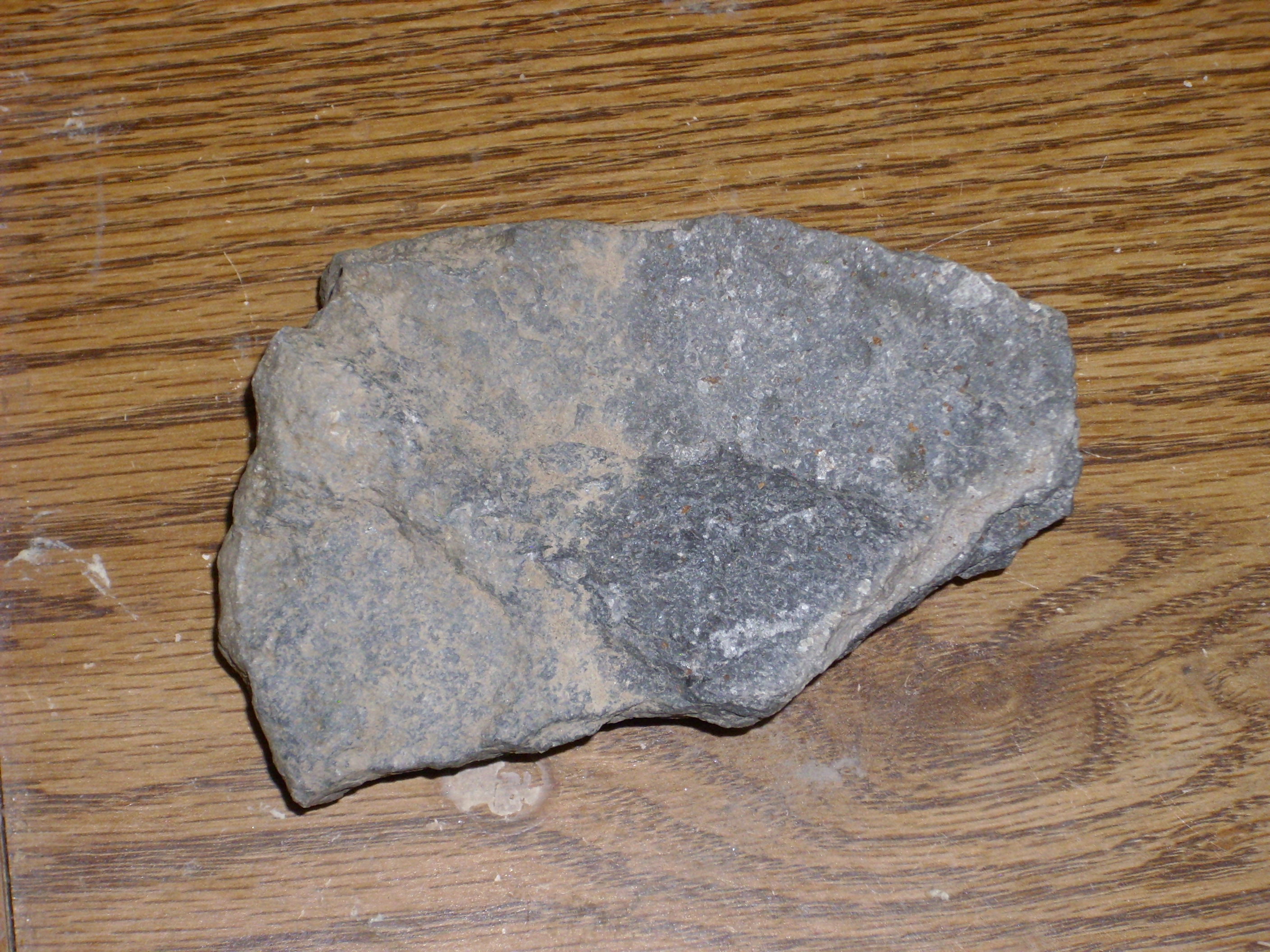
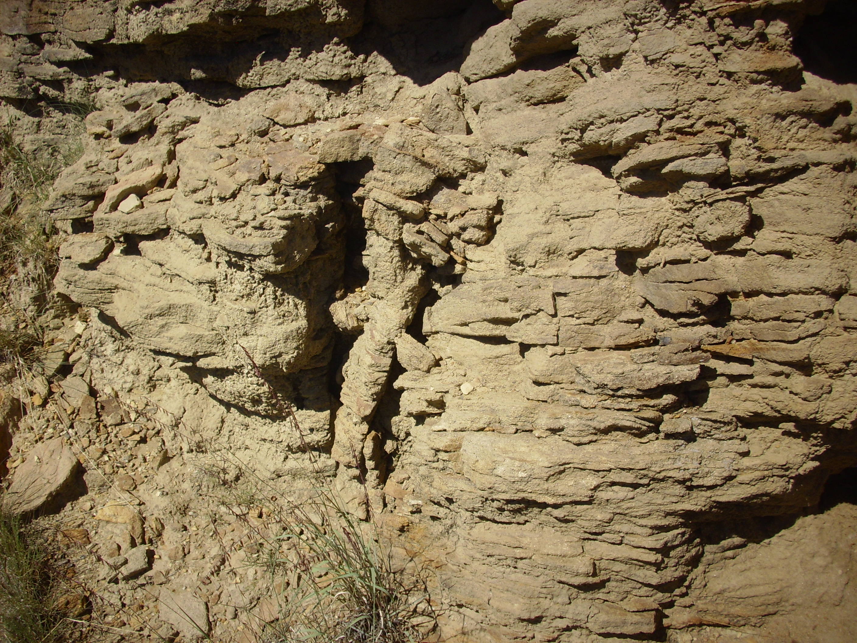
I walked a fair distance up the river looking for a better fording spot than I had used the first time. I ran across what looked like a slate outcropping.
Slate?
The reason I say “slate” is because it’s bedded like mudstone or slate, but it’s quite hard, and it shows mica flakes on a broken surface. I have no idea its age, but it’s at the bottom of the canyon, it’s apparently been metamorphosed, and this is clearly an outcropping, not a big landslide boulder. None of the Paleozoic rocks in this area are metamorphosed. A bit of Precambrian sedimentary rock that wasn’t quite eroded away with the rest of the Great Unconformity?
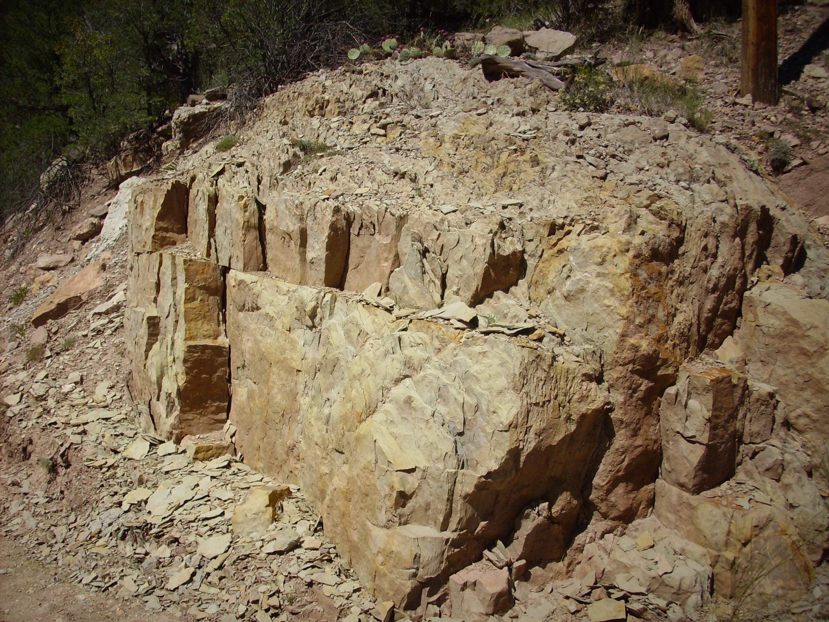
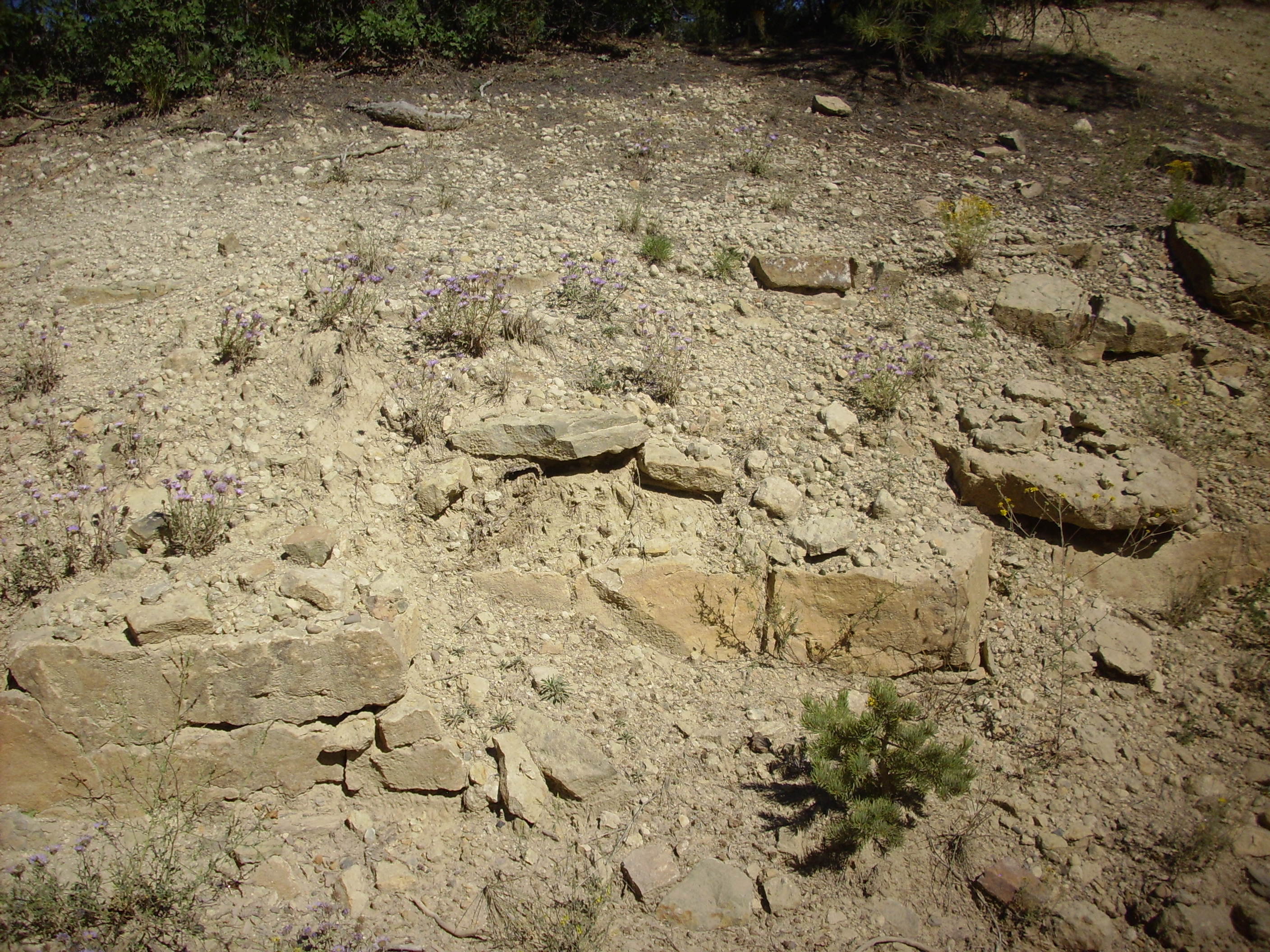
I found a crossing point for the river (somewhat better than the one I originally used, with a family loudly splashing and playing nearby) and walked down the road back to my car. There were some impressive sandstone beds over conglomerate.
Sandstone over conglomerate
This is distinctive enough that I got thinking there has to be a rock column published somewhere showing this sequence. Alas, there is no description that quite matches it. My best wild guess is Pennsylvanian Sandia Formation.
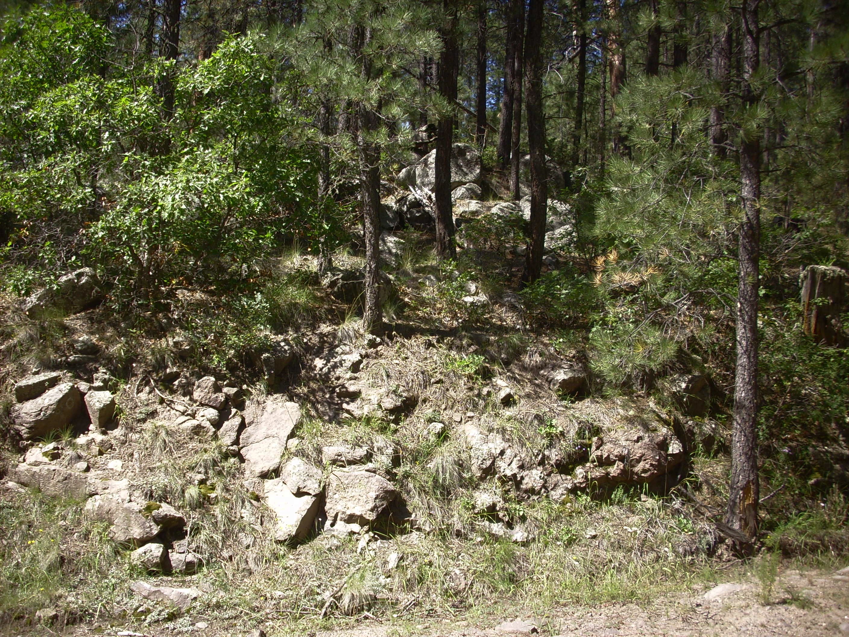
Headed on down the road, and soon reached Joaquin Canyon and my second Precambrian granite outcropping, right around here.


Joaquin Granite
This is almost certainly an outcrop of the Joaquin Granite, which is the most common Precambrian rock in the southern Sierra Nacimientos. It’s a true granite that is probably younger than much of the other granite in the area, including the “granite” at Guadalupe Box. My wild guess is that it is part of a 1.4 billion year old event that also produced the Tusas Formation to the north.
Just up the road from here, the road cuts through the Pennsylvanian Osha Canyon Formation, which I know because I found a fossil site that names the formation and gives precise coordinates. This is sitting on top of the Joaquin Granite. The rock is limestone with quite a bit of coarse sand, and there are fossils. My sample had a bit of crinoid and a small brachiopod in it, consistent with Pennsylvanian age.
Osha Canyon Formation
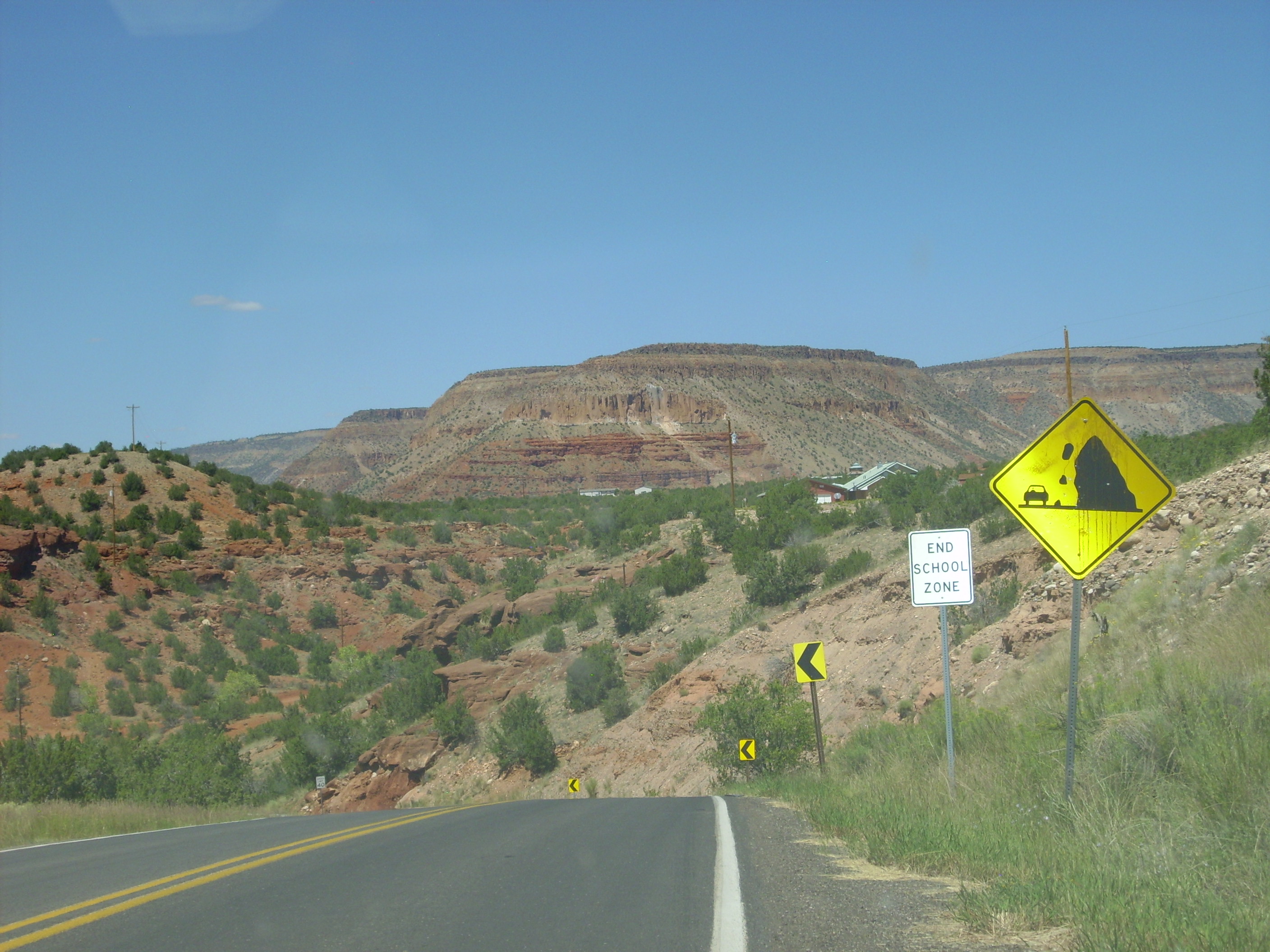
I then turned towards home. The road passed through some red country I’m guessing is Permian, but no good outcrops. Or at least none I was interested in this late in the day.
Red country
But before emerging from the back country, there was one more mystery: Mafic tuff.

Mafic tuff
This looks like Bandelier Tuff in every respect save one: It’s chocolate brown. Banderlier Tuff is light colored in every other location I’ve seen it. But the geologic map says this is Bandelier Tuff.
I figure the geologic map is wrong. I’ve not been able to find anything in the literature talking about this outcropping, so I don’t have any guess what it really is. Well, maybe it is Bandelier Tuff; some of the flows close to the caldera rim on the east side look a bit darker, and we’re very close to the west caldera rim here.
And home.
Copyright ©2014 Kent G. Budge. All rights reserved.